Trails near Lugano
370 hikes starting within 15 km, nearest first.
Nearest first, page 1 of 8
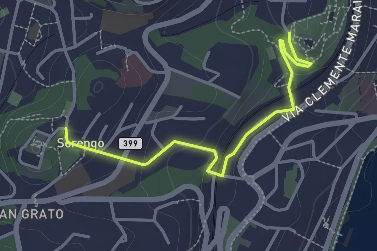
Easy · Trail
Parco Tassino – Loreto
2.8 km · ↑ 109 m · 55 min · 1 km away
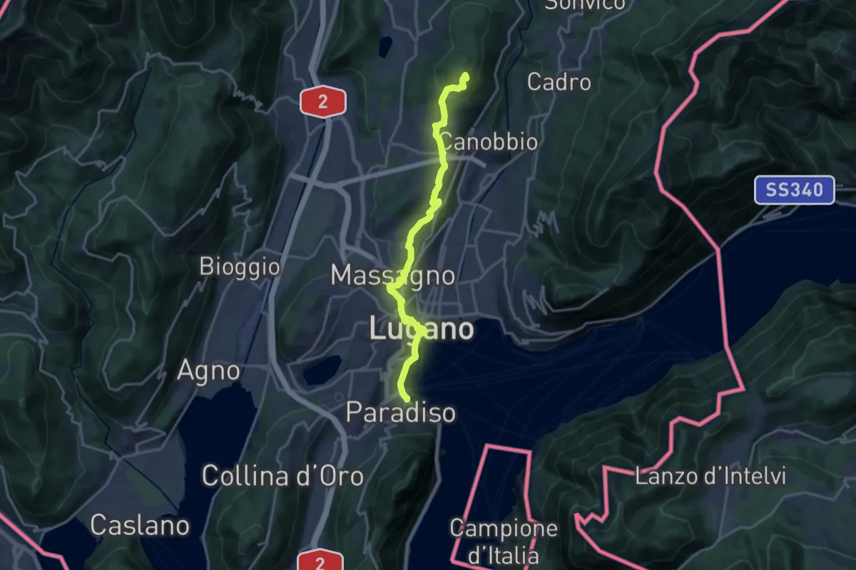
Medium · Summit
Trans Swiss Trail
16.5 km · ↑ 452 m · 4 h 53 min · 1 km away
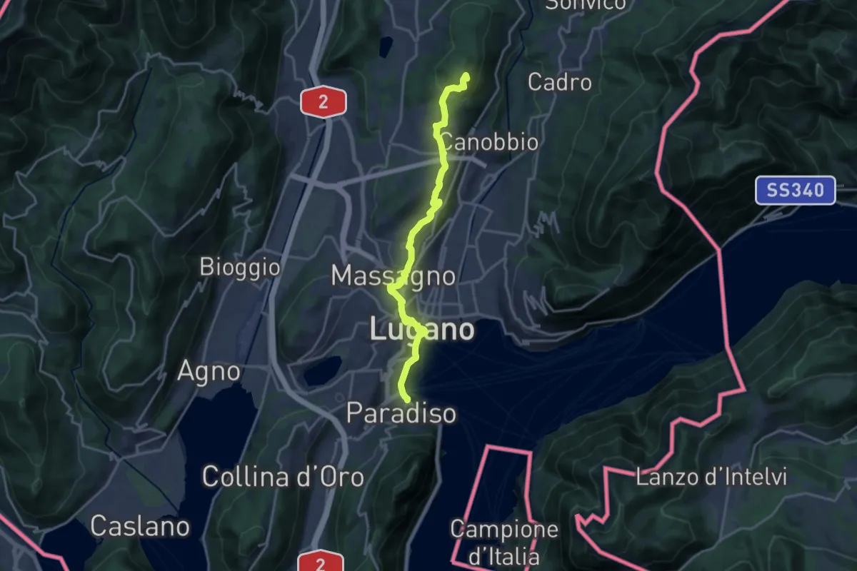
Medium · Summit
ViaGottardo
16.5 km · ↑ 452 m · 4 h 53 min · 1 km away
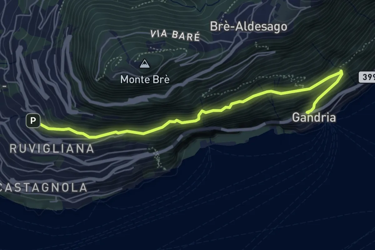
Medium · Trail
Gandria – Ruvigliana
5.5 km · ↑ 587 m · 2 h 35 min · 2 km away
Medium · Summit
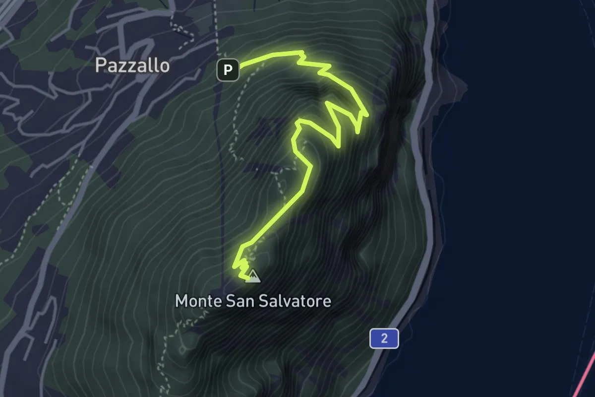
Pazzallo Statione – San Salvatore
4.2 km · ↑ 490 m · 2 h 3 min · 2 km away
Easy · Trail
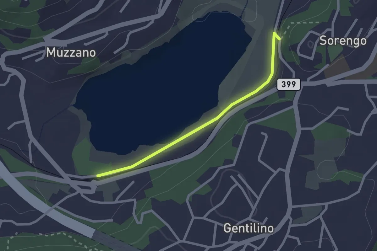
Lago di Muzzano – Sorengo Laghetto
2.0 km · ↑ 18 m · 31 min · 2 km away
Easy · Trail
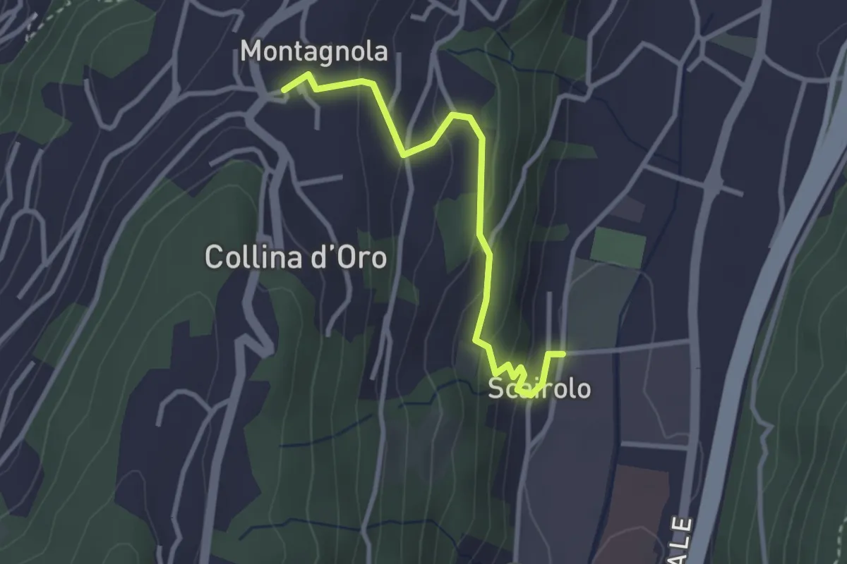
Scairolo - Montagnola
2.8 km · ↑ 163 m · 1 h 1 min · 4 km away
Medium · Trail
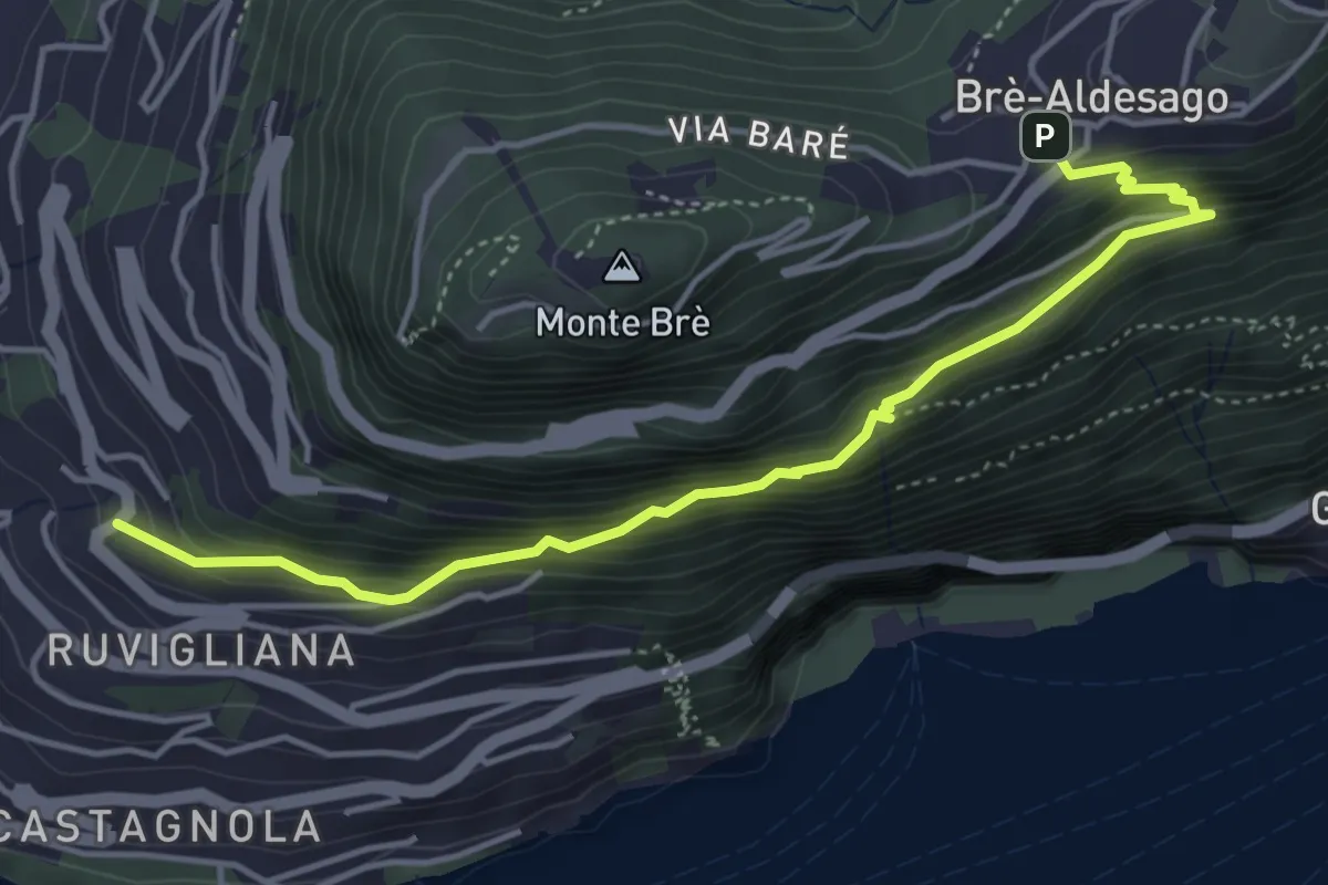
Brè – Ruvigliana
4.7 km · ↑ 478 m · 2 h 9 min · 4 km away
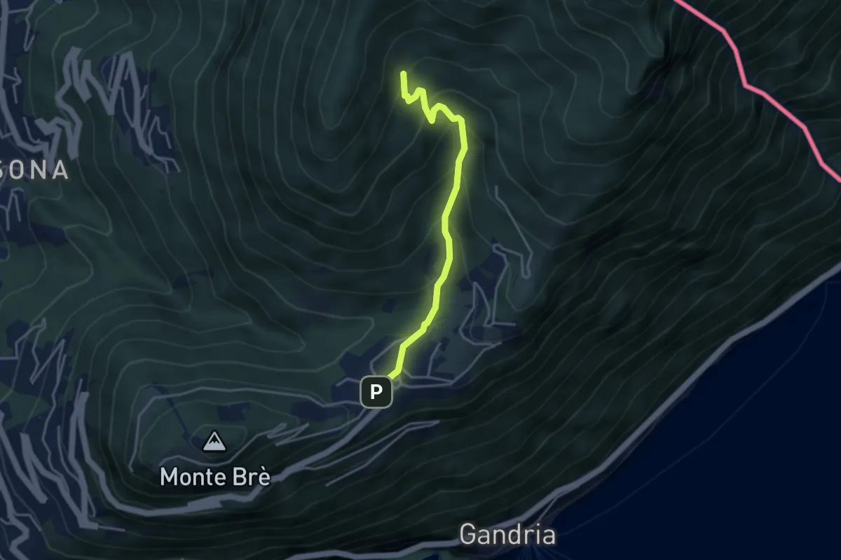
Medium · Trail
Bre – Carbonera
3.5 km · ↑ 290 m · 1 h 27 min · 4 km away
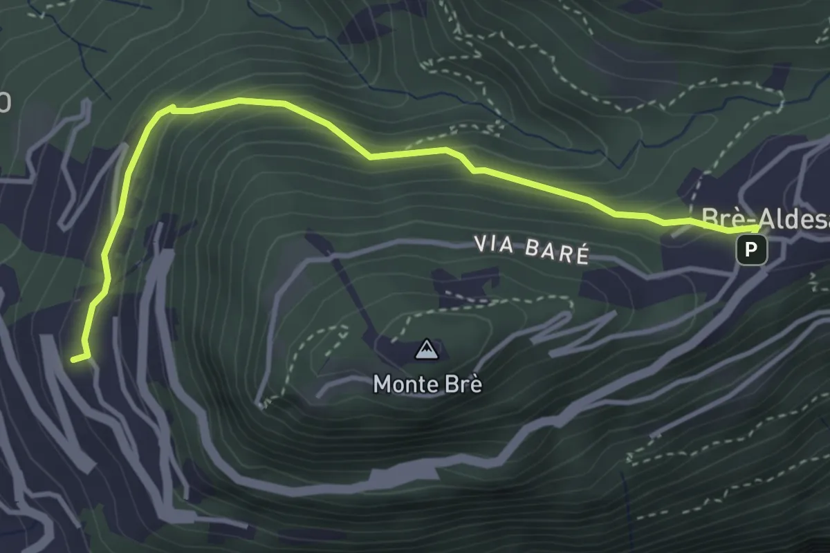
Easy · Trail
Brè – Aldesago
3.8 km · ↑ 273 m · 1 h 30 min · 4 km away
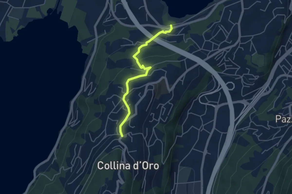
Easy · Trail
Montagnola – Lago di Muzzano
3.9 km · ↑ 125 m · 1 h 11 min · 4 km away
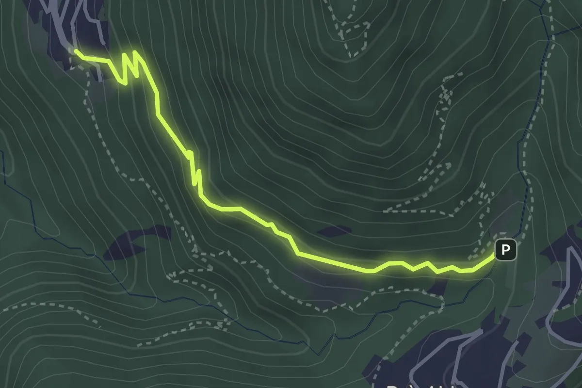
Medium · Trail
Cureggia - Bré
3.7 km · ↑ 254 m · 1 h 25 min · 4 km away
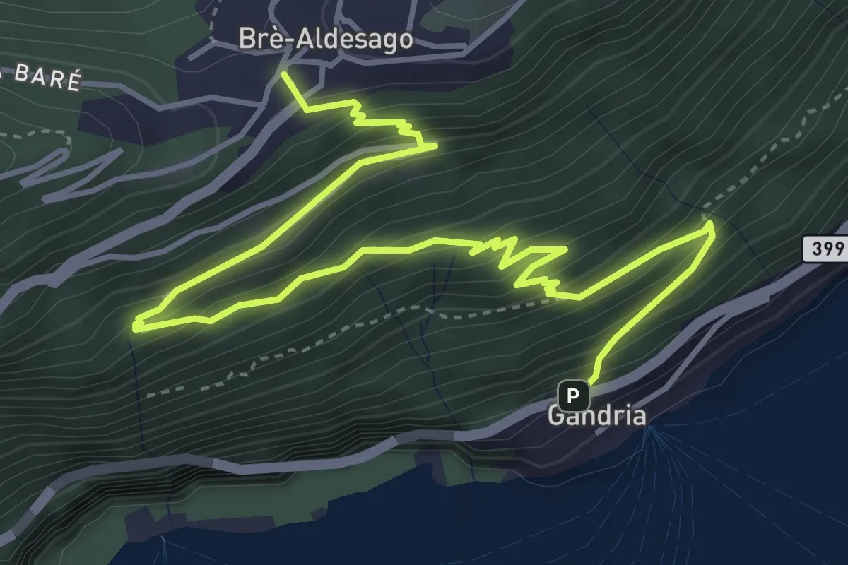
Medium · Trail
Gandria – Brè
5.7 km · ↑ 457 m · 2 h 21 min · 4 km away
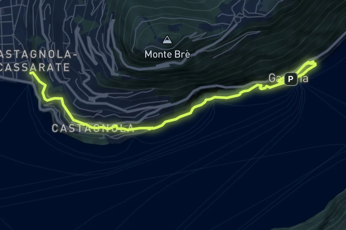
Demanding · Trail
Sentiero dell' Olivo
8.3 km · ↑ 824 m · 3 h 44 min · 4 km away
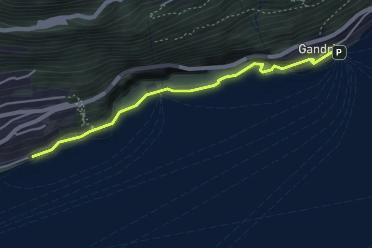
Medium · Trail
Gandria - Castagnola
3.3 km · ↑ 440 m · 1 h 44 min · 4 km away
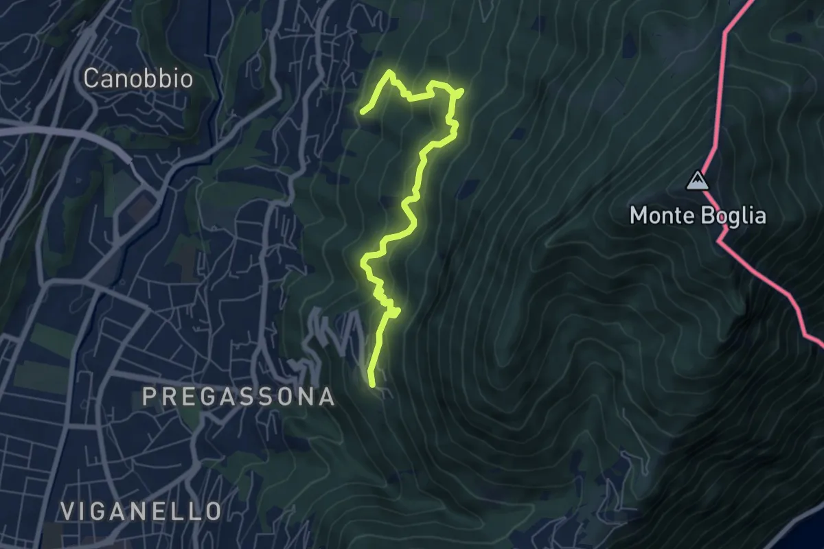
Medium · Trail
Soragno – Cureggia
6.6 km · ↑ 583 m · 2 h 50 min · 4 km away
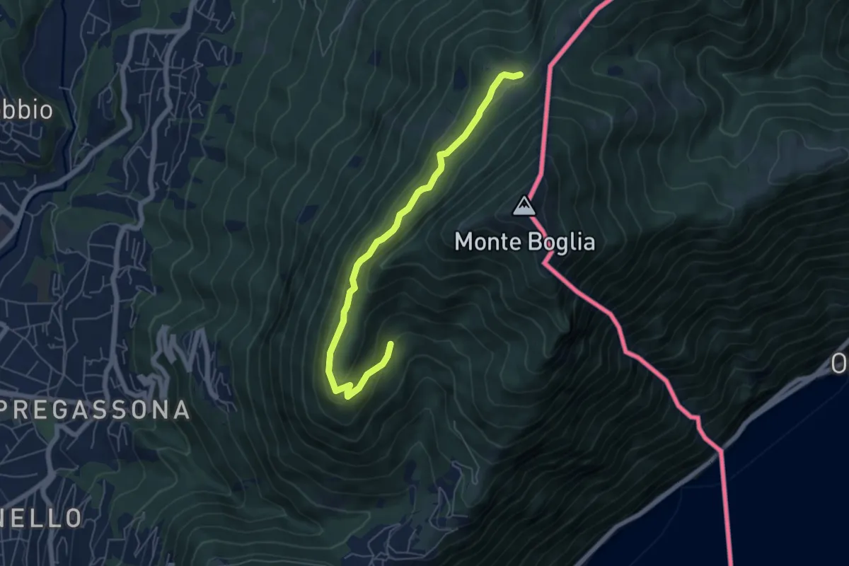
Medium · Cabin
Carbonera – Alpe Bolla
5.9 km · ↑ 238 m · 1 h 54 min · 4 km away
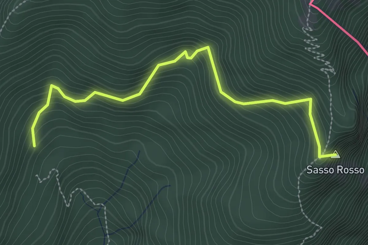
Medium · Summit
Carbonara – Sasso Rosso
3.1 km · ↑ 327 m · 1 h 27 min · 4 km away
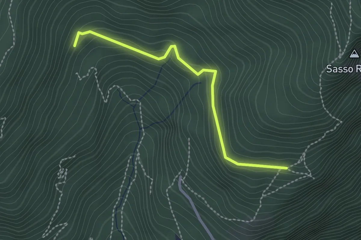
Easy · Trail
Crus – Carbonara
2.3 km · ↑ 125 m · 49 min · 4 km away
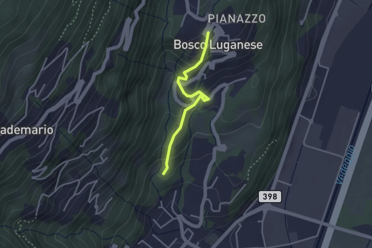
Easy · Trail
Sant'Ilario – Bosco Luganese
2.5 km · ↑ 148 m · 55 min · 4 km away
Medium · Summit
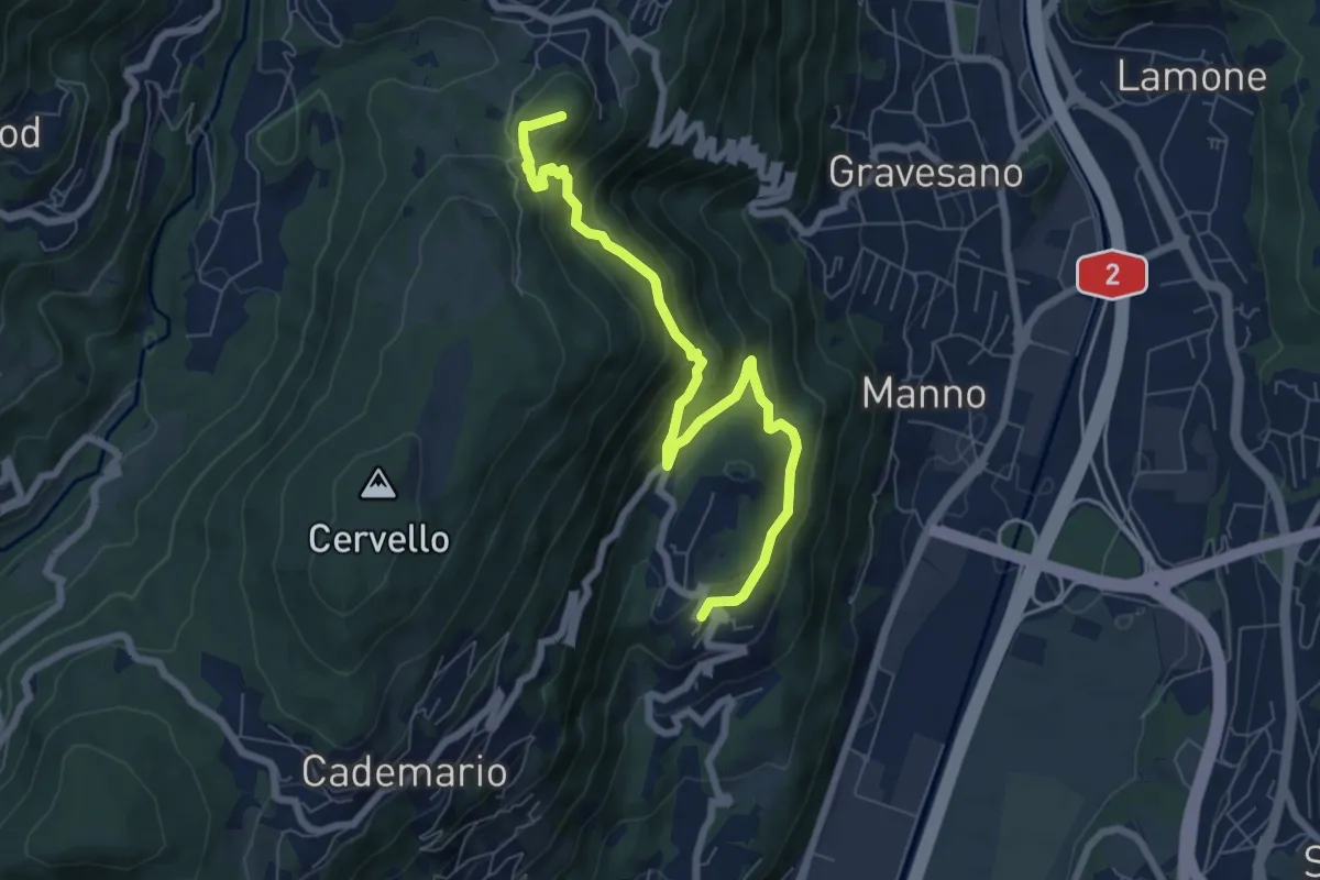
Bosco Luganese – Arosio
7.6 km · ↑ 458 m · 2 h 47 min · 4 km away
Medium · Trail
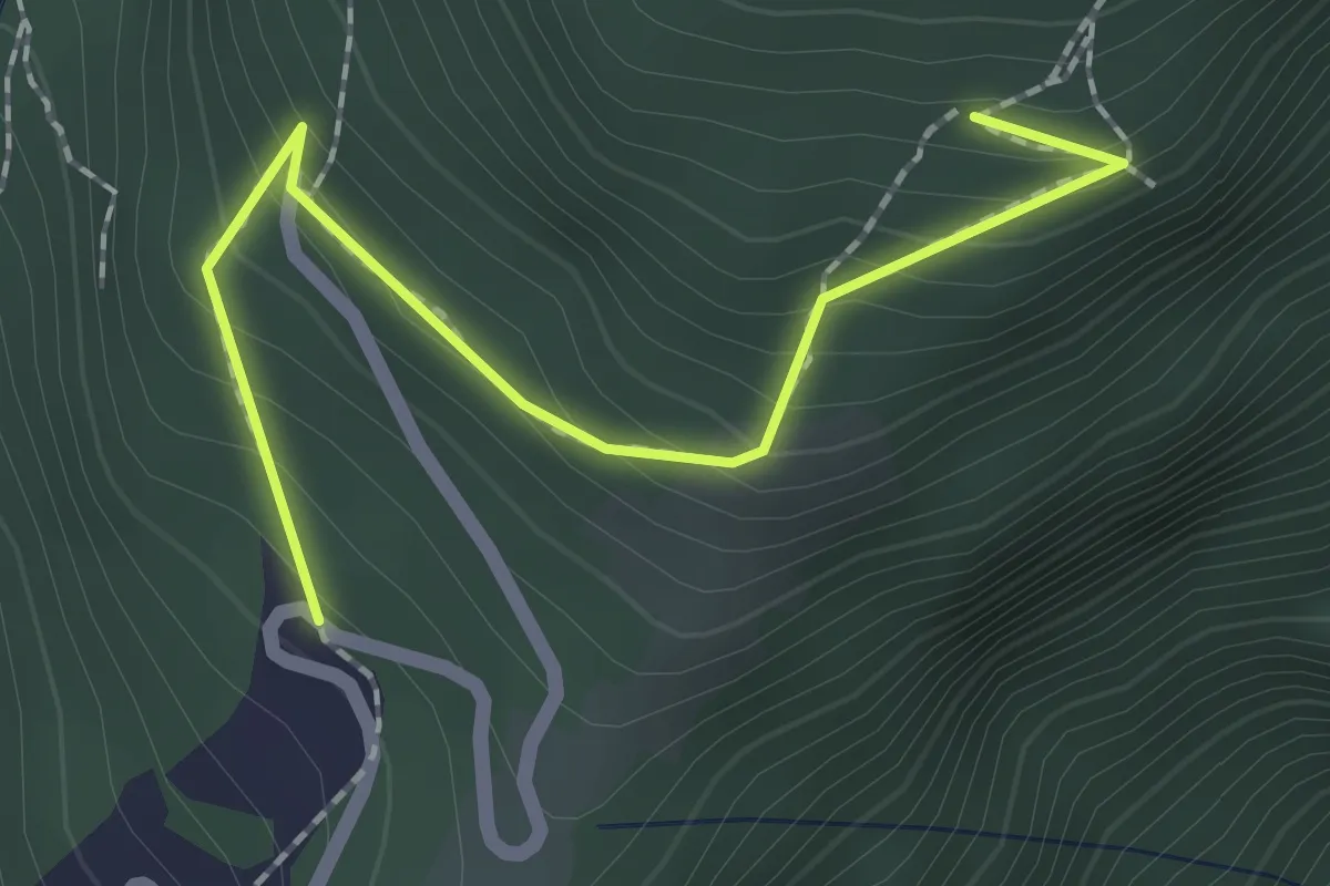
Materone – Crus
2.0 km · ↑ 187 m · 53 min · 4 km away
Easy · Trail
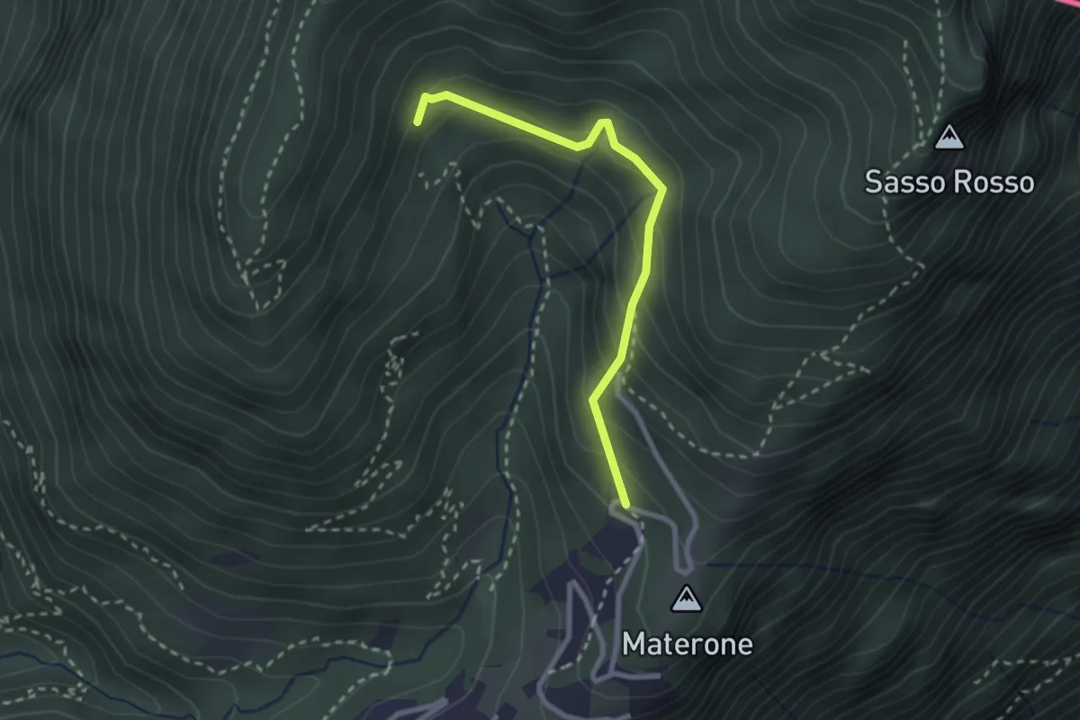
Carbonera – Materone
2.4 km · ↑ 203 m · 1 h 1 min · 4 km away
Medium · Summit
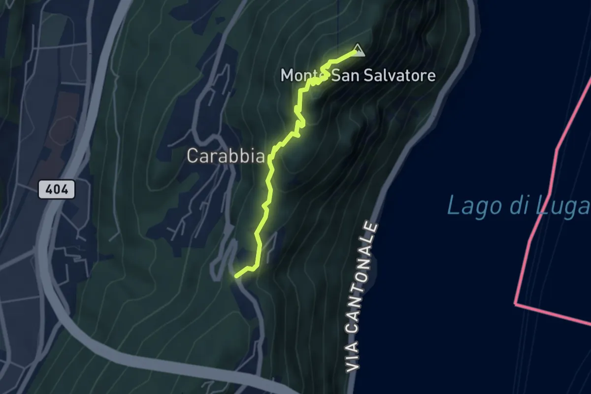
San Salvatore – Ciona
3.9 km · ↑ 302 m · 1 h 34 min · 4 km away
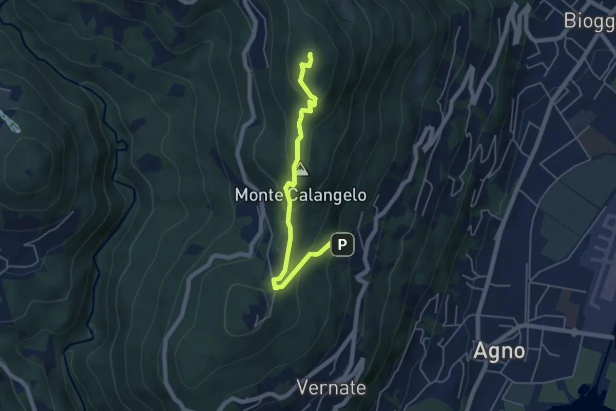
Easy · Summit
San Bernardo – Cimo
4.6 km · ↑ 283 m · 1 h 42 min · 5 km away
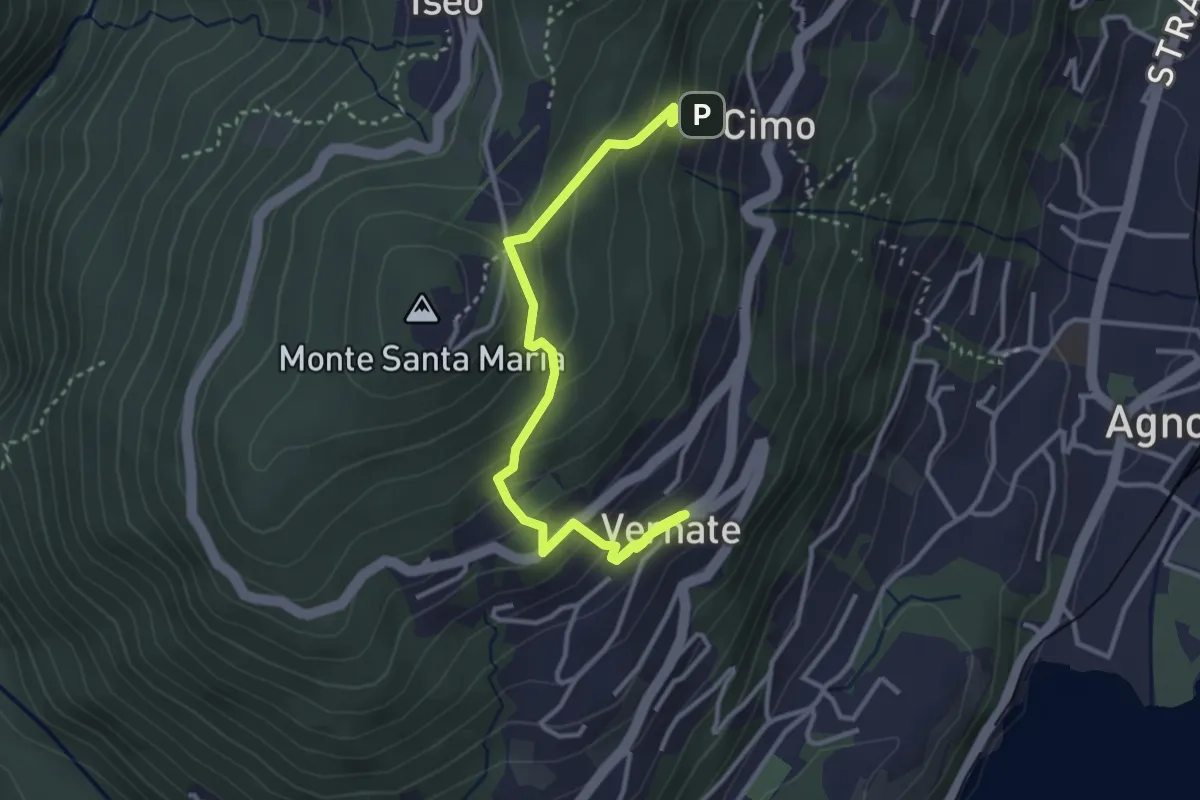
Easy · Trail
Vernate – Cimo
4.0 km · ↑ 276 m · 1 h 33 min · 5 km away
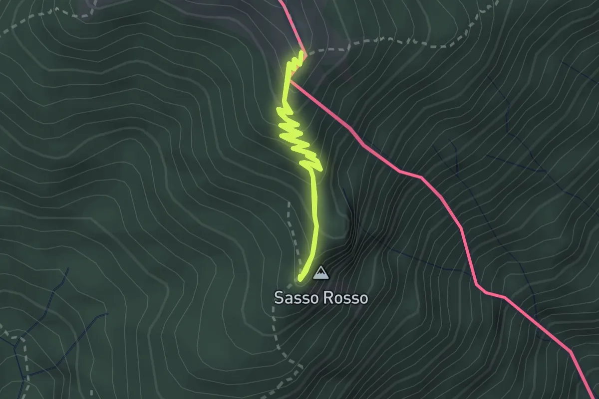
Medium · Summit
Monte Boglia – Sasso Rosso
2.2 km · ↑ 212 m · 1 h · 5 km away
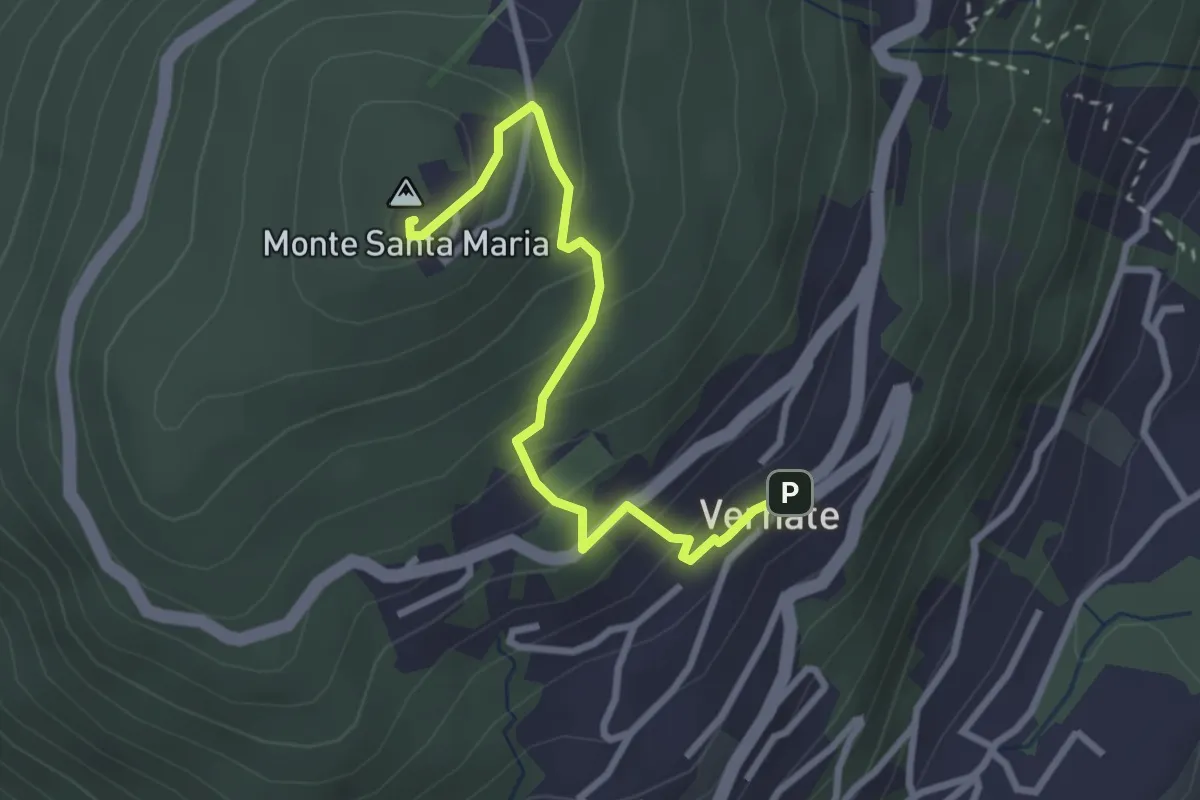
Easy · Summit
Vernate – Santa Maria
2.9 km · ↑ 214 m · 1 h 9 min · 5 km away
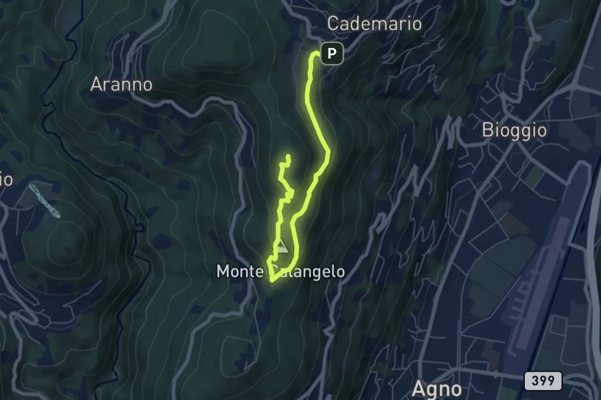
Easy · Summit
San Bernardo – Cademario
6.5 km · ↑ 289 m · 2 h 9 min · 5 km away
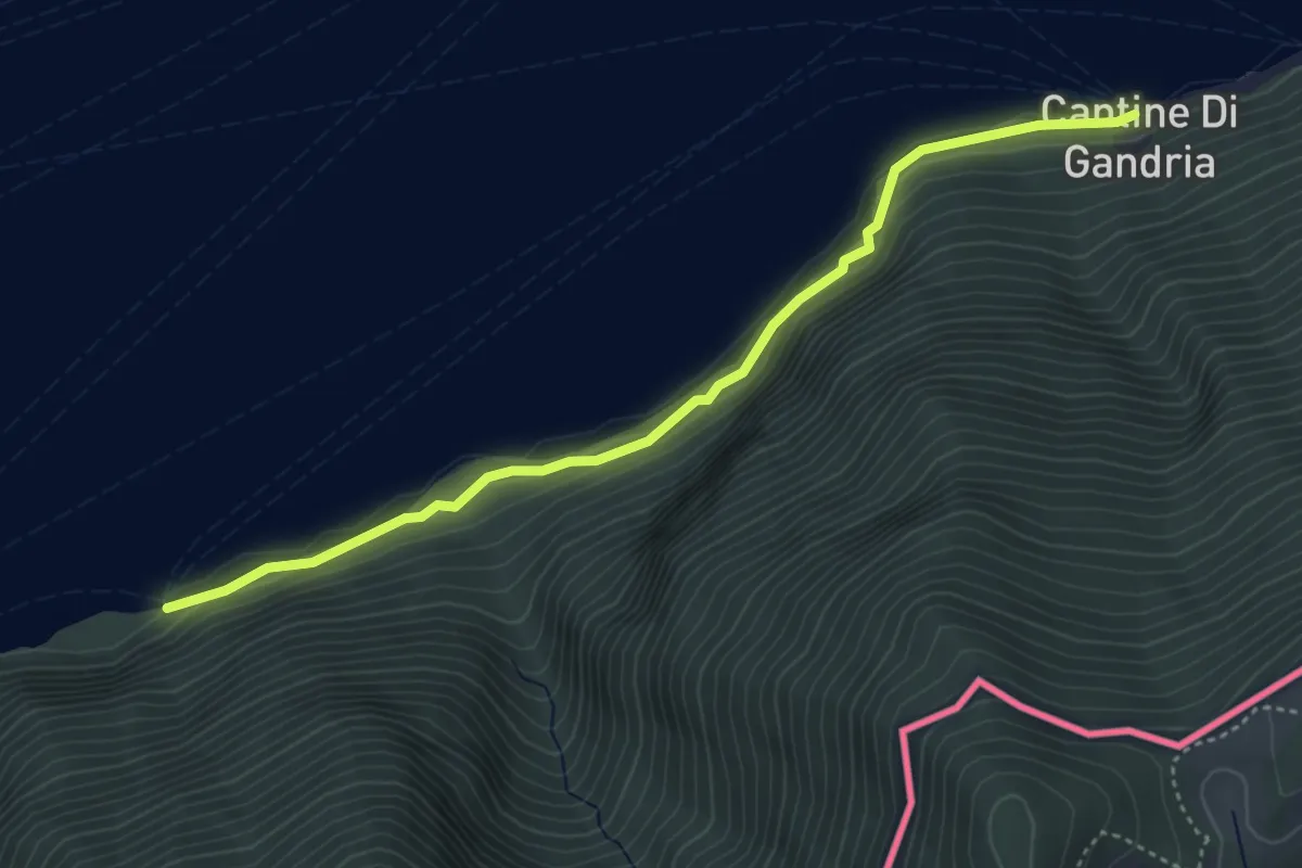
Easy · Trail
Grotto dei Prescatori – Cantine di Gandria
4.4 km · ↑ 187 m · 1 h 26 min · 5 km away
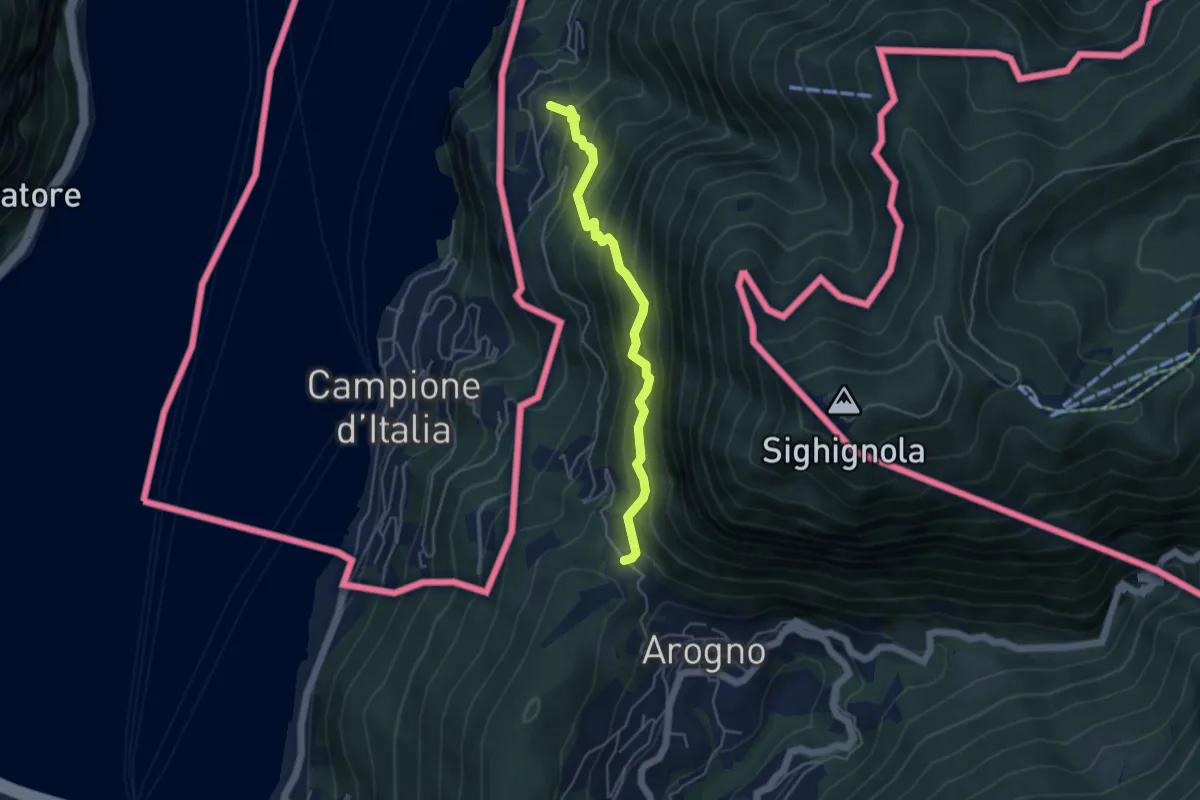
Medium · Trail
S. Vitale – Pugerna
4.4 km · ↑ 515 m · 2 h 10 min · 5 km away
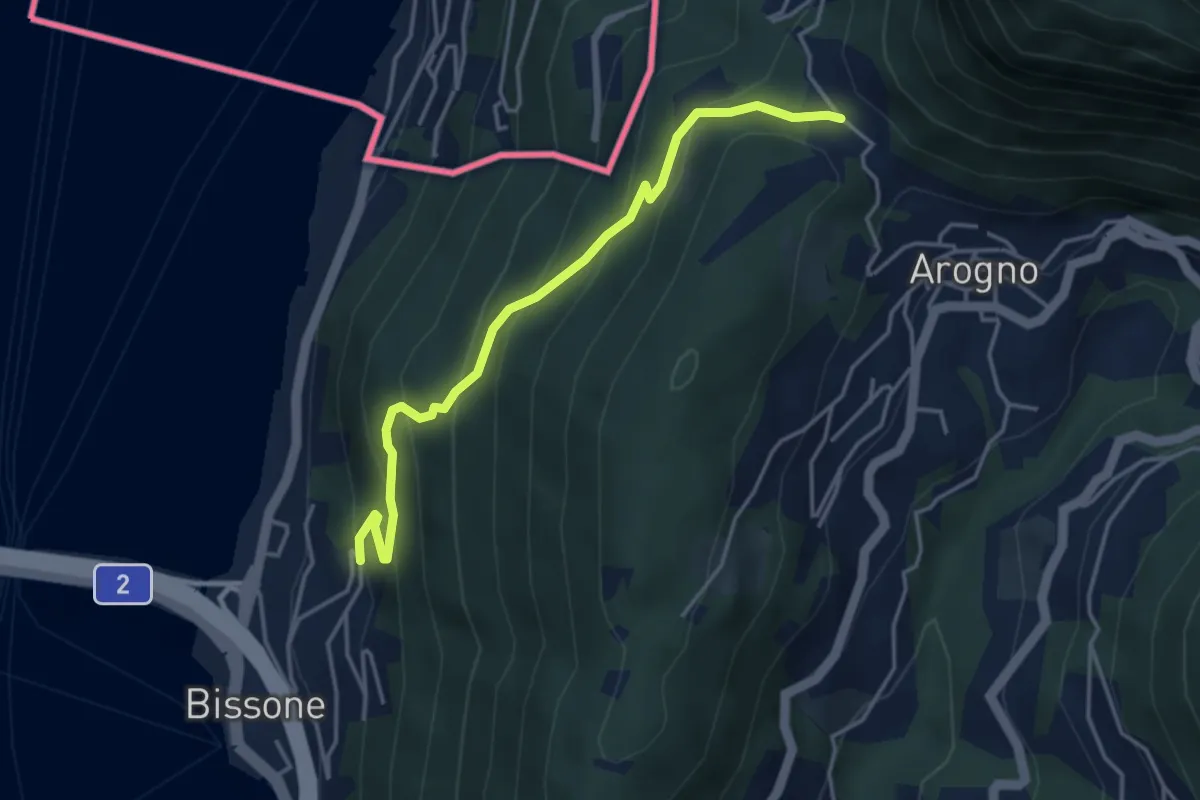
Medium · Trail
S. Vitale – Bissone
4.1 km · ↑ 337 m · 1 h 42 min · 5 km away
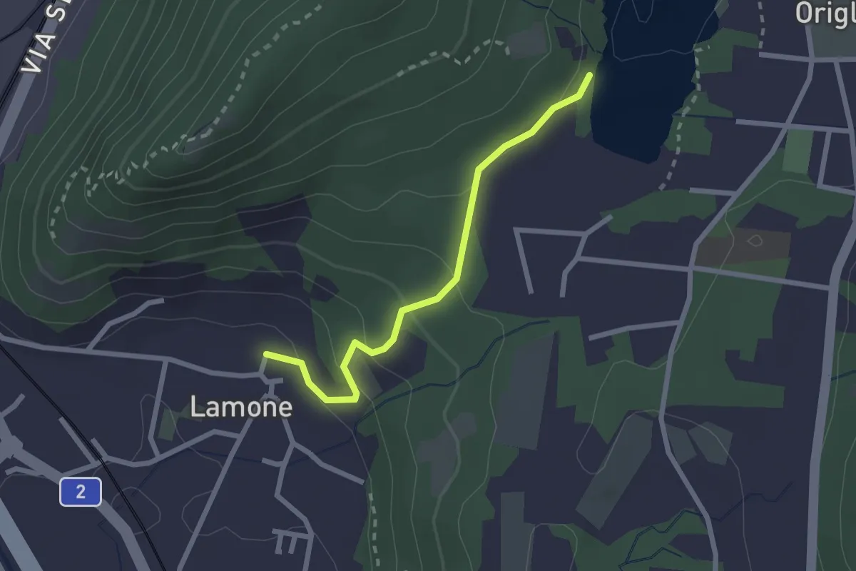
Easy · Trail
Lago di Origlio – Lamone
2.2 km · ↑ 112 m · 45 min · 5 km away
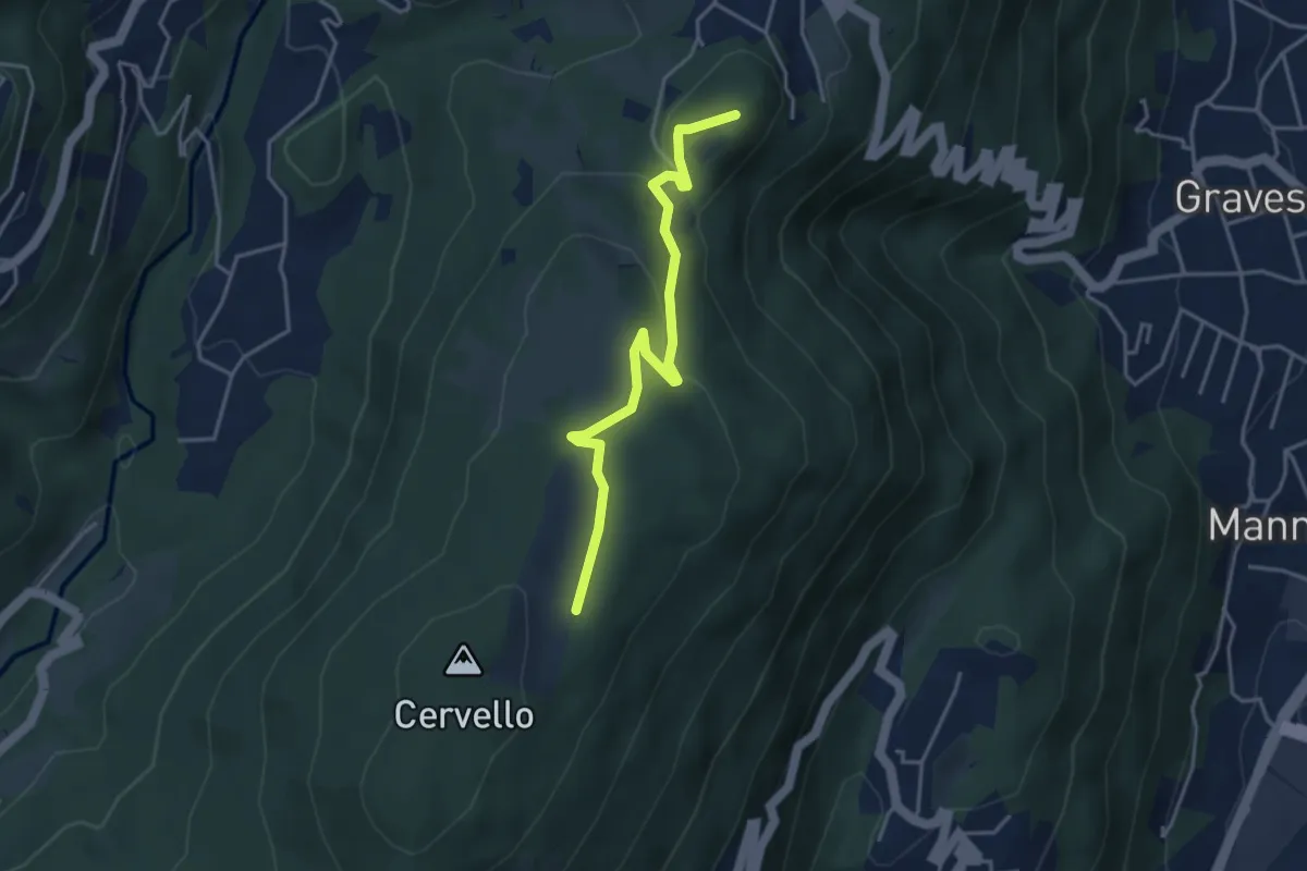
Easy · Summit
Arosio – Alpe Agra
4.0 km · ↑ 103 m · 1 h 9 min · 5 km away
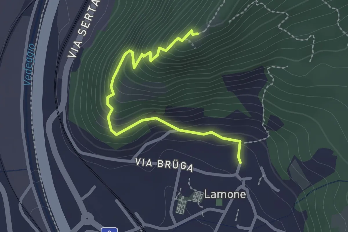
Easy · Trail
Lamone – S. Zenone
2.4 km · ↑ 232 m · 1 h 4 min · 5 km away
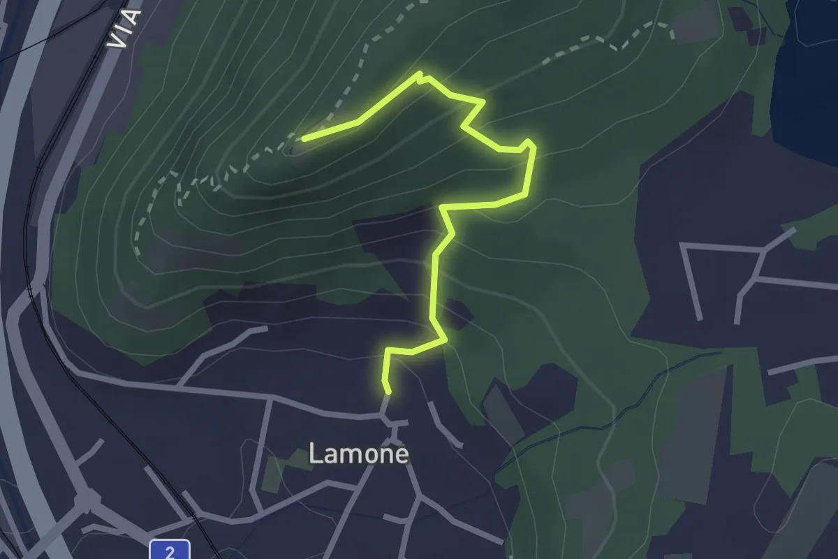
Easy · Trail
S. Zeno – Lamone
2.3 km · ↑ 209 m · 59 min · 5 km away
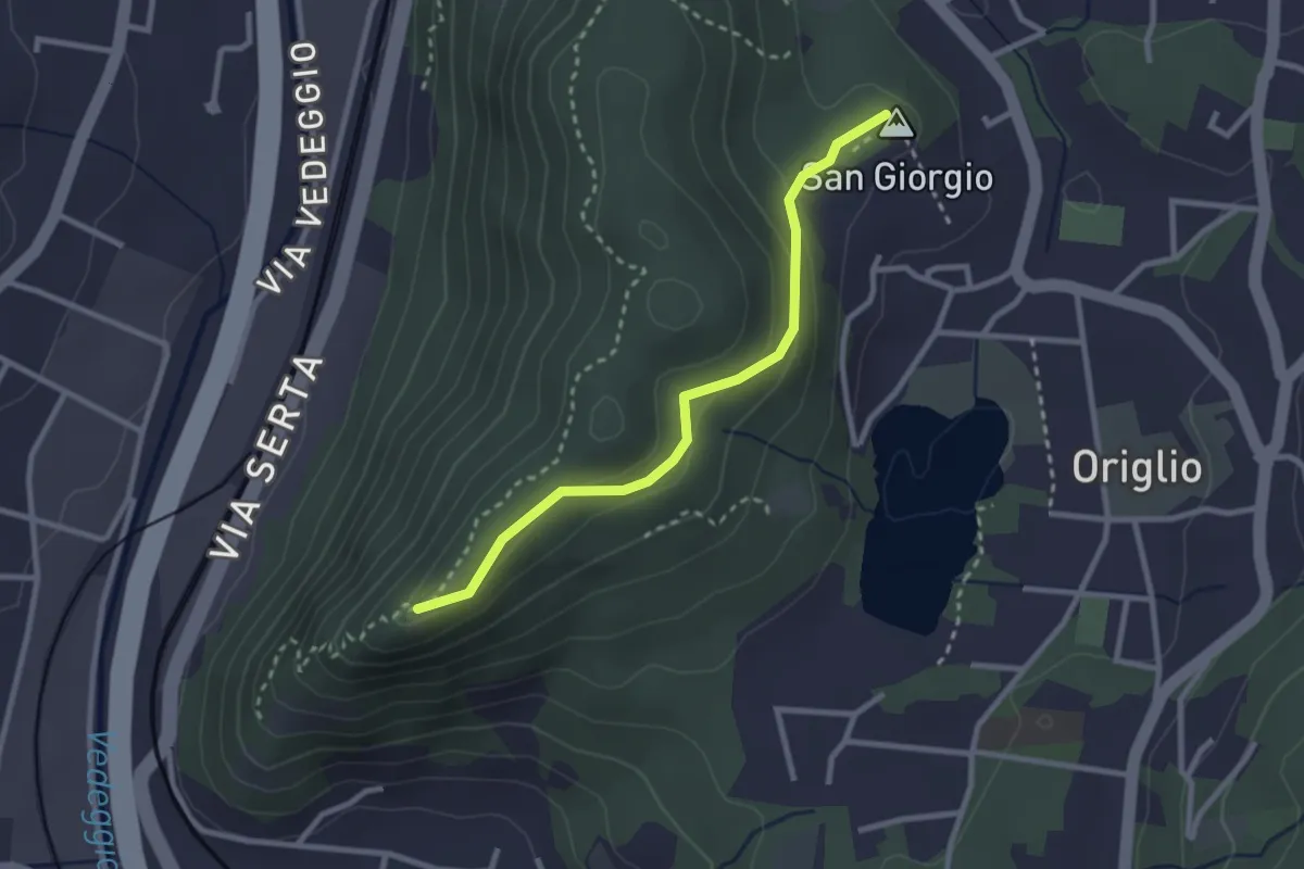
Easy · Summit
S. Zenone – S. Giorgio
2.6 km · ↑ 109 m · 52 min · 5 km away
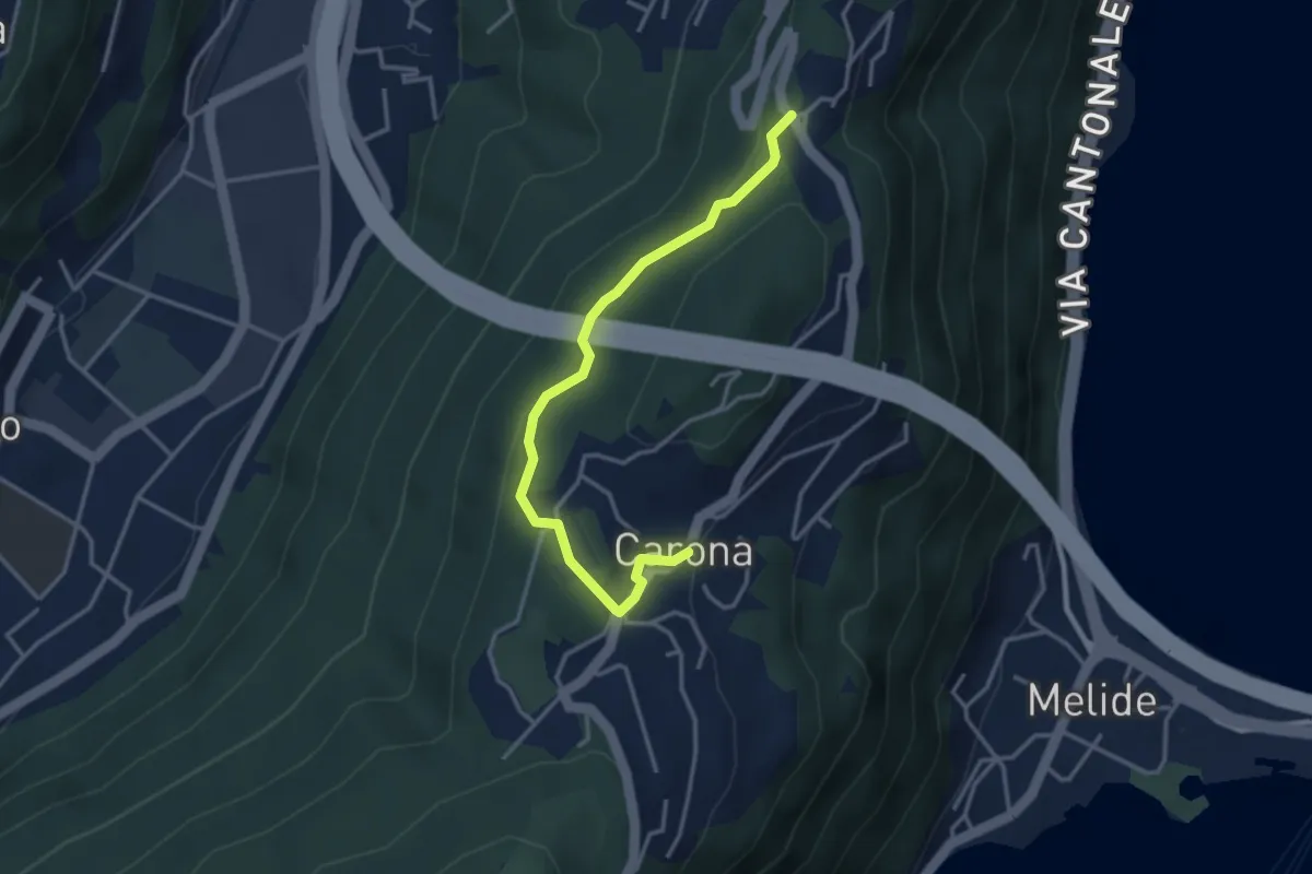
Easy · Trail
Ciona – Carona
3.5 km · ↑ 116 m · 1 h 5 min · 5 km away
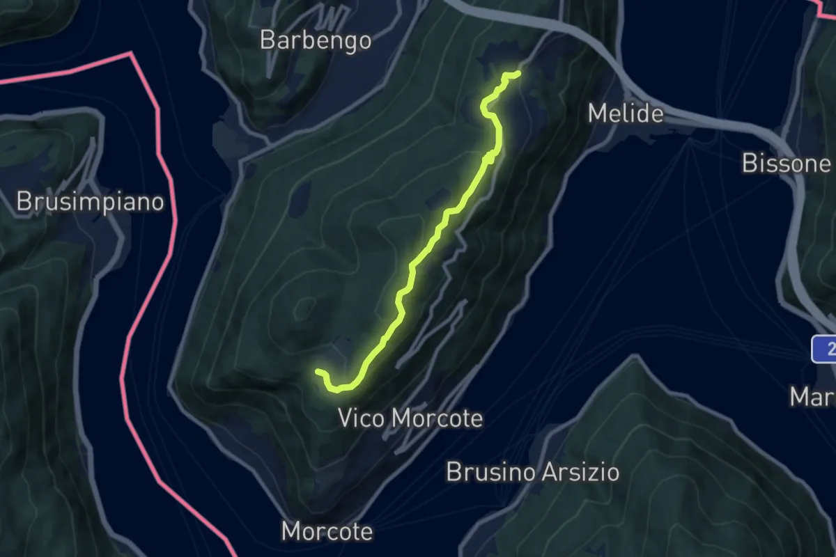
Medium · Trail
Carona – Alpe Vicania
8.0 km · ↑ 330 m · 2 h 36 min · 5 km away
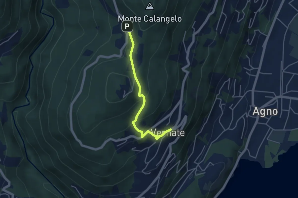
Easy · Trail
Vernate – Iseo
3.3 km · ↑ 216 m · 1 h 15 min · 5 km away
Medium · Trail
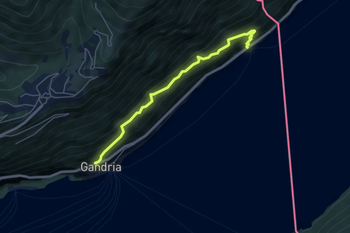
Gandria - Sasso della Predescia / Dogana Gandria -
4.5 km · ↑ 584 m · 2 h 20 min · 5 km away
Medium · Trail
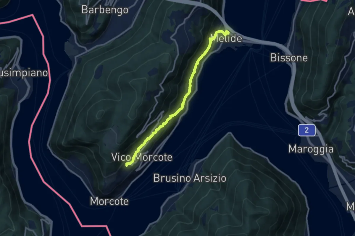
Melide – Vico Morcote
8.9 km · ↑ 487 m · 3 h 9 min · 5 km away
Medium · Trail
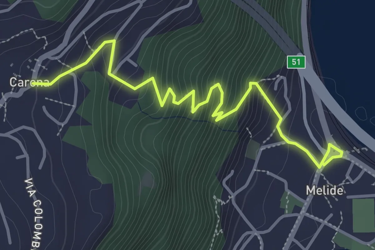
Melide – Carona
3.8 km · ↑ 326 m · 1 h 37 min · 5 km away
Easy · Summit
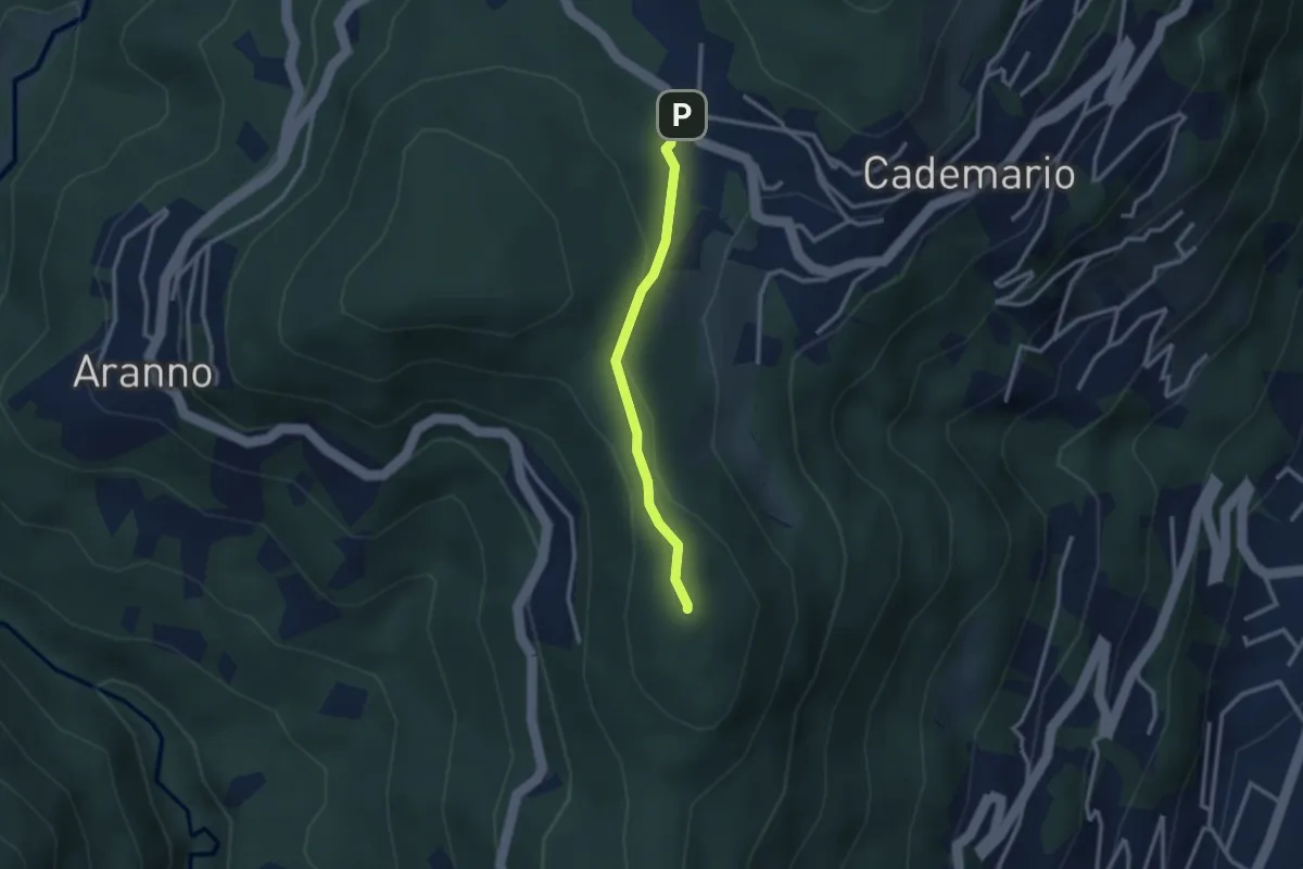
San Bernardo – Cademario - Lisone
2.4 km · ↑ 84 m · 45 min · 5 km away
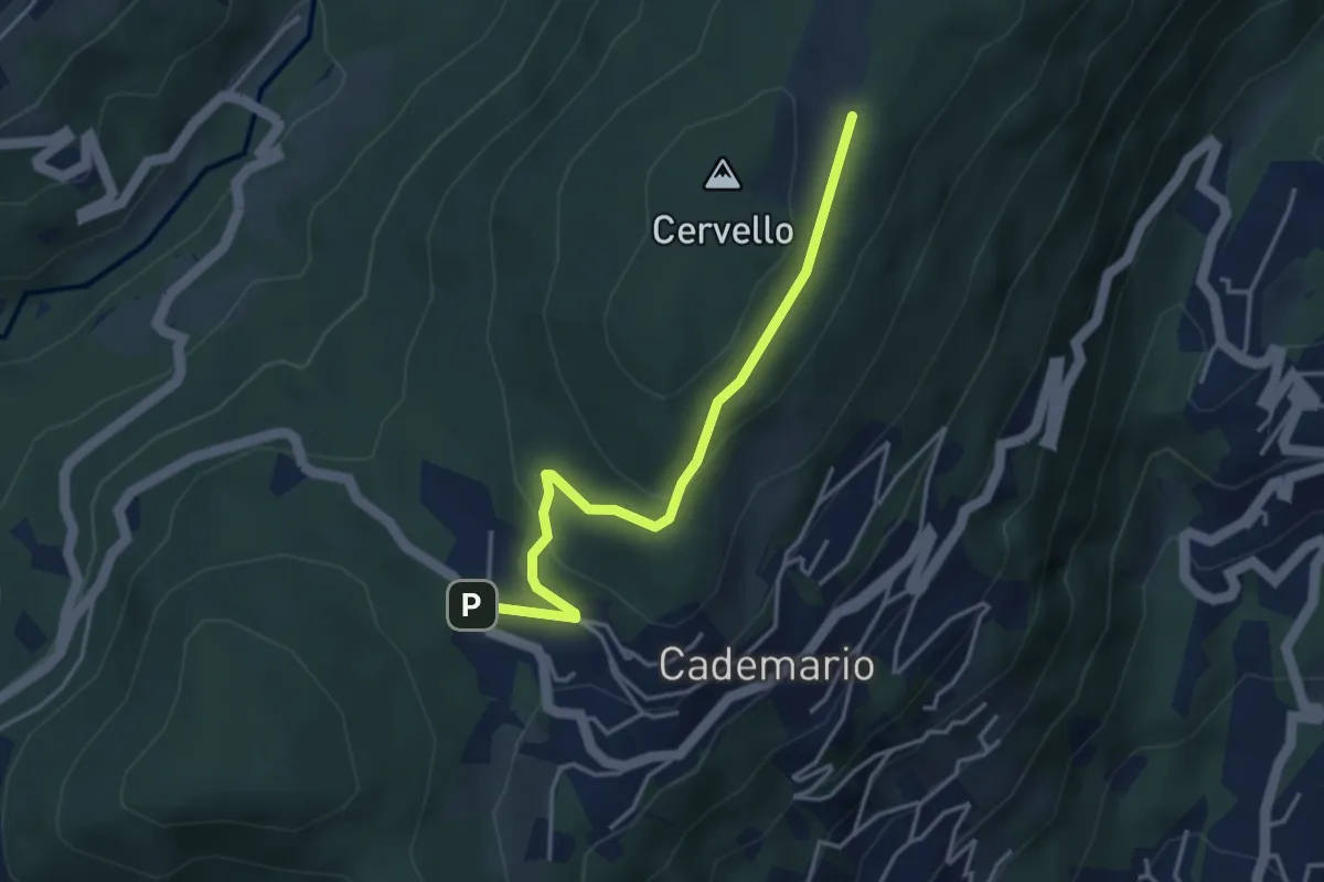
Easy · Trail
Alpe Agra – Cademario - Lisone
3.8 km · ↑ 121 m · 1 h 10 min · 5 km away
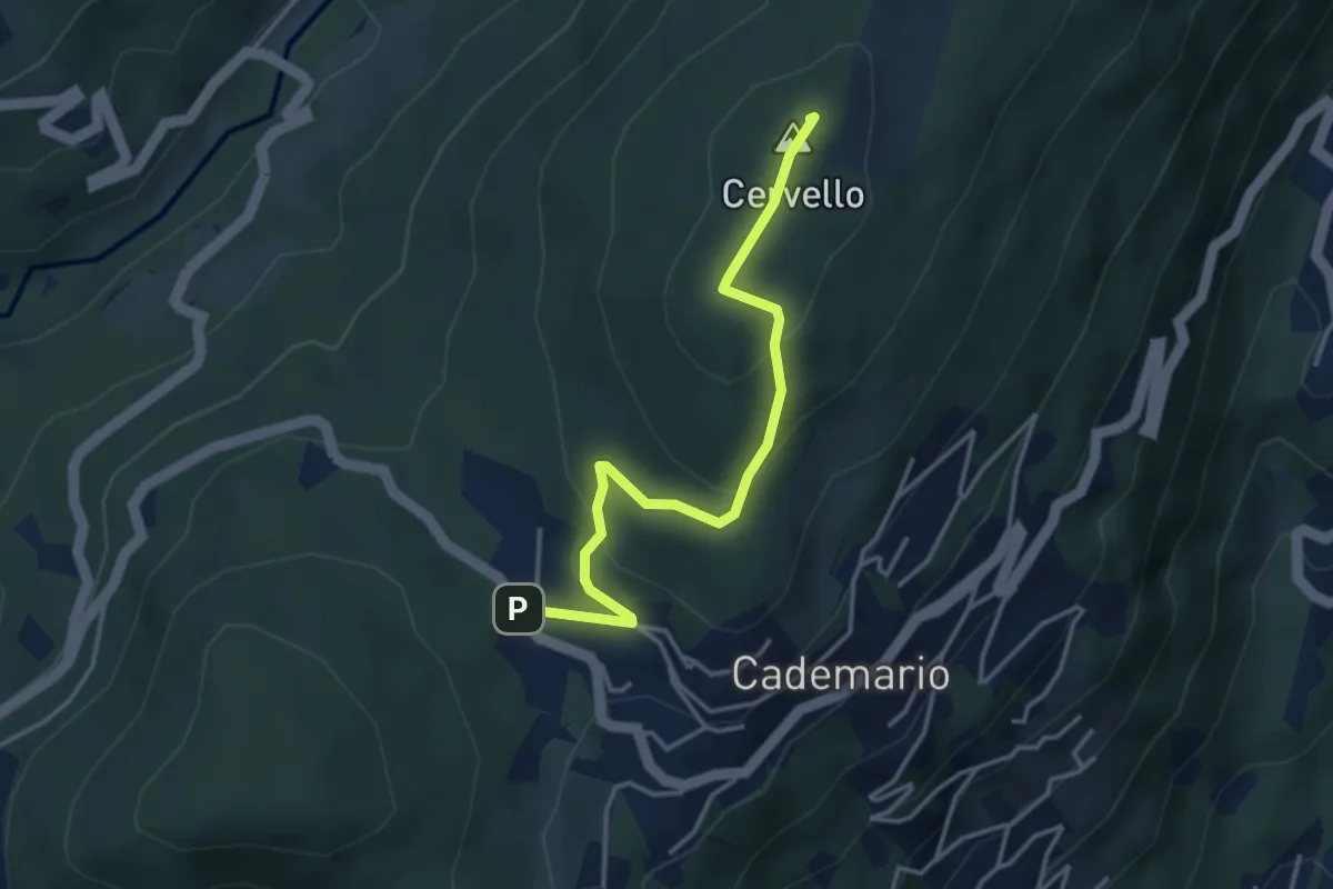
Easy · Summit
Alpe Agra – Cademario - Lisone
3.8 km · ↑ 163 m · 1 h 14 min · 5 km away
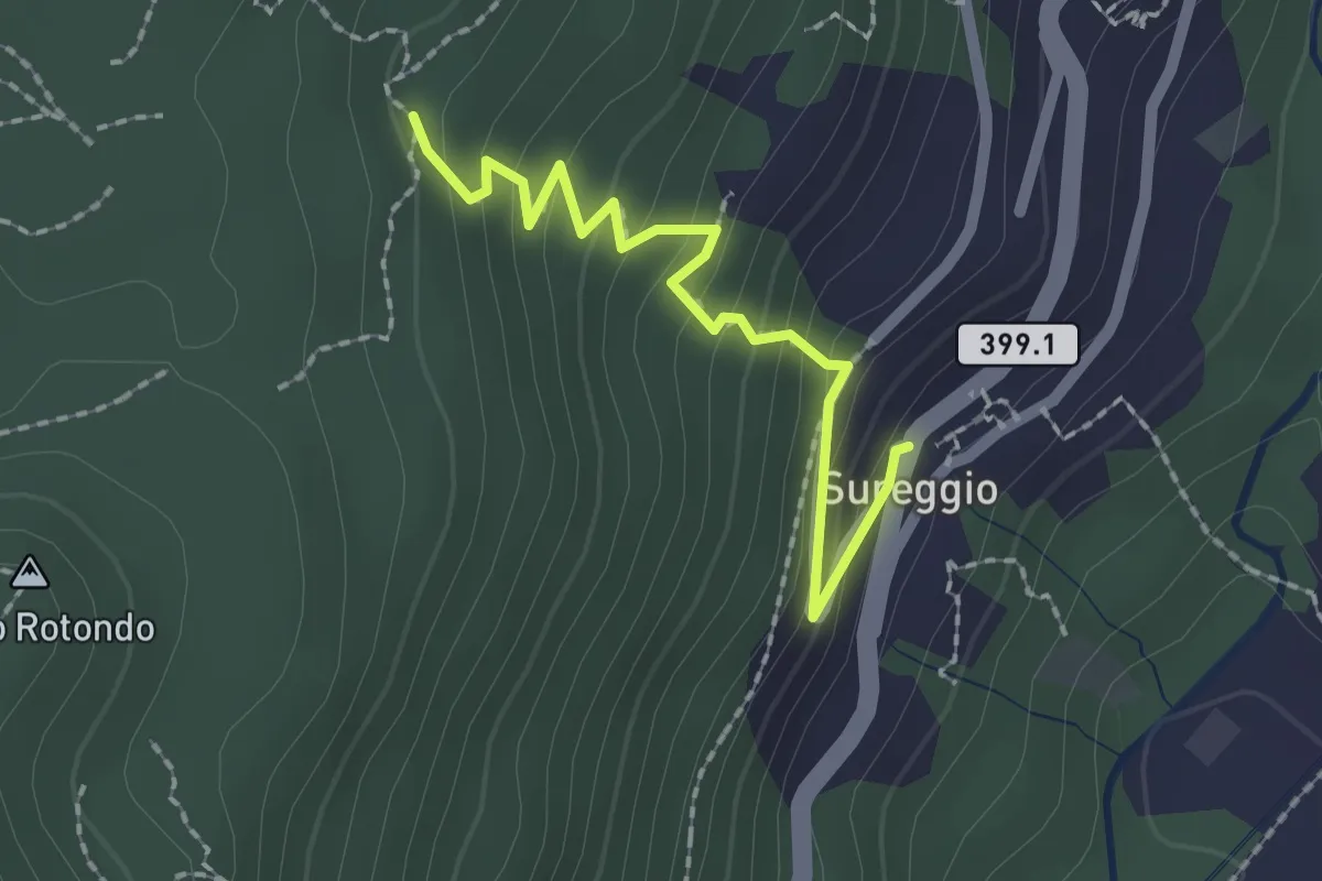
Easy · Trail
Mondra – Surregio
2.1 km · ↑ 167 m · 51 min · 6 km away
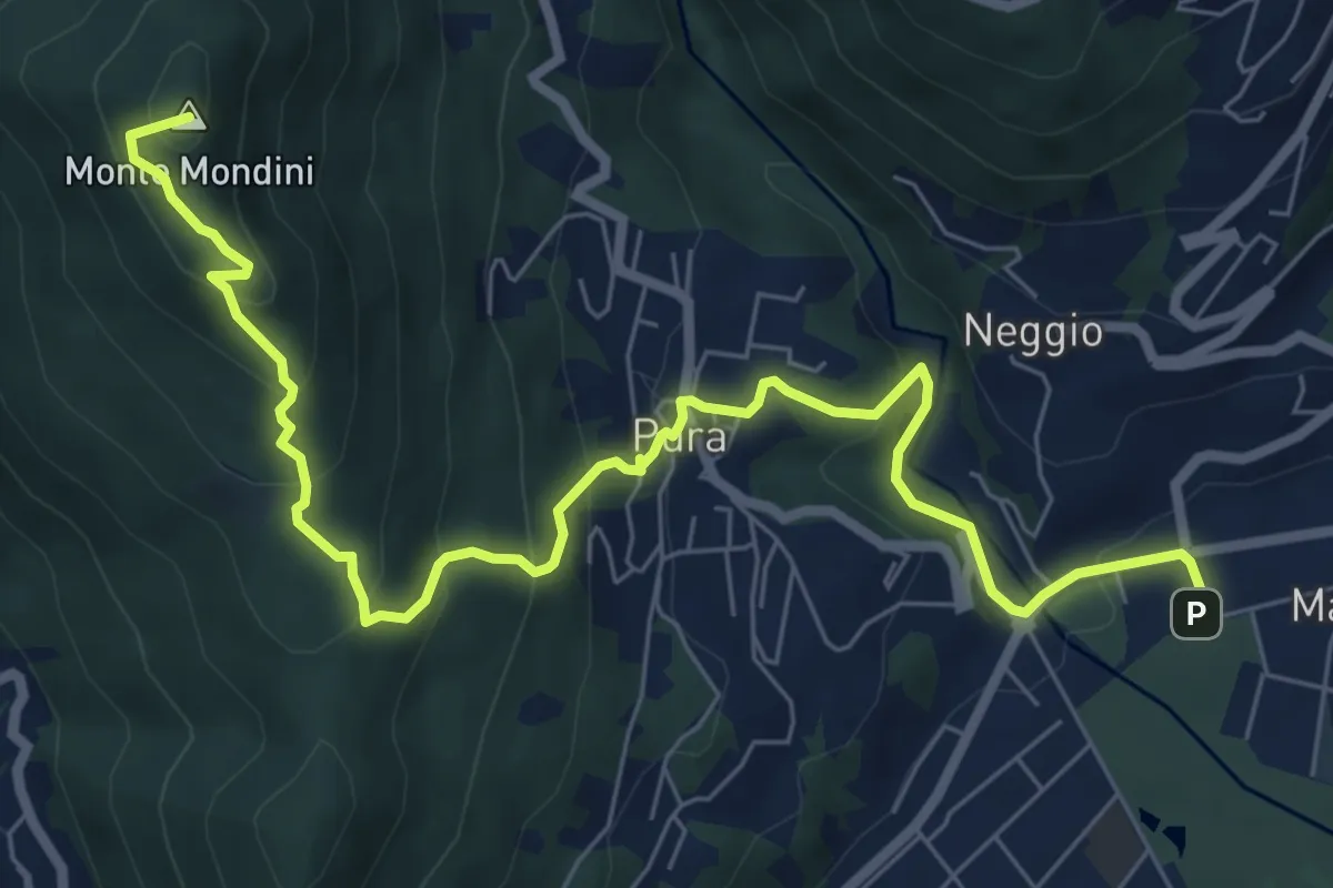
Medium · Summit
Sentiero Lago di Lugano
8.9 km · ↑ 526 m · 3 h 15 min · 6 km away