Trails near Lugano
370 hikes starting within 15 km, nearest first.
Nearest first, page 2 of 8
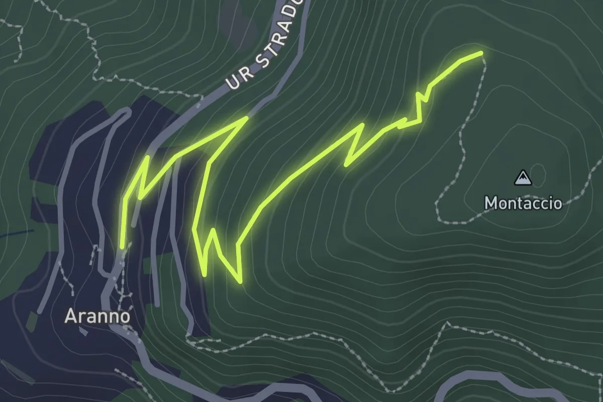
Easy · Trail
Aranno – Montaccio
3.7 km · ↑ 175 m · 1 h 15 min · 6 km away
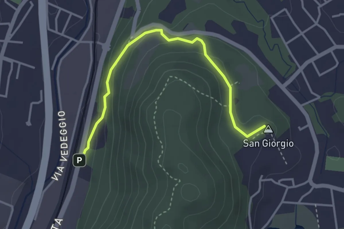
Easy · Summit
S. Giorgio – Taverne St.ne
3.4 km · ↑ 170 m · 1 h 10 min · 6 km away
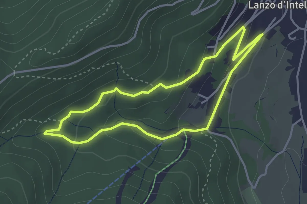
Easy · Trail
Anello Funtanin de Piasc
2.9 km · ↑ 117 m · 59 min · 6 km away
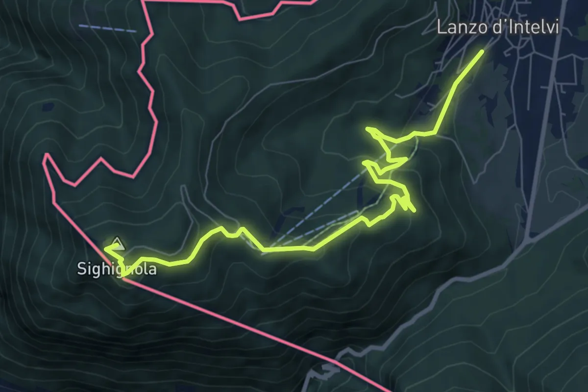
Medium · Summit
Lanzo d'Intelvi – Vetta Monte Sighignola
8.7 km · ↑ 435 m · 3 h · 6 km away
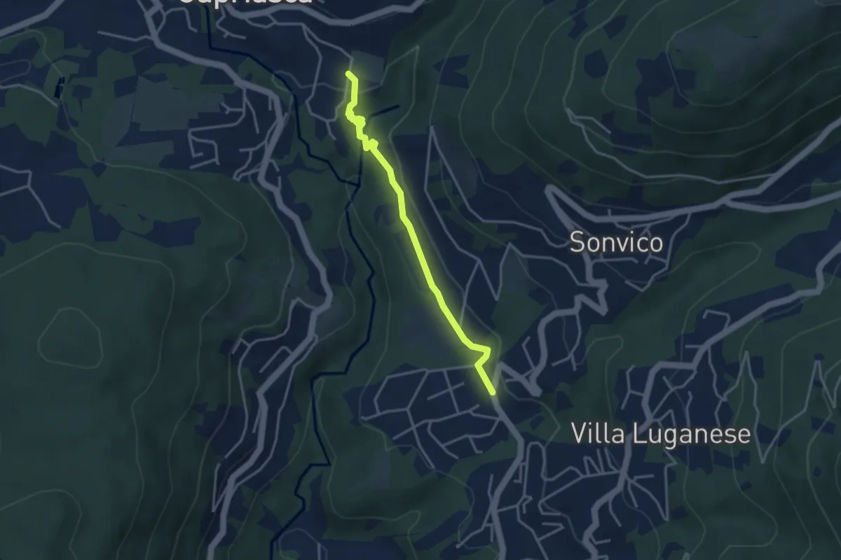
Medium · Trail
Dino – Sarone
3.4 km · ↑ 94 m · 1 h · 6 km away
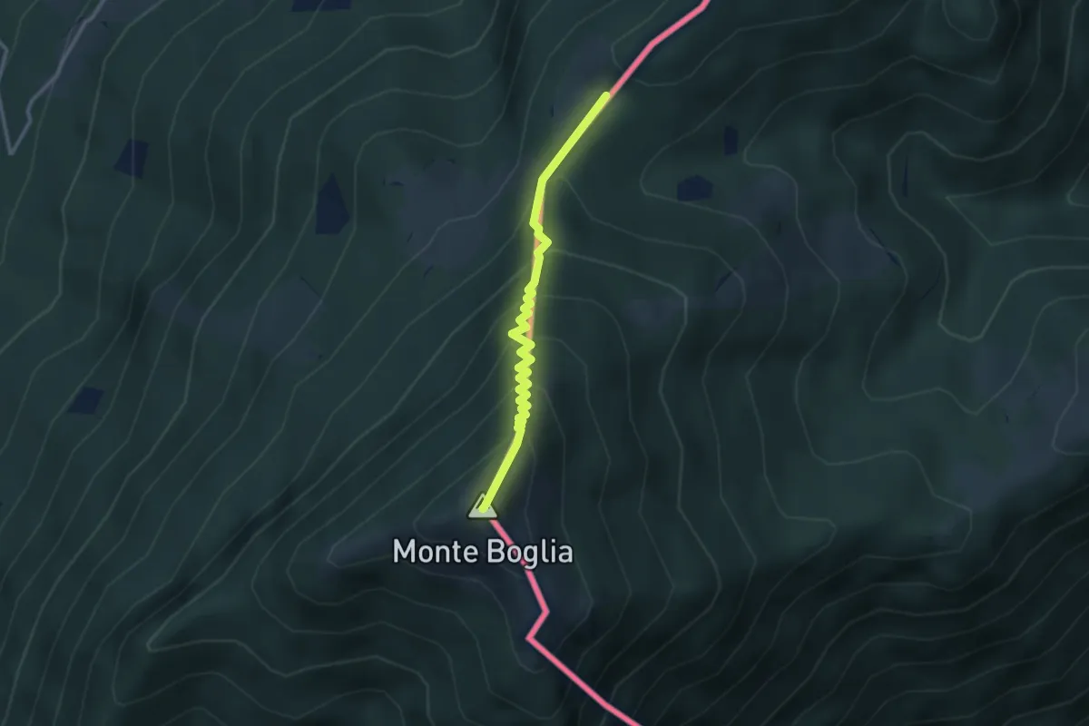
Medium · Summit
Pian di Scagn – Monte Boglia
2.8 km · ↑ 307 m · 1 h 20 min · 6 km away
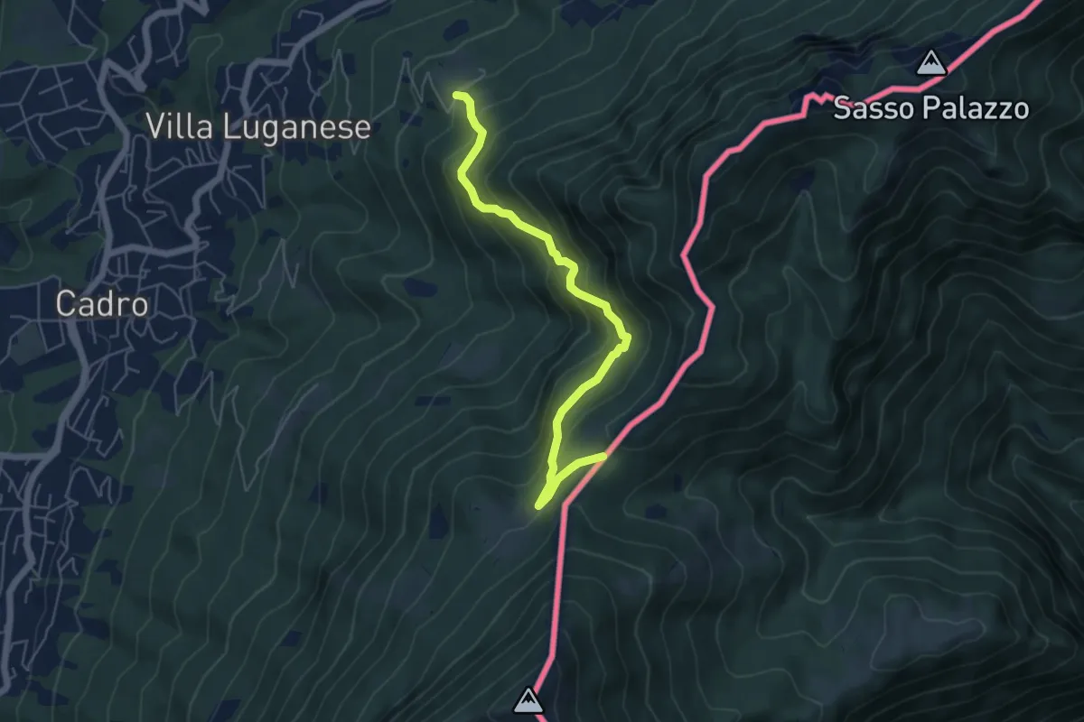
Medium · Trail
Pian di Scagn – Creda-Car
5.4 km · ↑ 494 m · 2 h 21 min · 6 km away
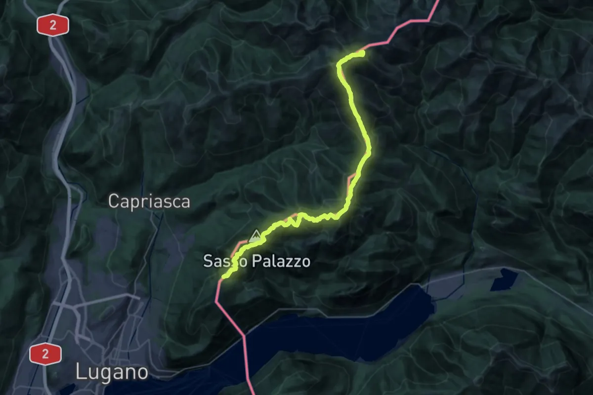
Demanding · Summit
Pian di Scagn – Bocchetta della Tappa
31.9 km · ↑ 1947 m · 11 h 45 min · 6 km away
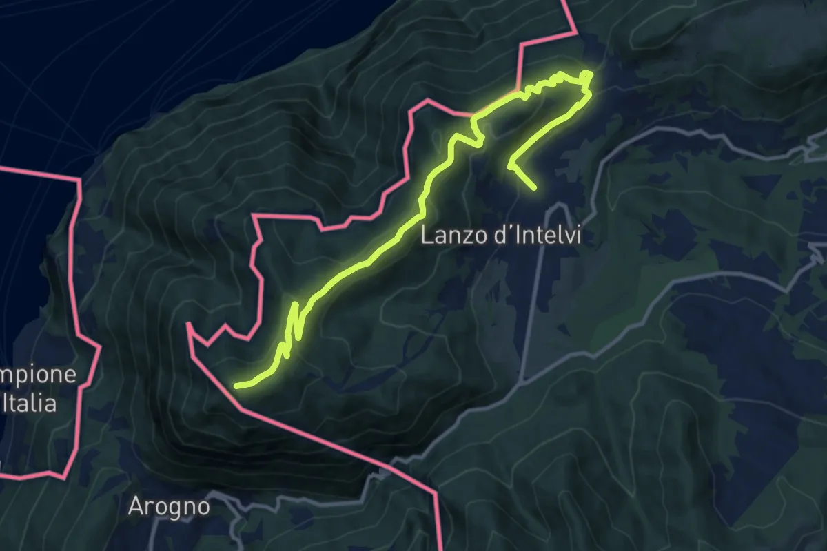
Medium · Summit
Lanzo d'Intelvi – Vetta Monte Sighignola
13.4 km · ↑ 601 m · 4 h 27 min · 6 km away
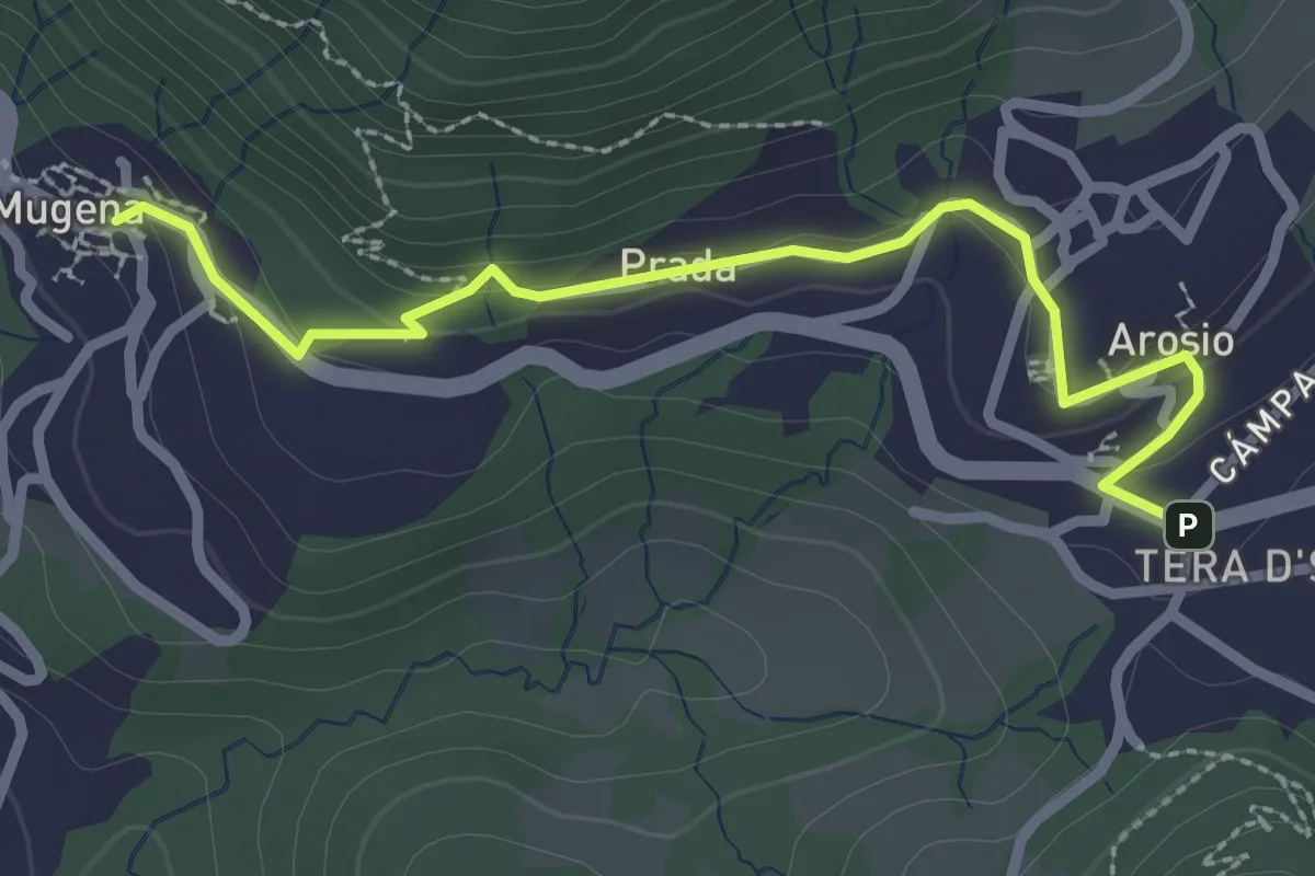
Easy · Trail
Mugena – Arosio
2.8 km · ↑ 113 m · 54 min · 6 km away
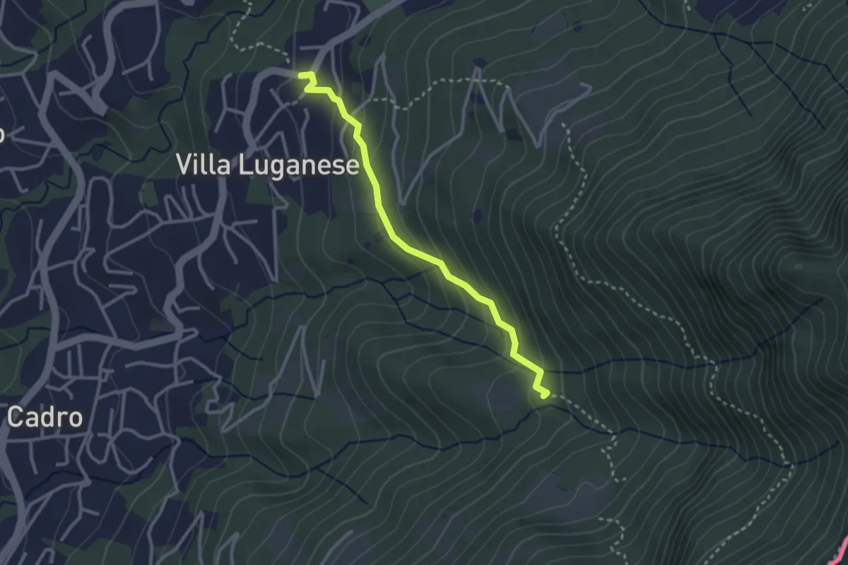
Medium · Trail
Stabbio – Villa Luganese
2.7 km · ↑ 182 m · 1 h 3 min · 6 km away
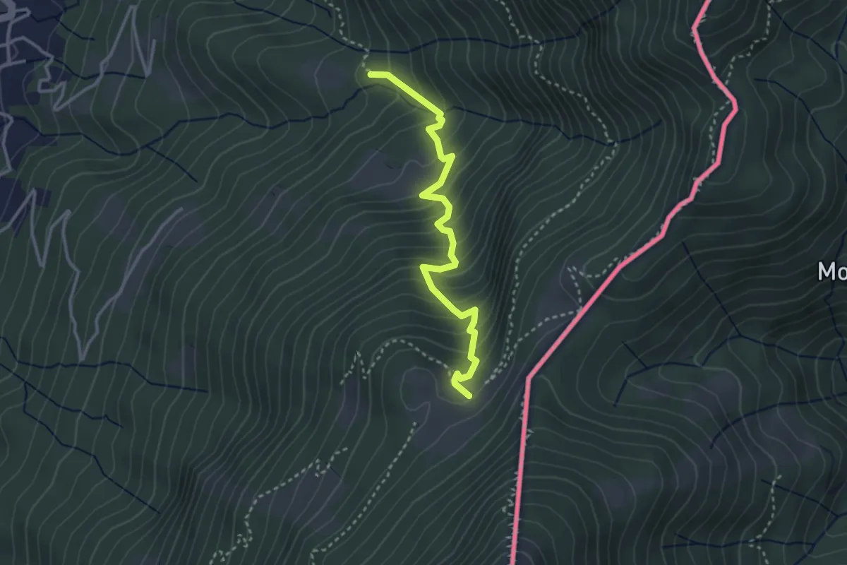
Medium · Cabin
Alpe Bolla – Stabbio
3.2 km · ↑ 370 m · 1 h 34 min · 6 km away
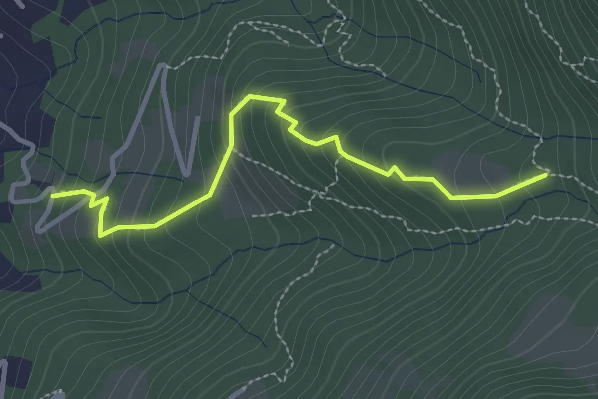
Easy · Trail
Stabbio – Cadro
2.7 km · ↑ 235 m · 1 h 8 min · 6 km away
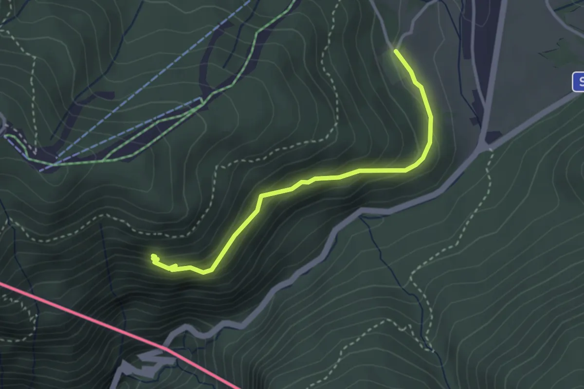
Easy · Trail
Alpe Bovisio – Lanzo
3.1 km · ↑ 208 m · 1 h 11 min · 6 km away
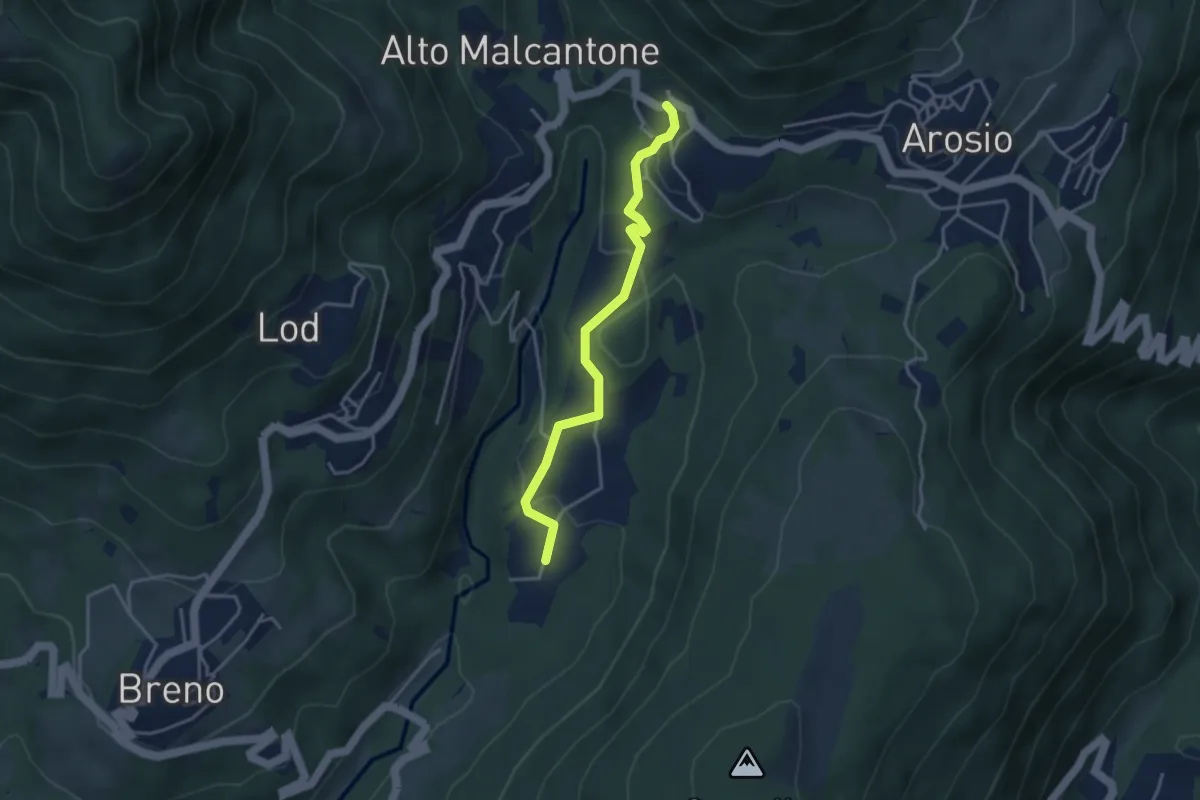
Easy · Trail
Caroggio – Mugena
3.6 km · ↑ 129 m · 1 h 8 min · 6 km away
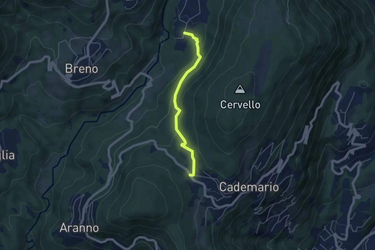
Easy · Trail
Cademario - Lisone – Caroggio
4.0 km · ↑ 148 m · 1 h 15 min · 6 km away
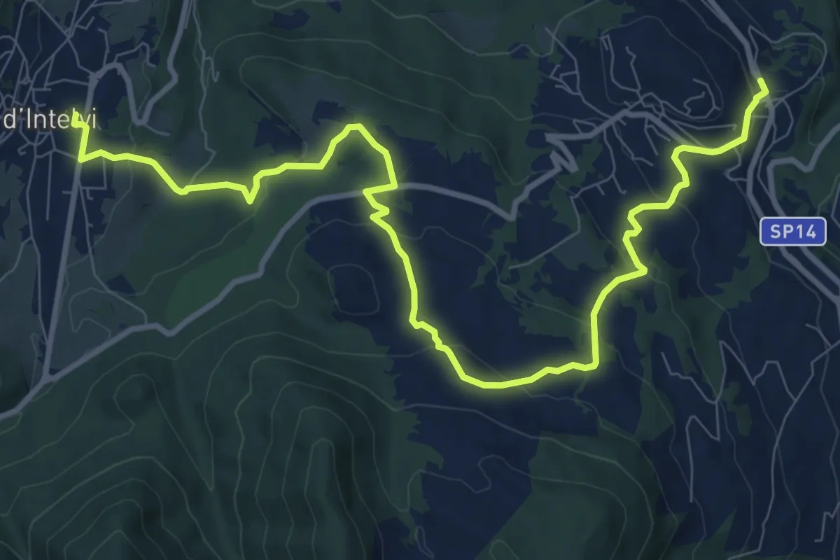
Medium · Trail
Alta Valle Intelvi, Palalanzo – Alta Valle Intelvi, fraz. Pellio sotto
12.1 km · ↑ 437 m · 3 h 49 min · 6 km away
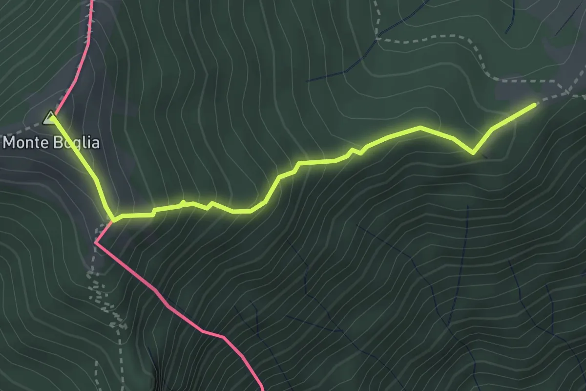
Medium · Summit
Drubi – Monte Boglia o Colmaregia
3.3 km · ↑ 389 m · 1 h 37 min · 6 km away
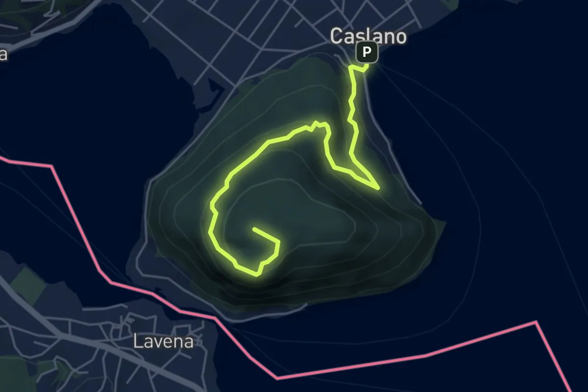
Medium · Summit
Caslano - Monte Caslano
5.4 km · ↑ 331 m · 1 h 59 min · 6 km away
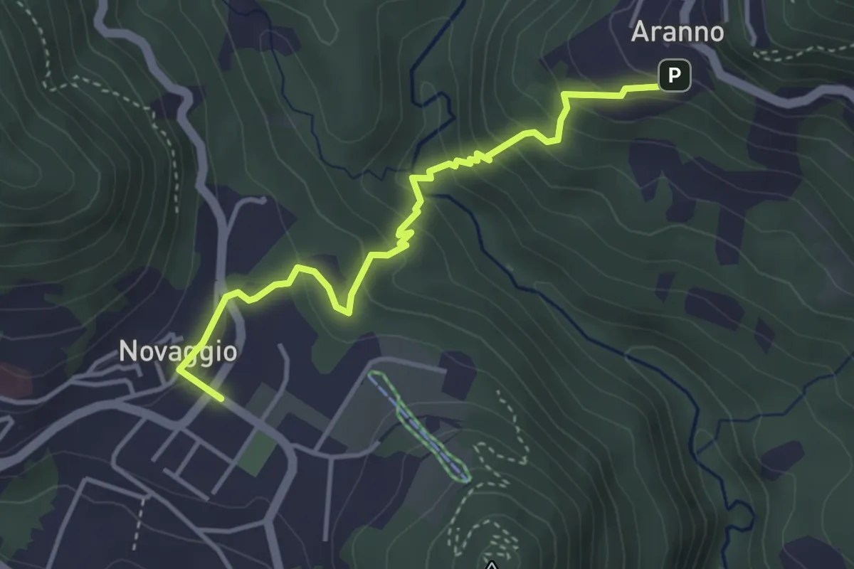
Easy · Trail
Novaggio – Aranno
3.8 km · ↑ 287 m · 1 h 31 min · 6 km away
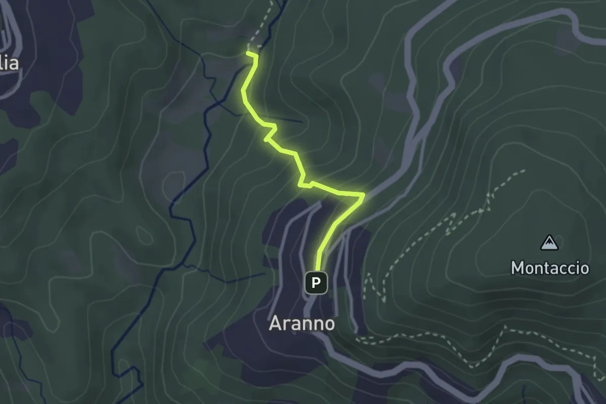
Medium · Trail
Aranno – Maglio
2.2 km · ↑ 162 m · 52 min · 6 km away
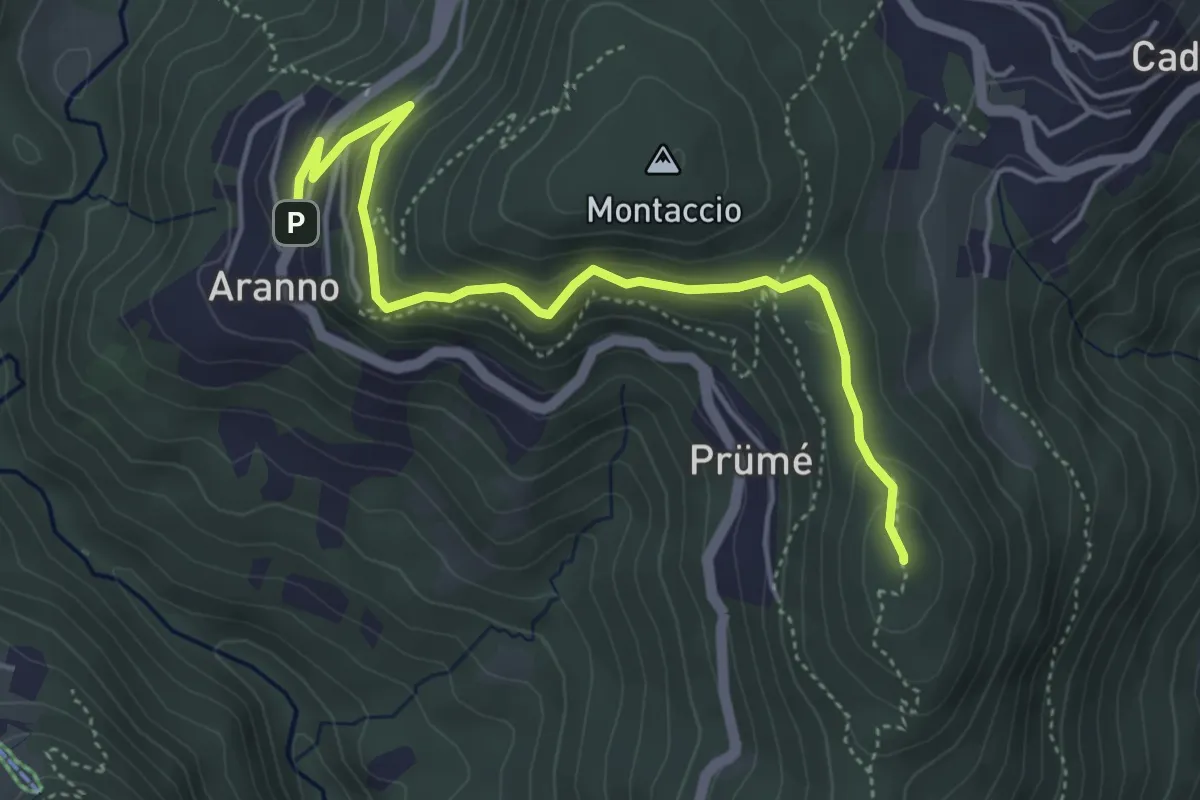
Easy · Summit
San Bernardo – Aranno
4.9 km · ↑ 283 m · 1 h 46 min · 6 km away
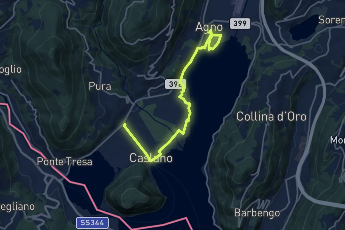
Easy · Trail
Giro lungolago Agno–Caslano
6.2 km · ↑ 23 m · 1 h 36 min · 6 km away
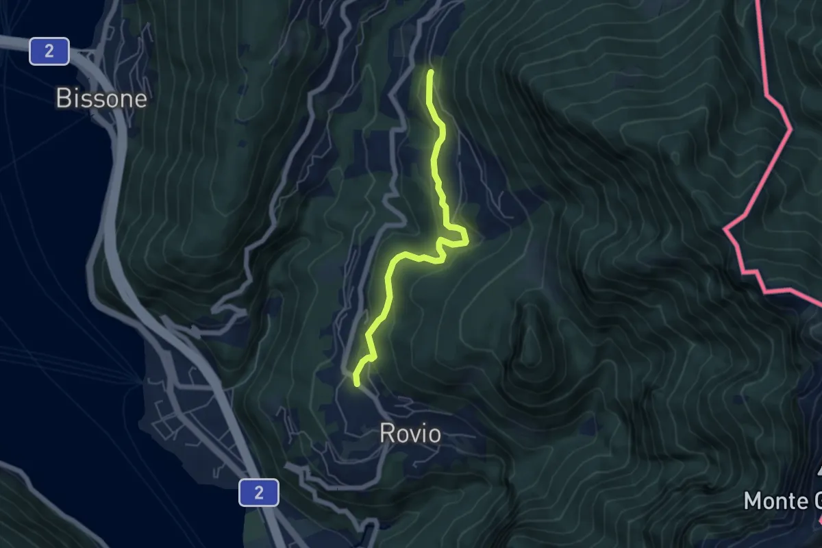
Easy · Trail
Pt. 615 – Ata Matern
5.1 km · ↑ 269 m · 1 h 47 min · 6 km away
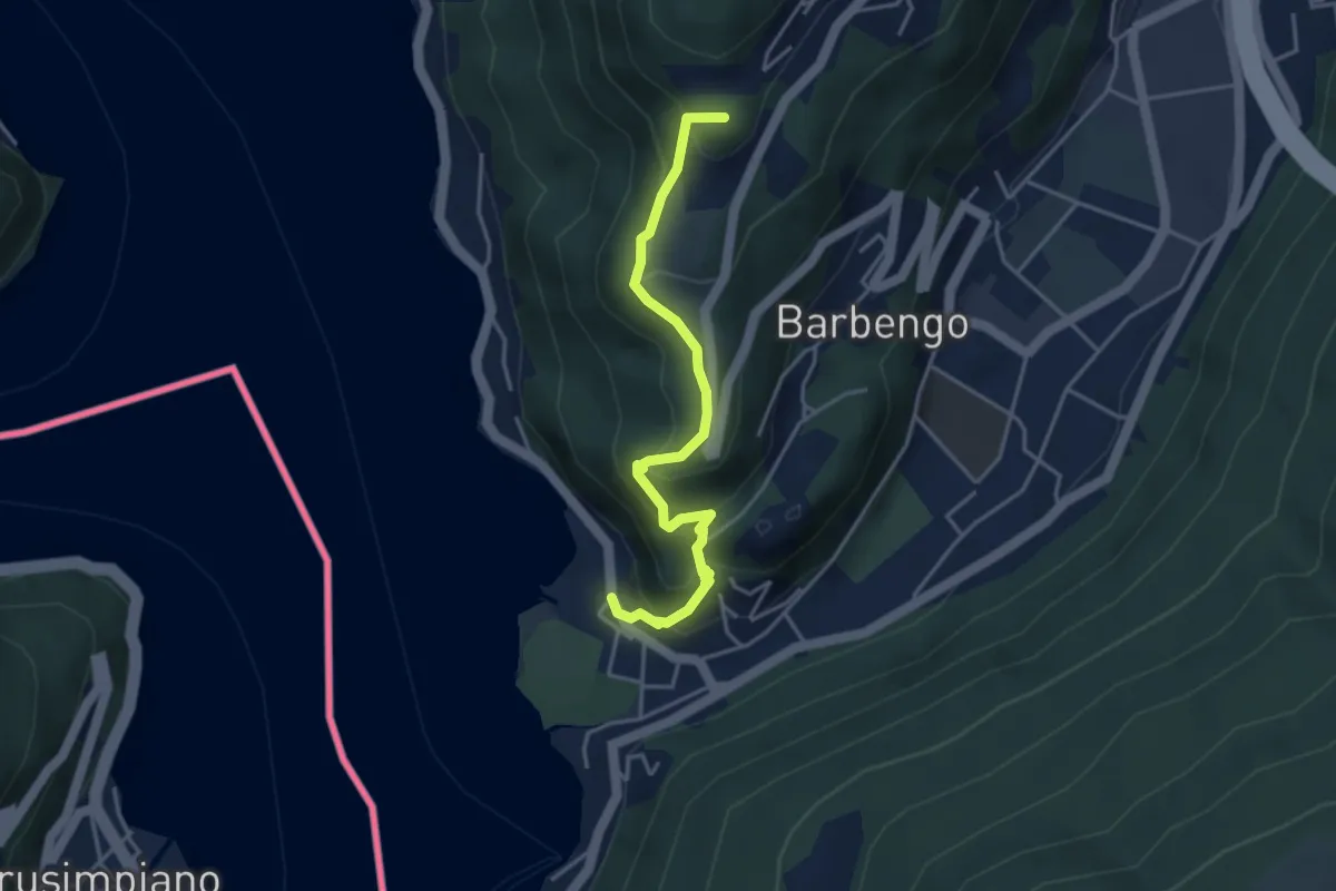
Medium · Summit
Figino – Figino
4.1 km · ↑ 323 m · 1 h 40 min · 7 km away
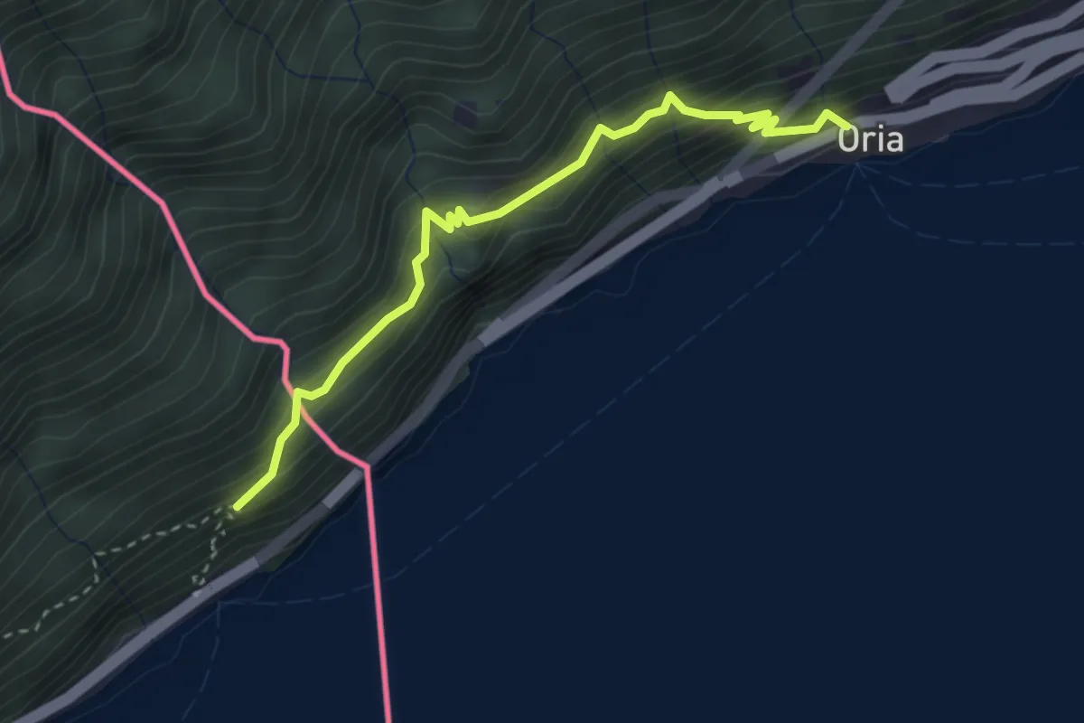
Demanding · Trail
Oria – sentiero Gandria Dogana
3.1 km · ↑ 445 m · 1 h 42 min · 7 km away
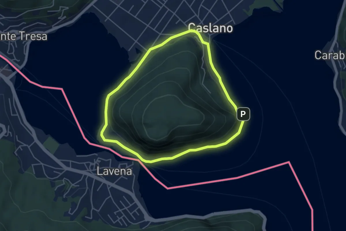
Easy · Trail
Giro/Tour Monte Caslano
4.2 km · ↑ 89 m · 1 h 15 min · 7 km away
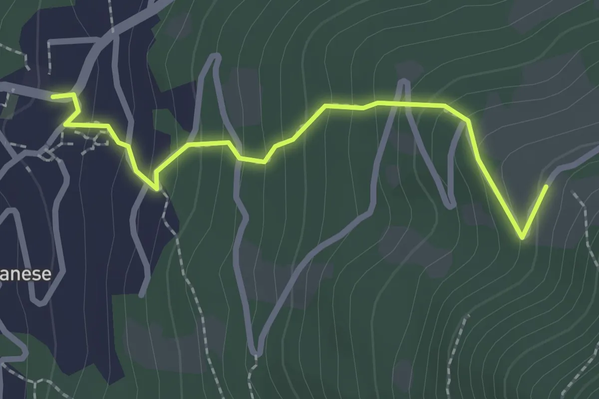
Medium · Trail
Villa Luganese – Creda-Car
2.2 km · ↑ 194 m · 57 min · 7 km away
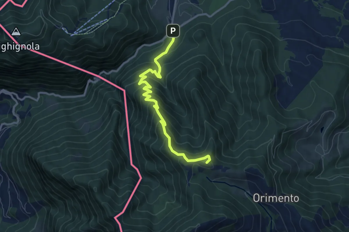
Medium · Summit
Lanzo d'Intelvi (bivio Crotto Dogana) – Orimento
8.1 km · ↑ 565 m · 3 h 9 min · 7 km away
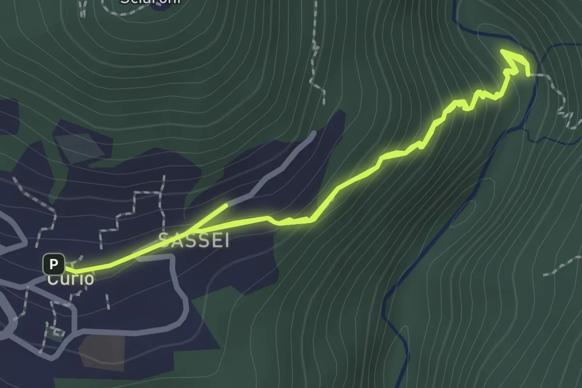
Easy · Trail
Curio – Iseo
4.0 km · ↑ 293 m · 1 h 35 min · 7 km away
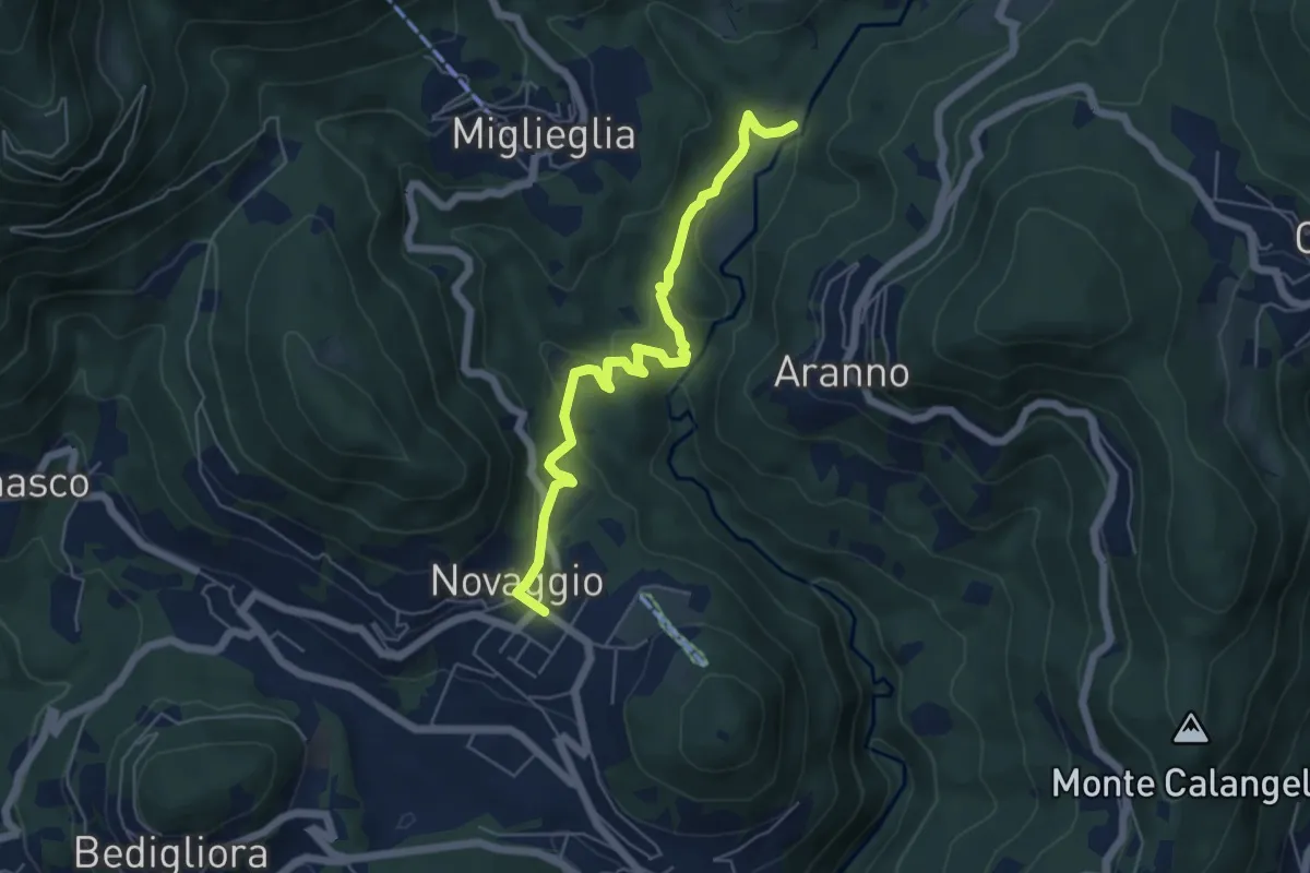
Easy · Trail
Maglio – Novaggio
5.7 km · ↑ 199 m · 1 h 47 min · 7 km away
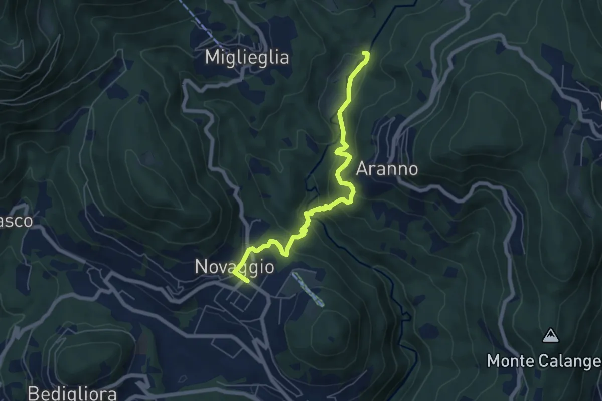
Medium · Trail
Maglio – Novaggio
5.8 km · ↑ 395 m · 2 h 14 min · 7 km away
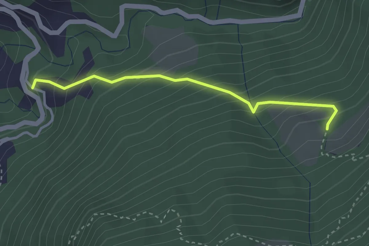
Medium · Trail
Alpe Pianca – Sasso Grosso
2.7 km · ↑ 327 m · 1 h 20 min · 7 km away
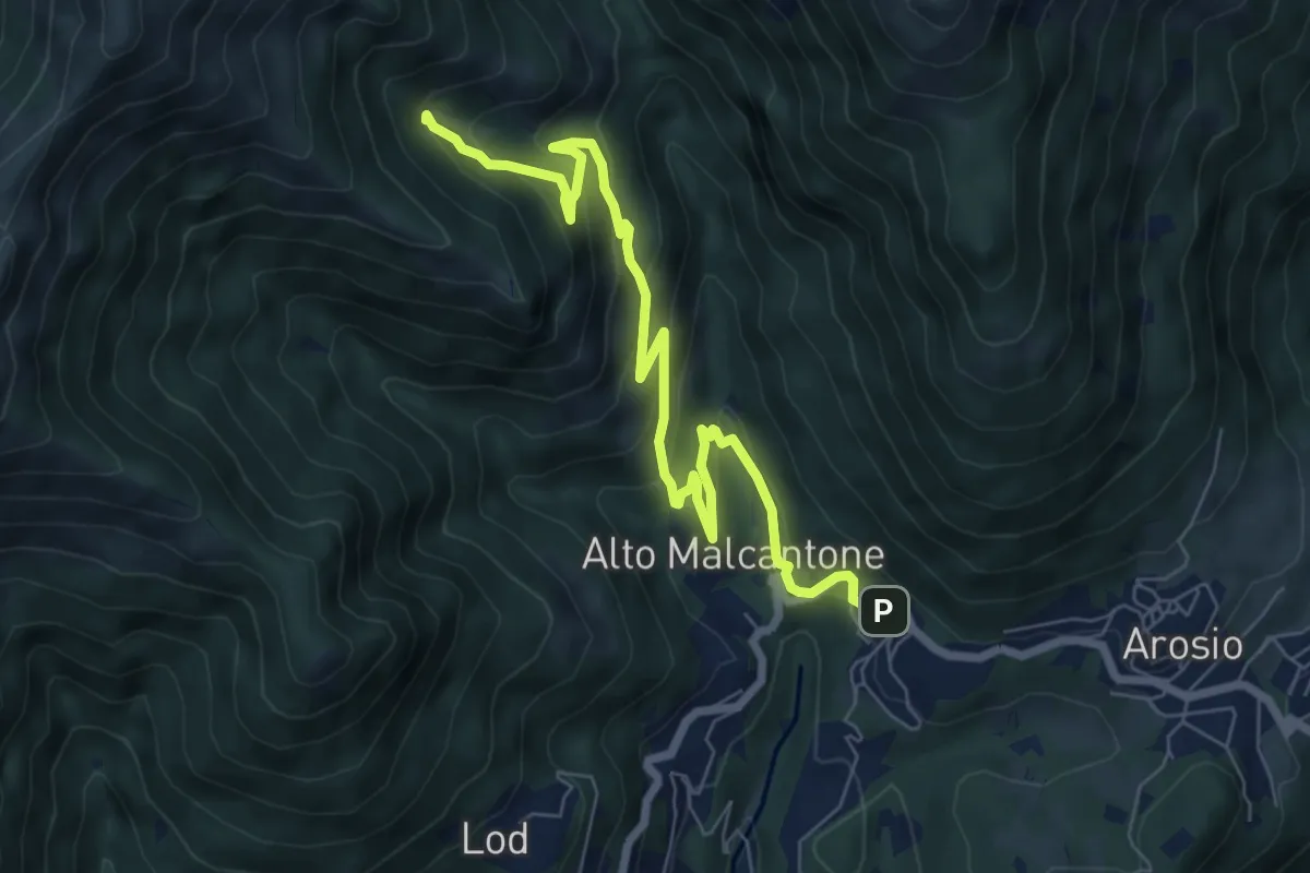
Medium · Trail
Alpe di Coransù – Mugena
8.2 km · ↑ 488 m · 2 h 59 min · 7 km away
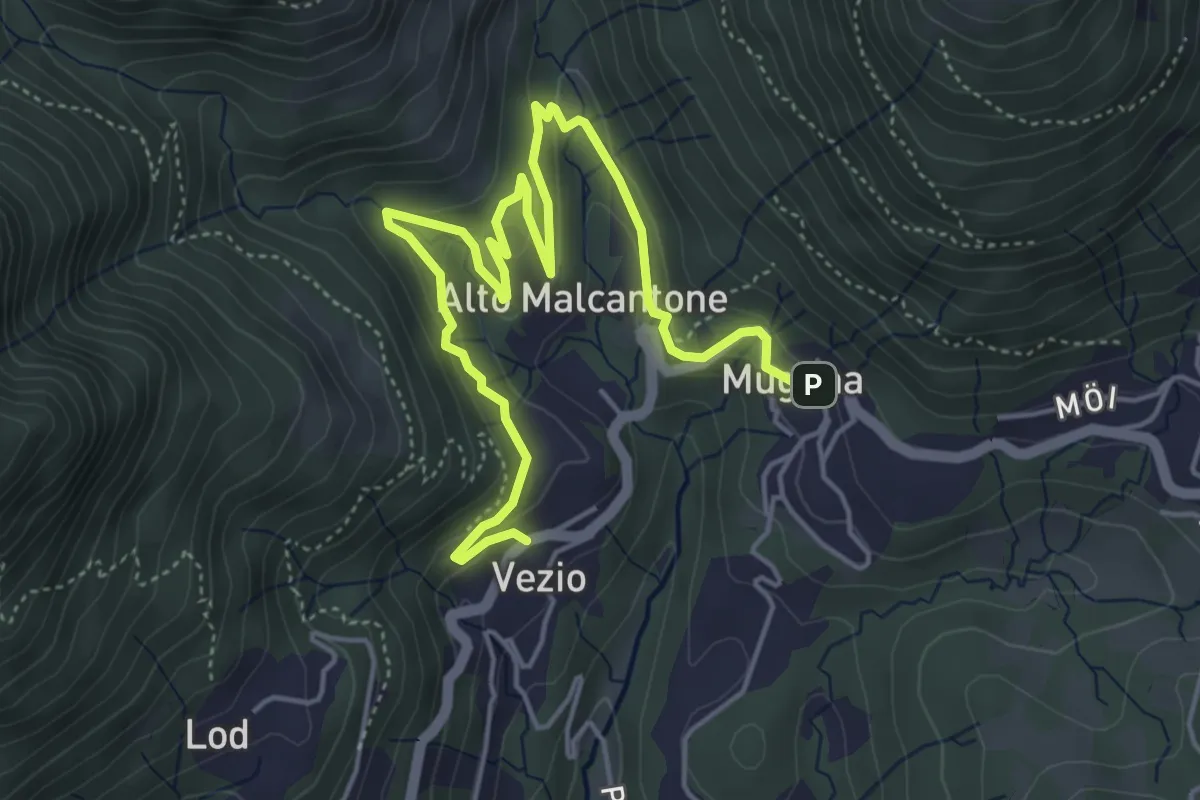
Medium · Trail
Mugena – Vezio
6.3 km · ↑ 320 m · 2 h 12 min · 7 km away
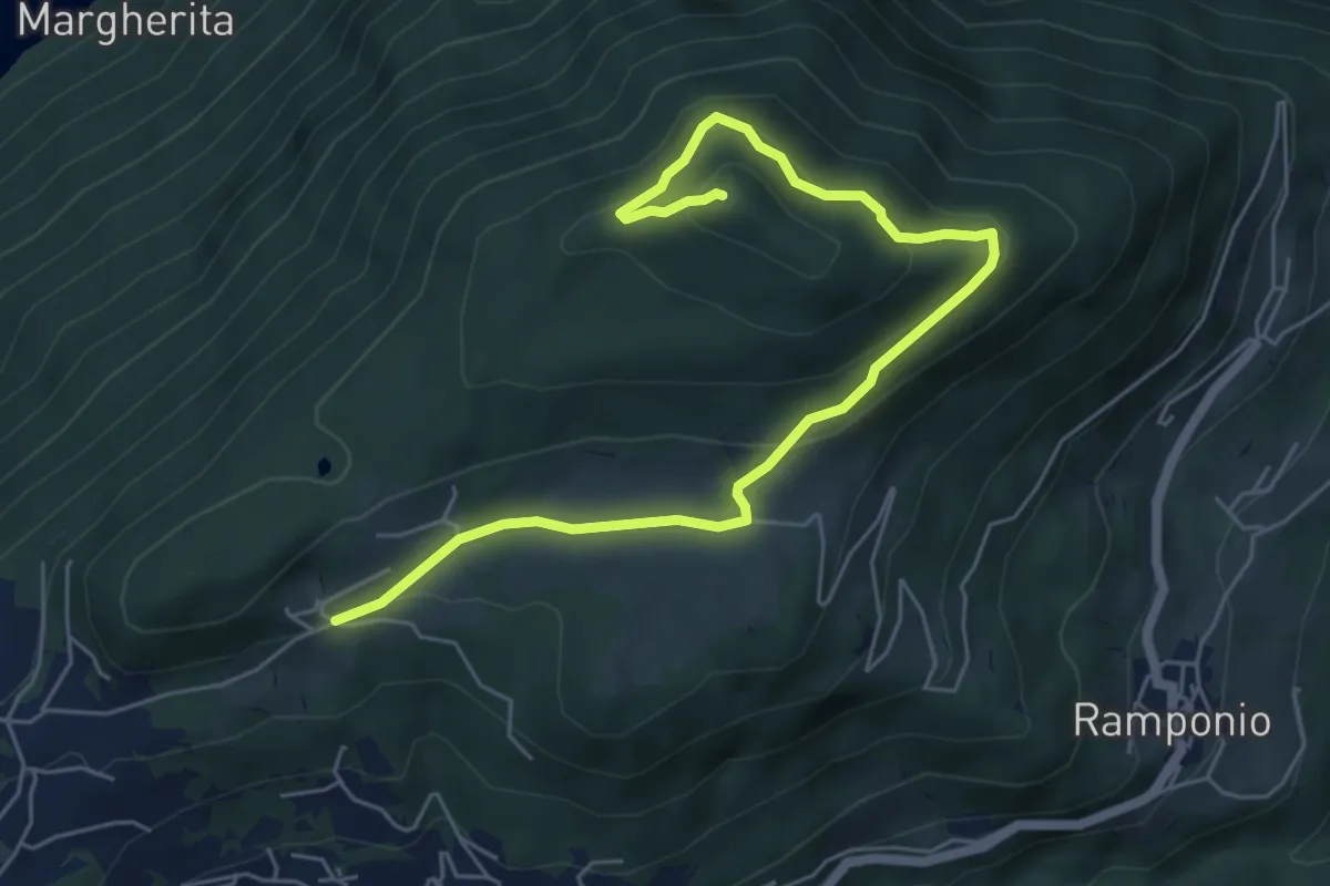
Medium · Summit
Parcheggio Clinica COF-Cascina Bortoletto – Monte Pinzernone
6.7 km · ↑ 335 m · 2 h 18 min · 7 km away
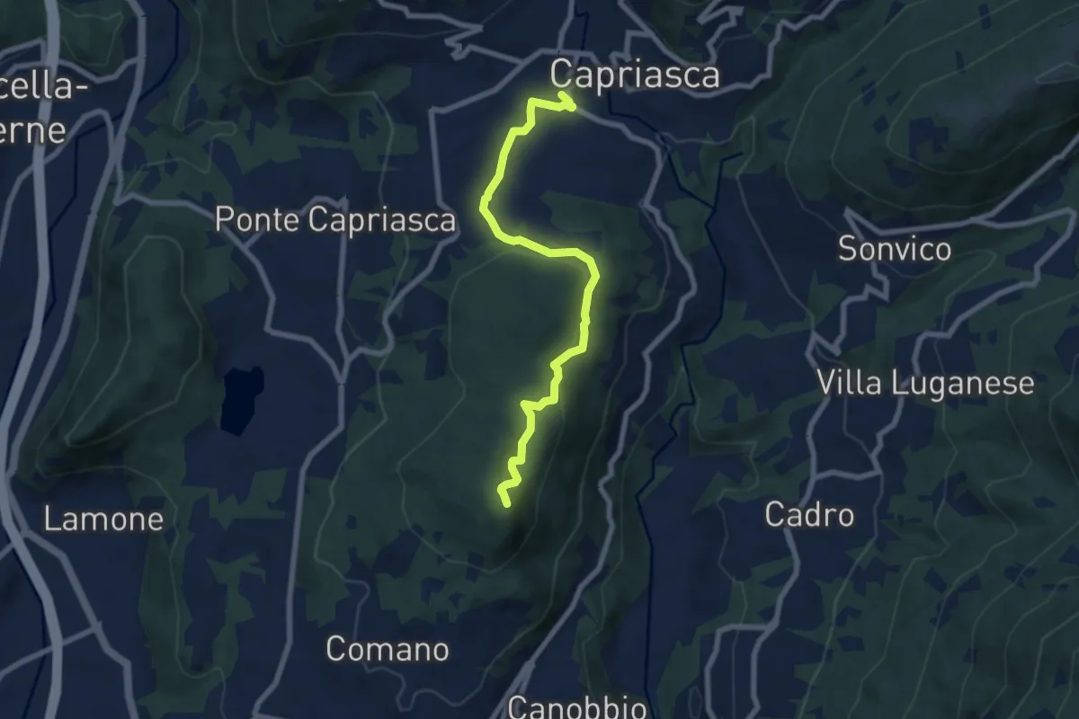
Medium · Summit
Tesserete – Comano
7.2 km · ↑ 224 m · 2 h 11 min · 7 km away
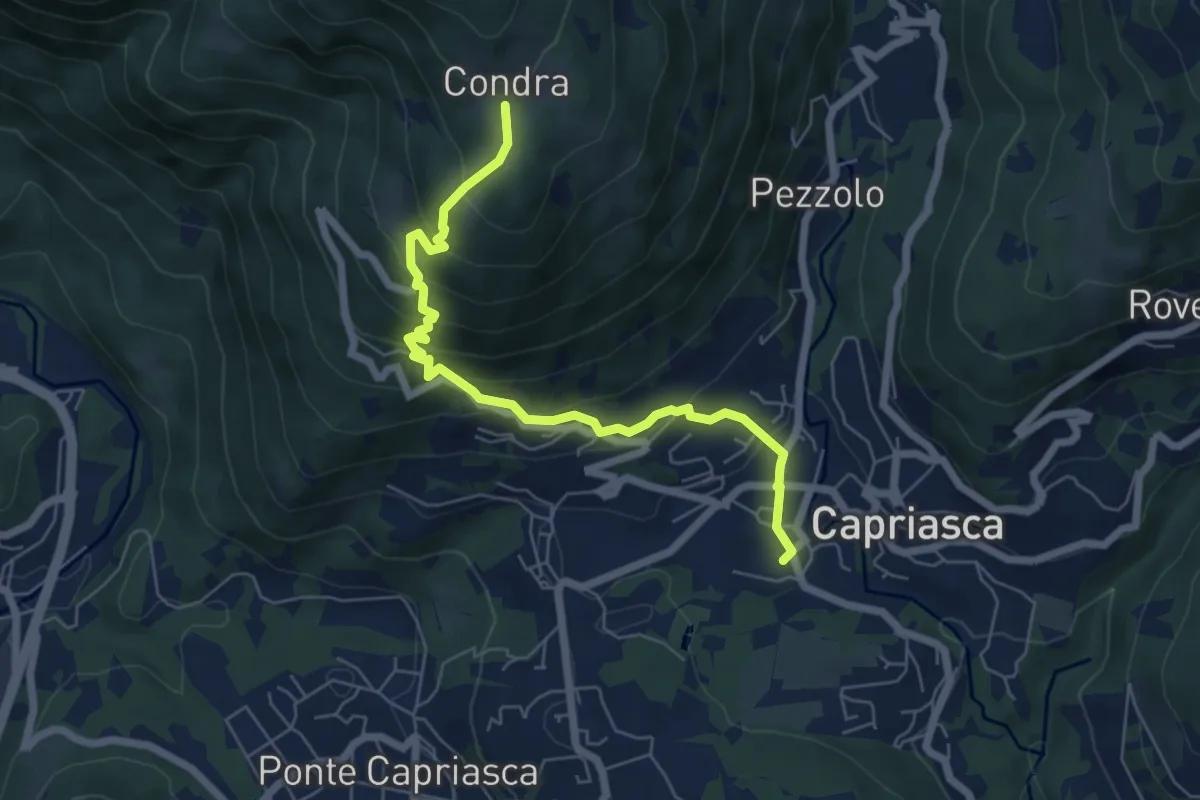
Medium · Trail
Condra – Tesserete
6.5 km · ↑ 469 m · 2 h 33 min · 7 km away
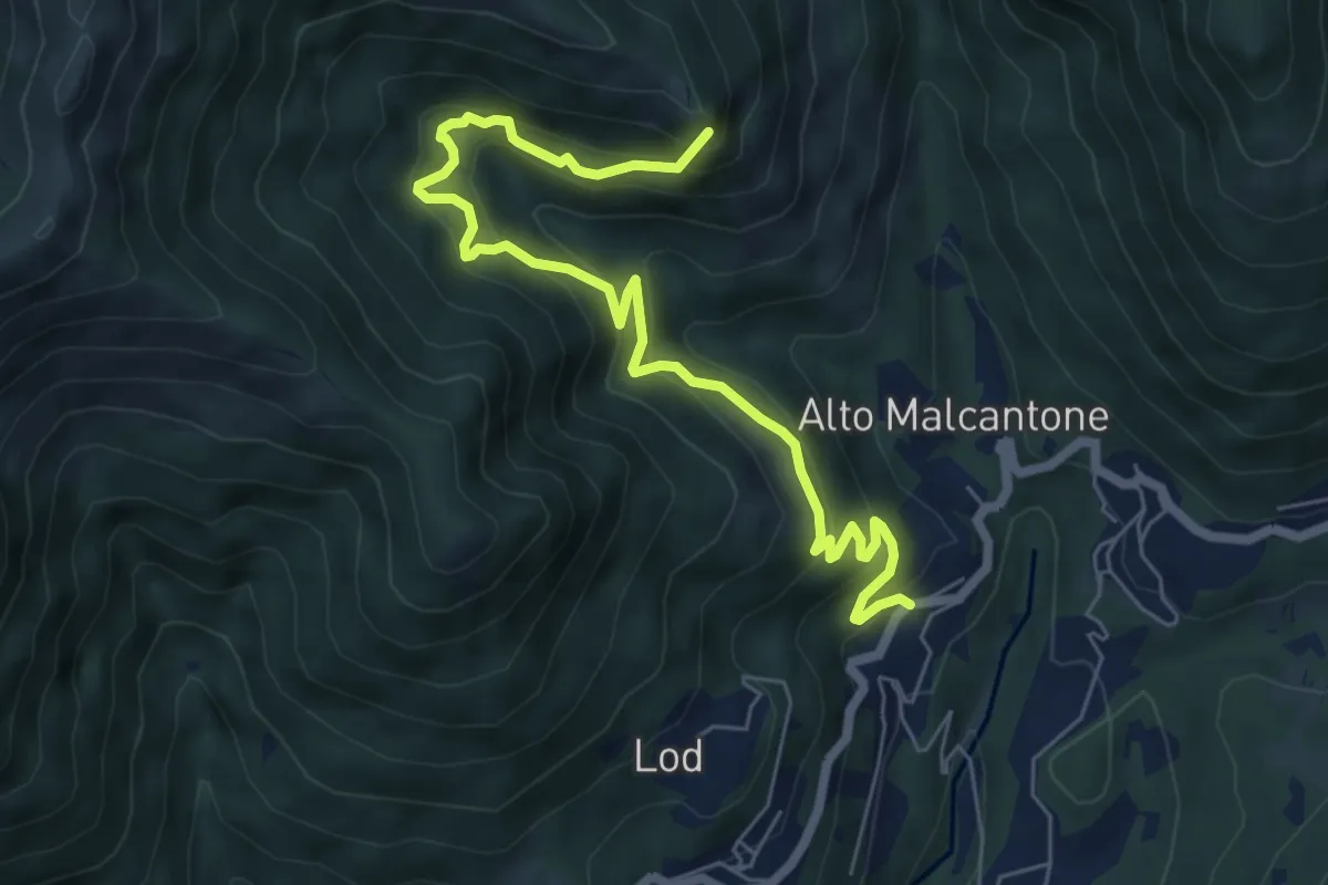
Demanding · Summit
Alpe di Coransù – Vezio
7.3 km · ↑ 592 m · 3 h 1 min · 7 km away
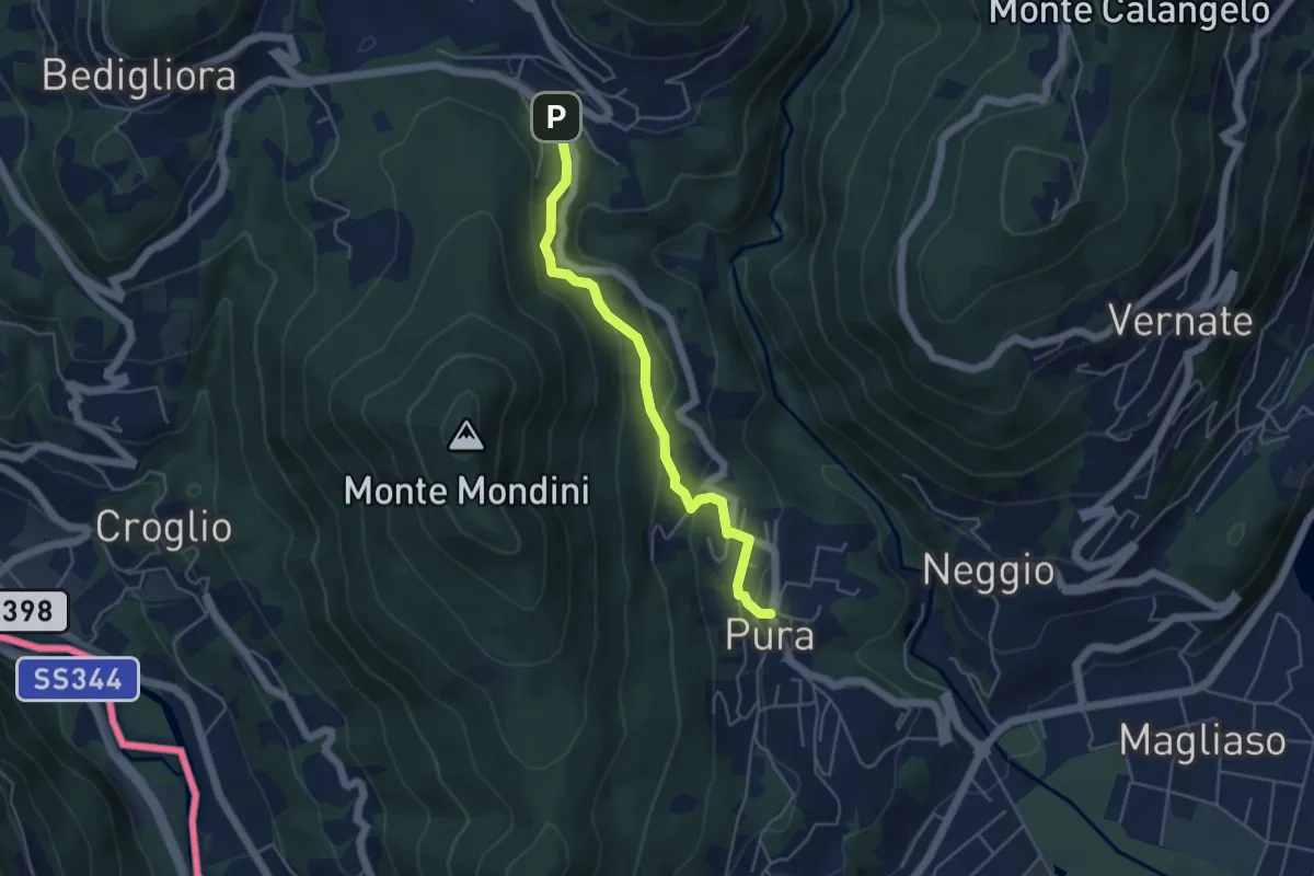
Easy · Trail
Curio-Molino – Pura
4.7 km · ↑ 232 m · 1 h 36 min · 7 km away
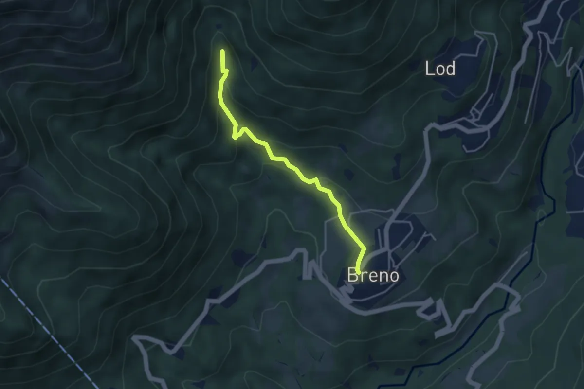
Medium · Trail
Breno – Fescoggia?
3.4 km · ↑ 176 m · 1 h 11 min · 7 km away
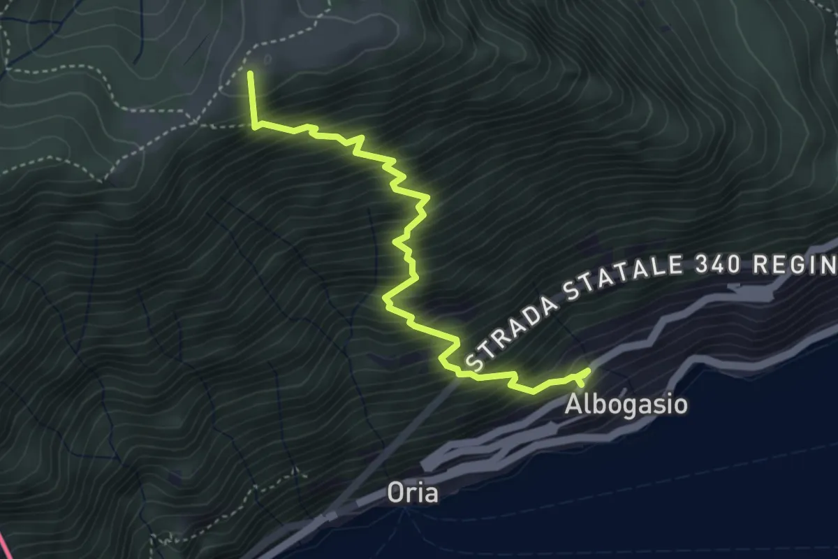
Medium · Summit
Albogasio Superiore – Monte Saletta
4.2 km · ↑ 728 m · 2 h 34 min · 7 km away
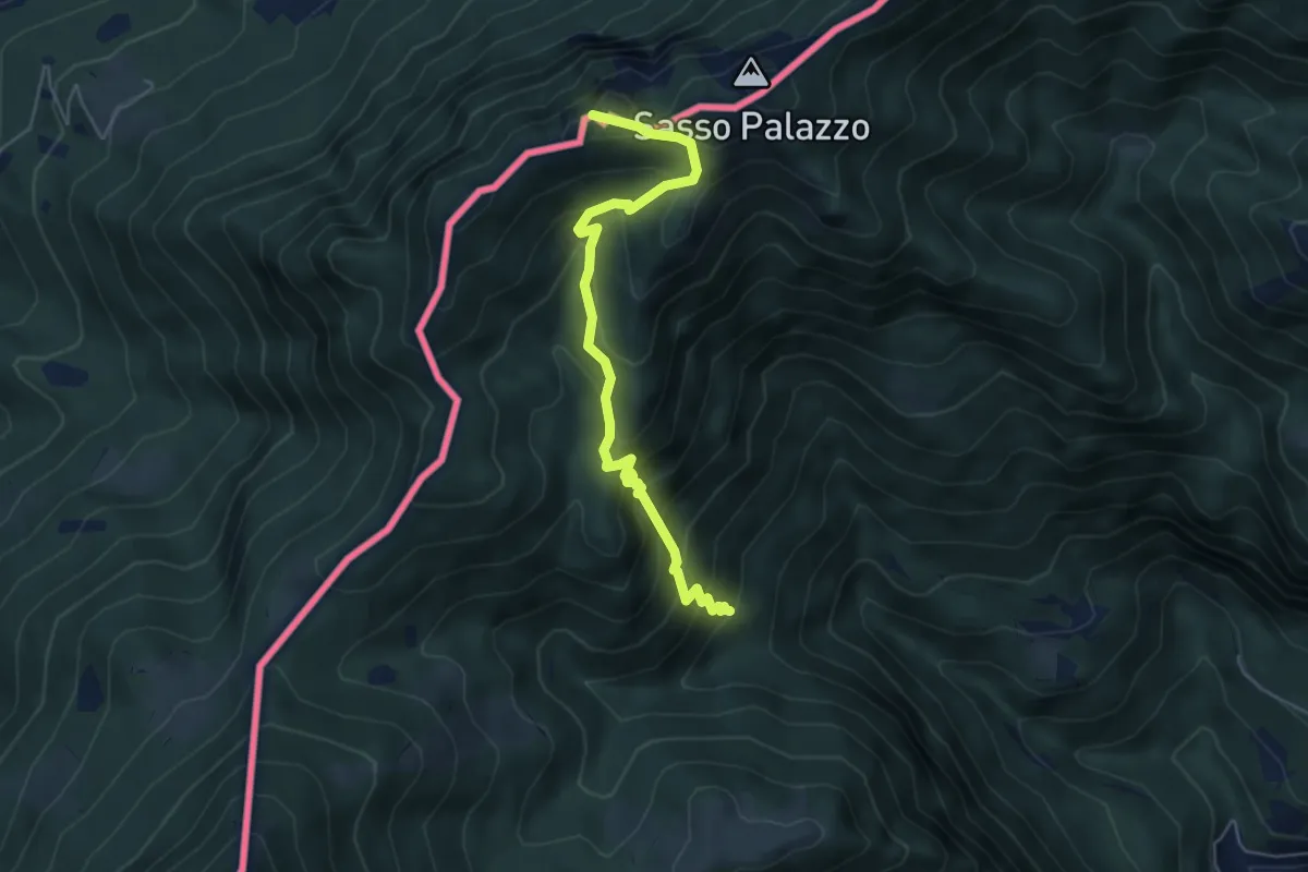
Medium · Summit
Drubi – Passo Streccione Denti della Vecchia
5.3 km · ↑ 530 m · 2 h 24 min · 7 km away
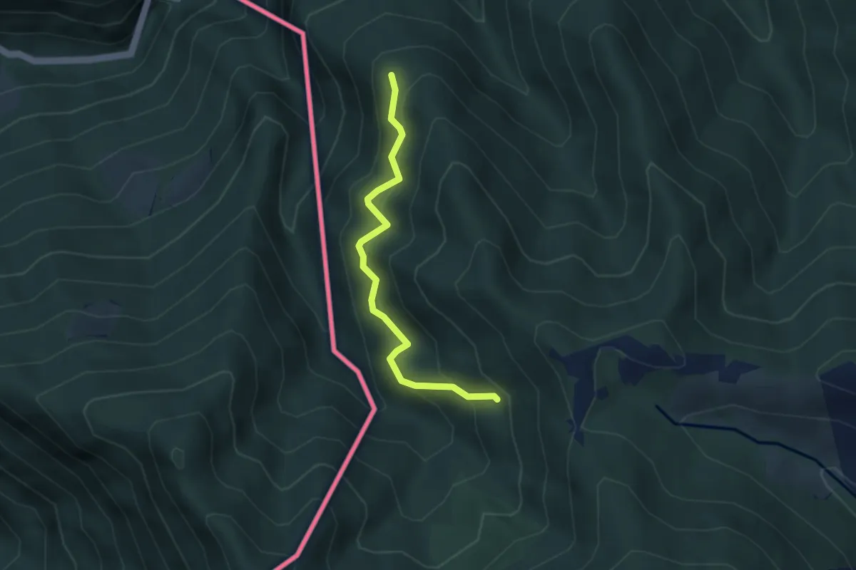
Medium · Trail
Pellio Superiore – Alpe di Gotta
3.3 km · ↑ 349 m · 1 h 33 min · 7 km away
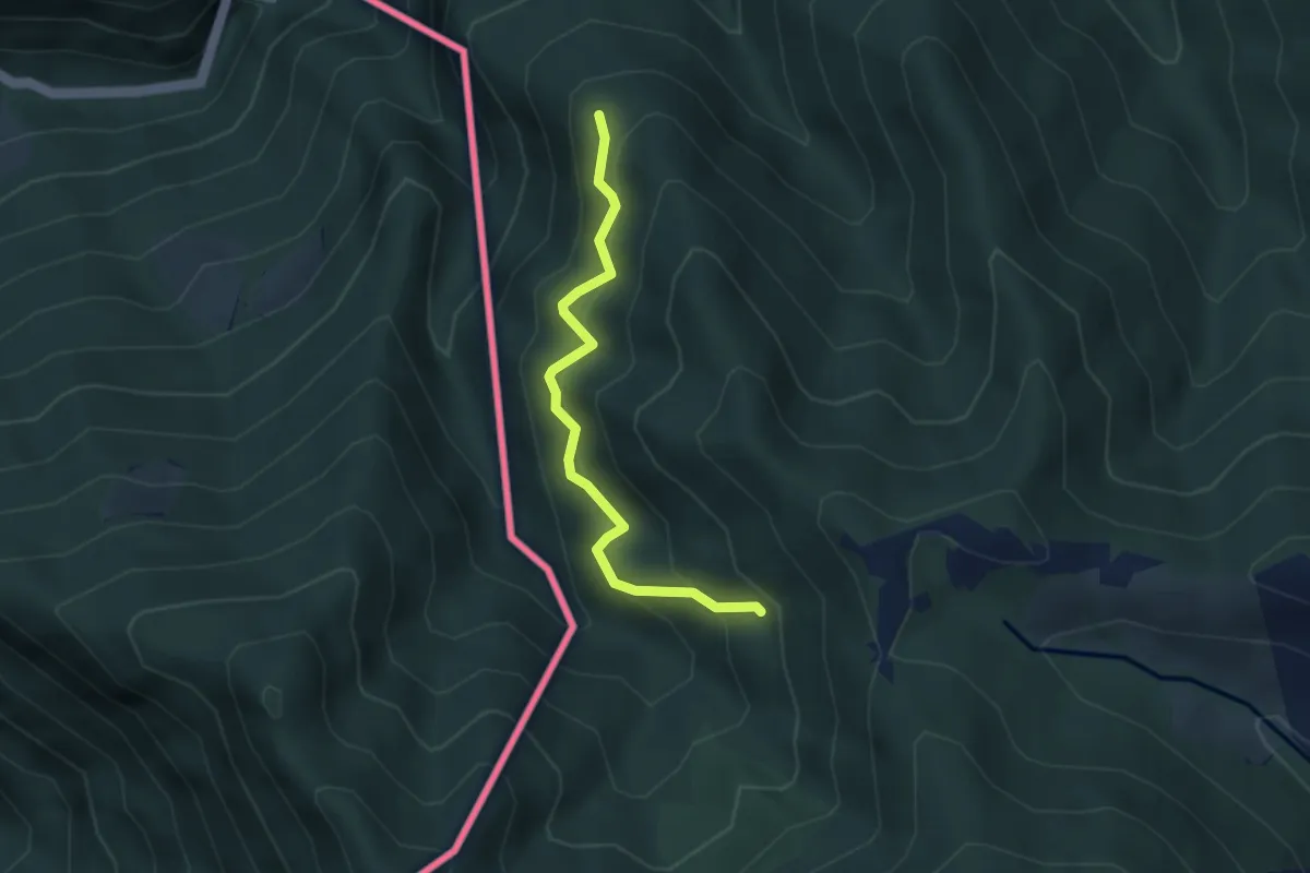
Medium · Trail
CamminaForeste - Tappa 8D
3.3 km · ↑ 349 m · 1 h 33 min · 7 km away
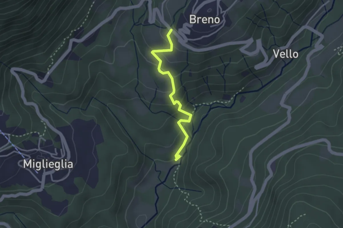
Easy · Trail
Maglio – Breno
2.7 km · ↑ 155 m · 58 min · 7 km away
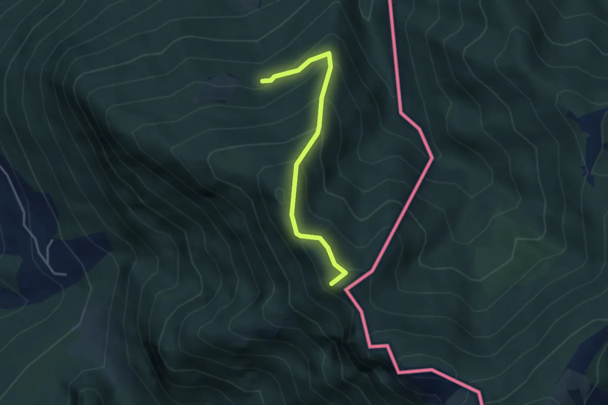
Medium · Summit
Alpe d'Arogno – Cima Crocetta
3.1 km · ↑ 283 m · 1 h 20 min · 7 km away
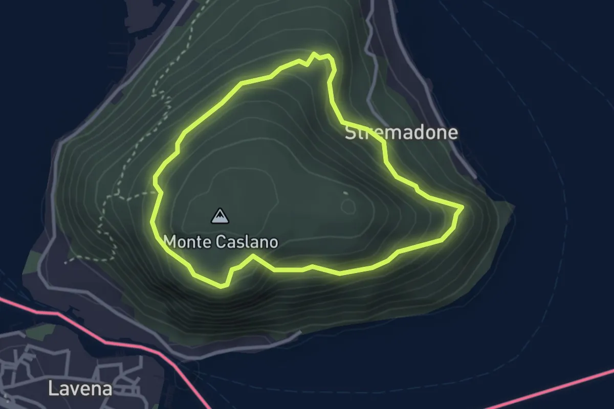
Easy · Trail
Sentiero del Castagno
2.7 km · ↑ 254 m · 1 h 14 min · 7 km away