Trails near Lugano
370 hikes starting within 15 km, nearest first.
Nearest first, page 3 of 8
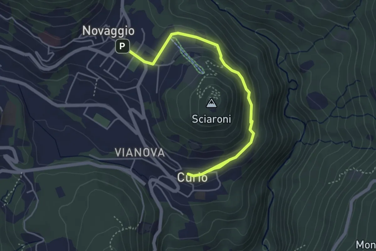
Easy · Trail
Curio – Novaggio
4.7 km · ↑ 151 m · 1 h 27 min · 7 km away
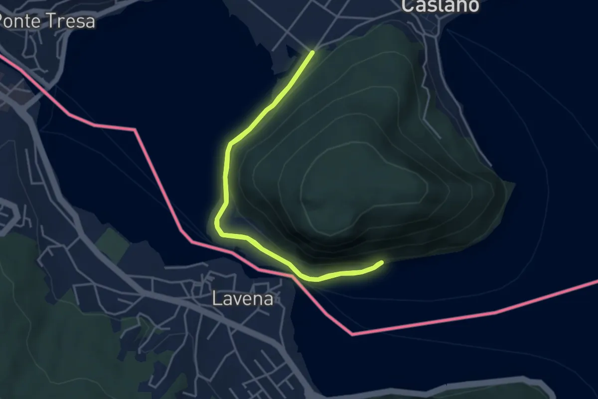
Easy · Trail
Giro lungolago atorno al monte Caslano
3.8 km · ↑ 58 m · 1 h 4 min · 7 km away
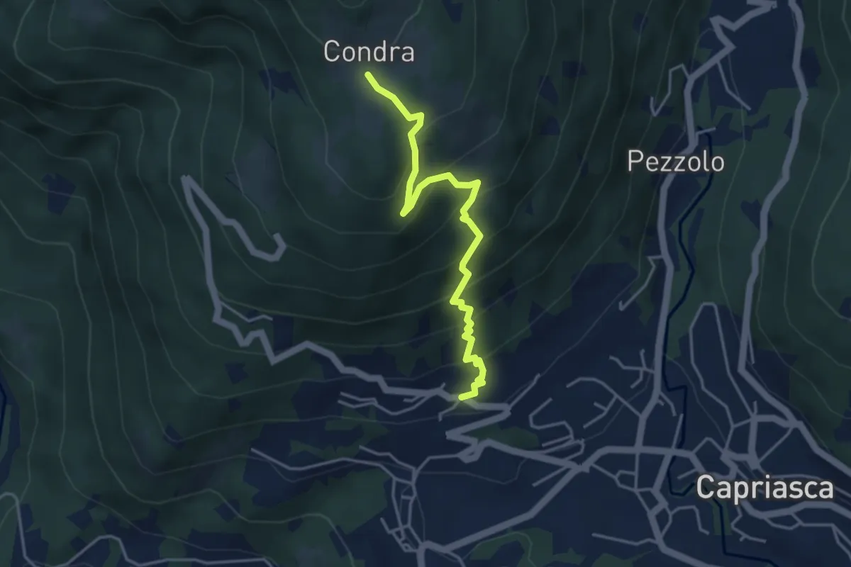
Medium · Trail
Bigorio – Condra
3.9 km · ↑ 375 m · 1 h 45 min · 7 km away
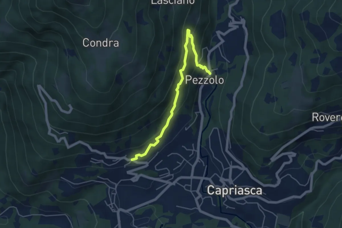
Medium · Trail
Bigorio – Pezzolo
4.4 km · ↑ 330 m · 1 h 46 min · 7 km away
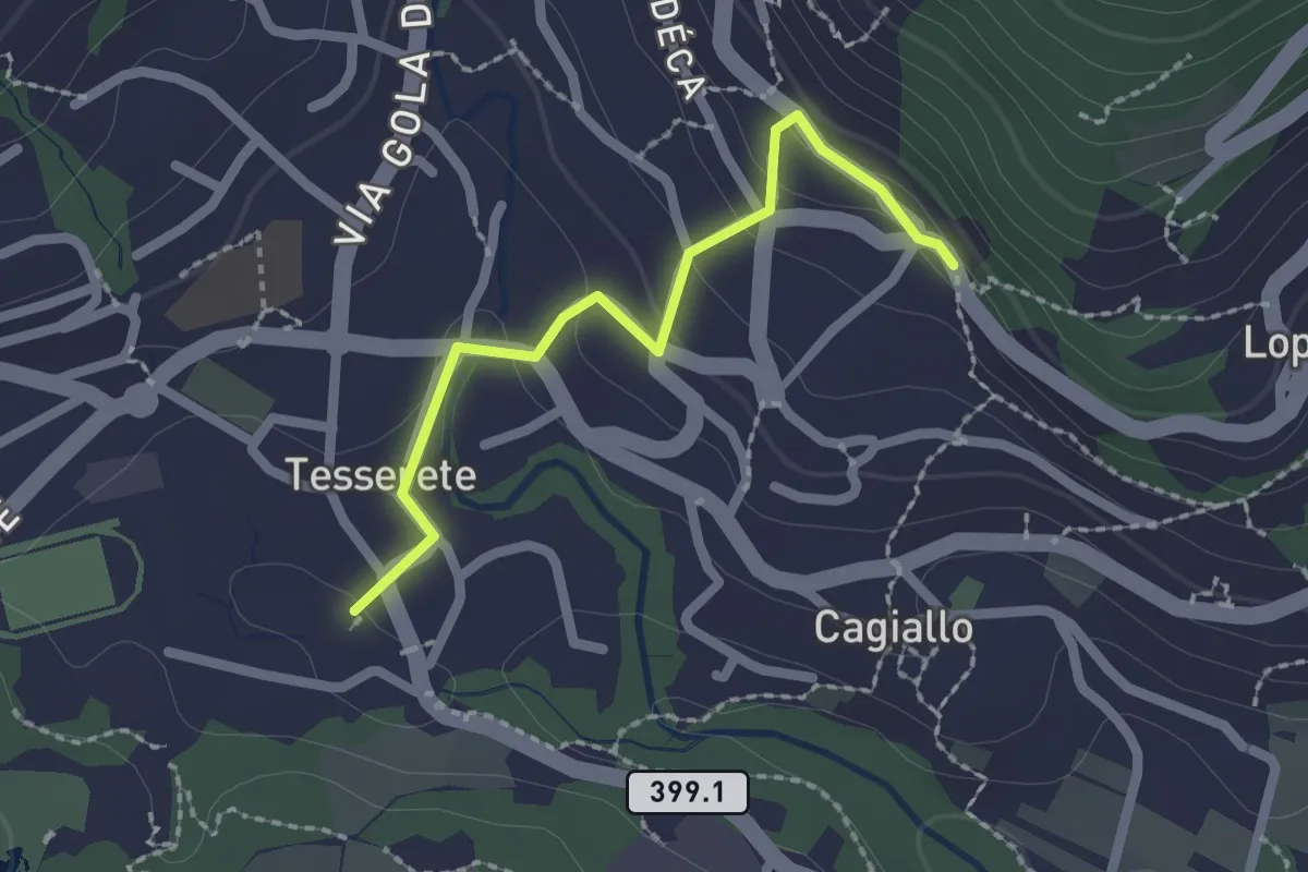
Easy · Trail
Tesserete – Campestro
2.0 km · ↑ 77 m · 38 min · 7 km away
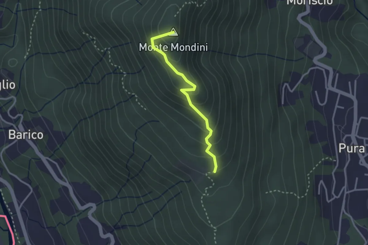
Medium · Summit
Scangei – Curio-Molino
2.4 km · ↑ 171 m · 57 min · 7 km away
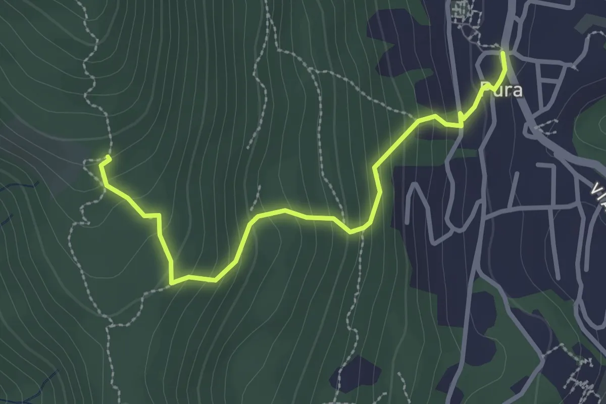
Medium · Trail
Pura – Scangei
2.8 km · ↑ 247 m · 1 h 12 min · 7 km away
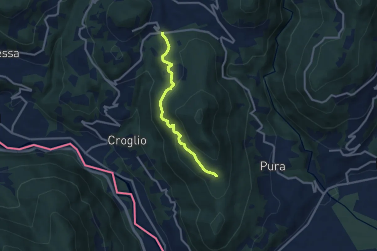
Medium · Trail
Scangei – Feredino
5.7 km · ↑ 265 m · 1 h 55 min · 7 km away
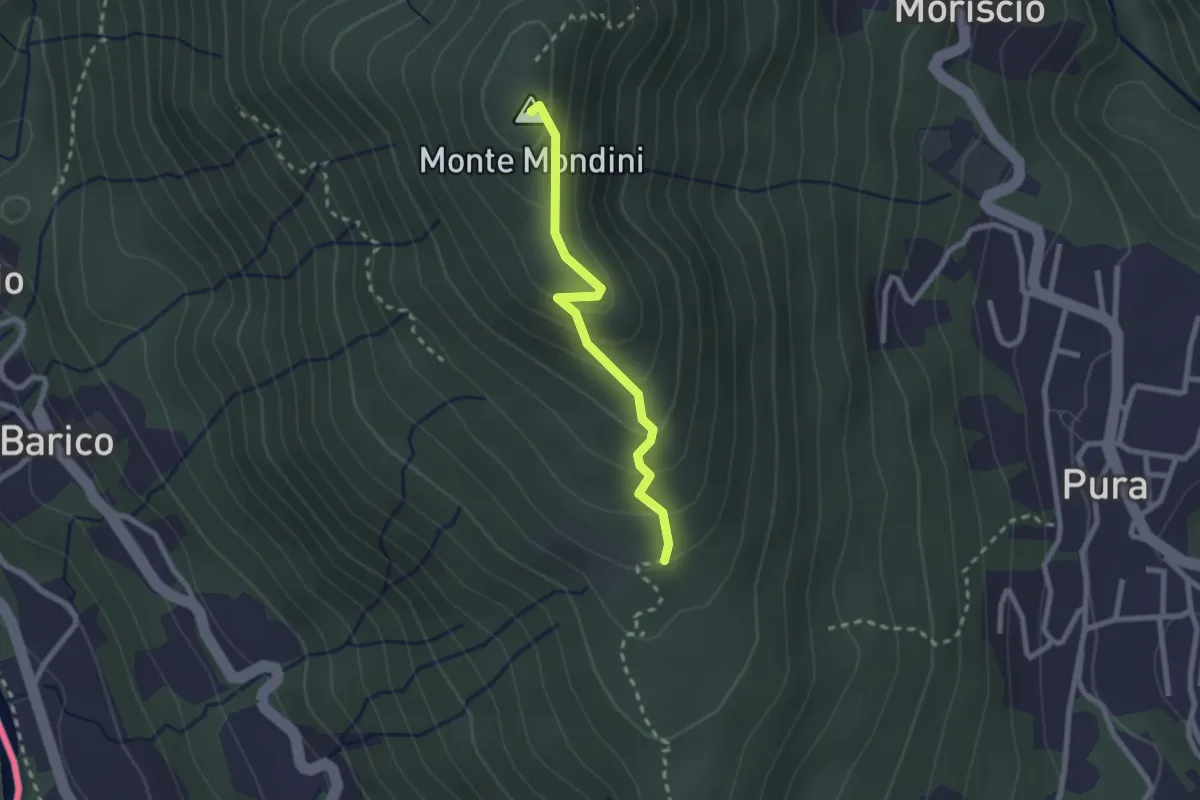
Medium · Summit
Scangei – Monte Mondini
2.2 km · ↑ 153 m · 51 min · 7 km away
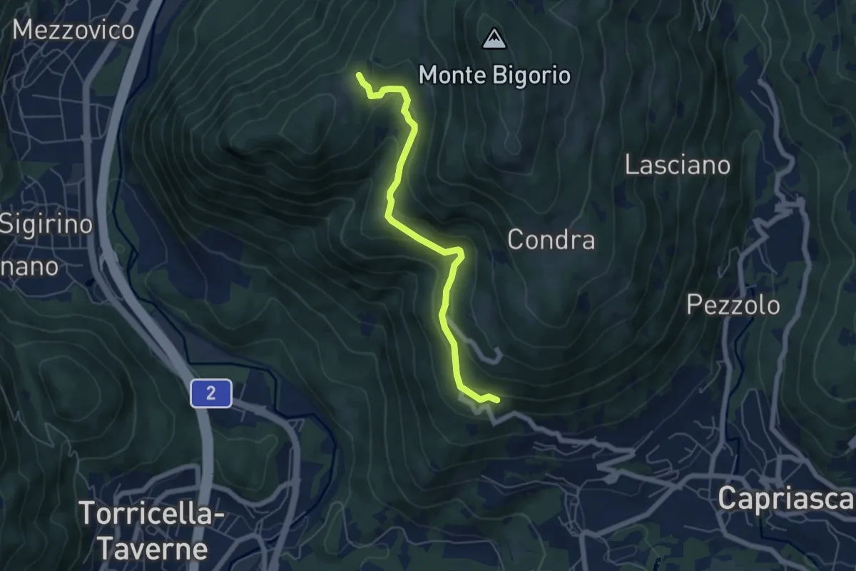
Easy · Trail
Monti di Brena – Convento Santa Maria
5.3 km · ↑ 252 m · 1 h 48 min · 8 km away
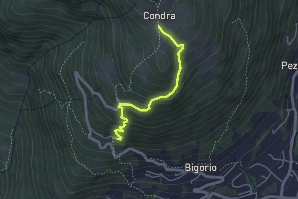
Easy · Trail
Condra – Convento Santa Maria
3.1 km · ↑ 255 m · 1 h 17 min · 8 km away
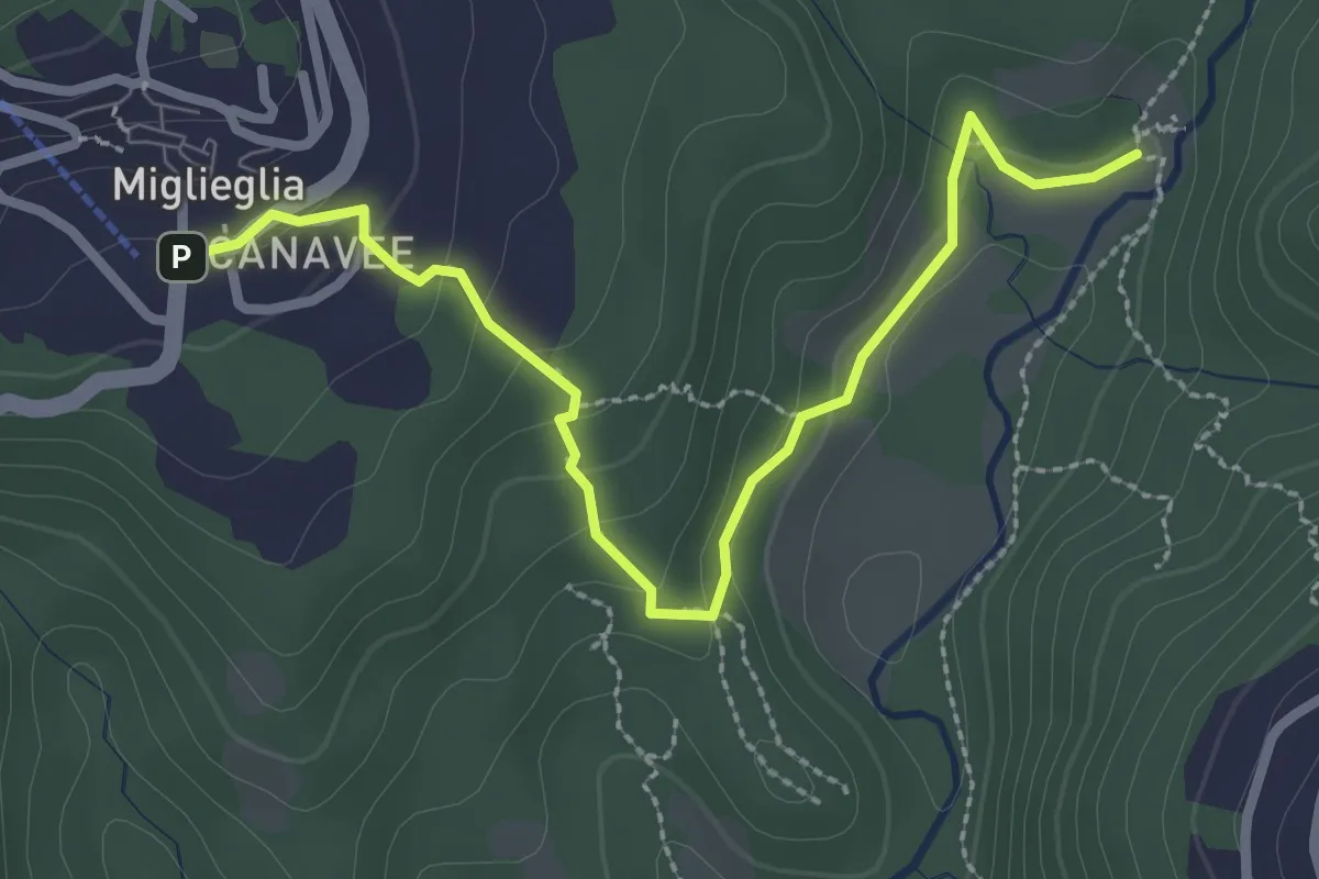
Easy · Trail
Maglio – Miglieglia
3.0 km · ↑ 131 m · 59 min · 8 km away
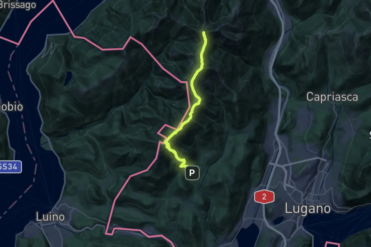
Demanding · Summit
Sentiero Lago di Lugano
26.8 km · ↑ 2282 m · 11 h 17 min · 8 km away
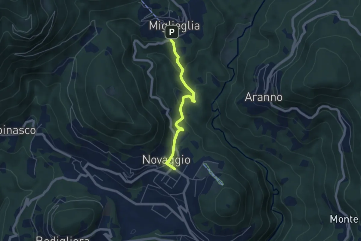
Easy · Trail
Novaggio – Miglieglia
4.1 km · ↑ 218 m · 1 h 27 min · 8 km away
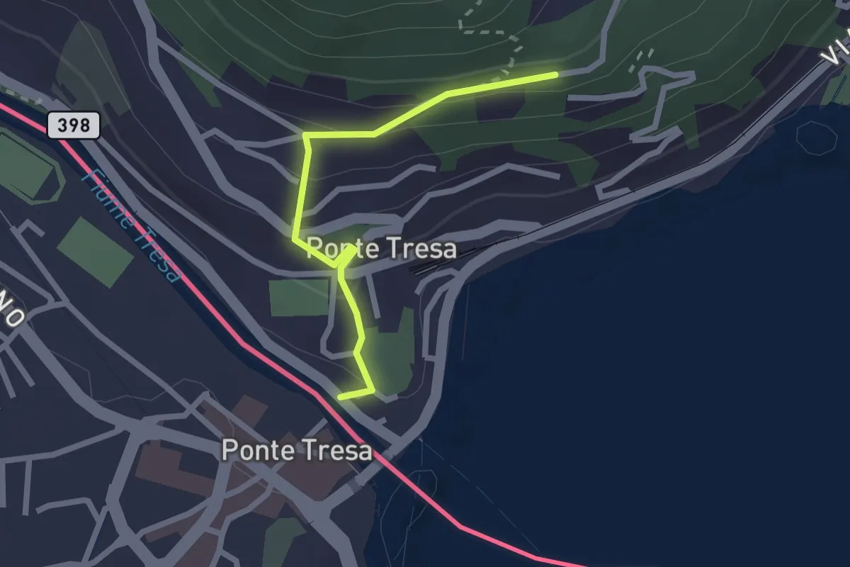
Easy · Trail
Ponte Tresa – Pura
2.0 km · ↑ 113 m · 43 min · 8 km away
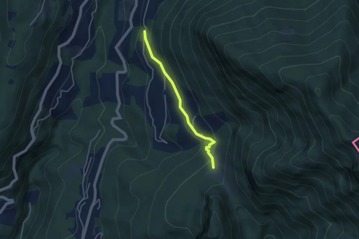
Medium · Trail
Pt. 615 – Alpe Bogo
2.8 km · ↑ 180 m · 1 h 3 min · 8 km away
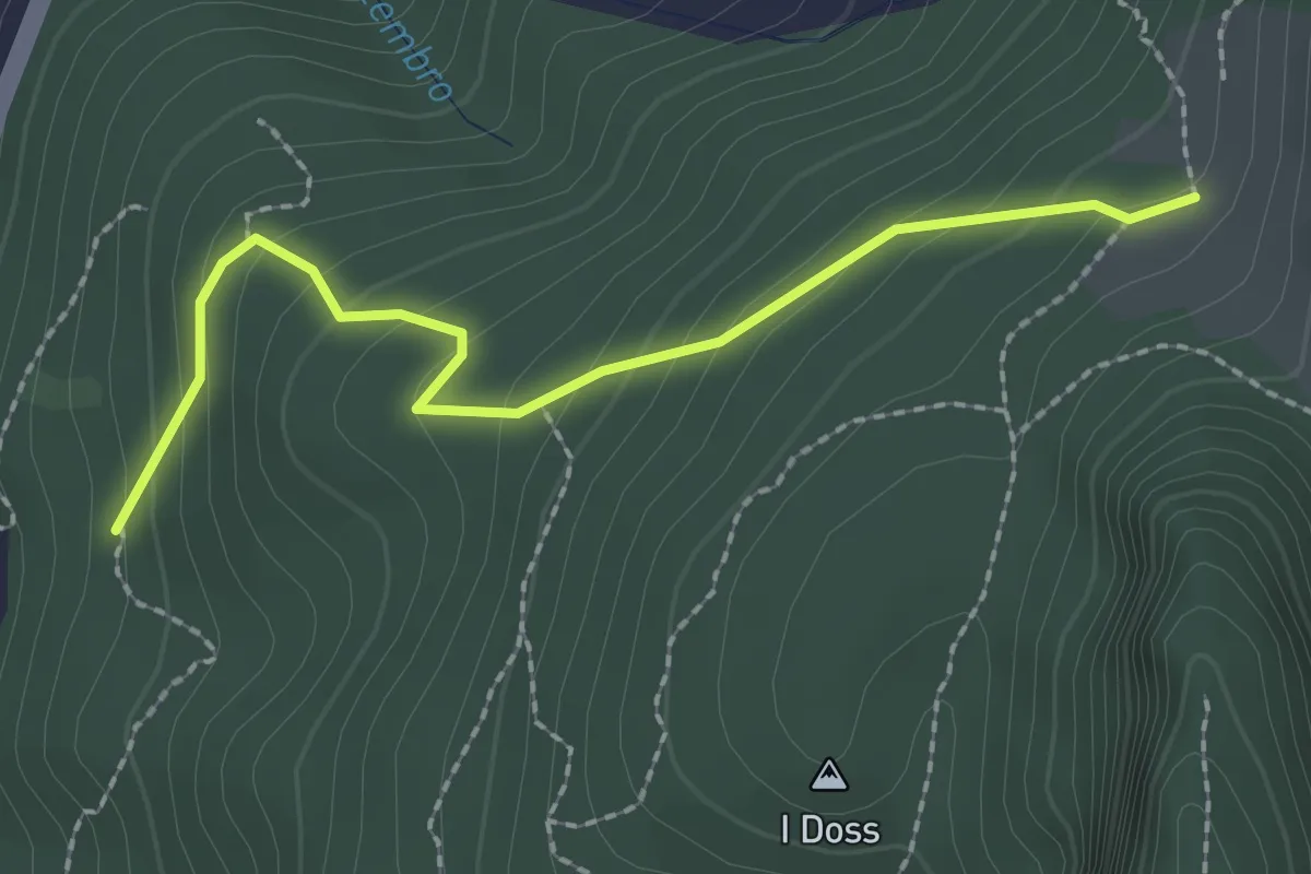
Easy · Trail
Alpe Bogo – Terzera
2.3 km · ↑ 175 m · 55 min · 8 km away
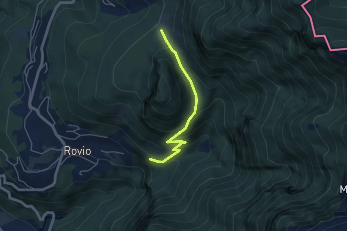
Expert · Trail
Alpe Bogo – Soldino
3.3 km · ↑ 278 m · 1 h 24 min · 8 km away
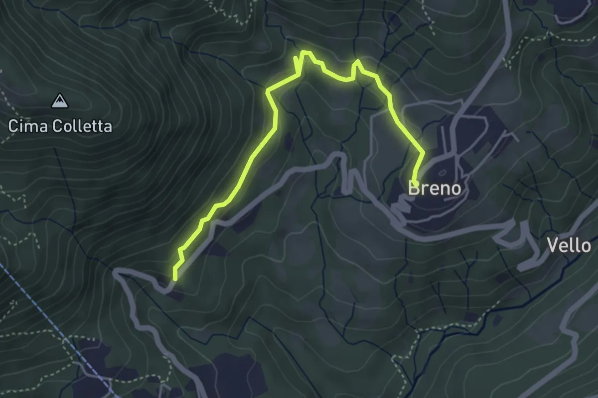
Easy · Trail
Breno – Tortoglio
4.4 km · ↑ 180 m · 1 h 26 min · 8 km away
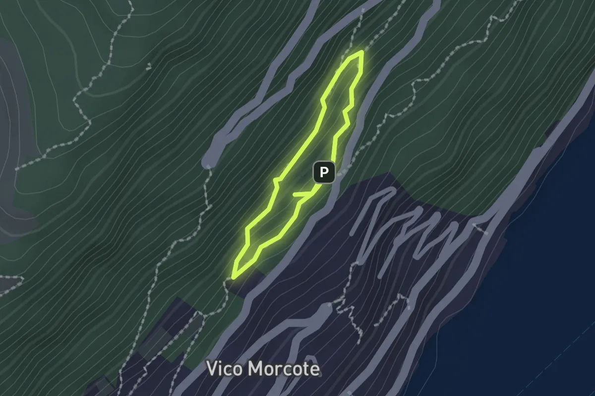
Medium · Trail
Sentiero dei Sensi
1.2 km · ↑ 96 m · 30 min · 8 km away
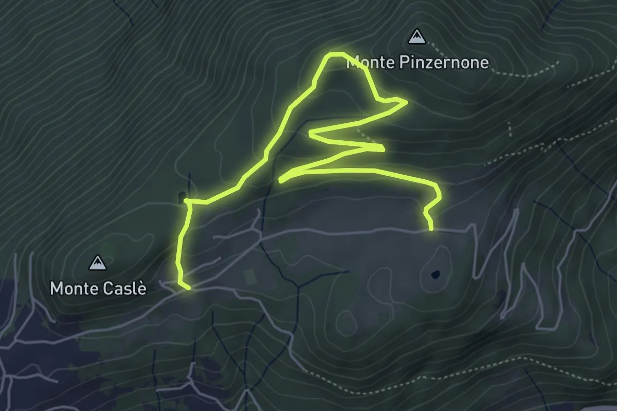
Easy · Trail
Parcheggio Clinica COF – Cascina Bartolotto
7.3 km · ↑ 310 m · 2 h 24 min · 8 km away
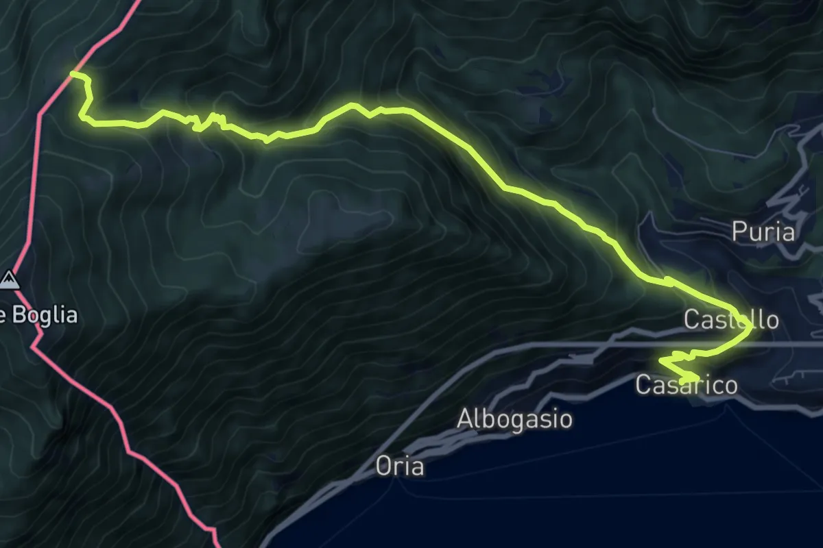
Demanding · Trail
Casarico – Pian di Scagn
10.5 km · ↑ 922 m · 4 h 28 min · 8 km away
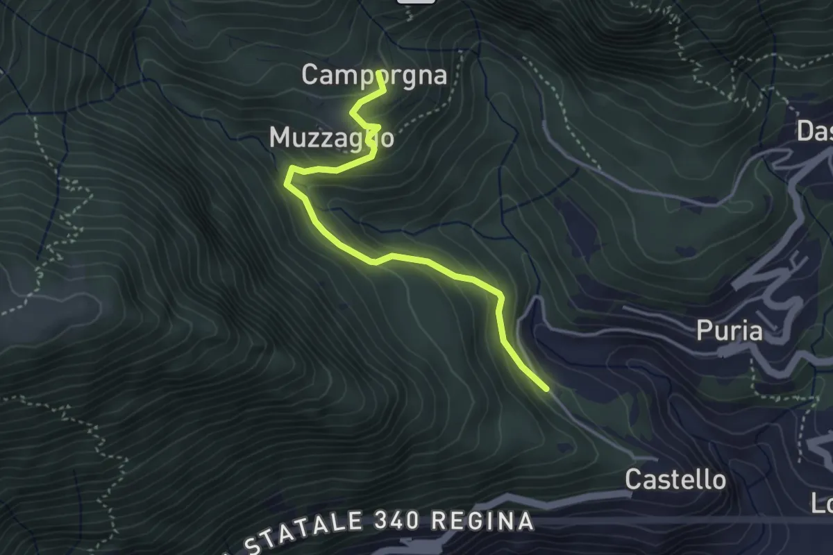
Easy · Trail
Castello – Camporgna
3.5 km · ↑ 242 m · 1 h 21 min · 8 km away
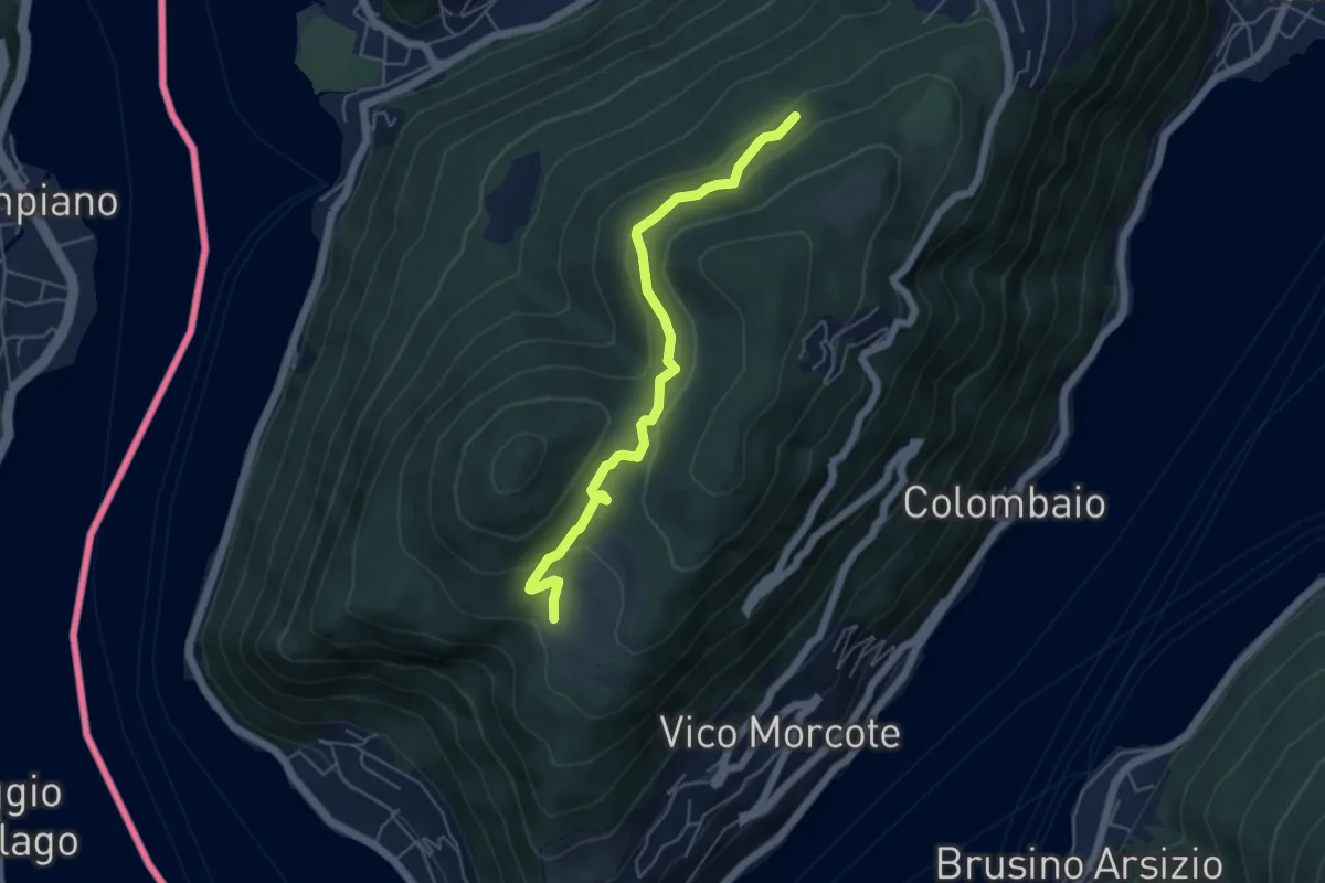
Easy · Trail
Alpe Vicania – Madonna d'Ongero
5.1 km · ↑ 213 m · 1 h 40 min · 8 km away
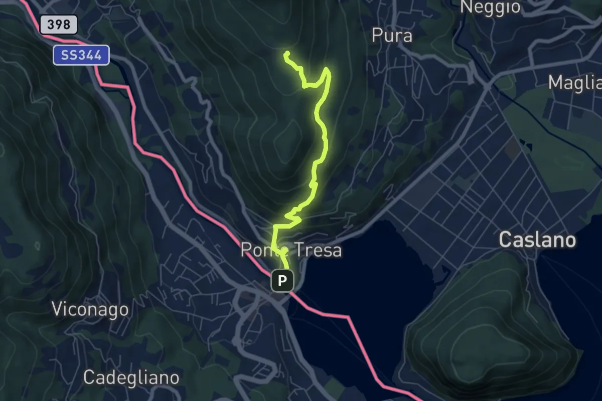
Medium · Trail
Ponte Tresa – Scangei
5.8 km · ↑ 377 m · 2 h 11 min · 8 km away
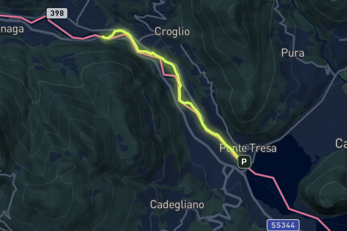
Easy · Trail
Ponte Tresa – ?
7.6 km · ↑ 27 m · 1 h 52 min · 8 km away
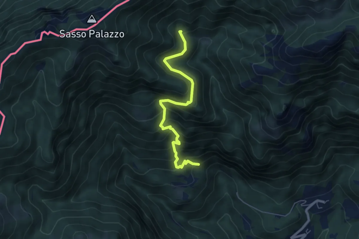
Medium · Trail
Cappelletta Camporgna – Alpe di Puria 608
5.4 km · ↑ 504 m · 2 h 23 min · 8 km away
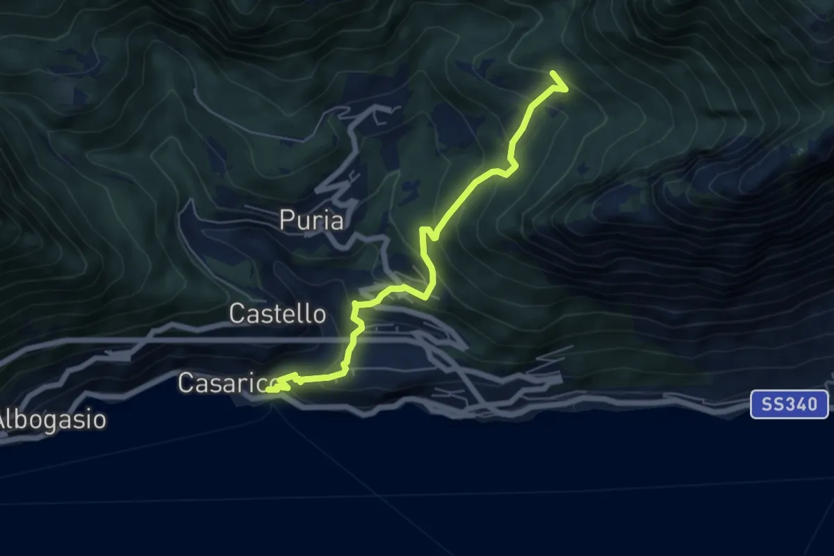
Medium · Trail
San Mamete – Rancò
5.6 km · ↑ 488 m · 2 h 23 min · 8 km away
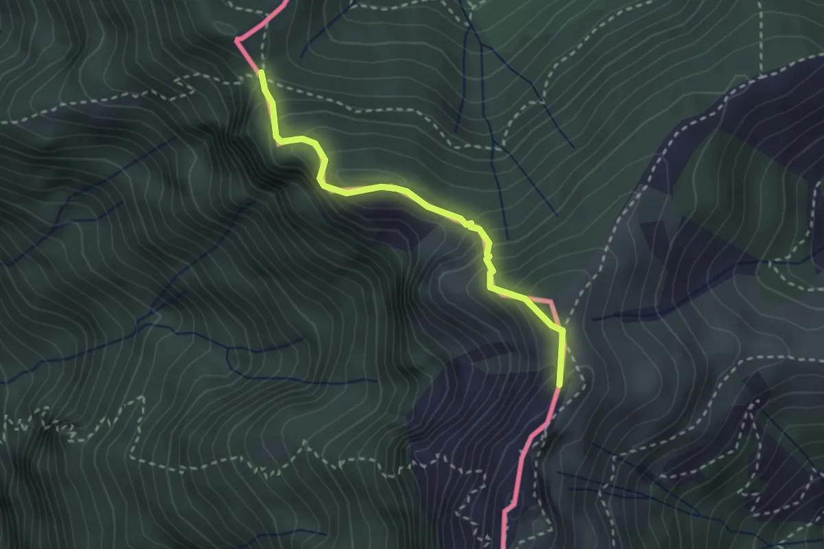
Medium · Summit
Cima Crocetta – Cima della Piancaccia
2.6 km · ↑ 298 m · 1 h 15 min · 8 km away
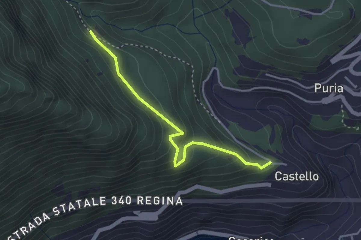
Easy · Trail
Castello – Bresè sent. 615
3.0 km · ↑ 234 m · 1 h 13 min · 8 km away
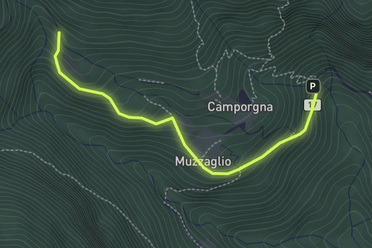
Easy · Trail
Ponte di Bizzo – Bodeghino
2.7 km · ↑ 201 m · 1 h 4 min · 8 km away
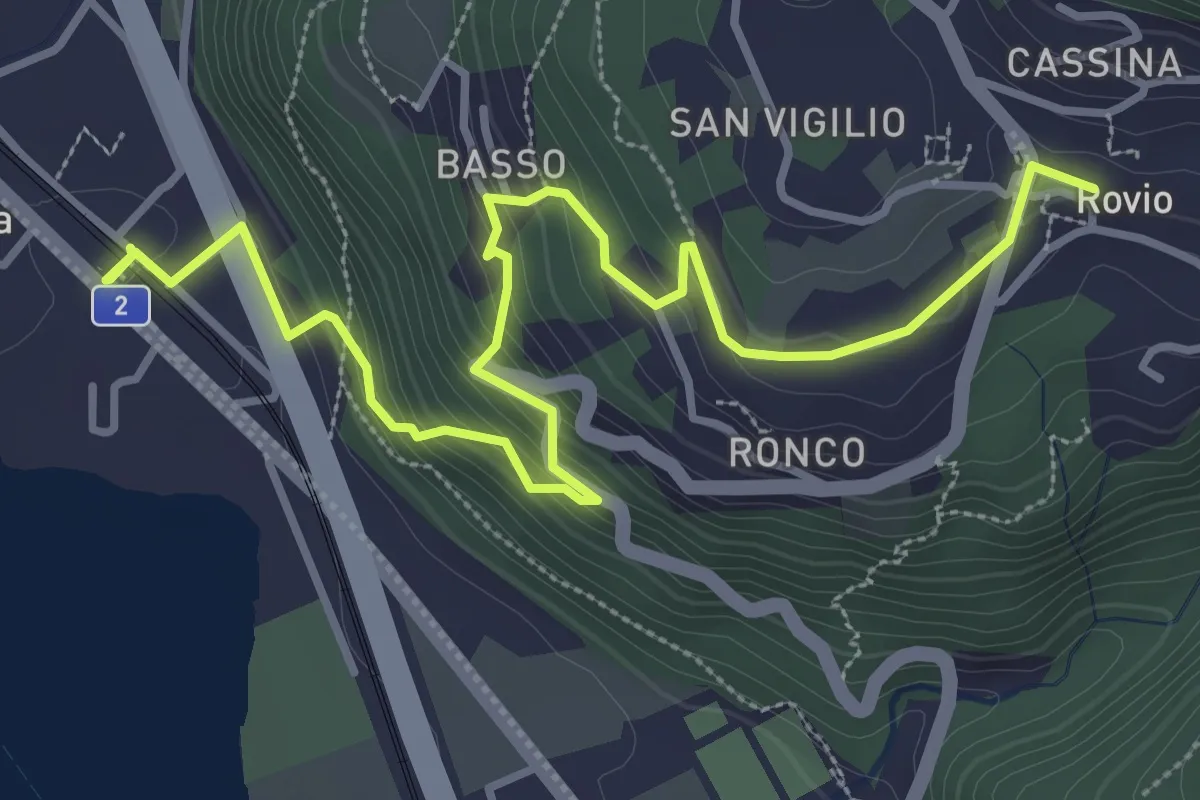
Medium · Trail
Rovio Posta – Maroggia St.ne
4.6 km · ↑ 328 m · 1 h 47 min · 8 km away
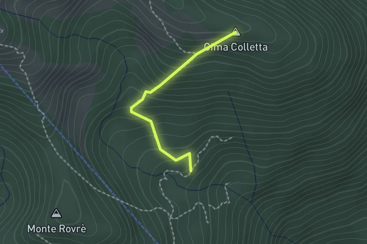
Medium · Summit
Alpe Tramboschino – Miglieglia via Cima Colletta?
1.5 km · ↑ 165 m · 42 min · 8 km away
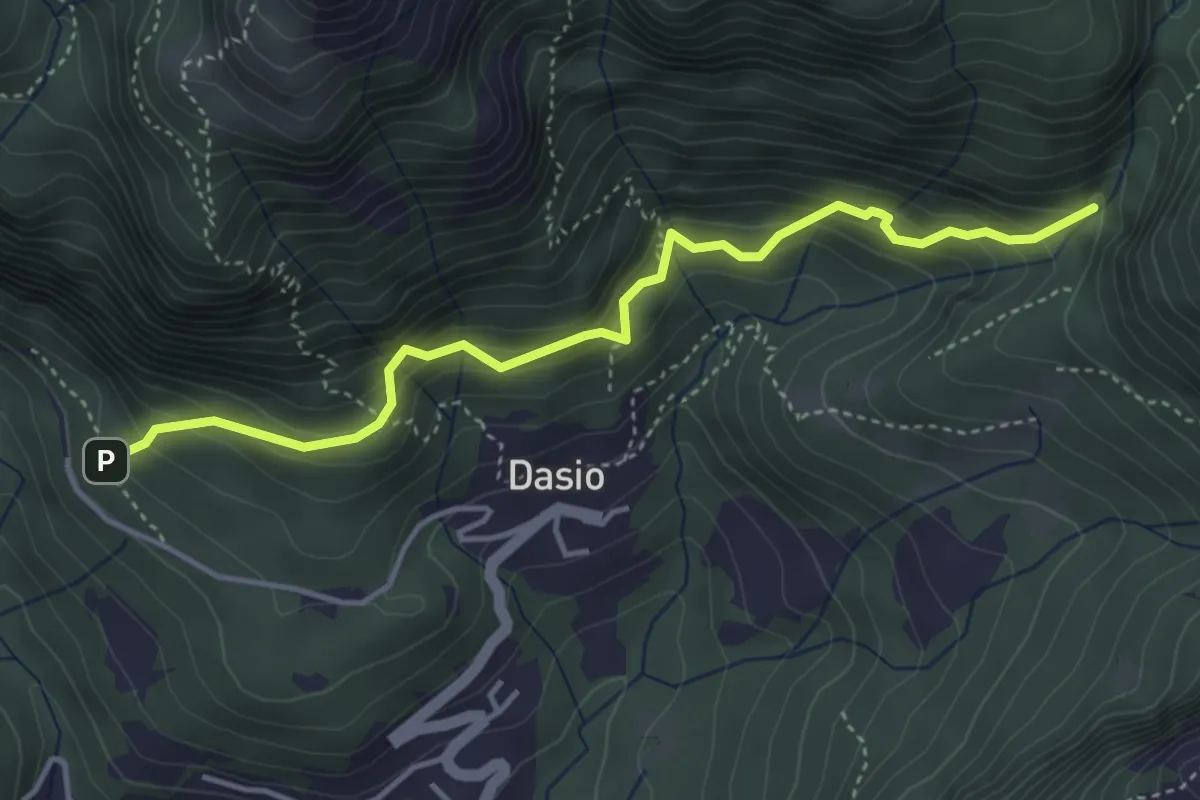
Medium · Trail
San Rocco – Riserva Valsolda
4.2 km · ↑ 400 m · 1 h 52 min · 9 km away
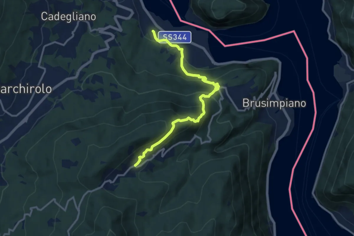
Medium · Trail
Lavena Ponte tresa – Marzio
9.1 km · ↑ 570 m · 3 h 23 min · 9 km away
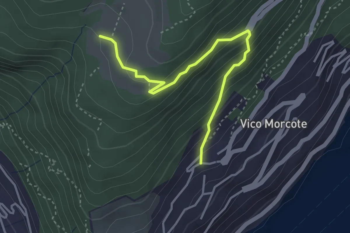
Medium · Trail
Alpe Vicania – Vico Morcote
3.4 km · ↑ 261 m · 1 h 22 min · 9 km away
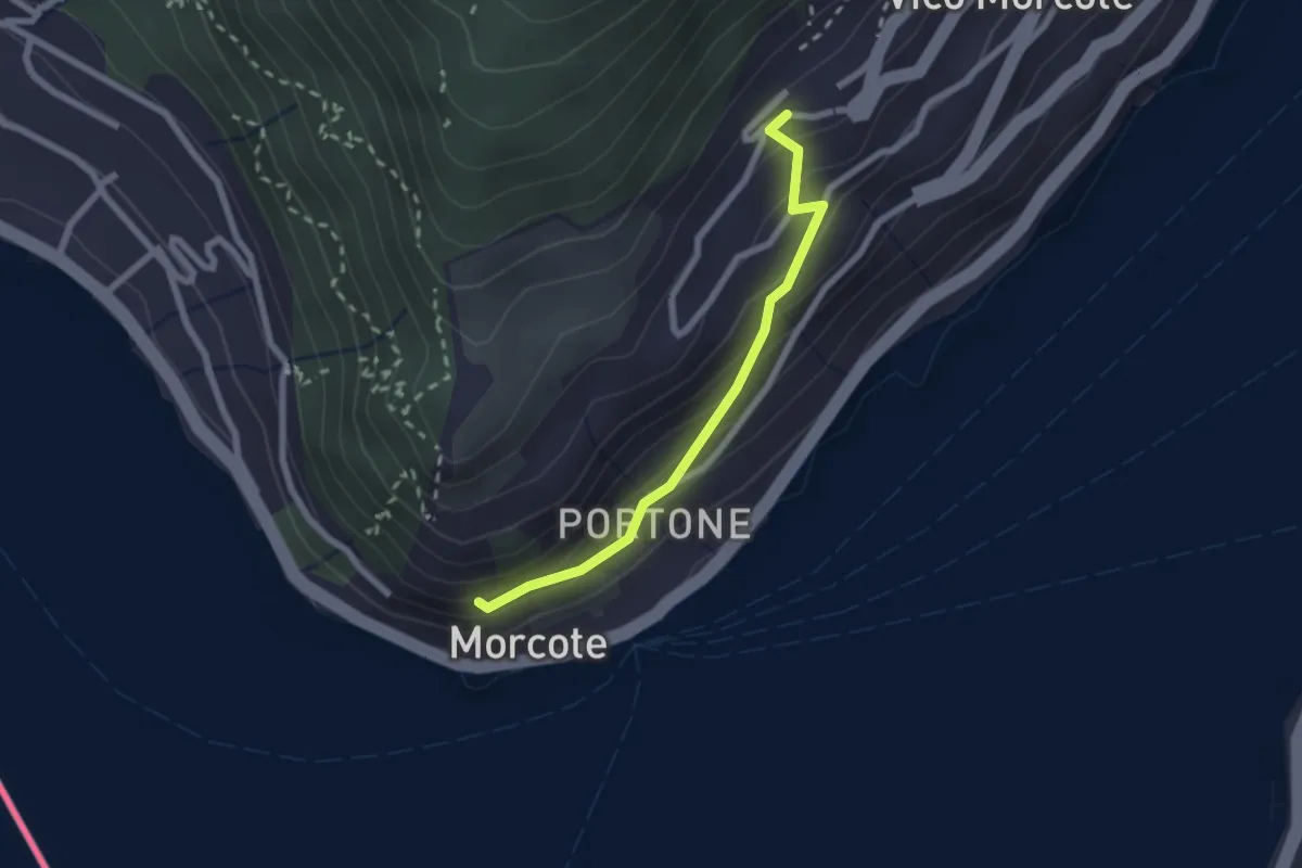
Easy · Trail
Vico Morcote – Santa Maria del Sasso
2.1 km · ↑ 161 m · 51 min · 9 km away
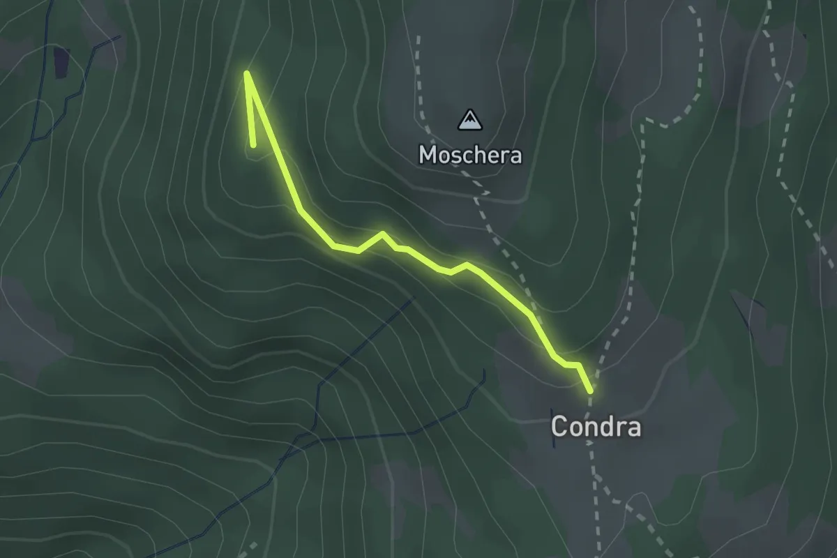
Easy · Summit
Monti Soldini – Condra
2.0 km · ↑ 127 m · 45 min · 9 km away
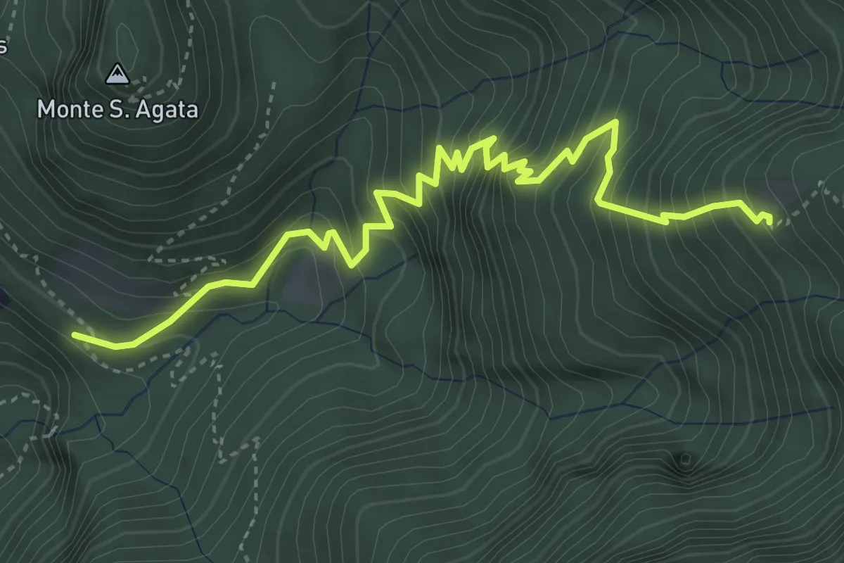
Medium · Trail
Perostabbio – Soldino
4.7 km · ↑ 690 m · 2 h 36 min · 9 km away
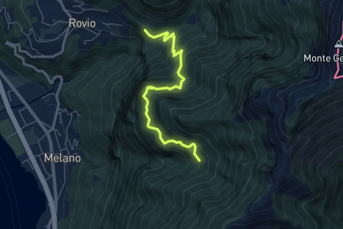
Medium · Trail
Soldino-Alpe di Melano
5.4 km · ↑ 670 m · 2 h 44 min · 9 km away
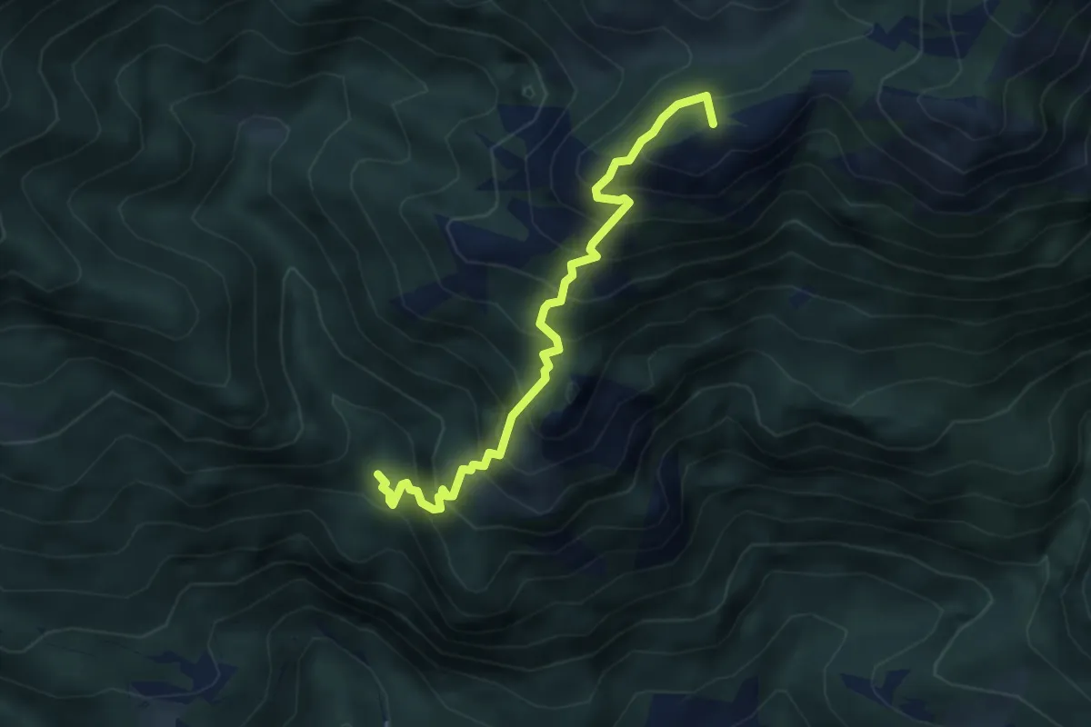
Medium · Summit
Porteja di Roz – Passo di Piancabella
4.3 km · ↑ 592 m · 2 h 18 min · 9 km away
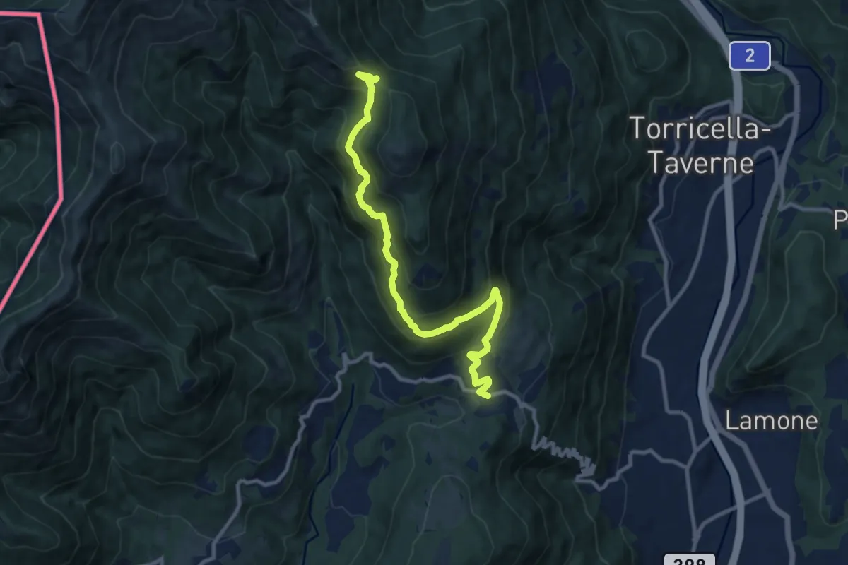
Demanding · Trail
Arosio – La Bassa
10.0 km · ↑ 736 m · 3 h 58 min · 9 km away
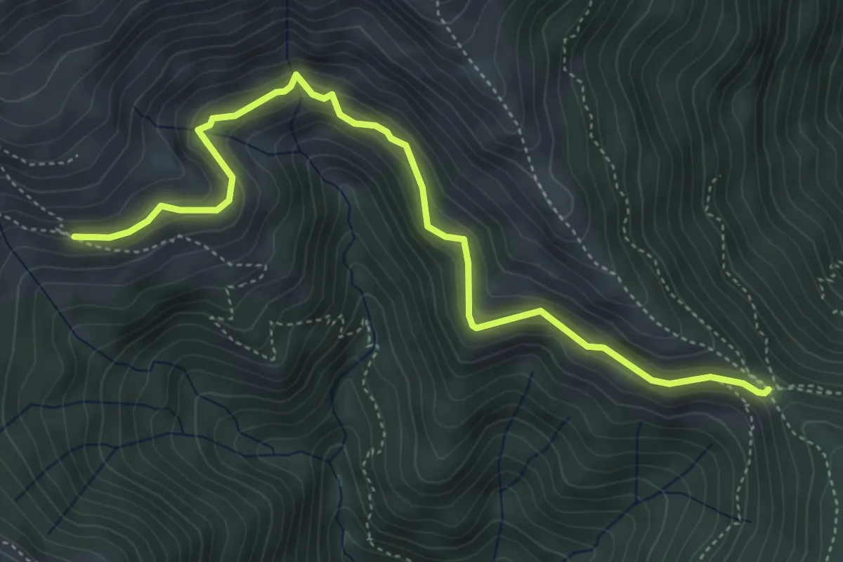
Medium · Trail
La Bassa – Alpe Nisciora
5.5 km · ↑ 384 m · 2 h 7 min · 9 km away
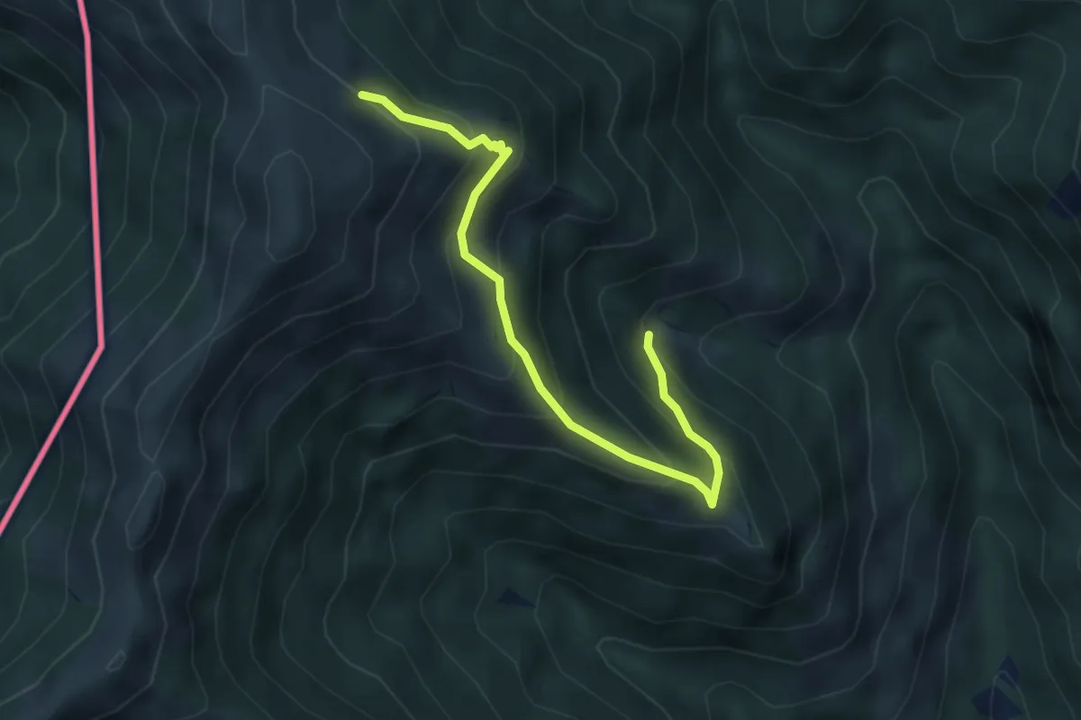
Medium · Trail
Alpe Agario – Alpe di Coransù
4.3 km · ↑ 356 m · 1 h 48 min · 9 km away
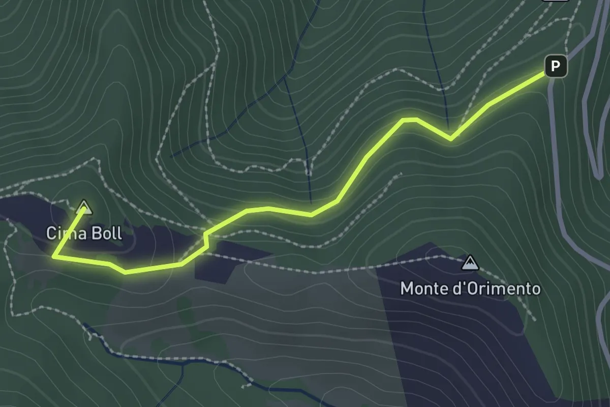
Easy · Summit
Località Casermette – Alpe di Gotta
2.5 km · ↑ 146 m · 54 min · 9 km away
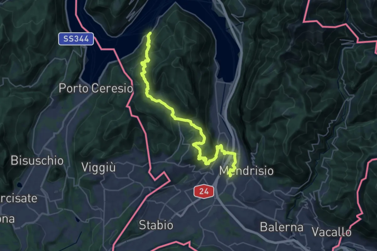
Medium · Trail
ViaGottardo
13.4 km · ↑ 576 m · 4 h 34 min · 9 km away
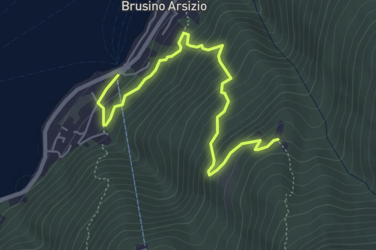
Medium · Trail
Brusino Arsizio Statione – Alpe di Brusino
5.1 km · ↑ 442 m · 2 h 9 min · 9 km away
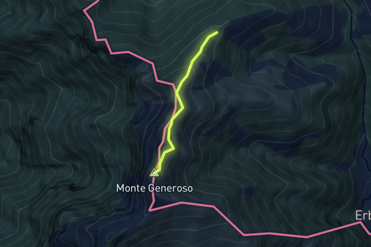
Medium · Summit
Casermetta di Orimento – Monte Generoso (Fiore di Pietra)
2.9 km · ↑ 131 m · 58 min · 9 km away