Trails near Lugano
370 hikes starting within 15 km, nearest first.
Nearest first, page 4 of 8
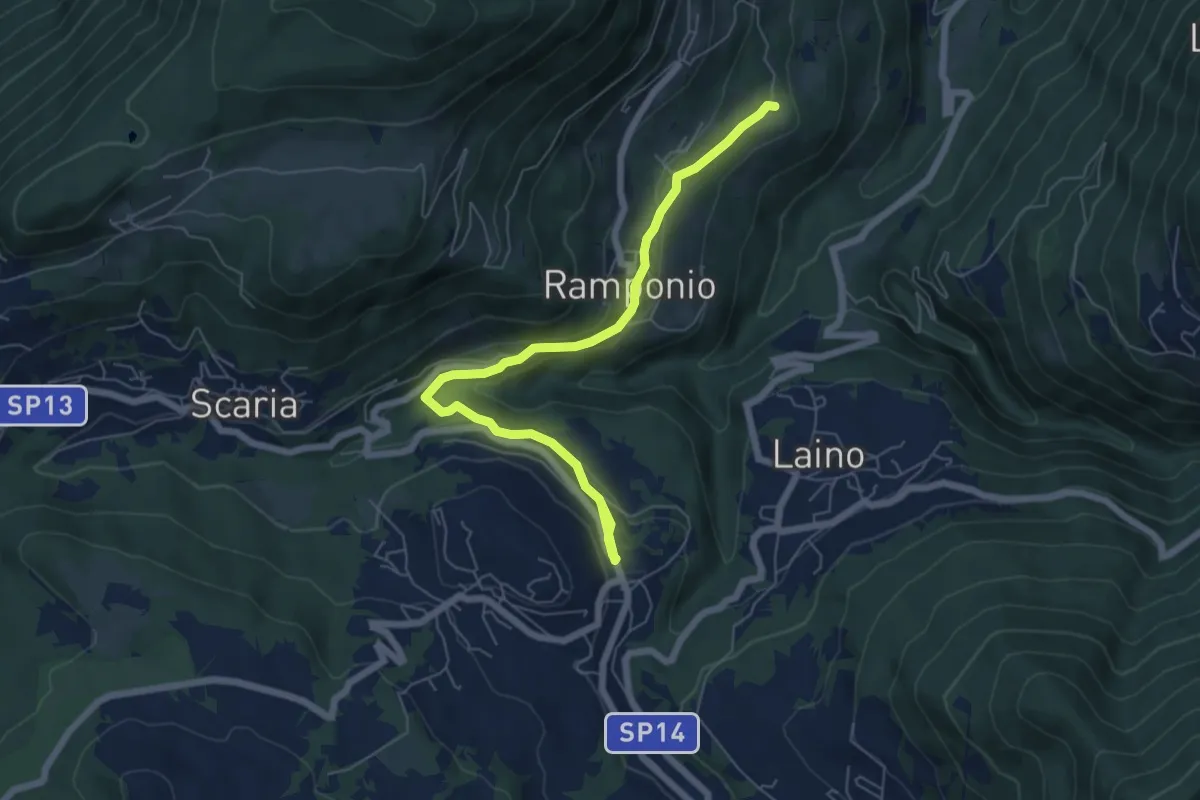
Easy · Trail
Ramponio San Pancrazio incrocio sentiero 815 – Pellio Inferiore, inizio sentiero 947
6.8 km · ↑ 211 m · 2 h 3 min · 9 km away
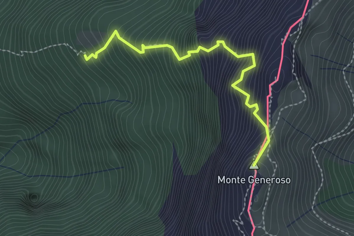
Expert · Summit
Perostabbio – Monte Generoso
2.4 km · ↑ 452 m · 1 h 33 min · 9 km away
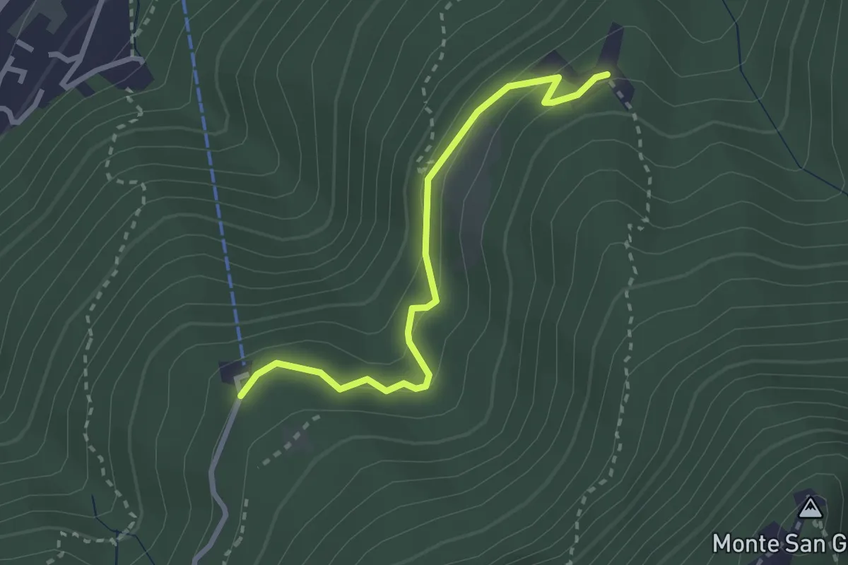
Easy · Trail
Serpiano Statione – Alpe di Brusino
2.7 km · ↑ 164 m · 1 h · 9 km away
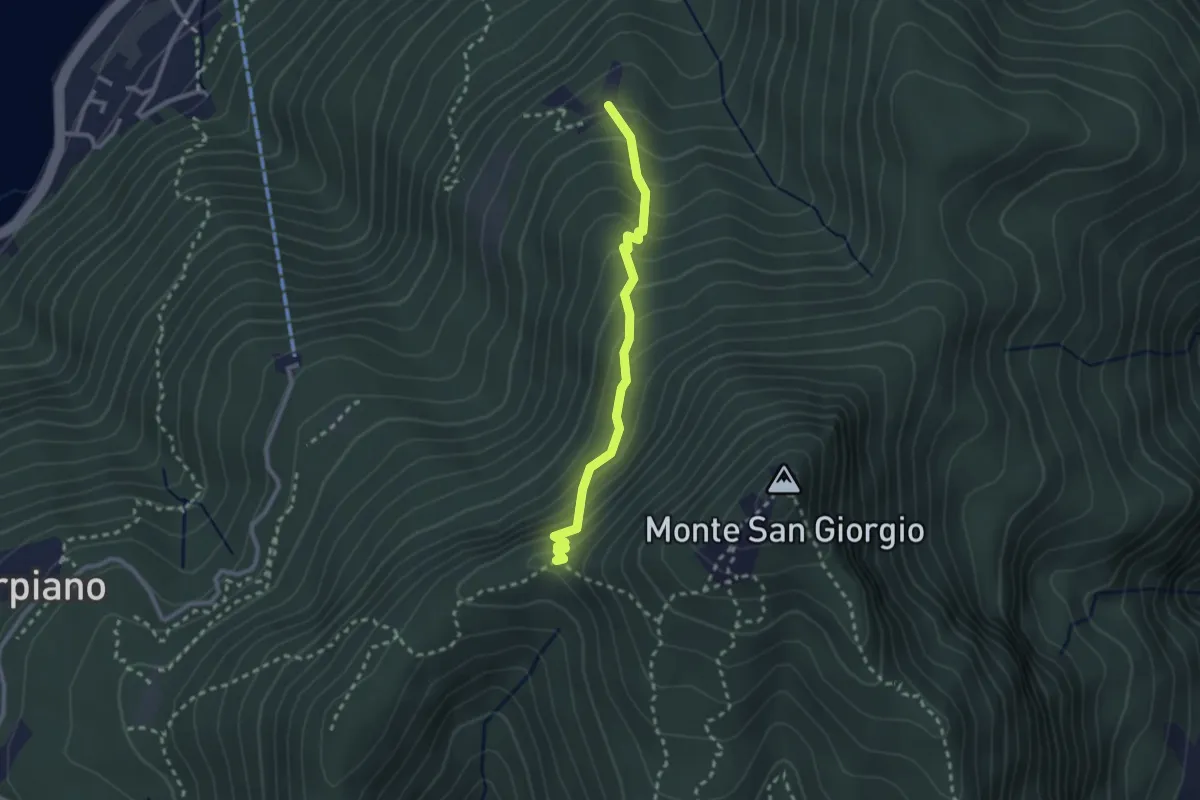
Medium · Trail
Alpe di Brusino – Punto 902
2.4 km · ↑ 262 m · 1 h 8 min · 9 km away
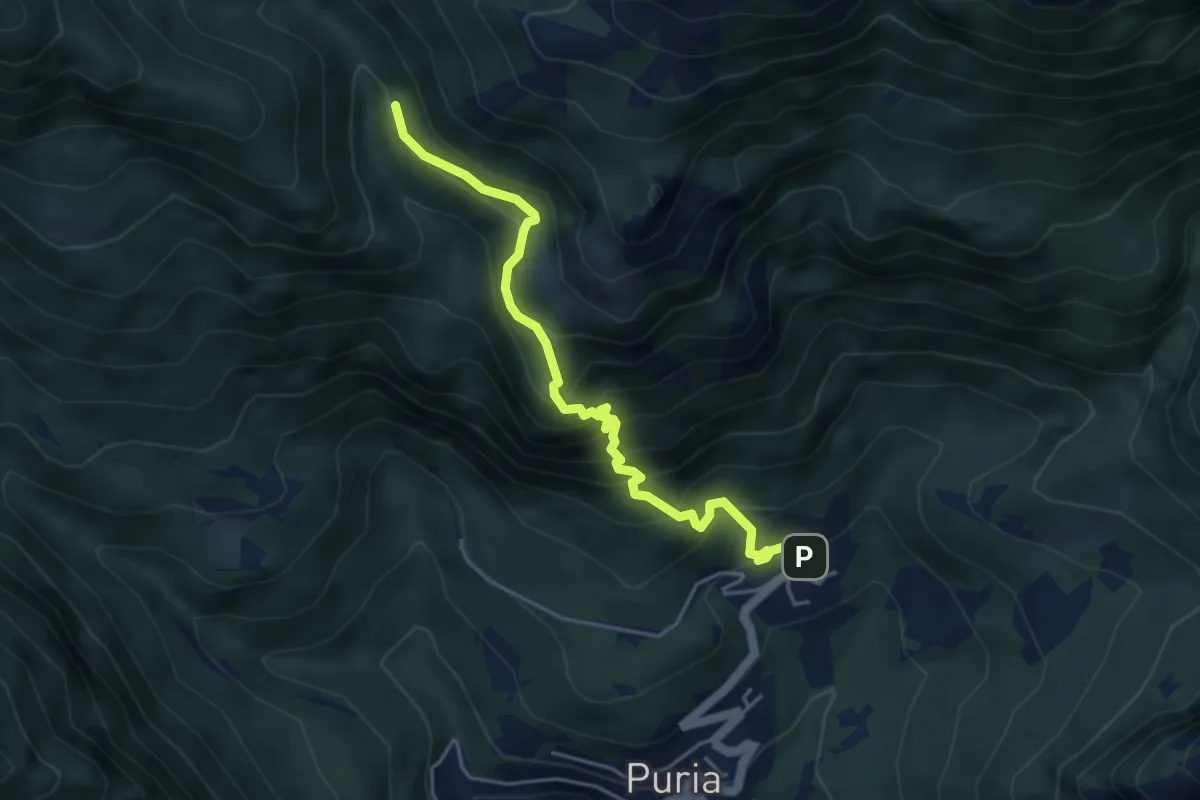
Expert · Trail
Dasio – Alpe di Puria
4.6 km · ↑ 521 m · 2 h 13 min · 9 km away
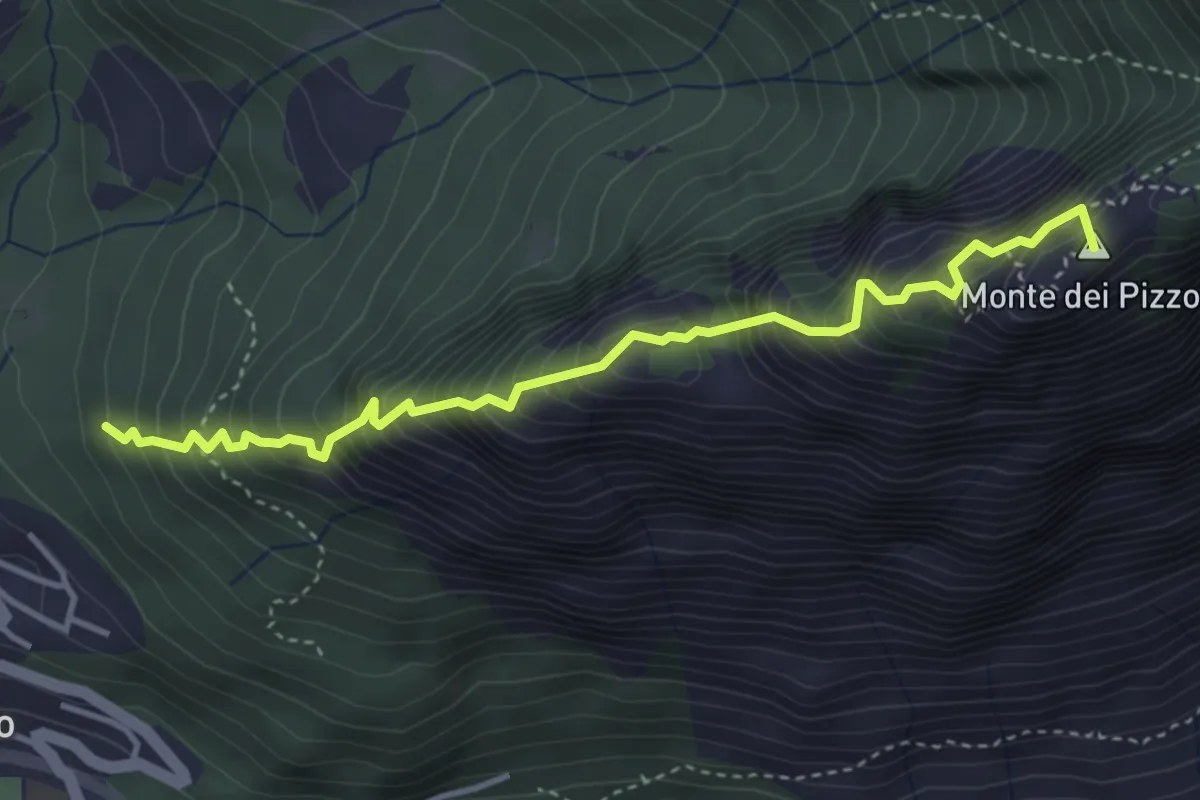
Expert · Summit
Drano – Forcola
4.1 km · ↑ 699 m · 2 h 29 min · 9 km away
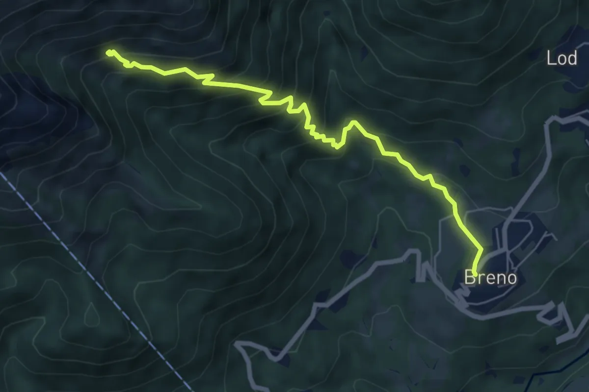
Medium · Trail
Breno – Alpe Tramboschino
6.1 km · ↑ 558 m · 2 h 39 min · 9 km away
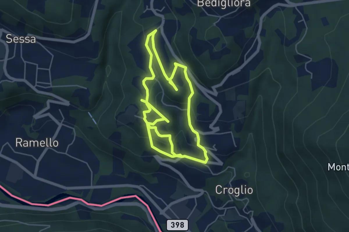
Medium · Trail
sentiero tracce d'uomo
8.8 km · ↑ 387 m · 2 h 55 min · 9 km away
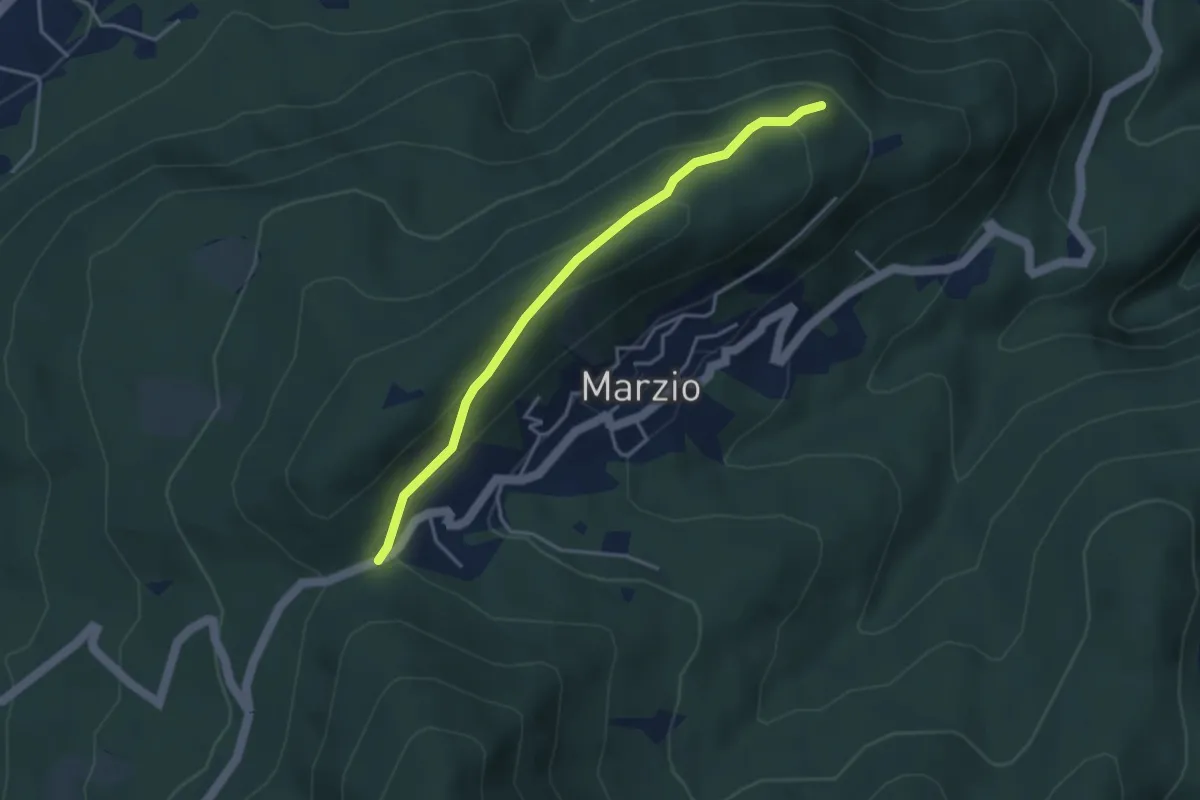
Easy · Trail
Variante Monte Marzio belvedere – Forcorella
3.6 km · ↑ 141 m · 1 h 10 min · 9 km away
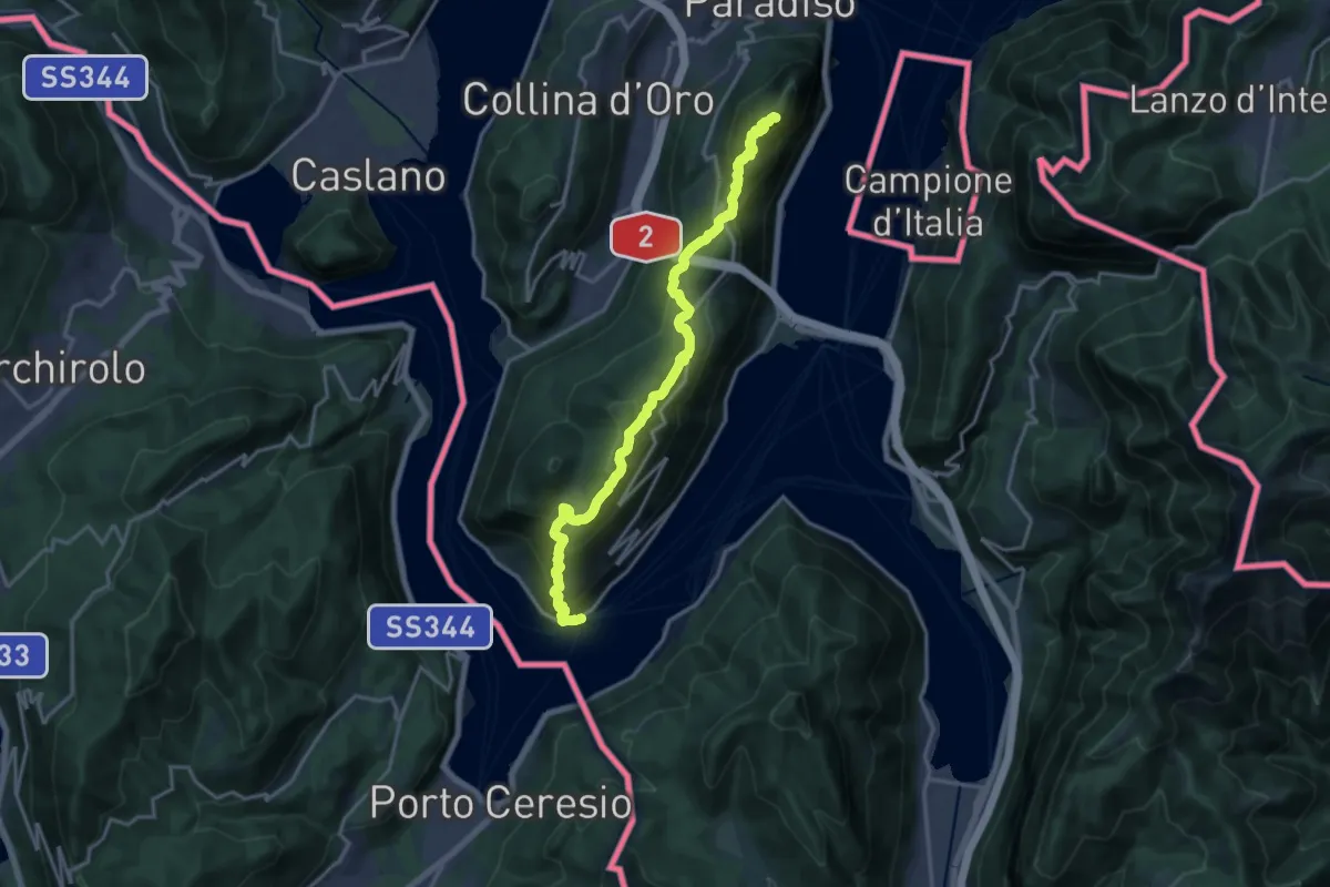
Demanding · Summit
Sentiero Lago di Lugano
18.5 km · ↑ 1189 m · 6 h 56 min · 9 km away
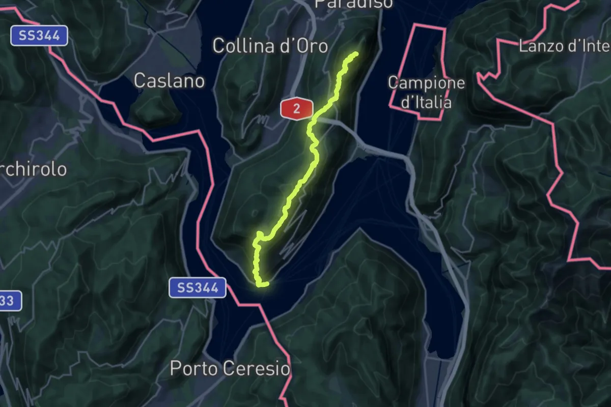
Demanding · Summit
Trans Swiss Trail
18.5 km · ↑ 1189 m · 6 h 56 min · 9 km away
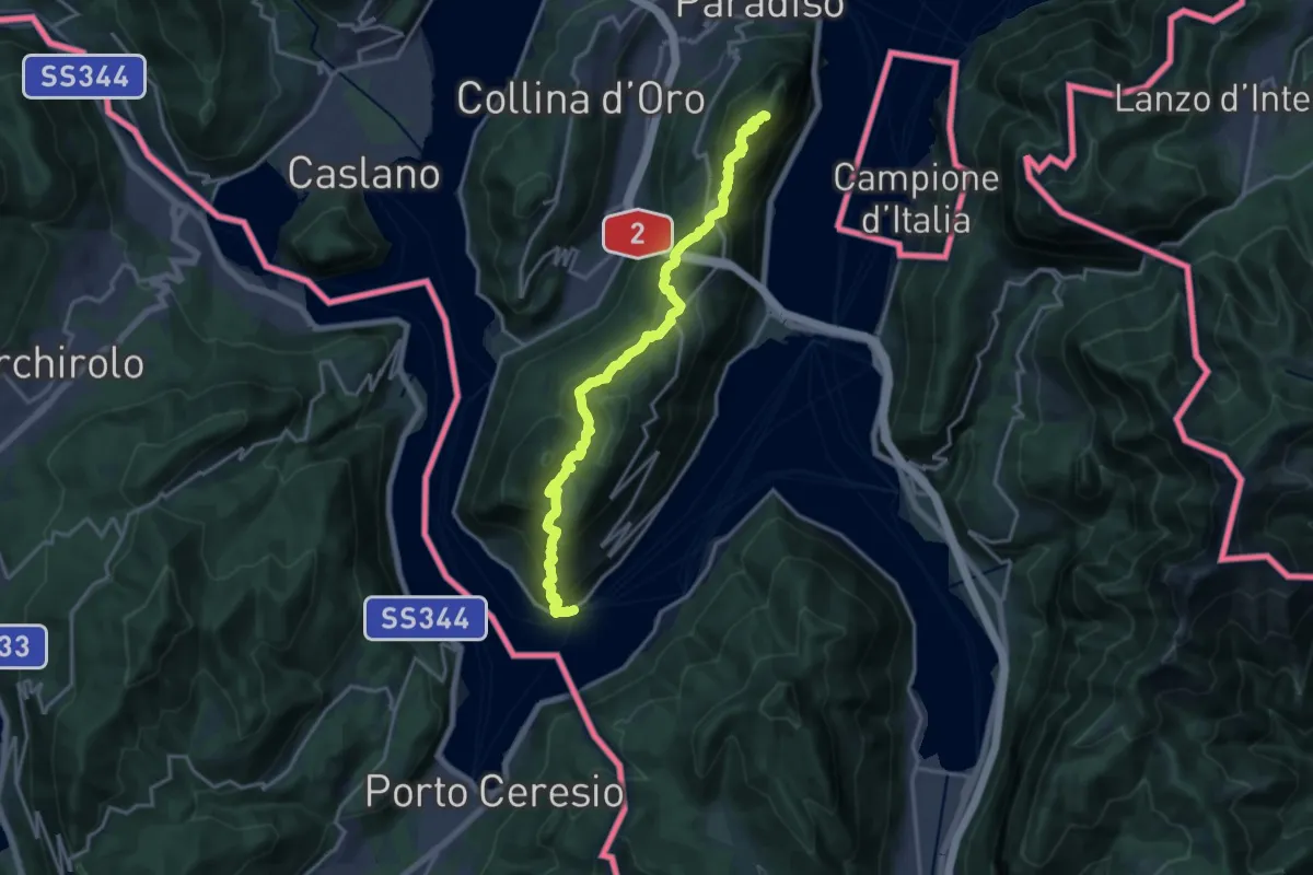
Demanding · Summit
ViaGottardo
18.2 km · ↑ 1119 m · 6 h 44 min · 9 km away
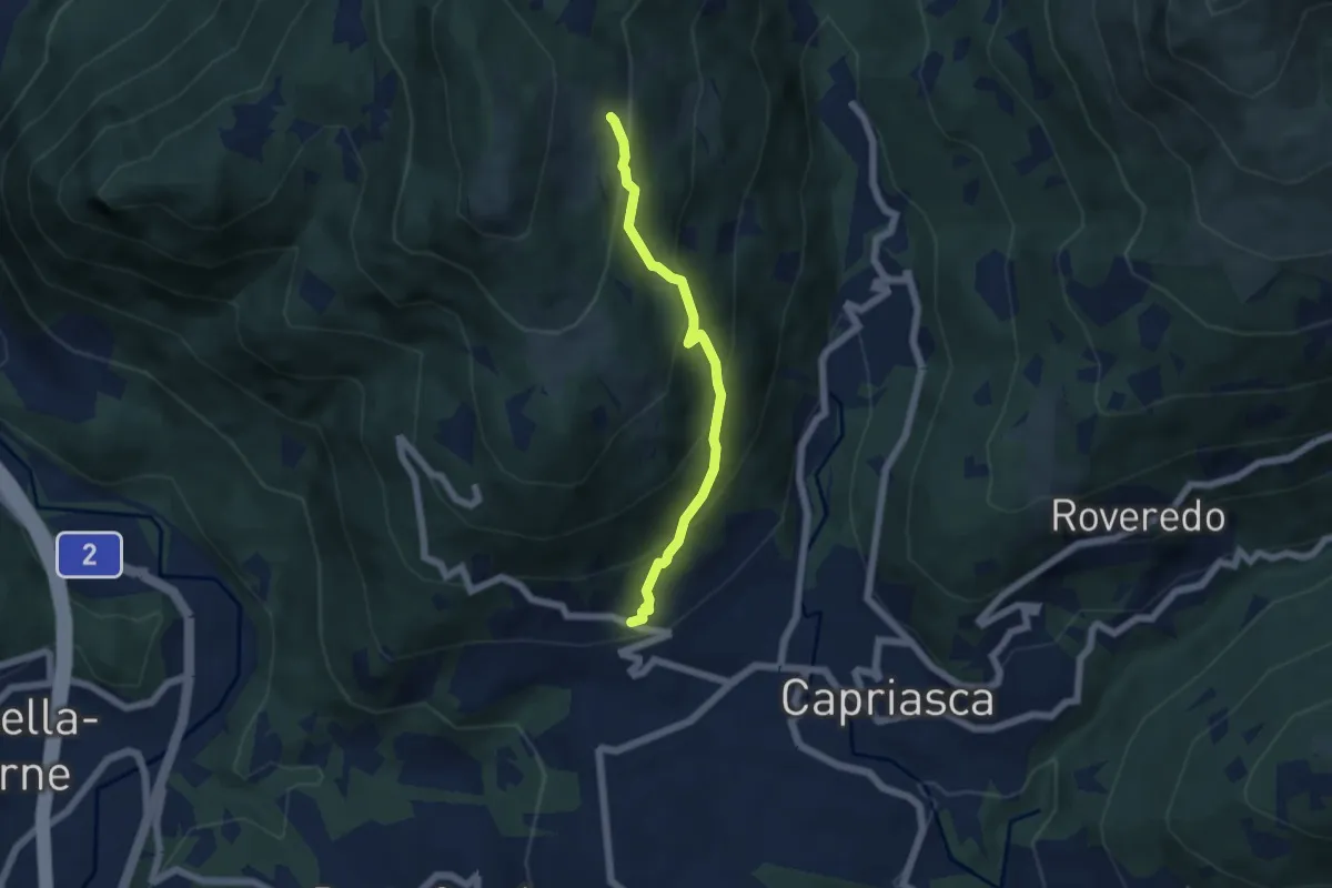
Medium · Trail
Bigorio – Monti di Cima
4.9 km · ↑ 397 m · 2 h 1 min · 9 km away
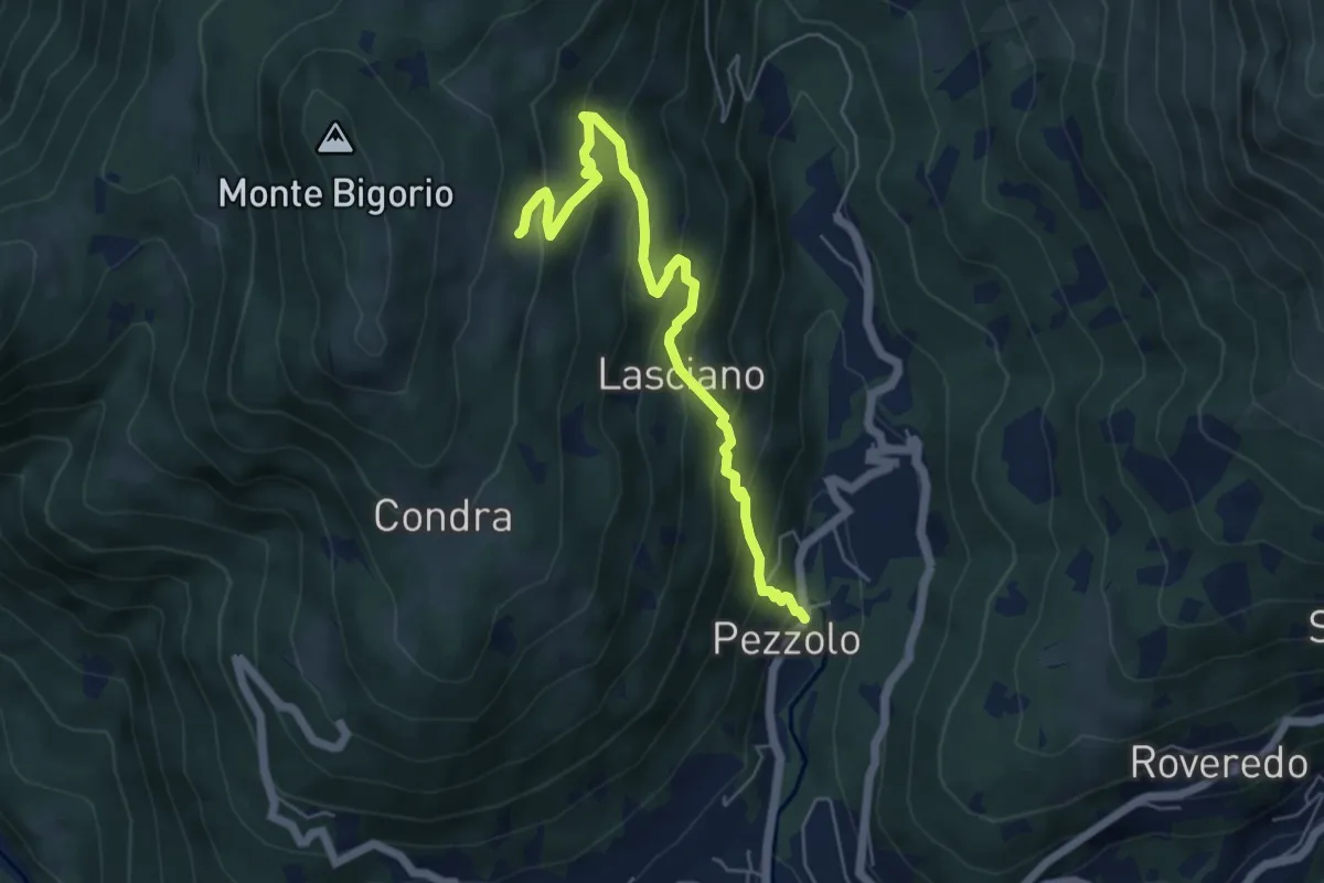
Medium · Trail
Pezzolo – Monti di Cima
5.8 km · ↑ 442 m · 2 h 20 min · 9 km away
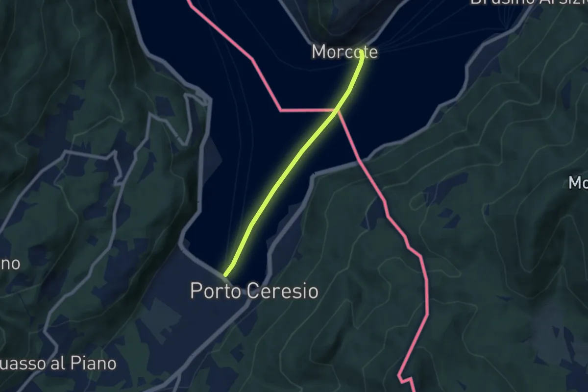
Easy · Trail
European Long distance path E1 - part Switzerland
4.9 km · ↑ 0 m · 1 h 9 min · 9 km away
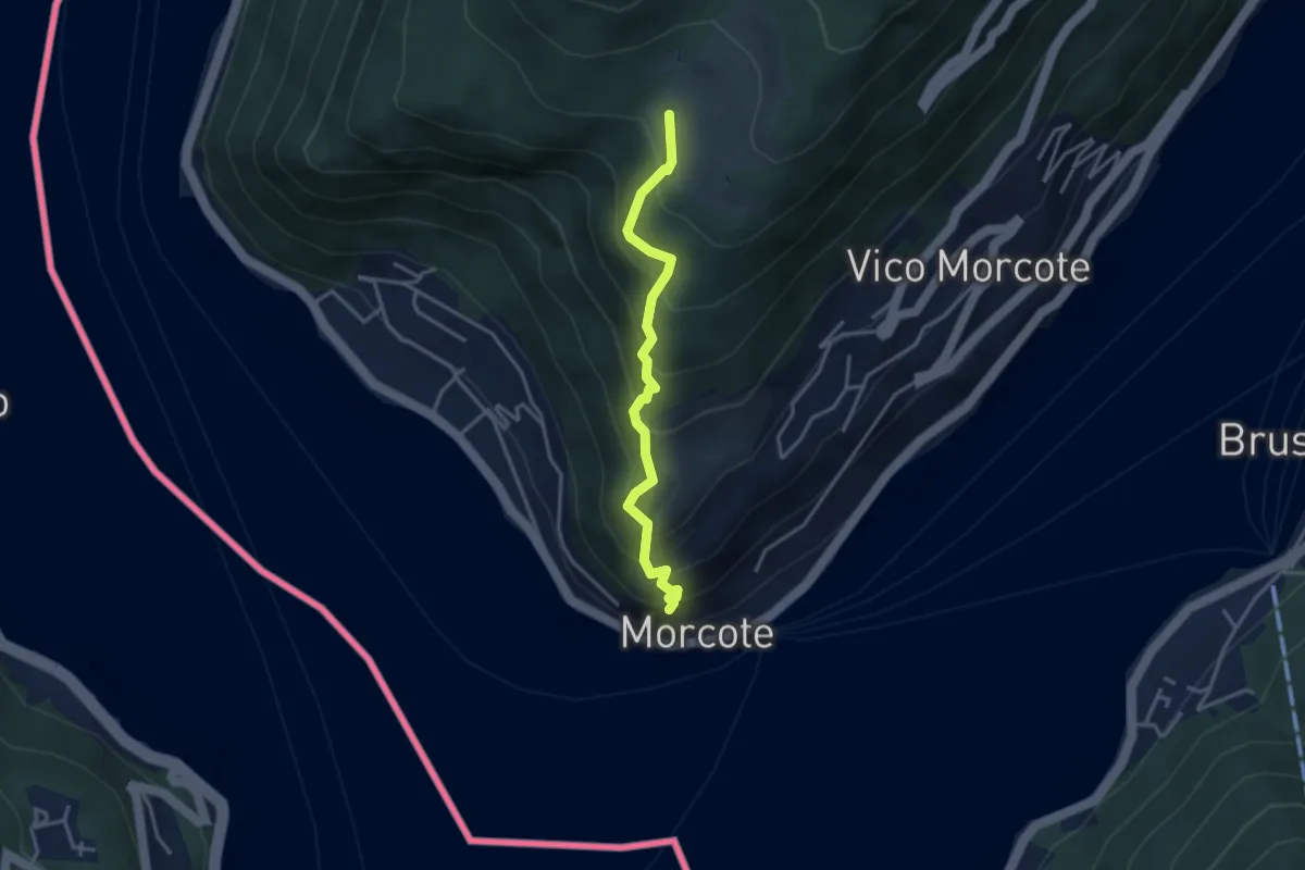
Medium · Trail
Alpe Vicania – Santa Maria del Sasso
3.3 km · ↑ 400 m · 1 h 39 min · 9 km away
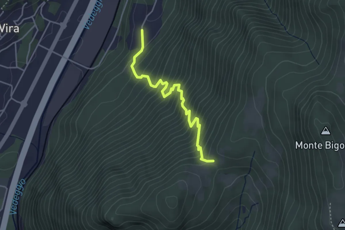
Medium · Trail
Monti di Brena – Piazzeno
3.6 km · ↑ 435 m · 1 h 47 min · 10 km away
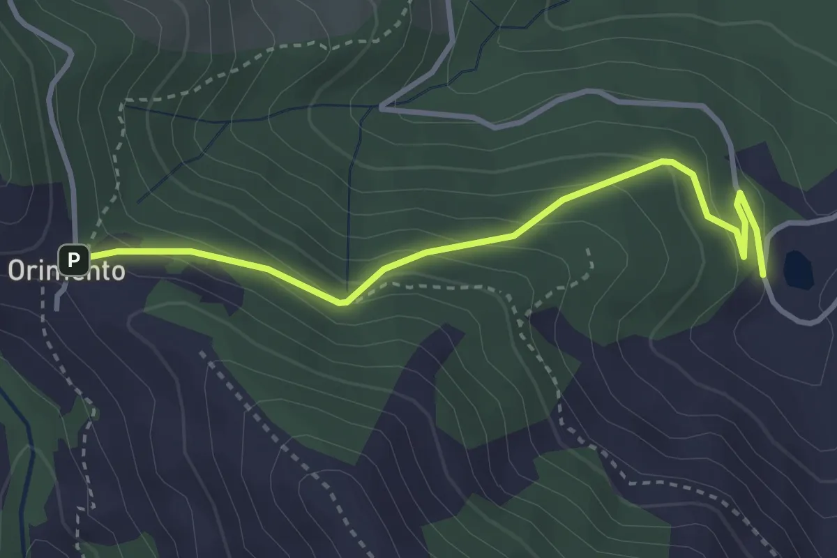
Easy · Trail
Bolla Mater – Orimento
3.3 km · ↑ 216 m · 1 h 16 min · 10 km away
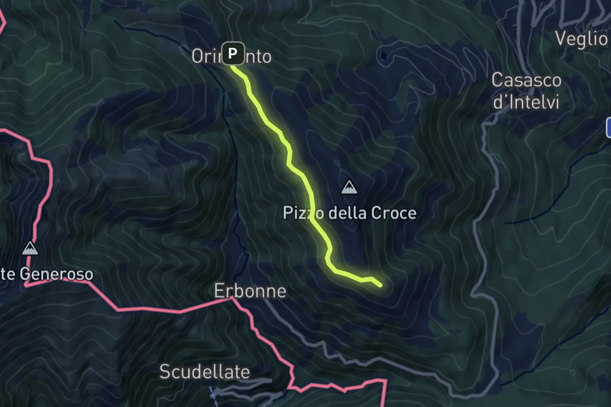
Easy · Summit
Capanna Bruno – Orimento
5.3 km · ↑ 143 m · 1 h 34 min · 10 km away
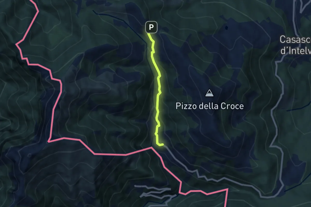
Medium · Trail
Orimento – Erbonne
4.7 km · ↑ 343 m · 1 h 51 min · 10 km away
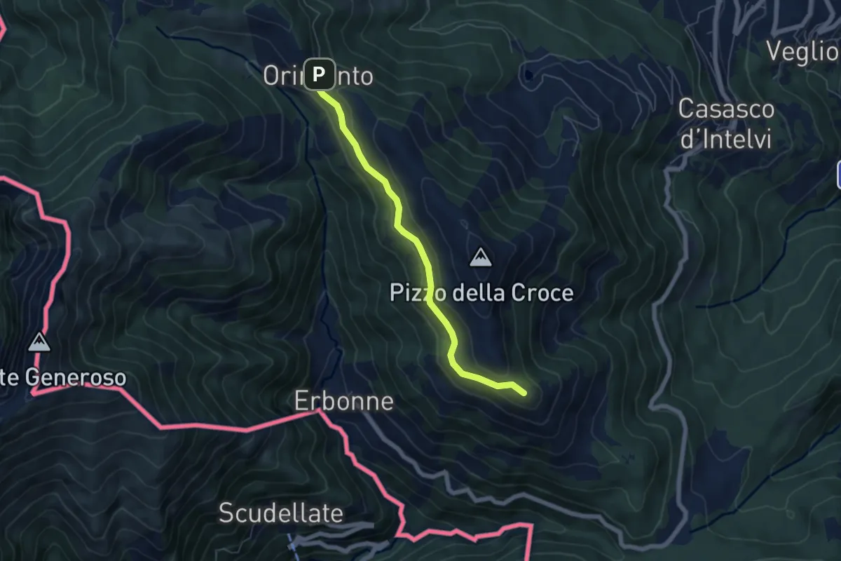
Easy · Summit
Rifugio Bruno e Giuseppe – Orimento
5.3 km · ↑ 143 m · 1 h 33 min · 10 km away
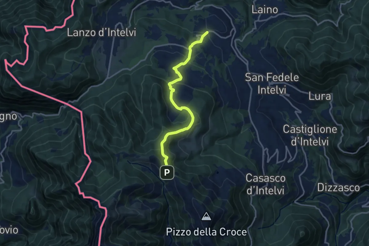
Medium · Trail
Pellio Superiore – Orimento
10.8 km · ↑ 547 m · 3 h 45 min · 10 km away
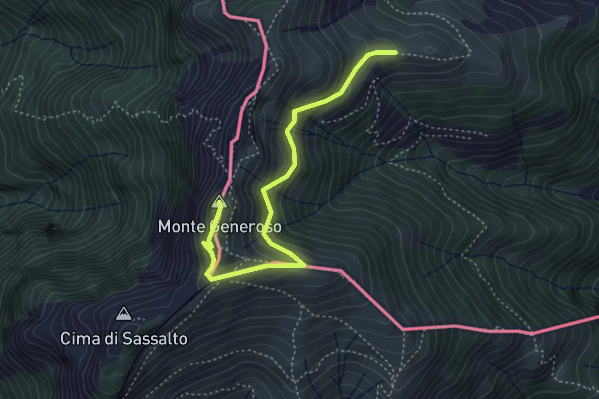
Medium · Summit
Monte Bisbino-Monte Generoso
4.3 km · ↑ 357 m · 1 h 48 min · 10 km away
Demanding · Summit
Sentiero Lago di Lugano
11.9 km · ↑ 813 m · 4 h 34 min · 10 km away
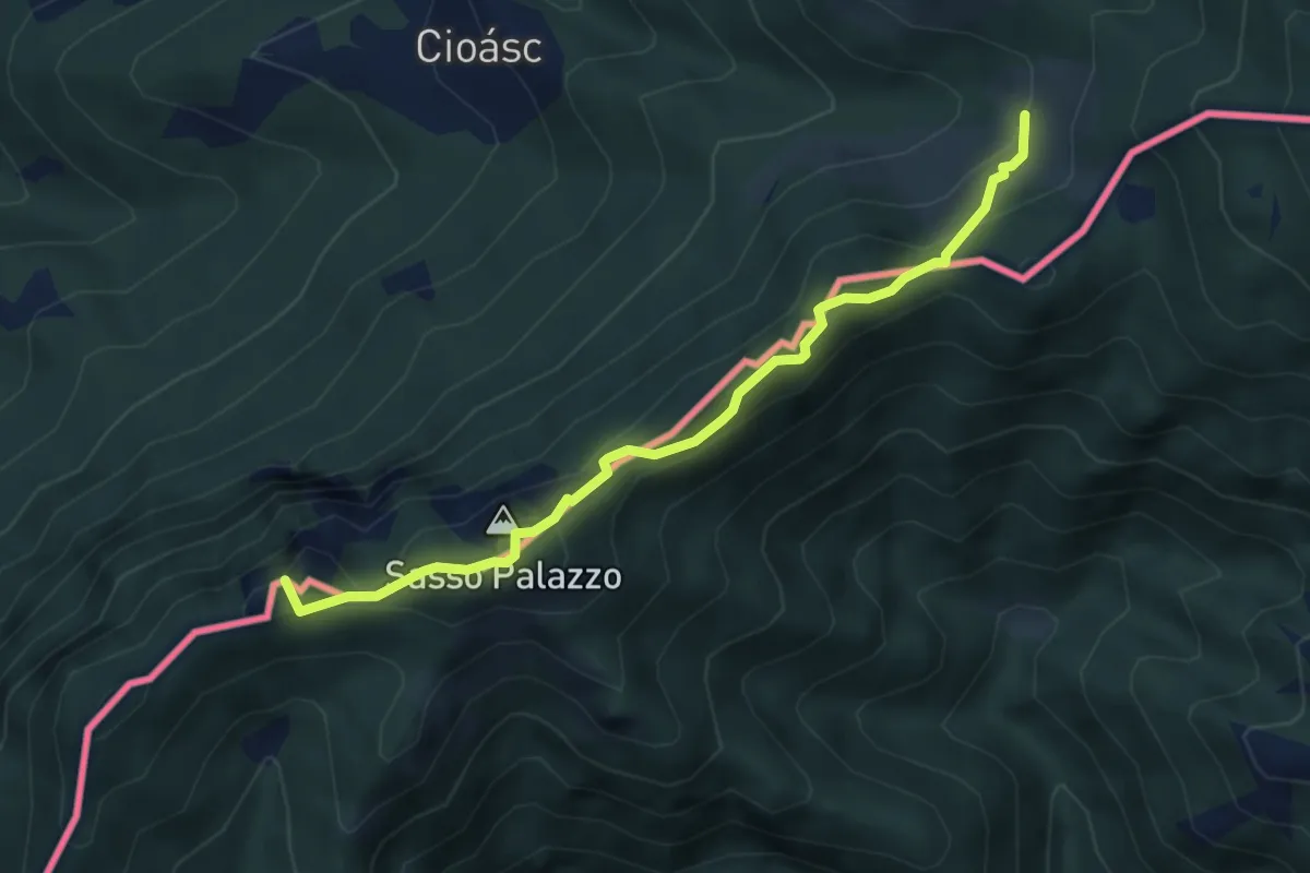
Medium · Summit
Pian di Scagn – Cap. Pairolo
4.7 km · ↑ 224 m · 1 h 36 min · 10 km away
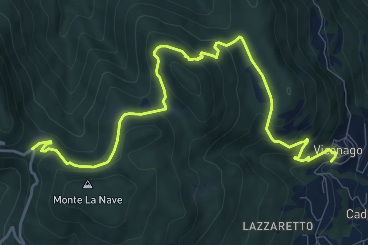
Medium · Trail
Cadegliano Viconago – Pian della Nave
10.4 km · ↑ 575 m · 3 h 42 min · 10 km away
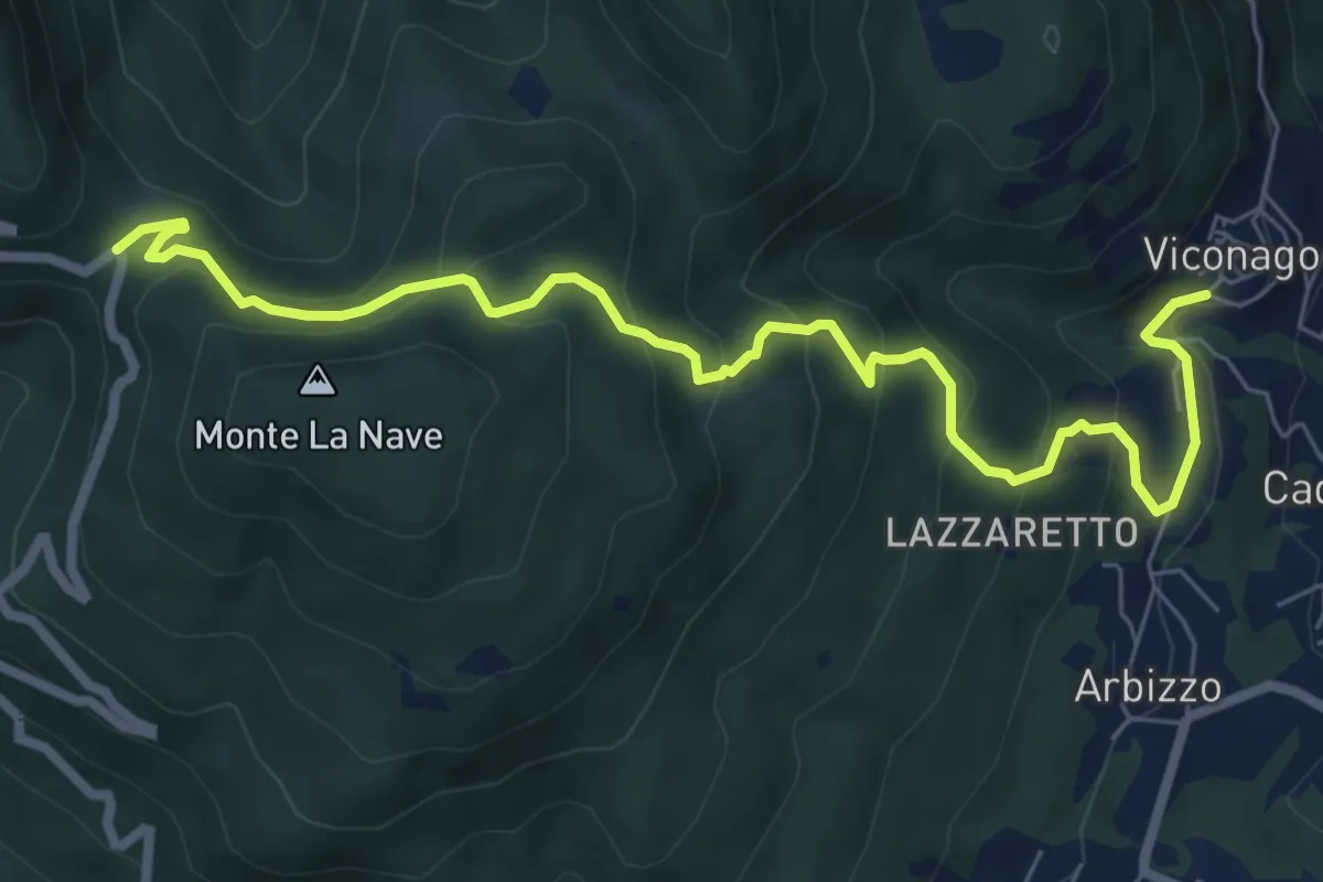
Medium · Trail
Cadegliano Viconago – Pian della Nave
8.2 km · ↑ 550 m · 3 h 7 min · 10 km away
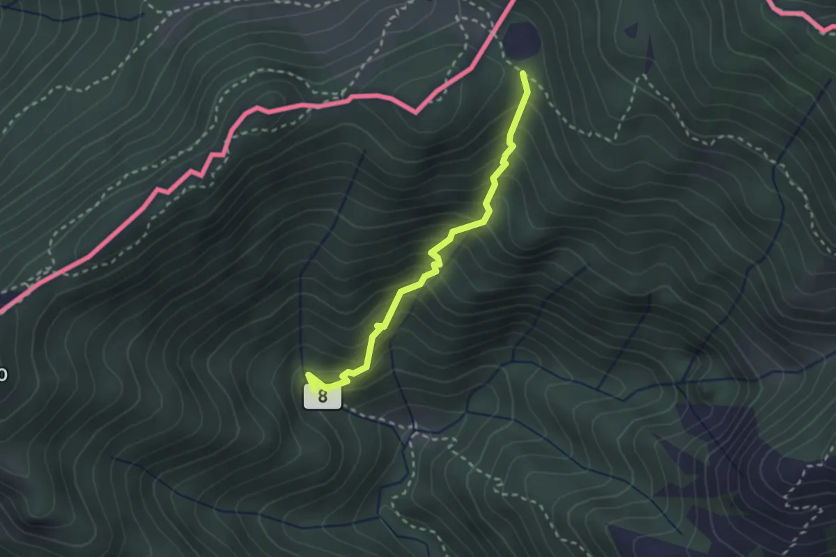
Medium · Trail
Ponte di Bizzo – Passo Pairolo
2.4 km · ↑ 328 m · 1 h 17 min · 10 km away
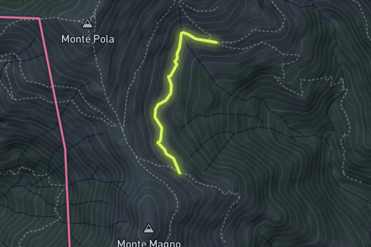
Medium · Trail
Alpe Nisciora – Alpe Agario
2.4 km · ↑ 154 m · 54 min · 10 km away
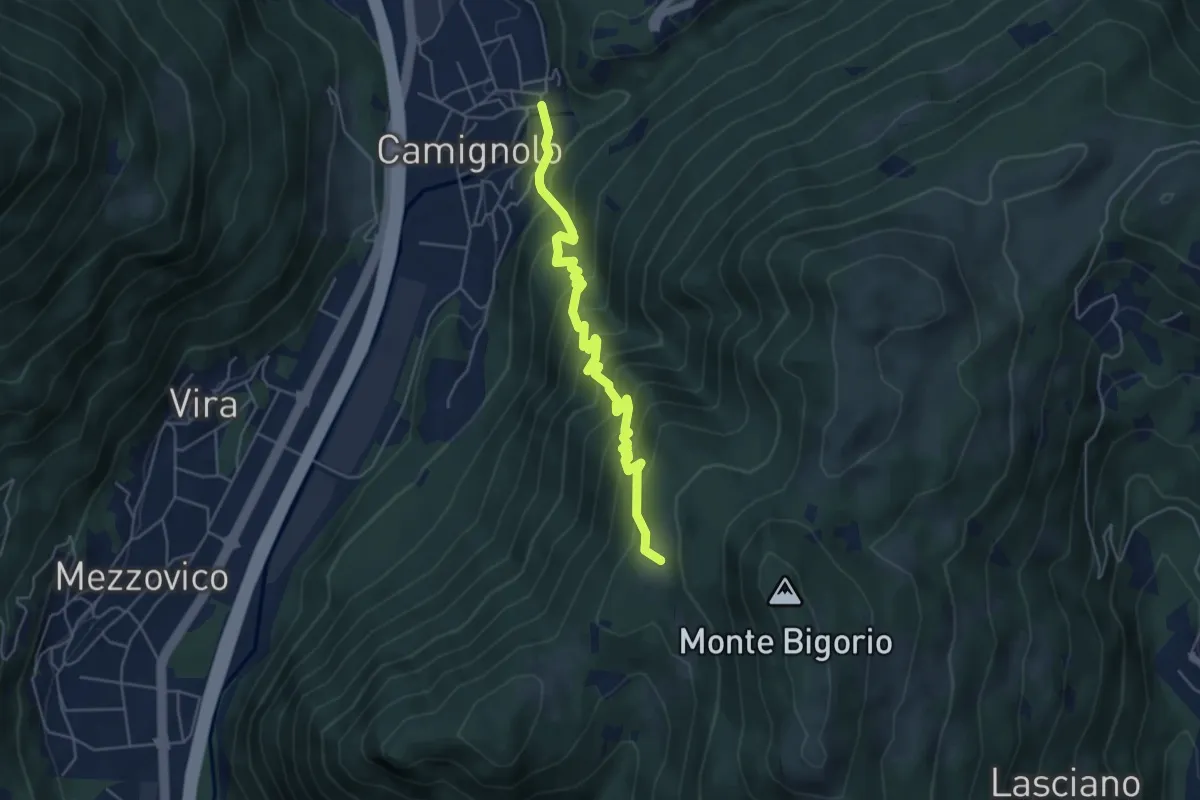
Medium · Trail
Monti Soldini – Camignolo
5.1 km · ↑ 547 m · 2 h 24 min · 10 km away
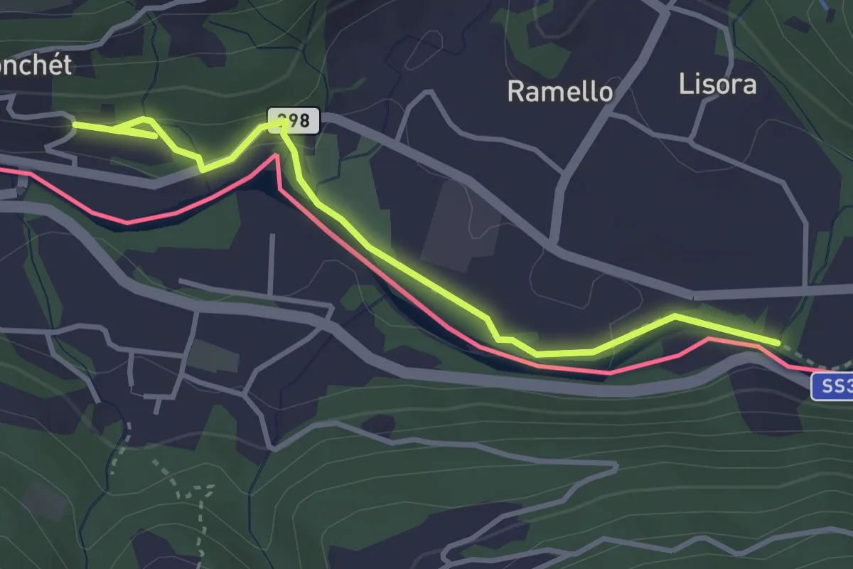
Easy · Trail
Ponte Cremenaga – fixme
3.7 km · ↑ 52 m · 59 min · 10 km away
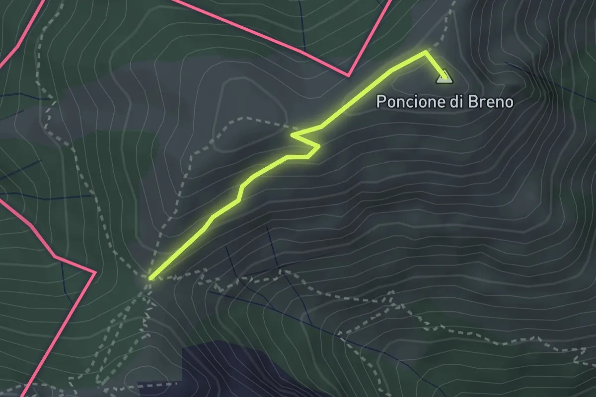
Medium · Summit
Forc. d'Arasio – Zottone
2.3 km · ↑ 204 m · 1 h · 10 km away
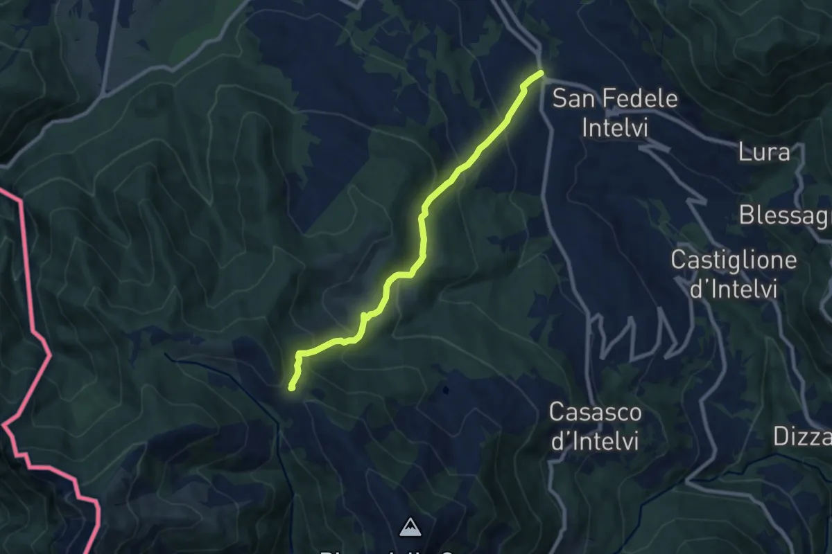
Medium · Trail
San Fedele Intelvi – Orimento
7.6 km · ↑ 560 m · 3 h 1 min · 10 km away
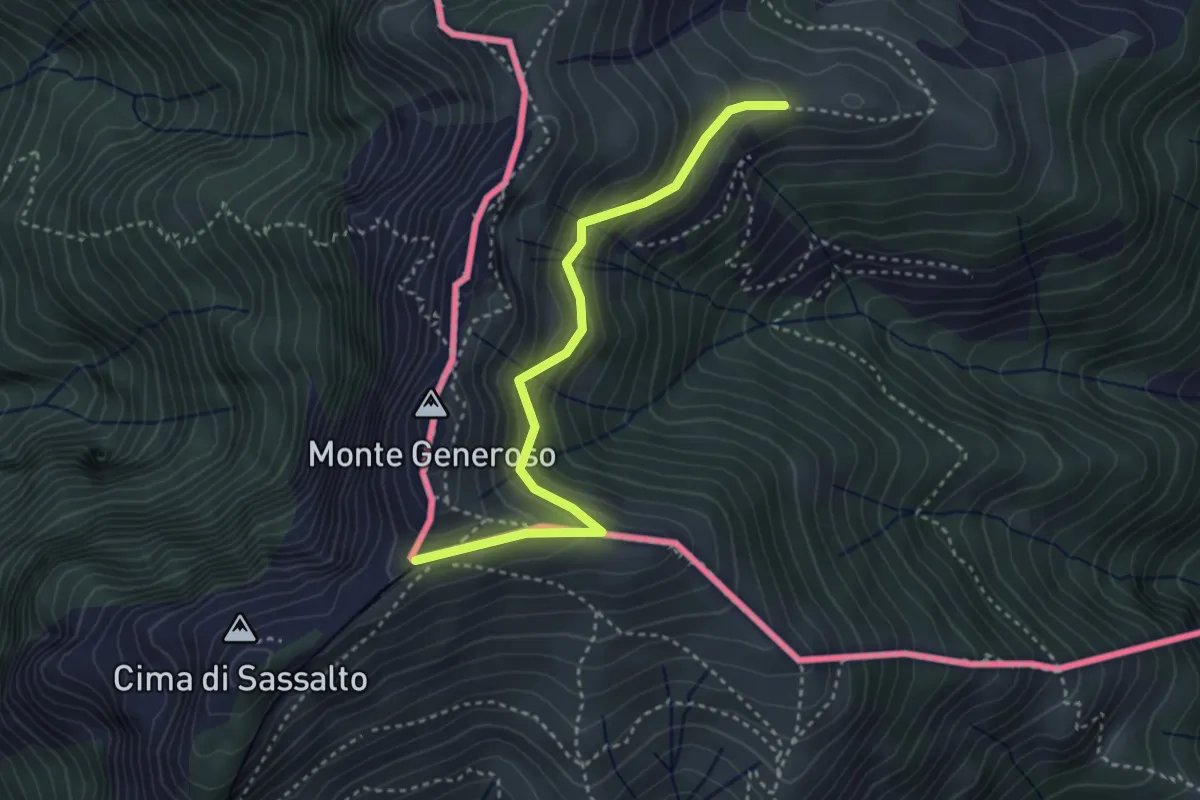
Easy · Trail
Orimento – Monte Generoso
3.5 km · ↑ 299 m · 1 h 28 min · 10 km away
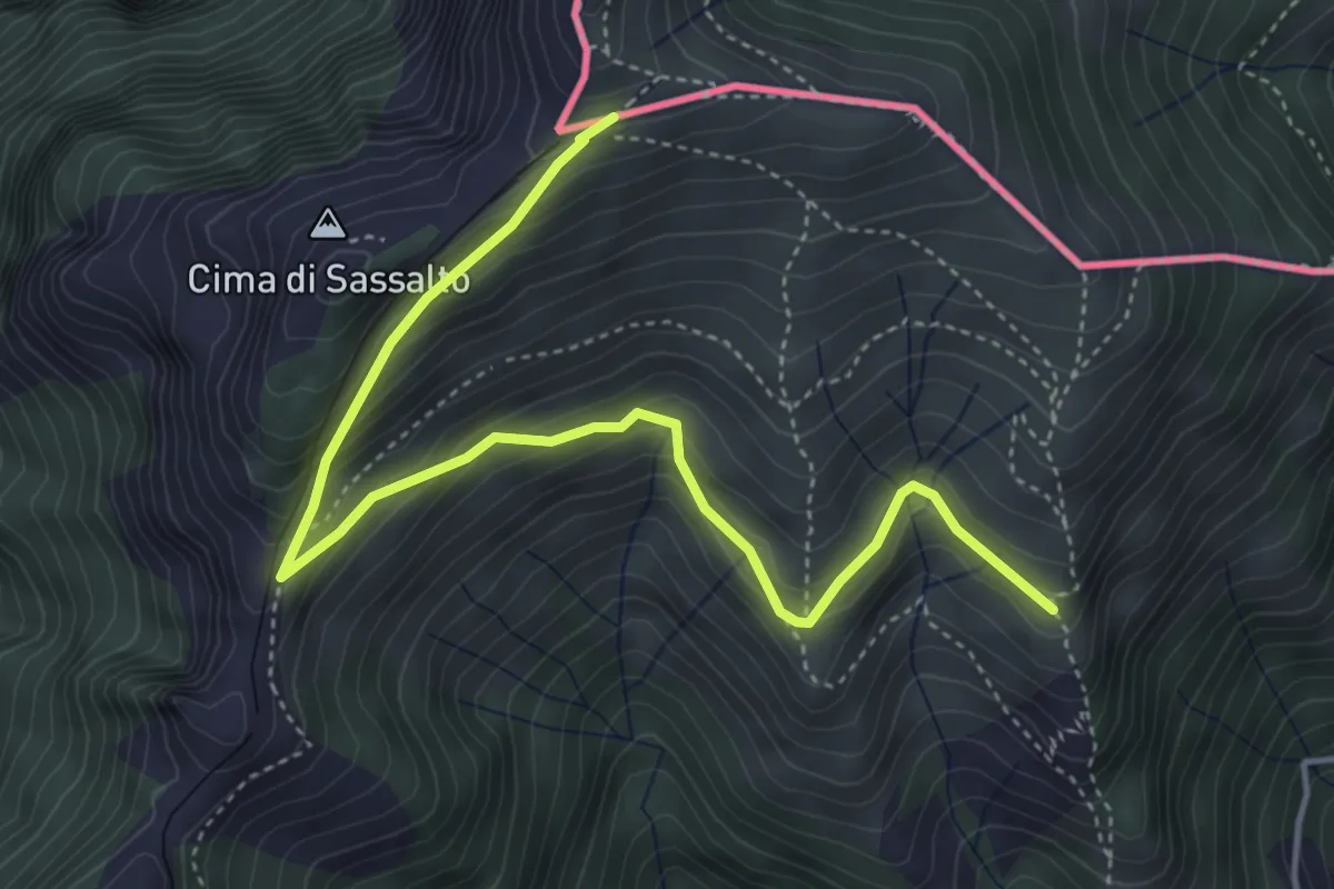
Medium · Trail
Nadigh – M.te Generoso St.ne
5.1 km · ↑ 414 m · 2 h 6 min · 10 km away
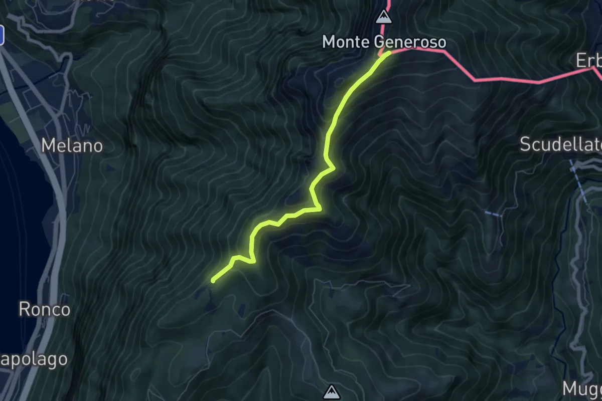
Medium · Trail
Bellavista – M.te Generoso St.ne
5.9 km · ↑ 431 m · 2 h 20 min · 10 km away
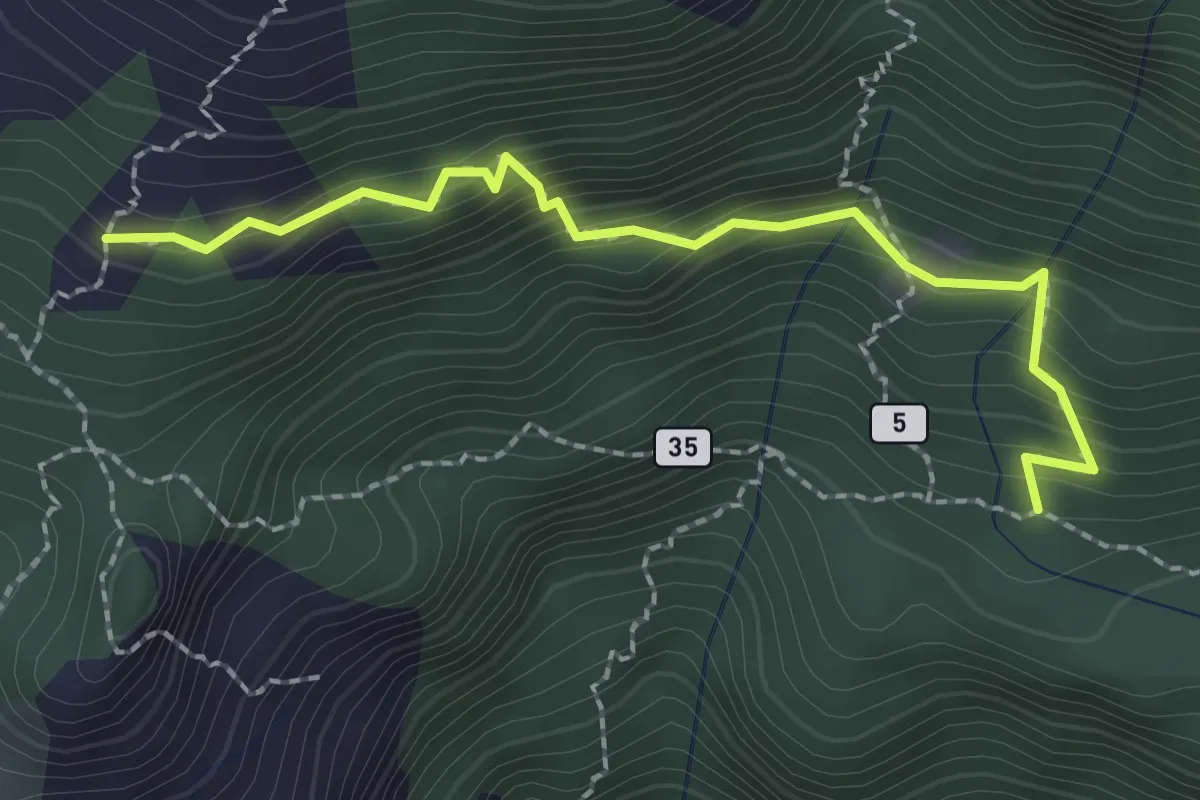
Medium · Trail
Sent. 625 – Mascossa
2.3 km · ↑ 249 m · 1 h 5 min · 10 km away
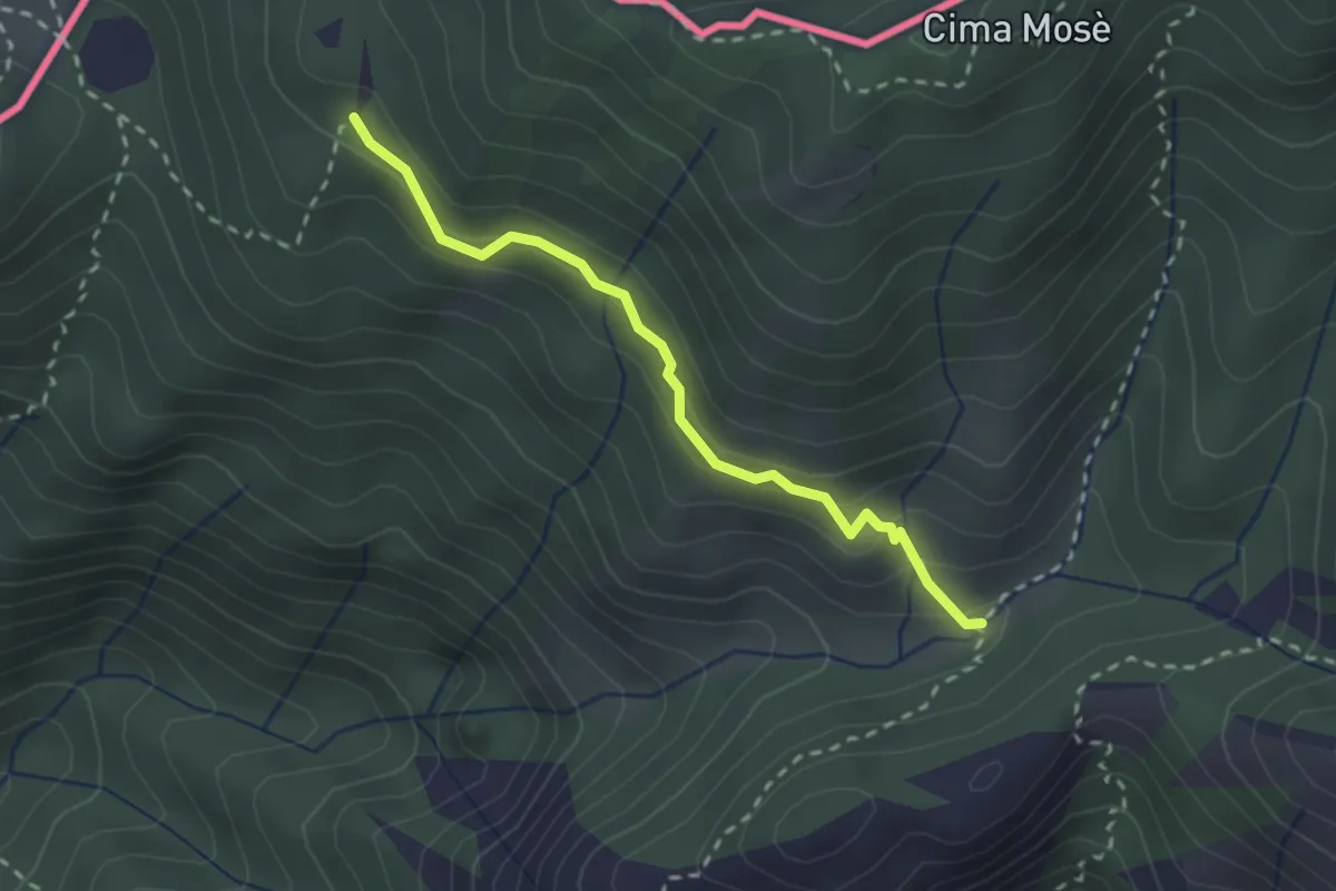
Medium · Trail
Alpet de Sceresa – Alpe Riccola
2.4 km · ↑ 159 m · 54 min · 10 km away
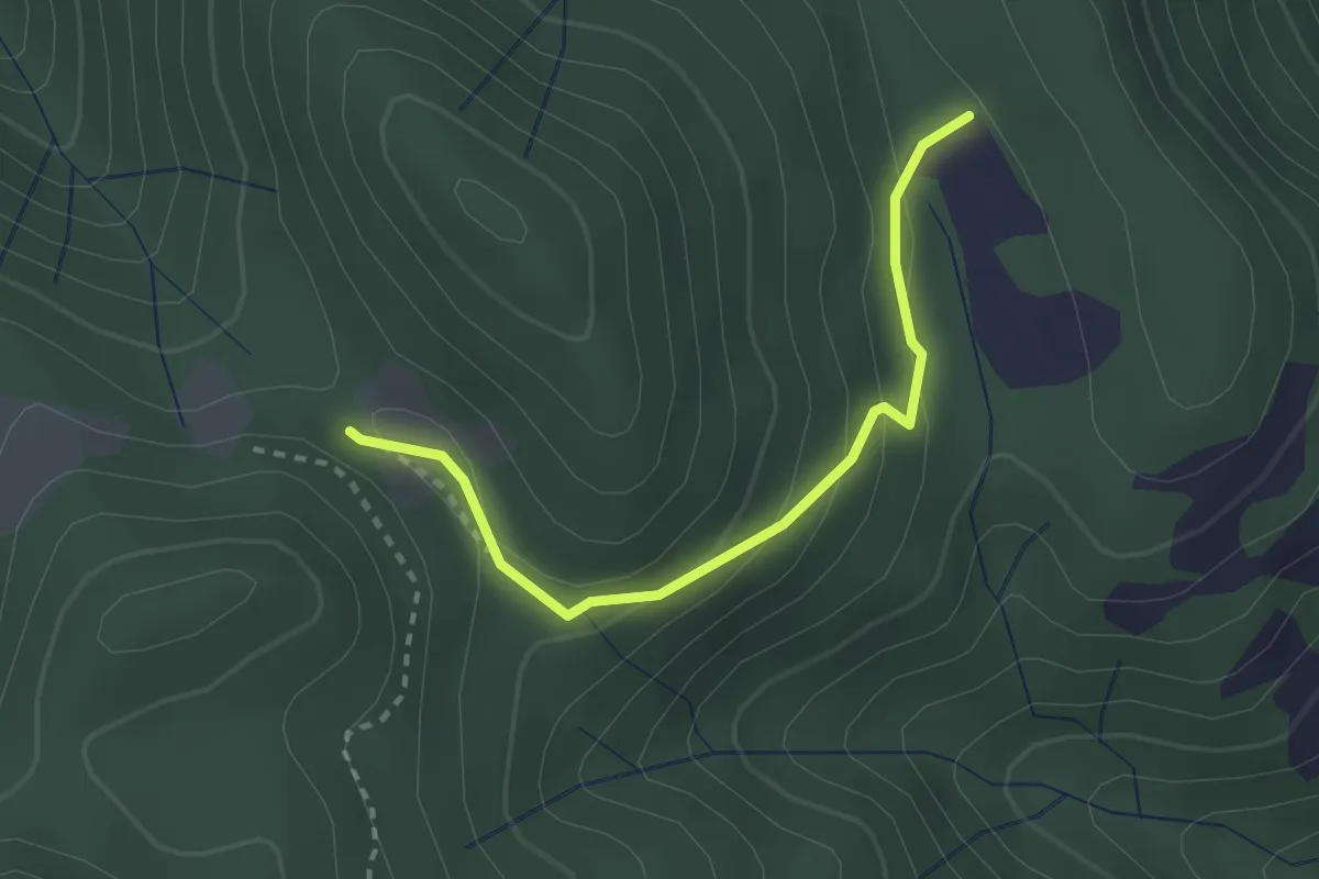
Easy · Trail
Alpe Cognolo – Bivio Cascina Andina
2.6 km · ↑ 136 m · 54 min · 10 km away
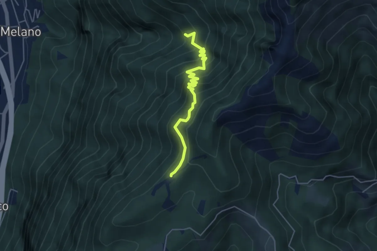
Medium · Trail
Alpe di Melano-Bellavista
4.1 km · ↑ 473 m · 1 h 59 min · 10 km away
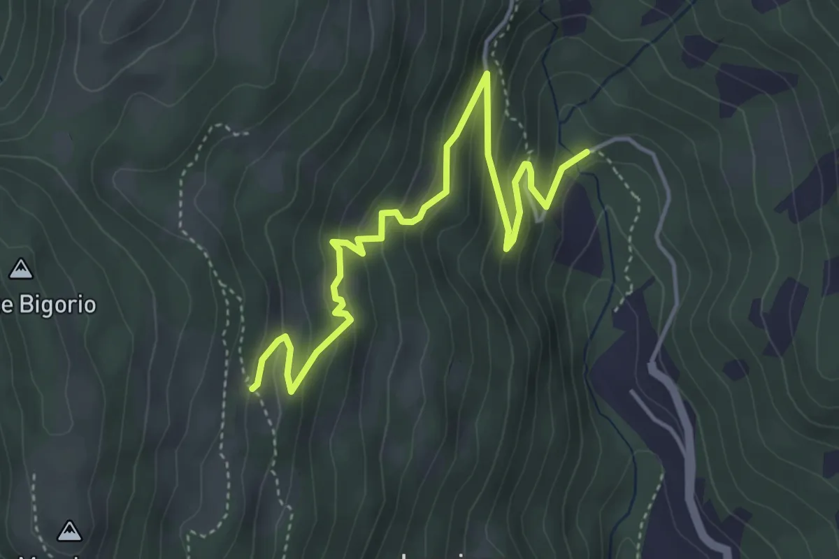
Medium · Trail
Monti di Cima – Marca
4.9 km · ↑ 348 m · 1 h 54 min · 10 km away
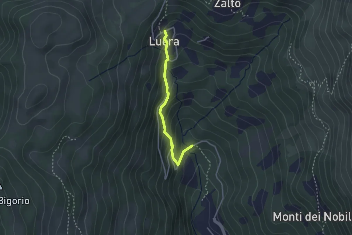
Medium · Trail
Luera – Marca
2.4 km · ↑ 210 m · 1 h 1 min · 10 km away
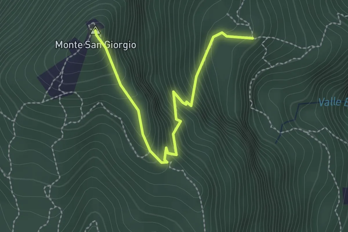
Easy · Summit
M.te San Giorgio - Pozzo? - fixme
2.6 km · ↑ 257 m · 1 h 11 min · 10 km away
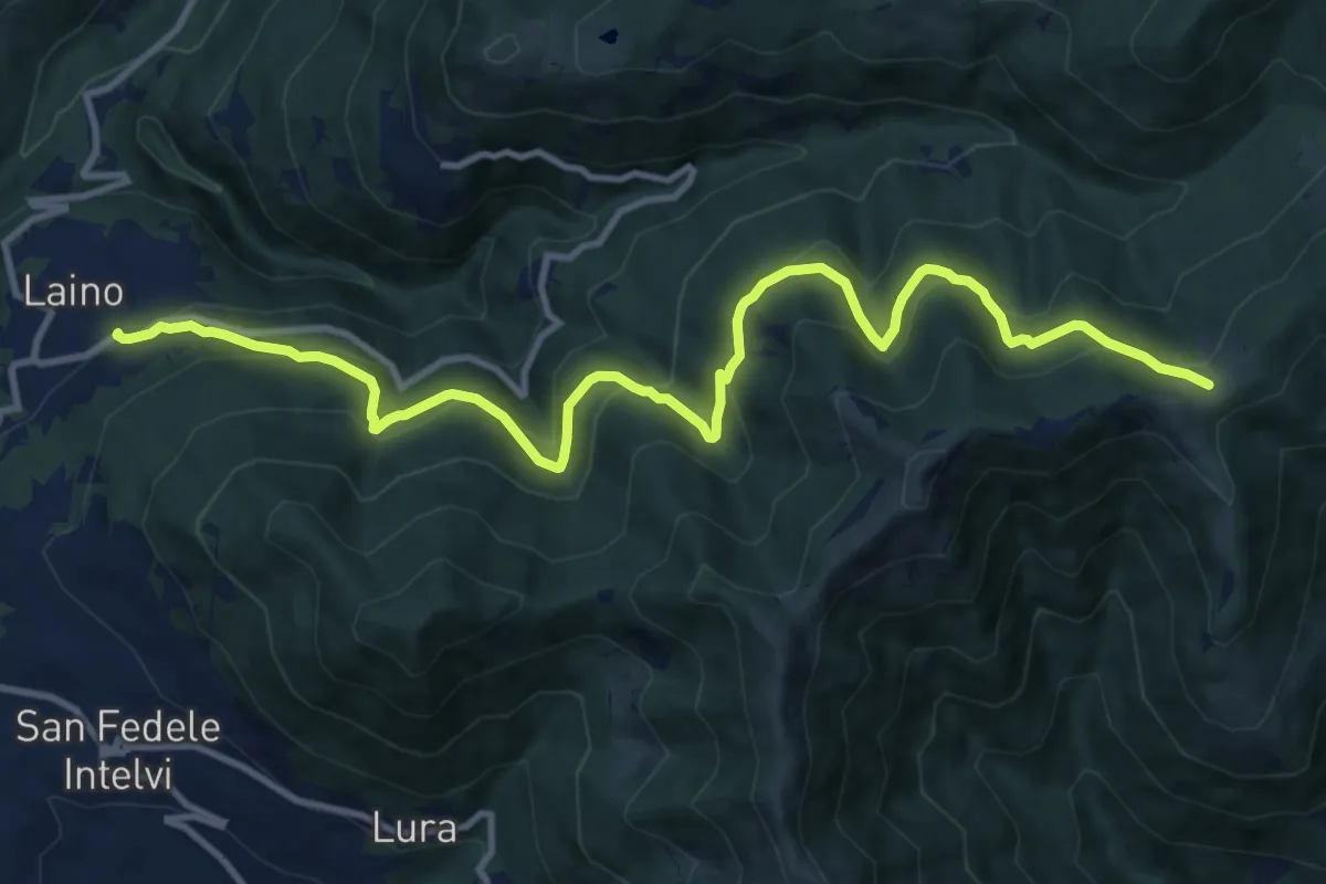
Demanding · Trail
Laino – Bocchetta di Colonno
13.1 km · ↑ 804 m · 4 h 50 min · 10 km away
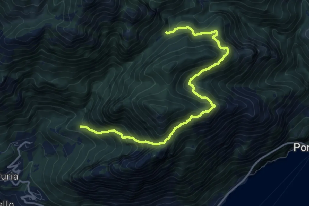
Demanding · Trail
Rancò – Alpe Riccola
10.6 km · ↑ 1078 m · 4 h 50 min · 10 km away
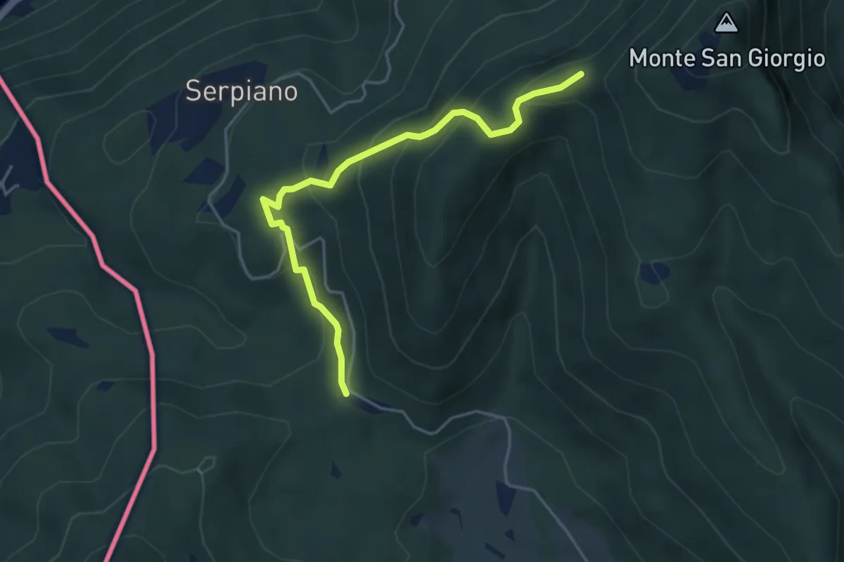
Medium · Trail
Punto 902 – Crocifisso
4.3 km · ↑ 290 m · 1 h 39 min · 10 km away
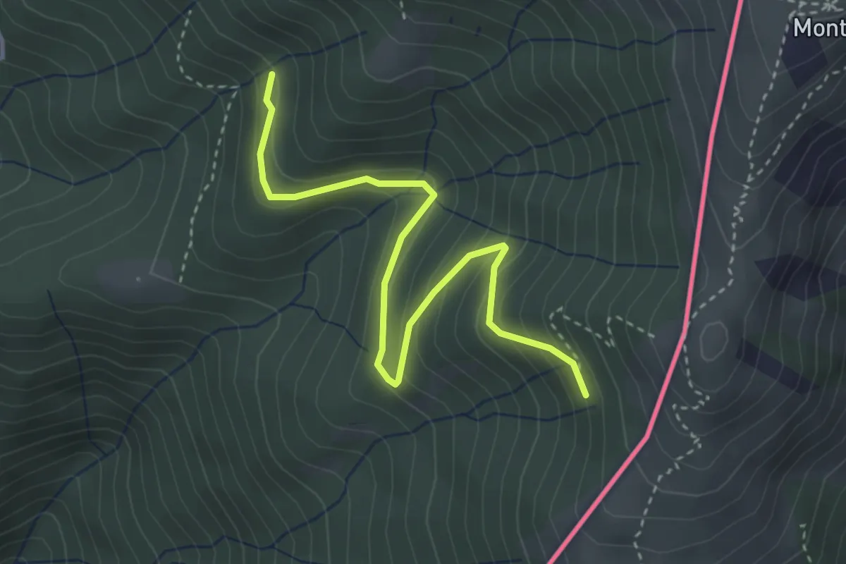
Easy · Trail
Pradecolo – Alpe di Dumenza
3.8 km · ↑ 244 m · 1 h 25 min · 10 km away
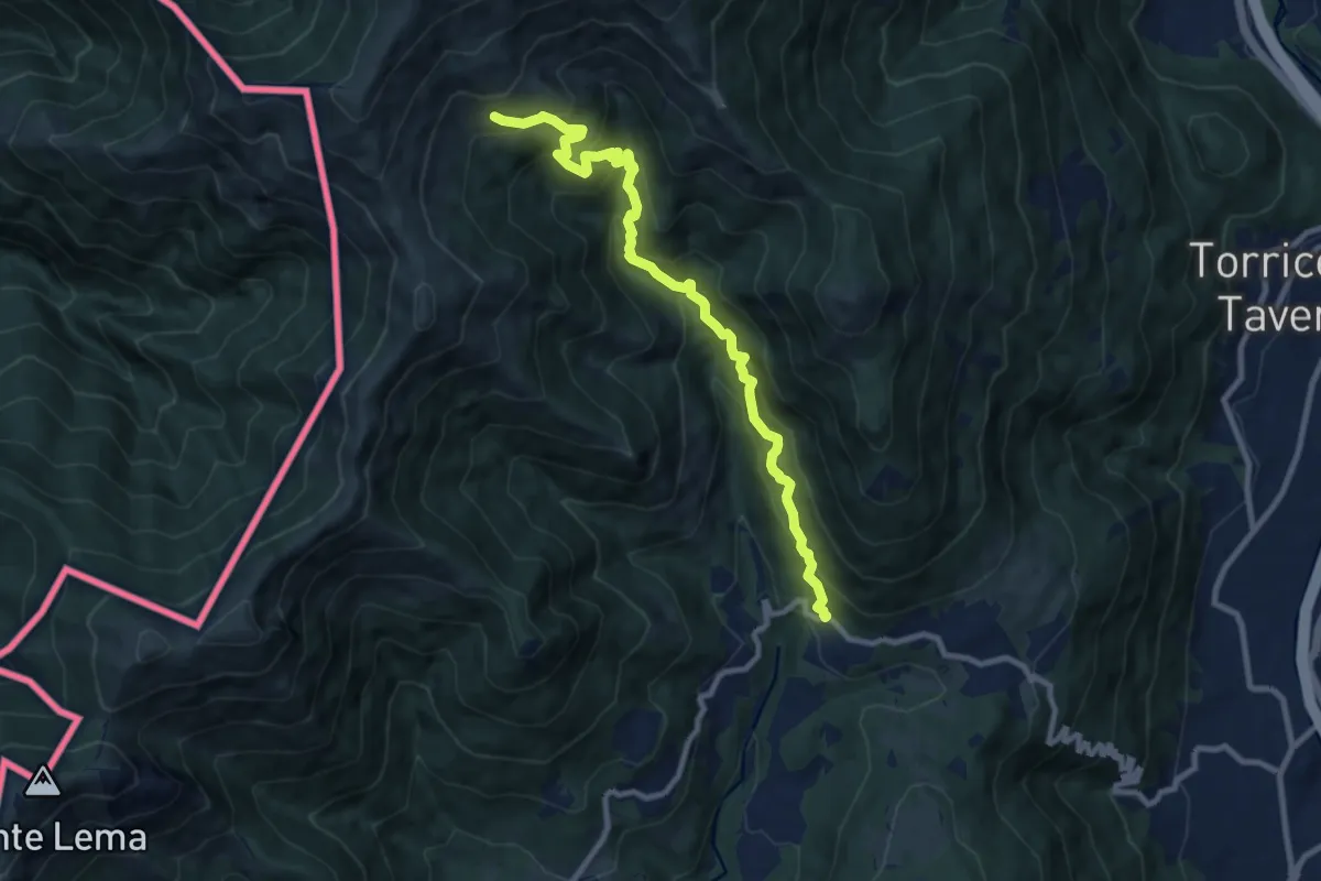
Demanding · Trail
Alpe Nisciora – Mugena
9.9 km · ↑ 916 m · 4 h 19 min · 10 km away