Trails near Lugano
370 hikes starting within 15 km, nearest first.
Nearest first, page 5 of 8
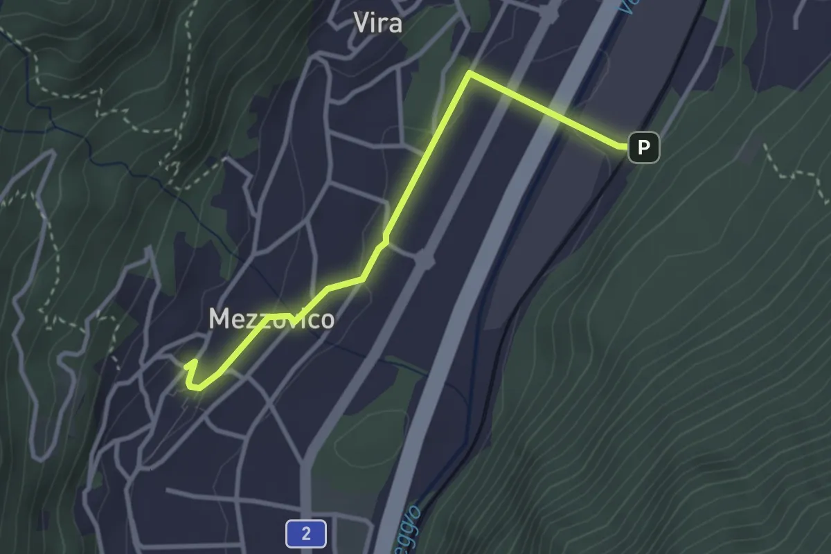
Easy · Trail
Mezzovico – Mezzovico Stazione
3.0 km · ↑ 61 m · 50 min · 10 km away
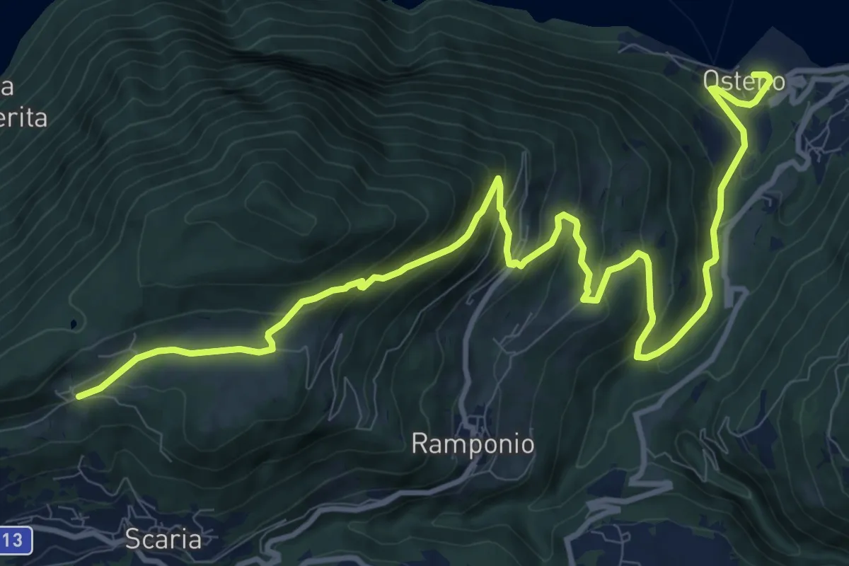
Demanding · Trail
Parcheggio Clinica COF – Osteno
14.1 km · ↑ 817 m · 5 h 6 min · 10 km away
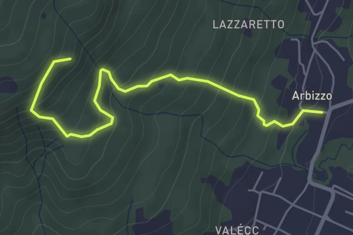
Medium · Trail
Arbizzo – Chiesa di San Paolo
4.9 km · ↑ 456 m · 2 h 8 min · 10 km away
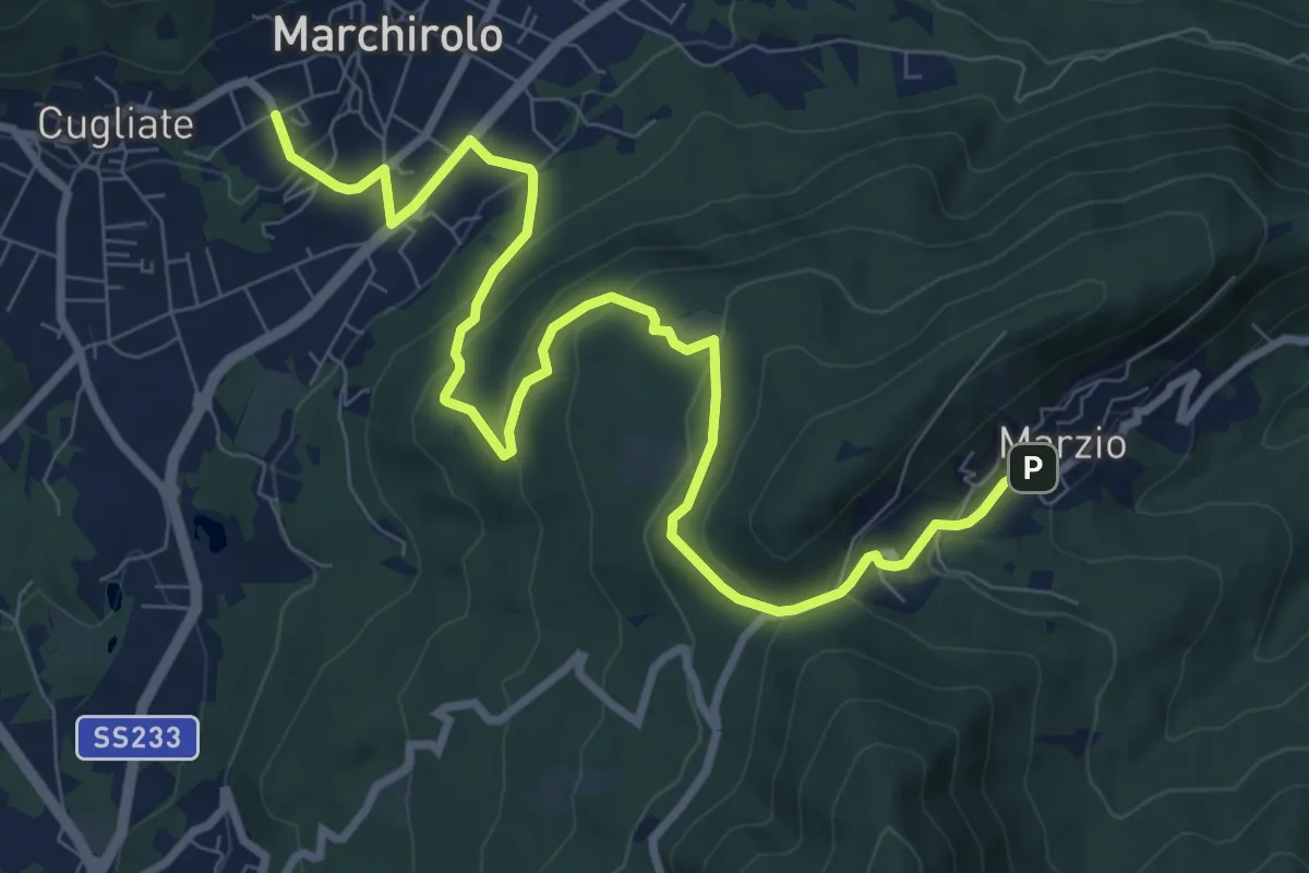
Medium · Trail
Marchirolo – Marzio
10.8 km · ↑ 456 m · 3 h 32 min · 10 km away
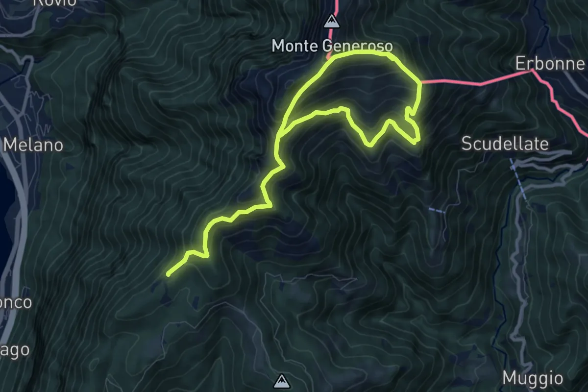
Demanding · Trail
Sentiero del Monte Generoso
12.4 km · ↑ 987 m · 5 h 4 min · 10 km away
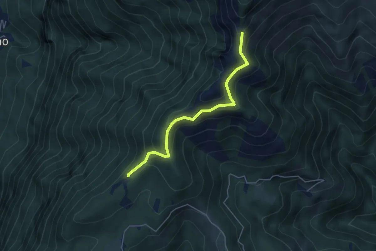
Medium · Trail
Sentiero della natura
4.1 km · ↑ 279 m · 1 h 34 min · 10 km away
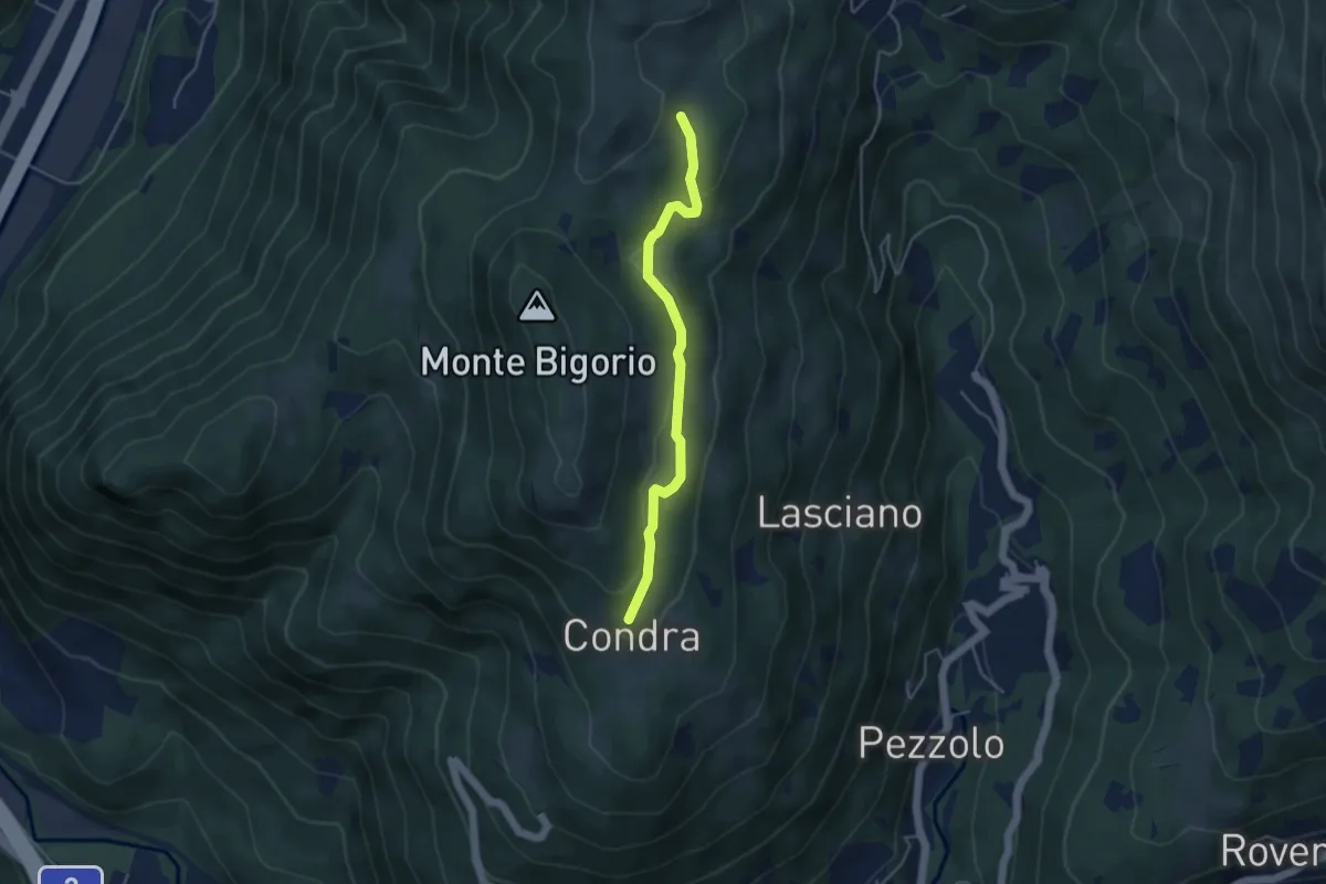
Easy · Trail
Matro di Stinchè – Condra
4.1 km · ↑ 147 m · 1 h 16 min · 10 km away
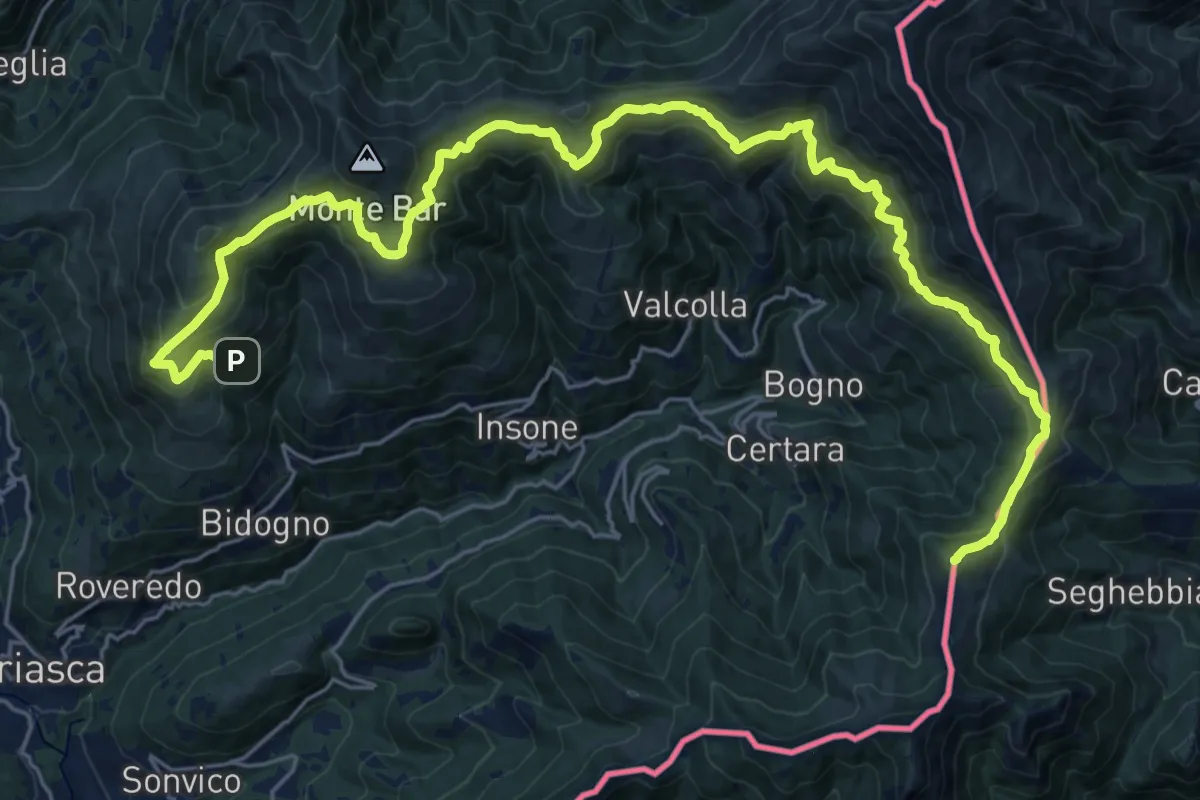
Demanding · Summit
Cattle Trail
30.4 km · ↑ 1812 m · 11 h 6 min · 10 km away
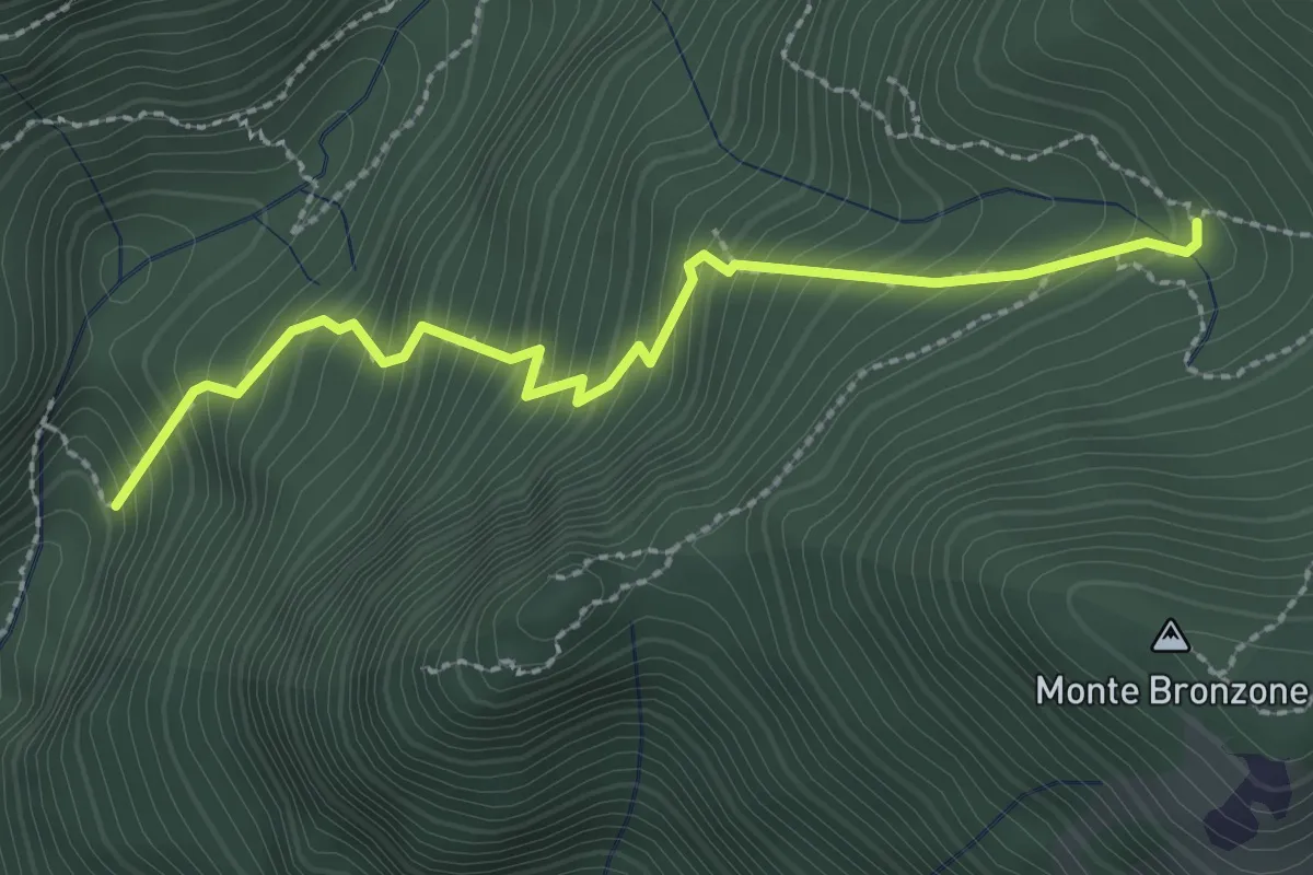
Medium · Cabin
Alpe Serte – Alpe Pessina
2.6 km · ↑ 387 m · 1 h 28 min · 10 km away
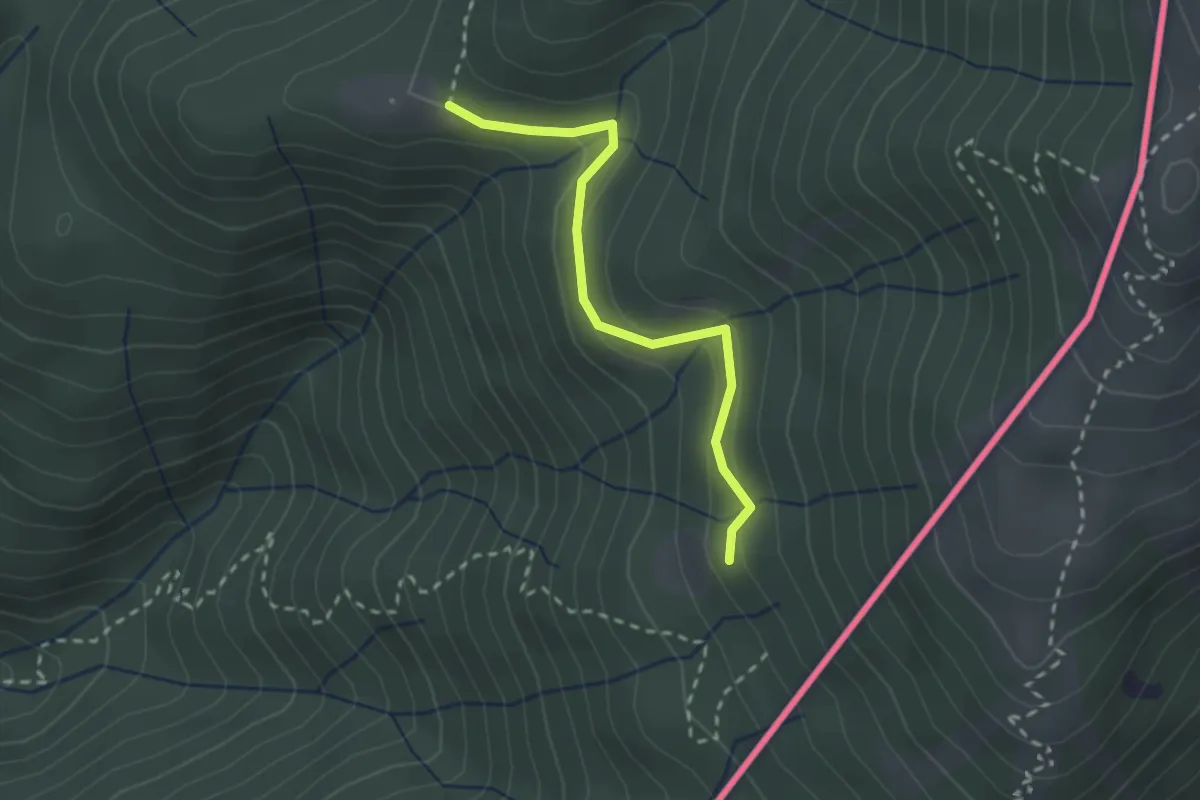
Medium · Trail
Alpe Roccolo – Alpe Fontana
2.3 km · ↑ 127 m · 49 min · 11 km away
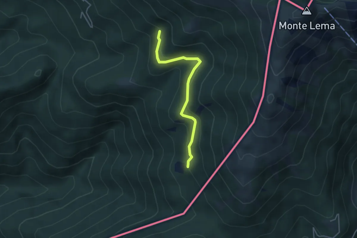
Medium · Trail
Pradecolo – Alpe Fontana
3.3 km · ↑ 159 m · 1 h 7 min · 11 km away
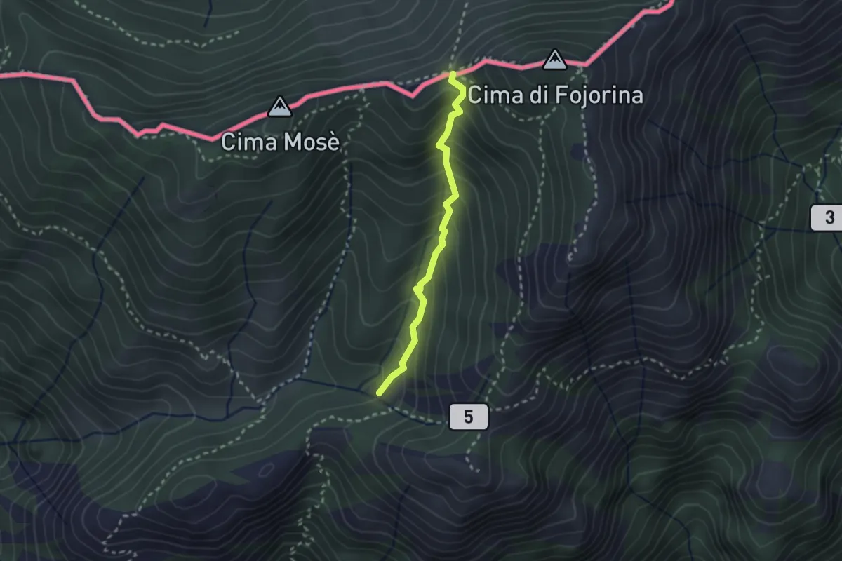
Medium · Trail
Dasio – Bocchetta di Piancabella
2.2 km · ↑ 241 m · 1 h 2 min · 11 km away
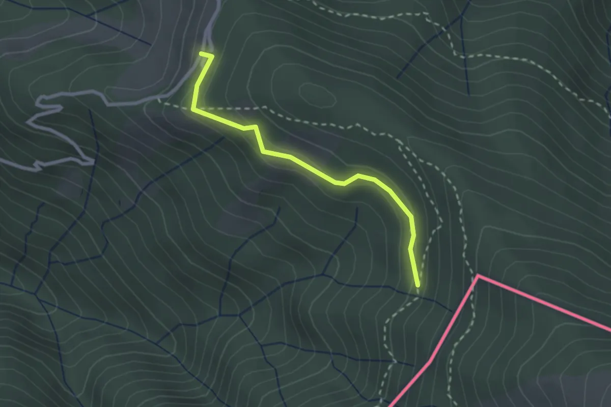
Easy · Cabin
108C Variante Alpone
2.3 km · ↑ 125 m · 48 min · 11 km away
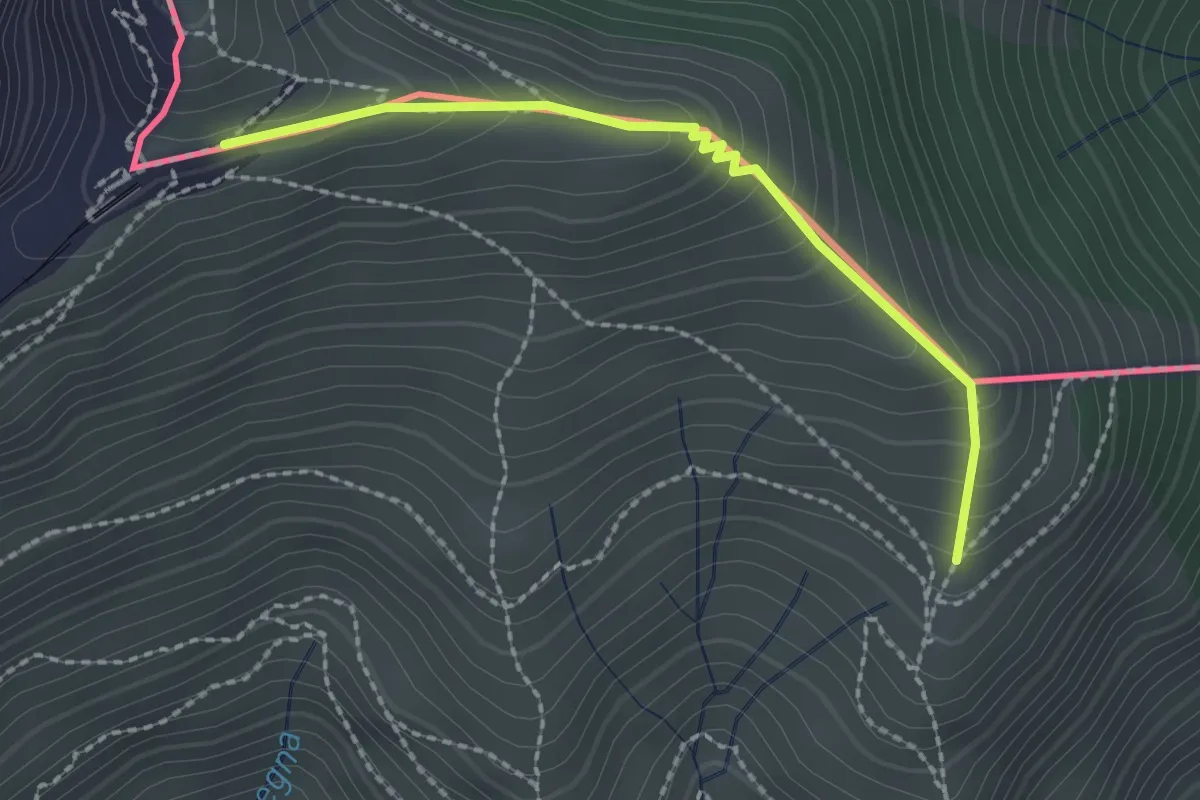
Medium · Trail
Piana – M.te Generoso St.ne
2.1 km · ↑ 193 m · 55 min · 11 km away
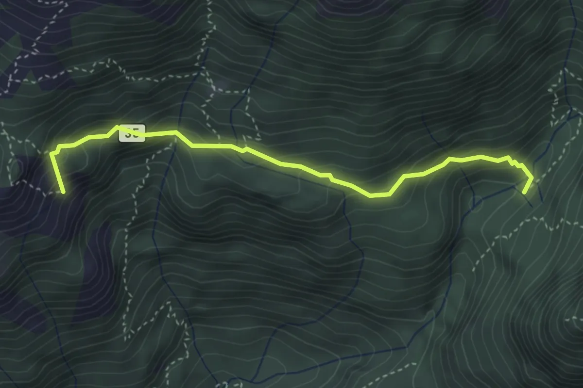
Medium · Summit
Alpe Serte – Alpe di Puria
3.6 km · ↑ 366 m · 1 h 39 min · 11 km away
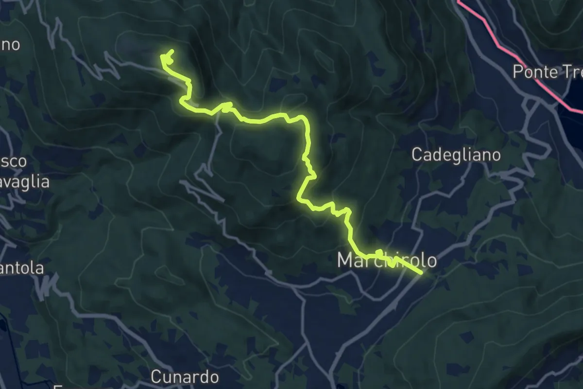
Demanding · Summit
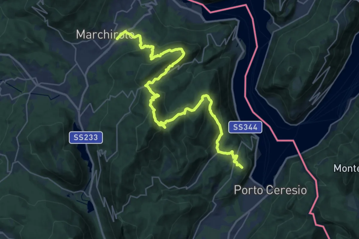
Diga di Creva (Luino) – Marchirolo
13.1 km · ↑ 771 m · 4 h 45 min · 11 km away
Demanding · Summit
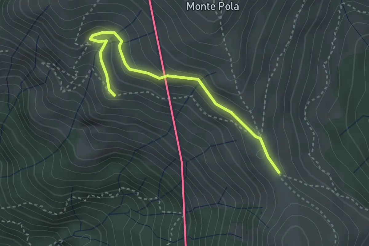
Marchirolo – Porto Ceresio
27.6 km · ↑ 1465 m · 9 h 42 min · 11 km away
Medium · Cabin
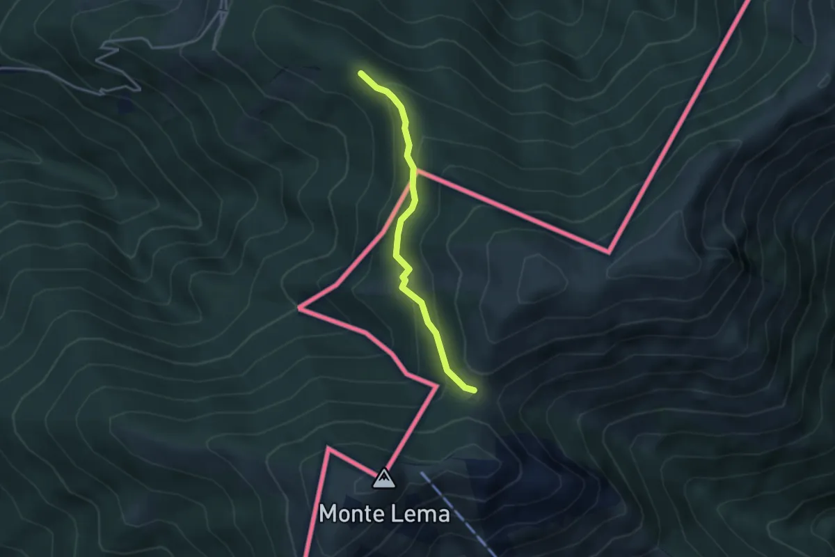
Torre del Merigetto – Passo Agario (CH)
3.0 km · ↑ 191 m · 1 h 7 min · 11 km away
Easy · Trail
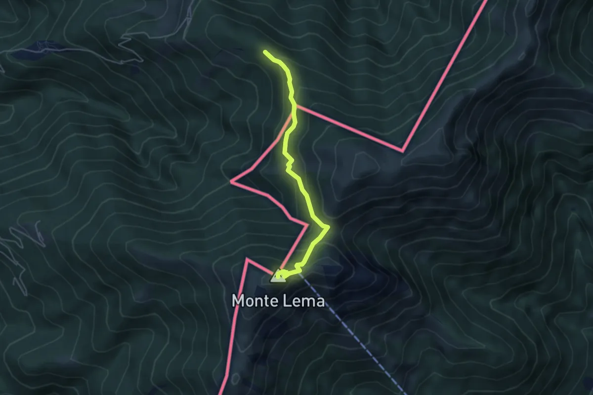
Forc. d'Arasio – Alpe Arasio
3.0 km · ↑ 186 m · 1 h 7 min · 11 km away
Medium · Summit
Alpone – Monte Lema (CH)
4.3 km · ↑ 318 m · 1 h 42 min · 11 km away
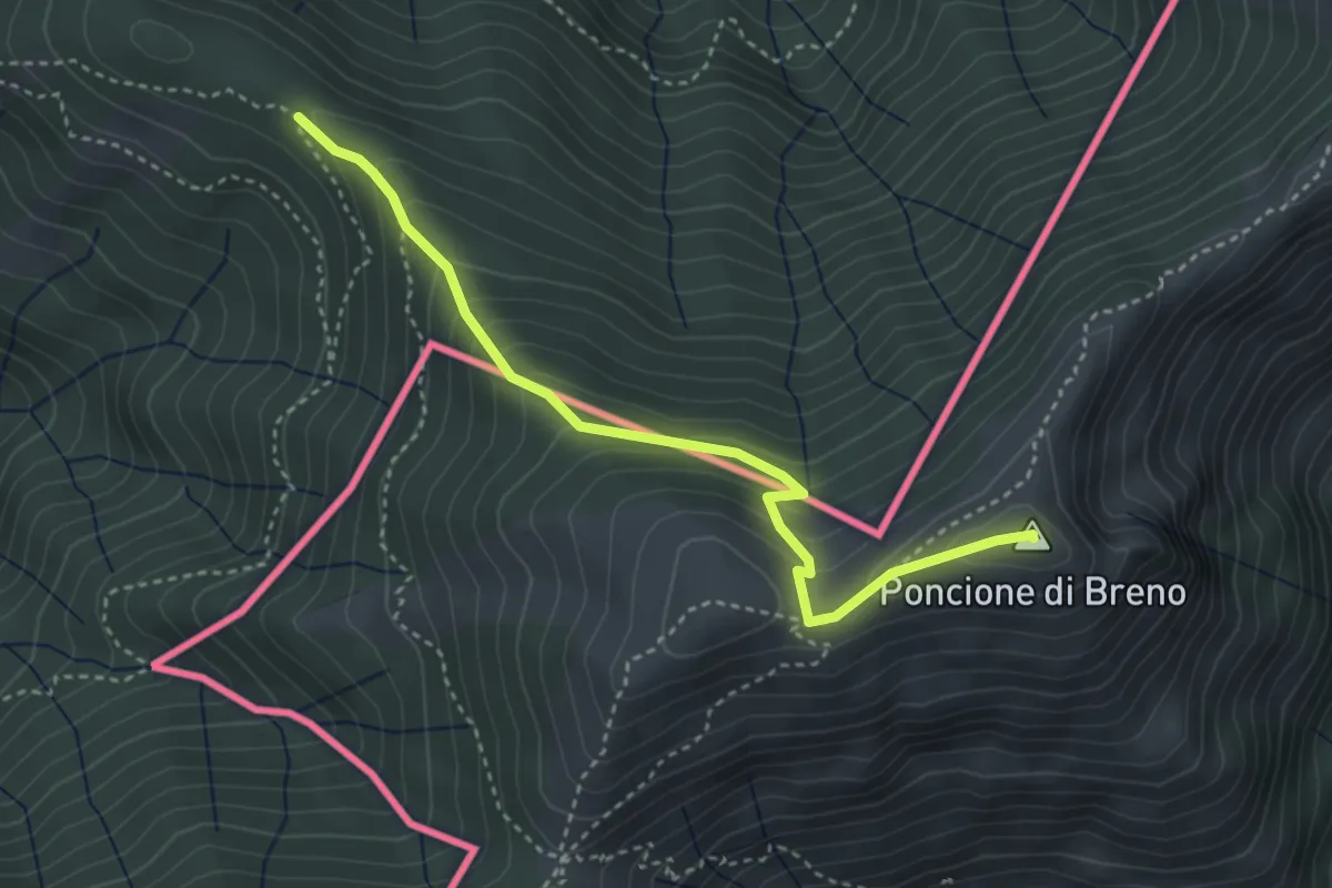
Medium · Summit
Alpone – Poncione di Breno (CH)
3.7 km · ↑ 319 m · 1 h 34 min · 11 km away
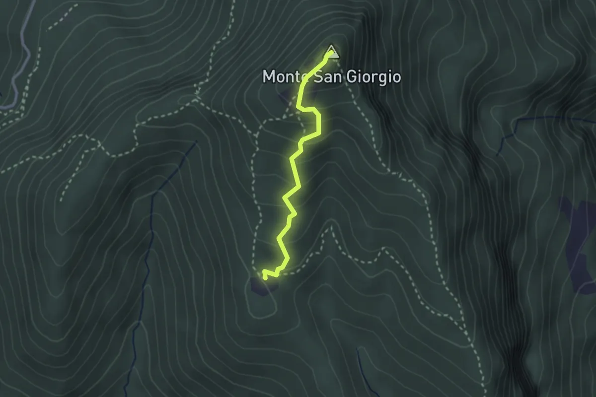
Medium · Summit
Monte San Giorgio – Cassina
2.2 km · ↑ 179 m · 55 min · 11 km away
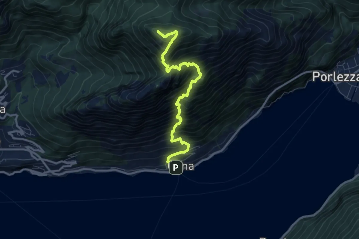
Demanding · Summit
Cima – Monte Bronzone
7.9 km · ↑ 1188 m · 4 h 27 min · 11 km away
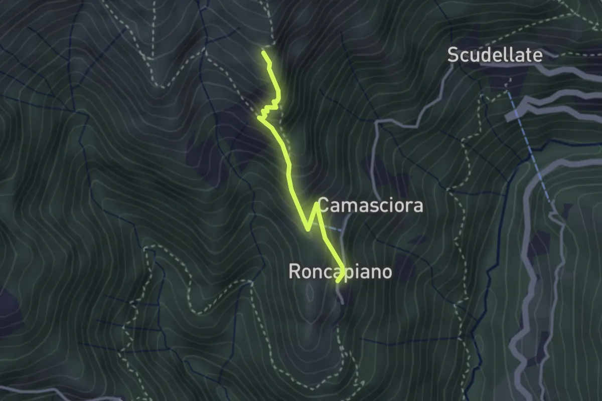
Medium · Trail
Roncapiano – Nadigh
2.3 km · ↑ 311 m · 1 h 13 min · 11 km away
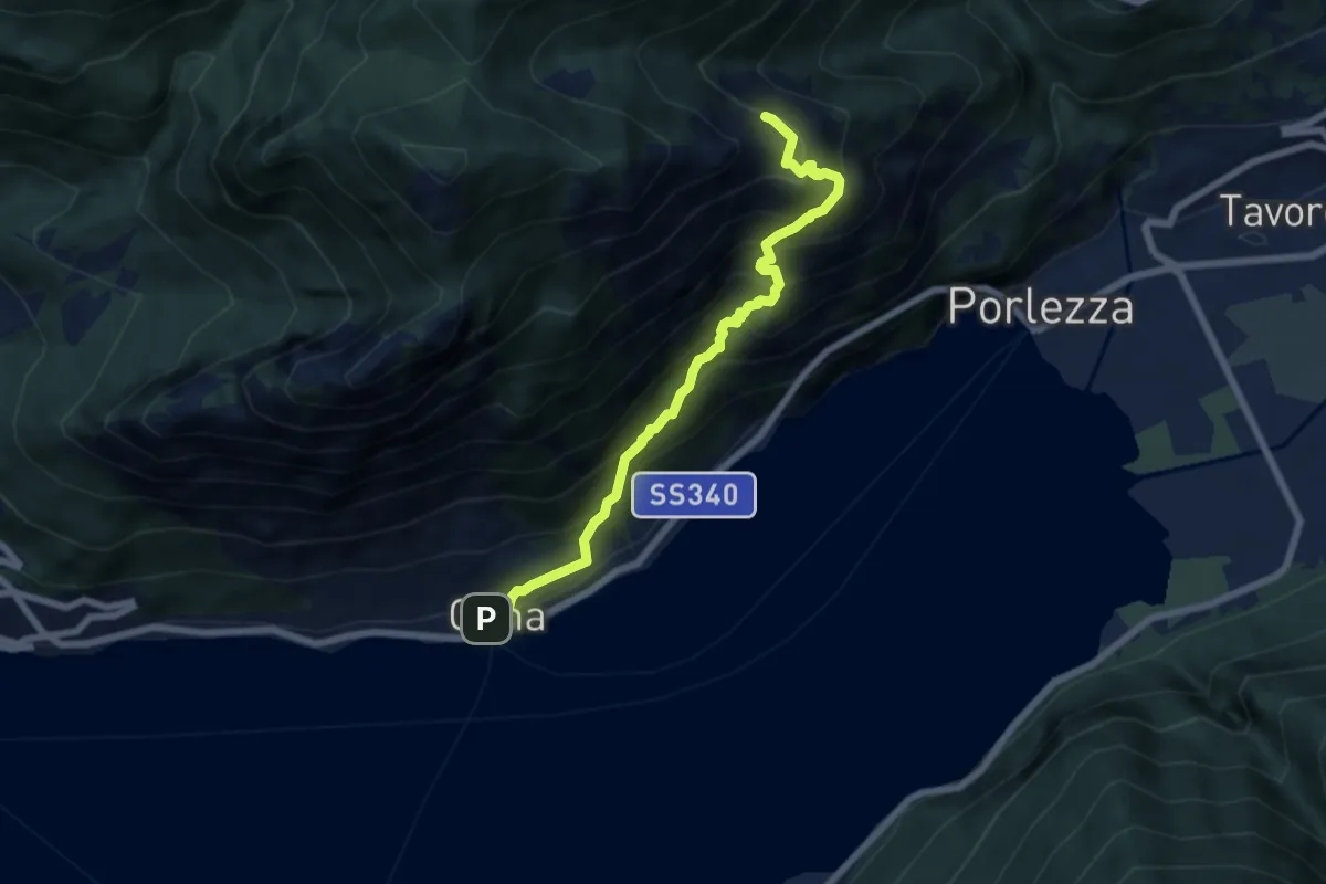
Medium · Trail
Cima – Ghiserba sent 624 per alpe di Cima
6.5 km · ↑ 783 m · 3 h 14 min · 11 km away
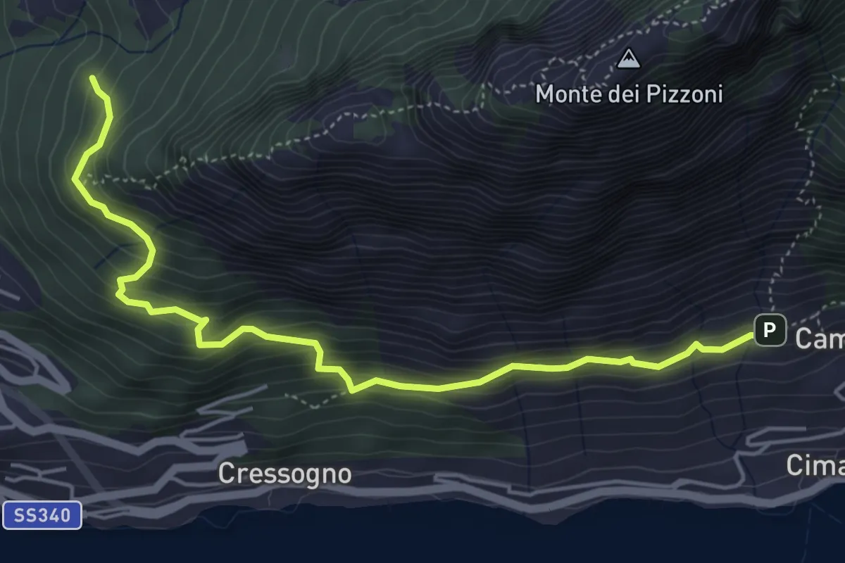
Medium · Trail
Campelò – Rancò
5.4 km · ↑ 515 m · 2 h 23 min · 11 km away
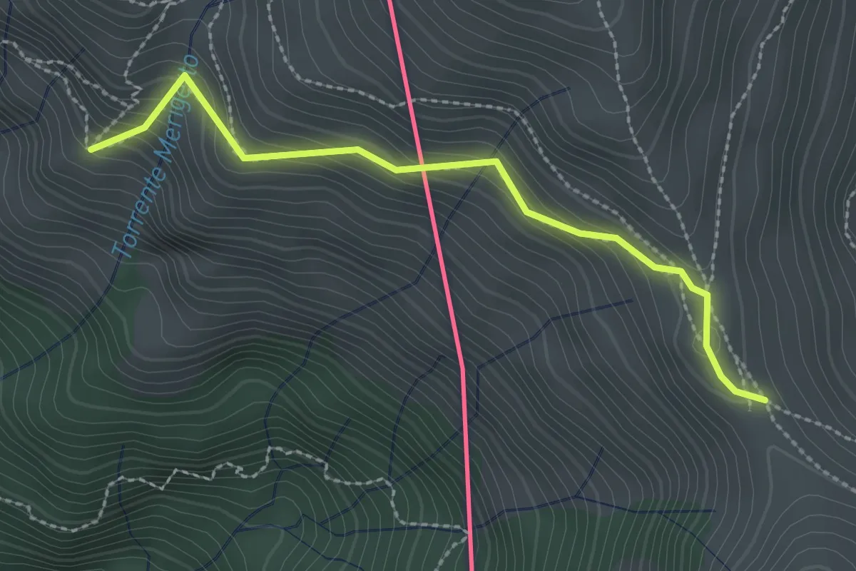
Medium · Cabin
Monteviasco – Passo Agario (CH)
2.5 km · ↑ 213 m · 1 h 3 min · 11 km away
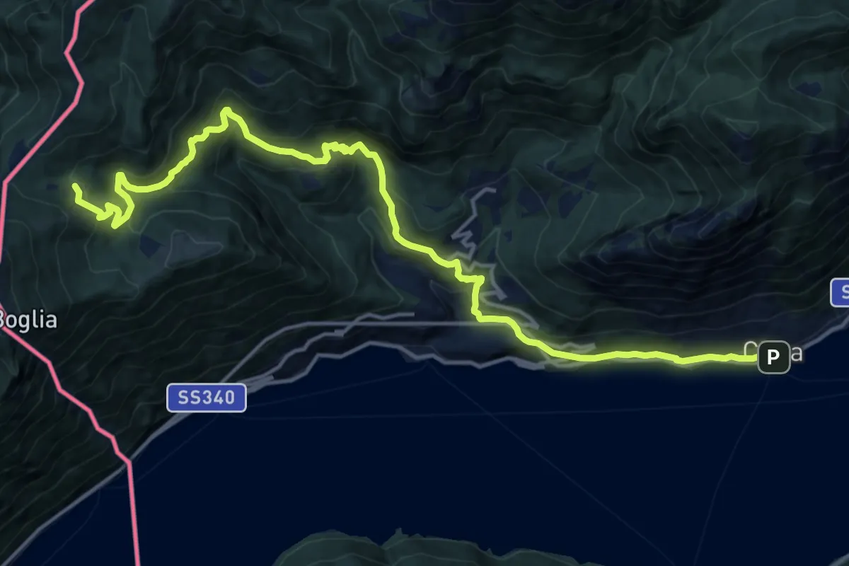
Demanding · Trail
Cima – Alpe Bolgia
17.8 km · ↑ 1098 m · 6 h 35 min · 11 km away
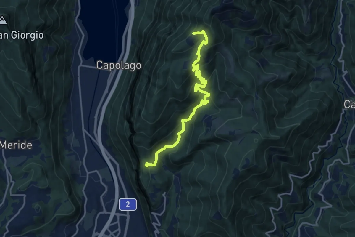
Medium · Cabin
Bellavista St.ne – San Nicolao St.ne
11.4 km · ↑ 779 m · 4 h 23 min · 11 km away
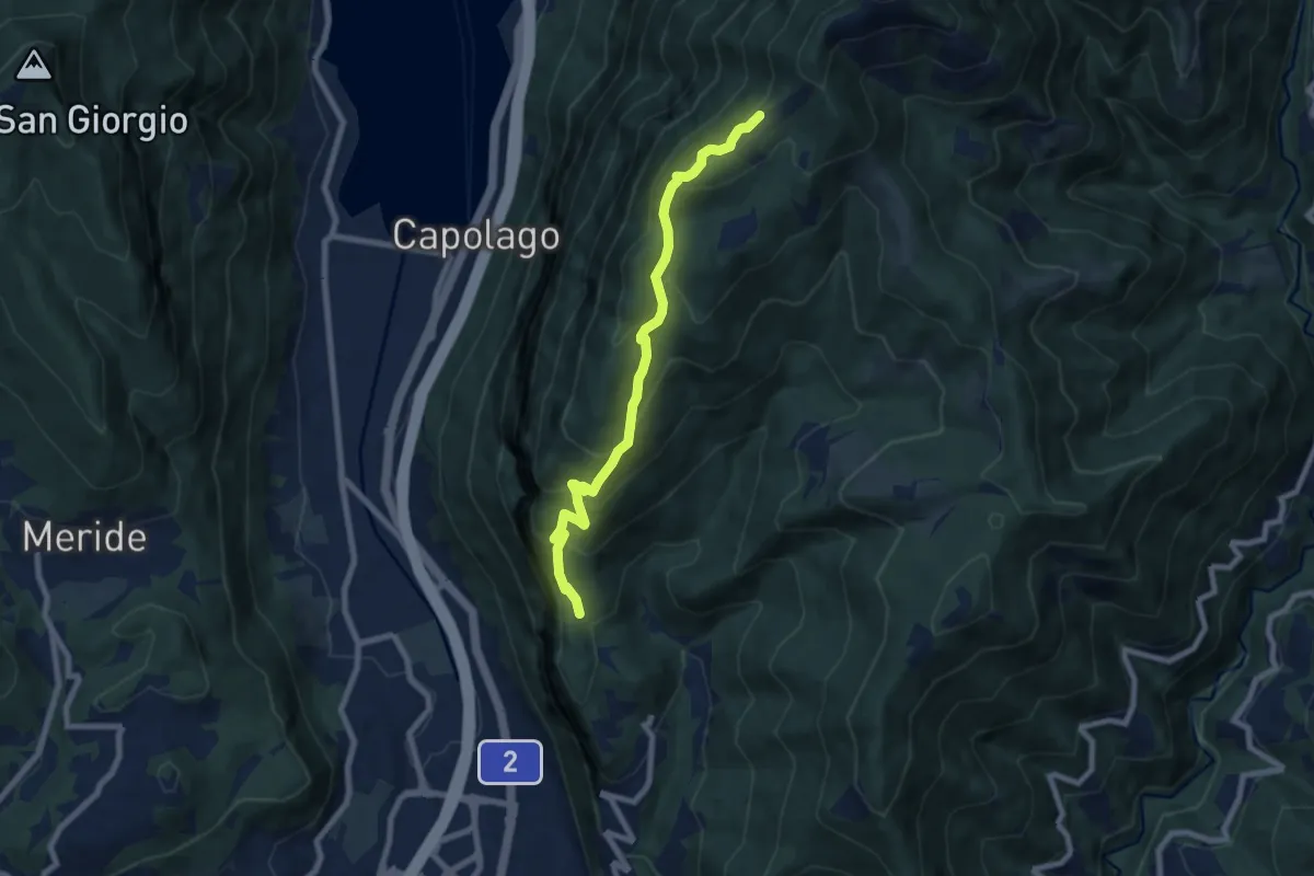
Medium · Cabin
Bellavista – San Nicolao St.ne
7.6 km · ↑ 564 m · 3 h 1 min · 11 km away
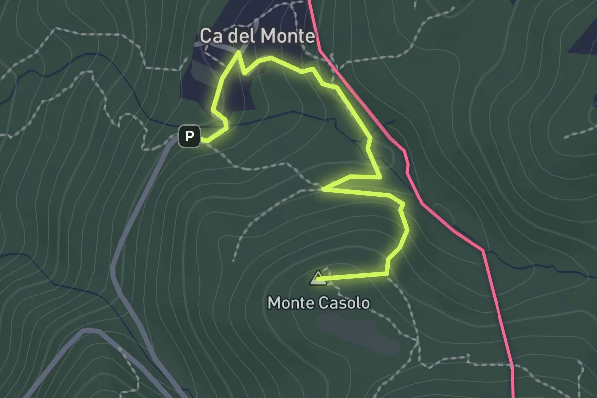
Easy · Summit
Variante Ca' del Monte – Innesto su 461A
2.4 km · ↑ 120 m · 50 min · 11 km away
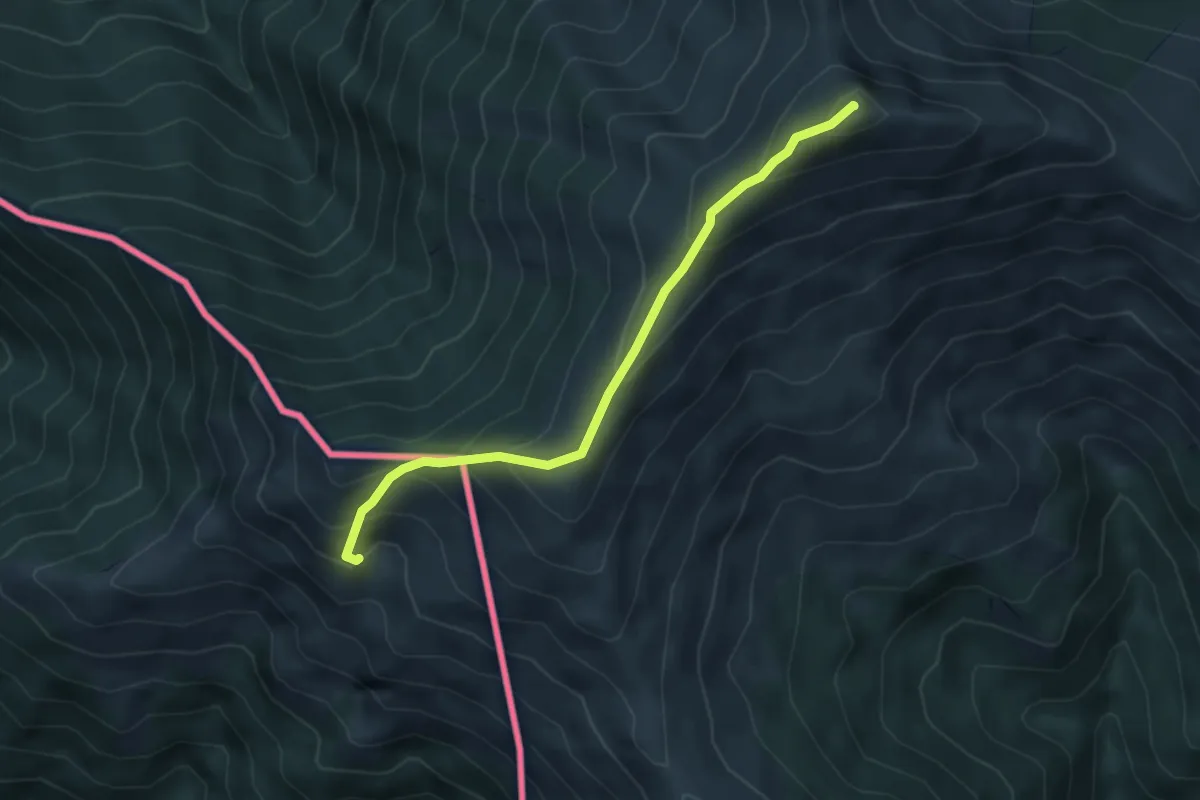
Medium · Summit
Monteviasco – Monte Gradiccioli (CH)
4.1 km · ↑ 403 m · 1 h 51 min · 11 km away
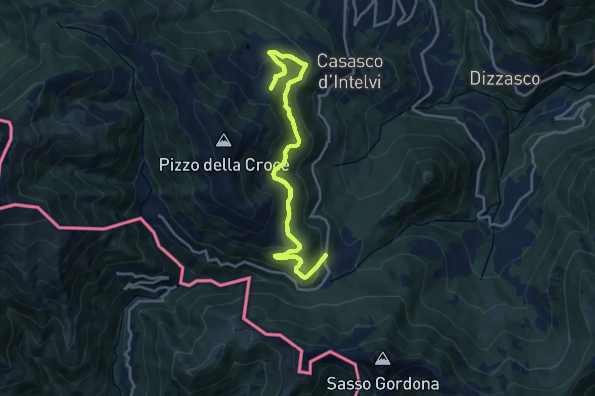
Medium · Trail
Piano delle Alpi – Rifugio Bruno e Giuseppe
10.4 km · ↑ 518 m · 3 h 34 min · 11 km away
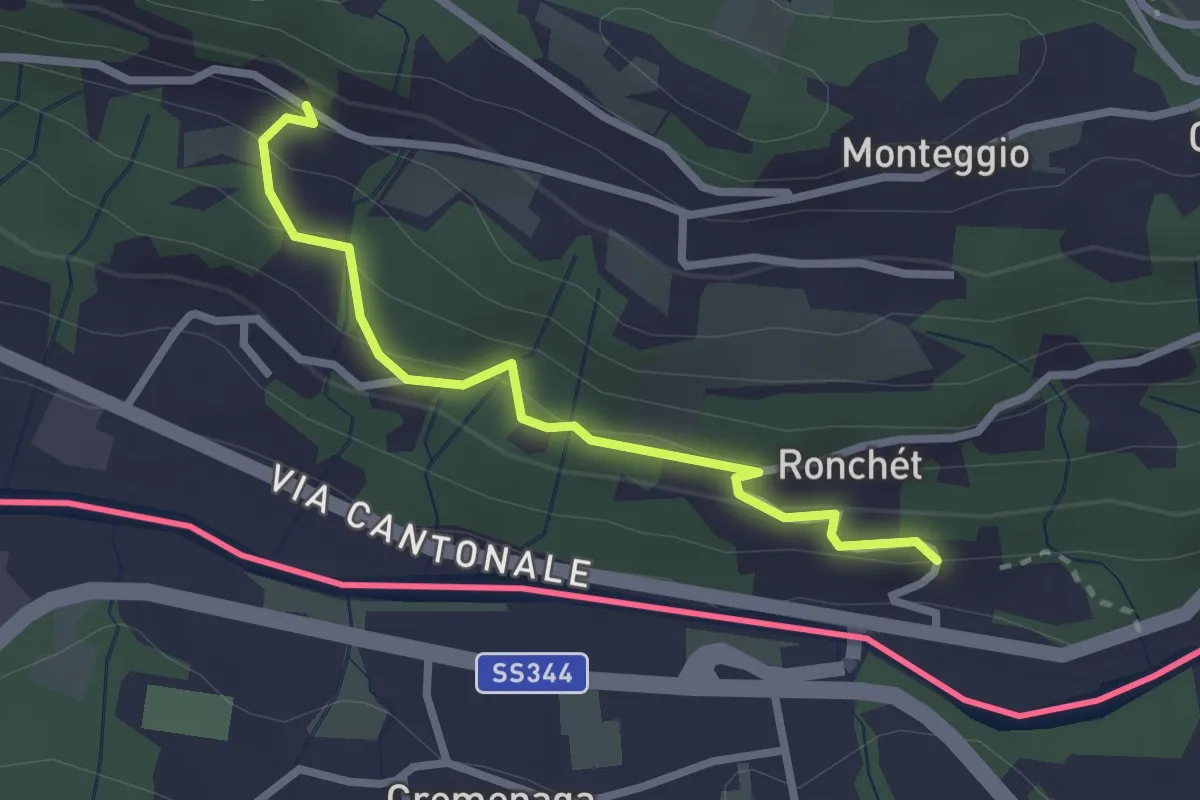
Easy · Trail
Rovedera – Ponte Cremenaga
2.5 km · ↑ 150 m · 55 min · 11 km away
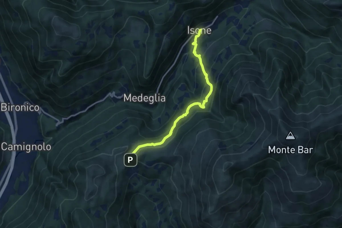
Medium · Trail
Isone – Gola di Lago
9.2 km · ↑ 488 m · 3 h 14 min · 11 km away
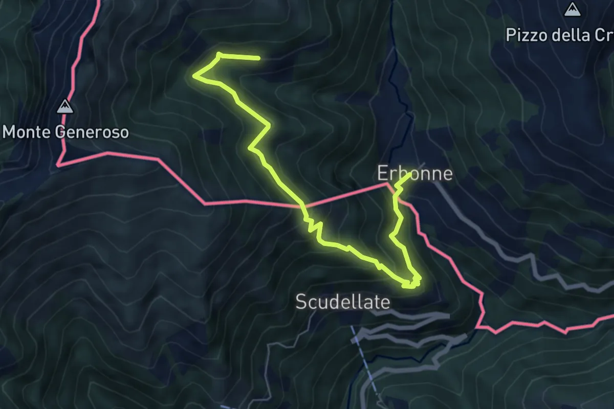
Medium · Trail
Orimento – Erbone
6.7 km · ↑ 553 m · 2 h 47 min · 11 km away
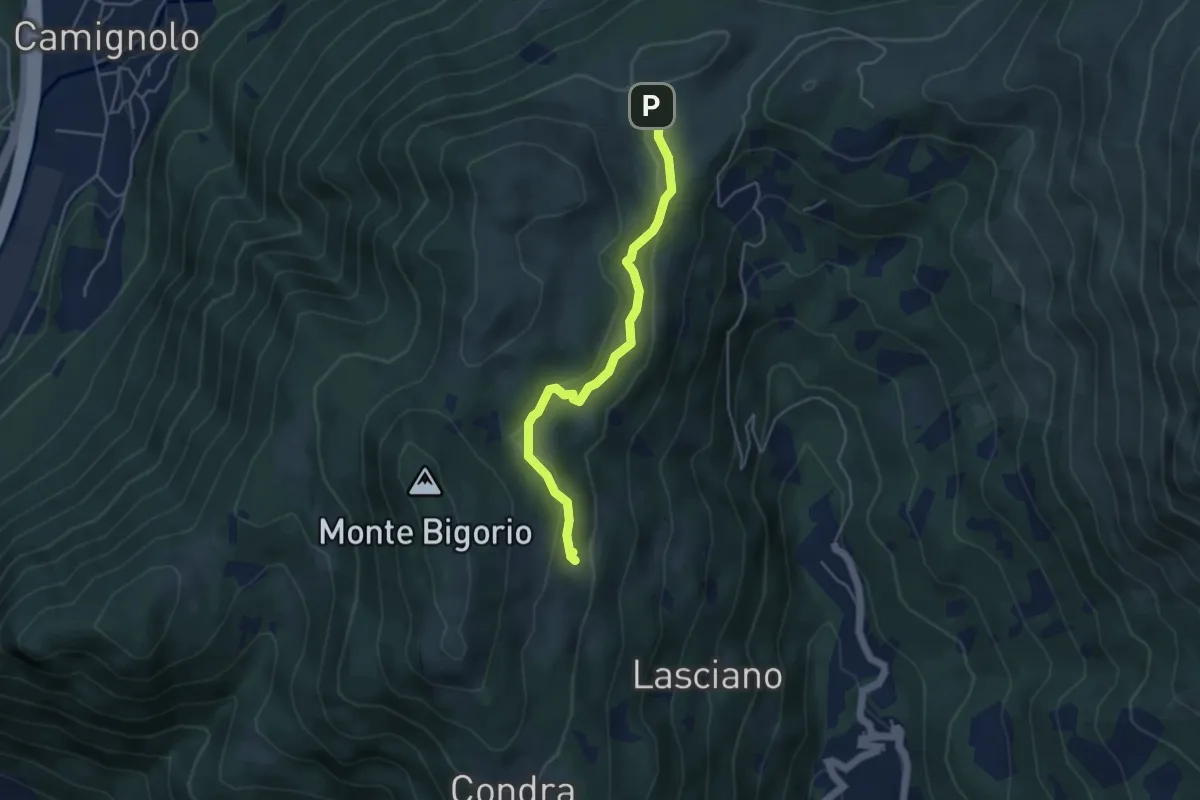
Medium · Trail
Monti di Cima – Alpe Santa Maria
4.3 km · ↑ 163 m · 1 h 22 min · 11 km away
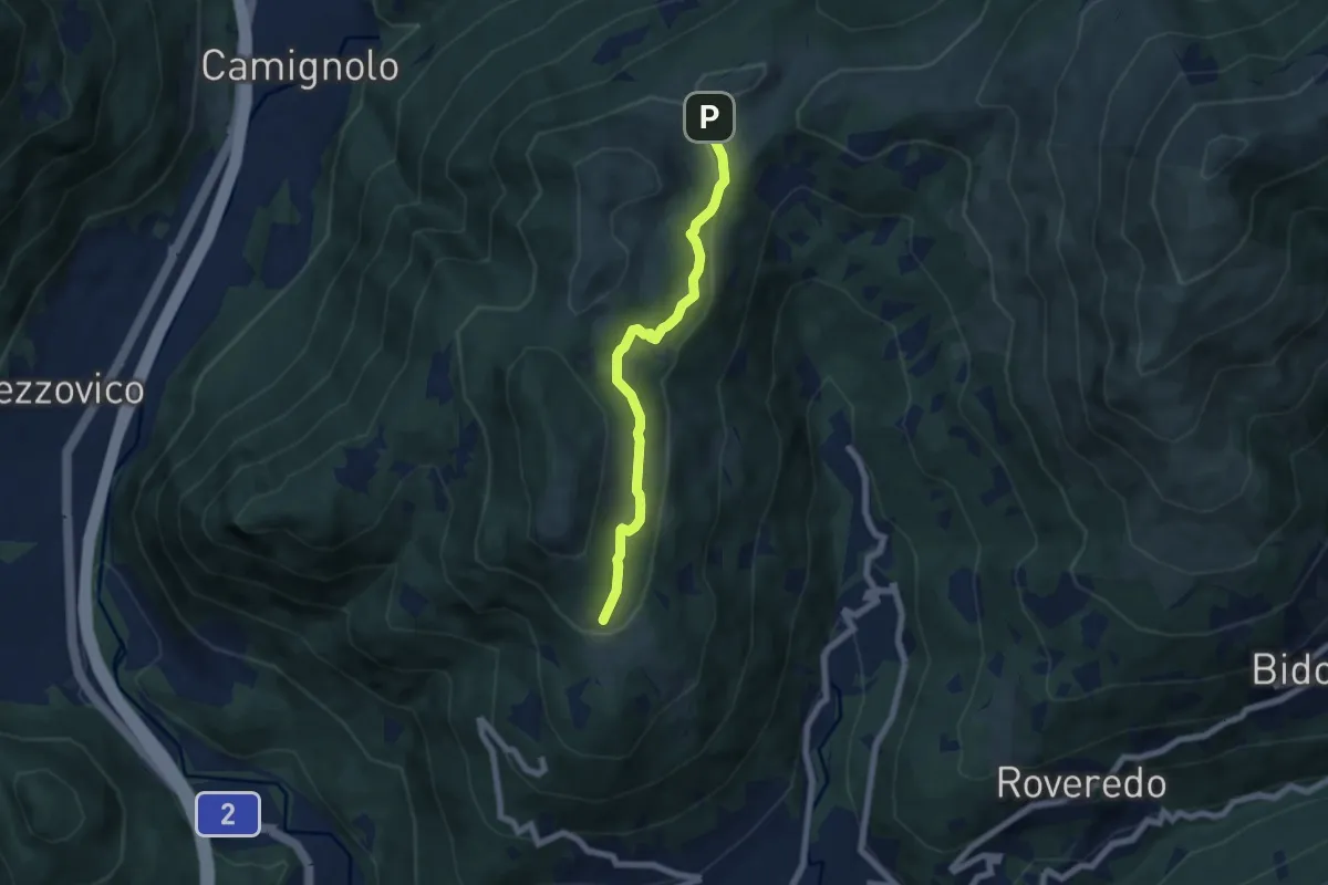
Easy · Trail
Alpe Santa Maria – Condra
6.0 km · ↑ 199 m · 1 h 51 min · 11 km away
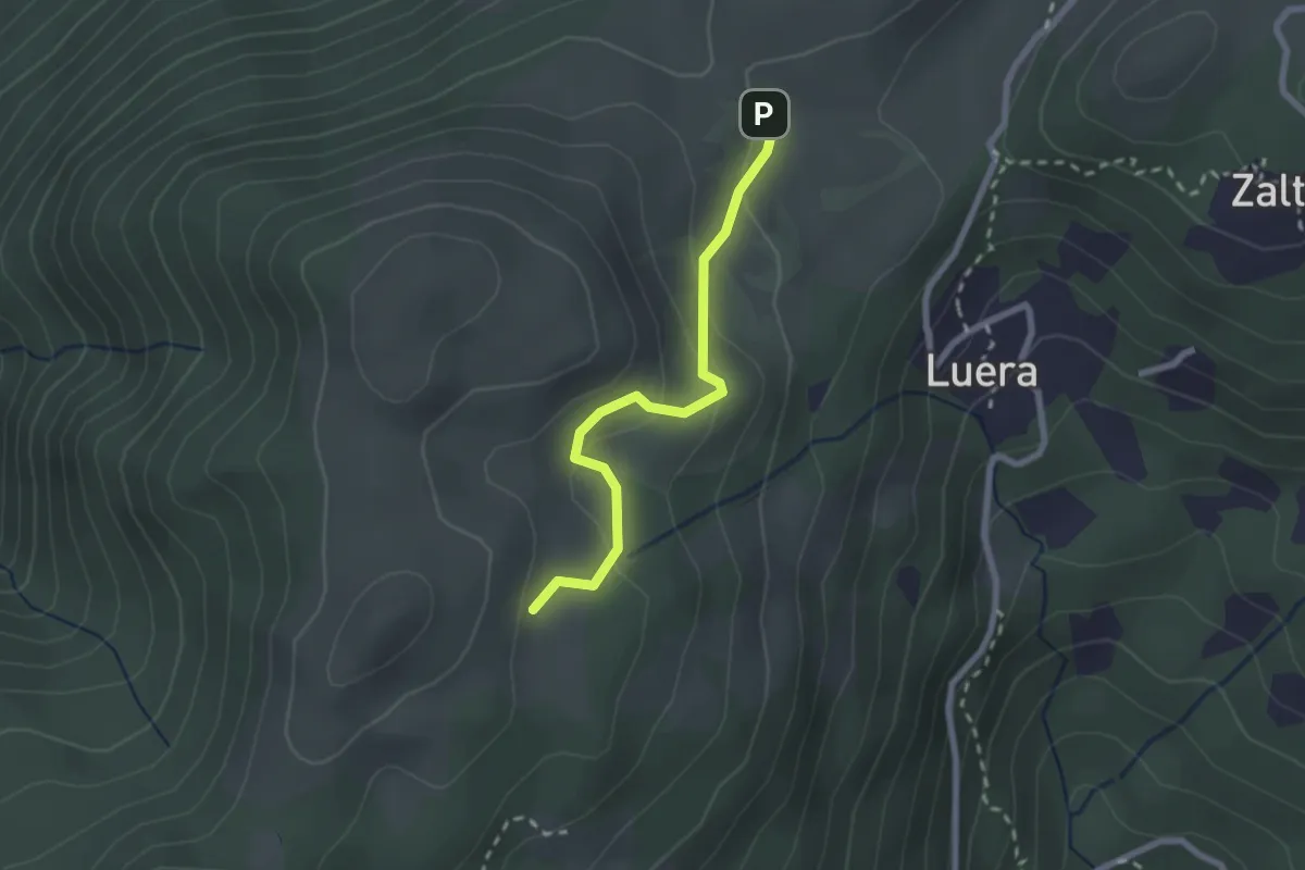
Easy · Trail
Alpe Santa Maria – Matro di Stinchè
2.2 km · ↑ 137 m · 49 min · 11 km away
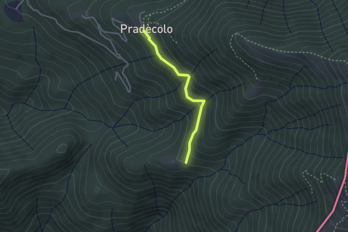
Medium · Cabin
Pradecolo – Prà Bernardo
2.3 km · ↑ 165 m · 54 min · 11 km away
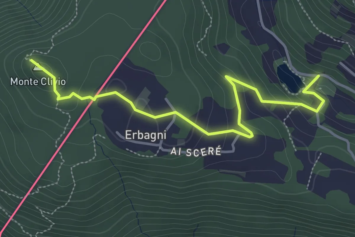
Easy · Trail
Trezzino – Monte Clivio-Laghetto di Astano
3.6 km · ↑ 123 m · 1 h 7 min · 11 km away
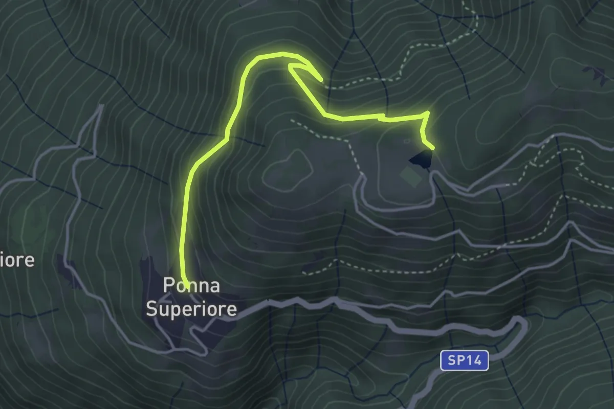
Easy · Trail
Ponna Superiore centro paese – Monte Tellero, bolla
3.9 km · ↑ 253 m · 1 h 29 min · 11 km away
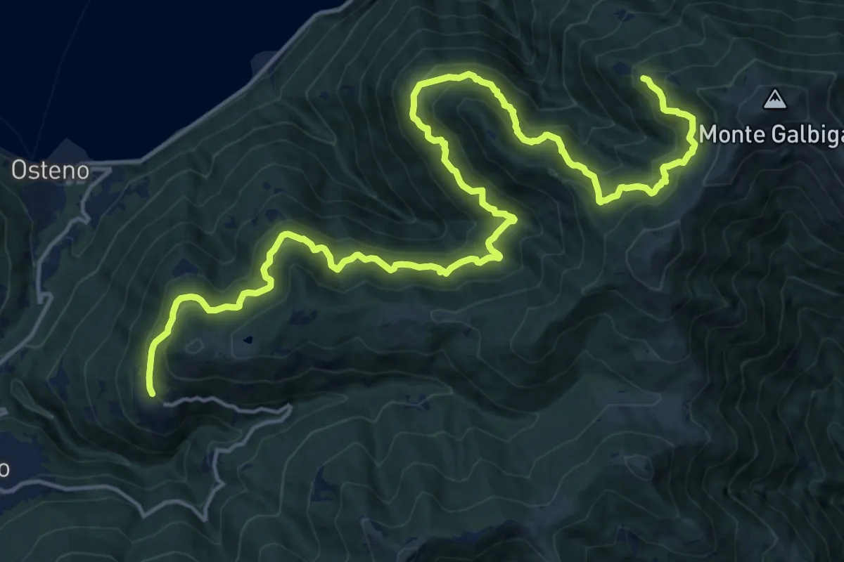
Demanding · Trail
Ponna Superiore – Corte Vecchia
10.9 km · ↑ 1100 m · 4 h 53 min · 11 km away
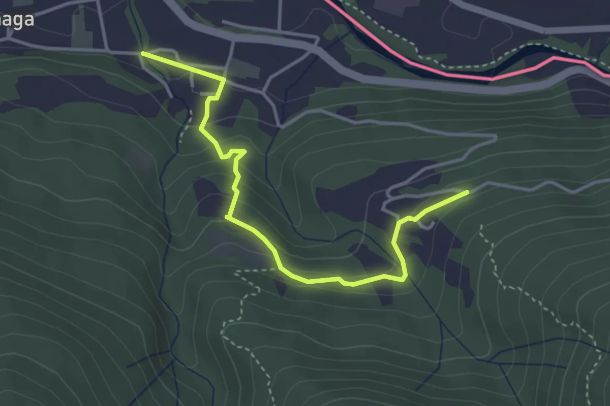
Easy · Trail
Cremenaga Cappella degli Alpini – Avigno
3.7 km · ↑ 187 m · 1 h 17 min · 11 km away
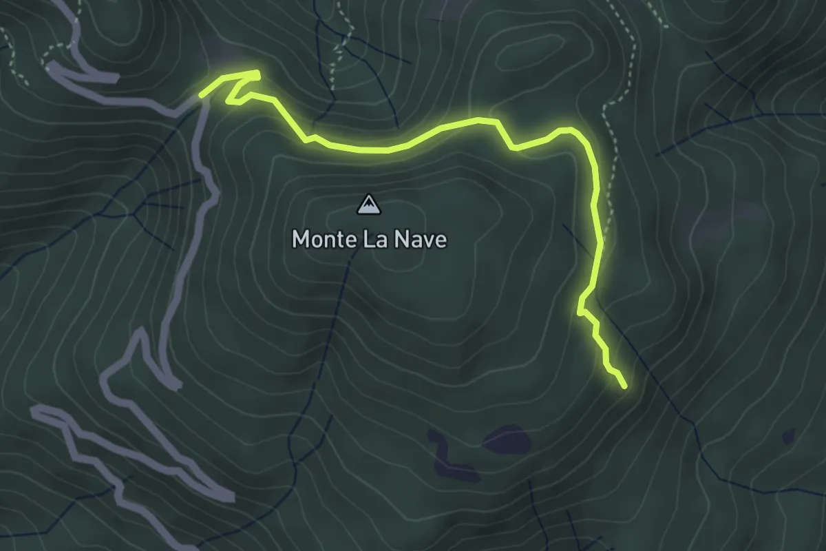
Easy · Trail
3 Valli Varesine
4.3 km · ↑ 227 m · 1 h 30 min · 11 km away
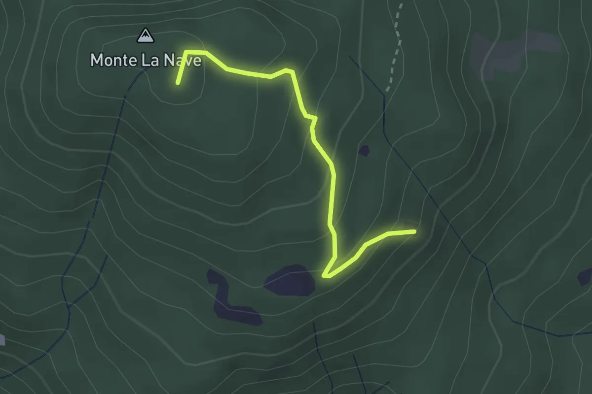
Easy · Summit
Chiesa di San Paolo – Monte la Nave
2.5 km · ↑ 153 m · 55 min · 11 km away
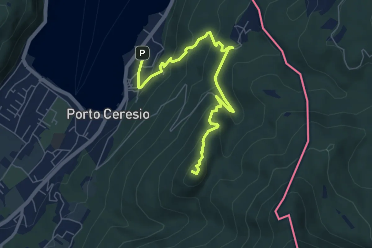
Medium · Summit
Porto Ceresio – Monte Grumello
6.3 km · ↑ 452 m · 2 h 28 min · 11 km away
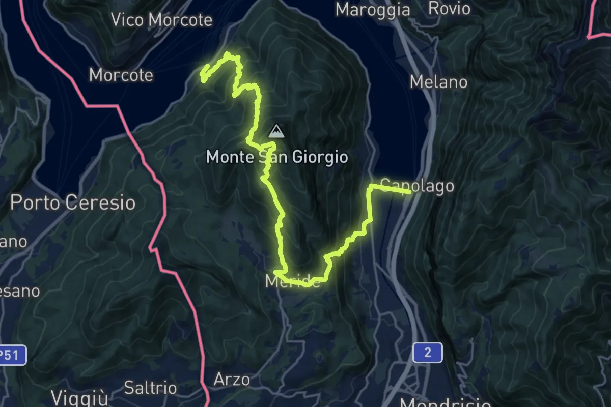
Demanding · Trail
Sentiero Lago di Lugano
11.1 km · ↑ 863 m · 4 h 38 min · 11 km away