Trails near Lugano
370 hikes starting within 15 km, nearest first.
Nearest first, page 6 of 8
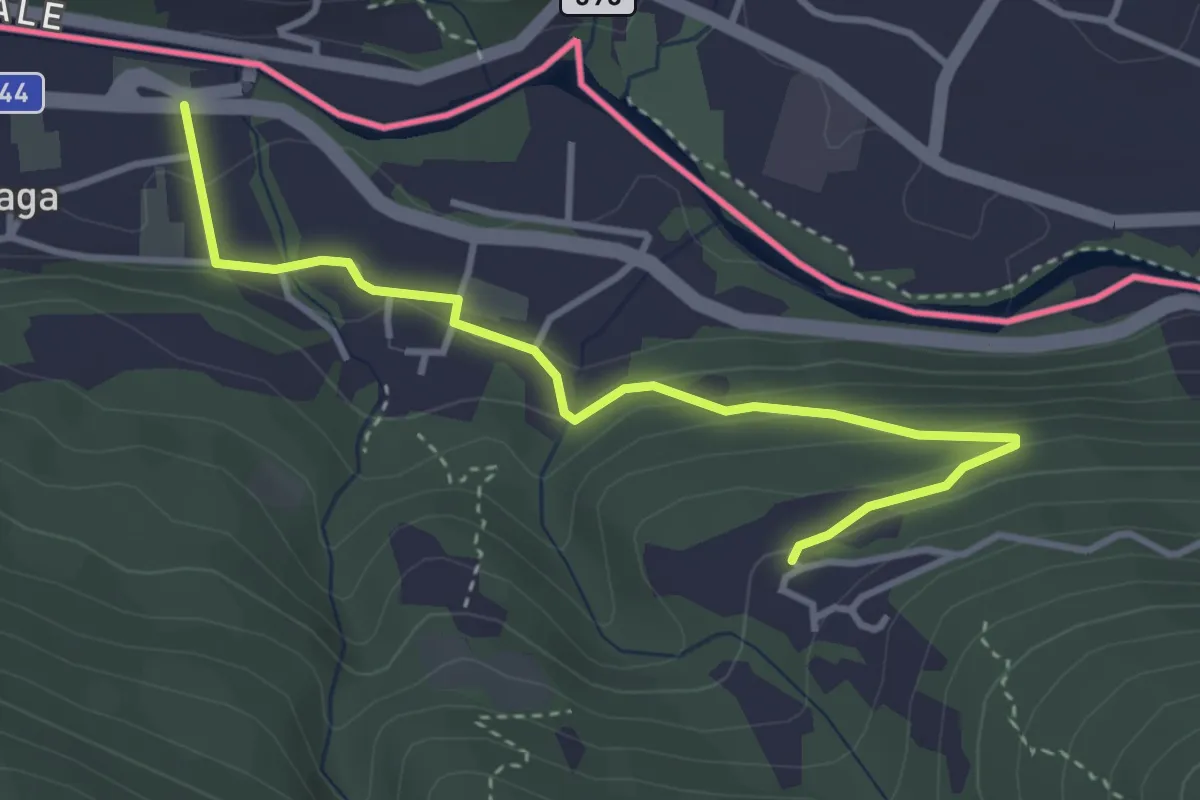
Easy · Trail
Cremenaga – Viconago
3.9 km · ↑ 160 m · 1 h 15 min · 11 km away
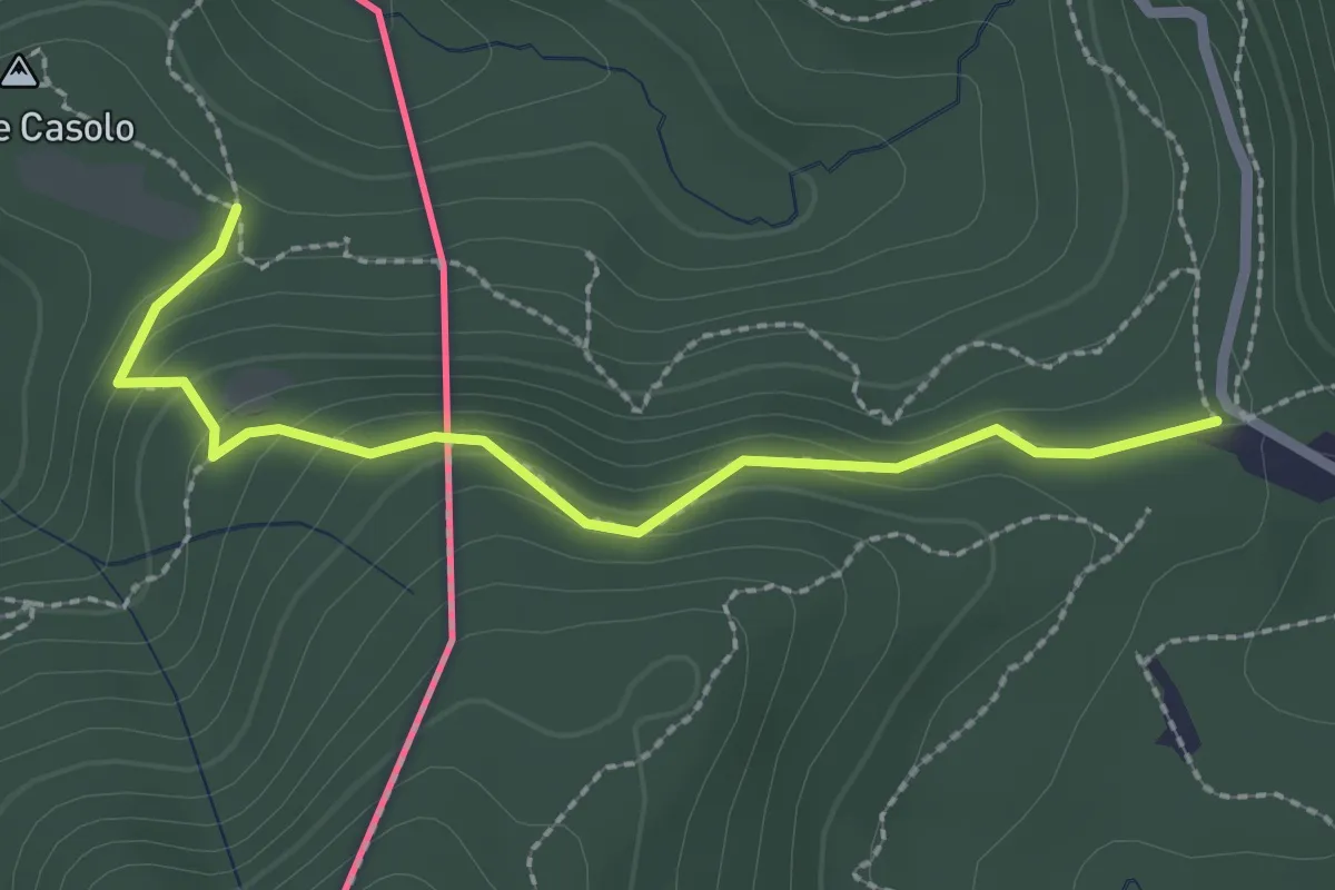
Medium · Trail
Crossifico - Monte Casolo (I) ? / Porto Ceresio (I) ? - fixme
2.5 km · ↑ 122 m · 51 min · 11 km away
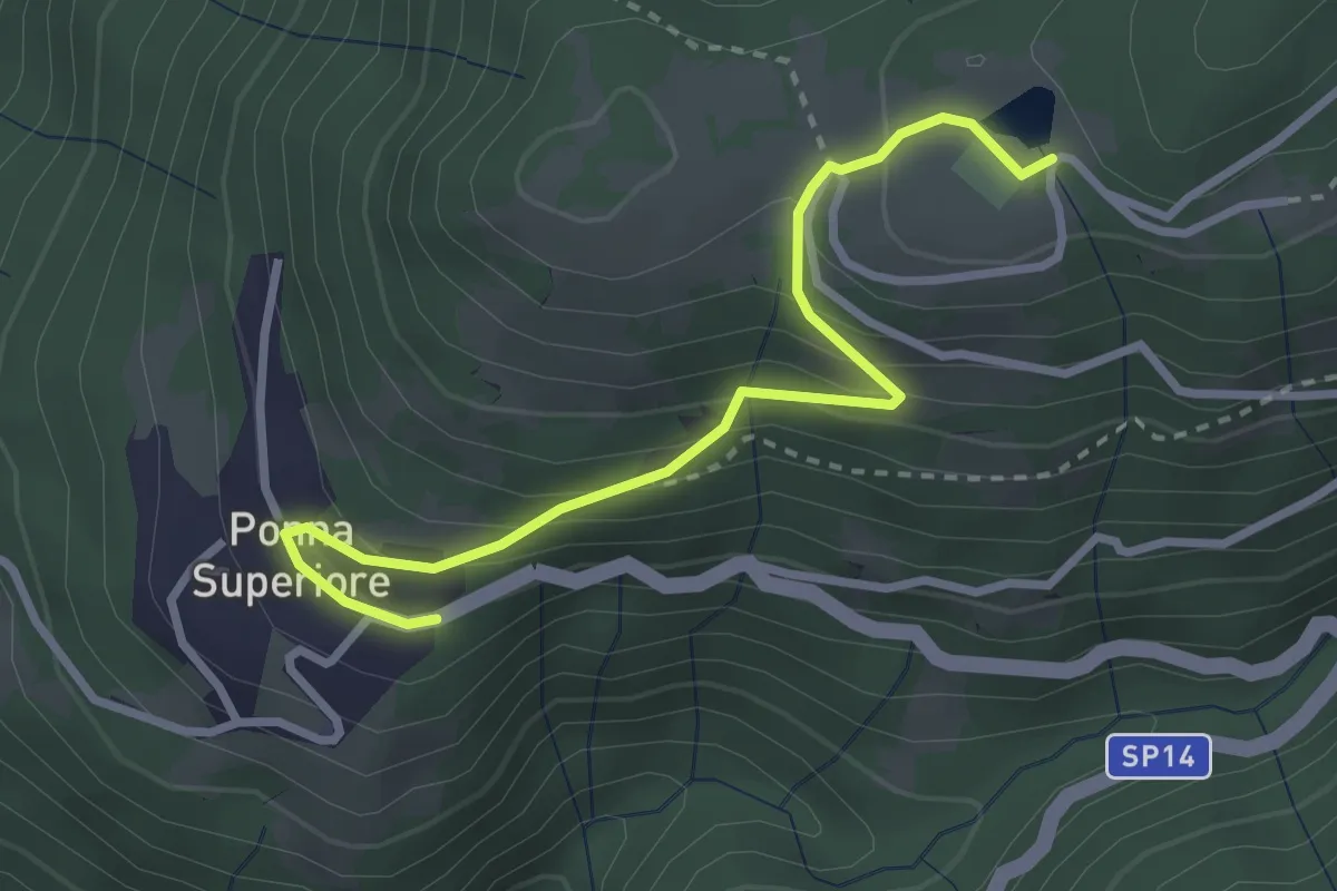
Easy · Trail
Ponna fermata autobus – Tellero
3.1 km · ↑ 212 m · 1 h 11 min · 11 km away
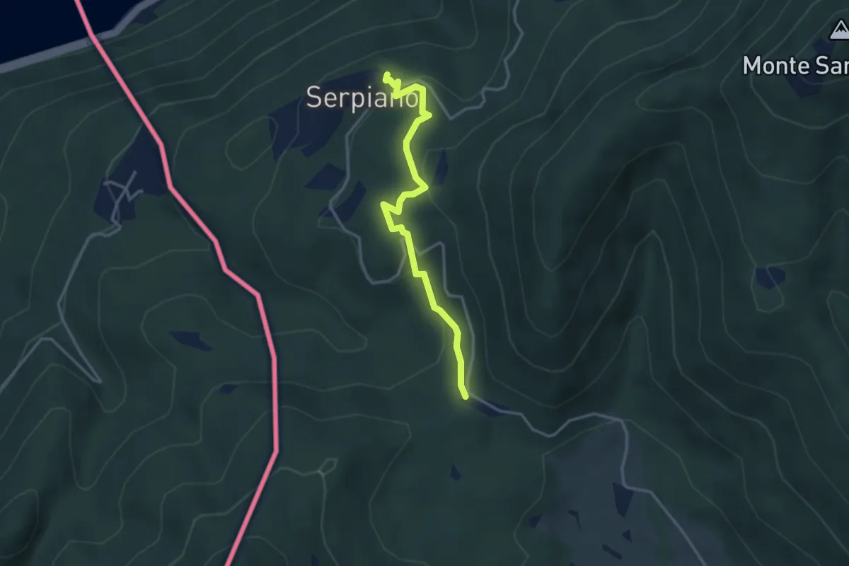
Medium · Trail
Crocifisso – Serpiano
3.2 km · ↑ 156 m · 1 h 6 min · 11 km away
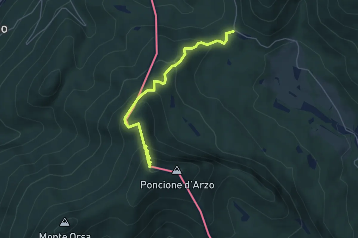
Medium · Summit
Crocifisso – Poncione d'Arzo
4.3 km · ↑ 320 m · 1 h 43 min · 11 km away
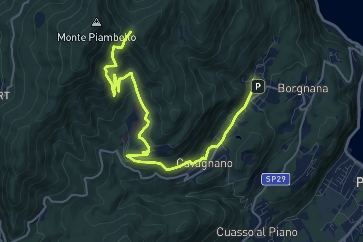
Medium · Trail
Cuasso al Monte – Bivio Bocchetta dei Frati
12.7 km · ↑ 635 m · 4 h 23 min · 11 km away
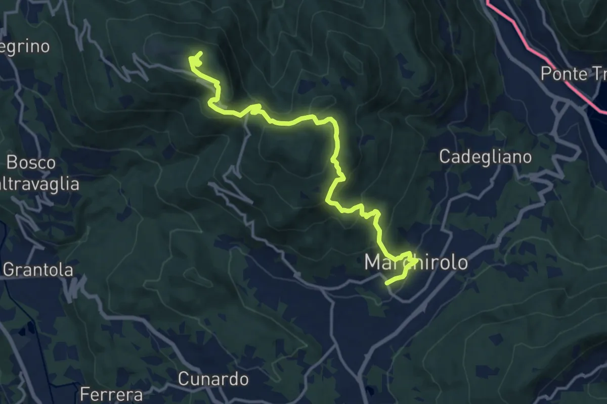
Medium · Summit
Marchirolo – Monte Sette Termini
12.8 km · ↑ 765 m · 4 h 41 min · 11 km away
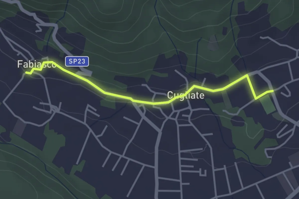
Easy · Trail
Campo sportivo Marchirolo – Parcheggio Cugliate Fabiasco
3.3 km · ↑ 75 m · 57 min · 11 km away
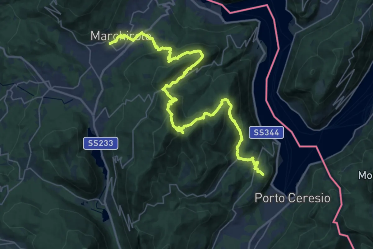
Demanding · Summit
Marchirolo – Porto Ceresio
29.4 km · ↑ 1473 m · 10 h 8 min · 11 km away
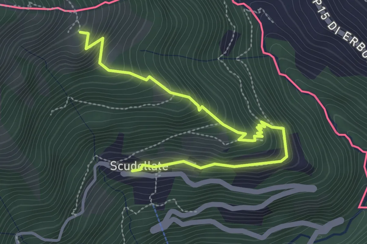
Medium · Trail
Alpe di Sella – Scudellate
3.6 km · ↑ 336 m · 1 h 34 min · 11 km away
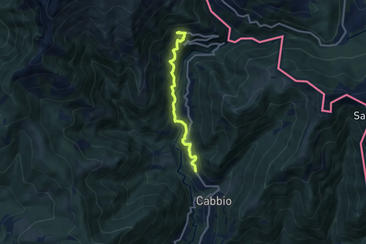
Medium · Trail
Muggio – Scudellate
5.9 km · ↑ 587 m · 2 h 41 min · 11 km away
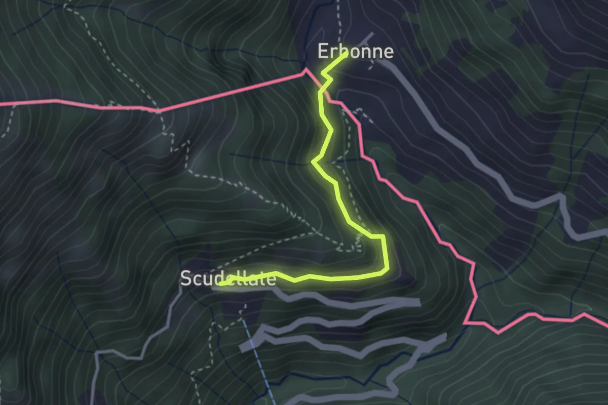
Medium · Trail
Scudellate – Erbonne (I)
2.8 km · ↑ 174 m · 1 h 2 min · 11 km away
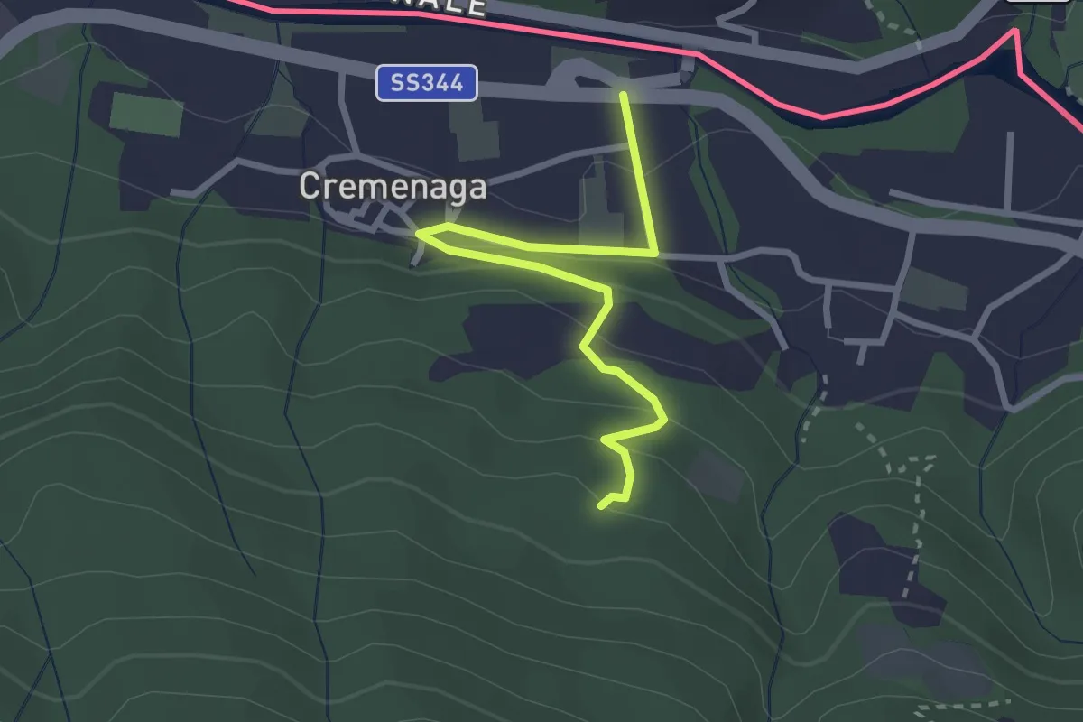
Easy · Trail
Cremenaga – Pian della Nave - M. Sette Termini
2.7 km · ↑ 139 m · 56 min · 11 km away
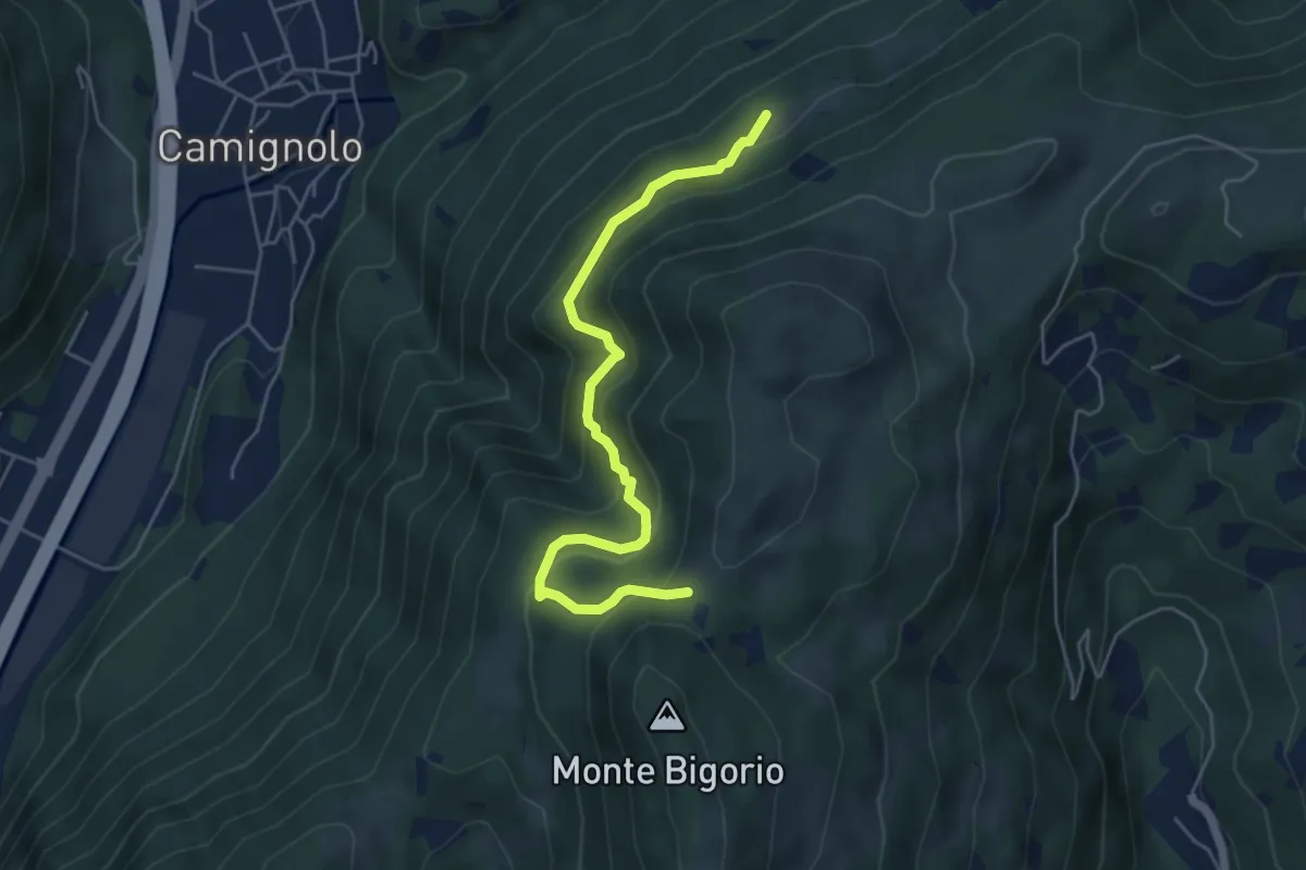
Medium · Trail
Stinchè – Busio
5.2 km · ↑ 466 m · 2 h 15 min · 11 km away
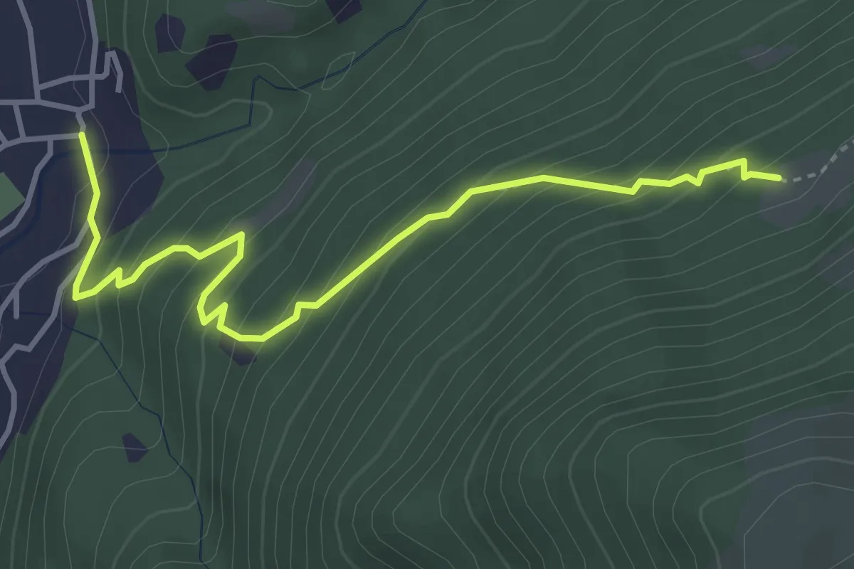
Medium · Trail
Busio – Camignolo
4.1 km · ↑ 368 m · 1 h 45 min · 11 km away
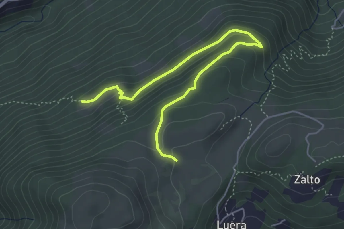
Medium · Trail
Alpe Santa Maria – Busio
4.9 km · ↑ 265 m · 1 h 44 min · 11 km away
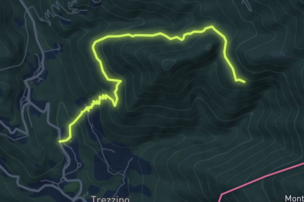
Medium · Trail
Stivigliano – Alpe Bois
8.4 km · ↑ 625 m · 3 h 20 min · 11 km away
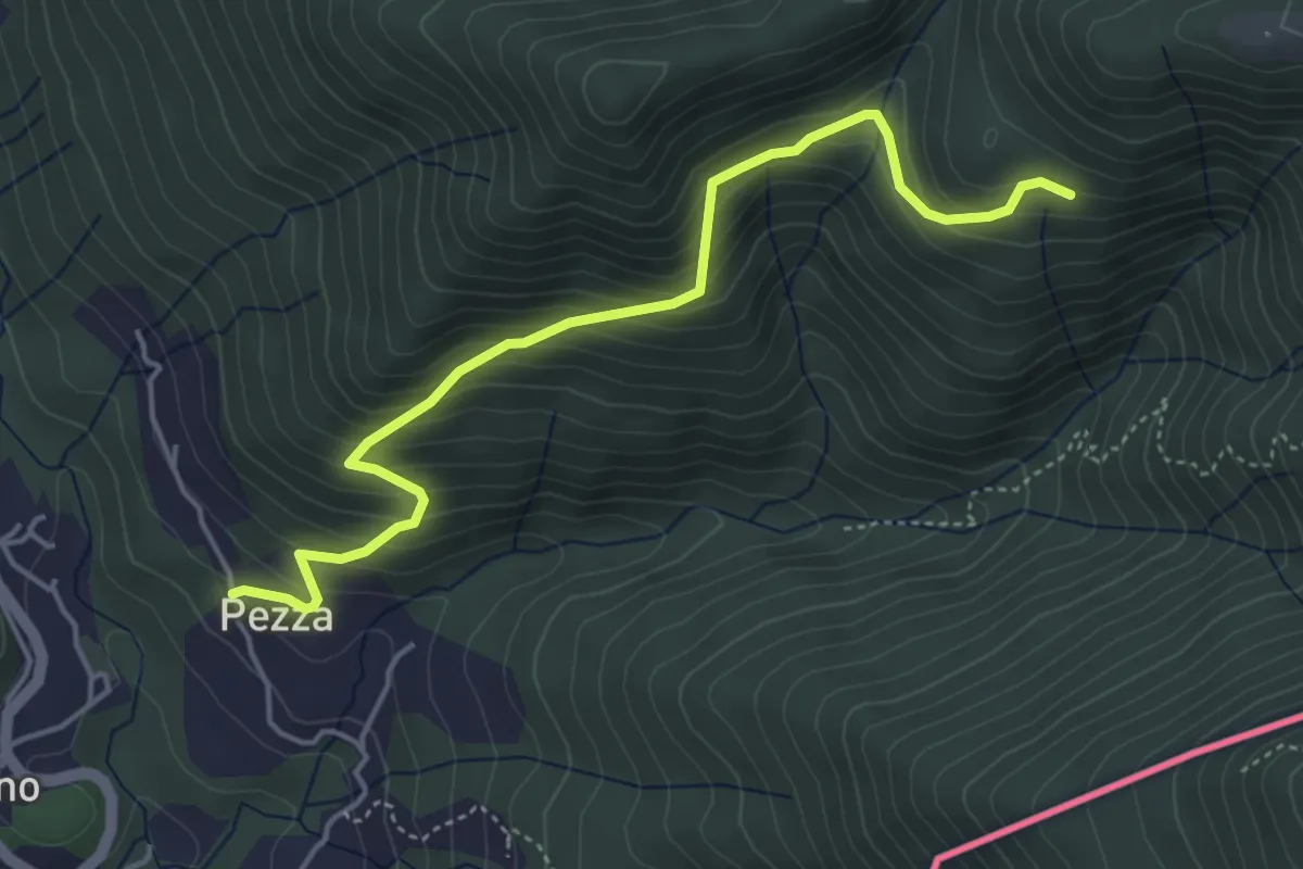
Medium · Trail
Trezzino – Alpe Bois
4.8 km · ↑ 442 m · 2 h 6 min · 11 km away
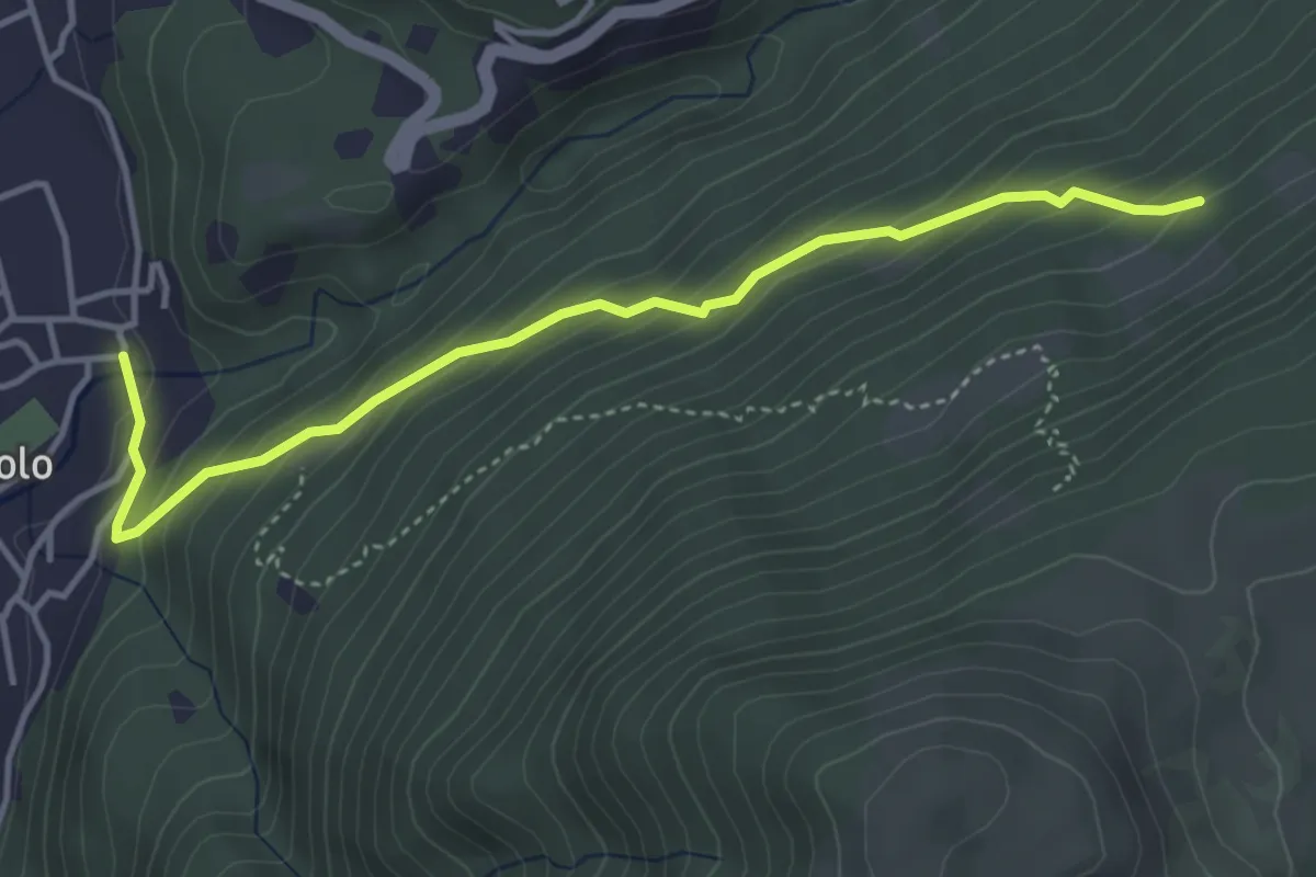
Medium · Trail
Camignolo – Monti di Camignolo
4.2 km · ↑ 335 m · 1 h 44 min · 12 km away
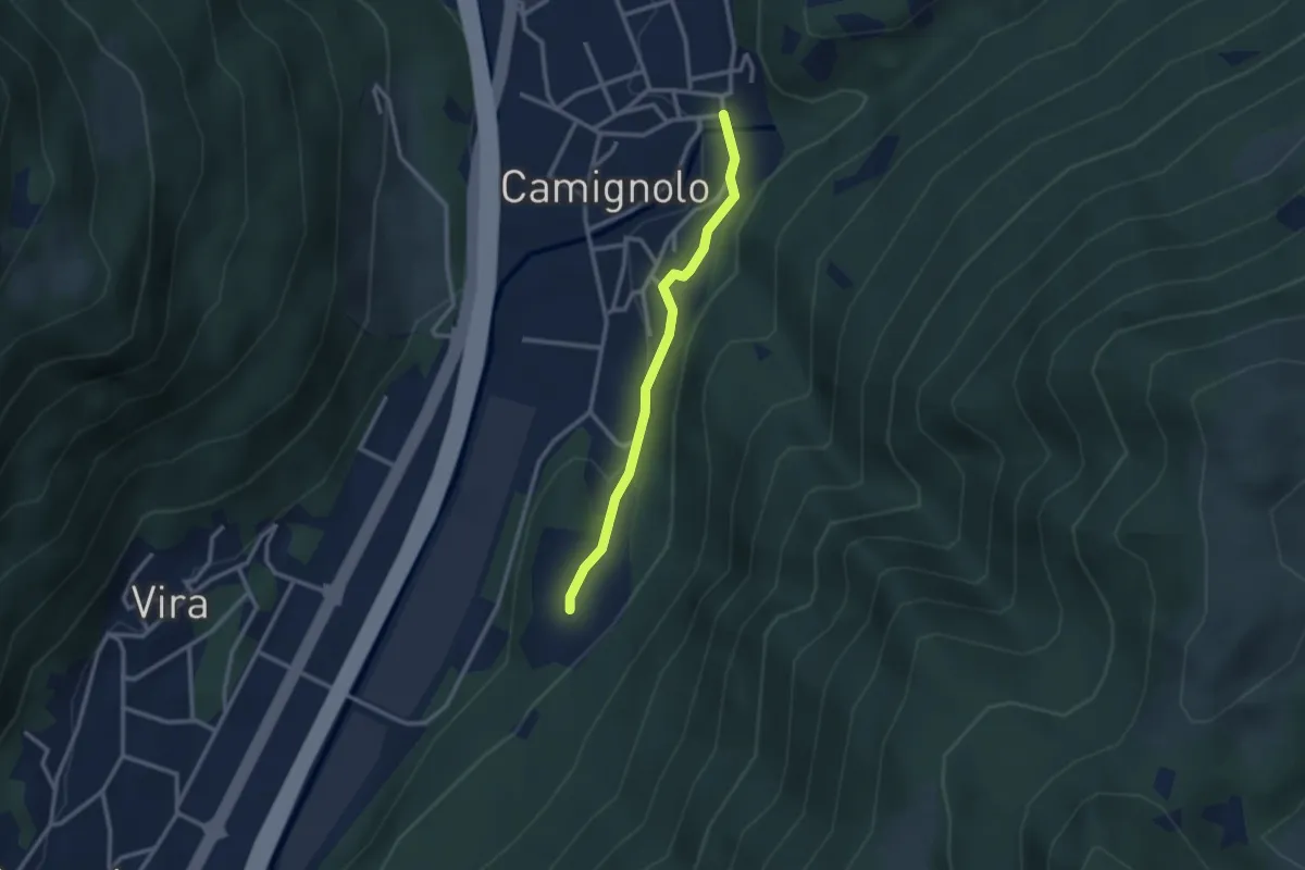
Easy · Trail
Piazzeno – Camignolo
2.5 km · ↑ 66 m · 44 min · 12 km away
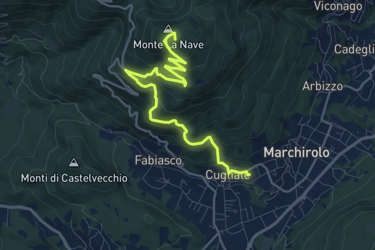
Medium · Summit
Cugliate Fabiasco – Monte la Nave
10.5 km · ↑ 615 m · 3 h 49 min · 12 km away
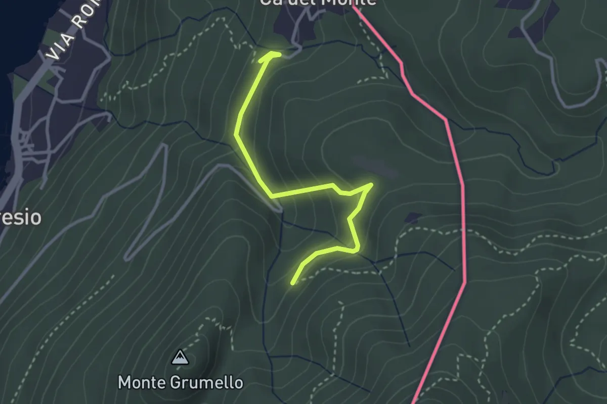
Easy · Trail
Porto Ceresio – Monte Grumello
2.9 km · ↑ 192 m · 1 h 6 min · 12 km away
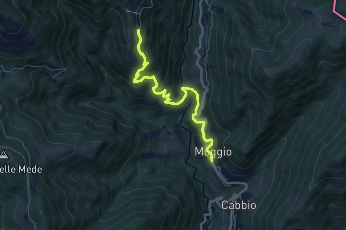
Medium · Trail
Muggio – Roncapiano
6.1 km · ↑ 543 m · 2 h 37 min · 12 km away
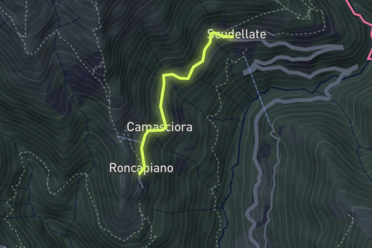
Easy · Trail
Roncapiano – Scudellate
2.4 km · ↑ 229 m · 1 h 4 min · 12 km away
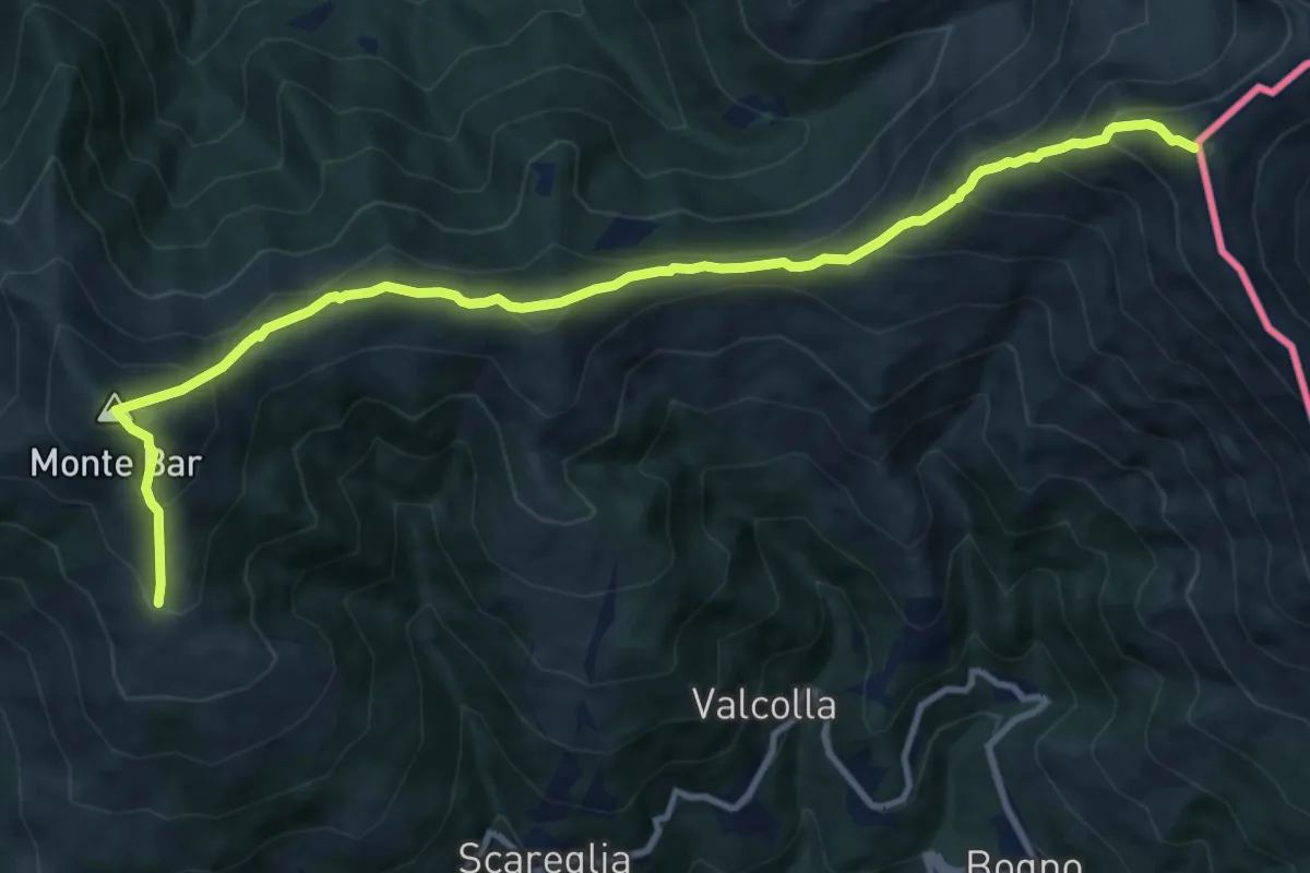
Demanding · Summit
Sentiero Lago di Lugano
12.1 km · ↑ 1055 m · 5 h 9 min · 12 km away
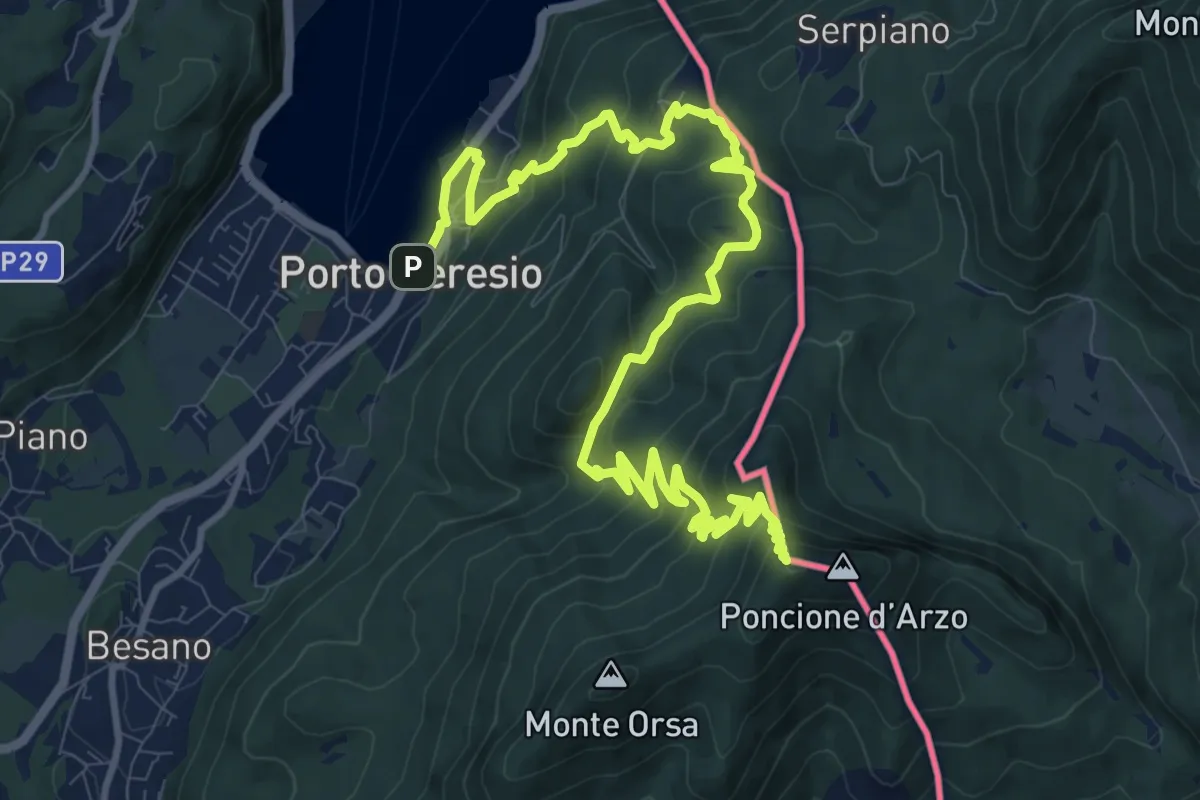
Demanding · Summit
Porto Ceresio – Viggiù (Piazza Europa)
15.3 km · ↑ 1101 m · 5 h 59 min · 12 km away
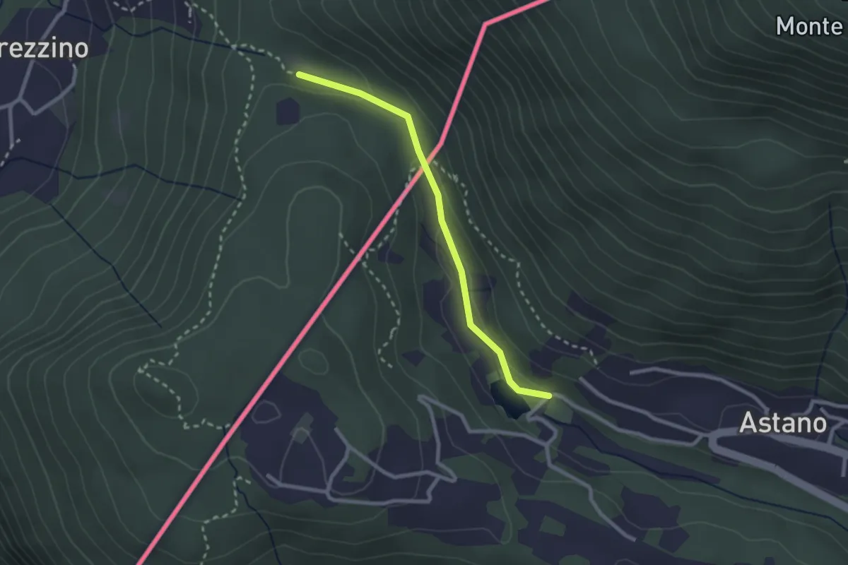
Easy · Trail
Dumenza – Laghetto di Astano (CH)
2.3 km · ↑ 70 m · 42 min · 12 km away
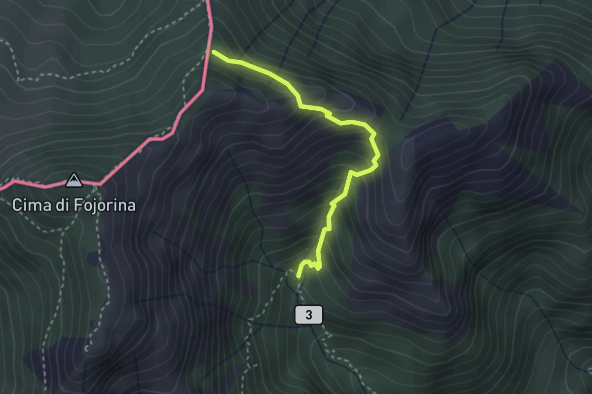
Medium · Trail
Alpe Fiorina – sent 601 per cima Fiorina
2.7 km · ↑ 326 m · 1 h 20 min · 12 km away
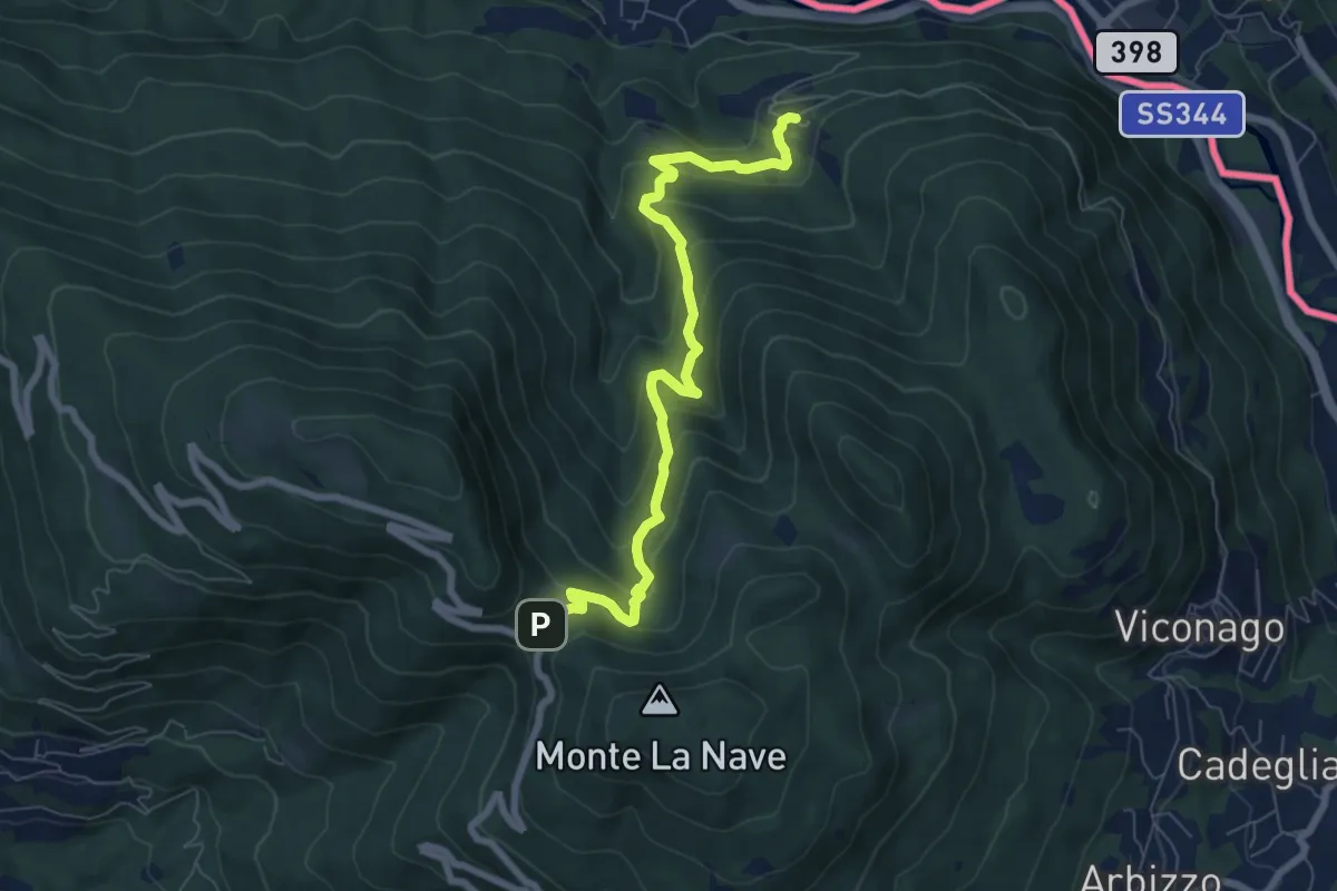
Medium · Trail
Avigno – Pian Della Nave
7.4 km · ↑ 545 m · 2 h 56 min · 12 km away
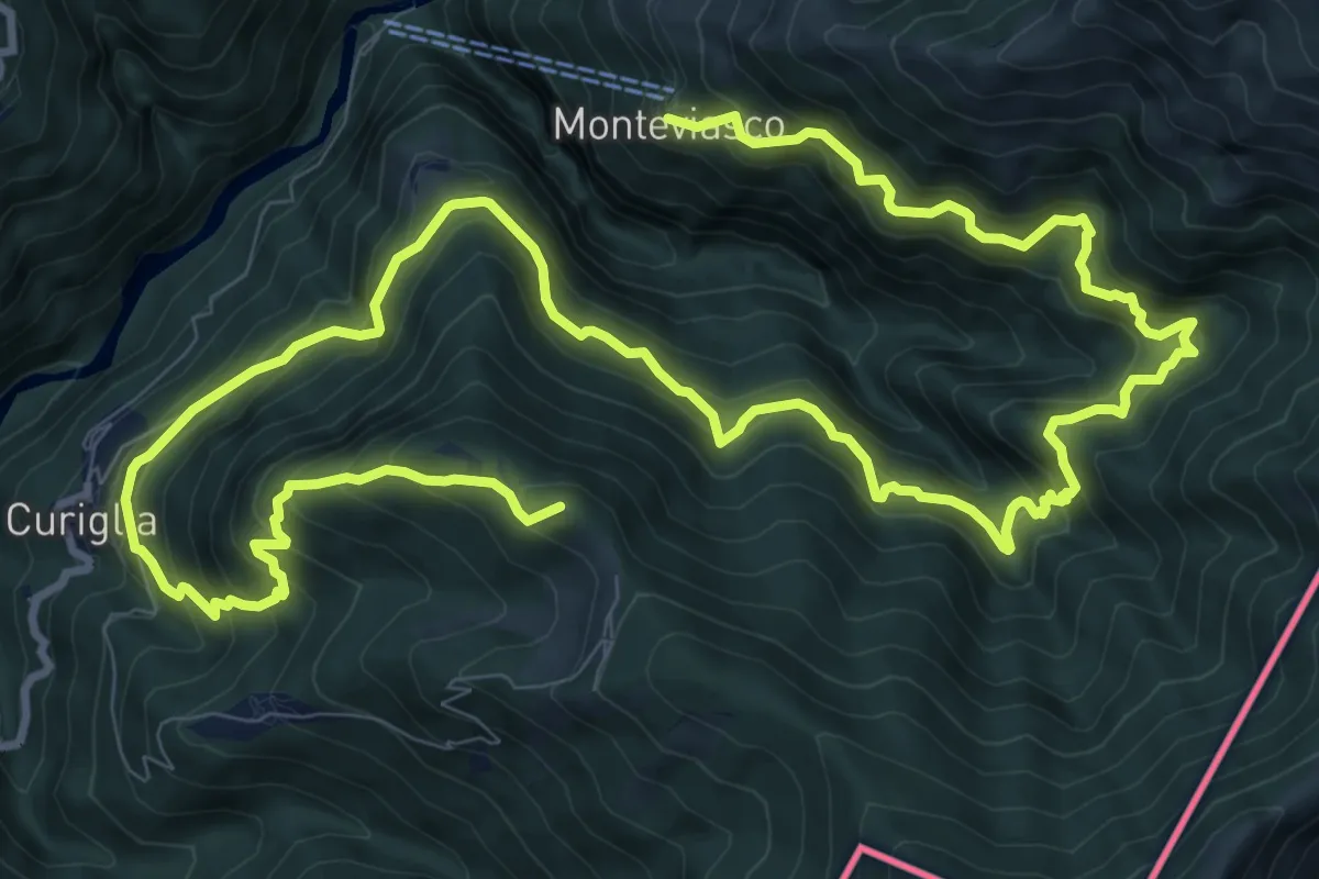
Demanding · Summit
Monteviasco – Rifugio Campiglio al Pradecolo
19.1 km · ↑ 1904 m · 8 h 38 min · 12 km away
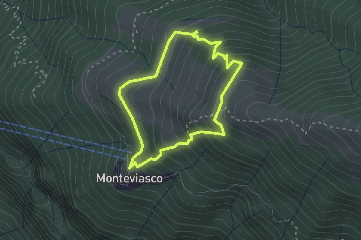
Medium · Trail
Monteviasco – Monteviasco
2.0 km · ↑ 233 m · 1 h · 12 km away
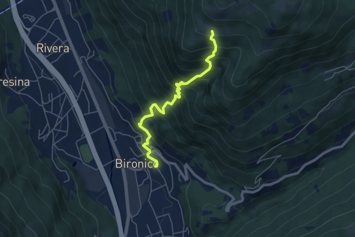
Medium · Trail
Bironico – Troggiano
4.5 km · ↑ 612 m · 2 h 23 min · 12 km away
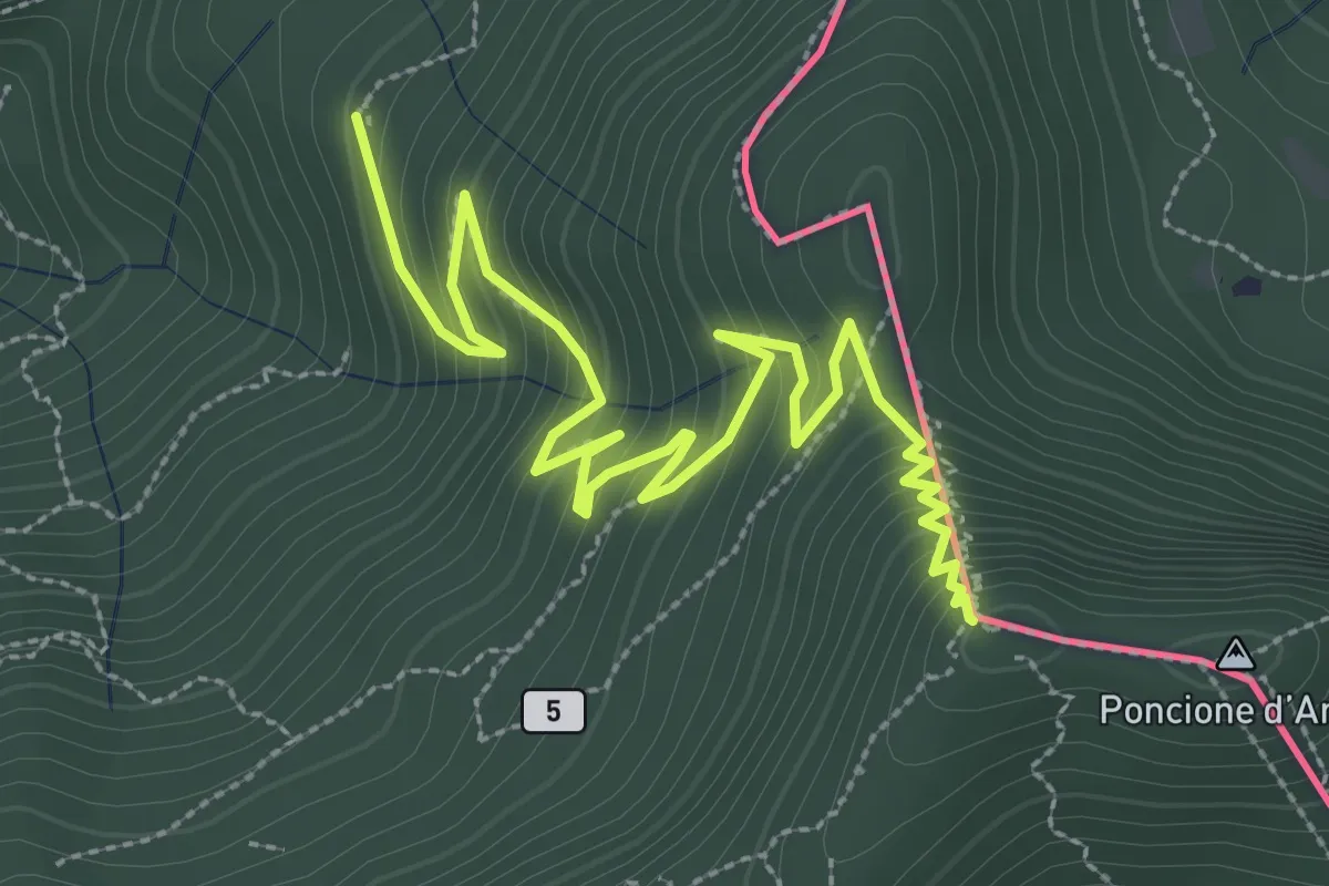
Medium · Summit
Besano – Monte Pravello
4.1 km · ↑ 402 m · 1 h 50 min · 12 km away
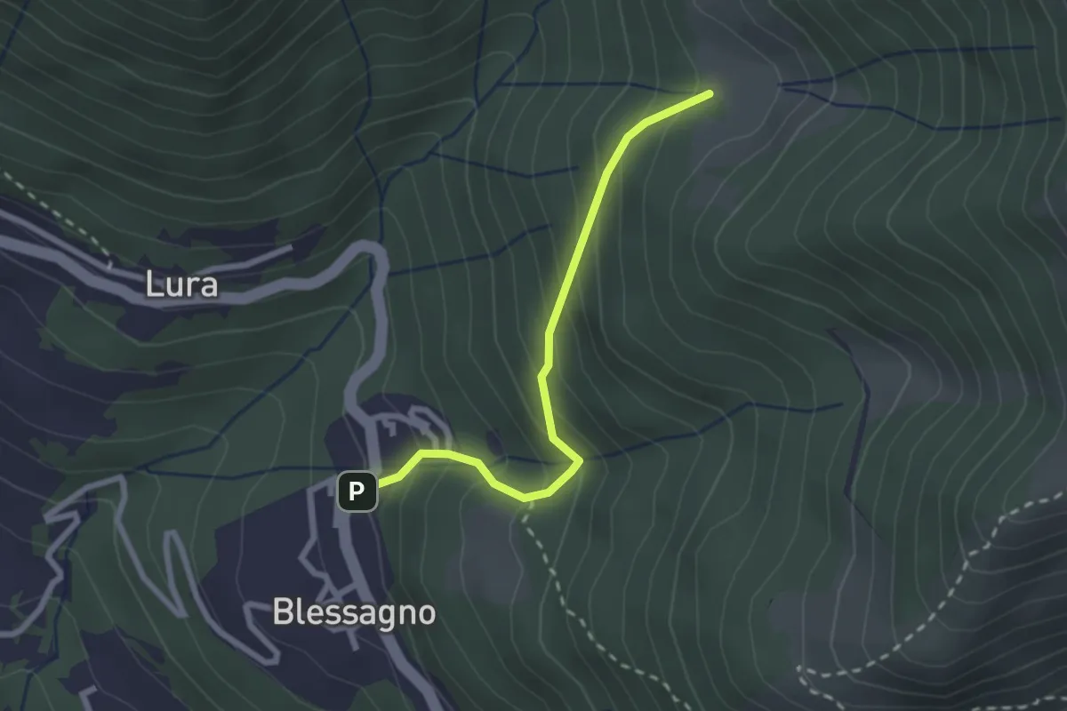
Easy · Cabin
Blessagno – Alpe di Blessagno
2.3 km · ↑ 267 m · 1 h 7 min · 12 km away
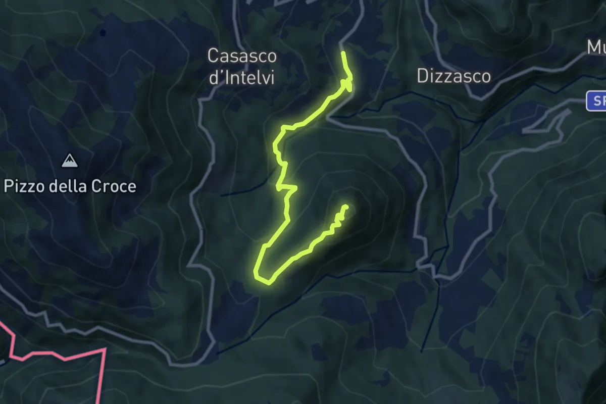
Medium · Summit
Cerano d'Intelvi – San Zeno
8.4 km · ↑ 455 m · 2 h 58 min · 12 km away
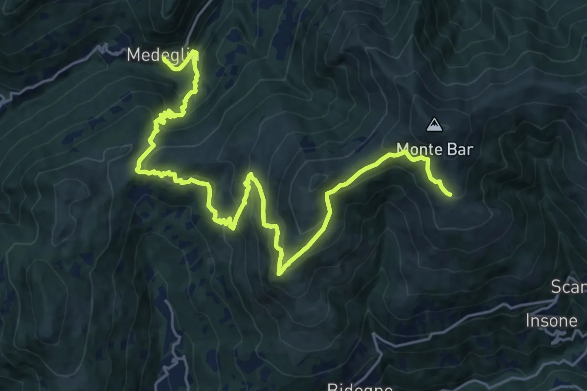
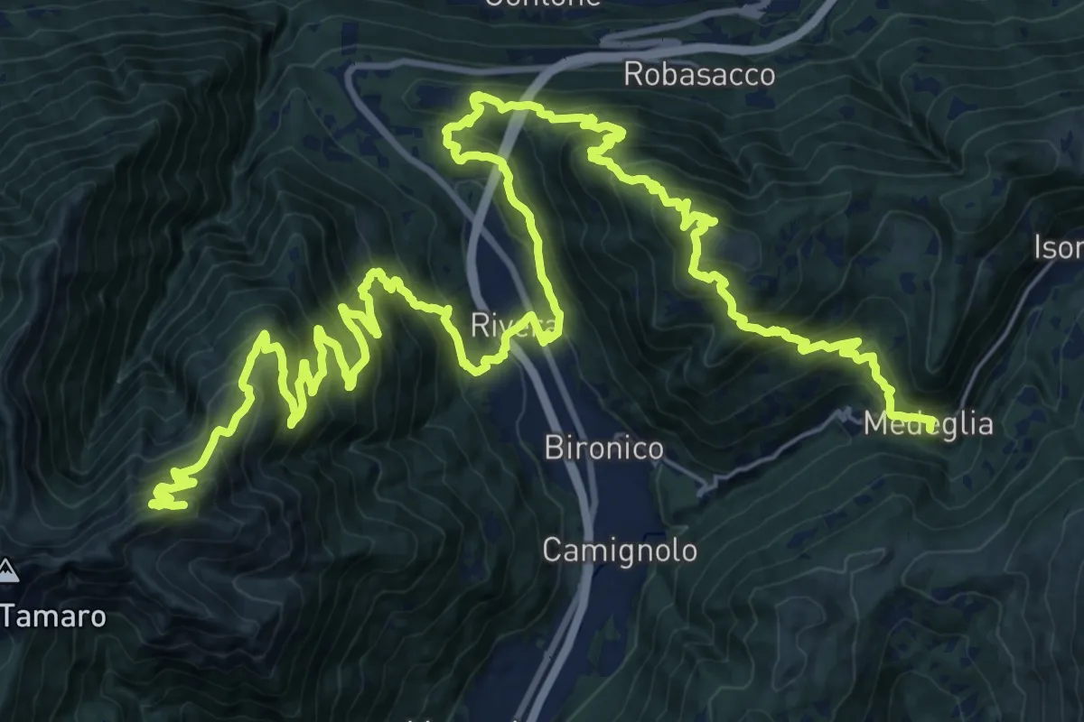
Demanding · Cabin
Sentiero Lago di Lugano
20.5 km · ↑ 1349 m · 7 h 46 min · 12 km away
Demanding · Summit
Sentiero Lago di Lugano
44.0 km · ↑ 3142 m · 17 h 12 min · 12 km away
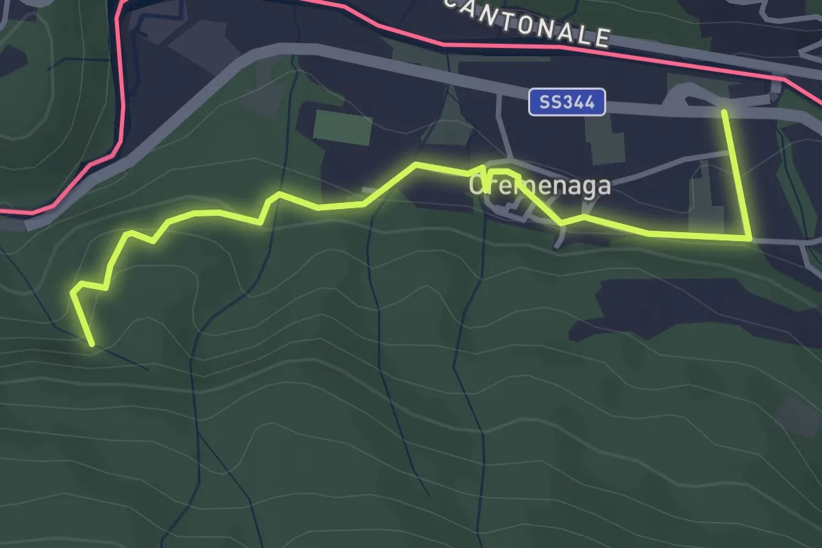
Easy · Trail
Voldomino – Cremenaga
3.6 km · ↑ 186 m · 1 h 16 min · 12 km away
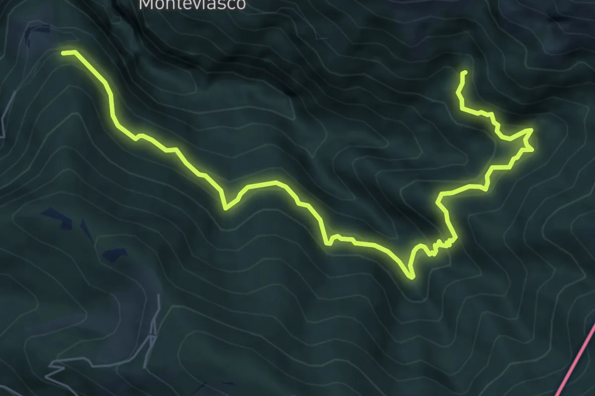
Demanding · Trail
109 3V (Tappa 9 Via Verde Varesina)
8.5 km · ↑ 830 m · 3 h 48 min · 12 km away
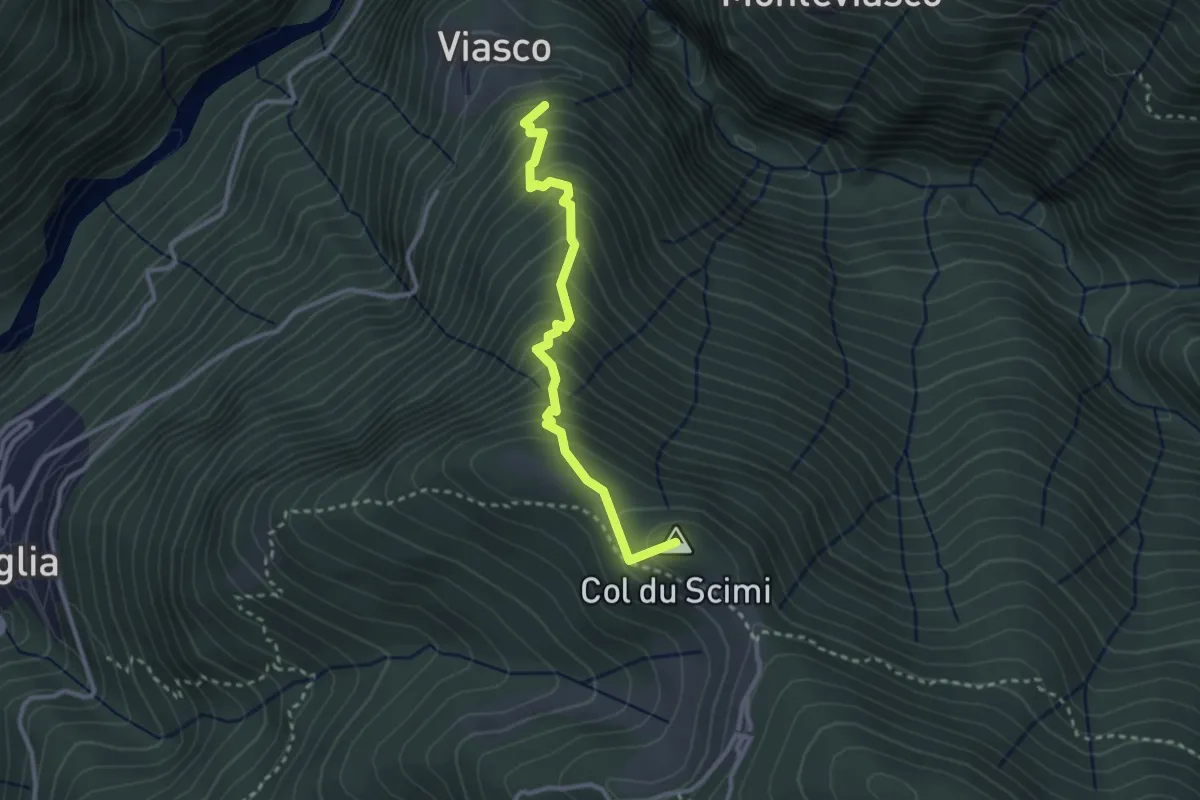
Medium · Summit
Viasco – Alpone
2.8 km · ↑ 377 m · 1 h 28 min · 12 km away
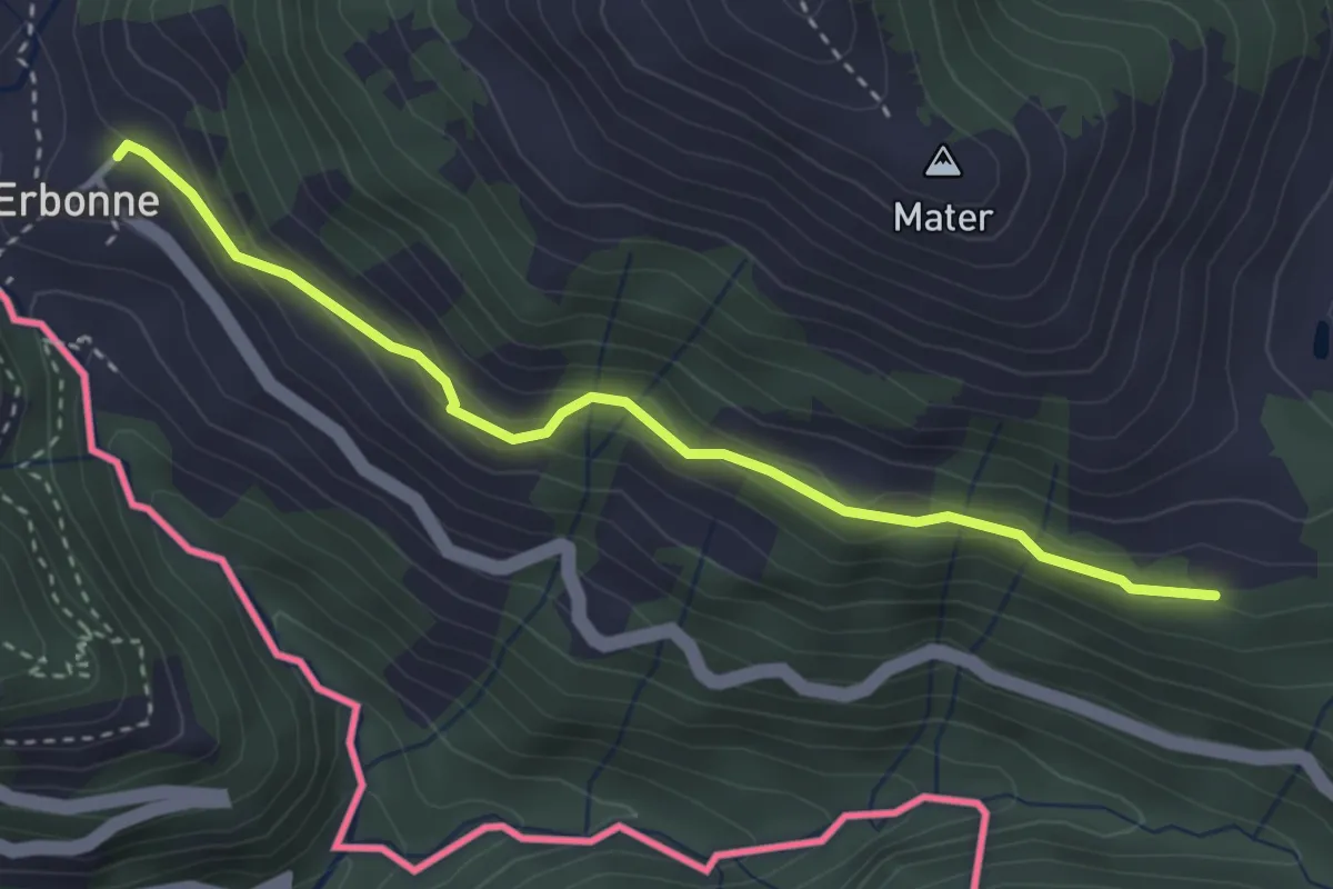
Easy · Trail
CamminaForeste - Tappa 8E
3.4 km · ↑ 188 m · 1 h 12 min · 12 km away
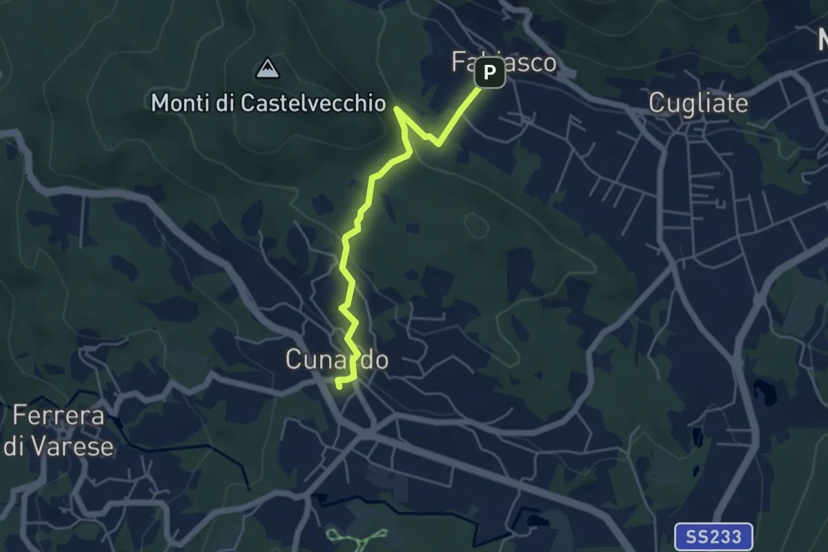
Easy · Trail
Cugliate Fabiasco – Cunardo
4.3 km · ↑ 154 m · 1 h 21 min · 13 km away
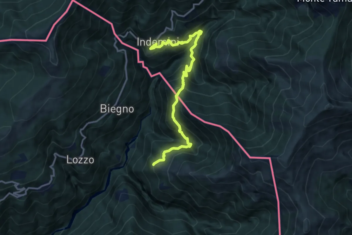
Demanding · Trail
Monteviasco – Indemini (CH)
10.4 km · ↑ 938 m · 4 h 29 min · 13 km away
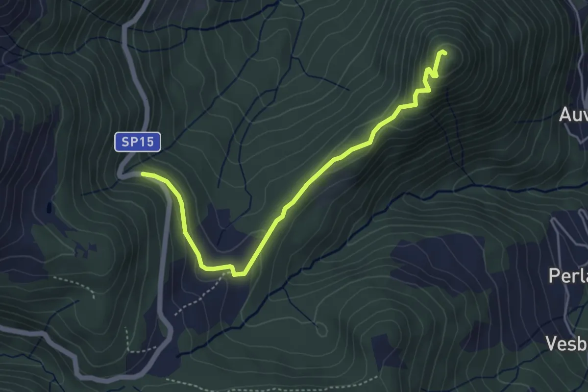
Easy · Summit
SP15 di Erbonne – San Zeno
4.4 km · ↑ 161 m · 1 h 23 min · 13 km away
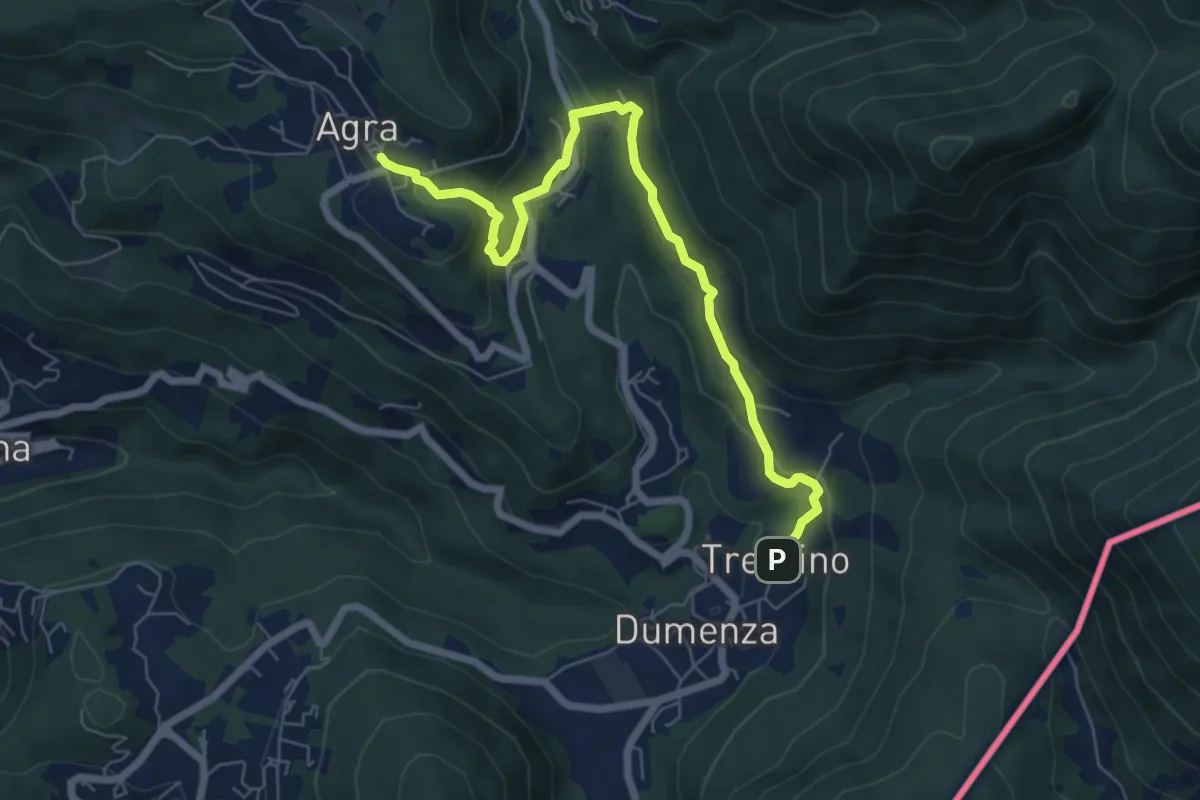
Easy · Trail
Agra – Dumenza
7.1 km · ↑ 299 m · 2 h 20 min · 13 km away
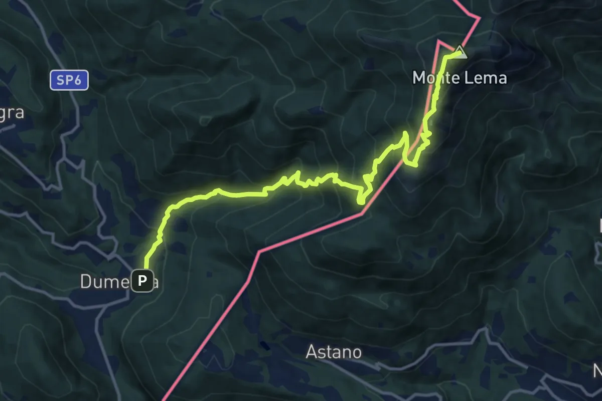
Demanding · Summit
108 3V (Tappa 8 Via Verde Varesina)
13.6 km · ↑ 1196 m · 5 h 49 min · 13 km away
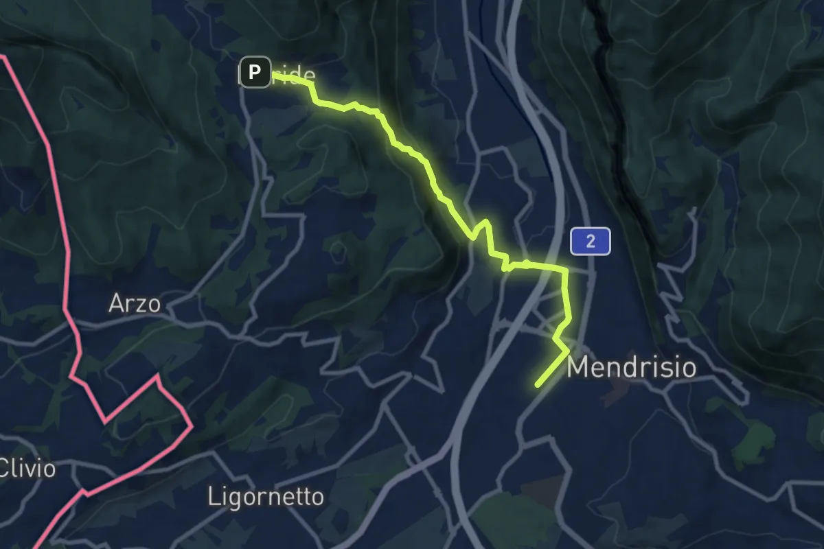
Medium · Trail
Meride – Mendrisio Stazione
8.9 km · ↑ 326 m · 2 h 48 min · 13 km away
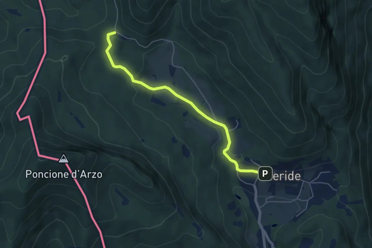
Easy · Trail
Crocifisso – Meride
4.8 km · ↑ 121 m · 1 h 23 min · 13 km away