Trails near Lugano
370 hikes starting within 15 km, nearest first.
Nearest first, page 7 of 8
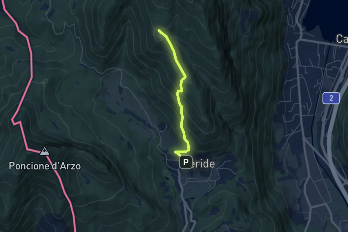
Easy · Trail
Meride – Cassina
4.6 km · ↑ 309 m · 1 h 45 min · 13 km away
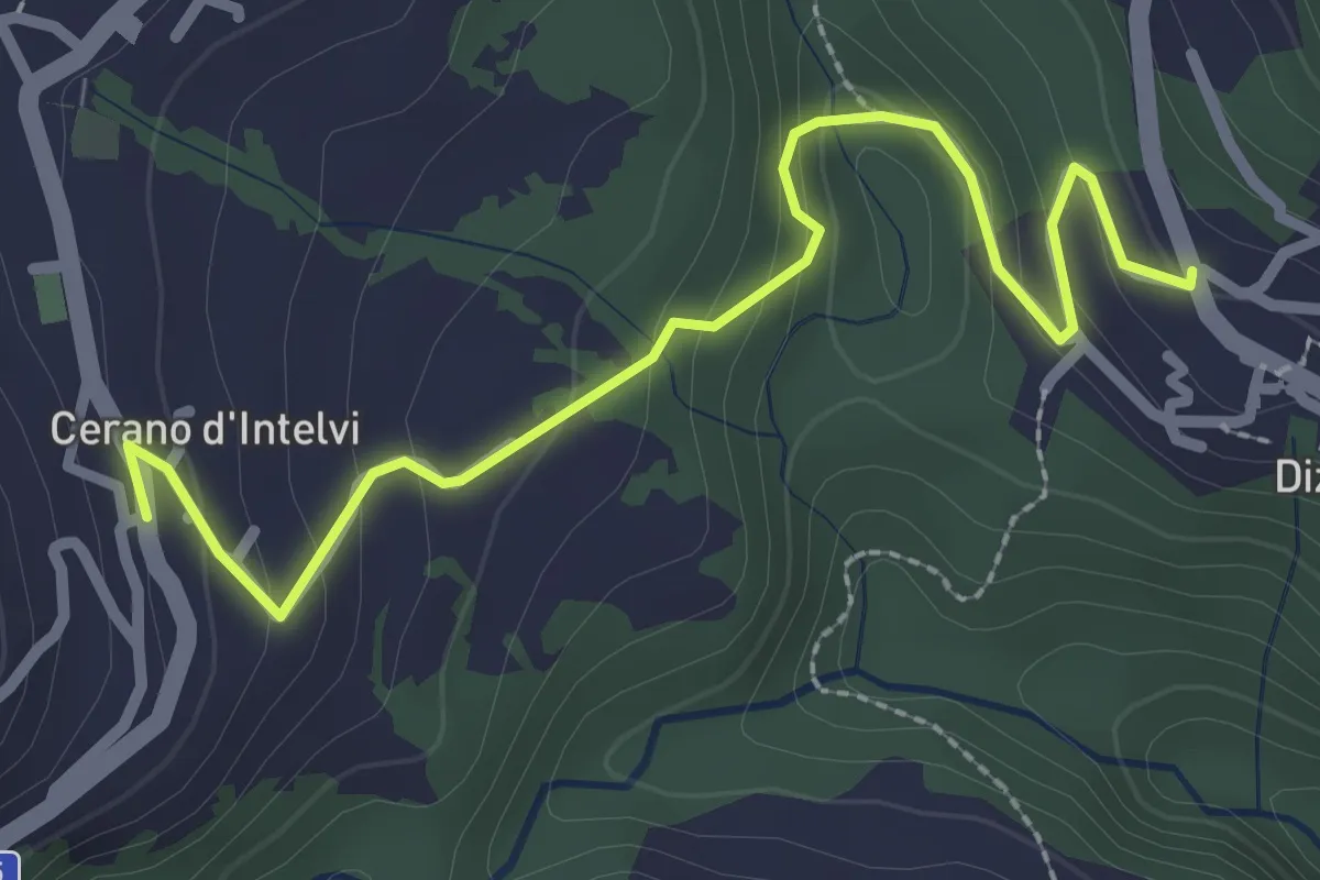
Easy · Trail
Dizzasco – Cerano
2.9 km · ↑ 168 m · 1 h 3 min · 13 km away
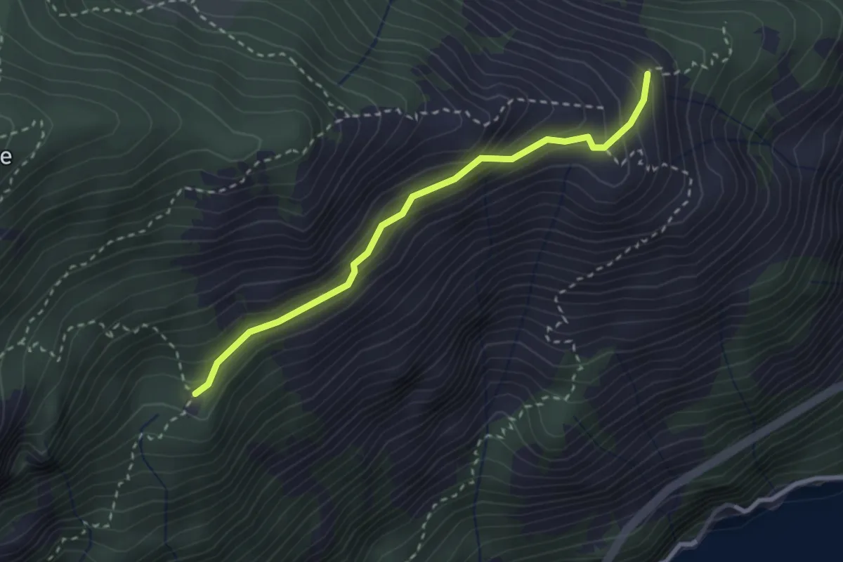
Medium · Cabin
Alpe Vecchio – Ghiserba
2.7 km · ↑ 207 m · 1 h 5 min · 13 km away
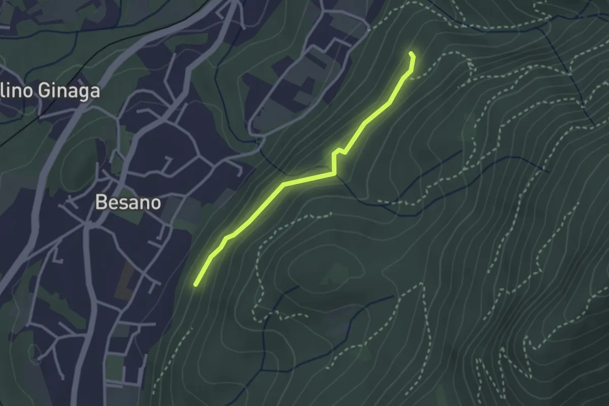
Easy · Trail
Bivio rocce cadenti – Intersezione con 461A
2.5 km · ↑ 116 m · 50 min · 13 km away
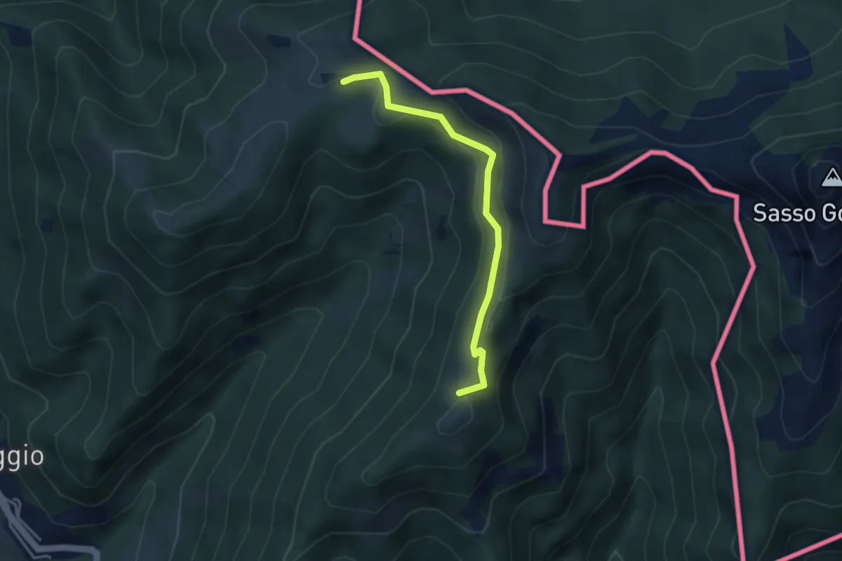
Medium · Summit
Arla – Alpe Bonello
3.3 km · ↑ 148 m · 1 h 7 min · 13 km away
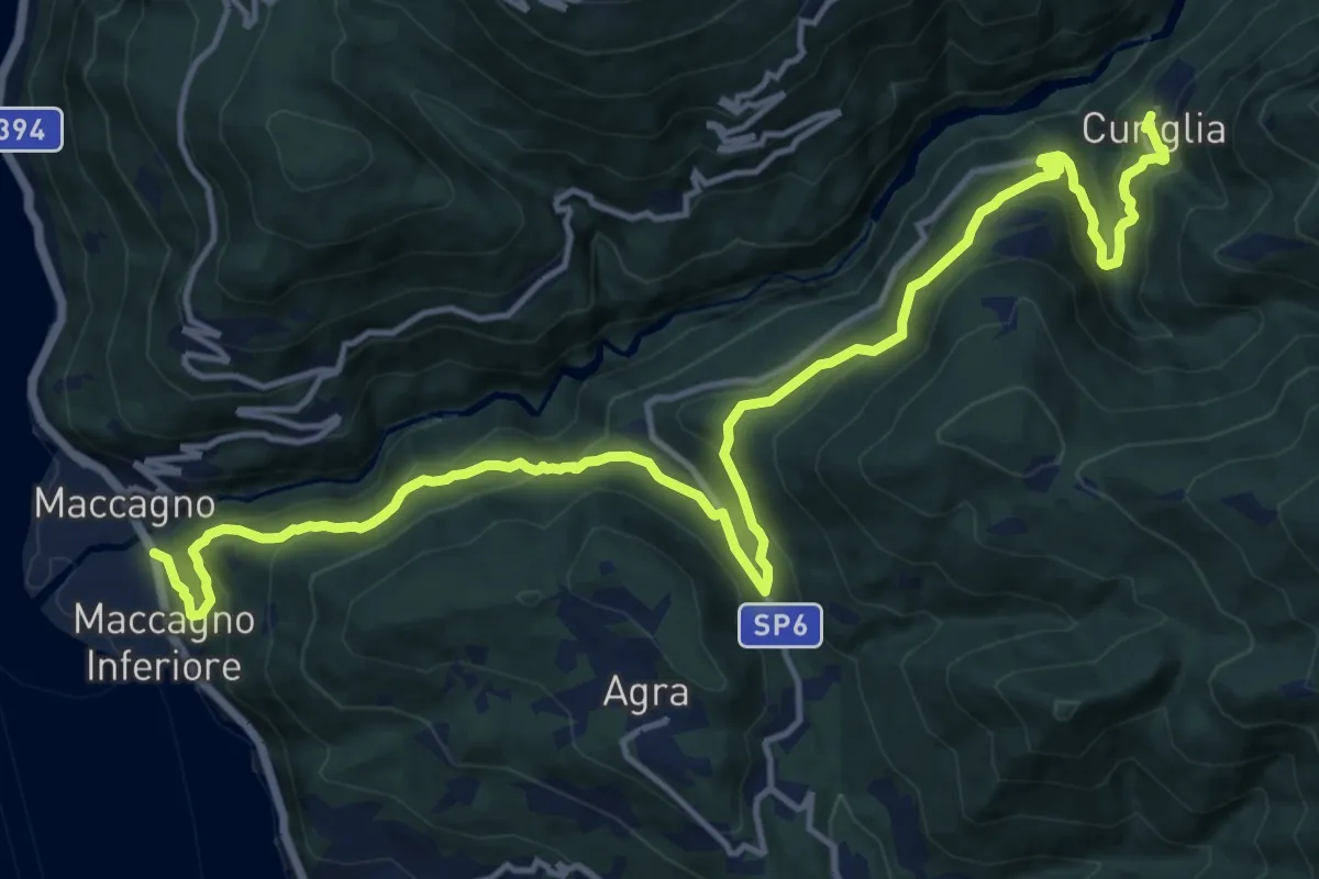
Demanding · Trail
Maccagno – Curiglia
18.6 km · ↑ 1112 m · 6 h 49 min · 13 km away
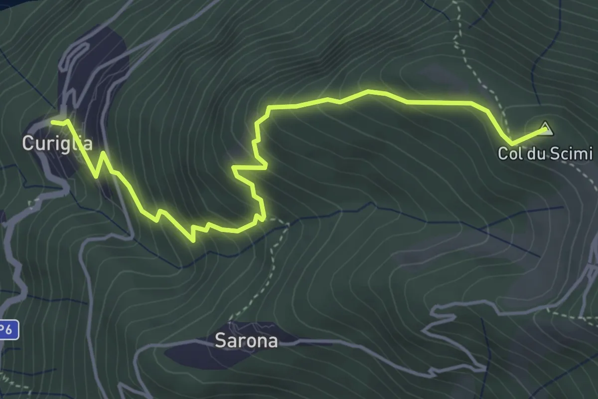
Medium · Summit
Alpone – Curiglia
4.8 km · ↑ 565 m · 2 h 21 min · 13 km away
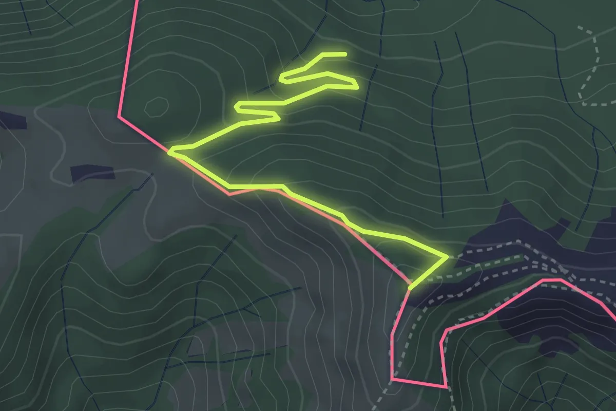
Medium · Summit
Pian delle Alpi – Rif. Prabello
3.9 km · ↑ 291 m · 1 h 34 min · 13 km away
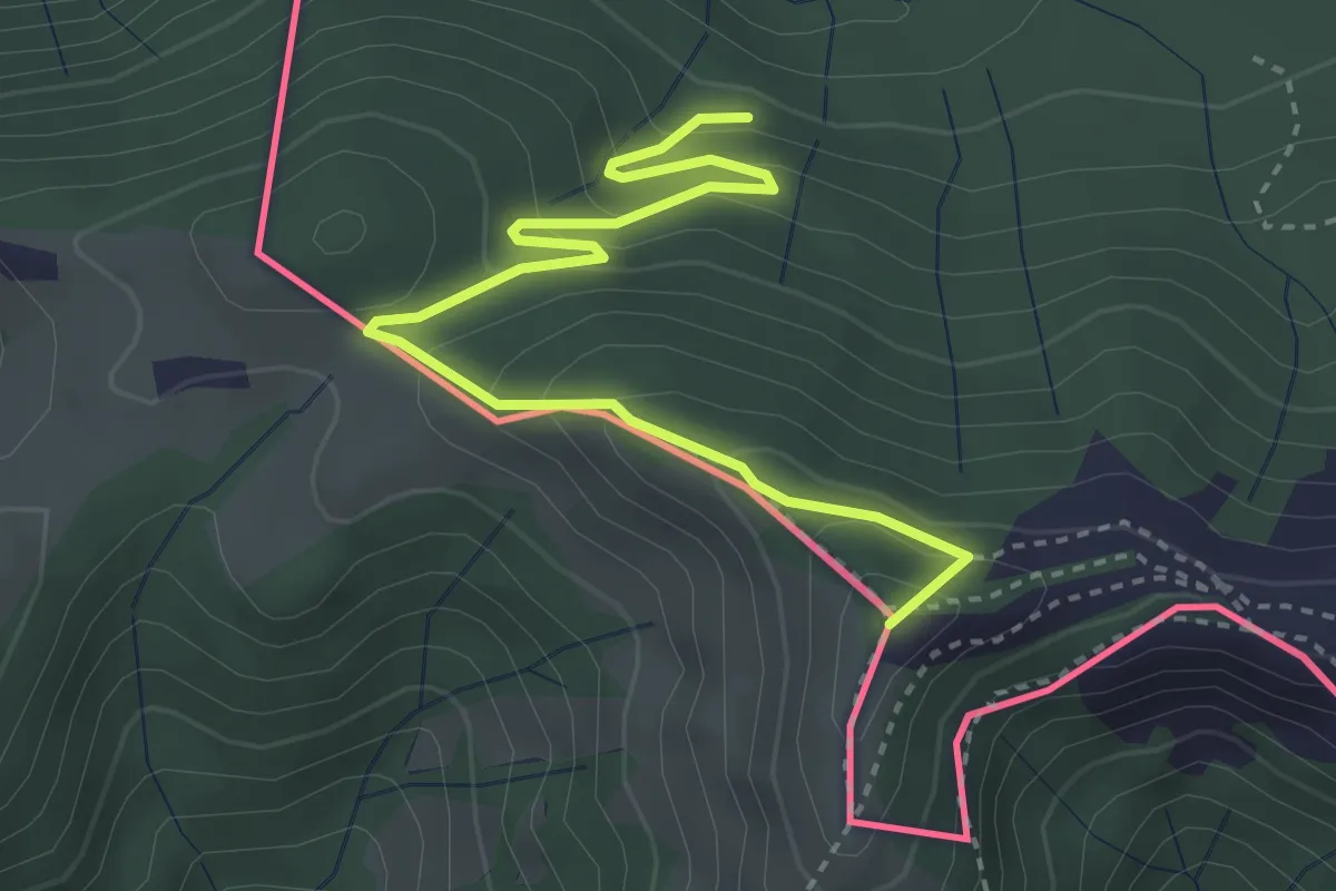
Medium · Summit
Rifugio Prabello – Rifugio Boffalora
3.9 km · ↑ 291 m · 1 h 34 min · 13 km away
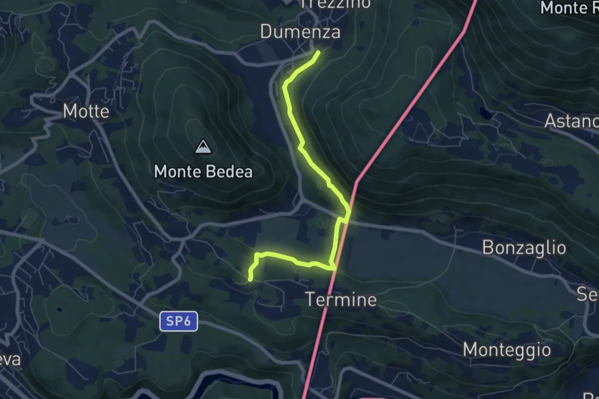
Medium · Trail
207 3V (Tappa 7 Via Verde Varesina)
6.1 km · ↑ 175 m · 1 h 49 min · 13 km away
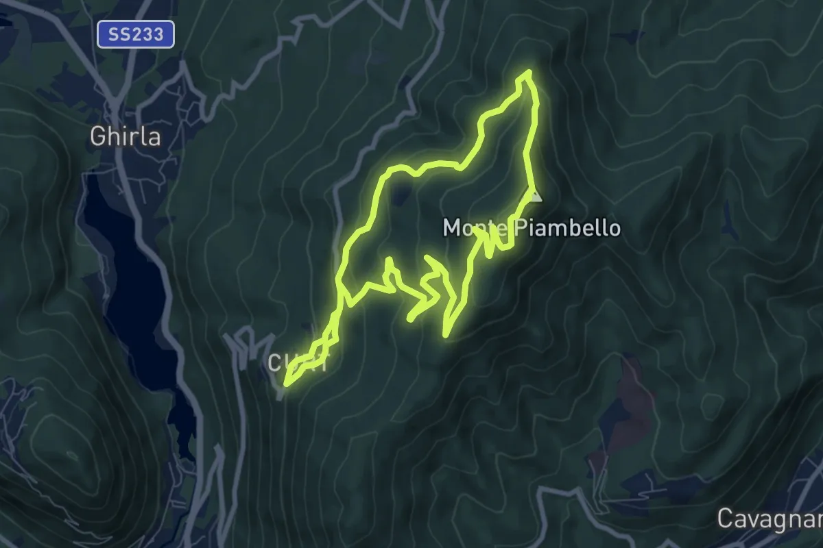
Medium · Summit
Boarezzo anello – Boarezzo
7.8 km · ↑ 425 m · 2 h 52 min · 13 km away
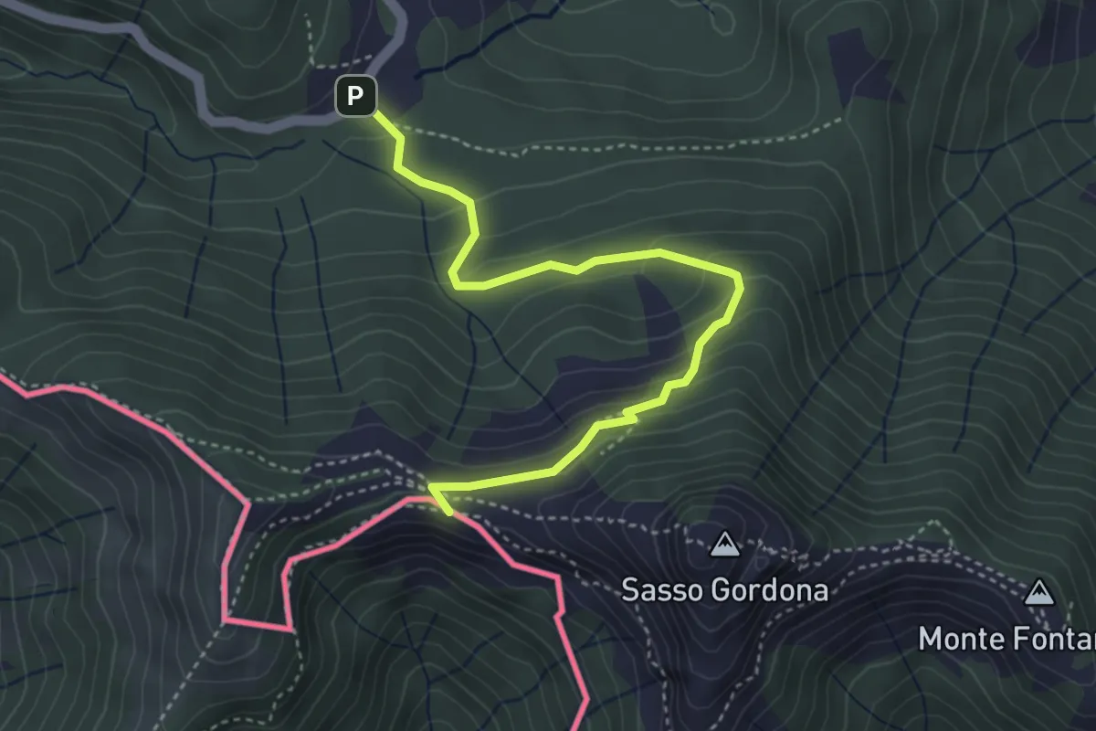
Easy · Cabin
Piano delle Alpi – Rifugio Prabello
4.1 km · ↑ 259 m · 1 h 32 min · 13 km away
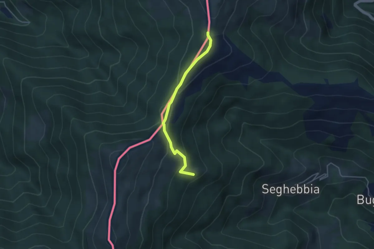
Easy · Cabin
Alpe Colmine
3.3 km · ↑ 136 m · 1 h 4 min · 13 km away
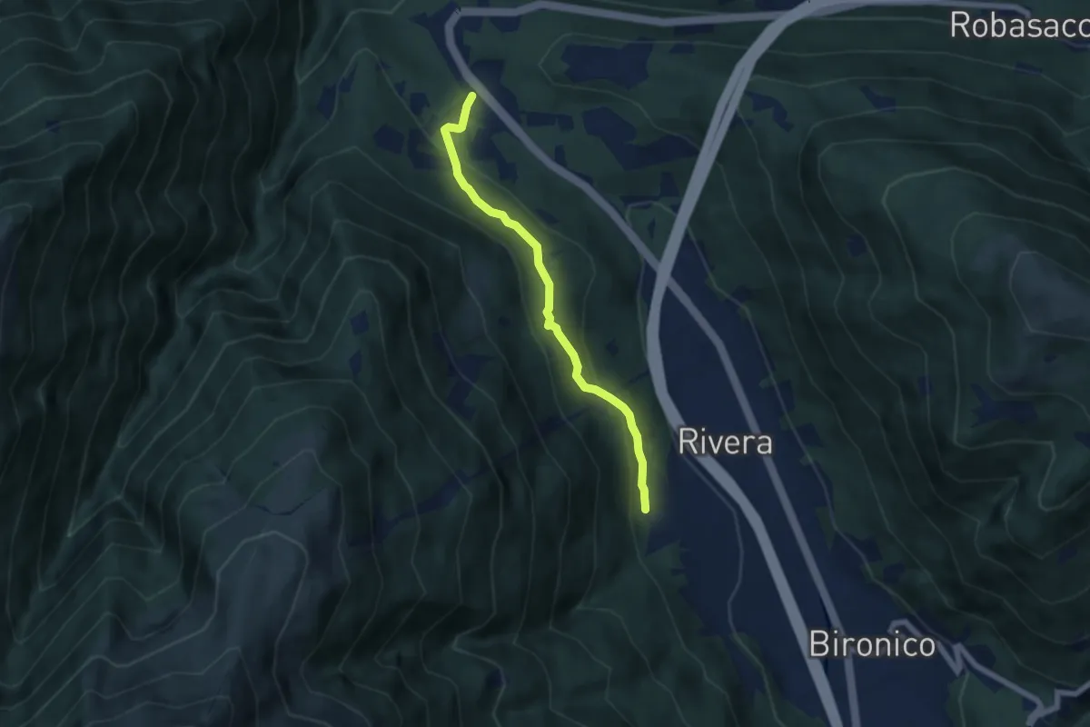
Easy · Trail
Monte Ceneri – Soresina
5.4 km · ↑ 236 m · 1 h 48 min · 13 km away
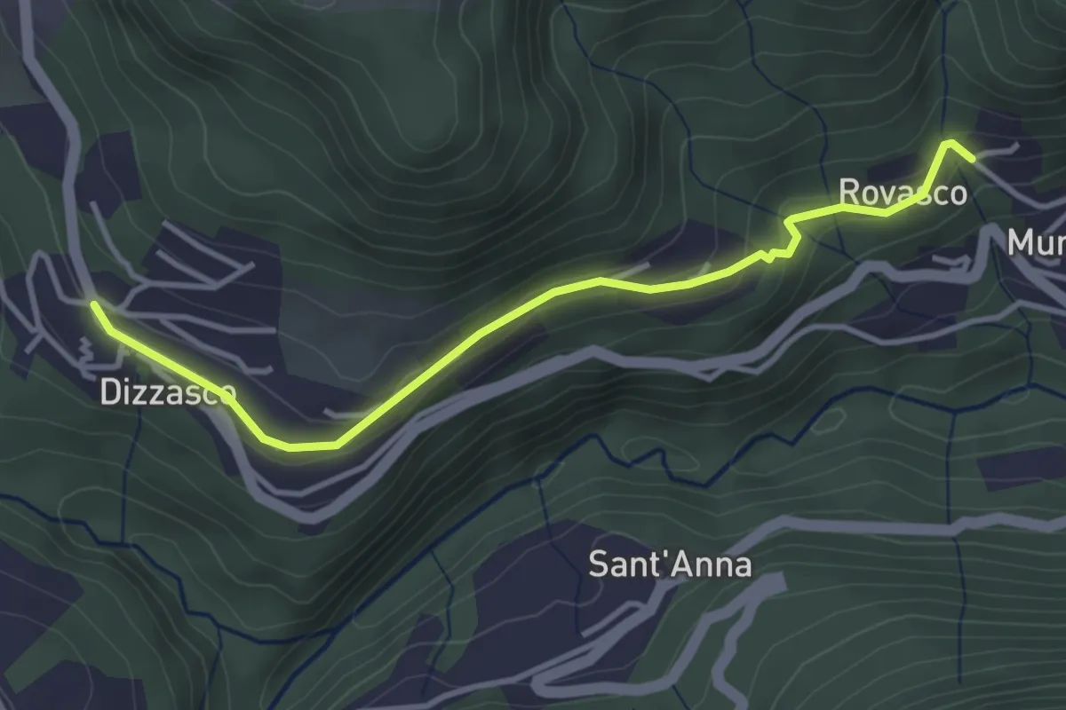
Easy · Trail
Dizzasco – Rovasco
3.6 km · ↑ 143 m · 1 h 10 min · 13 km away
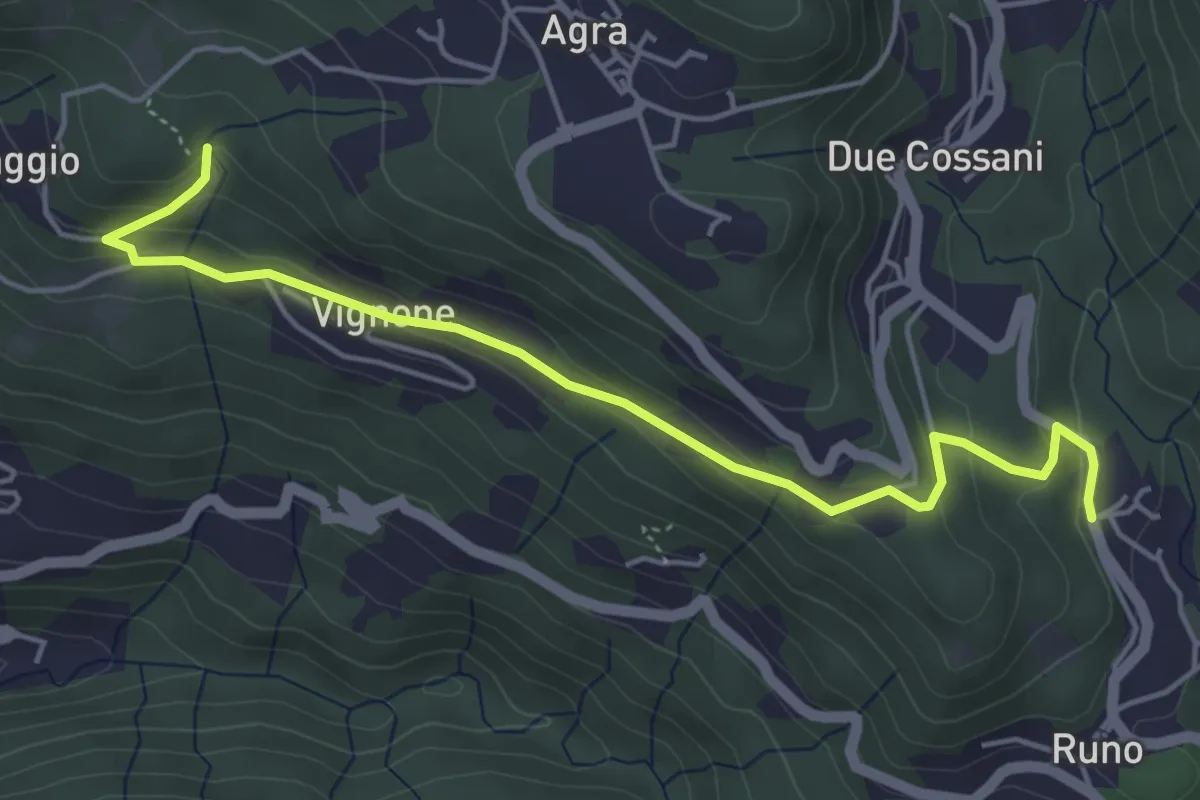
Medium · Trail
Madonna della Lupera – Stivigliano
5.2 km · ↑ 223 m · 1 h 42 min · 13 km away
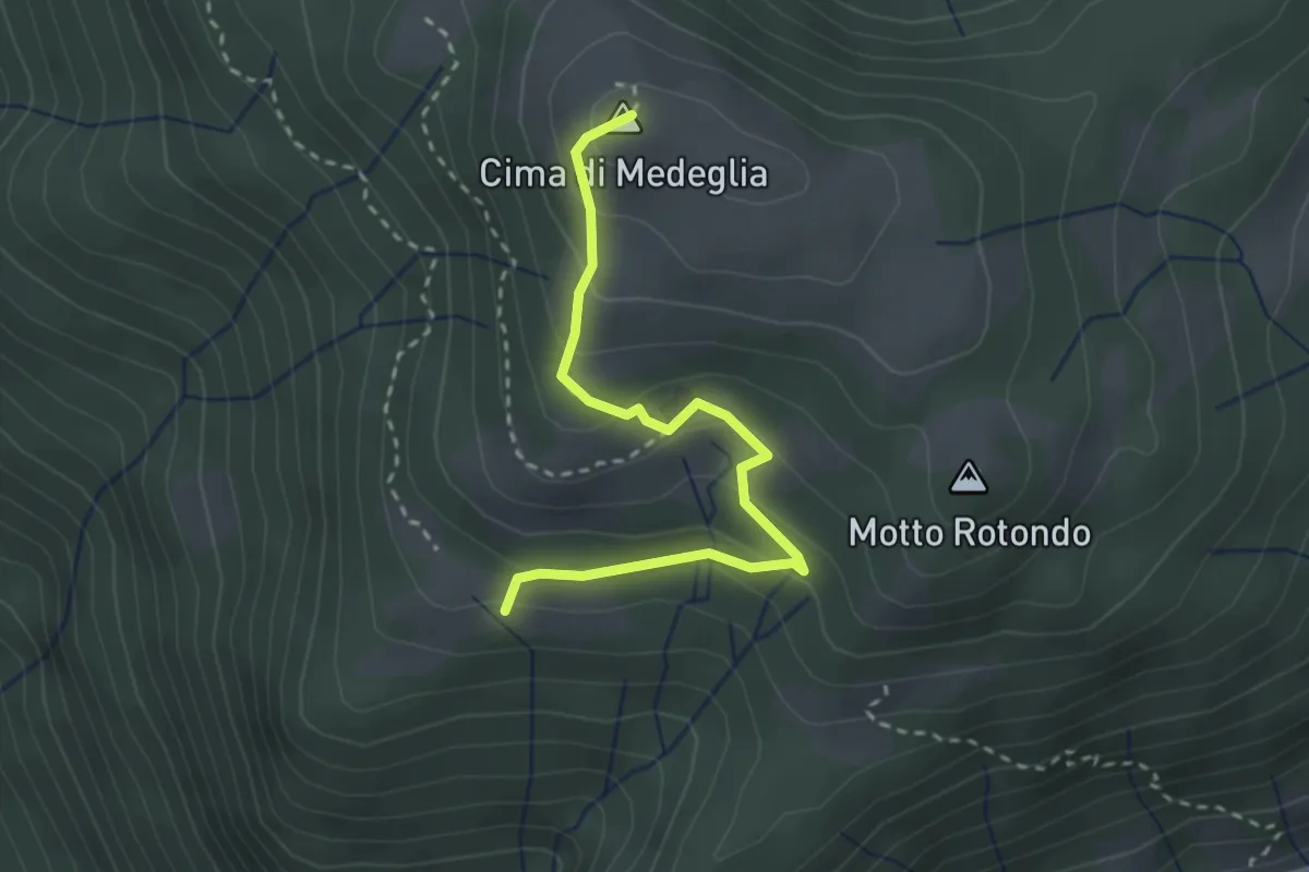
Medium · Summit
Troggiano – Cima di Medeglia
2.9 km · ↑ 169 m · 1 h 3 min · 13 km away
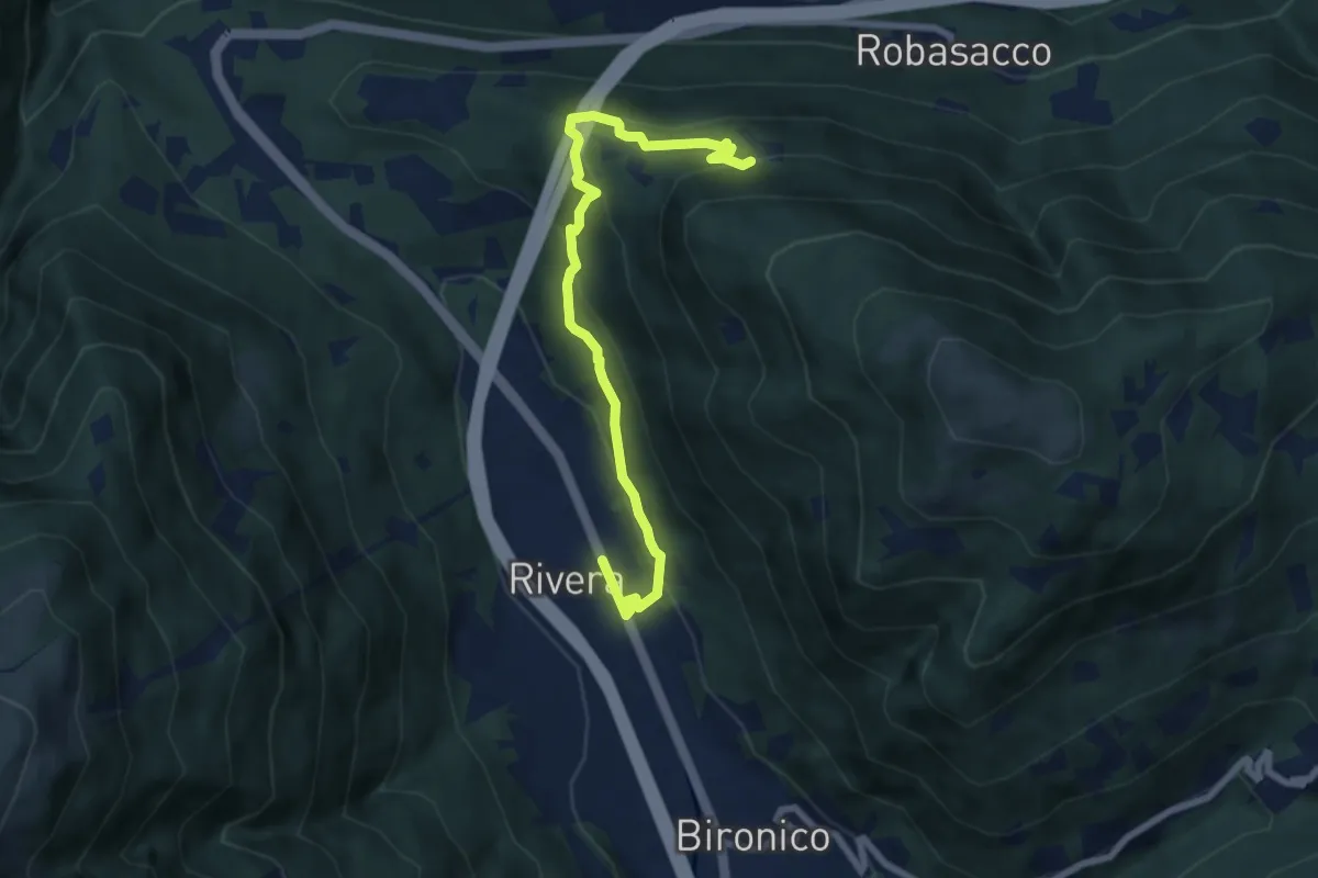
Medium · Trail
Prato Grasso – Rivera St.ne
7.5 km · ↑ 405 m · 2 h 38 min · 13 km away
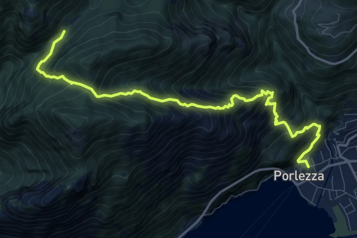
Demanding · Trail
Porlezza – Passo Stretto
10.8 km · ↑ 1317 m · 5 h 24 min · 14 km away
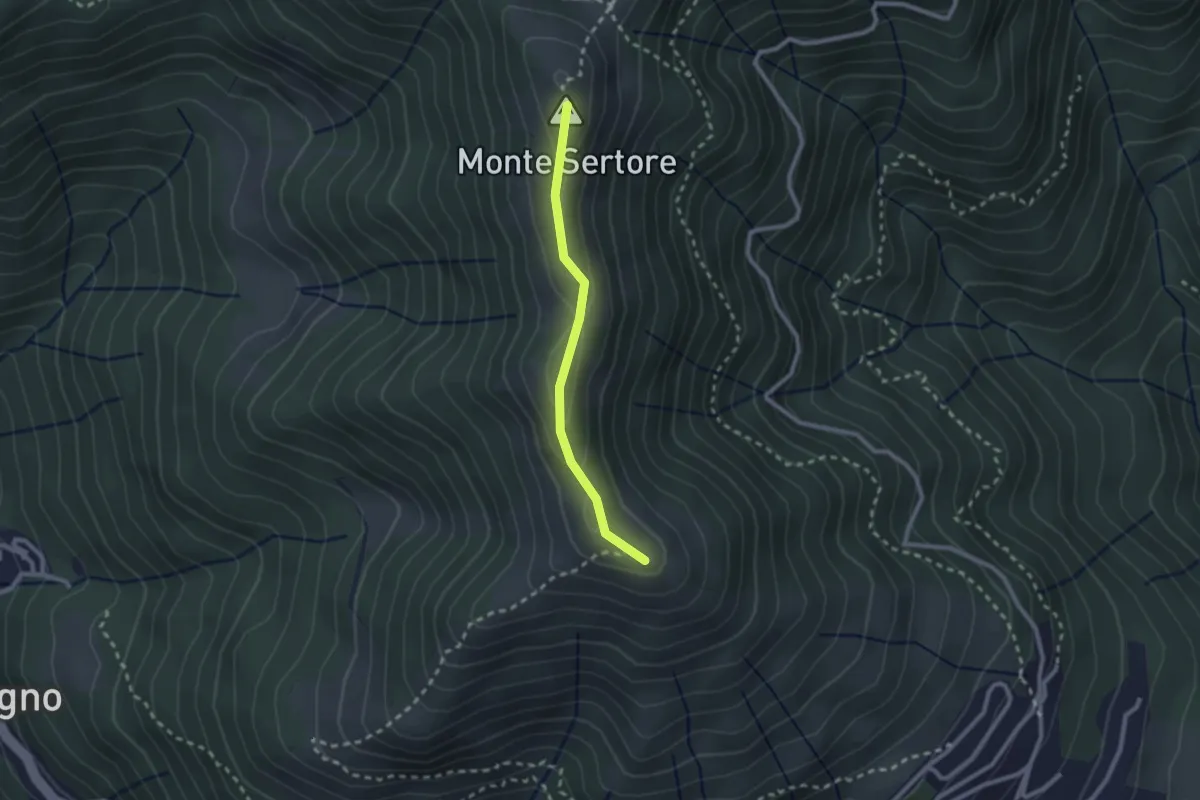
Easy · Summit
Bocchetta di Pigra – Pizzo Pasquella
2.1 km · ↑ 71 m · 39 min · 14 km away
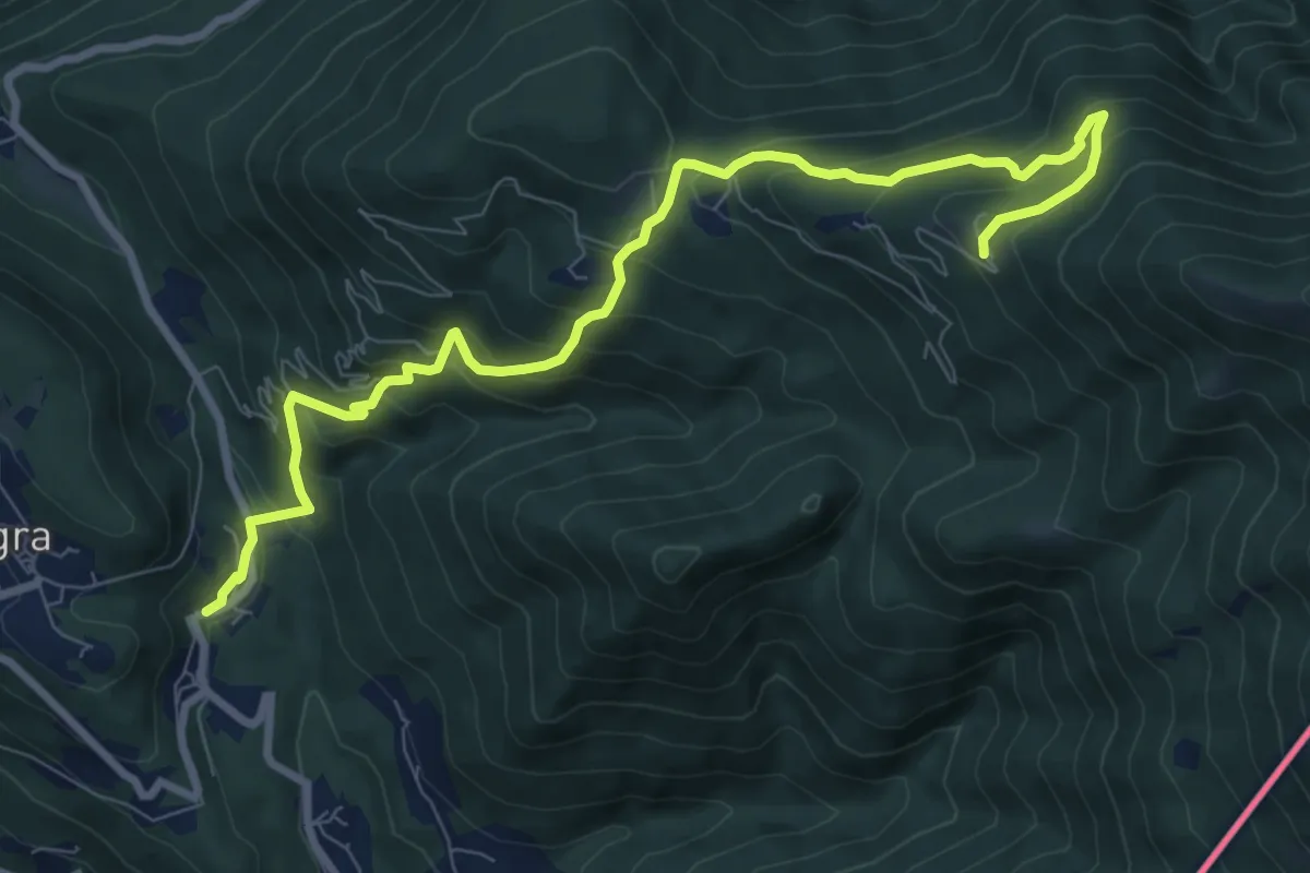
Medium · Cabin
Due Cossani – Pradecolo
9.9 km · ↑ 744 m · 3 h 57 min · 14 km away
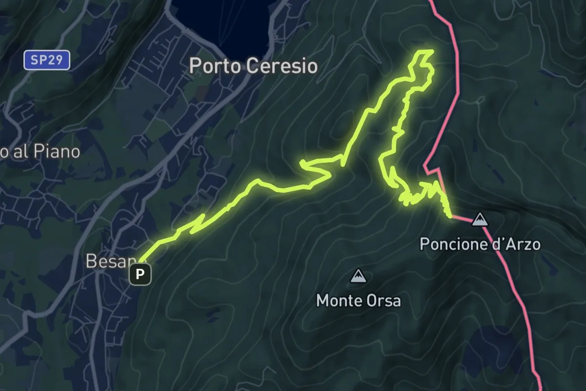
Demanding · Summit
Besano – Monte Pravello
15.0 km · ↑ 1031 m · 5 h 46 min · 14 km away
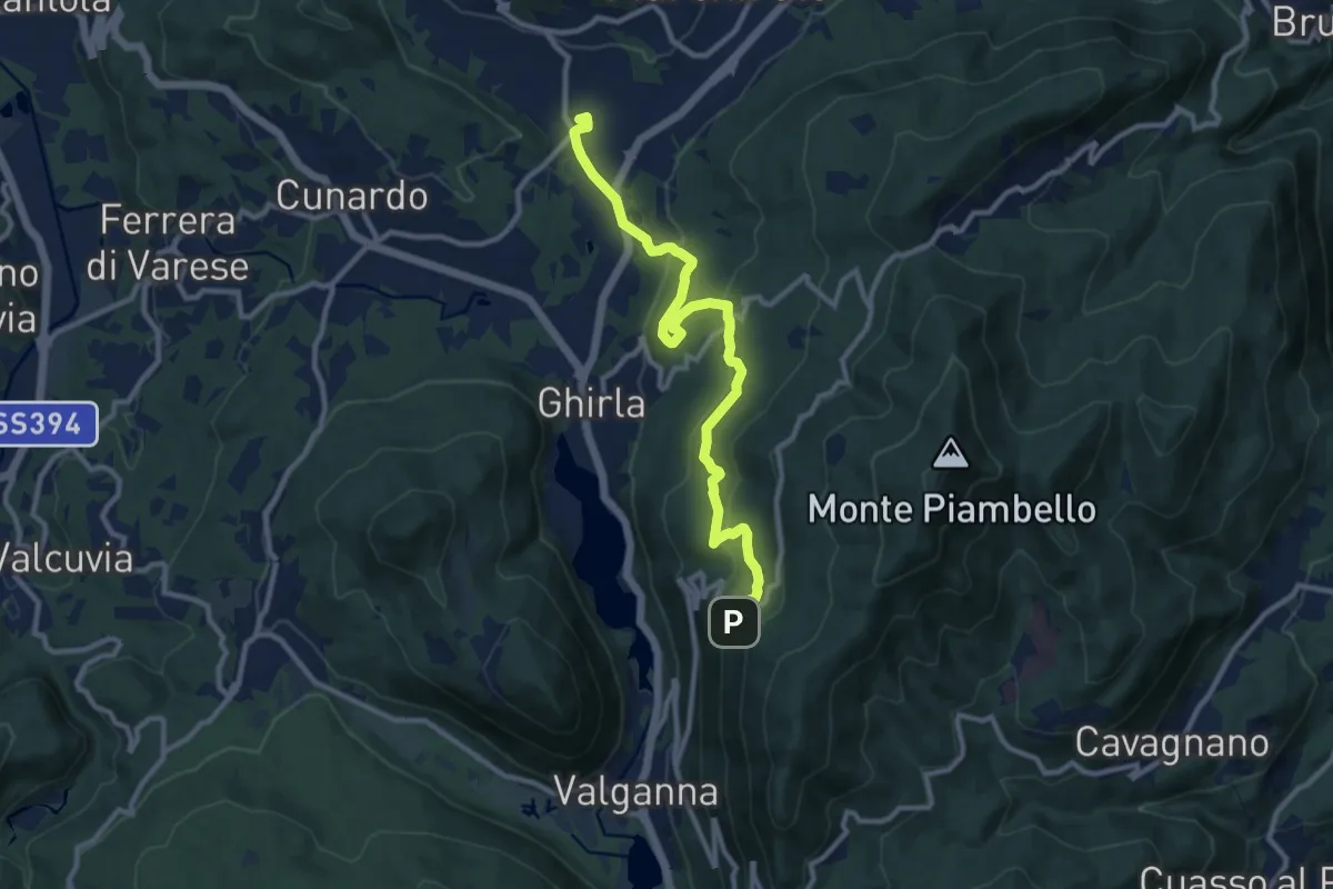
Medium · Trail
Cugliate – Boarezzo
10.9 km · ↑ 365 m · 3 h 22 min · 14 km away
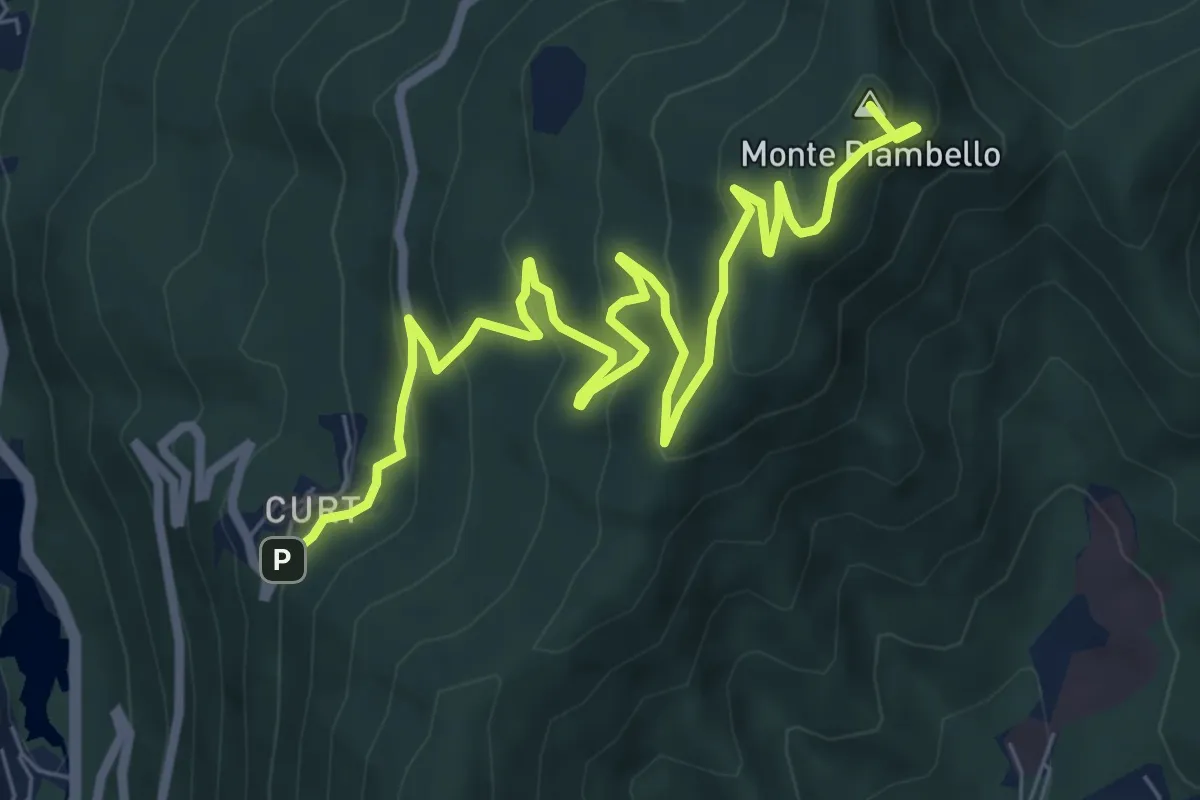
Medium · Summit
Cuasso al Monte – Boarezzo
9.5 km · ↑ 545 m · 3 h 25 min · 14 km away
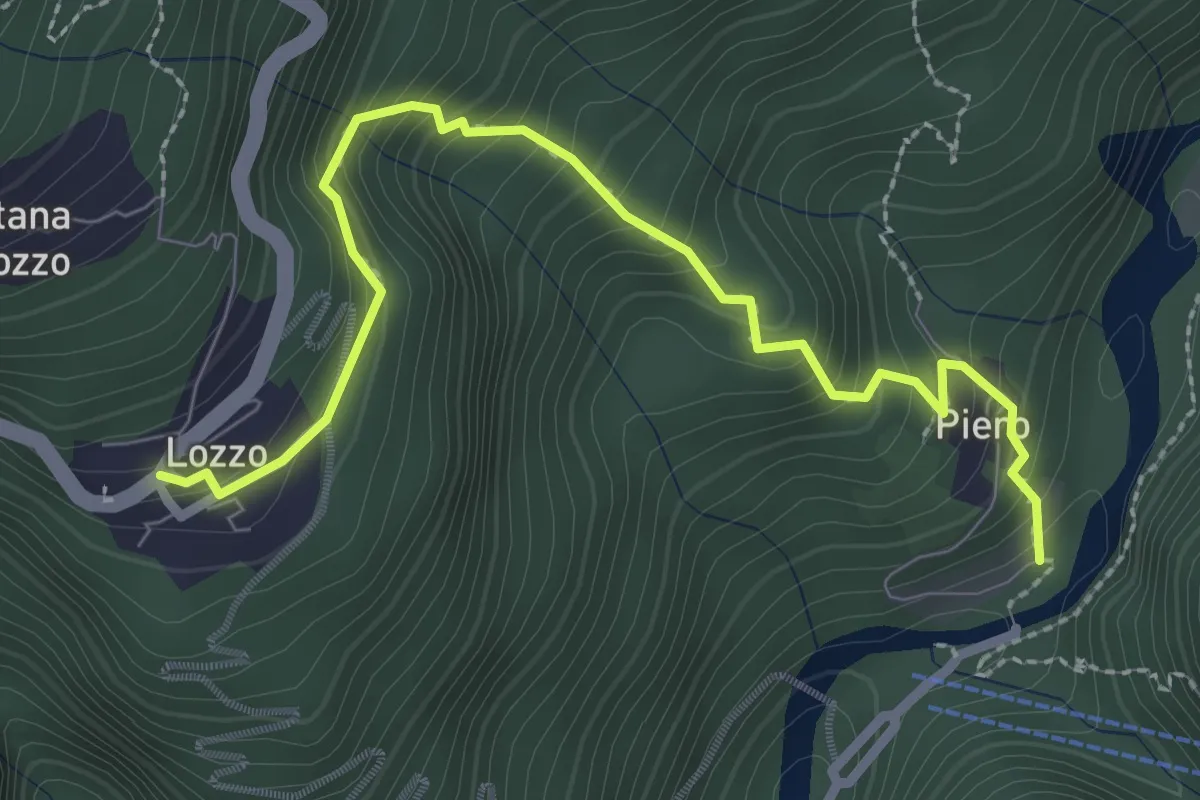
Medium · Trail
Lozzo – Ponte di Piero
3.0 km · ↑ 352 m · 1 h 28 min · 14 km away
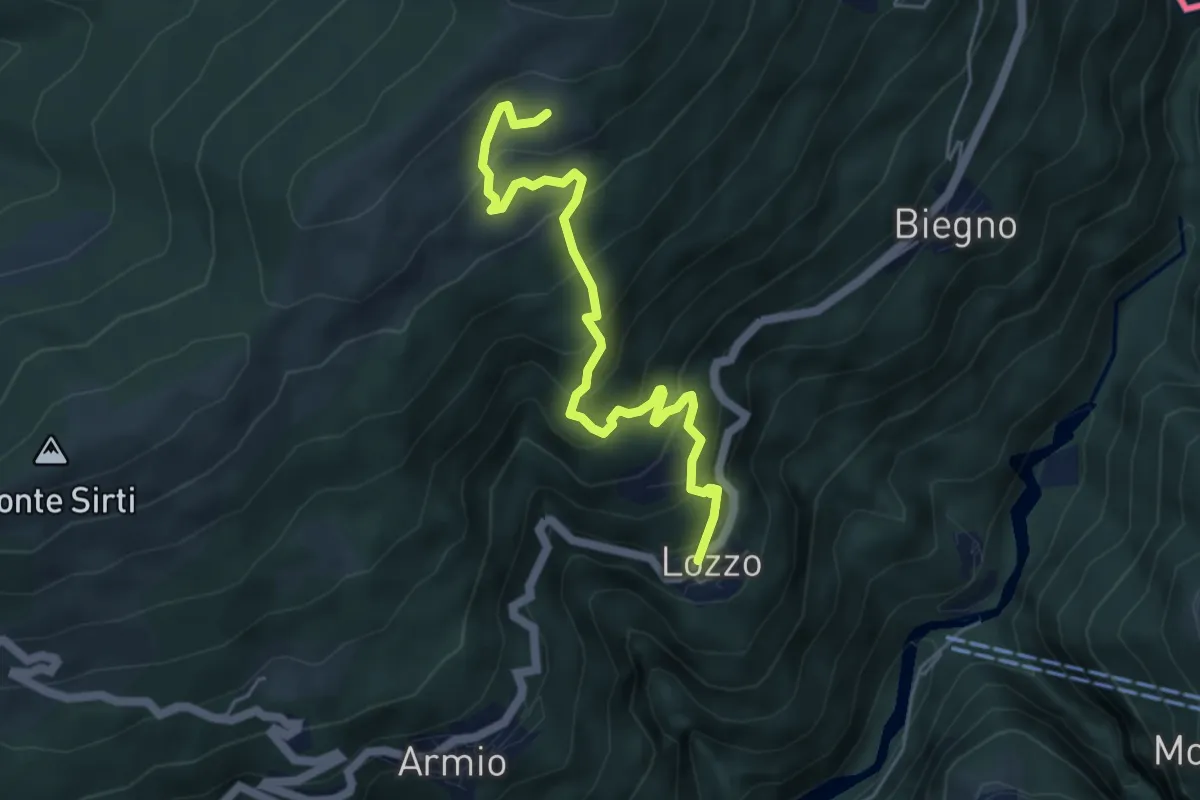
Medium · Trail
Lozzo – Monterecchio
5.3 km · ↑ 489 m · 2 h 19 min · 14 km away
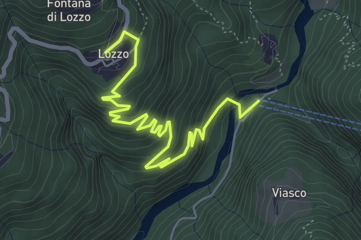
Medium · Trail
Ponte di Piero – Lozzo
5.6 km · ↑ 382 m · 2 h 8 min · 14 km away
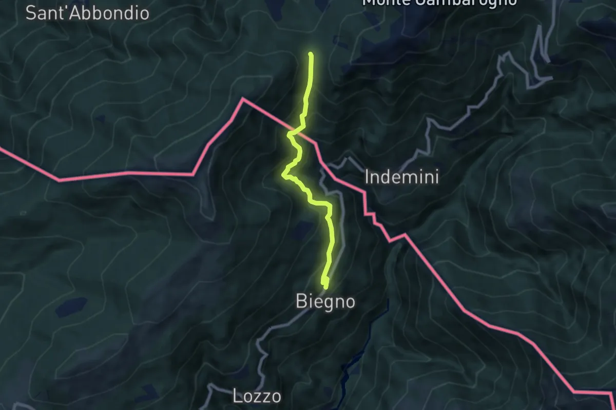
Medium · Cabin
Biegno – Sant'Anna (CH)
5.9 km · ↑ 547 m · 2 h 34 min · 14 km away
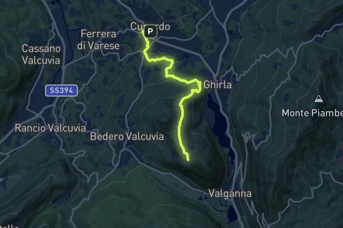
Medium · Trail
Cunardo – Mondonico
10.6 km · ↑ 412 m · 3 h 24 min · 14 km away
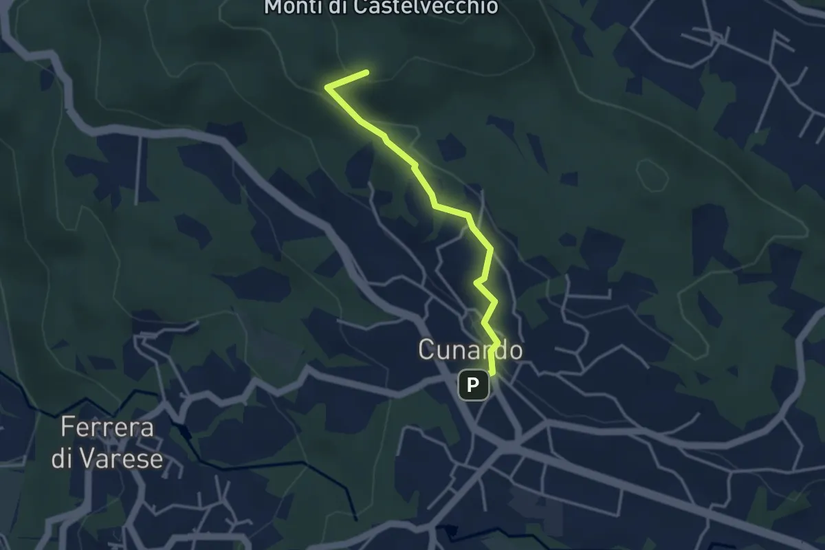
Medium · Summit
Cugliate Fabiasco – Cunardo
3.1 km · ↑ 120 m · 59 min · 14 km away
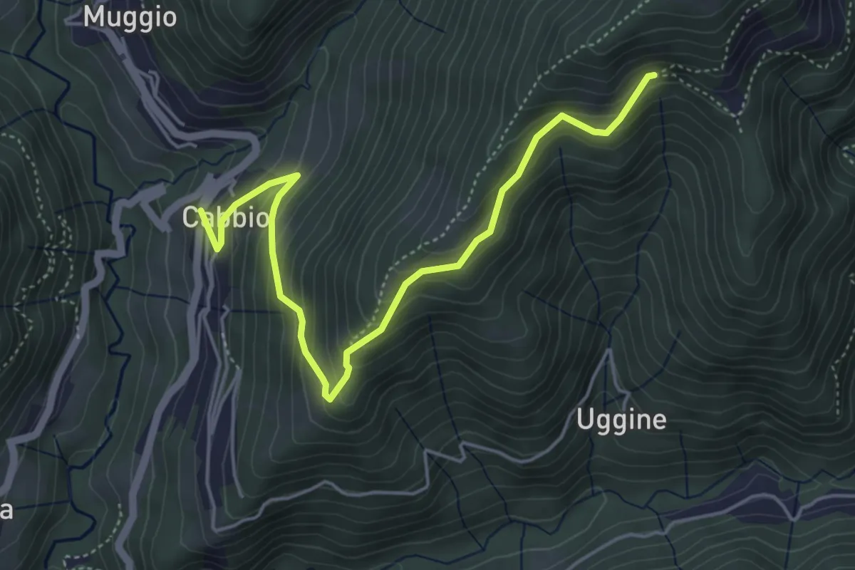
Medium · Trail
Arla – Cabbio
5.2 km · ↑ 423 m · 2 h 9 min · 14 km away
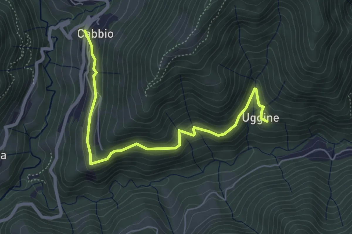
Medium · Trail
Cabbio – Uggine
5.4 km · ↑ 335 m · 2 h · 14 km away
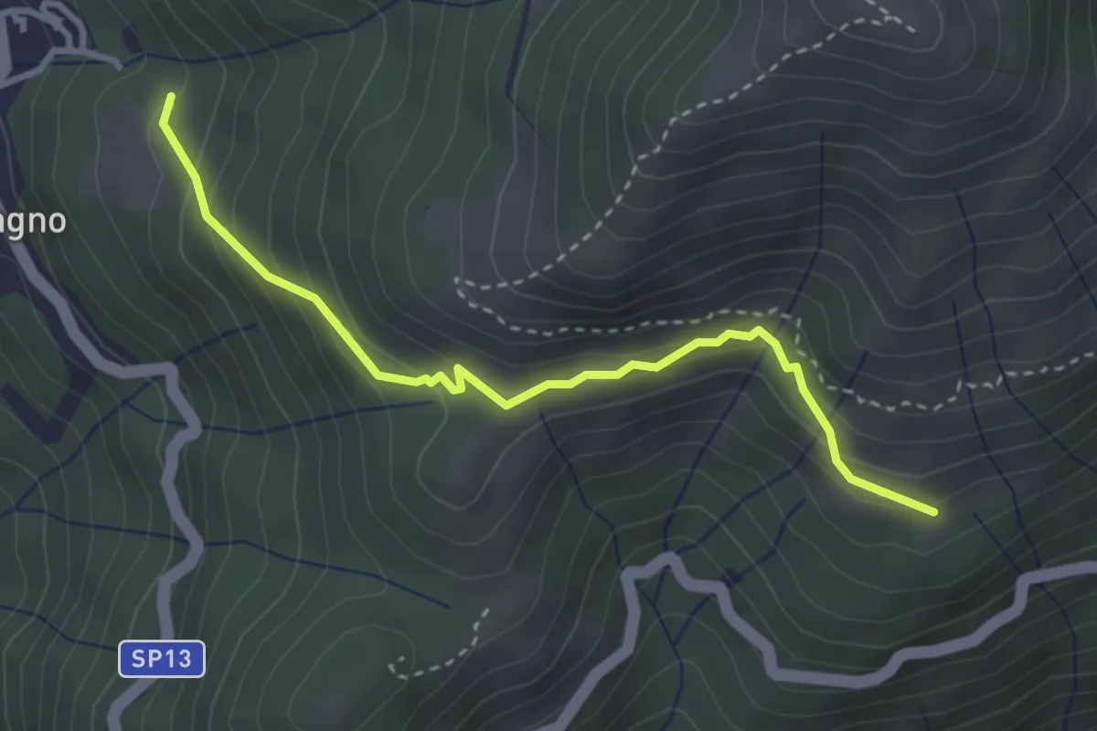
Expert · Trail
Blessagno Mulattiera Pianeria Tapascion
3.3 km · ↑ 237 m · 1 h 18 min · 14 km away
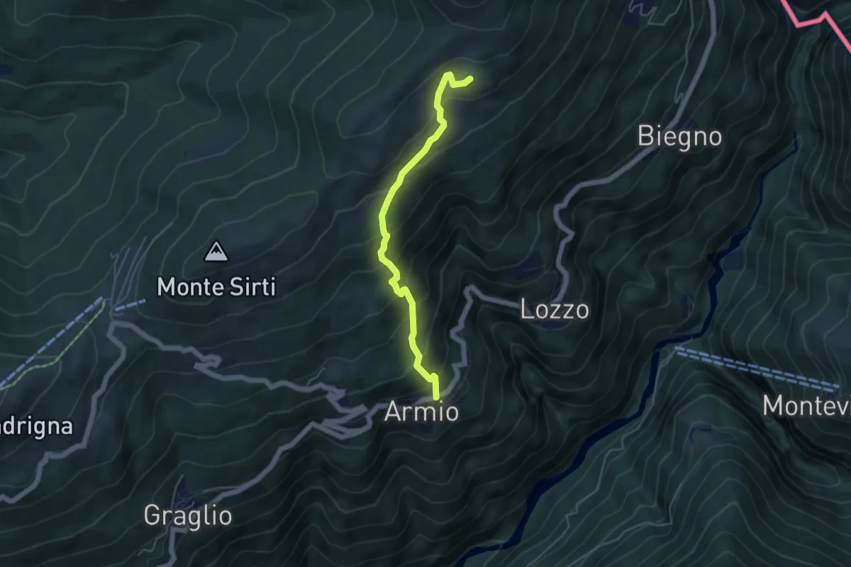
Medium · Trail
Armio – Monterecchio
4.5 km · ↑ 436 m · 2 h · 14 km away
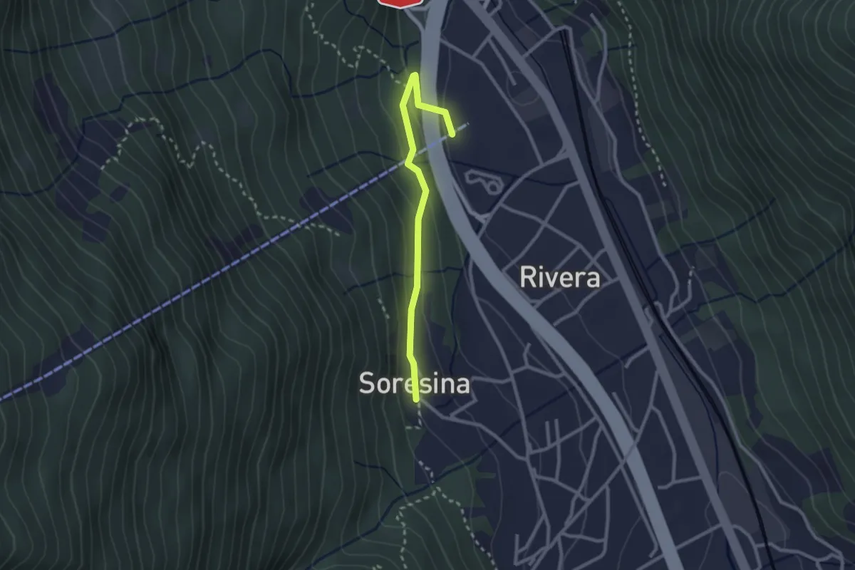
Easy · Trail
Soresina – Rivera funivia
2.4 km · ↑ 105 m · 48 min · 14 km away
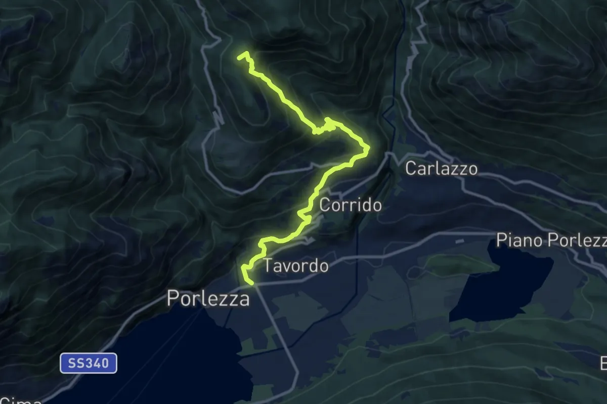
Demanding · Summit
Porlezza – San Lucio
10.7 km · ↑ 828 m · 4 h 19 min · 14 km away
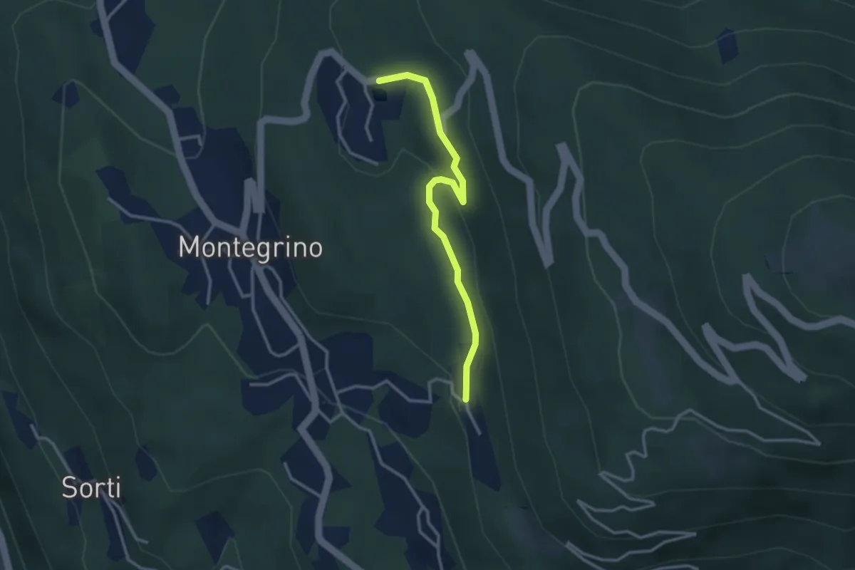
Easy · Trail
Bonera – Laghetto Bolle
2.9 km · ↑ 78 m · 50 min · 14 km away
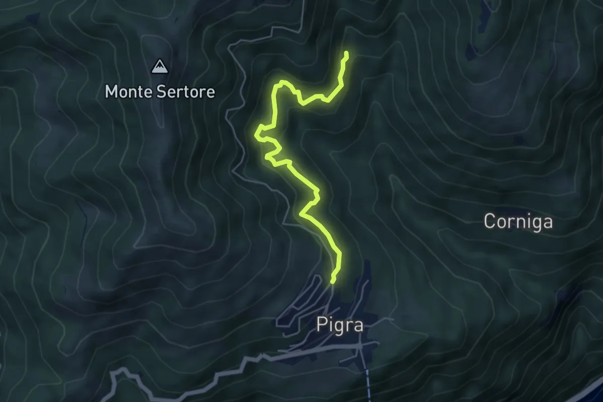
Medium · Trail
Strada di Mezzo
4.9 km · ↑ 465 m · 2 h 9 min · 14 km away
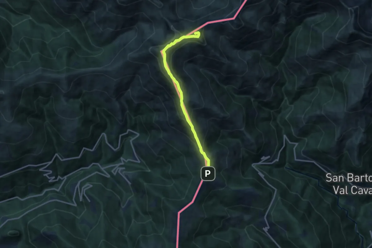
Medium · Summit
Monte Garzirola
10.7 km · ↑ 703 m · 4 h 3 min · 14 km away
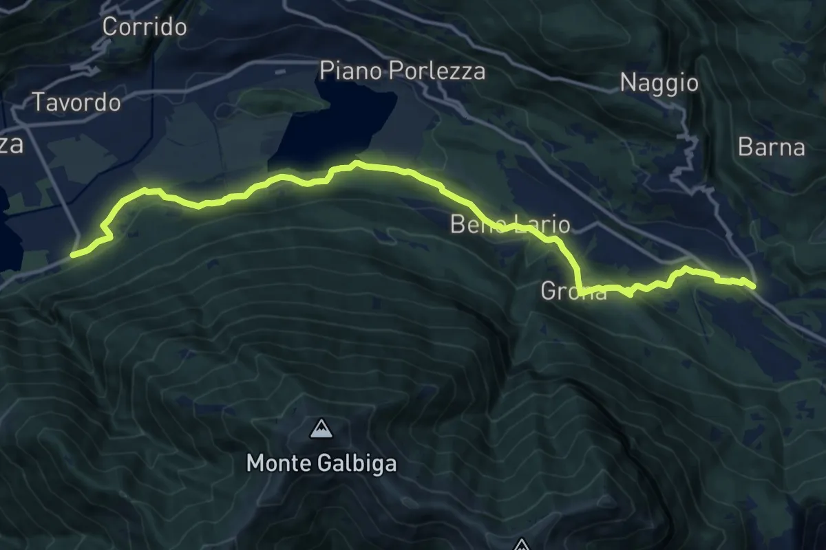
Medium · Trail
Porlezza San Maurizio – Cardano
15.7 km · ↑ 281 m · 4 h 19 min · 14 km away
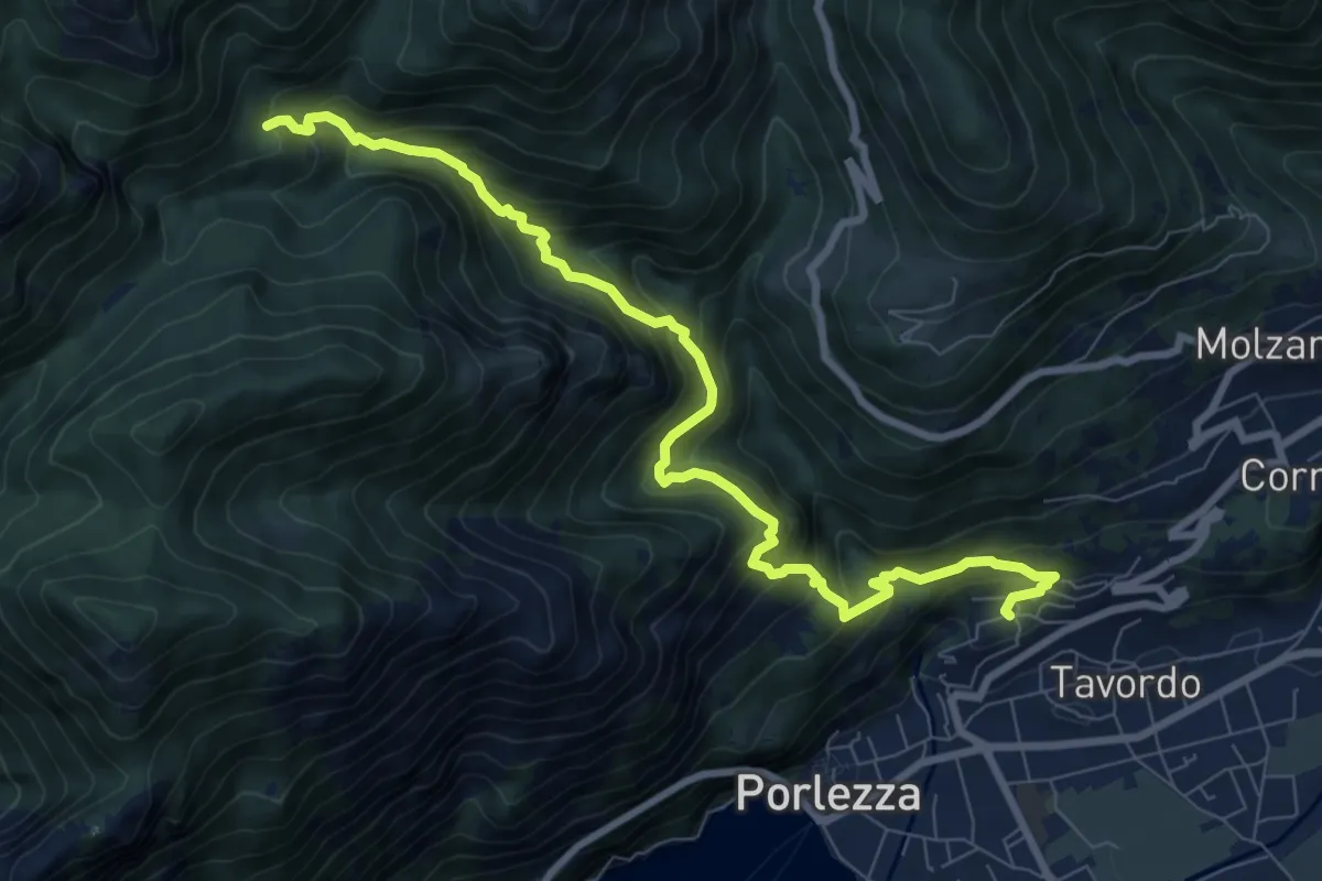
Demanding · Trail
Begna – Alpe Riccola Sent 621 per alpe Fiorina
9.5 km · ↑ 975 m · 4 h 21 min · 14 km away
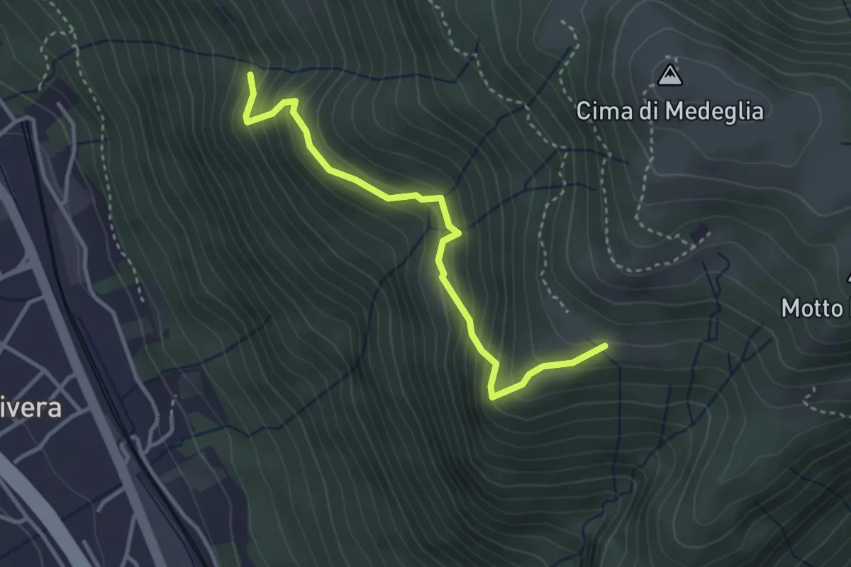
Medium · Trail
Troggiano – Revera St.ne (via Predlè)?
3.3 km · ↑ 368 m · 1 h 35 min · 14 km away
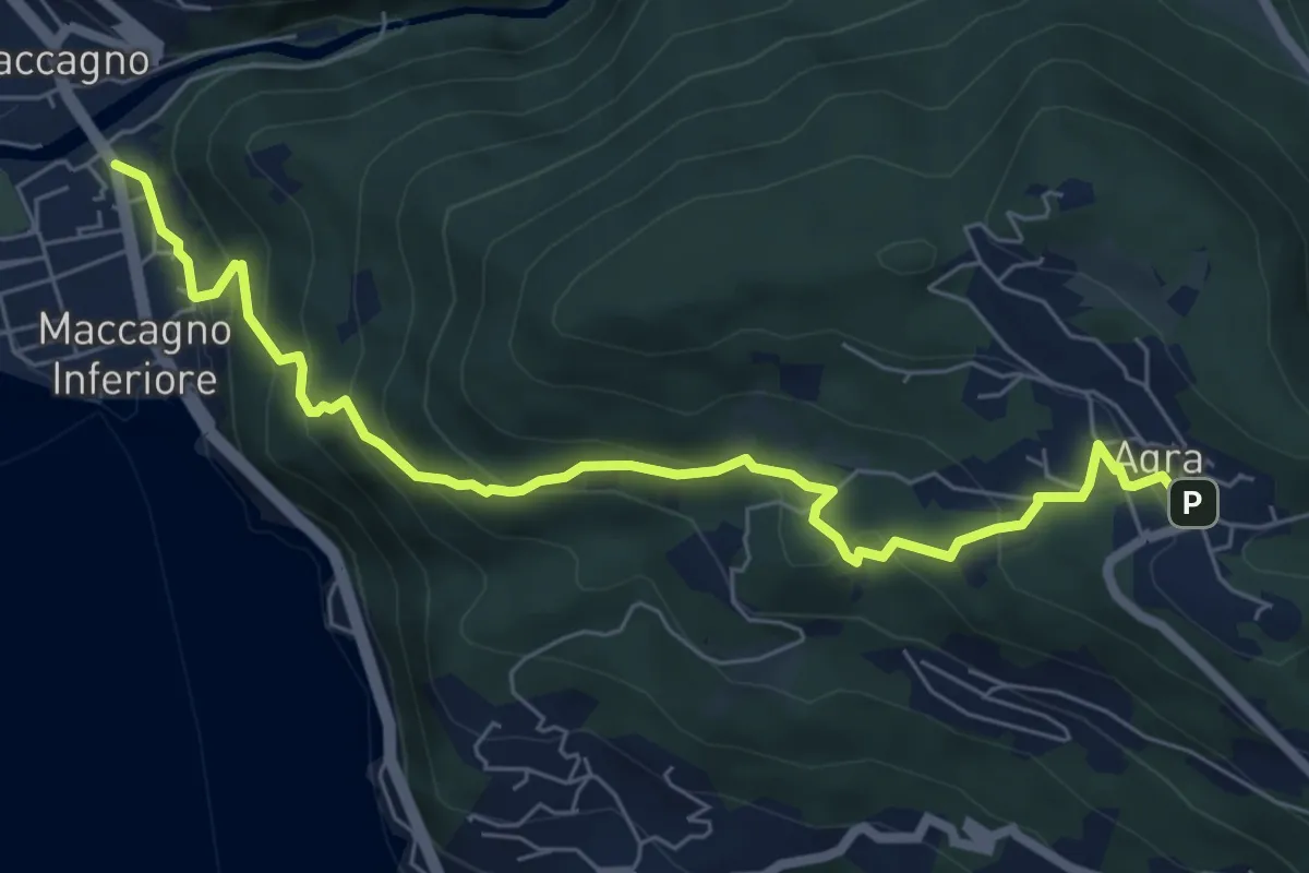
Medium · Trail
Maccagno – Agra
7.3 km · ↑ 487 m · 2 h 47 min · 14 km away
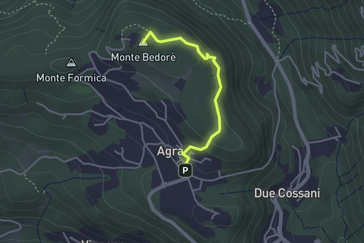
Medium · Summit
Agra – Bedorè
2.7 km · ↑ 122 m · 54 min · 14 km away
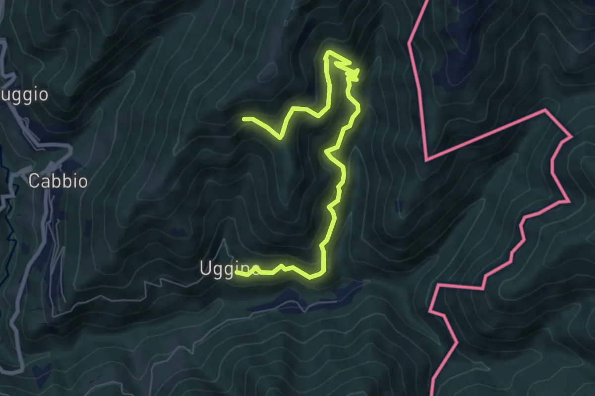
Medium · Trail
Uggine – Arla
7.7 km · ↑ 732 m · 3 h 25 min · 14 km away
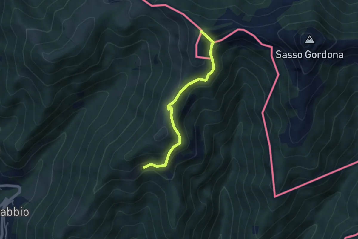
Medium · Summit
Rifugio Prabello (I) – Arla
3.6 km · ↑ 265 m · 1 h 26 min · 14 km away
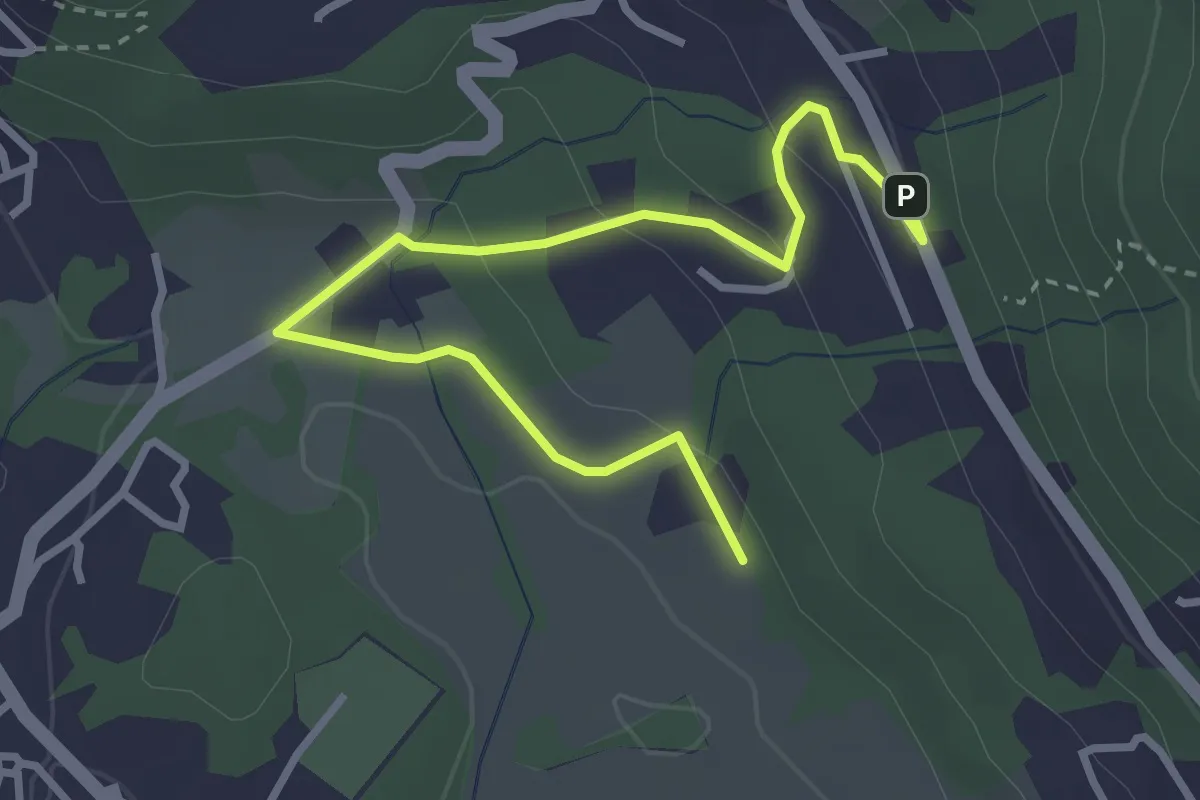
Easy · Trail
Motte – Paü
3.7 km · ↑ 116 m · 1 h 8 min · 14 km away
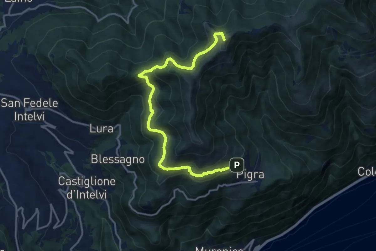
Medium · Summit
Pigra – Alpe di Colonno
11.3 km · ↑ 622 m · 4 h · 14 km away