Trails near Lugano
370 hikes starting within 15 km, nearest first.
Nearest first, page 8 of 8
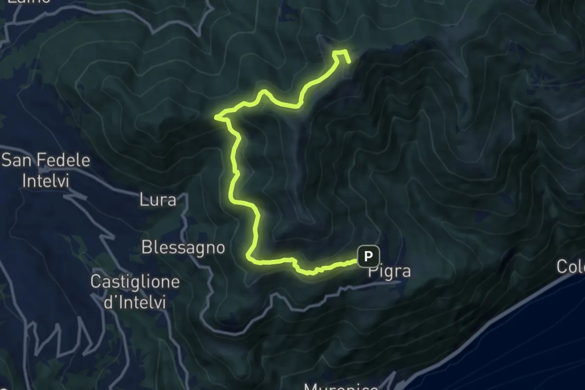
Medium · Summit
Circolare Piz Pasquela
11.3 km · ↑ 622 m · 4 h · 14 km away
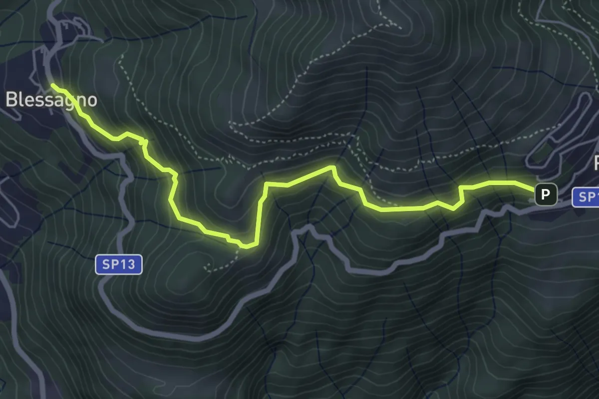
Medium · Trail
Mulattiera Pigra - Blessagno
5.6 km · ↑ 465 m · 2 h 20 min · 14 km away
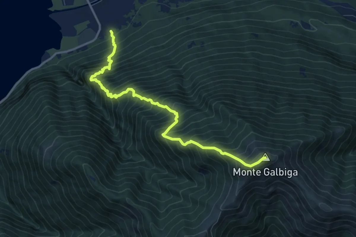
Demanding · Summit
Porlezza San Maurizio – Monte Galbiga
9.3 km · ↑ 1481 m · 5 h 24 min · 14 km away
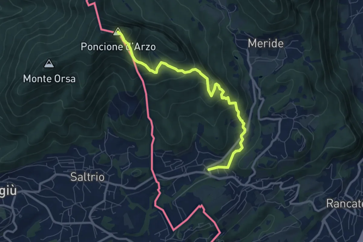
Medium · Summit
Poncione d'Arzo – Arzo
8.0 km · ↑ 537 m · 3 h 3 min · 14 km away
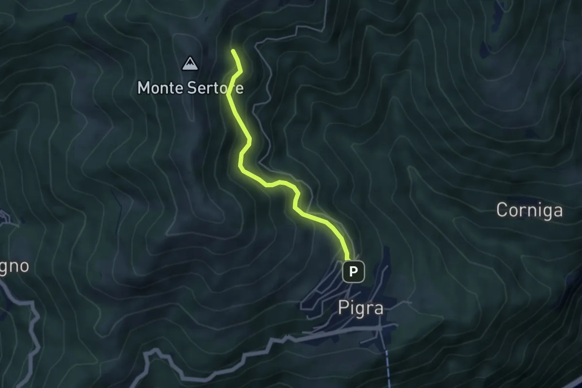
Medium · Trail
Strada ai Monti
3.7 km · ↑ 355 m · 1 h 39 min · 14 km away
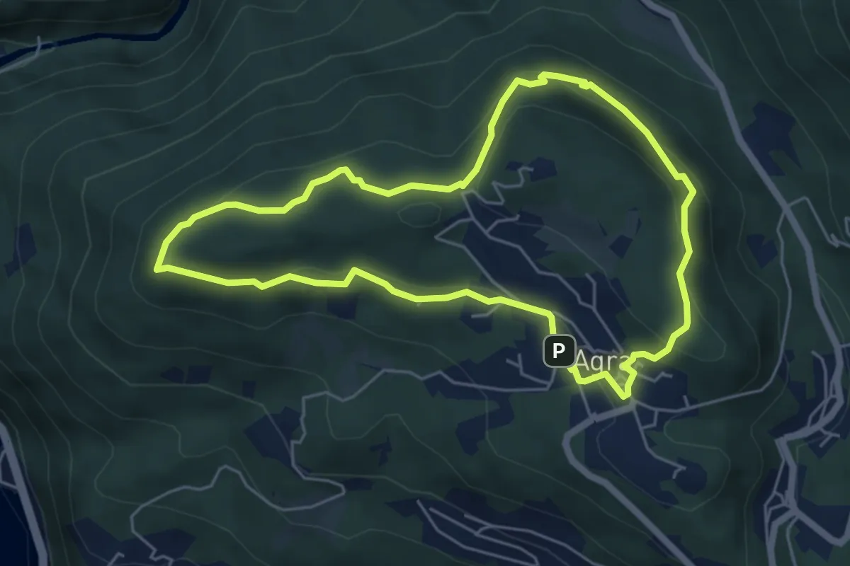
Medium · Summit
Giro del Sole e della Luna
5.0 km · ↑ 205 m · 1 h 42 min · 14 km away
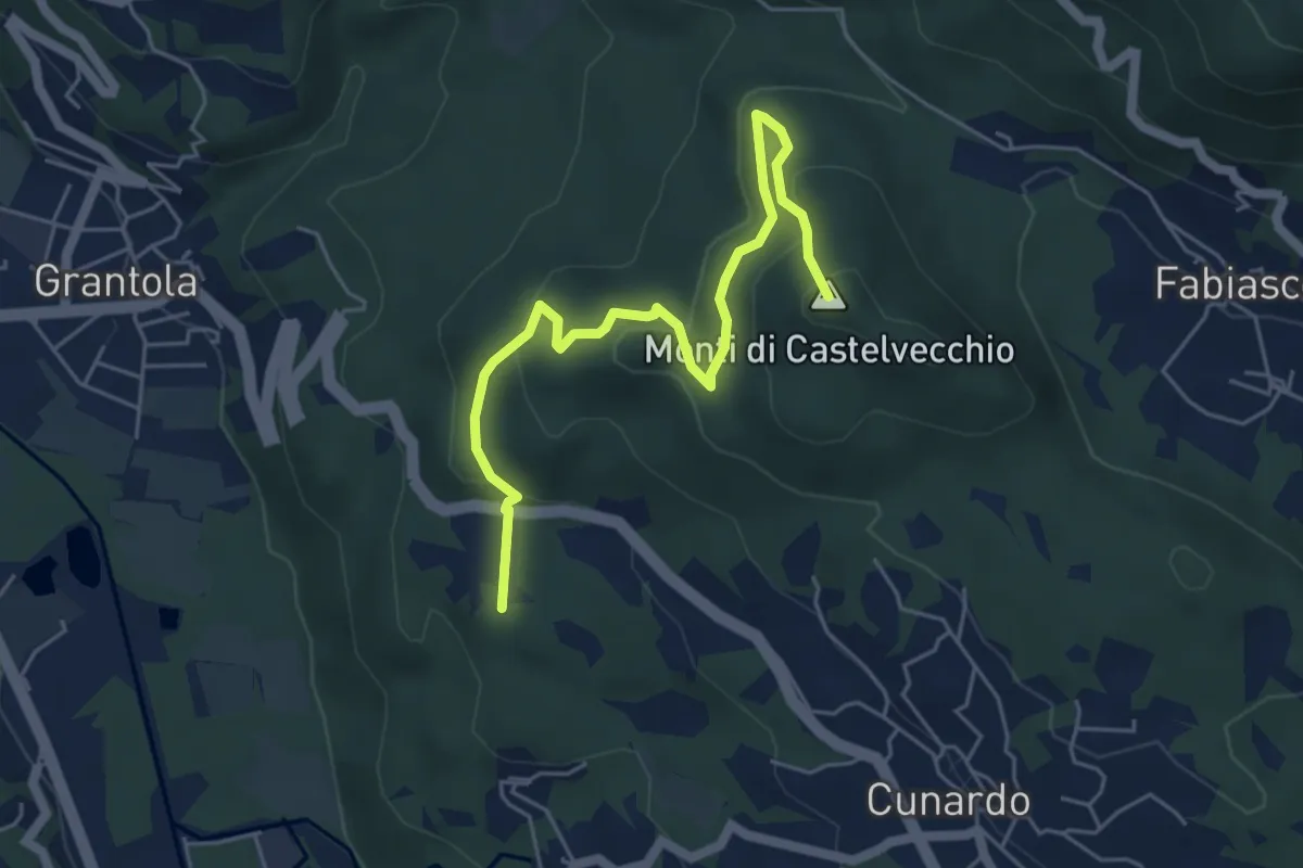
Medium · Summit
Fornaci – Cunardo
5.7 km · ↑ 299 m · 2 h · 14 km away
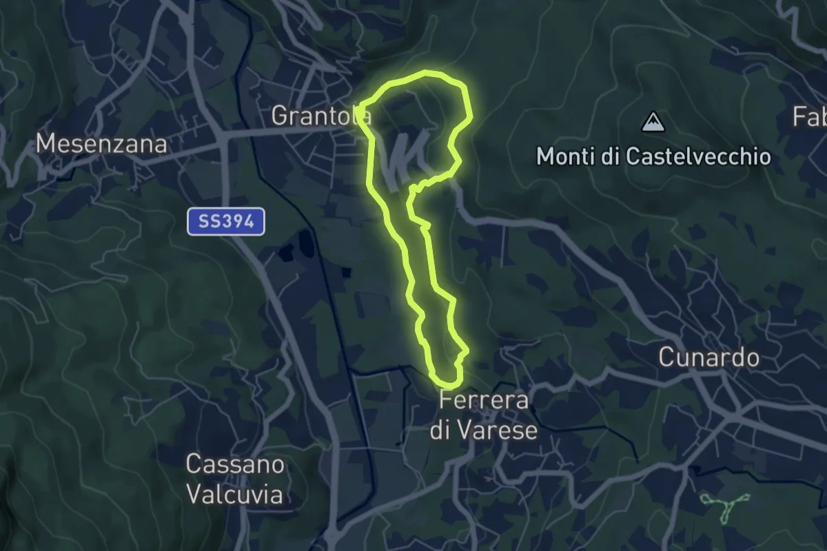
Easy · Trail
Grantola – Grantola
4.5 km · ↑ 187 m · 1 h 32 min · 14 km away
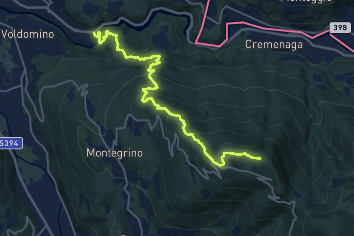
Demanding · Summit
413 3V (Variante Tappa 7 Via Verde Varesina)
12.1 km · ↑ 800 m · 4 h 35 min · 14 km away
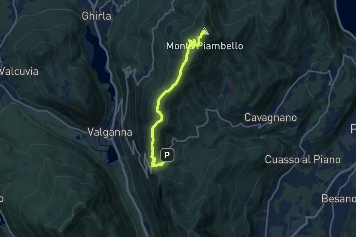
Medium · Summit
Alpe Tedesco – Monte Piambello
9.4 km · ↑ 459 m · 3 h 13 min · 15 km away
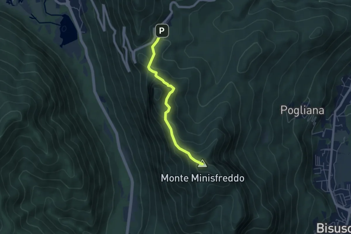
Demanding · Summit
Alpe Tedesco - Monte Rho d'Arcisate
4.5 km · ↑ 345 m · 1 h 48 min · 15 km away
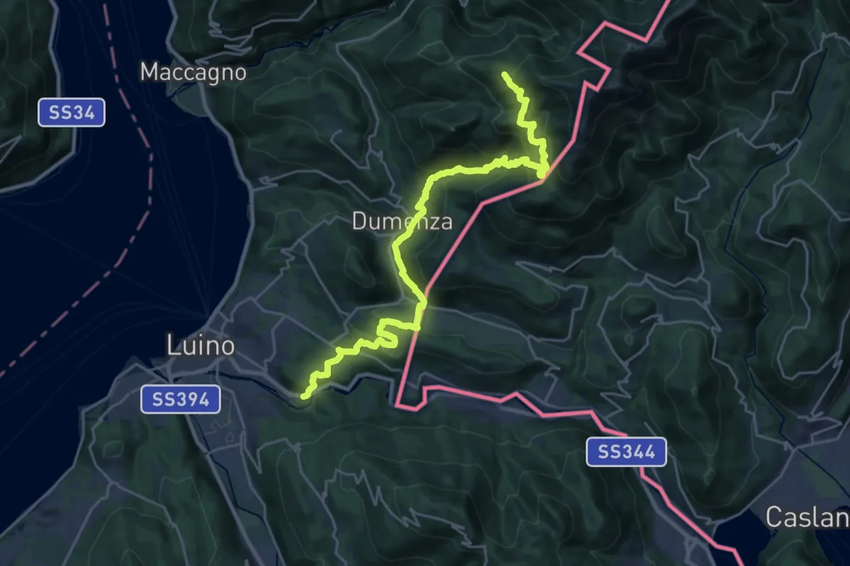
Demanding · Cabin
Rifugio Campiglio al Pradecolo – Diga di Creva (Luino)
12.7 km · ↑ 1158 m · 5 h 14 min · 15 km away
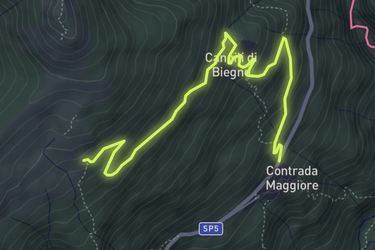
Medium · Trail
110 3V (Tappa 10 Via Verde Varesina)
6.3 km · ↑ 363 m · 2 h 16 min · 15 km away
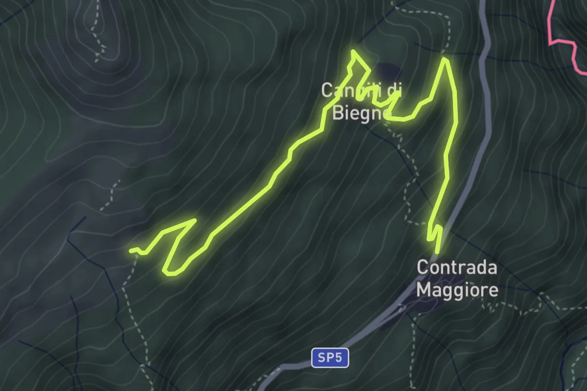
Medium · Trail
Lago Delio – Monteviasco
6.3 km · ↑ 363 m · 2 h 16 min · 15 km away
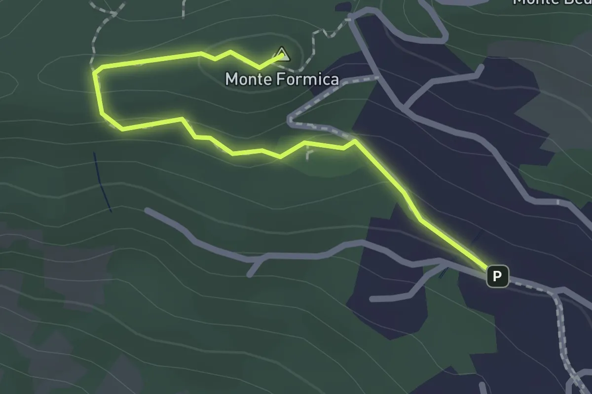
Easy · Summit
Agra – Monte Formica
2.0 km · ↑ 52 m · 35 min · 15 km away
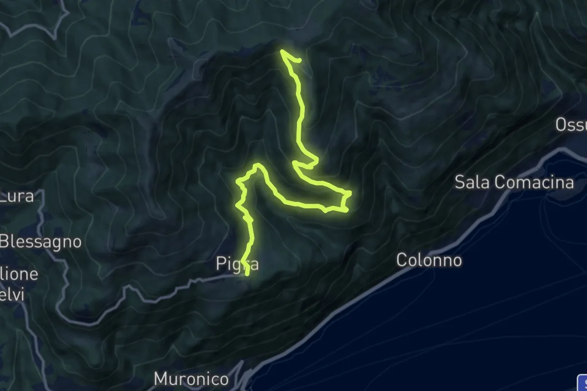
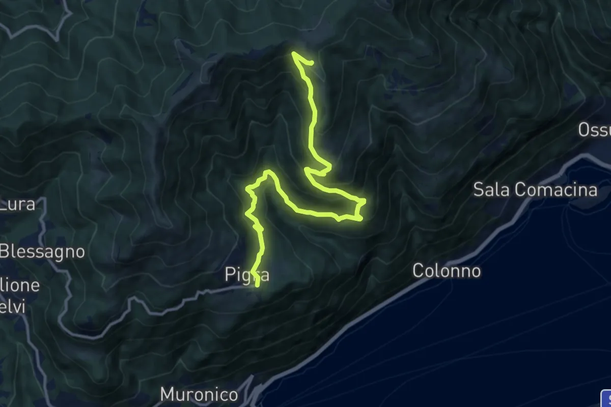
Demanding · Trail
Pigra (rotonda Antelami) – Alpe di Colonno
12.1 km · ↑ 816 m · 4 h 38 min · 15 km away
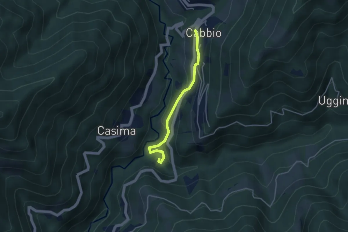
Demanding · Trail
Corniga - Alpe di Colonno
12.1 km · ↑ 816 m · 4 h 38 min · 15 km away
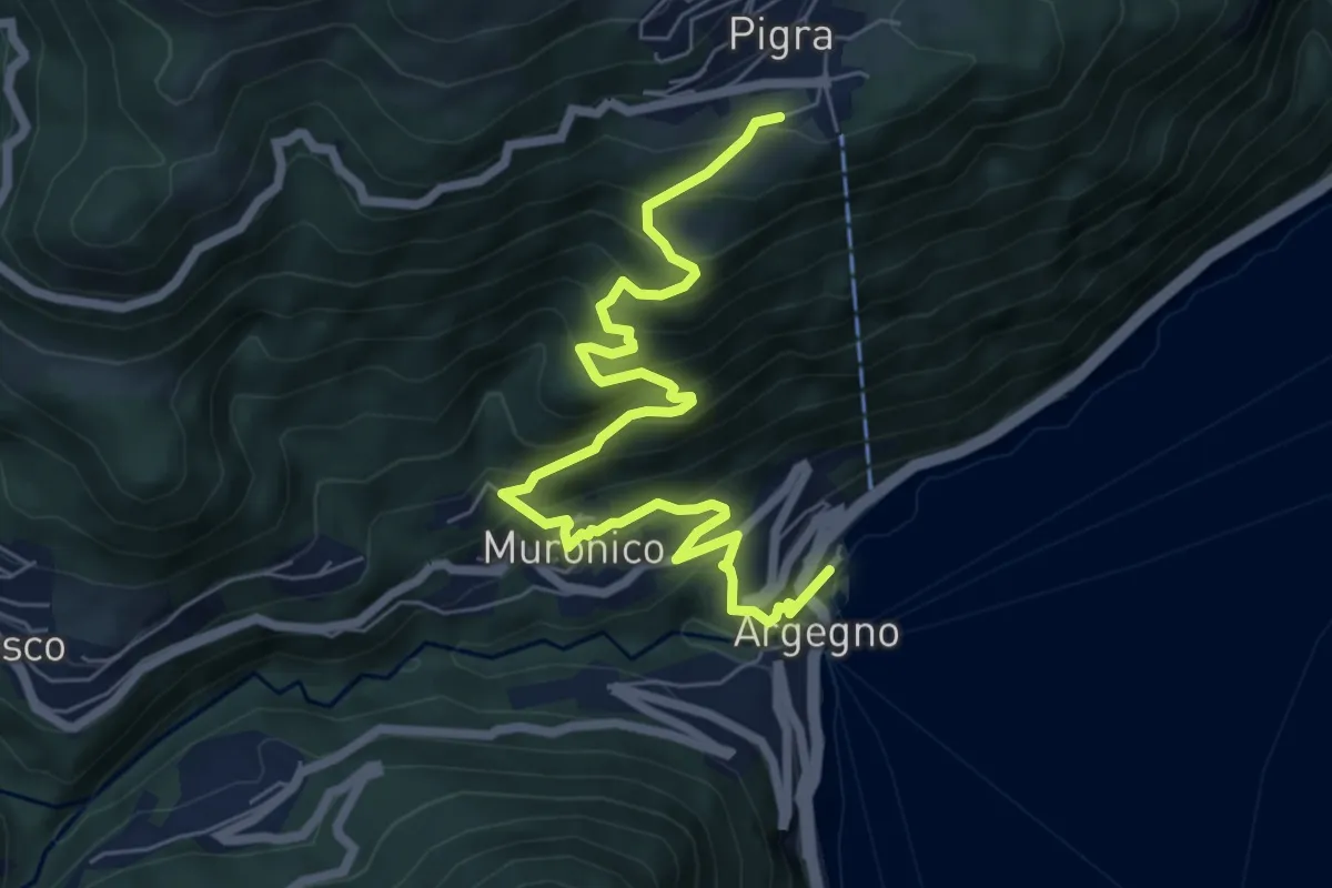
Easy · Trail
Cabbio – Mulino di Bruzella
2.9 km · ↑ 161 m · 1 h 2 min · 15 km away
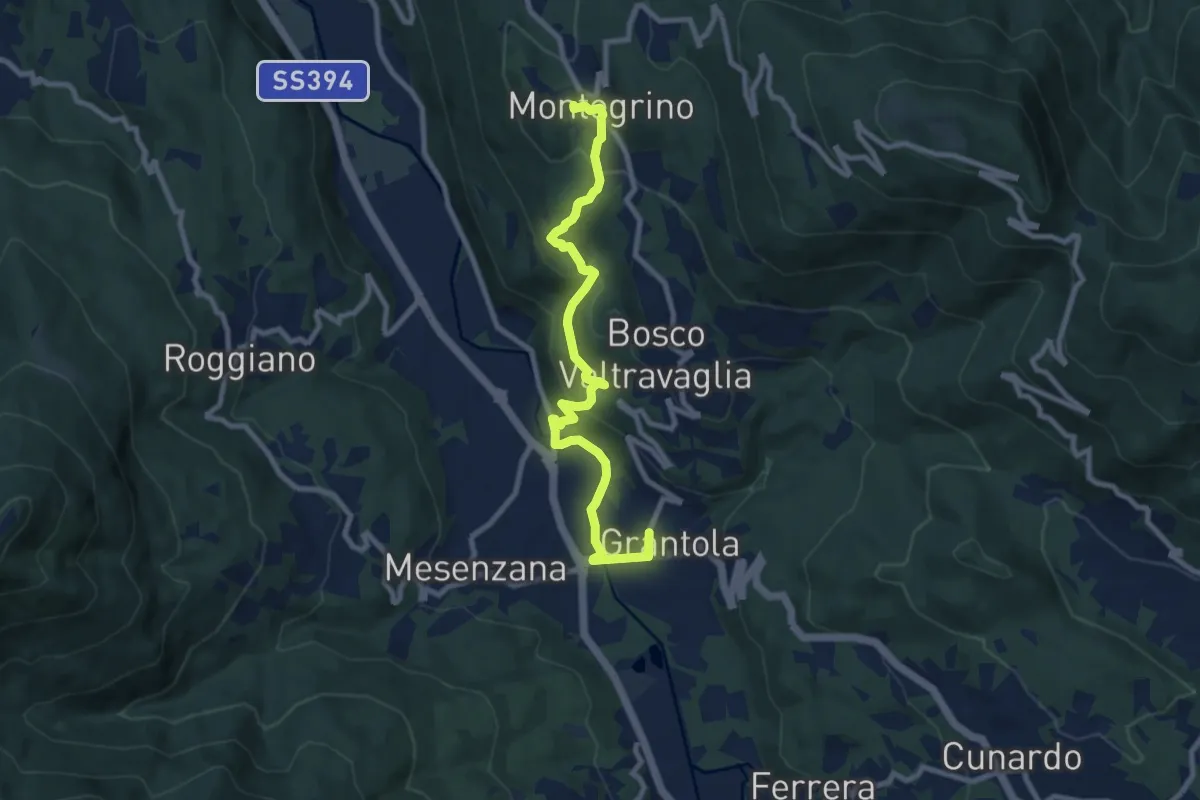
Medium · Trail
Pigra (chiesa) – Argegno (parcheggio chiesa)
7.8 km · ↑ 689 m · 3 h 20 min · 15 km away
Medium · Trail
Grantola – Montegrino Valtravaglia
9.4 km · ↑ 359 m · 3 h · 15 km away
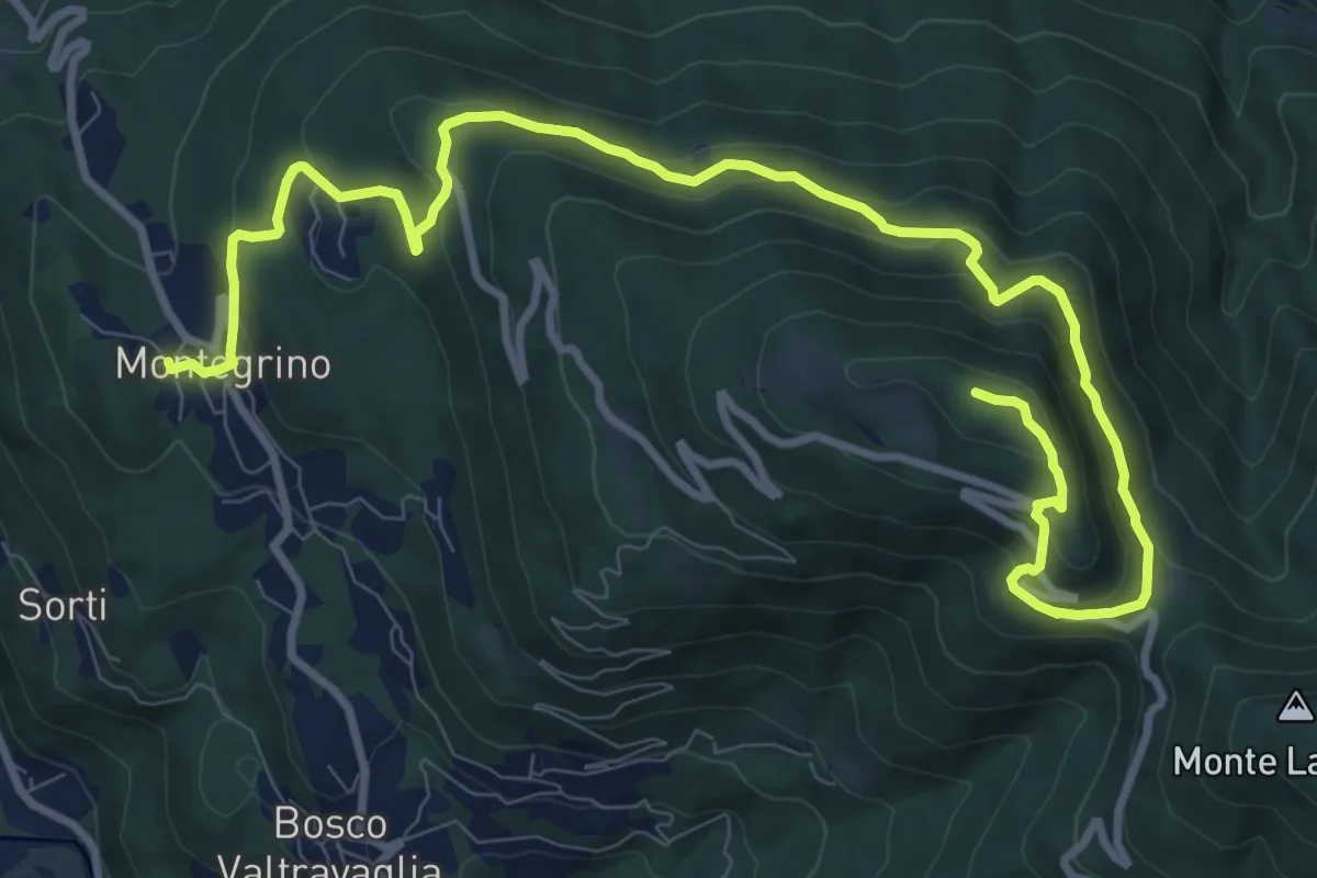
Medium · Summit
Montegrino – Monte Sette Termini
13.3 km · ↑ 621 m · 4 h 29 min · 15 km away
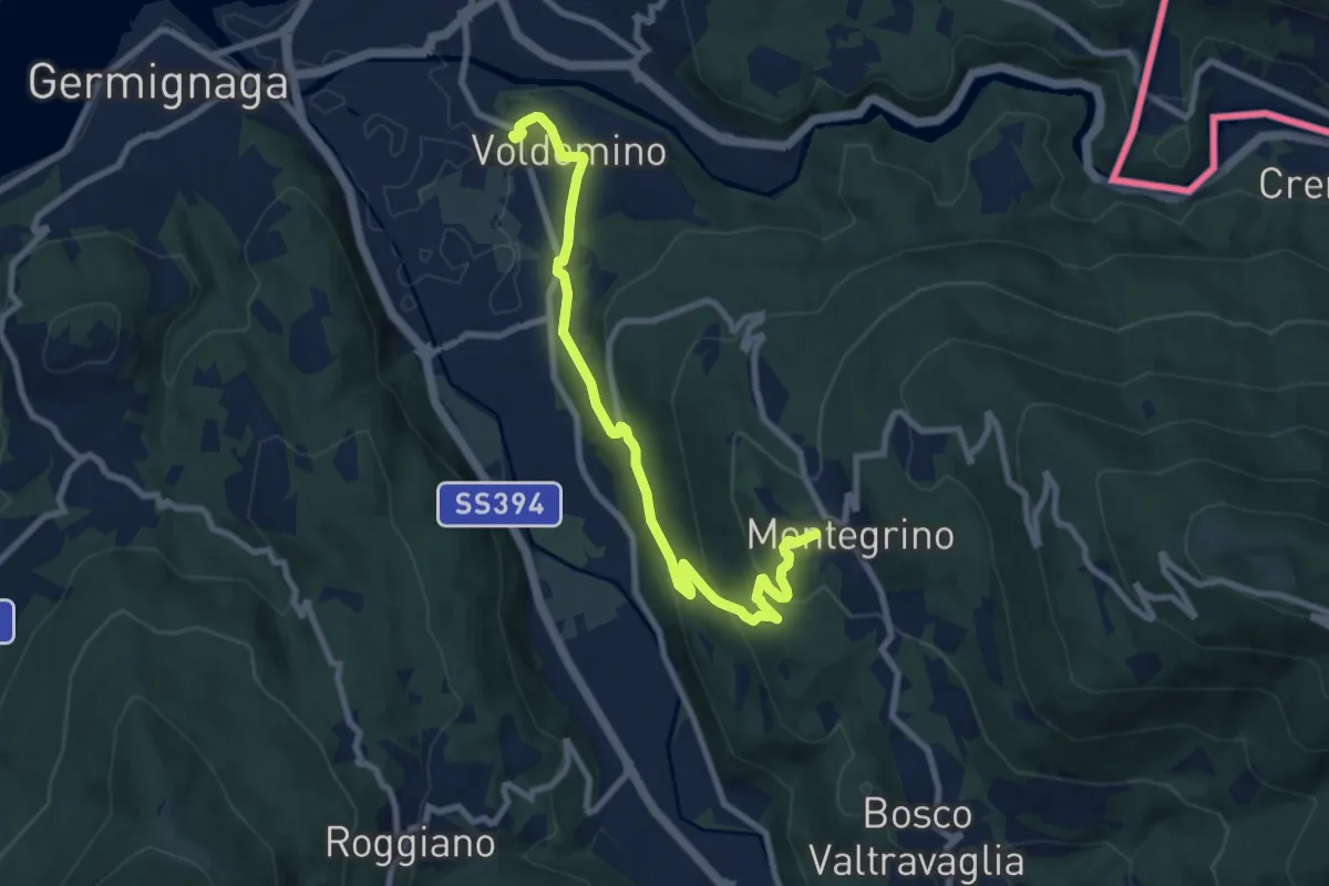
Demanding · Trail
Voldomino – San Martino
9.4 km · ↑ 415 m · 3 h 7 min · 15 km away
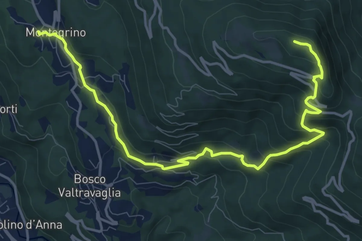
Demanding · Summit
Montegrino – Monte Sette Termini
11.6 km · ↑ 678 m · 4 h 12 min · 15 km away
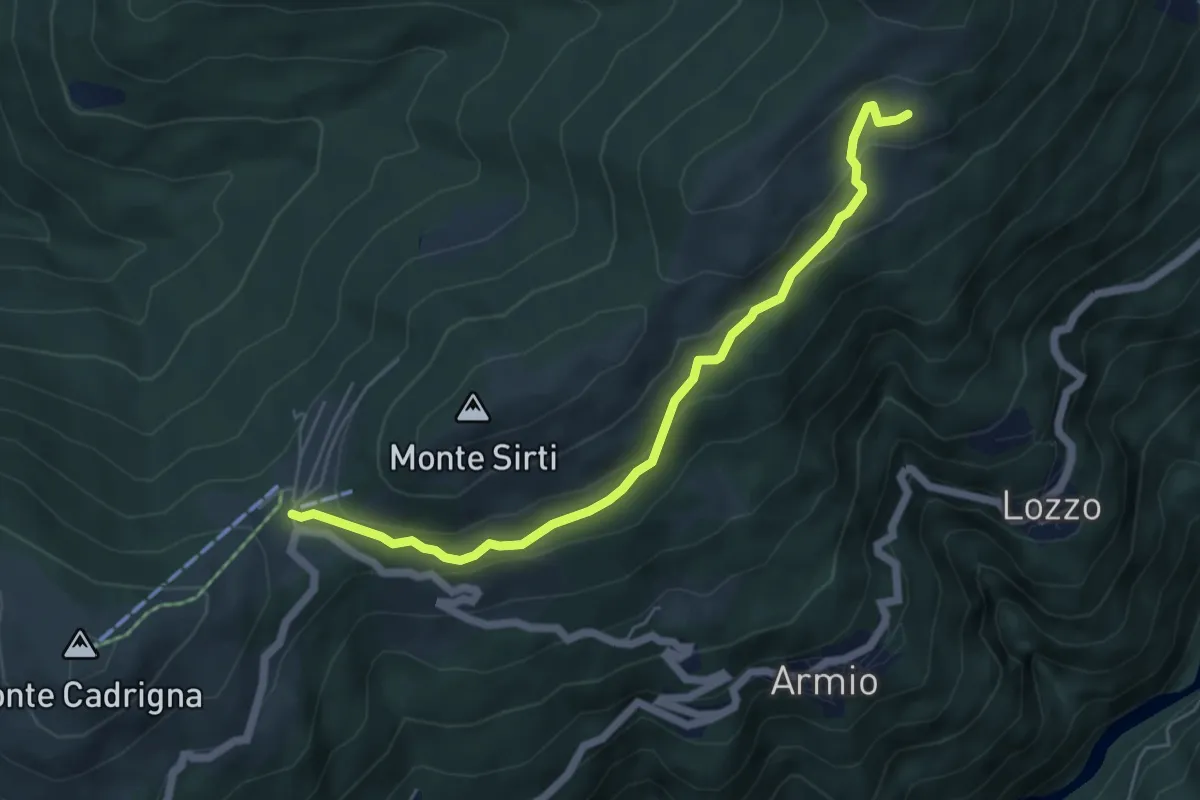
Easy · Cabin
Monterecchio – Forcora
5.6 km · ↑ 233 m · 1 h 50 min · 15 km away
Medium · Summit
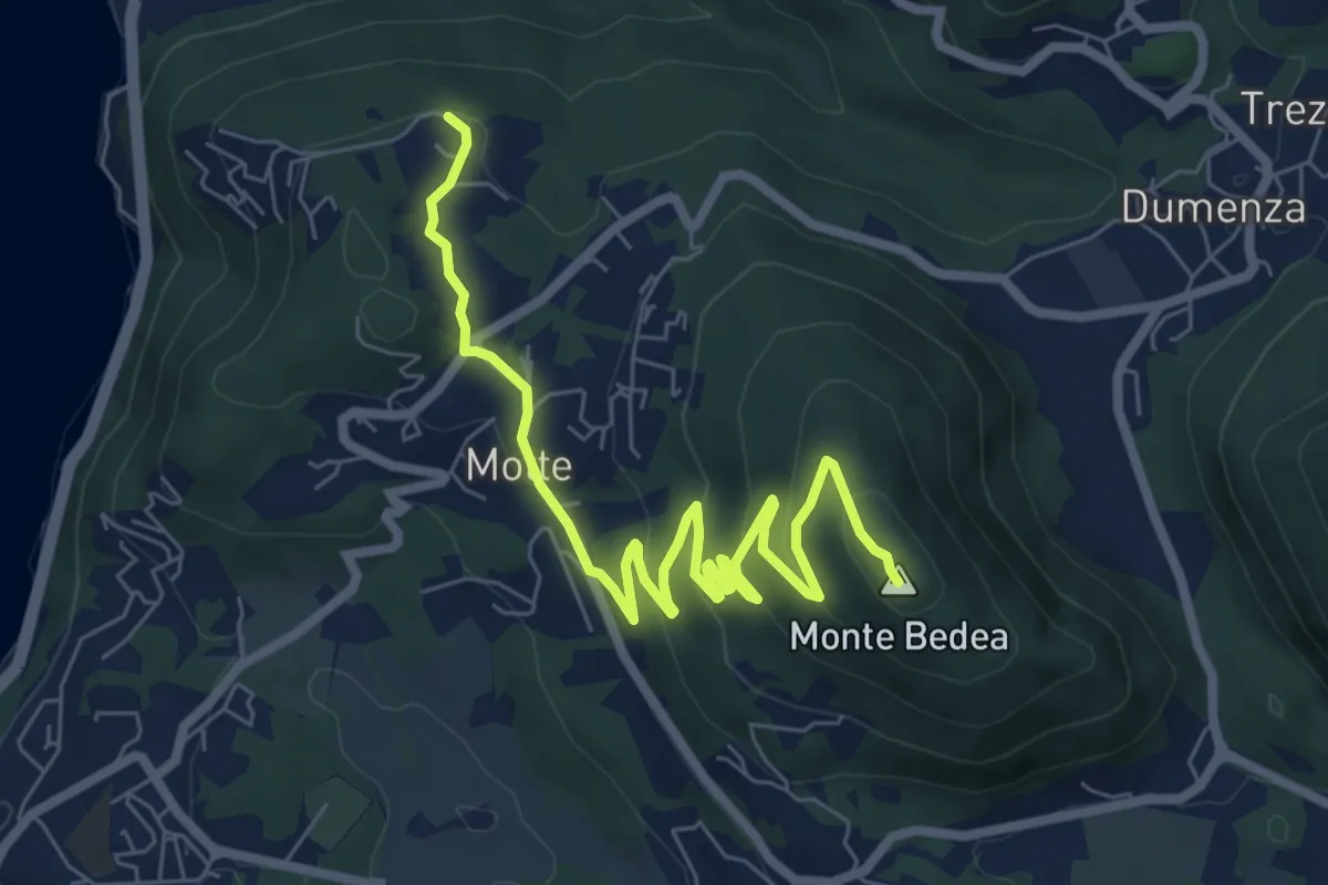
Bonga – Longhirolo
8.6 km · ↑ 341 m · 2 h 46 min · 15 km away
Medium · Summit
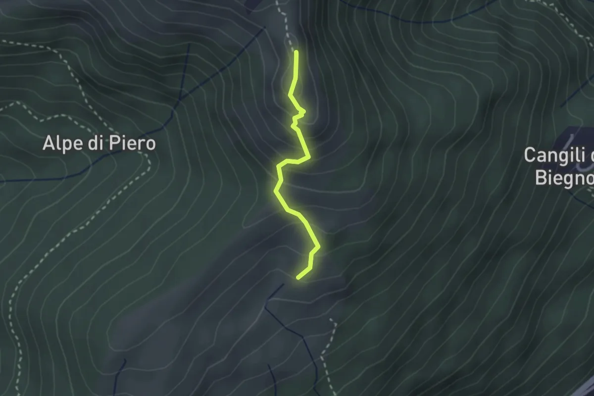
Monterecchio – Monte Corbaro
1.9 km · ↑ 186 m · 52 min · 15 km away
Medium · Summit
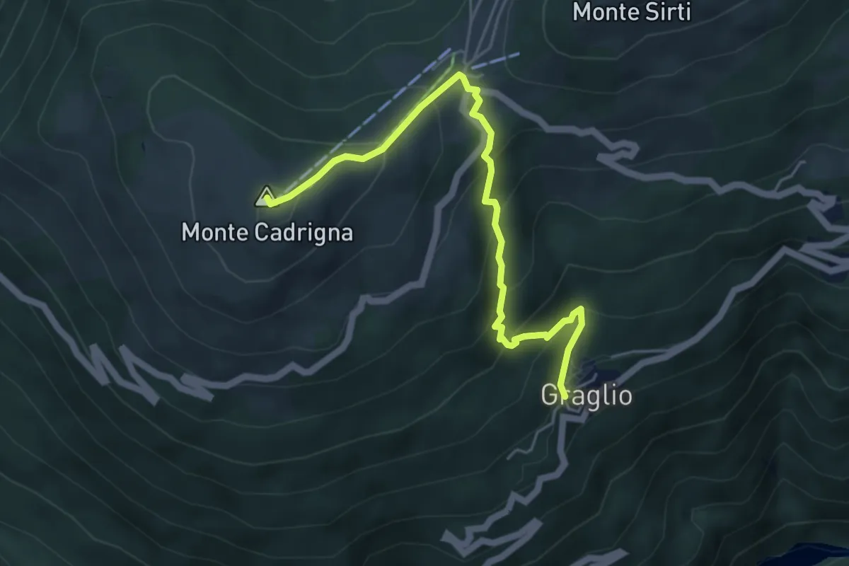
Graglio – Monte Cadrigna
5.0 km · ↑ 408 m · 2 h 4 min · 15 km away
Medium · Trail
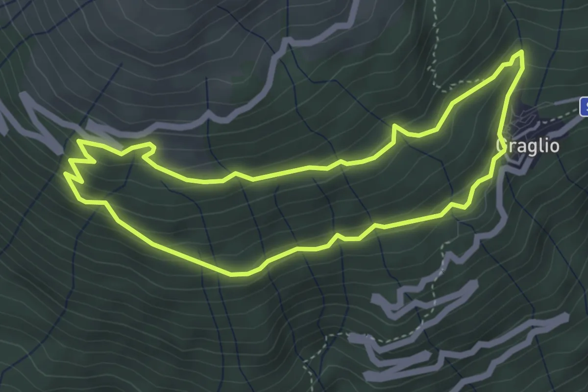
121F Giro Panoramico
3.9 km · ↑ 253 m · 1 h 31 min · 15 km away
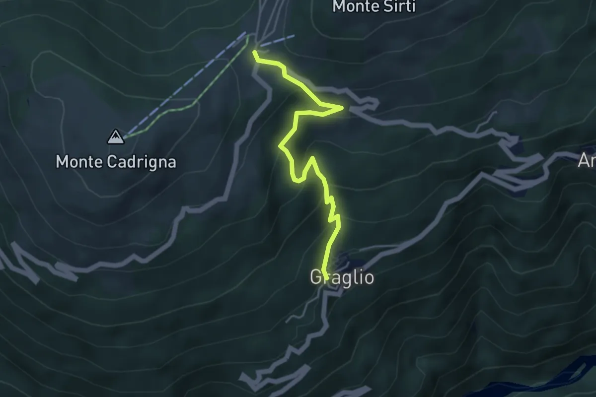
Medium · Trail
Graglio – Passo Forcora
3.9 km · ↑ 316 m · 1 h 37 min · 15 km away
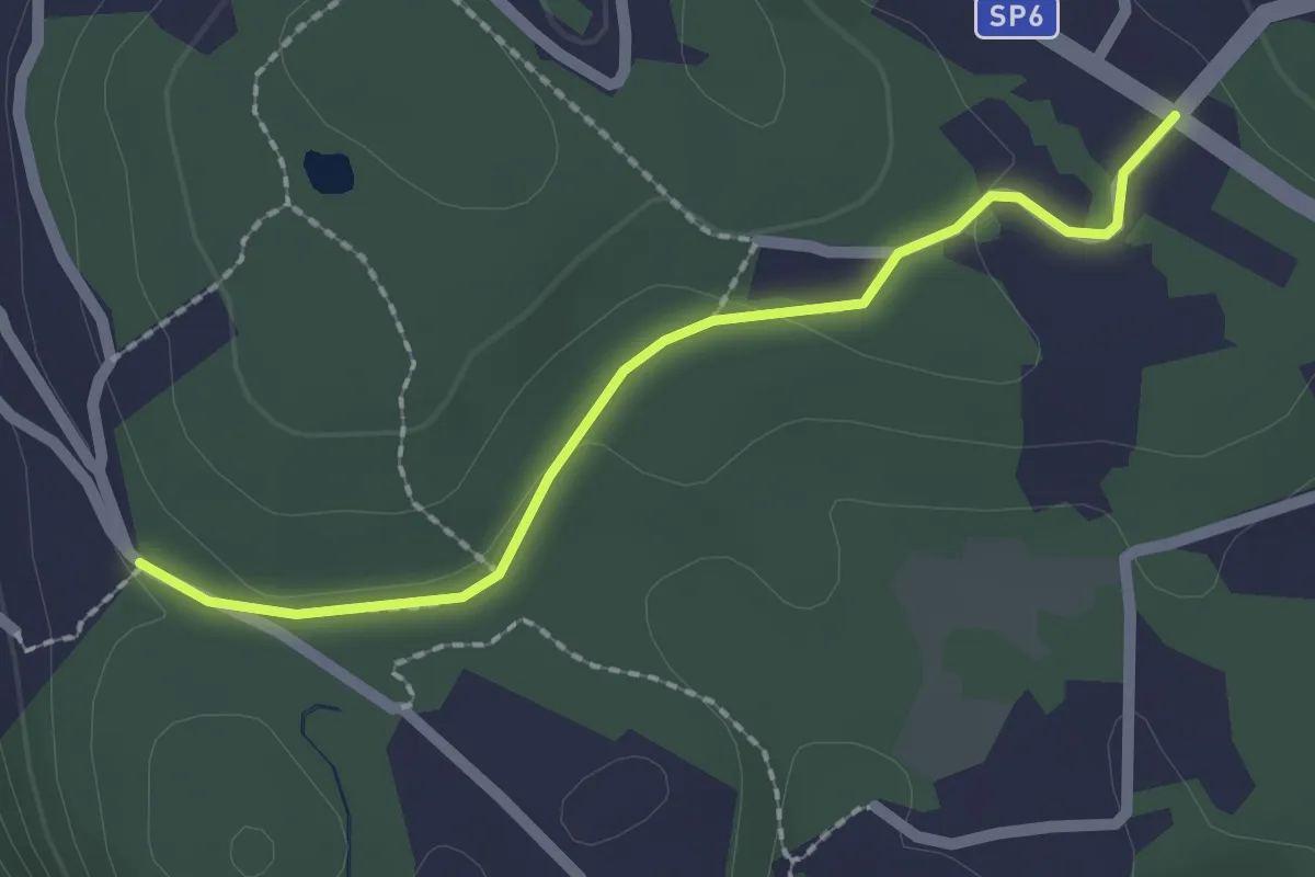
Easy · Trail
181A Variante Trebedora
2.0 km · ↑ 24 m · 32 min · 15 km away
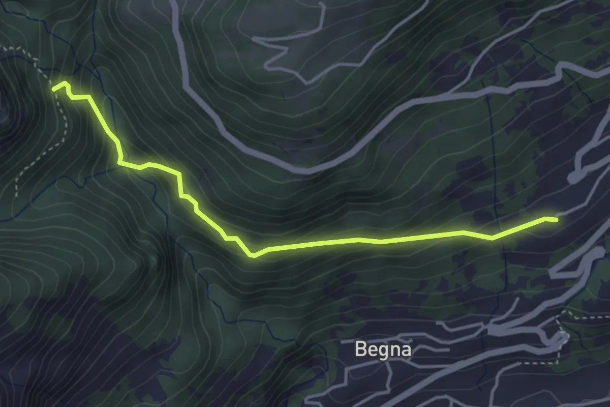
Easy · Trail
Corrido Bicagno – Sentiero Alpe Riccola
4.0 km · ↑ 307 m · 1 h 36 min · 15 km away
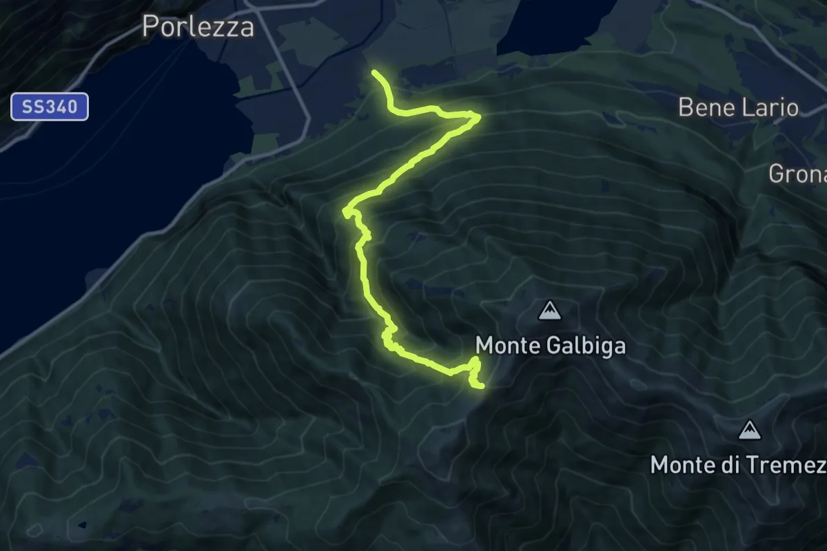
Demanding · Trail
Porlezza Caraco – Alpe di Lenno
12.4 km · ↑ 1313 m · 5 h 46 min · 15 km away
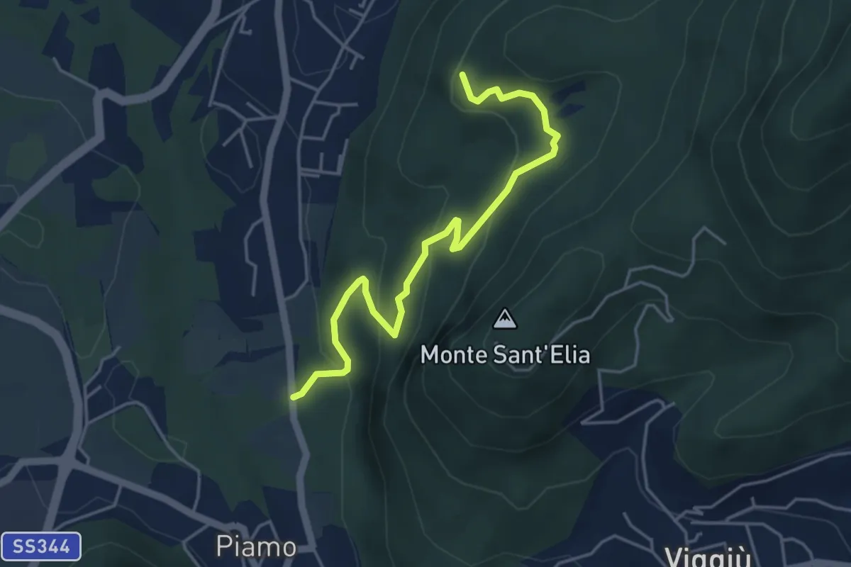
Medium · Summit
Variante Bernasca – Besano SP51
4.5 km · ↑ 236 m · 1 h 35 min · 15 km away
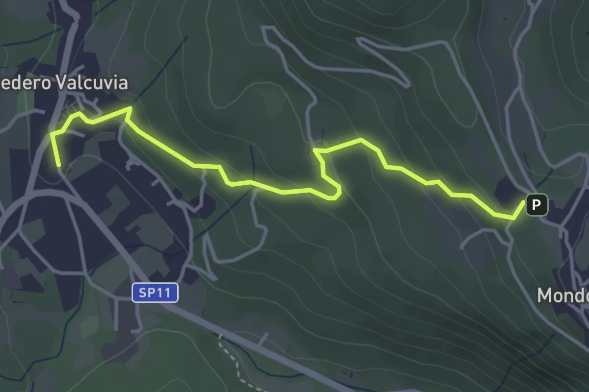
Easy · Trail
Bedero Valcuvia – Madonna degli alpini
3.9 km · ↑ 184 m · 1 h 19 min · 15 km away