Trails near Luzern
605 hikes starting within 15 km, nearest first.
Nearest first, page 13 of 13
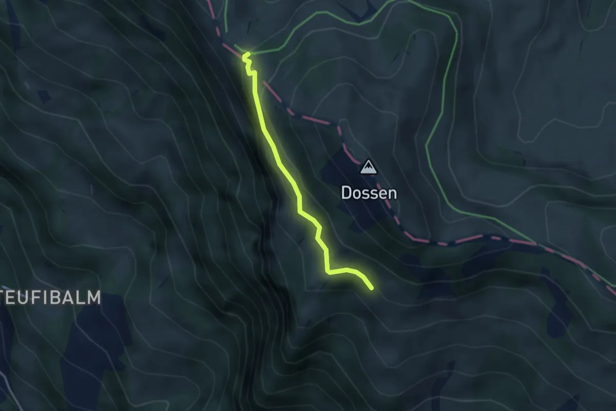
Easy · Trail
Oberstafel – Unterstetten
2.6 km · ↑ 152 m · 56 min · 14 km away
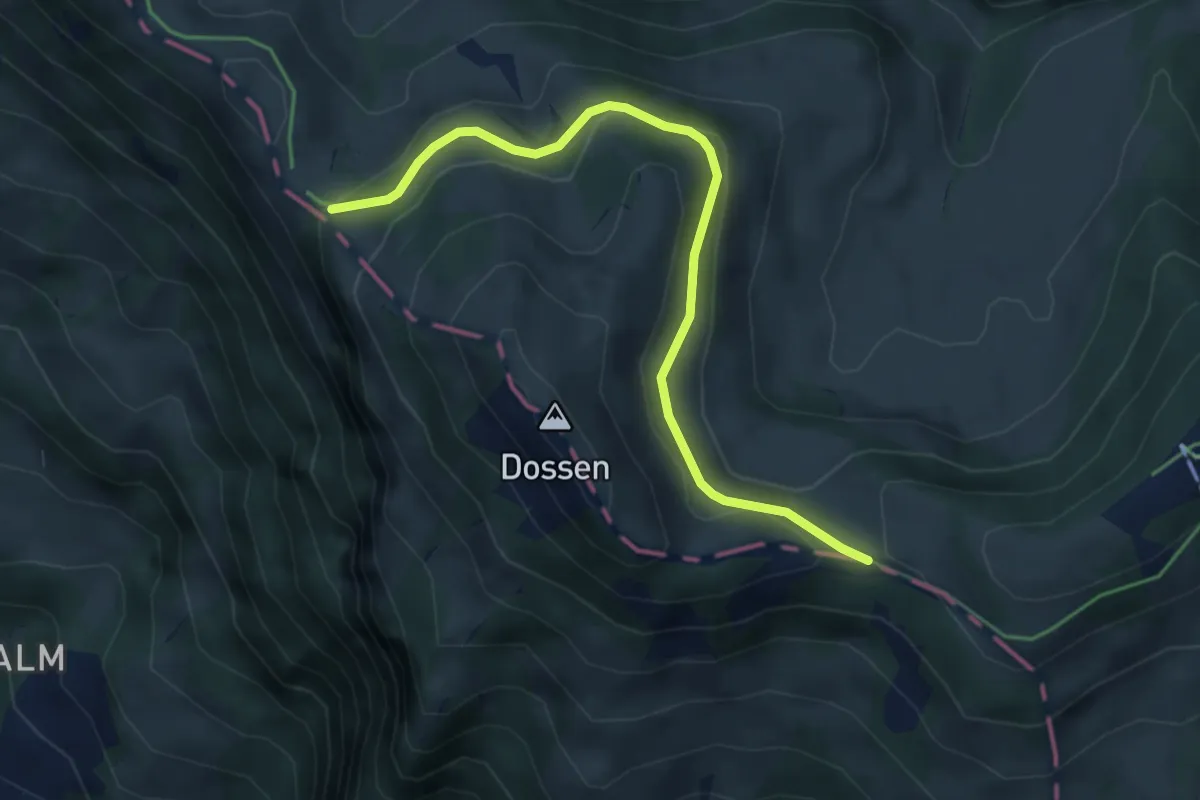
Easy · Trail
Hinder Dossen – Unterstetten
4.5 km · ↑ 128 m · 1 h 21 min · 14 km away
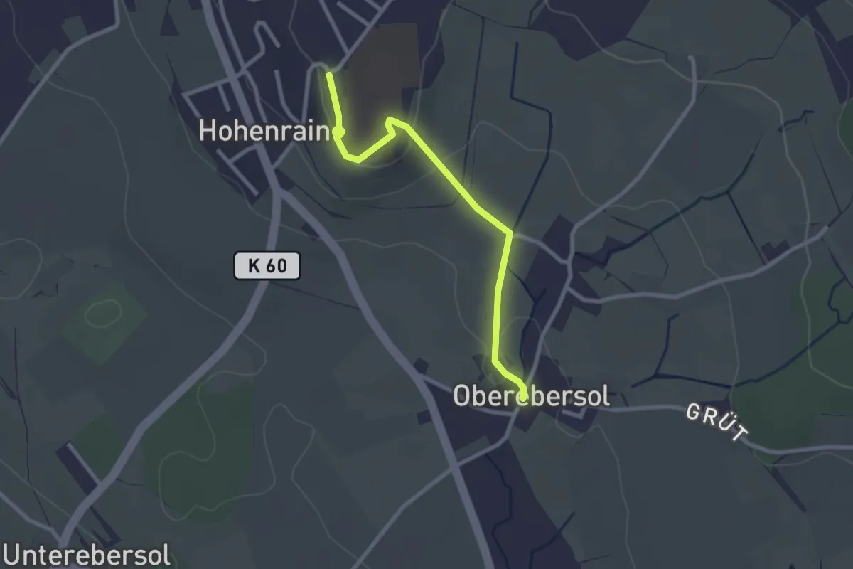
Easy · Trail
Hohenrain - Oberebersol
2.5 km · ↑ 49 m · 41 min · 14 km away
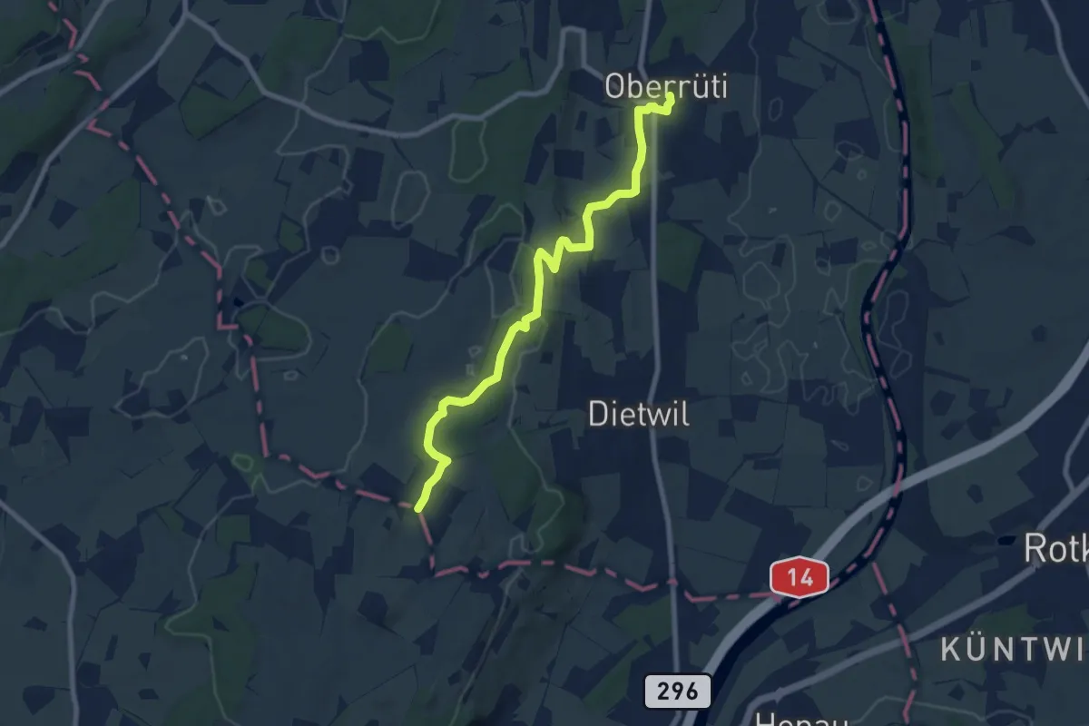
Medium · Trail
Oberrüti - Sulzberg
8.2 km · ↑ 132 m · 2 h 13 min · 14 km away
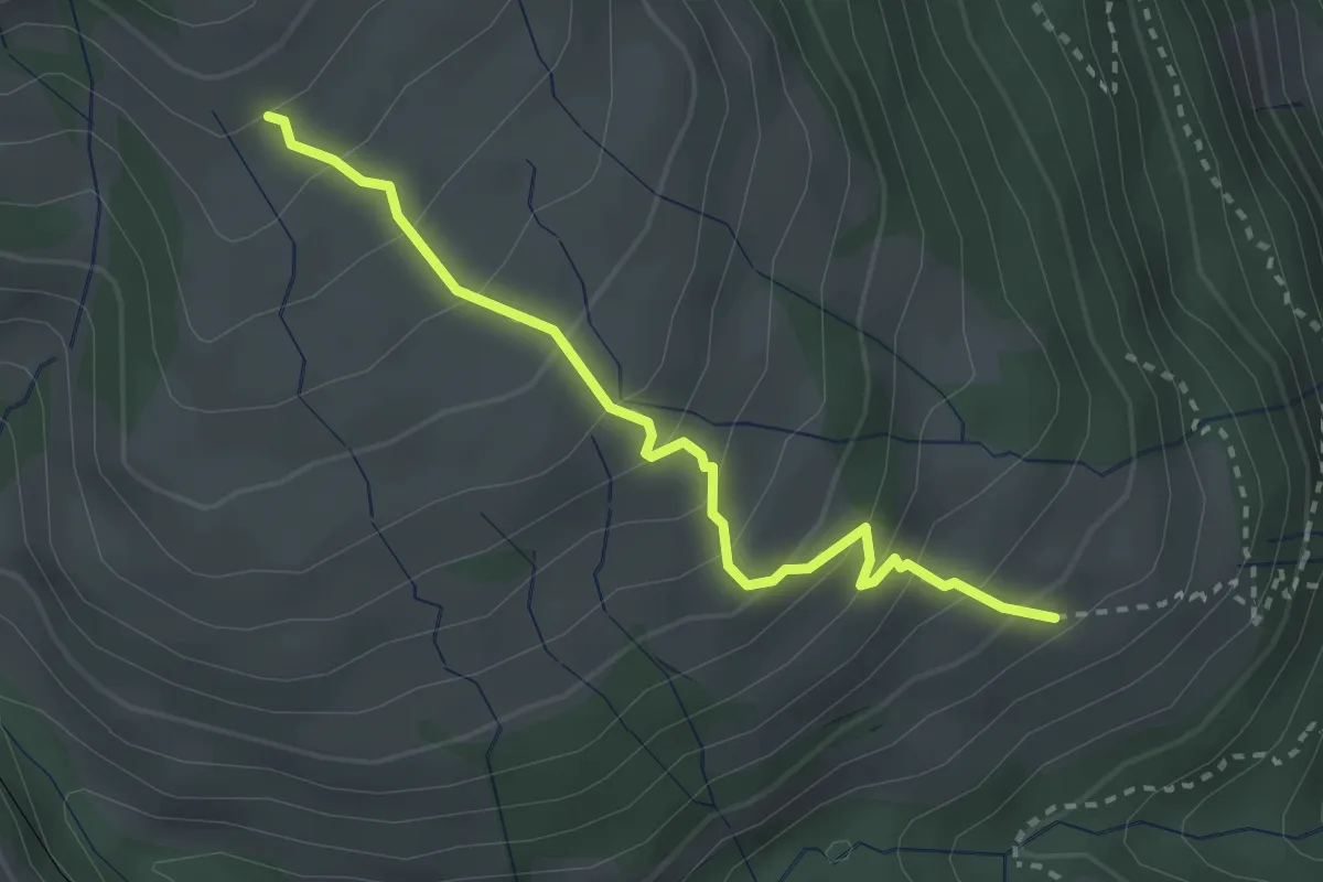
Medium · Trail
Schwändi – Resti
2.8 km · ↑ 289 m · 1 h 18 min · 14 km away
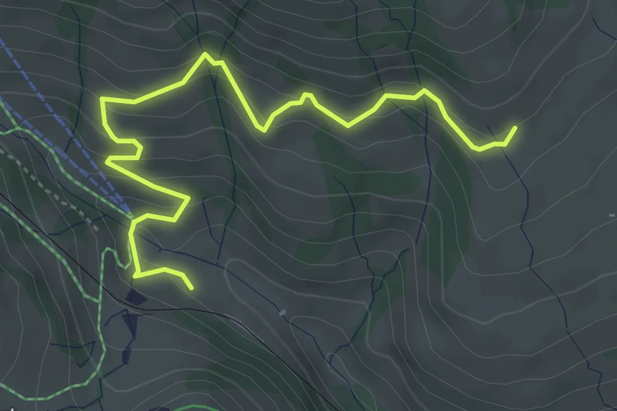
Medium · Trail
Schwändi – Rigi Klösterli
4.5 km · ↑ 328 m · 1 h 47 min · 14 km away
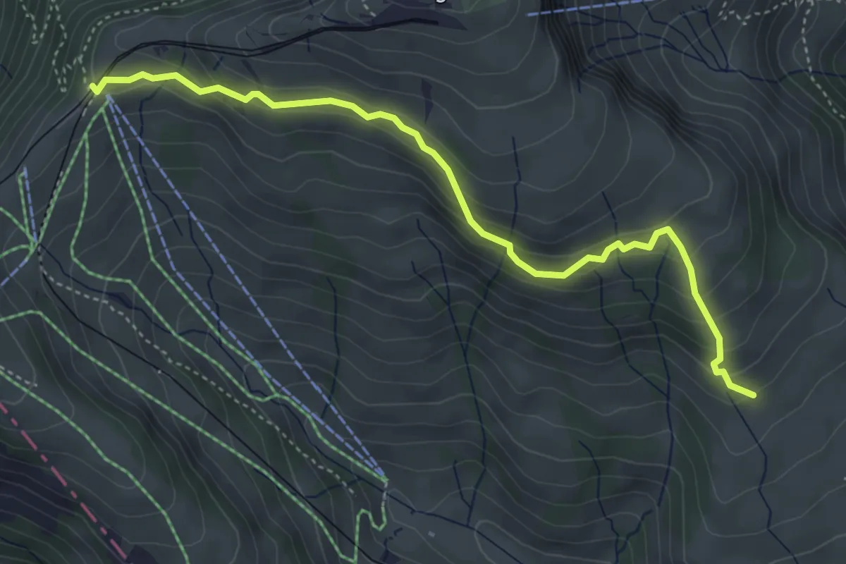
Medium · Trail
Schwändi – Rigi Staffel
4.6 km · ↑ 296 m · 1 h 43 min · 14 km away
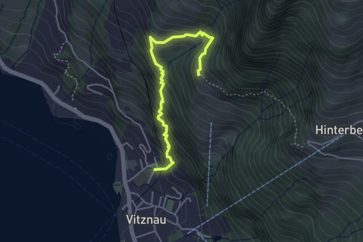
Medium · Trail
Vitznau Dorf – Gebetschwil
3.5 km · ↑ 450 m · 1 h 48 min · 14 km away
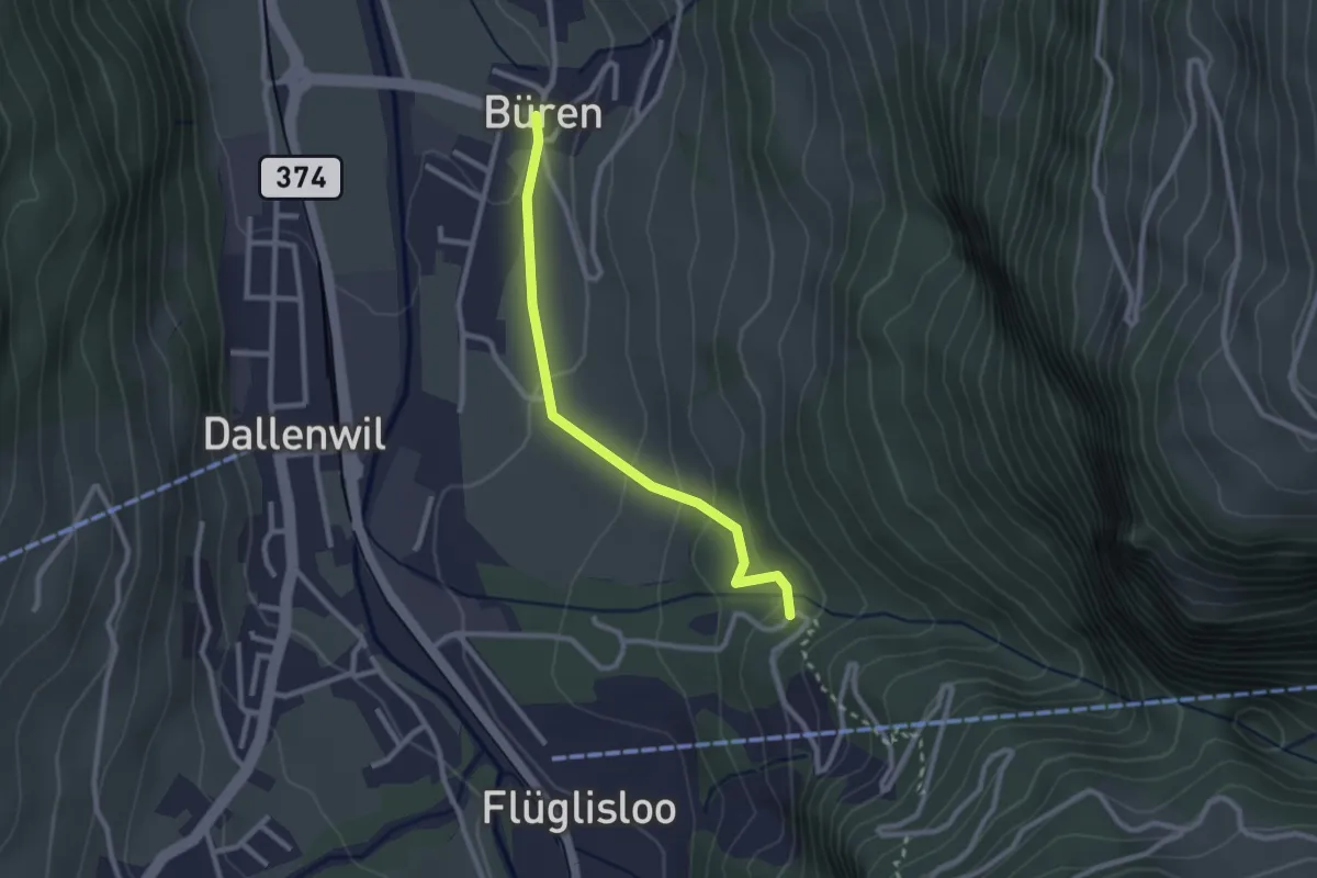
Easy · Trail
Geissteg – Büren
2.4 km · ↑ 117 m · 49 min · 14 km away
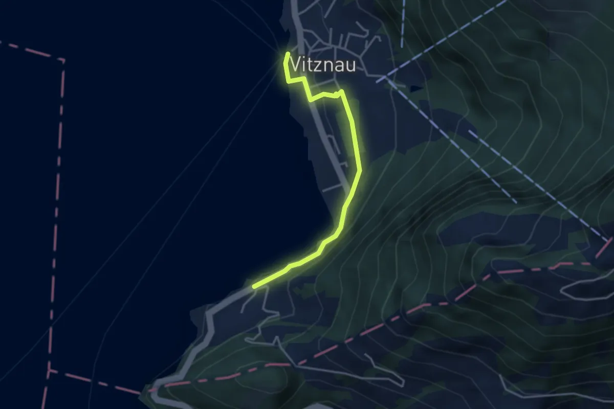
Easy · Trail
Bürglen – Vitznau
3.2 km · ↑ 114 m · 1 h 1 min · 14 km away
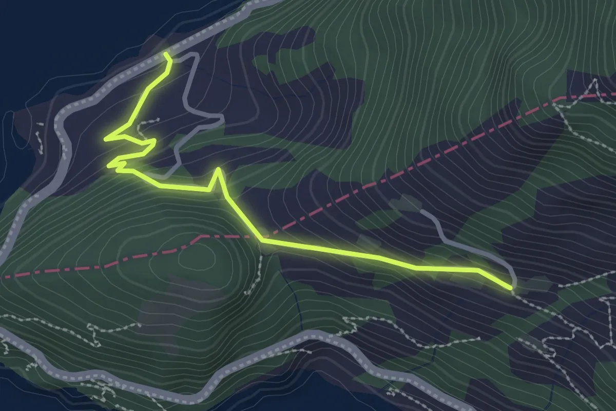
Easy · Trail
Äbnet – Bürglen
2.8 km · ↑ 228 m · 1 h 9 min · 14 km away
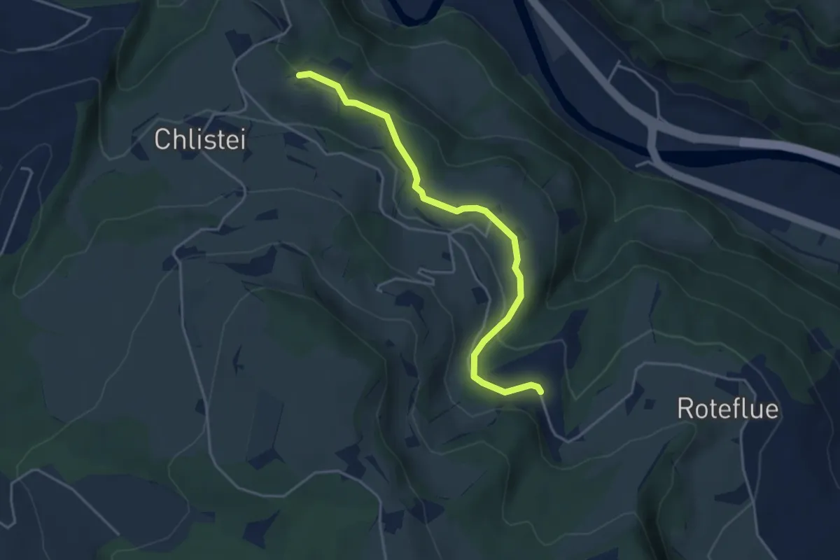
Easy · Trail
Chächebüel - Dünnhirs
4.0 km · ↑ 95 m · 1 h 9 min · 15 km away
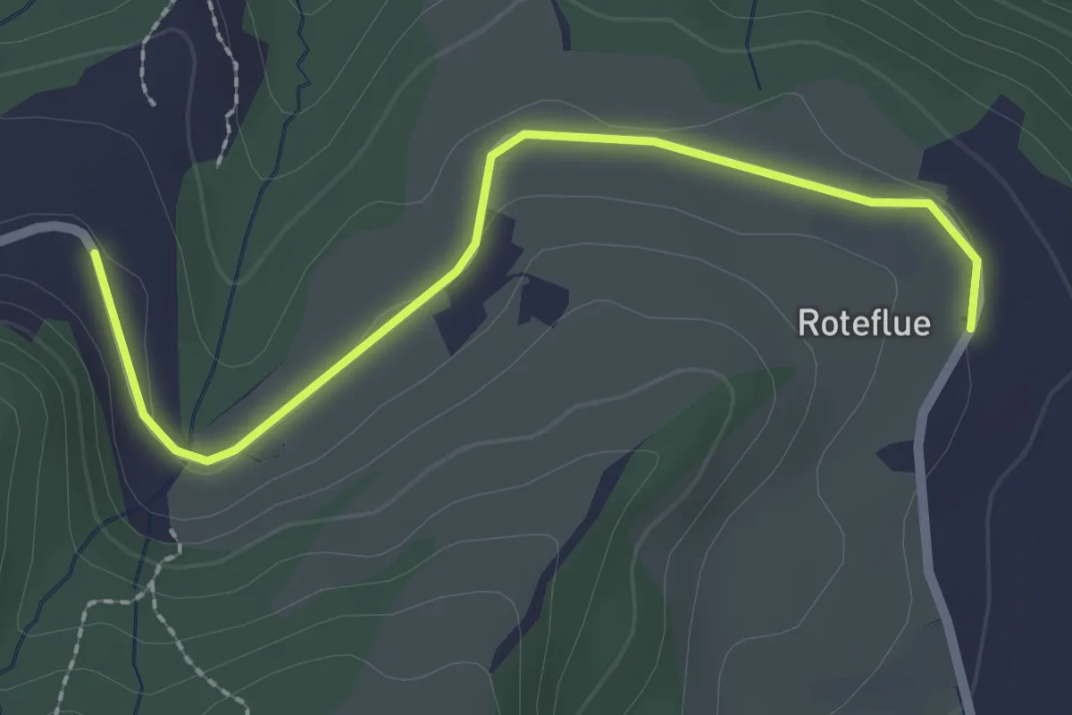
Easy · Trail
Dünnhirs - Rotenflue
2.3 km · ↑ 18 m · 36 min · 15 km away
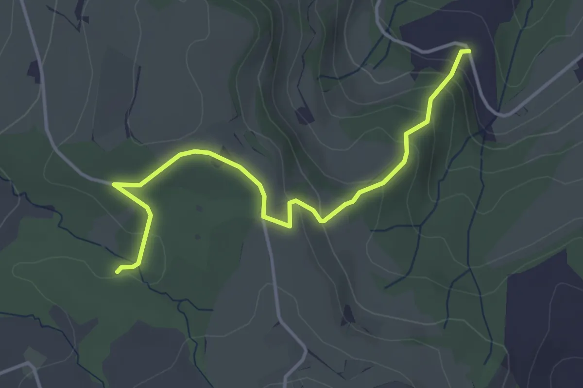
Easy · Trail
Dünnhirs - Chlosterwald
3.9 km · ↑ 177 m · 1 h 18 min · 15 km away
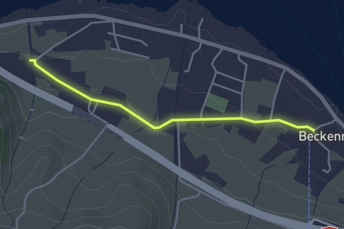
Easy · Trail
Talstation Klewenbahn – Ridli
2.8 km · ↑ 73 m · 49 min · 15 km away
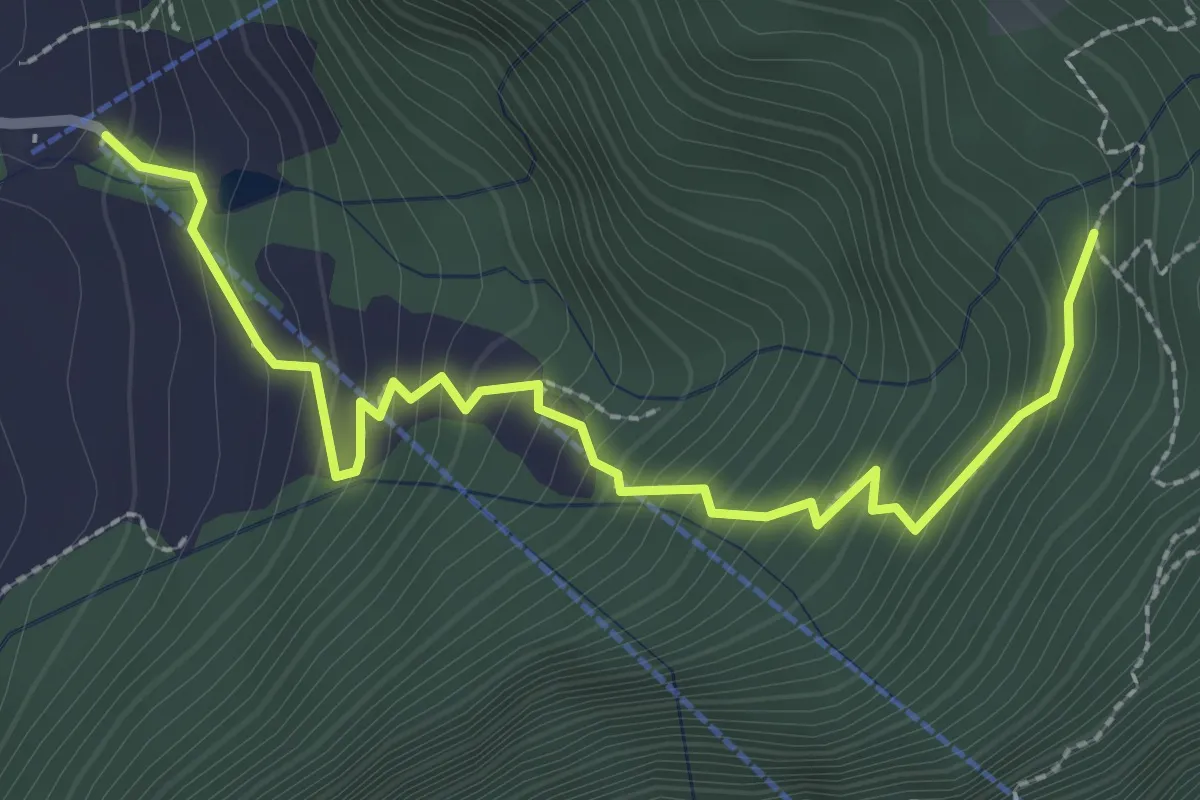
Medium · Trail
St. Antoni – Hinterbergen- / Wissilfuh Talstation
2.9 km · ↑ 327 m · 1 h 23 min · 15 km away
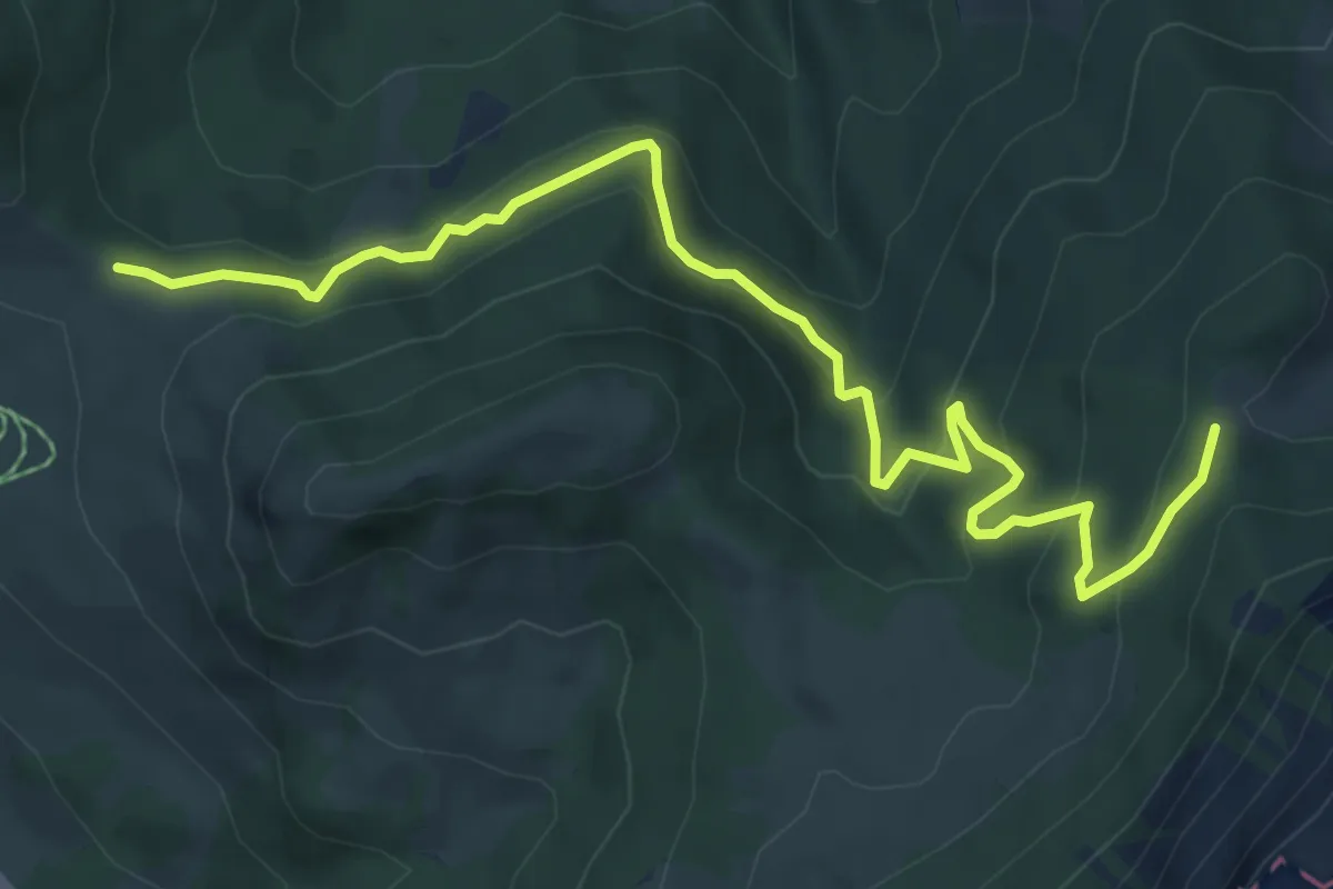
Medium · Trail
Wissenegg - Risetenegg
7.4 km · ↑ 418 m · 2 h 39 min · 15 km away
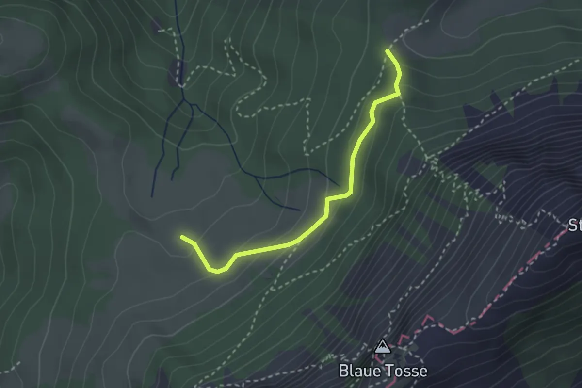
Medium · Trail
Risete - Risetenegg
2.5 km · ↑ 136 m · 53 min · 15 km away
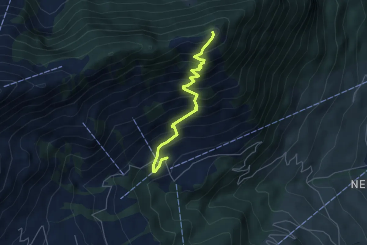
Medium · Trail
Blatti – Wiesenberg
4.3 km · ↑ 537 m · 2 h 10 min · 15 km away
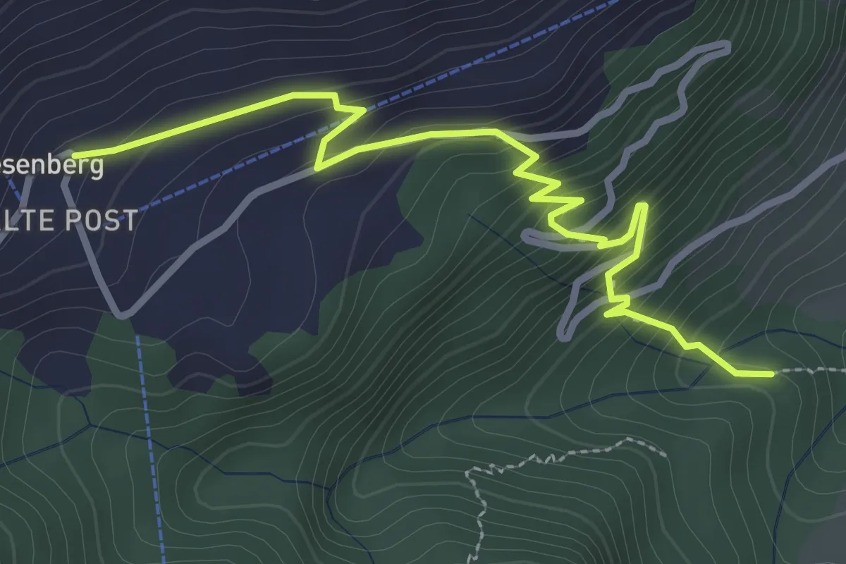
Easy · Trail
Heinziwald – Wiesenberg
3.2 km · ↑ 305 m · 1 h 25 min · 15 km away
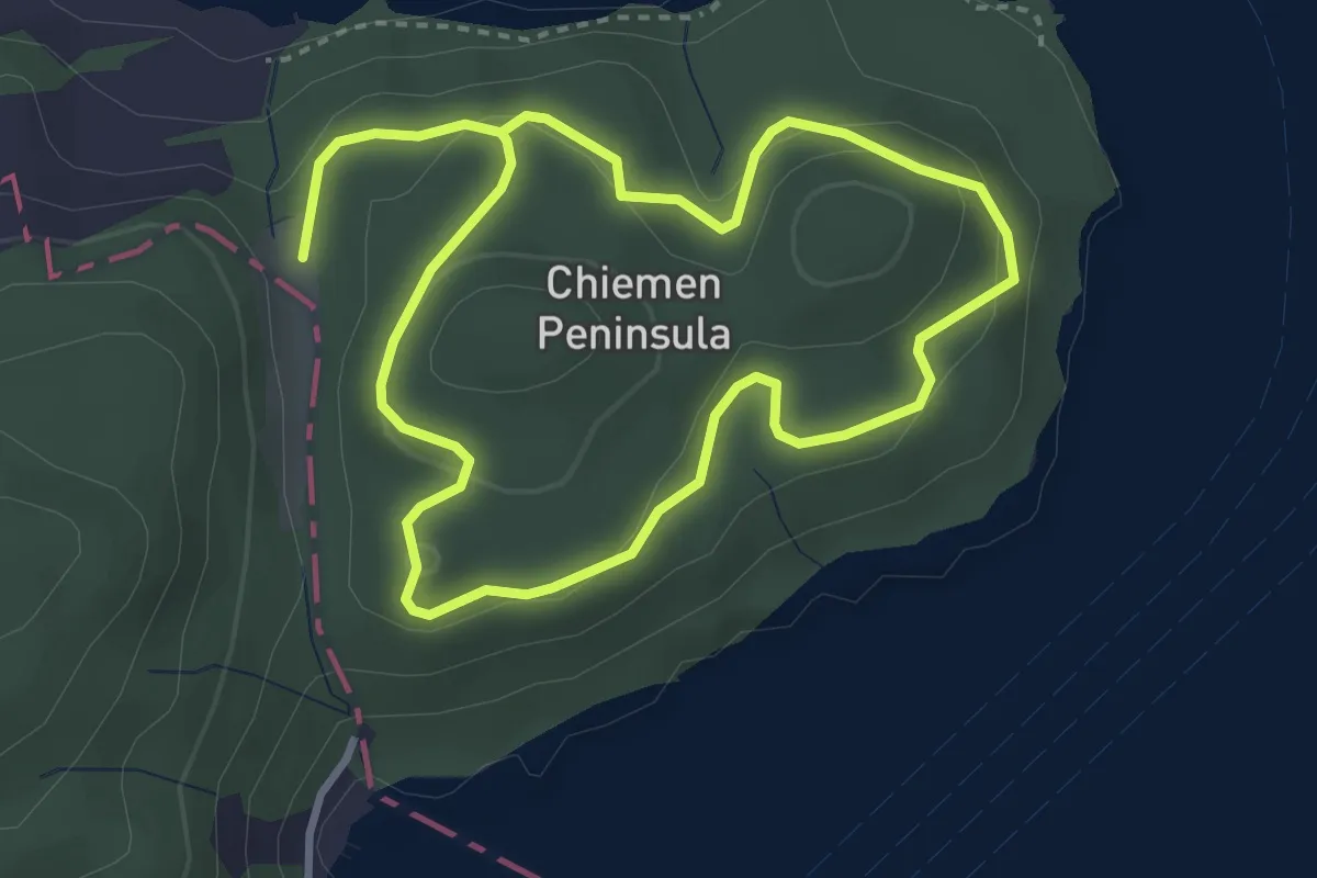
Easy · Trail
Rundwanderung Chiemenwald
5.9 km · ↑ 231 m · 1 h 54 min · 15 km away
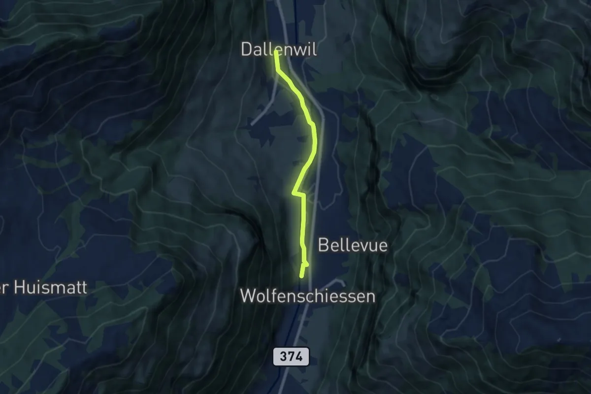
Easy · Trail
Dallenwil – Wolfenschiessen
5.7 km · ↑ 28 m · 1 h 25 min · 15 km away
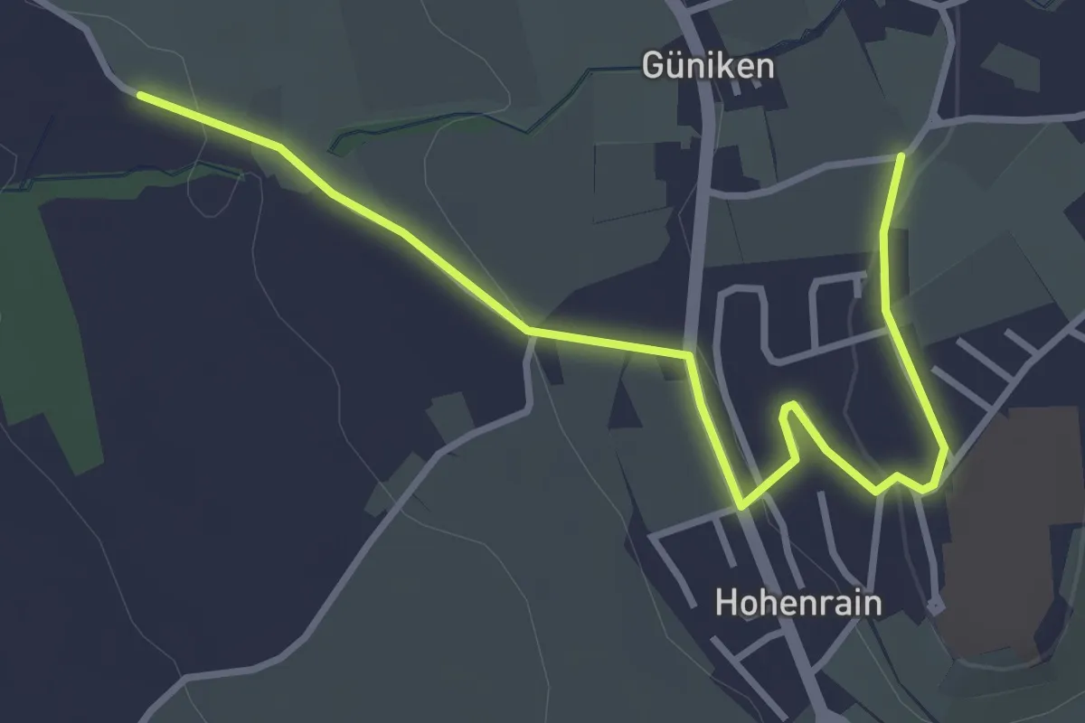
Easy · Trail
Güniken - Hohenrain
3.7 km · ↑ 81 m · 1 h 3 min · 15 km away
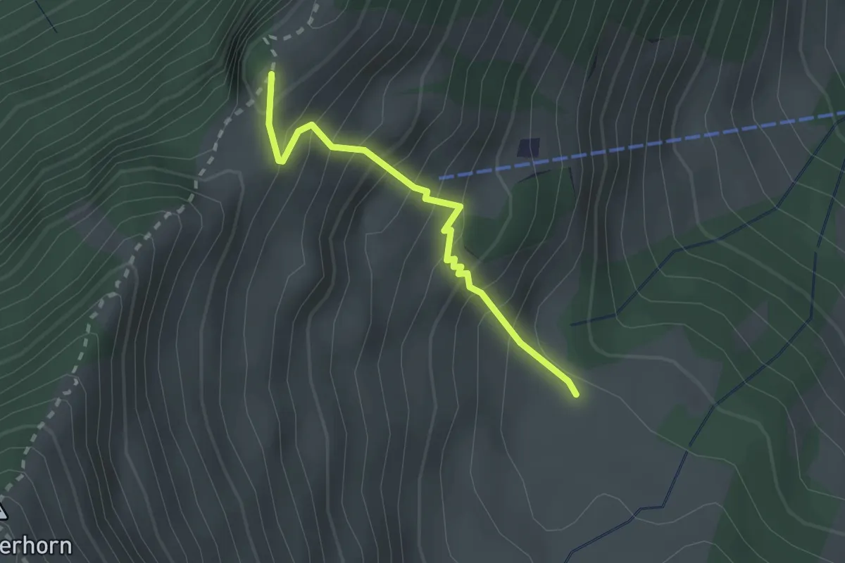
Expert · Trail
Unter Spis – Guberengrätli
2.0 km · ↑ 275 m · 1 h 4 min · 15 km away
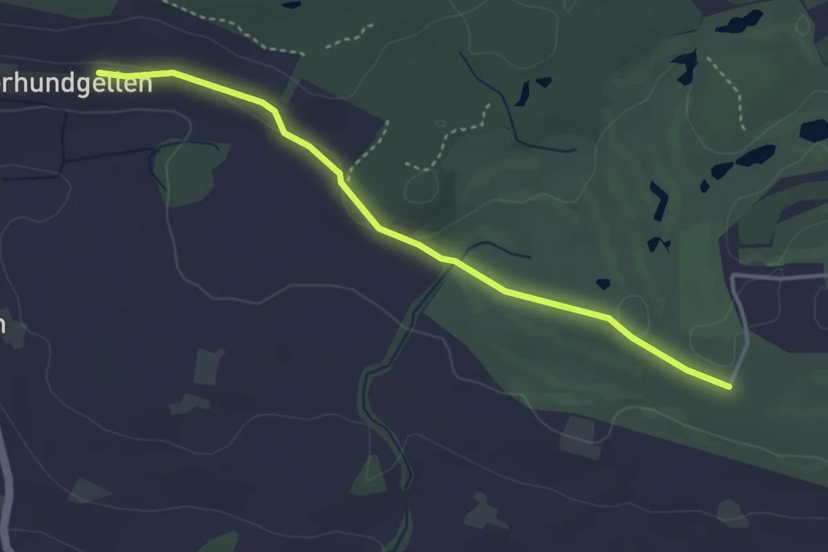
Easy · Trail
Schopfe – Ober Hundgellen
3.6 km · ↑ 24 m · 54 min · 15 km away
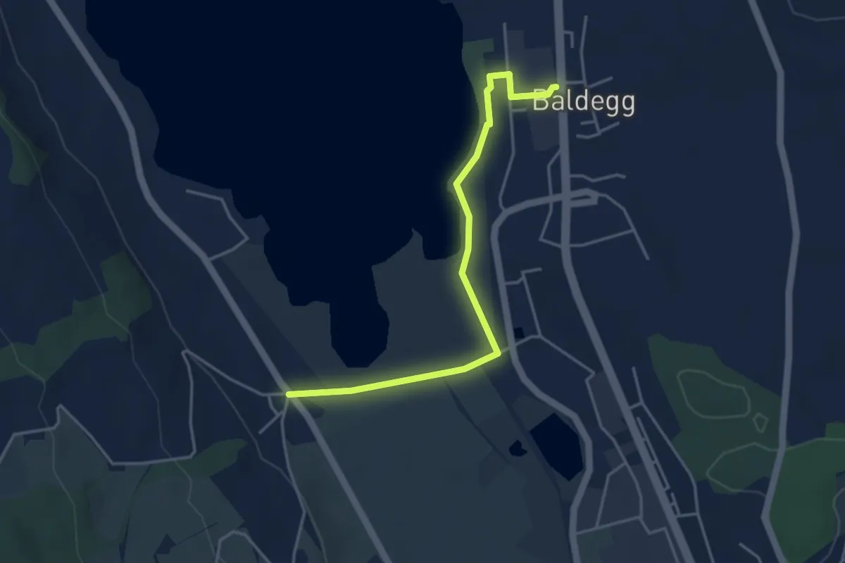
Easy · Trail
Ballwil - Nunwil
4.0 km · ↑ 9 m · 58 min · 15 km away
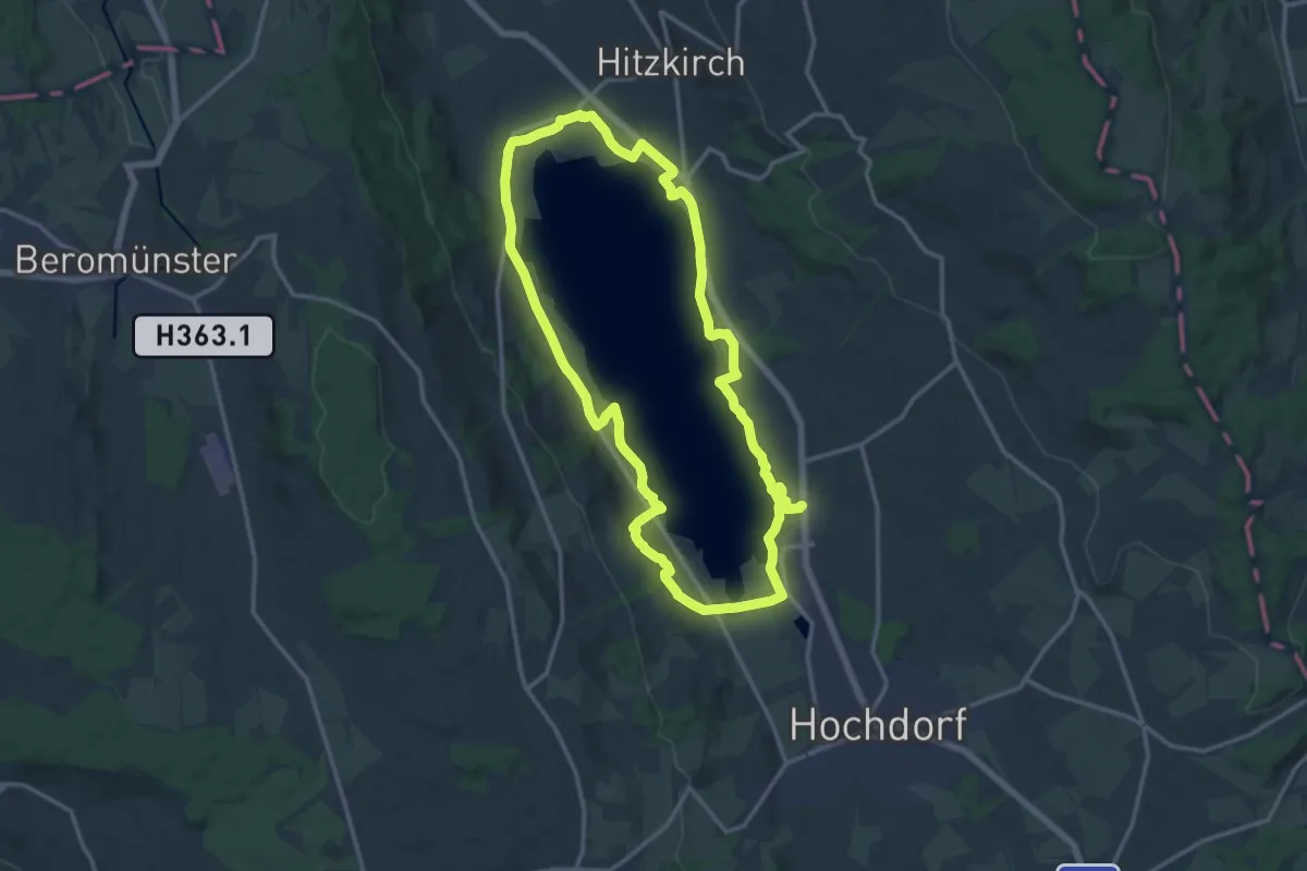
Demanding · Trail
Seeuferweg Baldeggersee
29.2 km · ↑ 256 m · 7 h 27 min · 15 km away
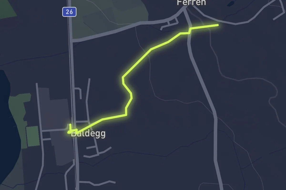
Easy · Trail
Ballwil - Ferren
2.4 km · ↑ 31 m · 38 min · 15 km away
Medium · Trail
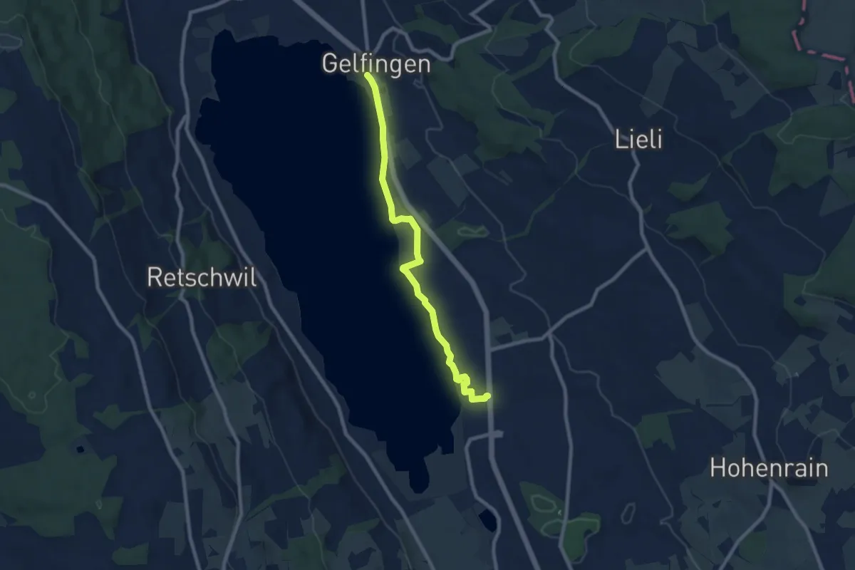
Gelfingen Station – Ballwil
8.0 km · ↑ 50 m · 2 h · 15 km away