Trails near Luzern
605 hikes starting within 15 km, nearest first.
Nearest first, page 12 of 13
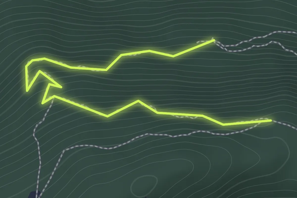
Easy · Trail
Ahornhütte – Muetergotteswald
2.1 km · ↑ 293 m · 1 h 7 min · 13 km away
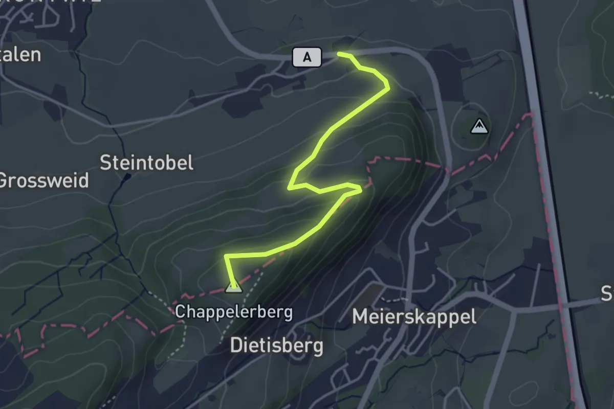
Easy · Summit
Ibikon - Honau
3.6 km · ↑ 192 m · 1 h 16 min · 14 km away
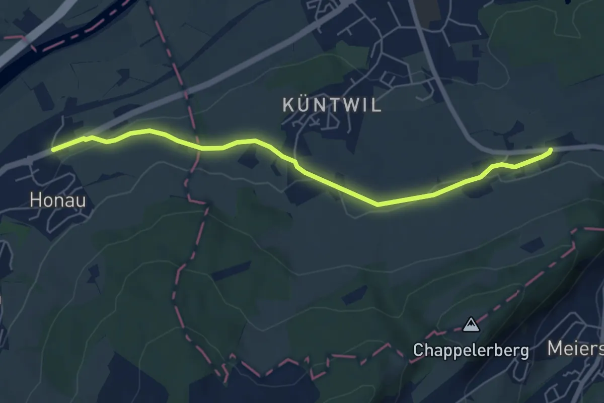
Easy · Trail
Ibikon - Honau
5.5 km · ↑ 68 m · 1 h 26 min · 14 km away
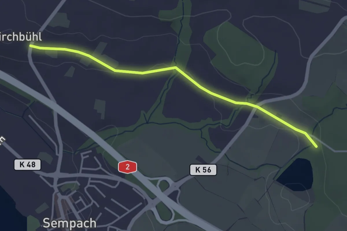
Easy · Trail
Chilchbüel - Steinibüel
3.6 km · ↑ 22 m · 54 min · 14 km away
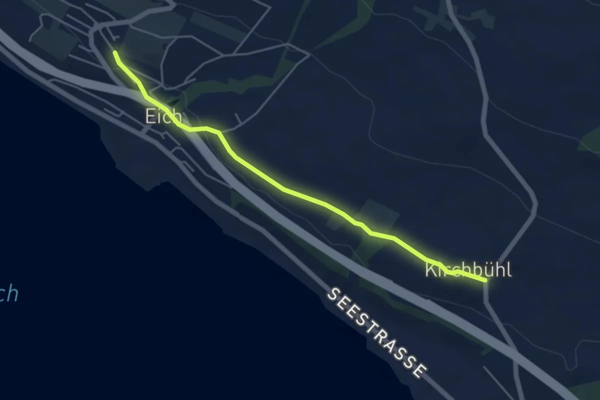
Easy · Trail
Eich (Schulhaus) - Kirchbühl
4.2 km · ↑ 59 m · 1 h 8 min · 14 km away
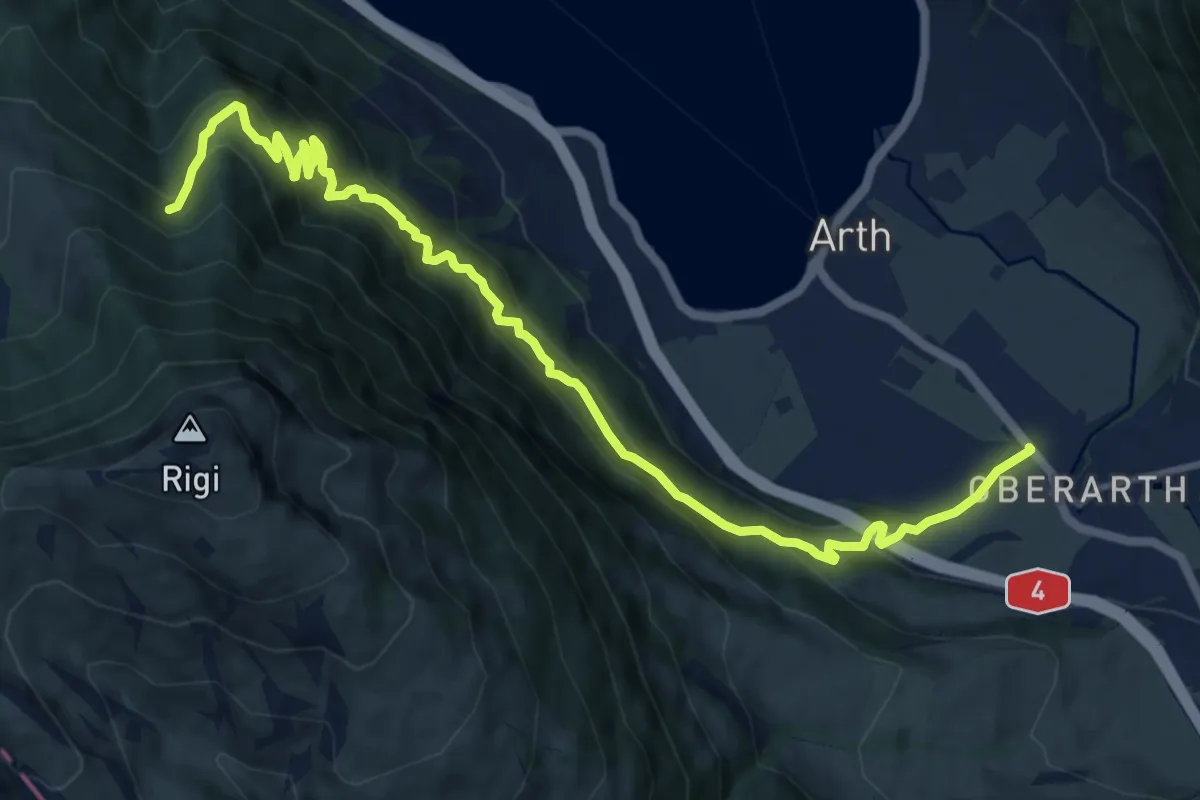
Demanding · Trail
Oberarth – Stock
12.8 km · ↑ 1156 m · 5 h 31 min · 14 km away
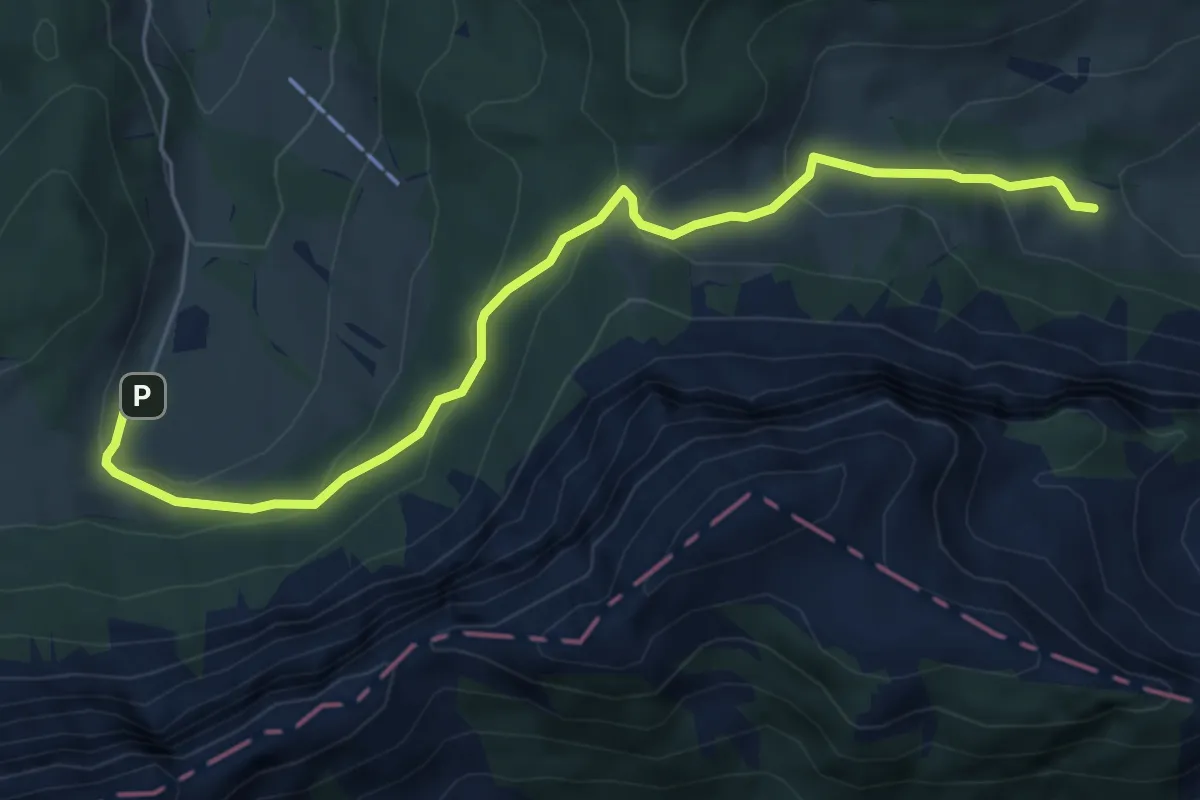
Easy · Trail
Stafel - Trochenmattsattel - Stäfeli
6.3 km · ↑ 318 m · 2 h 10 min · 14 km away
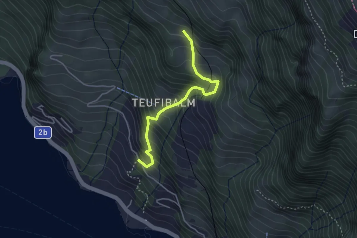
Medium · Trail
Äbnet – Grubisbalm
3.1 km · ↑ 364 m · 1 h 32 min · 14 km away
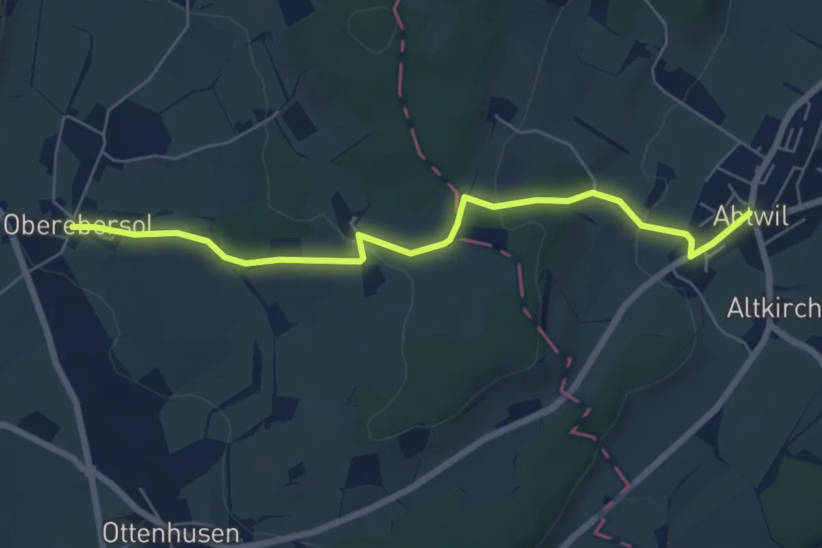
Easy · Trail
Abtwil - Oberebersol
5.6 km · ↑ 126 m · 1 h 35 min · 14 km away
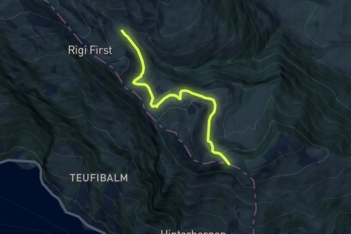
Medium · Trail
Hinder Dossen – Rigi Klösterli
8.1 km · ↑ 368 m · 2 h 43 min · 14 km away
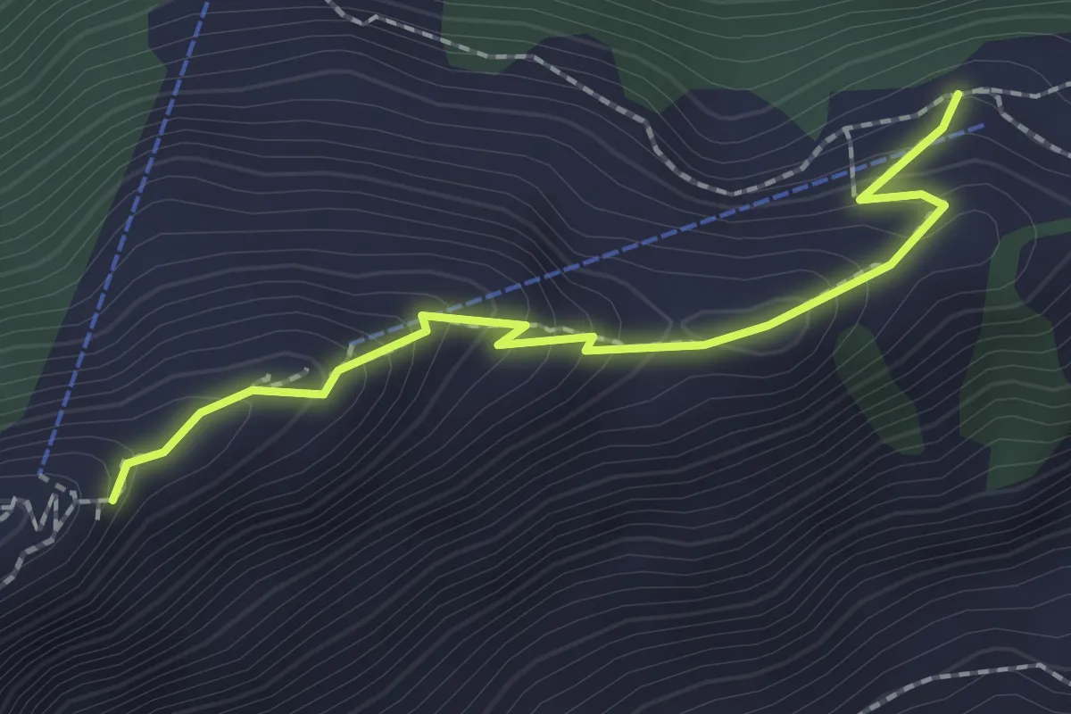
Medium · Trail
Rindermatt – Stanserhorn
2.0 km · ↑ 212 m · 56 min · 14 km away
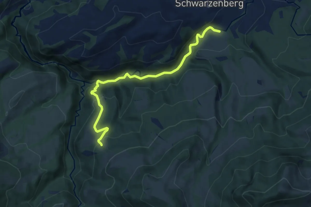
Demanding · Trail
Tristboden – Bömmerenbrücke
9.0 km · ↑ 357 m · 2 h 54 min · 14 km away
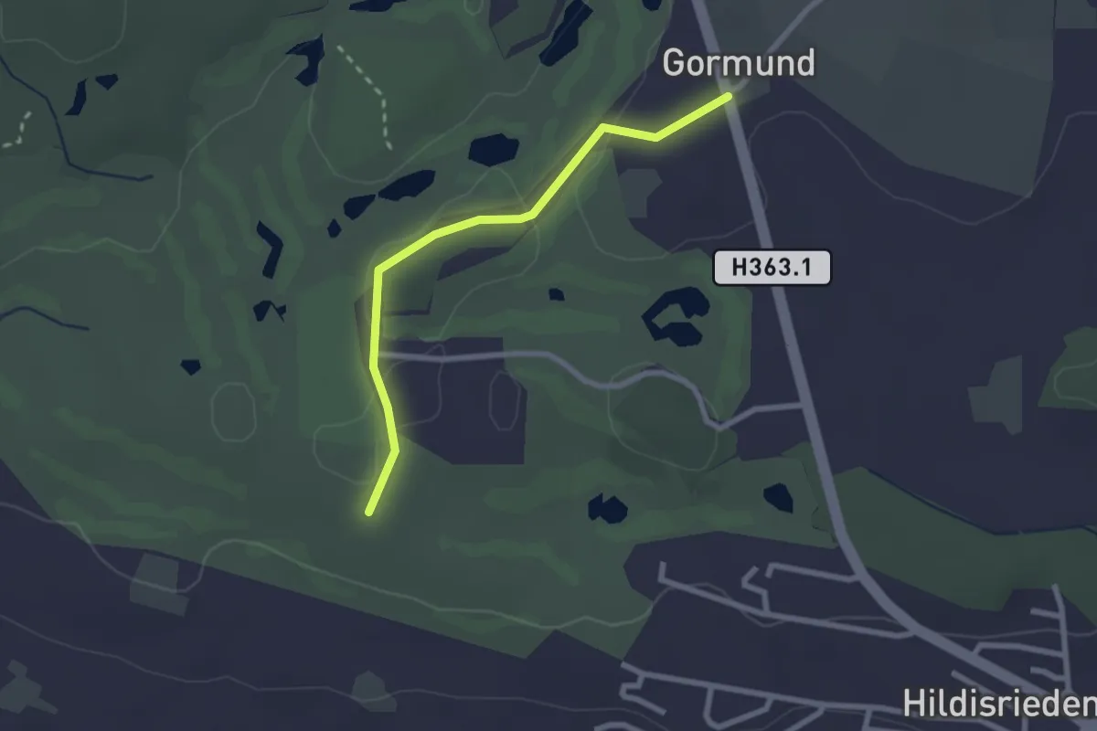
Easy · Trail
Schopfen – Gormund
2.3 km · ↑ 10 m · 34 min · 14 km away
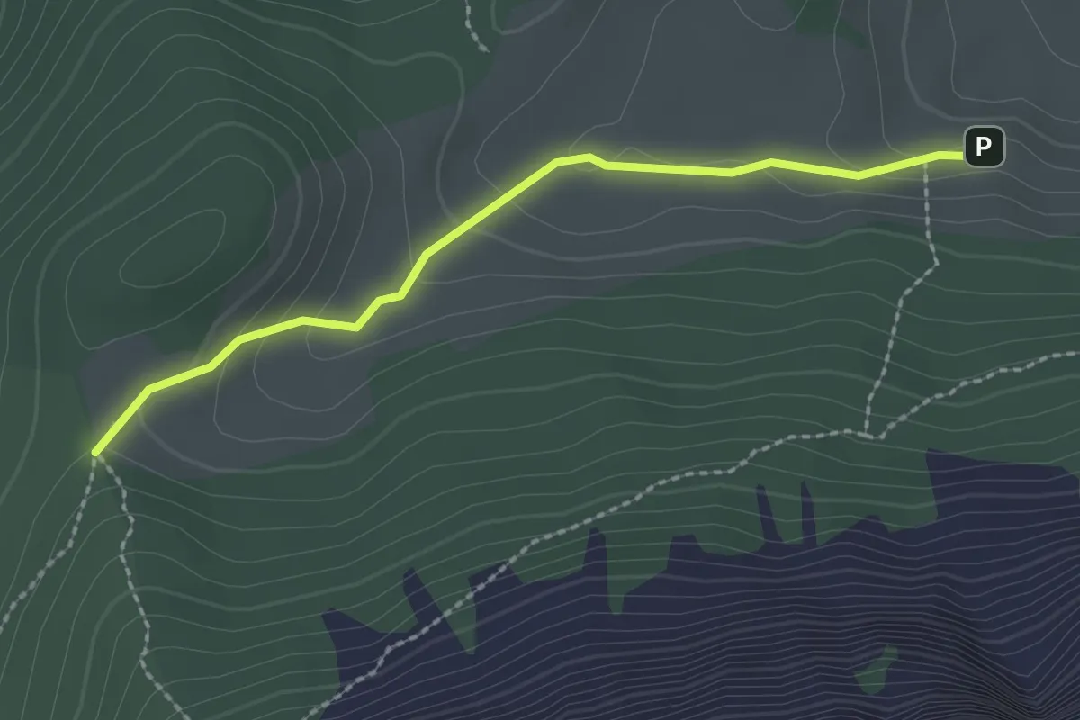
Easy · Trail
Stäfeli - Risetenegg
2.2 km · ↑ 110 m · 45 min · 14 km away
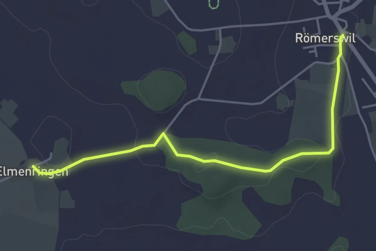
Easy · Trail
Römerswil – Älmeringen
4.2 km · ↑ 34 m · 1 h 3 min · 14 km away
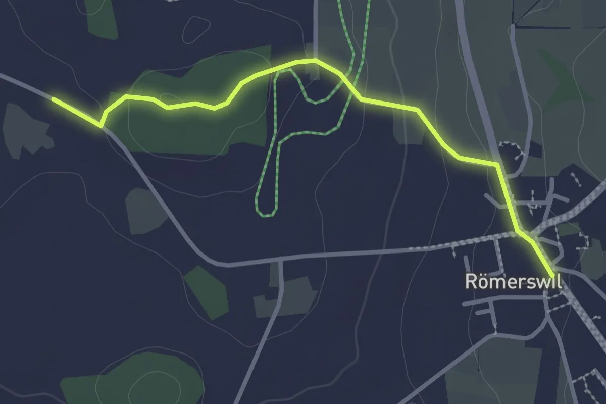
Easy · Trail
Römerswil – Bromen
2.7 km · ↑ 71 m · 48 min · 14 km away
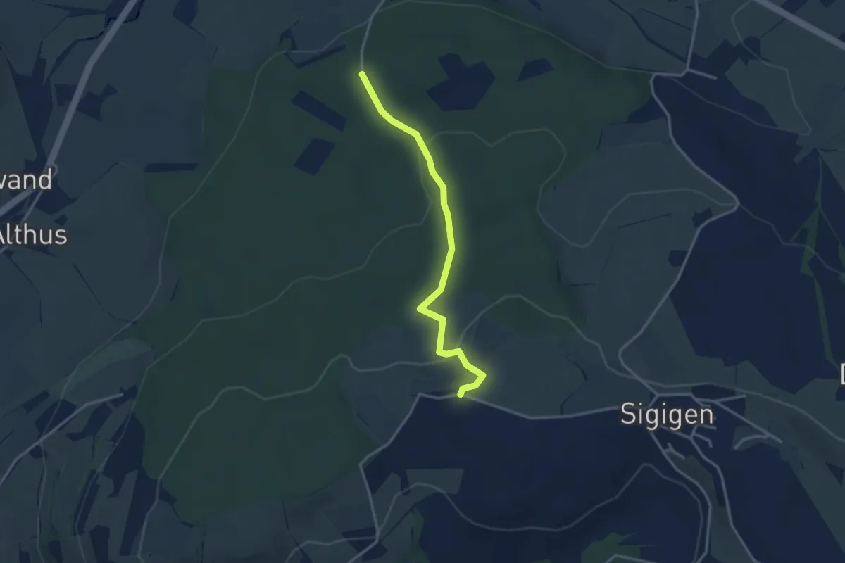
Easy · Trail
Schächbüehl - Schächbüehl
3.0 km · ↑ 99 m · 56 min · 14 km away
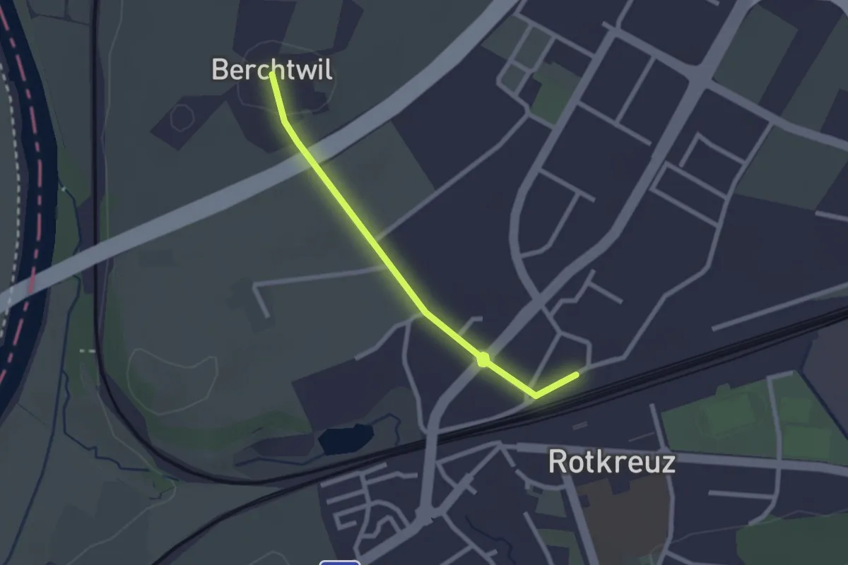
Easy · Trail
Rotkreuz - Berchtwil
2.2 km · ↑ 19 m · 33 min · 14 km away
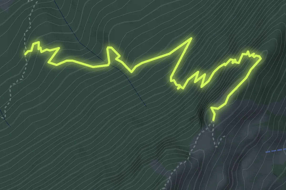
Expert · Trail
Gitzitritt
6.3 km · ↑ 719 m · 3 h 2 min · 14 km away
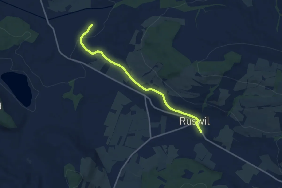
Easy · Trail
St.Ottilien - Ruswil
7.3 km · ↑ 130 m · 2 h 1 min · 14 km away
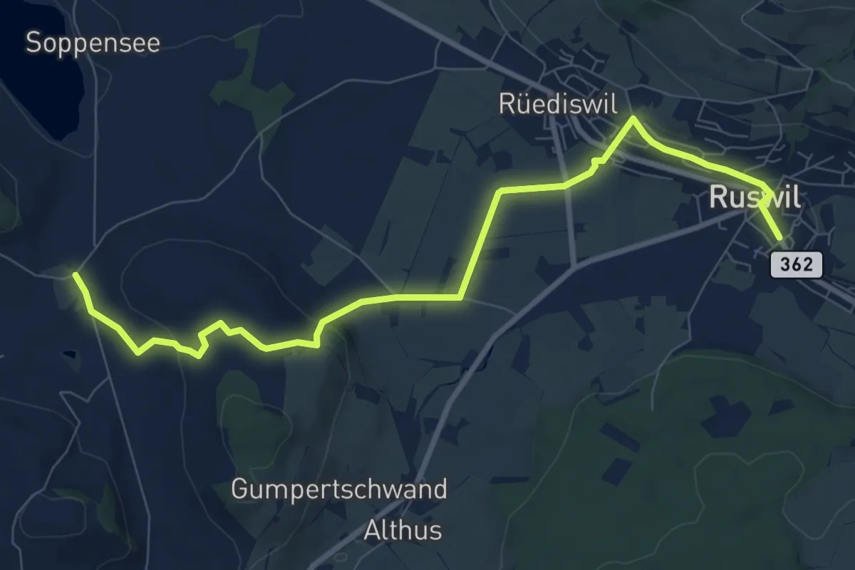
Medium · Trail
Wolhusen - Buholz
9.4 km · ↑ 243 m · 2 h 45 min · 14 km away
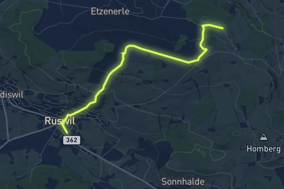
Medium · Trail
Ober Säliwald – Ruswil
8.6 km · ↑ 259 m · 2 h 36 min · 14 km away
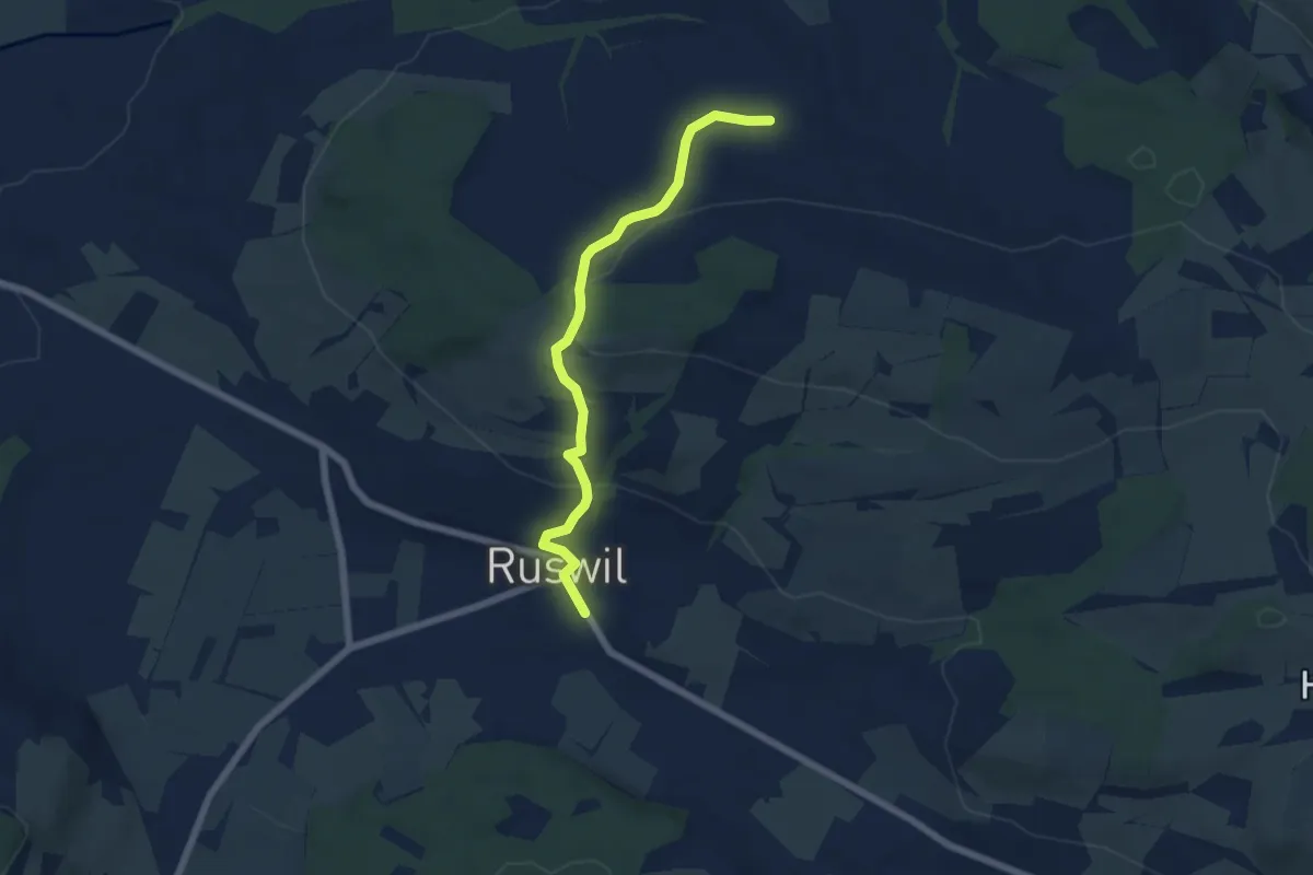
Easy · Trail
Ruswil - Etzenerle
5.9 km · ↑ 215 m · 1 h 51 min · 14 km away
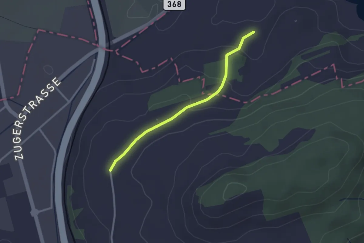
Easy · Trail
Böschenrot - Hinter Chiemen
2.2 km · ↑ 62 m · 40 min · 14 km away
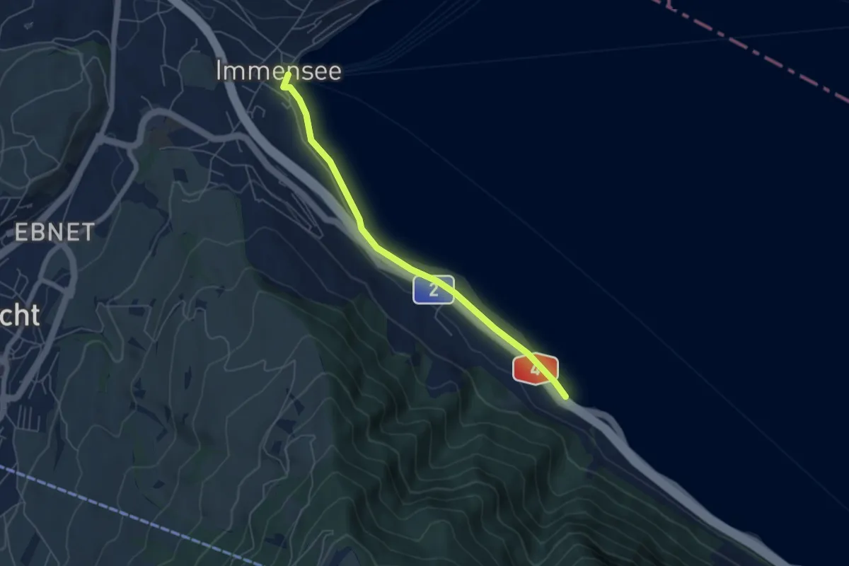
Easy · Trail
Immensee – Fischchratten
5.3 km · ↑ 58 m · 1 h 22 min · 14 km away
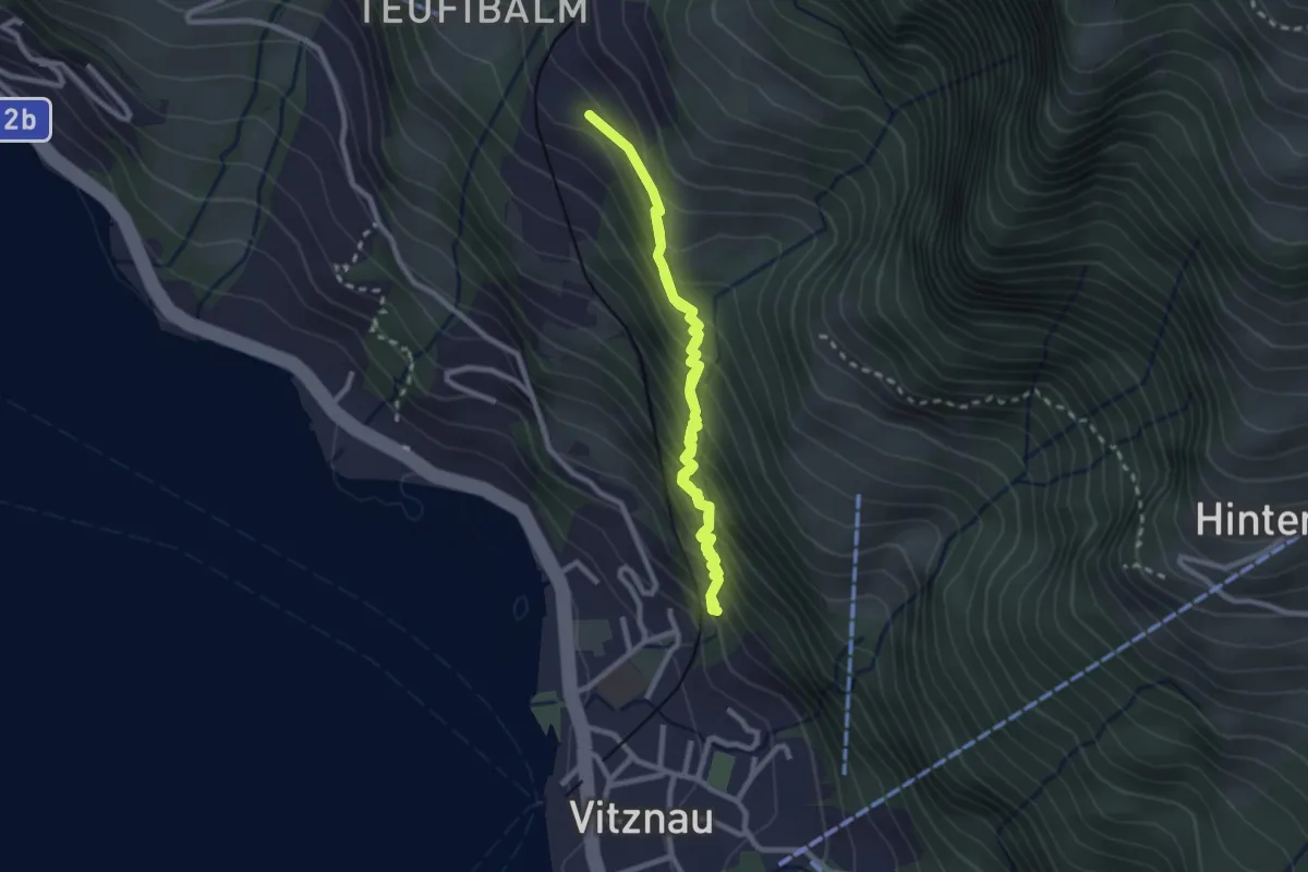
Medium · Trail
Vitznau Dorf – Schwanden
4.2 km · ↑ 502 m · 2 h 5 min · 14 km away
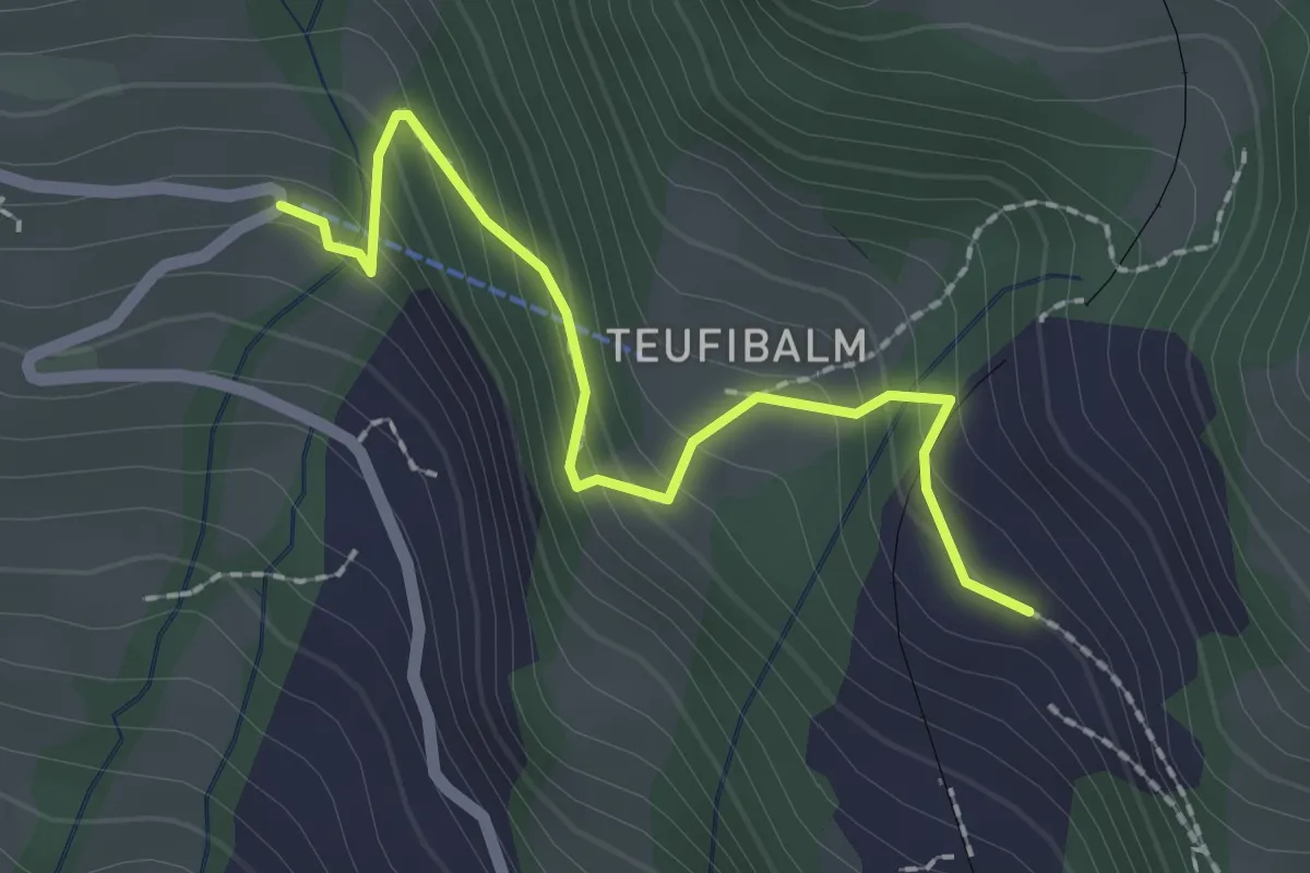
Easy · Trail
Langwilen – Schwanden
2.1 km · ↑ 216 m · 57 min · 14 km away
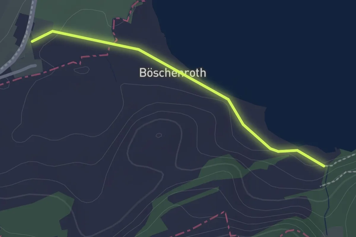
Easy · Trail
Itelfingen - Landhaus
2.1 km · ↑ 13 m · 31 min · 14 km away
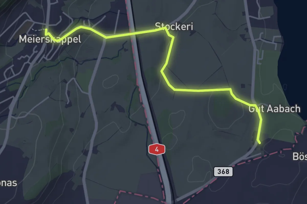
Easy · Trail
Meierskappel - Landhaus
4.7 km · ↑ 125 m · 1 h 22 min · 14 km away
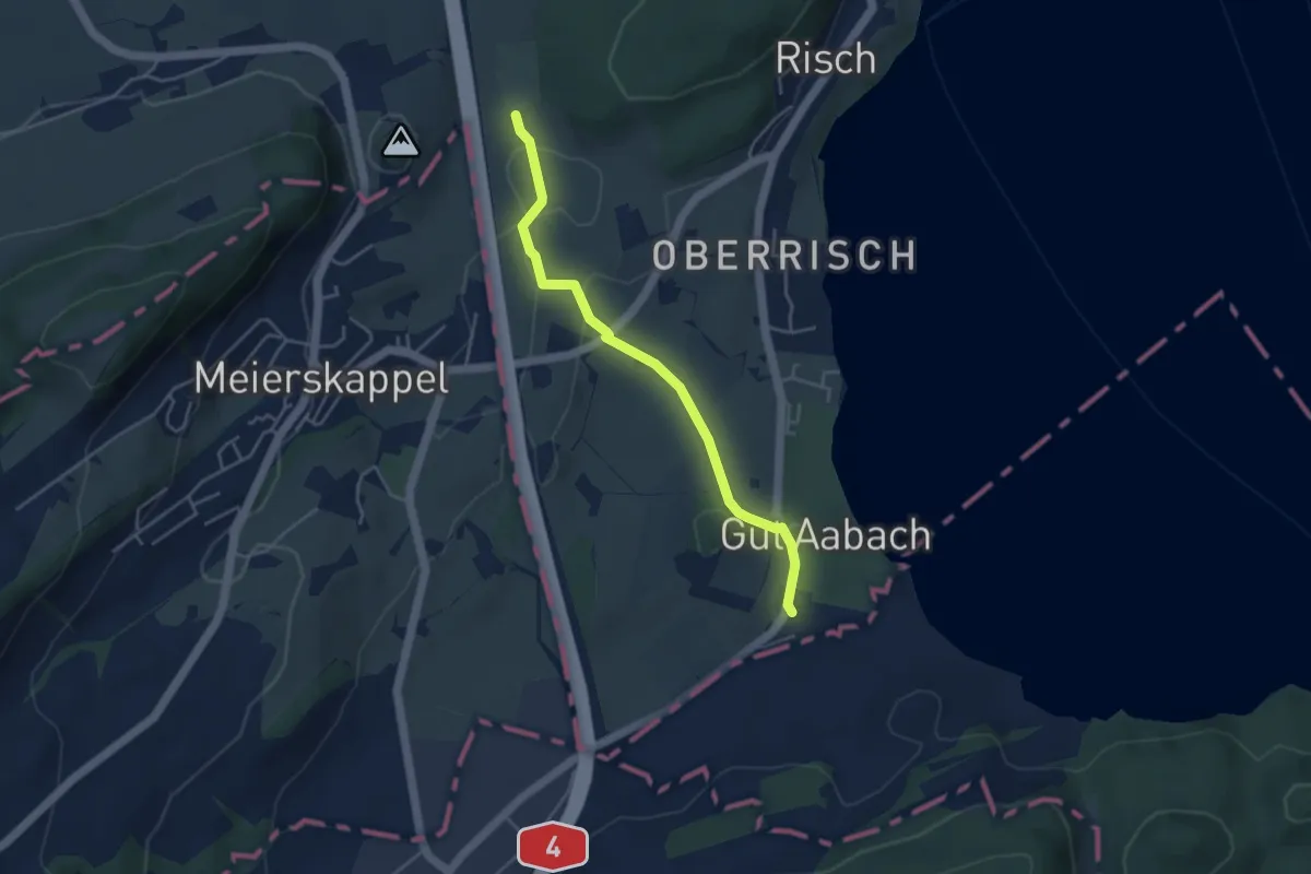
Easy · Trail
Brüglen - Landhaus
4.0 km · ↑ 65 m · 1 h 5 min · 14 km away
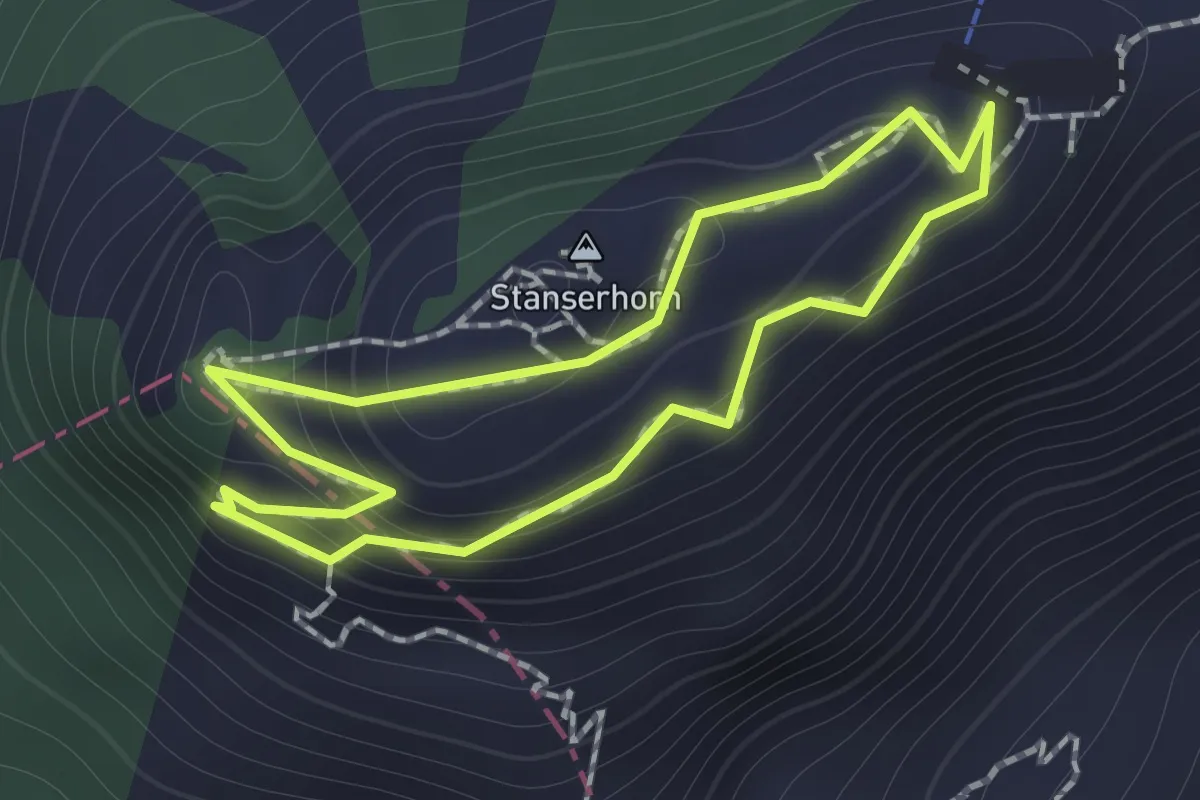
Easy · Summit
Rundgang /circular trail
1.0 km · ↑ 121 m · 31 min · 14 km away
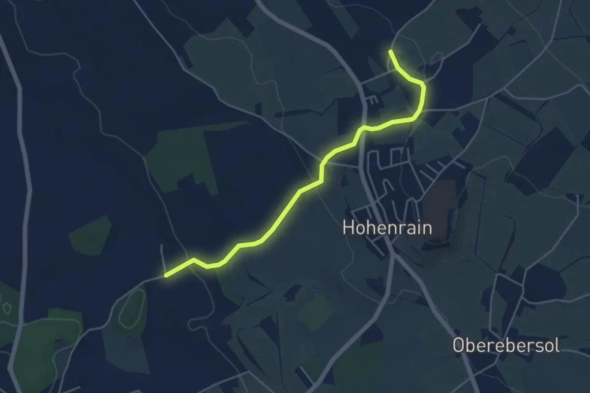
Easy · Trail
Güniken - Feldheim
4.3 km · ↑ 101 m · 1 h 14 min · 14 km away
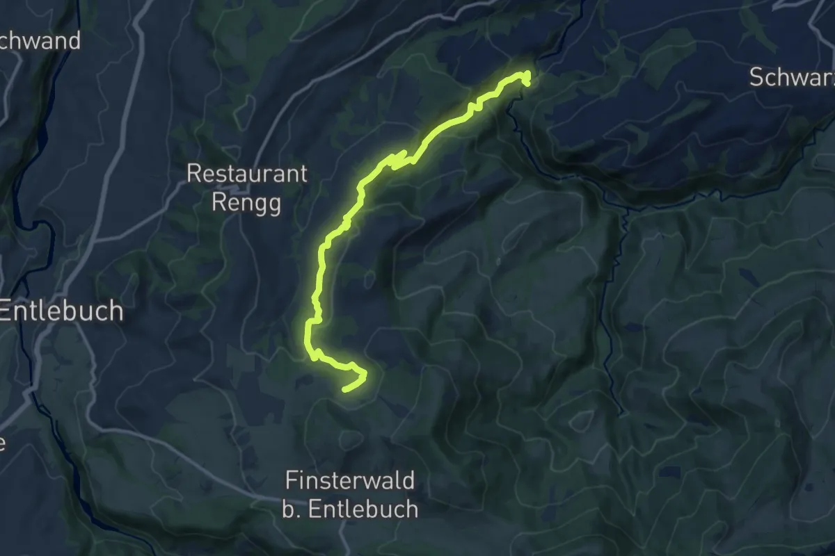
Medium · Trail
Munistein -Dietenwart Gräben
12.5 km · ↑ 585 m · 4 h 13 min · 14 km away
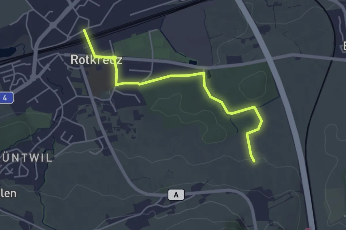
Easy · Trail
Rotkreuz - Auleten
4.1 km · ↑ 36 m · 1 h 3 min · 14 km away
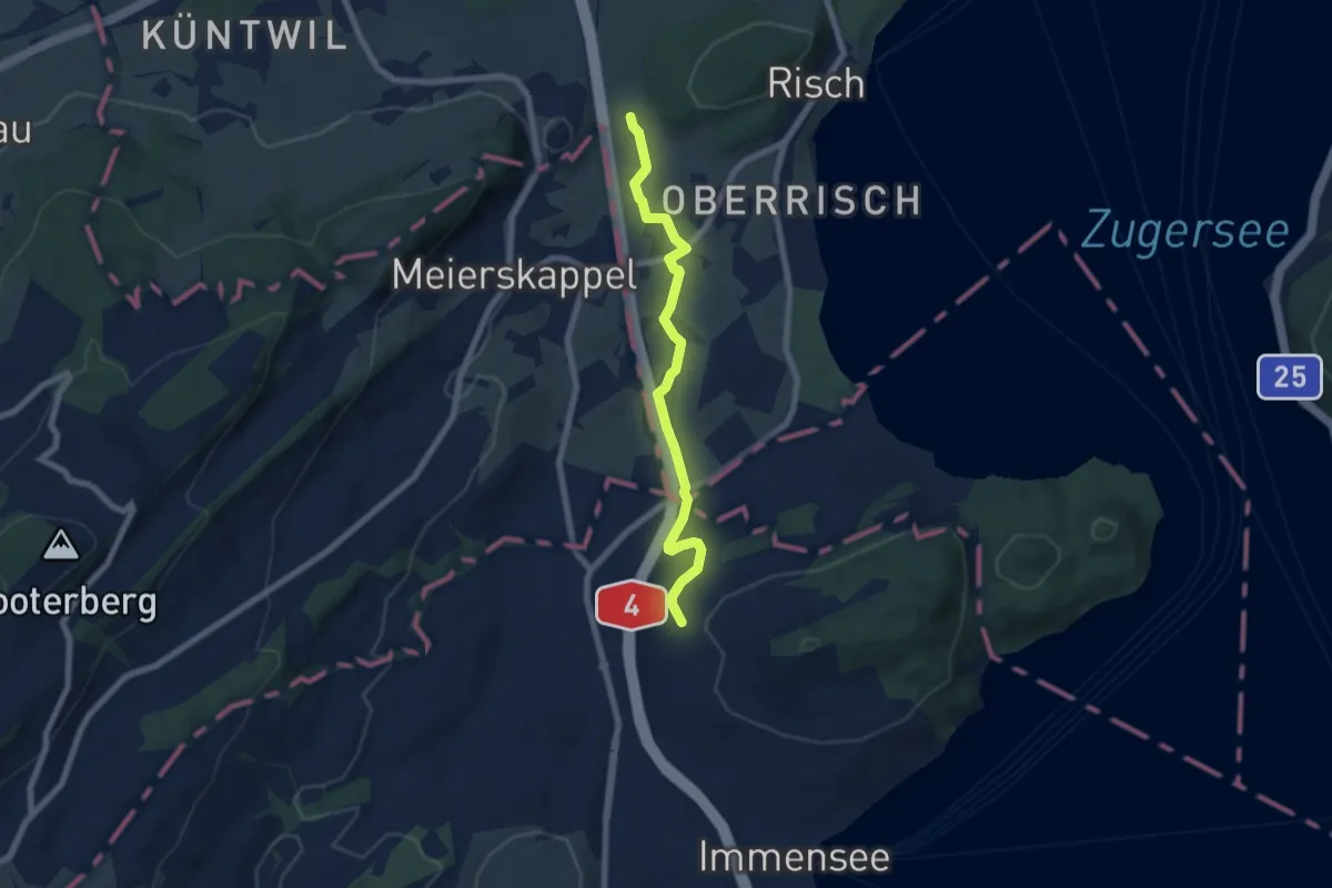
Easy · Trail
Brüglen - Hinter Chiemen
6.6 km · ↑ 122 m · 1 h 49 min · 14 km away
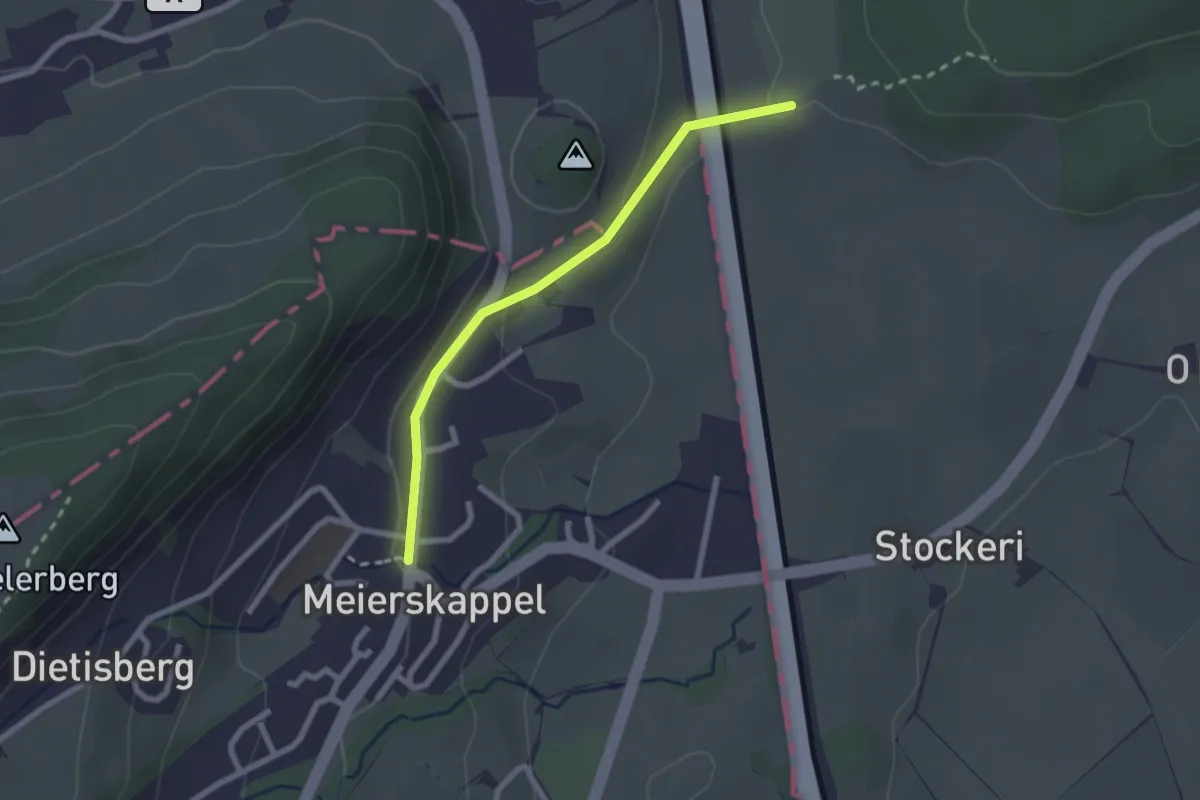
Easy · Trail
Brüglen-Meierskappel
2.2 km · ↑ 44 m · 36 min · 14 km away
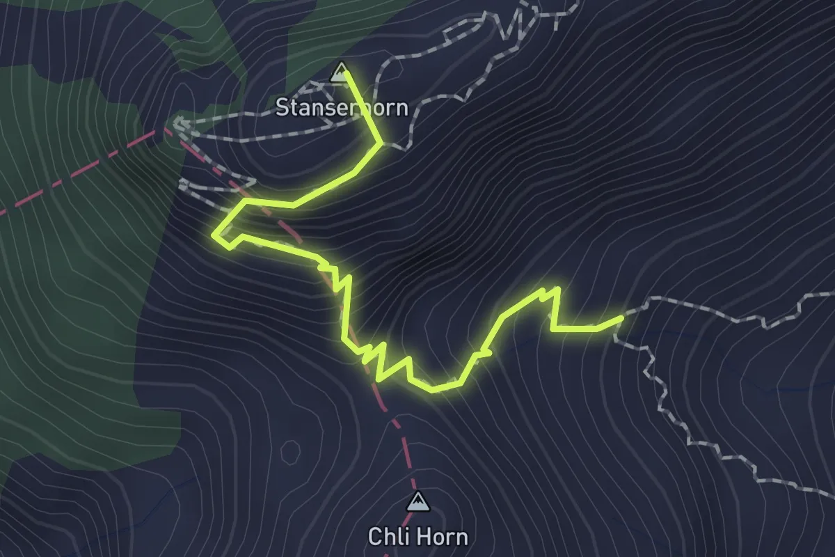
Medium · Summit
Stanserhorn – Chrinnen
1.9 km · ↑ 282 m · 1 h 3 min · 14 km away
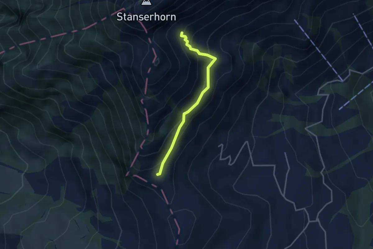
Medium · Trail
Chrinnen – Ober Holzwang
2.7 km · ↑ 245 m · 1 h 10 min · 14 km away
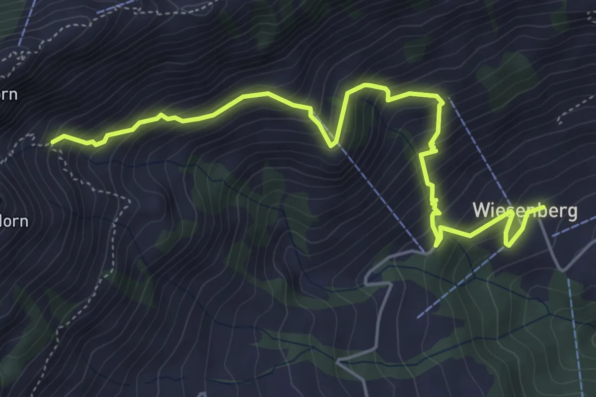
Medium · Trail
Wiesenberg – Chrinnen
5.5 km · ↑ 632 m · 2 h 40 min · 14 km away
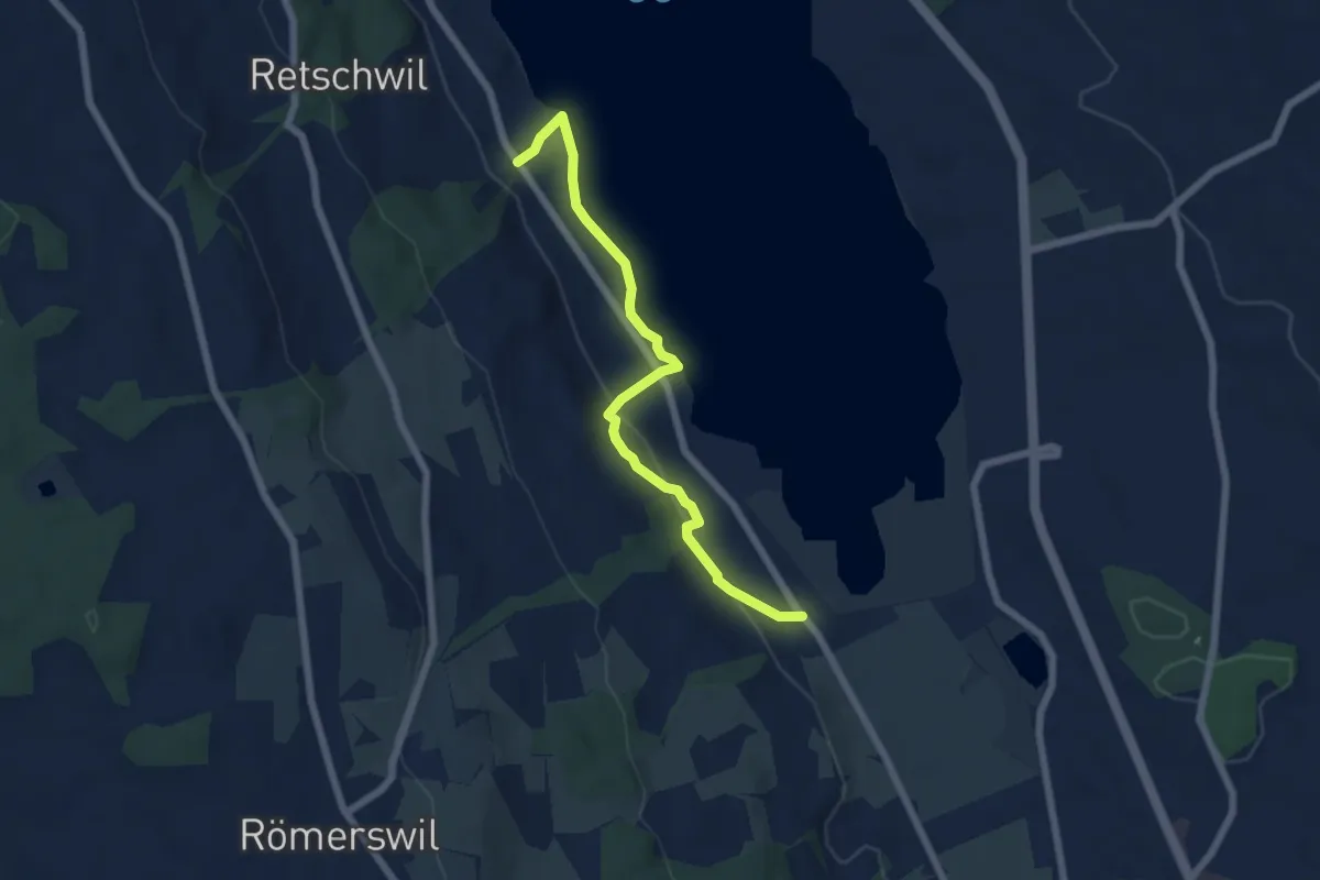
Easy · Trail
Nunwil - Retschwil
6.1 km · ↑ 164 m · 1 h 48 min · 14 km away
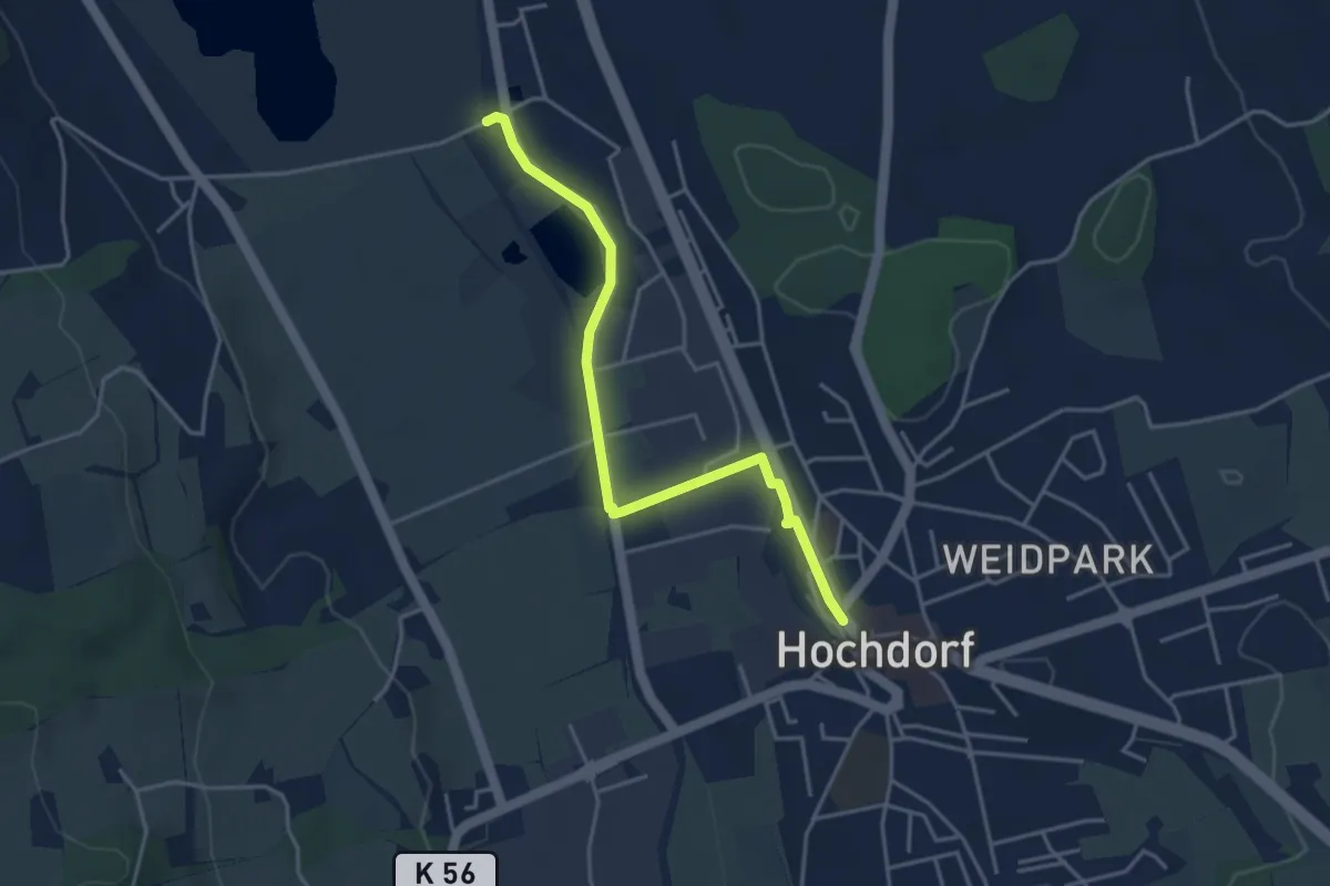
Easy · Trail
Ballwil – Hochdorf
4.0 km · ↑ 23 m · 59 min · 14 km away
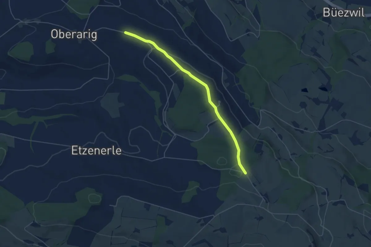
Easy · Trail
Flüss – Ober Saeliwald
5.0 km · ↑ 87 m · 1 h 22 min · 14 km away
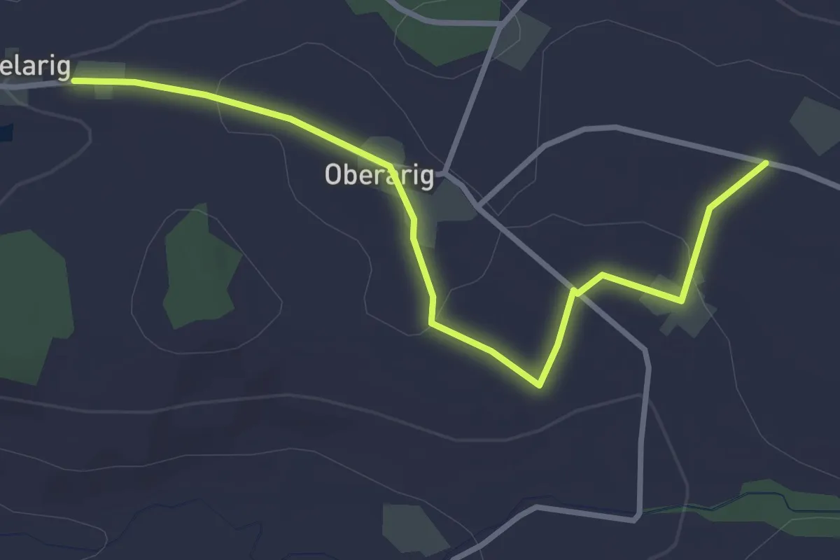
Easy · Trail
Flüss - Mittelarig
3.4 km · ↑ 54 m · 55 min · 14 km away
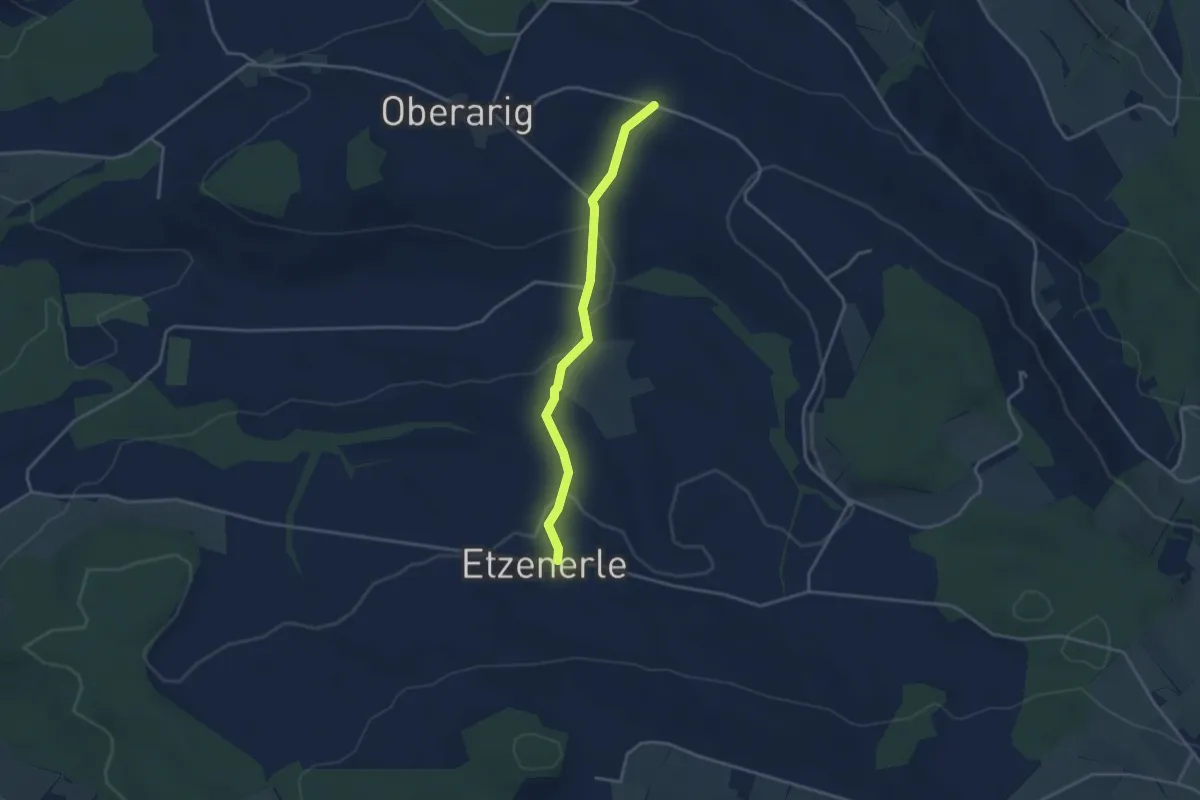
Easy · Trail
Flüss - Etzenerlen
3.3 km · ↑ 98 m · 59 min · 14 km away
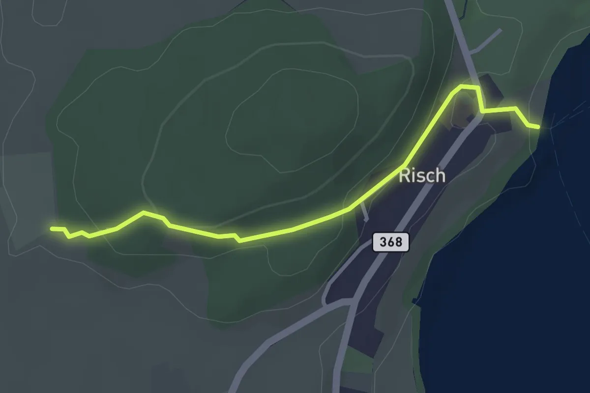
Easy · Trail
Risch - Brüglen
2.9 km · ↑ 104 m · 54 min · 14 km away
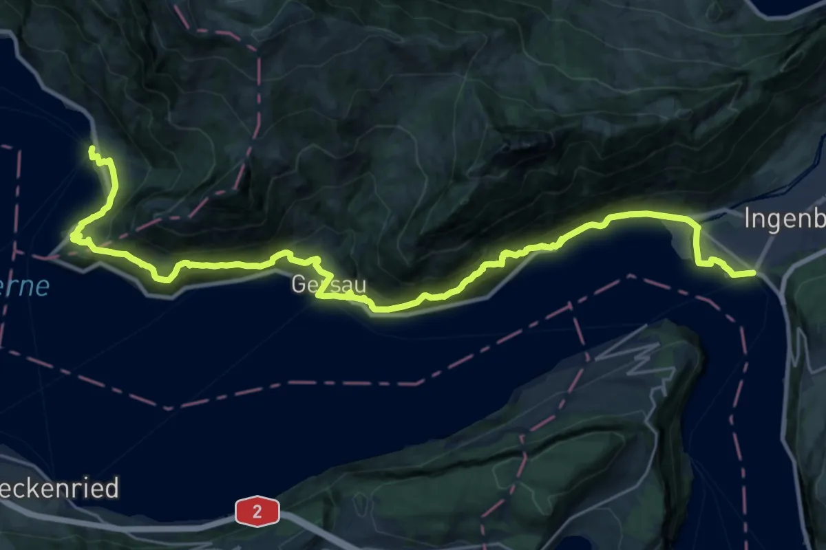
Demanding · Trail
Waldstätterweg - Etappe 1
14.7 km · ↑ 805 m · 5 h 25 min · 14 km away
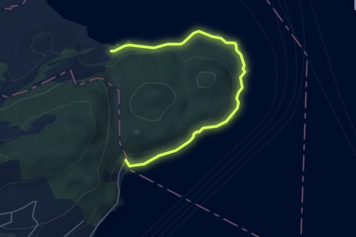
Easy · Trail
Seeuferweg
5.0 km · ↑ 110 m · 1 h 26 min · 14 km away
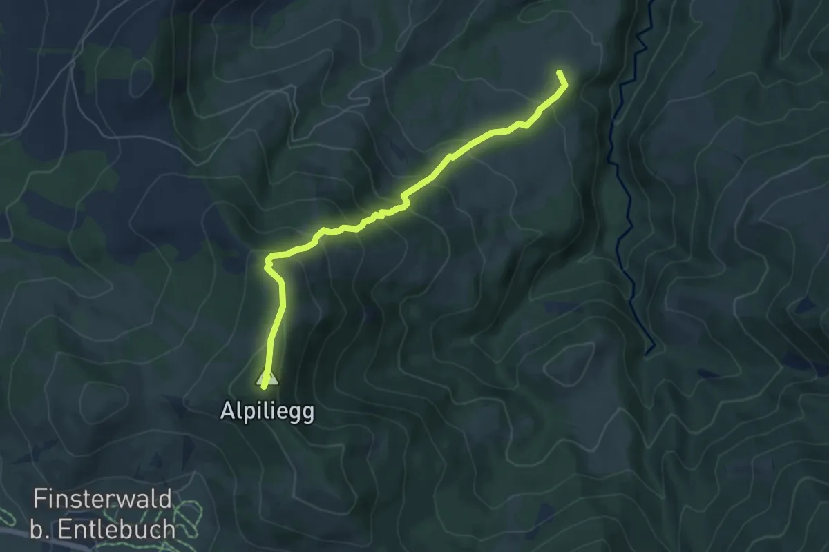
Medium · Summit
Alpiliegg – Unt. Rootmoos
5.7 km · ↑ 448 m · 2 h 19 min · 14 km away