Trails near Luzern
605 hikes starting within 15 km, nearest first.
Nearest first, page 11 of 13
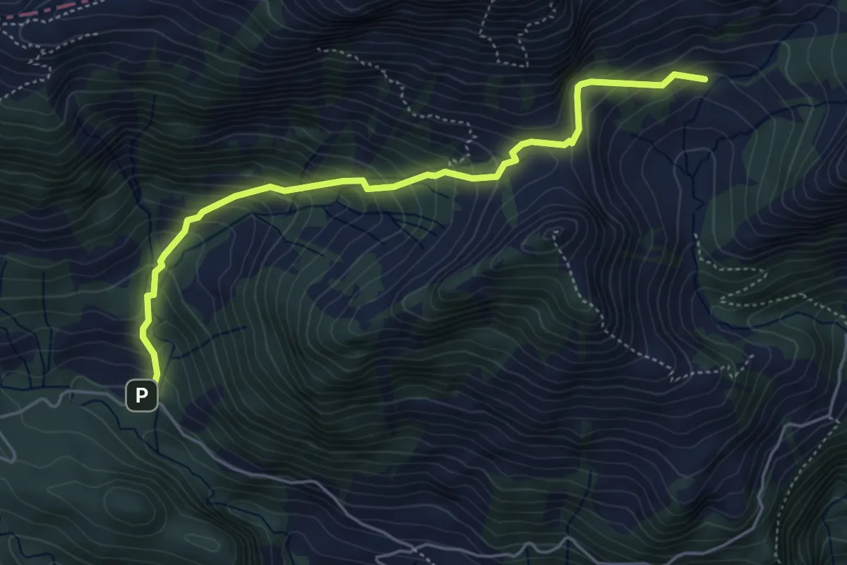
Medium · Trail
Fräkmünt - Schybach
5.1 km · ↑ 567 m · 2 h 25 min · 13 km away
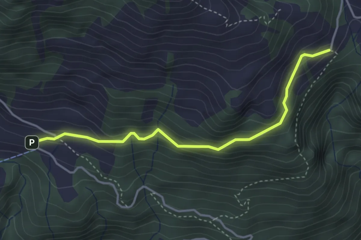
Easy · Trail
Lütoldsmatt - Deneten
3.5 km · ↑ 275 m · 1 h 25 min · 13 km away
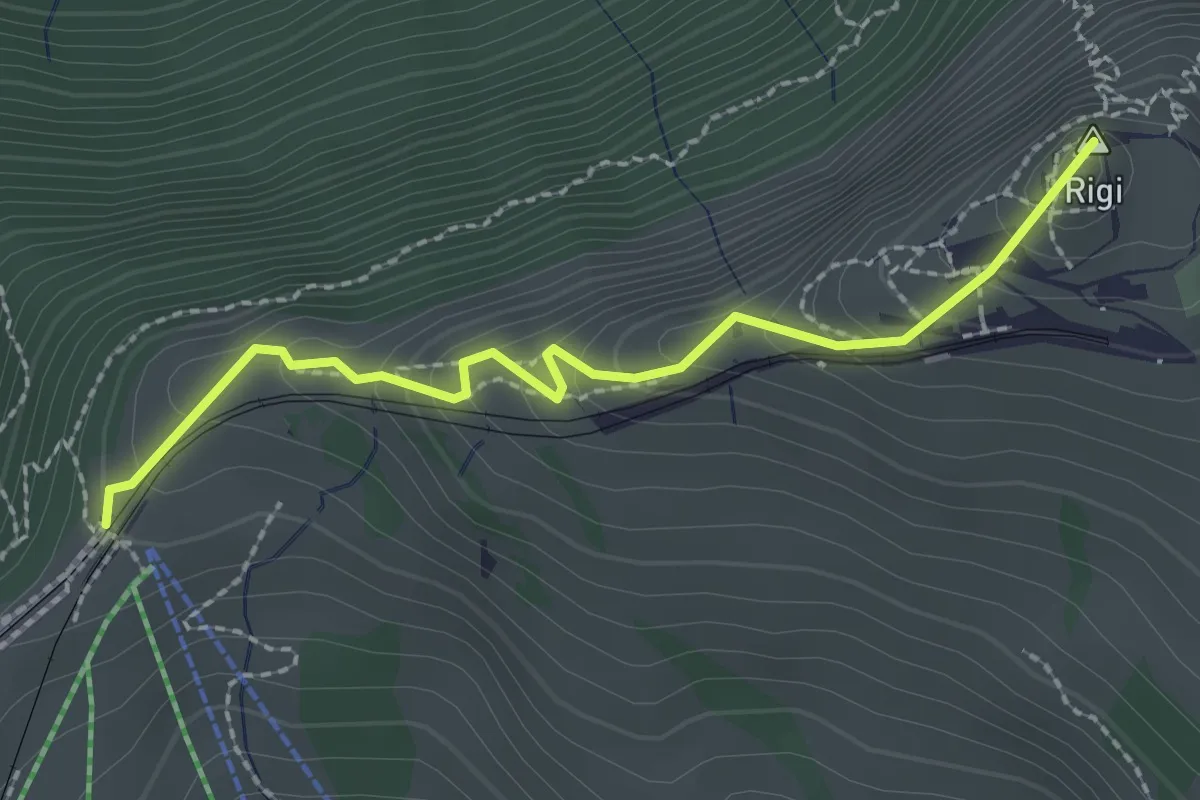
Easy · Summit
Rigi Staffel – Rigi Kulm
2.3 km · ↑ 160 m · 53 min · 13 km away
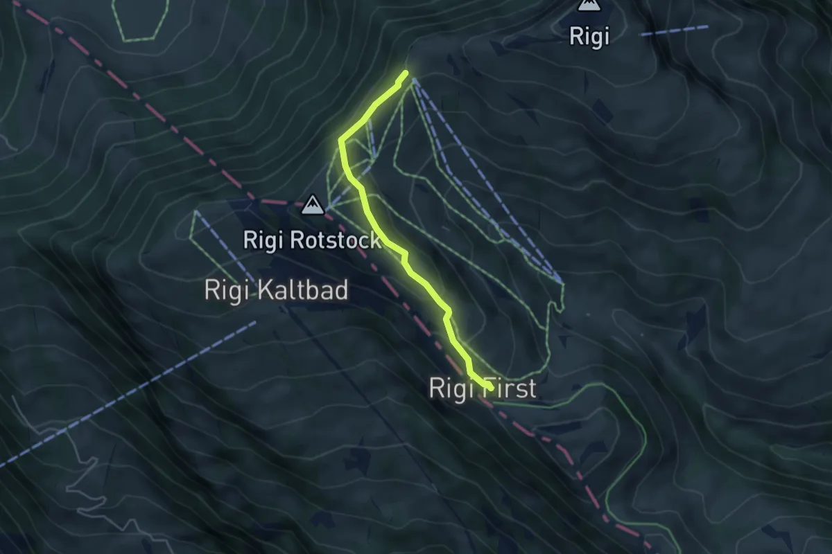
Easy · Trail
Rigi Staffel – Rigi First
3.7 km · ↑ 186 m · 1 h 17 min · 13 km away
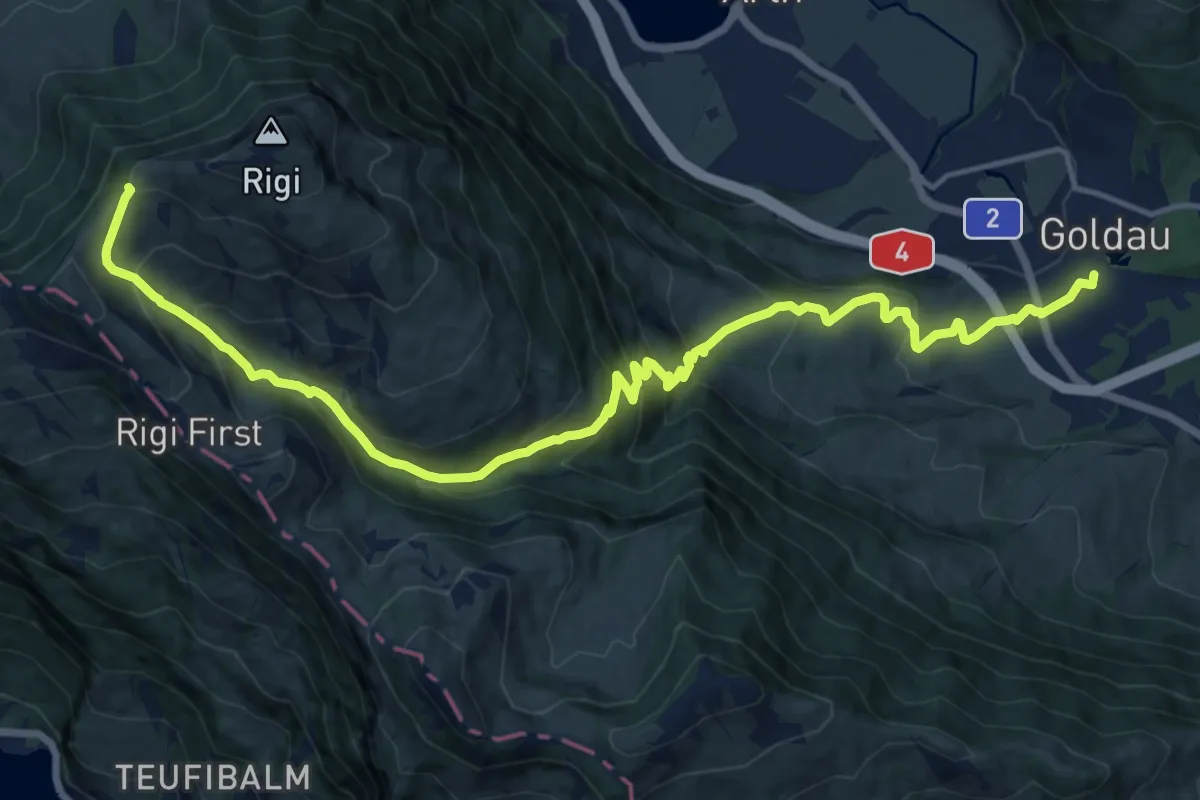
Demanding · Trail
Schwyzer Höhenweg - Etappe 2
17.8 km · ↑ 1122 m · 6 h 38 min · 13 km away
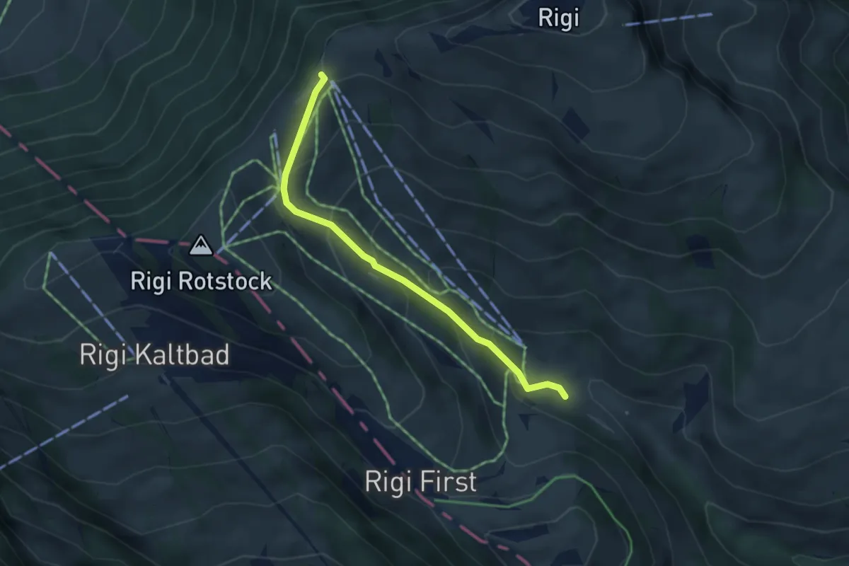
Easy · Trail
Rigi-Staffel – Rigi Klösterli
3.5 km · ↑ 265 m · 1 h 24 min · 13 km away
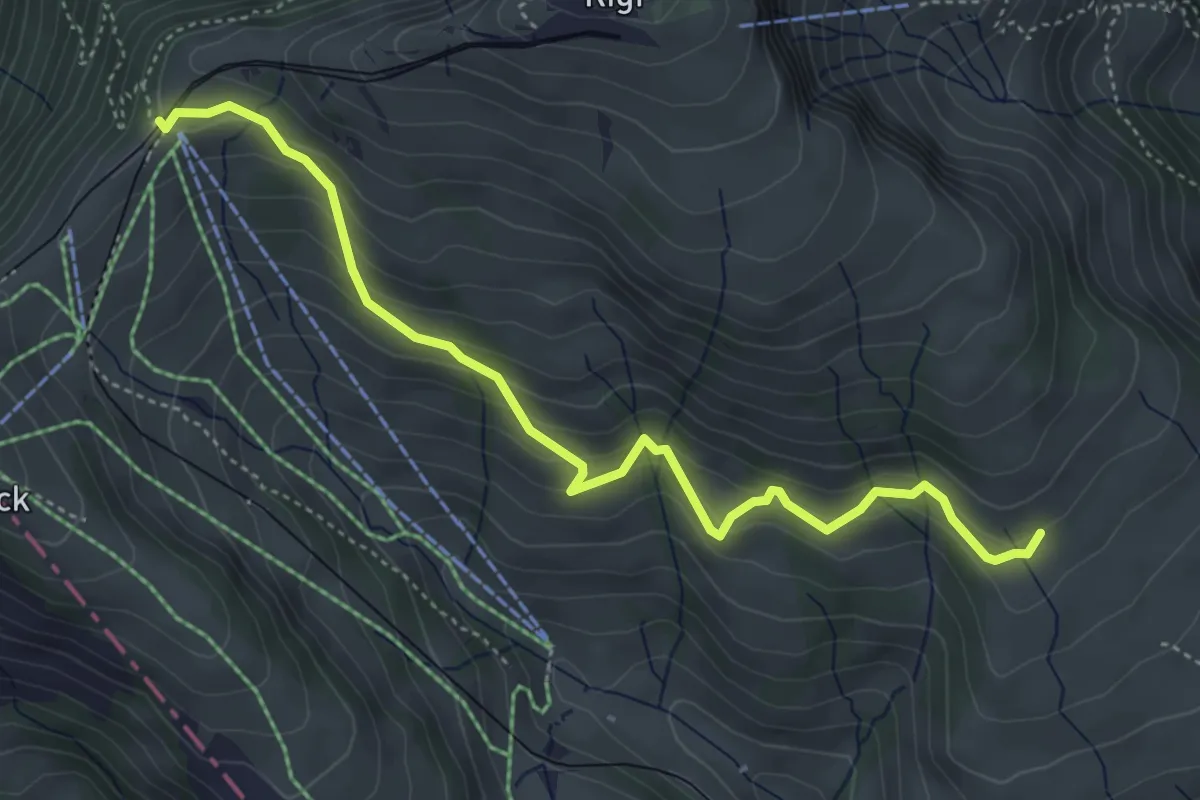
Medium · Trail
Schwändi – Rigi Staffel
4.8 km · ↑ 349 m · 1 h 54 min · 13 km away
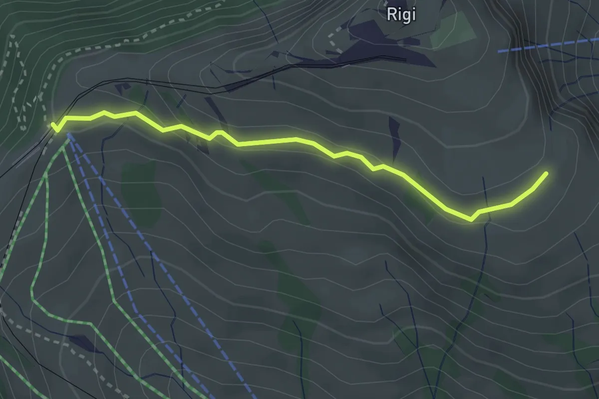
Medium · Trail
Kulmhutte-Rigi Staffel
2.7 km · ↑ 93 m · 51 min · 13 km away
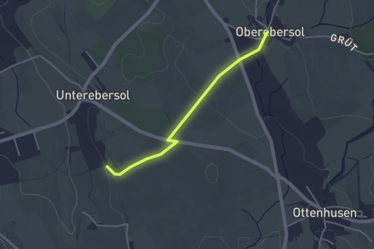
Easy · Trail
Oberebersol - Wilhof
2.8 km · ↑ 31 m · 44 min · 13 km away
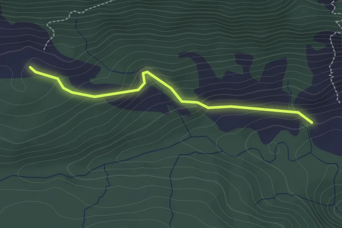
Easy · Trail
Märenschlag - Balismatt
2.3 km · ↑ 150 m · 52 min · 13 km away
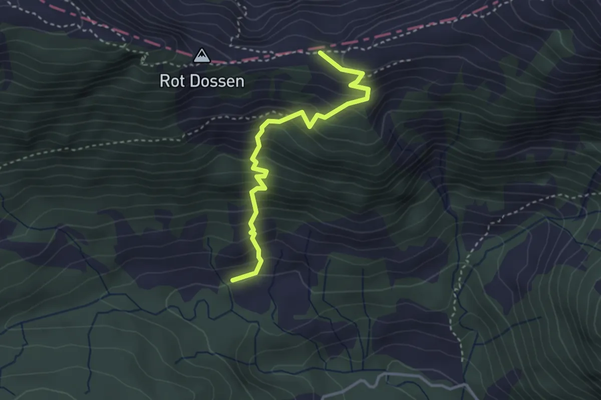
Medium · Trail
Märenschlag - Felli
3.1 km · ↑ 388 m · 1 h 34 min · 13 km away
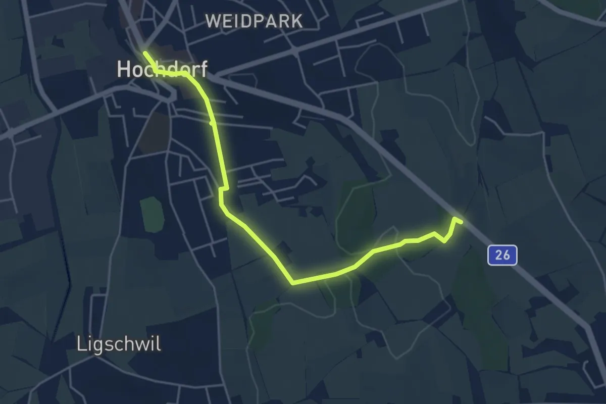
Easy · Trail
Hochdorf – Wirtlewald
4.6 km · ↑ 42 m · 1 h 10 min · 13 km away
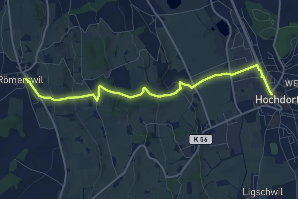
Medium · Trail
Hochdorf – Römerswil
8.7 km · ↑ 275 m · 2 h 38 min · 13 km away
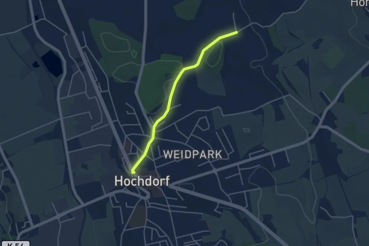
Easy · Trail
Hochdorf – Feldheim
3.1 km · ↑ 16 m · 46 min · 13 km away
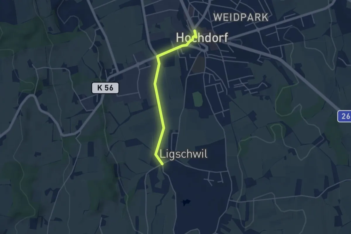
Easy · Trail
Hochdorf – Ligschwil
3.5 km · ↑ 23 m · 53 min · 13 km away
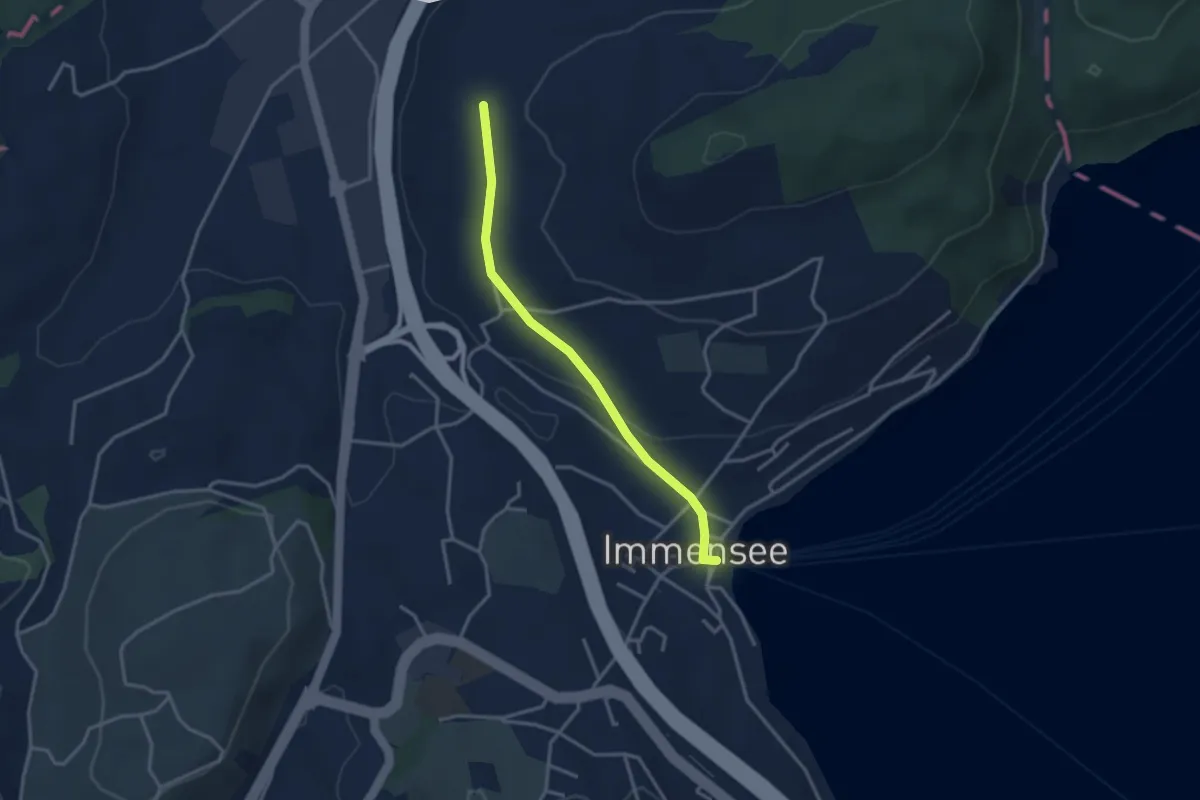
Easy · Trail
Hinter Chiemen – Immensee
3.0 km · ↑ 73 m · 52 min · 13 km away
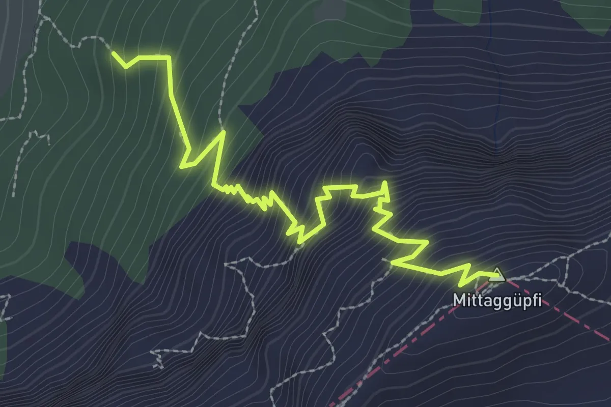
Demanding · Summit
Stäfeli-Mittaggüpfi
3.2 km · ↑ 516 m · 1 h 53 min · 13 km away
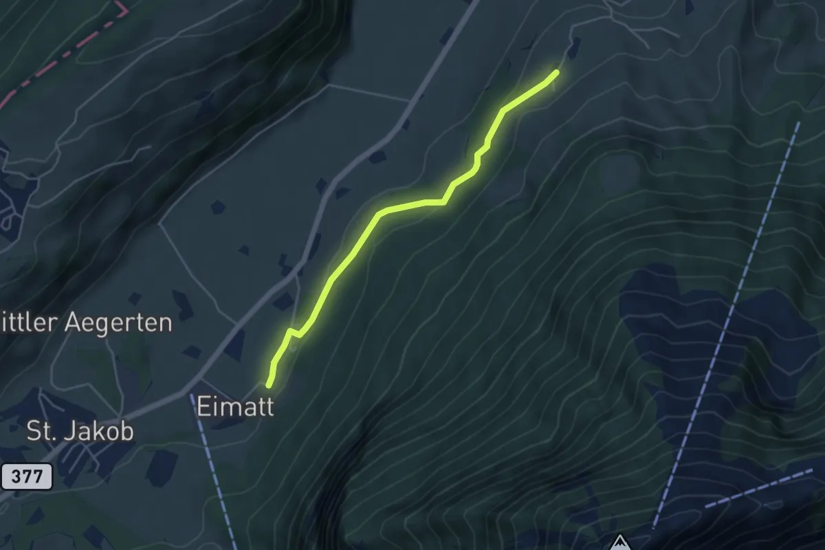
Easy · Trail
Halten – Brunnisboden
4.3 km · ↑ 131 m · 1 h 18 min · 13 km away
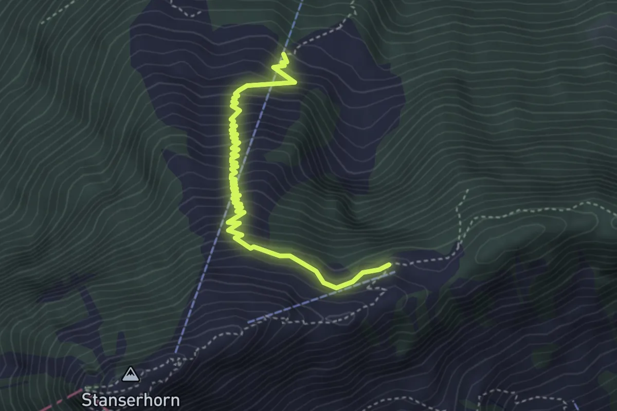
Medium · Trail
Bluematt – Rinderalp
4.3 km · ↑ 488 m · 2 h 4 min · 13 km away
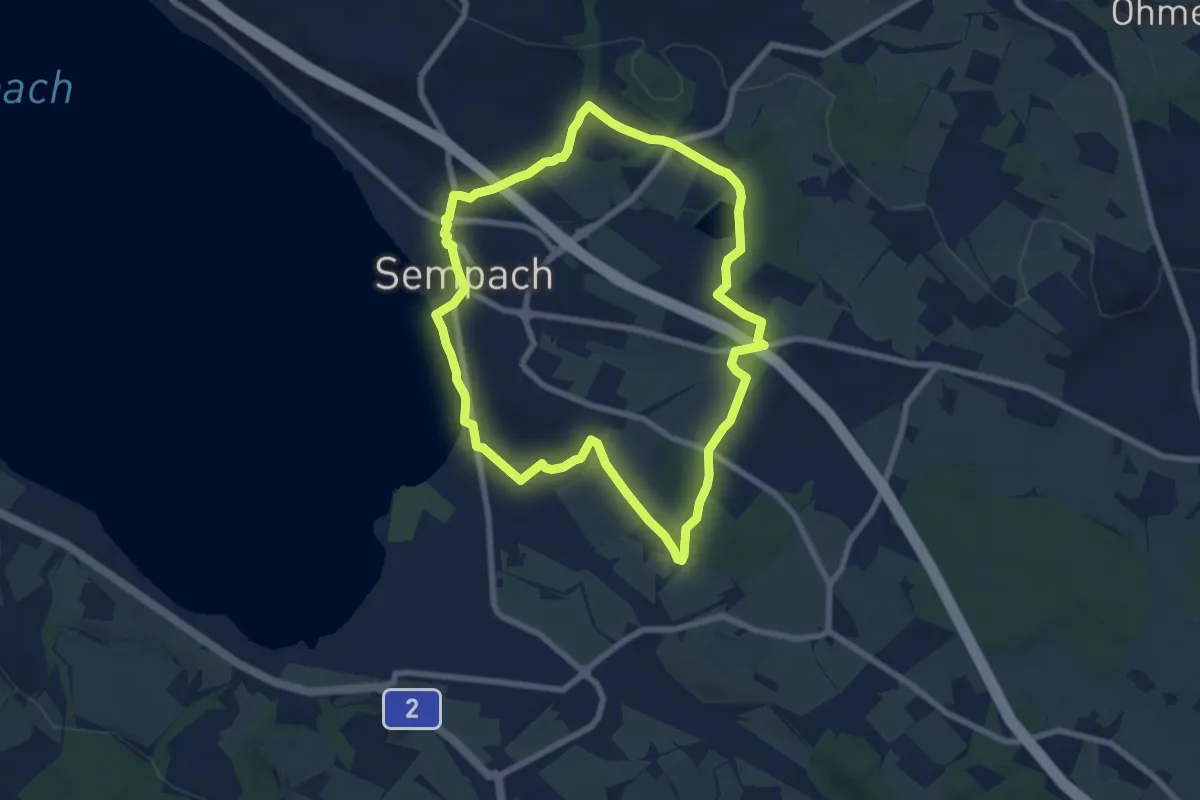
Easy · Trail
Rundweg Sempach
7.3 km · ↑ 85 m · 2 h · 13 km away
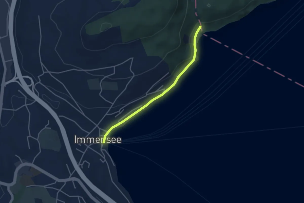
Easy · Trail
Baumgarten – Immensee
3.1 km · ↑ 36 m · 49 min · 13 km away
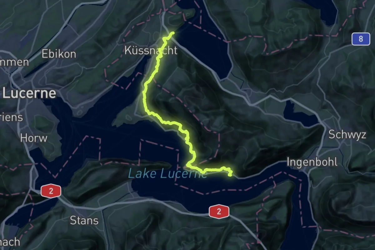
Demanding · Trail
Rigi Lehnenweg
22.4 km · ↑ 1180 m · 8 h 10 min · 13 km away
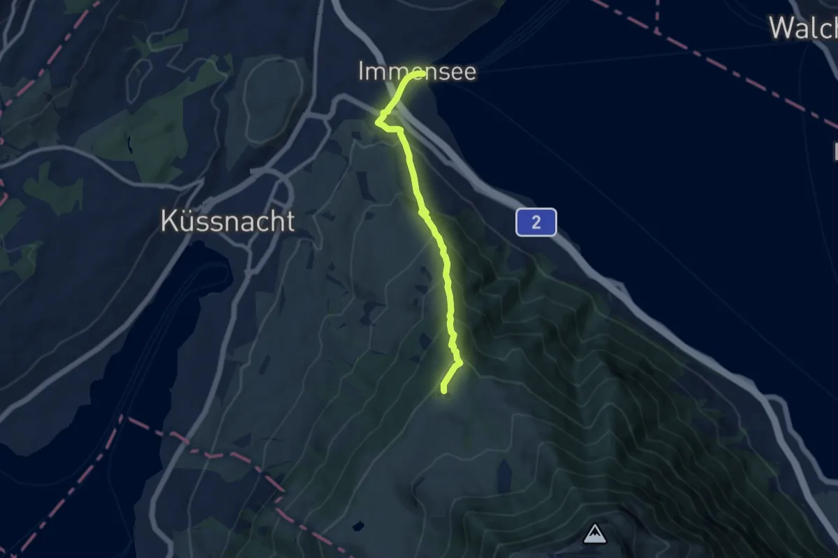
Medium · Trail
Immensee – Seebodenalp
7.5 km · ↑ 603 m · 3 h 5 min · 13 km away
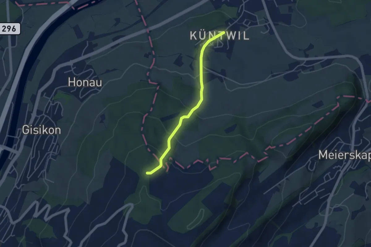
Easy · Trail
Chünten - Mittler Sonderi
3.7 km · ↑ 221 m · 1 h 21 min · 13 km away
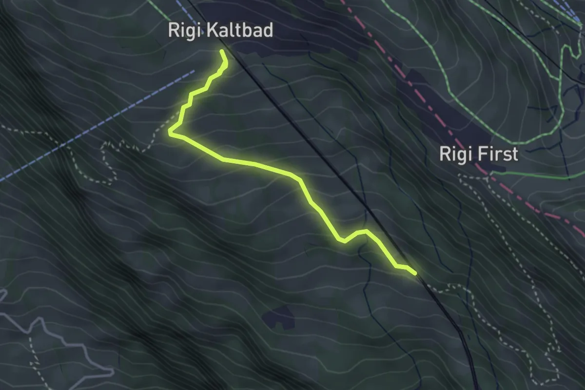
Easy · Trail
Romiti – Rigi Kaltbad
3.3 km · ↑ 259 m · 1 h 21 min · 13 km away
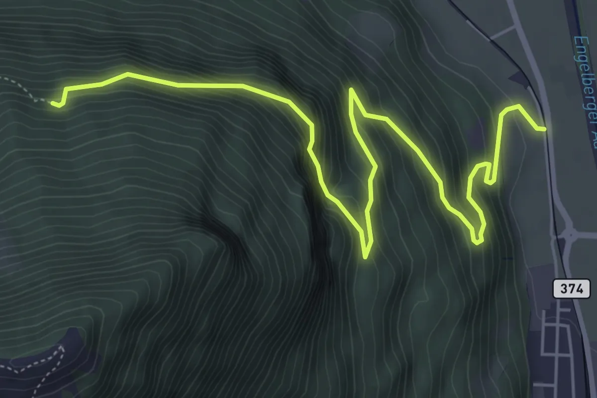
Demanding · Trail
Luegeren – Ägertli
7.1 km · ↑ 809 m · 3 h 25 min · 13 km away
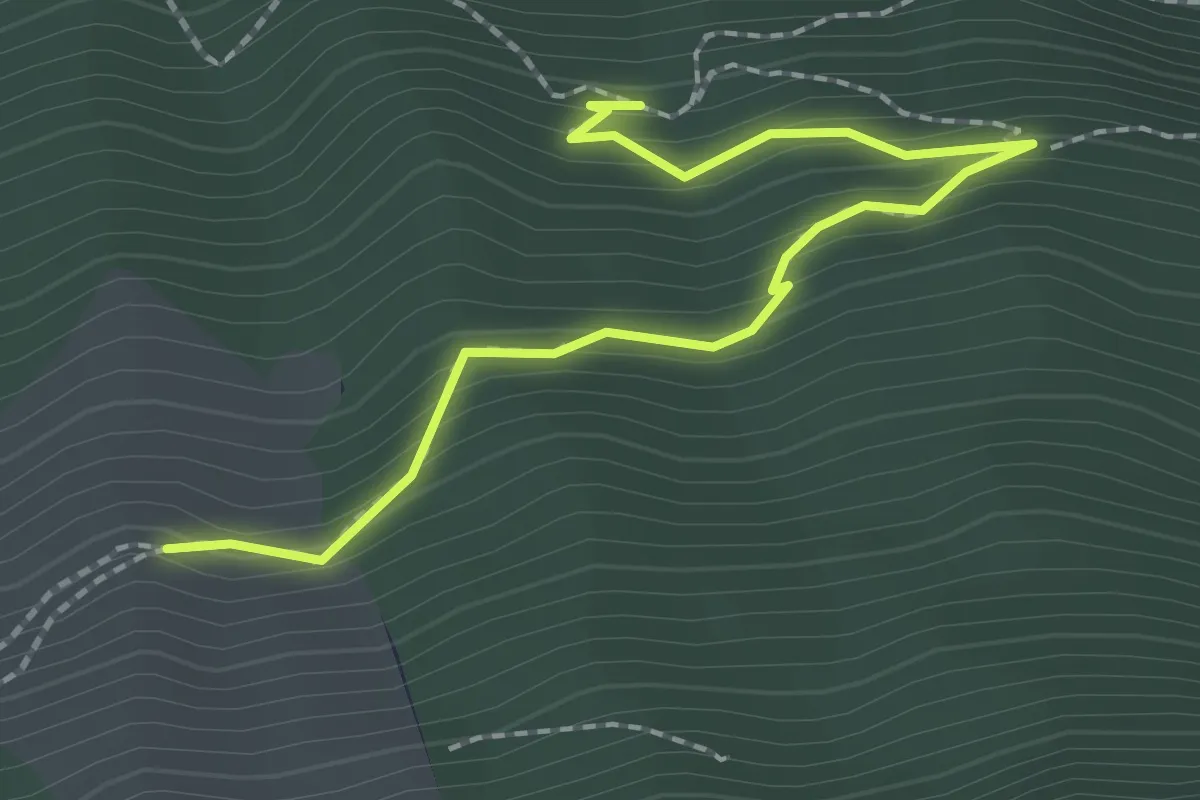
Easy · Trail
Luegeren – Chalcherli
2.3 km · ↑ 186 m · 56 min · 13 km away
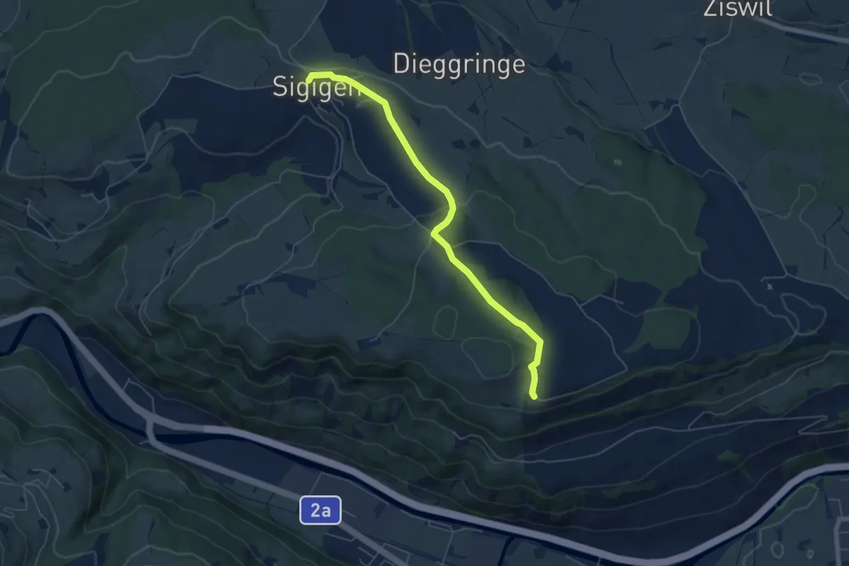
Easy · Trail
Sigigen - Tschäpperslehn
5.6 km · ↑ 120 m · 1 h 35 min · 13 km away
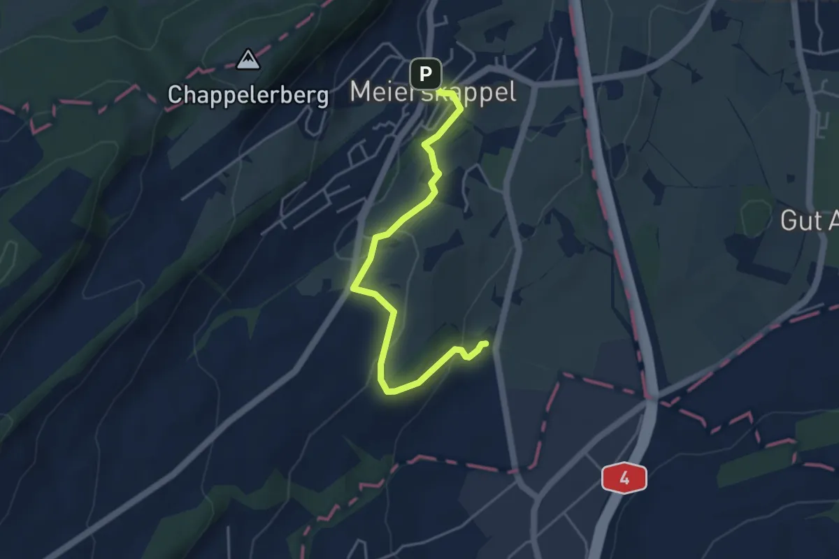
Easy · Trail
Spichte - Meierskappel
4.1 km · ↑ 112 m · 1 h 13 min · 13 km away
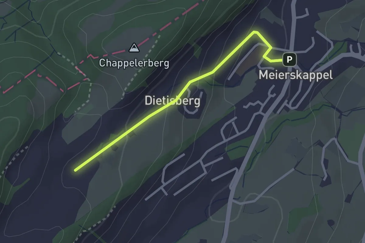
Easy · Trail
Meierskappel-Oberstenhof
2.5 km · ↑ 116 m · 50 min · 13 km away
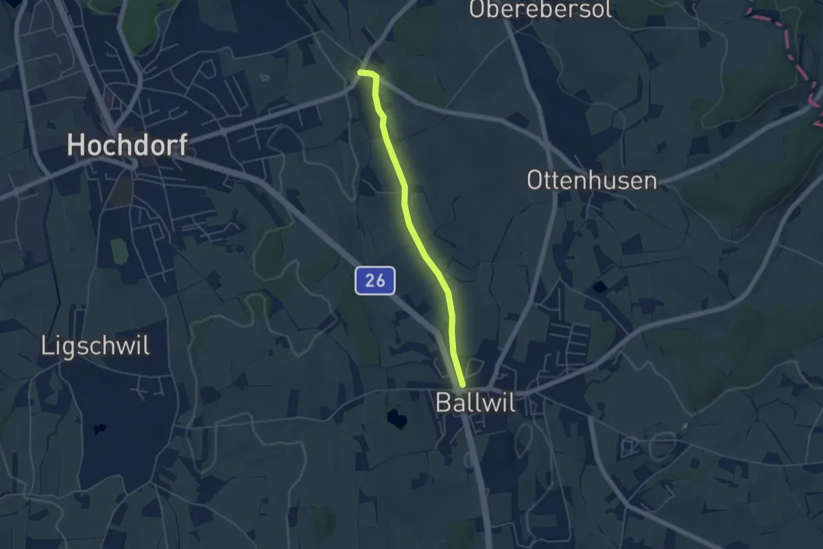
Easy · Trail
Ballwil – Unterebersol
4.3 km · ↑ 33 m · 1 h 5 min · 13 km away
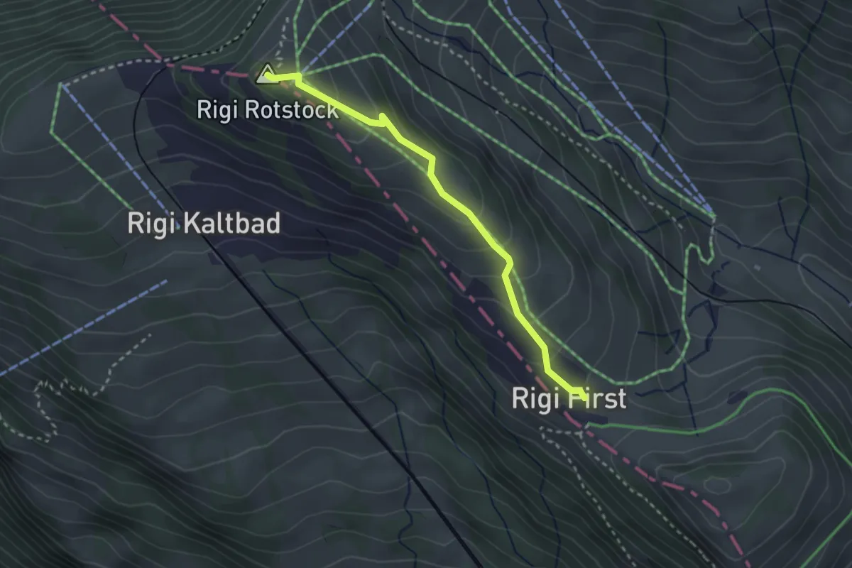
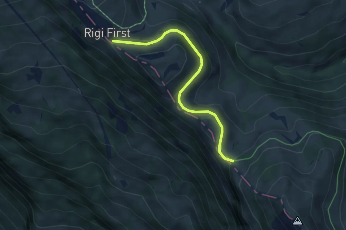
Medium · Summit
Rotstock – Rigi First
2.7 km · ↑ 192 m · 1 h 3 min · 13 km away
Medium · Trail
Rigi First – Unterstetten
4.0 km · ↑ 134 m · 1 h 15 min · 13 km away
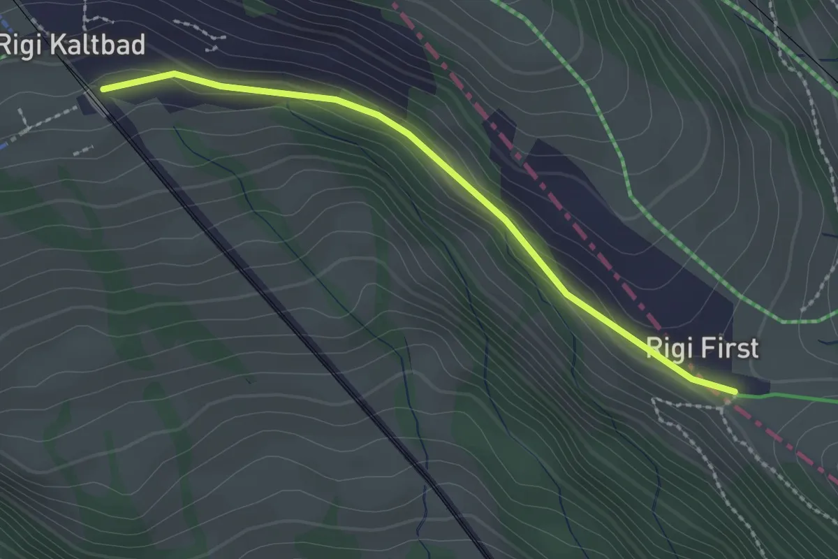
Easy · Trail
Rigi Kaltbad – Rigi First
2.2 km · ↑ 23 m · 34 min · 13 km away
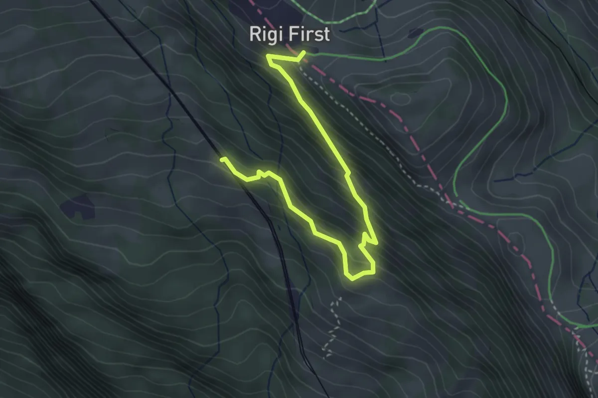
Medium · Trail
Romiti – First
3.8 km · ↑ 389 m · 1 h 45 min · 13 km away
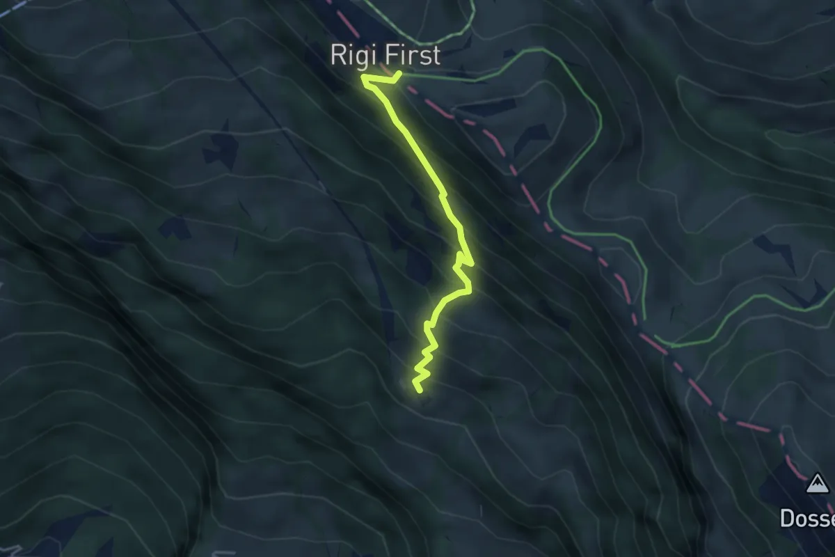
Medium · Trail
Freibergen – First
3.3 km · ↑ 419 m · 1 h 42 min · 13 km away
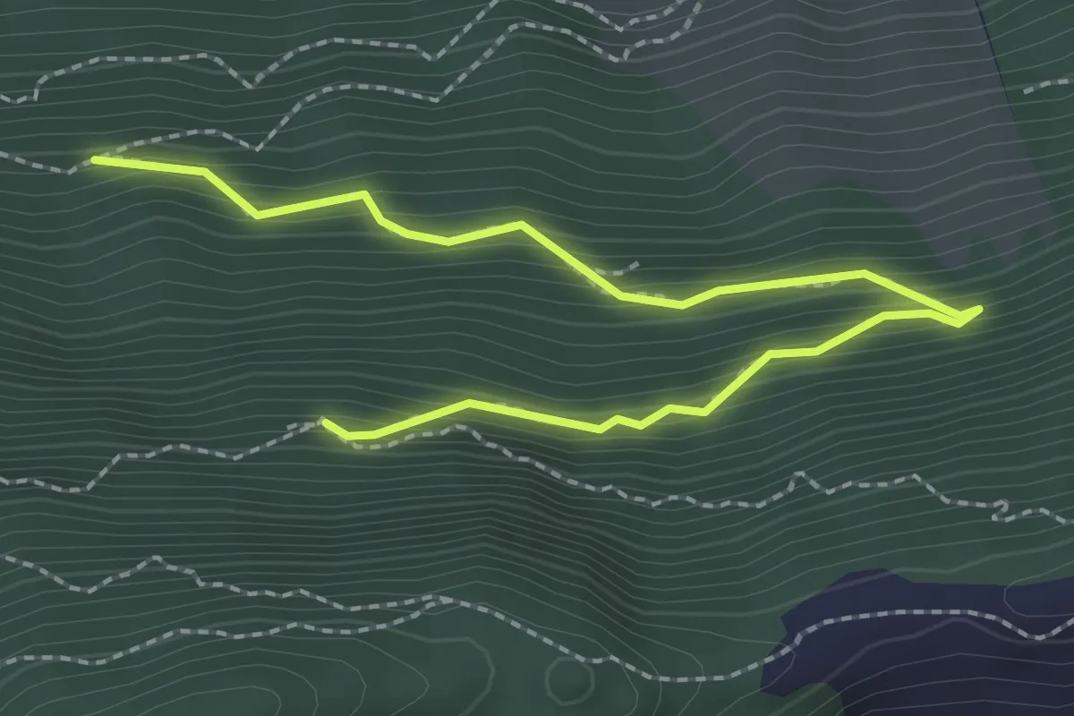
Medium · Trail
Lang Zug – Ahornhütte
2.8 km · ↑ 255 m · 1 h 13 min · 13 km away
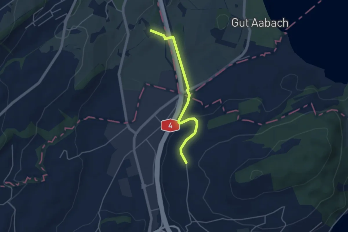
Easy · Trail
Laubbach - Hienter Chiemen
3.5 km · ↑ 77 m · 59 min · 13 km away
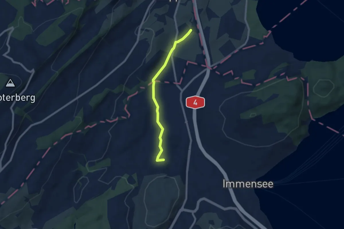
Easy · Trail
Laubbach - St. Martin
5.0 km · ↑ 59 m · 1 h 19 min · 13 km away
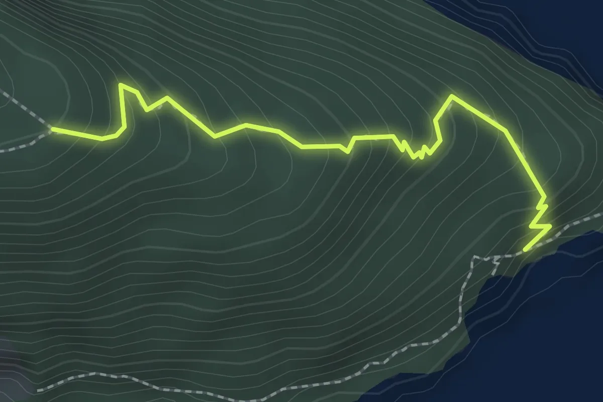
Medium · Trail
Unter Nas - Timmer Boden
2.3 km · ↑ 255 m · 1 h 5 min · 13 km away
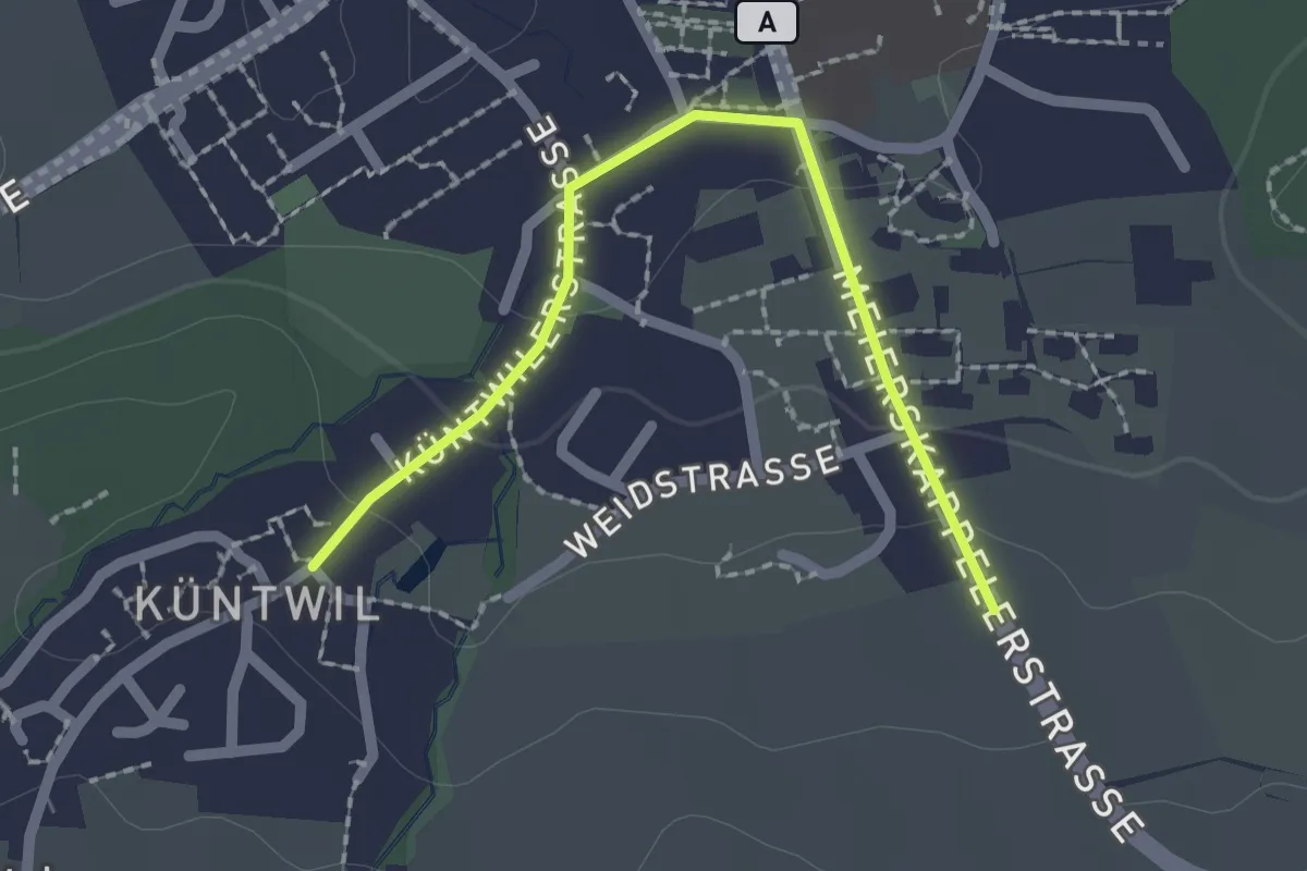
Easy · Trail
Rotkreuz - Chüntwil
2.1 km · ↑ 52 m · 36 min · 13 km away
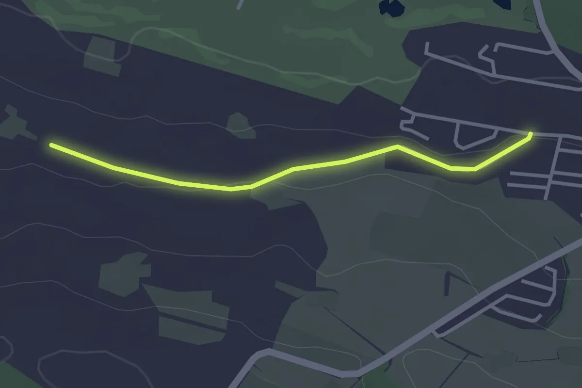
Easy · Trail
Sonnhalde – Stockhof
2.7 km · ↑ 33 m · 43 min · 13 km away
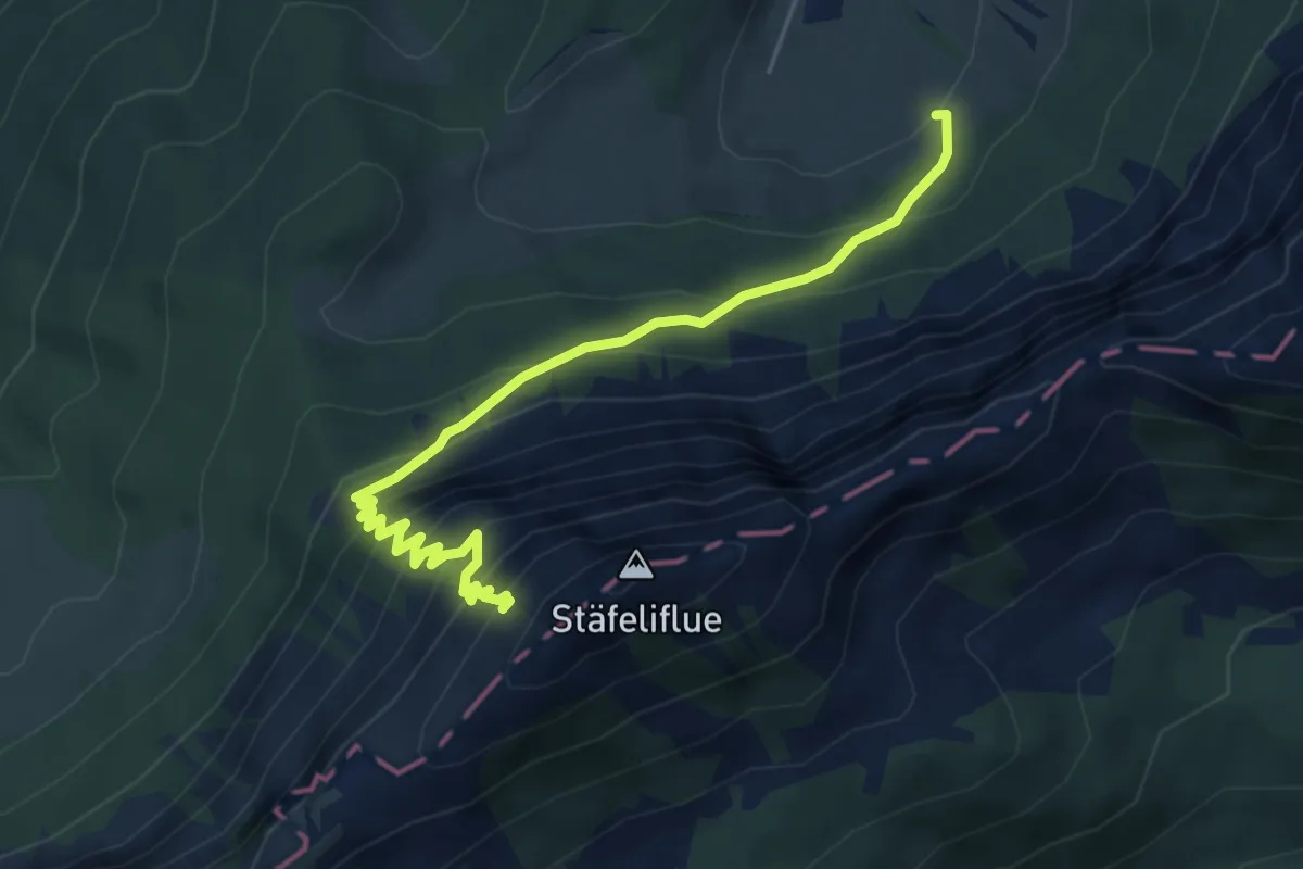
Demanding · Trail
Änerstäfeli - Kanapee
5.3 km · ↑ 540 m · 2 h 25 min · 13 km away
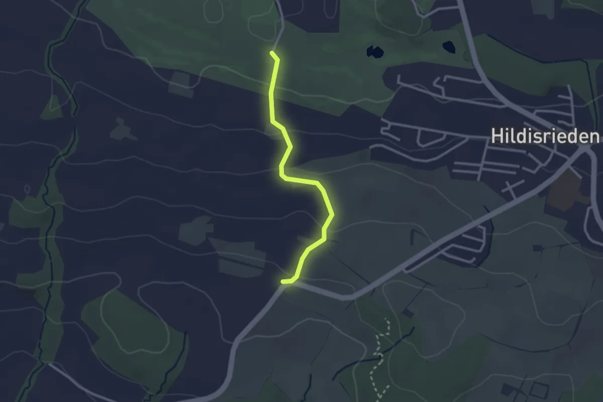
Easy · Trail
Schlacht – Schopfe
2.4 km · ↑ 97 m · 46 min · 13 km away
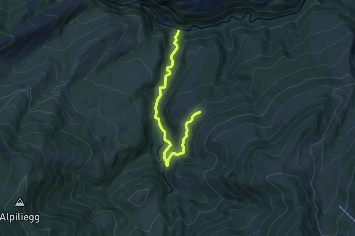
Medium · Trail
Tristboden – Haseleggstäg
6.4 km · ↑ 339 m · 2 h 14 min · 13 km away
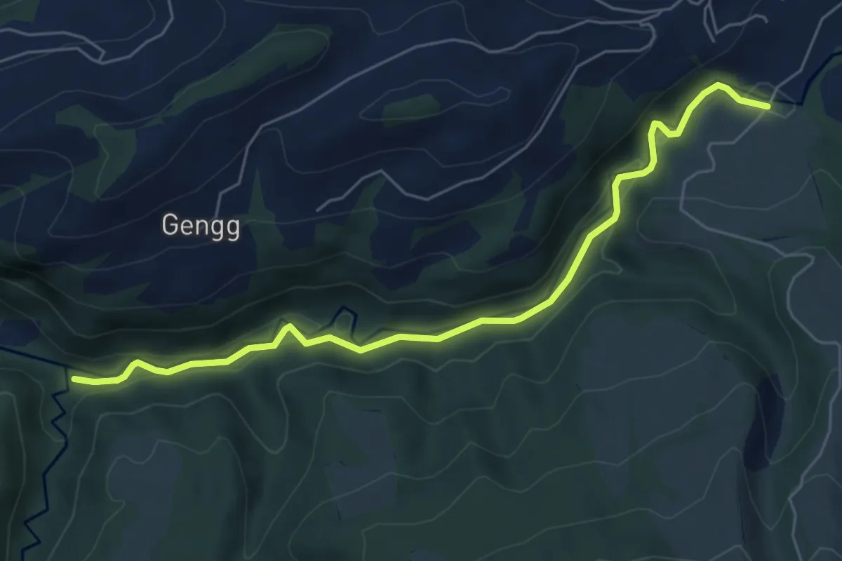
Easy · Trail
Haseleggstäg – Bömmerenbrücke
6.2 km · ↑ 158 m · 1 h 48 min · 13 km away
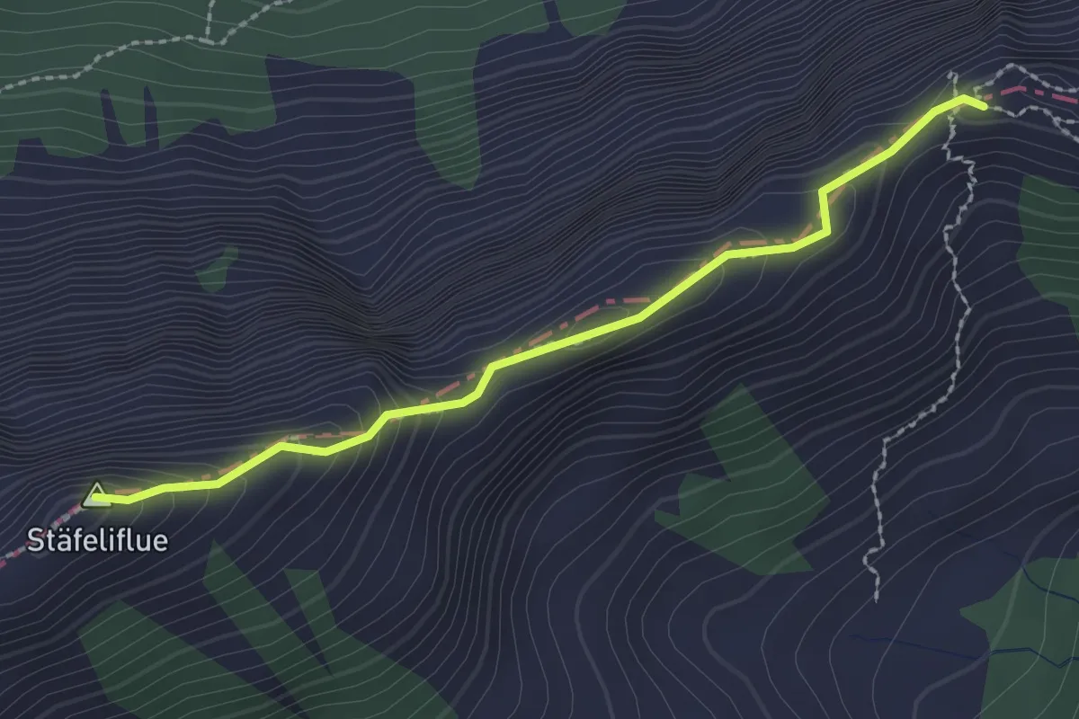
Demanding · Summit
Tripolihütte - Kanapee
2.3 km · ↑ 215 m · 1 h 1 min · 13 km away
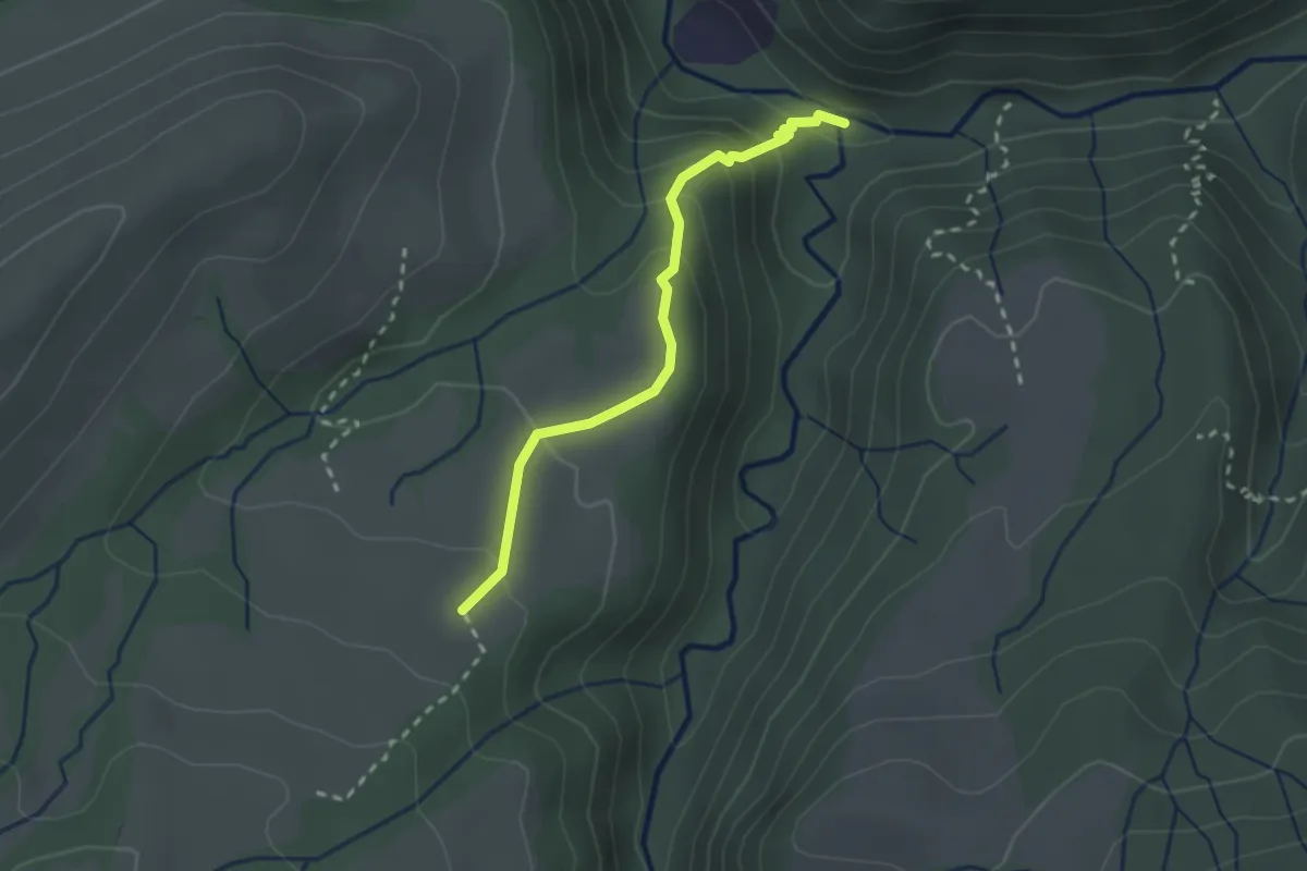
Medium · Trail
Haseleggstäg – Unt. Rotmoos
2.3 km · ↑ 141 m · 51 min · 13 km away