Trails near Luzern
605 hikes starting within 15 km, nearest first.
Nearest first, page 10 of 13
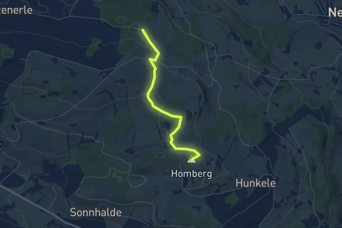
Easy · Summit
Hellbühl Kirche – Obersäliwald
5.5 km · ↑ 125 m · 1 h 35 min · 12 km away
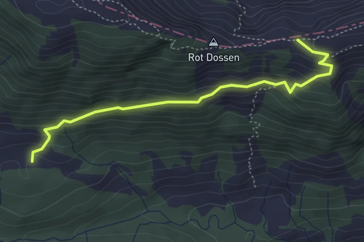
Medium · Trail
Balismatt - Felli
4.1 km · ↑ 270 m · 1 h 34 min · 12 km away
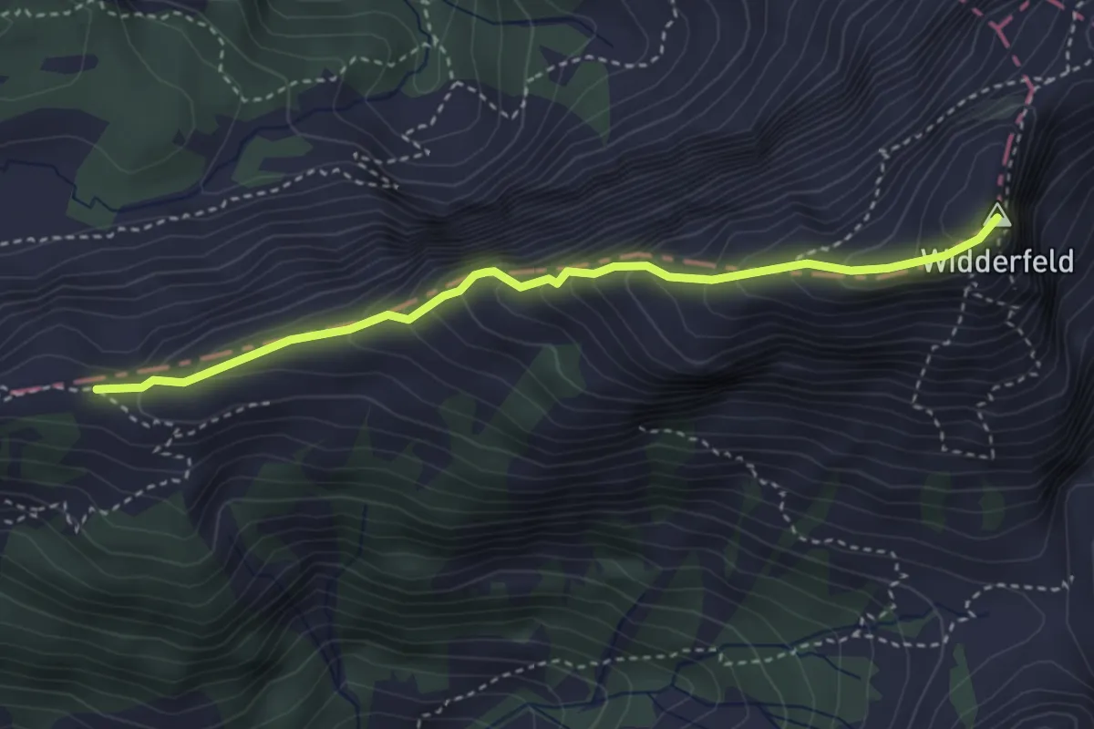
Demanding · Summit
Felli - Widderfeld
3.5 km · ↑ 401 m · 1 h 42 min · 12 km away
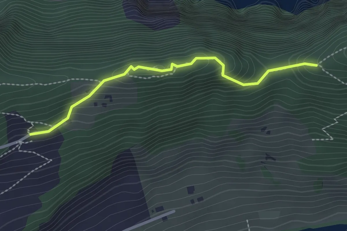
Medium · Trail
St. Jost – Schartigrat
2.3 km · ↑ 177 m · 55 min · 12 km away
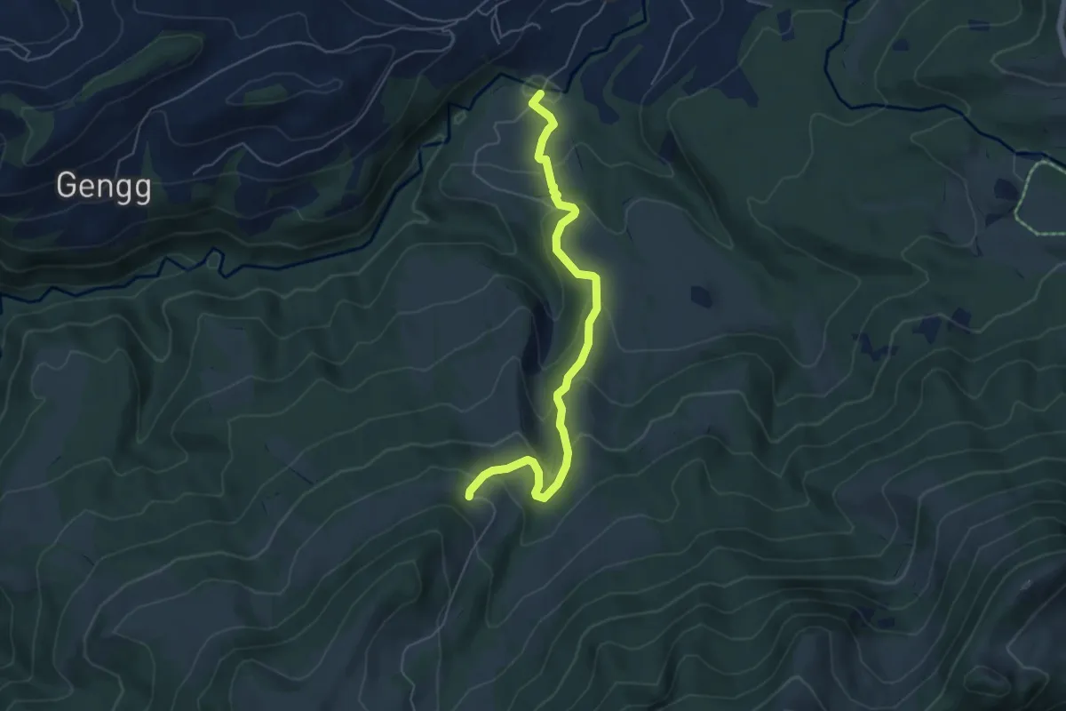
Medium · Trail
Bömmerenbrücke – Gustihütten
5.5 km · ↑ 343 m · 2 h 3 min · 12 km away
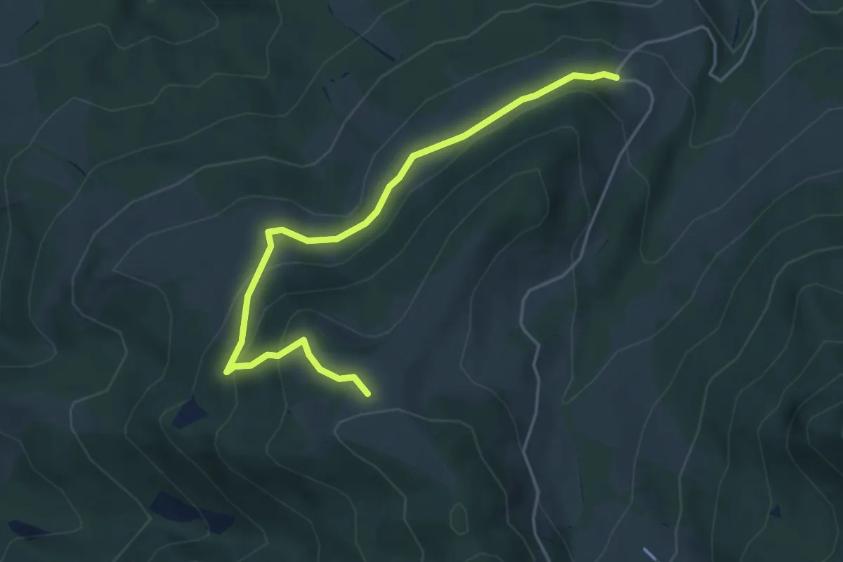
Medium · Trail
Gustihütten - Chridegg
4.6 km · ↑ 216 m · 1 h 34 min · 12 km away
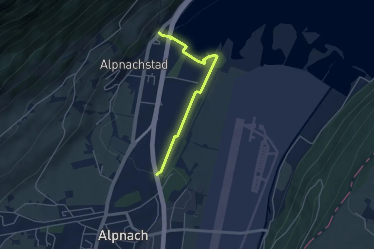
Easy · Trail
Alpnachstad – Alpnach
3.5 km · ↑ 37 m · 54 min · 12 km away
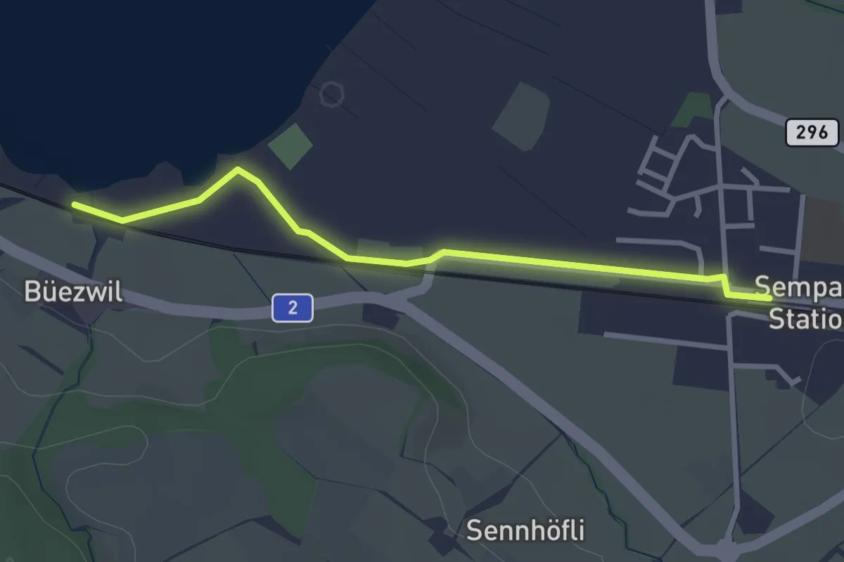
Easy · Trail
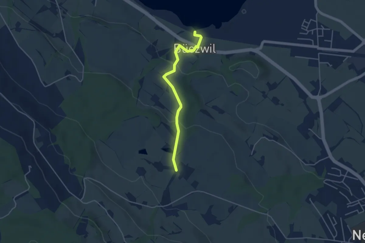
Büezwil – Sempach Station
2.8 km · ↑ 4 m · 40 min · 12 km away
Easy · Trail
Schloss Wartensee – Wilistatt
3.5 km · ↑ 113 m · 1 h 4 min · 12 km away
Easy · Trail
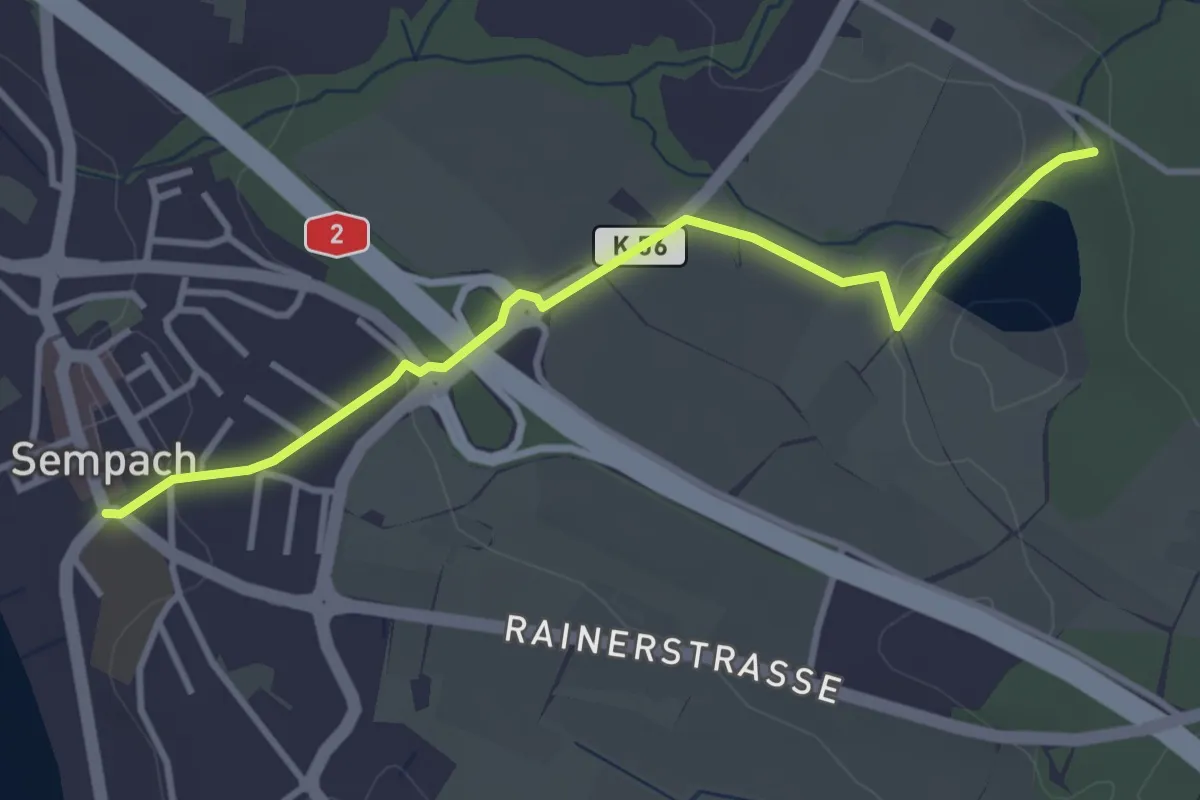
Sempach - Steinibüel
3.5 km · ↑ 57 m · 57 min · 12 km away
Easy · Trail
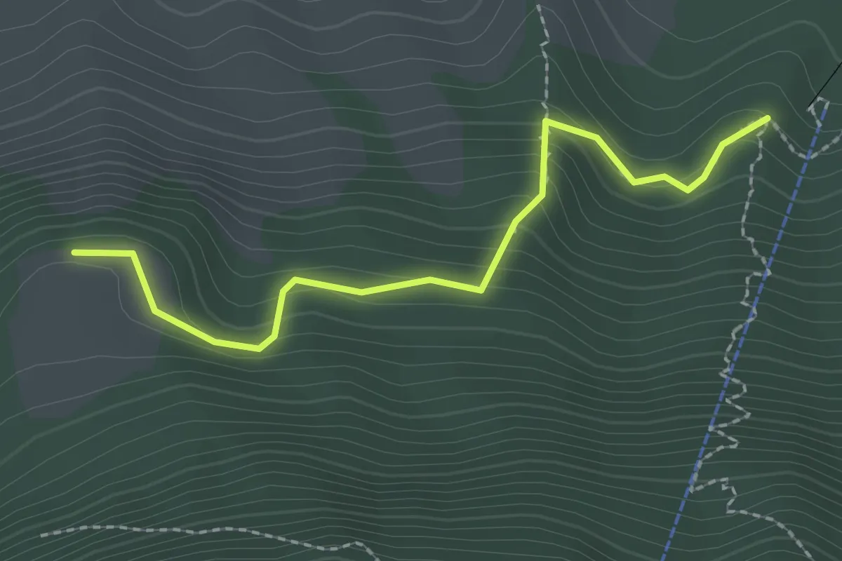
Äbnetboden – Wasserplatten
2.2 km · ↑ 189 m · 56 min · 12 km away
Medium · Trail
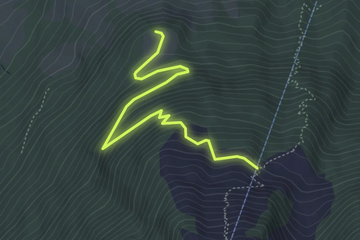
Äbnetboden – Bluematt
4.9 km · ↑ 390 m · 2 h 1 min · 12 km away
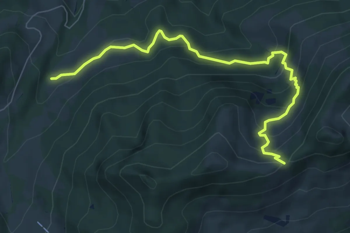
Medium · Trail
Mülimoos Sattel (Pt 1508) – Grünenwald (Pt 1077)
7.1 km · ↑ 485 m · 2 h 43 min · 12 km away
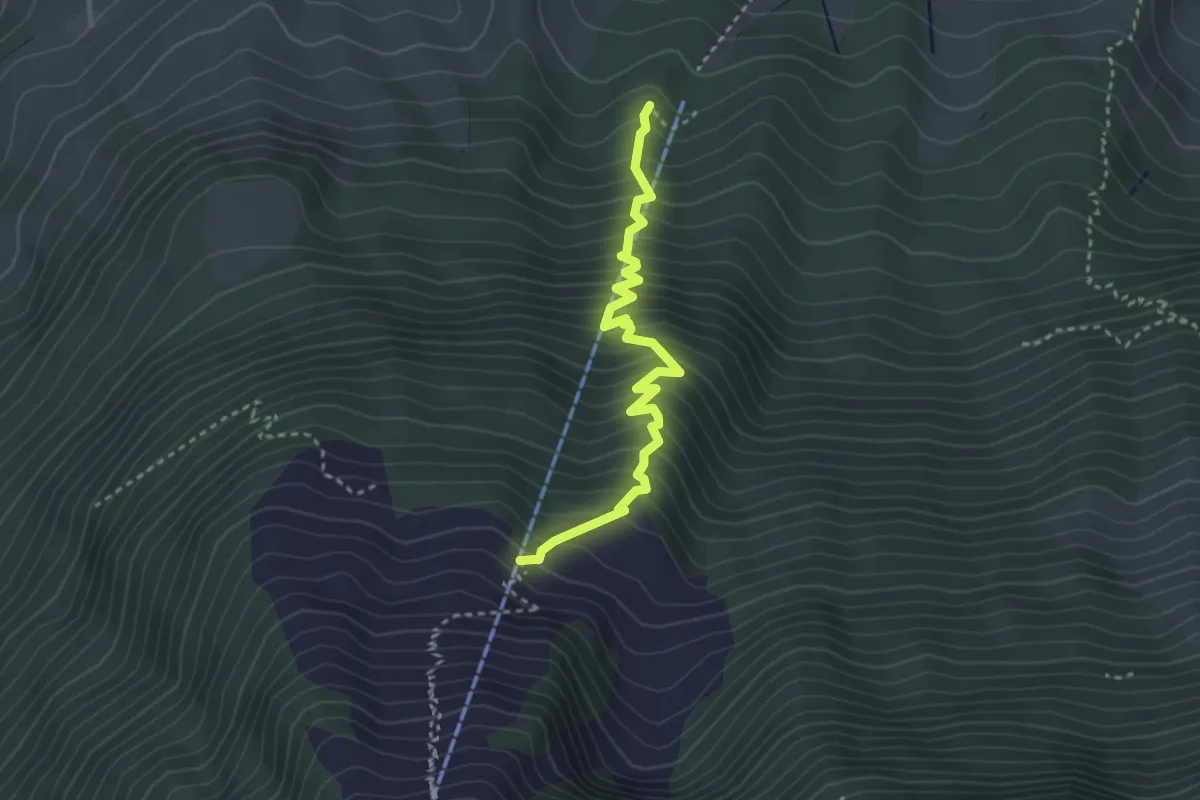
Medium · Trail
Wasserplatten – Bluematt
3.2 km · ↑ 498 m · 1 h 50 min · 12 km away
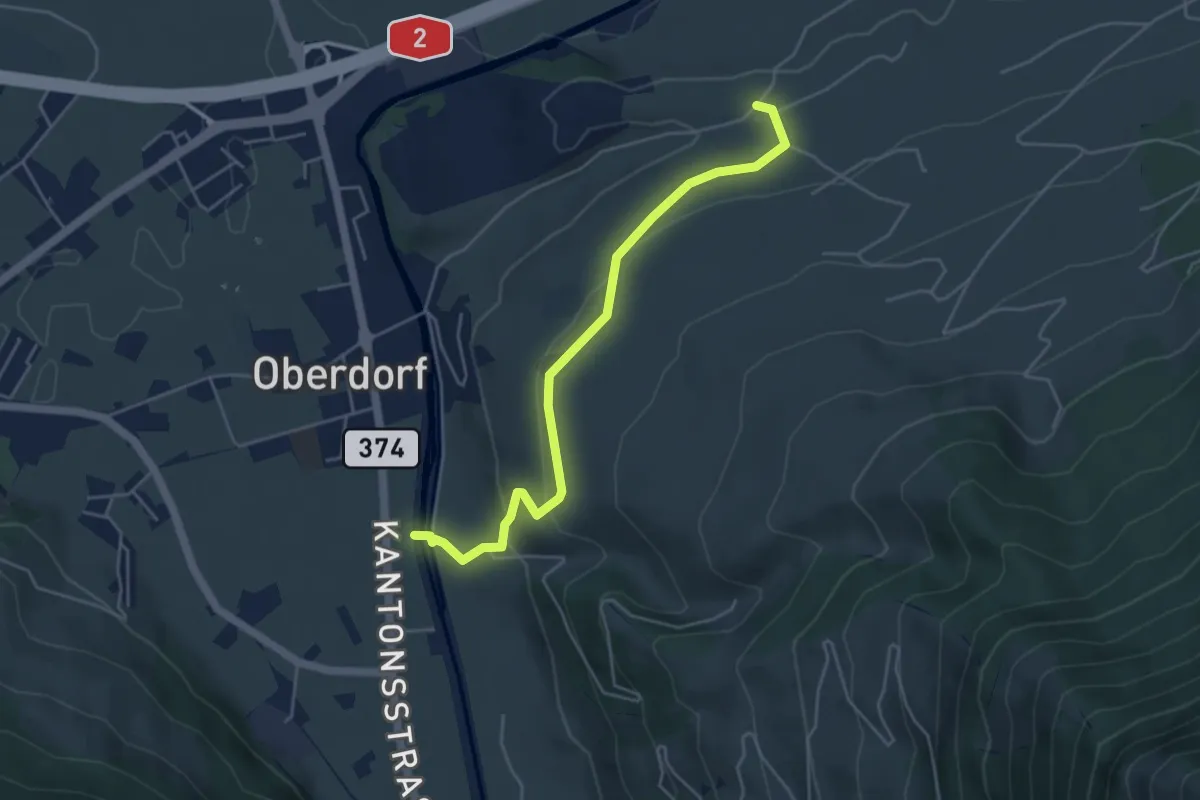
Easy · Trail
Ännerberg – Hostettenstäg
4.7 km · ↑ 158 m · 1 h 27 min · 12 km away
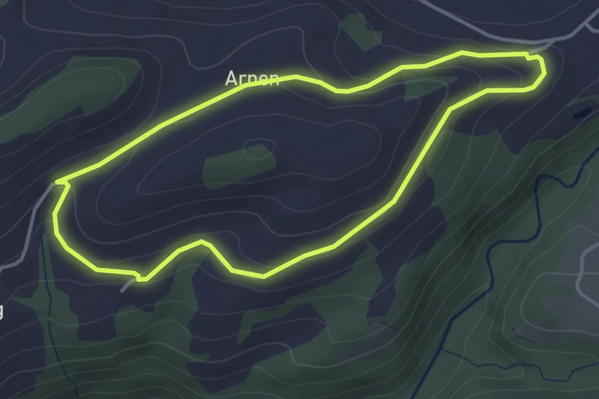
Easy · Trail
Kleine Welt
3.3 km · ↑ 116 m · 1 h 5 min · 12 km away
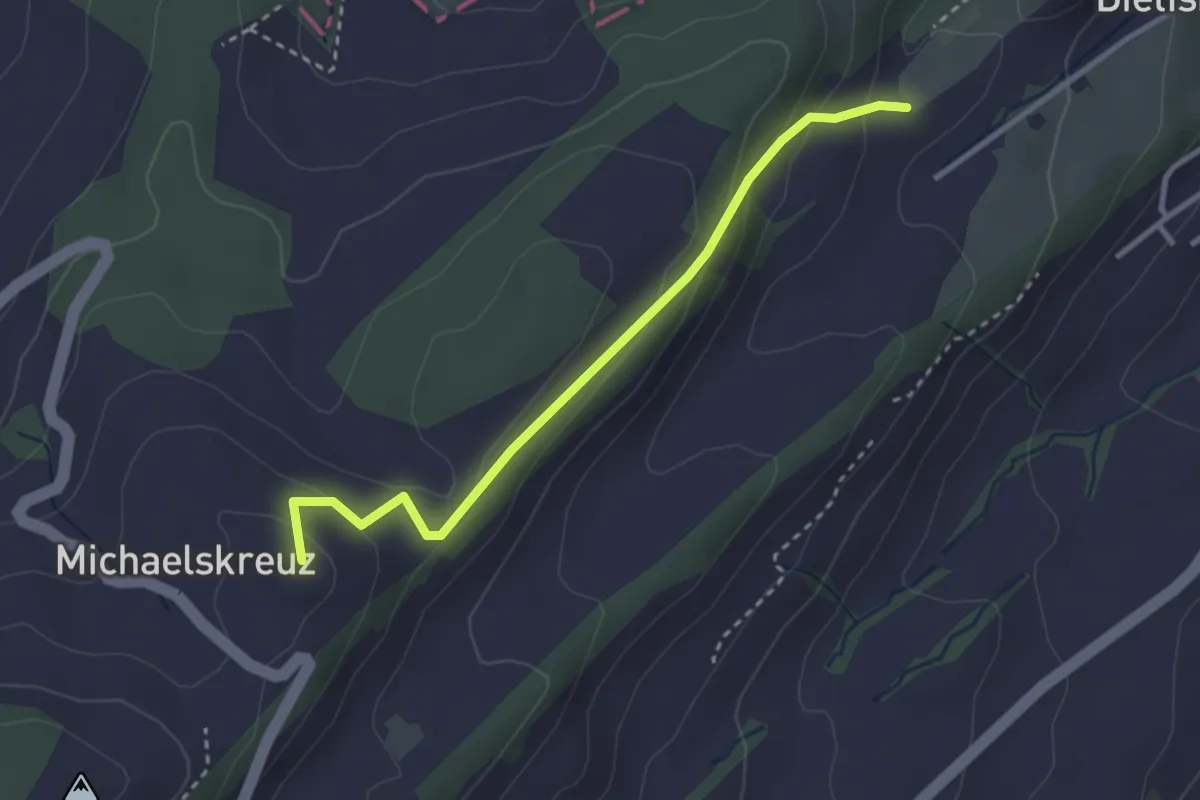
Easy · Summit
Obertal-Michaelskreuz
3.0 km · ↑ 147 m · 1 h 1 min · 12 km away
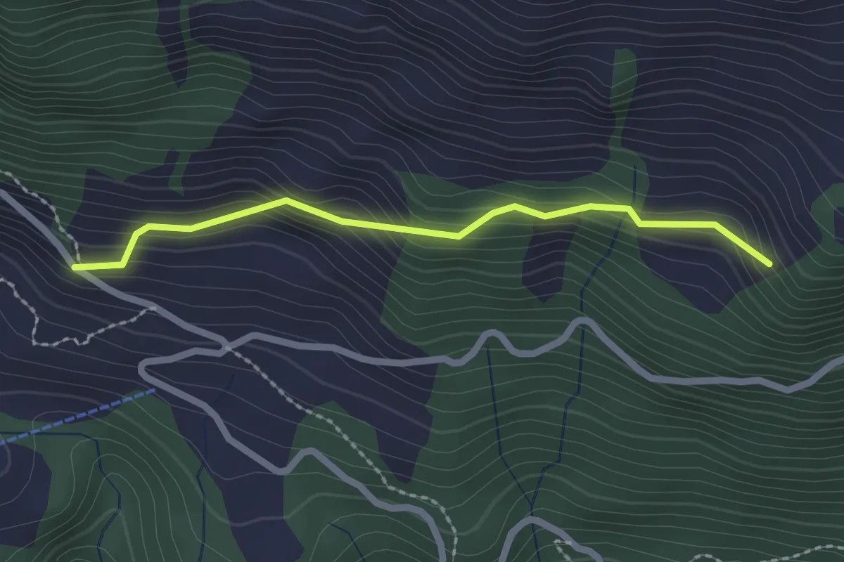
Easy · Trail
Schwandi - Lütoldsmatt
2.0 km · ↑ 160 m · 49 min · 12 km away
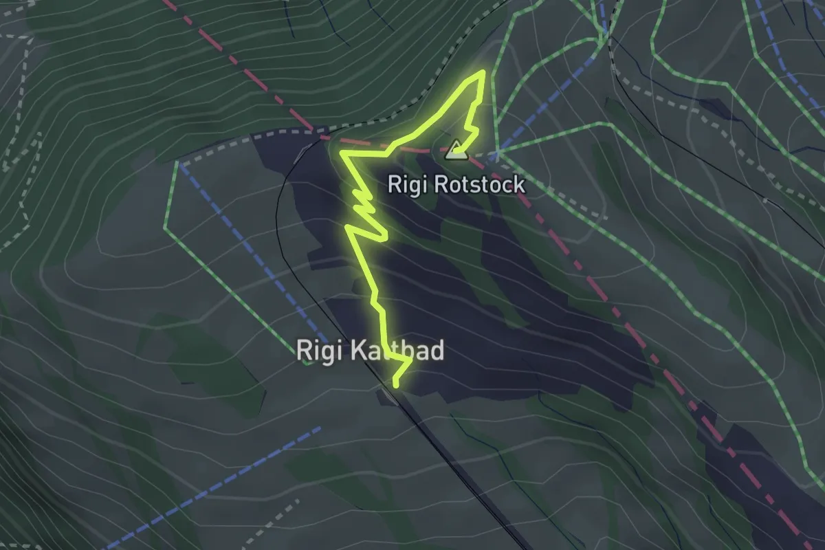
Medium · Summit
Rigi Kaltbad – Rotstock
2.5 km · ↑ 185 m · 1 h · 12 km away
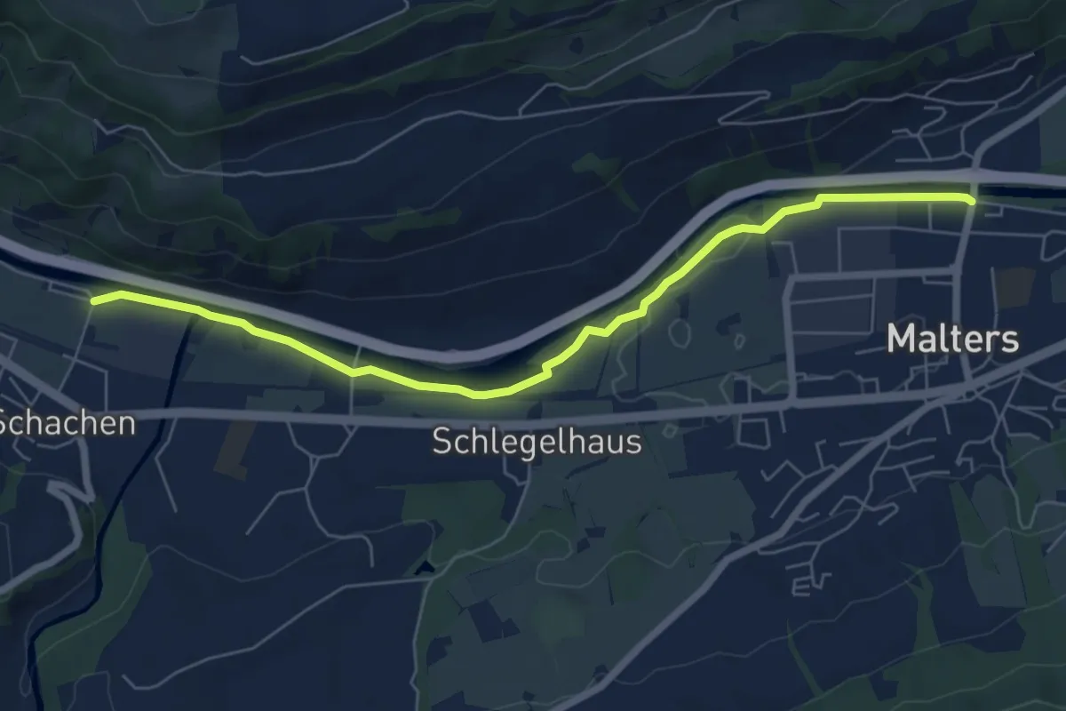
Easy · Trail
Schachen – Malters
6.6 km · ↑ 29 m · 1 h 37 min · 12 km away
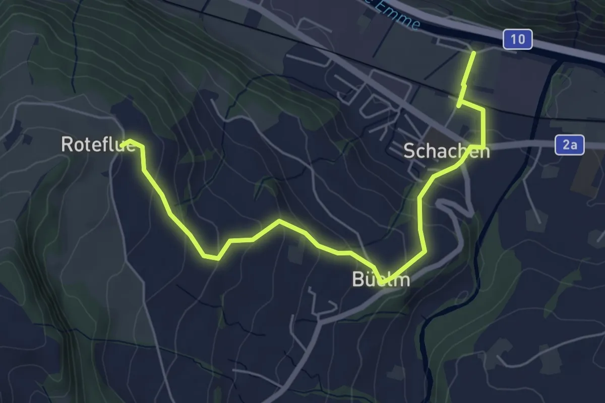
Easy · Trail
Schachen - Rotenflue
5.7 km · ↑ 244 m · 1 h 52 min · 12 km away
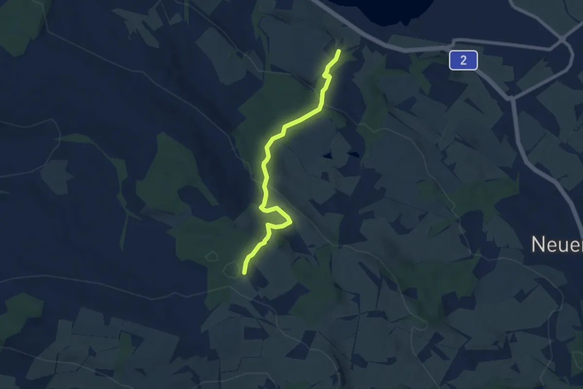
Easy · Trail
Schloss Wartensee – Ober Säliwald
5.8 km · ↑ 253 m · 1 h 55 min · 12 km away
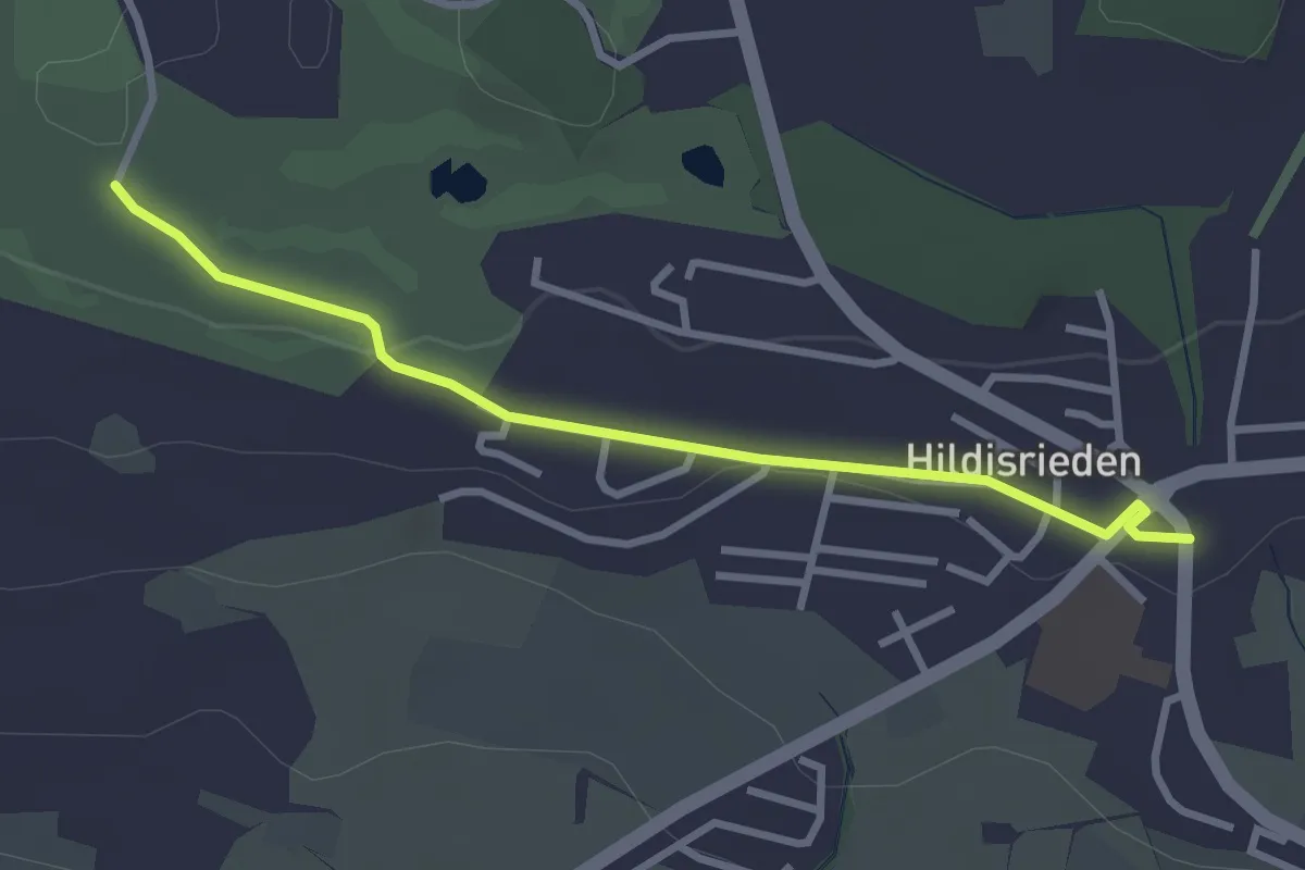
Easy · Trail
Hildisrieden – Schopfe
3.0 km · ↑ 31 m · 46 min · 12 km away
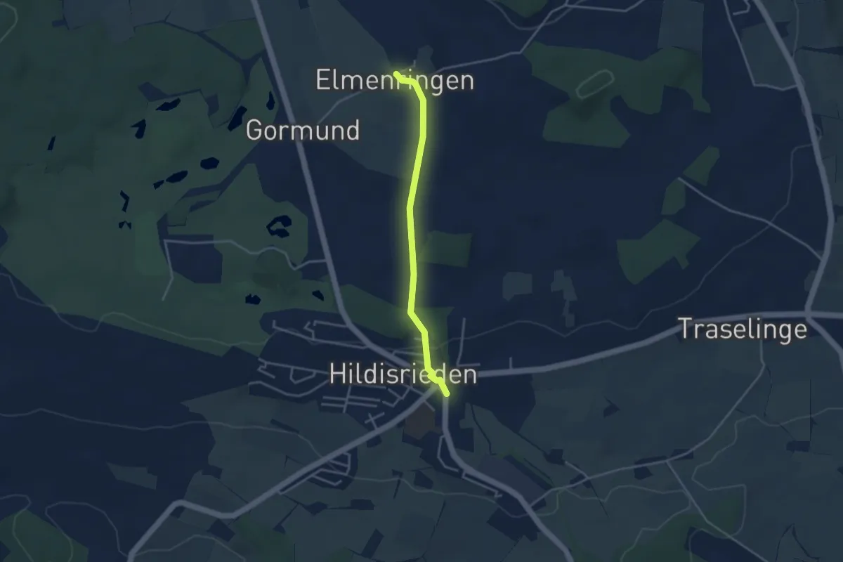
Easy · Trail
Hildisrieden – Älmeringe
3.2 km · ↑ 53 m · 52 min · 12 km away
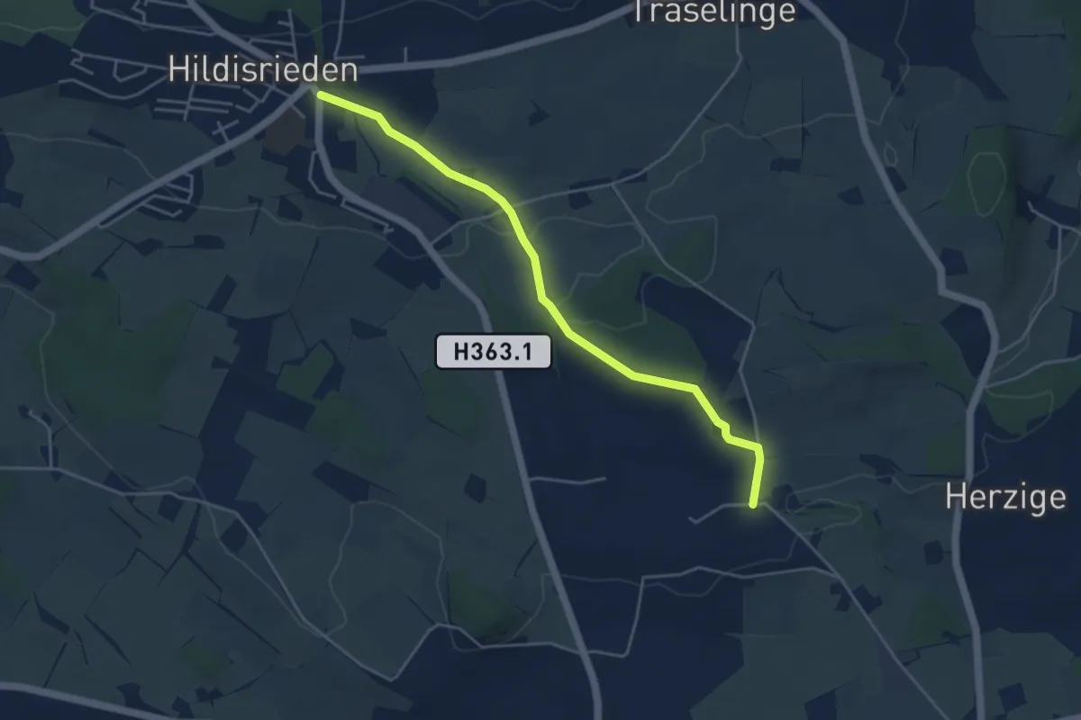
Easy · Trail
Gundelingen - Hildisrieden
4.5 km · ↑ 76 m · 1 h 14 min · 12 km away
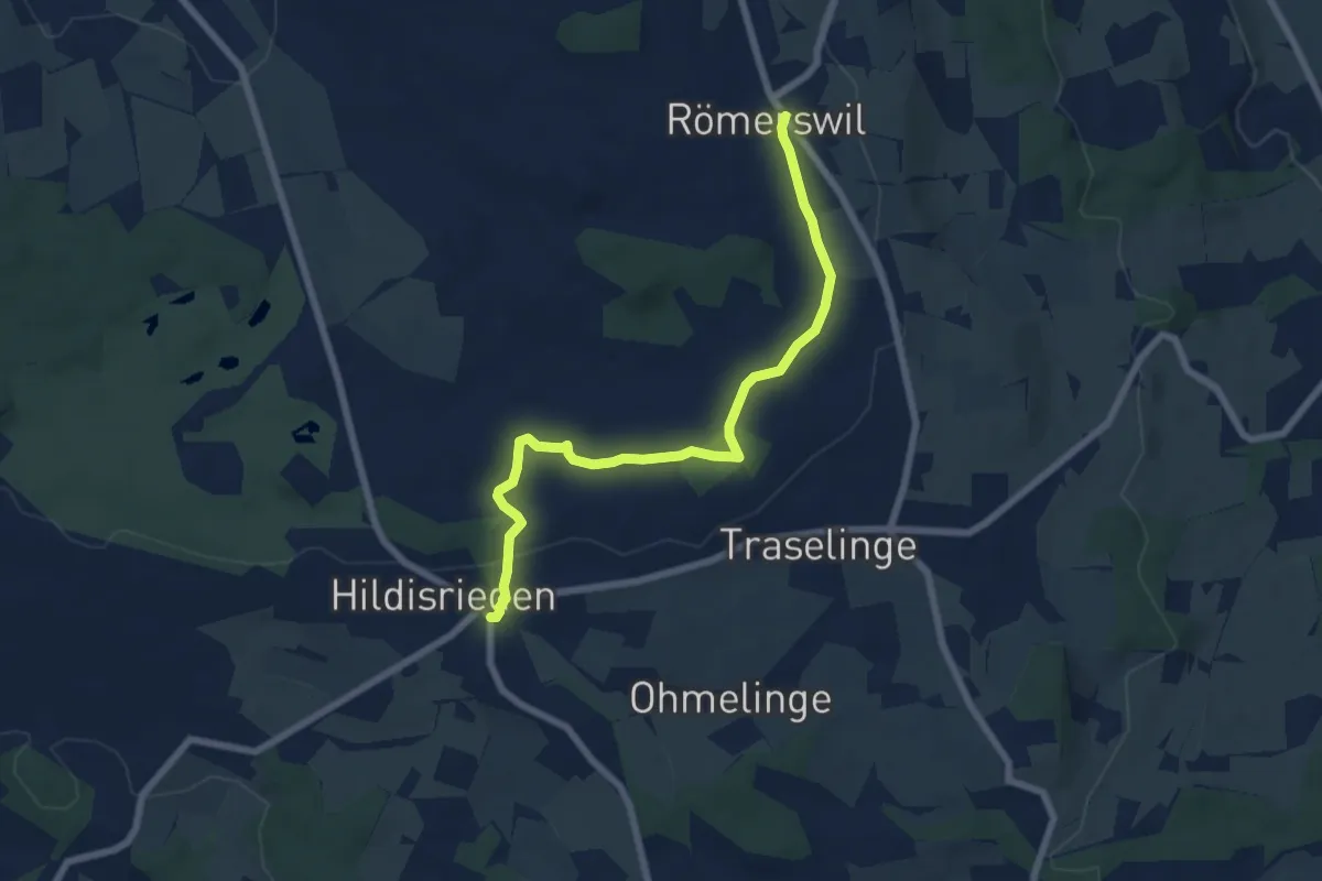
Easy · Trail
Hildisrieden – Römerswil
6.9 km · ↑ 44 m · 1 h 44 min · 12 km away
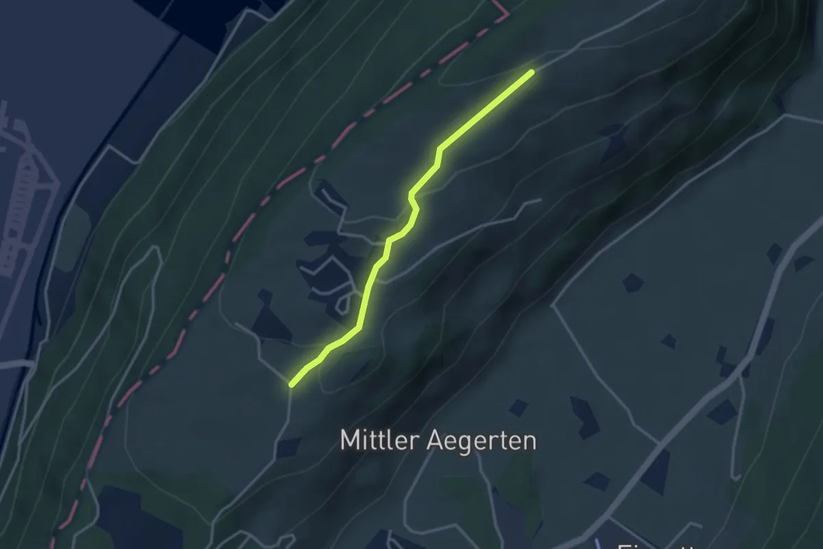
Easy · Trail
Grossitz – Gruebli
2.8 km · ↑ 109 m · 55 min · 12 km away
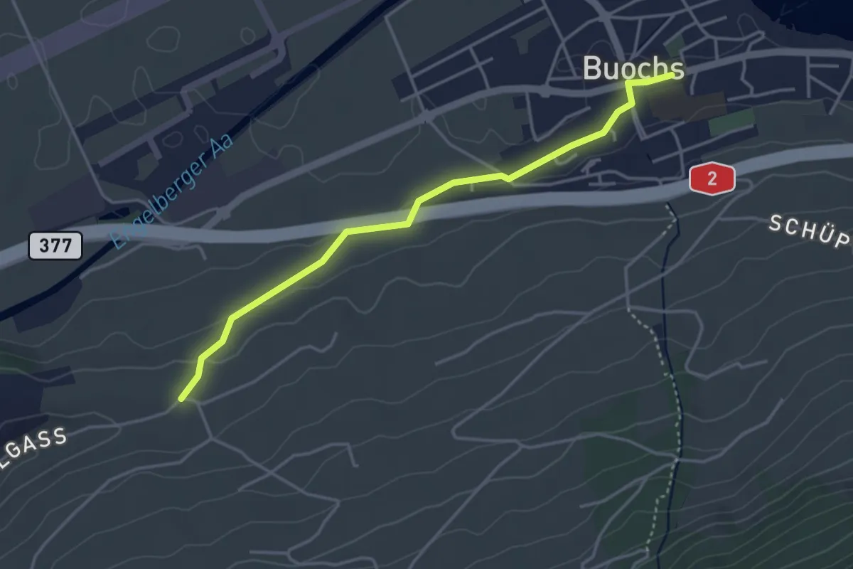
Easy · Trail
Buochs – Ännerberg
3.8 km · ↑ 68 m · 1 h 3 min · 12 km away
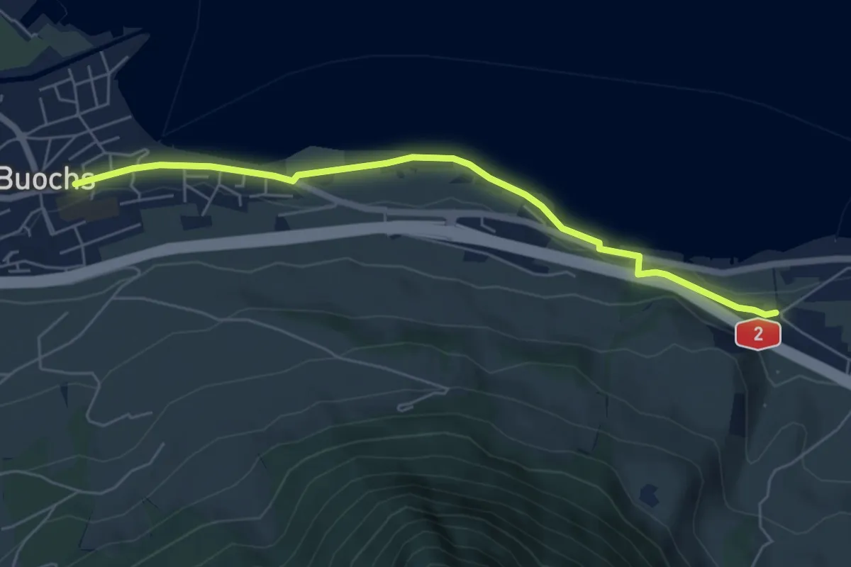
Easy · Trail
Ridli – Buochs
5.7 km · ↑ 53 m · 1 h 28 min · 12 km away
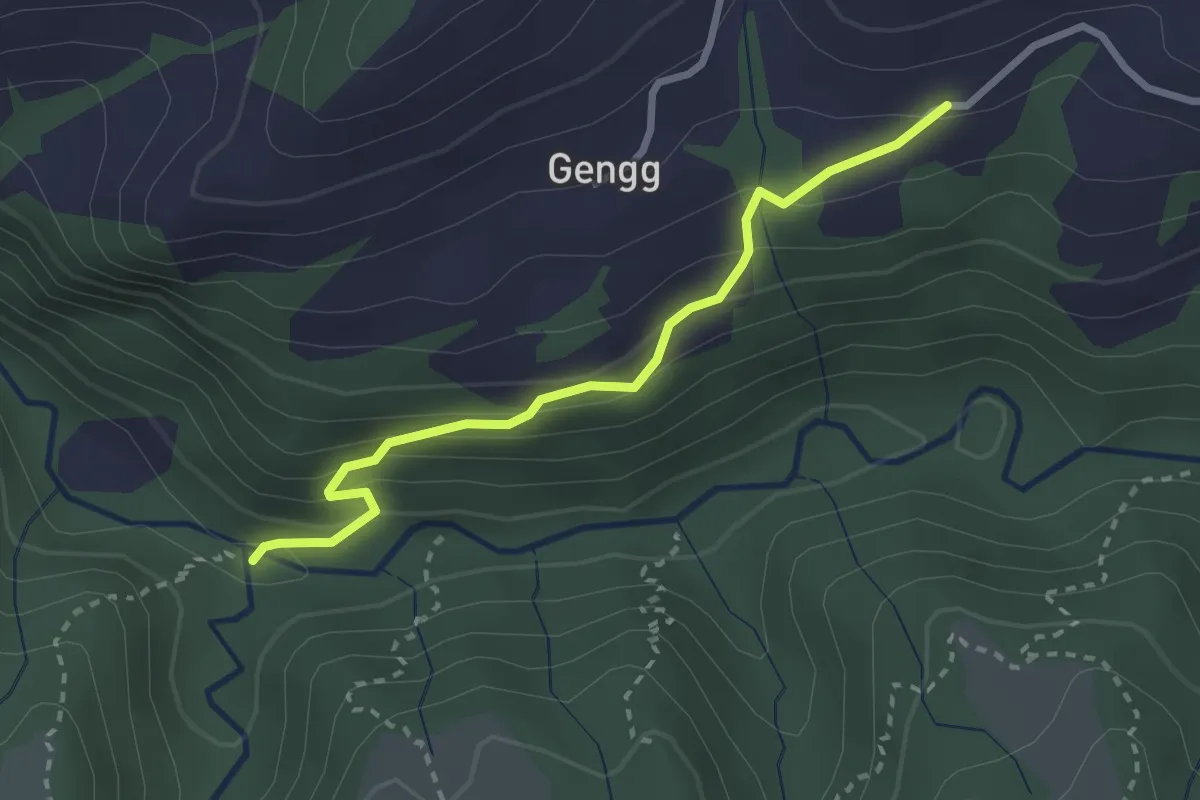
Easy · Trail
Schirge – Haseleggstäg
2.6 km · ↑ 195 m · 1 h 2 min · 12 km away
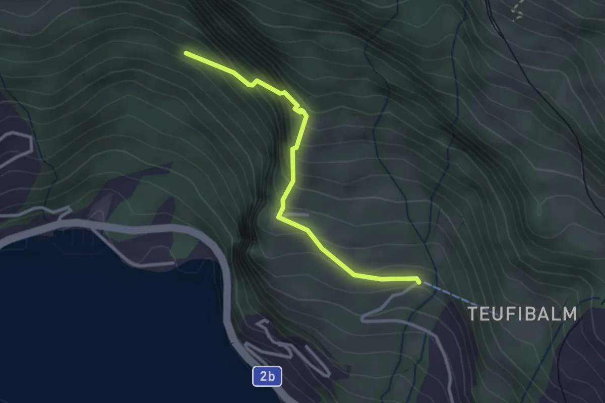
Medium · Trail
Orefad – Langwilen
2.7 km · ↑ 329 m · 1 h 21 min · 12 km away
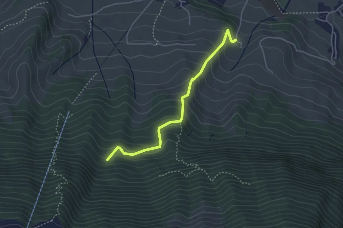
Easy · Trail
Chlostermatt – Cholplätzli
3.4 km · ↑ 313 m · 1 h 28 min · 13 km away
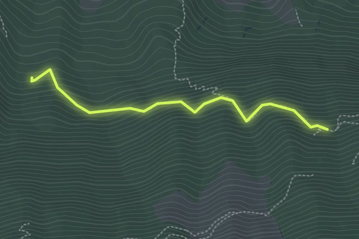
Easy · Trail
Luegeren – Cholplätzli
2.6 km · ↑ 317 m · 1 h 17 min · 13 km away
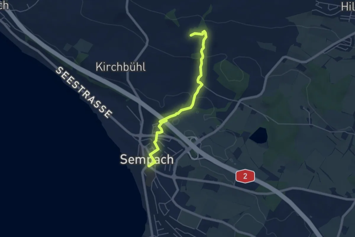
Easy · Trail
Fuchspfad
4.8 km · ↑ 131 m · 1 h 26 min · 13 km away
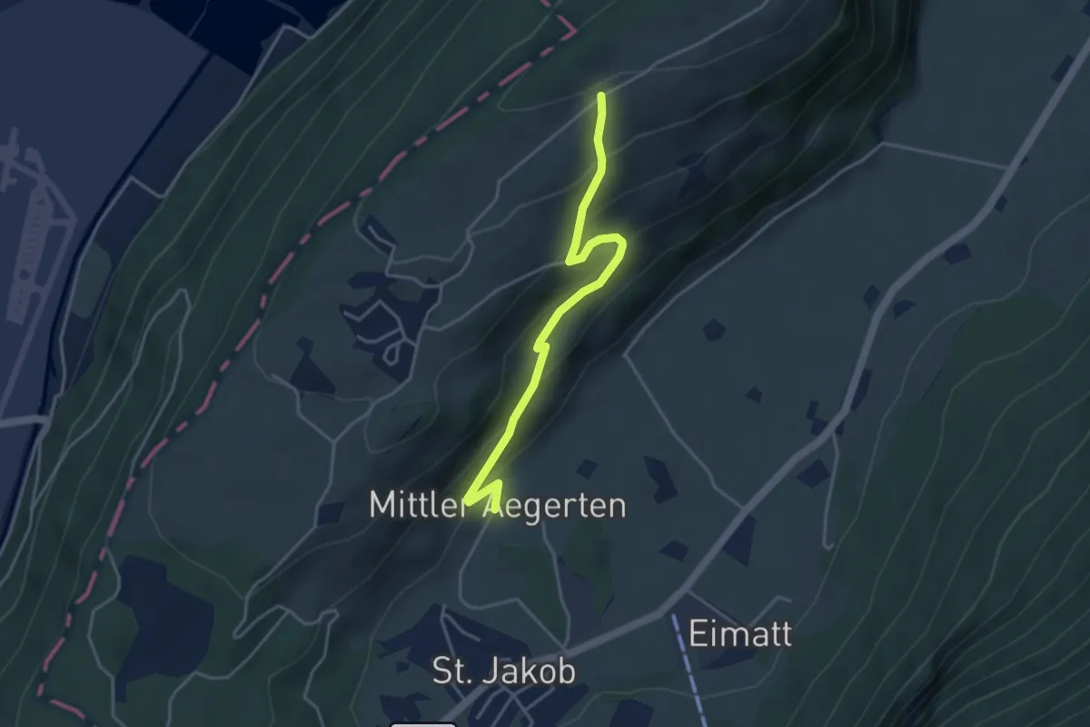
Easy · Trail
Grossitz – Mittelägerten
3.8 km · ↑ 263 m · 1 h 28 min · 13 km away
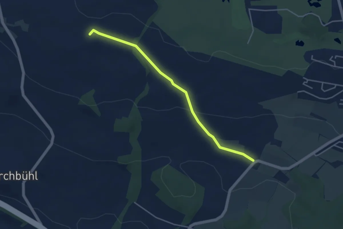
Easy · Trail
Schlacht – Horlachen
3.5 km · ↑ 76 m · 59 min · 13 km away
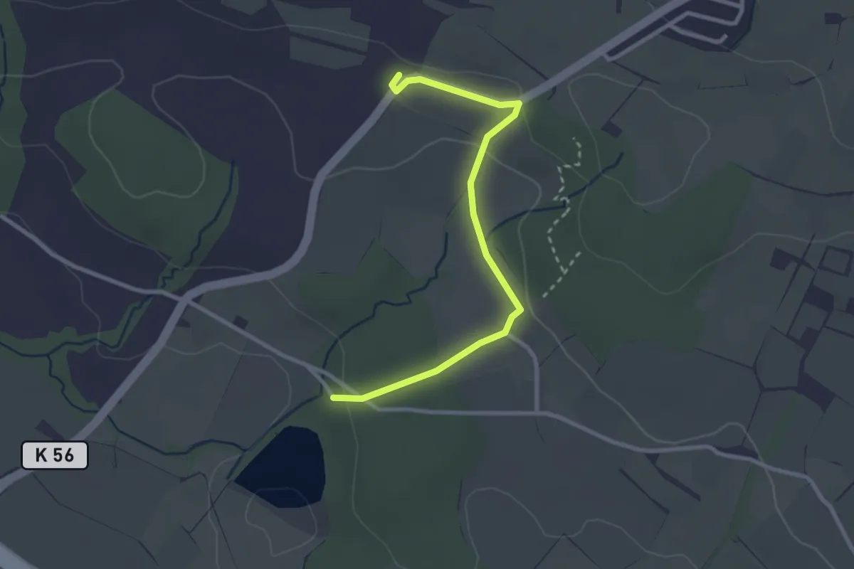
Easy · Trail
Steinibüel – Schlacht
2.8 km · ↑ 55 m · 47 min · 13 km away
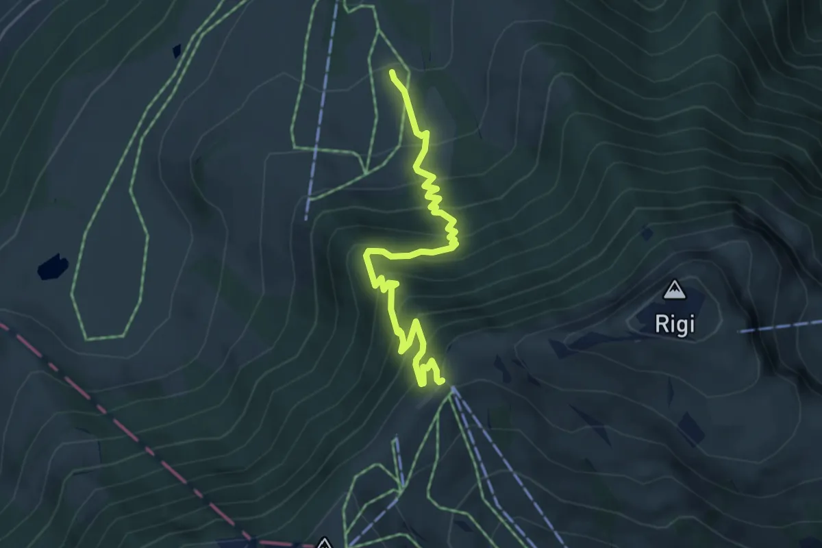
Medium · Trail
Holderen – Rigi Staffel
4.9 km · ↑ 513 m · 2 h 16 min · 13 km away
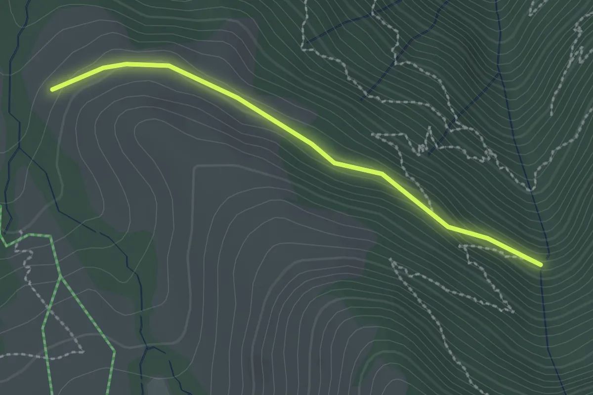
Easy · Trail
Stock – Alpetli
2.3 km · ↑ 41 m · 37 min · 13 km away
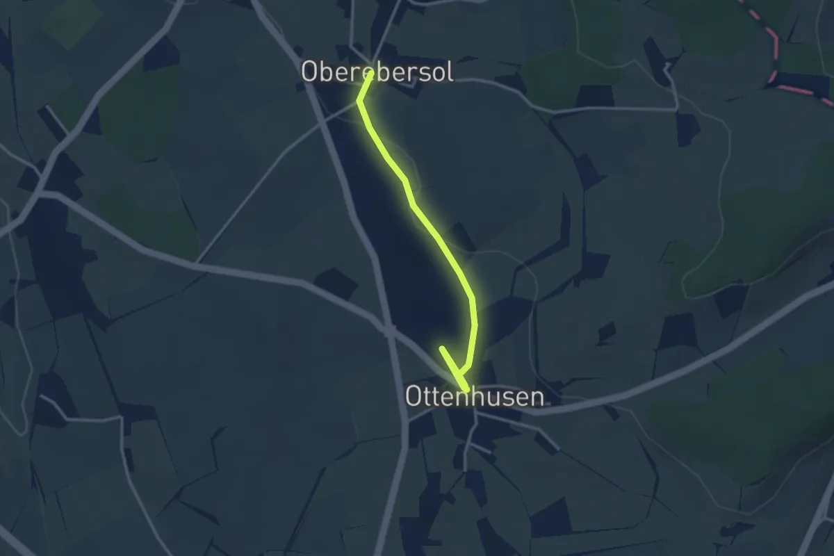
Easy · Trail
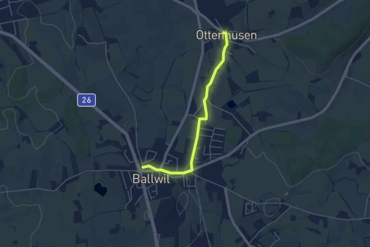
Oberebersol - Ottenhusen
2.9 km · ↑ 26 m · 45 min · 13 km away
Easy · Trail
Ottenhusen - Ballwil
3.9 km · ↑ 41 m · 1 h 1 min · 13 km away
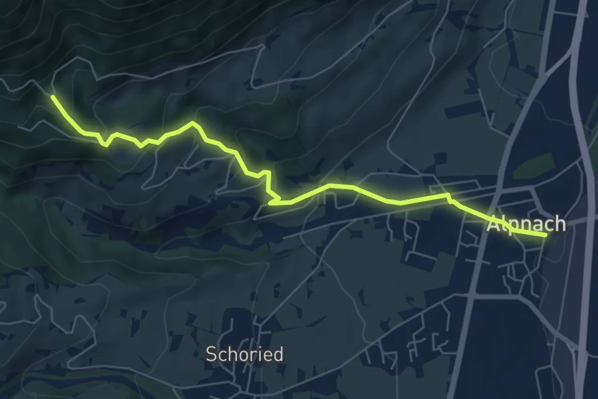
Medium · Trail
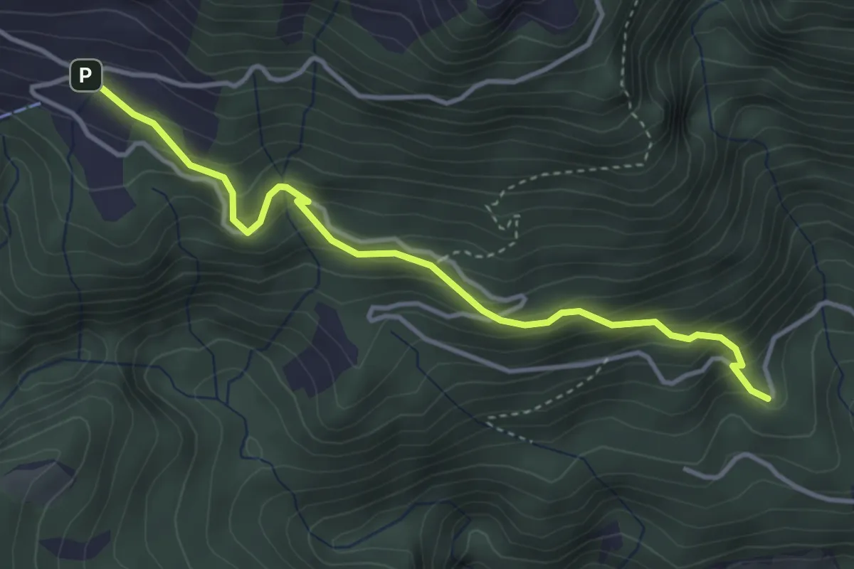
Alpnach Dorf - Winterhalten
6.1 km · ↑ 372 m · 2 h 15 min · 13 km away
Medium · Trail
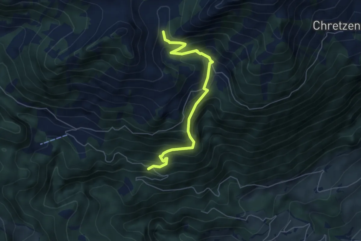
Winterhalten - Lütoldsmatt
3.8 km · ↑ 382 m · 1 h 43 min · 13 km away
Medium · Trail
Deneten- Skiaufstieg
5.3 km · ↑ 527 m · 2 h 23 min · 13 km away
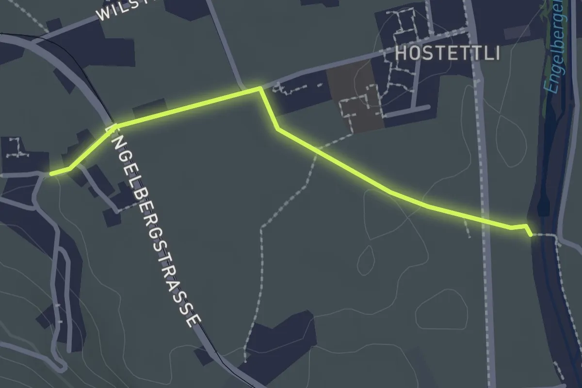
Easy · Trail
Hostettenstäg – St. Heinrich
2.2 km · ↑ 8 m · 32 min · 13 km away
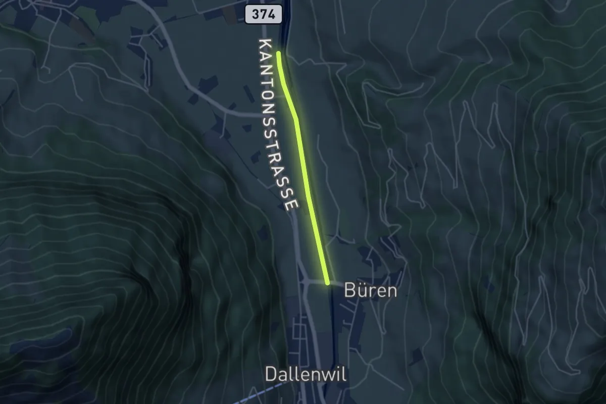
Easy · Trail
Bürenbrücke – Hostettenstäg
3.3 km · ↑ 9 m · 47 min · 13 km away
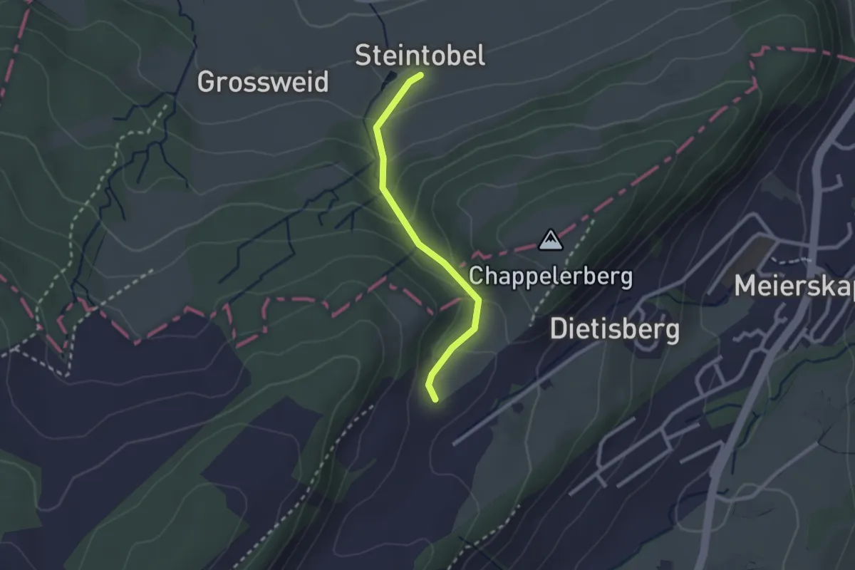
Easy · Trail
Steintobel - Obertal
2.0 km · ↑ 124 m · 45 min · 13 km away
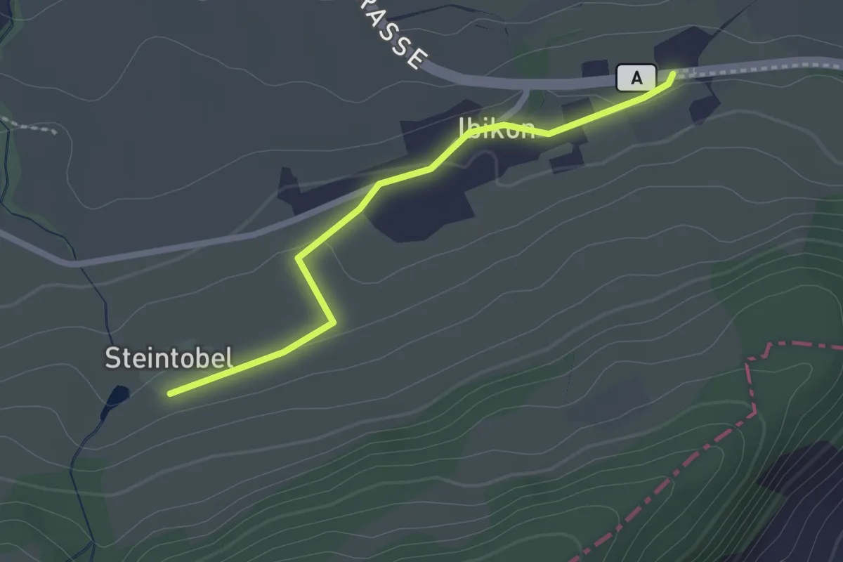
Easy · Trail
Ibikon - Steintobel
2.0 km · ↑ 38 m · 34 min · 13 km away