Trails near Luzern
605 hikes starting within 15 km, nearest first.
Nearest first, page 9 of 13
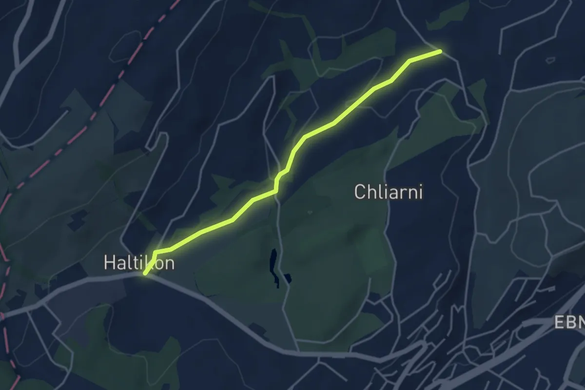
Easy · Trail
Haltikon - Tal
3.6 km · ↑ 53 m · 58 min · 11 km away
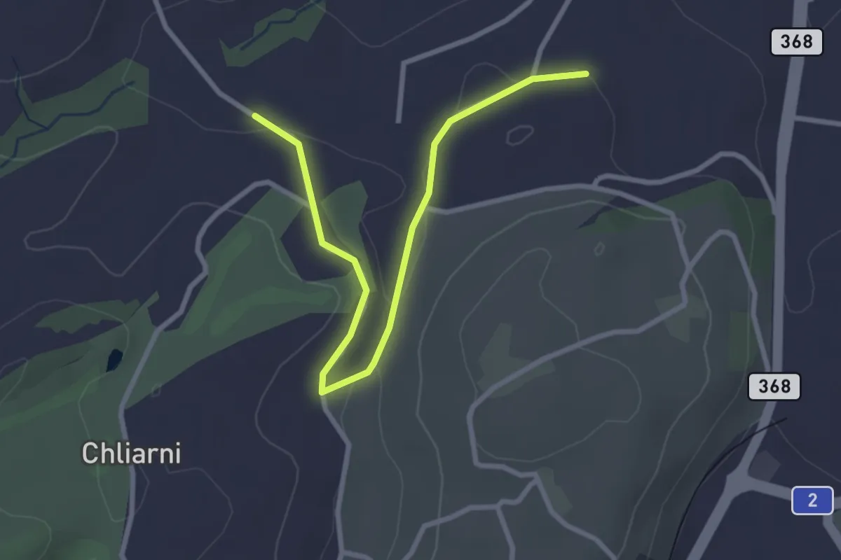
Easy · Trail
Tal - St. Martin
3.1 km · ↑ 51 m · 50 min · 11 km away
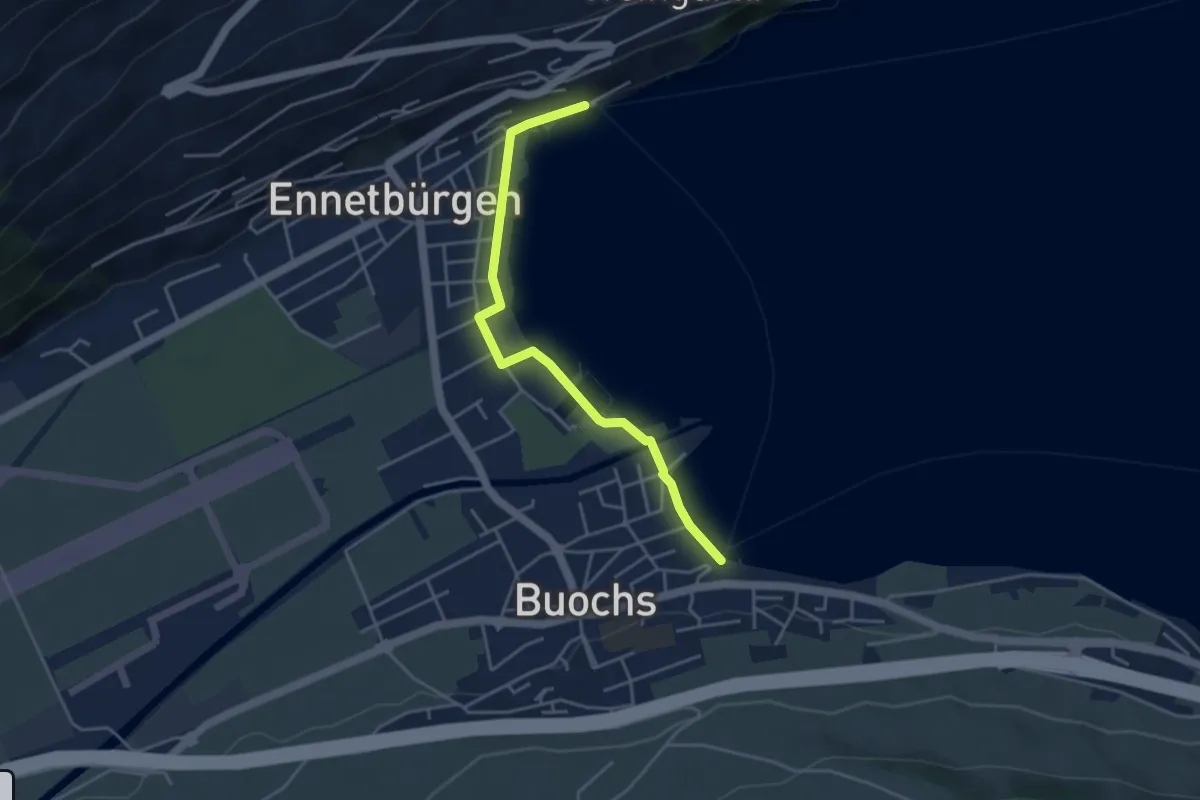
Easy · Trail
Buochs Schiffländi - Ennetbürgen Schiffländi
4.1 km · ↑ 25 m · 1 h 1 min · 11 km away
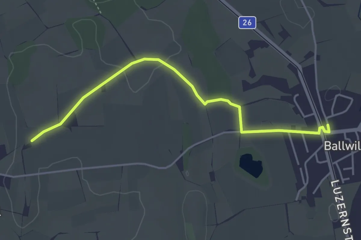
Easy · Trail
Urswil – Ballwil
4.1 km · ↑ 27 m · 1 h 2 min · 11 km away
Easy · Trail
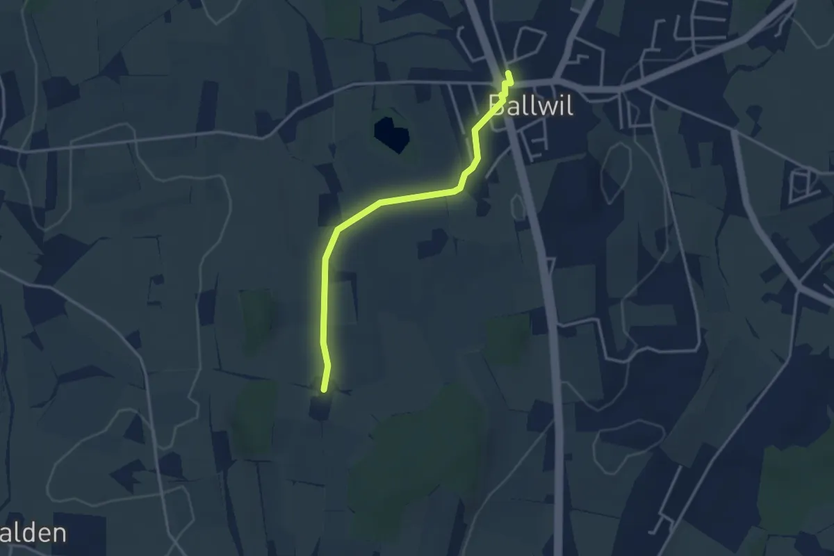
Räckebrunne – Ballwil
3.1 km · ↑ 18 m · 46 min · 11 km away
Easy · Trail
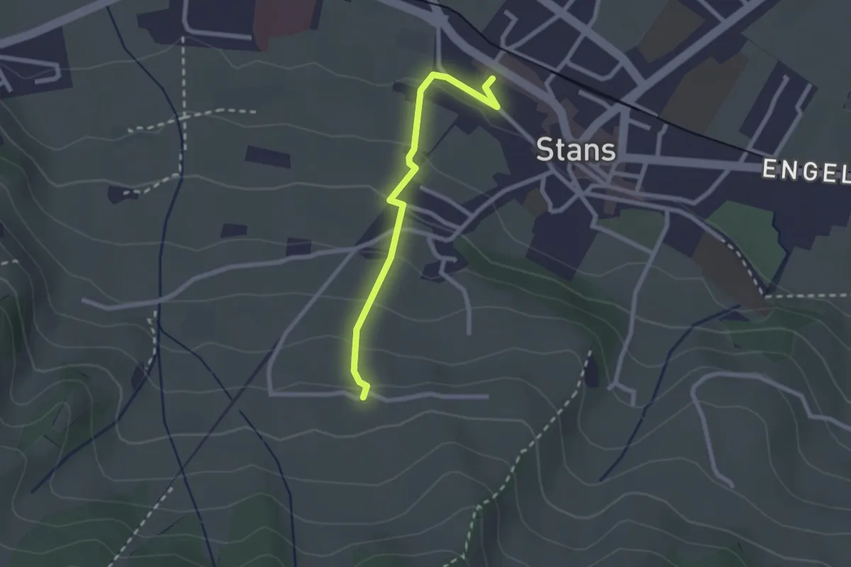
Stanserhornbahn – Unter Eggenburg
2.2 km · ↑ 128 m · 47 min · 11 km away
Easy · Trail
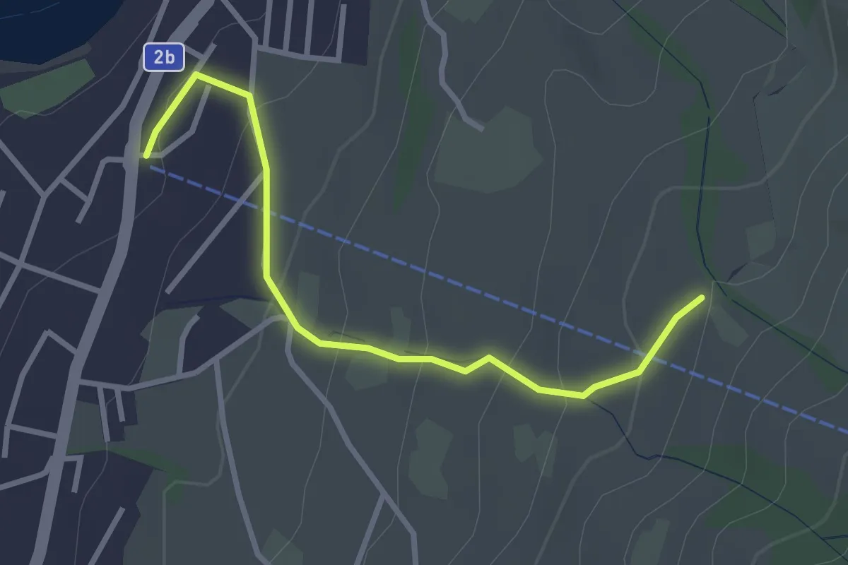
Sämpel – Talstation LKüS
2.8 km · ↑ 164 m · 1 h 1 min · 11 km away
Easy · Trail
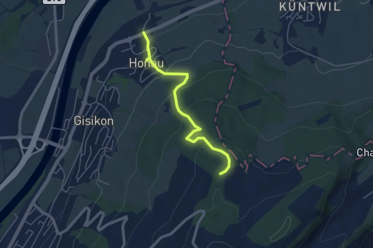
Honau - Mittler Sonderi
4.1 km · ↑ 241 m · 1 h 29 min · 11 km away
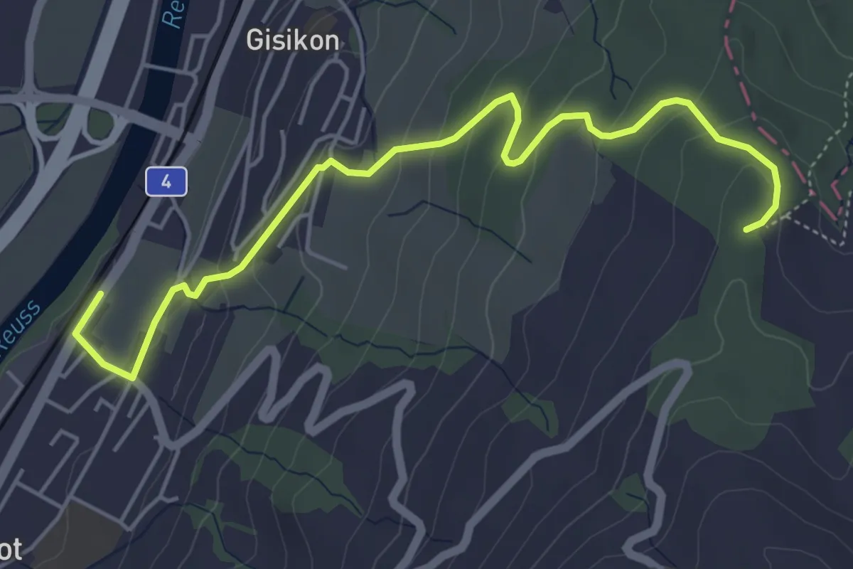
Easy · Trail
Gisikon Root - Mittler Sonderi
5.5 km · ↑ 258 m · 1 h 51 min · 11 km away
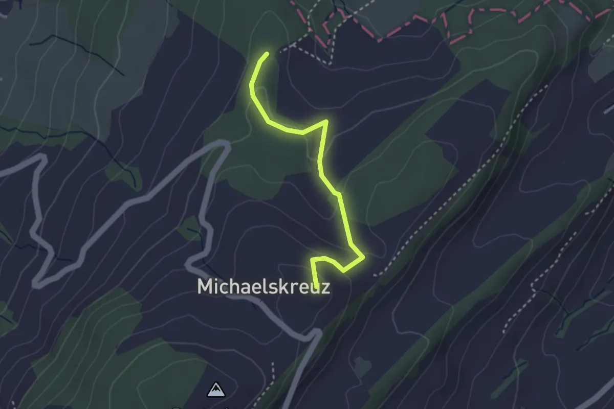
Easy · Summit
Mittler Sonderi - Michaelskreuz
2.7 km · ↑ 120 m · 54 min · 11 km away
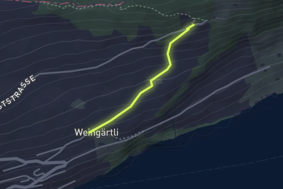
Easy · Trail
Wigärtli – St. Jost
2.0 km · ↑ 148 m · 48 min · 11 km away
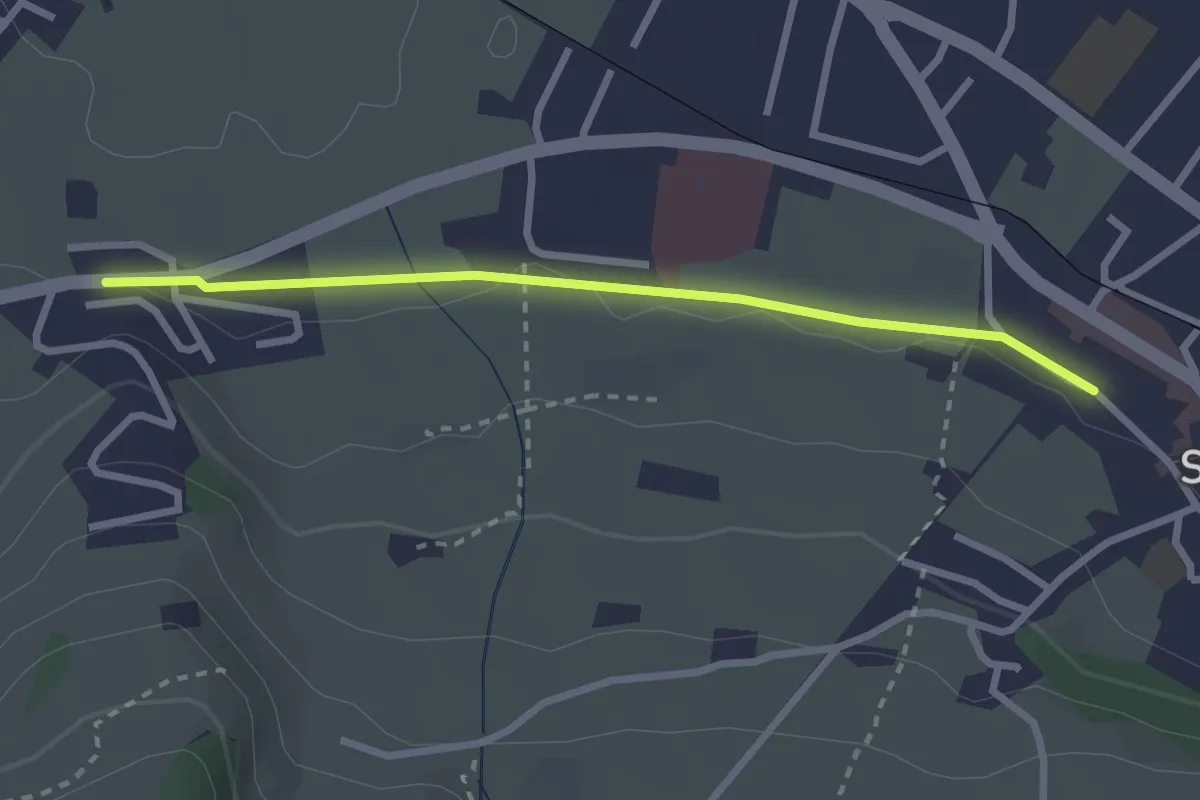
Easy · Trail
Stans Bahnhof – Lewengrueben
2.5 km · ↑ 12 m · 38 min · 11 km away
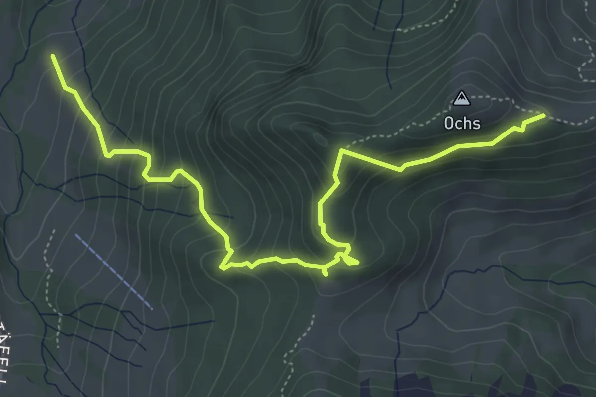
Medium · Trail
Hüenerhubel - Lochberg
6.0 km · ↑ 502 m · 2 h 30 min · 11 km away
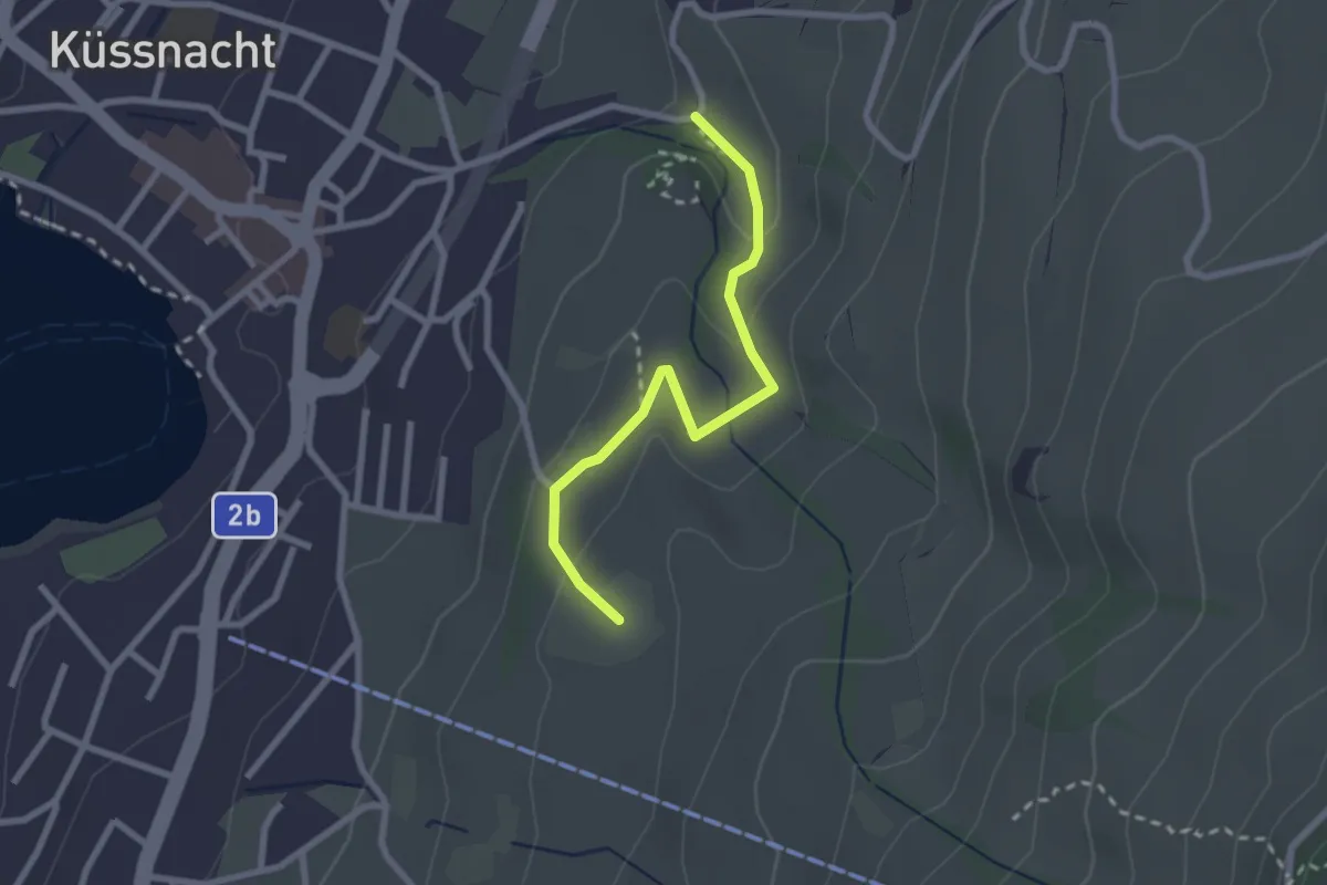
Easy · Trail
Gesslerber-Alpenhof
2.4 km · ↑ 89 m · 45 min · 11 km away
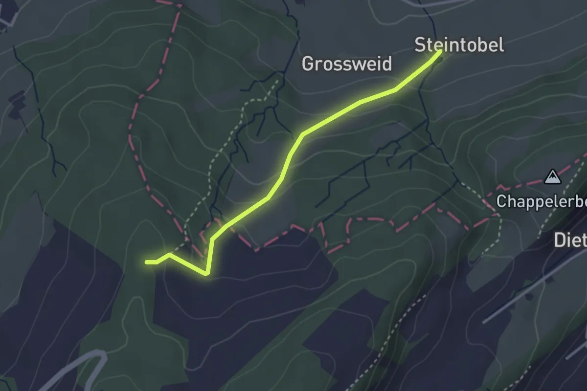
Easy · Trail
Steintobel - Mittler Sonderi
2.9 km · ↑ 164 m · 1 h 3 min · 11 km away
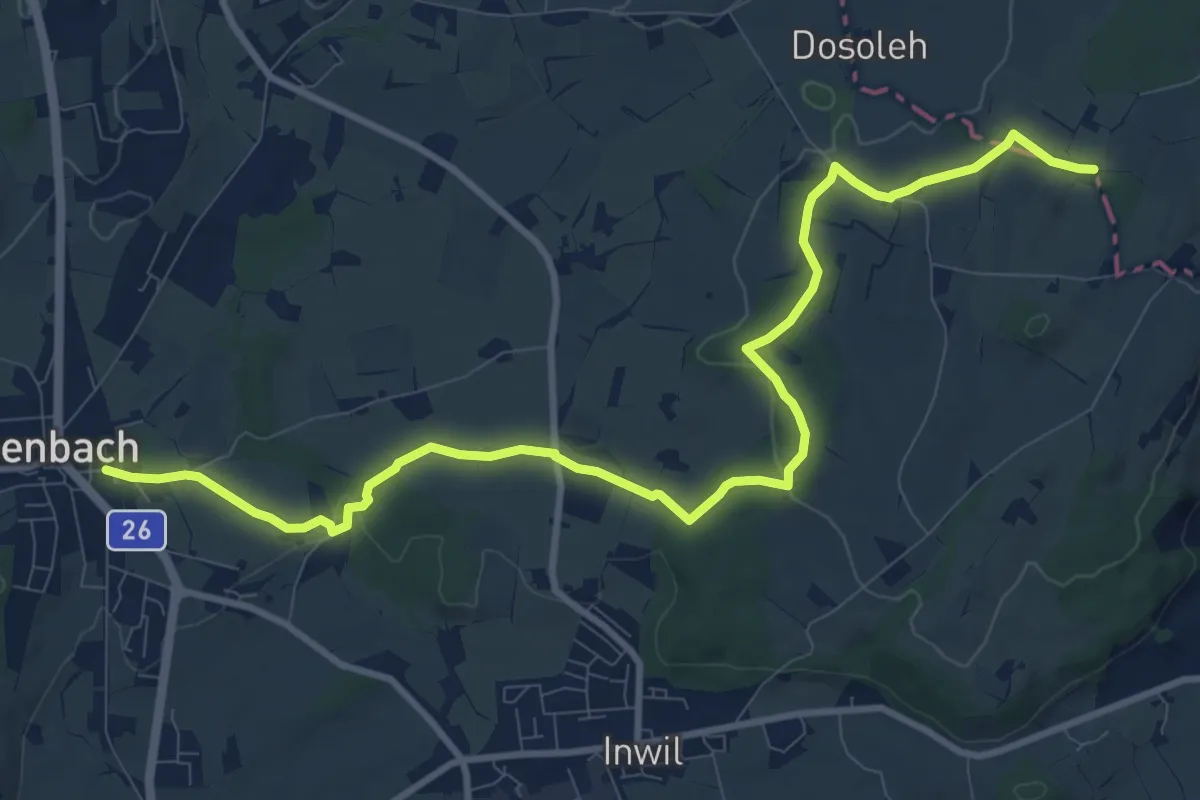
Medium · Trail
Eschenbach - Sulzberg
11.9 km · ↑ 153 m · 3 h 9 min · 11 km away
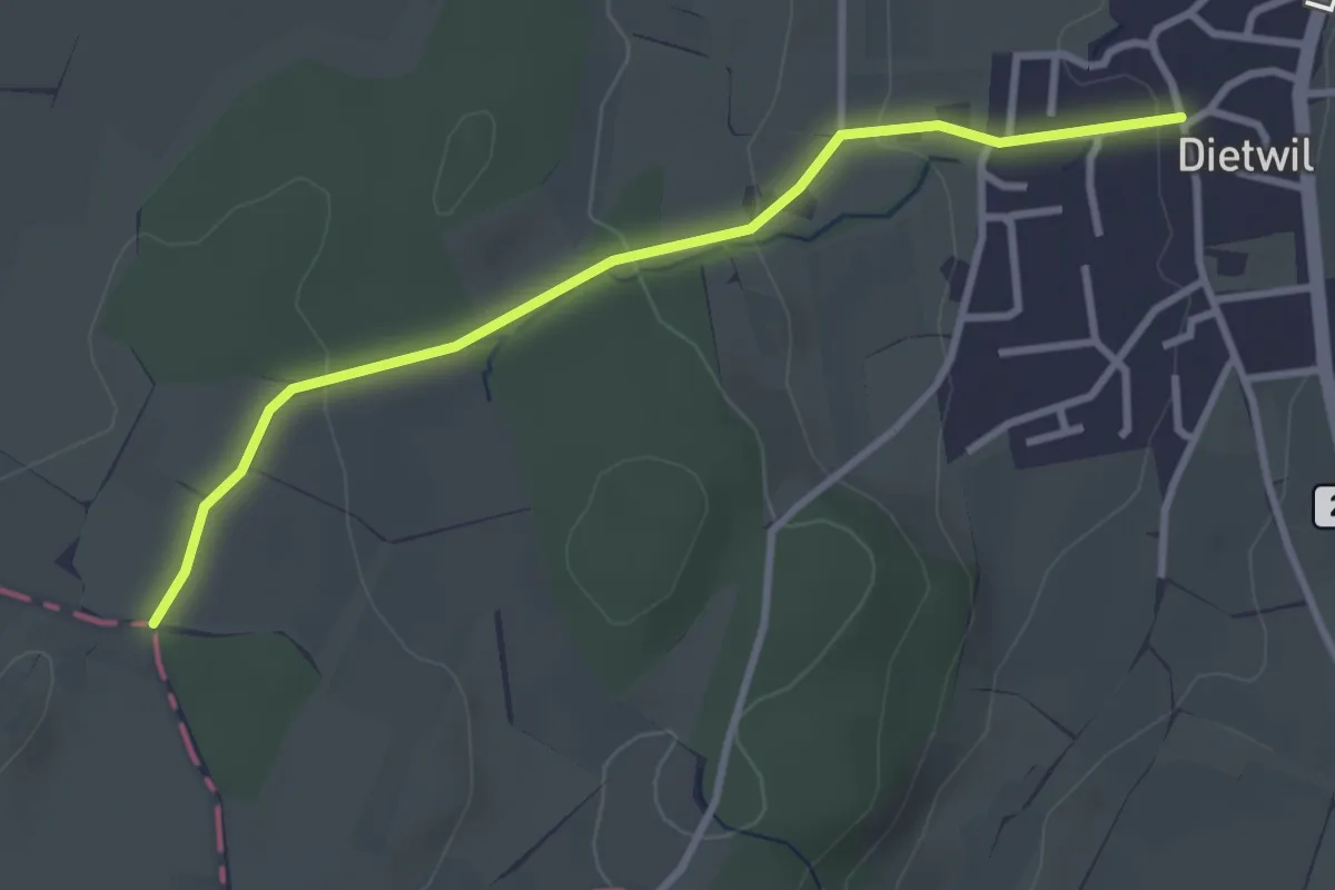
Easy · Trail
Dietwil - Sulzberg
3.1 km · ↑ 96 m · 57 min · 11 km away
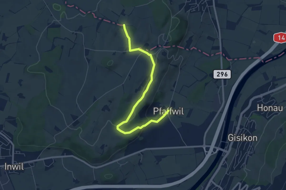
Easy · Trail
Pfaffwil - Sulzberg
6.5 km · ↑ 159 m · 1 h 53 min · 11 km away
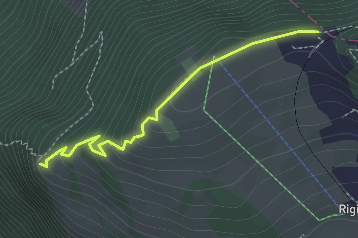
Easy · Trail
Rigi Staffelhöhe – Chänzeli
2.0 km · ↑ 123 m · 44 min · 11 km away
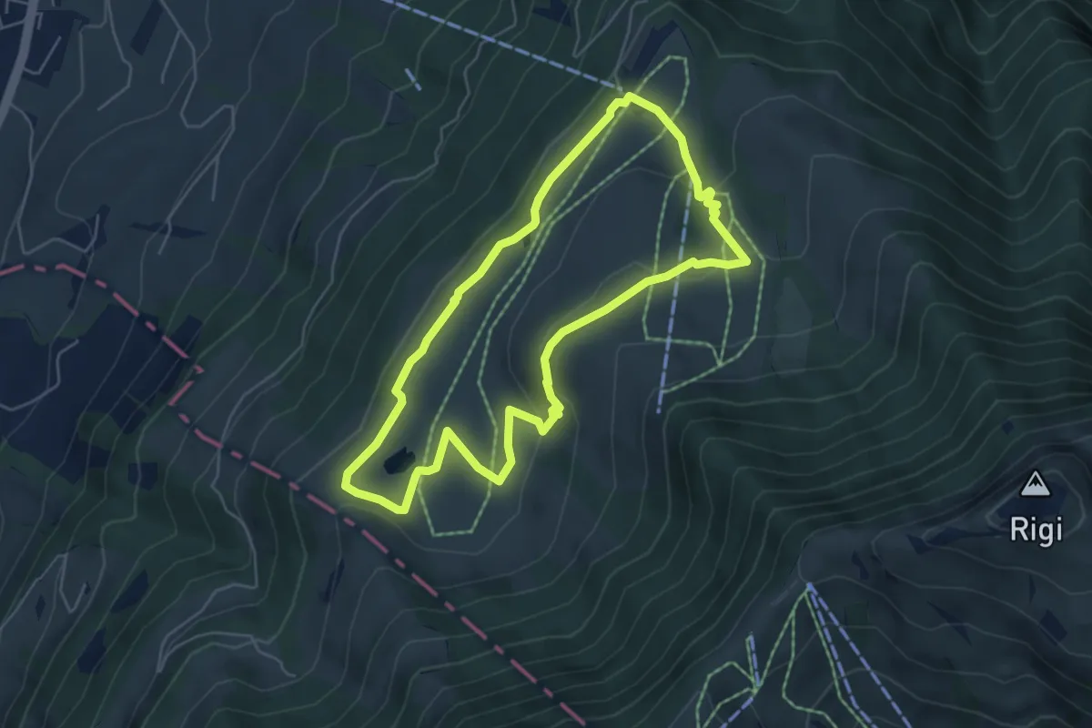
Easy · Trail
Panoramarundweg (Seebodenalp - Altruodisegg - Holderen - Seebodenalp)
5.1 km · ↑ 168 m · 1 h 39 min · 11 km away
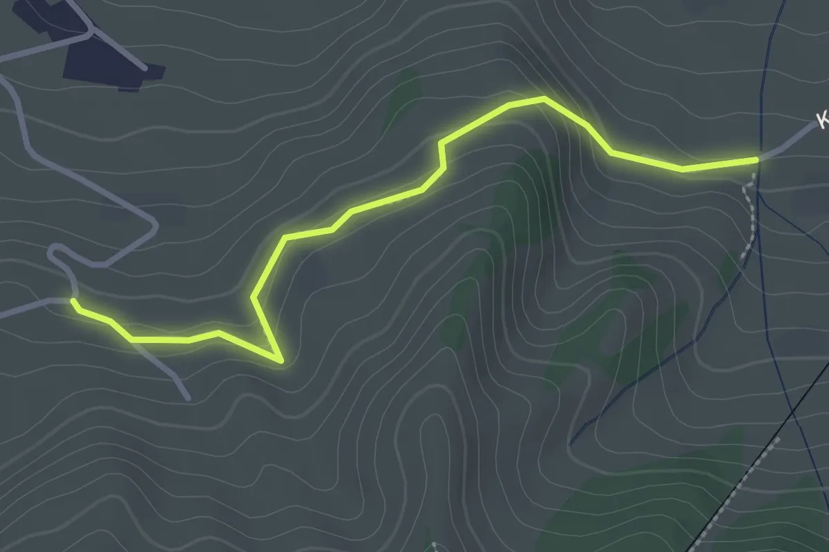
Easy · Trail
Murmatt – Christenmatt
2.8 km · ↑ 137 m · 57 min · 11 km away
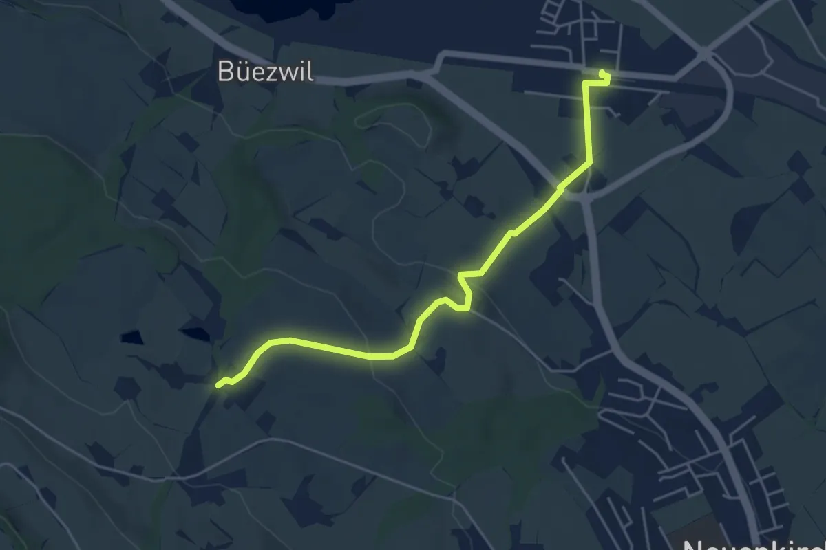
Easy · Trail
Wilistatt - Sempach Station
4.7 km · ↑ 107 m · 1 h 20 min · 11 km away
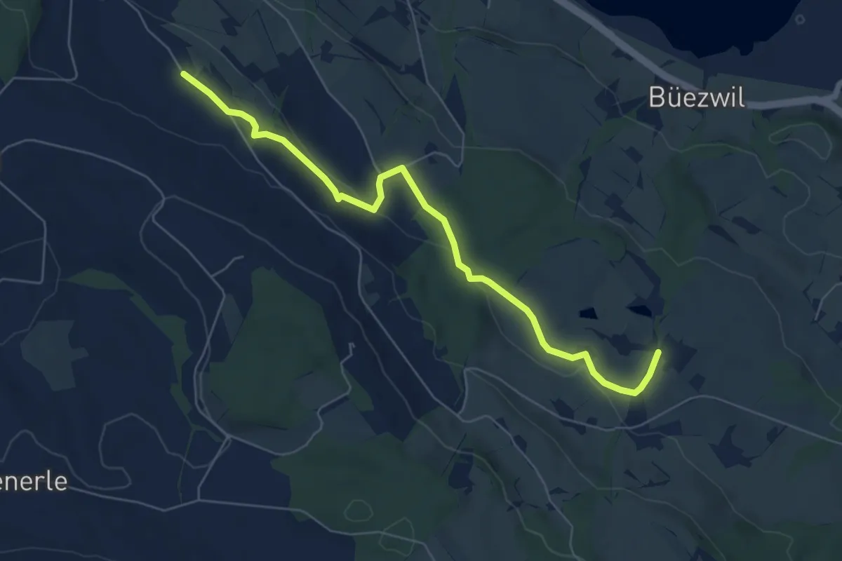
Easy · Trail
Huprächtigen – Wilistatt
6.5 km · ↑ 141 m · 1 h 50 min · 11 km away
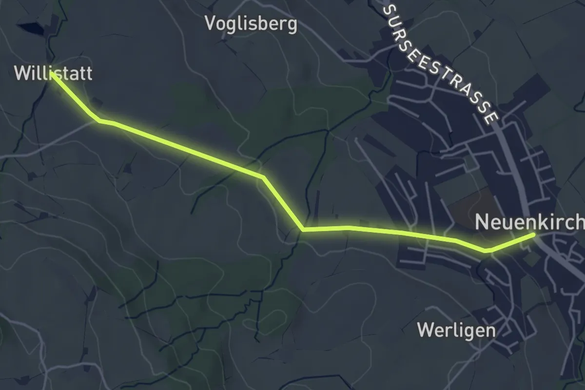
Easy · Trail
Wilistatt - Neuenkirch
4.5 km · ↑ 67 m · 1 h 13 min · 11 km away
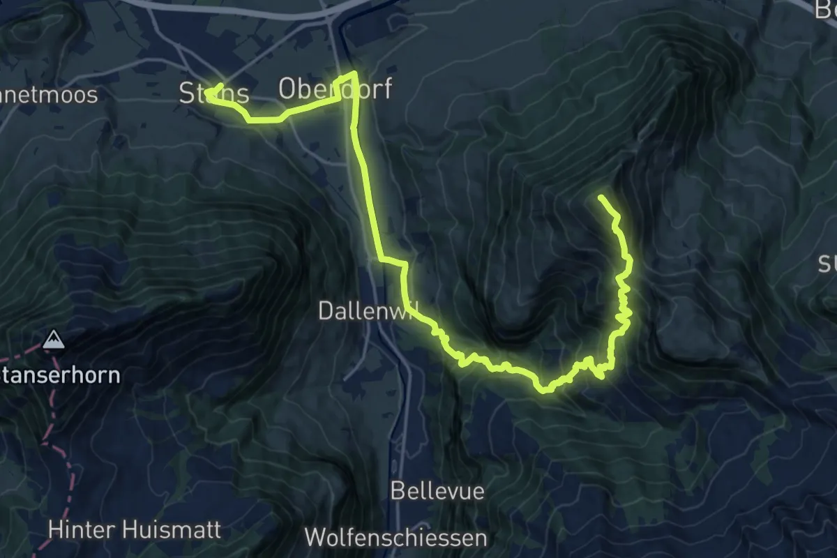
Demanding · Summit
Nidwaldner Zentrumsweg
25.3 km · ↑ 1406 m · 9 h 1 min · 11 km away
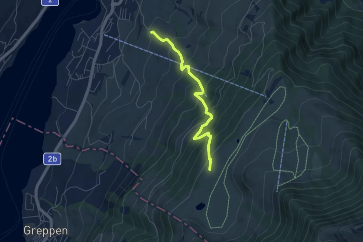
Medium · Trail
Alpenhof-Schluchegg
5.3 km · ↑ 495 m · 2 h 19 min · 11 km away
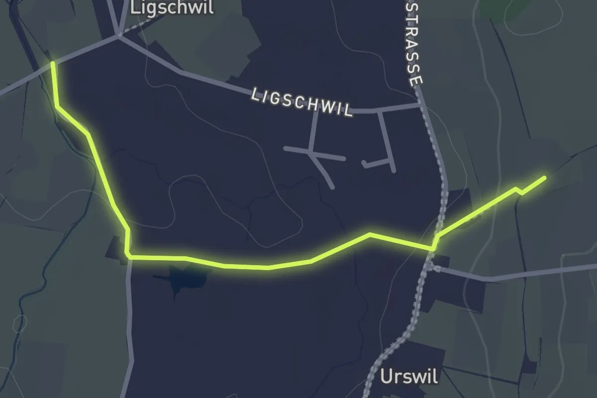
Easy · Trail
Urswil - Ligschwil
2.5 km · ↑ 25 m · 39 min · 11 km away
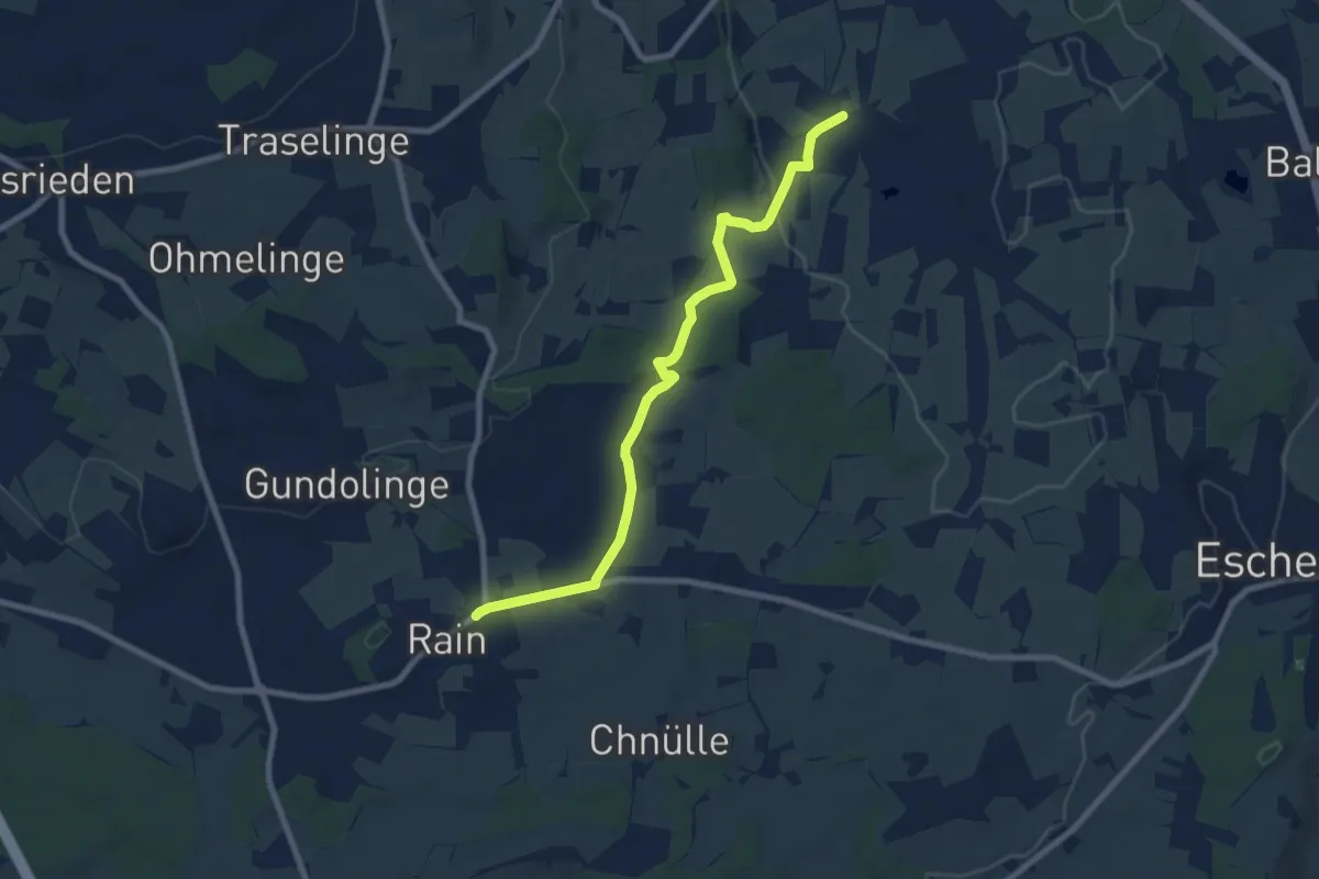
Medium · Trail
Ligschwil - Herbrig - Rain
8.2 km · ↑ 132 m · 2 h 14 min · 11 km away
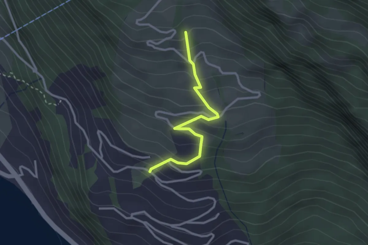
Easy · Trail
Ober Säntiberg – Bodenberg
2.4 km · ↑ 234 m · 1 h 4 min · 12 km away
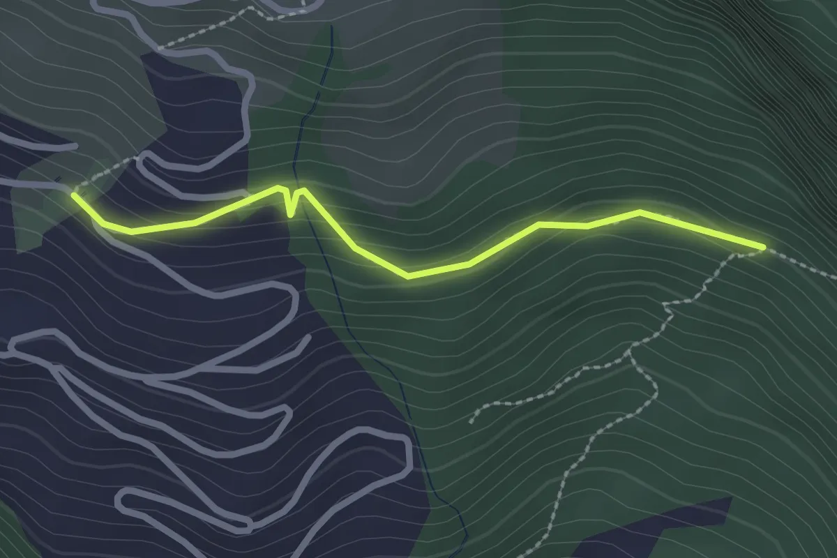
Easy · Trail
Bodenberg – Orefad
2.2 km · ↑ 155 m · 51 min · 12 km away
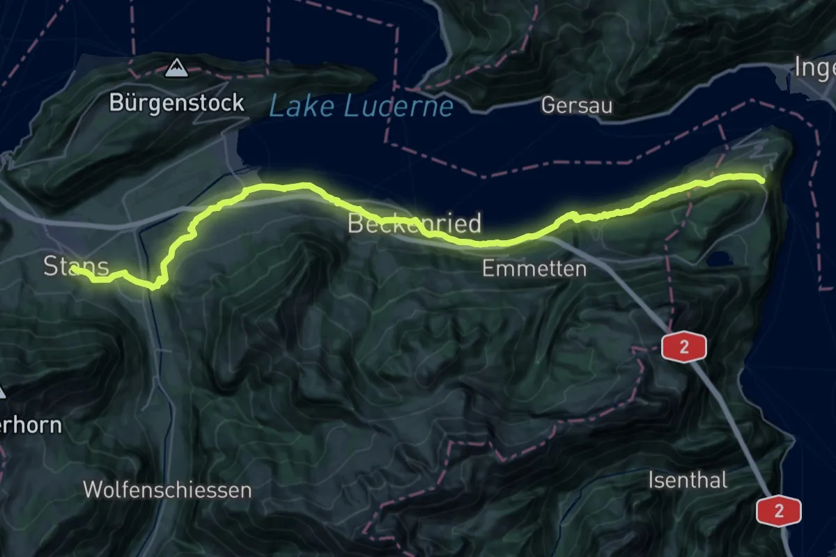
Demanding · Trail
Trans Swiss Trail
20.3 km · ↑ 860 m · 6 h 46 min · 12 km away
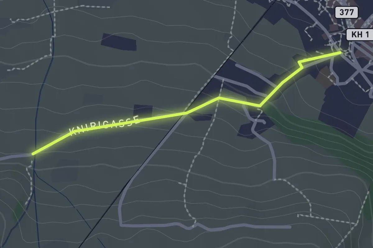
Easy · Trail
Stans Dorfplatz – Christenmatt
2.0 km · ↑ 76 m · 39 min · 12 km away
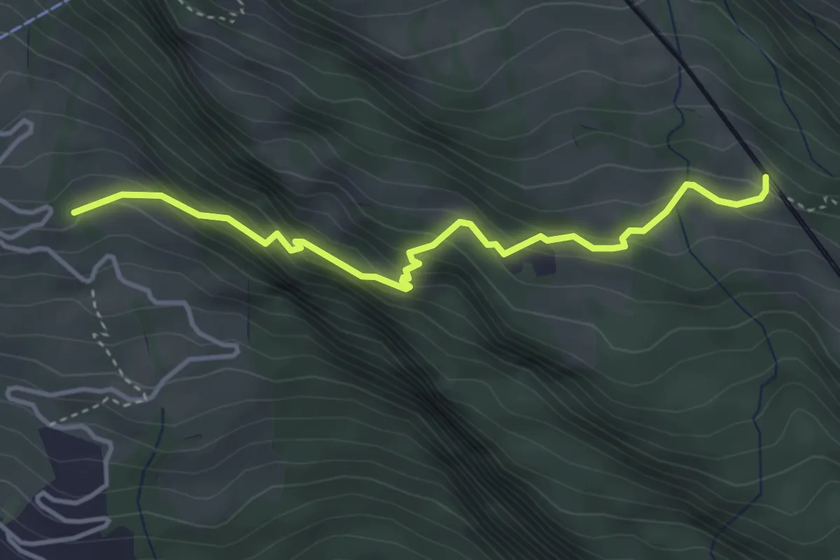
Medium · Trail
Ober Säntiberg – Romiti
3.8 km · ↑ 352 m · 1 h 39 min · 12 km away
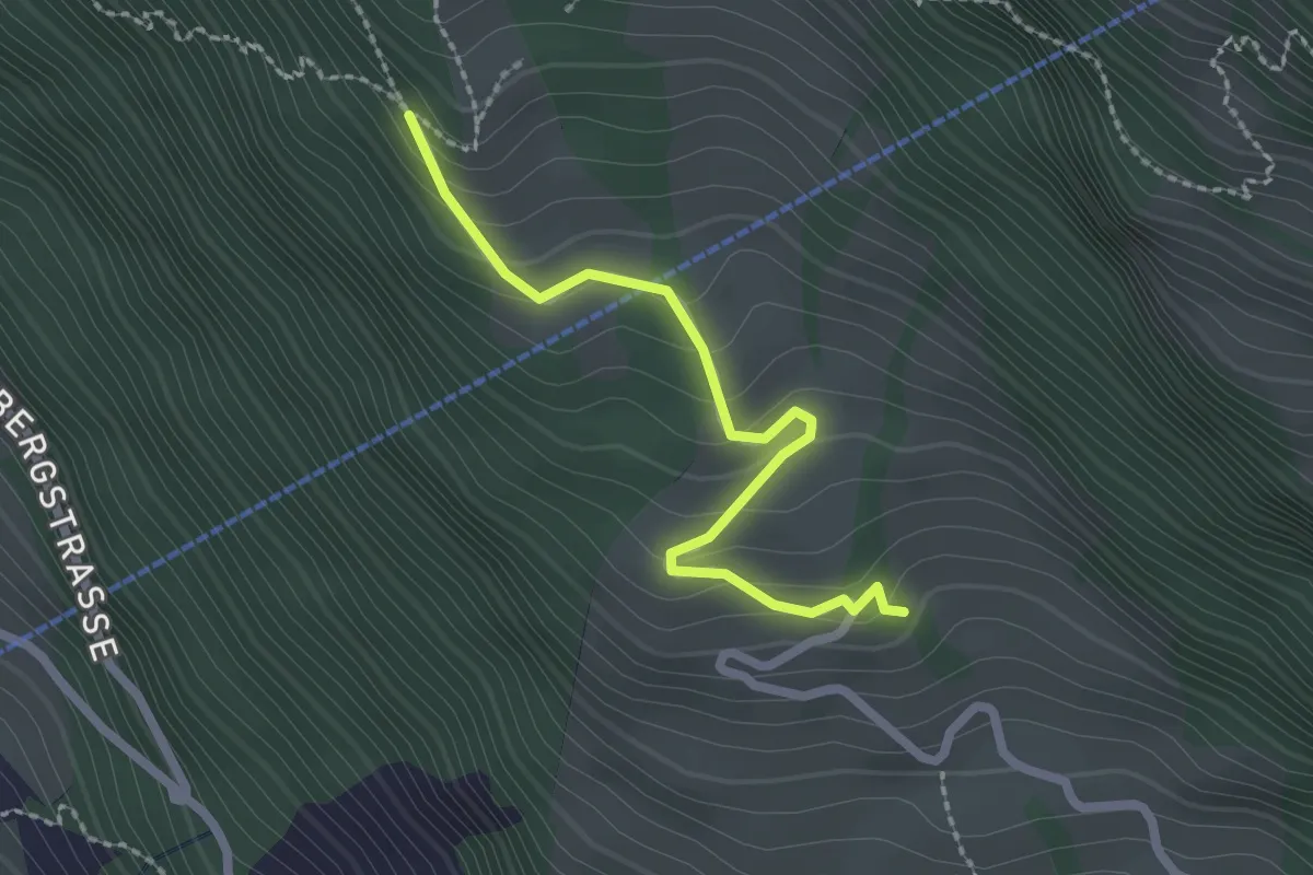
Easy · Trail
Müseralp – Ober Säntiberg
2.2 km · ↑ 131 m · 48 min · 12 km away
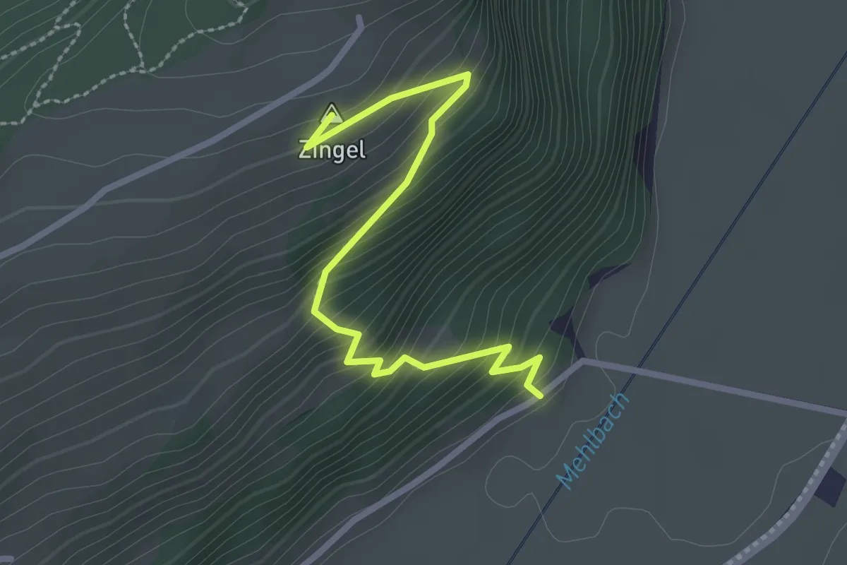
Easy · Summit
Drachenried – Neumatt
2.6 km · ↑ 285 m · 1 h 15 min · 12 km away
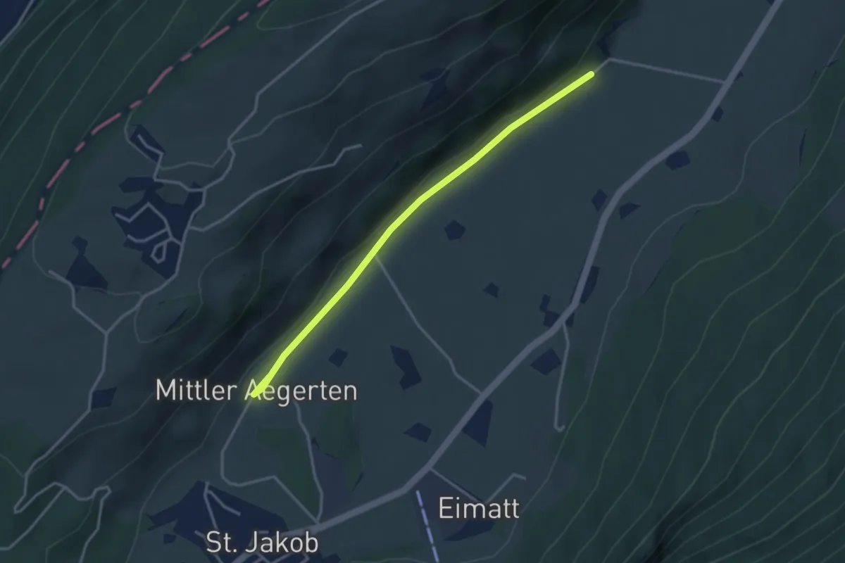
Easy · Trail
Drachenried – Mittelägerten
3.3 km · ↑ 46 m · 53 min · 12 km away
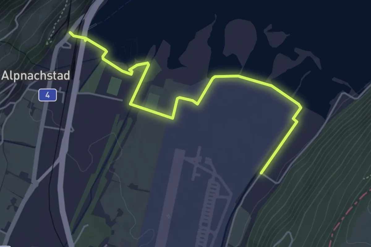
Easy · Trail
Alpnachstad – Wichelsee
5.2 km · ↑ 17 m · 1 h 16 min · 12 km away
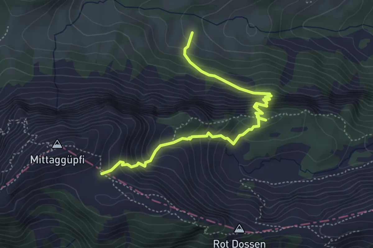
Medium · Trail
Stafel - Oberalp - 1805
5.1 km · ↑ 584 m · 2 h 27 min · 12 km away
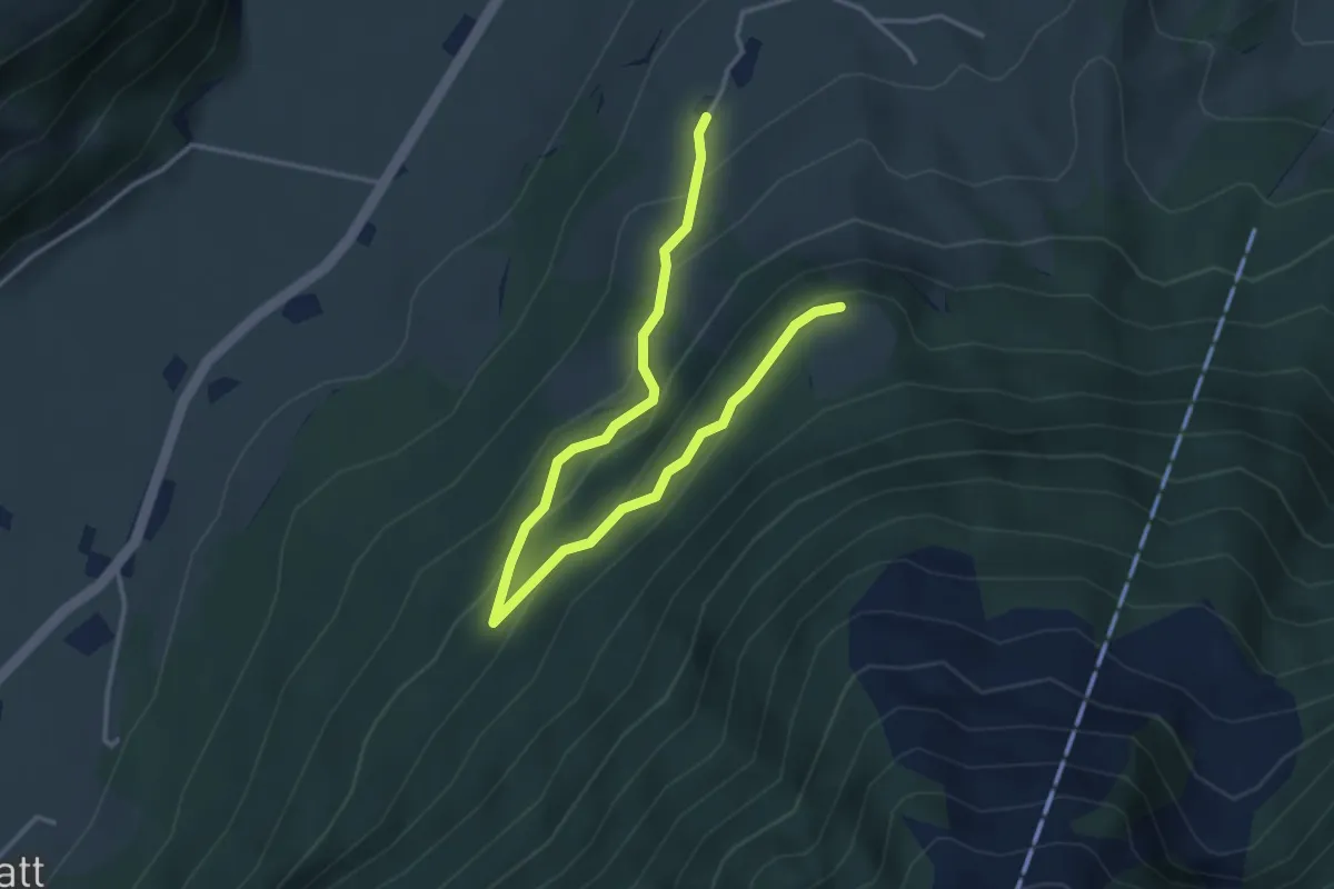
Easy · Trail
Brunnisboden – Äbnetboden
4.5 km · ↑ 272 m · 1 h 39 min · 12 km away
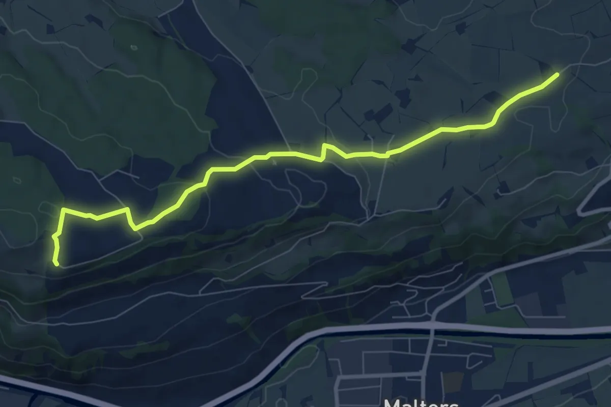
Medium · Trail
Zinggen – Tschäpperslehn
8.4 km · ↑ 225 m · 2 h 28 min · 12 km away
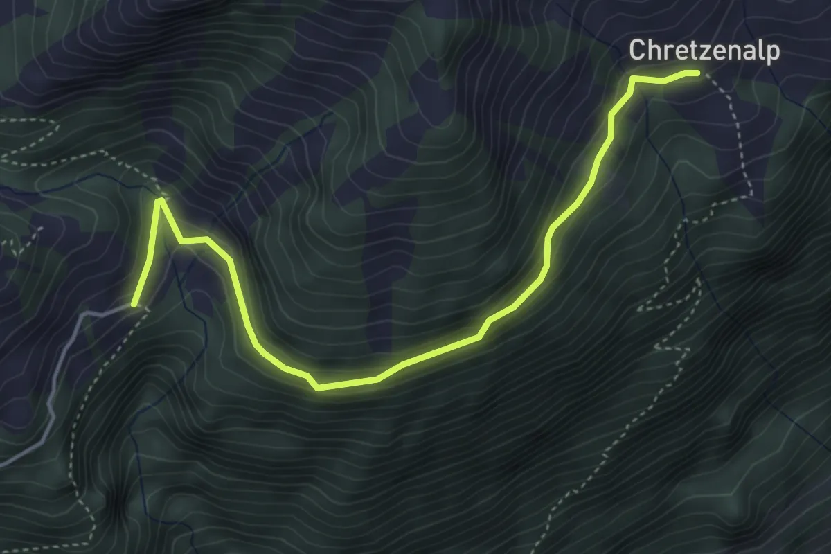
Easy · Trail
Deneten - Under Chretzen
4.6 km · ↑ 245 m · 1 h 37 min · 12 km away
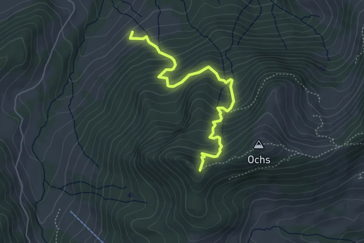
Medium · Trail
Grünenwald – Hüenerhubel
4.6 km · ↑ 464 m · 2 h 6 min · 12 km away
Easy · Trail
Grosse Welt
7.4 km · ↑ 307 m · 2 h 31 min · 12 km away
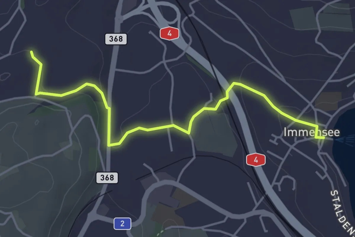
Easy · Trail
Immensee – St. Martin
4.3 km · ↑ 109 m · 1 h 16 min · 12 km away
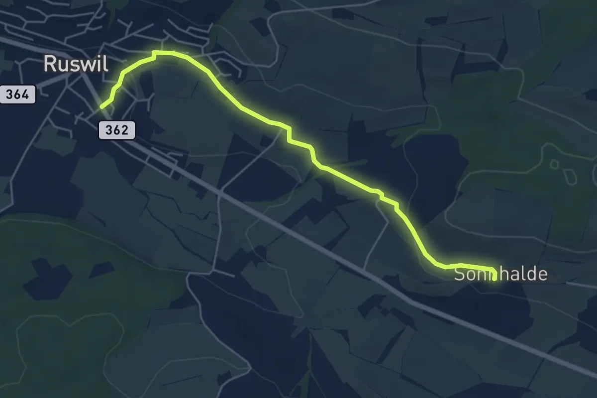
Easy · Trail
Ruswil - Sonnhalden
5.1 km · ↑ 111 m · 1 h 27 min · 12 km away
Easy · Trail
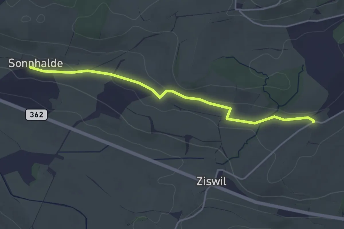
Sonnhalden - Hueb
3.9 km · ↑ 60 m · 1 h 2 min · 12 km away
Easy · Trail
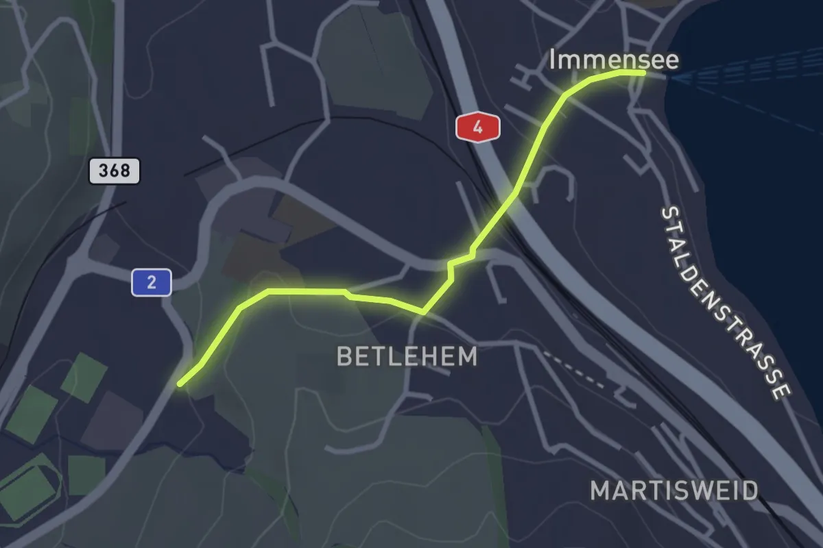
Hohle Gasse – Immensee
2.5 km · ↑ 67 m · 45 min · 12 km away
Easy · Trail
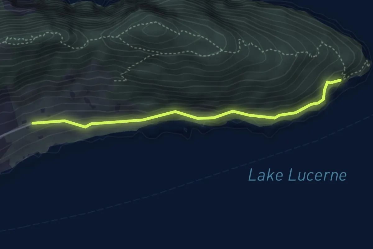
Oberlee - Unter Nas
3.7 km · ↑ 223 m · 1 h 21 min · 12 km away