Trails near Luzern
605 hikes starting within 15 km, nearest first.
Nearest first, page 8 of 13
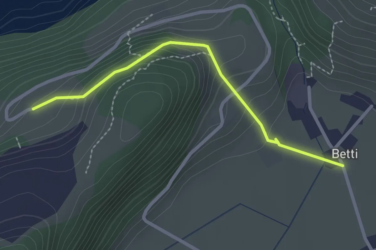
Easy · Trail
Betti - Oberrüti
2.1 km · ↑ 81 m · 41 min · 10 km away
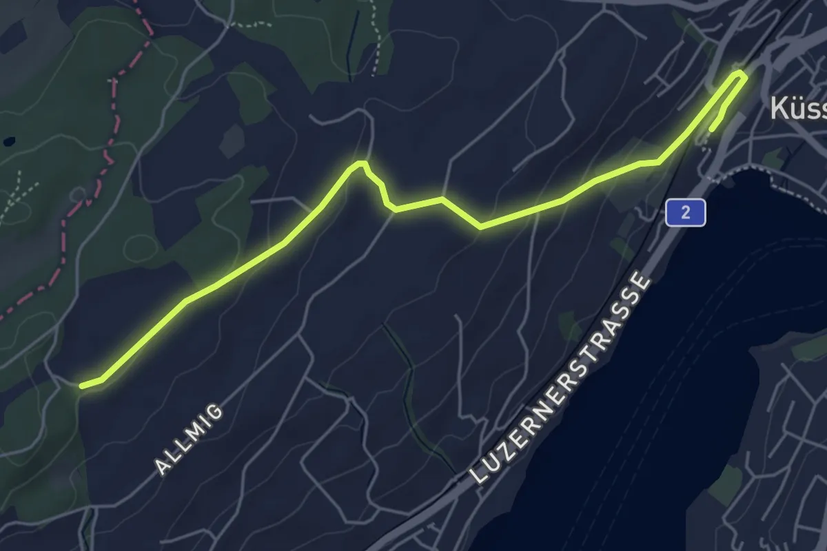
Easy · Trail
Forenmoos – Küssnacht
5.5 km · ↑ 152 m · 1 h 38 min · 10 km away
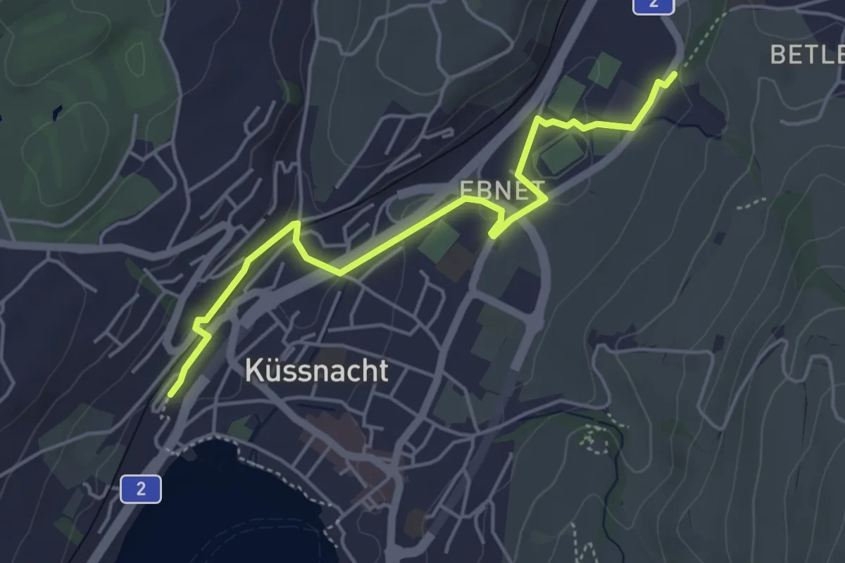
Easy · Trail
Küssnacht – Hohle Gasse
4.7 km · ↑ 57 m · 1 h 14 min · 10 km away
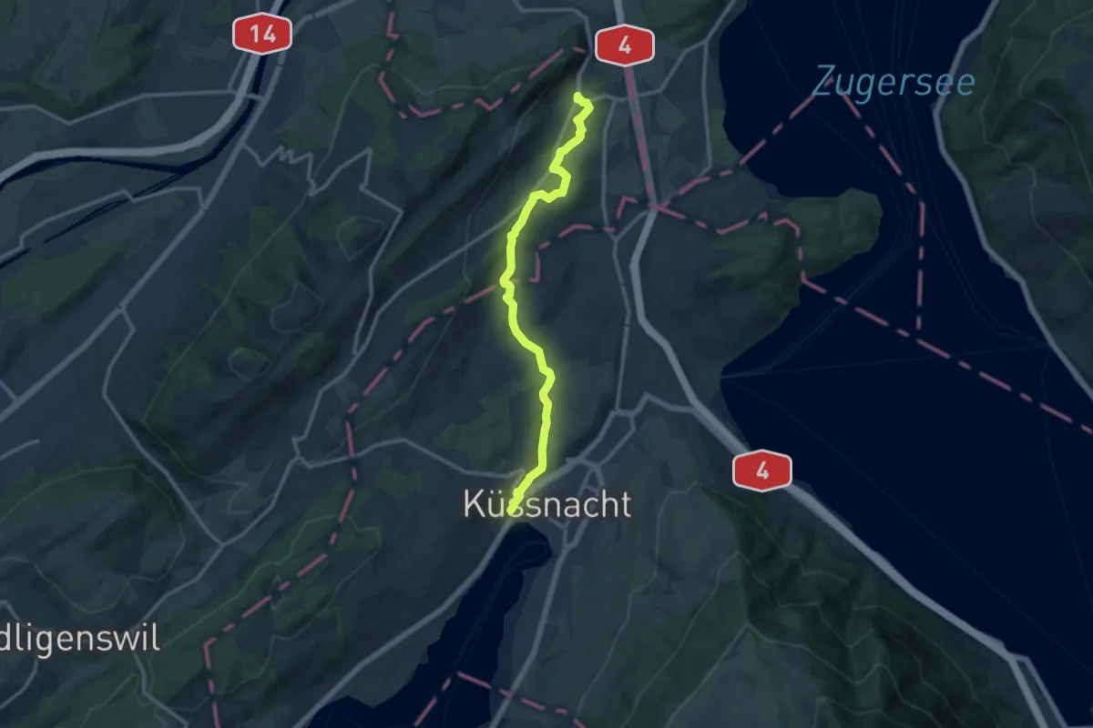
Medium · Trail
Meierskappel – Küssnacht
11.8 km · ↑ 199 m · 3 h 13 min · 10 km away
Medium · Trail
Waldstätterweg - Etappe 3
16.9 km · ↑ 334 m · 4 h 57 min · 10 km away
Demanding · Trail
Waldstätterweg - Etappe 2
18.4 km · ↑ 803 m · 6 h 21 min · 10 km away
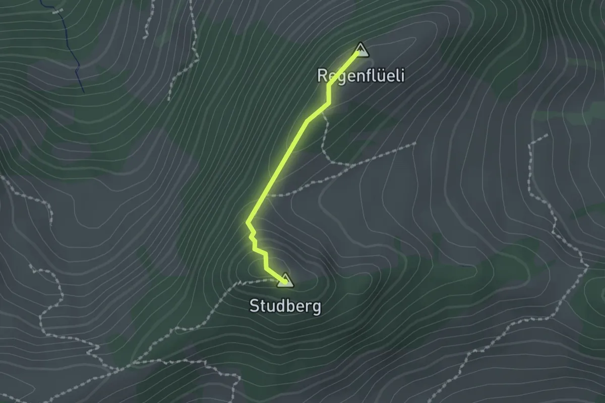
Medium · Summit
Regenflüeli - Pt. 1508
1.2 km · ↑ 79 m · 28 min · 10 km away
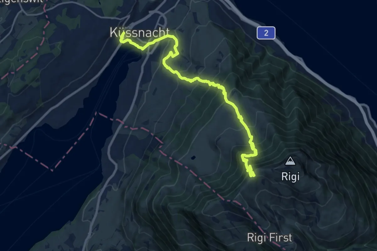
Demanding · Trail
Schwyzer Höhenweg - Etappe 1
16.7 km · ↑ 1217 m · 6 h 34 min · 10 km away
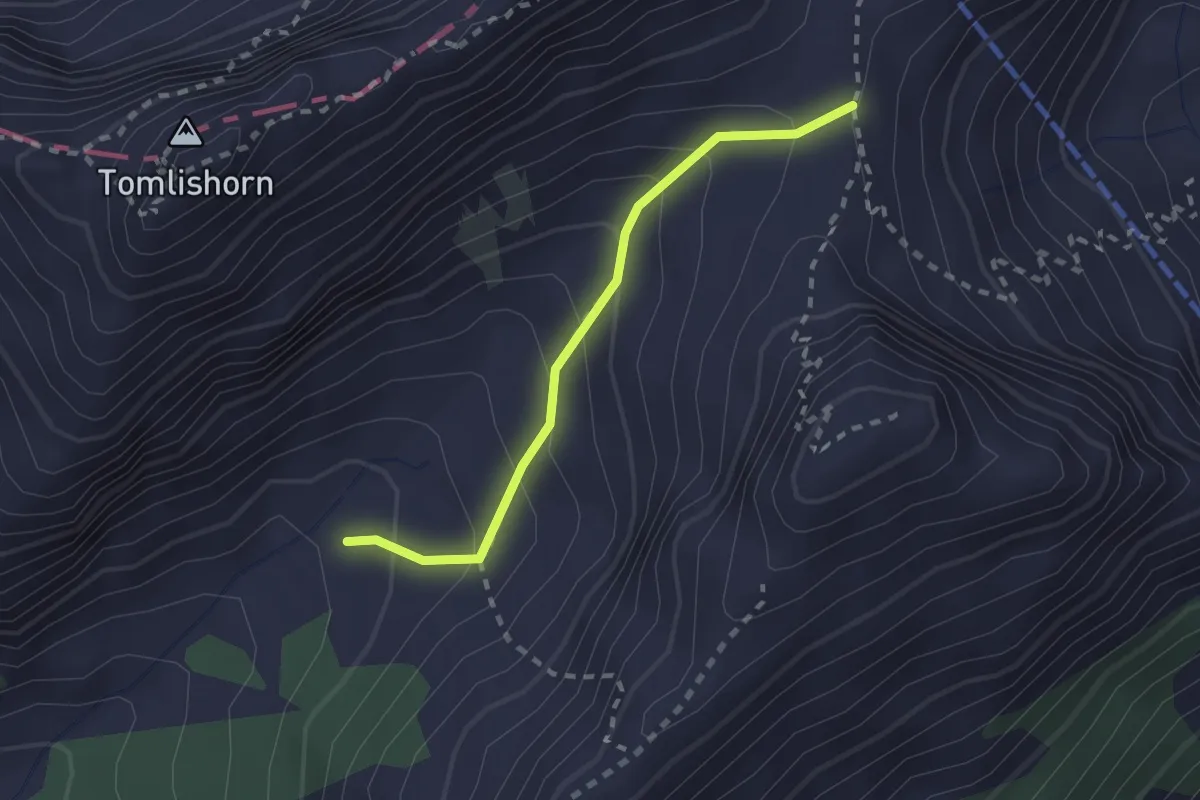
Medium · Trail
Chilchsteine - Laub
2.0 km · ↑ 154 m · 48 min · 10 km away
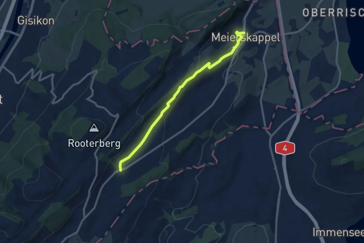
Easy · Trail
Meierskappel - Robmatt
6.6 km · ↑ 209 m · 2 h · 10 km away
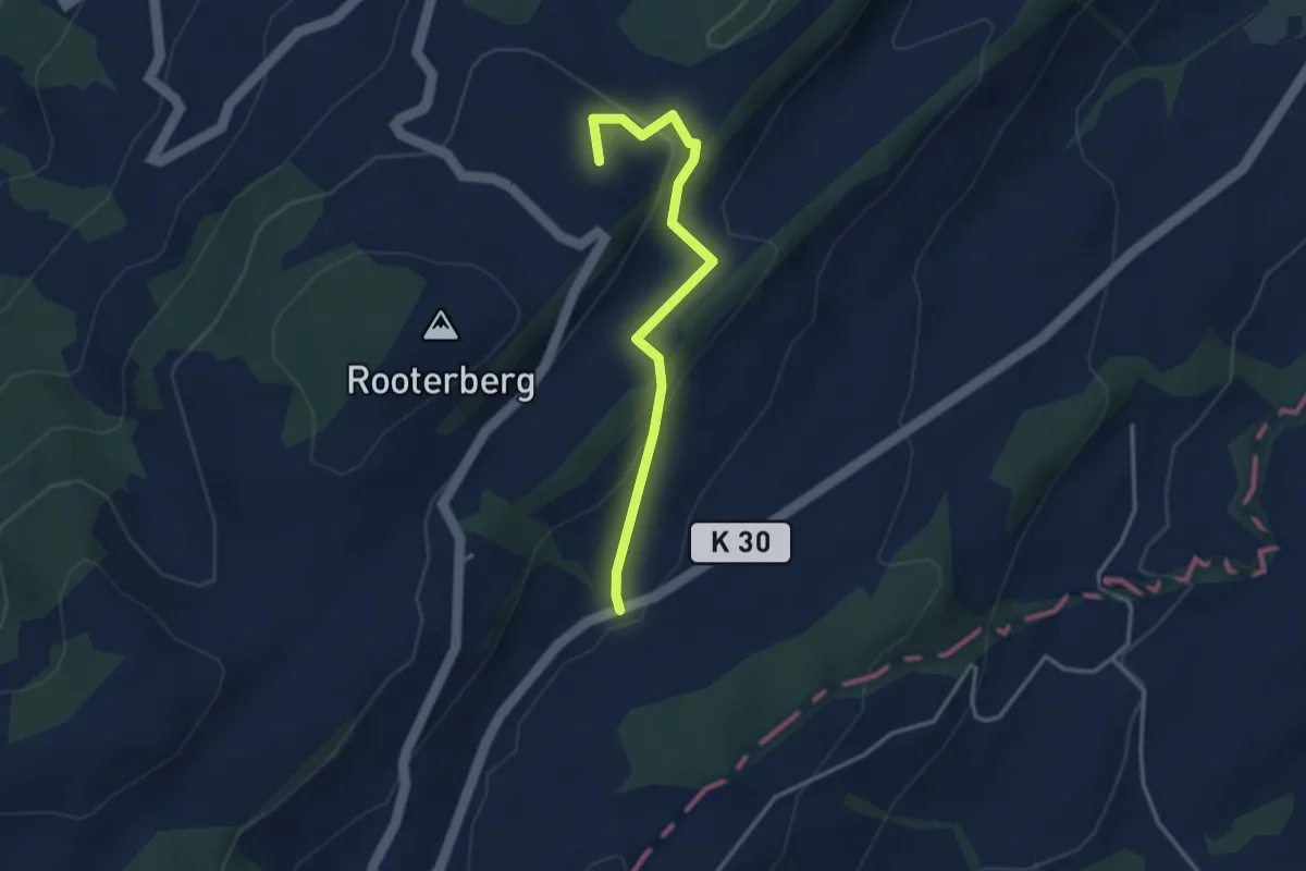
Easy · Summit
Michaelskreuz - Robmatt
3.3 km · ↑ 144 m · 1 h 5 min · 10 km away
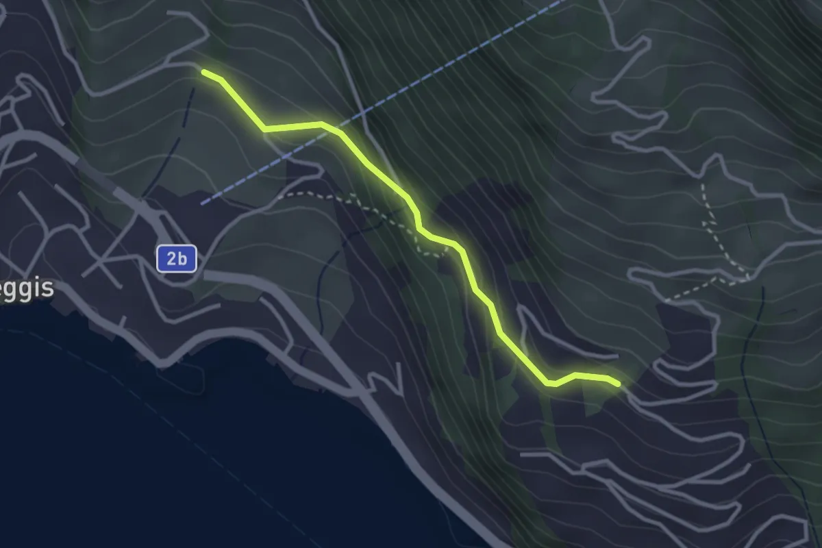
Easy · Trail
Gribsch – Bodenberg
2.8 km · ↑ 144 m · 58 min · 10 km away
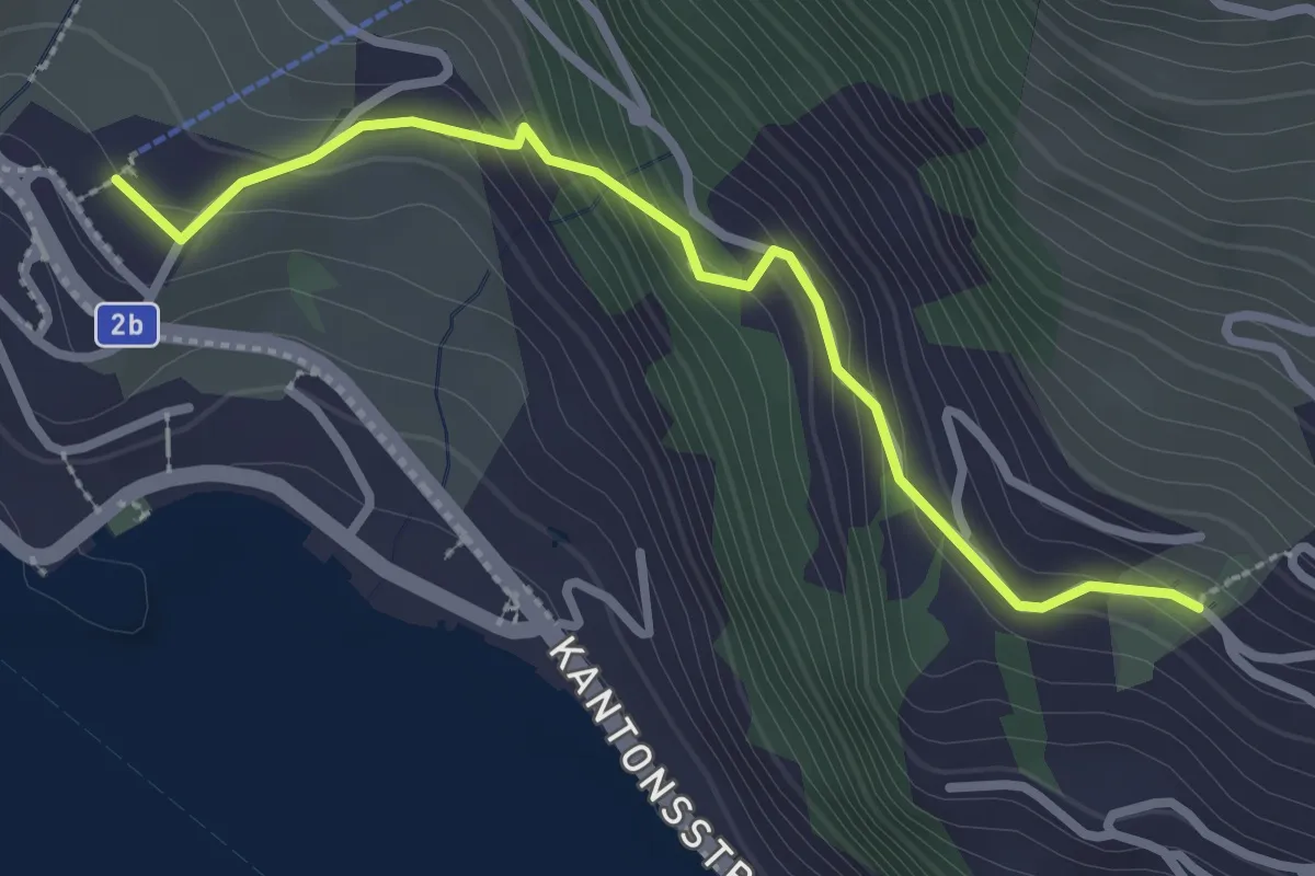
Easy · Trail
Weggis Luftseilbahn – Bodenberg
2.8 km · ↑ 203 m · 1 h 6 min · 10 km away
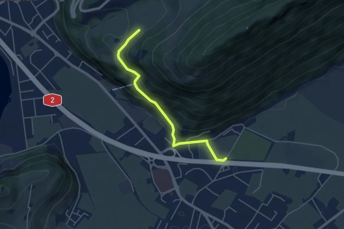
Easy · Trail
fixme - fixme
3.8 km · ↑ 220 m · 1 h 23 min · 10 km away
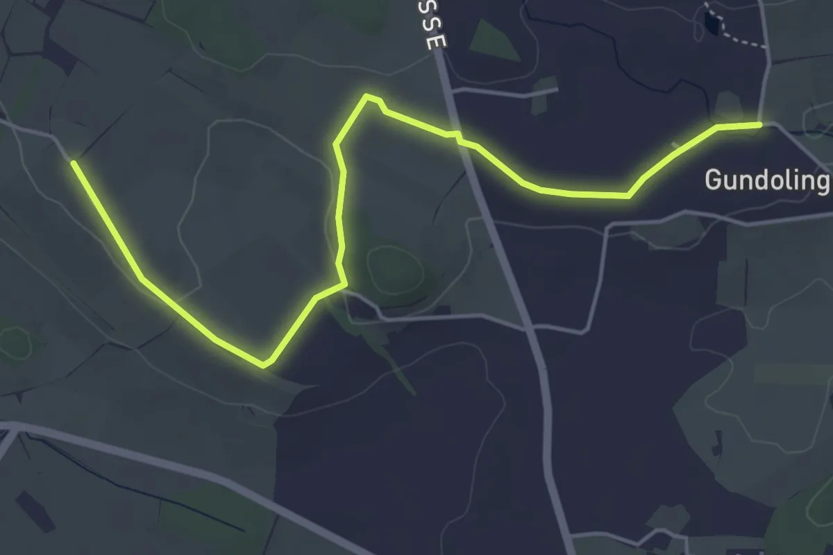
Easy · Trail
St.Anna - Gundolinge
5.3 km · ↑ 39 m · 1 h 20 min · 10 km away
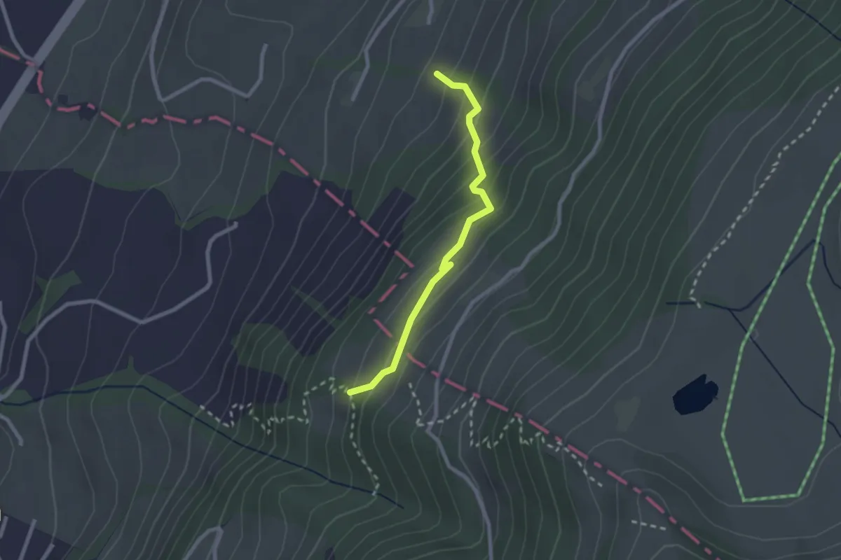
Medium · Trail
Rüti – Chümimattli
2.2 km · ↑ 190 m · 56 min · 10 km away
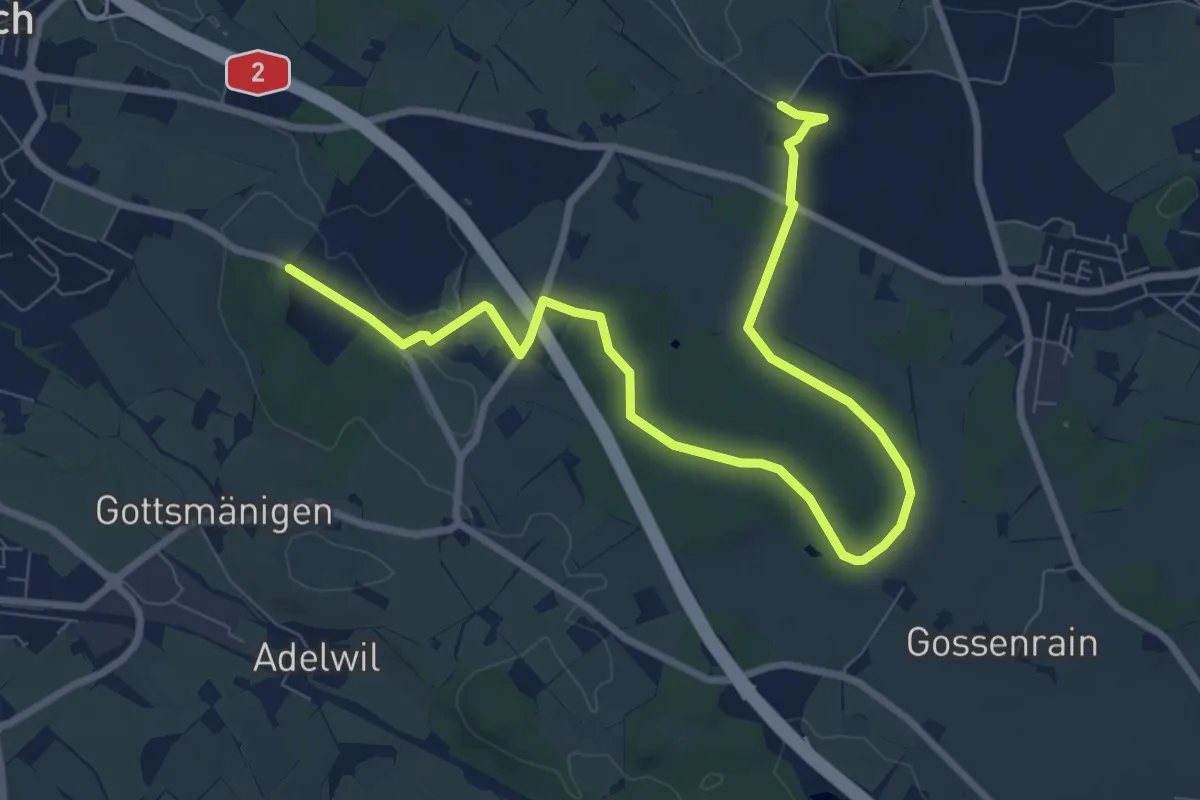
Medium · Trail
Allment - Sonnhalde
10.4 km · ↑ 115 m · 2 h 43 min · 11 km away
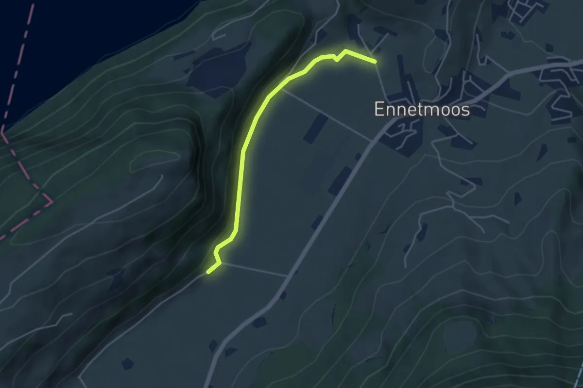
Easy · Trail
Betti – Drachenried
3.6 km · ↑ 76 m · 1 h 1 min · 11 km away
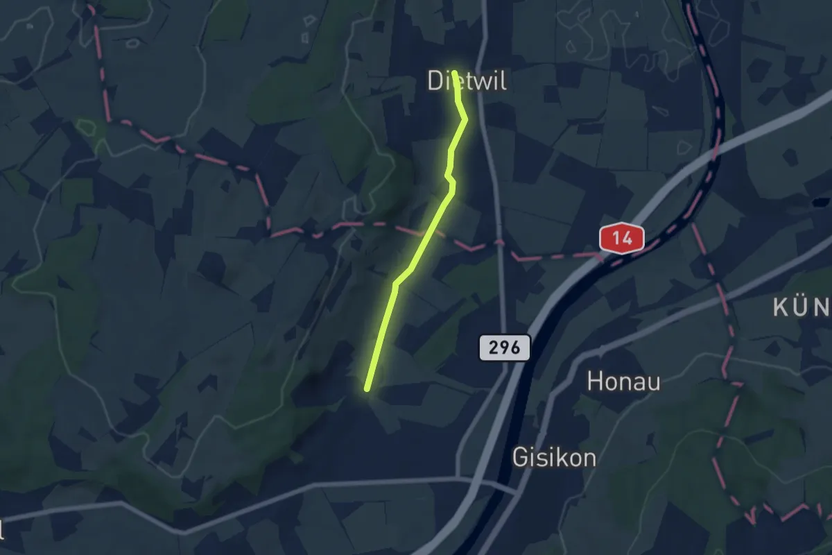
Easy · Trail
Dietwil - Pfaffwil
4.5 km · ↑ 44 m · 1 h 9 min · 11 km away
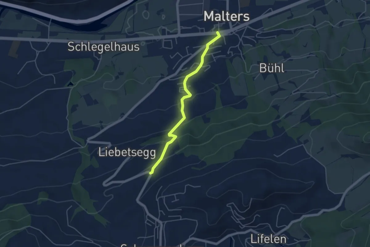
Easy · Trail
Malters - Boden
4.2 km · ↑ 259 m · 1 h 33 min · 11 km away
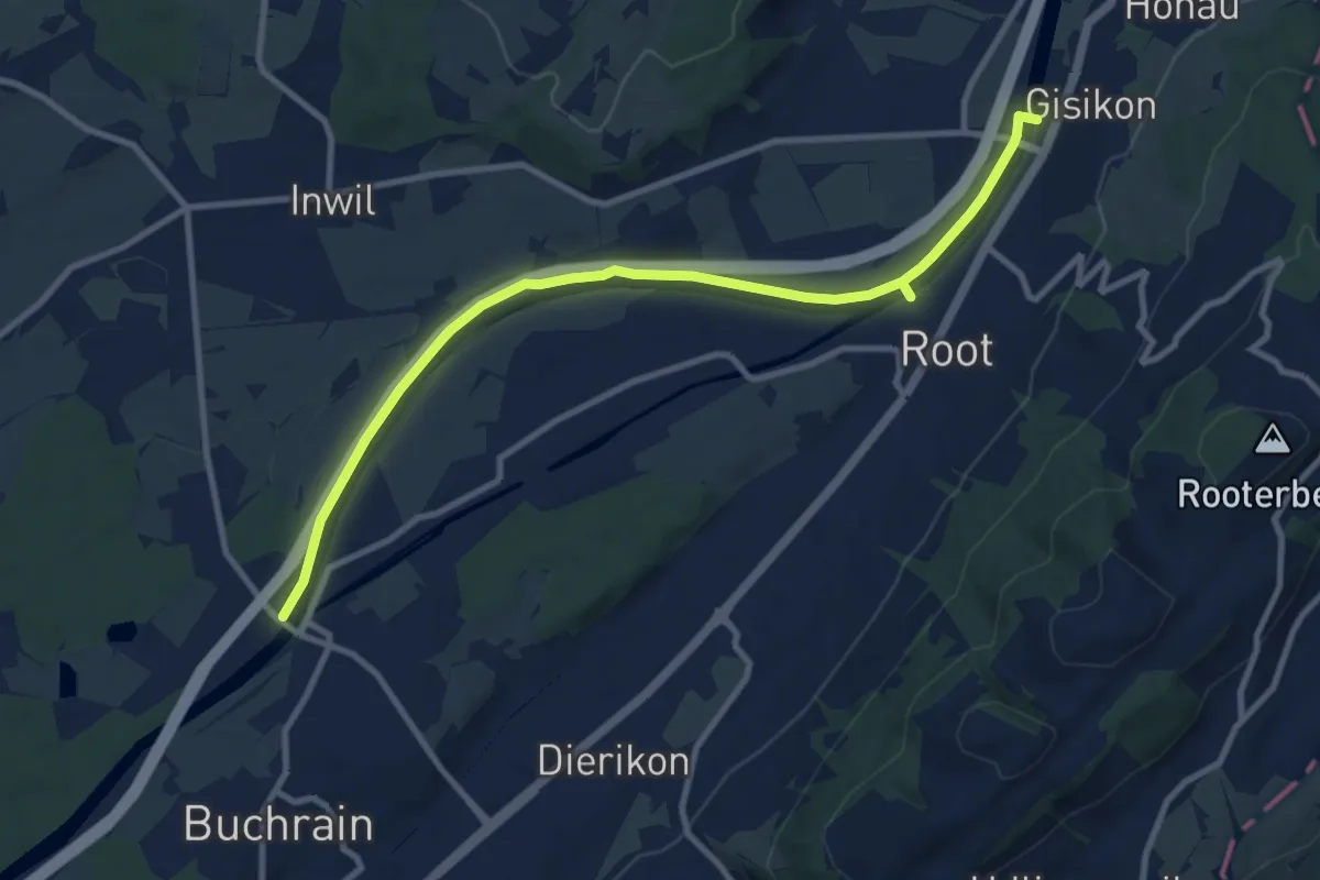
Medium · Trail
Perlenbrücke - Gisikon
10.6 km · ↑ 17 m · 2 h 33 min · 11 km away
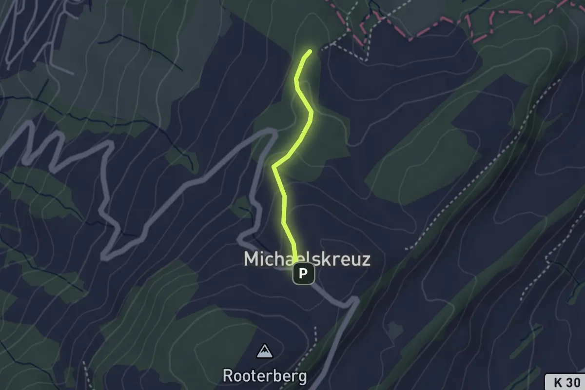
Easy · Trail
Mittler Sonderi - Michaelskreuz
2.1 km · ↑ 88 m · 41 min · 11 km away
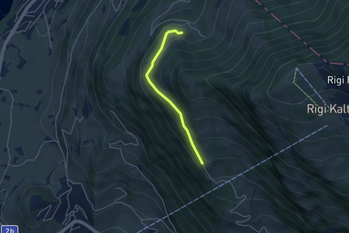
Easy · Trail
Bergli – Müseralp
3.1 km · ↑ 166 m · 1 h 5 min · 11 km away
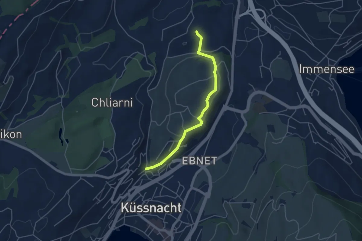
Easy · Trail
Küssnacht - St. Martin
3.9 km · ↑ 69 m · 1 h 5 min · 11 km away
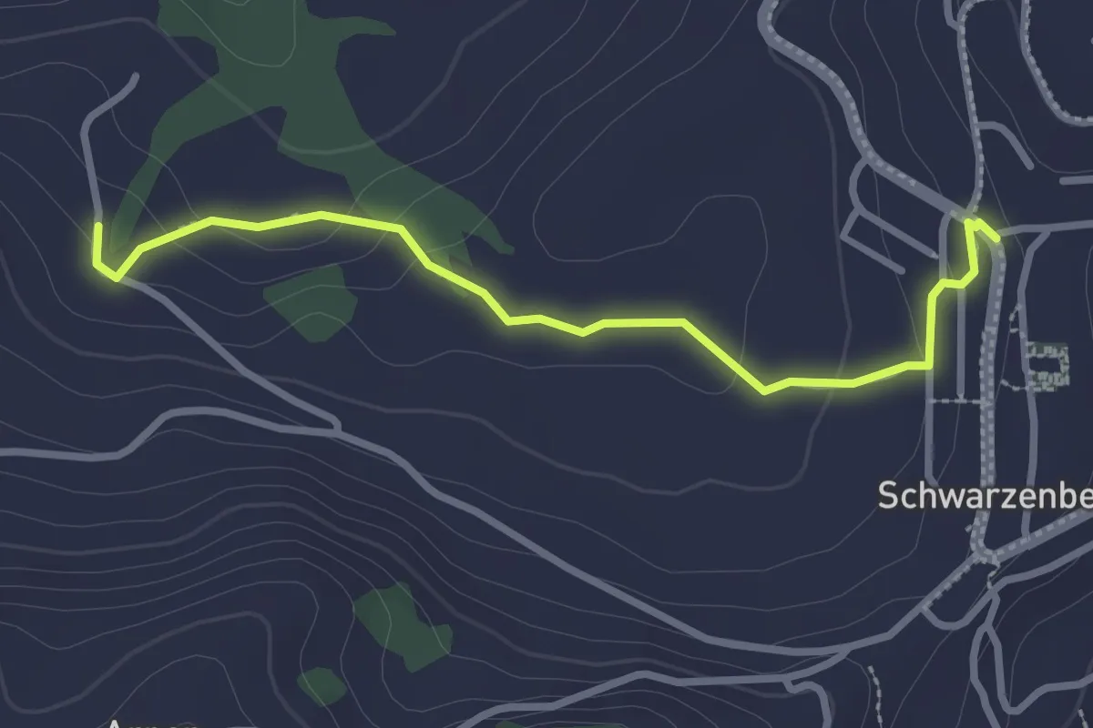
Easy · Trail
Schwarzenberg - Niederlehn
2.8 km · ↑ 93 m · 52 min · 11 km away
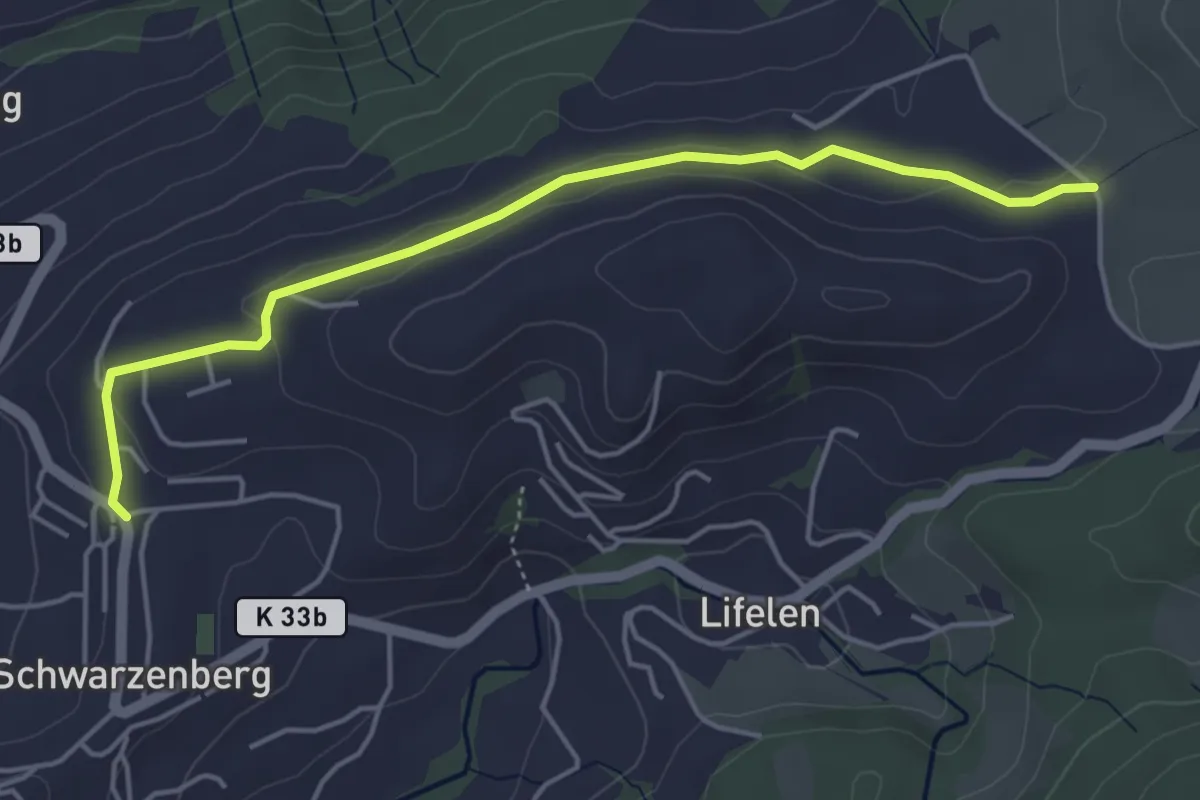
Easy · Trail
Schwarzenberg – Scharmis
4.7 km · ↑ 70 m · 1 h 16 min · 11 km away
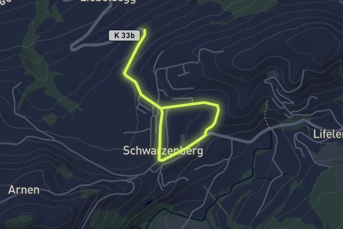
Easy · Trail
Schwarzenberg – Schwarzenberg
4.3 km · ↑ 96 m · 1 h 13 min · 11 km away
Medium · Trail
Greppen Rundwanderung
7.6 km · ↑ 395 m · 2 h 45 min · 11 km away
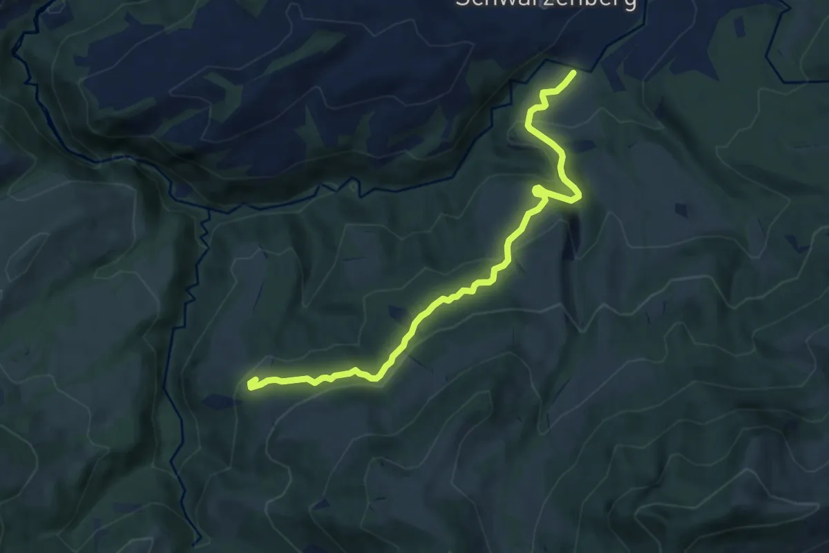
Medium · Trail
Bömmerenbrücke – Tristboden
8.7 km · ↑ 353 m · 2 h 49 min · 11 km away
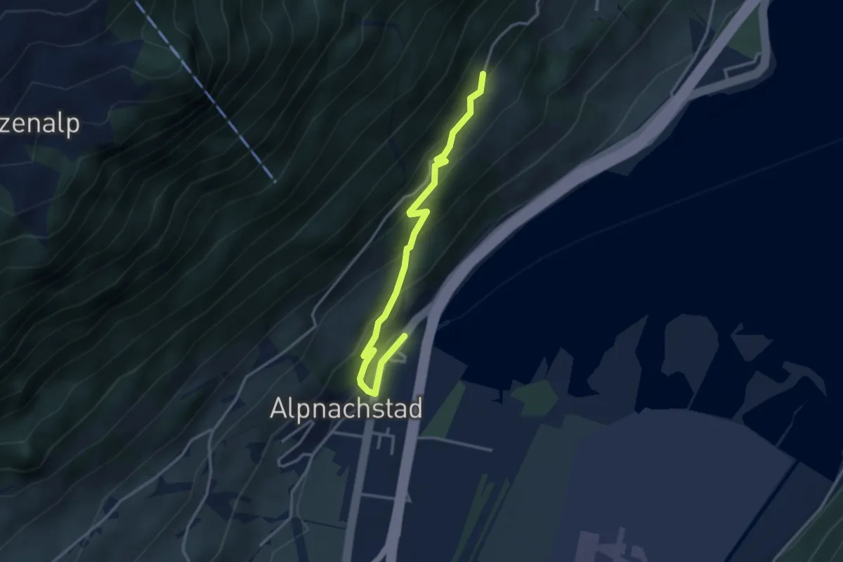
Easy · Trail
Alpnachstad – Grossrüti
3.4 km · ↑ 235 m · 1 h 18 min · 11 km away
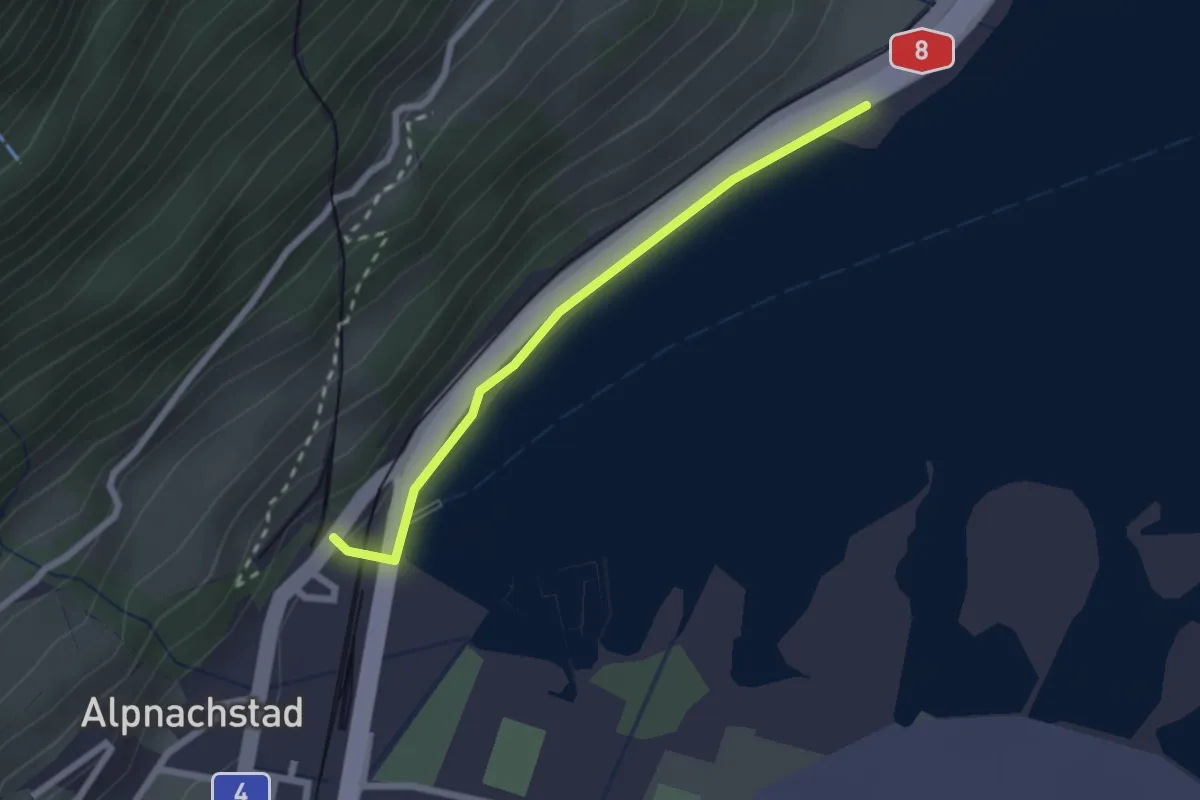
Easy · Trail
Alpnachstad – Niederstad
2.1 km · ↑ 28 m · 33 min · 11 km away
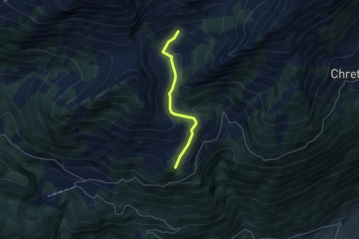
Easy · Trail
Fräkmünt - Langenmatt
3.3 km · ↑ 239 m · 1 h 18 min · 11 km away
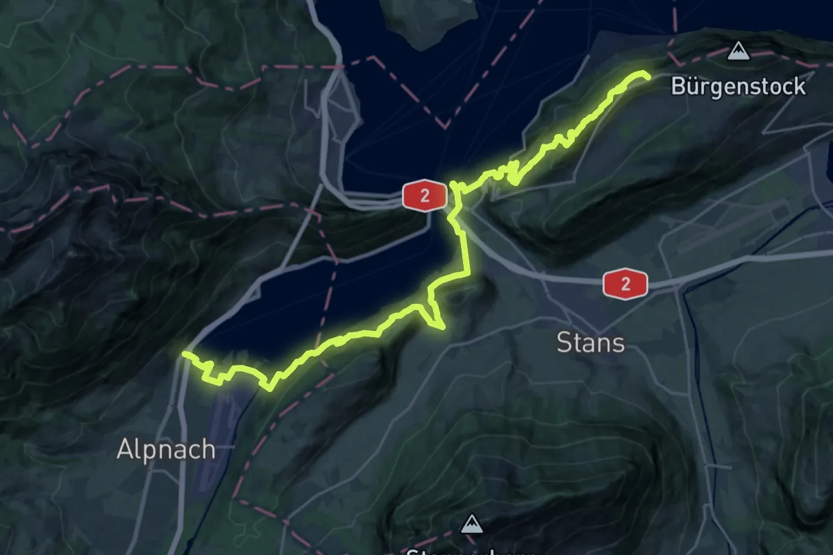
Demanding · Trail
Waldstätterweg - Etappe 5
15.3 km · ↑ 1052 m · 5 h 53 min · 11 km away
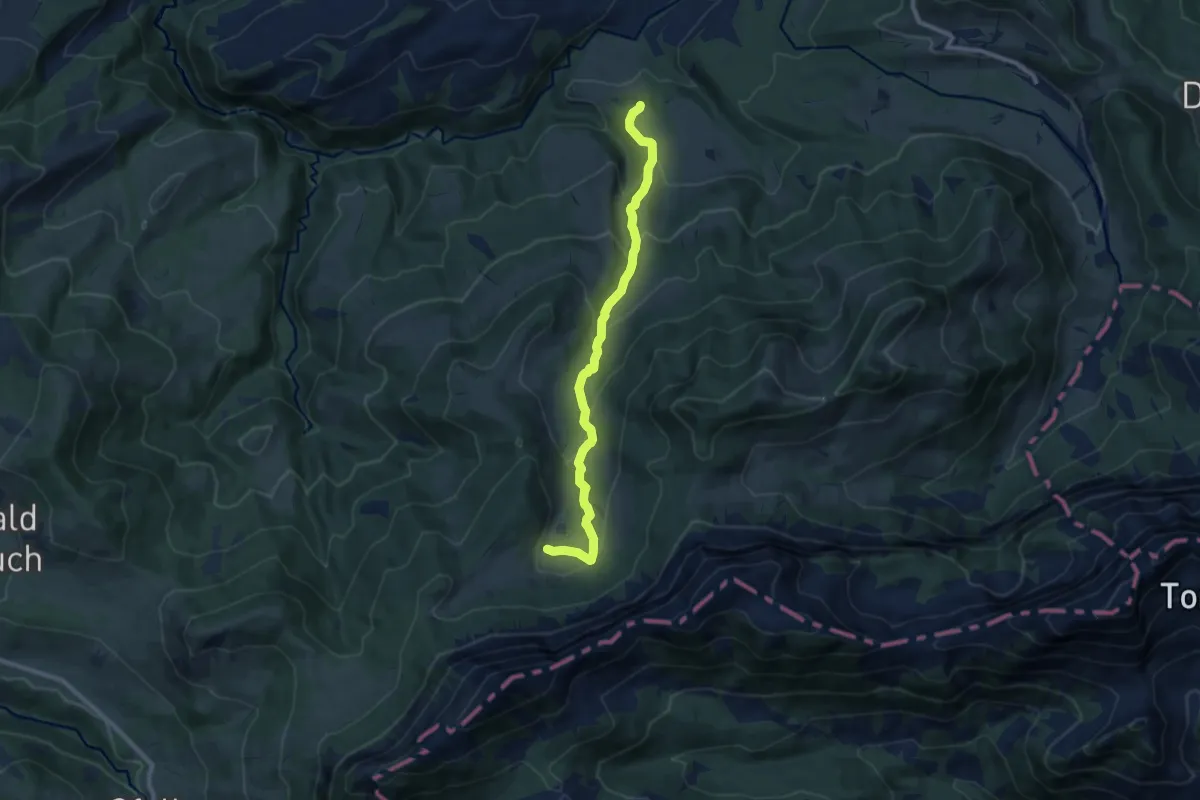
Medium · Trail
Stäfeli - Wassermoos
9.0 km · ↑ 501 m · 3 h 12 min · 11 km away
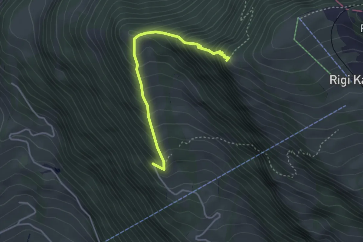
Demanding · Trail
Müseralp – Chänzeli
3.1 km · ↑ 409 m · 1 h 37 min · 11 km away
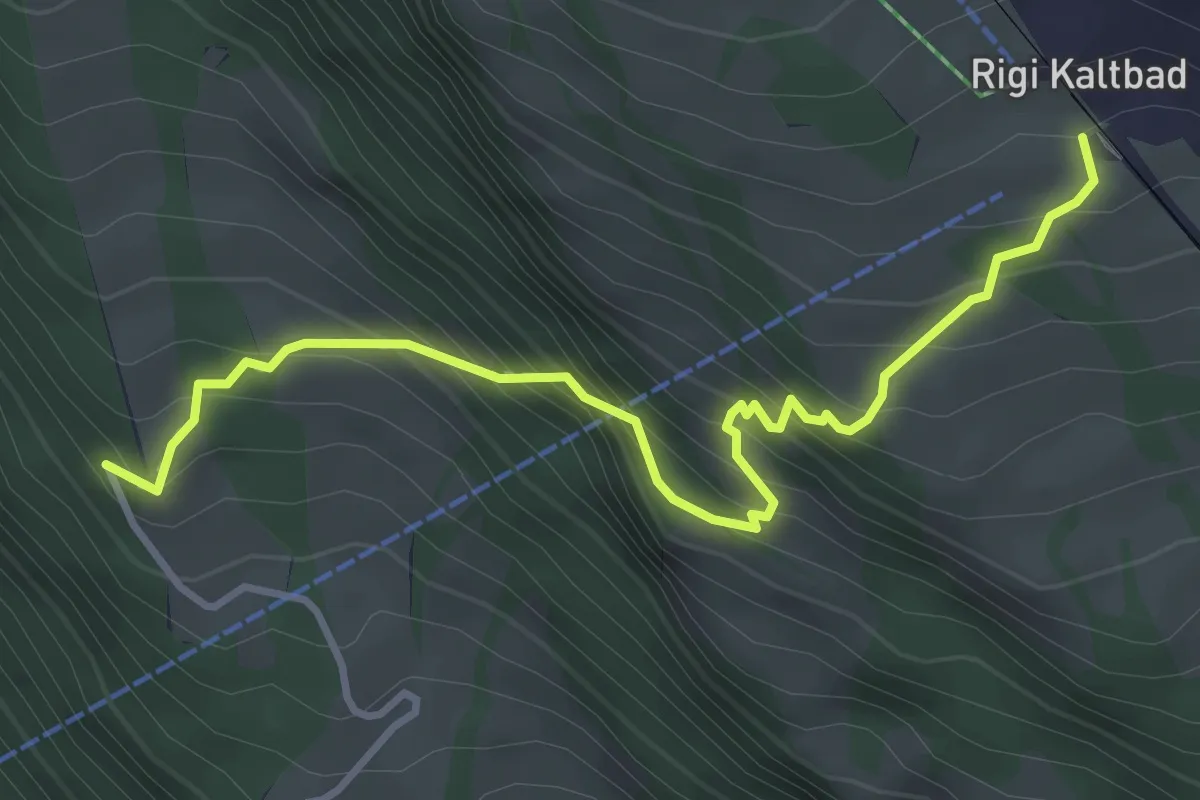
Demanding · Trail
Rigi Kaltbad – Müseralp
4.0 km · ↑ 480 m · 1 h 59 min · 11 km away
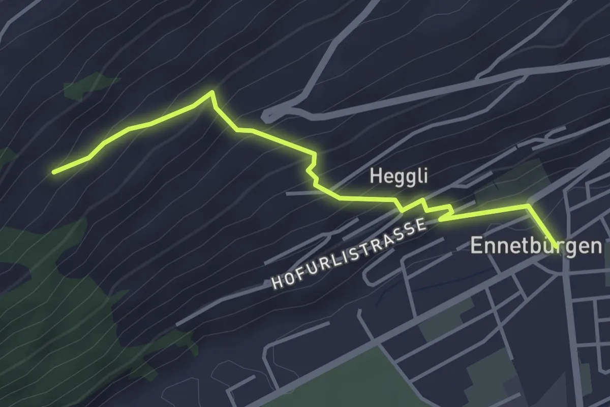
Medium · Trail
Ennetbürgen Post – Holzen
3.4 km · ↑ 321 m · 1 h 30 min · 11 km away
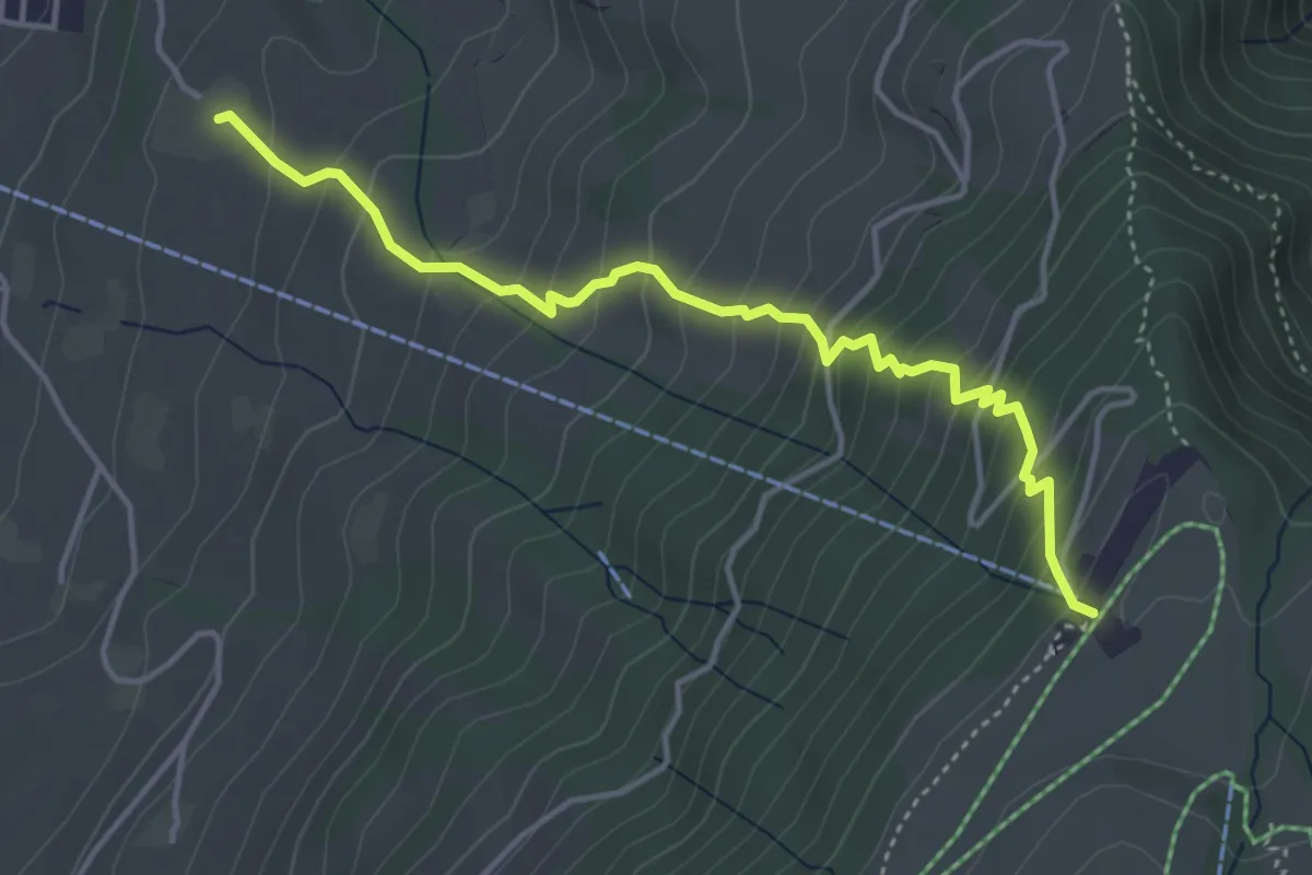
Medium · Trail
Alpenhof – Seebodenalp
4.4 km · ↑ 463 m · 2 h 2 min · 11 km away
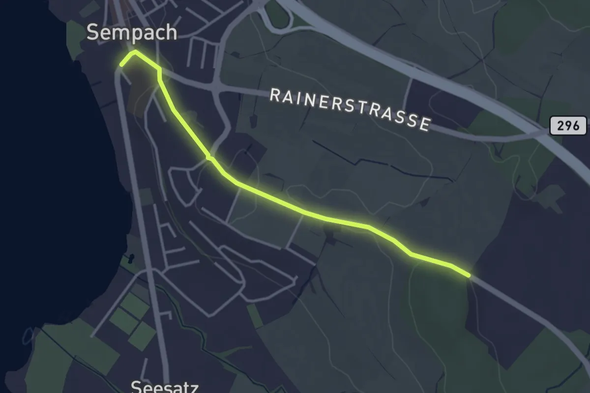
Easy · Trail
Allmend – Sempach
3.3 km · ↑ 51 m · 54 min · 11 km away
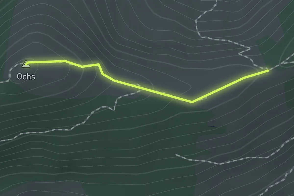
Medium · Summit
pt. 1508 - Hüenerhubel
1.2 km · ↑ 67 m · 26 min · 11 km away
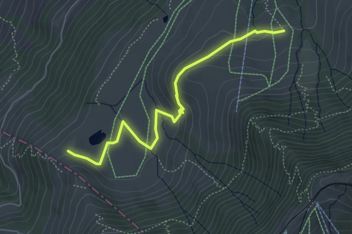
Easy · Trail
Altruodisegg – Holderen
4.9 km · ↑ 168 m · 1 h 32 min · 11 km away
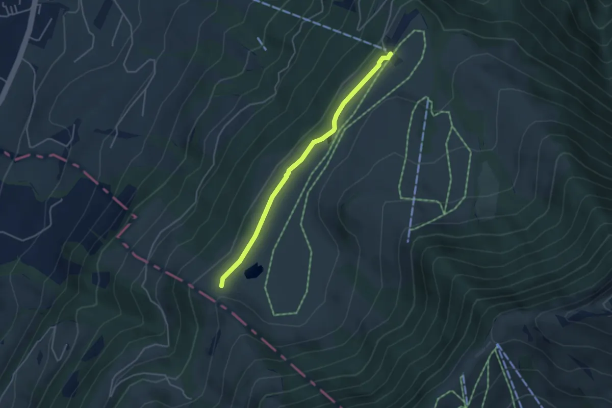
Easy · Trail
Schluchegg – Seebodenalp
3.6 km · ↑ 65 m · 59 min · 11 km away
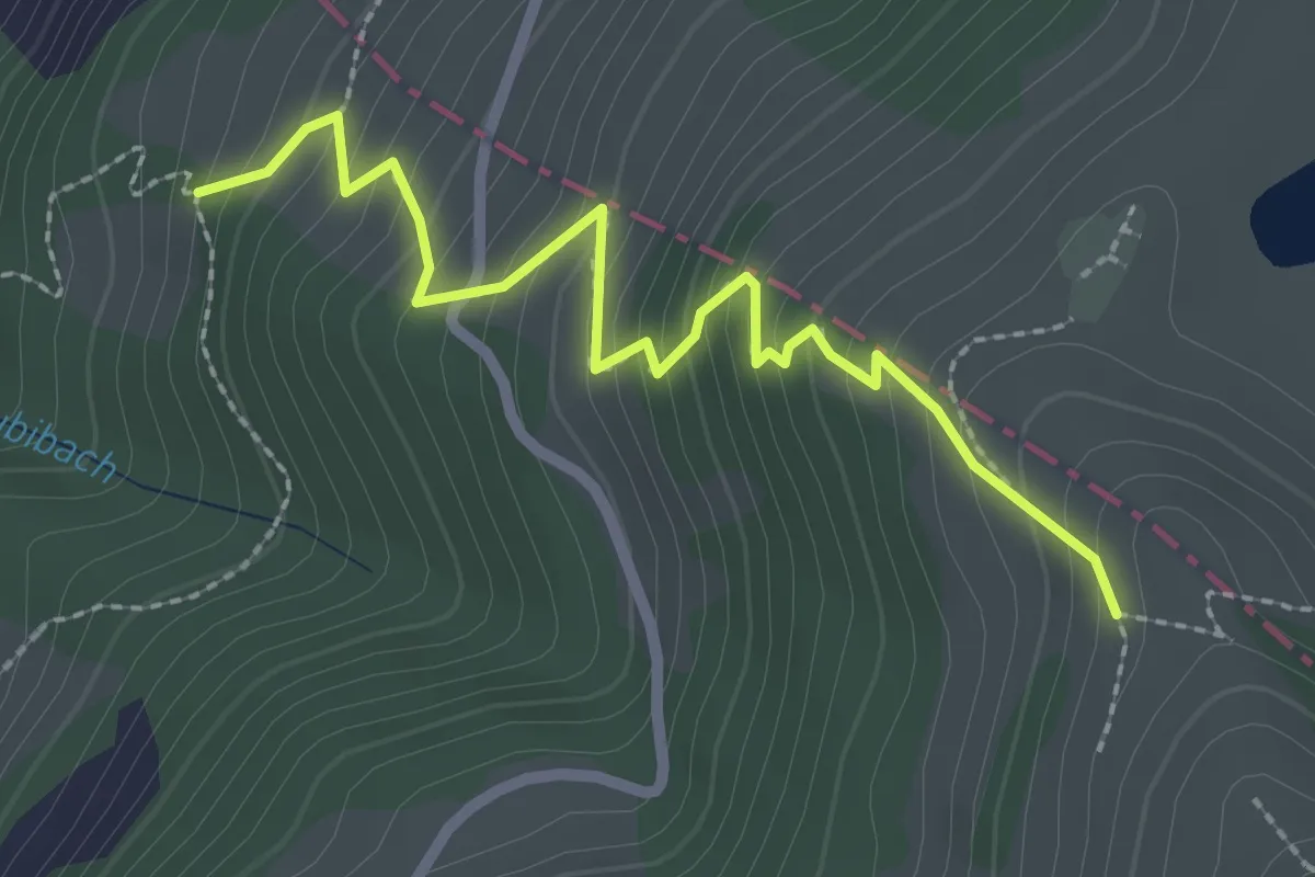
Medium · Trail
Räbalp – Rüti
2.6 km · ↑ 298 m · 1 h 16 min · 11 km away
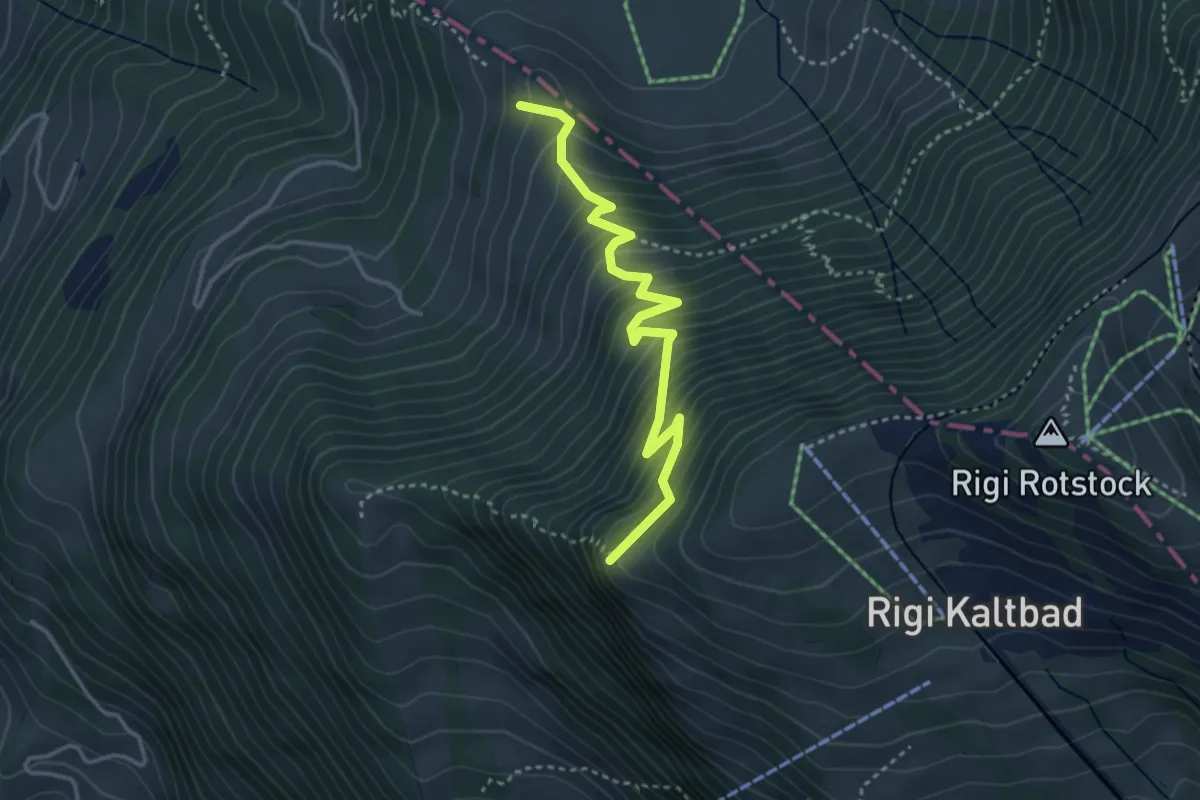
Medium · Trail
Chänzeli – Räbalp
3.6 km · ↑ 447 m · 1 h 49 min · 11 km away
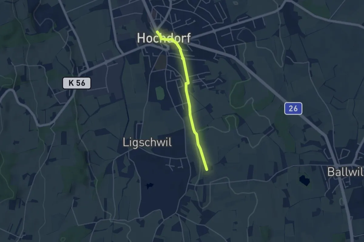
Easy · Trail
Hochdorf – Urswil
3.8 km · ↑ 27 m · 58 min · 11 km away
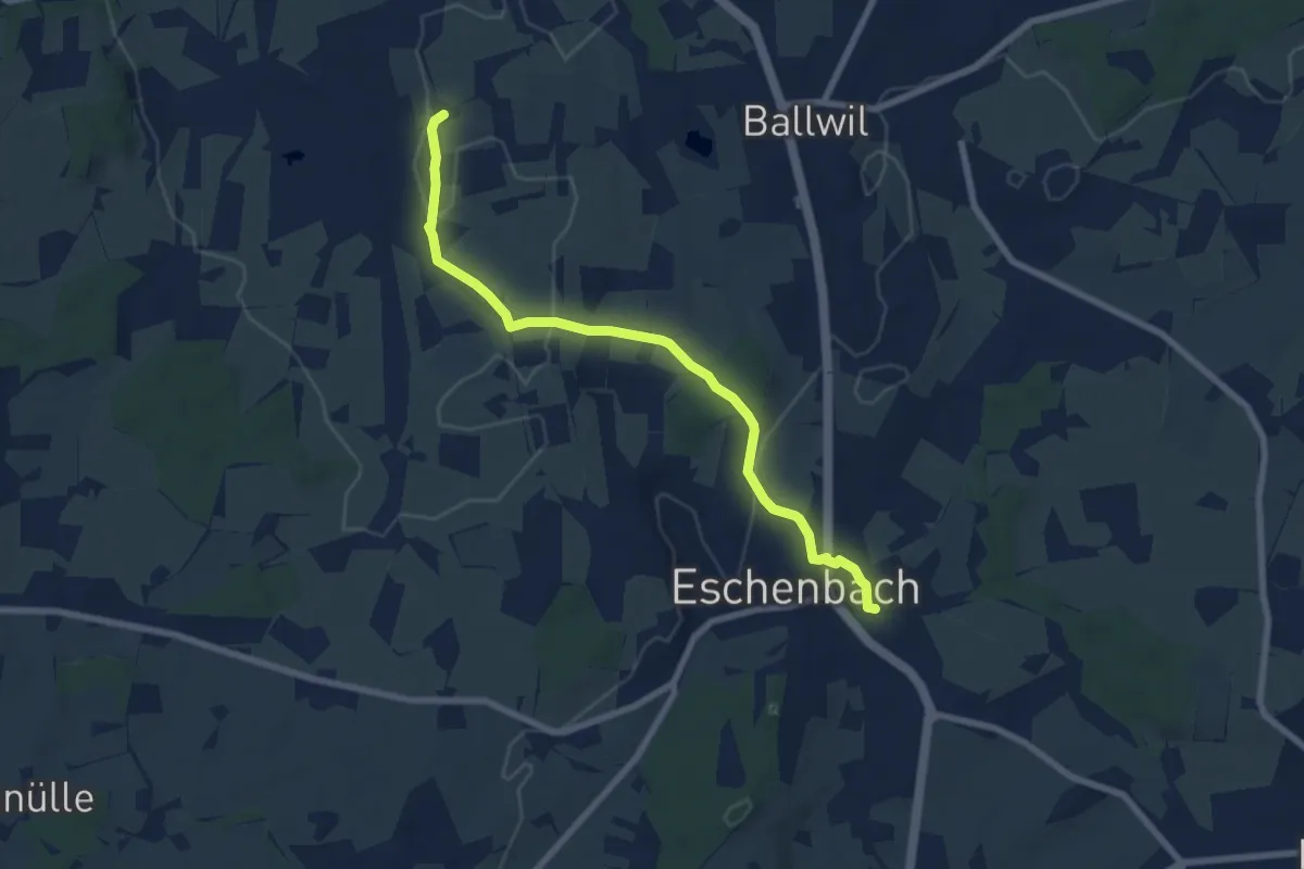
Easy · Trail
Urswil – Eschenbach
7.3 km · ↑ 120 m · 1 h 59 min · 11 km away
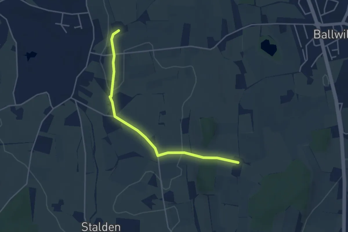
Easy · Trail
Räckebrunne – Urswil
3.6 km · ↑ 48 m · 57 min · 11 km away
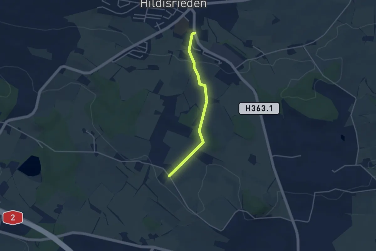
Easy · Trail
St. Anna - Hildisrieden
3.1 km · ↑ 72 m · 53 min · 11 km away