Trails near Männedorf
653 hikes starting within 15 km, nearest first.
Nearest first, page 11 of 14
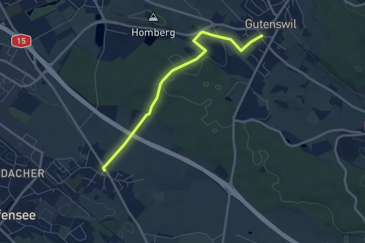
Easy · Trail
Nänikon - Gutenswil
5.8 km · ↑ 96 m · 1 h 35 min · 13 km away
Demanding · Summit
Zürich-Zugerland-Panoramaweg - Etappe 1
19.8 km · ↑ 681 m · 6 h 10 min · 13 km away
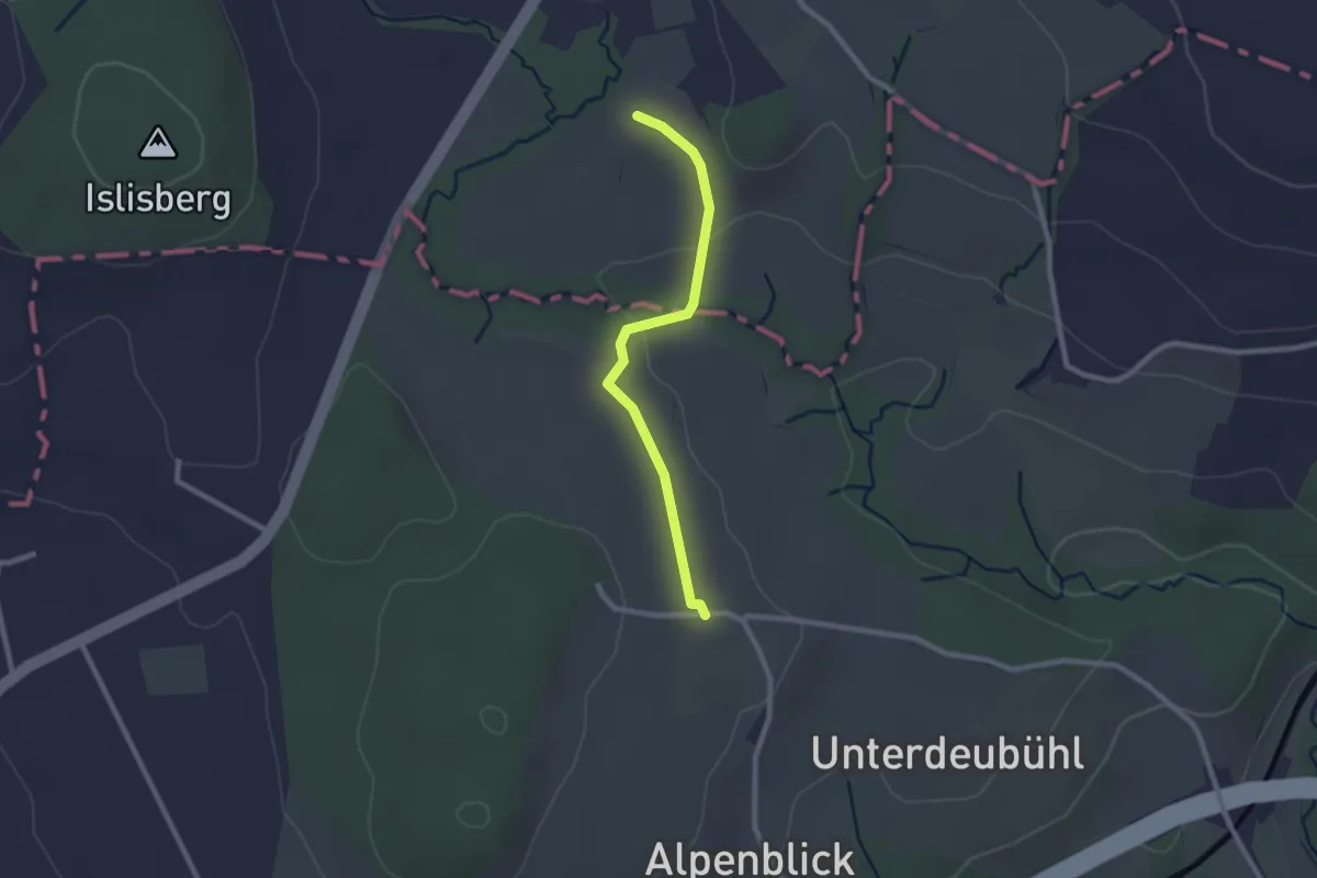
Easy · Trail
Leematt
2.2 km · ↑ 28 m · 35 min · 13 km away
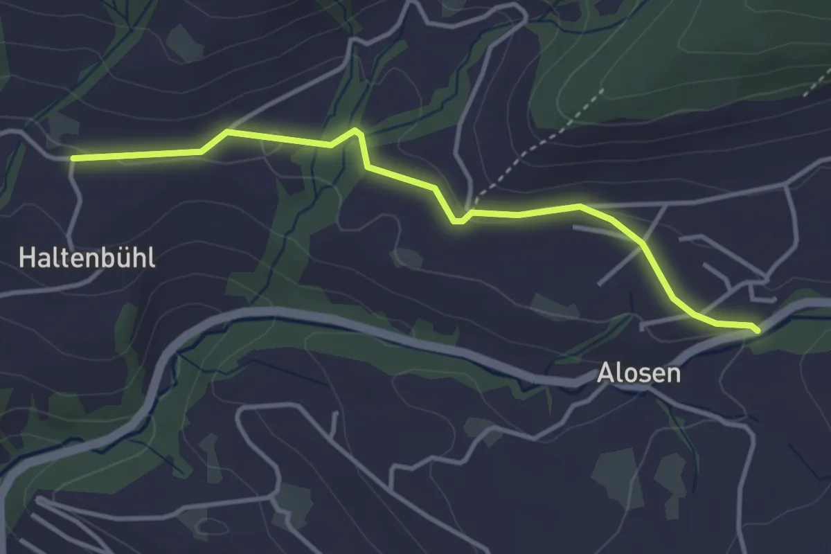
Easy · Trail
Alosen - Oberhaltenbüel
3.5 km · ↑ 52 m · 57 min · 13 km away
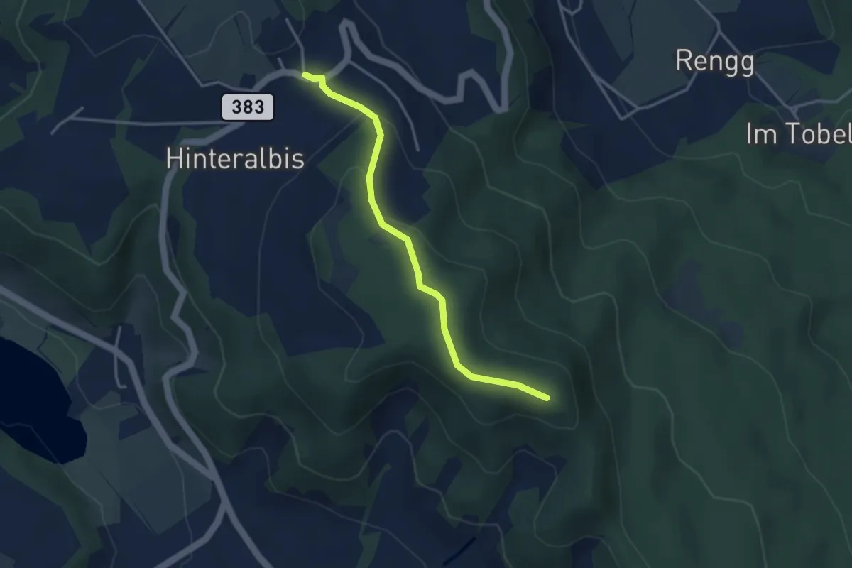
Easy · Trail
Albispass – Albis Hochwacht
3.2 km · ↑ 89 m · 57 min · 13 km away
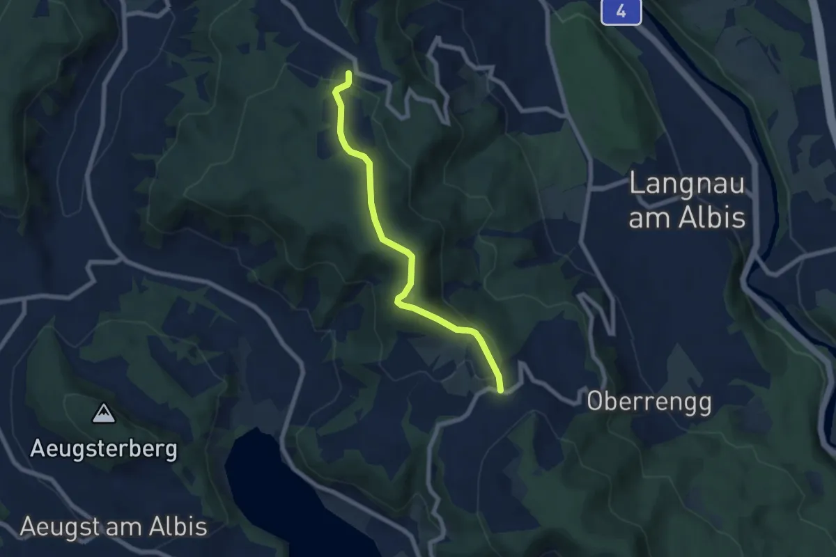
Easy · Trail
Näfenhüser – Albispass
5.7 km · ↑ 240 m · 1 h 52 min · 13 km away
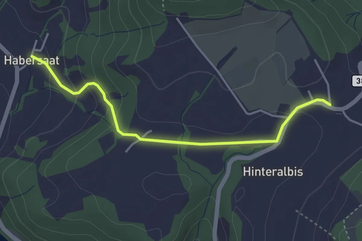
Easy · Trail
Albispass – Habersaat
3.2 km · ↑ 124 m · 1 h 1 min · 13 km away
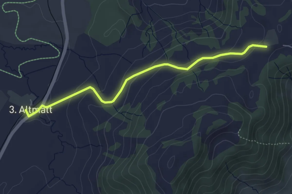
Easy · Trail
Dritte Altmatt - Chatzenstrick
4.6 km · ↑ 141 m · 1 h 24 min · 13 km away
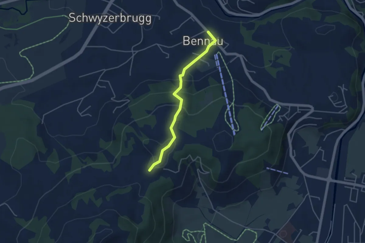
Easy · Trail
Bennau - Chatzenstrick
3.5 km · ↑ 187 m · 1 h 14 min · 13 km away
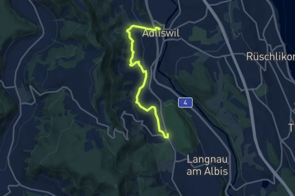
Medium · Trail
Adliswil (Bahnhof) – Waldi
8.0 km · ↑ 388 m · 2 h 43 min · 13 km away
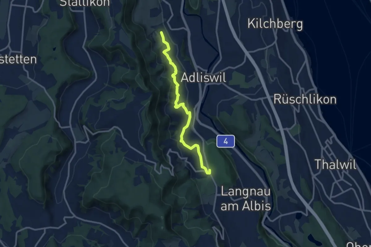
Medium · Trail
Ober Leimbach – Waldi
8.9 km · ↑ 368 m · 2 h 54 min · 13 km away
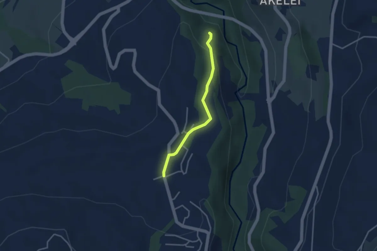
Easy · Trail
Allenwinden - Wildenburg
2.4 km · ↑ 50 m · 41 min · 13 km away
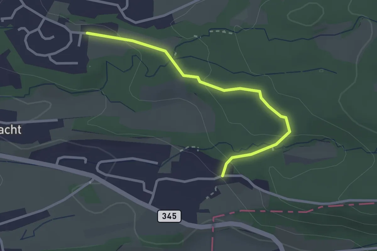
Easy · Trail
Weier – Niggital
2.5 km · ↑ 83 m · 46 min · 13 km away
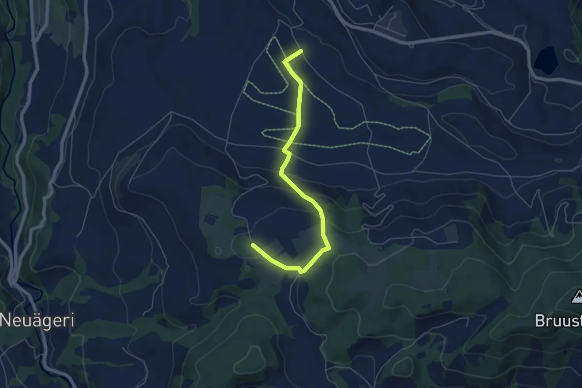
Easy · Trail
Brämen-Höchi - Grund
5.5 km · ↑ 172 m · 1 h 41 min · 13 km away
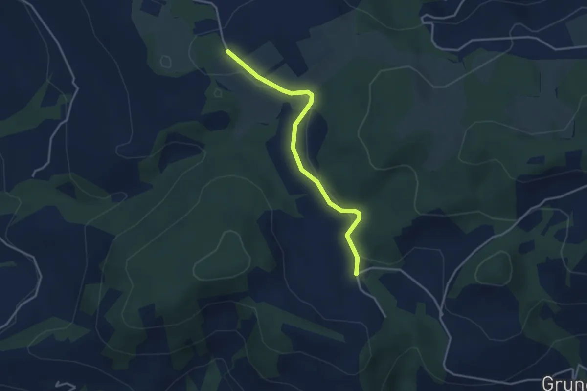
Easy · Trail
Hinterwiden - Brämen-Höchi
3.0 km · ↑ 21 m · 45 min · 13 km away
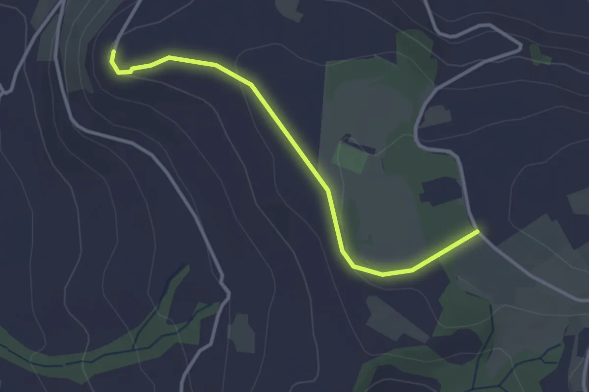
Easy · Trail
Brämen-Höchi - Gubel
2.9 km · ↑ 65 m · 49 min · 13 km away
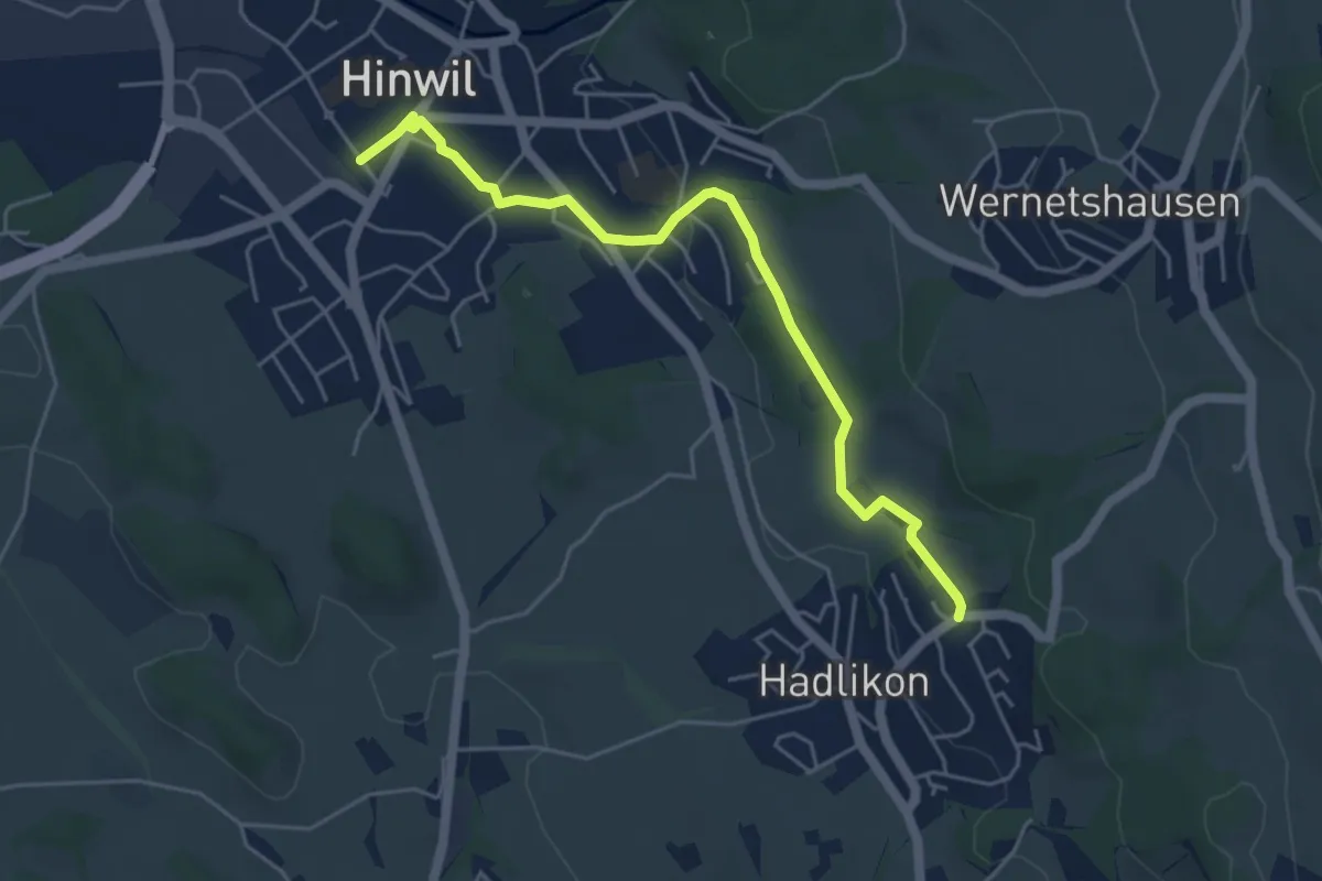
Easy · Trail
Hadlikon – Hinwil
5.1 km · ↑ 82 m · 1 h 22 min · 13 km away
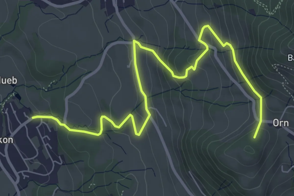
Medium · Summit
Hadlikon – Orn
7.6 km · ↑ 394 m · 2 h 39 min · 13 km away
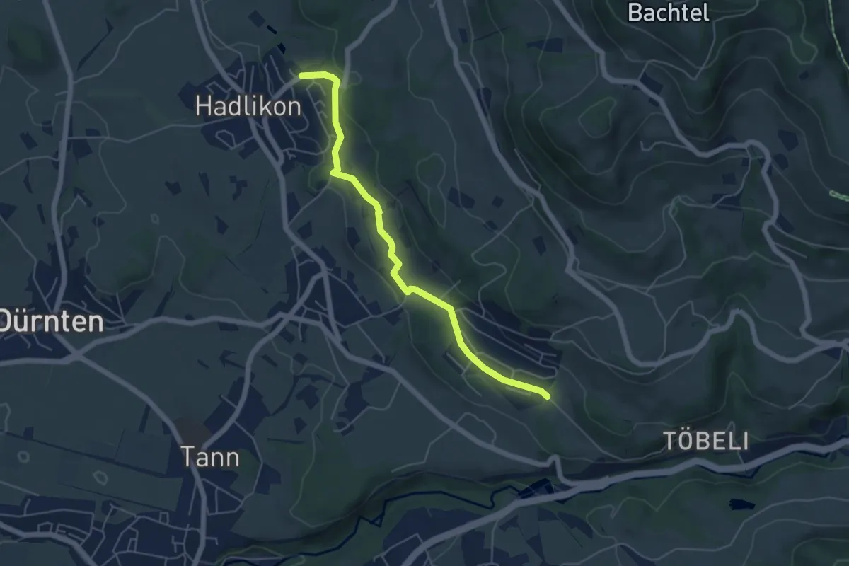
Easy · Trail
Hadlikon - Breitenmatt
5.1 km · ↑ 114 m · 1 h 27 min · 13 km away
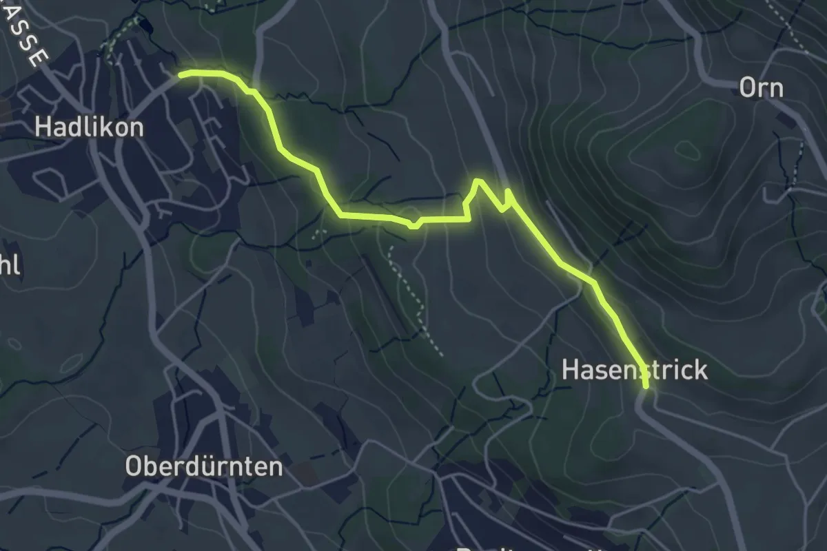
Easy · Trail
Hadlikon – Hasenstrick
4.4 km · ↑ 171 m · 1 h 25 min · 13 km away
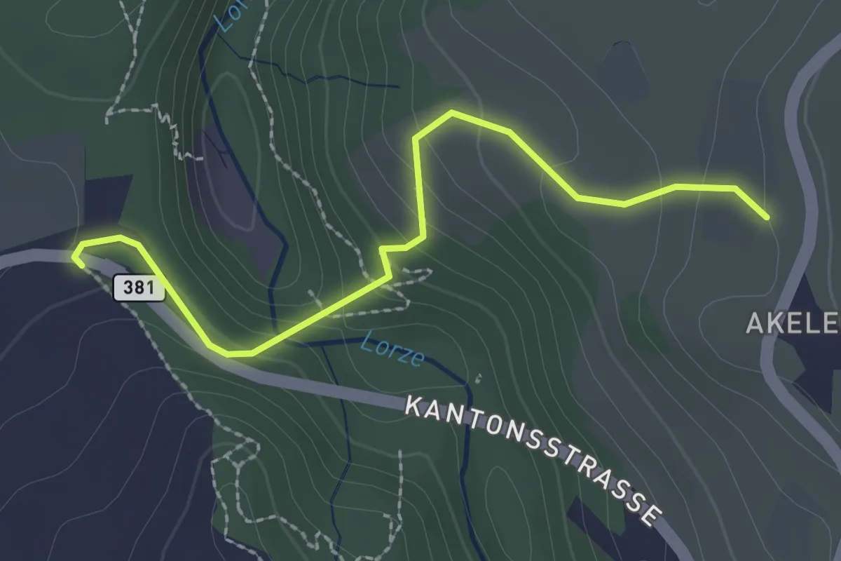
Easy · Trail
Talbrücke - Wulfligen
2.4 km · ↑ 152 m · 53 min · 13 km away
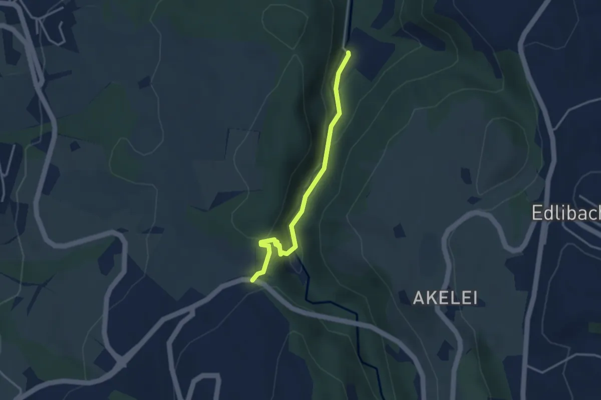
Easy · Trail
Höllbrücke - Talbrücke
2.9 km · ↑ 116 m · 56 min · 13 km away
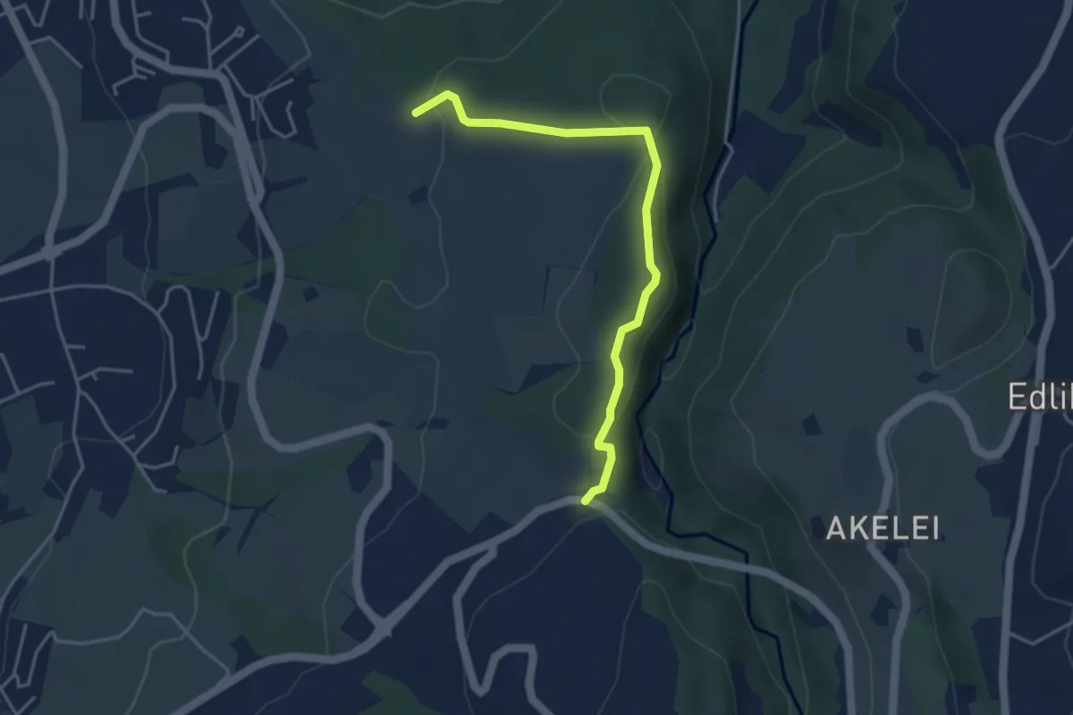
Easy · Trail
Talbrücke - Ober Allmend
3.9 km · ↑ 130 m · 1 h 12 min · 13 km away
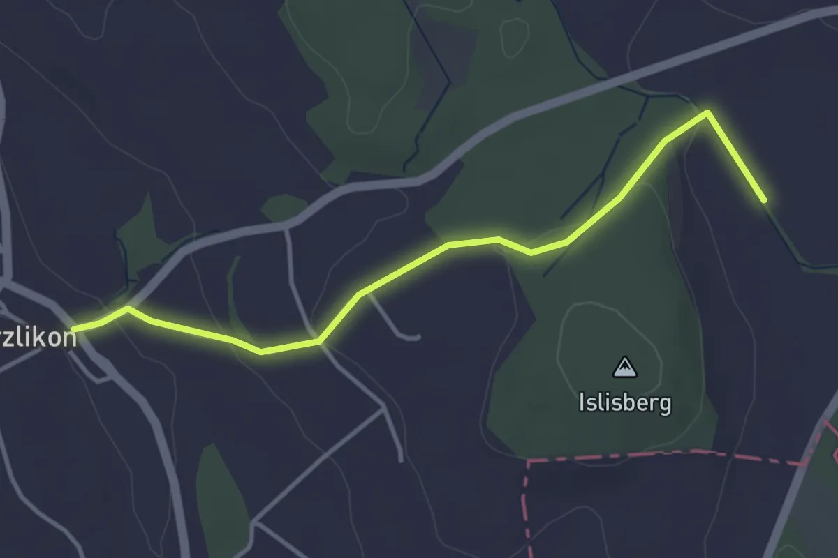
Easy · Trail
Uerzlikon – Chlostermatt
3.7 km · ↑ 89 m · 1 h 4 min · 13 km away
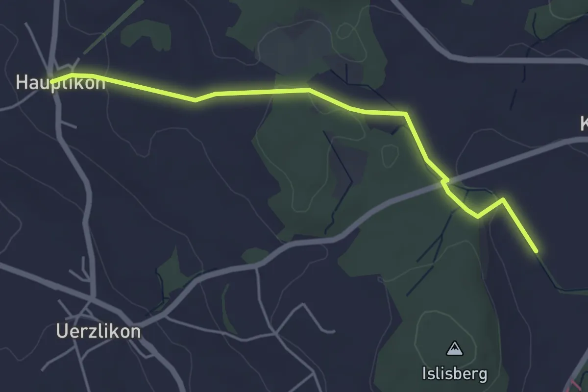
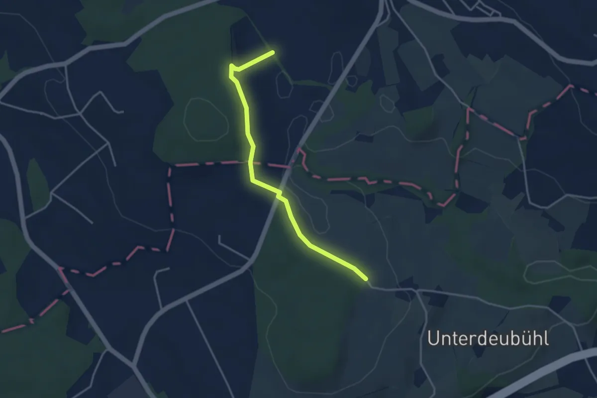
Easy · Trail
Chlostermatt – Hauptikon
4.4 km · ↑ 52 m · 1 h 9 min · 13 km away
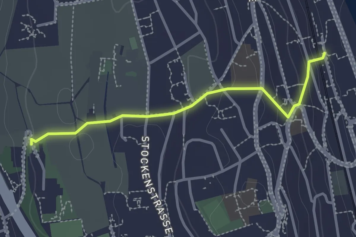
Easy · Trail
Chlostermatt – Baar
3.3 km · ↑ 104 m · 1 h · 13 km away
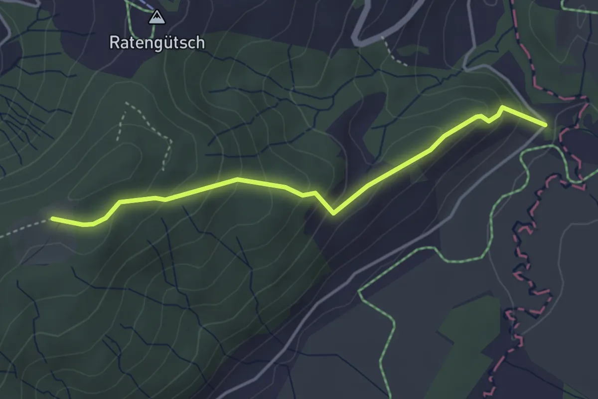
Easy · Trail
Kilchberg (Bahnhof) – Kilchberg Spital
2.5 km · ↑ 86 m · 46 min · 13 km away
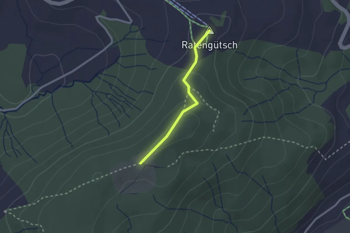
Easy · Trail
Bibersteg – St. Jost
3.7 km · ↑ 247 m · 1 h 24 min · 13 km away
Easy · Summit
Raten – St. Jost
1.7 km · ↑ 56 m · 31 min · 13 km away
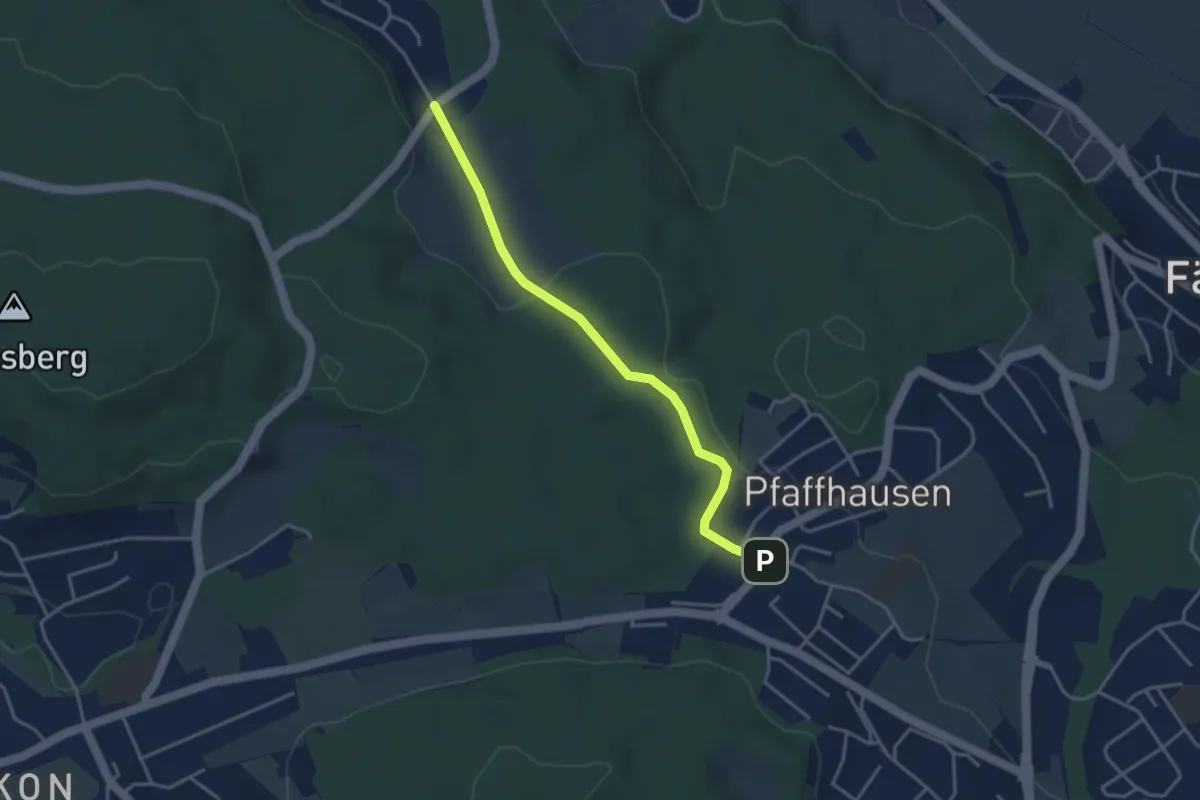
Easy · Trail
Pfaffhausen - Geeren
3.5 km · ↑ 86 m · 1 h 1 min · 13 km away
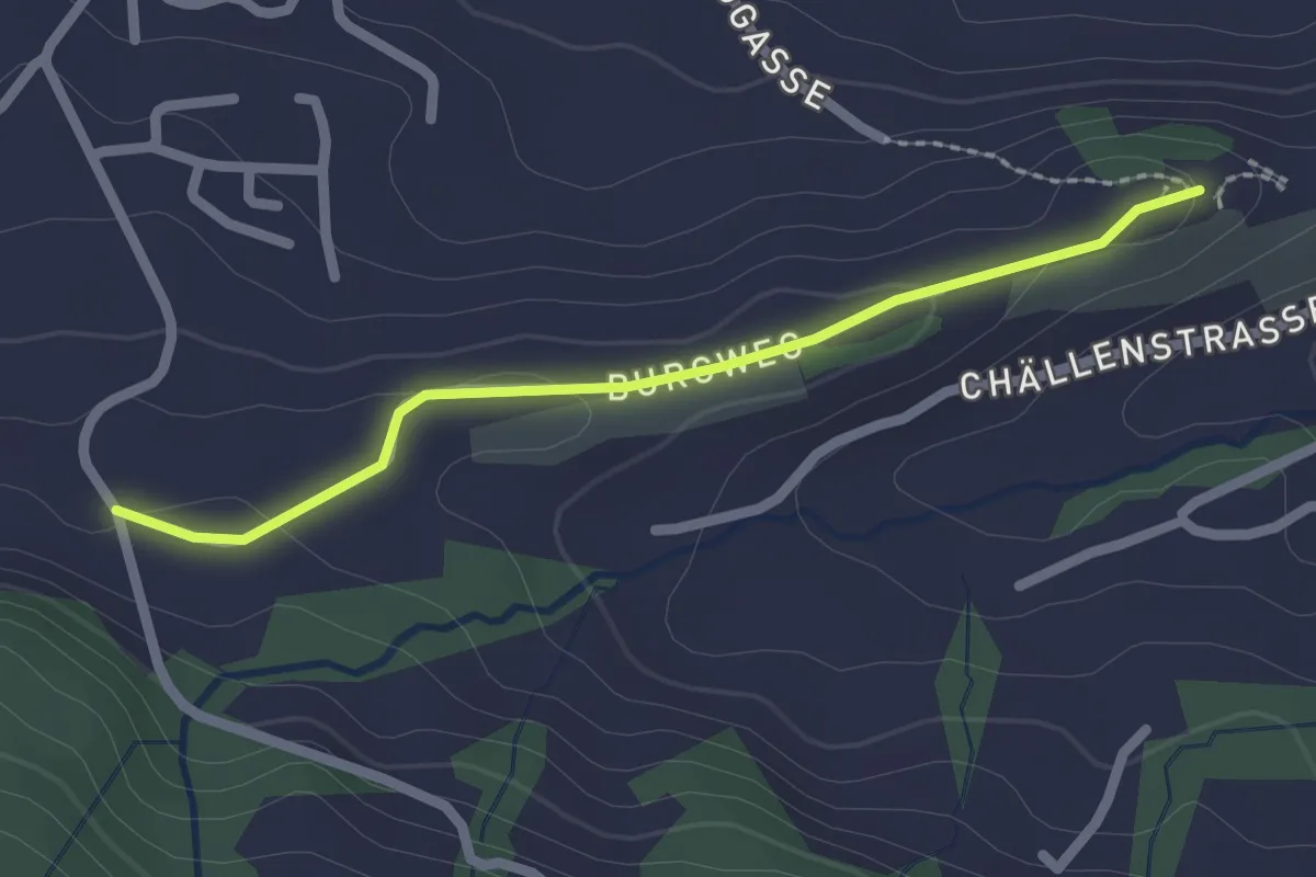
Easy · Trail
St. Johann - Schlipf
2.0 km · ↑ 51 m · 36 min · 14 km away
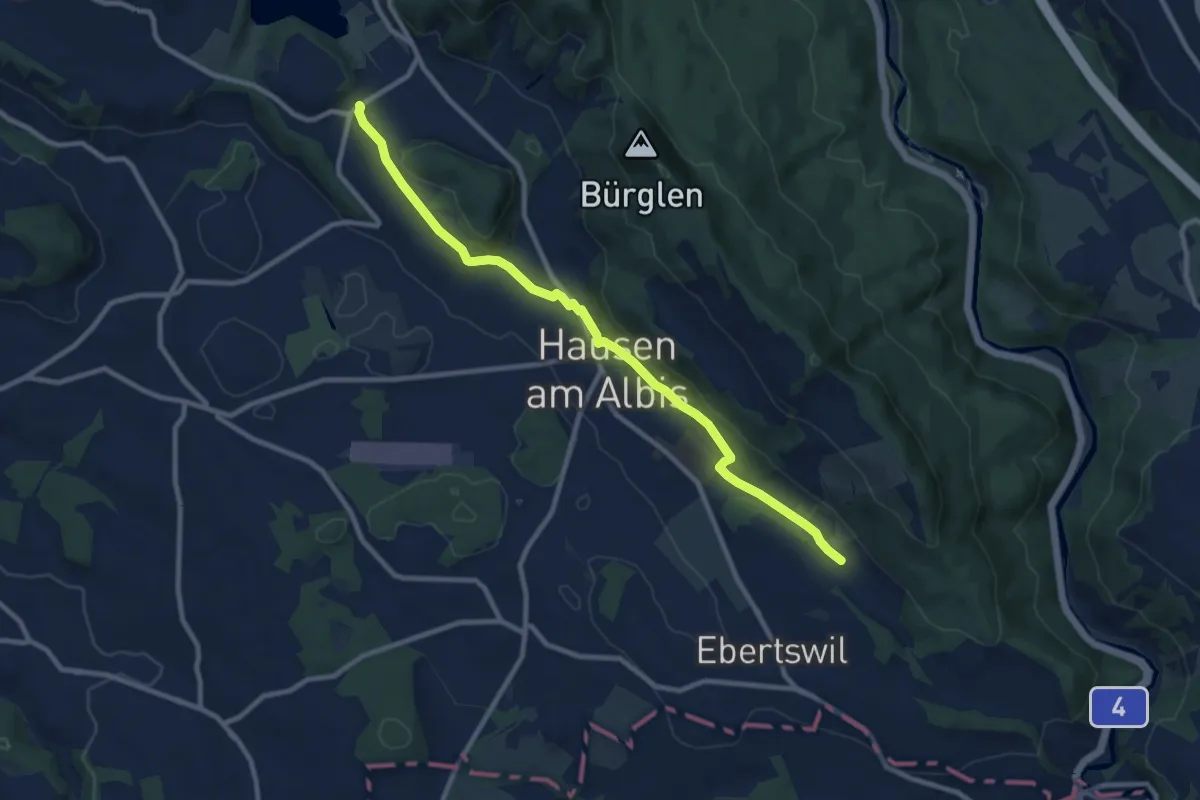
Medium · Trail
Husertal – Vollenweid
9.9 km · ↑ 210 m · 2 h 47 min · 14 km away
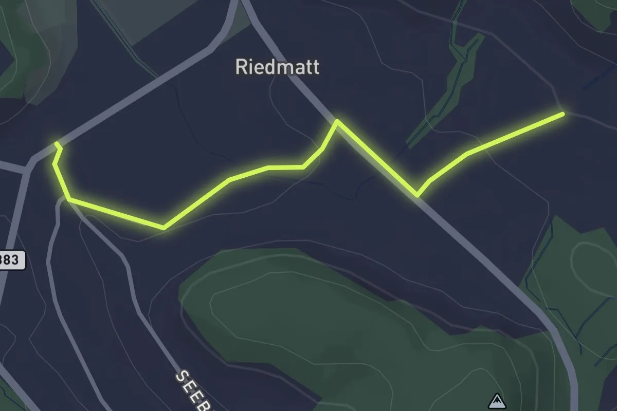
Easy · Trail
Tüfenbach – Vollenweid
2.8 km · ↑ 44 m · 46 min · 14 km away
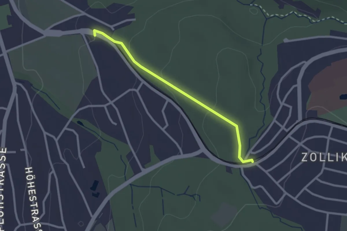
Easy · Trail
Rehalp – Waldburg
2.2 km · ↑ 64 m · 39 min · 14 km away
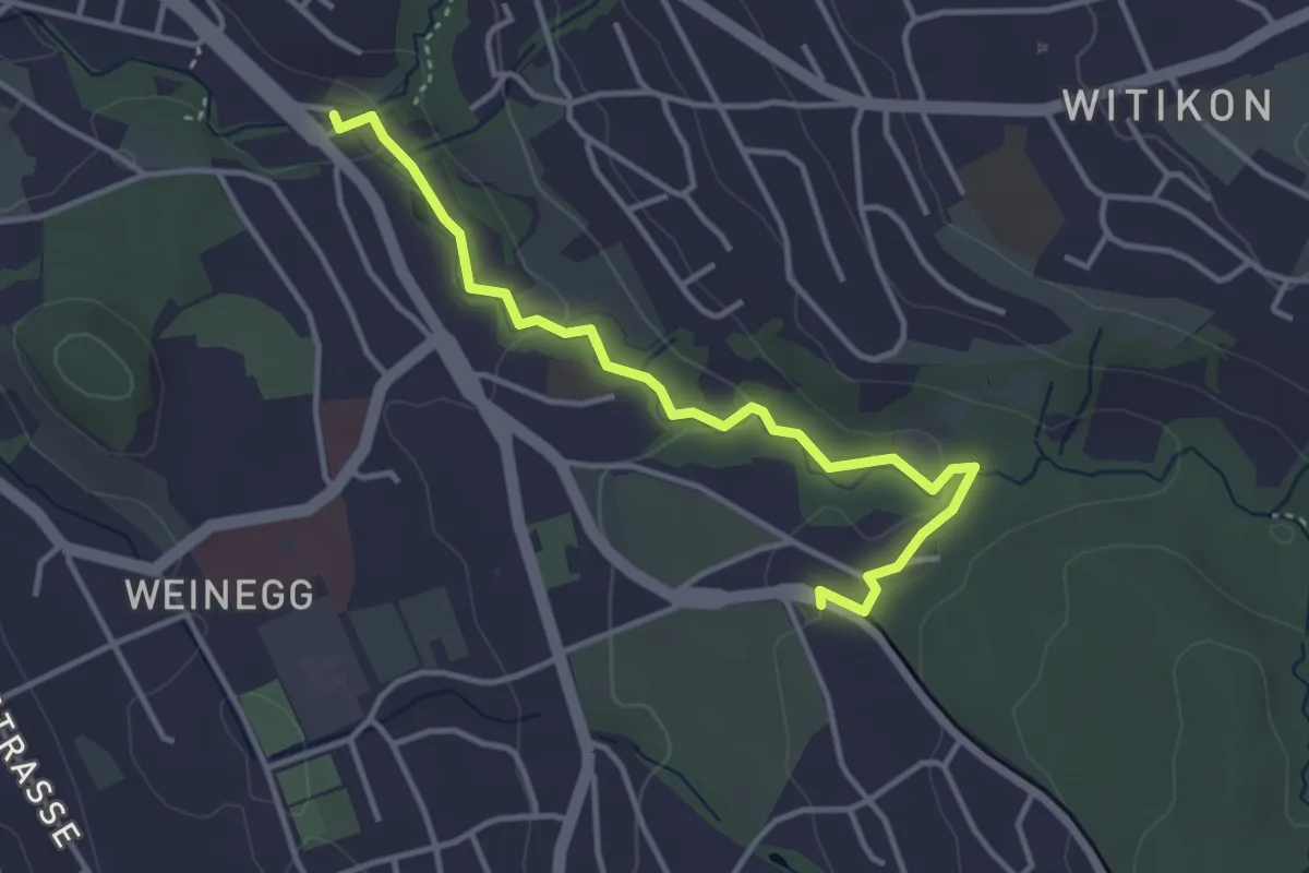
Easy · Trail
Burgwis – Rehalp
3.8 km · ↑ 69 m · 1 h 3 min · 14 km away
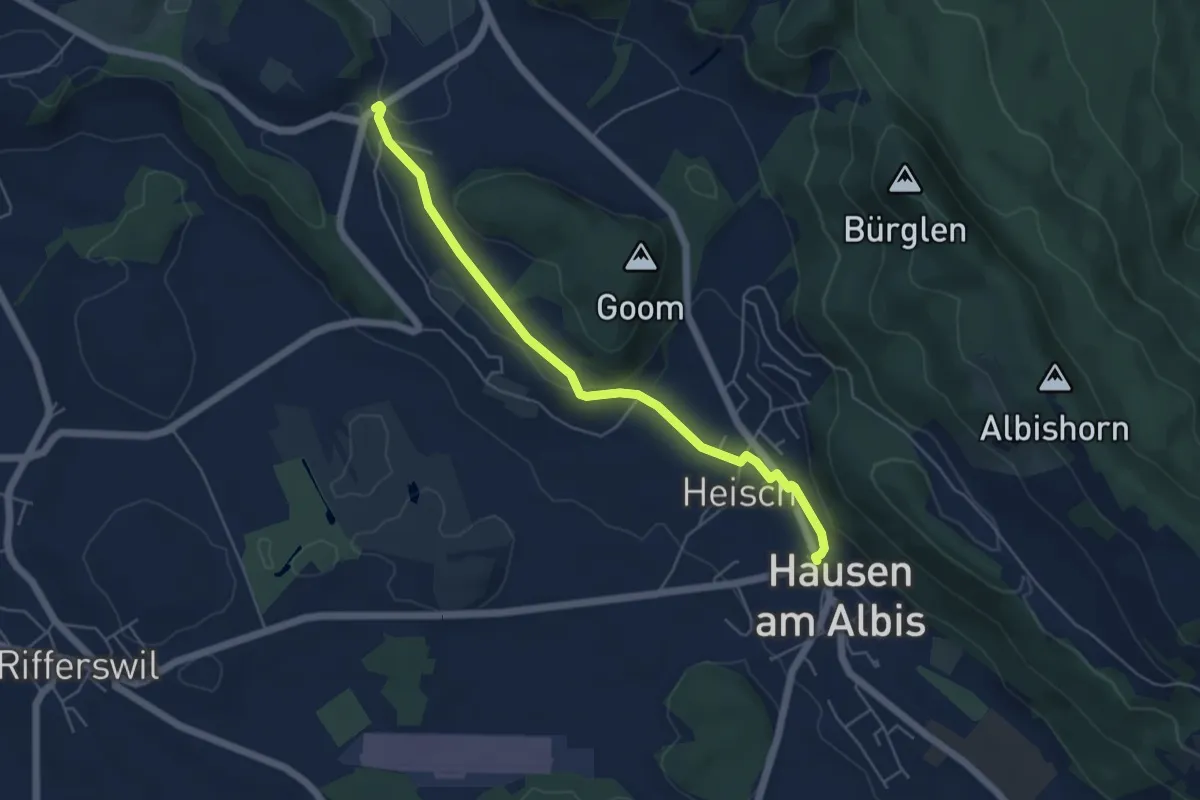
Easy · Trail
Vollenweid – Hausen a. A.
5.2 km · ↑ 127 m · 1 h 31 min · 14 km away
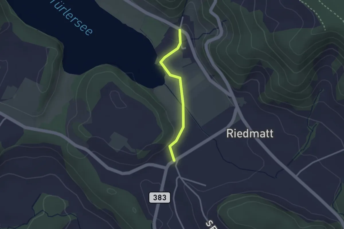
Easy · Trail
Vollenweid – Türlen
2.0 km · ↑ 27 m · 32 min · 14 km away
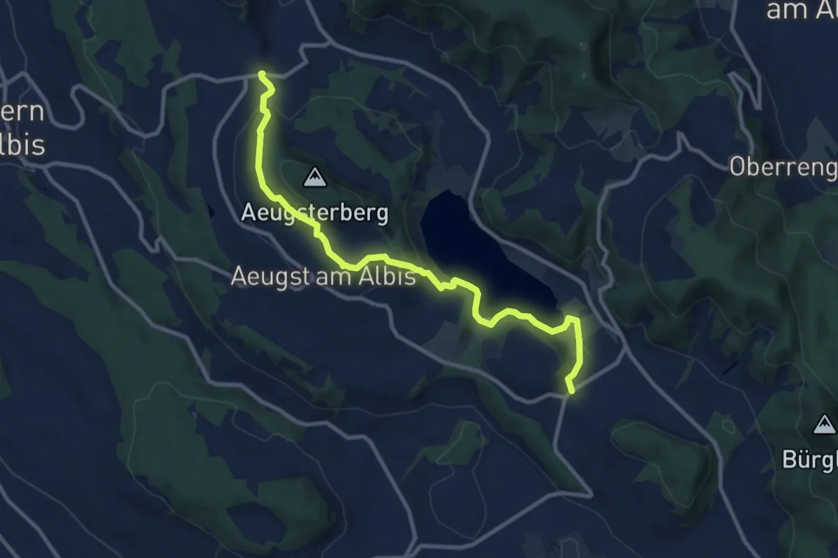
Medium · Trail
Vollenweid – Müliberg
9.7 km · ↑ 284 m · 2 h 54 min · 14 km away
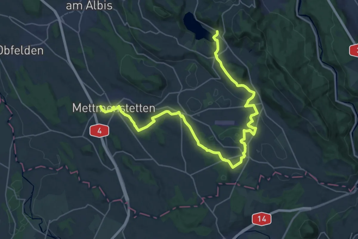
Demanding · Trail
Knonaueramt-Weg
29.1 km · ↑ 428 m · 7 h 47 min · 14 km away
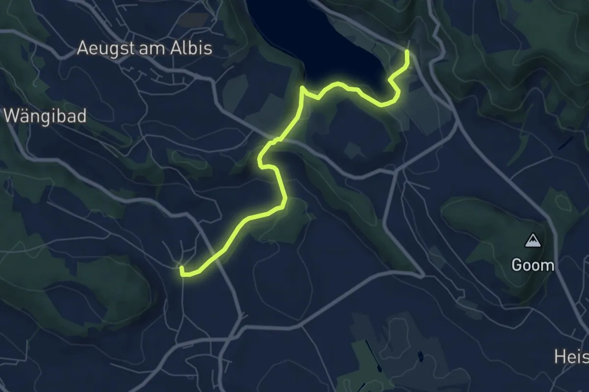
Easy · Trail
Herferswil – Türlen
6.8 km · ↑ 162 m · 1 h 57 min · 14 km away
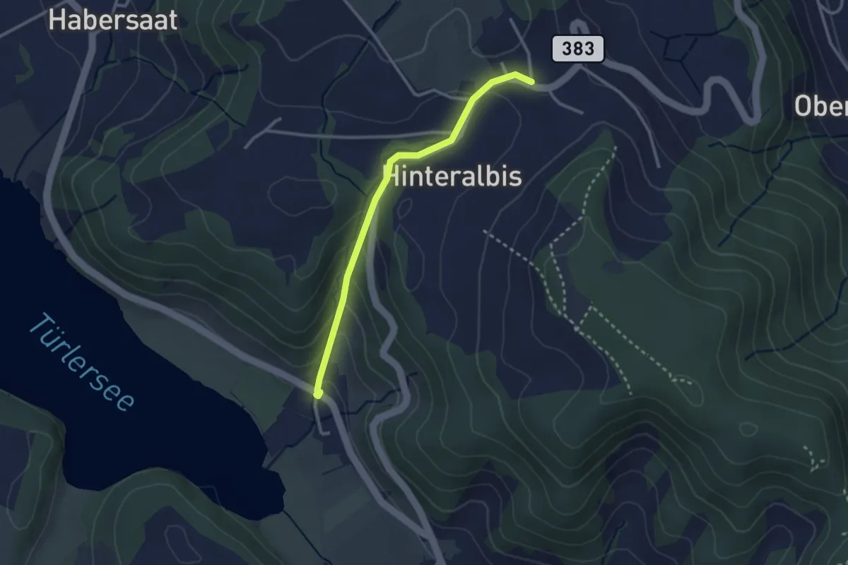
Easy · Trail
Albispass – Türlen
2.6 km · ↑ 131 m · 54 min · 14 km away
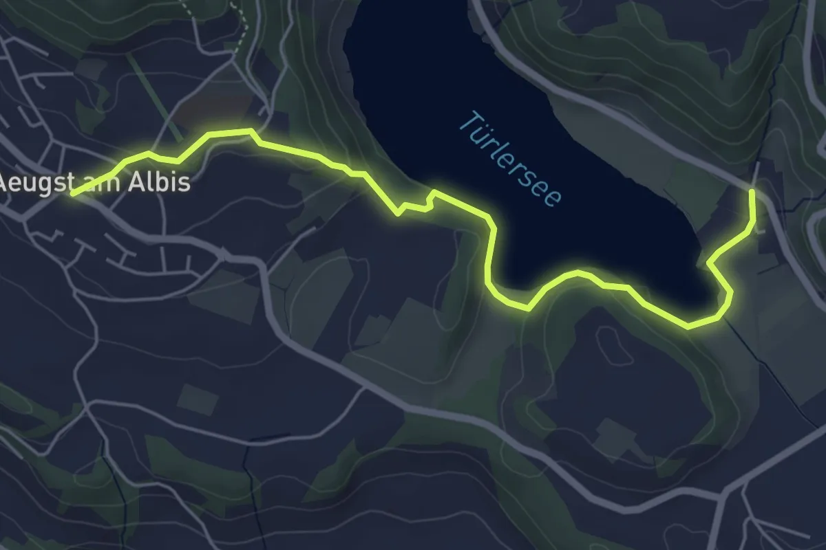
Easy · Trail
Aeugst a.A. – Türlen
5.8 km · ↑ 178 m · 1 h 45 min · 14 km away
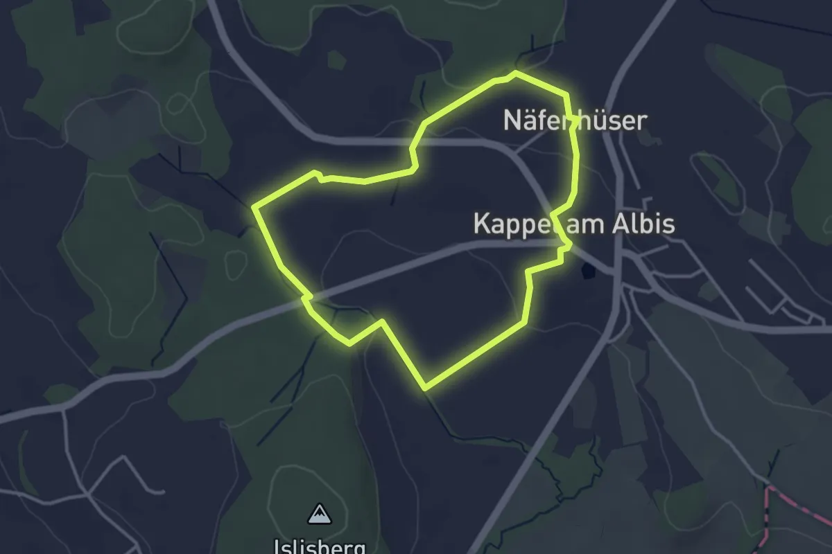
Easy · Trail
Rund-Wanderweg Kloster Kappel
3.1 km · ↑ 59 m · 55 min · 14 km away
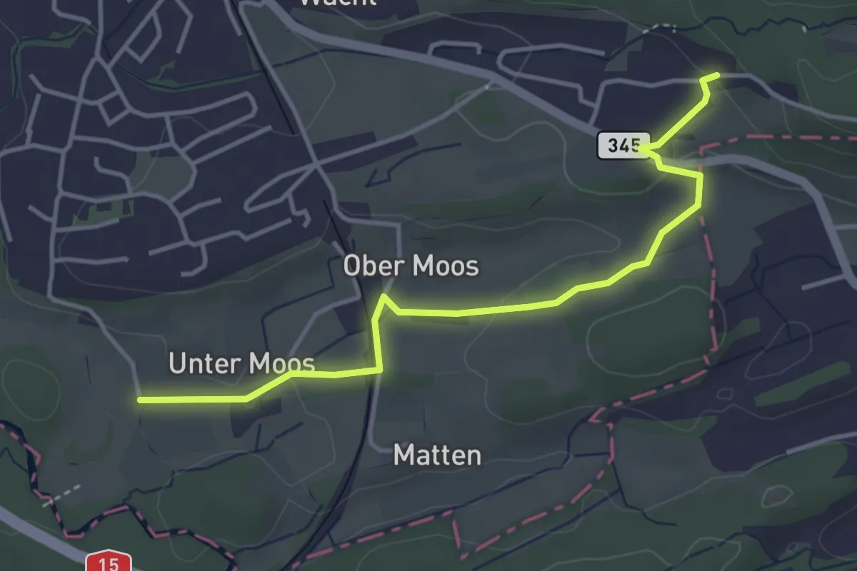
Easy · Trail
Weier – Untermoos
3.9 km · ↑ 74 m · 1 h 5 min · 14 km away
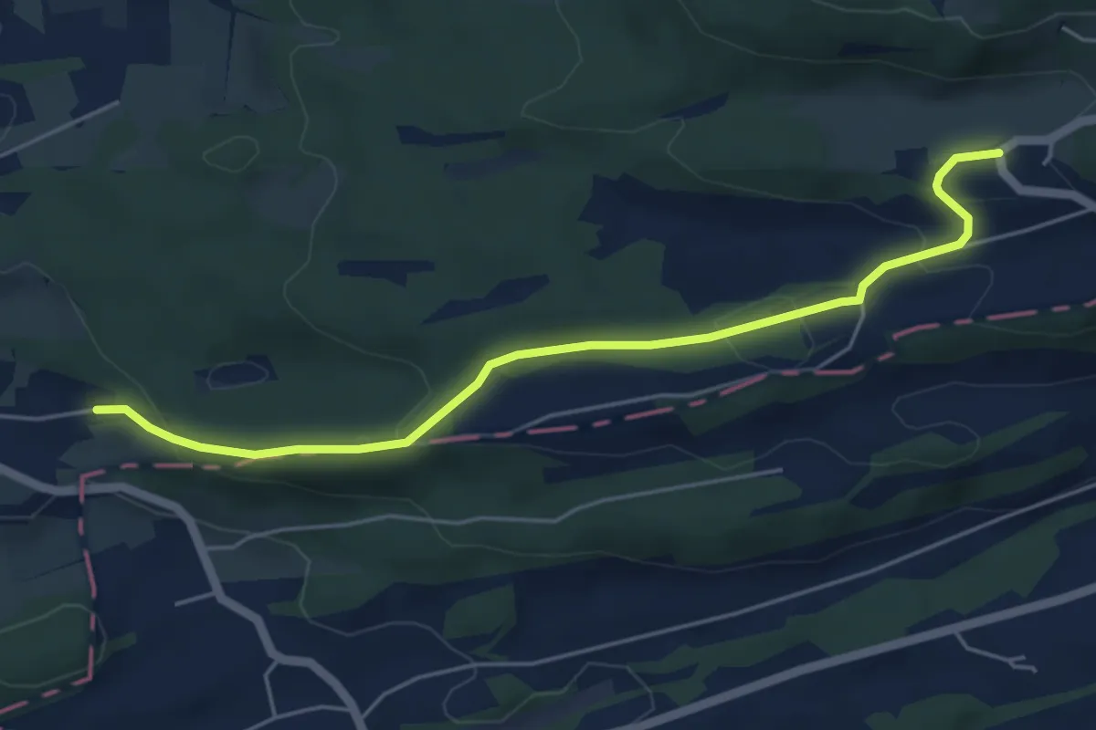
Easy · Trail
Mettlen – Weier
5.2 km · ↑ 165 m · 1 h 35 min · 14 km away
Easy · Trail
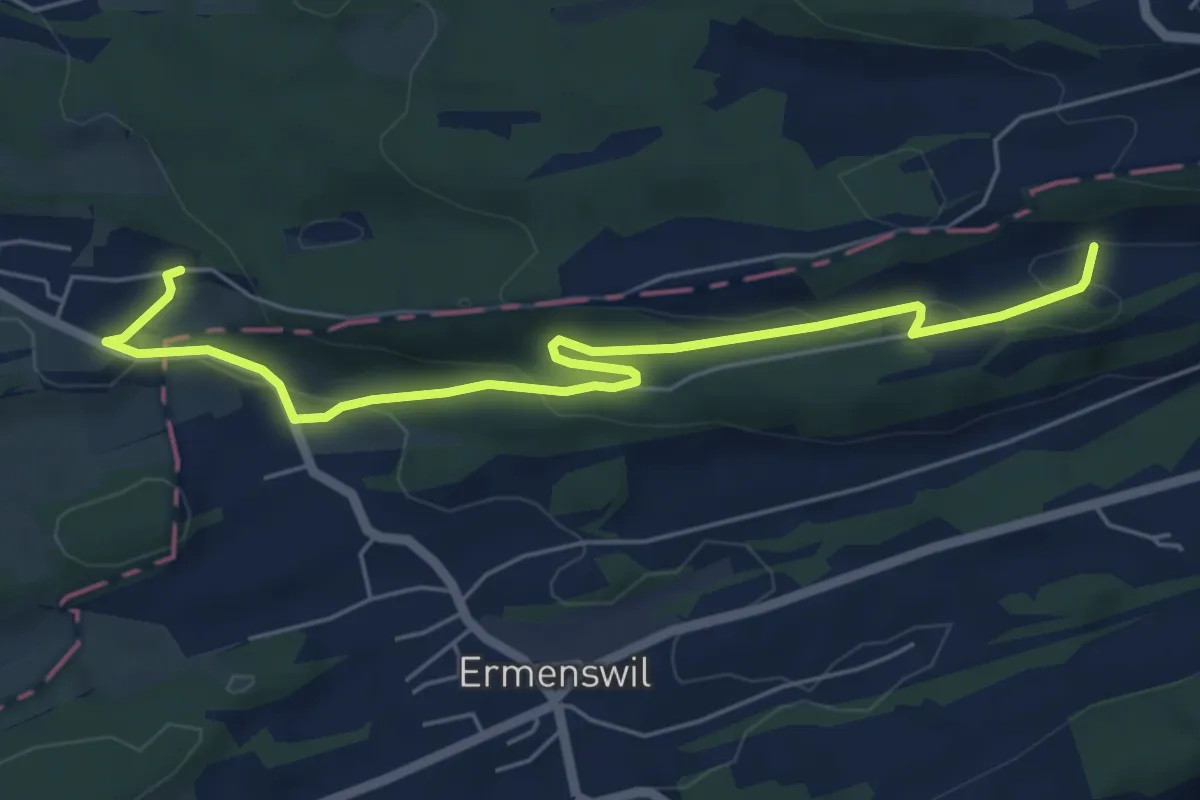
Honegg – Weier
6.3 km · ↑ 199 m · 1 h 55 min · 14 km away
Easy · Trail
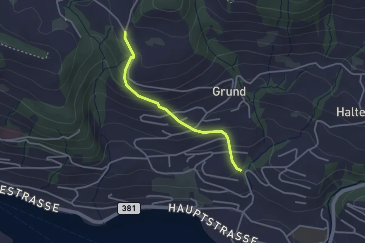
Hinterschneit - Gruben
2.5 km · ↑ 154 m · 55 min · 14 km away
Medium · Trail
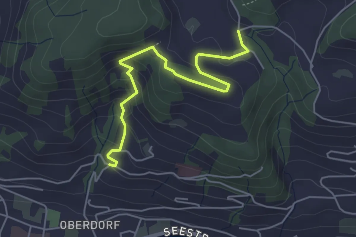
Heimhusen - Hinterwiden
4.4 km · ↑ 193 m · 1 h 28 min · 14 km away