Trails near Männedorf
653 hikes starting within 15 km, nearest first.
Nearest first, page 12 of 14
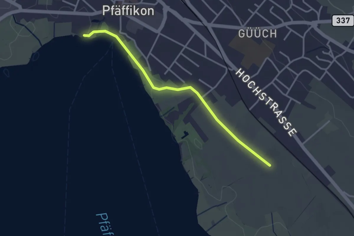
Easy · Trail
Via Natura
3.0 km · ↑ 9 m · 43 min · 14 km away
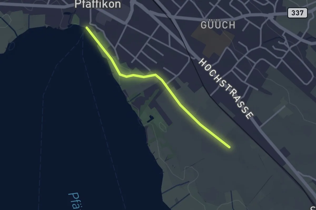
Easy · Pilgrim path
Fryheitsweg
1.3 km · ↑ 0 m · 19 min · 14 km away
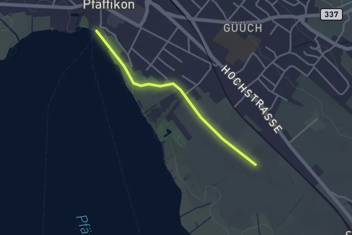
Easy · Trail
Pfäffikersee – Römerkastell
2.6 km · ↑ 9 m · 37 min · 14 km away
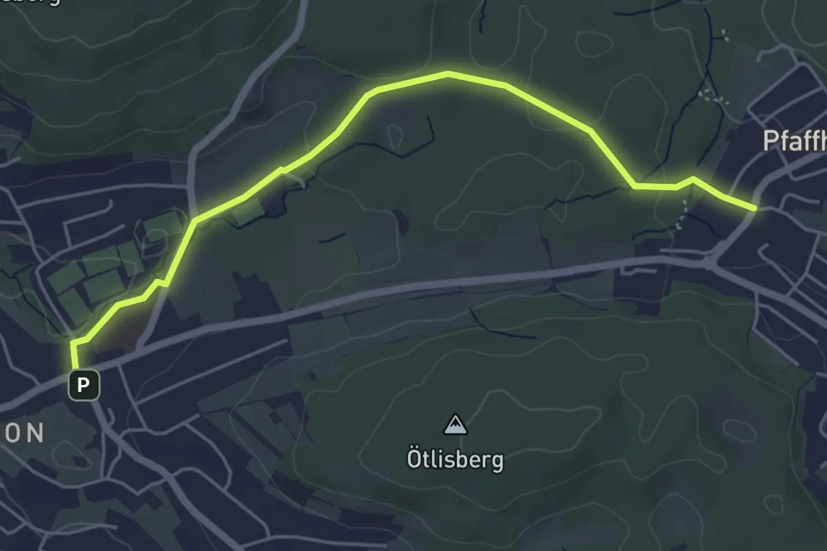
Easy · Trail
Witikon - Pfaffhausen
5.1 km · ↑ 77 m · 1 h 22 min · 14 km away
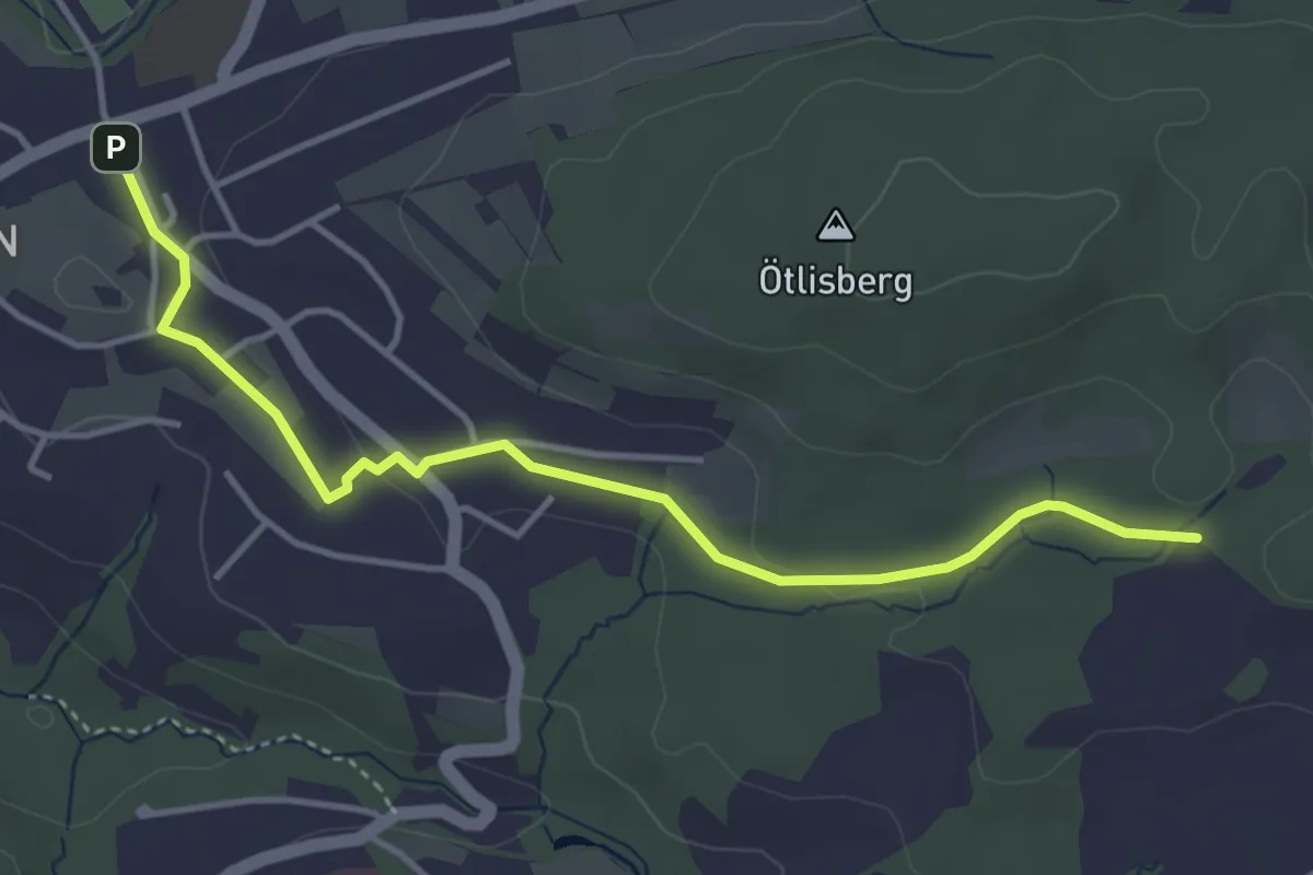
Easy · Trail
Witikon - Detschwingen
4.2 km · ↑ 50 m · 1 h 7 min · 14 km away
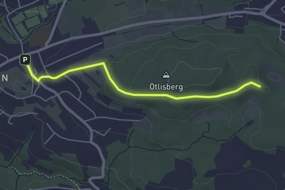
Easy · Trail
Witikon - Fridlimatt
4.1 km · ↑ 106 m · 1 h 12 min · 14 km away
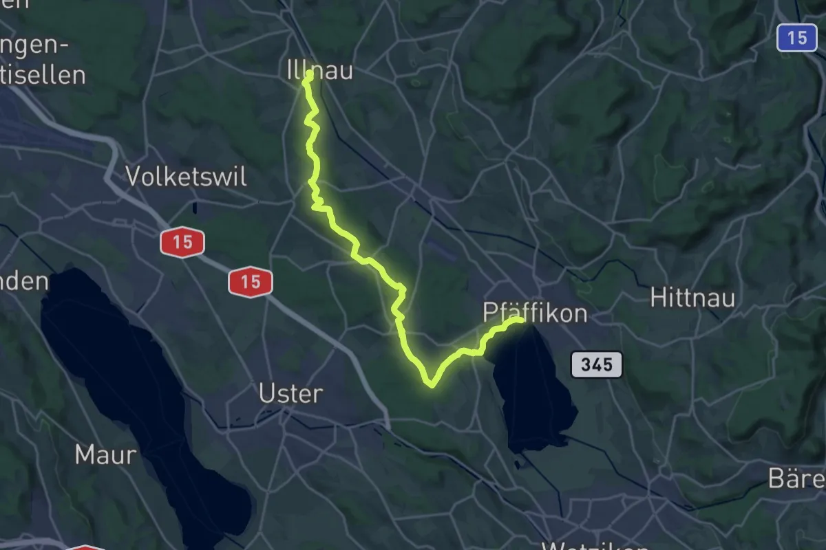
Demanding · Trail
Via Natura
21.9 km · ↑ 286 m · 5 h 48 min · 14 km away
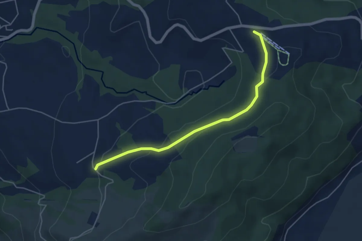
Easy · Trail
Raten - Waldschlagchrütz
4.3 km · ↑ 156 m · 1 h 21 min · 14 km away
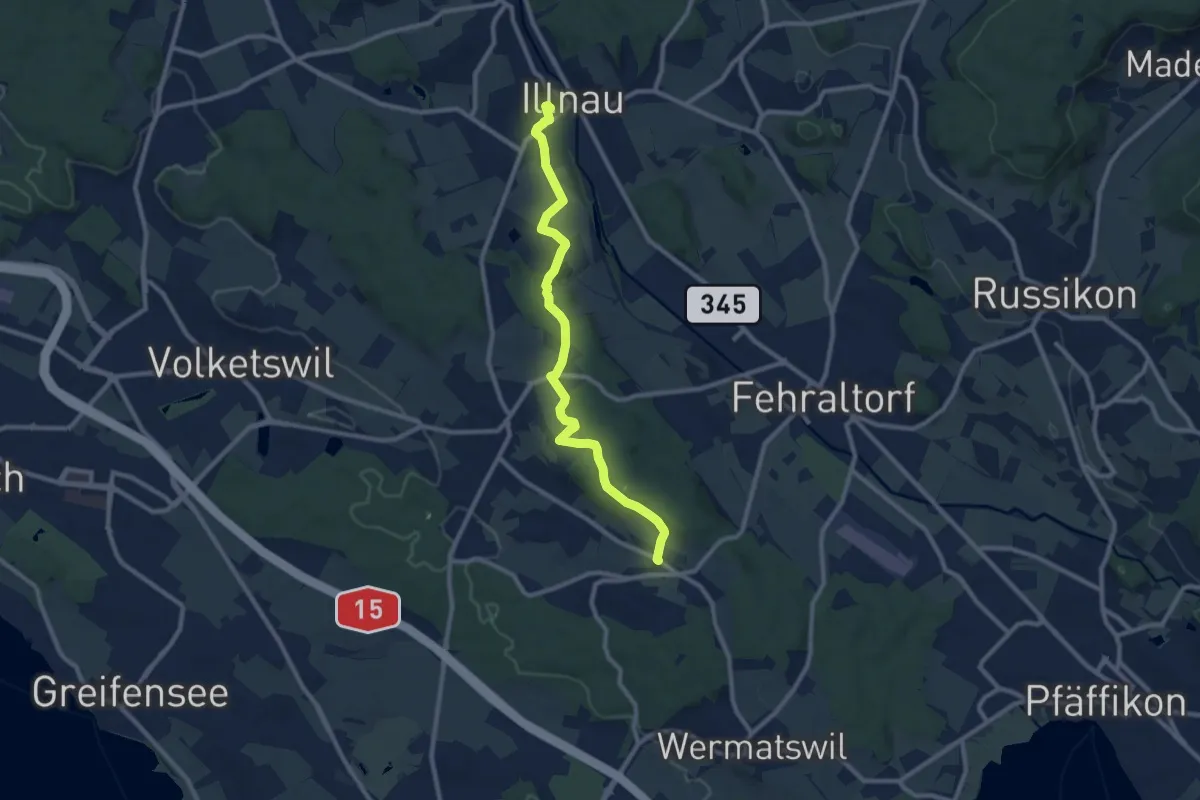
Medium · Trail
Freudwil – Illnau (ost)
9.7 km · ↑ 148 m · 2 h 36 min · 14 km away
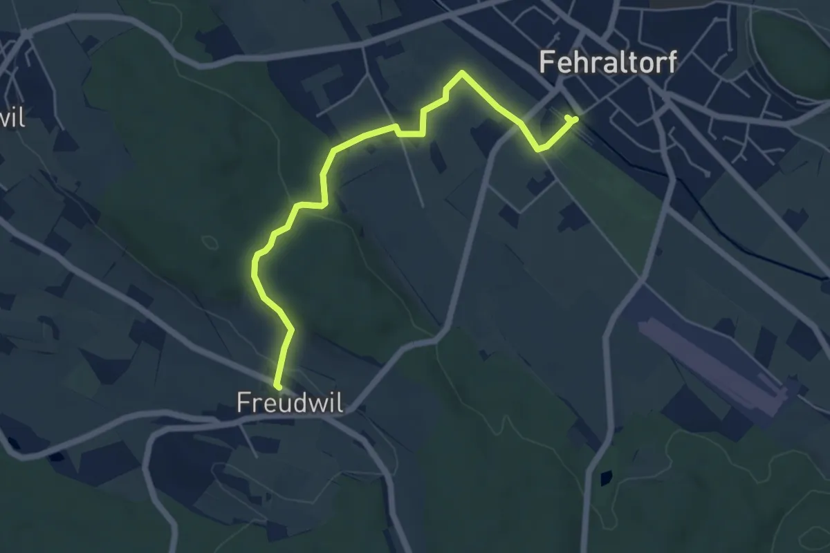
Easy · Trail
Freudwil - Fehraltorf
5.2 km · ↑ 114 m · 1 h 28 min · 14 km away
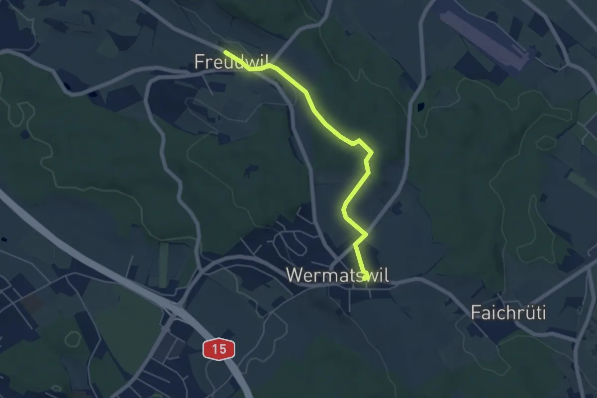
Easy · Trail
Freudwil – Wermatswil
4.6 km · ↑ 77 m · 1 h 16 min · 14 km away
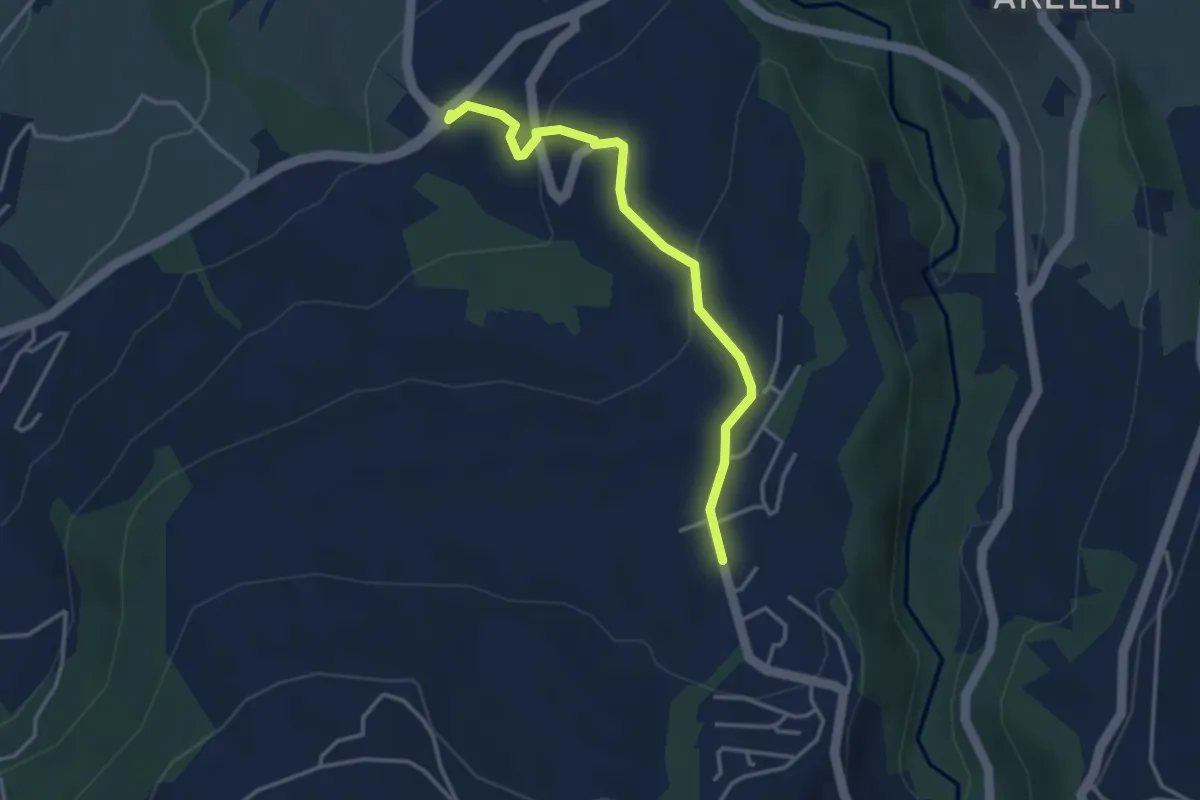
Easy · Trail
Talacher - Grüt Allenwinden
3.4 km · ↑ 114 m · 1 h 3 min · 14 km away
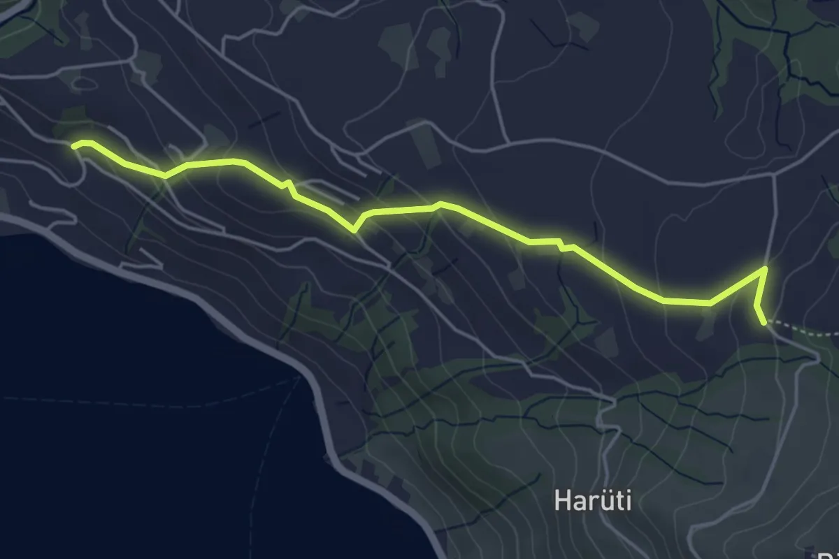
Easy · Trail
Bättenbüel – Waldschlagchrüz
4.7 km · ↑ 237 m · 1 h 38 min · 14 km away
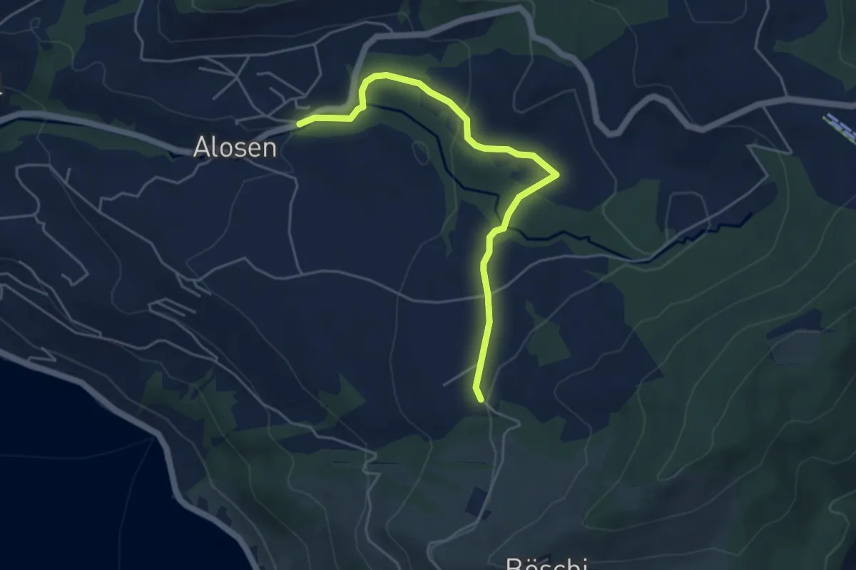
Easy · Trail
Waldschlagchrüz - Alosen
4.8 km · ↑ 102 m · 1 h 21 min · 14 km away
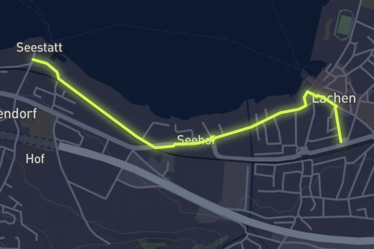
Easy · Trail
Lachen - Seestatt Altendorf
4.3 km · ↑ 13 m · 1 h 3 min · 14 km away
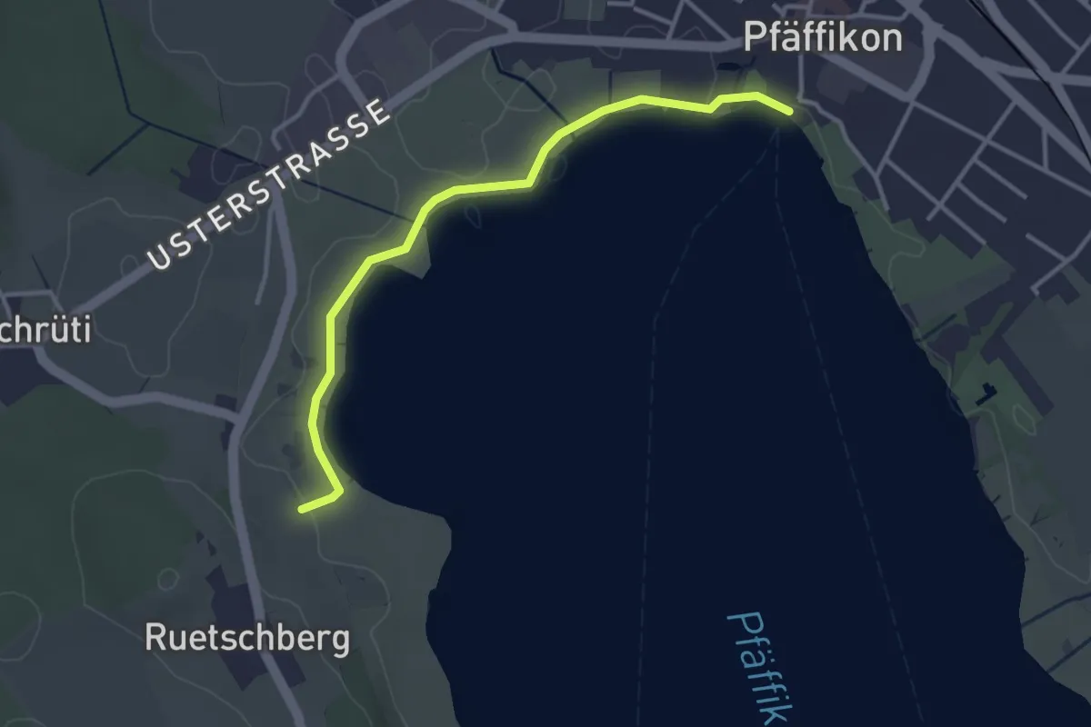
Easy · Trail
Talhof – Pfäffikersee
3.3 km · ↑ 5 m · 47 min · 14 km away
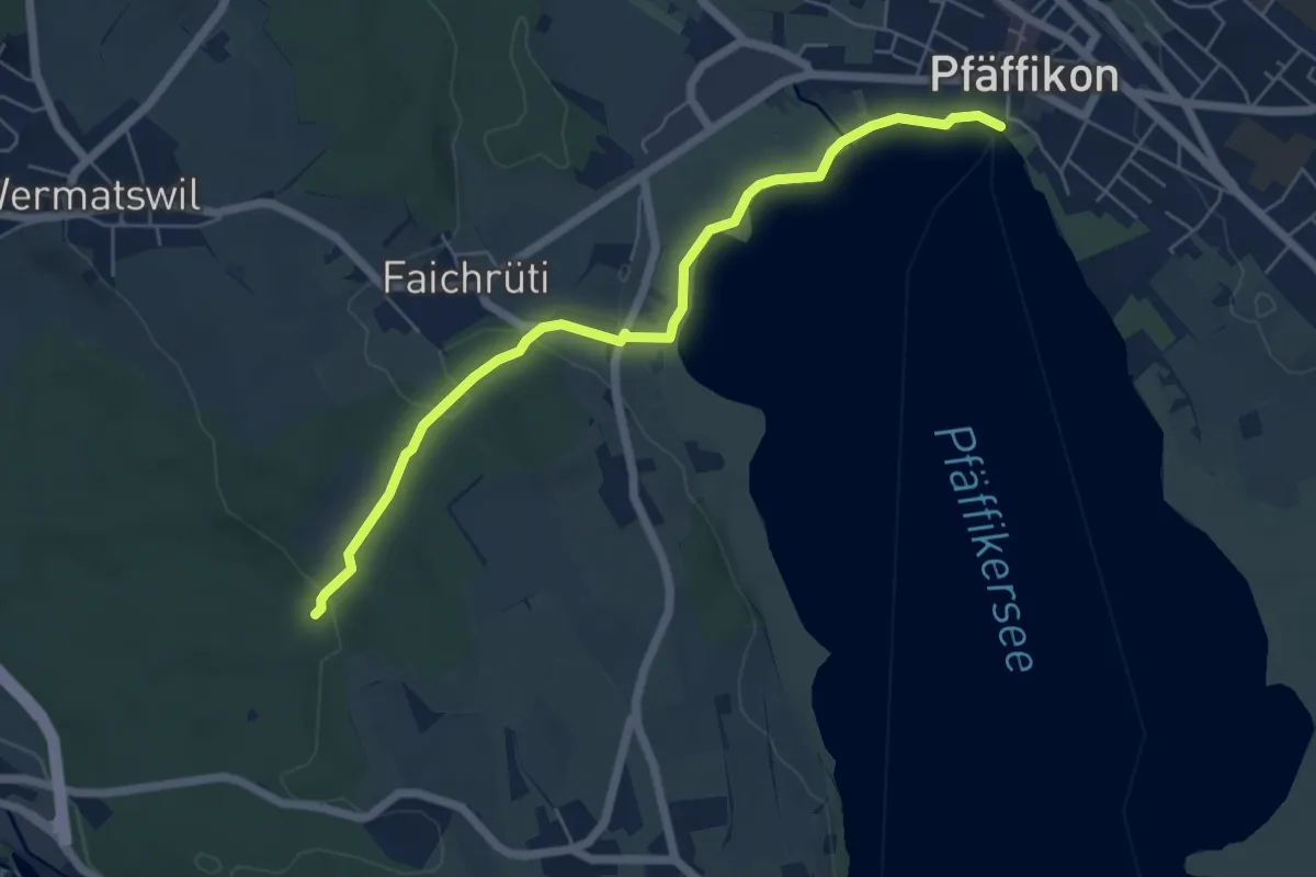
Easy · Trail
Römerbrünneli – Pfäffikersee
5.9 km · ↑ 53 m · 1 h 31 min · 14 km away
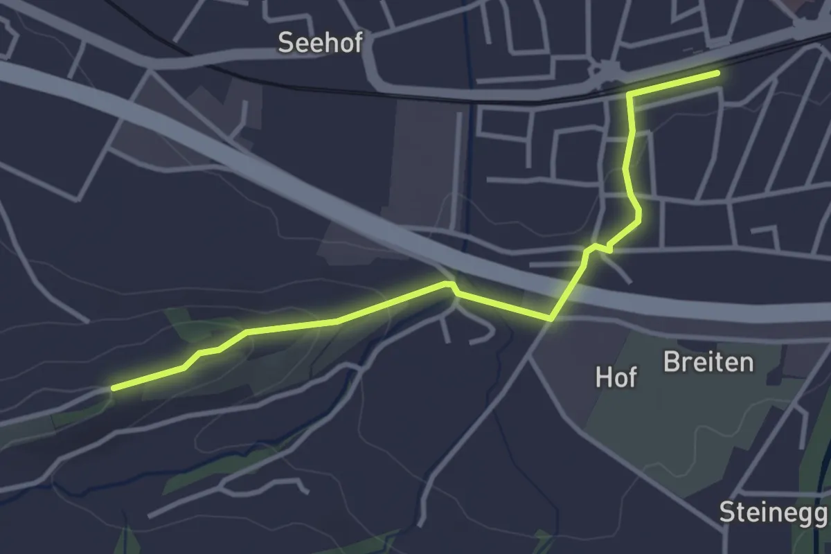
Easy · Trail
Lachen - St. Johann
3.3 km · ↑ 81 m · 57 min · 14 km away
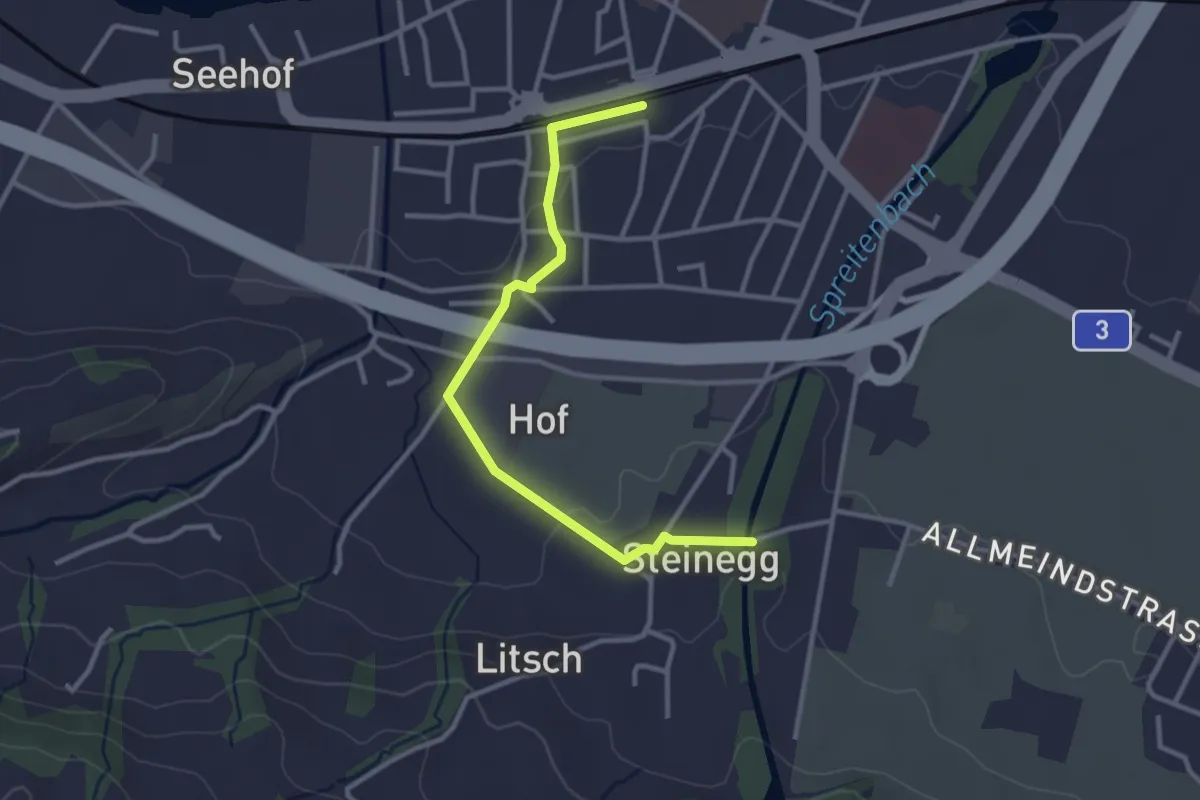
Easy · Trail
Lachen - Steinegg
3.1 km · ↑ 36 m · 48 min · 14 km away
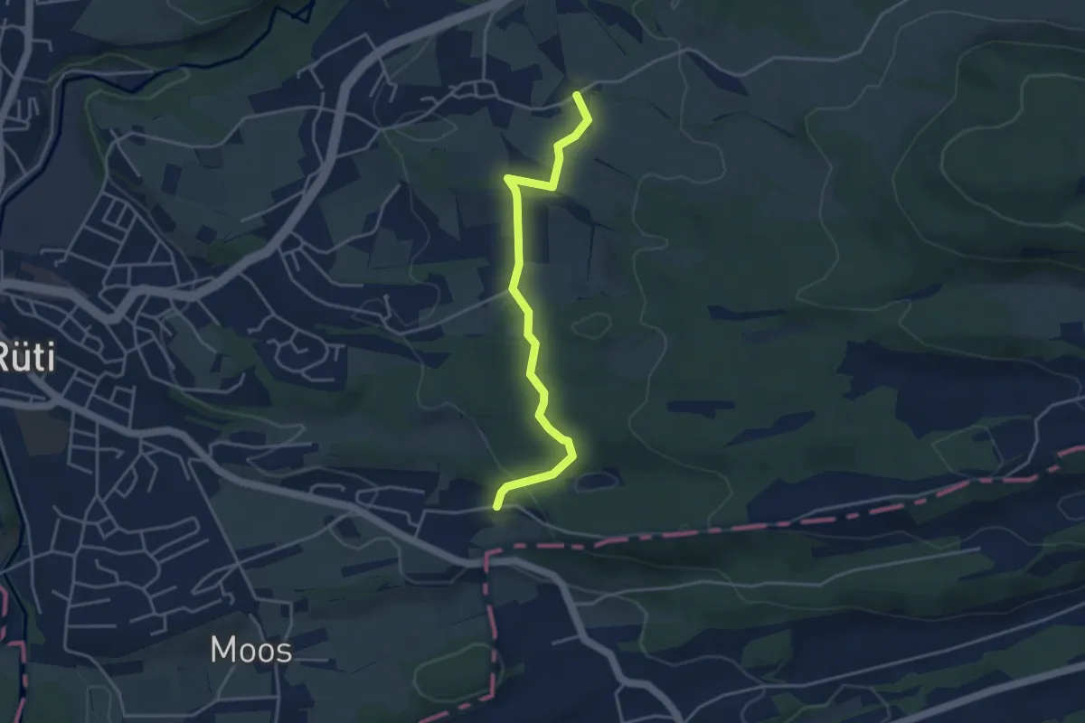
Easy · Trail
Oberfägiswil – Weier
3.8 km · ↑ 98 m · 1 h 6 min · 14 km away
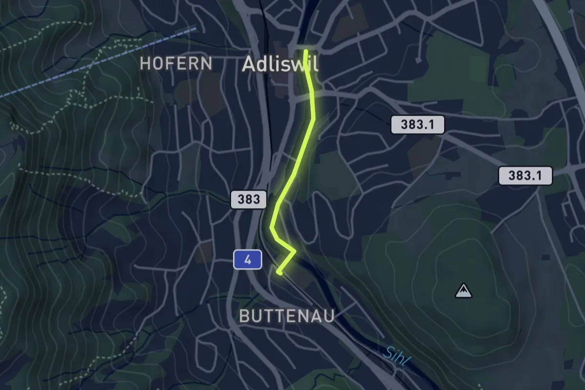
Easy · Trail
Adliswil - Sihlau
2.2 km · ↑ 28 m · 35 min · 14 km away
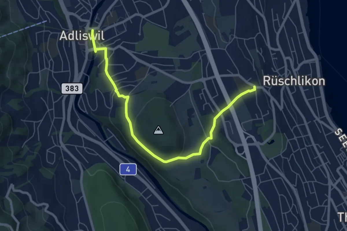
Easy · Trail
Adliswil – Nidelbad
6.5 km · ↑ 172 m · 1 h 55 min · 14 km away
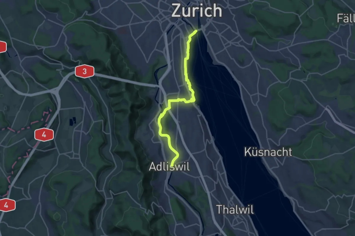
Medium · Trail
Zürichsee Rundweg - Etappe 1
17.8 km · ↑ 258 m · 4 h 45 min · 14 km away
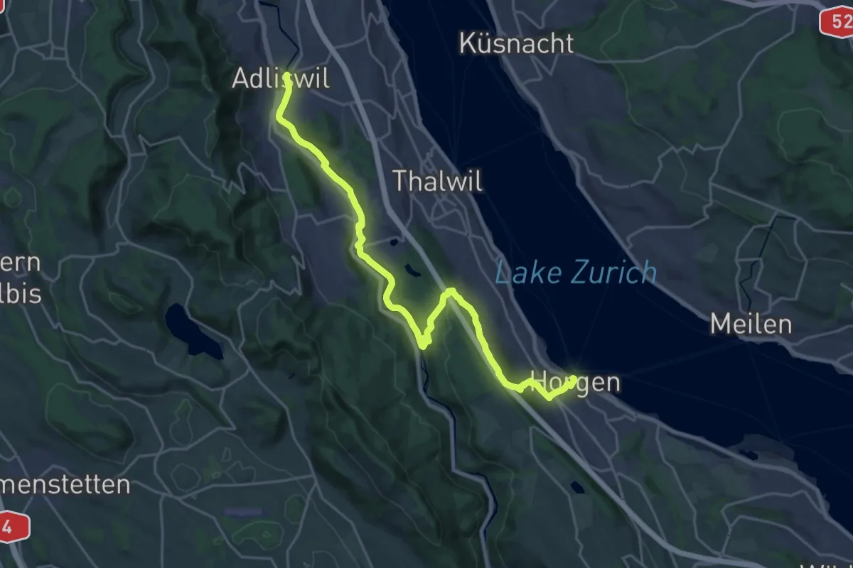
Demanding · Trail
Zürichsee Rundweg - Etappe 2
23.9 km · ↑ 571 m · 6 h 53 min · 14 km away
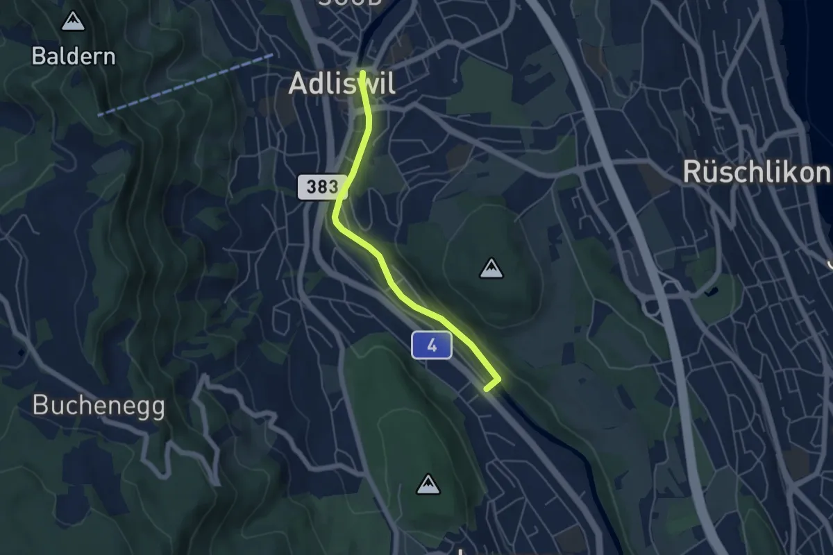
Easy · Trail
Adliswil – Wildpark Langenberg
4.4 km · ↑ 56 m · 1 h 9 min · 14 km away
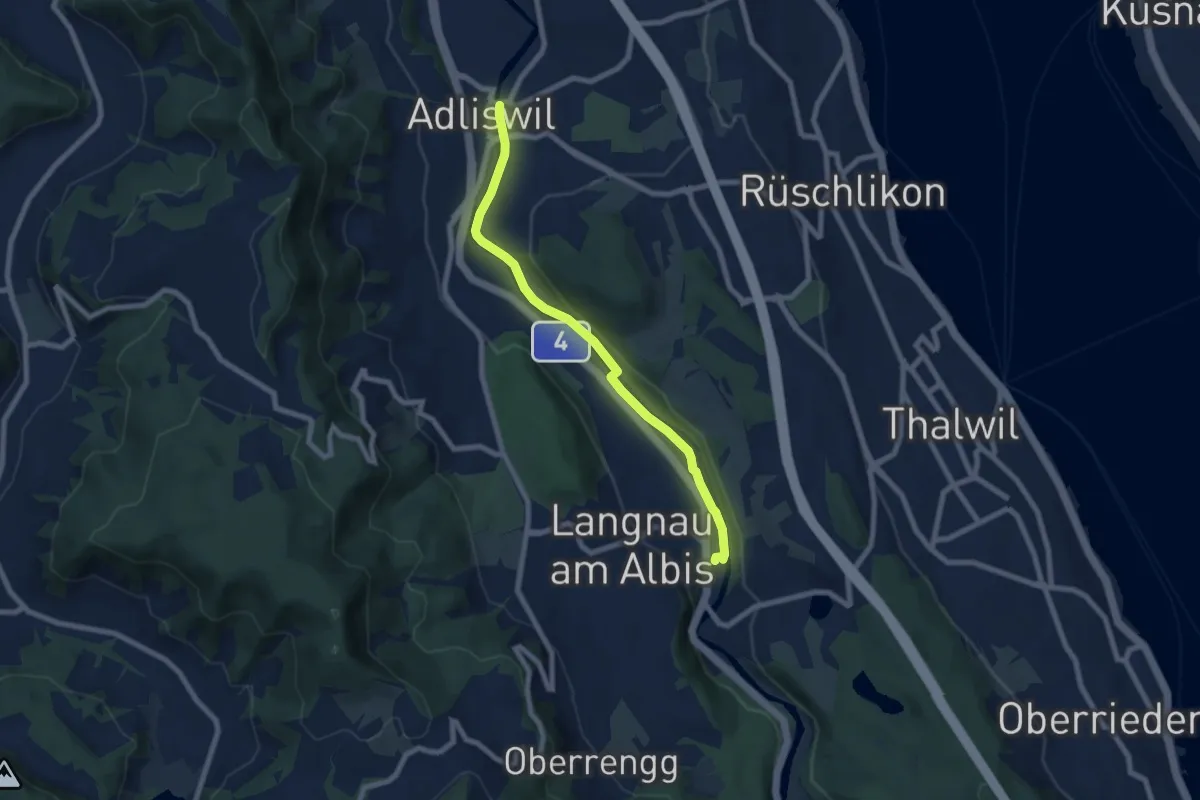
Easy · Trail
Adliswil - Langnau-Gattikon
7.2 km · ↑ 78 m · 1 h 53 min · 14 km away
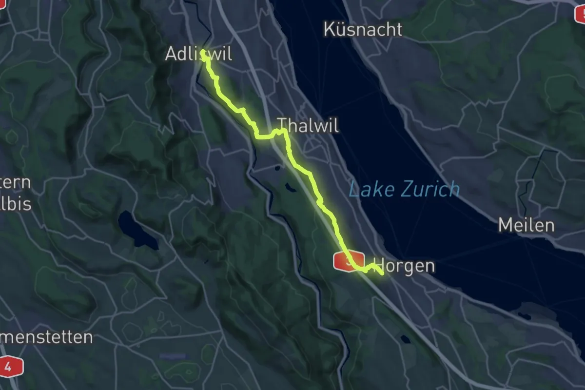
Demanding · Trail
Adliswil – Horgen Oberdorf
19.0 km · ↑ 623 m · 5 h 50 min · 14 km away
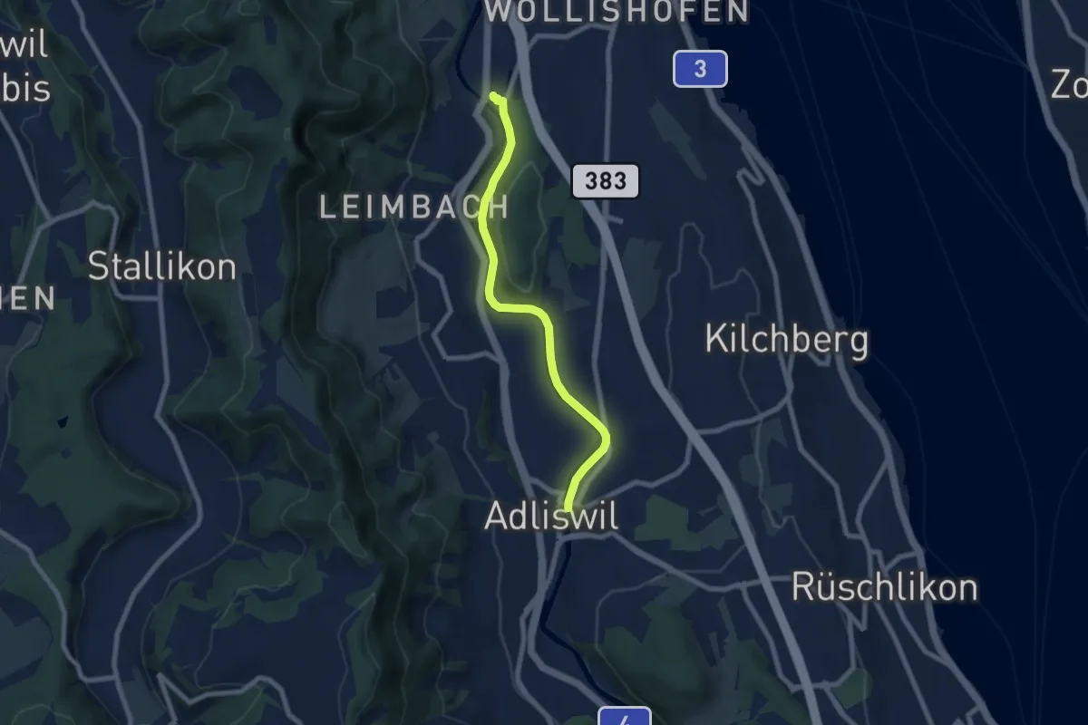
Easy · Trail
Zürich Manegg – Adliswil
6.8 km · ↑ 134 m · 1 h 54 min · 14 km away
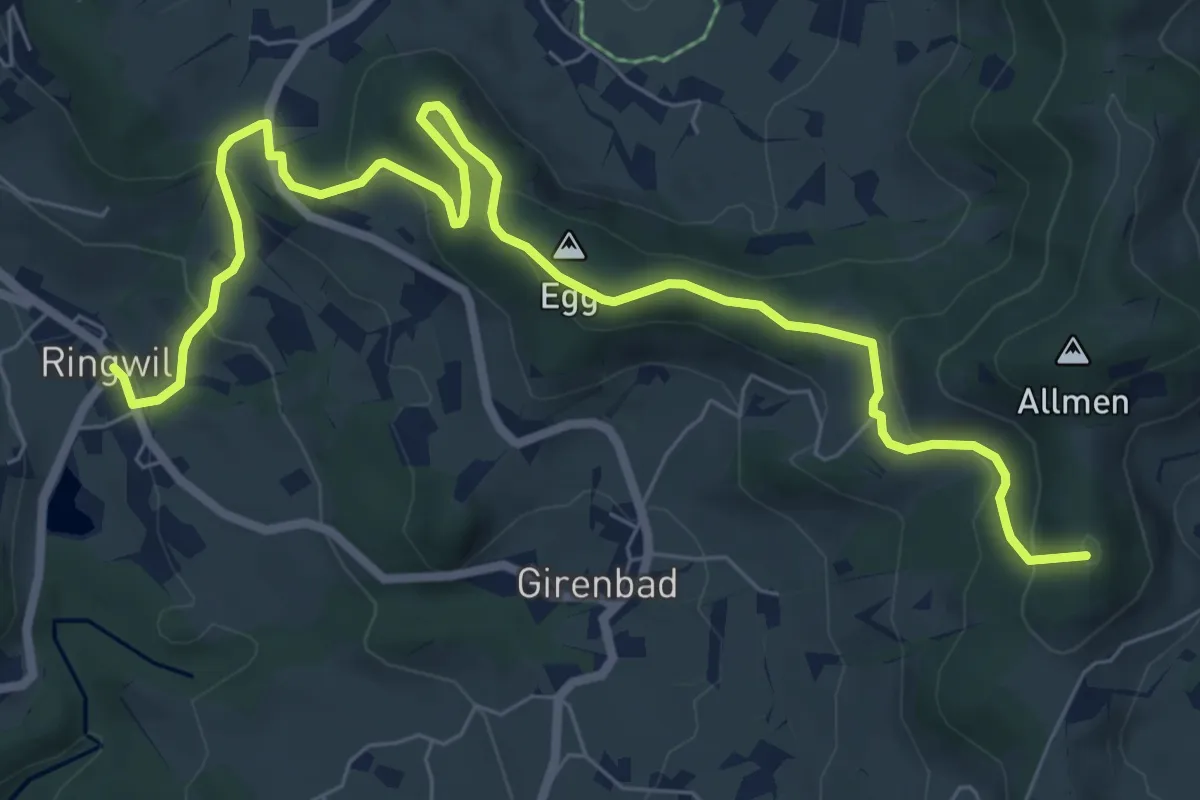
Medium · Summit
Schufelberger Egg - Ringwil
9.0 km · ↑ 376 m · 2 h 57 min · 14 km away
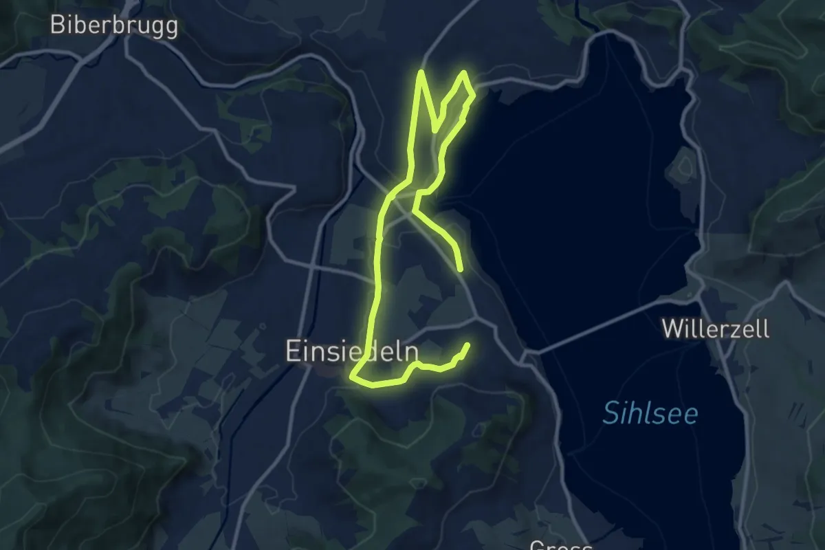
Medium · Summit
Panoramaweg Sihlsee
15.1 km · ↑ 246 m · 4 h 5 min · 14 km away
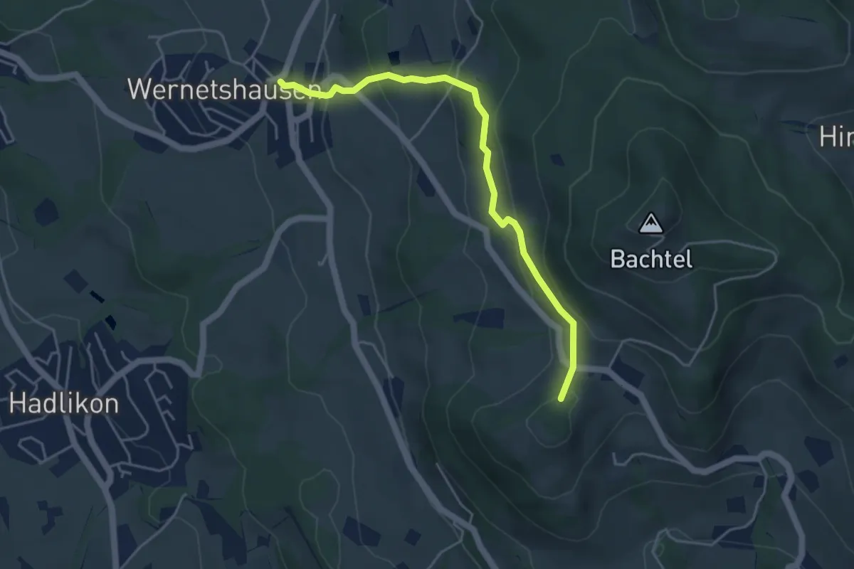
Easy · Summit
Orn – Wernetshausen
4.3 km · ↑ 246 m · 1 h 33 min · 14 km away
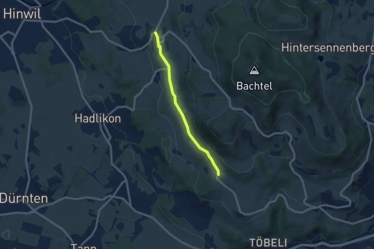
Easy · Trail
Wernetshausen – Hasenstrick
4.6 km · ↑ 102 m · 1 h 18 min · 14 km away
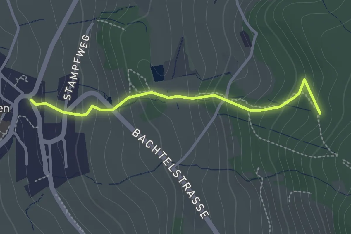
Easy · Trail
Horn – Wernetshausen
2.3 km · ↑ 205 m · 1 h · 14 km away
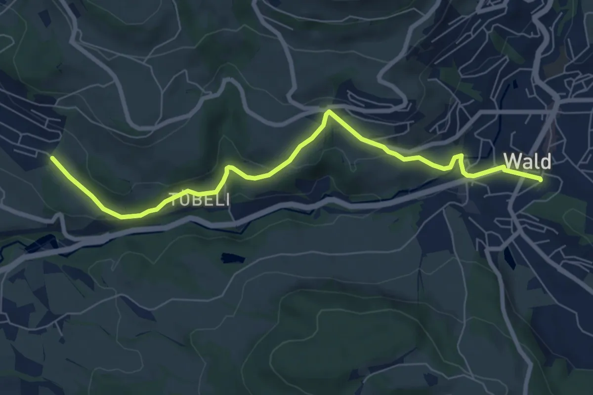
Easy · Trail
Breitenmatt – Wald
7.0 km · ↑ 232 m · 2 h 10 min · 14 km away
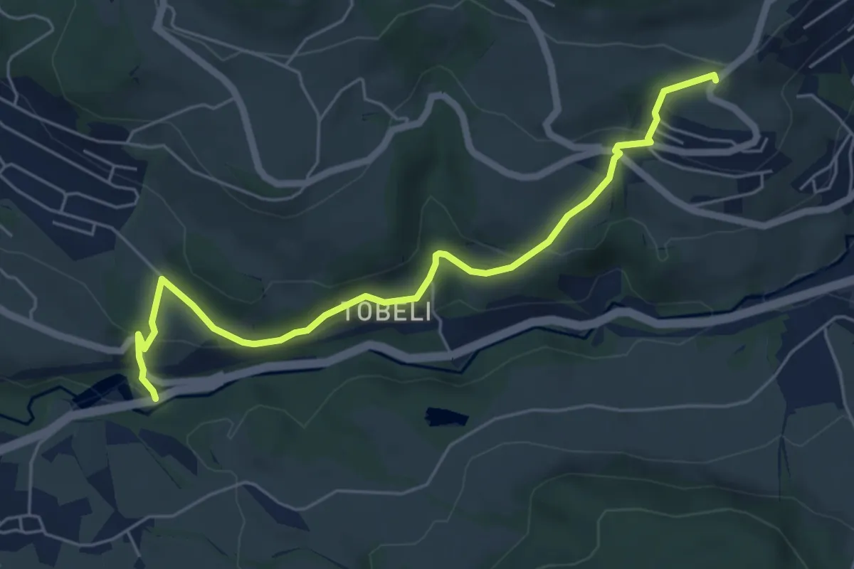
Easy · Trail
Tänler – Pilgersteg
5.7 km · ↑ 237 m · 1 h 52 min · 14 km away
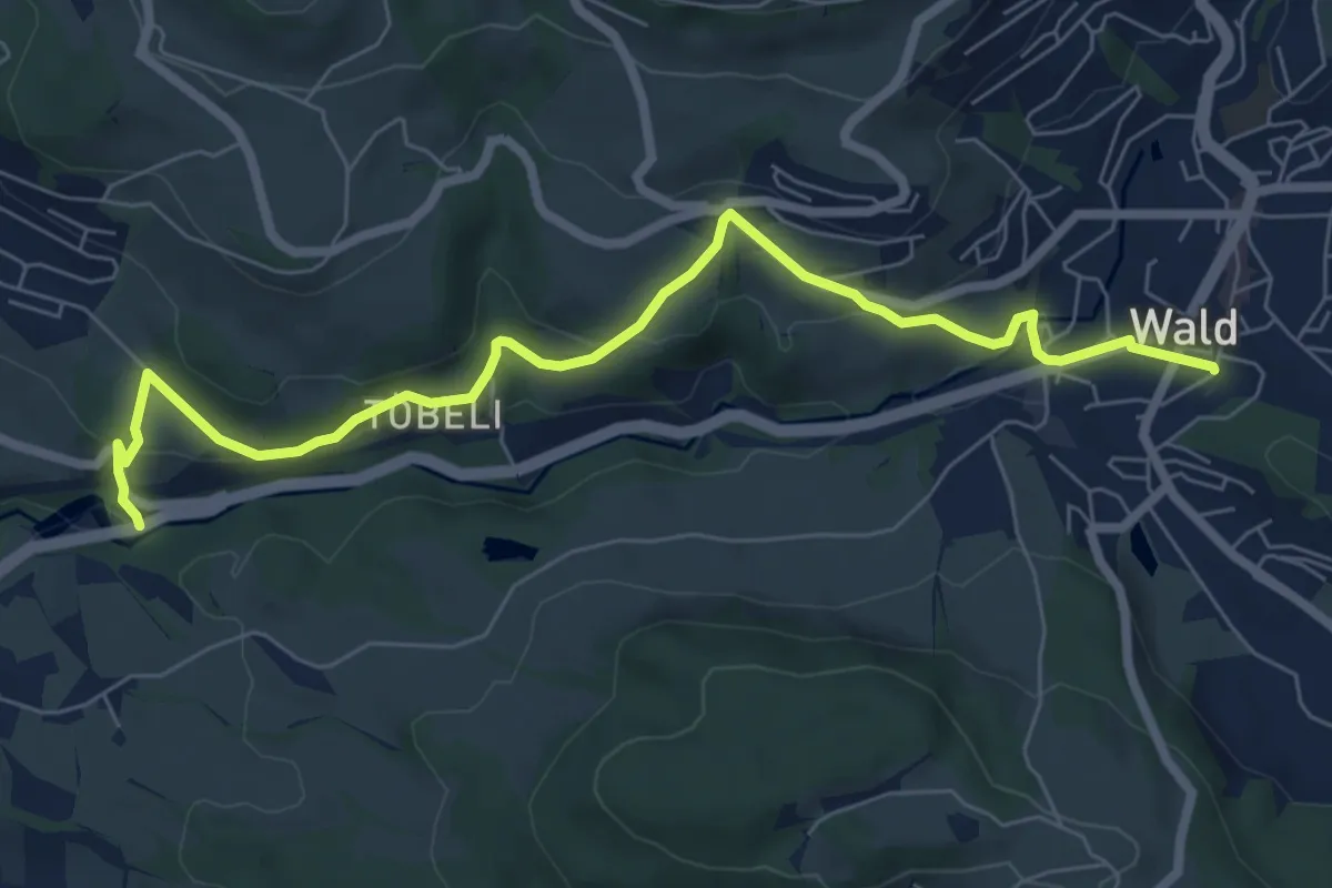
Easy · Trail
Pilgersteg – Wald
7.7 km · ↑ 277 m · 2 h 25 min · 14 km away
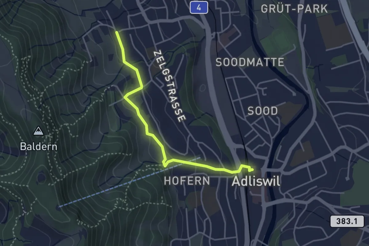
Easy · Trail
Adliswil (Bahnhof) – Ober Leimbach
3.6 km · ↑ 149 m · 1 h 10 min · 14 km away
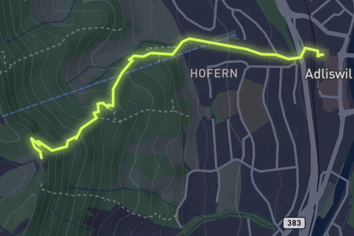
Medium · Trail
Adliswil (Bahnhof) – Felsenegg
3.5 km · ↑ 325 m · 1 h 31 min · 14 km away
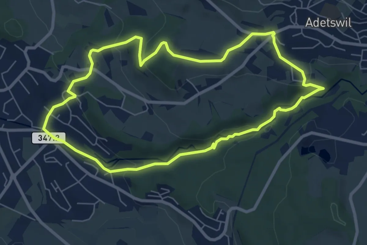
Easy · Trail
Rundweg Burgholz
5.5 km · ↑ 170 m · 1 h 45 min · 14 km away
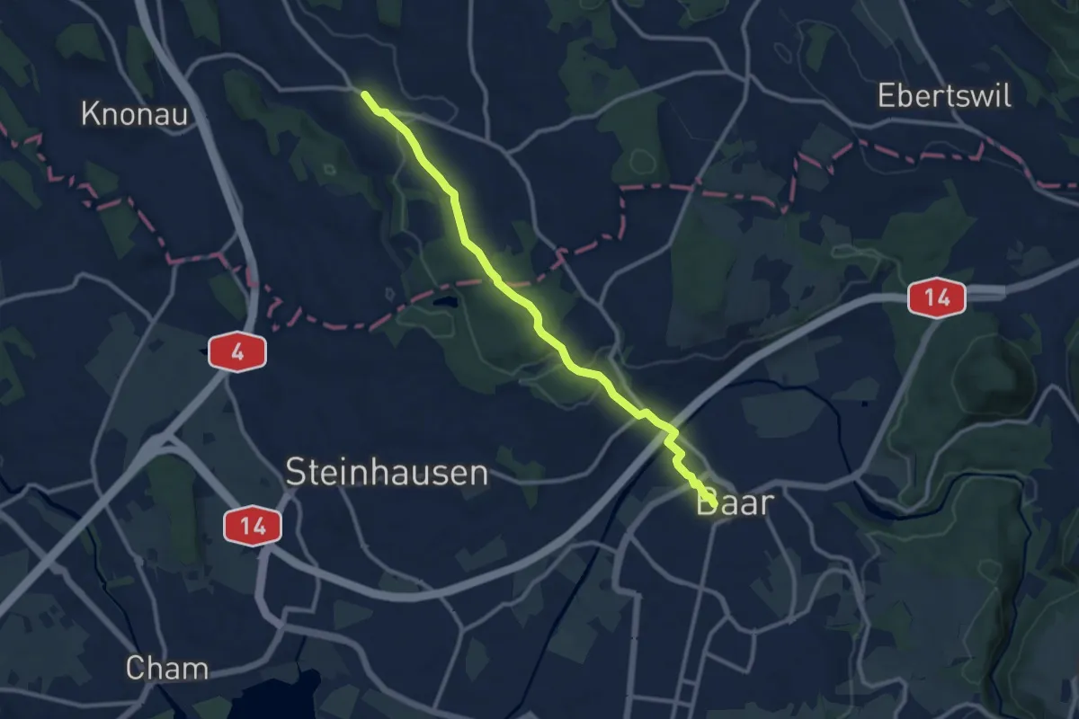
Medium · Trail
Rossau - Baar
10.0 km · ↑ 174 m · 2 h 45 min · 14 km away
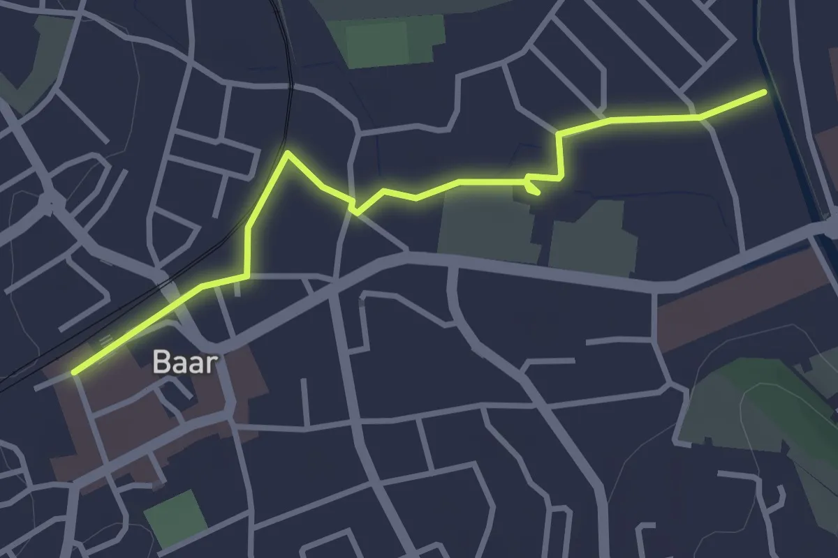
Easy · Trail
Baar-Baar SBB
3.0 km · ↑ 9 m · 43 min · 14 km away
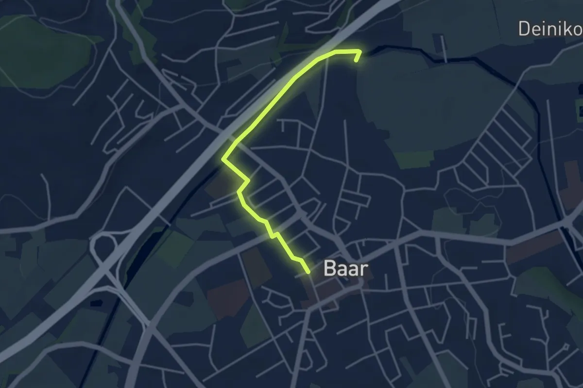
Easy · Trail
Baar SBB - Jöchler
3.3 km · ↑ 17 m · 49 min · 14 km away
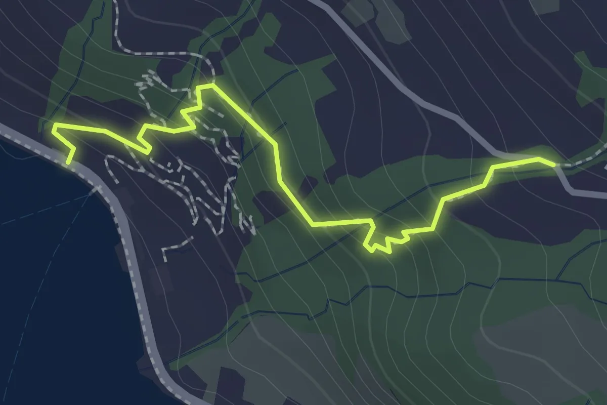
Easy · Trail
Zwüschenbäch - Ländli
2.2 km · ↑ 165 m · 53 min · 14 km away
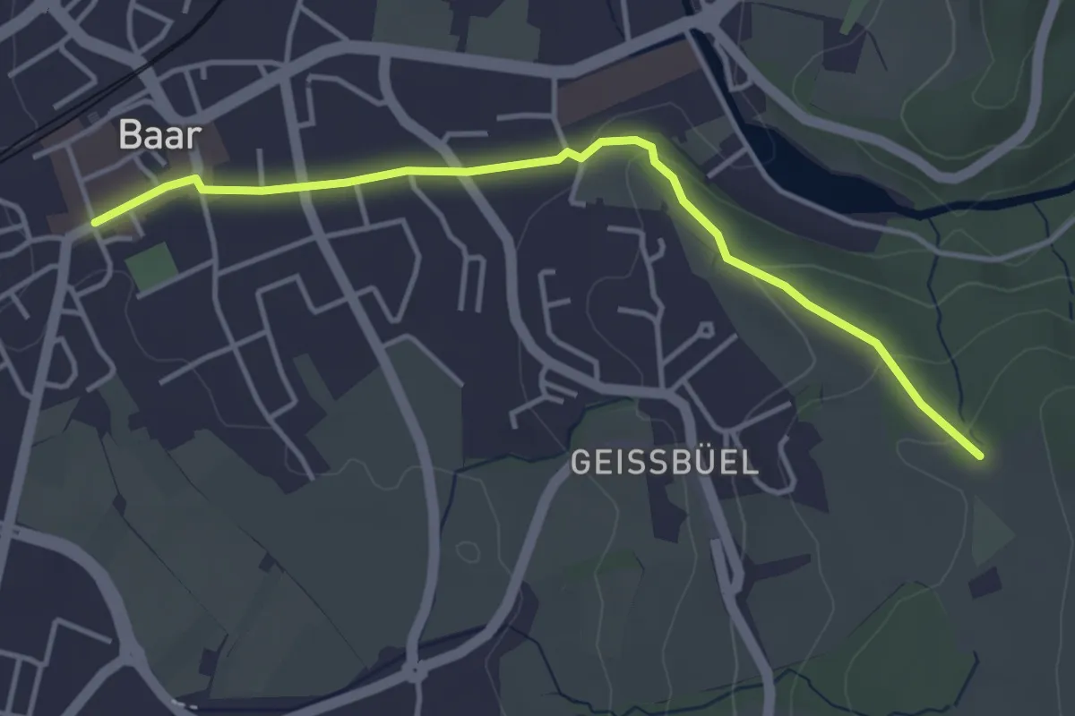
Easy · Trail
Ober Allmend - Dorfstrasse
4.0 km · ↑ 101 m · 1 h 9 min · 14 km away
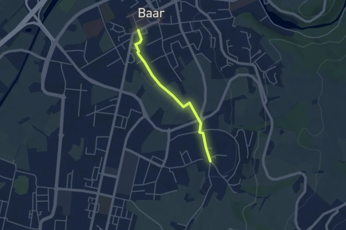
Easy · Trail
Baar Dorfstrasse - Inwil
3.3 km · ↑ 17 m · 48 min · 14 km away
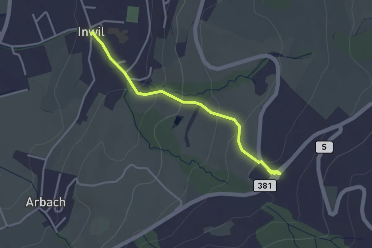
Easy · Trail
Inwil - Talacher
2.7 km · ↑ 119 m · 54 min · 14 km away
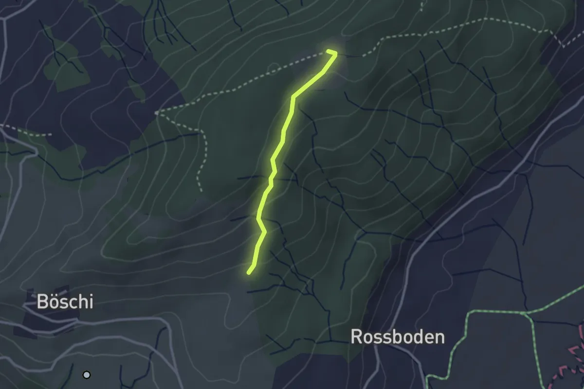
Easy · Trail
Böschirain - St. Jost
2.0 km · ↑ 91 m · 40 min · 14 km away
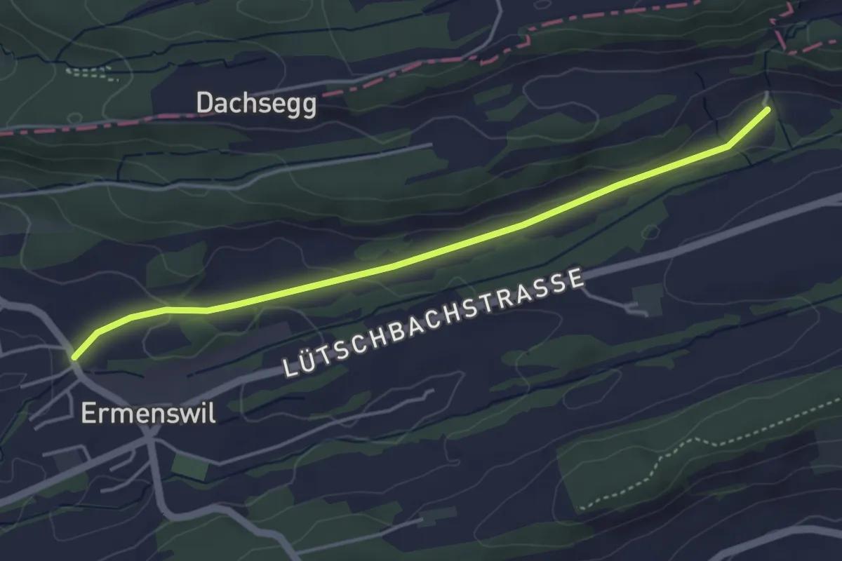
Easy · Trail
Kraueren – Ermenswil
4.2 km · ↑ 74 m · 1 h 9 min · 14 km away