Trails near Männedorf
653 hikes starting within 15 km, nearest first.
Nearest first, page 13 of 14
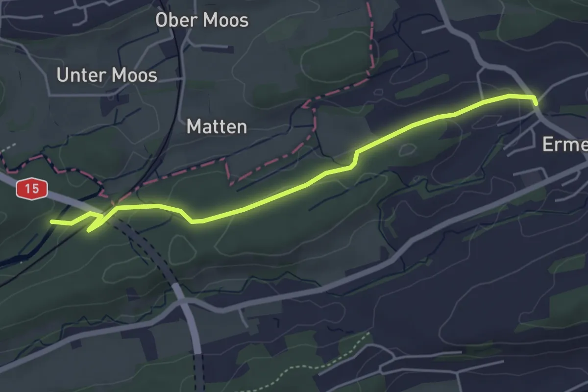
Easy · Trail
Hackennest – Ermenswil
4.4 km · ↑ 63 m · 1 h 10 min · 14 km away
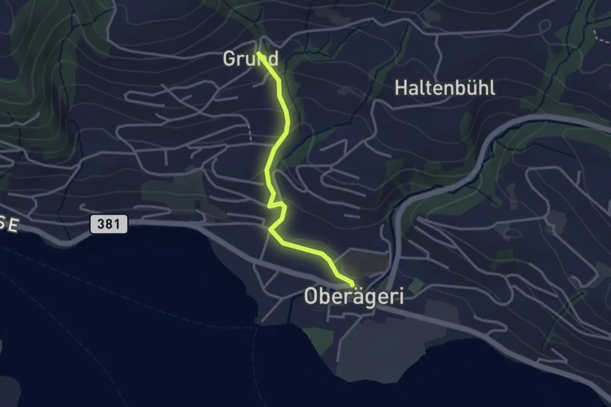
Easy · Trail
Grund - Oberägeri
2.6 km · ↑ 117 m · 52 min · 14 km away
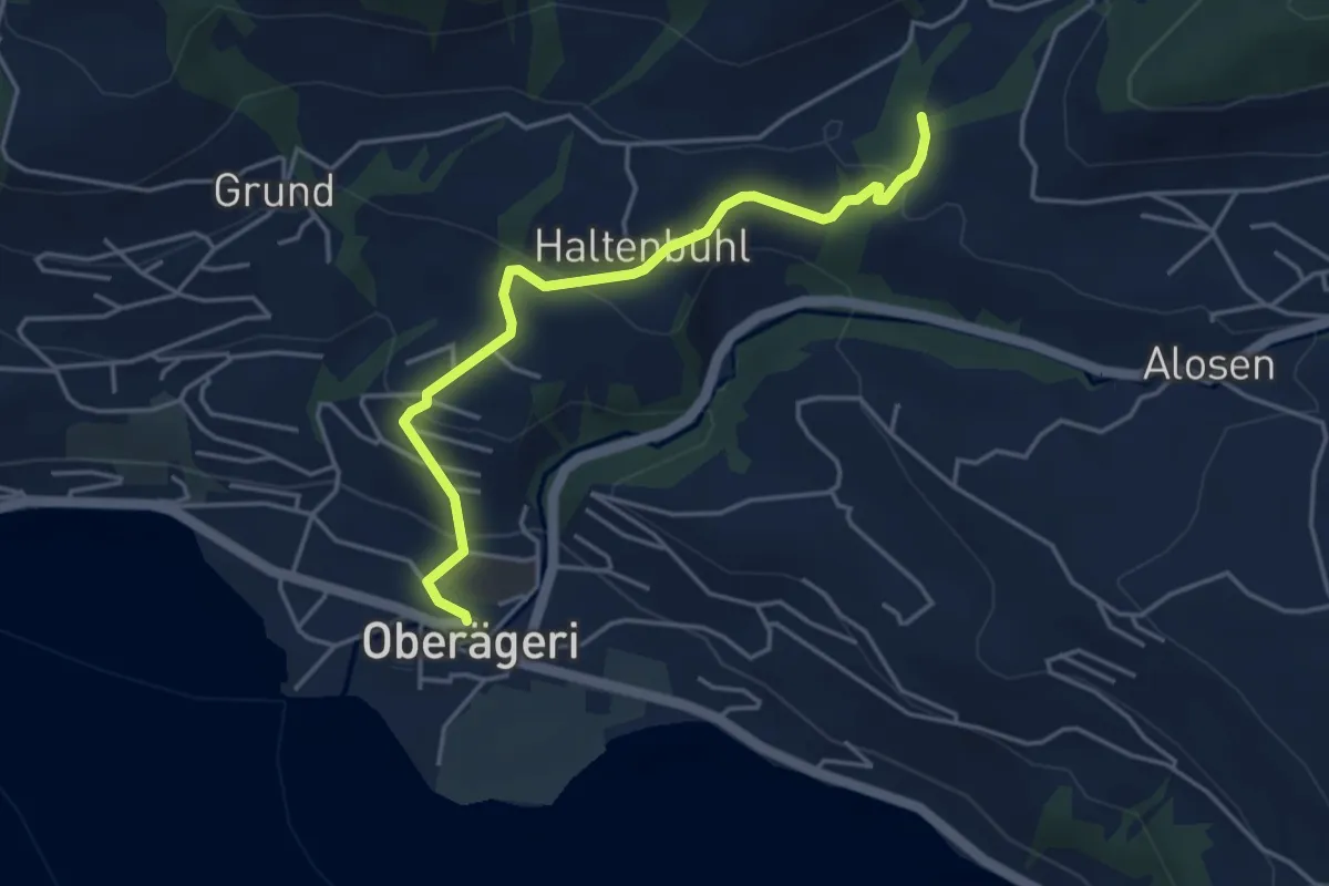
Easy · Trail
Chefibach – Oberägeri
4.3 km · ↑ 181 m · 1 h 24 min · 14 km away
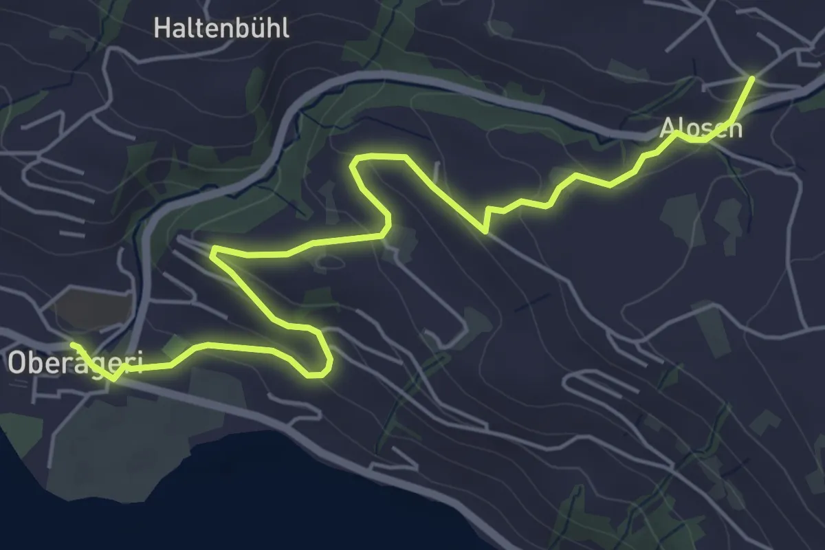
Easy · Trail
Alosen - Oberägeri
6.3 km · ↑ 175 m · 1 h 53 min · 14 km away
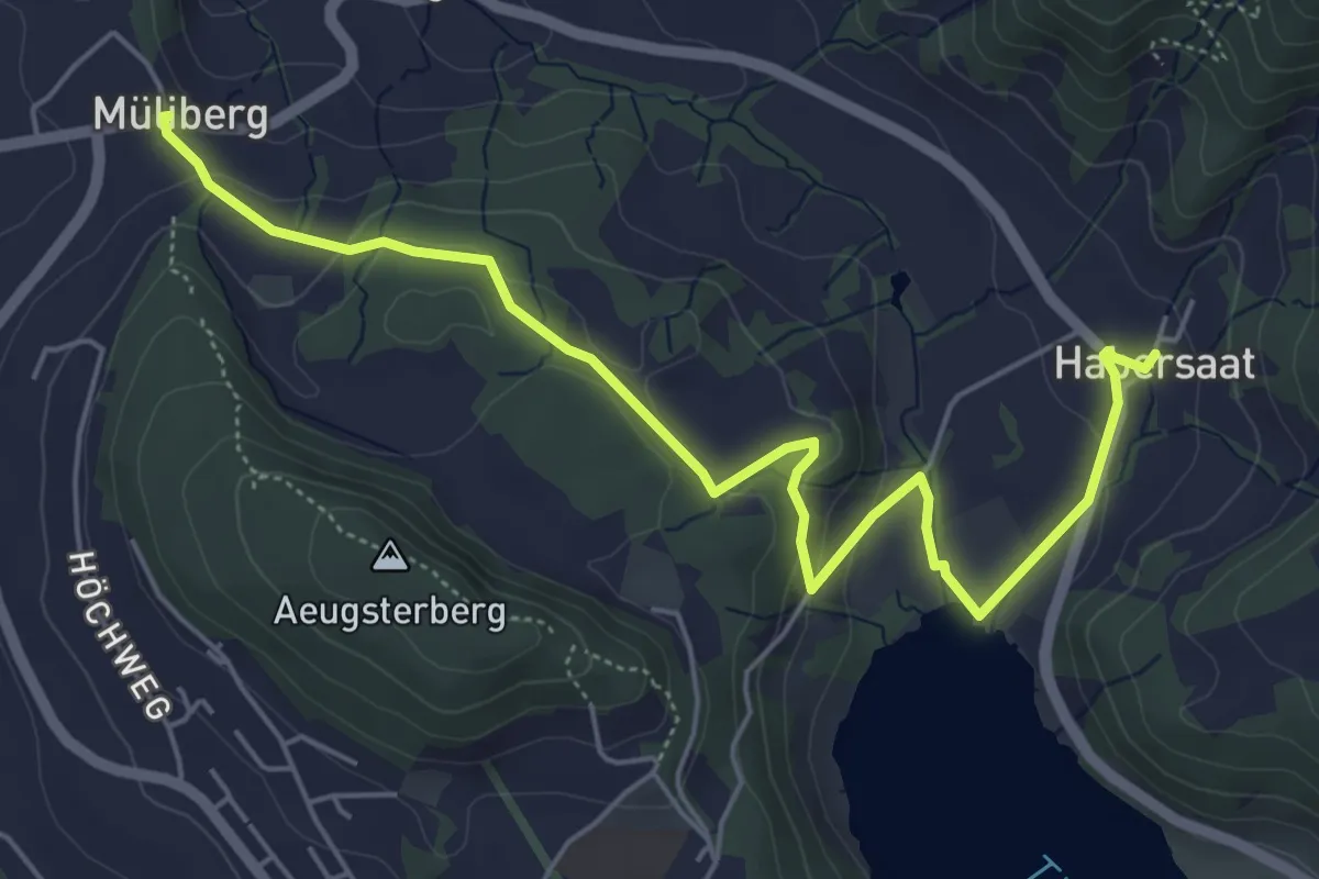
Easy · Trail
Habersaat – Müliberg
6.2 km · ↑ 199 m · 1 h 53 min · 14 km away
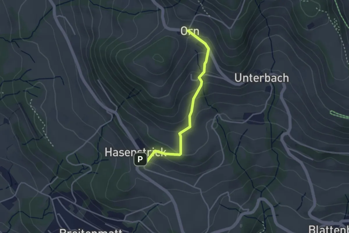
Easy · Trail
Hasenstrick – Orn
2.8 km · ↑ 176 m · 1 h 2 min · 14 km away
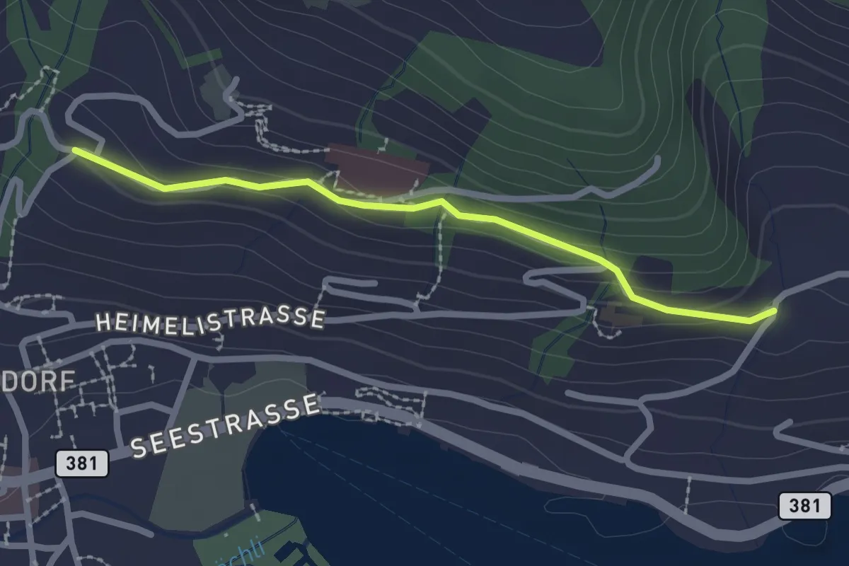
Easy · Trail
Erliberg - Heimhusen
2.1 km · ↑ 82 m · 41 min · 14 km away
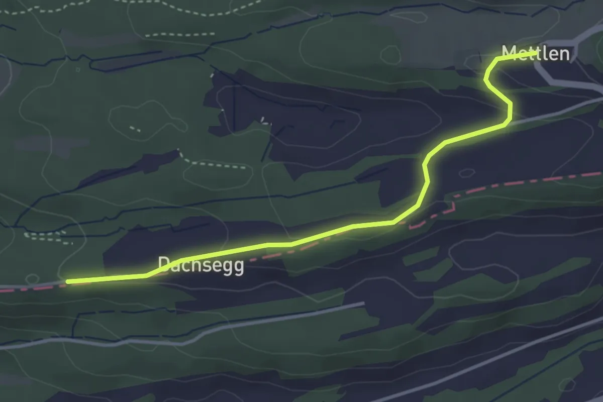
Easy · Trail
Mettlen – Honegg
3.7 km · ↑ 91 m · 1 h 5 min · 14 km away
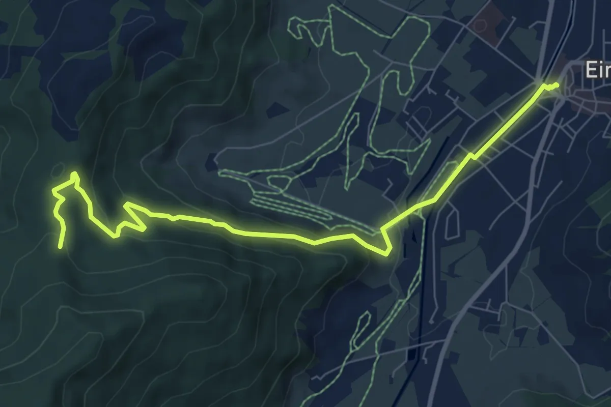
Medium · Trail
Einsiedeln Bahnhof – Schwyzeren
8.2 km · ↑ 293 m · 2 h 34 min · 14 km away
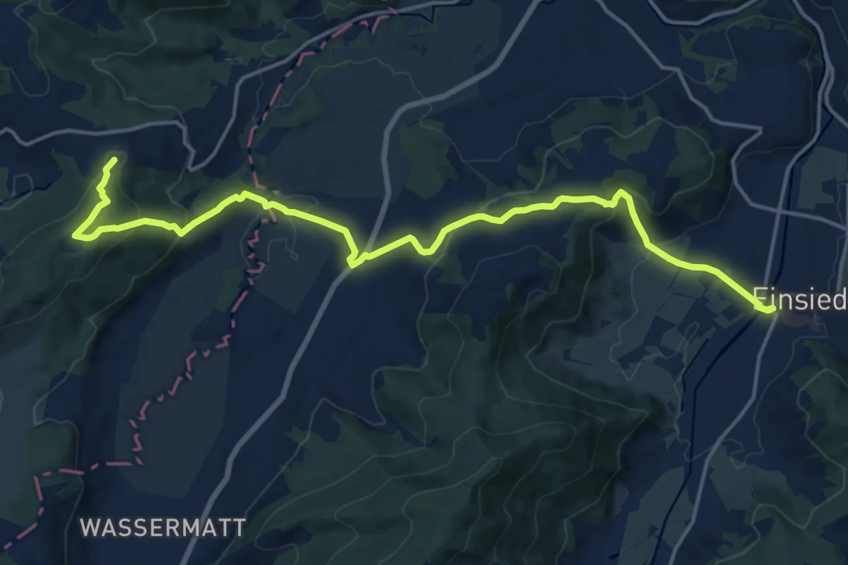
Medium · Summit
Alpenpanorama-Weg
16.8 km · ↑ 661 m · 5 h 23 min · 14 km away
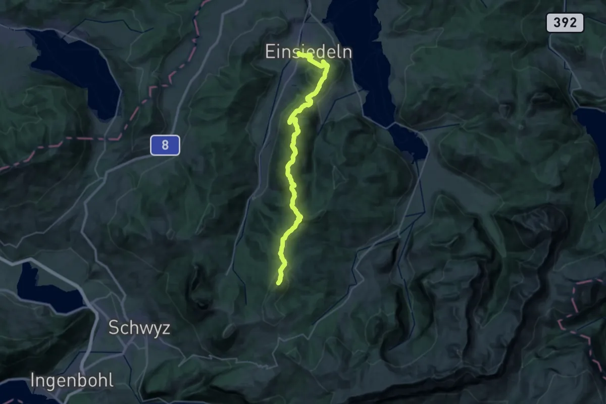
Demanding · Summit
Schwyzer Höhenweg - Etappe 5
28.8 km · ↑ 1471 m · 10 h · 14 km away
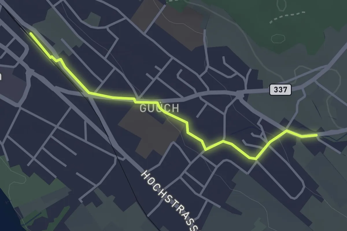
Easy · Trail
Pfäffikon – Oberwil
3.1 km · ↑ 43 m · 49 min · 14 km away
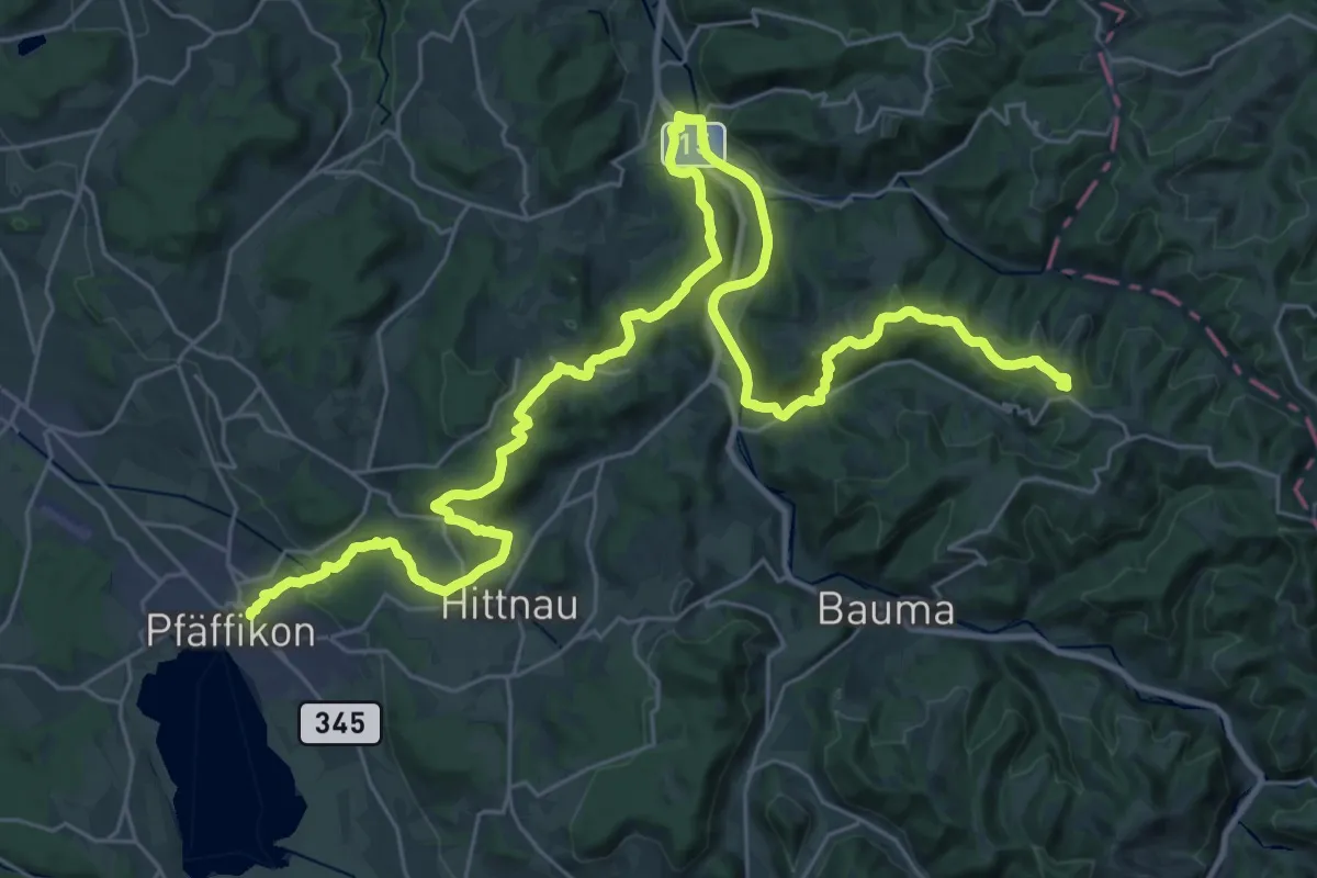
Demanding · Summit
Jakob-Stutz-Weg
42.5 km · ↑ 1006 m · 12 h 13 min · 14 km away
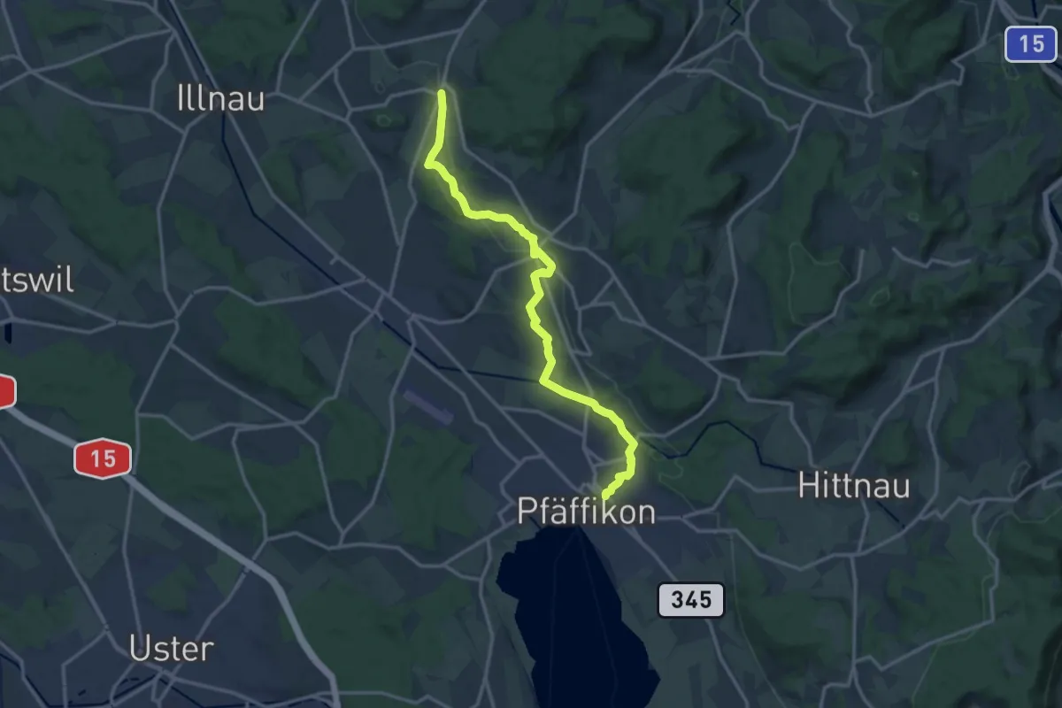
Medium · Trail
Rumlikon – Pfäffikon
13.8 km · ↑ 248 m · 3 h 48 min · 14 km away
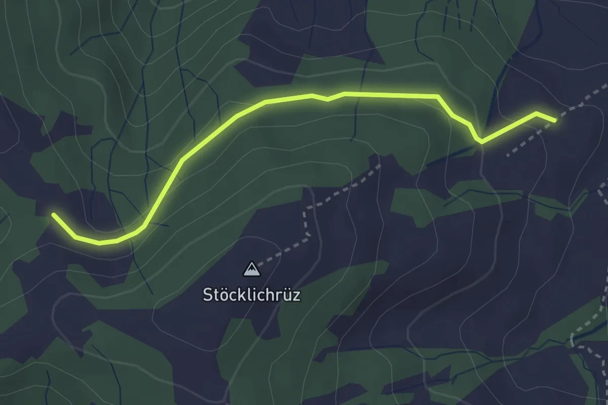
Easy · Trail
Diebishütten – Müligassegg
2.9 km · ↑ 79 m · 52 min · 15 km away
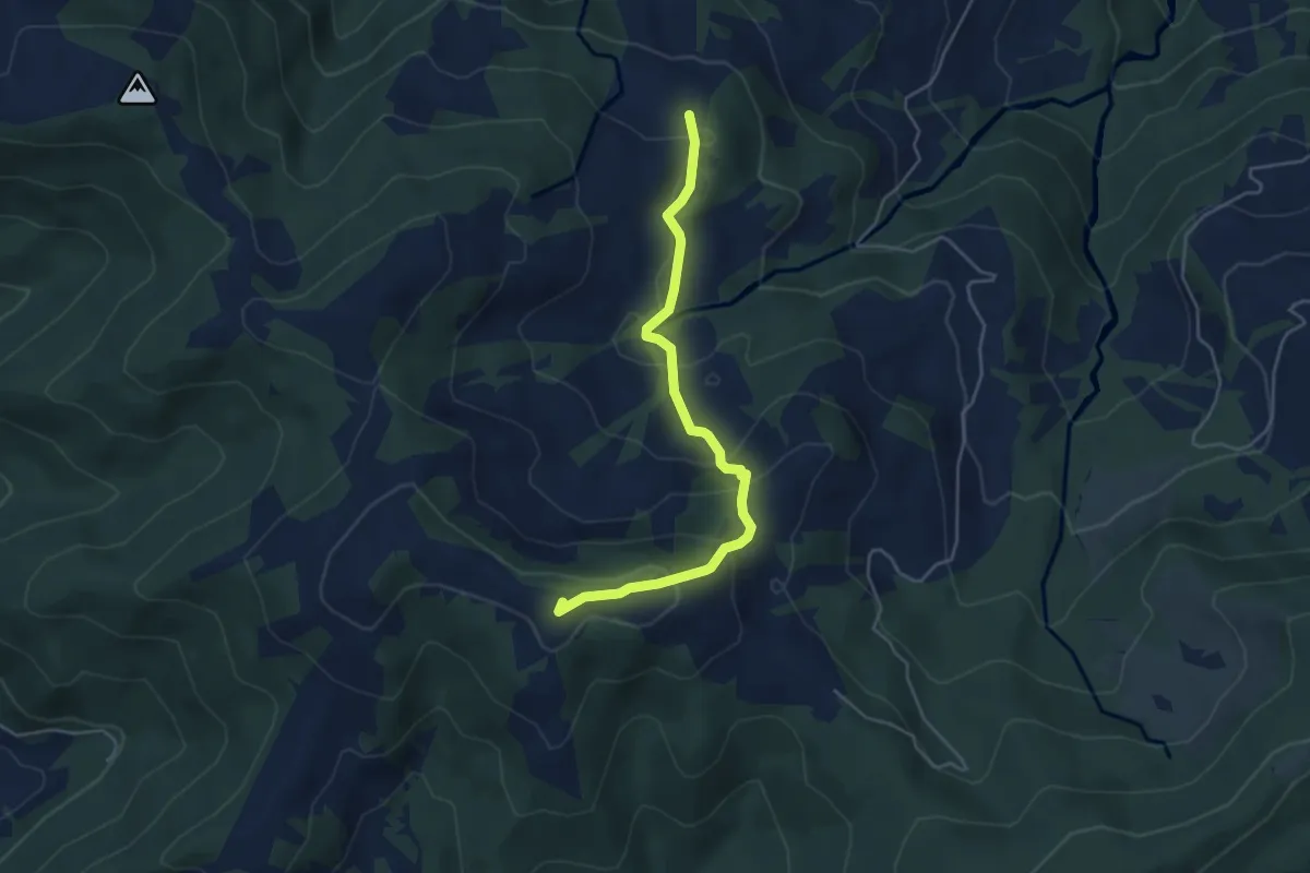
Easy · Trail
Waldeggli - Gueteregg
4.5 km · ↑ 238 m · 1 h 35 min · 15 km away
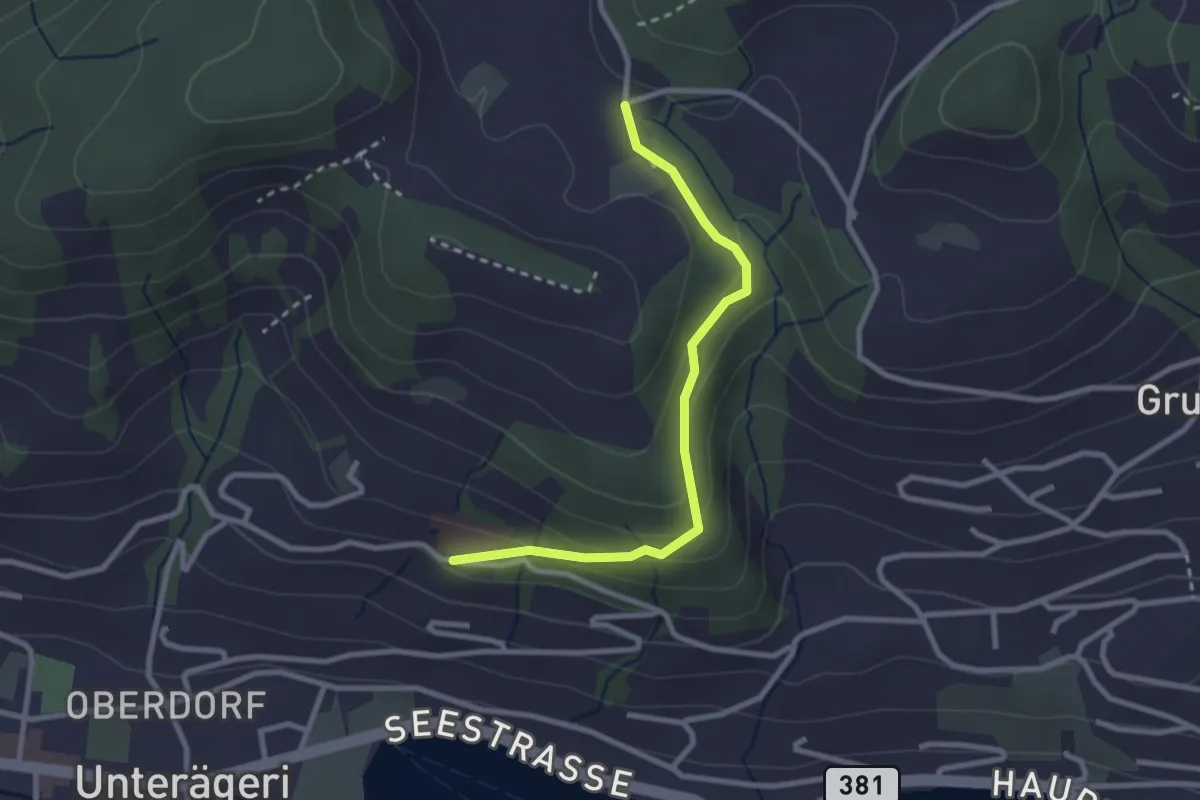
Easy · Trail
Klinik Adelheid - Hinterwiden
2.6 km · ↑ 120 m · 53 min · 15 km away
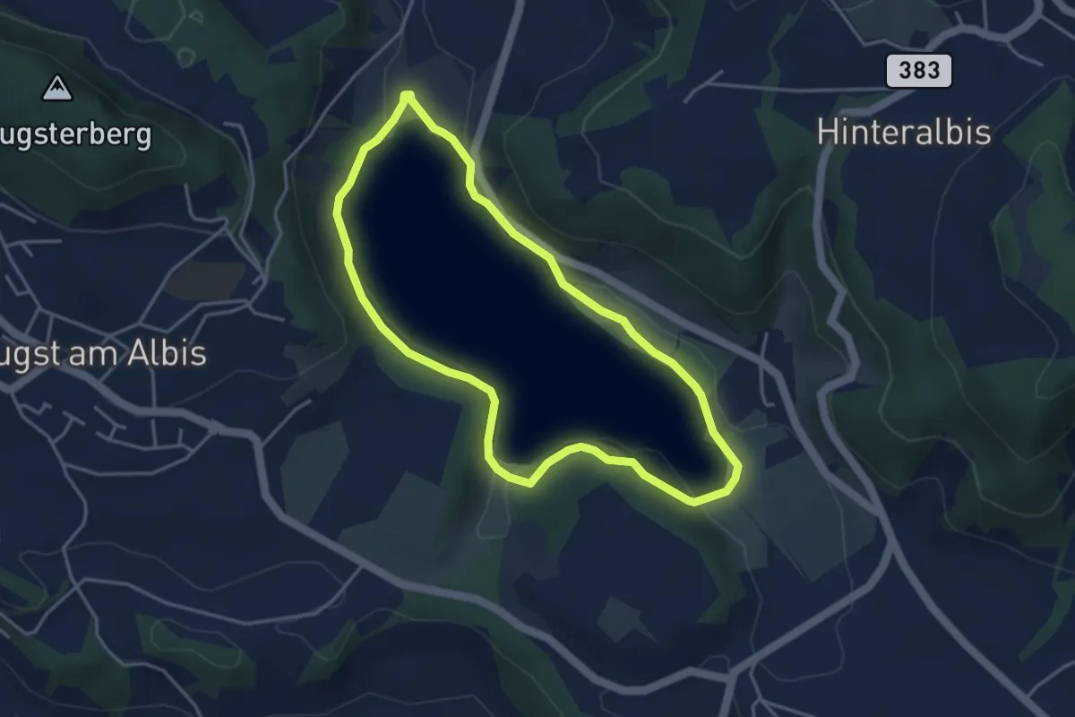
Easy · Trail
Türlerseerundweg
3.7 km · ↑ 39 m · 1 h · 15 km away
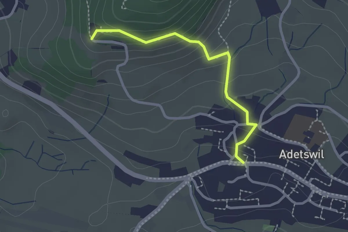
Easy · Trail
Adetswil - Rosinli
2.1 km · ↑ 129 m · 47 min · 15 km away
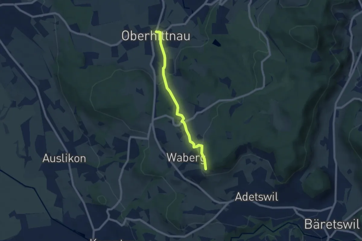
Easy · Trail
Oberhittnau - Rosinli
4.8 km · ↑ 149 m · 1 h 27 min · 15 km away
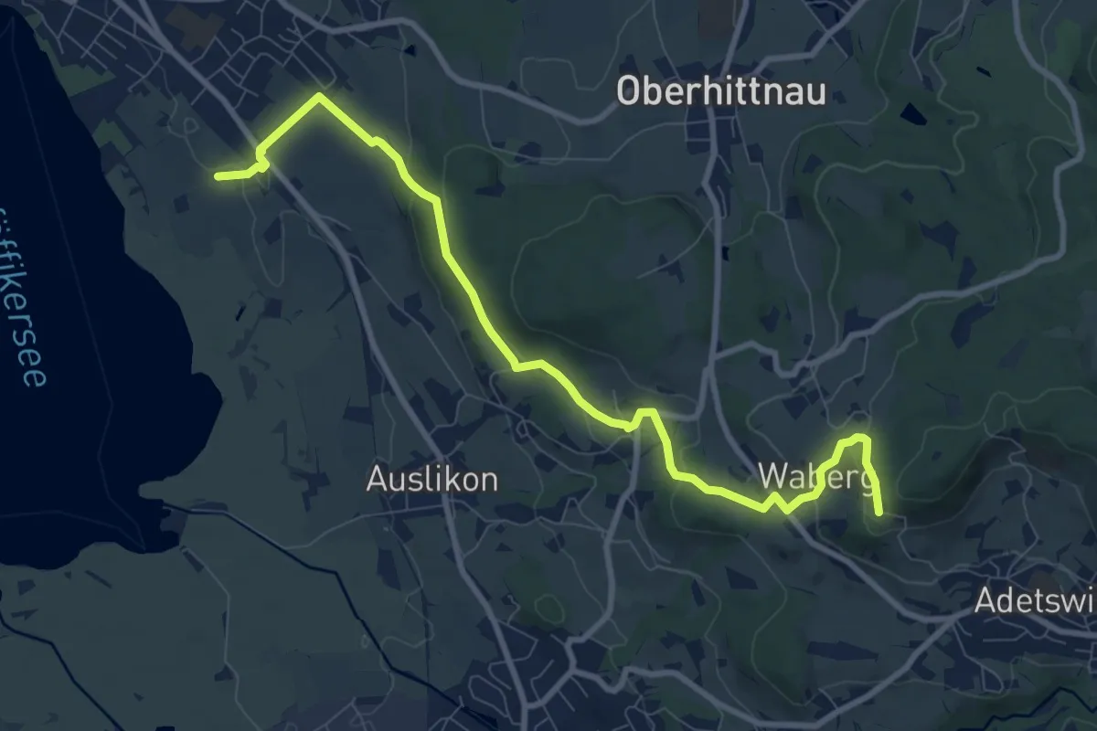
Medium · Trail
Römerkastell – Rosinli
9.9 km · ↑ 285 m · 2 h 57 min · 15 km away
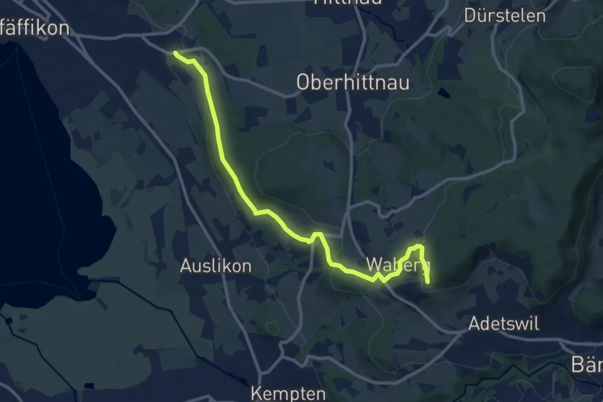
Medium · Trail
Oberwil - Rosinli
8.9 km · ↑ 244 m · 2 h 38 min · 15 km away
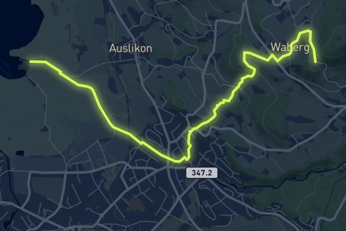
Medium · Trail
Strandbad Auslikon – Rosinli
10.7 km · ↑ 274 m · 3 h 7 min · 15 km away
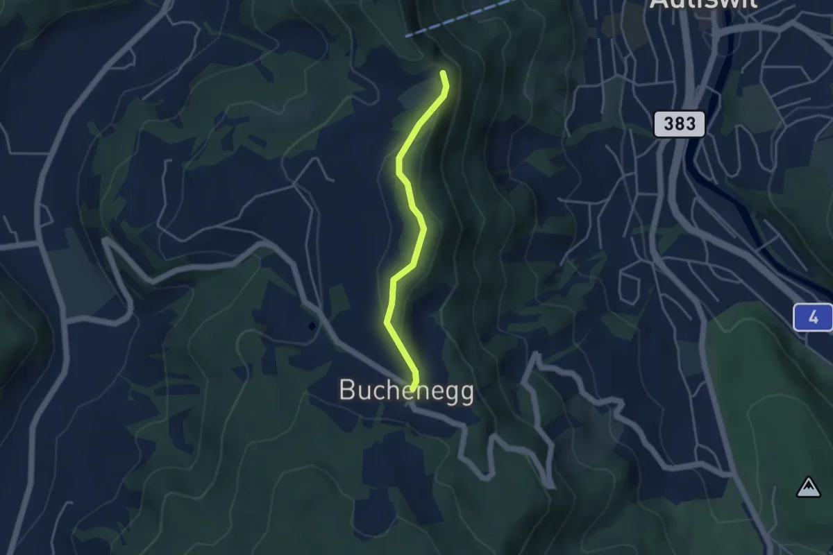
Easy · Trail
Felsenegg – Buchenegg
3.2 km · ↑ 67 m · 54 min · 15 km away
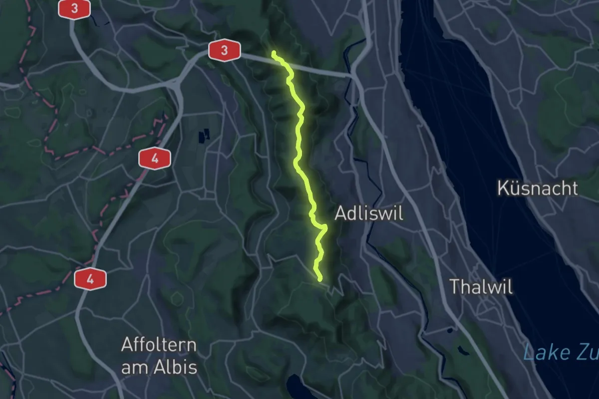
Medium · Summit
Albisgrat-Höhenweg
14.1 km · ↑ 426 m · 4 h 16 min · 15 km away
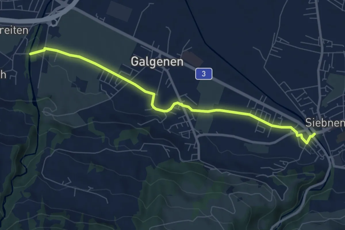
Easy · Trail
Siebnen - Steinegg
7.4 km · ↑ 35 m · 1 h 49 min · 15 km away
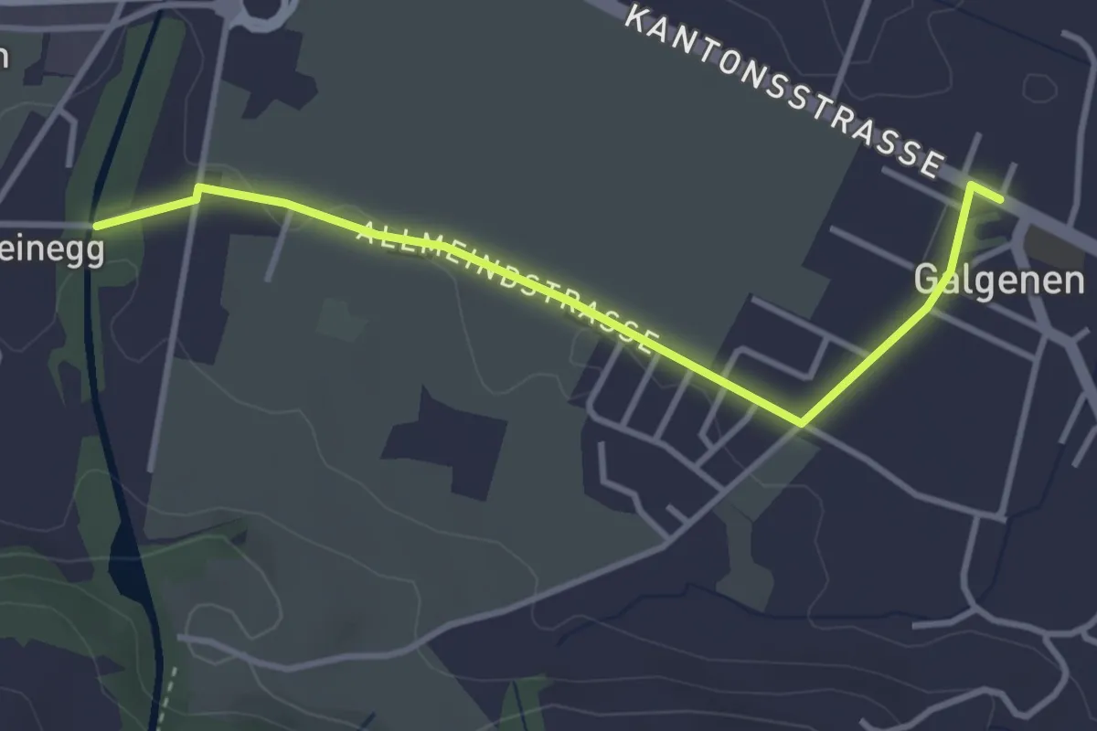
Easy · Trail
Galgenen - Steinegg
3.4 km · ↑ 31 m · 52 min · 15 km away
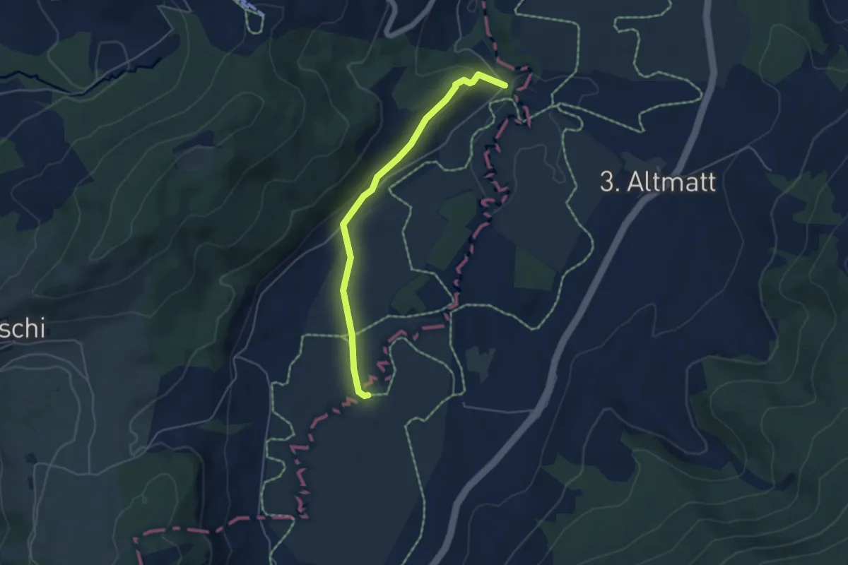
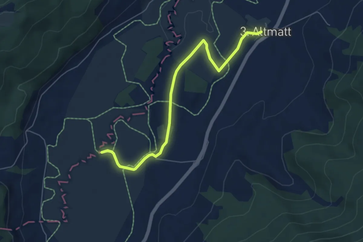
Easy · Trail
Bibersteg - Bubrugg
4.5 km · ↑ 140 m · 1 h 21 min · 15 km away
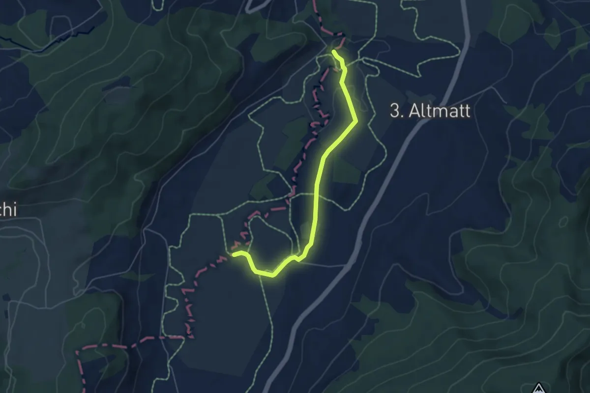
Easy · Trail
Dritte Altmatt - Bubrugg
5.6 km · ↑ 37 m · 1 h 24 min · 15 km away
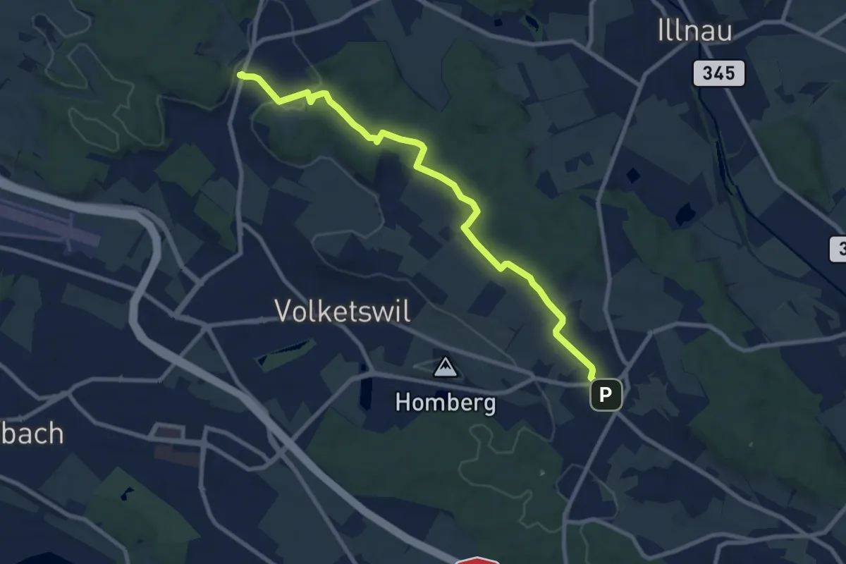
Easy · Trail
Bibersteg – Bubrugg
5.0 km · ↑ 45 m · 1 h 16 min · 15 km away
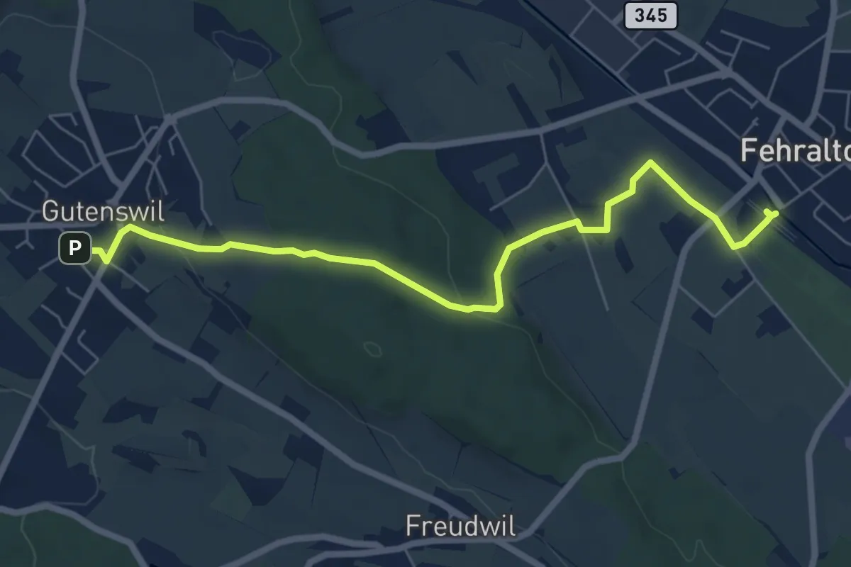
Medium · Trail
Gutenswil – Kindhausen
9.1 km · ↑ 185 m · 2 h 32 min · 15 km away
Easy · Trail
Gutenswil - Fehraltorf
6.6 km · ↑ 148 m · 1 h 53 min · 15 km away
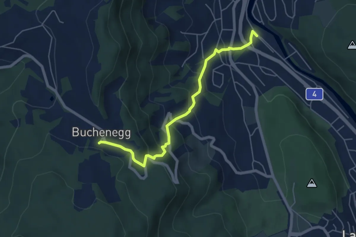
Medium · Trail
Näfenhüser – Sihlau
4.7 km · ↑ 332 m · 1 h 49 min · 15 km away
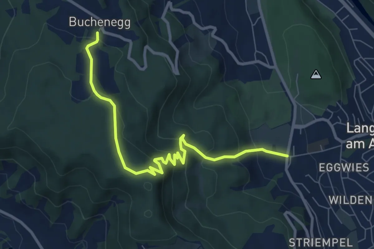
Medium · Trail
Näfenhüser – Unteralbis
7.3 km · ↑ 456 m · 2 h 42 min · 15 km away
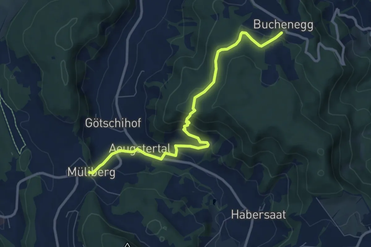
Medium · Trail
Näfenhüser – Müliberg
7.6 km · ↑ 359 m · 2 h 35 min · 15 km away
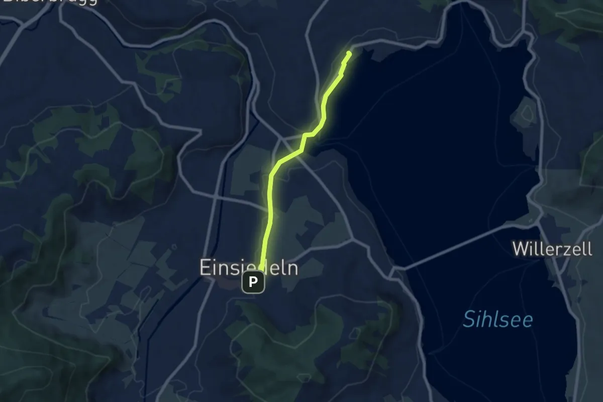
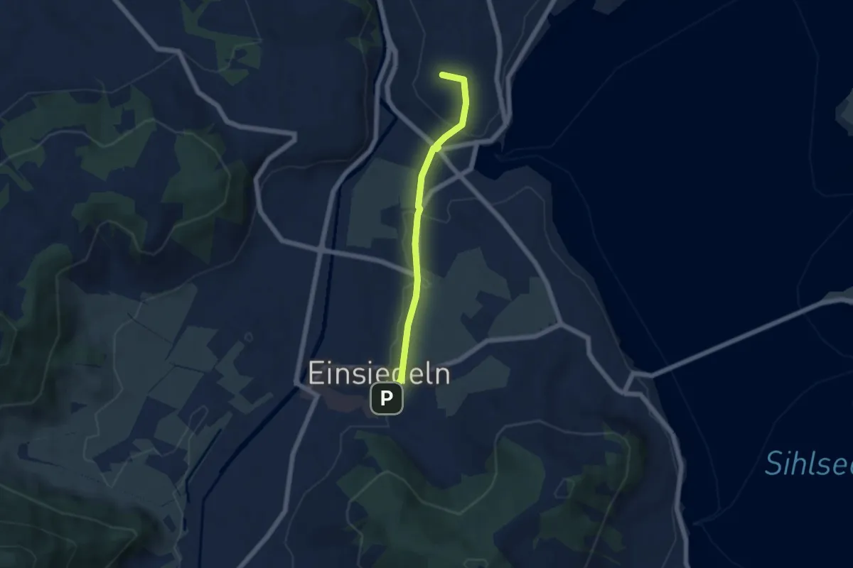
Easy · Trail
Kloster Einsiedeln - Strandbad Einsiedeln
5.8 km · ↑ 42 m · 1 h 28 min · 15 km away
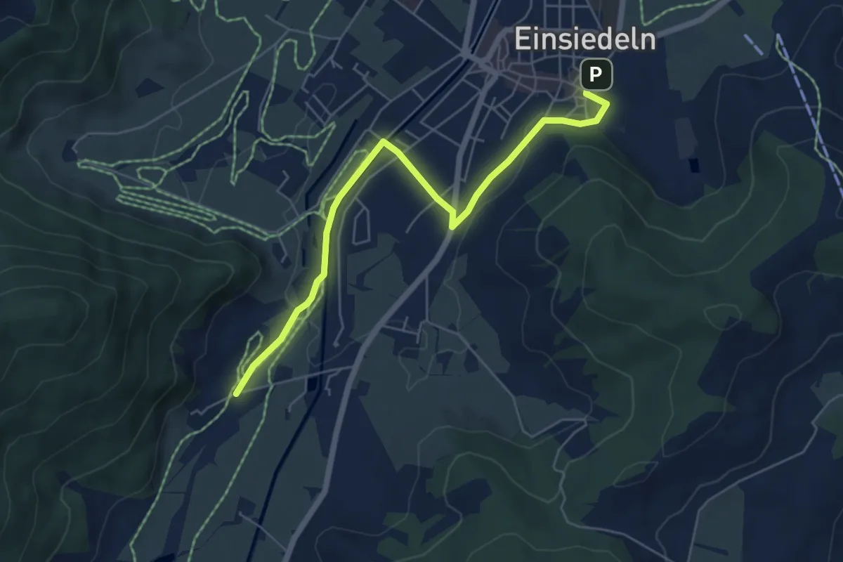
Easy · Summit
Kloster Einsiedeln - Galgenchappeli
4.6 km · ↑ 72 m · 1 h 14 min · 15 km away
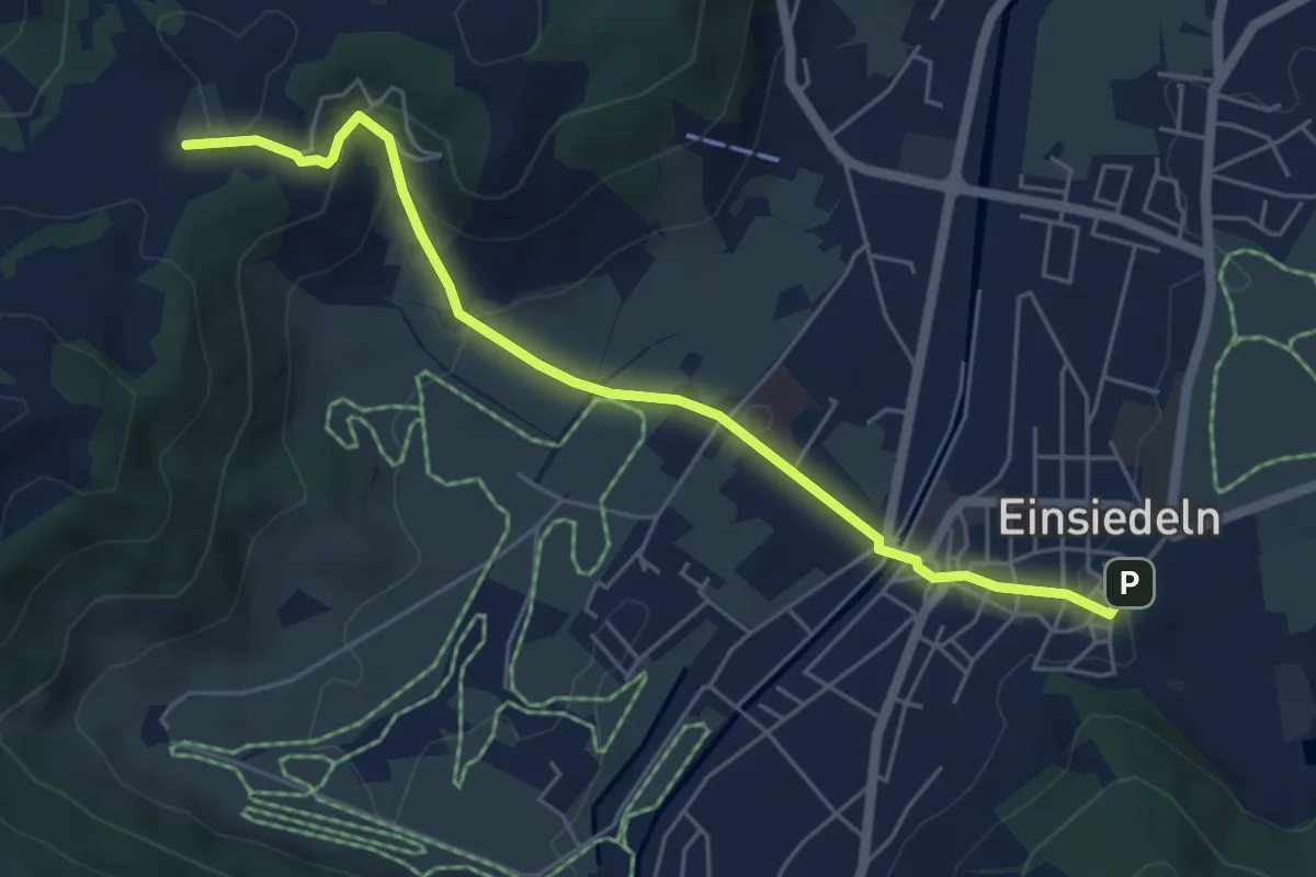
Easy · Trail
Kloster Einsiedeln - Kloster Au
5.8 km · ↑ 63 m · 1 h 30 min · 15 km away
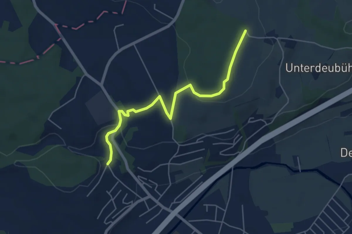
Easy · Trail
Einsiedeln - Chatzenstrick
5.6 km · ↑ 209 m · 1 h 47 min · 15 km away
Easy · Trail
Banäbni - Schönbüelwald
4.7 km · ↑ 88 m · 1 h 18 min · 15 km away
Easy · Trail
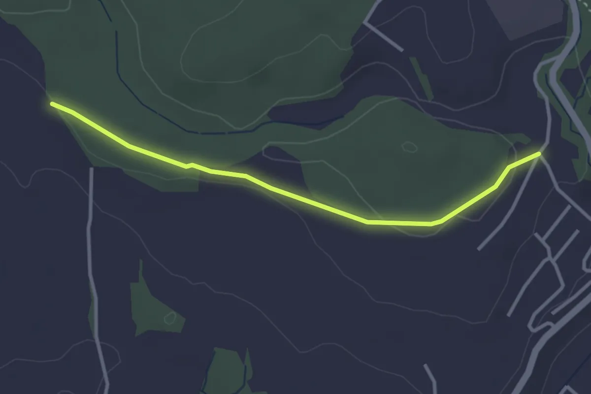
Steinhauserwald - Banäbni
3.0 km · ↑ 52 m · 49 min · 15 km away
Medium · Summit
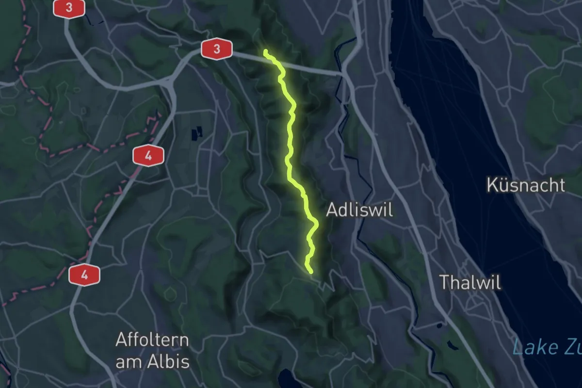
Planetenweg Uetliberg
13.8 km · ↑ 418 m · 4 h 9 min · 15 km away
Easy · Trail
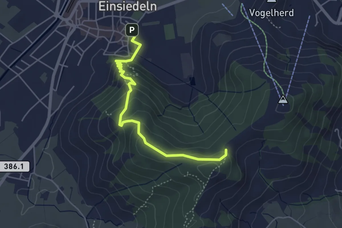
Einsiedeln Kloster – Friherrenberg
4.3 km · ↑ 196 m · 1 h 26 min · 15 km away
Easy · Trail
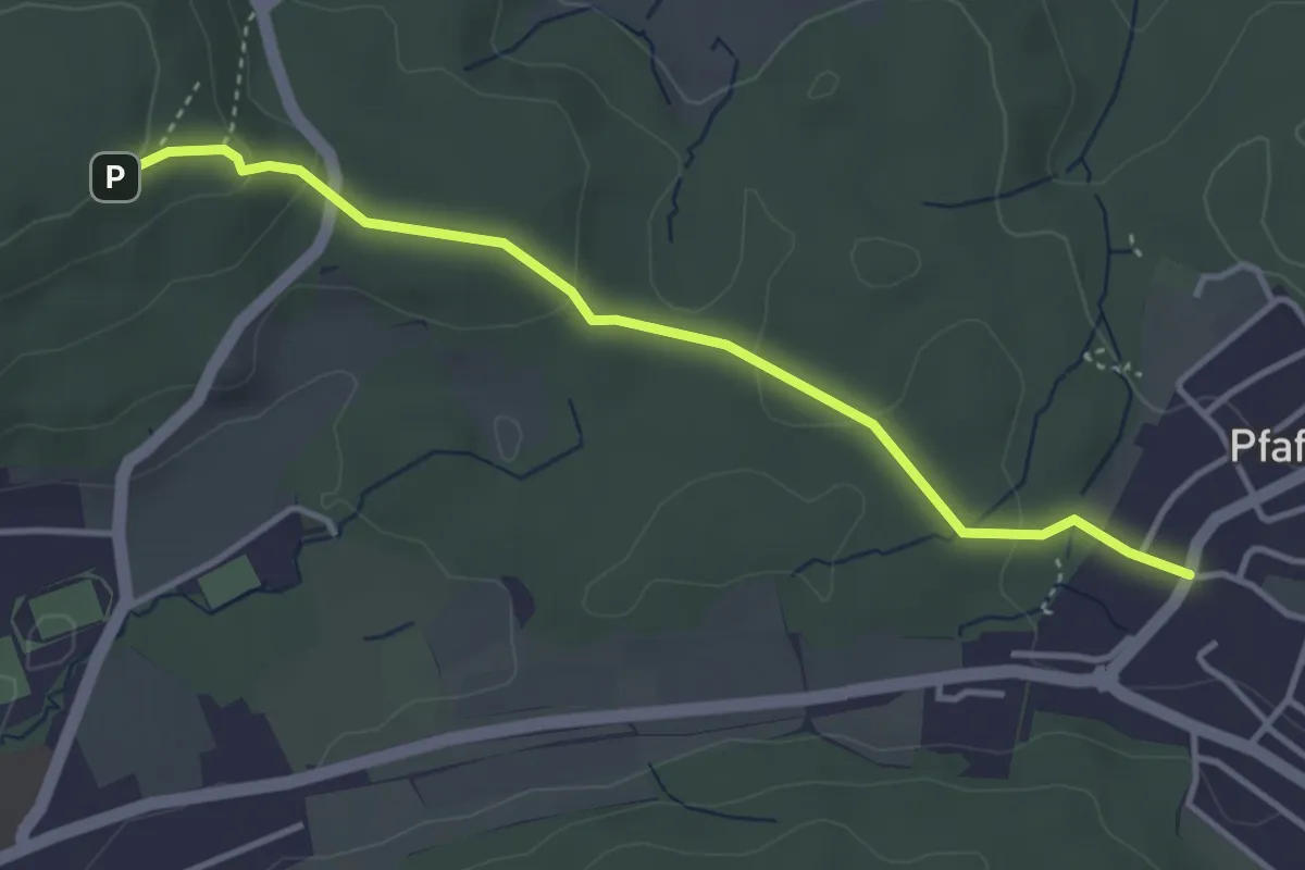
Pfaffhausen - Lorenchopf
3.7 km · ↑ 123 m · 1 h 9 min · 15 km away
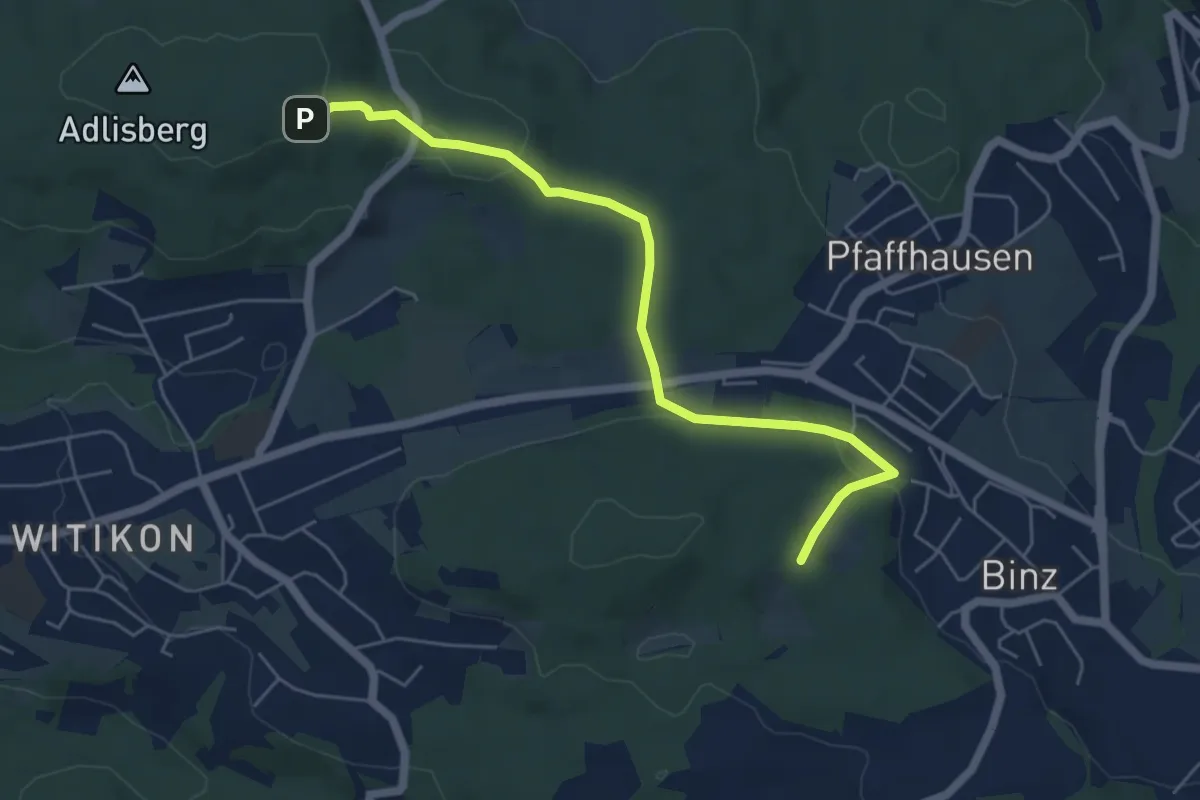
Easy · Trail
Lorenchopf - Fridlimatt
5.6 km · ↑ 157 m · 1 h 40 min · 15 km away
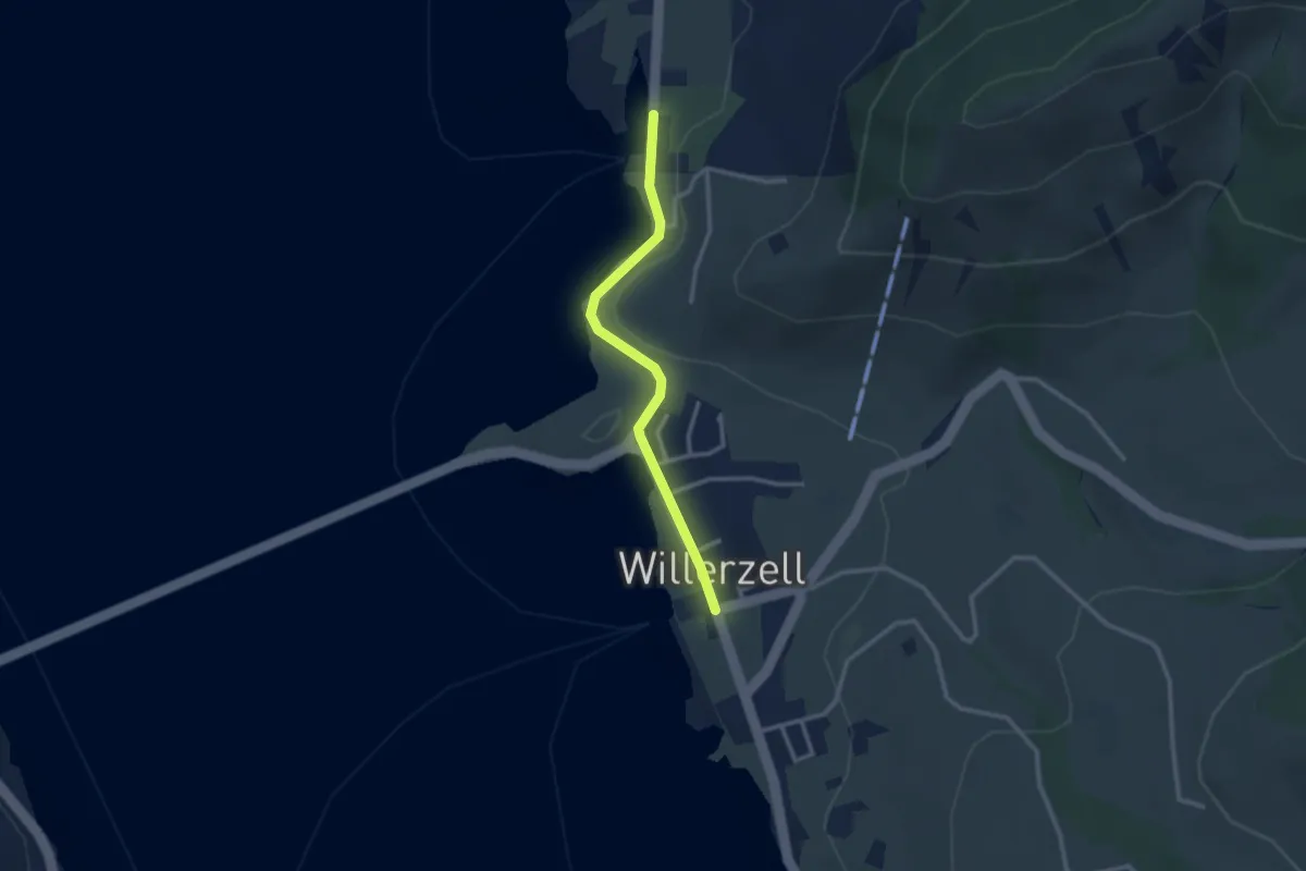
Easy · Trail
Willerzell - Büel (Grüen Aff)
2.5 km · ↑ 31 m · 40 min · 15 km away
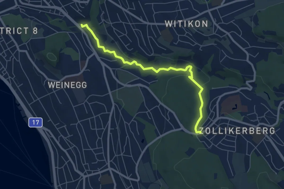
Easy · Trail
Burgwis - Waldburg
6.0 km · ↑ 128 m · 1 h 41 min · 15 km away
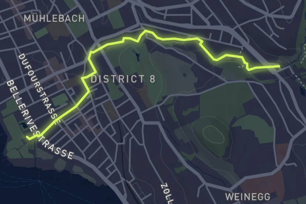
Easy · Trail
Burgwis - Zürichhorn
4.4 km · ↑ 49 m · 1 h 8 min · 15 km away