Trails near Männedorf
653 hikes starting within 15 km, nearest first.
Nearest first, page 14 of 14
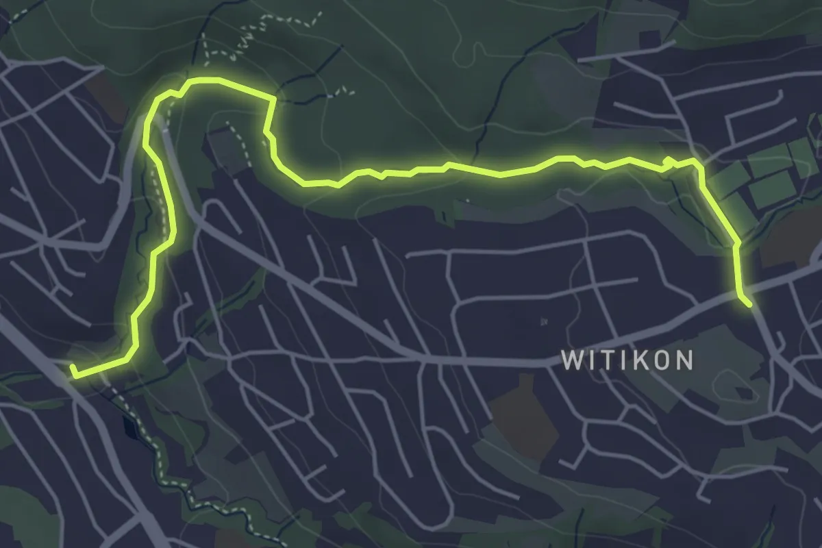
Easy · Trail
Burgwis - Witikon
5.8 km · ↑ 143 m · 1 h 40 min · 15 km away
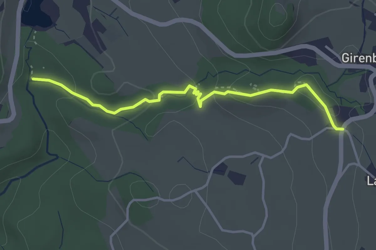
Easy · Trail
Wildbach – Girenbad (Parkplatz)
3.2 km · ↑ 105 m · 59 min · 15 km away
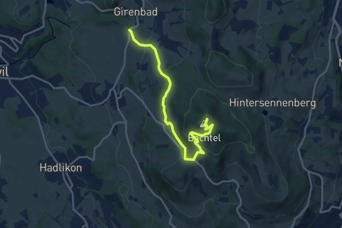
Medium · Summit
Geopfad am Bachtel
8.2 km · ↑ 394 m · 2 h 47 min · 15 km away
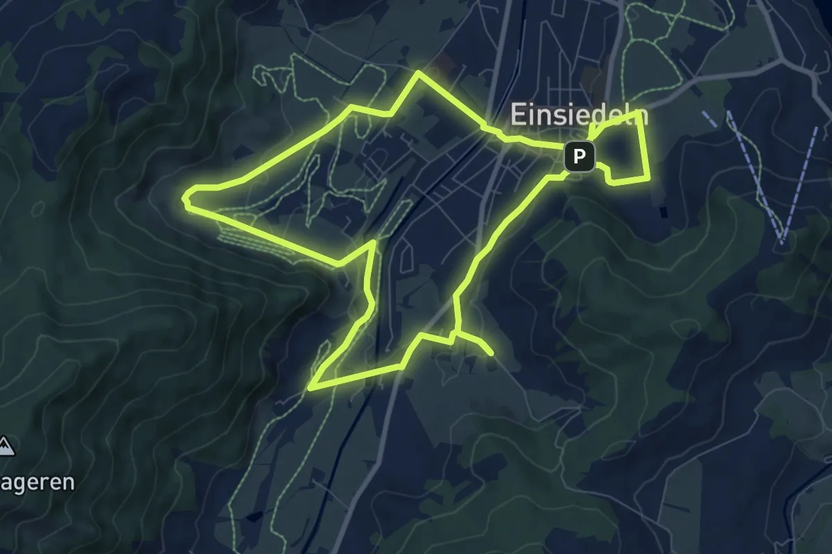
Medium · Trail
Einsiedler Herbschtfäscht
8.9 km · ↑ 81 m · 2 h 24 min · 15 km away
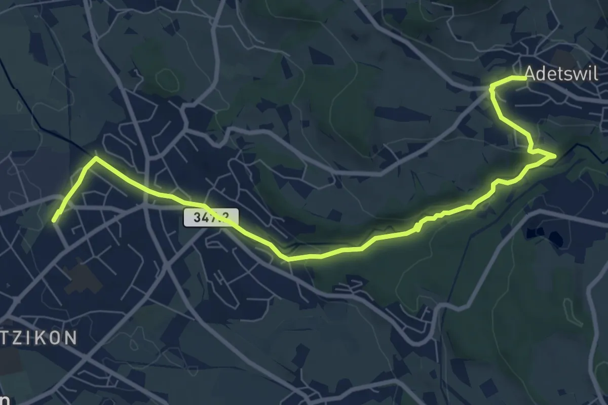
Medium · Trail
Kempten - Adetswil
8.7 km · ↑ 194 m · 2 h 28 min · 15 km away
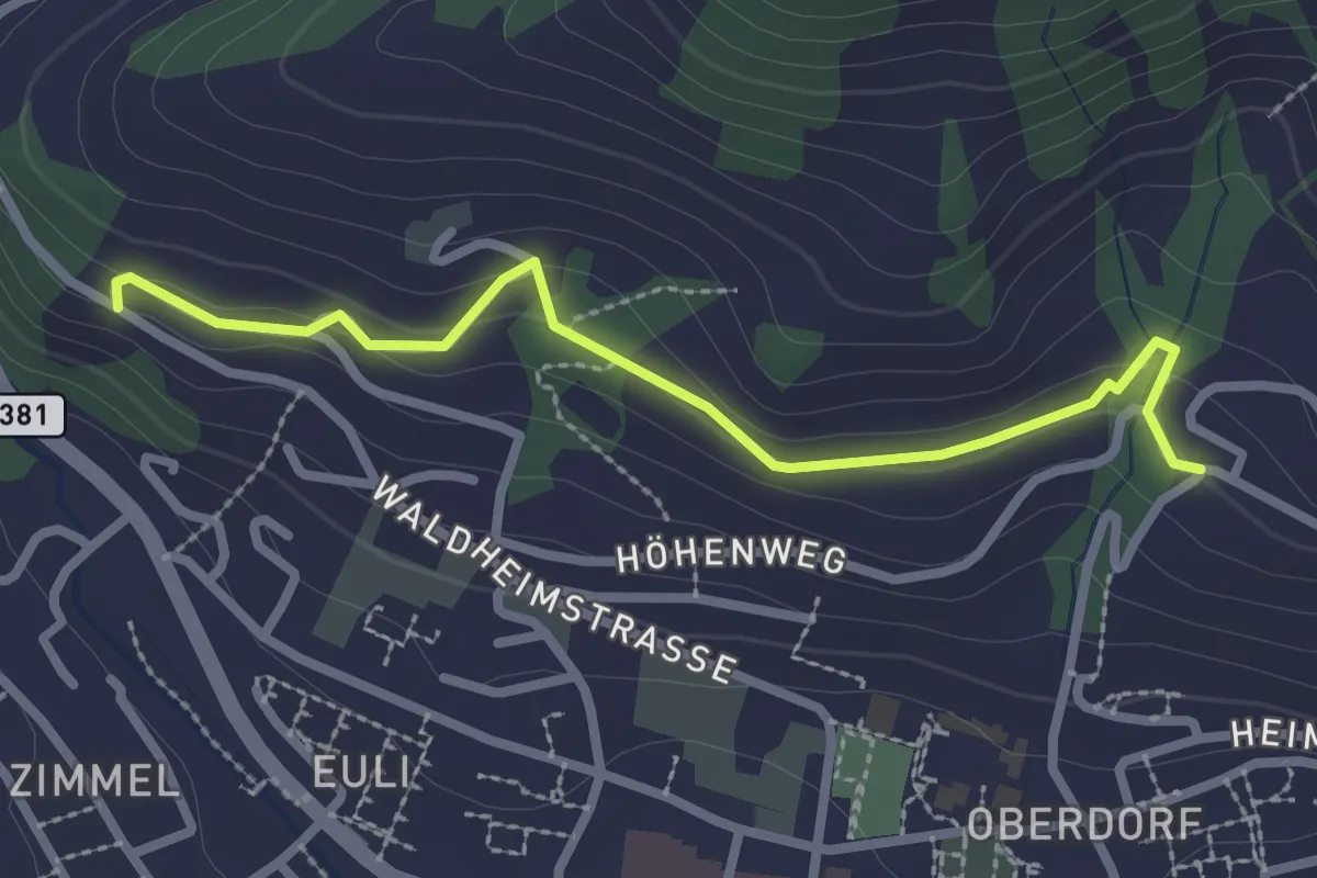
Easy · Trail
Heimhusen - Waldheim
2.6 km · ↑ 78 m · 48 min · 15 km away
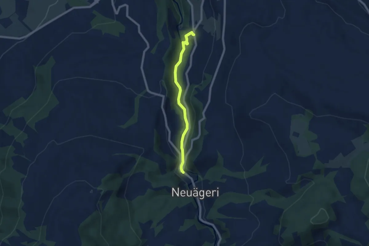
Easy · Trail
Schmittli - fixme
4.6 km · ↑ 118 m · 1 h 21 min · 15 km away
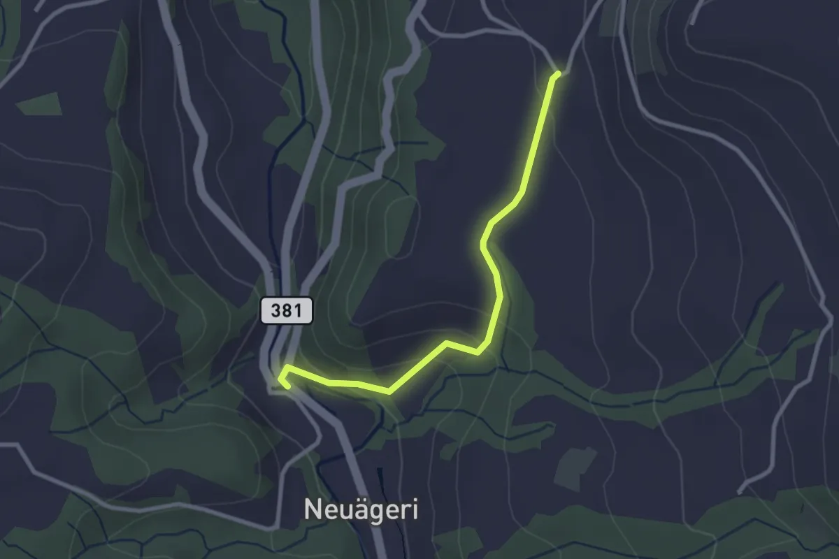
Easy · Trail
Schmittli - Heiterstalden
2.5 km · ↑ 99 m · 49 min · 15 km away
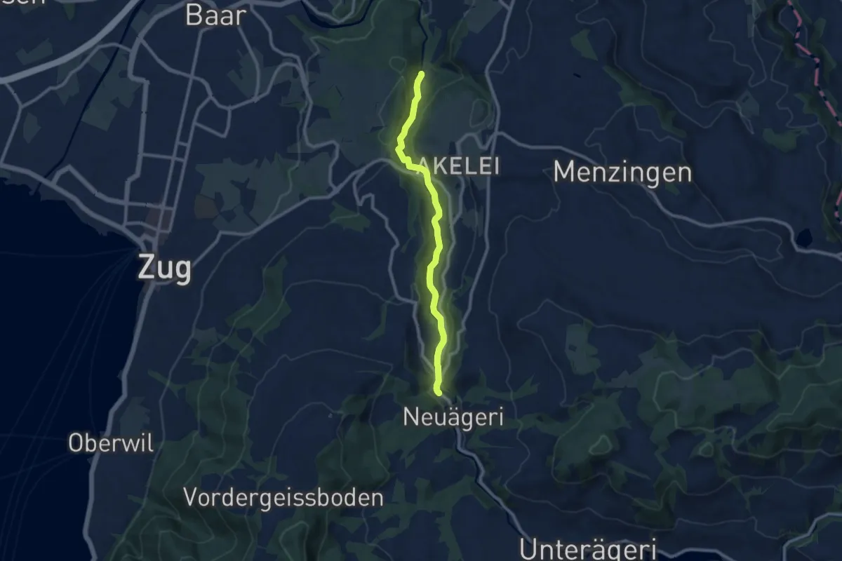
Medium · Trail
Höllbrücke - Schmittli
8.7 km · ↑ 242 m · 2 h 34 min · 15 km away
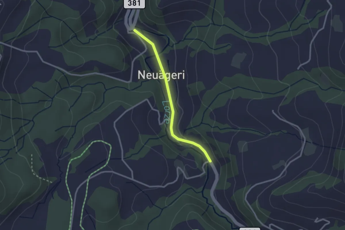
Easy · Trail
Schmittli - Mülischwändi Brücke
2.1 km · ↑ 36 m · 35 min · 15 km away
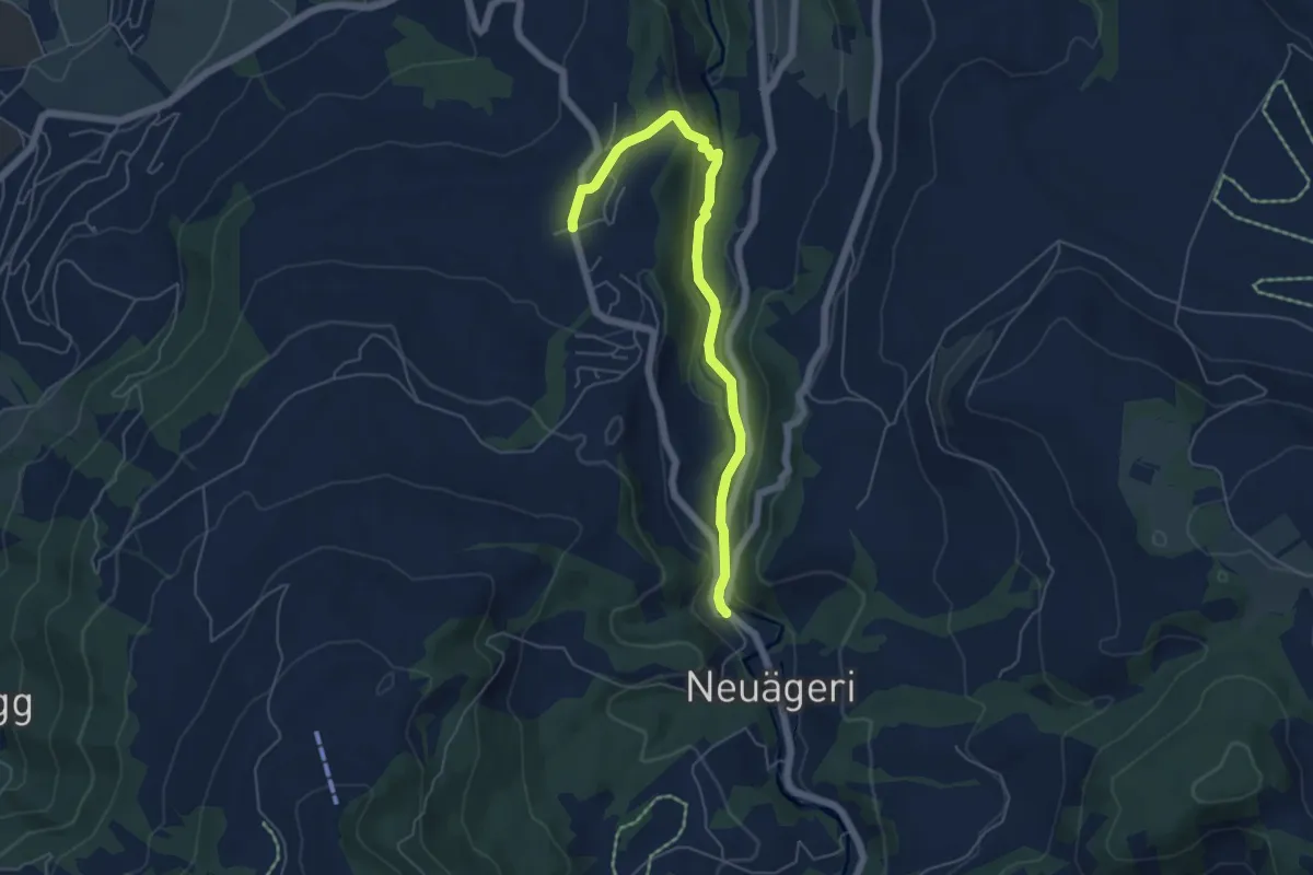
Easy · Trail
Schmittli - Allenwinden
5.6 km · ↑ 136 m · 1 h 37 min · 15 km away
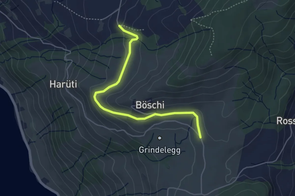
Easy · Trail
Ob Tännli - Grindel - Waldschlagchrüz
4.1 km · ↑ 102 m · 1 h 12 min · 15 km away
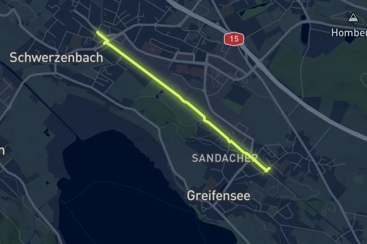
Easy · Trail
Nänikon-Greifensee – Schwerzenbach
5.8 km · ↑ 22 m · 1 h 25 min · 15 km away
Easy · Trail
Greifensee - Schwerzenbach
6.6 km · ↑ 30 m · 1 h 38 min · 15 km away
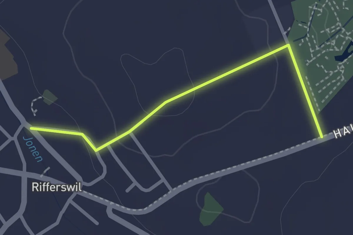
Easy · Trail
Rifferswil - Selegger Moor
2.0 km · ↑ 40 m · 34 min · 15 km away
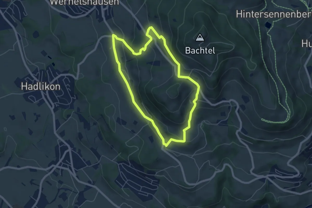
Easy · Summit
Hasenstrick
5.1 km · ↑ 249 m · 1 h 49 min · 15 km away
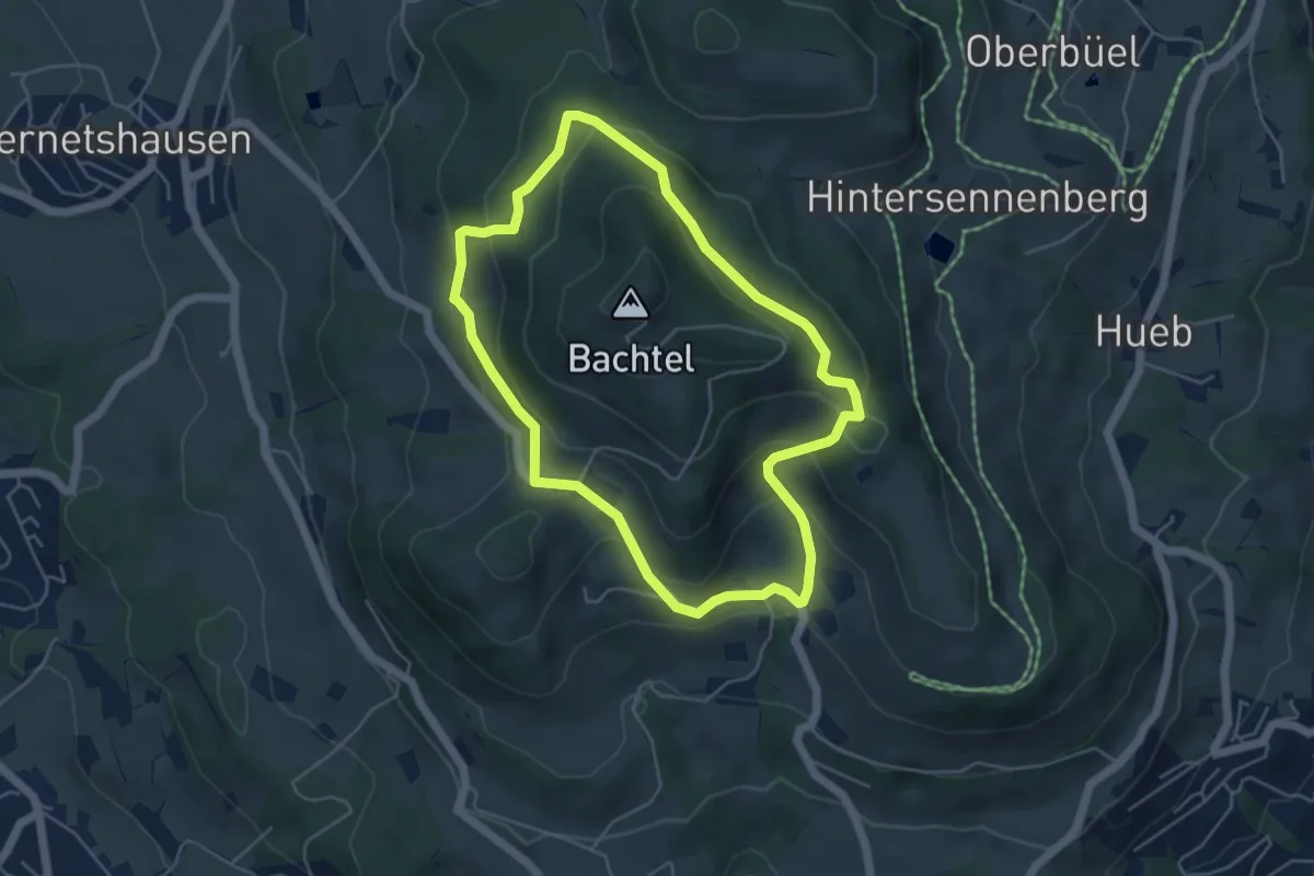
Easy · Summit
Um den Bachtel
4.7 km · ↑ 233 m · 1 h 40 min · 15 km away
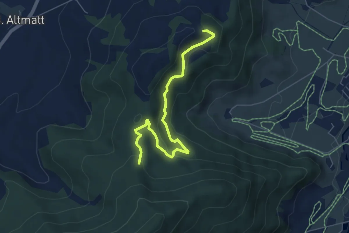
Easy · Trail
Umleitung Chätzer - Schwyzeren bei Schiessgefahr
5.3 km · ↑ 231 m · 1 h 45 min · 15 km away
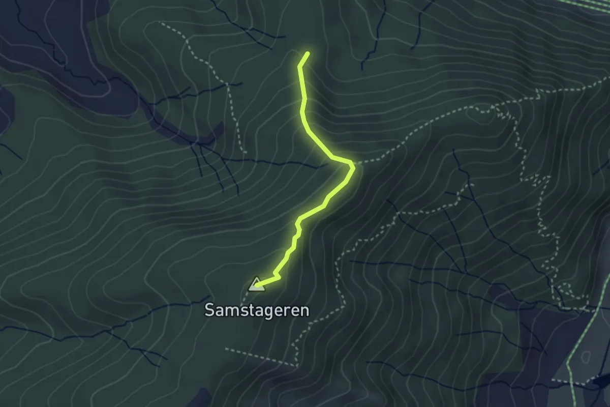
Medium · Summit
Schwyzeren – Windwurf
2.5 km · ↑ 209 m · 1 h 3 min · 15 km away
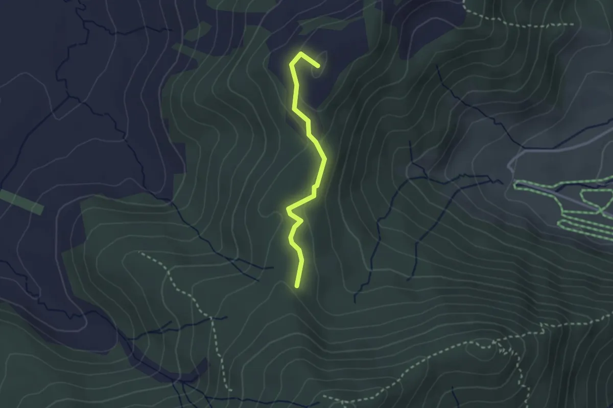
Easy · Summit
Hundwileren – Schwyzeren
2.3 km · ↑ 59 m · 40 min · 15 km away
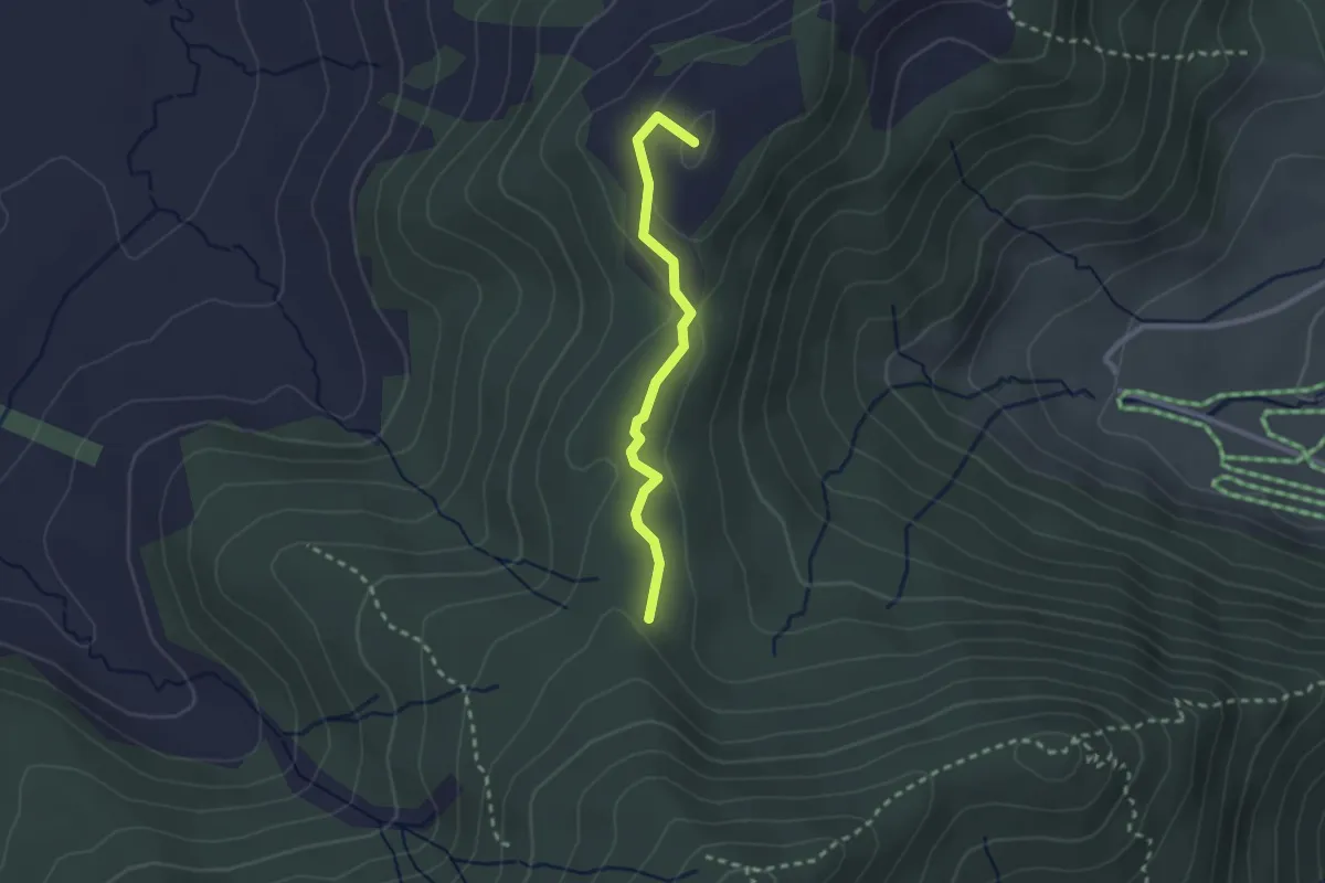
Easy · Summit
Hundwileren – Schwyzeren
2.2 km · ↑ 62 m · 39 min · 15 km away
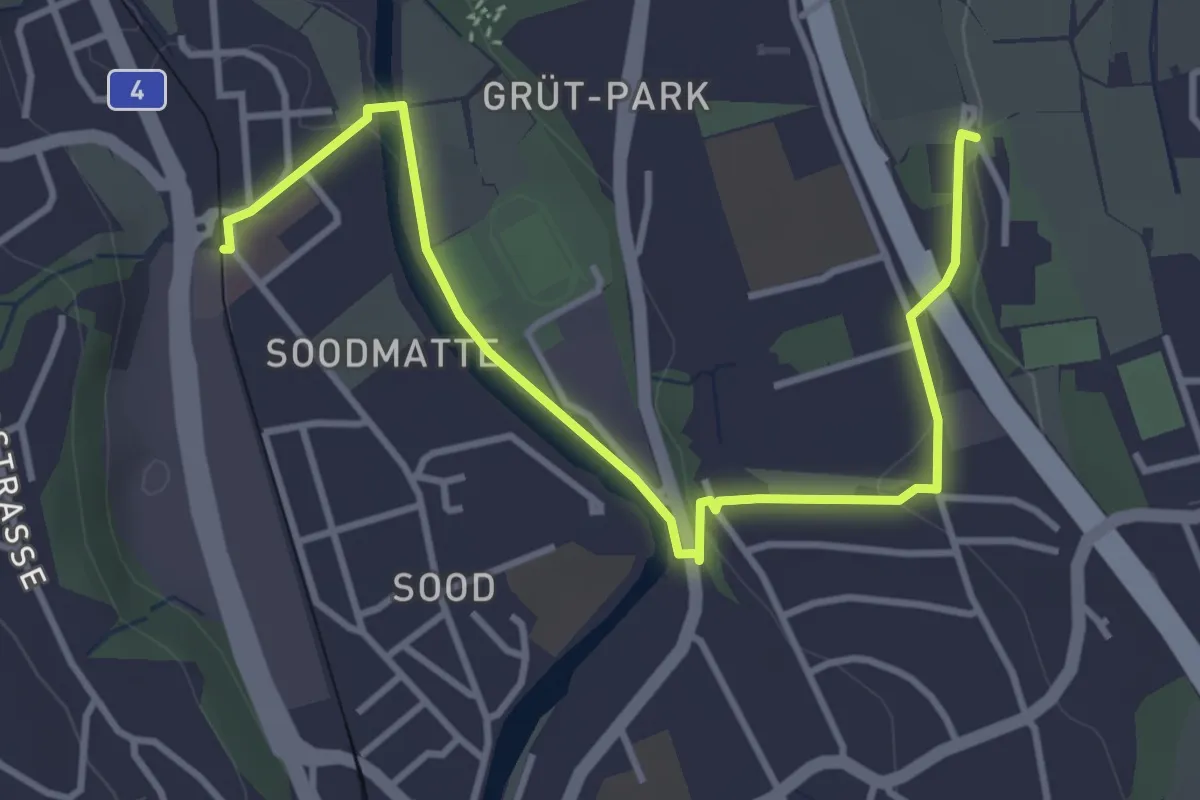
Easy · Trail
Kilchberg Spital - Sood Oberleimbach
4.2 km · ↑ 56 m · 1 h 7 min · 15 km away
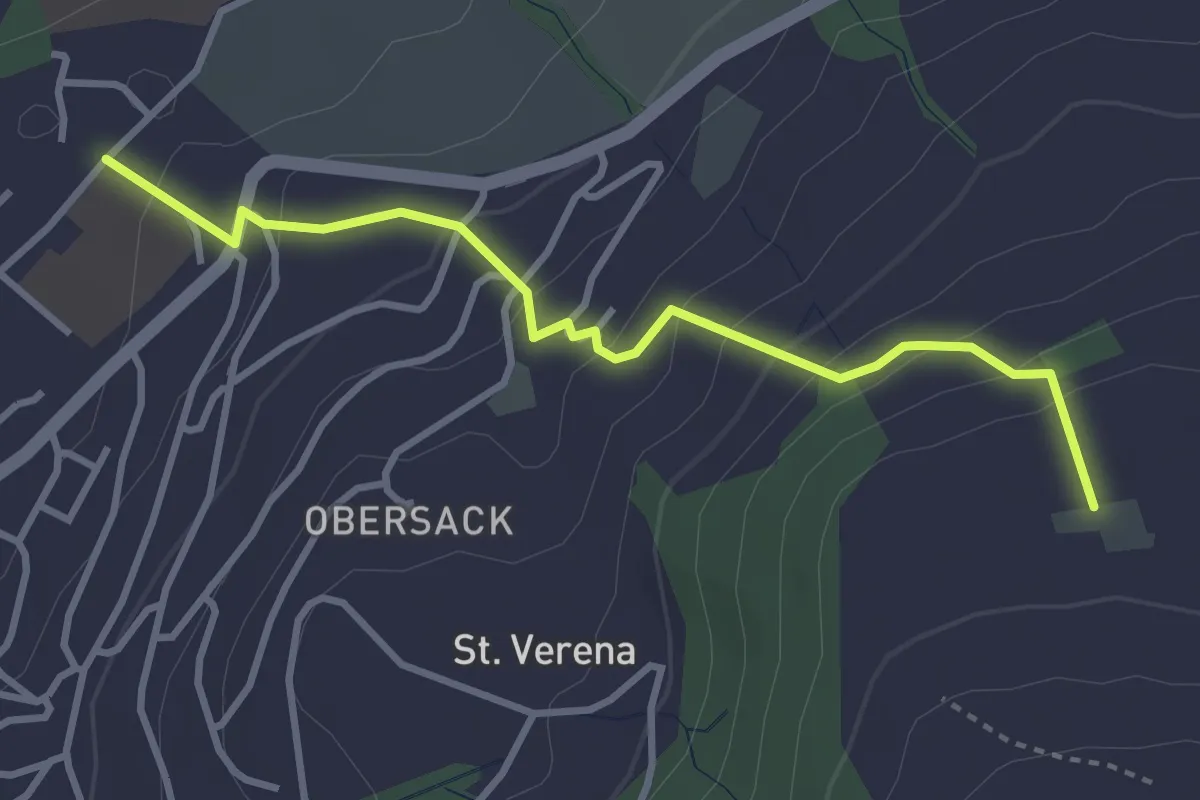
Easy · Trail
Loreto - Wildenburg
3.4 km · ↑ 225 m · 1 h 17 min · 15 km away
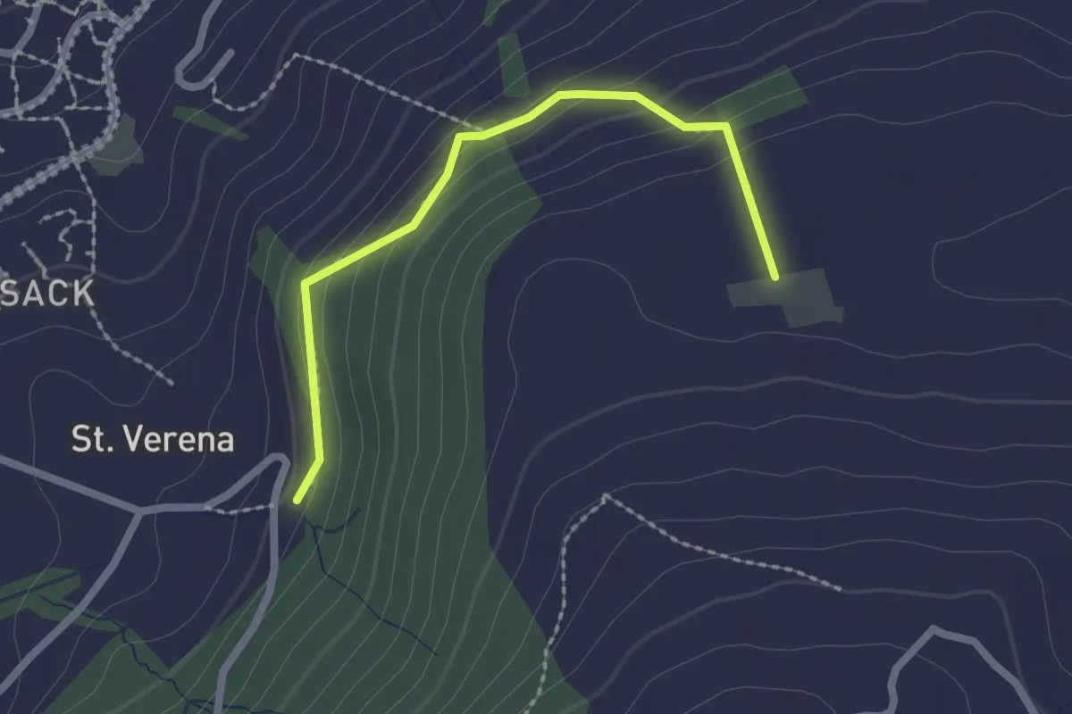
Easy · Trail
Wildenburg - Schönegg - fixme
2.1 km · ↑ 121 m · 45 min · 15 km away
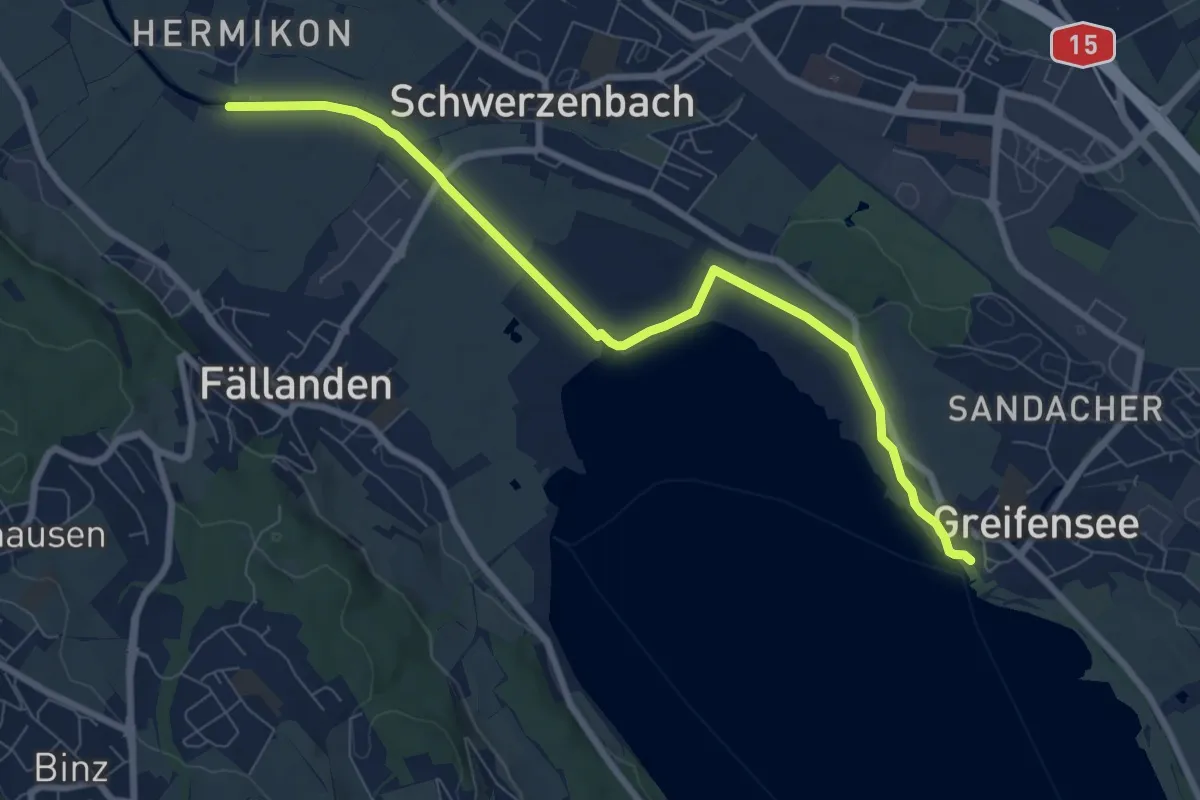
Medium · Trail
Hermikon – Greifensee
8.4 km · ↑ 13 m · 2 h · 15 km away
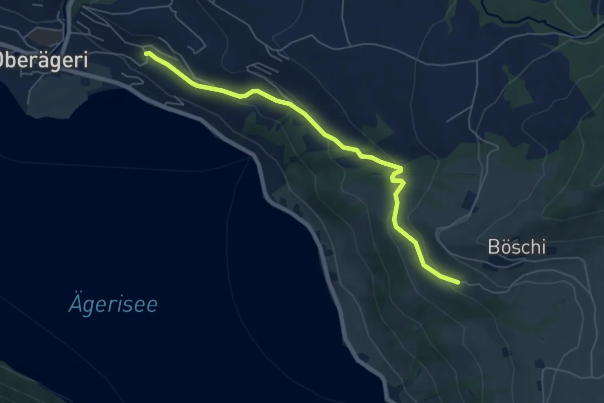
Easy · Trail
Rämsli - Oberägerie
5.4 km · ↑ 204 m · 1 h 43 min · 15 km away
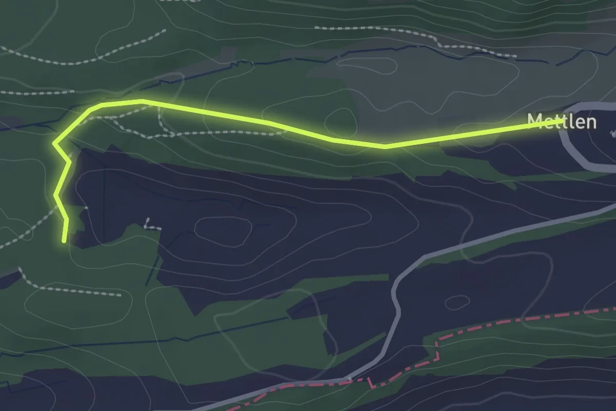
Easy · Trail
Grossweier – Mettlen
2.5 km · ↑ 49 m · 42 min · 15 km away
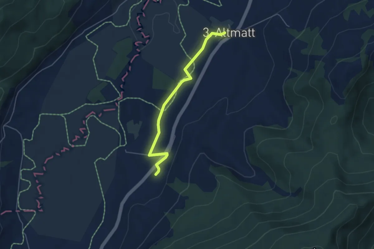
Easy · Trail
Zweite Altmatt - Dritte Altmatt
4.1 km · ↑ 32 m · 1 h 3 min · 15 km away
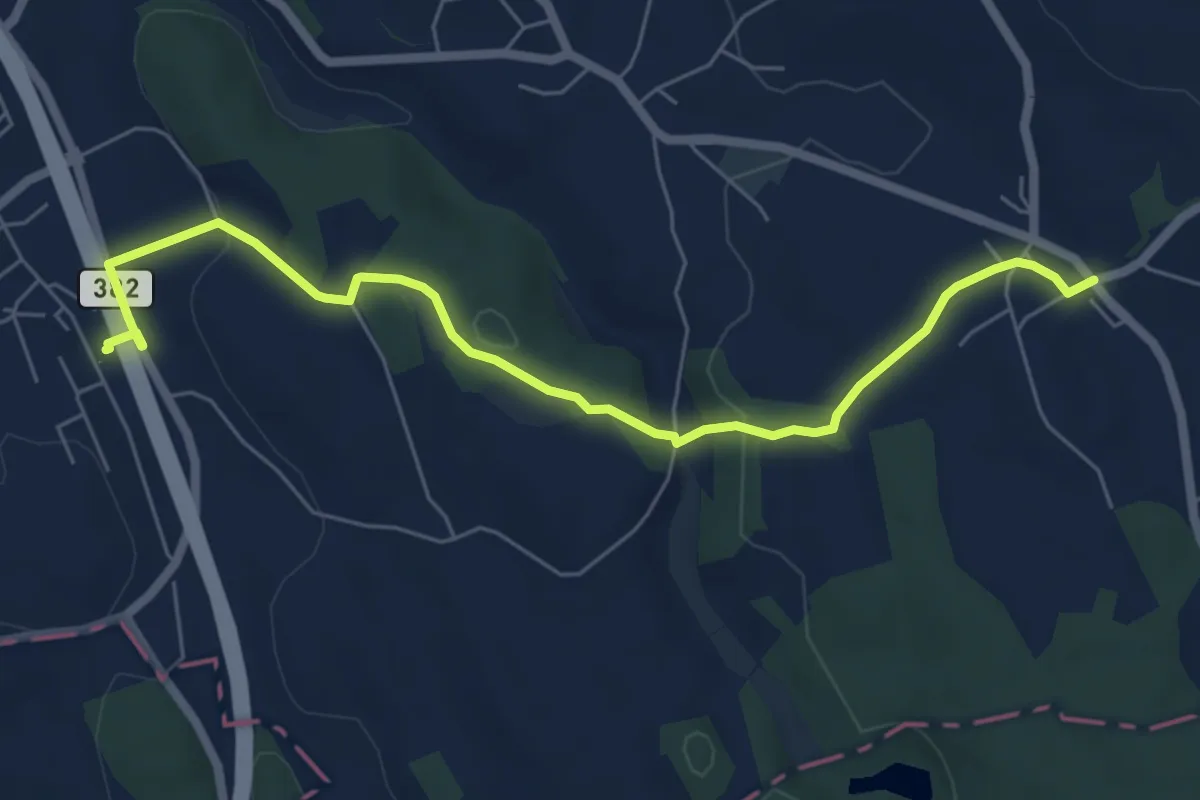
Easy · Trail
Knonau – Uerzlikon
6.7 km · ↑ 135 m · 1 h 53 min · 15 km away