Trails near Martigny
211 hikes starting within 15 km, nearest first.
Nearest first, page 2 of 5
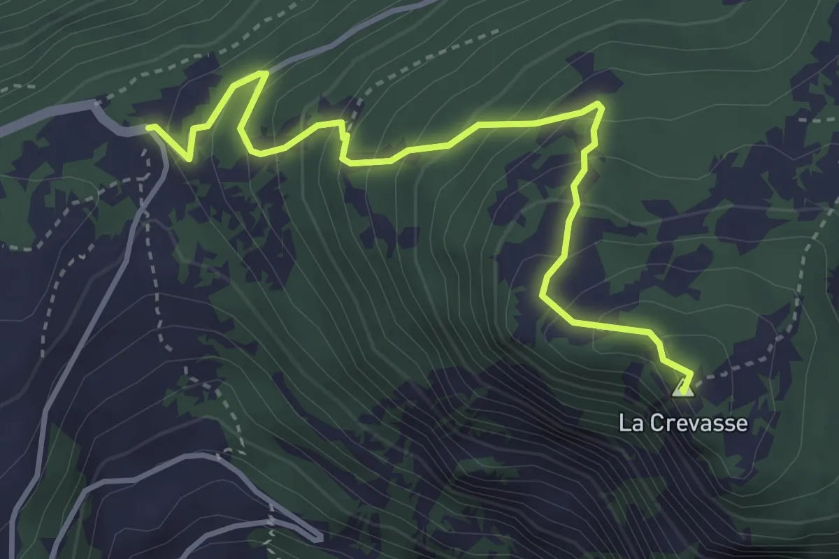
Medium · Summit
Col des Planches > La Crevasse
3.9 km · ↑ 384 m · 1 h 45 min · 4 km away
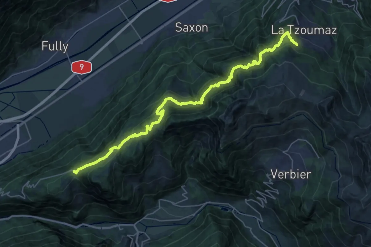
Expert · Trail
01-Chemin des Bisses
13.3 km · ↑ 1086 m · 5 h 31 min · 4 km away
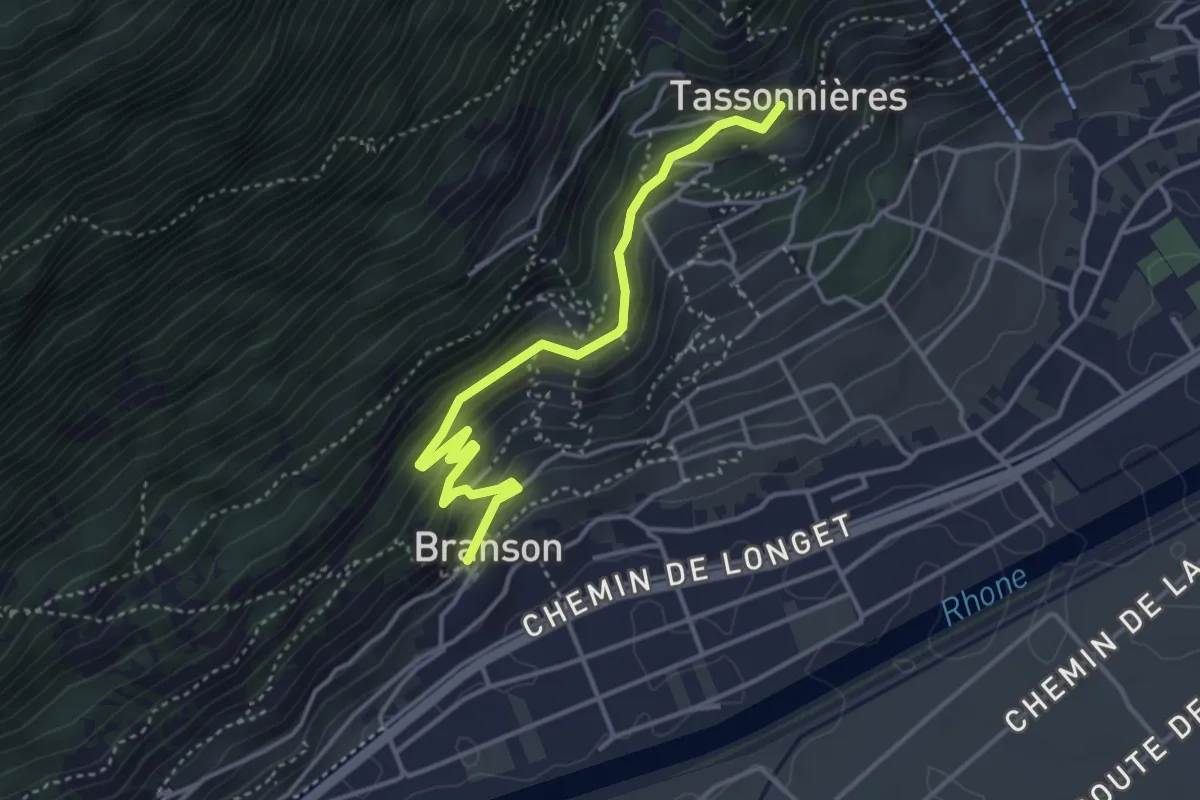
Medium · Trail
Branson - Village > Tassonnières
4.0 km · ↑ 240 m · 1 h 28 min · 4 km away
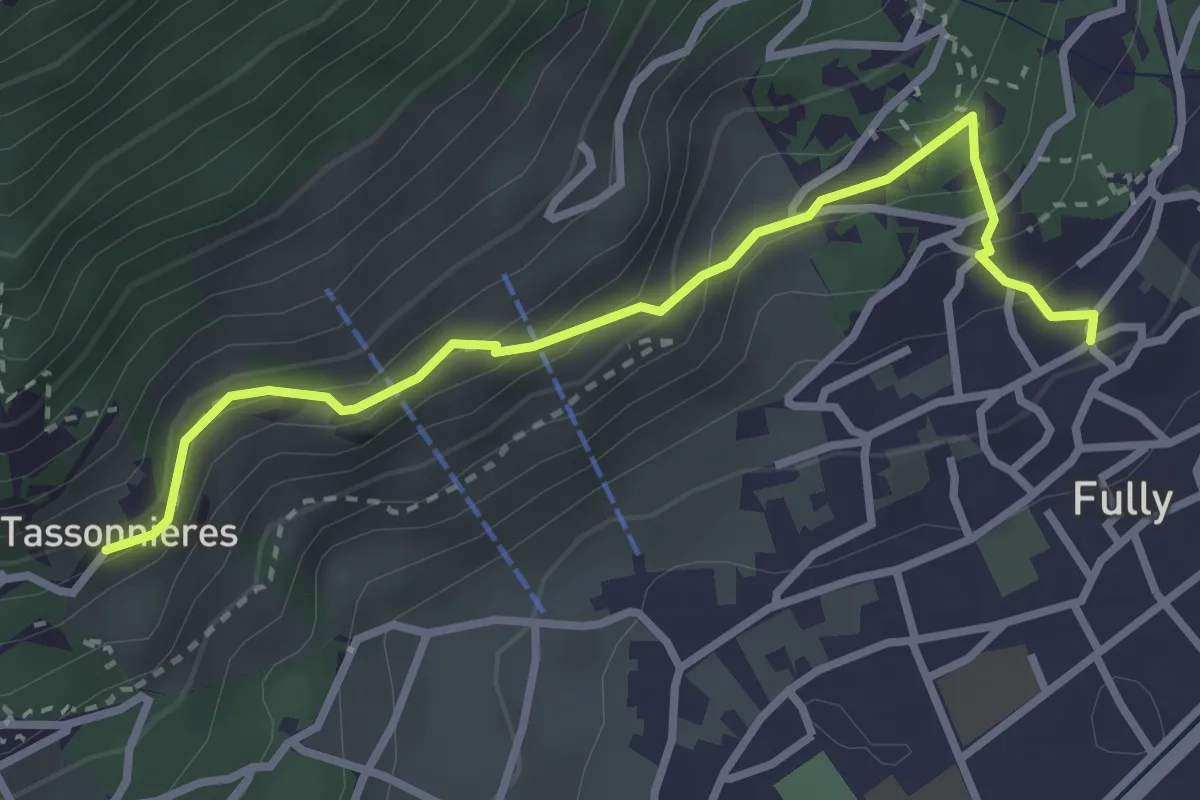
Easy · Trail
La Fontaine > Tassonnières
3.2 km · ↑ 229 m · 1 h 15 min · 4 km away
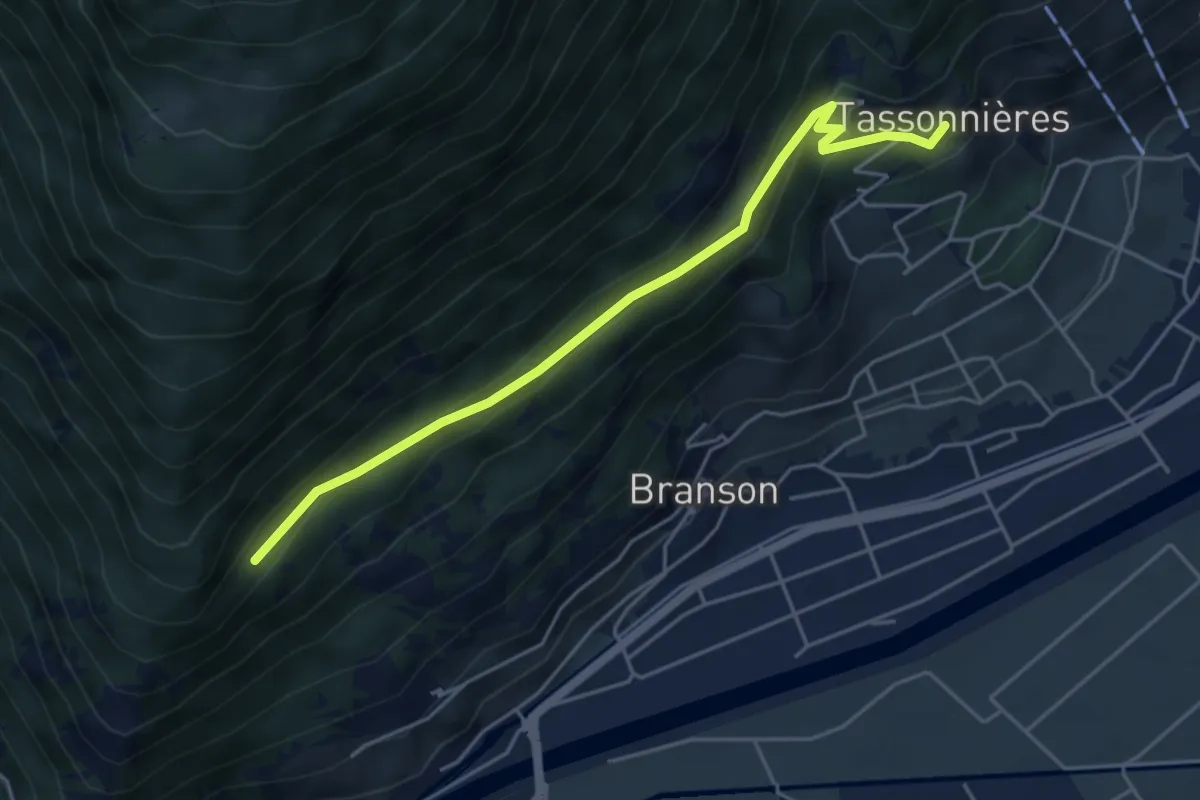
Easy · Trail
Tassonnières > ?
4.8 km · ↑ 228 m · 1 h 38 min · 4 km away
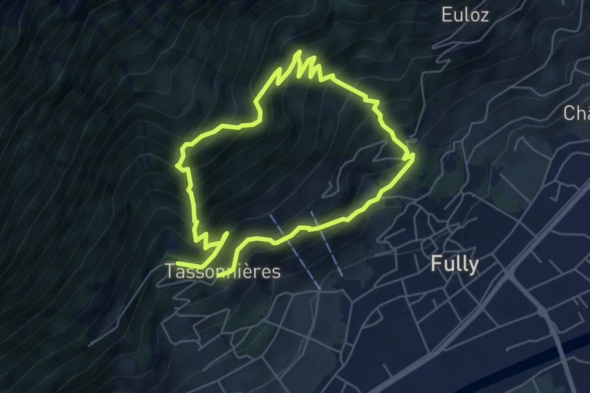
Demanding · Trail
Sentier des la Sylve et Goliath
9.2 km · ↑ 999 m · 4 h 21 min · 4 km away
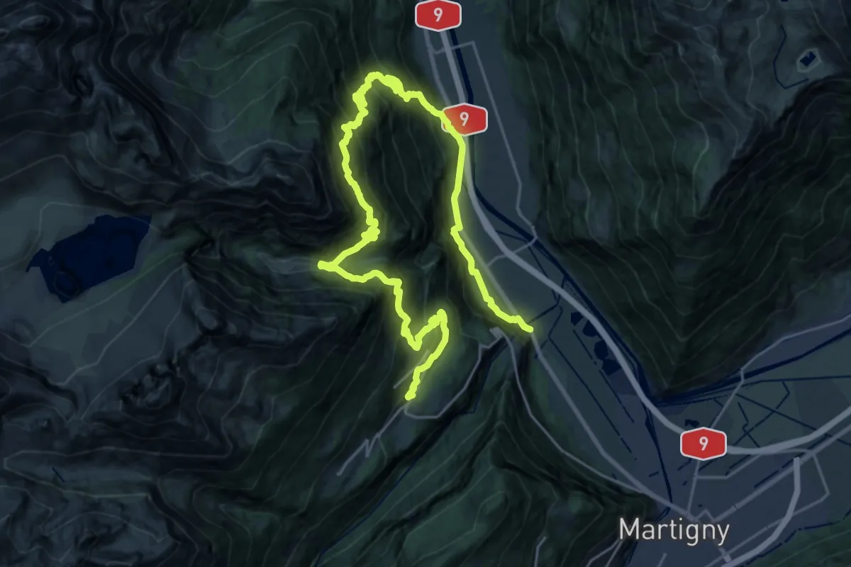
Demanding · Trail
Géoglyphe de Grande Tête
16.6 km · ↑ 1133 m · 6 h 50 min · 4 km away
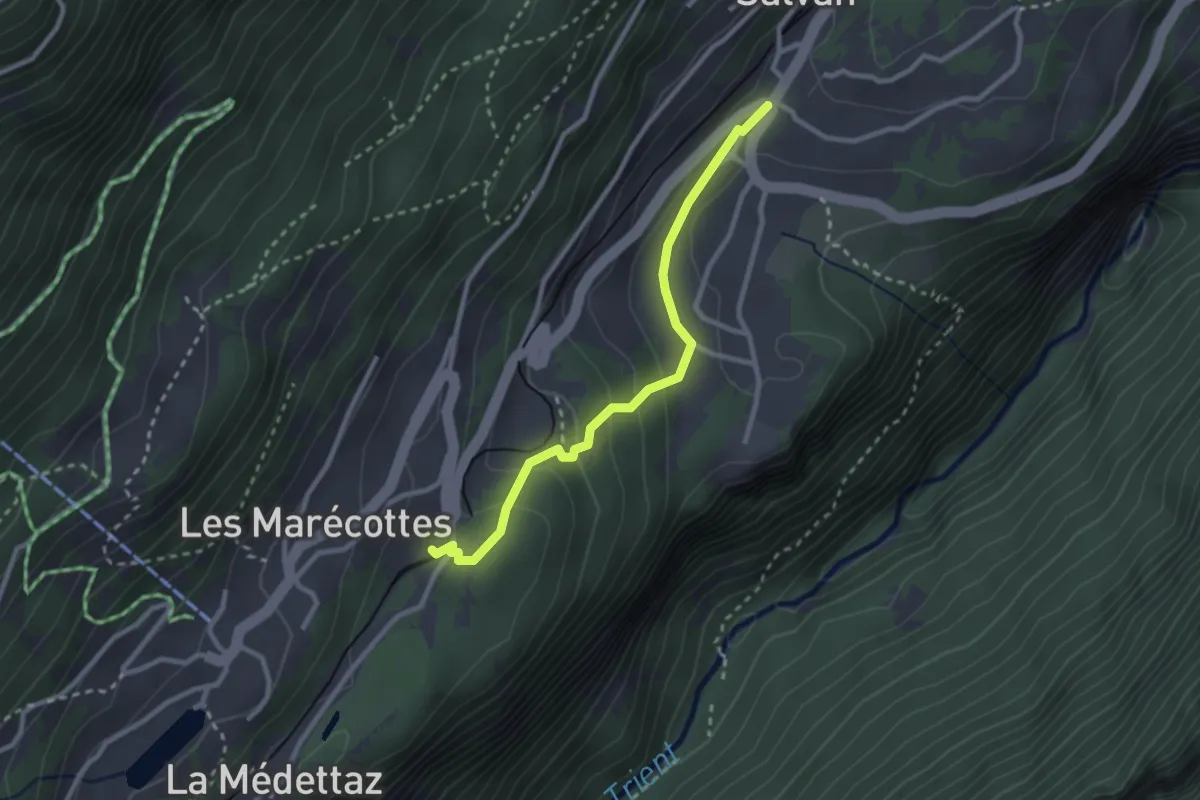
Easy · Trail
Salvan -> Les Marécottes Gare
2.6 km · ↑ 131 m · 54 min · 4 km away
Easy · Trail
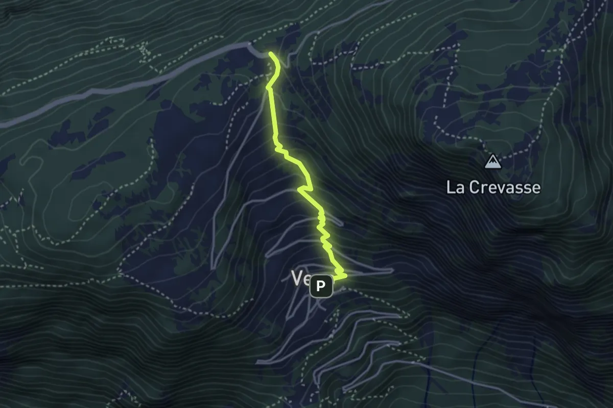
Vens - Col des Planches
2.9 km · ↑ 287 m · 1 h 18 min · 5 km away
Demanding · Summit
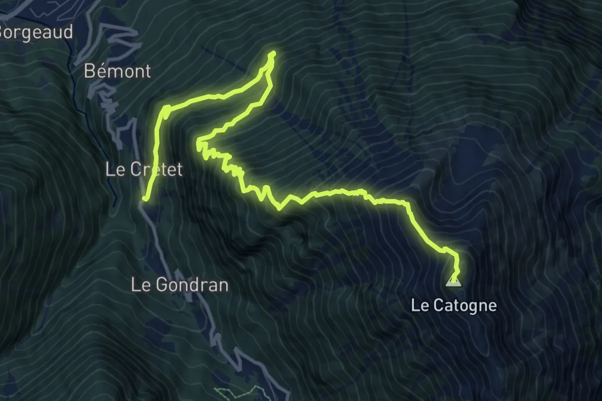
Le Crêtet > Le Catogne
14.0 km · ↑ 1566 m · 6 h 42 min · 5 km away
Demanding · Trail
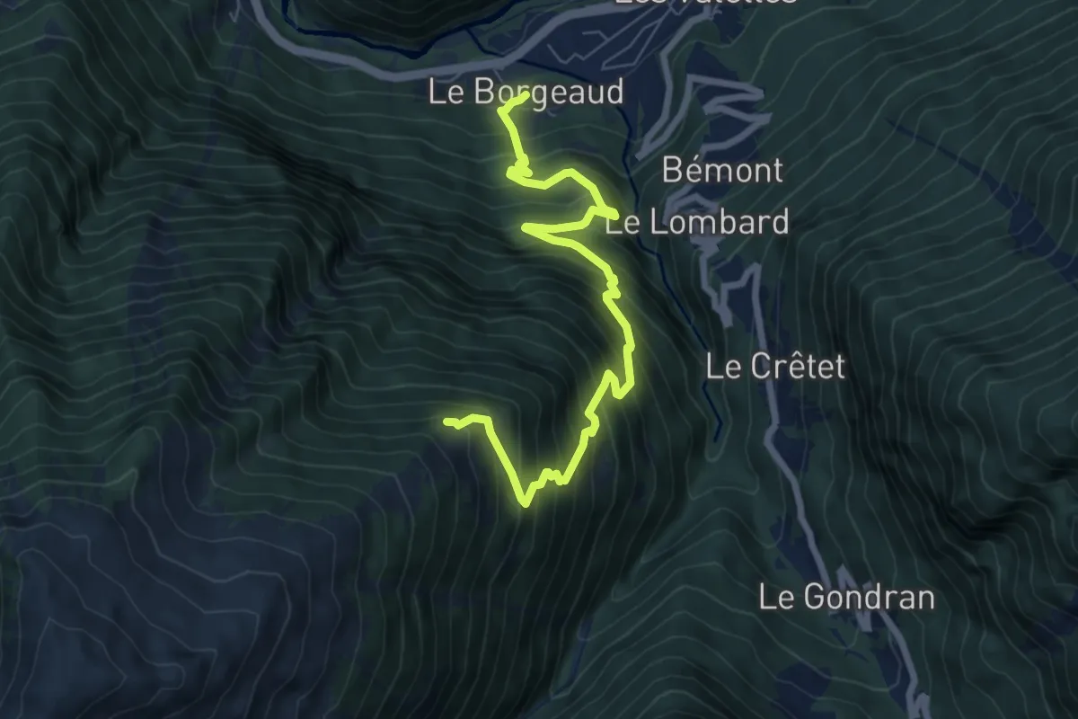
Le Borgeaud > Bovinette
7.8 km · ↑ 1035 m · 4 h 5 min · 5 km away
Easy · Trail
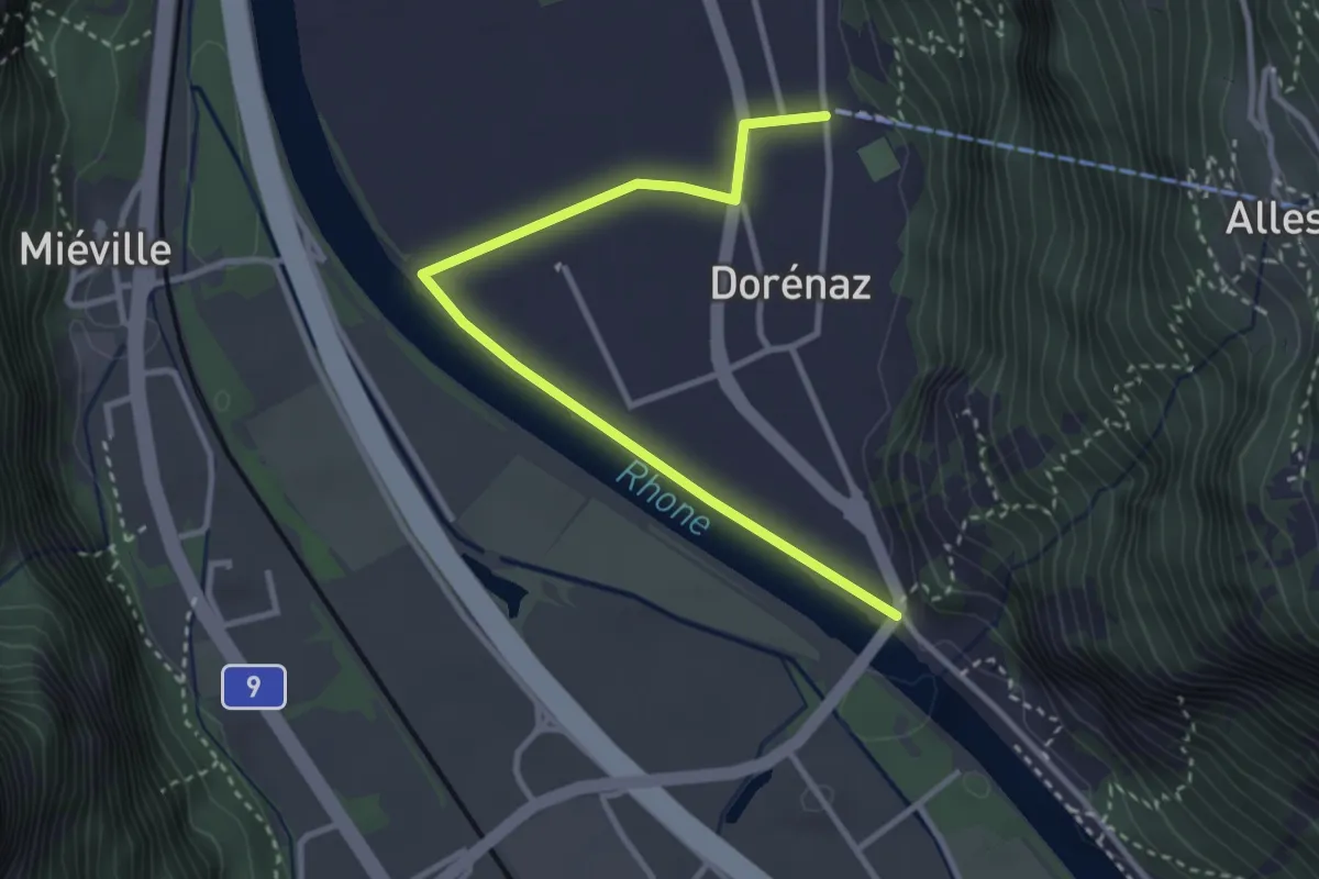
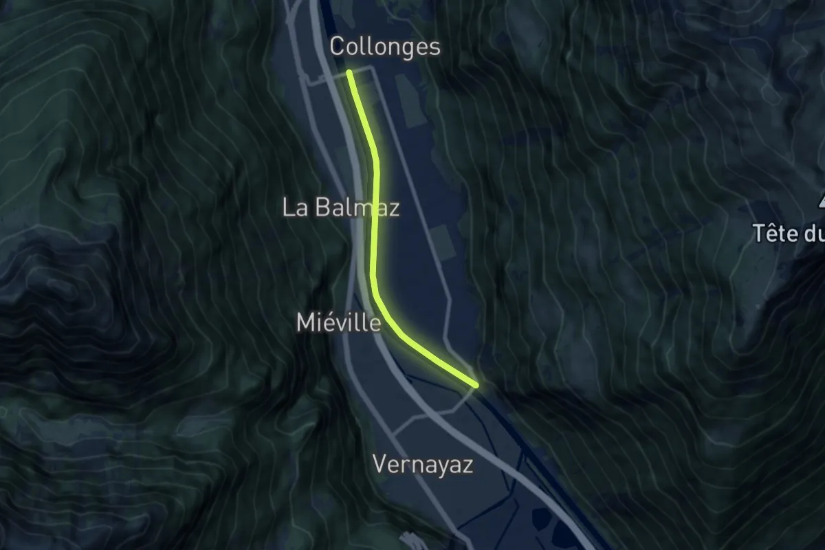
Dorénaz - Pont de Dorénaz
3.4 km · ↑ 9 m · 50 min · 5 km away
Easy · Trail
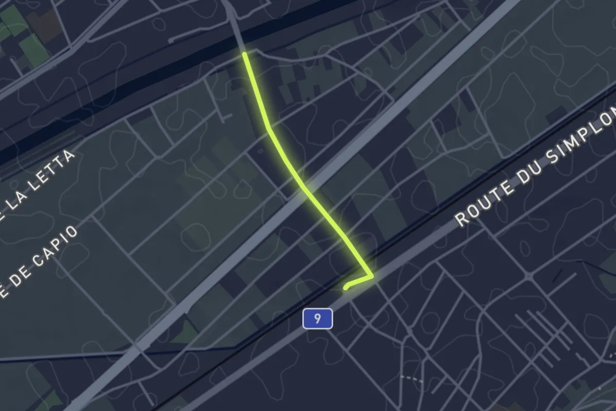
Pont de Collonges - Pont de Dorénaz
6.8 km · ↑ 9 m · 1 h 37 min · 5 km away
Easy · Trail
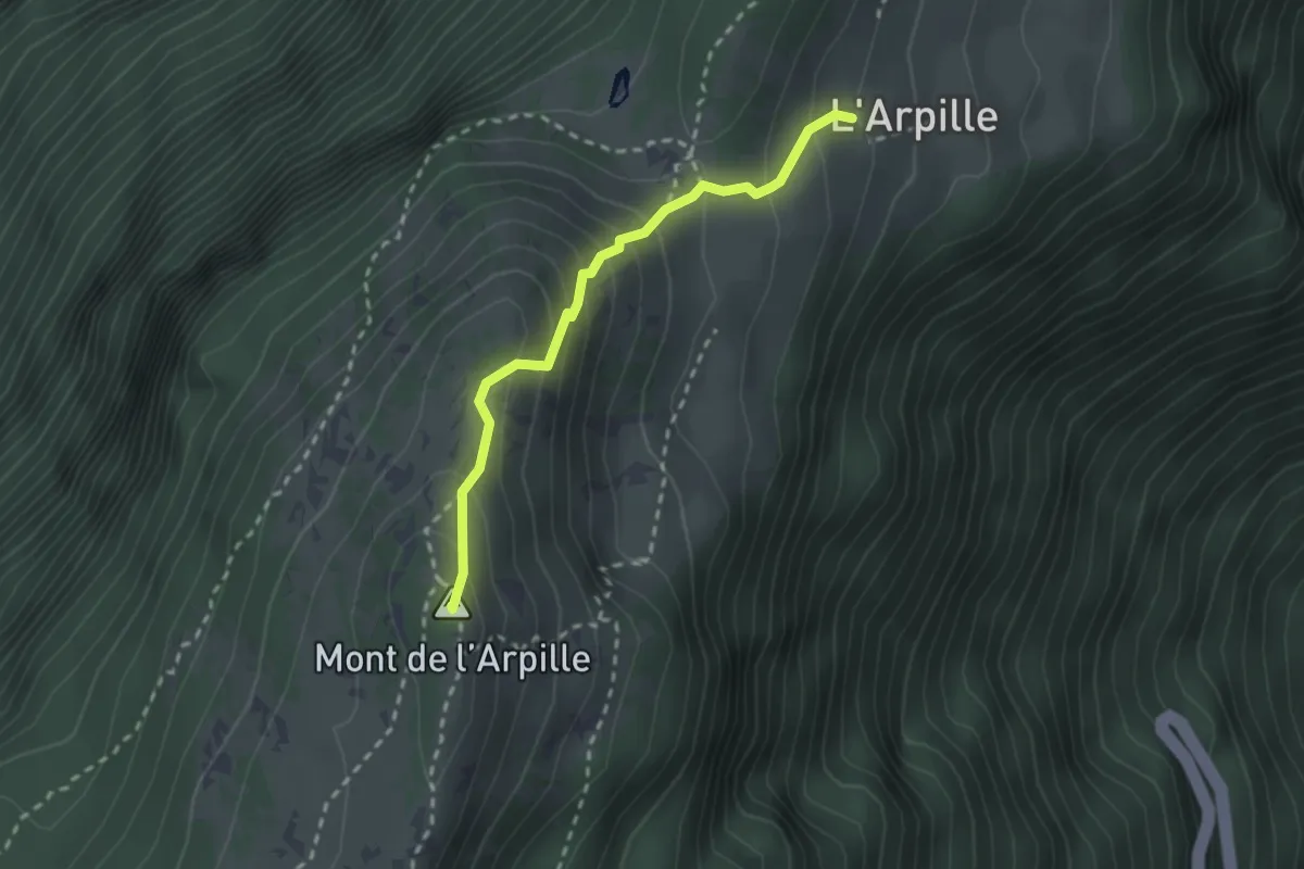
Pont de Fully - Charrat Gare
2.2 km · ↑ 0 m · 31 min · 5 km away
Medium · Summit
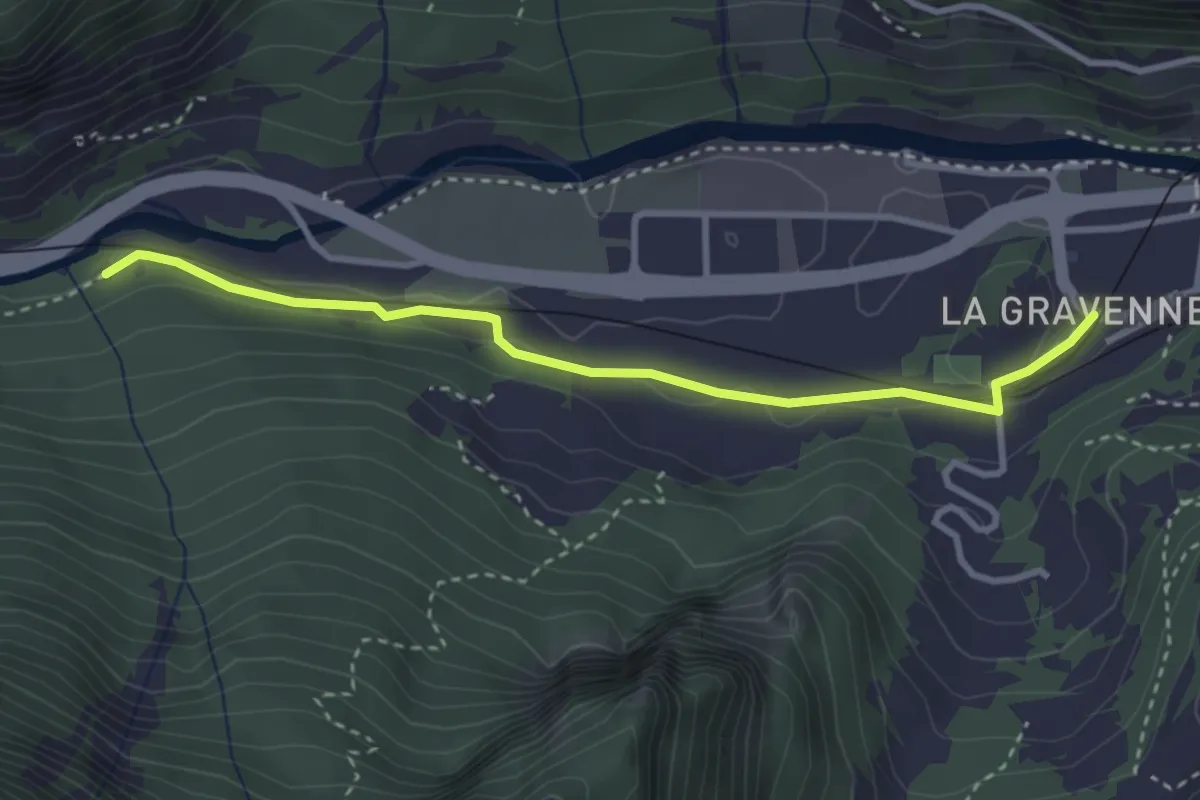
L'Arpille - Alpage > Mont de l'Arpille
2.3 km · ↑ 231 m · 1 h 3 min · 5 km away
Easy · Trail
Sembrancher - Gare > Les Trappistes
3.3 km · ↑ 53 m · 53 min · 5 km away
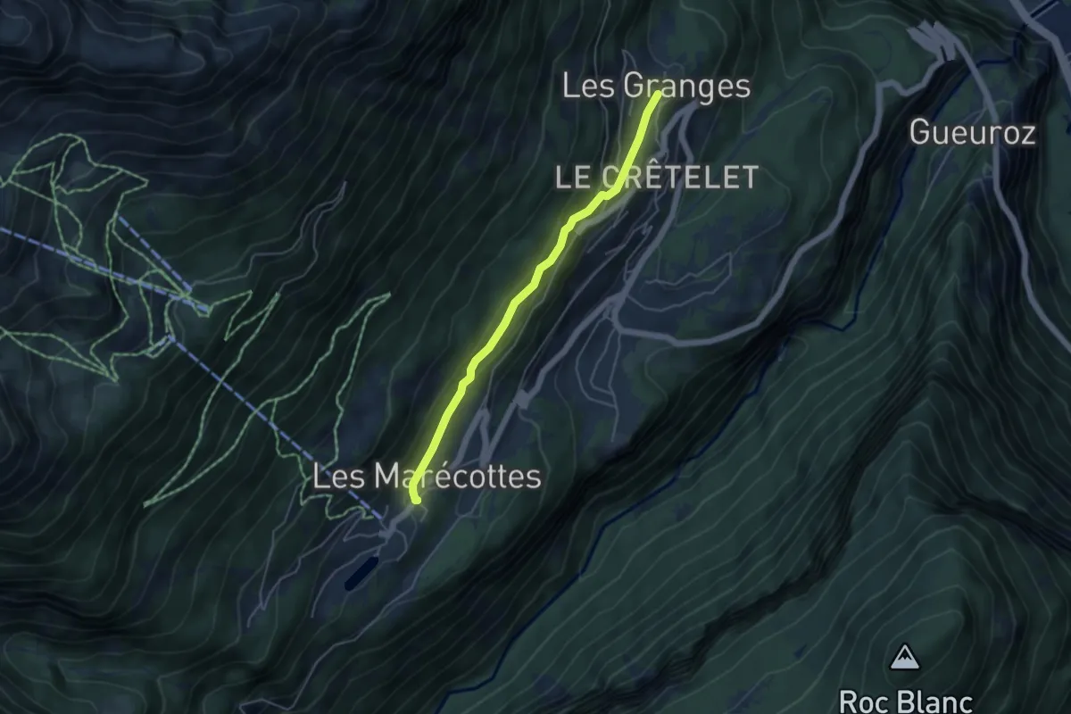
Easy · Trail
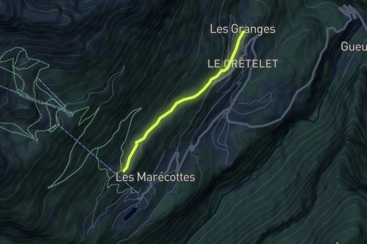
Les Marécottes Village -> Les Granges
4.3 km · ↑ 118 m · 1 h 17 min · 5 km away
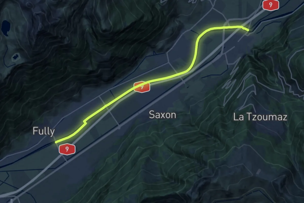
Demanding · Trail
Pont de Fully > Pont de Riddes
20.8 km · ↑ 8 m · 4 h 56 min · 5 km away
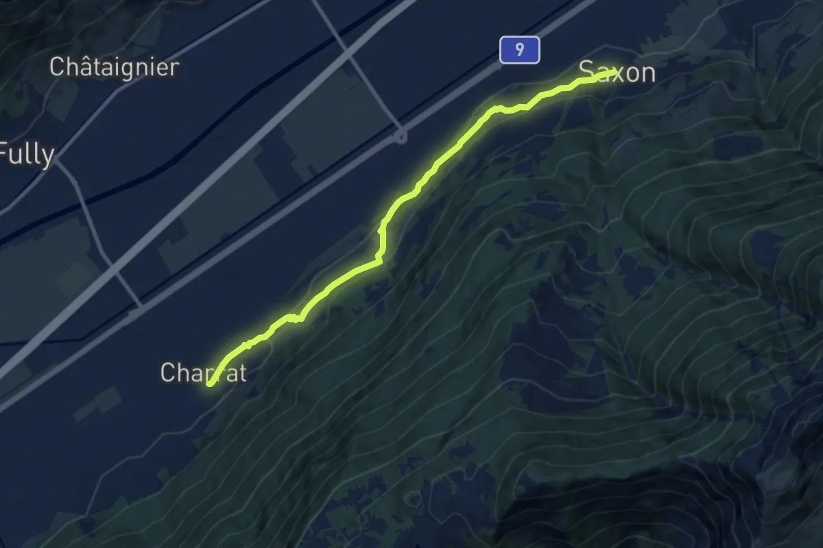
Medium · Trail
Chemin des Adonis
9.7 km · ↑ 376 m · 3 h 6 min · 5 km away
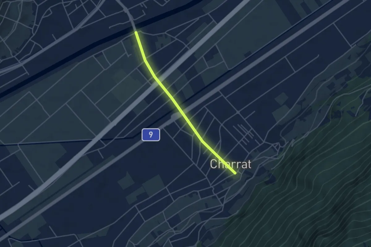
Easy · Trail
Charrat - Pont de Fully
3.7 km · ↑ 12 m · 54 min · 5 km away
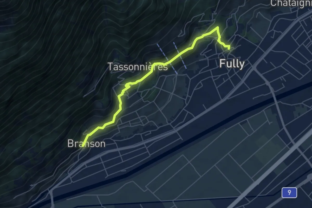
Medium · Trail
La Fontaine > Branson - Village
5.7 km · ↑ 329 m · 2 h 4 min · 5 km away
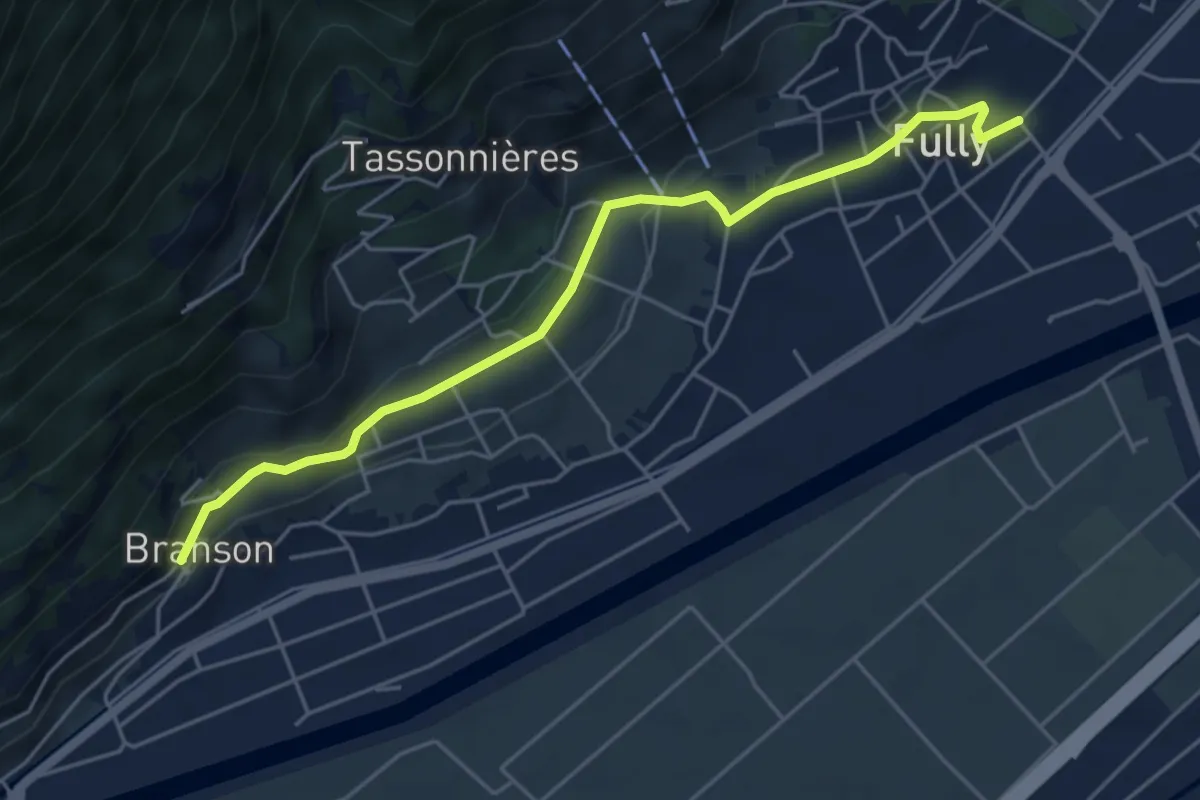
Easy · Trail
Vers l'Église - Fully > Branson - Village
5.2 km · ↑ 135 m · 1 h 32 min · 5 km away
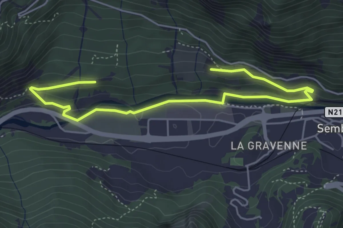
Easy · Trail
LaboNature Entremont
5.6 km · ↑ 195 m · 1 h 45 min · 5 km away
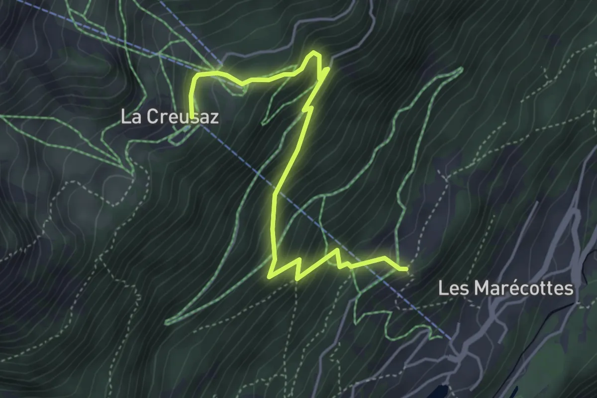
Medium · Trail
Planajeur -> La Creusaz
4.7 km · ↑ 490 m · 2 h 10 min · 5 km away
Medium · Trail
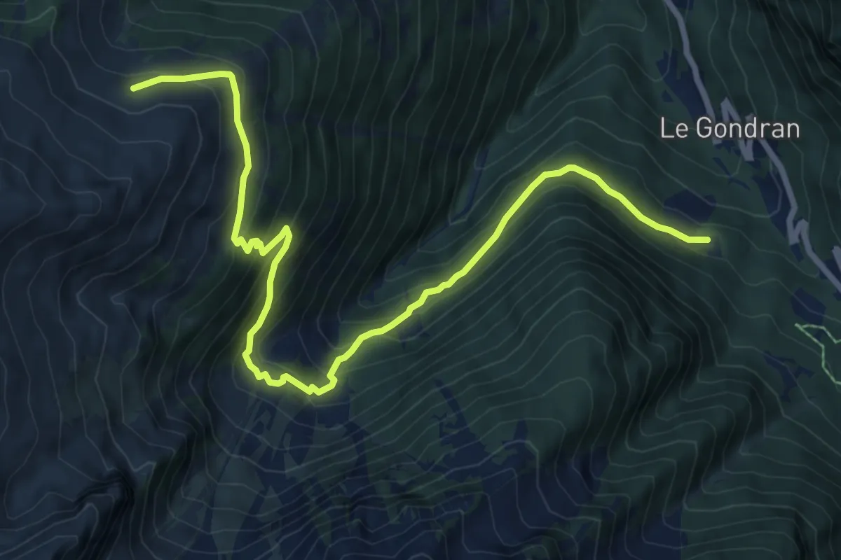
Les Granges -> Planajeur
4.5 km · ↑ 221 m · 1 h 32 min · 5 km away
Medium · Trail
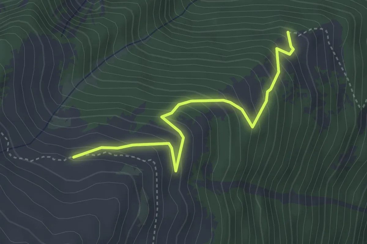
Plan de l'Au > Bovine
9.5 km · ↑ 763 m · 3 h 53 min · 6 km away
Medium · Trail
Bovinette > Bovine
3.6 km · ↑ 383 m · 1 h 41 min · 6 km away
Medium · Trail
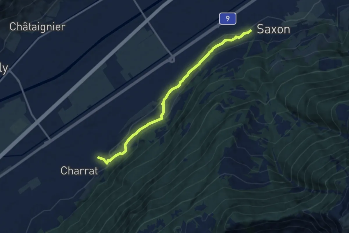
Charrat Vision - Saxon
8.2 km · ↑ 346 m · 2 h 41 min · 6 km away
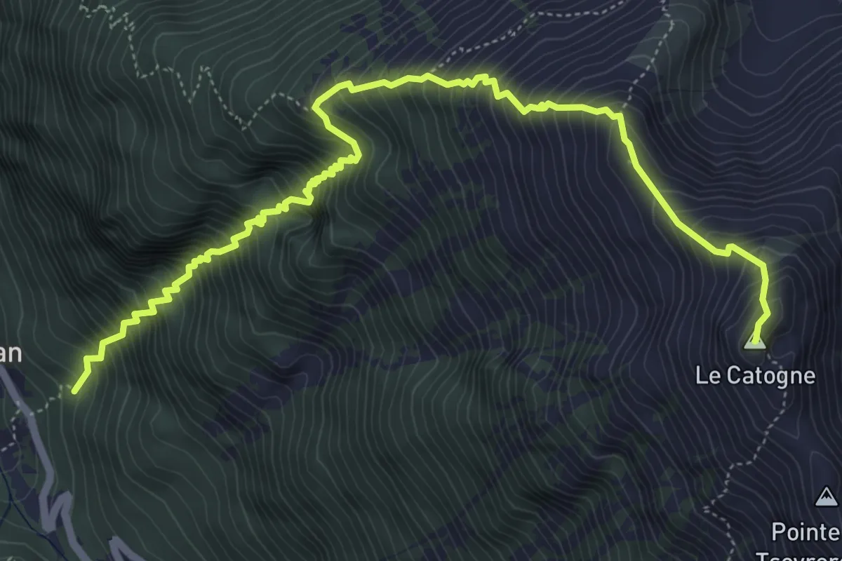
Demanding · Summit
La Poya > Le Catogne
6.9 km · ↑ 1237 m · 4 h 19 min · 6 km away
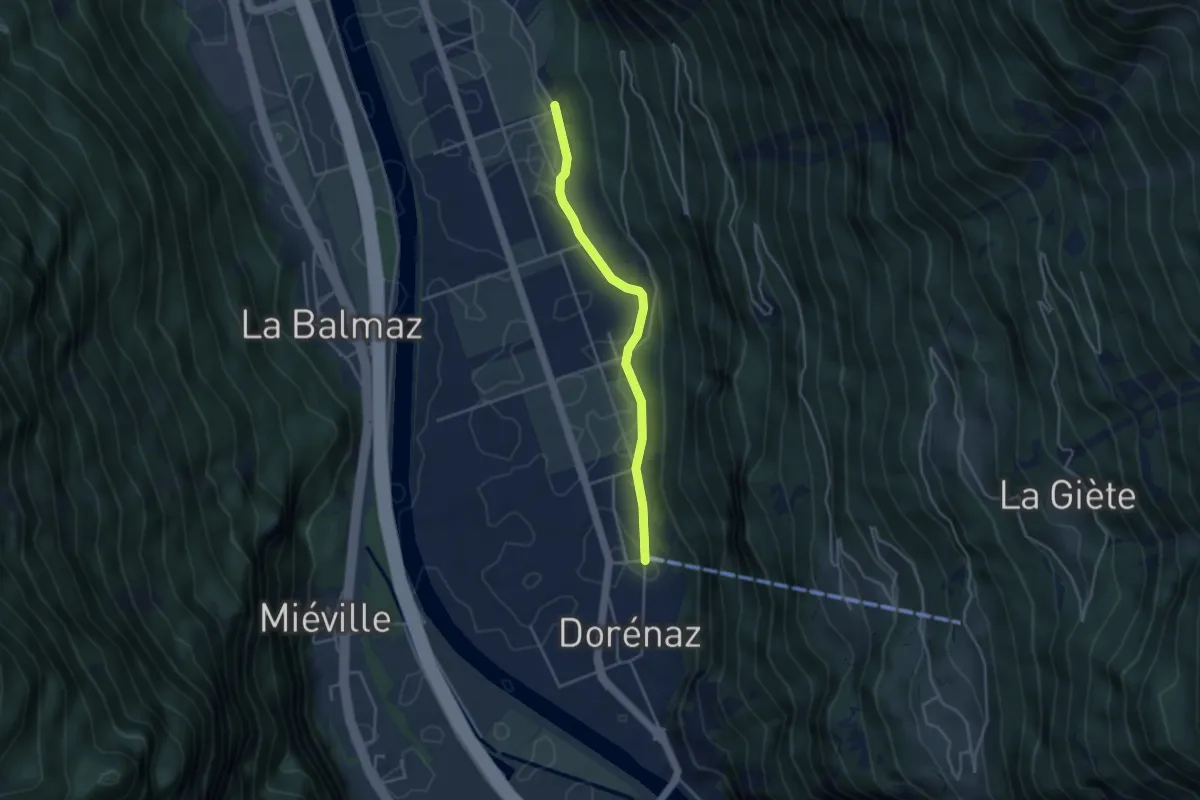
Easy · Trail
Dorénaz - Les Martenaux
3.6 km · ↑ 14 m · 53 min · 6 km away
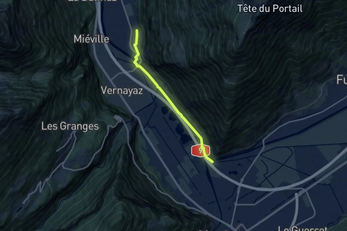
Medium · Trail
Coude du Rhône - Dorénaz
8.6 km · ↑ 35 m · 2 h 6 min · 6 km away
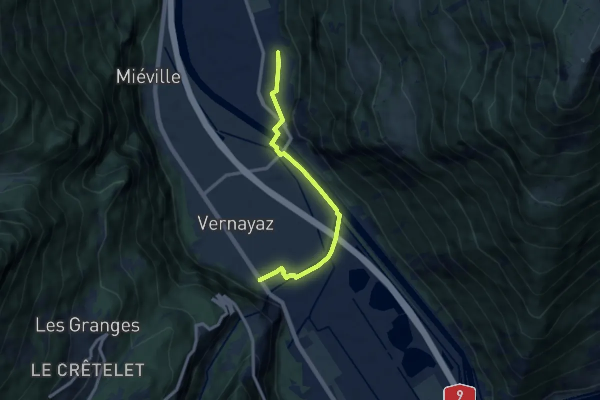
Easy · Trail
Dorénaz - Vernayaz
6.0 km · ↑ 36 m · 1 h 30 min · 6 km away
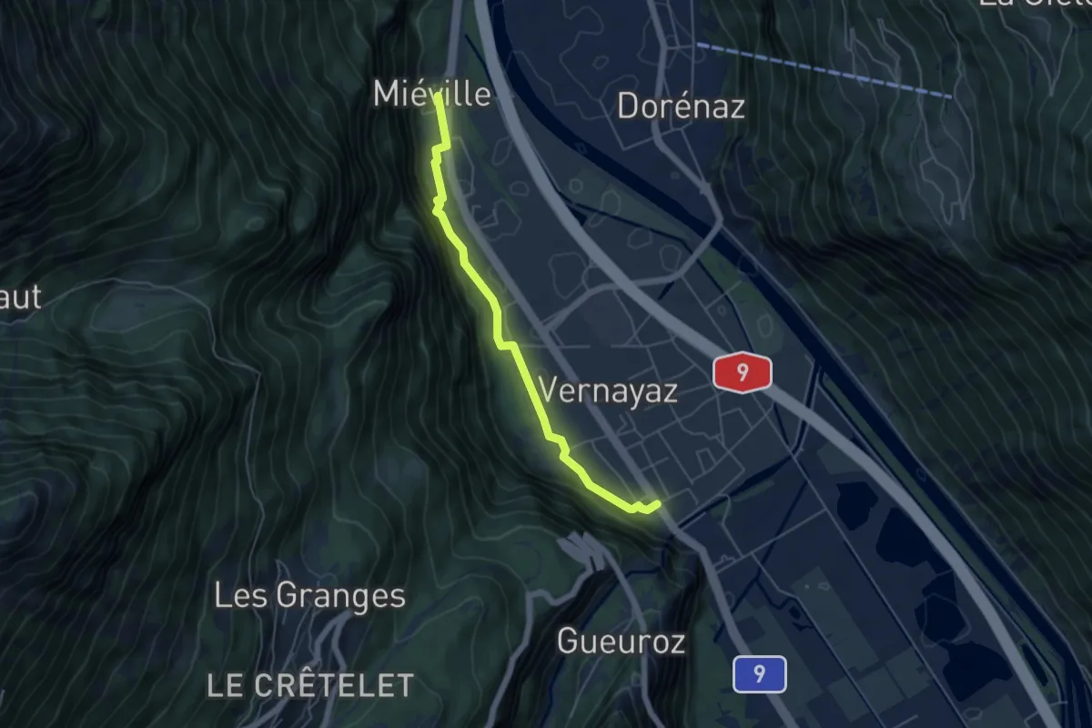
Easy · Trail
Vernayaz - Miéville
4.9 km · ↑ 127 m · 1 h 25 min · 6 km away
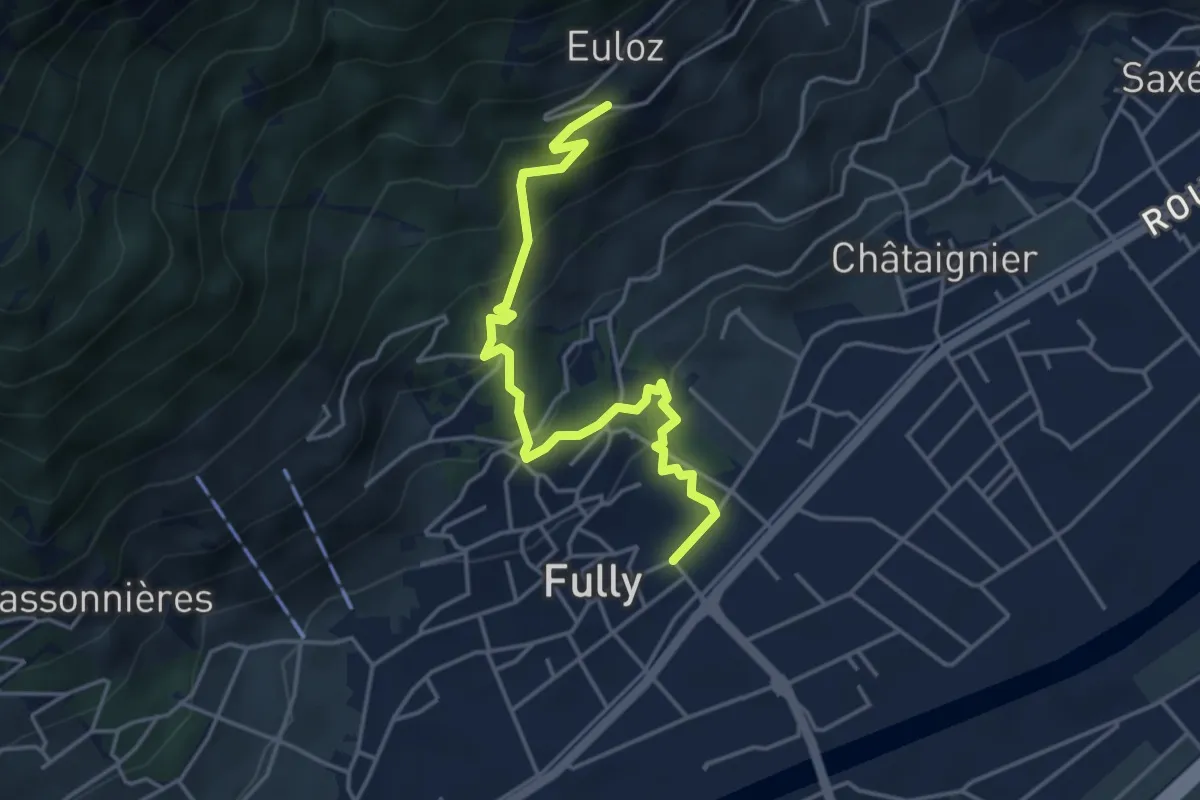
Medium · Trail
Vers l'Eglise - Fully > Eulo
4.5 km · ↑ 341 m · 1 h 48 min · 6 km away
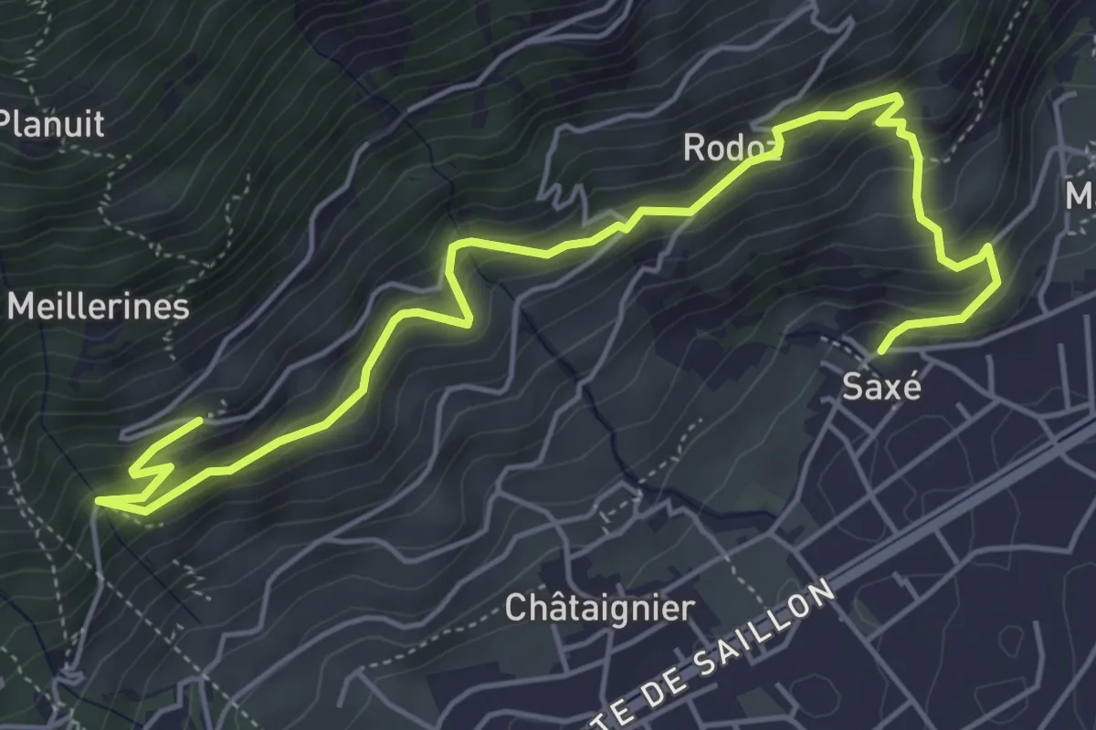
Medium · Trail
Saxé - Eulo
6.4 km · ↑ 575 m · 2 h 46 min · 6 km away
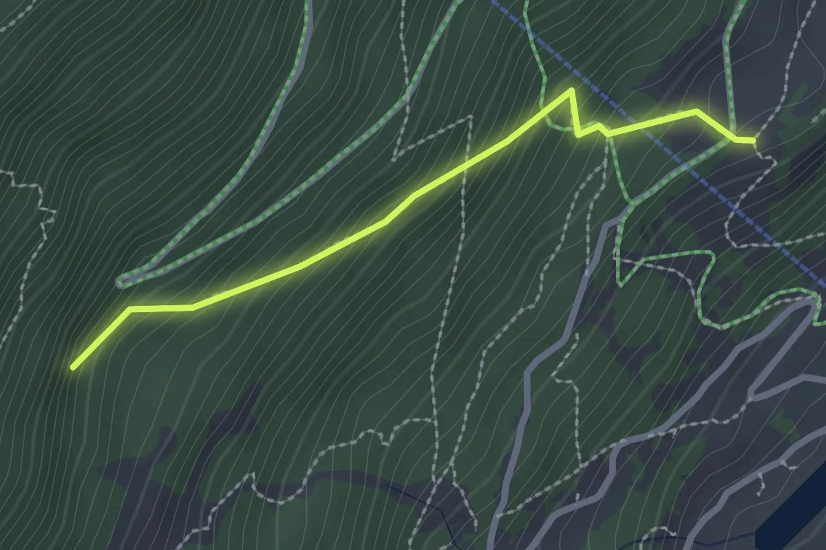
Easy · Trail
Planajeur -> Le Temelet
2.3 km · ↑ 262 m · 1 h 6 min · 6 km away
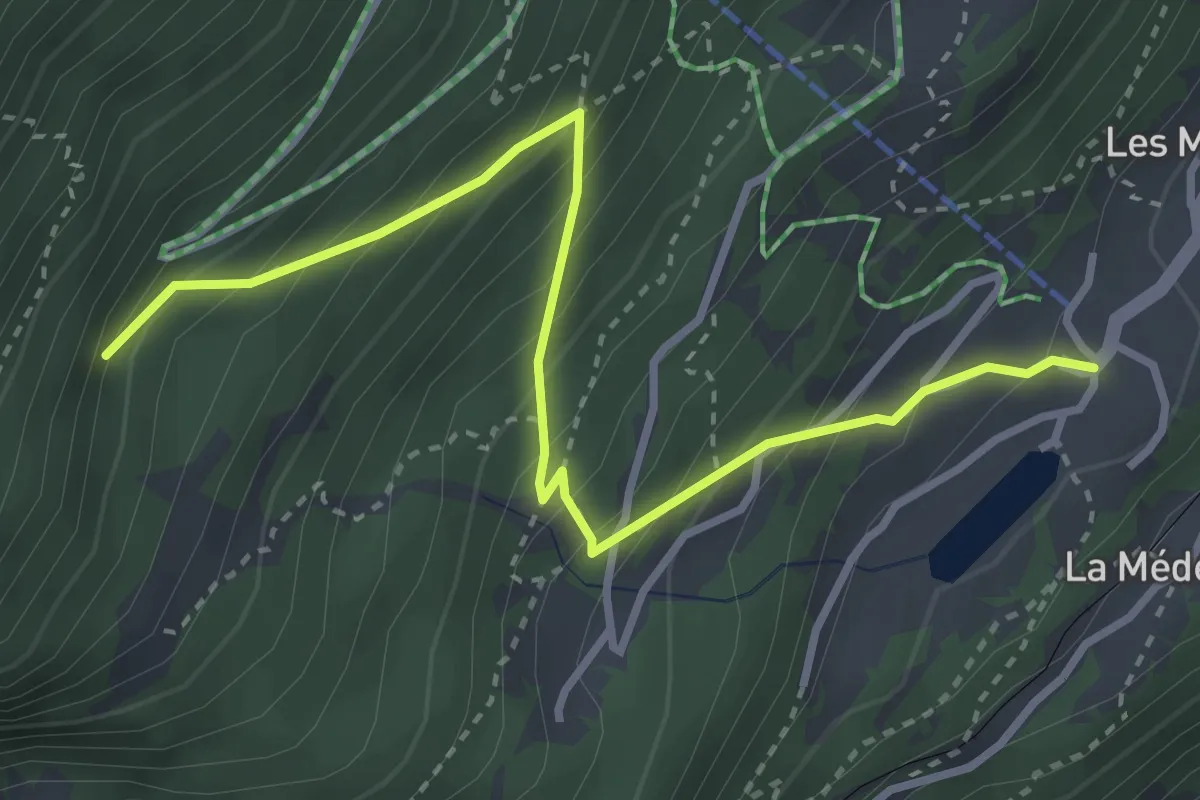
Medium · Trail
Les Marécottes Télécabine -> Le Temelet
3.7 km · ↑ 430 m · 1 h 49 min · 6 km away
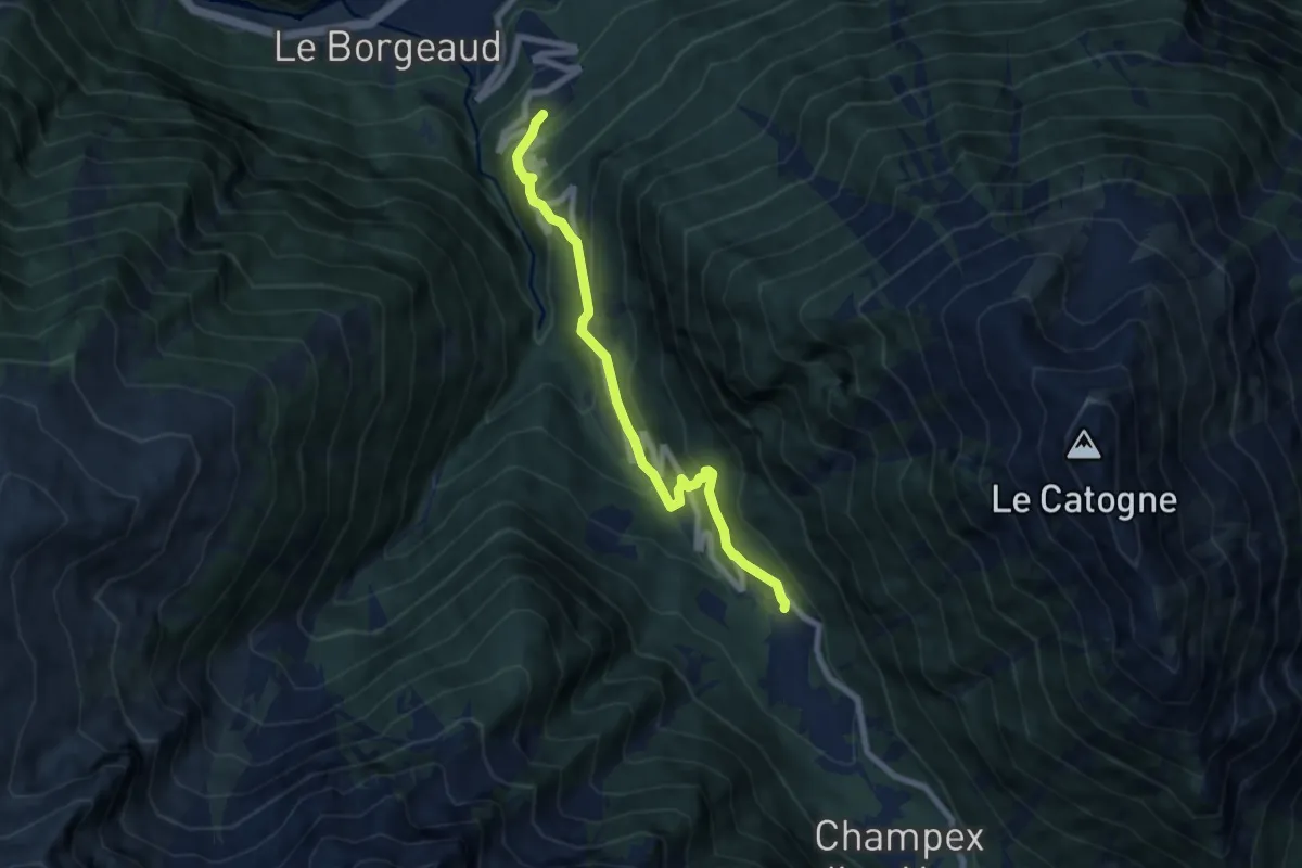
Medium · Trail
Bémont > Champex d'en Bas
7.1 km · ↑ 524 m · 2 h 48 min · 6 km away
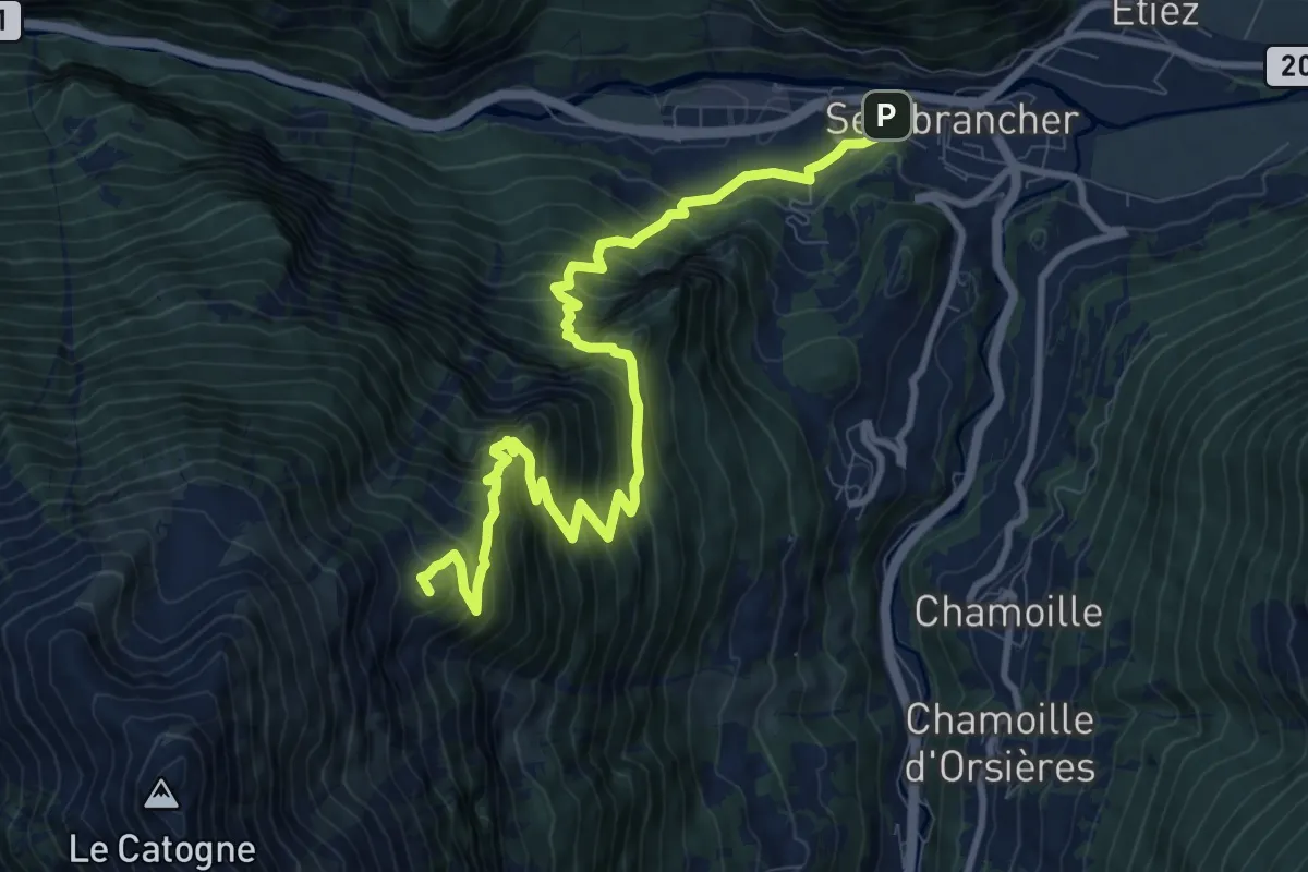
Demanding · Summit
Course annuelle - Sembracher -> Catogne Alpage
11.2 km · ↑ 1294 m · 5 h 27 min · 6 km away
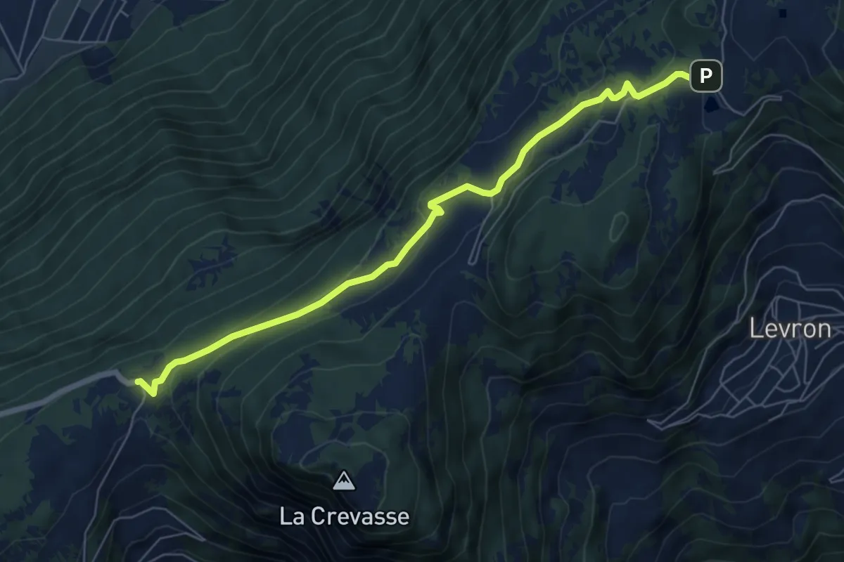
Easy · Trail
Col des Planches – Col du Lein
6.9 km · ↑ 247 m · 2 h 9 min · 7 km away
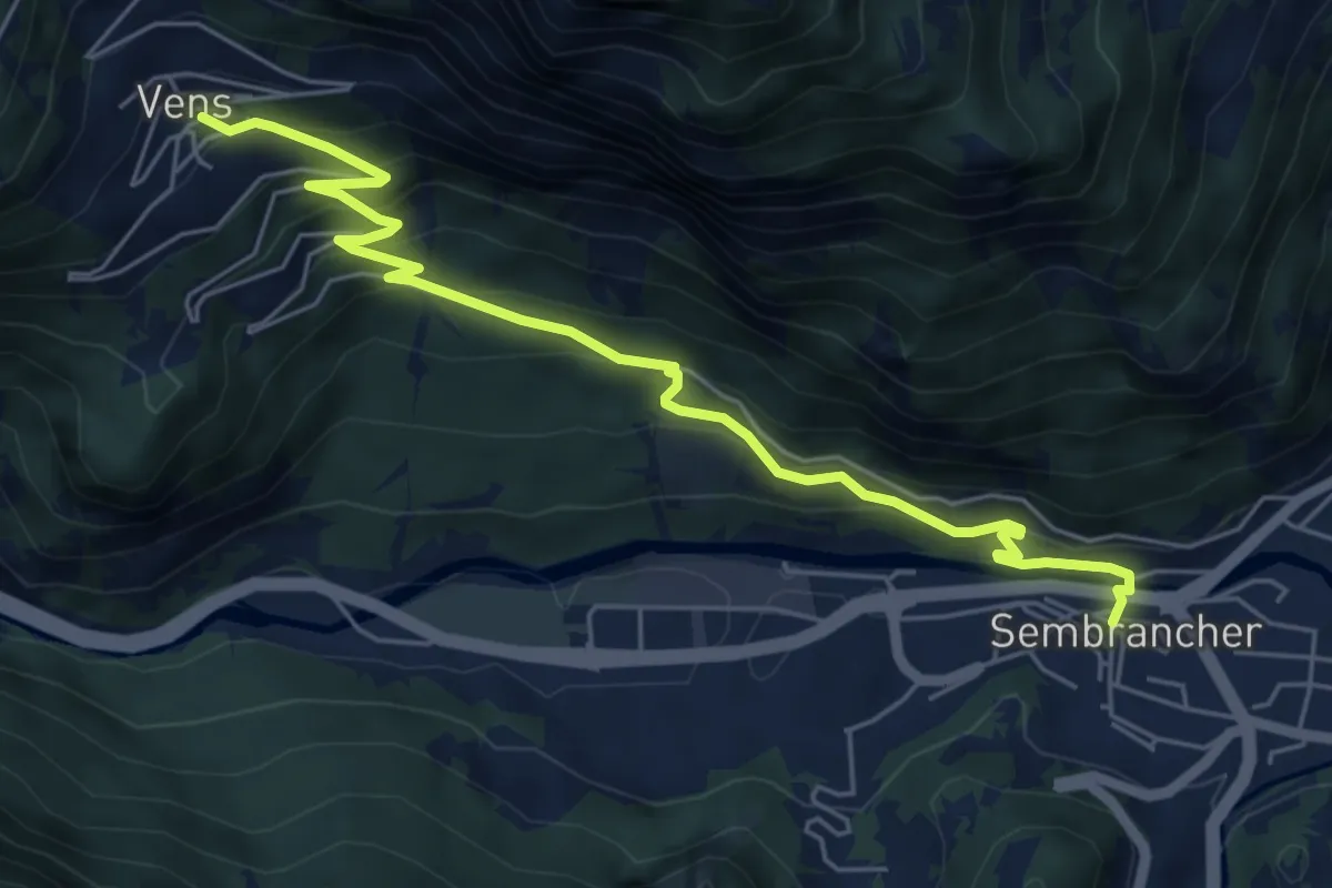
Medium · Trail
Sembrancher > Vens
6.5 km · ↑ 469 m · 2 h 34 min · 7 km away
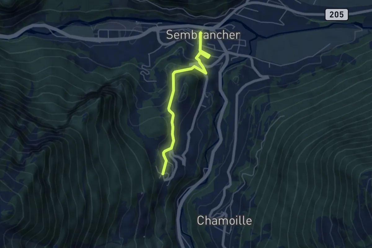
Easy · Trail
Sembrancher > La Garde
4.4 km · ↑ 237 m · 1 h 34 min · 7 km away
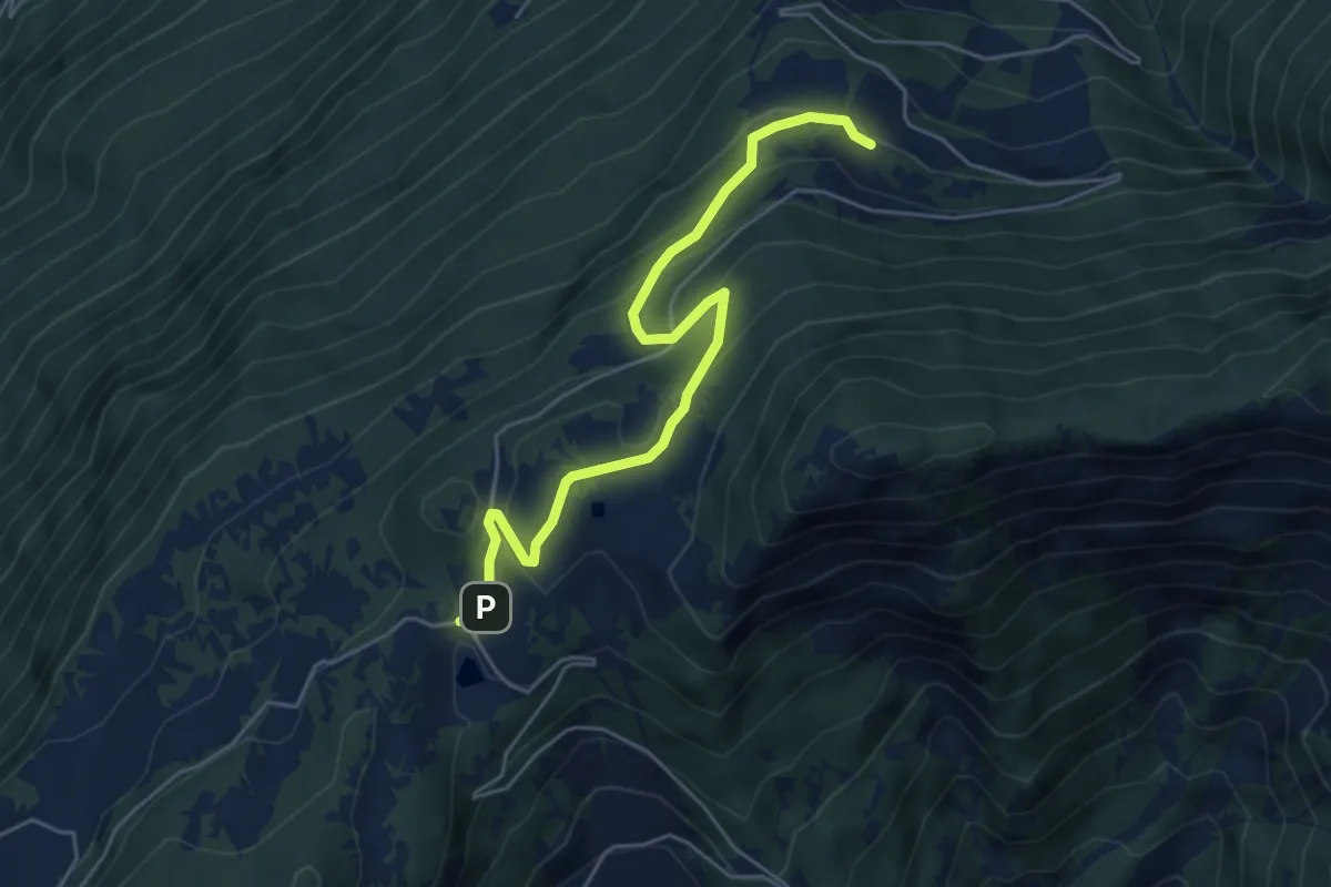
Medium · Trail
Col du Lein – Boveresse
5.5 km · ↑ 286 m · 1 h 55 min · 7 km away
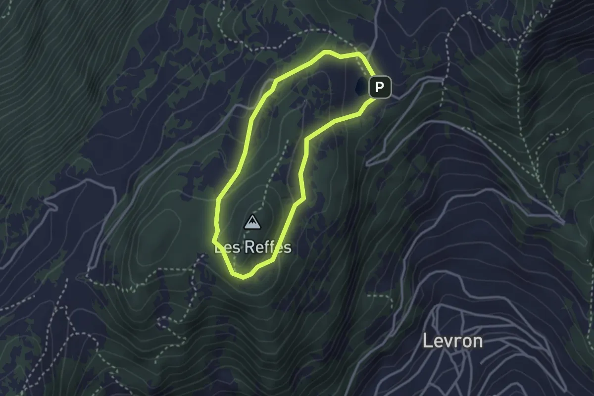
Demanding · Summit
Chemin du Bicentenaire
2.5 km · ↑ 100 m · 51 min · 7 km away
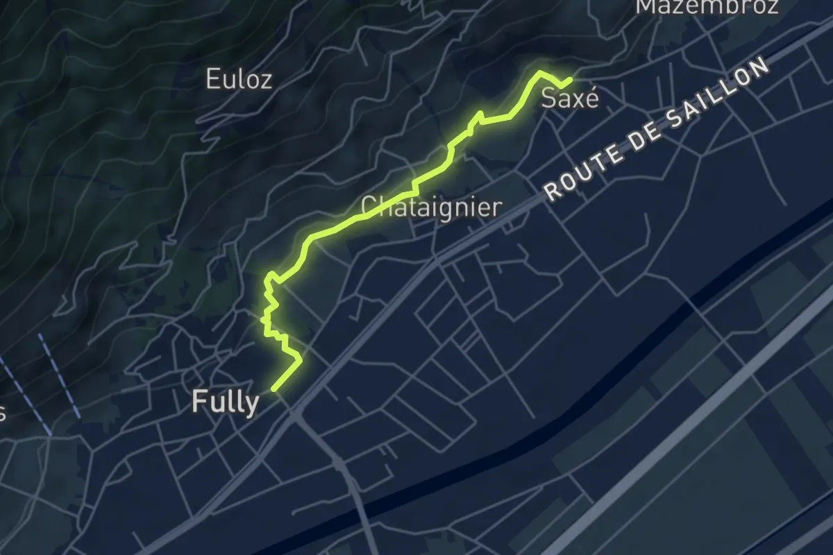
Demanding · Trail
Saxé > Vers l'Eglise - Fully
4.5 km · ↑ 119 m · 1 h 19 min · 7 km away
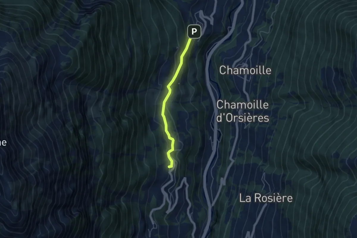
Medium · Trail
La Garde - Soulalex
3.9 km · ↑ 198 m · 1 h 21 min · 7 km away
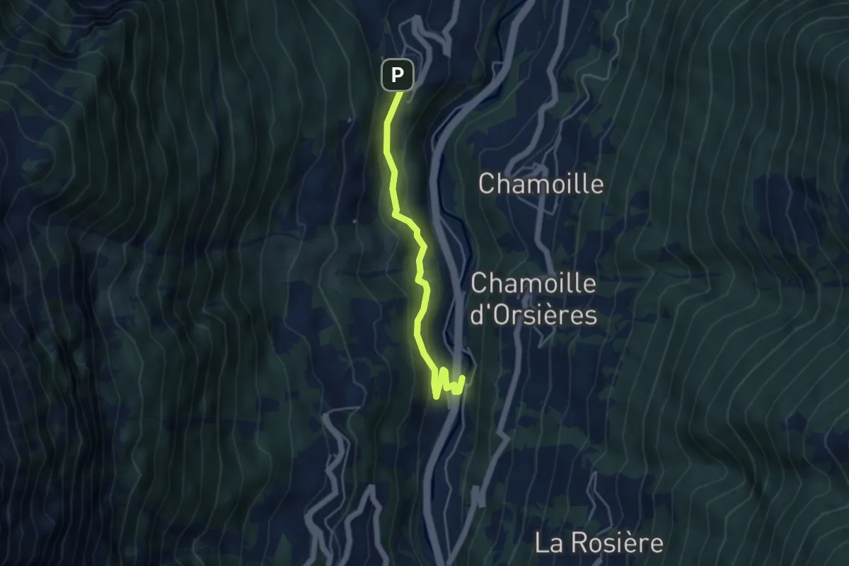
Easy · Trail
La Garde > La Douay
4.0 km · ↑ 256 m · 1 h 29 min · 7 km away
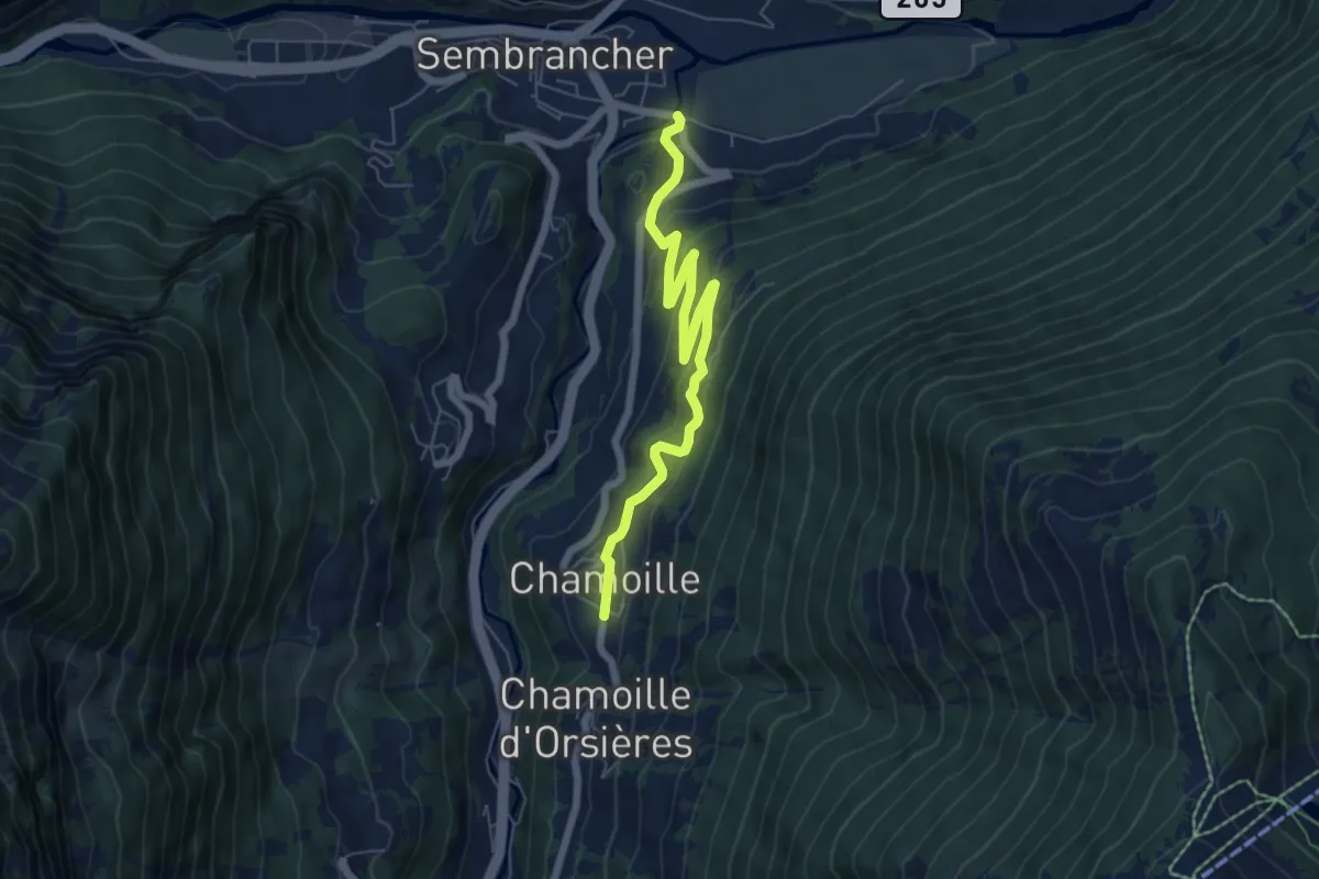
Medium · Trail
Les Moulins > Chamoille d'en Haut
6.7 km · ↑ 339 m · 2 h 19 min · 7 km away