Trails near Martigny
211 hikes starting within 15 km, nearest first.
Nearest first, page 3 of 5
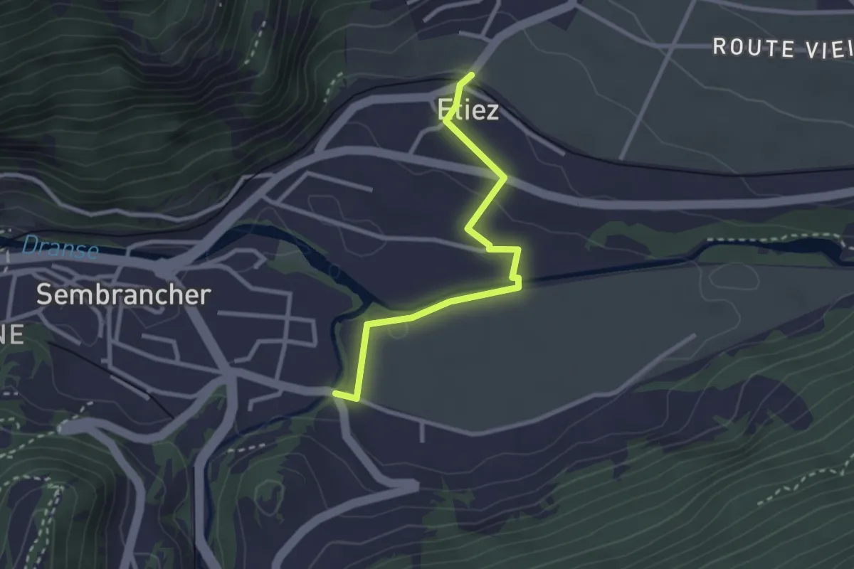
Easy · Trail
Etiez > Les Moulins
2.6 km · ↑ 50 m · 44 min · 7 km away
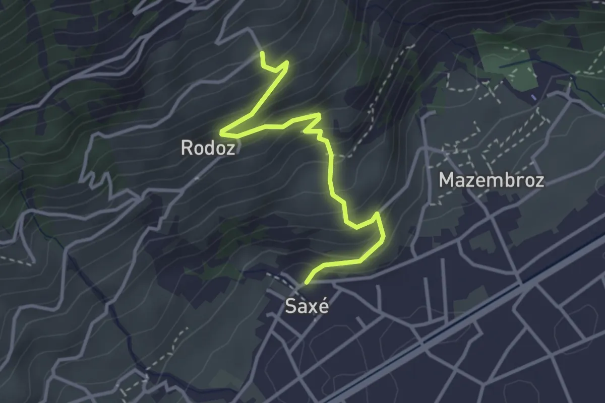
Easy · Trail
Saxé - Buitonne
3.1 km · ↑ 317 m · 1 h 24 min · 7 km away
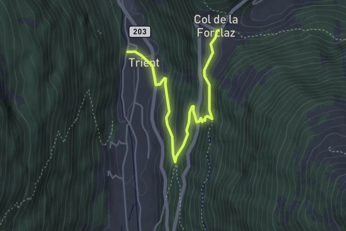
Medium · Trail
Col de la Forclaz – Trient
4.3 km · ↑ 286 m · 1 h 38 min · 7 km away
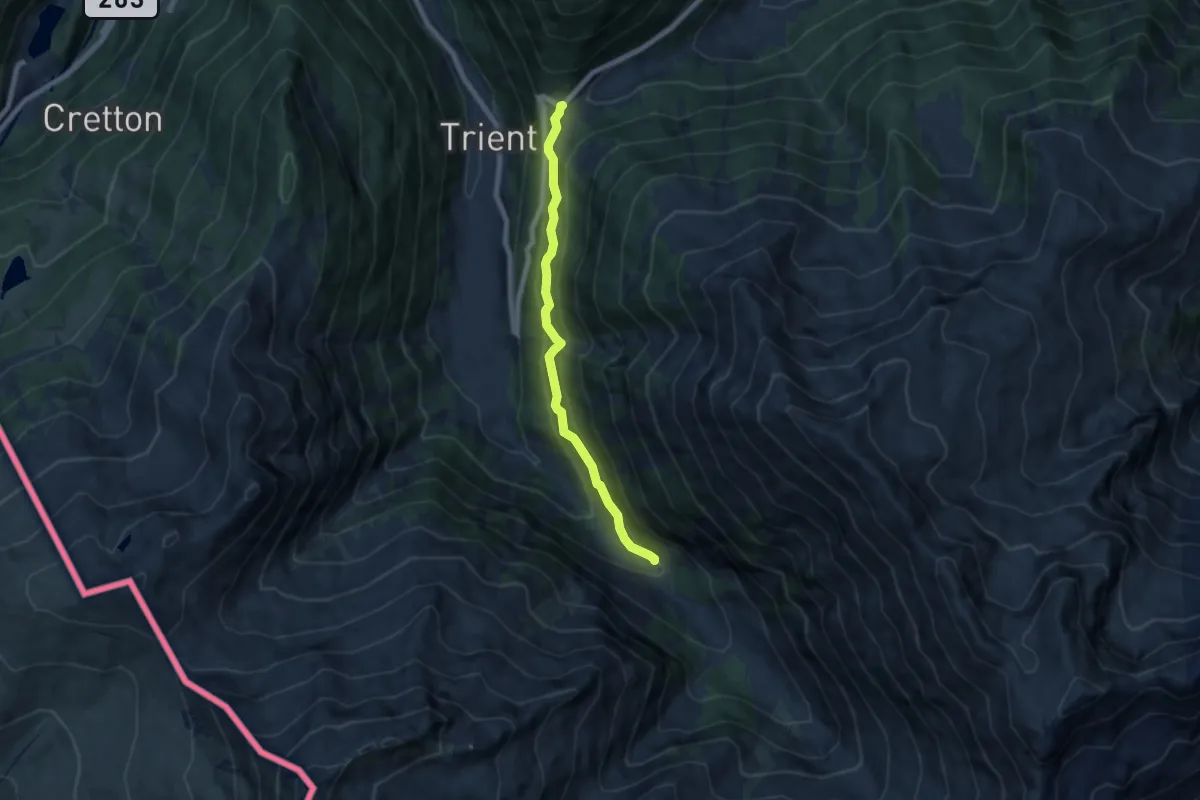
Medium · Trail
Chalet du Glacier – Col de la Forclaz
6.4 km · ↑ 347 m · 2 h 16 min · 7 km away
Medium · Trail
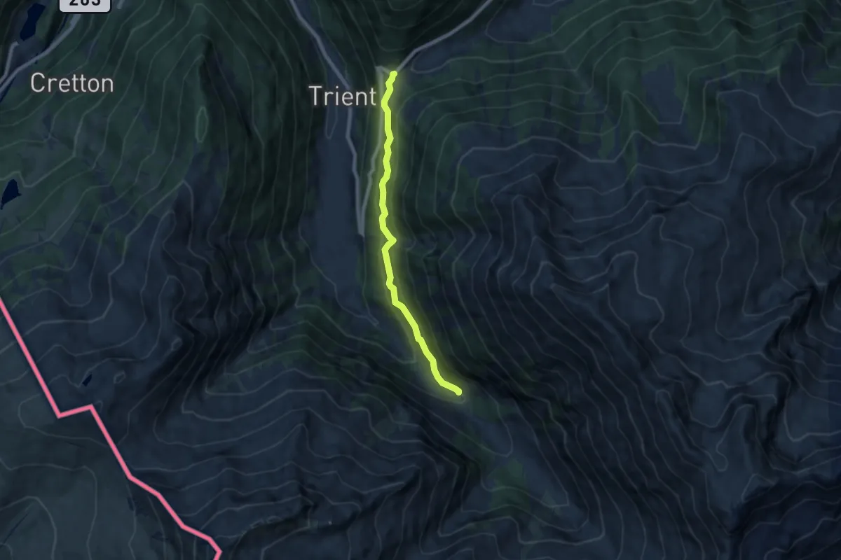
Col de la Forclaz – Chalet du Glacier
6.4 km · ↑ 347 m · 2 h 16 min · 7 km away
Medium · Trail
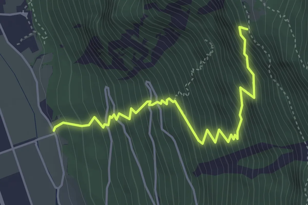
Les Martenaux - Plex ?
4.3 km · ↑ 753 m · 2 h 39 min · 8 km away
Medium · Trail
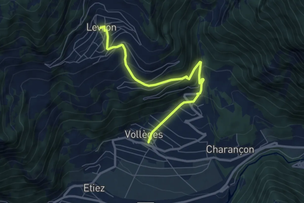
Vollèges - Levron
6.5 km · ↑ 460 m · 2 h 32 min · 8 km away
Easy · Trail
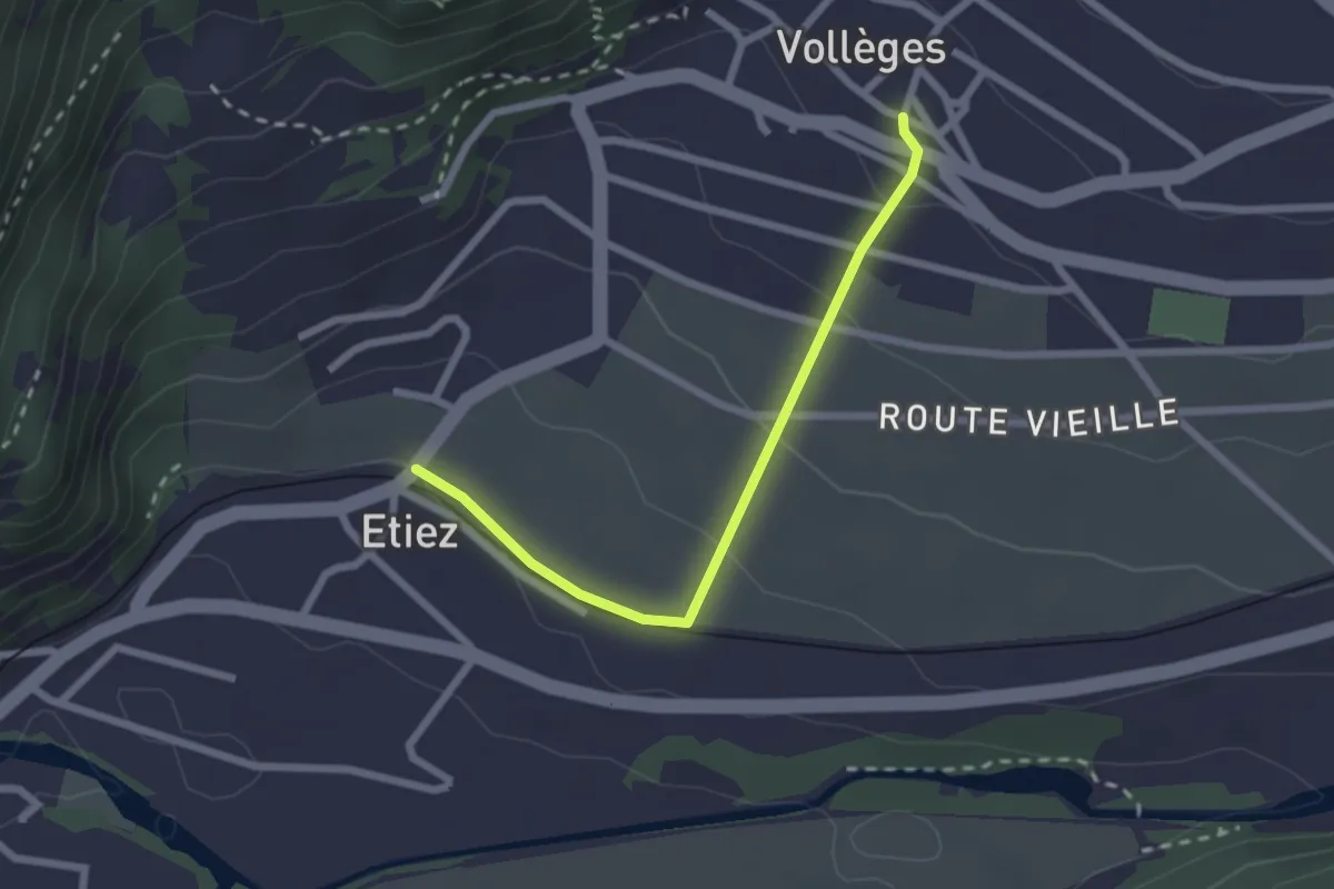
Vollèges > Etiez
2.3 km · ↑ 89 m · 44 min · 8 km away
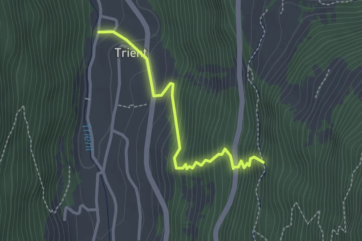
Medium · Trail
Trient – Col de la Forclaz
2.2 km · ↑ 237 m · 1 h 2 min · 8 km away
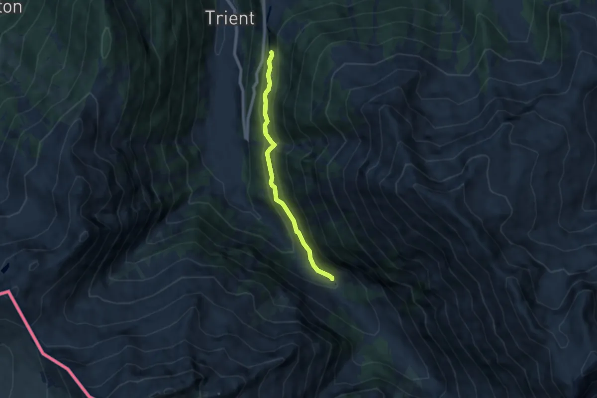
Medium · Trail
Col de la Forclaz – Chalet du Glacier
5.3 km · ↑ 326 m · 1 h 57 min · 8 km away
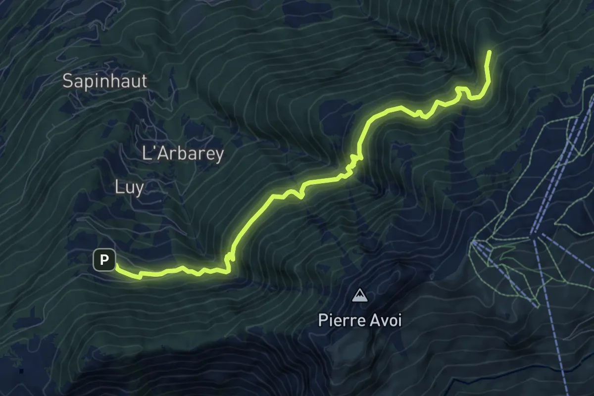
Demanding · Trail
Boveresse – Crête de Seu
10.3 km · ↑ 1026 m · 4 h 39 min · 8 km away
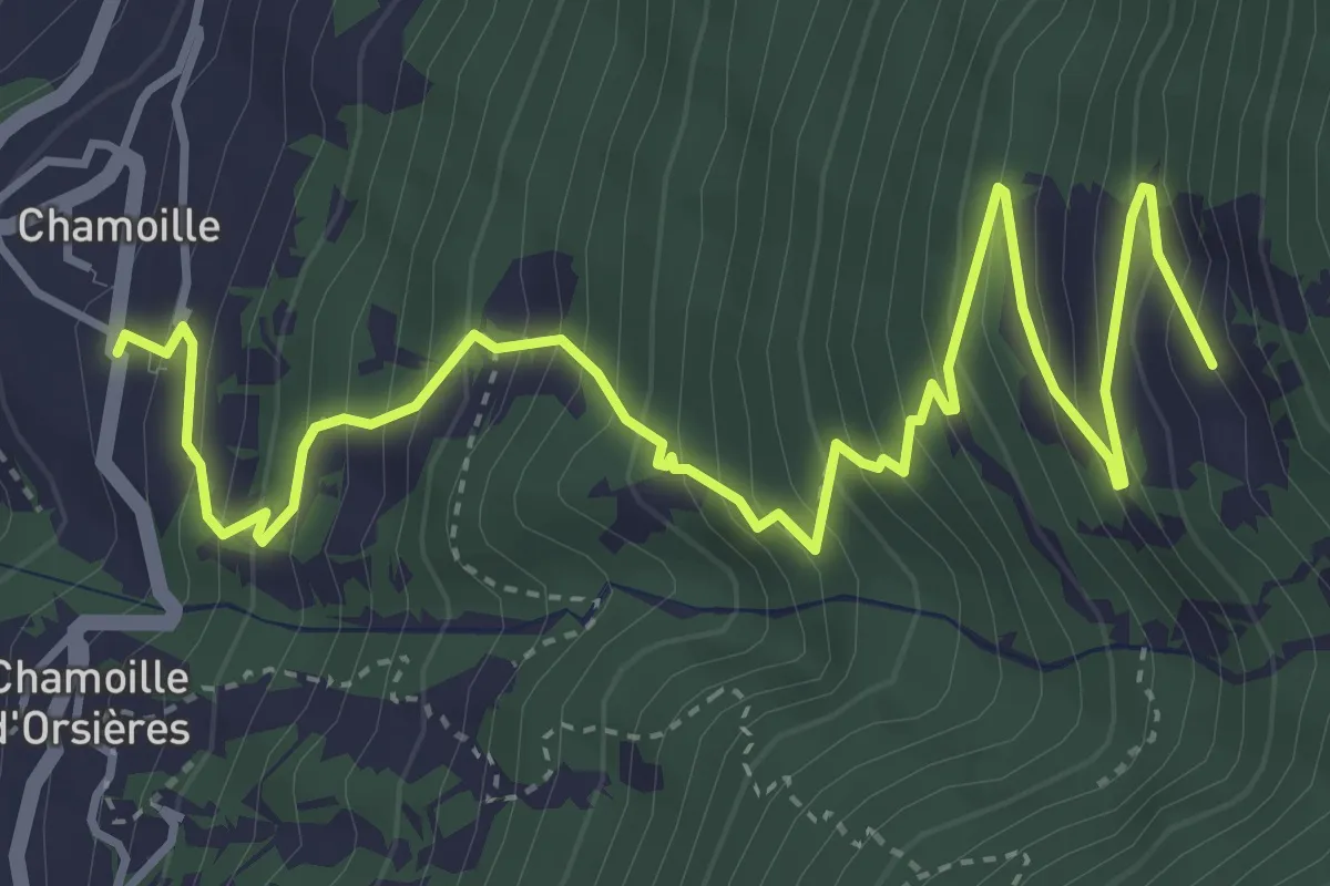
Medium · Trail
Chamoille d'en Haut > Chesal
5.7 km · ↑ 609 m · 2 h 40 min · 8 km away
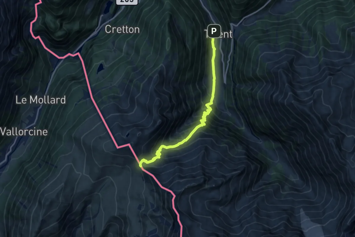
Demanding · Cabin
Trient – Col de Balme
11.3 km · ↑ 944 m · 4 h 43 min · 8 km away
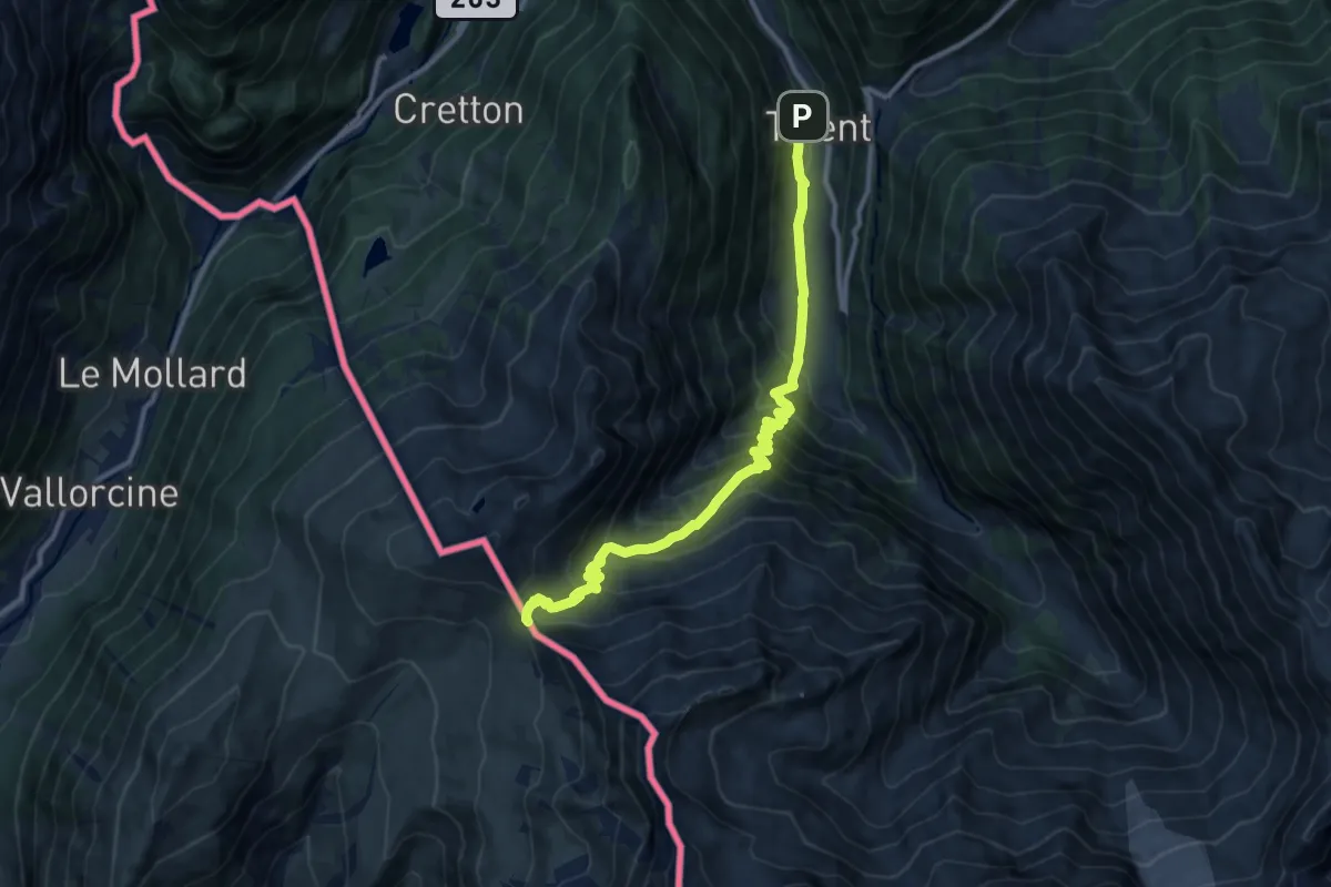
Demanding · Cabin
Col de Balme – Trient
11.3 km · ↑ 944 m · 4 h 43 min · 8 km away
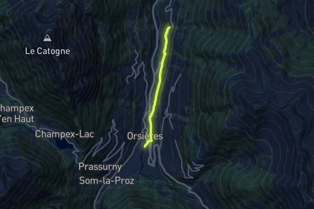
Easy · Trail
Chamoille > Orsières
7.2 km · ↑ 280 m · 2 h 18 min · 8 km away
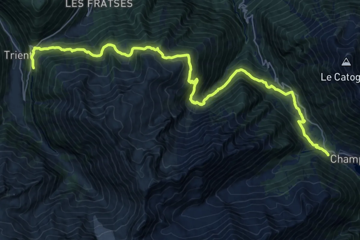
Demanding · Trail
Col de la Forclaz – Champex
13.3 km · ↑ 902 m · 5 h 16 min · 8 km away
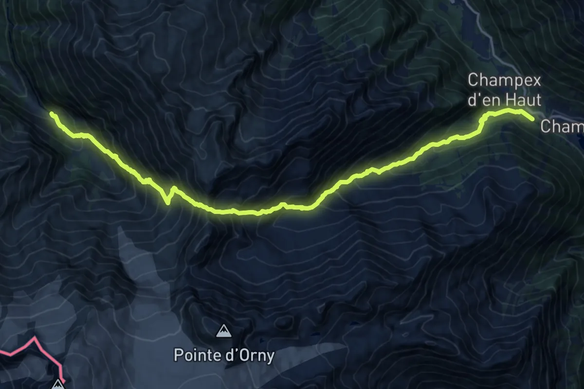
Expert · Trail
Tour Du Mont Blanc - Variante de la Fenêtre d'Arpette
9.5 km · ↑ 1137 m · 4 h 48 min · 8 km away
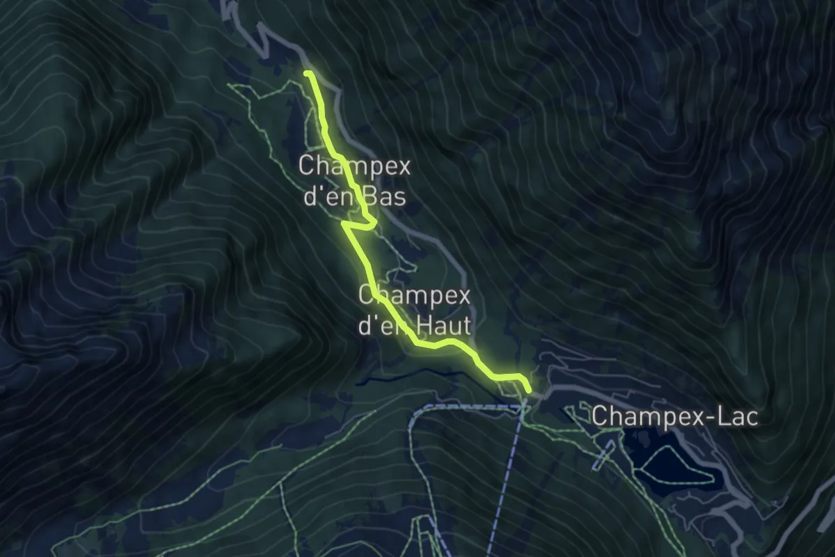
Medium · Trail
Champex d'en Bas > Champex
5.1 km · ↑ 169 m · 1 h 35 min · 8 km away
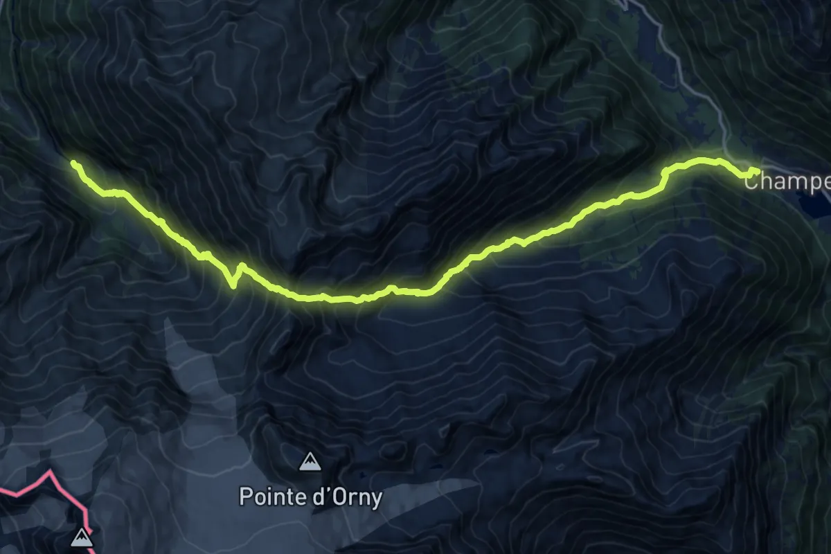
Expert · Trail
Chalet du Glacier – Champex
9.8 km · ↑ 1139 m · 4 h 52 min · 8 km away
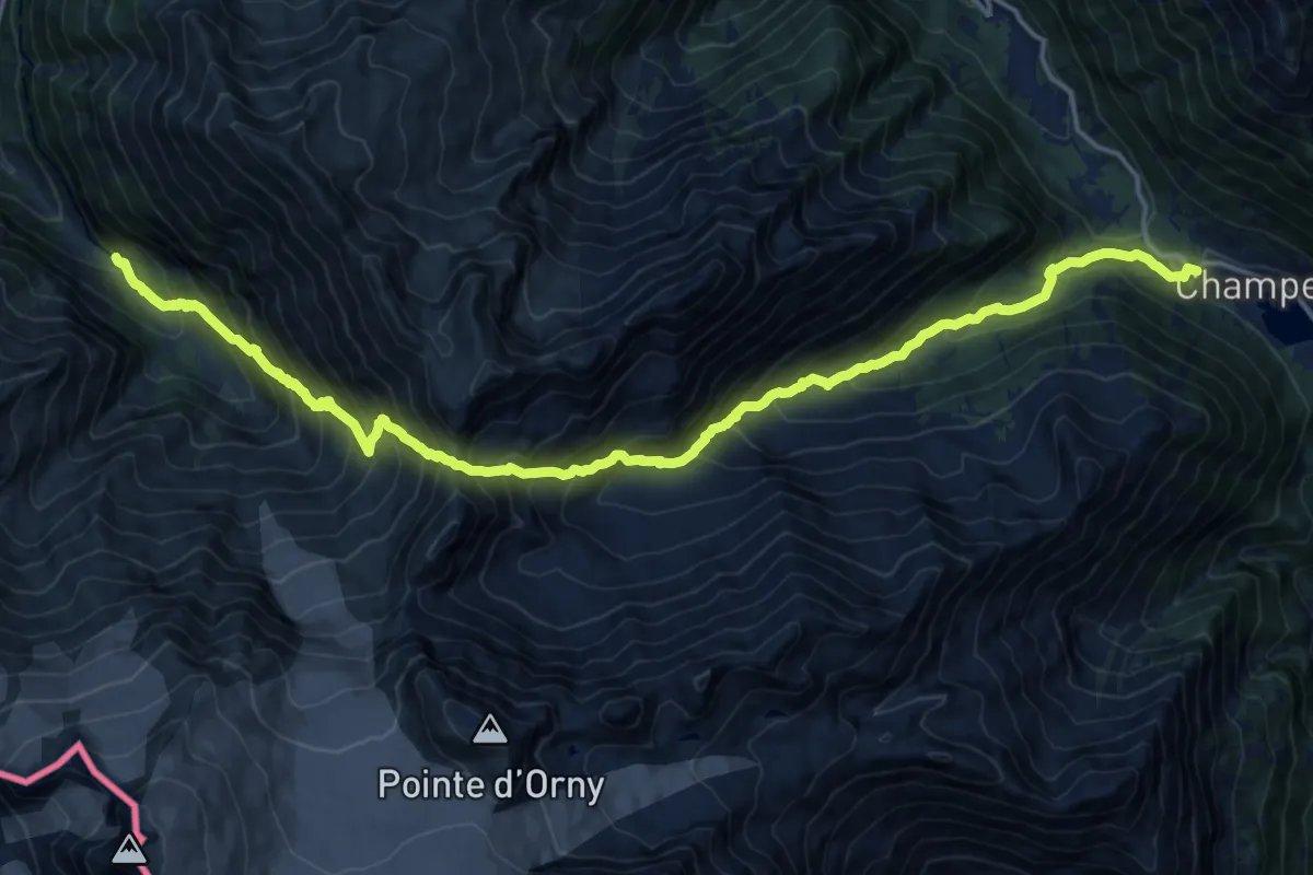
Expert · Trail
Champex – Chalet du Glacier
9.8 km · ↑ 1139 m · 4 h 52 min · 8 km away
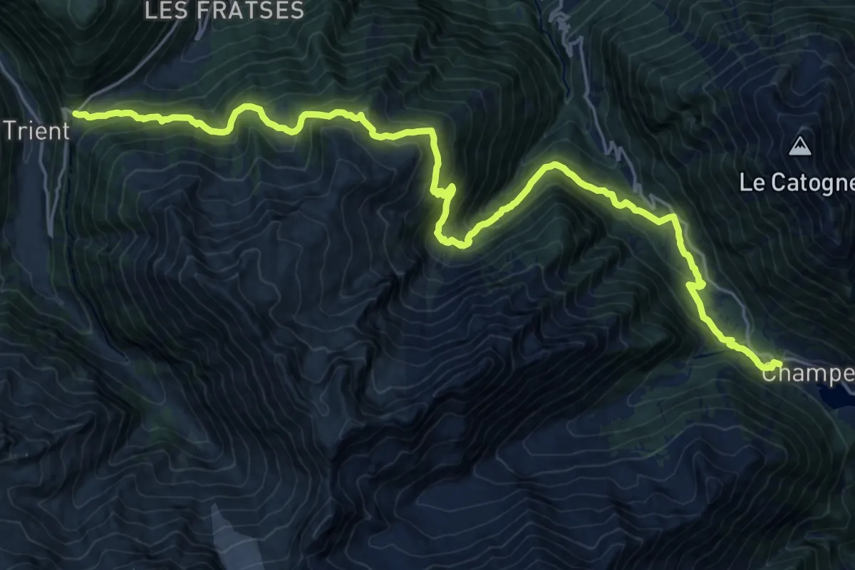
Demanding · Trail
Champex – Col de la Forclaz
13.0 km · ↑ 873 m · 5 h 8 min · 8 km away
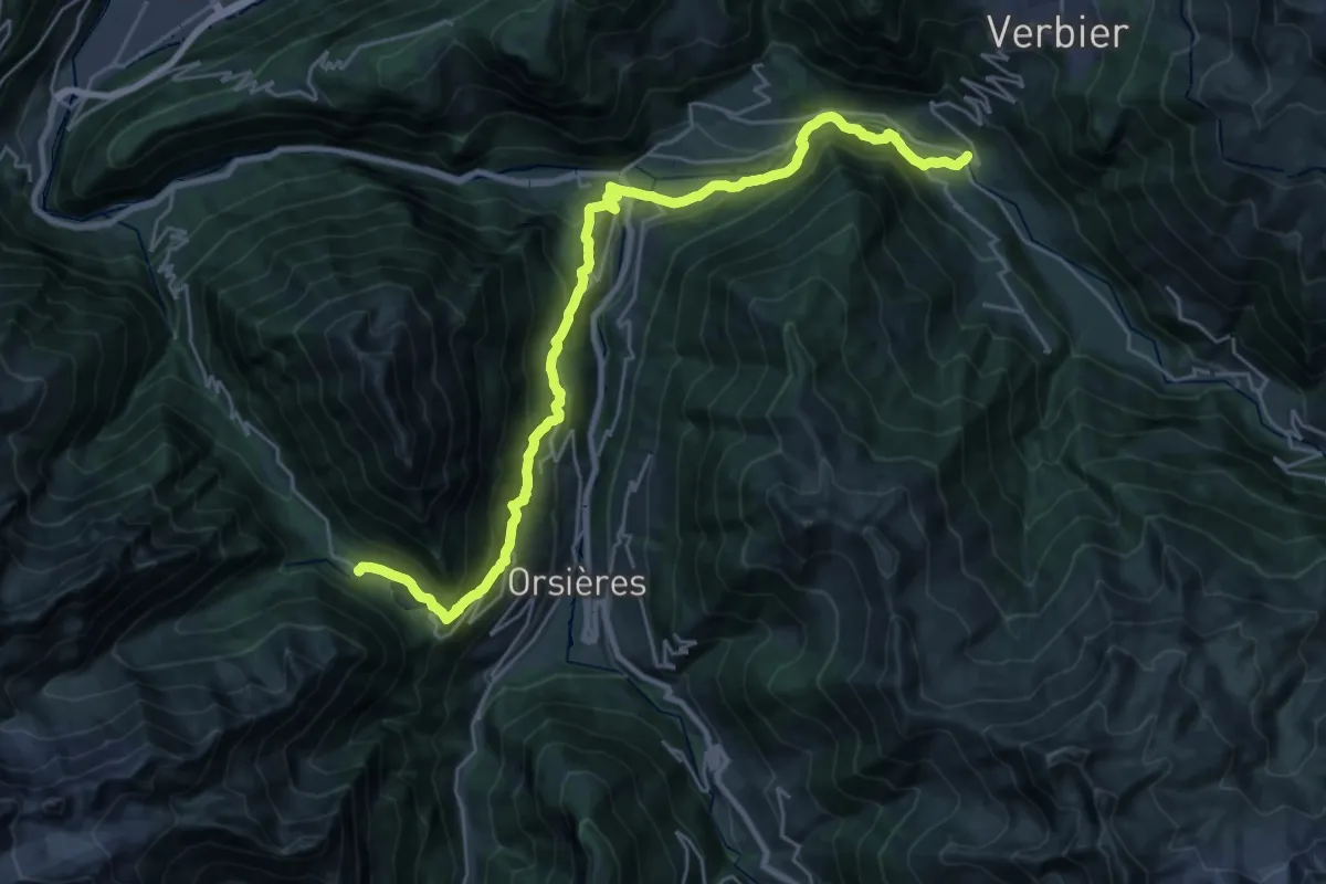
Medium · Trail
Champex – Le Châble
14.8 km · ↑ 342 m · 4 h 46 min · 8 km away
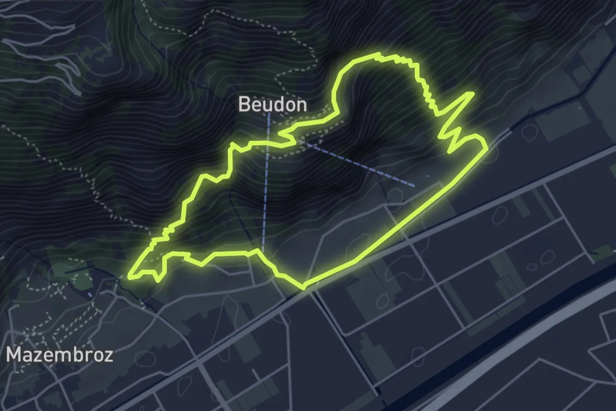
Medium · Trail
Sentier à travers les âges
4.8 km · ↑ 502 m · 2 h 18 min · 9 km away
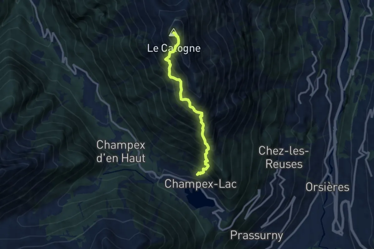
Expert · Summit
L'Adray > Le Catogne
6.8 km · ↑ 1320 m · 4 h 28 min · 9 km away
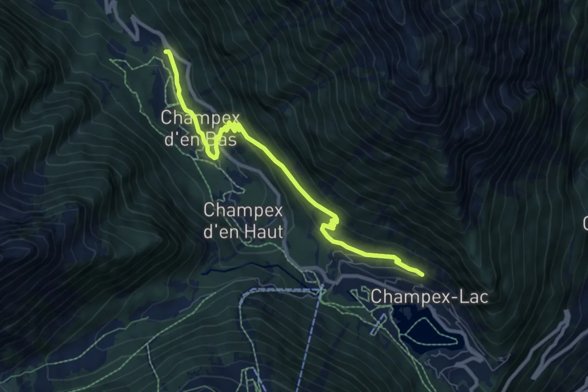
Medium · Trail
Champex d'en Bas > L'Adray
7.5 km · ↑ 395 m · 2 h 37 min · 9 km away
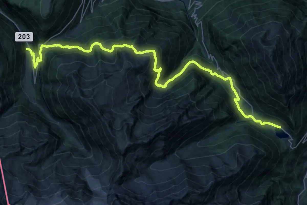
Demanding · Trail
36-Chemin des cols alpins
15.7 km · ↑ 908 m · 5 h 59 min · 9 km away
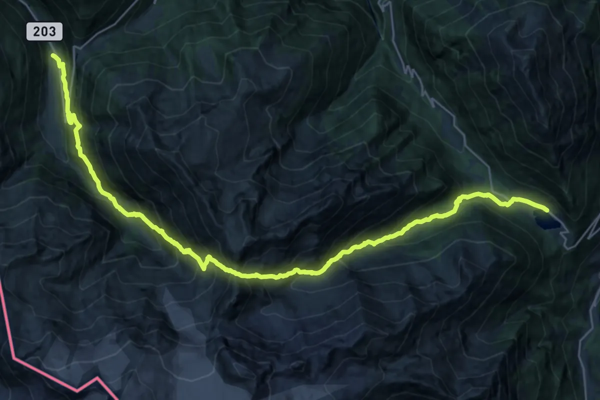
Expert · Trail
Via Alpina Stage 80: Trient - Champex-Lac
14.3 km · ↑ 1251 m · 6 h 23 min · 9 km away
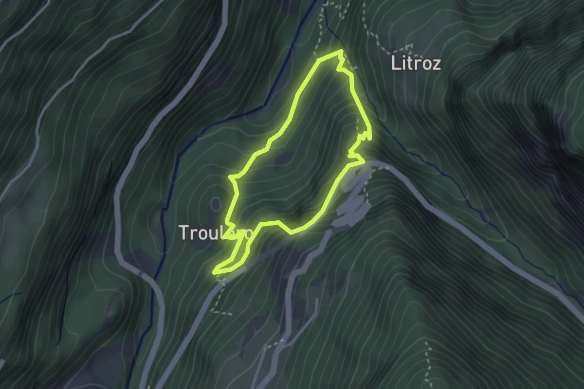
Medium · Trail
Gorges Mystérieuses de Tête-Noire
2.5 km · ↑ 268 m · 1 h 12 min · 9 km away
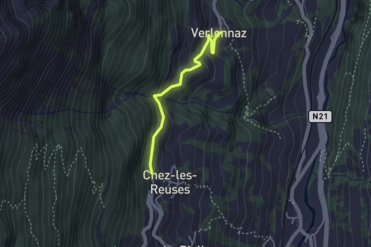
Easy · Trail
Verlonne > Chez les Reuses
2.6 km · ↑ 207 m · 1 h 4 min · 9 km away
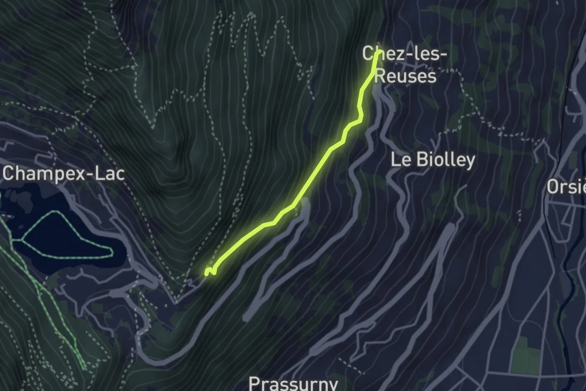
Medium · Trail
Chez les Reuses > Le Signal
2.6 km · ↑ 294 m · 1 h 15 min · 9 km away
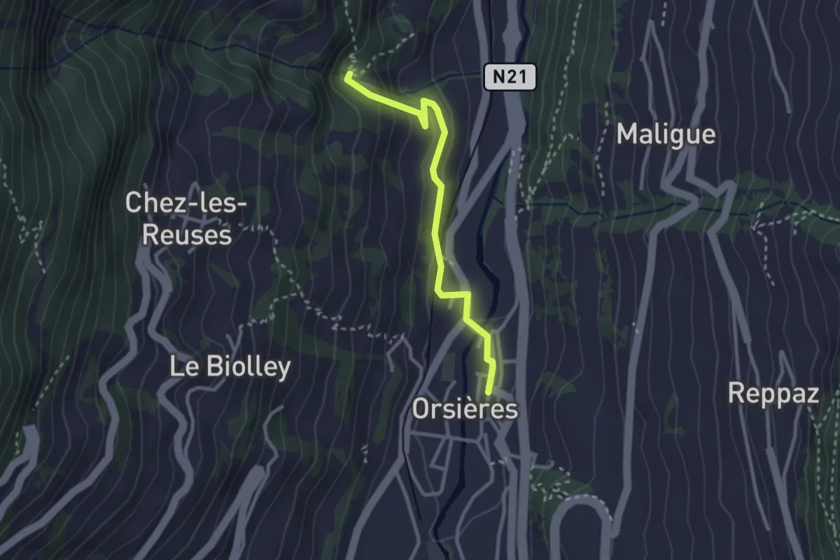
Medium · Trail
Orsières - La Place > Torrent des Fornys
2.6 km · ↑ 120 m · 52 min · 9 km away
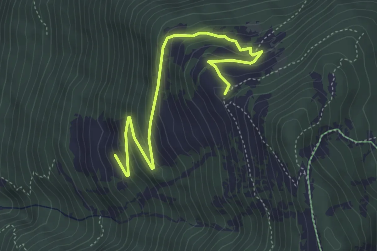
Medium · Trail
Chesal > Le Larzay
4.9 km · ↑ 343 m · 1 h 54 min · 9 km away
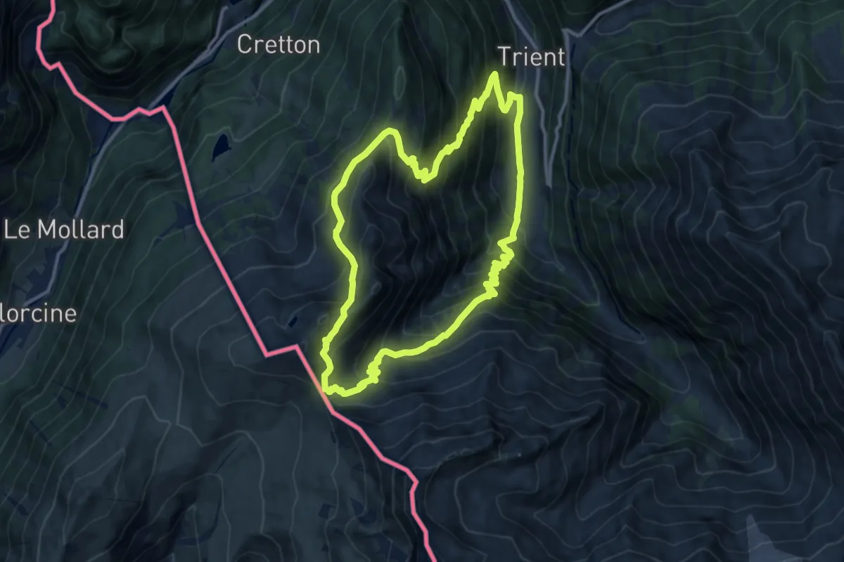
Demanding · Summit
Sentier des Alpages
11.0 km · ↑ 1018 m · 4 h 58 min · 9 km away
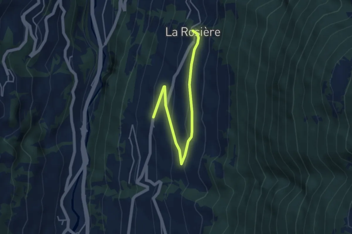
Easy · Trail
Chez les Addy > La Rosière
3.9 km · ↑ 152 m · 1 h 15 min · 9 km away
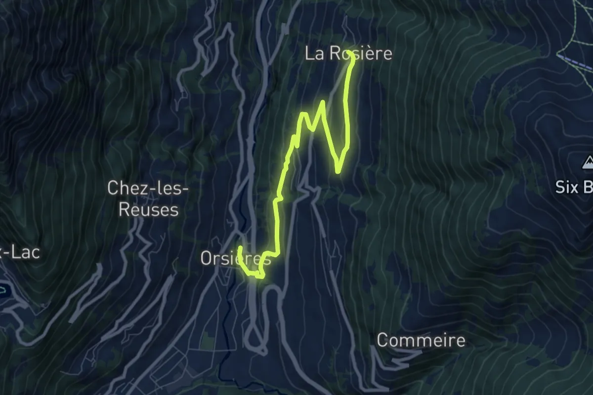
Medium · Pilgrim path
Chemin du Bienheureux Maurice Tornay
4.3 km · ↑ 43 m · 1 h 19 min · 9 km away
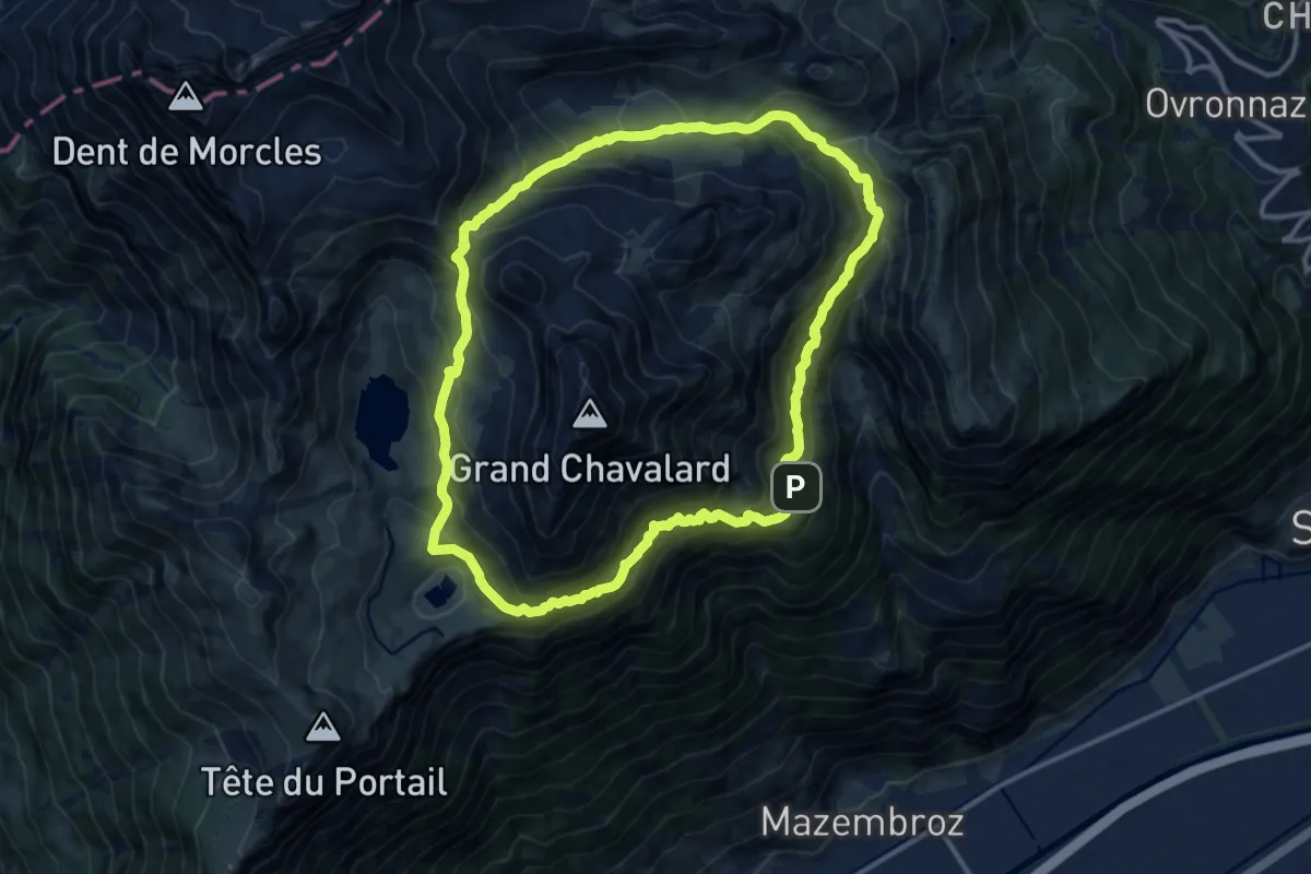
Demanding · Trail
Tour du Grand Chavalard
12.0 km · ↑ 970 m · 5 h 6 min · 9 km away
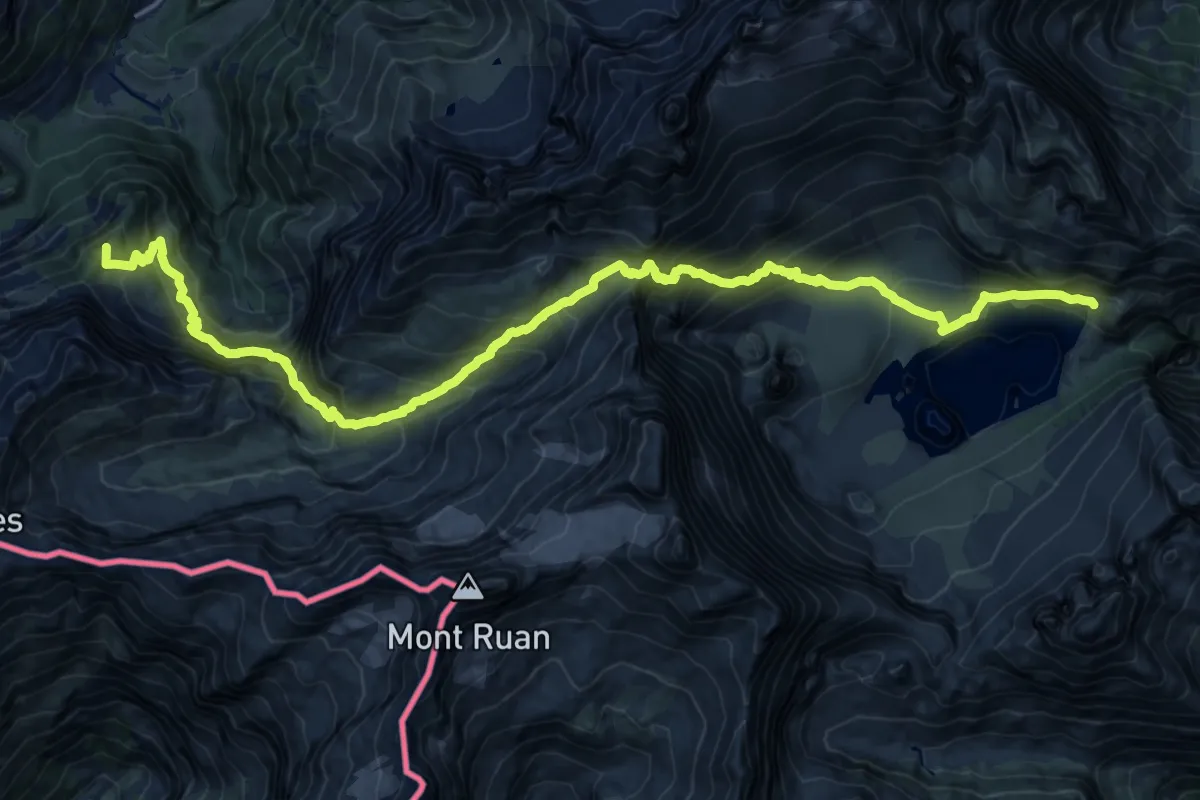
Demanding · Summit
39-Chemin des cols alpins
23.7 km · ↑ 2056 m · 10 h 4 min · 9 km away
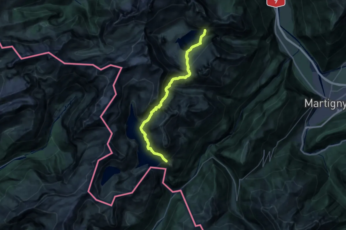
Demanding · Trail
38-Chemin des cols alpins
12.9 km · ↑ 1418 m · 6 h 16 min · 9 km away
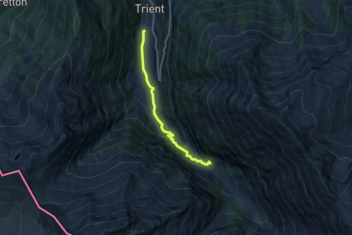
Medium · Trail
Trient – Chalet du Glacier
6.3 km · ↑ 297 m · 2 h 8 min · 9 km away
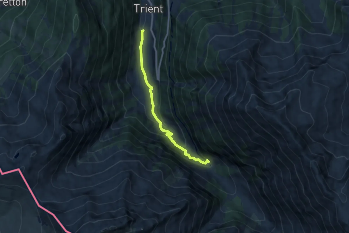
Medium · Trail
Chalet du Glacier – Trient
6.3 km · ↑ 297 m · 2 h 8 min · 9 km away
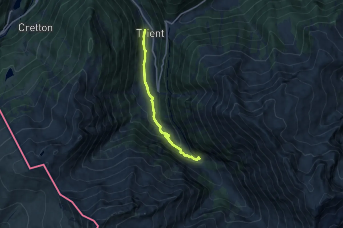
Medium · Trail
Trient – Chalet du Glacier
7.2 km · ↑ 297 m · 2 h 21 min · 9 km away
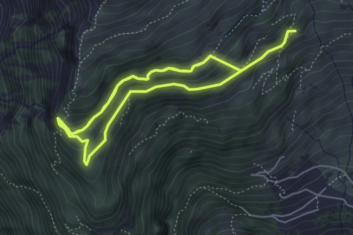
Medium · Trail
sentier des sculptures
9.2 km · ↑ 732 m · 3 h 45 min · 9 km away
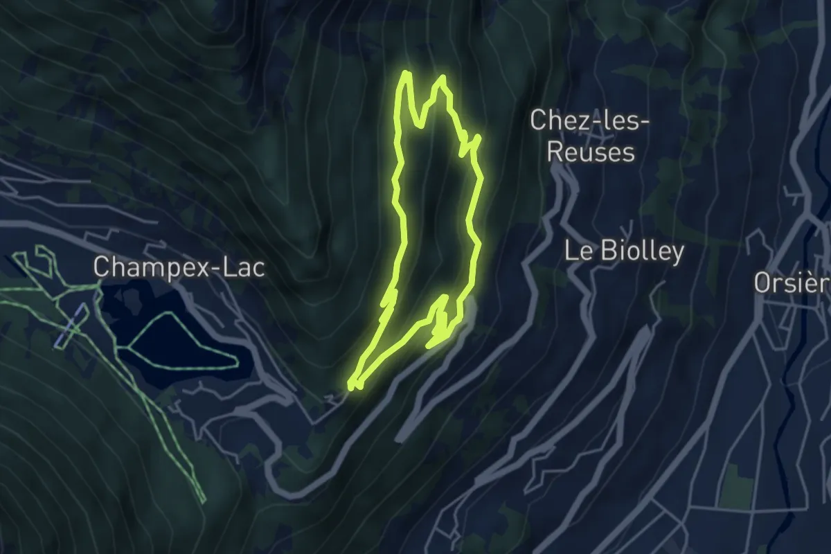
Medium · Trail
sentier du Devin
3.9 km · ↑ 291 m · 1 h 37 min · 9 km away
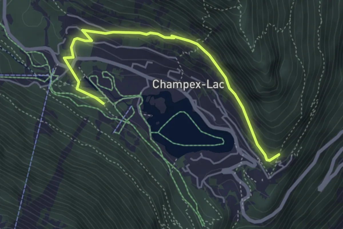
Medium · Trail
sentier du lac
4.7 km · ↑ 256 m · 1 h 40 min · 9 km away
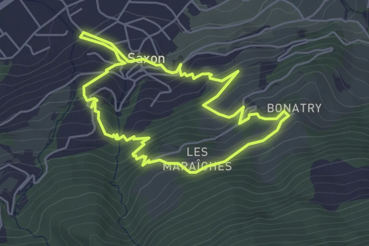
Easy · Trail
Sentier de l'Abricot
4.3 km · ↑ 313 m · 1 h 45 min · 9 km away
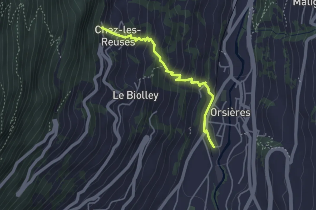
Medium · Trail
Chez les Reuses > Orsières - Gare
3.2 km · ↑ 320 m · 1 h 27 min · 10 km away
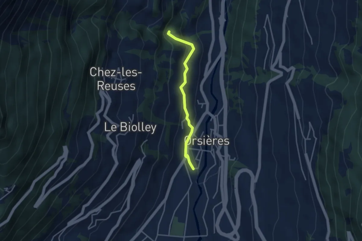
Medium · Trail
Orsières - Gare > Torrent des Fornys
2.8 km · ↑ 156 m · 1 h · 10 km away
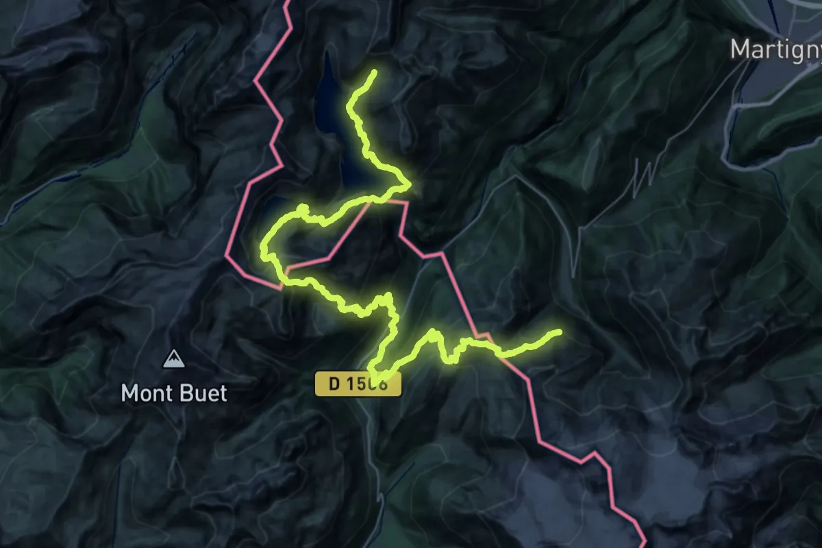
Demanding · Summit
Tour de la Vallée du Trient
29.4 km · ↑ 2410 m · 12 h 31 min · 10 km away