Trails near Martigny
211 hikes starting within 15 km, nearest first.
Nearest first, page 4 of 5
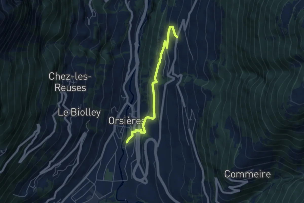
Medium · Trail
Chez les Addy > Orsières
4.7 km · ↑ 224 m · 1 h 35 min · 10 km away
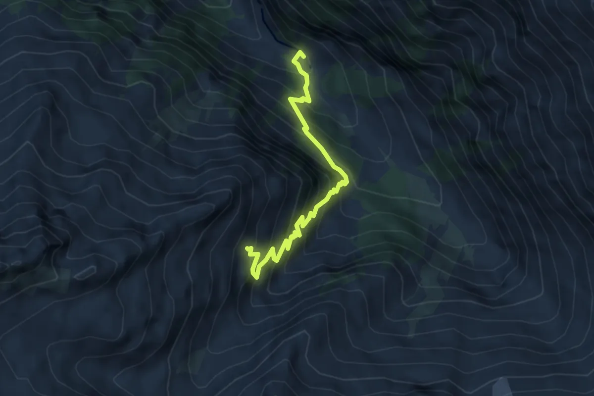
Medium · Trail
Chalet du Glacier – Refuge Les Grand
4.8 km · ↑ 657 m · 2 h 34 min · 10 km away
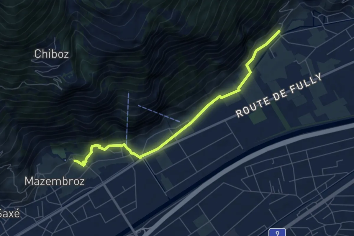
Easy · Trail
La Sarvaz - Vieux Chêne
6.6 km · ↑ 168 m · 1 h 55 min · 10 km away
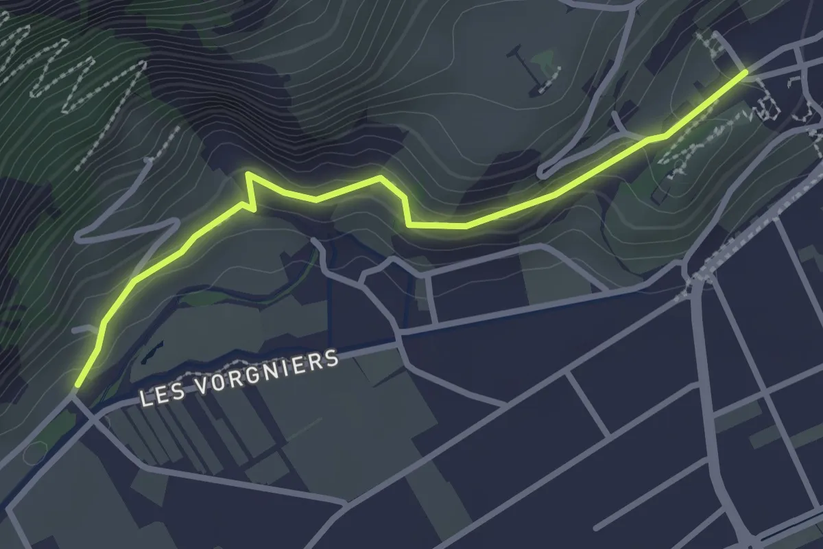
Easy · Trail
La Cleusette - Saillon
2.7 km · ↑ 123 m · 54 min · 10 km away
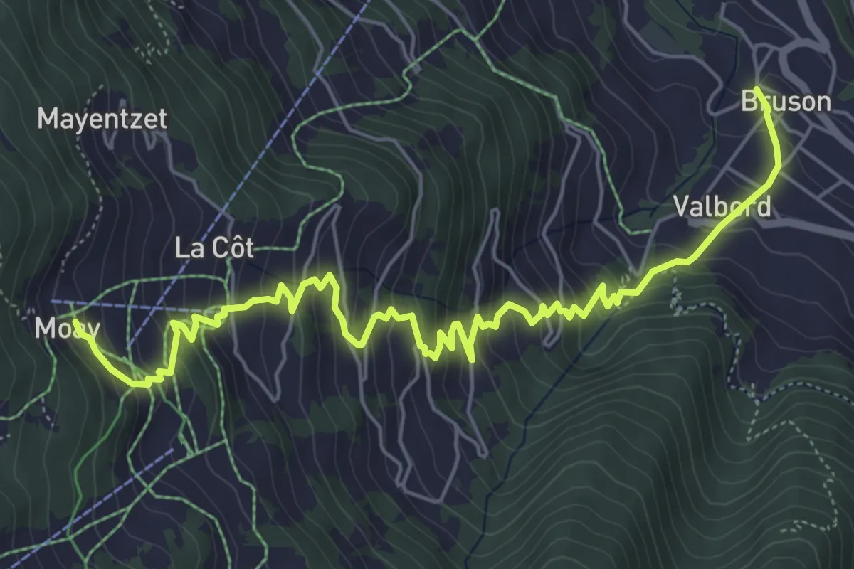
Medium · Trail
Bruson - Moay
7.2 km · ↑ 679 m · 3 h 11 min · 11 km away
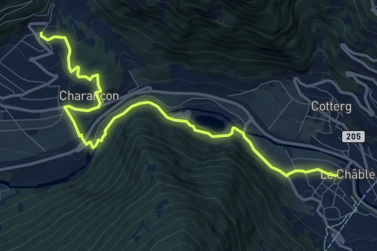
Medium · Trail
Cries – Le Châble
9.6 km · ↑ 299 m · 2 h 55 min · 11 km away
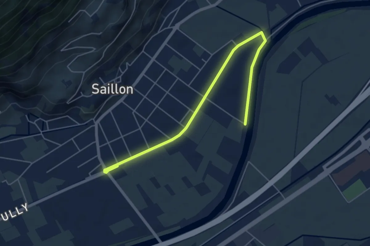
Easy · Trail
Au fil de l'eau
2.9 km · ↑ 4 m · 44 min · 11 km away
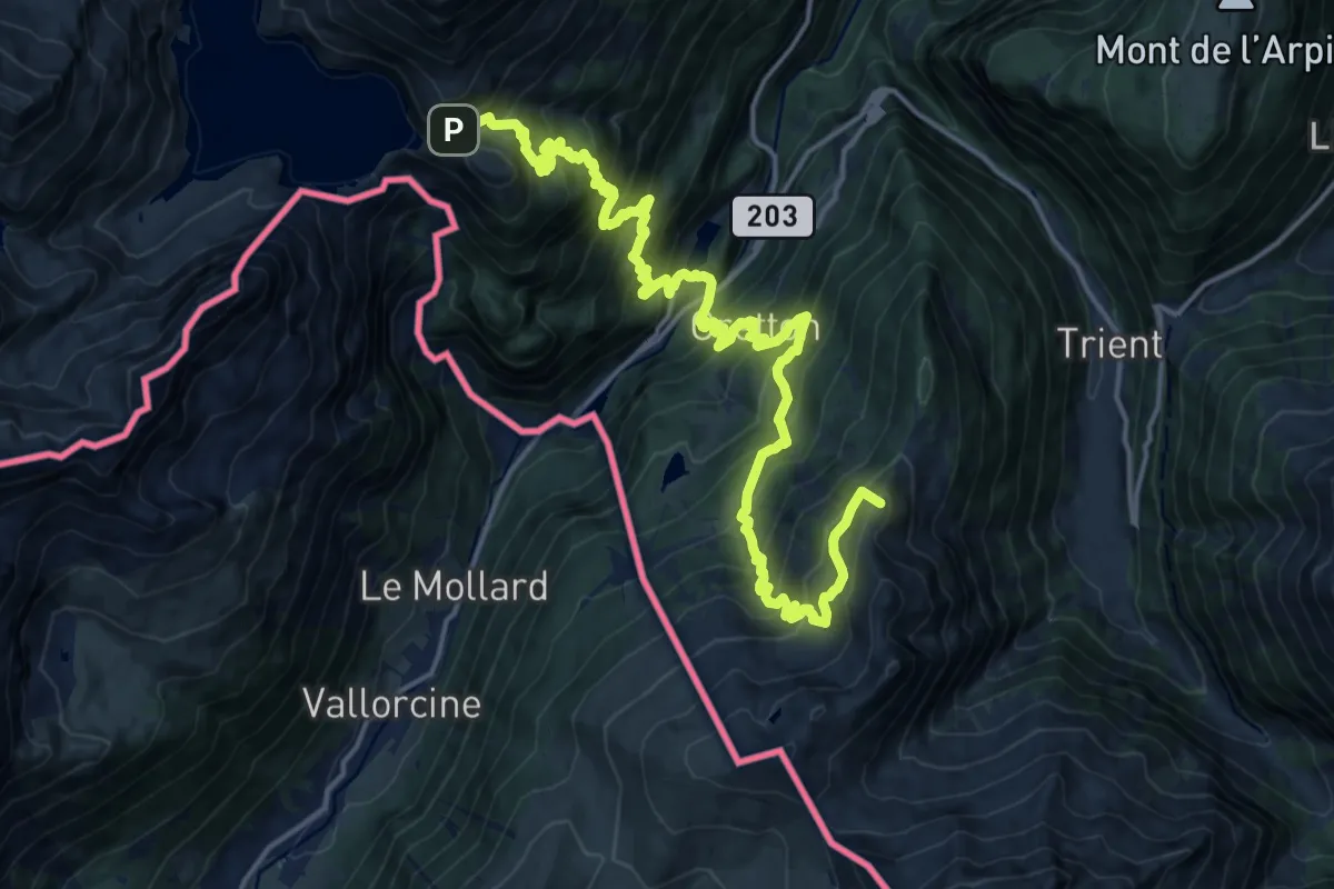
Demanding · Summit
37-Chemin des cols alpins
21.8 km · ↑ 2141 m · 9 h 48 min · 11 km away
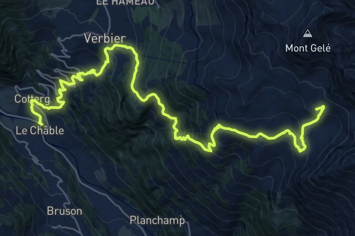
Demanding · Cabin
Le Châble – Cabane du Mont Fort
12.3 km · ↑ 1769 m · 6 h 7 min · 11 km away
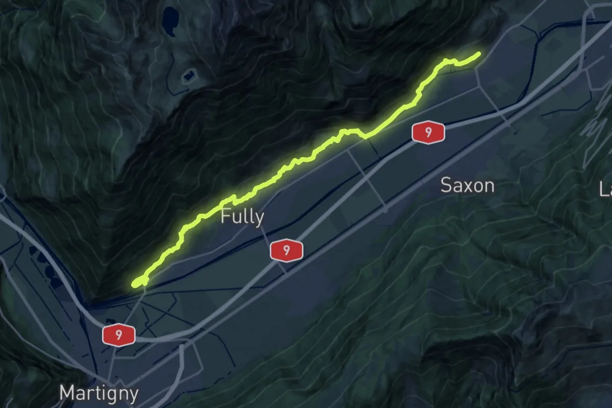
Demanding · Trail
01-Chemin du Vignoble
23.4 km · ↑ 885 m · 7 h 27 min · 11 km away
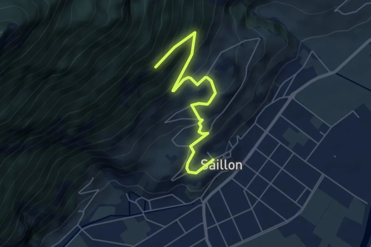
Medium · Trail
Saillon - fixme
5.0 km · ↑ 426 m · 2 h 6 min · 11 km away
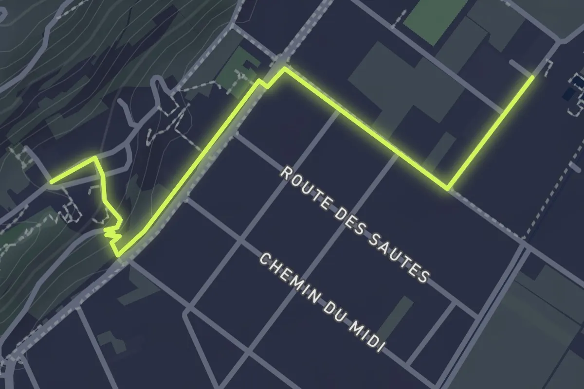
Easy · Trail
Saillon Les Bains - Saillon
2.8 km · ↑ 52 m · 46 min · 11 km away
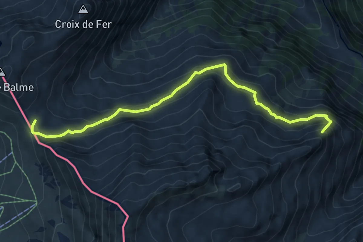
Medium · Summit
Tour Du Mont Blanc - Variante des Grands
7.0 km · ↑ 458 m · 2 h 38 min · 12 km away
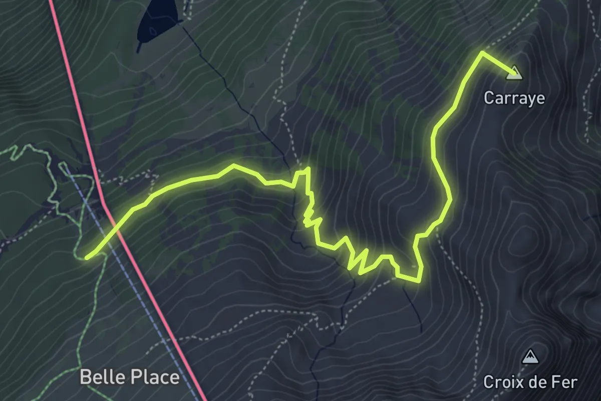
Medium · Summit
Tour Du Mont Blanc - Variante de Vallorcine
6.9 km · ↑ 515 m · 2 h 45 min · 12 km away
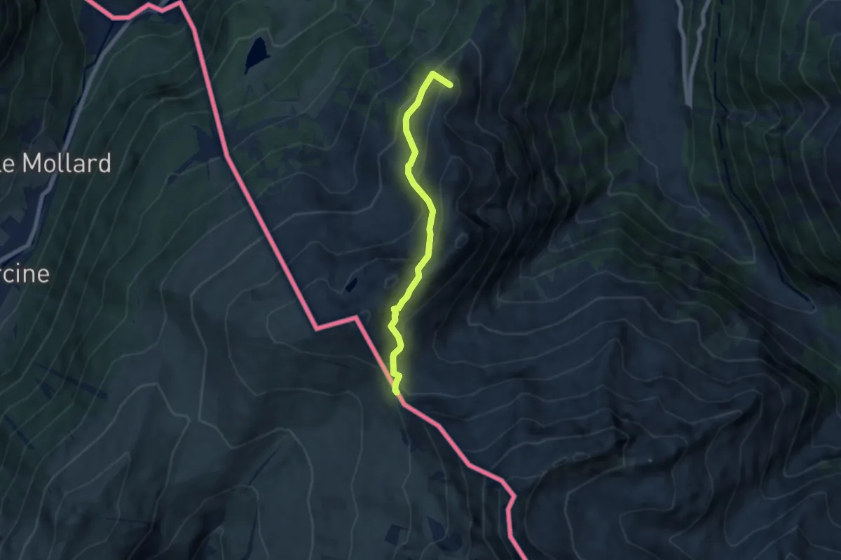
Medium · Summit
Col de Balme – Trient
5.6 km · ↑ 455 m · 2 h 18 min · 12 km away
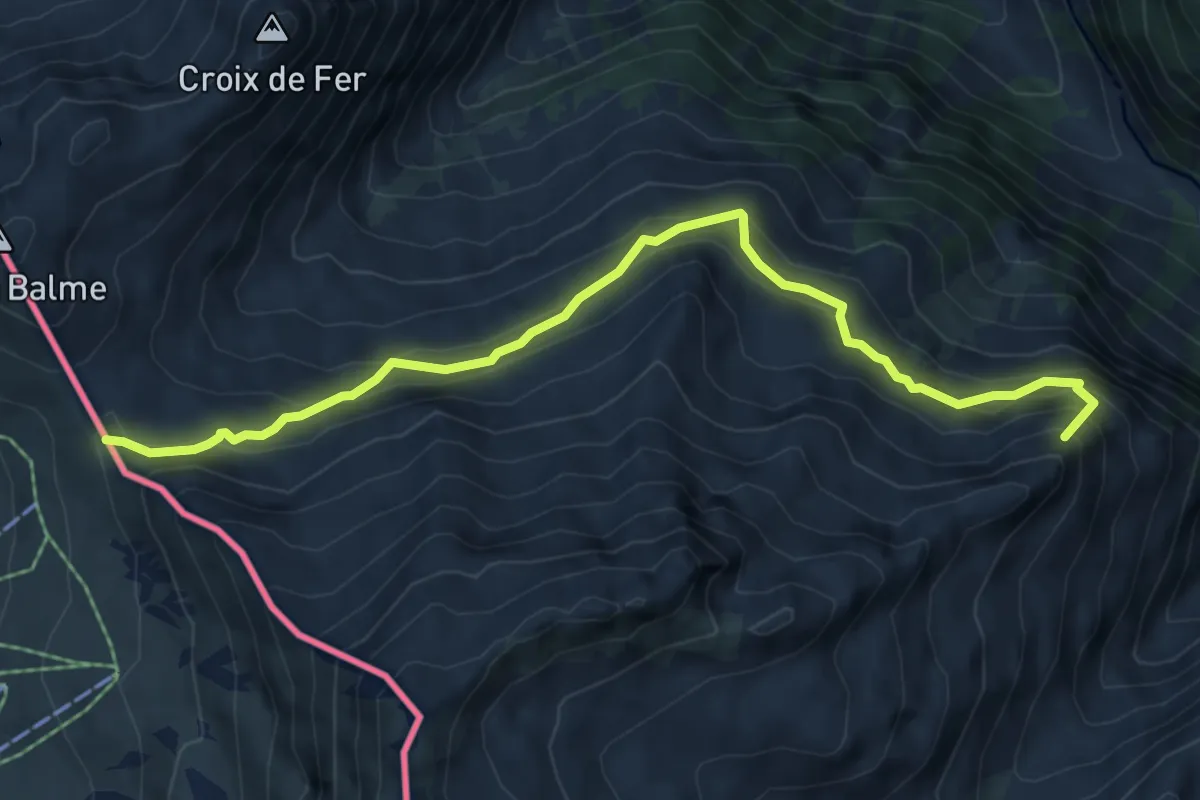
Medium · Summit
Col de Balme – Chalet du Glacier
6.7 km · ↑ 474 m · 2 h 37 min · 12 km away
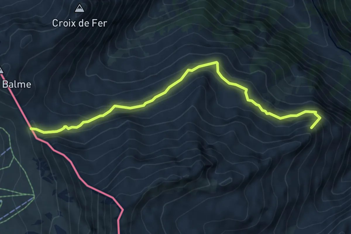
Medium · Summit
Chalet du Glacier – Col de Balme
6.7 km · ↑ 474 m · 2 h 37 min · 12 km away
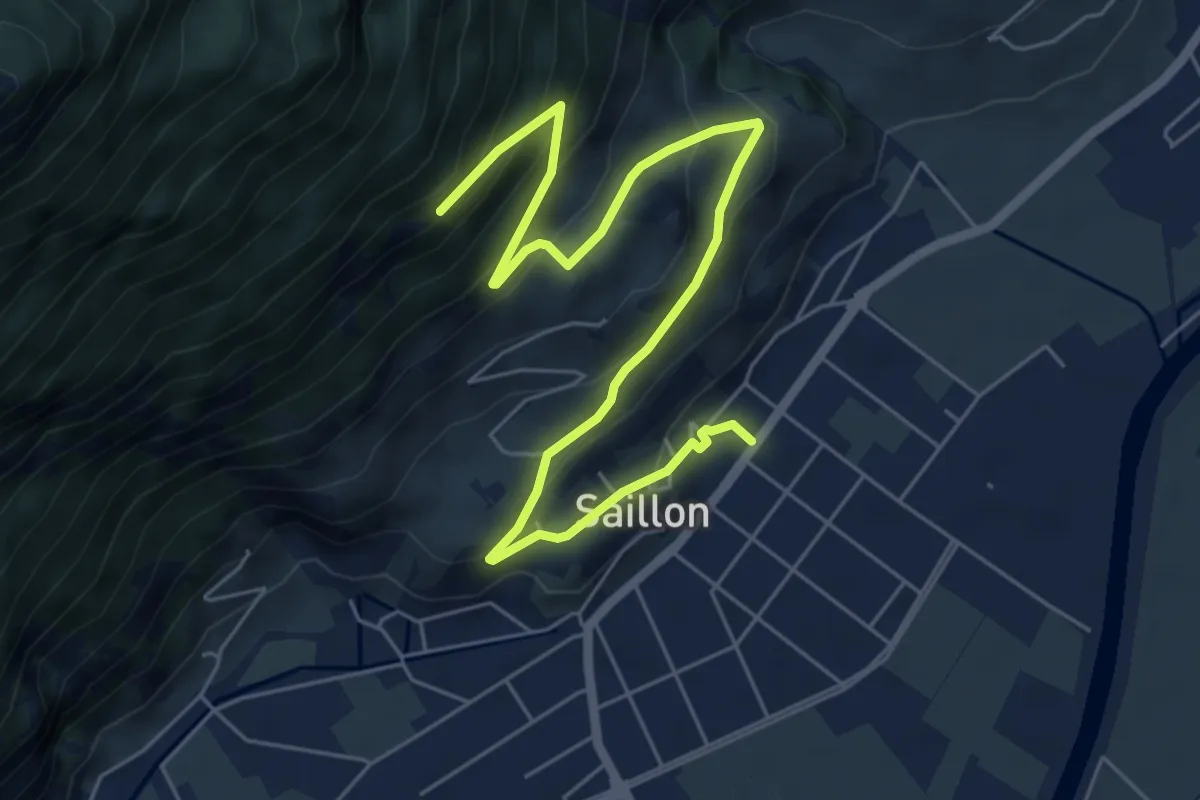
Medium · Trail
Tsanton jeurneyre
7.7 km · ↑ 489 m · 2 h 53 min · 12 km away
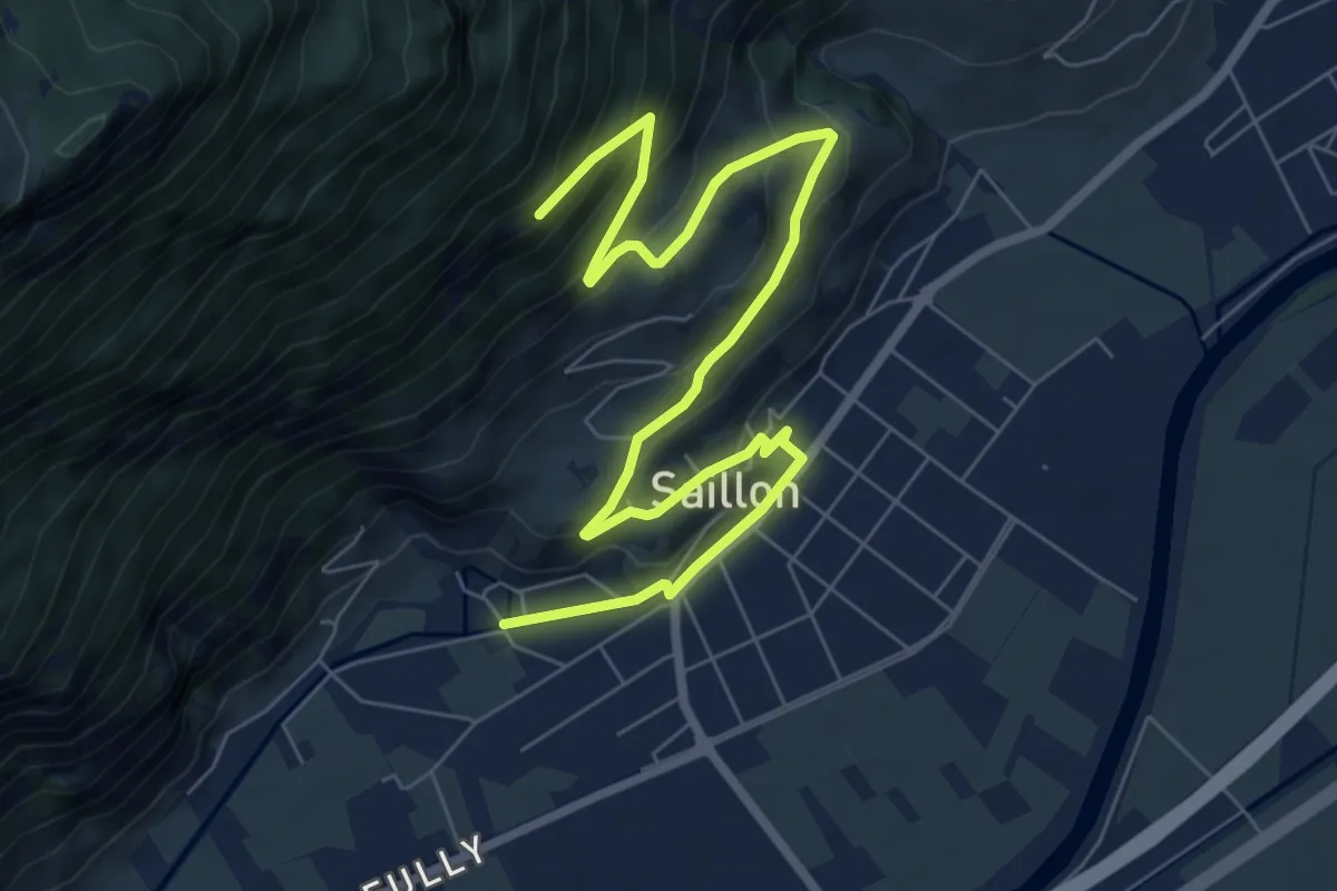
Easy · Trail
Plan des combes - Sinlio
4.8 km · ↑ 44 m · 1 h 31 min · 12 km away
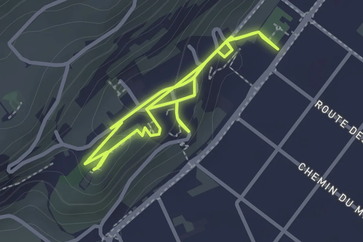
Demanding · Trail
Traces du passé - jardin médiéval
2.1 km · ↑ 118 m · 45 min · 12 km away
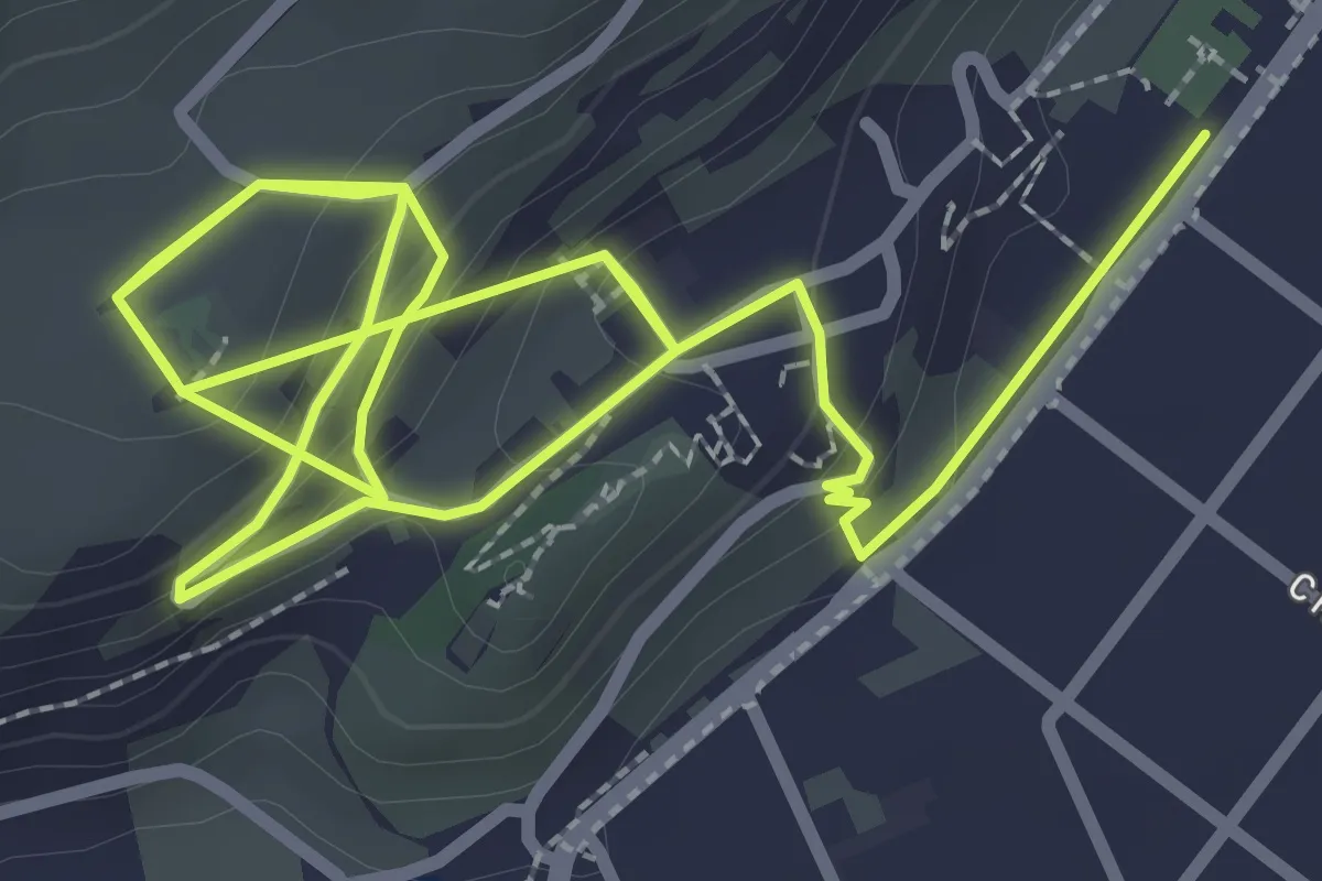
Easy · Trail
Sentier des vitreaux
2.7 km · ↑ 162 m · 1 h · 12 km away
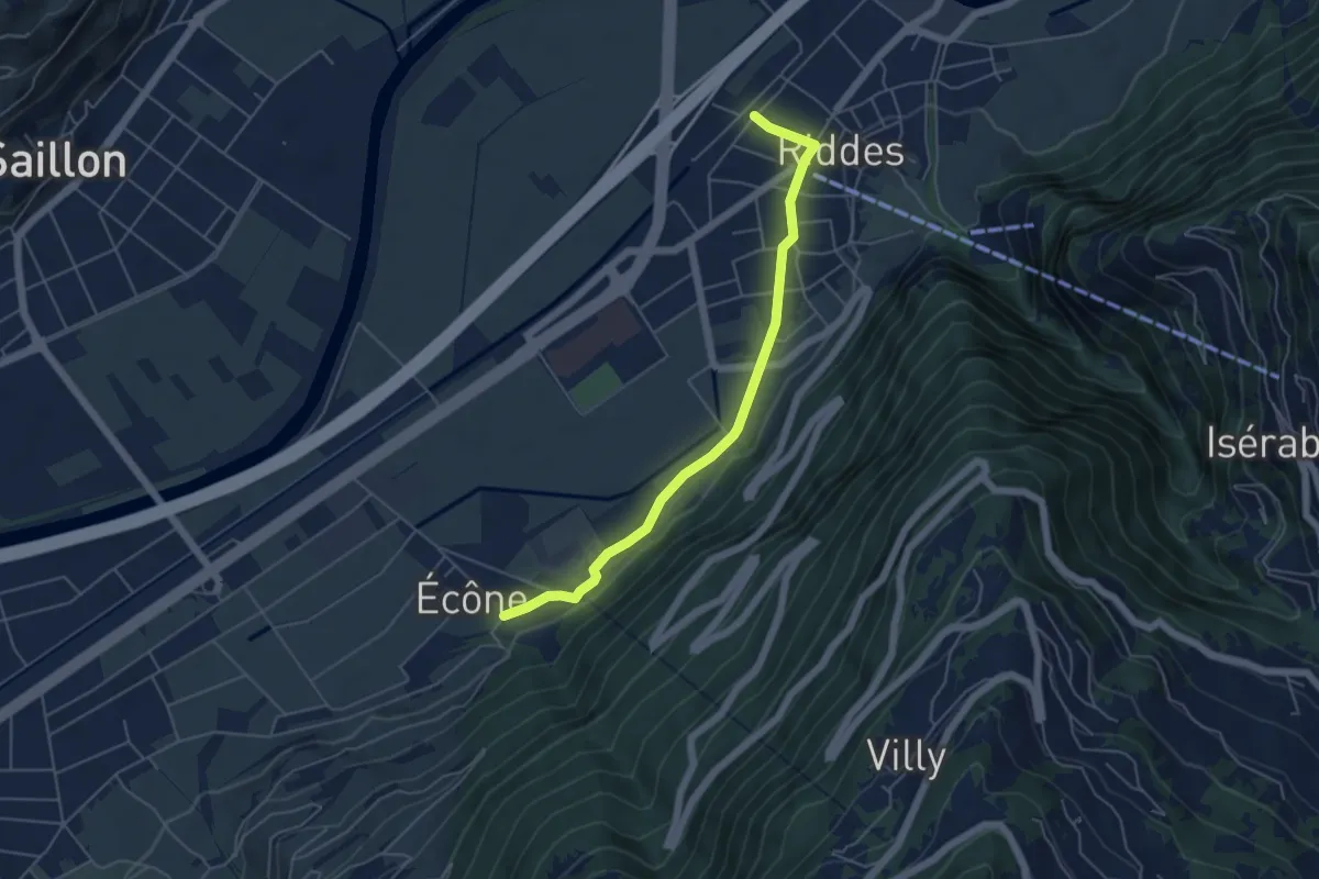
Easy · Trail
Riddes - Ecône
5.1 km · ↑ 61 m · 1 h 20 min · 12 km away
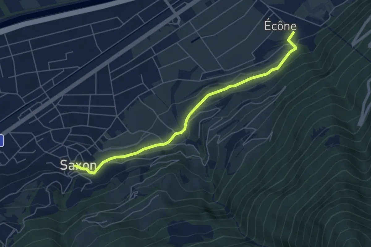
Easy · Trail
Ecône - Saxon village
5.4 km · ↑ 153 m · 1 h 36 min · 12 km away
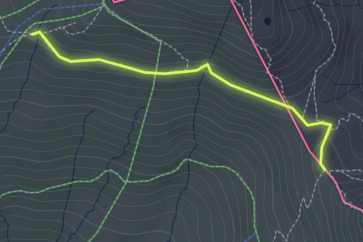
Medium · Cabin
Col de Balme – Tré-le-Champ
2.1 km · ↑ 71 m · 39 min · 12 km away
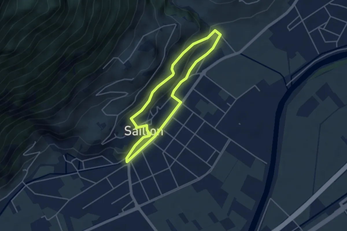
Easy · Trail
Chemin des amandiers
3.4 km · ↑ 128 m · 1 h 7 min · 12 km away
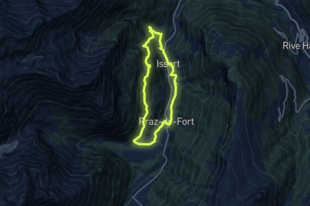
Medium · Trail
Raccard du blé
7.9 km · ↑ 495 m · 3 h 3 min · 12 km away
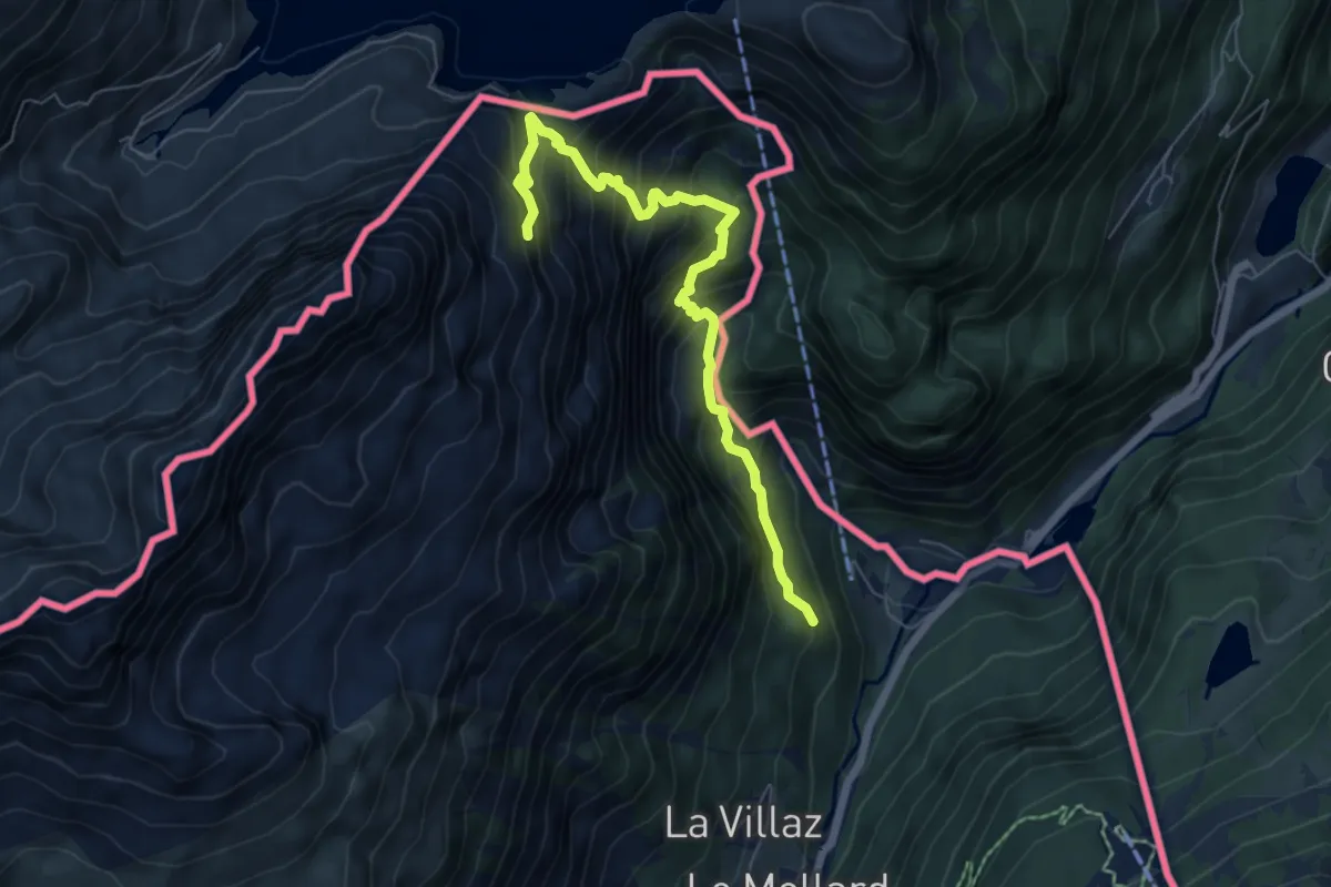
Demanding · Trail
Chalet de Loriaz
6.5 km · ↑ 845 m · 3 h 22 min · 12 km away
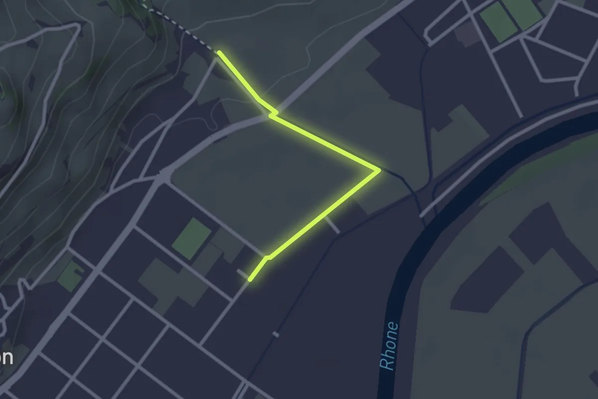
Easy · Trail
Saillon Les Bains - Les Moulins Gorges de La Salentse
2.2 km · ↑ 23 m · 34 min · 12 km away
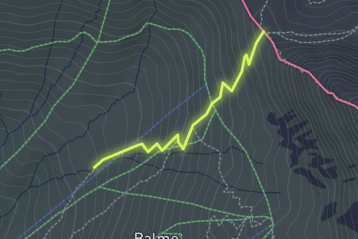
Medium · Cabin
Col de Balme – Tré-le-Champ
2.0 km · ↑ 185 m · 52 min · 12 km away
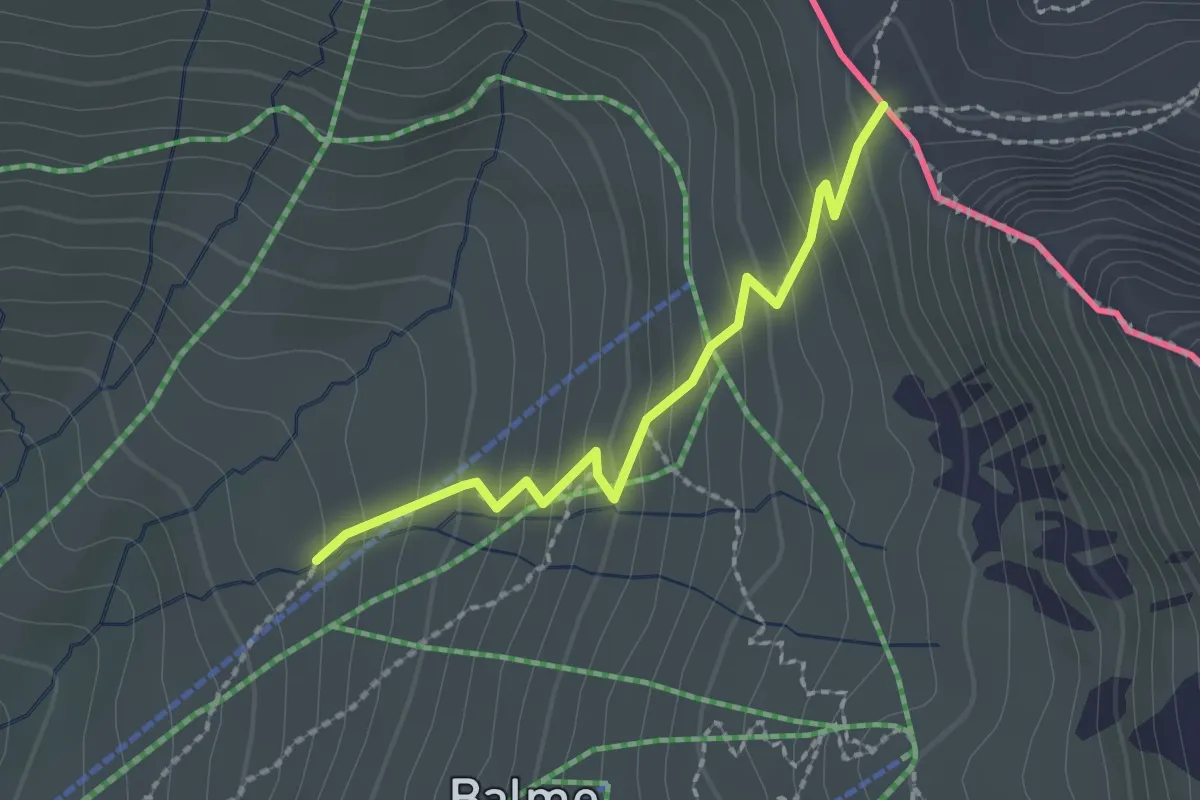
Medium · Cabin
Argentière – Col de Balme
2.0 km · ↑ 185 m · 52 min · 12 km away
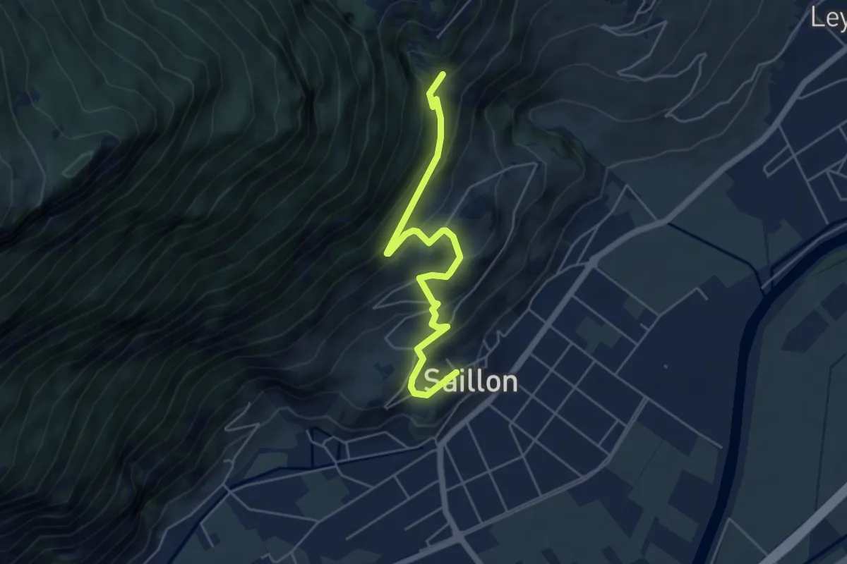
Medium · Trail
Saillon - Passerelle à Farinet
5.1 km · ↑ 356 m · 1 h 59 min · 12 km away
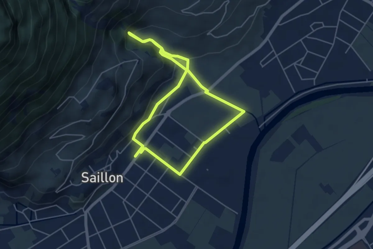
Easy · Trail
Source des bains - tête du géant
4.0 km · ↑ 109 m · 1 h 14 min · 13 km away
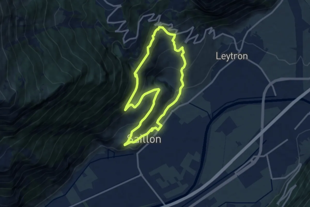
Medium · Trail
Passerelle à Farinet
7.6 km · ↑ 458 m · 2 h 54 min · 13 km away
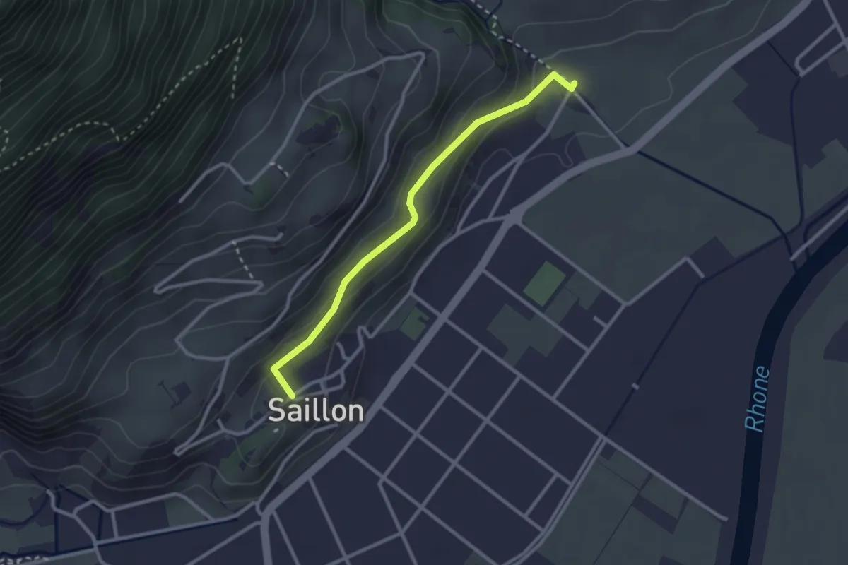
Easy · Trail
Saillon - Les Moulins Gorges de La Salentse
2.6 km · ↑ 132 m · 54 min · 13 km away
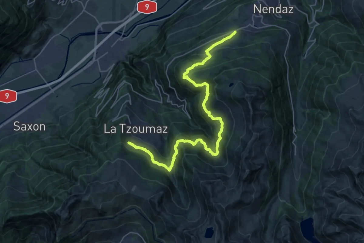
Medium · Trail
02-Chemin des Bisses
13.2 km · ↑ 573 m · 4 h 41 min · 13 km away
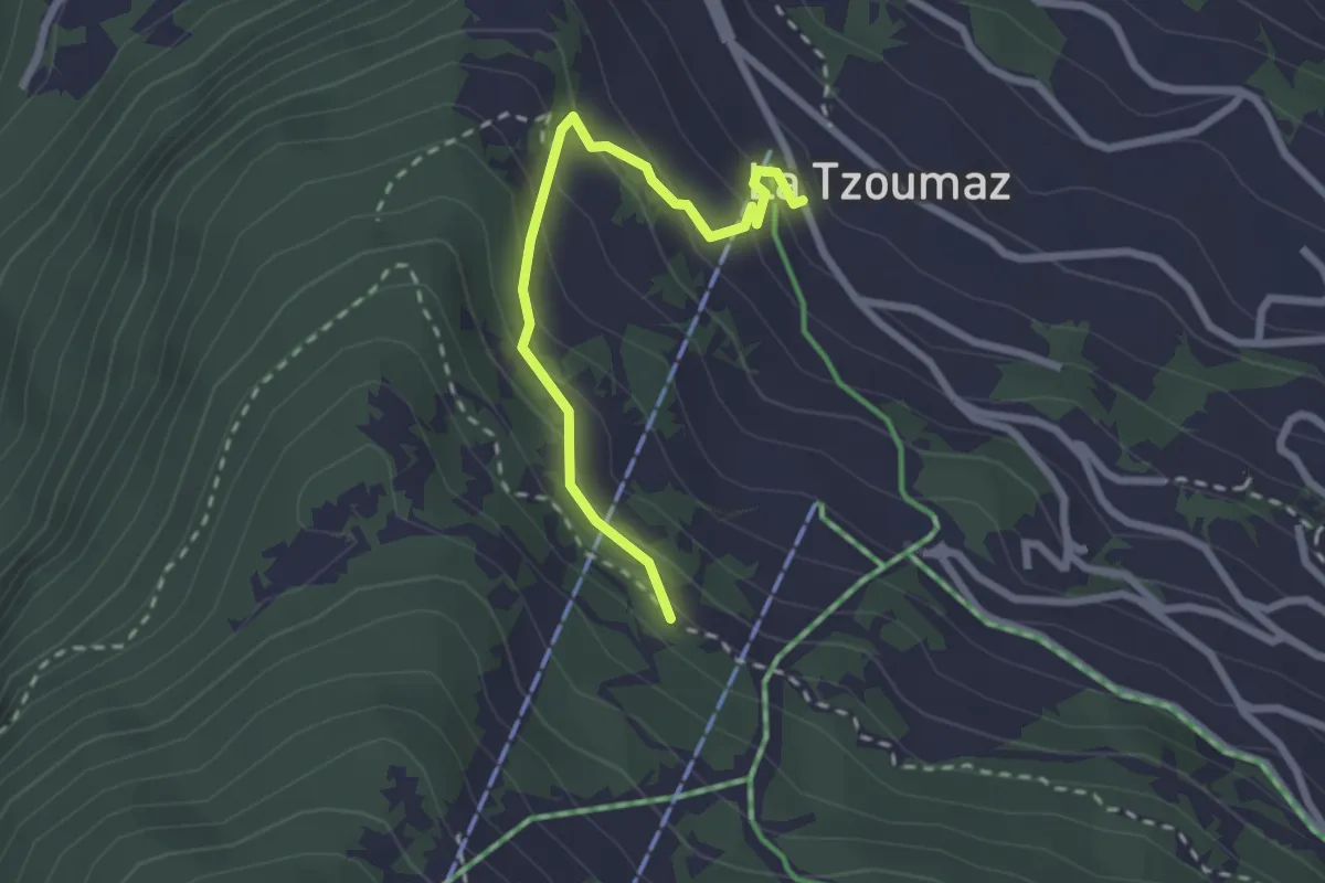
Easy · Trail
Les Chablotays – La Tzoumaz
2.4 km · ↑ 186 m · 59 min · 13 km away
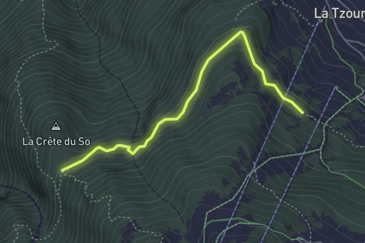
Expert · Trail
Les Chablotays - Crête de Seu
4.1 km · ↑ 293 m · 1 h 36 min · 13 km away
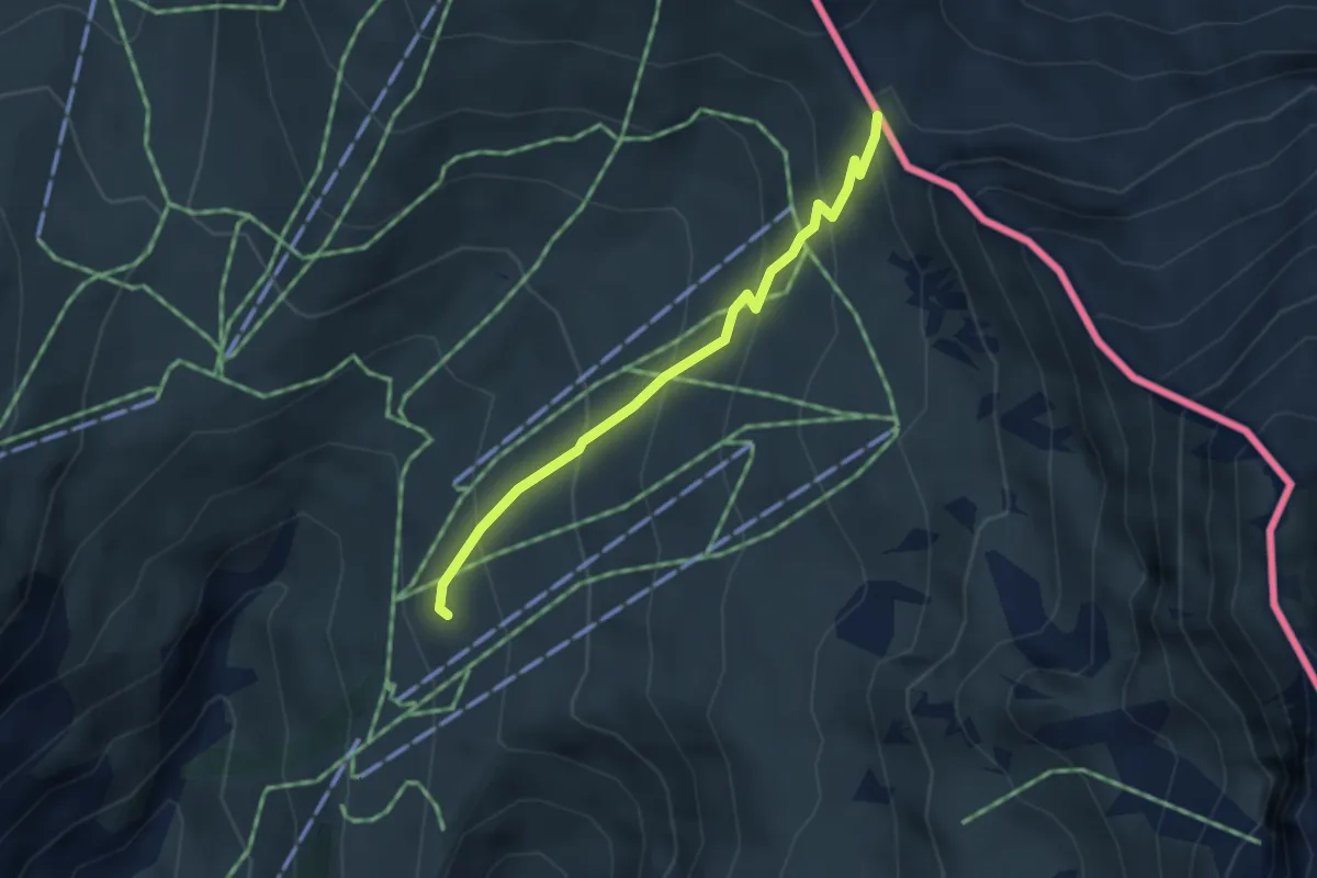
Medium · Cabin
Tour du Mont Blanc - Variante du Tour
3.2 km · ↑ 279 m · 1 h 21 min · 13 km away
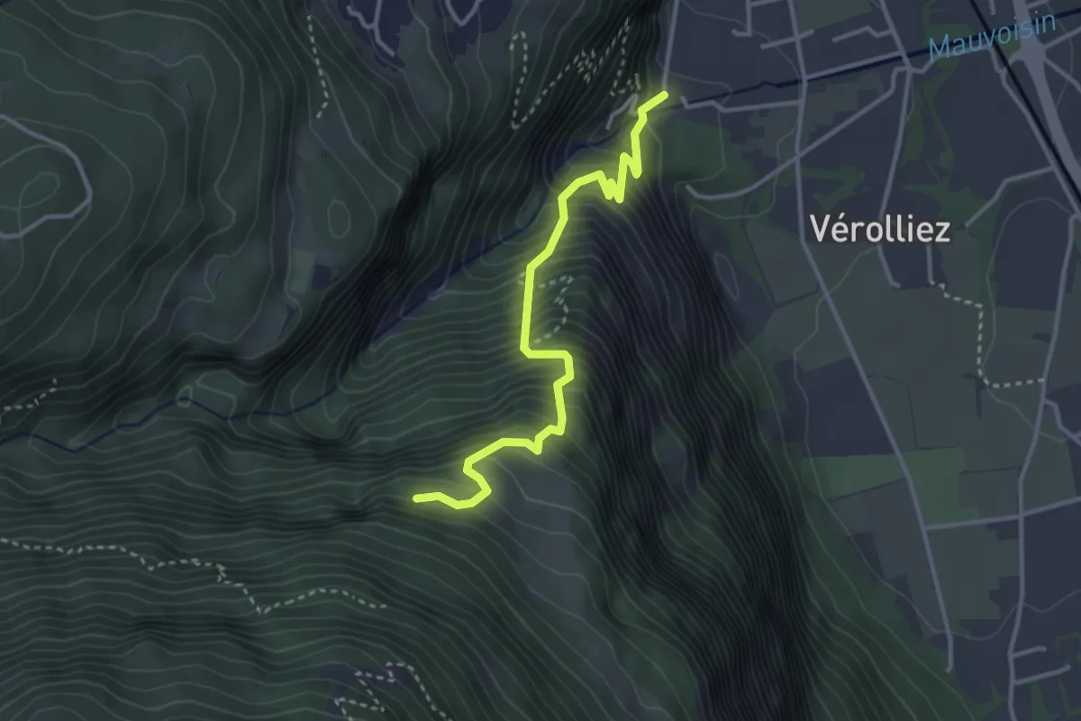
Medium · Trail
Les Cases – Les Praz
3.4 km · ↑ 542 m · 1 h 59 min · 13 km away
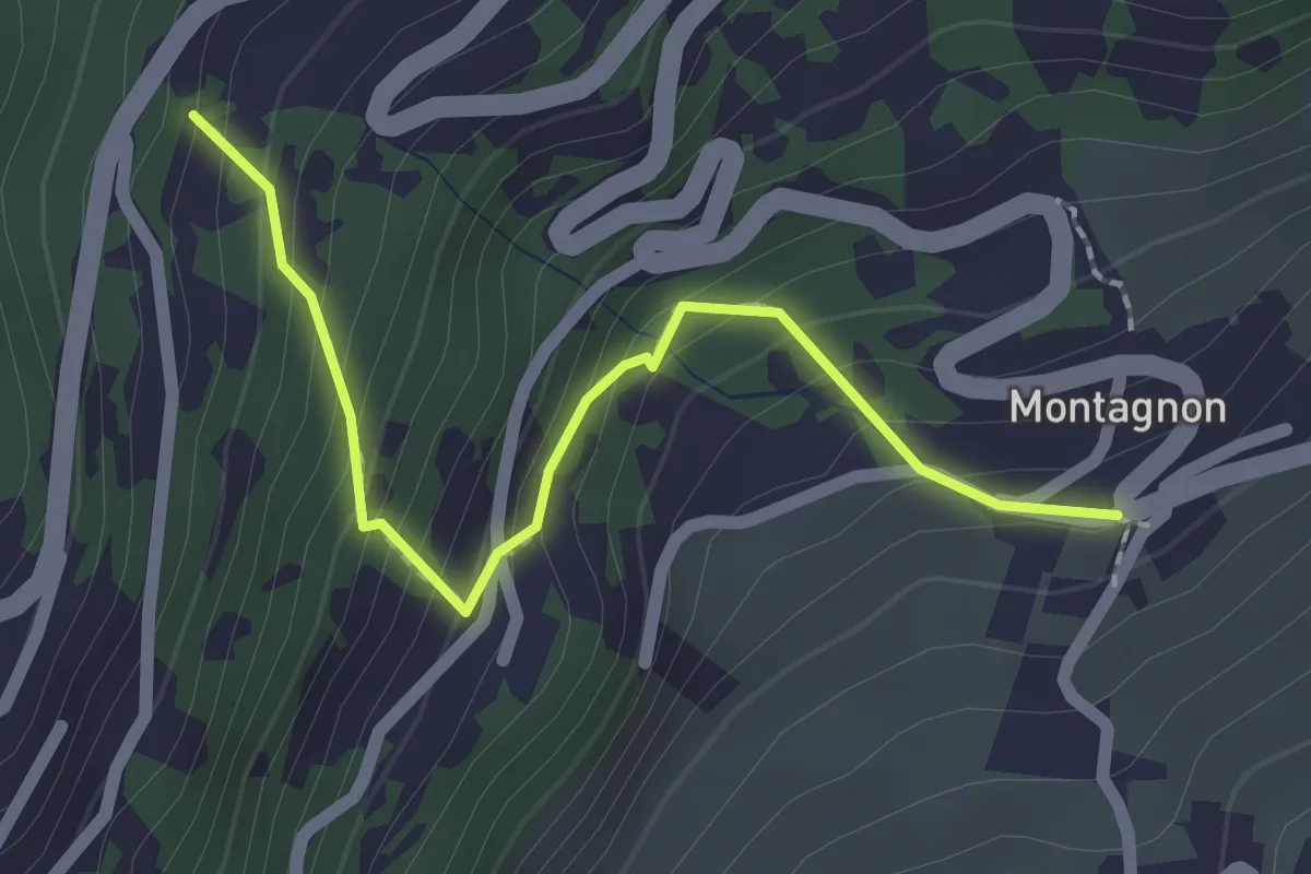
Easy · Trail
Montagnon - Dugny
2.1 km · ↑ 215 m · 57 min · 13 km away
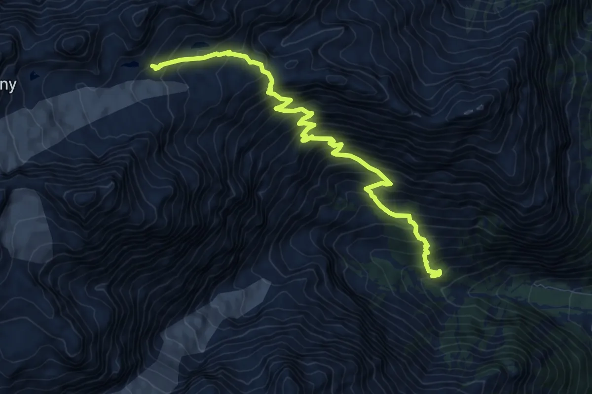
Demanding · Cabin
Prise d'eau de Saleina -> Cabane d'Orny
10.4 km · ↑ 1293 m · 5 h 15 min · 13 km away
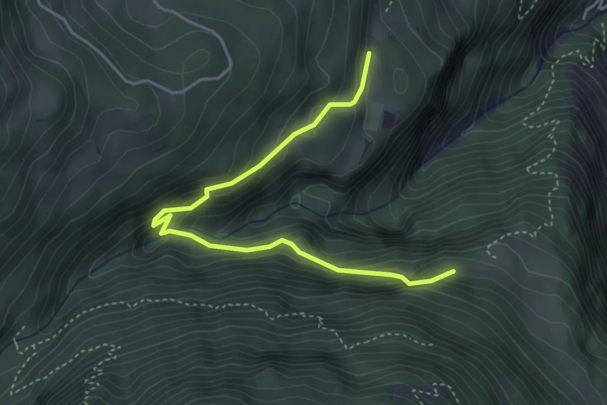
Medium · Trail
Les Praz – La Daille
4.2 km · ↑ 365 m · 1 h 47 min · 13 km away
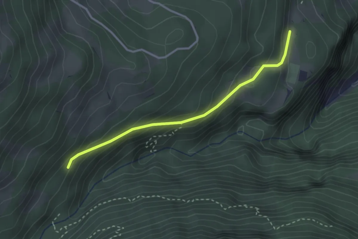
Easy · Trail
La Daille – La Sachia
2.7 km · ↑ 180 m · 1 h 2 min · 13 km away
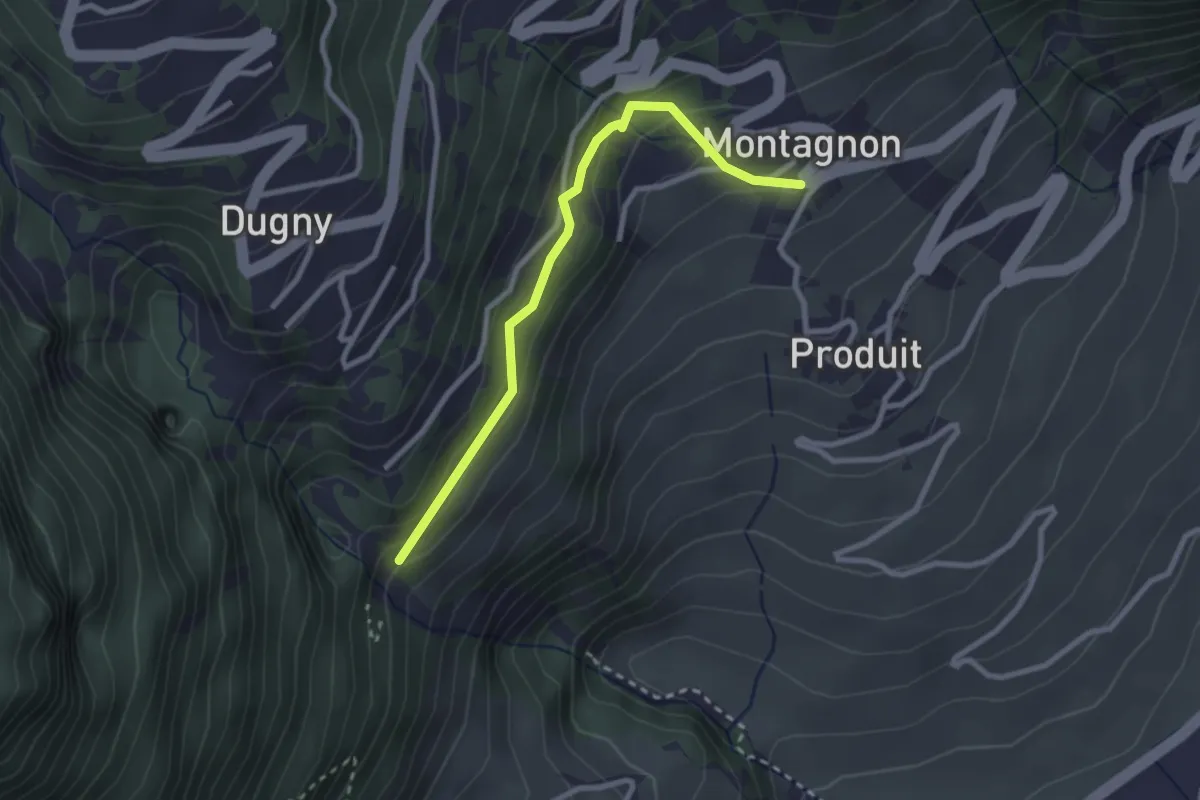
Easy · Trail
Passerelle à Farinet - Montagnon
2.6 km · ↑ 184 m · 1 h 1 min · 13 km away
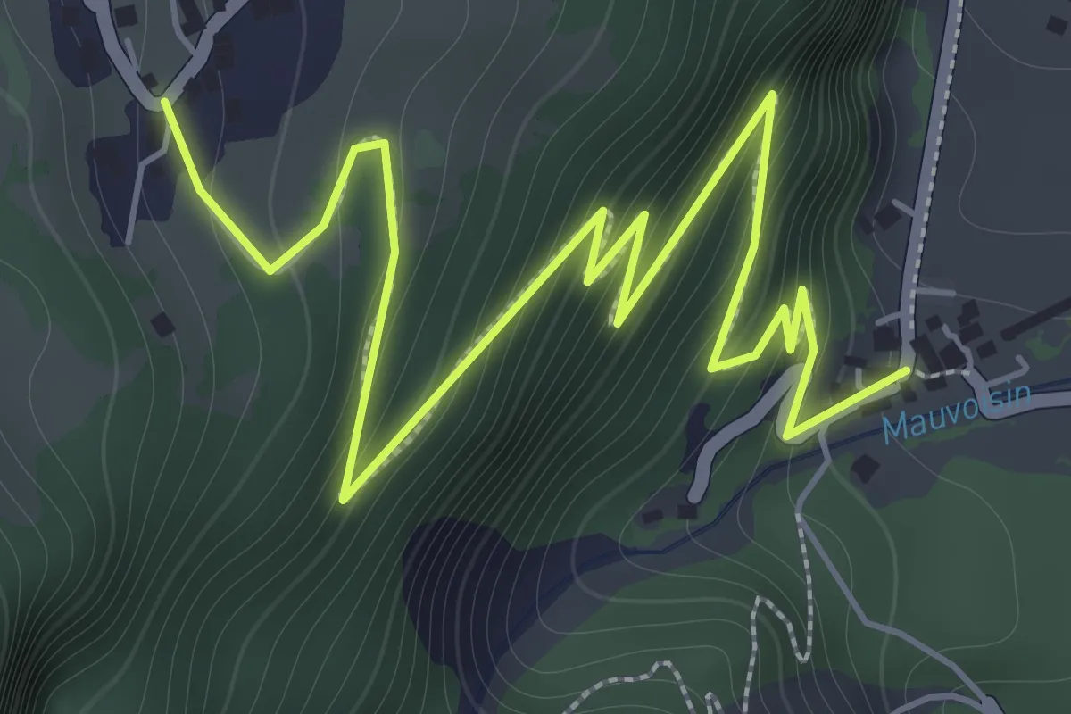
Demanding · Trail
Les Cases – Bassays
2.9 km · ↑ 275 m · 1 h 17 min · 13 km away
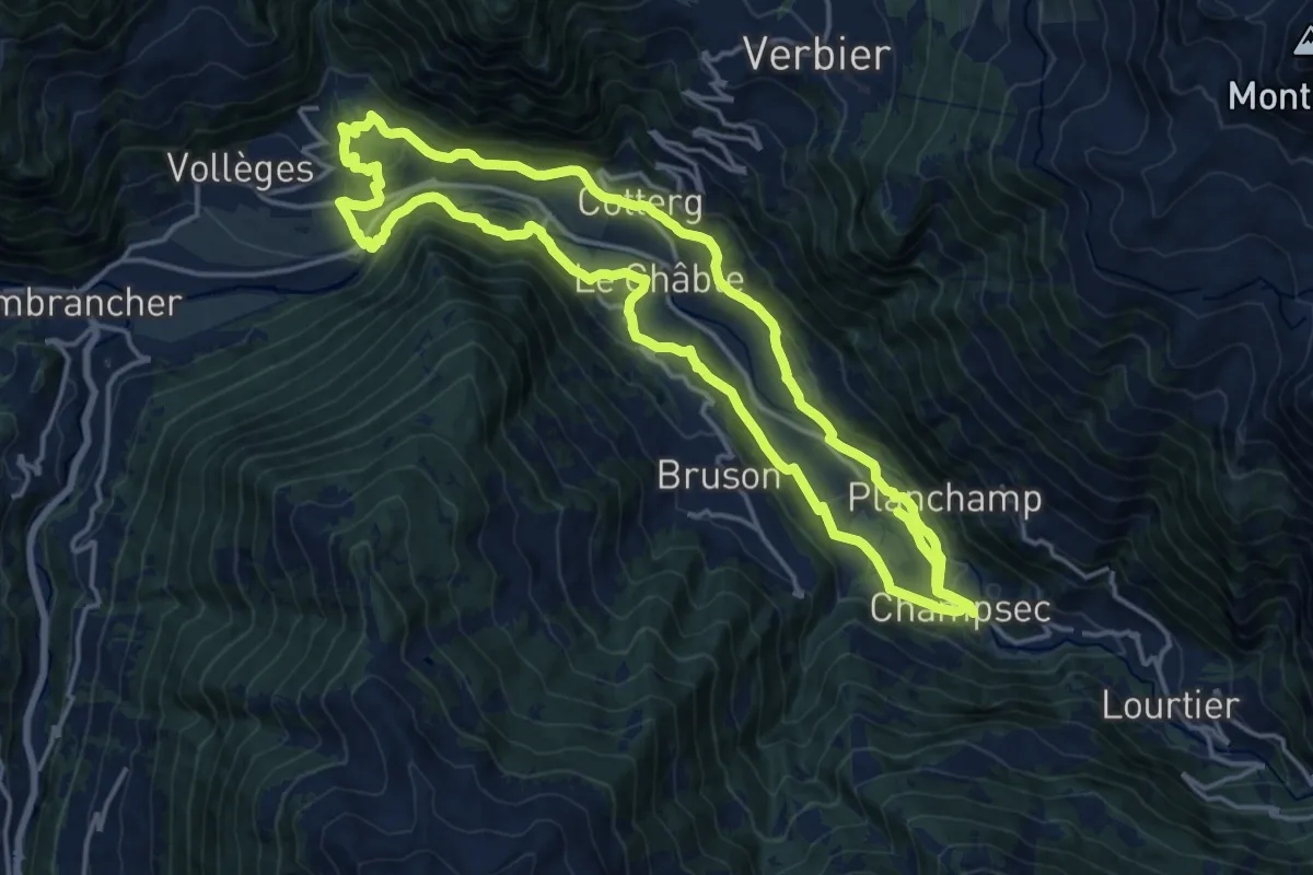
Medium · Trail
Promenade de la Dranse
17.1 km · ↑ 433 m · 5 h 13 min · 13 km away
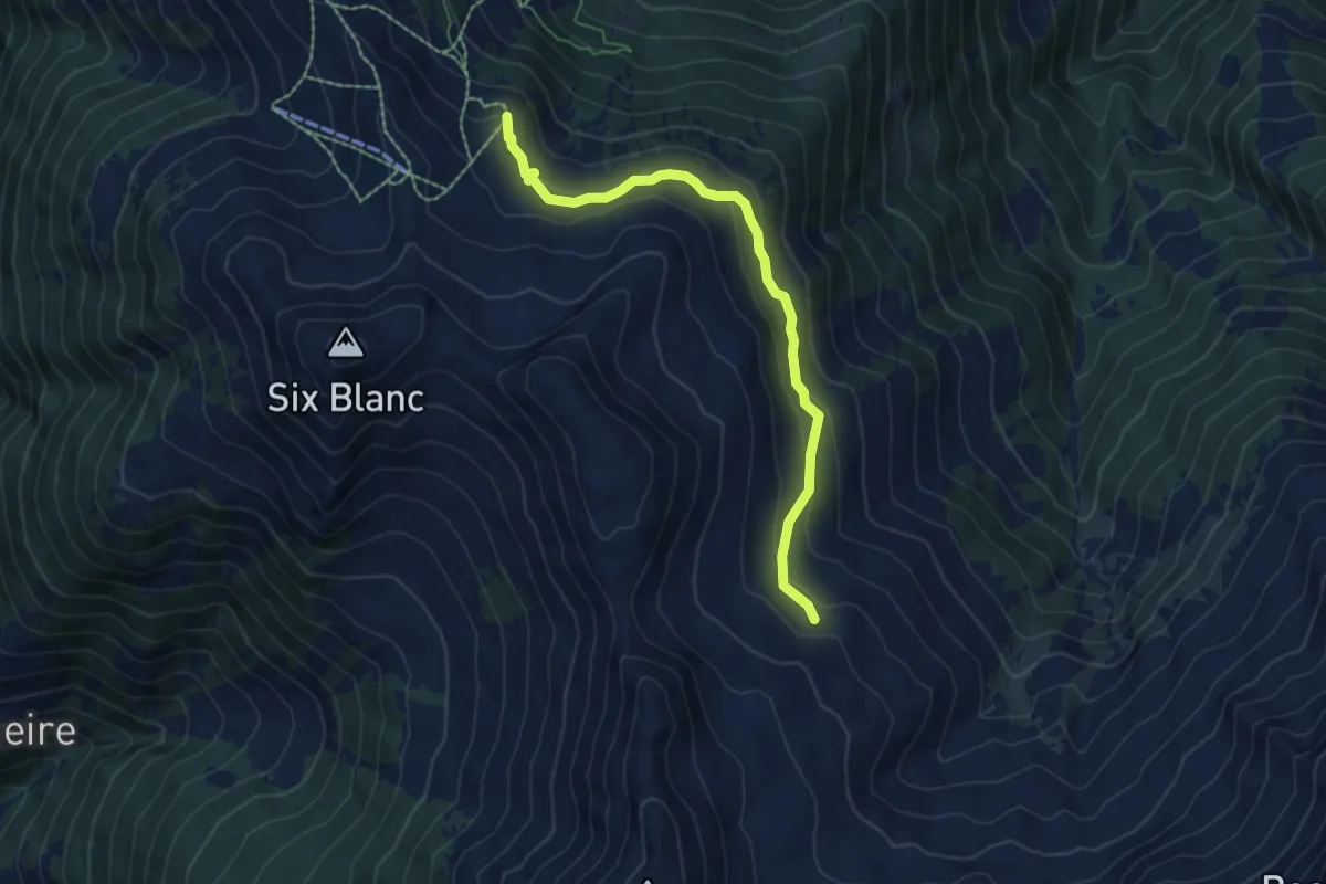
Medium · Trail
Croix du Six-Blanc > Ecuries de Mille
6.2 km · ↑ 346 m · 2 h 13 min · 13 km away
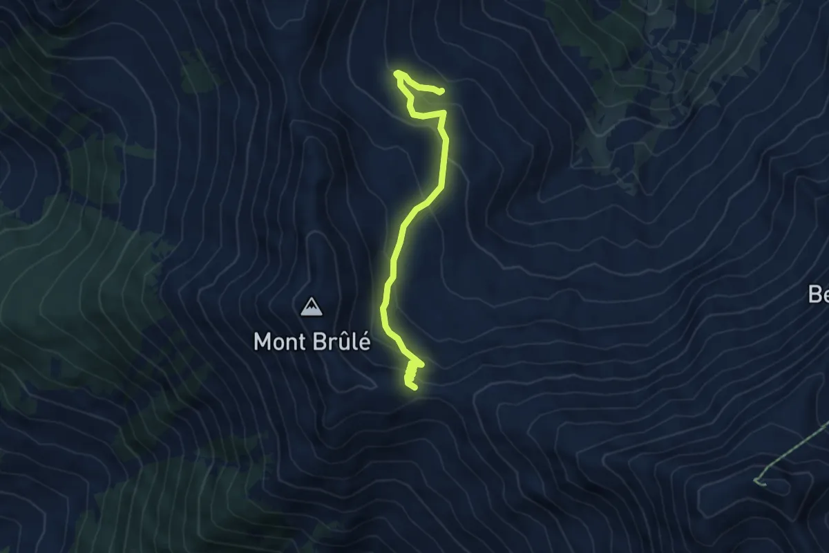
Medium · Cabin
Ecuries de Mille > Col de Mille
4.9 km · ↑ 291 m · 1 h 48 min · 13 km away