Trails near Martigny
211 hikes starting within 15 km, nearest first.
Nearest first, page 5 of 5
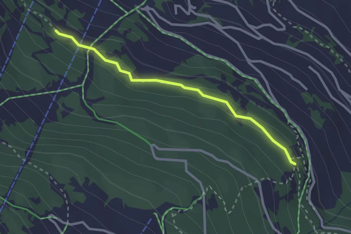
Easy · Trail
Taillay - Les Chablotays
2.2 km · ↑ 59 m · 39 min · 14 km away
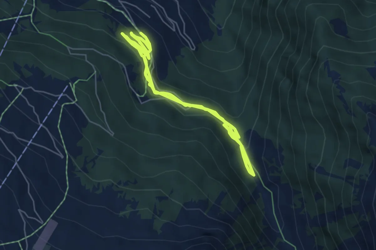
Medium · Trail
Sentier des Sens La Tzoumaz
6.9 km · ↑ 211 m · 2 h 9 min · 14 km away
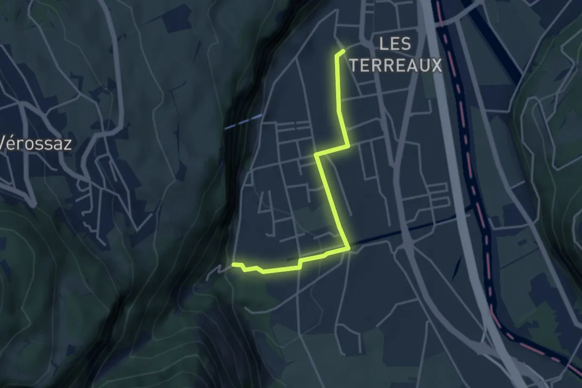
Easy · Trail
St-Maurice Gare – Les Cases
3.3 km · ↑ 77 m · 57 min · 14 km away
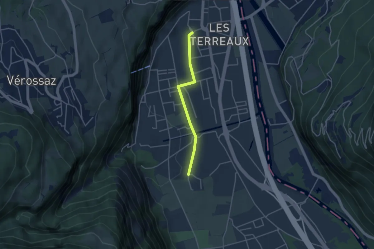
Easy · Trail
St-Maurice Gare – Vérolliez
2.9 km · ↑ 18 m · 43 min · 14 km away
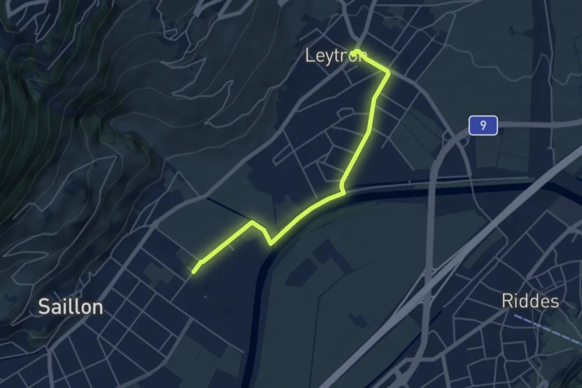
Easy · Trail
Saillon Les Bains - Leytron
4.7 km · ↑ 22 m · 1 h 10 min · 14 km away
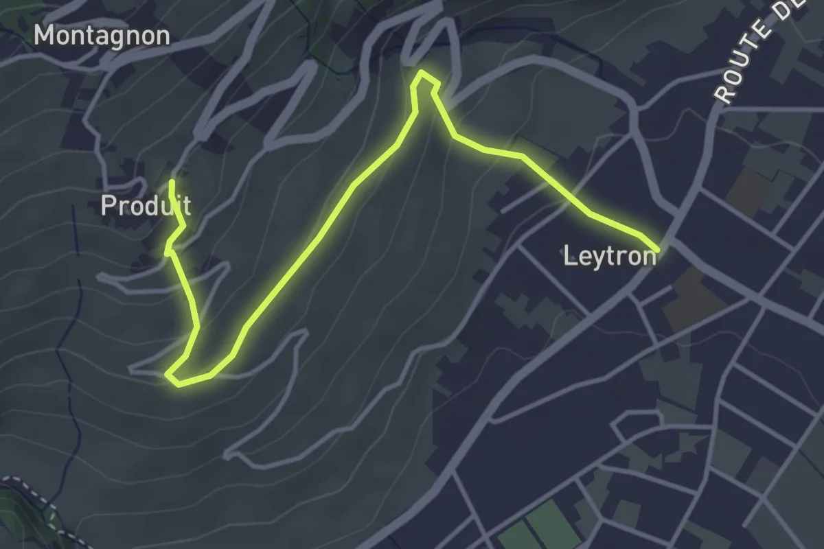
Easy · Trail
Leytron - Produit
4.2 km · ↑ 204 m · 1 h 26 min · 14 km away
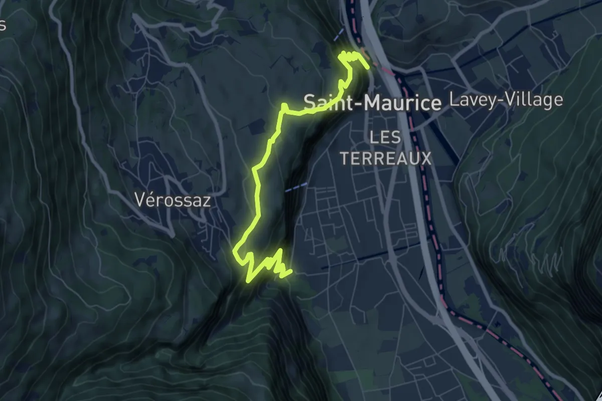
Demanding · Trail
Itinéraire du Plateau de Vérossaz
4.3 km · ↑ 367 m · 1 h 50 min · 14 km away
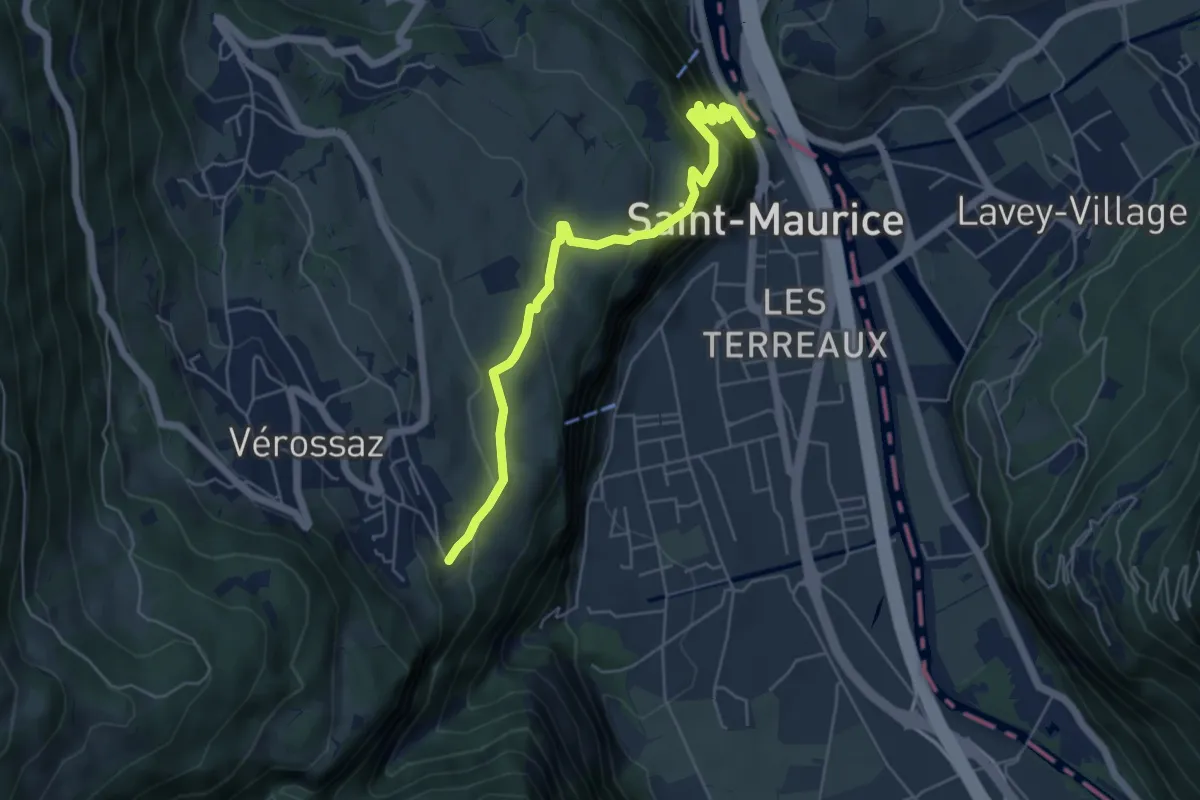
Medium · Trail
Bassays – Château de St-Maurice
5.6 km · ↑ 395 m · 2 h 11 min · 14 km away
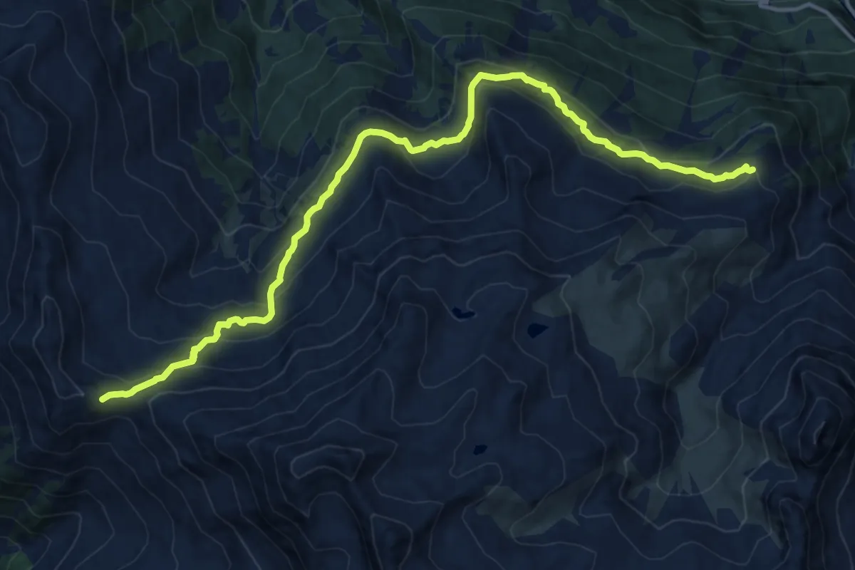
Demanding · Cabin
Tour des Combins - stage 2 - CABANE COL DE MILLE - CABANE BRUNET
15.0 km · ↑ 828 m · 5 h 20 min · 14 km away
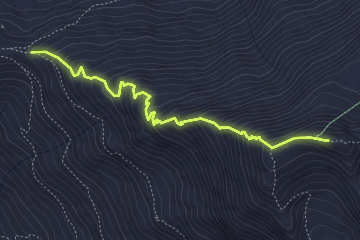
Expert · Summit
Col de Mille – Mont Rogneux
4.9 km · ↑ 581 m · 2 h 25 min · 15 km away
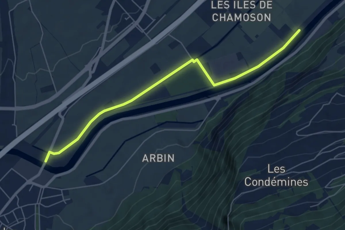
Easy · Trail
Pont de Riddes - Pont d'Aproz
5.9 km · ↑ 13 m · 1 h 25 min · 15 km away
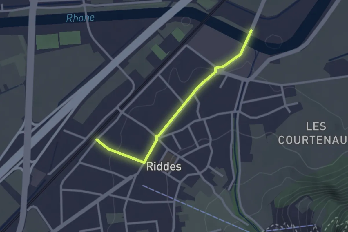
Easy · Trail
Pont de Riddes - Riddes
2.2 km · ↑ 36 m · 36 min · 15 km away
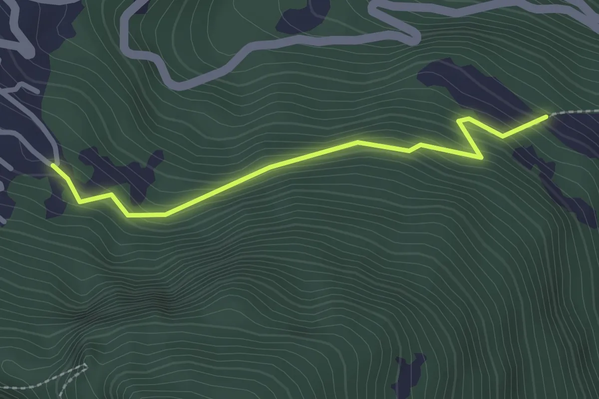
Easy · Trail
Mayens de l'Ardève - fixme
2.2 km · ↑ 188 m · 56 min · 15 km away
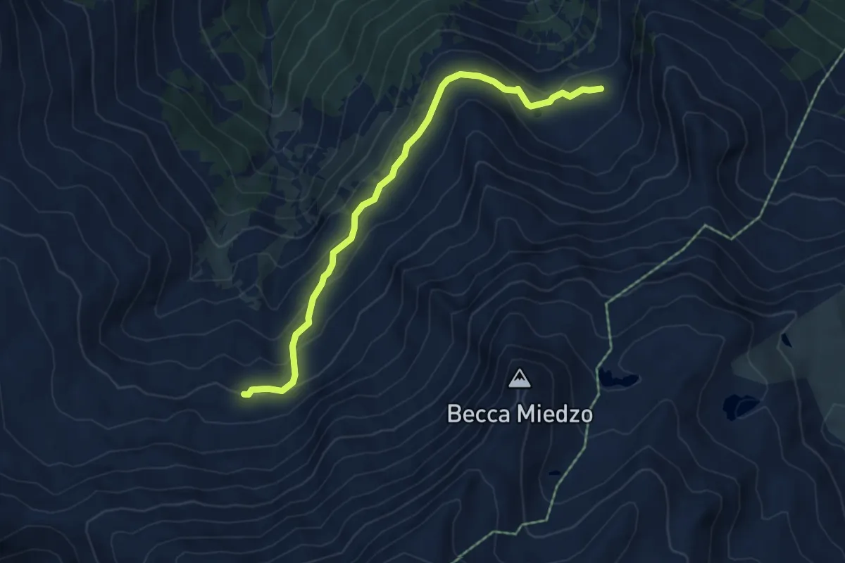
Medium · Trail
Servay-vers Col de Mille
5.6 km · ↑ 287 m · 1 h 57 min · 15 km away
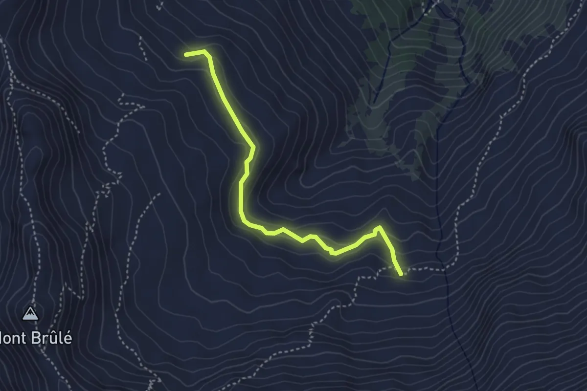
Medium · Trail
Ecuries de Mille p2171 – Oujets de Mille p2244
3.6 km · ↑ 215 m · 1 h 19 min · 15 km away
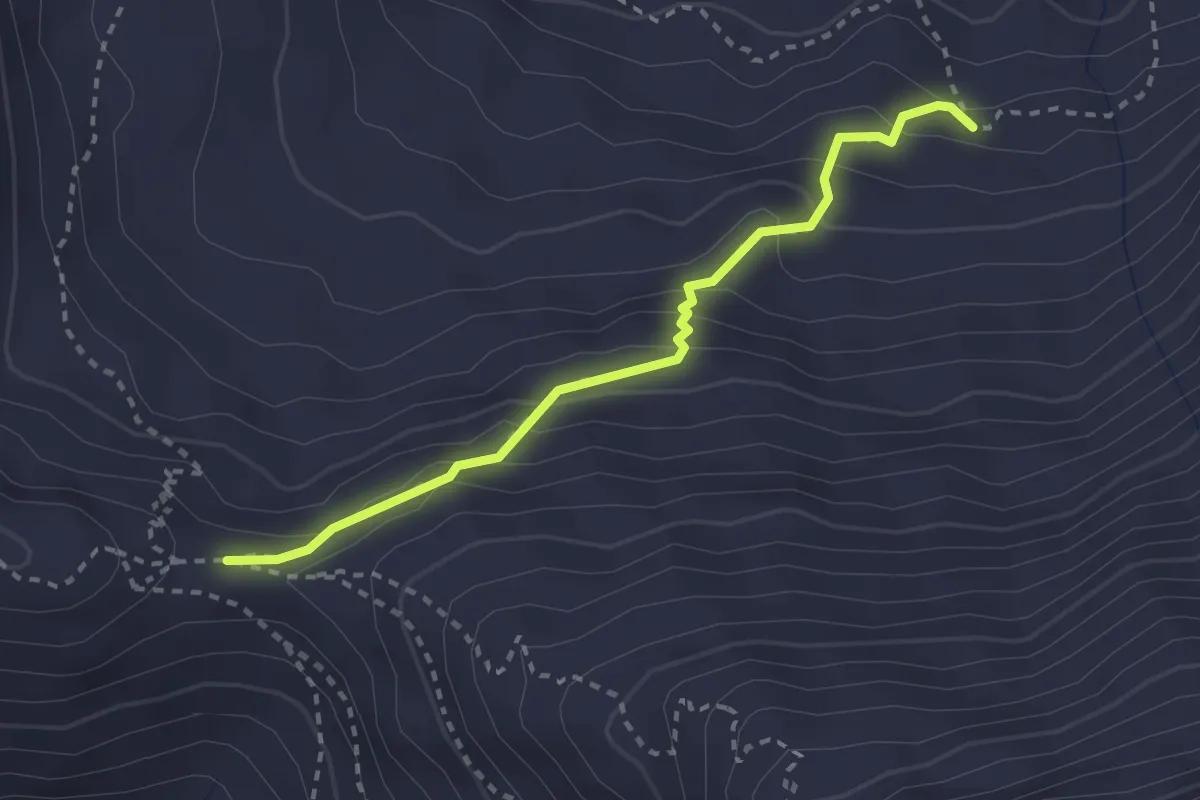
Medium · Cabin
Col de Mille-vers Servay
2.7 km · ↑ 213 m · 1 h 6 min · 15 km away
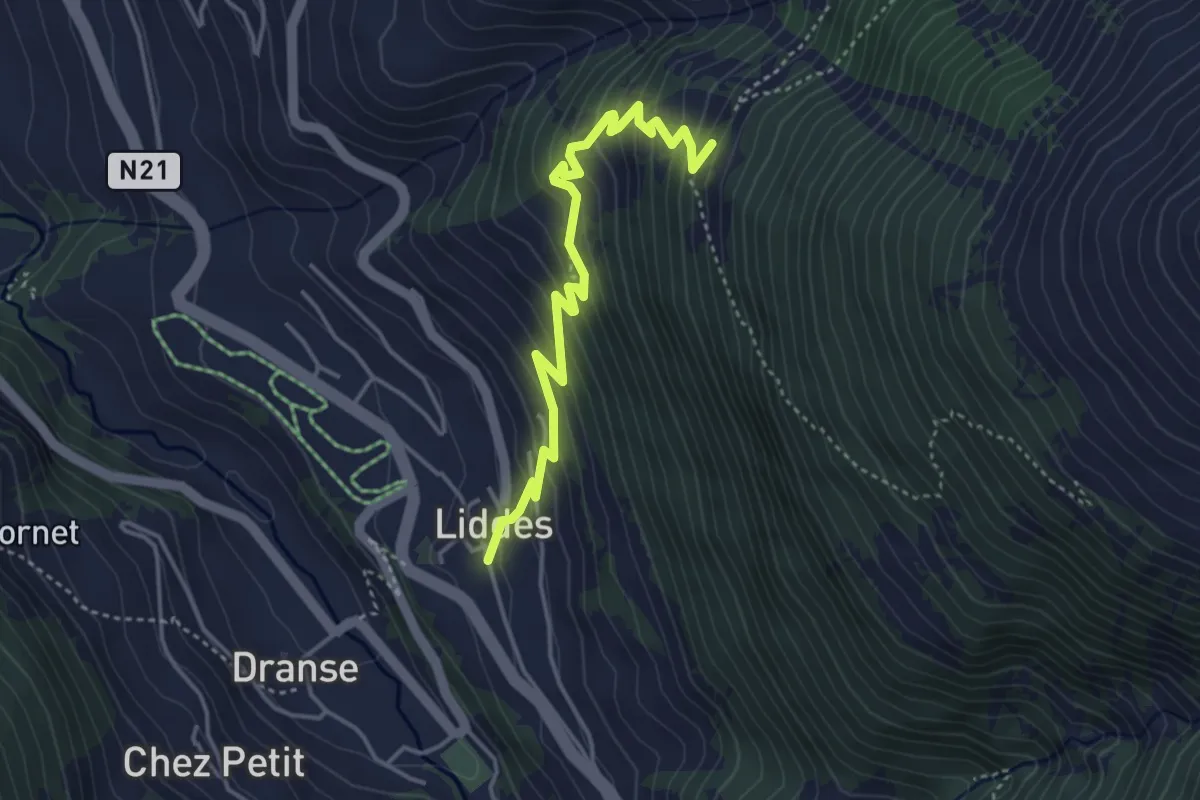
Medium · Trail
Le Clou-Liddes
4.2 km · ↑ 386 m · 1 h 49 min · 15 km away
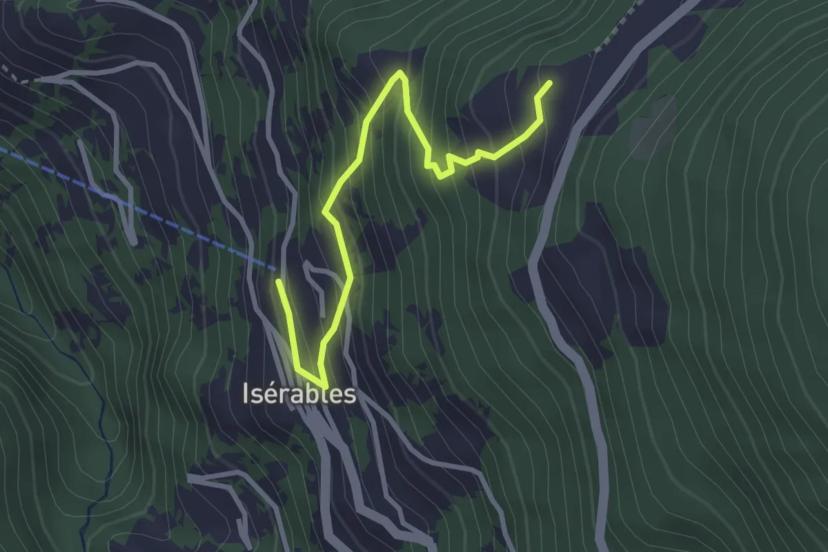
Medium · Trail
Isérables - Les Crêtaux
3.0 km · ↑ 355 m · 1 h 29 min · 15 km away
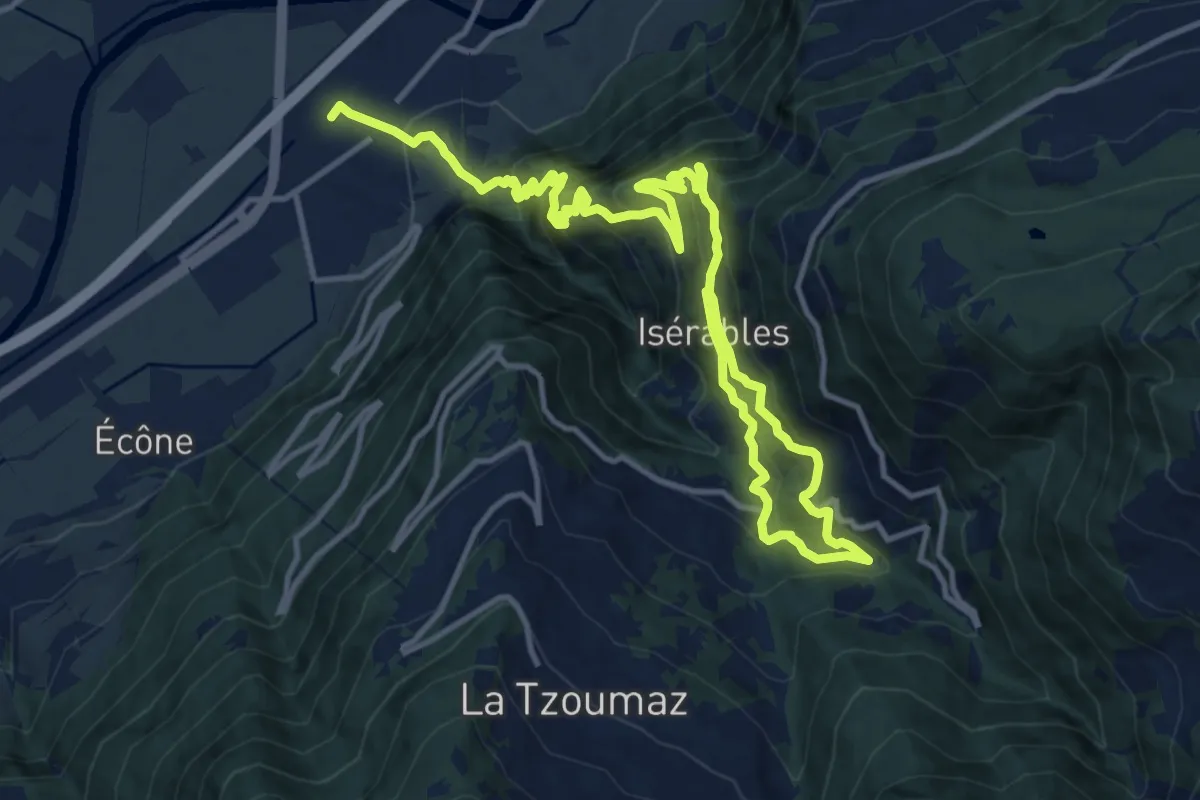
Demanding · Trail
La voie des Érables
18.7 km · ↑ 1594 m · 7 h 52 min · 15 km away