Trails near Mendrisio
267 hikes starting within 15 km, nearest first.
Nearest first, page 1 of 6
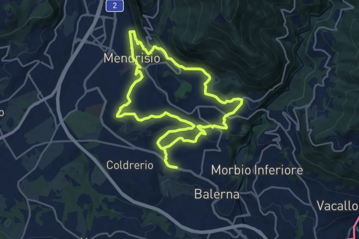
Medium · Trail
Itinerario "L’uomo e la vite"
10.9 km · ↑ 309 m · 3 h 24 min · under 1 km away
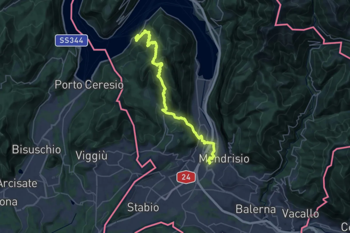
Demanding · Trail
Trans Swiss Trail
12.0 km · ↑ 809 m · 4 h 47 min · 1 km away
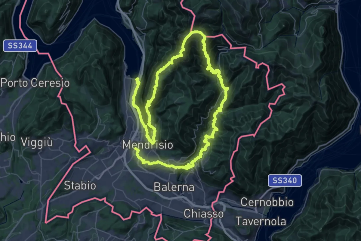
Demanding · Trail
Sentiero Lago di Lugano
32.4 km · ↑ 2076 m · 12 h 38 min · 1 km away
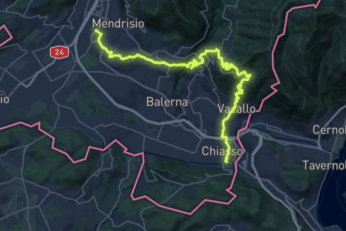
Medium · Trail
ViaGottardo
12.7 km · ↑ 559 m · 4 h 26 min · 1 km away
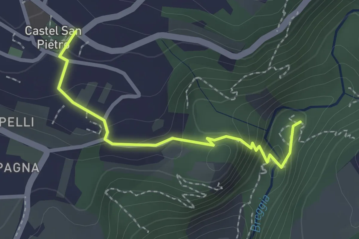
Medium · Trail
Castel San Pietro – Parco Gole della Breggia
2.0 km · ↑ 101 m · 42 min · 2 km away
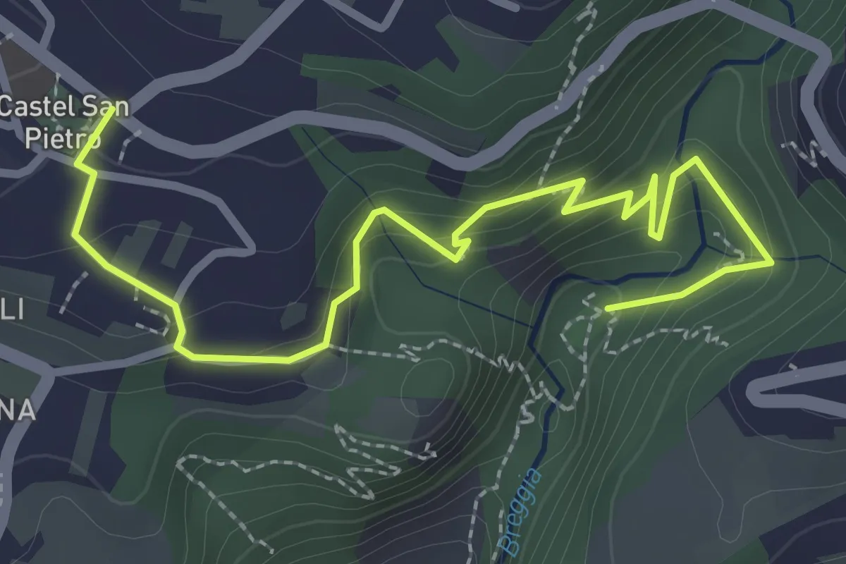
Easy · Trail
Parco Gole della Breggia – Castel San Pietro
3.3 km · ↑ 227 m · 1 h 16 min · 3 km away
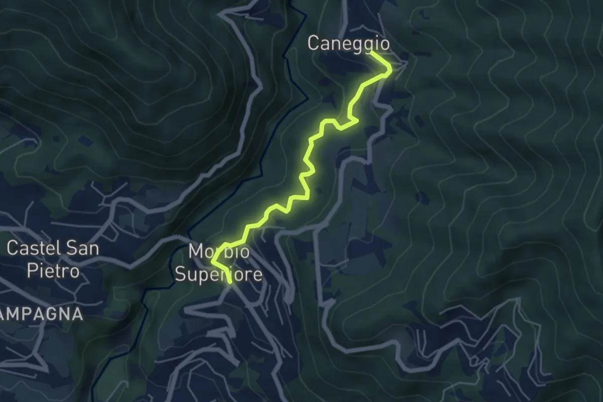
Easy · Trail
Caneggio – Morbio Superiore
4.5 km · ↑ 271 m · 1 h 39 min · 3 km away
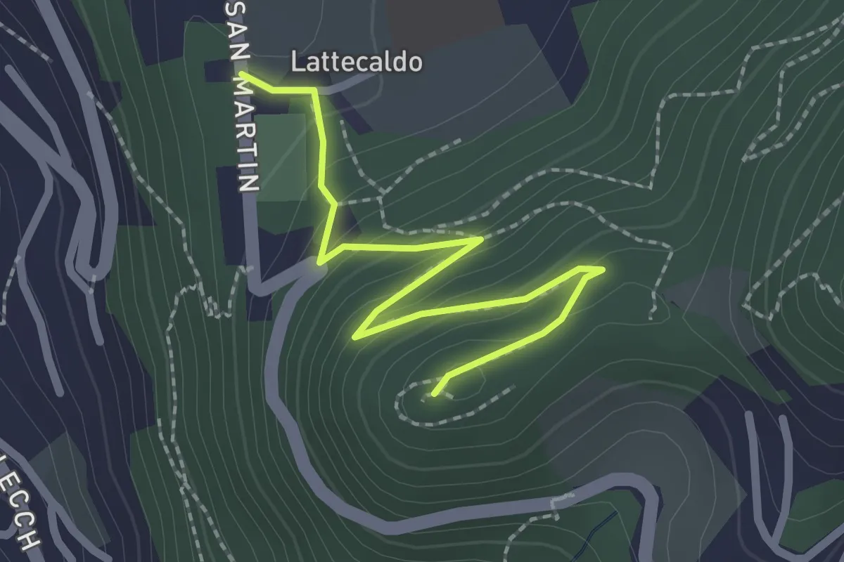
Easy · Trail
Lattecaldo – San Martino
2.3 km · ↑ 138 m · 51 min · 3 km away
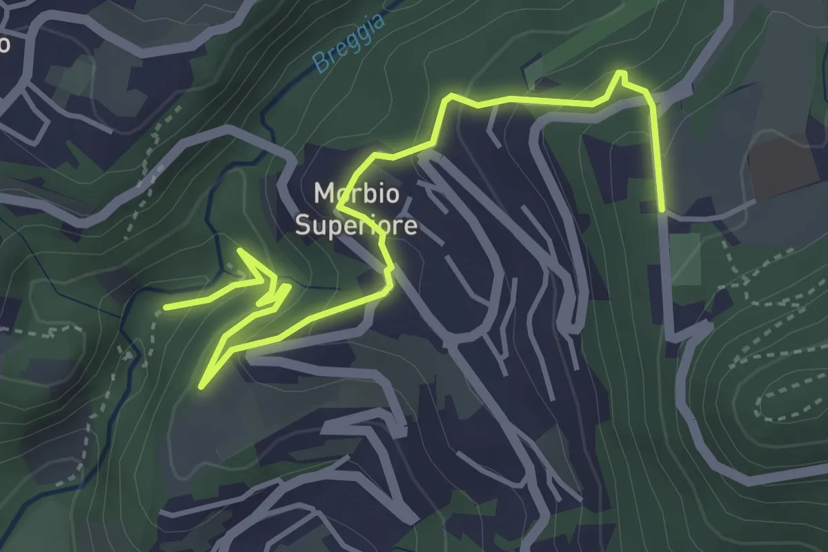
Easy · Trail
Parco Gole della Breggia – Lattecaldo
4.6 km · ↑ 292 m · 1 h 43 min · 3 km away
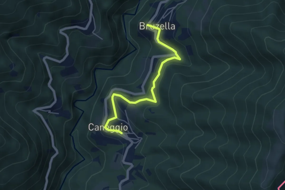
Easy · Trail
Caneggio – Bruzella
4.3 km · ↑ 249 m · 1 h 33 min · 3 km away
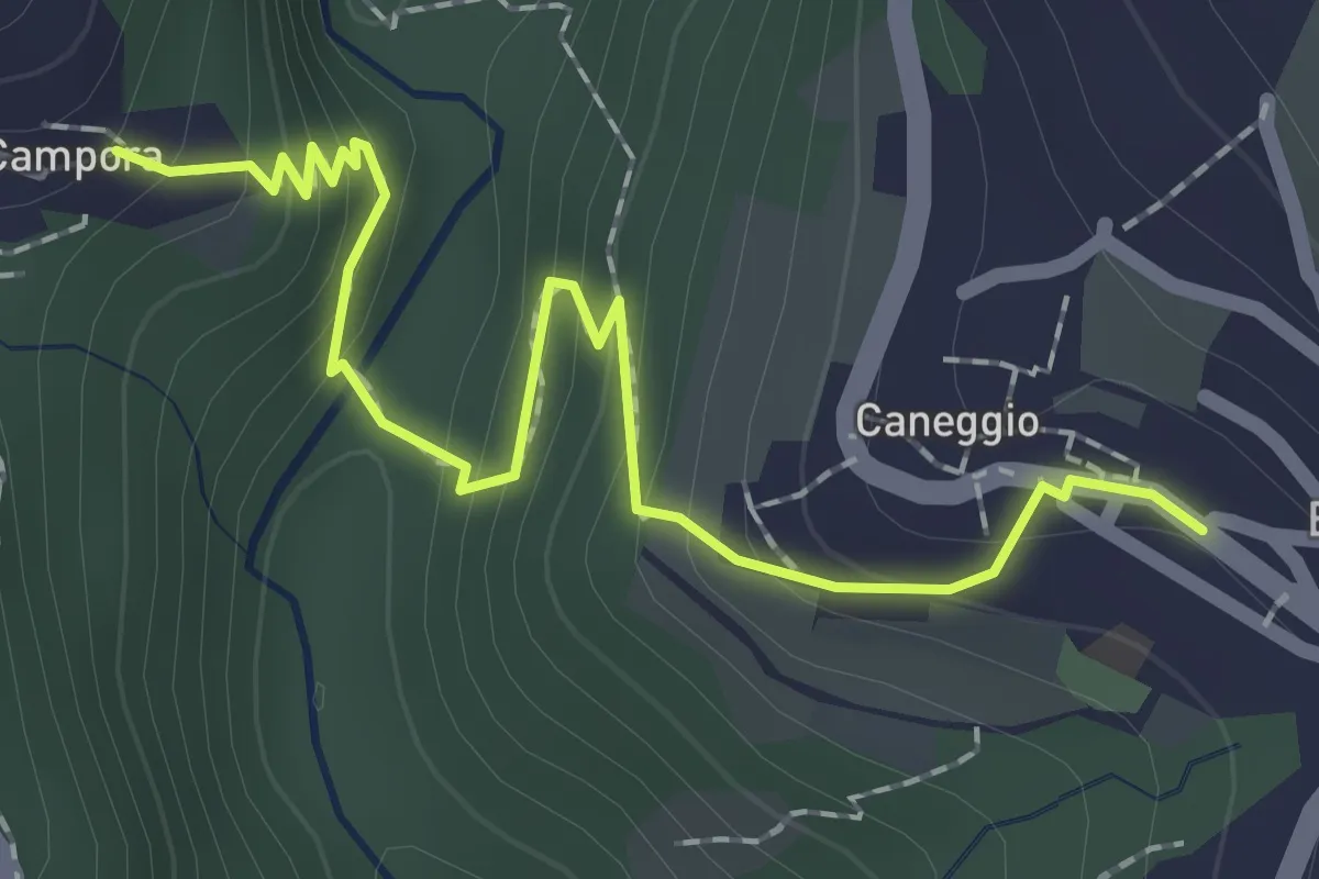
Easy · Trail
Caneggio – Cámpora
2.3 km · ↑ 161 m · 53 min · 3 km away
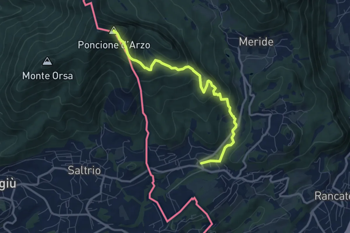
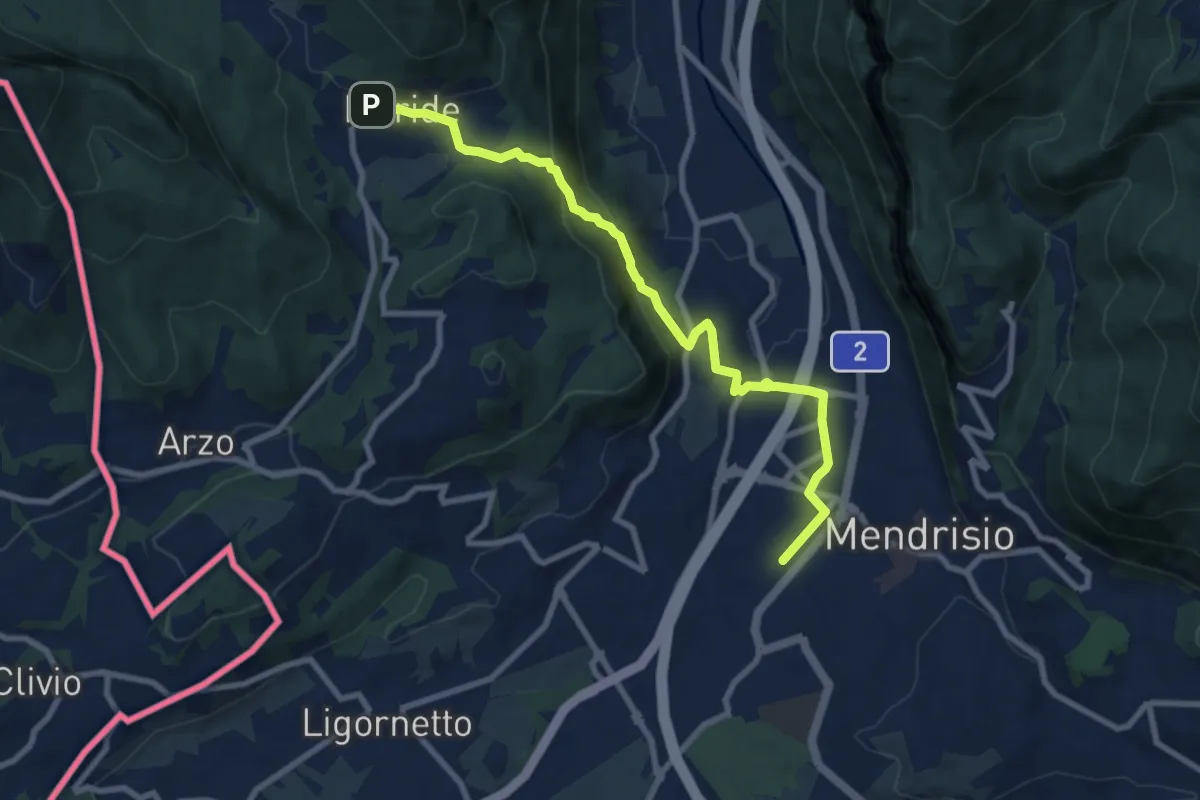
Medium · Summit
Poncione d'Arzo – Arzo
8.0 km · ↑ 537 m · 3 h 3 min · 3 km away
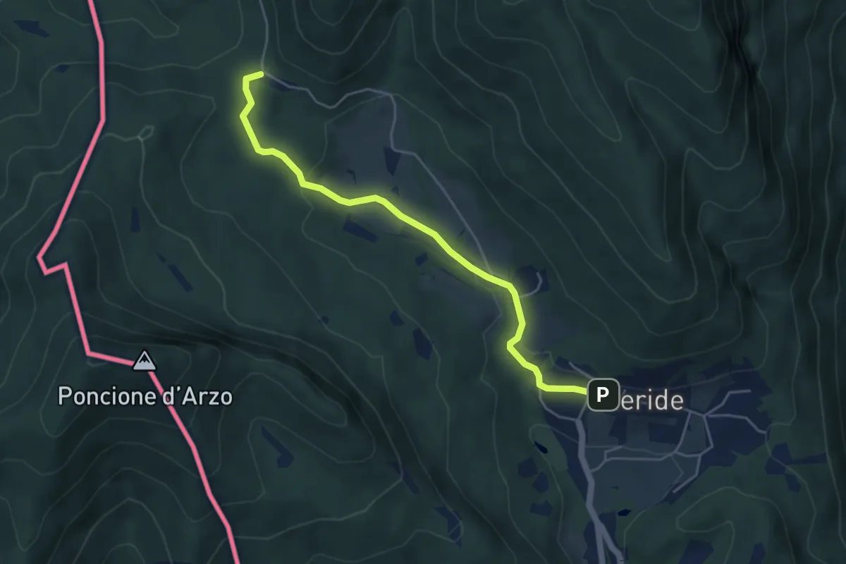
Medium · Trail
Meride – Mendrisio Stazione
8.9 km · ↑ 326 m · 2 h 48 min · 4 km away
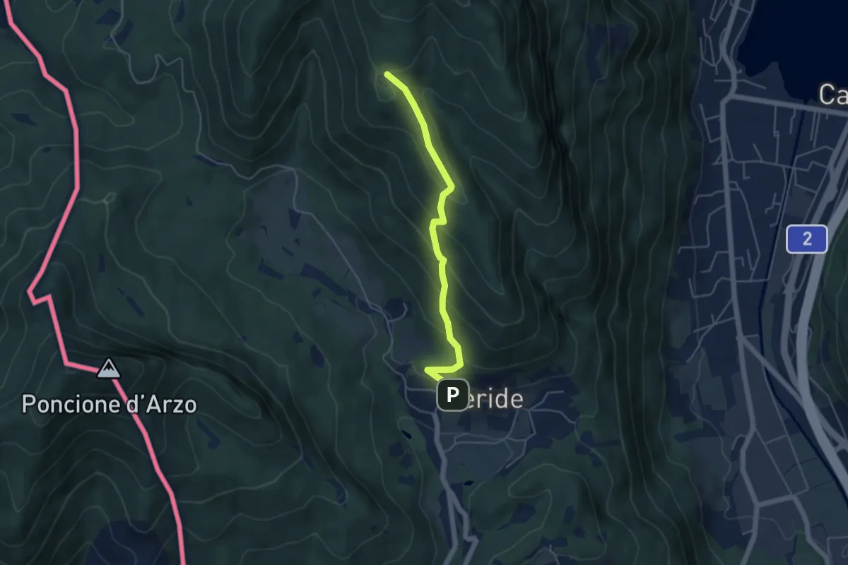
Easy · Trail
Crocifisso – Meride
4.8 km · ↑ 121 m · 1 h 23 min · 4 km away
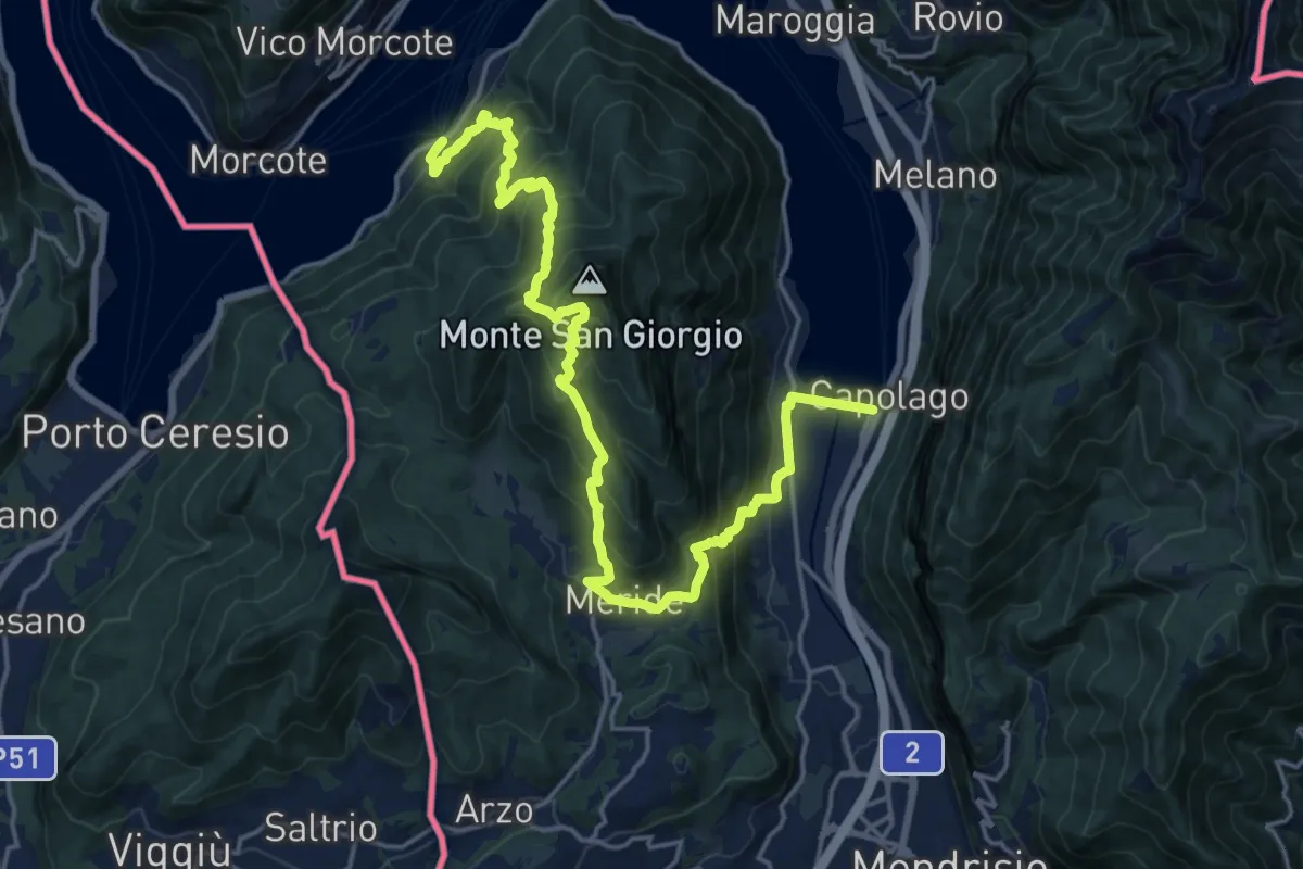
Easy · Trail
Meride – Cassina
4.6 km · ↑ 309 m · 1 h 45 min · 4 km away
Demanding · Trail
Sentiero Lago di Lugano
11.1 km · ↑ 863 m · 4 h 38 min · 4 km away
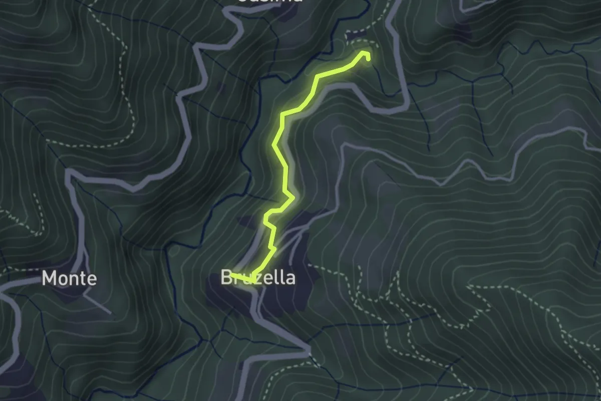
Easy · Trail
Mulino di Bruzella – Bruzella
2.5 km · ↑ 204 m · 1 h 2 min · 4 km away
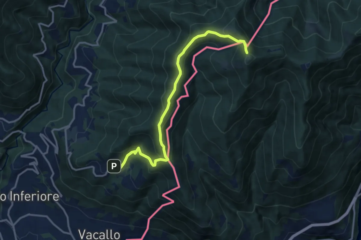
Medium · Trail
Sagno – Monte Bisbino
9.3 km · ↑ 597 m · 3 h 30 min · 4 km away
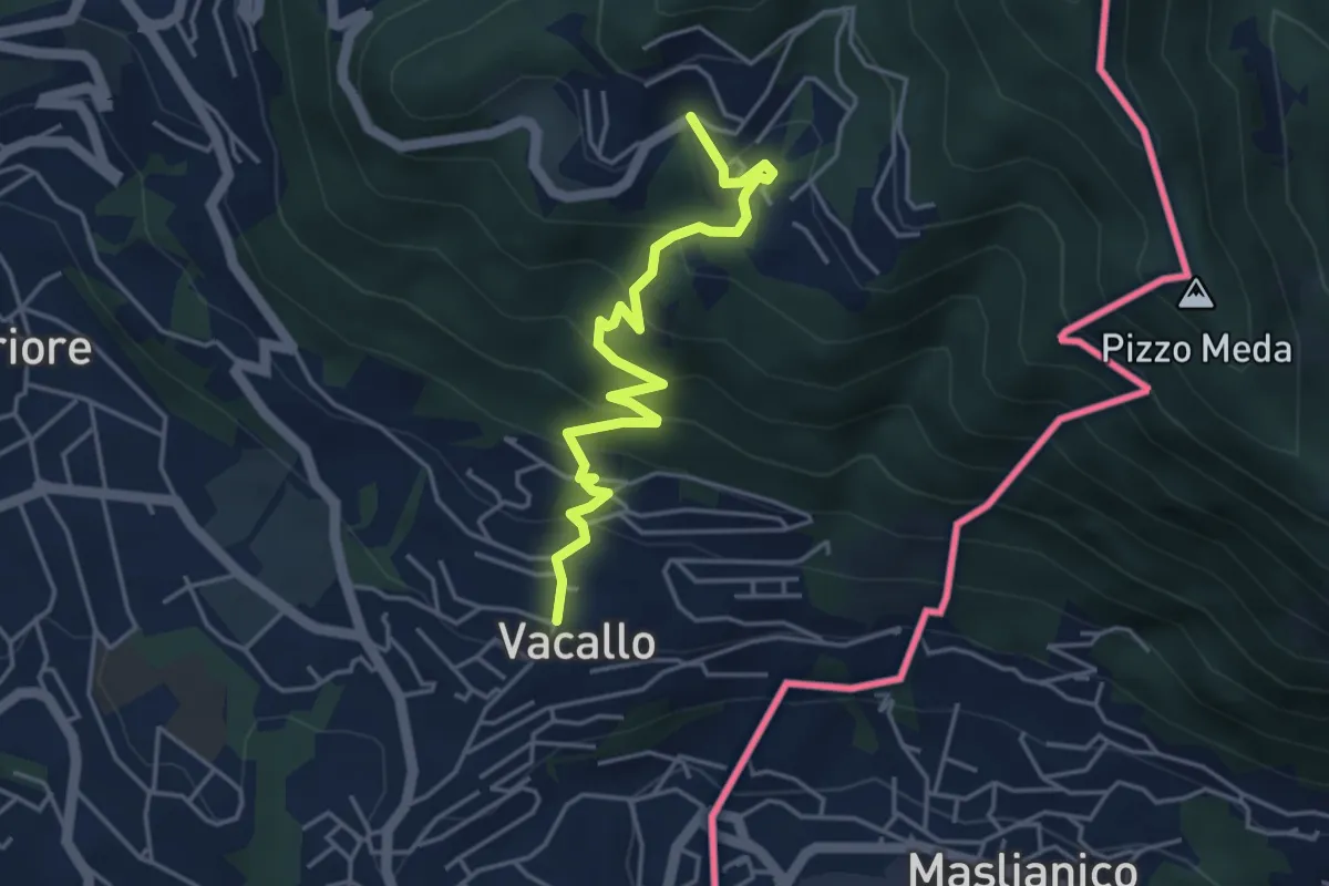
Medium · Trail
Sagno – Vacallo
4.5 km · ↑ 359 m · 1 h 50 min · 4 km away
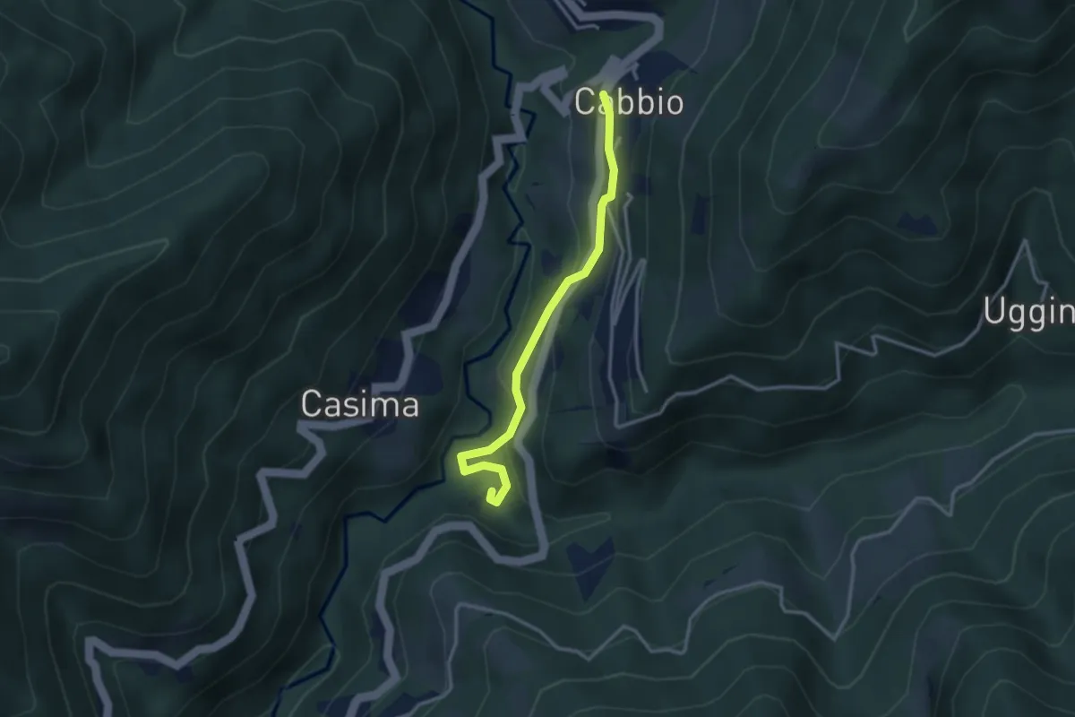
Easy · Trail
Cabbio – Mulino di Bruzella
2.9 km · ↑ 161 m · 1 h 2 min · 5 km away
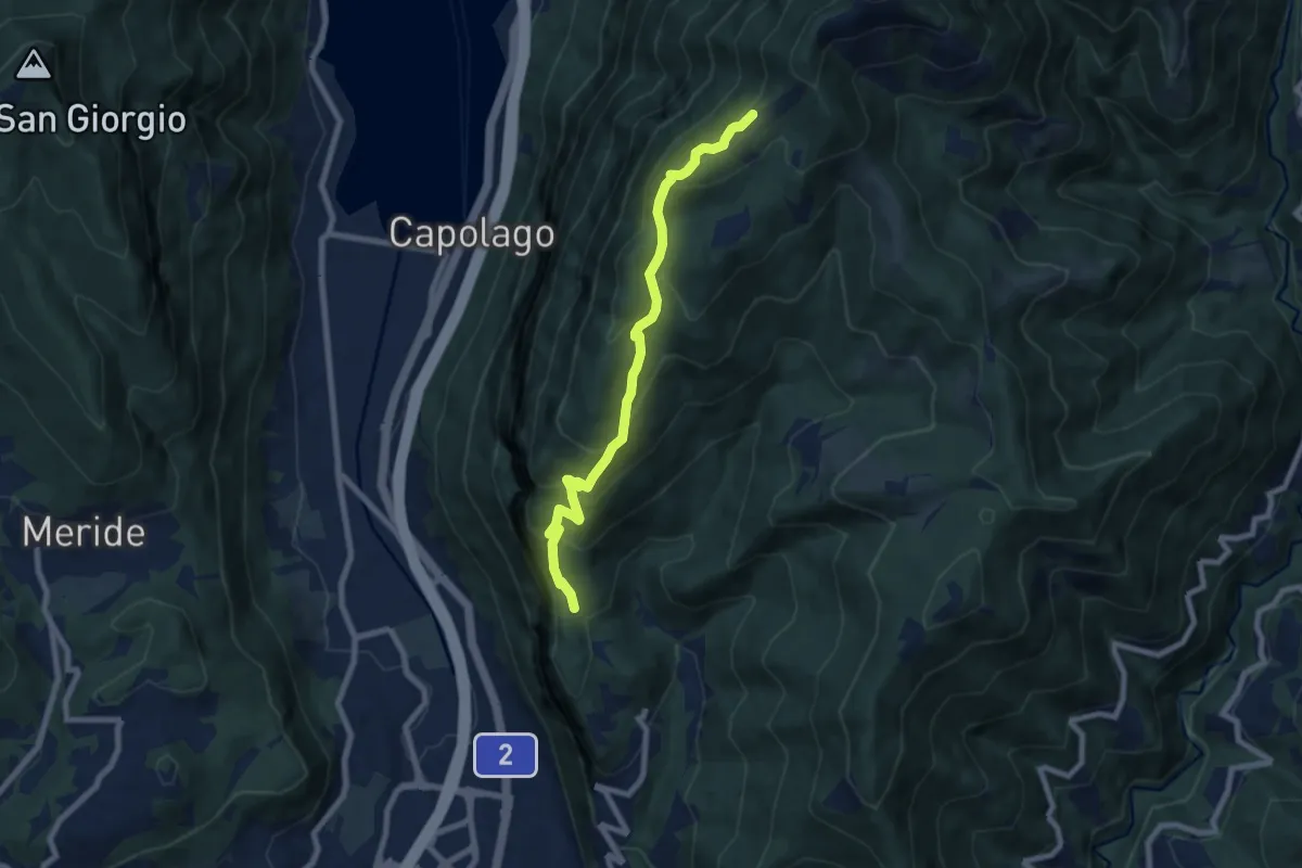
Medium · Cabin
Bellavista – San Nicolao St.ne
7.6 km · ↑ 564 m · 3 h 1 min · 5 km away
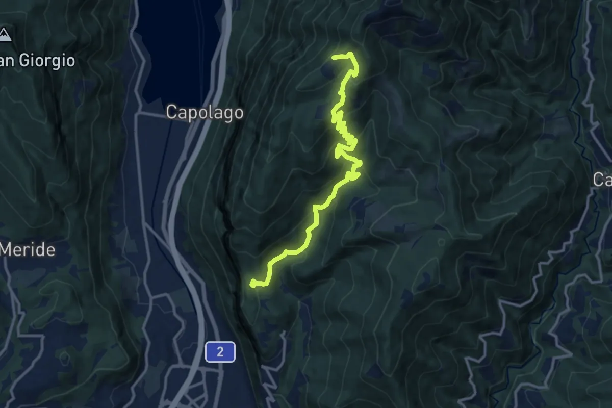
Medium · Cabin
Bellavista St.ne – San Nicolao St.ne
11.4 km · ↑ 779 m · 4 h 23 min · 5 km away
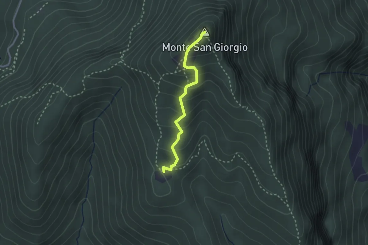
Medium · Summit
Monte San Giorgio – Cassina
2.2 km · ↑ 179 m · 55 min · 5 km away
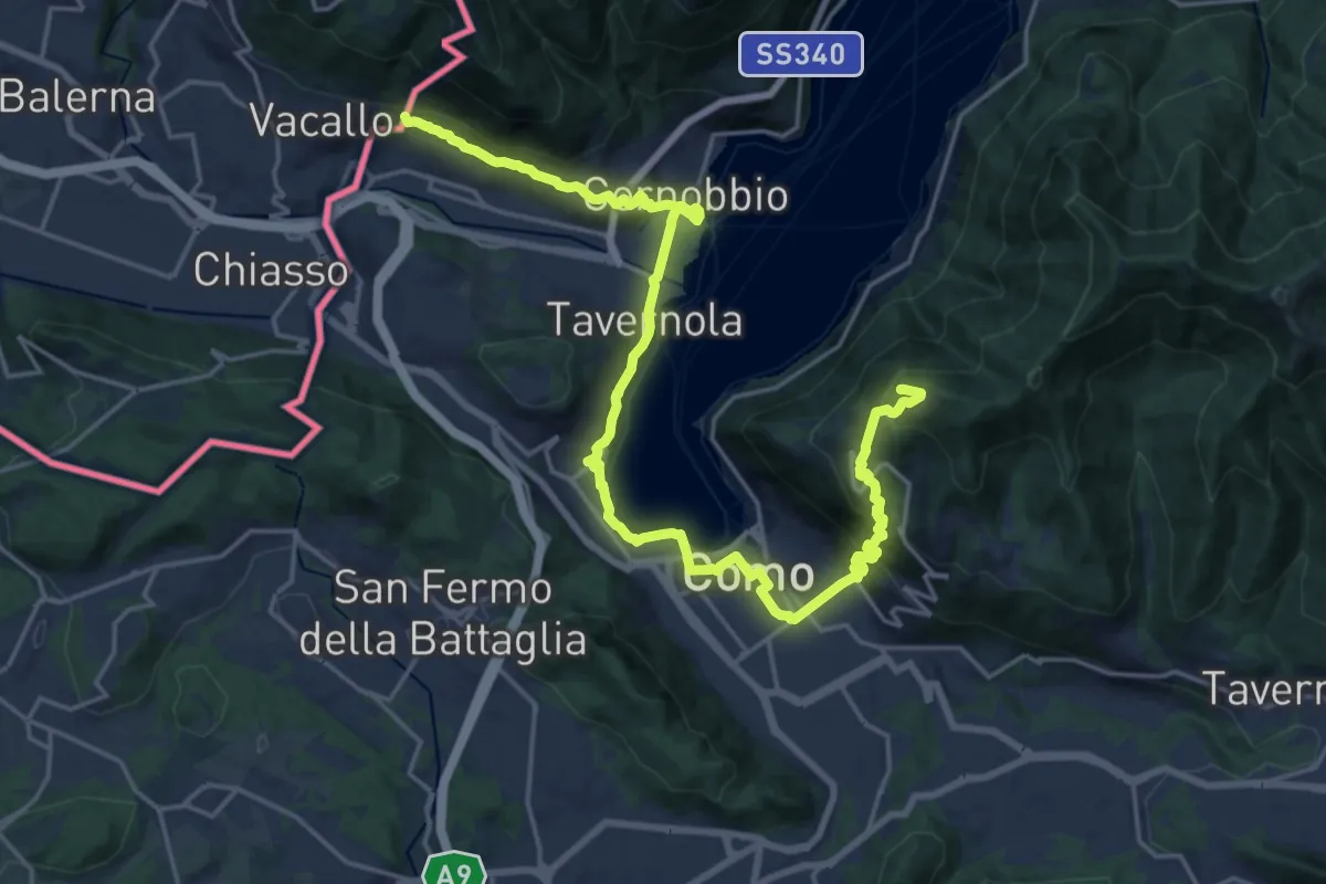
Demanding · Summit
Lake Como Poetry Way
25.8 km · ↑ 1054 m · 8 h 22 min · 5 km away
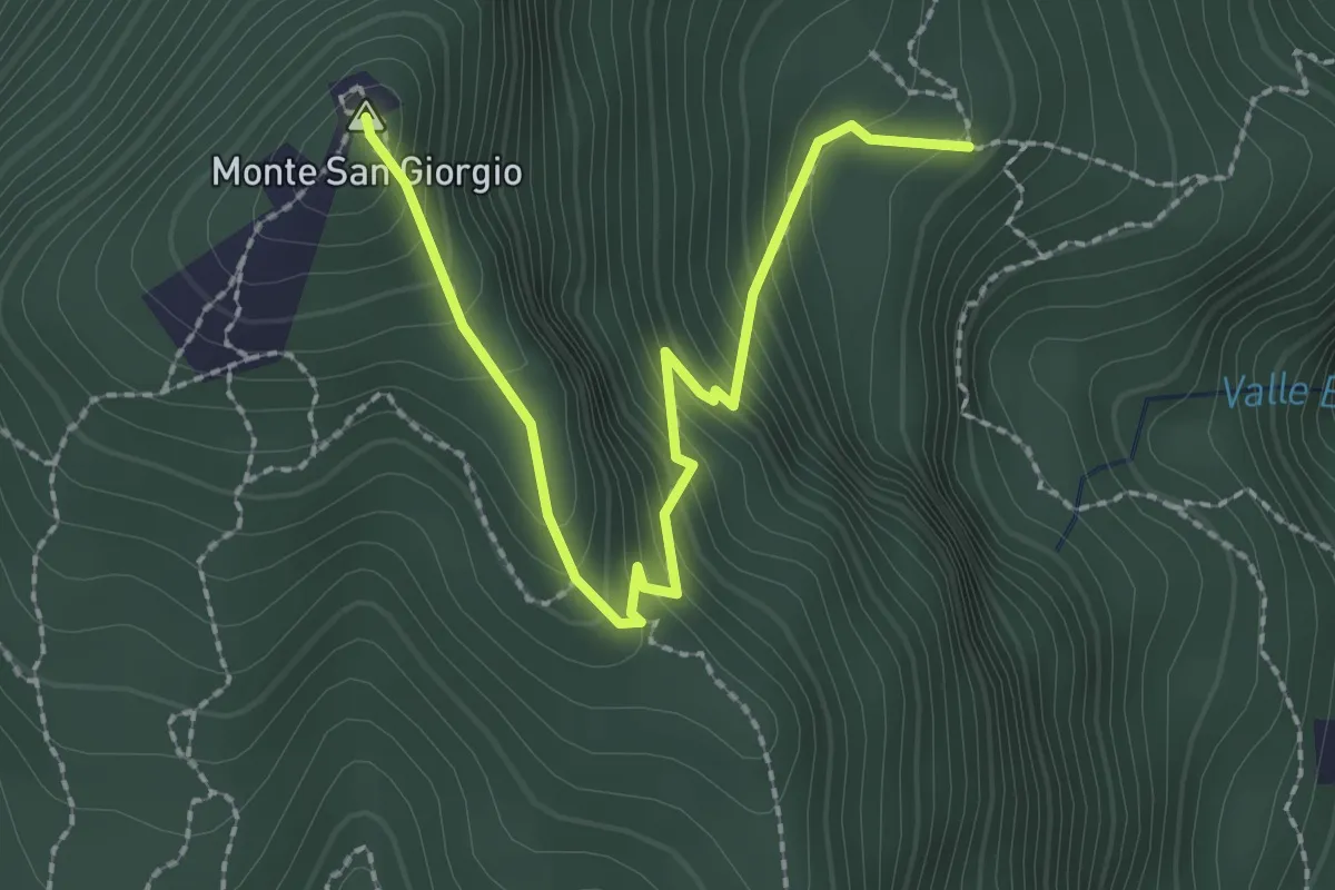
Easy · Summit
M.te San Giorgio - Pozzo? - fixme
2.6 km · ↑ 257 m · 1 h 11 min · 5 km away
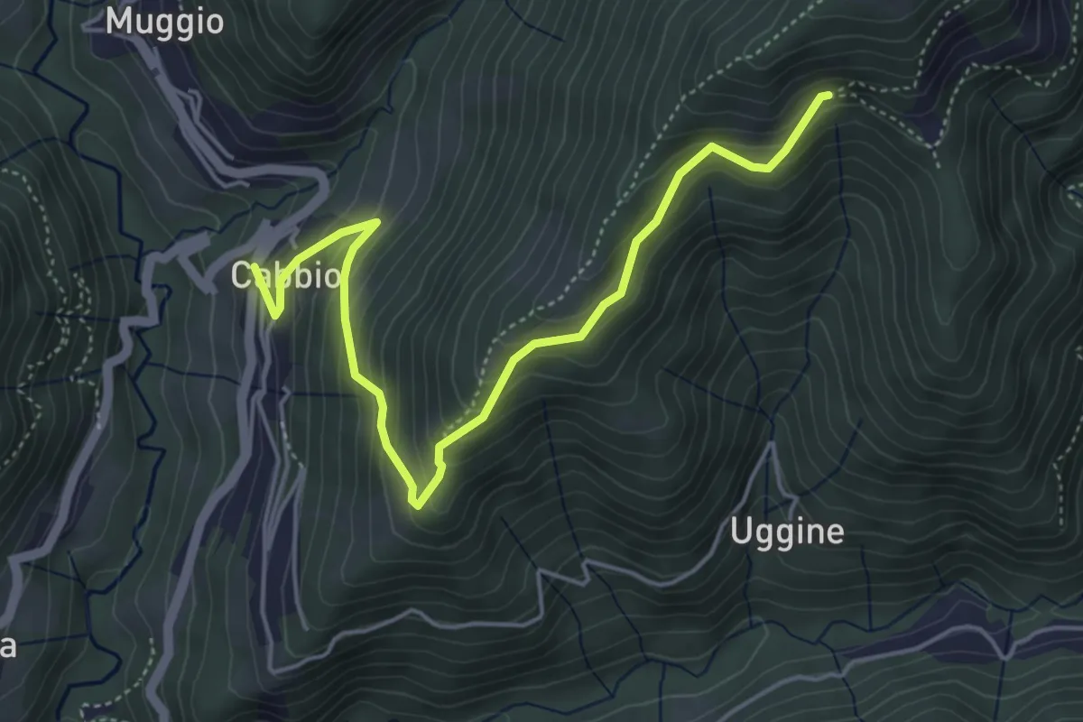
Medium · Trail
Arla – Cabbio
5.2 km · ↑ 423 m · 2 h 9 min · 5 km away
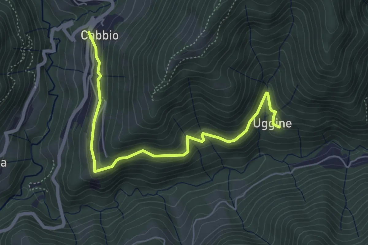
Medium · Trail
Cabbio – Uggine
5.4 km · ↑ 335 m · 2 h · 5 km away
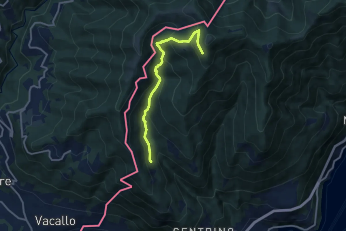
Medium · Trail
Como (Monte Olimpino) – Rifugio Prabello
6.7 km · ↑ 510 m · 2 h 42 min · 5 km away
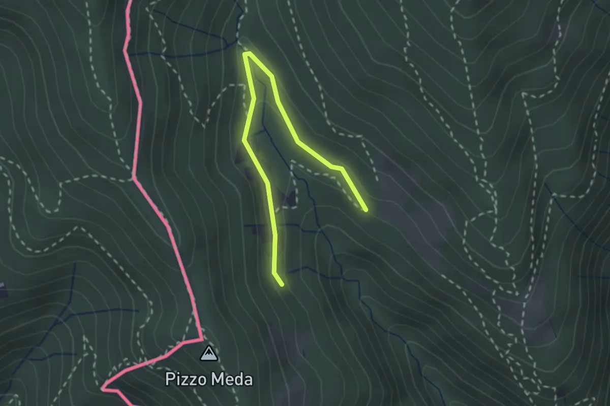
Easy · Trail
Cernobbio-Monte Bisbino
2.5 km · ↑ 103 m · 49 min · 5 km away
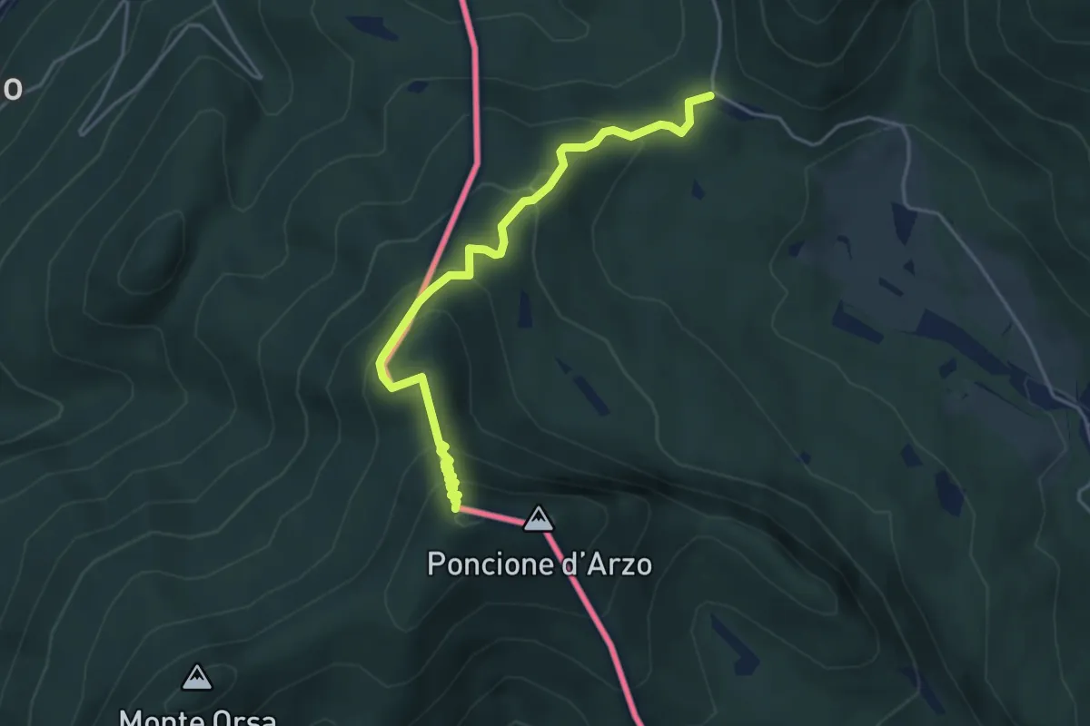
Medium · Summit
Crocifisso – Poncione d'Arzo
4.3 km · ↑ 320 m · 1 h 43 min · 5 km away
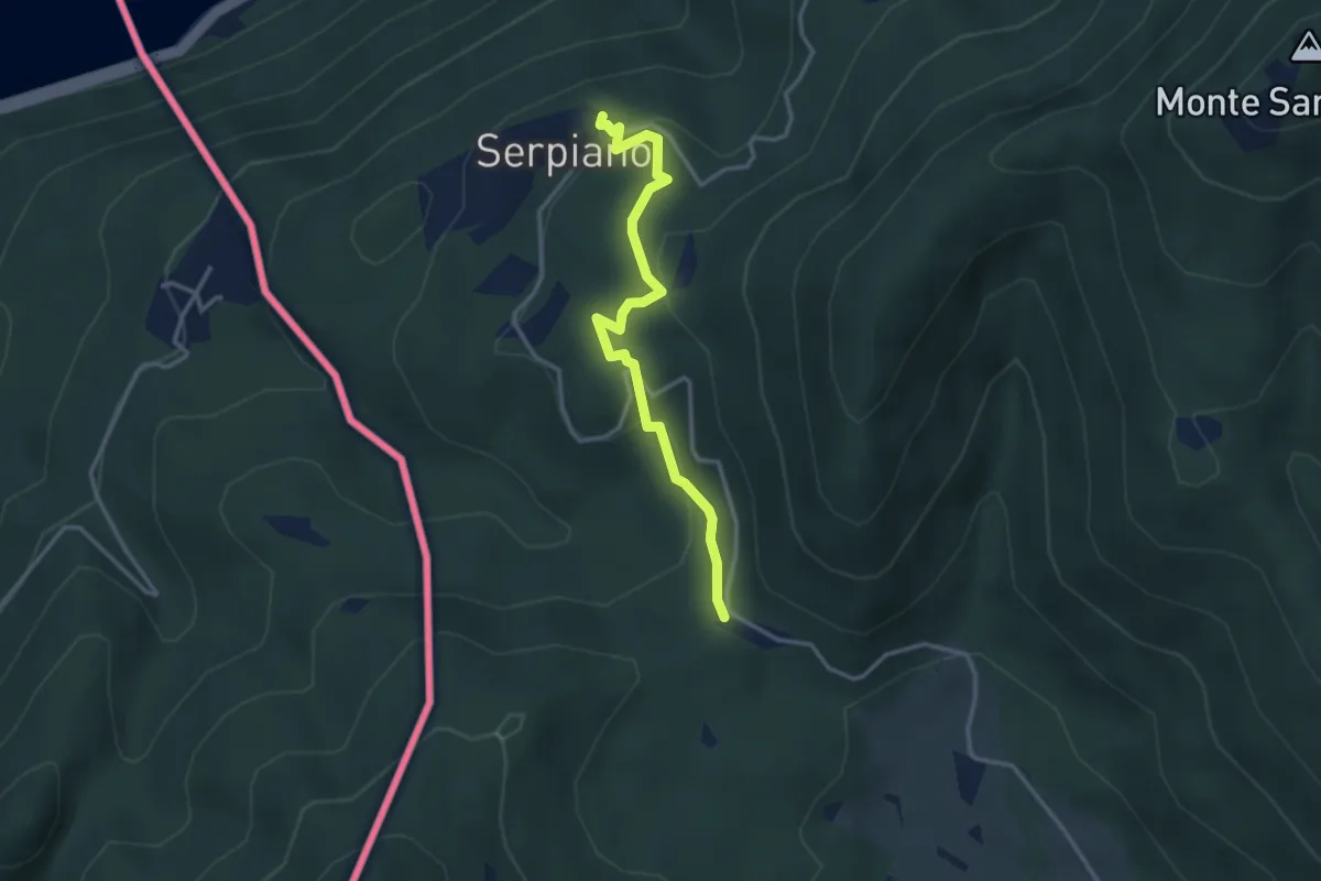
Medium · Trail
Crocifisso – Serpiano
3.2 km · ↑ 156 m · 1 h 6 min · 5 km away
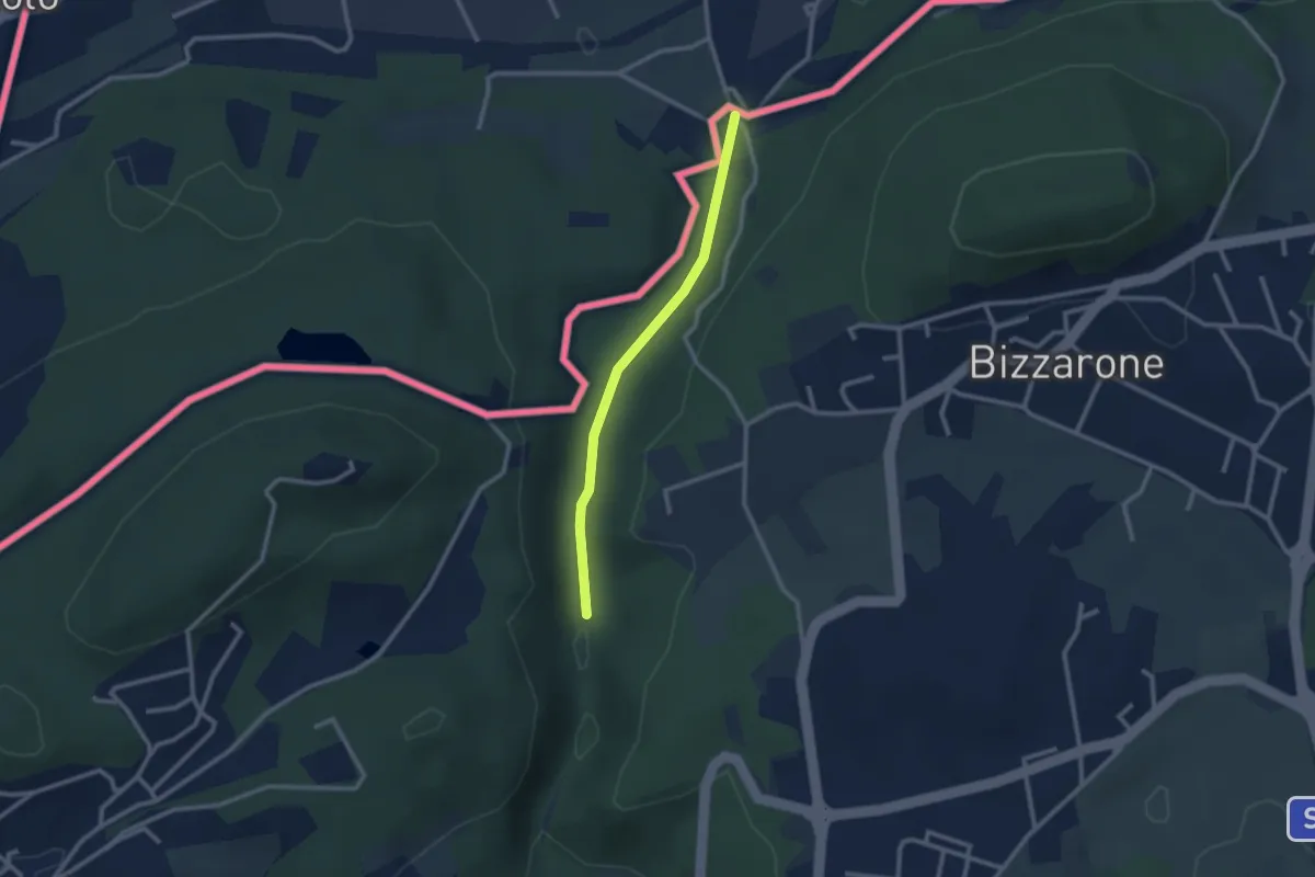
Easy · Trail
Sentiero di Fondovalle
2.3 km · ↑ 32 m · 37 min · 5 km away
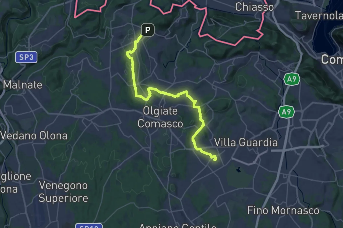
Demanding · Trail
Lurate Caccivio – Bizzarrone confine (CH)
25.7 km · ↑ 211 m · 6 h 31 min · 6 km away
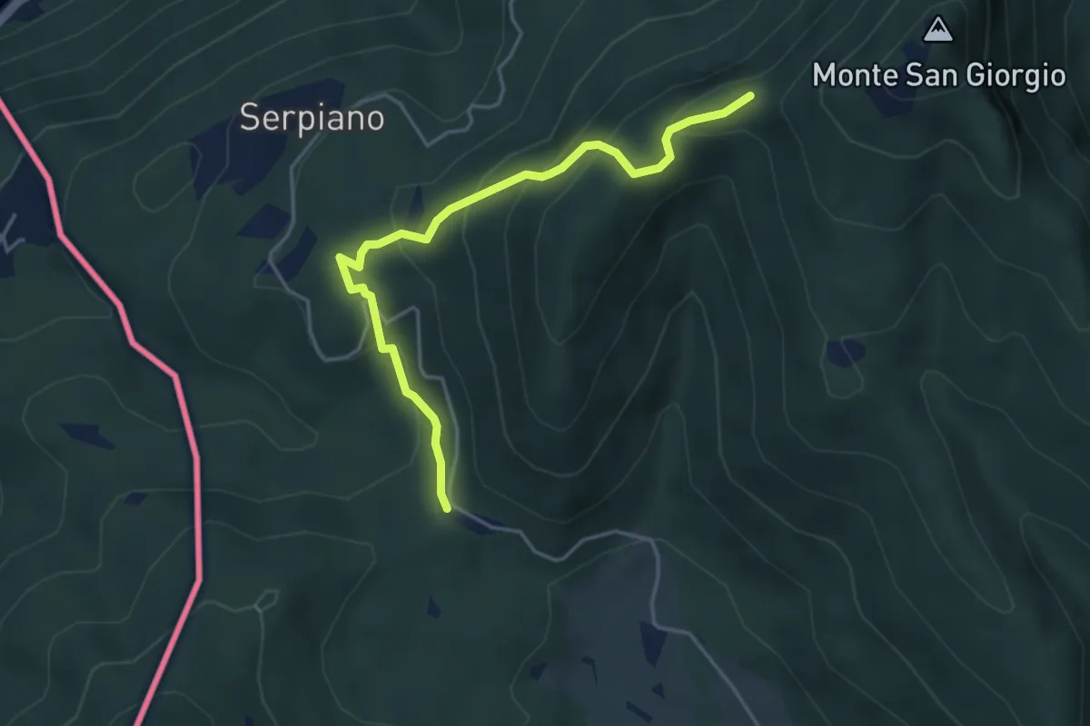
Medium · Trail
Punto 902 – Crocifisso
4.3 km · ↑ 290 m · 1 h 39 min · 6 km away
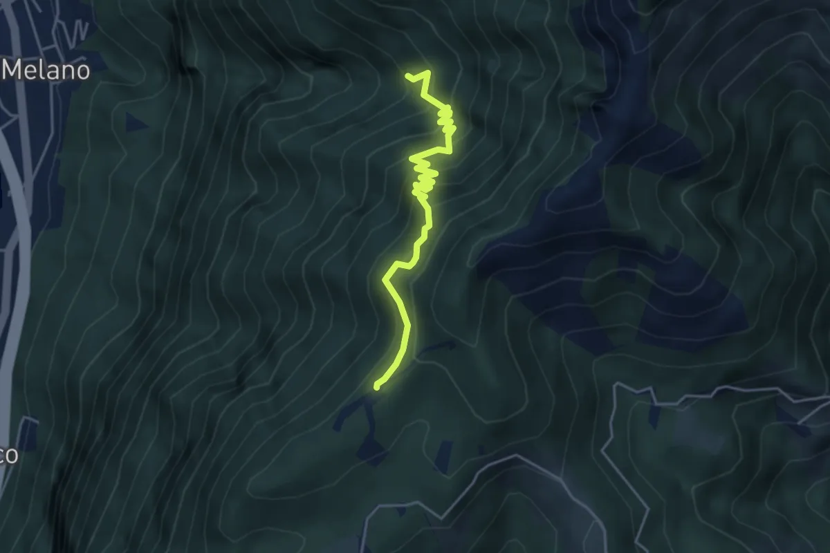
Medium · Trail
Alpe di Melano-Bellavista
4.1 km · ↑ 473 m · 1 h 59 min · 6 km away
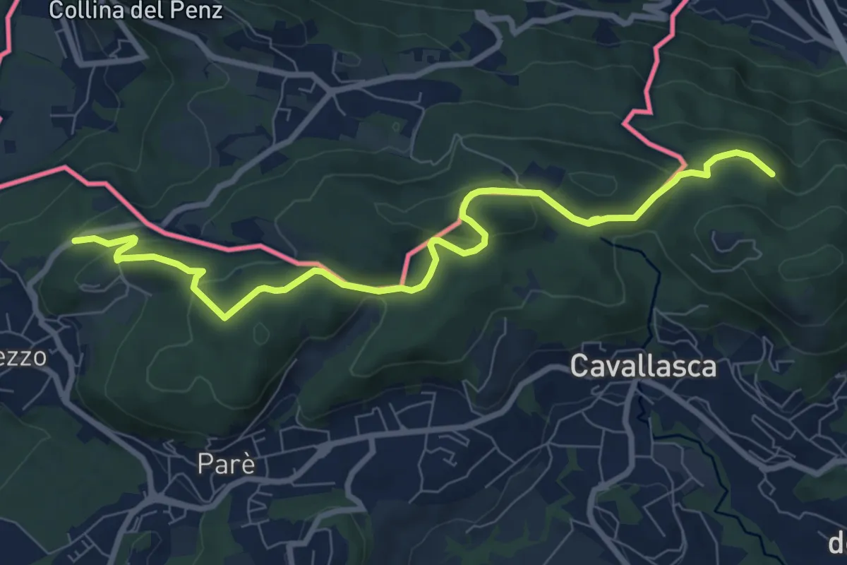
Medium · Trail
Confinale
9.1 km · ↑ 322 m · 2 h 50 min · 6 km away
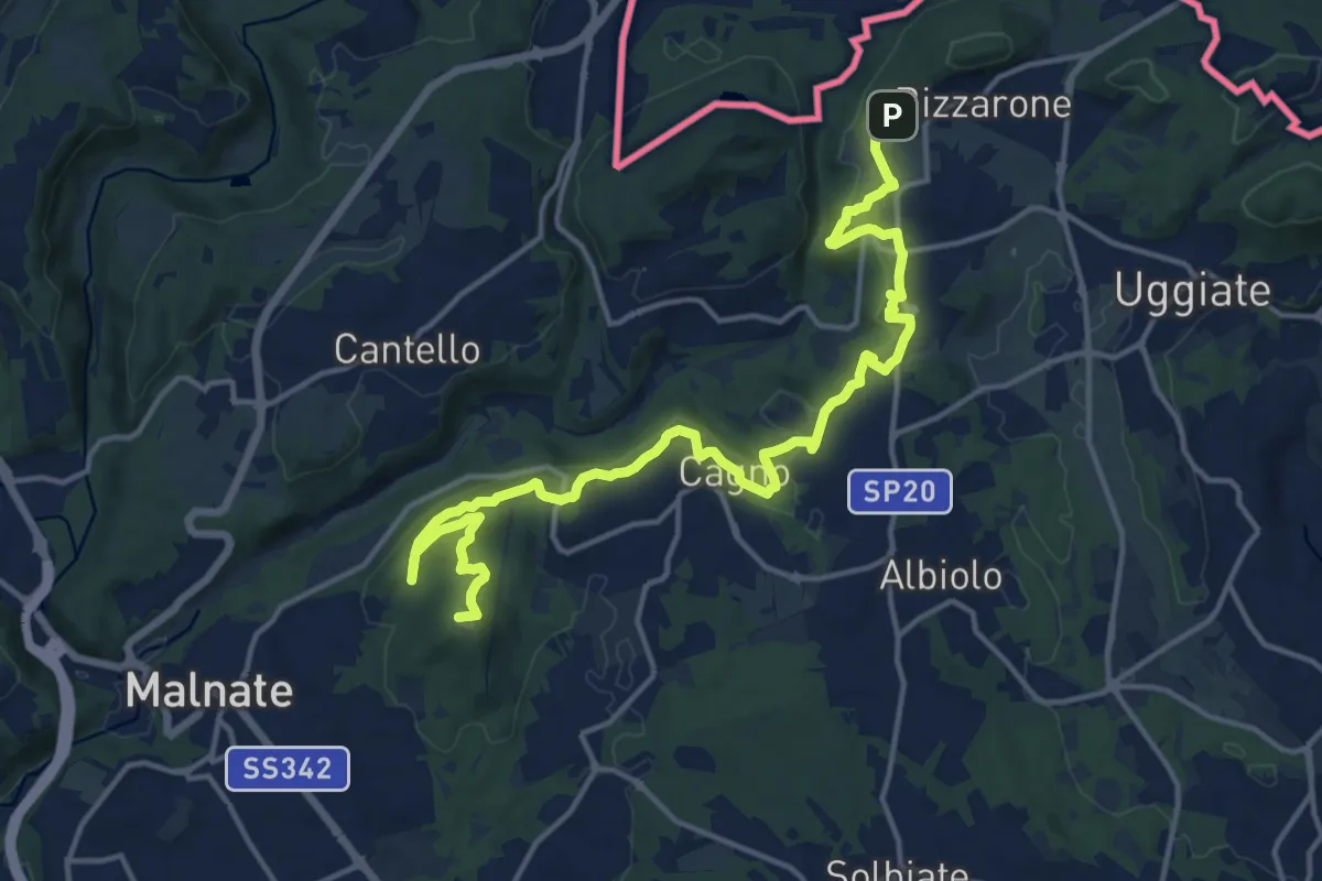
Demanding · Summit
Sentiero cima delle valli
18.5 km · ↑ 411 m · 5 h 16 min · 6 km away
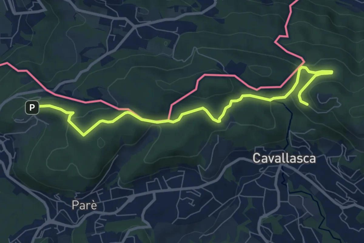
Medium · Trail
Bizzarone – Como
8.2 km · ↑ 264 m · 2 h 30 min · 6 km away
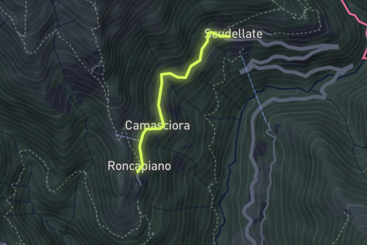
Easy · Trail
Roncapiano – Scudellate
2.4 km · ↑ 229 m · 1 h 4 min · 6 km away
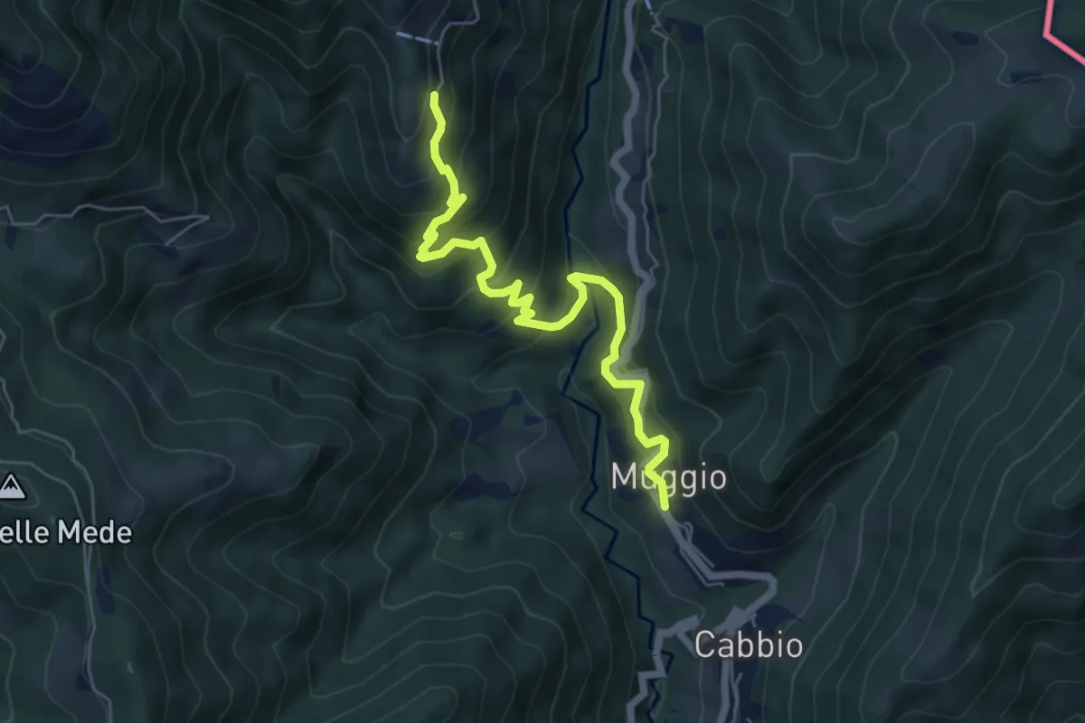
Medium · Trail
Muggio – Roncapiano
6.1 km · ↑ 543 m · 2 h 37 min · 6 km away
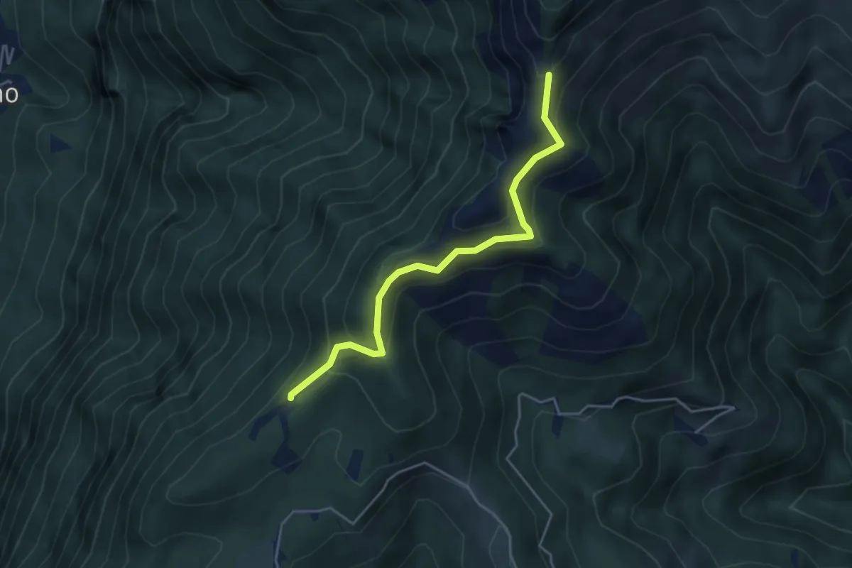
Medium · Trail
Sentiero della natura
4.1 km · ↑ 279 m · 1 h 34 min · 6 km away
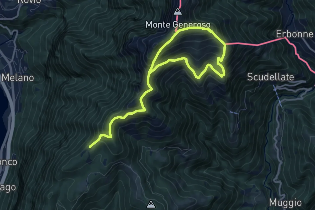
Demanding · Trail
Sentiero del Monte Generoso
12.4 km · ↑ 987 m · 5 h 4 min · 6 km away
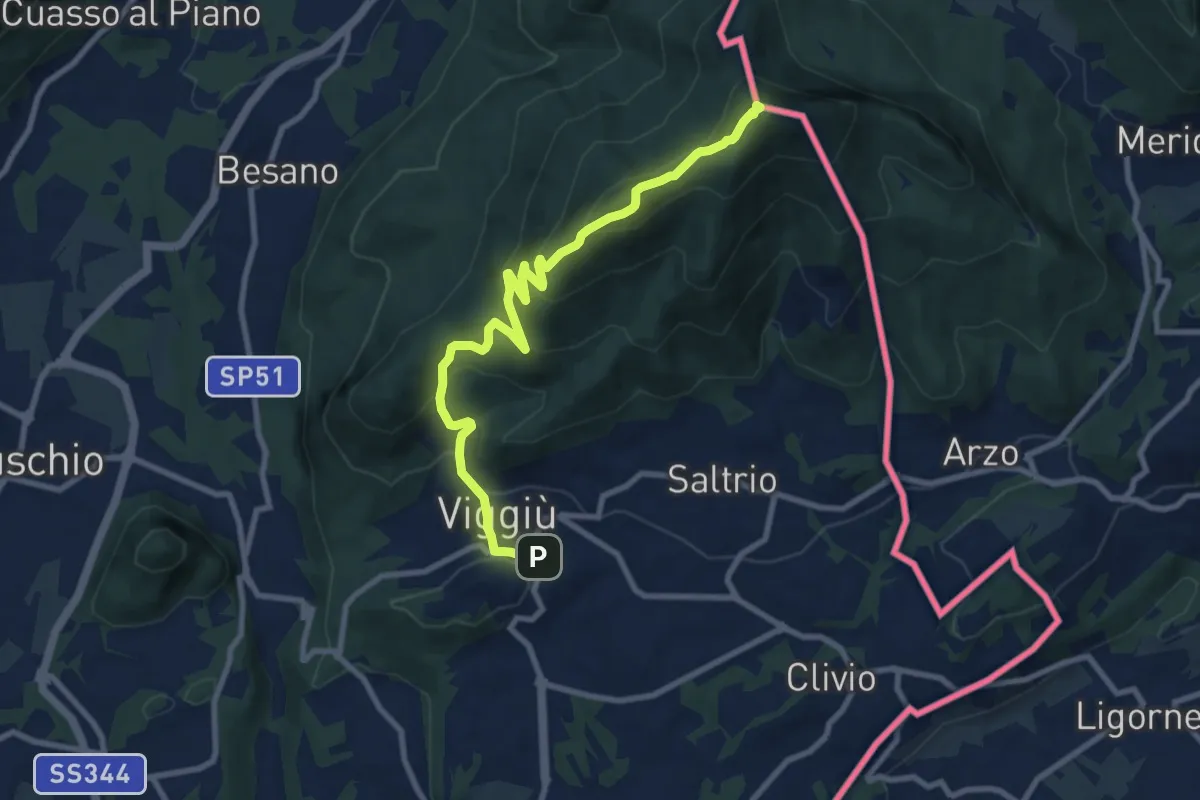
Medium · Summit
Viggiu' – Monte Pravello
9.9 km · ↑ 605 m · 3 h 39 min · 6 km away
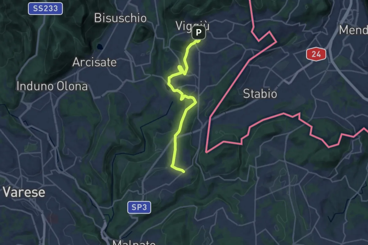
Medium · Trail
Viggiù – Cantello (Ligurno)
15.8 km · ↑ 332 m · 4 h 27 min · 6 km away
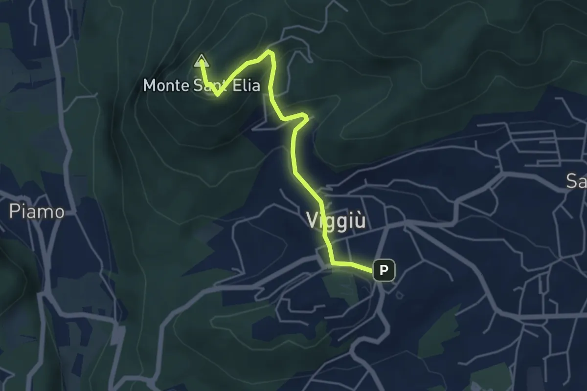
Medium · Summit
Viggiu' – Colle Sant'Elia
4.1 km · ↑ 180 m · 1 h 21 min · 6 km away
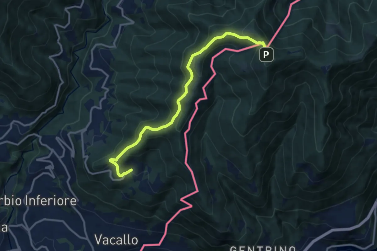
Medium · Trail
Sagno – Monte Bisbino
9.2 km · ↑ 665 m · 3 h 37 min · 6 km away
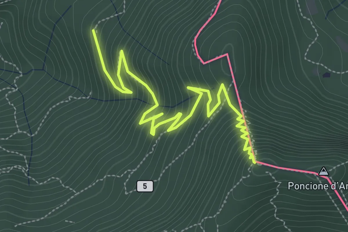
Medium · Summit
Besano – Monte Pravello
4.1 km · ↑ 402 m · 1 h 50 min · 6 km away
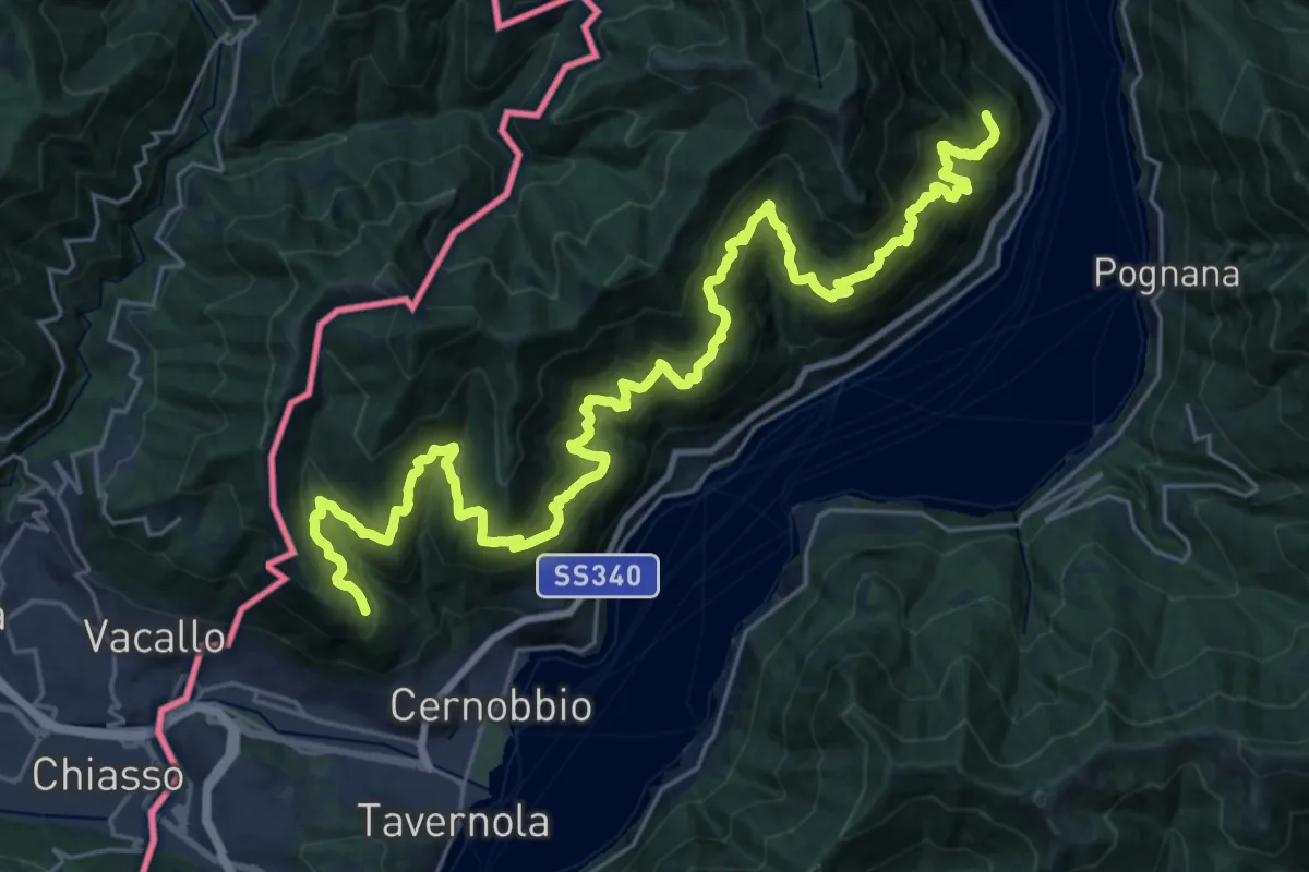
Expert · Trail
Sentiero mezza costa
16.5 km · ↑ 1501 m · 7 h 25 min · 6 km away