Trails near Mendrisio
267 hikes starting within 15 km, nearest first.
Nearest first, page 2 of 6
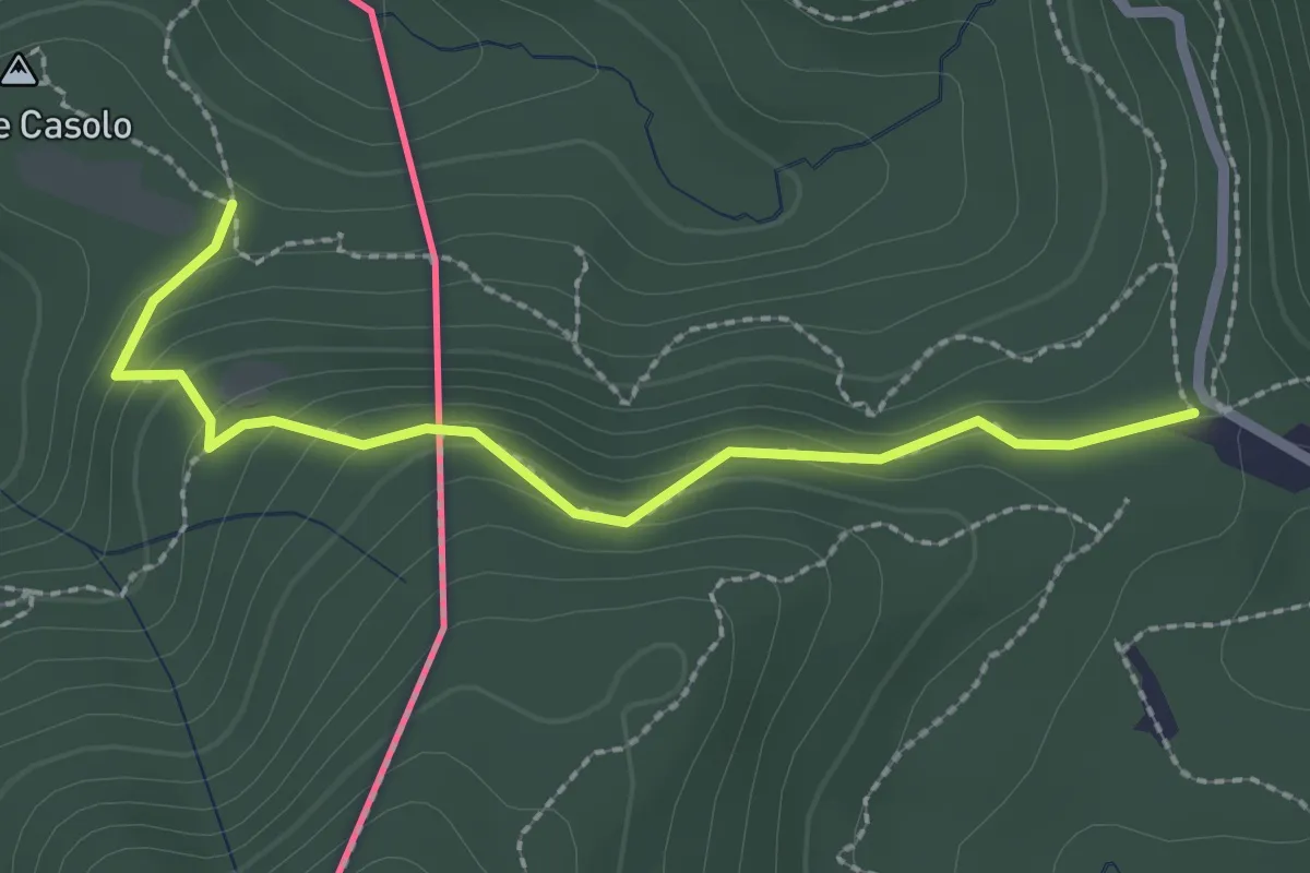
Medium · Trail
Crossifico - Monte Casolo (I) ? / Porto Ceresio (I) ? - fixme
2.5 km · ↑ 122 m · 51 min · 6 km away
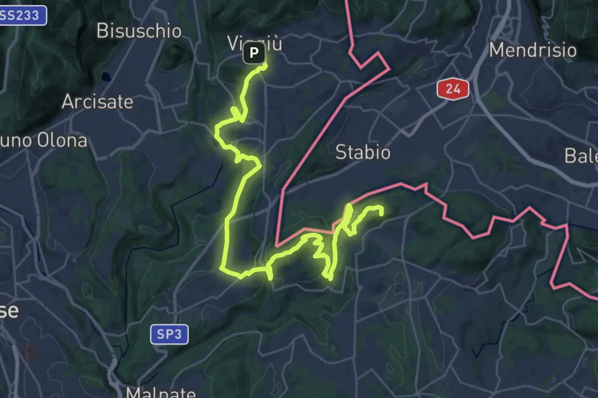
Demanding · Summit
Viggiù (Piazza Europa) – Bizzarone
32.7 km · ↑ 911 m · 9 h 42 min · 6 km away
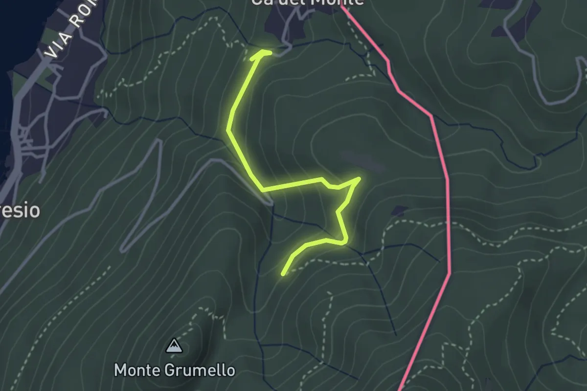
Easy · Trail
Porto Ceresio – Monte Grumello
2.9 km · ↑ 192 m · 1 h 6 min · 6 km away
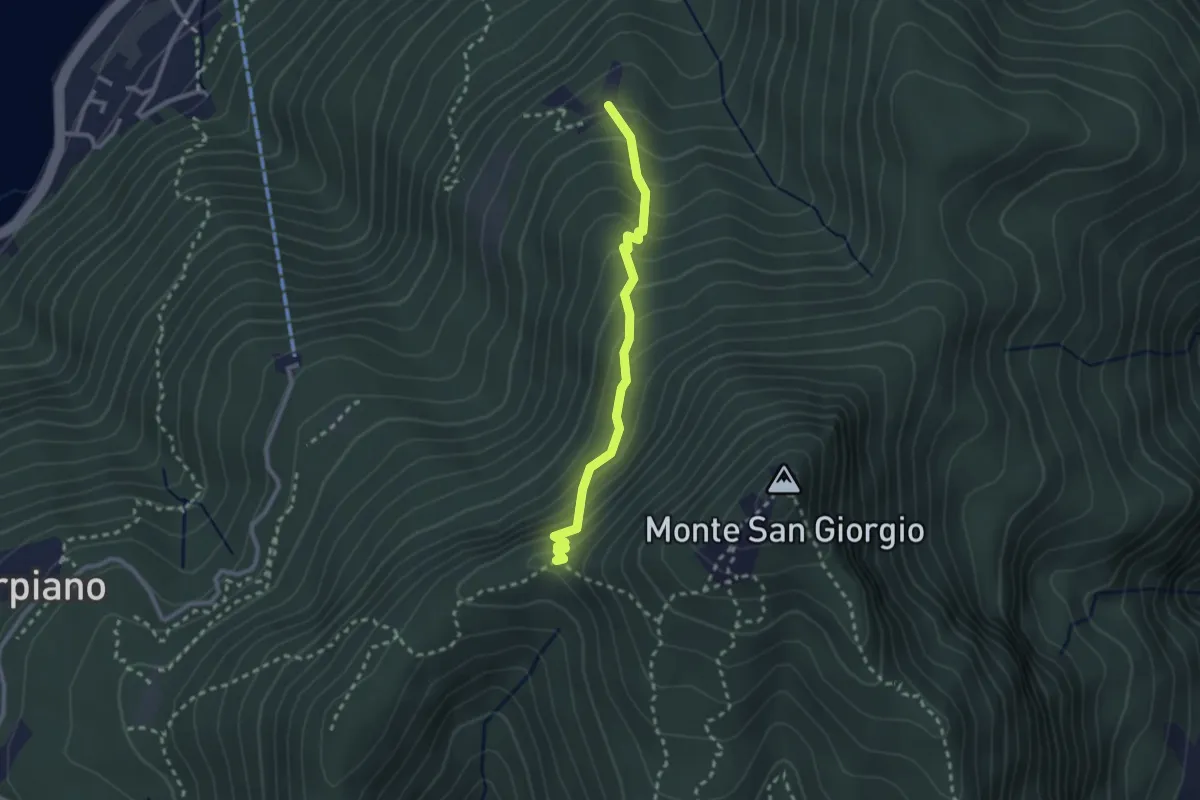
Medium · Trail
Alpe di Brusino – Punto 902
2.4 km · ↑ 262 m · 1 h 8 min · 6 km away
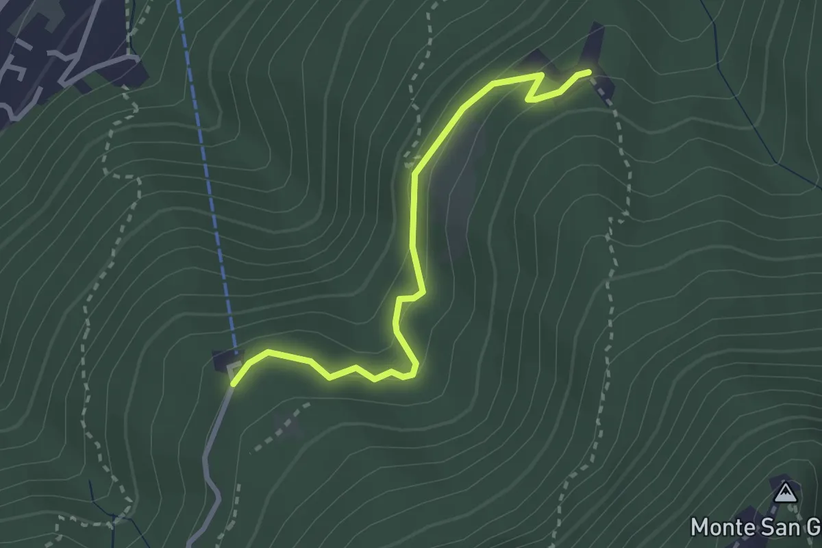
Easy · Trail
Serpiano Statione – Alpe di Brusino
2.7 km · ↑ 164 m · 1 h · 6 km away
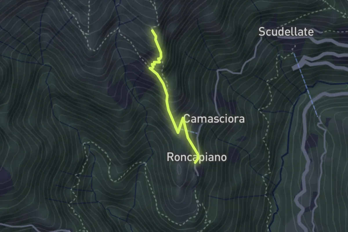
Medium · Trail
Roncapiano – Nadigh
2.3 km · ↑ 311 m · 1 h 13 min · 7 km away
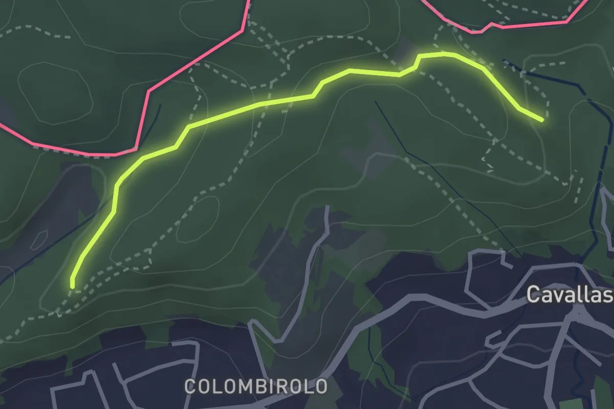
Easy · Trail
Naturalistico di Parè
3.0 km · ↑ 71 m · 51 min · 7 km away
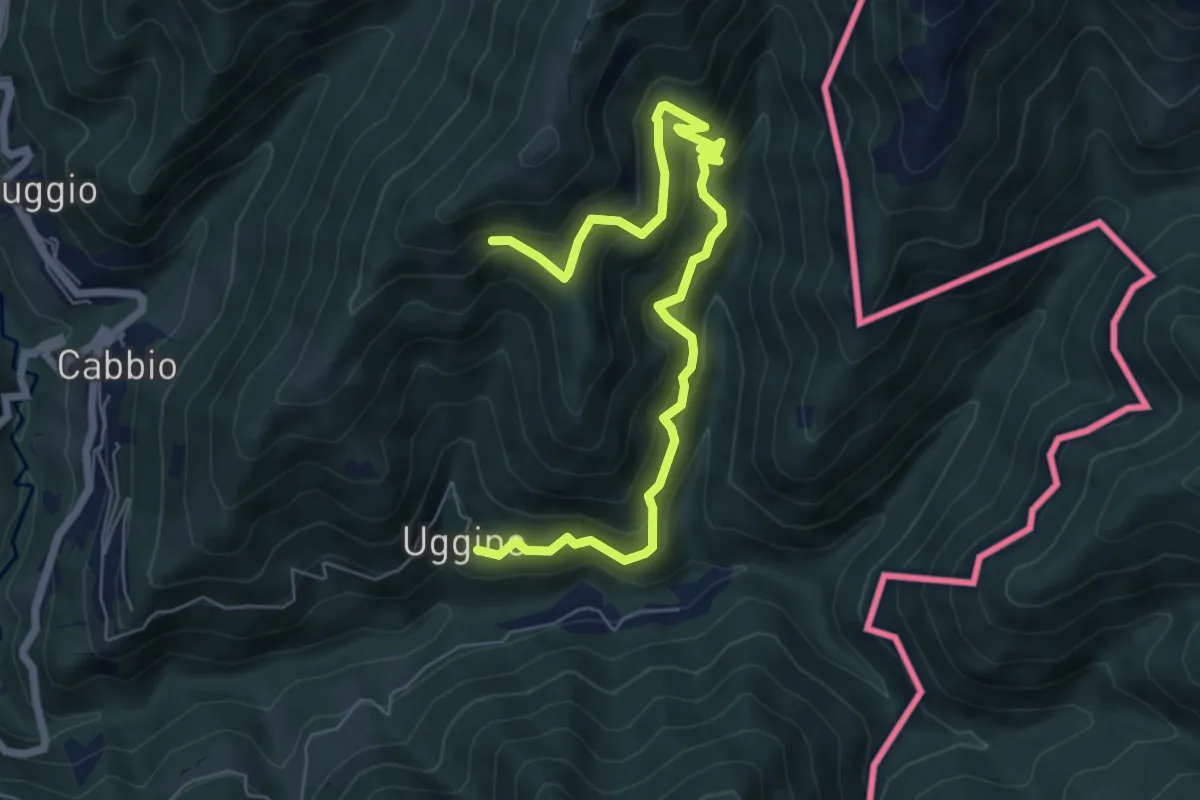
Medium · Trail
Uggine – Arla
7.7 km · ↑ 732 m · 3 h 25 min · 7 km away
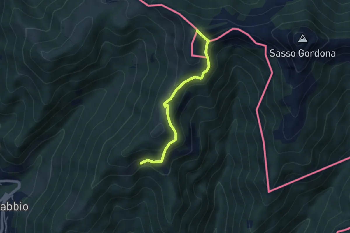
Medium · Summit
Rifugio Prabello (I) – Arla
3.6 km · ↑ 265 m · 1 h 26 min · 7 km away
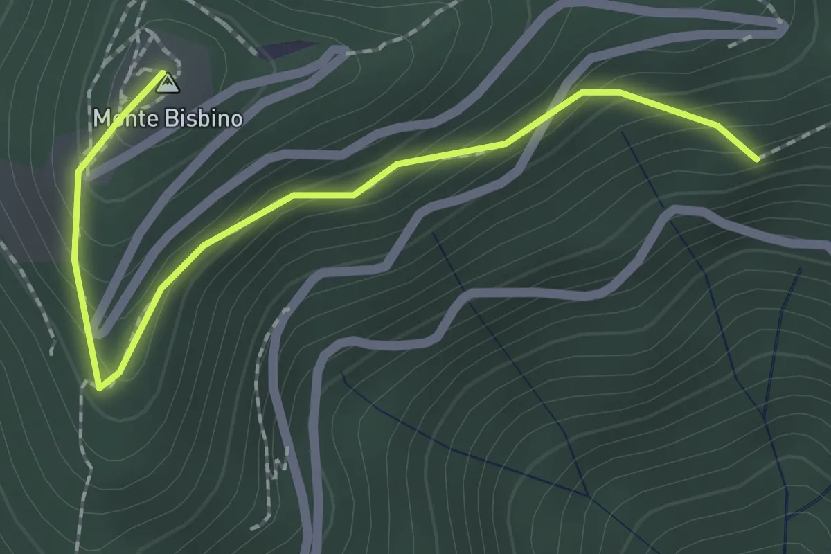
Expert · Summit
Alpe Piella – Ca' Bossi
2.1 km · ↑ 203 m · 56 min · 7 km away
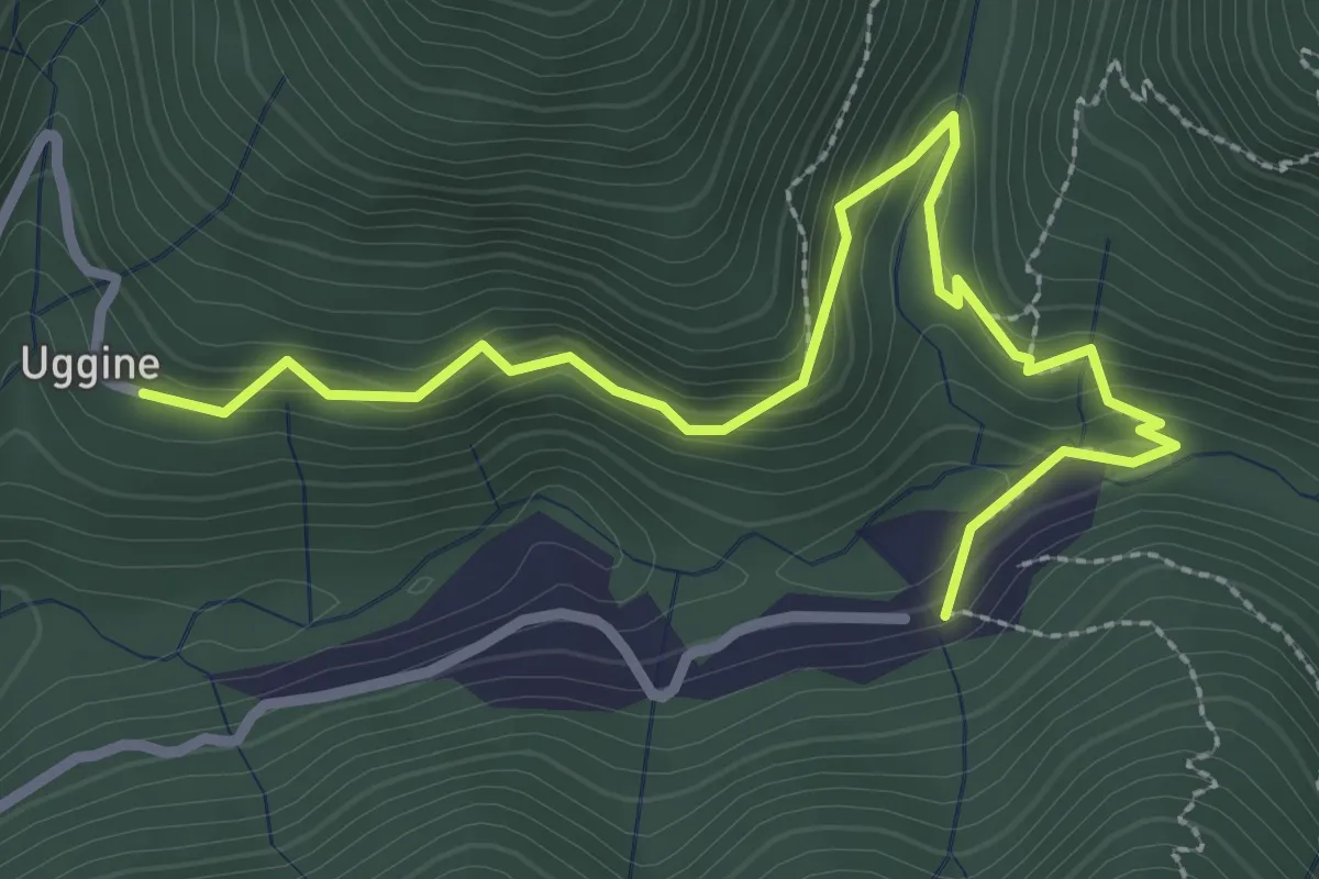
Medium · Trail
Uggine – Crotta
3.4 km · ↑ 187 m · 1 h 13 min · 7 km away
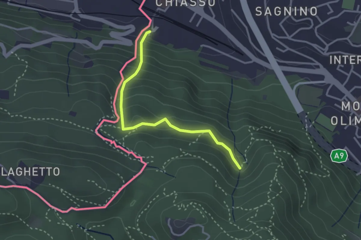
Medium · Trail
Porta Sasso (o del ponte tibetano)
2.8 km · ↑ 294 m · 1 h 17 min · 7 km away
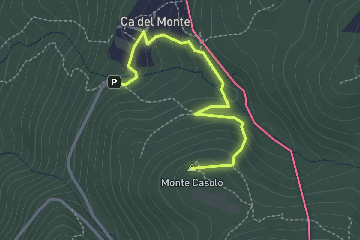
Easy · Summit
Variante Ca' del Monte – Innesto su 461A
2.4 km · ↑ 120 m · 50 min · 7 km away
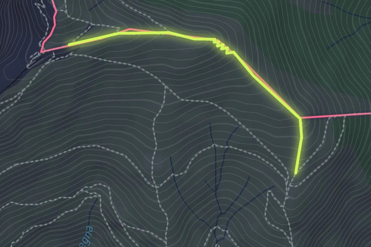
Medium · Trail
Piana – M.te Generoso St.ne
2.1 km · ↑ 193 m · 55 min · 7 km away
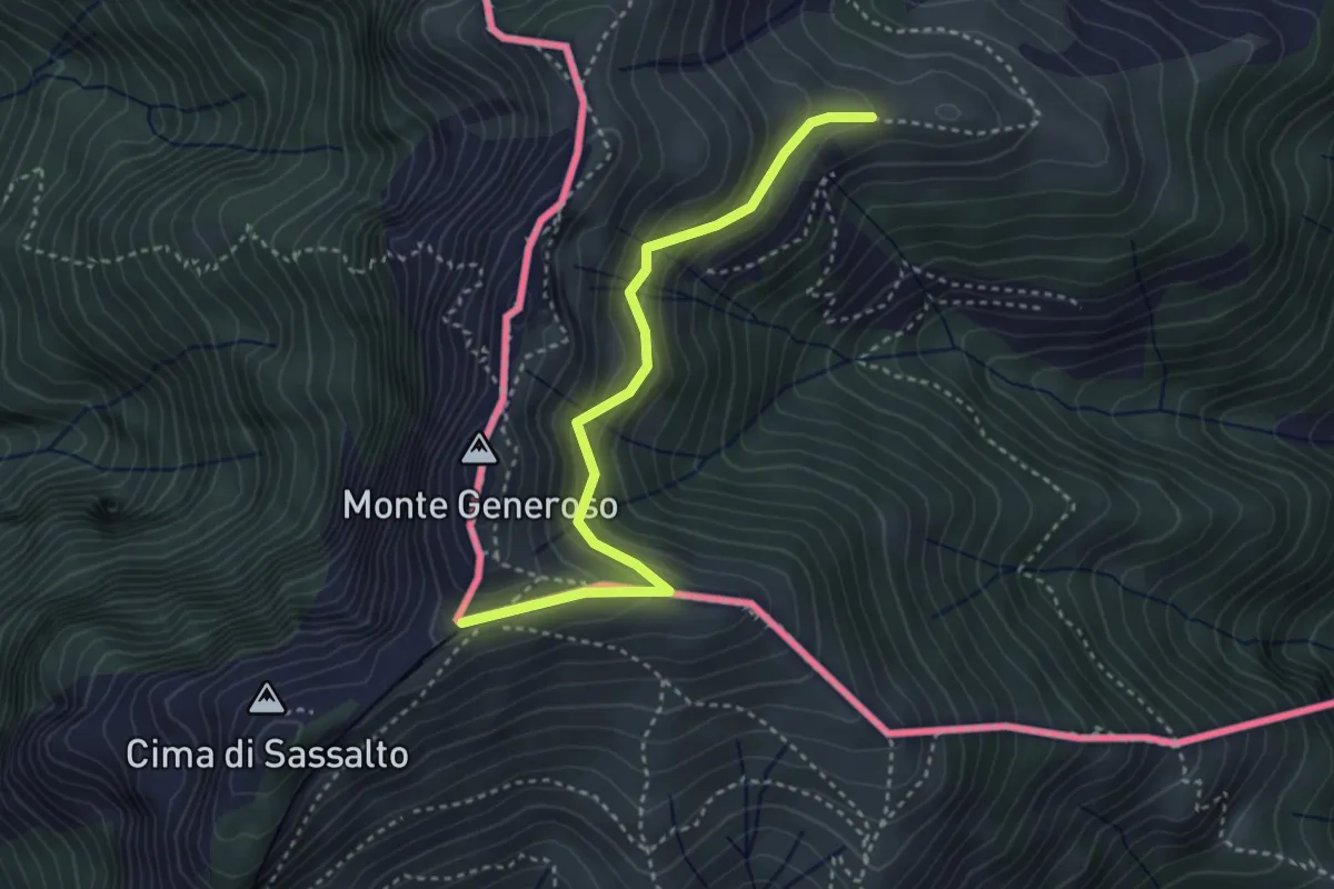
Easy · Trail
Orimento – Monte Generoso
3.5 km · ↑ 299 m · 1 h 28 min · 7 km away
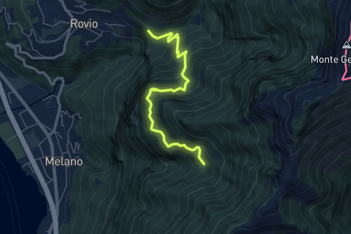
Medium · Trail
Soldino-Alpe di Melano
5.4 km · ↑ 670 m · 2 h 44 min · 7 km away
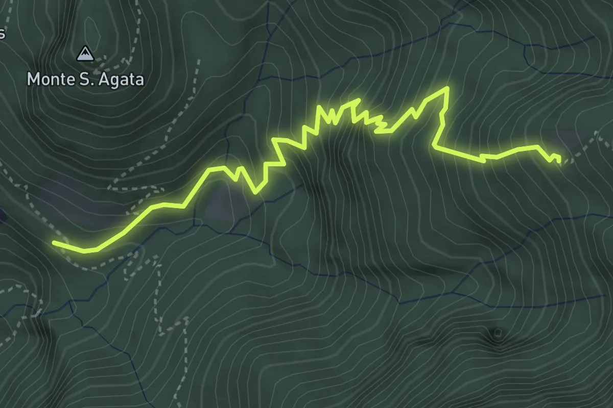
Medium · Trail
Perostabbio – Soldino
4.7 km · ↑ 690 m · 2 h 36 min · 7 km away
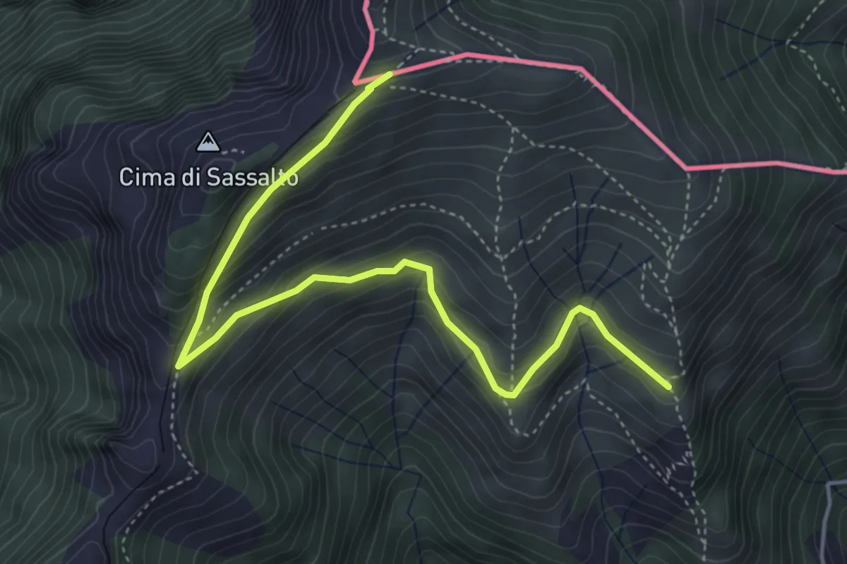
Medium · Trail
Nadigh – M.te Generoso St.ne
5.1 km · ↑ 414 m · 2 h 6 min · 7 km away
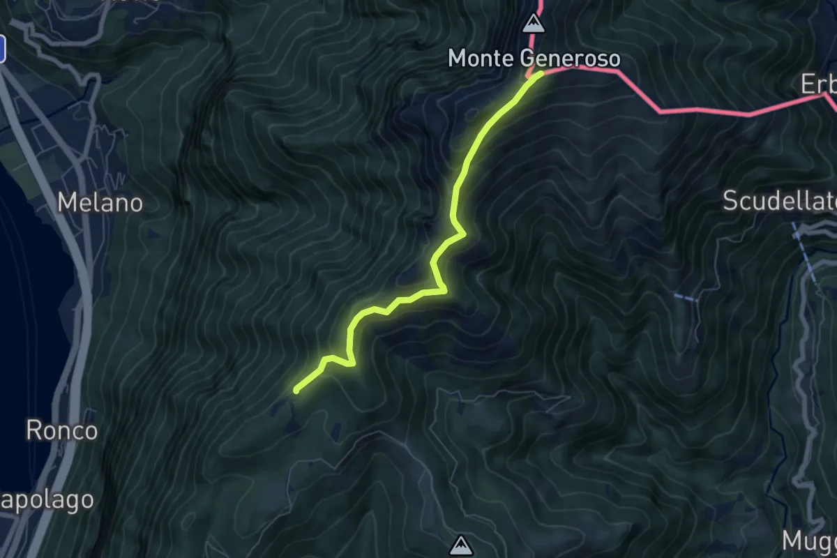
Medium · Trail
Bellavista – M.te Generoso St.ne
5.9 km · ↑ 431 m · 2 h 20 min · 7 km away
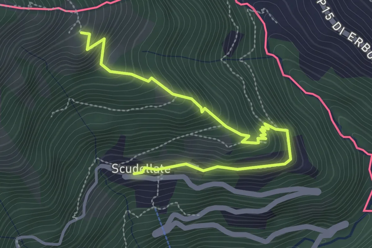
Medium · Trail
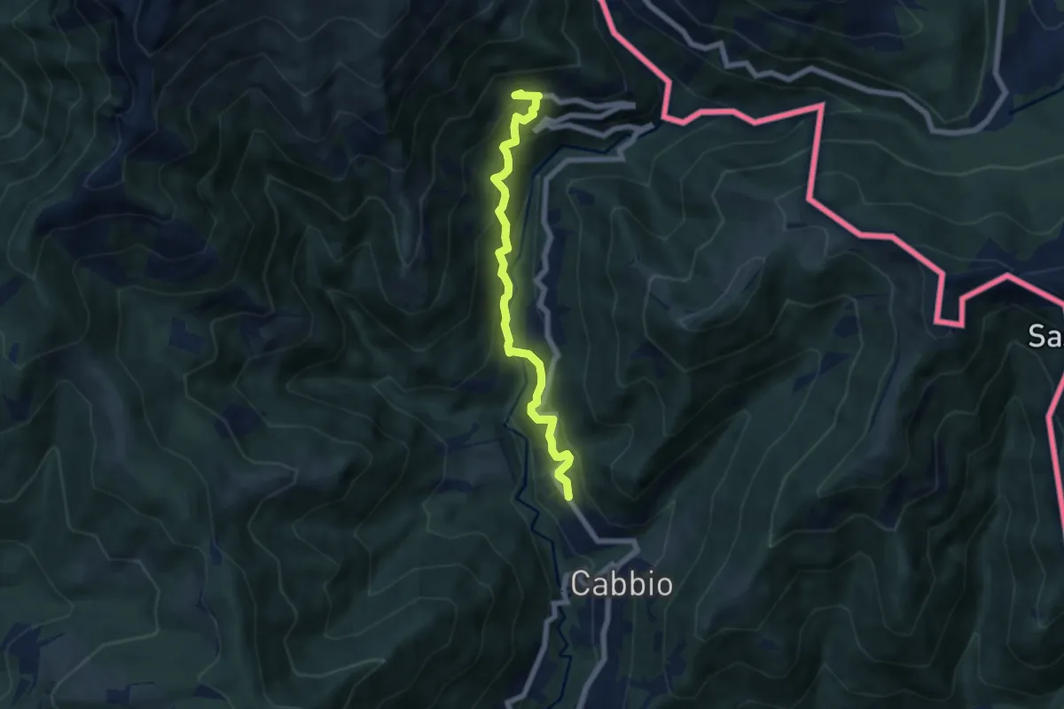
Alpe di Sella – Scudellate
3.6 km · ↑ 336 m · 1 h 34 min · 7 km away
Medium · Trail
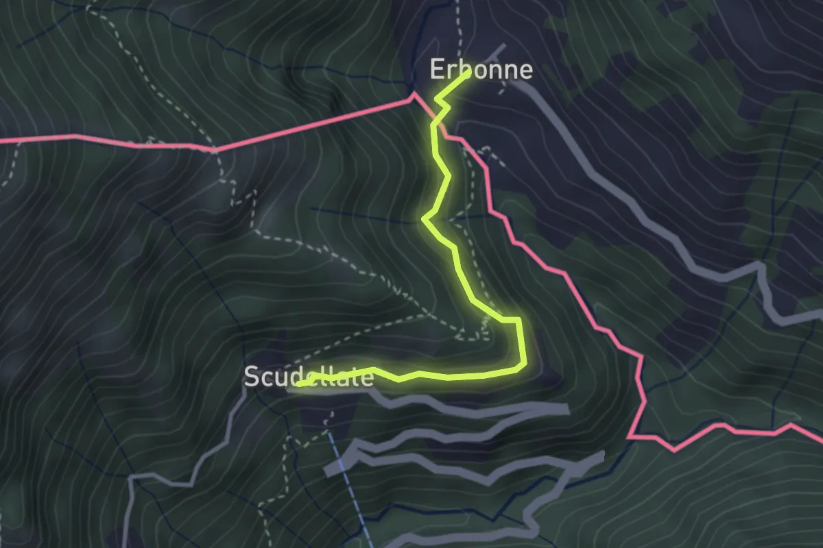
Muggio – Scudellate
5.9 km · ↑ 587 m · 2 h 41 min · 7 km away
Medium · Trail
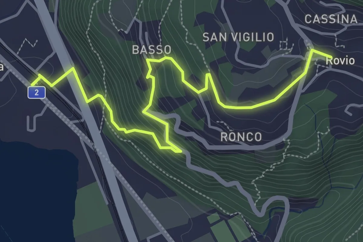
Scudellate – Erbonne (I)
2.8 km · ↑ 174 m · 1 h 2 min · 7 km away
Medium · Trail
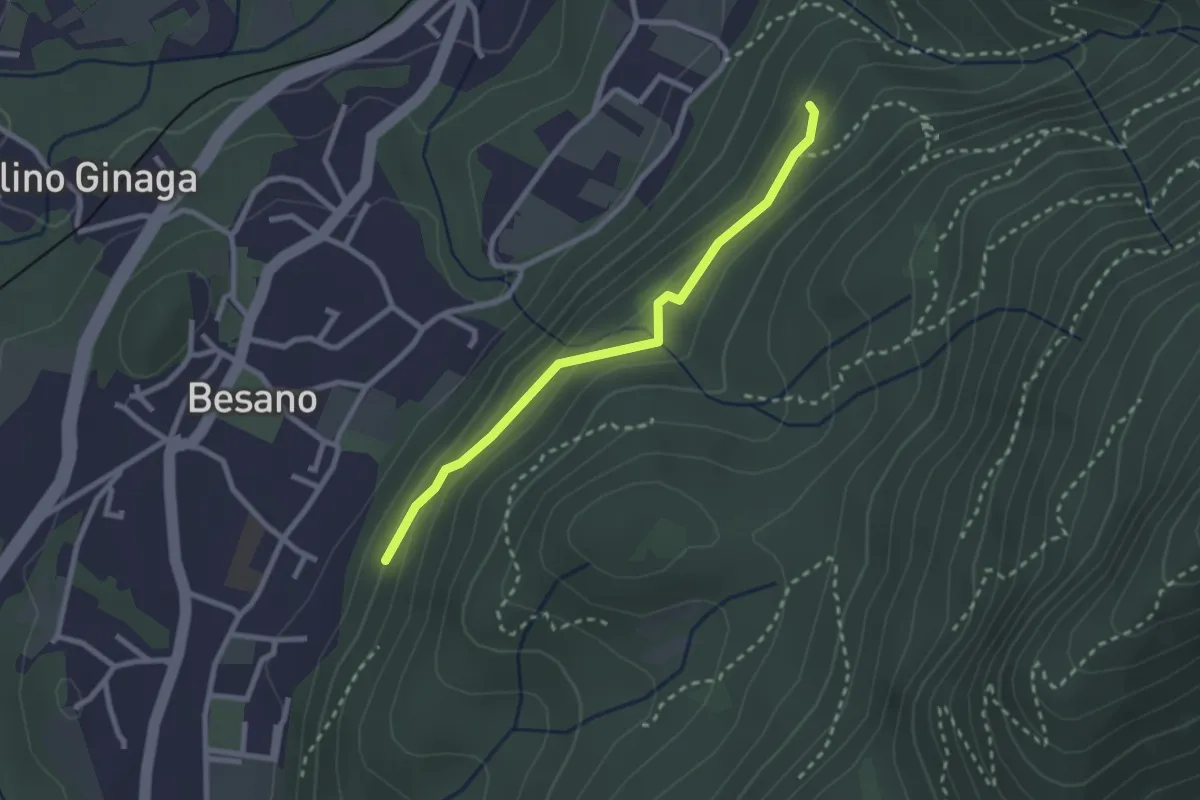
Rovio Posta – Maroggia St.ne
4.6 km · ↑ 328 m · 1 h 47 min · 7 km away
Easy · Trail
Bivio rocce cadenti – Intersezione con 461A
2.5 km · ↑ 116 m · 50 min · 7 km away
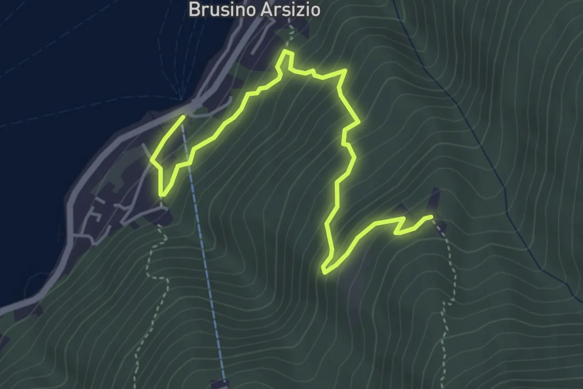
Medium · Trail
Brusino Arsizio Statione – Alpe di Brusino
5.1 km · ↑ 442 m · 2 h 9 min · 7 km away
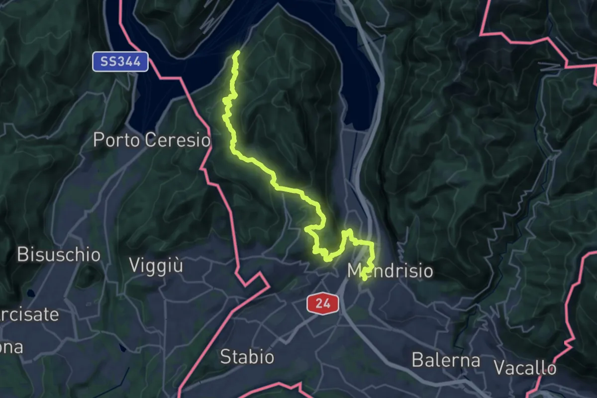
Medium · Trail
ViaGottardo
13.4 km · ↑ 576 m · 4 h 34 min · 7 km away
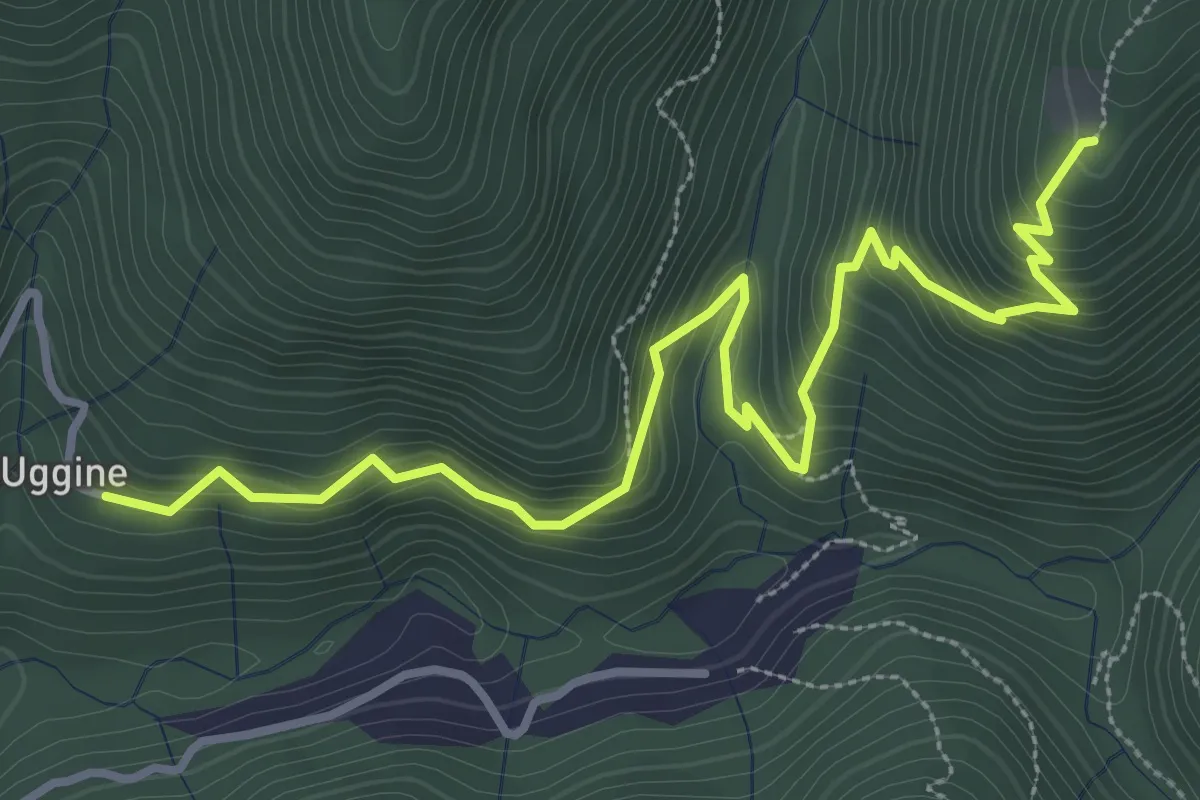
Medium · Trail
Uggine – Alpe del Corno
4.2 km · ↑ 367 m · 1 h 47 min · 7 km away
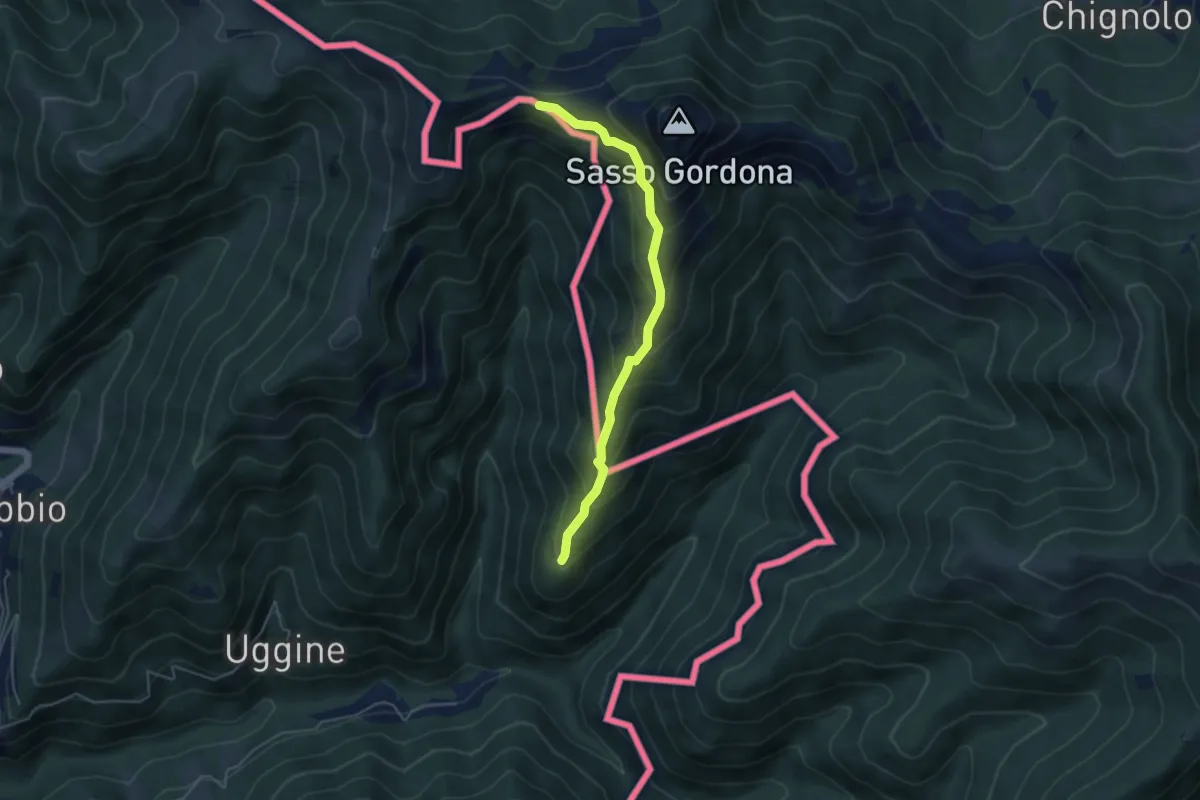
Medium · Cabin
Alpe del Corno – Rifugio Prabello (I)
4.5 km · ↑ 409 m · 1 h 57 min · 7 km away
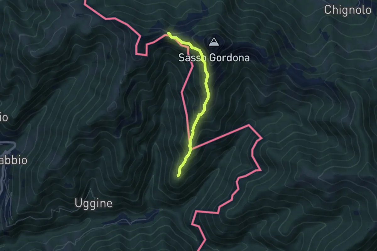
Medium · Cabin
Sentiero Smeraldo
4.6 km · ↑ 415 m · 2 h · 7 km away
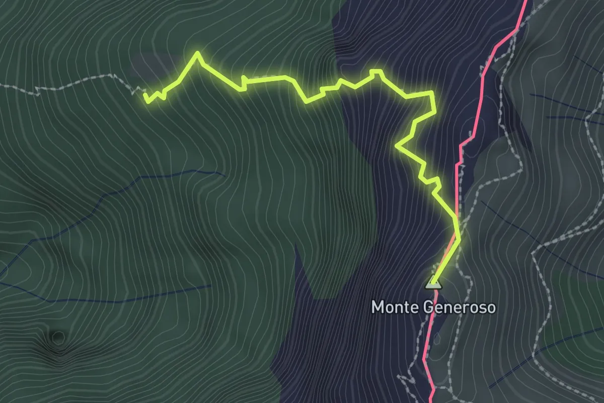
Expert · Summit
Perostabbio – Monte Generoso
2.4 km · ↑ 452 m · 1 h 33 min · 7 km away
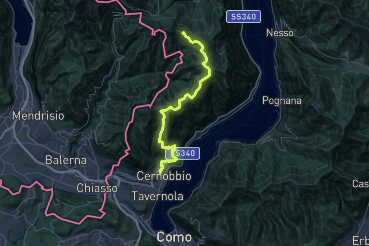
Demanding · Summit
Cernobbio – San Fedele Intelvi
27.1 km · ↑ 1649 m · 9 h 58 min · 7 km away
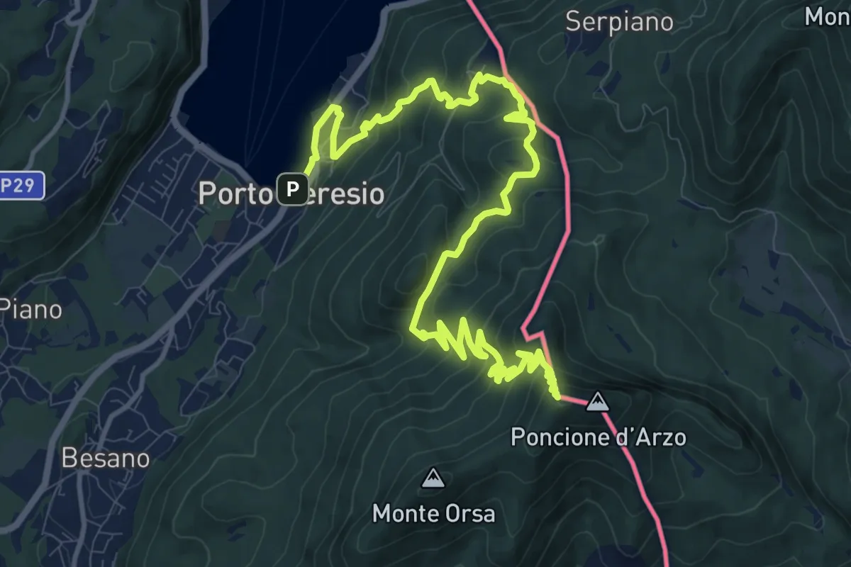
Demanding · Summit
Porto Ceresio – Viggiù (Piazza Europa)
15.3 km · ↑ 1101 m · 5 h 59 min · 7 km away
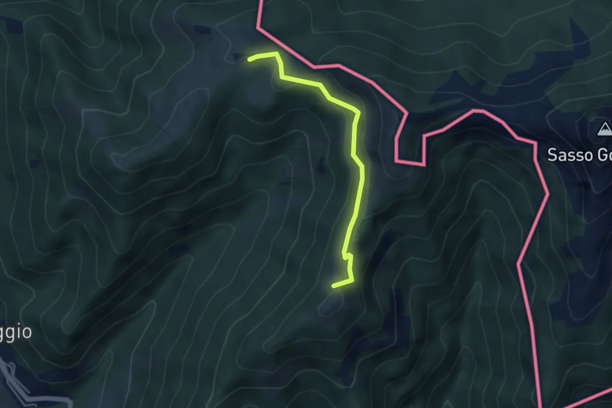
Medium · Summit
Arla – Alpe Bonello
3.3 km · ↑ 148 m · 1 h 7 min · 7 km away
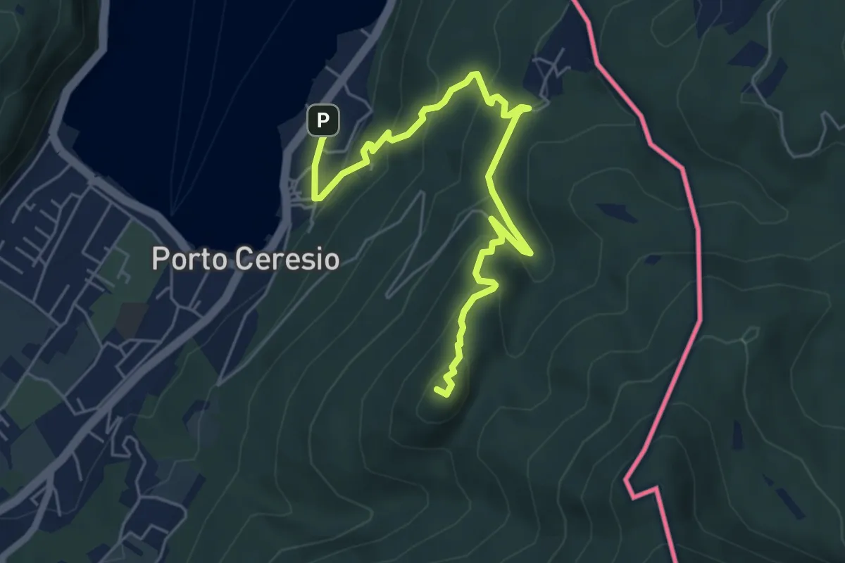
Medium · Summit
Porto Ceresio – Monte Grumello
6.3 km · ↑ 452 m · 2 h 28 min · 7 km away
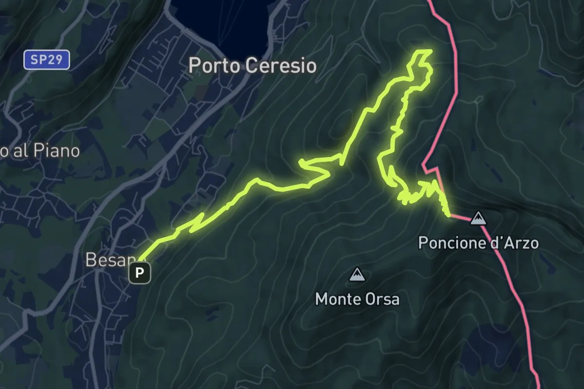
Demanding · Summit
Besano – Monte Pravello
15.0 km · ↑ 1031 m · 5 h 46 min · 8 km away
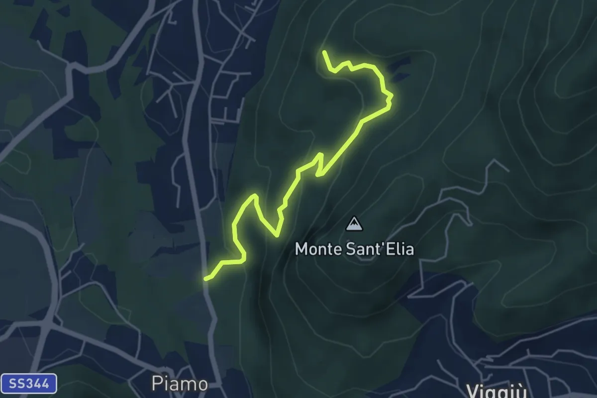
Medium · Summit
Variante Bernasca – Besano SP51
4.5 km · ↑ 236 m · 1 h 35 min · 8 km away
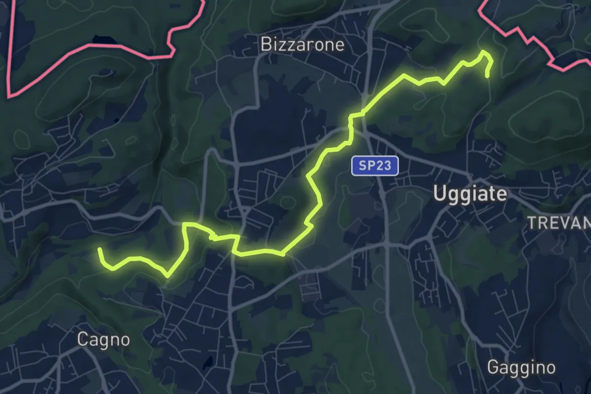
Medium · Trail
Sentiero Lanza-Lura
10.7 km · ↑ 292 m · 3 h 10 min · 8 km away
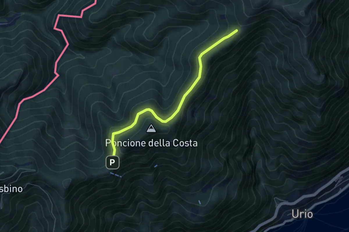
Easy · Cabin
Rif. Bugone – Rif. Murelli
5.6 km · ↑ 165 m · 1 h 41 min · 8 km away
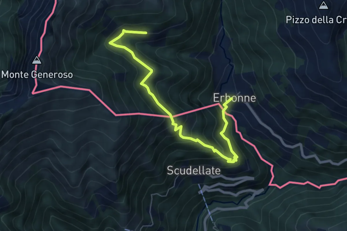
Medium · Trail
Orimento – Erbone
6.7 km · ↑ 553 m · 2 h 47 min · 8 km away
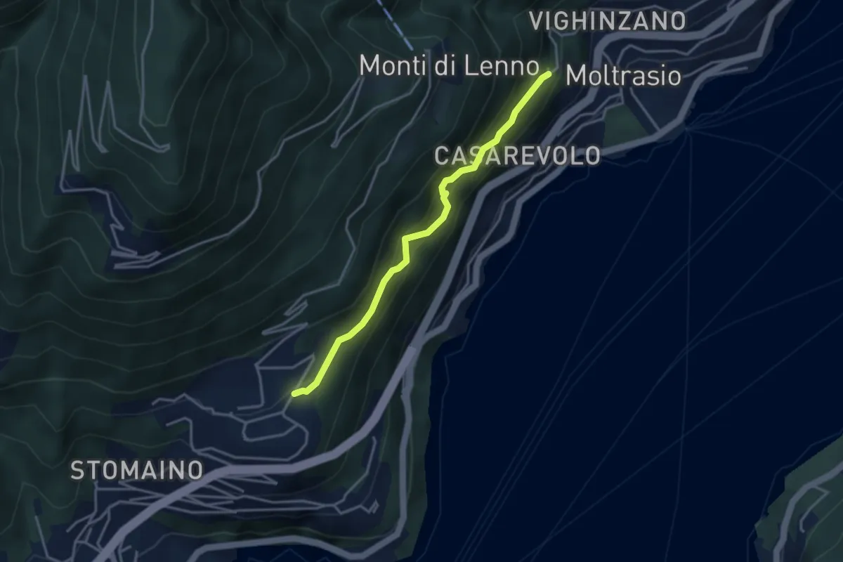
Medium · Trail
Sentee di Sort
3.3 km · ↑ 348 m · 1 h 32 min · 8 km away
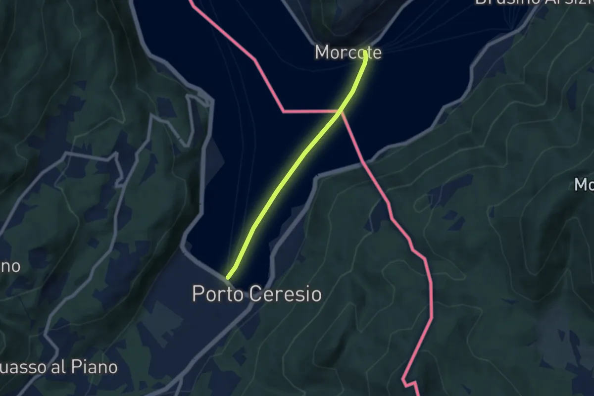
Easy · Trail
European Long distance path E1 - part Switzerland
4.9 km · ↑ 0 m · 1 h 9 min · 8 km away
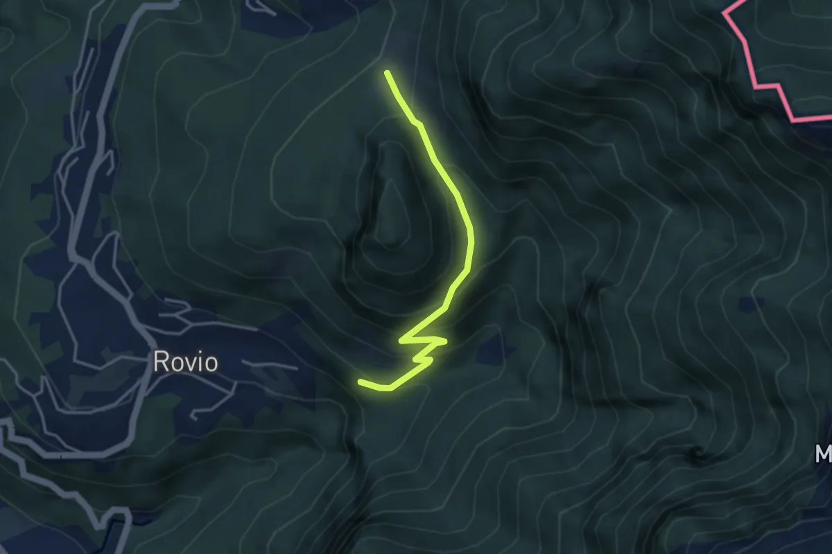
Expert · Trail
Alpe Bogo – Soldino
3.3 km · ↑ 278 m · 1 h 24 min · 8 km away
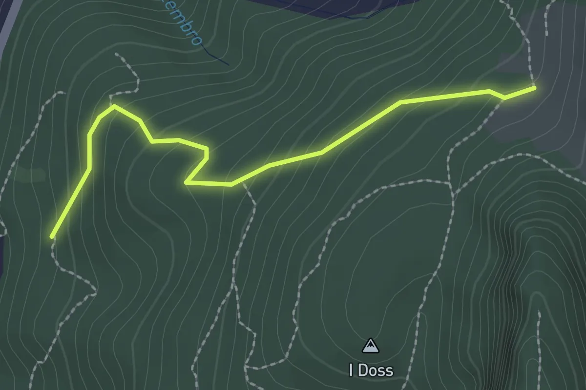
Easy · Trail
Alpe Bogo – Terzera
2.3 km · ↑ 175 m · 55 min · 8 km away
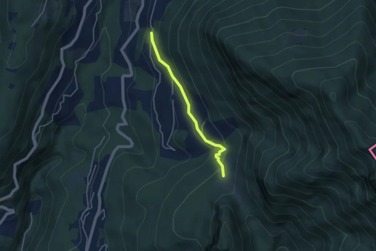
Medium · Trail
Pt. 615 – Alpe Bogo
2.8 km · ↑ 180 m · 1 h 3 min · 8 km away
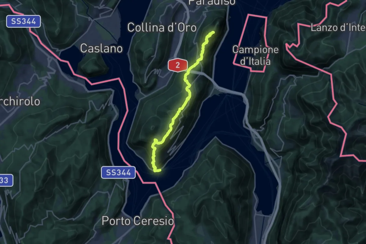
Demanding · Summit
Trans Swiss Trail
18.5 km · ↑ 1189 m · 6 h 56 min · 8 km away
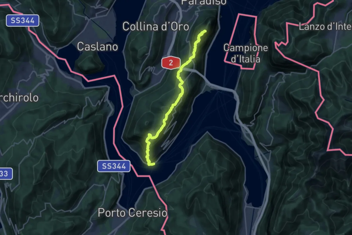
Demanding · Summit
Sentiero Lago di Lugano
18.5 km · ↑ 1189 m · 6 h 56 min · 8 km away
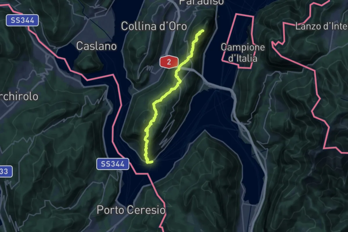
Demanding · Summit
ViaGottardo
18.2 km · ↑ 1119 m · 6 h 44 min · 8 km away
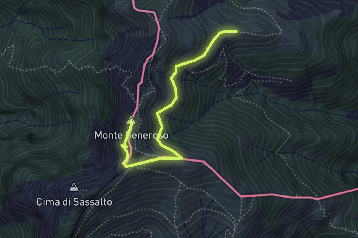
Medium · Summit
Monte Bisbino-Monte Generoso
4.3 km · ↑ 357 m · 1 h 48 min · 8 km away