Trails near Mendrisio
267 hikes starting within 15 km, nearest first.
Nearest first, page 3 of 6
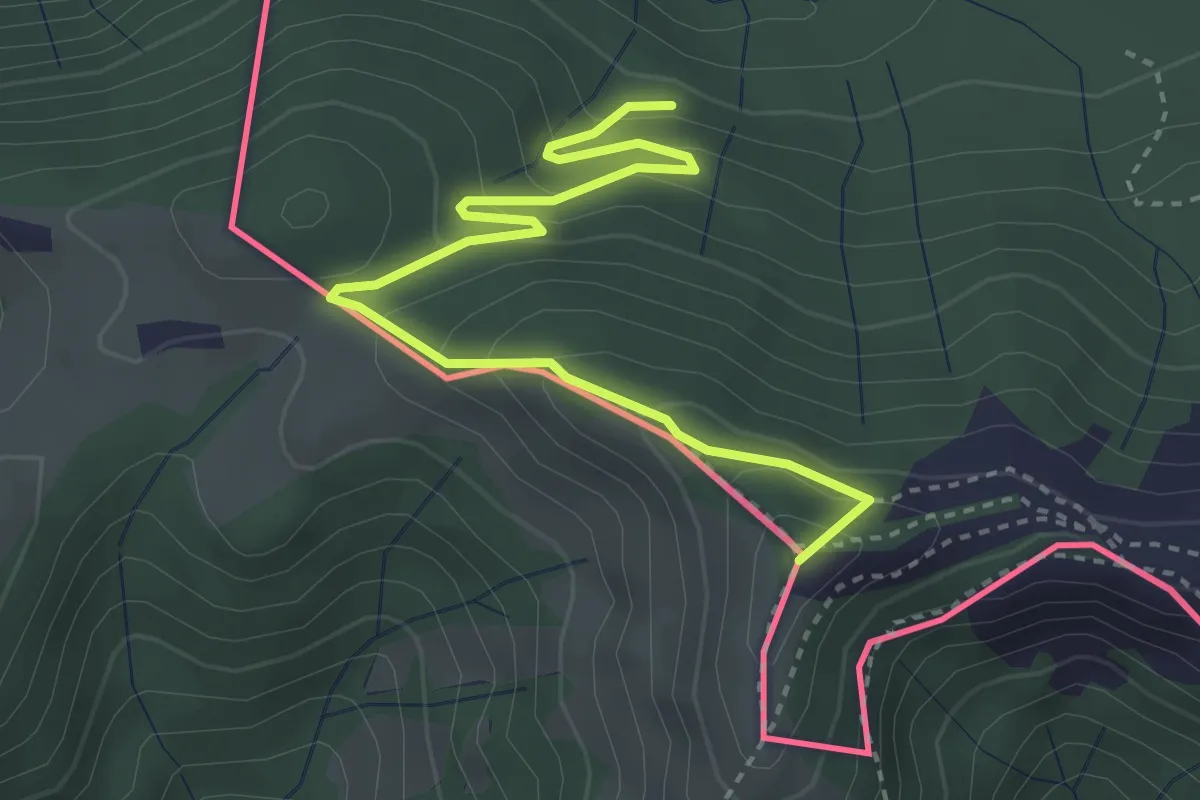
Medium · Summit
Rifugio Prabello – Rifugio Boffalora
3.9 km · ↑ 291 m · 1 h 34 min · 8 km away
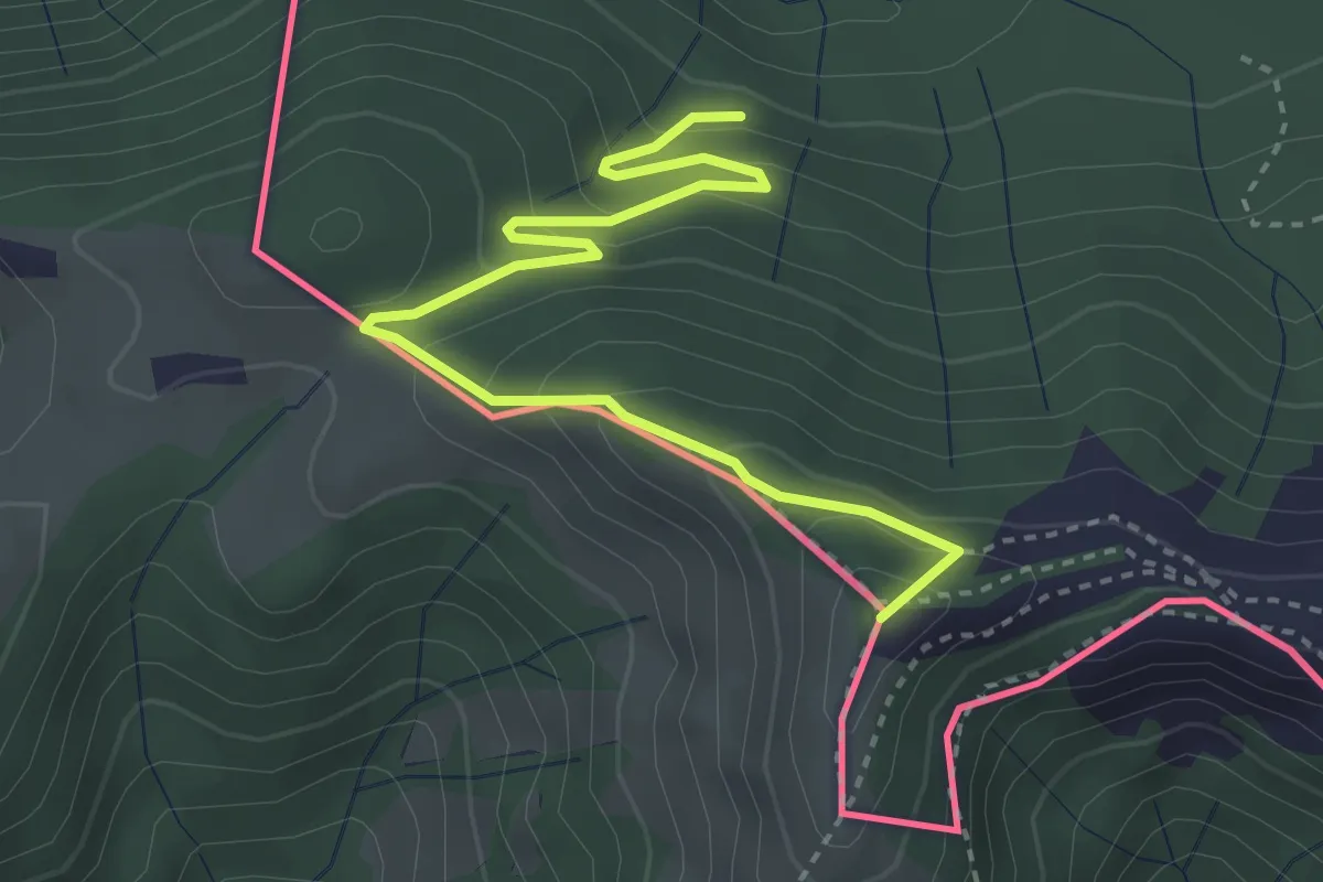
Medium · Summit
Pian delle Alpi – Rif. Prabello
3.9 km · ↑ 291 m · 1 h 34 min · 8 km away
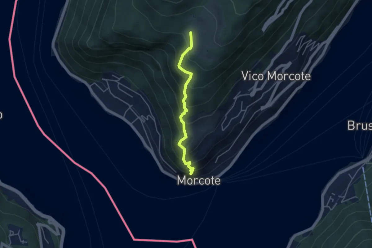
Medium · Trail
Alpe Vicania – Santa Maria del Sasso
3.3 km · ↑ 400 m · 1 h 39 min · 8 km away
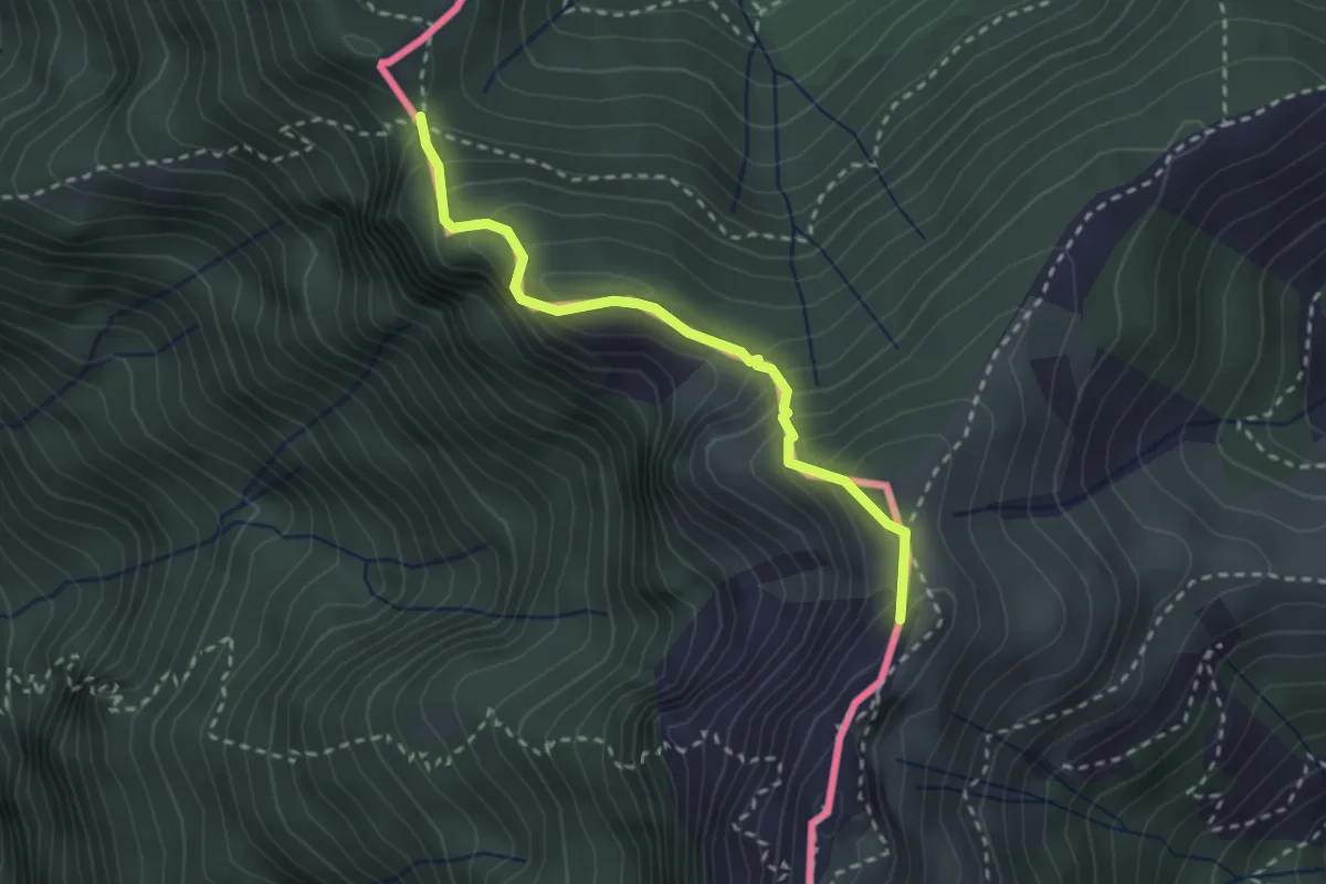
Medium · Summit
Cima Crocetta – Cima della Piancaccia
2.6 km · ↑ 298 m · 1 h 15 min · 8 km away
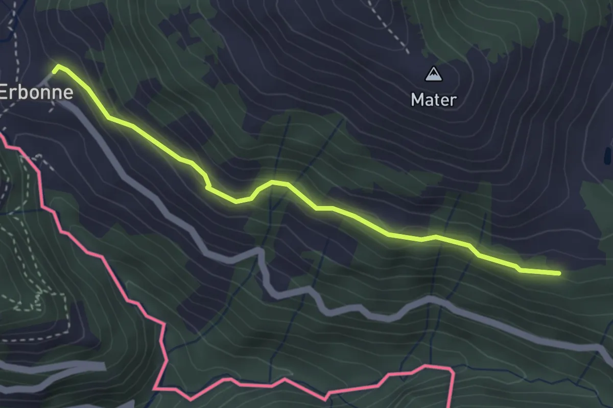
Easy · Trail
CamminaForeste - Tappa 8E
3.4 km · ↑ 188 m · 1 h 12 min · 8 km away
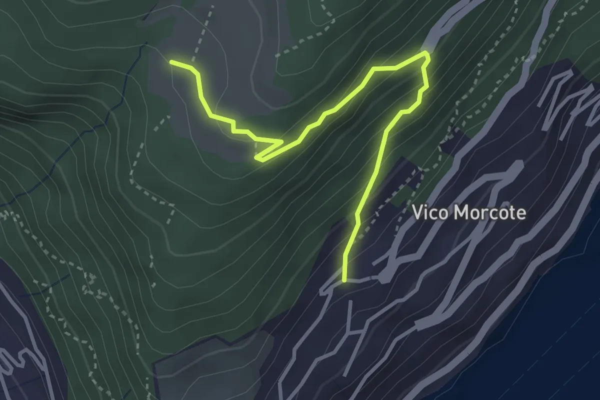
Medium · Trail
Alpe Vicania – Vico Morcote
3.4 km · ↑ 261 m · 1 h 22 min · 8 km away
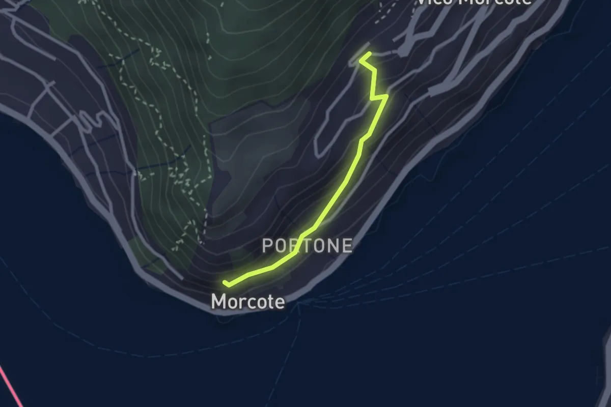
Easy · Trail
Vico Morcote – Santa Maria del Sasso
2.1 km · ↑ 161 m · 51 min · 8 km away
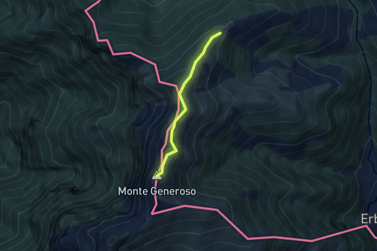
Medium · Summit
Casermetta di Orimento – Monte Generoso (Fiore di Pietra)
2.9 km · ↑ 131 m · 58 min · 8 km away
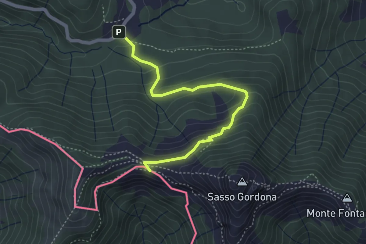
Easy · Cabin
Piano delle Alpi – Rifugio Prabello
4.1 km · ↑ 259 m · 1 h 32 min · 8 km away
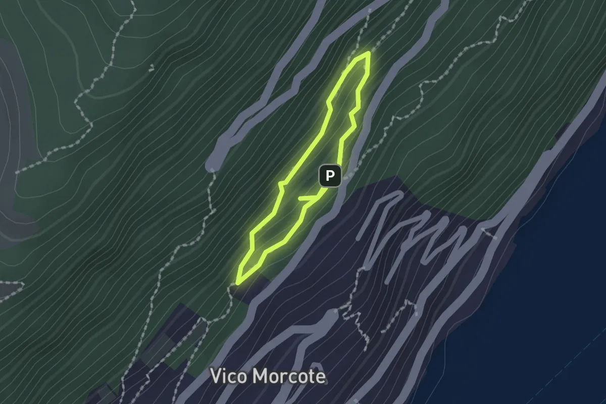
Medium · Trail
Sentiero dei Sensi
1.2 km · ↑ 96 m · 30 min · 9 km away
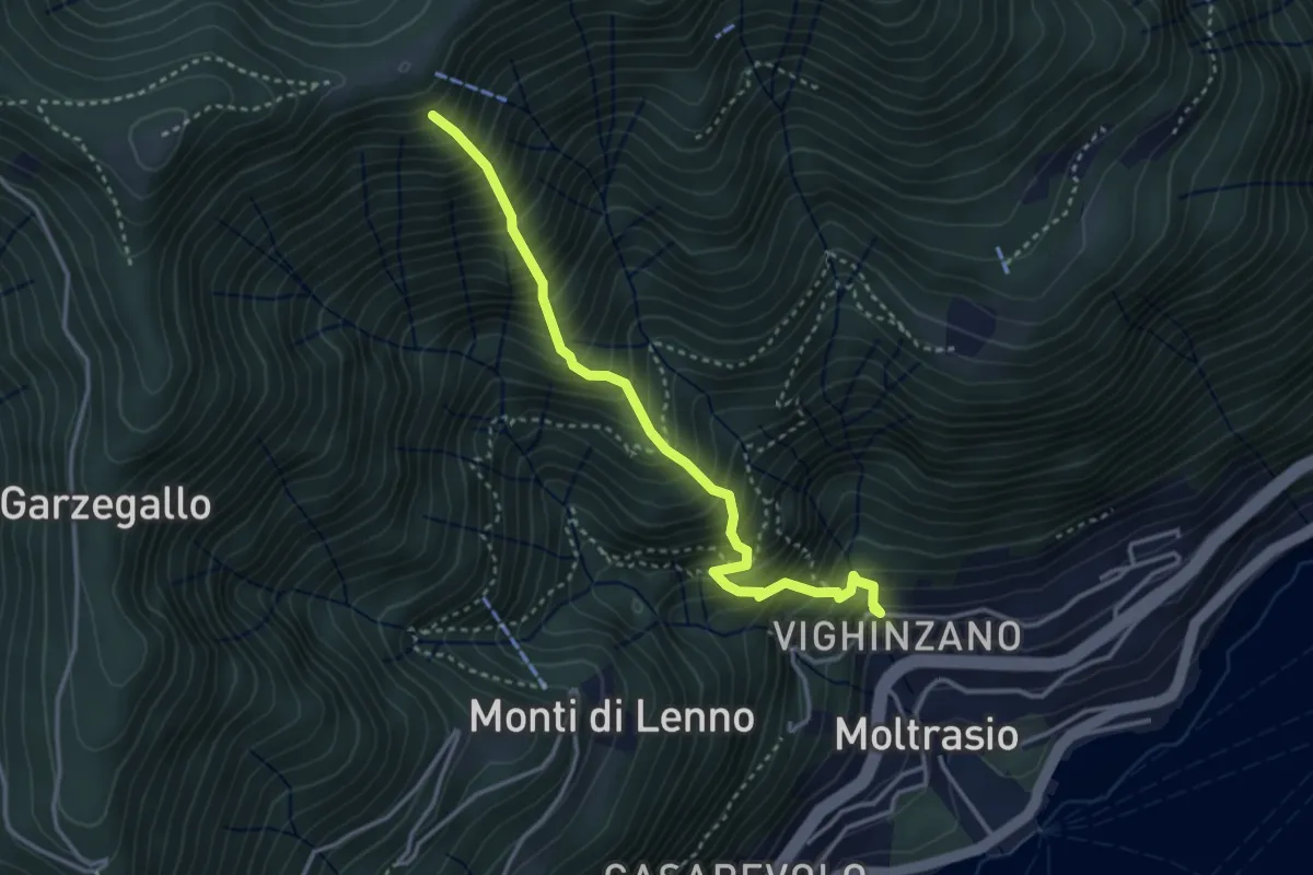
Medium · Trail
Sentee La Culman
3.5 km · ↑ 737 m · 2 h 25 min · 9 km away
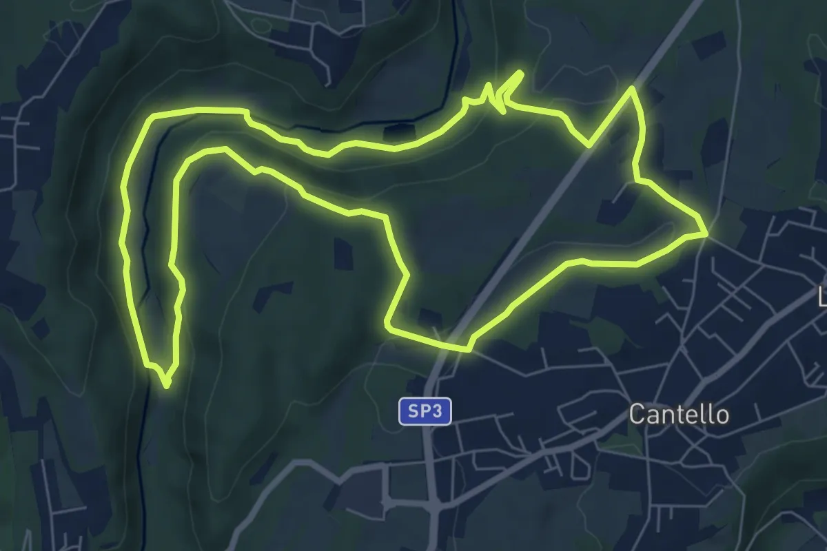
Medium · Trail
Varese via Ca' Bassa Anello della Bevera – Varese via Ca' Bassa Anello della Bevera
8.0 km · ↑ 188 m · 2 h 25 min · 9 km away
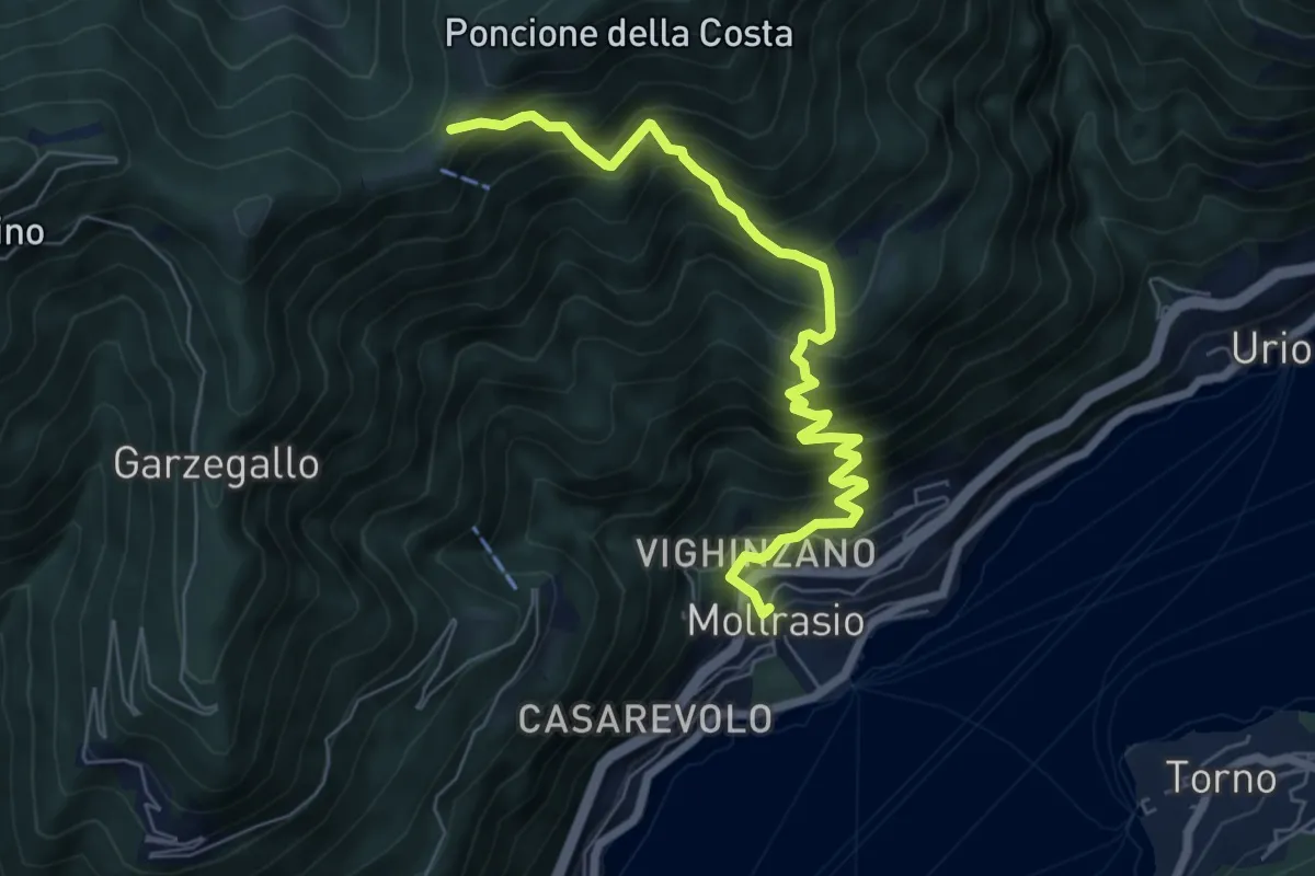
Demanding · Cabin
Moltrasio - Rifugio Bugone
7.1 km · ↑ 891 m · 3 h 36 min · 9 km away
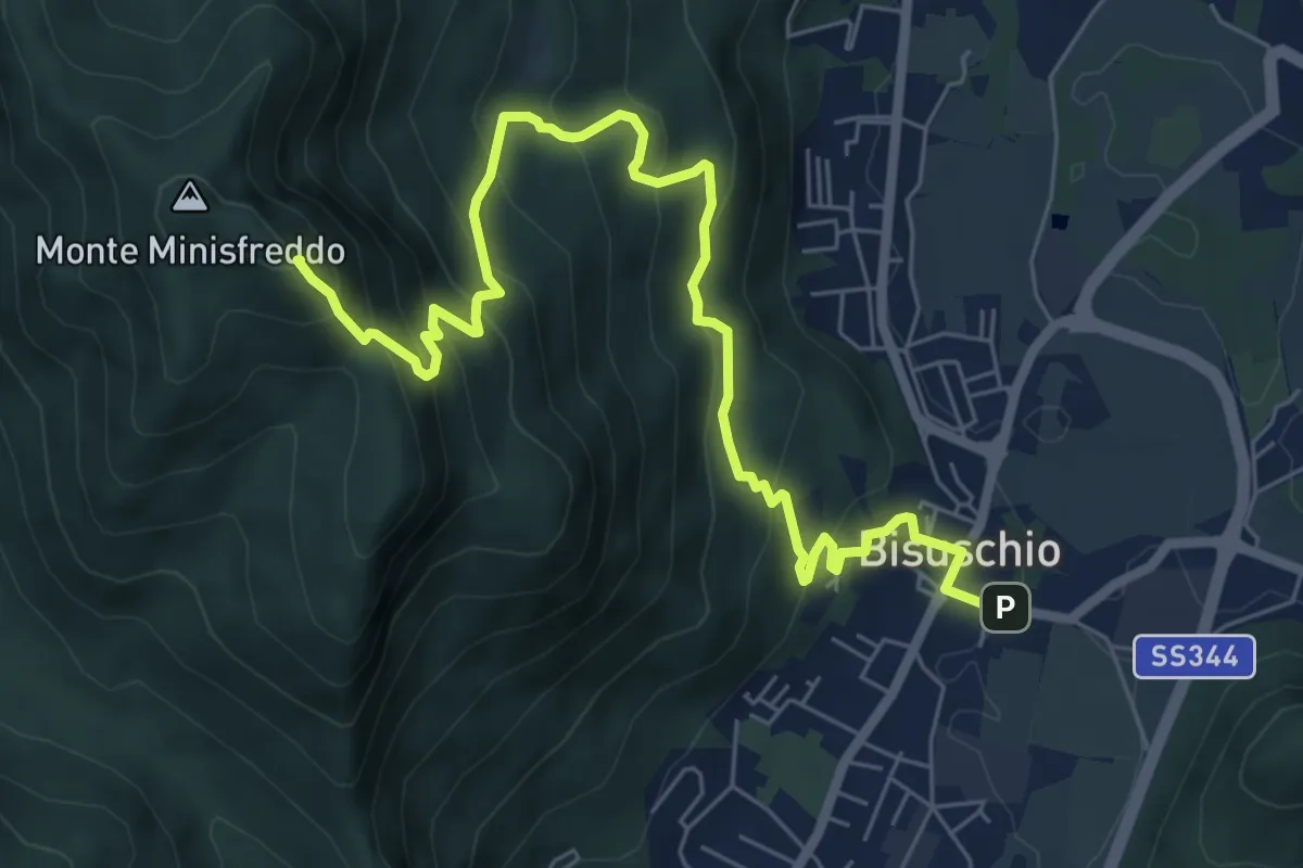
Demanding · Summit
Bisuschio – M. San Bernardo
8.2 km · ↑ 674 m · 3 h 23 min · 9 km away
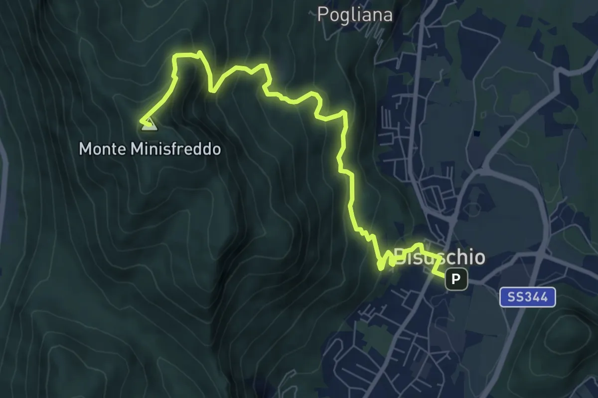
Demanding · Summit
Bisuschio – M.Minisfreddo
8.7 km · ↑ 711 m · 3 h 35 min · 9 km away
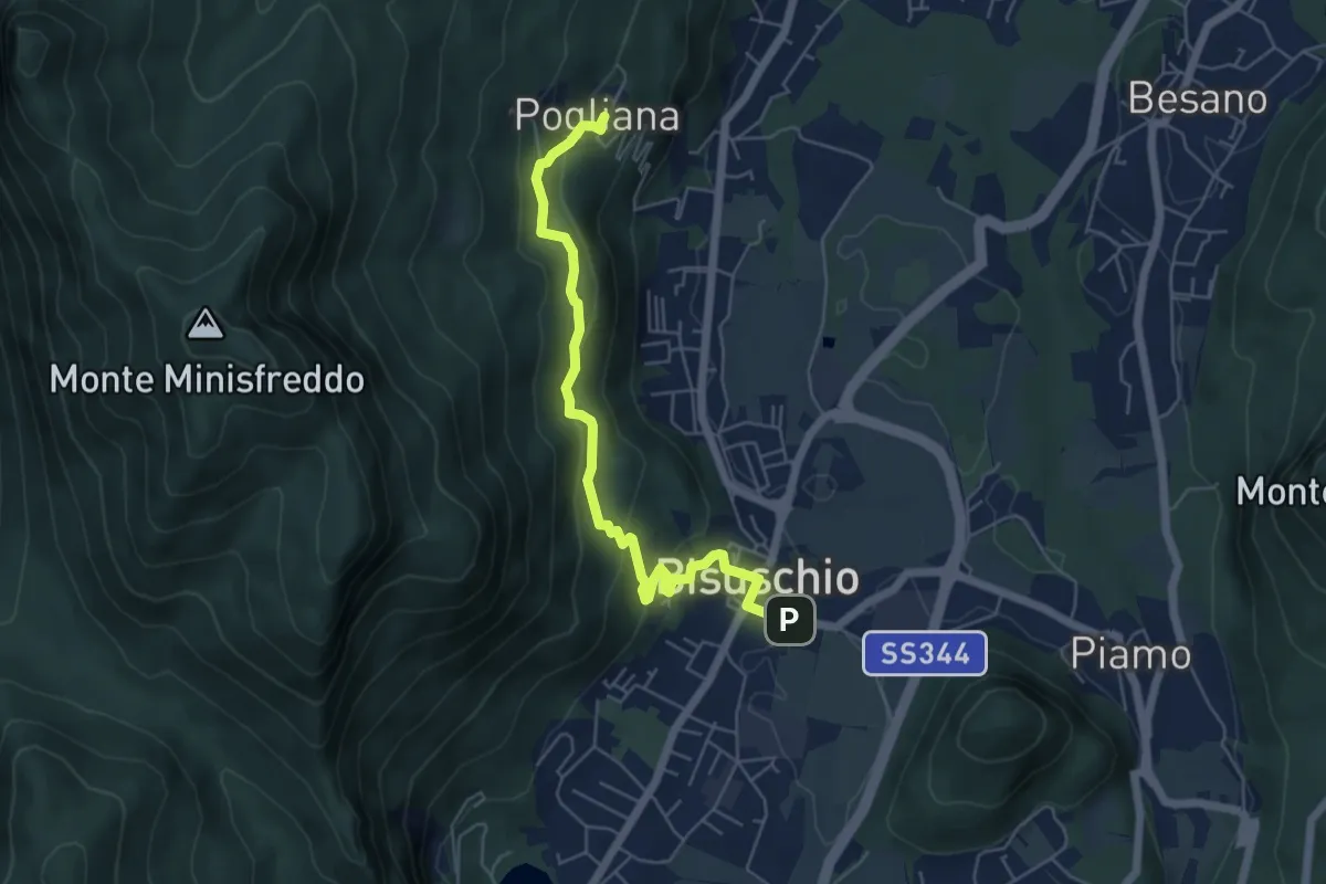
Demanding · Trail
Bisuschio – Pogliana
5.8 km · ↑ 276 m · 1 h 58 min · 9 km away
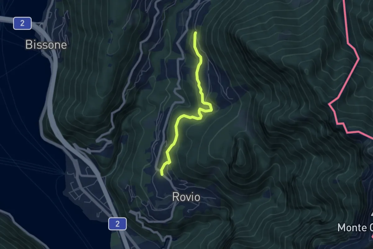
Easy · Trail
Pt. 615 – Ata Matern
5.1 km · ↑ 269 m · 1 h 47 min · 9 km away
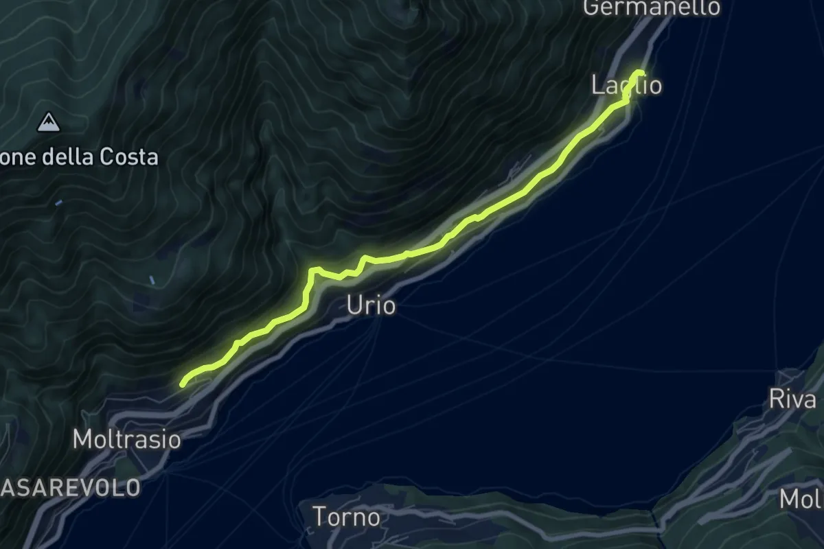
Medium · Trail
Via Verde
7.4 km · ↑ 362 m · 2 h 31 min · 9 km away
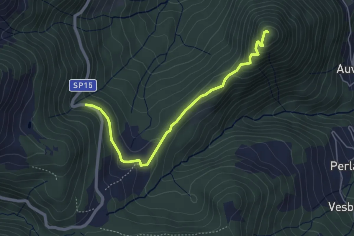
Easy · Summit
SP15 di Erbonne – San Zeno
4.4 km · ↑ 161 m · 1 h 23 min · 9 km away
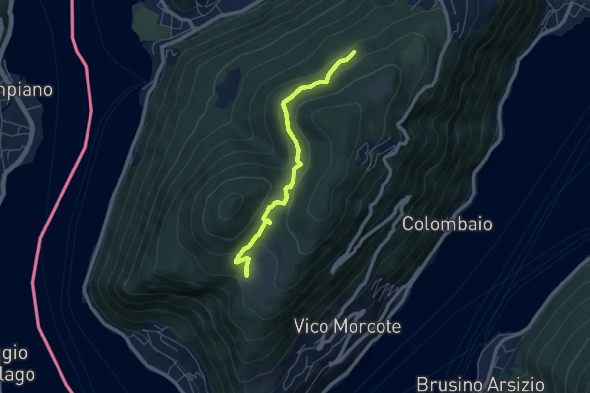
Easy · Trail
Alpe Vicania – Madonna d'Ongero
5.1 km · ↑ 213 m · 1 h 40 min · 9 km away
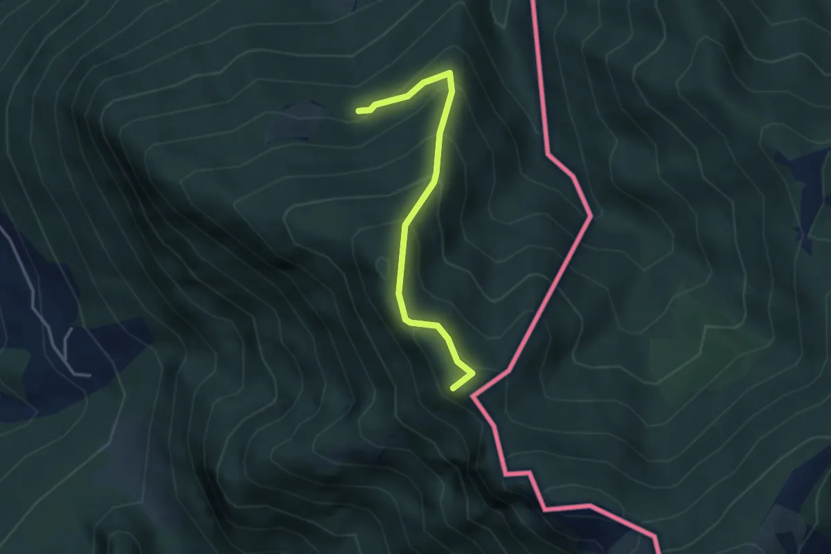
Medium · Summit
Alpe d'Arogno – Cima Crocetta
3.1 km · ↑ 283 m · 1 h 20 min · 9 km away
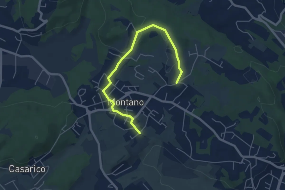
Easy · Trail
Montano Lucino cimitero – Montano Lucino loc. Trivino
4.9 km · ↑ 65 m · 1 h 18 min · 9 km away
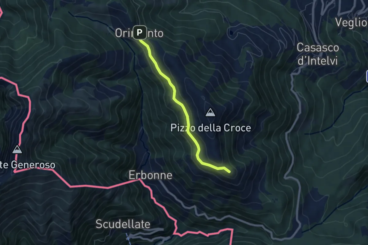
Easy · Summit
Rifugio Bruno e Giuseppe – Orimento
5.3 km · ↑ 143 m · 1 h 33 min · 9 km away
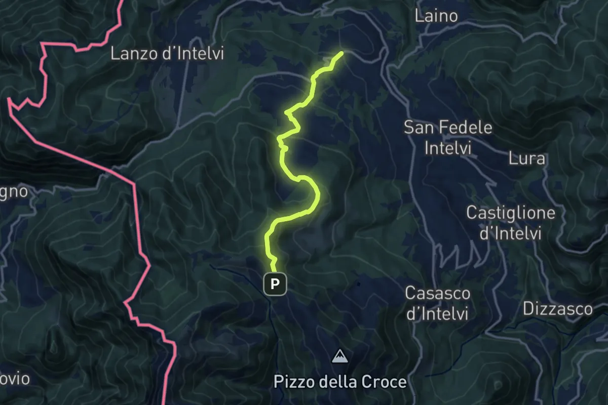
Medium · Trail
Pellio Superiore – Orimento
10.8 km · ↑ 547 m · 3 h 45 min · 9 km away
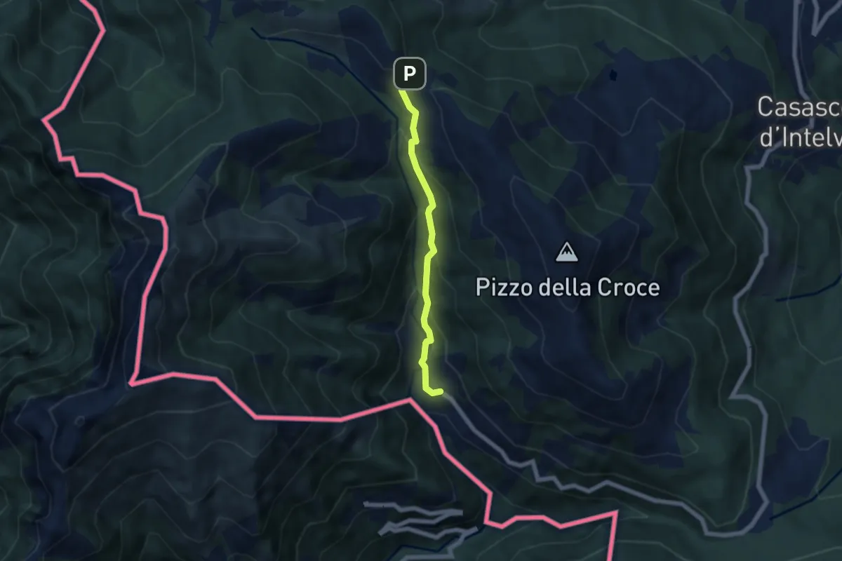
Medium · Trail
Orimento – Erbonne
4.7 km · ↑ 343 m · 1 h 51 min · 9 km away
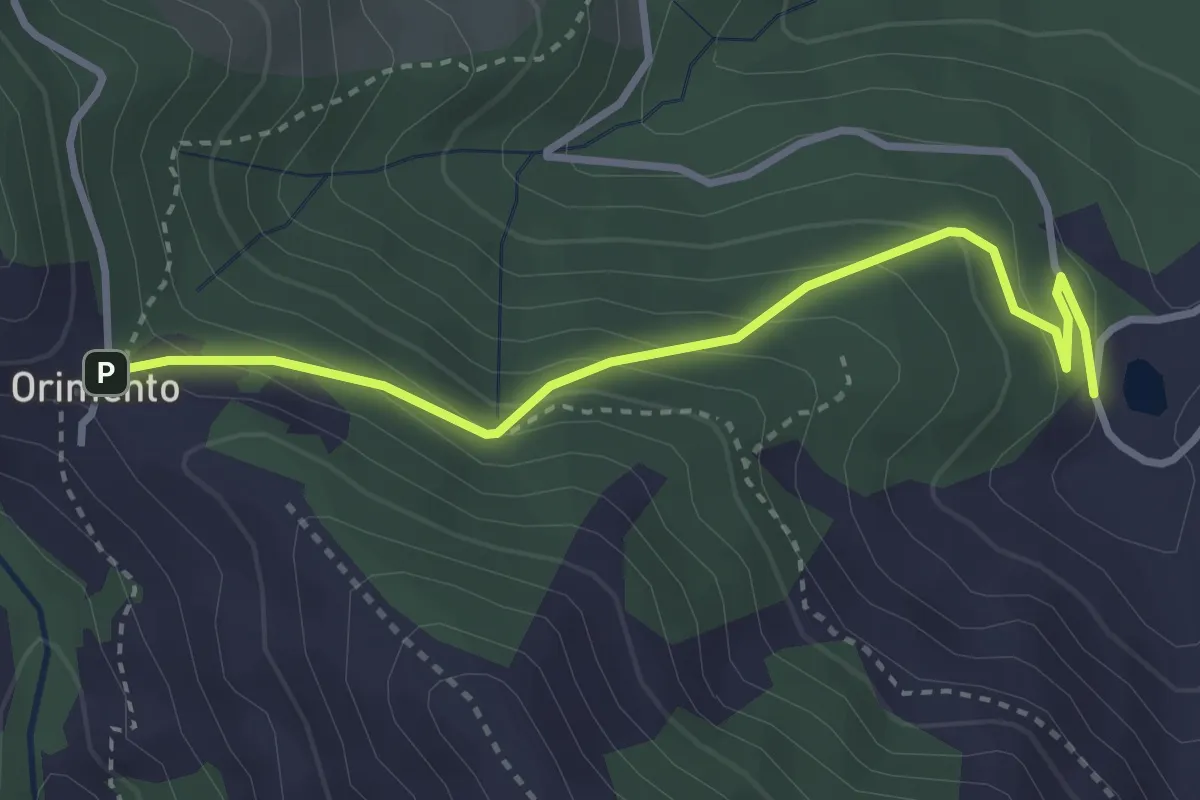
Easy · Trail
Bolla Mater – Orimento
3.3 km · ↑ 216 m · 1 h 16 min · 9 km away
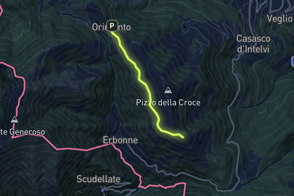
Easy · Summit
Capanna Bruno – Orimento
5.3 km · ↑ 143 m · 1 h 34 min · 9 km away
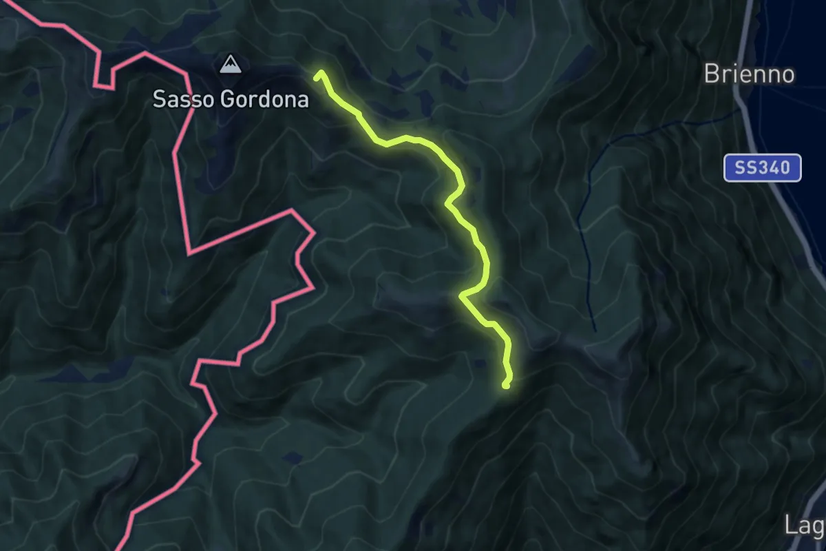
Medium · Summit
Rif. Prabello – Rif. Murelli
7.0 km · ↑ 377 m · 2 h 29 min · 10 km away
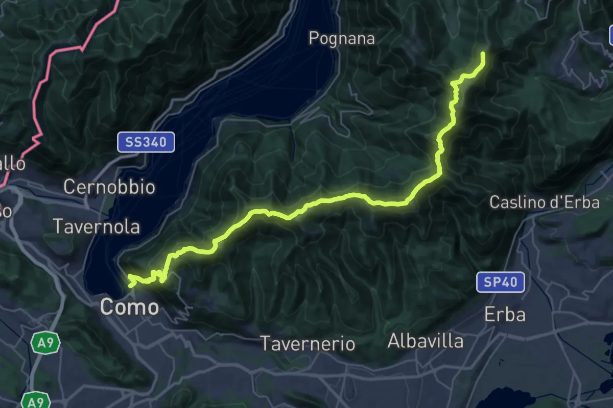
Demanding · Summit
Como – Piano del Tivano
32.2 km · ↑ 2080 m · 12 h 6 min · 10 km away
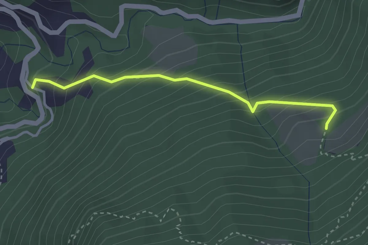
Medium · Trail
Alpe Pianca – Sasso Grosso
2.7 km · ↑ 327 m · 1 h 20 min · 10 km away
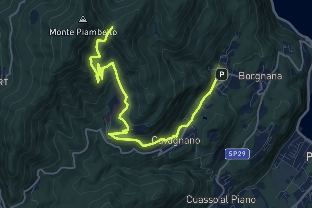
Medium · Trail
Cuasso al Monte – Bivio Bocchetta dei Frati
12.7 km · ↑ 635 m · 4 h 23 min · 10 km away
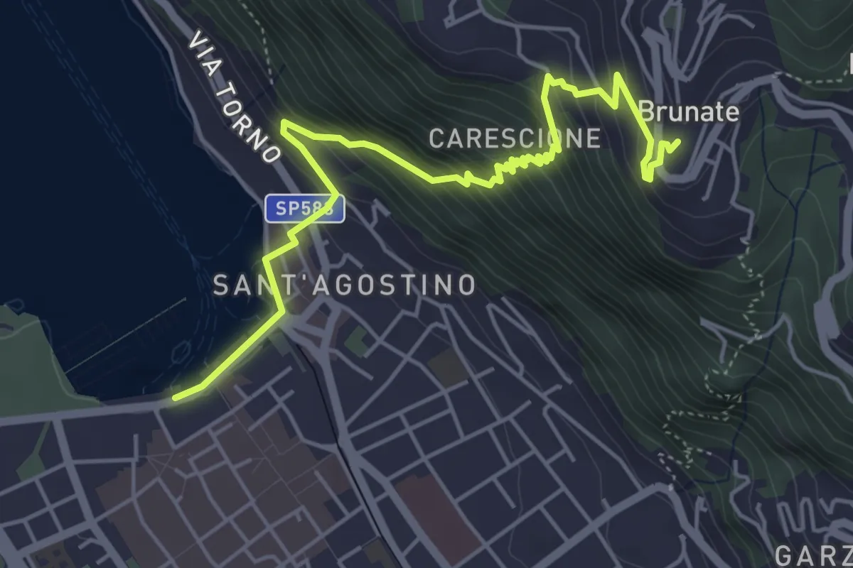
Medium · Trail
Imbarcadero di Como – Funicolare di Brunate
5.7 km · ↑ 522 m · 2 h 28 min · 10 km away
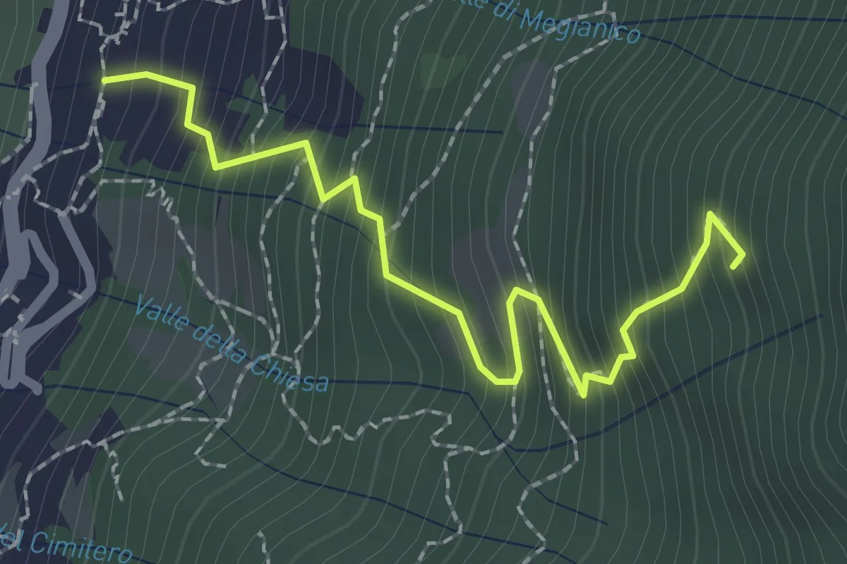
Medium · Trail
Mezzovico (Blevio) – Prea Nairöla
2.2 km · ↑ 395 m · 1 h 23 min · 10 km away
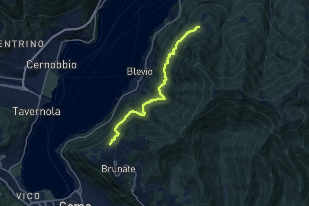
Medium · Trail
Brunate-Montepiatto
9.1 km · ↑ 788 m · 3 h 51 min · 10 km away
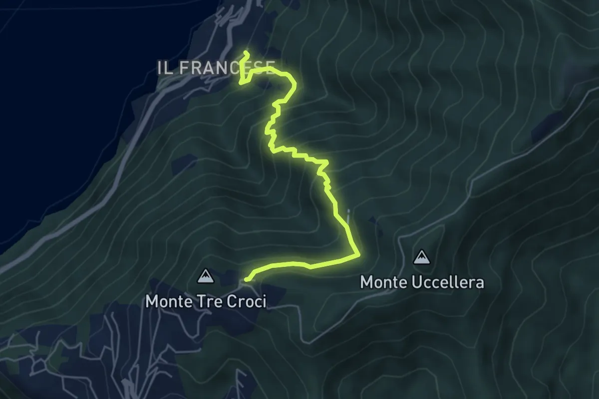
Medium · Trail
Sopravilla (Blevio) – San Maurizio
5.2 km · ↑ 612 m · 2 h 34 min · 10 km away
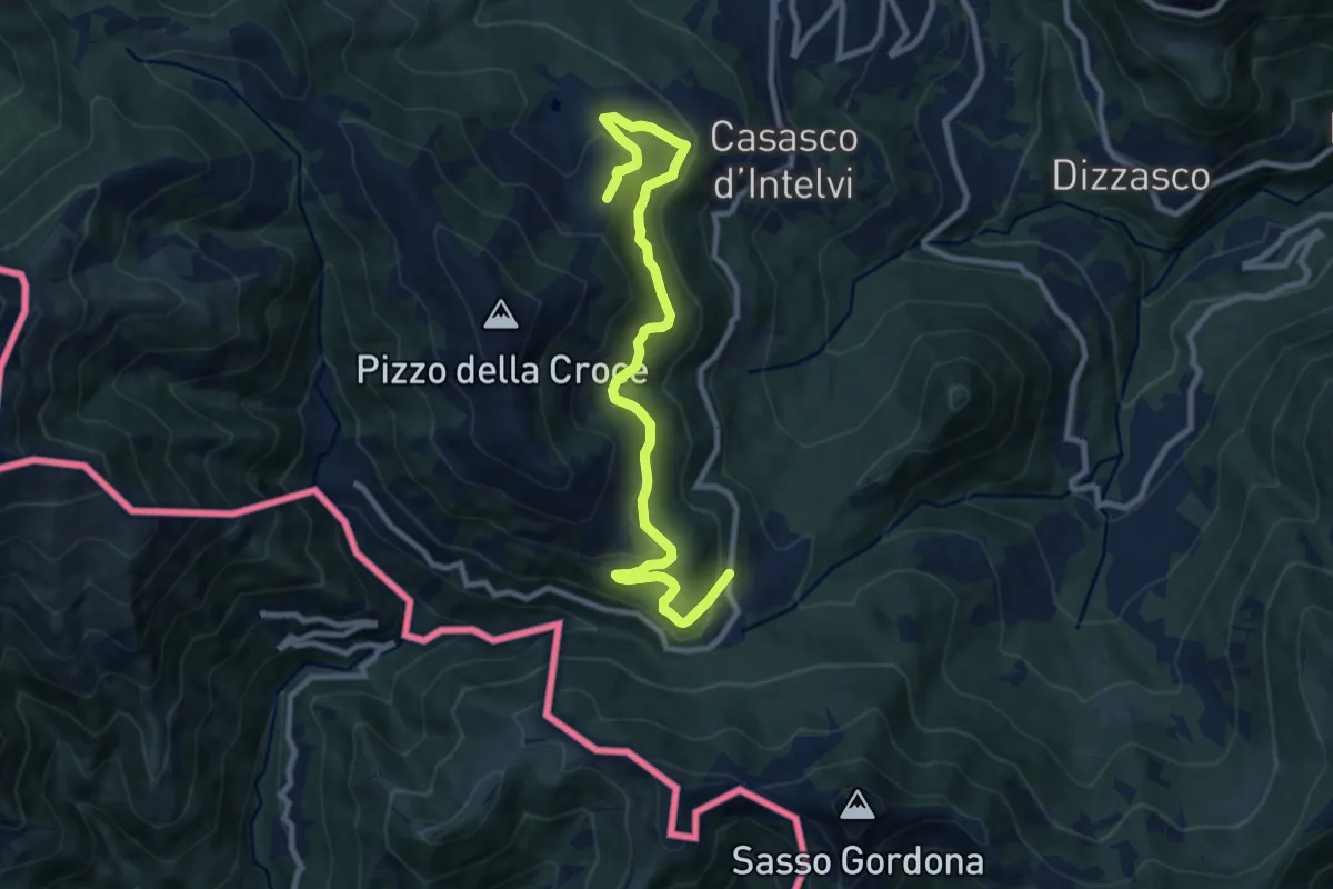
Medium · Trail
Piano delle Alpi – Rifugio Bruno e Giuseppe
10.4 km · ↑ 518 m · 3 h 34 min · 10 km away
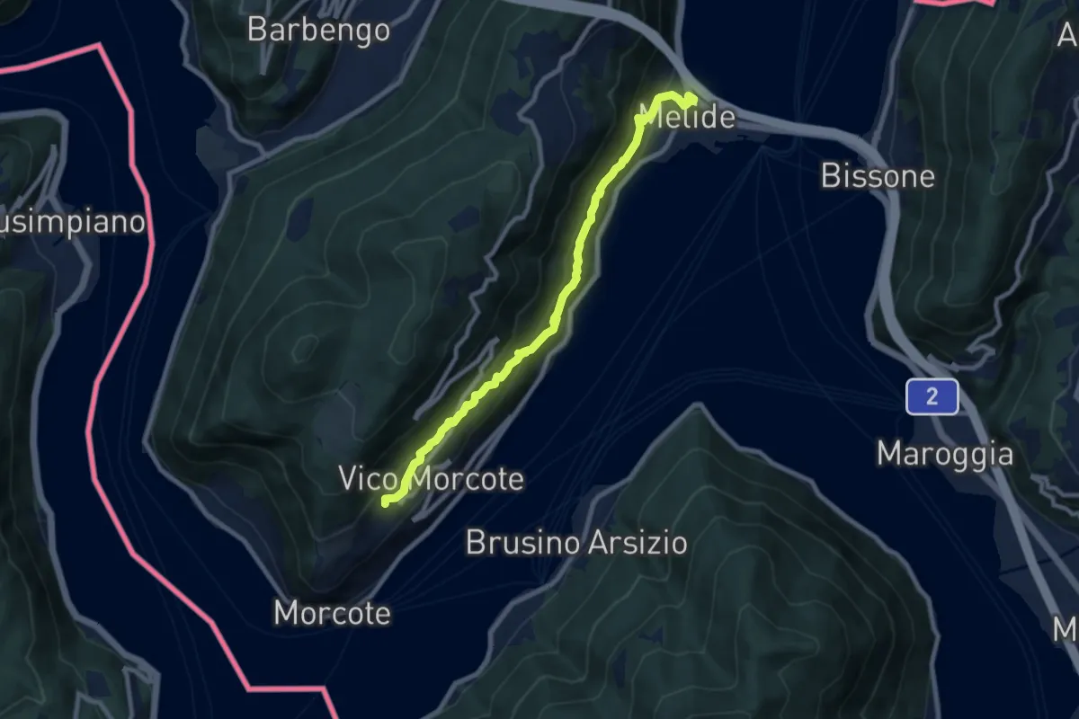
Medium · Trail
Melide – Vico Morcote
8.9 km · ↑ 487 m · 3 h 9 min · 10 km away
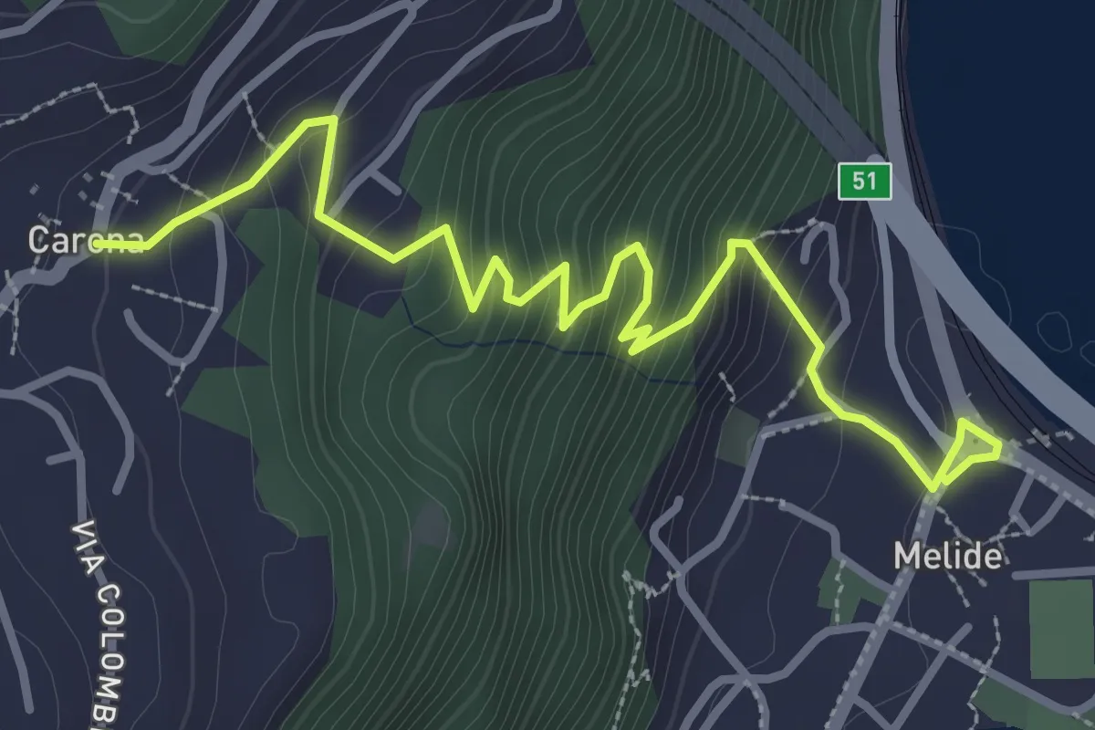
Medium · Trail
Melide – Carona
3.8 km · ↑ 326 m · 1 h 37 min · 10 km away
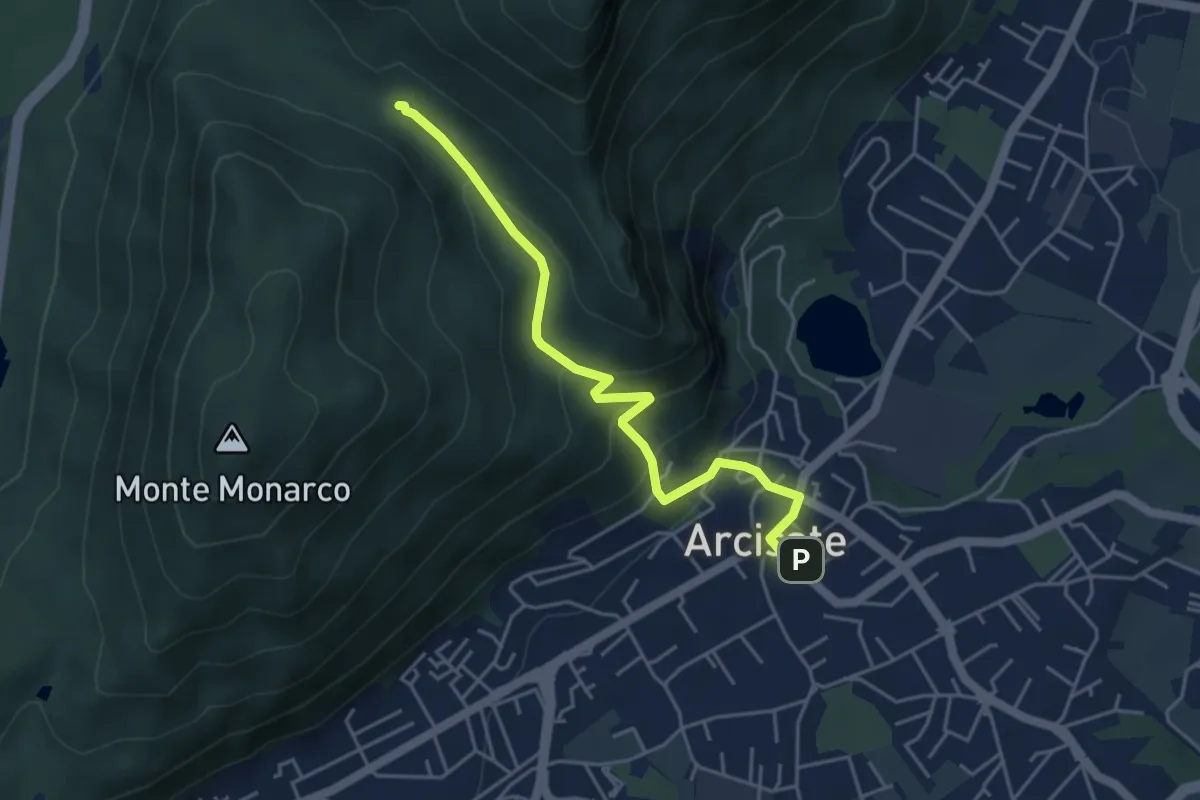
Easy · Trail
Arcisate – Passo del Vescovo
4.6 km · ↑ 243 m · 1 h 37 min · 10 km away
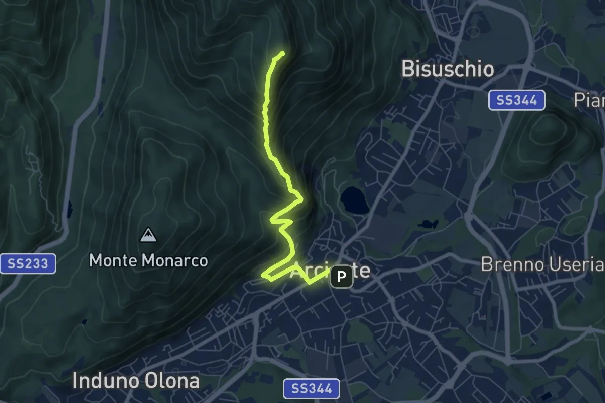
Demanding · Summit
Arcisate – Monte Rho
6.4 km · ↑ 543 m · 2 h 41 min · 10 km away
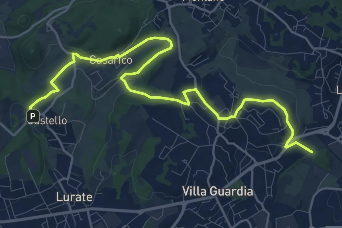
Medium · Trail
Castello – Civello
12.9 km · ↑ 191 m · 3 h 28 min · 10 km away
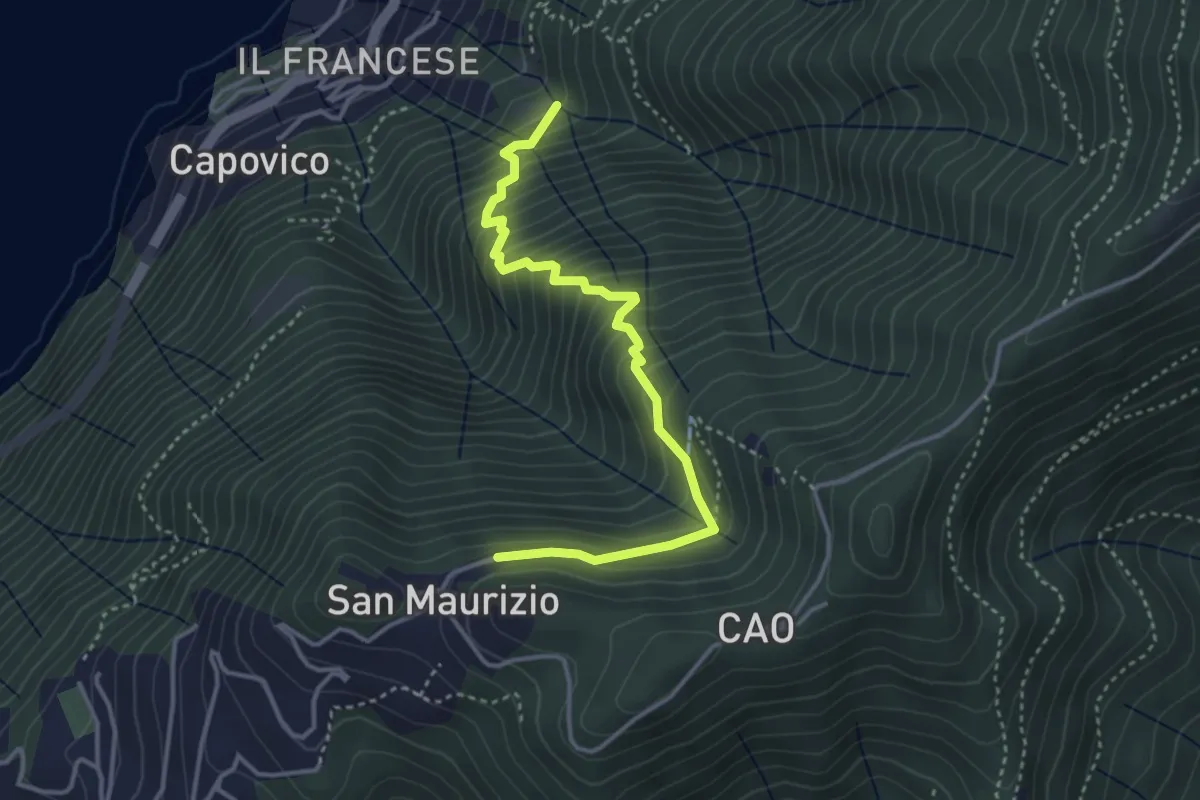
Medium · Trail
Sentiero del Barch (Sopravilla di Blevio-Cascina Barch-San Maurizio)
3.8 km · ↑ 445 m · 1 h 52 min · 10 km away
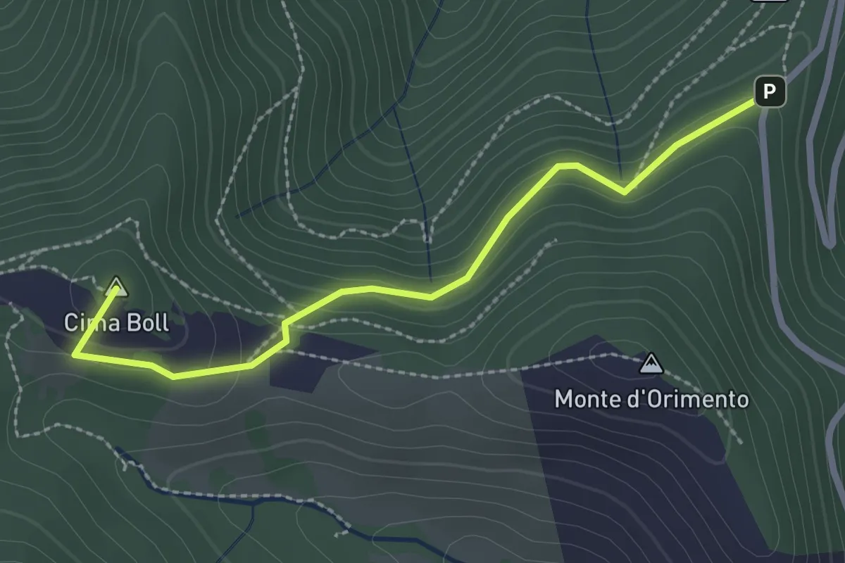
Easy · Summit
Località Casermette – Alpe di Gotta
2.5 km · ↑ 146 m · 54 min · 10 km away
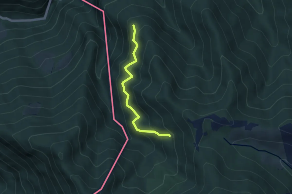
Medium · Trail
CamminaForeste - Tappa 8D
3.3 km · ↑ 349 m · 1 h 33 min · 10 km away
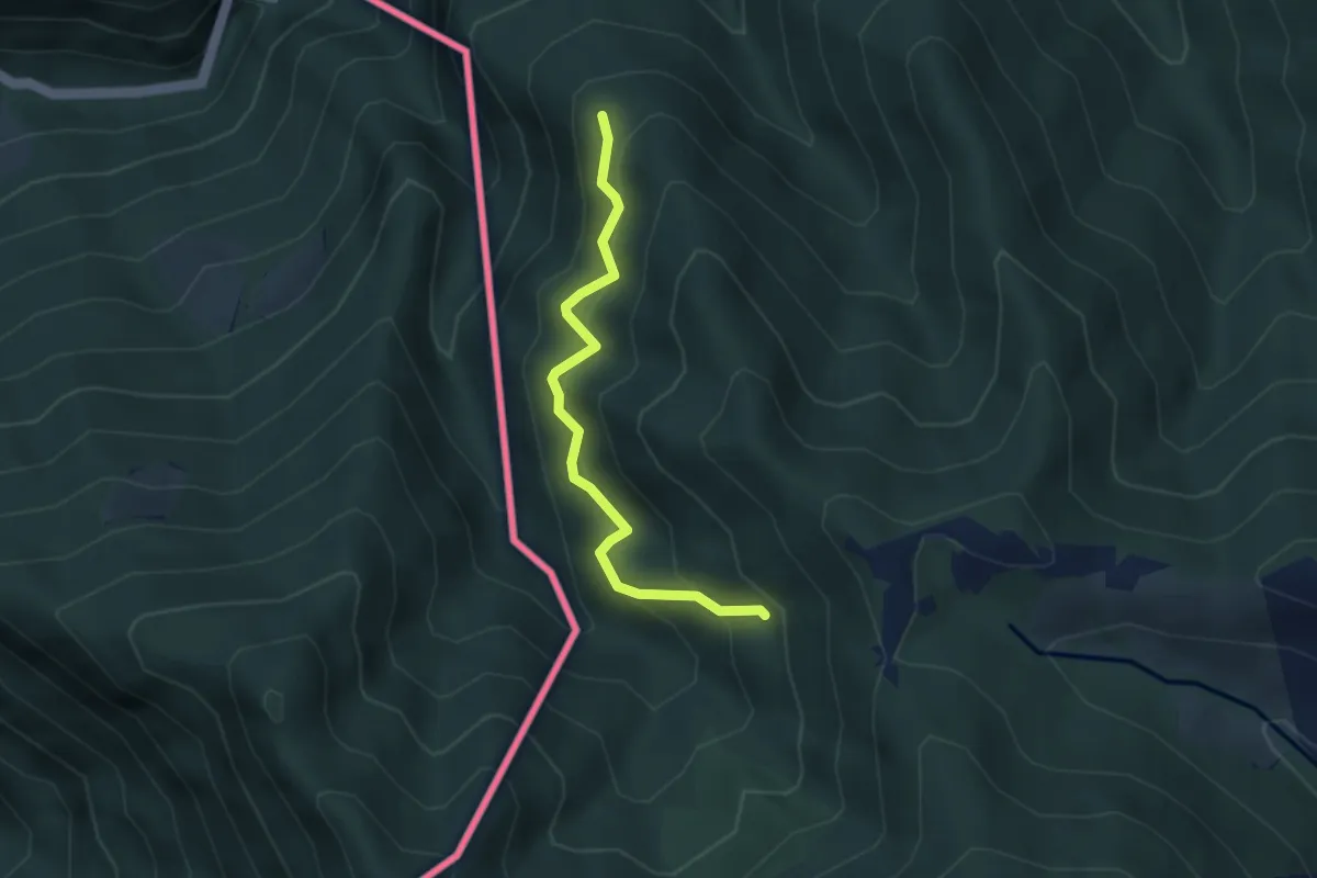
Medium · Trail
Pellio Superiore – Alpe di Gotta
3.3 km · ↑ 349 m · 1 h 33 min · 10 km away
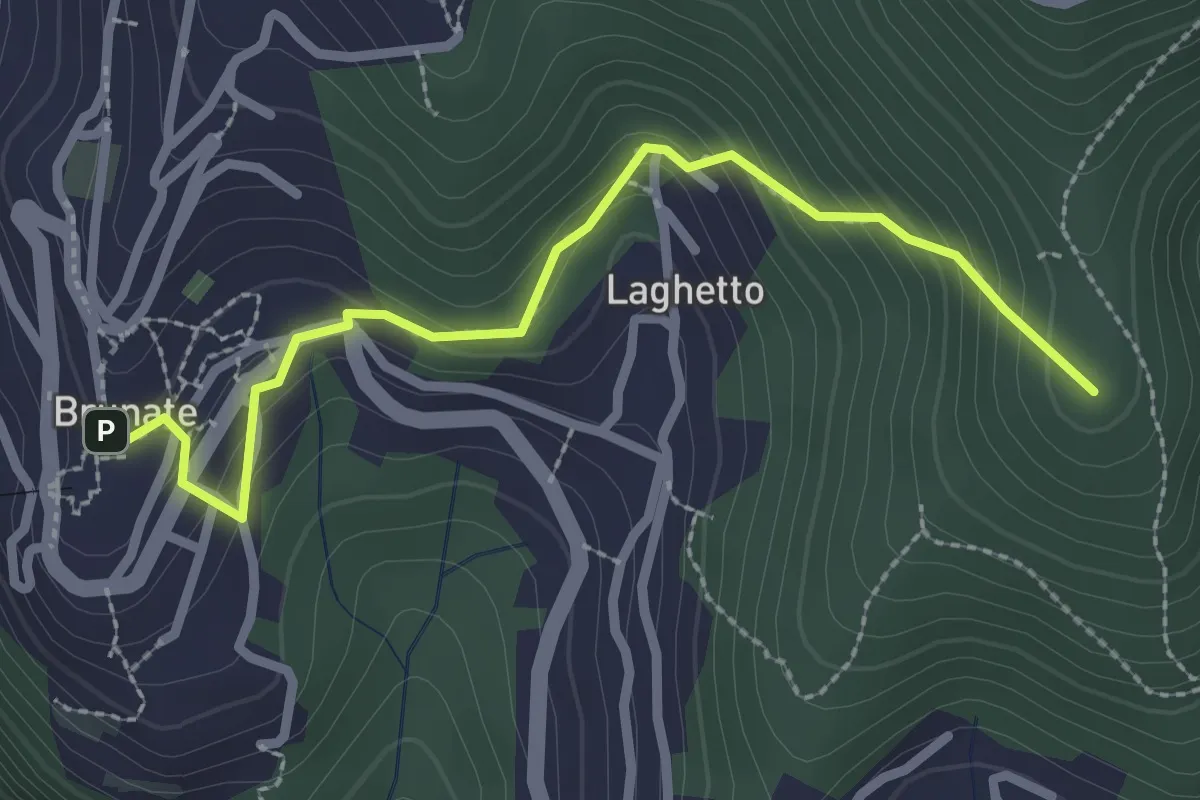
Medium · Summit
Brunate – CAO
2.7 km · ↑ 210 m · 1 h 5 min · 10 km away
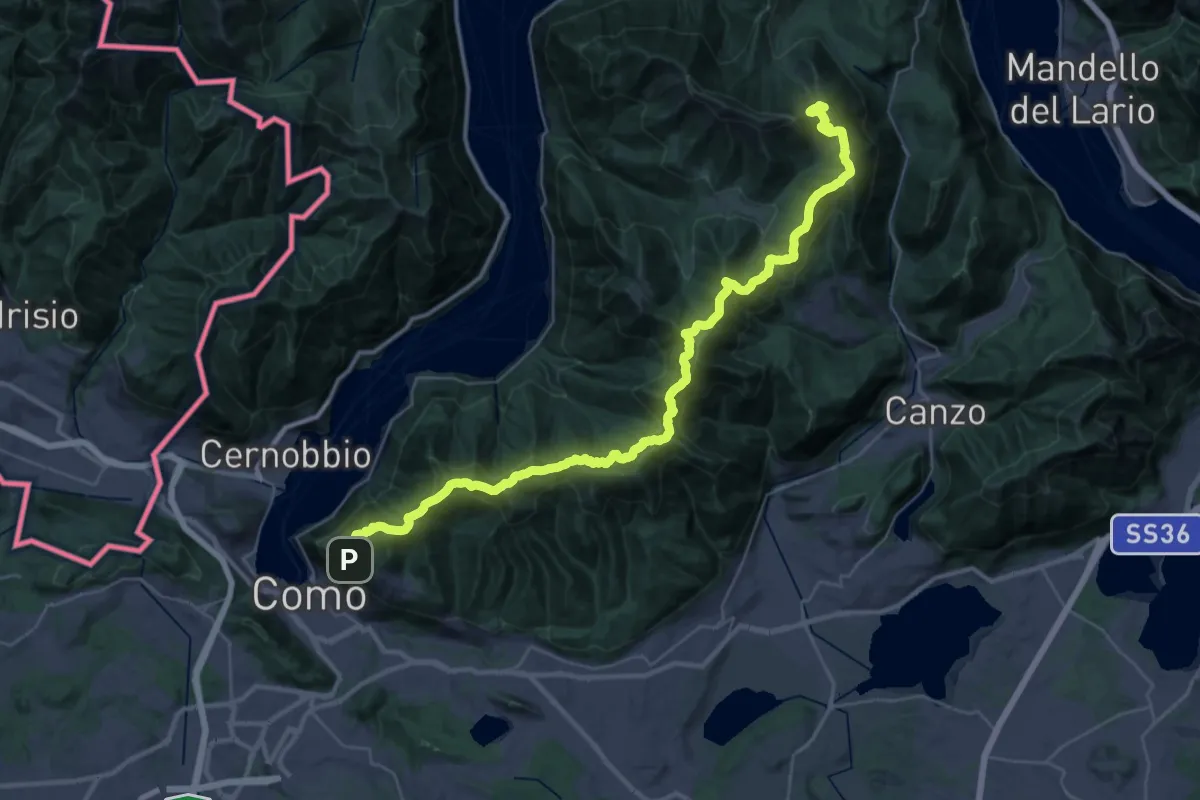
Demanding · Summit
Dorsale del Triangolo Lariano
44.3 km · ↑ 2300 m · 15 h 26 min · 10 km away
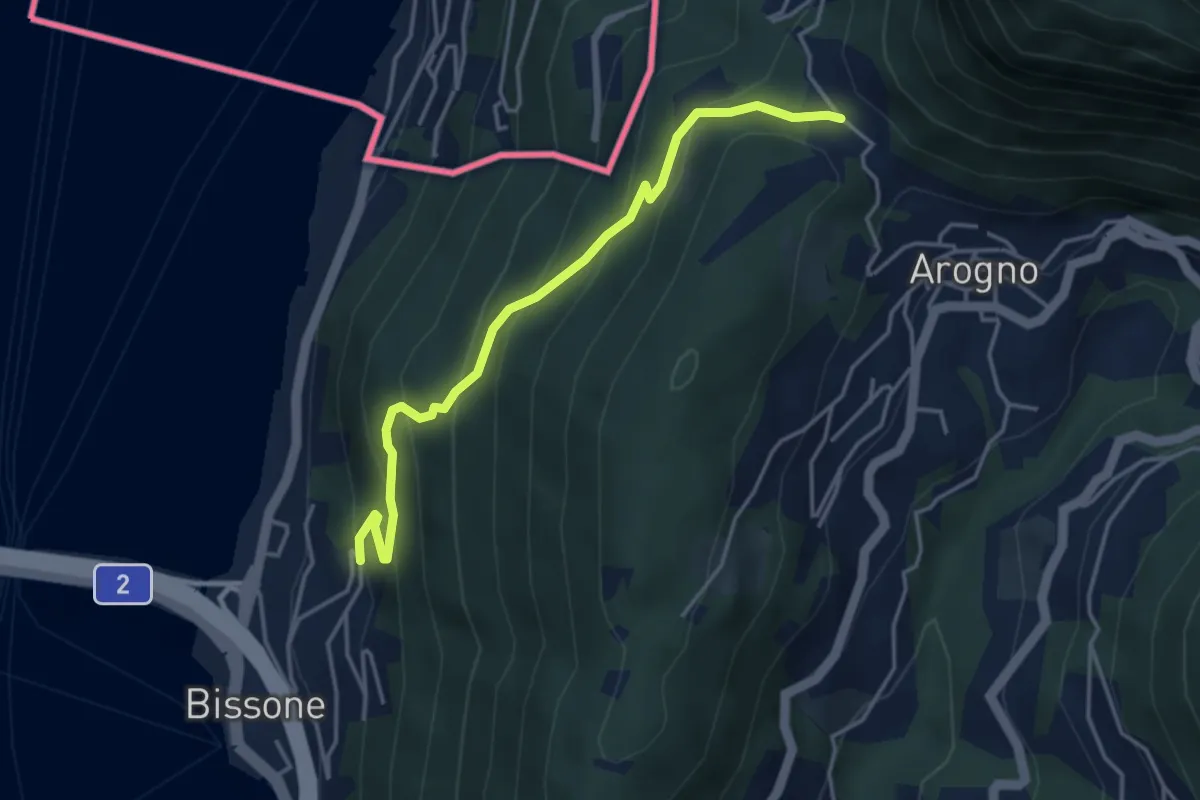
Medium · Trail
S. Vitale – Bissone
4.1 km · ↑ 337 m · 1 h 42 min · 10 km away