Trails near Mendrisio
267 hikes starting within 15 km, nearest first.
Nearest first, page 4 of 6
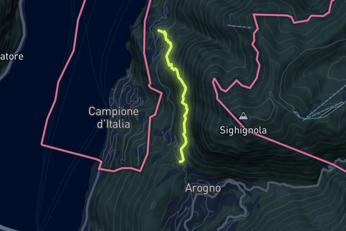
Medium · Trail
S. Vitale – Pugerna
4.4 km · ↑ 515 m · 2 h 10 min · 10 km away
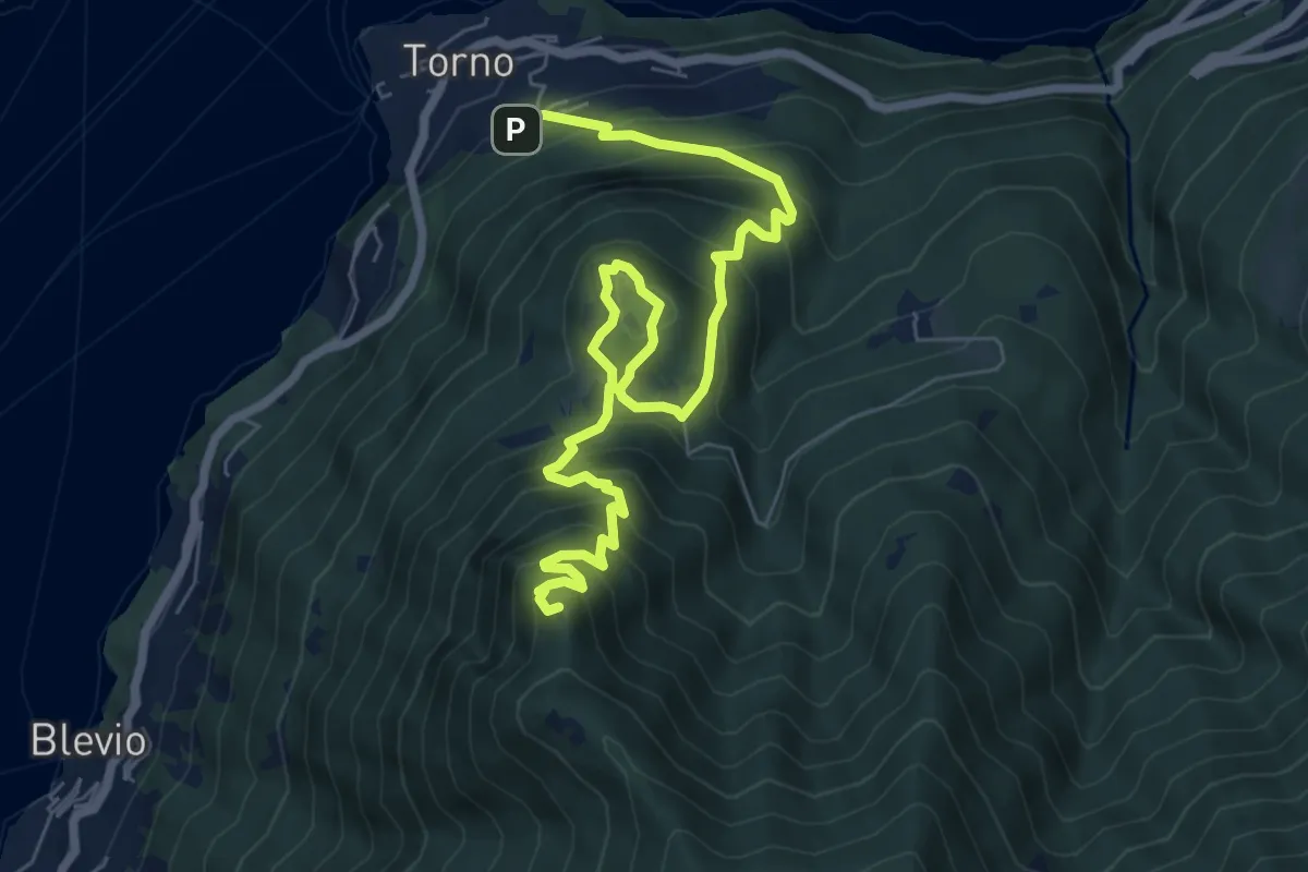
Demanding · Summit
Torno – Baita Carla
9.0 km · ↑ 837 m · 3 h 57 min · 10 km away
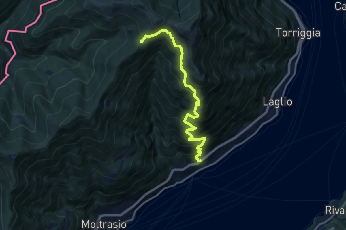
Demanding · Cabin
Carate Urio – Rifugio Murelli
8.7 km · ↑ 1038 m · 4 h 19 min · 10 km away
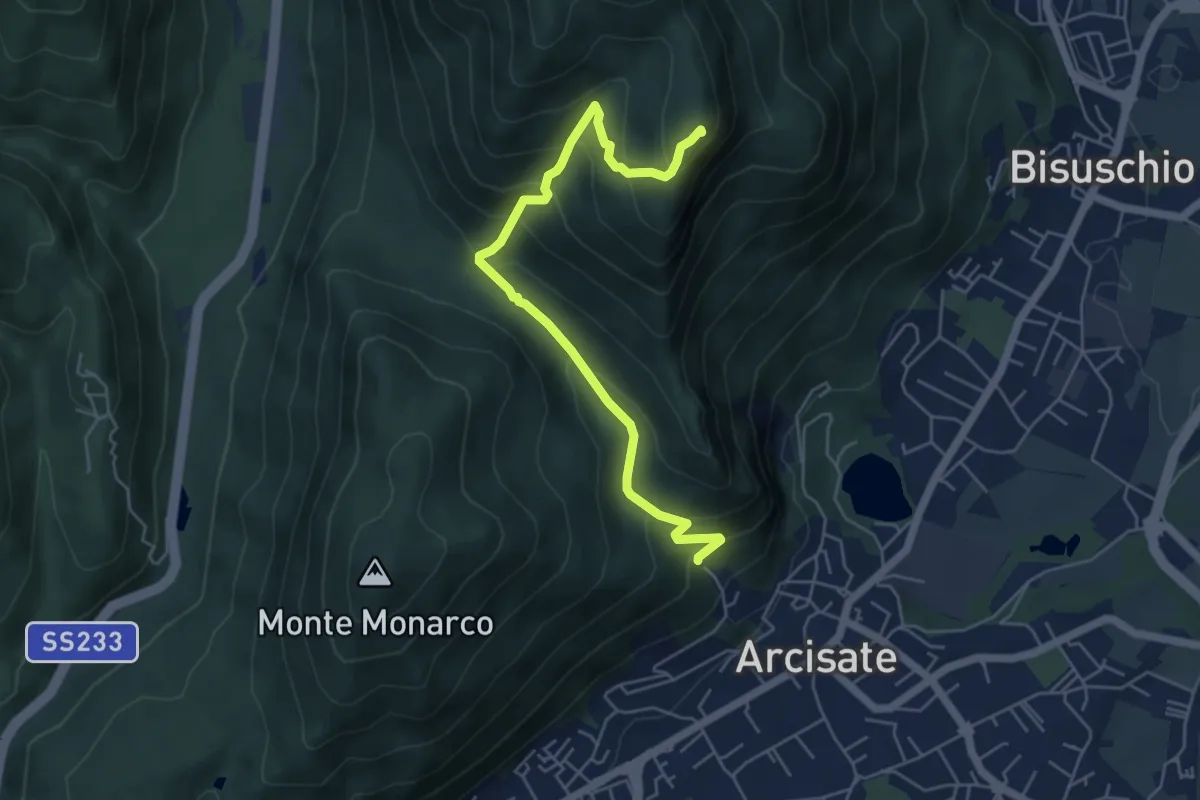
Medium · Summit
Arcisate - Monte Rho d'Arcisate
5.7 km · ↑ 441 m · 2 h 17 min · 10 km away
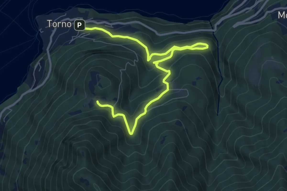
Medium · Trail
Torno – Montepiatto
9.2 km · ↑ 623 m · 3 h 32 min · 10 km away
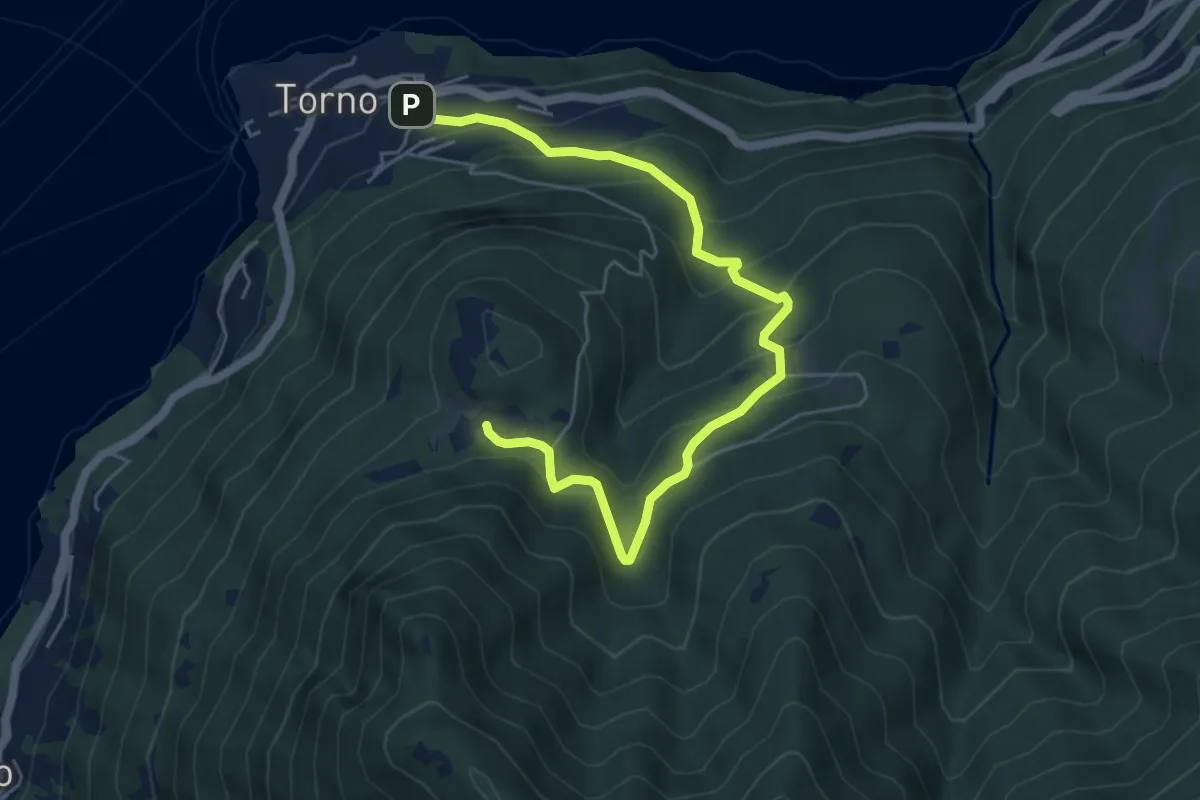
Medium · Trail
Torno – Montepiatto
6.3 km · ↑ 528 m · 2 h 37 min · 10 km away
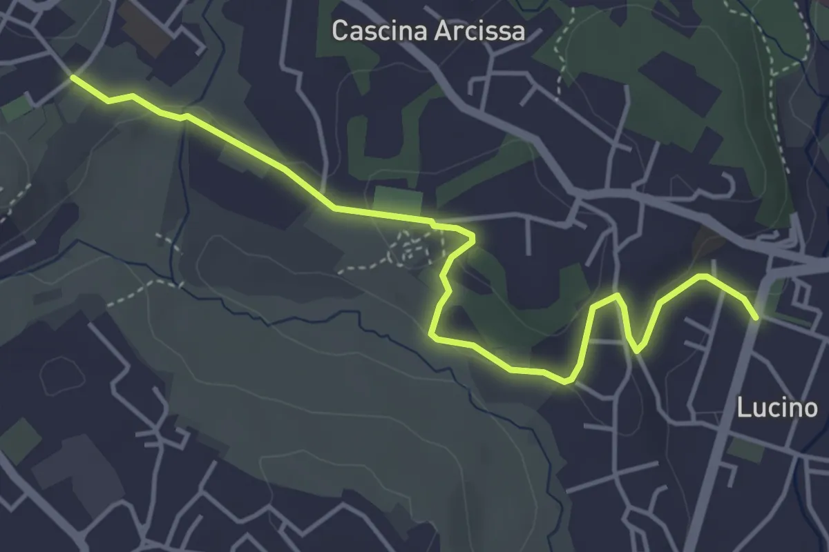
Easy · Trail
Montano Lucino cimitero – Montano Lucino loc. Trivino
4.7 km · ↑ 95 m · 1 h 19 min · 10 km away
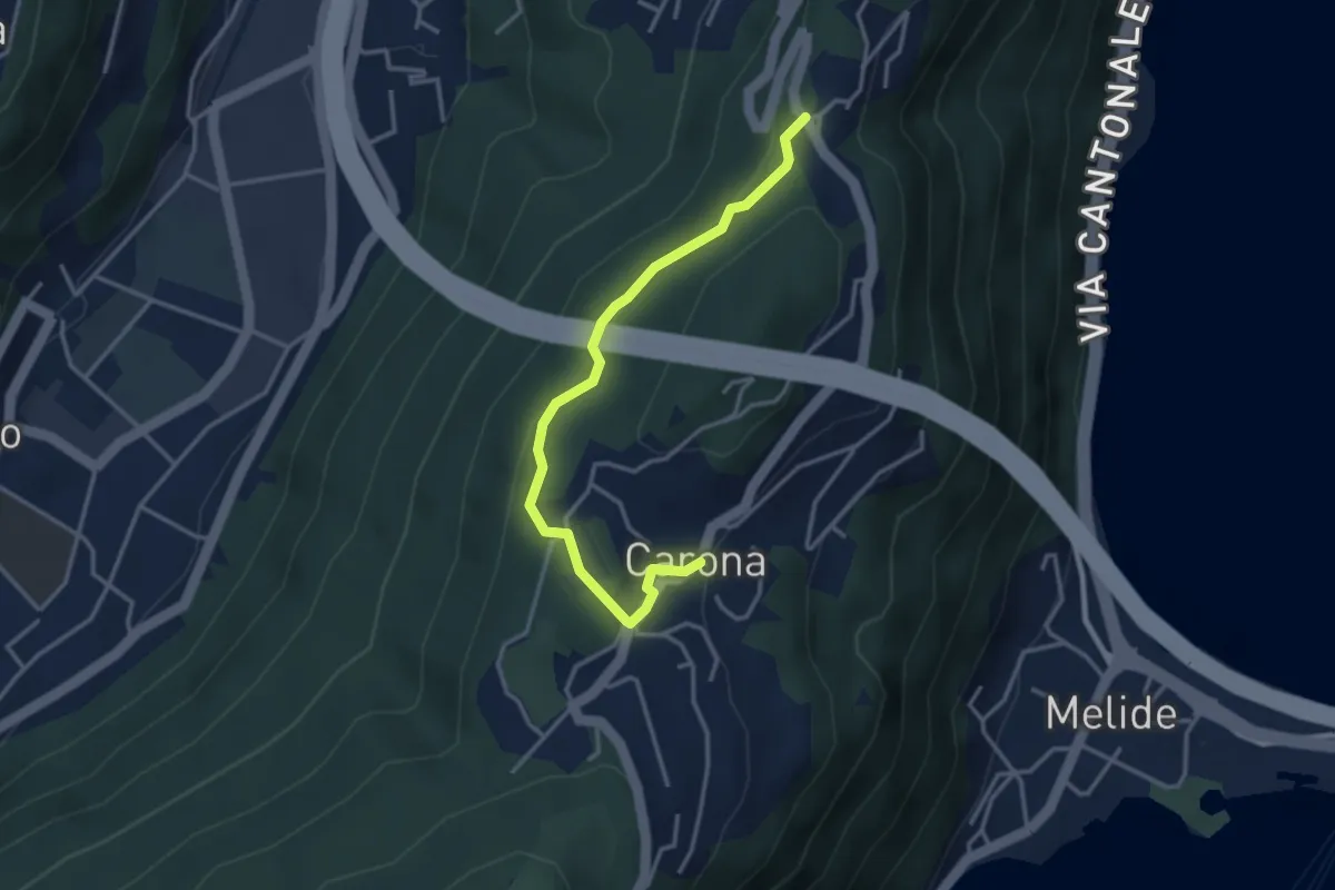
Easy · Trail
Ciona – Carona
3.5 km · ↑ 116 m · 1 h 5 min · 10 km away
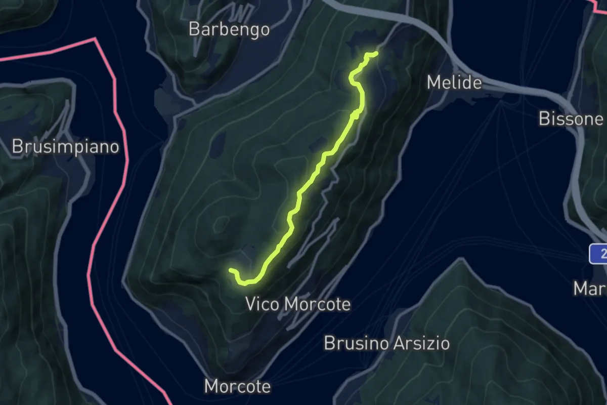
Medium · Trail
Carona – Alpe Vicania
8.0 km · ↑ 330 m · 2 h 36 min · 10 km away
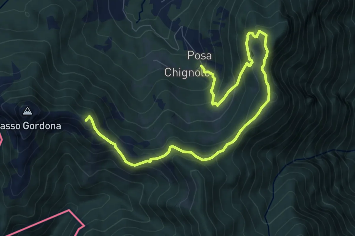
Medium · Summit
Sentiero delle espressioni
10.7 km · ↑ 752 m · 4 h 9 min · 10 km away
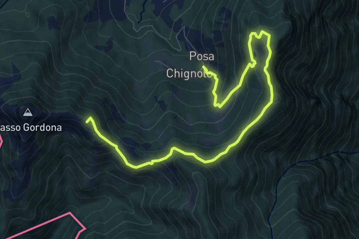
Medium · Summit
Schignalo fraz. Posa – Le Crocette
10.7 km · ↑ 752 m · 4 h 9 min · 10 km away
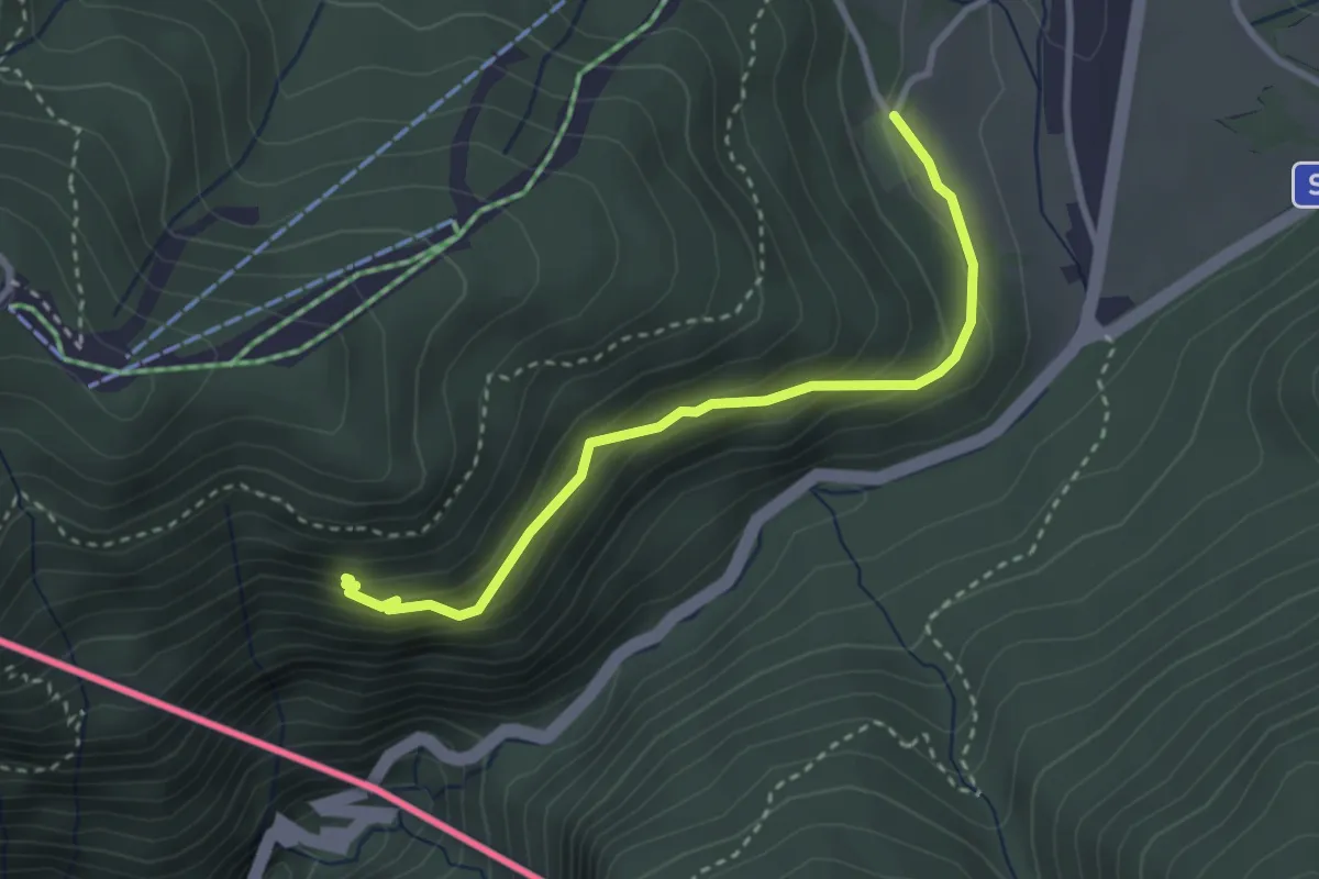
Easy · Trail
Alpe Bovisio – Lanzo
3.1 km · ↑ 208 m · 1 h 11 min · 11 km away
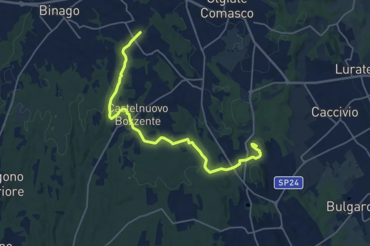
Medium · Trail
Sentiero 846
13.8 km · ↑ 196 m · 3 h 41 min · 11 km away
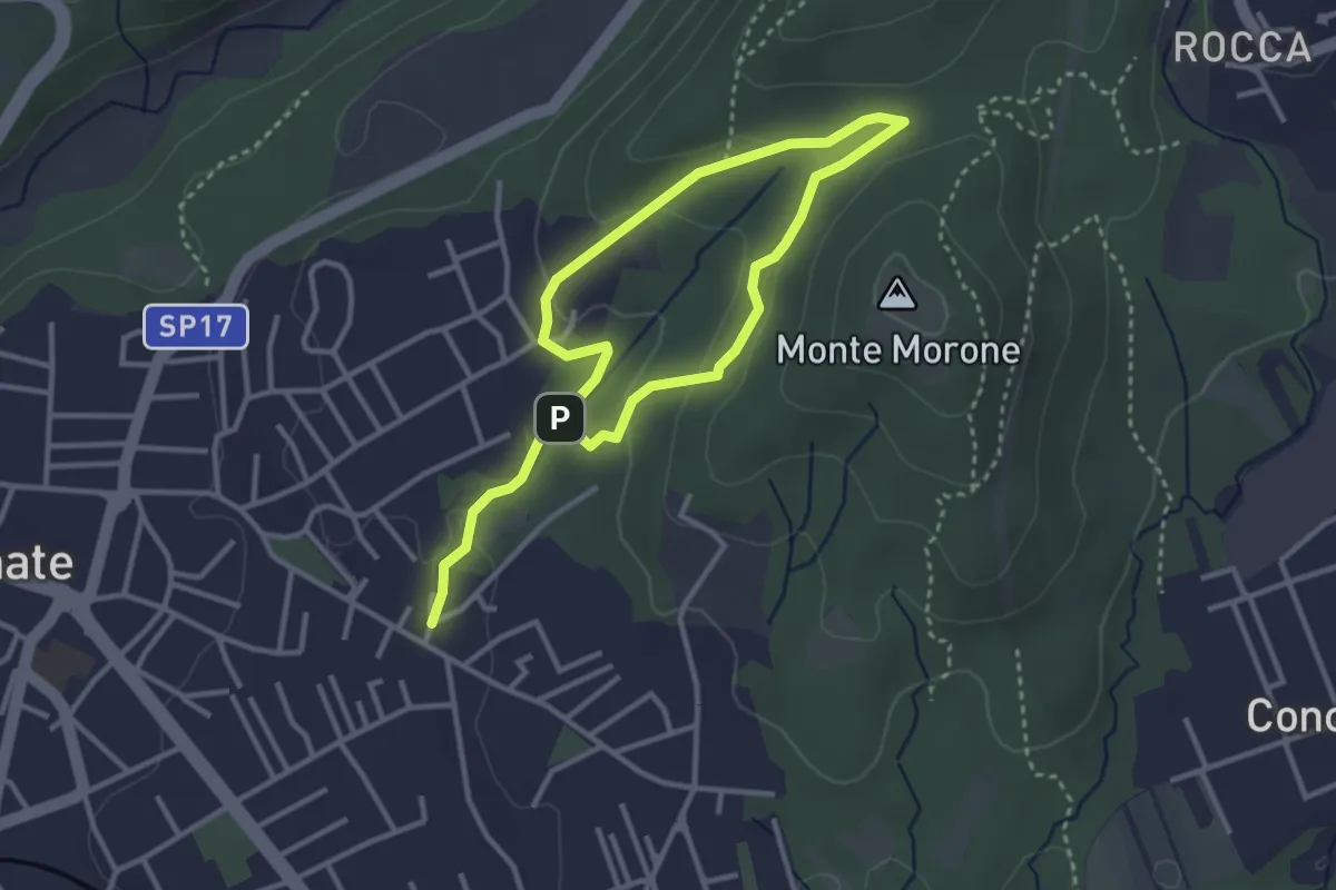
Easy · Trail
Sentiero Fugascé
5.0 km · ↑ 151 m · 1 h 31 min · 11 km away
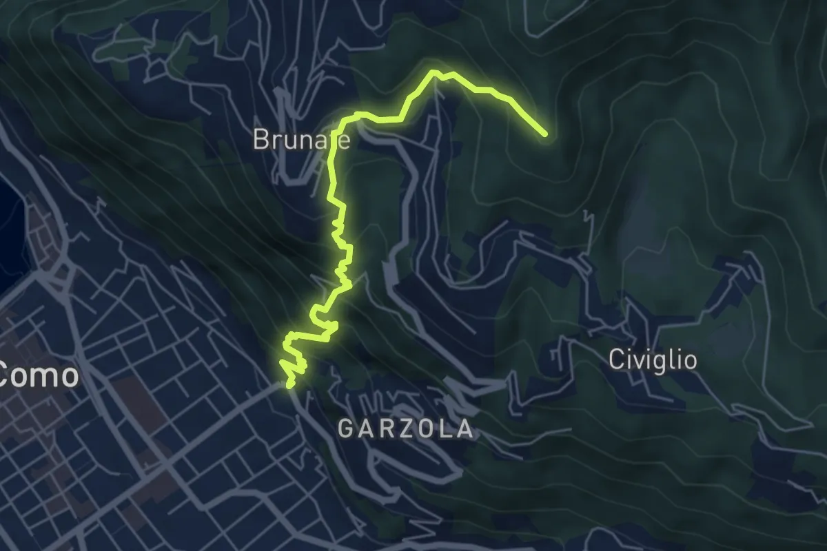
Medium · Summit
Santa Croce – CAO
5.6 km · ↑ 596 m · 2 h 36 min · 11 km away
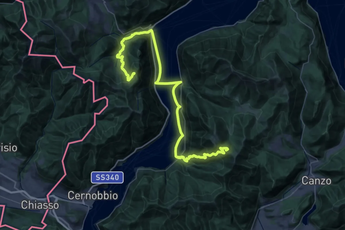
Demanding · Summit
CamminaForeste - Tappa 9A
48.3 km · ↑ 2141 m · 16 h 2 min · 11 km away
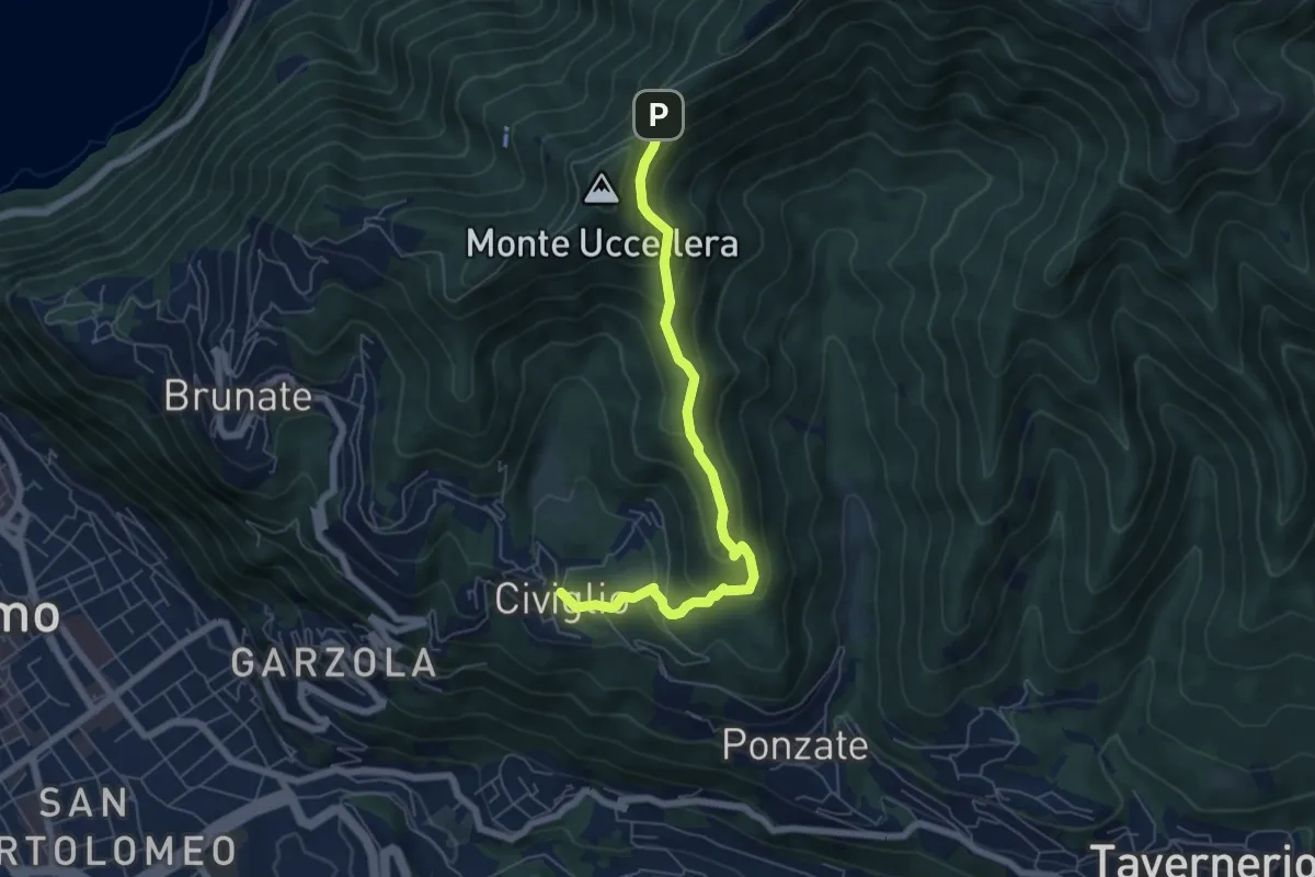
Medium · Trail
Civiglio – Baita Carla
6.2 km · ↑ 367 m · 2 h 16 min · 11 km away
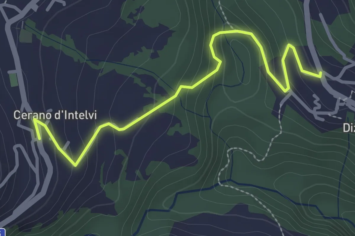
Easy · Trail
Dizzasco – Cerano
2.9 km · ↑ 168 m · 1 h 3 min · 11 km away
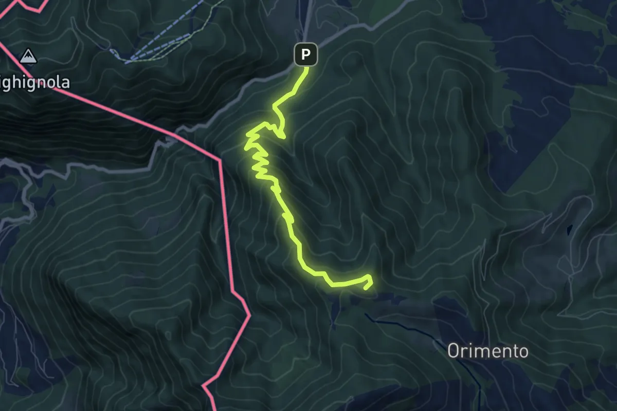
Medium · Summit
Lanzo d'Intelvi (bivio Crotto Dogana) – Orimento
8.1 km · ↑ 565 m · 3 h 9 min · 11 km away
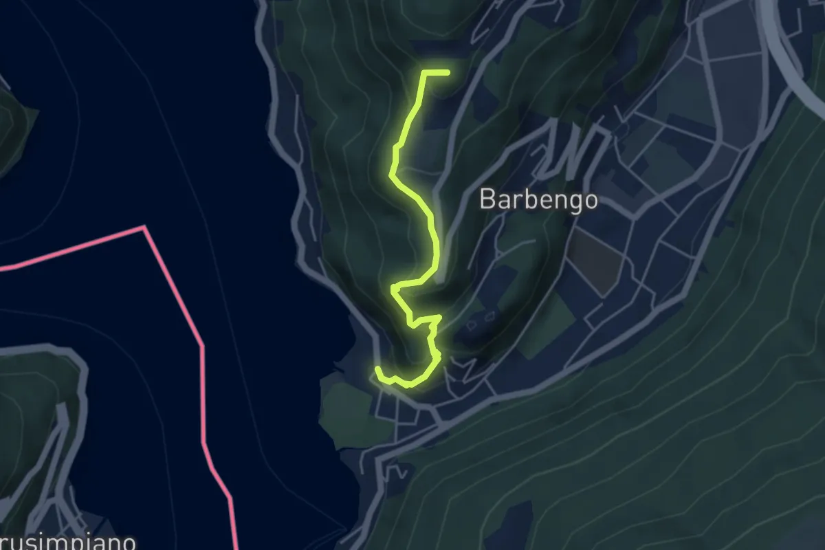
Medium · Summit
Figino – Figino
4.1 km · ↑ 323 m · 1 h 40 min · 11 km away
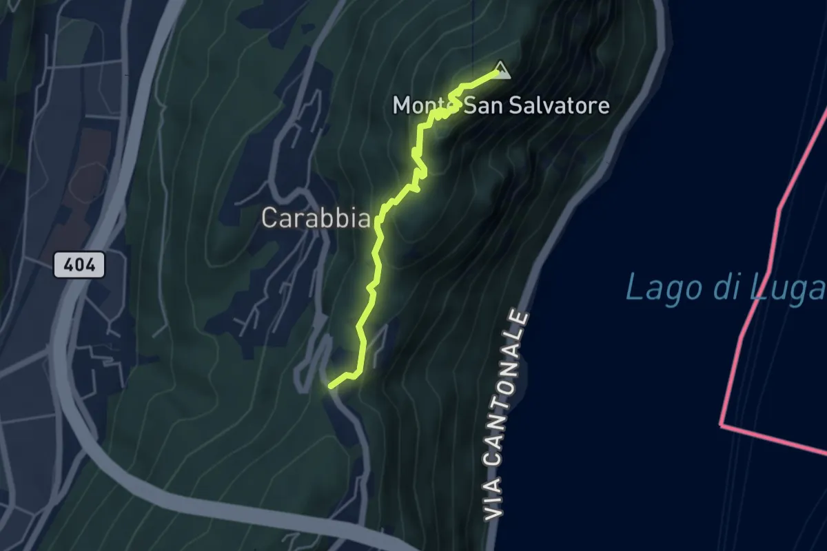
Medium · Summit
San Salvatore – Ciona
3.9 km · ↑ 302 m · 1 h 34 min · 11 km away
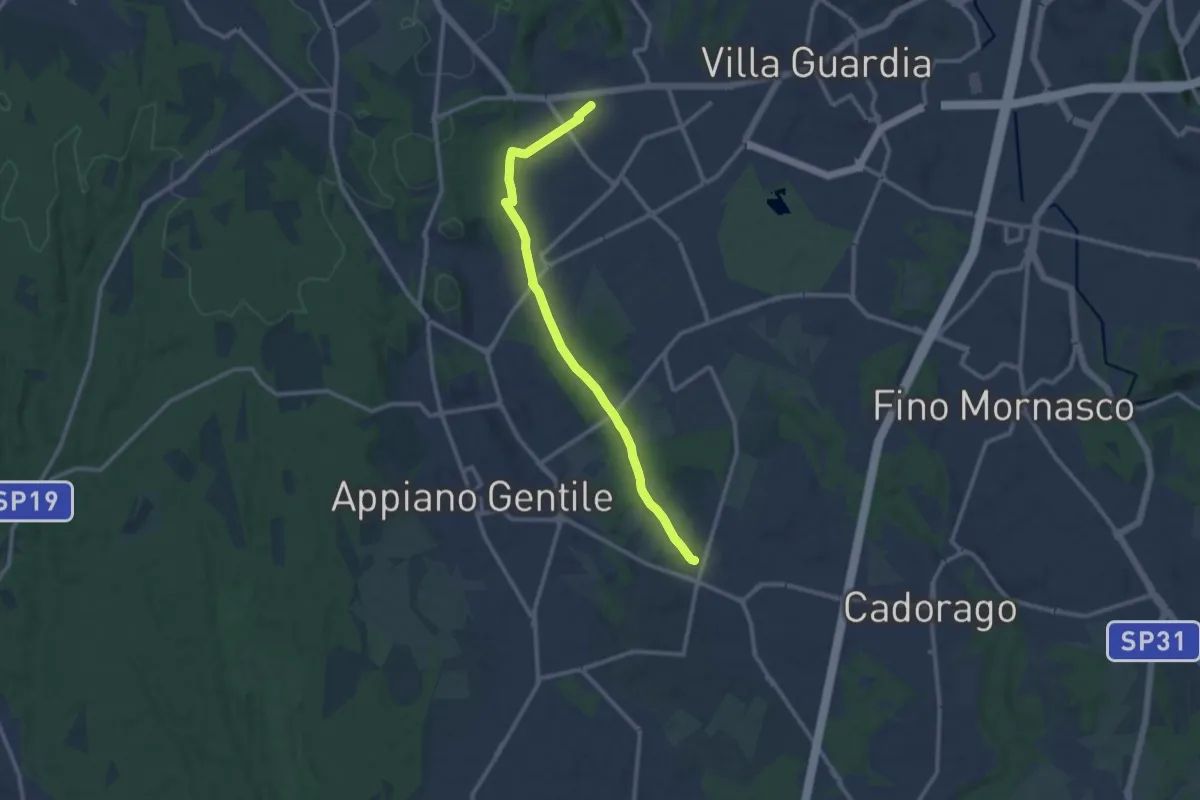
Medium · Trail
Lurate Caccivio – Guanzate
11.5 km · ↑ 86 m · 2 h 53 min · 11 km away
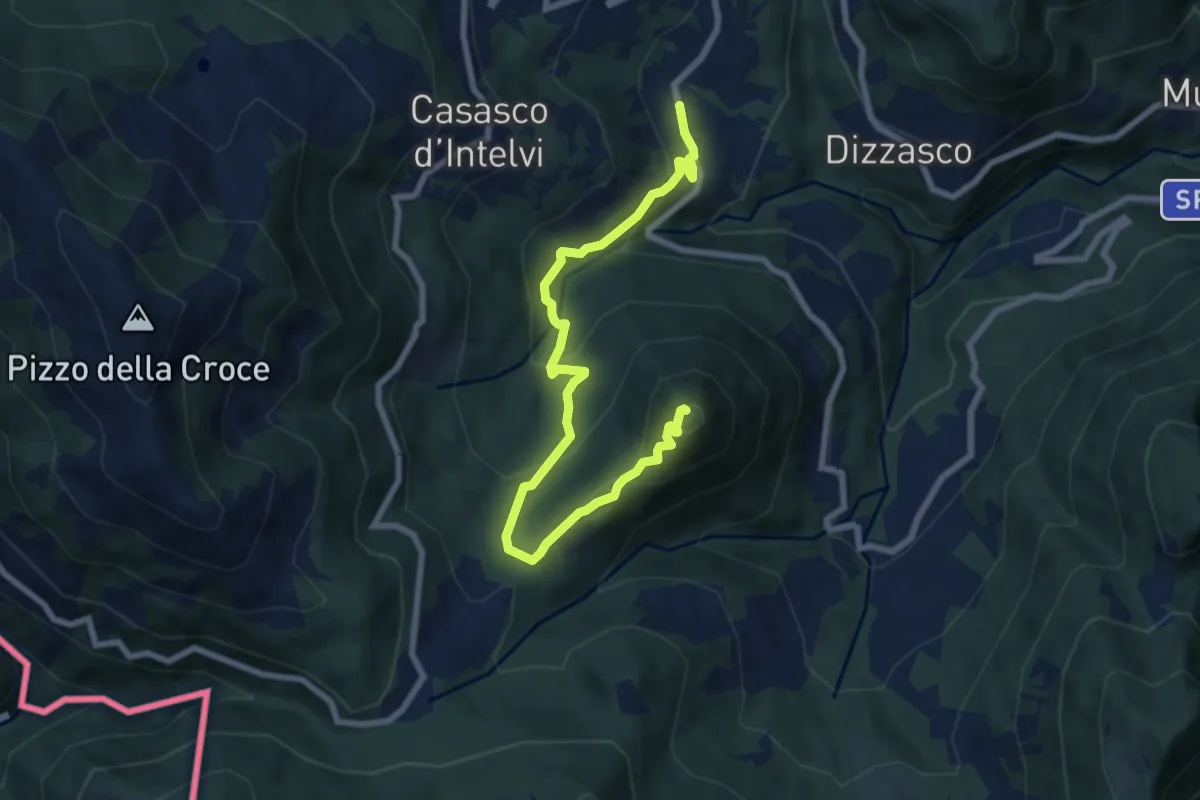
Medium · Summit
Cerano d'Intelvi – San Zeno
8.4 km · ↑ 455 m · 2 h 58 min · 11 km away
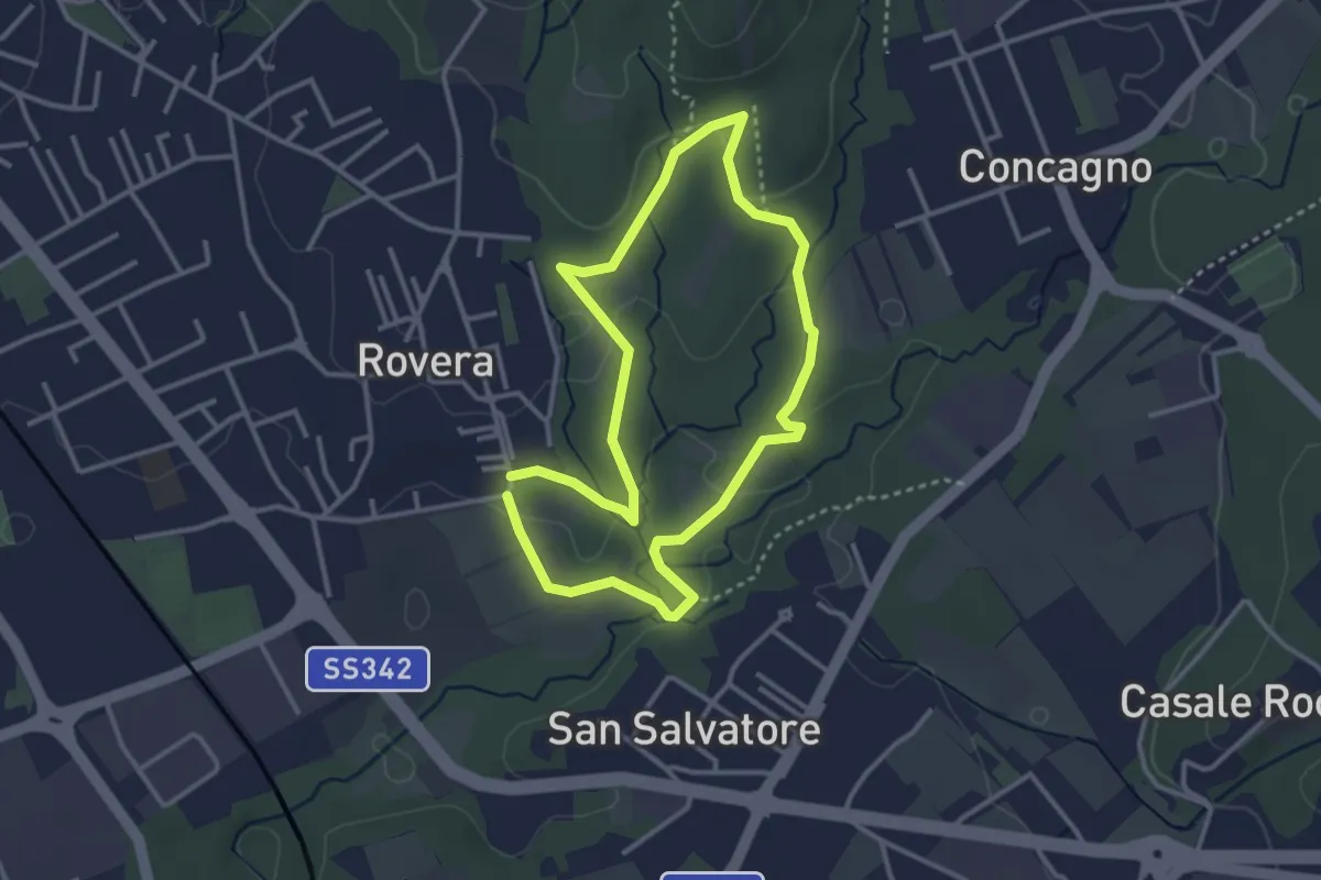
Easy · Trail
Sentiero Quadronna
3.1 km · ↑ 58 m · 54 min · 11 km away
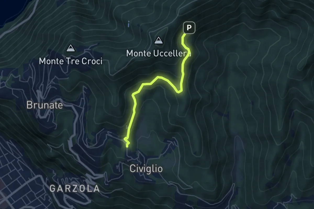
Medium · Trail
Visigna – Strada del Boscone
4.9 km · ↑ 275 m · 1 h 46 min · 11 km away
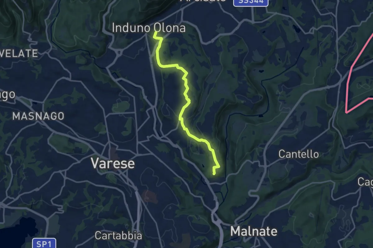
Medium · Summit
Induno Olona – Cascina Mentasti
11.7 km · ↑ 226 m · 3 h 16 min · 11 km away
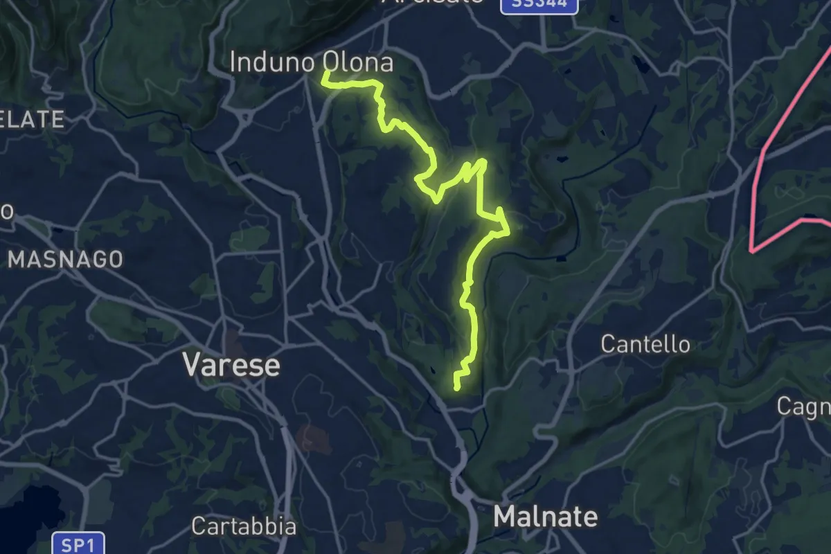
Medium · Summit
Induno Olona – Cascina Mentasti
16.8 km · ↑ 456 m · 4 h 57 min · 11 km away
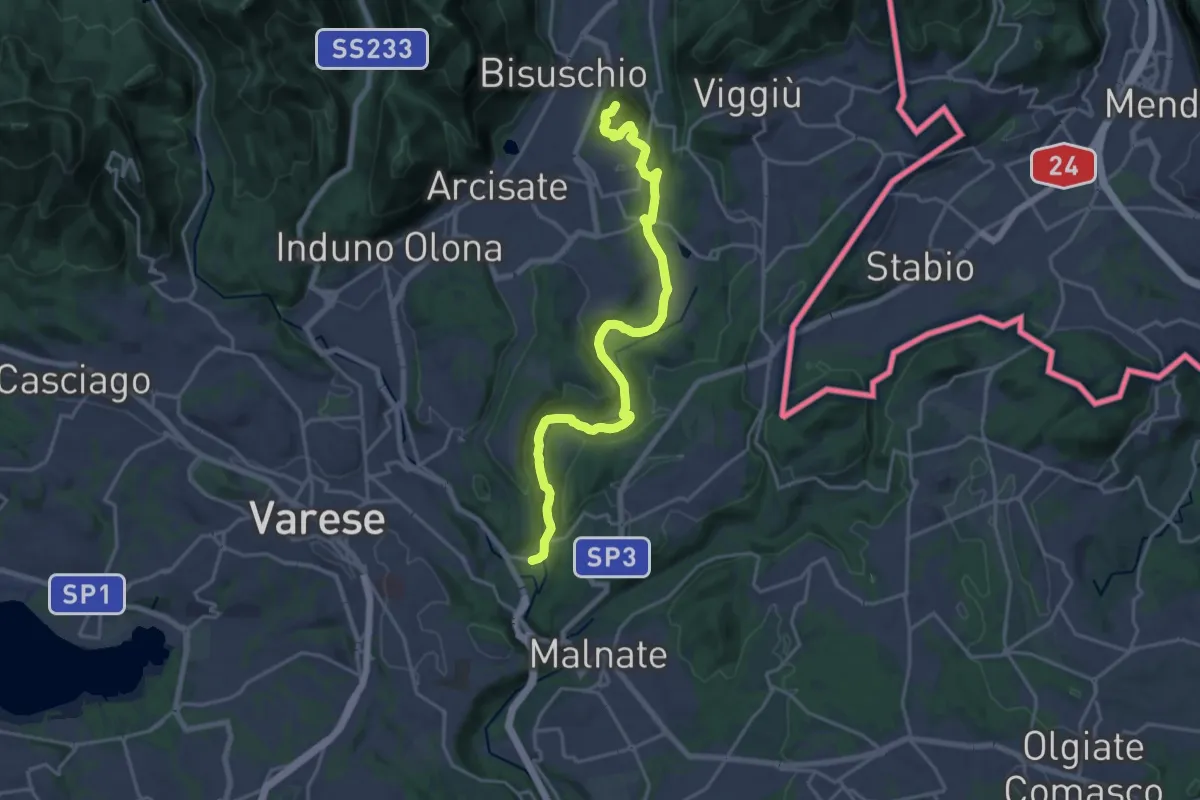
Demanding · Summit
Ca' Bassa – Monte Useria
20.8 km · ↑ 446 m · 5 h 53 min · 11 km away
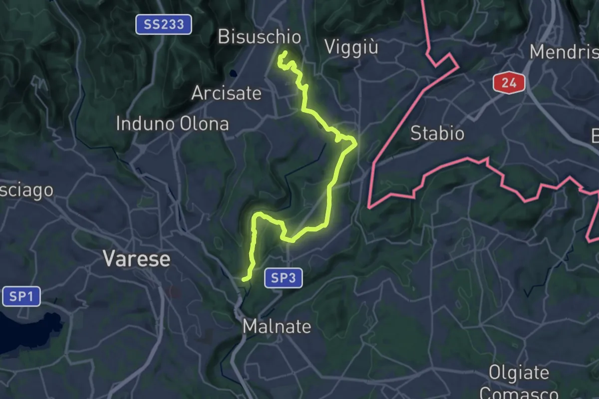
Demanding · Summit
Varese via Ca' Bassa – Monte Useria
24.6 km · ↑ 570 m · 7 h 3 min · 11 km away
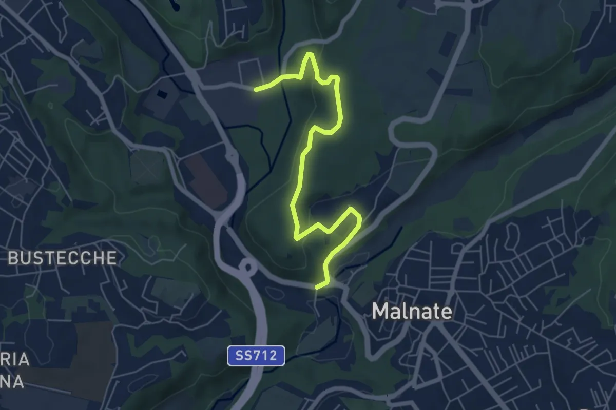
Easy · Trail
Varese via Ca' Bassa – Folla di Malnate
6.0 km · ↑ 159 m · 1 h 45 min · 11 km away
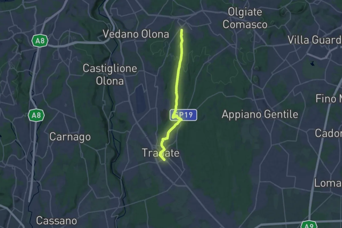
Demanding · Trail
Binago – Tradate
18.1 km · ↑ 185 m · 4 h 41 min · 11 km away
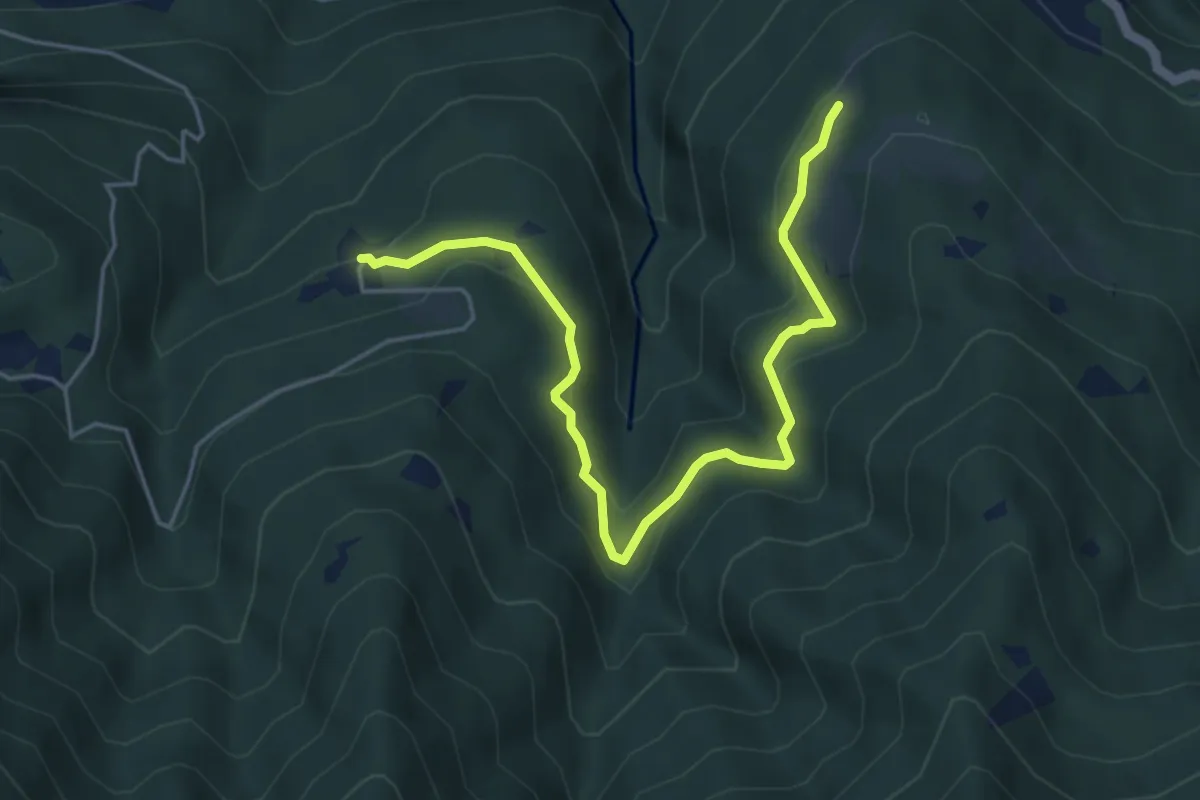
Medium · Trail
Piazzaga – Case delle Perle
5.4 km · ↑ 273 m · 1 h 52 min · 12 km away
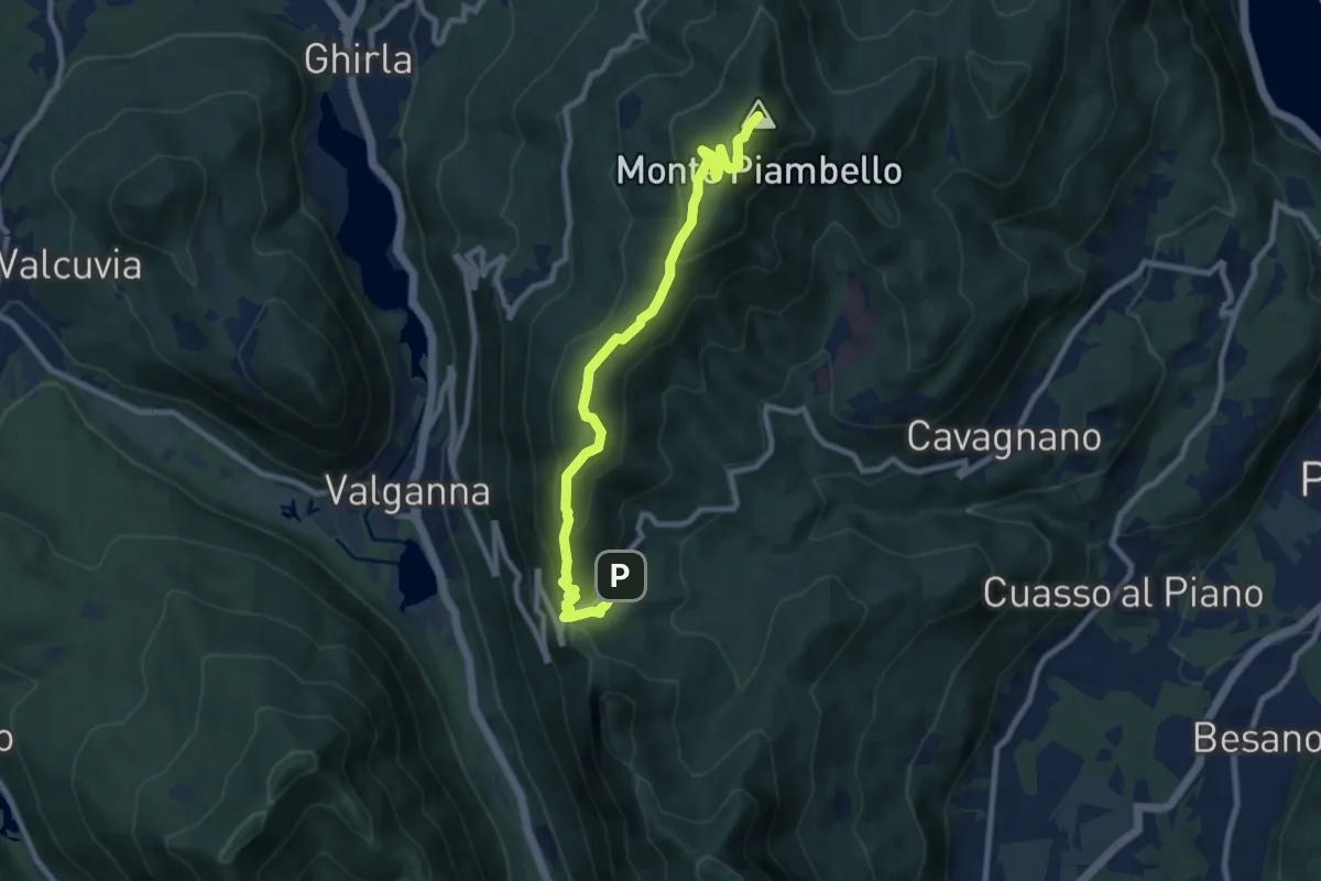
Medium · Summit
Alpe Tedesco – Monte Piambello
9.4 km · ↑ 459 m · 3 h 13 min · 12 km away
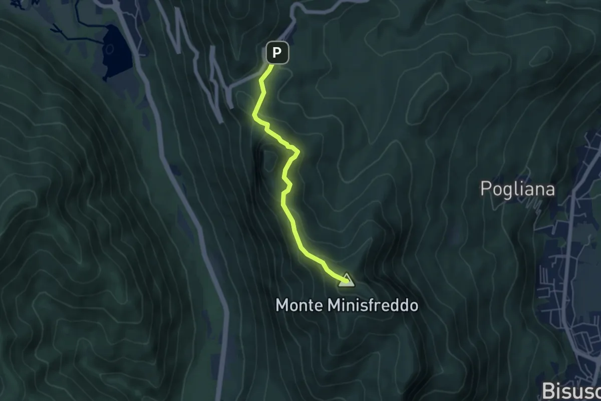
Demanding · Summit
Alpe Tedesco - Monte Rho d'Arcisate
4.5 km · ↑ 345 m · 1 h 48 min · 12 km away
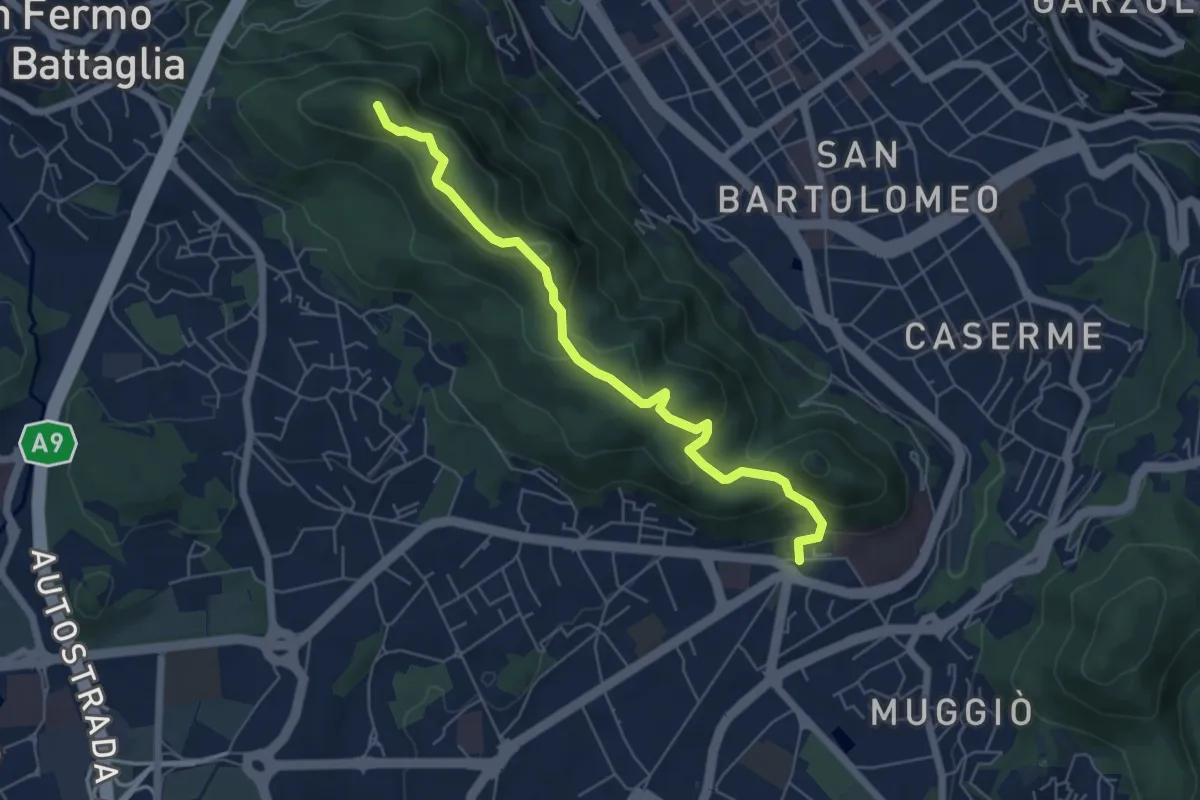
Easy · Summit
Dorsale collinare
6.0 km · ↑ 250 m · 1 h 58 min · 12 km away
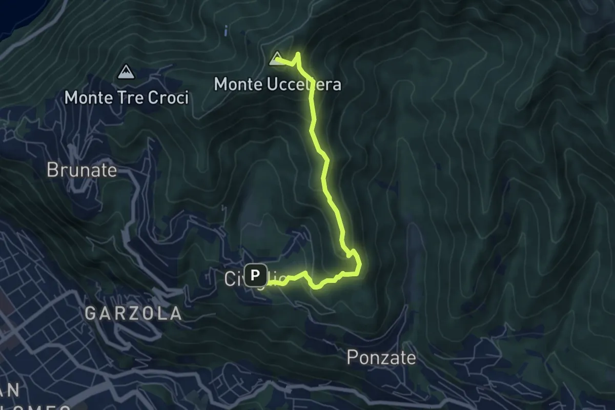
Medium · Summit
Civiglio – CAO
6.1 km · ↑ 379 m · 2 h 15 min · 12 km away
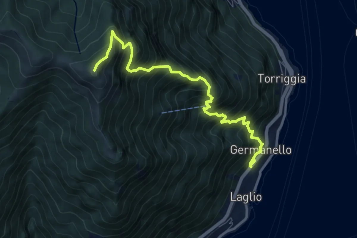
Demanding · Summit
Laglio – Monte Colmegnone
7.7 km · ↑ 1121 m · 4 h 15 min · 12 km away
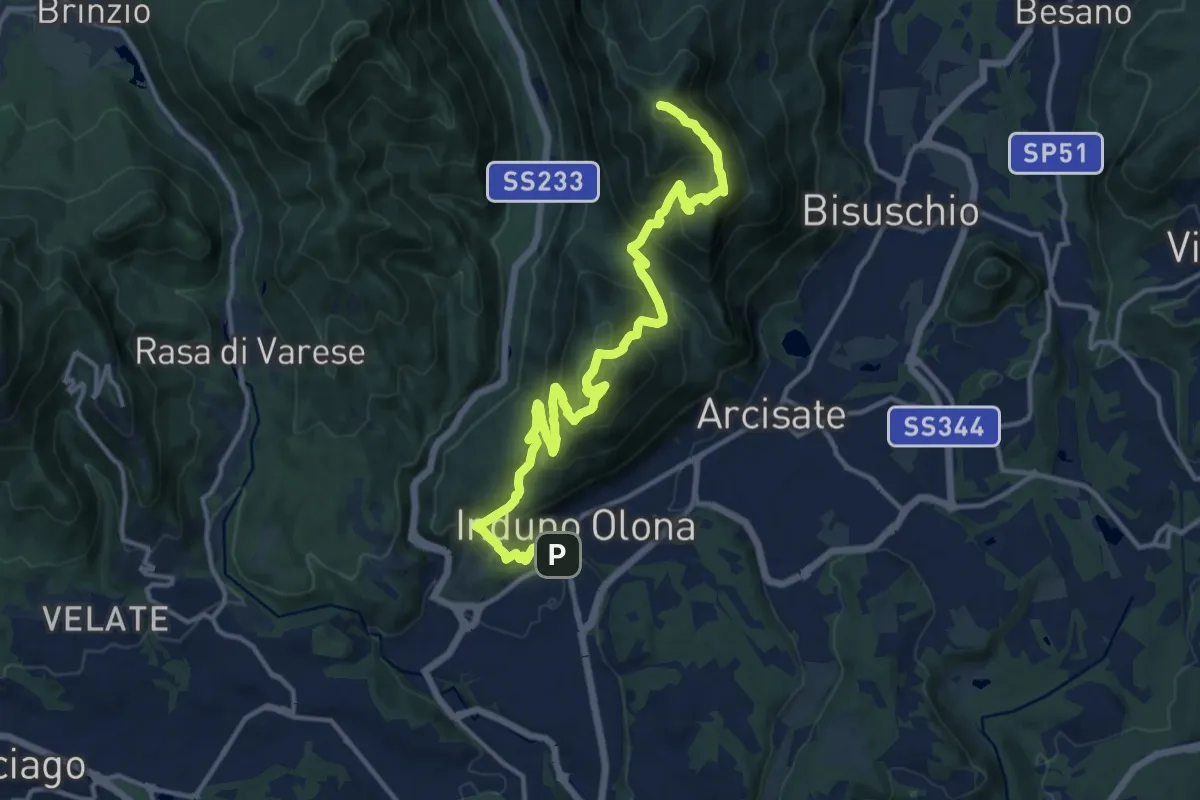
Demanding · Summit
Porto Ceresio – Induno Olona
16.4 km · ↑ 1108 m · 6 h 16 min · 12 km away
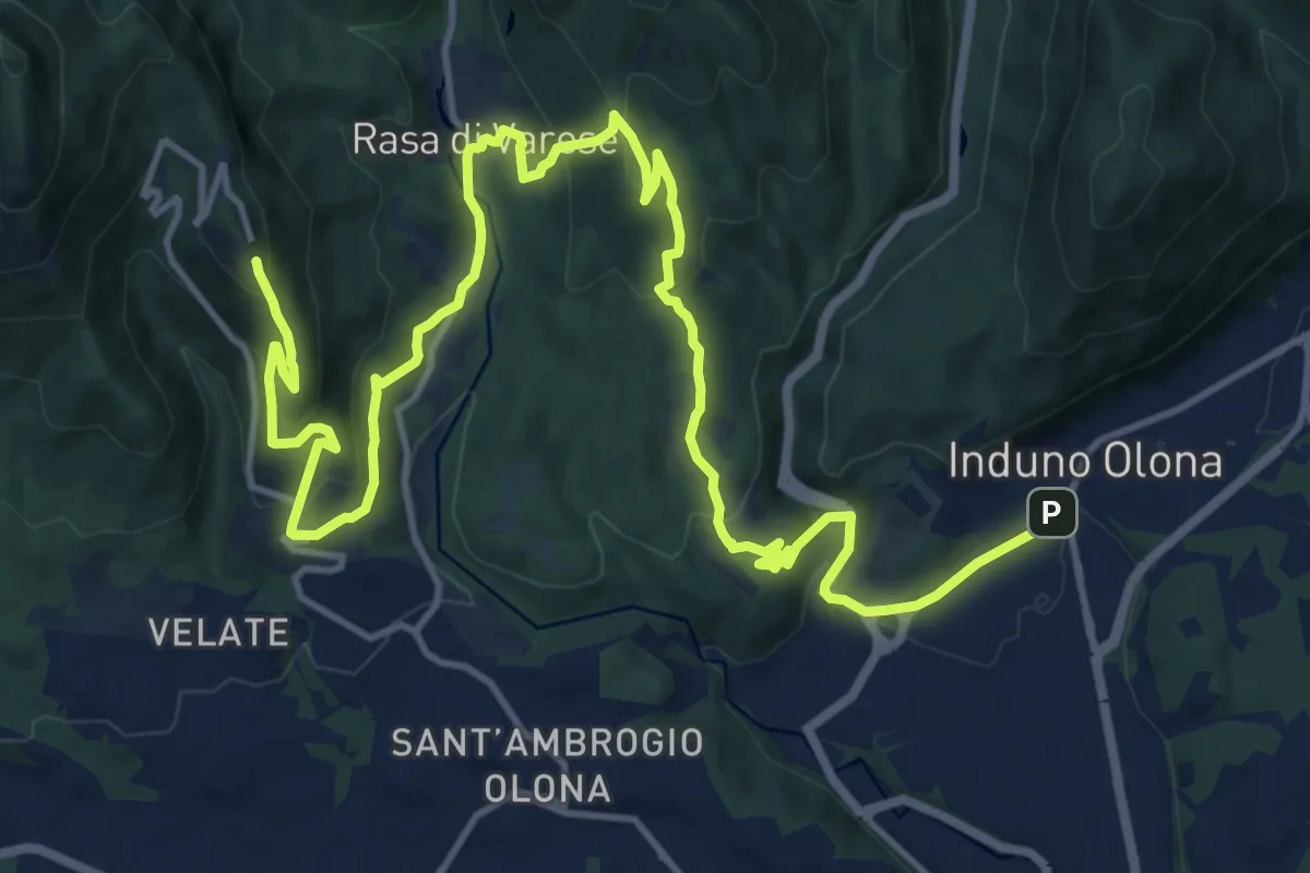
Demanding · Trail
Via Verde Varesina tappa 2
20.7 km · ↑ 902 m · 6 h 50 min · 12 km away
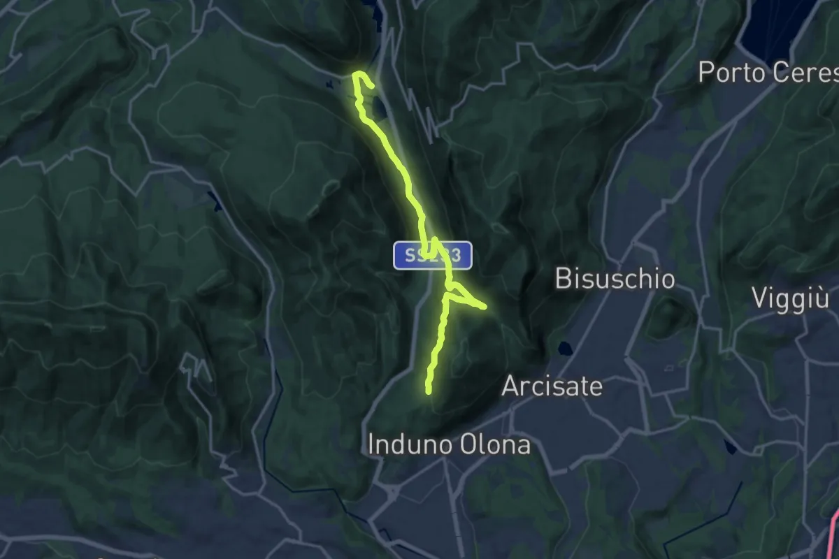
Medium · Trail
Ganna – Montallegro
14.8 km · ↑ 498 m · 4 h 34 min · 12 km away
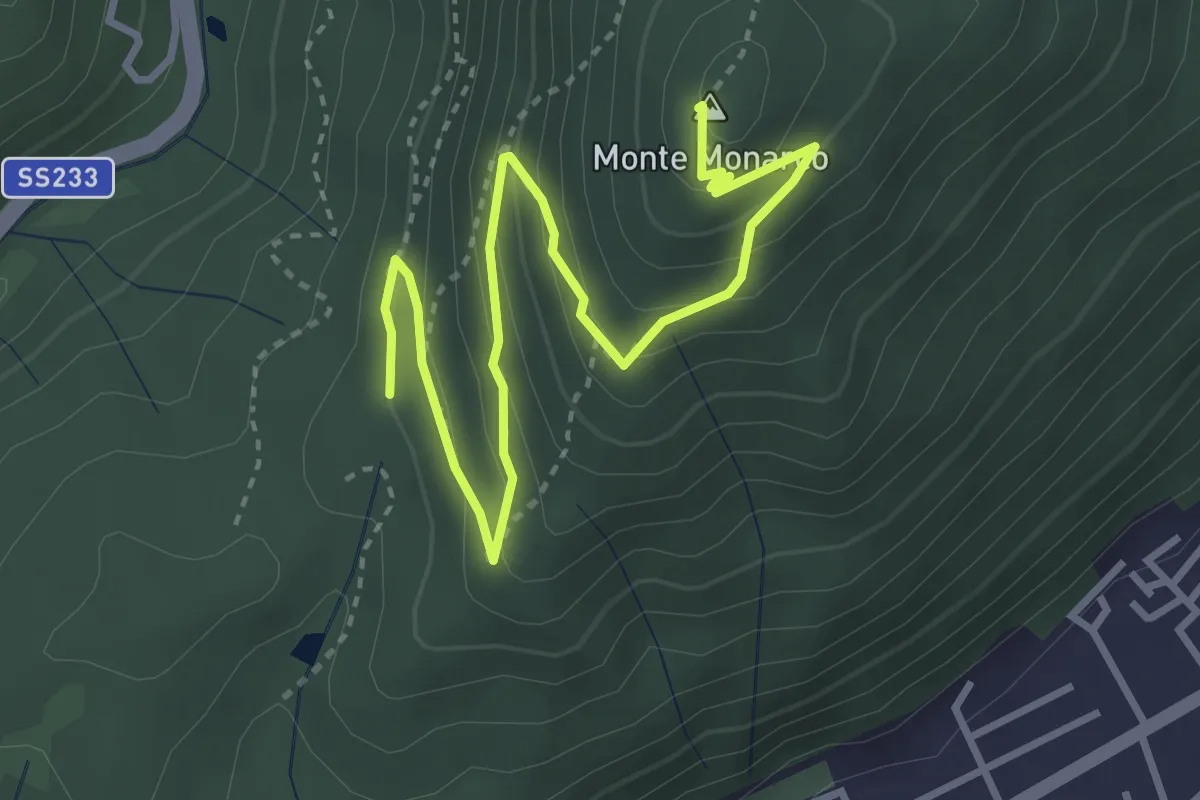
Medium · Summit
Induno Olona - Monte Monarco
4.3 km · ↑ 255 m · 1 h 34 min · 12 km away
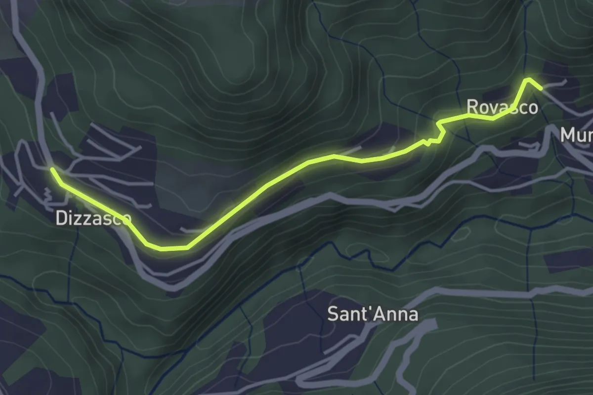
Easy · Trail
Dizzasco – Rovasco
3.6 km · ↑ 143 m · 1 h 10 min · 12 km away
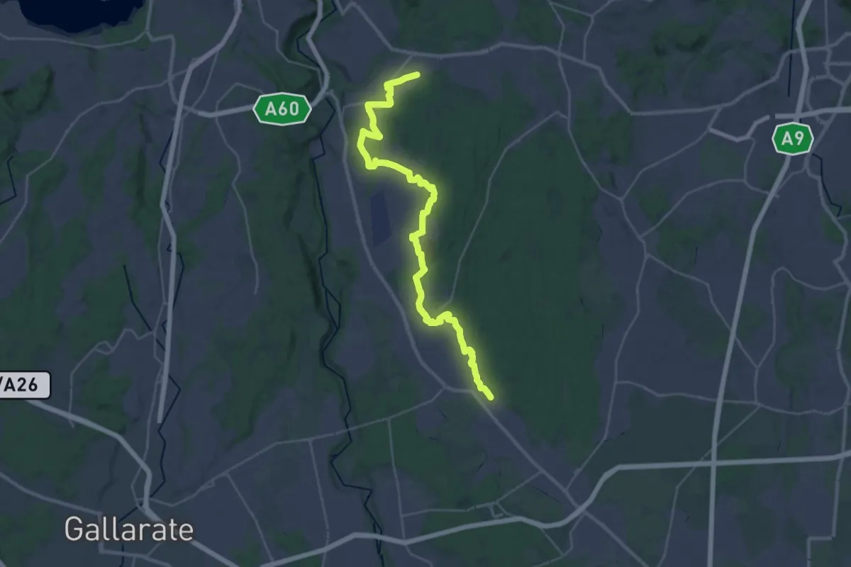
Medium · Trail
Sentiero 540LP
16.5 km · ↑ 81 m · 4 h 21 min · 12 km away
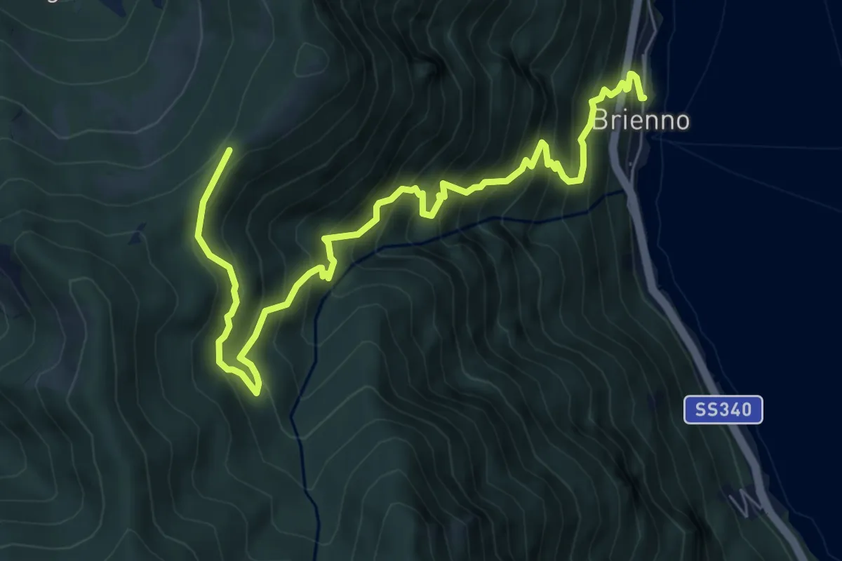
Demanding · Trail
Sentiero botanico di Brienno
8.2 km · ↑ 1026 m · 4 h 10 min · 12 km away
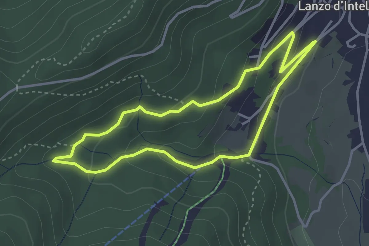
Easy · Trail
Anello Funtanin de Piasc
2.9 km · ↑ 117 m · 59 min · 12 km away
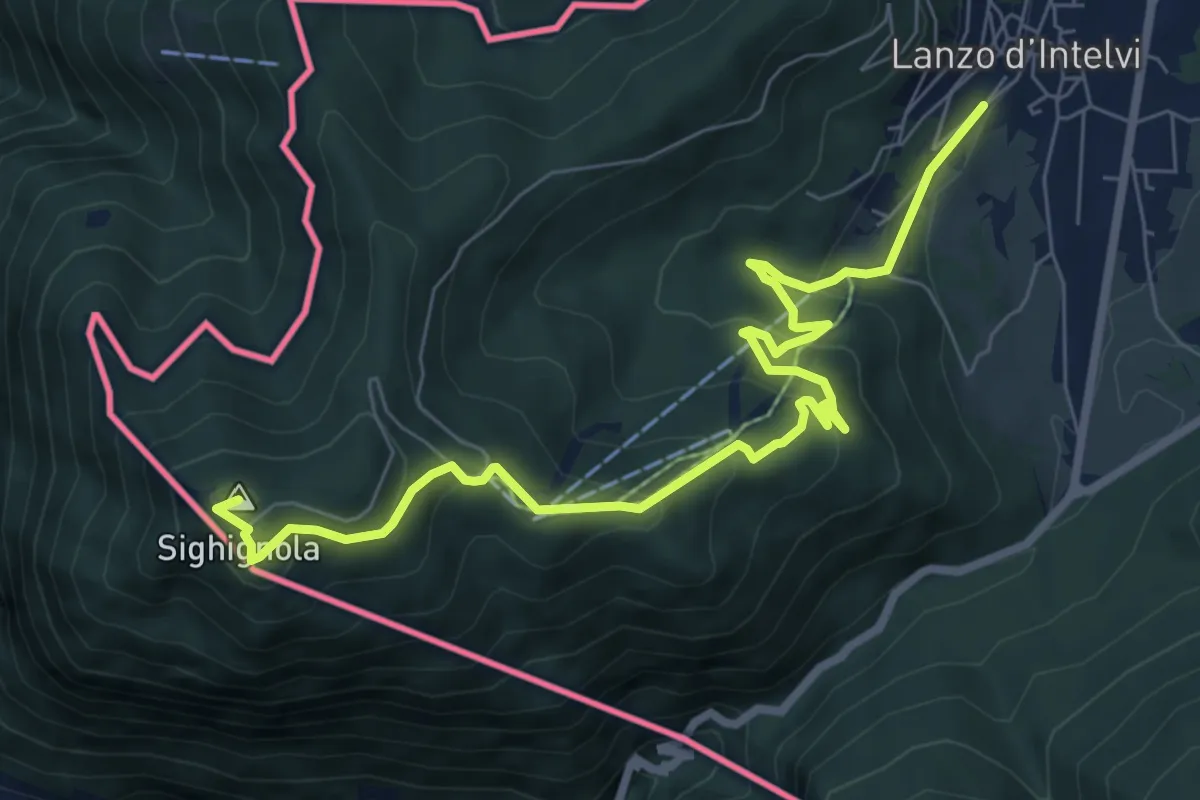
Medium · Summit
Lanzo d'Intelvi – Vetta Monte Sighignola
8.7 km · ↑ 435 m · 3 h · 12 km away
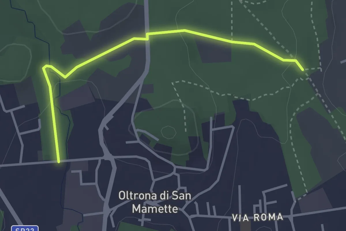
Easy · Trail
Incrocio 715B – Oltrona
3.2 km · ↑ 56 m · 52 min · 12 km away
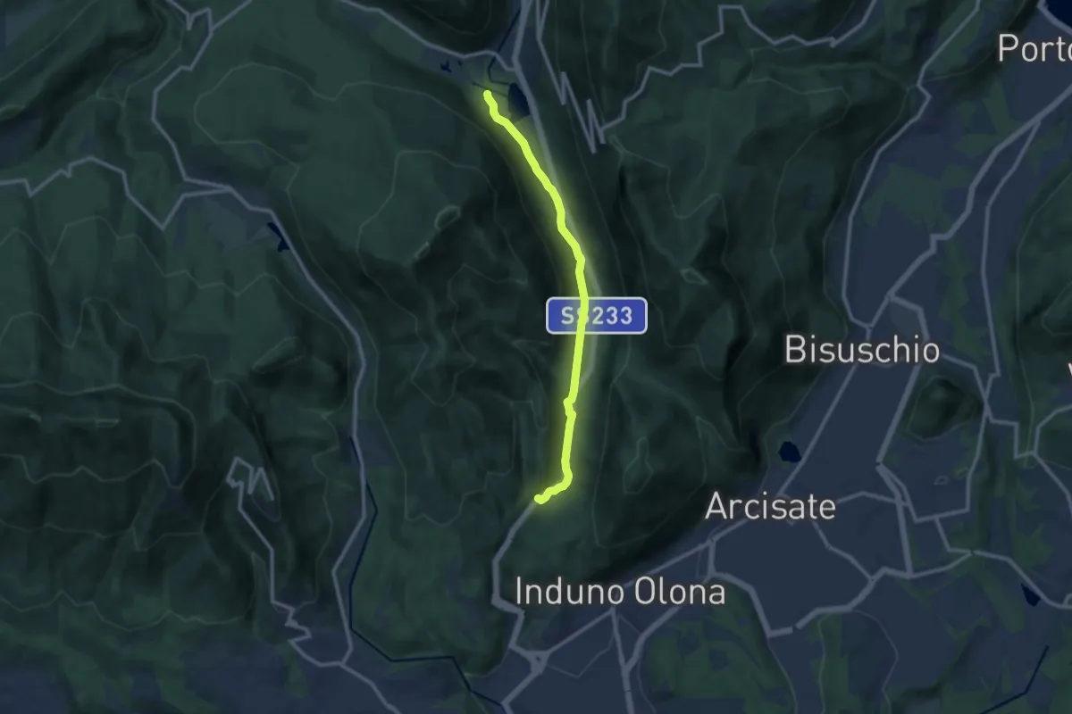
Medium · Trail
Valganna – Grotte di Valganna
9.6 km · ↑ 117 m · 2 h 31 min · 12 km away