Trails near Mendrisio
267 hikes starting within 15 km, nearest first.
Nearest first, page 5 of 6
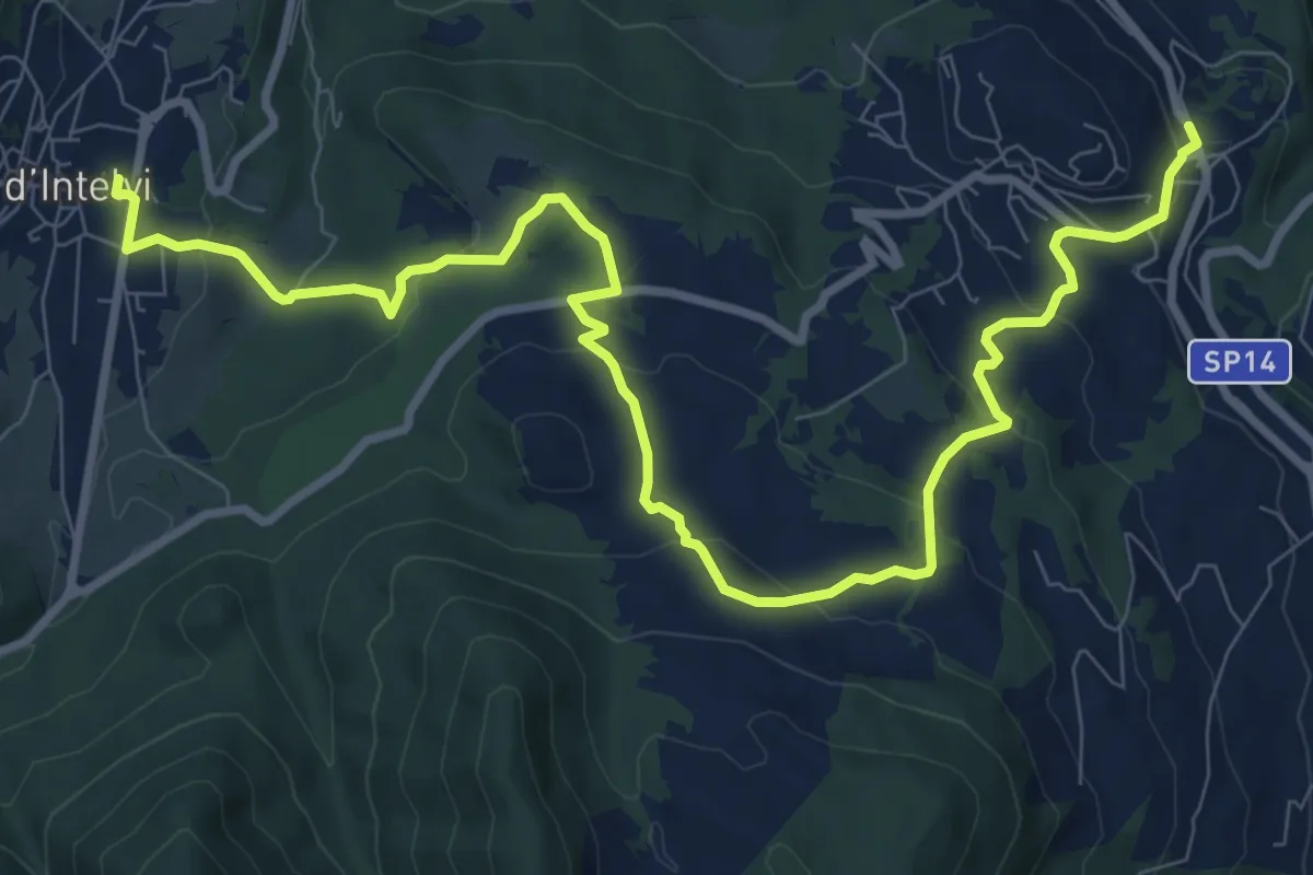
Medium · Trail
Alta Valle Intelvi, Palalanzo – Alta Valle Intelvi, fraz. Pellio sotto
12.1 km · ↑ 437 m · 3 h 49 min · 12 km away
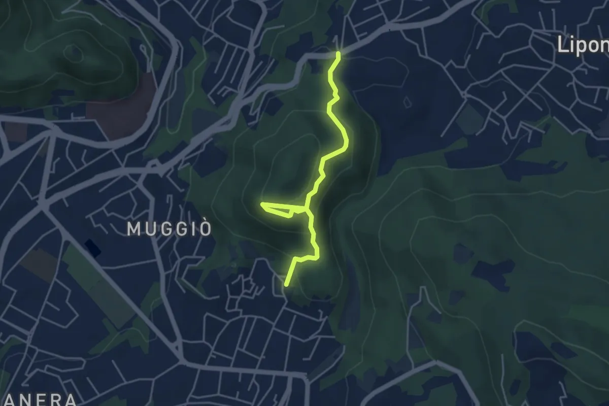
Easy · Trail
Sentiero del Monte Goj
4.1 km · ↑ 268 m · 1 h 33 min · 12 km away
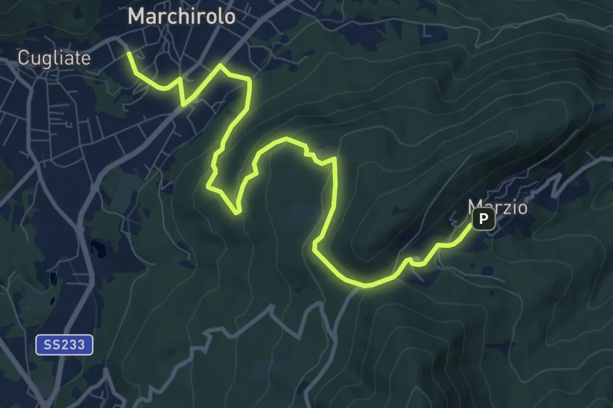
Medium · Trail
Marchirolo – Marzio
10.8 km · ↑ 456 m · 3 h 32 min · 12 km away
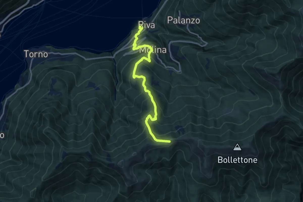
Demanding · Trail
Imbarcadero di Faggeto Lario – Bocchetta di Molina
10.0 km · ↑ 918 m · 4 h 22 min · 13 km away
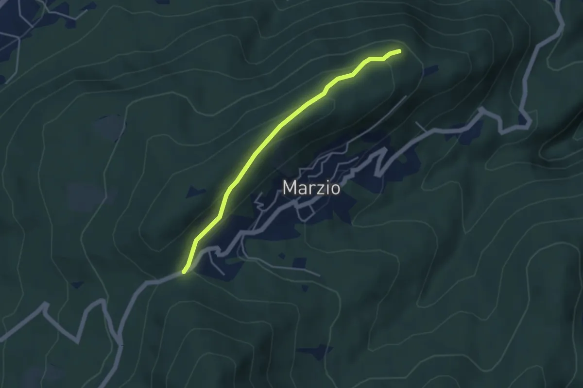
Easy · Trail
Variante Monte Marzio belvedere – Forcorella
3.6 km · ↑ 141 m · 1 h 10 min · 13 km away
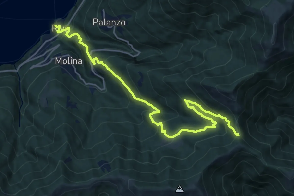
Demanding · Trail
Riva (Faggeto Lario) – Bocchetta di Lemna
14.6 km · ↑ 1011 m · 5 h 39 min · 13 km away
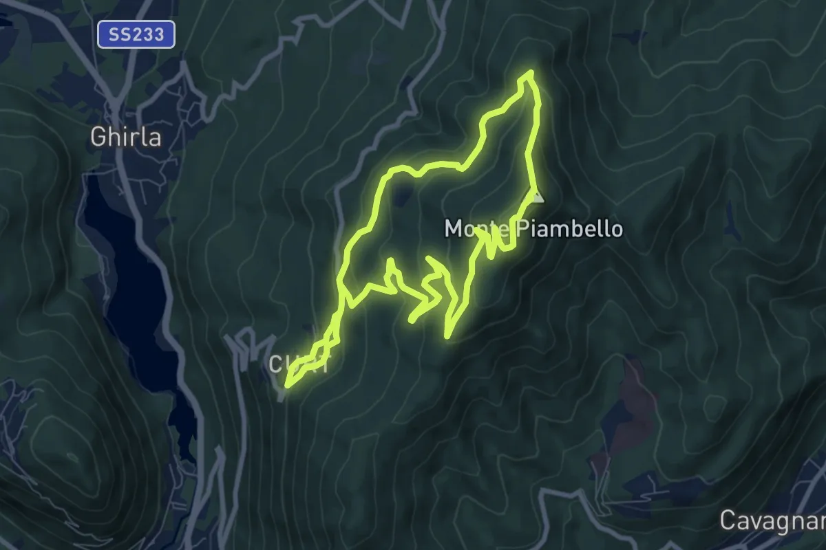
Medium · Summit
Boarezzo anello – Boarezzo
7.8 km · ↑ 425 m · 2 h 52 min · 13 km away
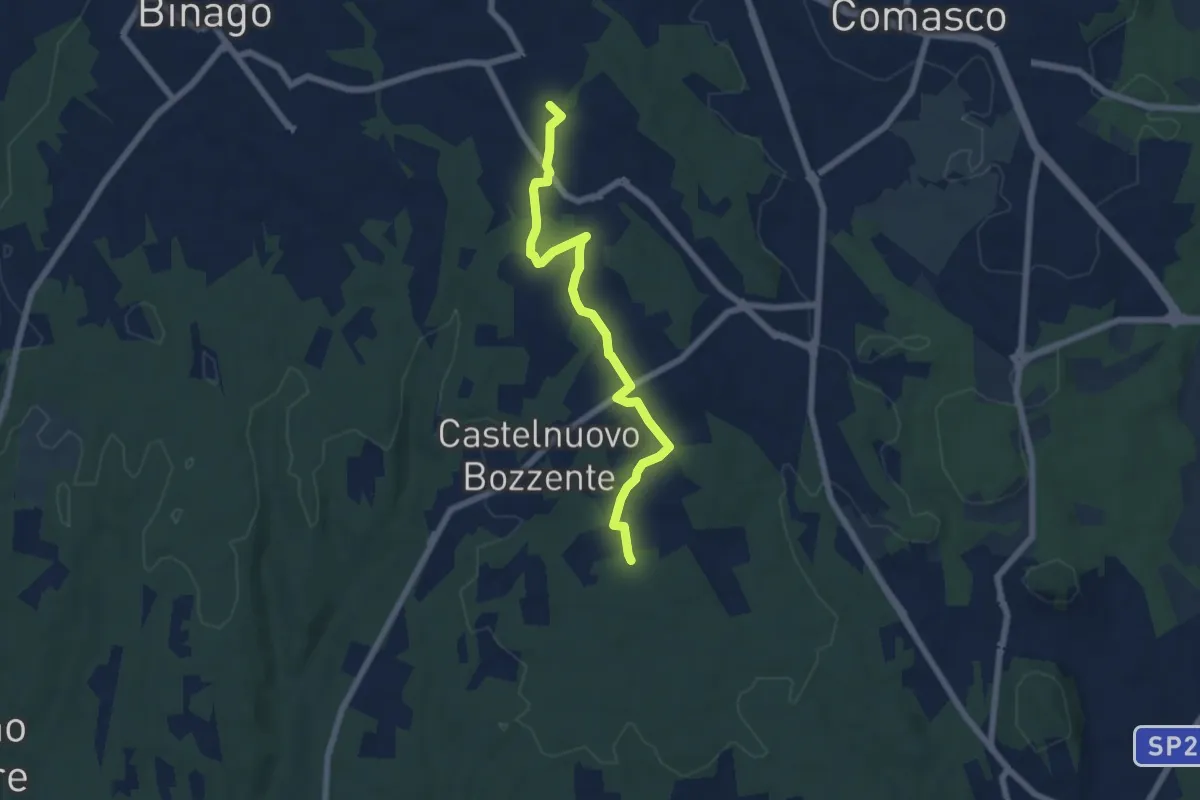
Easy · Trail
Sentiero 846B
6.5 km · ↑ 44 m · 1 h 38 min · 13 km away
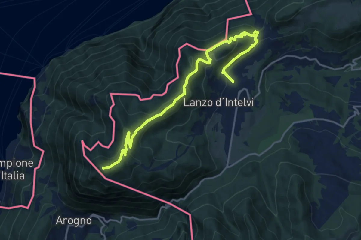
Medium · Summit
Lanzo d'Intelvi – Vetta Monte Sighignola
13.4 km · ↑ 601 m · 4 h 27 min · 13 km away
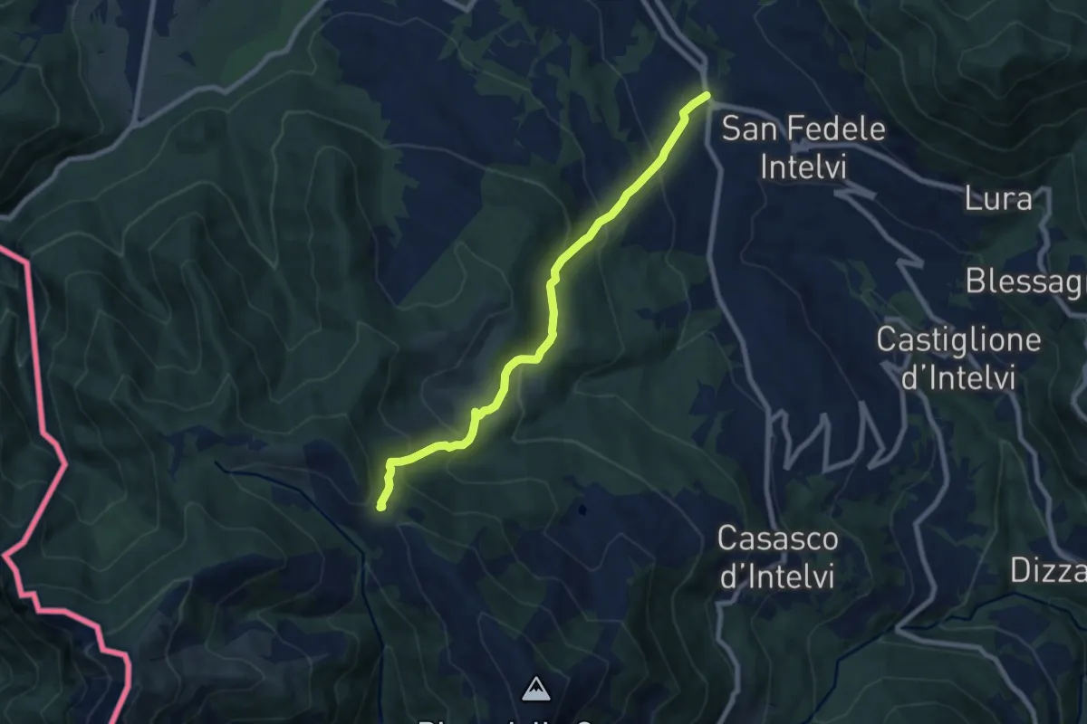
Medium · Trail
San Fedele Intelvi – Orimento
7.6 km · ↑ 560 m · 3 h 1 min · 13 km away
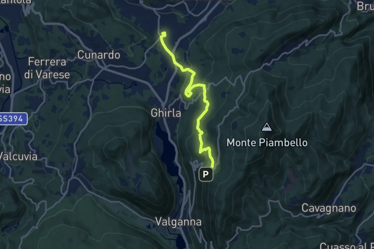
Medium · Trail
Cugliate – Boarezzo
10.9 km · ↑ 365 m · 3 h 22 min · 13 km away
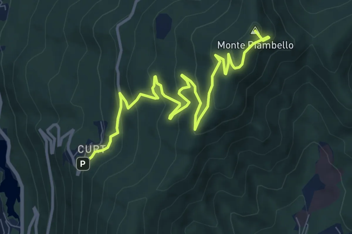
Medium · Summit
Cuasso al Monte – Boarezzo
9.5 km · ↑ 545 m · 3 h 25 min · 13 km away
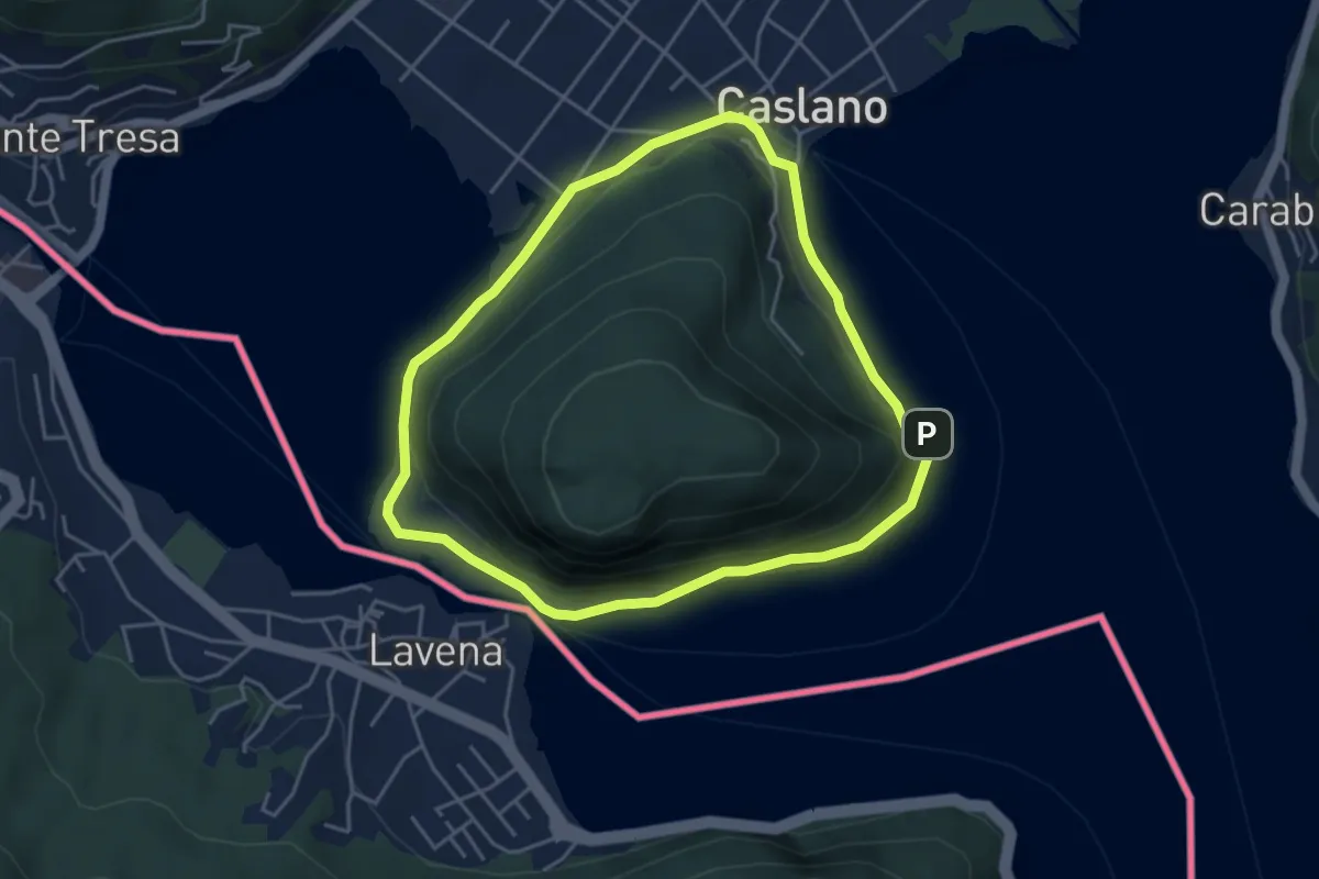
Easy · Trail
Giro/Tour Monte Caslano
4.2 km · ↑ 89 m · 1 h 15 min · 13 km away
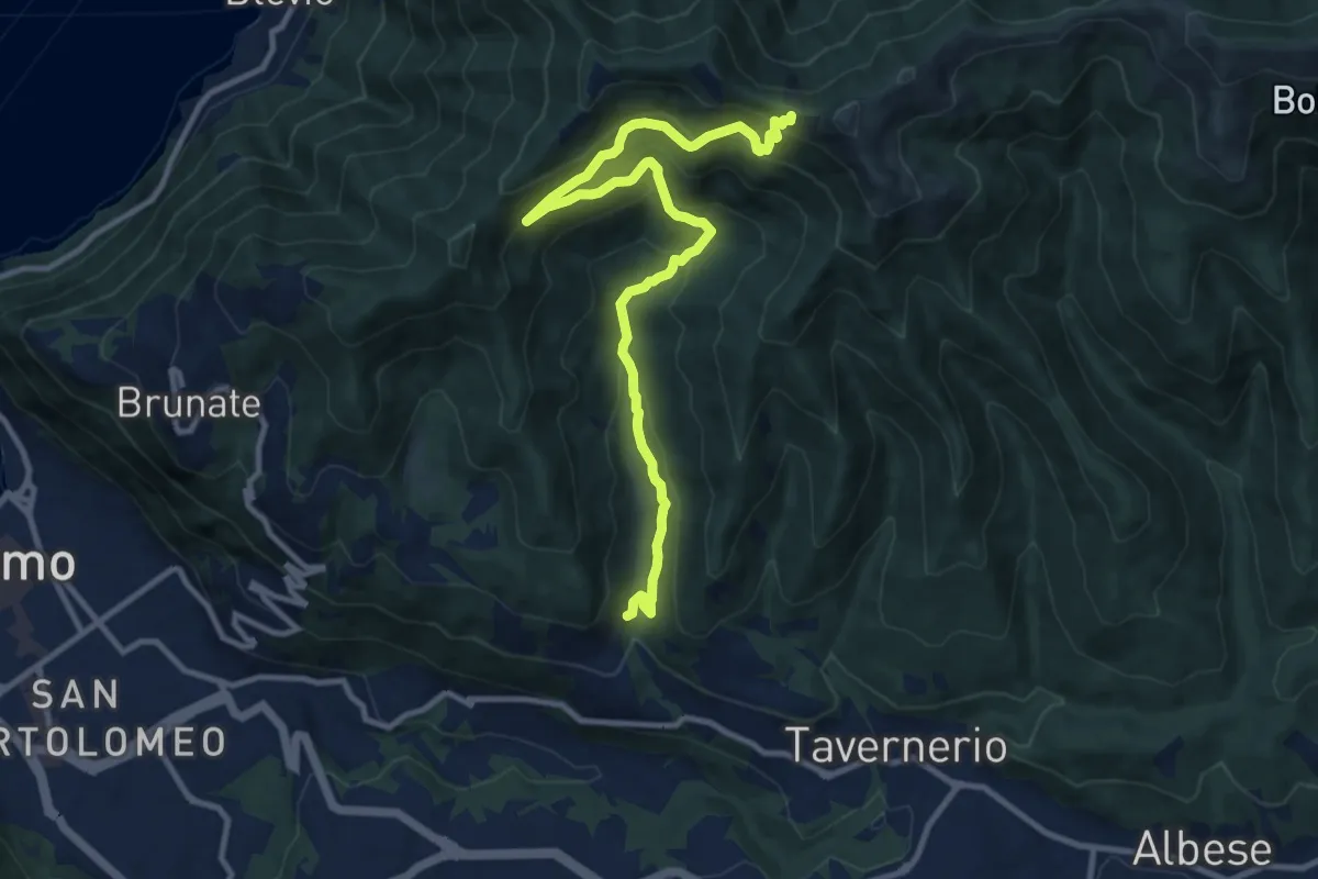
Medium · Trail
Ponzate – Baita Fabrizio
12.4 km · ↑ 721 m · 4 h 29 min · 13 km away
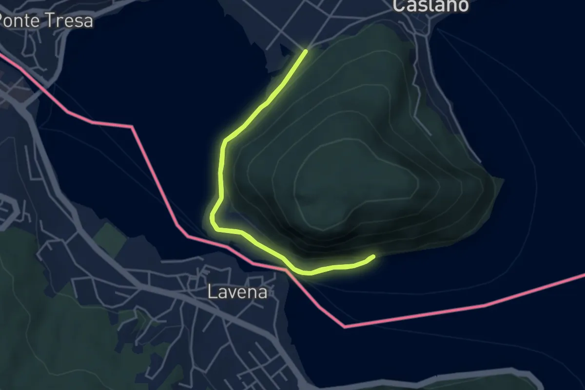
Easy · Trail
Giro lungolago atorno al monte Caslano
3.8 km · ↑ 58 m · 1 h 4 min · 13 km away
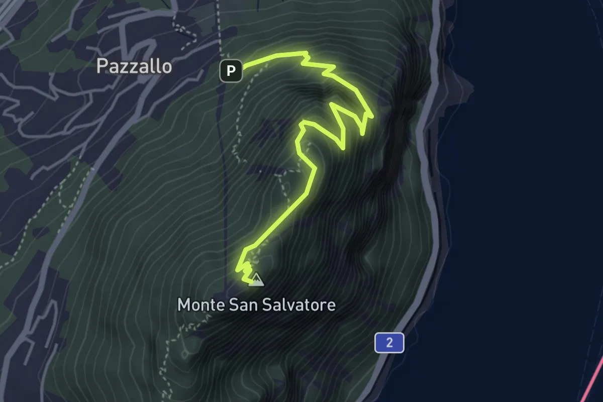
Medium · Summit
Pazzallo Statione – San Salvatore
4.2 km · ↑ 490 m · 2 h 3 min · 13 km away
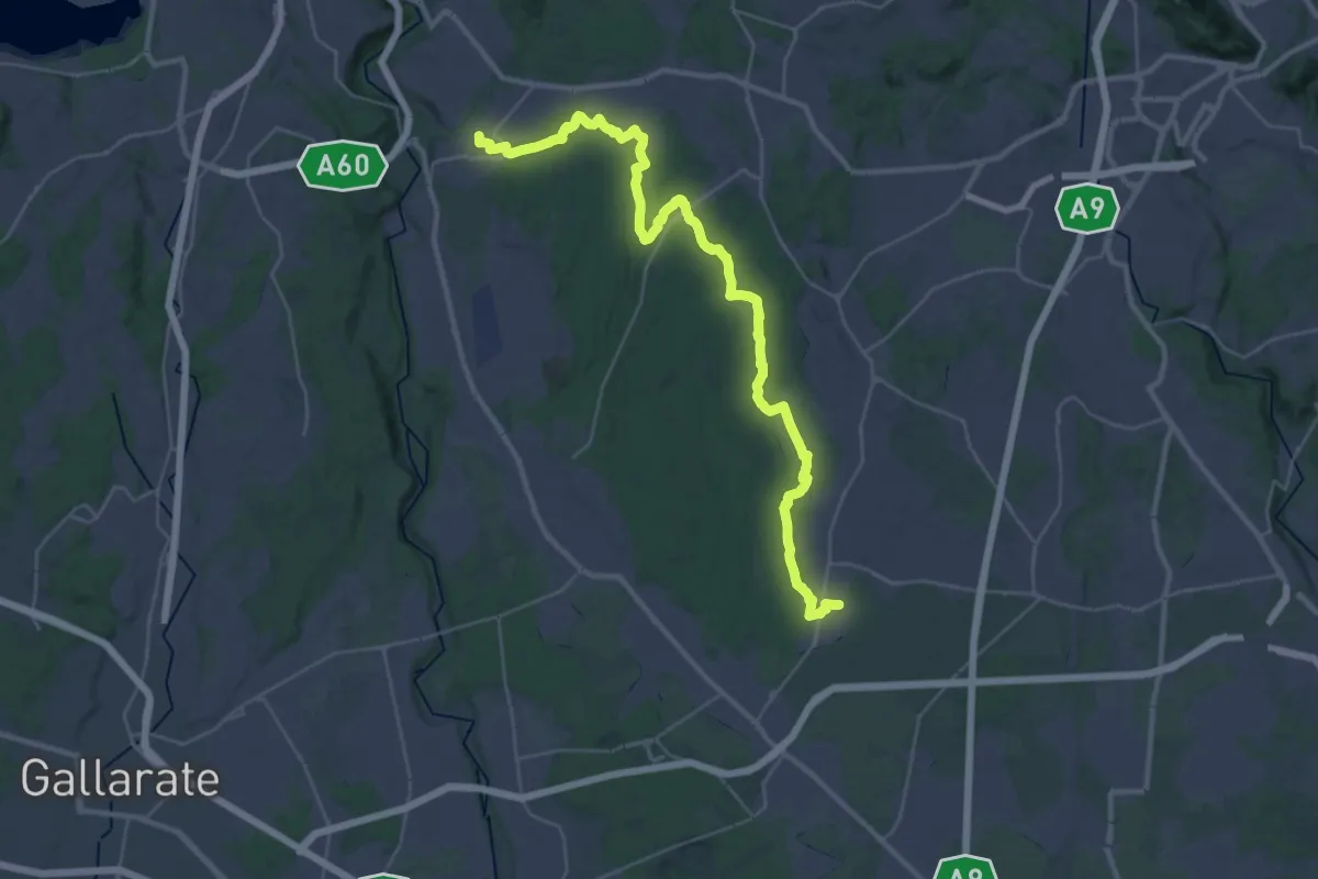
Demanding · Trail
Limido Comasco – Vedano Olona
19.7 km · ↑ 134 m · 5 h 16 min · 13 km away
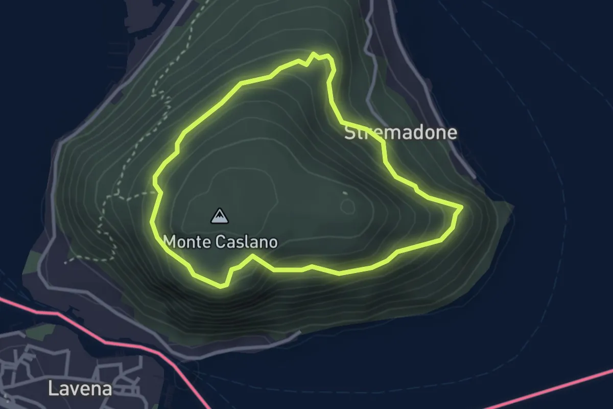
Easy · Trail
Sentiero del Castagno
2.7 km · ↑ 254 m · 1 h 14 min · 13 km away
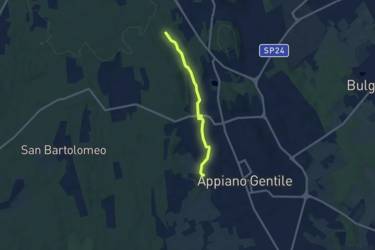
Easy · Trail
Sentiero 846C
4.9 km · ↑ 81 m · 1 h 20 min · 13 km away
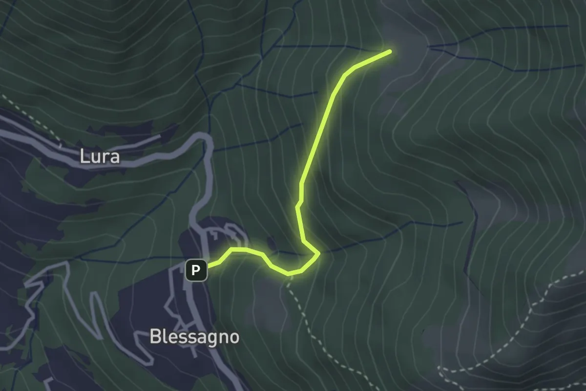
Easy · Cabin
Blessagno – Alpe di Blessagno
2.3 km · ↑ 267 m · 1 h 7 min · 13 km away
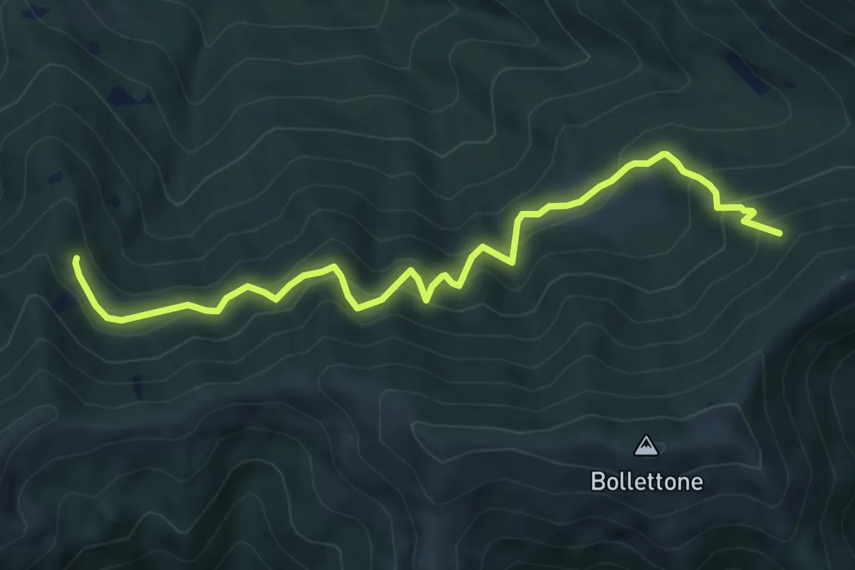
Expert · Trail
Pian Dürac (Faggeto Lario) – Innesto sentiero dei faggi
7.1 km · ↑ 617 m · 3 h · 13 km away
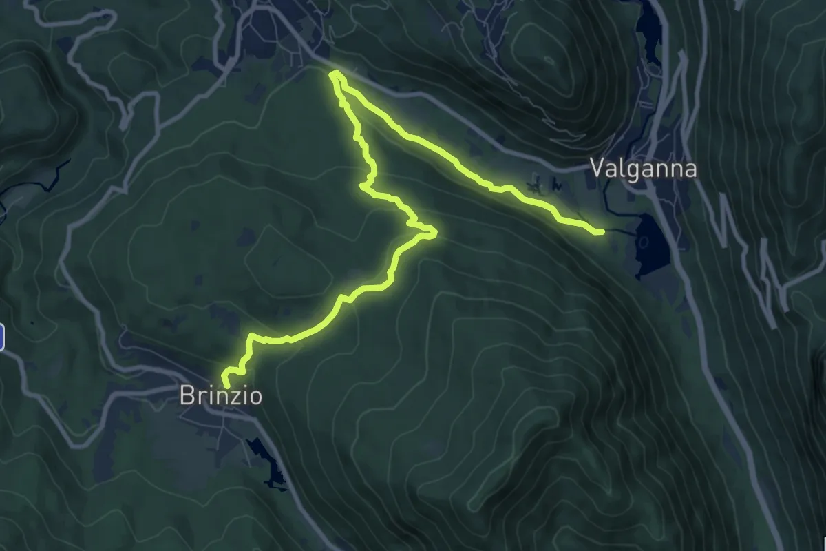
Medium · Trail
Brinzio – Valganna
11.4 km · ↑ 409 m · 3 h 34 min · 13 km away
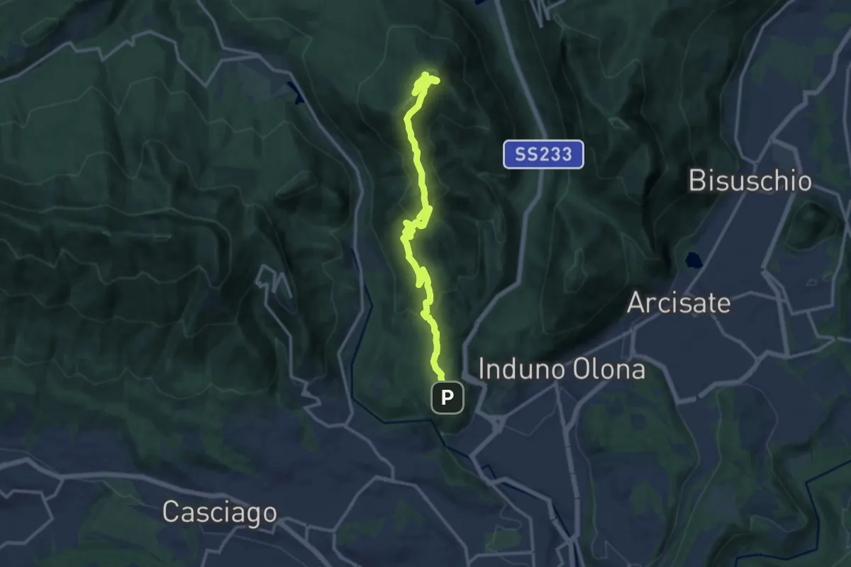
Medium · Summit
Bregazzana - Monte Martica
13.7 km · ↑ 692 m · 4 h 44 min · 13 km away
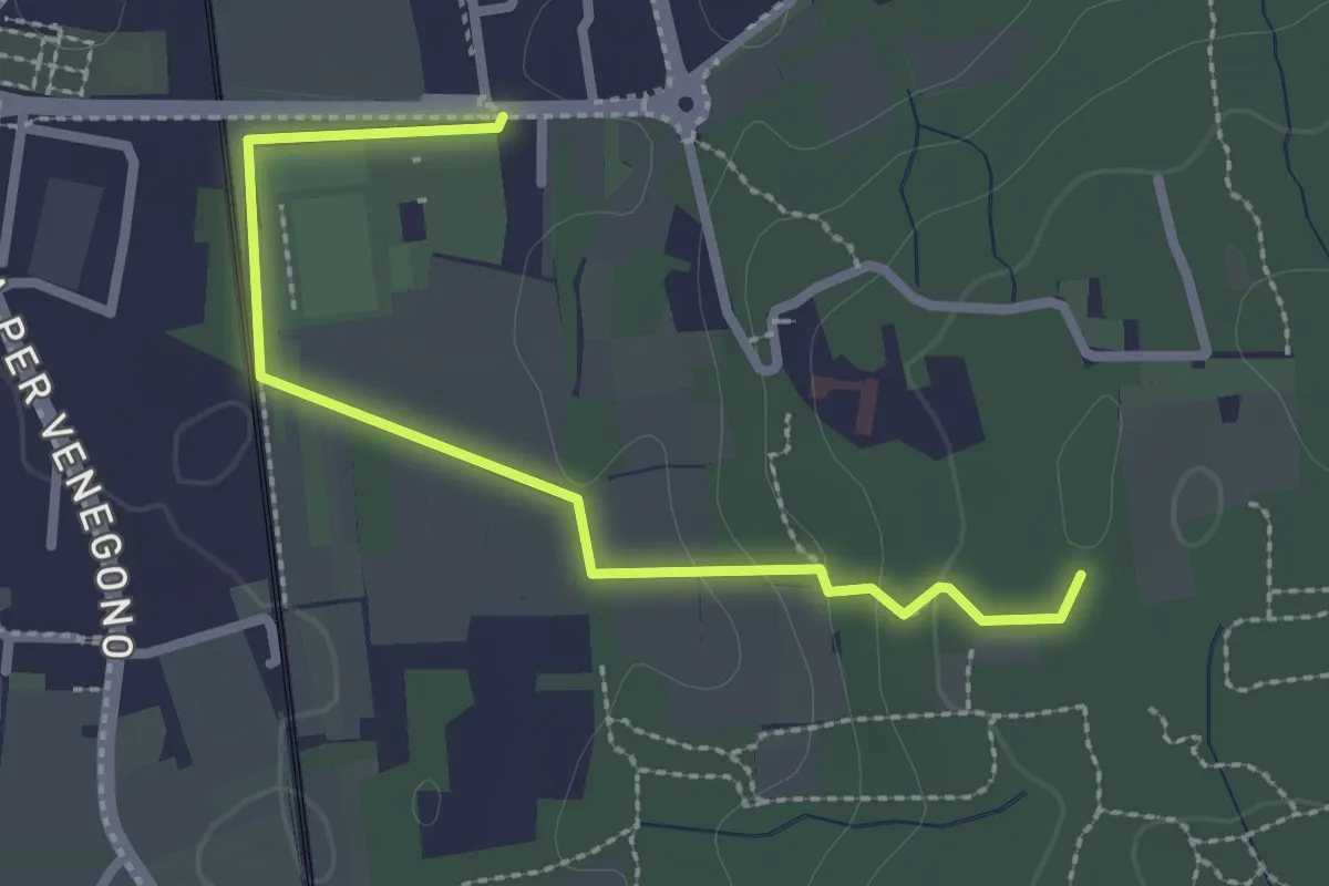
Easy · Trail
Vedano Olona – Innesto su sentiero 540
2.7 km · ↑ 58 m · 46 min · 13 km away
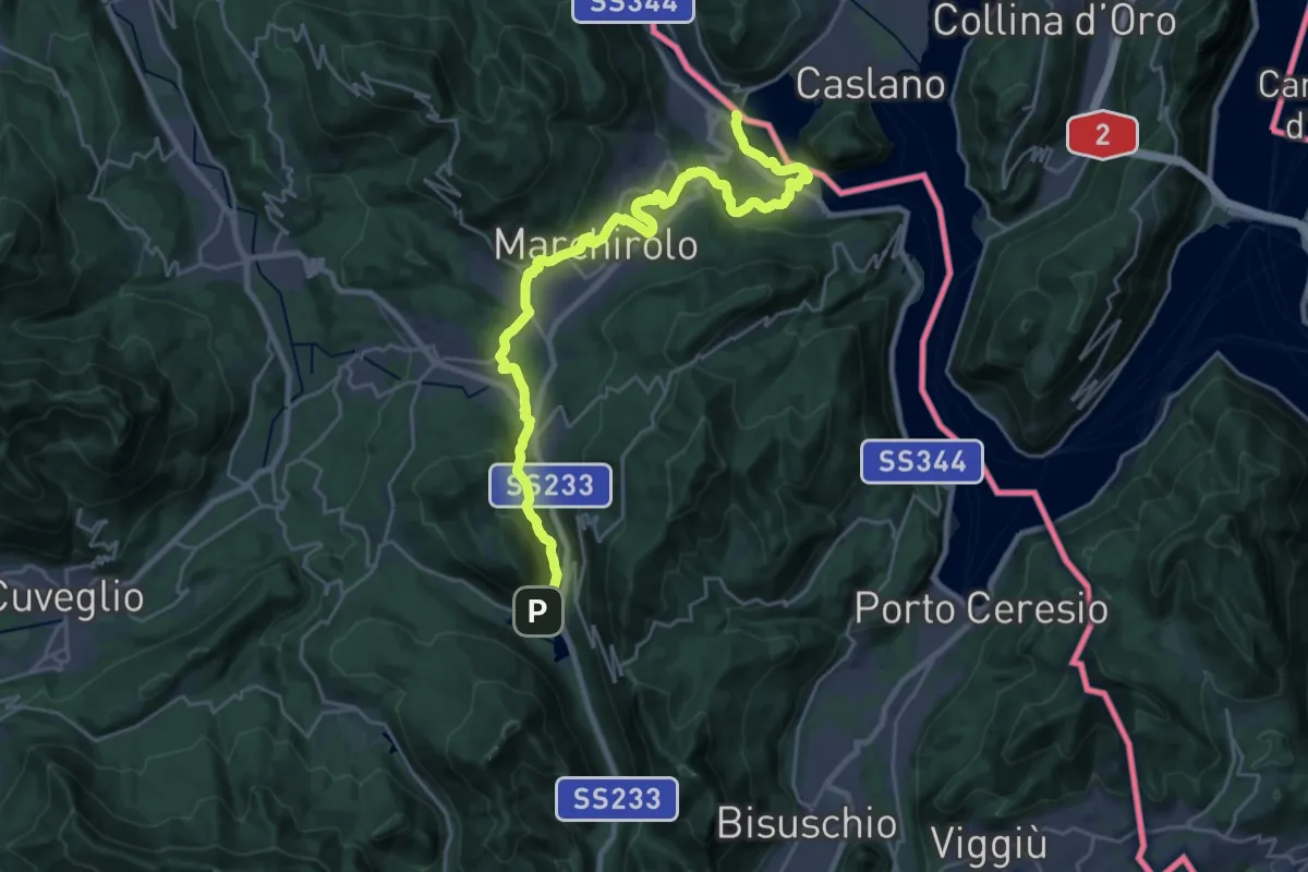
Demanding · Trail
Via Francisca del Lucomagno: Tappa 1
28.2 km · ↑ 503 m · 7 h 45 min · 13 km away
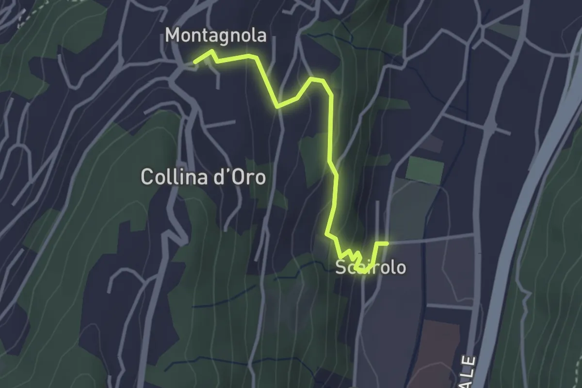
Easy · Trail
Scairolo - Montagnola
2.8 km · ↑ 163 m · 1 h 1 min · 14 km away
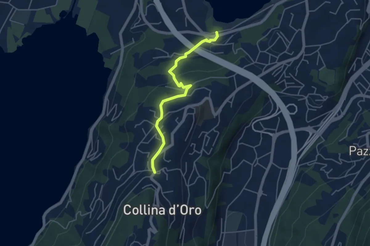
Easy · Trail
Montagnola – Lago di Muzzano
3.9 km · ↑ 125 m · 1 h 11 min · 14 km away
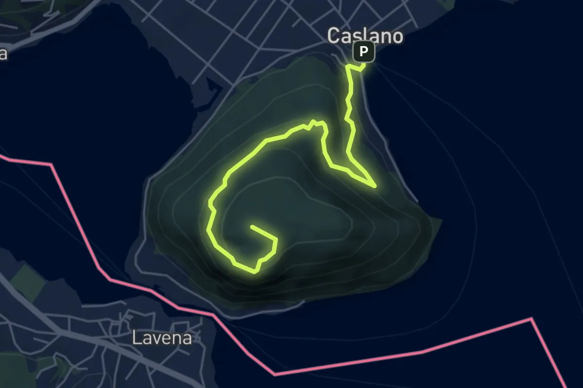
Medium · Summit
Caslano - Monte Caslano
5.4 km · ↑ 331 m · 1 h 59 min · 14 km away
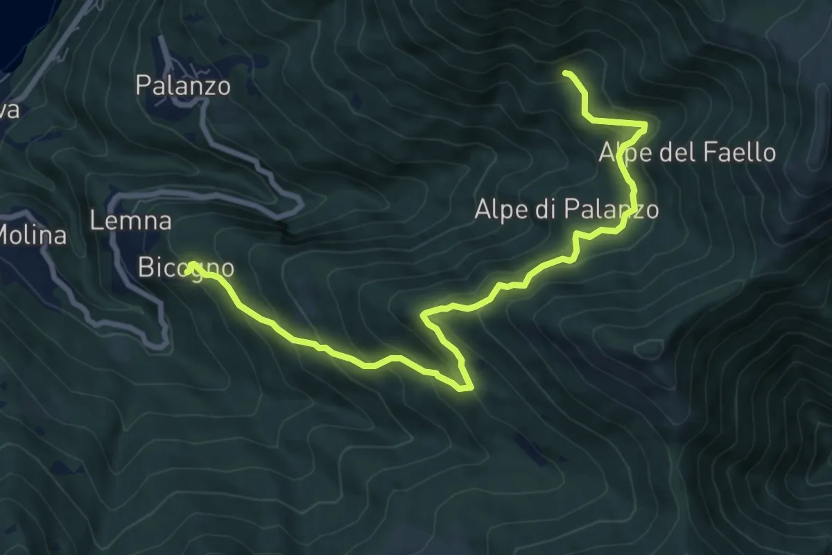
Medium · Trail
Bicogno – Alpe di Palanzo
8.7 km · ↑ 642 m · 3 h 27 min · 14 km away
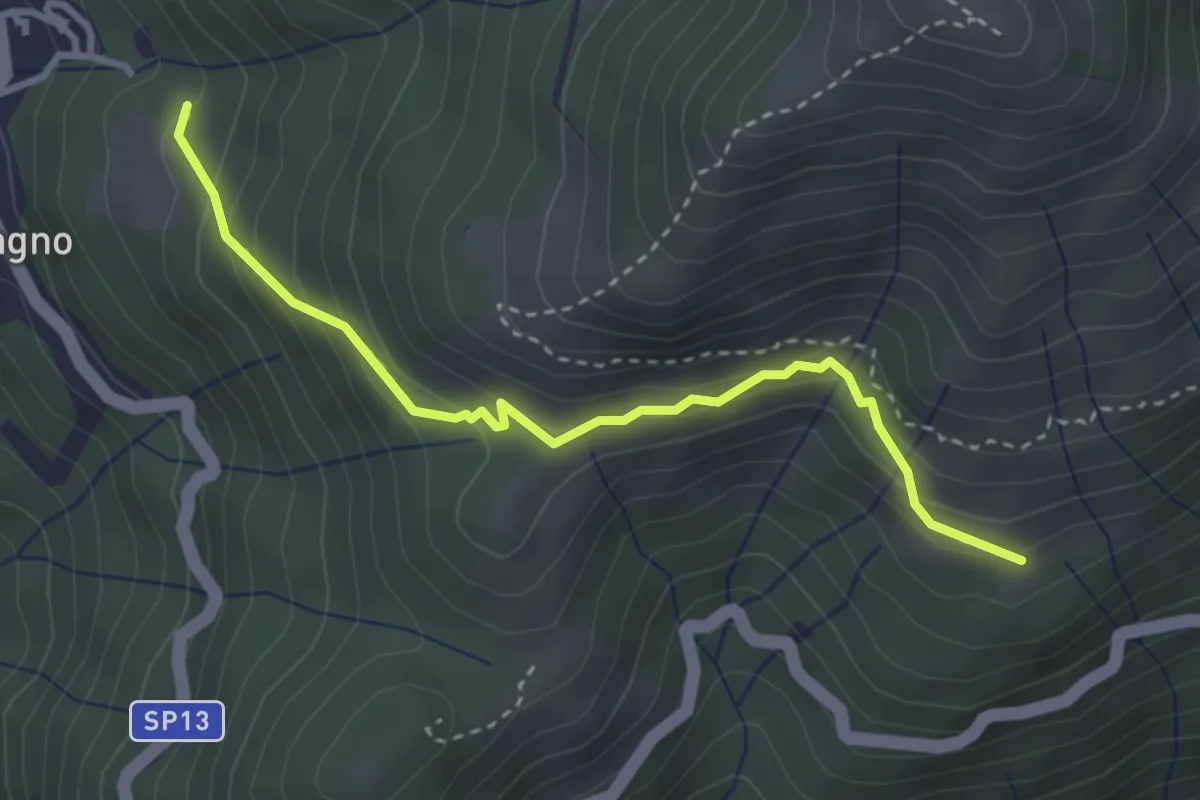
Expert · Trail
Blessagno Mulattiera Pianeria Tapascion
3.3 km · ↑ 237 m · 1 h 18 min · 14 km away
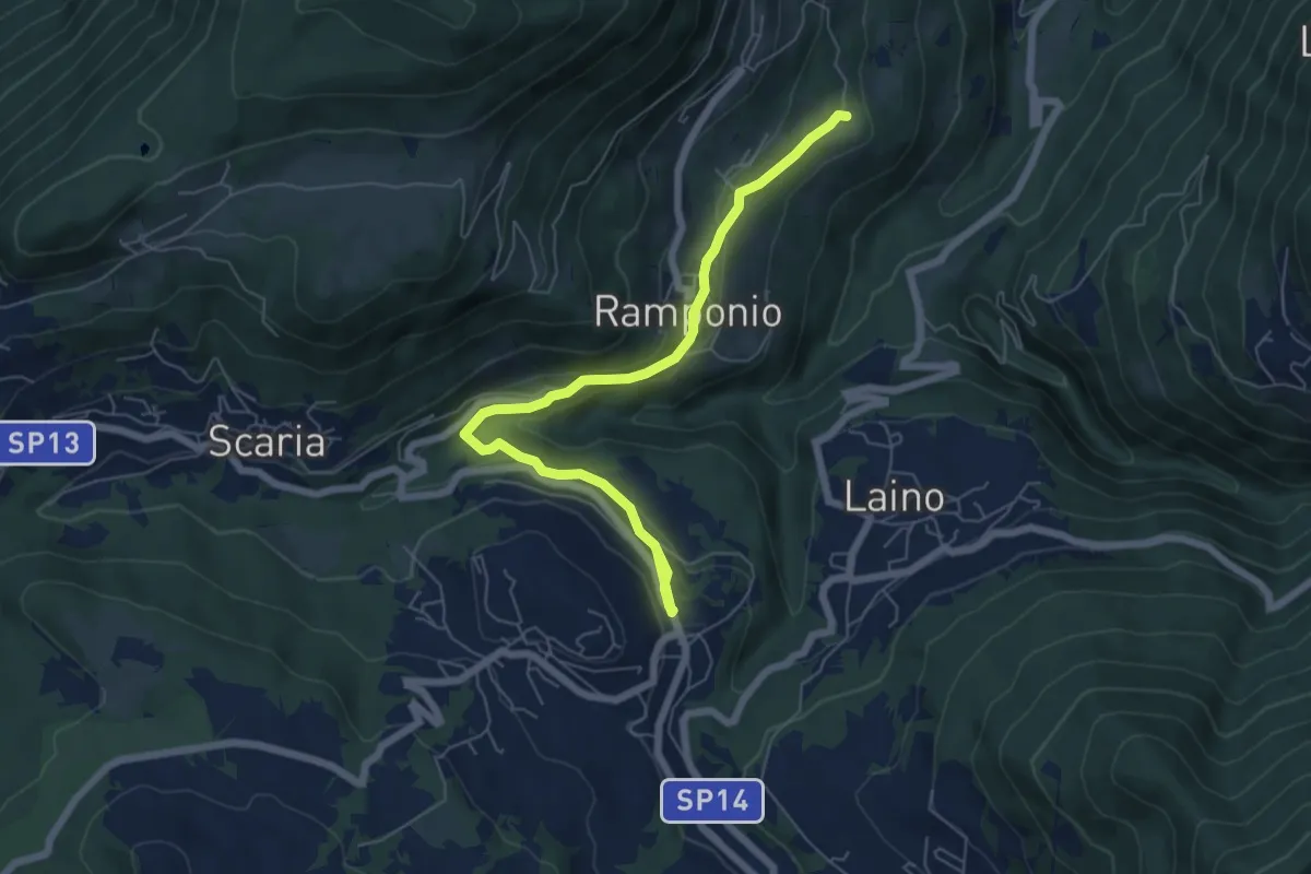
Easy · Trail
Ramponio San Pancrazio incrocio sentiero 815 – Pellio Inferiore, inizio sentiero 947
6.8 km · ↑ 211 m · 2 h 3 min · 14 km away
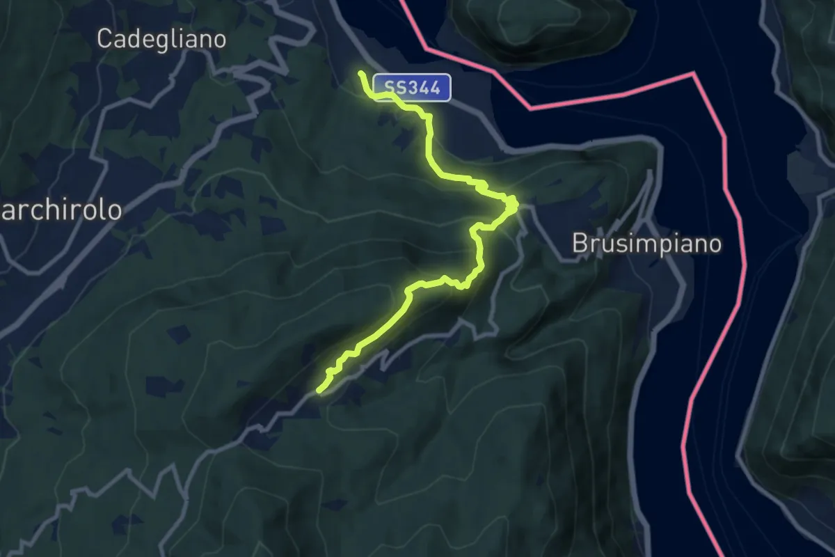
Medium · Trail
Lavena Ponte tresa – Marzio
9.1 km · ↑ 570 m · 3 h 23 min · 14 km away
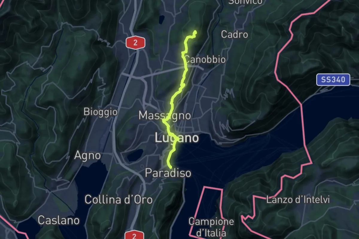
Medium · Summit
ViaGottardo
16.5 km · ↑ 452 m · 4 h 53 min · 14 km away
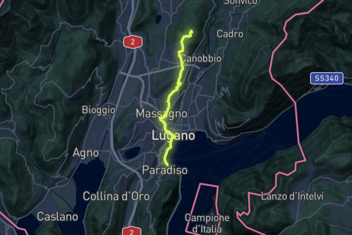
Medium · Summit
Trans Swiss Trail
16.5 km · ↑ 452 m · 4 h 53 min · 14 km away
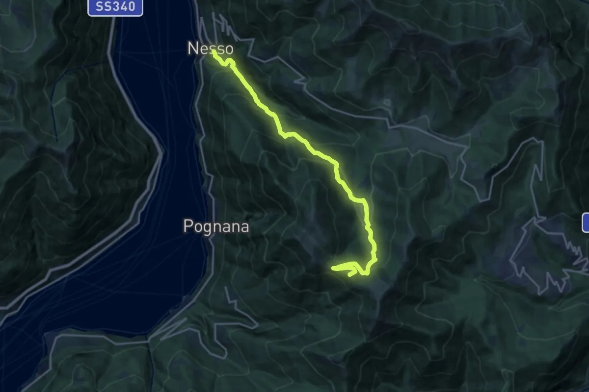
Demanding · Summit
Nesso – Monte Palanzone
16.2 km · ↑ 1157 m · 6 h 20 min · 14 km away
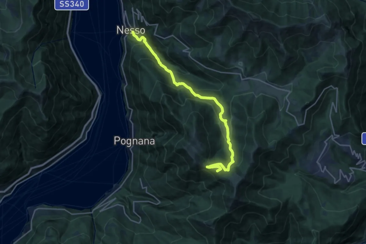
Demanding · Summit
Nesso – Monte Palanzone
16.5 km · ↑ 1052 m · 6 h 11 min · 14 km away
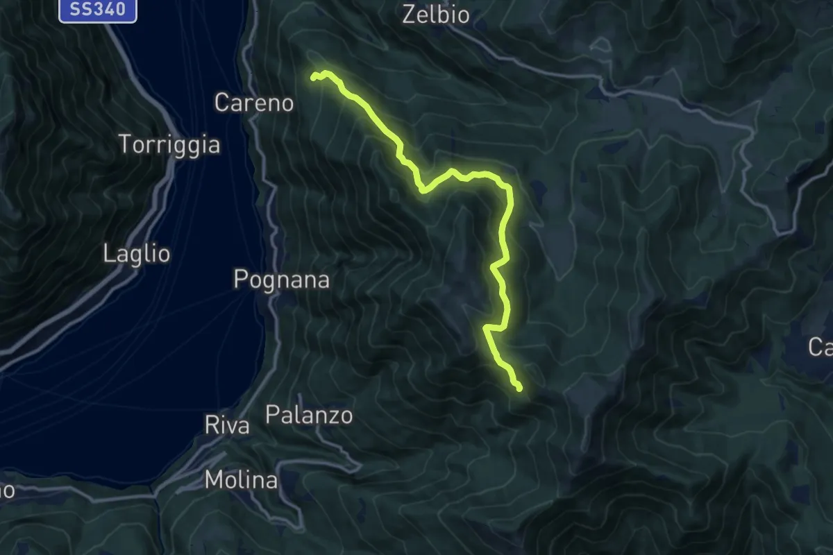
Demanding · Trail
Monte Palanzone – Bocchetta di Sciff
11.5 km · ↑ 986 m · 4 h 51 min · 14 km away
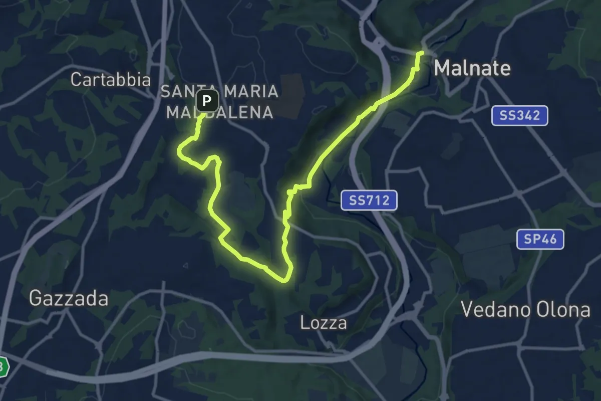
Medium · Trail
Varese - via S.M. Maddalena – Folla di Malnate
13.1 km · ↑ 285 m · 3 h 42 min · 14 km away
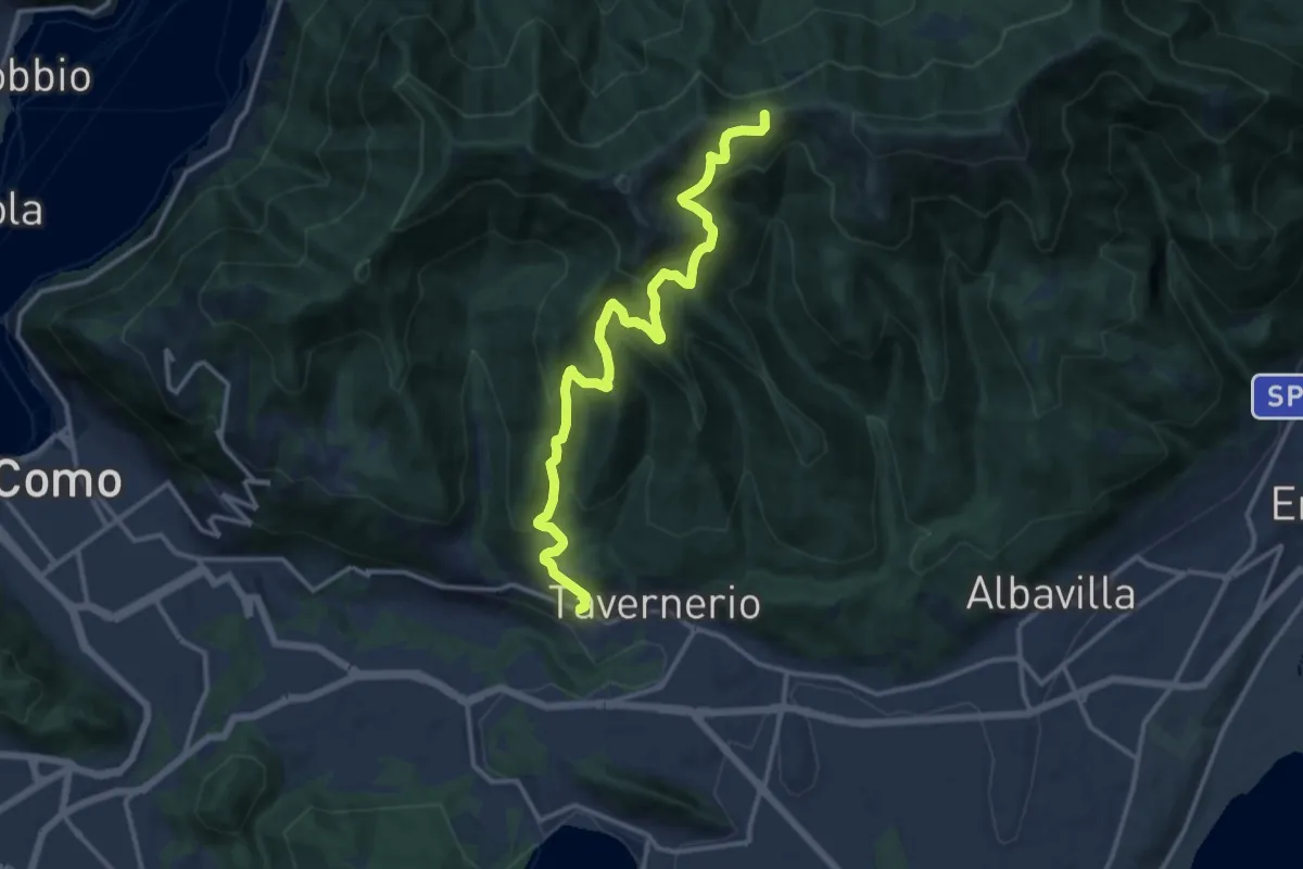
Demanding · Trail
Via Cesare Battisti (Solzago) – Incrocio Sentiero 300 V - Sentiero 363
14.2 km · ↑ 910 m · 5 h 20 min · 14 km away
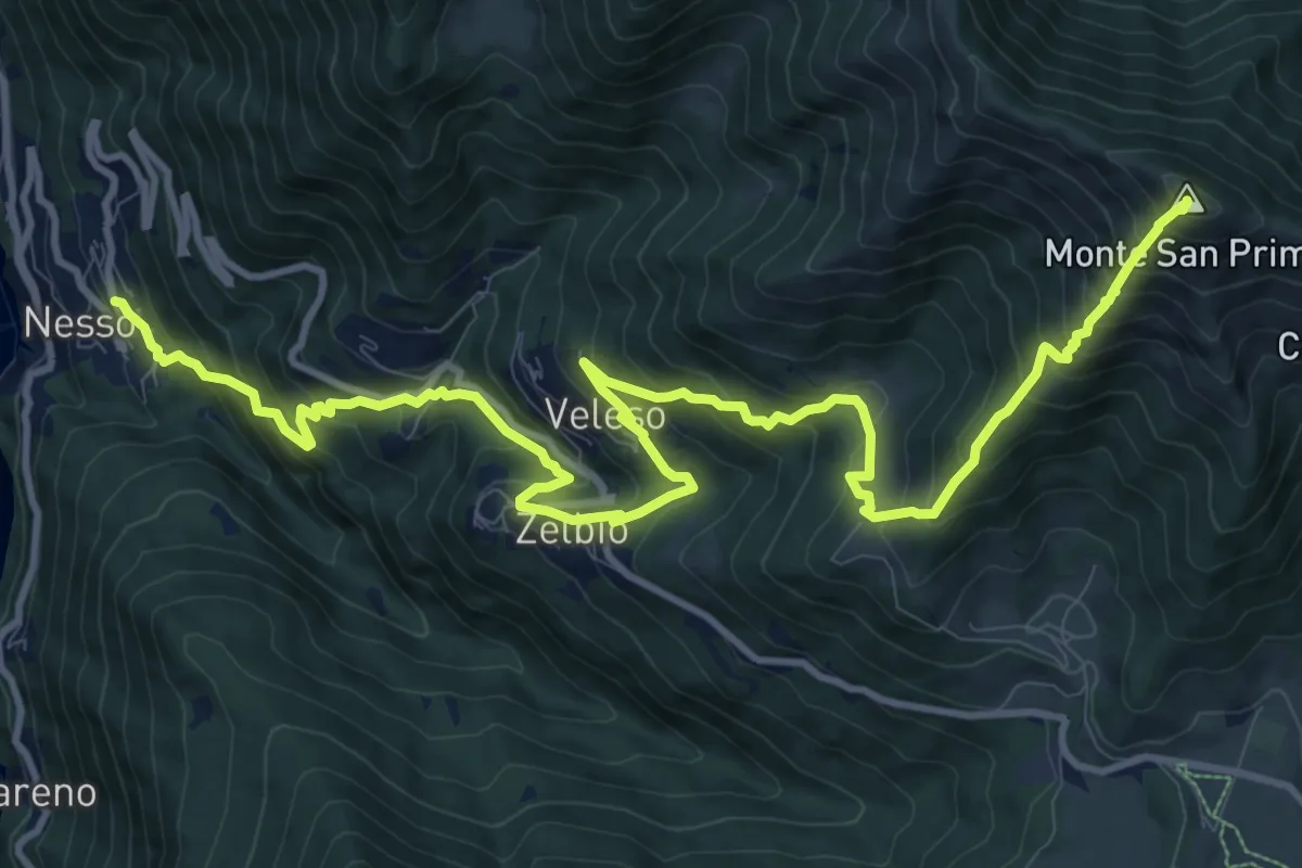
Demanding · Summit
Nesso – Monte San Primo
15.3 km · ↑ 1369 m · 6 h 35 min · 14 km away
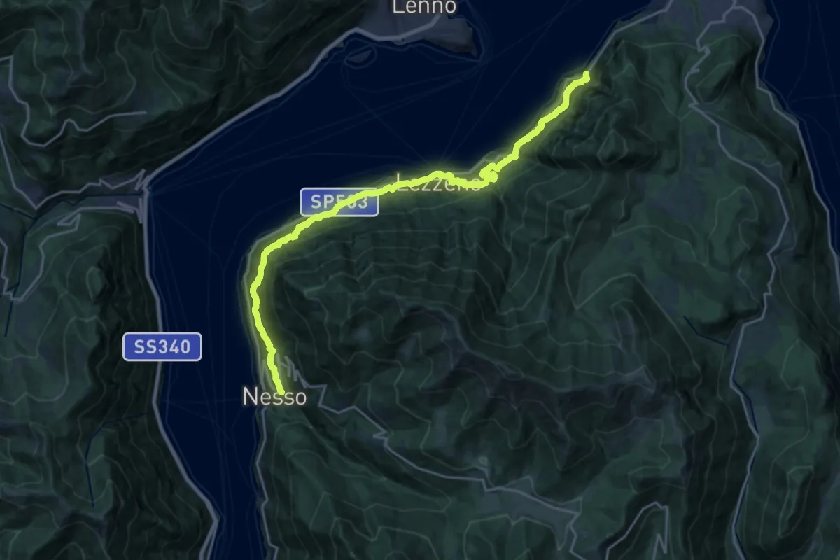
Medium · Trail
Nesso – Ponte del Diavolo (Bellagio)
10.8 km · ↑ 630 m · 4 h 8 min · 14 km away
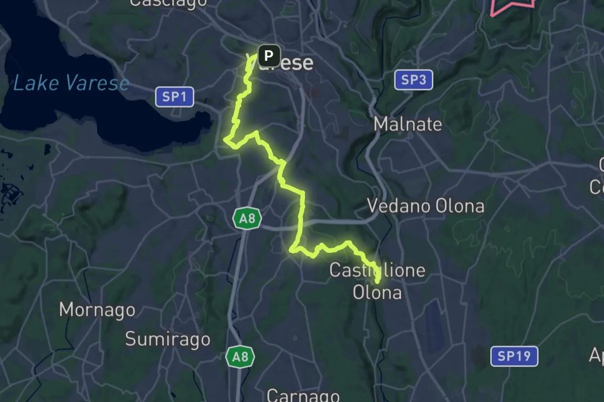
Medium · Trail
Via Francisca del Lucomagno: Tappa 3
14.5 km · ↑ 239 m · 4 h 11 min · 14 km away
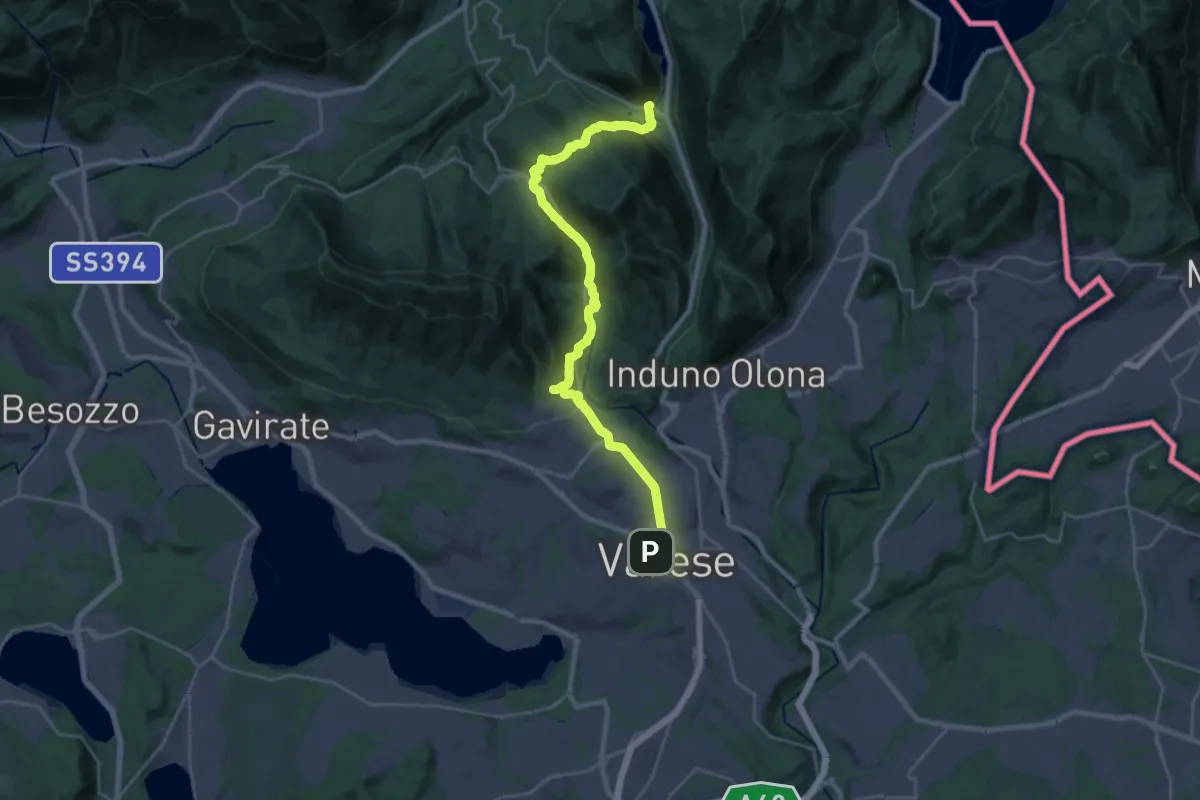
Demanding · Trail
Via Francisca del Lucomagno: Tappa 2
14.7 km · ↑ 465 m · 4 h 38 min · 14 km away
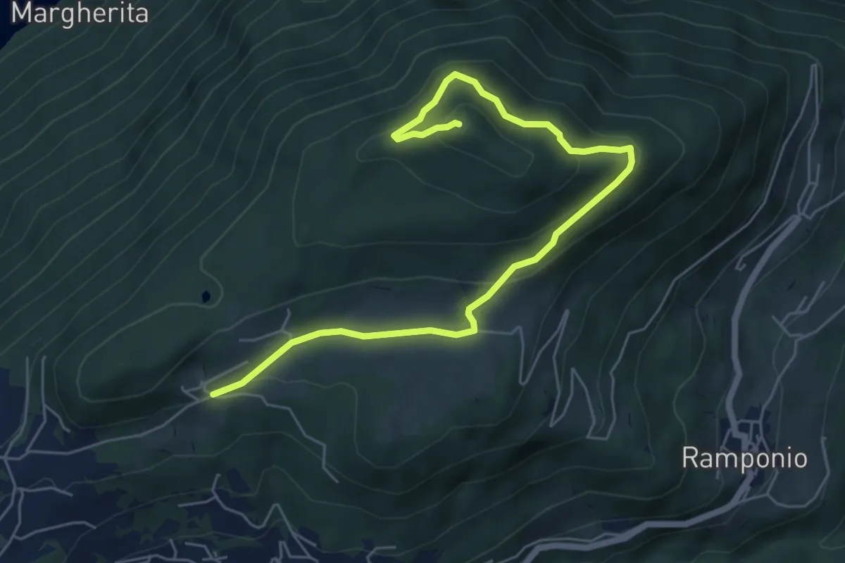
Medium · Summit
Parcheggio Clinica COF-Cascina Bortoletto – Monte Pinzernone
6.7 km · ↑ 335 m · 2 h 18 min · 14 km away
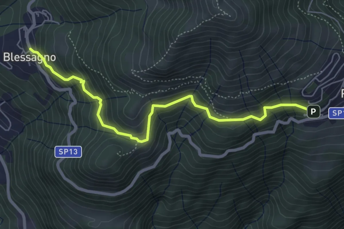
Medium · Trail
Mulattiera Pigra - Blessagno
5.6 km · ↑ 465 m · 2 h 20 min · 14 km away
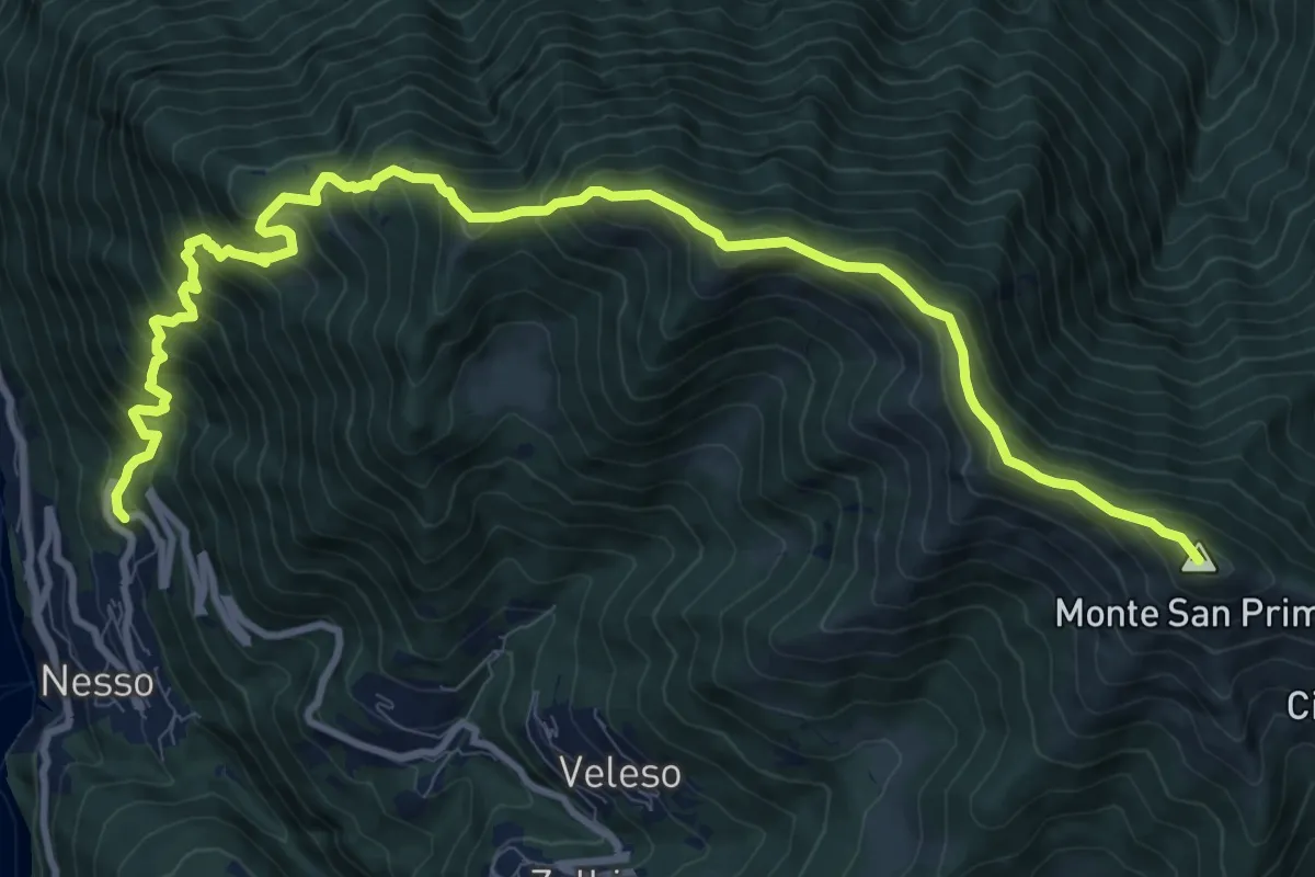
Demanding · Summit
Nesso – Monte San Primo
13.2 km · ↑ 1364 m · 6 h 5 min · 14 km away
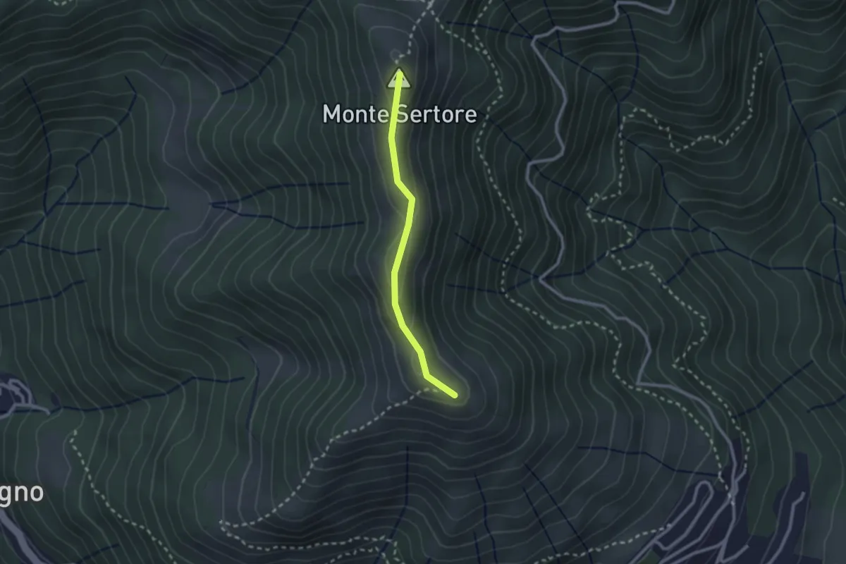
Easy · Summit
Bocchetta di Pigra – Pizzo Pasquella
2.1 km · ↑ 71 m · 39 min · 14 km away
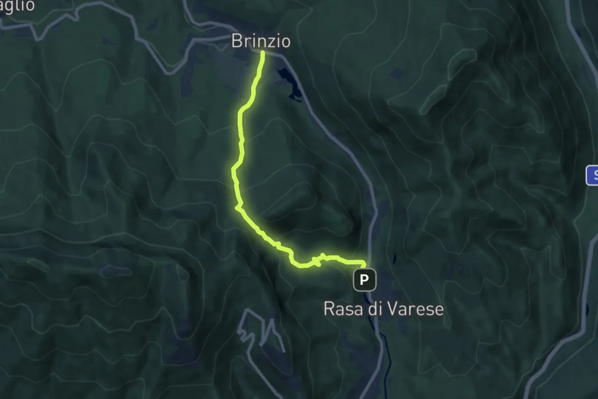
Medium · Trail
Brinzio (Via Piave) – Rasa di Varese
7.3 km · ↑ 476 m · 2 h 46 min · 14 km away