Trails near Mendrisio
267 hikes starting within 15 km, nearest first.
Nearest first, page 6 of 6
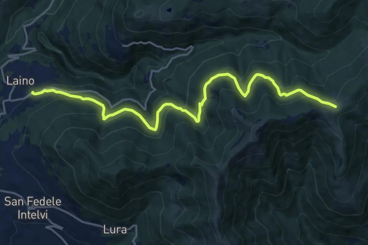
Demanding · Trail
Laino – Bocchetta di Colonno
13.1 km · ↑ 804 m · 4 h 50 min · 14 km away
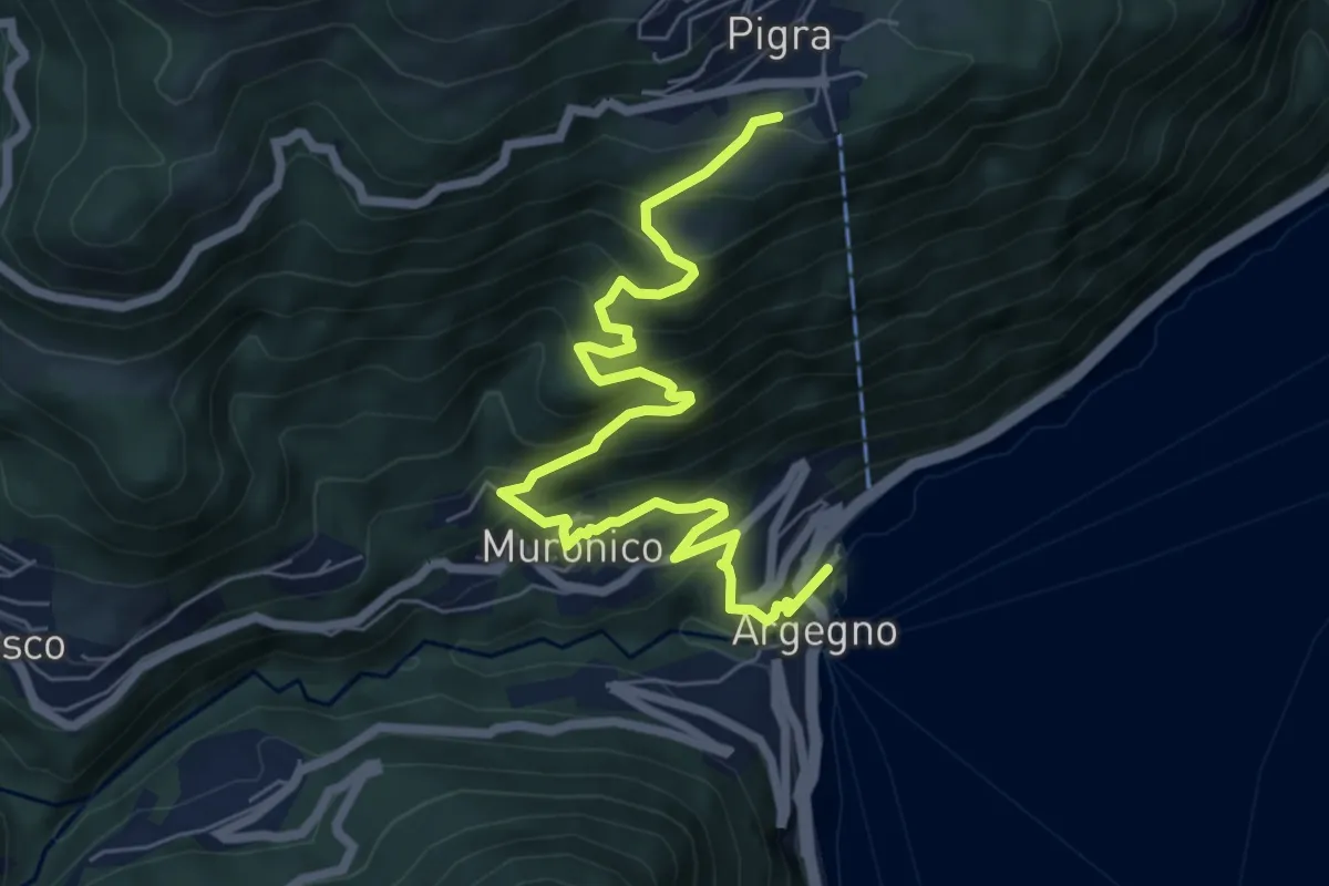
Medium · Trail
Pigra (chiesa) – Argegno (parcheggio chiesa)
7.8 km · ↑ 689 m · 3 h 20 min · 14 km away
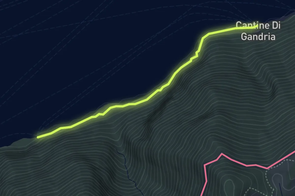
Easy · Trail
Grotto dei Prescatori – Cantine di Gandria
4.4 km · ↑ 187 m · 1 h 26 min · 14 km away
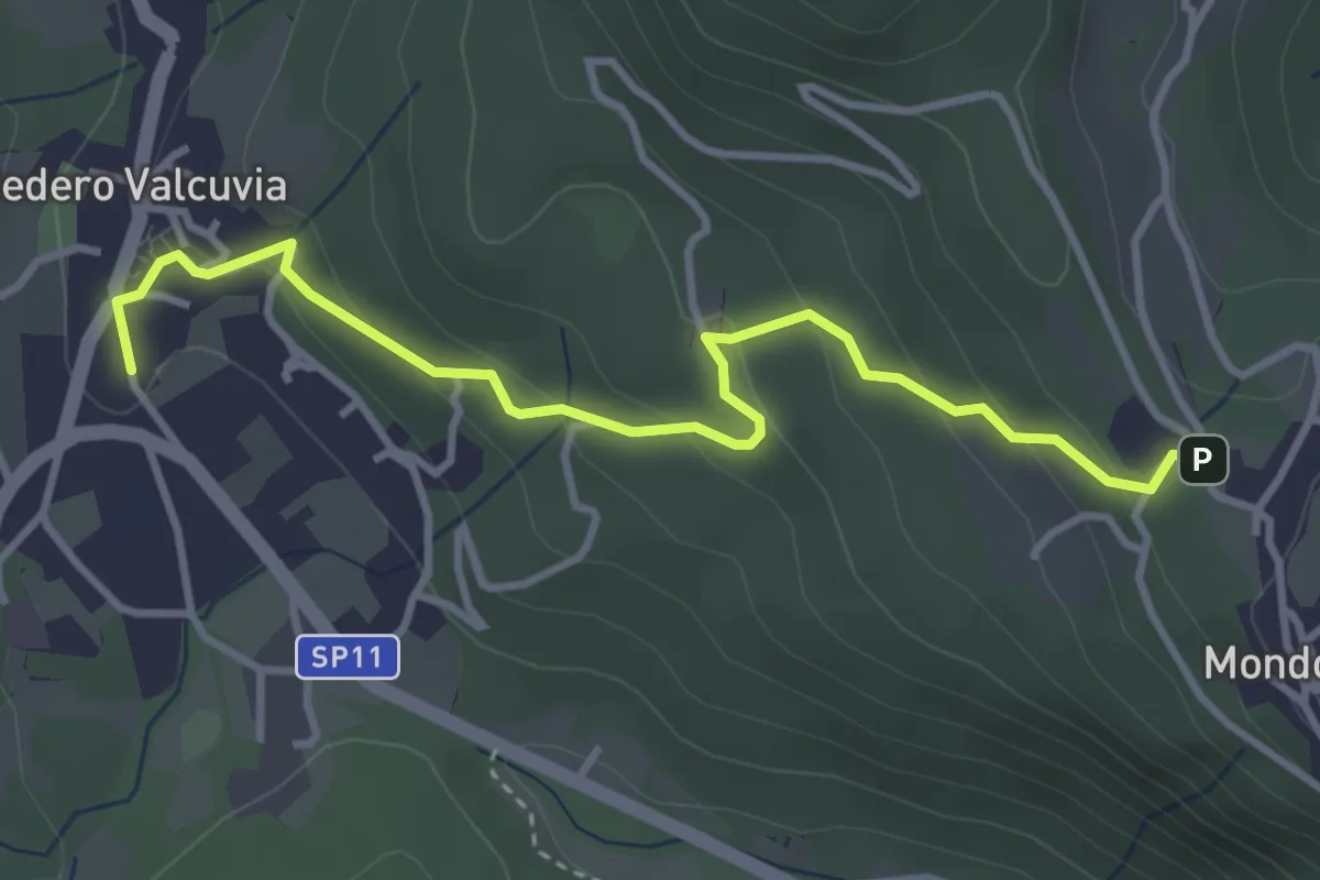
Easy · Trail
Bedero Valcuvia – Madonna degli alpini
3.9 km · ↑ 184 m · 1 h 19 min · 14 km away
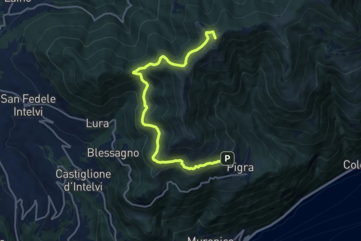
Medium · Summit
Circolare Piz Pasquela
11.3 km · ↑ 622 m · 4 h · 14 km away
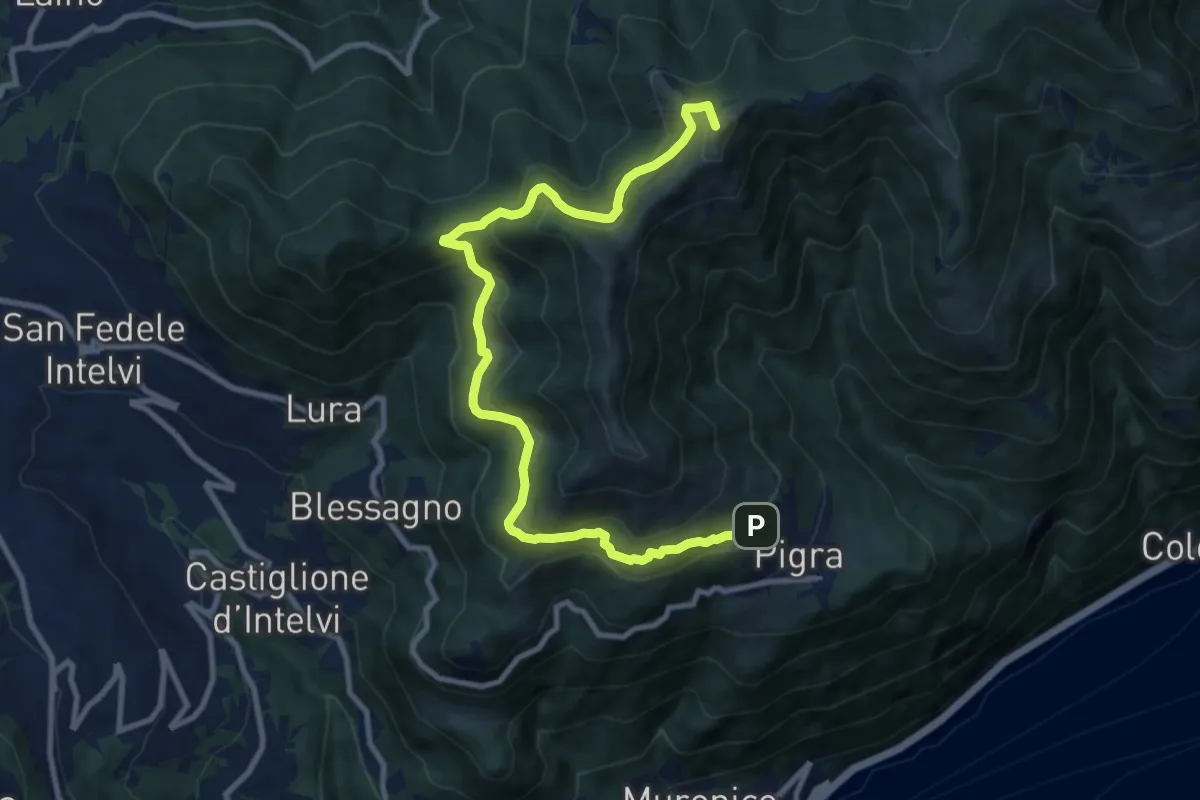
Medium · Summit
Pigra – Alpe di Colonno
11.3 km · ↑ 622 m · 4 h · 14 km away
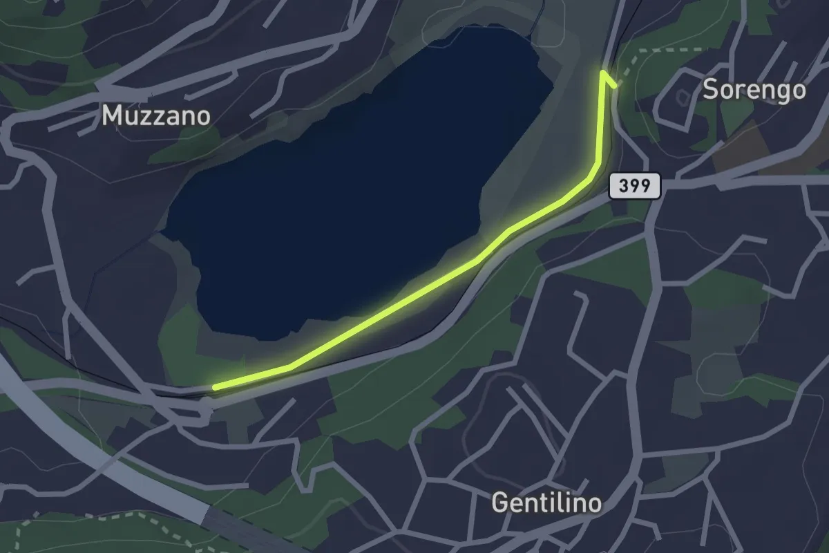
Easy · Trail
Lago di Muzzano – Sorengo Laghetto
2.0 km · ↑ 18 m · 31 min · 14 km away
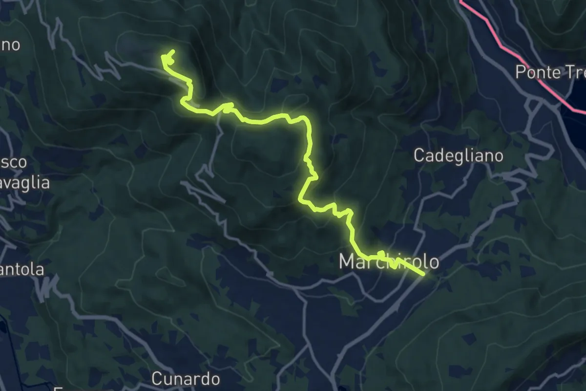
Demanding · Summit
Diga di Creva (Luino) – Marchirolo
13.1 km · ↑ 771 m · 4 h 45 min · 14 km away
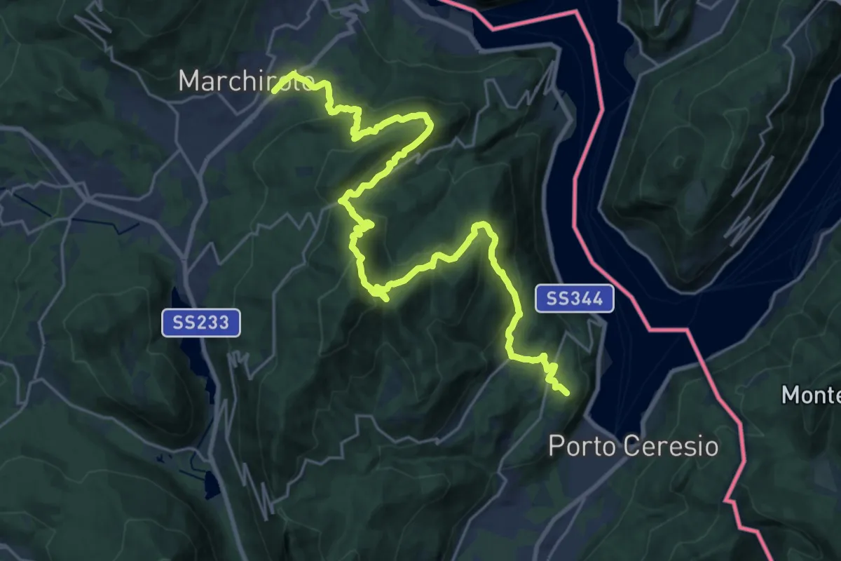
Demanding · Summit
Marchirolo – Porto Ceresio
27.6 km · ↑ 1465 m · 9 h 42 min · 14 km away
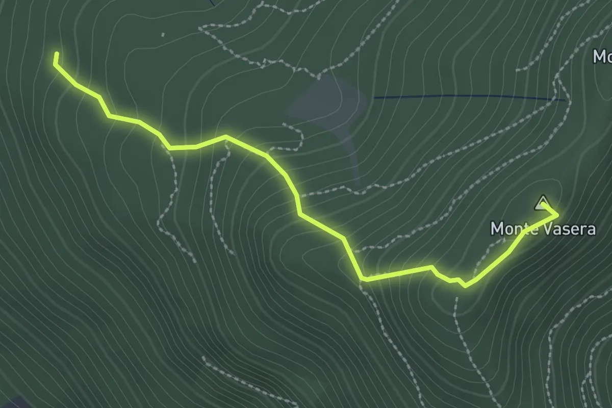
Medium · Summit
Brinzio - Monte Martica
2.6 km · ↑ 276 m · 1 h 13 min · 15 km away
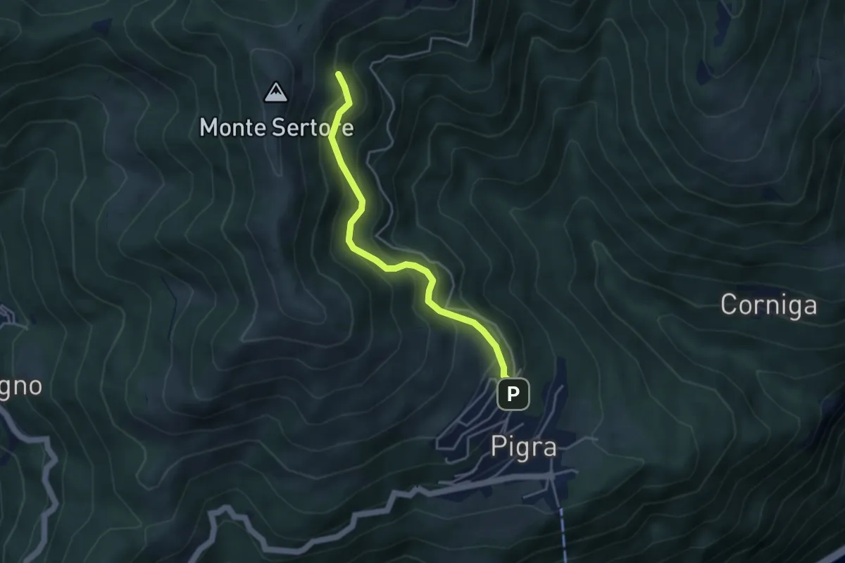
Medium · Trail
Strada ai Monti
3.7 km · ↑ 355 m · 1 h 39 min · 15 km away
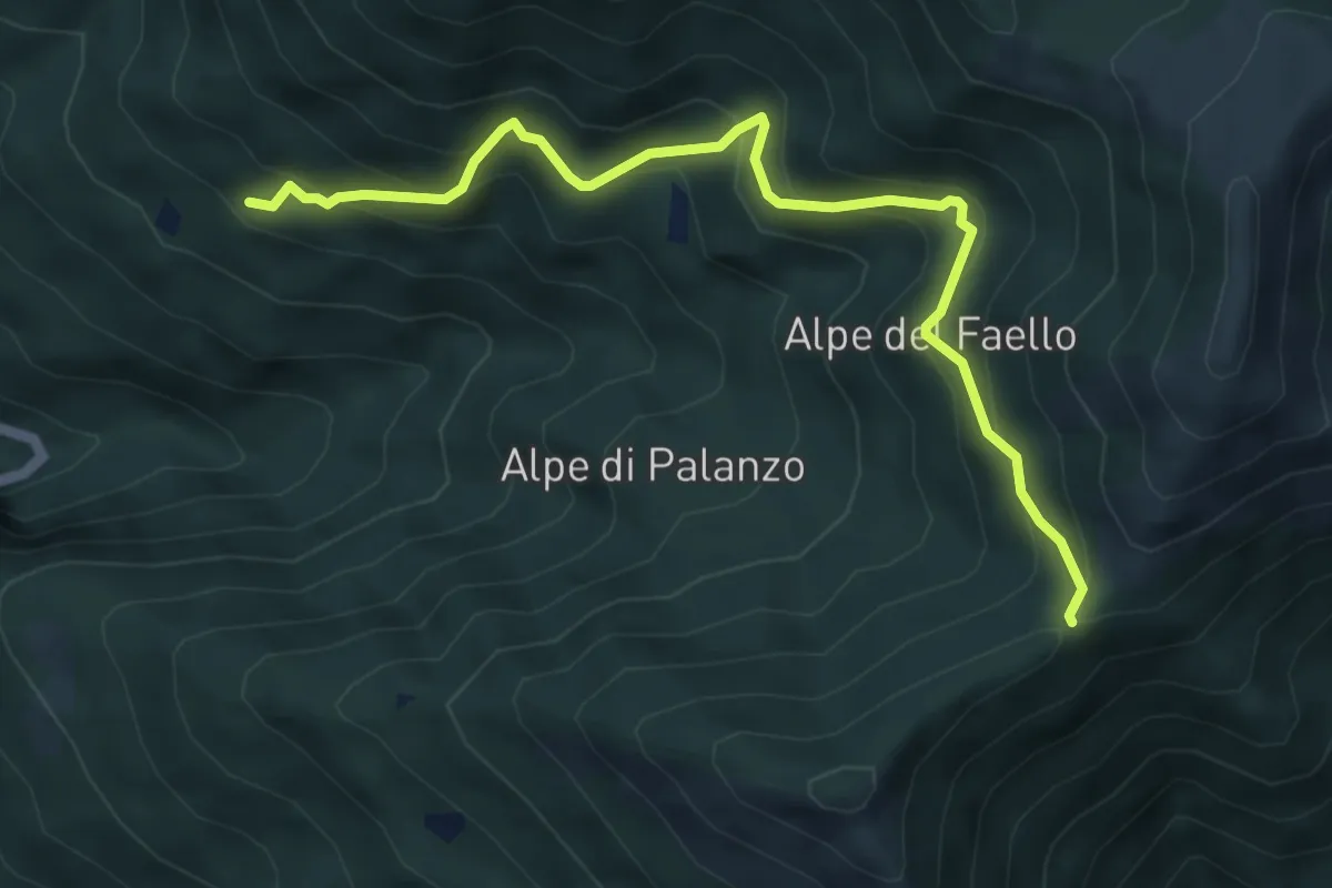
Medium · Trail
Il Gaggio (Faggeto Lario) – Bocchetta di Palanzo
5.8 km · ↑ 475 m · 2 h 24 min · 15 km away
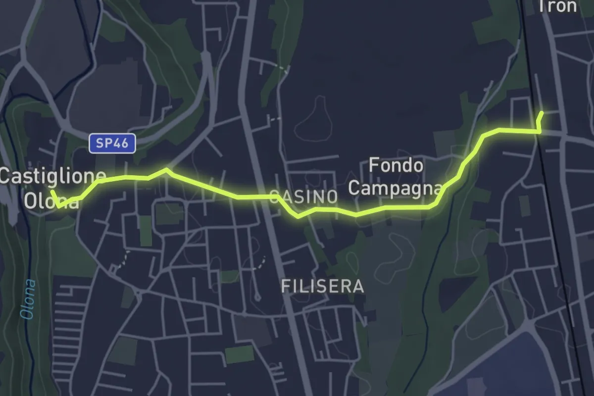
Easy · Trail
Collegamento Castiglione Olona-Trenord
4.6 km · ↑ 63 m · 1 h 13 min · 15 km away
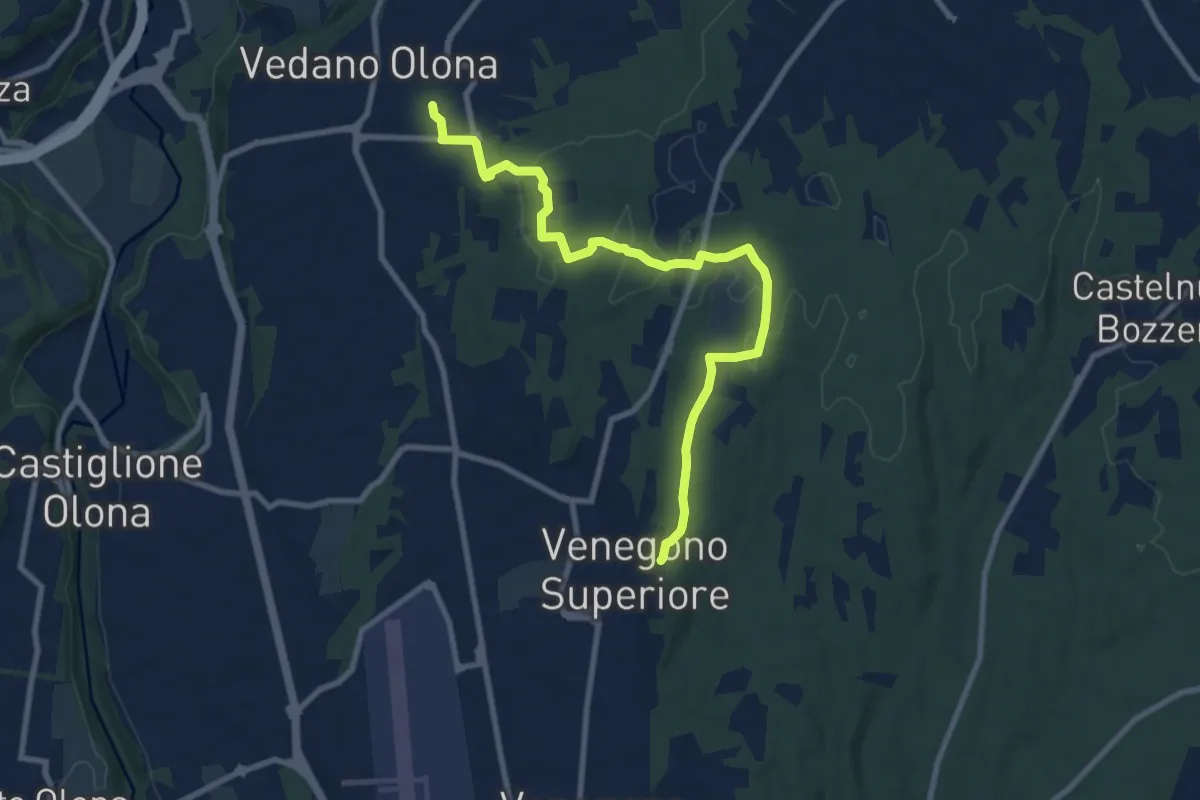
Medium · Trail
Venegono Superiore – Vedano Olona
9.7 km · ↑ 136 m · 2 h 35 min · 15 km away
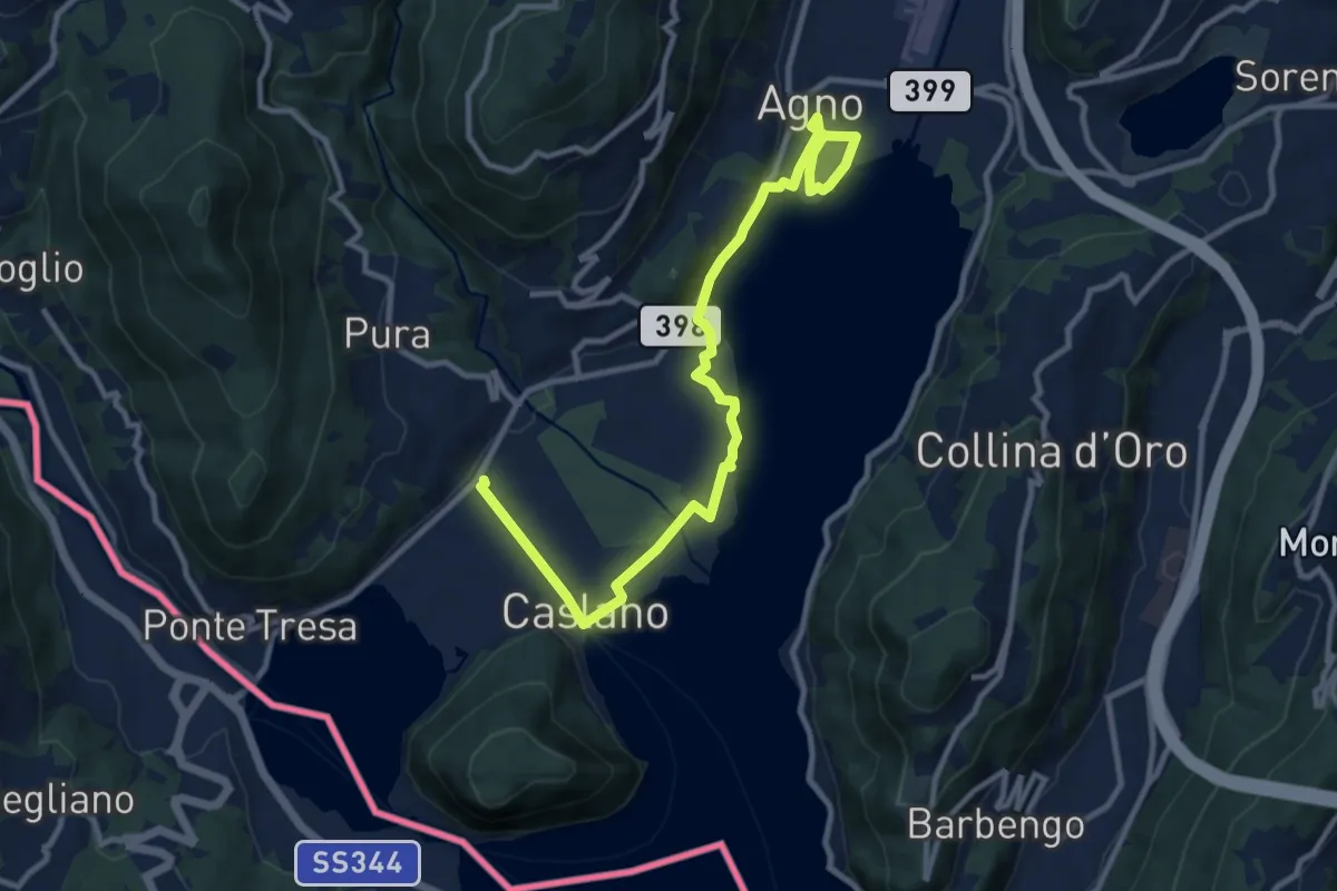
Easy · Trail
Giro lungolago Agno–Caslano
6.2 km · ↑ 23 m · 1 h 36 min · 15 km away
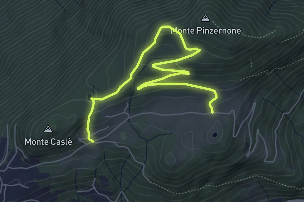
Easy · Trail
Parcheggio Clinica COF – Cascina Bartolotto
7.3 km · ↑ 310 m · 2 h 24 min · 15 km away
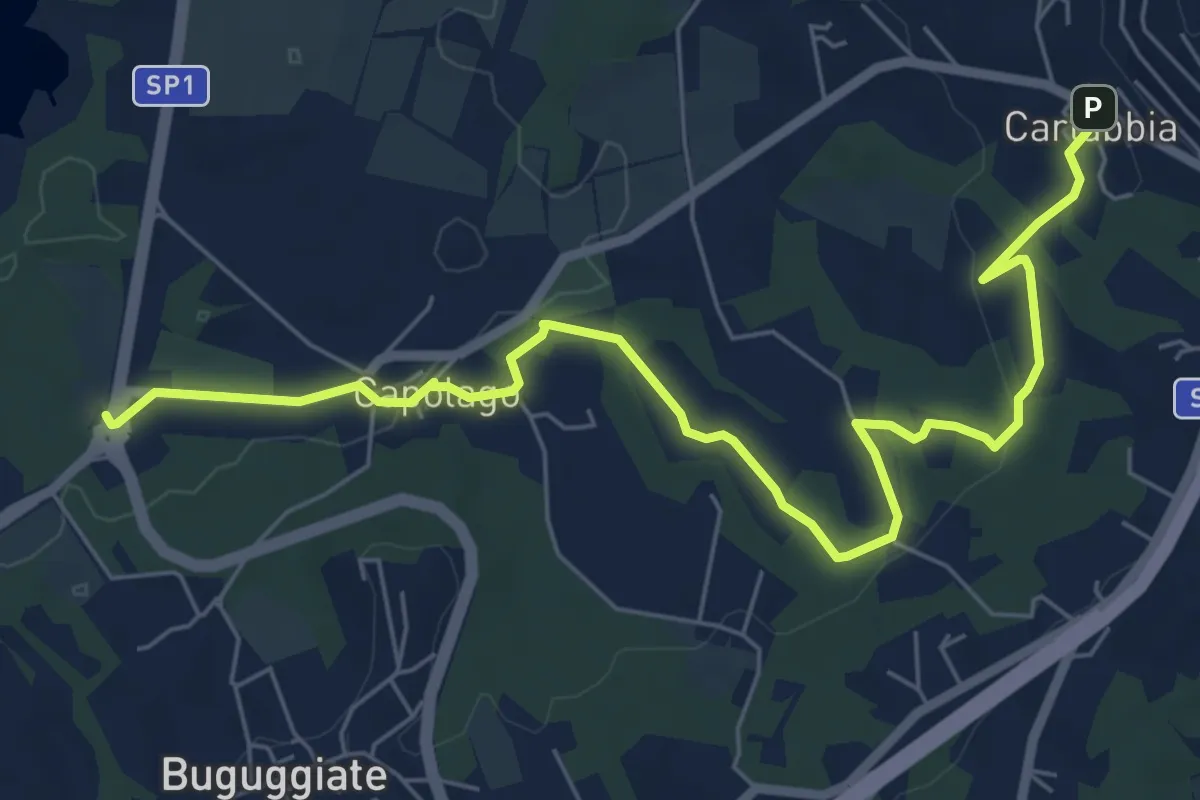
Easy · Trail
Cartabbia – Lago di Varese
7.8 km · ↑ 93 m · 2 h 3 min · 15 km away
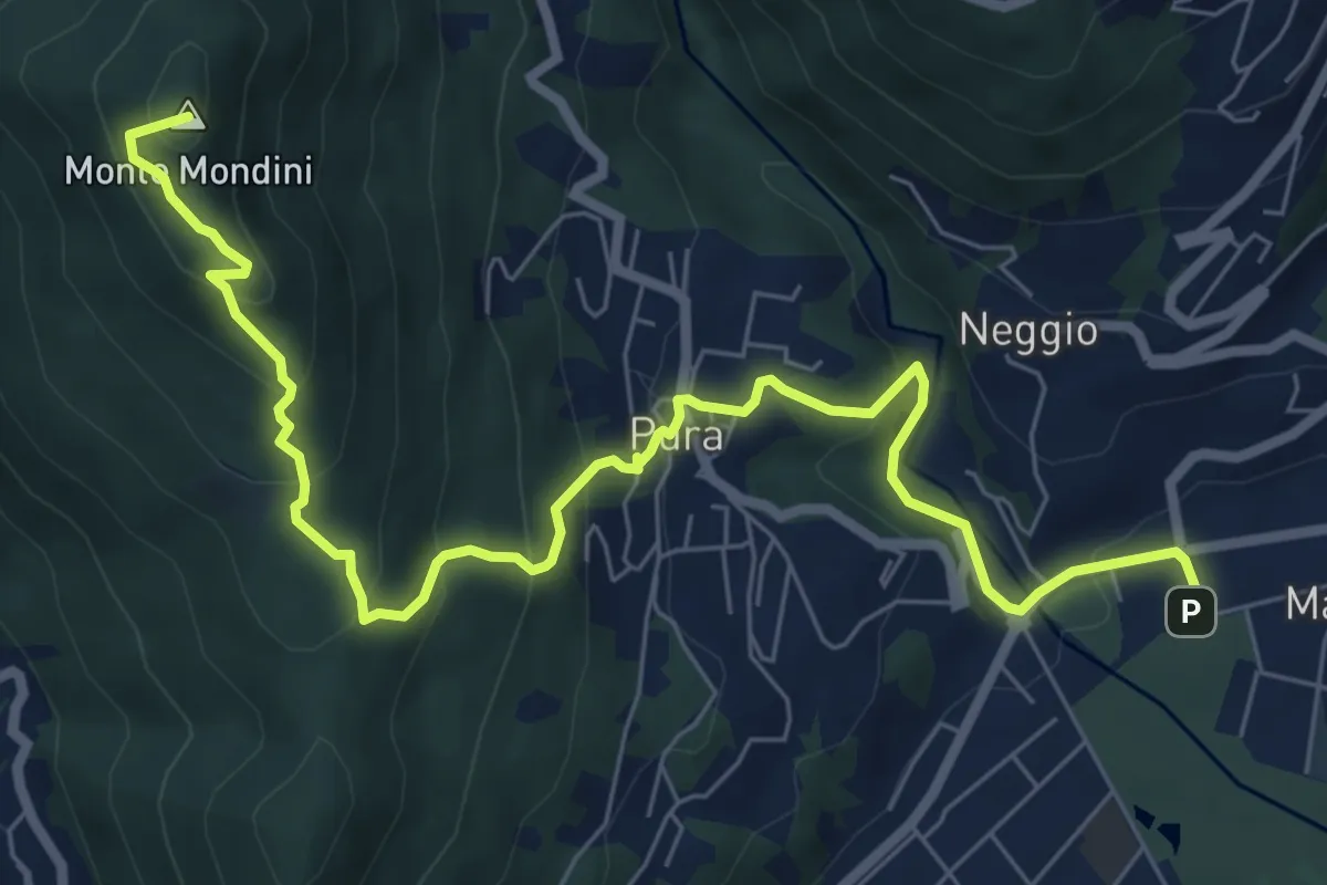
Medium · Summit
Sentiero Lago di Lugano
8.9 km · ↑ 526 m · 3 h 15 min · 15 km away
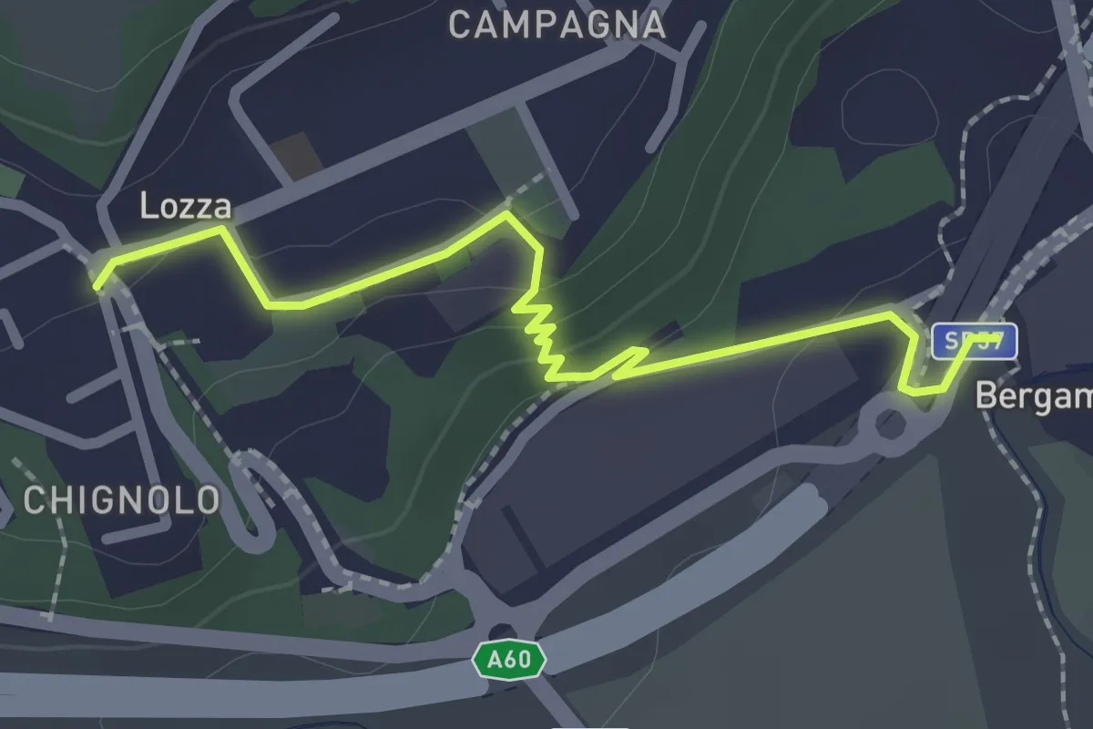
Easy · Trail
Collegamento Lozza - Dorsale RTO
2.3 km · ↑ 54 m · 40 min · 15 km away
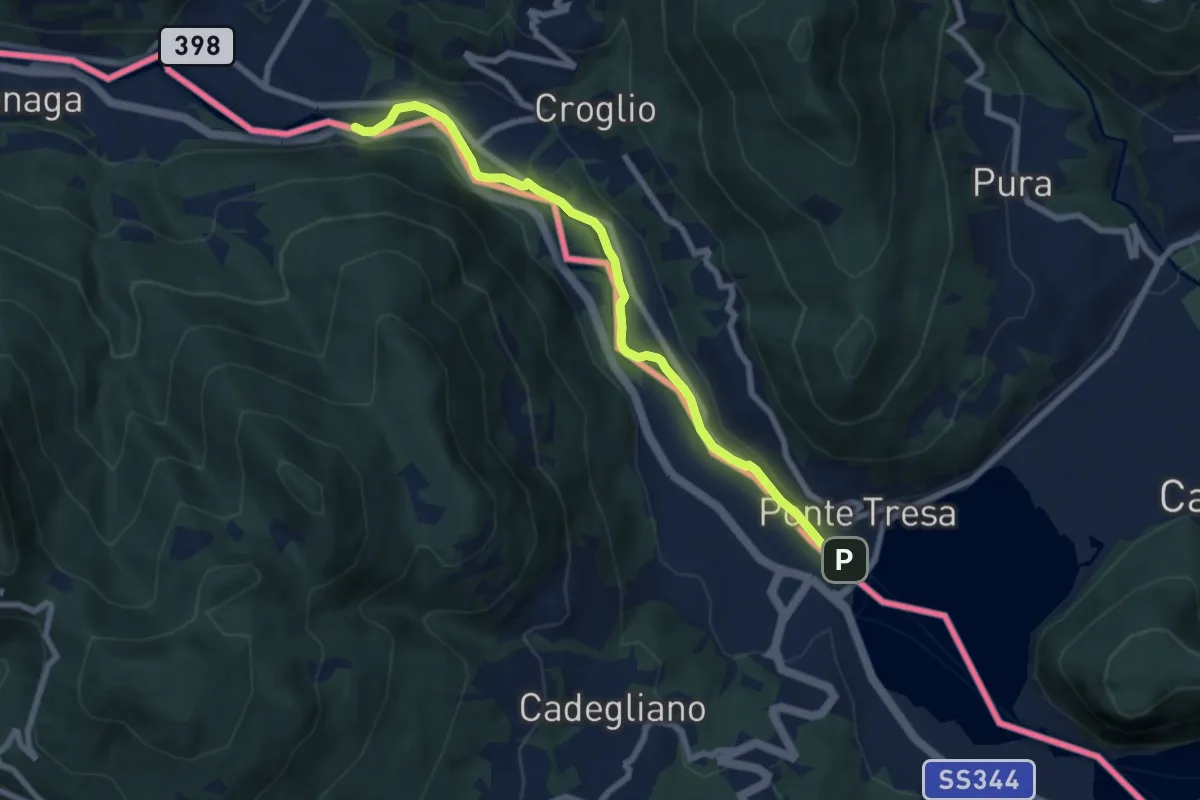
Easy · Trail
Ponte Tresa – ?
7.6 km · ↑ 27 m · 1 h 52 min · 15 km away
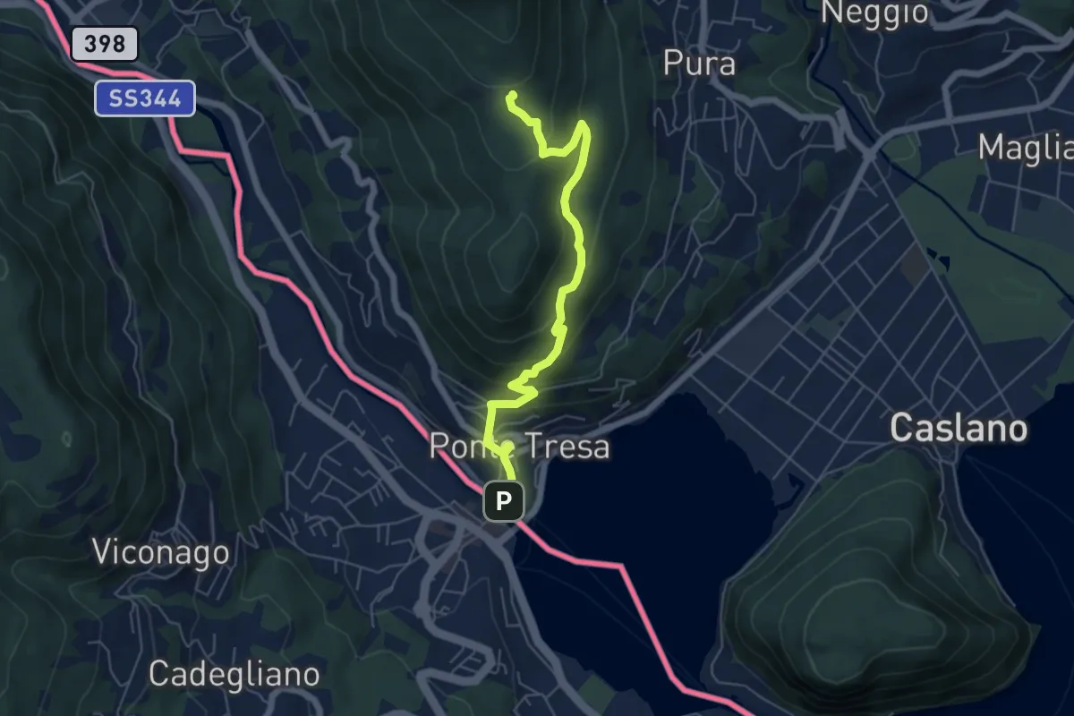
Medium · Trail
Ponte Tresa – Scangei
5.8 km · ↑ 377 m · 2 h 11 min · 15 km away
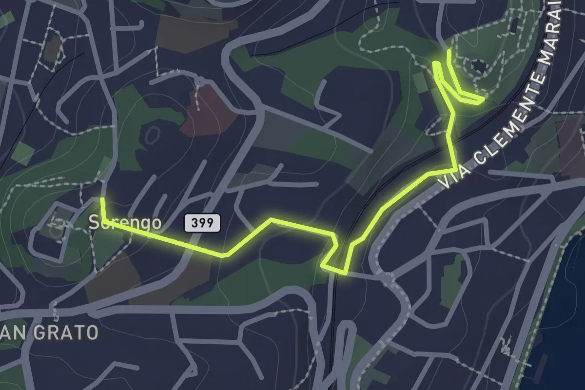
Easy · Trail
Parco Tassino – Loreto
2.8 km · ↑ 109 m · 55 min · 15 km away
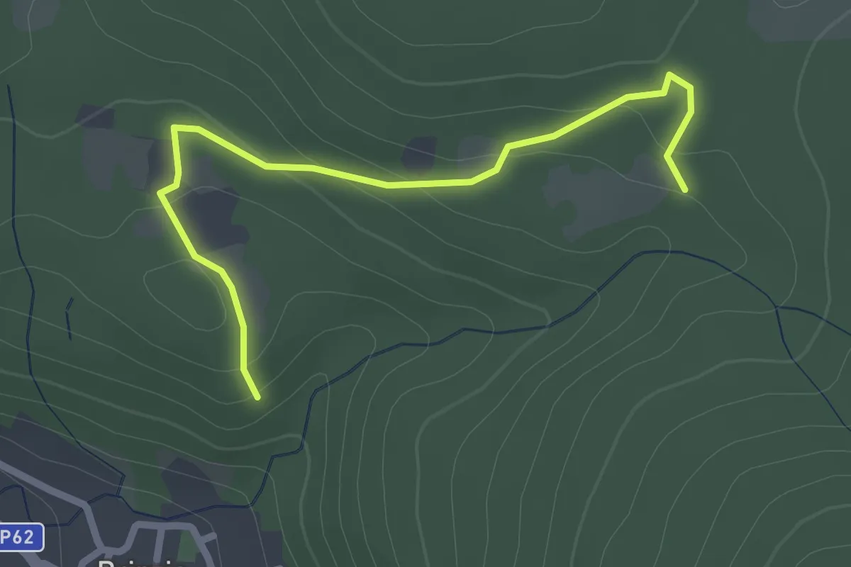
Easy · Trail
Sentiero 315B collegamento
2.6 km · ↑ 83 m · 47 min · 15 km away
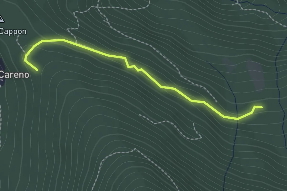
Medium · Trail
Vasce – Monti di Careno
2.1 km · ↑ 97 m · 42 min · 15 km away
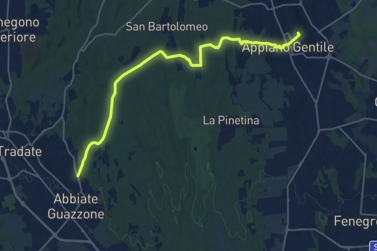
Medium · Trail
Appiano Gentile – Tradate
15.2 km · ↑ 222 m · 4 h 5 min · 15 km away
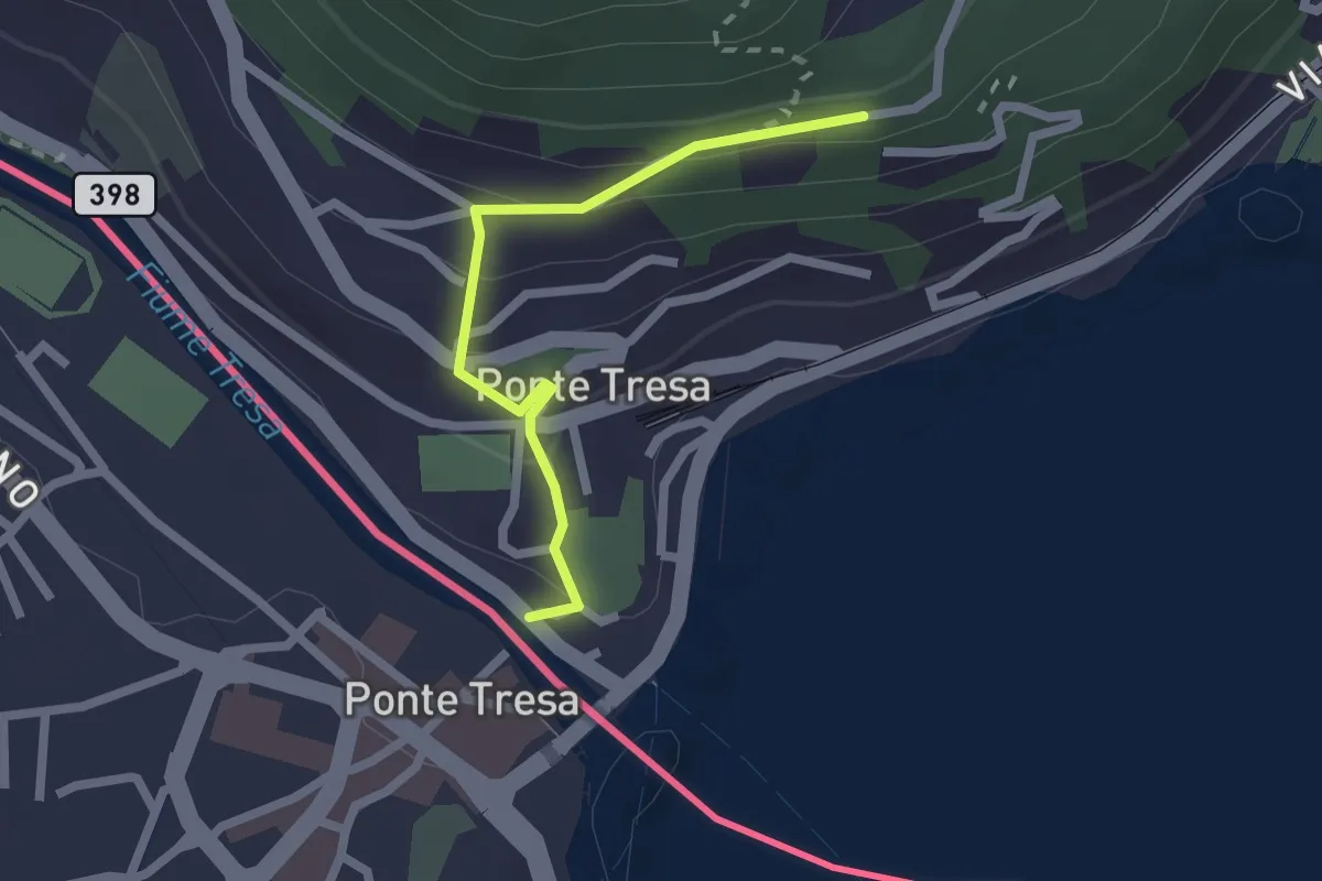
Easy · Trail
Ponte Tresa – Pura
2.0 km · ↑ 113 m · 43 min · 15 km away
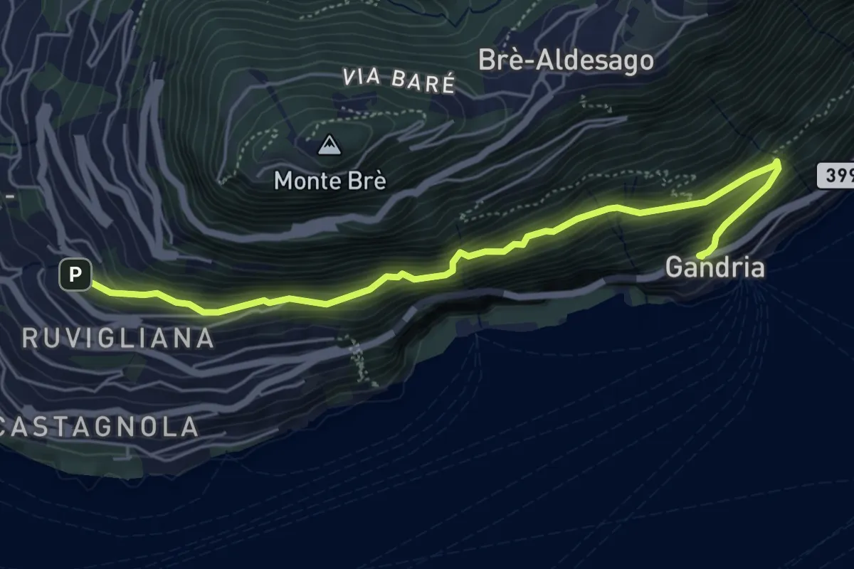
Medium · Trail
Gandria – Ruvigliana
5.5 km · ↑ 587 m · 2 h 35 min · 15 km away