Trails near Monthey
146 hikes starting within 15 km, nearest first.
Nearest first, page 1 of 4
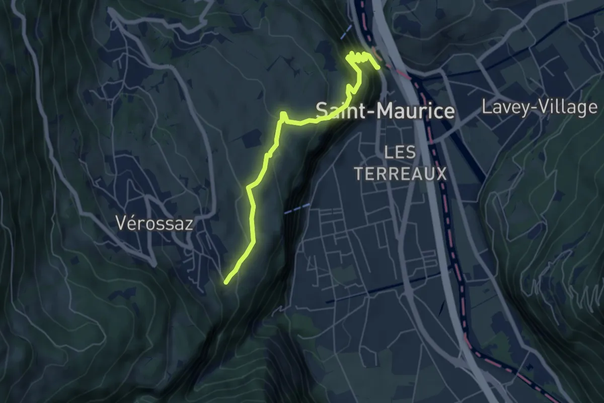
Medium · Trail
Bassays – Château de St-Maurice
5.6 km · ↑ 395 m · 2 h 11 min · 5 km away
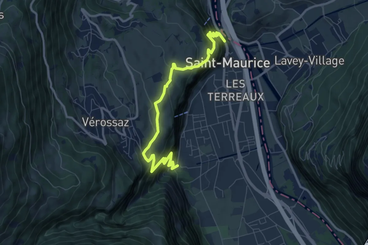
Demanding · Trail
Itinéraire du Plateau de Vérossaz
4.3 km · ↑ 367 m · 1 h 50 min · 5 km away
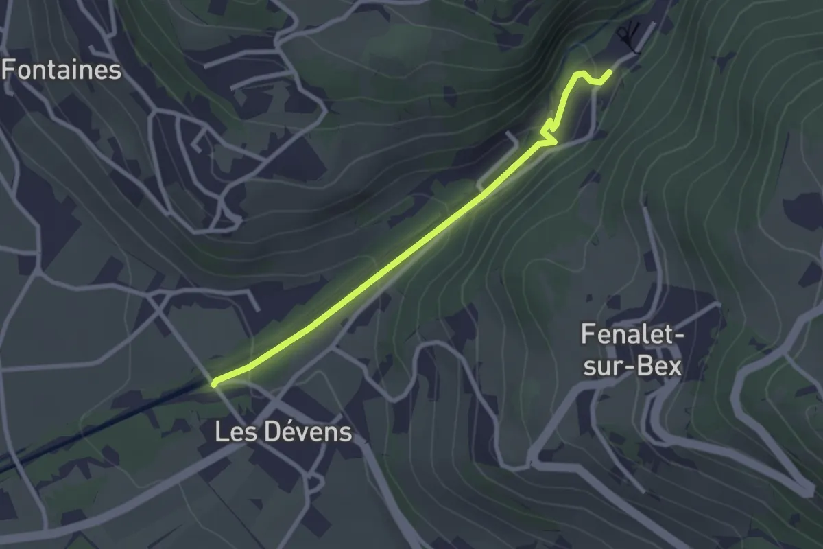
Easy · Trail
Le Bouillet Mines de sel – Les Dévens
2.5 km · ↑ 108 m · 50 min · 6 km away
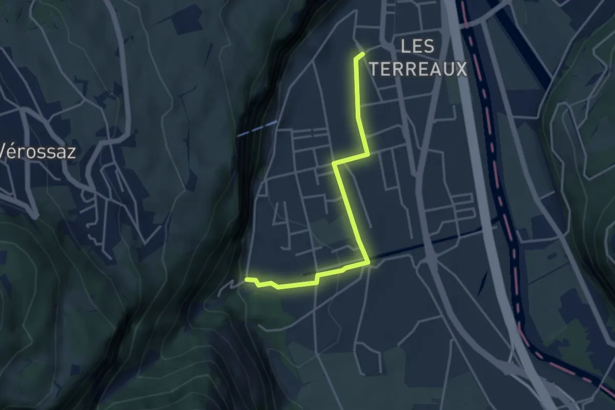
Easy · Trail
St-Maurice Gare – Les Cases
3.3 km · ↑ 77 m · 57 min · 6 km away
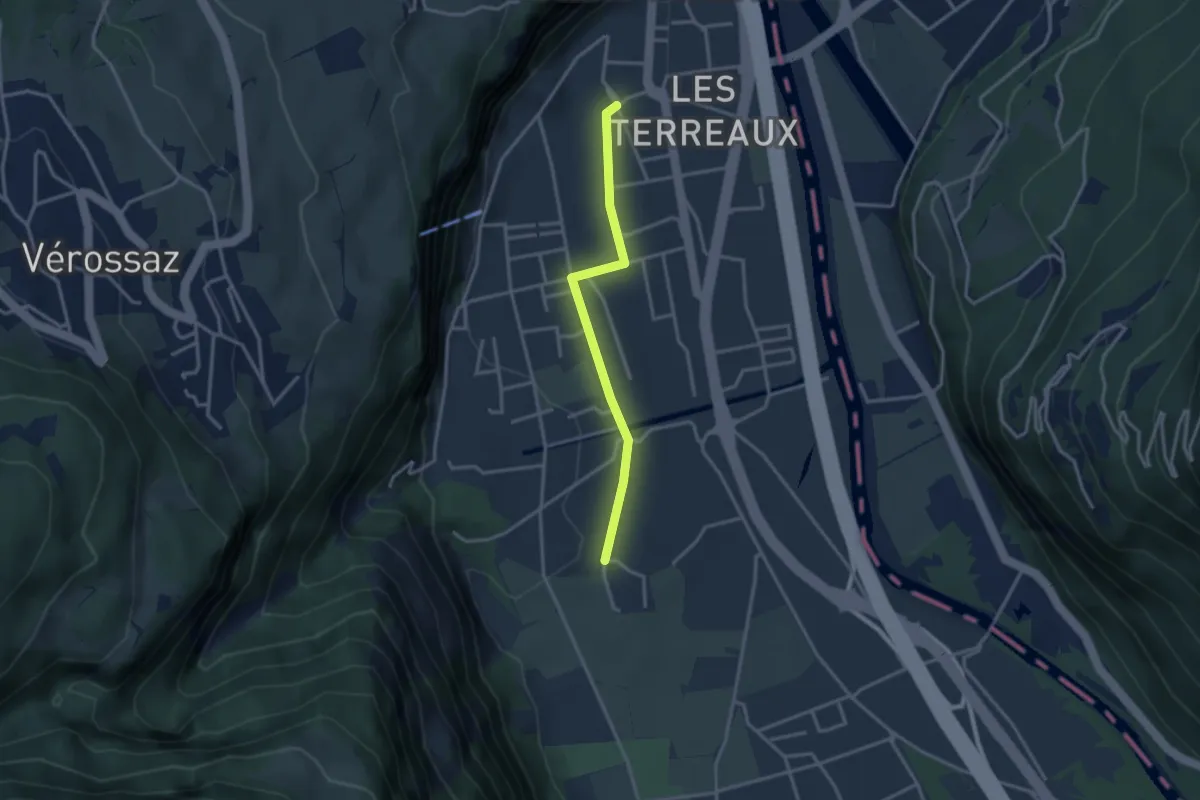
Easy · Trail
St-Maurice Gare – Vérolliez
2.9 km · ↑ 18 m · 43 min · 6 km away
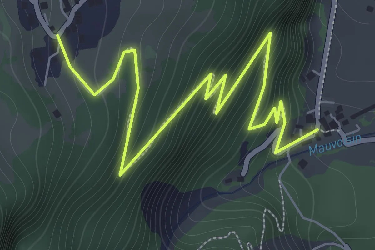
Demanding · Trail
Les Cases – Bassays
2.9 km · ↑ 275 m · 1 h 17 min · 6 km away
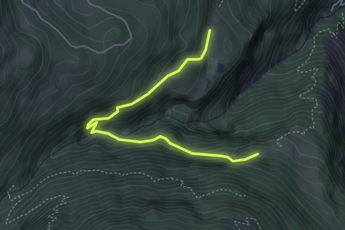
Medium · Trail
Les Praz – La Daille
4.2 km · ↑ 365 m · 1 h 47 min · 6 km away
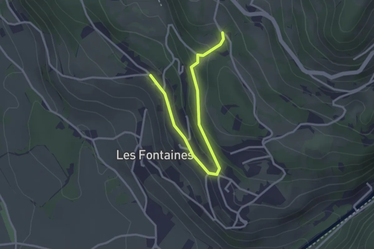
Easy · Trail
Antagnes – Glutières
2.9 km · ↑ 131 m · 58 min · 6 km away
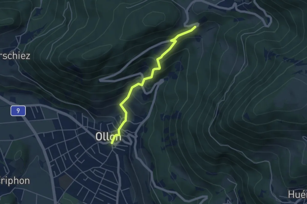
Medium · Trail
Ollon – Panex
4.1 km · ↑ 378 m · 1 h 47 min · 6 km away
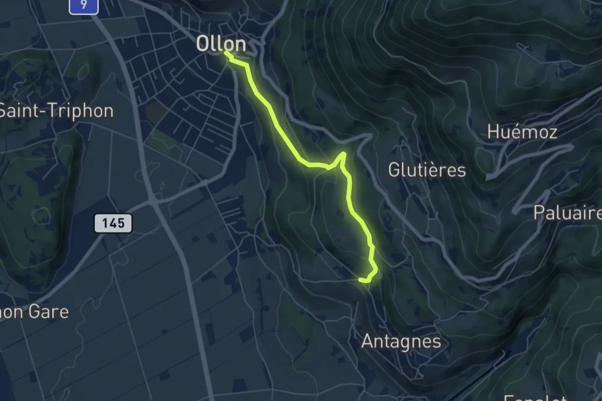
Easy · Trail
Ollon – Antagnes
5.1 km · ↑ 246 m · 1 h 45 min · 6 km away
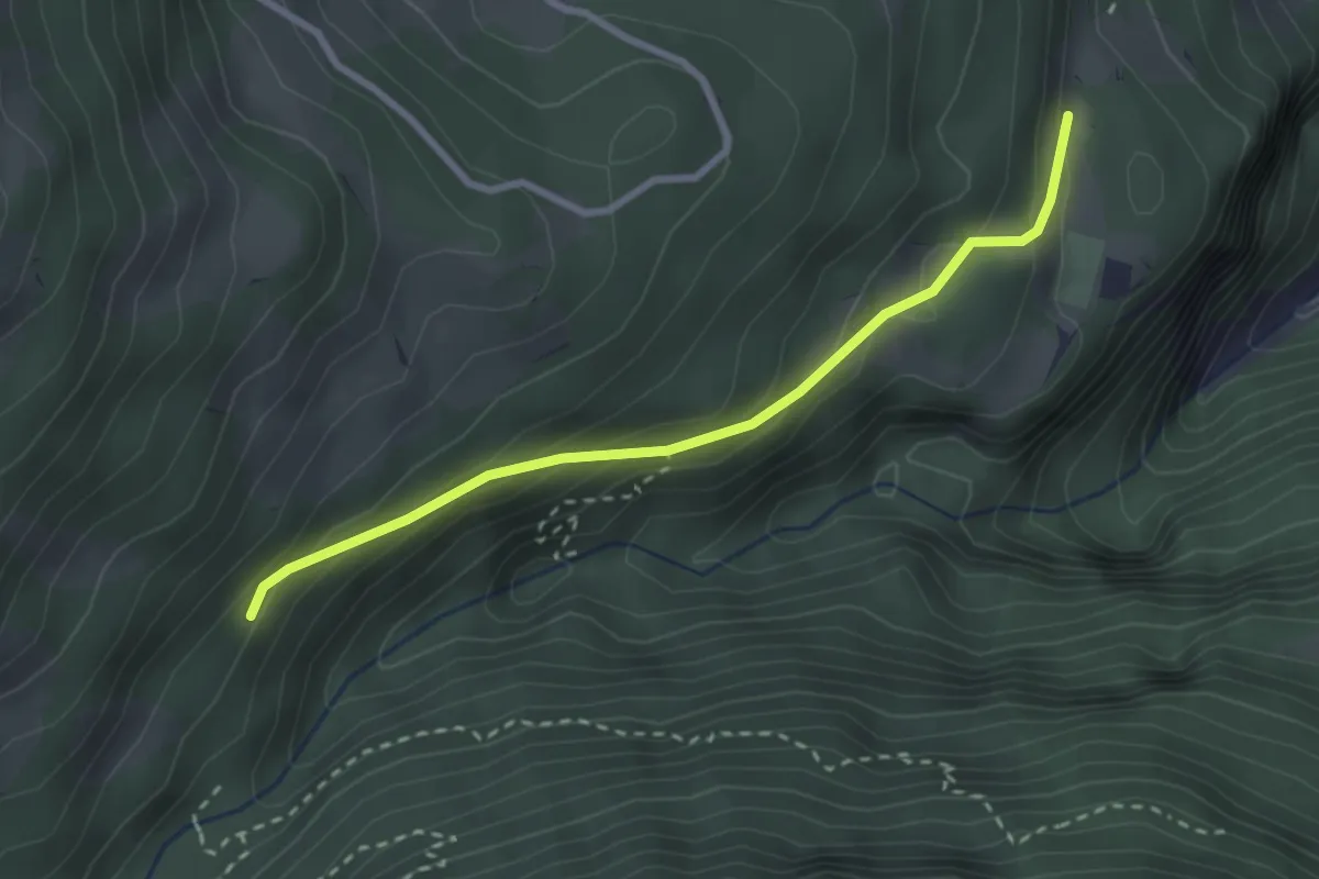
Easy · Trail
La Daille – La Sachia
2.7 km · ↑ 180 m · 1 h 2 min · 6 km away
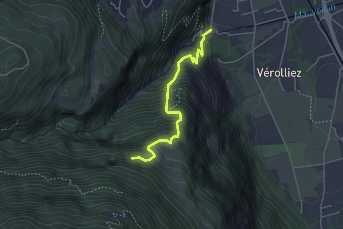
Medium · Trail
Les Cases – Les Praz
3.4 km · ↑ 542 m · 1 h 59 min · 6 km away
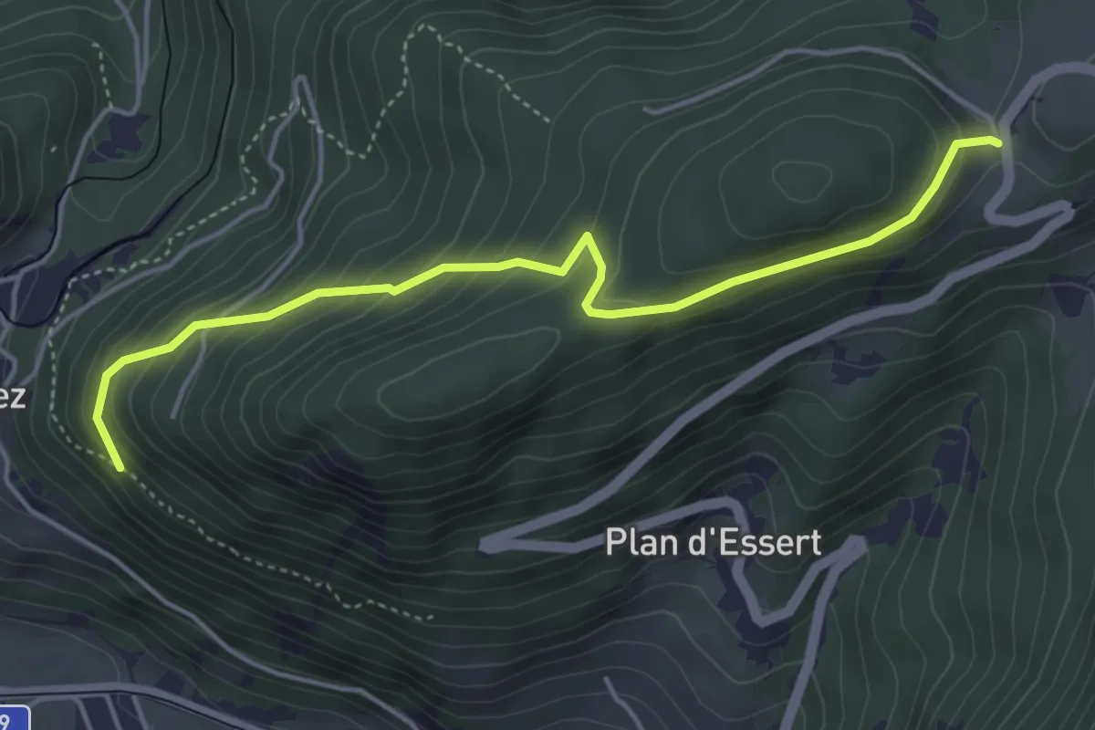
Easy · Trail
Panex – Bois de la Glaive
4.6 km · ↑ 299 m · 1 h 45 min · 6 km away
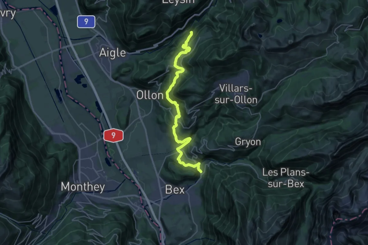
Medium · Trail
Sentier du Sel
12.8 km · ↑ 777 m · 4 h 44 min · 6 km away
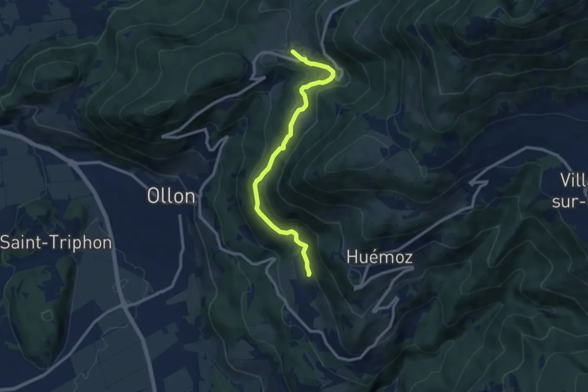
Easy · Trail
Panex – Glutières
7.2 km · ↑ 312 m · 2 h 23 min · 7 km away
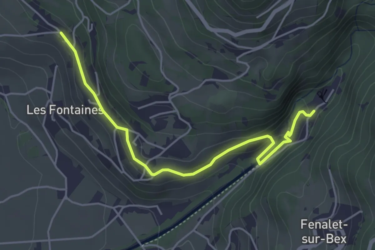
Easy · Trail
Antagnes – Le Bouillet Mines de sel
4.6 km · ↑ 167 m · 1 h 26 min · 7 km away
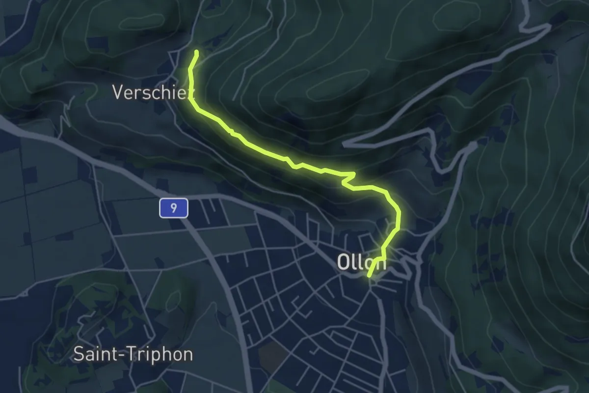
Medium · Trail
Halte de Verschiez – Ollon
4.4 km · ↑ 333 m · 1 h 46 min · 7 km away
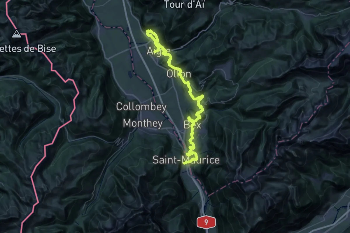
Demanding · Trail
Chemin des Vignes
30.9 km · ↑ 1120 m · 10 h 9 min · 7 km away
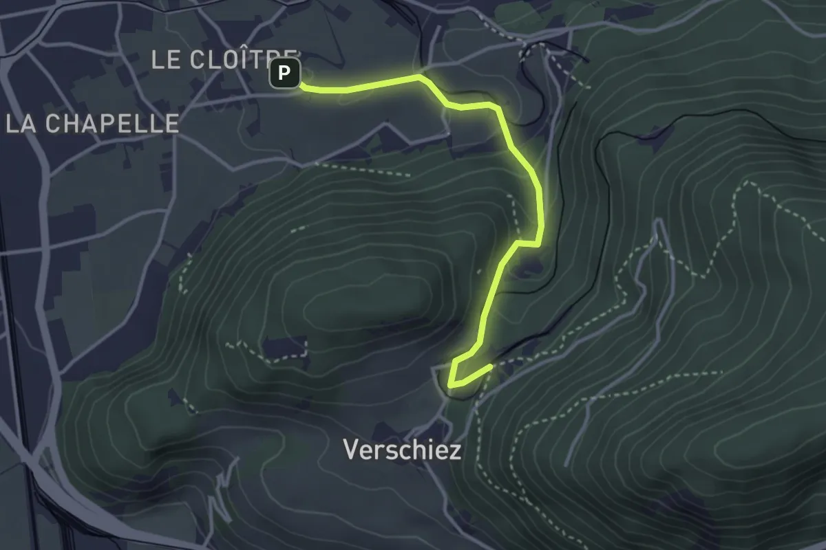
Easy · Trail
Château d'Aigle – Halte de Verschiez
3.3 km · ↑ 134 m · 1 h 4 min · 7 km away
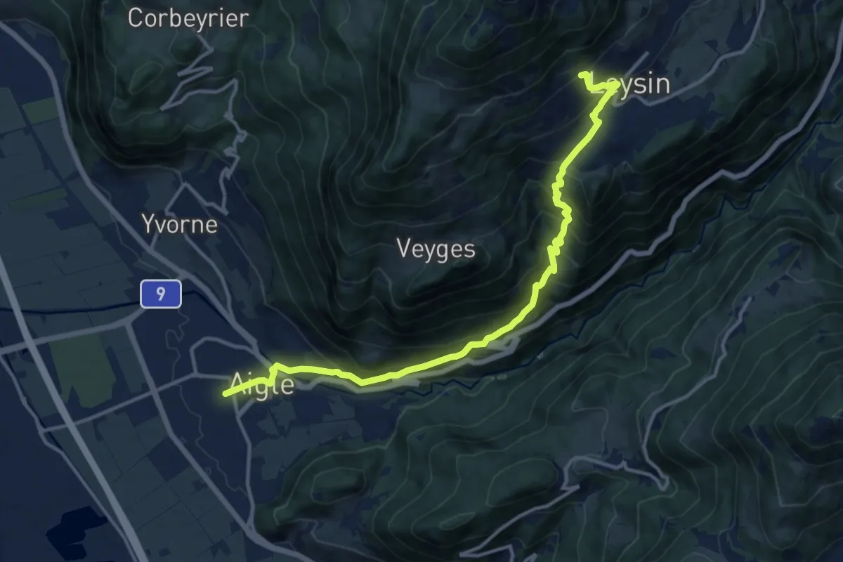
Demanding · Trail
Tour des Alpes Vaudoises Étape 1
6.9 km · ↑ 1038 m · 3 h 28 min · 7 km away
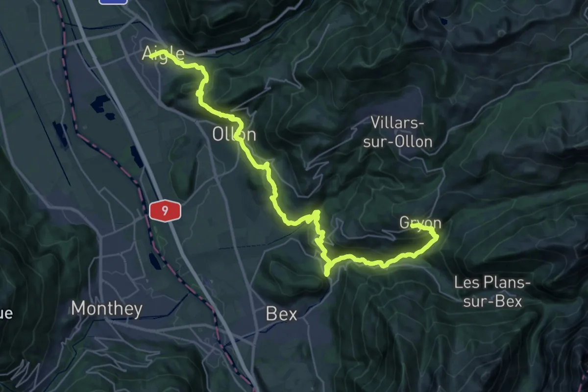
Demanding · Trail
Tour des Alpes Vaudoises Étape 8
17.3 km · ↑ 1357 m · 6 h 53 min · 7 km away
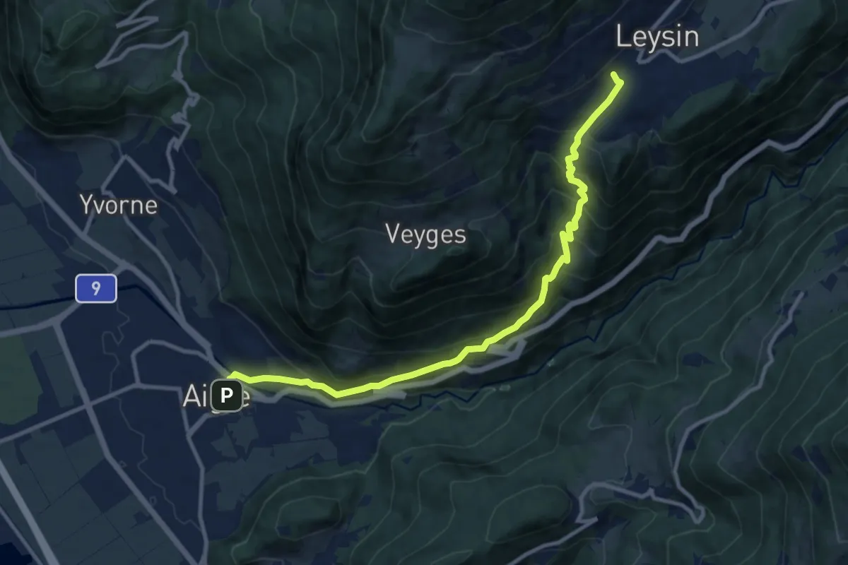
Demanding · Trail
Leysin – Aigle
11.1 km · ↑ 915 m · 4 h 36 min · 7 km away
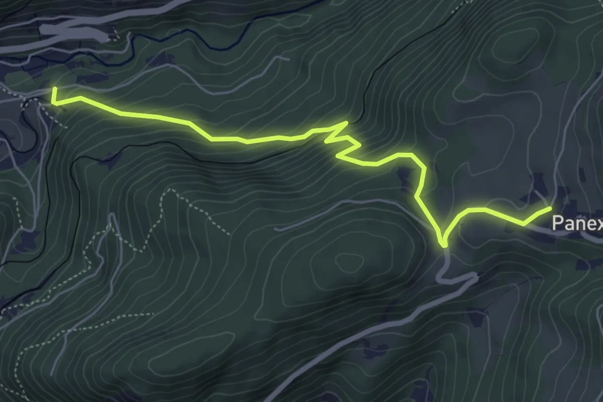
Medium · Trail
Panex – Aigle Parc Aventure
6.0 km · ↑ 429 m · 2 h 20 min · 8 km away
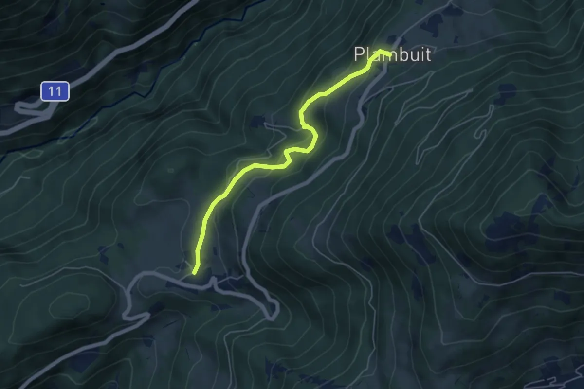
Easy · Trail
Plambuit – Panex
4.7 km · ↑ 290 m · 1 h 45 min · 8 km away
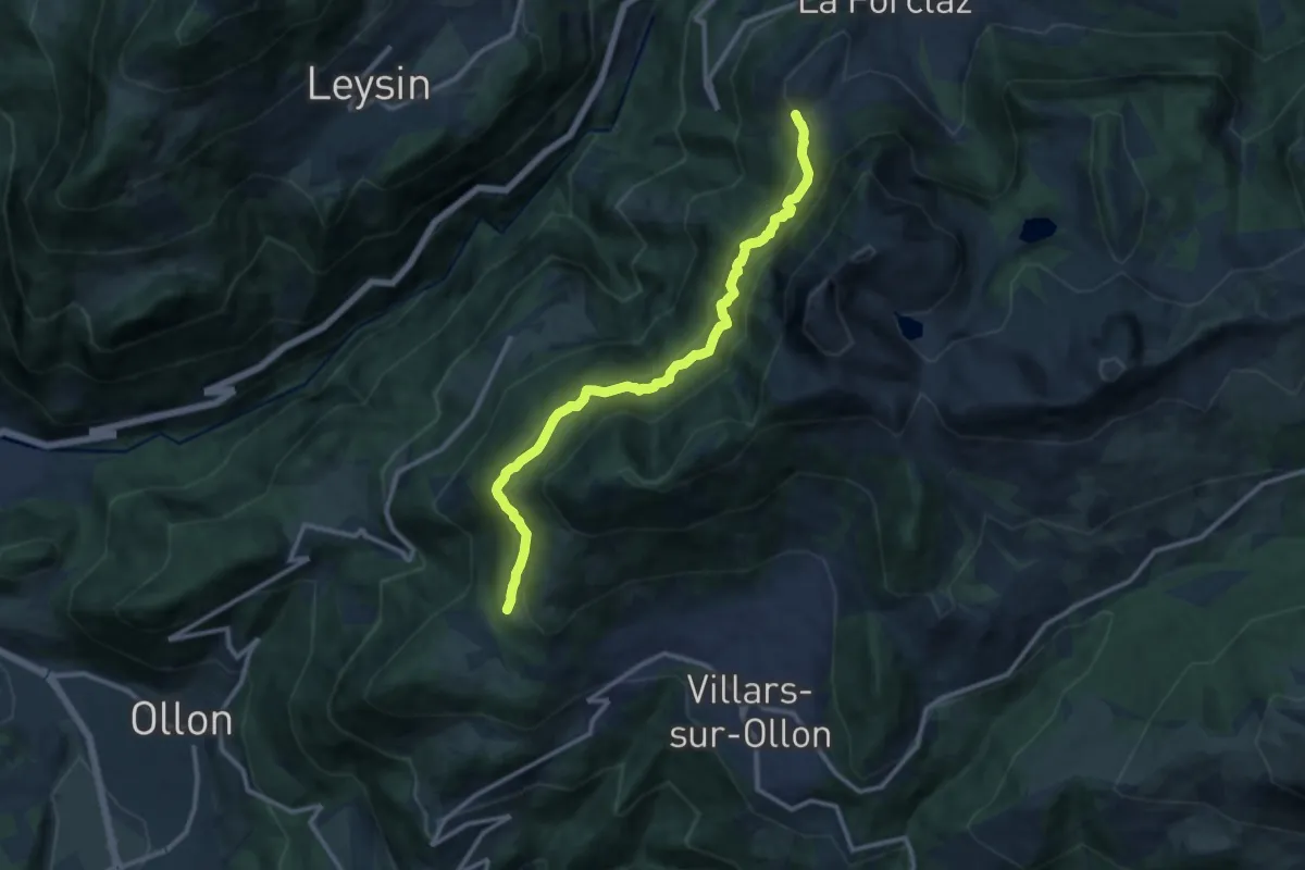
Demanding · Trail
Les Cougnons – Chesières
11.7 km · ↑ 926 m · 4 h 47 min · 9 km away
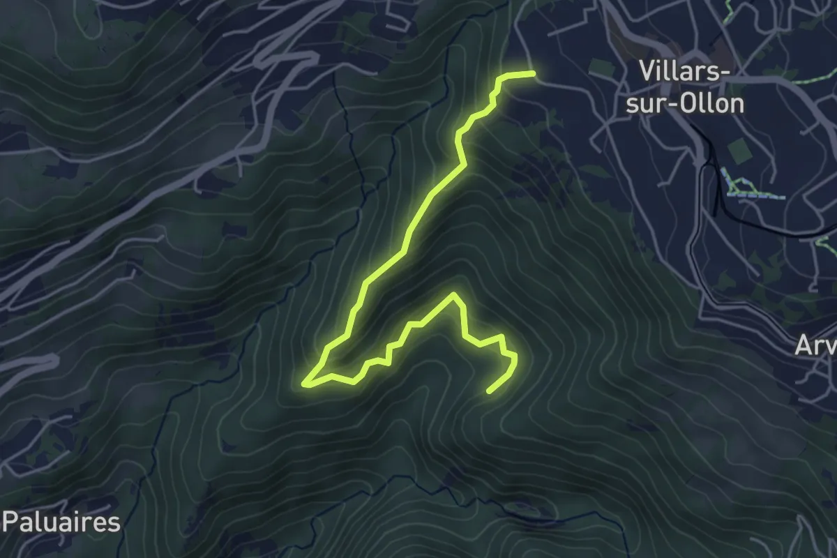
Medium · Trail
Villars-sur-Ollon – Dominge
4.8 km · ↑ 419 m · 2 h 3 min · 9 km away
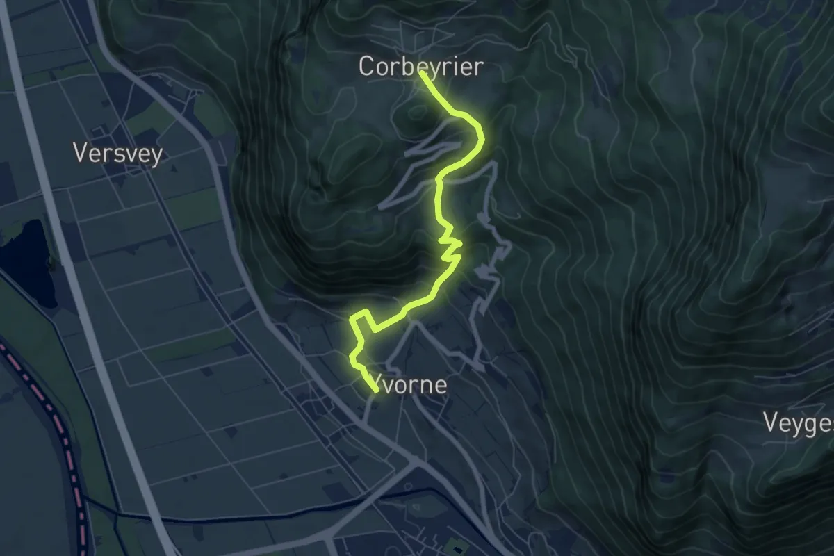
Medium · Trail
Corbeyrier – Yvorne
6.4 km · ↑ 534 m · 2 h 40 min · 9 km away
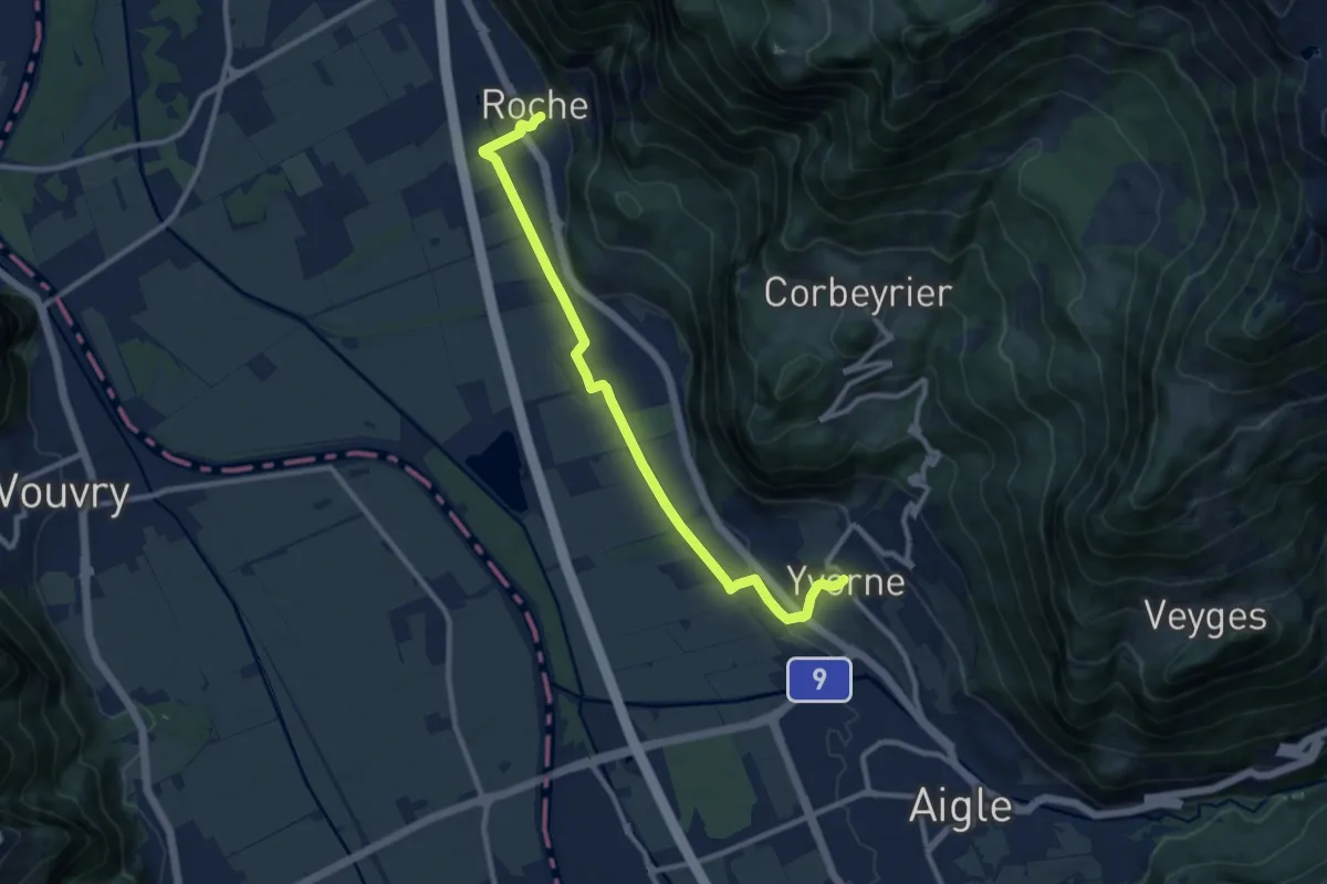
Medium · Trail
Roche – Yvorne
10.4 km · ↑ 81 m · 2 h 38 min · 9 km away
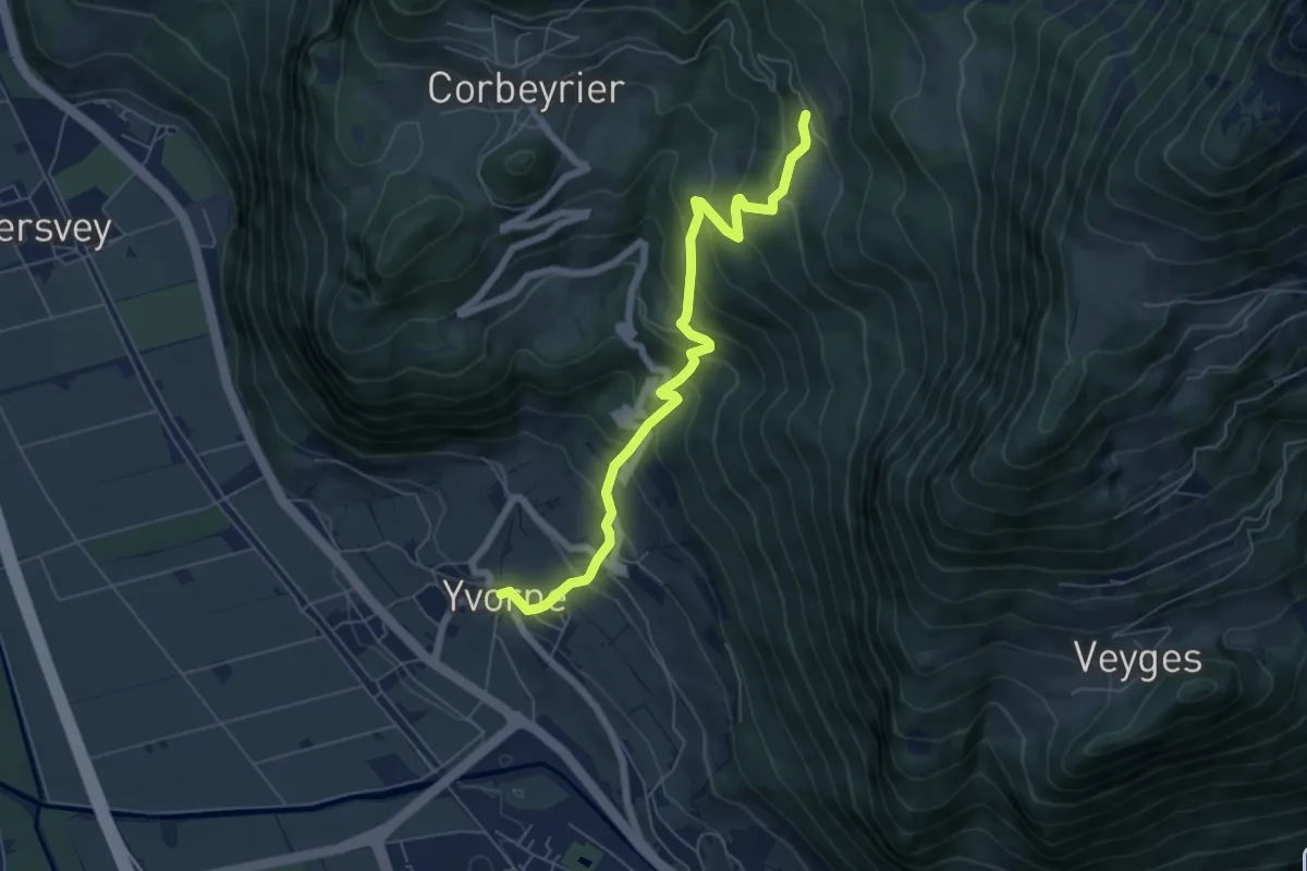
Medium · Trail
Yvorne – Boveau
6.4 km · ↑ 599 m · 2 h 49 min · 9 km away
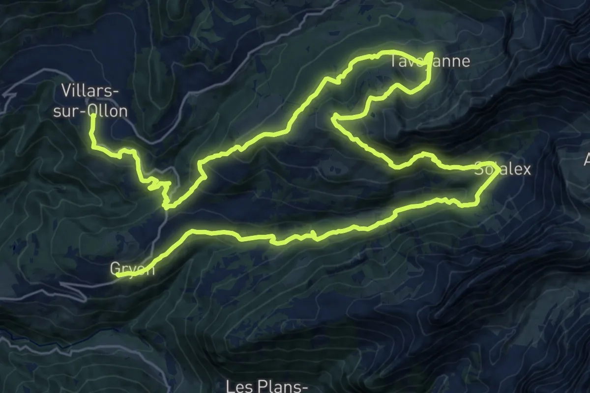
Demanding · Trail
Tour des Alpes Vaudoises Étape 7
21.1 km · ↑ 1059 m · 7 h 31 min · 9 km away
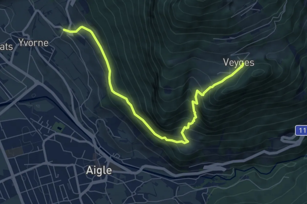
Medium · Trail
Vers Morey – Veyges
7.8 km · ↑ 704 m · 3 h 22 min · 9 km away
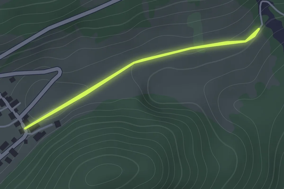
Medium · Trail
Veyges – La Roulaz
1.2 km · ↑ 10 m · 19 min · 9 km away
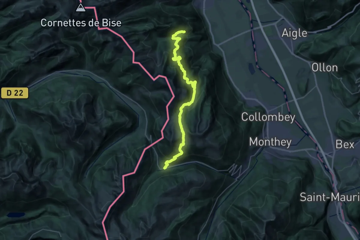
Demanding · Trail
41-Chemin des cols alpins
14.8 km · ↑ 975 m · 5 h 42 min · 9 km away
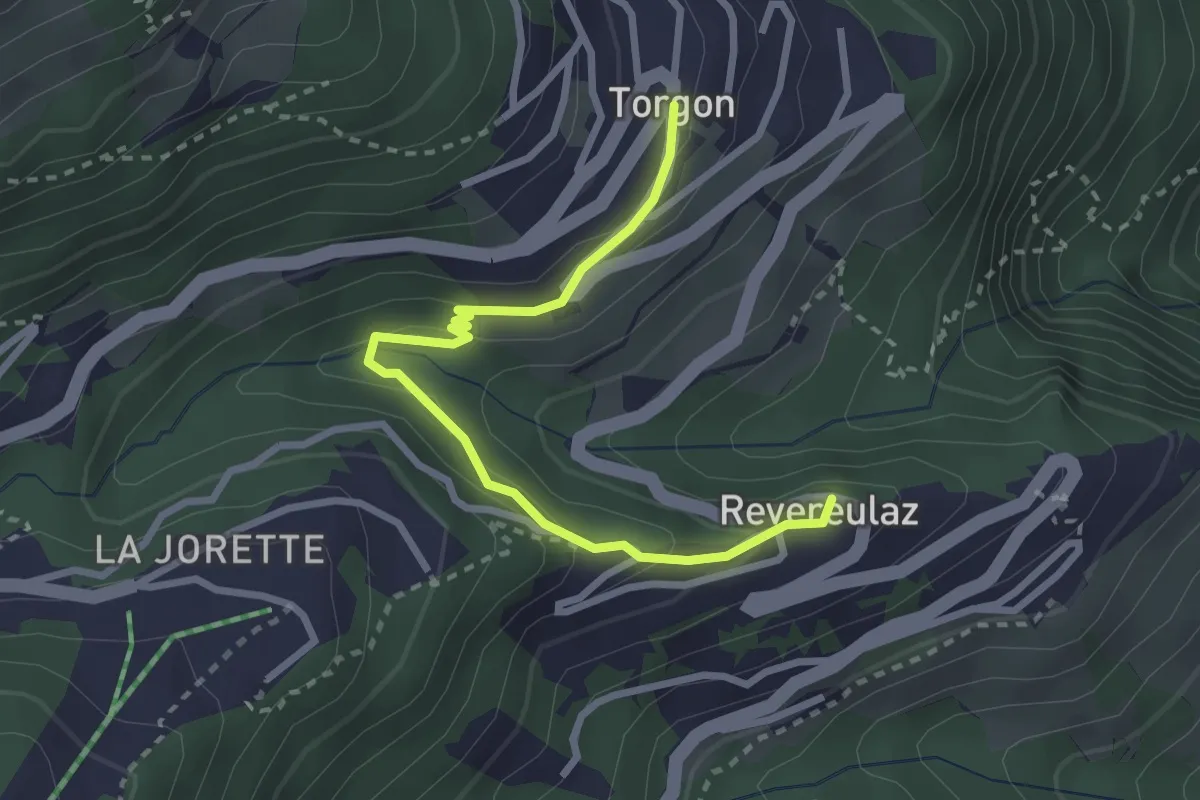
Easy · Trail
Revereulaz – Torgon Village
2.9 km · ↑ 153 m · 1 h 1 min · 9 km away
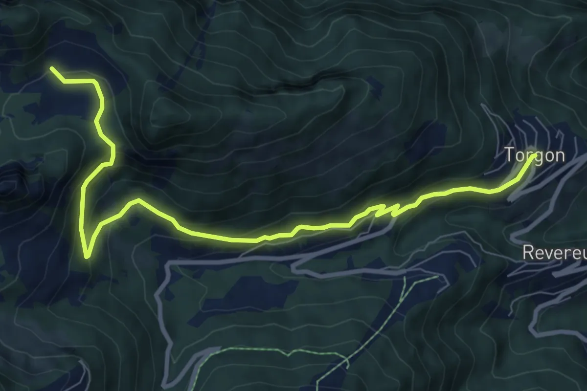
Medium · Trail
Torgon village – Chalet de Blancsex
8.7 km · ↑ 508 m · 3 h 10 min · 9 km away
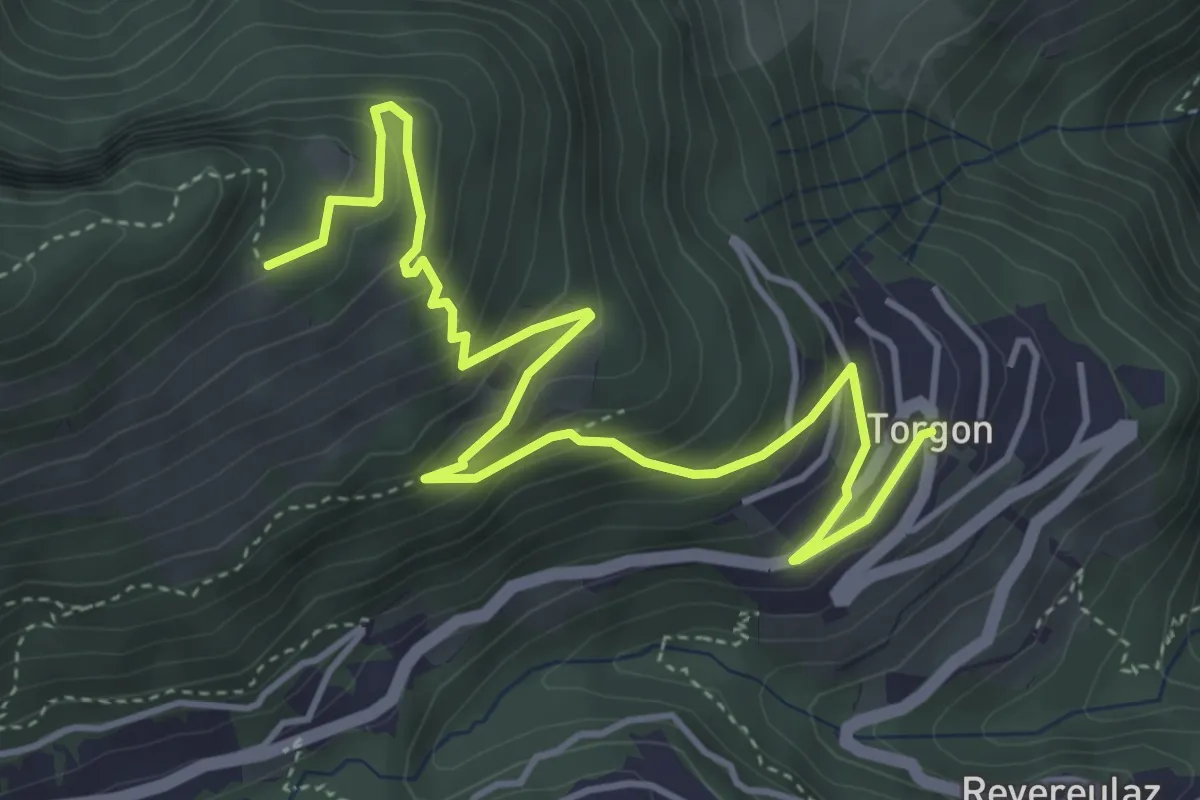
Medium · Trail
Torgon village – La Caux
5.5 km · ↑ 430 m · 2 h 14 min · 9 km away
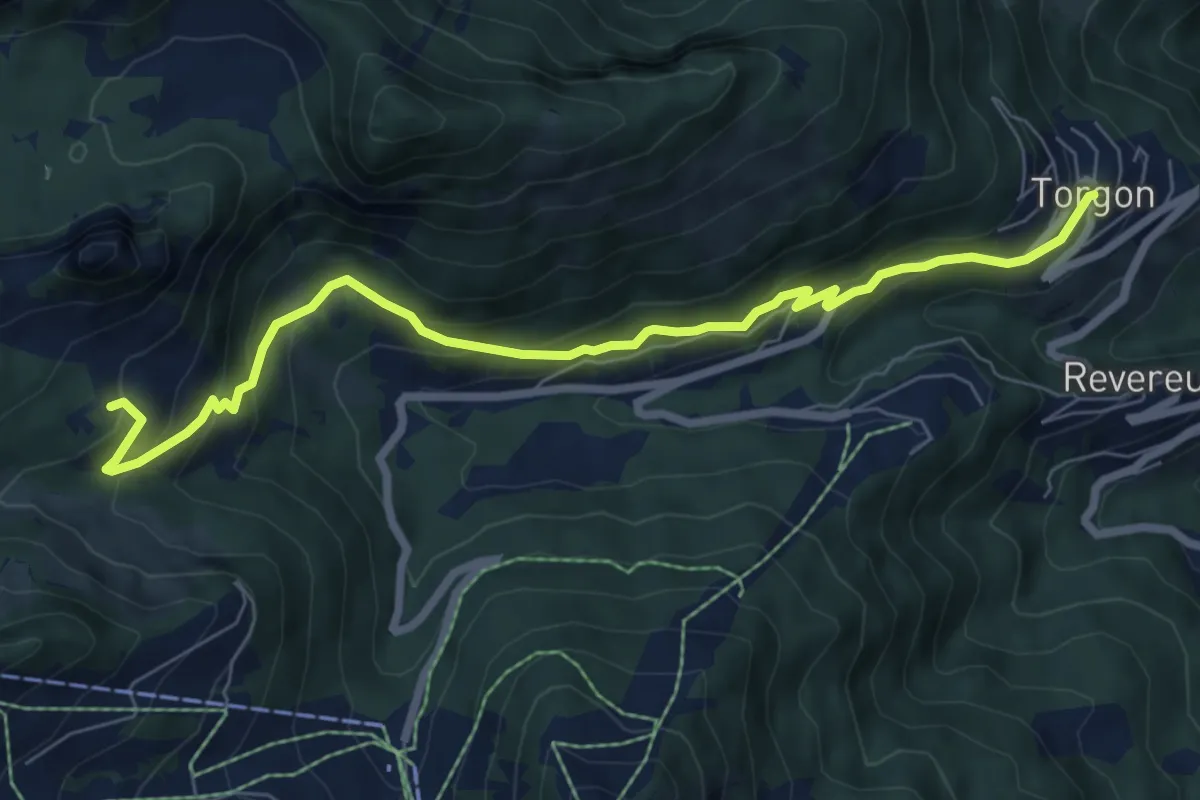
Medium · Trail
Torgon village – Dravers
7.8 km · ↑ 506 m · 2 h 56 min · 9 km away
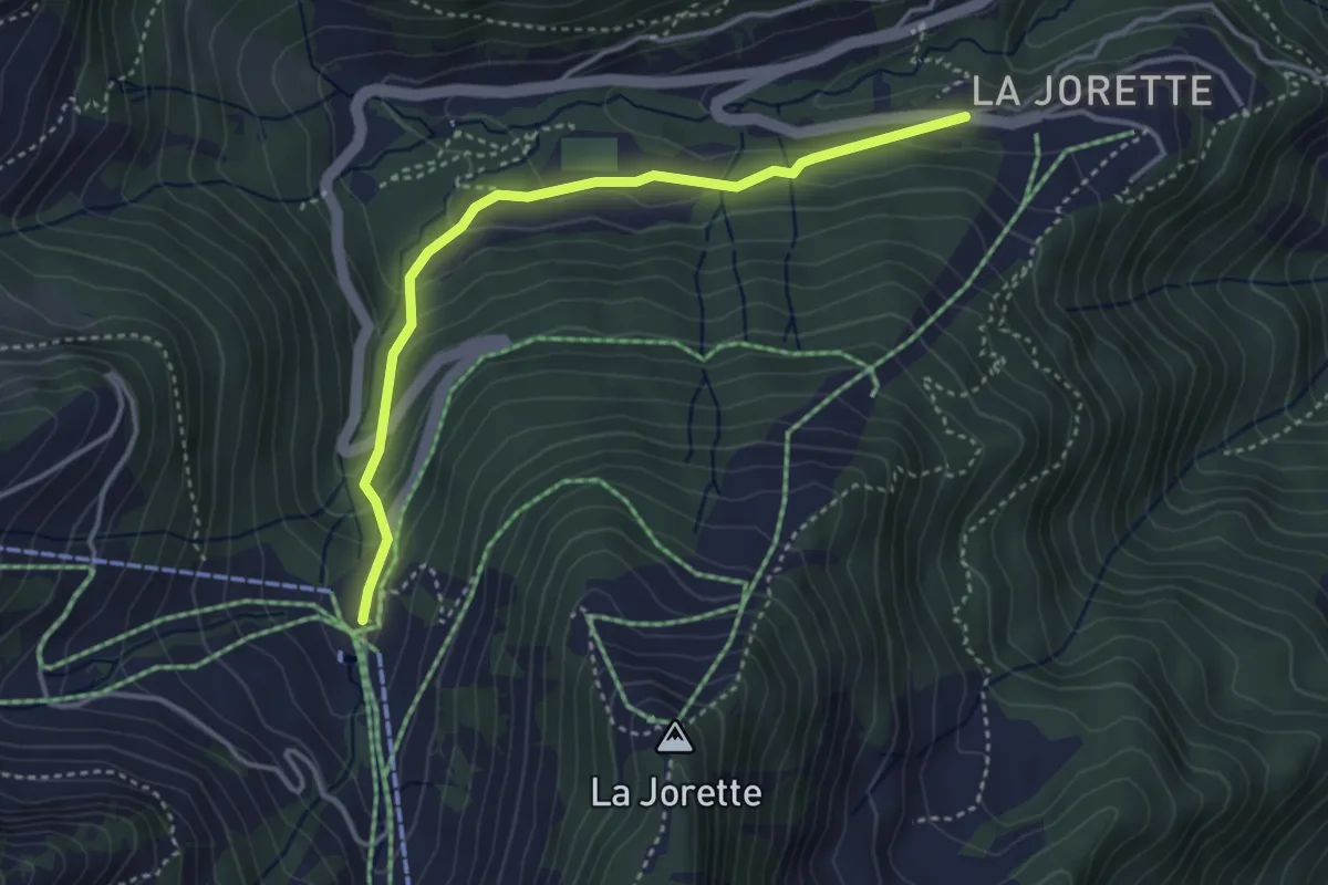
Easy · Trail
Torgon/La Jorette – Plan du Croix
3.7 km · ↑ 204 m · 1 h 19 min · 9 km away
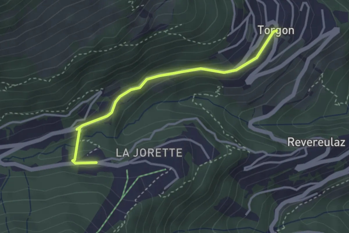
Easy · Trail
Torgon village - Torgon/La Jorette
2.9 km · ↑ 74 m · 50 min · 9 km away
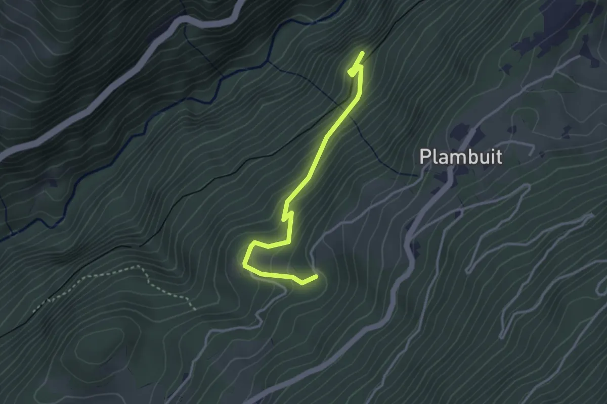
Easy · Trail
Plambuit – Salins
3.1 km · ↑ 275 m · 1 h 20 min · 9 km away
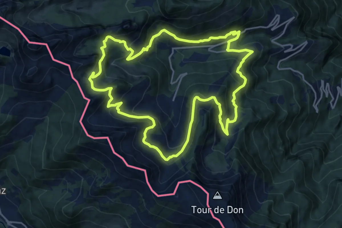
Demanding · Trail
Sentier des alpages de Vionnaz
13.4 km · ↑ 842 m · 5 h 11 min · 10 km away
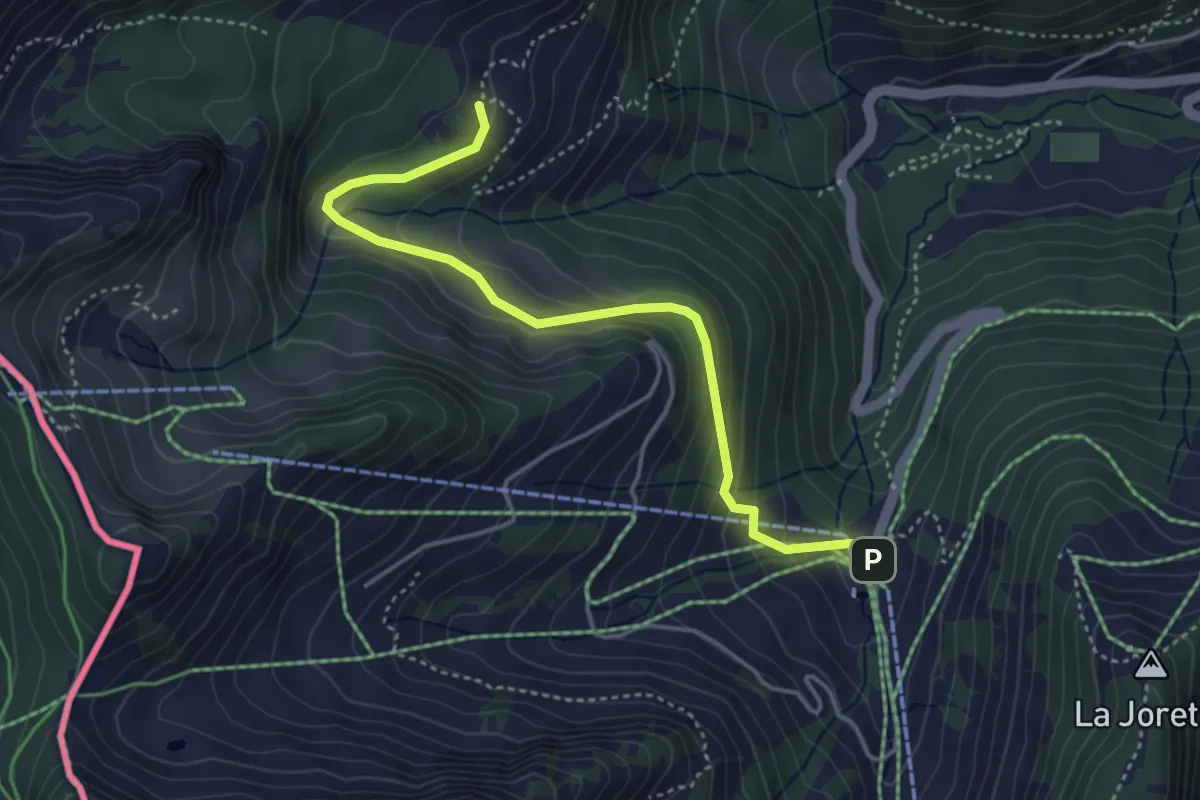
Easy · Trail
Plan du Croix – Dravers
4.3 km · ↑ 242 m · 1 h 32 min · 10 km away
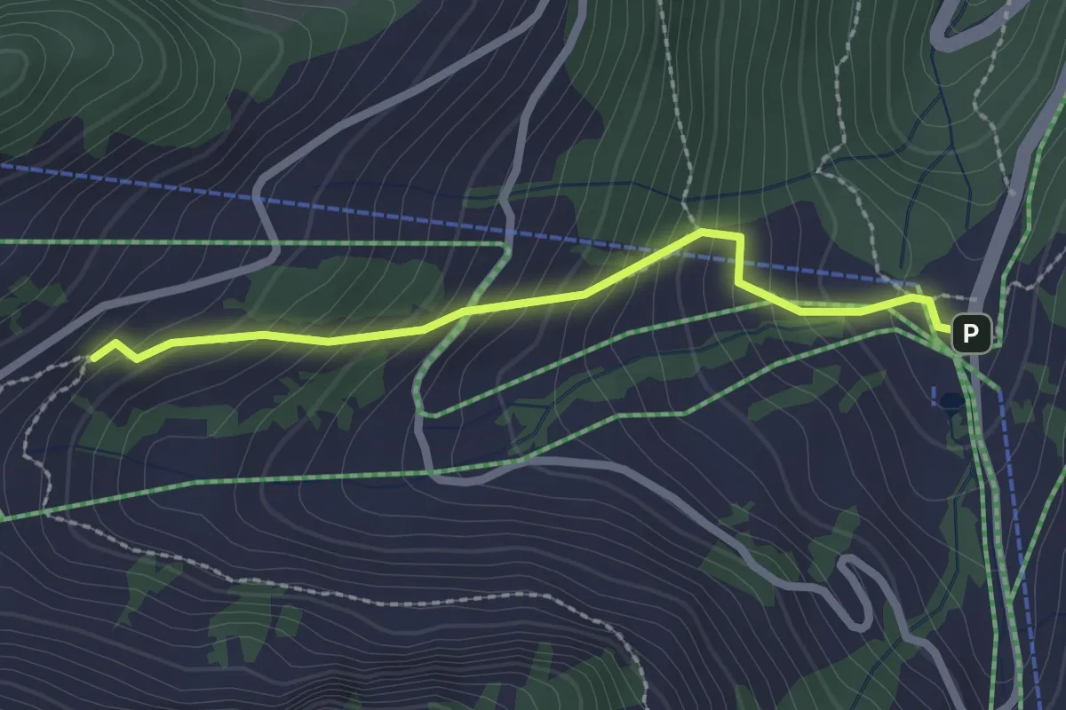
Easy · Trail
Plan du Croix - Recon
2.2 km · ↑ 237 m · 1 h 2 min · 10 km away
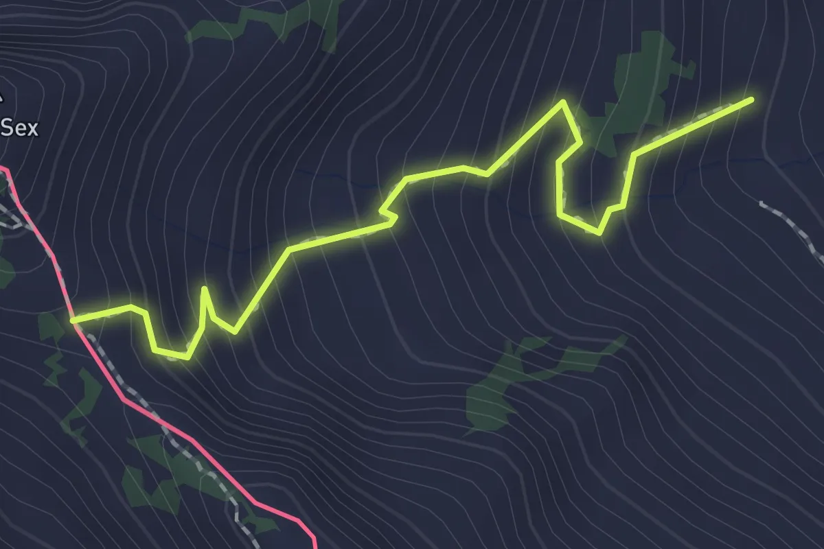
Medium · Trail
Chétillon – Col de Chétillon
2.0 km · ↑ 272 m · 1 h 4 min · 10 km away
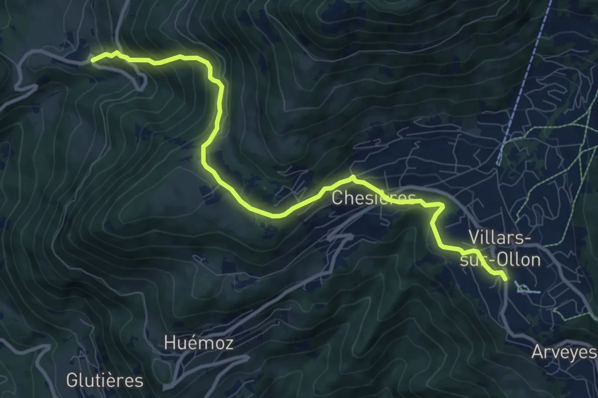
Medium · Trail
Panex – Villars
10.0 km · ↑ 565 m · 3 h 35 min · 10 km away
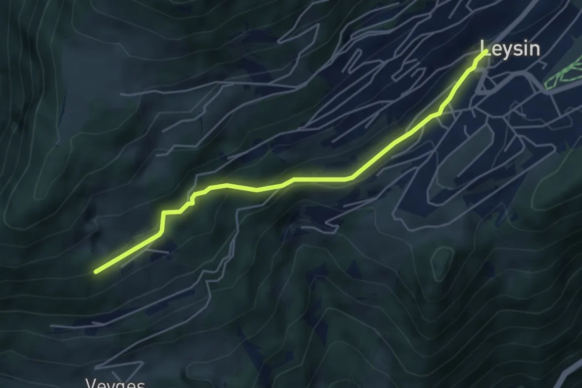
Easy · Trail
Leysin – Prélan
4.6 km · ↑ 218 m · 1 h 33 min · 10 km away
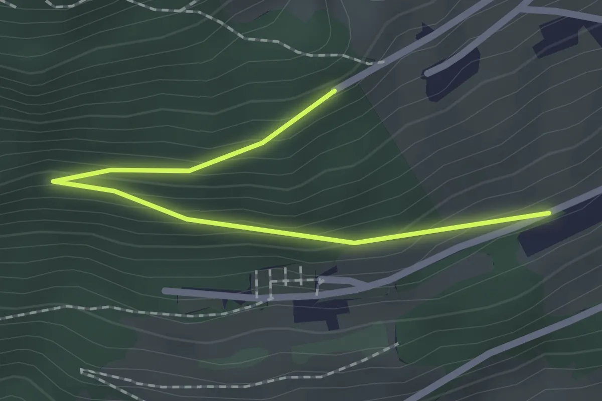
Easy · Trail
Les Larrets – Prélan
2.0 km · ↑ 115 m · 44 min · 10 km away
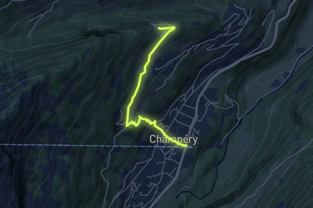
Medium · Trail
Sur Cou-Champery
4.3 km · ↑ 343 m · 1 h 46 min · 10 km away