Trails near Monthey
146 hikes starting within 15 km, nearest first.
Nearest first, page 2 of 4
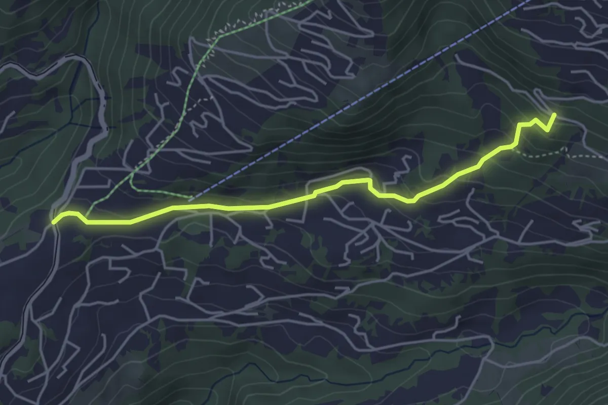
Easy · Trail
La Barboleusaz – Frience/Alpe des Chaux?
4.3 km · ↑ 198 m · 1 h 27 min · 10 km away
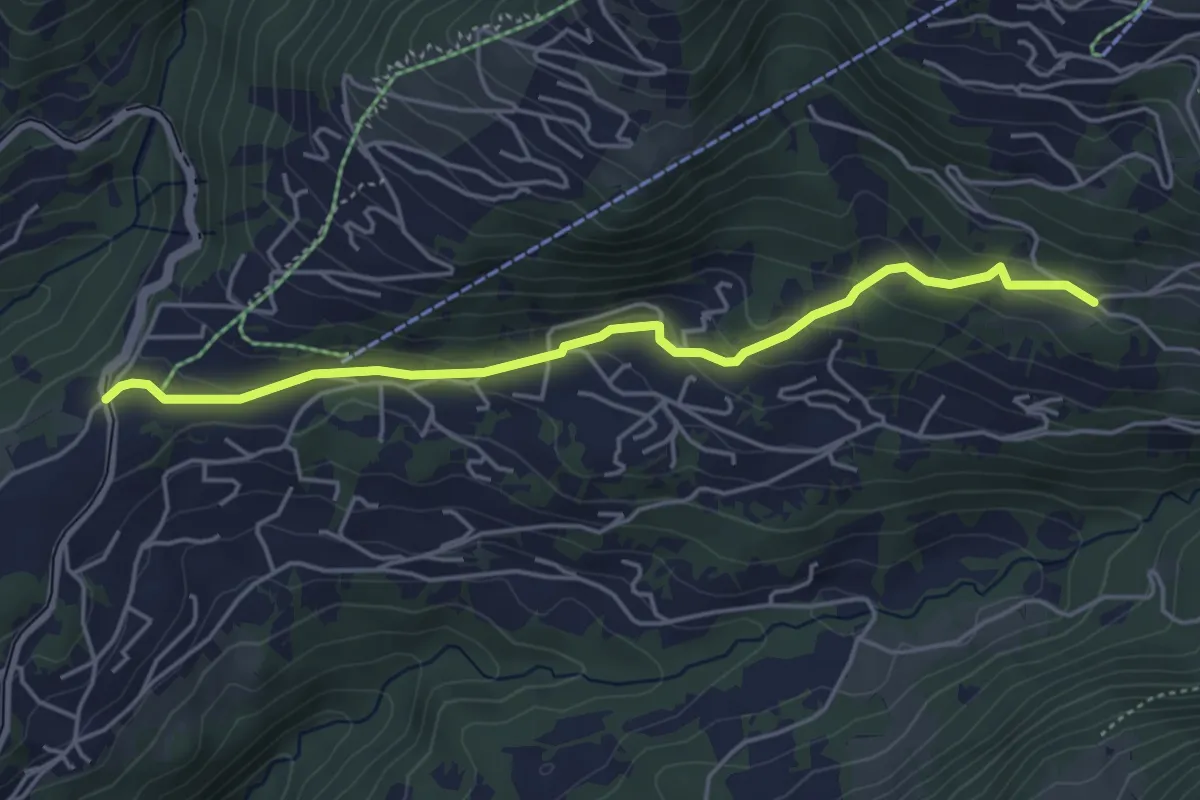
Easy · Trail
La Barboleusaz – Les Ernets
4.6 km · ↑ 190 m · 1 h 31 min · 10 km away
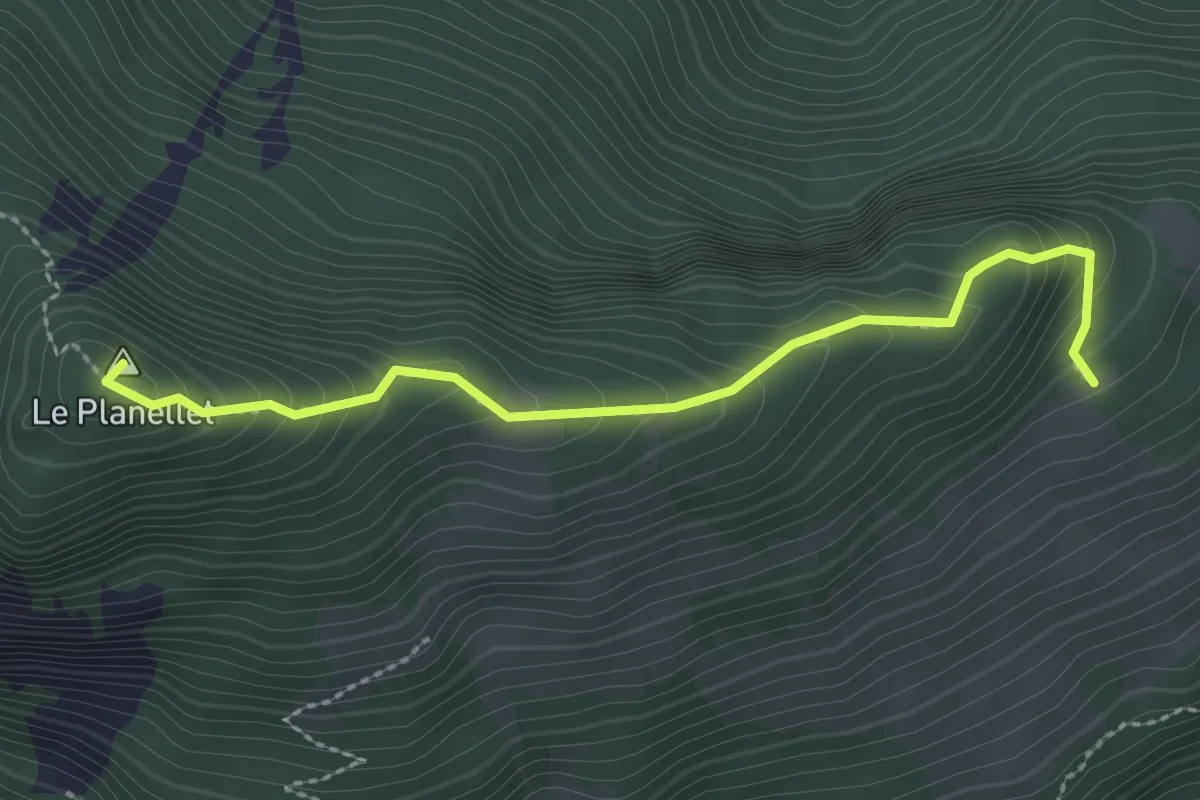
Demanding · Summit
Col du Blancsex – La Caux
2.6 km · ↑ 250 m · 1 h 9 min · 10 km away
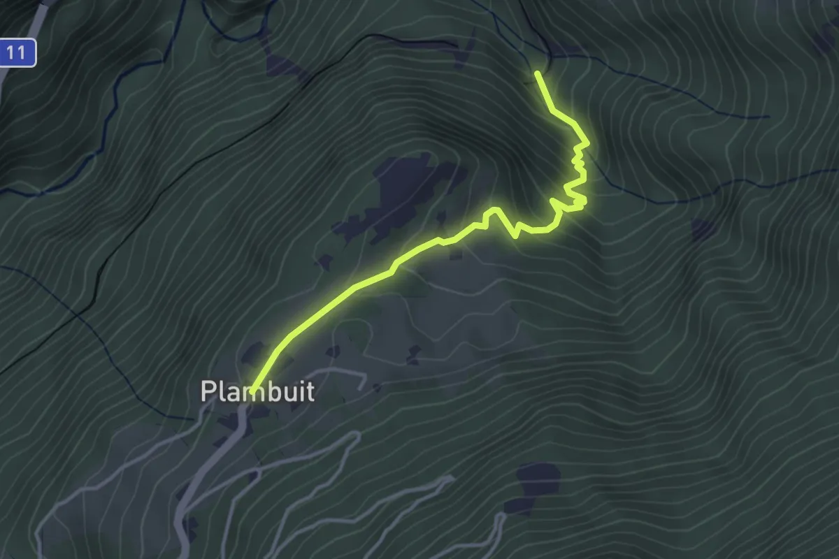
Easy · Trail
En Thy – Plambuit
3.6 km · ↑ 260 m · 1 h 24 min · 10 km away
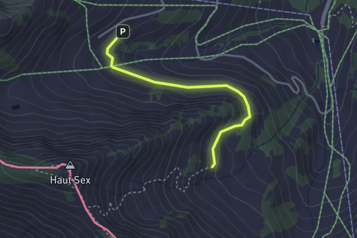
Easy · Trail
Recon – Chétillon
2.7 km · ↑ 155 m · 58 min · 10 km away
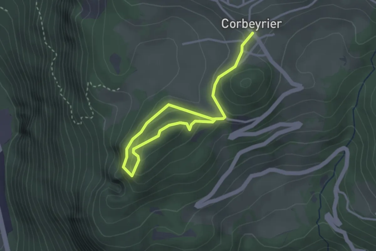
Easy · Trail
Corbeyrier – Champillon
3.7 km · ↑ 157 m · 1 h 13 min · 10 km away
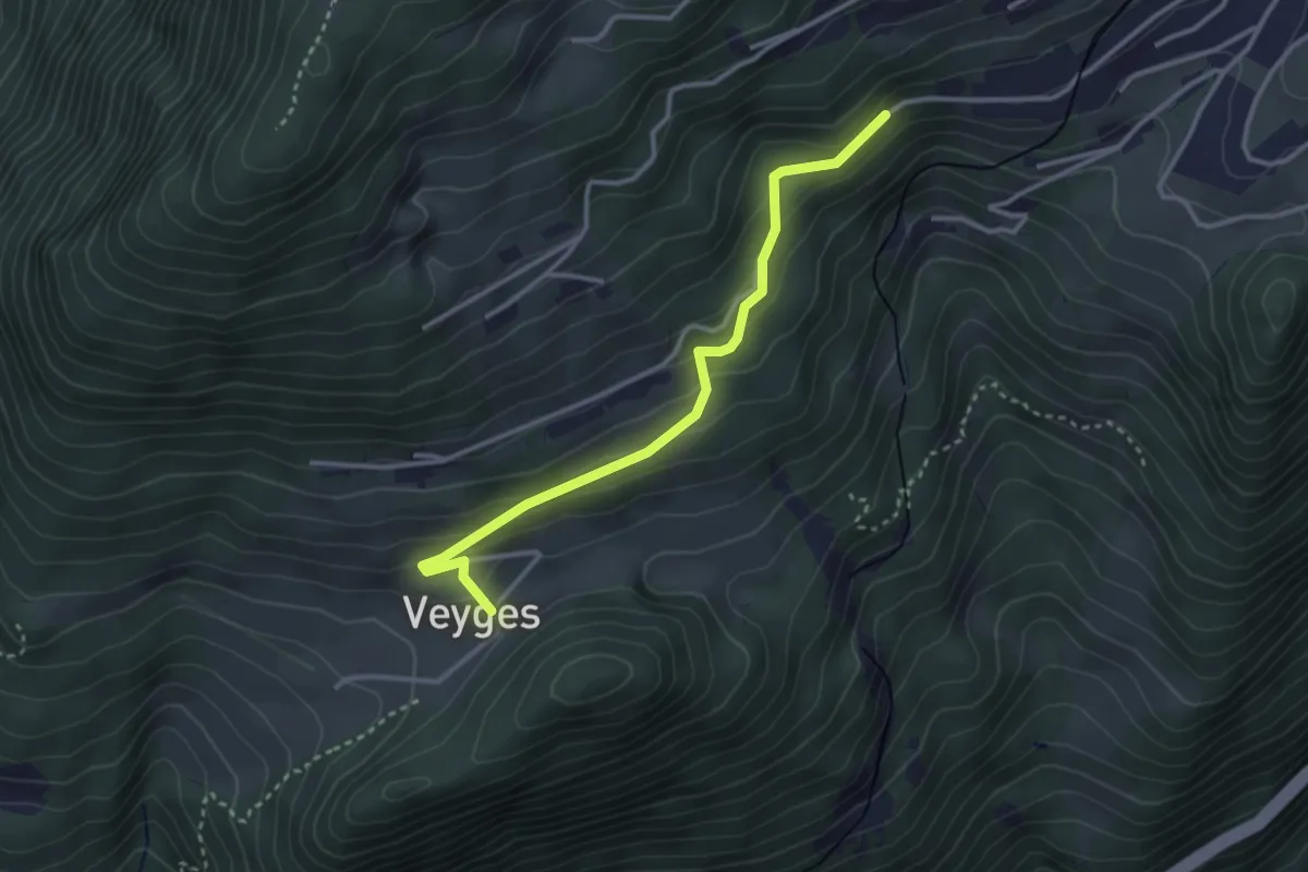
Easy · Trail
Veyges – Leysin-Village
3.2 km · ↑ 189 m · 1 h 10 min · 10 km away
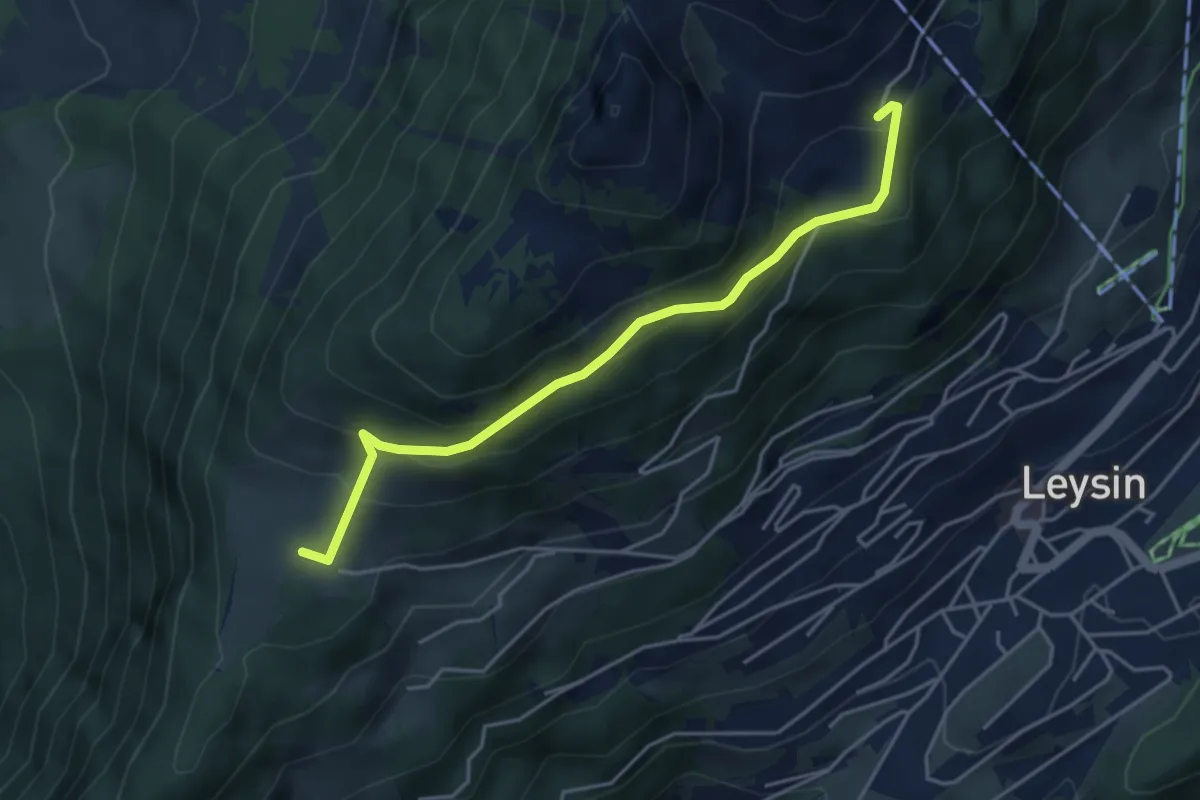
Medium · Trail
Prafandaz – Le Temeley
4.4 km · ↑ 257 m · 1 h 35 min · 10 km away
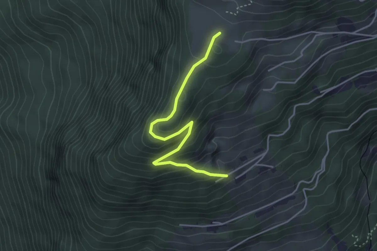
Easy · Trail
Prafandaz – Prélan
3.7 km · ↑ 257 m · 1 h 26 min · 10 km away
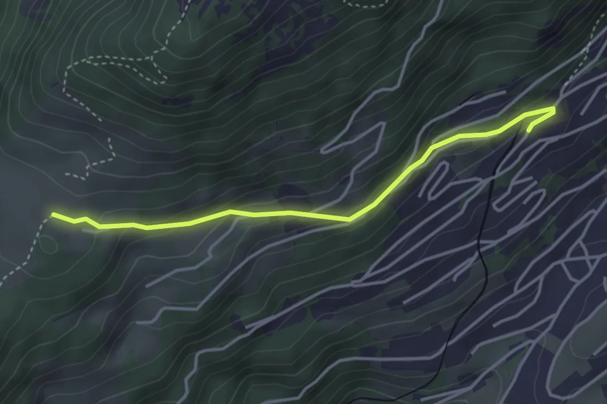
Easy · Trail
Prafandaz – Féydey
3.6 km · ↑ 166 m · 1 h 12 min · 10 km away
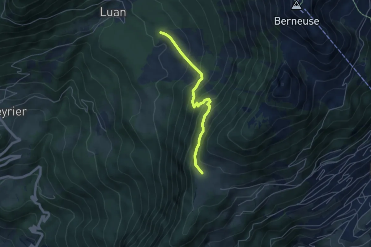
Medium · Trail
Prafandaz – Luan
4.3 km · ↑ 347 m · 1 h 46 min · 11 km away
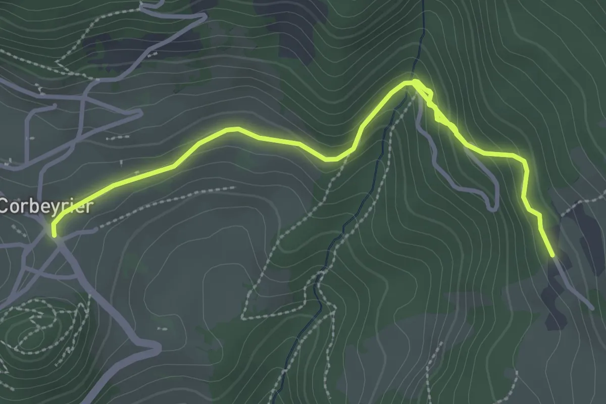
Easy · Trail
Corbeyrier – Boveau
3.8 km · ↑ 161 m · 1 h 14 min · 11 km away
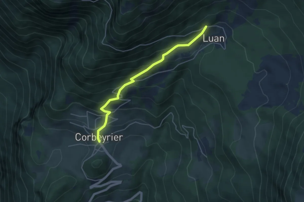
Medium · Trail
Corbeyrier – Luan
4.1 km · ↑ 351 m · 1 h 44 min · 11 km away
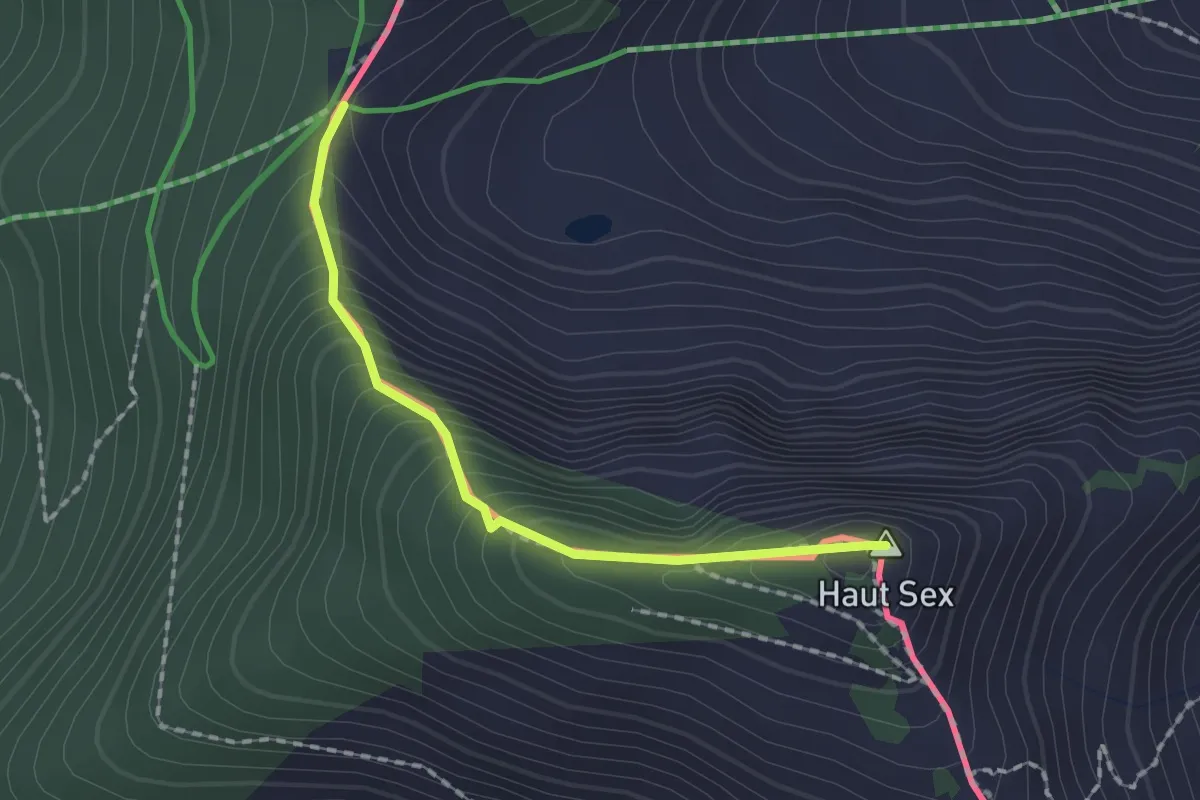
Demanding · Summit
Col de Chétillon – Col de Recon
1.6 km · ↑ 194 m · 48 min · 11 km away
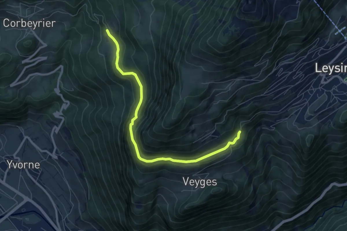
Easy · Trail
Boveau – Comborcheries
7.4 km · ↑ 298 m · 2 h 24 min · 11 km away
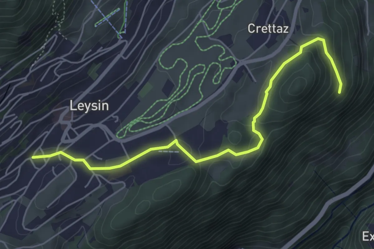
Easy · Trail
Leysin – Le Flot de Crête
5.4 km · ↑ 170 m · 1 h 39 min · 11 km away
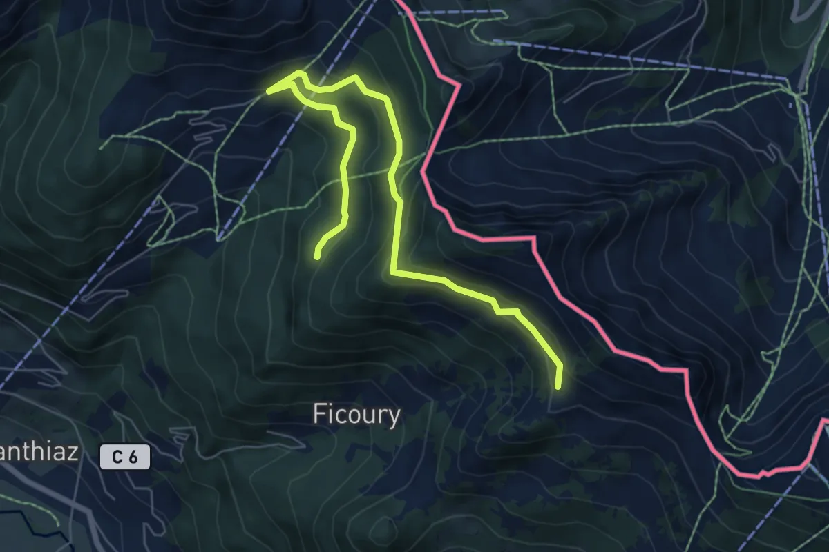
Medium · Trail
Les Chalets du Mouet
7.4 km · ↑ 397 m · 2 h 36 min · 11 km away
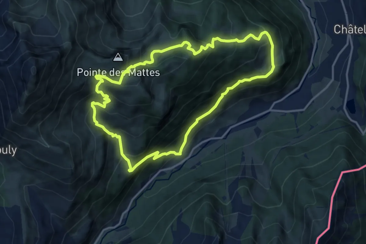
Demanding · Trail
Boucle des Mattes
9.4 km · ↑ 815 m · 4 h 7 min · 11 km away
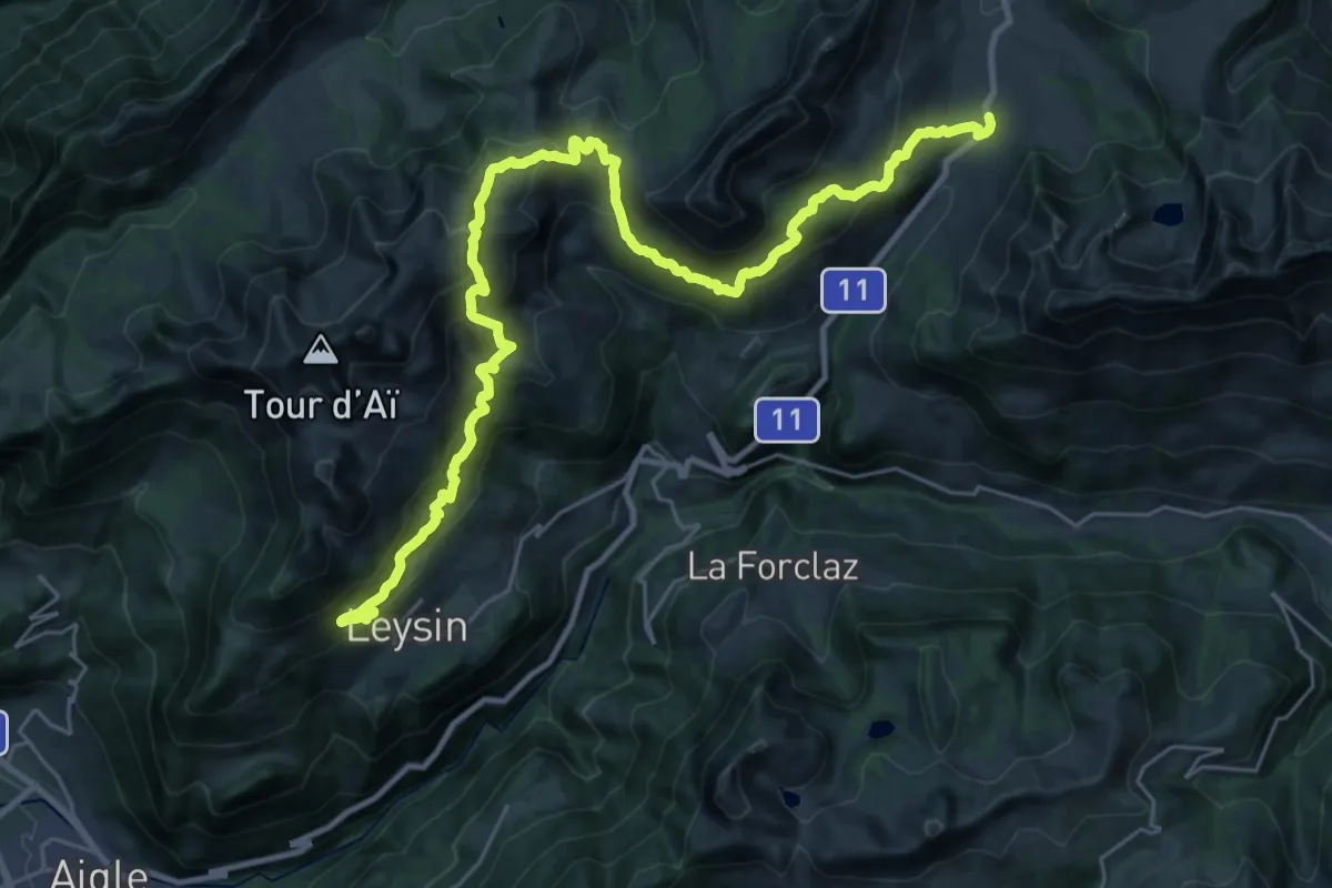
Demanding · Summit
Tour des Alpes Vaudoises Étape 2
16.6 km · ↑ 1046 m · 6 h 24 min · 11 km away
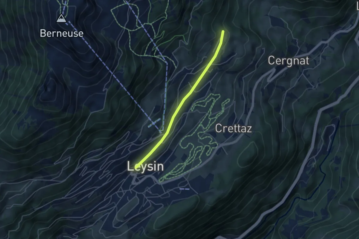
Easy · Trail
Leysin – Les Esserts
3.9 km · ↑ 80 m · 1 h 6 min · 11 km away
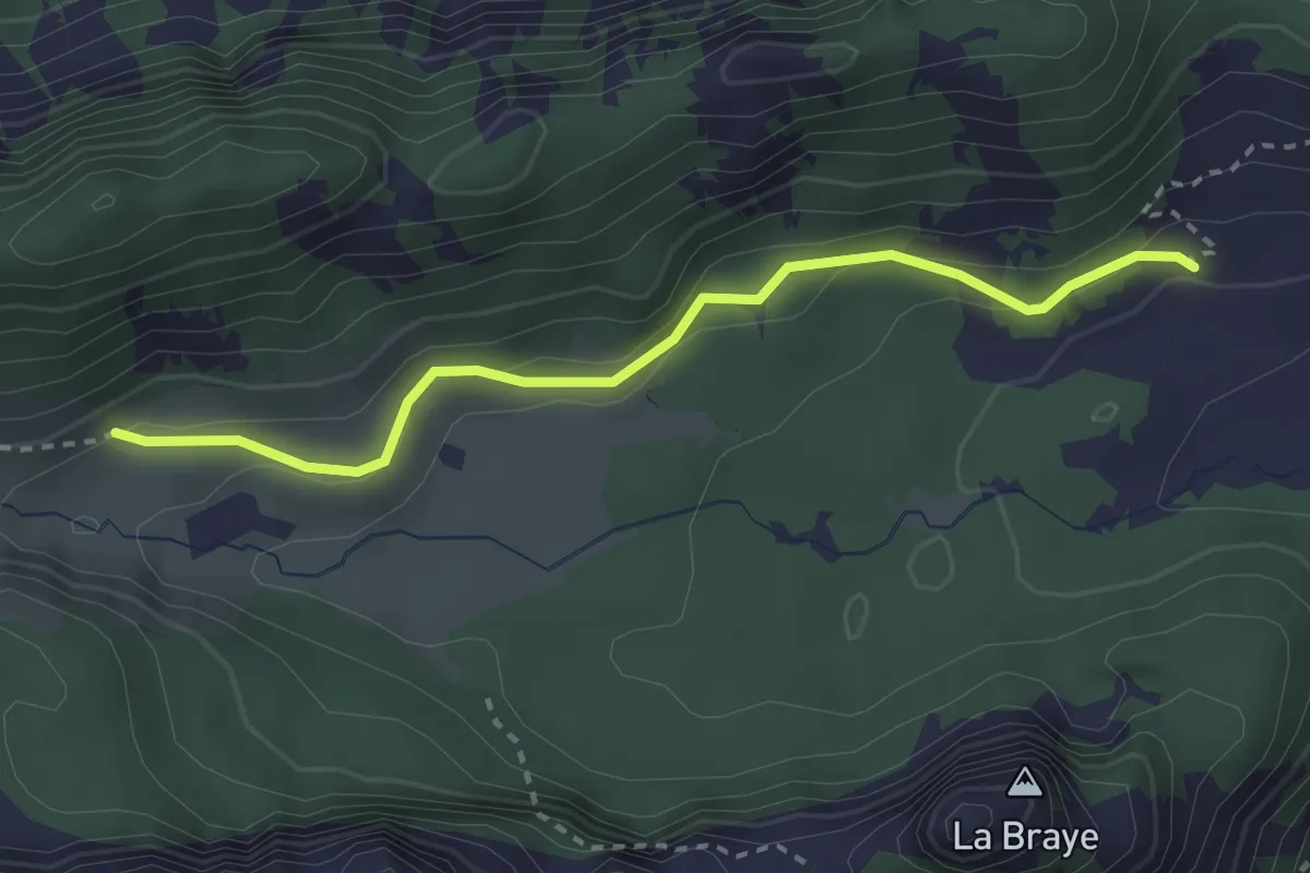
Easy · Trail
Chalet de Blancsex – Savalène
2.8 km · ↑ 170 m · 1 h 2 min · 11 km away
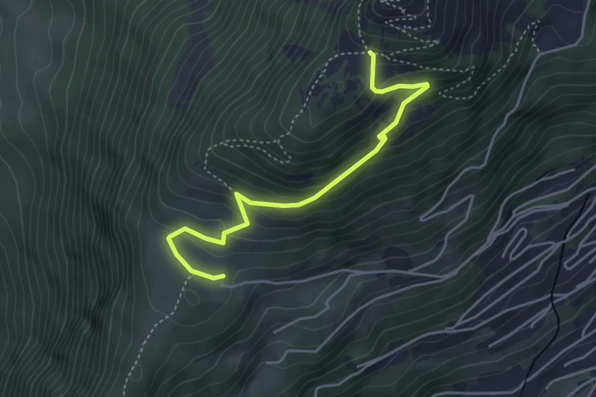
Medium · Trail
Prafandaz – Solacyre
4.1 km · ↑ 254 m · 1 h 31 min · 11 km away
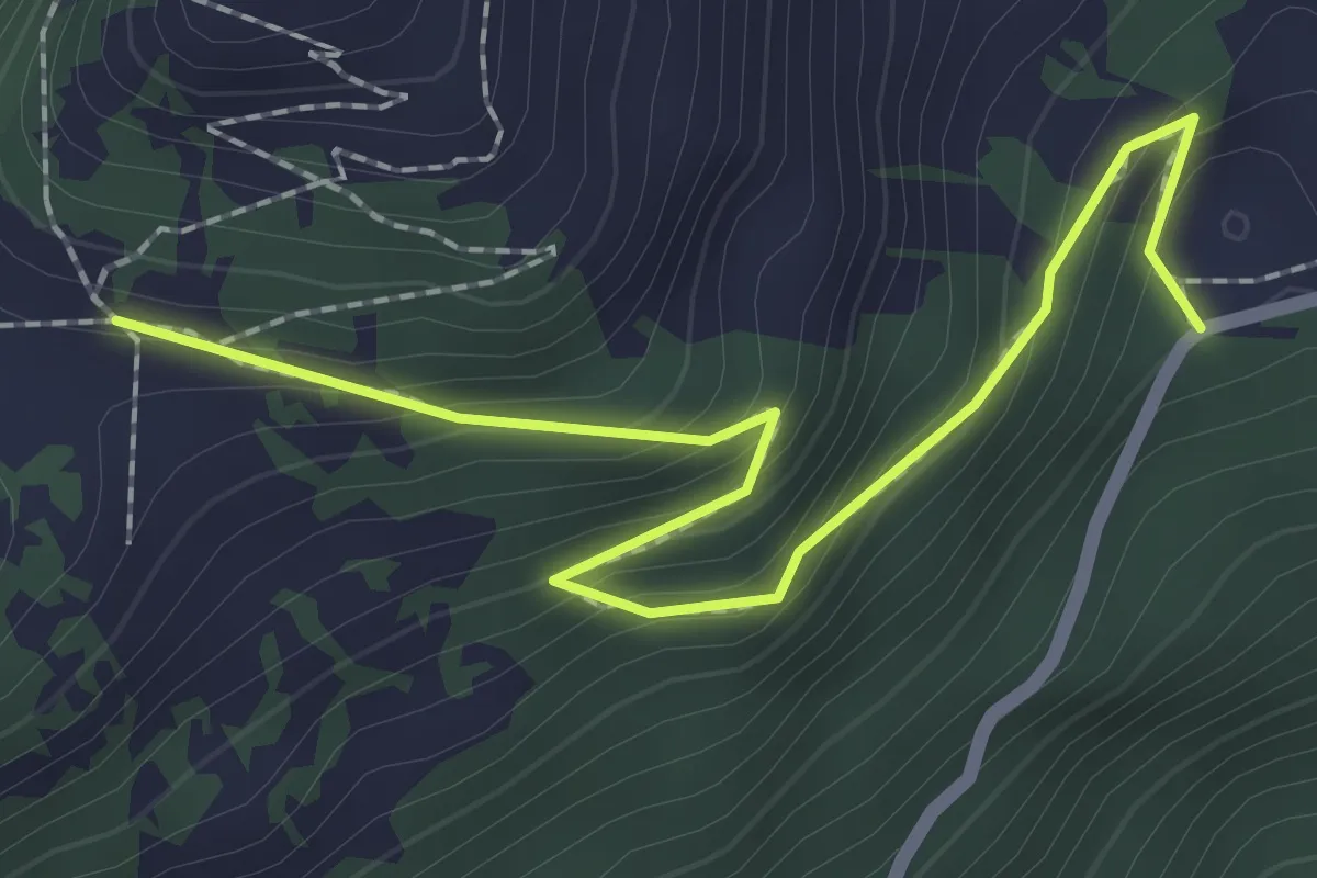
Medium · Trail
Joux des Vents – Solacyre
2.4 km · ↑ 185 m · 59 min · 11 km away
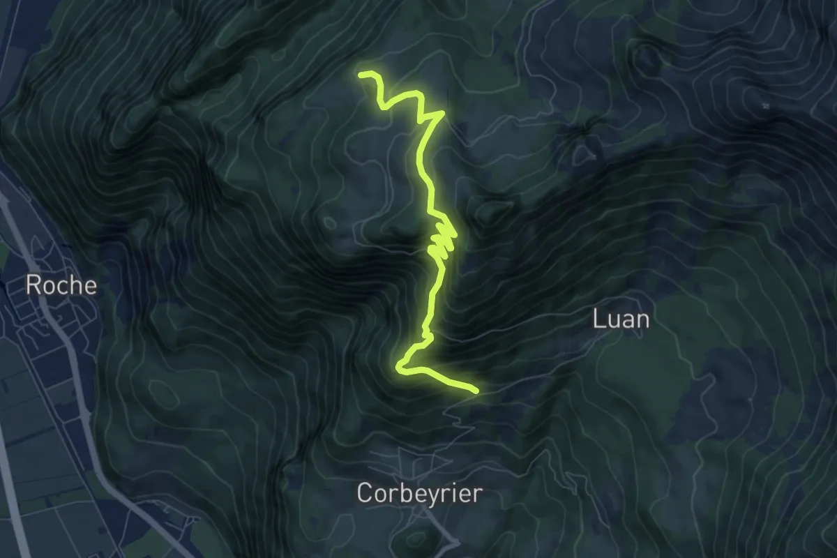
Medium · Trail
Trebache – aaa
7.8 km · ↑ 694 m · 3 h 20 min · 11 km away
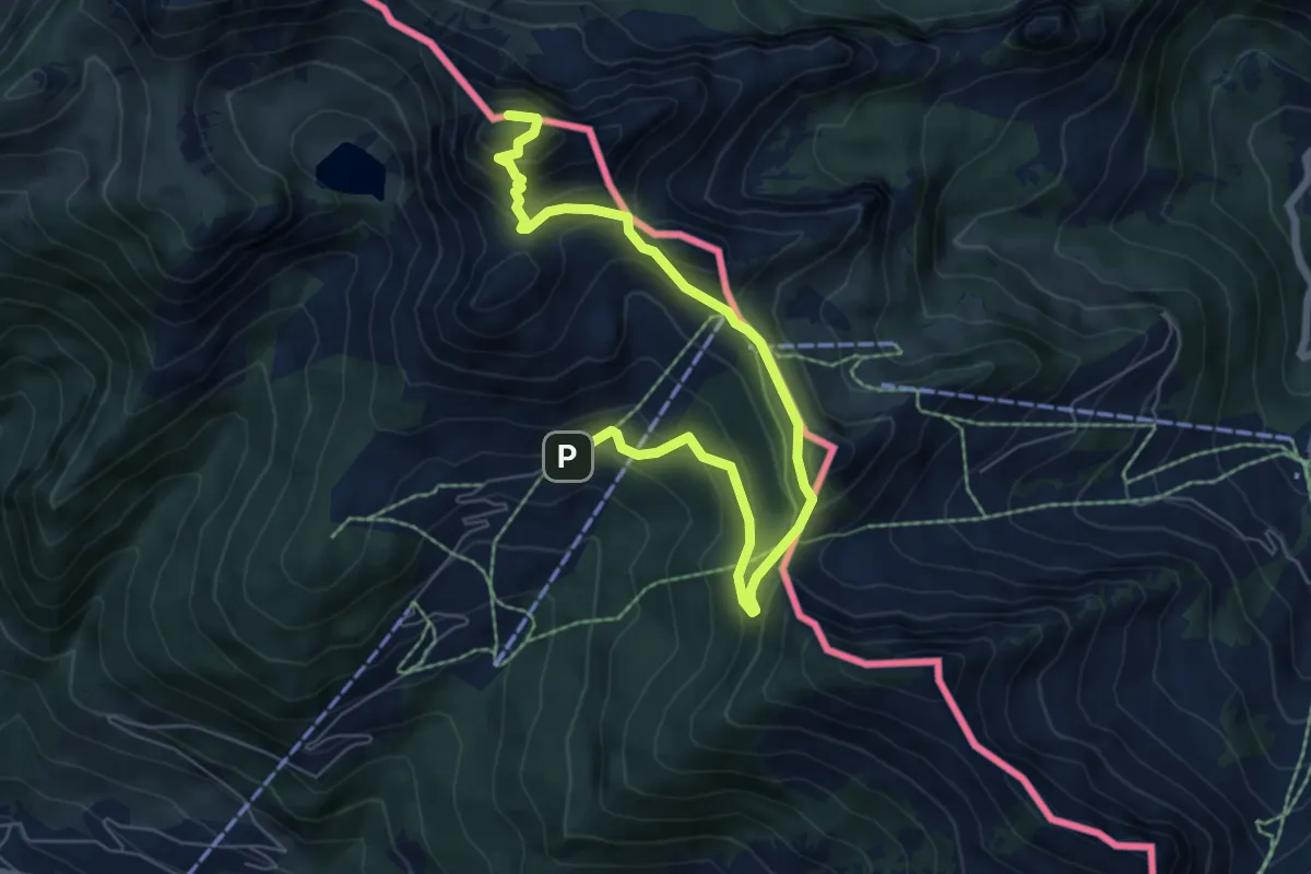
Medium · Summit
Le Linleu par les quatre cols
7.6 km · ↑ 529 m · 2 h 57 min · 12 km away
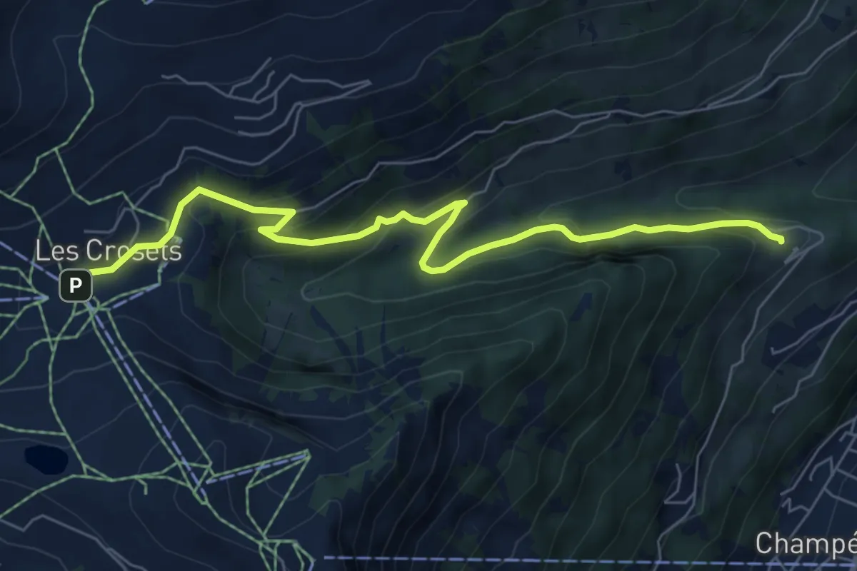
Medium · Trail
Les Crosets-Sur Cou
7.1 km · ↑ 378 m · 2 h 29 min · 12 km away
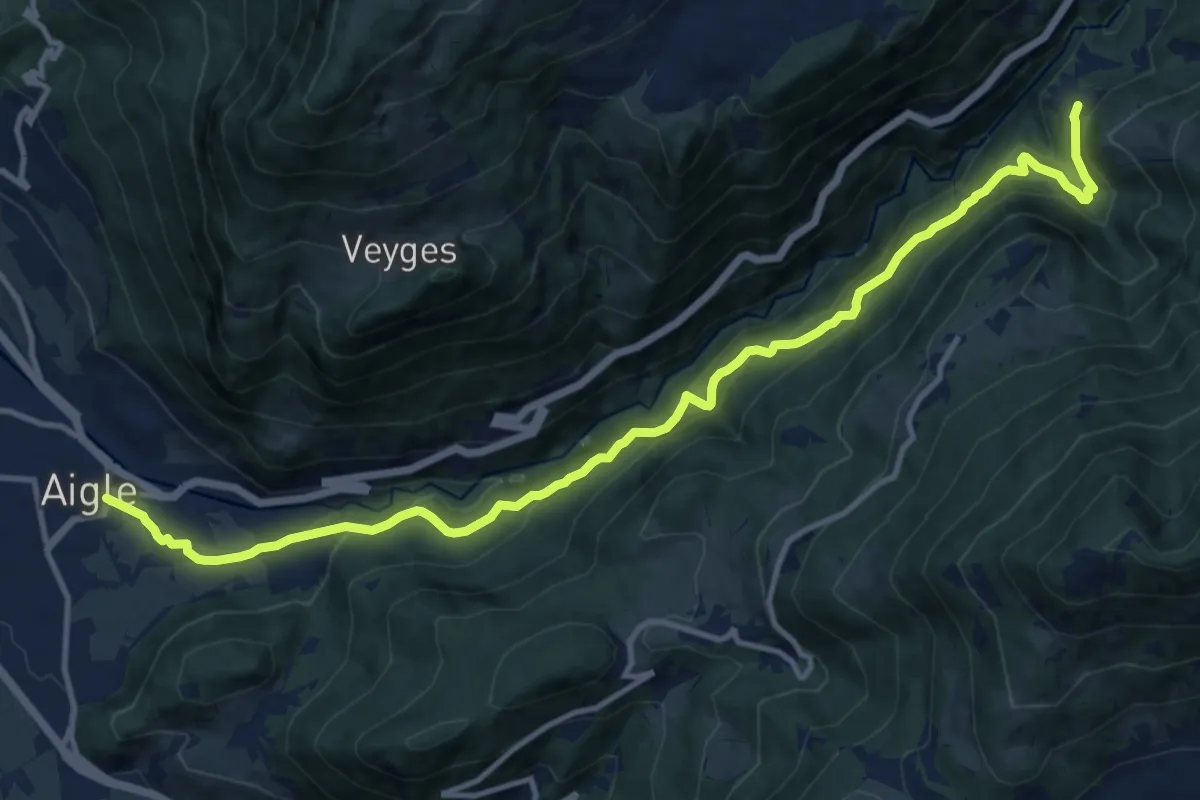
Demanding · Trail
Exergillod – Aigle
14.5 km · ↑ 950 m · 5 h 28 min · 12 km away
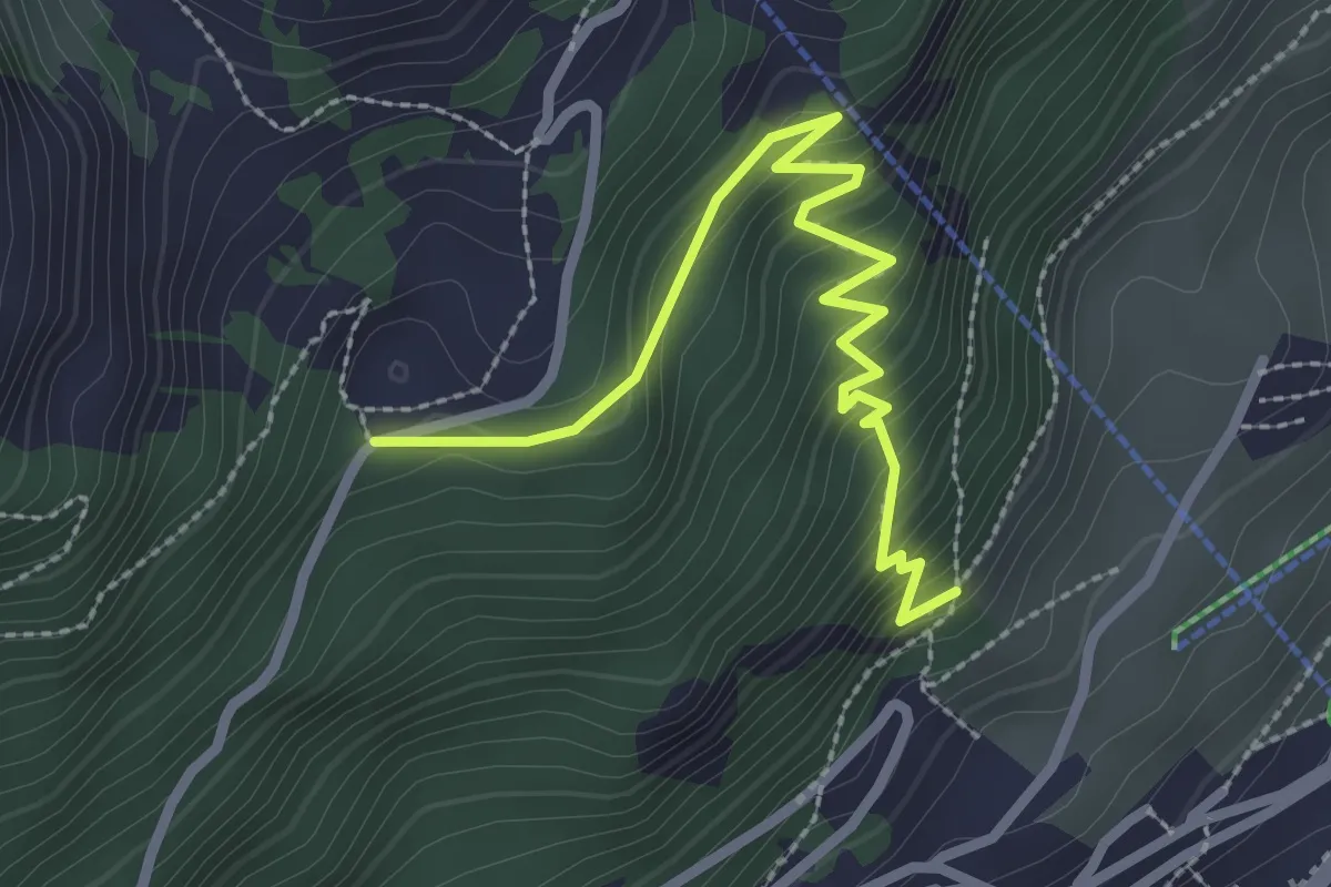
Medium · Trail
Leysin – Joux des Vents
2.9 km · ↑ 293 m · 1 h 19 min · 12 km away
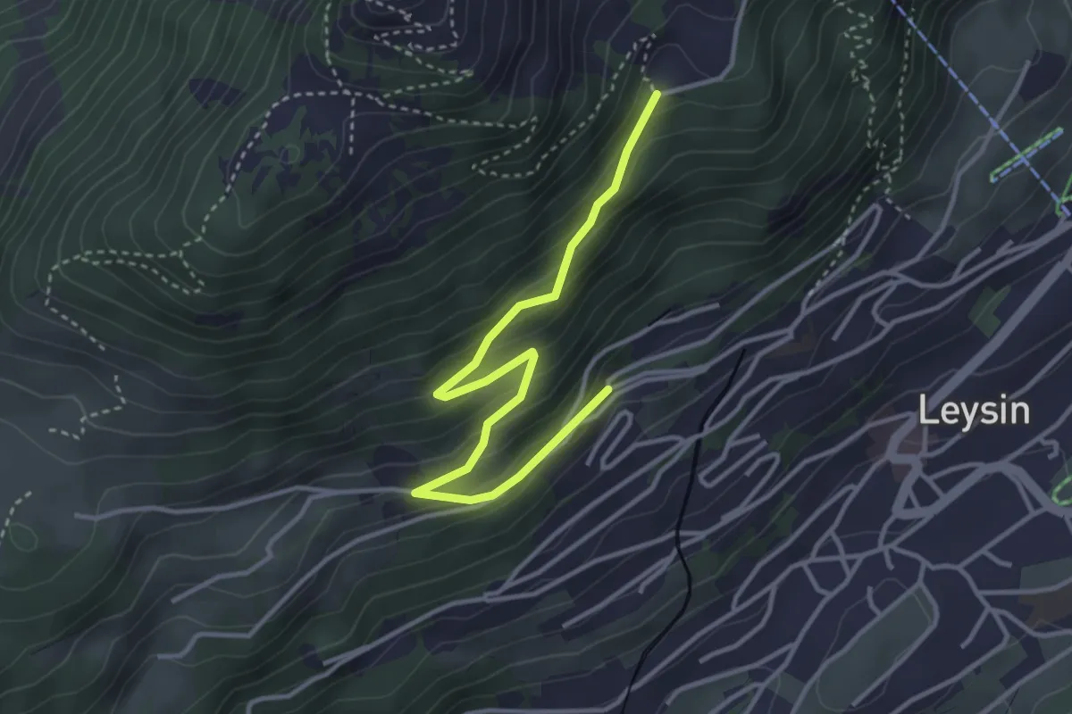
Easy · Trail
Le Bockli – Joux des Vents
3.8 km · ↑ 223 m · 1 h 23 min · 12 km away
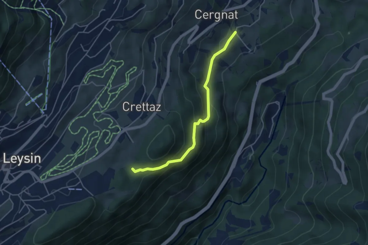
Easy · Trail
Le Flot de Crête – Cergnat
3.7 km · ↑ 227 m · 1 h 22 min · 12 km away
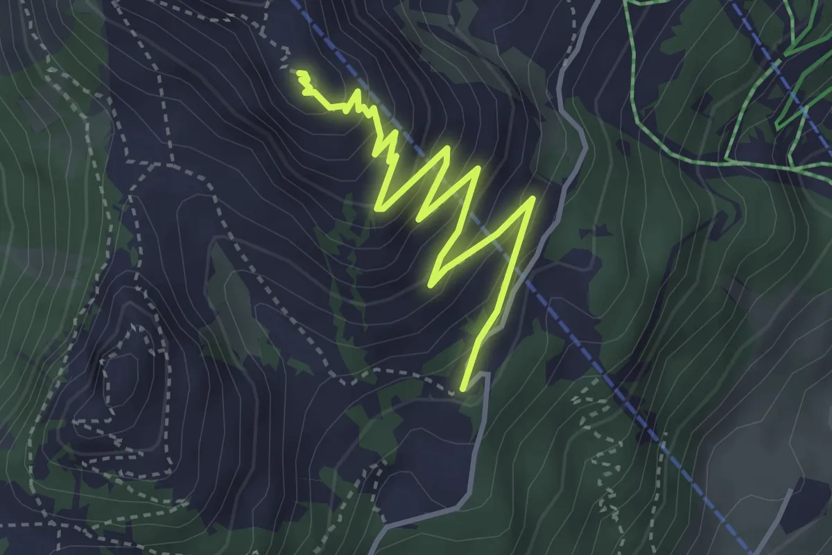
Medium · Summit
Temeley – Geteillon
3.9 km · ↑ 280 m · 1 h 32 min · 12 km away
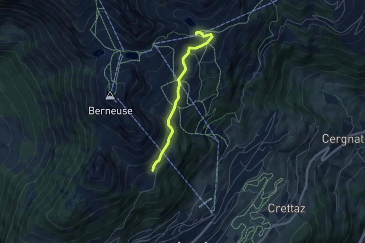
Easy · Cabin
Le Temeley – Mayen
4.3 km · ↑ 205 m · 1 h 28 min · 12 km away
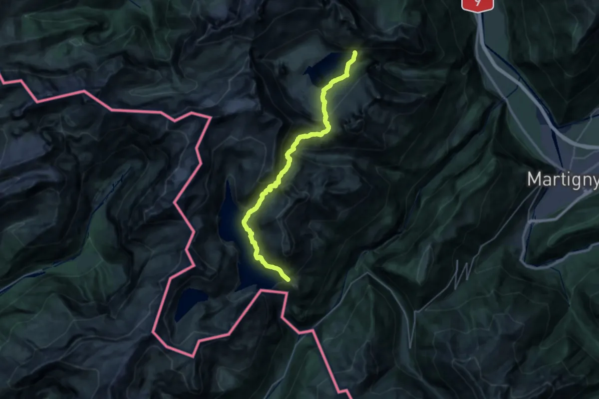
Demanding · Trail
38-Chemin des cols alpins
12.9 km · ↑ 1418 m · 6 h 16 min · 12 km away
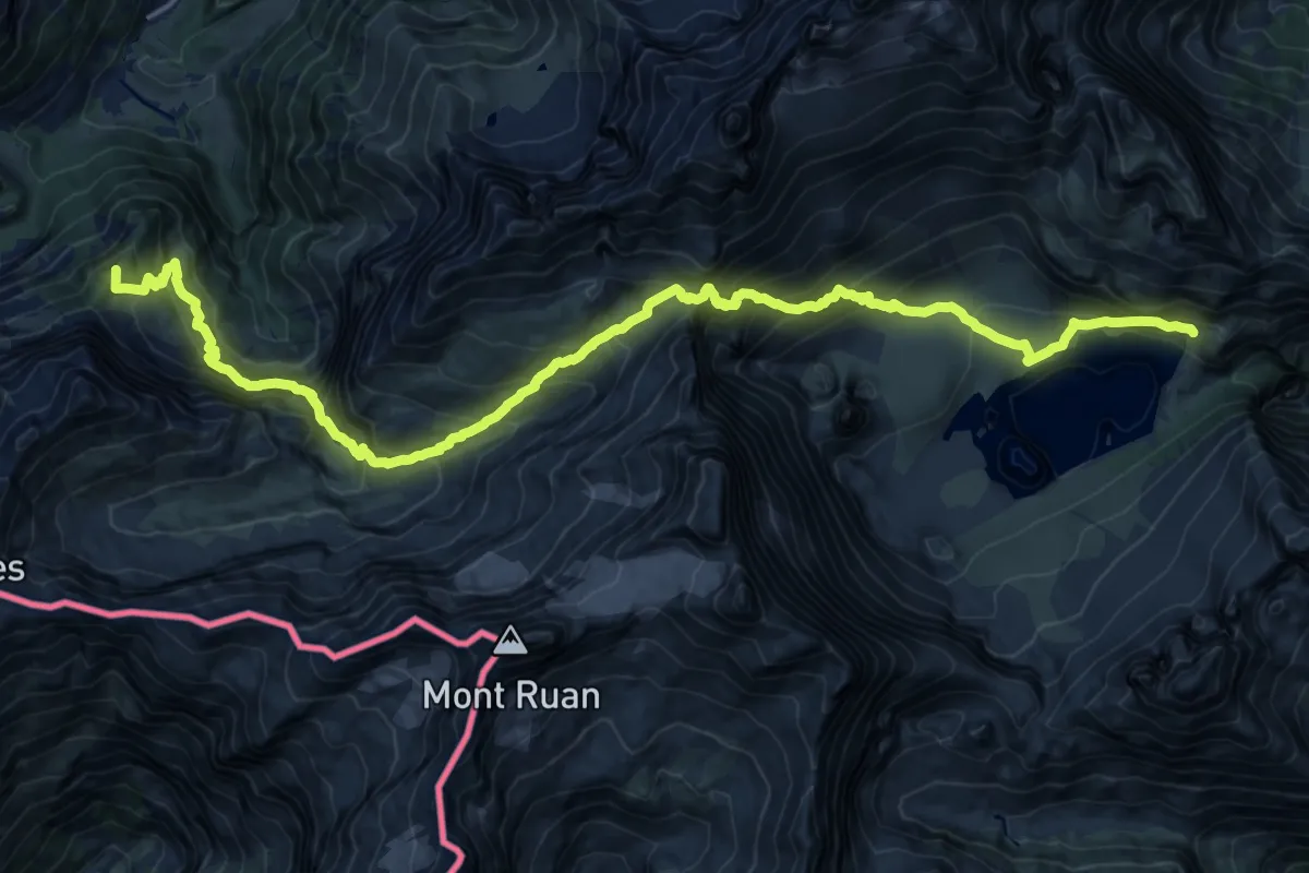
Demanding · Summit
39-Chemin des cols alpins
23.7 km · ↑ 2056 m · 10 h 4 min · 12 km away
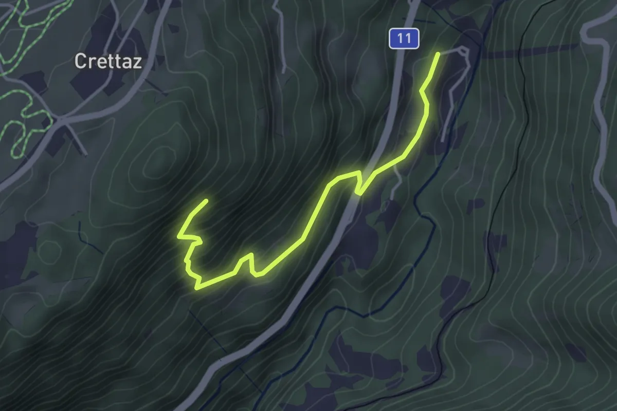
Medium · Trail
Le Flot de Crête – Le Pont
3.8 km · ↑ 352 m · 1 h 39 min · 12 km away
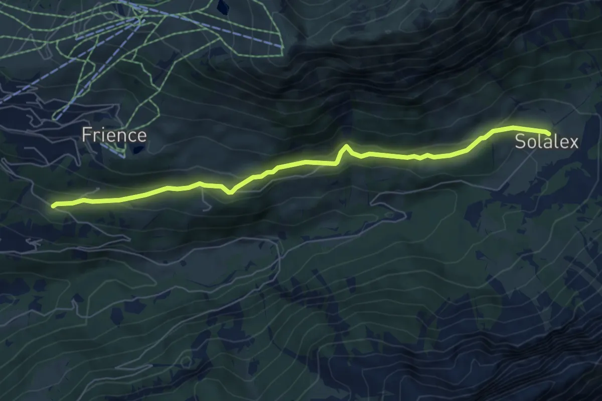
Easy · Trail
Solalex – Les Ernets
6.5 km · ↑ 283 m · 2 h 9 min · 12 km away
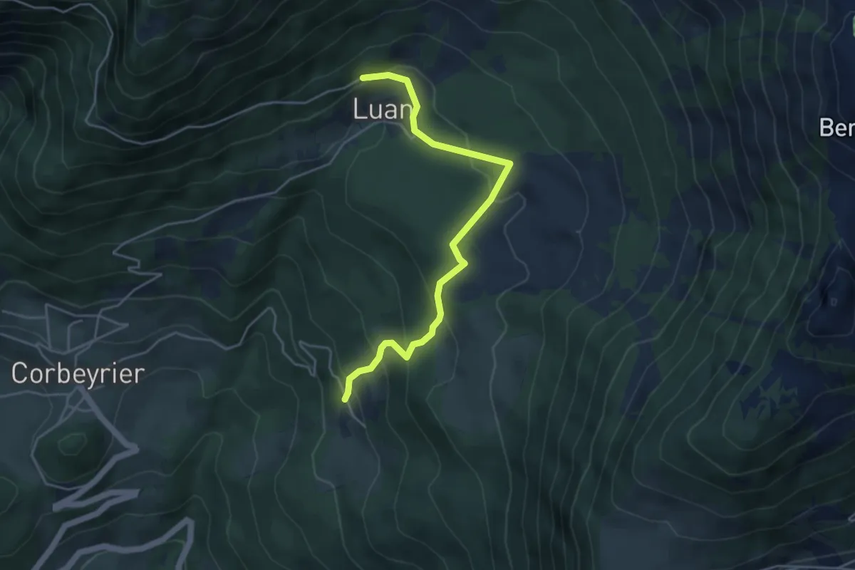
Medium · Trail
Boveau – Luan
4.5 km · ↑ 304 m · 1 h 43 min · 12 km away
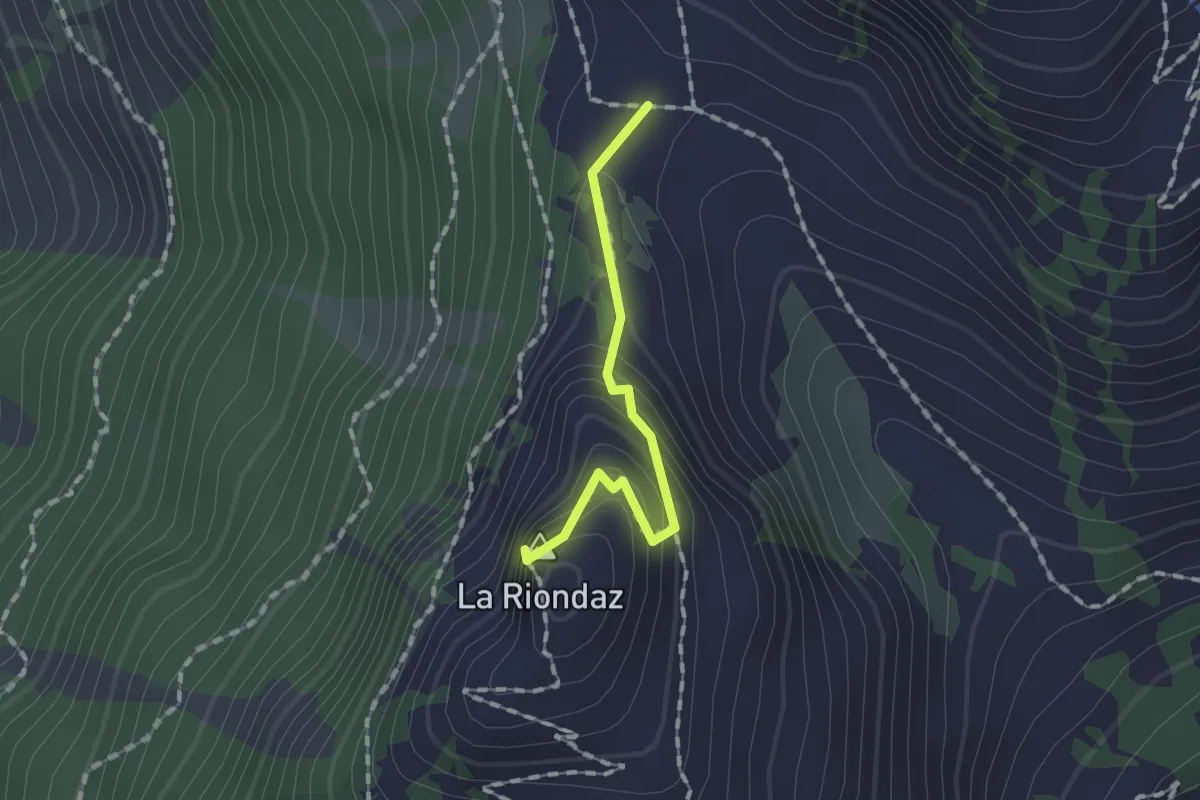
Medium · Summit
Solacyre – Col du Luissel
1.2 km · ↑ 105 m · 31 min · 12 km away
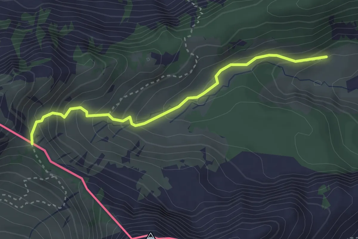
Medium · Trail
Savalène – Col de Savalène
3.0 km · ↑ 275 m · 1 h 18 min · 12 km away
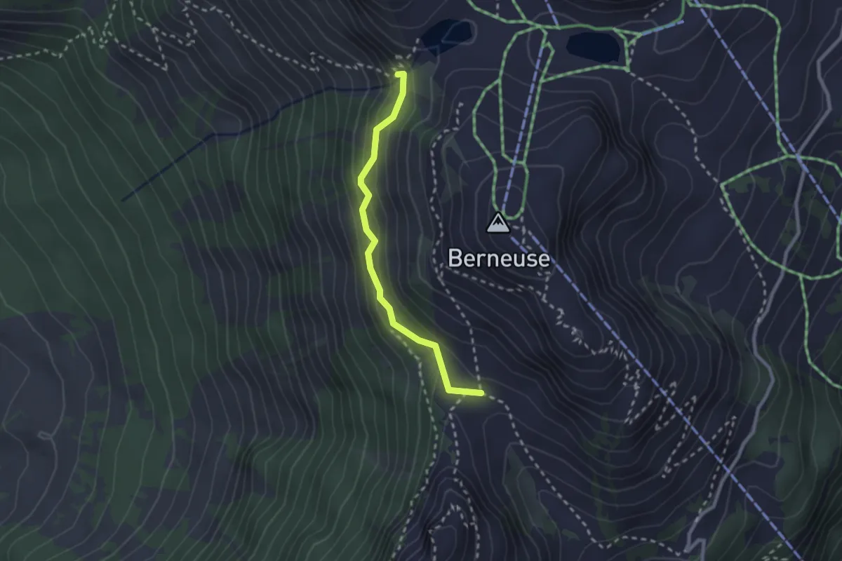
Medium · Trail
Col du Luissel – Chaux d'Ai
2.2 km · ↑ 185 m · 55 min · 12 km away
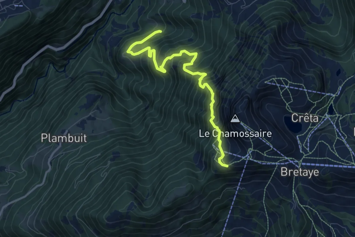
Demanding · Trail
Les Larets – L'Aiguille
9.4 km · ↑ 1033 m · 4 h 27 min · 12 km away
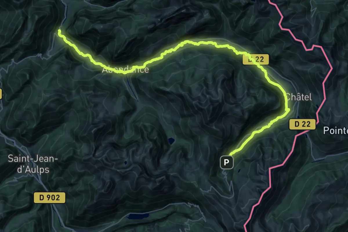
Demanding · Trail
Les Bords de Dranse
22.2 km · ↑ 172 m · 6 h 8 min · 12 km away
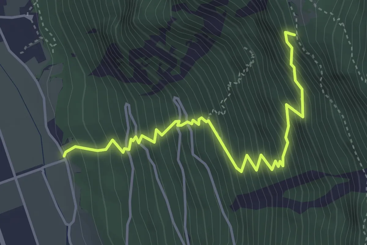
Medium · Trail
Les Martenaux - Plex ?
4.3 km · ↑ 753 m · 2 h 39 min · 12 km away
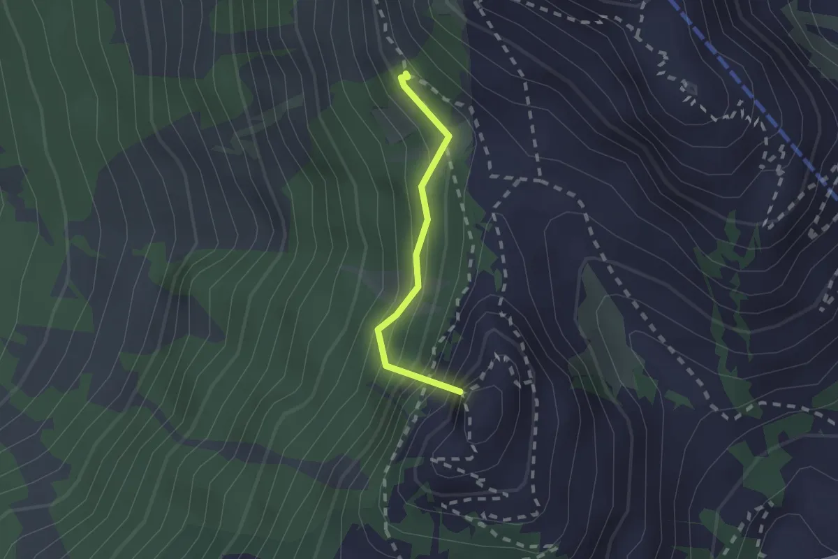
Medium · Summit
Prafandaz – Berneuse
1.5 km · ↑ 278 m · 57 min · 12 km away
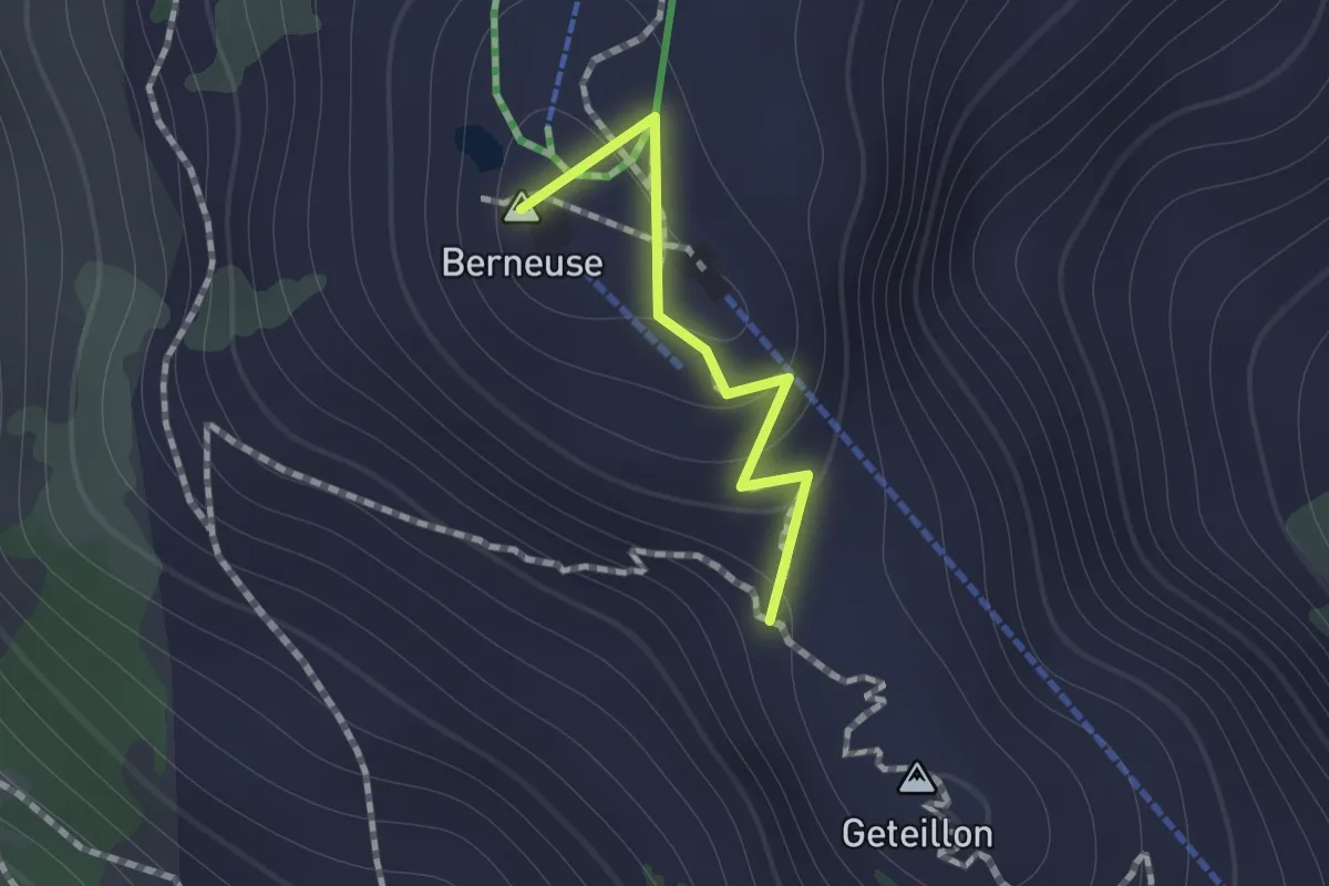
Medium · Summit
Ai – Geteillon
0.8 km · ↑ 51 m · 18 min · 12 km away
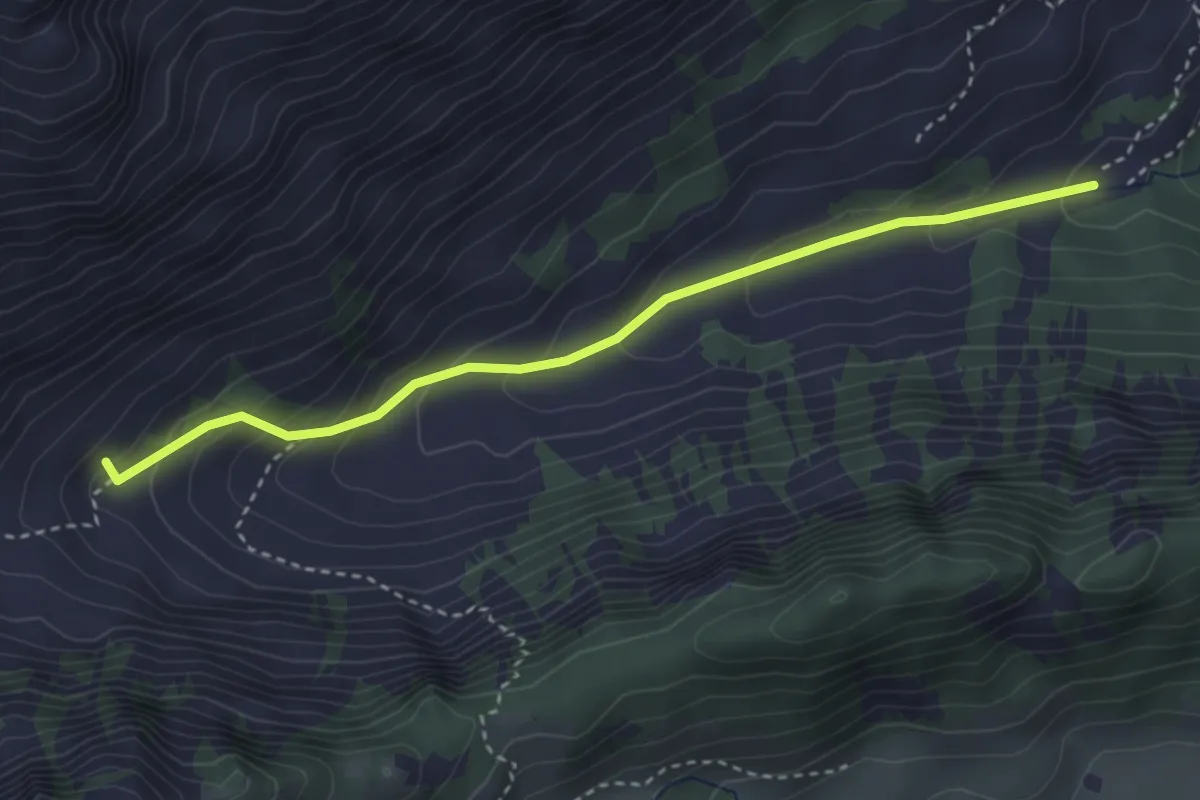
Easy · Trail
Chemin de la Crossette
3.4 km · ↑ 229 m · 1 h 18 min · 12 km away
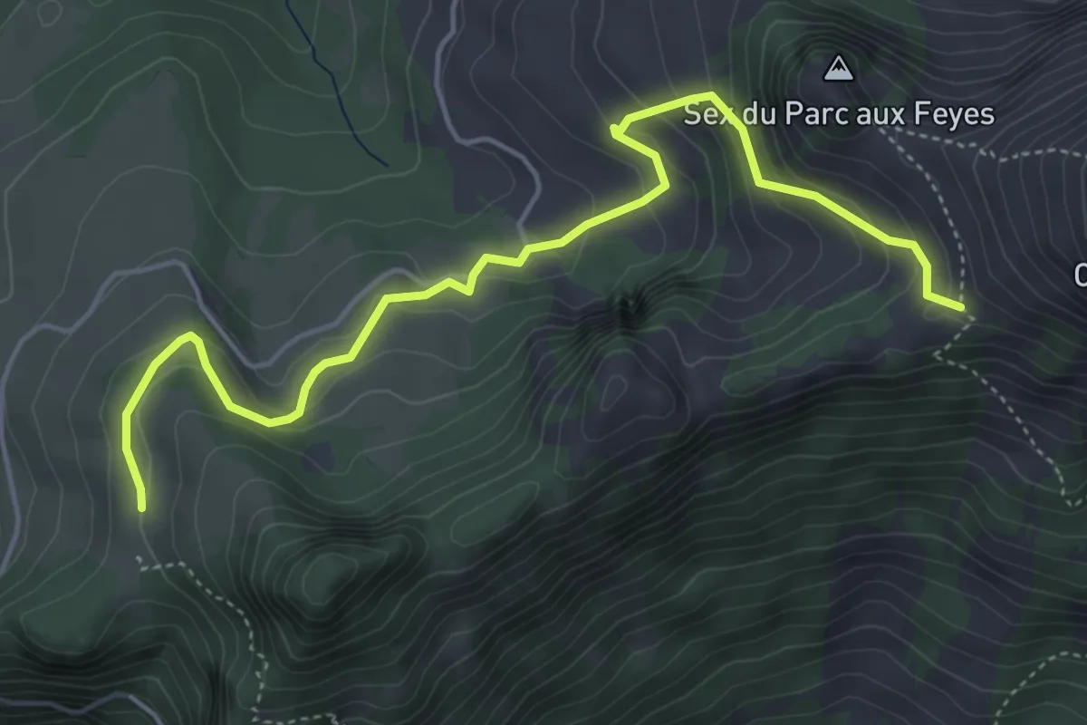
Medium · Trail
Les Agittes – Col de Tompey
5.4 km · ↑ 335 m · 2 h · 13 km away
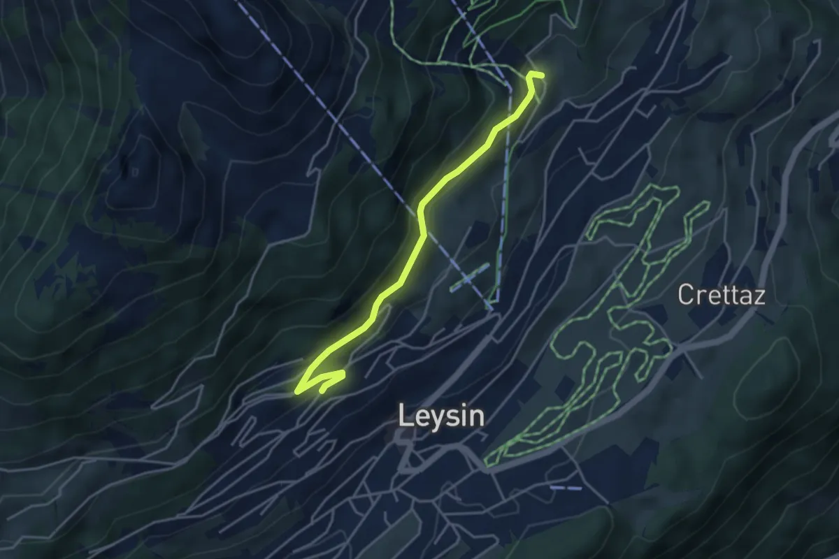
Medium · Trail
Féydey – Tresselerie
3.8 km · ↑ 169 m · 1 h 16 min · 13 km away