Trails near Montreux
152 hikes starting within 15 km, nearest first.
Nearest first, page 1 of 4
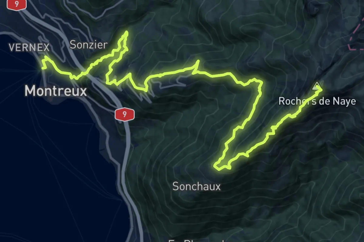
Demanding · Summit
Via Alpina
26.6 km · ↑ 2058 m · 10 h 44 min · under 1 km away
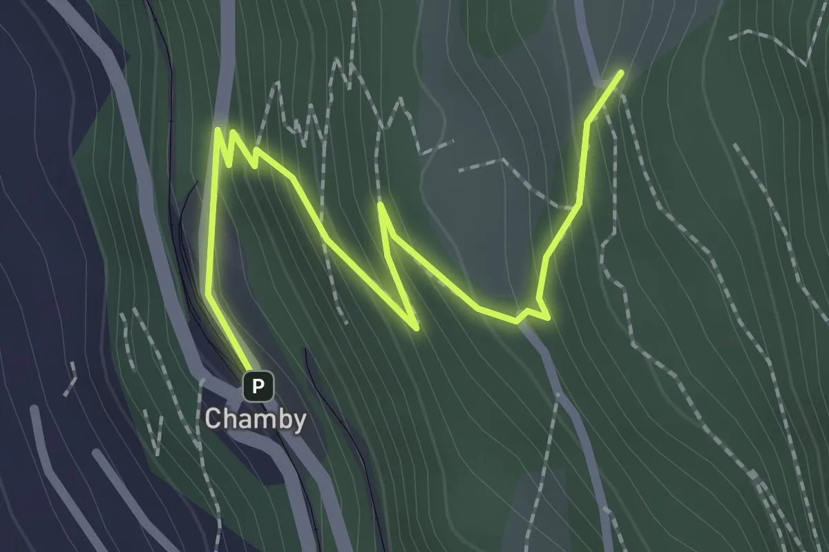
Easy · Trail
Chamby gare – Cubly Dessous
2.4 km · ↑ 206 m · 1 h 1 min · 2 km away
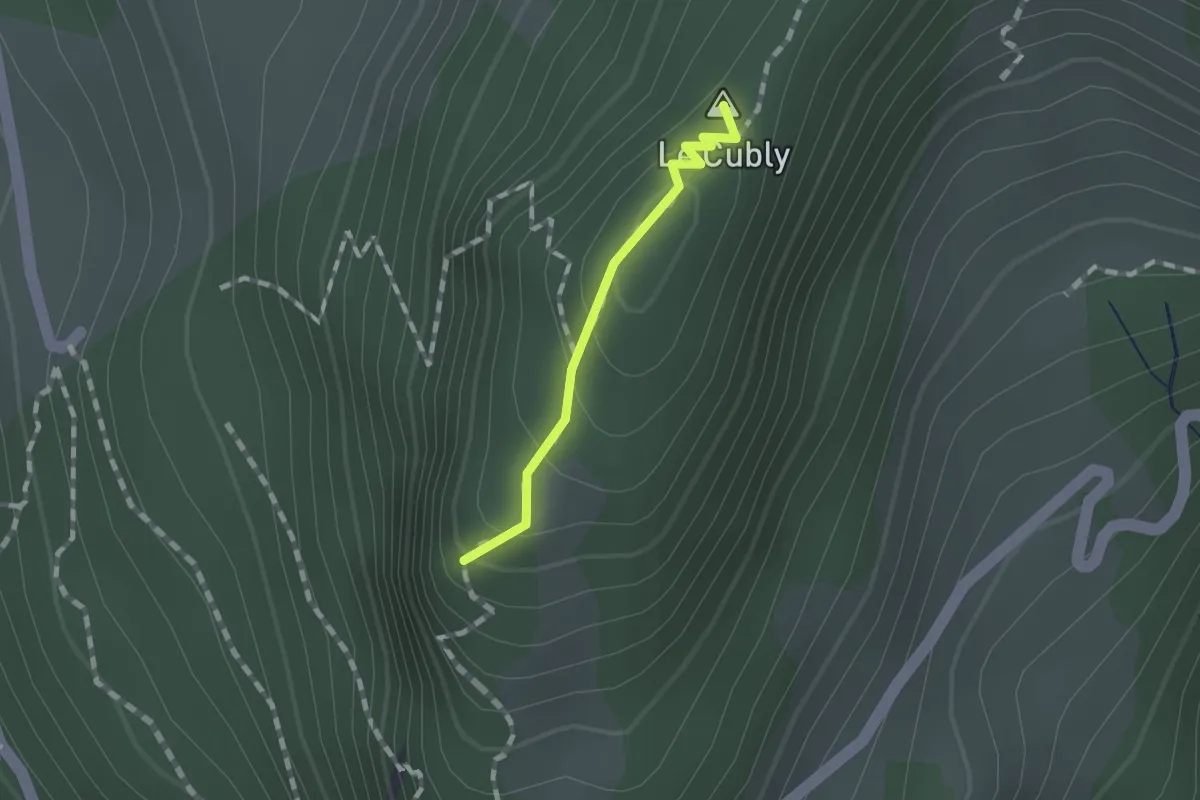
Easy · Summit
Sonloup funi – Le Cubly belvédère
0.9 km · ↑ 69 m · 22 min · 2 km away
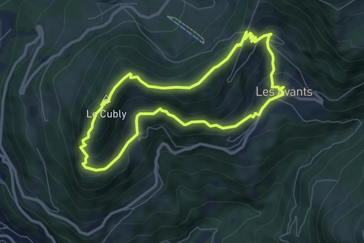
Medium · Summit
Chemin des Narcisses
5.5 km · ↑ 363 m · 2 h 10 min · 3 km away
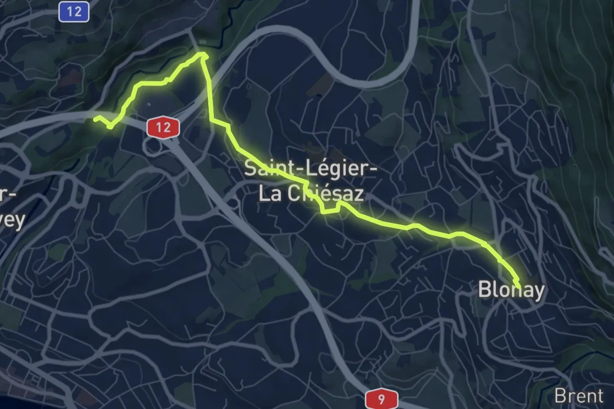
Medium · Trail
Pont de Fenil – Blonay
9.2 km · ↑ 230 m · 2 h 40 min · 4 km away
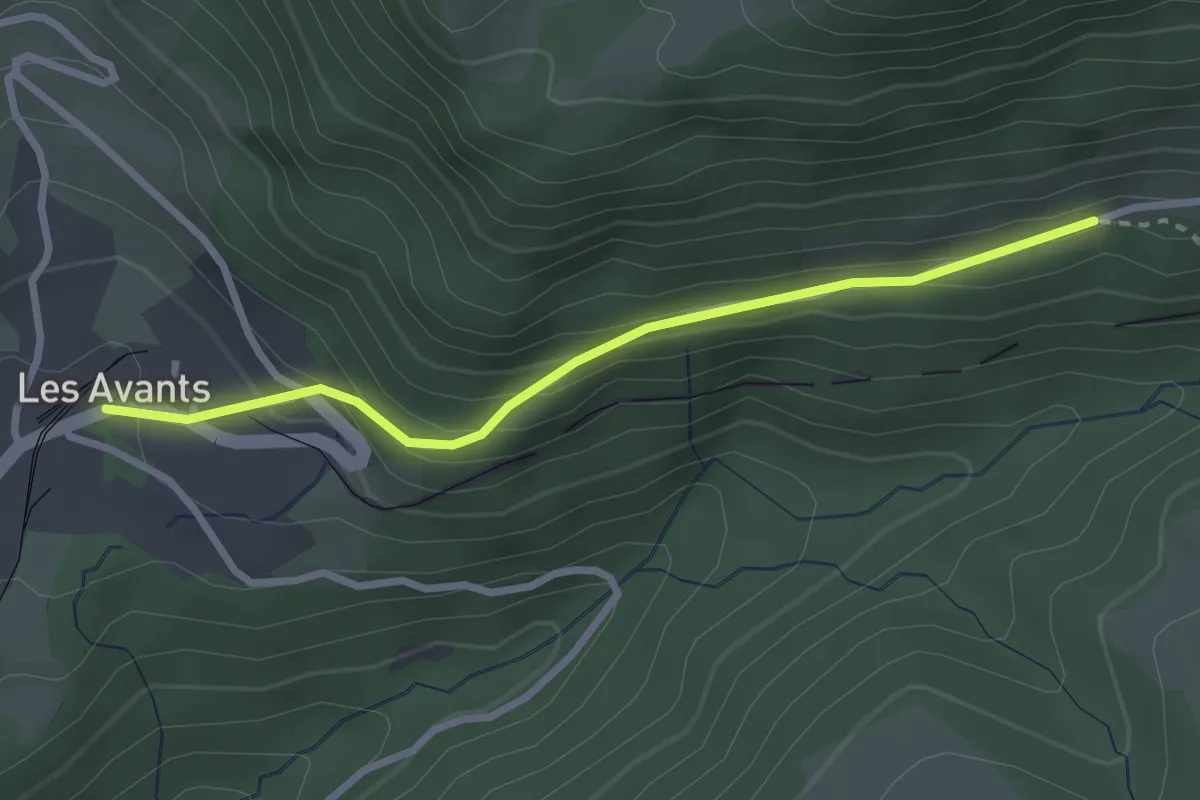
Easy · Trail
Les Avants – Jor
2.7 km · ↑ 181 m · 1 h 1 min · 5 km away
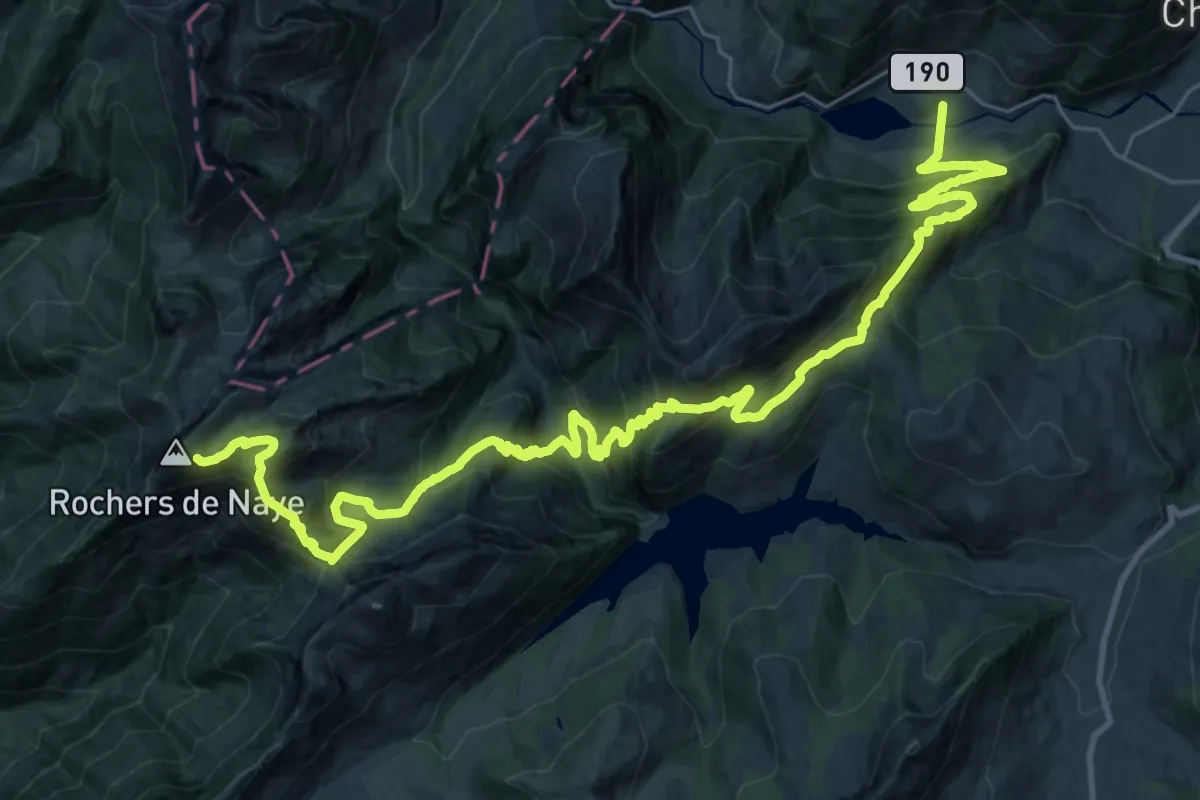
Demanding · Trail
Via Alpina
18.7 km · ↑ 754 m · 6 h 50 min · 5 km away
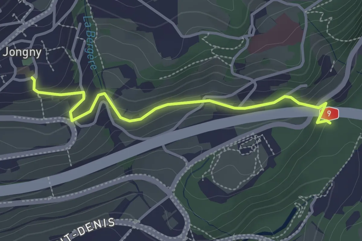
Easy · Trail
Jongy – Pont de Fenil
2.9 km · ↑ 141 m · 1 h · 8 km away
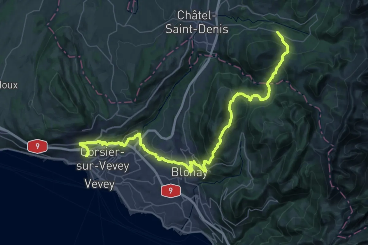
Demanding · Trail
Chemin panorama alpin
19.2 km · ↑ 1179 m · 7 h 3 min · 8 km away
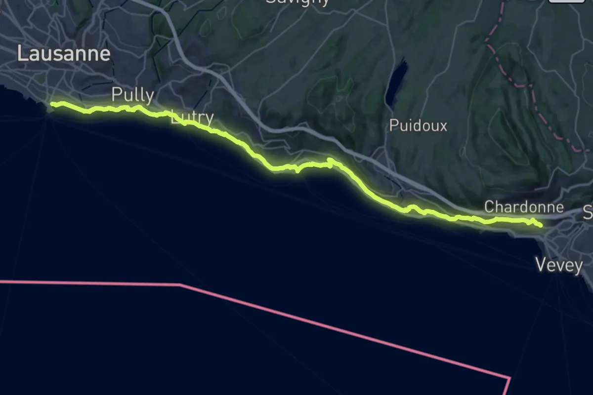
Demanding · Trail
Chemin panorama alpin
18.8 km · ↑ 305 m · 5 h 23 min · 8 km away
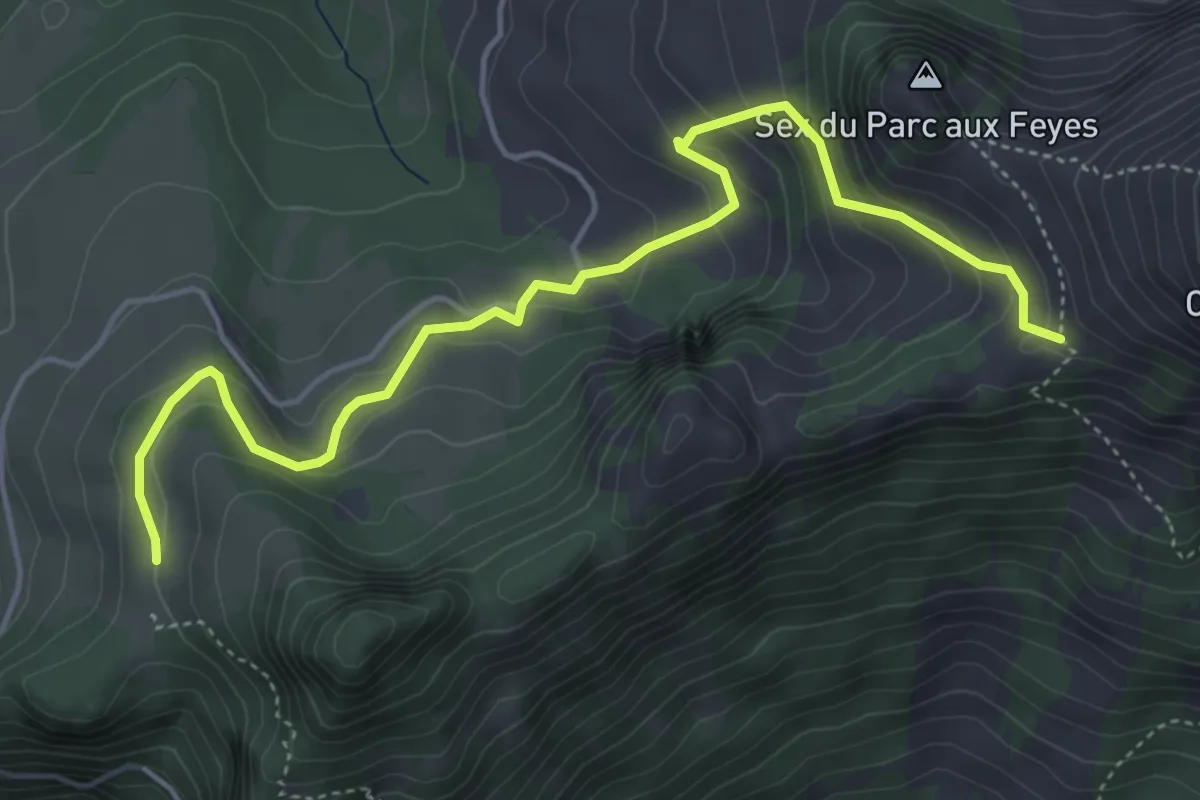
Medium · Trail
Les Agittes – Col de Tompey
5.4 km · ↑ 335 m · 2 h · 8 km away
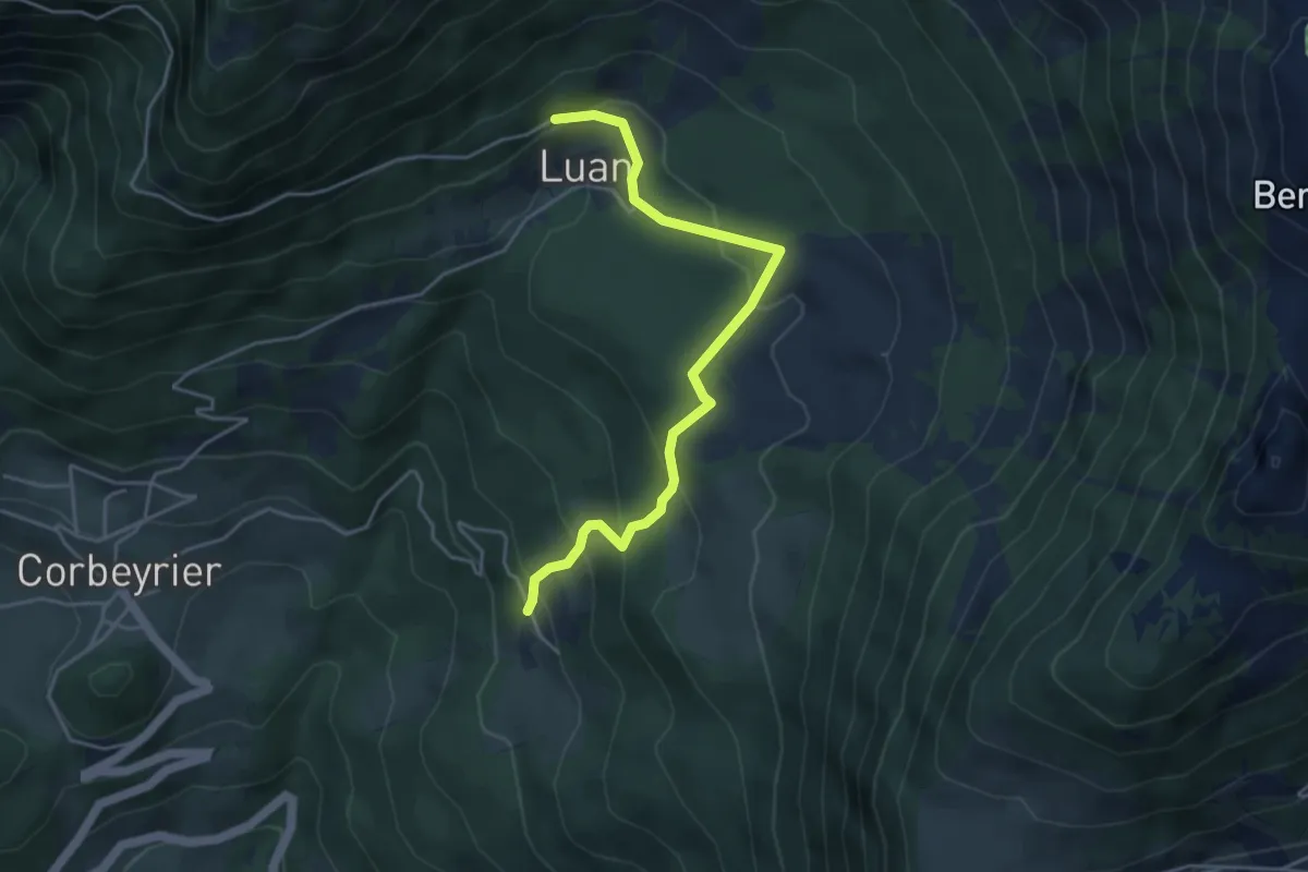
Medium · Trail
Boveau – Luan
4.5 km · ↑ 304 m · 1 h 43 min · 9 km away
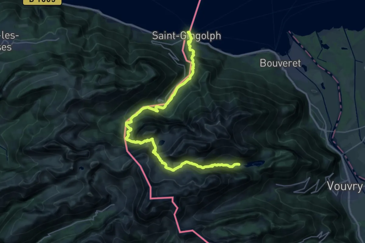
Demanding · Cabin
43-Chemin des cols alpins
13.7 km · ↑ 1654 m · 6 h 29 min · 9 km away
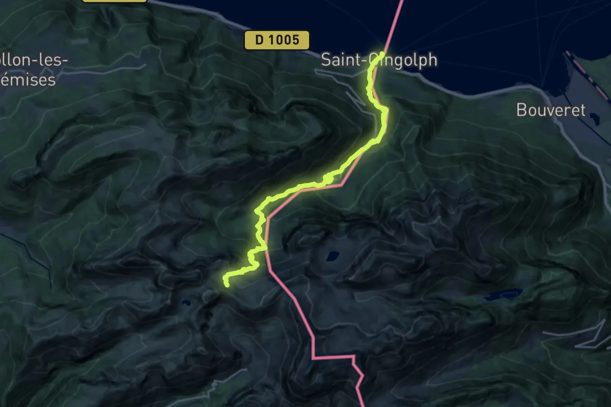
Demanding · Trail
Saint-Gingolph – La Montagne de Neuteu
9.7 km · ↑ 1539 m · 5 h 2 min · 9 km away
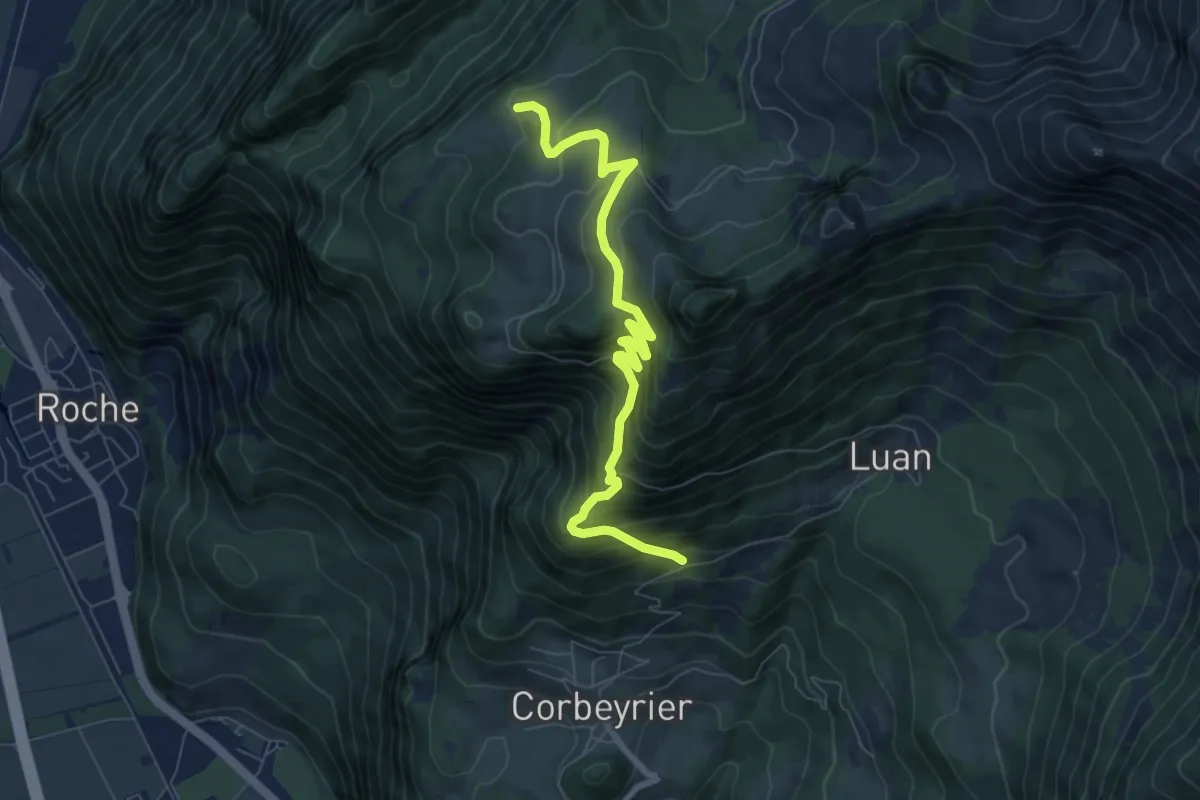
Medium · Trail
Trebache – aaa
7.8 km · ↑ 694 m · 3 h 20 min · 9 km away
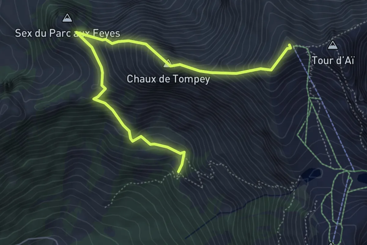
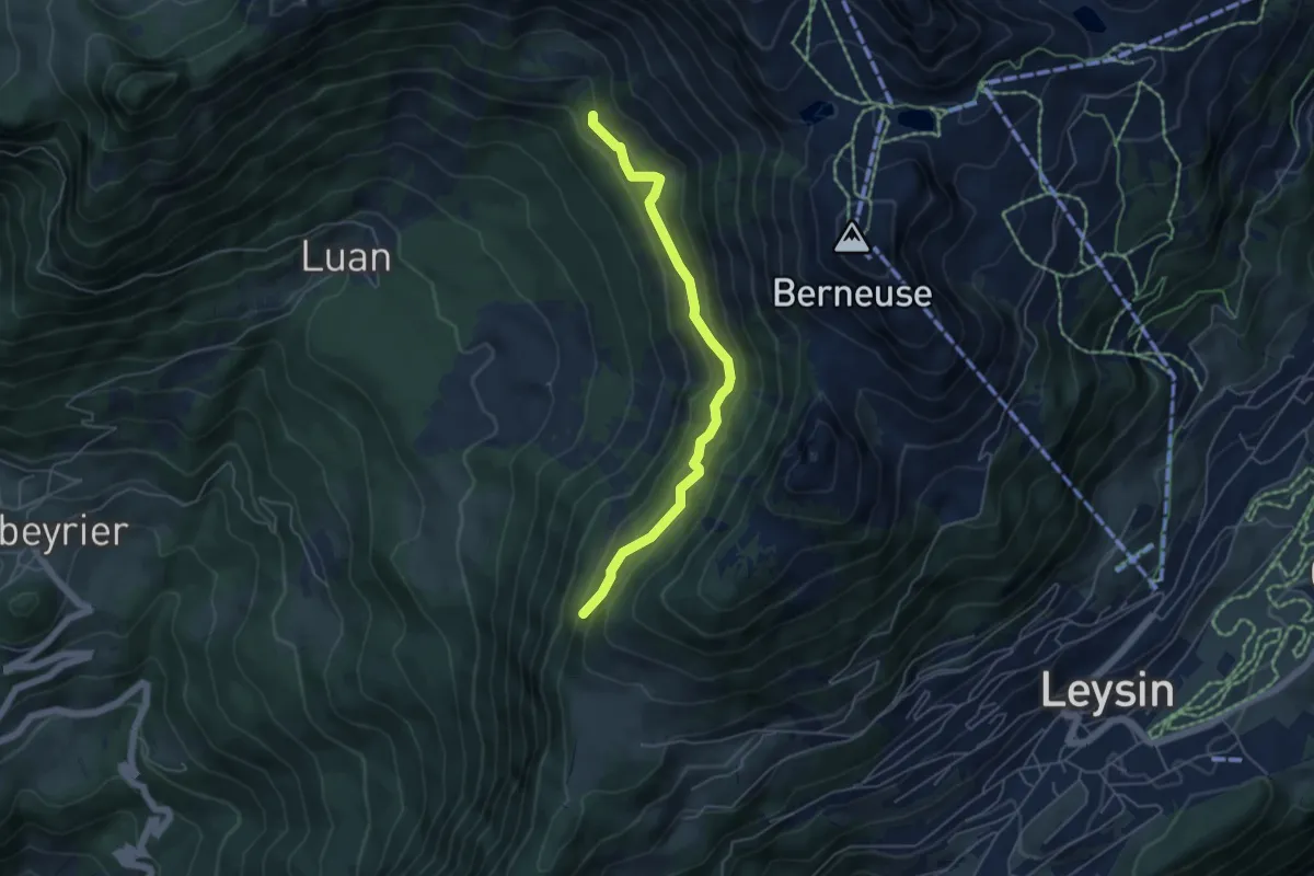
Demanding · Summit
Les Mandreys – Chaux-de-Mont
6.3 km · ↑ 691 m · 3 h · 9 km away
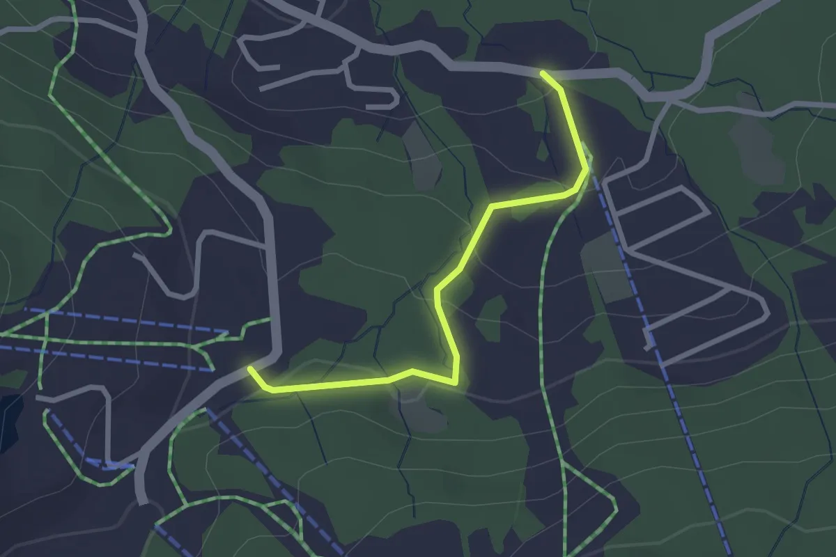
Medium · Trail
Maupas – Les Mandreys
4.9 km · ↑ 410 m · 2 h 3 min · 9 km away
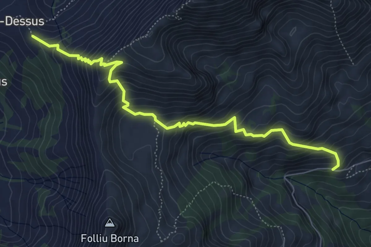
Easy · Trail
Sentier panoramique des Paccots
1.1 km · ↑ 10 m · 20 min · 10 km away
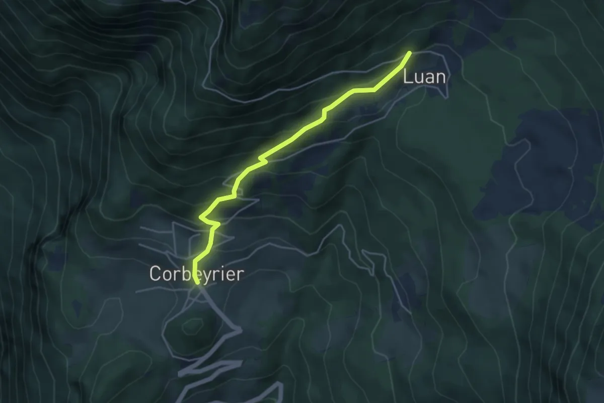
Medium · Trail
Paccot-Dessus – Chenalette
6.5 km · ↑ 678 m · 3 h · 10 km away
Medium · Trail
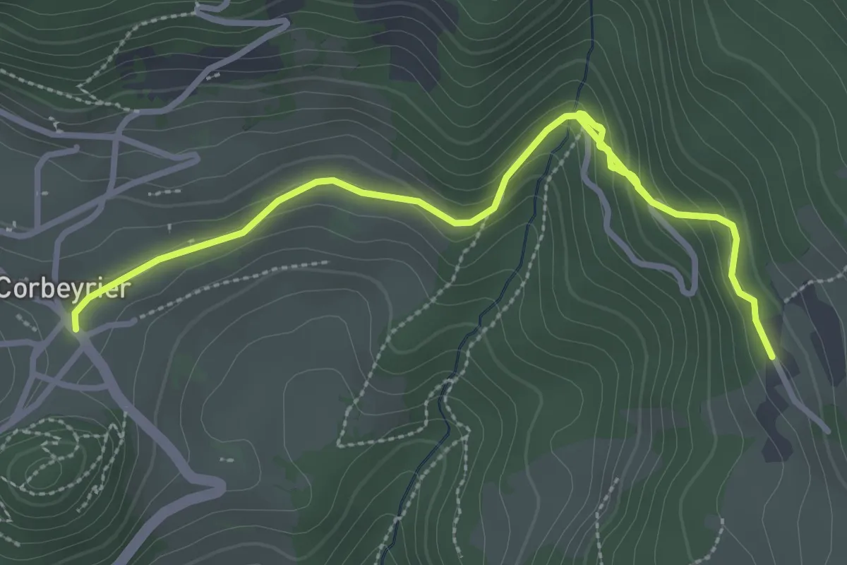
Corbeyrier – Luan
4.1 km · ↑ 351 m · 1 h 44 min · 10 km away
Easy · Trail
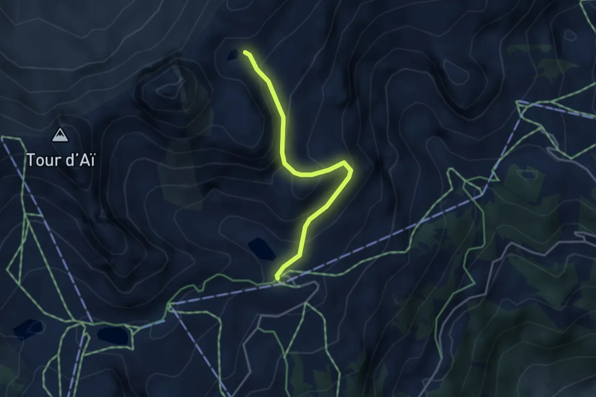
Corbeyrier – Boveau
3.8 km · ↑ 161 m · 1 h 14 min · 10 km away
Medium · Cabin
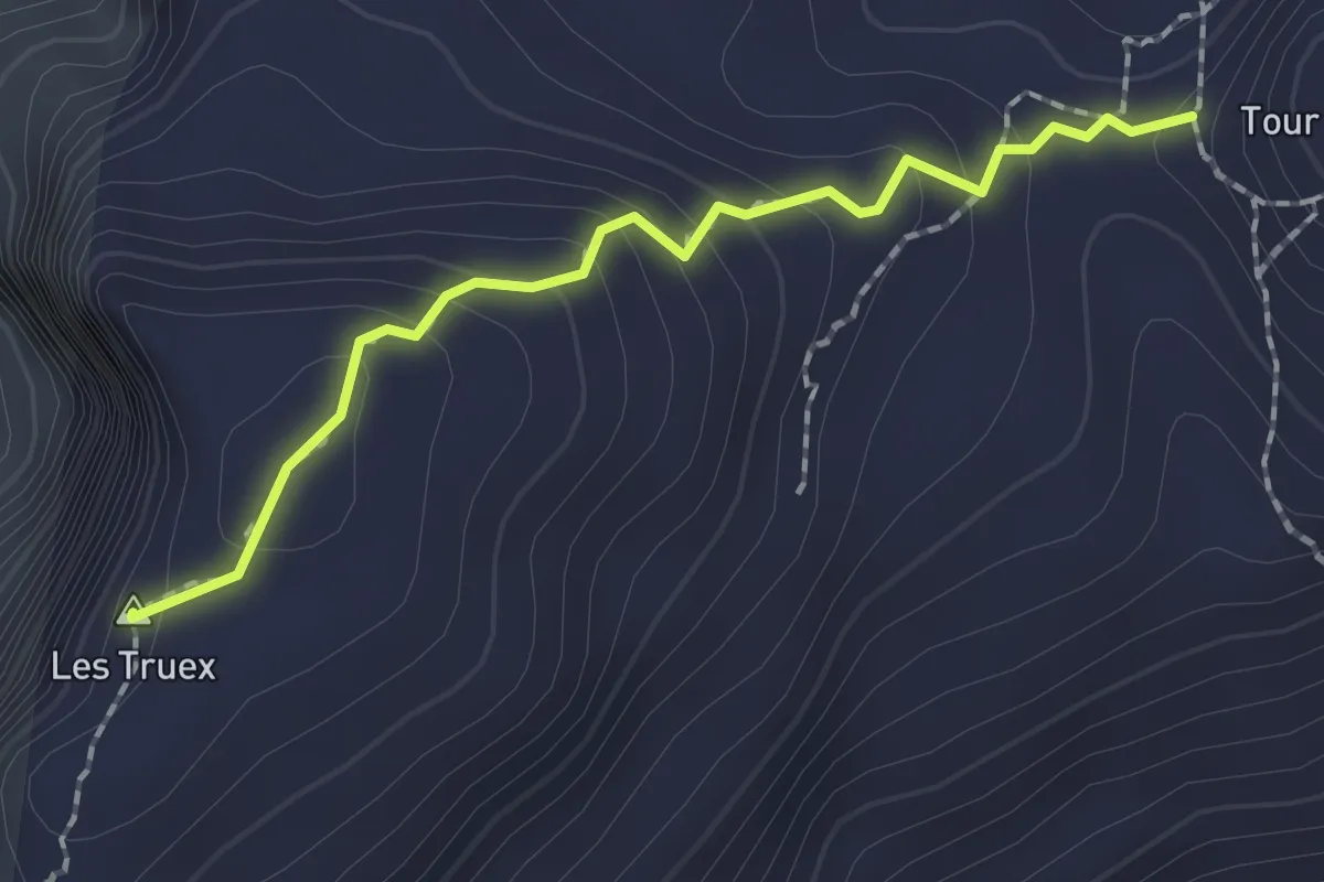
Mayen – Lac Segray
3.1 km · ↑ 247 m · 1 h 16 min · 10 km away
Medium · Summit
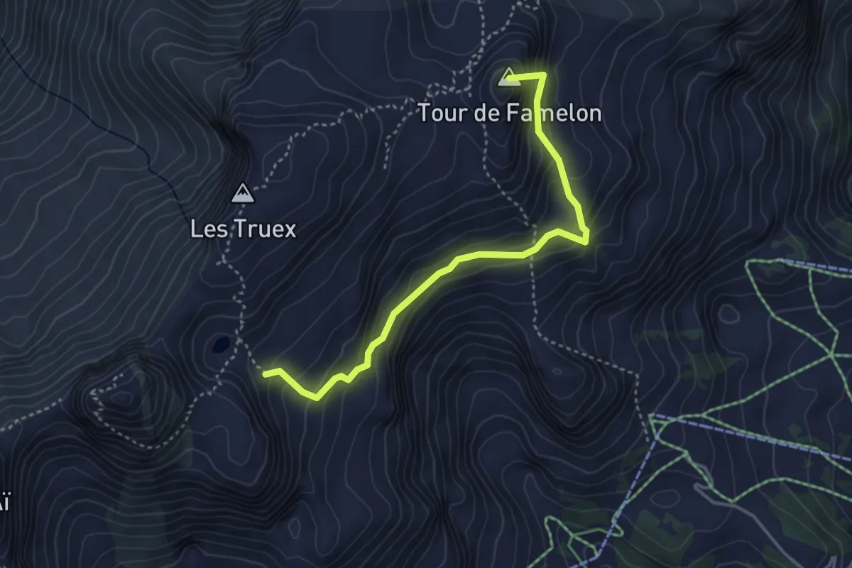
Lac Segray – Tour de Famelon
1.8 km · ↑ 126 m · 42 min · 10 km away
Medium · Summit
Lac Segray – Dessus Corbex
3.8 km · ↑ 396 m · 1 h 45 min · 10 km away
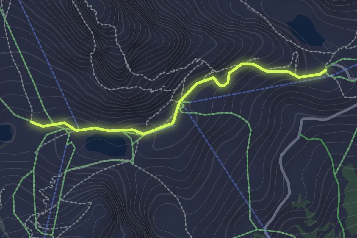
Easy · Cabin
Aï – Mayen
2.4 km · ↑ 96 m · 46 min · 10 km away
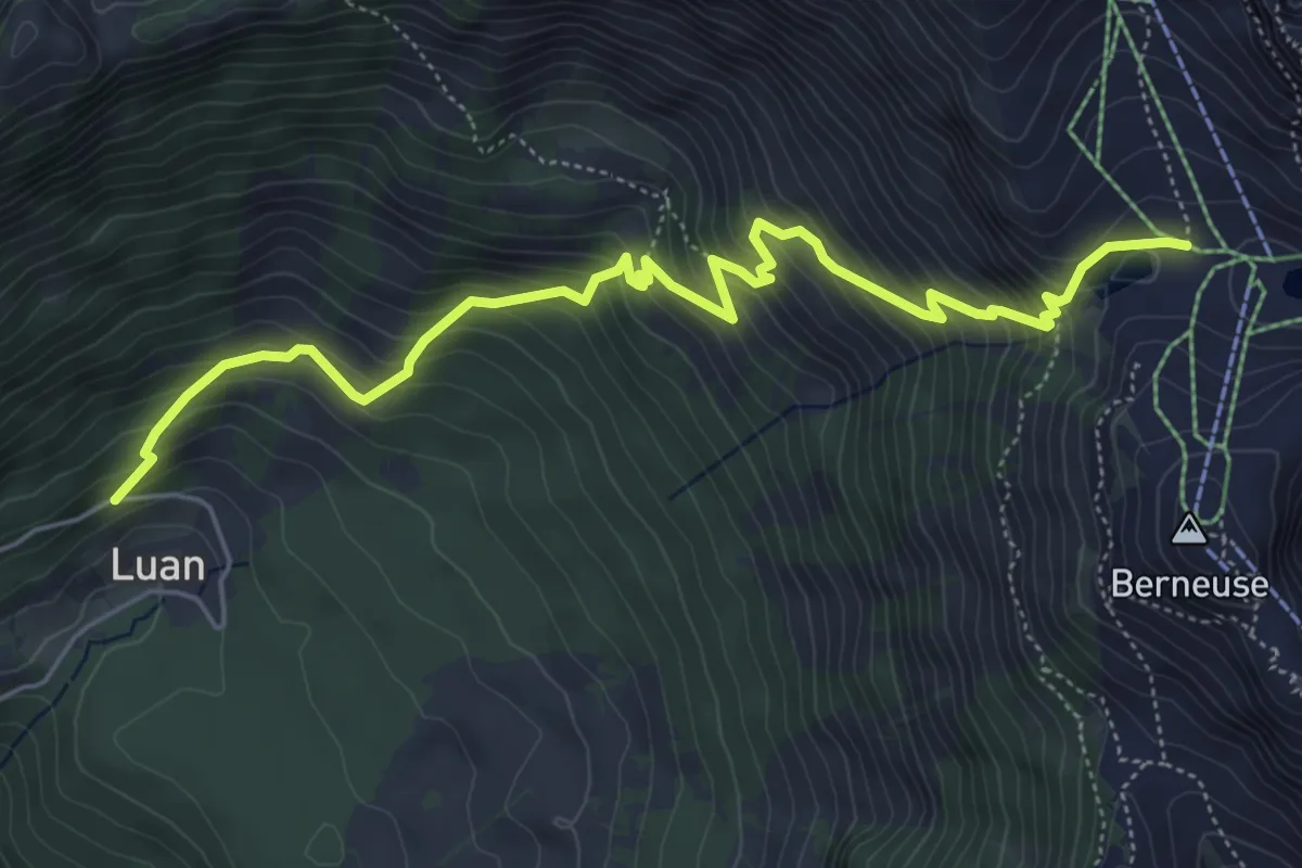
Medium · Trail
Luan – Ai
6.4 km · ↑ 687 m · 3 h · 10 km away
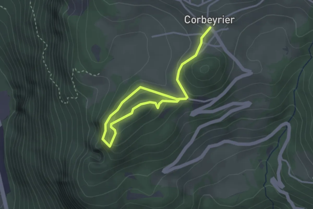
Easy · Trail
Corbeyrier – Champillon
3.7 km · ↑ 157 m · 1 h 13 min · 10 km away
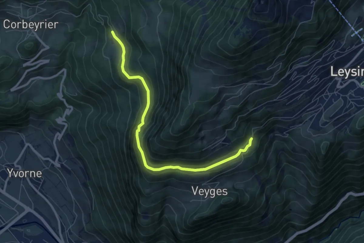
Easy · Trail
Boveau – Comborcheries
7.4 km · ↑ 298 m · 2 h 24 min · 10 km away
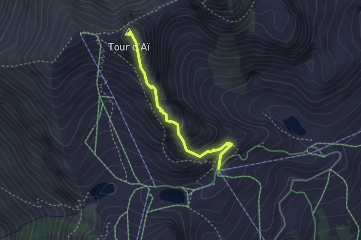
Expert · Summit
Tête d'Aï – Tour d'Aï
2.6 km · ↑ 331 m · 1 h 20 min · 10 km away
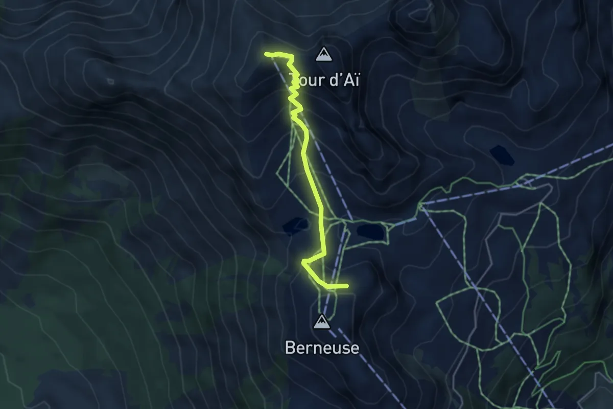
Medium · Summit
Berneuse – Chaux-de-Mont
3.5 km · ↑ 357 m · 1 h 37 min · 10 km away
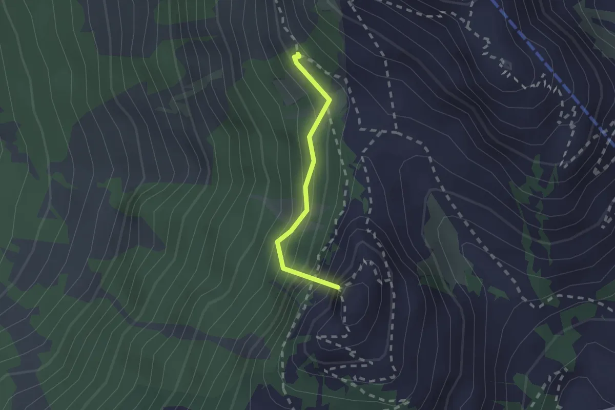
Medium · Summit
Prafandaz – Berneuse
1.5 km · ↑ 278 m · 57 min · 10 km away
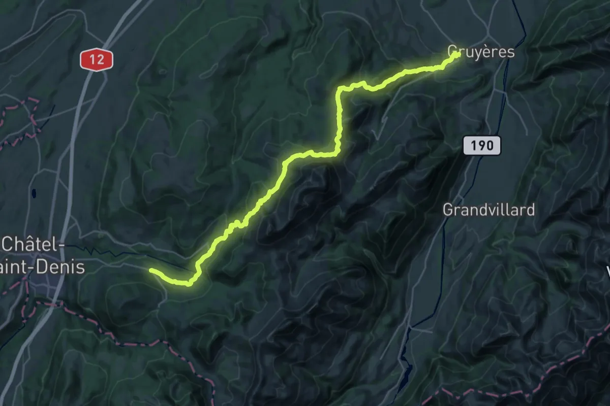
Medium · Trail
Chemin panorama alpin
15.7 km · ↑ 580 m · 5 h 21 min · 10 km away
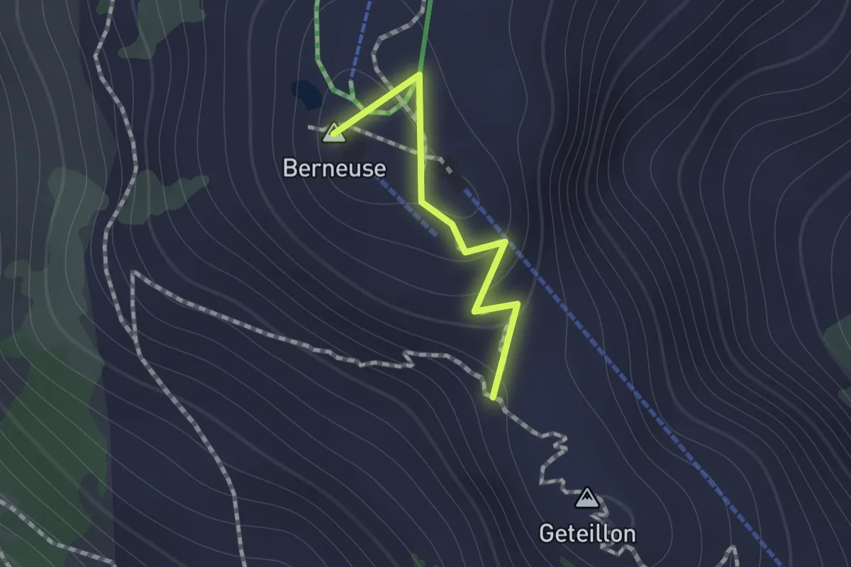
Medium · Summit
Ai – Geteillon
0.8 km · ↑ 51 m · 18 min · 11 km away
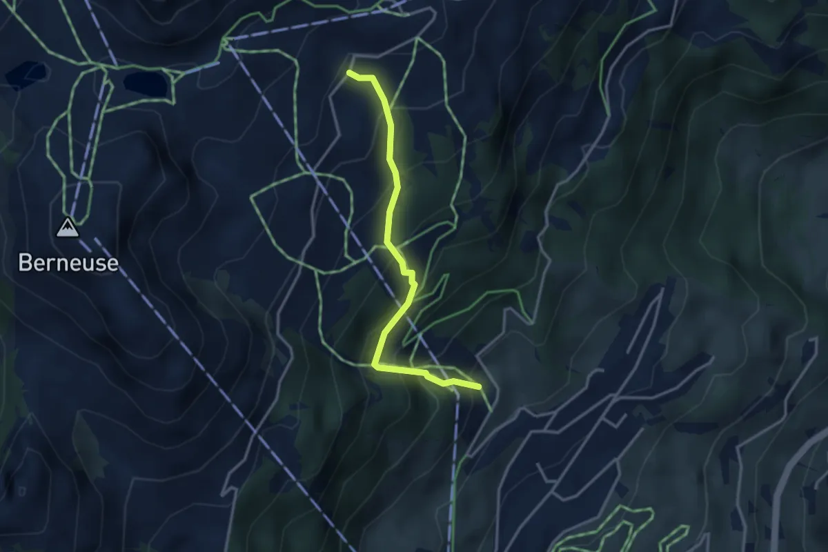
Medium · Trail
Tresseleire – Mayen
2.9 km · ↑ 345 m · 1 h 26 min · 11 km away
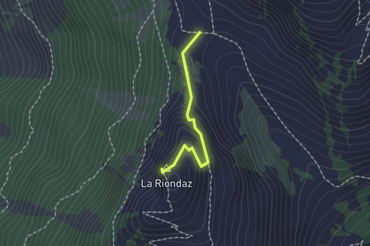
Medium · Summit
Solacyre – Col du Luissel
1.2 km · ↑ 105 m · 31 min · 11 km away
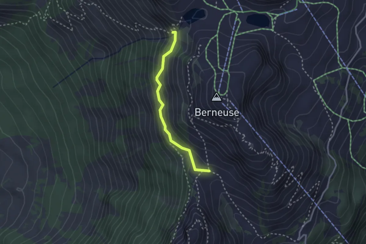
Medium · Trail
Col du Luissel – Chaux d'Ai
2.2 km · ↑ 185 m · 55 min · 11 km away
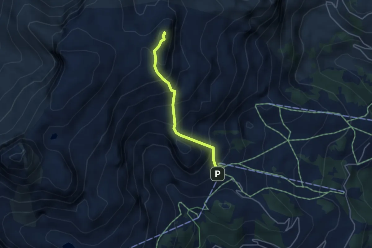
Medium · Summit
Les Fers – Tour de Famelon
2.9 km · ↑ 380 m · 1 h 30 min · 11 km away
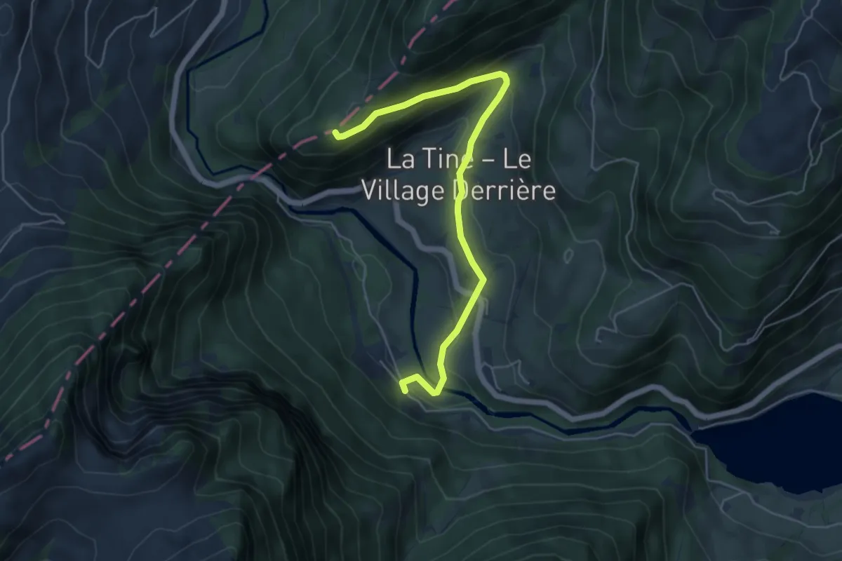
Easy · Trail
Petite Chia – La Tine
5.3 km · ↑ 227 m · 1 h 45 min · 11 km away
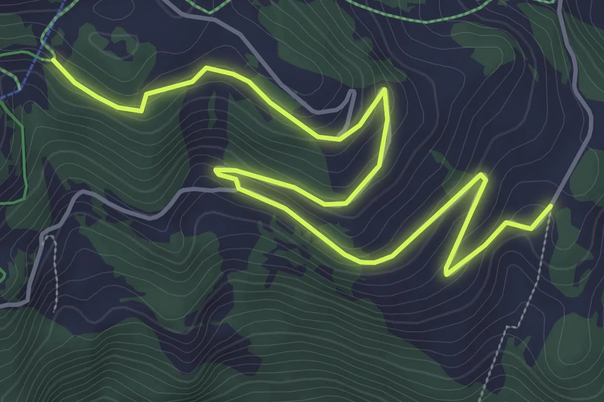
Easy · Trail
Le Cerf – Crête du Fer
5.4 km · ↑ 182 m · 1 h 40 min · 11 km away
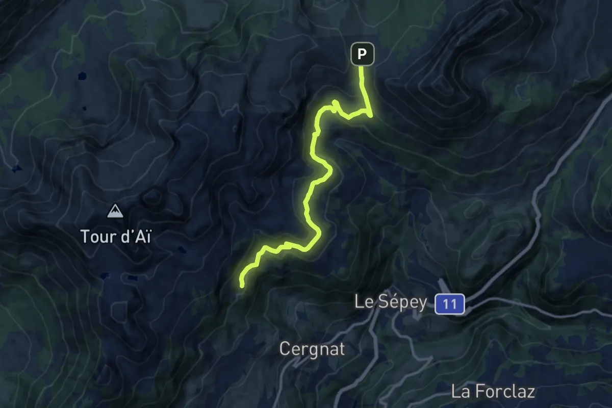
Medium · Trail
Les Plans – Pierre du Moëllé
11.4 km · ↑ 472 m · 3 h 43 min · 11 km away
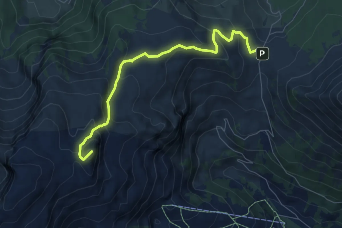
Medium · Summit
Pierre du Moëllé – Tour de Famelon
6.7 km · ↑ 439 m · 2 h 32 min · 11 km away
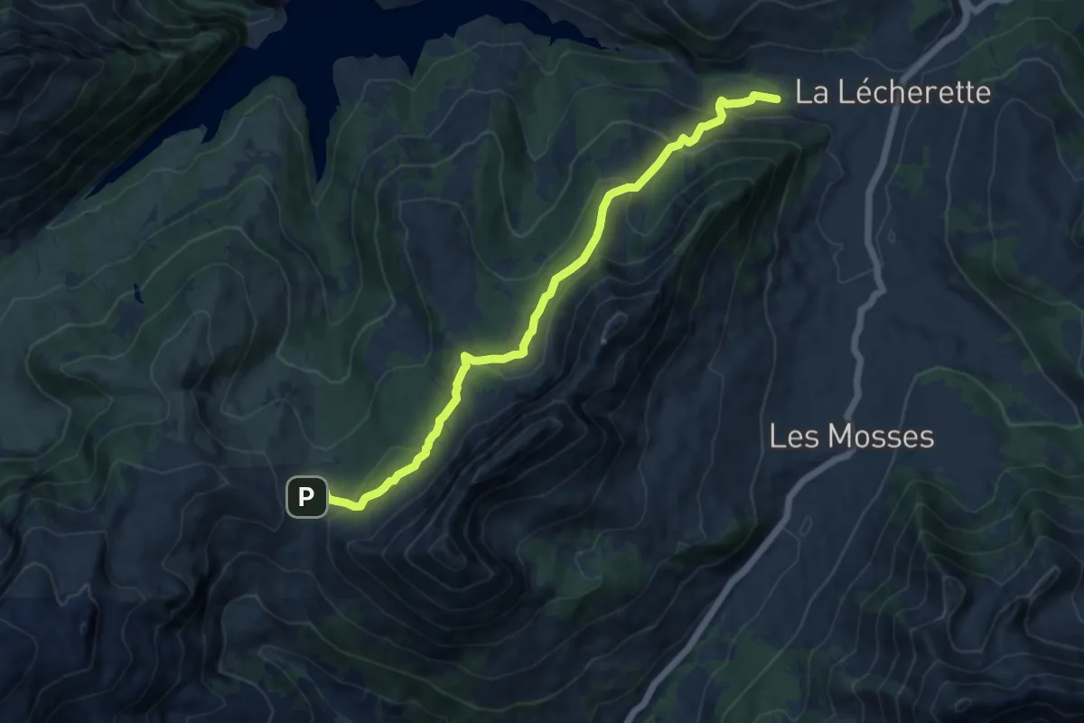
Medium · Trail
Pierre du Moëllé – La Lécherette
11.7 km · ↑ 562 m · 3 h 58 min · 11 km away
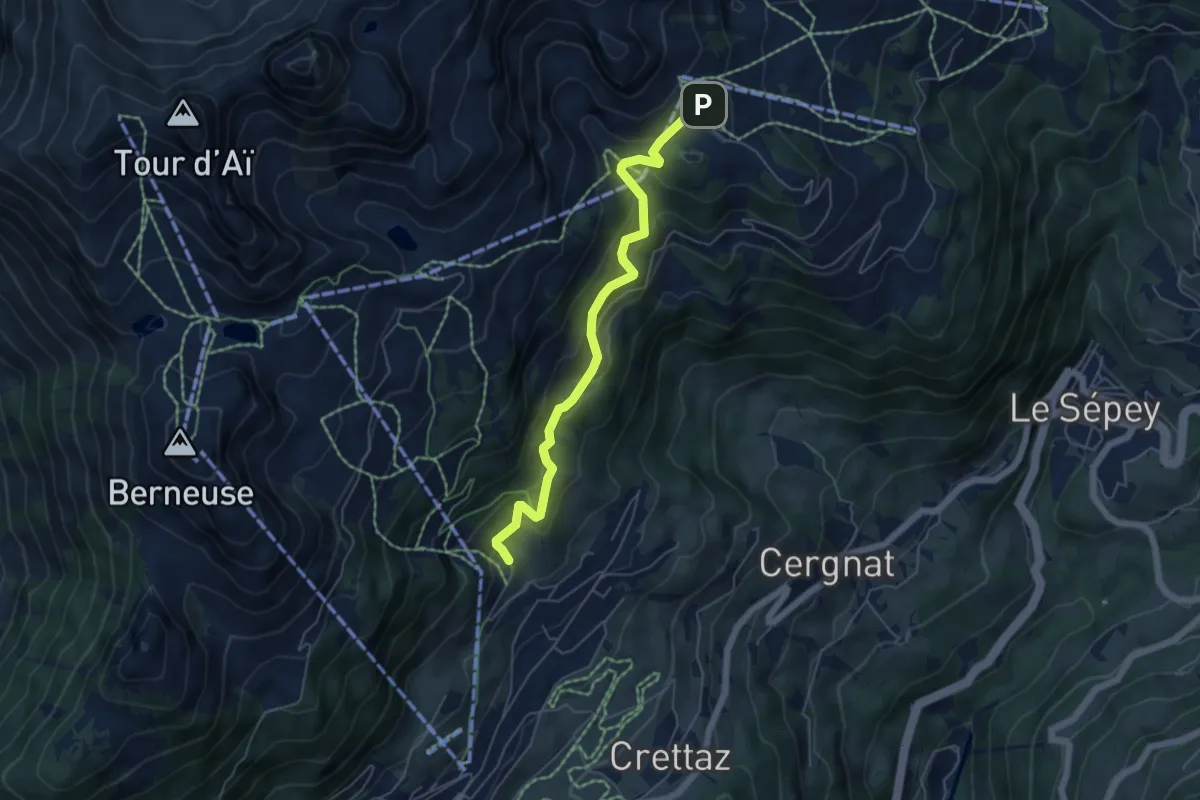
Medium · Trail
Tresseleire – Crête du Fer
5.4 km · ↑ 413 m · 2 h 10 min · 11 km away
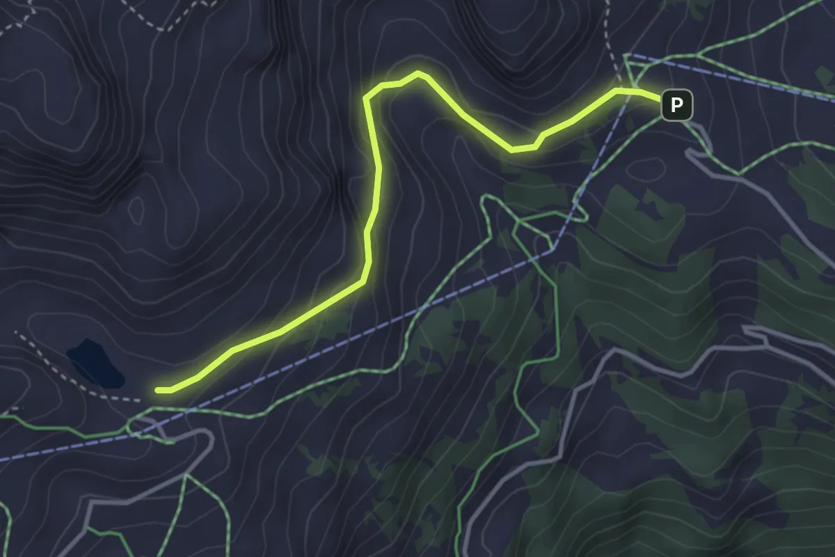
Medium · Cabin
Lac de Mayen – Crête du Fer
3.5 km · ↑ 230 m · 1 h 19 min · 11 km away
Medium · Summit
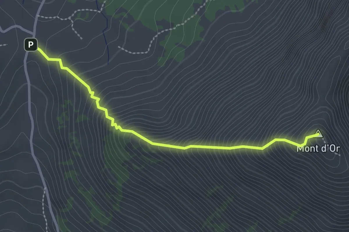
Pierre du Moëllé – Mpnt d'Or
2.7 km · ↑ 450 m · 1 h 37 min · 11 km away
Medium · Trail
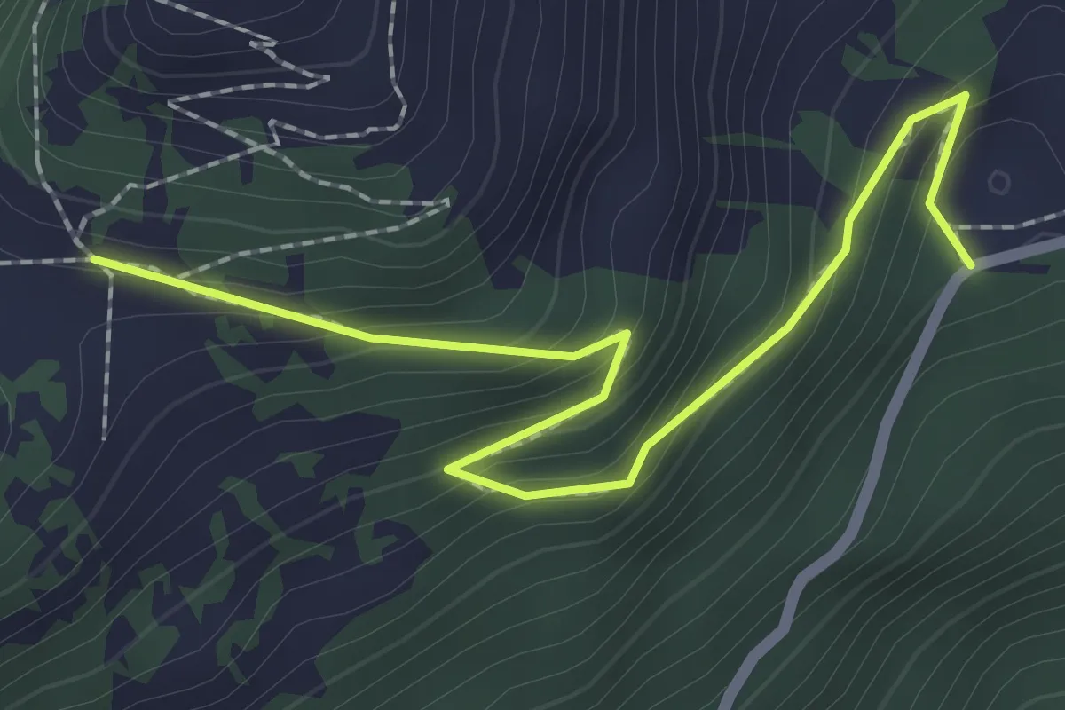
Joux des Vents – Solacyre
2.4 km · ↑ 185 m · 59 min · 11 km away
Medium · Trail
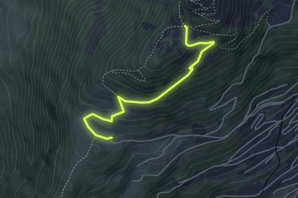
Prafandaz – Solacyre
4.1 km · ↑ 254 m · 1 h 31 min · 11 km away
Medium · Trail
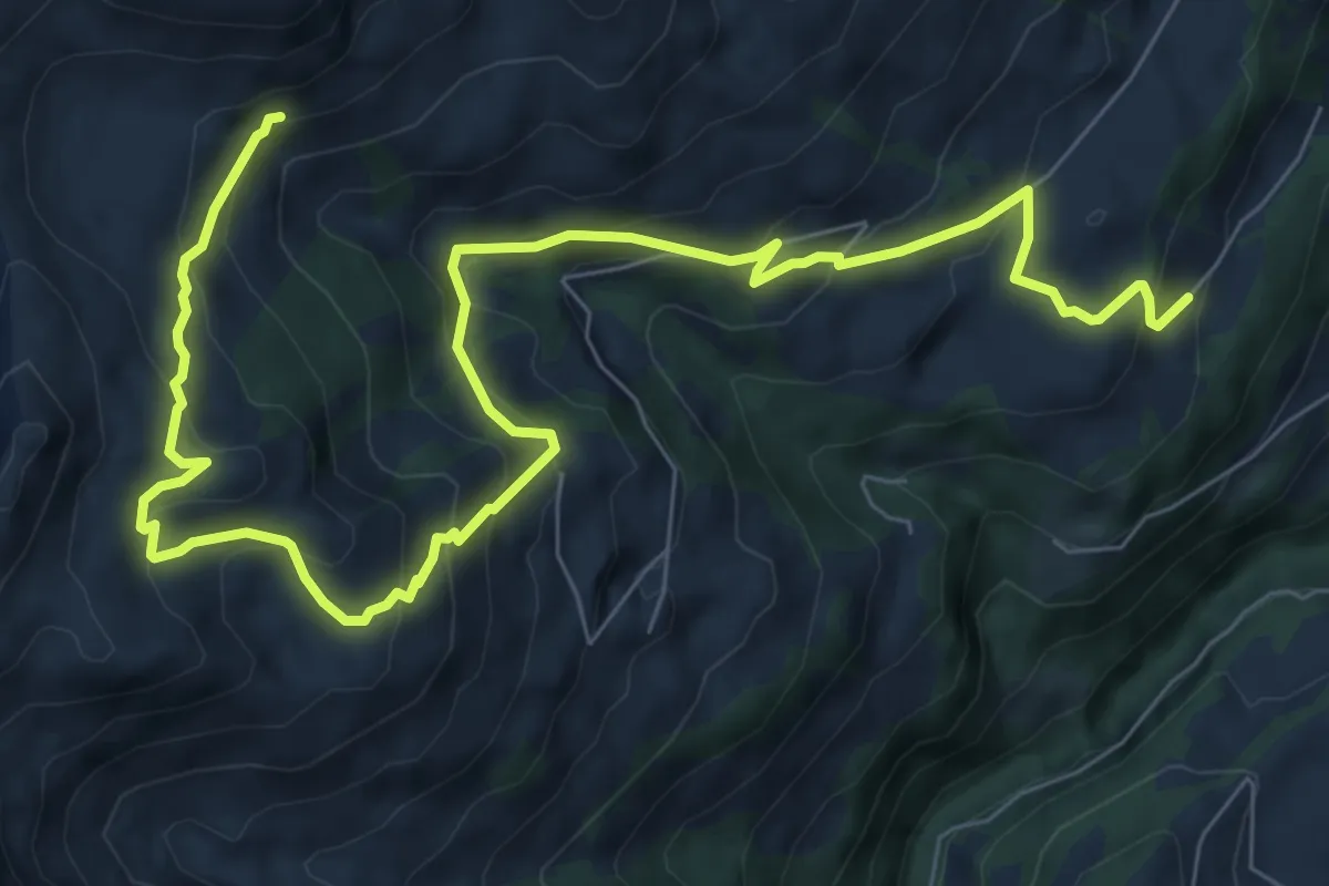
Châbloz – En Lys
10.9 km · ↑ 711 m · 4 h 6 min · 11 km away