Trails near Montreux
152 hikes starting within 15 km, nearest first.
Nearest first, page 2 of 4
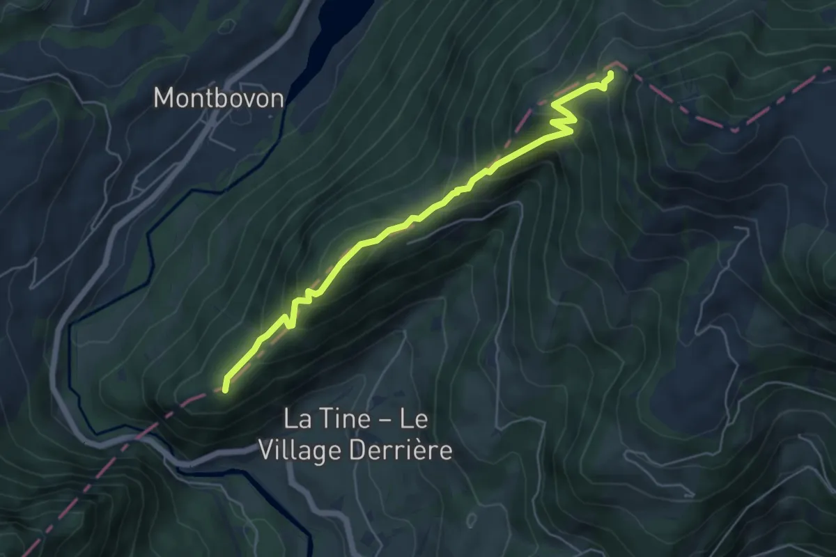
Medium · Trail
Petite Chia – La Brâ
5.3 km · ↑ 444 m · 2 h 13 min · 11 km away
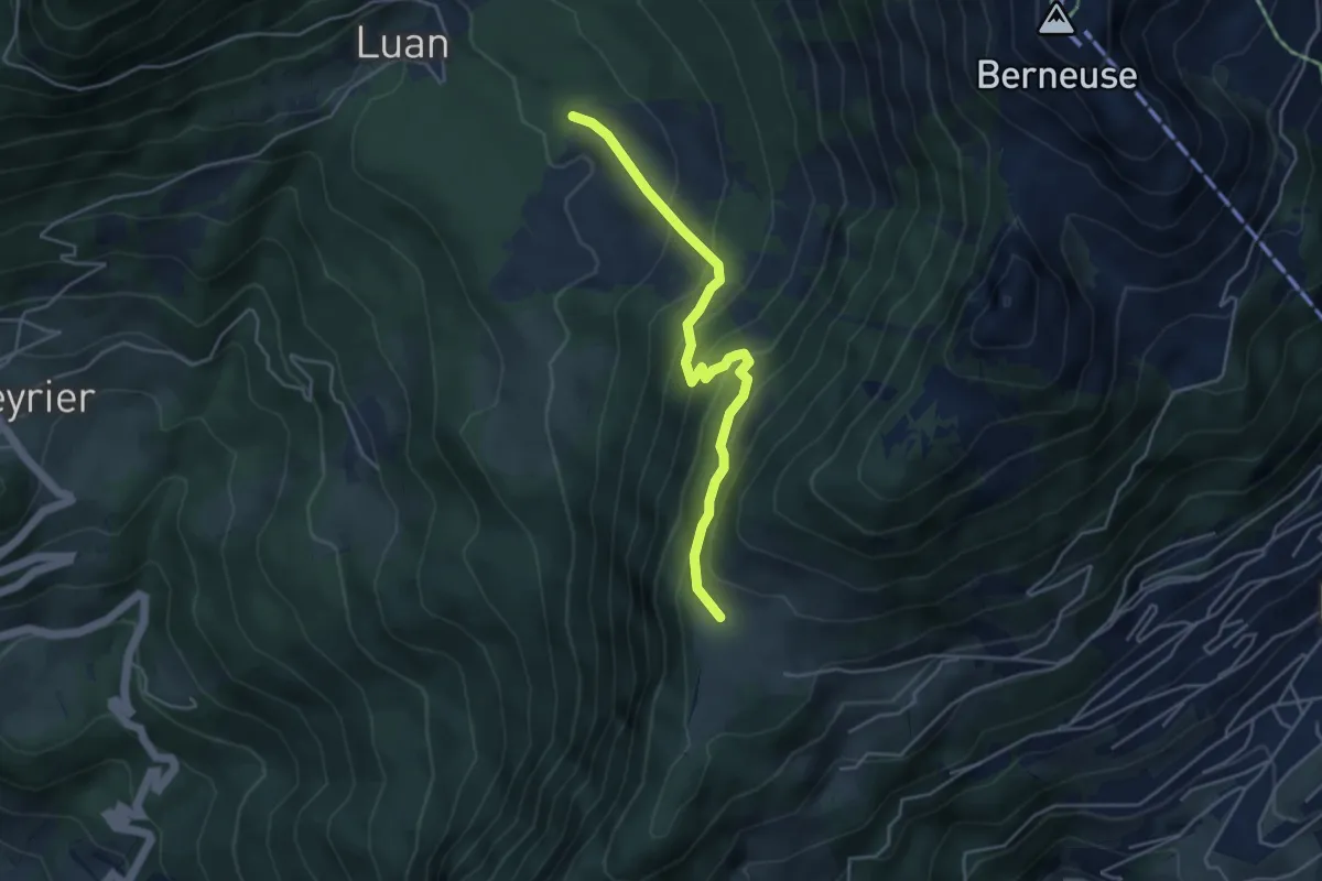
Medium · Trail
Prafandaz – Luan
4.3 km · ↑ 347 m · 1 h 46 min · 11 km away
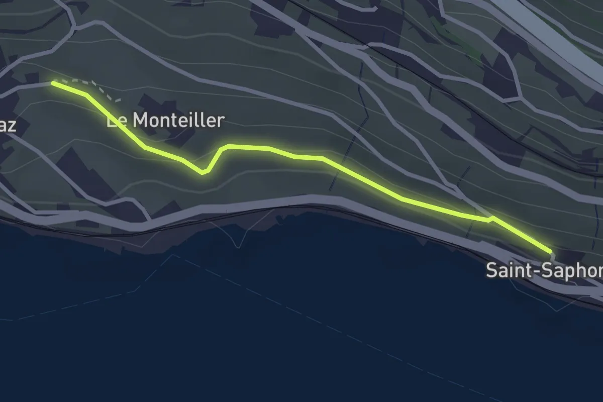
Easy · Trail
St-Saphorin - Rivaz
2.6 km · ↑ 101 m · 51 min · 11 km away
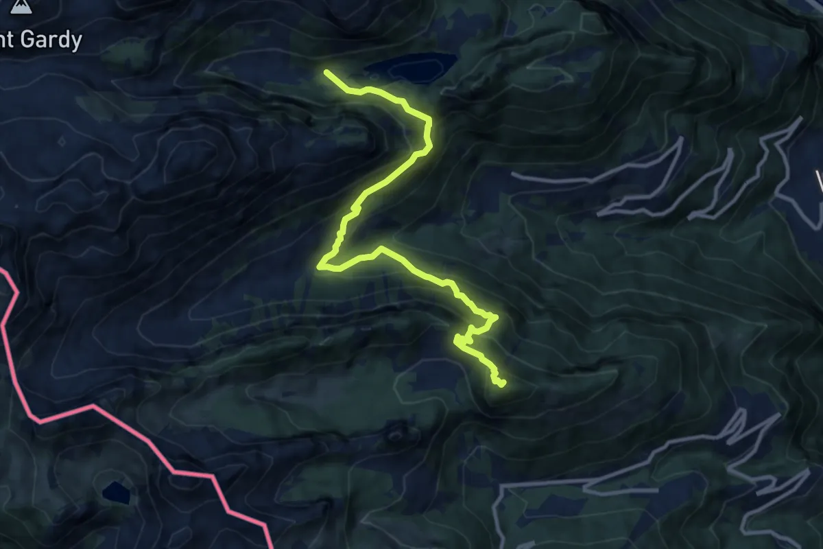
Demanding · Summit
42-Chemin des cols alpins
11.2 km · ↑ 993 m · 4 h 48 min · 11 km away
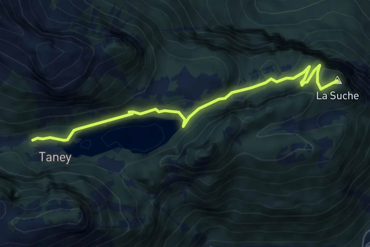
Easy · Summit
Miex-Lac de Taney (via Prélagine)
6.0 km · ↑ 315 m · 2 h 7 min · 11 km away
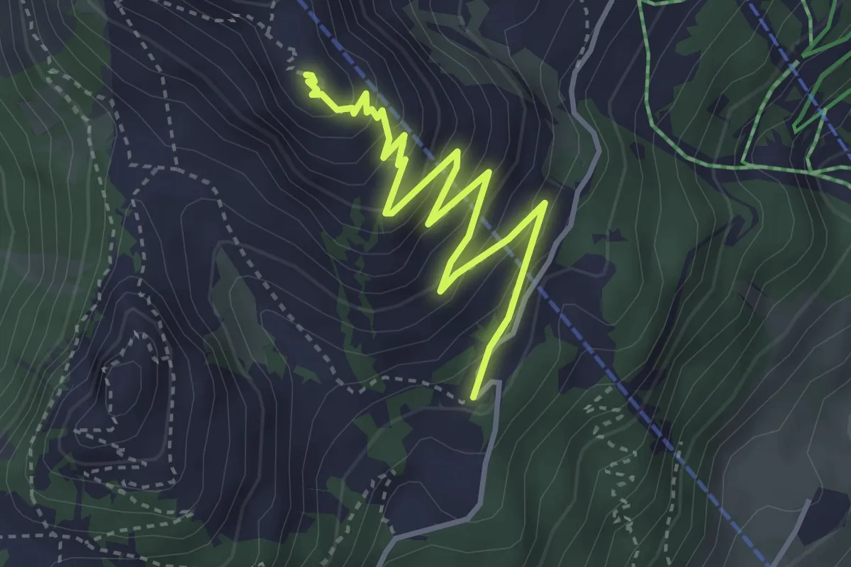
Medium · Summit
Temeley – Geteillon
3.9 km · ↑ 280 m · 1 h 32 min · 11 km away
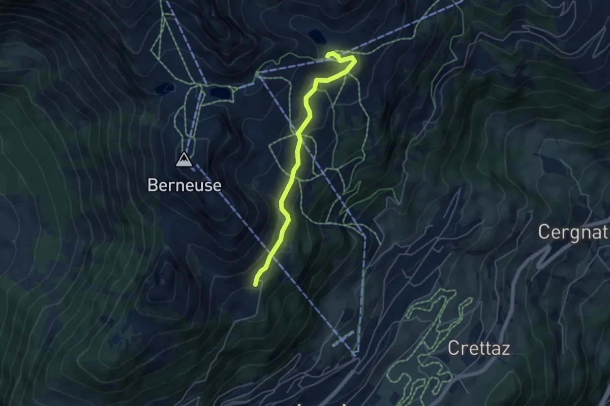
Easy · Cabin
Le Temeley – Mayen
4.3 km · ↑ 205 m · 1 h 28 min · 11 km away
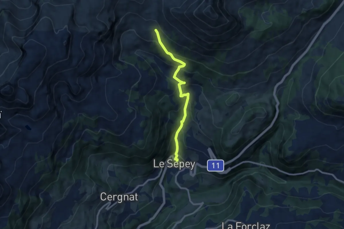
Medium · Trail
Le Sépey – Pierre du Moëllé
6.9 km · ↑ 577 m · 2 h 53 min · 11 km away
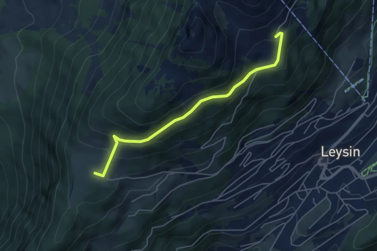
Medium · Trail
Prafandaz – Le Temeley
4.4 km · ↑ 257 m · 1 h 35 min · 11 km away
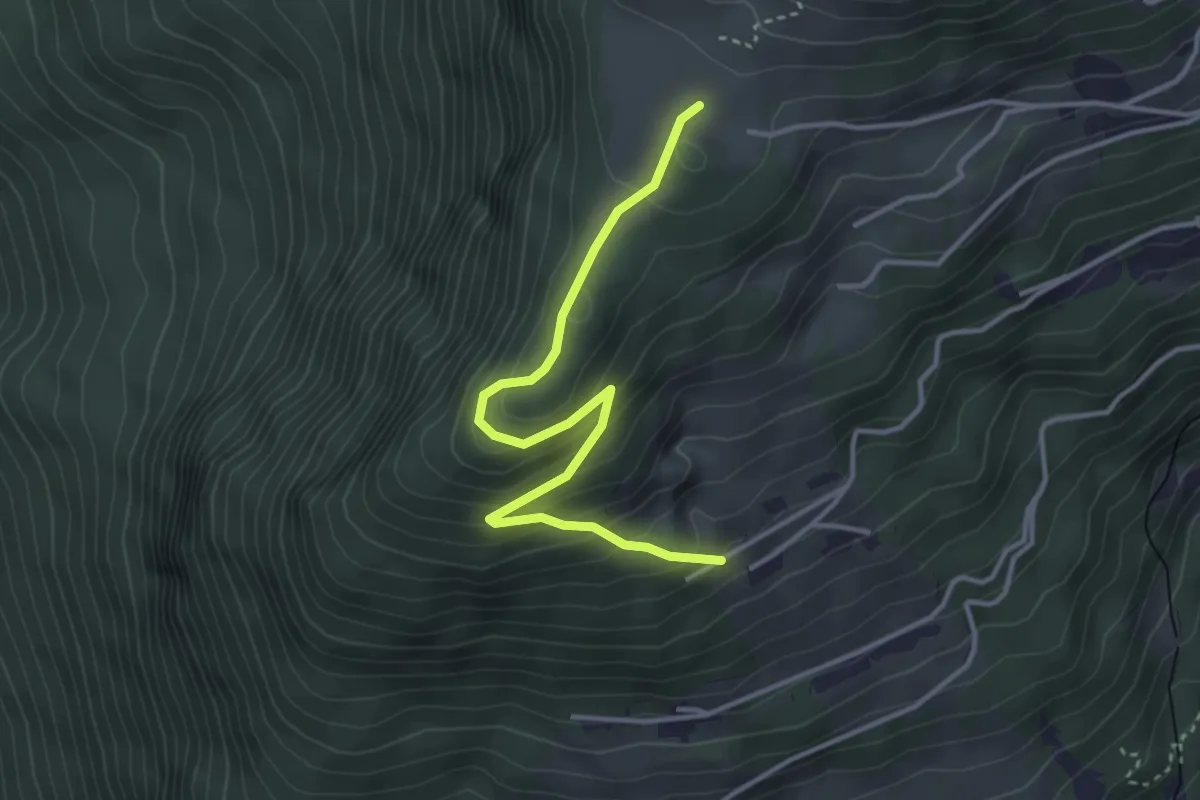
Easy · Trail
Prafandaz – Prélan
3.7 km · ↑ 257 m · 1 h 26 min · 11 km away
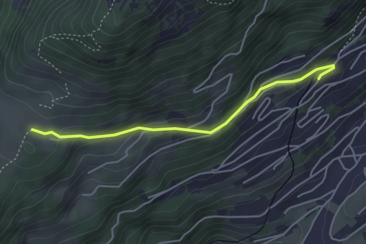
Easy · Trail
Prafandaz – Féydey
3.6 km · ↑ 166 m · 1 h 12 min · 11 km away
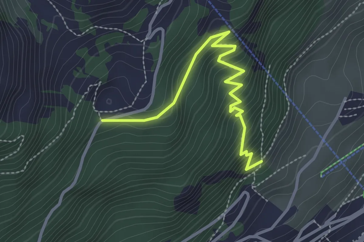
Medium · Trail
Leysin – Joux des Vents
2.9 km · ↑ 293 m · 1 h 19 min · 12 km away
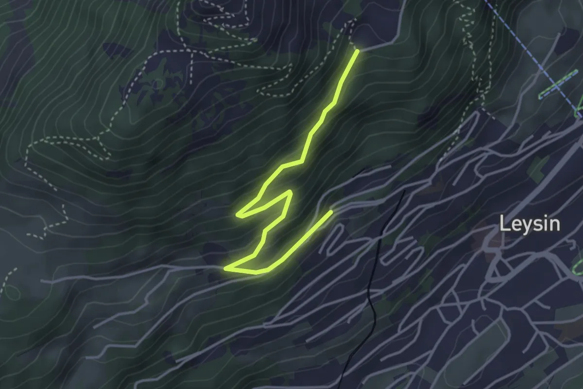
Easy · Trail
Le Bockli – Joux des Vents
3.8 km · ↑ 223 m · 1 h 23 min · 12 km away
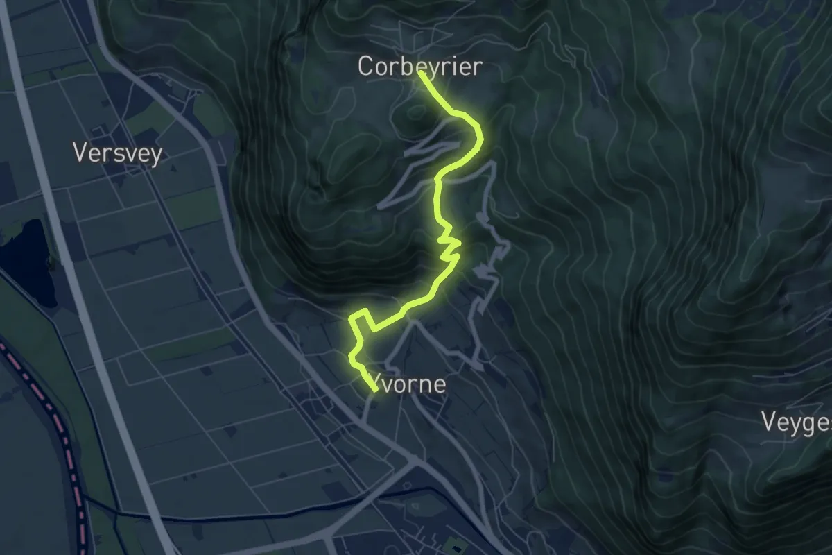
Medium · Trail
Corbeyrier – Yvorne
6.4 km · ↑ 534 m · 2 h 40 min · 12 km away
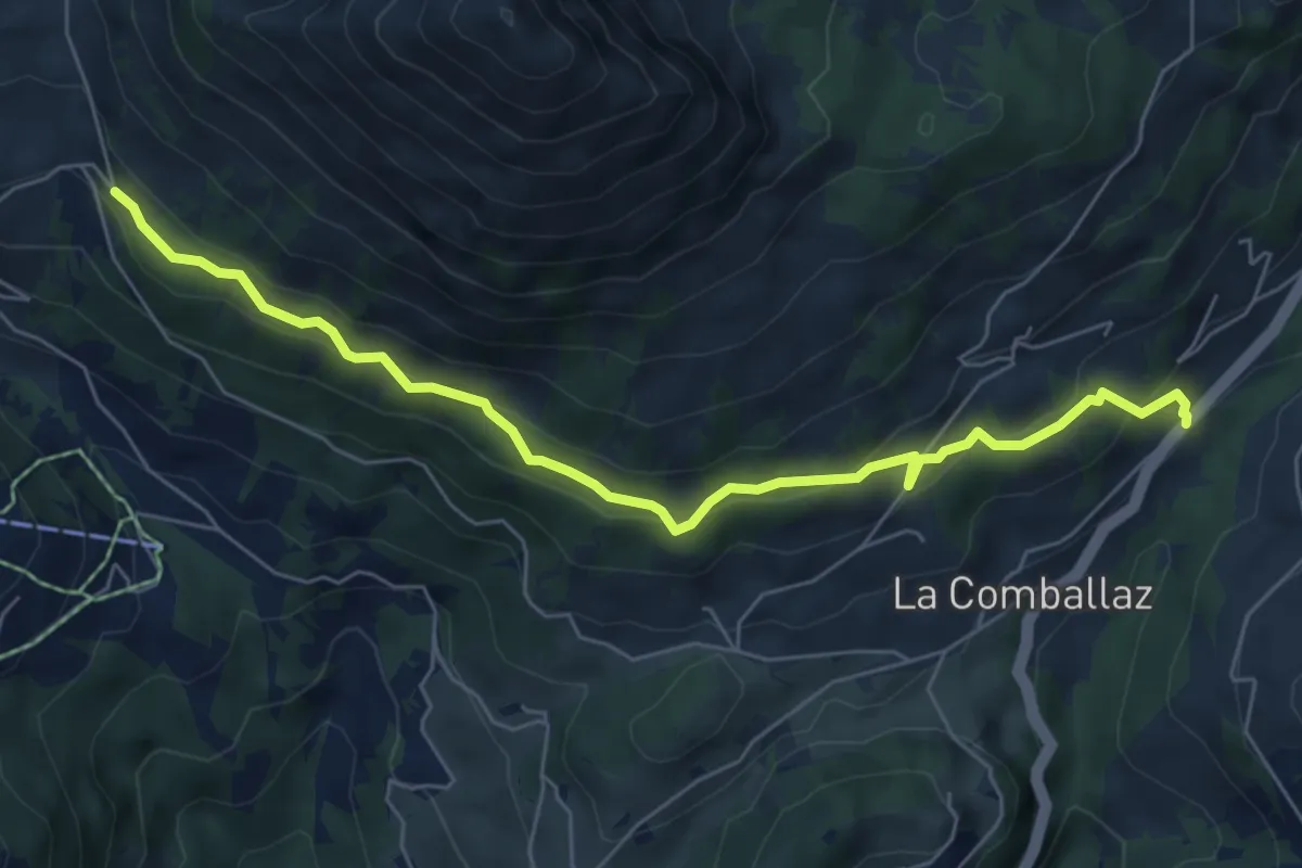
Medium · Trail
La Comballaz – Pierre du Moëllé
6.7 km · ↑ 344 m · 2 h 20 min · 12 km away
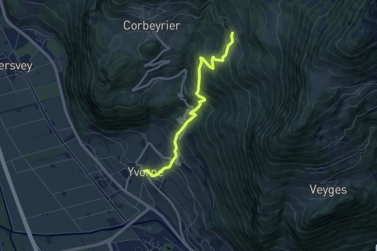
Medium · Trail
Yvorne – Boveau
6.4 km · ↑ 599 m · 2 h 49 min · 12 km away
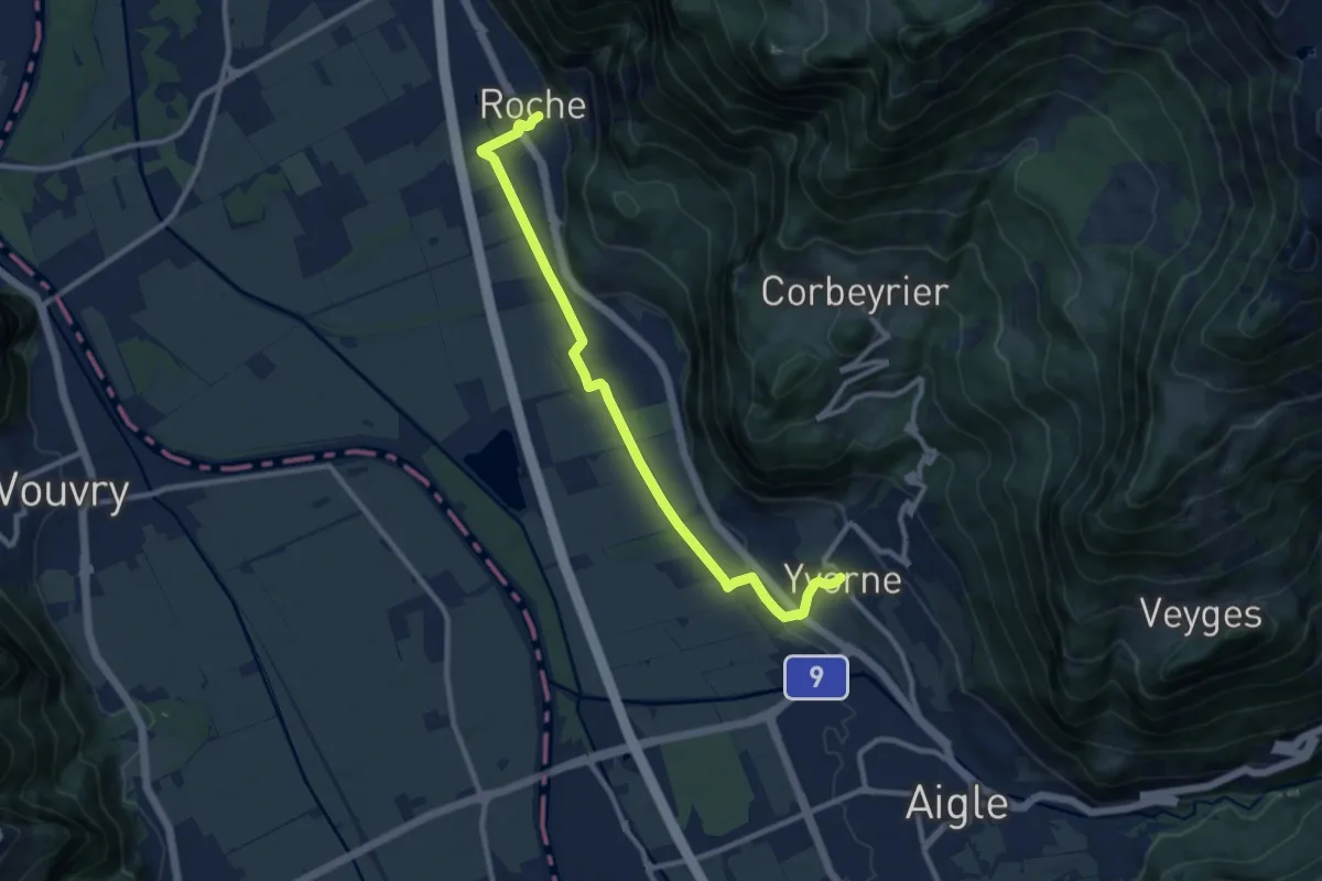
Medium · Trail
Roche – Yvorne
10.4 km · ↑ 81 m · 2 h 38 min · 12 km away
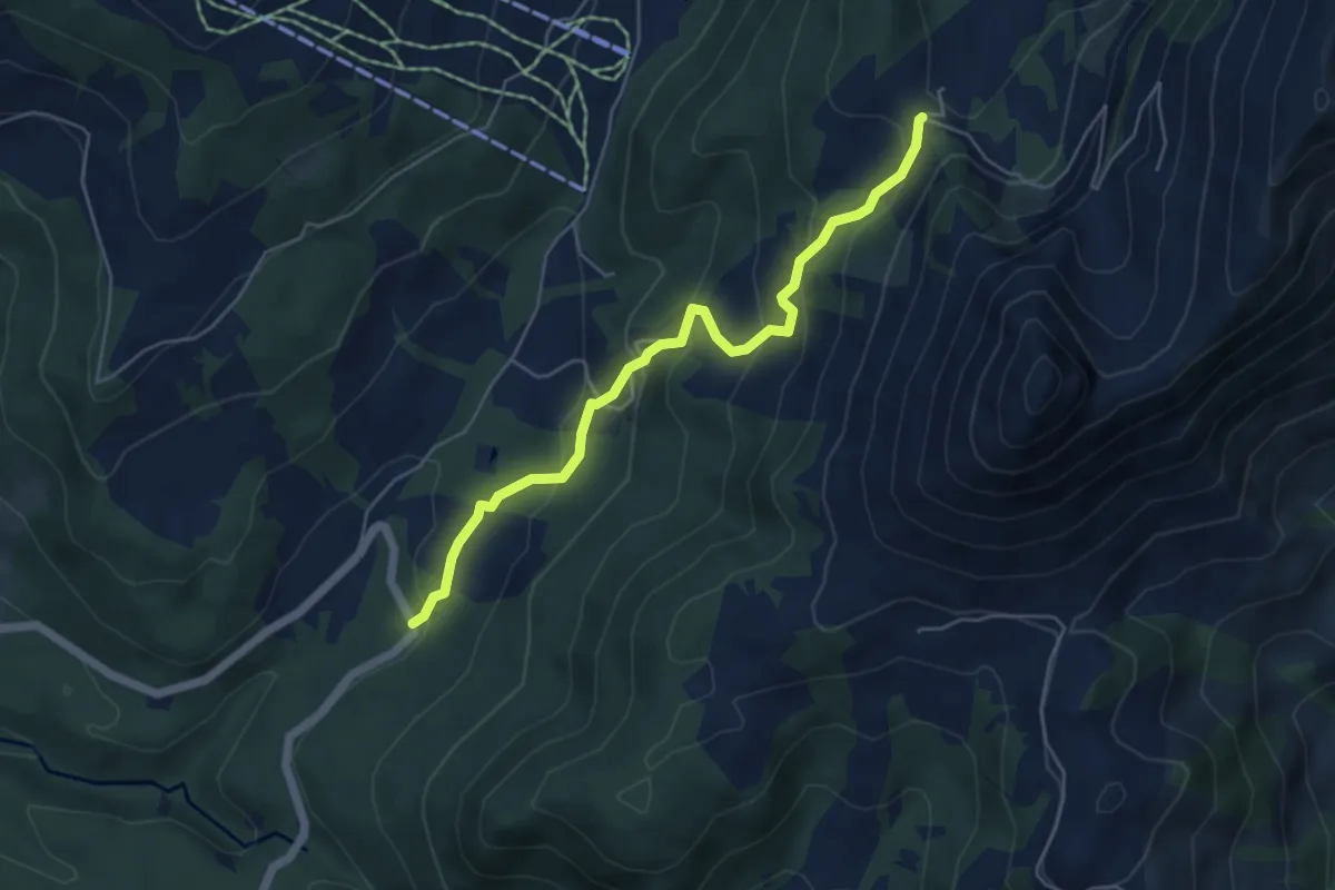
Medium · Trail
Les Pueys – Le Villard-Dessus
5.3 km · ↑ 331 m · 1 h 57 min · 12 km away
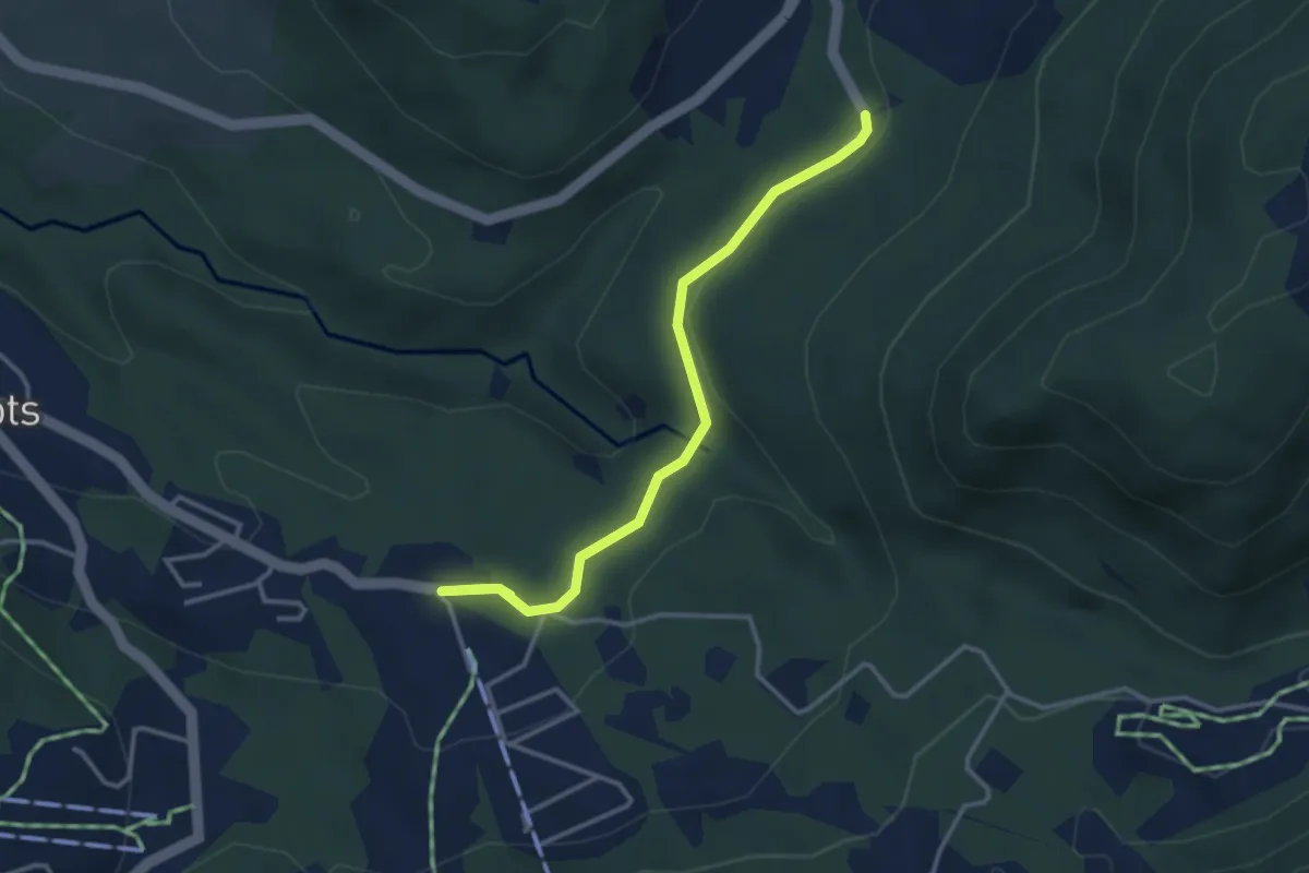
Easy · Trail
Les Rosalys – Les Pueys
3.4 km · ↑ 107 m · 1 h 3 min · 12 km away
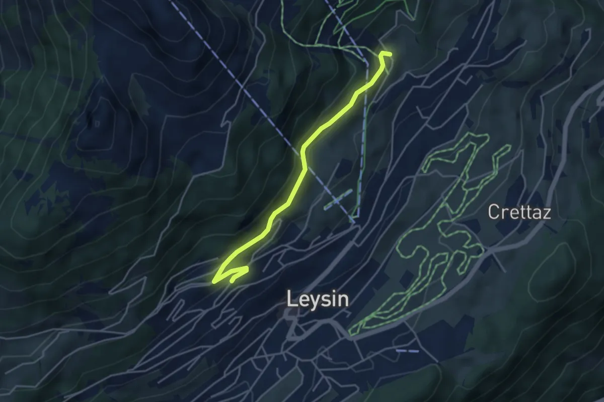
Medium · Trail
Féydey – Tresselerie
3.8 km · ↑ 169 m · 1 h 16 min · 12 km away
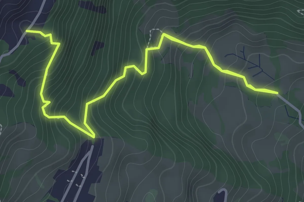
Medium · Trail
Chemin de la Bonne Eau – Lavanchy
4.6 km · ↑ 418 m · 2 h · 12 km away
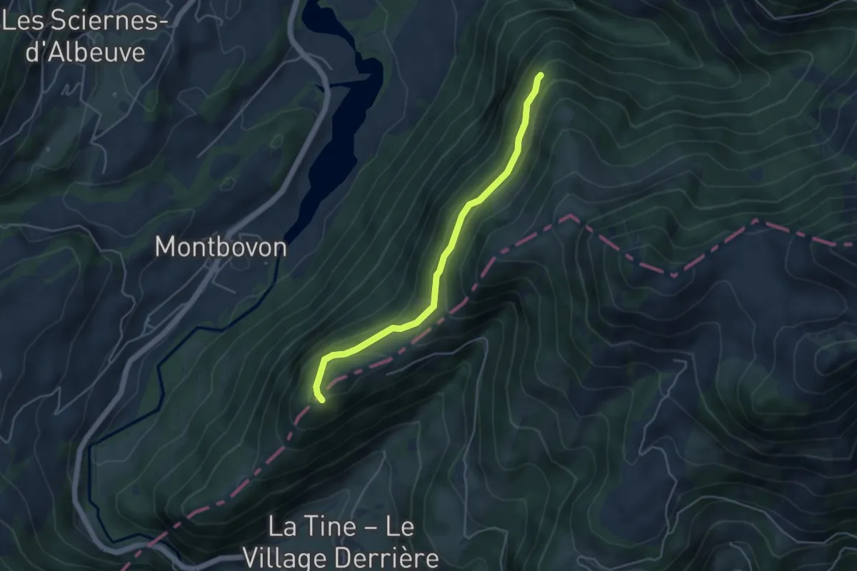
Easy · Trail
1191 – Les Cerniettes
4.2 km · ↑ 193 m · 1 h 25 min · 12 km away
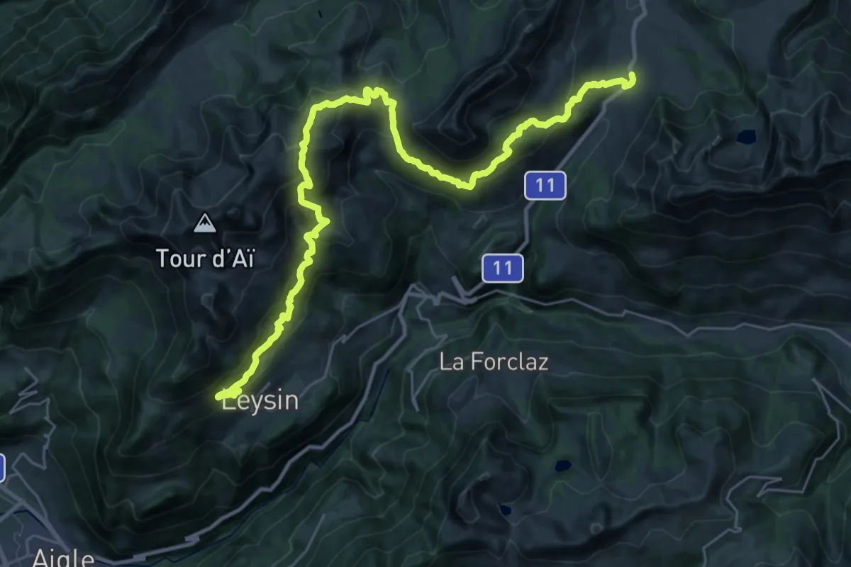
Demanding · Summit
Tour des Alpes Vaudoises Étape 2
16.6 km · ↑ 1046 m · 6 h 24 min · 12 km away
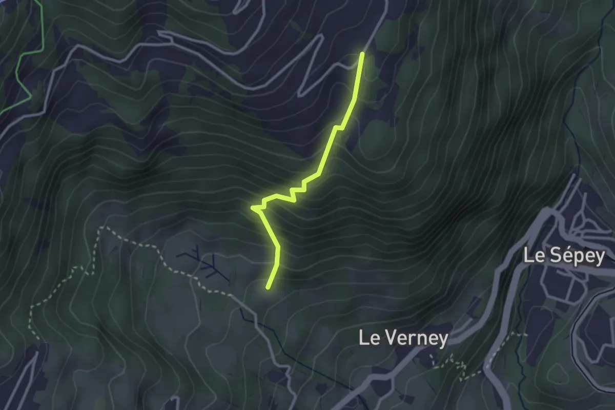
Easy · Trail
Chemin de la Bonne Eau – Le Cerf
2.3 km · ↑ 282 m · 1 h 9 min · 12 km away
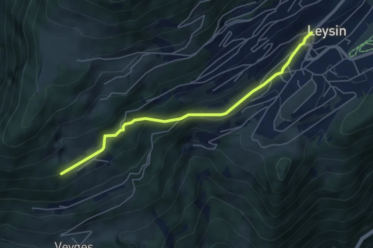
Easy · Trail
Leysin – Prélan
4.6 km · ↑ 218 m · 1 h 33 min · 12 km away
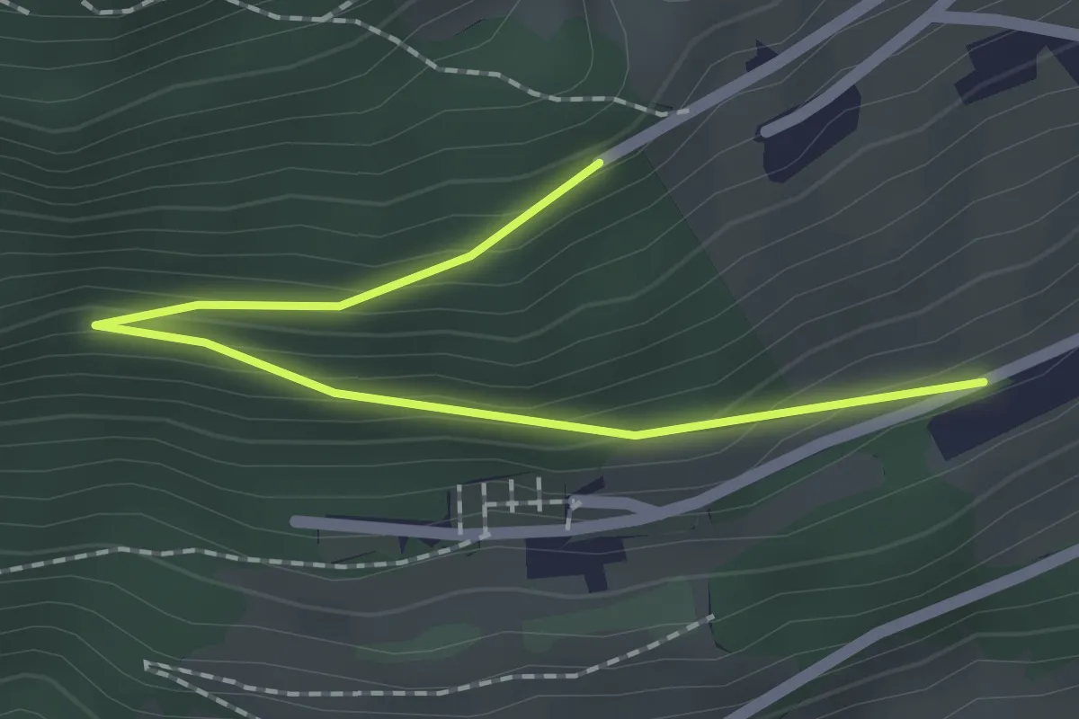
Easy · Trail
Les Larrets – Prélan
2.0 km · ↑ 115 m · 44 min · 12 km away
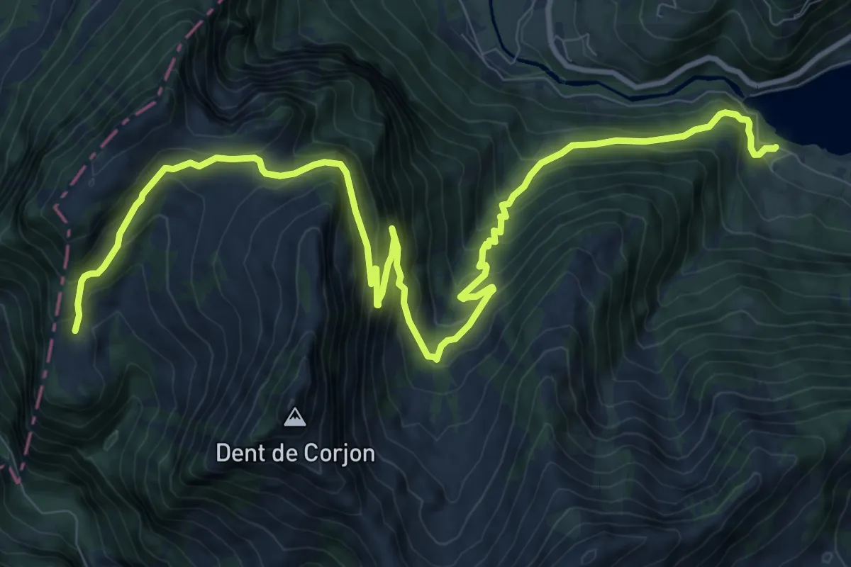
Demanding · Trail
Les Châtelards – Lac du Vernex
14.0 km · ↑ 1062 m · 5 h 37 min · 12 km away
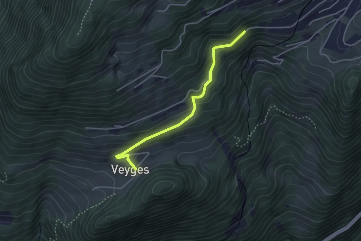
Easy · Trail
Veyges – Leysin-Village
3.2 km · ↑ 189 m · 1 h 10 min · 12 km away
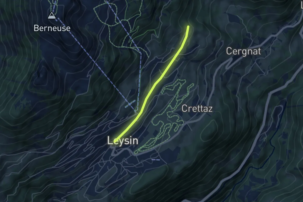
Easy · Trail
Leysin – Les Esserts
3.9 km · ↑ 80 m · 1 h 6 min · 12 km away
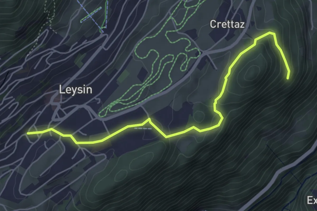
Easy · Trail
Leysin – Le Flot de Crête
5.4 km · ↑ 170 m · 1 h 39 min · 12 km away
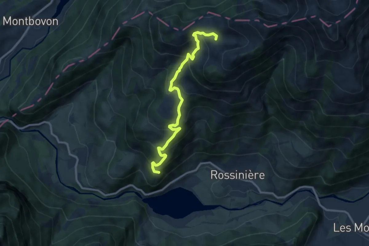
Medium · Trail
Solosex – Culand
7.3 km · ↑ 542 m · 2 h 54 min · 13 km away
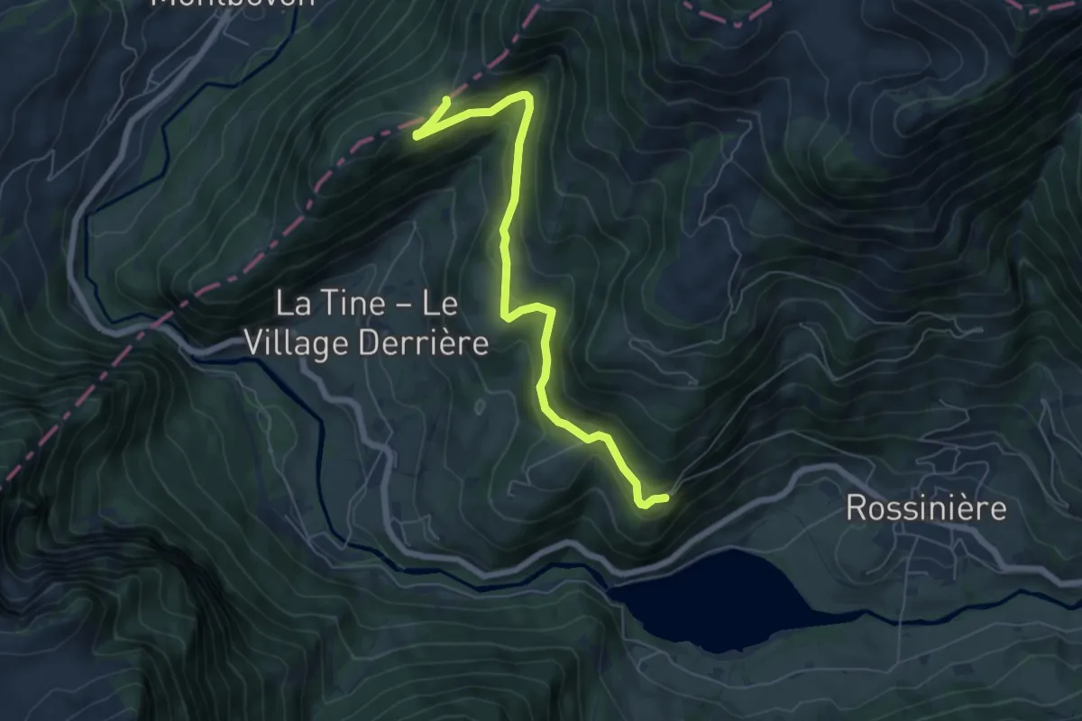
Easy · Trail
Solosex – Solomon
6.3 km · ↑ 297 m · 2 h 8 min · 13 km away
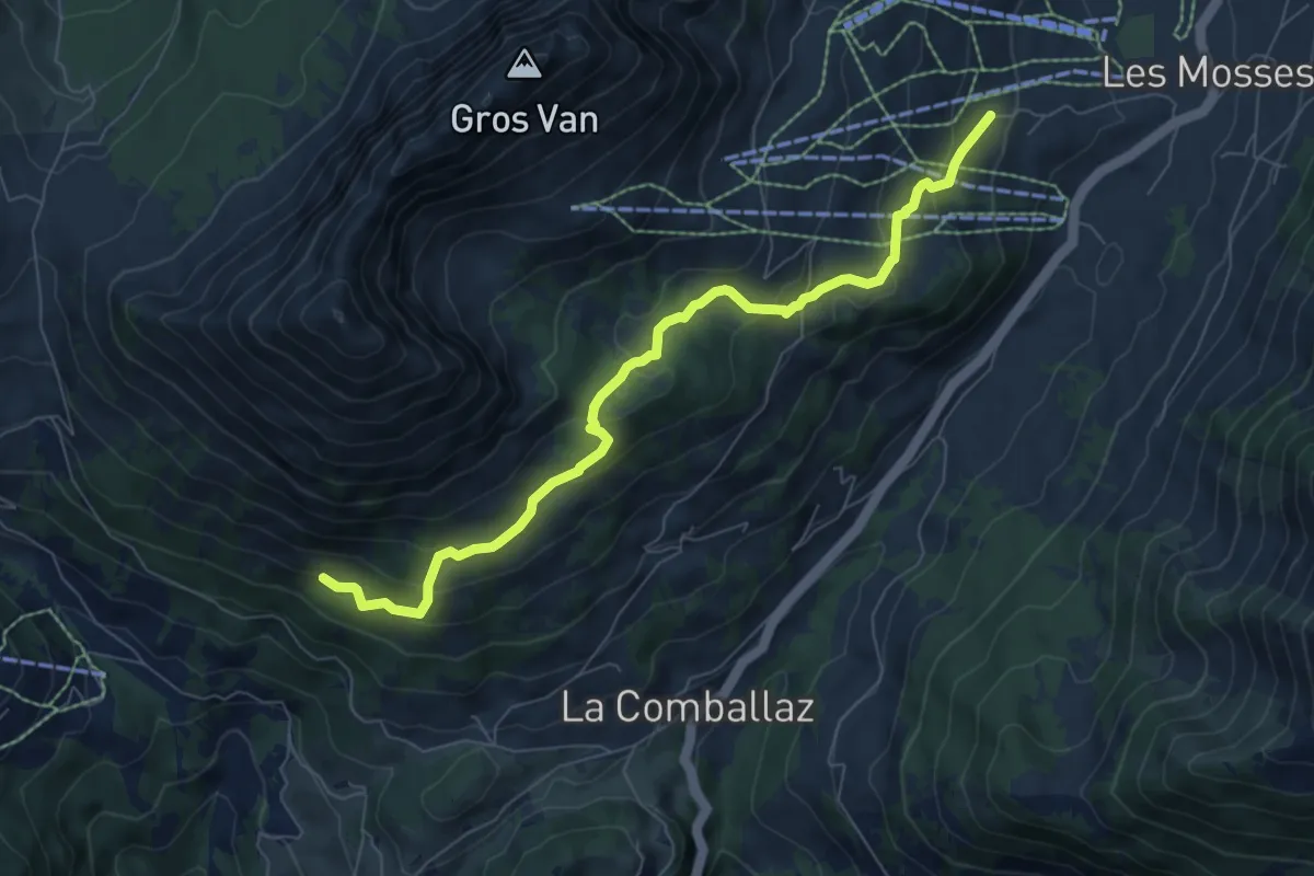
Medium · Trail
La Comballaz – Les Mosses
7.6 km · ↑ 407 m · 2 h 40 min · 13 km away
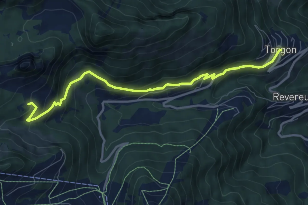
Medium · Trail
Torgon village – Dravers
7.8 km · ↑ 506 m · 2 h 56 min · 13 km away
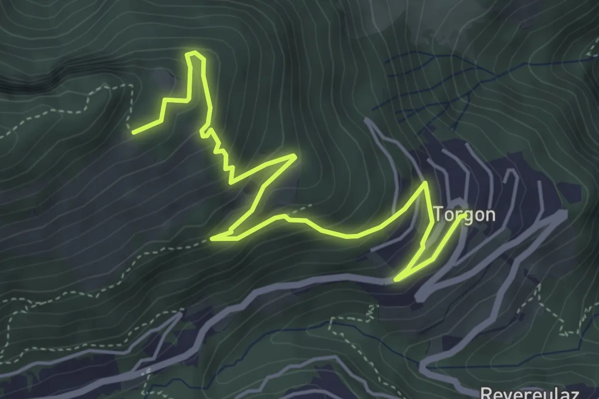
Medium · Trail
Torgon village – La Caux
5.5 km · ↑ 430 m · 2 h 14 min · 13 km away
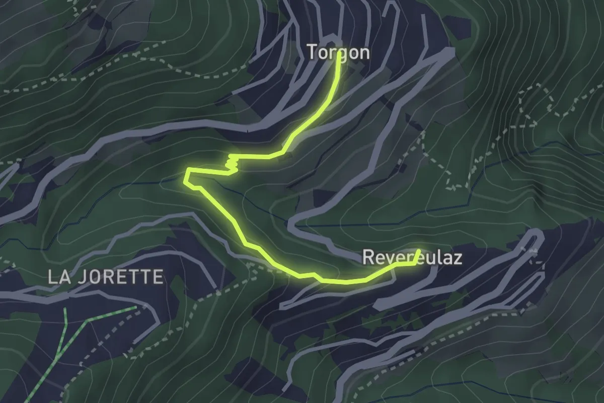
Easy · Trail
Revereulaz – Torgon Village
2.9 km · ↑ 153 m · 1 h 1 min · 13 km away
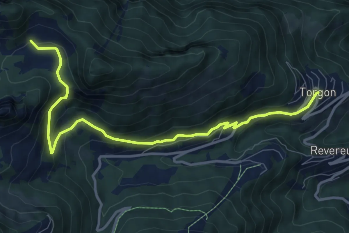
Medium · Trail
Torgon village – Chalet de Blancsex
8.7 km · ↑ 508 m · 3 h 10 min · 13 km away
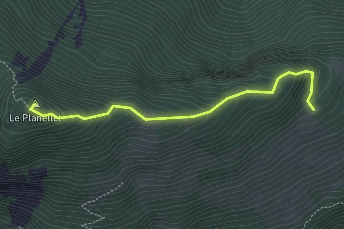
Demanding · Summit
Col du Blancsex – La Caux
2.6 km · ↑ 250 m · 1 h 9 min · 13 km away
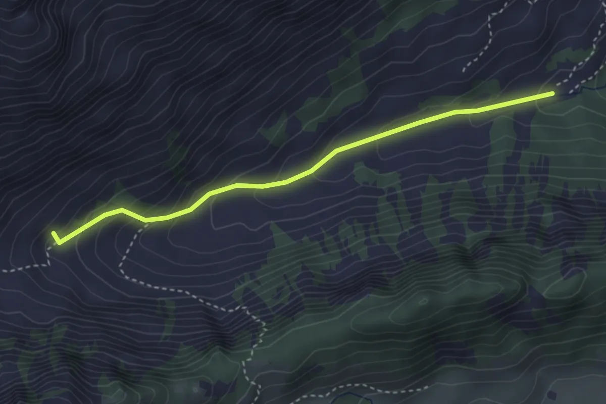
Easy · Trail
Chemin de la Crossette
3.4 km · ↑ 229 m · 1 h 18 min · 13 km away
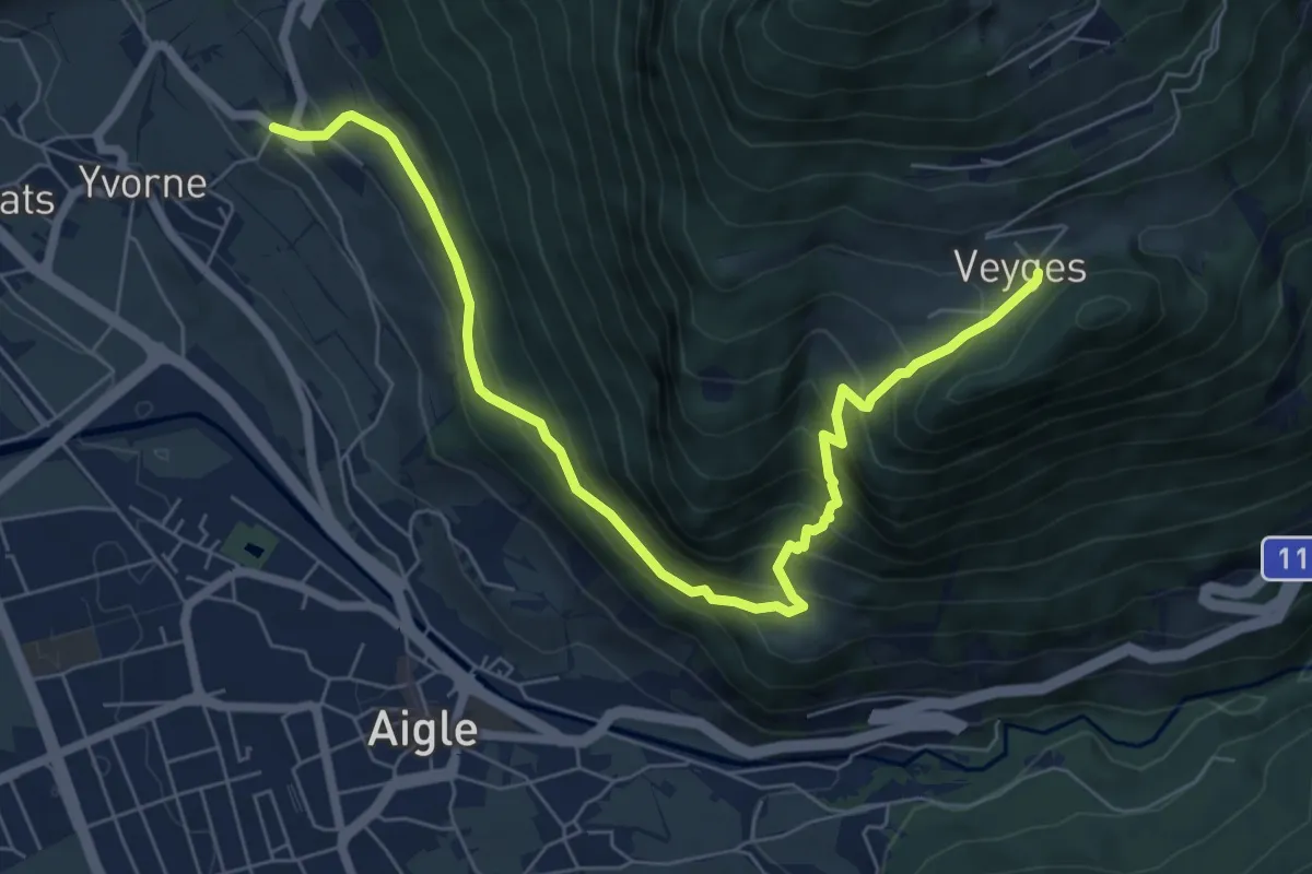
Medium · Trail
Vers Morey – Veyges
7.8 km · ↑ 704 m · 3 h 22 min · 13 km away
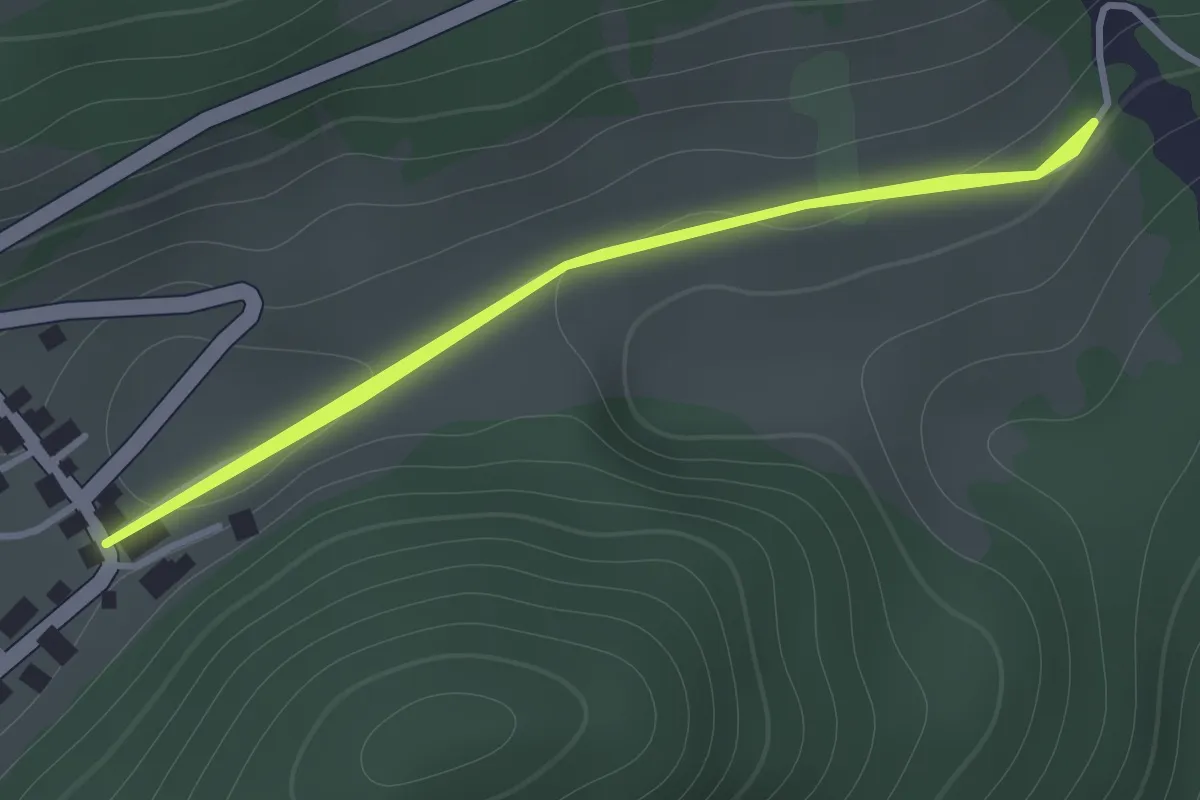
Medium · Trail
Veyges – La Roulaz
1.2 km · ↑ 10 m · 19 min · 13 km away
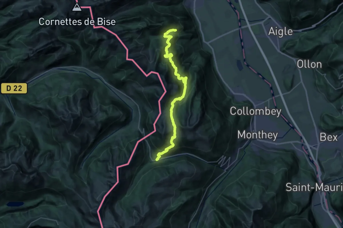
Demanding · Trail
41-Chemin des cols alpins
14.8 km · ↑ 975 m · 5 h 42 min · 13 km away
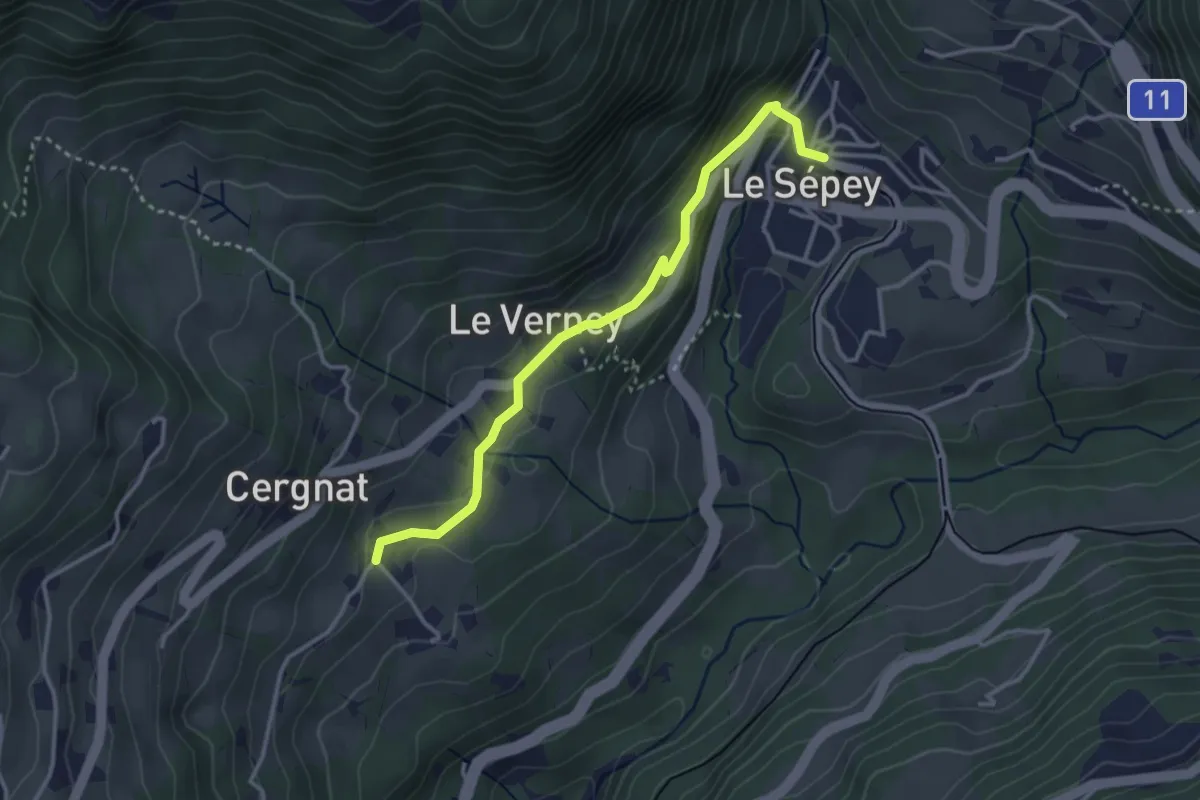
Easy · Trail
Cergnat – Le Sépey
3.3 km · ↑ 127 m · 1 h 3 min · 13 km away
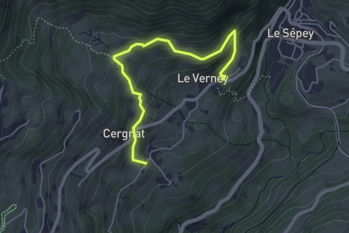
Easy · Trail
La Verney – Cergnat
4.4 km · ↑ 316 m · 1 h 44 min · 13 km away
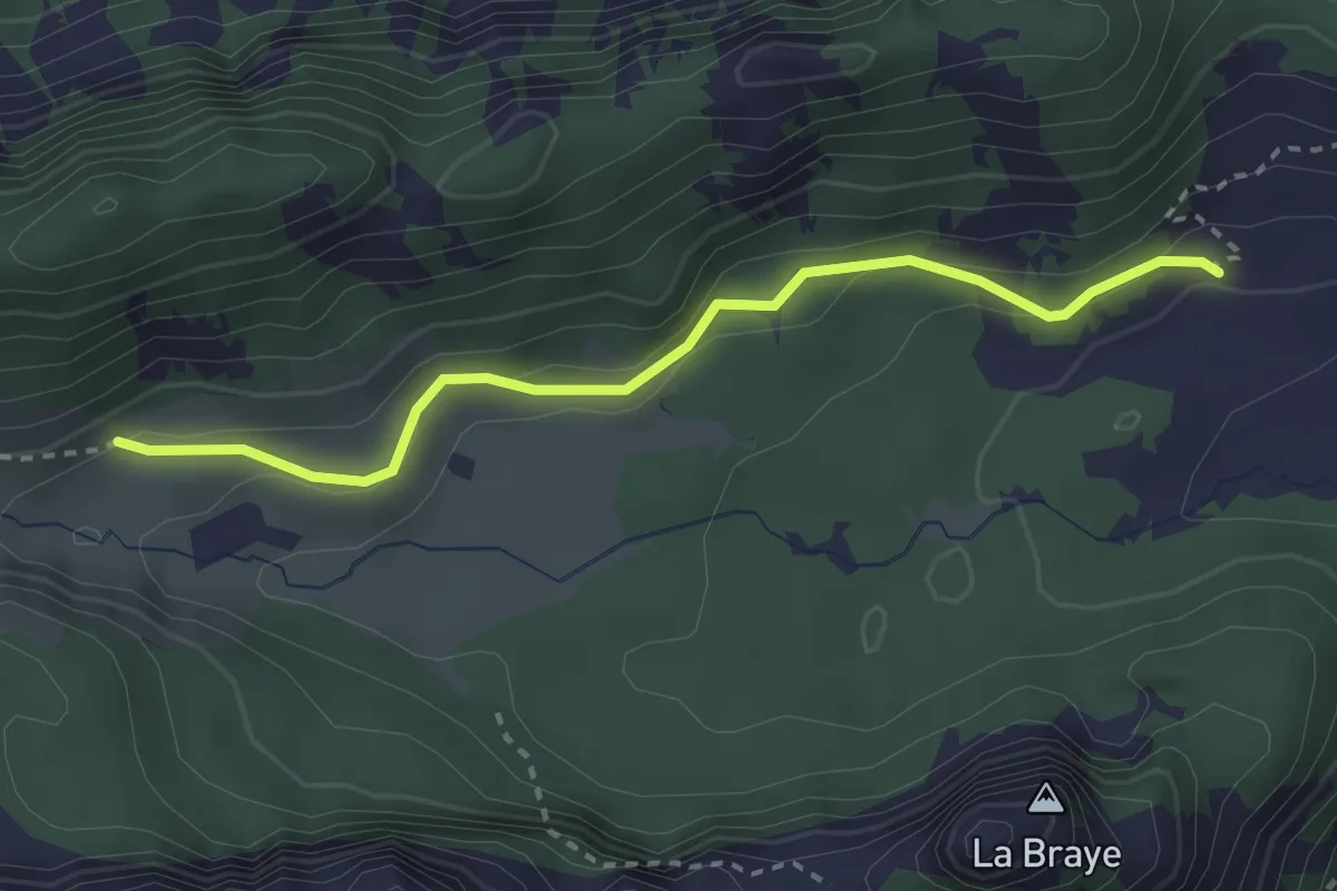
Easy · Trail
Chalet de Blancsex – Savalène
2.8 km · ↑ 170 m · 1 h 2 min · 13 km away
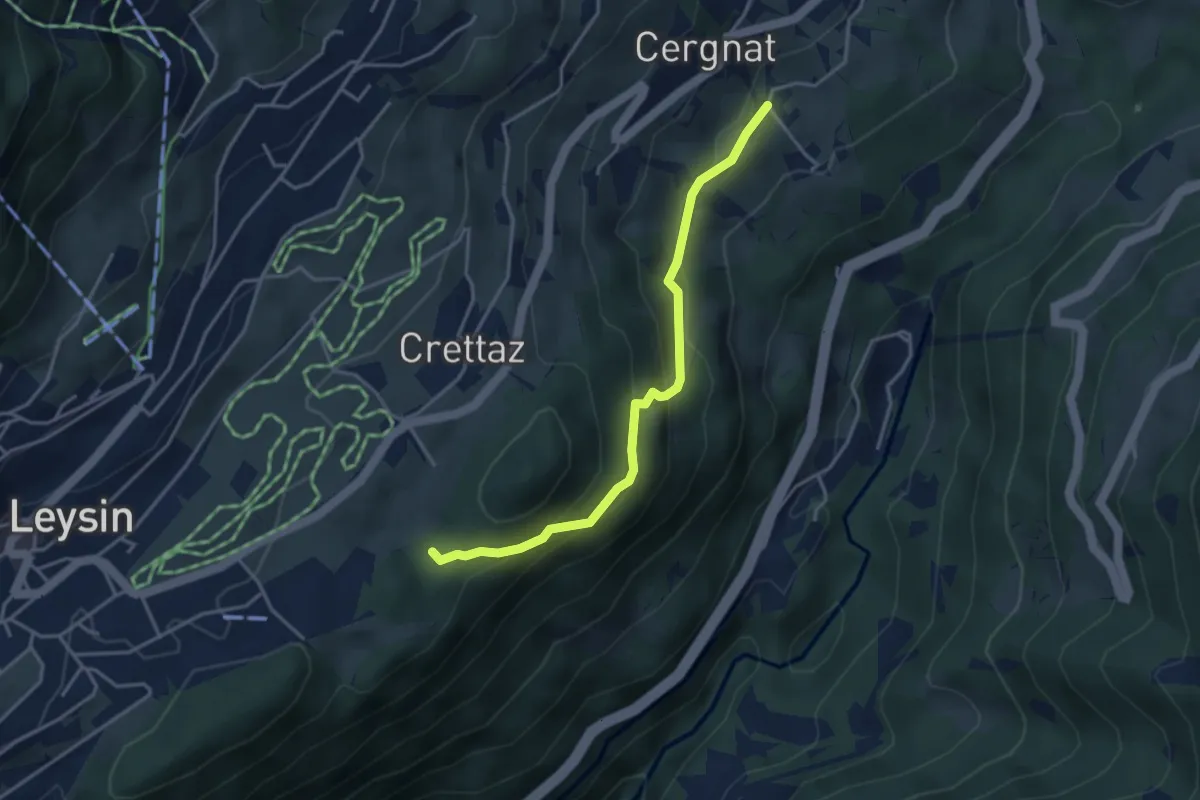
Easy · Trail
Le Flot de Crête – Cergnat
3.7 km · ↑ 227 m · 1 h 22 min · 13 km away
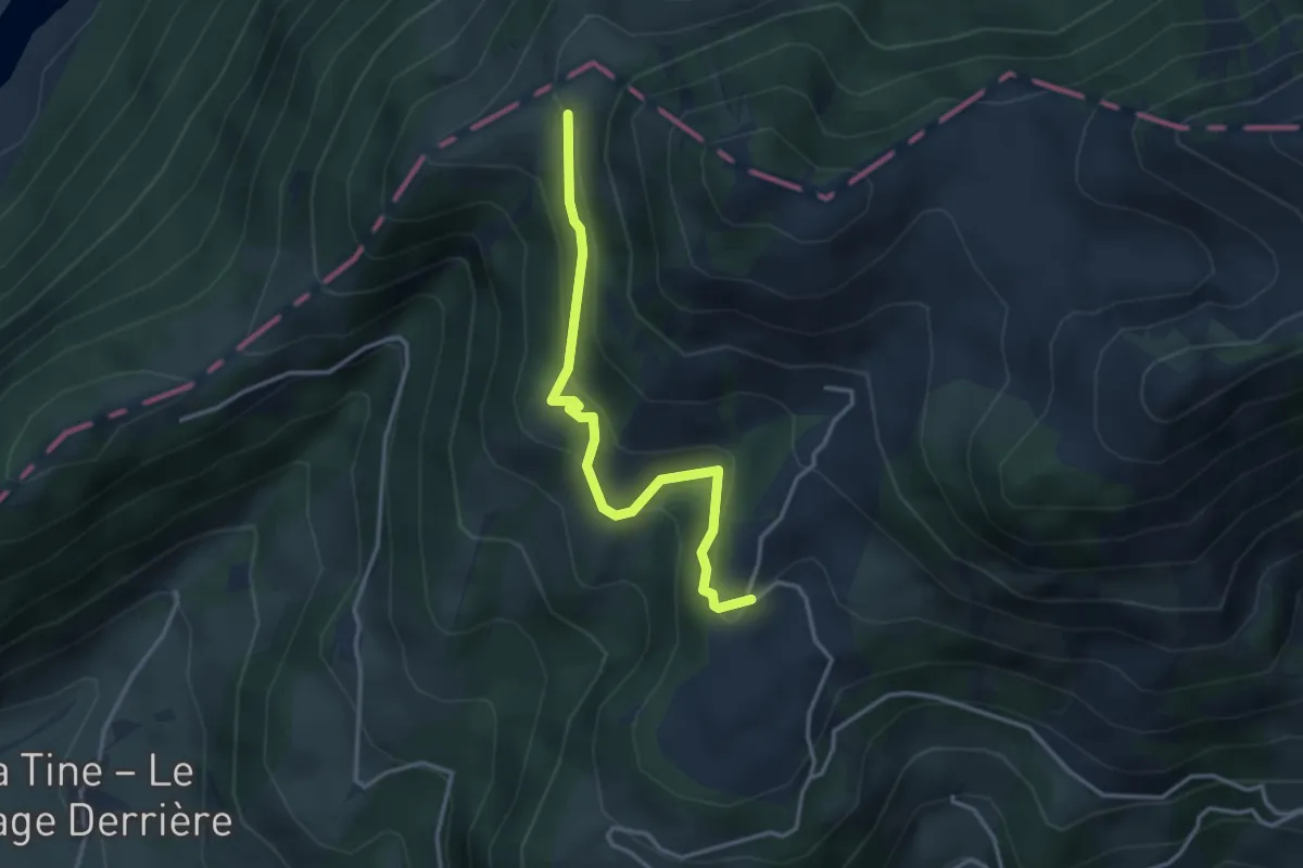
Easy · Trail
Les Clous – La Brá
3.3 km · ↑ 229 m · 1 h 17 min · 13 km away
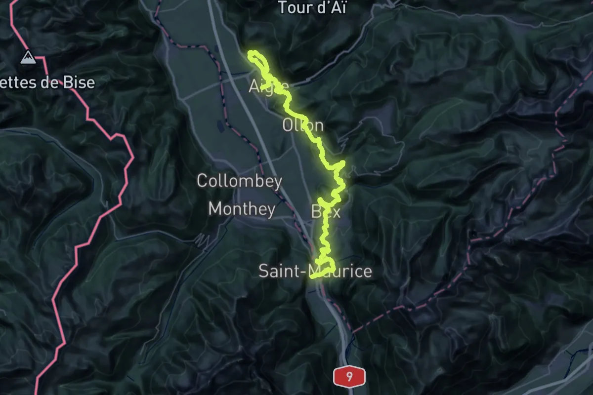
Demanding · Trail
Chemin des Vignes
30.9 km · ↑ 1120 m · 10 h 9 min · 13 km away