Trails near Montreux
152 hikes starting within 15 km, nearest first.
Nearest first, page 3 of 4
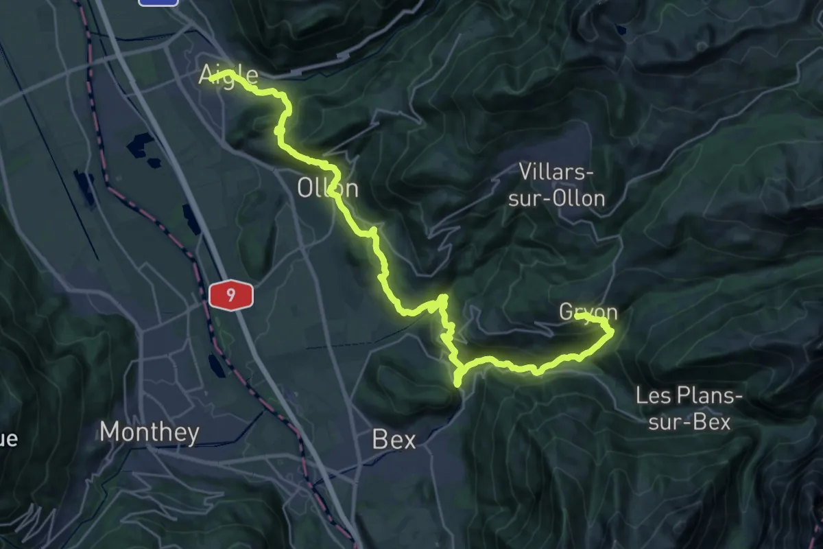
Demanding · Trail
Tour des Alpes Vaudoises Étape 8
17.3 km · ↑ 1357 m · 6 h 53 min · 13 km away
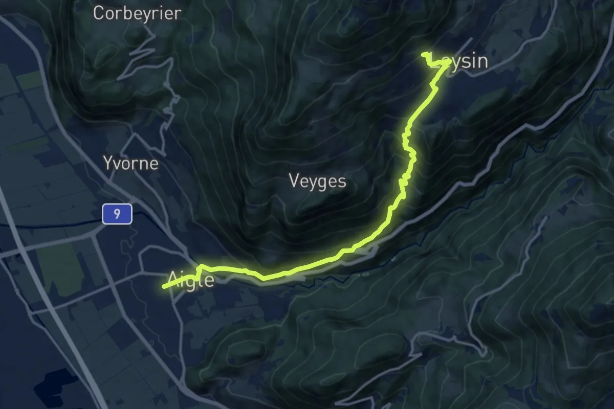
Demanding · Trail
Tour des Alpes Vaudoises Étape 1
6.9 km · ↑ 1038 m · 3 h 28 min · 13 km away
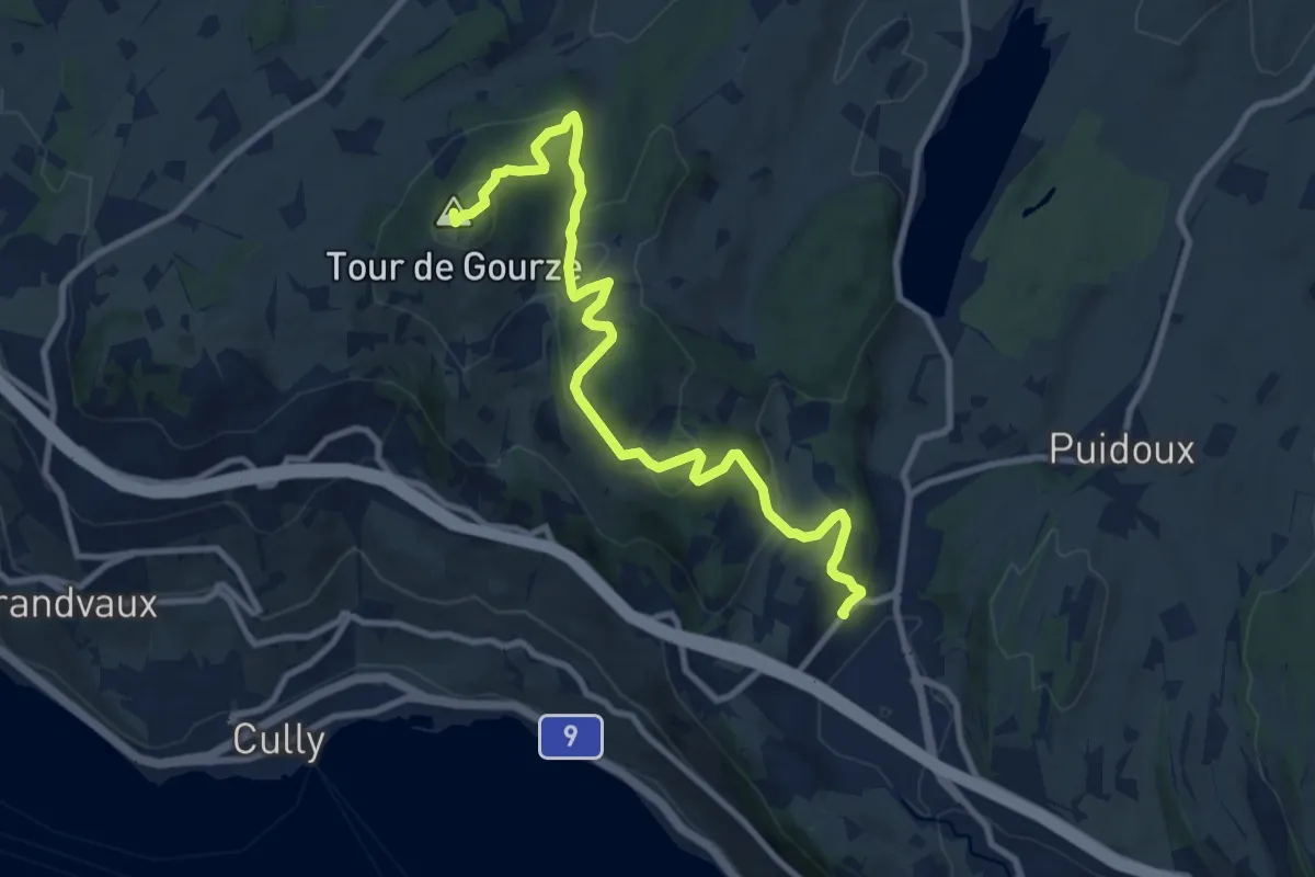
Medium · Summit
Puidoux gare – Tour de Gourze
10.7 km · ↑ 387 m · 3 h 21 min · 13 km away
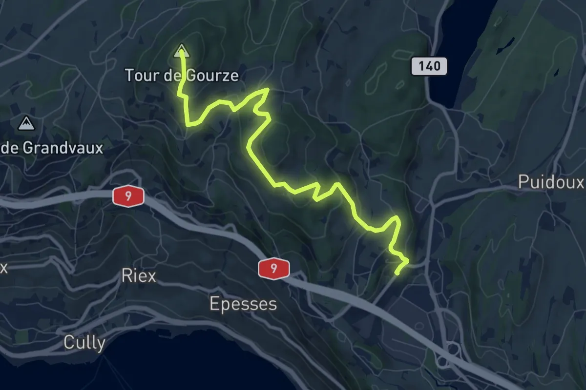
Medium · Summit
Tour de Gourze – Puidoux gare
9.6 km · ↑ 384 m · 3 h 6 min · 13 km away
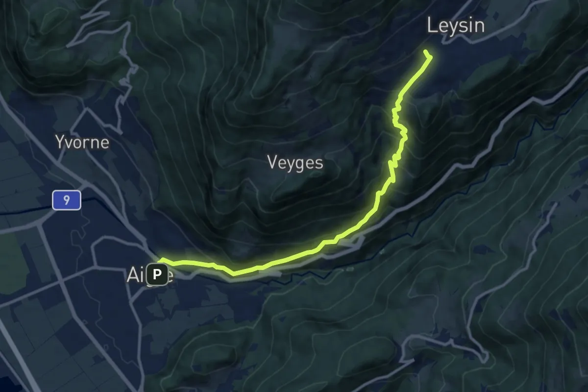
Demanding · Trail
Leysin – Aigle
11.1 km · ↑ 915 m · 4 h 36 min · 13 km away
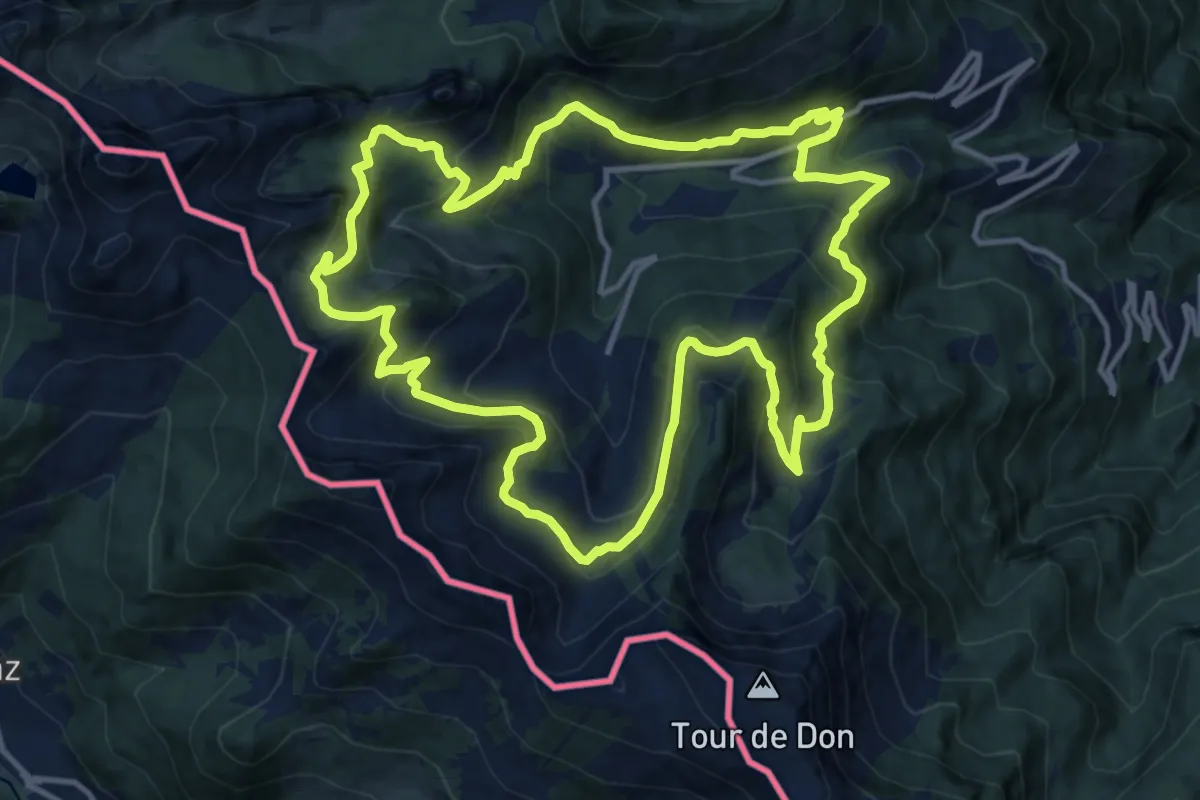
Demanding · Trail
Sentier des alpages de Vionnaz
13.4 km · ↑ 842 m · 5 h 11 min · 13 km away
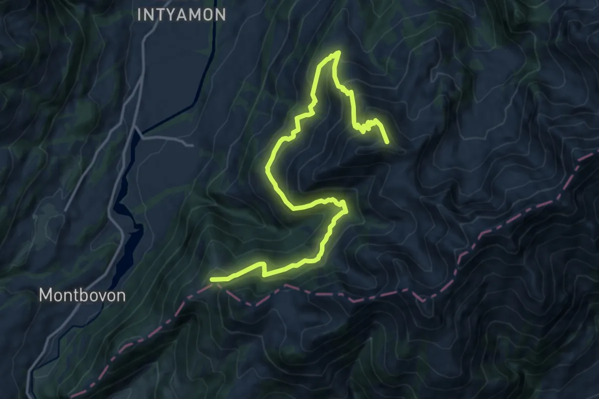
Demanding · Summit
La Brâ – Les Millets
15.8 km · ↑ 1223 m · 6 h 22 min · 13 km away
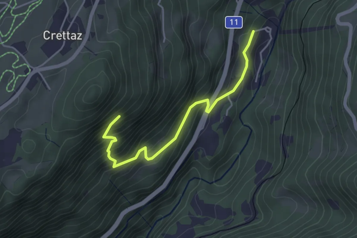
Medium · Trail
Le Flot de Crête – Le Pont
3.8 km · ↑ 352 m · 1 h 39 min · 13 km away
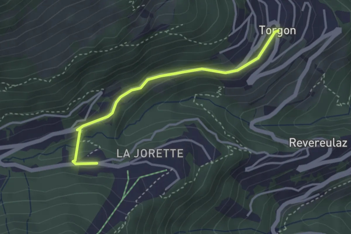
Easy · Trail
Torgon village - Torgon/La Jorette
2.9 km · ↑ 74 m · 50 min · 13 km away
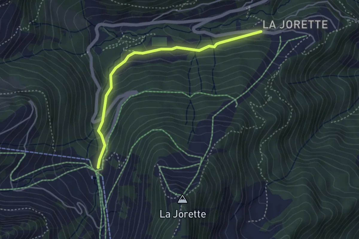
Easy · Trail
Torgon/La Jorette – Plan du Croix
3.7 km · ↑ 204 m · 1 h 19 min · 13 km away
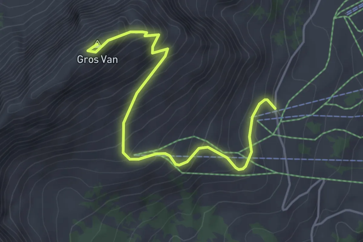
Medium · Summit
Sonnaz – Gros Van
4.5 km · ↑ 470 m · 2 h 5 min · 13 km away
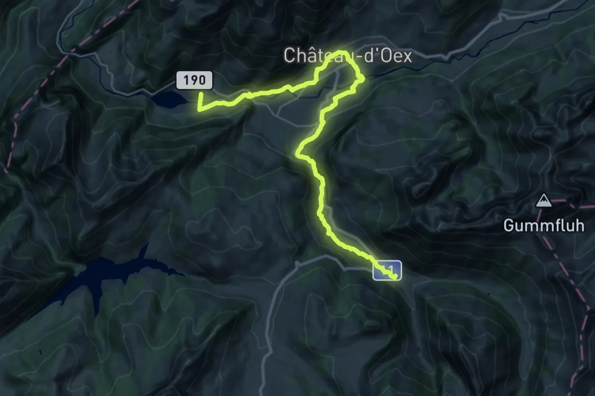
Medium · Trail
Via Alpina
13.6 km · ↑ 550 m · 4 h 28 min · 13 km away
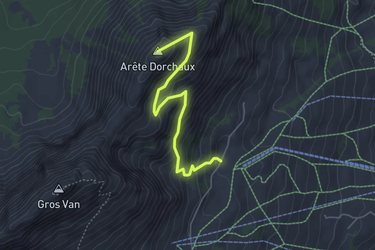
Medium · Summit
Sonnaz – Arête Dorchaux
4.1 km · ↑ 341 m · 1 h 42 min · 14 km away
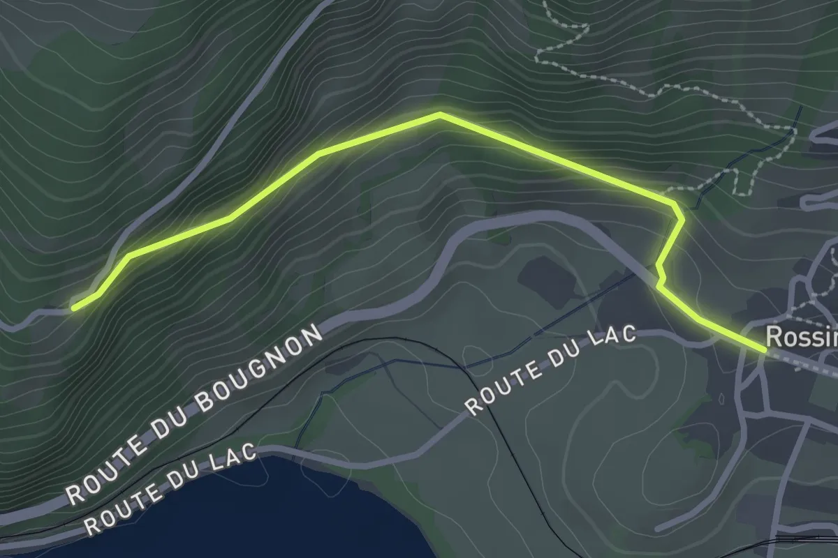
Easy · Trail
Rossinière – Solosex
2.7 km · ↑ 210 m · 1 h 5 min · 14 km away
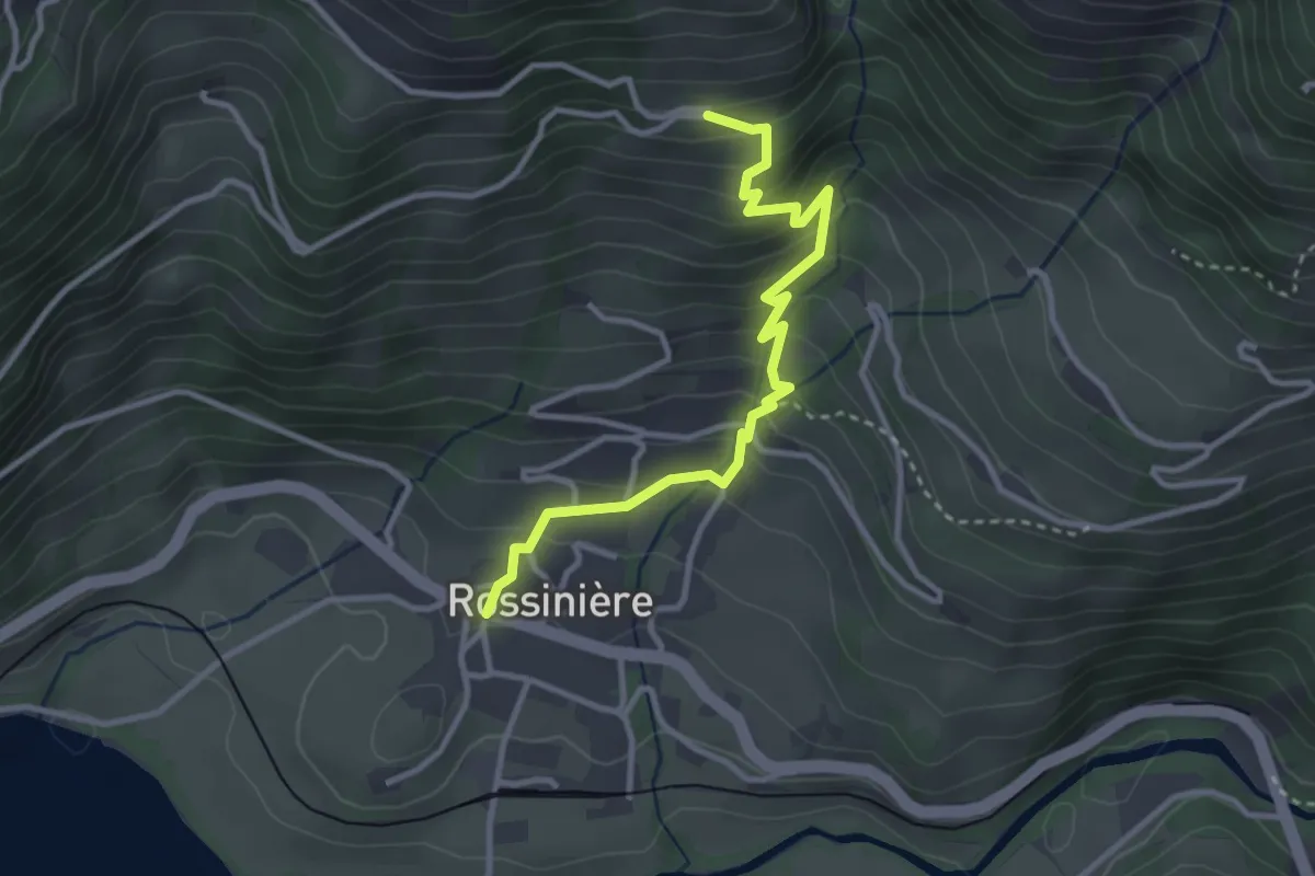
Medium · Trail
Rossiniére – Clou des Mis
3.3 km · ↑ 315 m · 1 h 28 min · 14 km away
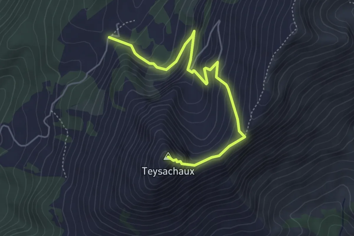
Medium · Summit
Le Villard-Dessus – Teysachaux
5.0 km · ↑ 429 m · 2 h 7 min · 14 km away
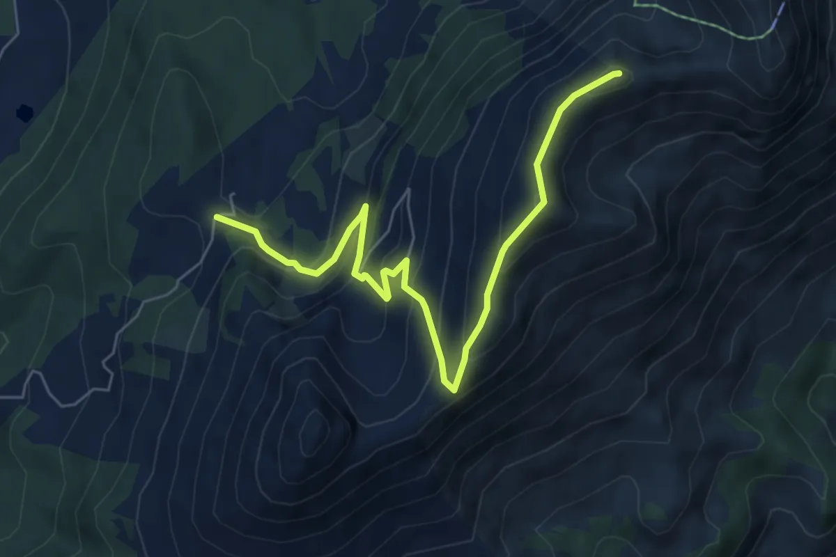
Medium · Summit
Le Villard-Dessus – Moléson
6.7 km · ↑ 467 m · 2 h 35 min · 14 km away
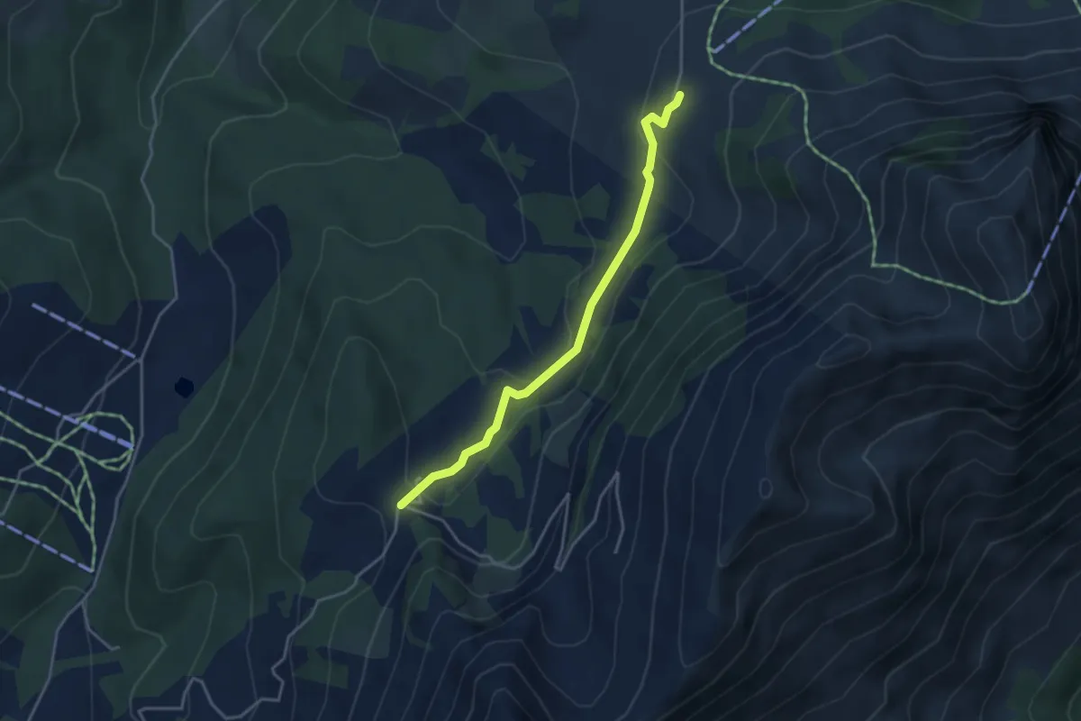
Easy · Cabin
Gros-Plané – Le Villard-Dessus
3.6 km · ↑ 125 m · 1 h 8 min · 14 km away
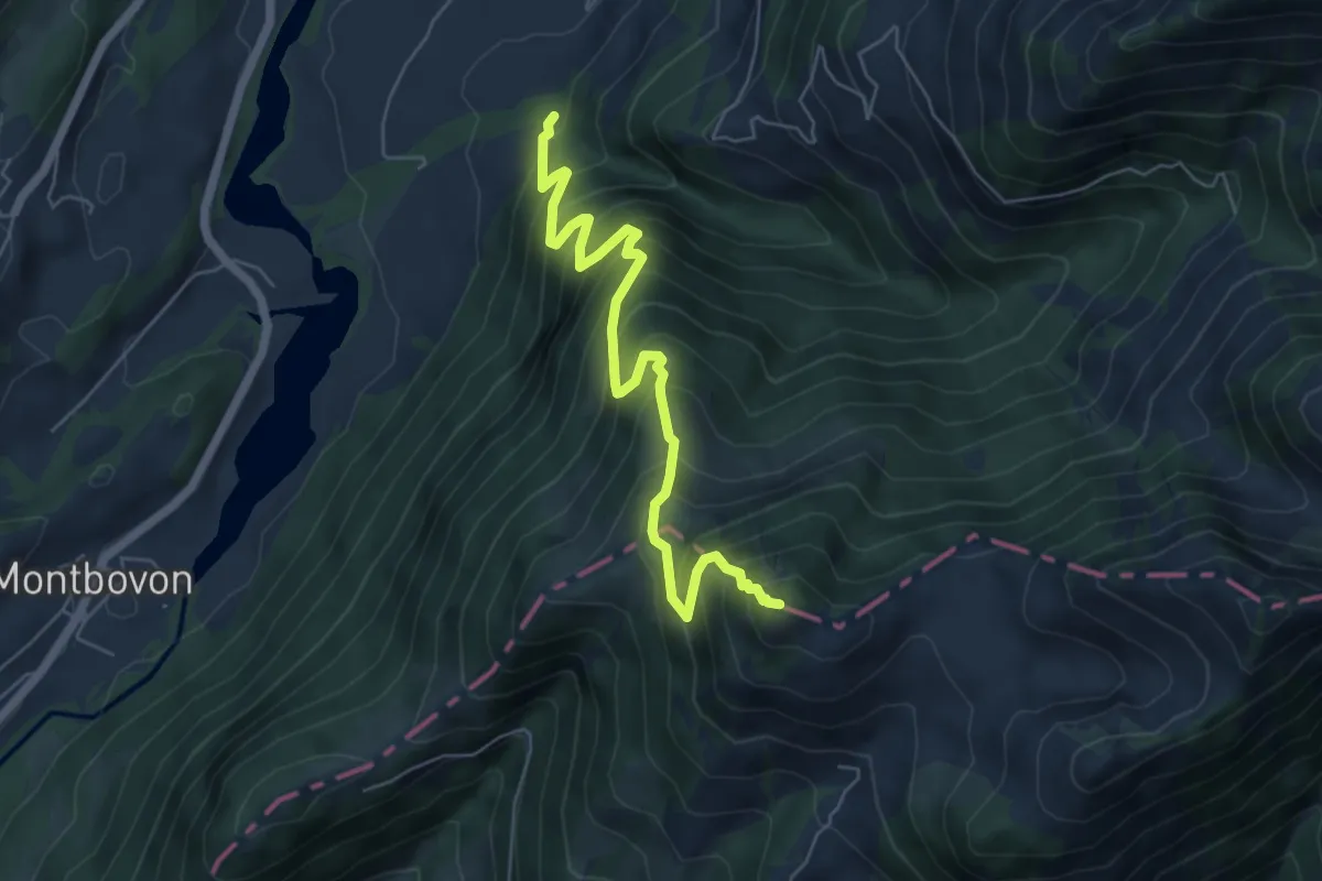
Demanding · Summit
Sur les Verbuts – L'Aiguille
6.2 km · ↑ 807 m · 3 h 13 min · 14 km away
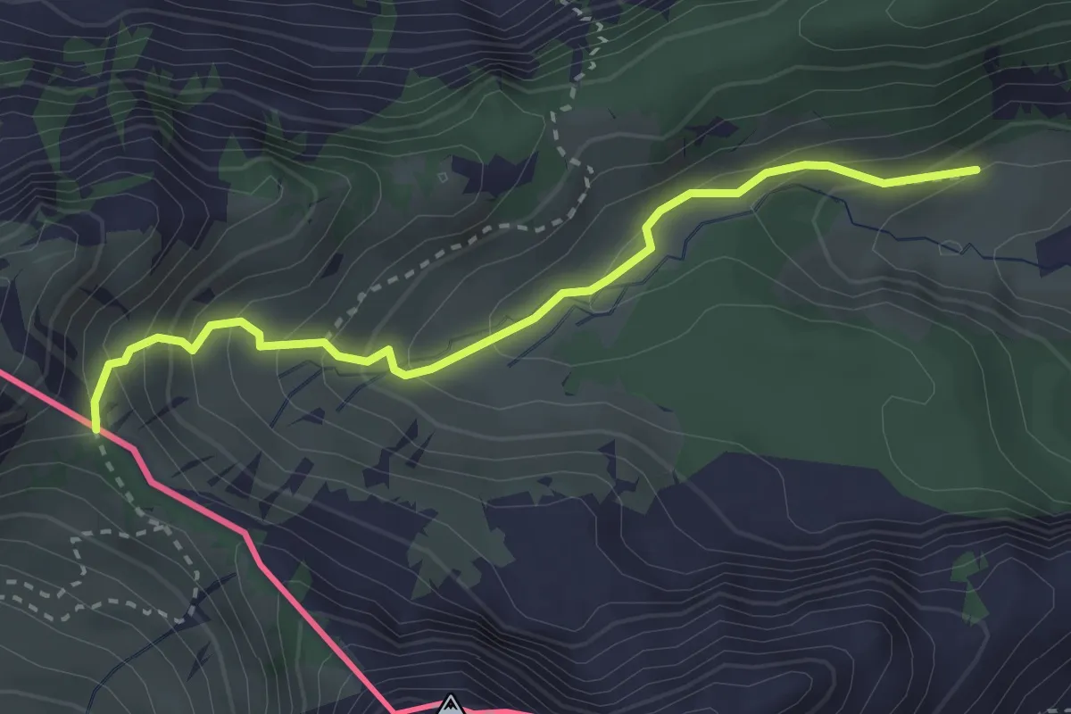
Medium · Trail
Savalène – Col de Savalène
3.0 km · ↑ 275 m · 1 h 18 min · 14 km away
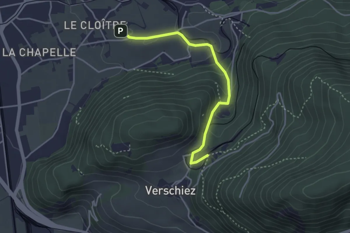
Easy · Trail
Château d'Aigle – Halte de Verschiez
3.3 km · ↑ 134 m · 1 h 4 min · 14 km away
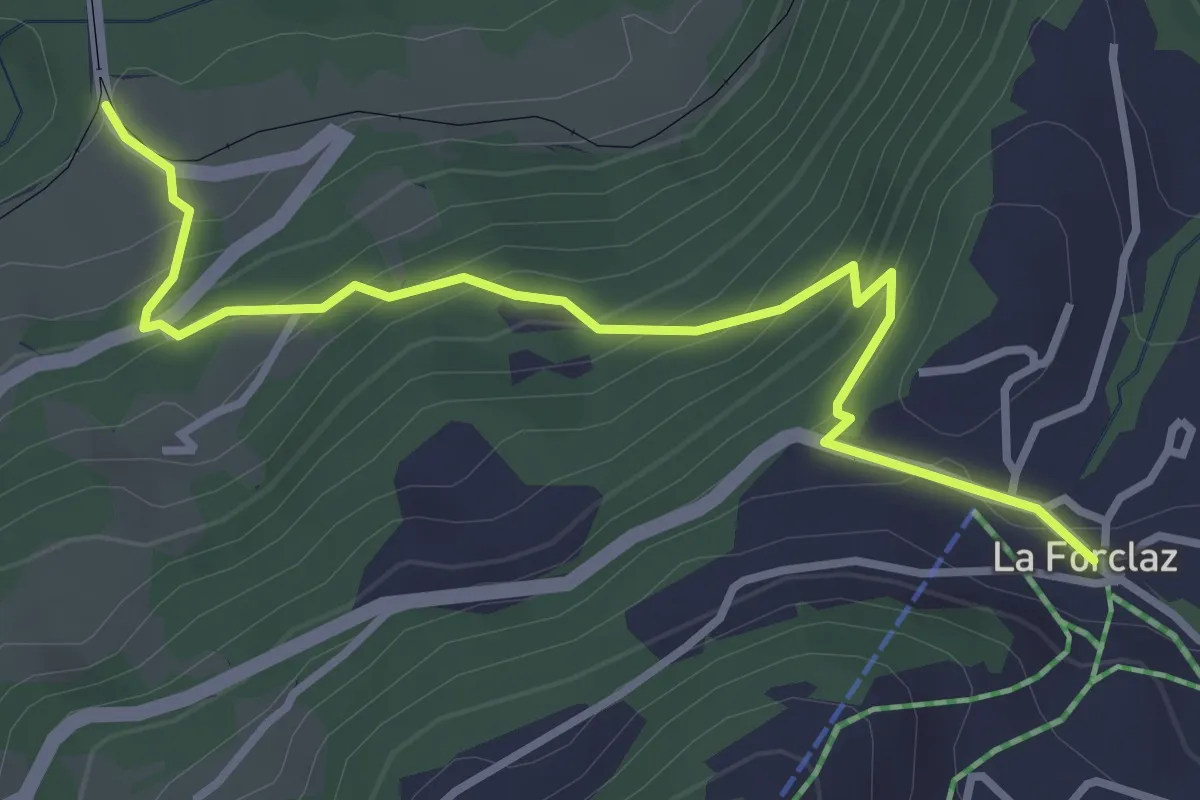
Medium · Trail
Les Planches – La Forclaz
3.6 km · ↑ 328 m · 1 h 34 min · 14 km away
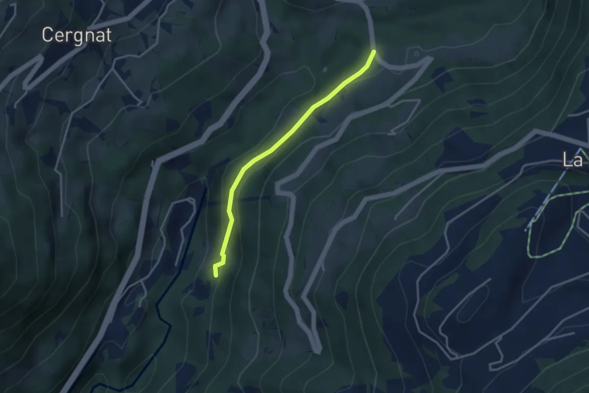
Easy · Trail
Les Planches – Les Faveires
2.8 km · ↑ 105 m · 53 min · 14 km away
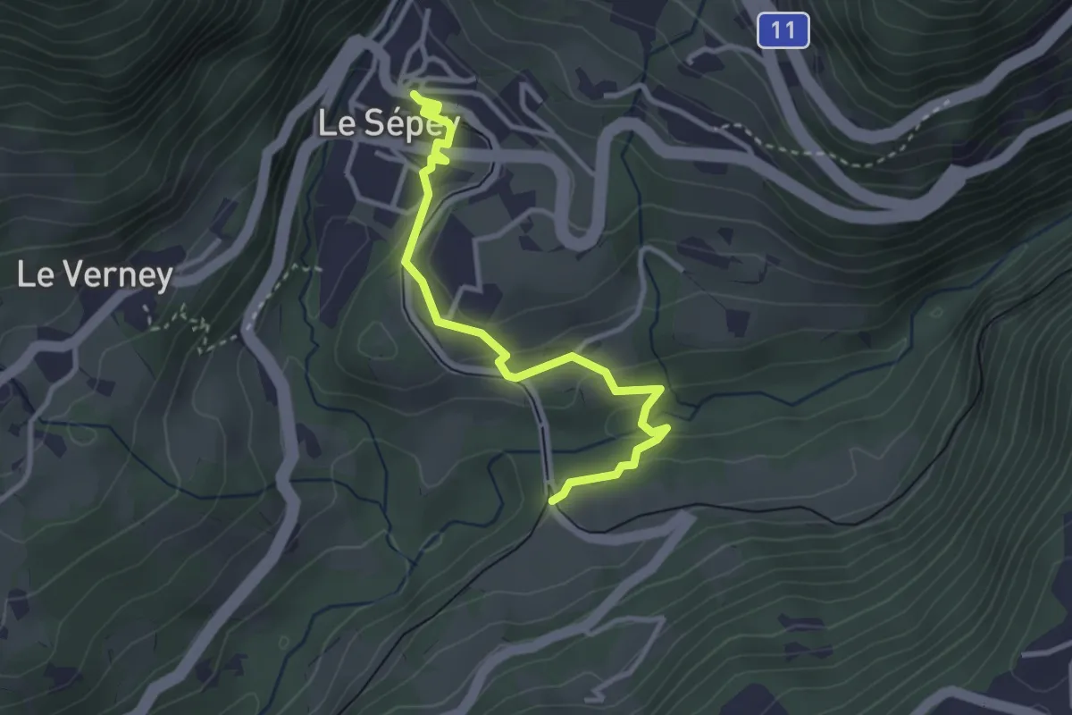
Easy · Trail
Les Planches – Le Sépey
3.2 km · ↑ 80 m · 56 min · 14 km away
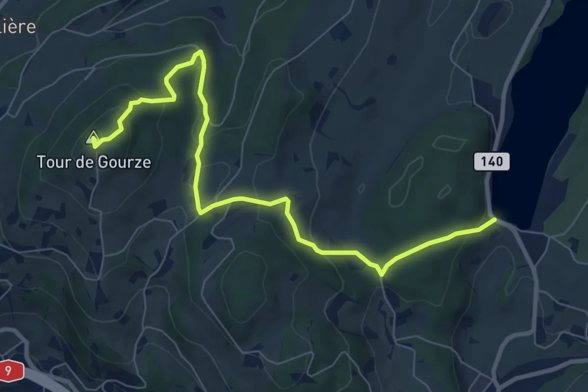
Easy · Summit
Tour de Gourze – Lac de Bret
7.6 km · ↑ 312 m · 2 h 29 min · 14 km away
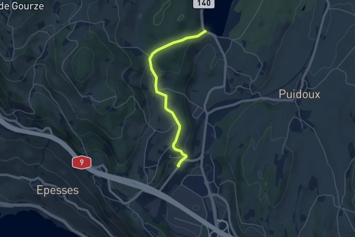
Easy · Trail
Puidoux gare – Lac de Bret
4.3 km · ↑ 157 m · 1 h 22 min · 14 km away
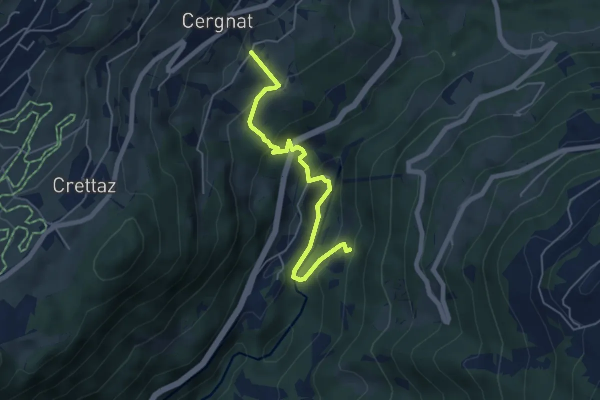
Easy · Trail
Cergnat – Les Faveires
4.2 km · ↑ 259 m · 1 h 34 min · 14 km away
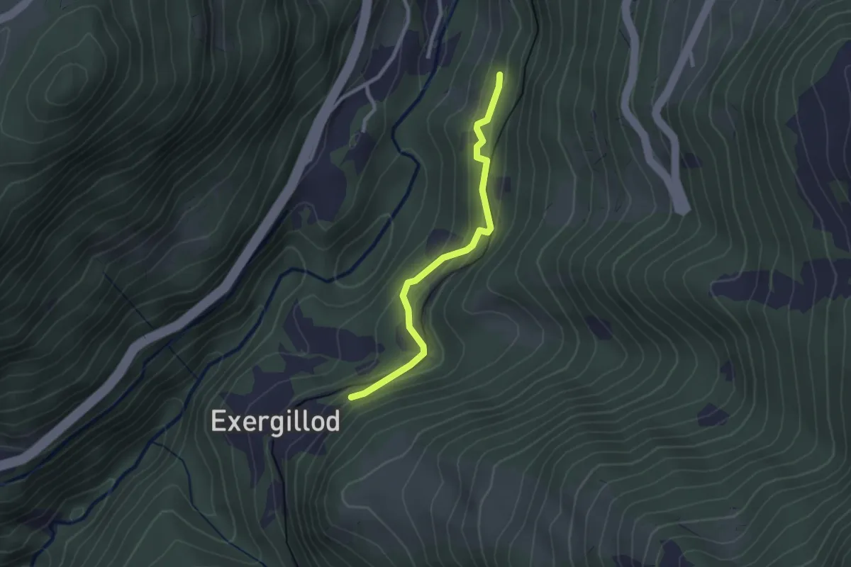
Easy · Trail
Les Faveires – Exergillod
2.3 km · ↑ 144 m · 52 min · 14 km away
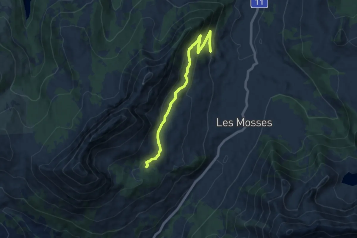
Medium · Trail
Le Larzey – L'Arsaz
8.4 km · ↑ 374 m · 2 h 48 min · 14 km away
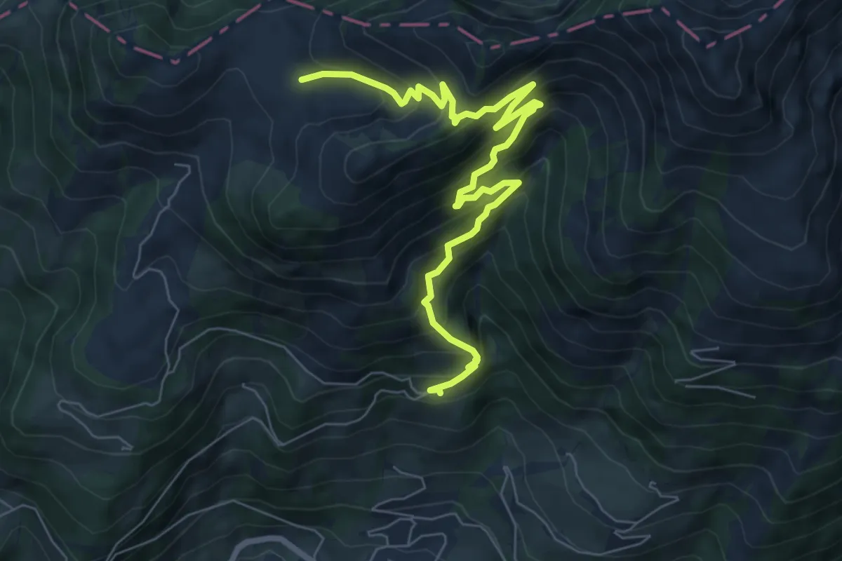
Medium · Trail
Clou des Mis – Culand
8.1 km · ↑ 788 m · 3 h 37 min · 14 km away
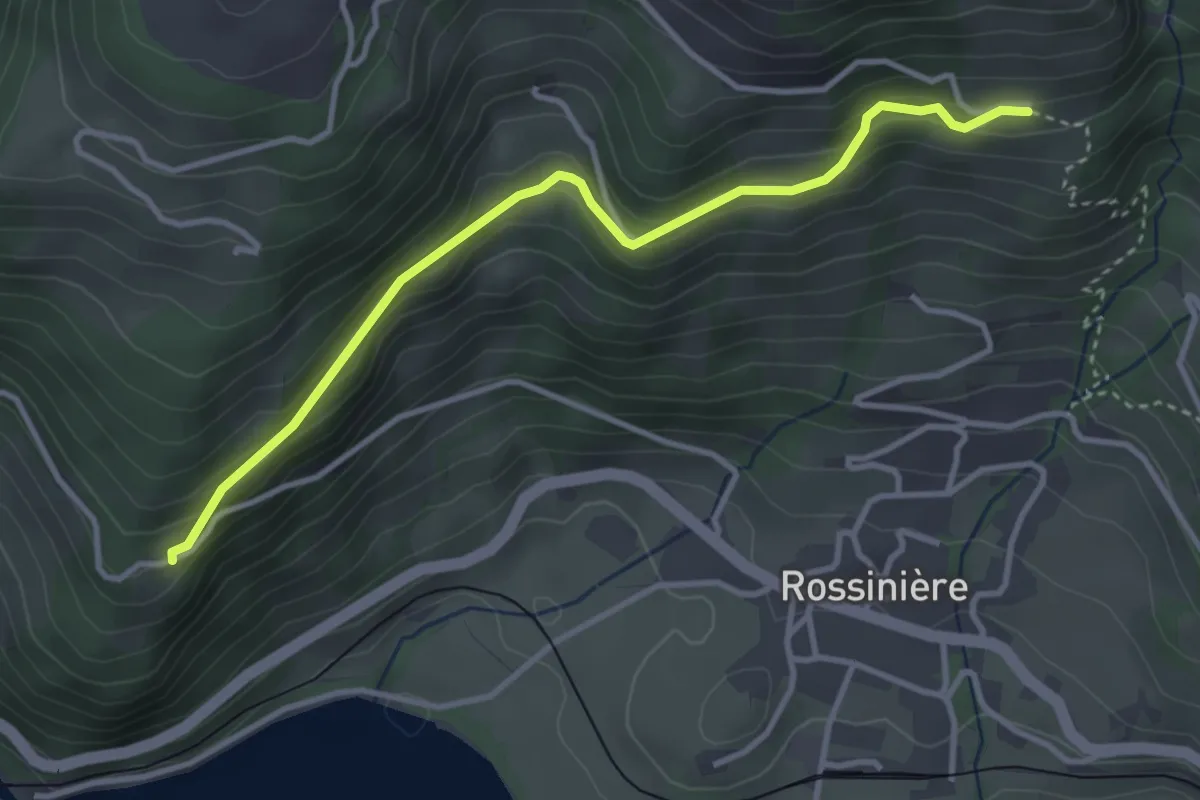
Easy · Trail
Solosex – Clou des Mis
3.6 km · ↑ 238 m · 1 h 23 min · 14 km away
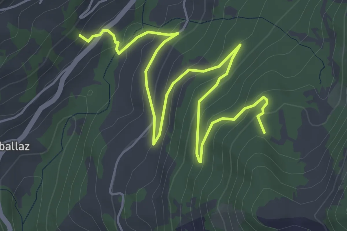
Easy · Trail
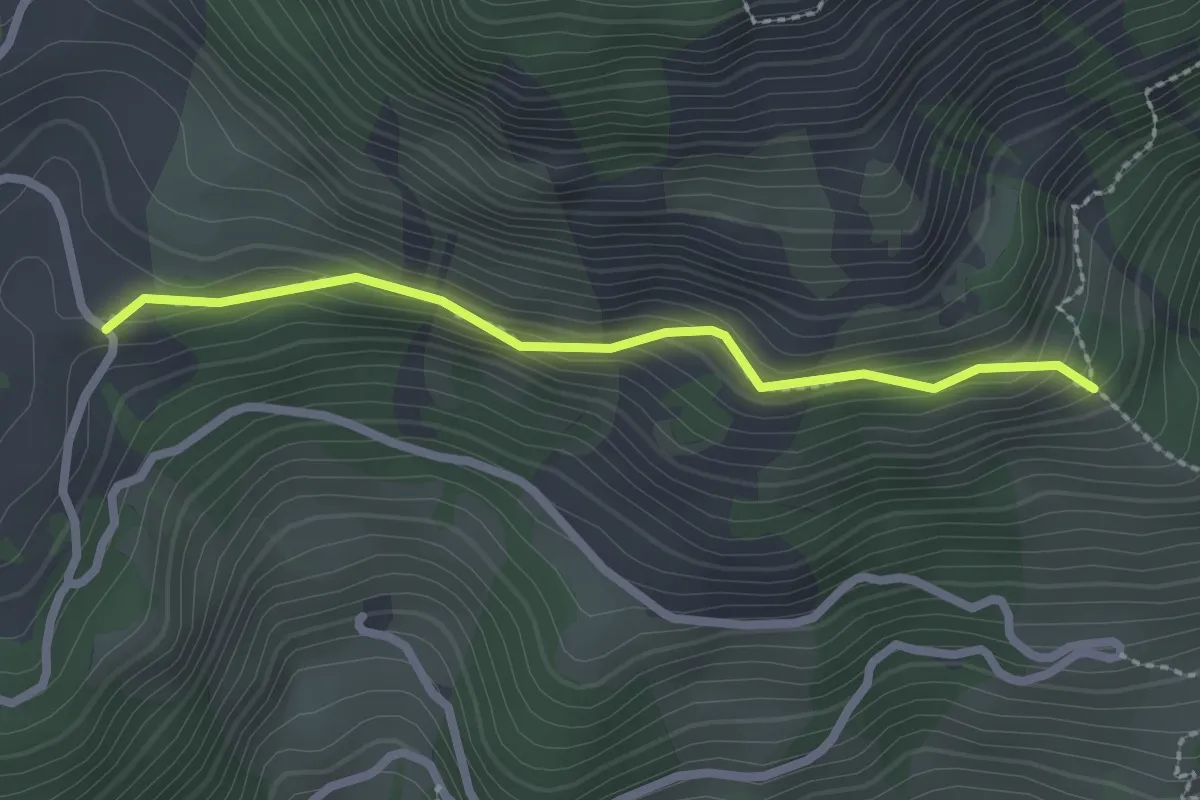
La Comballaz – Plan des Moilles
6.1 km · ↑ 305 m · 2 h 6 min · 14 km away
Easy · Trail
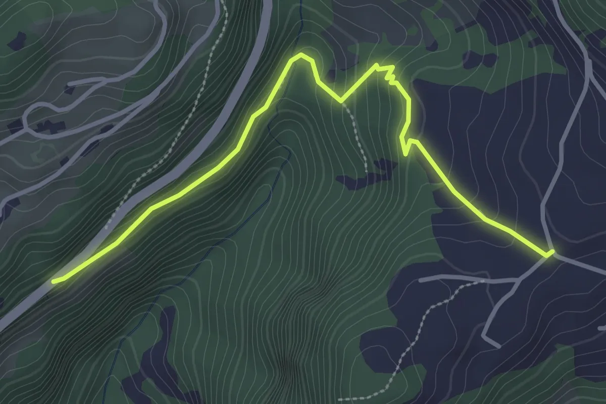
Clou des Mis – Les Clous
2.2 km · ↑ 189 m · 56 min · 14 km away
Easy · Trail
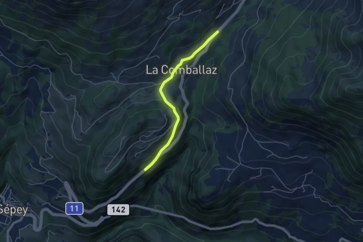
Les Voëttes – Aux Caudreys
3.4 km · ↑ 134 m · 1 h 5 min · 14 km away
Easy · Trail
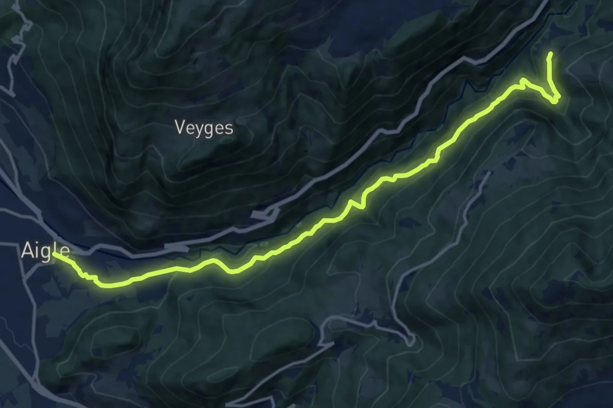
La Comballaz – Aux Caudreys
4.0 km · ↑ 144 m · 1 h 16 min · 14 km away
Demanding · Trail
Exergillod – Aigle
14.5 km · ↑ 950 m · 5 h 28 min · 14 km away
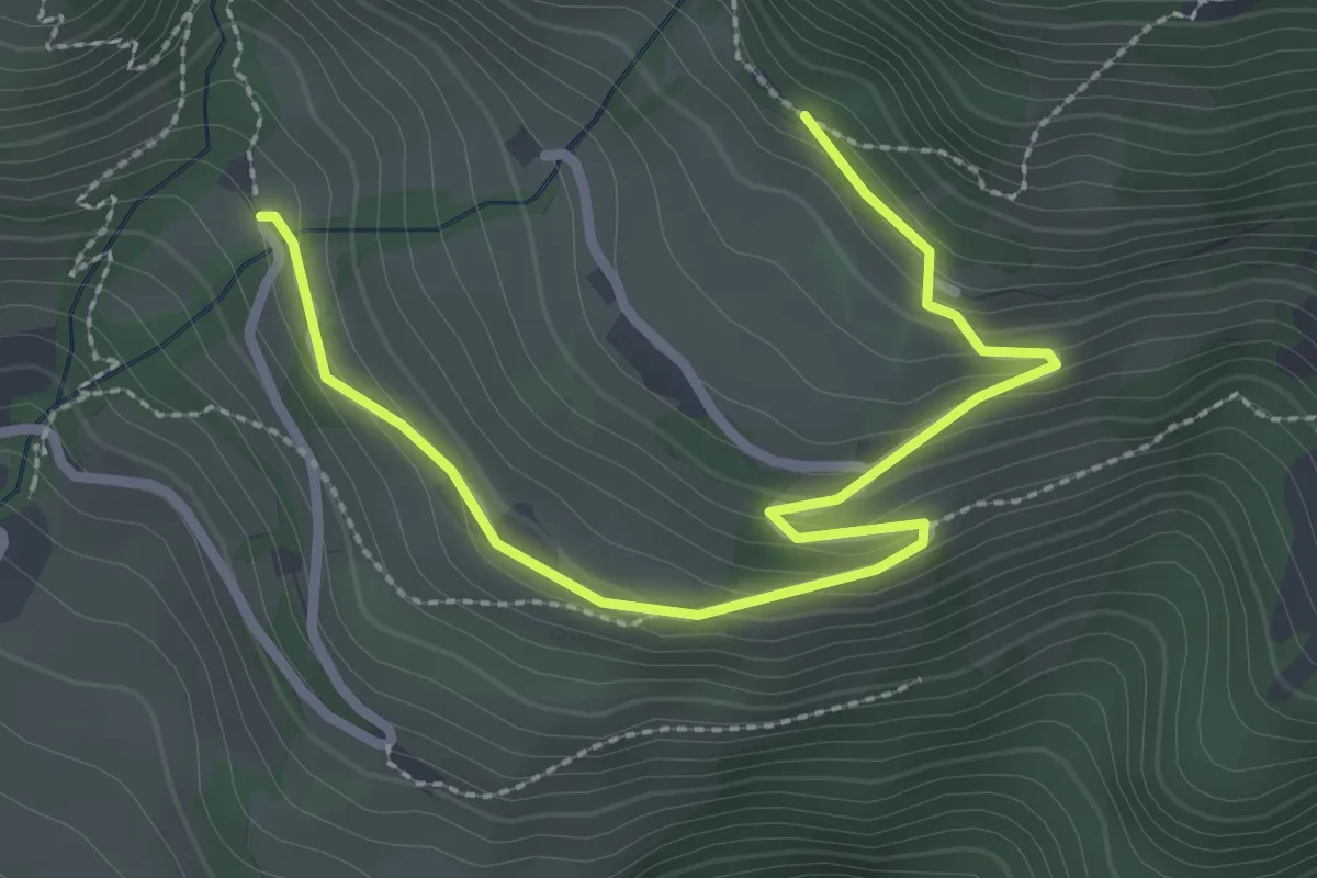
Easy · Trail
Les Ciernes – Les Chevallets
3.2 km · ↑ 151 m · 1 h 4 min · 14 km away
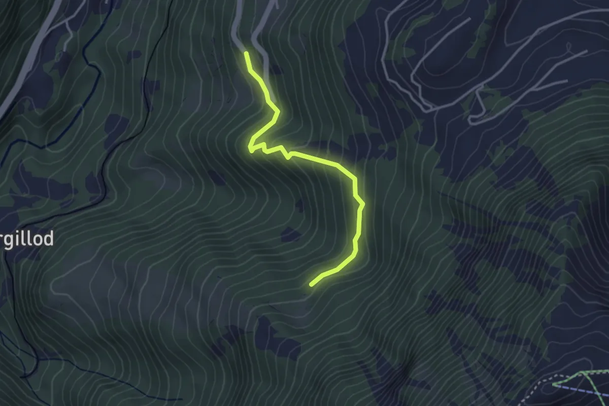
Easy · Trail
Les Granges – Creux des Dardeys
3.1 km · ↑ 232 m · 1 h 14 min · 14 km away
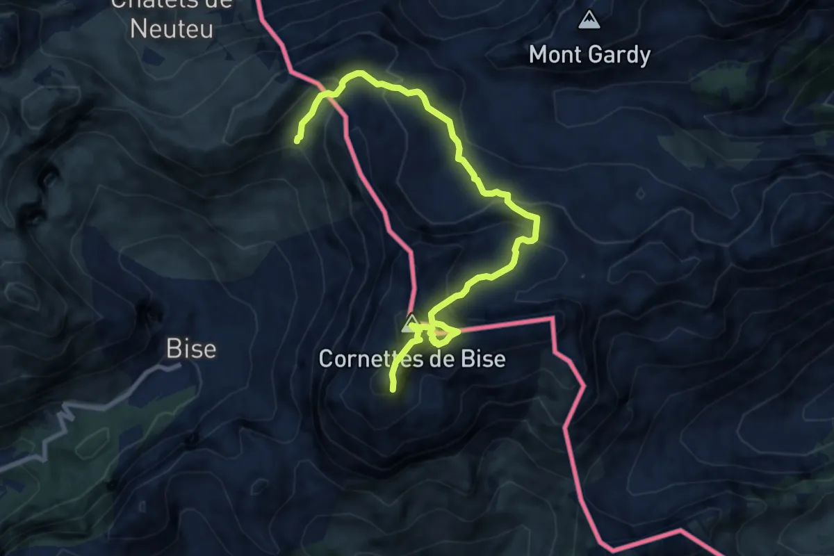
Demanding · Summit
Les Cornettes de Bise depuis le refuge de Bise
4.6 km · ↑ 641 m · 2 h 20 min · 14 km away
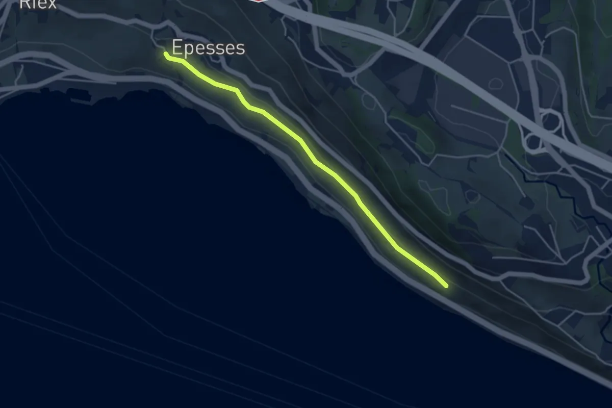
Easy · Trail
Les Abbayes - Epesses
3.9 km · ↑ 75 m · 1 h 6 min · 15 km away
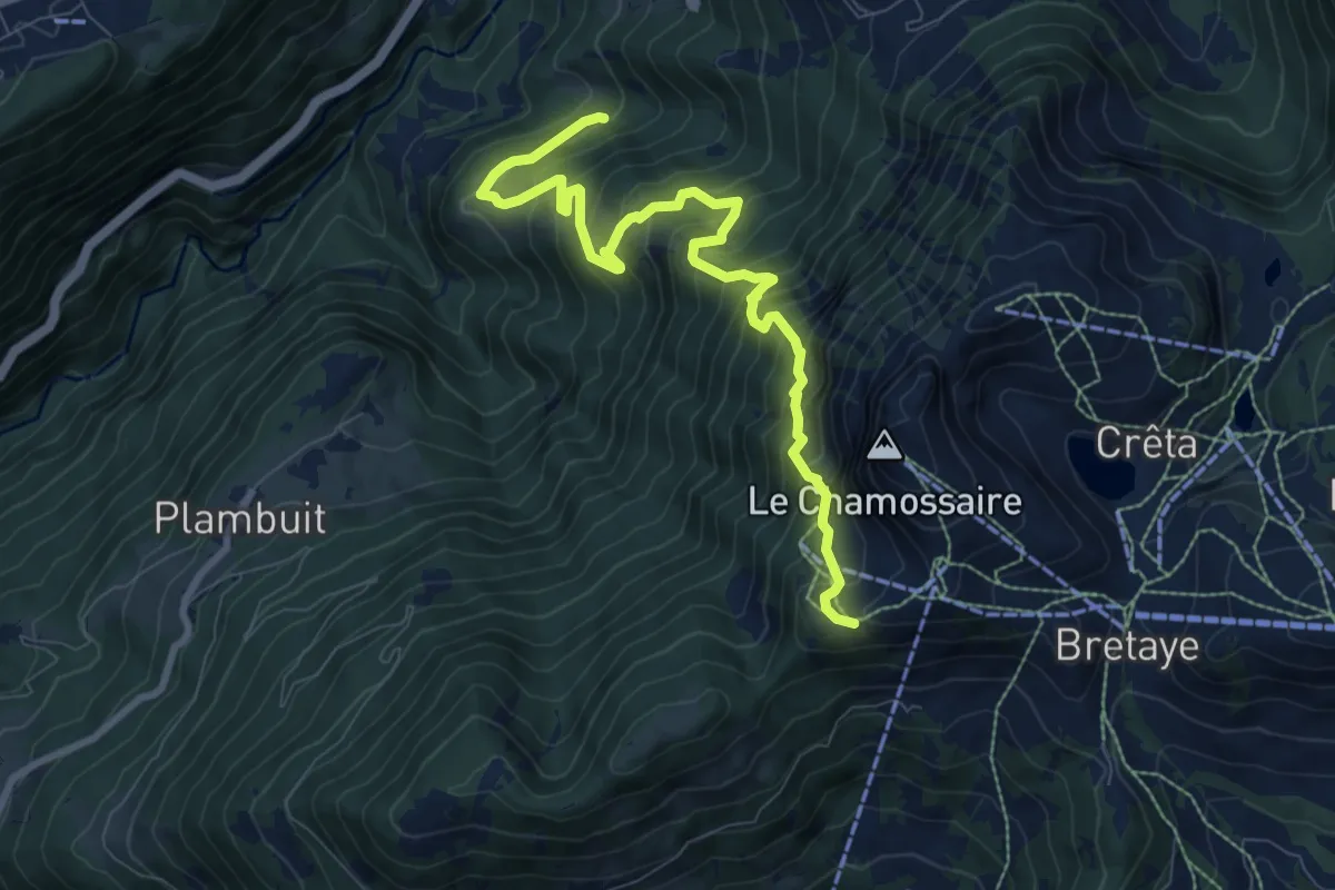
Demanding · Trail
Les Larets – L'Aiguille
9.4 km · ↑ 1033 m · 4 h 27 min · 15 km away
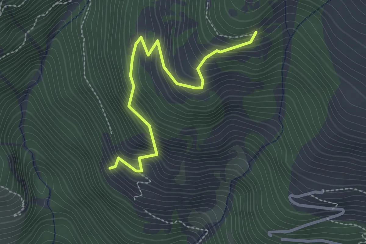
Medium · Trail
Cray du Milieu – Mont Dessous
2.6 km · ↑ 371 m · 1 h 26 min · 15 km away
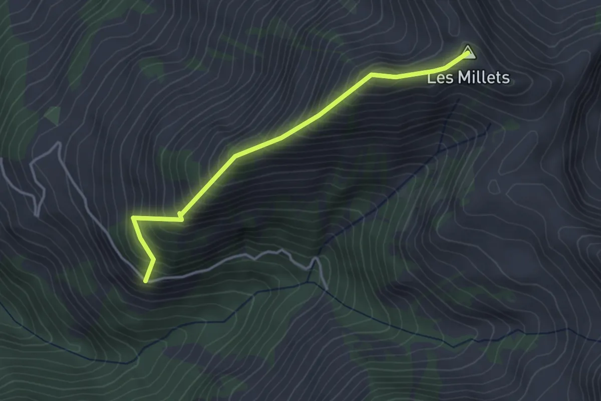
Medium · Summit
Saugerua – Les Millets
3.5 km · ↑ 504 m · 1 h 55 min · 15 km away
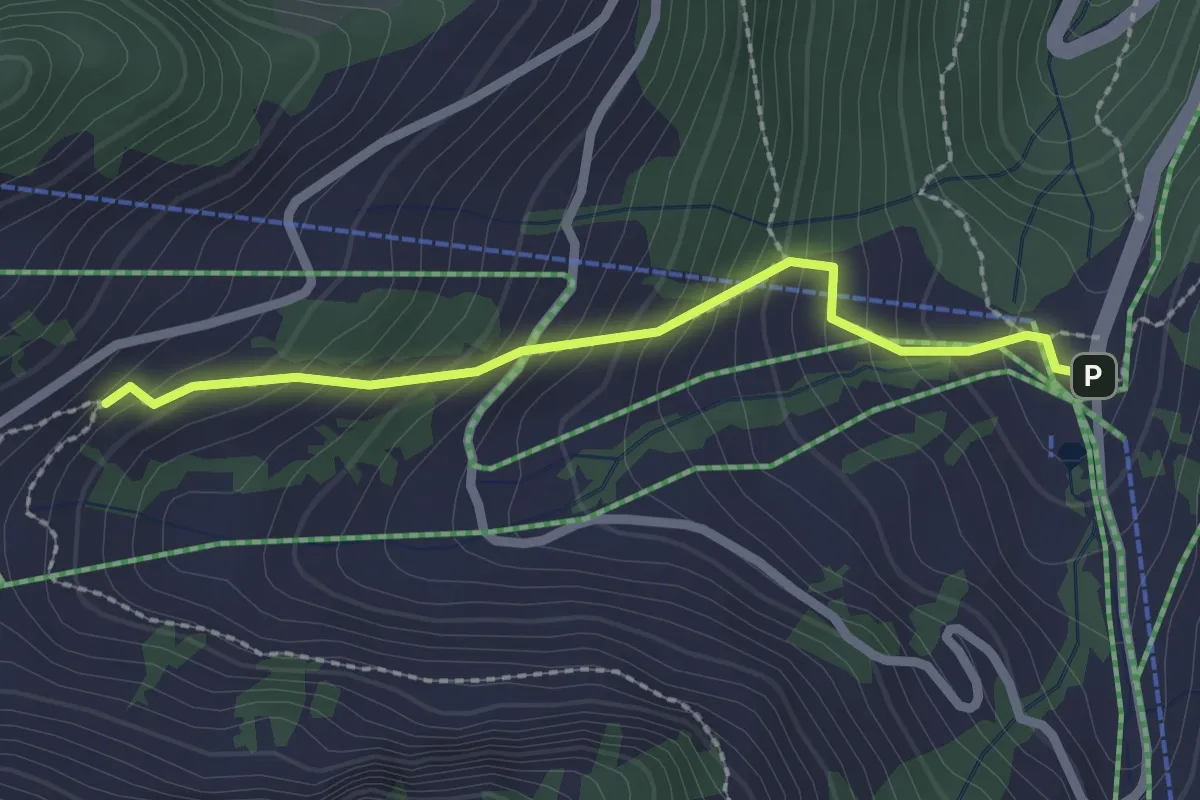
Easy · Trail
Plan du Croix - Recon
2.2 km · ↑ 237 m · 1 h 2 min · 15 km away
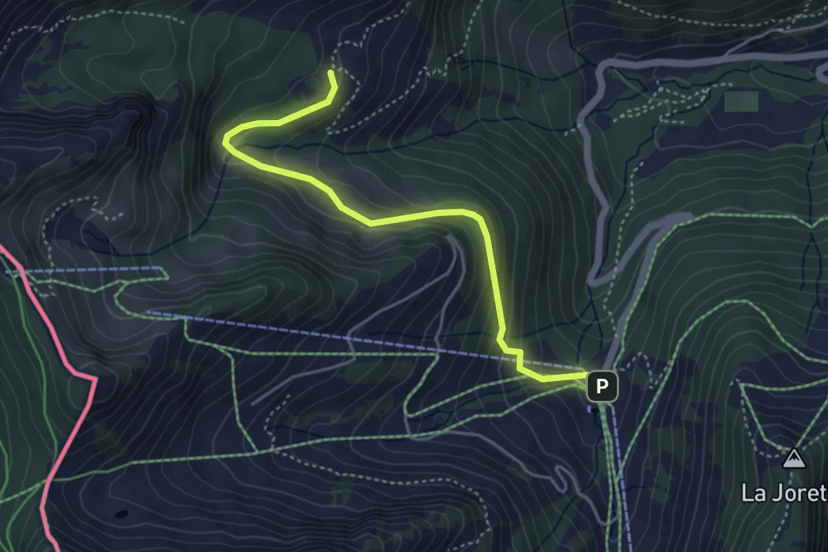
Easy · Trail
Plan du Croix – Dravers
4.3 km · ↑ 242 m · 1 h 32 min · 15 km away
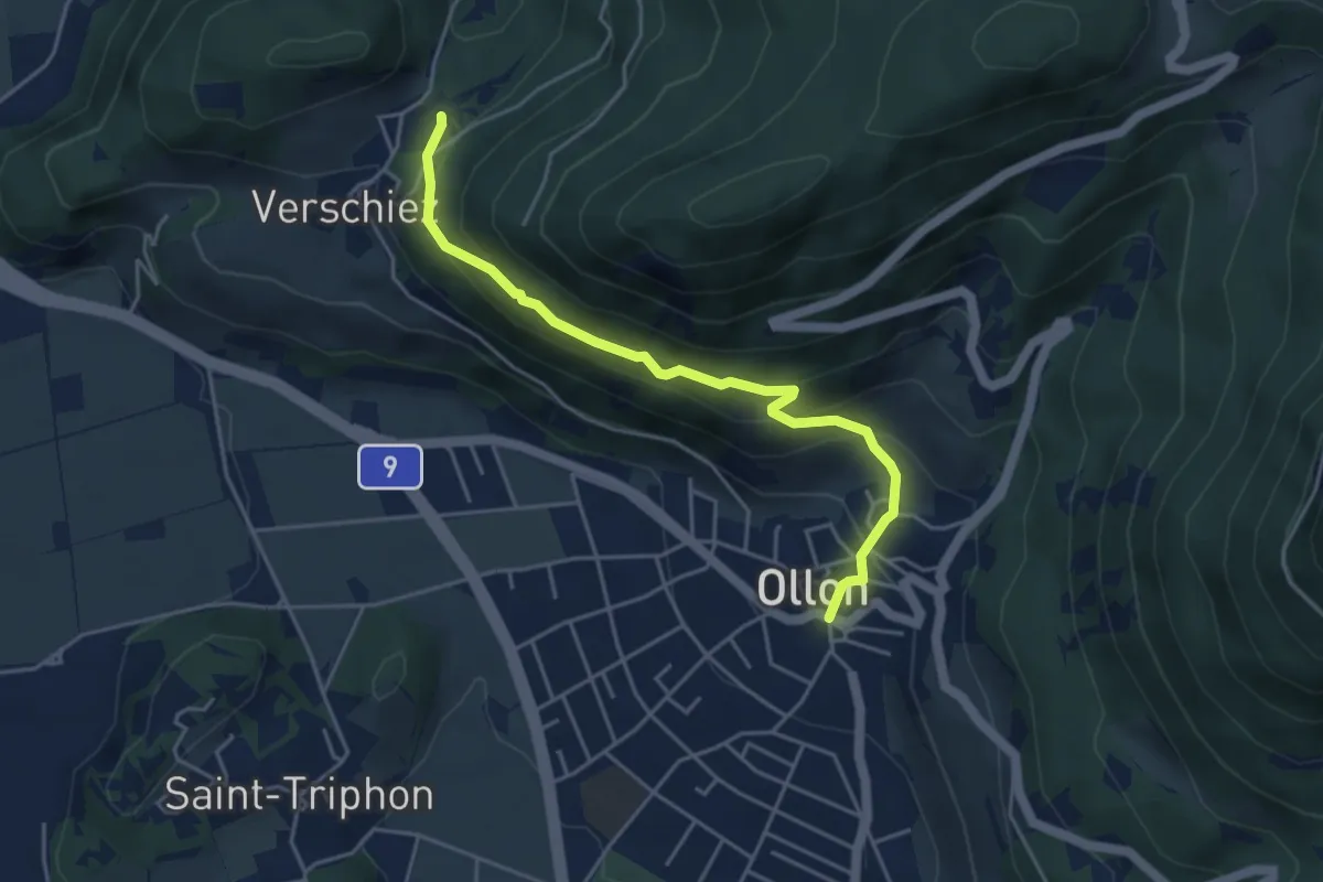
Medium · Trail
Halte de Verschiez – Ollon
4.4 km · ↑ 333 m · 1 h 46 min · 15 km away
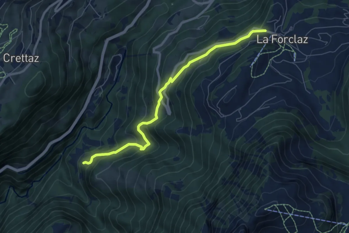
Medium · Trail
Exergillod – La Forclaz
6.8 km · ↑ 495 m · 2 h 40 min · 15 km away
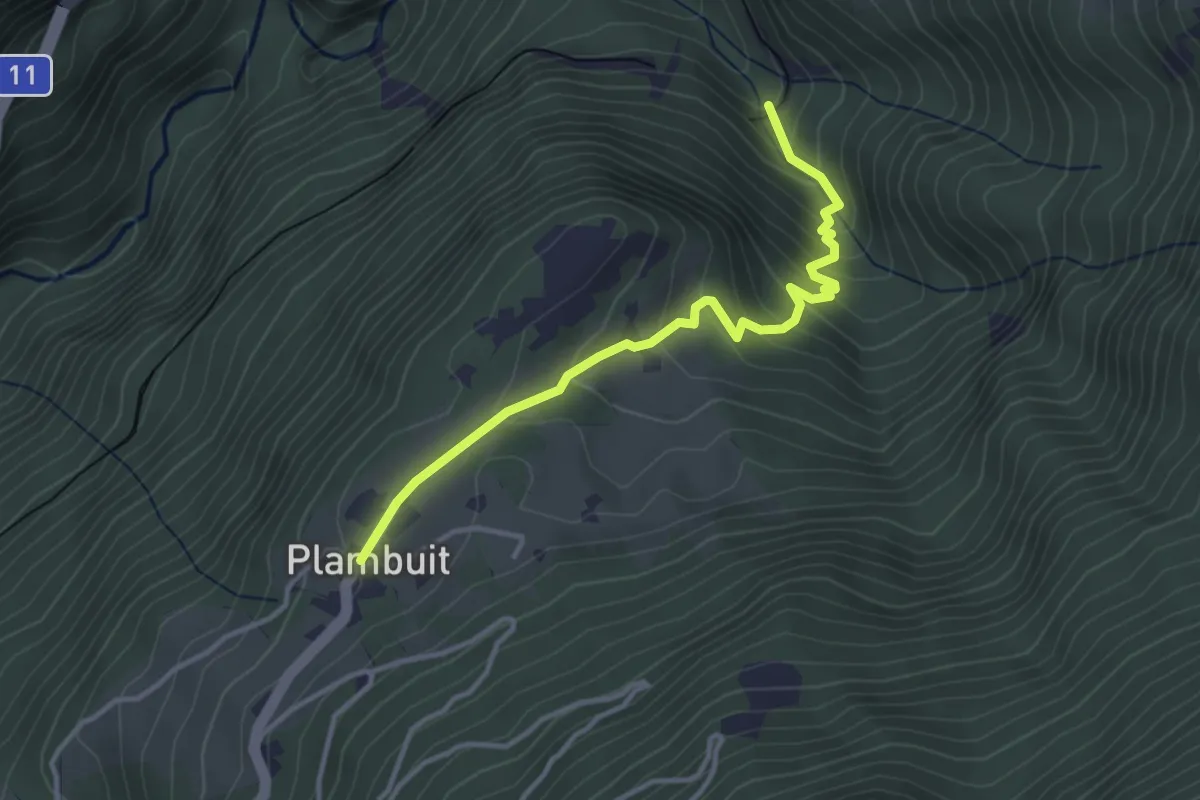
Easy · Trail
En Thy – Plambuit
3.6 km · ↑ 260 m · 1 h 24 min · 15 km away