Trails near Moutier
371 hikes starting within 15 km, nearest first.
Nearest first, page 7 of 8
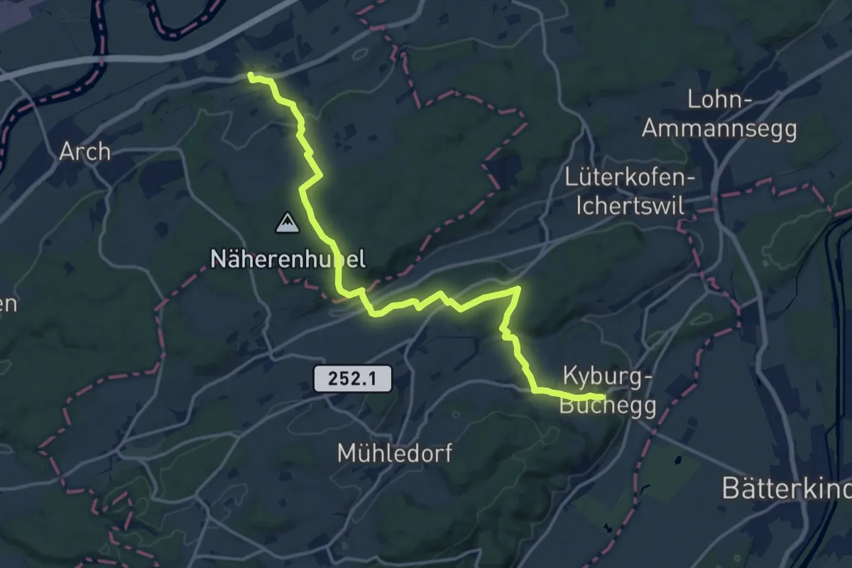
Medium · Trail
Leuzigen – Kyburg-Buchegg Buchegg
16.0 km · ↑ 353 m · 4 h 33 min · 13 km away
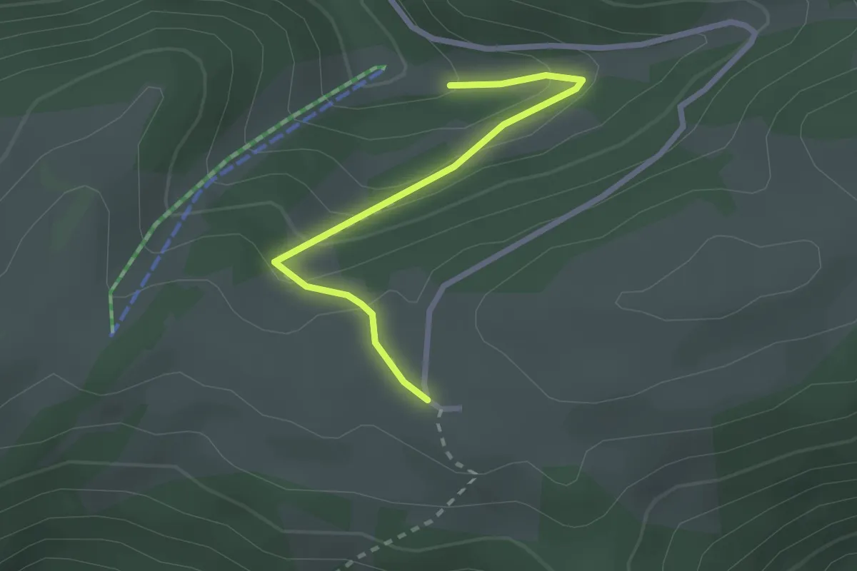
Easy · Trail
Métairie de Werdt – La Golatte
2.3 km · ↑ 125 m · 49 min · 13 km away
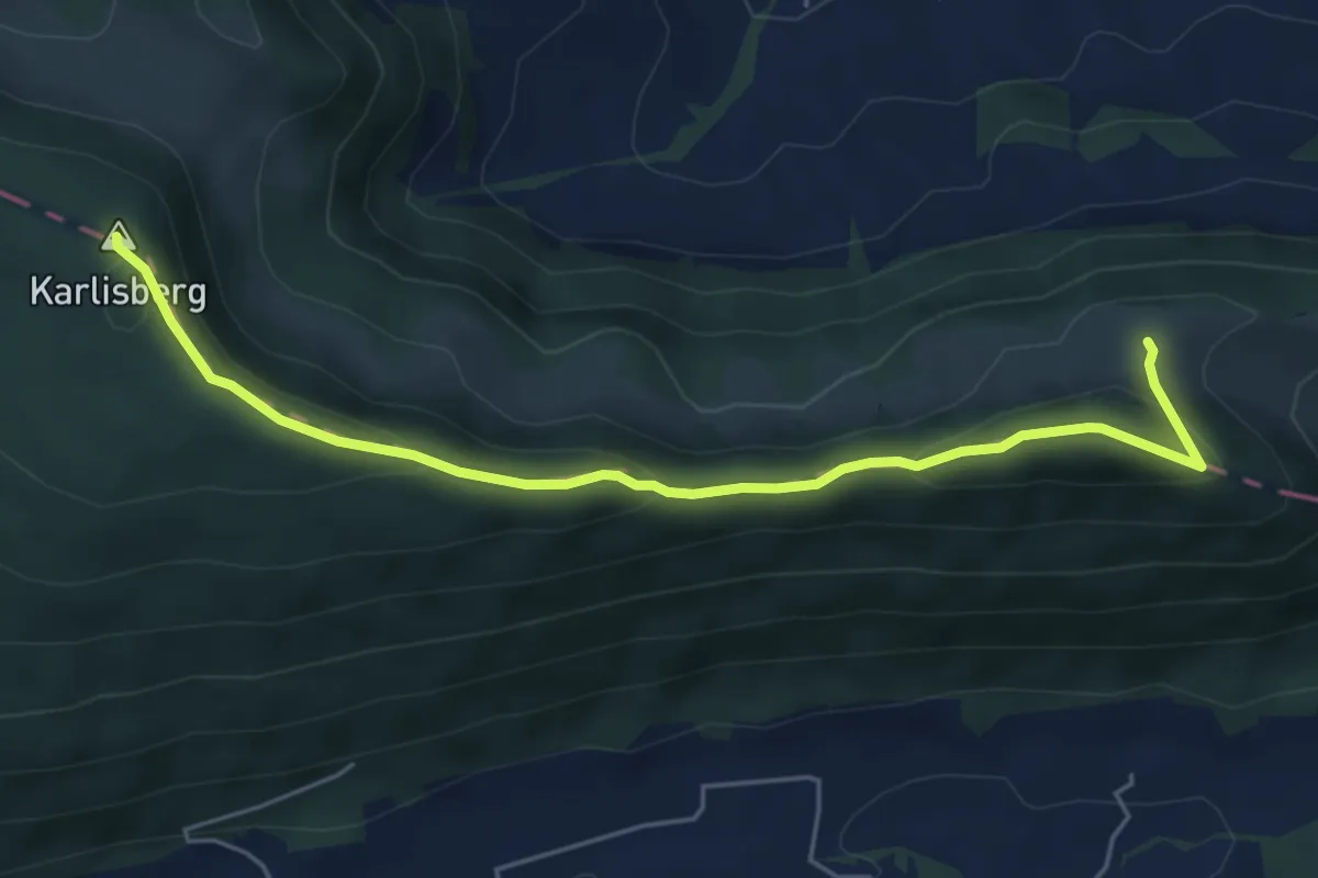
Easy · Summit
Retemberg – Ober Fringeli
5.7 km · ↑ 254 m · 1 h 53 min · 13 km away
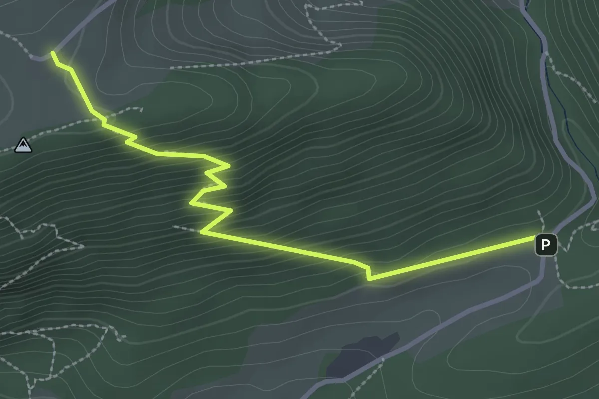
Medium · Trail
Hinterer Brandberg – Lochboden
3.0 km · ↑ 261 m · 1 h 16 min · 13 km away
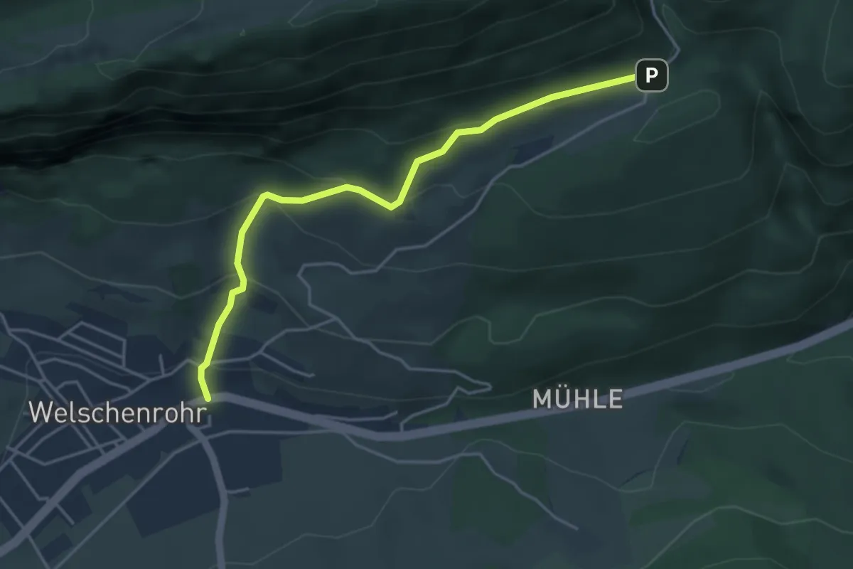
Easy · Trail
Post – Lochboden
4.1 km · ↑ 245 m · 1 h 30 min · 13 km away
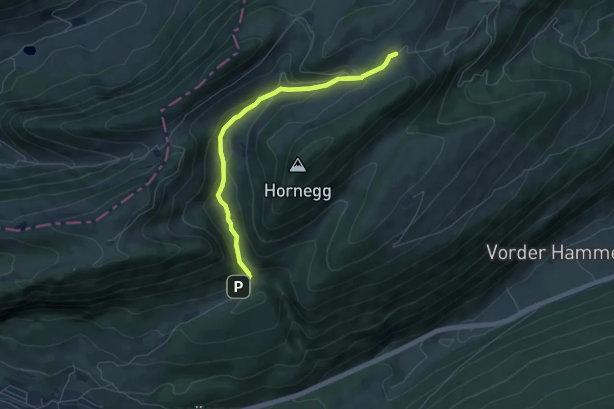
Easy · Trail
Lochboden – Obere Tannmatt
5.6 km · ↑ 303 m · 1 h 59 min · 13 km away
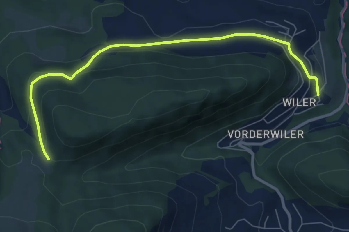
Easy · Trail
Bärschwiler Jagdhütte – Unter Wiler
6.2 km · ↑ 222 m · 1 h 57 min · 13 km away
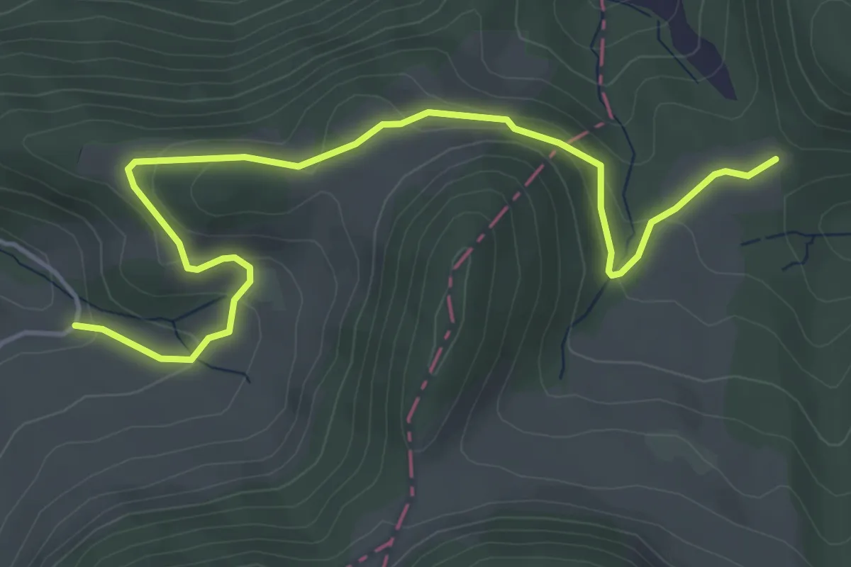
Easy · Trail
Bärschwiler Jagdhütte – Spitzbühl
5.3 km · ↑ 239 m · 1 h 46 min · 13 km away
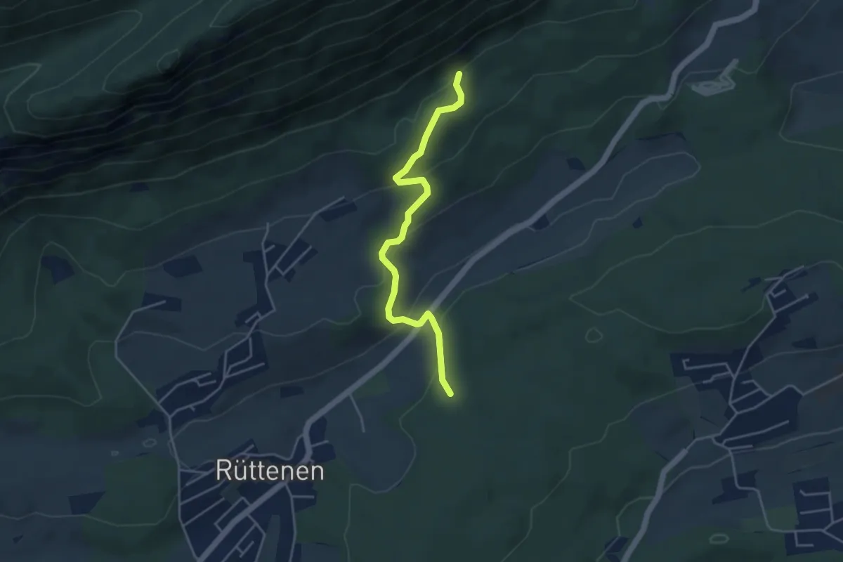
Easy · Trail
Jungbann – Lirenrain
4.0 km · ↑ 196 m · 1 h 22 min · 13 km away
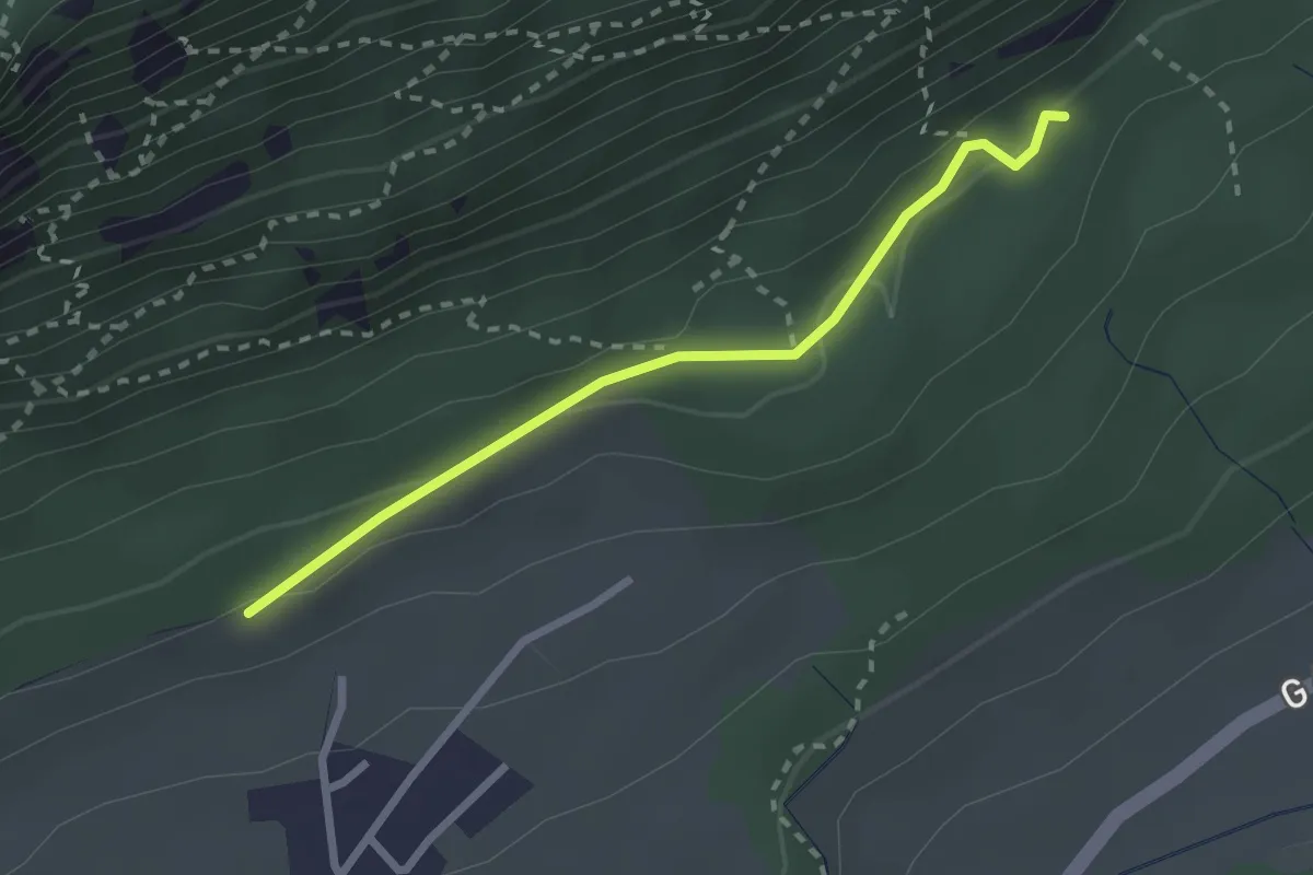
Easy · Trail
Witteli – Jungbann
2.4 km · ↑ 72 m · 43 min · 13 km away
Easy · Trail
Hüsligraben - Rotlach
3.7 km · ↑ 257 m · 1 h 26 min · 13 km away
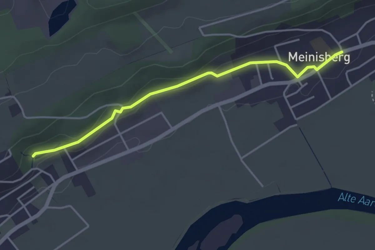
Easy · Trail
Riedrain – Meinisberg
3.7 km · ↑ 56 m · 1 h · 13 km away
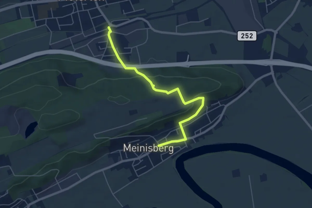
Easy · Trail
Pieterlen Bahnhof – Meinisberg
5.3 km · ↑ 197 m · 1 h 41 min · 13 km away
Easy · Trail
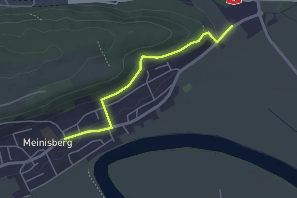
Scheidwegen – Meinisberg
3.4 km · ↑ 112 m · 1 h 2 min · 13 km away
Easy · Trail
Rebévelier - fixme
3.1 km · ↑ 269 m · 1 h 19 min · 13 km away
Easy · Trail
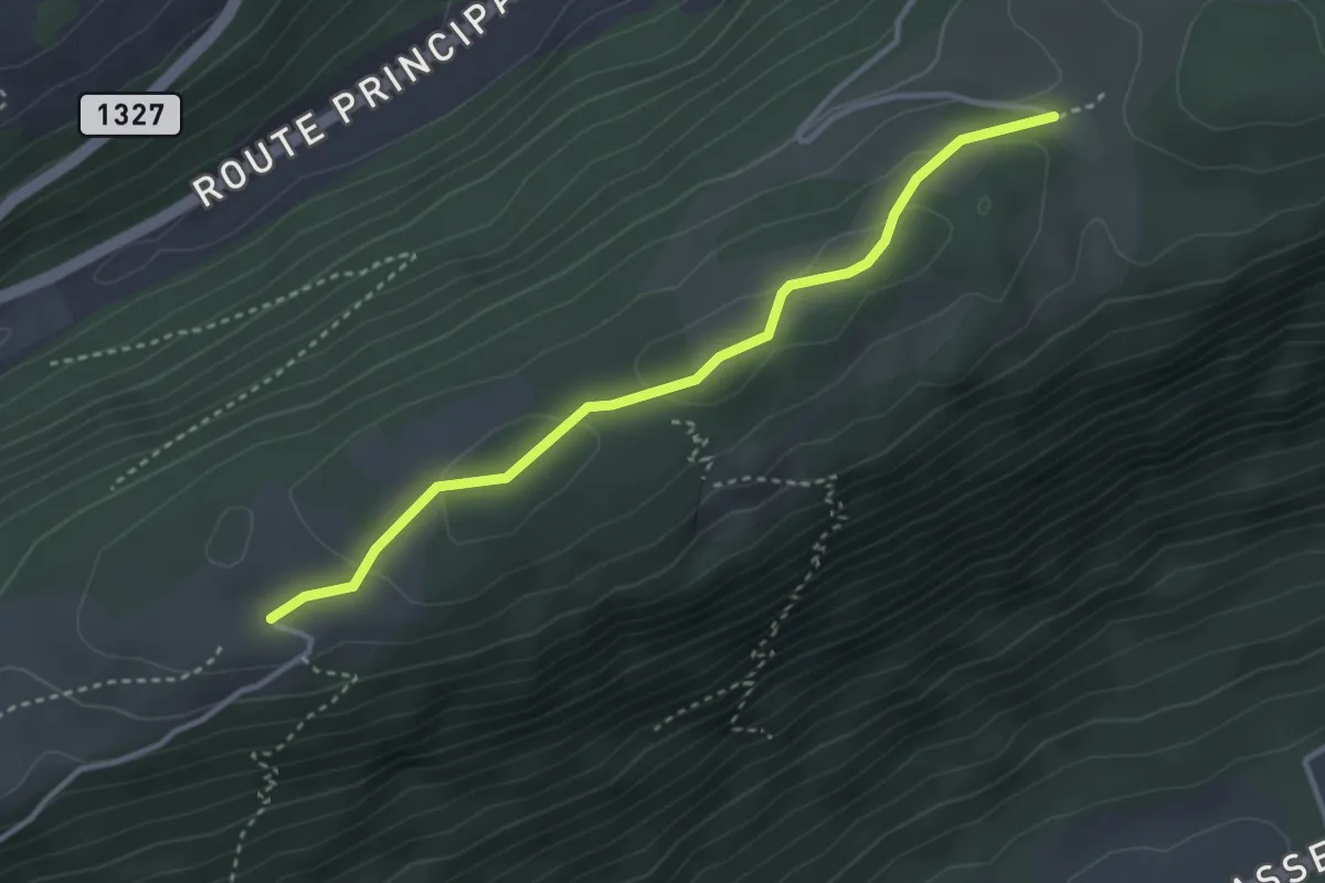
Bözingenberg – La Bergerie
3.3 km · ↑ 82 m · 57 min · 14 km away
Easy · Trail
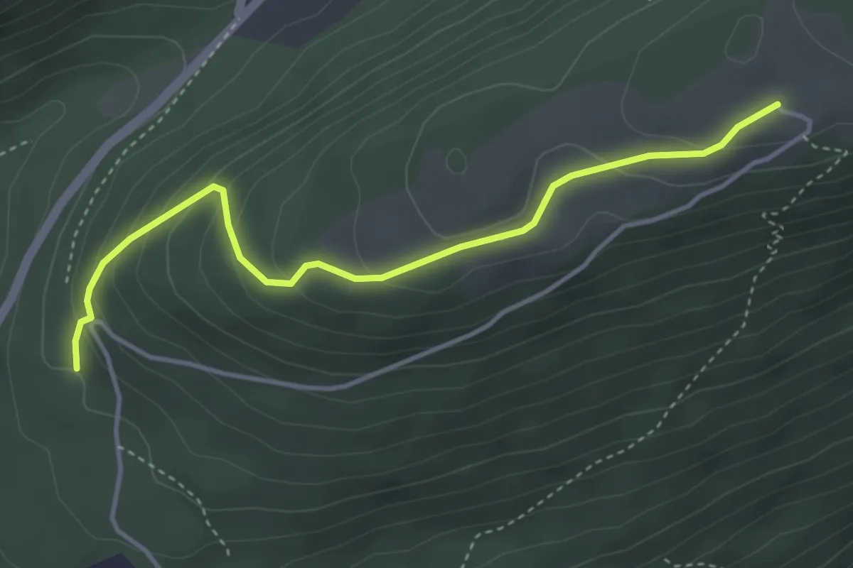
Bözingenberg – Vorberg
3.9 km · ↑ 227 m · 1 h 25 min · 14 km away
Medium · Trail
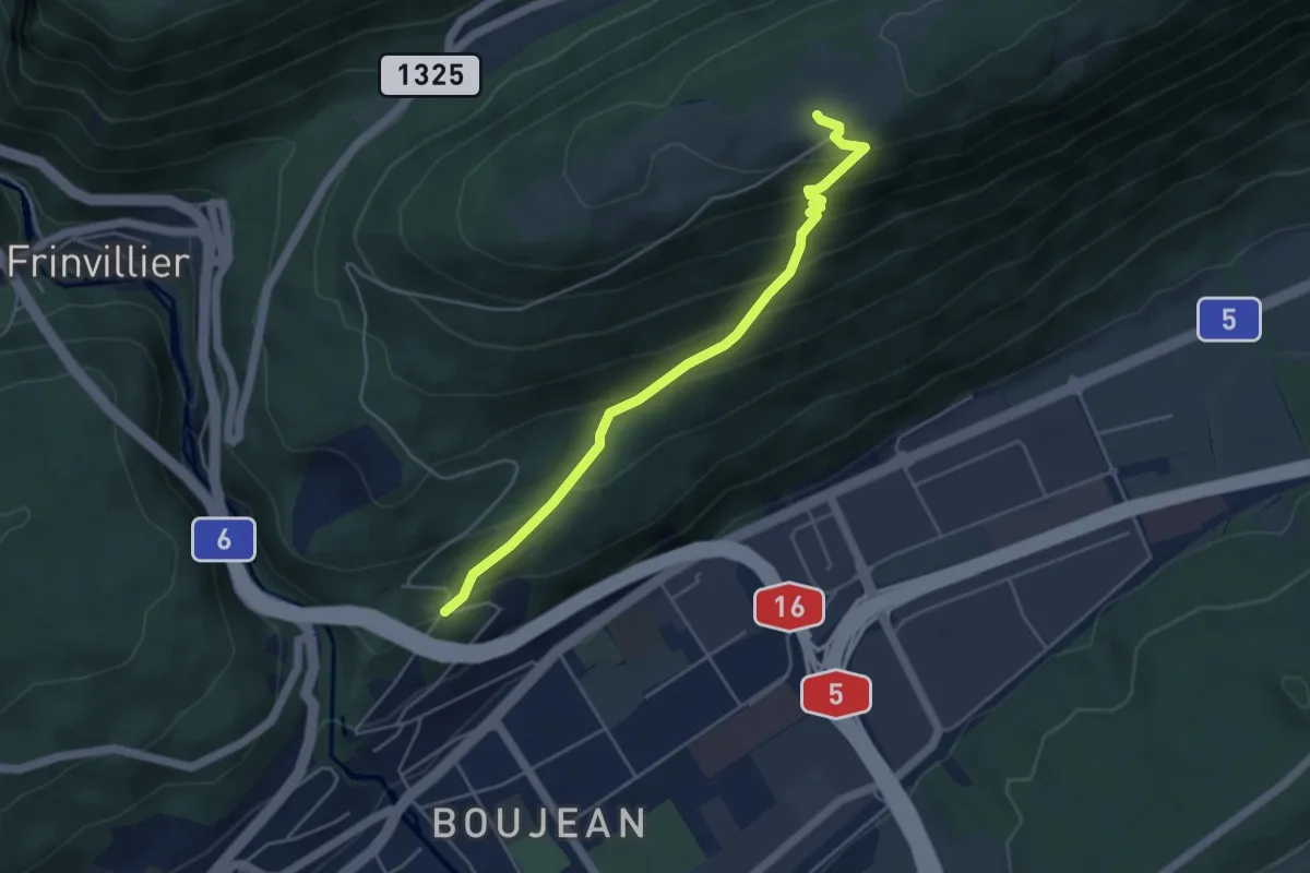
Tierpark – Bözingenberg
4.6 km · ↑ 376 m · 1 h 54 min · 14 km away
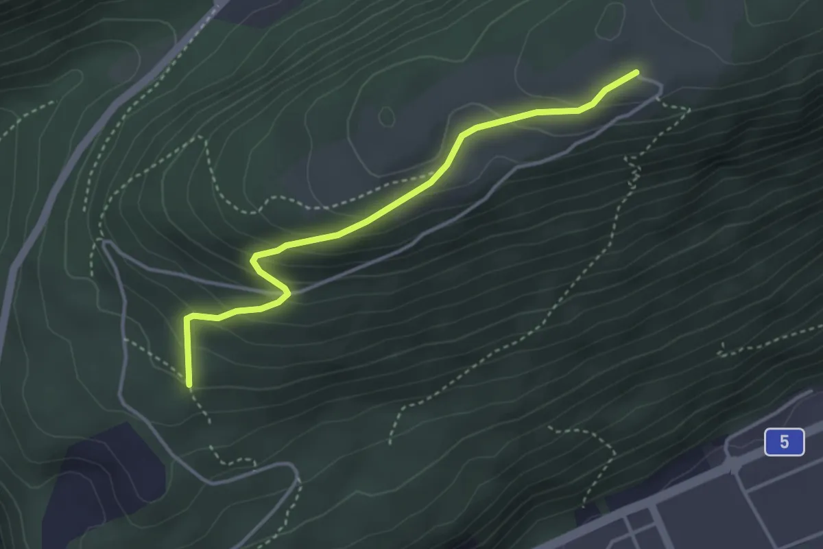
Easy · Trail
Bözingenberg – Vorberg
3.5 km · ↑ 225 m · 1 h 19 min · 14 km away
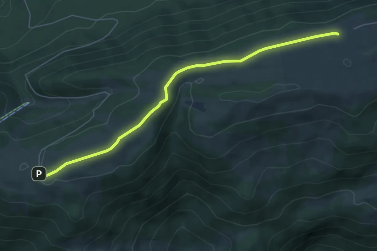
Easy · Trail
Métairie de Werdt – Métairie de Malleray
5.4 km · ↑ 105 m · 1 h 30 min · 14 km away
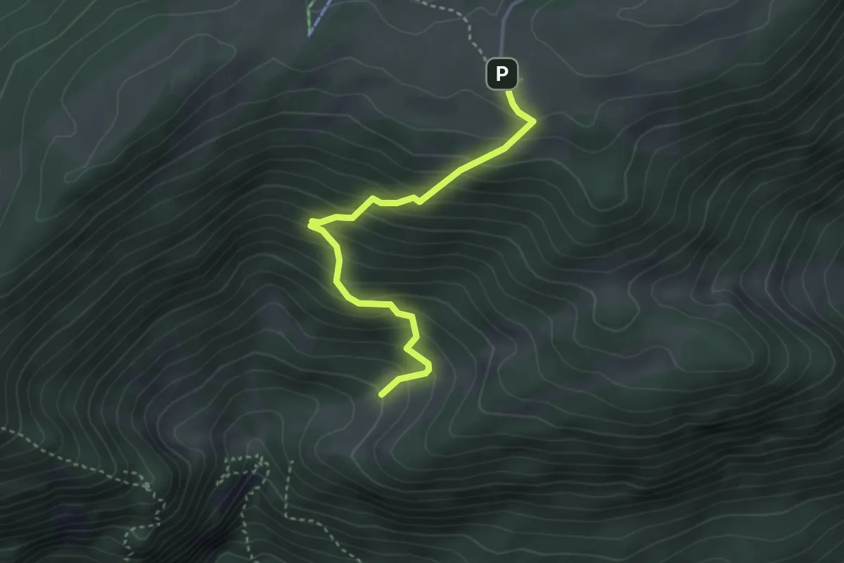
Medium · Trail
Le Van – Métairie de Werdt
3.3 km · ↑ 351 m · 1 h 33 min · 14 km away
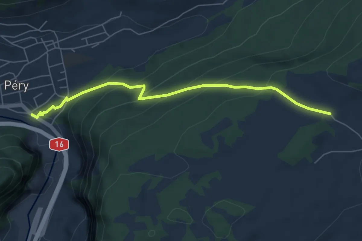
Medium · Trail
Les Oeuches – Reuchenette
5.1 km · ↑ 320 m · 1 h 54 min · 14 km away
Easy · Trail
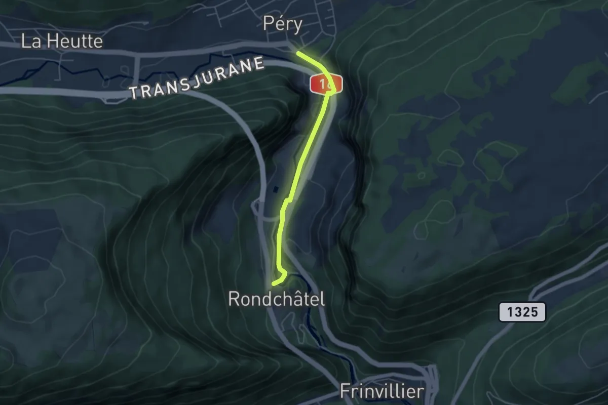
Reuchenette – Rondchâtel
3.9 km · ↑ 48 m · 1 h 1 min · 14 km away
Easy · Trail
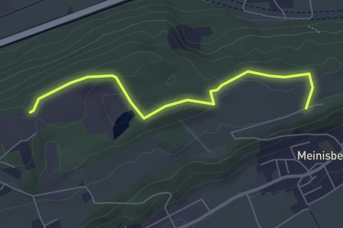
Büttenberg – Seeland Camp
5.0 km · ↑ 77 m · 1 h 21 min · 14 km away
Easy · Trail
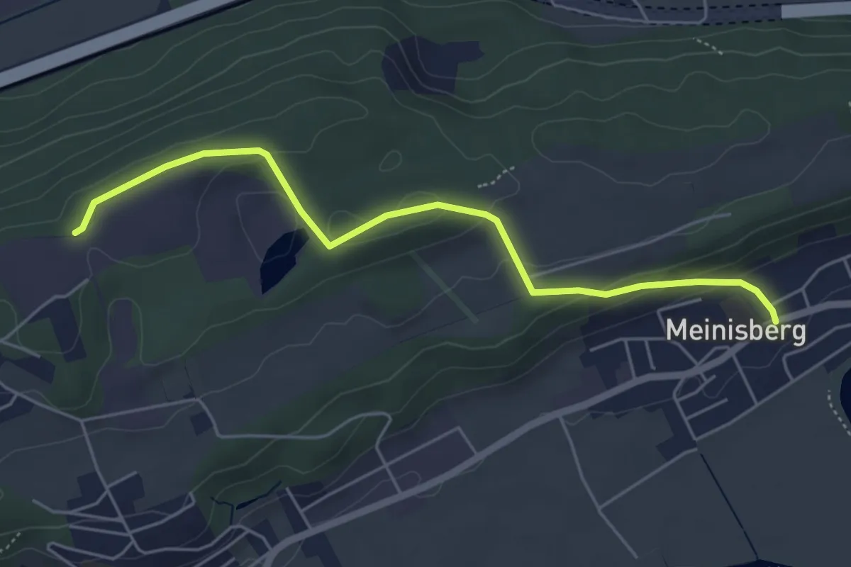
Meinisberg – Büttenberg
5.1 km · ↑ 137 m · 1 h 30 min · 14 km away
Demanding · Trail
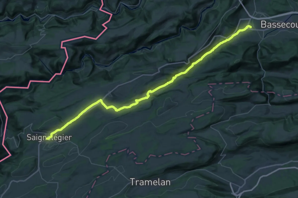
Chemin du Jura - Etappe 5
21.2 km · ↑ 661 m · 6 h 29 min · 14 km away
Medium · Trail
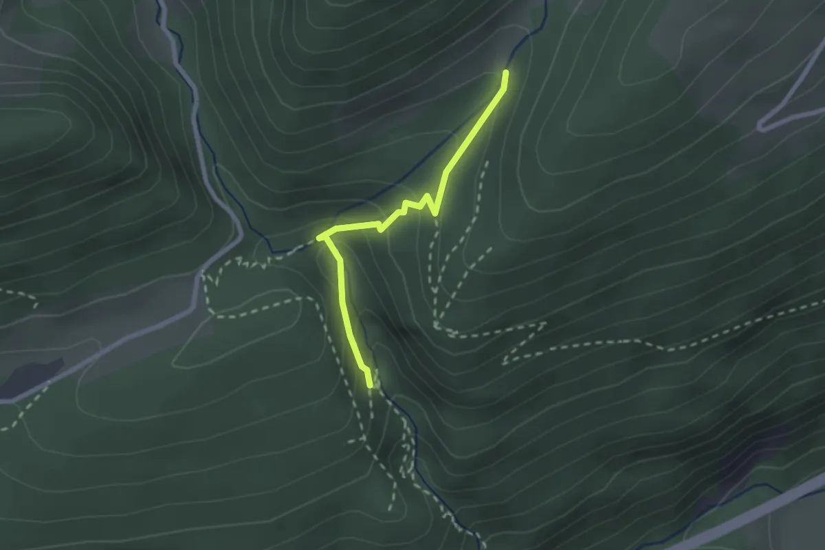
Tuftbrunnen – Wolfsschlucht
2.0 km · ↑ 145 m · 48 min · 14 km away
Easy · Trail
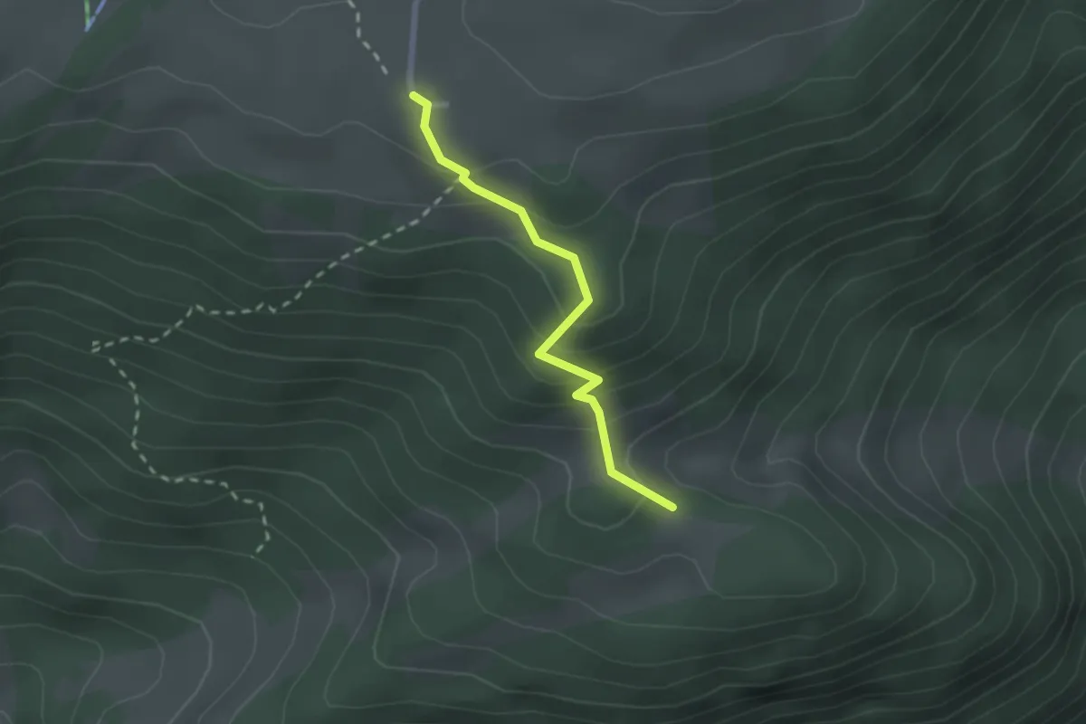
Ski-club La Heutte – Métairie de Werdt
2.0 km · ↑ 158 m · 49 min · 14 km away
Easy · Trail
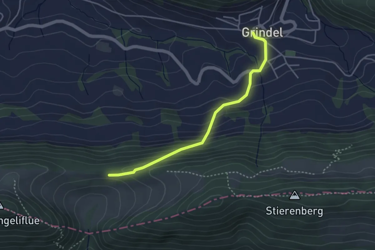
Grindel – Fringeli
3.3 km · ↑ 222 m · 1 h 15 min · 14 km away
Medium · Summit
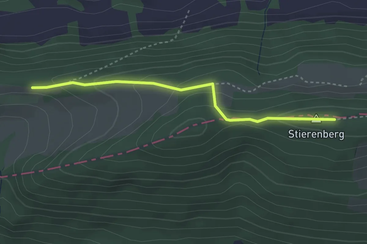
Welschgärtli – Fringeli
3.0 km · ↑ 126 m · 59 min · 14 km away
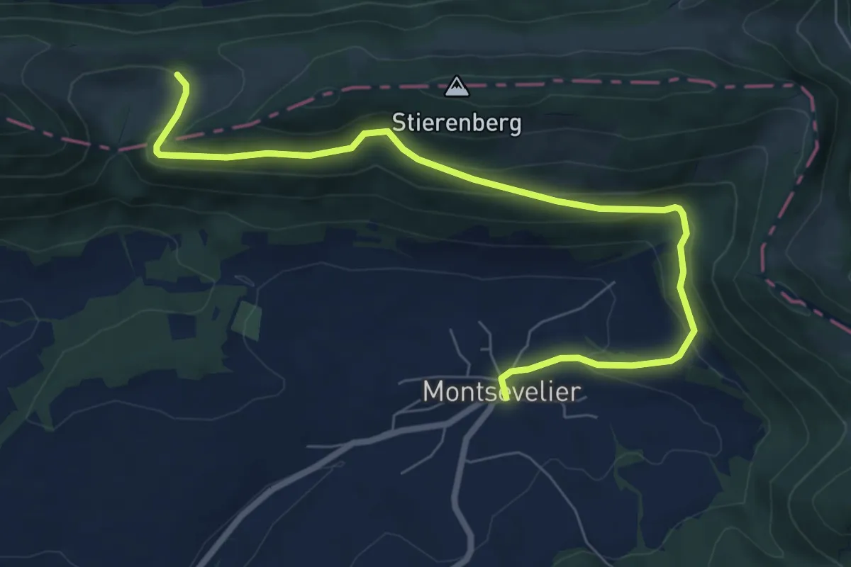
Medium · Trail
Nieder Fringeli – Montsevelier
8.0 km · ↑ 340 m · 2 h 38 min · 14 km away
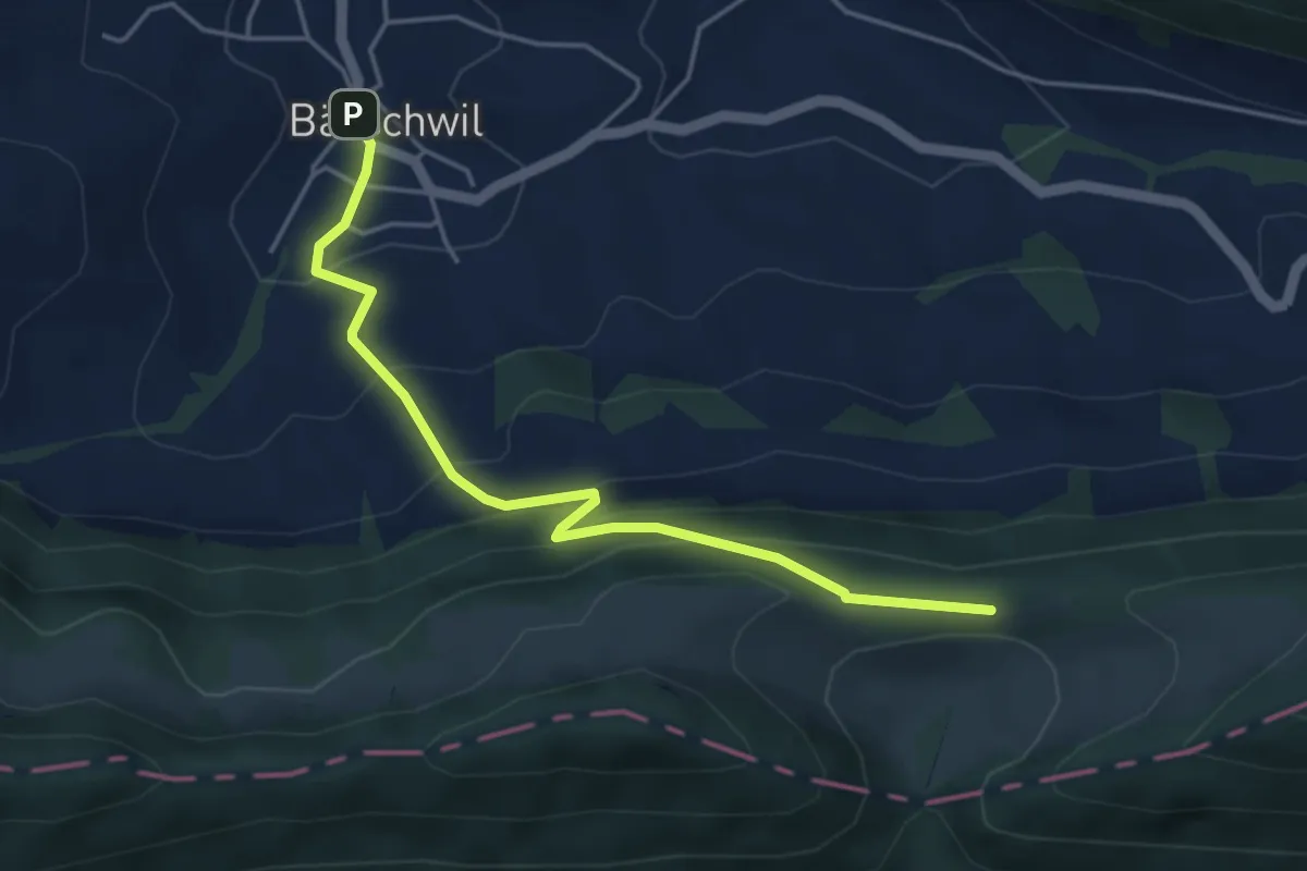
Easy · Trail
Bärschwil Post – Fringeli
4.5 km · ↑ 316 m · 1 h 45 min · 14 km away
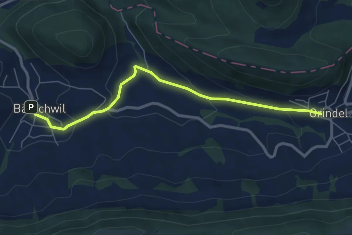
Easy · Trail
Grindel – Bärschwil Post
5.2 km · ↑ 215 m · 1 h 42 min · 14 km away
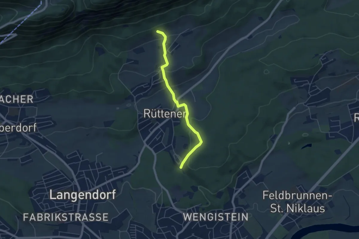
Easy · Trail
Einsidelei Nord – Witteli
4.8 km · ↑ 274 m · 1 h 43 min · 14 km away
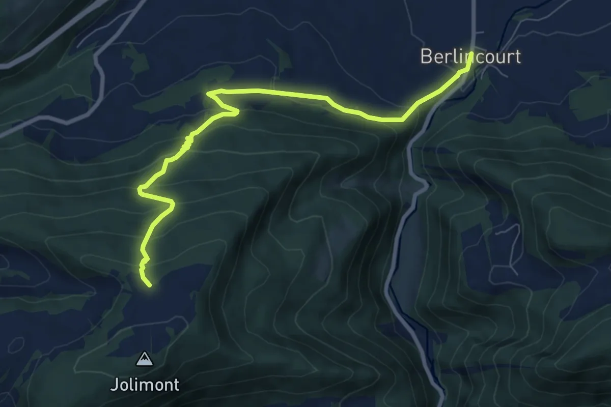
Medium · Trail
Berlincourt - fixme
8.1 km · ↑ 473 m · 2 h 56 min · 14 km away
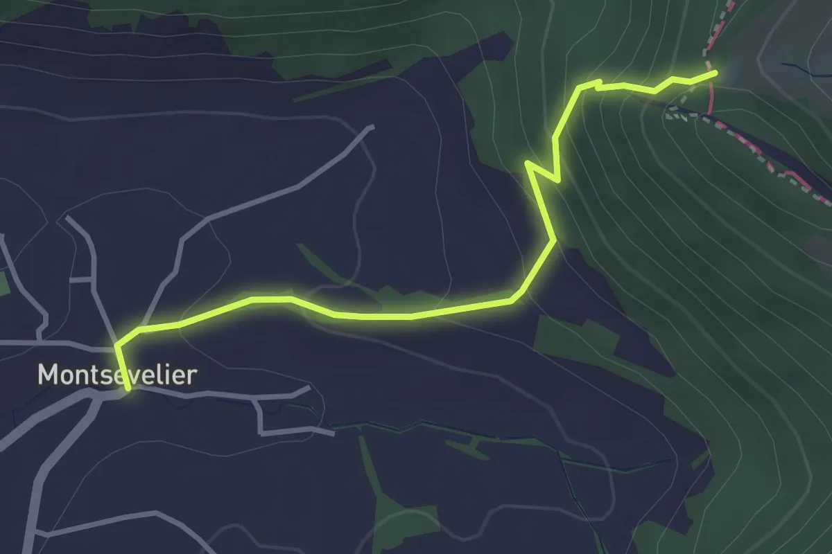
Easy · Trail
Welschgärtterli – Montsevelier
3.2 km · ↑ 240 m · 1 h 16 min · 14 km away
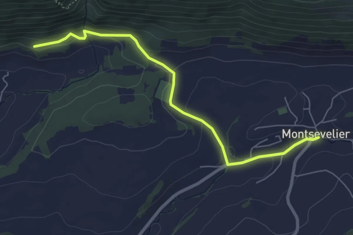
Easy · Trail
Montsevelier – La Providence
5.2 km · ↑ 121 m · 1 h 29 min · 14 km away
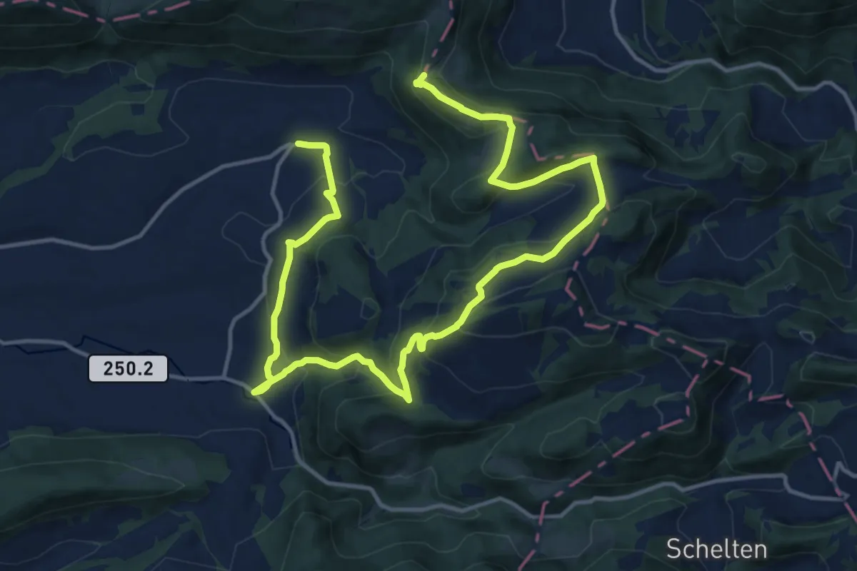
Medium · Summit
Chemin du Val Terbi
9.8 km · ↑ 643 m · 3 h 43 min · 14 km away
Easy · Trail
Sornetan - Moron
4.9 km · ↑ 184 m · 1 h 33 min · 14 km away
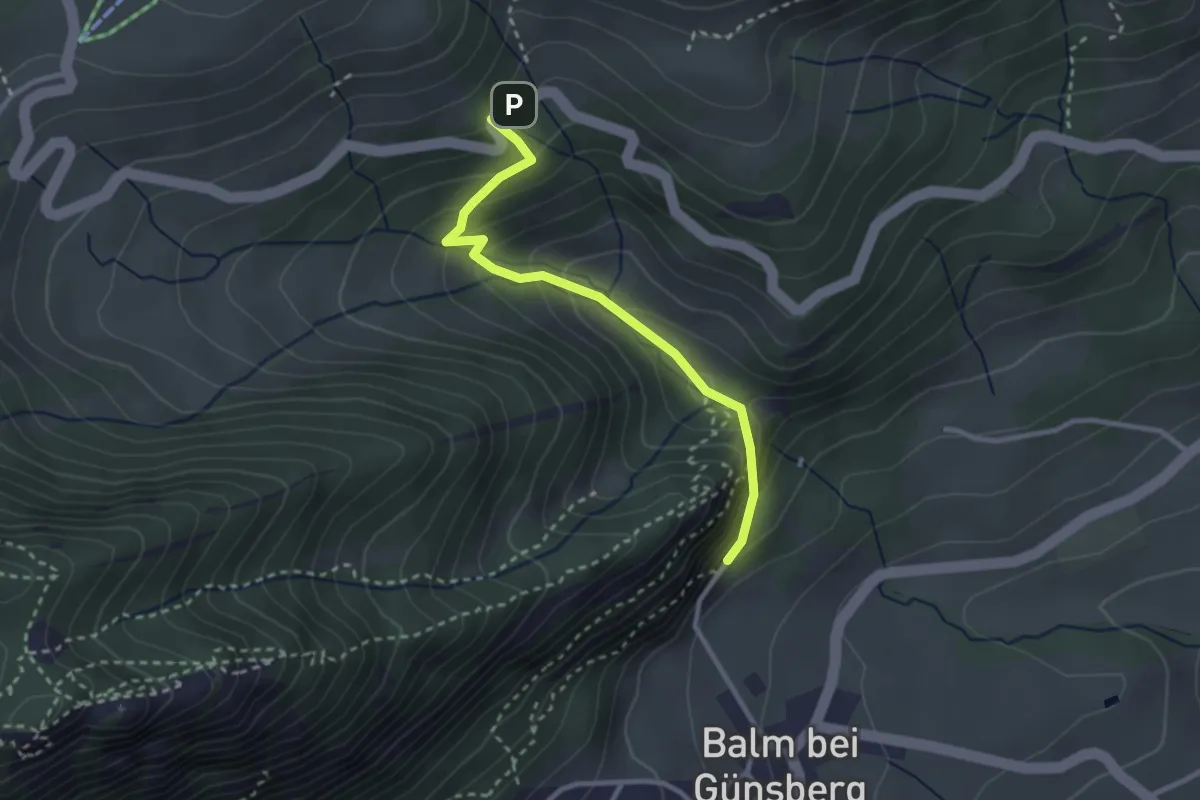
Easy · Trail
Längmatt Postauto – Ruine Balm
2.7 km · ↑ 198 m · 1 h 5 min · 14 km away
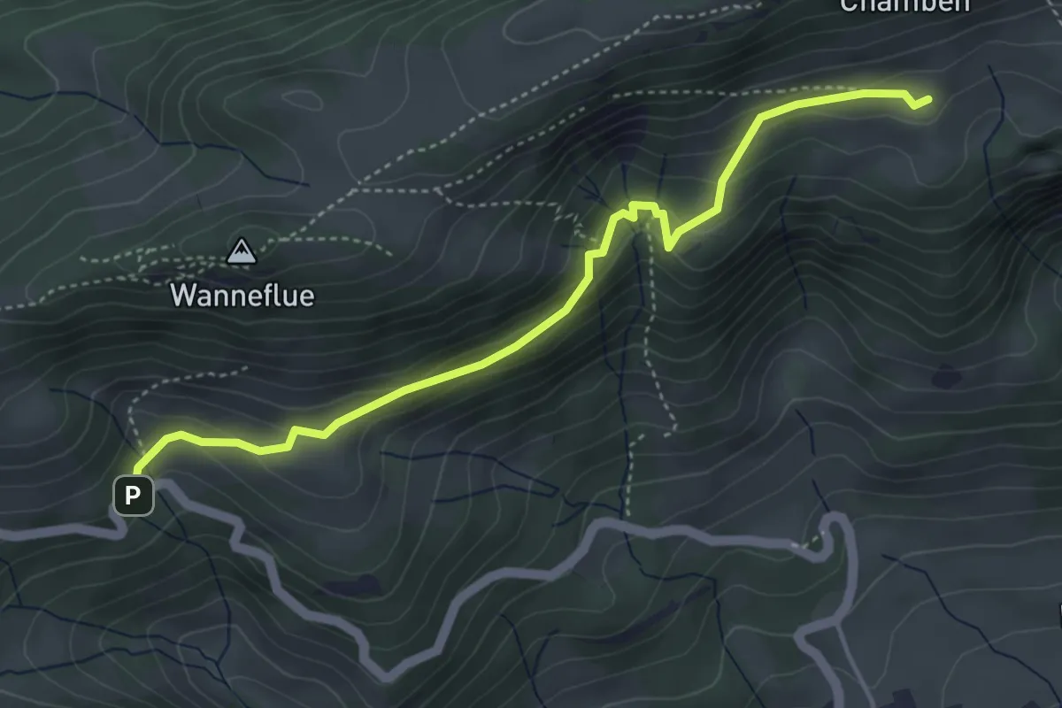
Medium · Trail
Längmatt Postauto – Hint. Hofbergli
4.5 km · ↑ 197 m · 1 h 29 min · 14 km away
Easy · Trail
Schelten / Mühle - Muolte
3.6 km · ↑ 193 m · 1 h 16 min · 14 km away
Easy · Trail
Muolte - Schönenberg
2.9 km · ↑ 226 m · 1 h 11 min · 14 km away
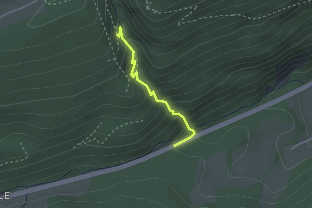
Medium · Trail
Hammerrain – Wolfsschlucht
1.9 km · ↑ 182 m · 50 min · 14 km away
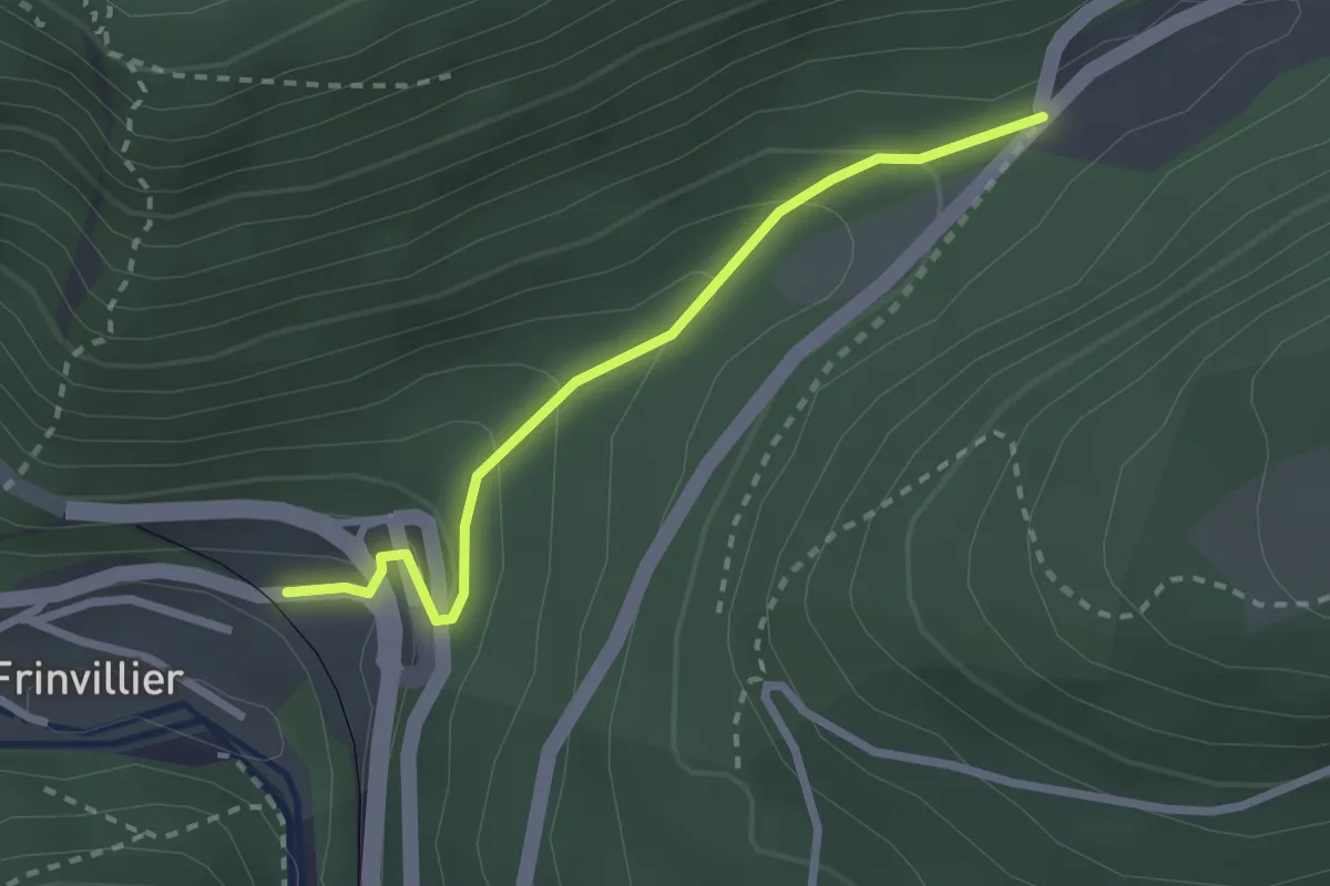
Easy · Trail
Pâturage de Sagne – Frinvillier Gare
2.4 km · ↑ 157 m · 54 min · 14 km away
Easy · Trail
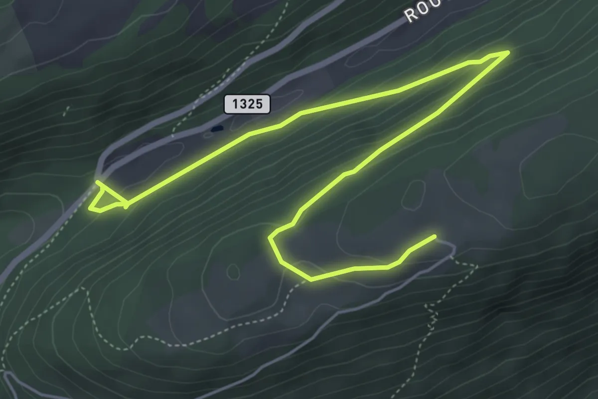
Pâturage de Sagne – Bözingenberg
6.7 km · ↑ 253 m · 2 h 8 min · 14 km away
Easy · Trail
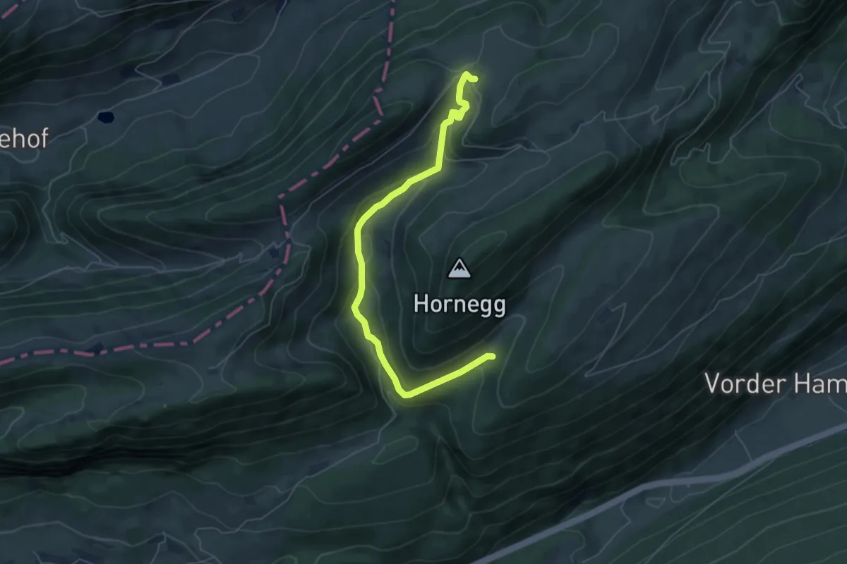
Mieschegg – Tuftbrunnen
6.0 km · ↑ 269 m · 2 h · 14 km away
Medium · Trail
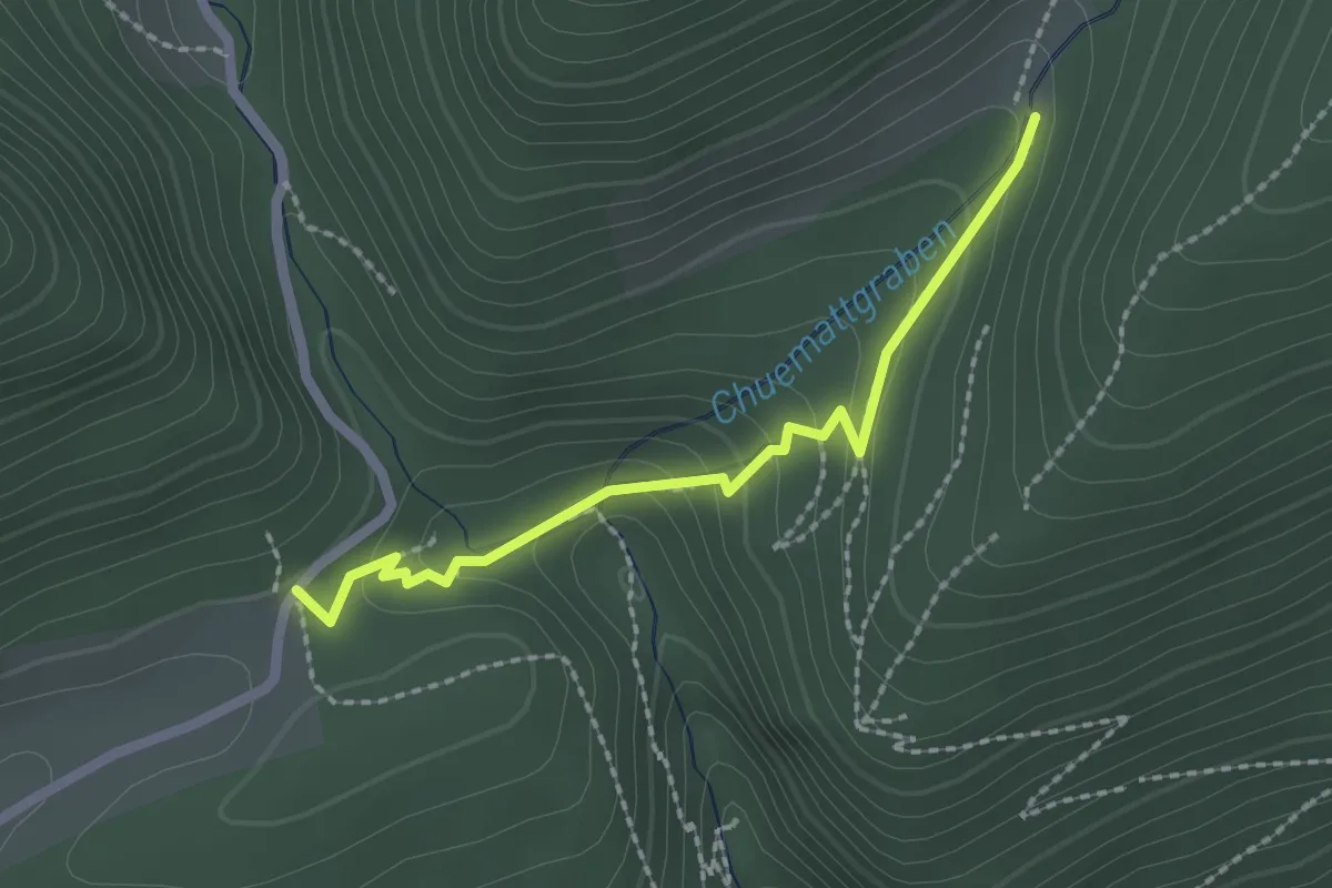
Lochboden – Tuftbrunnen
2.0 km · ↑ 103 m · 42 min · 14 km away