Trails near Moutier
371 hikes starting within 15 km, nearest first.
Nearest first, page 8 of 8
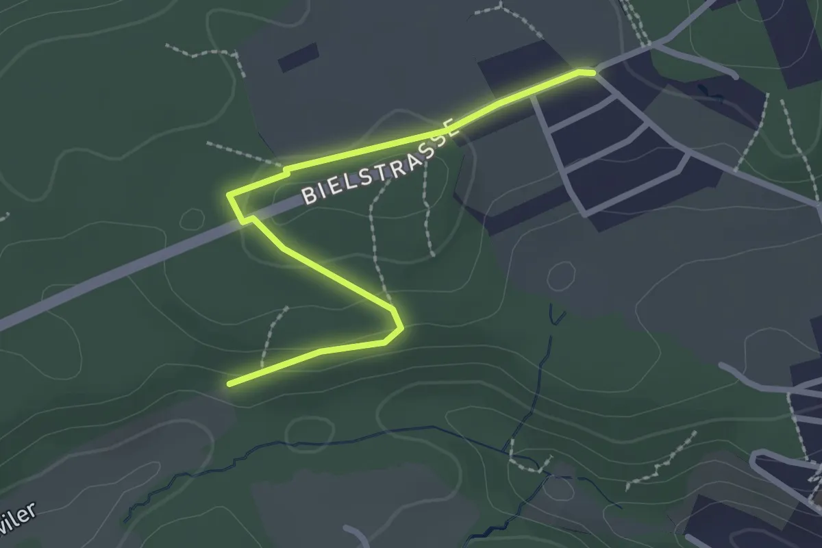
Easy · Trail
Bernhardsguet – Hinderwiler
2.4 km · ↑ 46 m · 40 min · 14 km away
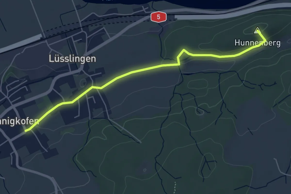
Easy · Summit
Spitalhof – Nennigkofen
5.1 km · ↑ 75 m · 1 h 22 min · 14 km away
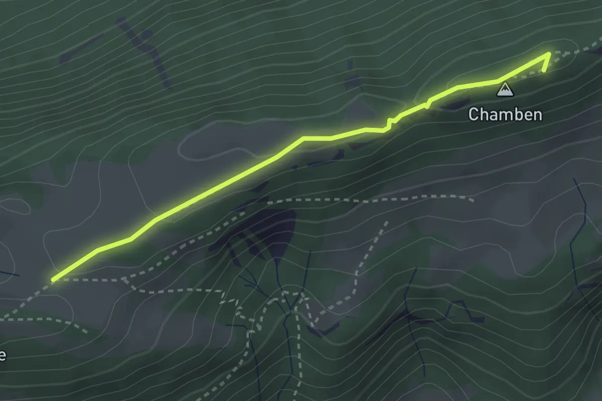
Medium · Summit
Niederwiler Stierenberg – Chamben
3.0 km · ↑ 70 m · 51 min · 14 km away
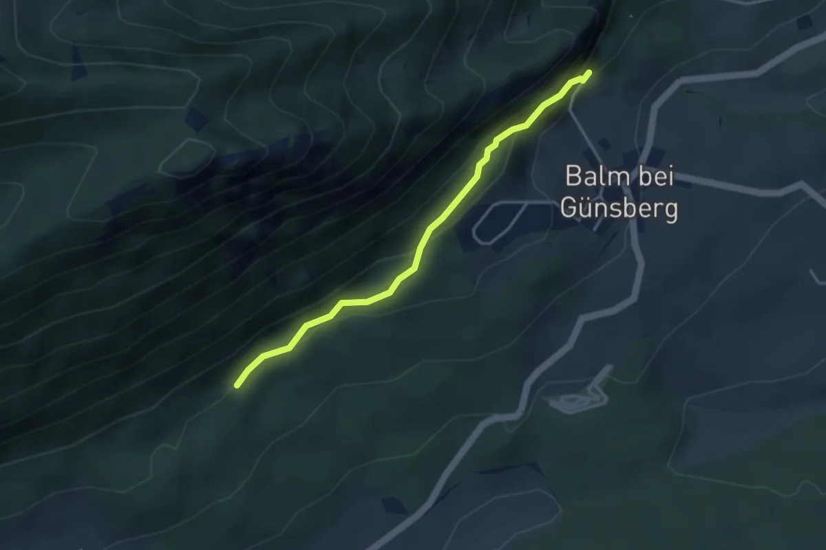
Easy · Trail
Ruine Balm – Jungbann
3.2 km · ↑ 207 m · 1 h 12 min · 14 km away
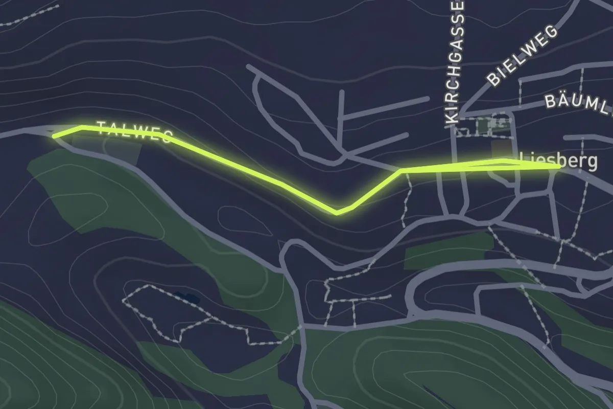
Easy · Trail
Liesberg Dorf – Soyhières
2.4 km · ↑ 37 m · 39 min · 14 km away
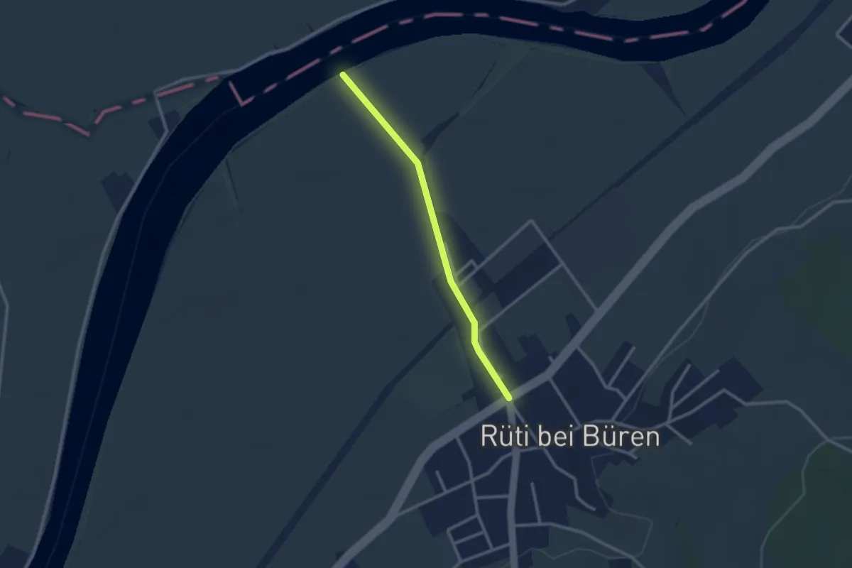
Easy · Trail
Austücki – Rüti b. Büren
2.3 km · ↑ 8 m · 33 min · 14 km away
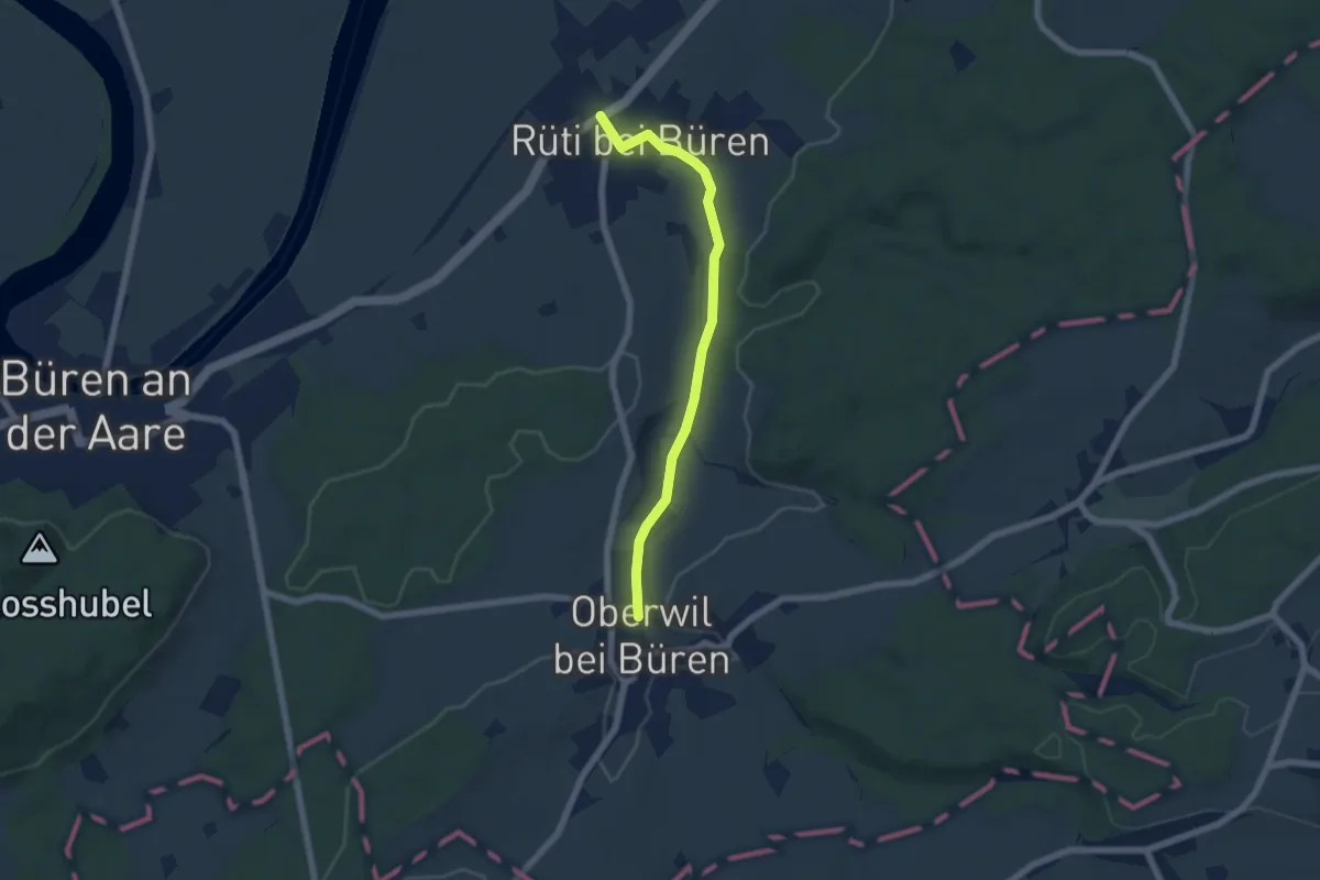
Easy · Trail
Rüti b. Büren – Oberwil
5.7 km · ↑ 57 m · 1 h 28 min · 14 km away
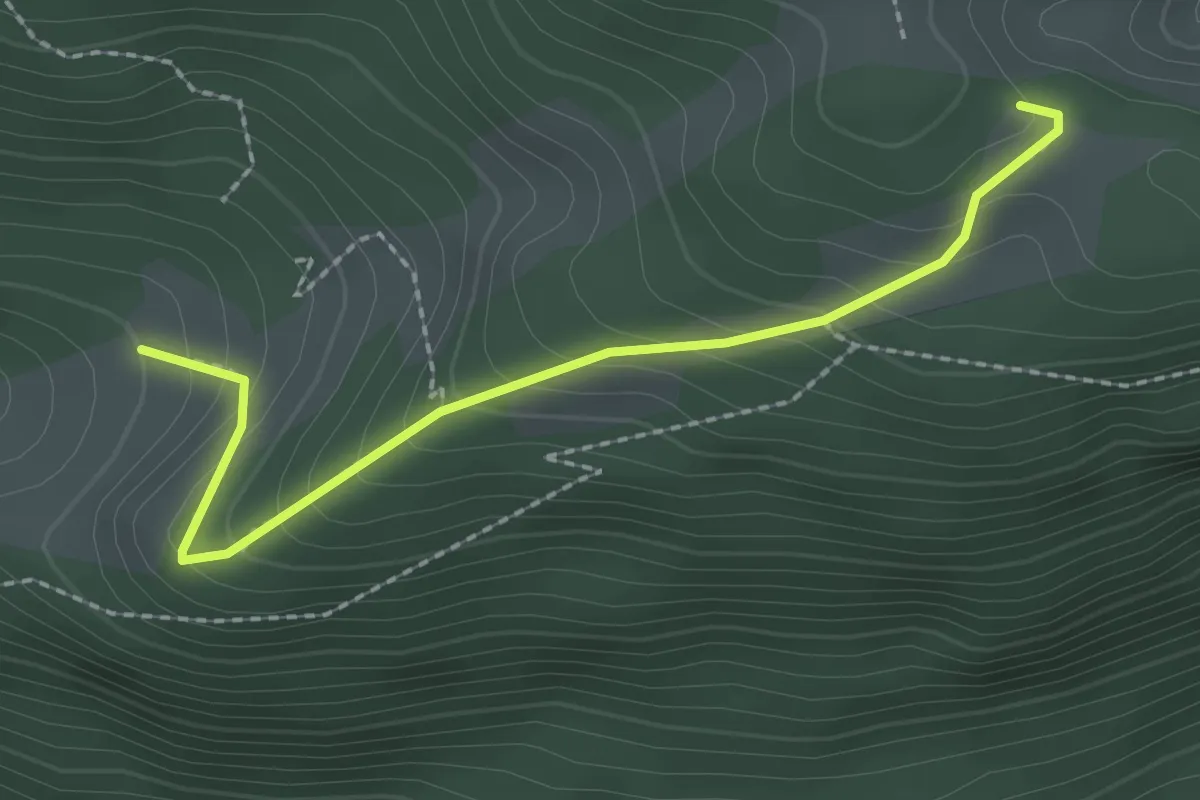
Easy · Trail
Le Van – Ski-club La Heutte
2.3 km · ↑ 210 m · 1 h · 14 km away
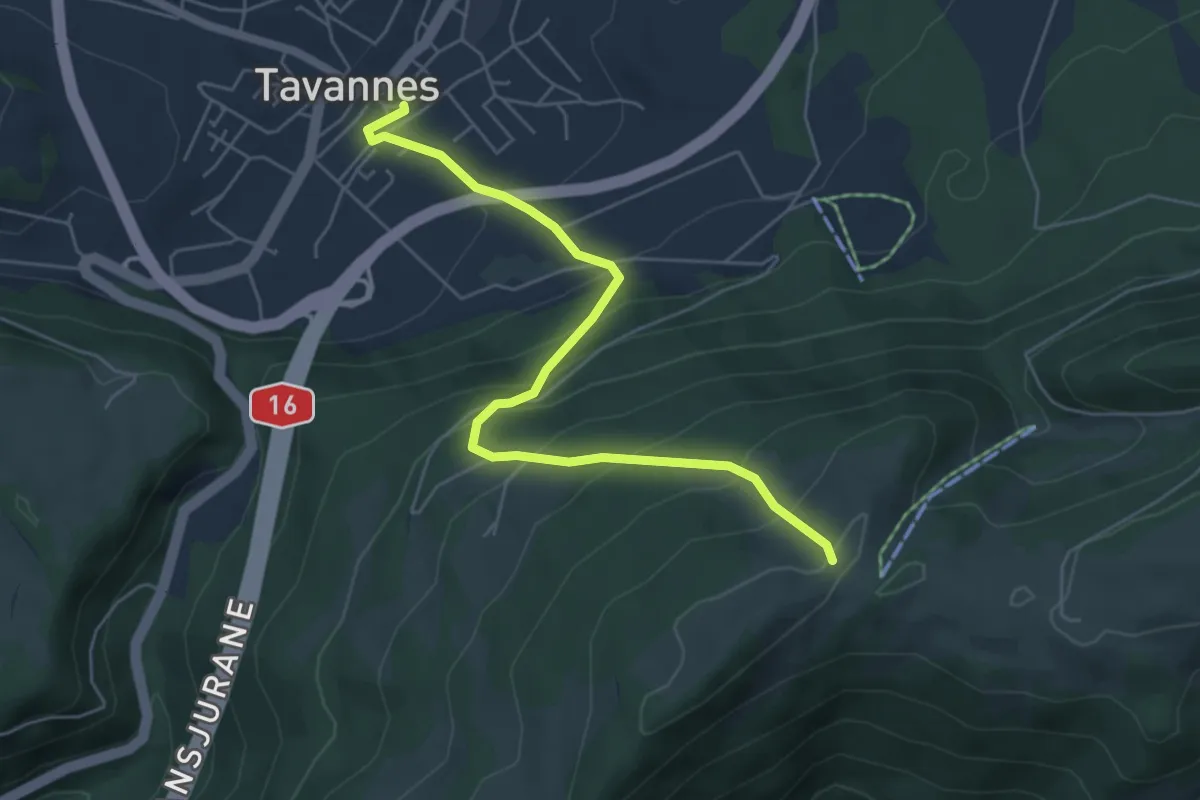
Medium · Cabin
Montoz CAS – Tavannes
5.7 km · ↑ 493 m · 2 h 25 min · 14 km away
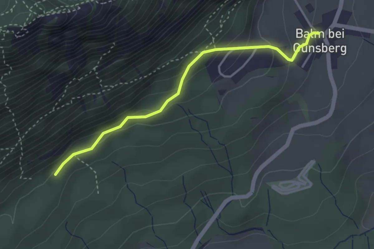
Easy · Trail
Balm – Jungbann
3.2 km · ↑ 208 m · 1 h 12 min · 14 km away
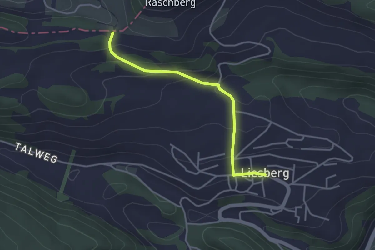
Easy · Trail
Oltme – Liesberg Dorf
3.0 km · ↑ 136 m · 1 h · 15 km away
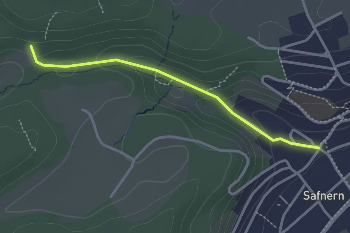
Easy · Trail
Hinderwiler – Safnern
2.2 km · ↑ 74 m · 40 min · 15 km away
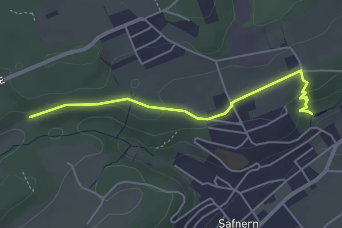
Easy · Trail
Hinderwiler – Riedrain
3.5 km · ↑ 80 m · 1 h · 15 km away
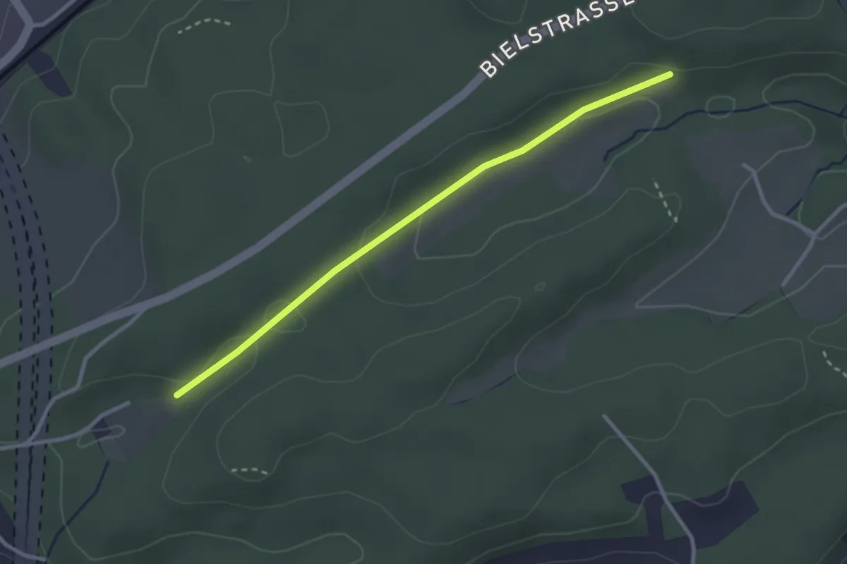
Easy · Trail
Holzmatt – Hinderwiler
2.8 km · ↑ 45 m · 46 min · 15 km away
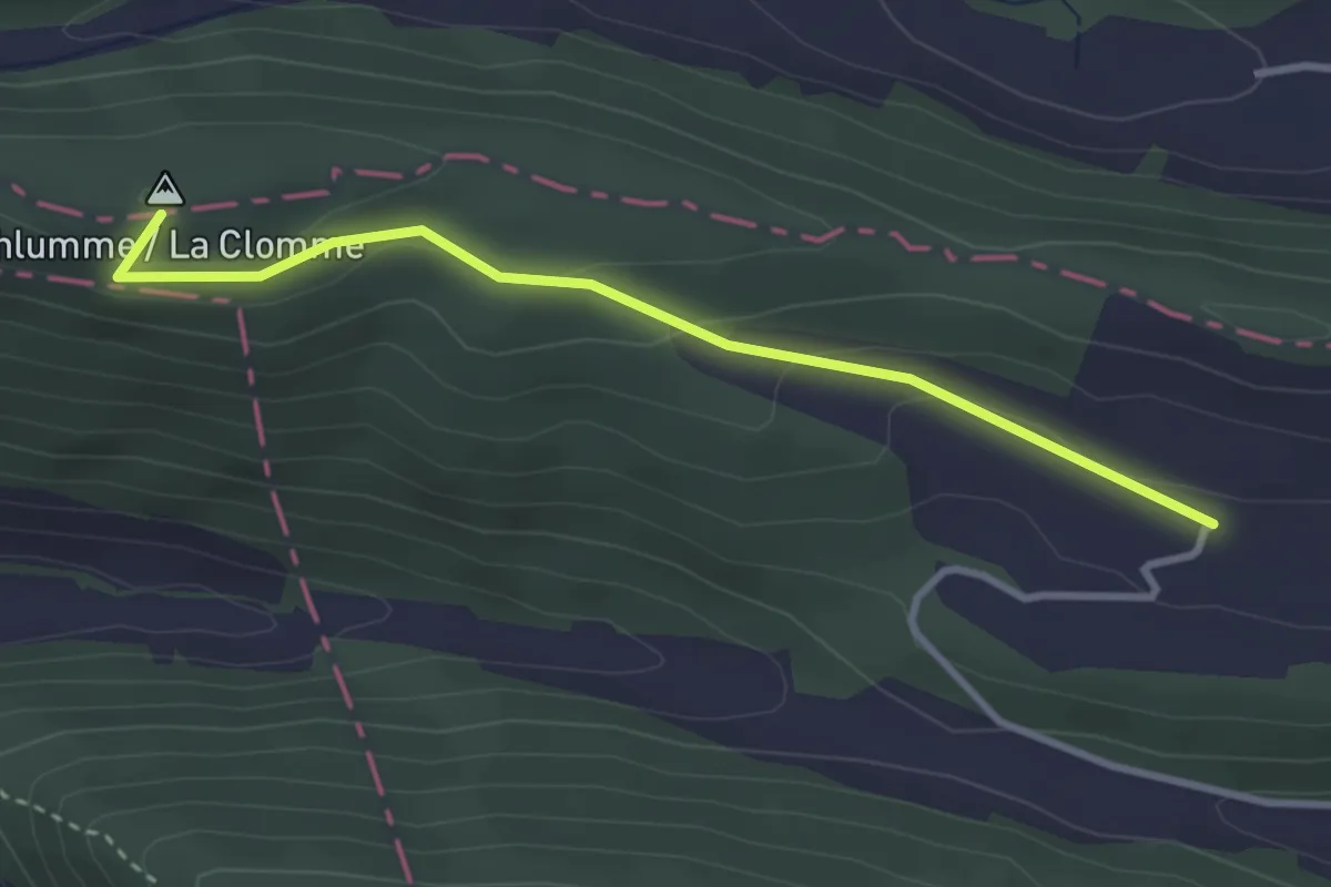
Easy · Summit
Hasenschell – Albach
3.1 km · ↑ 94 m · 56 min · 15 km away
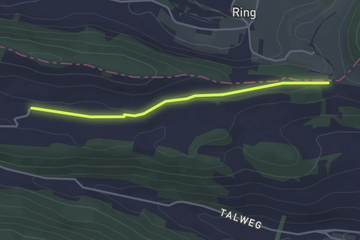
Easy · Trail
Albach – Oltme
3.0 km · ↑ 23 m · 46 min · 15 km away
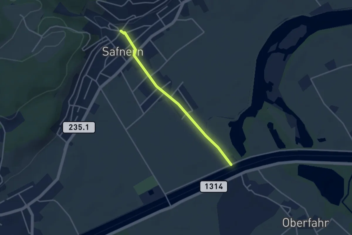
Easy · Trail
Safnern - Nidau-Büren-Kanal
2.8 km · ↑ 19 m · 42 min · 15 km away
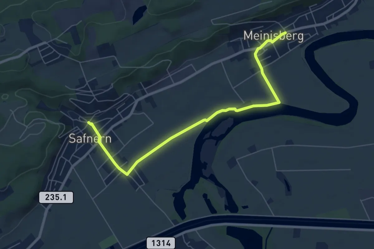
Easy · Trail
Safnern – Meinisberg
6.8 km · ↑ 33 m · 1 h 41 min · 15 km away
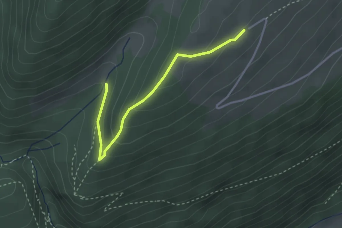
Easy · Trail
Tuftbrunnen – Vorderer Brandberg
2.8 km · ↑ 120 m · 55 min · 15 km away
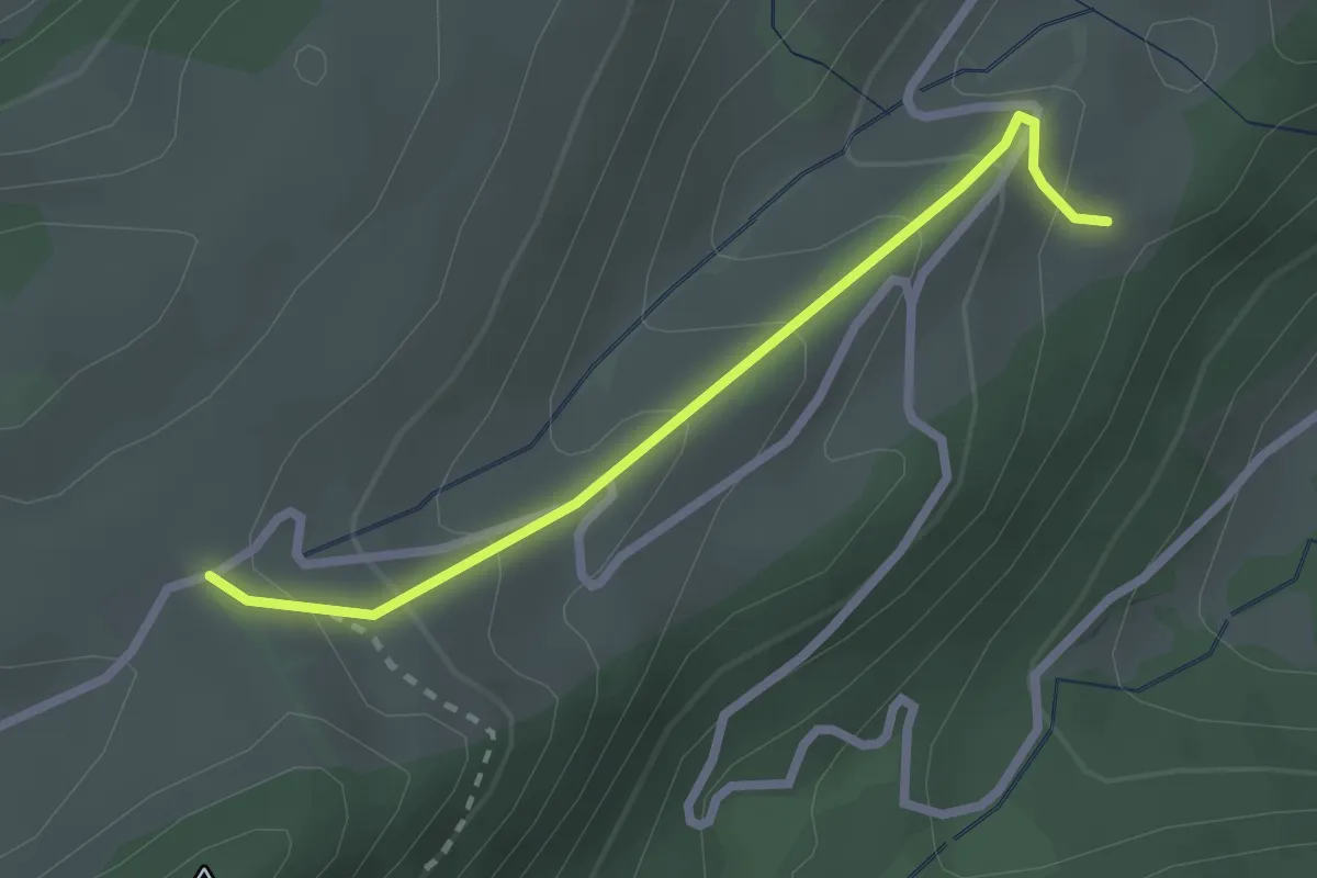
Easy · Trail
Obere Tannmatt – Untere Tannmatt
2.3 km · ↑ 145 m · 51 min · 15 km away
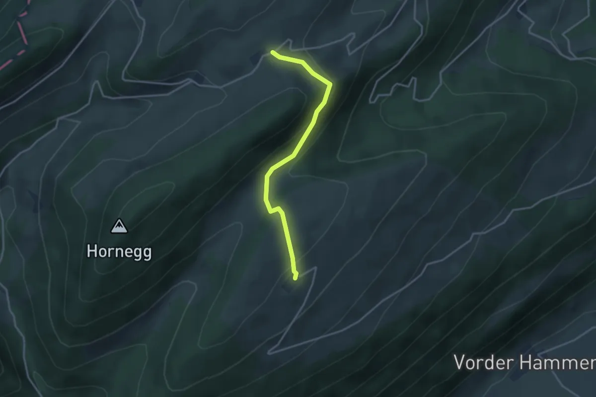
Easy · Trail
Vorderer Brandberg – Obere Tannmatt
2.9 km · ↑ 99 m · 54 min · 15 km away
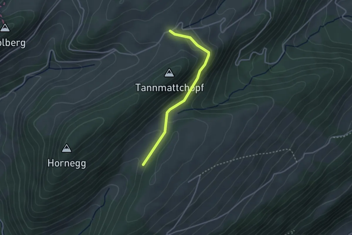
Easy · Trail
Obere Tannmatt – Chuematt
2.6 km · ↑ 86 m · 48 min · 15 km away
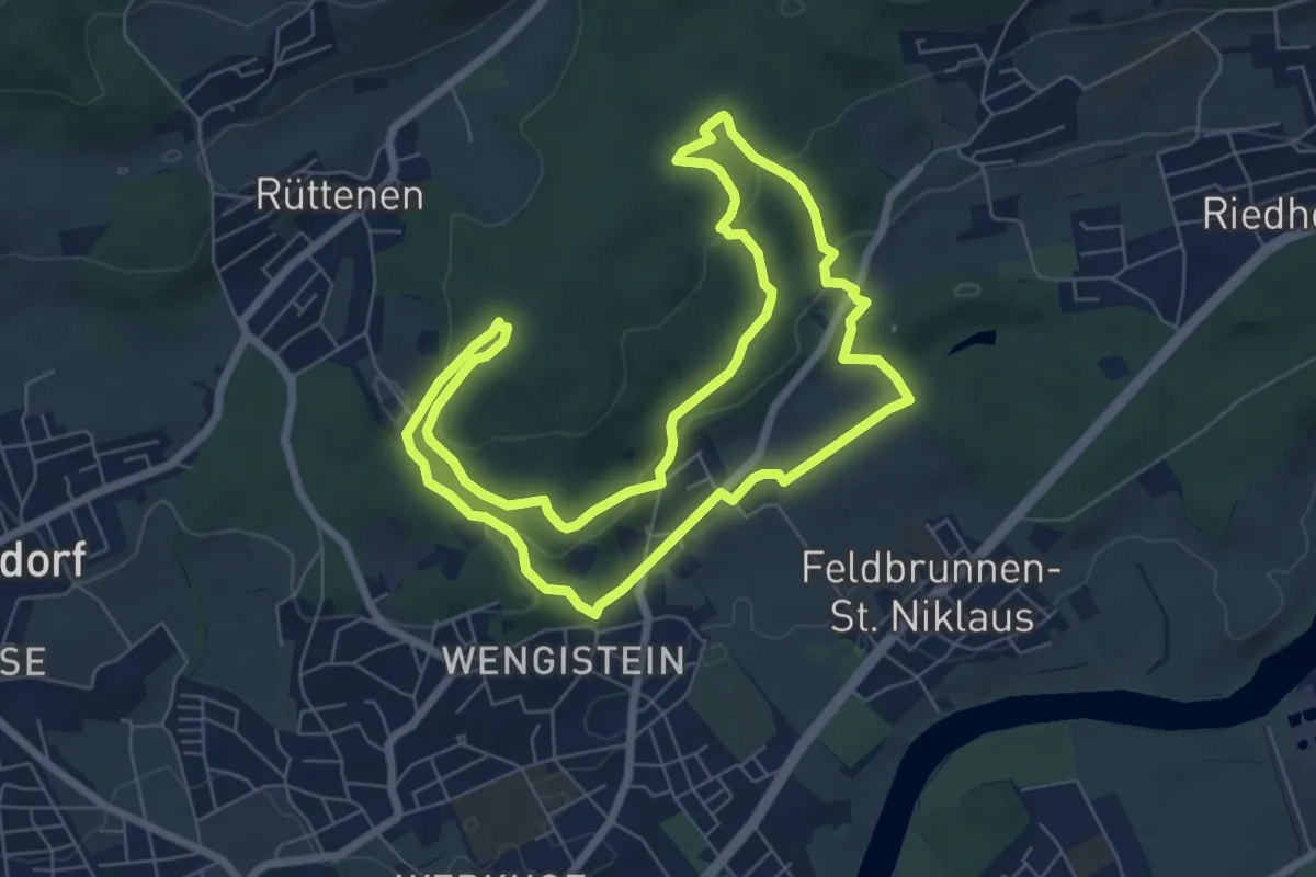
Medium · Trail
Solothurner Megalithweg
6.8 km · ↑ 219 m · 2 h 11 min · 15 km away
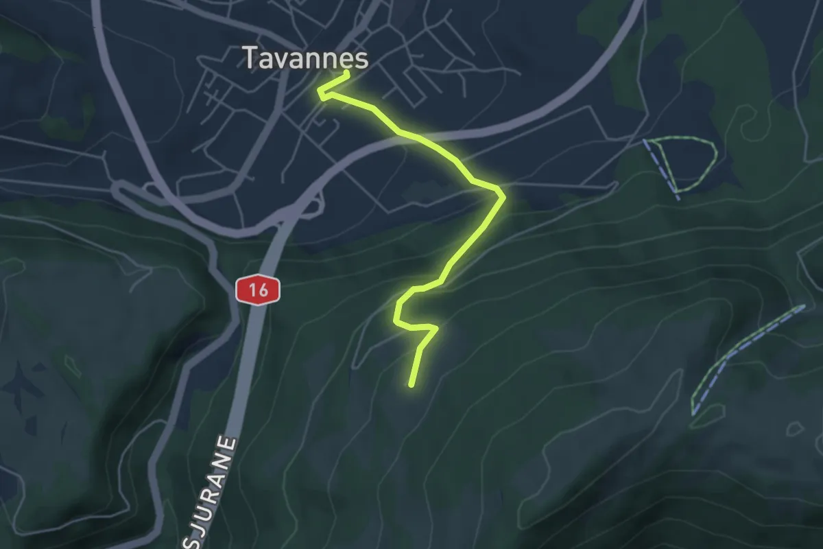
Easy · Trail
Le Grimm – Tavannes
4.2 km · ↑ 309 m · 1 h 40 min · 15 km away
Easy · Cabin
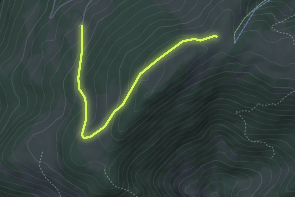
Montoz CAS – Le Grimm
4.3 km · ↑ 194 m · 1 h 25 min · 15 km away
Easy · Trail
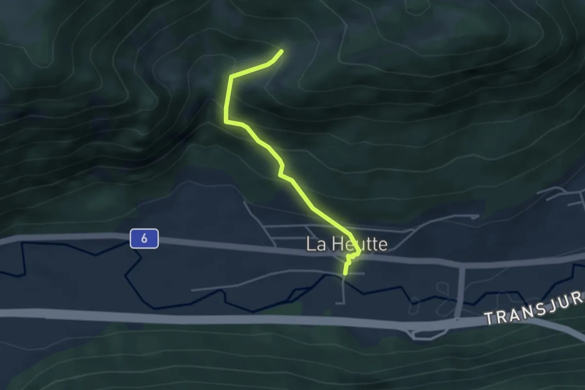
La Heutte – Le Van
3.1 km · ↑ 301 m · 1 h 23 min · 15 km away
Easy · Trail
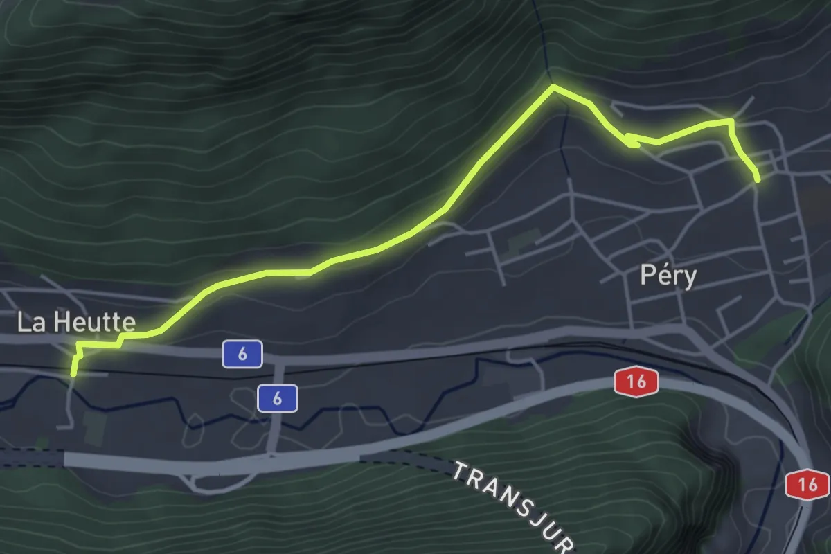
La Heutte – Péry
4.7 km · ↑ 176 m · 1 h 30 min · 15 km away
Easy · Trail
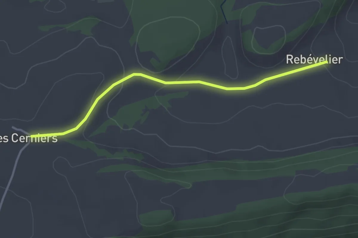
Cerniers de Rebévelier - Rebévelier
3.2 km · ↑ 94 m · 57 min · 15 km away
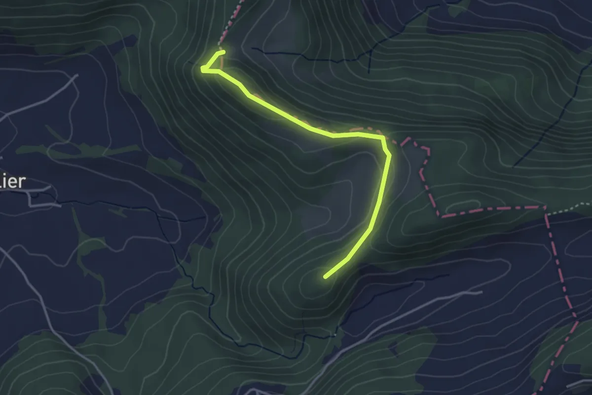
Medium · Summit
Welschgätterli – Le Greierlet
3.2 km · ↑ 147 m · 1 h 5 min · 15 km away
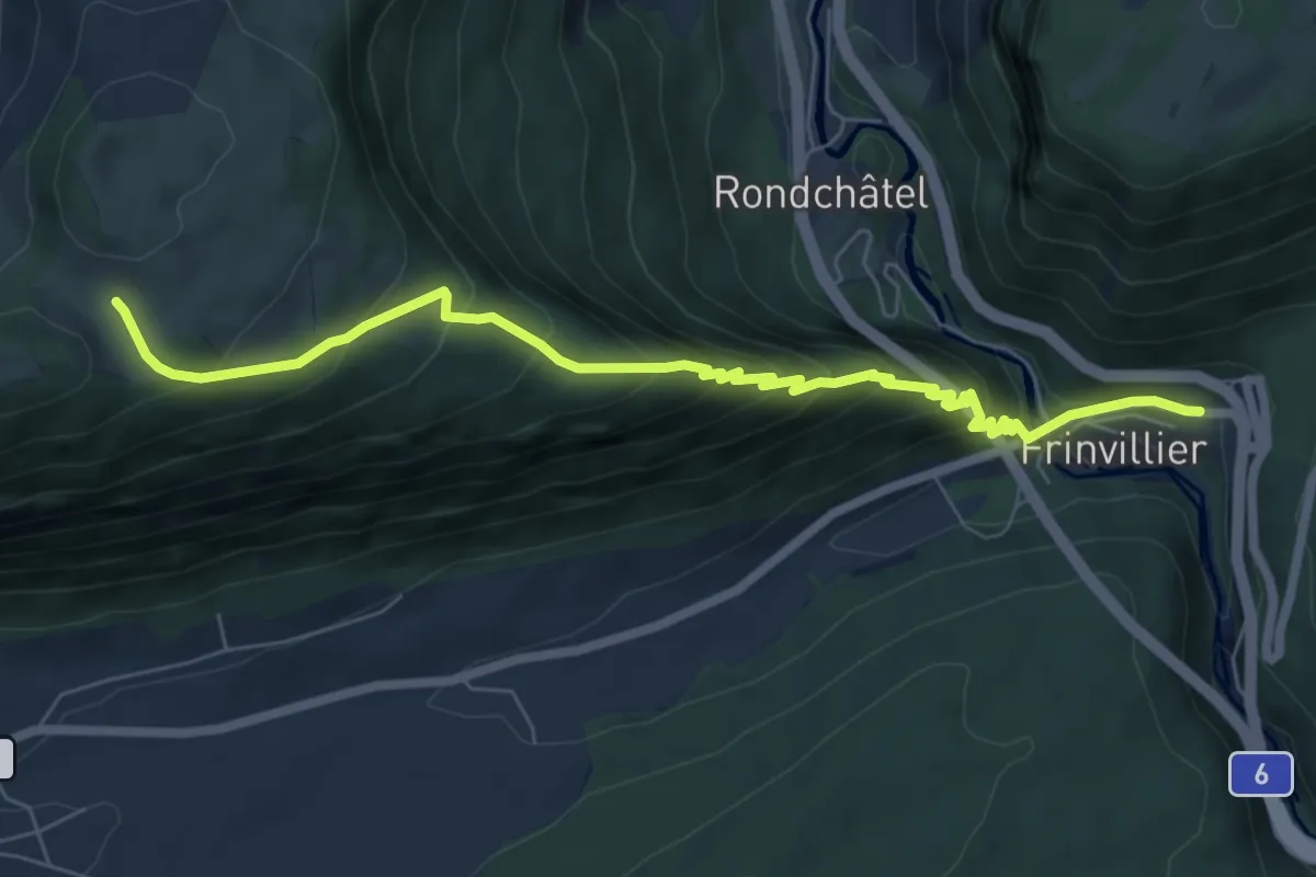
Medium · Trail
Frinvillier – Les Coperies
7.3 km · ↑ 671 m · 3 h 10 min · 15 km away
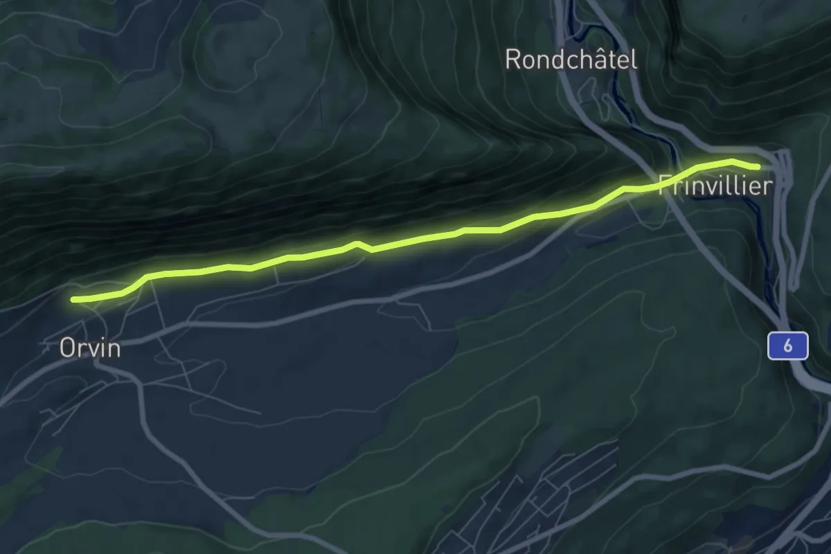
Easy · Trail
Frinviller – Orvin
7.4 km · ↑ 258 m · 2 h 18 min · 15 km away
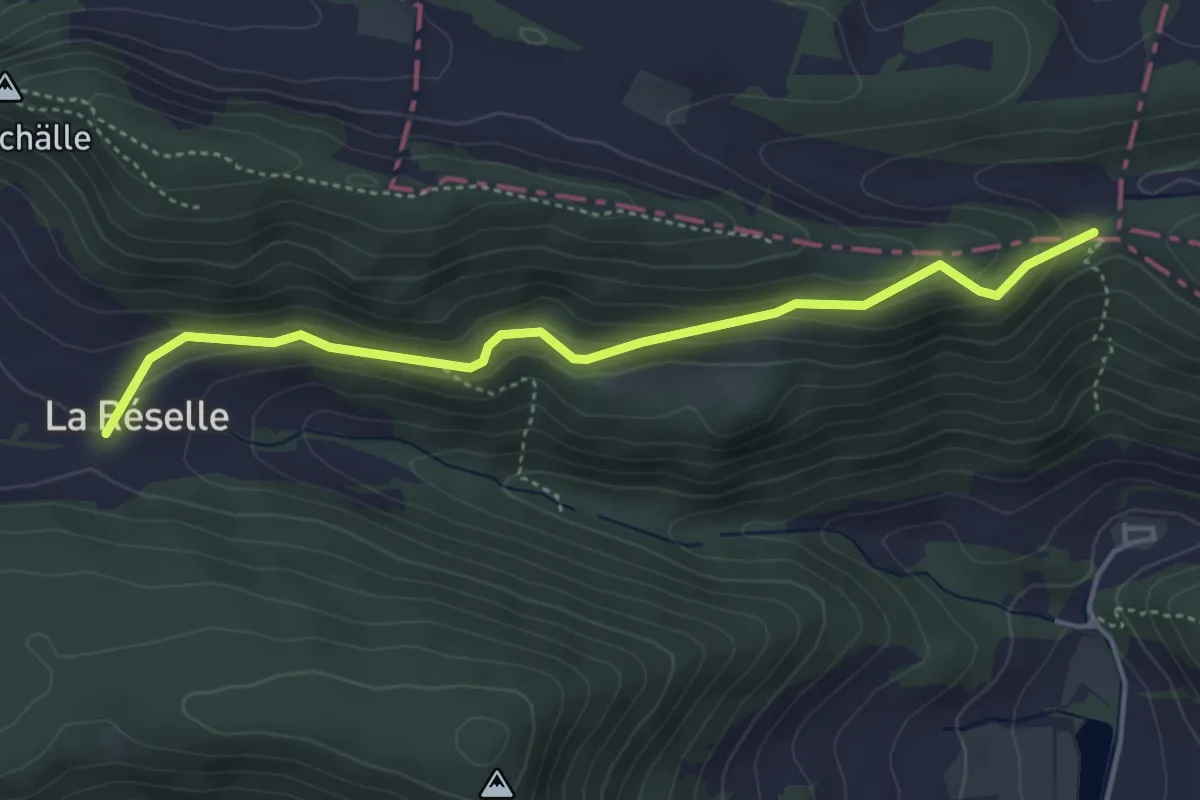
Easy · Trail
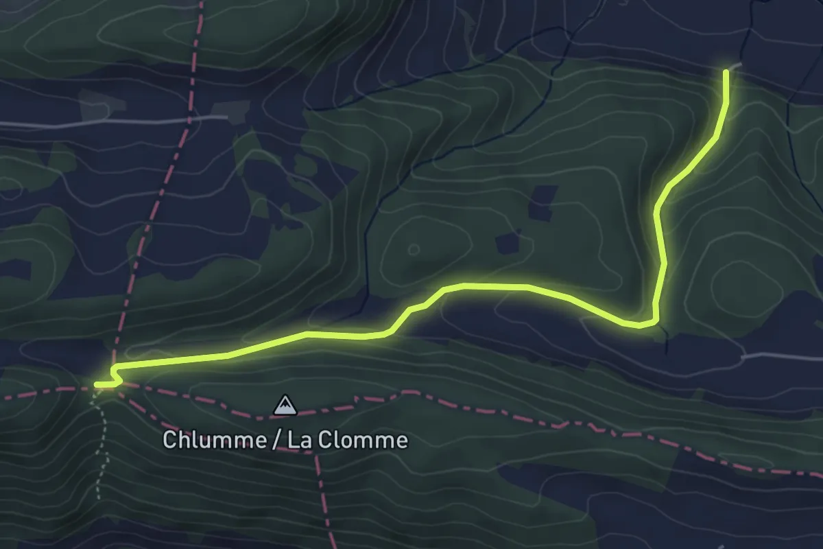
Hasenschell – La Reselle de Movelier
4.3 km · ↑ 186 m · 1 h 25 min · 15 km away
Easy · Trail
Hasenschell – Vordere Rütte
5.3 km · ↑ 244 m · 1 h 47 min · 15 km away
Medium · Trail
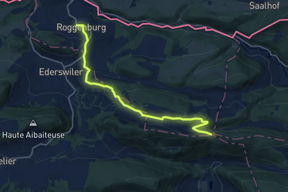
Roggenburg – Hasenschell
9.9 km · ↑ 358 m · 3 h 7 min · 15 km away
Easy · Summit
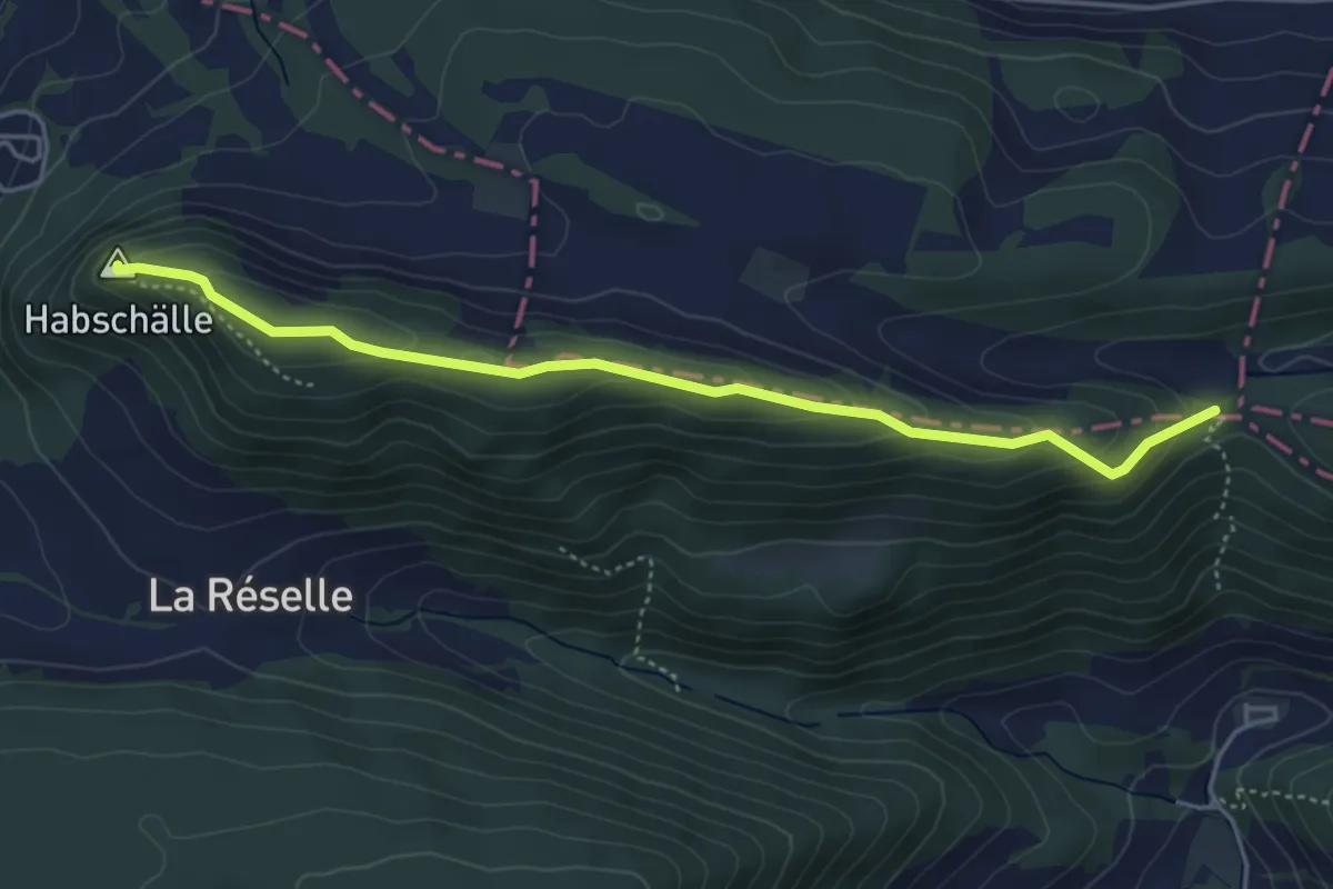
Hasenschell – Habschälle
4.5 km · ↑ 225 m · 1 h 33 min · 15 km away