Trails near Münsingen
449 hikes starting within 15 km, nearest first.
Nearest first, page 3 of 10
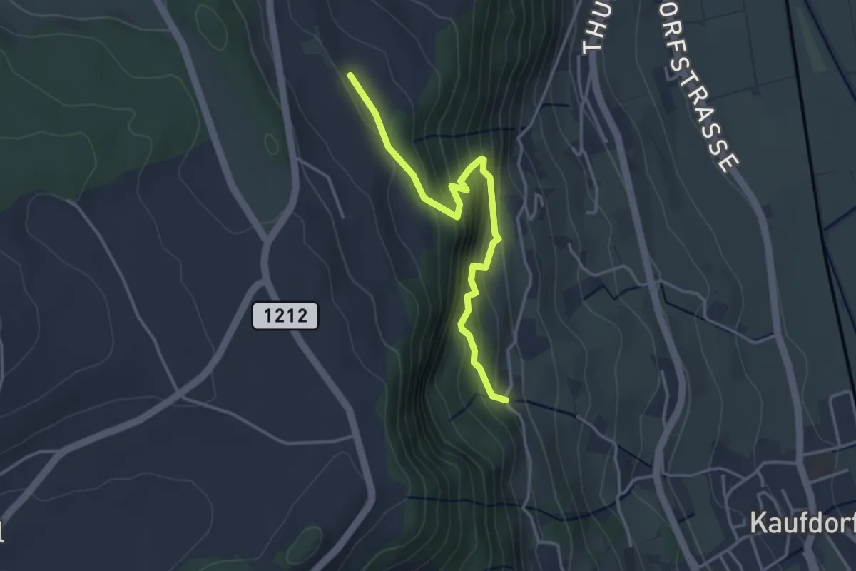
Easy · Trail
Oberfeld - Gutenbrünnen
3.4 km · ↑ 304 m · 1 h 28 min · 7 km away
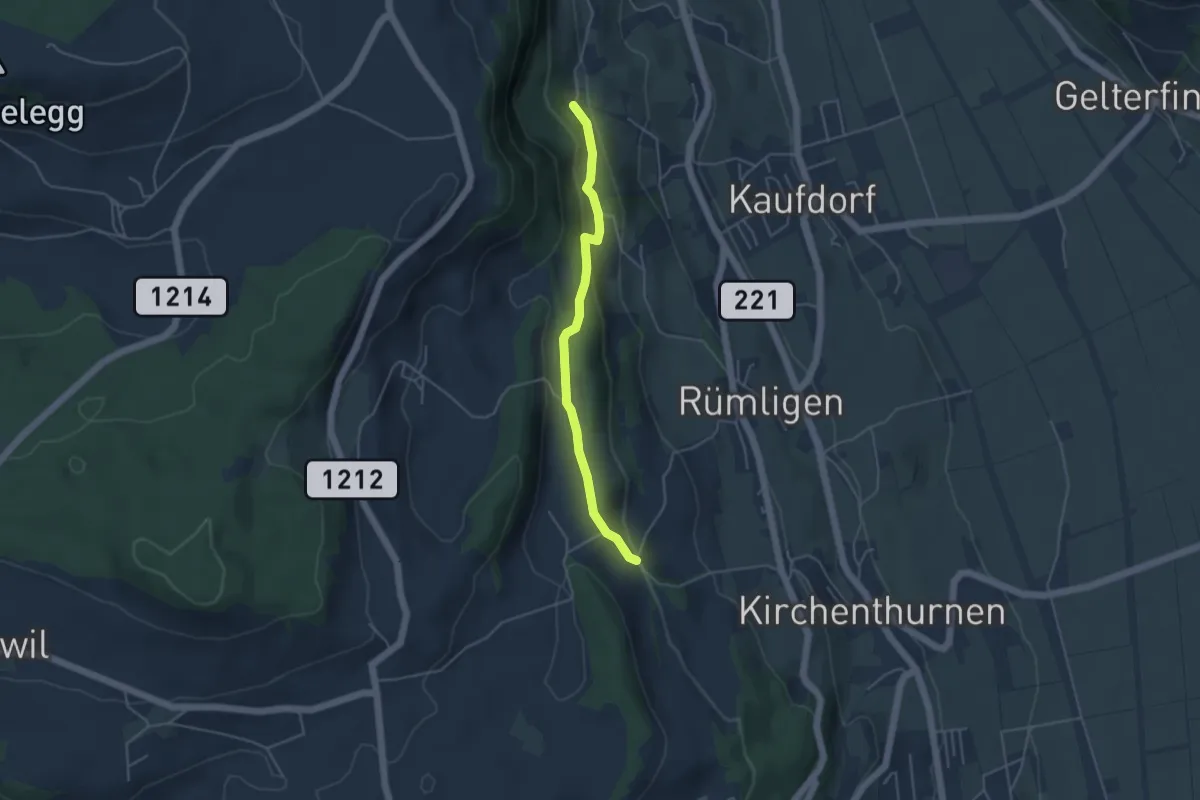
Easy · Trail
Gutenbrünnen - Uf der Mur
4.0 km · ↑ 157 m · 1 h 18 min · 7 km away
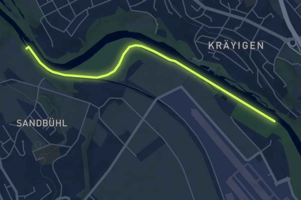
Easy · Trail
Auguetbrügg - Bodenacherfähre
5.3 km · ↑ 29 m · 1 h 18 min · 7 km away
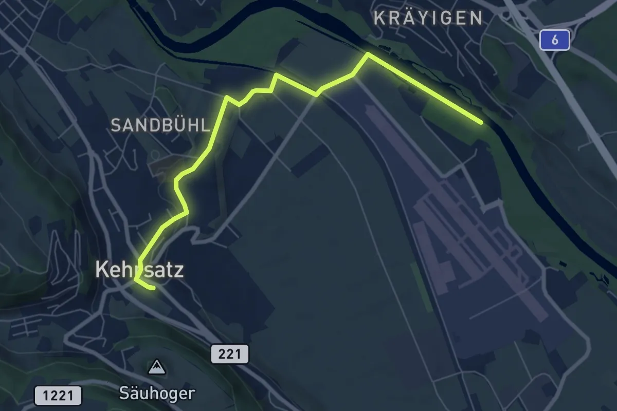
Easy · Trail
Auguetbrügg - Kehrsatz
7.2 km · ↑ 84 m · 1 h 53 min · 7 km away
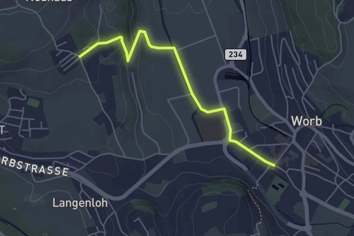
Easy · Trail
Neuhus – Worb Sternen
4.4 km · ↑ 113 m · 1 h 17 min · 7 km away
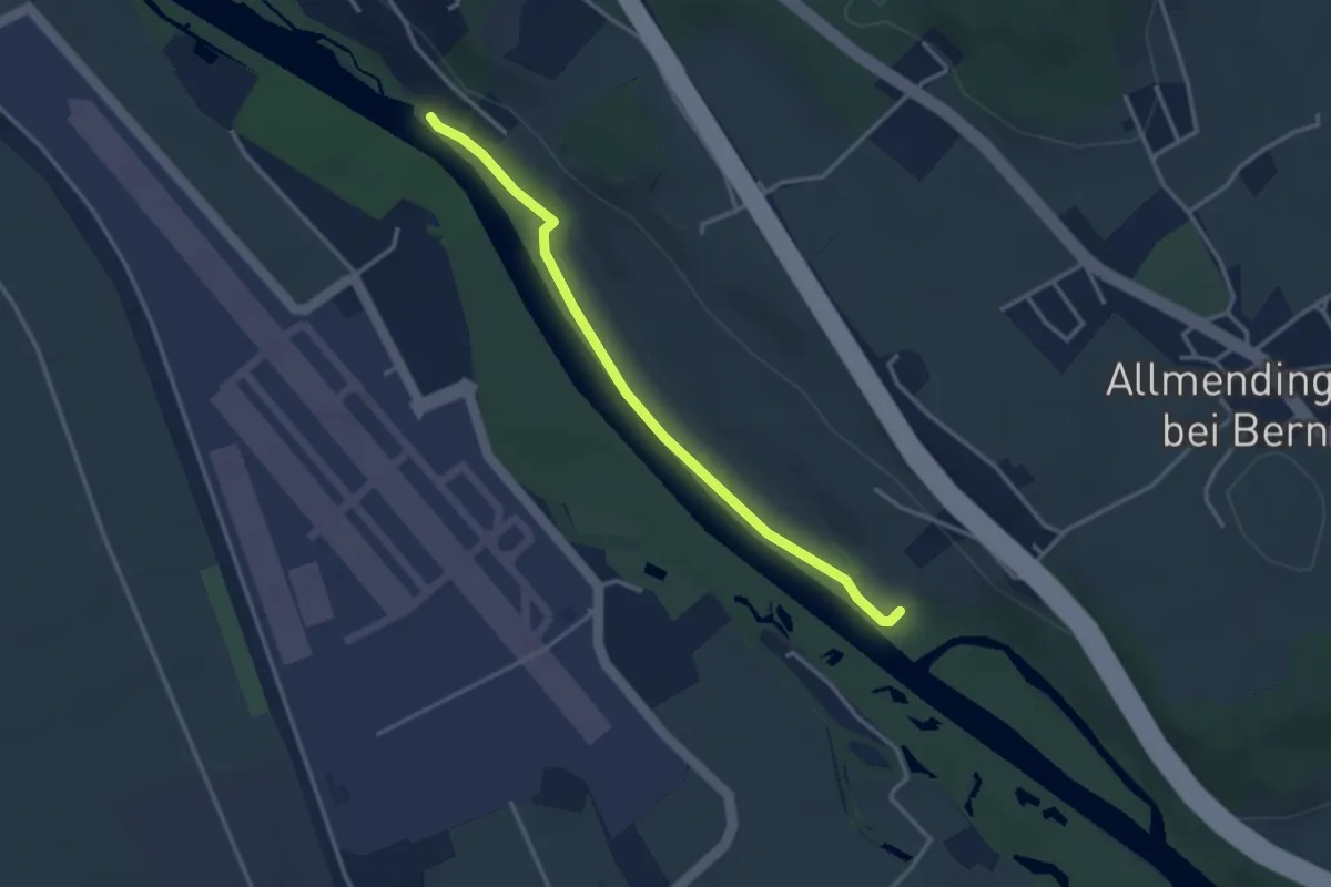
Easy · Trail
Auguetbrügg-Märchligenau
3.2 km · ↑ 35 m · 49 min · 7 km away
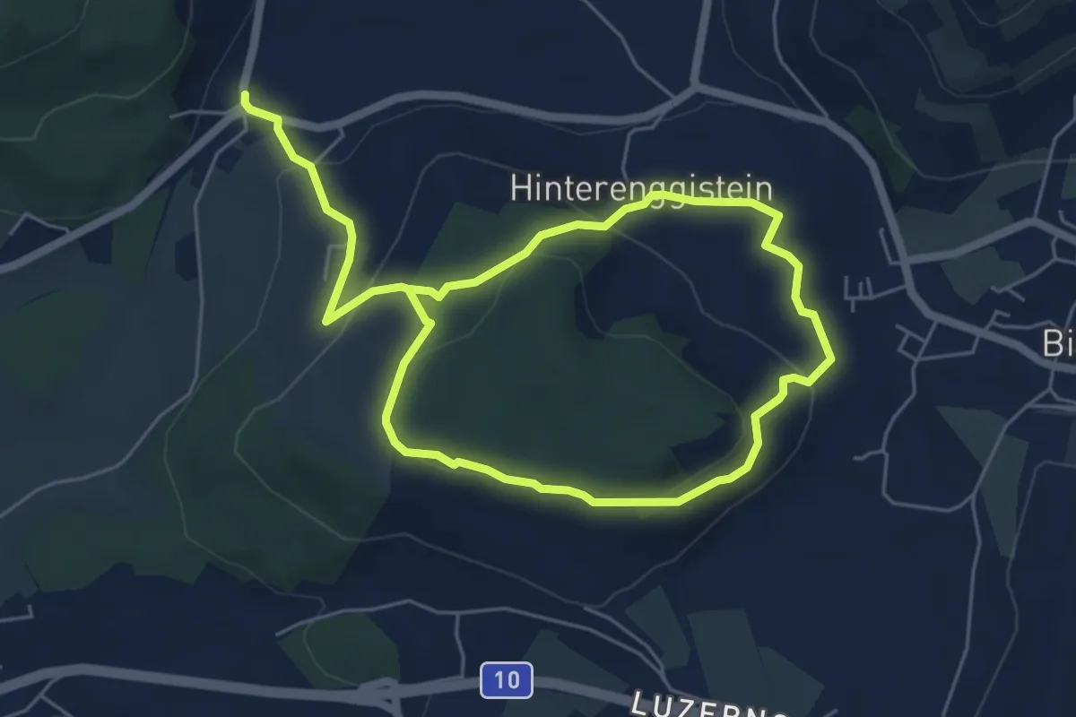
Medium · Trail
Enggistein – Biglen
9.3 km · ↑ 288 m · 2 h 49 min · 7 km away
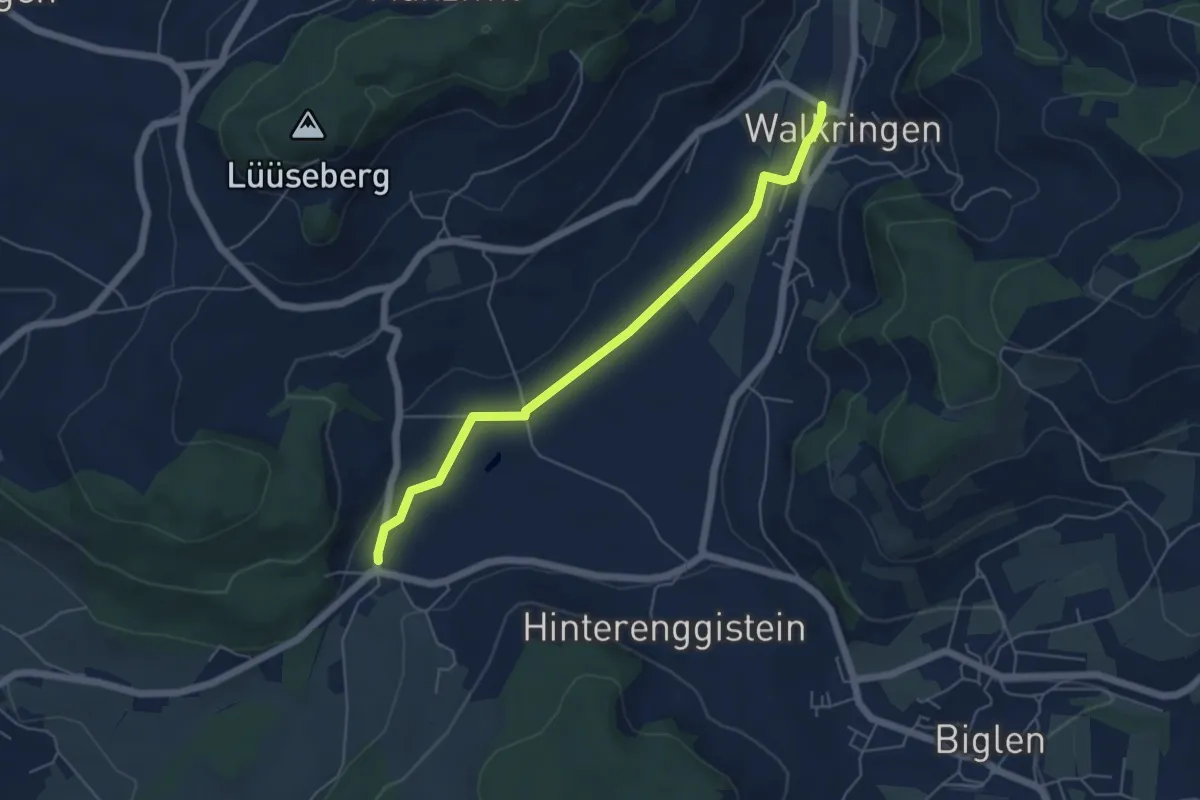
Easy · Trail
Enggistein – Walkringen
5.3 km · ↑ 23 m · 1 h 18 min · 7 km away
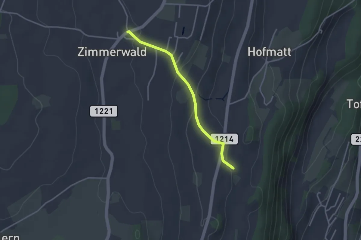
Easy · Trail
Zimmerwald – Rossweid
2.6 km · ↑ 64 m · 45 min · 7 km away
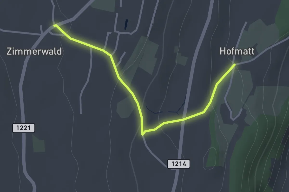
Easy · Trail
Zimmerwald – Hofmatt
2.9 km · ↑ 102 m · 54 min · 7 km away
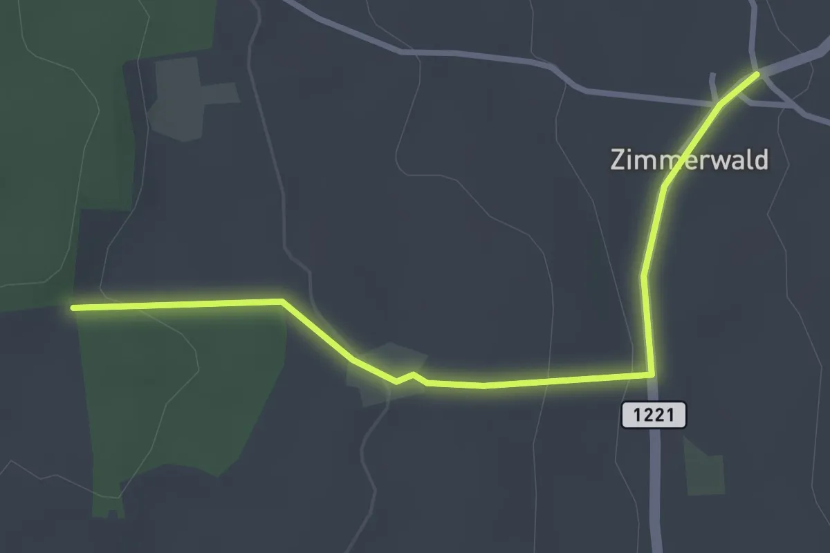
Easy · Trail
Allmid – Zimmerwald
3.0 km · ↑ 84 m · 53 min · 7 km away
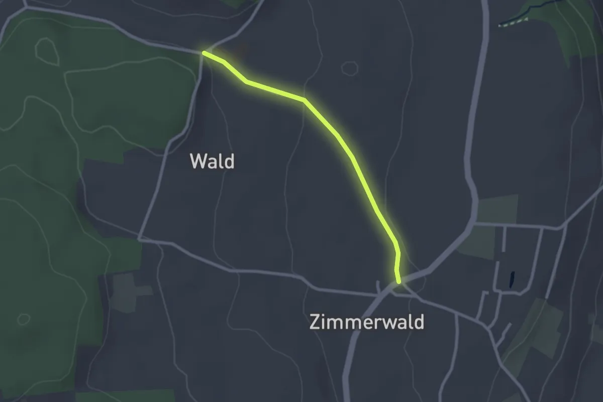
Easy · Trail
Zimmerwald – Undere Wald
2.1 km · ↑ 37 m · 35 min · 7 km away
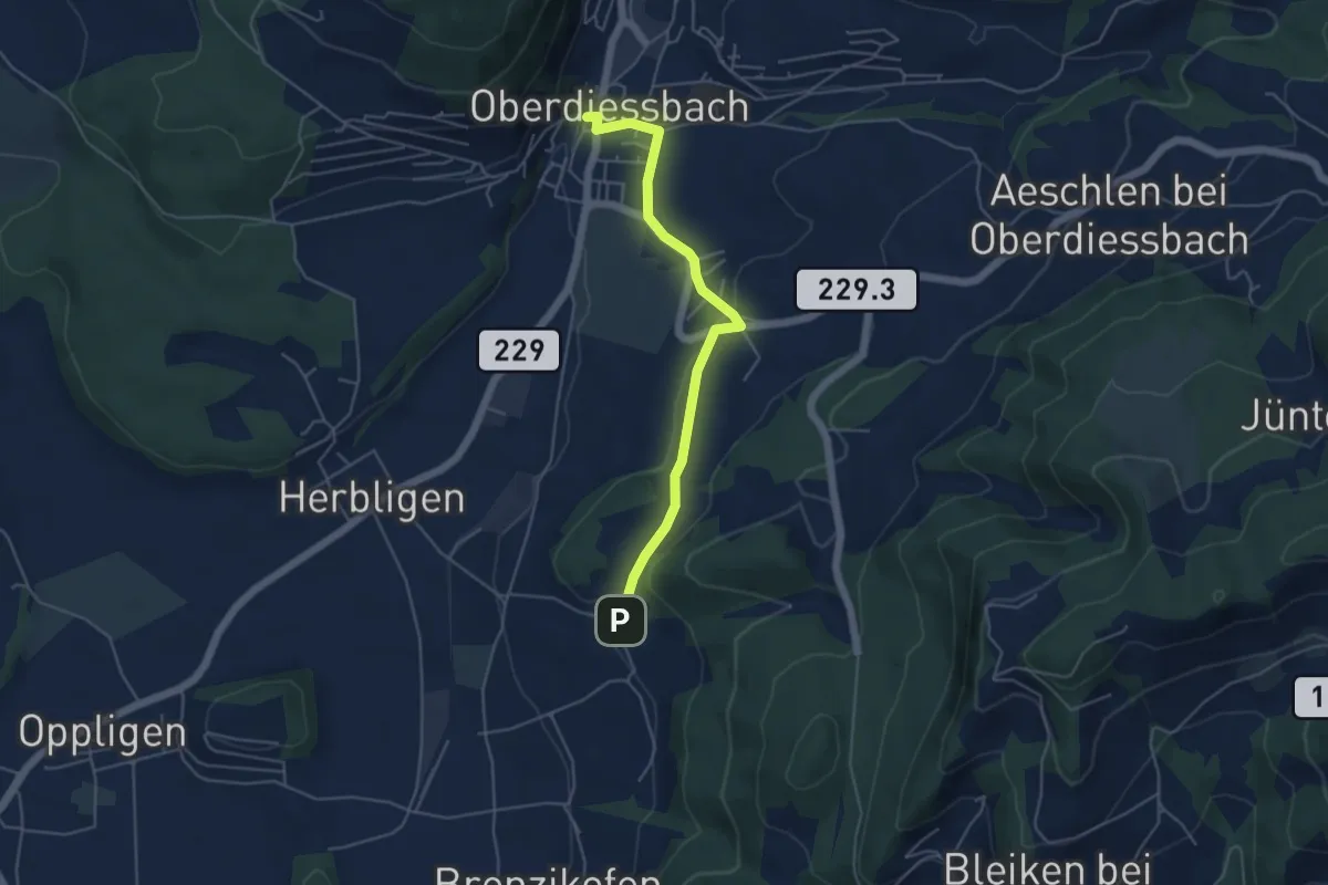
Easy · Trail
Oberdiessbach – Wydibühl
4.7 km · ↑ 124 m · 1 h 23 min · 7 km away
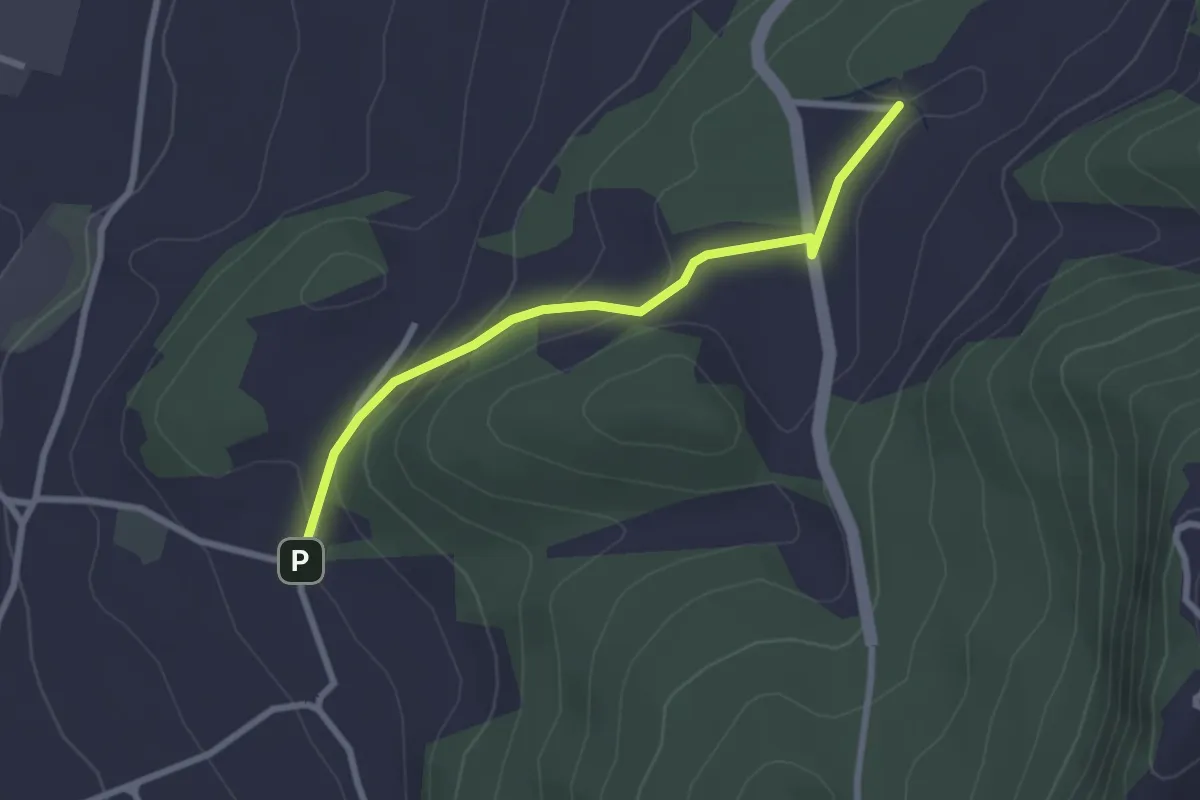
Easy · Trail
Wydibühl – Unterhus
2.5 km · ↑ 101 m · 49 min · 7 km away
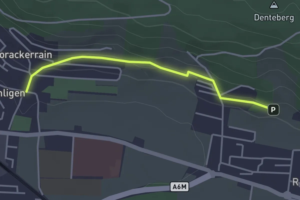
Easy · Trail
Sunnedörfli – Gümligen/Kirche
3.0 km · ↑ 80 m · 53 min · 7 km away
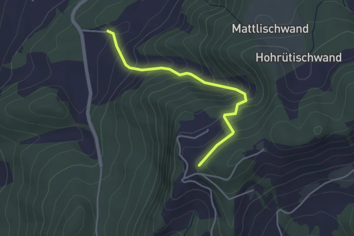
Easy · Trail
Falkeflue – Unterhus
3.2 km · ↑ 291 m · 1 h 23 min · 7 km away
Easy · Trail
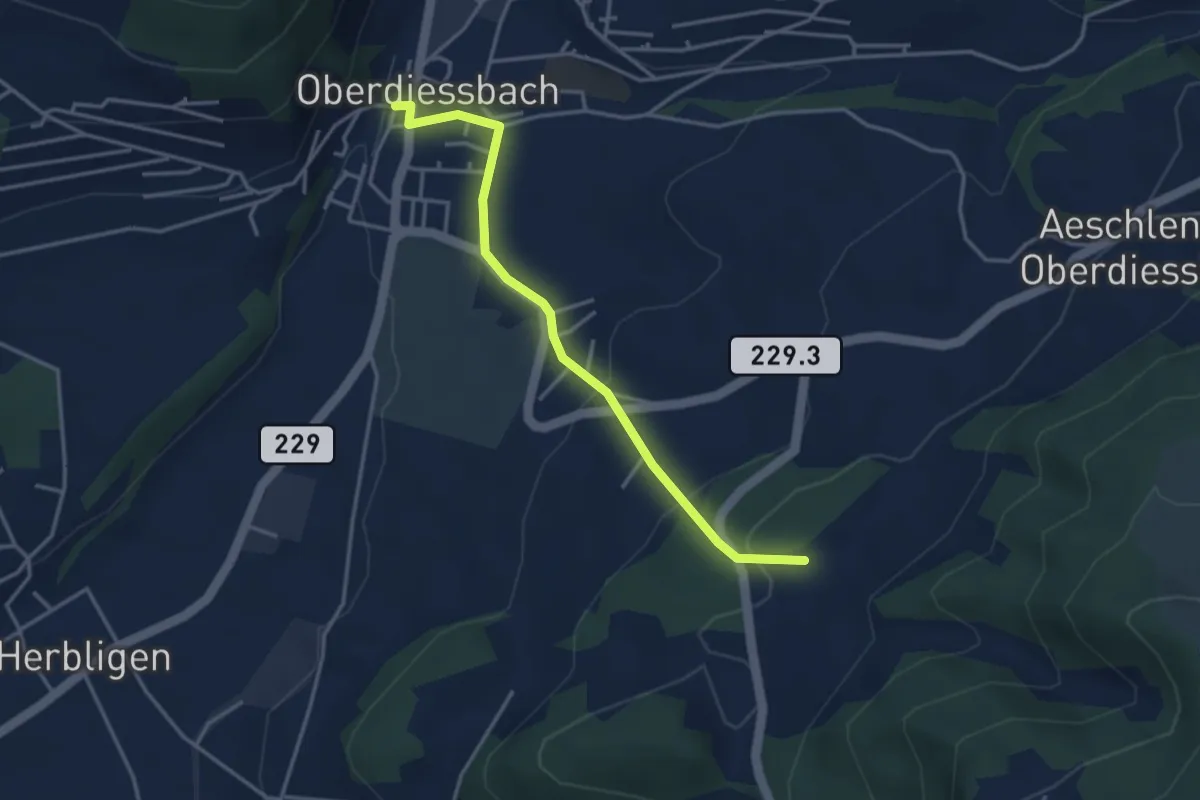
Unterhus – Oberdiessbach
3.6 km · ↑ 150 m · 1 h 10 min · 7 km away
Easy · Trail
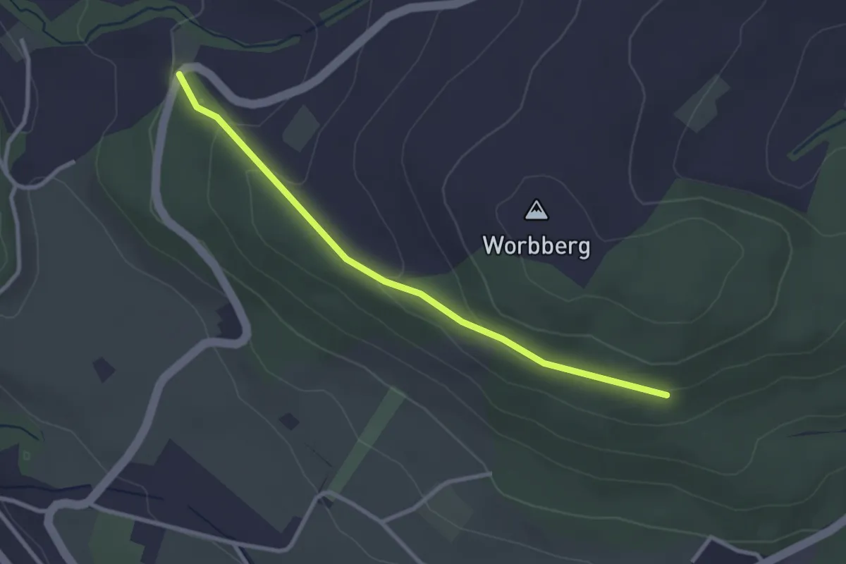
Worb/Hasli-Worbberg
2.8 km · ↑ 90 m · 52 min · 7 km away
Easy · Trail
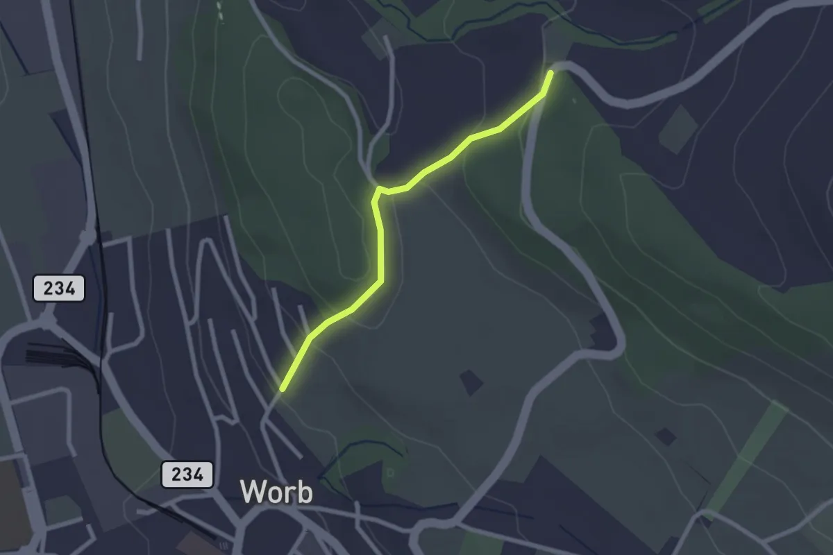
Egghalde – Worb/Hasli
2.1 km · ↑ 94 m · 41 min · 7 km away
Easy · Summit
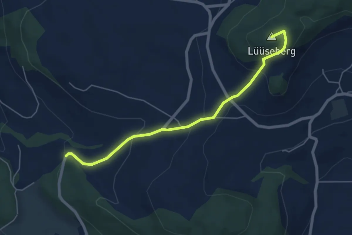
Worb/Hasli – Lüseberg
4.6 km · ↑ 219 m · 1 h 34 min · 7 km away
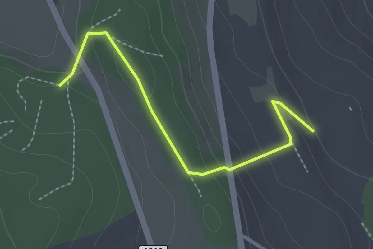
Easy · Trail
Rattenholz - Oberfeld
2.1 km · ↑ 70 m · 39 min · 7 km away
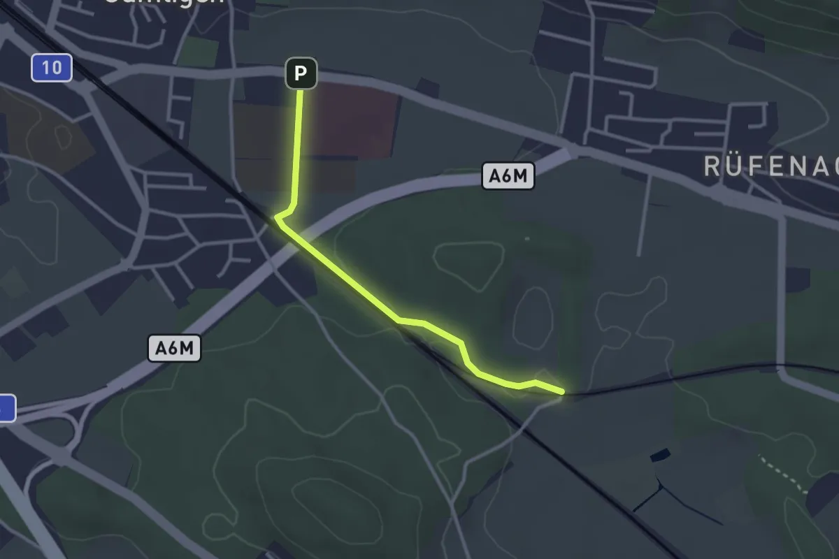
Easy · Trail
Gümligen Siloah – Rüti
2.7 km · ↑ 18 m · 41 min · 7 km away
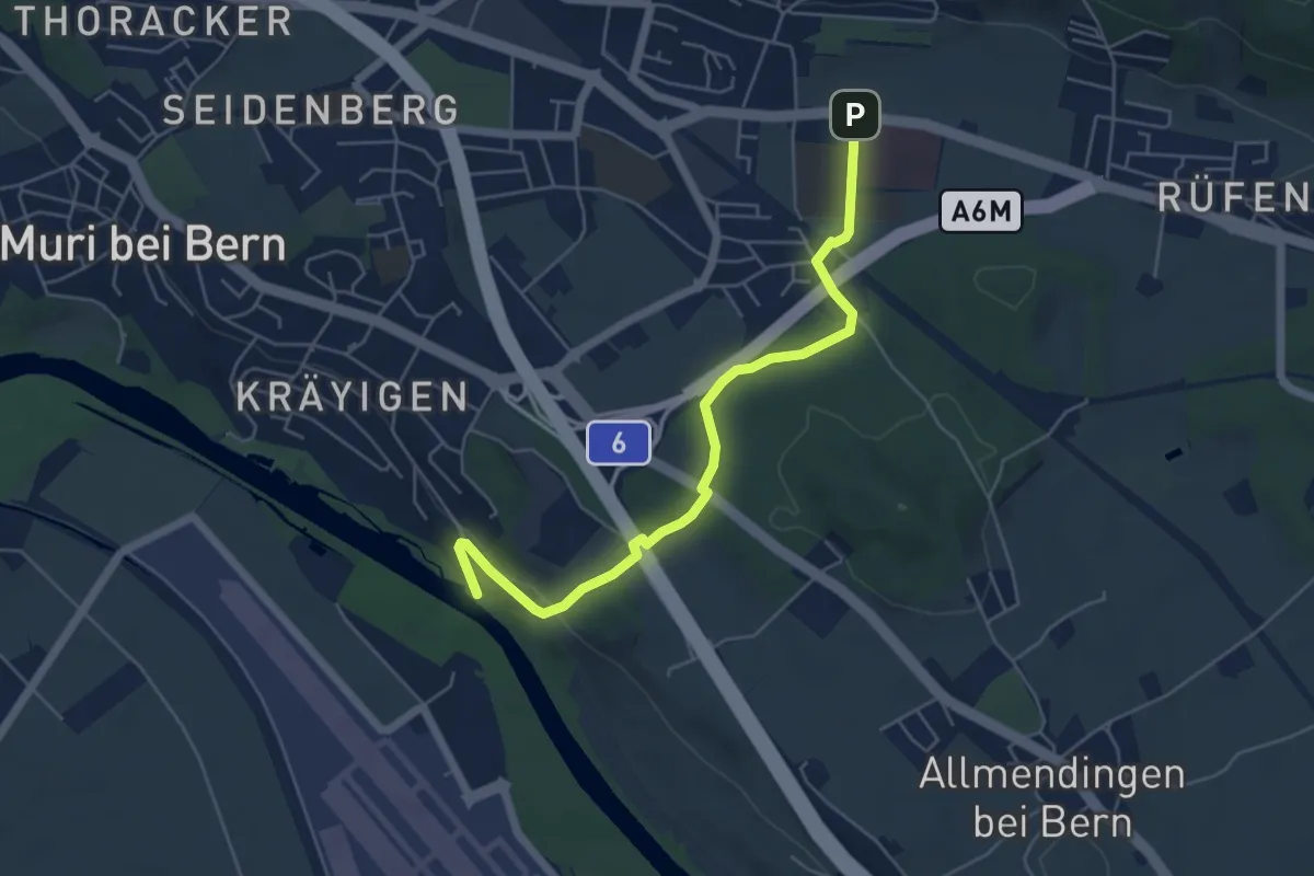
Easy · Trail
Gümligen Siloah – Auguetbrügg
5.5 km · ↑ 100 m · 1 h 31 min · 7 km away
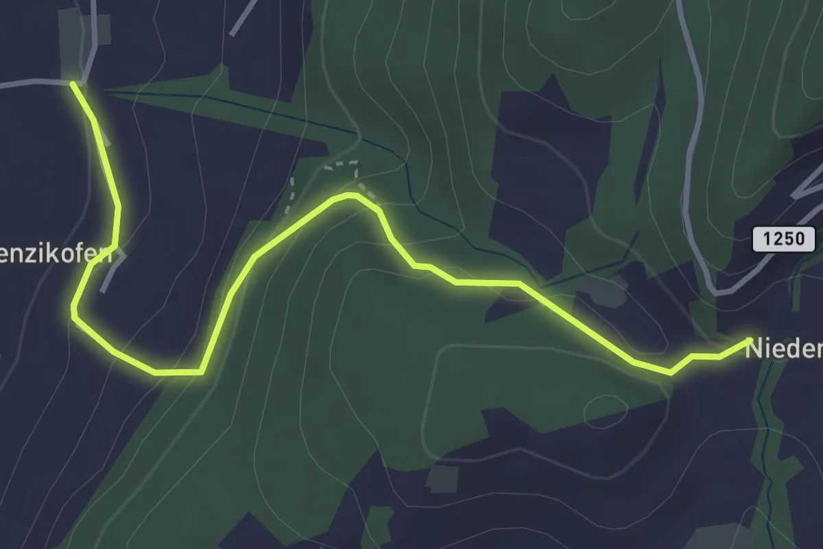
Easy · Trail
Brenzikofen – Niederbleiken
3.8 km · ↑ 209 m · 1 h 21 min · 7 km away
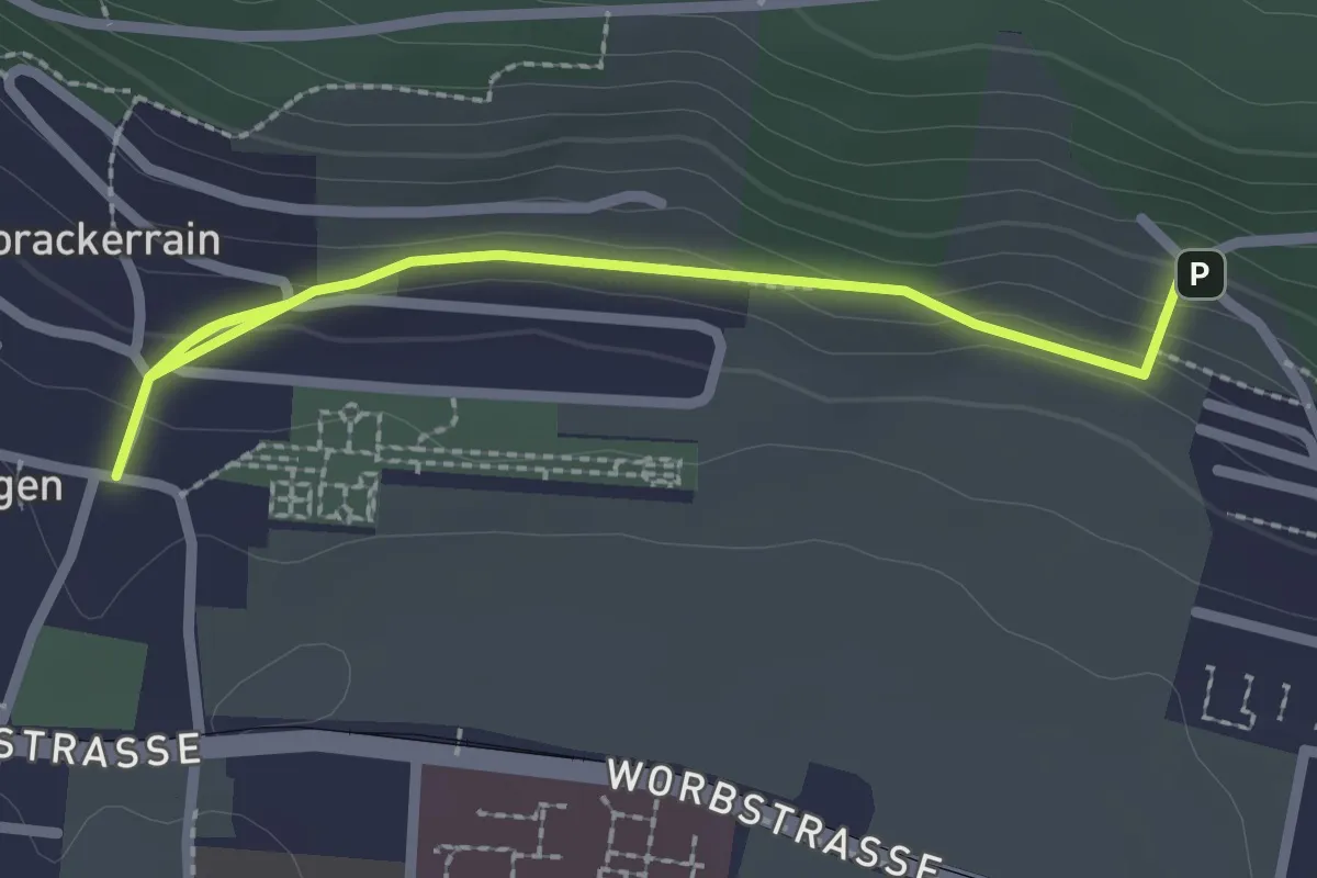
Easy · Trail
Gümligen/Kirche – Scheieholz
2.7 km · ↑ 103 m · 51 min · 8 km away
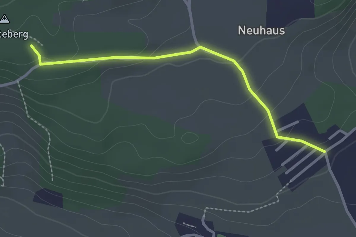
Easy · Trail
Neuhus – Denteberg
2.4 km · ↑ 76 m · 44 min · 8 km away
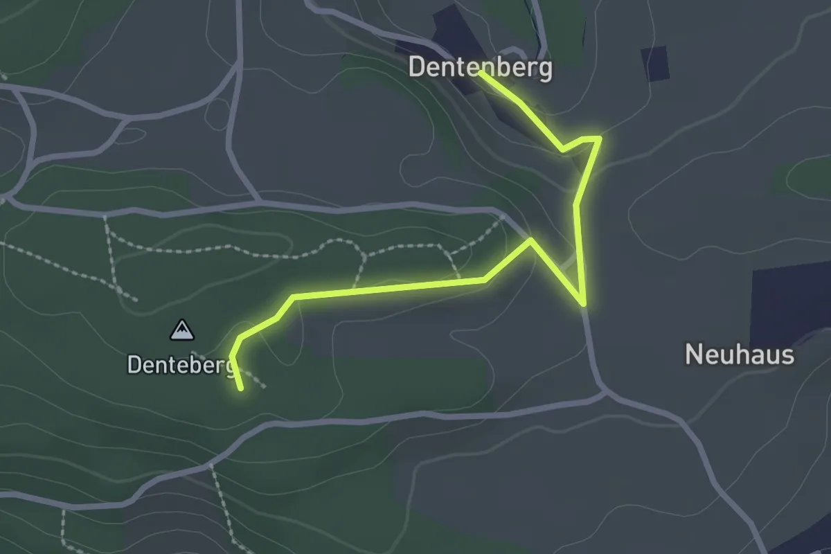
Easy · Trail
Dentenberg – Dentenberg
2.4 km · ↑ 69 m · 43 min · 8 km away
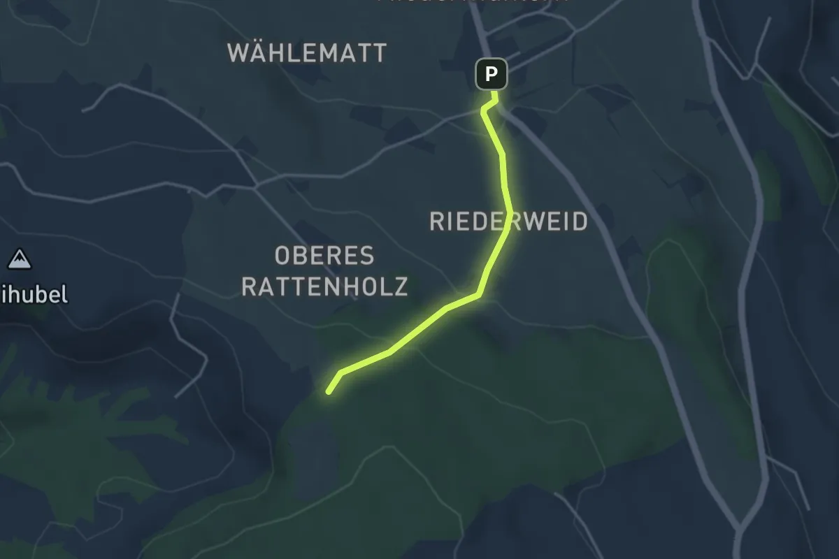
Easy · Trail
Seitenberg – Niedermuhlern
2.8 km · ↑ 141 m · 57 min · 8 km away
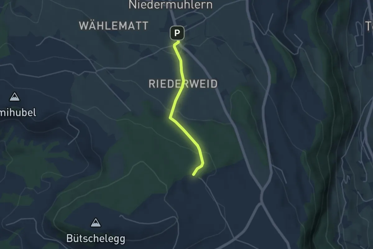
Easy · Trail
Niedermuhlern – Buechweid
3.1 km · ↑ 123 m · 1 h · 8 km away
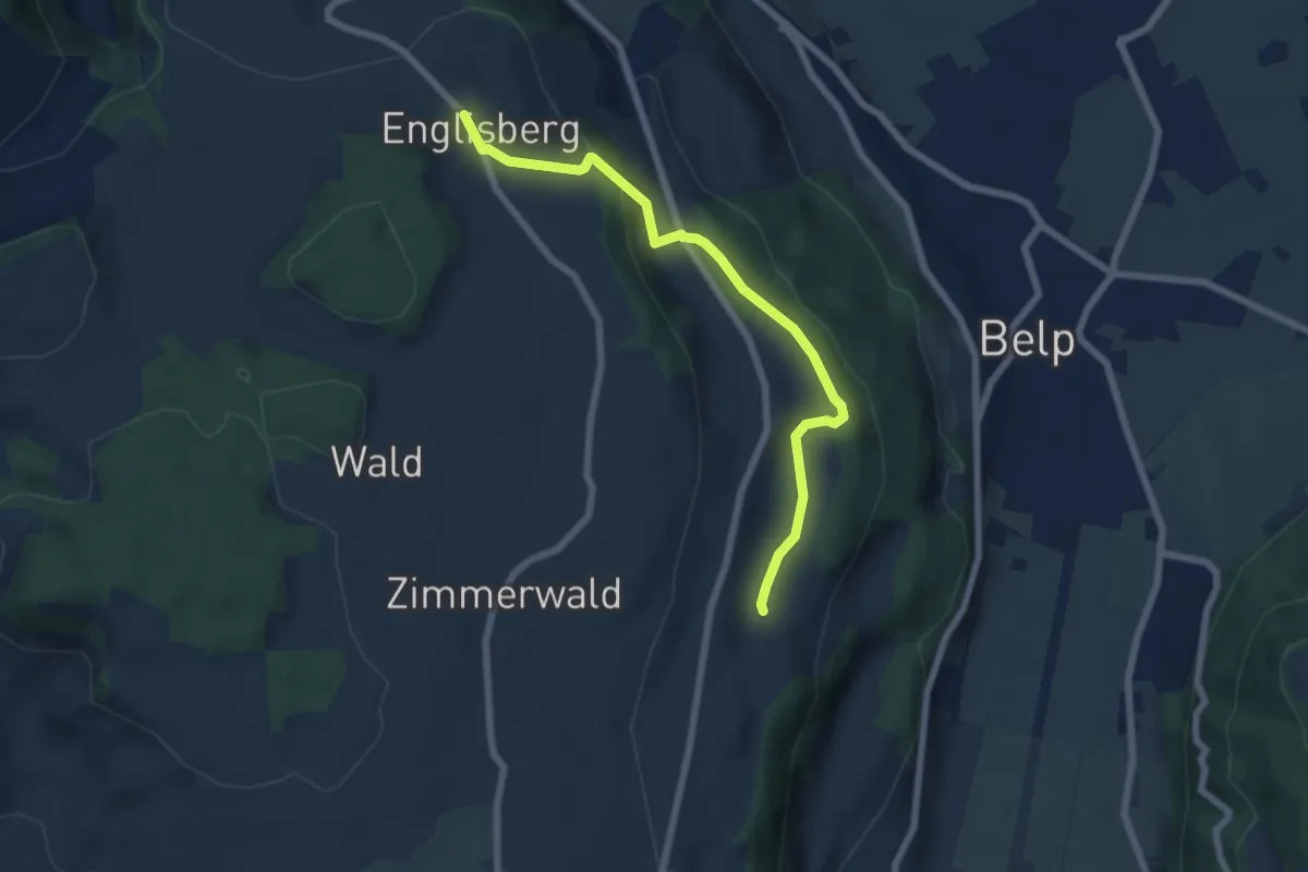
Easy · Trail
Englisberg – Hofmatt
6.5 km · ↑ 186 m · 1 h 56 min · 8 km away
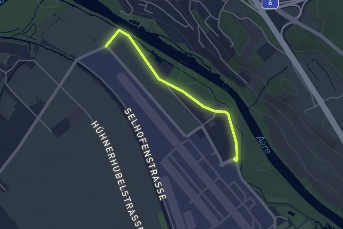
Easy · Trail
Flugplatz Bern Belp - Kehrsatz - fixme
3.2 km · ↑ 5 m · 46 min · 8 km away
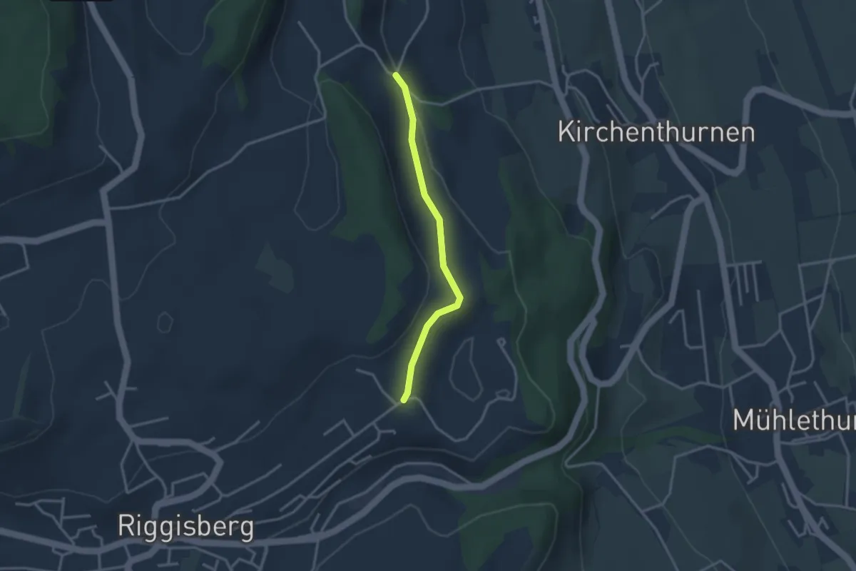
Easy · Trail
Uf der Mur – Eybrunne
2.6 km · ↑ 78 m · 47 min · 8 km away
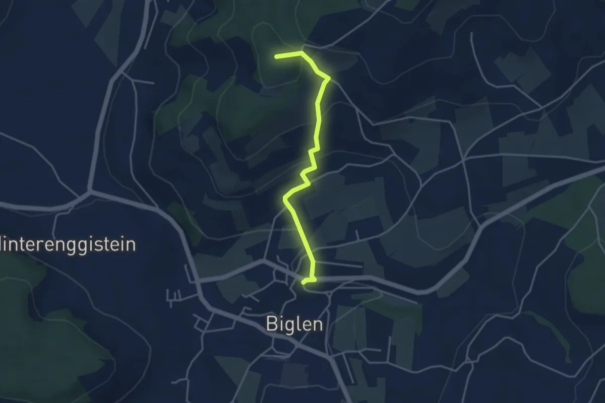
Easy · Summit
Biglen – Adlisberg
3.4 km · ↑ 169 m · 1 h 10 min · 8 km away
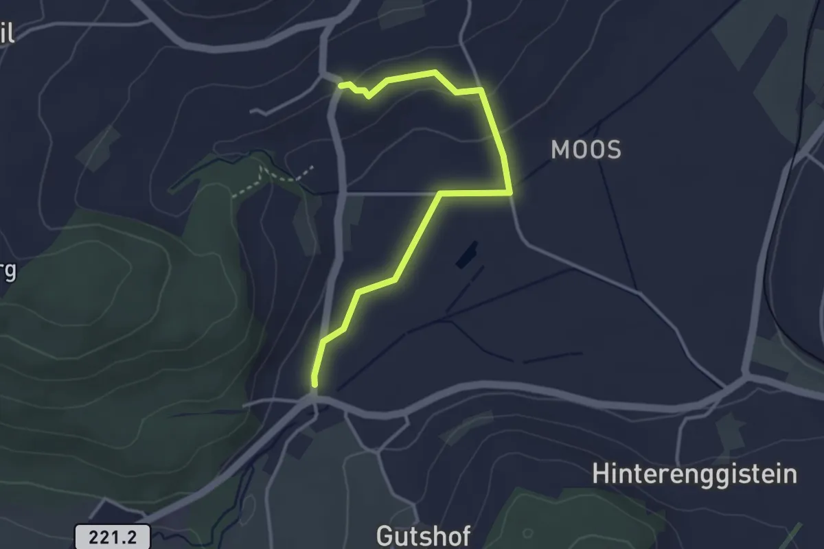
Easy · Trail
Enggistein – Rüttihubelbad
3.4 km · ↑ 62 m · 56 min · 8 km away
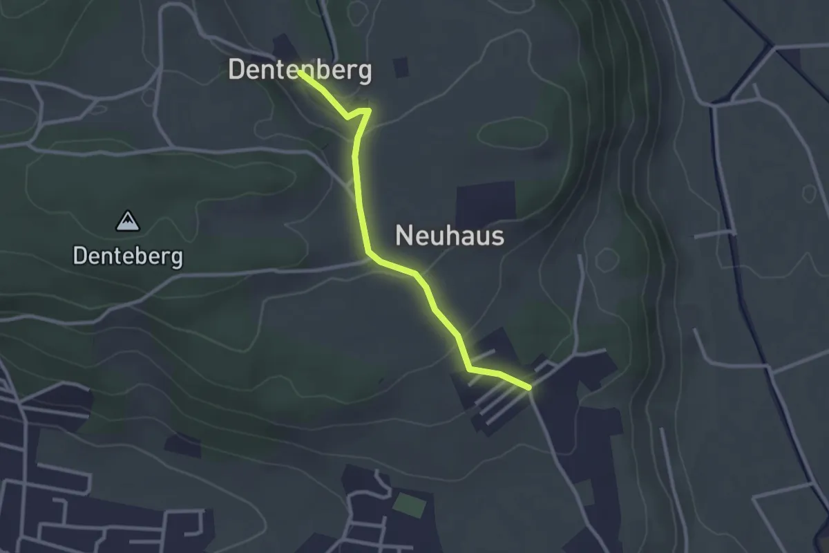
Easy · Trail
Neuhus – Dentenberg
2.4 km · ↑ 80 m · 45 min · 8 km away
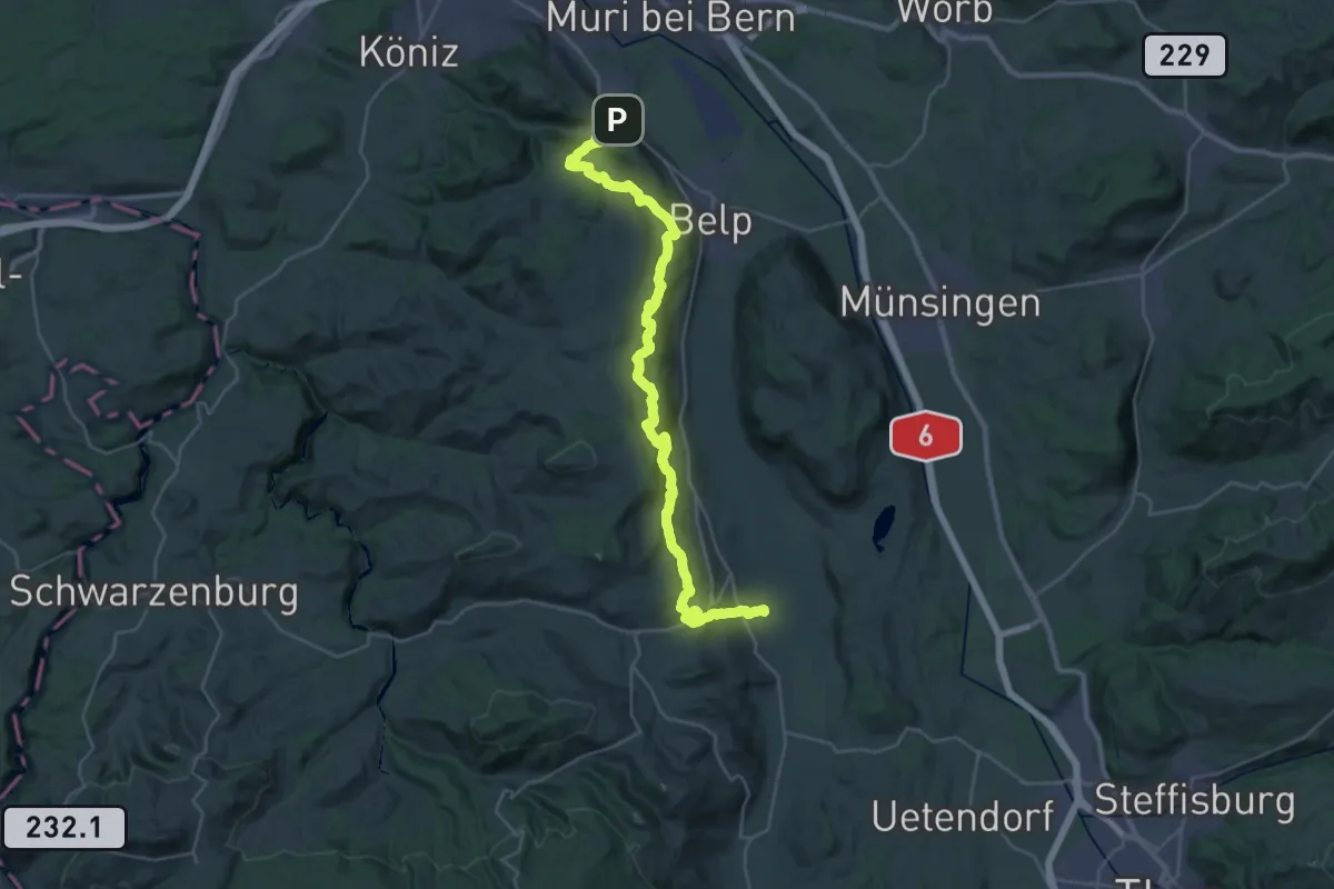
Demanding · Trail
Gürbetaler Höhenweg
18.2 km · ↑ 707 m · 6 h 6 min · 8 km away
Easy · Trail
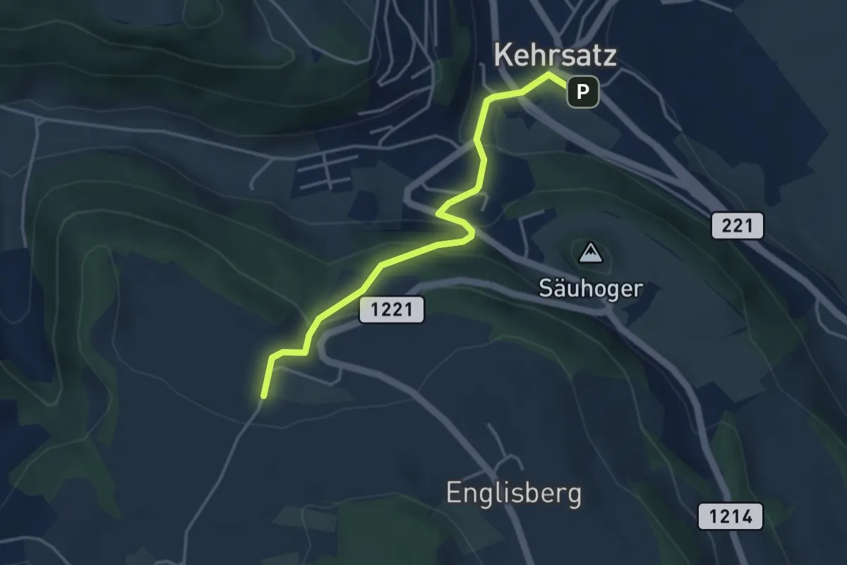
Breitägerte - Wohnheim Kühlewil
3.7 km · ↑ 218 m · 1 h 21 min · 8 km away
Easy · Trail
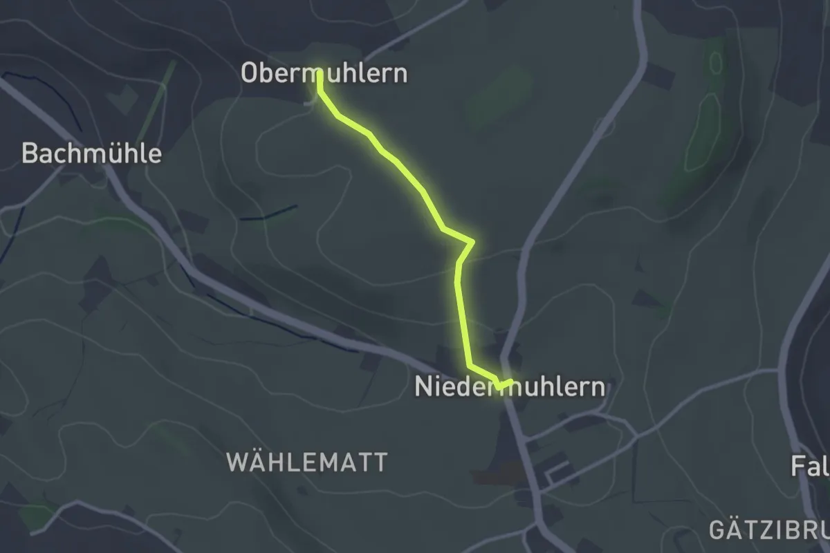
Obermuhlern – Niedermuhlern
2.2 km · ↑ 44 m · 37 min · 8 km away
Easy · Trail
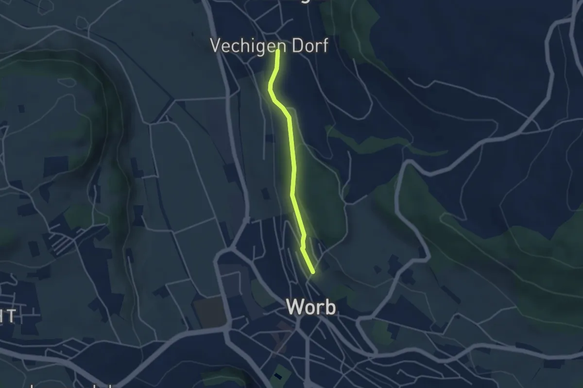
Vechingen - Egghalde
3.0 km · ↑ 77 m · 53 min · 8 km away
Easy · Trail
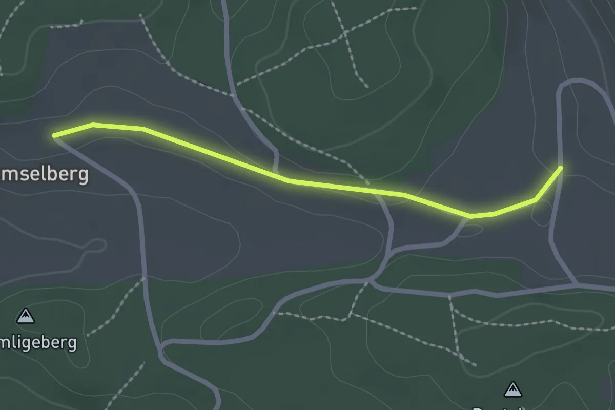
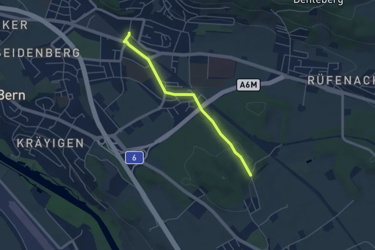
Dentenberg/Käserei – Amsleberg
2.0 km · ↑ 17 m · 31 min · 8 km away
Easy · Trail
Hüenwald – Gümligen
4.0 km · ↑ 36 m · 1 h 2 min · 8 km away
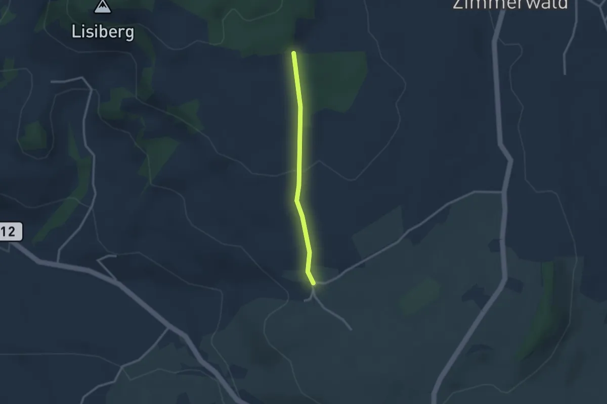
Easy · Trail
Allmid – Obermuhlern
2.1 km · ↑ 62 m · 38 min · 8 km away
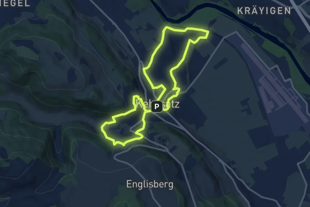
Medium · Trail
Kehrsatzer Rundweg
8.3 km · ↑ 288 m · 2 h 42 min · 8 km away
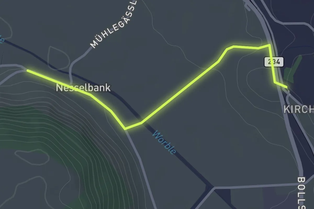
Easy · Trail
Nesselbank - Vechigen Hst.
2.7 km · ↑ 40 m · 43 min · 8 km away
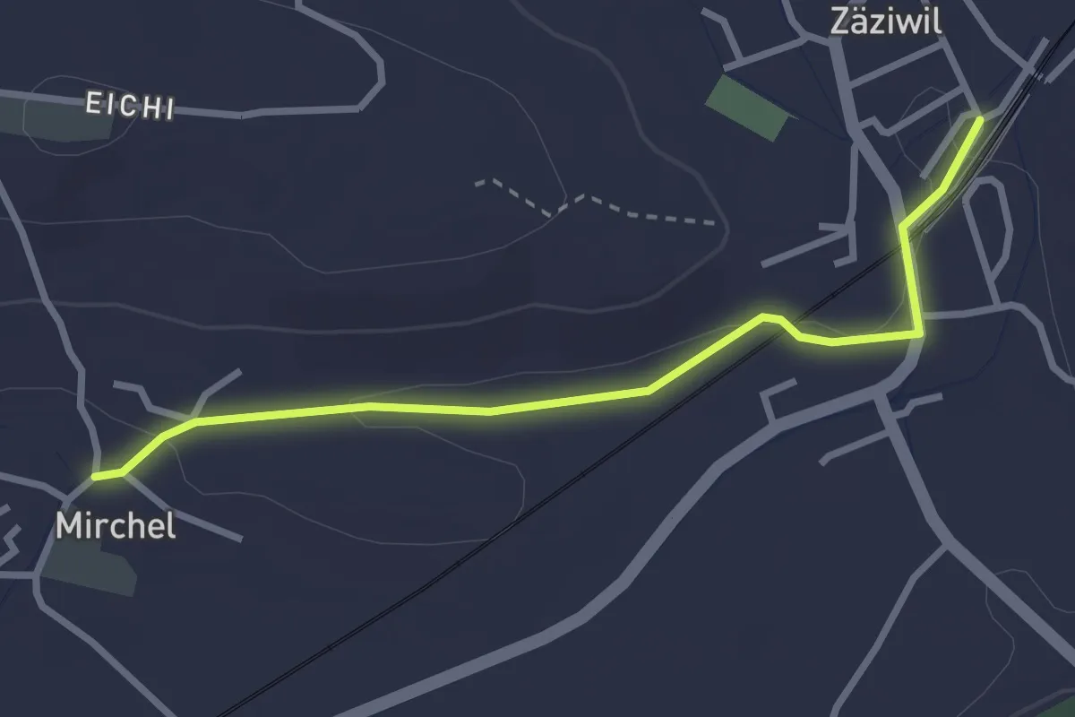
Easy · Trail
Zäziwil – Mirchel
2.9 km · ↑ 14 m · 42 min · 8 km away
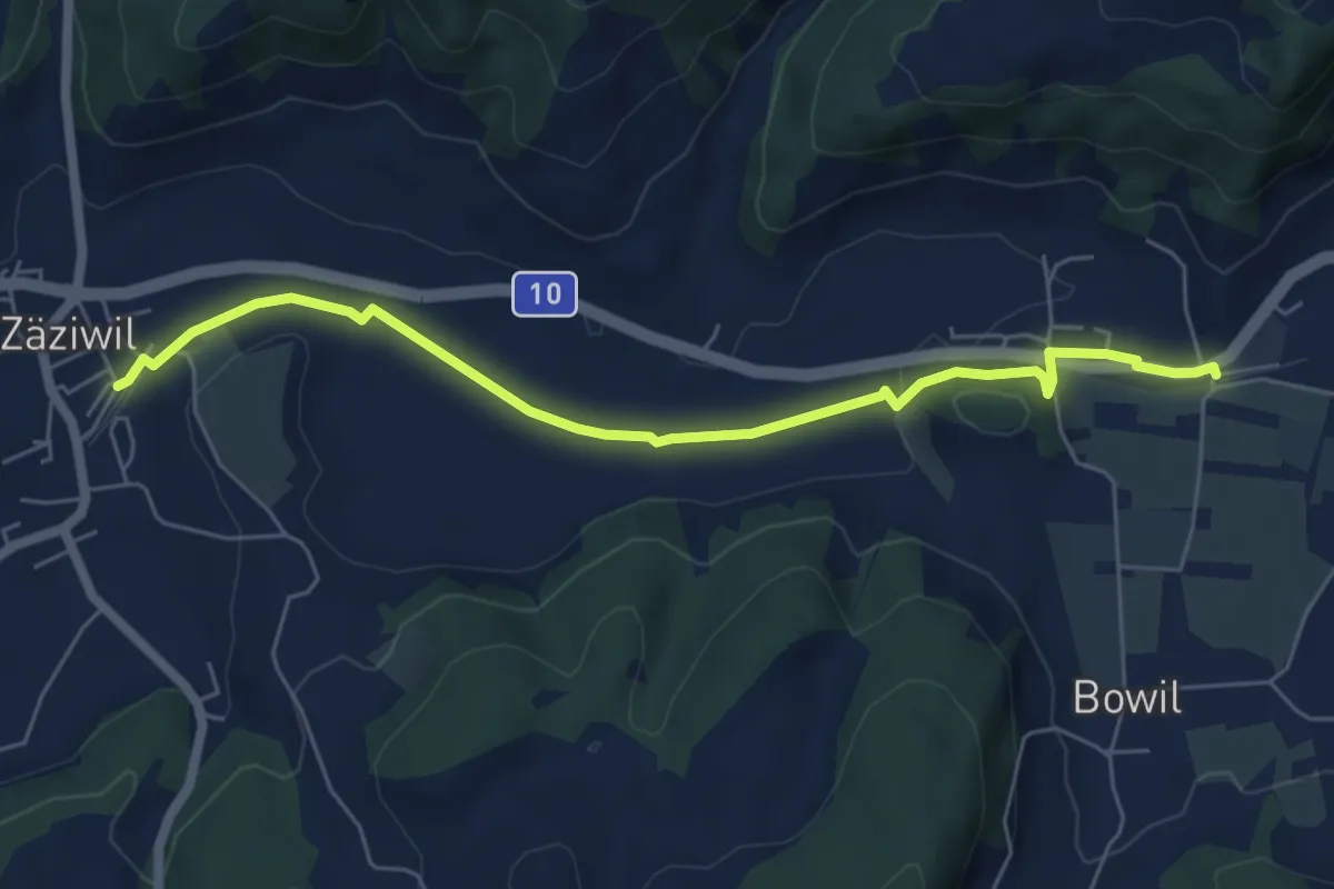
Easy · Trail
Bowil – Zäziwil
6.2 km · ↑ 63 m · 1 h 36 min · 8 km away
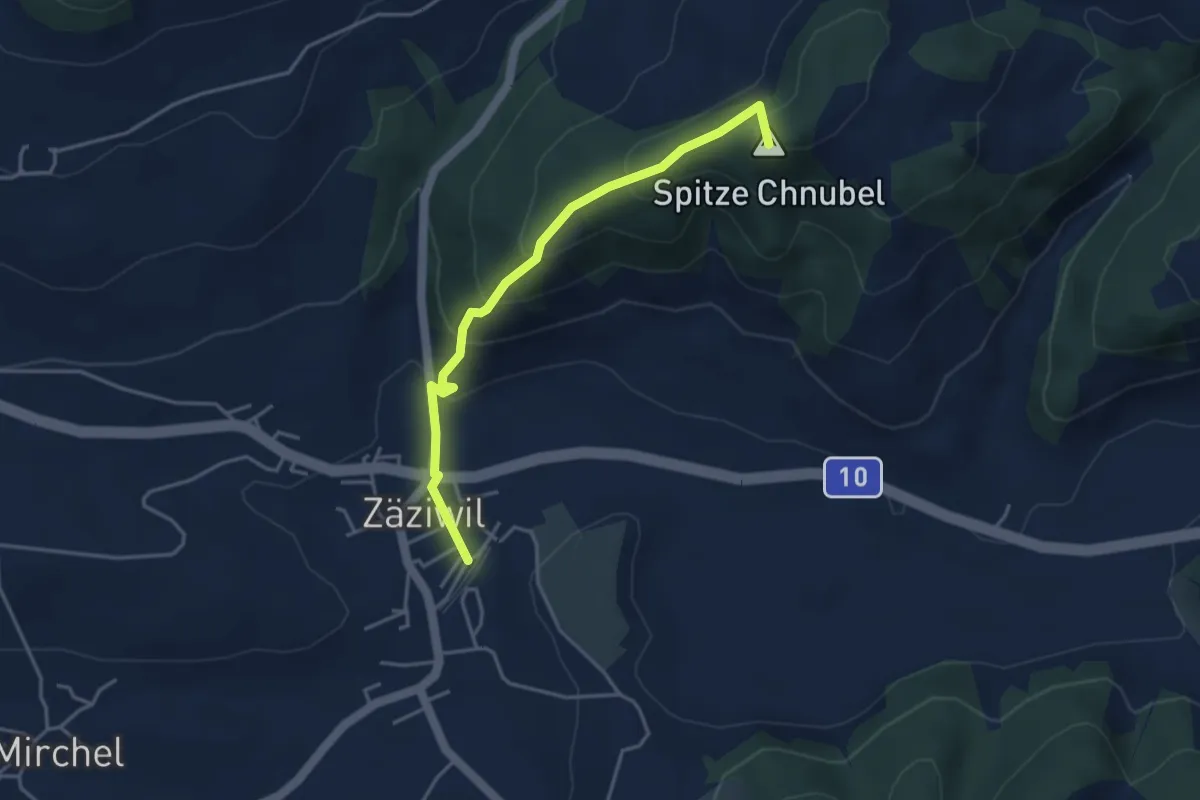
Easy · Summit
Chäneltal – Zäziwil
3.9 km · ↑ 260 m · 1 h 28 min · 8 km away
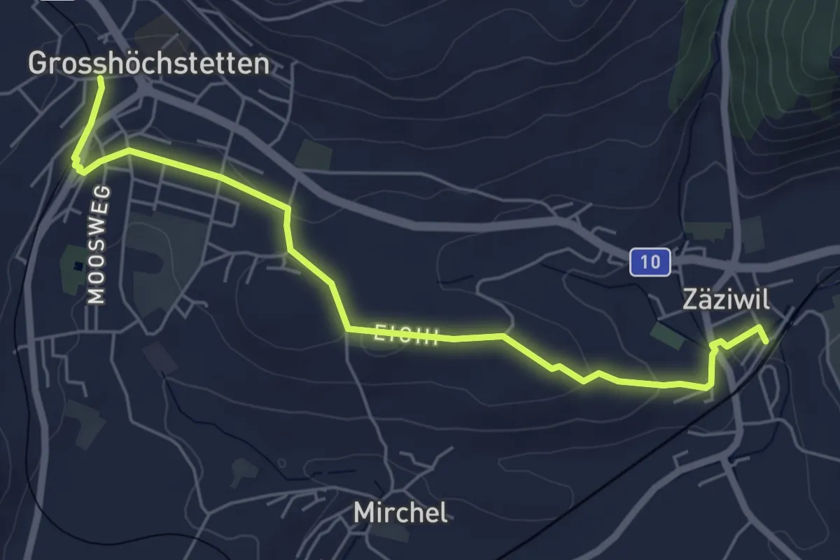
Easy · Trail
Grosshöchstetten – Zäziwil
5.9 km · ↑ 78 m · 1 h 33 min · 8 km away