Trails near Münsingen
449 hikes starting within 15 km, nearest first.
Nearest first, page 4 of 10
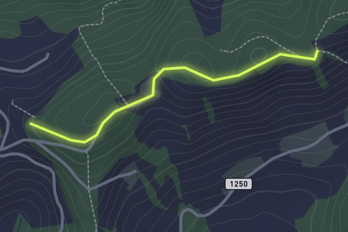
Easy · Trail
Falkeflue – Sattelwald
2.1 km · ↑ 61 m · 38 min · 8 km away
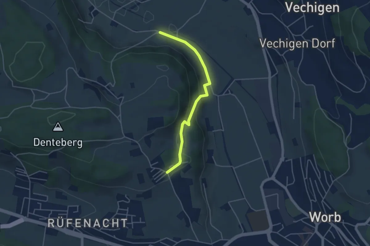
Easy · Trail
Nesselbank - Neuhus
3.8 km · ↑ 126 m · 1 h 10 min · 8 km away
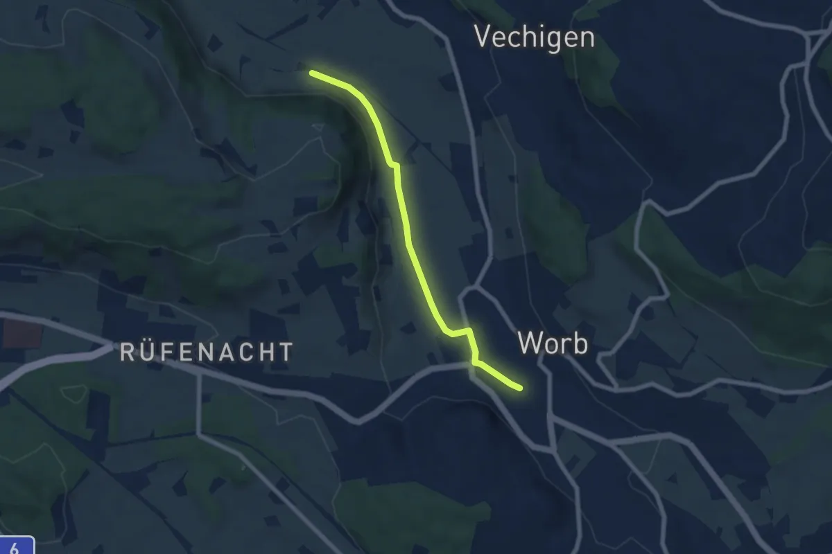
Easy · Trail
Nesselbank - Worb Sternen
5.6 km · ↑ 31 m · 1 h 24 min · 8 km away
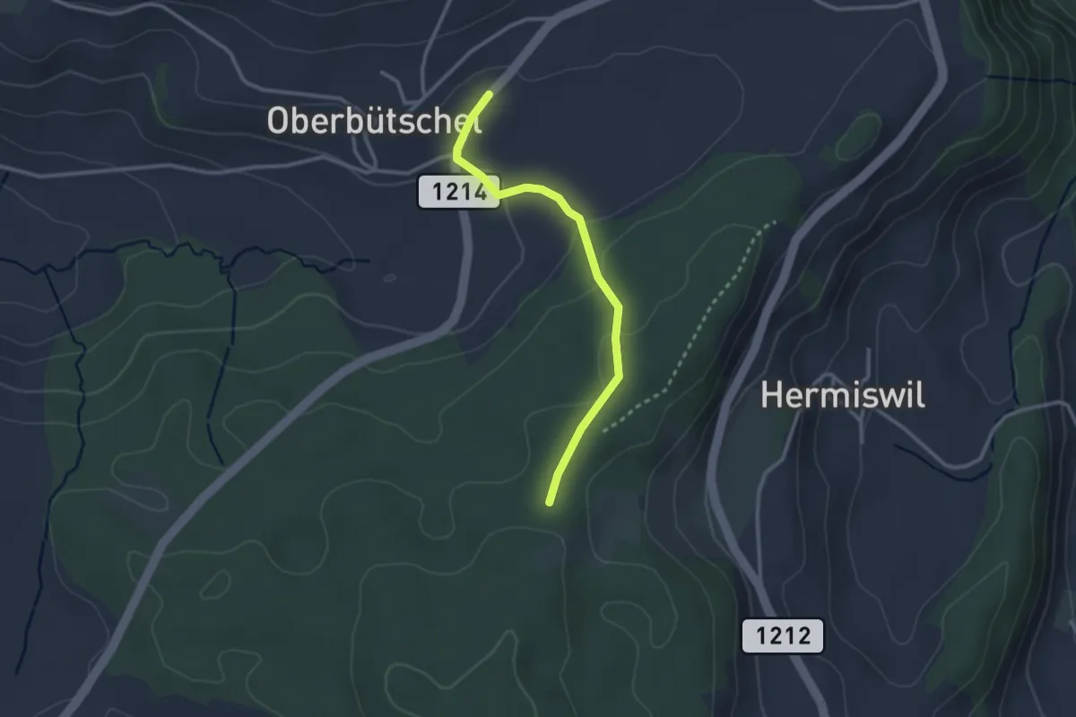
Easy · Trail
Oberbütschel – Taanwald
2.6 km · ↑ 101 m · 50 min · 8 km away
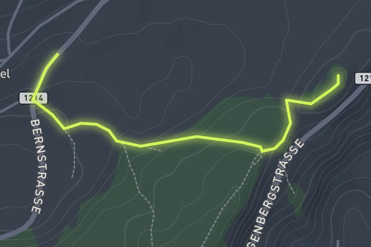
Easy · Summit
Oberbütschel – Tavelgedenkstätte
2.9 km · ↑ 84 m · 52 min · 8 km away
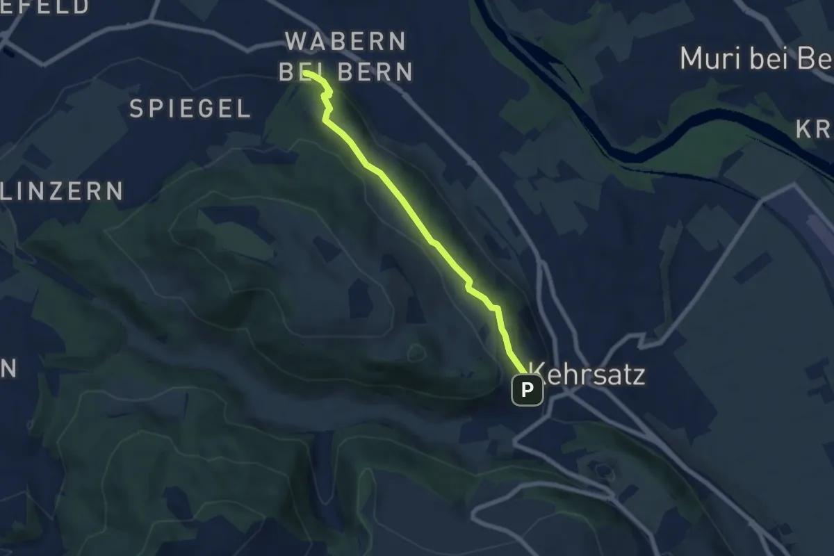
Easy · Trail
Wabern/Gurtenbahn – Breitägerte
5.6 km · ↑ 158 m · 1 h 40 min · 8 km away
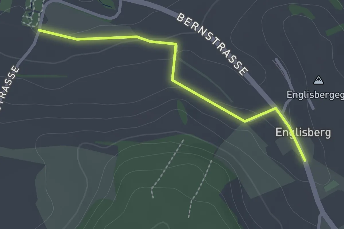
Easy · Trail
Wohnheim Kühlewil - Englisberg
2.1 km · ↑ 42 m · 36 min · 8 km away
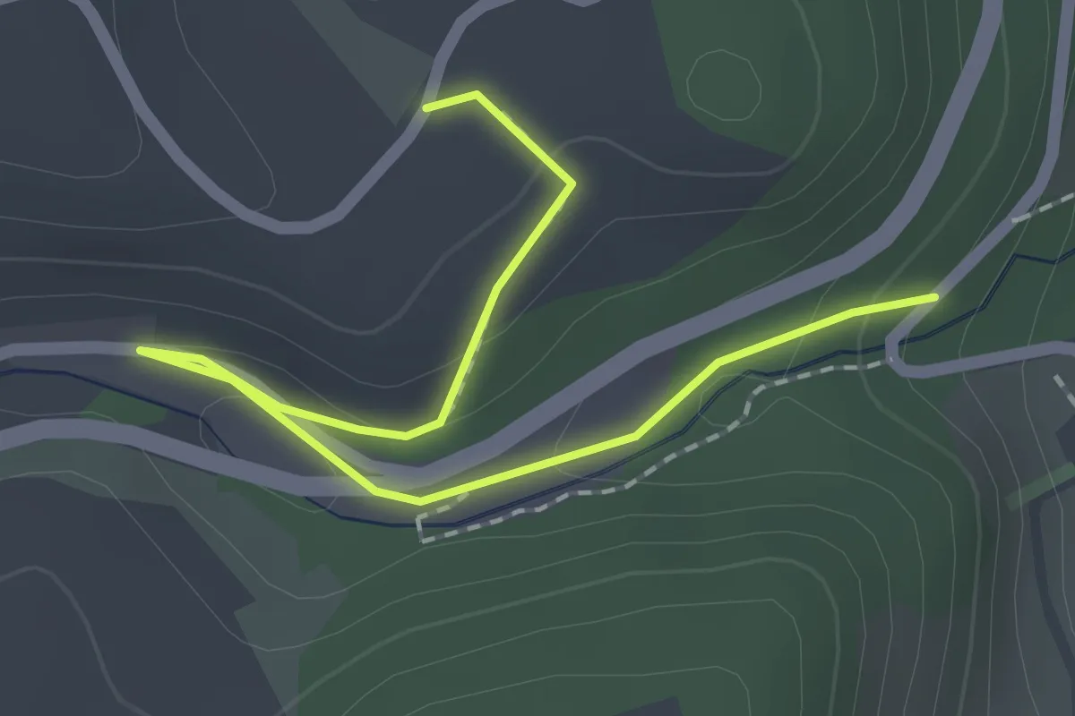
Easy · Trail
Abegg-Stiftung - Mülibach
2.2 km · ↑ 56 m · 38 min · 9 km away
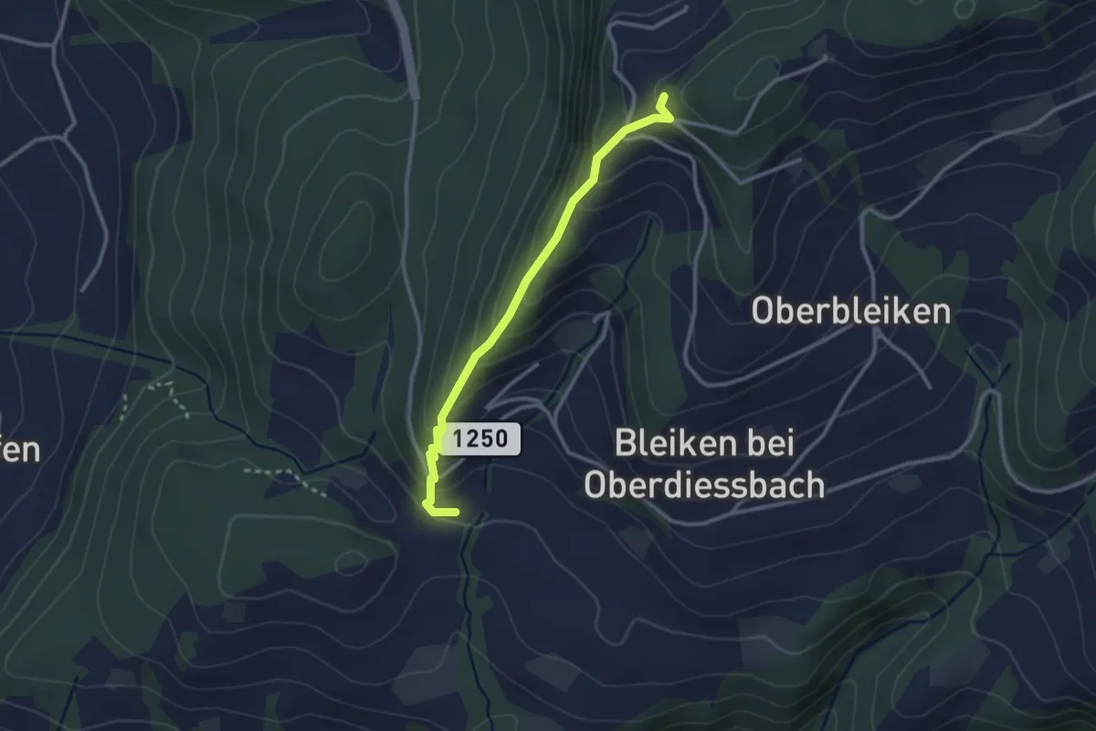
Easy · Trail
Niederbleiken – Falkeflue
2.7 km · ↑ 239 m · 1 h 9 min · 9 km away
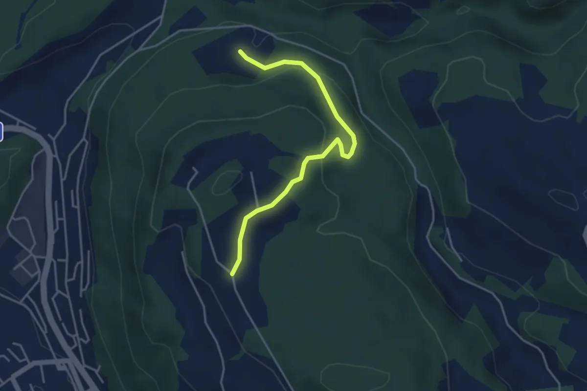
Easy · Trail
Oberi Riedere – Spittelsheimberg
3.6 km · ↑ 136 m · 1 h 8 min · 9 km away
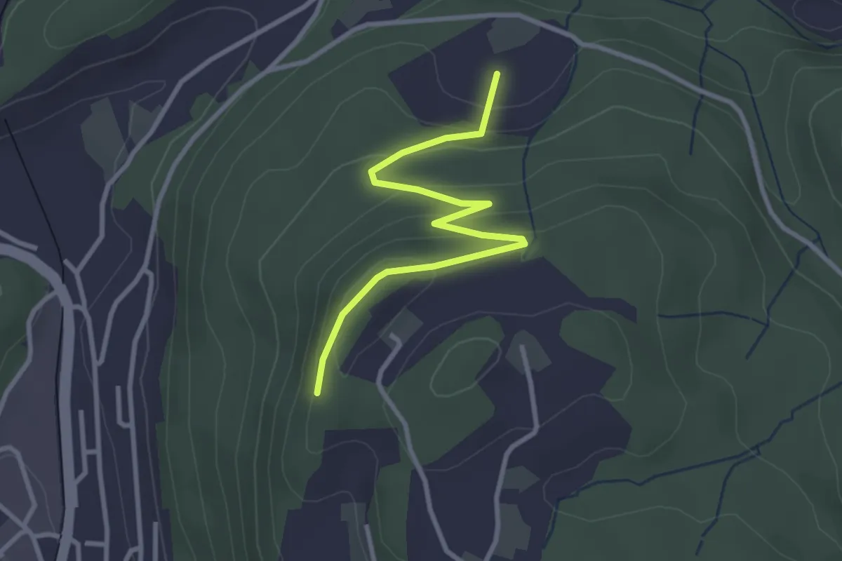
Easy · Trail
Heimbergflue – Spittelsheimberg
3.0 km · ↑ 143 m · 1 h 2 min · 9 km away
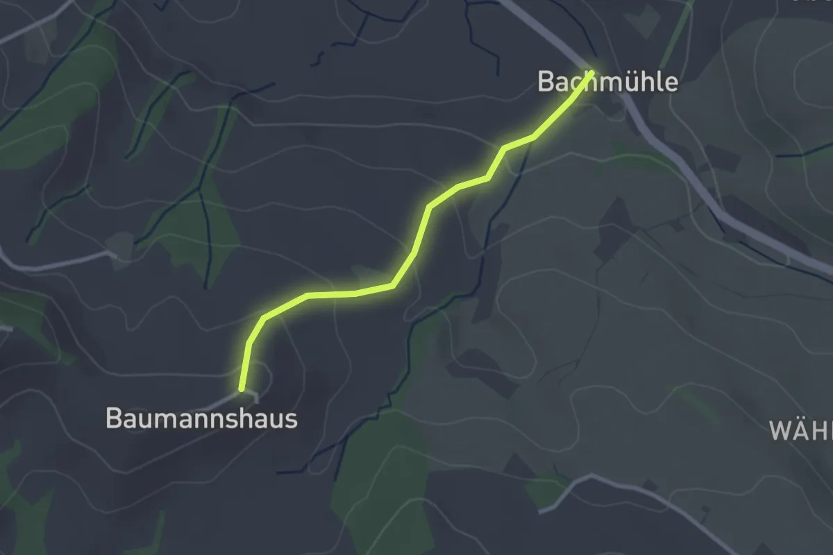
Easy · Trail
Bachmühle - Bumishus
2.4 km · ↑ 124 m · 51 min · 9 km away
Easy · Trail
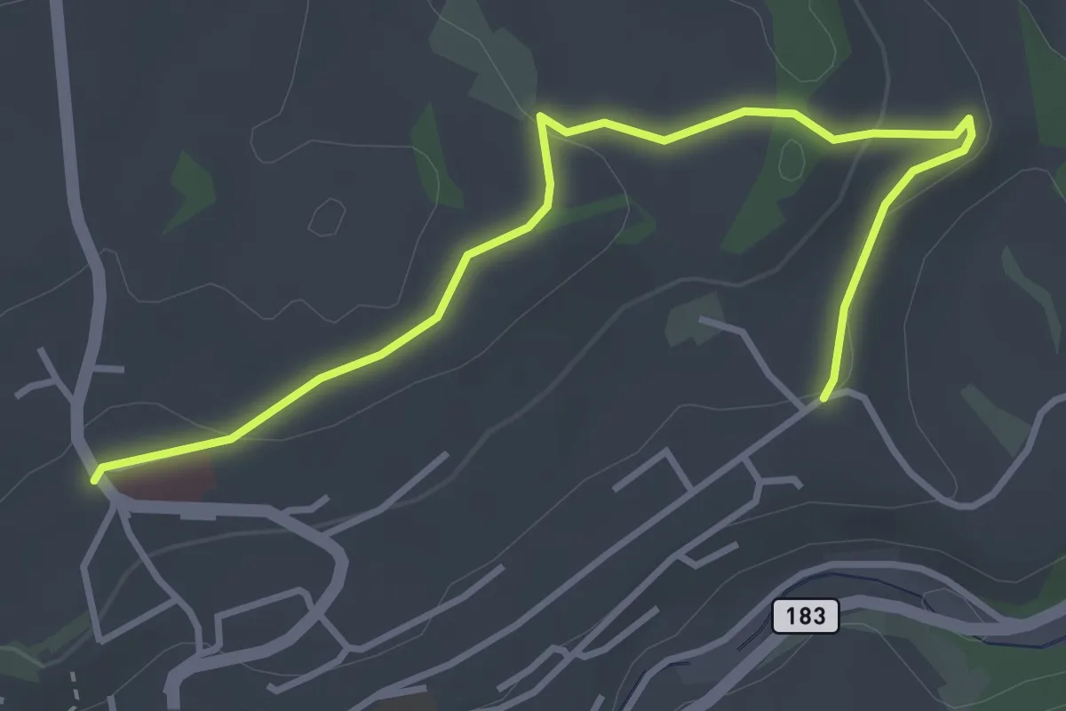
Riggisberg / Staudengasse – Eybrunnen
3.9 km · ↑ 112 m · 1 h 10 min · 9 km away
Easy · Trail
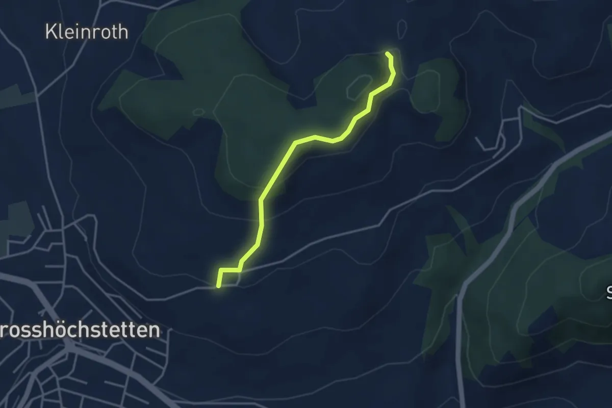
Möschberg – Büel
3.0 km · ↑ 156 m · 1 h 3 min · 9 km away
Easy · Trail
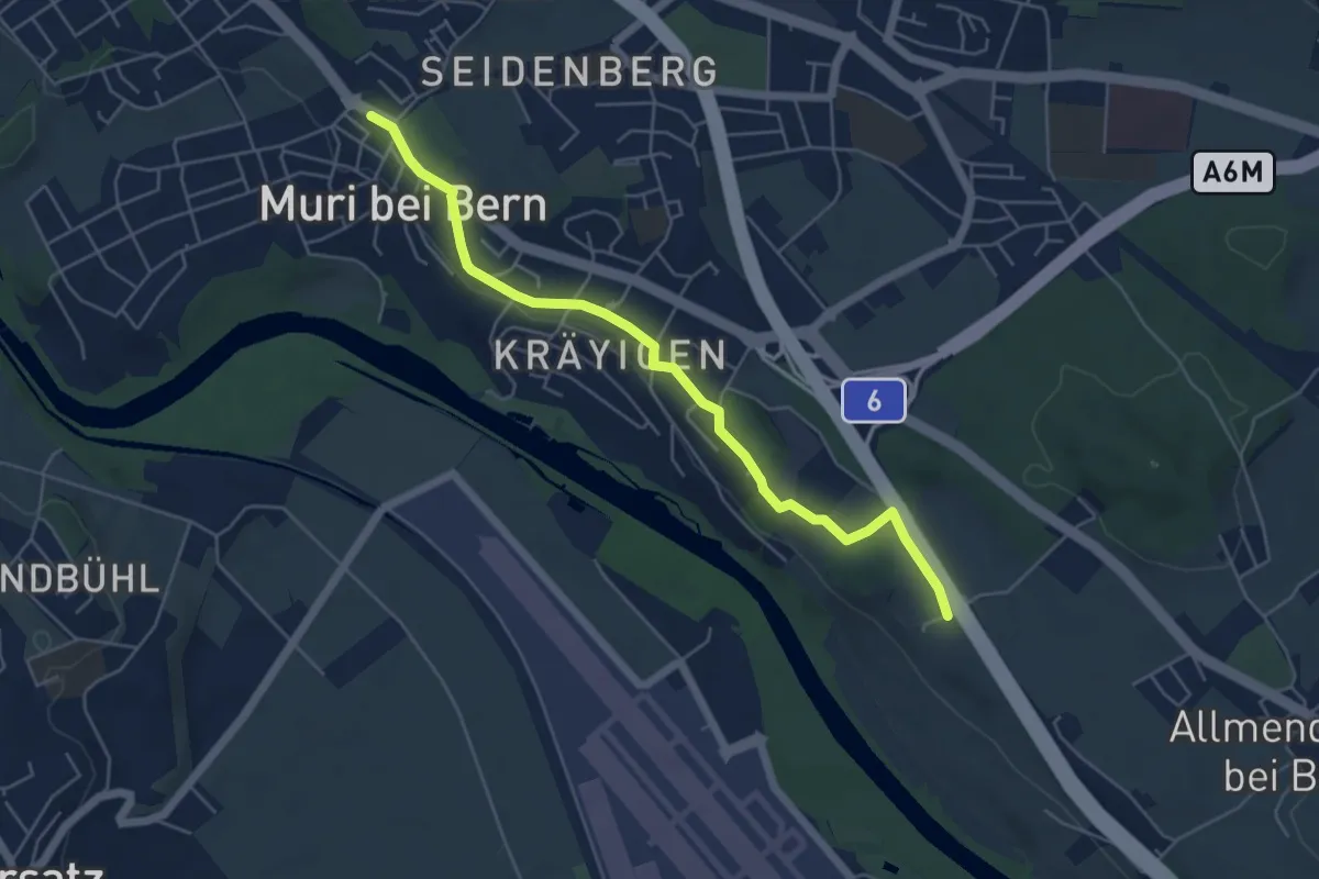
Muri – Vorder Märchligen
5.4 km · ↑ 49 m · 1 h 24 min · 9 km away
Easy · Trail
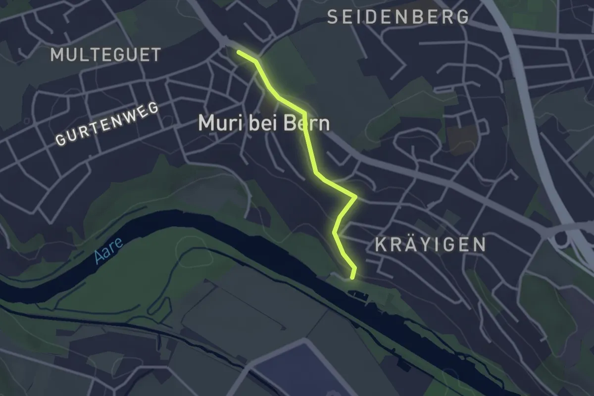
Muribad - Muri
2.3 km · ↑ 43 m · 38 min · 9 km away
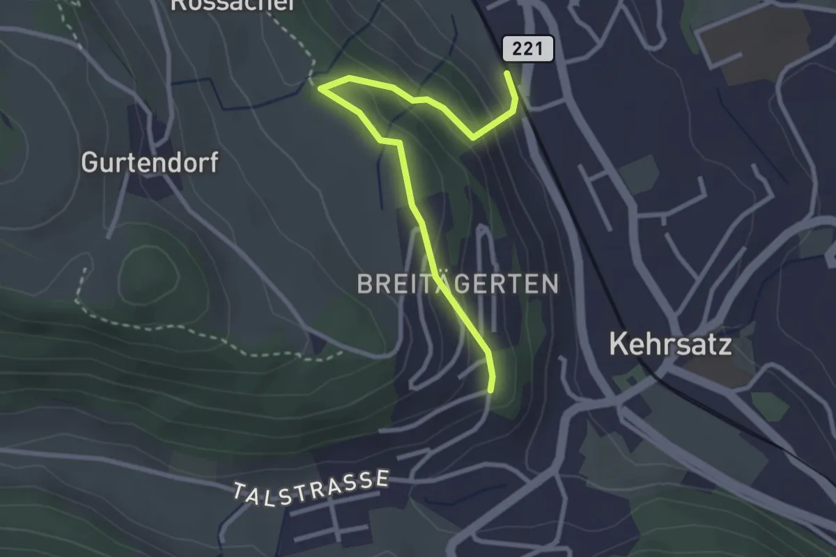
Easy · Trail
Kehrsatz Nord - Breitägerte
2.7 km · ↑ 167 m · 1 h 1 min · 9 km away
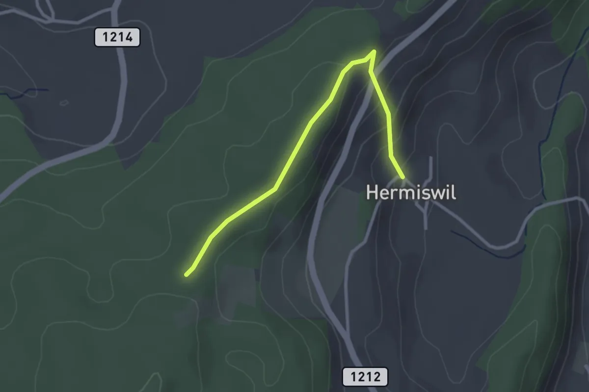
Easy · Trail
Hermiswil – Taanwald
2.7 km · ↑ 112 m · 53 min · 9 km away
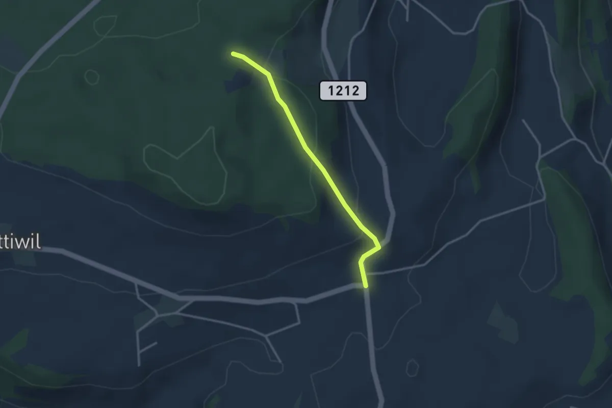
Easy · Trail
Taanwald – Hasli
2.6 km · ↑ 117 m · 52 min · 9 km away
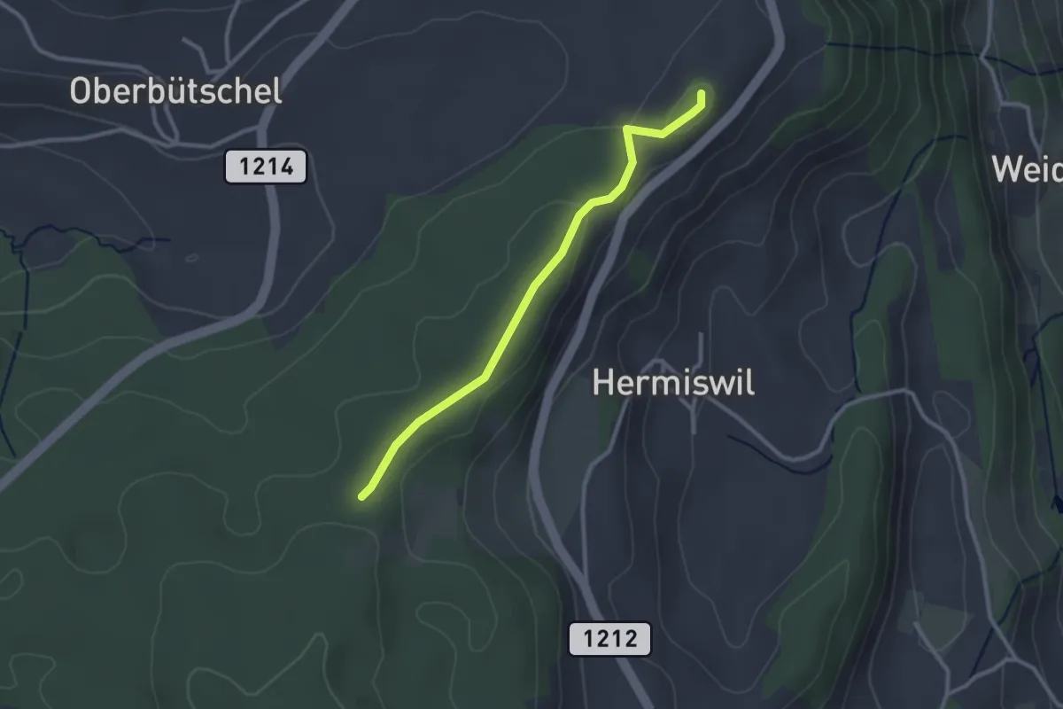
Easy · Summit
Tavelgedenkstätte – Taanwald
2.6 km · ↑ 53 m · 44 min · 9 km away
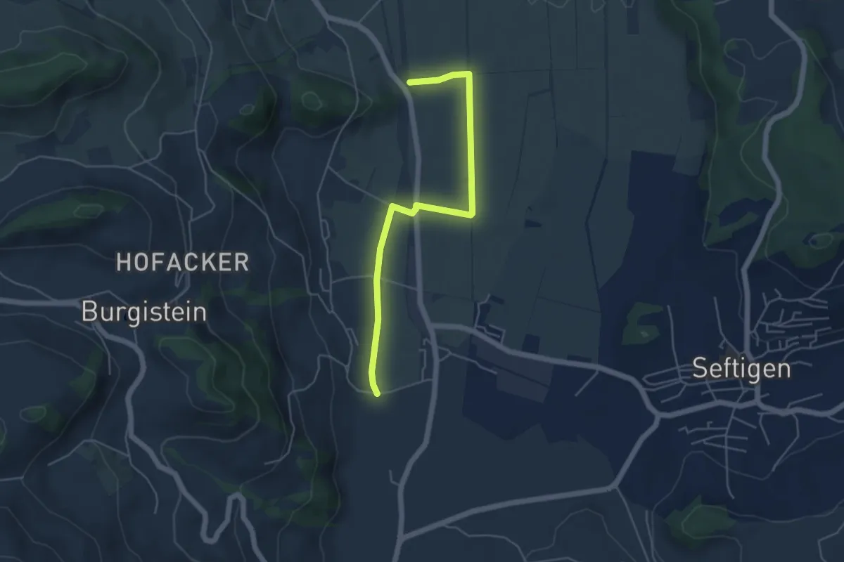
Easy · Trail
Lohnstorfbrügg - Neuhus
4.8 km · ↑ 17 m · 1 h 10 min · 9 km away
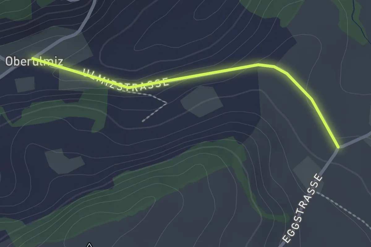
Easy · Trail
Oberulmiz – Kühlewil/Gütsch
2.0 km · ↑ 29 m · 32 min · 9 km away
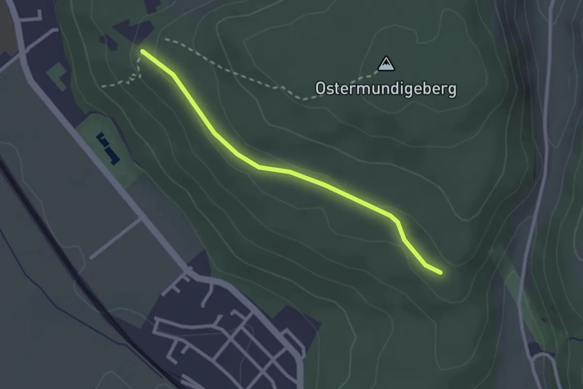
Easy · Trail
Harnischberg – Steinbrüche
2.2 km · ↑ 46 m · 38 min · 9 km away
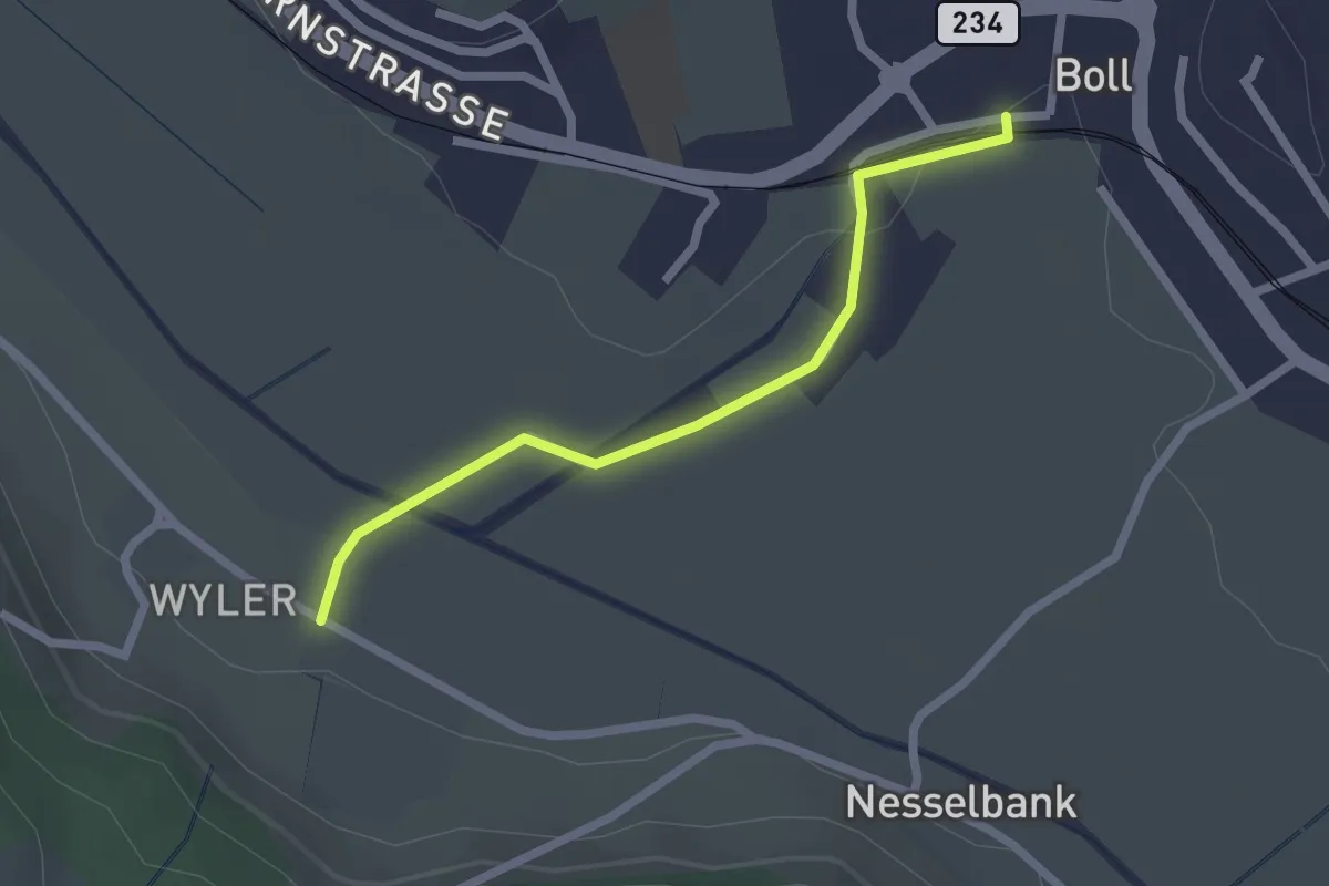
Easy · Trail
Boll - Wiler
2.1 km · ↑ 8 m · 31 min · 9 km away
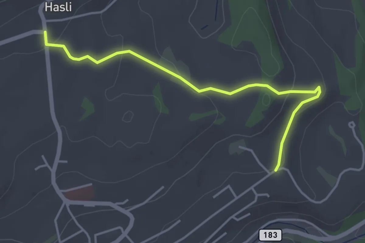
Easy · Trail
Hasli – Eybrunnen
3.8 km · ↑ 115 m · 1 h 9 min · 9 km away
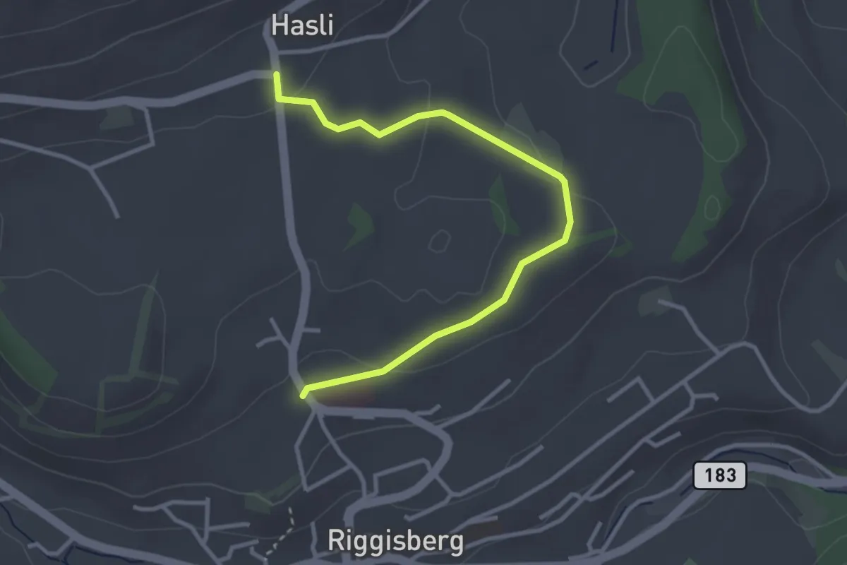
Easy · Trail
Riggisberg / Staudengasse – Hasli
3.4 km · ↑ 103 m · 1 h 1 min · 9 km away
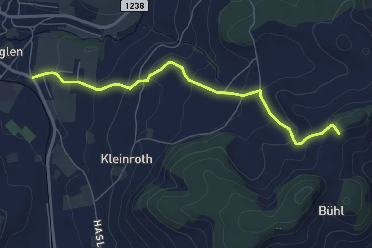
Easy · Trail
Chrutberg – Biglen
5.2 km · ↑ 200 m · 1 h 40 min · 9 km away
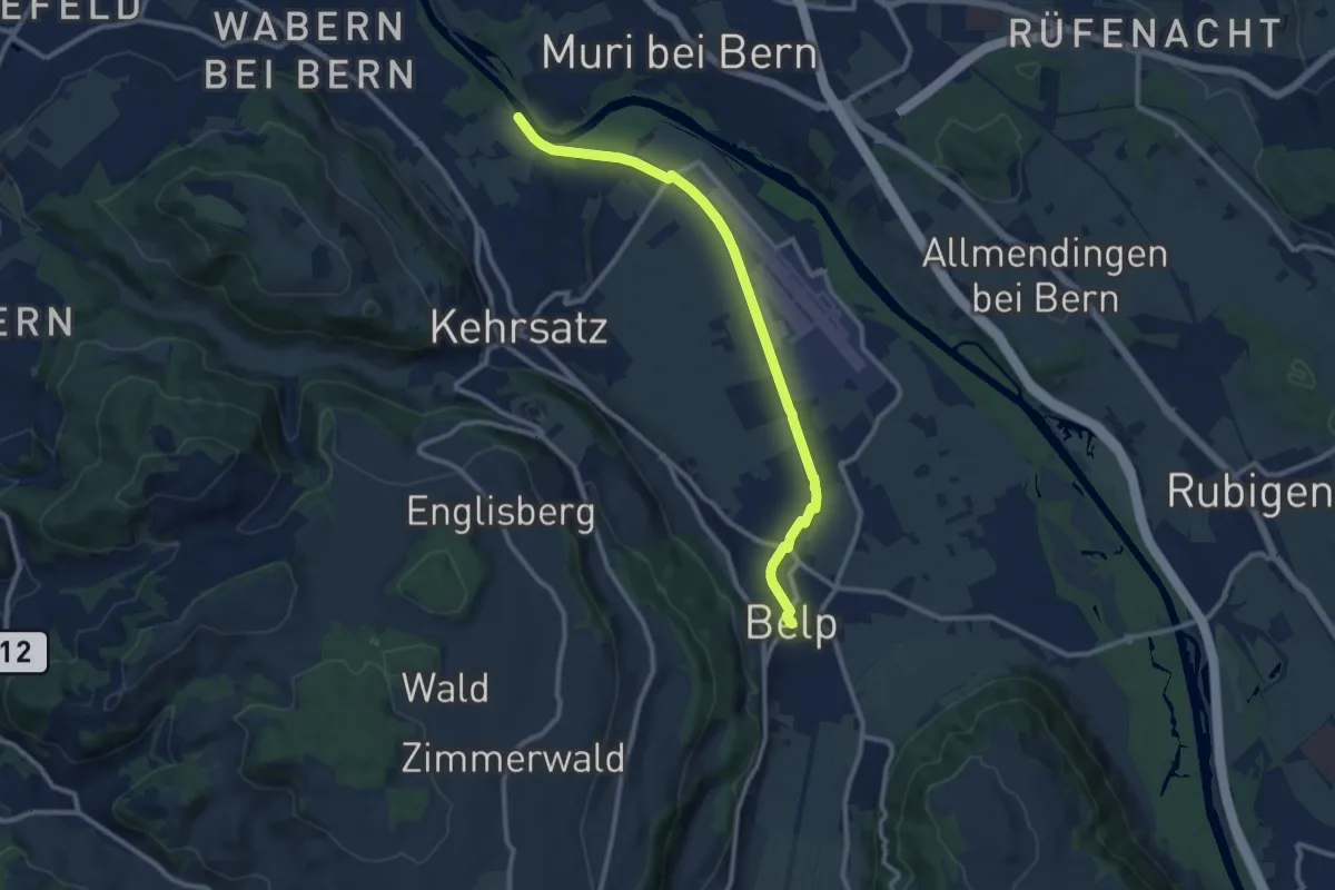
Medium · Trail
Bodenacherfähre - Belp
10.6 km · ↑ 22 m · 2 h 33 min · 9 km away
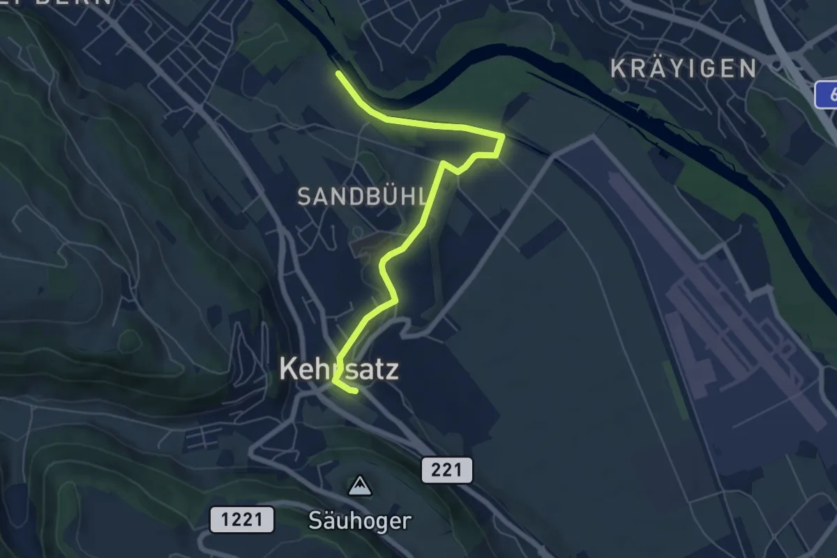
Easy · Trail
Bodenacherfähre - Kehrsatz
6.1 km · ↑ 89 m · 1 h 37 min · 9 km away
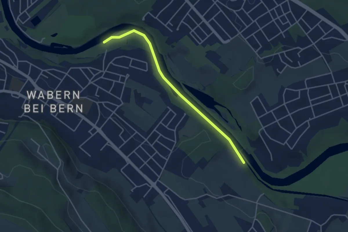
Easy · Trail
Bodenacherfähre - Eicholz
3.5 km · ↑ 25 m · 53 min · 9 km away
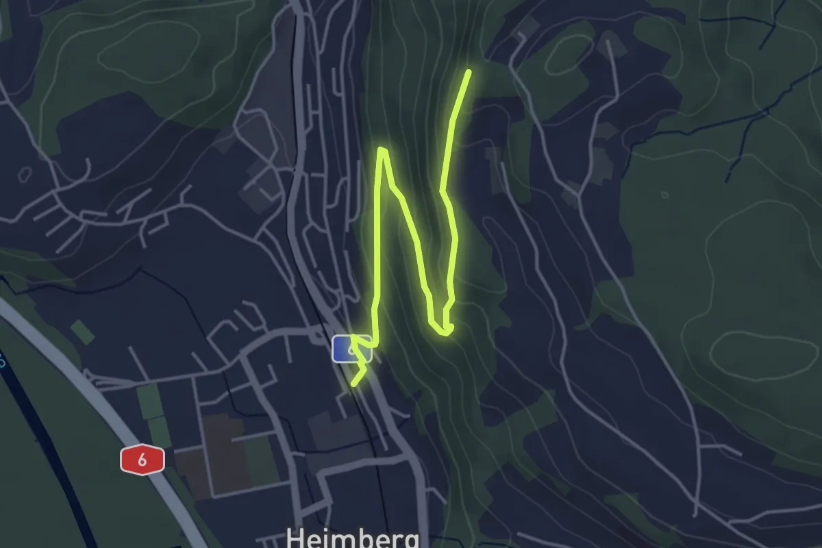
Easy · Trail
Heimberg – Heimbergflue
4.5 km · ↑ 224 m · 1 h 33 min · 9 km away
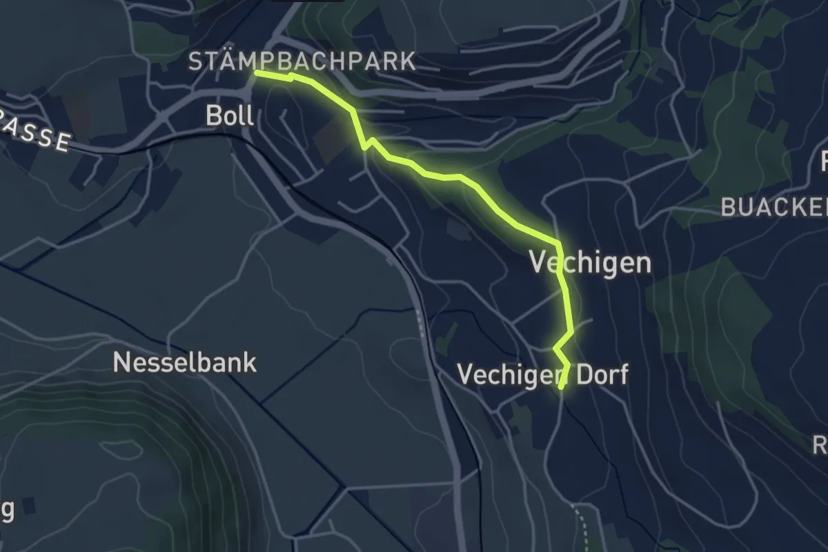
Easy · Trail
Boll – Vechigen
3.4 km · ↑ 74 m · 57 min · 9 km away
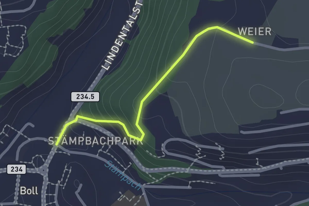
Easy · Trail
Boll - Weier
2.0 km · ↑ 113 m · 43 min · 9 km away
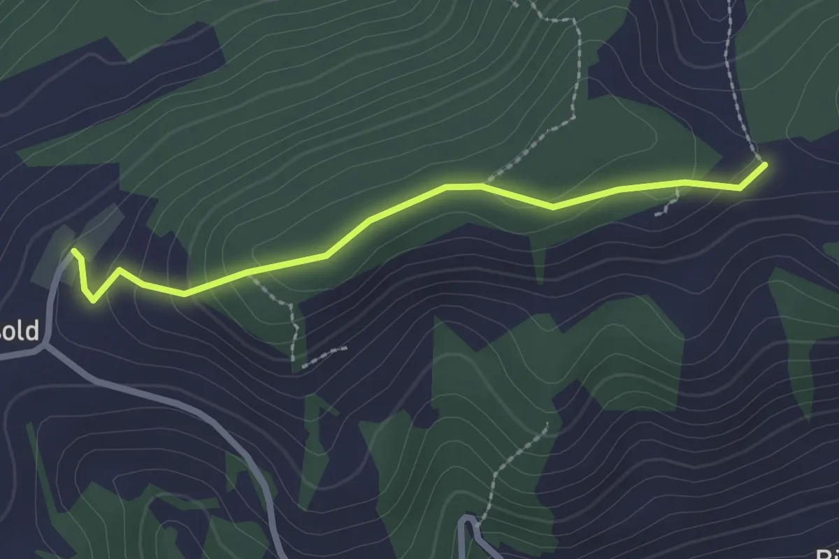
Easy · Trail
Äbersold – Ringgis
2.2 km · ↑ 109 m · 45 min · 9 km away
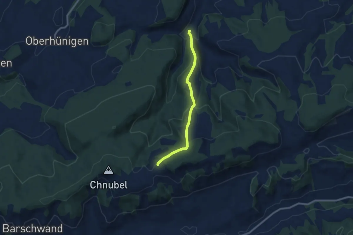
Medium · Trail
Äbersold – Längeney
5.7 km · ↑ 321 m · 2 h 3 min · 9 km away
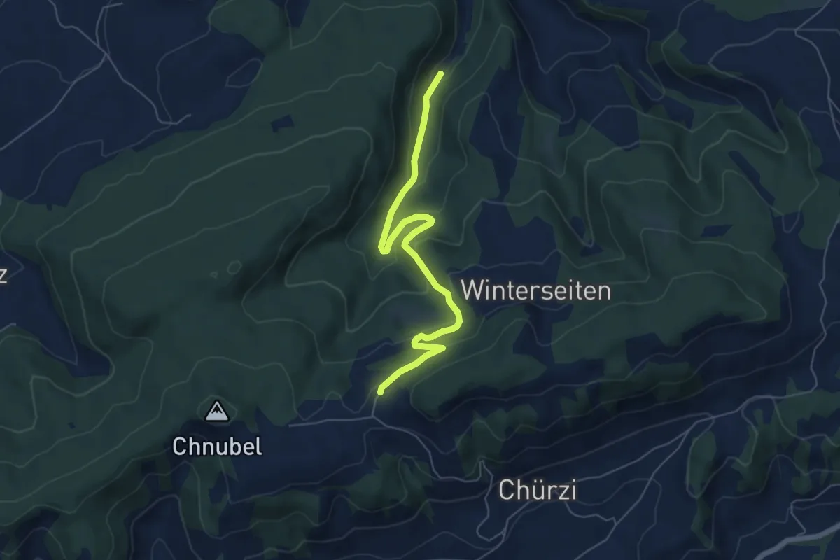
Easy · Trail
Äbersold – Wildeneybad
6.0 km · ↑ 279 m · 2 h 2 min · 9 km away
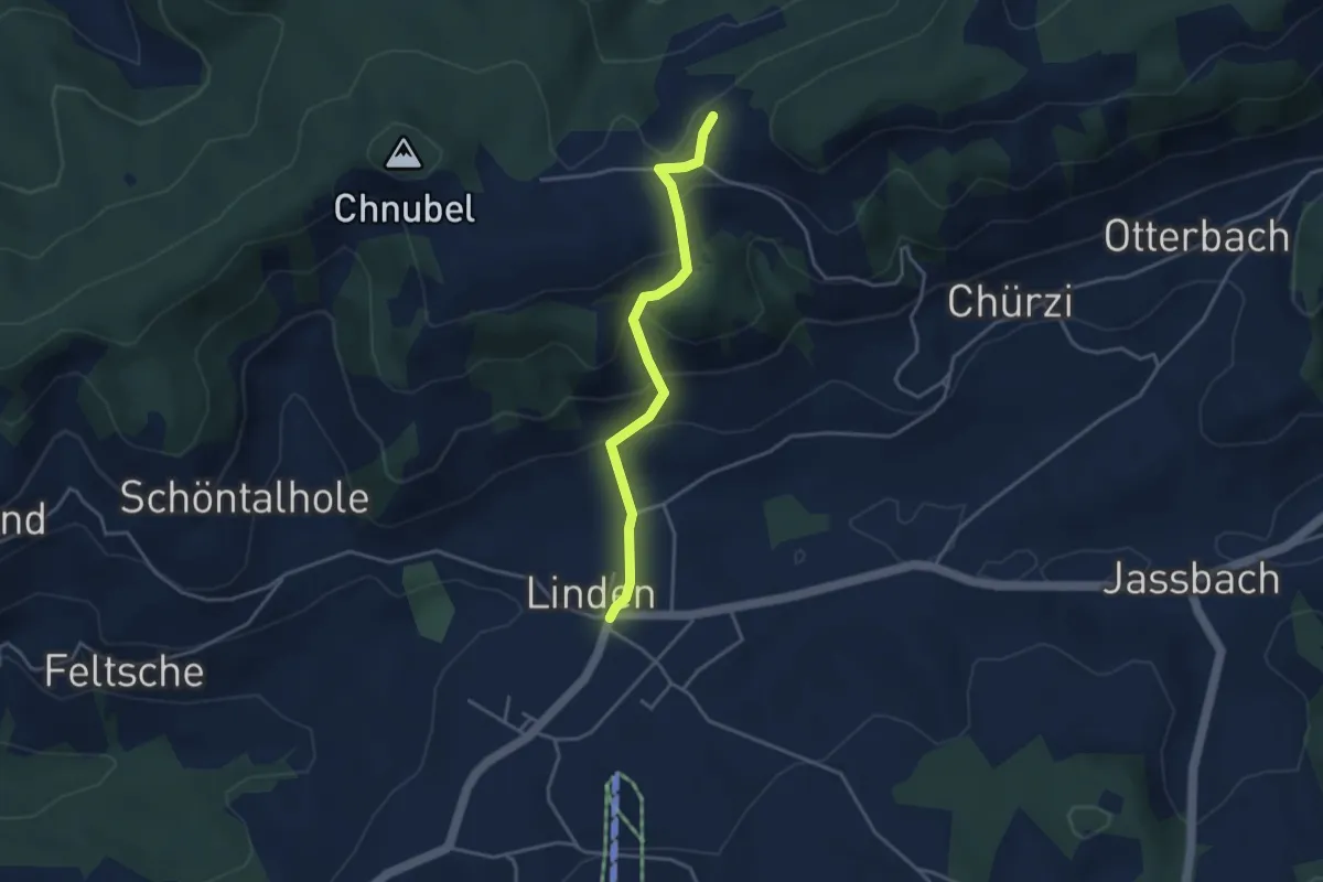
Easy · Trail
Äbersold – Linden
3.5 km · ↑ 188 m · 1 h 14 min · 9 km away
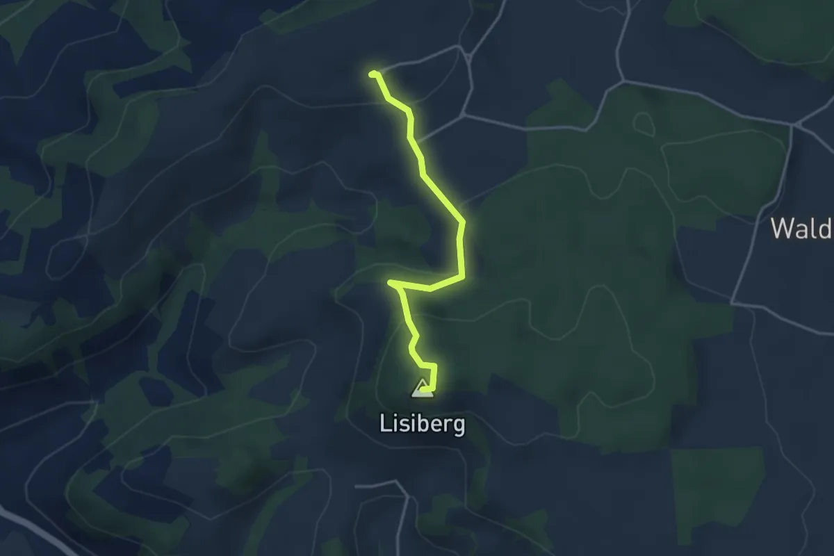
Easy · Summit
Egg - Lisiberg
3.2 km · ↑ 149 m · 1 h 4 min · 9 km away
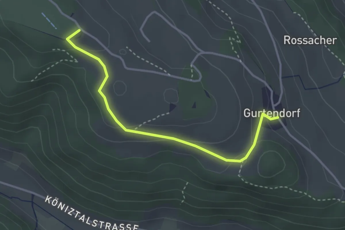
Easy · Summit
Gurten/Ostsignal – Gurtendorf
3.2 km · ↑ 99 m · 58 min · 9 km away
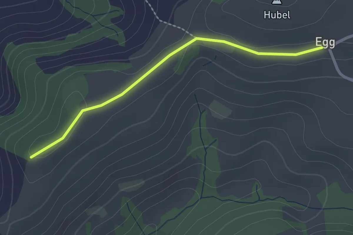
Easy · Trail
Egg – Zingghöch
2.1 km · ↑ 35 m · 34 min · 9 km away
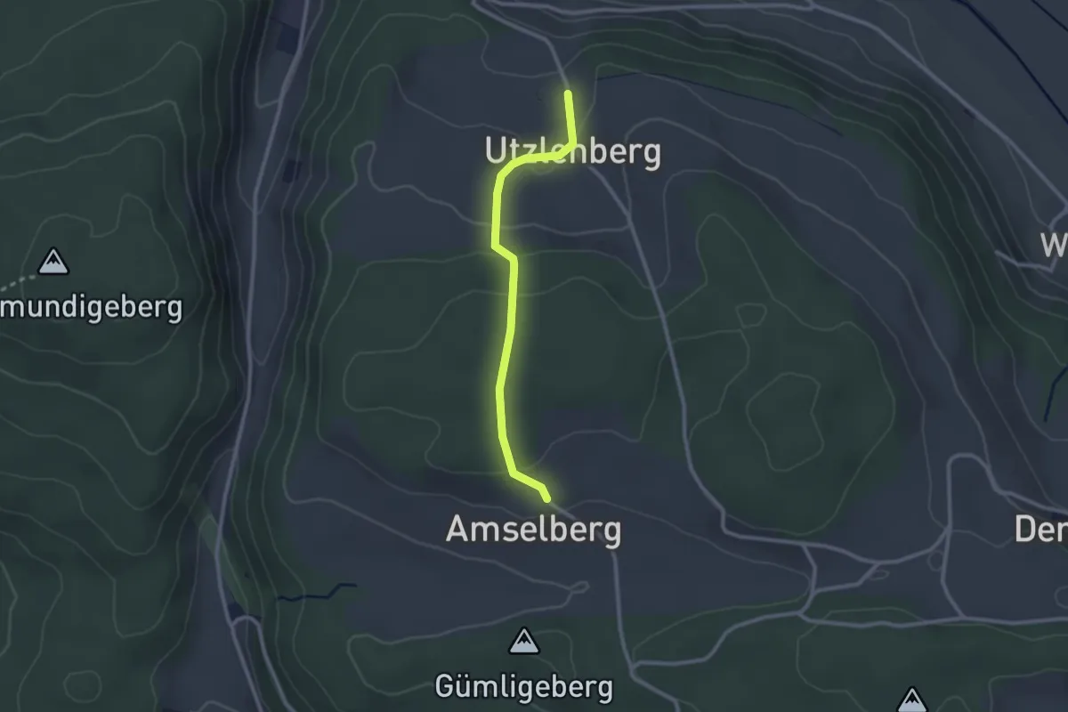
Easy · Trail
Amslenberg – Utzlenberg
2.3 km · ↑ 104 m · 46 min · 9 km away
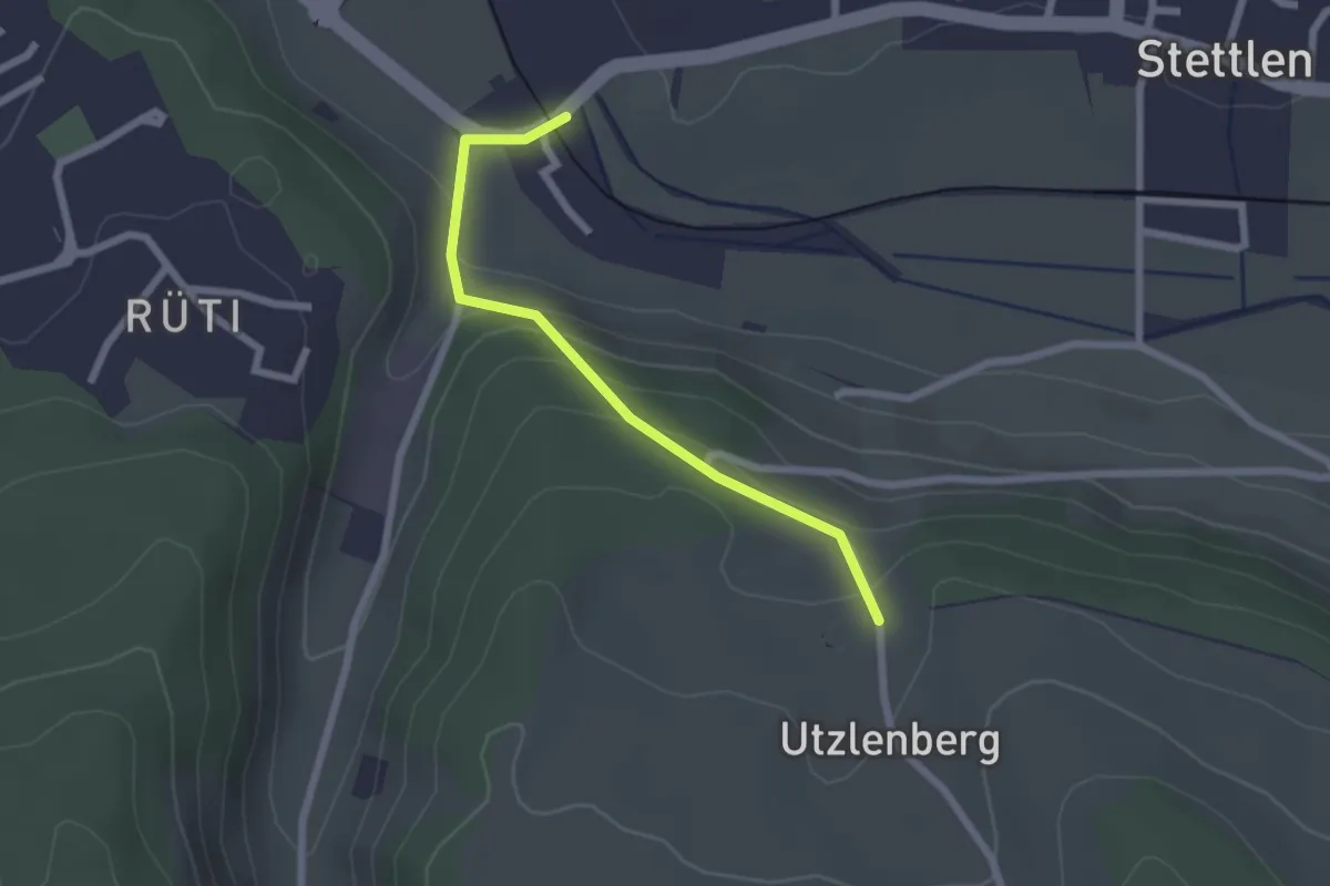
Easy · Trail
Deisswil – Utzlenberg
2.1 km · ↑ 124 m · 46 min · 9 km away
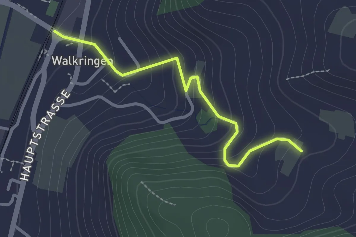
Easy · Trail
Golpisberg – Walkringen
2.3 km · ↑ 154 m · 53 min · 9 km away
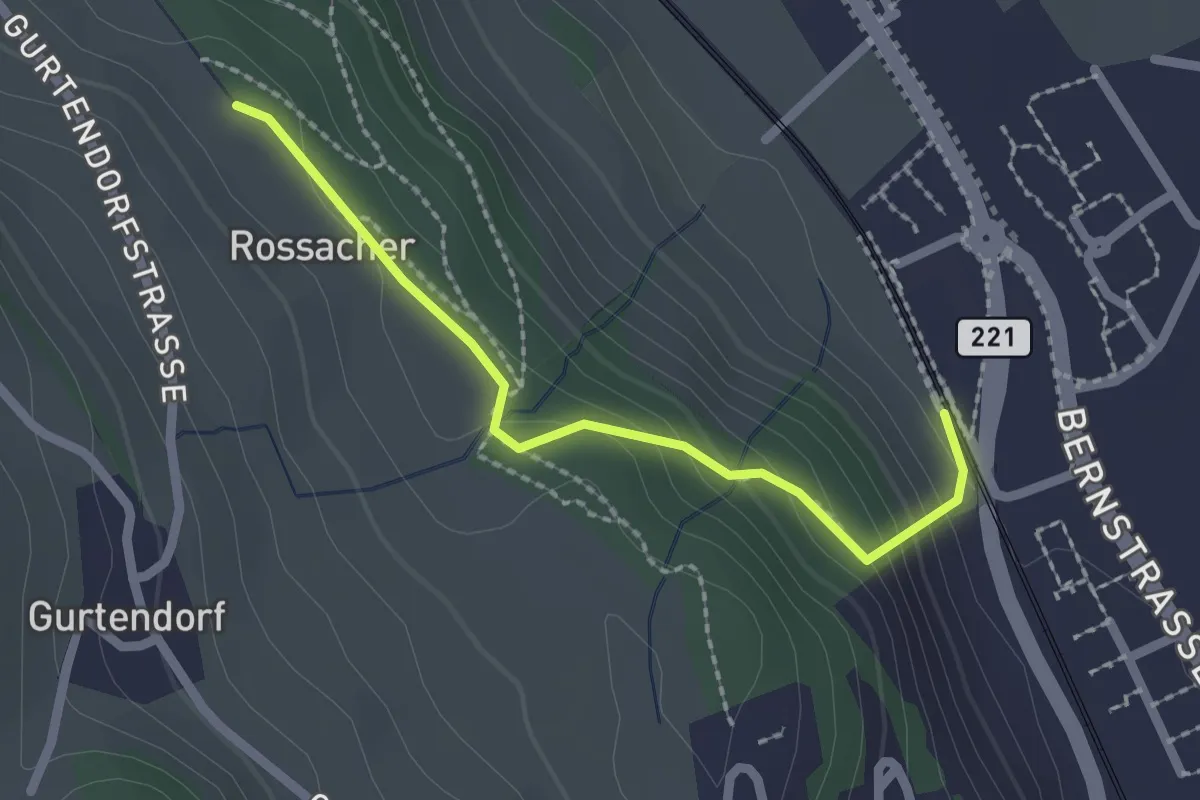
Easy · Trail
Kehrsatz Nord - Rossacker
2.0 km · ↑ 123 m · 45 min · 9 km away
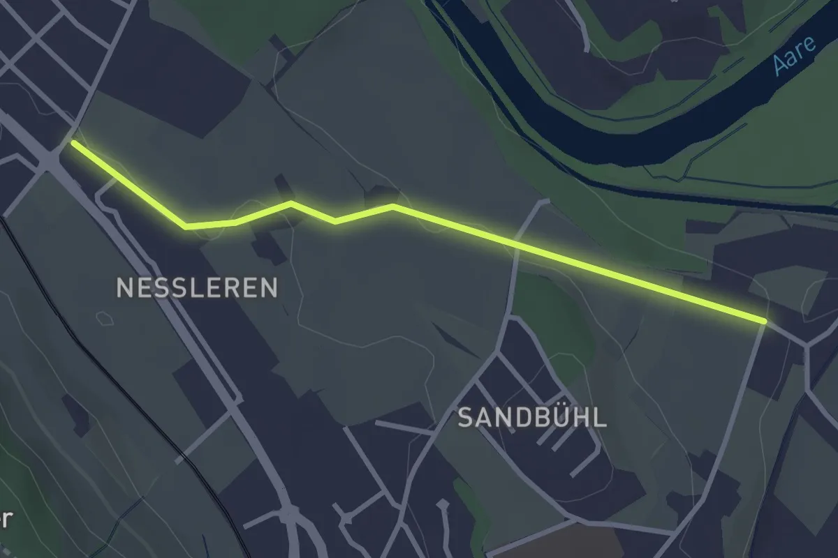
Easy · Trail
Chli Wabern – Unter Selhofen
2.8 km · ↑ 36 m · 44 min · 9 km away
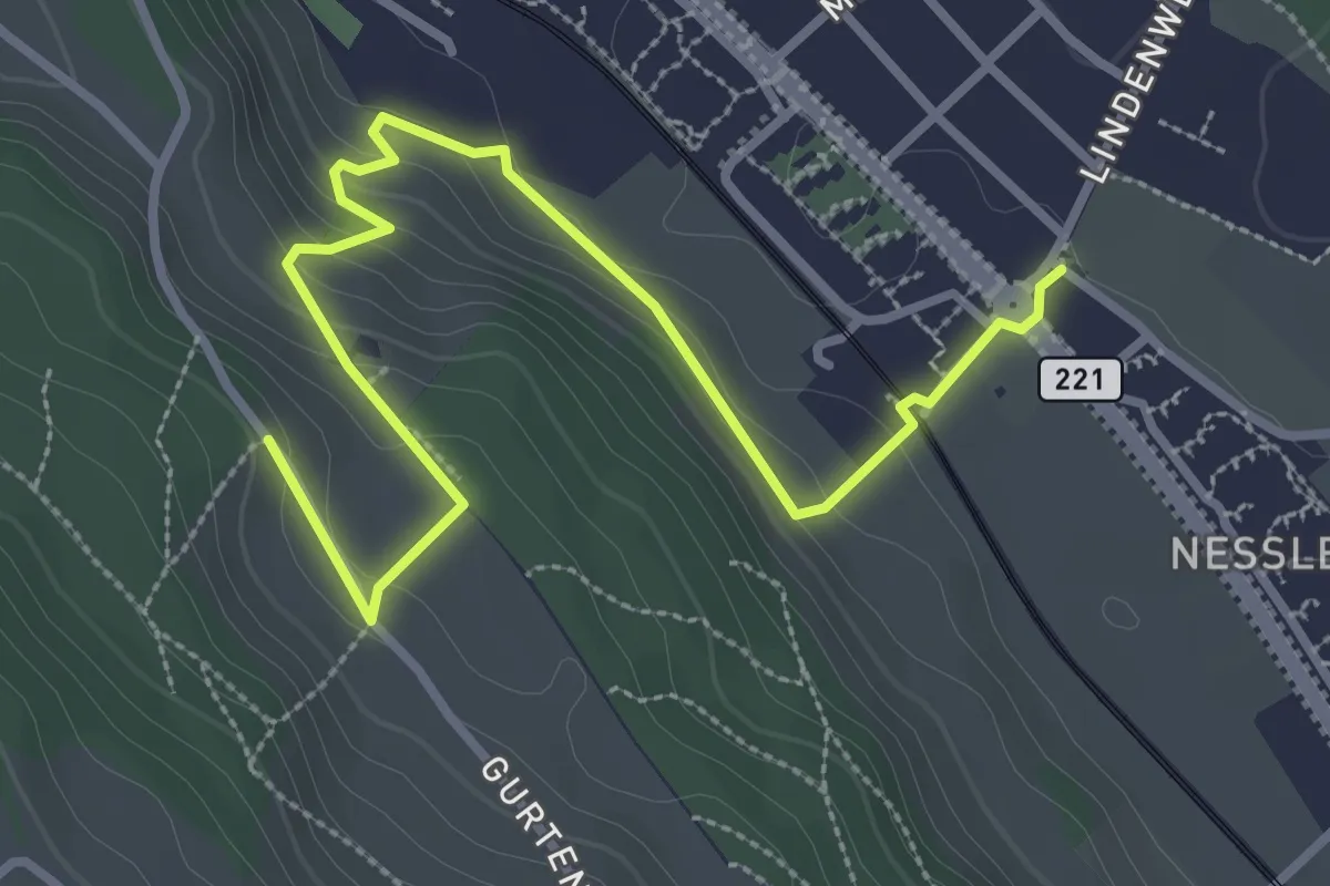
Easy · Trail
Chli-Wabern – Bergweid
3.8 km · ↑ 169 m · 1 h 15 min · 9 km away
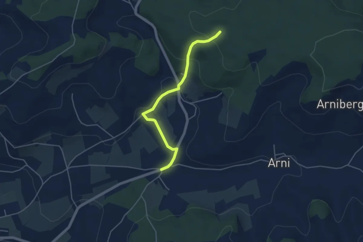
Easy · Trail
Spittelwald – Arnisäge
3.8 km · ↑ 146 m · 1 h 13 min · 9 km away
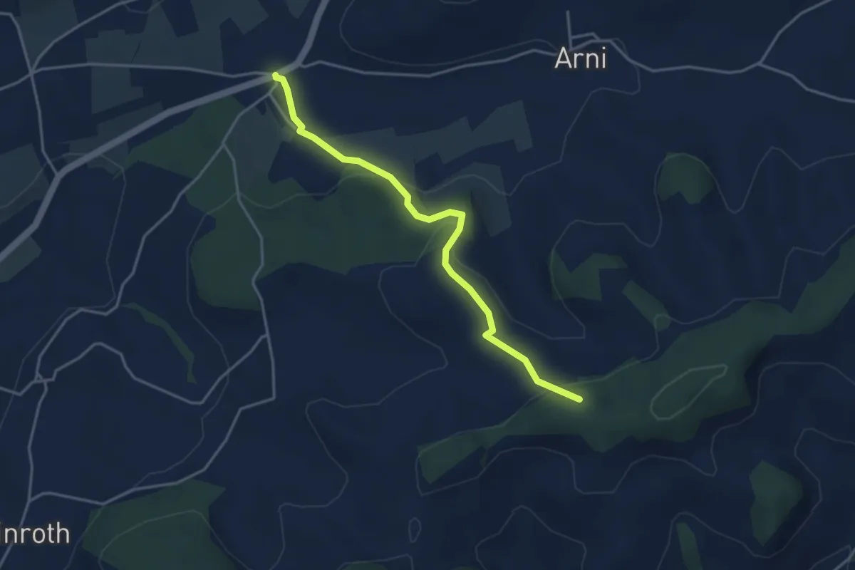
Easy · Trail
Arnisäge – Chapfwald
3.7 km · ↑ 134 m · 1 h 11 min · 9 km away