Trails near Münsingen
449 hikes starting within 15 km, nearest first.
Nearest first, page 5 of 10
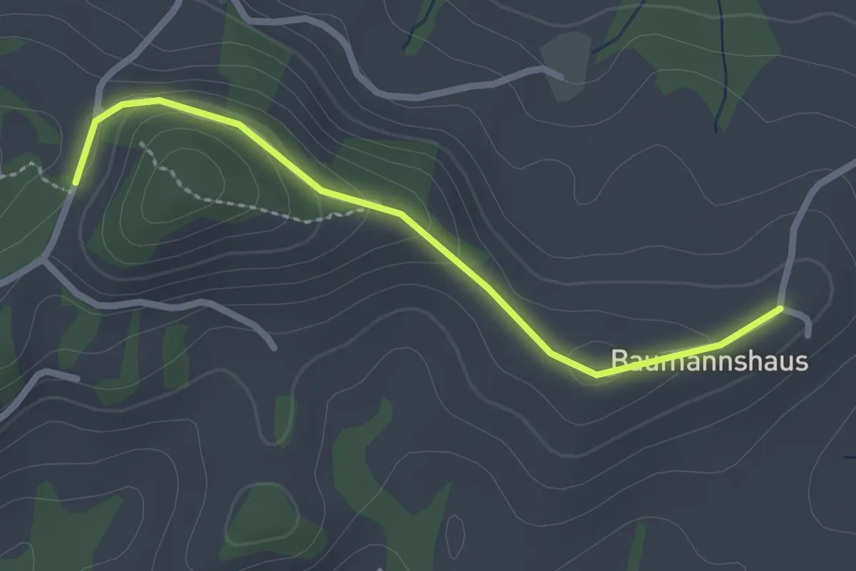
Easy · Trail
Tschuggen - Bumishus
2.3 km · ↑ 64 m · 41 min · 10 km away
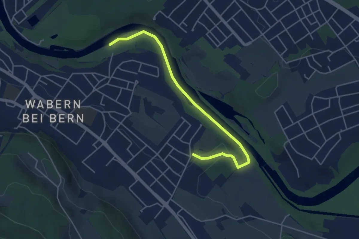
Easy · Trail
Nesslerenhölzli - Eichholz
4.1 km · ↑ 64 m · 1 h 7 min · 10 km away
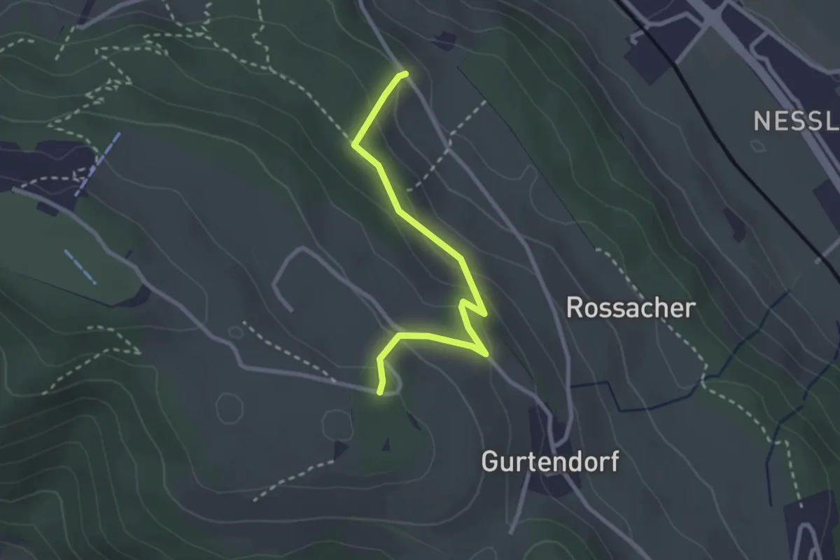
Easy · Trail
Bergweid – Studholz
2.5 km · ↑ 156 m · 56 min · 10 km away
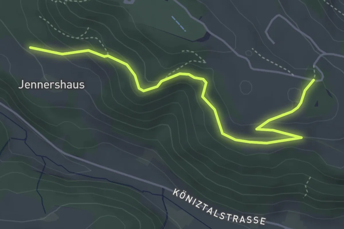
Easy · Trail
Jennershus – Studholz
4.7 km · ↑ 167 m · 1 h 29 min · 10 km away
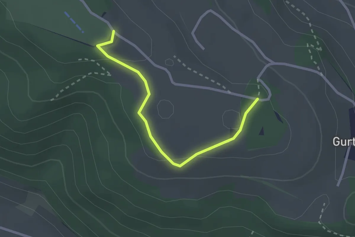
Easy · Summit
Studholz – Gurten/Ostsignal
2.3 km · ↑ 58 m · 39 min · 10 km away
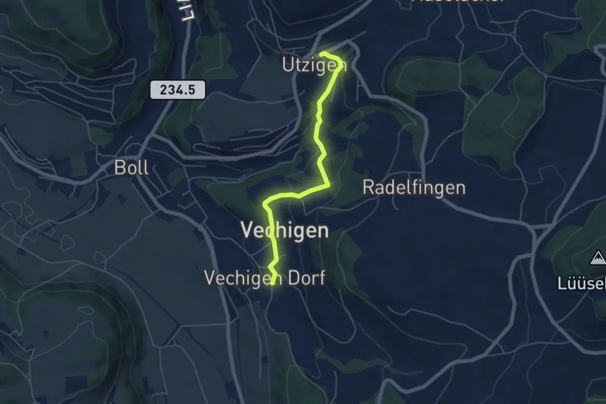
Easy · Trail
Utzigen – Vechigen
4.6 km · ↑ 145 m · 1 h 24 min · 10 km away
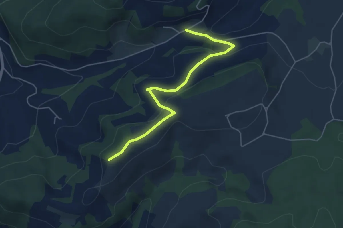
Easy · Trail
Oberulmiz – Zingghöch
4.4 km · ↑ 181 m · 1 h 26 min · 10 km away
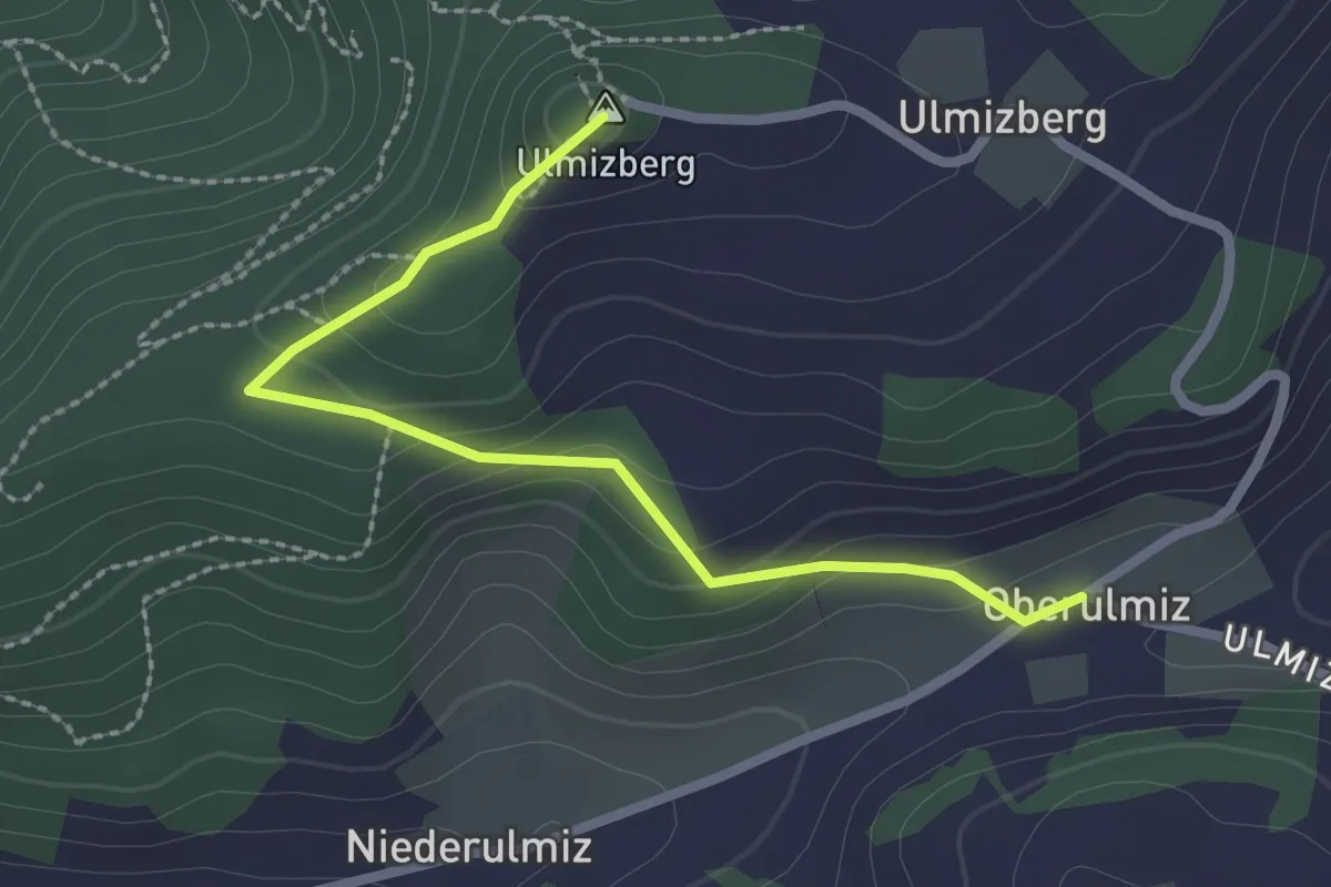
Easy · Summit
Ulmizberg – Oberulmiz
2.5 km · ↑ 118 m · 50 min · 10 km away
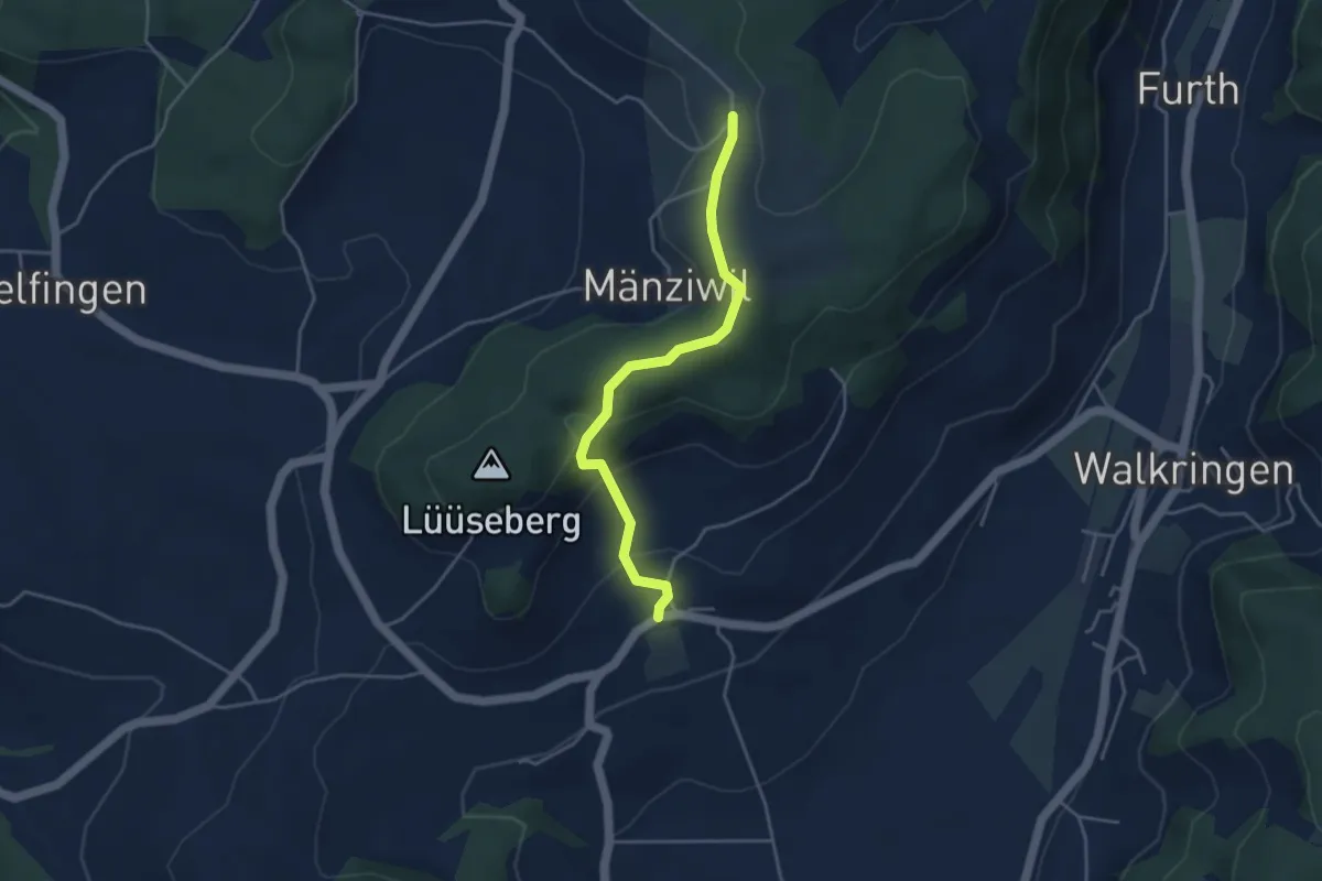
Easy · Trail
Wikartswil – Mänziwilegg
3.9 km · ↑ 187 m · 1 h 20 min · 10 km away
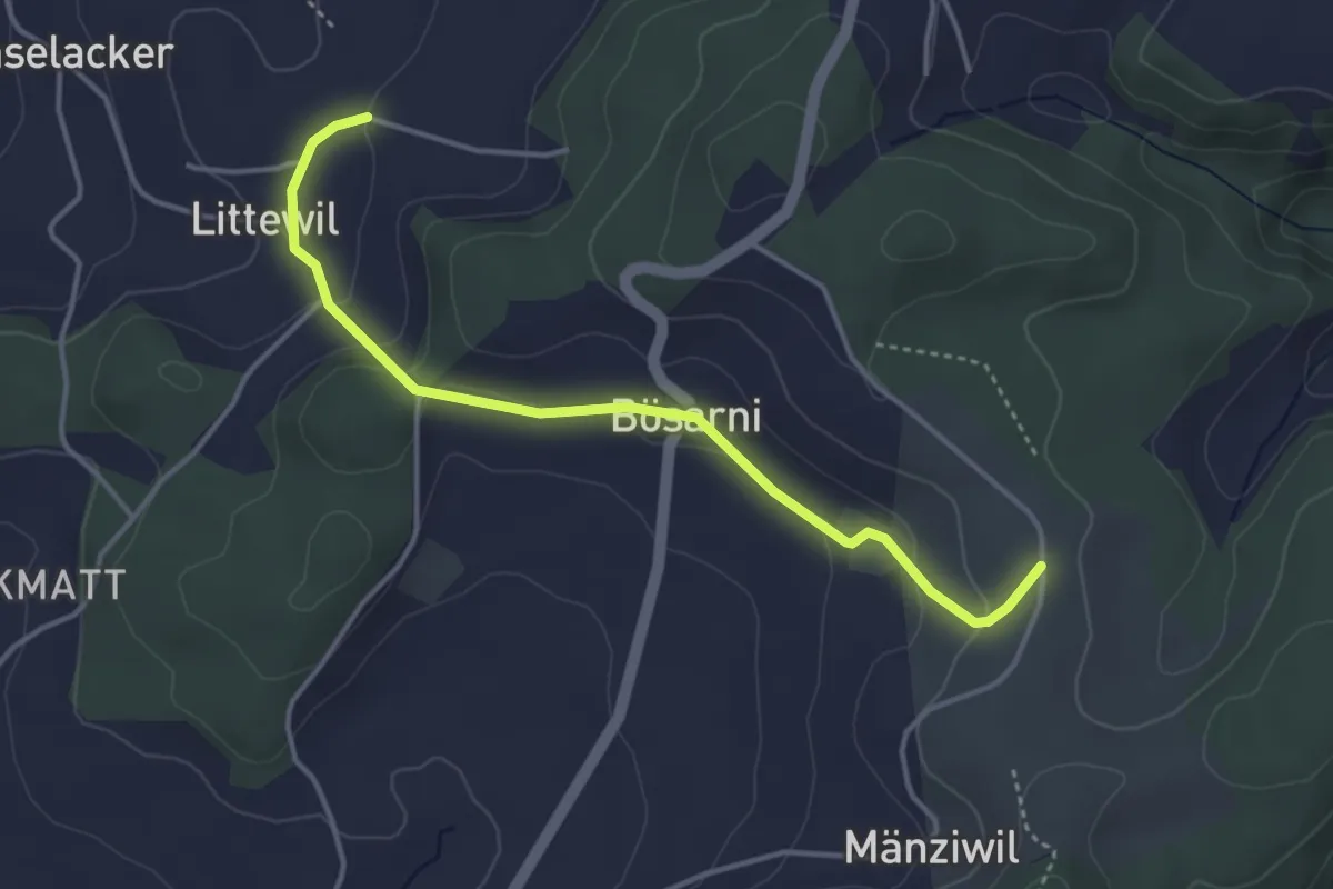
Easy · Trail
Littiwil – Vechigen
3.9 km · ↑ 120 m · 1 h 11 min · 10 km away
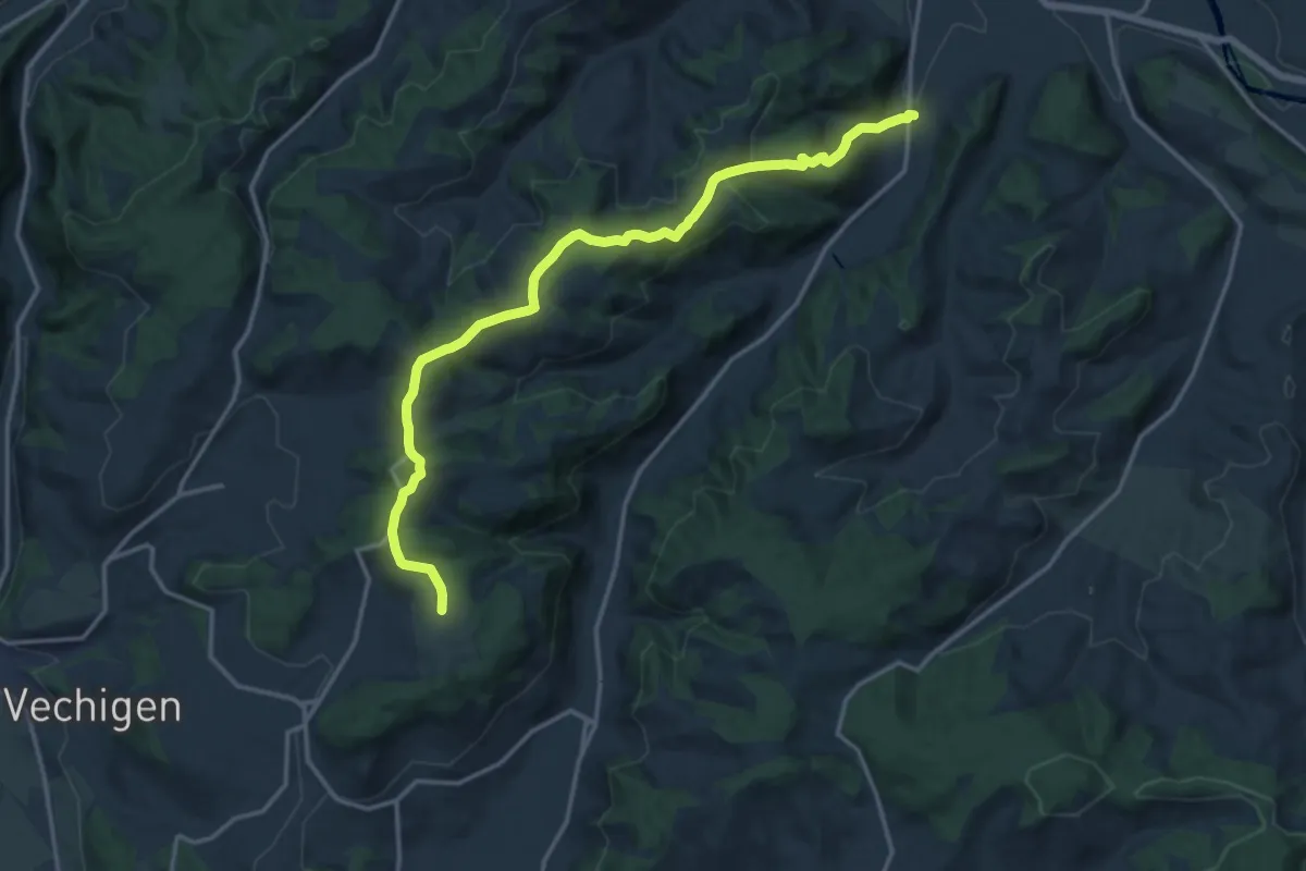
Medium · Trail
Mänziwilegg – Schafhausen
16.2 km · ↑ 533 m · 4 h 58 min · 10 km away
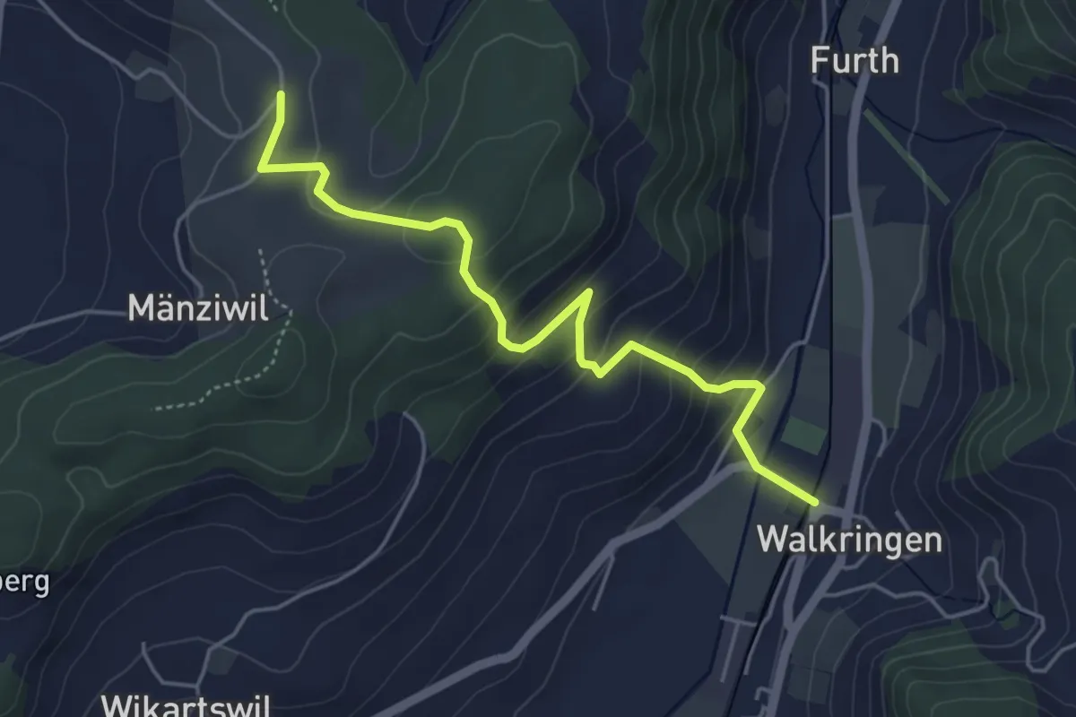
Easy · Trail
Mänziwilegg - Walkringen
4.7 km · ↑ 274 m · 1 h 43 min · 10 km away
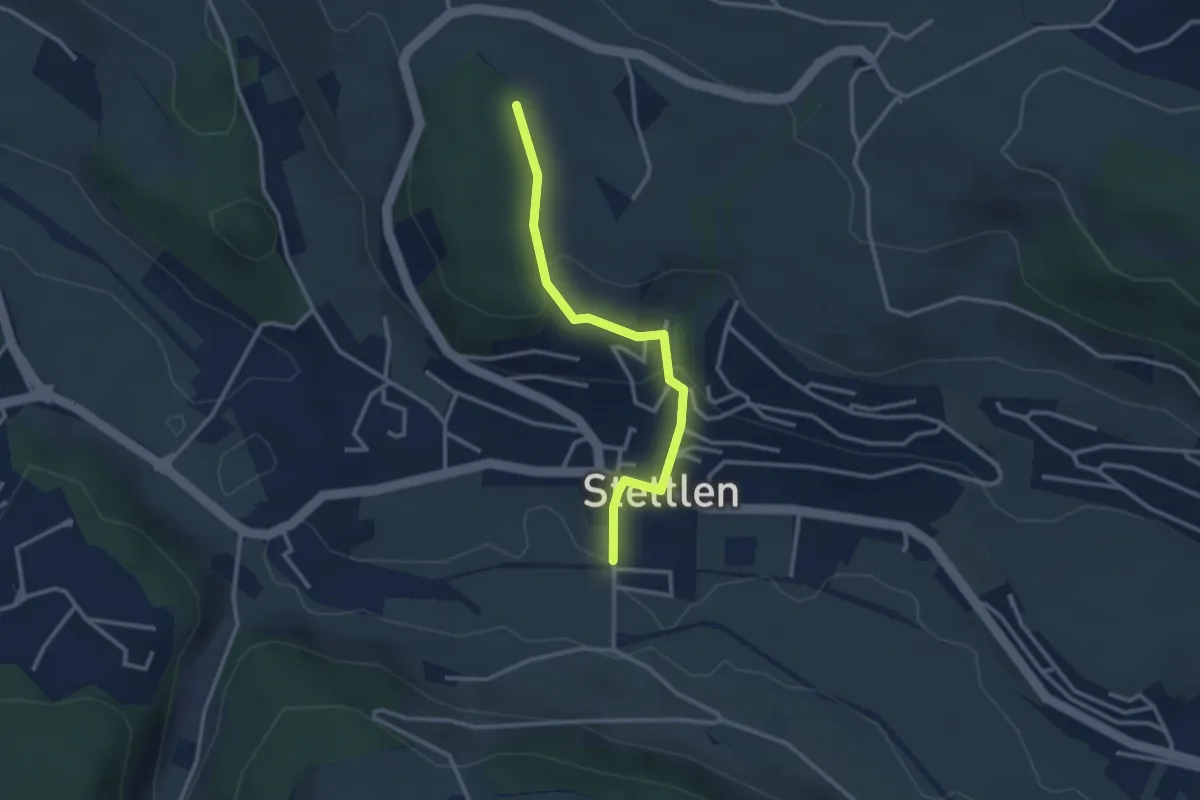
Easy · Trail
Buechholz – Stettlen
2.8 km · ↑ 115 m · 55 min · 10 km away
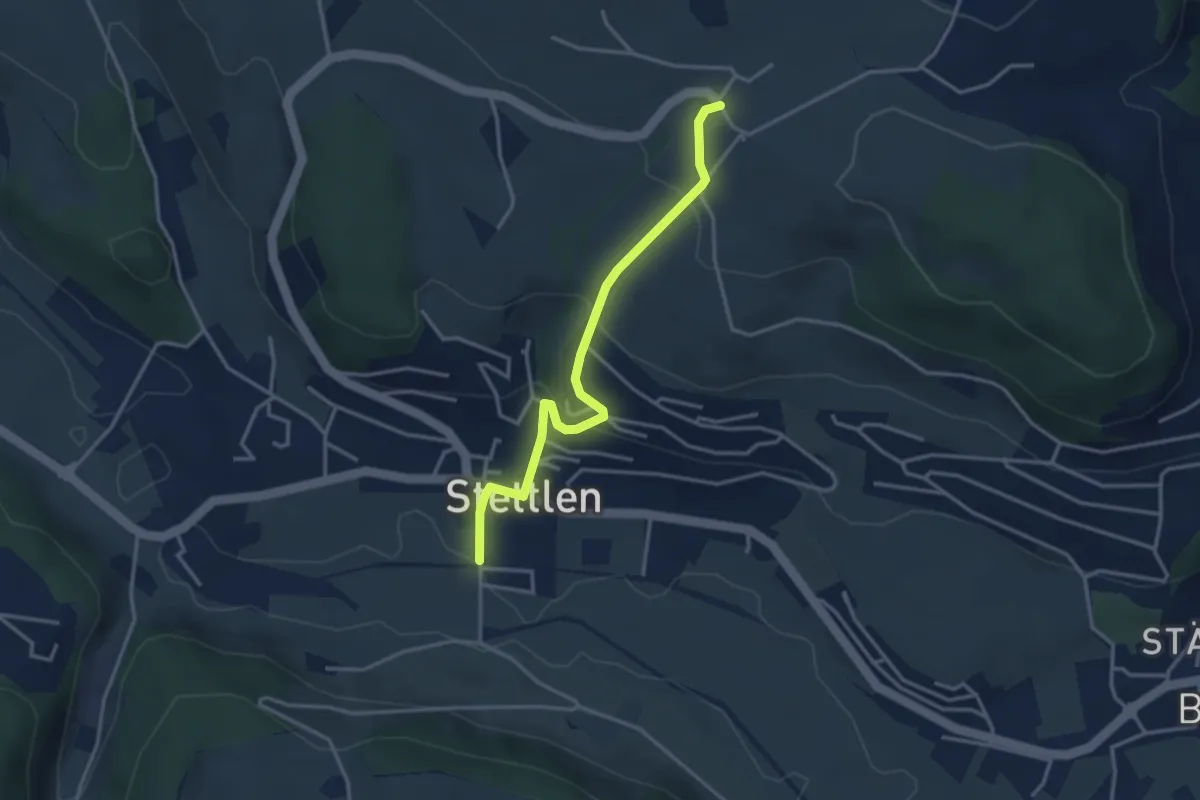
Easy · Trail
Ferenberg – Stettlen
3.4 km · ↑ 179 m · 1 h 11 min · 10 km away
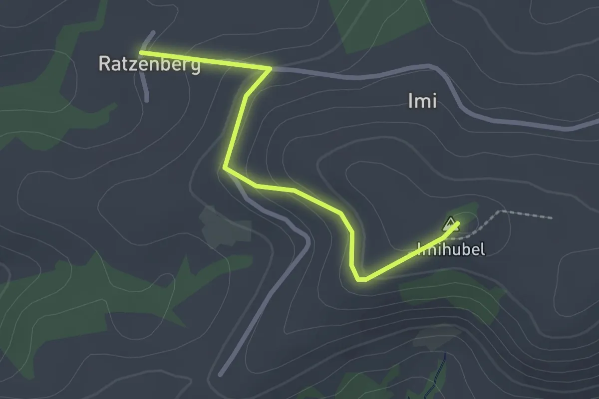
Easy · Summit
Ratzenberg - Imihubel
2.2 km · ↑ 97 m · 44 min · 10 km away
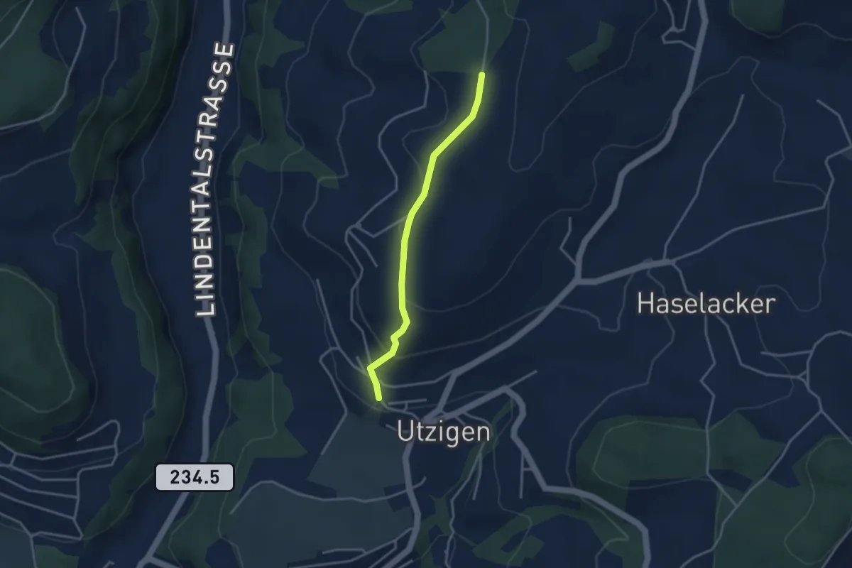
Easy · Trail
Utzigenwull – Utzigen/Schloss
3.0 km · ↑ 121 m · 58 min · 10 km away
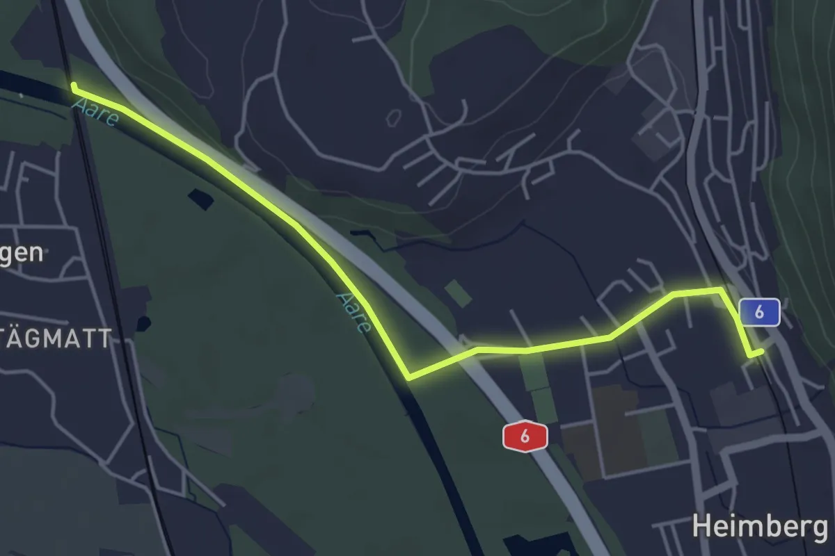
Easy · Trail
Heimberg – Uttigenbrücke
4.7 km · ↑ 0 m · 1 h 6 min · 10 km away
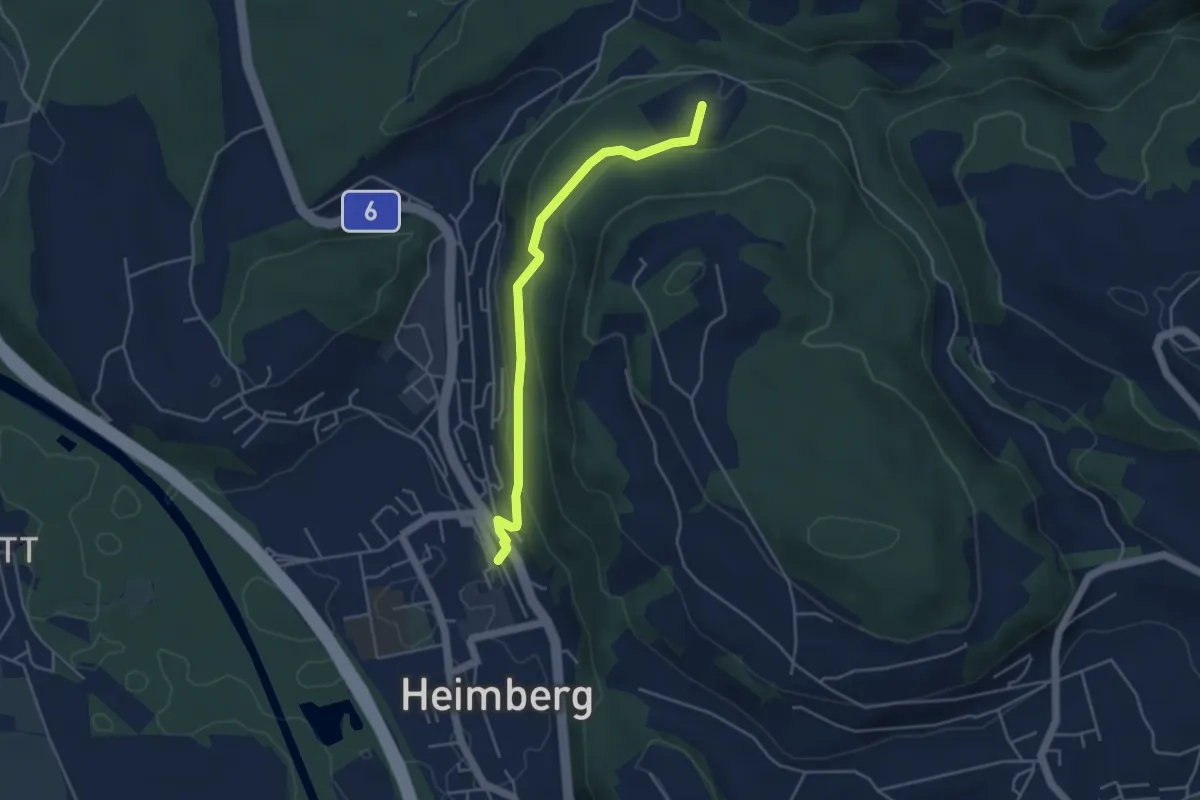
Easy · Trail
Heimberg – Spittelsheimberg
4.2 km · ↑ 211 m · 1 h 27 min · 10 km away
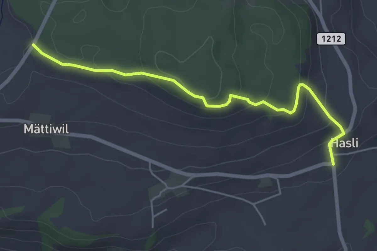
Easy · Trail
Hasli – Than
4.6 km · ↑ 179 m · 1 h 29 min · 10 km away
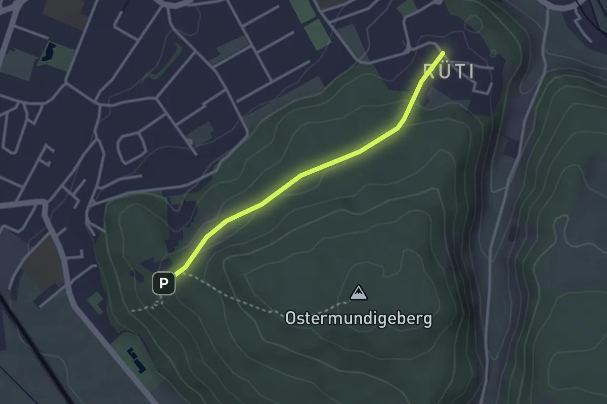
Easy · Trail
Rüti – Steinbrüche
2.7 km · ↑ 63 m · 46 min · 10 km away
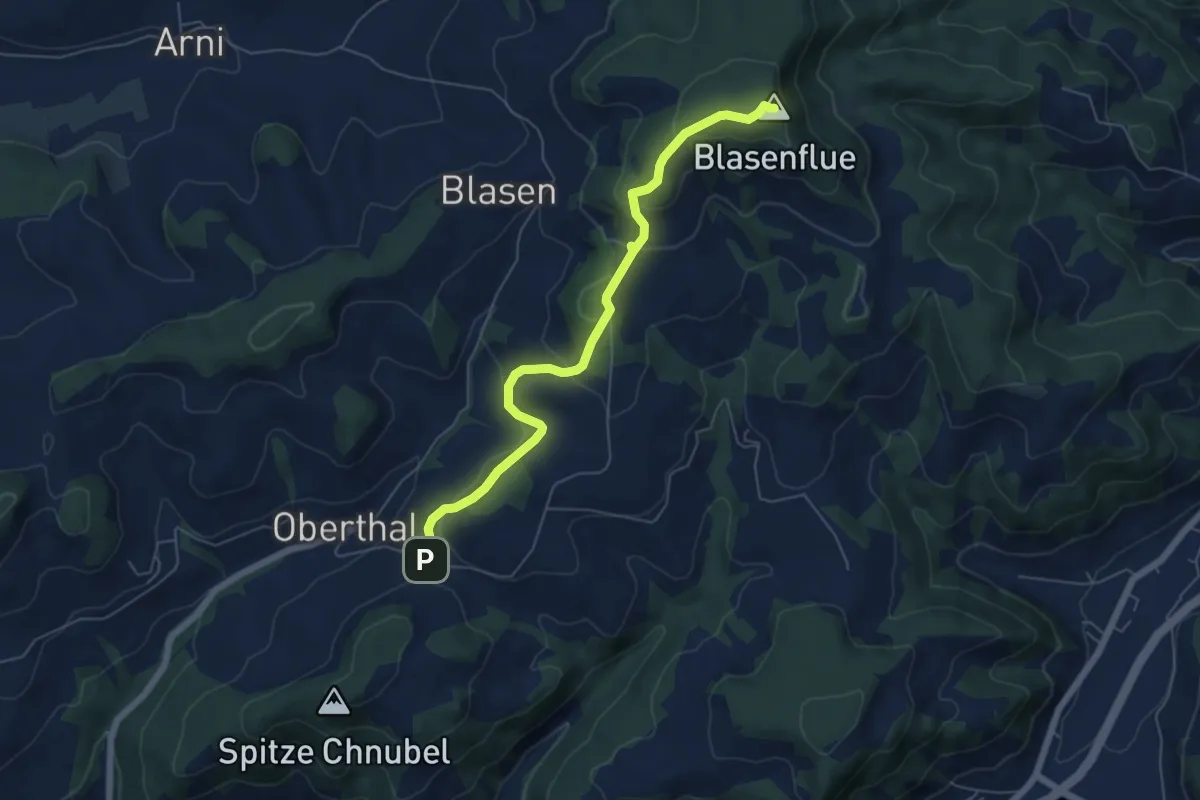
Easy · Summit
Blaseflue – Chäneltal
6.1 km · ↑ 316 m · 2 h 7 min · 10 km away
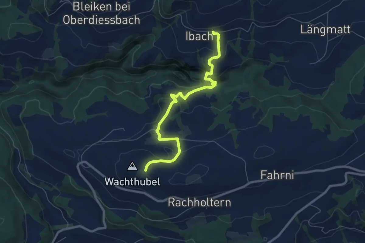
Easy · Trail
Lueghubel – Ibach
6.6 km · ↑ 291 m · 2 h 11 min · 10 km away
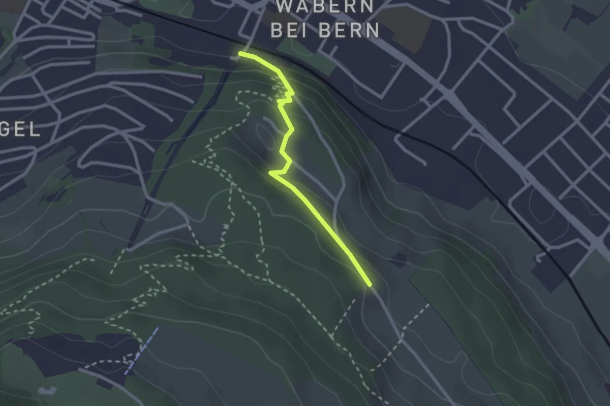
Easy · Trail
Wabern/Gurtenbahn – Bergweid
2.1 km · ↑ 103 m · 43 min · 10 km away
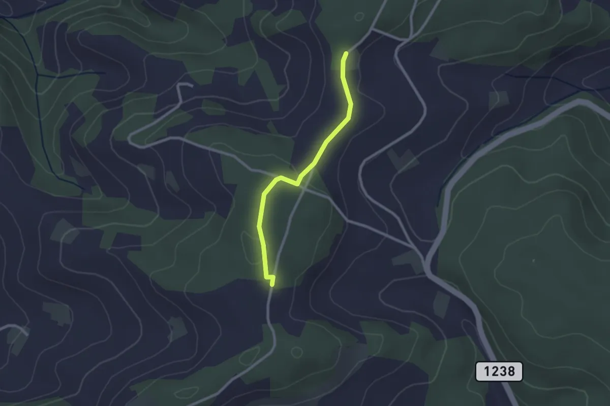
Easy · Trail
Neunhaupt – Hammegg
2.1 km · ↑ 27 m · 33 min · 10 km away
Easy · Summit
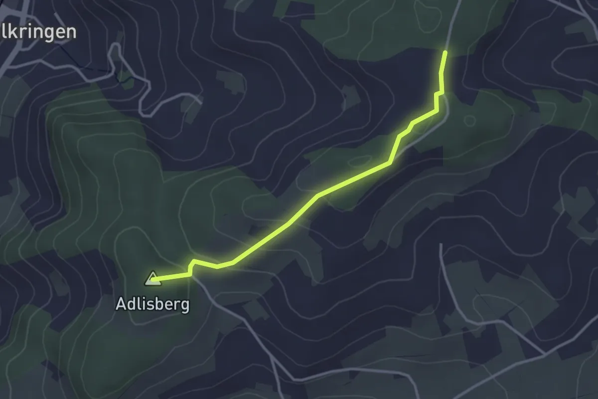
Adlisberg – Neunhaupt
3.0 km · ↑ 91 m · 55 min · 10 km away
Easy · Trail
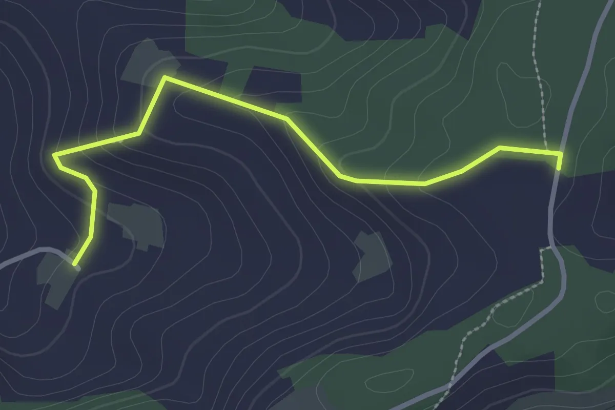
Neunhaupt – Golpisberg
2.7 km · ↑ 131 m · 56 min · 10 km away
Easy · Trail
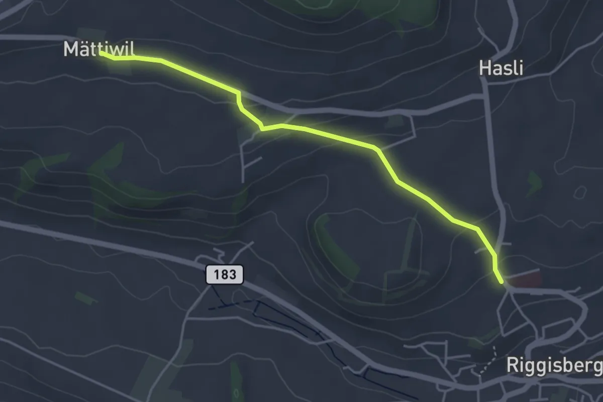
Riggisberg / Staudengasse – Mättiwil
4.0 km · ↑ 102 m · 1 h 10 min · 10 km away
Easy · Trail
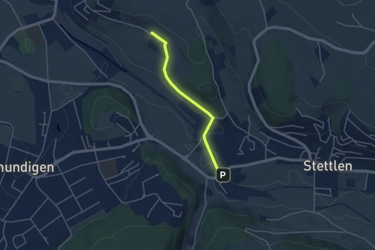
Hüenerbüel – Deisswil
2.9 km · ↑ 33 m · 45 min · 10 km away
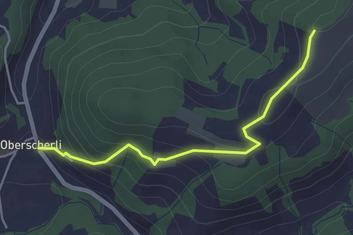
Easy · Trail
Zingghöch – Oberscherli
3.1 km · ↑ 195 m · 1 h 9 min · 10 km away
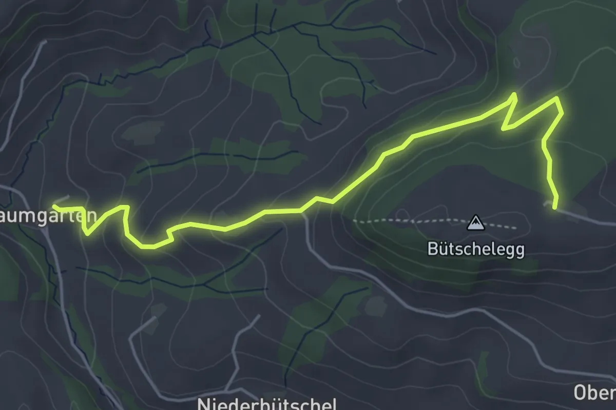
Easy · Trail
Bütschelegg – Baumgarten
5.4 km · ↑ 263 m · 1 h 50 min · 10 km away
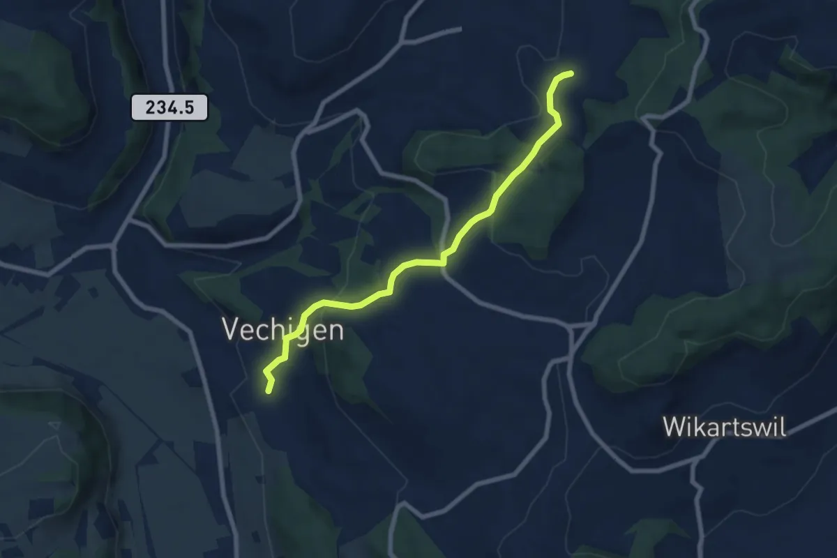
Easy · Trail
Littiwil – Vechigen
6.5 km · ↑ 260 m · 2 h 6 min · 10 km away
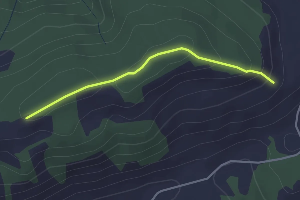
Easy · Trail
Schattenweg
2.5 km · ↑ 88 m · 47 min · 10 km away
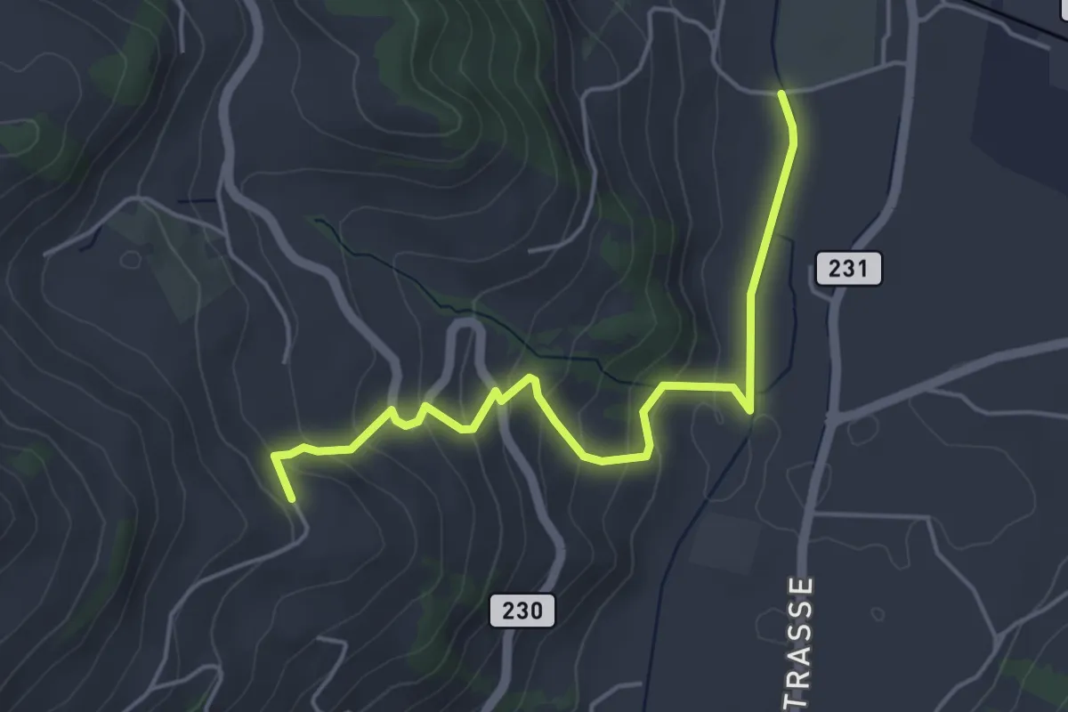
Easy · Trail
Lörtscherei - Neuhus
4.7 km · ↑ 224 m · 1 h 35 min · 10 km away
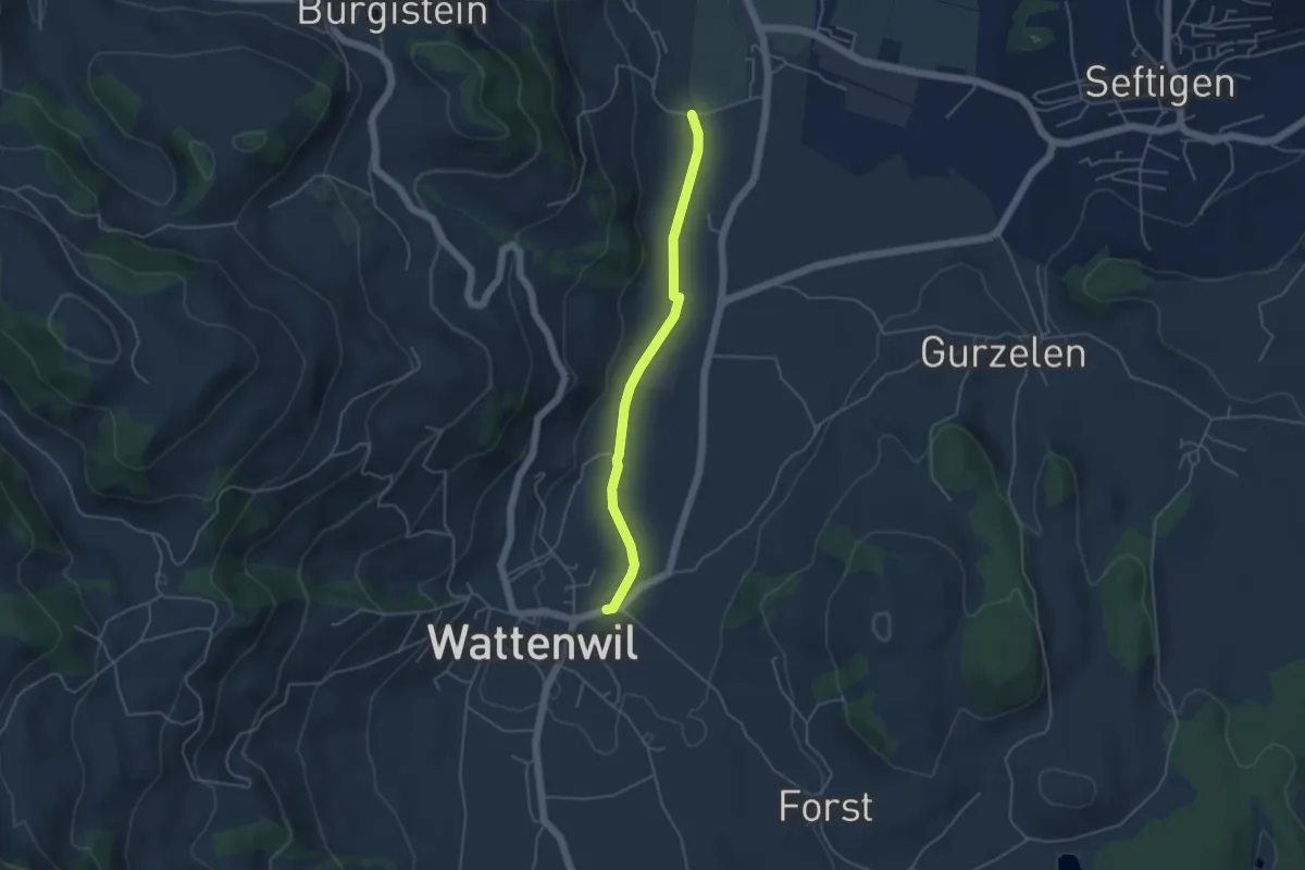
Easy · Trail
Neuhus - Wattenwil
4.2 km · ↑ 31 m · 1 h 3 min · 10 km away
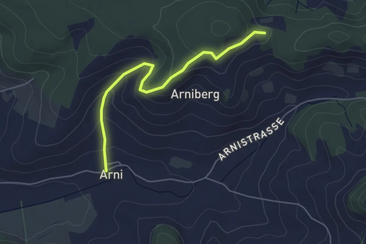
Easy · Trail
Spränzel – Arni
4.2 km · ↑ 213 m · 1 h 28 min · 10 km away
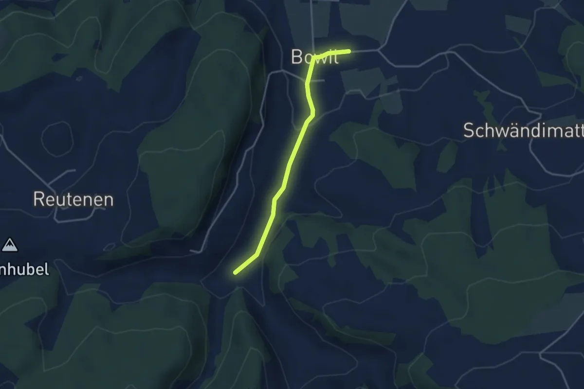
Easy · Trail
Längeney – Bowil
3.0 km · ↑ 62 m · 51 min · 10 km away
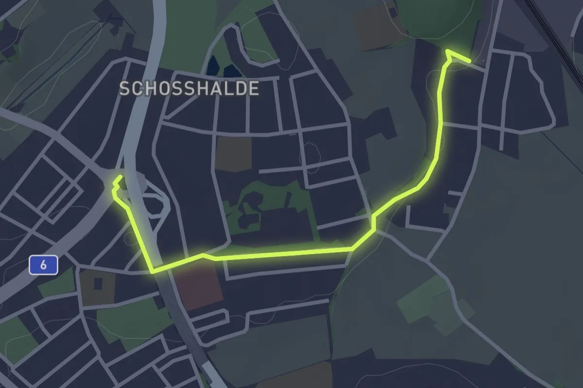
Easy · Trail
Tiefenmösli – Freudenbergerplatz
2.9 km · ↑ 44 m · 46 min · 11 km away
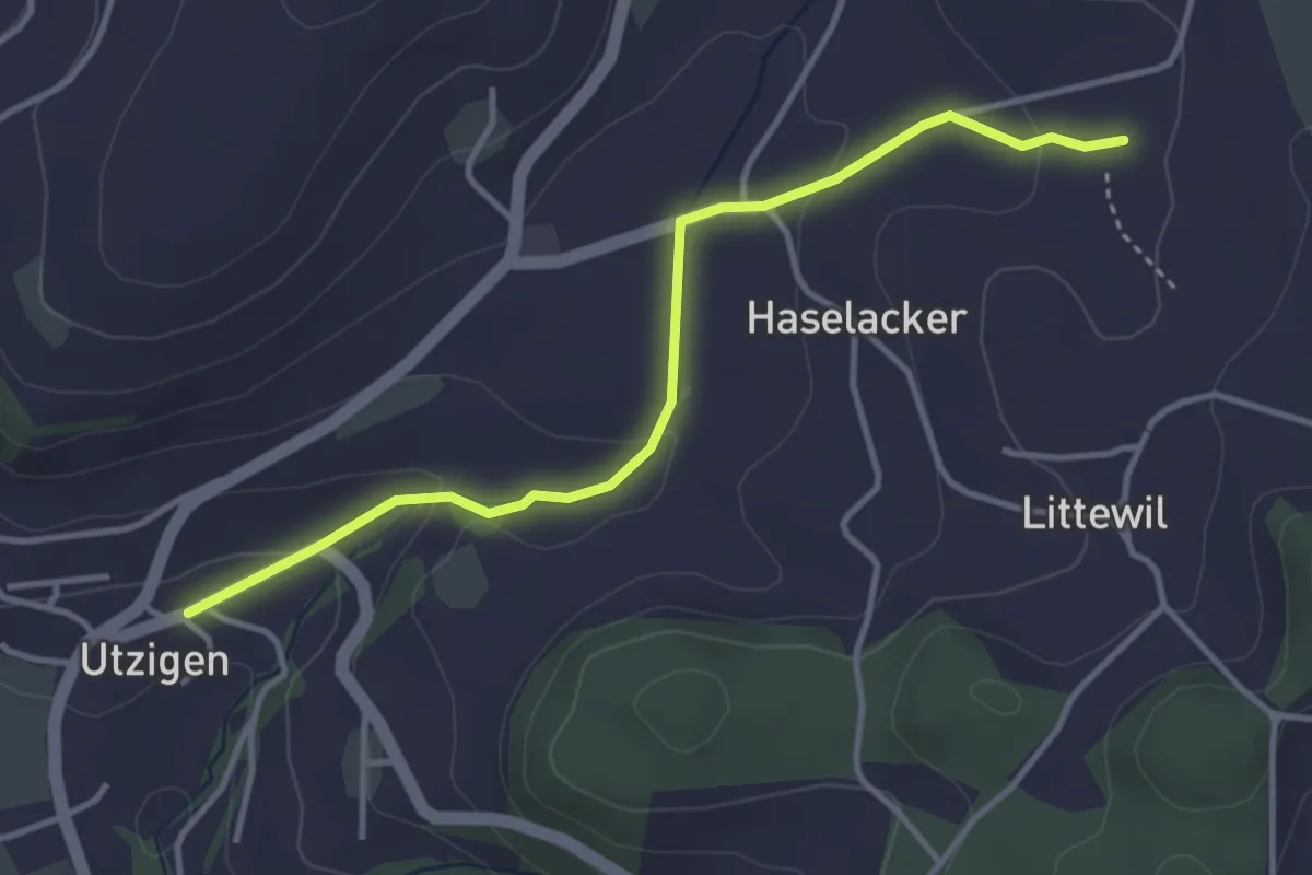
Easy · Trail
Sänggi – Utzigen
3.7 km · ↑ 98 m · 1 h 5 min · 11 km away
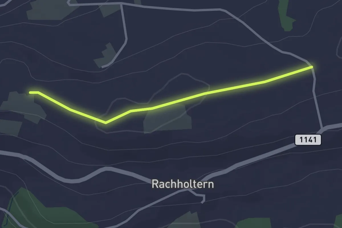
Easy · Trail
Chrüzweg – Lueghubel
2.5 km · ↑ 22 m · 39 min · 11 km away
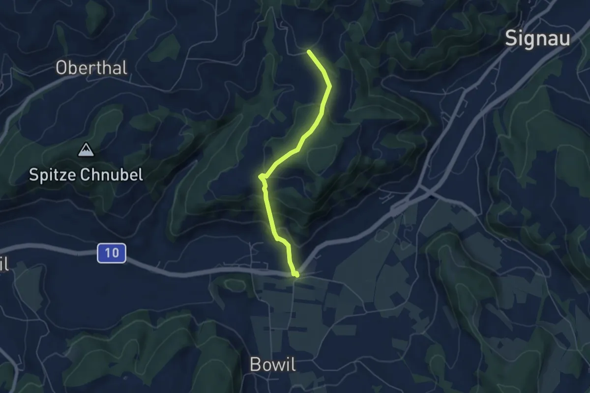
Easy · Trail
Bowil – Hüslebach
4.8 km · ↑ 289 m · 1 h 46 min · 11 km away
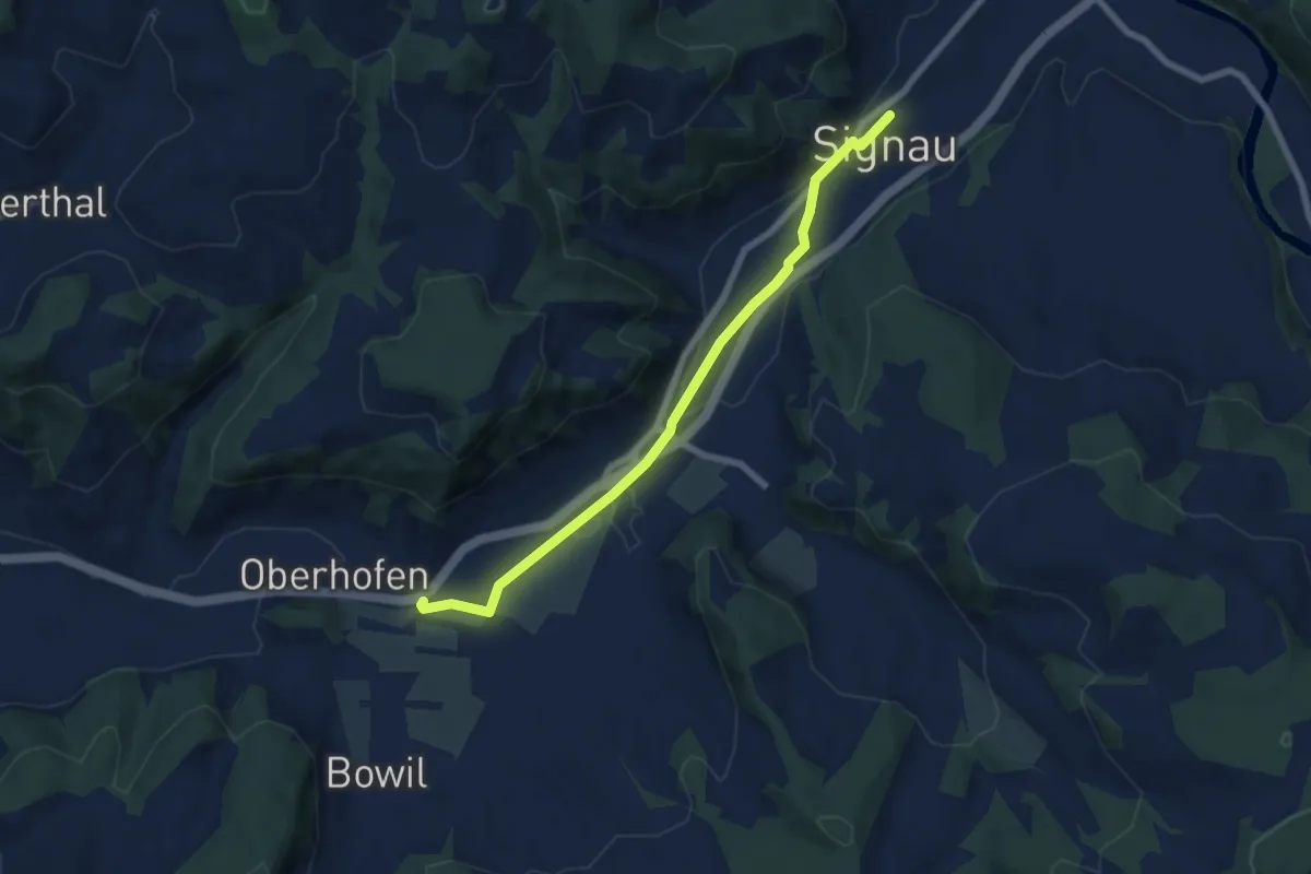
Easy · Trail
Signau – Bowil
6.8 km · ↑ 47 m · 1 h 42 min · 11 km away
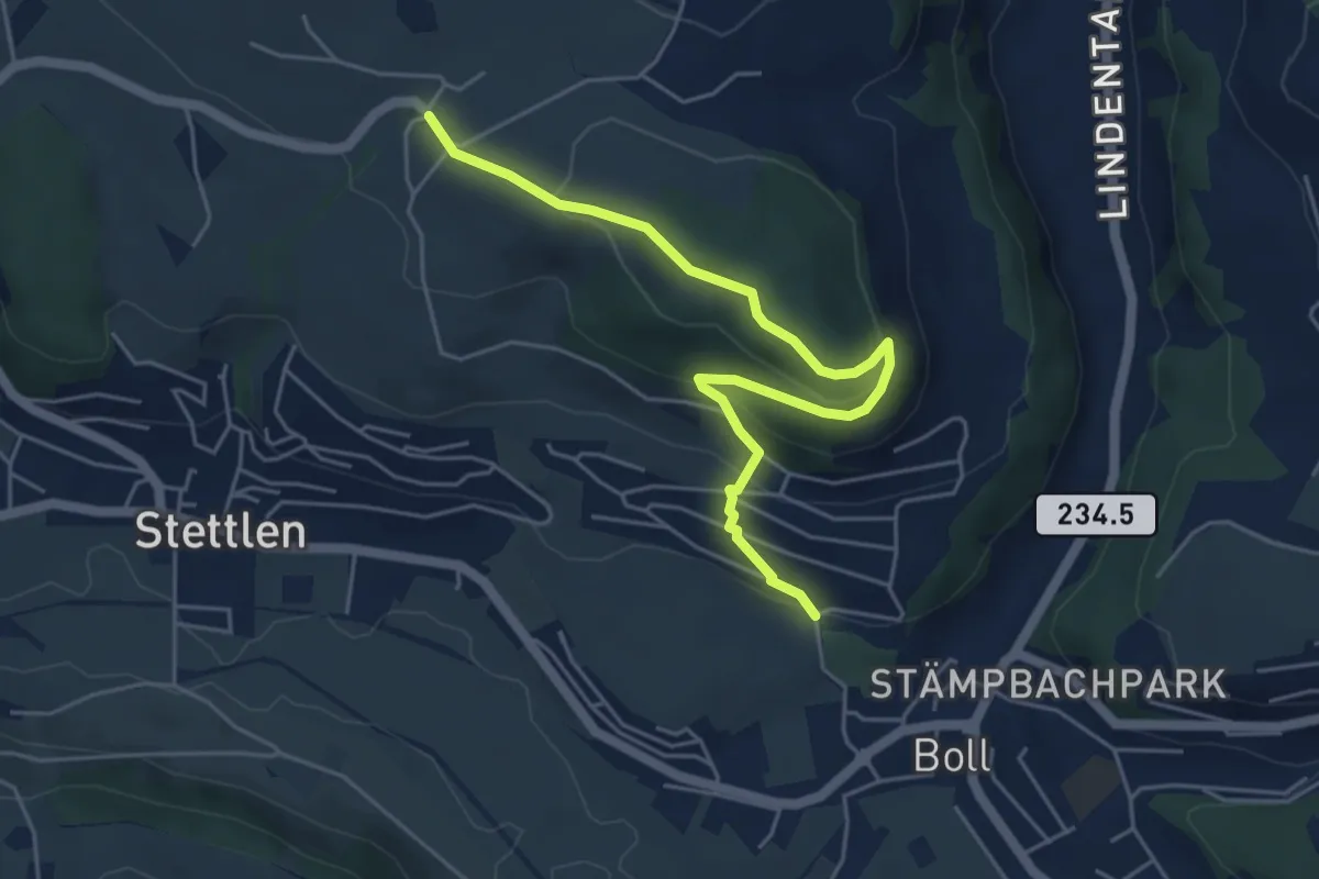
Easy · Trail
Ferenberg – Sinneringen
5.4 km · ↑ 245 m · 1 h 48 min · 11 km away
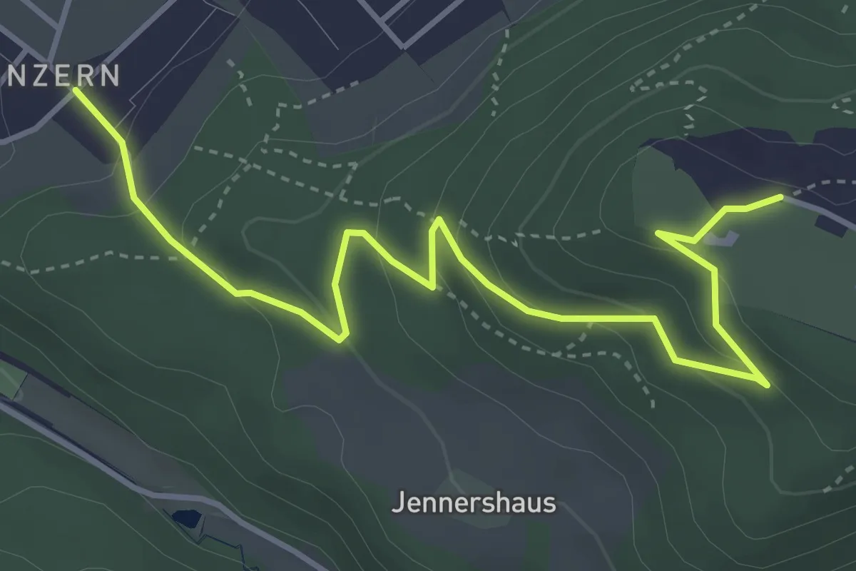
Easy · Trail
Blinzern – Gurten Kulm
4.5 km · ↑ 233 m · 1 h 34 min · 11 km away
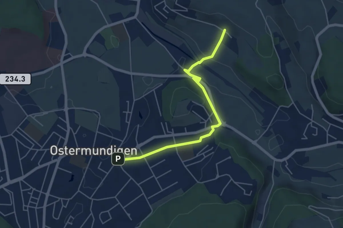
Easy · Trail
Hüenerbüel – Ostermundigen
4.6 km · ↑ 91 m · 1 h 17 min · 11 km away
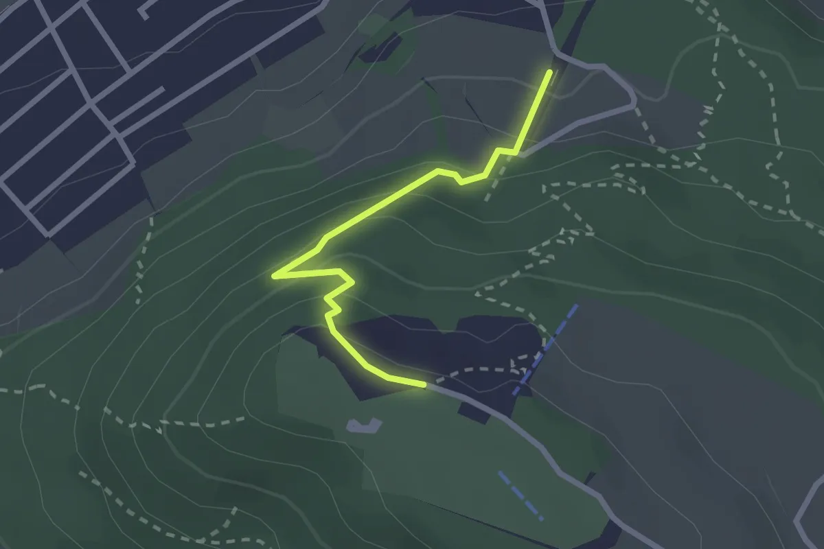
Easy · Trail
Grünenboden – Gurten Kulm
2.1 km · ↑ 138 m · 47 min · 11 km away
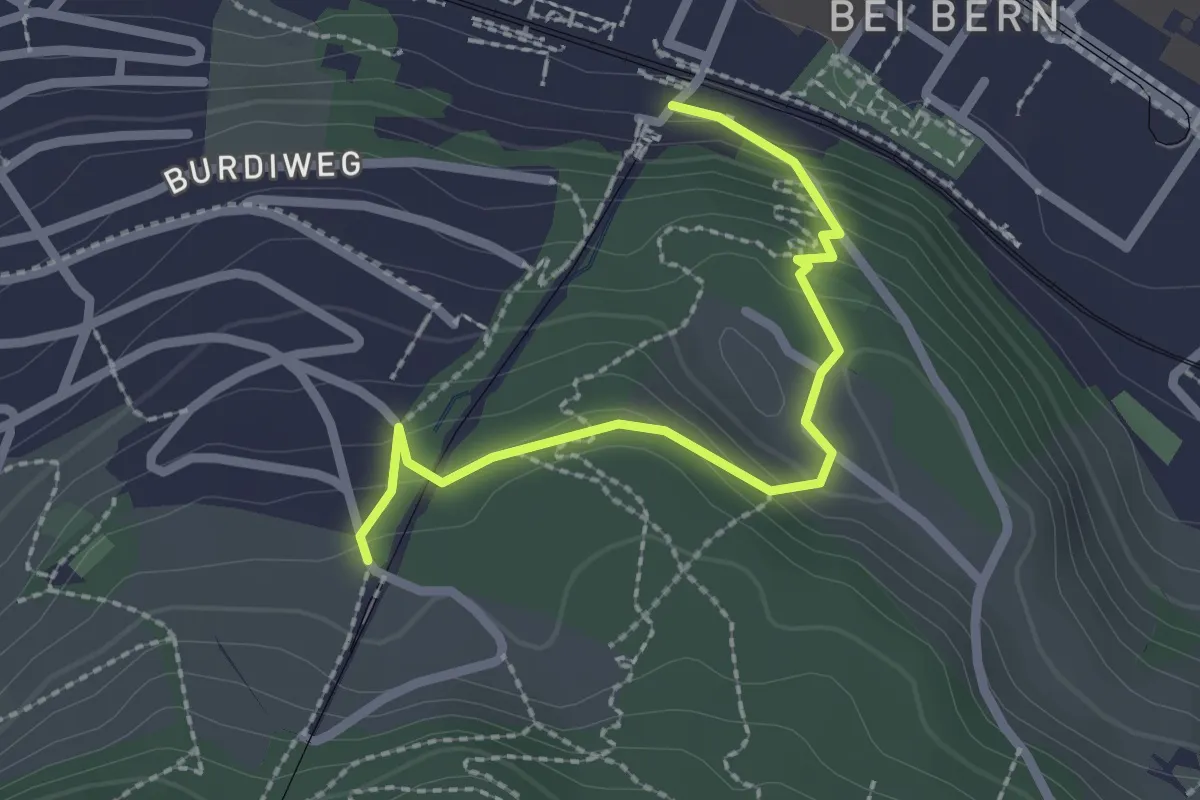
Easy · Trail
Wabern/Gurtenbahn – Grüneboden
2.3 km · ↑ 129 m · 49 min · 11 km away
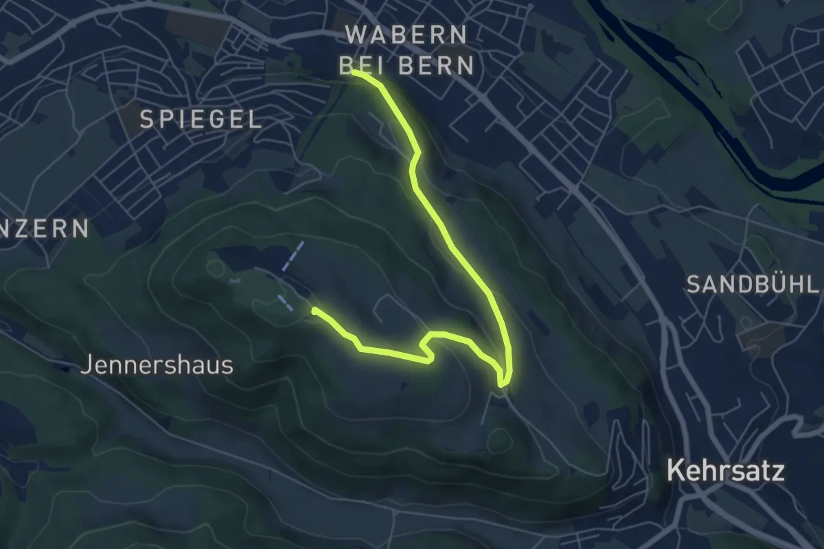
Easy · Summit
Spazierweg
6.4 km · ↑ 268 m · 2 h 5 min · 11 km away
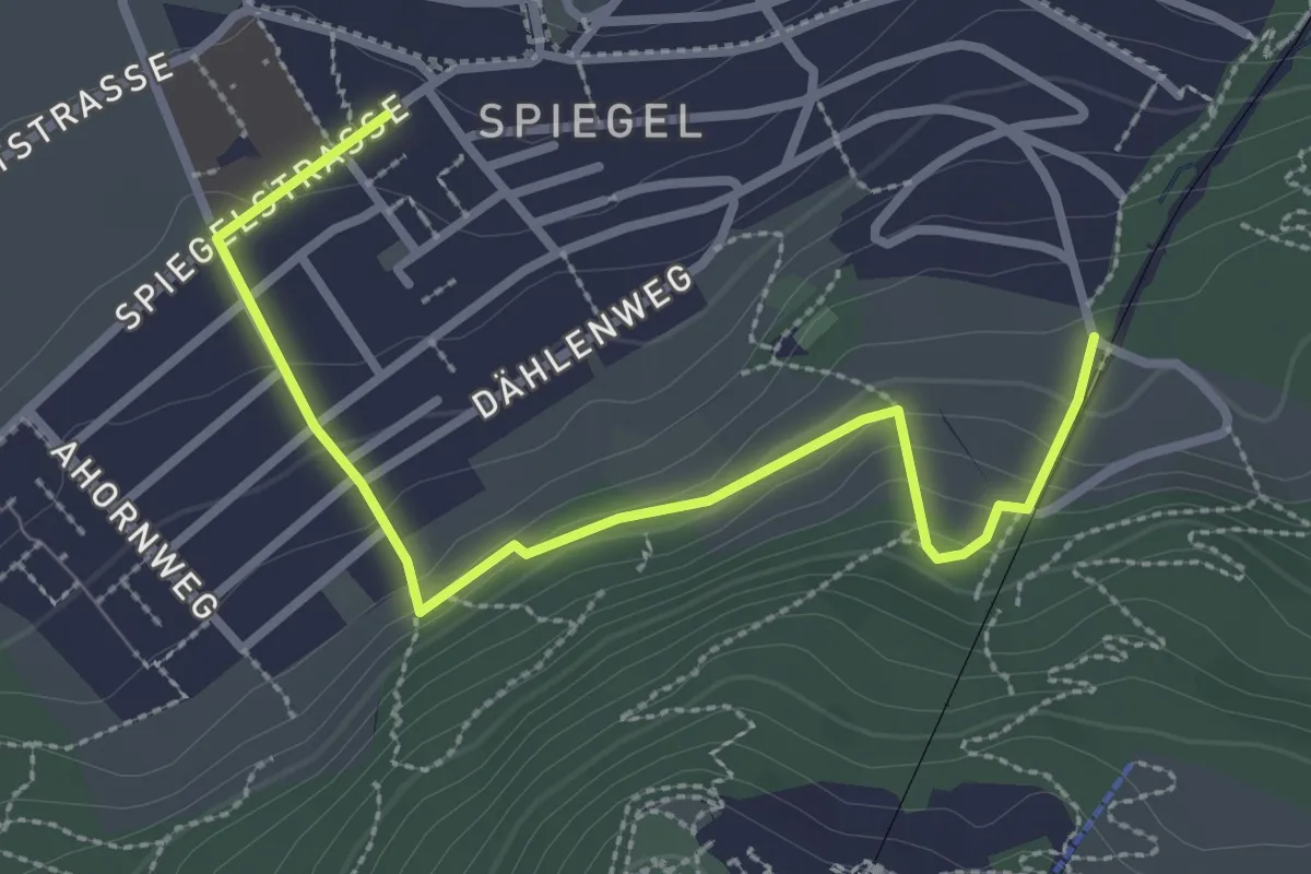
Easy · Trail
Grüenenboden – Spiegel Zentrum
3.1 km · ↑ 154 m · 1 h 4 min · 11 km away