Trails near Münsingen
449 hikes starting within 15 km, nearest first.
Nearest first, page 6 of 10
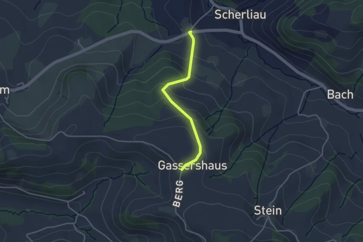
Easy · Trail
Leimen - Gassershus
2.5 km · ↑ 149 m · 55 min · 11 km away
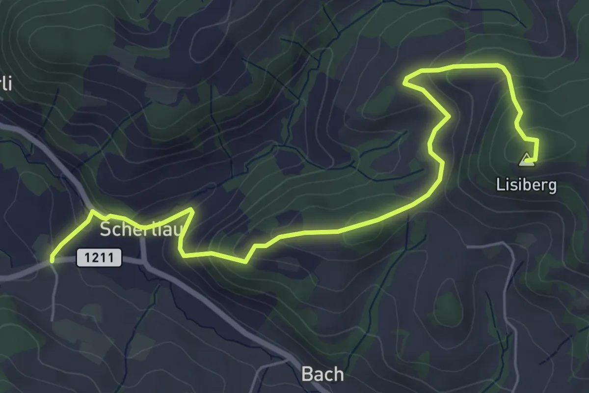
Medium · Summit
Leimen – Lisiberg
6.7 km · ↑ 367 m · 2 h 23 min · 11 km away
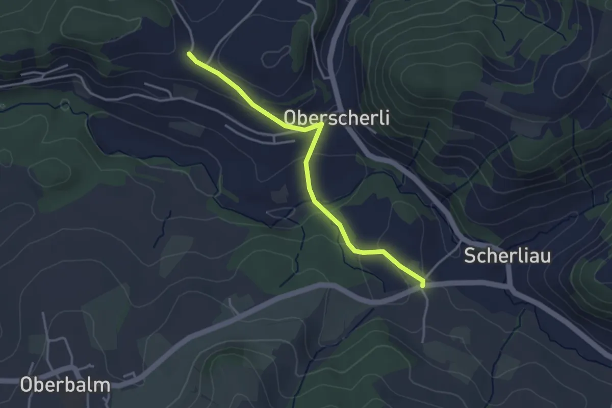
Easy · Trail
Leimen - Hübeli
3.2 km · ↑ 104 m · 59 min · 11 km away
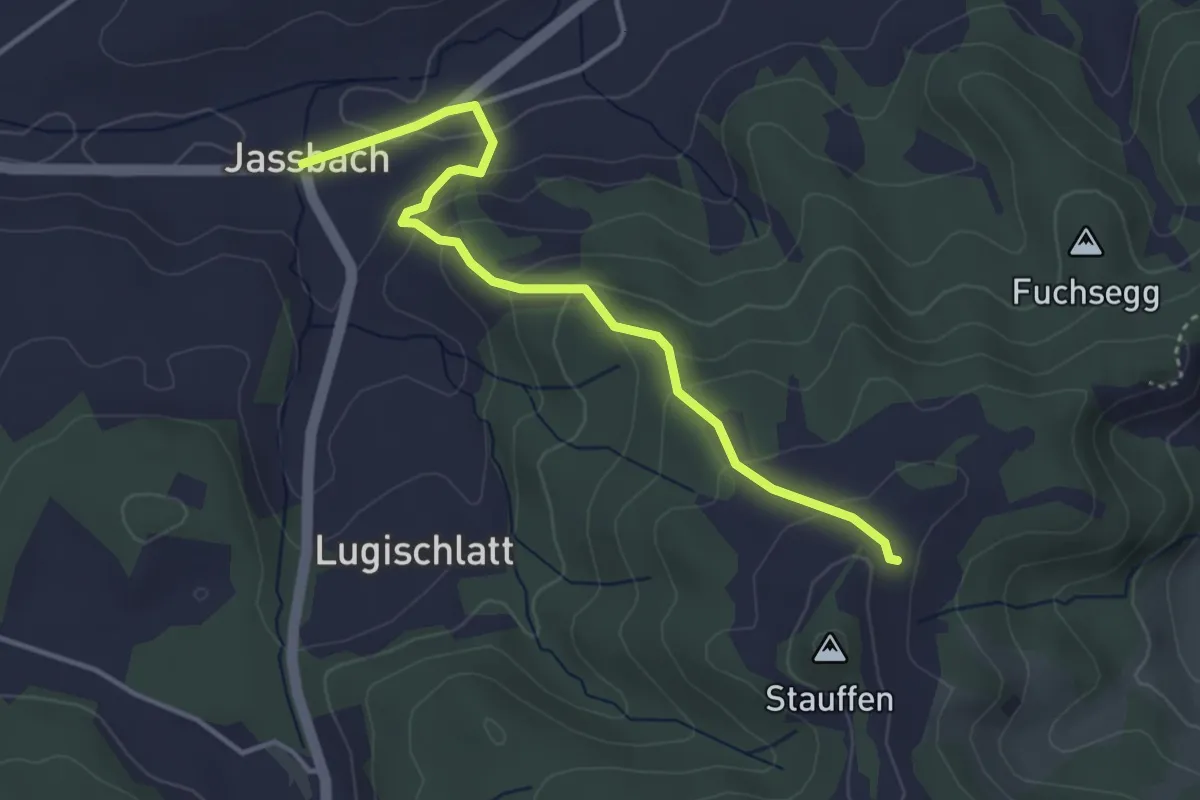
Easy · Trail
Jassbach – Hinter Stauffen
3.9 km · ↑ 196 m · 1 h 21 min · 11 km away
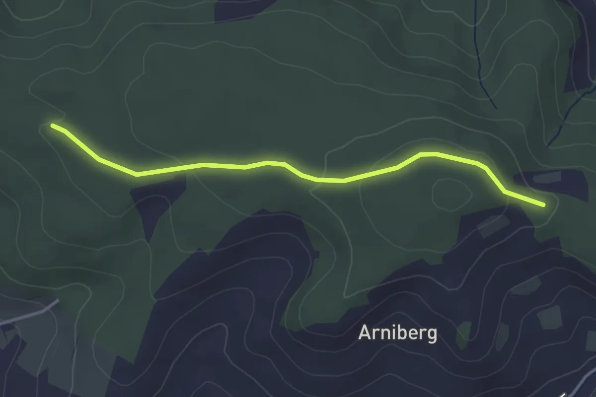
Easy · Trail
Spittelwald – Spränzel
3.4 km · ↑ 78 m · 58 min · 11 km away
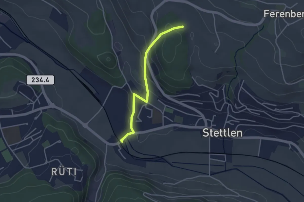
Easy · Trail
Buechholz – Deisswil
2.8 km · ↑ 135 m · 57 min · 11 km away
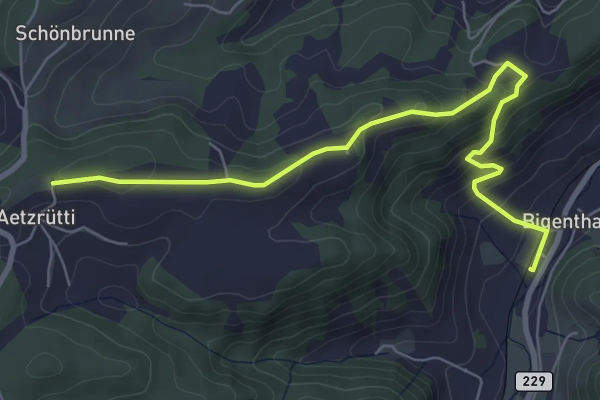
Easy · Trail
Ätzrüti – Bigenthal
6.1 km · ↑ 315 m · 2 h 8 min · 11 km away
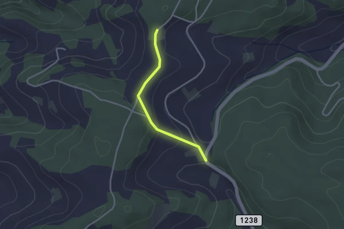
Easy · Trail
Hammegg – Tanne
2.1 km · ↑ 63 m · 38 min · 11 km away
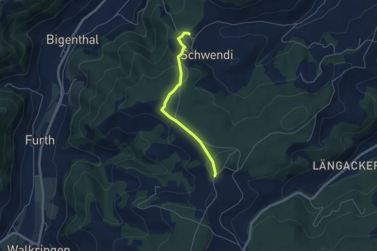
Easy · Trail
Hammwegg – Vorder Schwändi
3.8 km · ↑ 123 m · 1 h 10 min · 11 km away
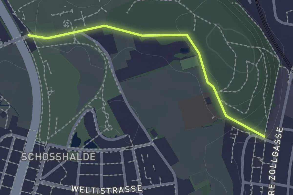
Easy · Trail
Tiefenmösli – Zentrum Paul Klee
2.0 km · ↑ 38 m · 33 min · 11 km away
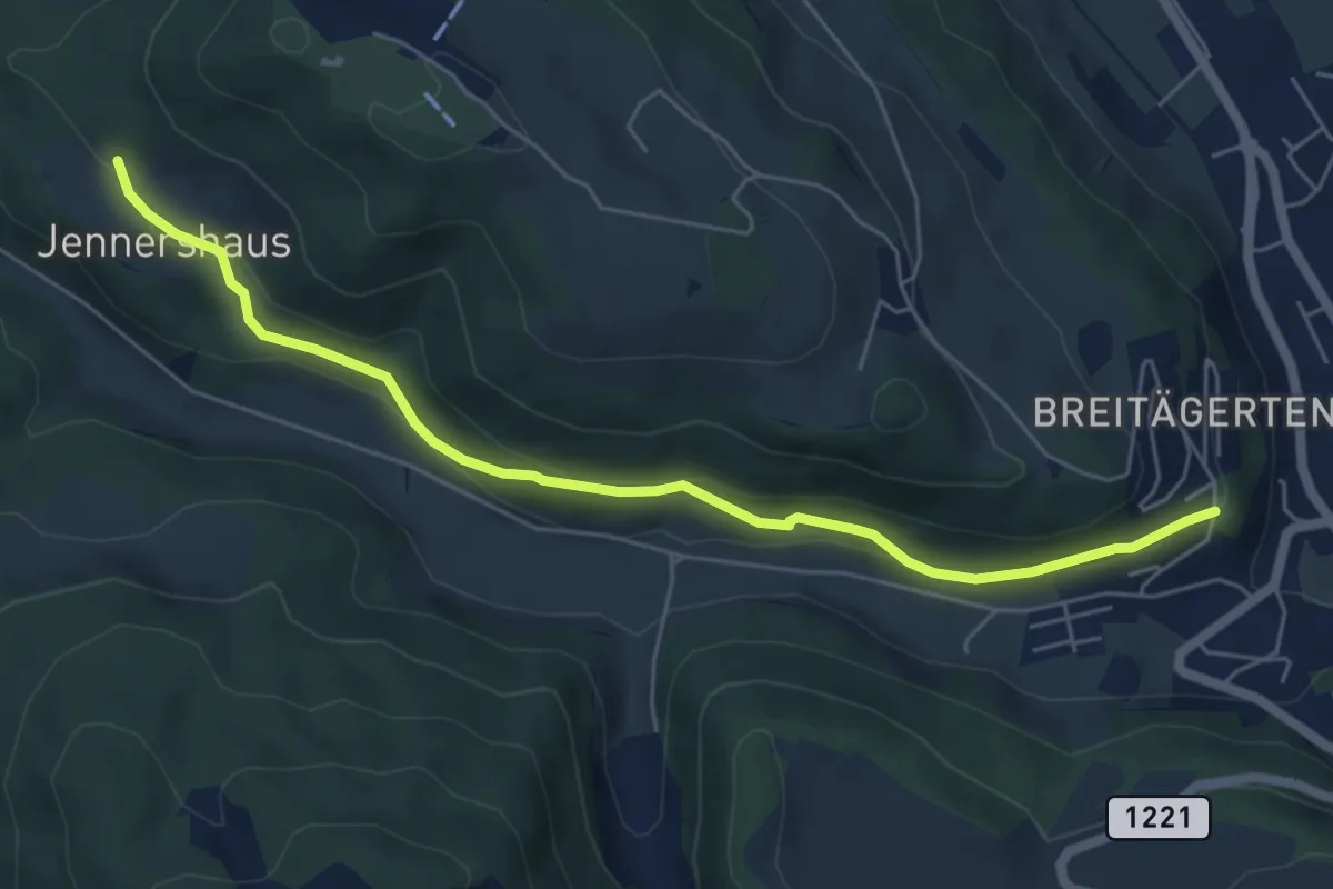
Easy · Trail
Jennershus - Breitägerte
6.0 km · ↑ 206 m · 1 h 52 min · 11 km away
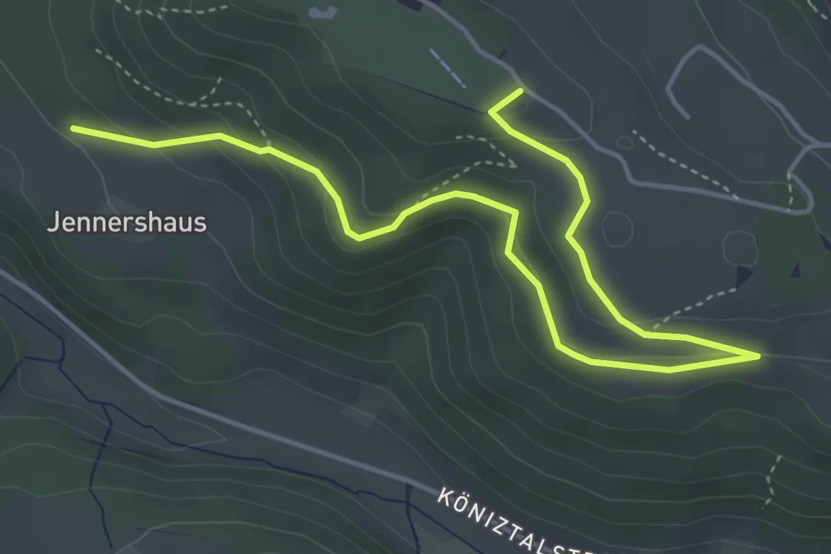
Easy · Summit
Gurten/Ostsignal – Jennershus
5.3 km · ↑ 188 m · 1 h 40 min · 11 km away
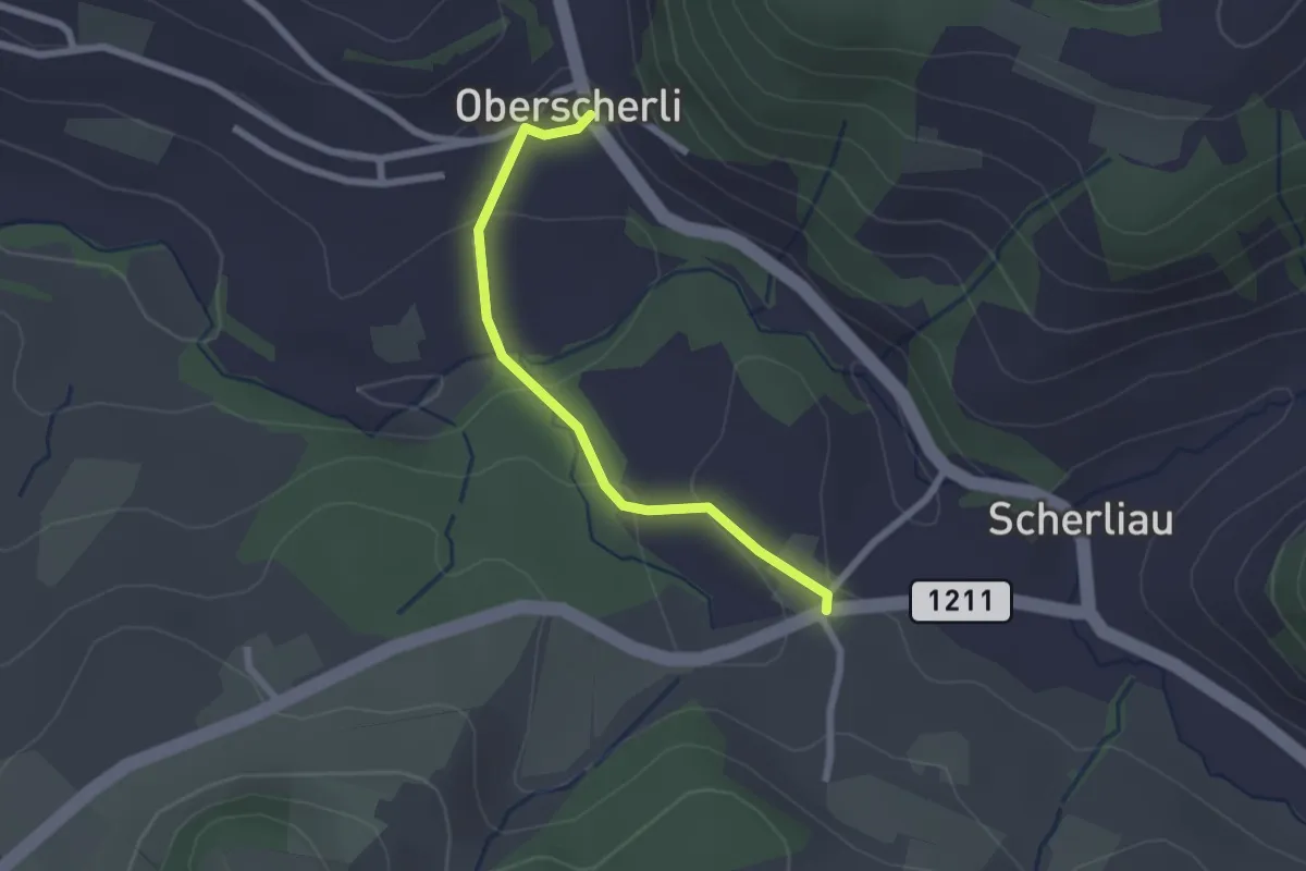
Easy · Trail
Oberscherli – Leiman
2.1 km · ↑ 65 m · 38 min · 11 km away
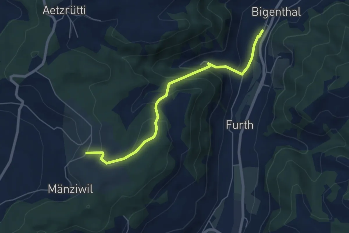
Easy · Trail
Mänziwilegg – Bigenthal
5.1 km · ↑ 272 m · 1 h 47 min · 11 km away
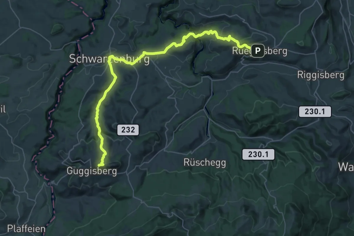
Demanding · Summit
Alpenpanorama-Weg
32.5 km · ↑ 1167 m · 10 h 12 min · 11 km away
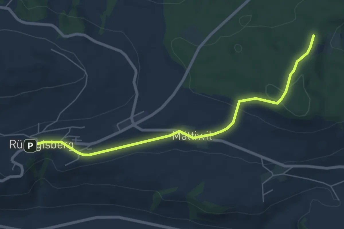
Easy · Trail
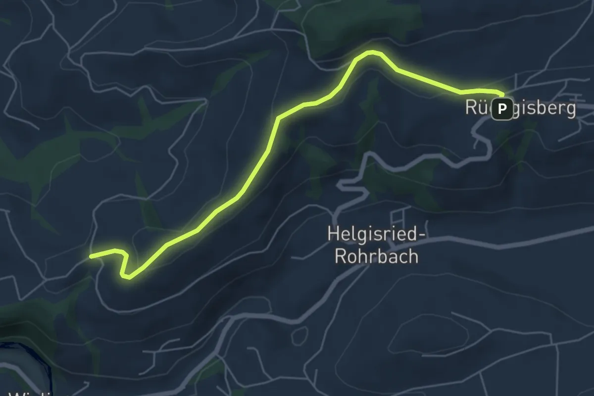
Rüeggisberg – Taanwald
5.8 km · ↑ 134 m · 1 h 39 min · 11 km away
Easy · Trail
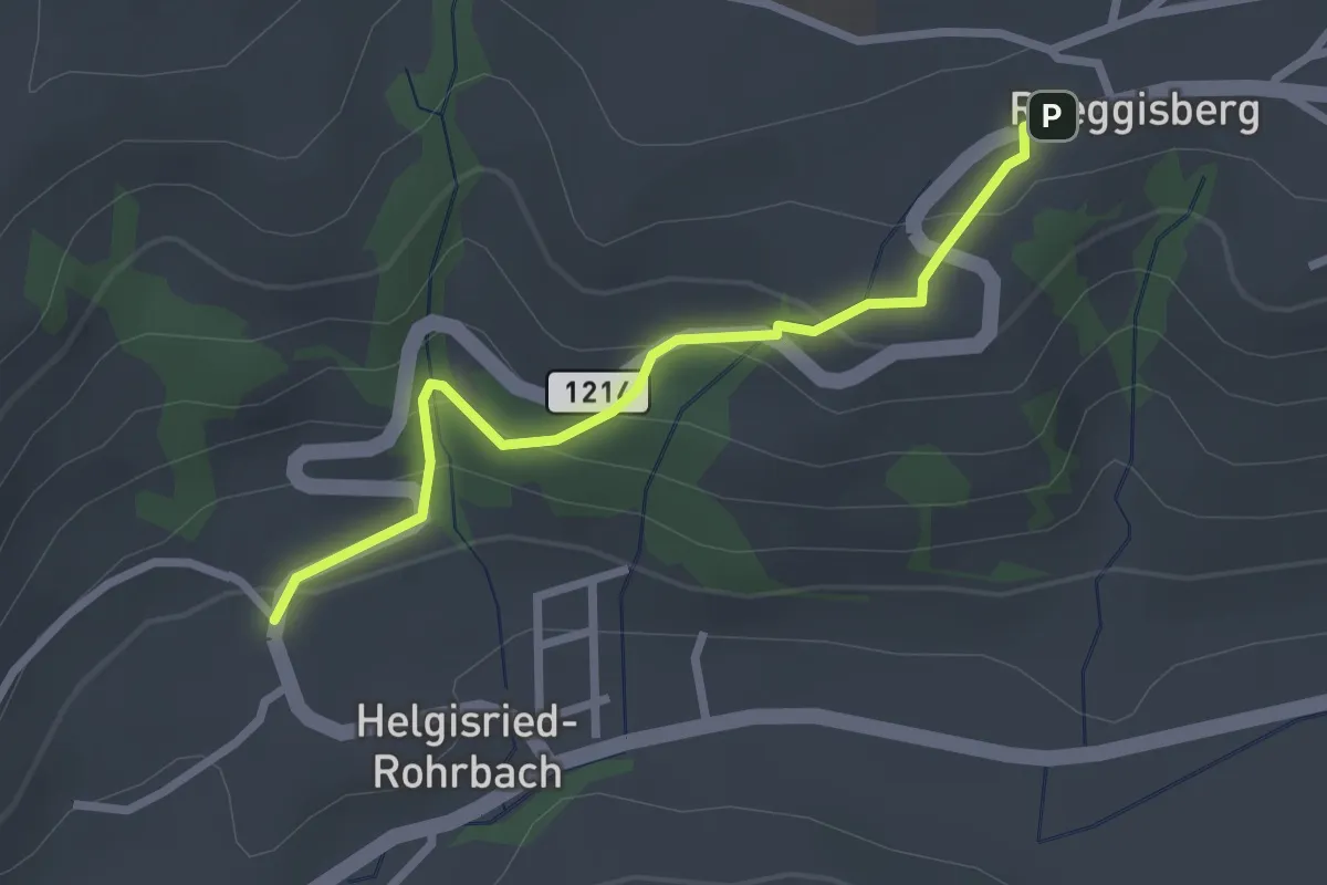
Rüeggisberg - Schwanden
5.7 km · ↑ 200 m · 1 h 47 min · 11 km away
Easy · Trail
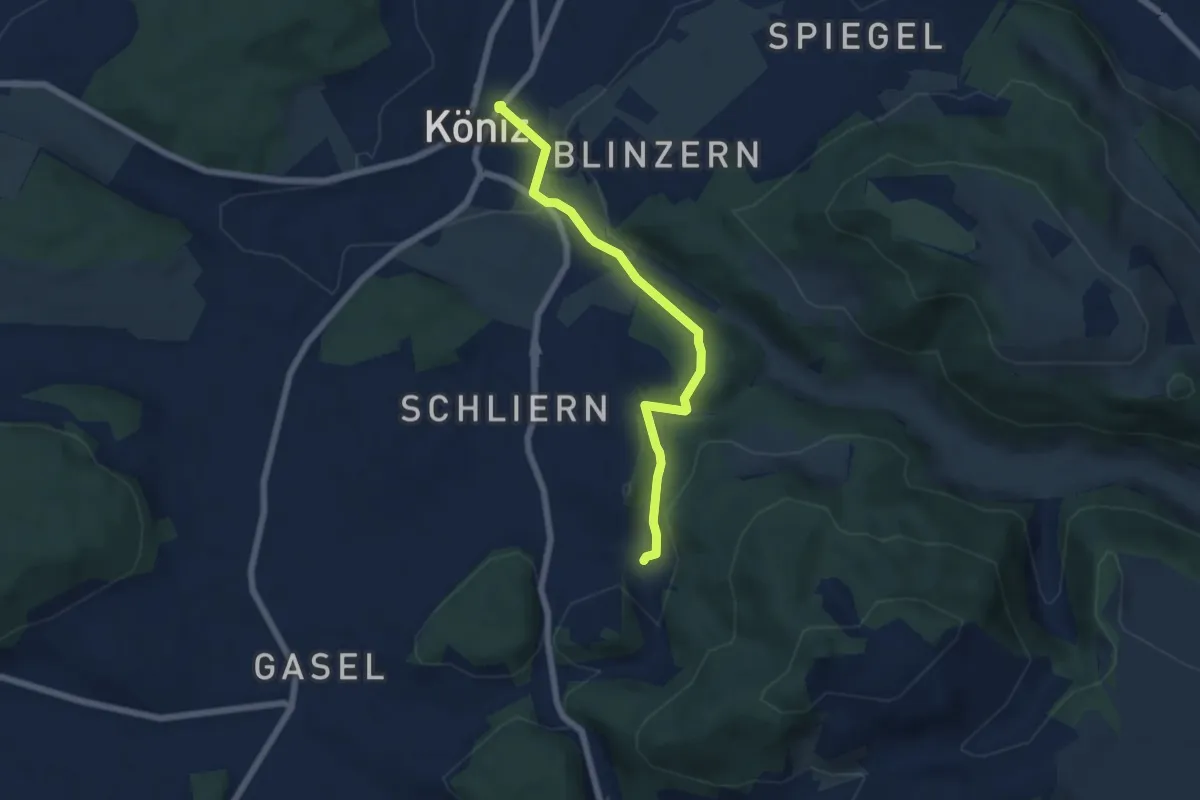
Ober Helgisried - Rüeggisberg
2.5 km · ↑ 161 m · 56 min · 11 km away
Easy · Trail
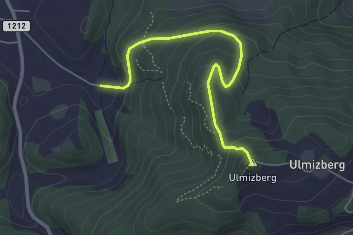
Platten - Köniz
5.9 km · ↑ 176 m · 1 h 46 min · 11 km away
Easy · Summit
Ulmizberg - Platten
4.2 km · ↑ 291 m · 1 h 38 min · 11 km away
Easy · Trail
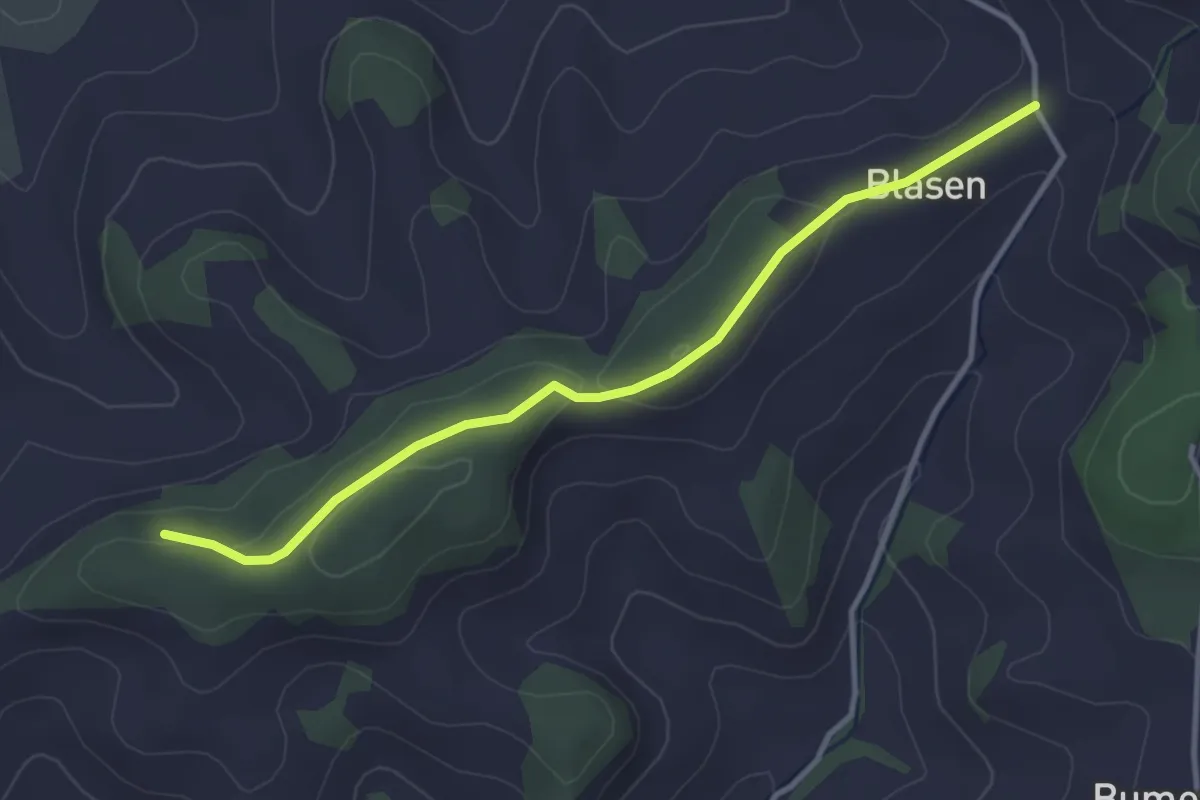
Chapfwald – Blase
3.5 km · ↑ 83 m · 1 h 1 min · 11 km away
Easy · Trail
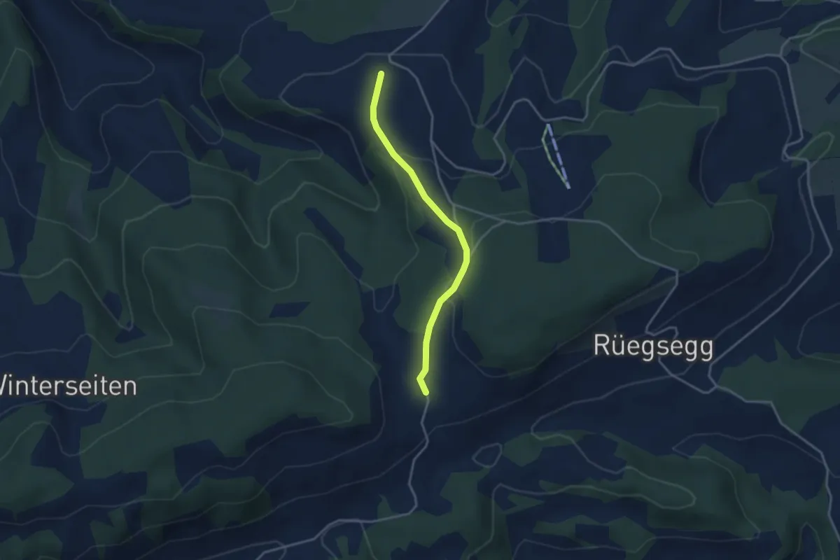
Müliseile – Meieried
3.1 km · ↑ 116 m · 59 min · 11 km away
Easy · Trail
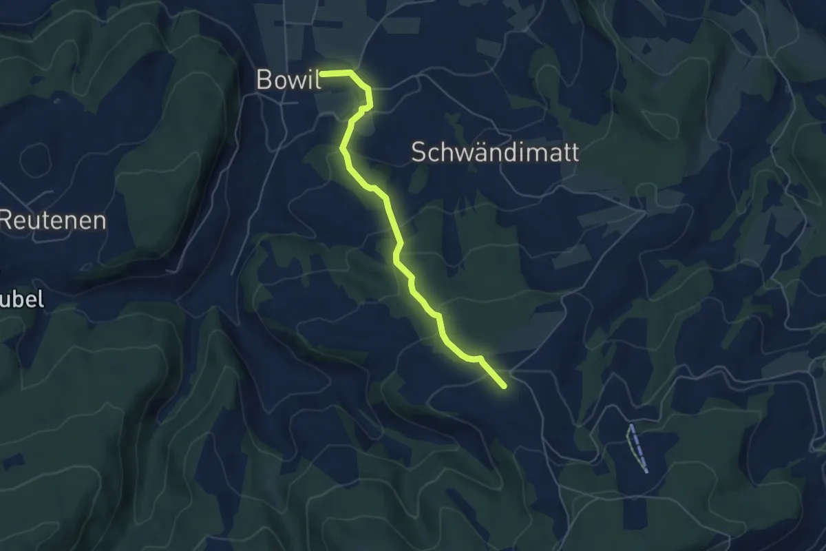
Bowil – Meienried
4.9 km · ↑ 279 m · 1 h 46 min · 11 km away
Easy · Trail
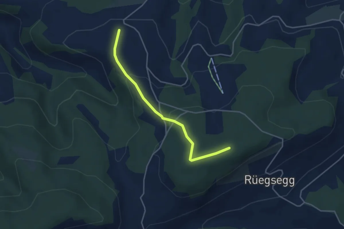
Goucherewald – Meieried
3.2 km · ↑ 143 m · 1 h 4 min · 11 km away
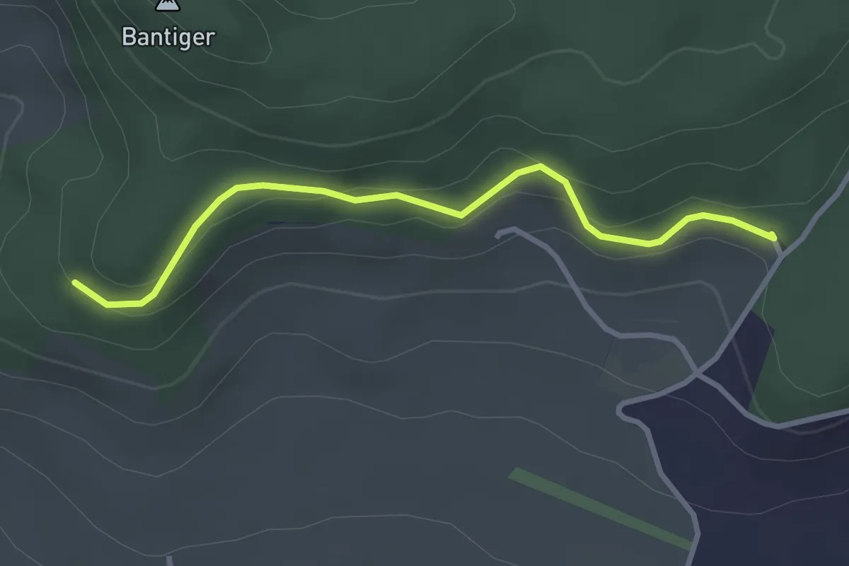
Easy · Trail
Chatzenstyg – Cholegruebe
2.8 km · ↑ 80 m · 51 min · 11 km away
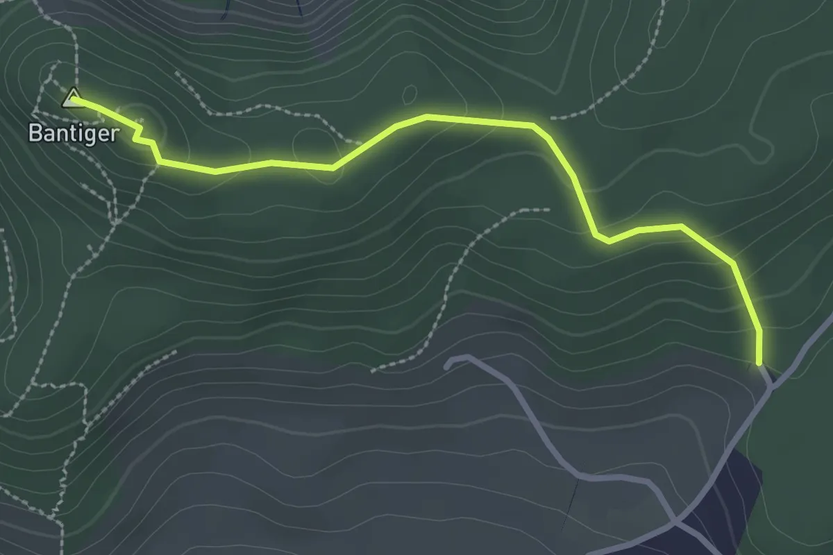
Easy · Summit
Bantiger – Cholgruebe
2.7 km · ↑ 119 m · 54 min · 11 km away
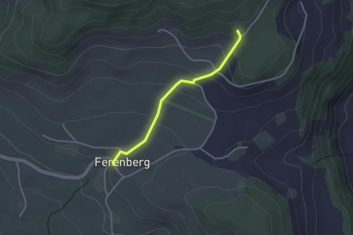
Easy · Trail
Cholegruebe – Ferenberg
2.4 km · ↑ 106 m · 48 min · 11 km away
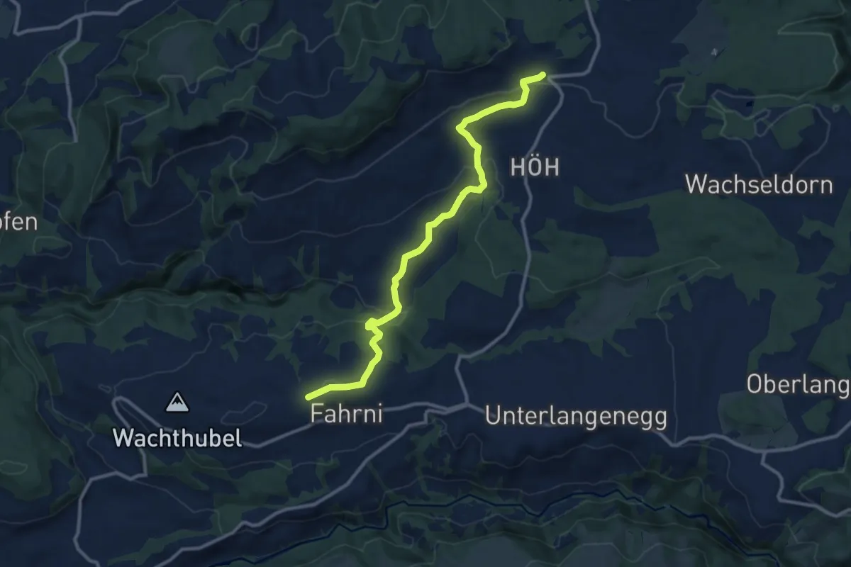
Medium · Trail
Heimenschwand – Chrüzweg
11.0 km · ↑ 337 m · 3 h 19 min · 11 km away
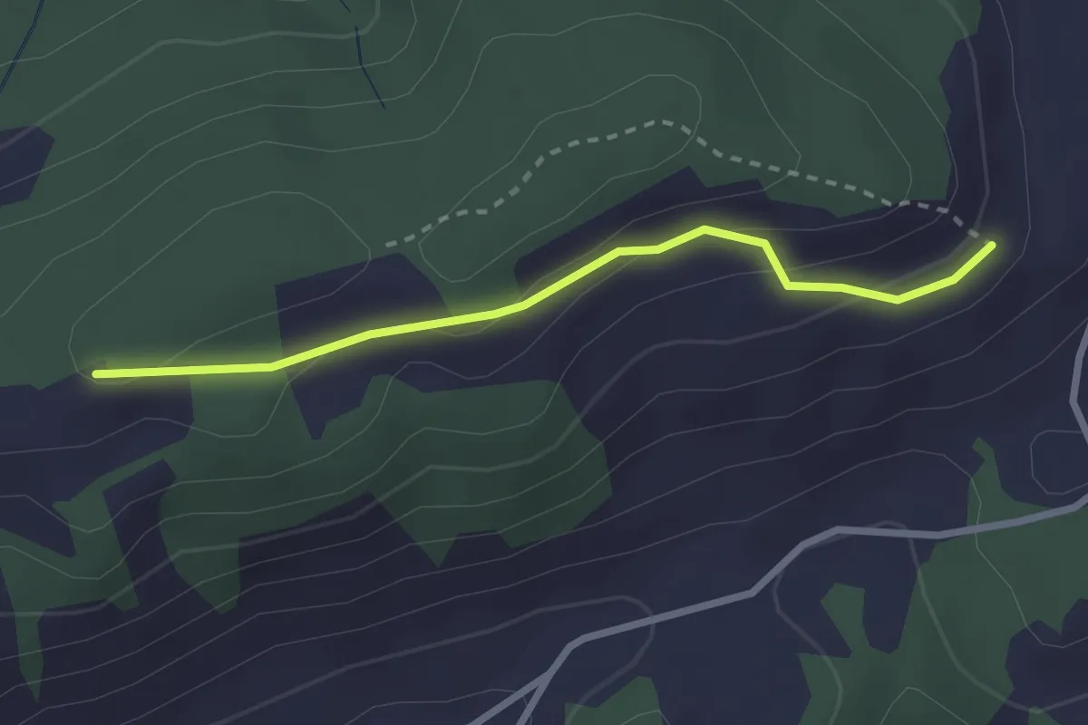
Easy · Trail
Sonnenweg
2.4 km · ↑ 87 m · 46 min · 11 km away
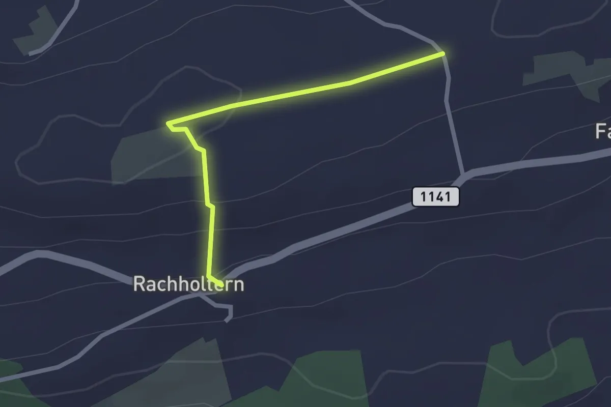
Easy · Trail
Chrüzweg – Rachholtern
2.1 km · ↑ 73 m · 39 min · 11 km away
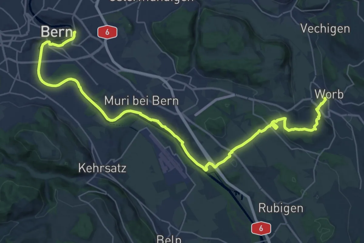
Medium · Trail
Trans Swiss Trail
15.7 km · ↑ 273 m · 4 h 29 min · 11 km away
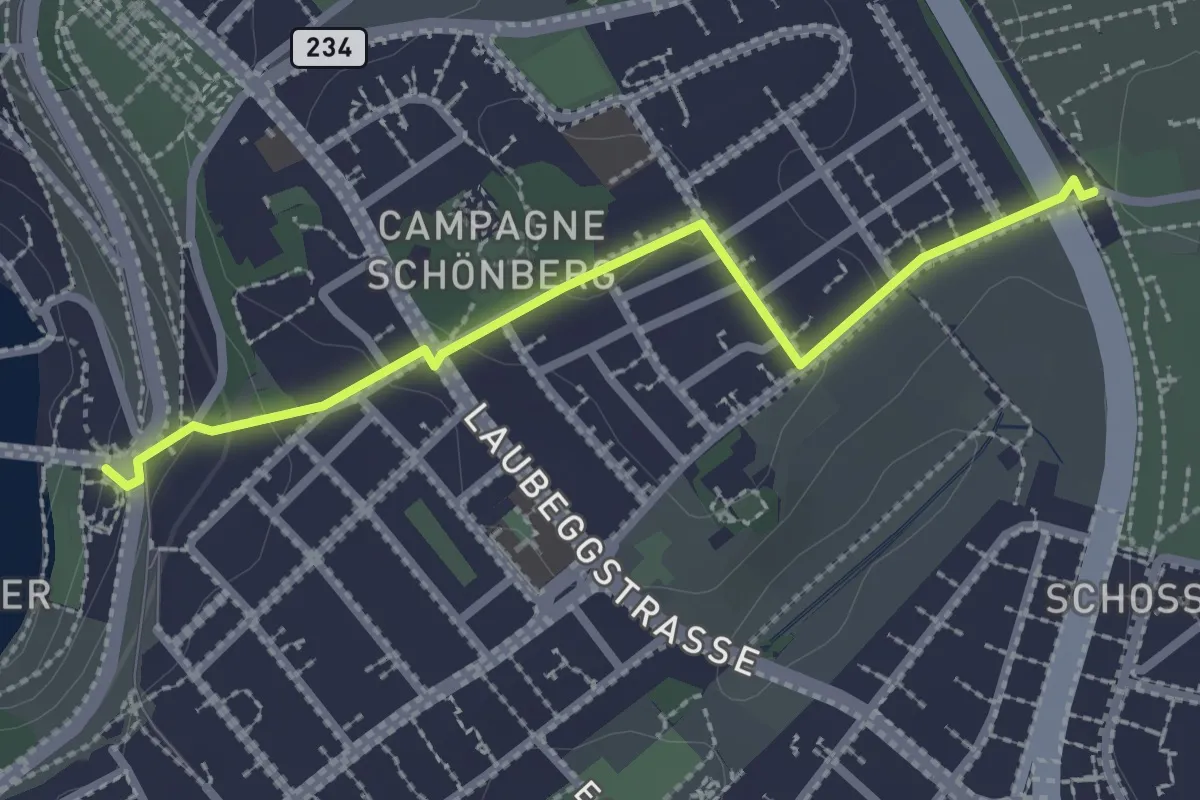
Easy · Trail
Bern/Bärenpark – Zentrum Paul Klee
2.5 km · ↑ 82 m · 46 min · 11 km away
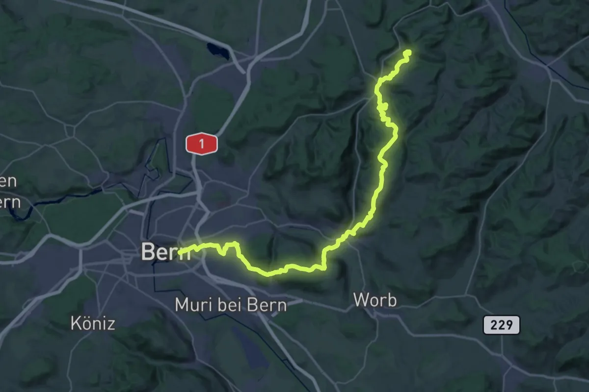
Demanding · Summit
ViaJacobi
42.9 km · ↑ 1593 m · 13 h 35 min · 11 km away
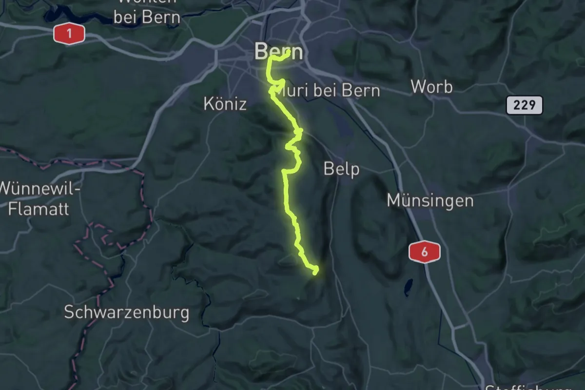
Demanding · Summit
ViaJacobi
38.0 km · ↑ 1072 m · 11 h 18 min · 11 km away
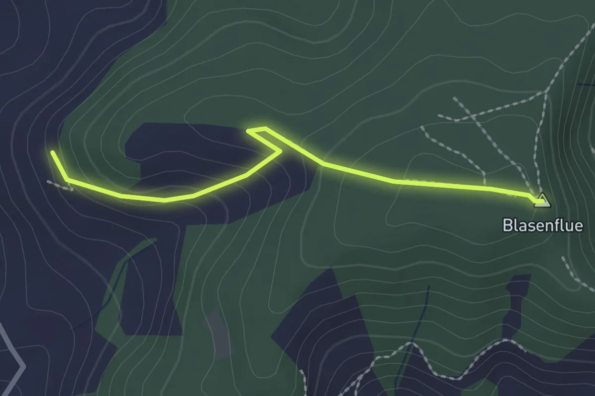
Easy · Summit
Blasenhorn – Blaseflue
2.1 km · ↑ 140 m · 48 min · 11 km away
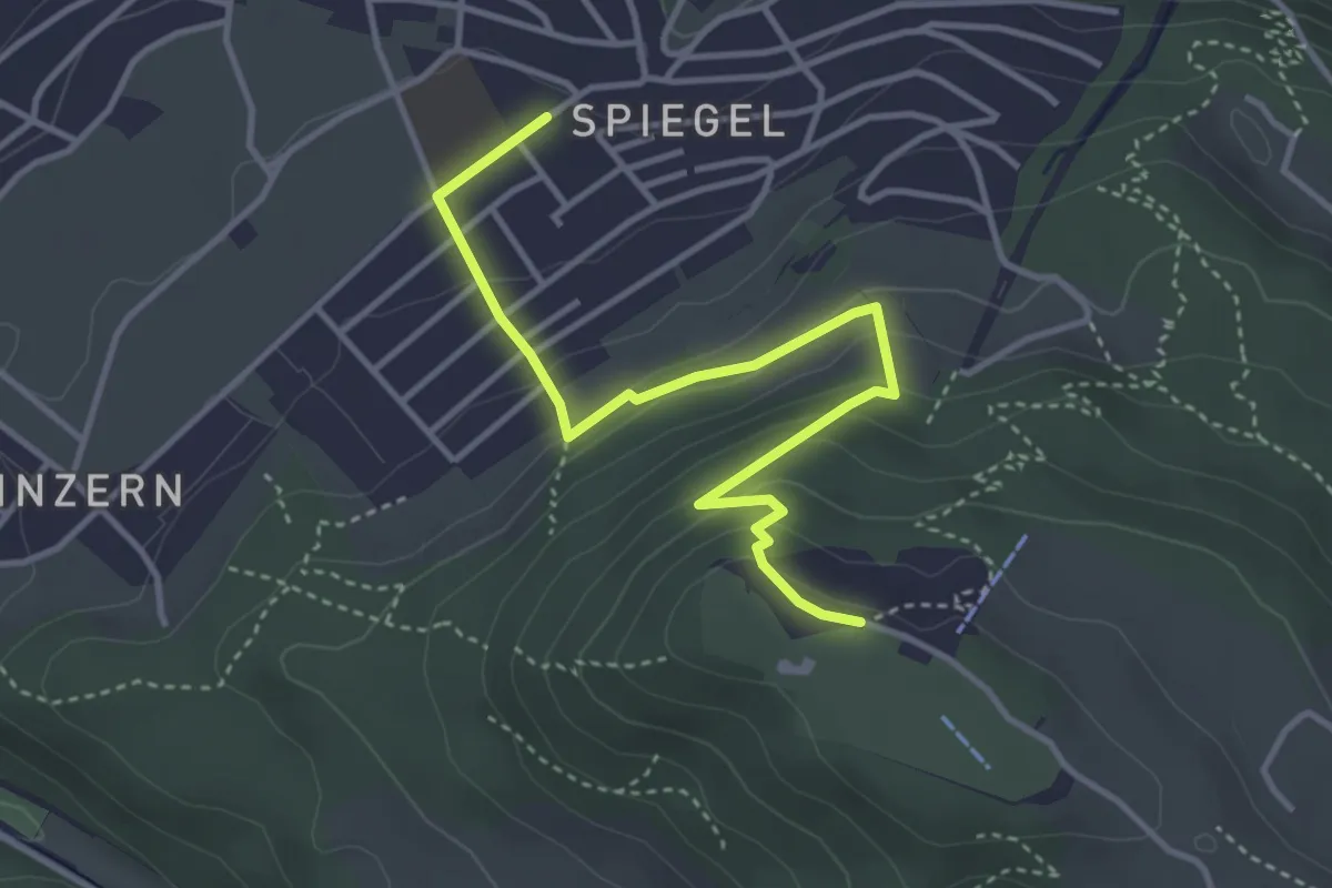
Easy · Trail
Spiegel Zentrum – Gurten Kulm
4.0 km · ↑ 214 m · 1 h 25 min · 11 km away
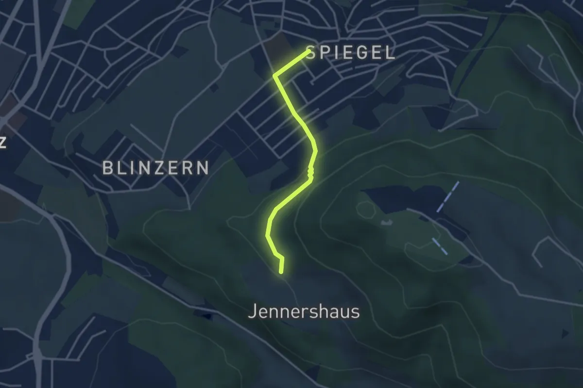
Easy · Trail
Jennerhus - Spiegel Zentrum
2.6 km · ↑ 112 m · 52 min · 11 km away
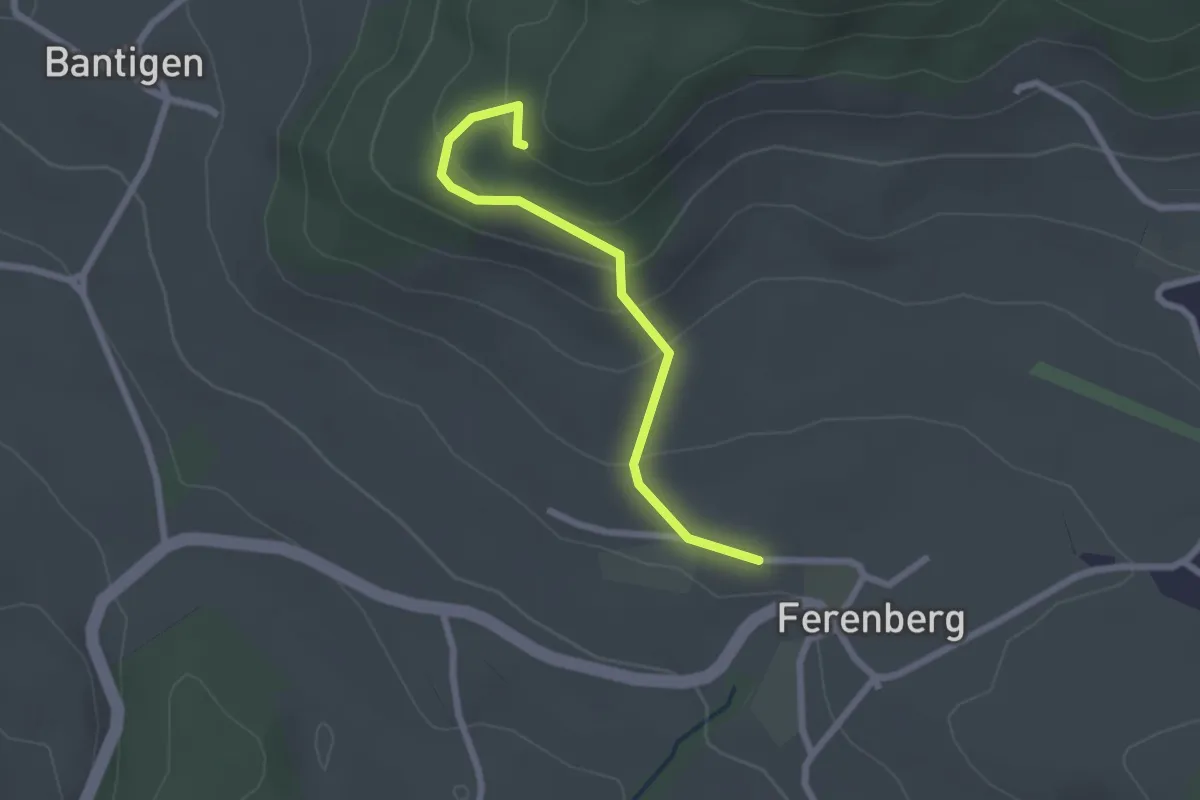
Easy · Trail
Chatzenstyg – Ferenberg
2.2 km · ↑ 131 m · 49 min · 11 km away
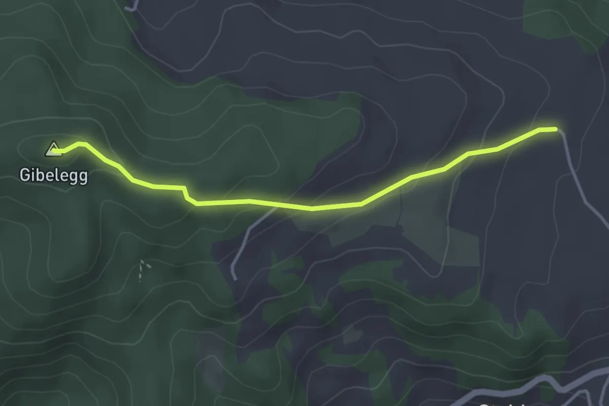
Easy · Summit
Plötschweid - Gibelegg
3.4 km · ↑ 145 m · 1 h 7 min · 11 km away
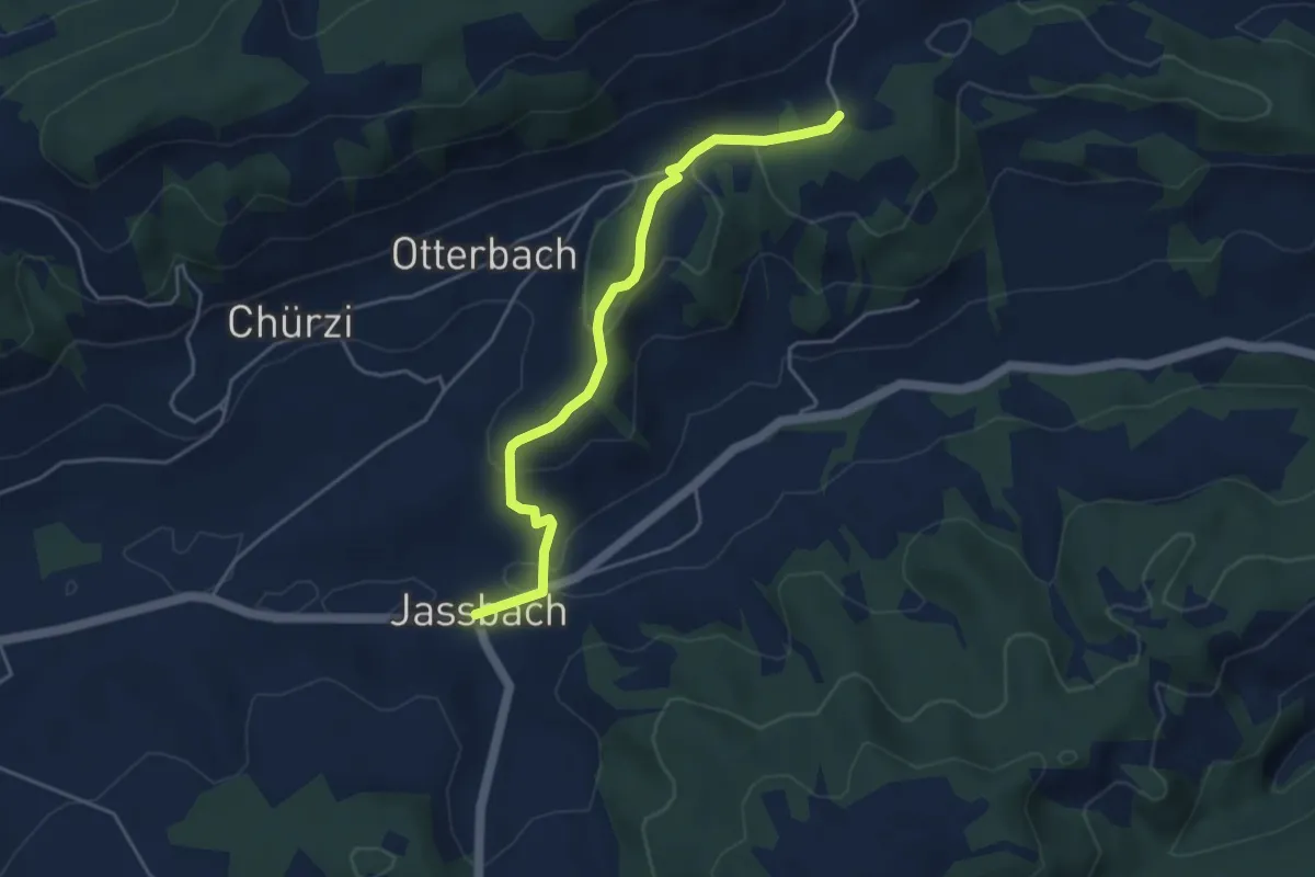
Easy · Trail
Togglismatt – Jassbach
4.4 km · ↑ 127 m · 1 h 19 min · 11 km away
Easy · Trail
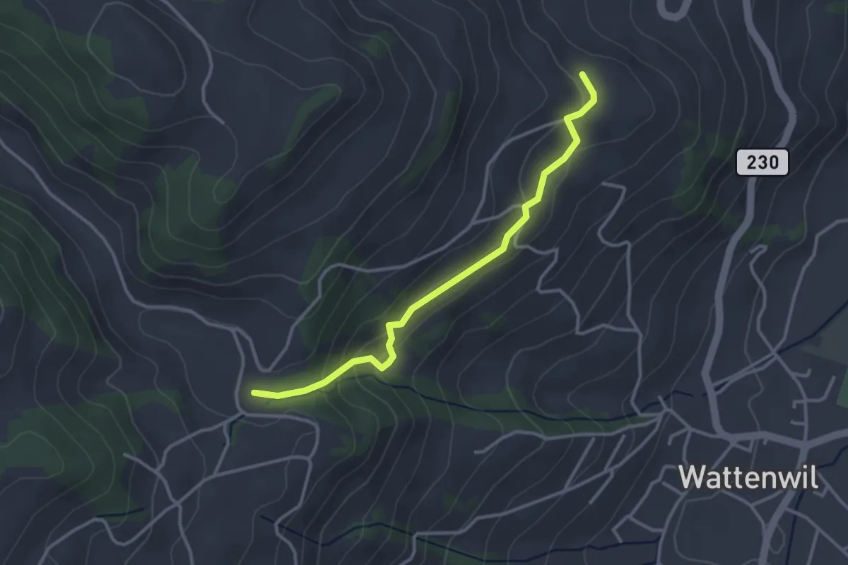
Grundbach/Käserei – Lörtscherei
3.2 km · ↑ 158 m · 1 h 6 min · 12 km away
Easy · Trail
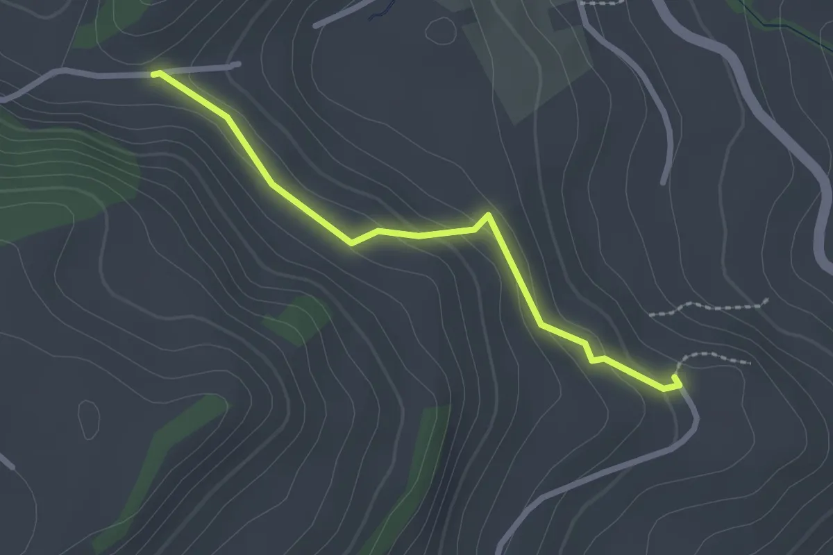
Fluhweid – Lörtscherei
2.2 km · ↑ 86 m · 42 min · 12 km away
Easy · Trail
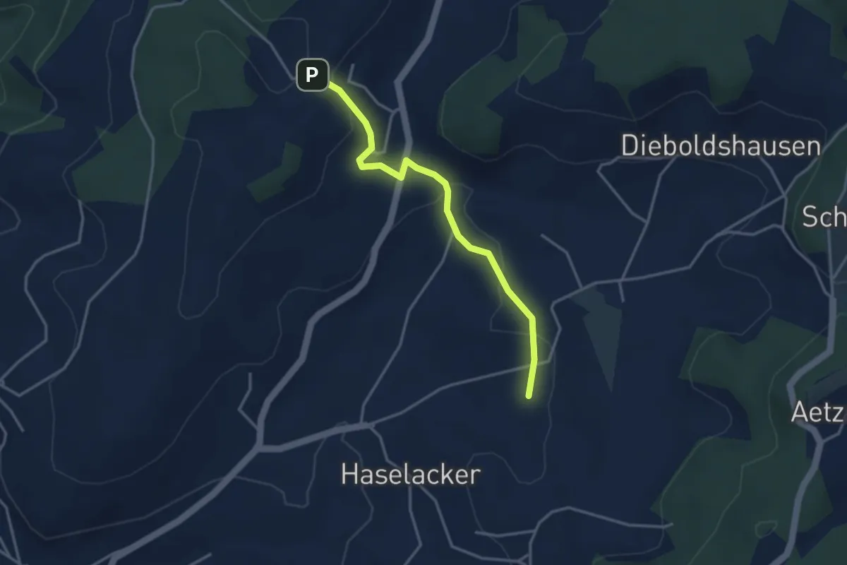
Rötelismatt – Sänggi
3.3 km · ↑ 88 m · 58 min · 12 km away
Easy · Trail
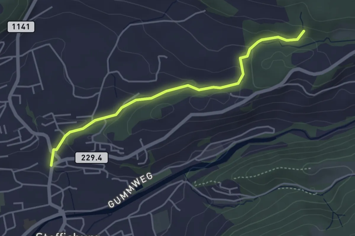
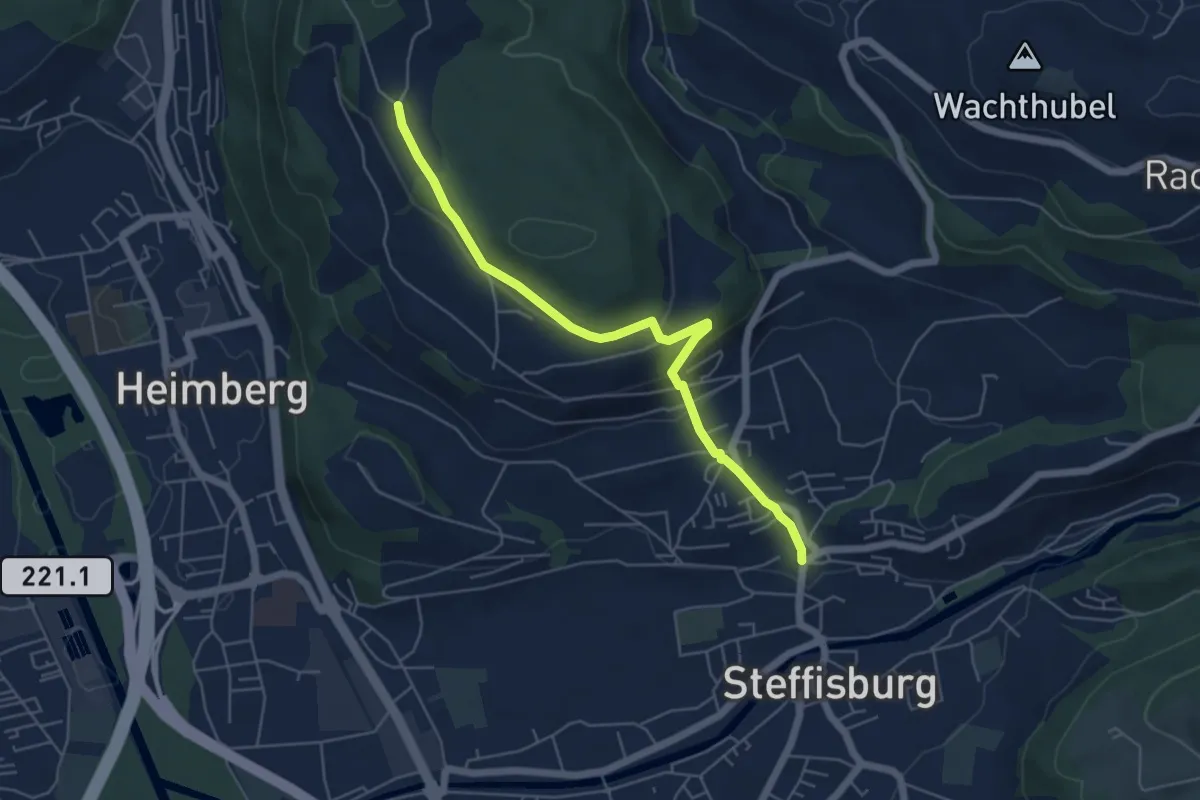
Steffisburg – Birchigraben
4.0 km · ↑ 125 m · 1 h 13 min · 12 km away
Easy · Trail
Oberi Riedere – Steffisburg
5.5 km · ↑ 193 m · 1 h 42 min · 12 km away
Easy · Trail
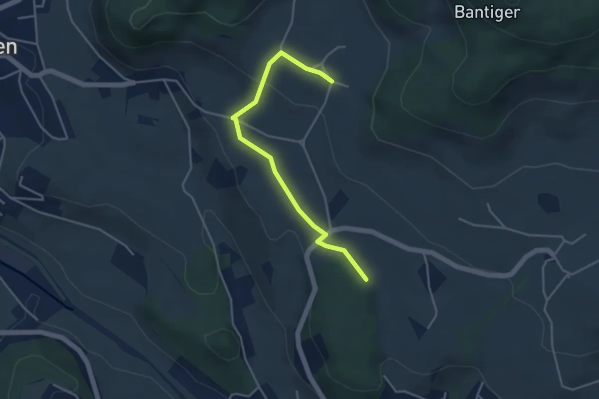
Bantigen – Buecholz
3.3 km · ↑ 57 m · 54 min · 12 km away
Easy · Trail
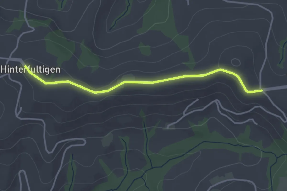
Hinterfultigen – Vorderfultigen
3.2 km · ↑ 42 m · 50 min · 12 km away
Easy · Trail
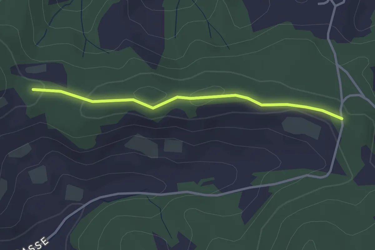
Spränzel – Hinderegg
2.7 km · ↑ 39 m · 43 min · 12 km away