Trails near Münsingen
449 hikes starting within 15 km, nearest first.
Nearest first, page 7 of 10
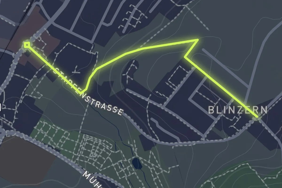
Easy · Trail
Köniz - Blinzeren
2.3 km · ↑ 49 m · 39 min · 12 km away
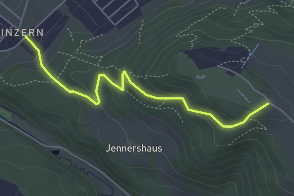
Easy · Summit
Blinzern – Gurten/Ostsignal
4.2 km · ↑ 238 m · 1 h 31 min · 12 km away
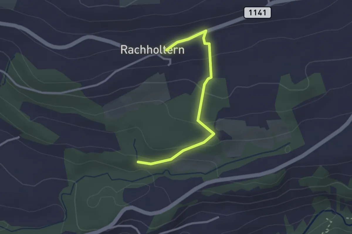
Easy · Trail
Rachholtern – Birchigraben
2.5 km · ↑ 124 m · 52 min · 12 km away
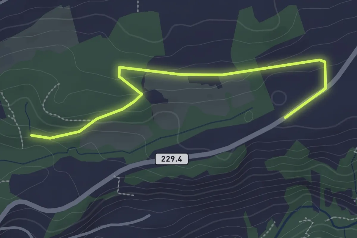
Easy · Trail
Birchigraben – Ober Emberg
3.1 km · ↑ 87 m · 55 min · 12 km away
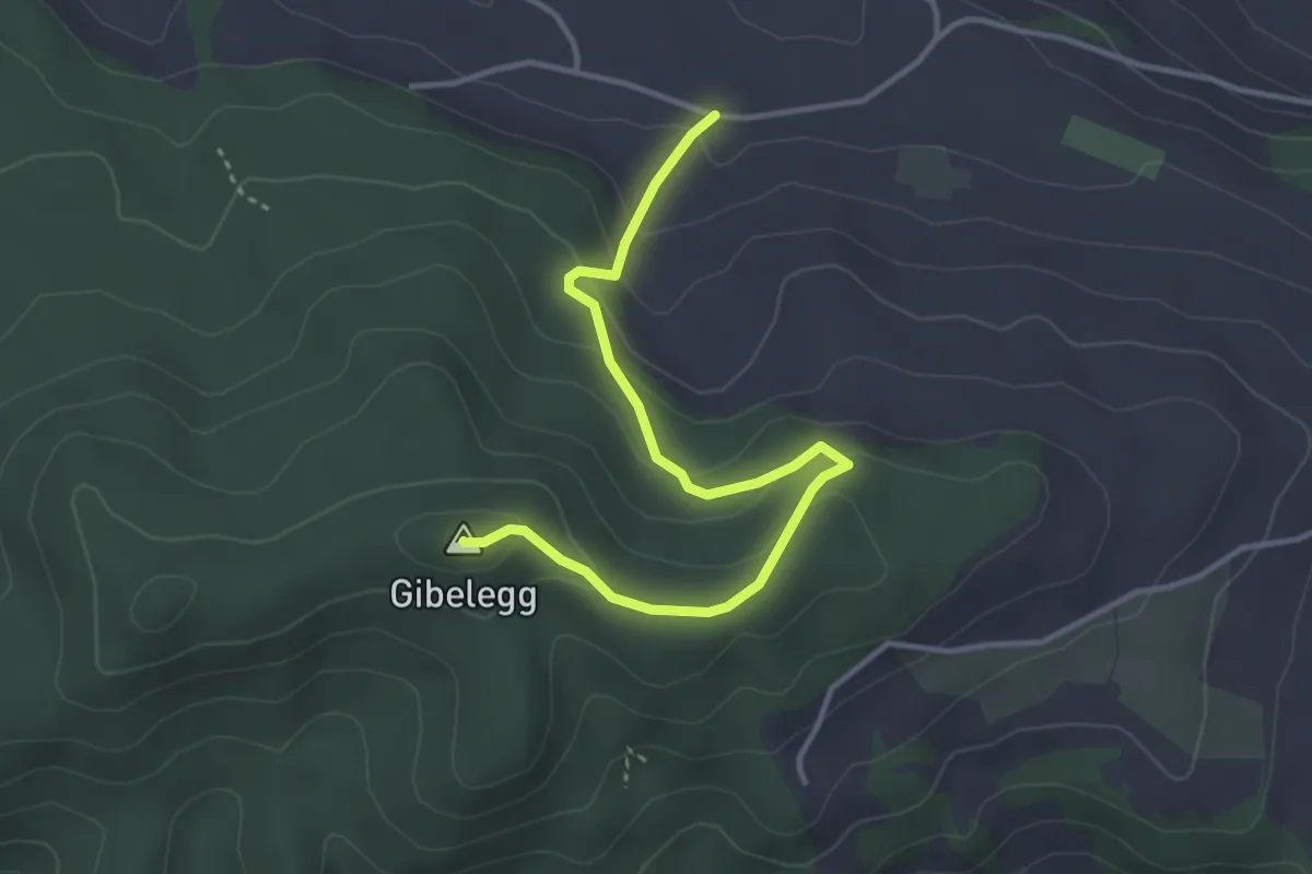
Easy · Summit
Hohlenweg - Gibelegg
3.8 km · ↑ 194 m · 1 h 20 min · 12 km away
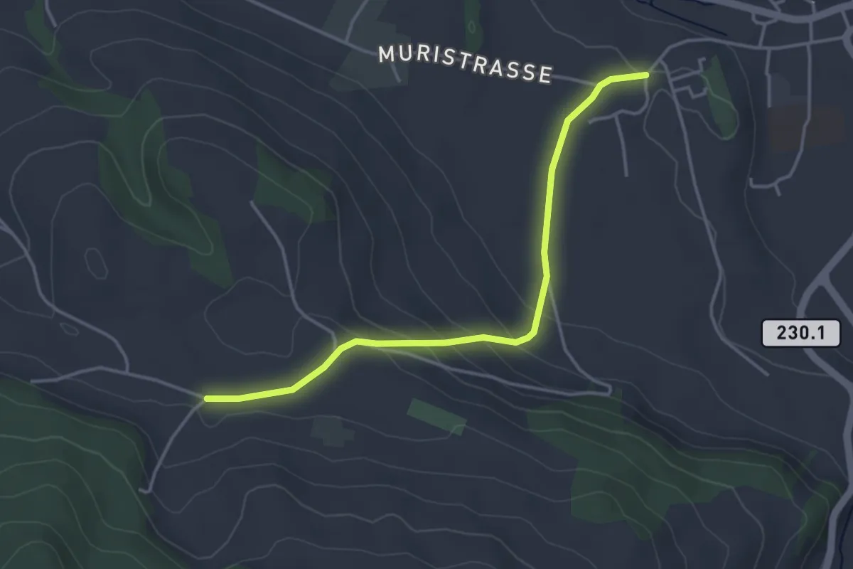
Easy · Trail
Riggisberg Schloss - Hohlenweg
3.8 km · ↑ 132 m · 1 h 11 min · 12 km away
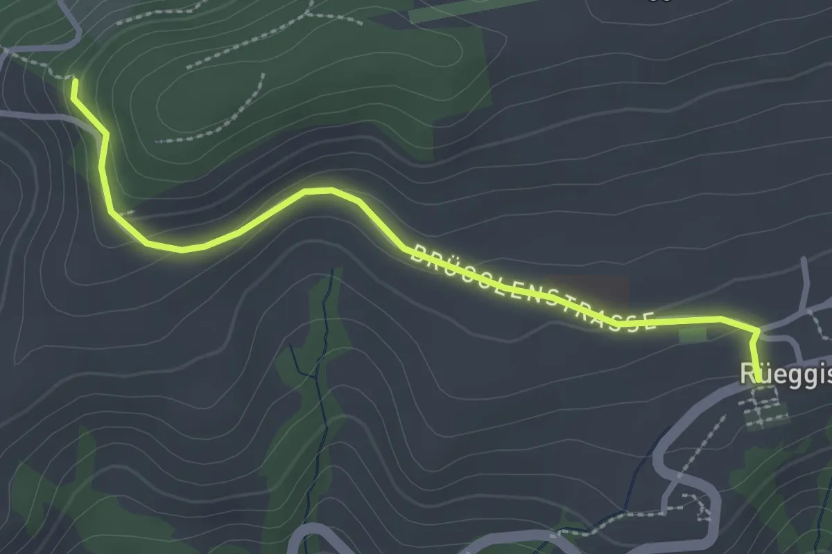
Easy · Trail
Rüeggisberg - Riedstettwald
2.7 km · ↑ 91 m · 50 min · 12 km away
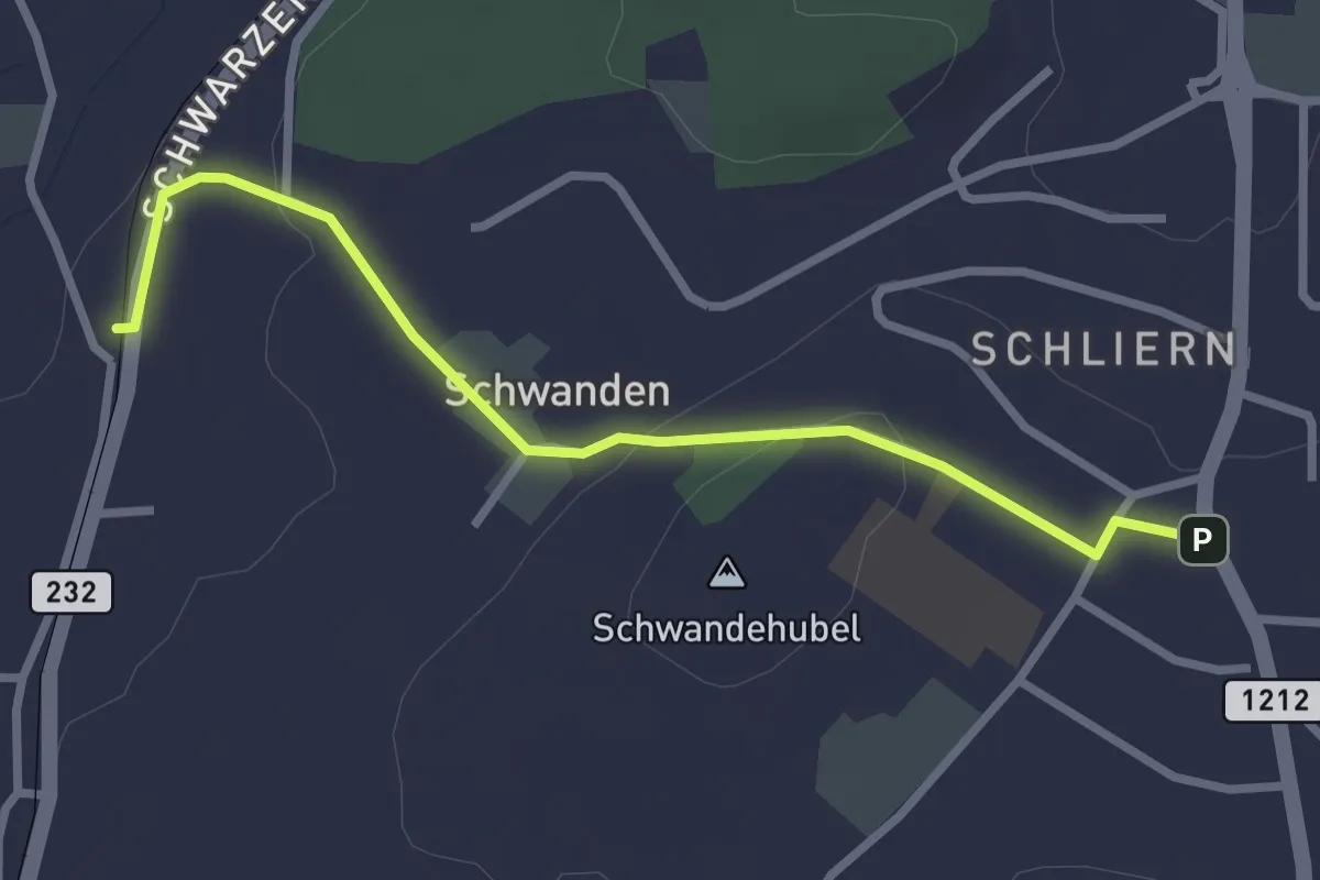
Easy · Trail
Moos - Schliern
2.9 km · ↑ 60 m · 49 min · 12 km away
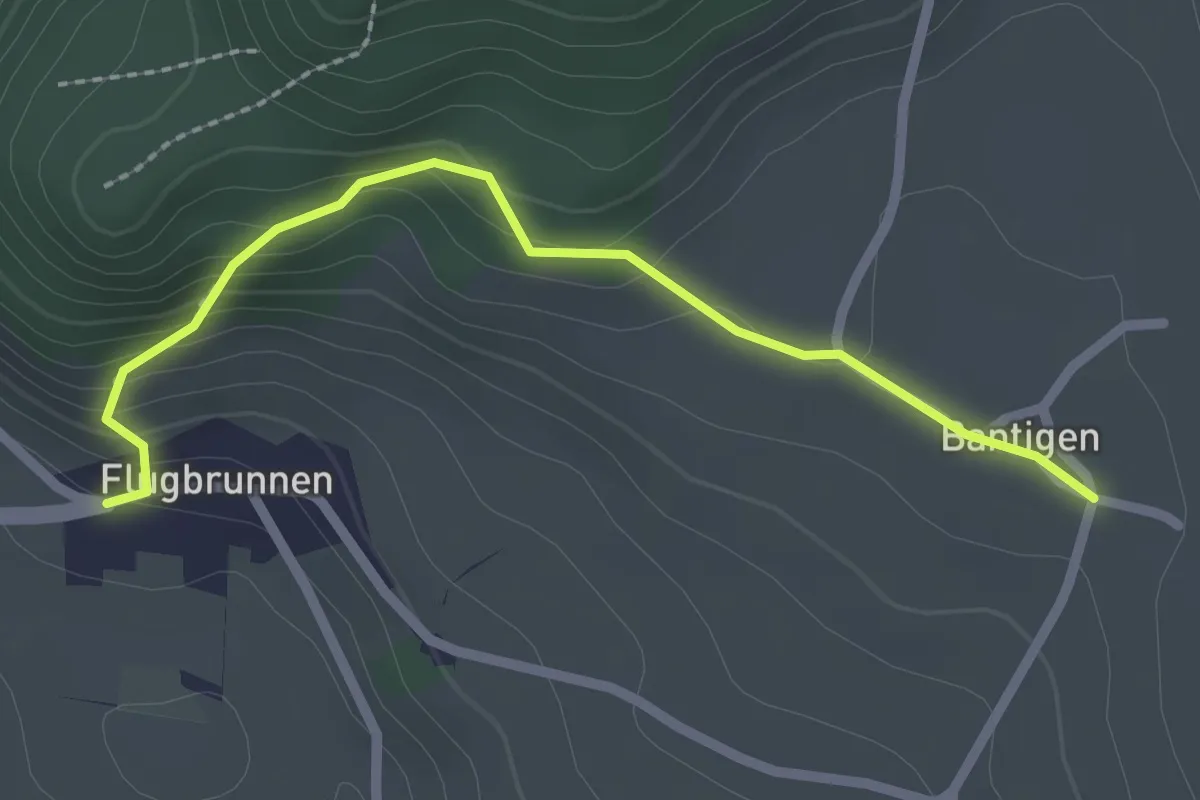
Easy · Trail
Bantigen – Flugbrunnen
2.3 km · ↑ 151 m · 53 min · 12 km away
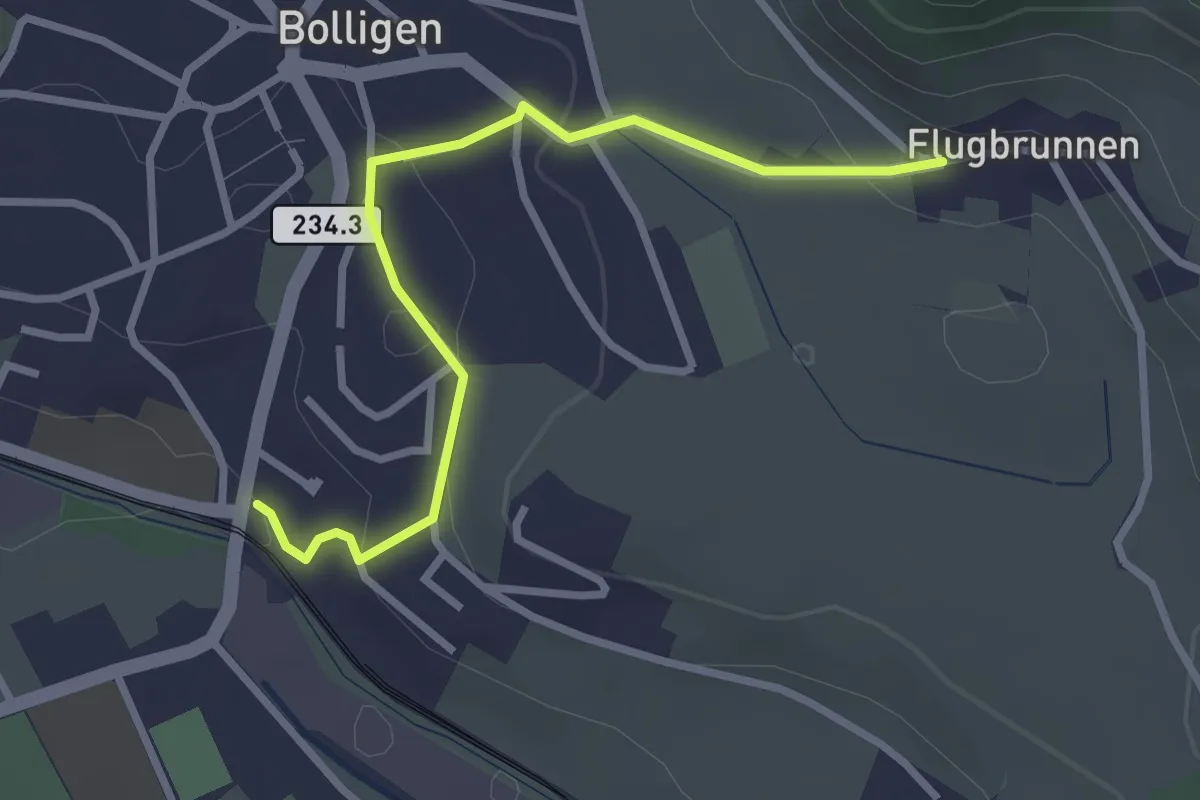
Easy · Trail
Flugbrunnen – Bolligen
2.9 km · ↑ 87 m · 53 min · 12 km away
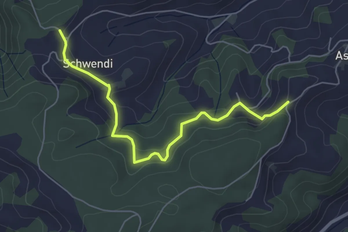
Easy · Trail
Vorder Schwändi – Aspiegg
5.0 km · ↑ 197 m · 1 h 37 min · 12 km away
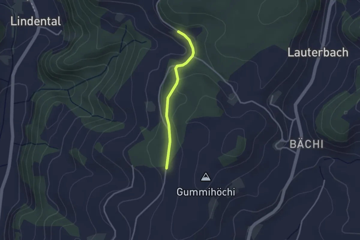
Easy · Trail
Sunnerain – Utzigenwull
2.1 km · ↑ 23 m · 33 min · 12 km away
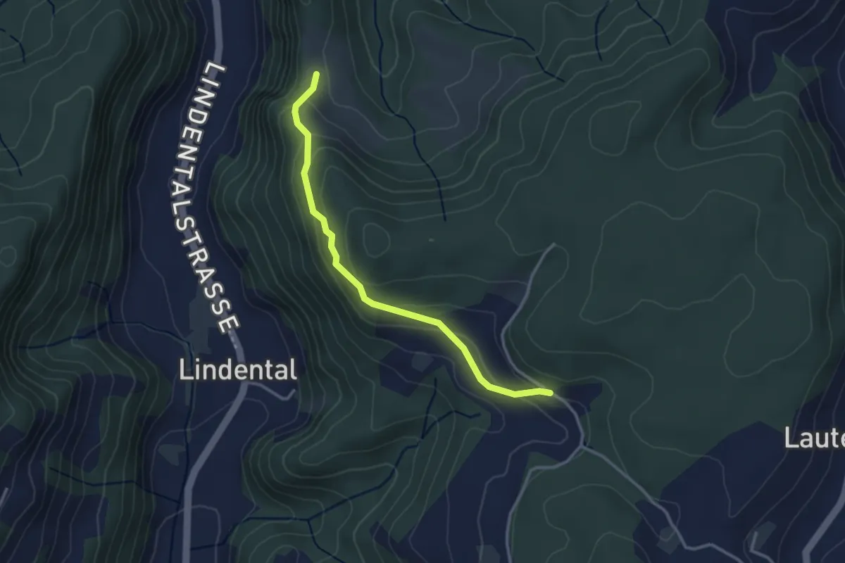
Easy · Trail
Vordere Geisme – Sonnenrain
3.0 km · ↑ 144 m · 1 h 1 min · 12 km away
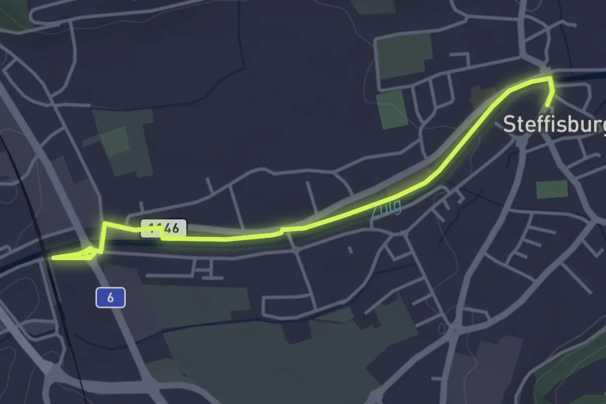
Easy · Trail
Steffisburg – Steffisburg Bahnhof
4.2 km · ↑ 21 m · 1 h 2 min · 12 km away
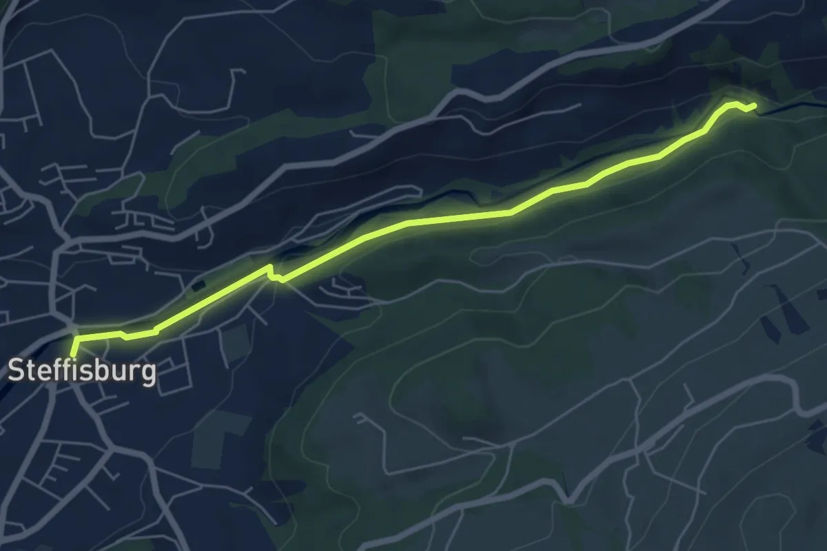
Easy · Trail
Steffisburg – Waggelistäg
5.7 km · ↑ 78 m · 1 h 31 min · 12 km away
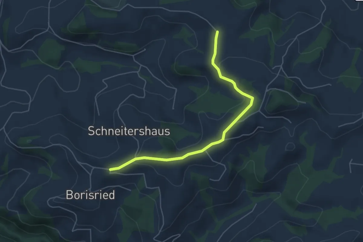
Easy · Trail
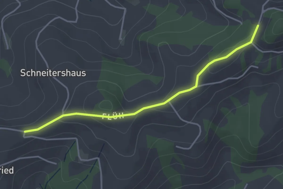
Gassershus - Borisried/Schulhaus
5.0 km · ↑ 129 m · 1 h 27 min · 12 km away
Easy · Trail
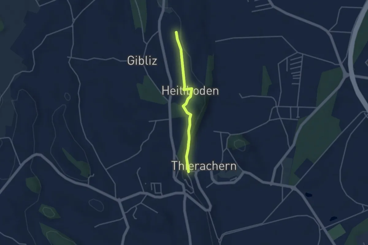
Borisried/Schulhaus - Tschuggen
3.5 km · ↑ 88 m · 1 h · 12 km away
Easy · Trail
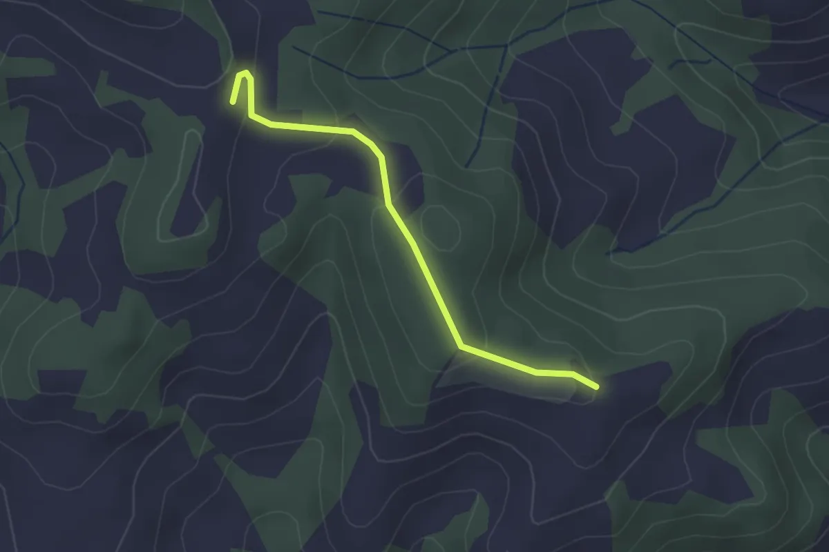
Thierachern-Willerüti
3.0 km · ↑ 62 m · 51 min · 12 km away
Easy · Trail
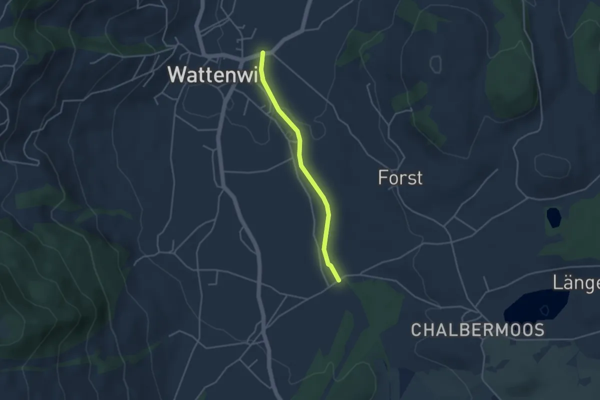
Ober Rainsberg - Ofeneggalp
2.3 km · ↑ 86 m · 44 min · 12 km away
Easy · Trail
Wattenwil - Längmoos
3.1 km · ↑ 26 m · 48 min · 12 km away
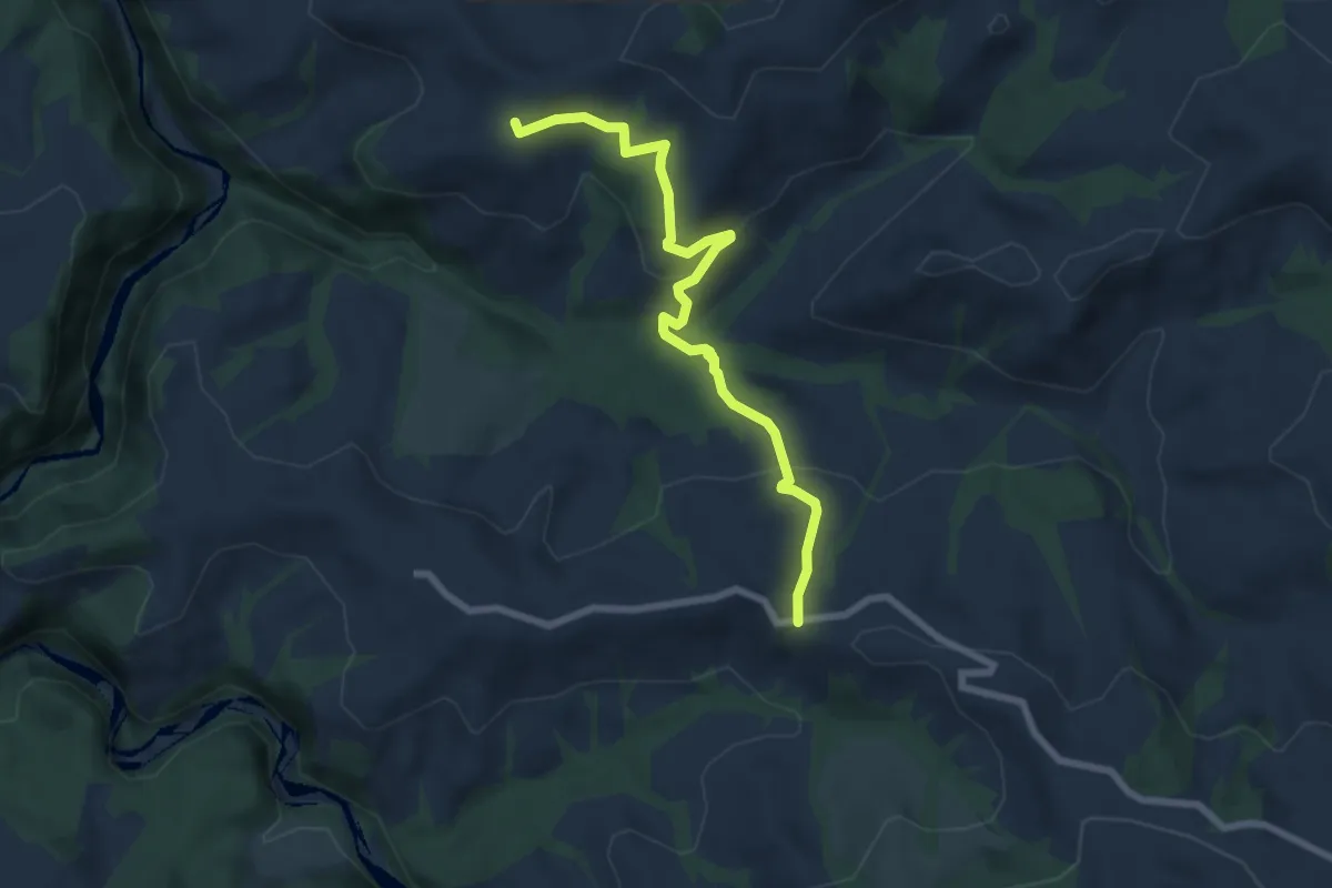
Medium · Trail
Borisried – Vorderfultigen
7.2 km · ↑ 329 m · 2 h 24 min · 12 km away
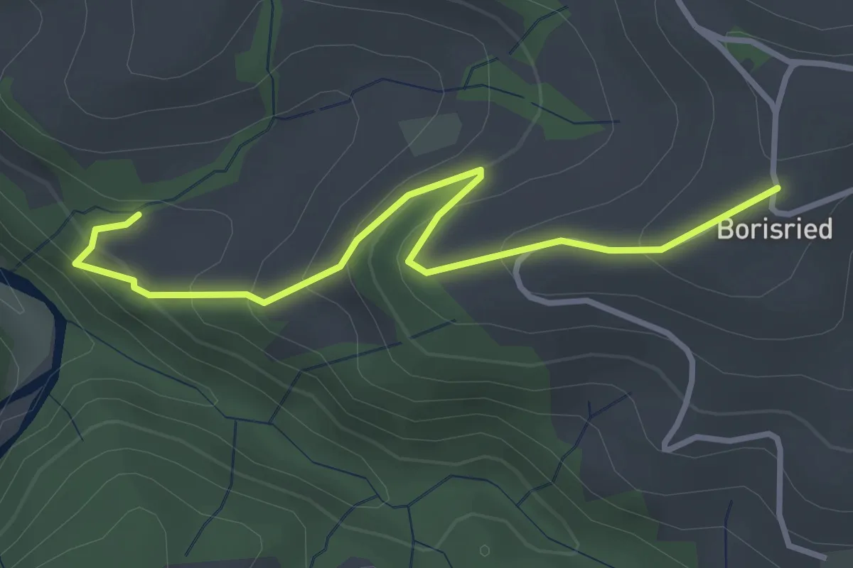
Easy · Trail
Mösli – Borisried
3.4 km · ↑ 227 m · 1 h 17 min · 12 km away
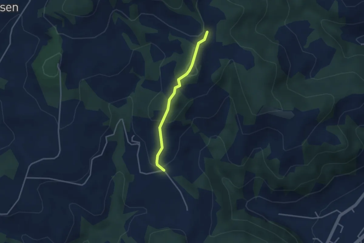
Easy · Trail
Ofeneggalp - Hüslebach
2.5 km · ↑ 103 m · 49 min · 12 km away
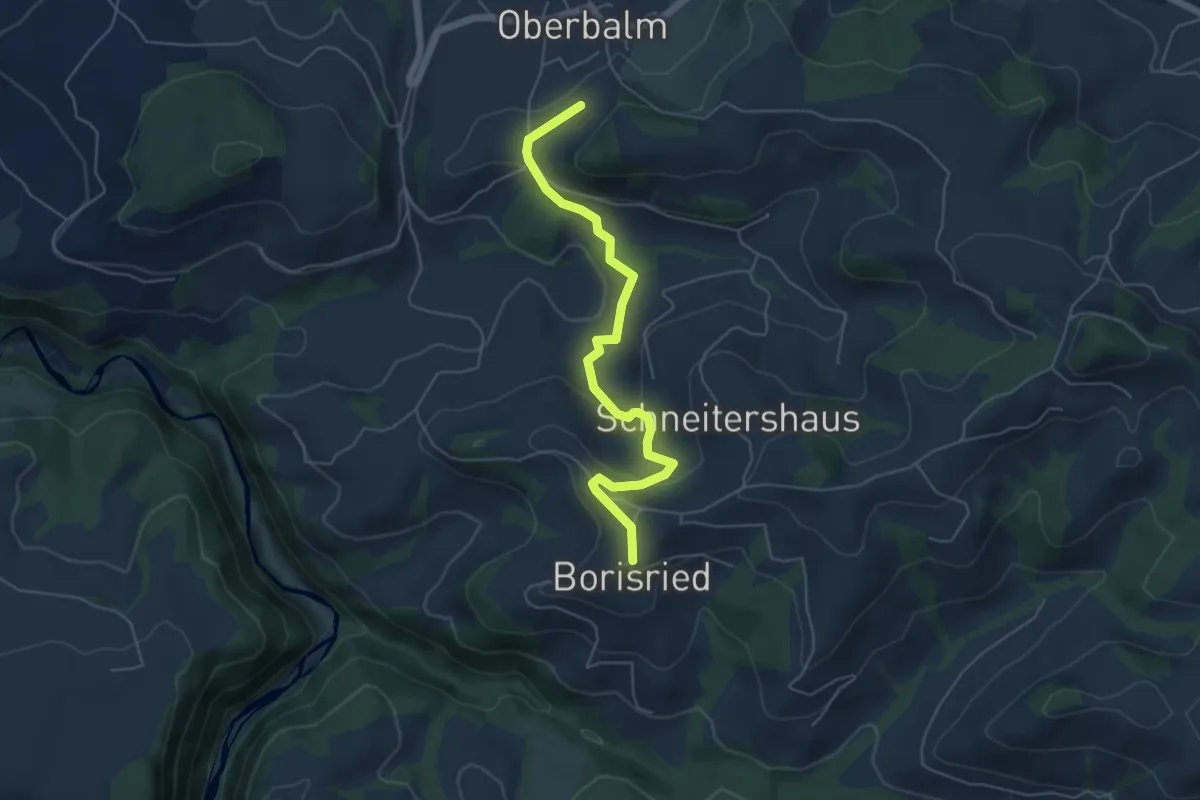
Easy · Trail
Boriswil – Oberbalm/Kirchweg
5.5 km · ↑ 195 m · 1 h 43 min · 12 km away
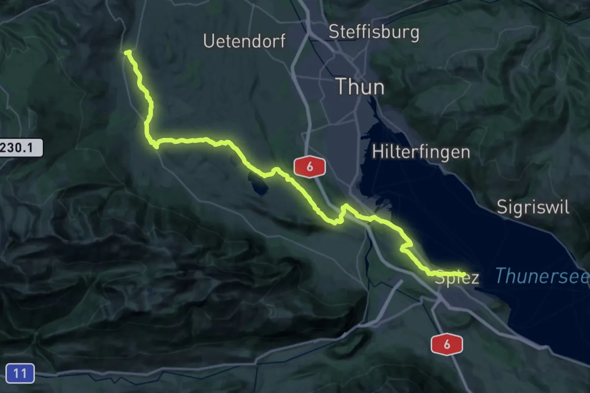
Demanding · Summit
ViaJacobi
42.5 km · ↑ 648 m · 11 h 26 min · 12 km away
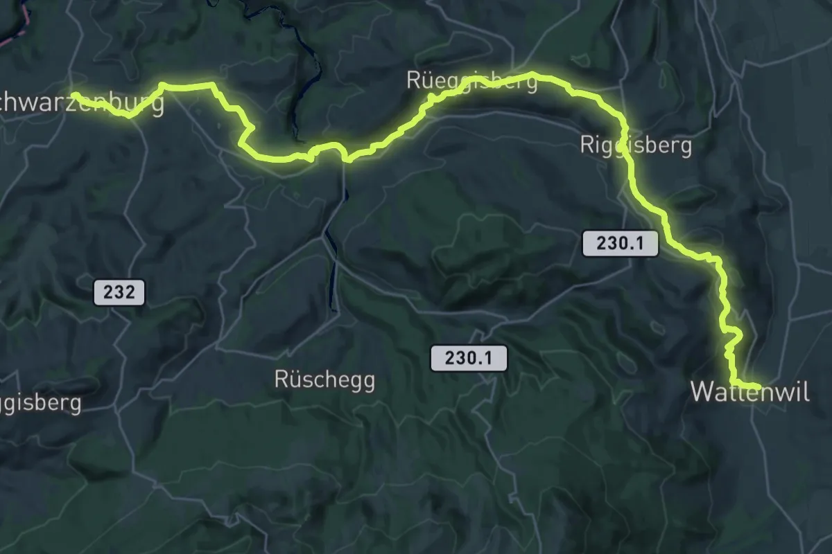
Demanding · Trail
ViaJacobi
20.9 km · ↑ 641 m · 6 h 31 min · 12 km away
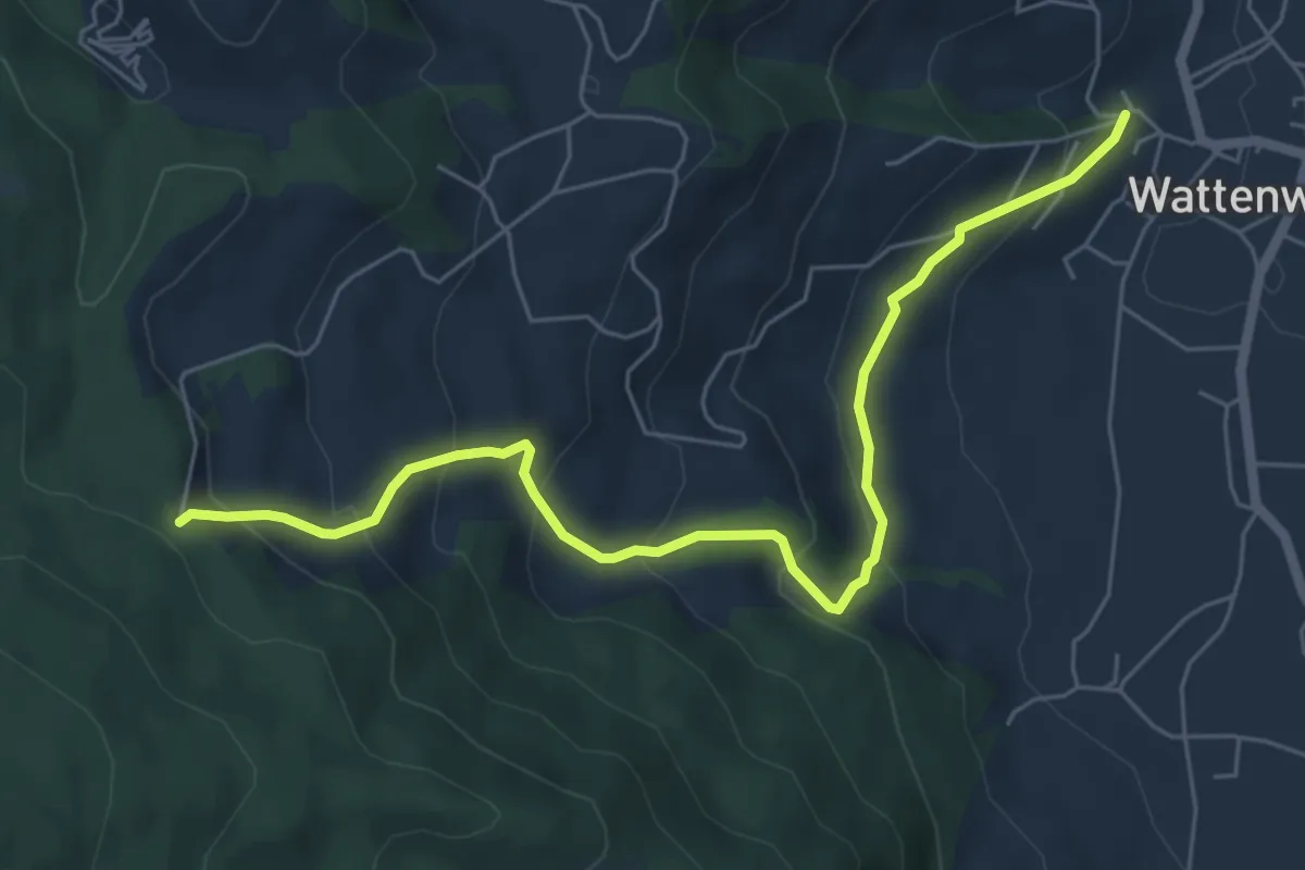
Medium · Trail
Wattenwil Kirche – Stafelalp
6.5 km · ↑ 406 m · 2 h 25 min · 12 km away
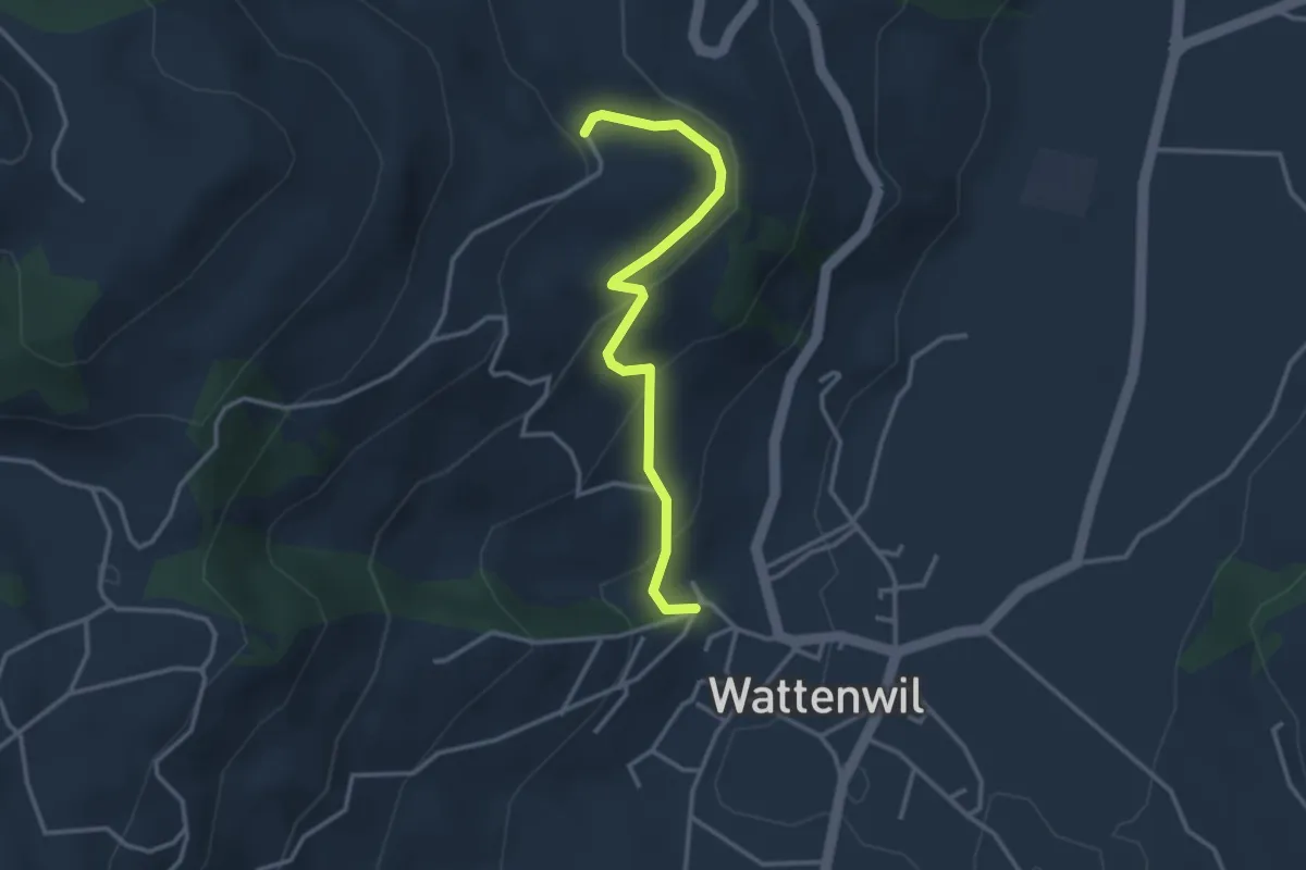
Easy · Trail
Wattenwil Kirche – Lörtscherei
3.1 km · ↑ 187 m · 1 h 9 min · 12 km away
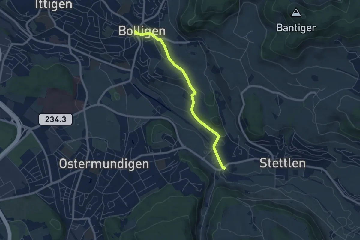
Easy · Trail
Bolligen / Sternen – Deisswil
5.4 km · ↑ 90 m · 1 h 29 min · 12 km away
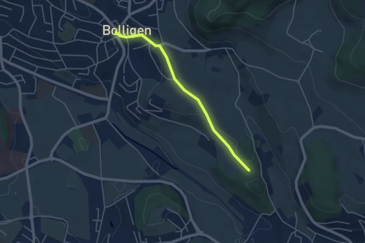
Easy · Trail
Bolligen / Sternen – Schwandiholz
3.4 km · ↑ 53 m · 55 min · 12 km away
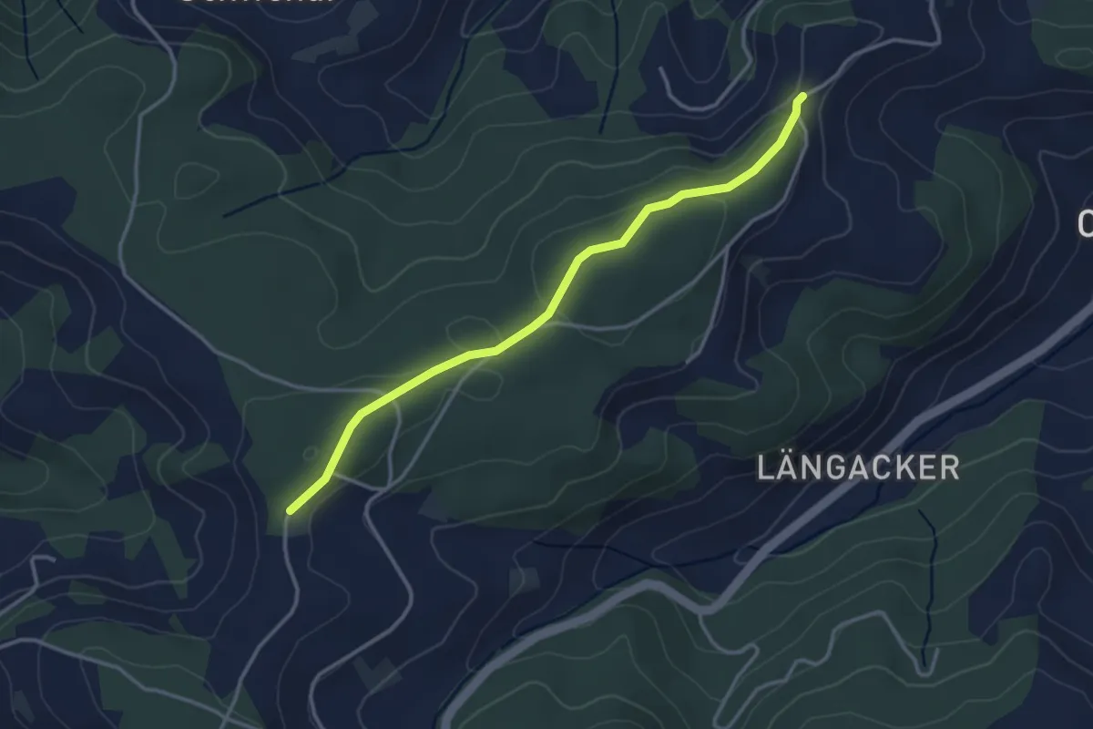
Easy · Trail
Hammegg – Aspiegg
3.3 km · ↑ 79 m · 57 min · 12 km away
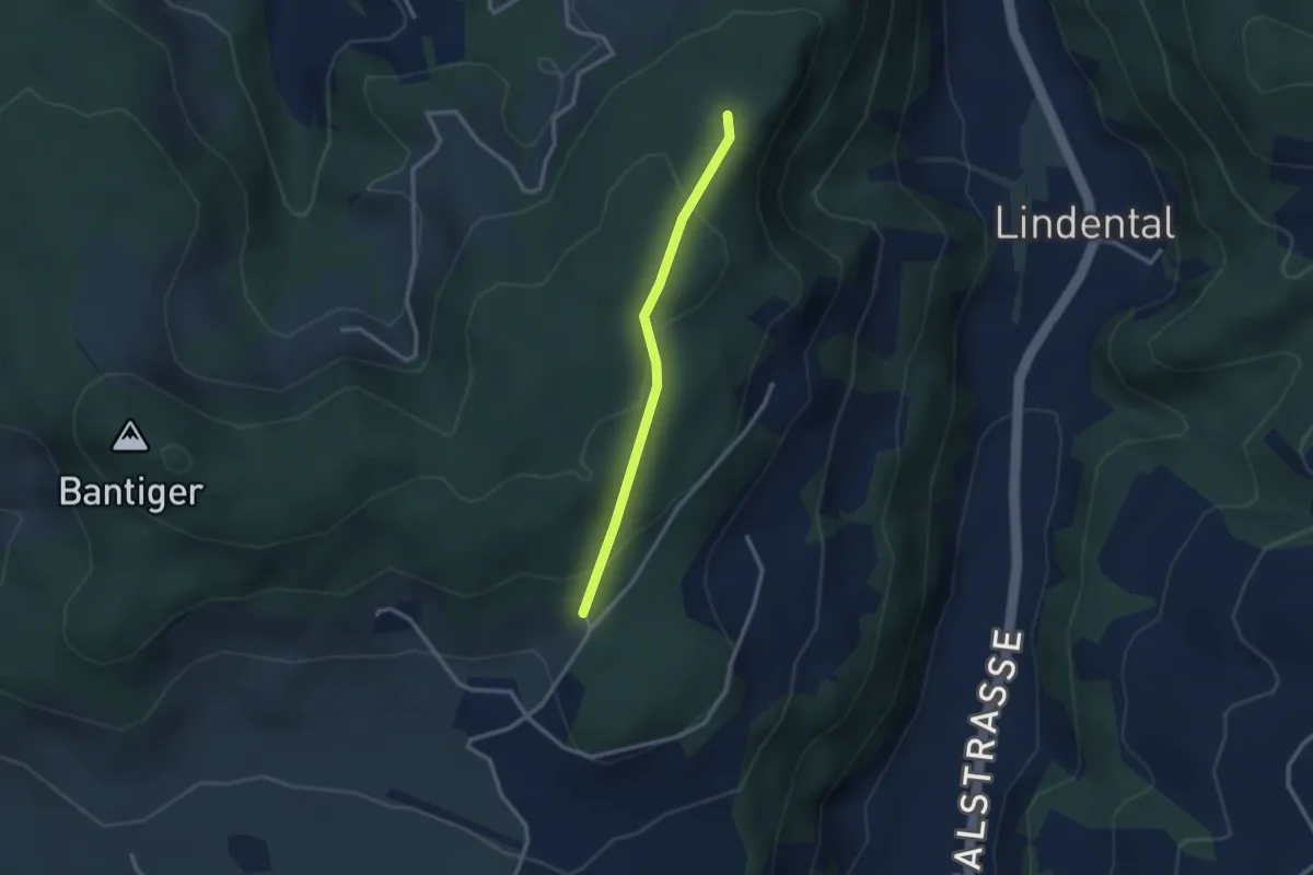
Easy · Trail
Mühlestein – Cholegruebe
2.4 km · ↑ 114 m · 49 min · 12 km away
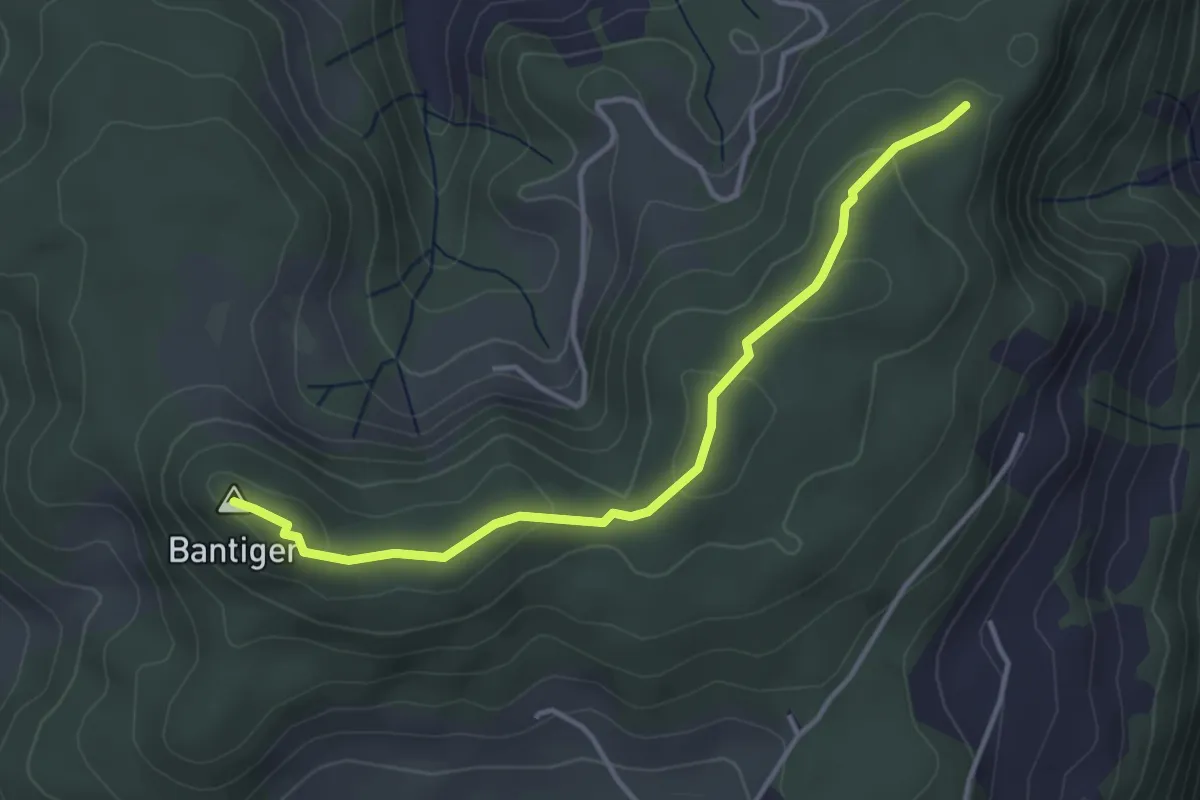
Easy · Summit
Mühlestein – Bantiger
3.7 km · ↑ 89 m · 1 h 4 min · 12 km away
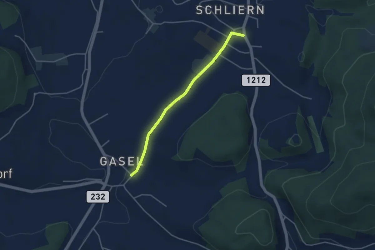
Easy · Trail
Gasel - Schliern
3.0 km · ↑ 41 m · 48 min · 12 km away
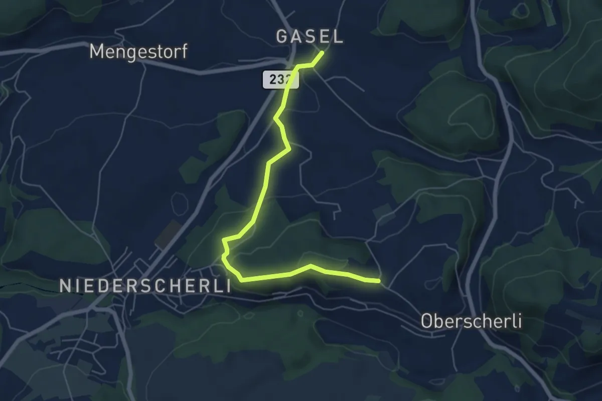
Easy · Trail
Hübeli - Gasel
5.6 km · ↑ 184 m · 1 h 44 min · 12 km away
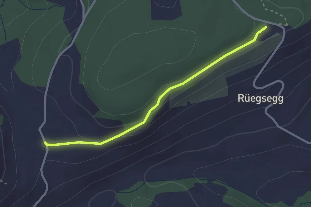
Easy · Trail
Chuderhüsi – Müliseile
2.4 km · ↑ 58 m · 41 min · 12 km away
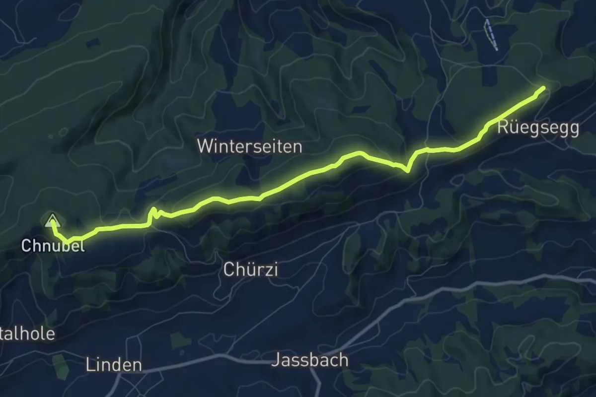
Medium · Summit
Chuderhüsi-Oberdiessbach
10.2 km · ↑ 321 m · 3 h 7 min · 12 km away
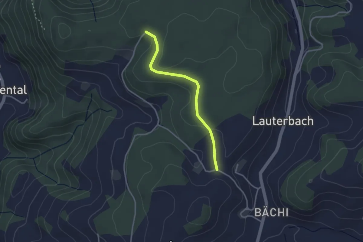
Easy · Trail
Aebnit/Klosterweg – Rötelismatt
2.5 km · ↑ 32 m · 40 min · 12 km away
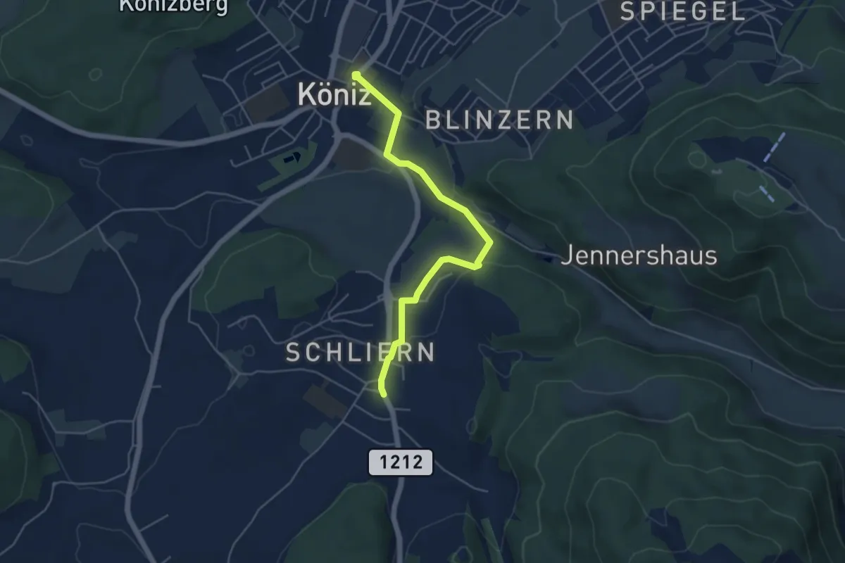
Easy · Trail
Schliern - Köniz
4.8 km · ↑ 145 m · 1 h 27 min · 13 km away
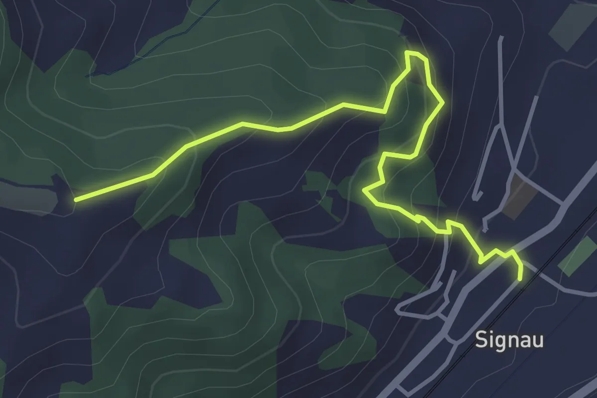
Easy · Trail
Signau – Ober Rainsberg
3.7 km · ↑ 318 m · 1 h 34 min · 13 km away
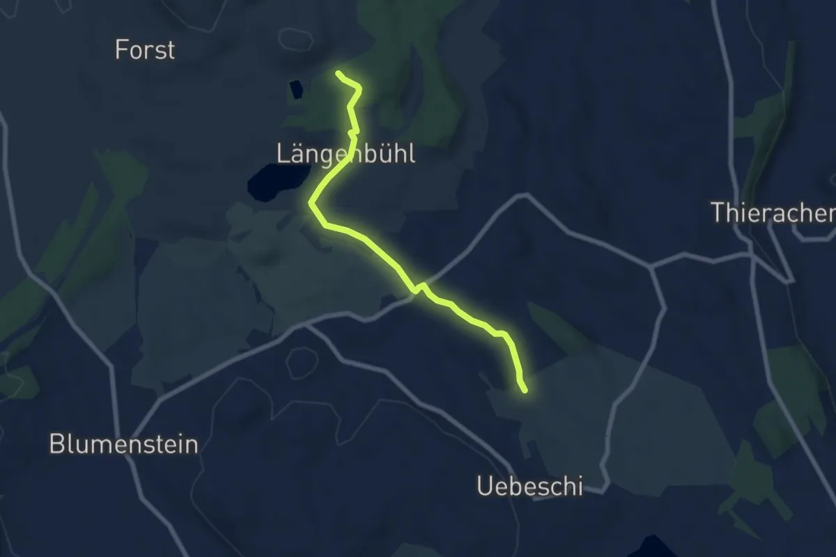
Easy · Trail
Beim Wald - NN Wegweiser
5.9 km · ↑ 53 m · 1 h 31 min · 13 km away
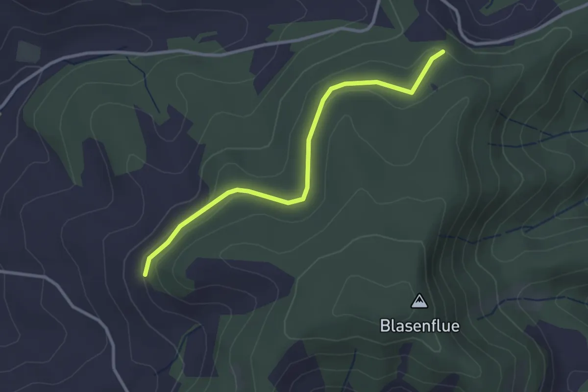
Easy · Trail
Fischerhubel – Blasenhorn
2.8 km · ↑ 110 m · 54 min · 13 km away
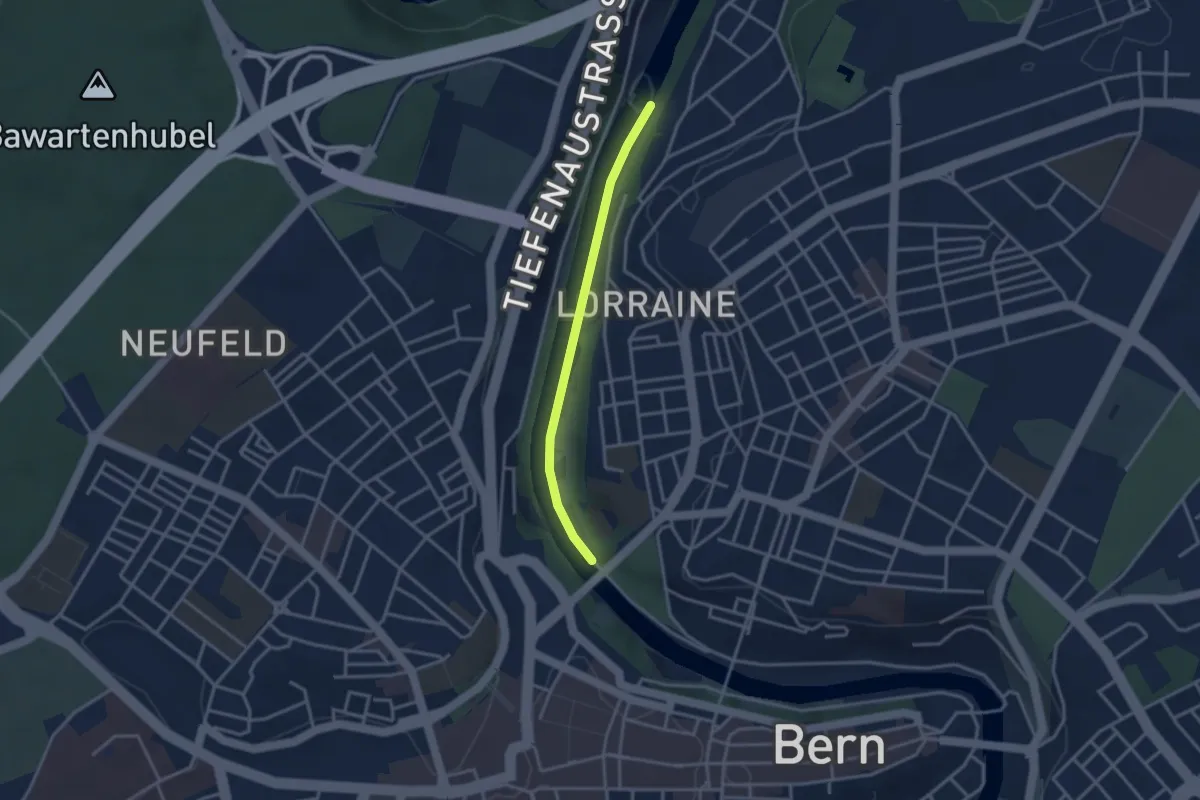
Easy · Trail
Felsenausteg – Lorrainebrücke
2.8 km · ↑ 5 m · 41 min · 13 km away
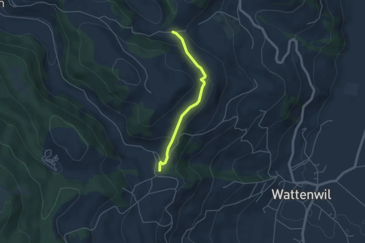
Easy · Trail
Grundbach/Käserei – Fluhweid
3.4 km · ↑ 139 m · 1 h 7 min · 13 km away
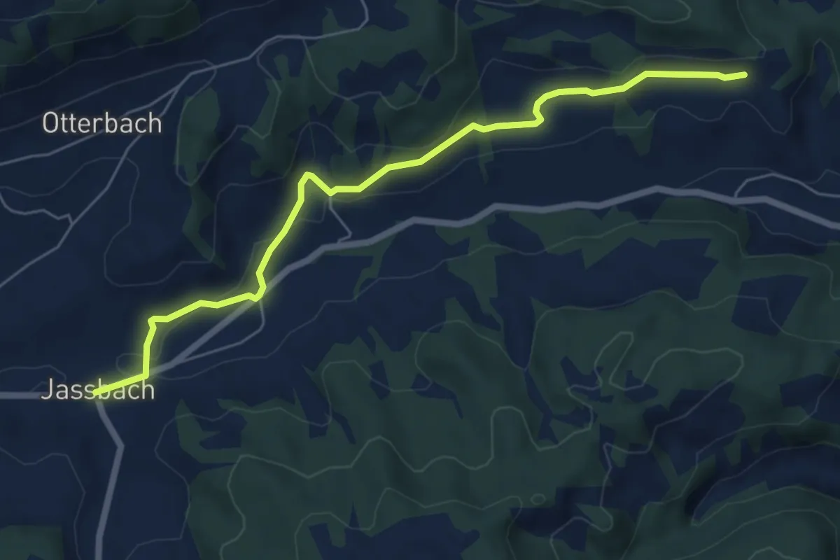
Easy · Trail
Jassbach – Vorderi Schindellegi
6.3 km · ↑ 132 m · 1 h 46 min · 13 km away
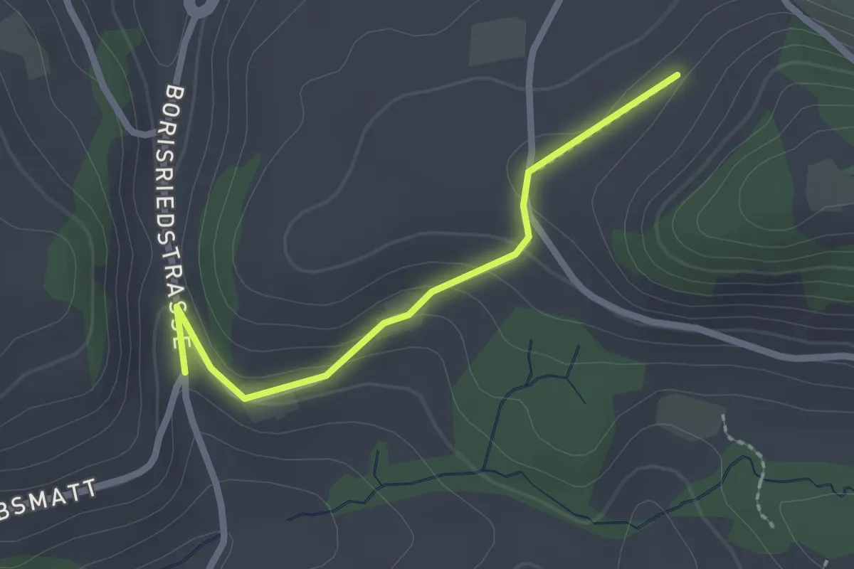
Easy · Trail
Oberbalm/Kirchweg – Schlatt
2.1 km · ↑ 73 m · 39 min · 13 km away
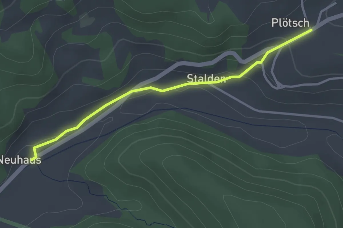
Easy · Trail
Neuhus - Oberplötsch
2.7 km · ↑ 83 m · 49 min · 13 km away
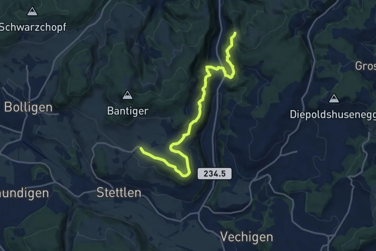
Medium · Trail
Vordere Geisme – Ferenberg
12.7 km · ↑ 592 m · 4 h 17 min · 13 km away