Trails near Münsingen
449 hikes starting within 15 km, nearest first.
Nearest first, page 8 of 10
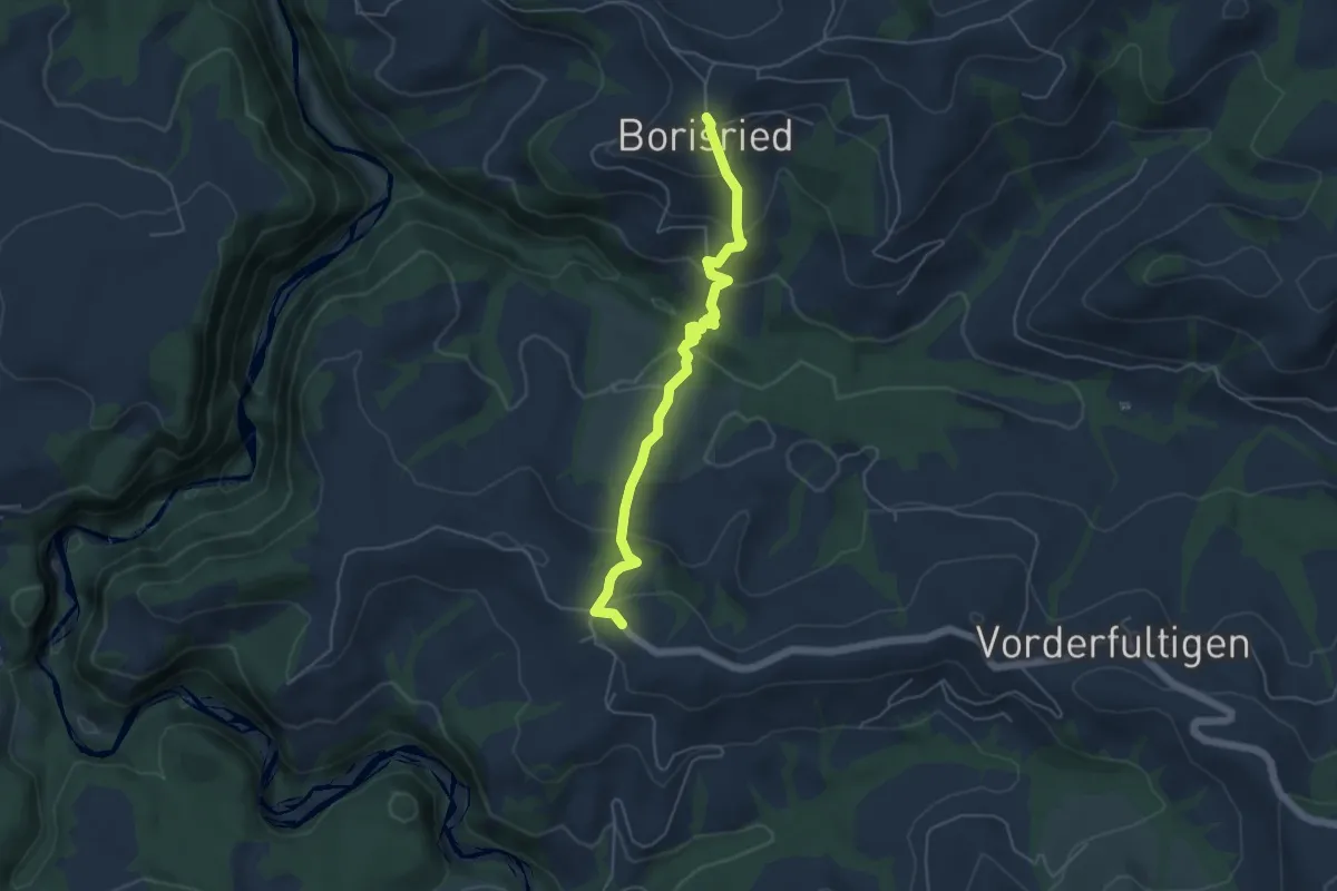
Easy · Trail
Borisried – Hinterfultigen
5.1 km · ↑ 295 m · 1 h 50 min · 13 km away
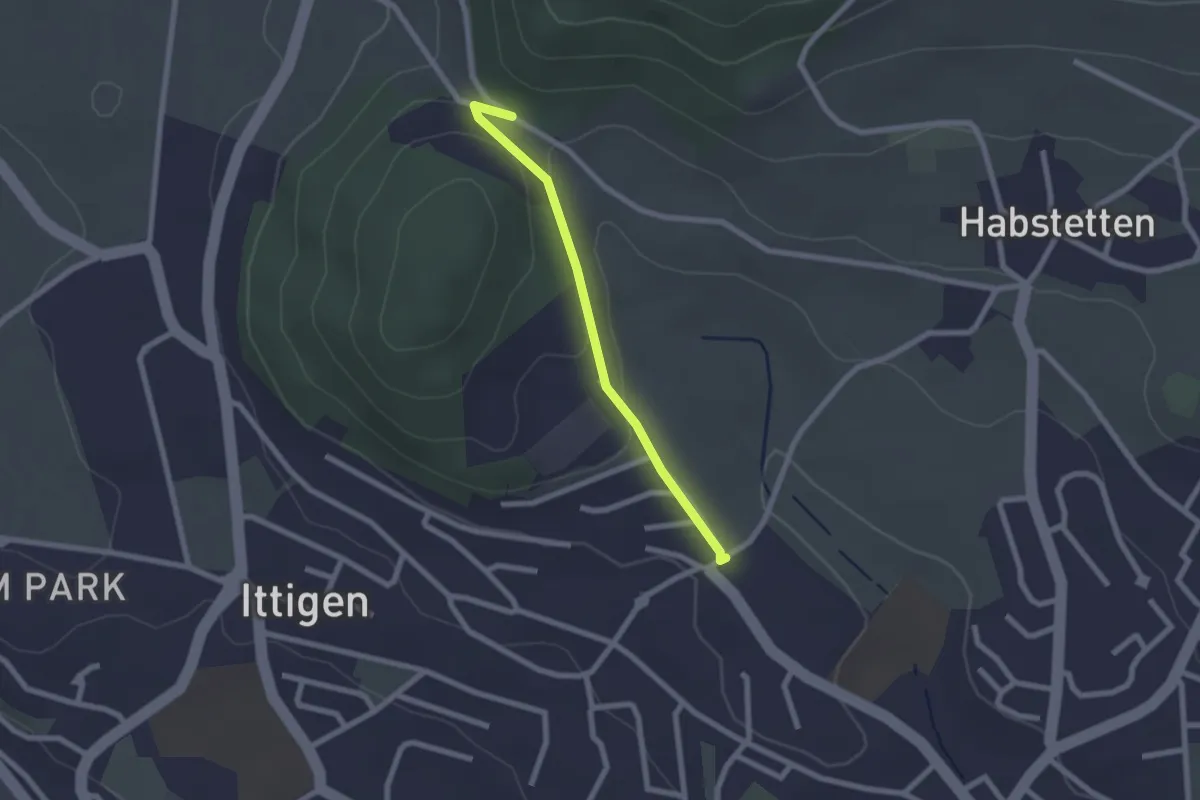
Easy · Trail
Schlupf – Schnägghubel
2.0 km · ↑ 56 m · 36 min · 13 km away
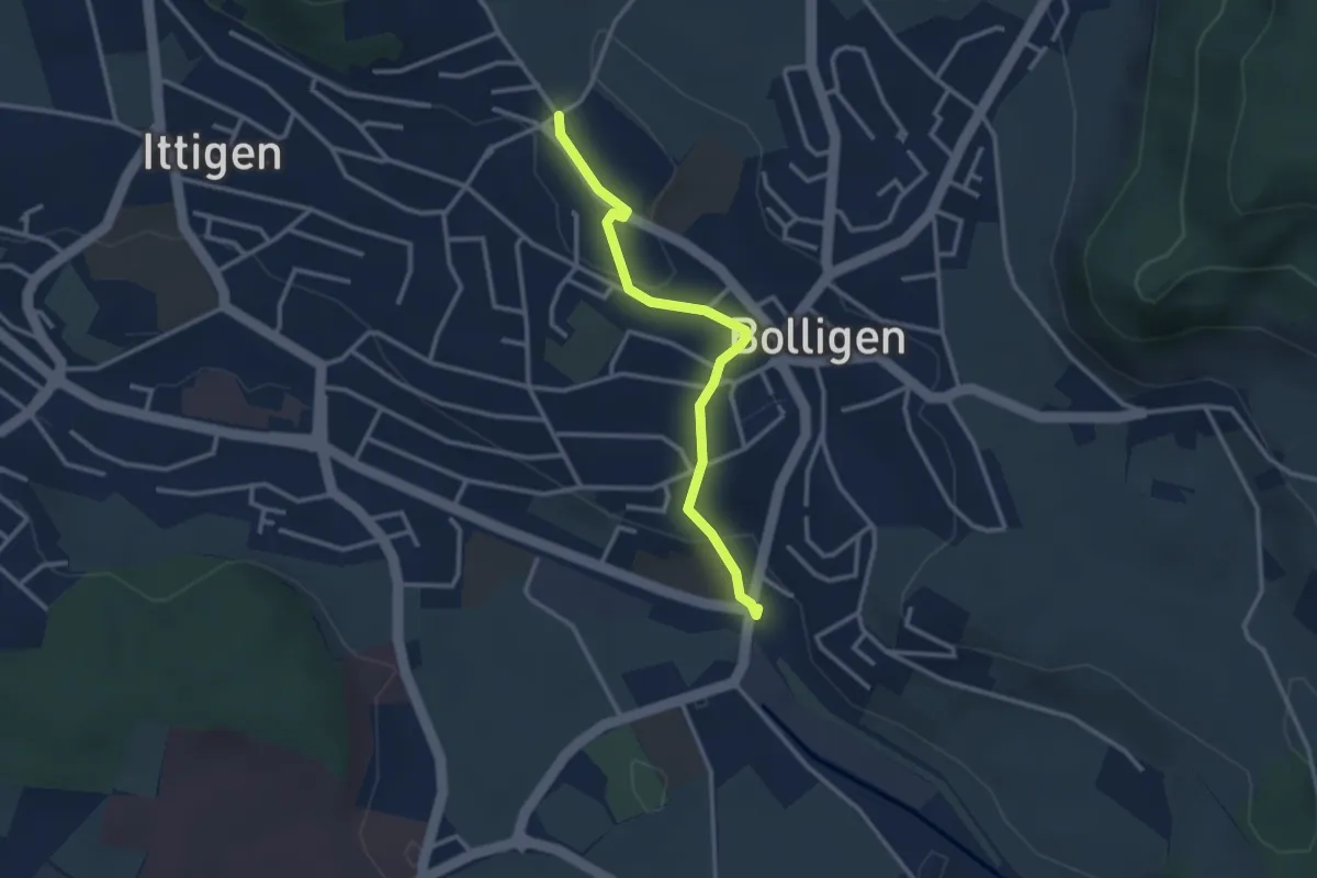
Easy · Trail
Schnägghubel – Bolligen
2.9 km · ↑ 59 m · 48 min · 13 km away
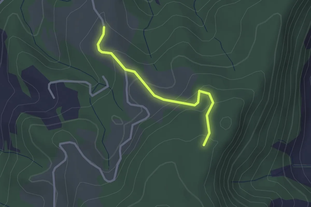
Easy · Trail
Vorder Jucke – Mühlestein
2.1 km · ↑ 142 m · 48 min · 13 km away
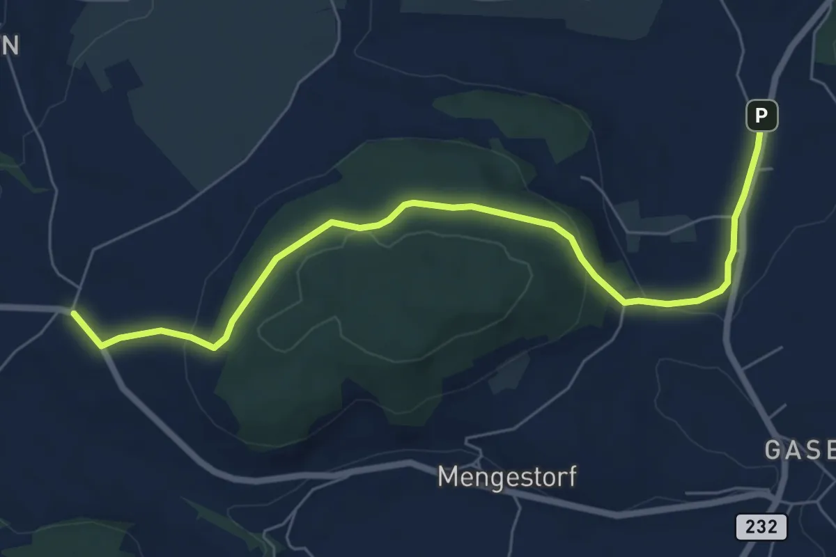
Easy · Trail
Liebewil - Moos
7.0 km · ↑ 194 m · 2 h 4 min · 13 km away
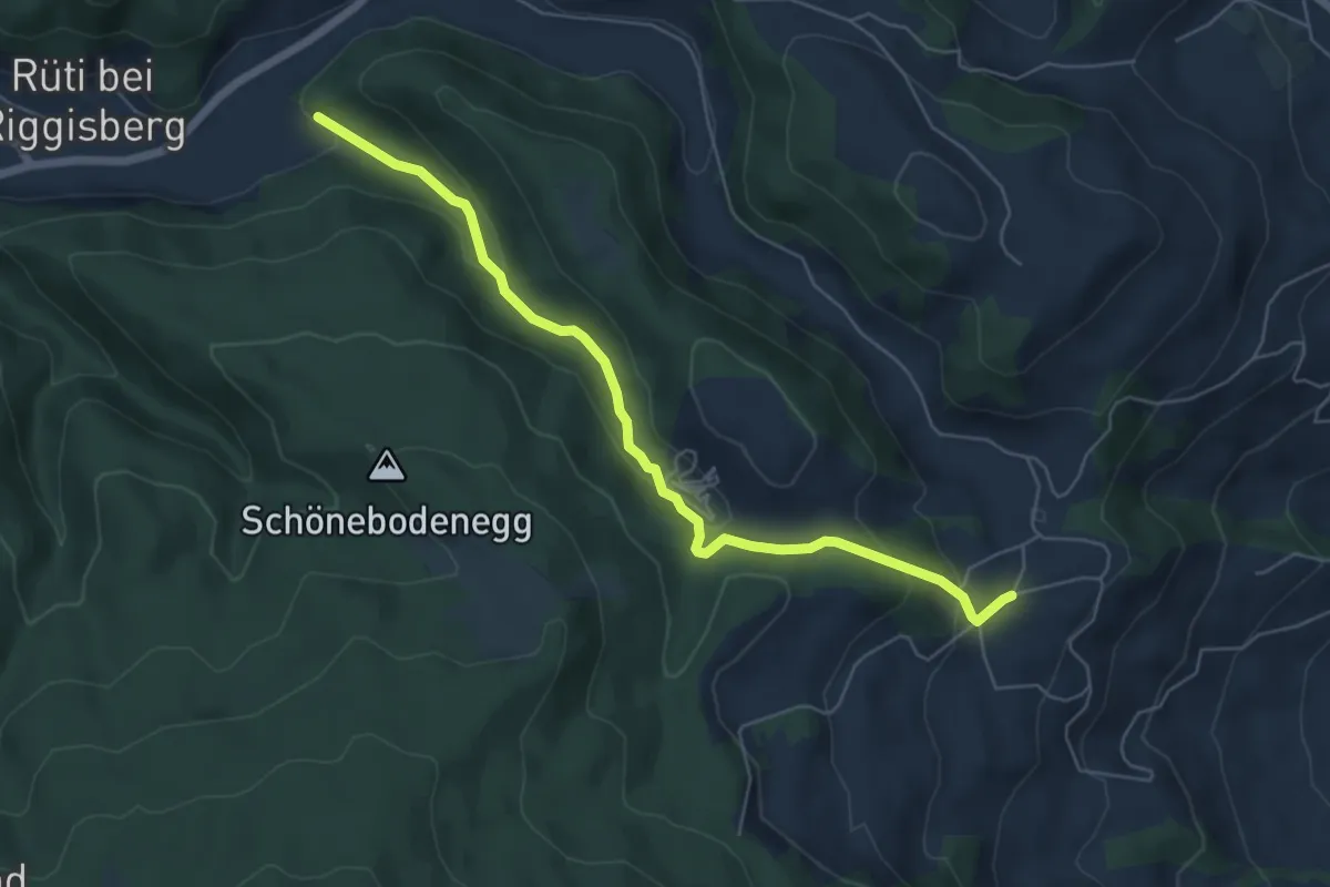
Easy · Trail
Grundbach – Geisshaus
6.0 km · ↑ 211 m · 1 h 52 min · 13 km away
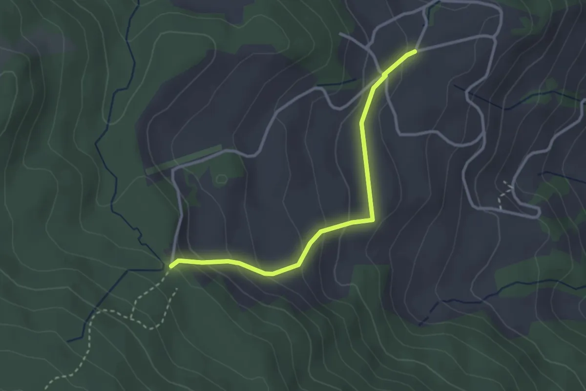
Easy · Trail
Stafelalp – Grundbach
2.9 km · ↑ 160 m · 1 h 1 min · 13 km away
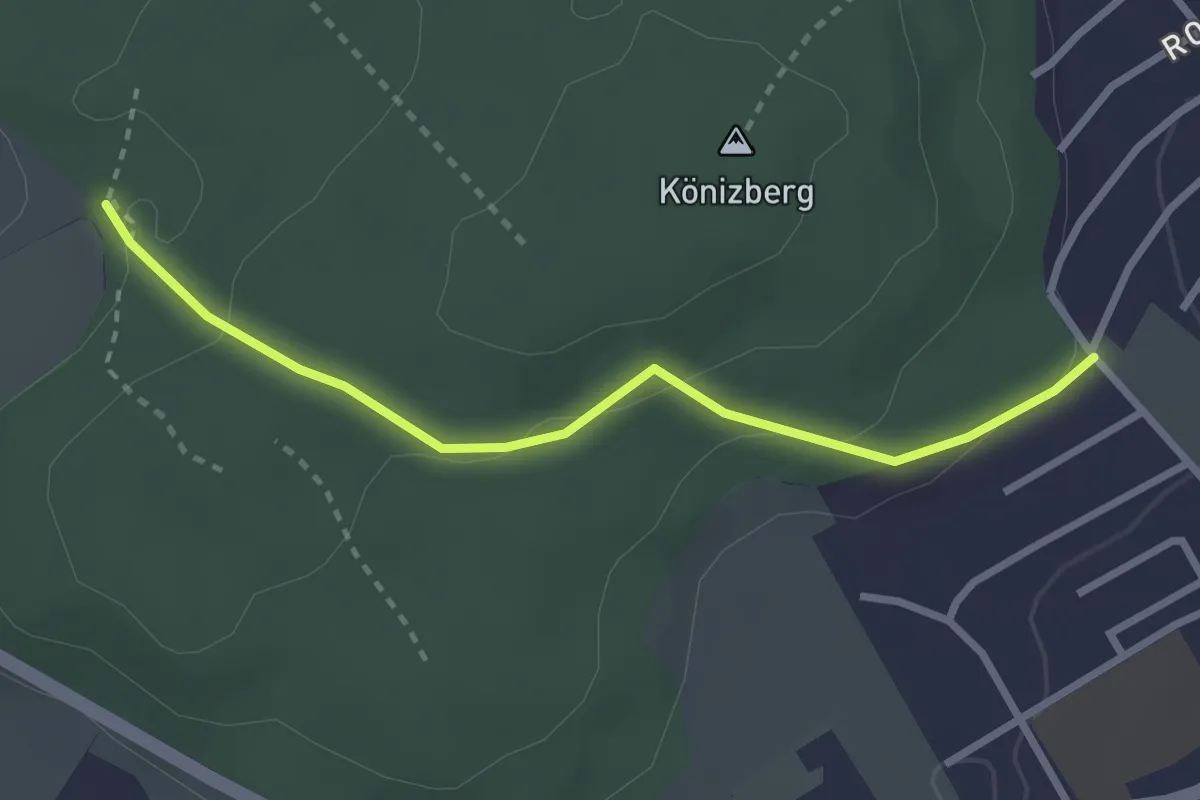
Easy · Trail
Tubentränke - Köniz/Ober Buchsee
2.7 km · ↑ 94 m · 51 min · 13 km away
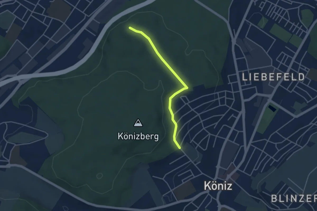
Easy · Trail
Köniz/Ober Buchsee – Pfaffensteig
3.2 km · ↑ 53 m · 52 min · 13 km away
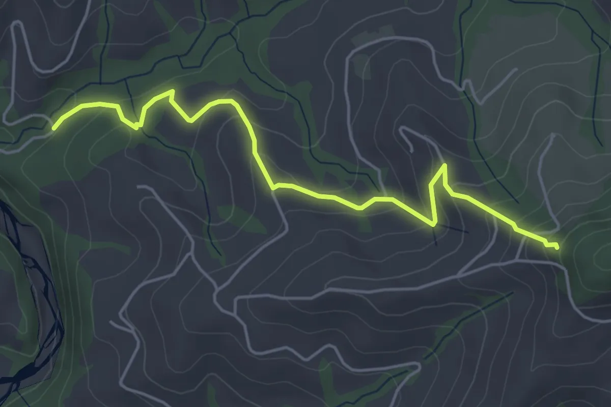
Easy · Trail
Riedstettwald - Schwandbachbrücke
5.0 km · ↑ 264 m · 1 h 45 min · 13 km away
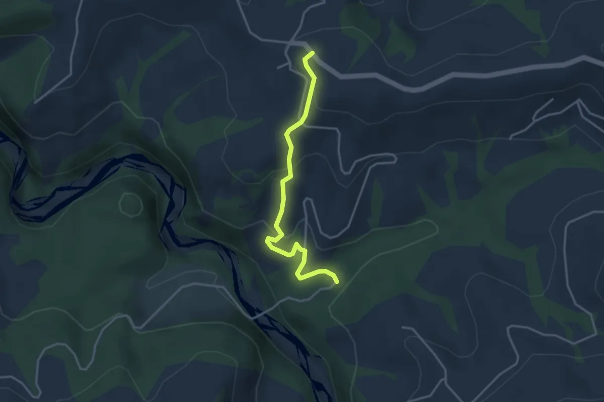
Easy · Trail
Schwandbachbrücke – Hinterfultigen
3.1 km · ↑ 152 m · 1 h 3 min · 13 km away
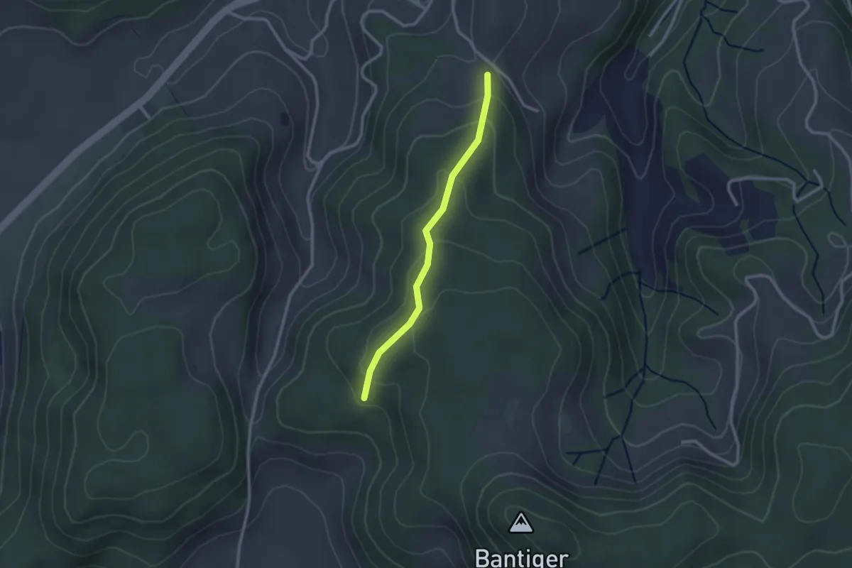
Easy · Trail
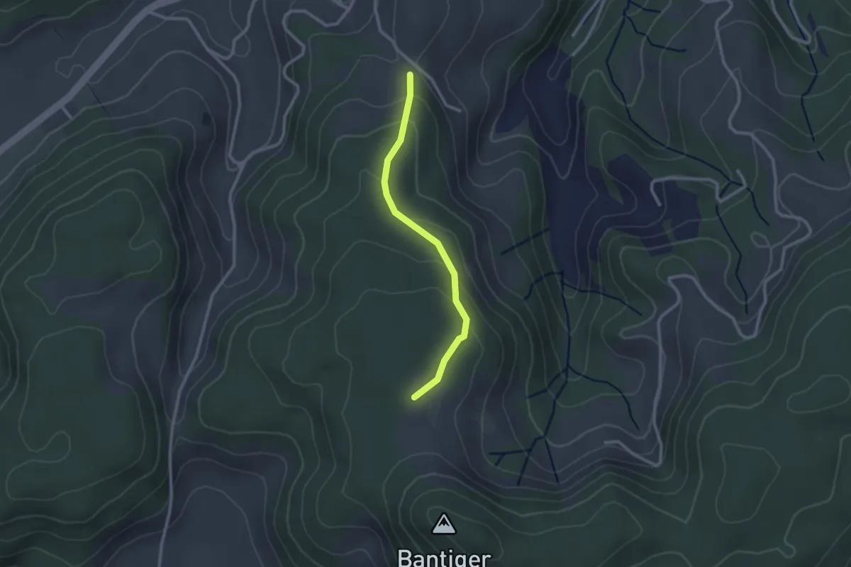
Geristein – Geristeinwald
2.2 km · ↑ 89 m · 42 min · 13 km away
Easy · Trail
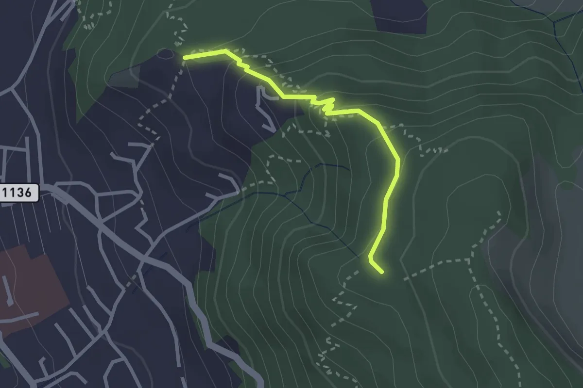
Geristein – Bantigenhubel
2.3 km · ↑ 111 m · 46 min · 13 km away
Easy · Trail
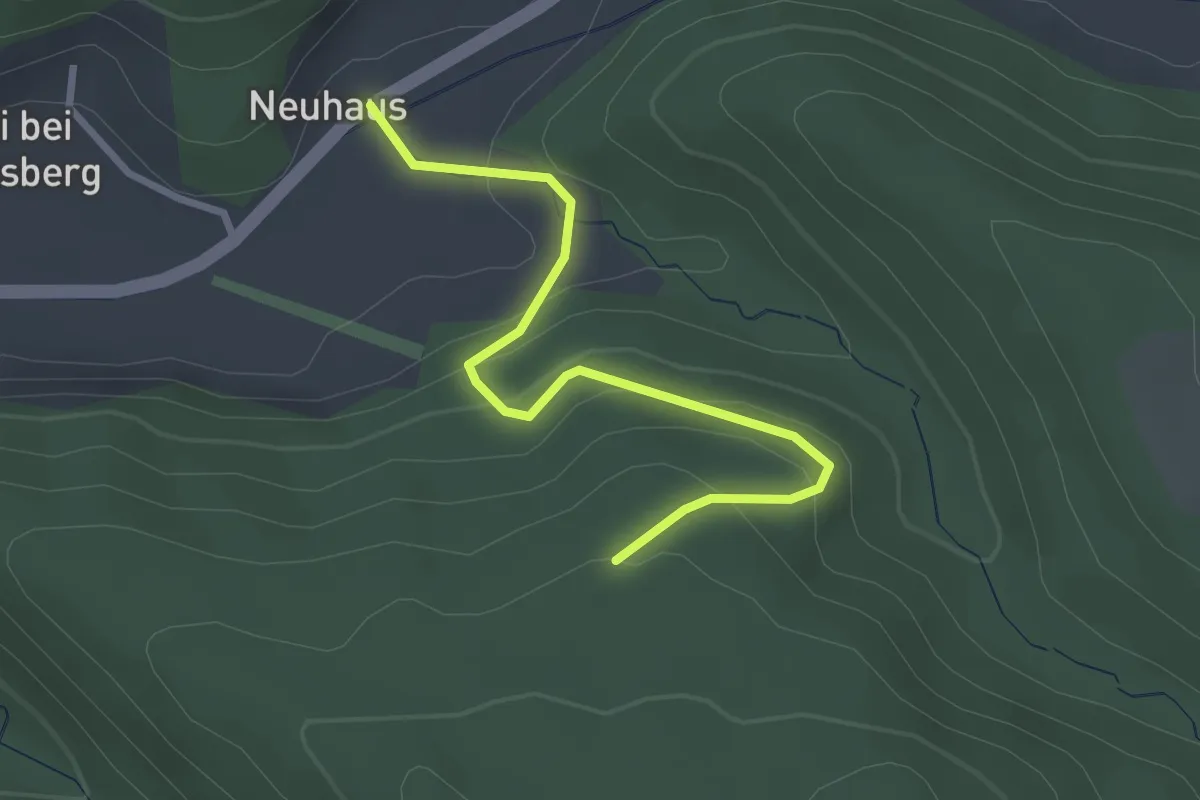
Brändisberg – Rabenflue
2.3 km · ↑ 169 m · 55 min · 13 km away
Easy · Trail
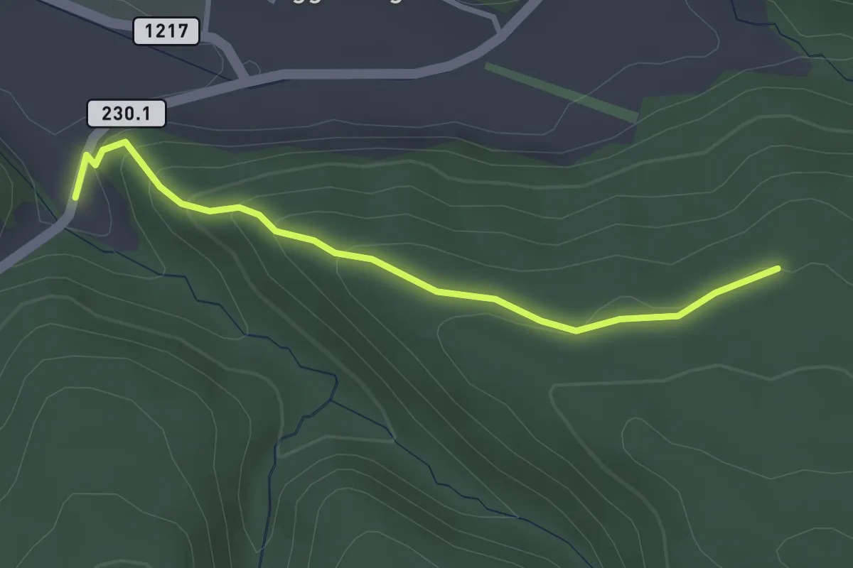
Schönenbodenwald - Neuhus
2.9 km · ↑ 179 m · 1 h 4 min · 13 km away
Easy · Trail
Dürrbach - Schönenbodenwald
2.9 km · ↑ 169 m · 1 h 3 min · 13 km away
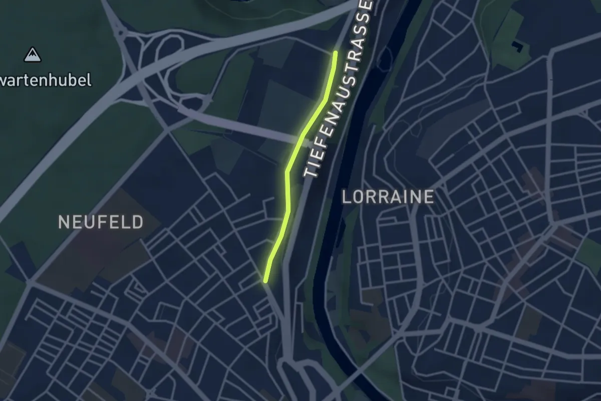
Easy · Trail
Bierhübeli – Äussere Enge
2.2 km · ↑ 9 m · 32 min · 13 km away
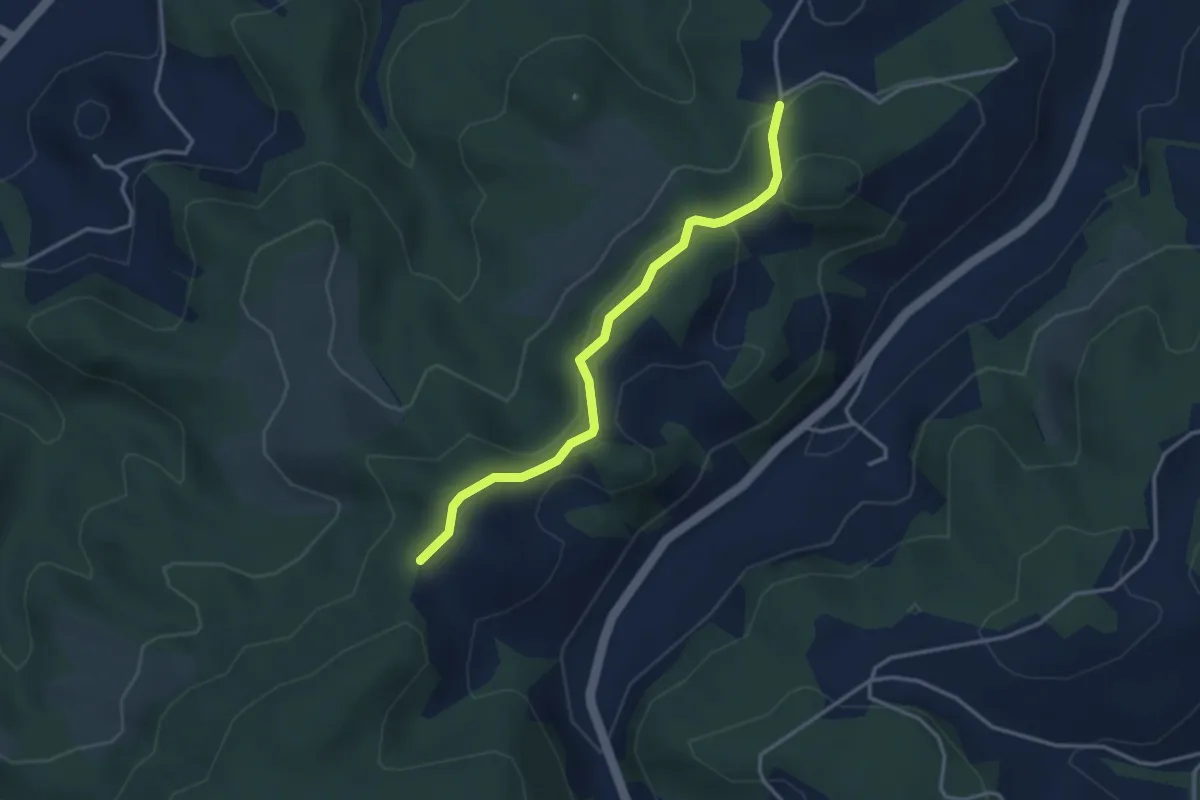
Easy · Trail
Buechwald – Mueleren
3.3 km · ↑ 139 m · 1 h 5 min · 13 km away
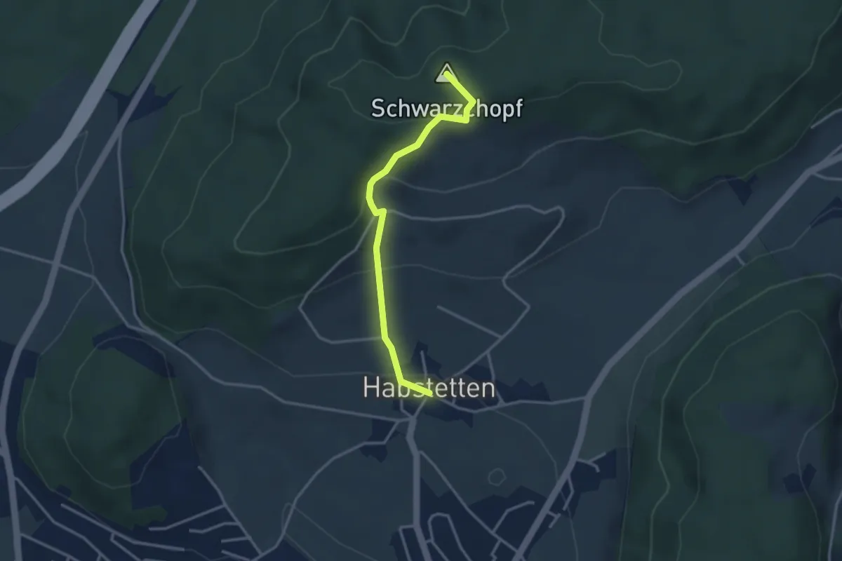
Easy · Summit
Bannholz – Habstetten
3.0 km · ↑ 167 m · 1 h 4 min · 13 km away
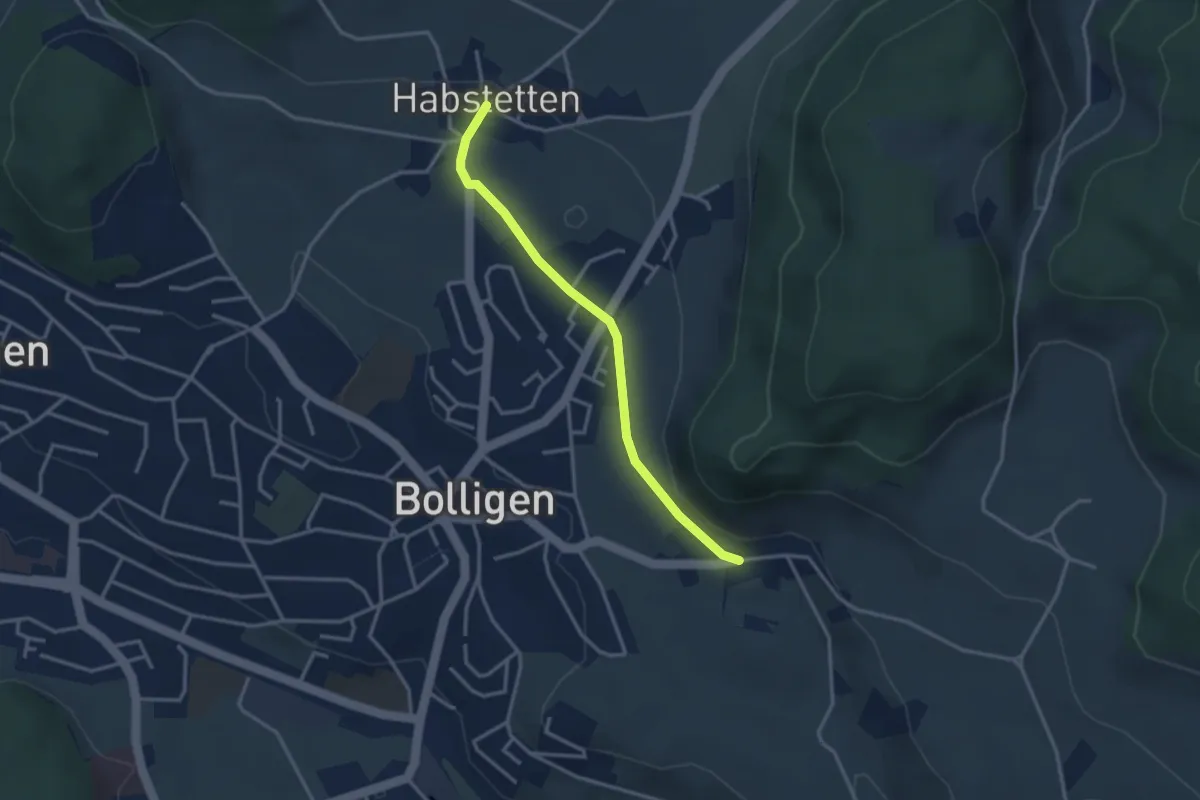
Easy · Trail
Habstetten – Flugbrunnen
3.0 km · ↑ 34 m · 47 min · 13 km away
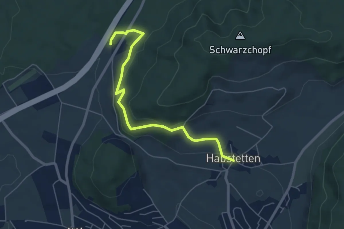
Easy · Trail
Forsthus – Habstetten
5.1 km · ↑ 162 m · 1 h 33 min · 13 km away
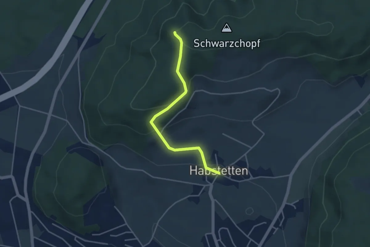
Easy · Trail
Grauholz/Schwarzkopf – Habstetten
3.2 km · ↑ 157 m · 1 h 5 min · 13 km away
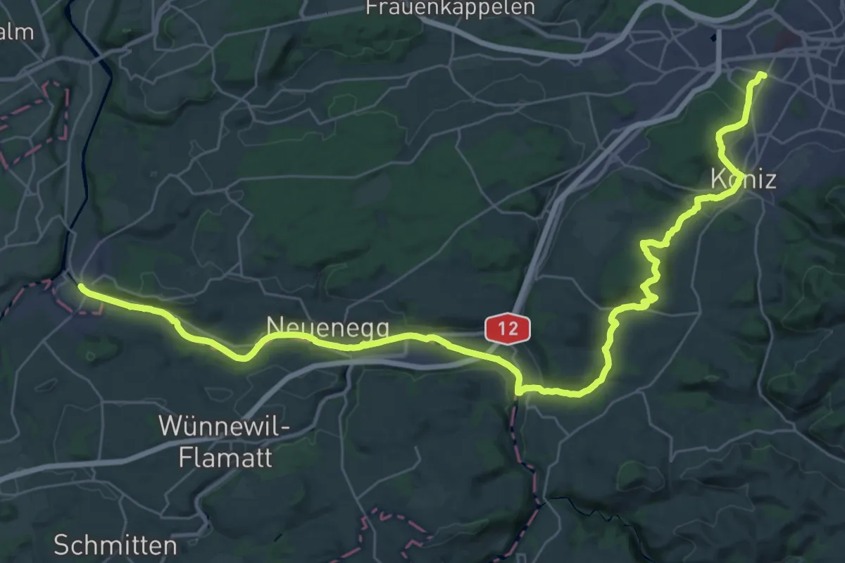
Demanding · Trail
Trans Swiss Trail
21.7 km · ↑ 317 m · 6 h 9 min · 13 km away
Easy · Trail
Chlosteralp – Mühlestein
2.6 km · ↑ 138 m · 54 min · 13 km away
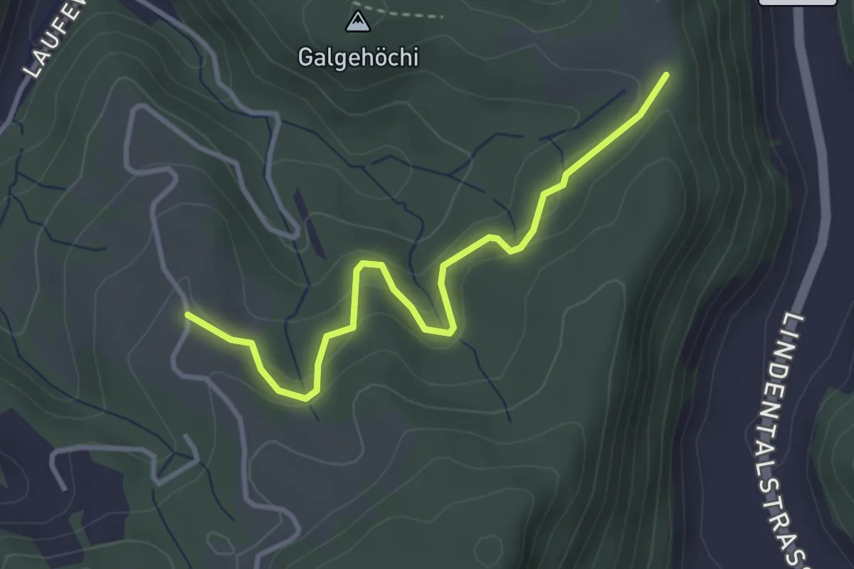
Easy · Trail
Chlosteralp – Vorder Jucke
3.2 km · ↑ 193 m · 1 h 11 min · 13 km away
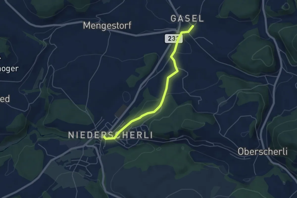
Easy · Trail
Niederscherli – Gasel
4.6 km · ↑ 143 m · 1 h 24 min · 13 km away
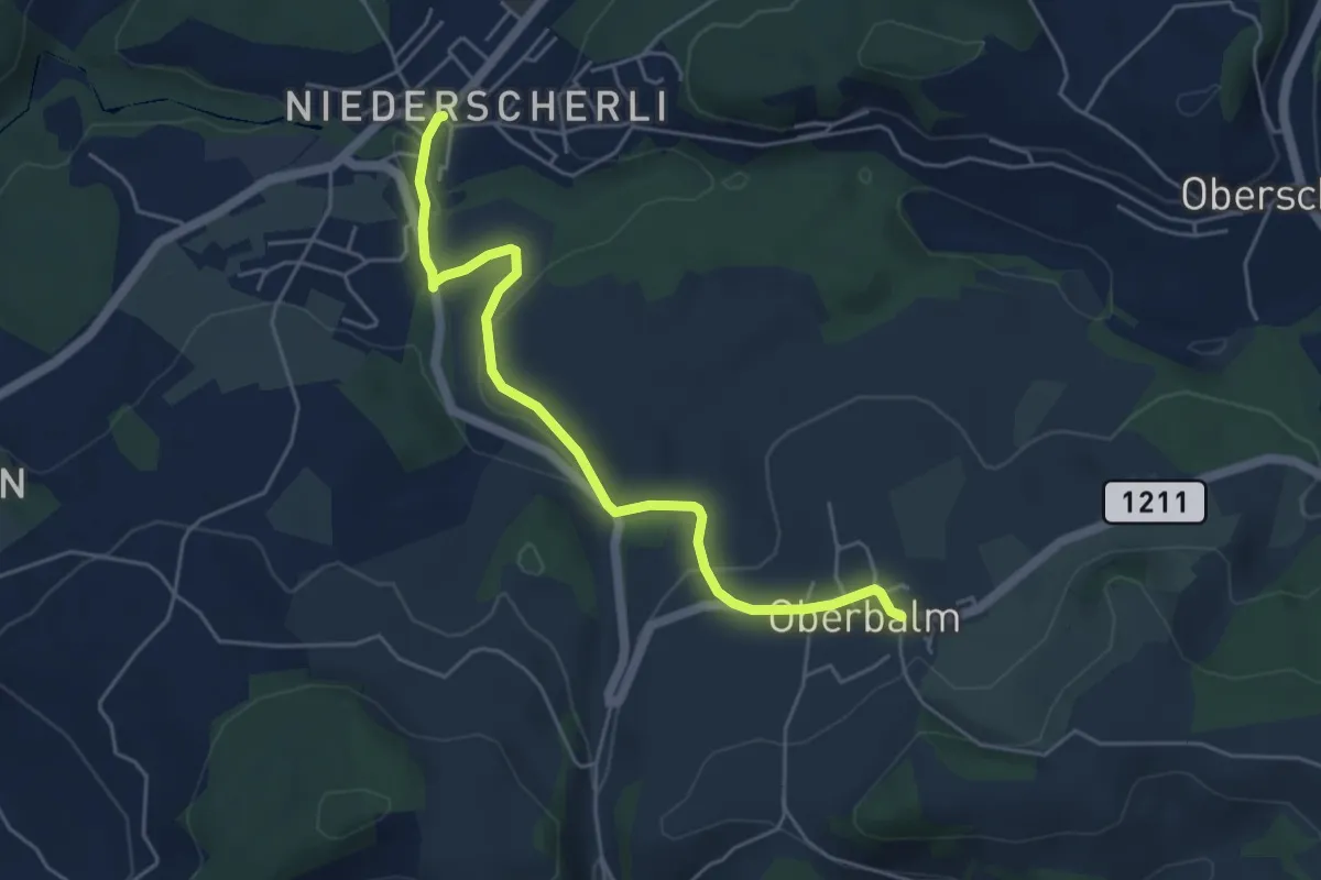
Easy · Trail
Niederscherli – Oberbalm
5.1 km · ↑ 142 m · 1 h 30 min · 13 km away
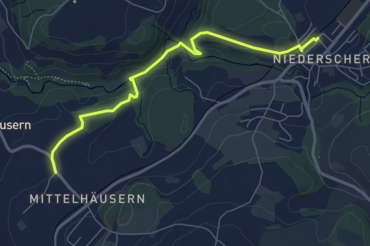
Easy · Trail
Mittelhäusern - Niederscherli
5.7 km · ↑ 165 m · 1 h 42 min · 13 km away
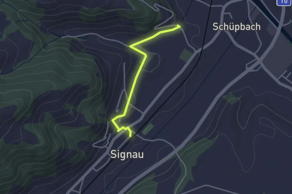
Easy · Trail
Signau – Gassen
2.7 km · ↑ 69 m · 47 min · 13 km away
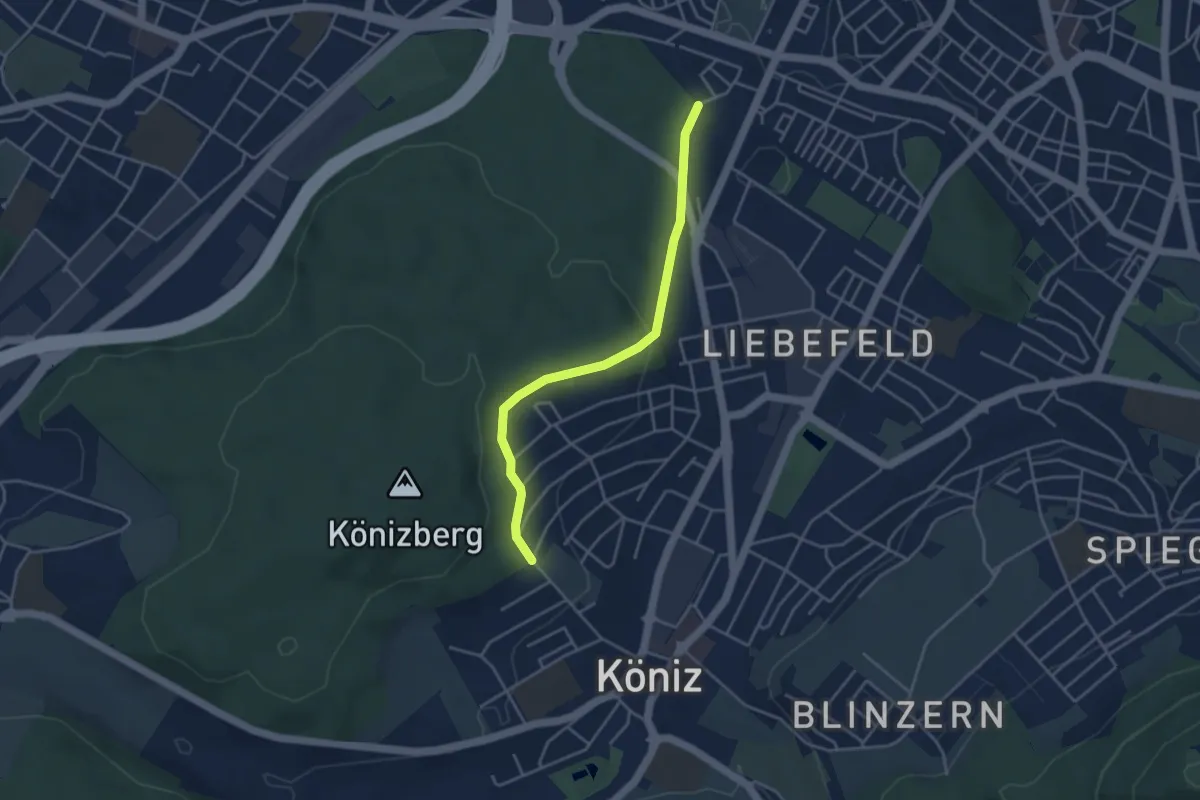
Easy · Trail
Köniz/Ober Buchsee - Fischermätteli
3.8 km · ↑ 89 m · 1 h 5 min · 13 km away
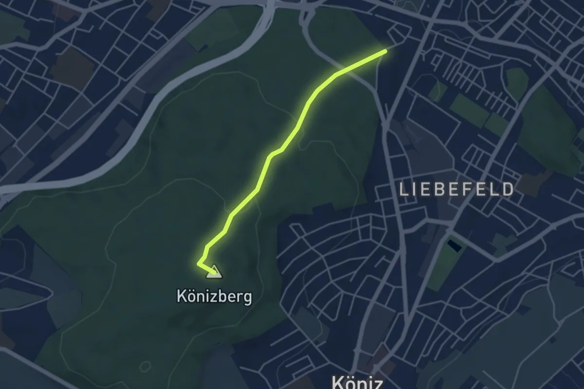
Easy · Summit
Fischermätteli - Könizberg/Stärn
3.5 km · ↑ 126 m · 1 h 7 min · 13 km away
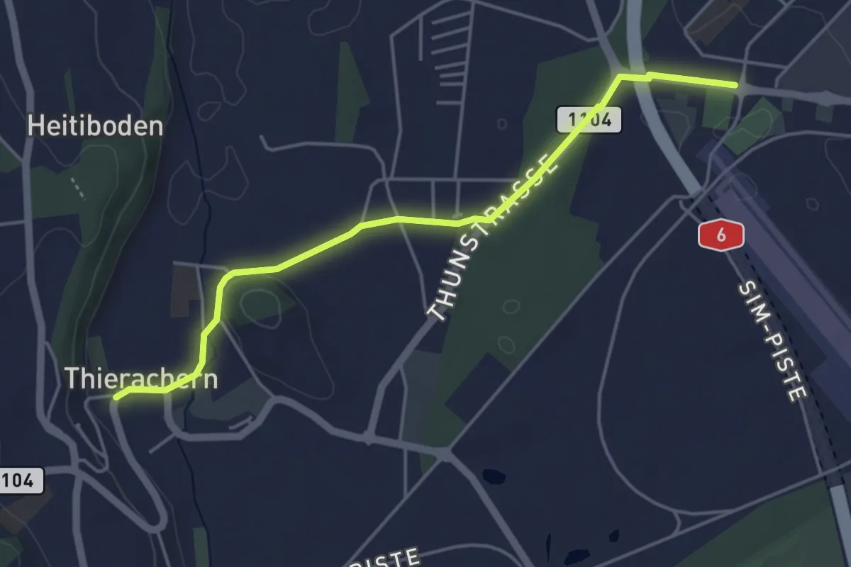
Easy · Trail
Thierachern Kirche – Thun Waldeck
4.5 km · ↑ 37 m · 1 h 9 min · 13 km away
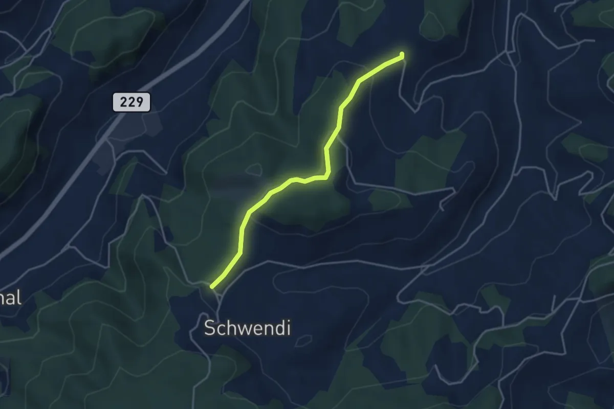
Easy · Trail
Vorder Schwändi – Bütschwil
3.4 km · ↑ 106 m · 1 h 2 min · 13 km away
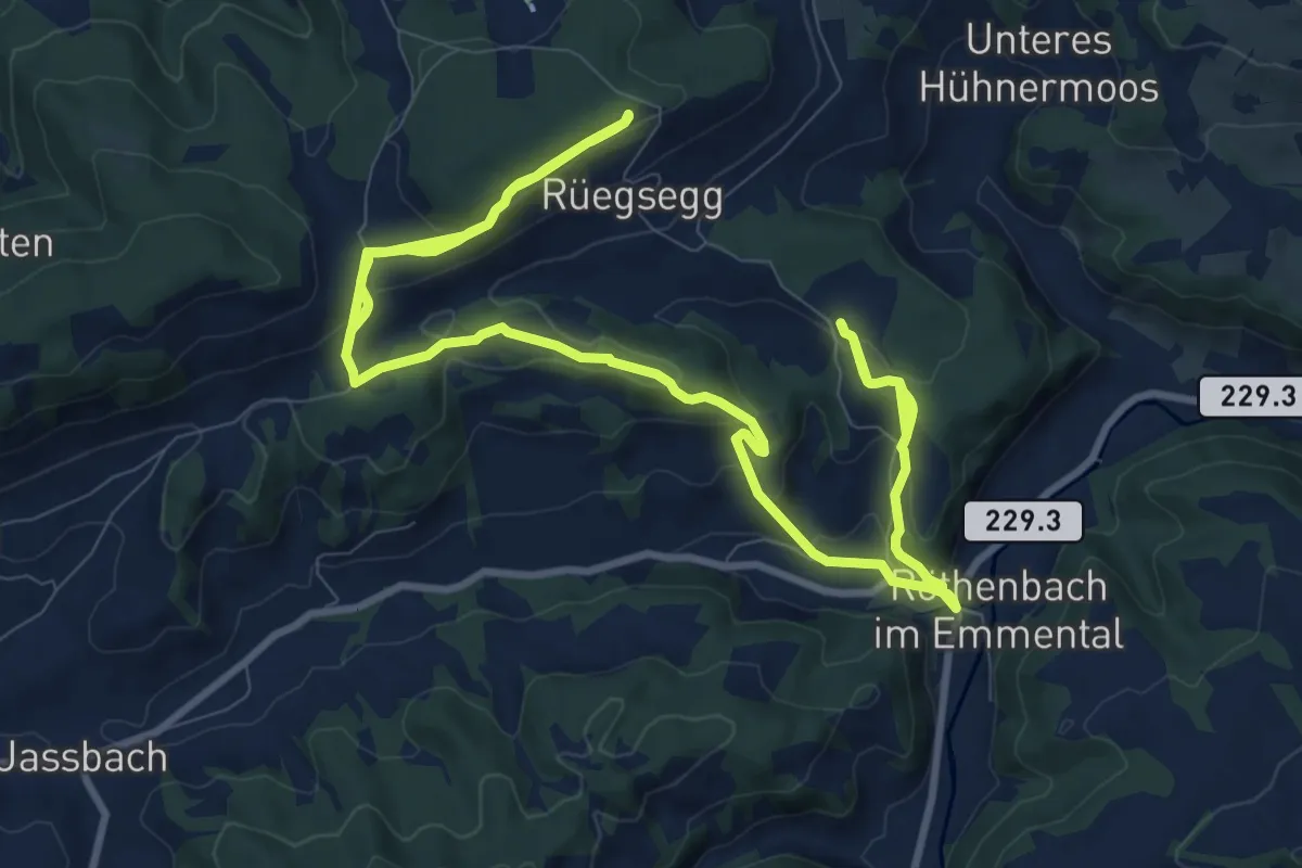
Demanding · Trail
Röthenbach
18.4 km · ↑ 652 m · 5 h 45 min · 13 km away
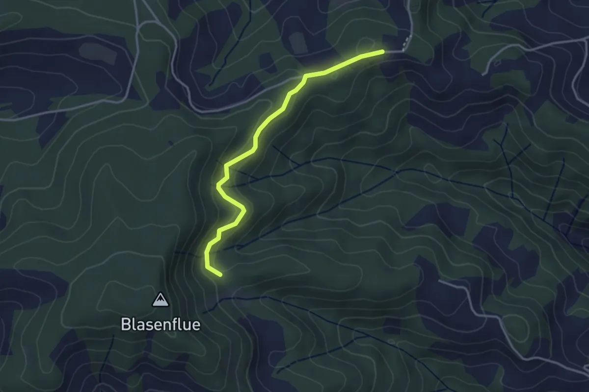
Easy · Trail
Mittler Hundschüpfen – Waldhäusern
3.1 km · ↑ 131 m · 1 h 1 min · 13 km away
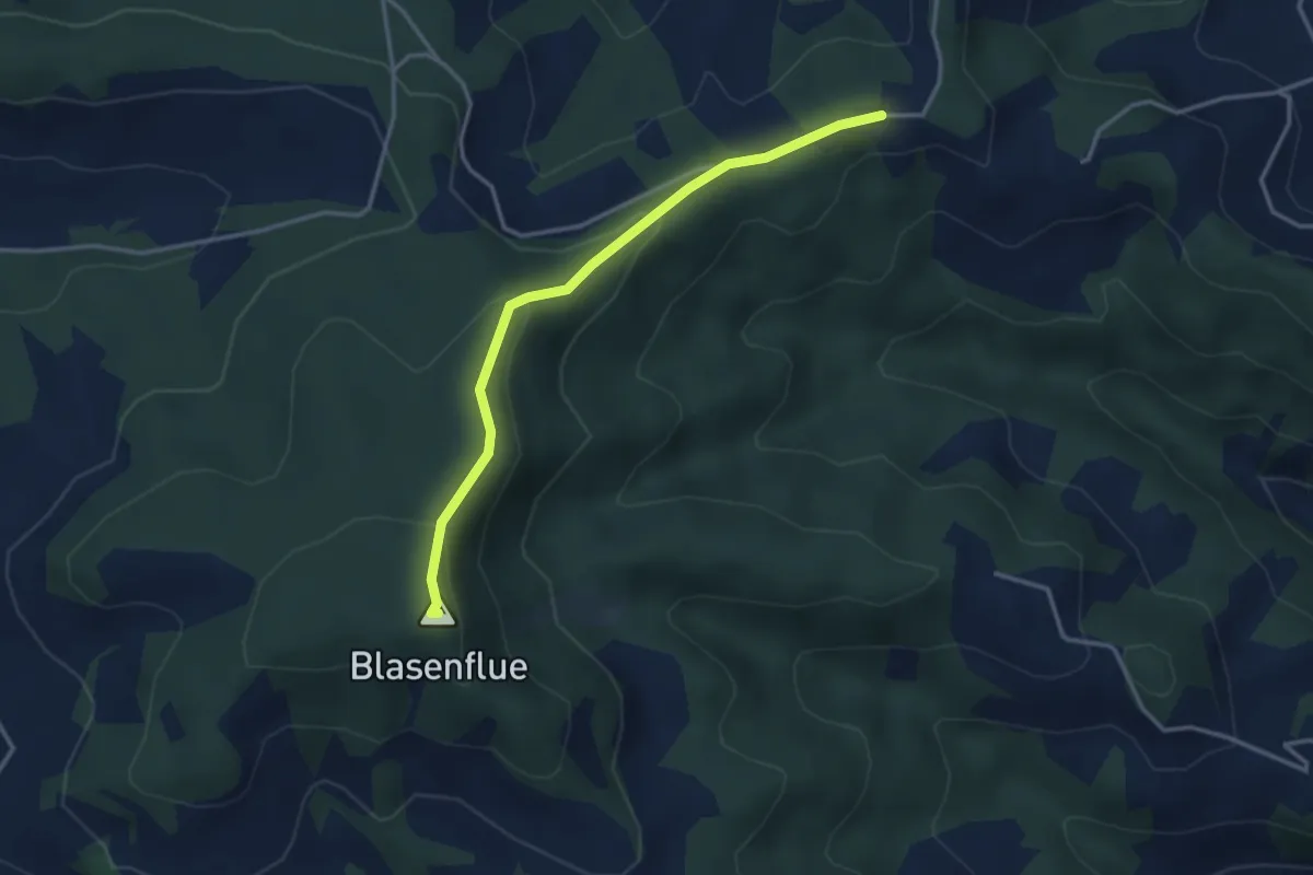
Easy · Summit
Blaseflue – Waldhaüsern
3.3 km · ↑ 139 m · 1 h 5 min · 13 km away
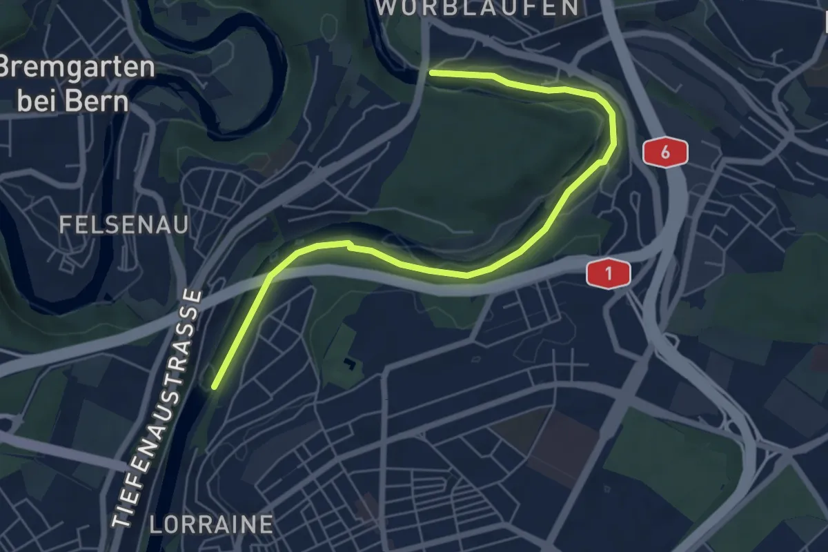
Easy · Trail
Tiefenaubrücke – Felsenausteg
6.4 km · ↑ 56 m · 1 h 38 min · 14 km away
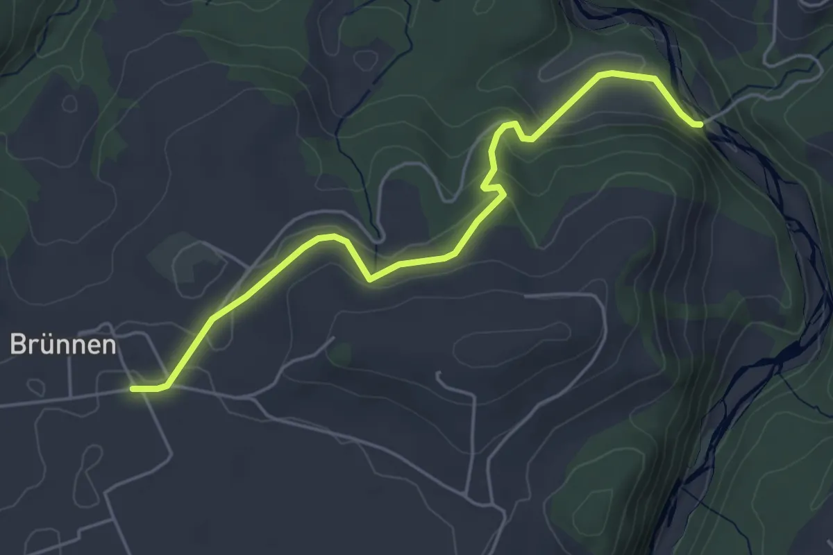
Easy · Trail
Rossgrabenbrücke – Elisried
4.9 km · ↑ 164 m · 1 h 31 min · 14 km away
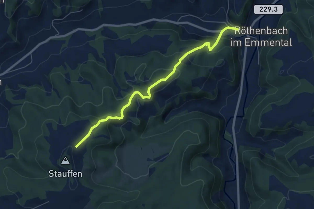
Medium · Trail
Röthenbach – Hinter Stauffen
5.8 km · ↑ 377 m · 2 h 11 min · 14 km away
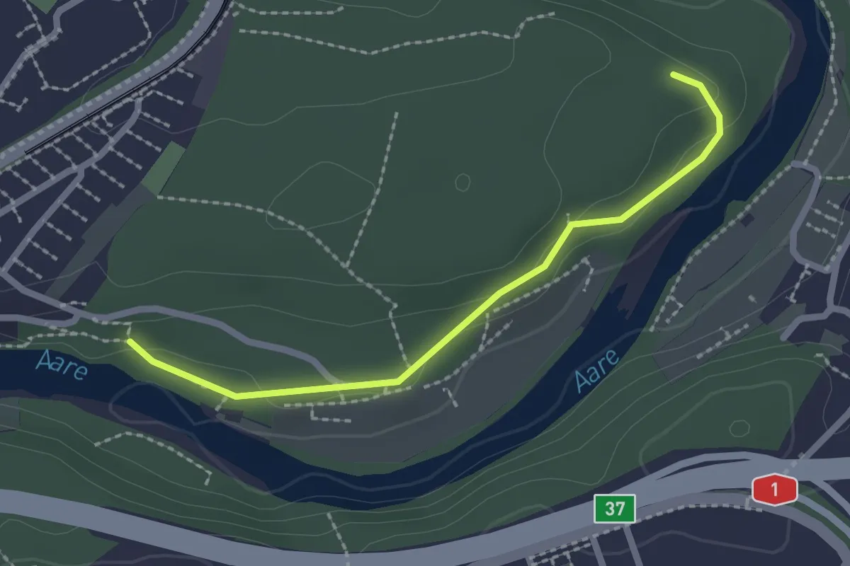
Easy · Trail
Aaregg – Thormeboden
2.1 km · ↑ 30 m · 34 min · 14 km away
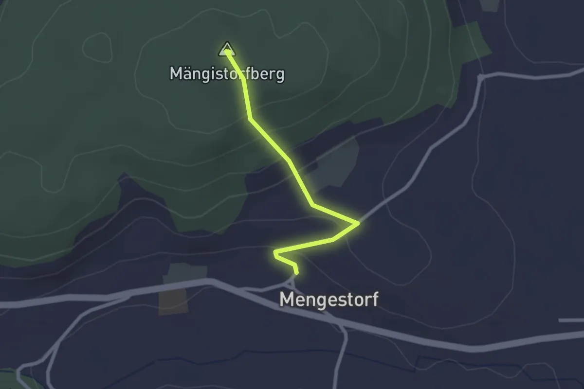
Easy · Summit
Mengestorfberg - Mengestorf
2.0 km · ↑ 124 m · 45 min · 14 km away
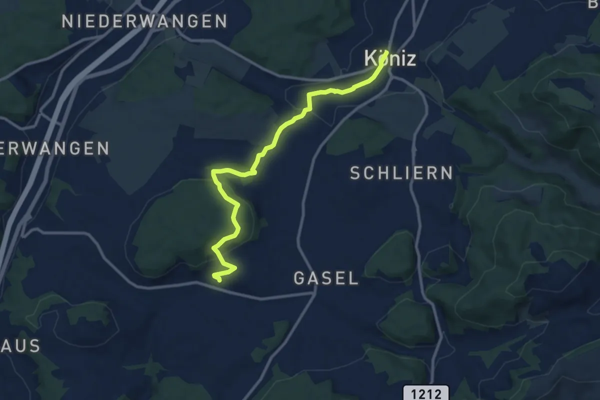
Medium · Trail
Mengestorf – Köniz
9.4 km · ↑ 280 m · 2 h 50 min · 14 km away
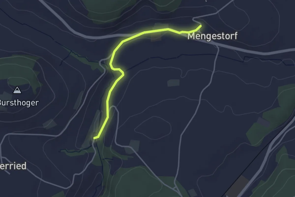
Easy · Trail
Grabenmüli – Mengestorf
3.2 km · ↑ 40 m · 50 min · 14 km away
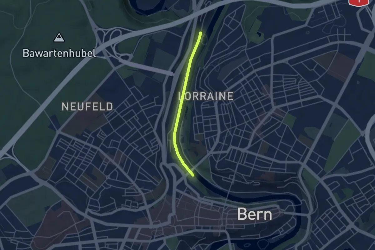
Easy · Trail
Blutturm – Stauwehr Felsenau
3.3 km · ↑ 60 m · 55 min · 14 km away
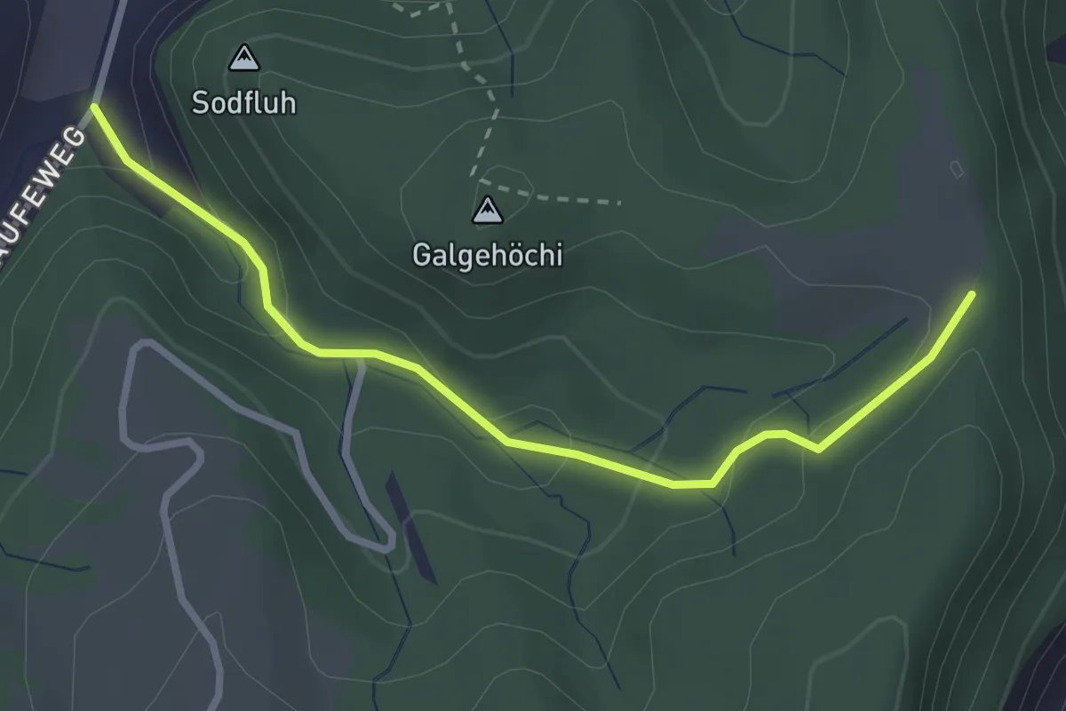
Easy · Trail
Chlosteralp – Laufe
2.7 km · ↑ 148 m · 58 min · 14 km away
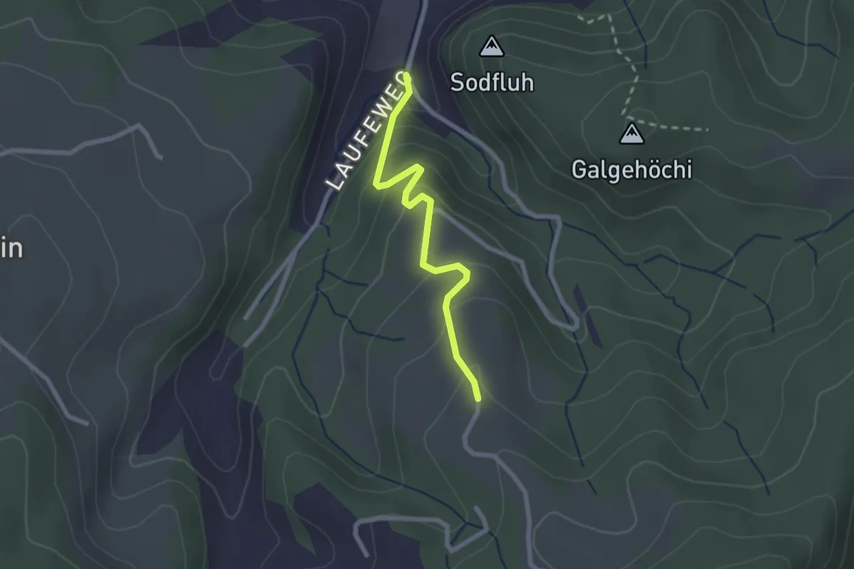
Easy · Trail
Laufe – Vordere Jucke
2.1 km · ↑ 151 m · 49 min · 14 km away
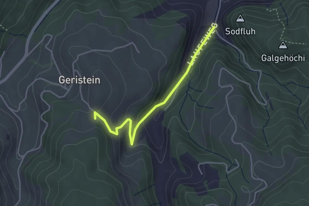
Easy · Trail
Laufe – Geristein
3.2 km · ↑ 163 m · 1 h 7 min · 14 km away
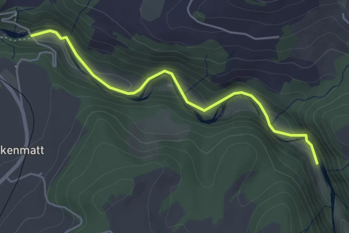
Easy · Trail
Alte Scharzwasserbrücke – Schwarzwassergraben
4.0 km · ↑ 138 m · 1 h 15 min · 14 km away