Trails near Münsingen
449 hikes starting within 15 km, nearest first.
Nearest first, page 9 of 10
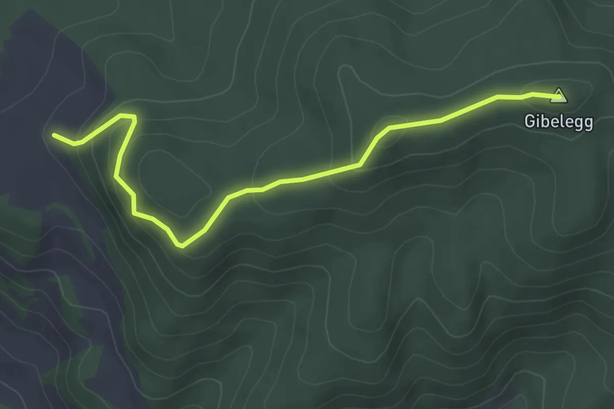
Easy · Summit
Feli - Gibelegg
4.0 km · ↑ 206 m · 1 h 24 min · 14 km away
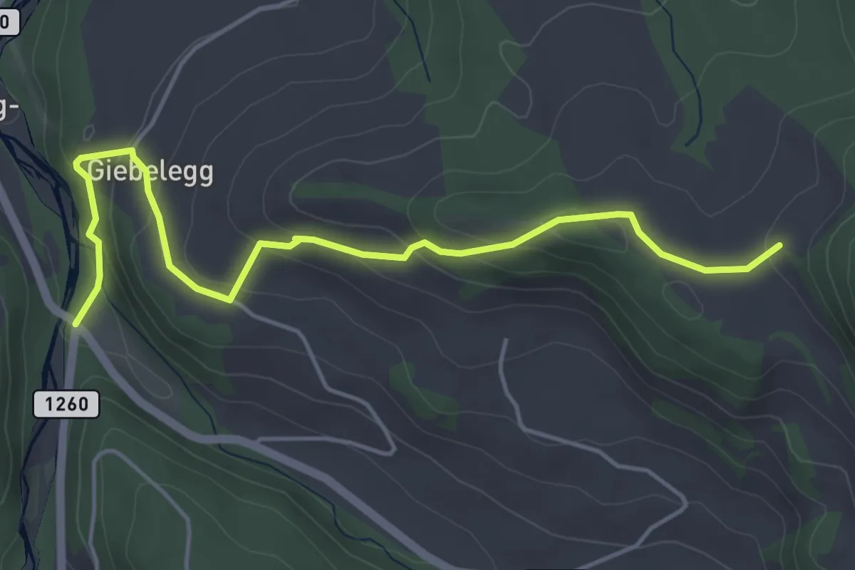
Easy · Trail
Feli - Rüschegg / Rütiplötsch
5.0 km · ↑ 212 m · 1 h 38 min · 14 km away
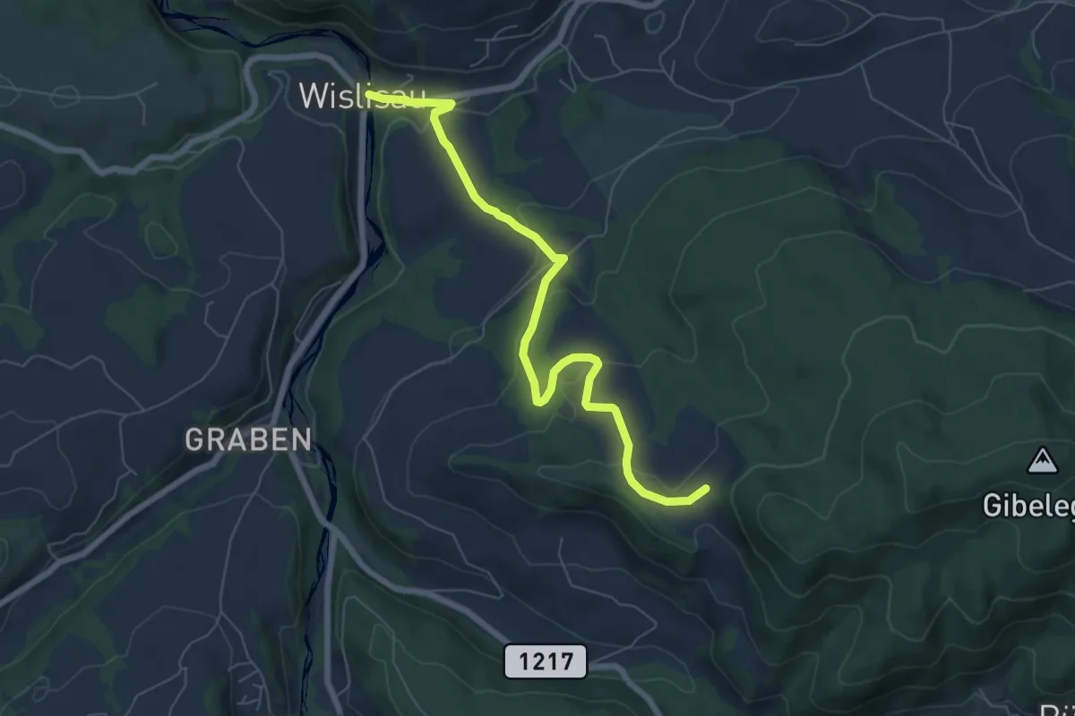
Easy · Trail
Wislisau - Feli
7.0 km · ↑ 263 m · 2 h 13 min · 14 km away
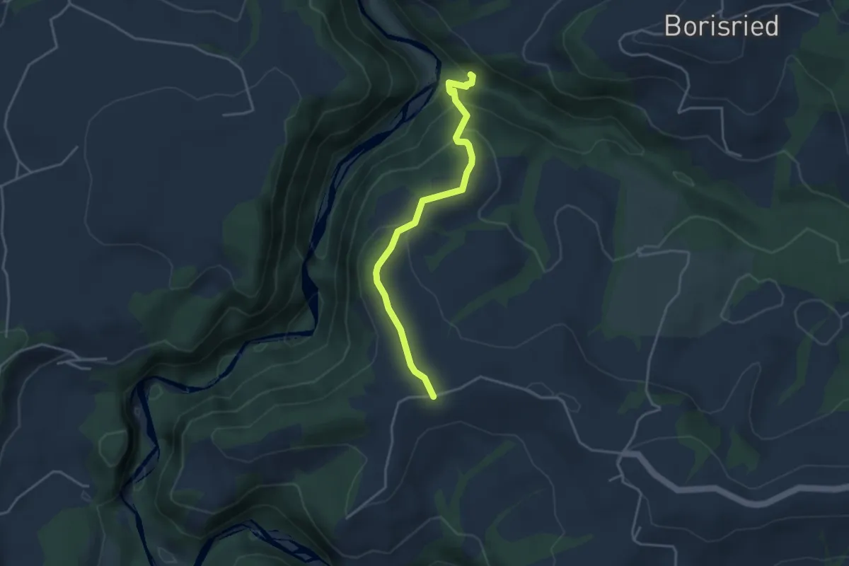
Easy · Trail
Bütschelbachsteg – Krommen
3.5 km · ↑ 192 m · 1 h 15 min · 14 km away
Easy · Trail
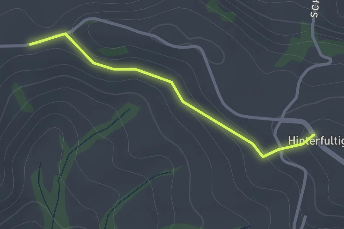
Krommen – Hinterfultigen
2.0 km · ↑ 41 m · 34 min · 14 km away
Easy · Trail
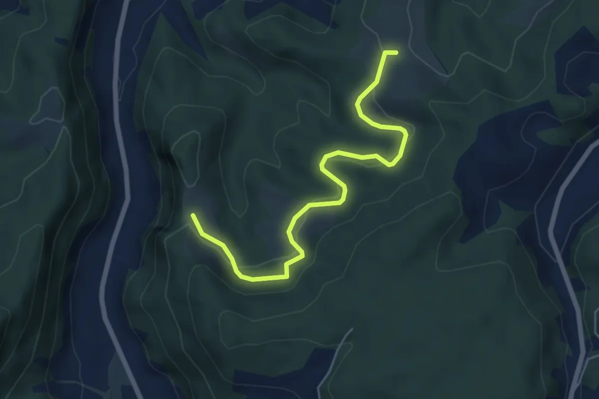
Schwändi – Vordere Geisme
5.0 km · ↑ 203 m · 1 h 38 min · 14 km away
Easy · Trail
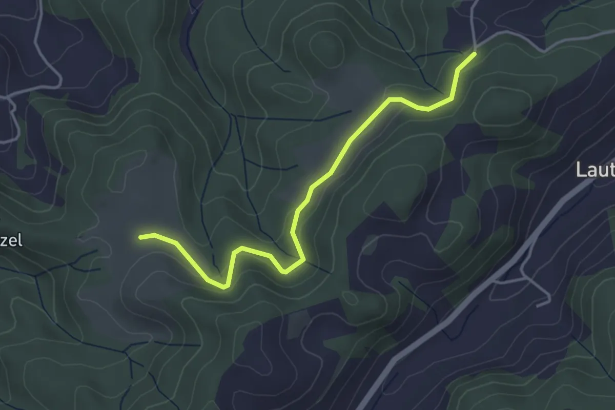
Buechwald – Schwändi
3.8 km · ↑ 169 m · 1 h 16 min · 14 km away
Easy · Trail
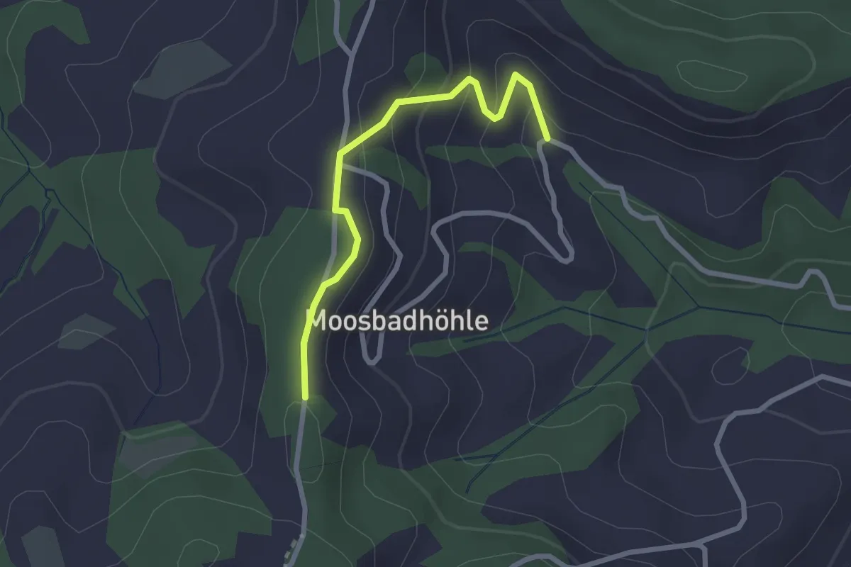
Moosbad – Moosegg
2.3 km · ↑ 102 m · 45 min · 14 km away
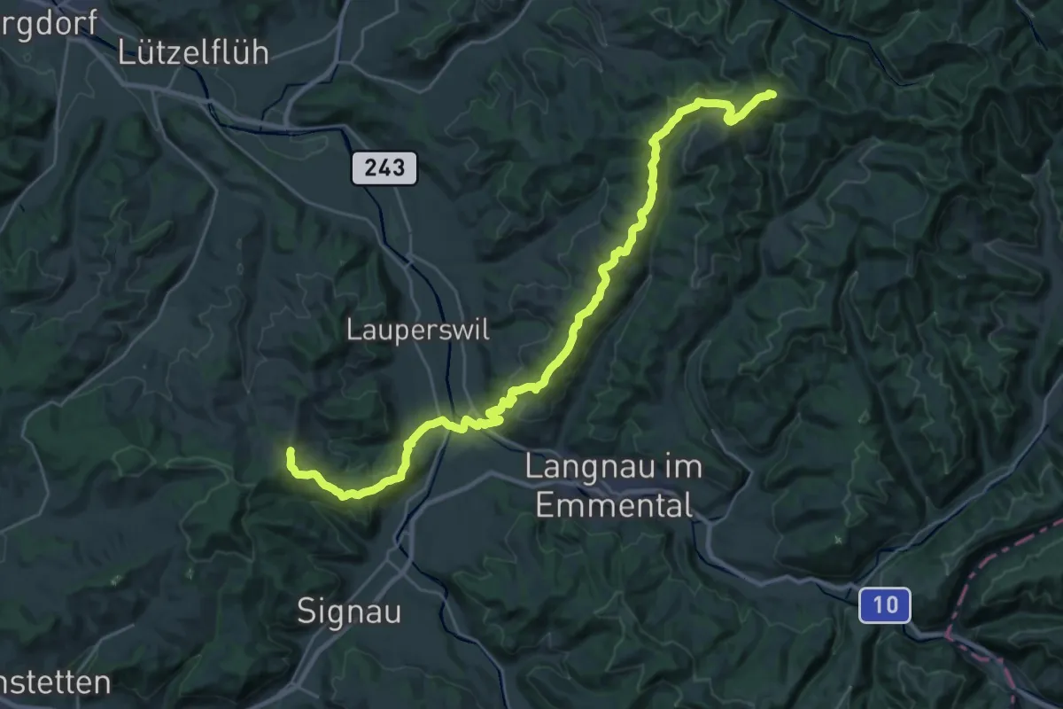
Medium · Trail
Alpenpanorama-Weg
15.6 km · ↑ 705 m · 5 h 20 min · 14 km away
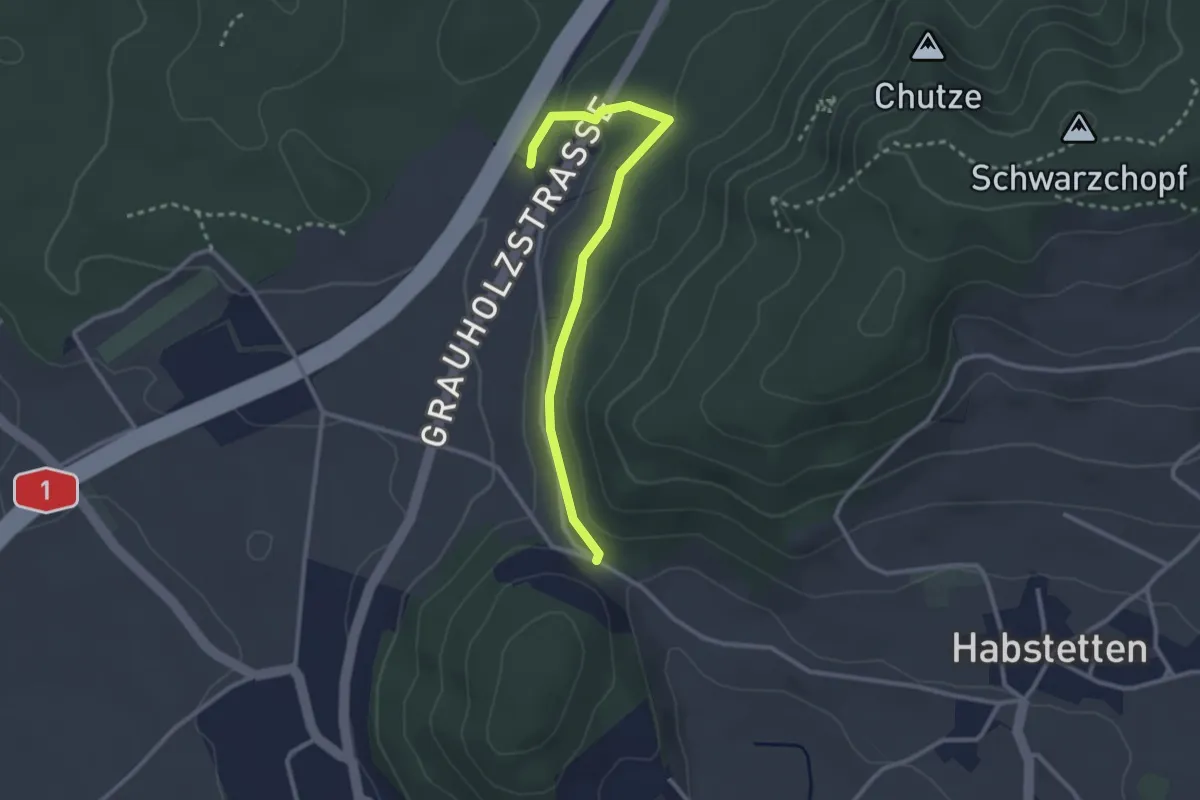
Easy · Trail
Forsthus – Schlupf
2.8 km · ↑ 40 m · 45 min · 14 km away
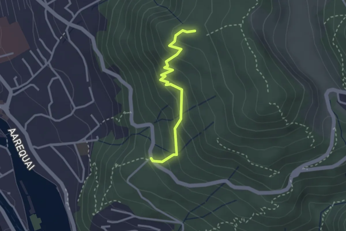
Easy · Trail
Rabenflue – Wartboden
2.3 km · ↑ 233 m · 1 h 4 min · 14 km away
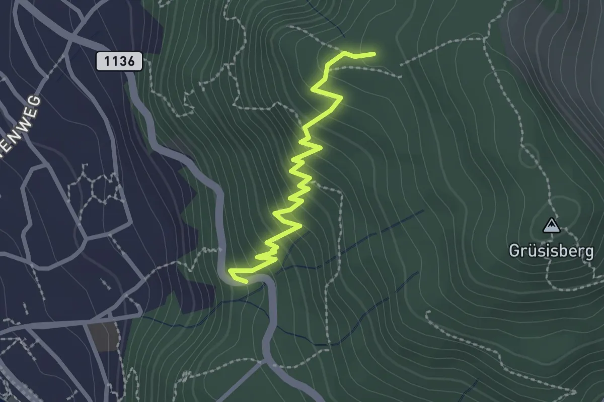
Easy · Trail
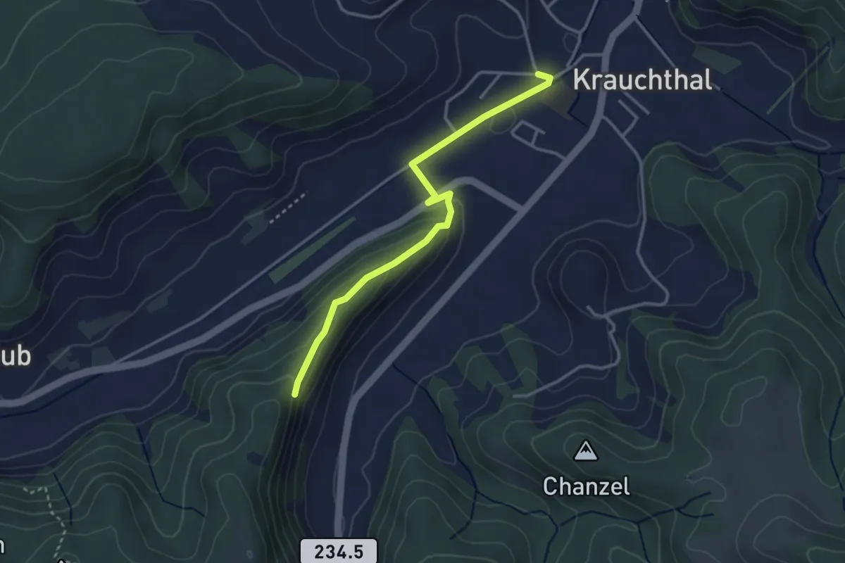
Rabenflue – Vogelsang
2.3 km · ↑ 295 m · 1 h 11 min · 14 km away
Easy · Trail
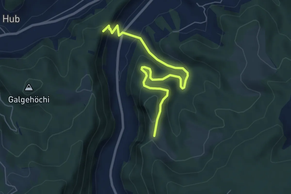
Sandhole – Fluehüsli
3.2 km · ↑ 113 m · 1 h · 14 km away
Medium · Trail
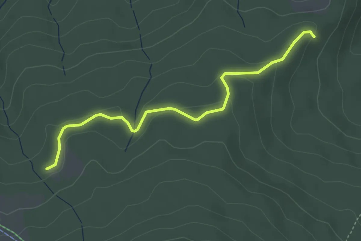
Fluehüsli – Vordere Geisme
5.6 km · ↑ 361 m · 2 h 6 min · 14 km away
Easy · Trail
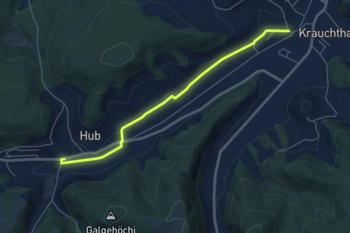
Tscharner - Marchweg Pt. 1105
3.7 km · ↑ 132 m · 1 h 10 min · 14 km away
Easy · Trail
Sandhole – Hueb
4.7 km · ↑ 50 m · 1 h 14 min · 14 km away
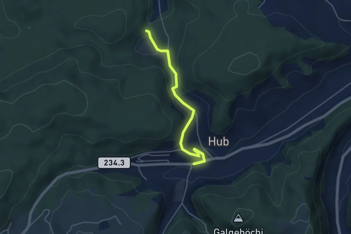
Easy · Trail
Wannetal – Hueb
3.5 km · ↑ 169 m · 1 h 11 min · 14 km away
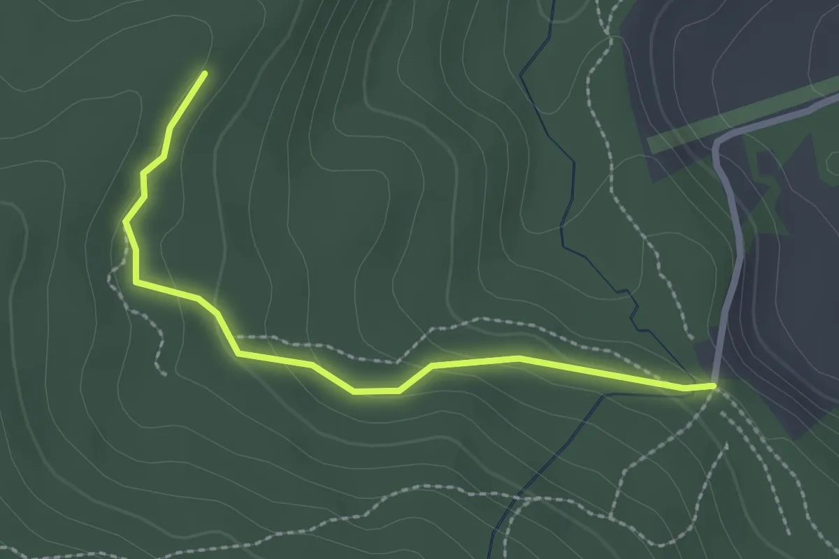
Easy · Trail
Marchweg Pt. 1105 - Stafelalp
2.3 km · ↑ 122 m · 49 min · 14 km away
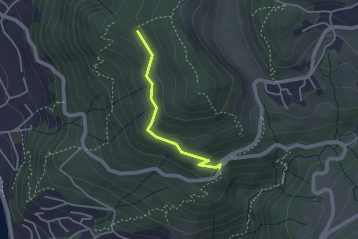
Easy · Trail
Scheidweg – Blockhaus
2.3 km · ↑ 95 m · 44 min · 14 km away
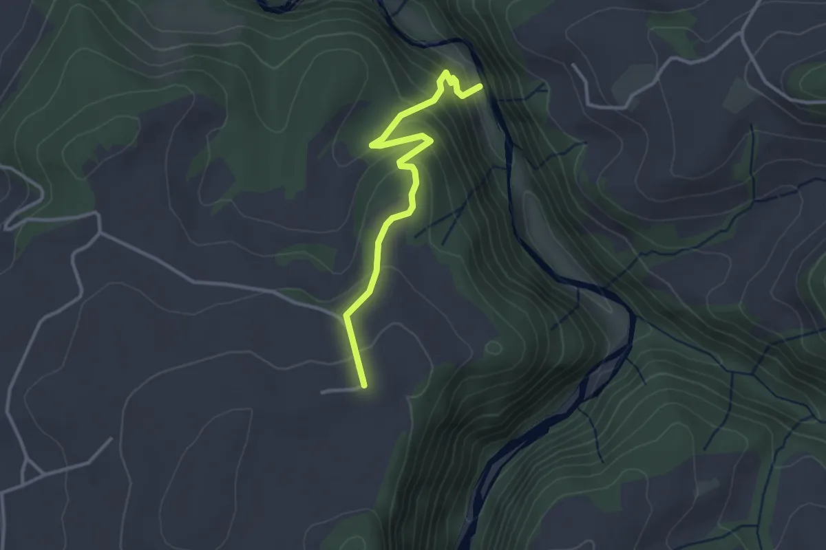
Easy · Trail
Schwarzwassergraben - Nidegg
3.0 km · ↑ 234 m · 1 h 13 min · 14 km away
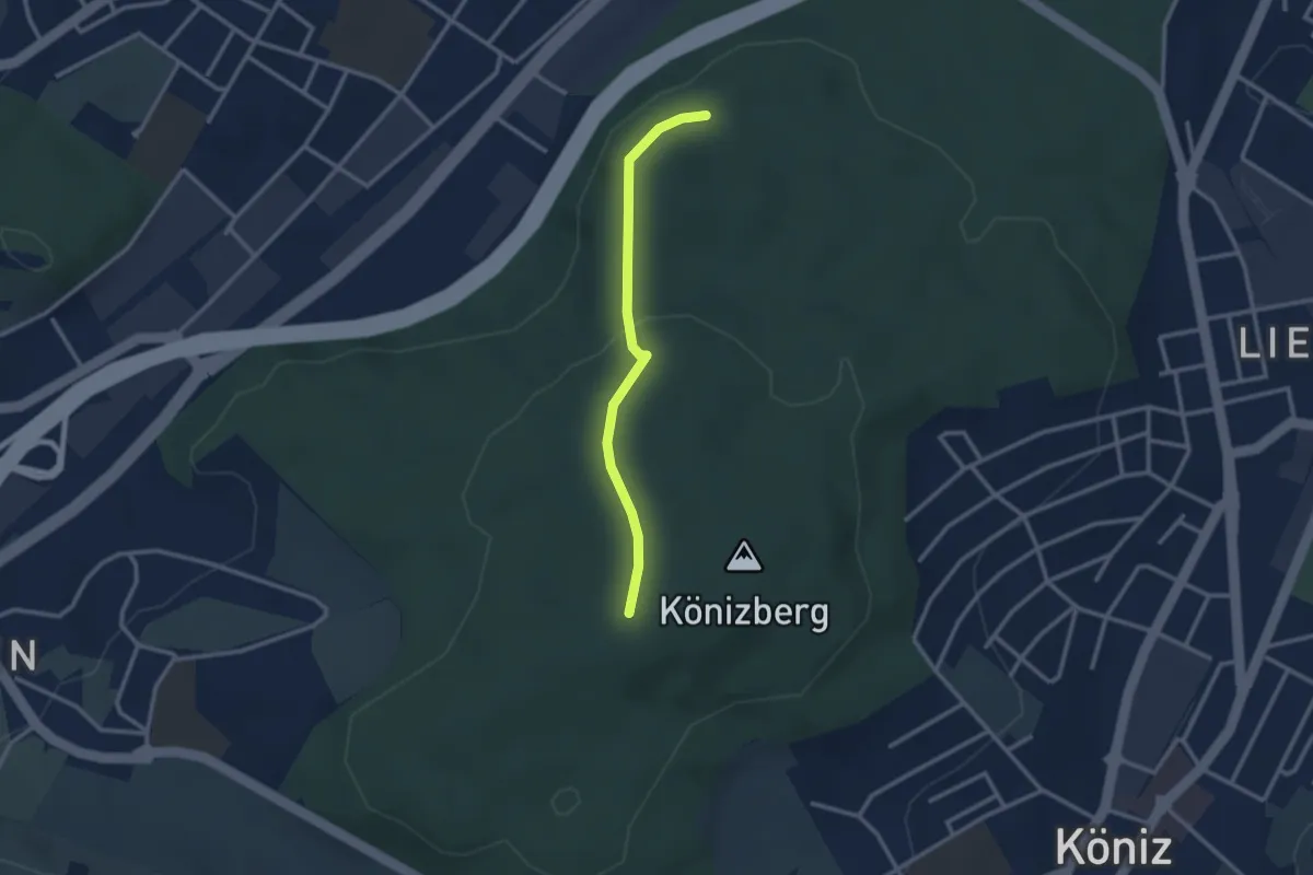
Easy · Trail
Pfaffensteig - Könizberg/Stärn
2.5 km · ↑ 70 m · 45 min · 14 km away
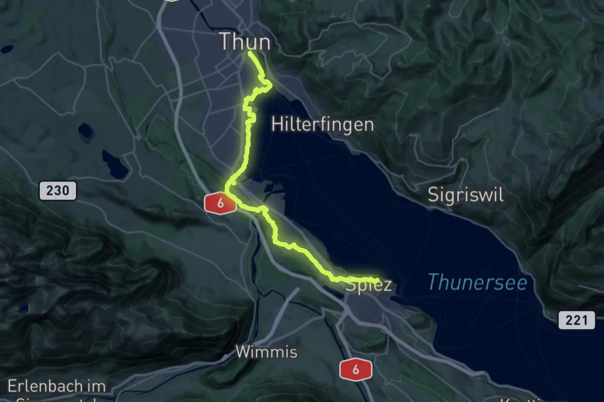
Demanding · Summit
ViaBerna Etappe 11
25.7 km · ↑ 339 m · 6 h 49 min · 14 km away
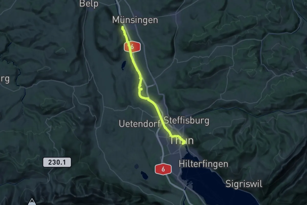
Medium · Trail
ViaBerna Etappe 10
16.6 km · ↑ 173 m · 4 h 33 min · 14 km away
Easy · Trail
Thorberg - Schwändi
3.2 km · ↑ 218 m · 1 h 14 min · 14 km away
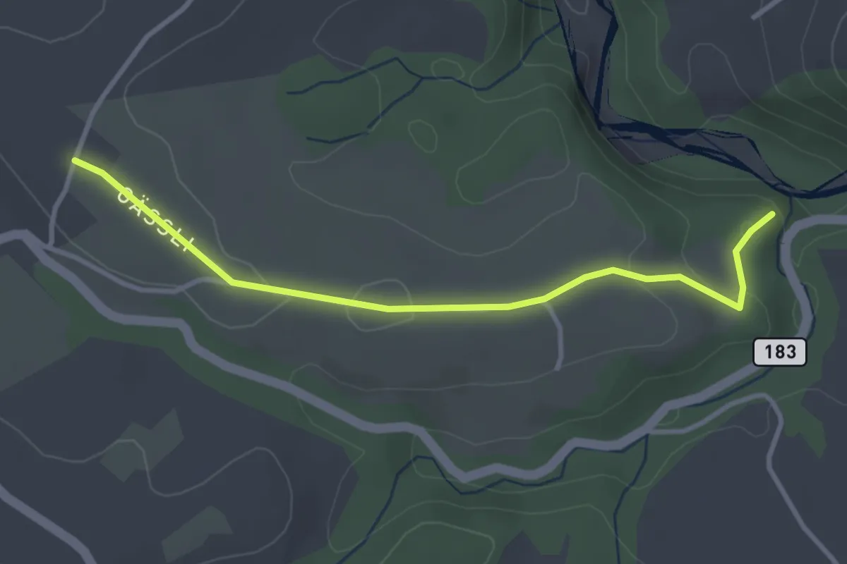
Easy · Trail
Henzischwand - Granegg/Burgruine
3.3 km · ↑ 78 m · 57 min · 14 km away
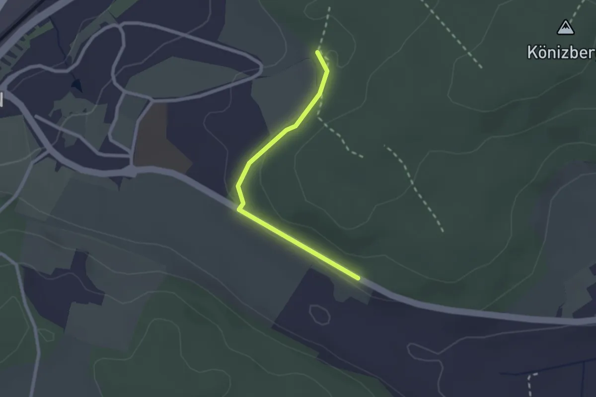
Easy · Trail
Leen - Tubentränke
2.0 km · ↑ 41 m · 34 min · 14 km away
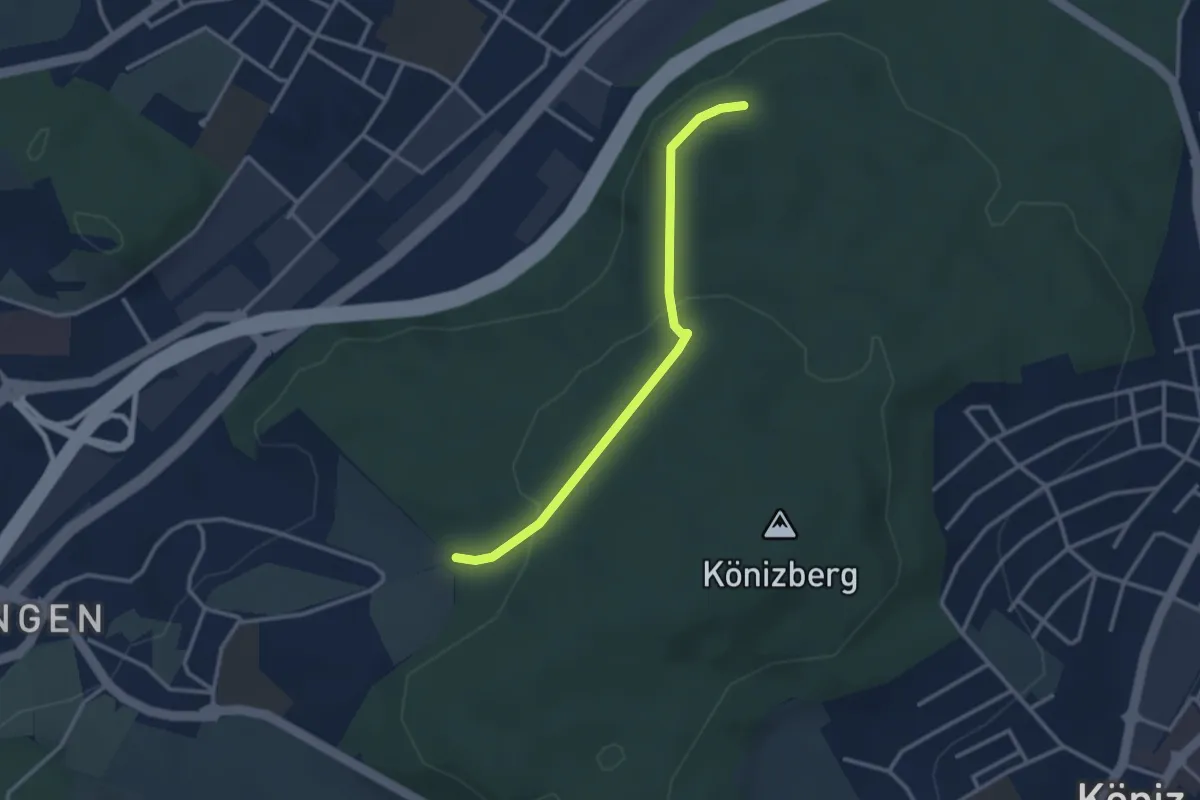
Easy · Trail
Pfaffensteig - Tubentränke
2.9 km · ↑ 88 m · 52 min · 14 km away
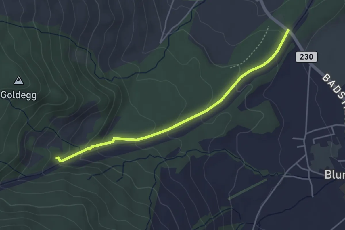
Easy · Trail
Blumensteibrügg
3.8 km · ↑ 160 m · 1 h 15 min · 14 km away
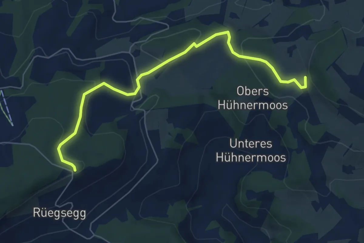
Easy · Trail
Stockeren – Chuderhüsi
6.0 km · ↑ 217 m · 1 h 54 min · 14 km away
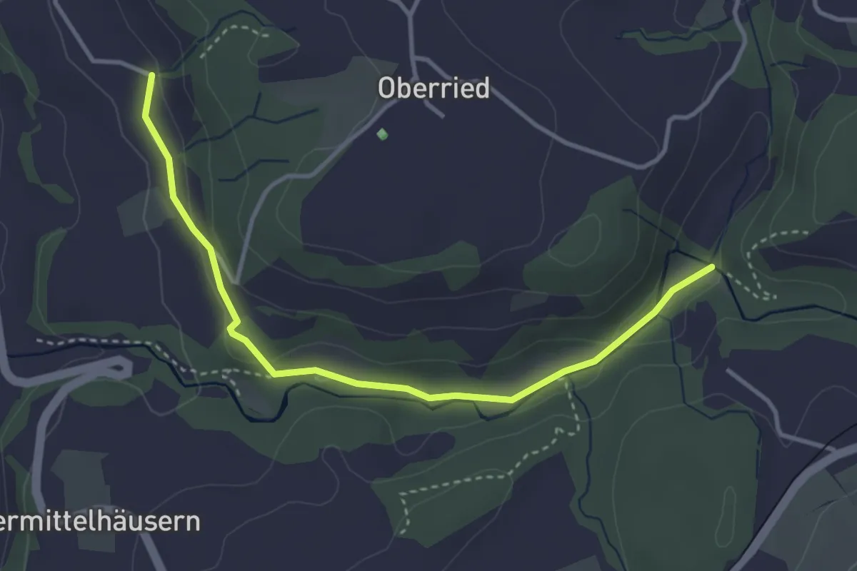
Easy · Trail
Grabenmüli - Grafenried
3.7 km · ↑ 75 m · 1 h 2 min · 14 km away
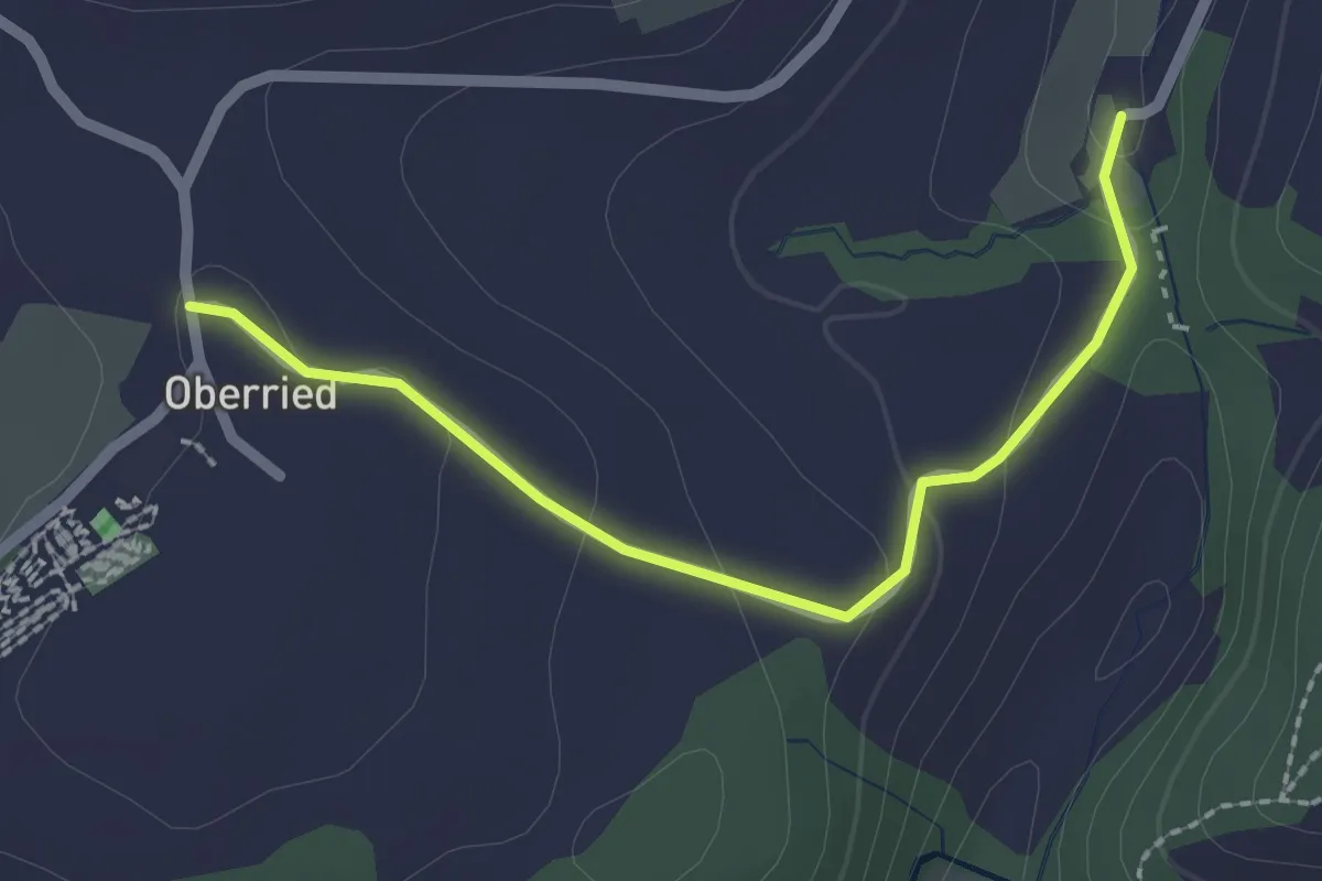
Easy · Trail
Oberried - Grabenmüli
2.2 km · ↑ 64 m · 39 min · 14 km away
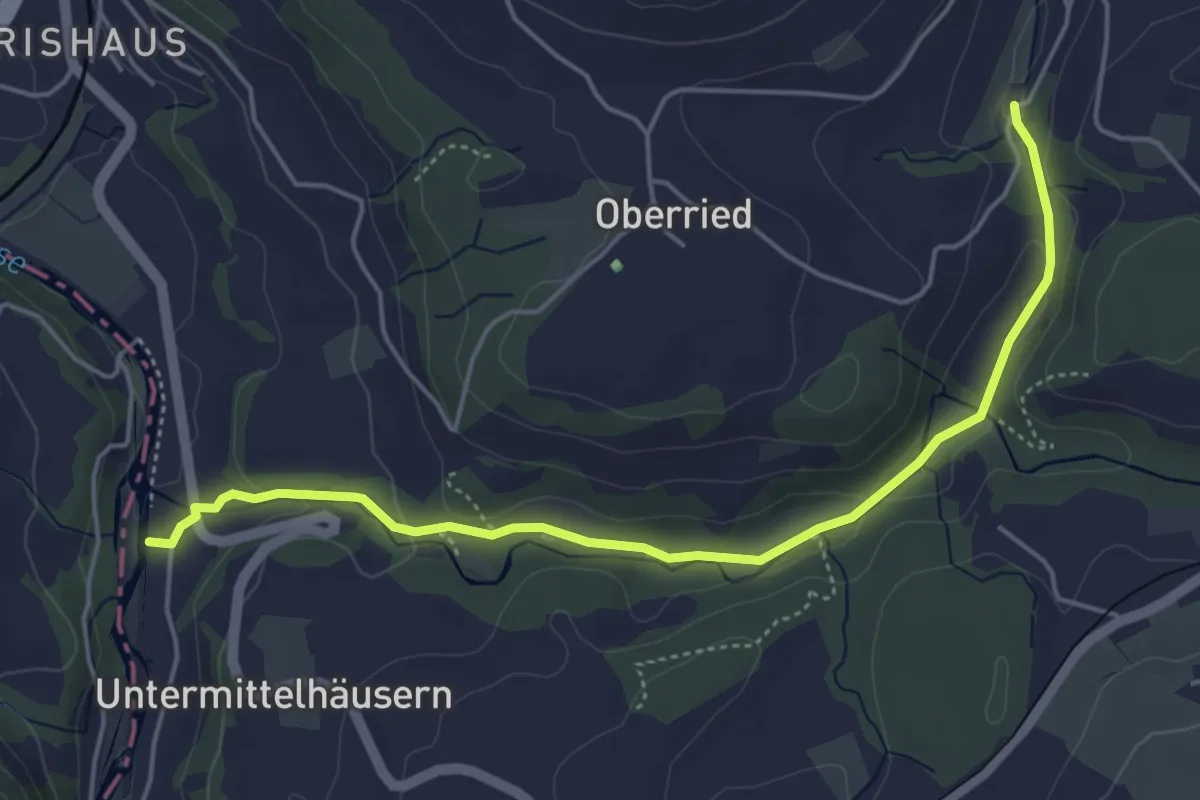
Easy · Trail
Sensematt – Grabenmüli
5.1 km · ↑ 116 m · 1 h 27 min · 14 km away
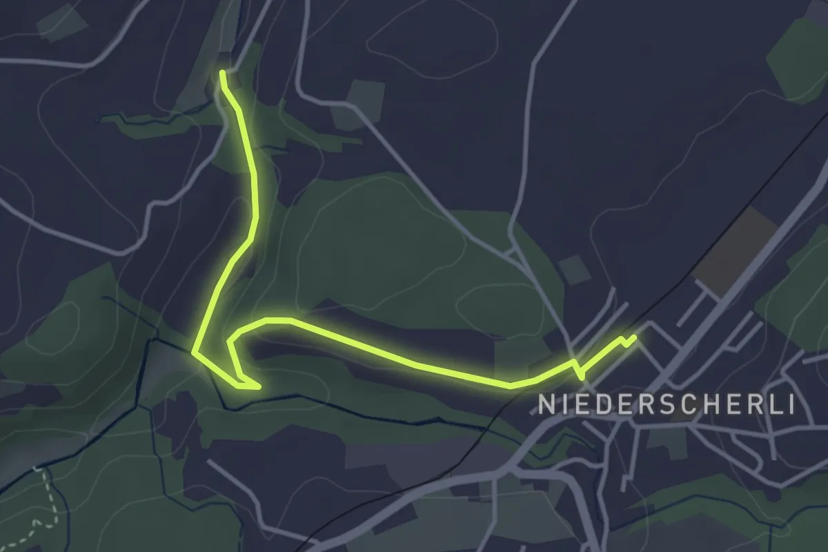
Easy · Trail
Niederscherli - Grabenmüli
3.9 km · ↑ 88 m · 1 h 7 min · 14 km away
Easy · Trail
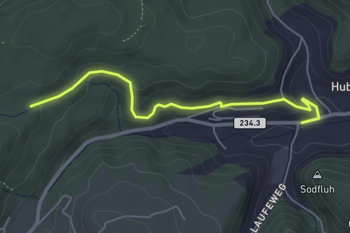
Sädelbachhüttli – Hueb
4.2 km · ↑ 167 m · 1 h 22 min · 14 km away
Easy · Trail
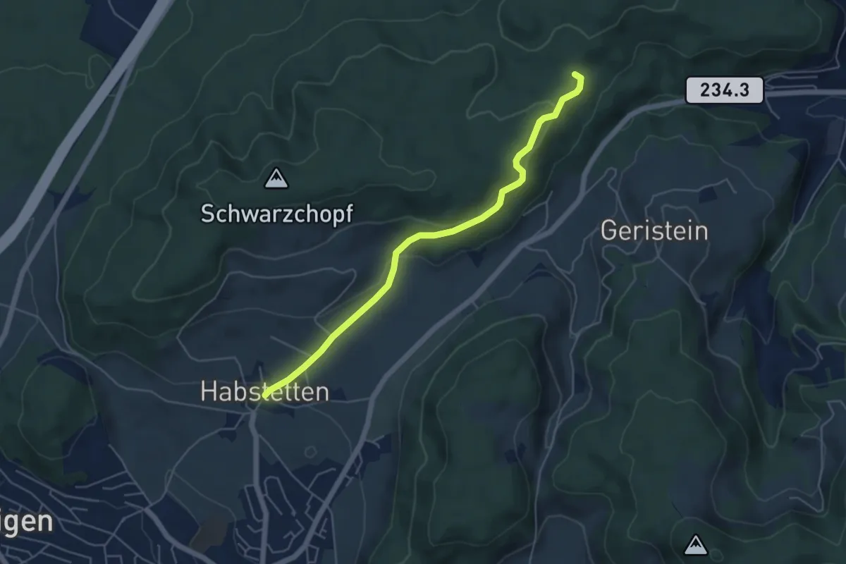
Sädelbachhüttli – Habstetten
5.0 km · ↑ 180 m · 1 h 35 min · 14 km away
Easy · Trail
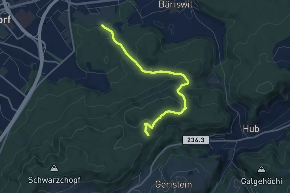
Holzmatt – Mattstettenberg
6.9 km · ↑ 277 m · 2 h 14 min · 14 km away
Easy · Trail
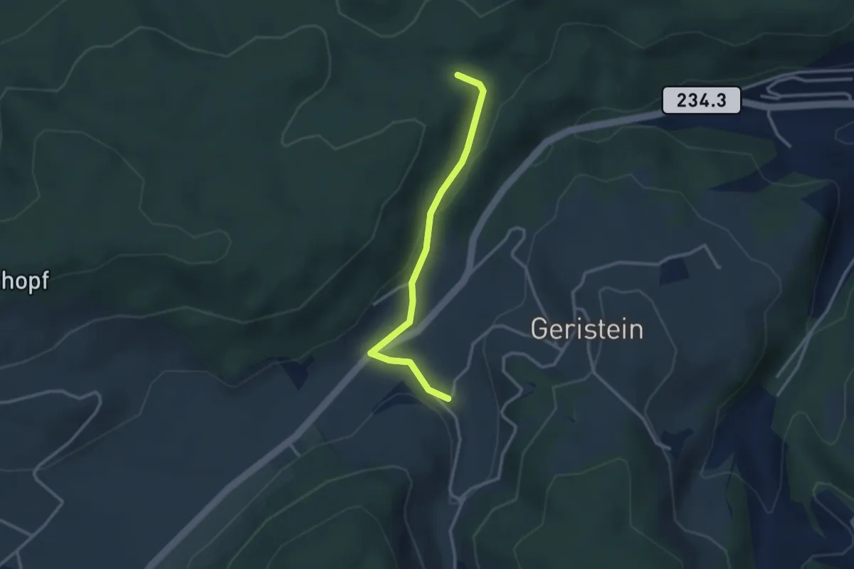
Sädelbachhüttli – Lutzere
2.7 km · ↑ 47 m · 44 min · 14 km away
Easy · Trail
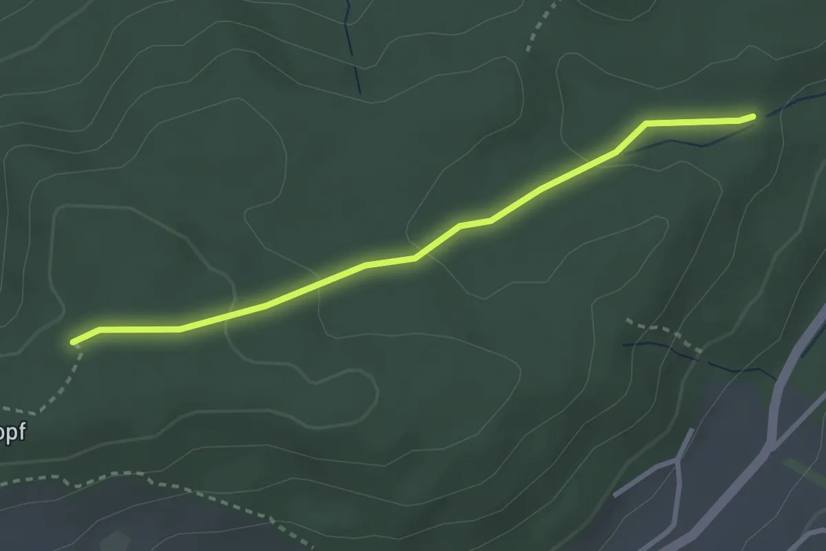
Sädelbachhüttli – Bannholz
2.8 km · ↑ 83 m · 50 min · 14 km away
Easy · Trail
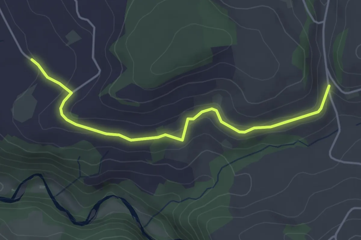
Schlatt - Längacher
4.1 km · ↑ 92 m · 1 h 10 min · 14 km away
Easy · Trail
Krauchthal – Buechwald
4.0 km · ↑ 191 m · 1 h 21 min · 14 km away
Medium · Trail
Oberburg – Buechwald
14.7 km · ↑ 578 m · 4 h 44 min · 14 km away
Medium · Trail
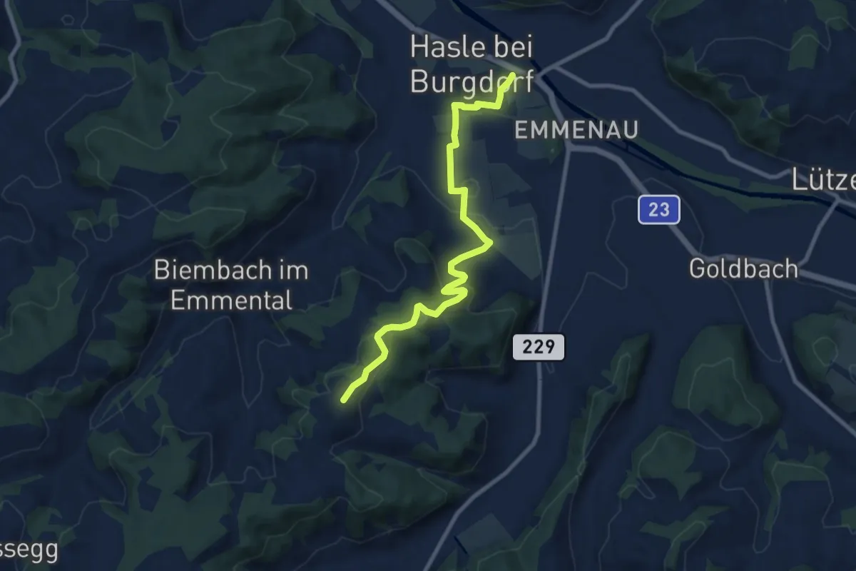
Schwand – Hasle-Rüegsau
8.7 km · ↑ 268 m · 2 h 38 min · 14 km away
Easy · Trail
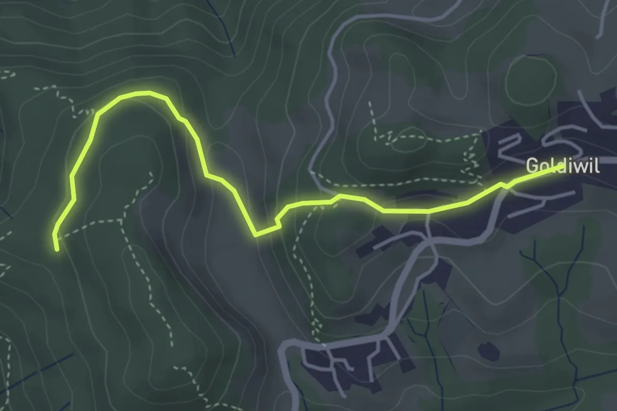
Blockhaus – Goldiwil / Post
4.0 km · ↑ 175 m · 1 h 19 min · 15 km away
Easy · Trail
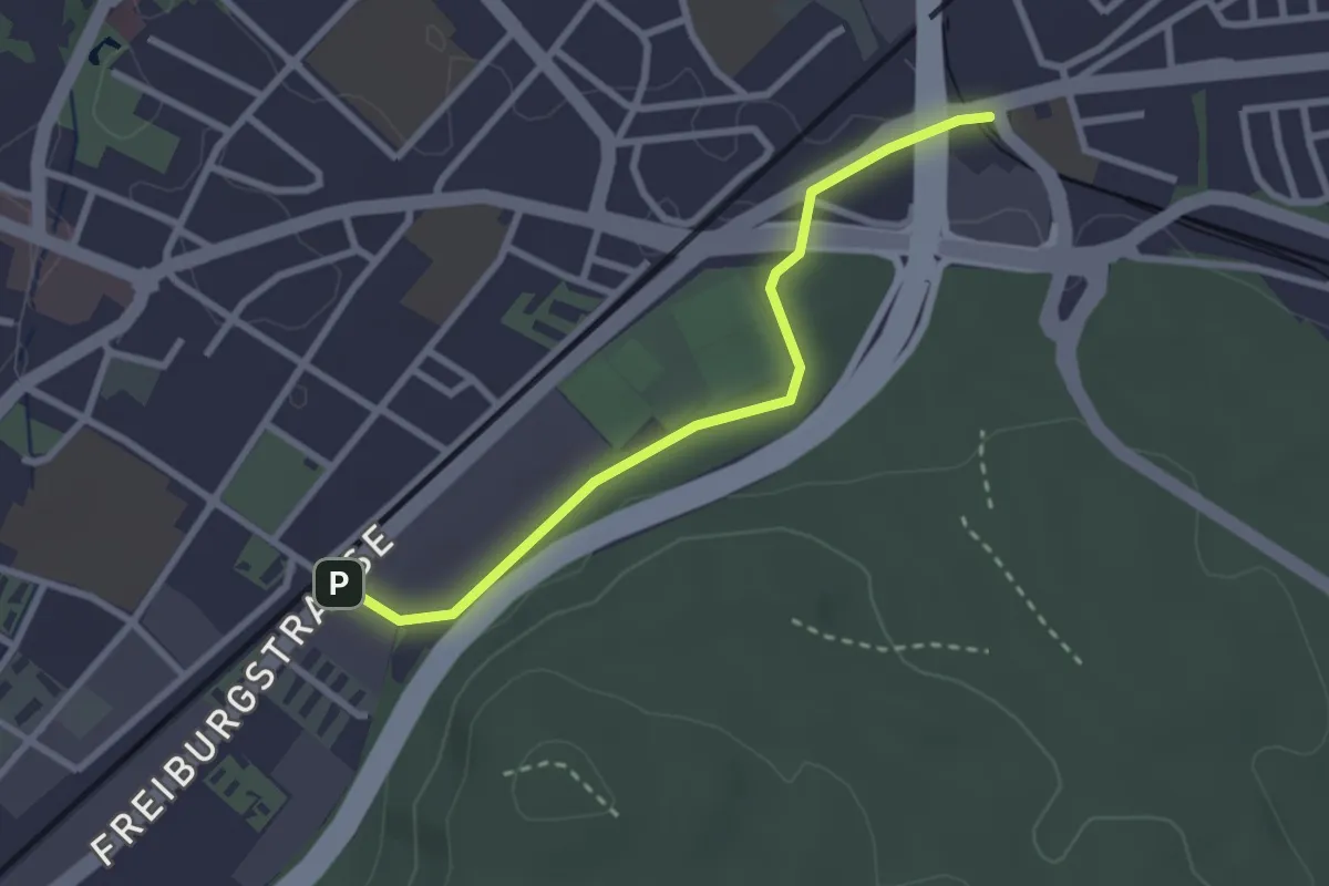
Bümpliz Süd - Ausserholigen
2.6 km · ↑ 36 m · 42 min · 15 km away
Easy · Trail
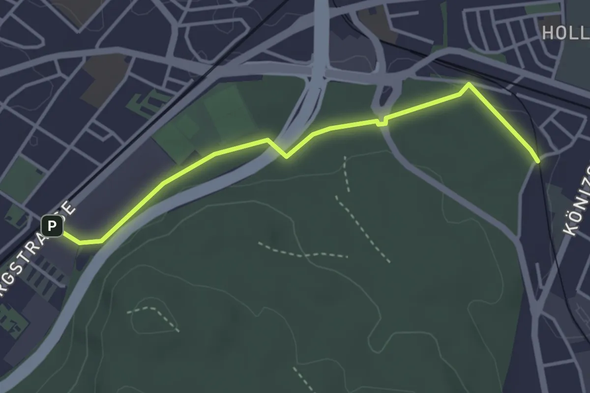
Bümpliz Süd - Fischermätteli
3.5 km · ↑ 43 m · 55 min · 15 km away
Medium · Trail
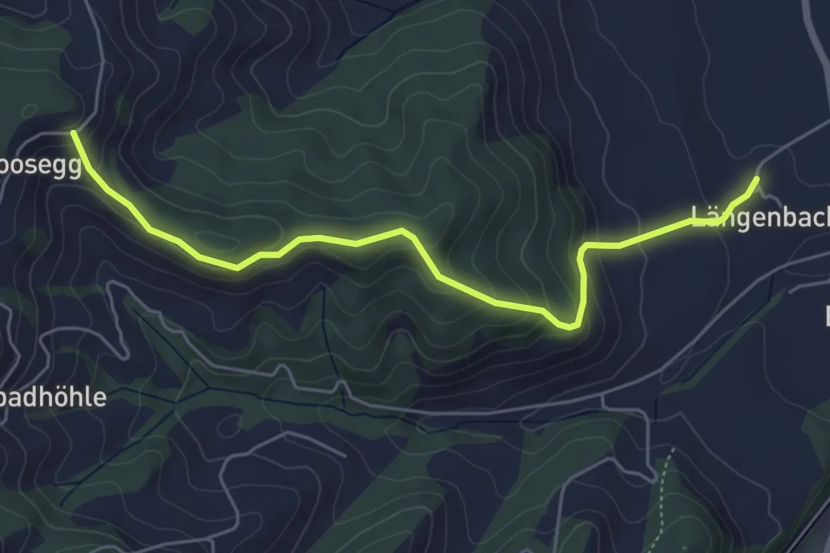
Felbach – Längebach
5.2 km · ↑ 322 m · 1 h 56 min · 15 km away
Easy · Trail
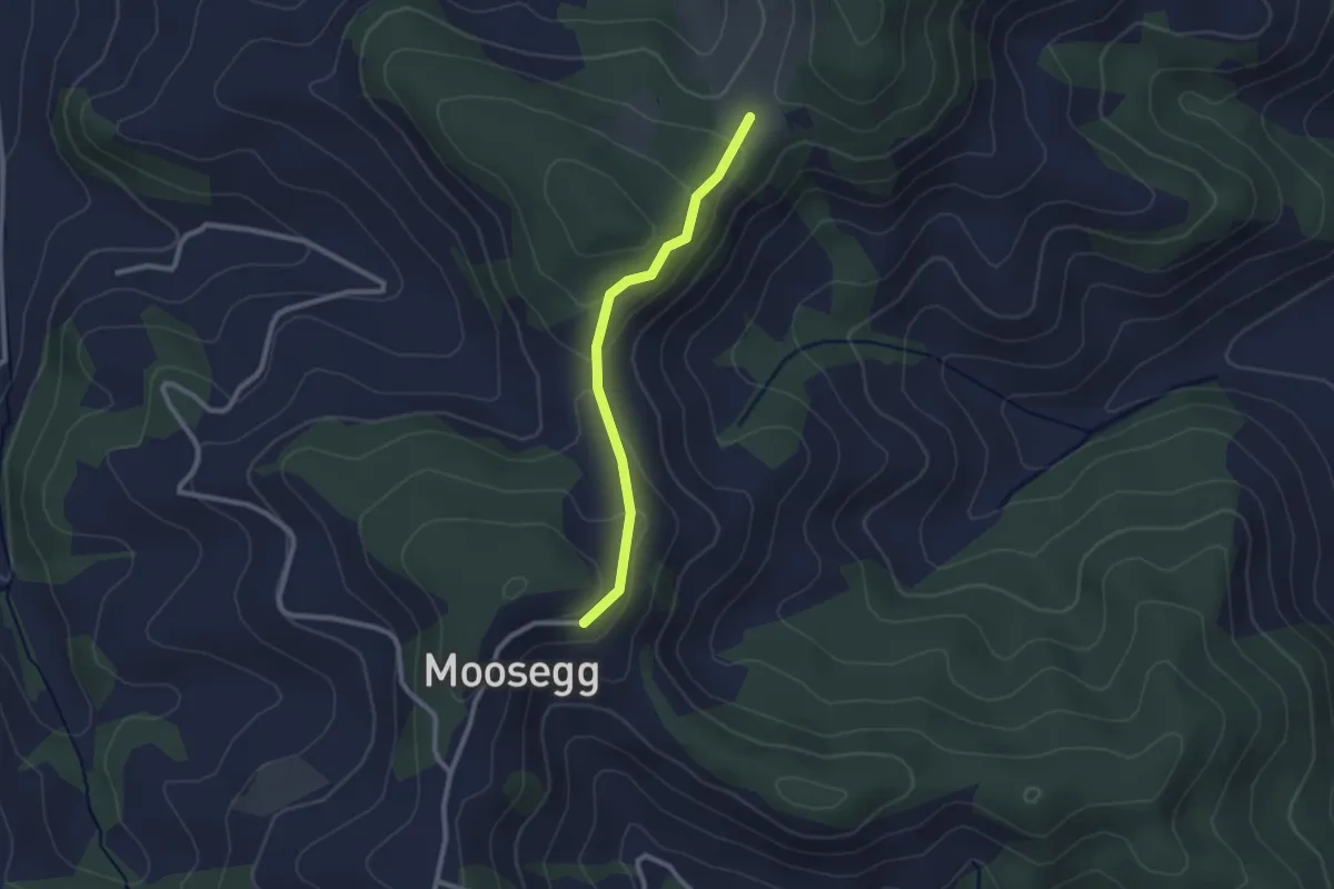
Felbach - Hinter Längholz
2.2 km · ↑ 81 m · 42 min · 15 km away
Easy · Trail
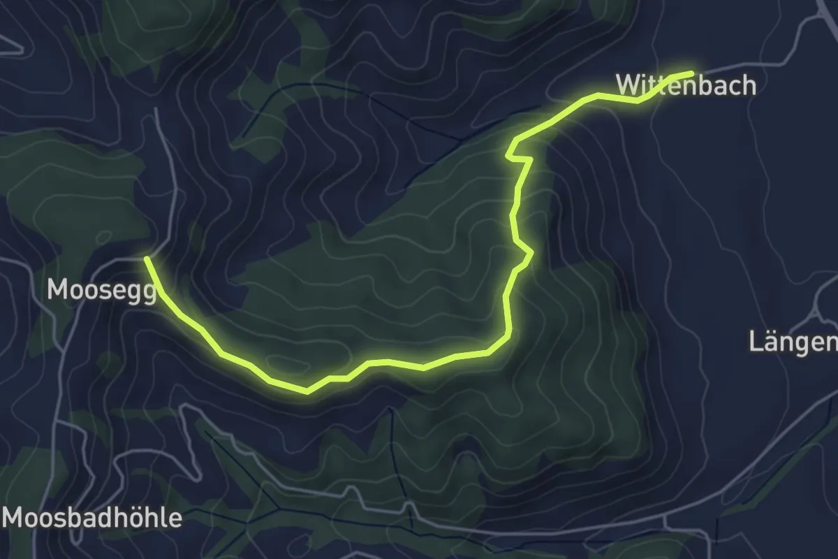
Felbach – Wittenbach
5.2 km · ↑ 314 m · 1 h 55 min · 15 km away