Trails near Muri bei Bern
500 hikes starting within 15 km, nearest first.
Nearest first, page 10 of 11
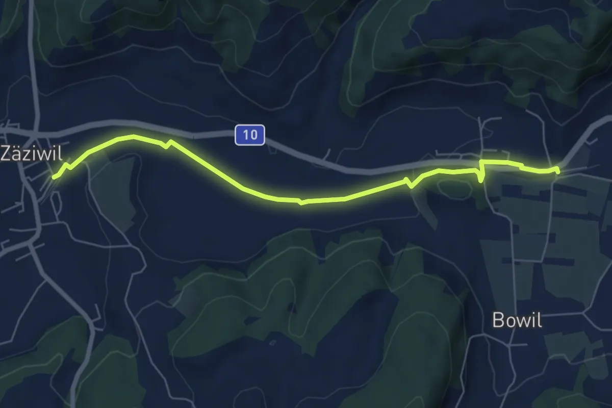
Easy · Trail
Bowil – Zäziwil
6.2 km · ↑ 63 m · 1 h 36 min · 14 km away
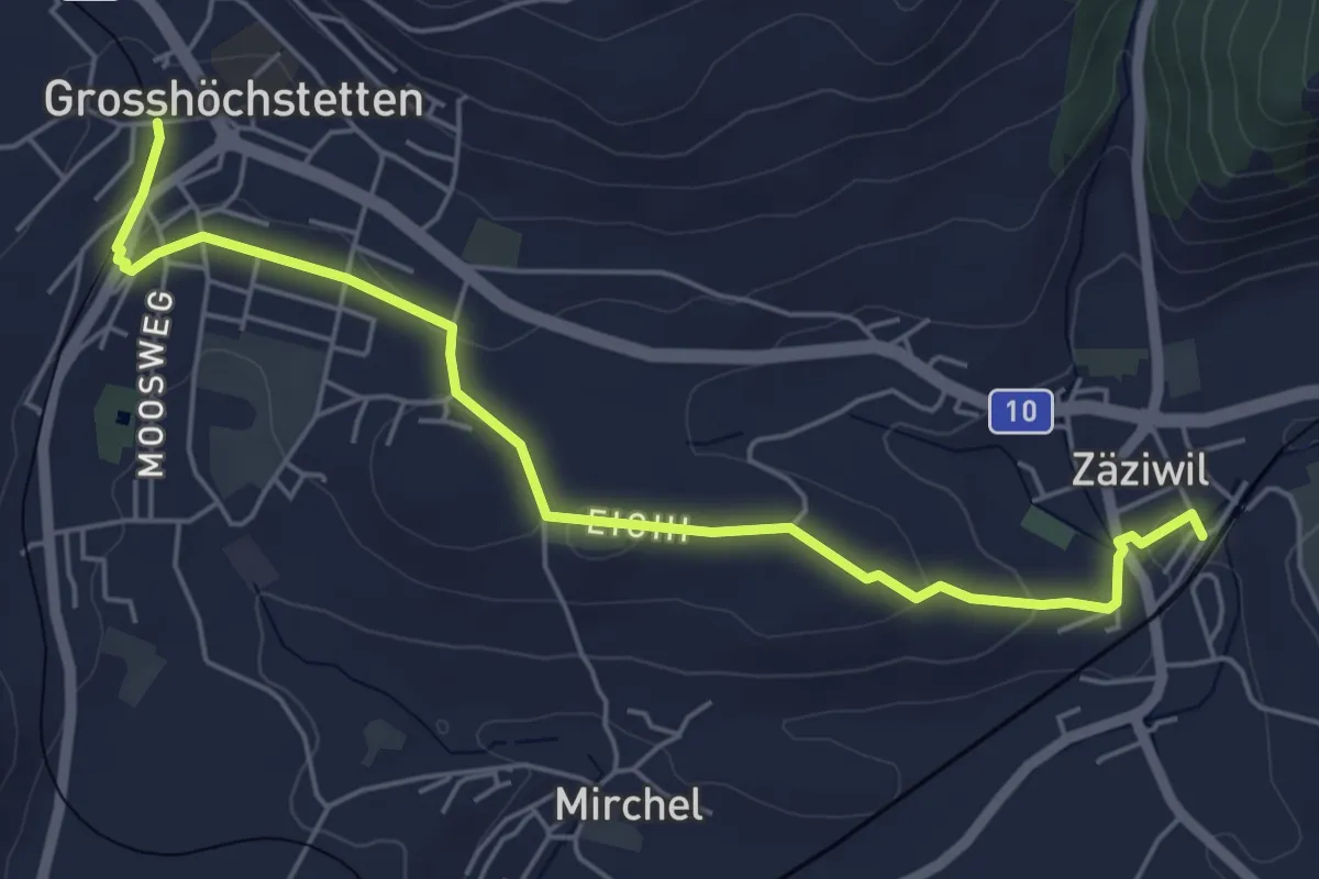
Easy · Trail
Grosshöchstetten – Zäziwil
5.9 km · ↑ 78 m · 1 h 33 min · 14 km away
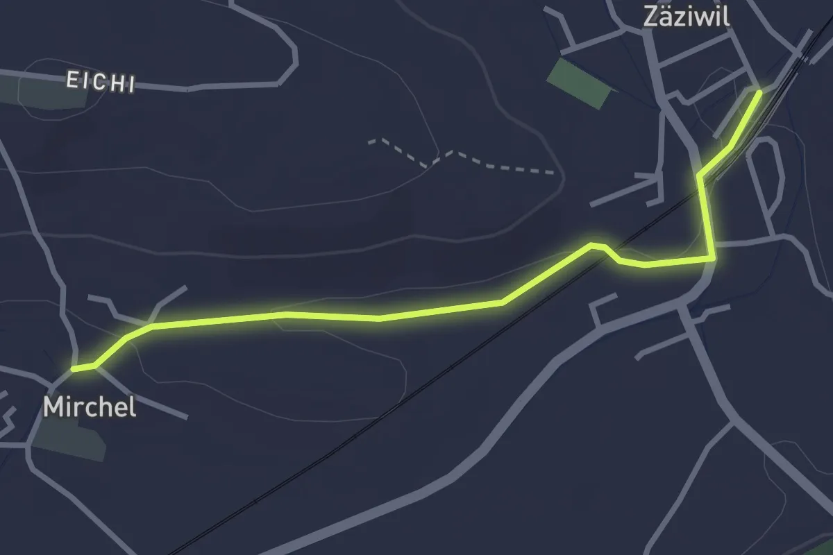
Easy · Trail
Zäziwil – Mirchel
2.9 km · ↑ 14 m · 42 min · 14 km away
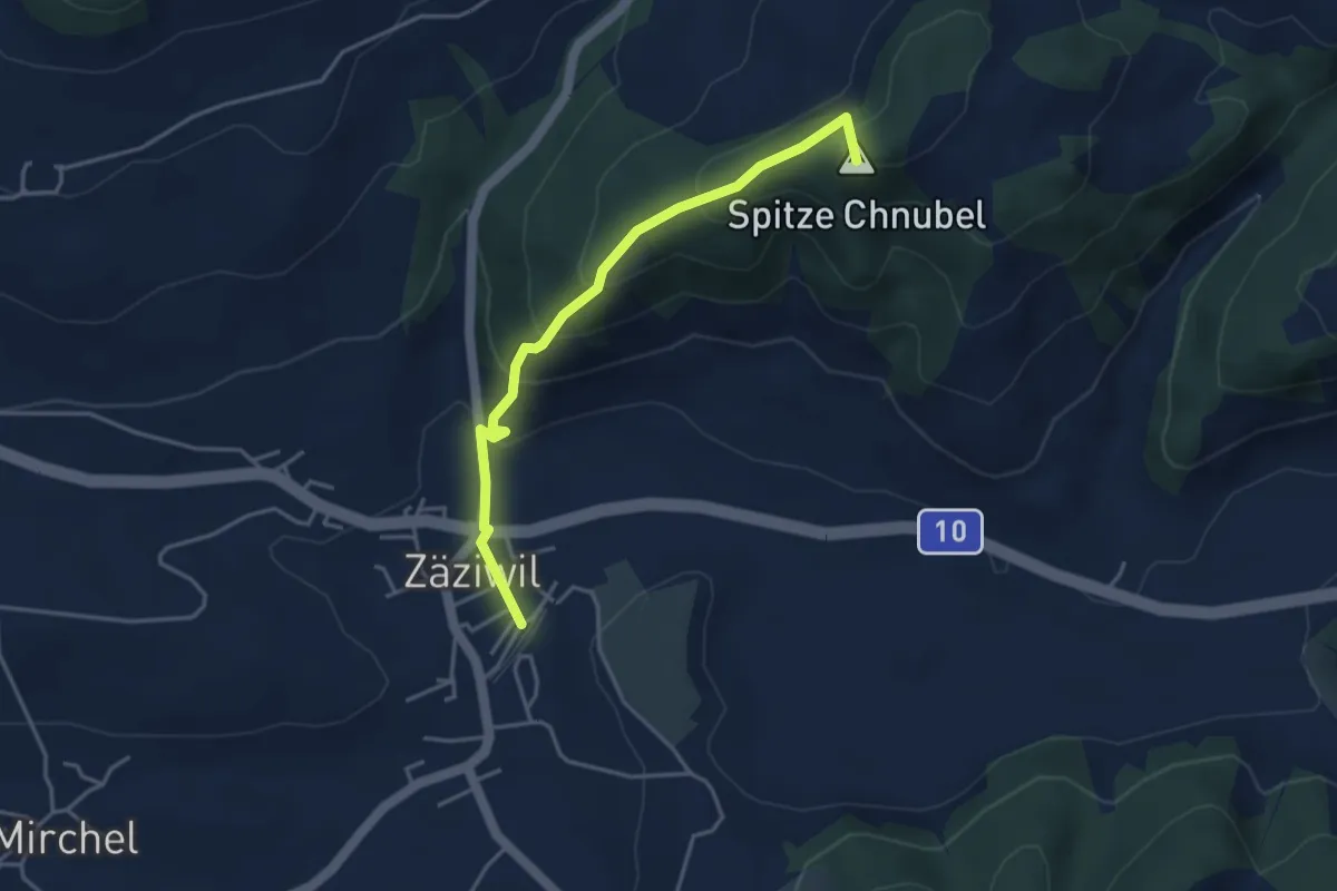
Easy · Summit
Chäneltal – Zäziwil
3.9 km · ↑ 260 m · 1 h 28 min · 14 km away
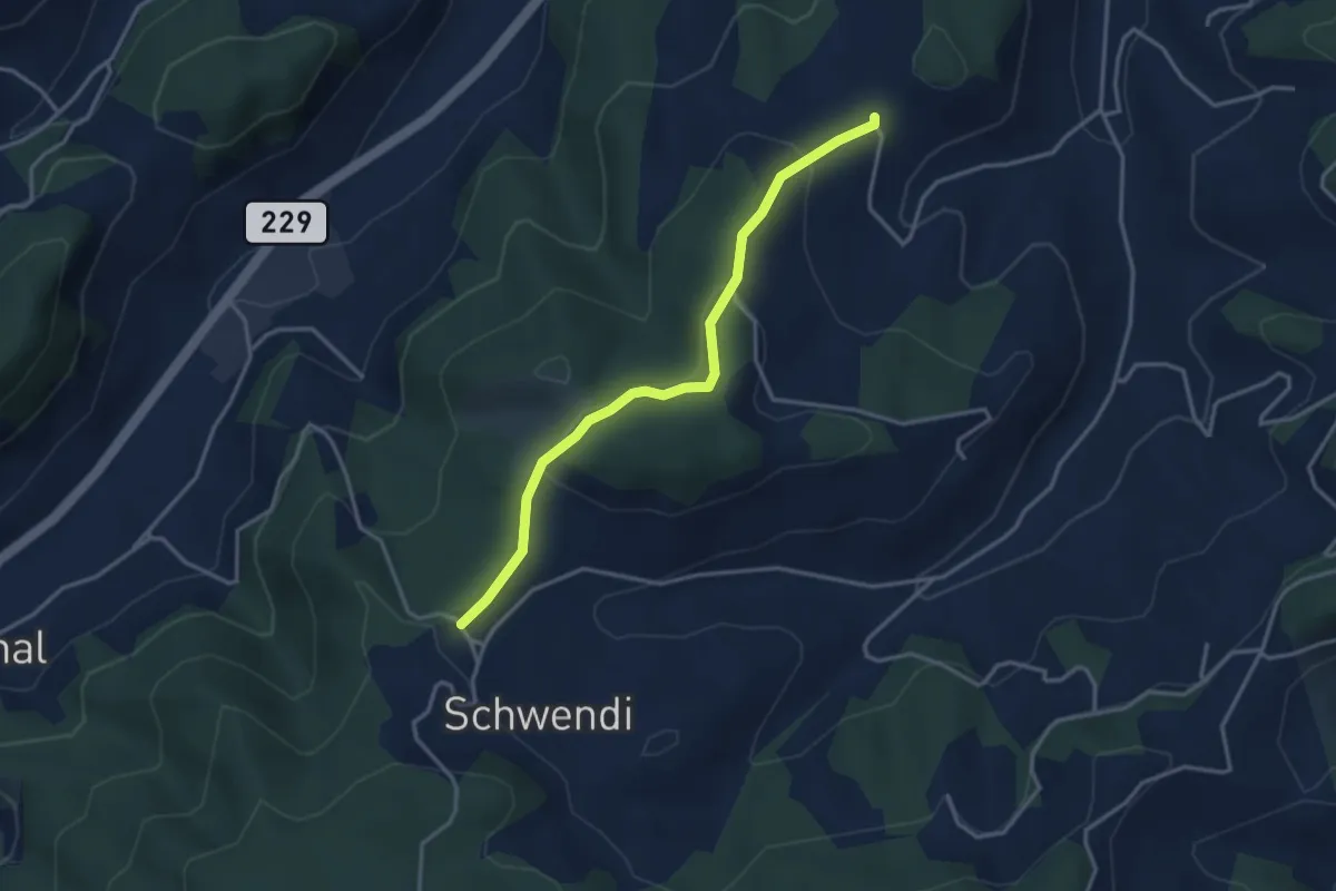
Easy · Trail
Vorder Schwändi – Bütschwil
3.4 km · ↑ 106 m · 1 h 2 min · 14 km away
Easy · Trail
Hindelbank / Station – Schleumemoos
7.2 km · ↑ 122 m · 1 h 58 min · 14 km away
Medium · Trail
Schleumemoos – Krauchthal
8.4 km · ↑ 185 m · 2 h 22 min · 14 km away
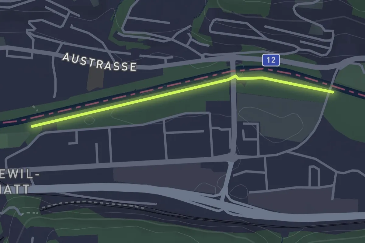
Easy · Trail
Ober Flamatt – Flamatt Sportplatz
2.6 km · ↑ 9 m · 38 min · 14 km away
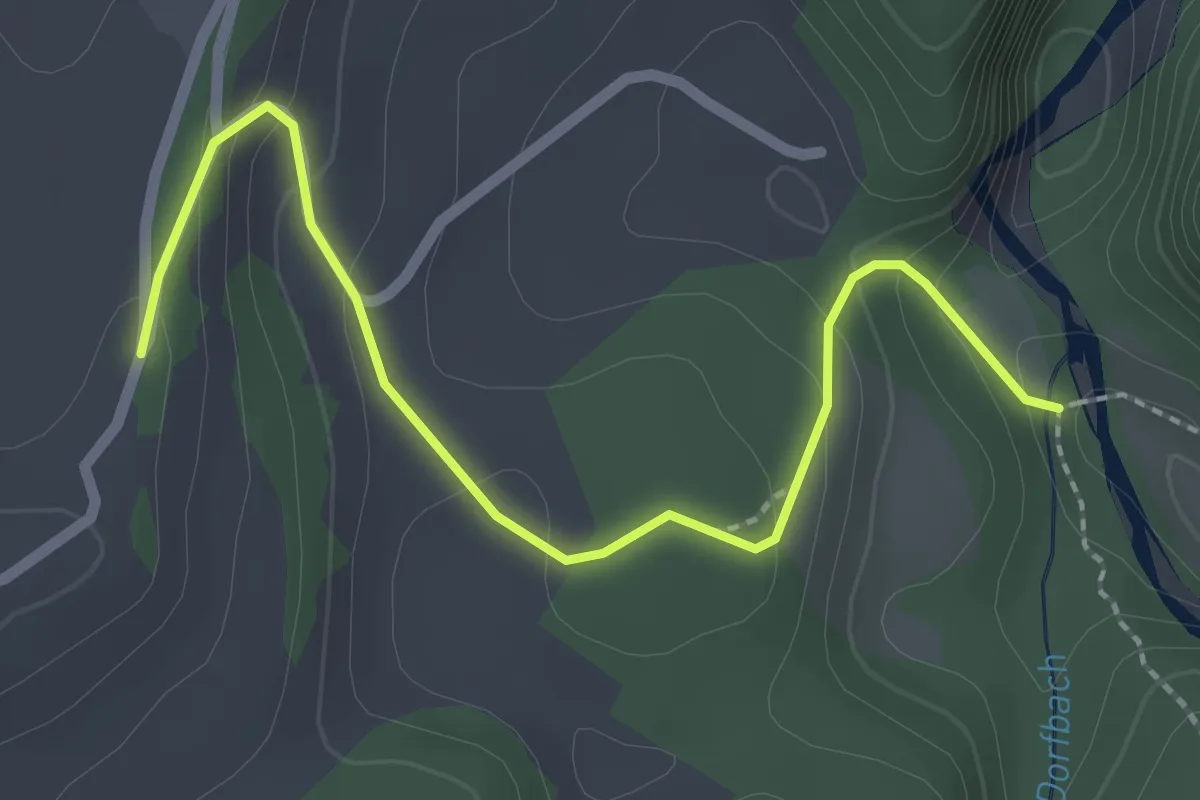
Easy · Trail
Burgbachstäg – Ried
2.5 km · ↑ 129 m · 53 min · 14 km away
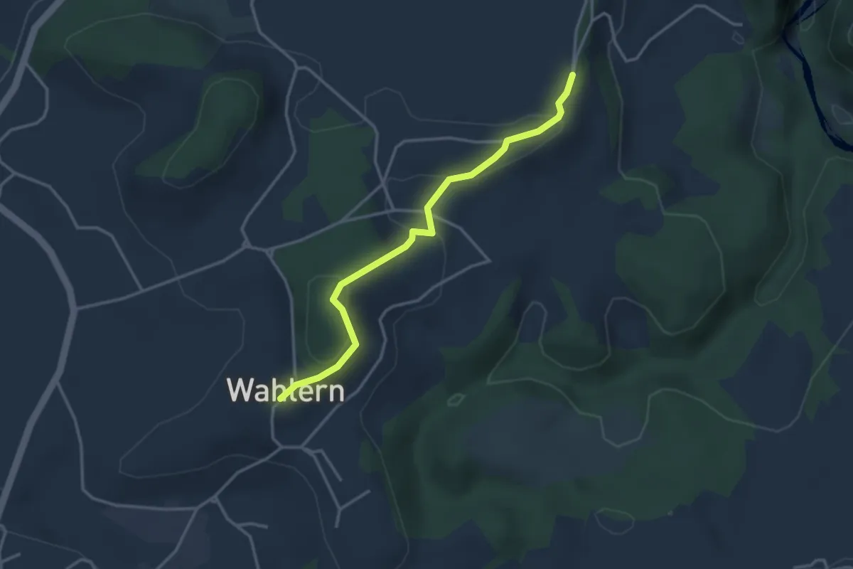
Easy · Trail
Ried - Wahlern
3.2 km · ↑ 103 m · 59 min · 14 km away
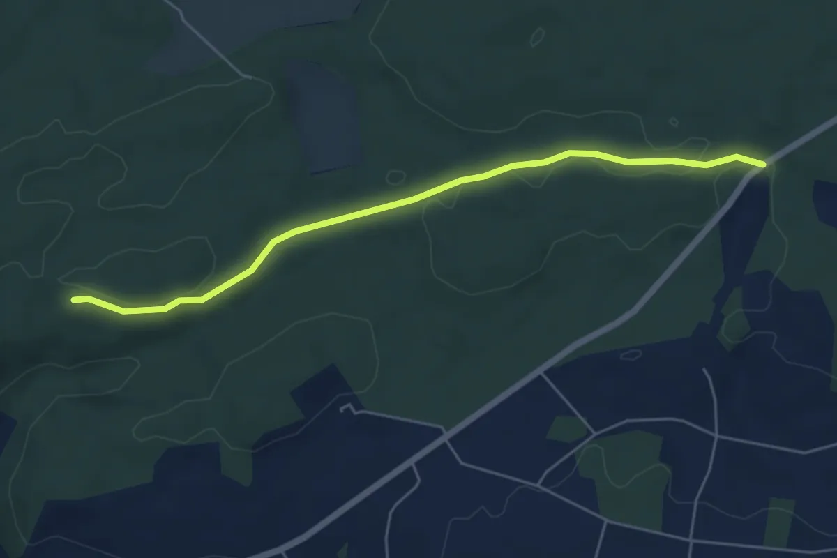
Easy · Trail
Sunnenrain - Bim Stundstei
5.3 km · ↑ 72 m · 1 h 25 min · 14 km away
Easy · Trail
Oberholz – Seewil
4.5 km · ↑ 85 m · 1 h 15 min · 14 km away
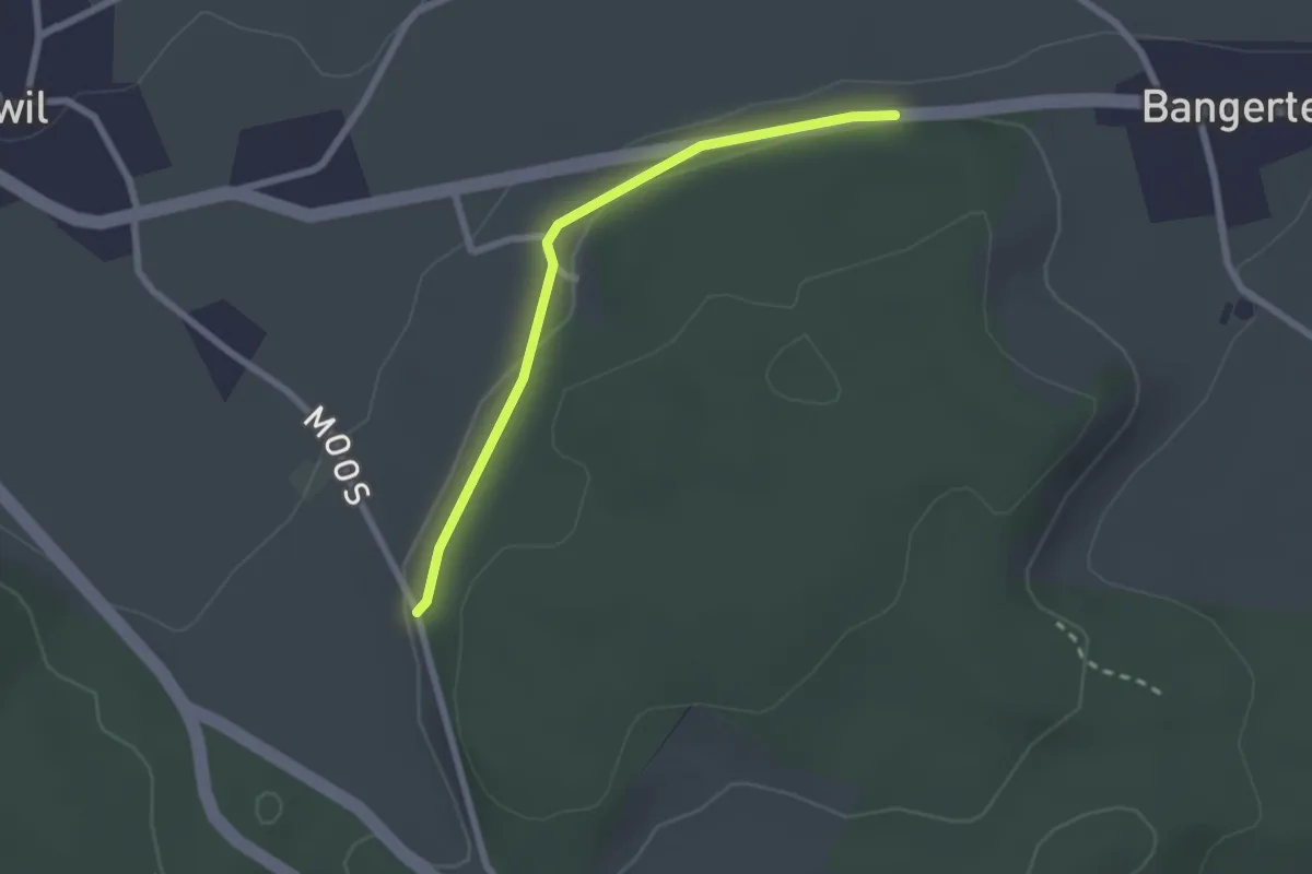
Easy · Trail
Hohrain – Oberholz
2.2 km · ↑ 47 m · 37 min · 14 km away
Easy · Trail
Rapperswil – Oberholz
5.6 km · ↑ 89 m · 1 h 32 min · 14 km away
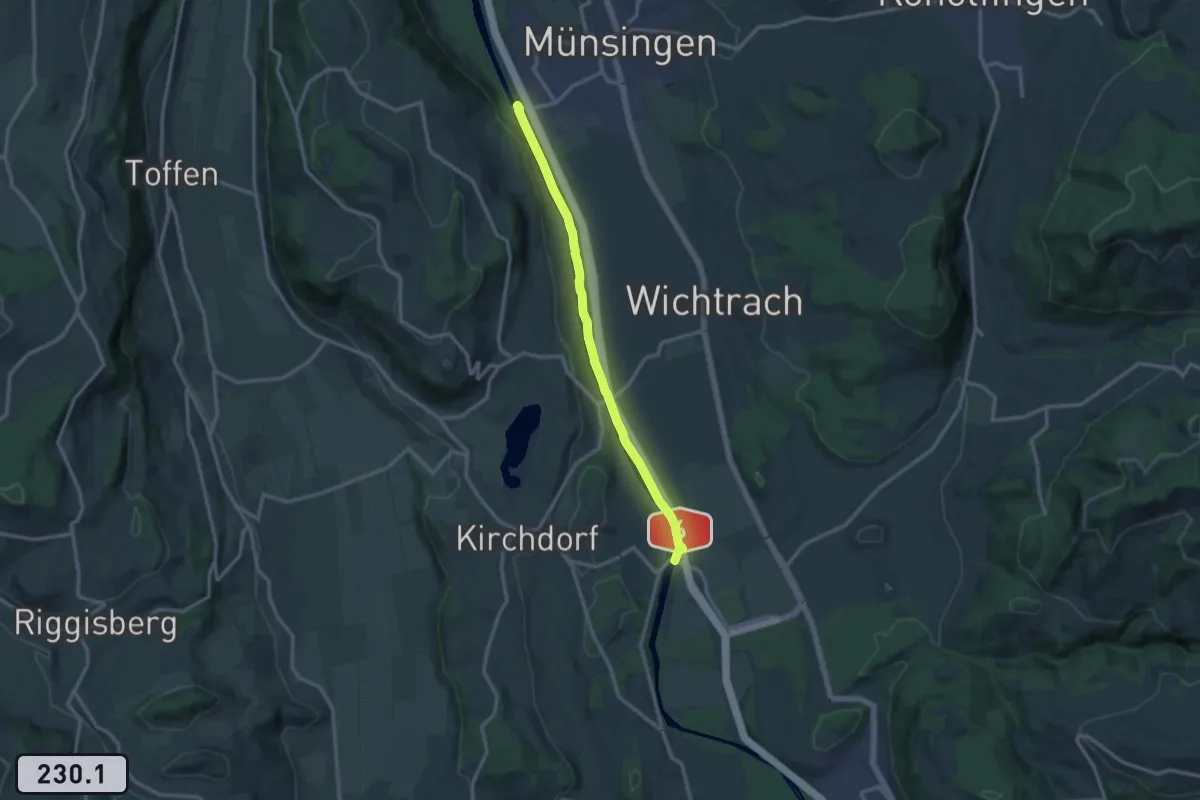
Medium · Trail
Jabergbrücke – Schützefahrbrügg
12.0 km · ↑ 8 m · 2 h 51 min · 14 km away
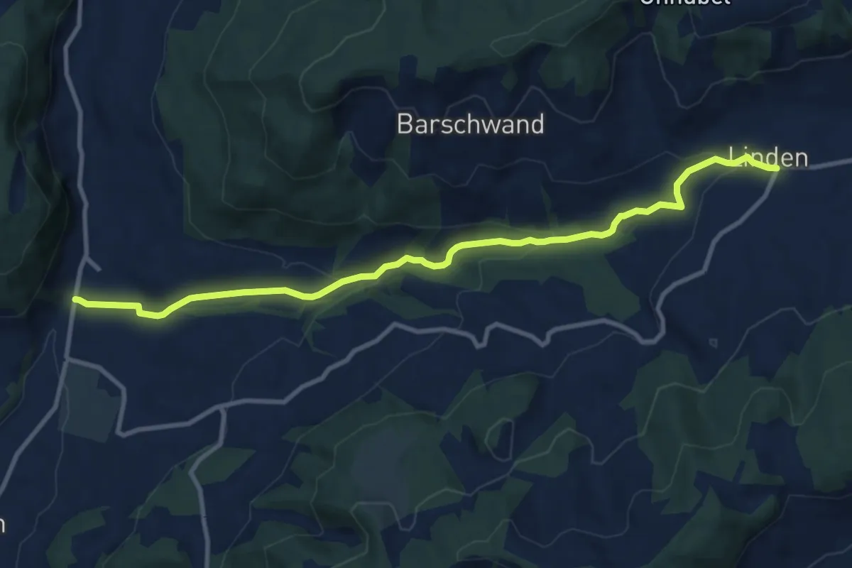
Medium · Trail
Linden – Oberdiessbach
10.2 km · ↑ 306 m · 3 h 4 min · 14 km away
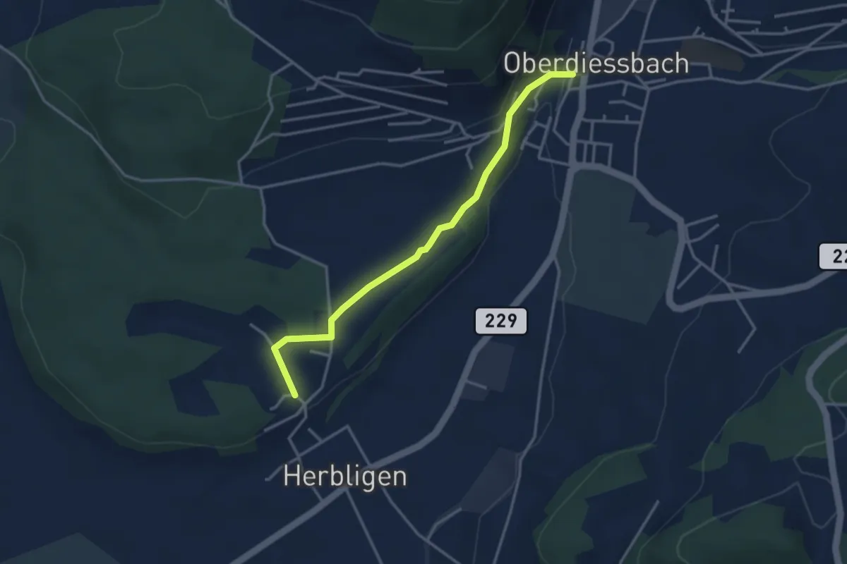
Easy · Trail
Oberdiessbach – Herblingen
3.3 km · ↑ 75 m · 57 min · 14 km away
Easy · Trail
Hindelbank / Station – Hindelbank / Dorf
2.1 km · ↑ 8 m · 31 min · 14 km away
Easy · Trail
Holzmühle – Hindelbank / Station
2.3 km · ↑ 8 m · 34 min · 14 km away
Medium · Trail
Lyssach Station – Hindelbank / Station
8.1 km · ↑ 54 m · 2 h 2 min · 14 km away
Easy · Trail
Wahlendorf Usserdorf – Meikirch
4.7 km · ↑ 167 m · 1 h 28 min · 14 km away
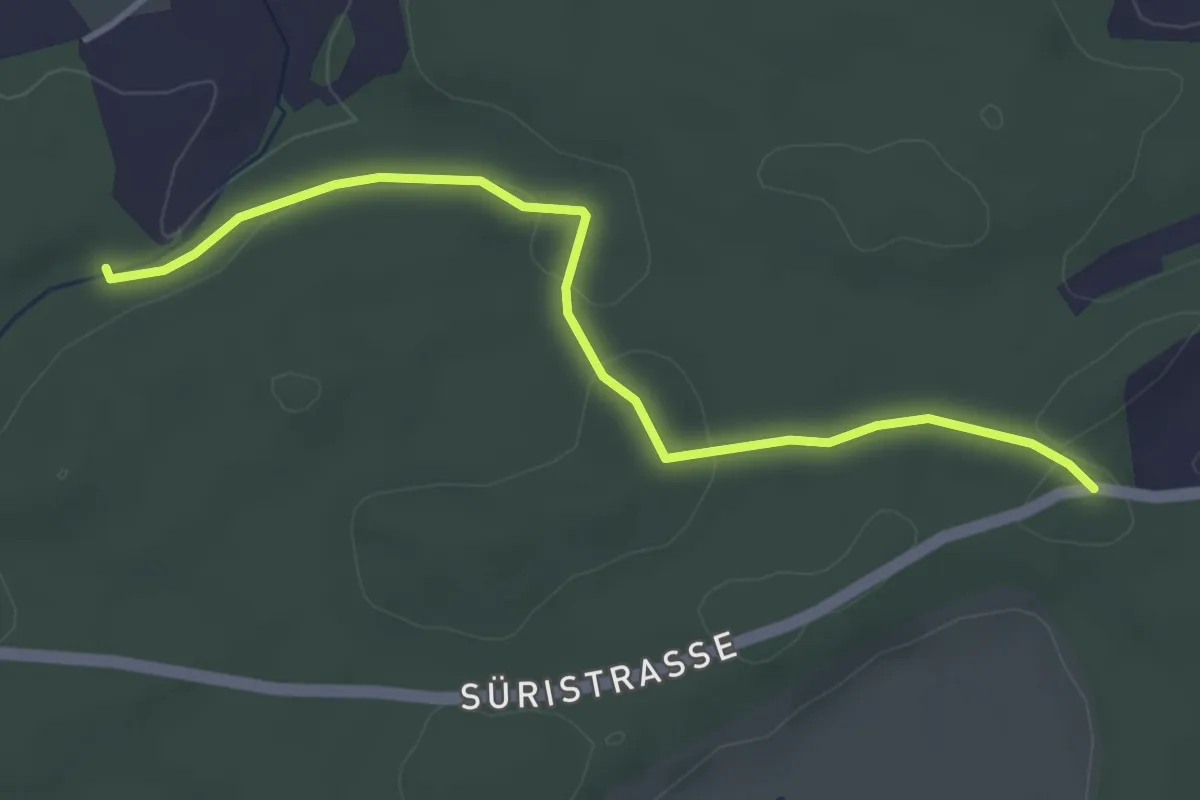
Easy · Trail
Fuessacher - Hollerengraben
3.9 km · ↑ 60 m · 1 h 3 min · 14 km away
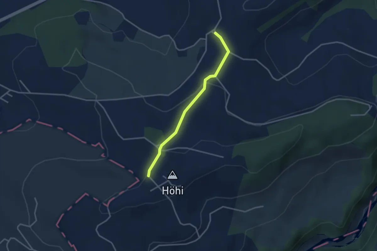
Easy · Trail
Sommerauhöchi – Obermettlen
2.5 km · ↑ 63 m · 44 min · 14 km away
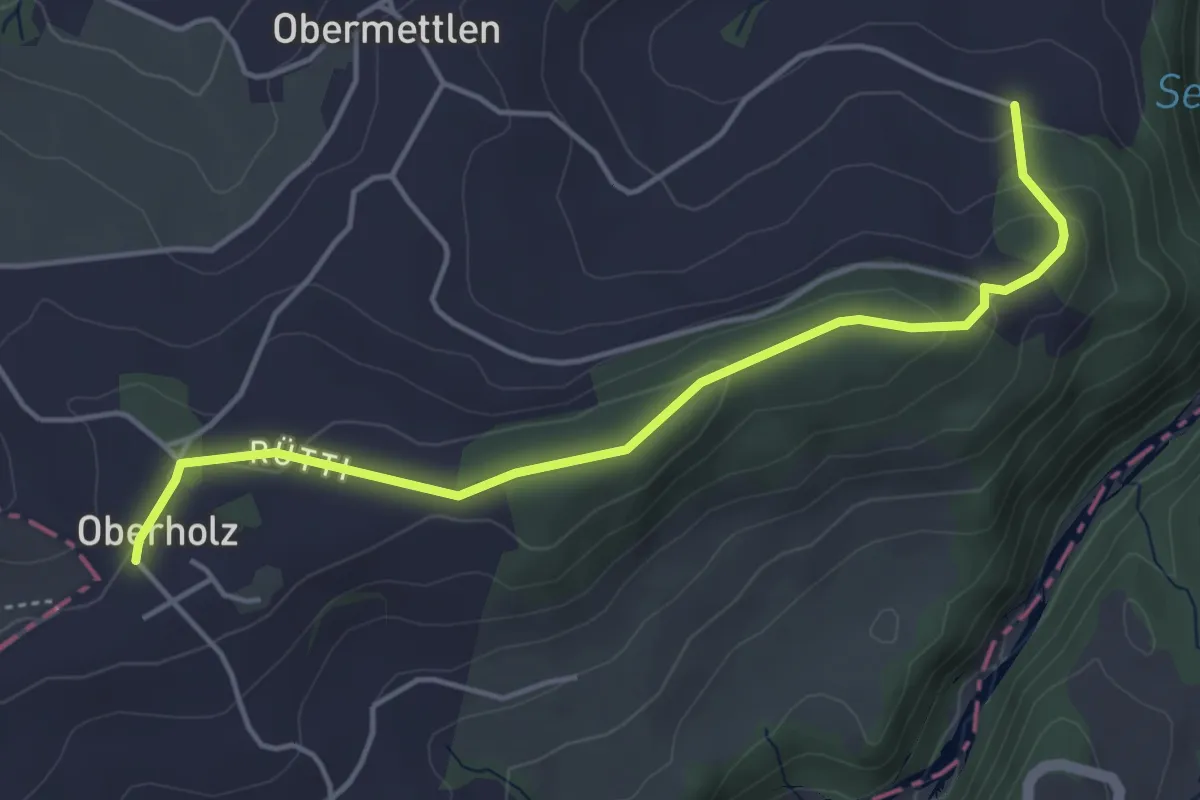
Easy · Trail
Burlingen - Summerauhöchi
4.6 km · ↑ 160 m · 1 h 26 min · 14 km away
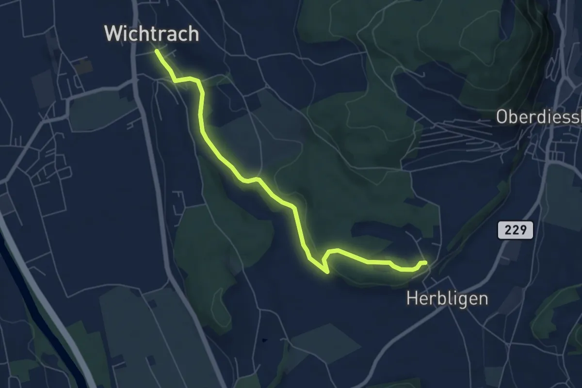
Easy · Trail
Wichtrach – Herblingen
6.7 km · ↑ 130 m · 1 h 52 min · 14 km away
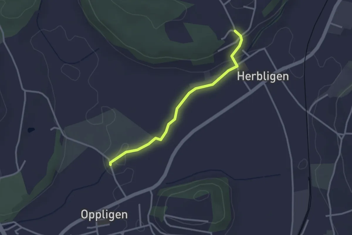
Easy · Trail
Oppligen – Herblingen
2.6 km · ↑ 51 m · 43 min · 14 km away
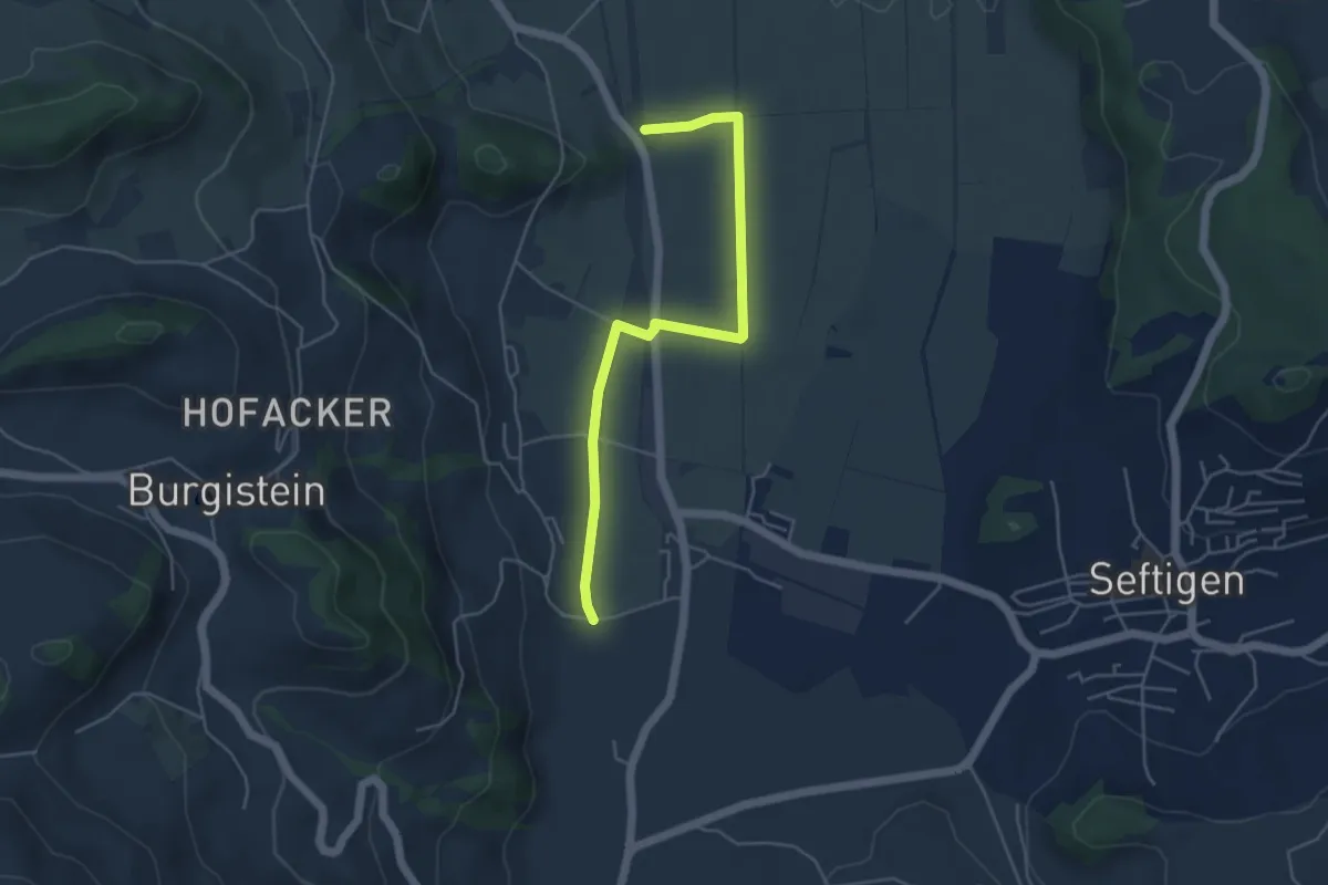
Easy · Trail
Lohnstorfbrügg - Neuhus
4.8 km · ↑ 17 m · 1 h 10 min · 14 km away
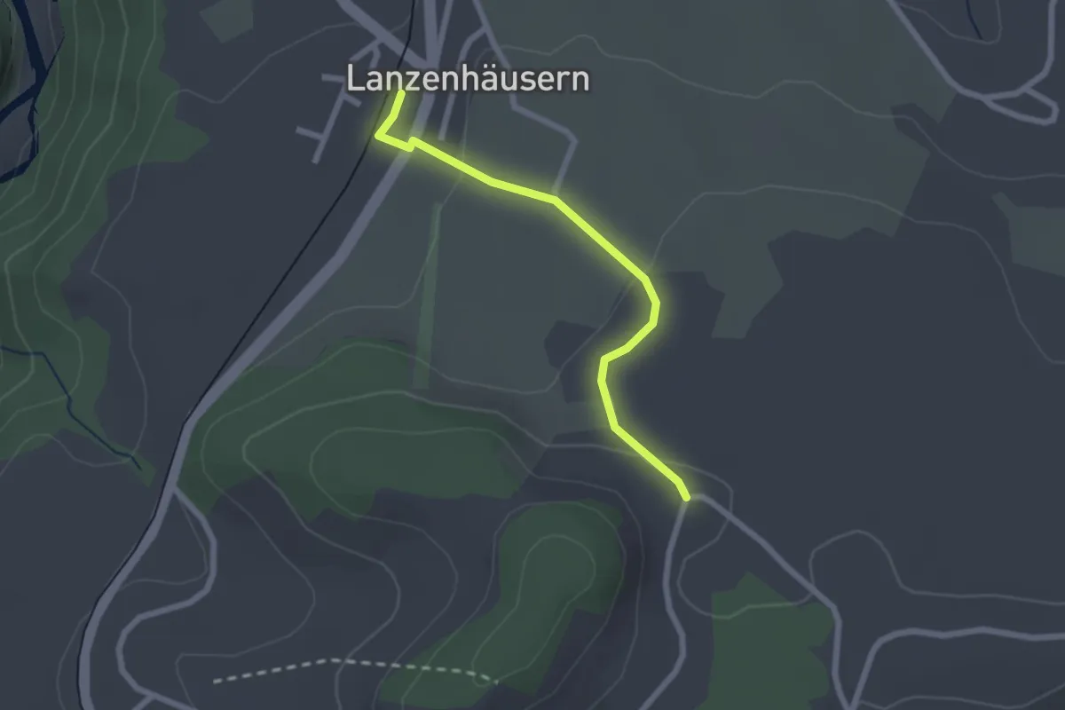
Easy · Trail
Lanzenhäusern - Obereichi
2.1 km · ↑ 58 m · 37 min · 14 km away
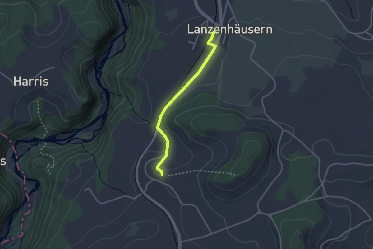
Easy · Trail
Steinhus - Lanzenhäusern
2.4 km · ↑ 30 m · 38 min · 14 km away
Easy · Trail
Bangerten - Messen Chorber Egge
4.6 km · ↑ 68 m · 1 h 14 min · 14 km away
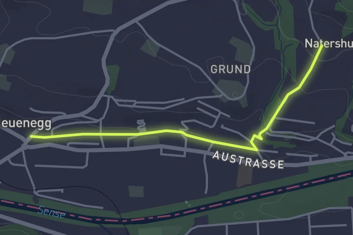
Easy · Trail
Neuenegg - Natershus
3.3 km · ↑ 67 m · 55 min · 14 km away
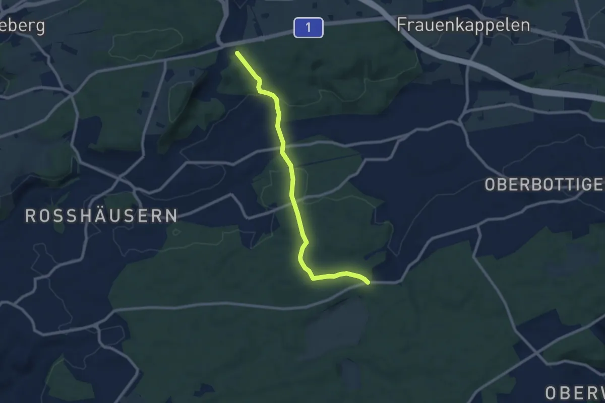
Easy · Trail
Heggidorn - Fuessacher
7.7 km · ↑ 218 m · 2 h 17 min · 14 km away
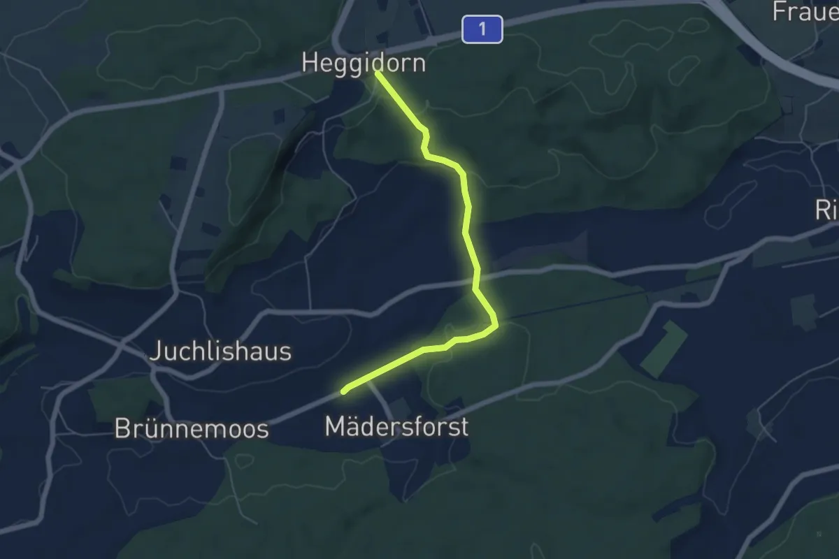
Easy · Trail
Rosshäusern/Station - Heggidorn
5.3 km · ↑ 157 m · 1 h 35 min · 14 km away
Easy · Trail
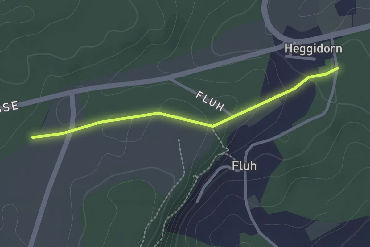
Obere Ledi - Heggidorn
2.1 km · ↑ 53 m · 37 min · 14 km away
Easy · Trail
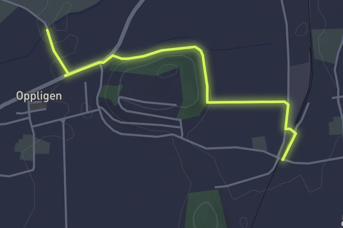
Brenzikofen Station – Opplingen
3.6 km · ↑ 47 m · 57 min · 14 km away
Easy · Trail
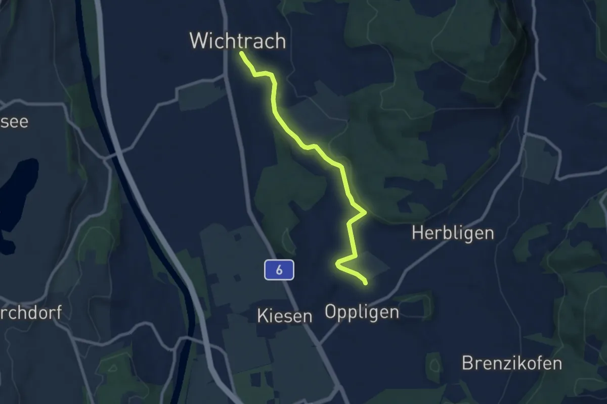
Wichtrach – Oppligen
7.0 km · ↑ 64 m · 1 h 48 min · 14 km away
Easy · Trail
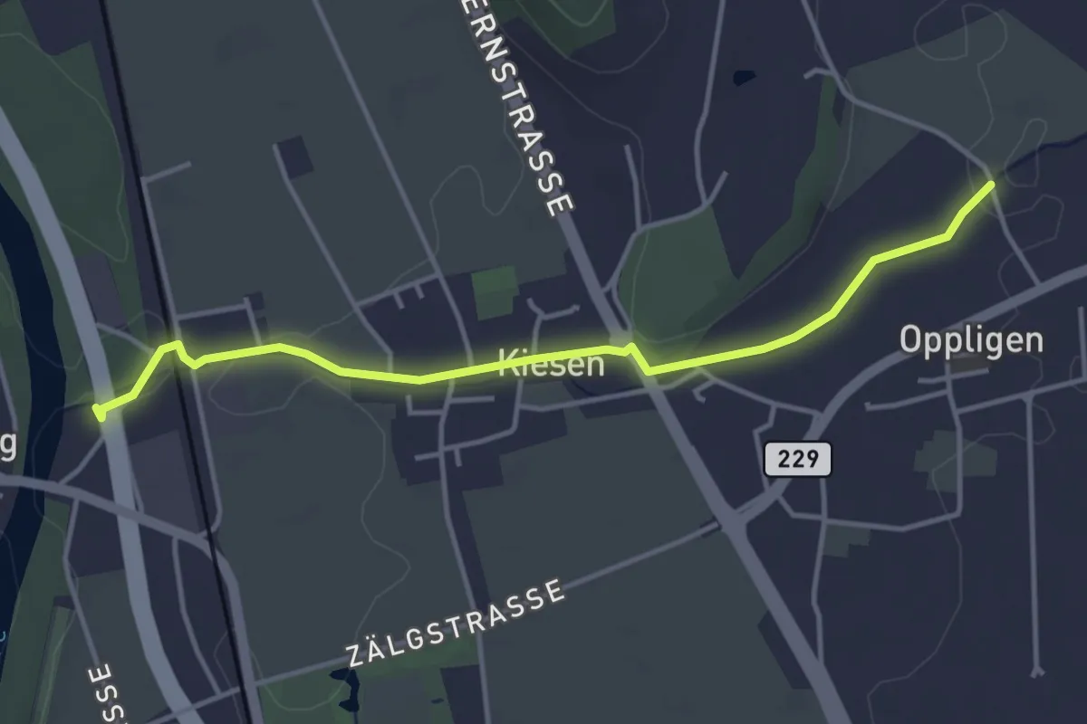
Kiesen – Oppligen
4.1 km · ↑ 18 m · 1 h · 14 km away
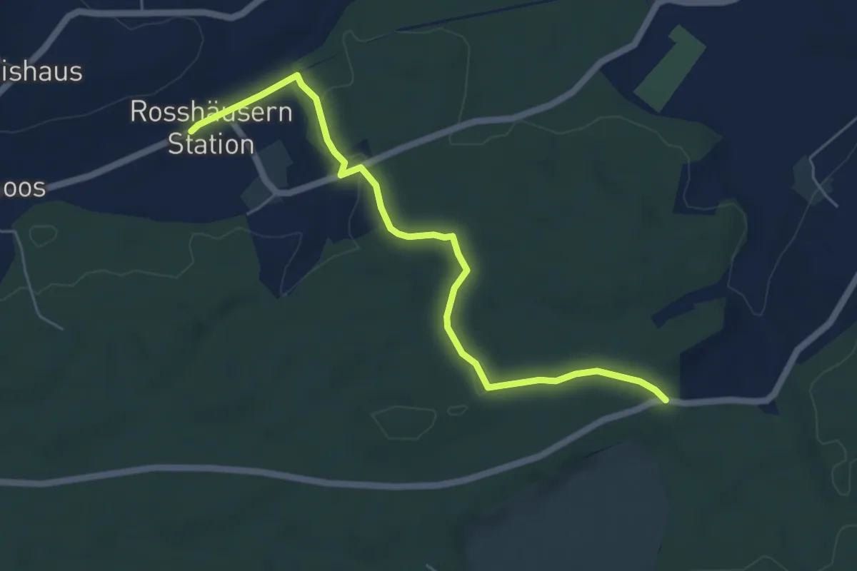
Easy · Trail
Fuessacher - Rosshäusern/Station
5.6 km · ↑ 125 m · 1 h 36 min · 14 km away
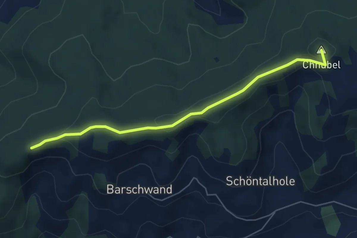
Easy · Summit
Güggel – Äbersold
5.0 km · ↑ 147 m · 1 h 30 min · 14 km away
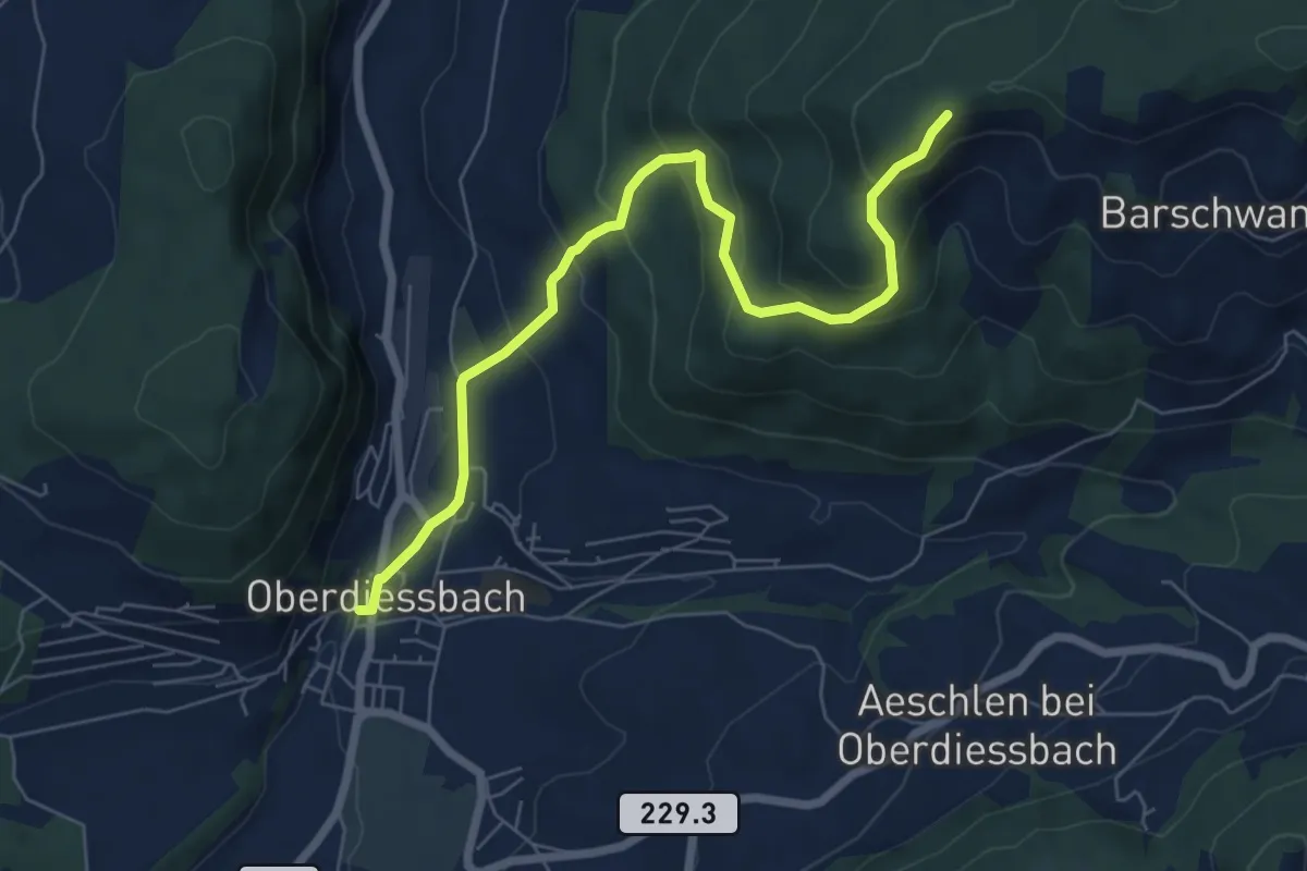
Medium · Trail
Oberdiessbach – Güggel
7.1 km · ↑ 470 m · 2 h 42 min · 14 km away
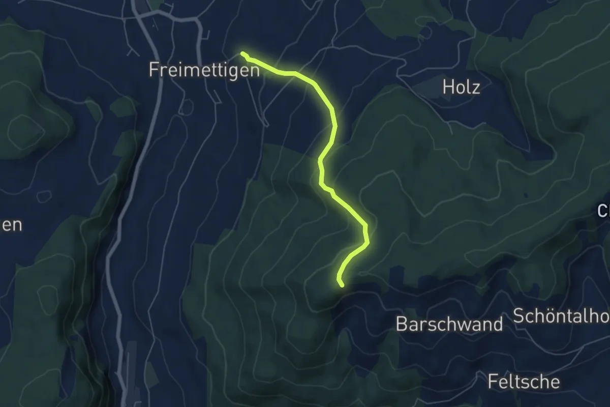
Easy · Trail
Güggel – Freimettigen
4.9 km · ↑ 314 m · 1 h 50 min · 14 km away
Easy · Trail
Scheunen – Hohrain
5.4 km · ↑ 75 m · 1 h 27 min · 14 km away
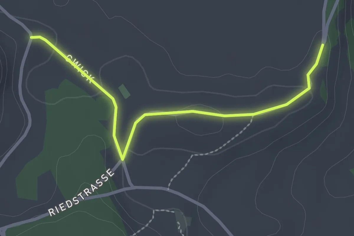
Easy · Trail
Obereichi - Ried
2.6 km · ↑ 29 m · 40 min · 14 km away
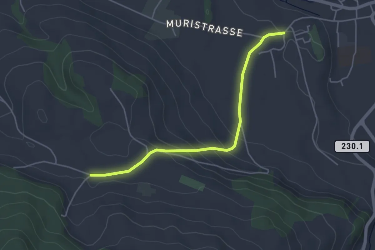
Easy · Trail
Riggisberg Schloss - Hohlenweg
3.8 km · ↑ 132 m · 1 h 11 min · 15 km away
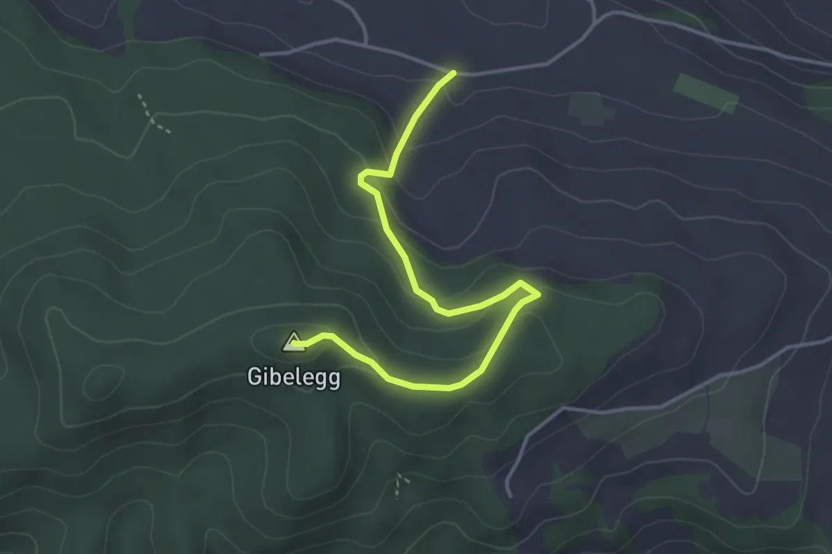
Easy · Summit
Hohlenweg - Gibelegg
3.8 km · ↑ 194 m · 1 h 20 min · 15 km away
Easy · Trail
Schüpfen / Station – Schüpfen
2.3 km · ↑ 12 m · 35 min · 15 km away
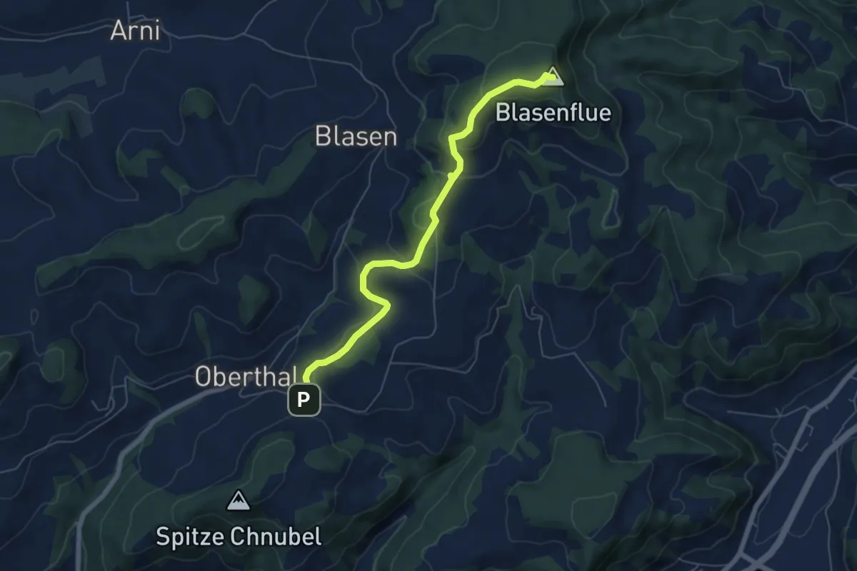
Easy · Summit
Blaseflue – Chäneltal
6.1 km · ↑ 316 m · 2 h 7 min · 15 km away
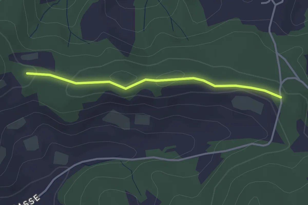
Easy · Trail
Spränzel – Hinderegg
2.7 km · ↑ 39 m · 43 min · 15 km away