Trails near Muri bei Bern
500 hikes starting within 15 km, nearest first.
Nearest first, page 9 of 11
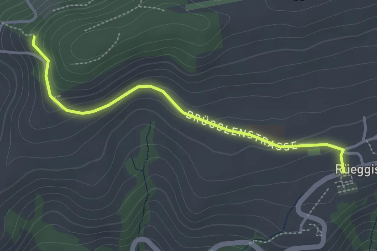
Easy · Trail
Rüeggisberg - Riedstettwald
2.7 km · ↑ 91 m · 50 min · 12 km away
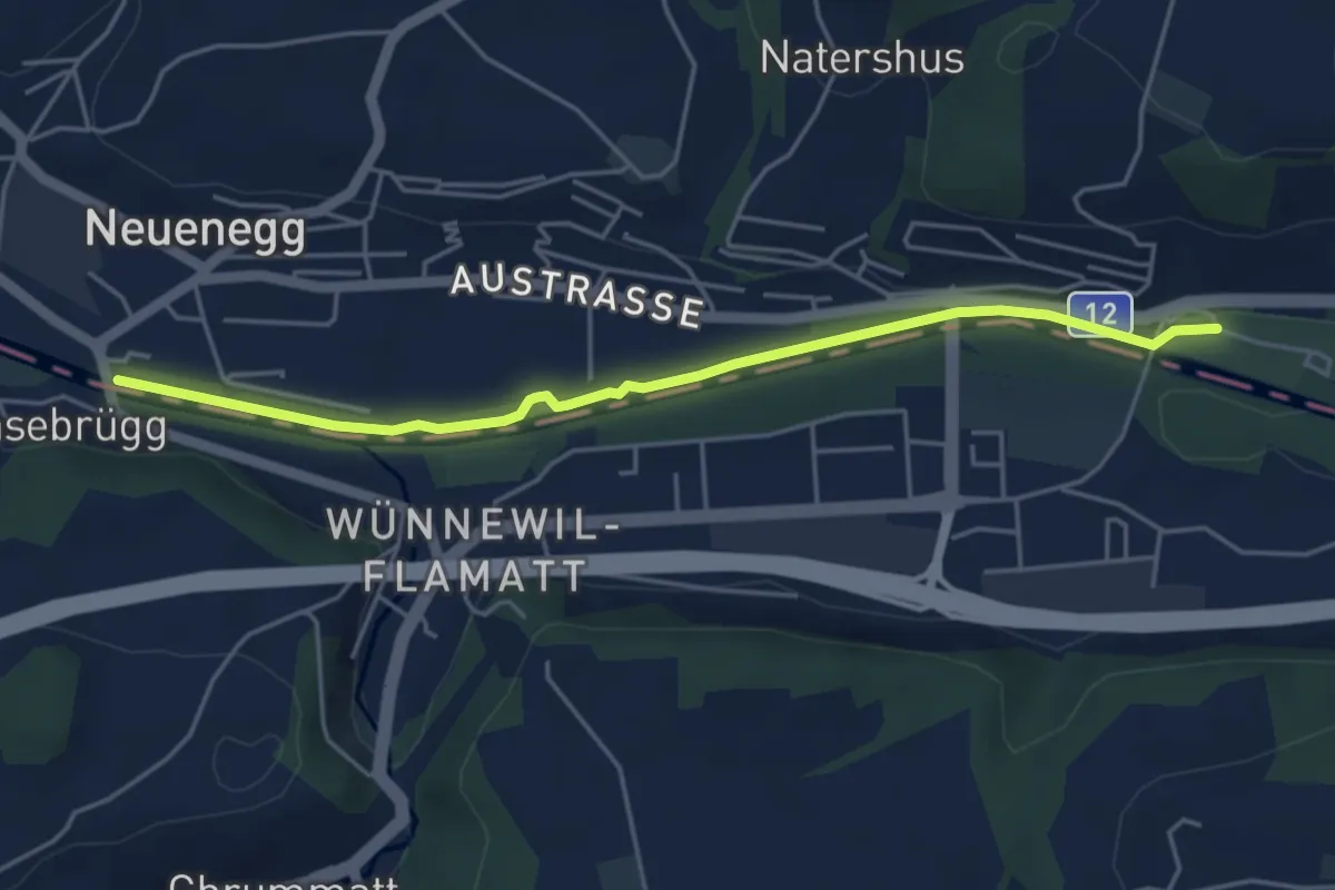
Easy · Trail
Sensebrücke – Steinige Brücke
4.7 km · ↑ 26 m · 1 h 11 min · 12 km away
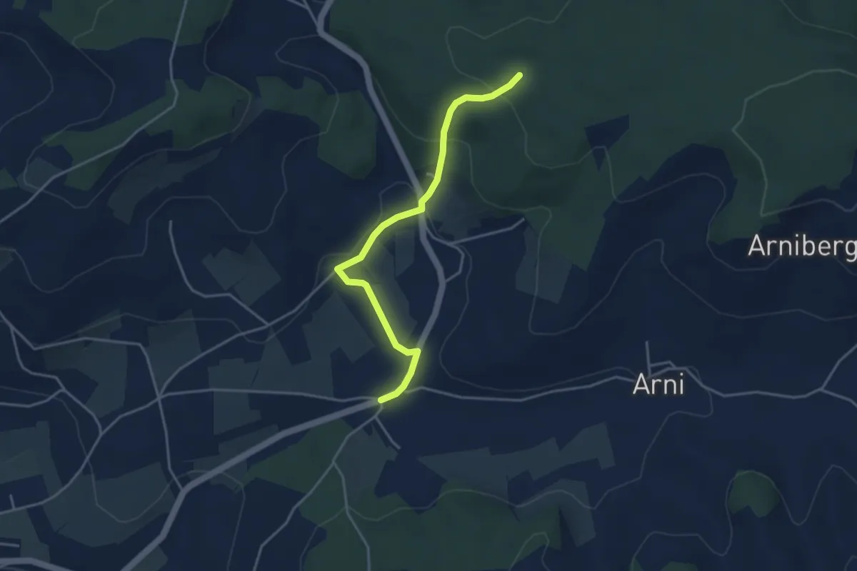
Easy · Trail
Spittelwald – Arnisäge
3.8 km · ↑ 146 m · 1 h 13 min · 12 km away
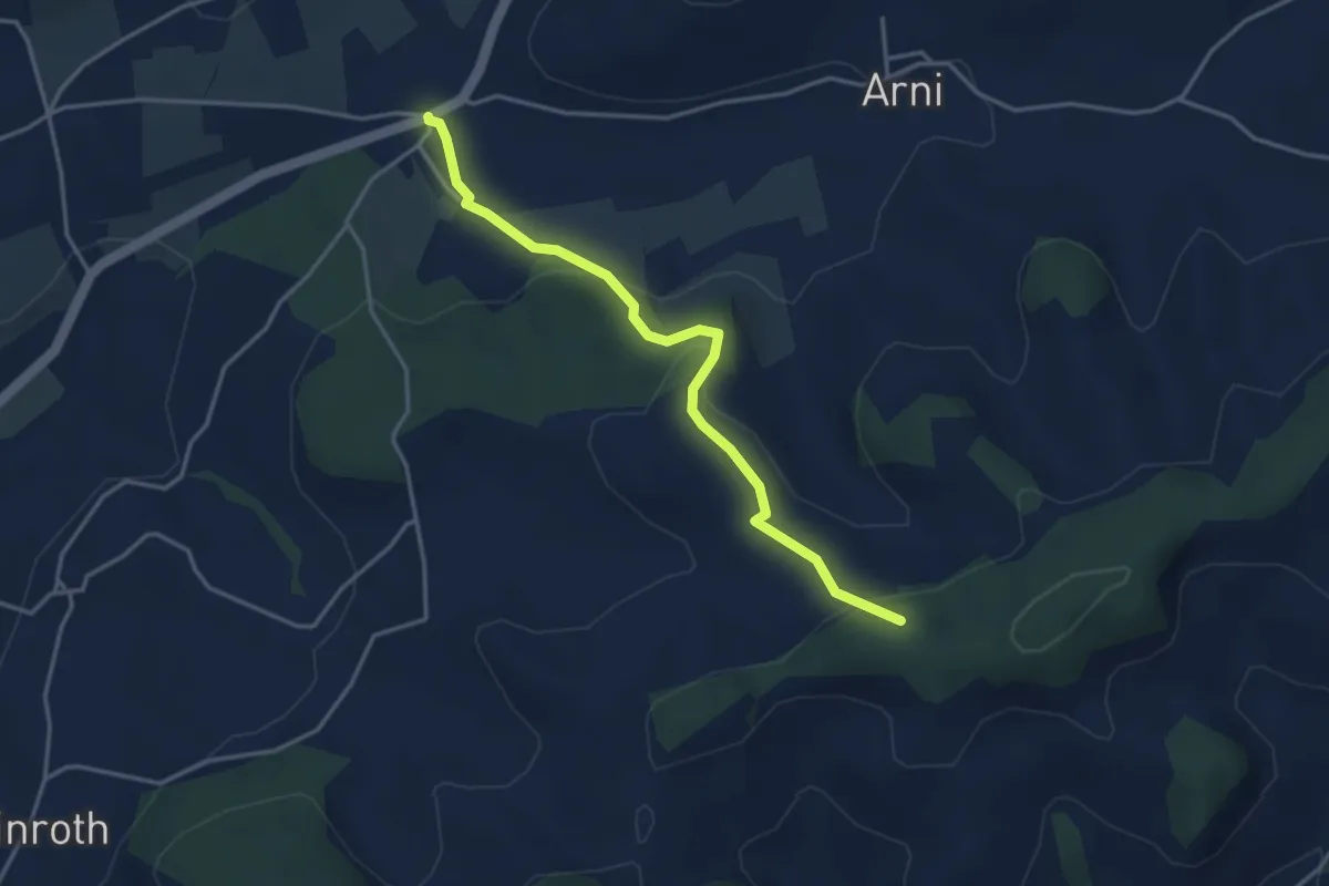
Easy · Trail
Arnisäge – Chapfwald
3.7 km · ↑ 134 m · 1 h 11 min · 12 km away
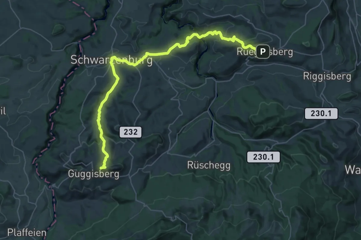
Demanding · Summit
Alpenpanorama-Weg
32.5 km · ↑ 1167 m · 10 h 12 min · 13 km away
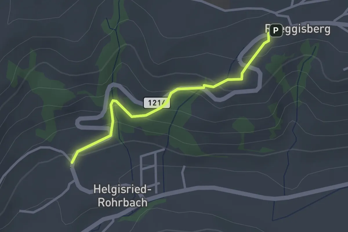
Easy · Trail
Ober Helgisried - Rüeggisberg
2.5 km · ↑ 161 m · 56 min · 13 km away
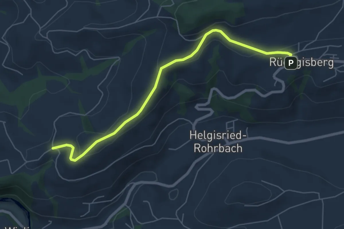
Easy · Trail
Rüeggisberg - Schwanden
5.7 km · ↑ 200 m · 1 h 47 min · 13 km away
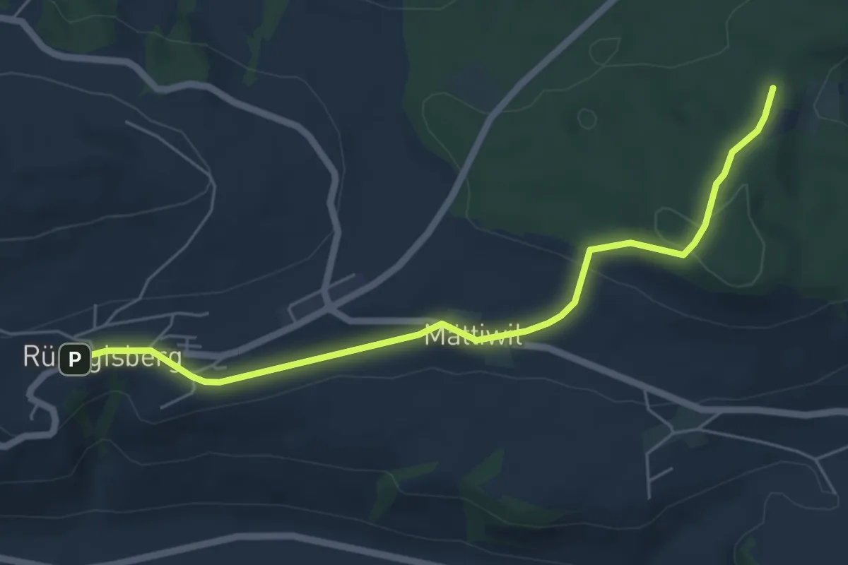
Easy · Trail
Rüeggisberg – Taanwald
5.8 km · ↑ 134 m · 1 h 39 min · 13 km away
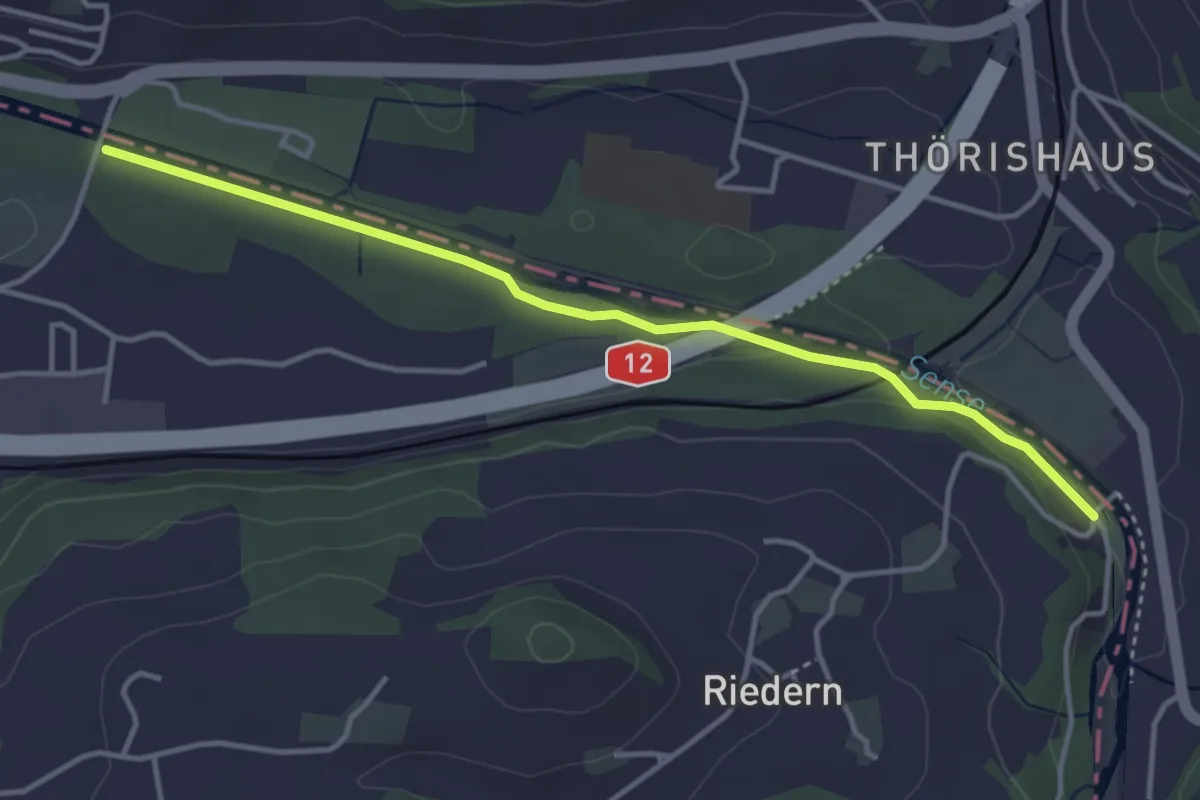
Easy · Trail
Riederenbrücke – Ober Flamatt
3.9 km · ↑ 45 m · 1 h 1 min · 13 km away
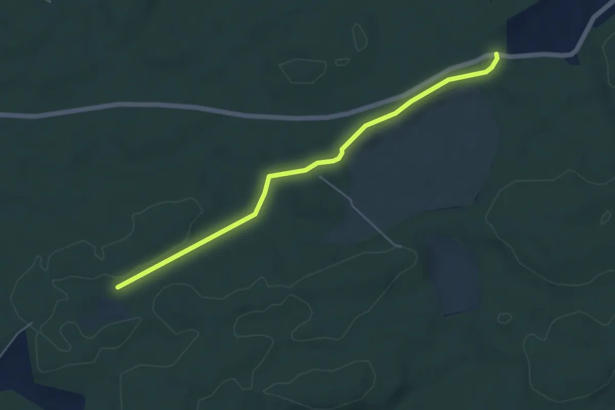
Easy · Trail
Mösli - Fuessacher
4.8 km · ↑ 53 m · 1 h 14 min · 13 km away
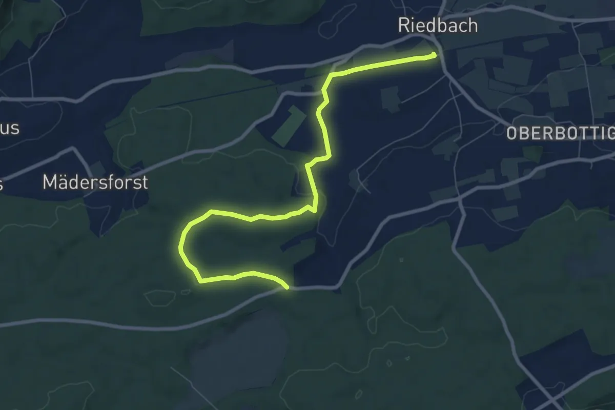
Medium · Trail
Riedbach/Station - Fuessacher
8.6 km · ↑ 147 m · 2 h 21 min · 13 km away
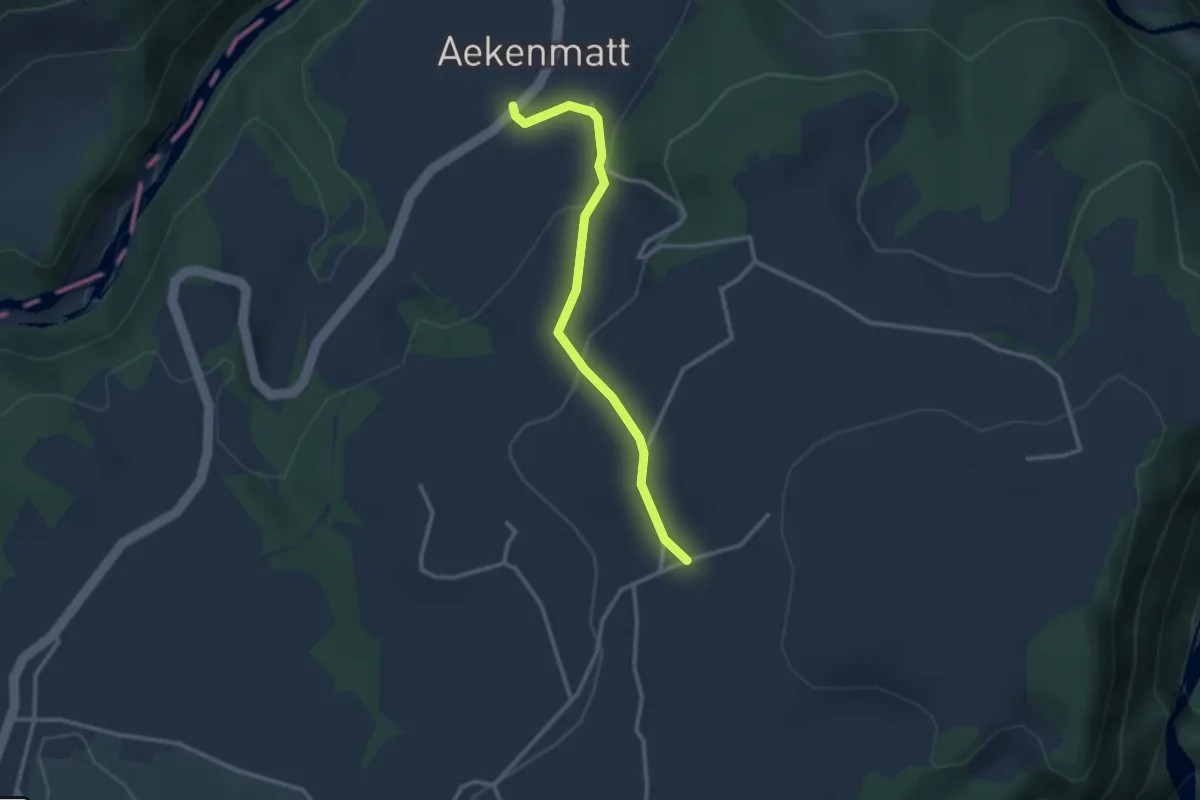
Easy · Trail
Steinenbrünnen – Aeckenmatt
2.7 km · ↑ 121 m · 54 min · 13 km away
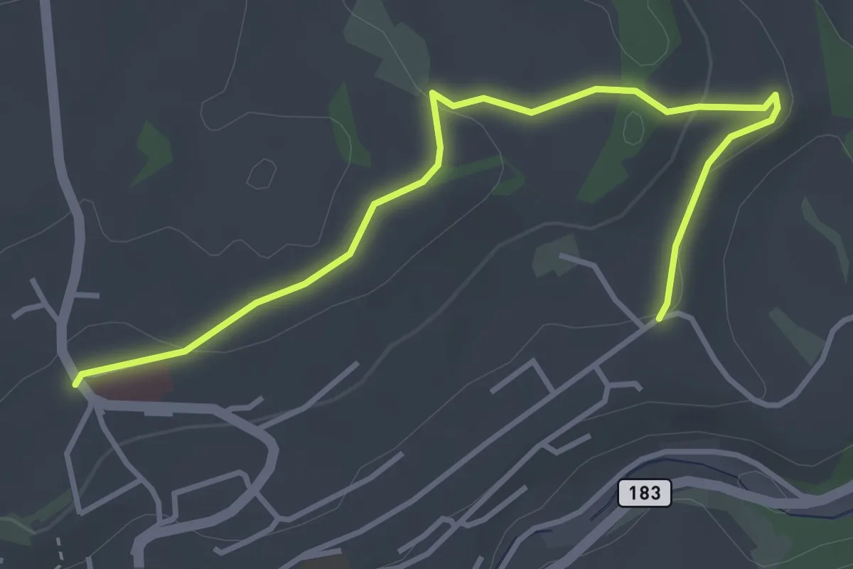
Easy · Trail
Riggisberg / Staudengasse – Eybrunnen
3.9 km · ↑ 112 m · 1 h 10 min · 13 km away
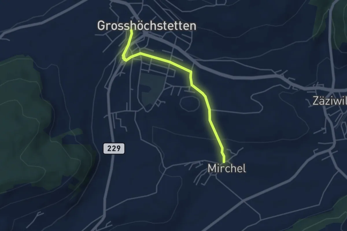
Easy · Trail
Grosshöchstetten – Mirchel
3.9 km · ↑ 89 m · 1 h 7 min · 13 km away
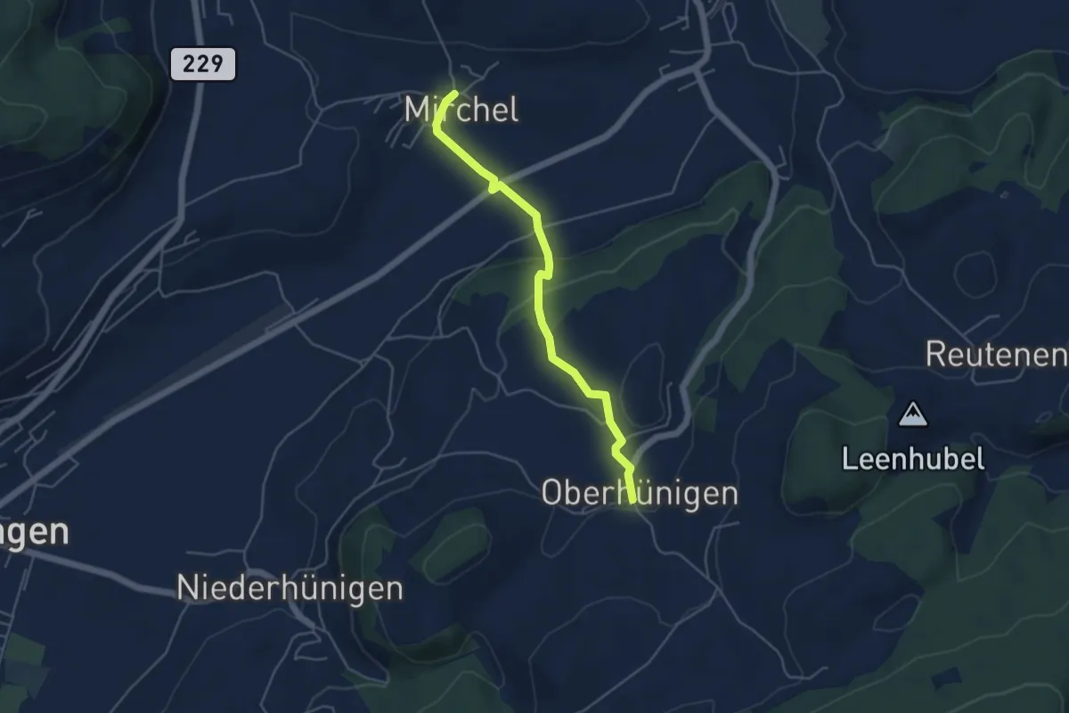
Easy · Trail
Oberhünigen – Mirchel
4.4 km · ↑ 136 m · 1 h 20 min · 13 km away
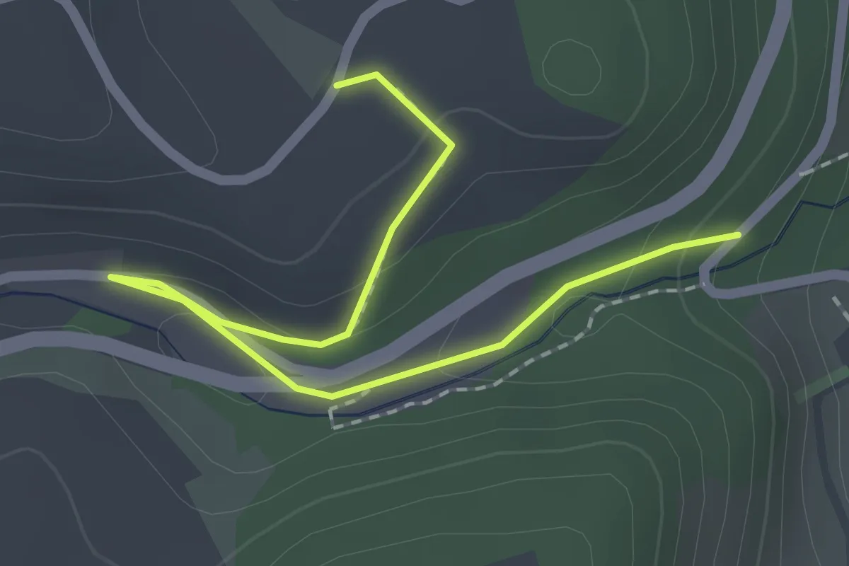
Easy · Trail
Abegg-Stiftung - Mülibach
2.2 km · ↑ 56 m · 38 min · 13 km away
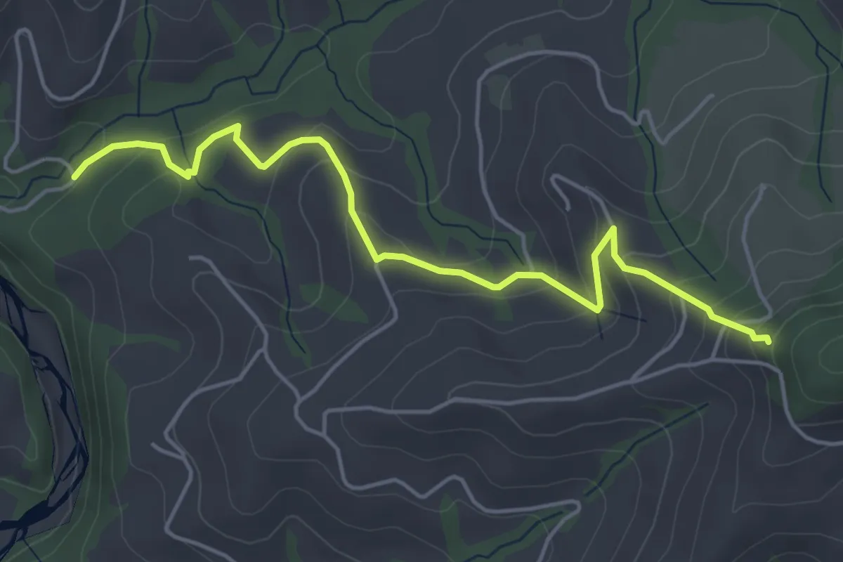
Easy · Trail
Riedstettwald - Schwandbachbrücke
5.0 km · ↑ 264 m · 1 h 45 min · 13 km away
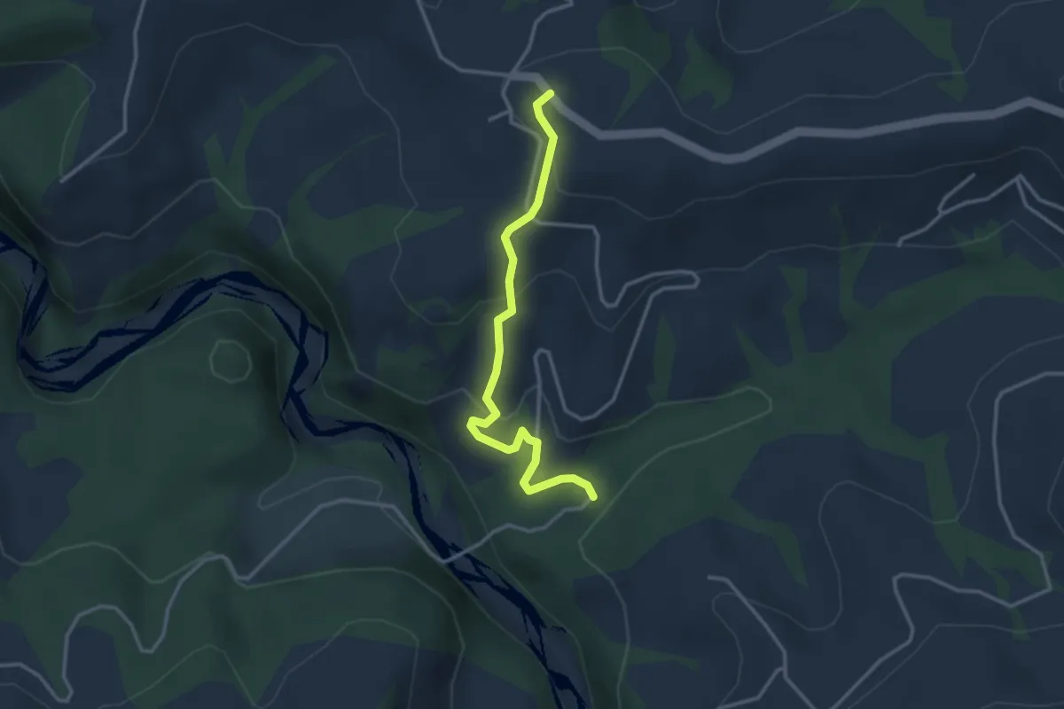
Easy · Trail
Schwandbachbrücke – Hinterfultigen
3.1 km · ↑ 152 m · 1 h 3 min · 13 km away
Easy · Trail
Schüpberg – Grächwil
3.5 km · ↑ 17 m · 52 min · 13 km away
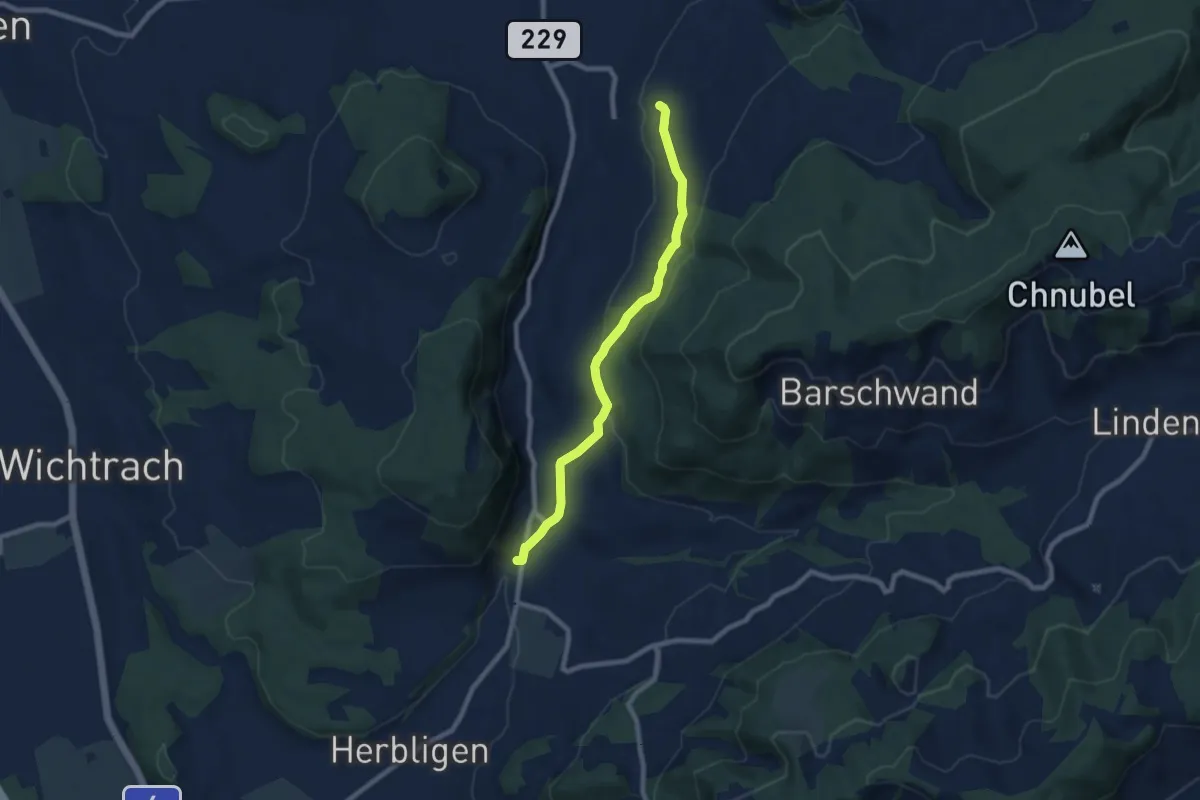
Easy · Trail
Oberdiessbach – Freimettigen
7.7 km · ↑ 236 m · 2 h 19 min · 13 km away
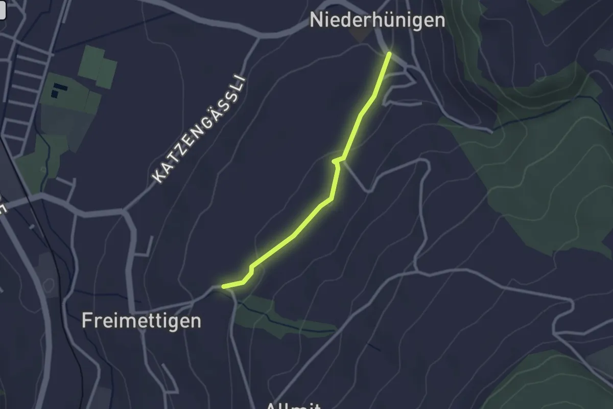
Easy · Trail
Niederhünigen – Freimettigen
2.2 km · ↑ 47 m · 37 min · 13 km away
Easy · Trail
Jegenstorf – Münchringen
2.6 km · ↑ 22 m · 40 min · 13 km away
Easy · Trail
Münchringen – Hindelbank / Station
6.9 km · ↑ 50 m · 1 h 44 min · 13 km away
Easy · Trail
Grächwil – Meikirch
2.6 km · ↑ 33 m · 42 min · 13 km away
Medium · Trail
Meikirch – Uettligen/Linde
10.5 km · ↑ 119 m · 2 h 44 min · 13 km away
Easy · Trail
Säriswil – Meikirch
7.6 km · ↑ 135 m · 2 h 5 min · 13 km away
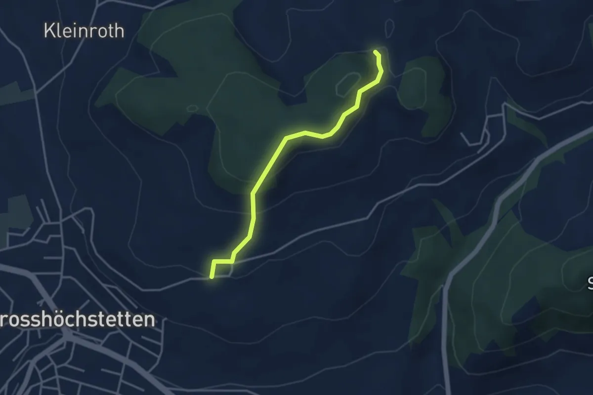
Easy · Trail
Möschberg – Büel
3.0 km · ↑ 156 m · 1 h 3 min · 13 km away
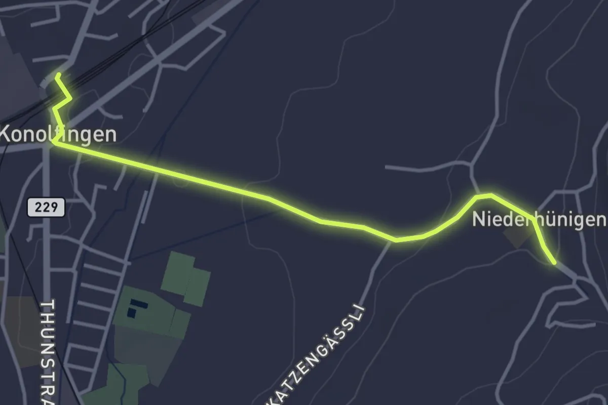
Easy · Trail
Niederhünigen – Konolfingen
3.6 km · ↑ 43 m · 57 min · 13 km away
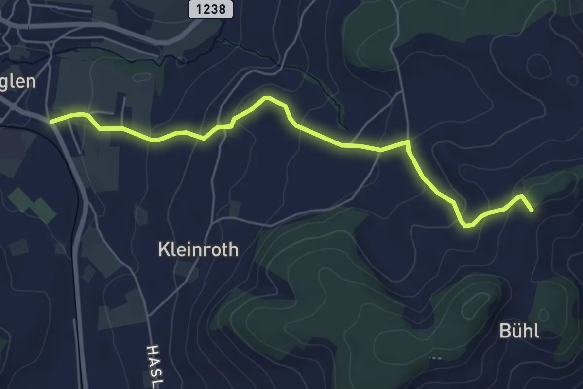
Easy · Trail
Chrutberg – Biglen
5.2 km · ↑ 200 m · 1 h 40 min · 13 km away
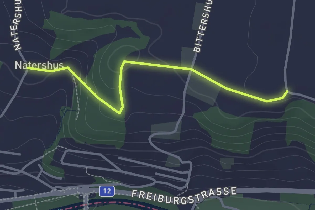
Easy · Trail
Natershus - Ufem Shoren
2.7 km · ↑ 58 m · 46 min · 13 km away
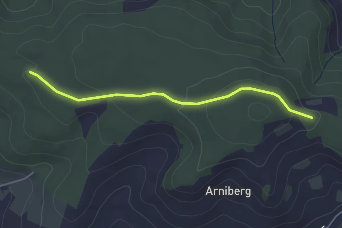
Easy · Trail
Spittelwald – Spränzel
3.4 km · ↑ 78 m · 58 min · 13 km away
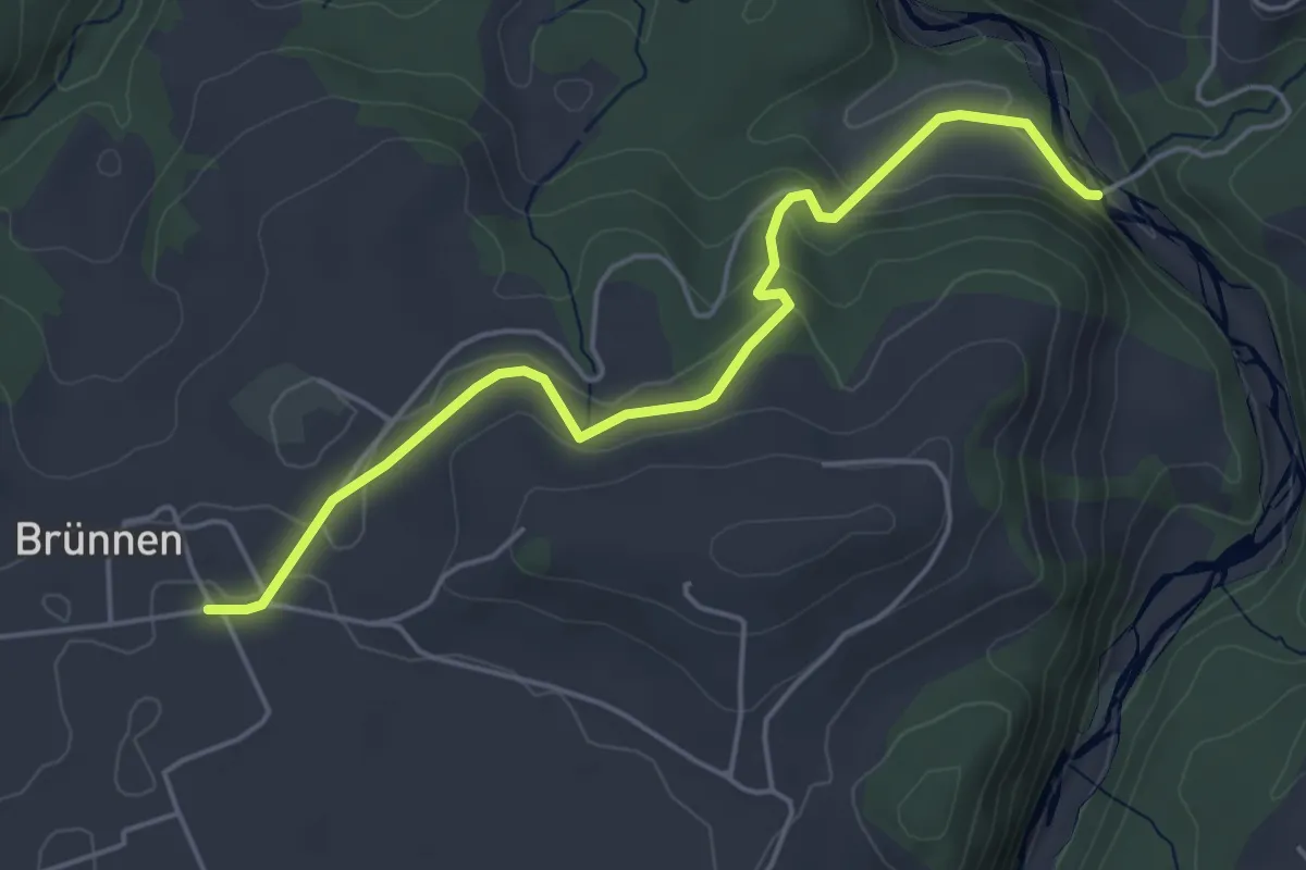
Easy · Trail
Rossgrabenbrücke – Elisried
4.9 km · ↑ 164 m · 1 h 31 min · 13 km away
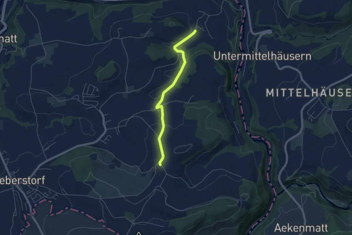
Easy · Trail
Obermettlen – Riederen
4.8 km · ↑ 129 m · 1 h 24 min · 13 km away
Easy · Trail
Moosaffoltern – Bangerten
3.6 km · ↑ 46 m · 56 min · 13 km away
Medium · Trail
Wasenegg – Afterlehn
10.5 km · ↑ 513 m · 3 h 36 min · 13 km away
Easy · Trail
Stöckgass – Jegenstorf
6.0 km · ↑ 78 m · 1 h 35 min · 13 km away
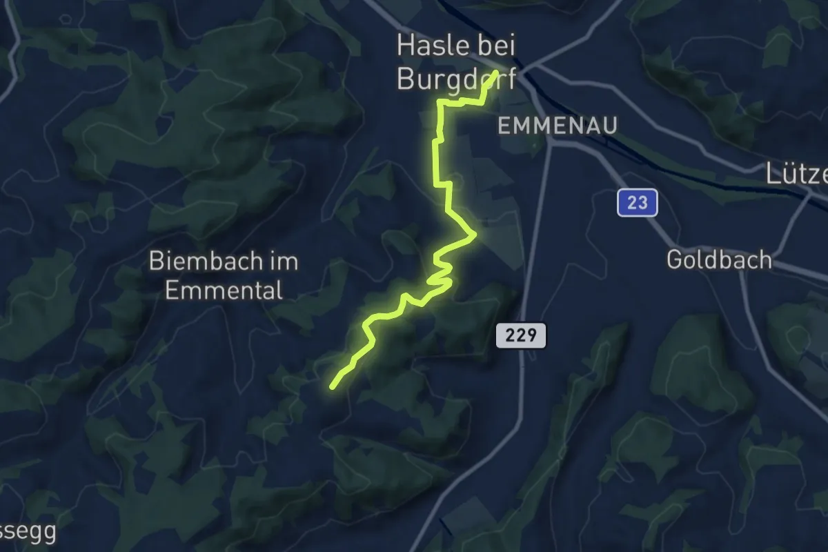
Medium · Trail
Schwand – Hasle-Rüegsau
8.7 km · ↑ 268 m · 2 h 38 min · 13 km away
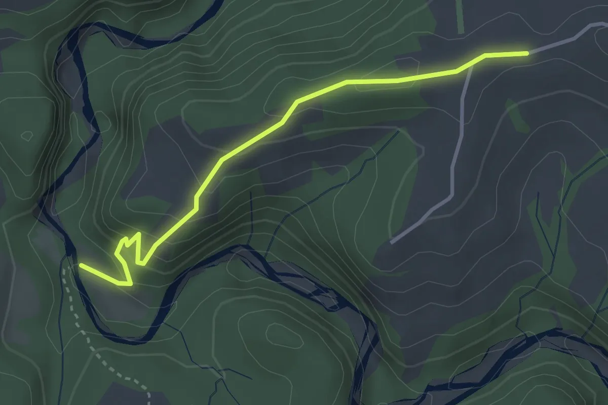
Easy · Trail
Krommen – Schwarzwasser / Steiglenau
3.3 km · ↑ 260 m · 1 h 20 min · 13 km away
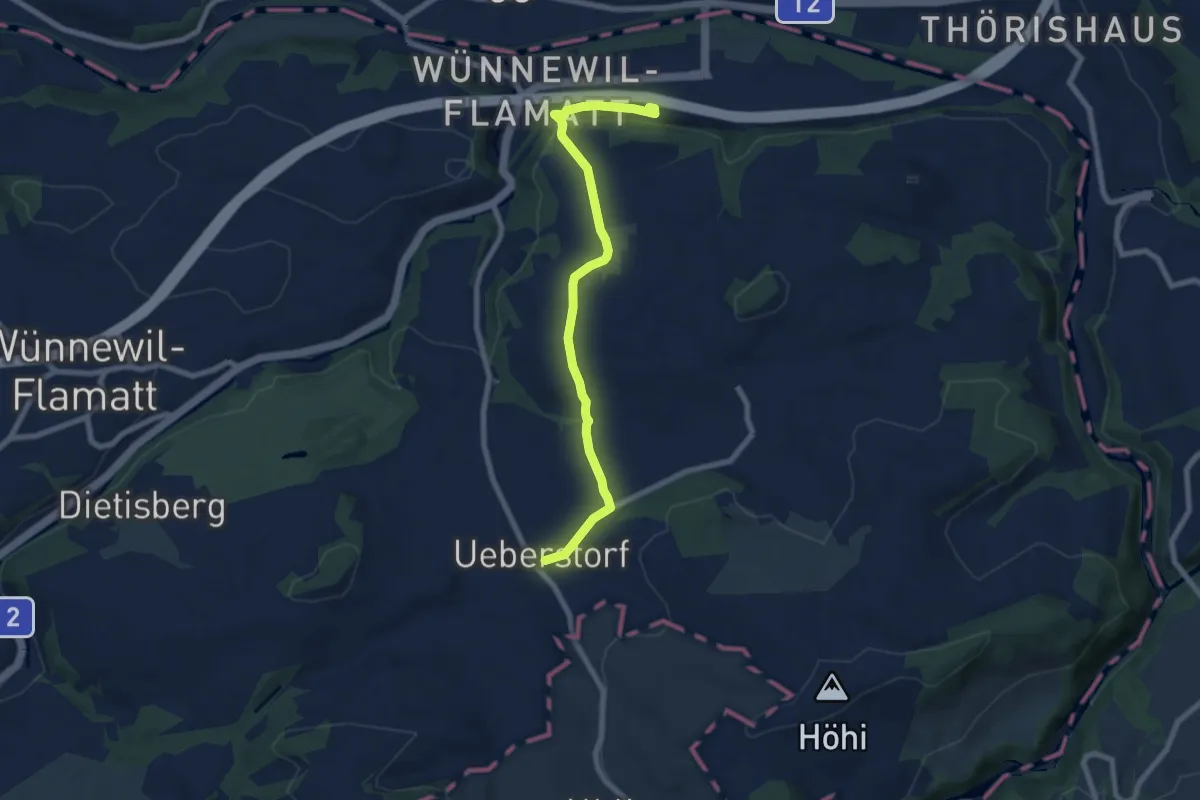
Easy · Trail
Flamatt / Station - Ueberstorf
7.5 km · ↑ 195 m · 2 h 11 min · 13 km away
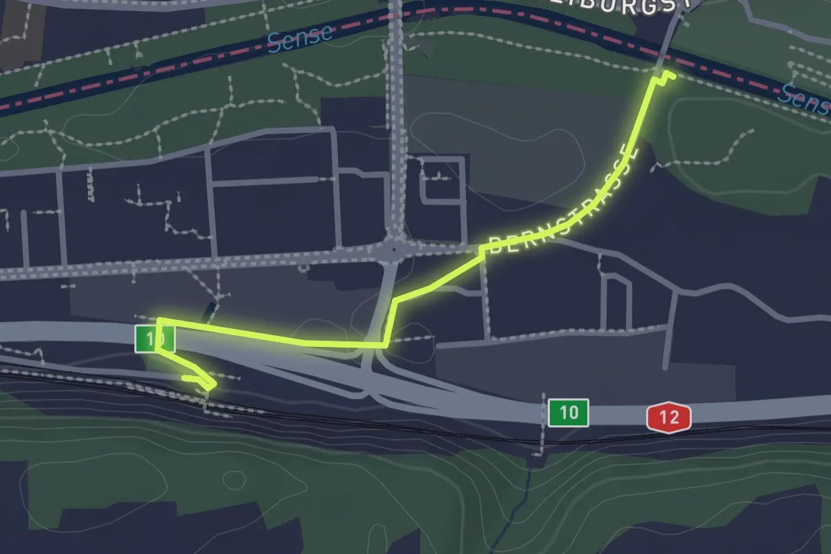
Easy · Trail
Ober Flamatt – Flamatt / Station
2.5 km · ↑ 21 m · 38 min · 13 km away
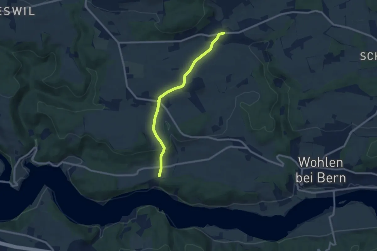
Easy · Trail
Säriswil – Steinisweg
6.1 km · ↑ 114 m · 1 h 42 min · 13 km away
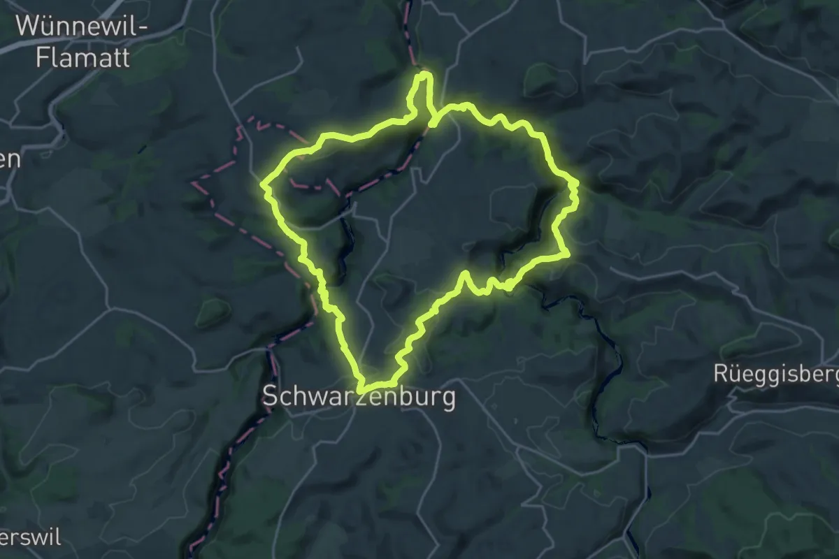
Demanding · Trail
Schwarzwasser Sense Schluchtenweg
21.9 km · ↑ 939 m · 7 h 31 min · 13 km away
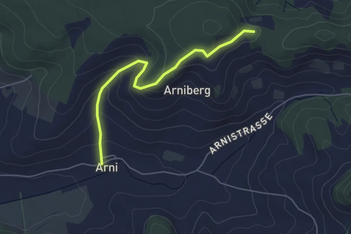
Easy · Trail
Spränzel – Arni
4.2 km · ↑ 213 m · 1 h 28 min · 14 km away
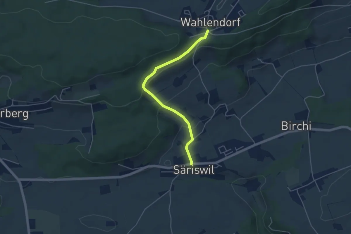
Easy · Trail
Wahlendorf Usserdorf – Säriswil
4.0 km · ↑ 132 m · 1 h 14 min · 14 km away
Easy · Trail
Schwanden – Gsteig
3.8 km · ↑ 45 m · 59 min · 14 km away
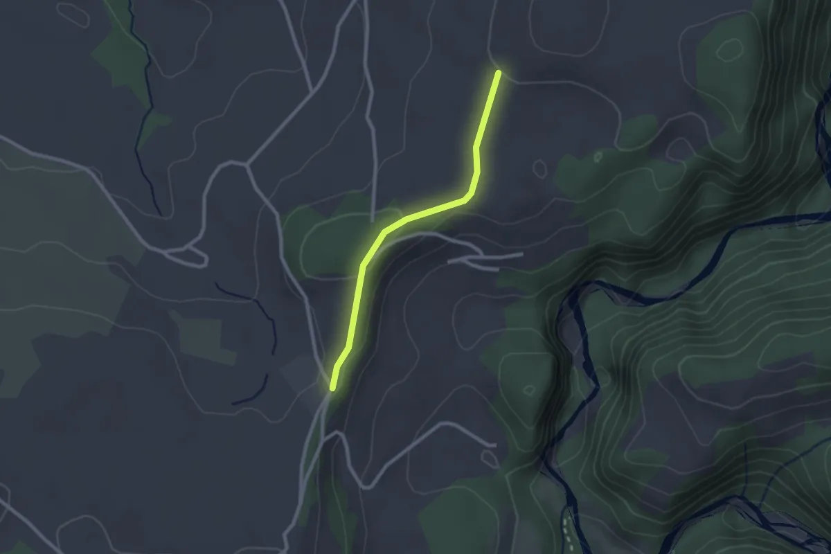
Easy · Trail
Chrummoos - Ried
2.1 km · ↑ 47 m · 36 min · 14 km away
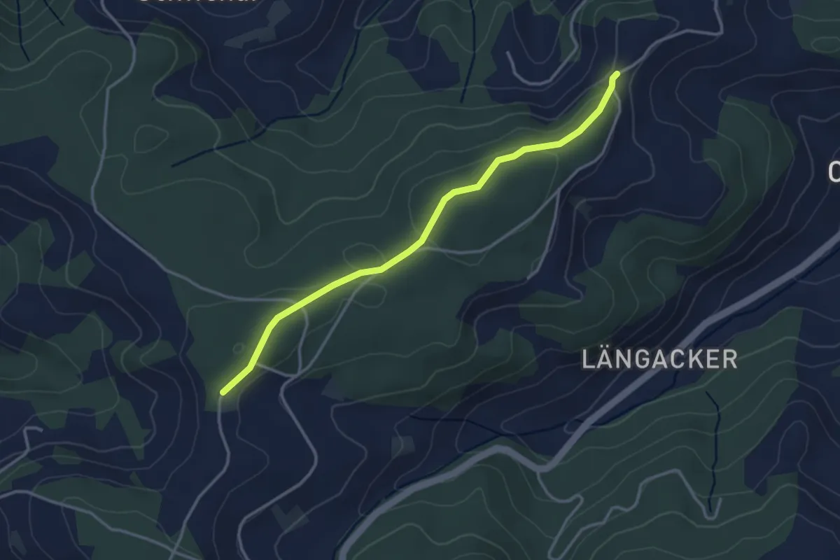
Easy · Trail
Hammegg – Aspiegg
3.3 km · ↑ 79 m · 57 min · 14 km away
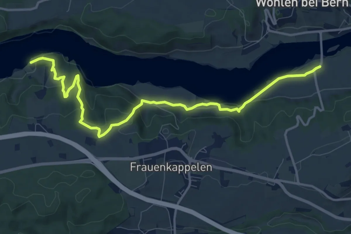
Medium · Trail
Jaggisbachau - Wohlei
10.4 km · ↑ 490 m · 3 h 32 min · 14 km away