Trails near Muri bei Bern
500 hikes starting within 15 km, nearest first.
Nearest first, page 8 of 11
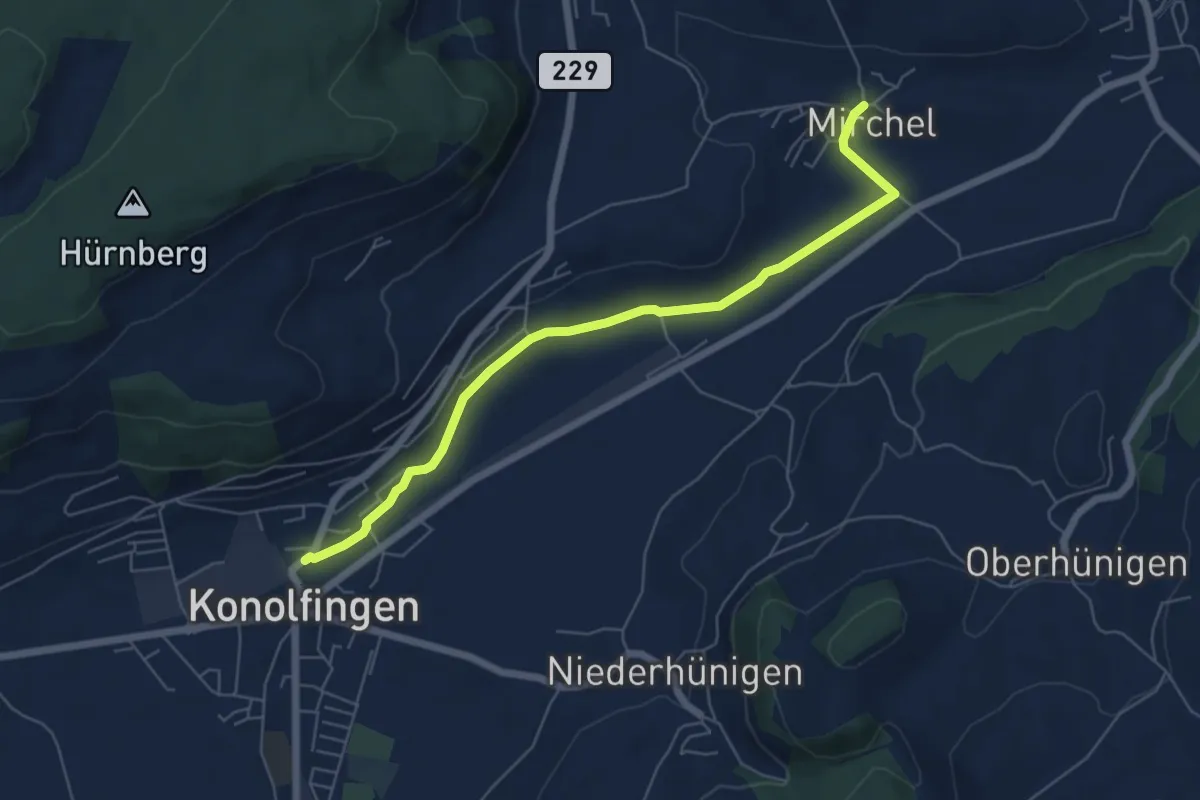
Easy · Trail
Mirchel – Konolfingen
6.2 km · ↑ 56 m · 1 h 35 min · 12 km away
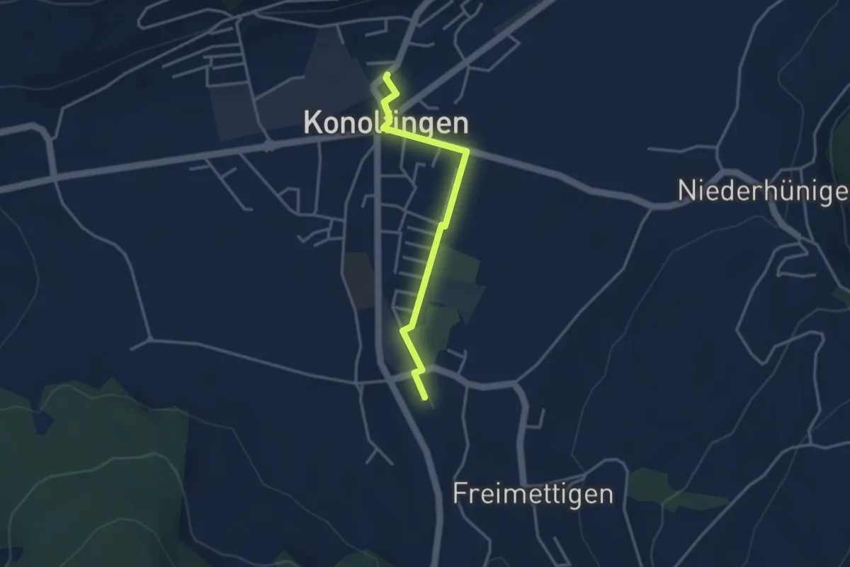
Easy · Trail
Stalden i. E. – Konolfingen
3.0 km · ↑ 9 m · 44 min · 12 km away
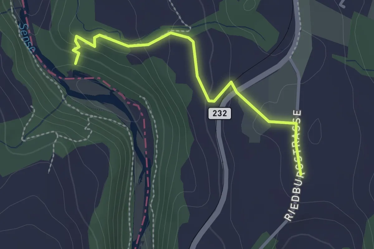
Easy · Trail
Sensegraben (Büffel) - Riedburg
2.4 km · ↑ 75 m · 44 min · 12 km away
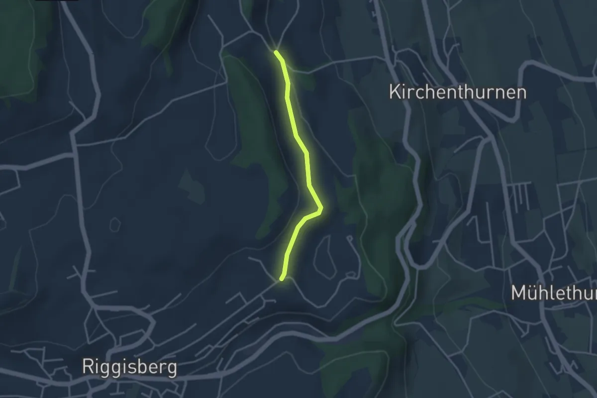
Easy · Trail
Uf der Mur – Eybrunne
2.6 km · ↑ 78 m · 47 min · 12 km away
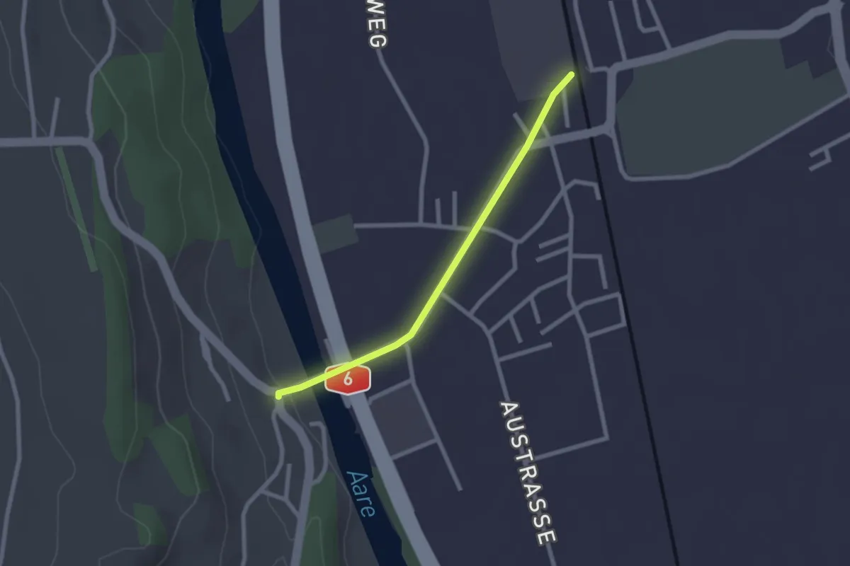
Easy · Trail
Thalgutbrücke - Wichtrach
2.1 km · ↑ 12 m · 31 min · 12 km away
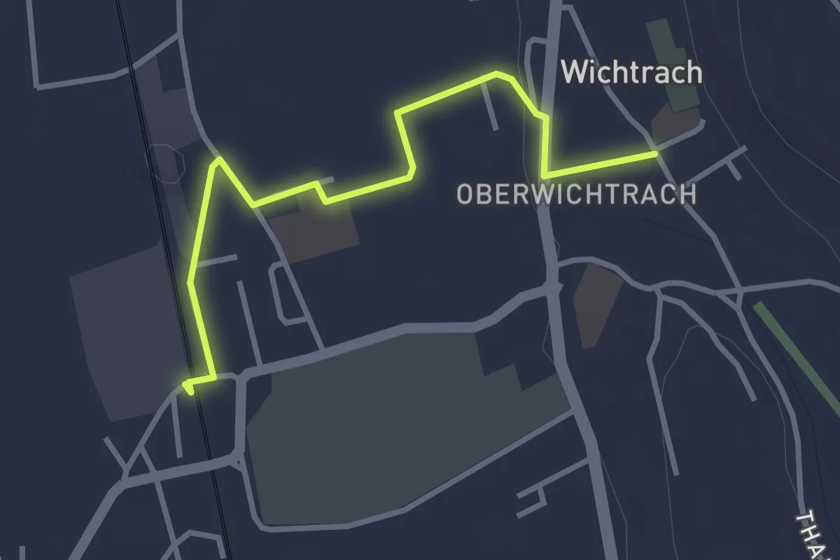
Easy · Trail
Wichtrach Bahnhof – Wichtrach/Kirche
3.0 km · ↑ 19 m · 45 min · 12 km away
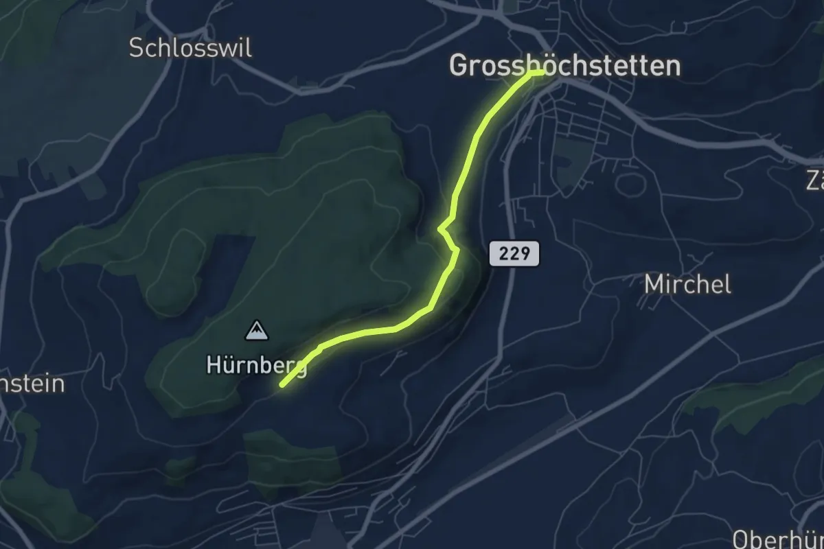
Easy · Trail
Ober Hötschige - Marktplatz
5.7 km · ↑ 176 m · 1 h 44 min · 12 km away
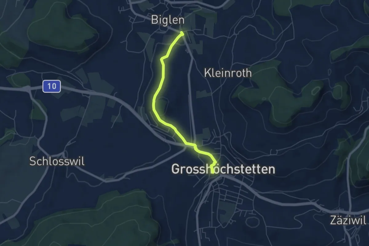
Easy · Trail
Biglen – Grosshöchstetten Marktplatz
5.3 km · ↑ 84 m · 1 h 26 min · 12 km away
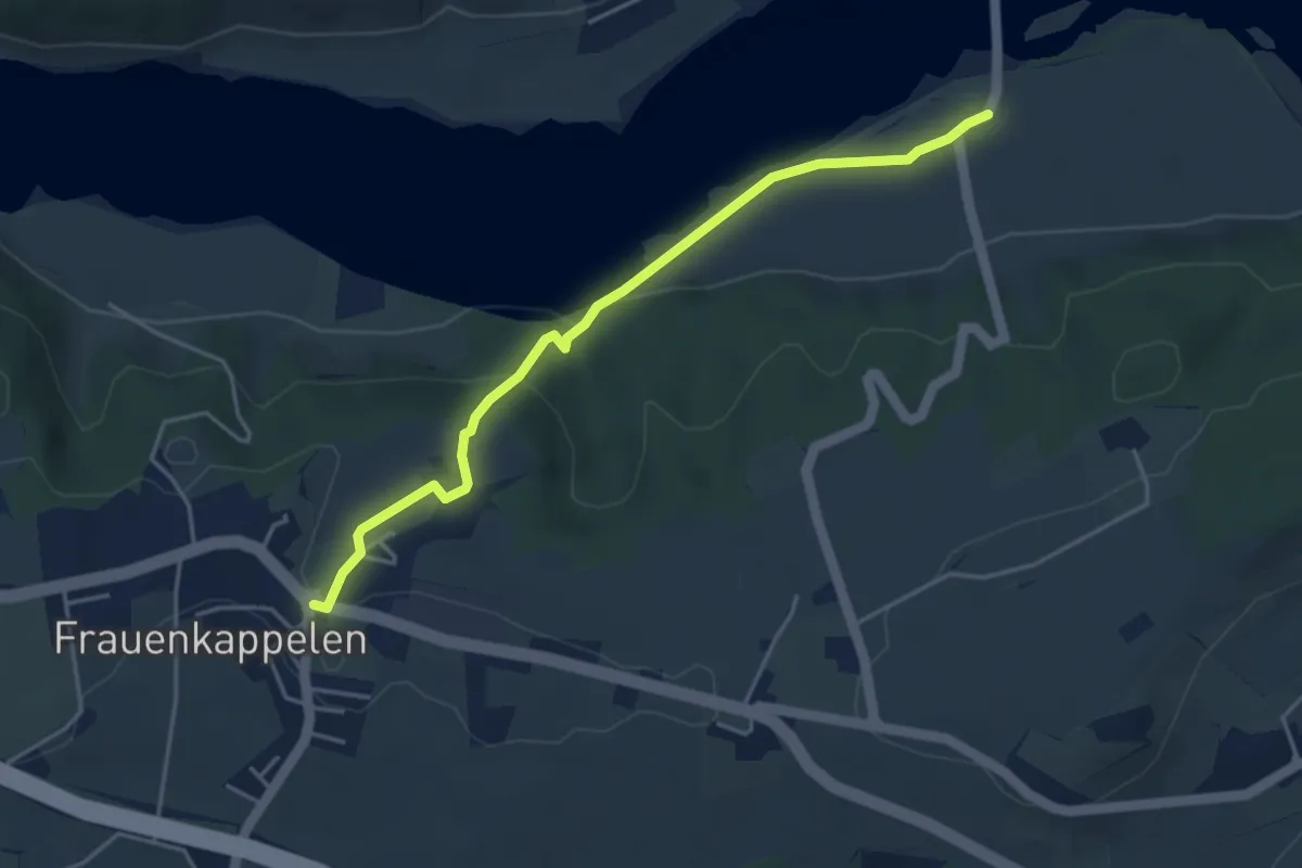
Easy · Trail
Wohlei - Frauenkappelen/Post
4.2 km · ↑ 160 m · 1 h 21 min · 12 km away
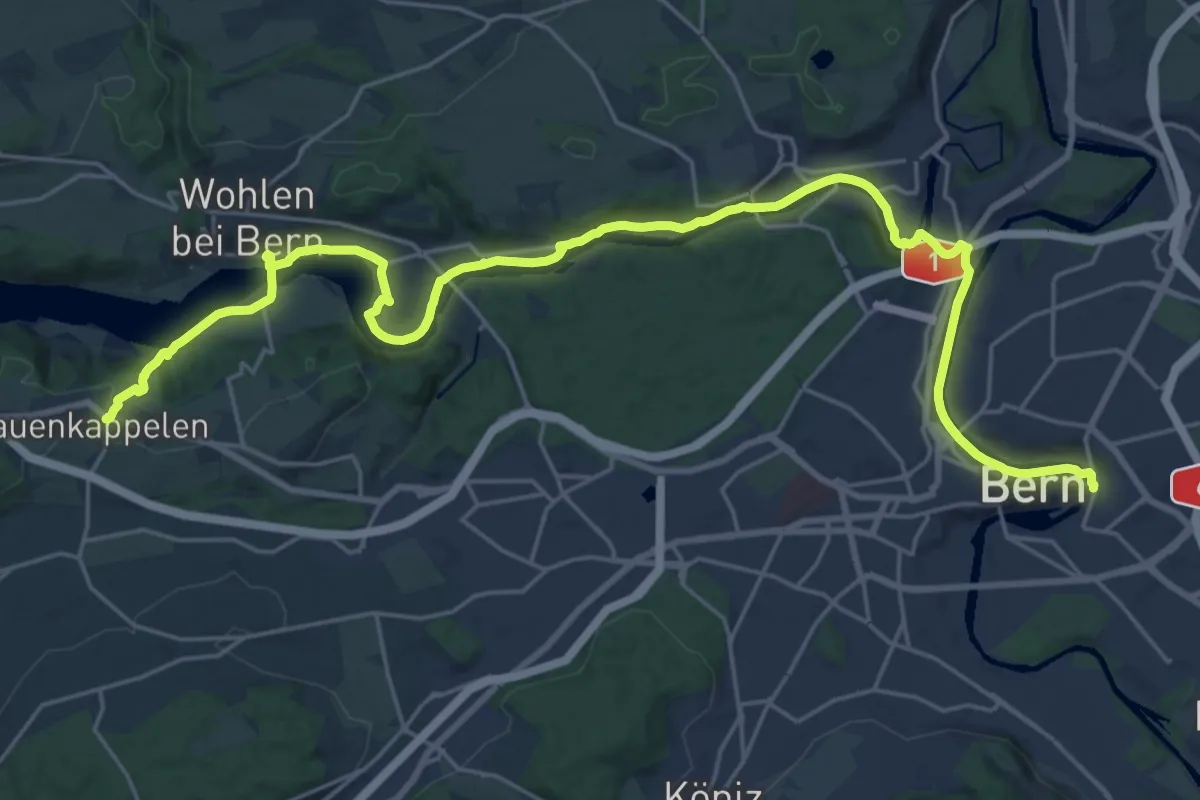
Medium · Trail
ViaBerna Etappe 8
14.8 km · ↑ 242 m · 4 h 16 min · 12 km away
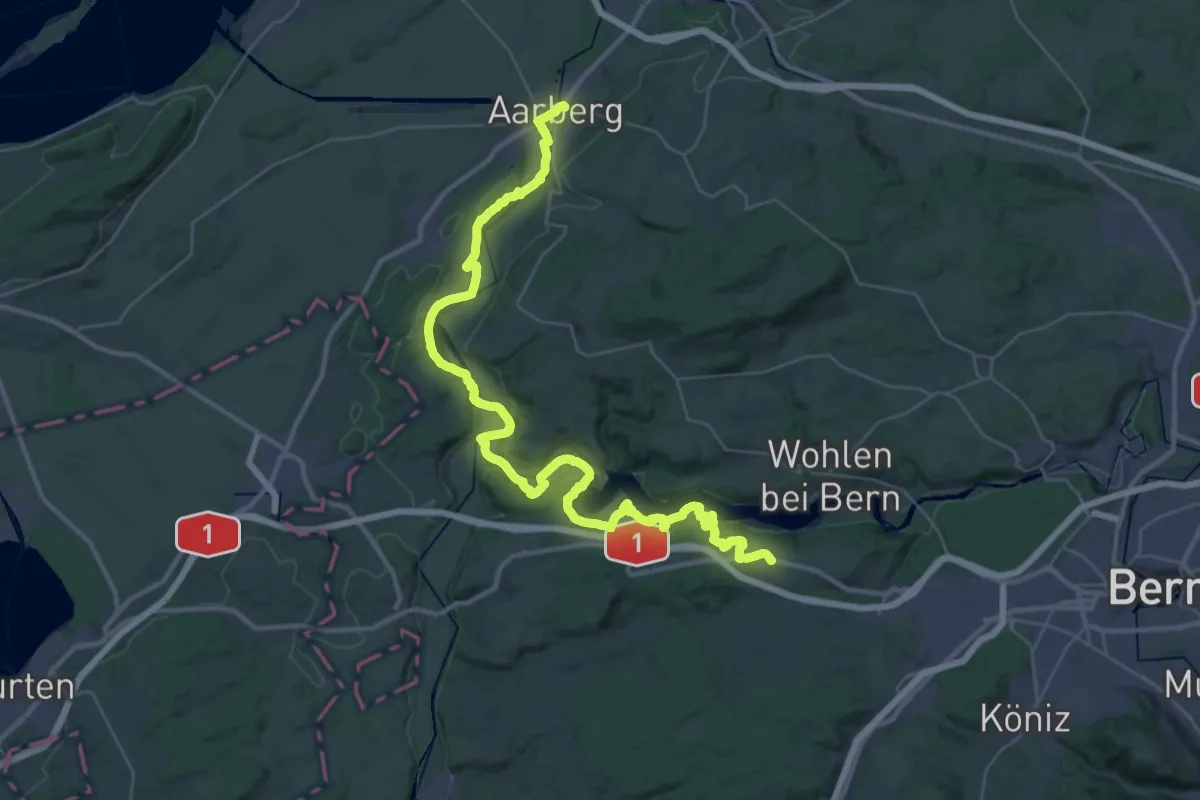
Demanding · Trail
ViaBerna Etappe 7
24.1 km · ↑ 499 m · 7 h 11 min · 12 km away
Easy · Trail
Bäreried – Schüpberg
6.0 km · ↑ 129 m · 1 h 41 min · 12 km away
Easy · Trail
Schwanden – Bäreried
6.0 km · ↑ 226 m · 1 h 54 min · 12 km away
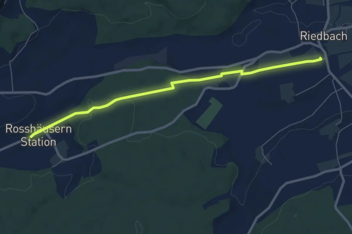
Easy · Trail
Rosshäusern/Station - Riedbach/Station
6.4 km · ↑ 72 m · 1 h 40 min · 12 km away
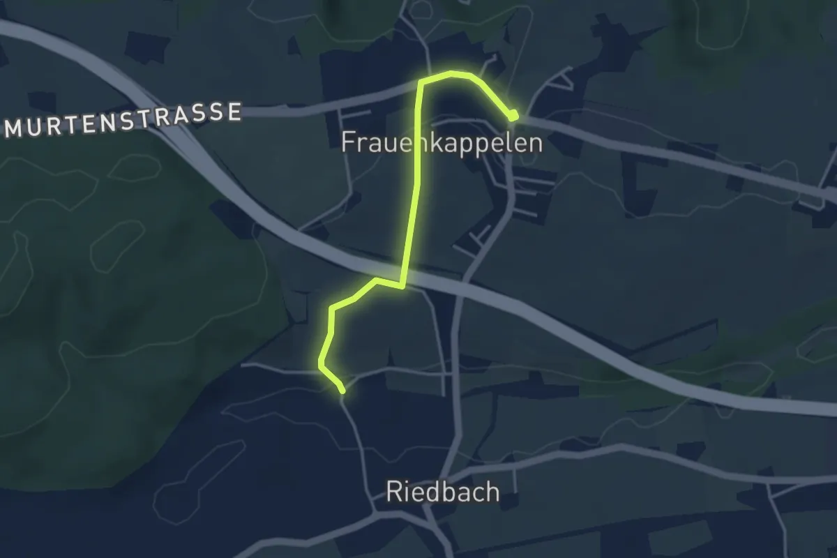
Easy · Trail
Frauenkappelen/Post - Riedbach/Mühle
3.2 km · ↑ 67 m · 54 min · 12 km away
Easy · Trail
Meikirch – Rüti
3.8 km · ↑ 62 m · 1 h 2 min · 12 km away
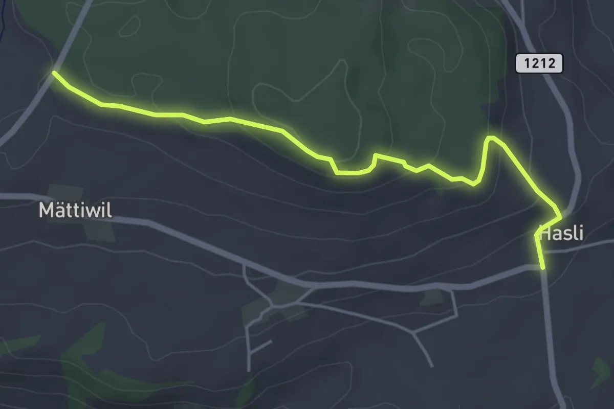
Easy · Trail
Hasli – Than
4.6 km · ↑ 179 m · 1 h 29 min · 12 km away
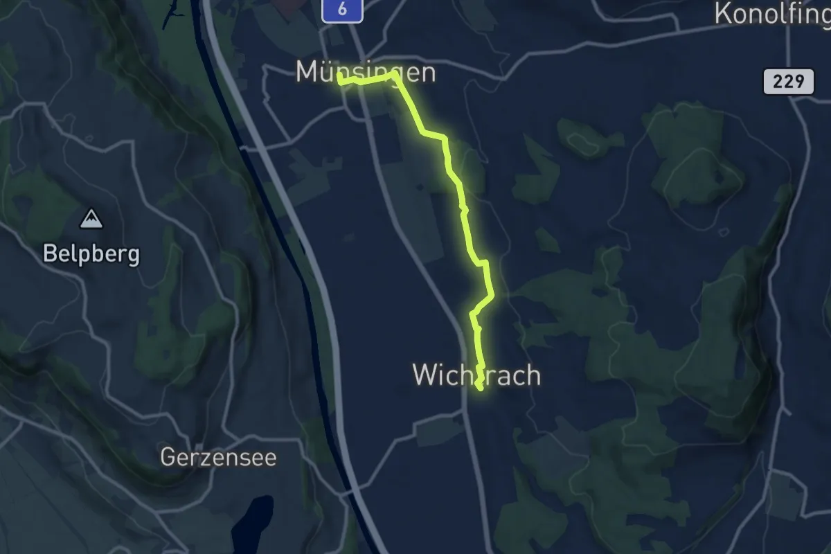
Medium · Trail
Münsingen – Wichtrach
9.1 km · ↑ 130 m · 2 h 26 min · 12 km away
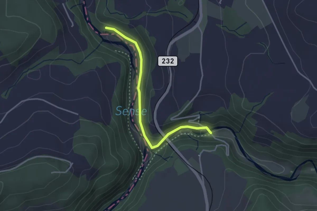
Easy · Trail
Alte Scharzwasserbrücke – Sensegrabe / Büffel
3.0 km · ↑ 52 m · 49 min · 12 km away
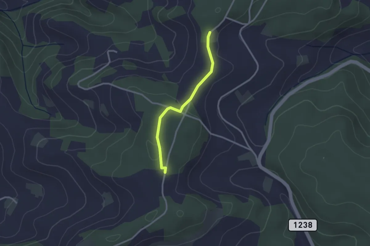
Easy · Trail
Neunhaupt – Hammegg
2.1 km · ↑ 27 m · 33 min · 12 km away
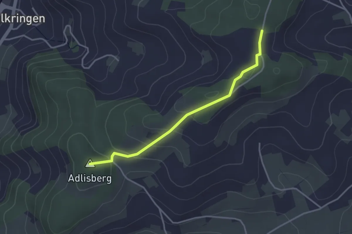
Easy · Summit
Adlisberg – Neunhaupt
3.0 km · ↑ 91 m · 55 min · 12 km away
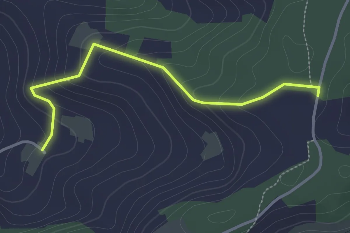
Easy · Trail
Neunhaupt – Golpisberg
2.7 km · ↑ 131 m · 56 min · 12 km away
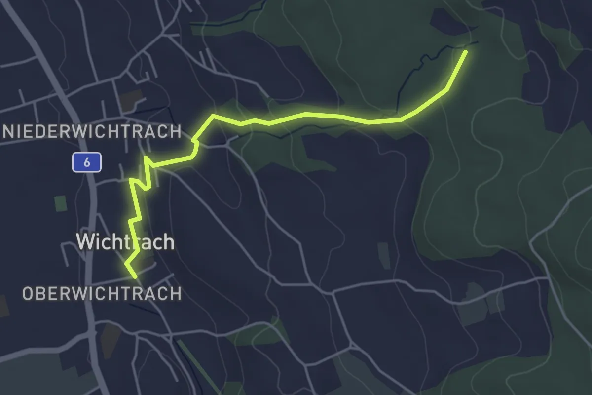
Easy · Trail
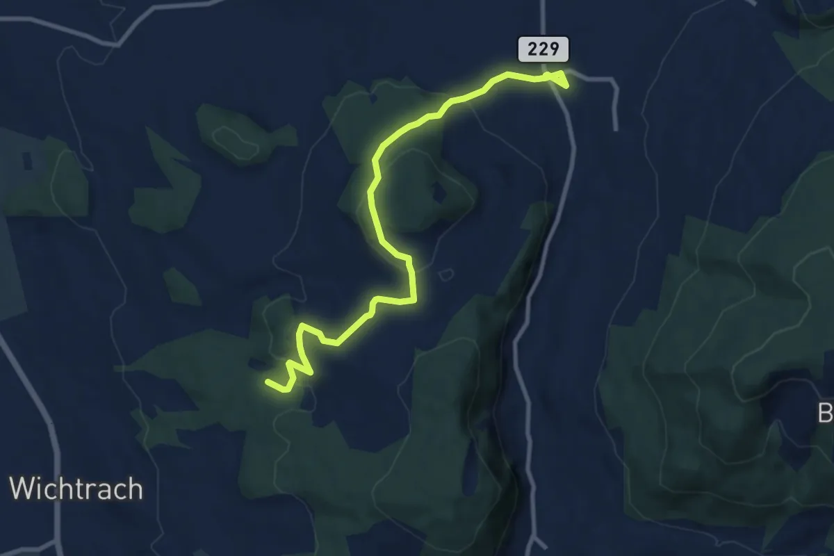
Wichtrach – Rotebüel
4.3 km · ↑ 138 m · 1 h 19 min · 12 km away
Medium · Trail
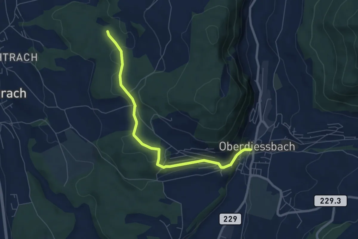
Stalden i. E. – Rotebüel
9.4 km · ↑ 302 m · 2 h 52 min · 12 km away
Easy · Trail
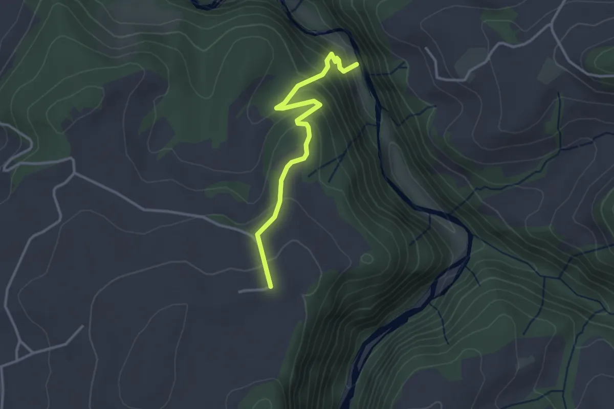
Oberdiessbach – Rotebüel
6.3 km · ↑ 169 m · 1 h 52 min · 12 km away
Easy · Trail
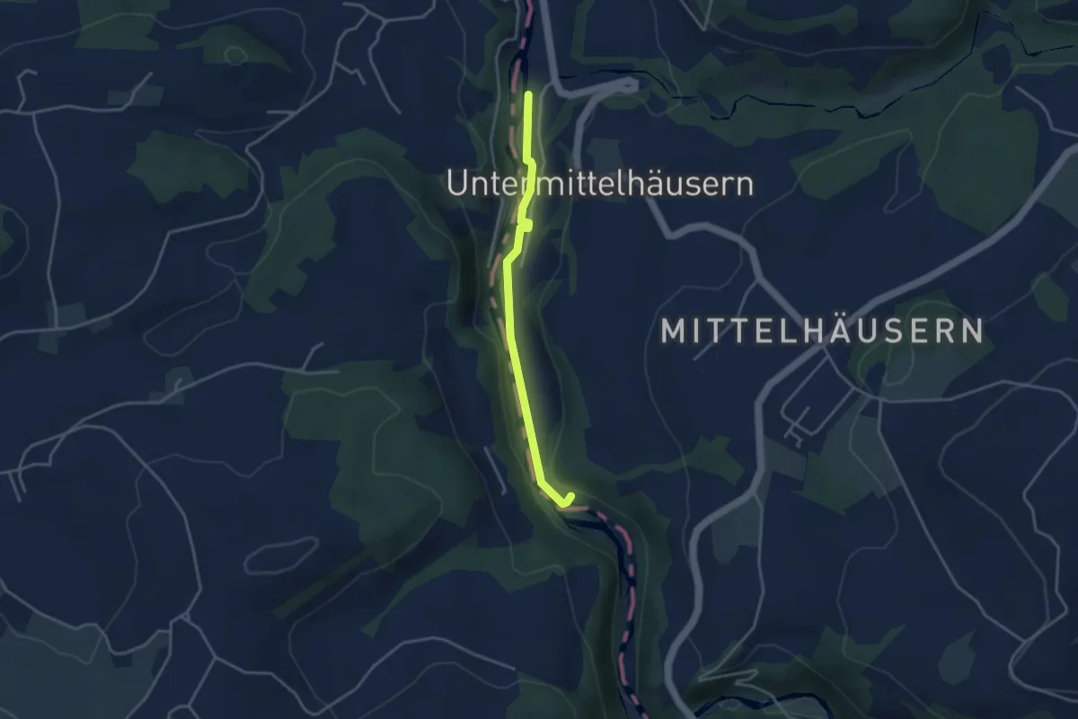
Schwarzwassergraben - Nidegg
3.0 km · ↑ 234 m · 1 h 13 min · 12 km away
Easy · Trail
Sensegrabe / Büffel – Sensematt
3.2 km · ↑ 50 m · 52 min · 12 km away
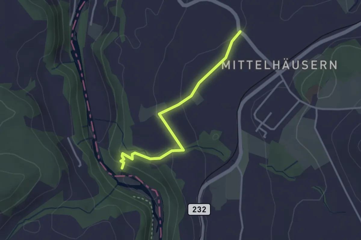
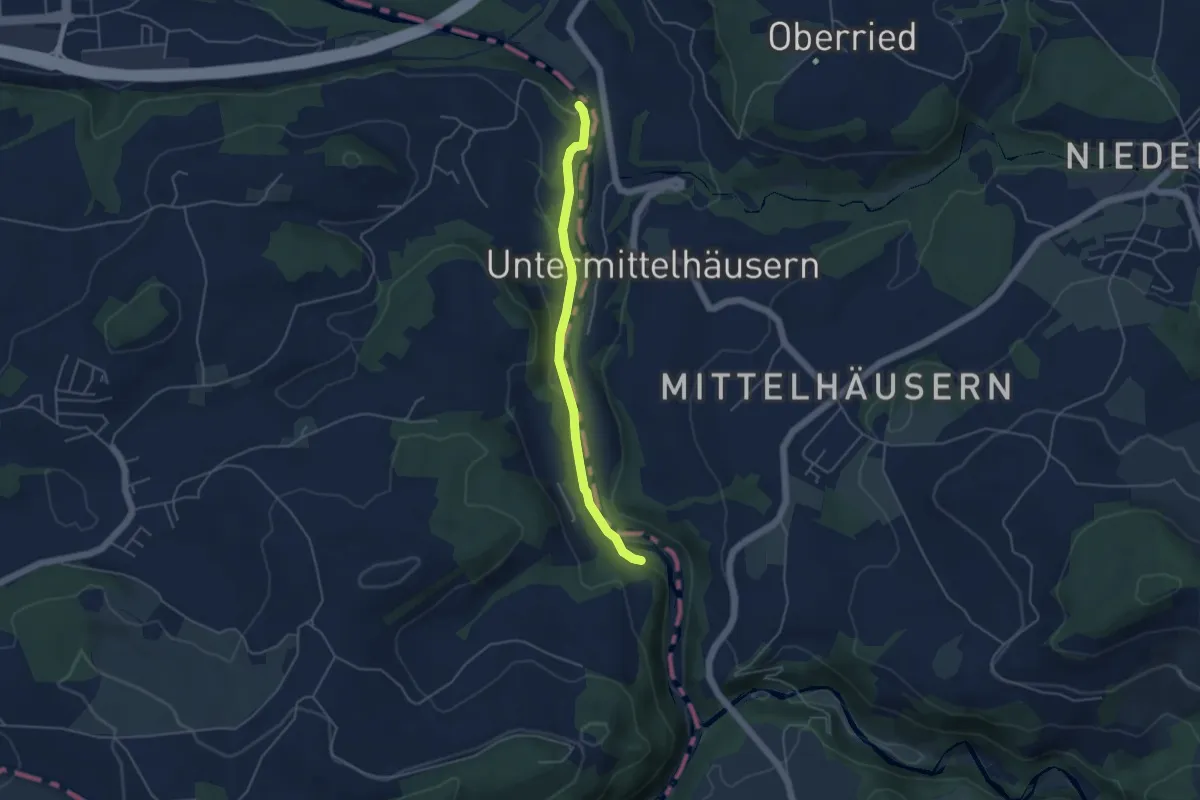
Easy · Trail
Mittelhäusern – Sensematt
2.8 km · ↑ 94 m · 52 min · 12 km away
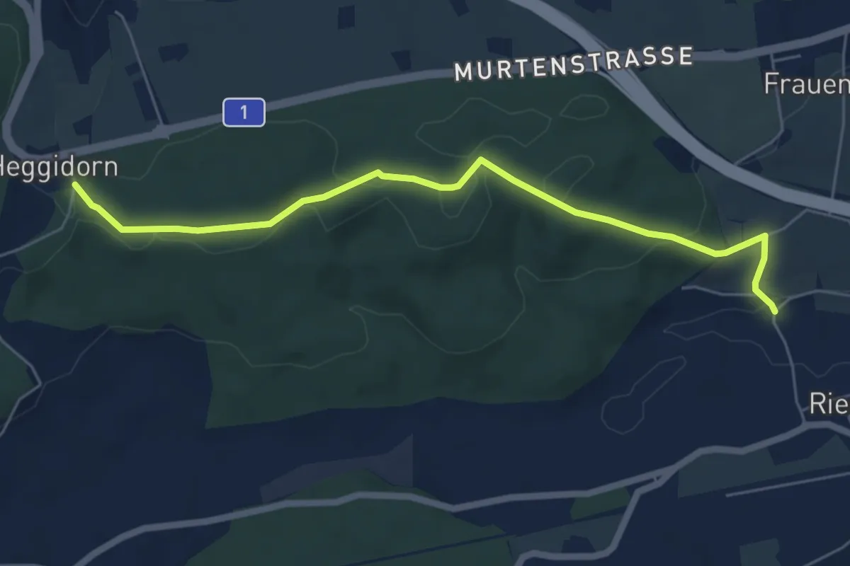
Easy · Trail
Riederenbrücke – Hangried
4.2 km · ↑ 137 m · 1 h 18 min · 12 km away
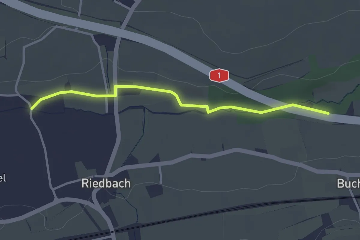
Easy · Trail
Heggidorn - Riedbach/Mühle
5.9 km · ↑ 125 m · 1 h 40 min · 12 km away
Easy · Trail
Autobahnviadukt - Riedbach/Mühle
2.8 km · ↑ 8 m · 41 min · 12 km away
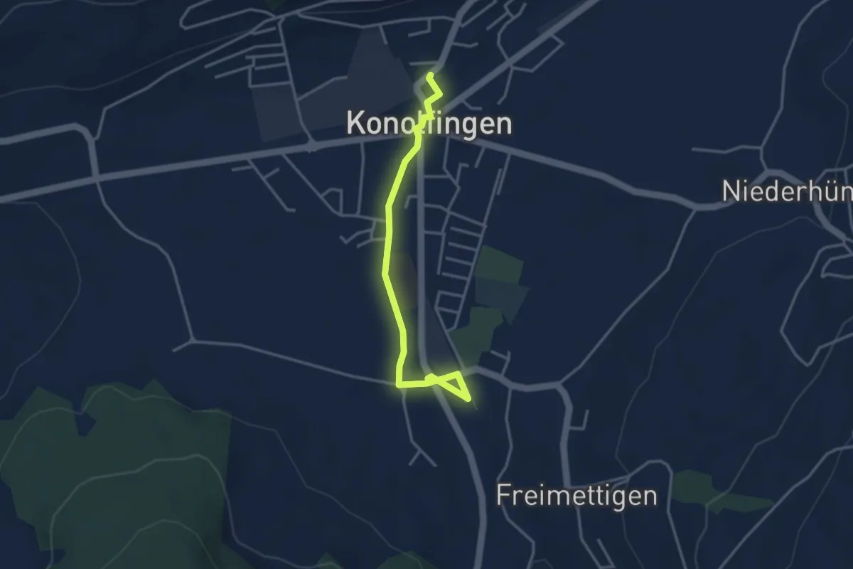
Easy · Trail
Stalden i. E. – Konolfingen
3.3 km · ↑ 23 m · 50 min · 12 km away
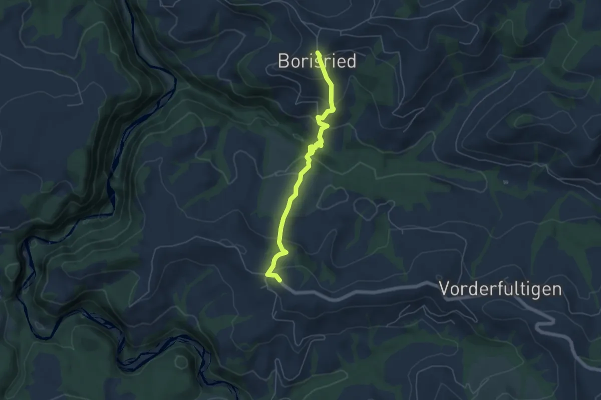
Easy · Trail
Borisried – Hinterfultigen
5.1 km · ↑ 295 m · 1 h 50 min · 12 km away
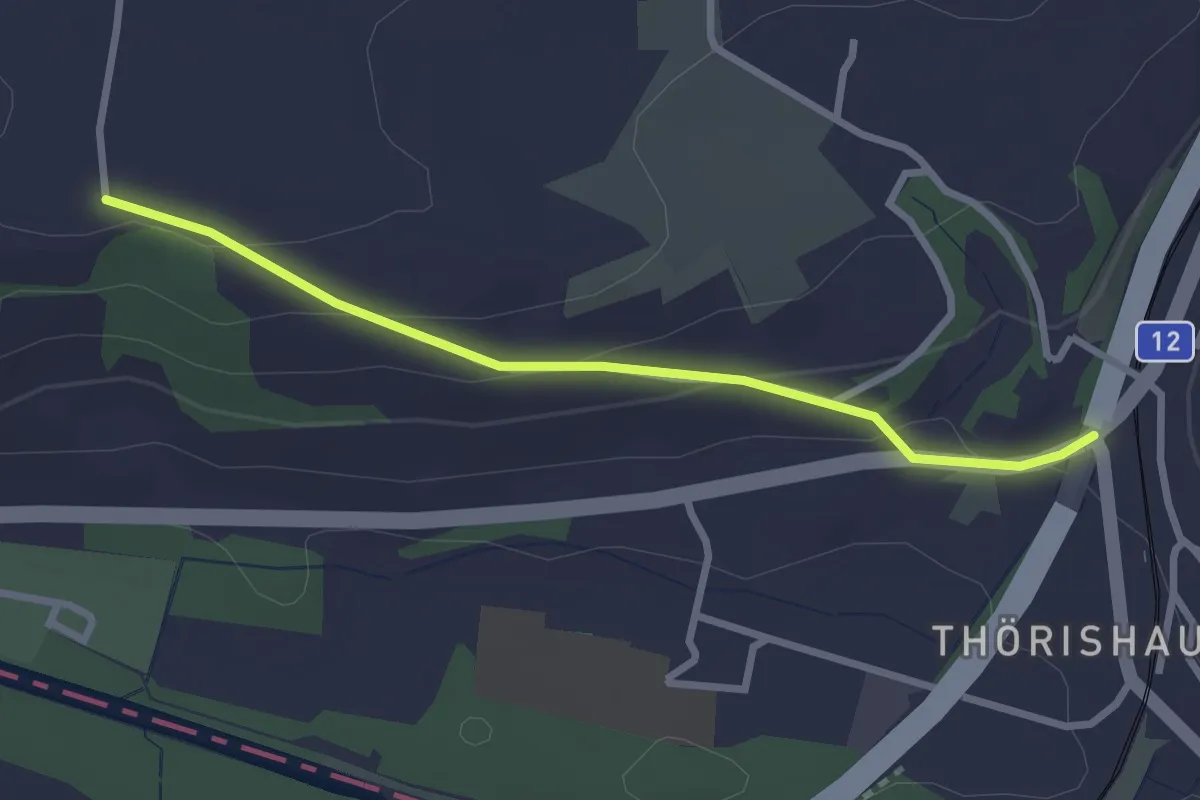
Easy · Trail
Ufem Shoren - Thörishaus
2.6 km · ↑ 85 m · 49 min · 12 km away
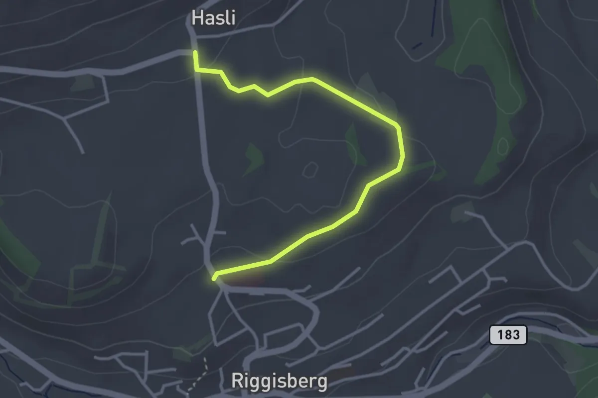
Easy · Trail
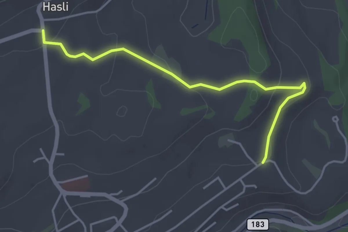
Riggisberg / Staudengasse – Hasli
3.4 km · ↑ 103 m · 1 h 1 min · 12 km away
Easy · Trail
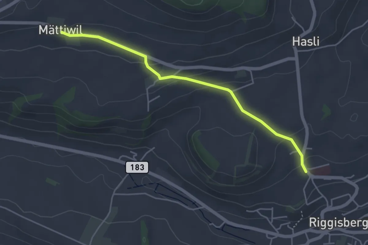
Hasli – Eybrunnen
3.8 km · ↑ 115 m · 1 h 9 min · 12 km away
Easy · Trail
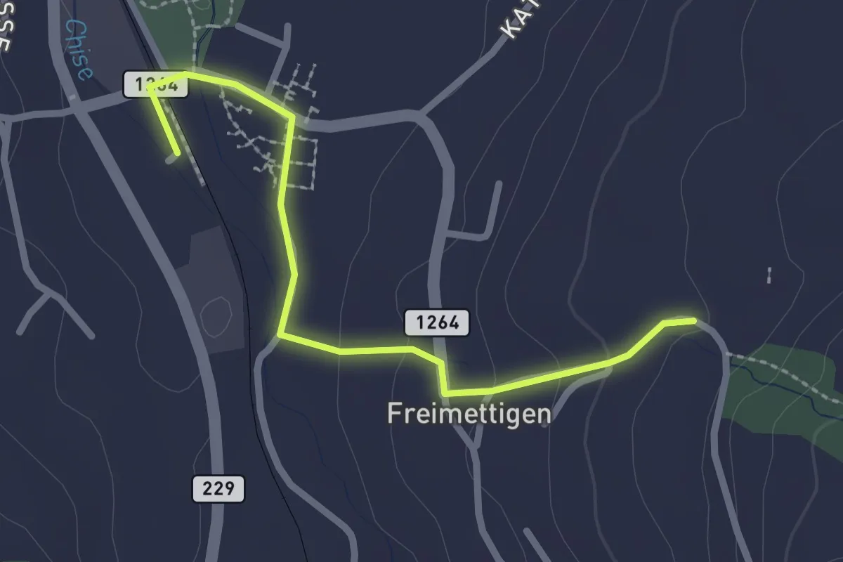
Riggisberg / Staudengasse – Mättiwil
4.0 km · ↑ 102 m · 1 h 10 min · 12 km away
Easy · Trail
Stalden i. E. – Freimettigen
2.4 km · ↑ 53 m · 40 min · 12 km away
Easy · Trail
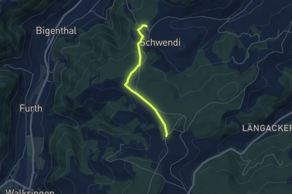
Hammwegg – Vorder Schwändi
3.8 km · ↑ 123 m · 1 h 10 min · 12 km away
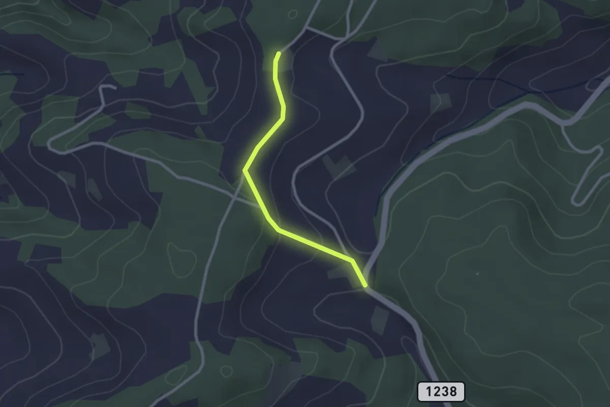
Easy · Trail
Hammegg – Tanne
2.1 km · ↑ 63 m · 38 min · 12 km away
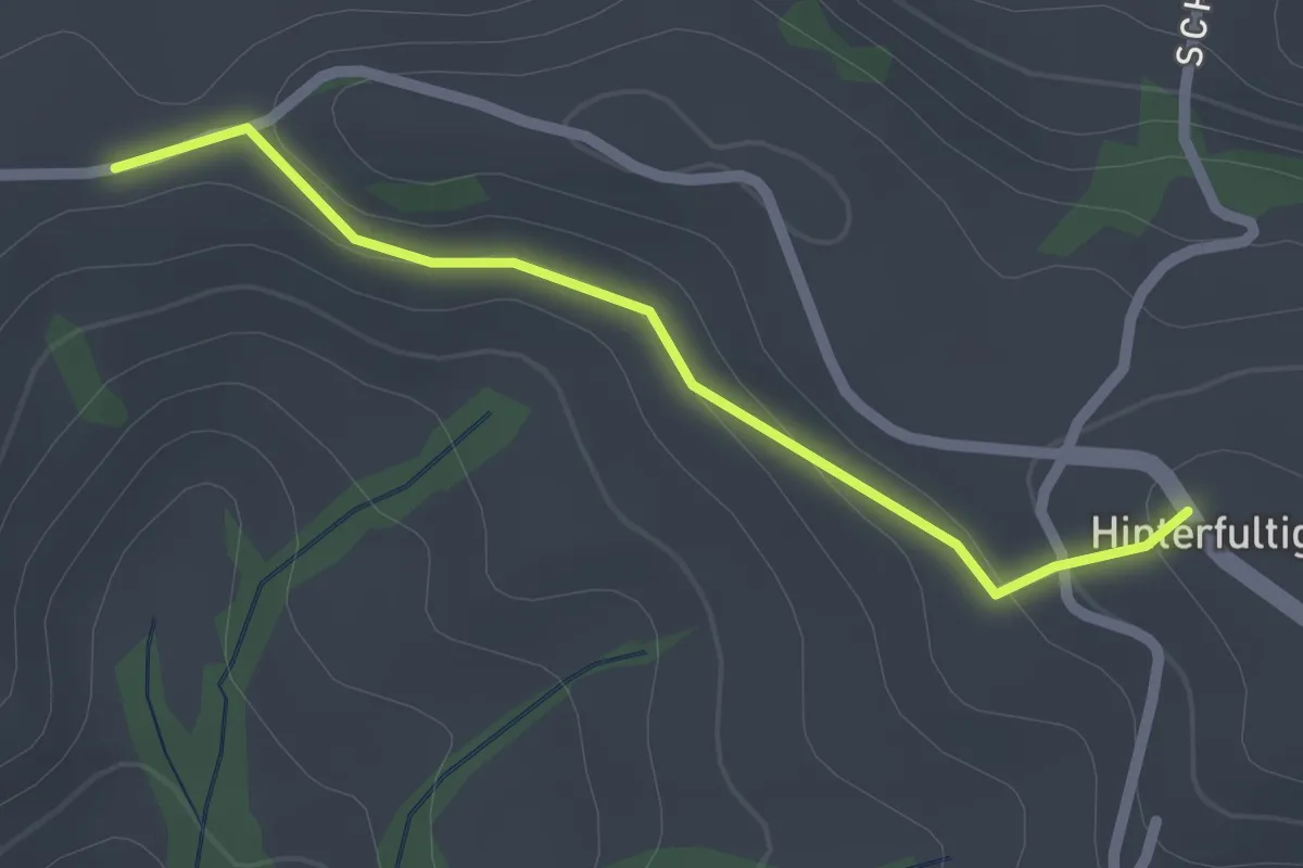
Easy · Trail
Krommen – Hinterfultigen
2.0 km · ↑ 41 m · 34 min · 12 km away
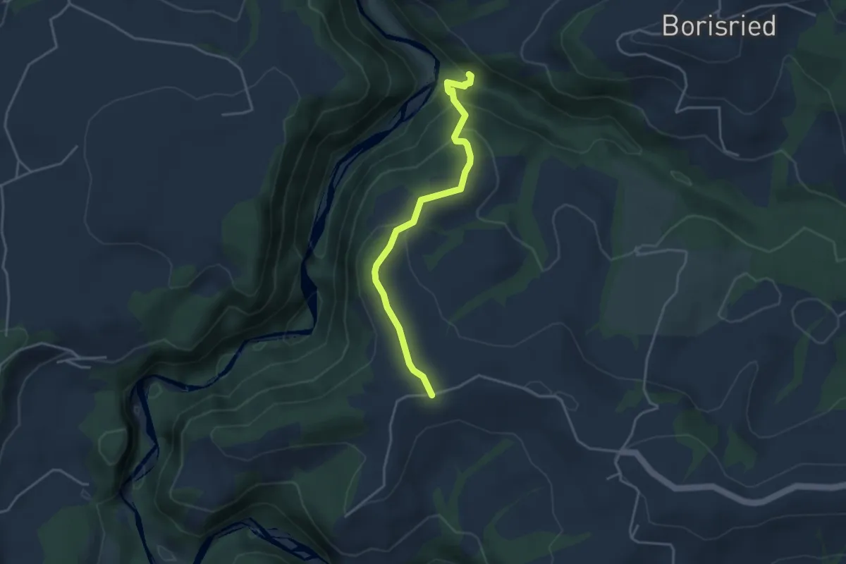
Easy · Trail
Bütschelbachsteg – Krommen
3.5 km · ↑ 192 m · 1 h 15 min · 12 km away
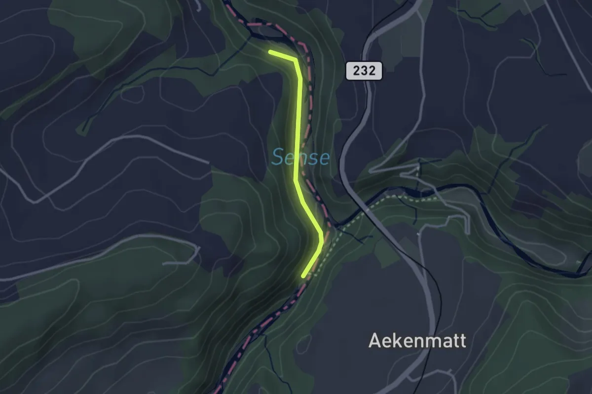
Easy · Trail
Hangried - Hängebrüggli
2.1 km · ↑ 62 m · 37 min · 12 km away
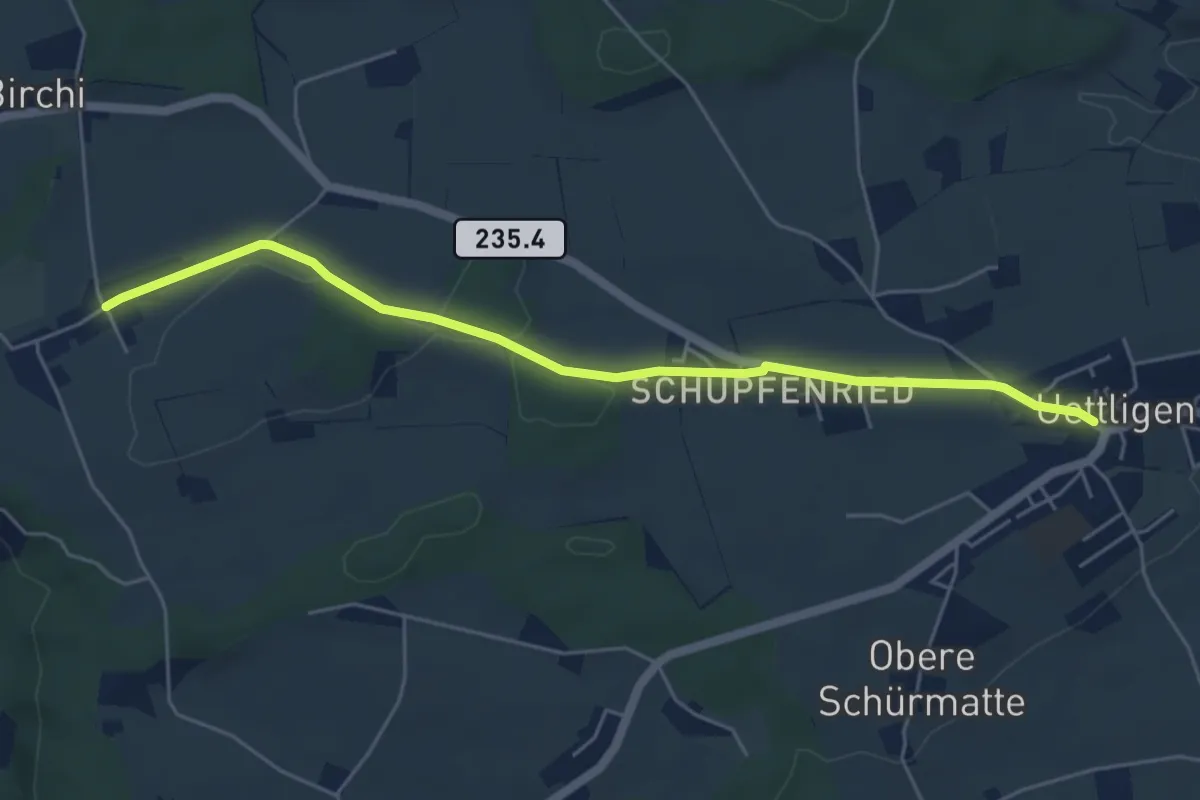
Easy · Trail
Uettligen/Linde - Möriswil
5.5 km · ↑ 46 m · 1 h 24 min · 12 km away
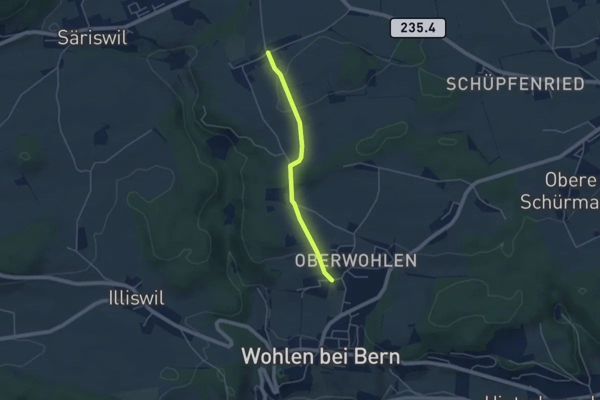
Easy · Trail
Oberwohlen – Möriswil
3.6 km · ↑ 84 m · 1 h 1 min · 12 km away
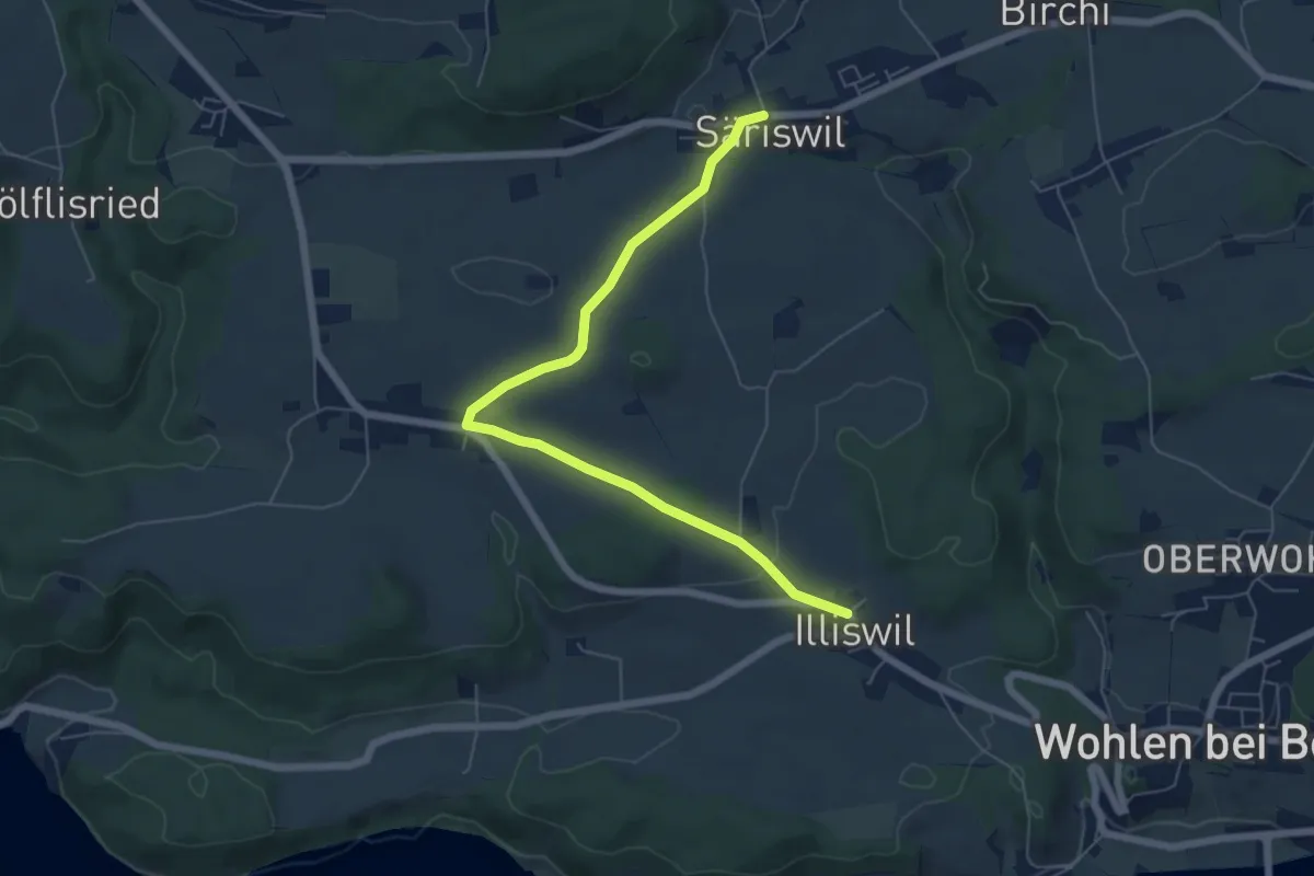
Easy · Trail
Säriswil – Illiswil
6.6 km · ↑ 97 m · 1 h 46 min · 12 km away
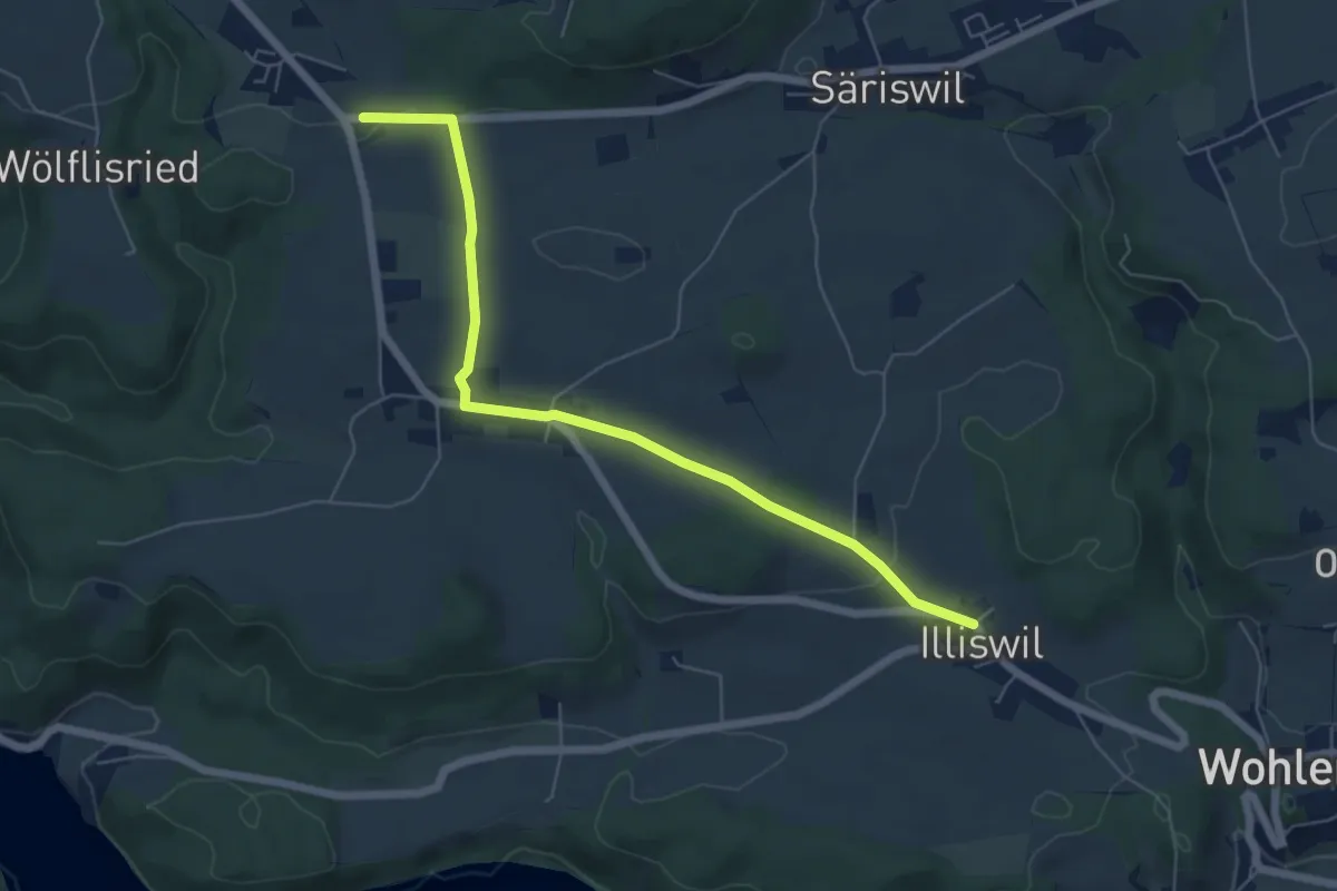
Easy · Trail
Illiswil – Weiermatt
6.3 km · ↑ 110 m · 1 h 44 min · 12 km away
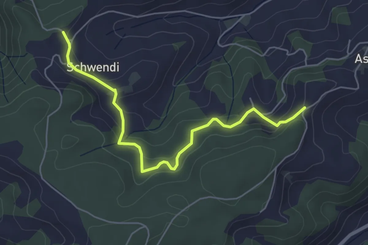
Easy · Trail
Vorder Schwändi – Aspiegg
5.0 km · ↑ 197 m · 1 h 37 min · 12 km away