Trails near Muri bei Bern
500 hikes starting within 15 km, nearest first.
Nearest first, page 2 of 11
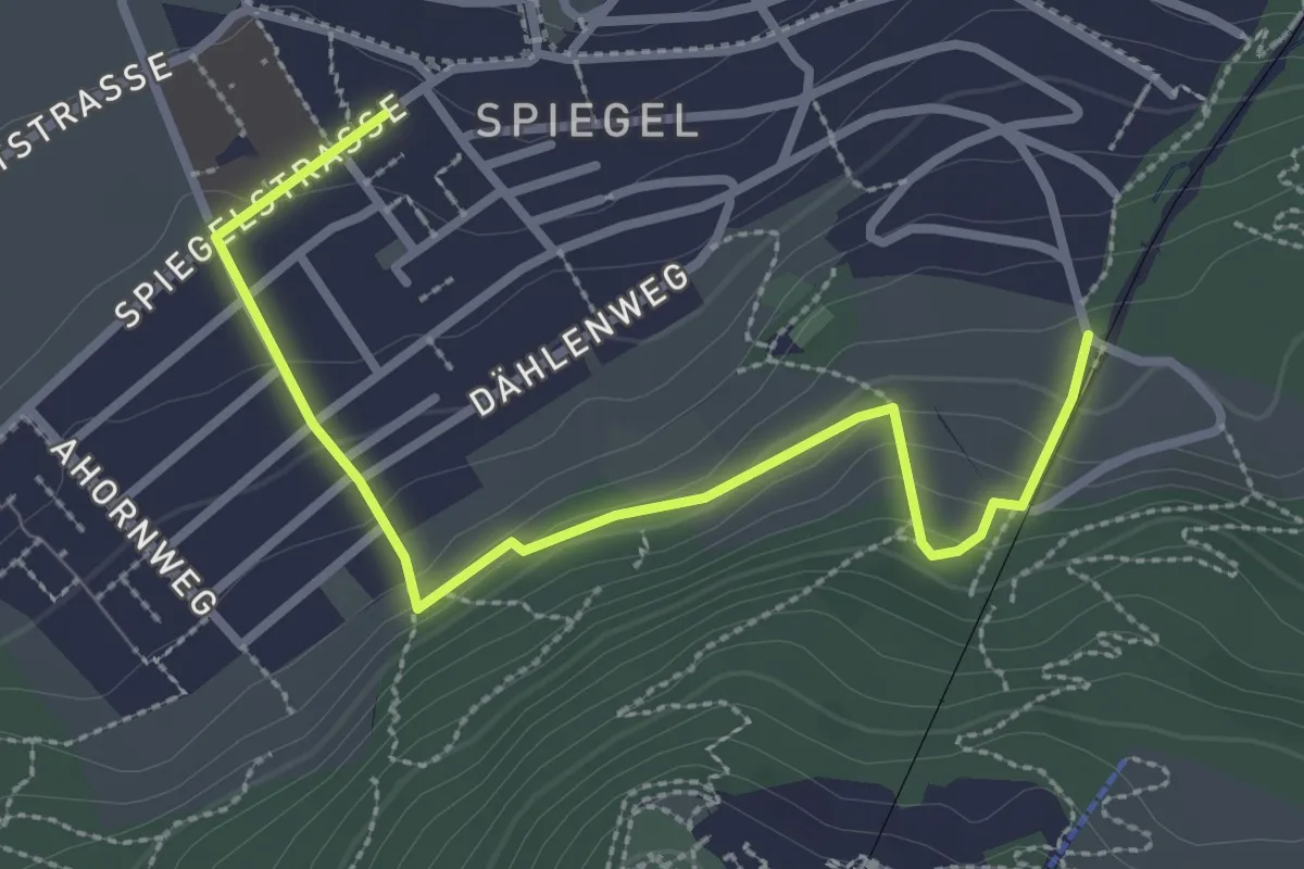
Easy · Trail
Grüenenboden – Spiegel Zentrum
3.1 km · ↑ 154 m · 1 h 4 min · 3 km away
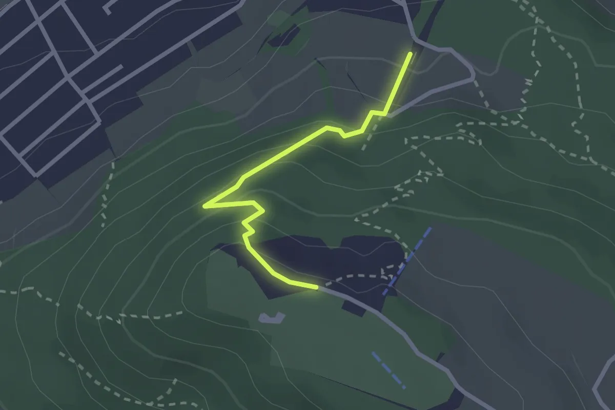
Easy · Trail
Grünenboden – Gurten Kulm
2.1 km · ↑ 138 m · 47 min · 3 km away
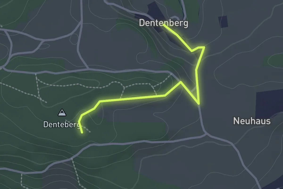
Easy · Trail
Dentenberg – Dentenberg
2.4 km · ↑ 69 m · 43 min · 4 km away
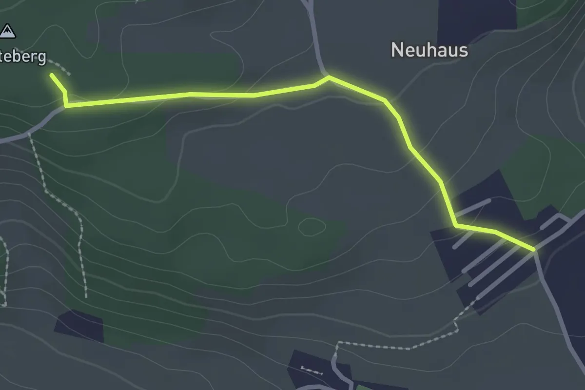
Easy · Trail
Neuhus – Denteberg
2.4 km · ↑ 76 m · 44 min · 4 km away
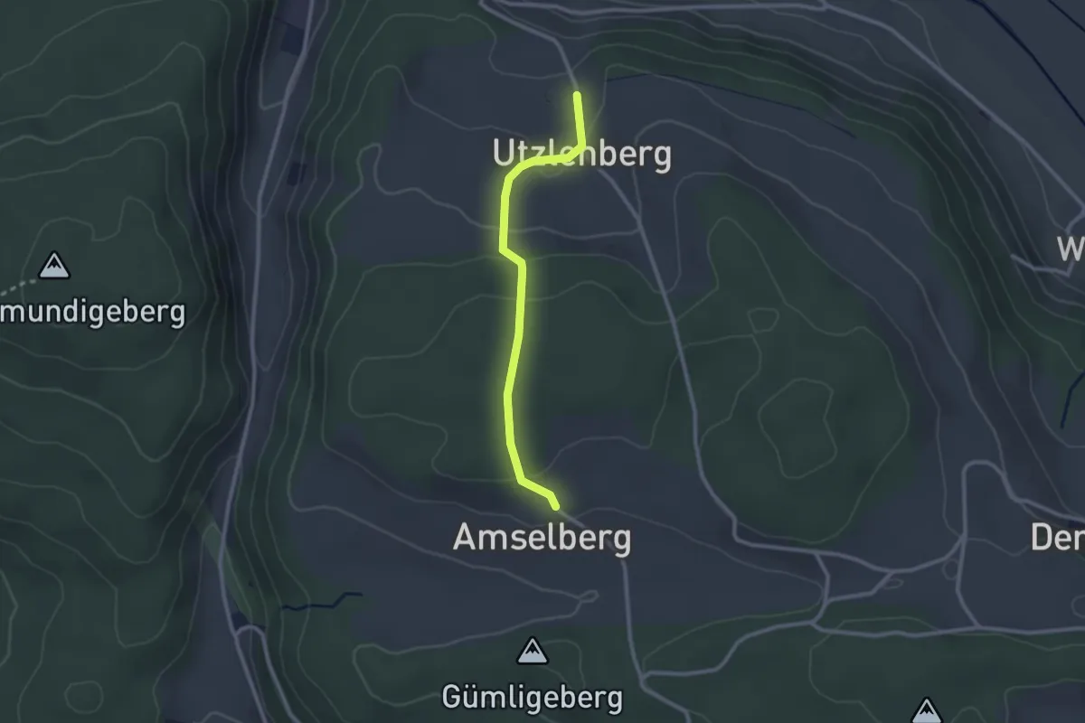
Easy · Trail
Amslenberg – Utzlenberg
2.3 km · ↑ 104 m · 46 min · 4 km away
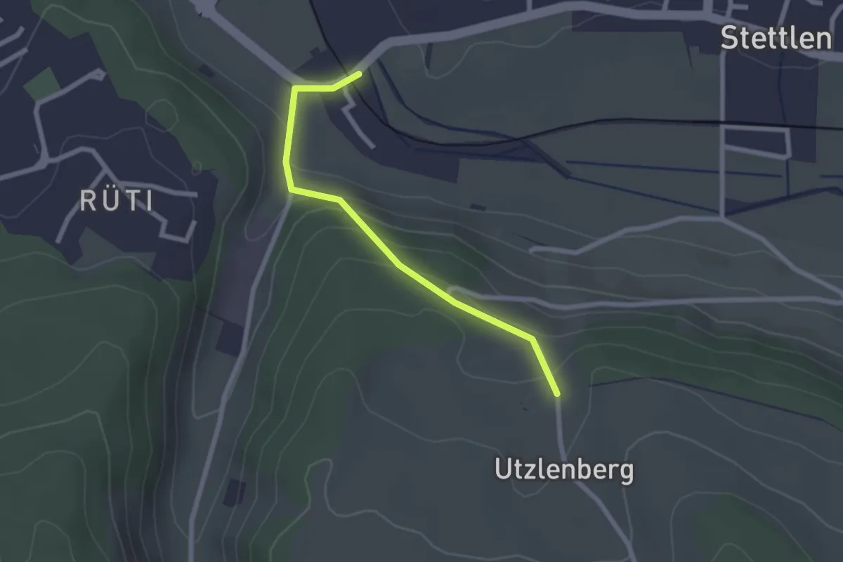
Easy · Trail
Deisswil – Utzlenberg
2.1 km · ↑ 124 m · 46 min · 4 km away
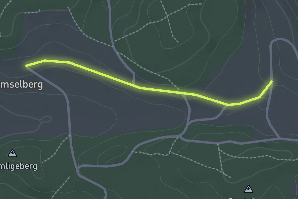
Easy · Trail
Dentenberg/Käserei – Amsleberg
2.0 km · ↑ 17 m · 31 min · 4 km away
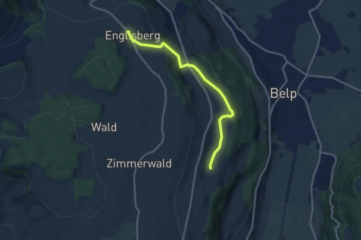
Easy · Trail
Englisberg – Hofmatt
6.5 km · ↑ 186 m · 1 h 56 min · 4 km away
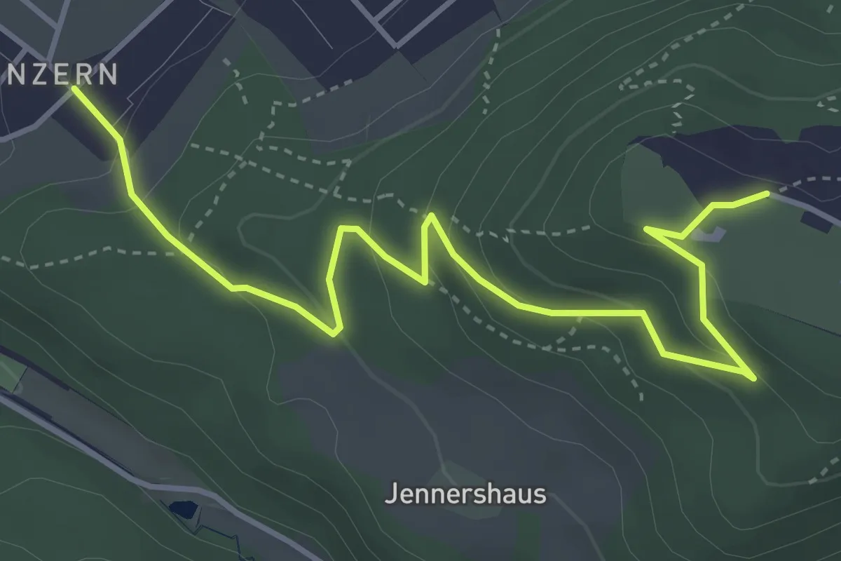
Easy · Trail
Blinzern – Gurten Kulm
4.5 km · ↑ 233 m · 1 h 34 min · 4 km away
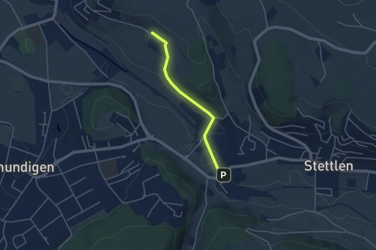
Easy · Trail
Hüenerbüel – Deisswil
2.9 km · ↑ 33 m · 45 min · 4 km away
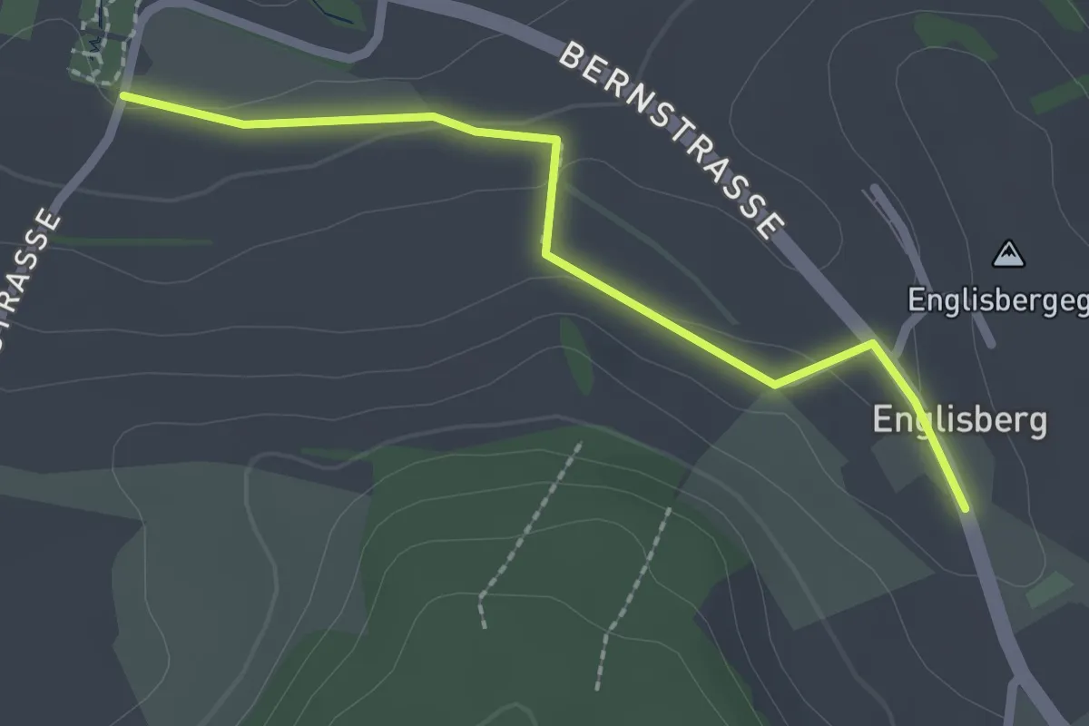
Easy · Trail
Wohnheim Kühlewil - Englisberg
2.1 km · ↑ 42 m · 36 min · 4 km away
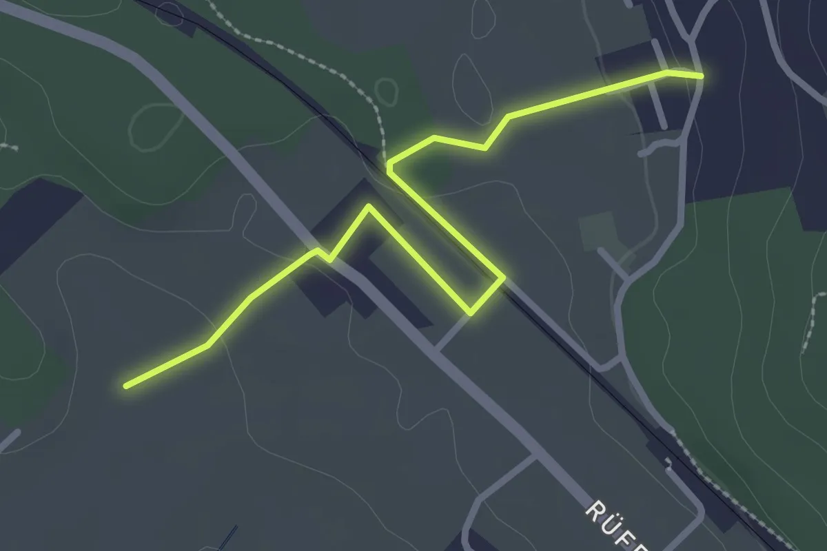
Easy · Trail
Chli Hüenliwald-Murmösli
2.7 km · ↑ 39 m · 43 min · 4 km away
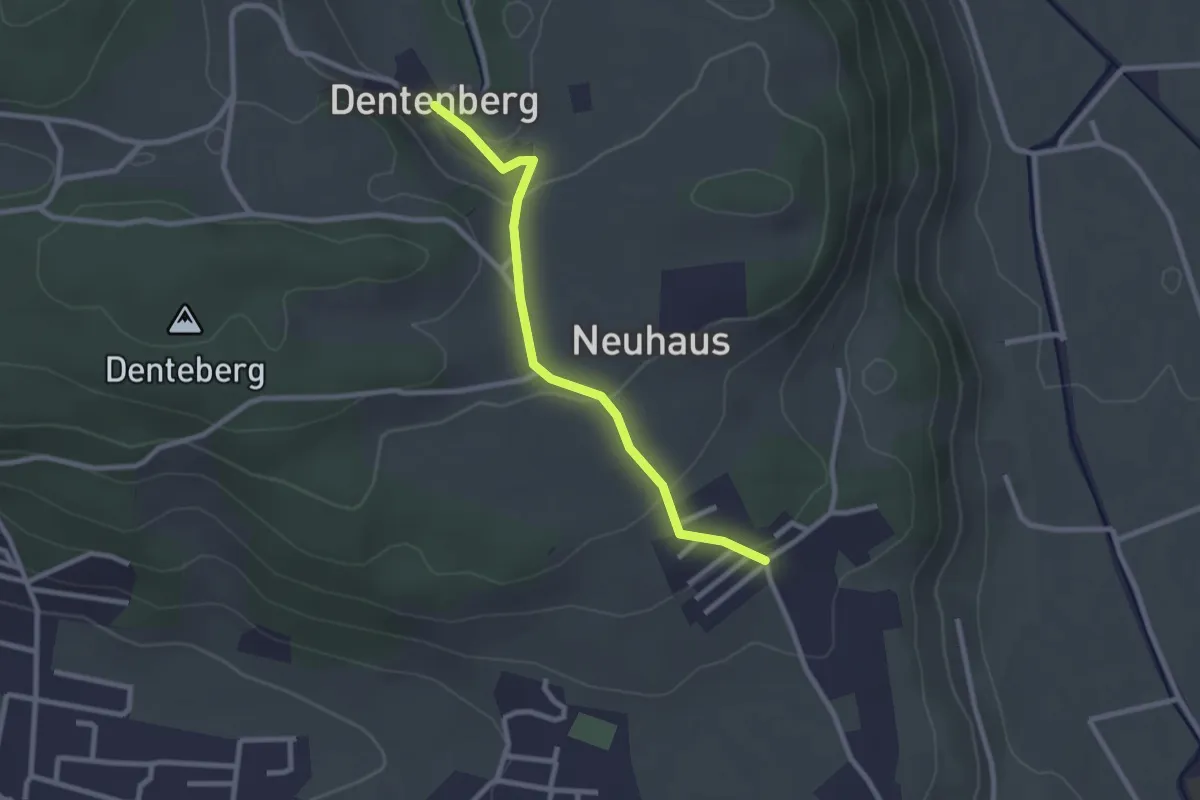
Easy · Trail
Neuhus – Dentenberg
2.4 km · ↑ 80 m · 45 min · 4 km away
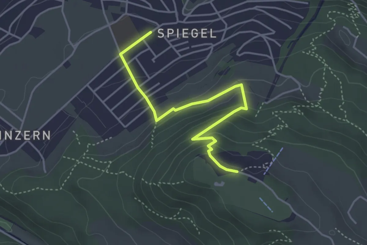
Easy · Trail
Spiegel Zentrum – Gurten Kulm
4.0 km · ↑ 214 m · 1 h 25 min · 4 km away
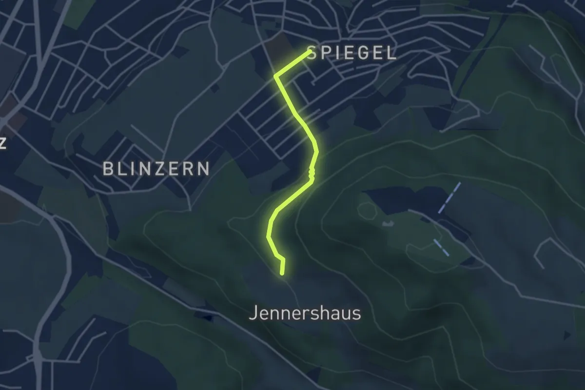
Easy · Trail
Jennerhus - Spiegel Zentrum
2.6 km · ↑ 112 m · 52 min · 4 km away
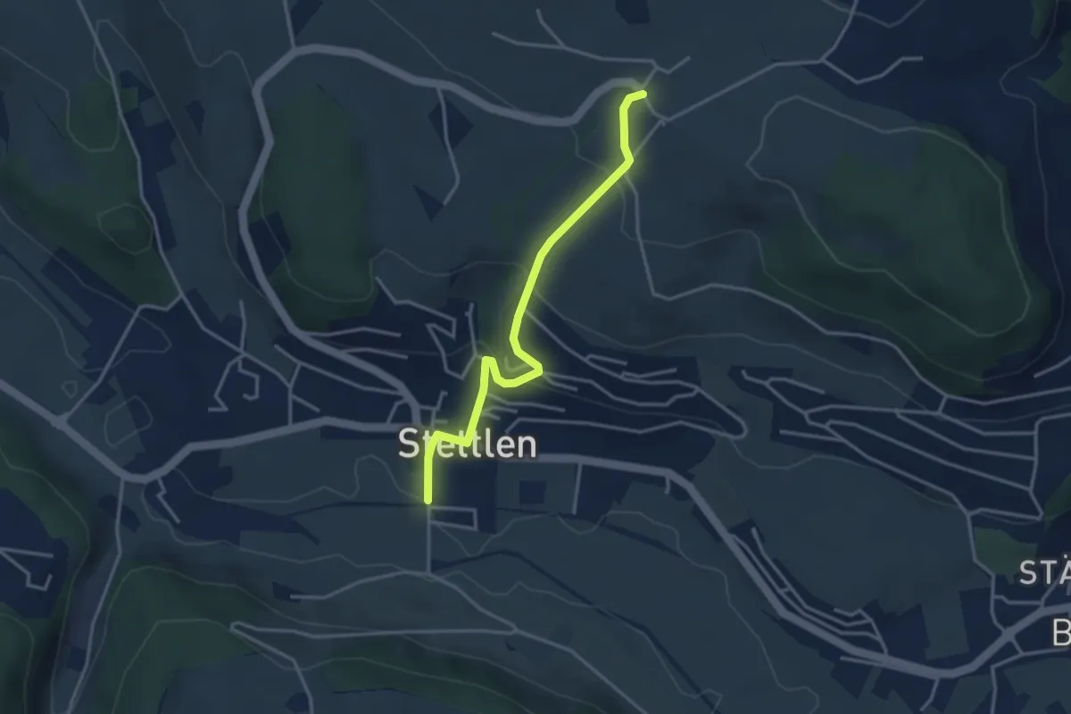
Easy · Trail
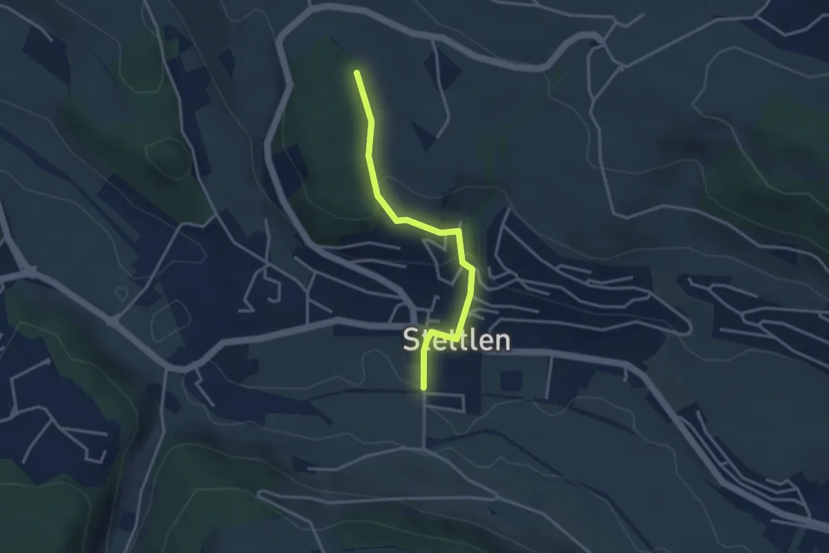
Ferenberg – Stettlen
3.4 km · ↑ 179 m · 1 h 11 min · 4 km away
Easy · Trail
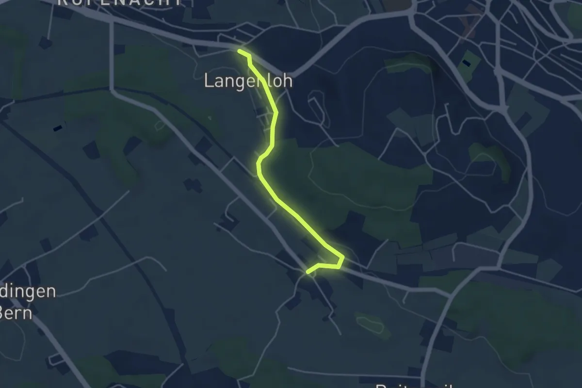
Buechholz – Stettlen
2.8 km · ↑ 115 m · 55 min · 4 km away
Easy · Trail
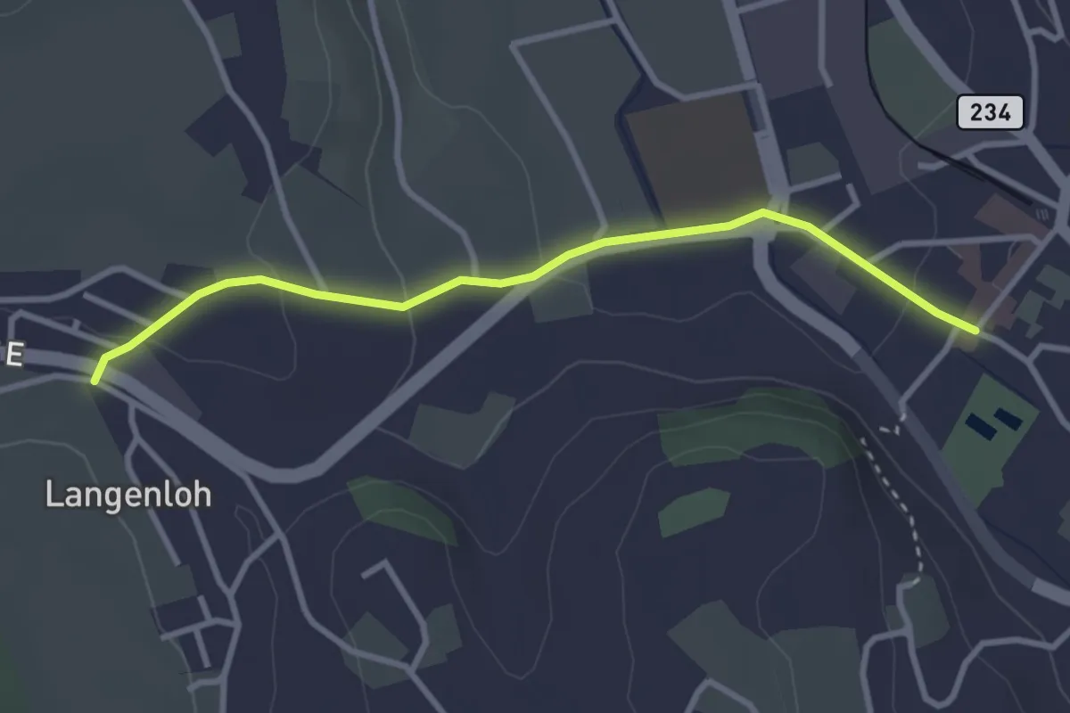
Langenloh – Vielbringen
3.7 km · ↑ 53 m · 59 min · 4 km away
Easy · Trail
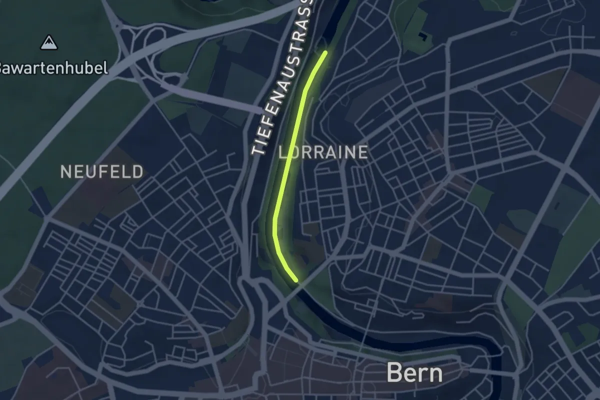
Langenloh – Worb Sternen
3.0 km · ↑ 66 m · 52 min · 4 km away
Easy · Trail
Felsenausteg – Lorrainebrücke
2.8 km · ↑ 5 m · 41 min · 4 km away
Easy · Trail
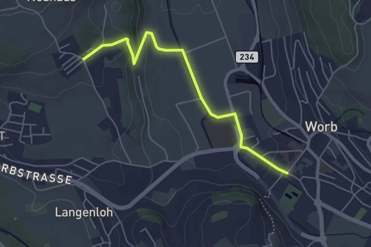
Neuhus – Worb Sternen
4.4 km · ↑ 113 m · 1 h 17 min · 4 km away
Easy · Trail
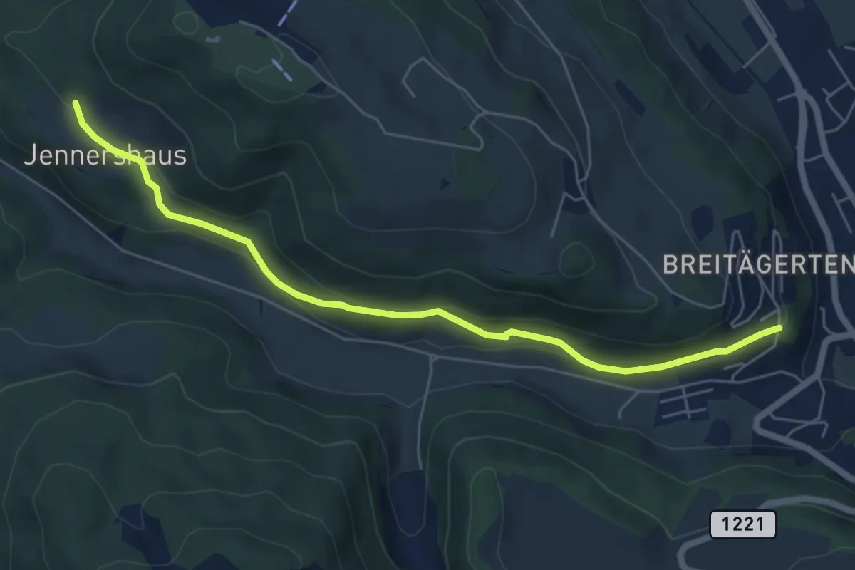
Jennershus - Breitägerte
6.0 km · ↑ 206 m · 1 h 52 min · 4 km away
Easy · Summit
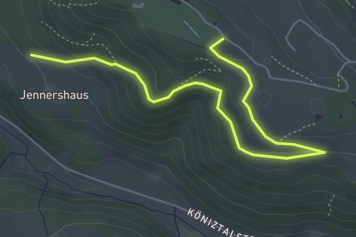
Gurten/Ostsignal – Jennershus
5.3 km · ↑ 188 m · 1 h 40 min · 4 km away
Easy · Trail
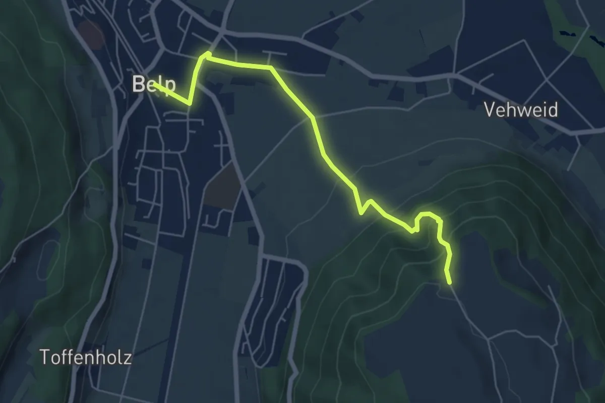
Belp – Hoburg
5.3 km · ↑ 310 m · 1 h 55 min · 4 km away
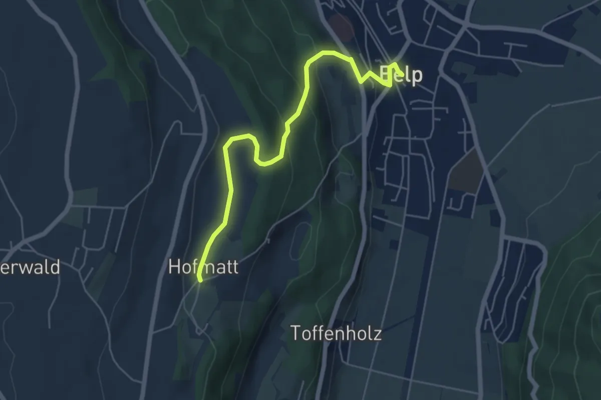
Easy · Trail
Hofmatt – Belp
5.1 km · ↑ 246 m · 1 h 44 min · 4 km away
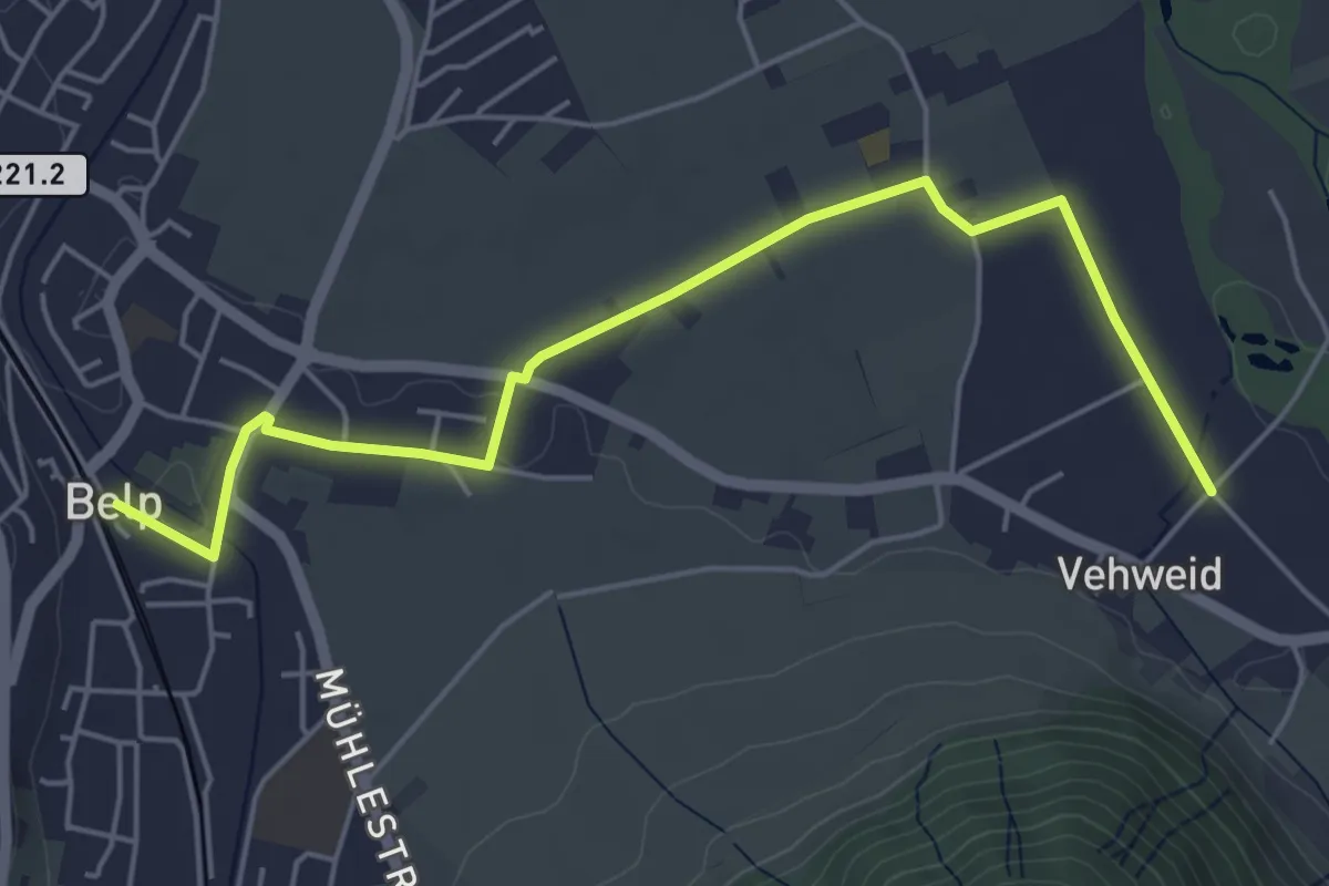
Easy · Trail
Belp – Vehweid
5.7 km · ↑ 9 m · 1 h 21 min · 4 km away
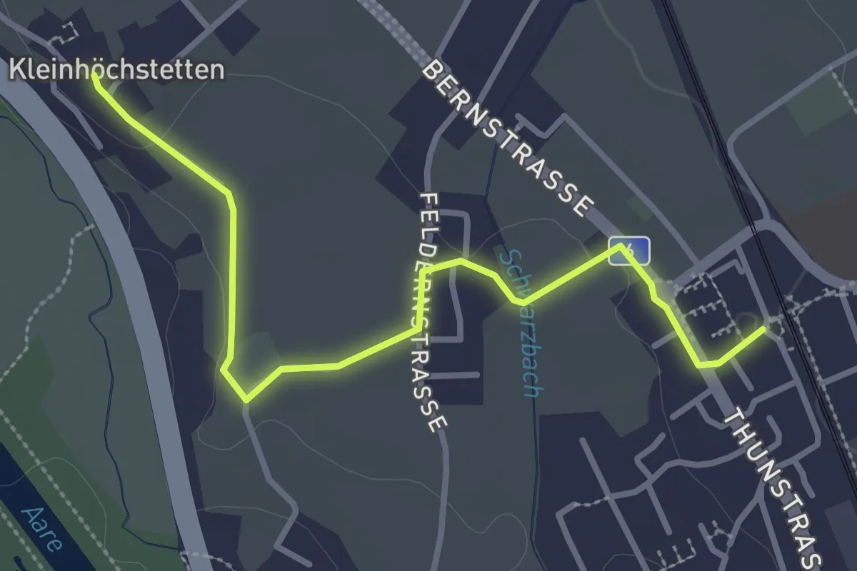
Easy · Trail
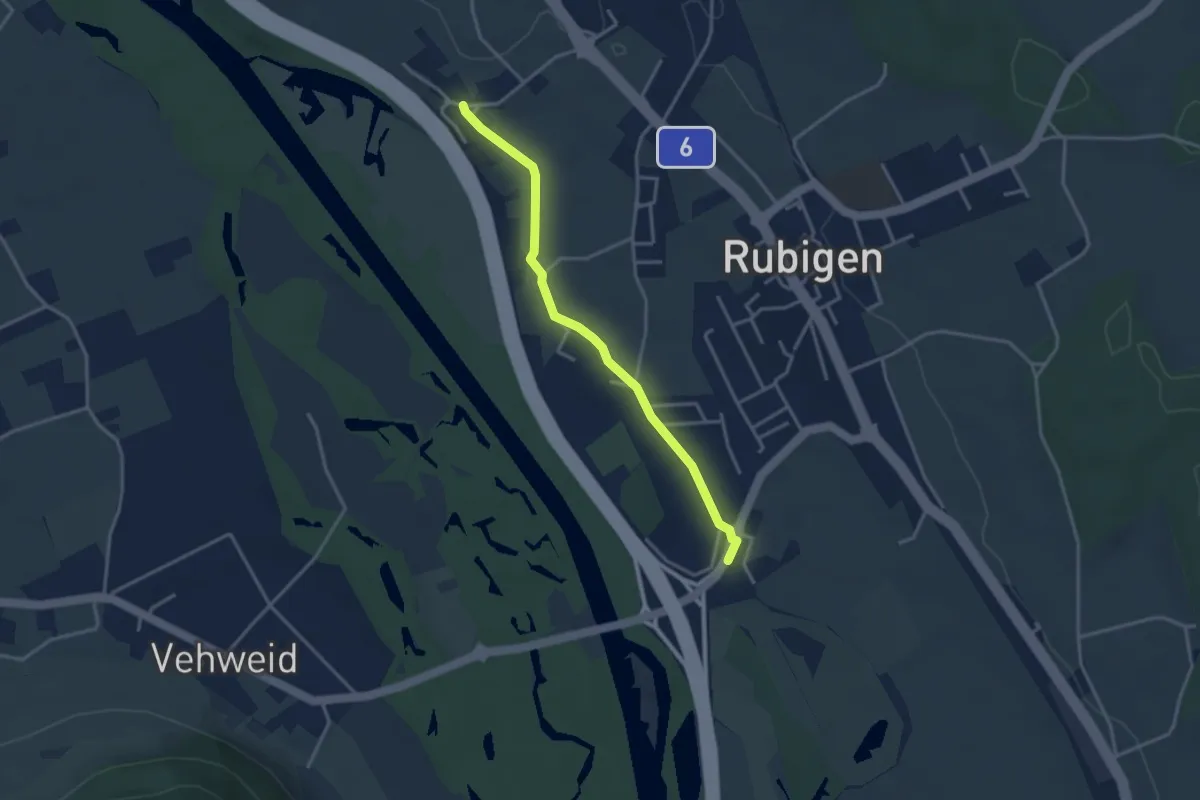
Rubigen - Kleinhöchstetten
3.3 km · ↑ 31 m · 50 min · 4 km away
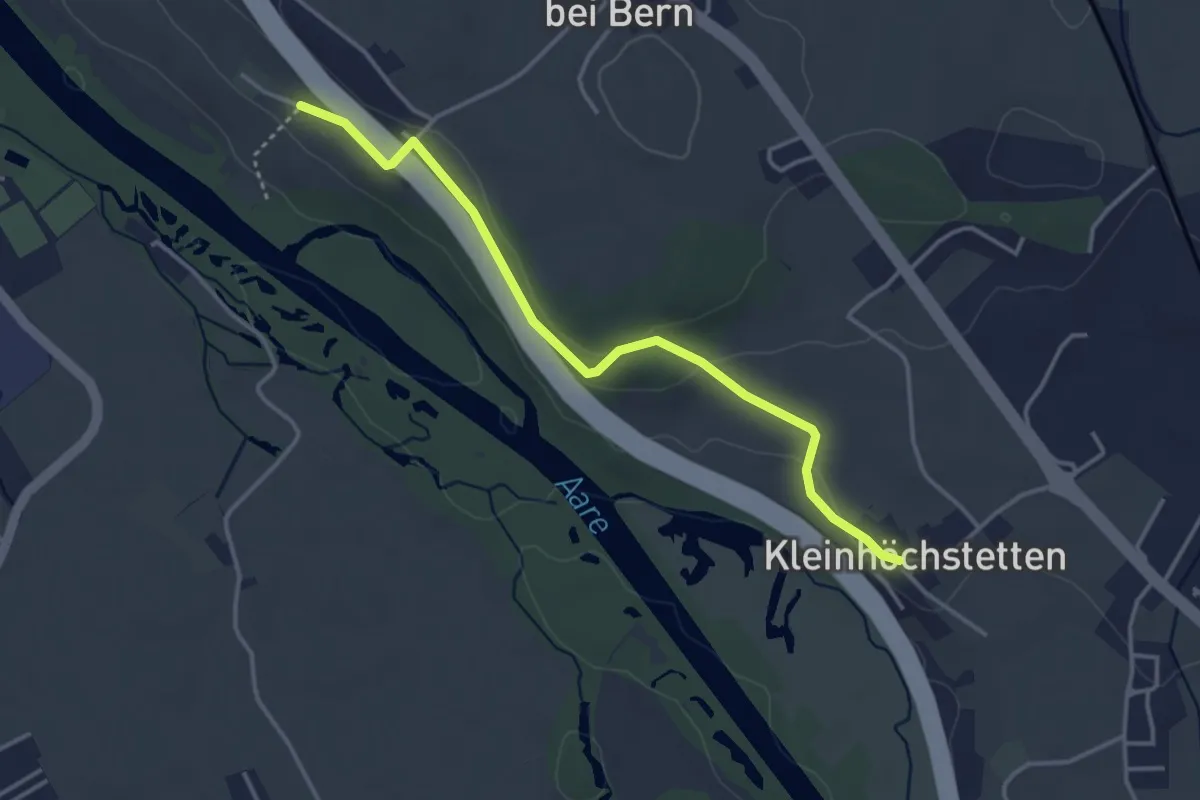
Easy · Trail
Kleinhöchstetten – Hinter Märchligen
3.7 km · ↑ 92 m · 1 h 5 min · 4 km away
Easy · Trail
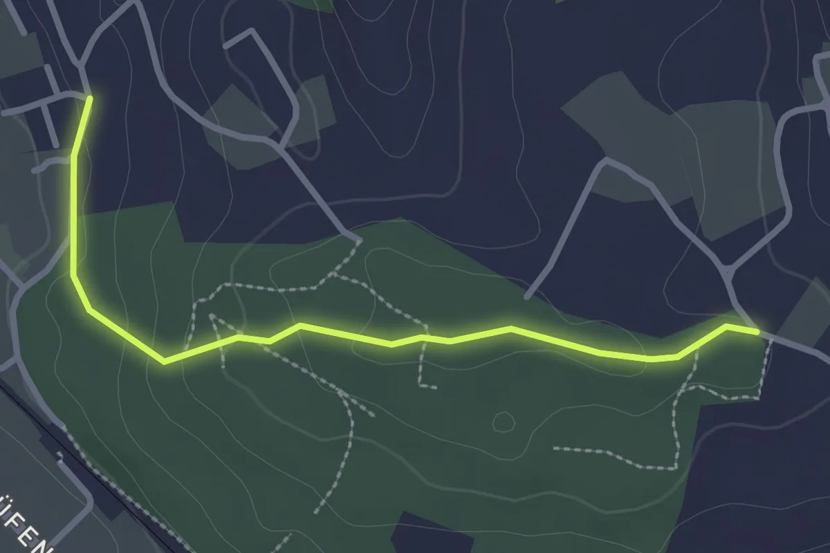
Kleinhöchstetten – Hunziken
3.2 km · ↑ 23 m · 49 min · 4 km away
Easy · Trail
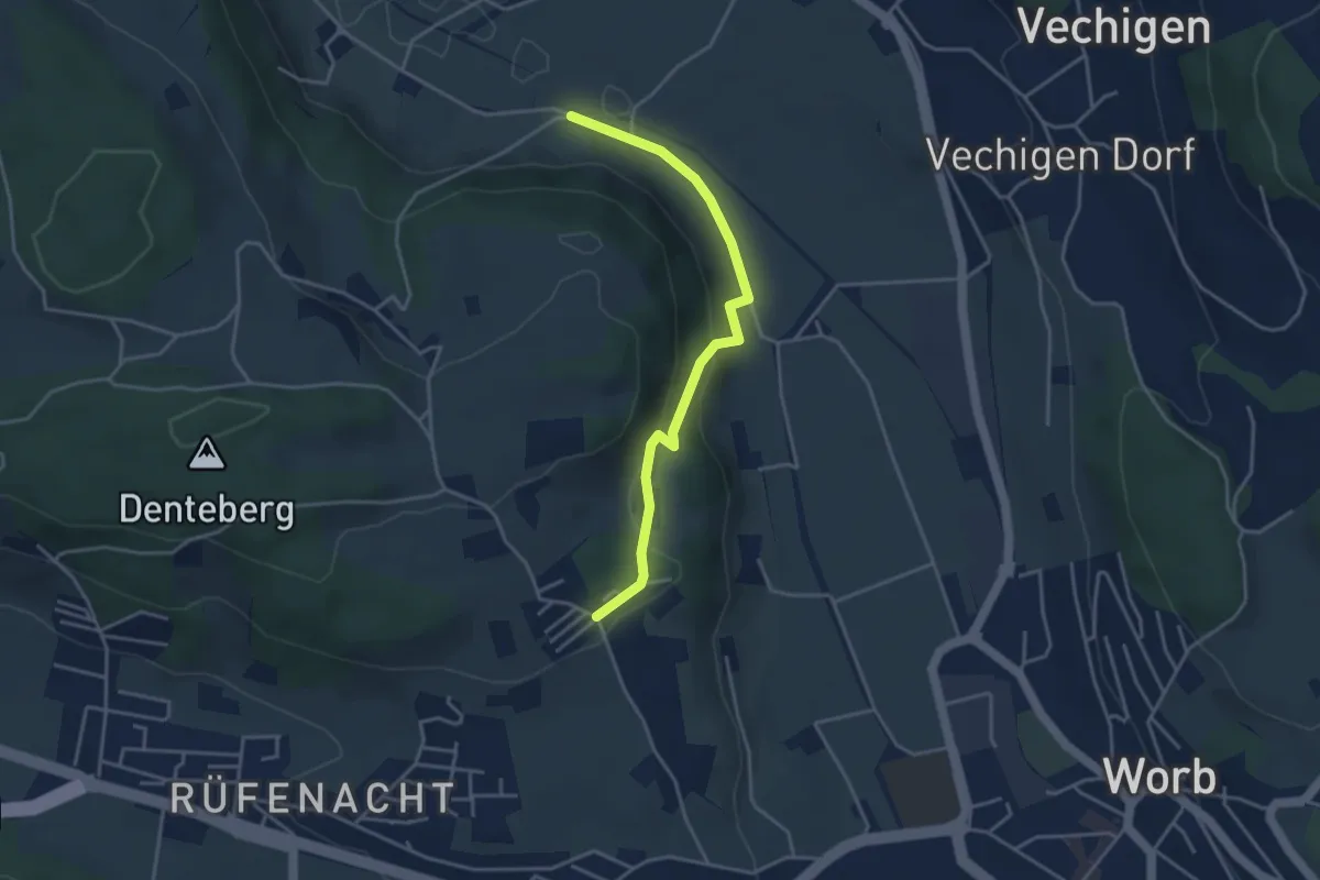
Langenloh-Wislen
2.6 km · ↑ 70 m · 46 min · 5 km away
Easy · Trail
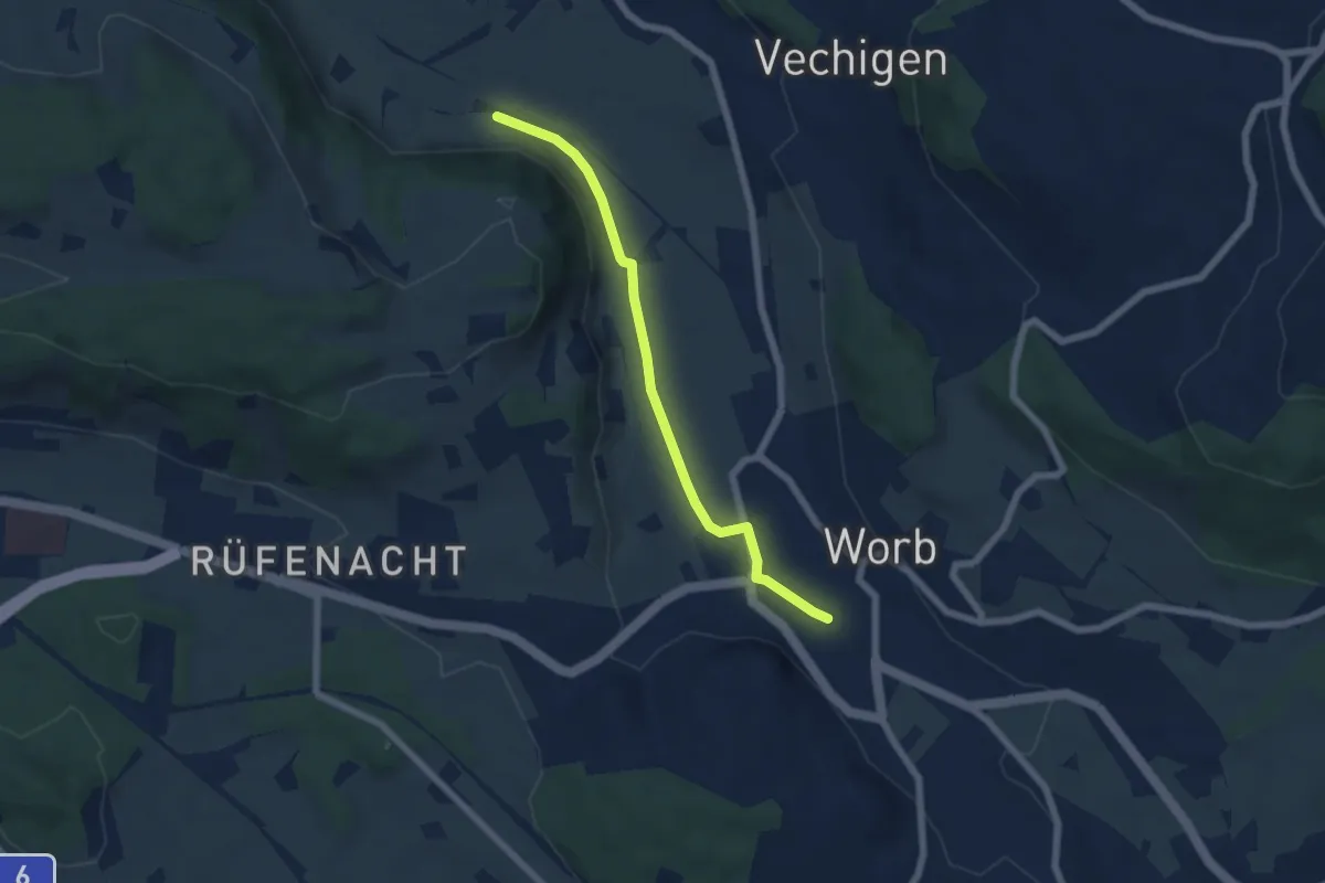
Nesselbank - Neuhus
3.8 km · ↑ 126 m · 1 h 10 min · 5 km away
Easy · Trail
Nesselbank - Worb Sternen
5.6 km · ↑ 31 m · 1 h 24 min · 5 km away
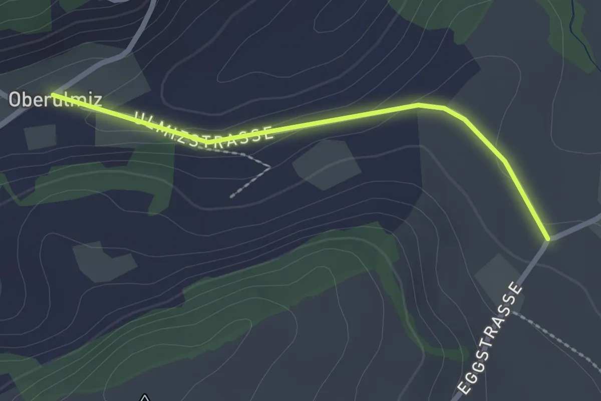
Easy · Trail
Oberulmiz – Kühlewil/Gütsch
2.0 km · ↑ 29 m · 32 min · 5 km away
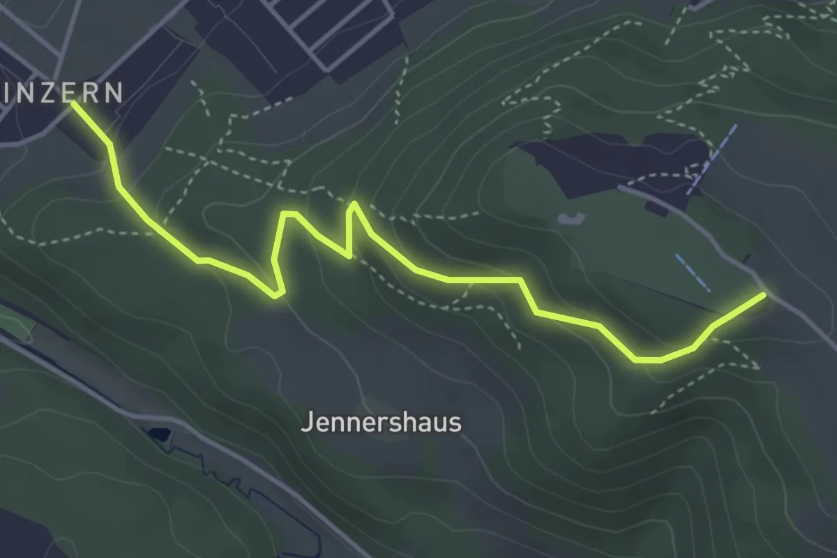
Easy · Summit
Blinzern – Gurten/Ostsignal
4.2 km · ↑ 238 m · 1 h 31 min · 5 km away
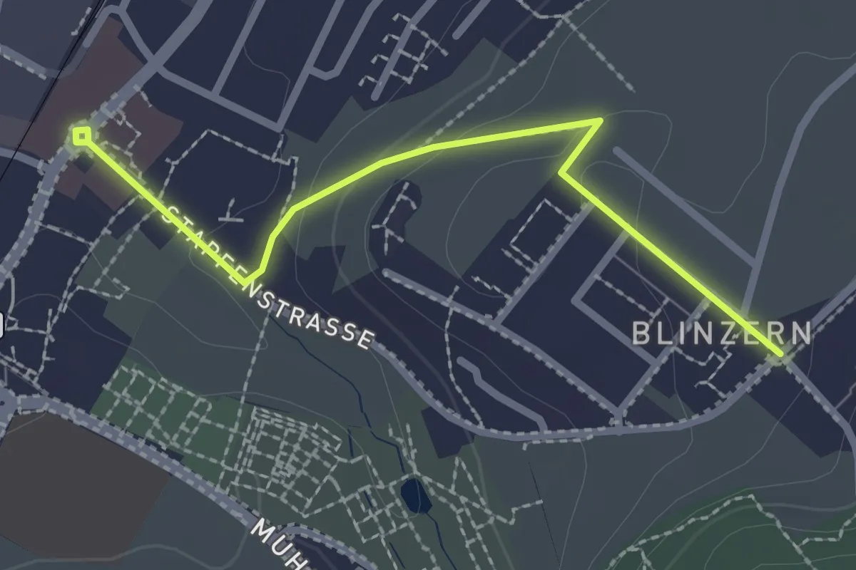
Easy · Trail
Köniz - Blinzeren
2.3 km · ↑ 49 m · 39 min · 5 km away
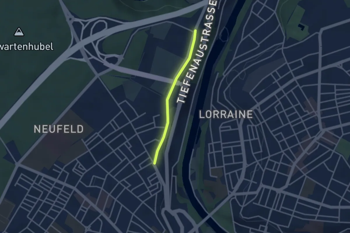
Easy · Trail
Bierhübeli – Äussere Enge
2.2 km · ↑ 9 m · 32 min · 5 km away
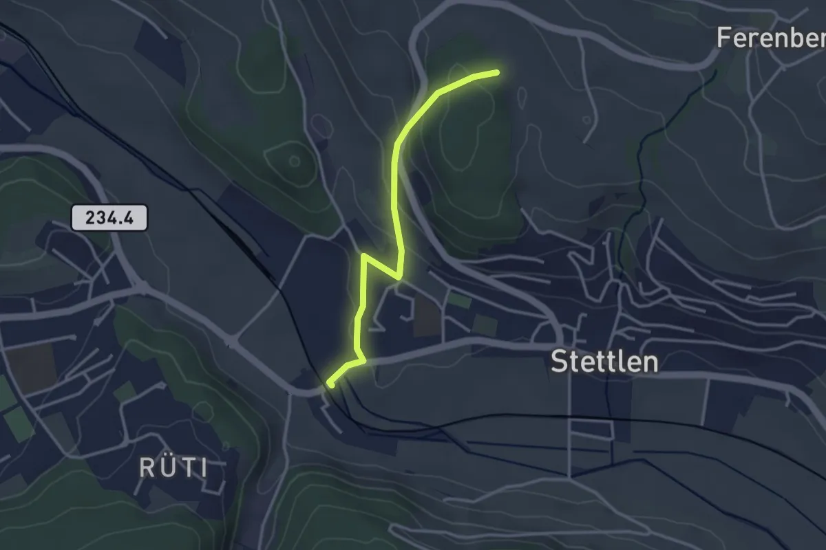
Easy · Trail
Buechholz – Deisswil
2.8 km · ↑ 135 m · 57 min · 5 km away
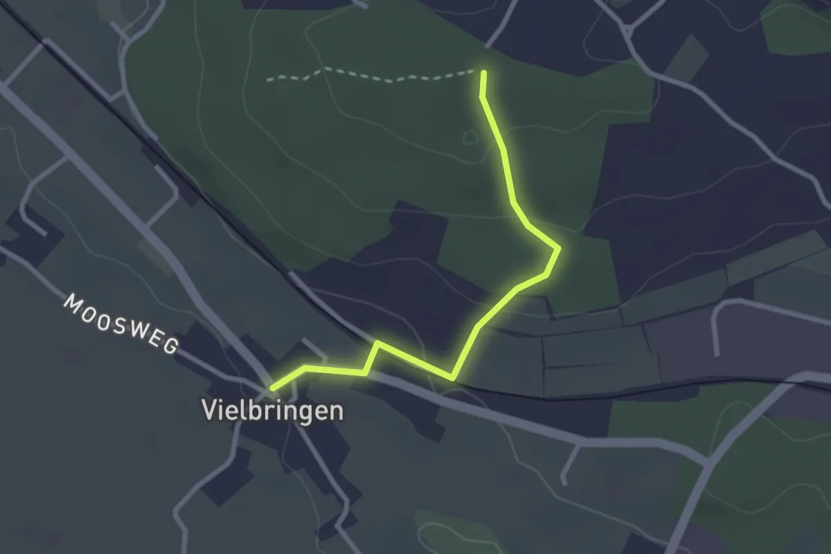
Easy · Trail
Vielbringen – Wislenwald
2.4 km · ↑ 85 m · 44 min · 5 km away
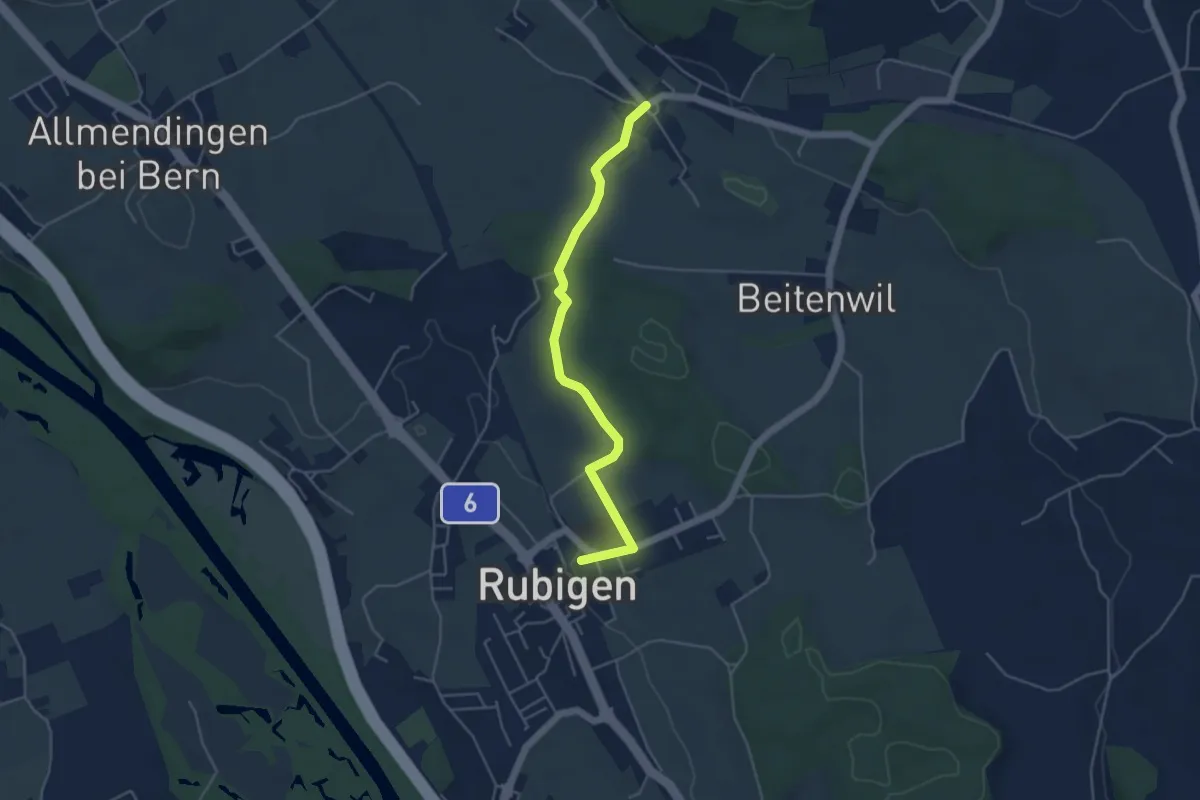
Easy · Trail
Rubigen – Vielbringen
4.6 km · ↑ 75 m · 1 h 15 min · 5 km away
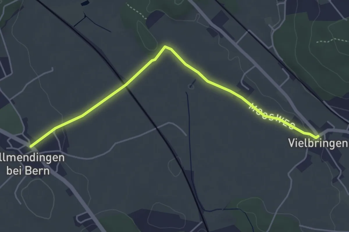
Easy · Trail
Allmendingen – Vielbringen
4.6 km · ↑ 32 m · 1 h 9 min · 5 km away
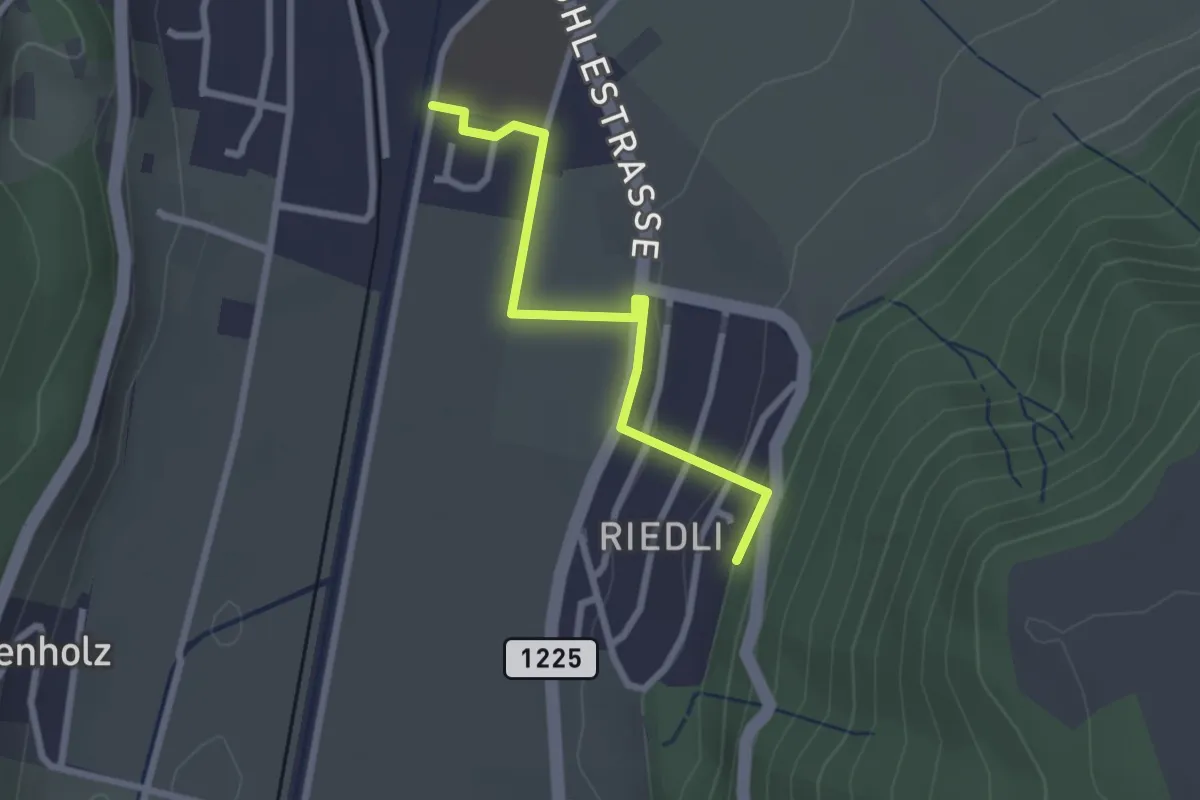
Easy · Trail
Belp – Riedli
2.4 km · ↑ 63 m · 42 min · 5 km away
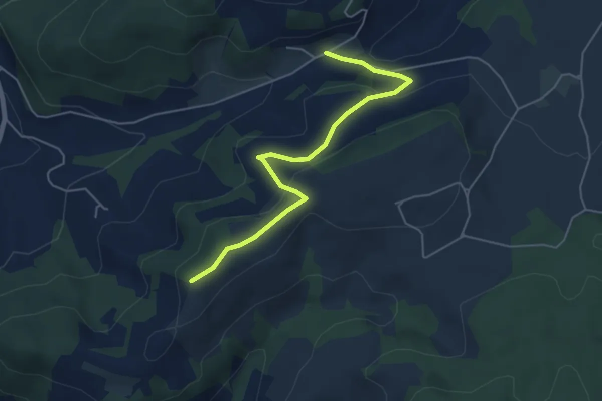
Easy · Trail
Oberulmiz – Zingghöch
4.4 km · ↑ 181 m · 1 h 26 min · 5 km away
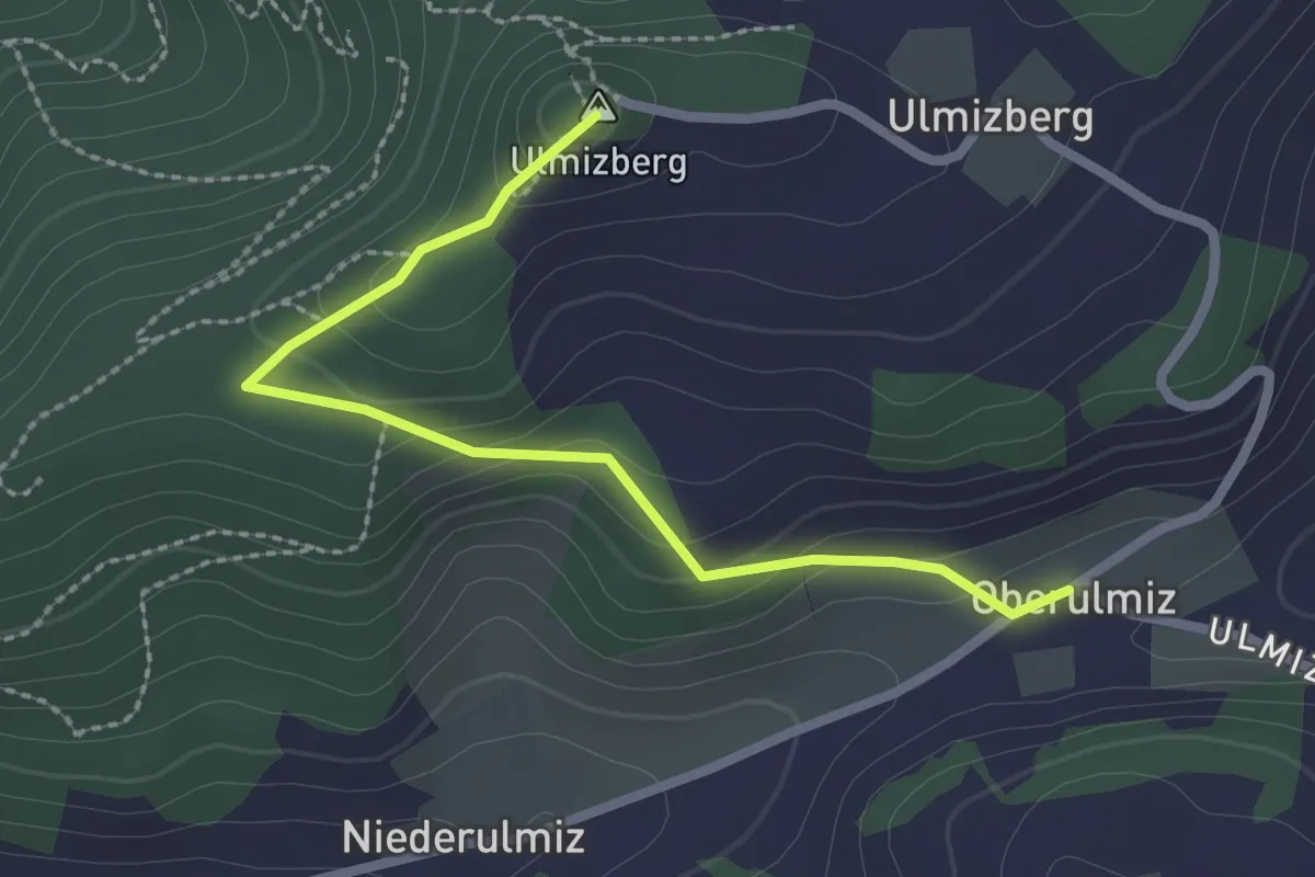
Easy · Summit
Ulmizberg – Oberulmiz
2.5 km · ↑ 118 m · 50 min · 5 km away
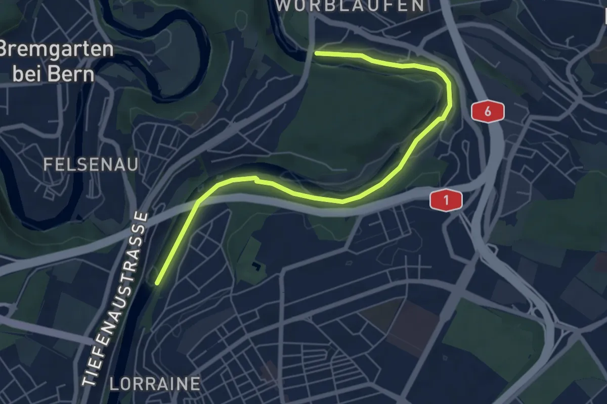
Easy · Trail
Tiefenaubrücke – Felsenausteg
6.4 km · ↑ 56 m · 1 h 38 min · 5 km away
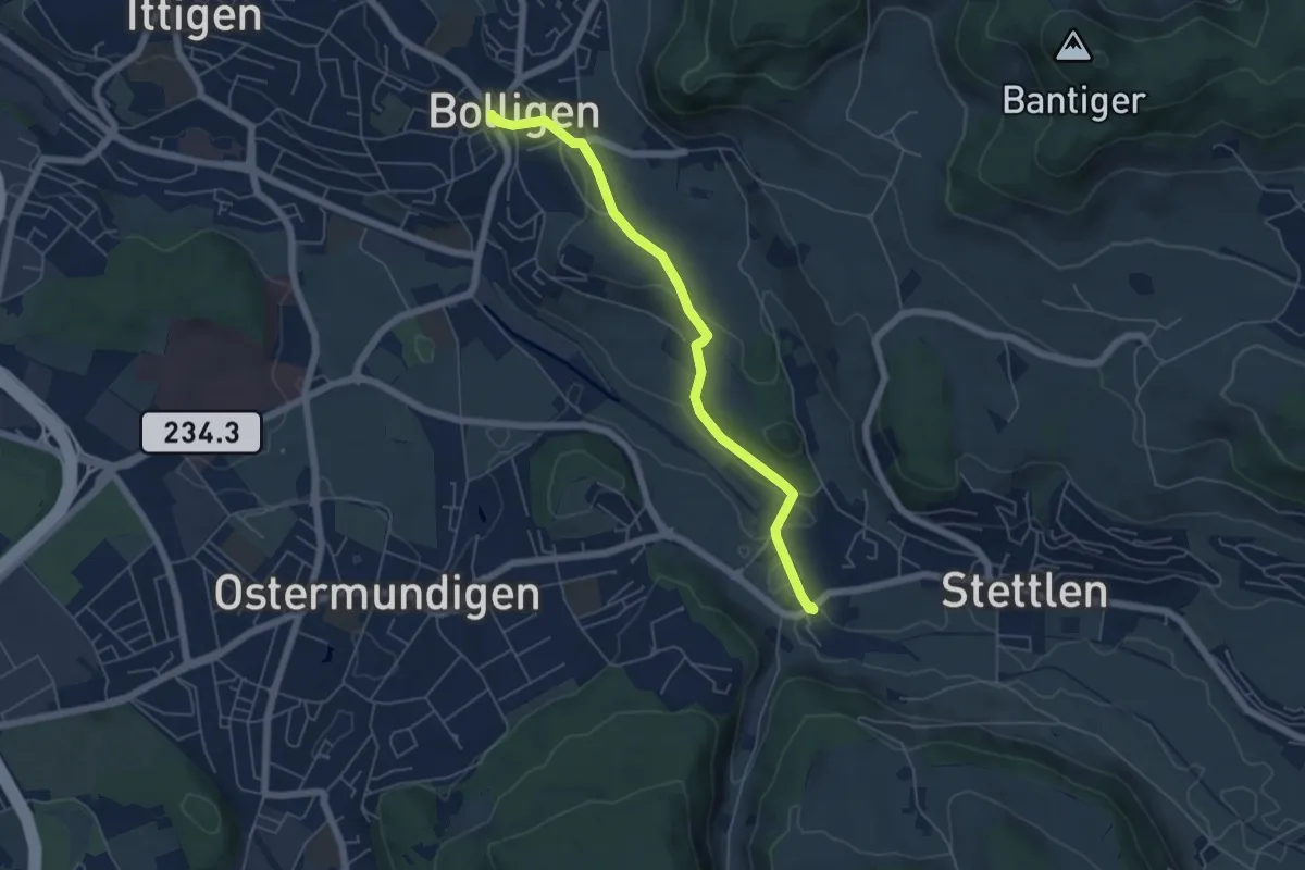
Easy · Trail
Bolligen / Sternen – Deisswil
5.4 km · ↑ 90 m · 1 h 29 min · 5 km away
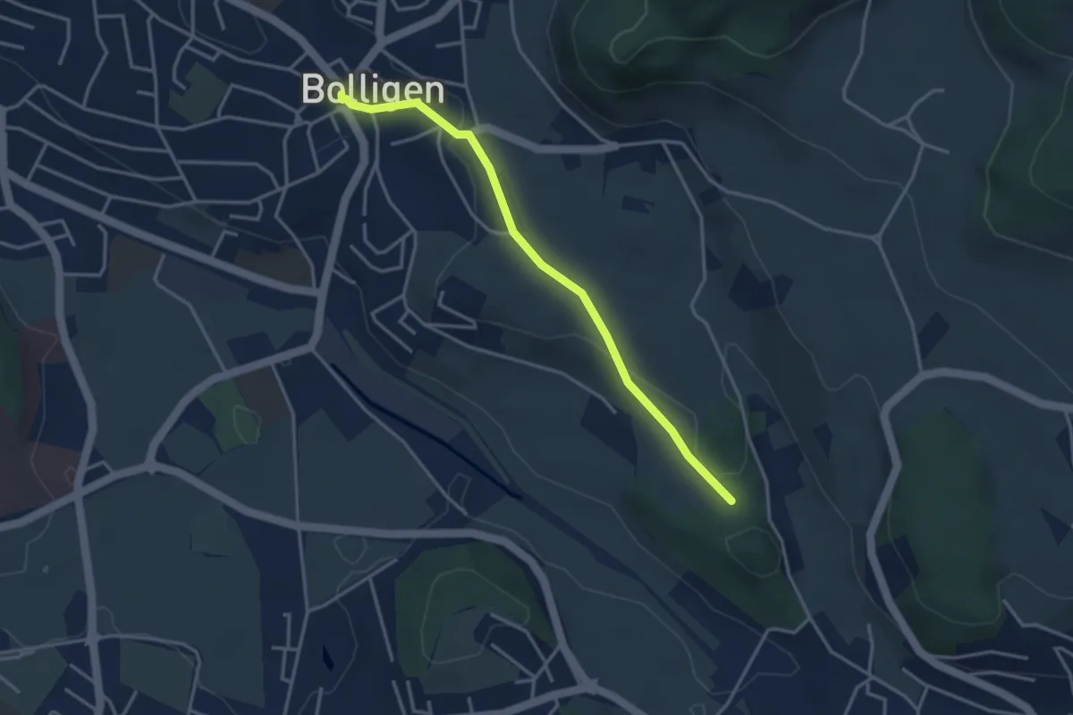
Easy · Trail
Bolligen / Sternen – Schwandiholz
3.4 km · ↑ 53 m · 55 min · 5 km away
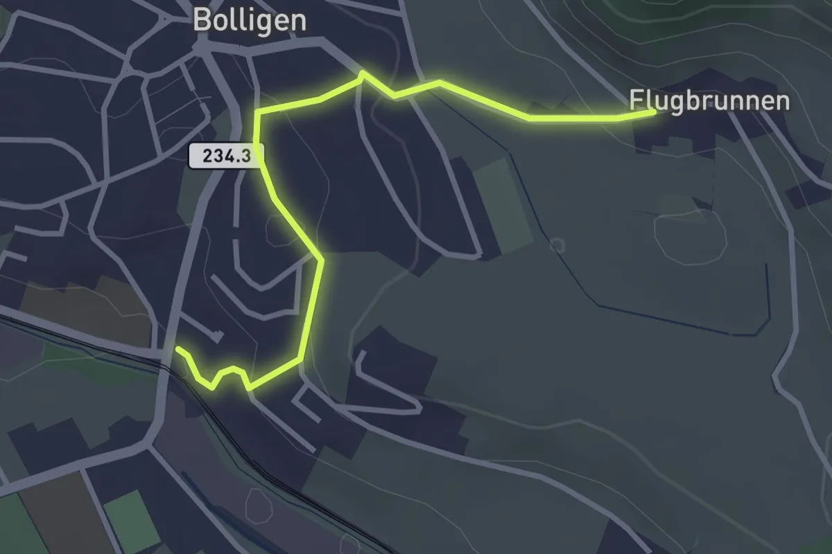
Easy · Trail
Flugbrunnen – Bolligen
2.9 km · ↑ 87 m · 53 min · 5 km away
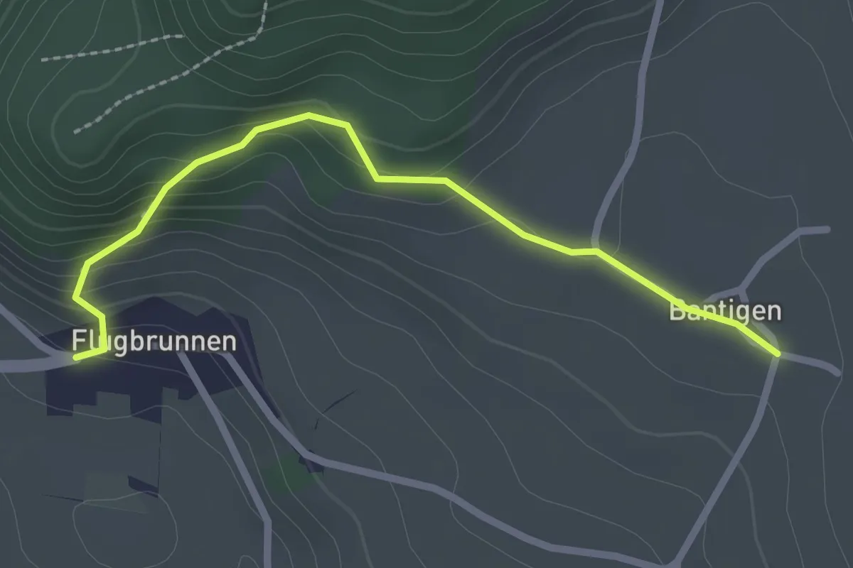
Easy · Trail
Bantigen – Flugbrunnen
2.3 km · ↑ 151 m · 53 min · 5 km away