Trails near Muri bei Bern
500 hikes starting within 15 km, nearest first.
Nearest first, page 3 of 11
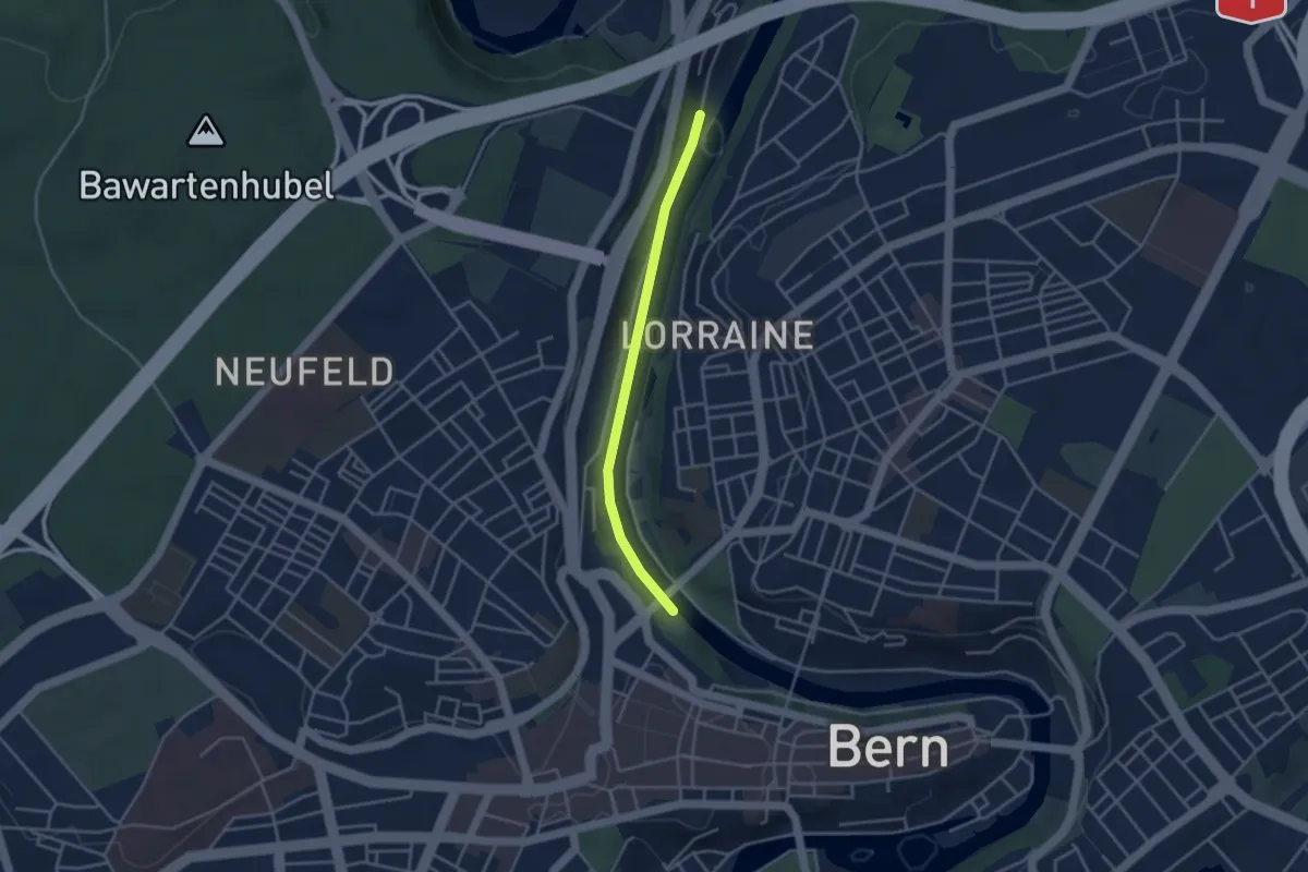
Easy · Trail
Blutturm – Stauwehr Felsenau
3.3 km · ↑ 60 m · 55 min · 5 km away
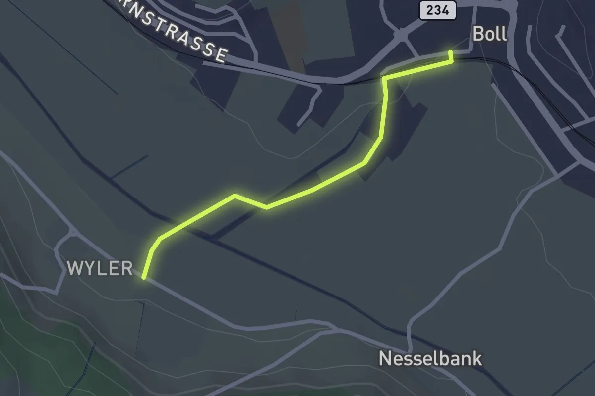
Easy · Trail
Boll - Wiler
2.1 km · ↑ 8 m · 31 min · 5 km away
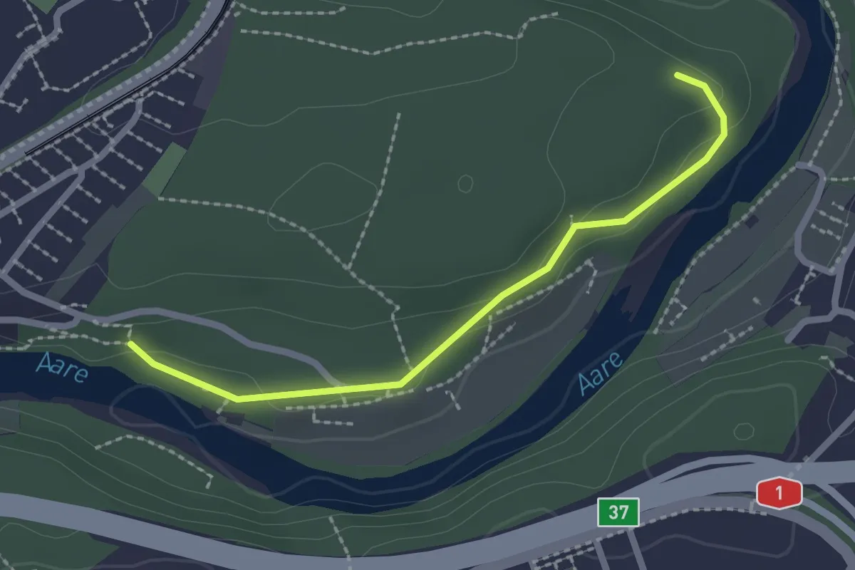
Easy · Trail
Aaregg – Thormeboden
2.1 km · ↑ 30 m · 34 min · 5 km away
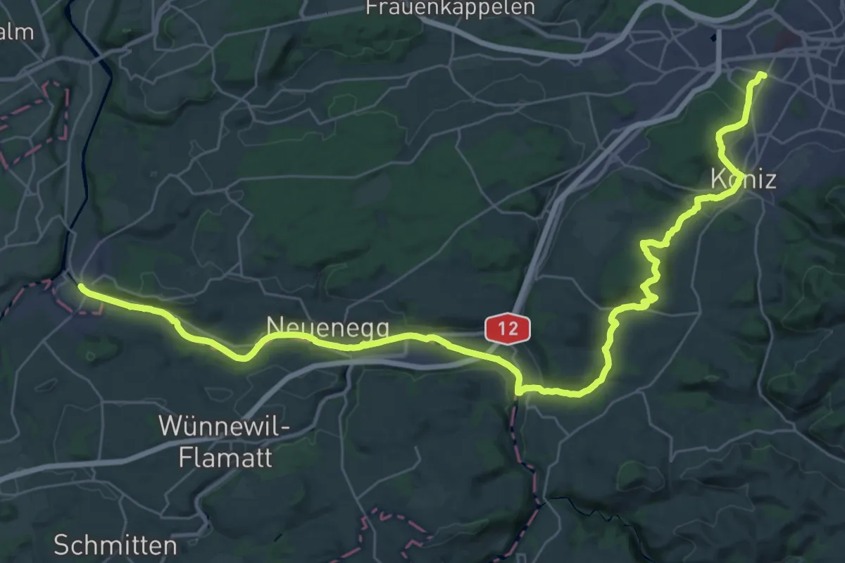
Demanding · Trail
Trans Swiss Trail
21.7 km · ↑ 317 m · 6 h 9 min · 5 km away
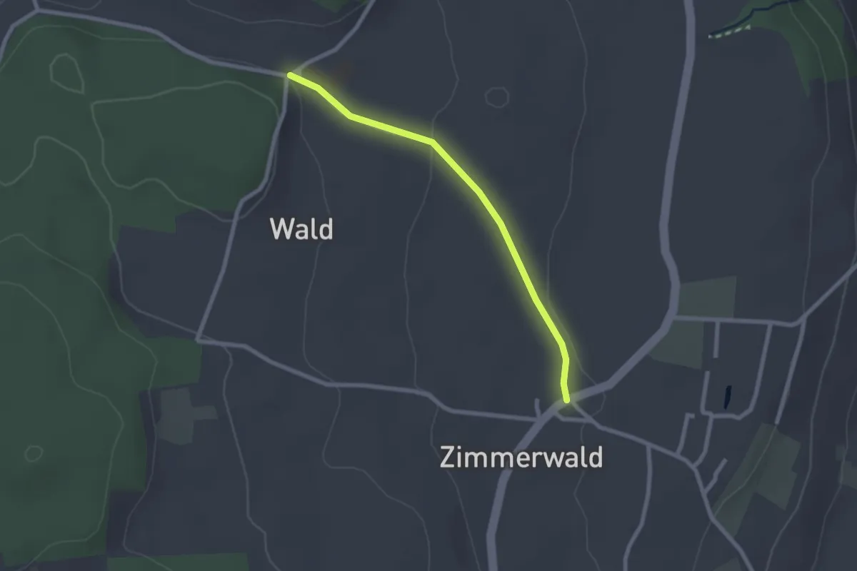
Easy · Trail
Zimmerwald – Undere Wald
2.1 km · ↑ 37 m · 35 min · 5 km away
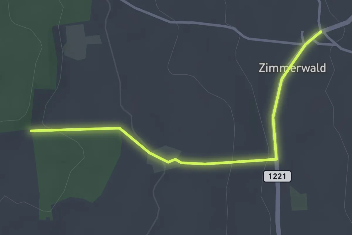
Easy · Trail
Allmid – Zimmerwald
3.0 km · ↑ 84 m · 53 min · 5 km away
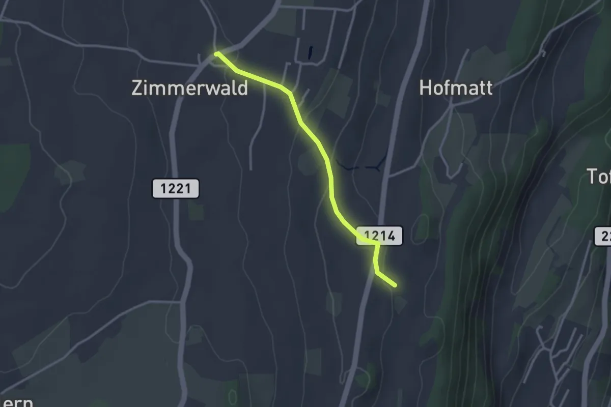
Easy · Trail
Zimmerwald – Rossweid
2.6 km · ↑ 64 m · 45 min · 5 km away
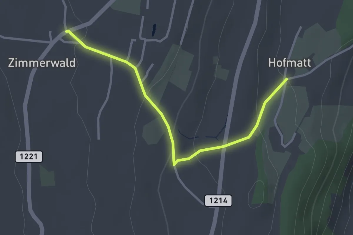
Easy · Trail
Zimmerwald – Hofmatt
2.9 km · ↑ 102 m · 54 min · 5 km away
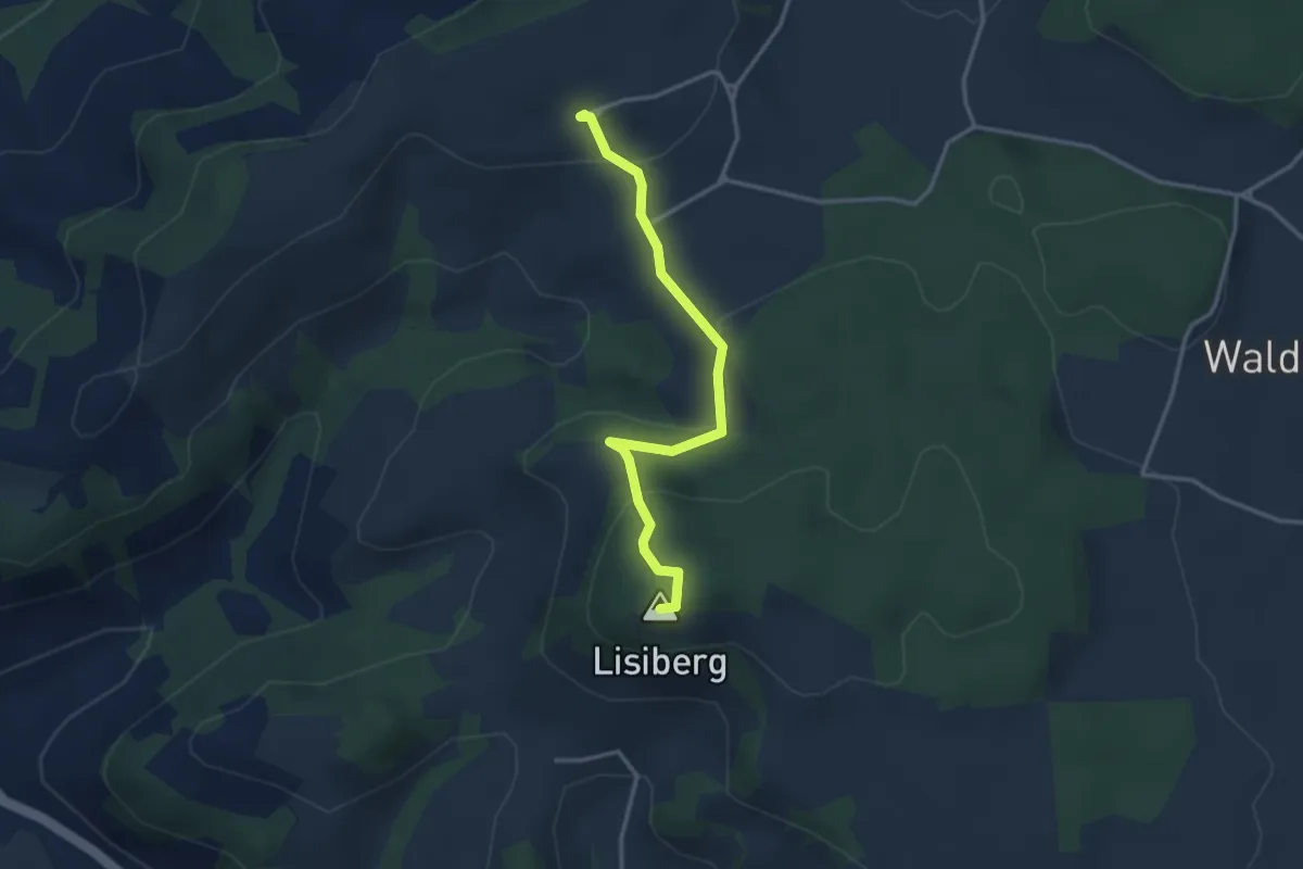
Easy · Summit
Egg - Lisiberg
3.2 km · ↑ 149 m · 1 h 4 min · 5 km away
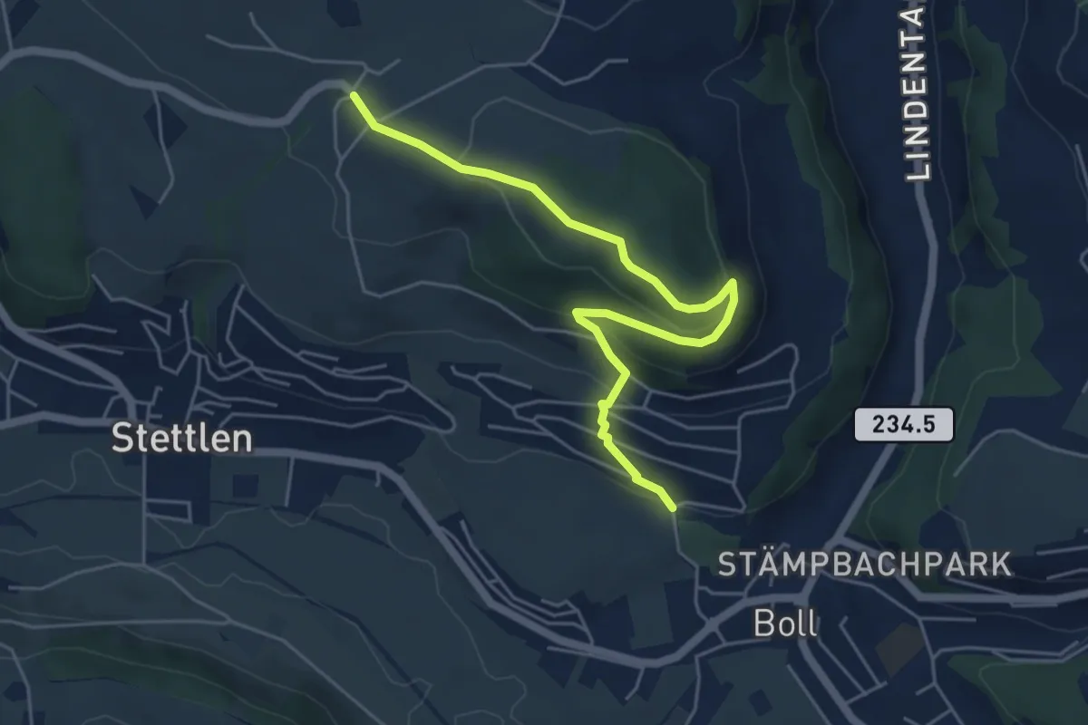
Easy · Trail
Ferenberg – Sinneringen
5.4 km · ↑ 245 m · 1 h 48 min · 5 km away
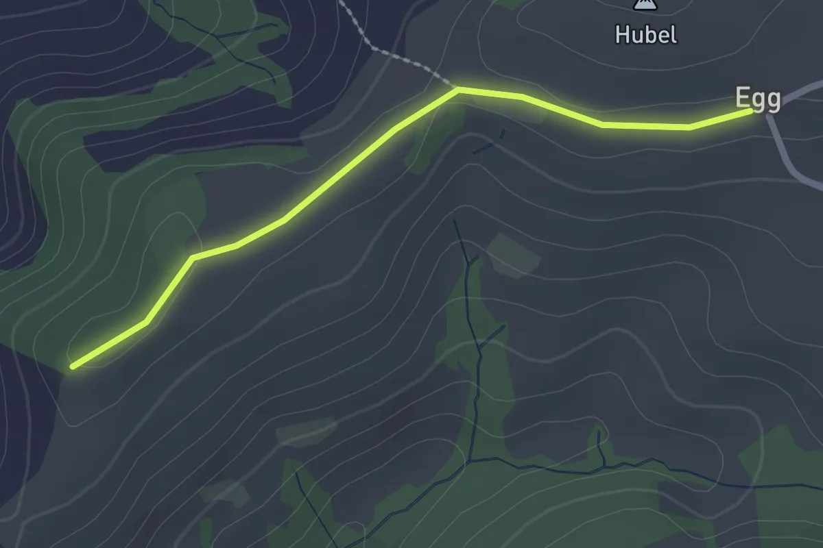
Easy · Trail
Egg – Zingghöch
2.1 km · ↑ 35 m · 34 min · 5 km away
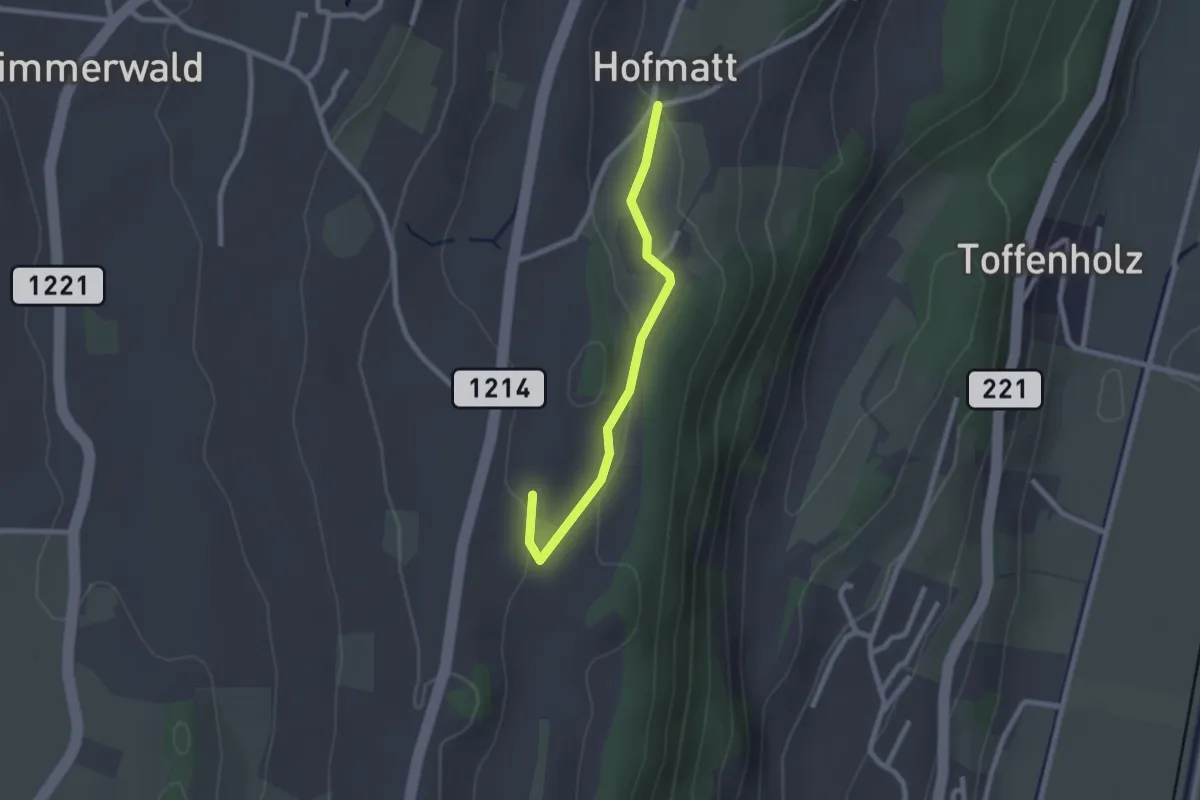
Easy · Trail
Hofmatt – Rossweid
2.1 km · ↑ 34 m · 35 min · 5 km away
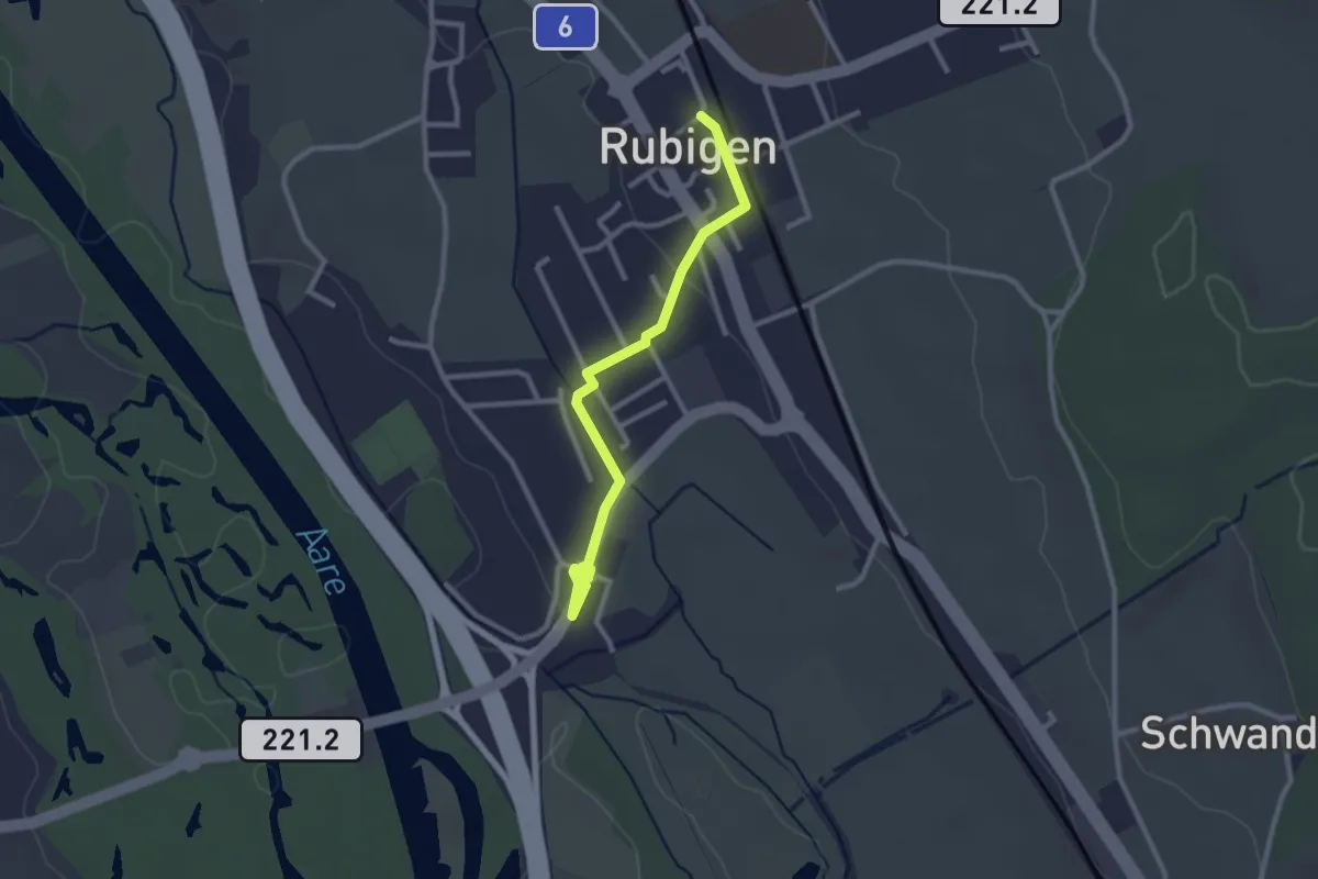
Easy · Trail
Rubigen – Hunziken
2.6 km · ↑ 24 m · 40 min · 5 km away
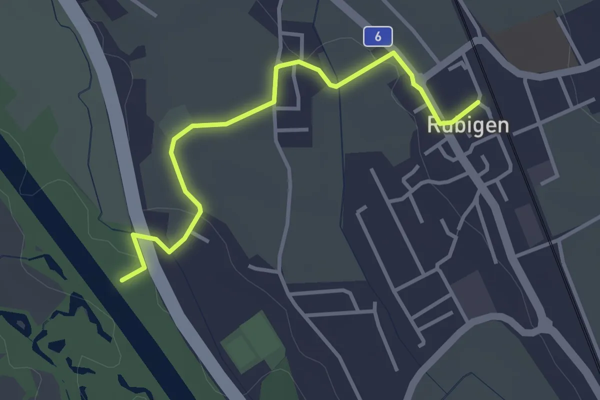
Easy · Trail
Rubigen - ?
3.2 km · ↑ 28 m · 49 min · 5 km away
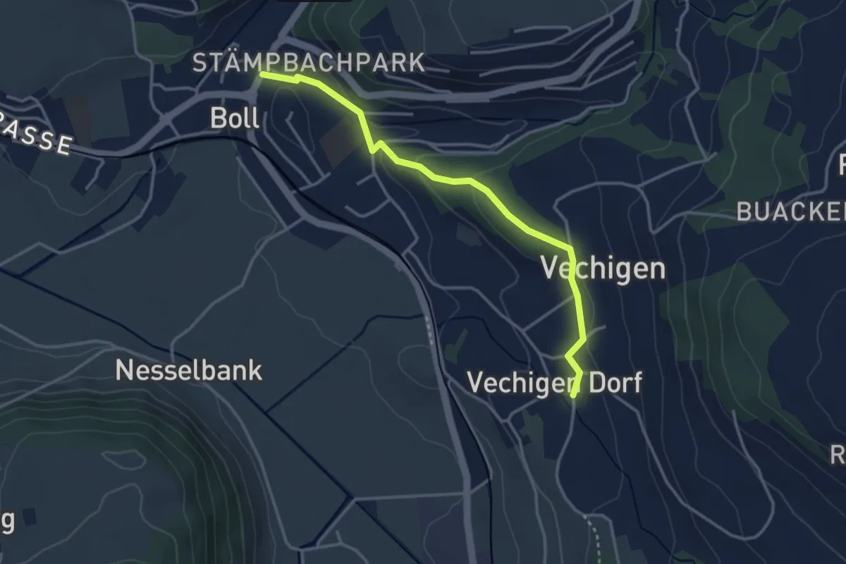
Easy · Trail
Boll – Vechigen
3.4 km · ↑ 74 m · 57 min · 6 km away
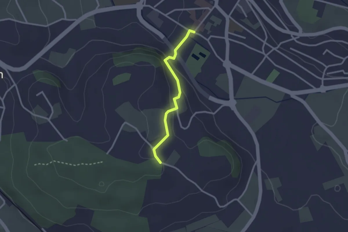
Easy · Trail
Wislen – Worb
2.1 km · ↑ 78 m · 40 min · 6 km away
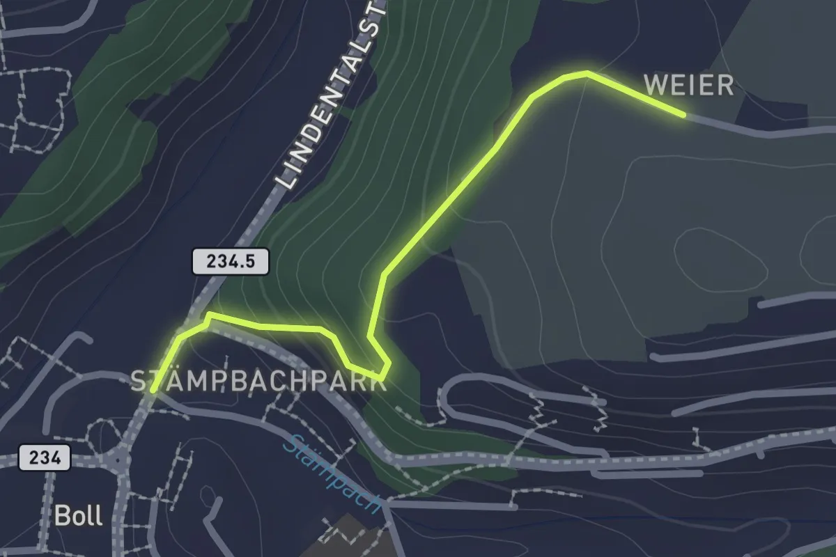
Easy · Trail
Boll - Weier
2.0 km · ↑ 113 m · 43 min · 6 km away
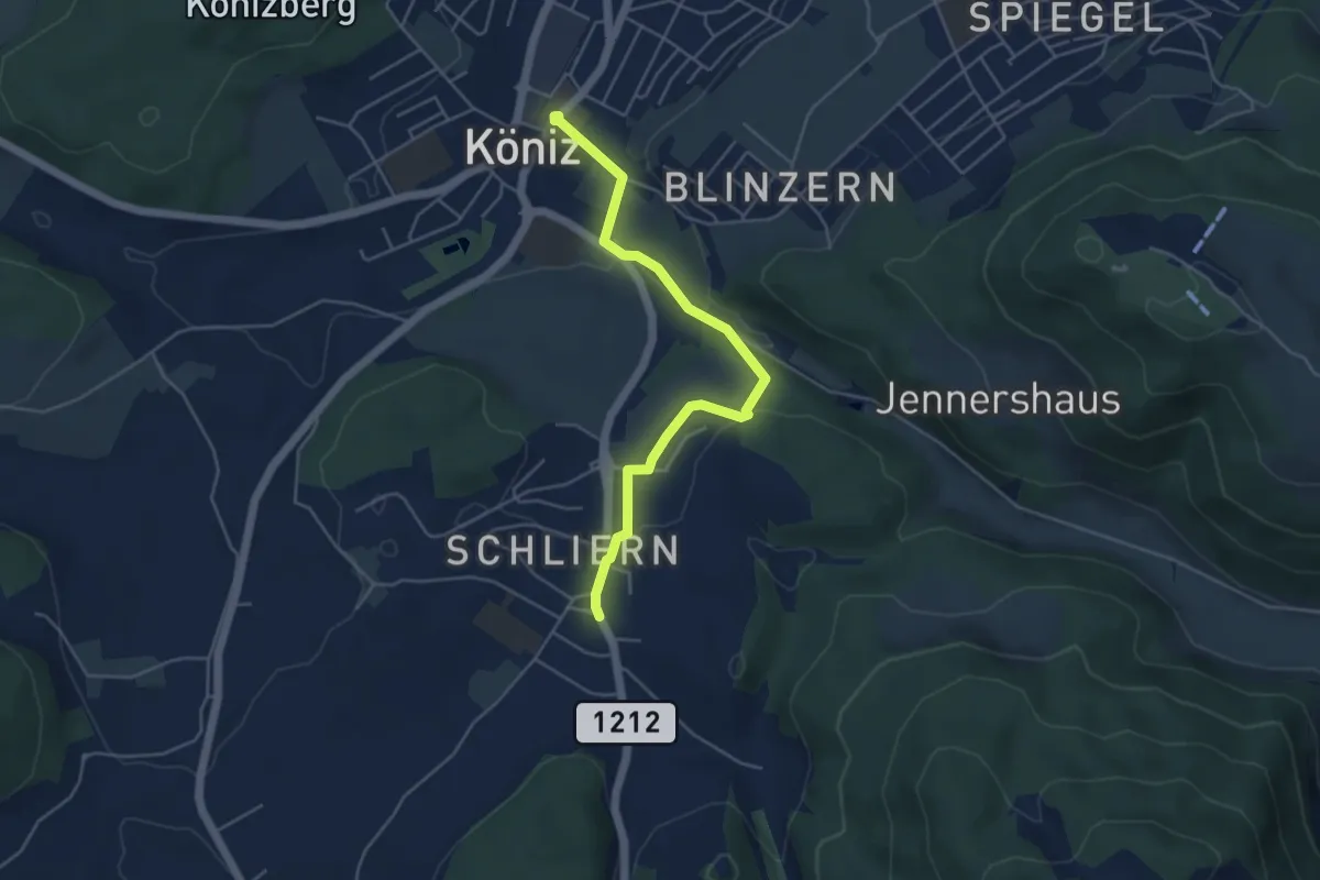
Easy · Trail
Schliern - Köniz
4.8 km · ↑ 145 m · 1 h 27 min · 6 km away
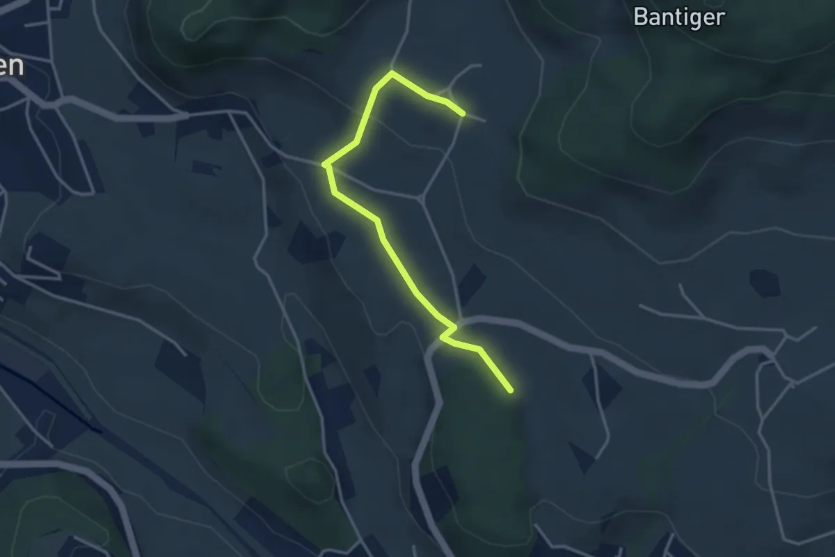
Easy · Trail
Bantigen – Buecholz
3.3 km · ↑ 57 m · 54 min · 6 km away
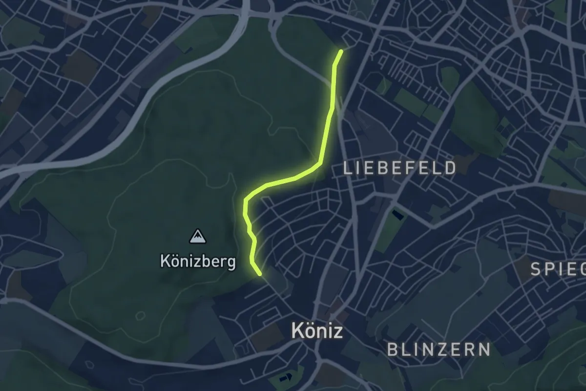
Easy · Trail
Köniz/Ober Buchsee - Fischermätteli
3.8 km · ↑ 89 m · 1 h 5 min · 6 km away
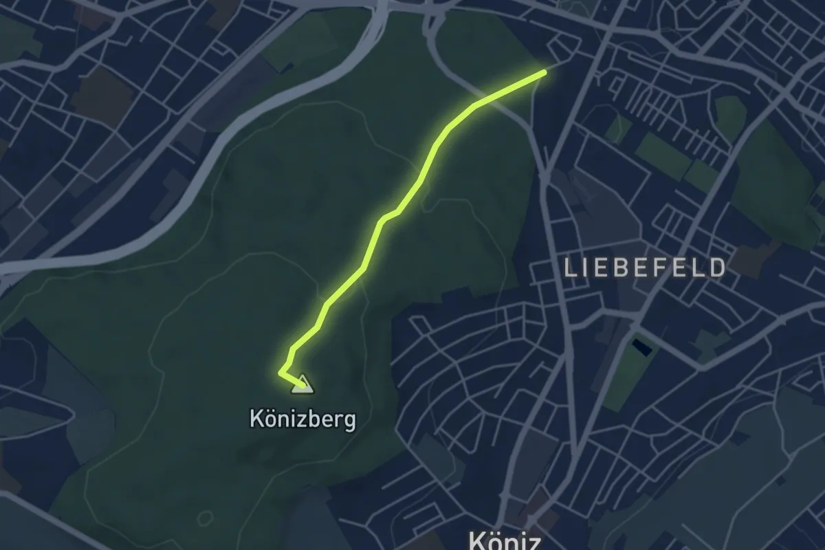
Easy · Summit
Fischermätteli - Könizberg/Stärn
3.5 km · ↑ 126 m · 1 h 7 min · 6 km away
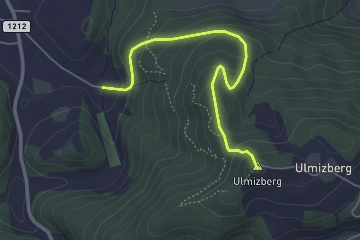
Easy · Summit
Ulmizberg - Platten
4.2 km · ↑ 291 m · 1 h 38 min · 6 km away
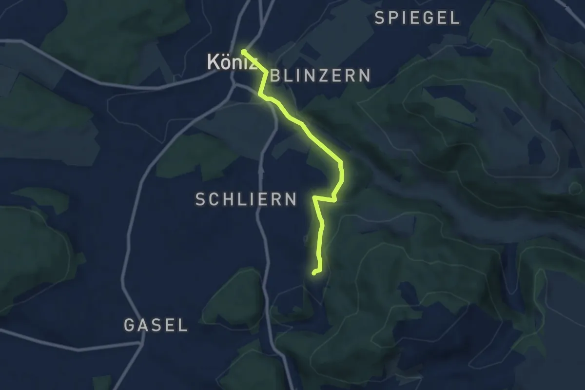
Easy · Trail
Platten - Köniz
5.9 km · ↑ 176 m · 1 h 46 min · 6 km away
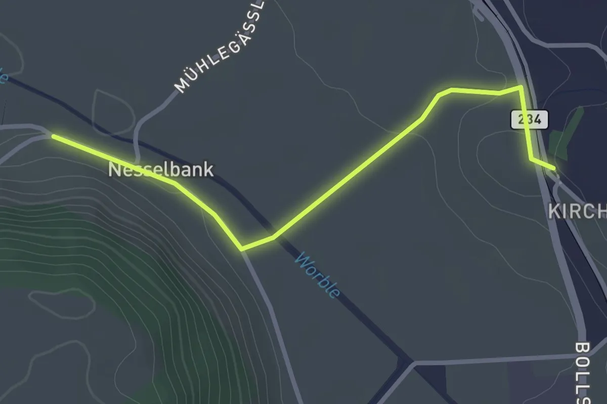
Easy · Trail
Nesselbank - Vechigen Hst.
2.7 km · ↑ 40 m · 43 min · 6 km away
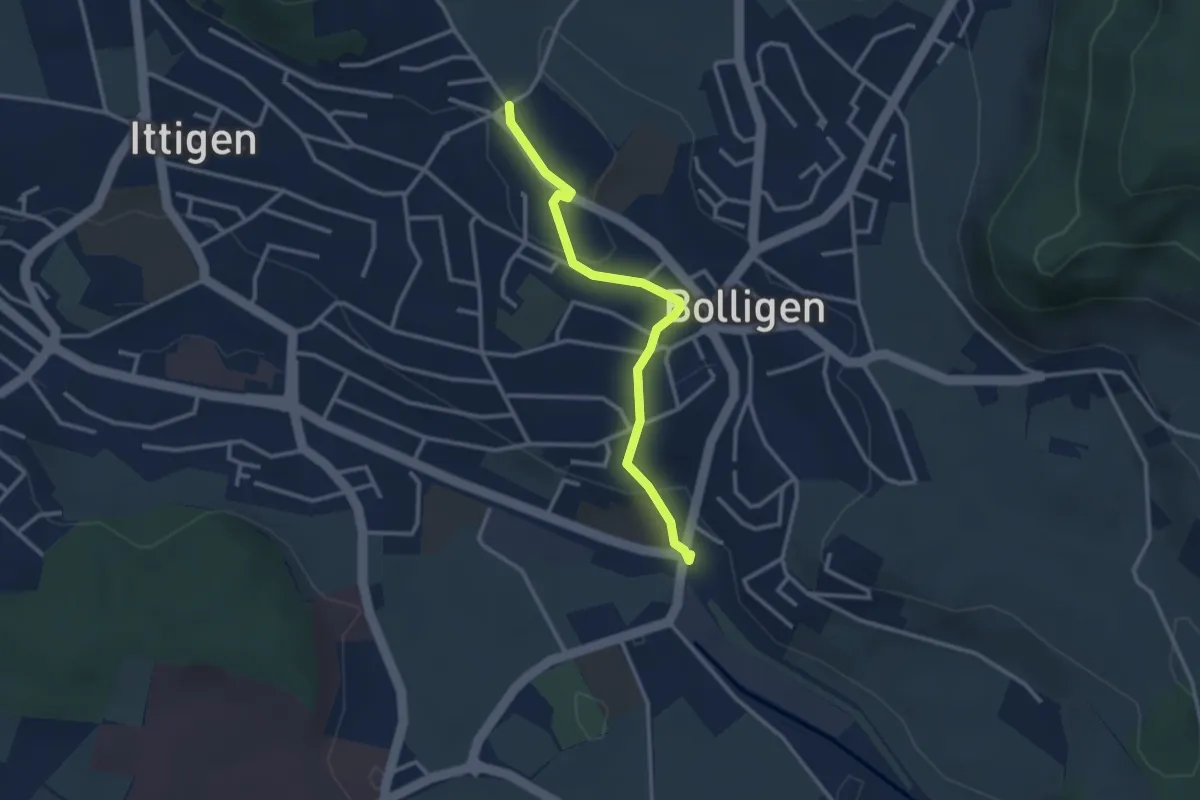
Easy · Trail
Schnägghubel – Bolligen
2.9 km · ↑ 59 m · 48 min · 6 km away
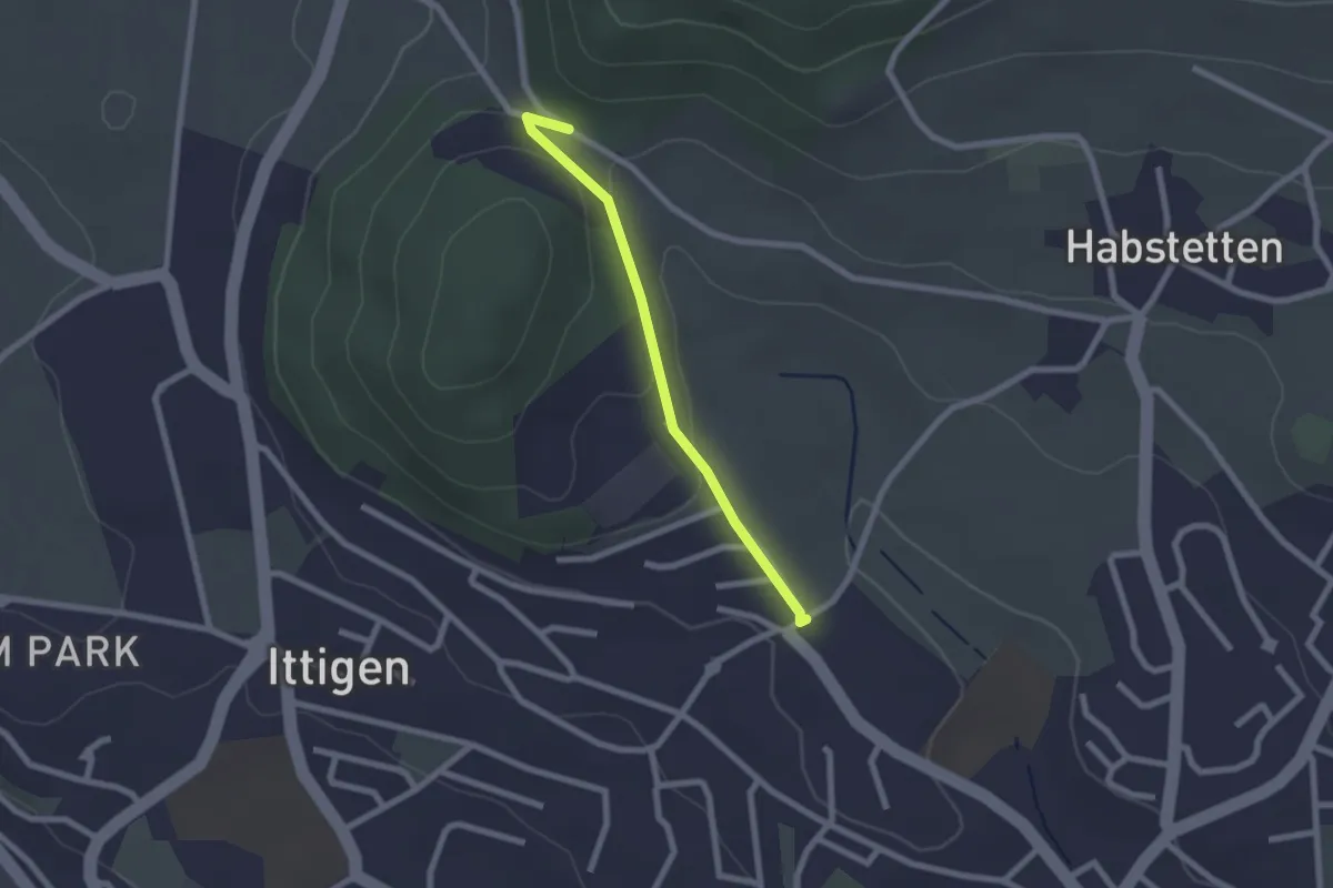
Easy · Trail
Schlupf – Schnägghubel
2.0 km · ↑ 56 m · 36 min · 6 km away
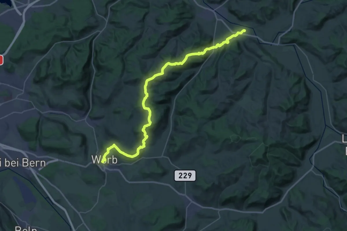
Medium · Trail
Trans Swiss Trail
17.7 km · ↑ 623 m · 5 h 47 min · 6 km away
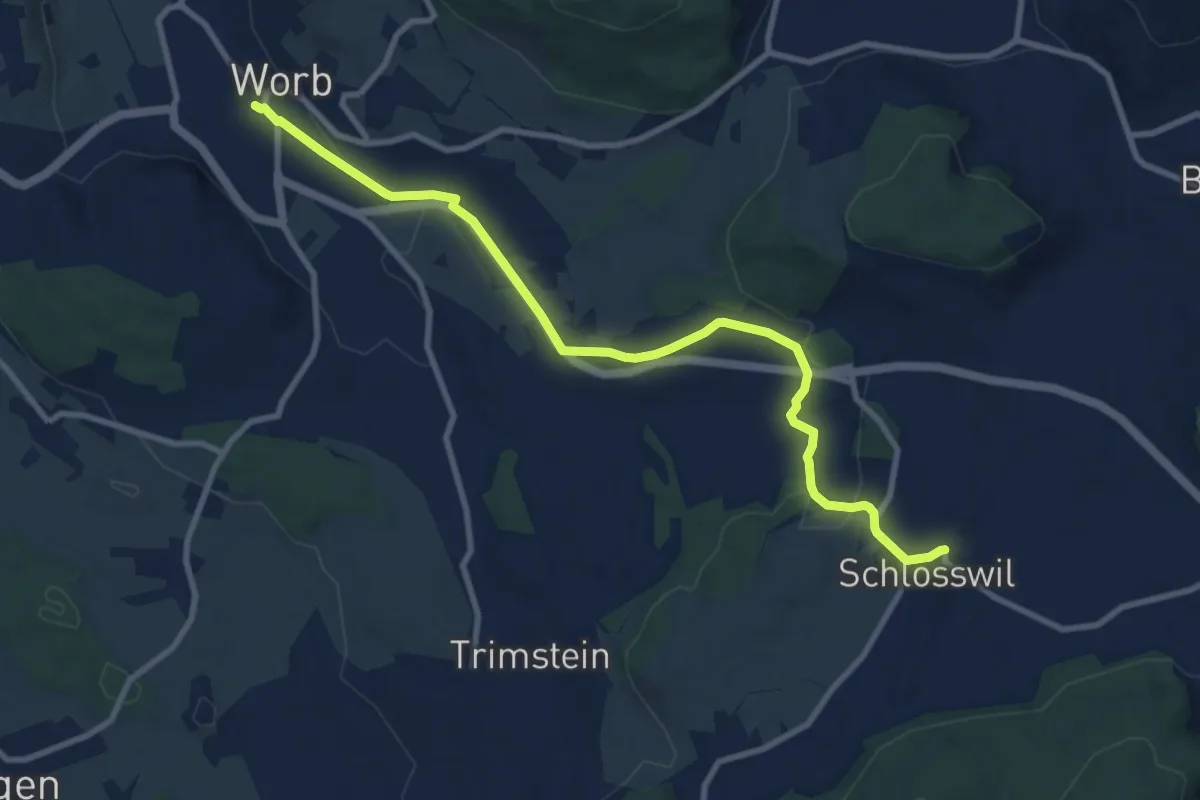
Medium · Trail
Worb – Schlosswil
10.2 km · ↑ 197 m · 2 h 50 min · 6 km away
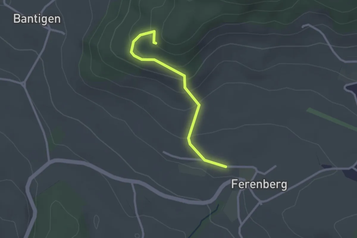
Easy · Trail
Chatzenstyg – Ferenberg
2.2 km · ↑ 131 m · 49 min · 6 km away
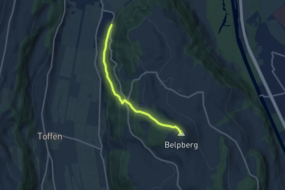
Medium · Summit
Belpberg/Chutze - Riedli
6.2 km · ↑ 336 m · 2 h 12 min · 6 km away
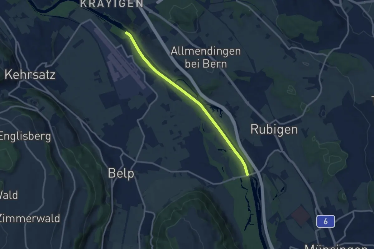
Medium · Trail
Auguetbrügg - Hunzigebrügg
8.7 km · ↑ 8 m · 2 h 4 min · 6 km away
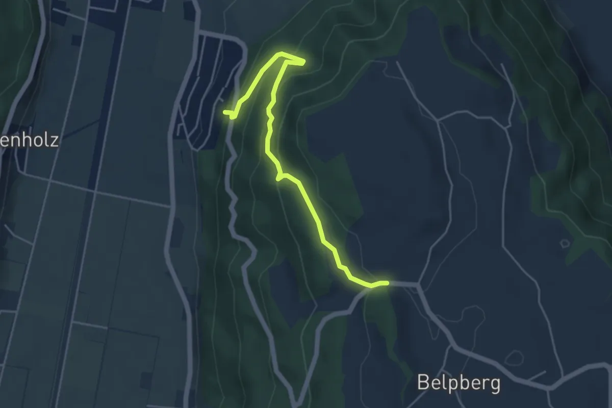
Easy · Trail
Weid - Riedli
4.2 km · ↑ 305 m · 1 h 39 min · 6 km away
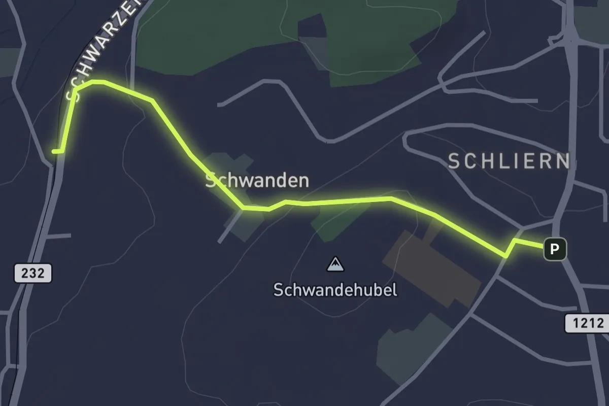
Easy · Trail
Moos - Schliern
2.9 km · ↑ 60 m · 49 min · 6 km away
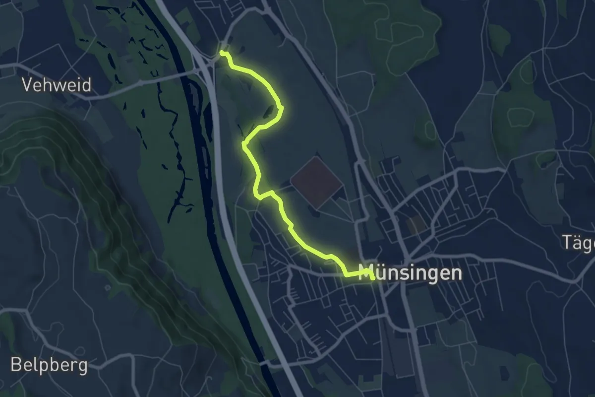
Easy · Trail
Münsingen – Hunziken
6.4 km · ↑ 21 m · 1 h 34 min · 6 km away
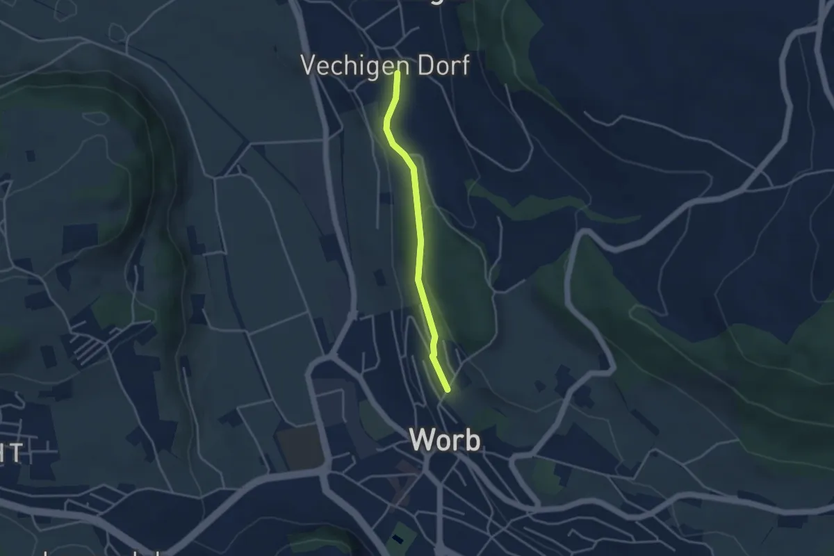
Easy · Trail
Vechingen - Egghalde
3.0 km · ↑ 77 m · 53 min · 6 km away
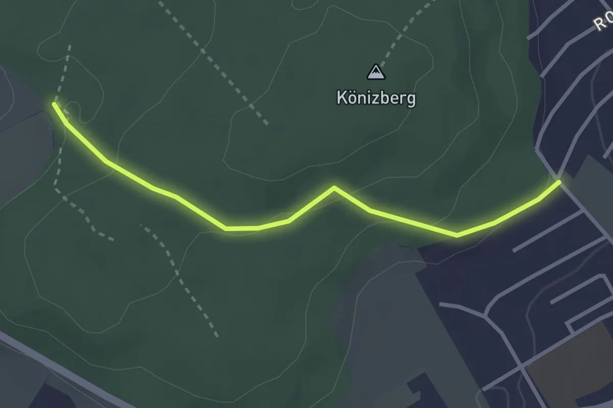
Easy · Trail
Tubentränke - Köniz/Ober Buchsee
2.7 km · ↑ 94 m · 51 min · 6 km away
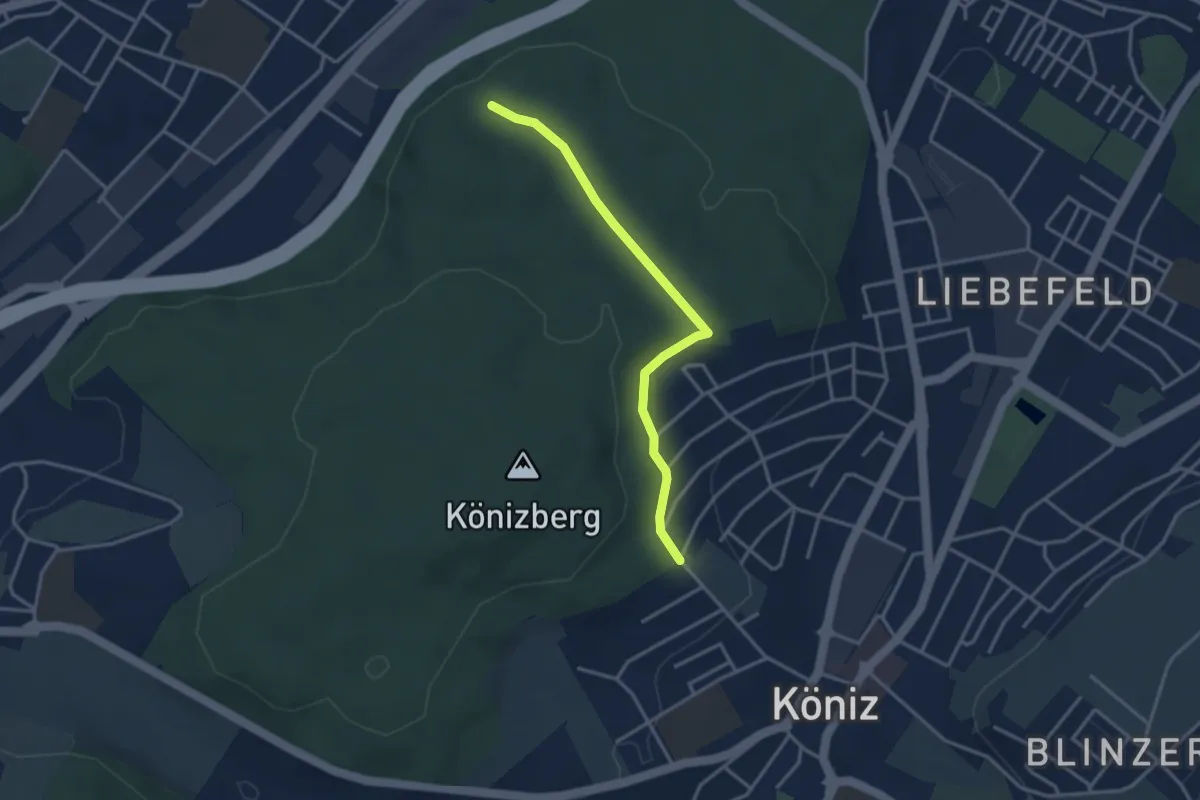
Easy · Trail
Köniz/Ober Buchsee – Pfaffensteig
3.2 km · ↑ 53 m · 52 min · 6 km away
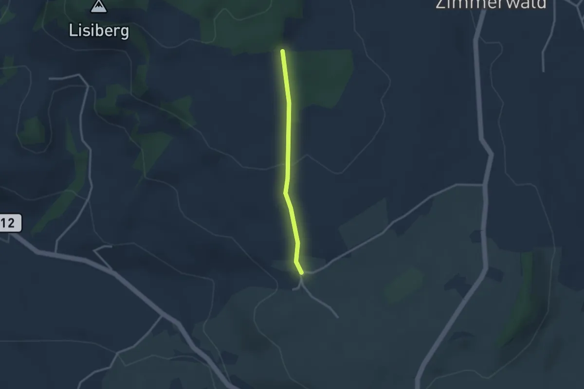
Easy · Trail
Allmid – Obermuhlern
2.1 km · ↑ 62 m · 38 min · 6 km away
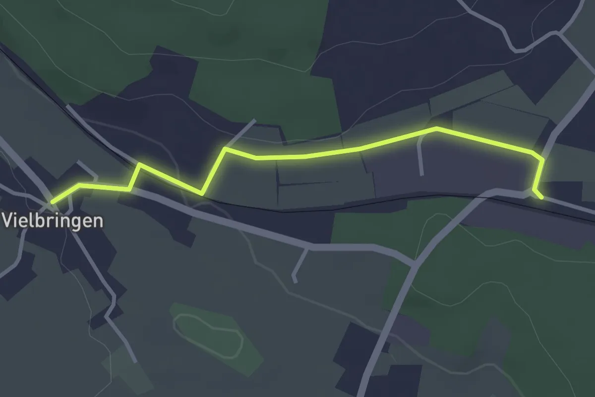
Easy · Trail
Vielbringen – Worb SBB
2.9 km · ↑ 41 m · 46 min · 6 km away
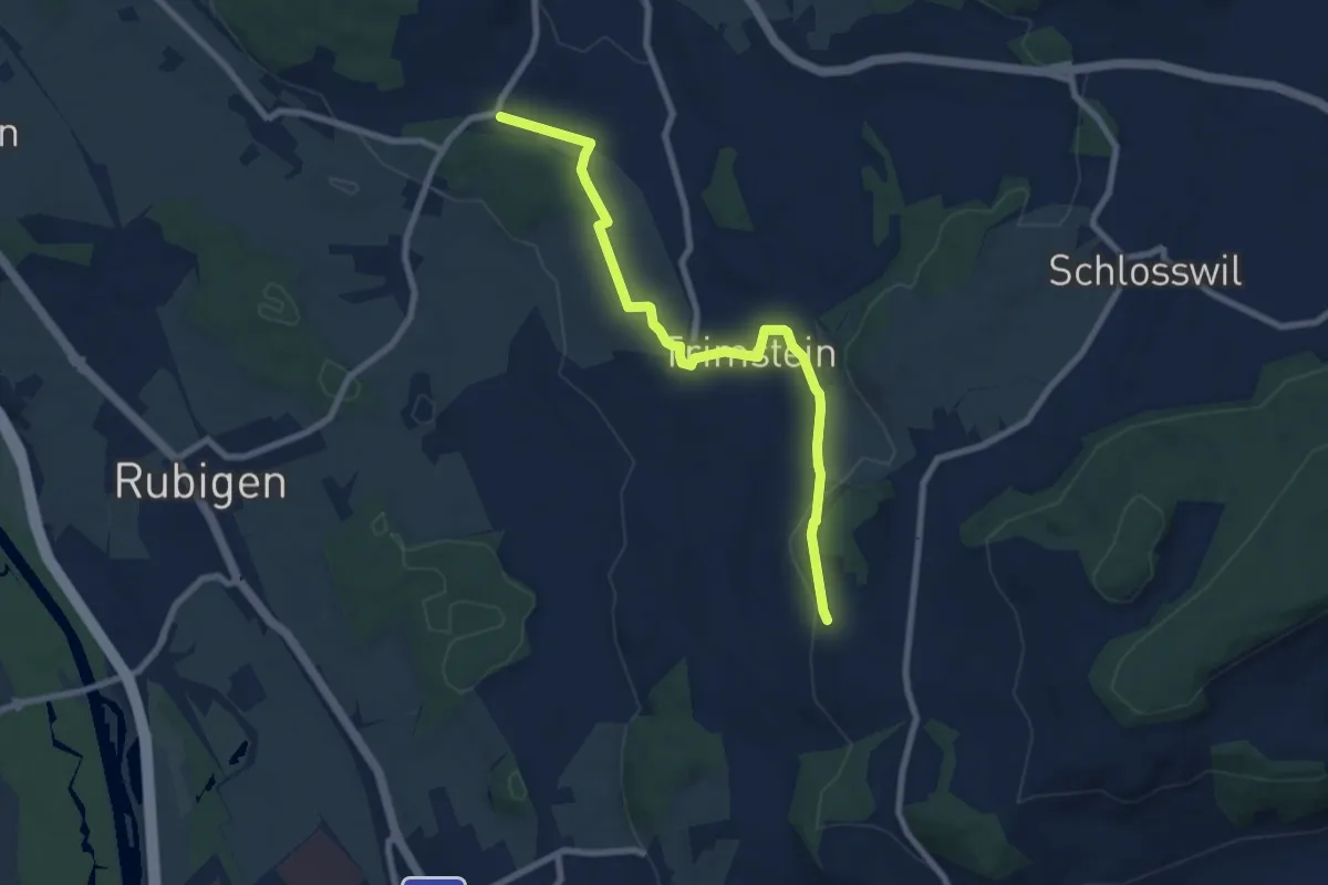
Medium · Trail
Worb SBB – Buechliacher
8.1 km · ↑ 165 m · 2 h 17 min · 6 km away
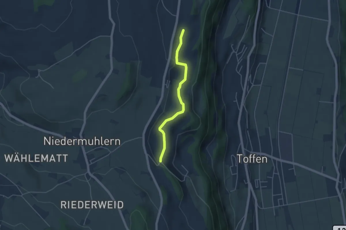
Easy · Trail
Rossweid – Falebach
3.8 km · ↑ 92 m · 1 h 5 min · 6 km away
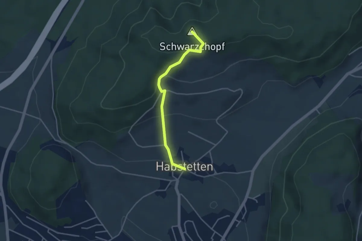
Easy · Summit
Bannholz – Habstetten
3.0 km · ↑ 167 m · 1 h 4 min · 6 km away
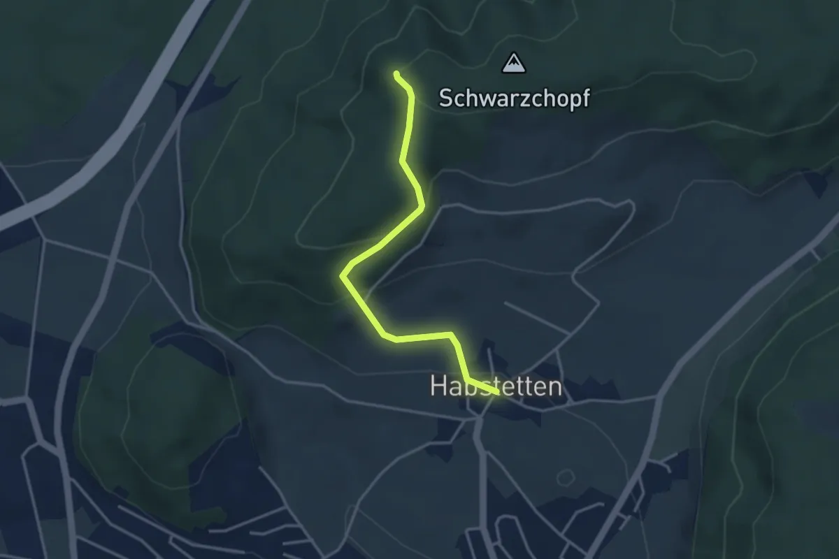
Easy · Trail
Grauholz/Schwarzkopf – Habstetten
3.2 km · ↑ 157 m · 1 h 5 min · 6 km away
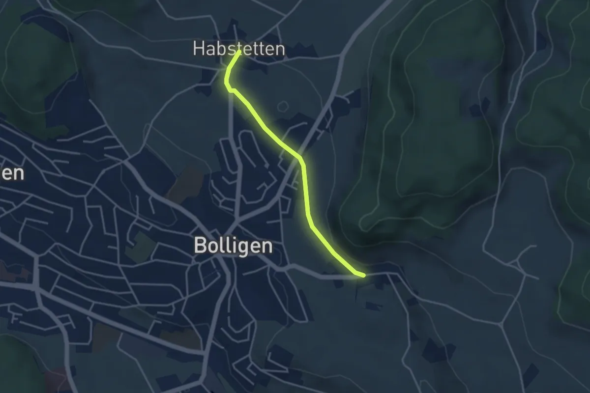
Easy · Trail
Habstetten – Flugbrunnen
3.0 km · ↑ 34 m · 47 min · 6 km away
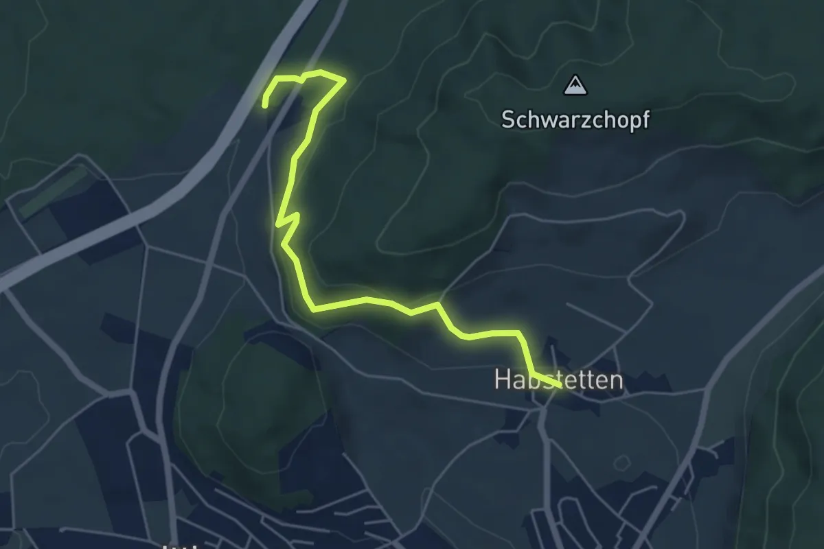
Easy · Trail
Forsthus – Habstetten
5.1 km · ↑ 162 m · 1 h 33 min · 6 km away
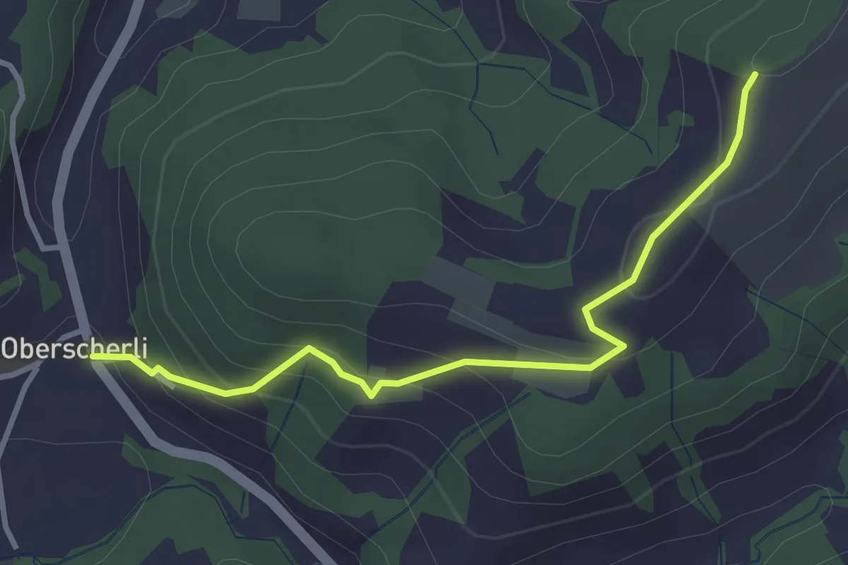
Easy · Trail
Zingghöch – Oberscherli
3.1 km · ↑ 195 m · 1 h 9 min · 6 km away
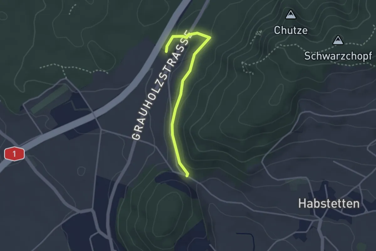
Easy · Trail
Forsthus – Schlupf
2.8 km · ↑ 40 m · 45 min · 6 km away
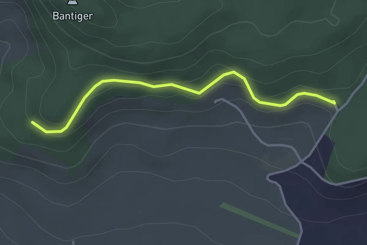
Easy · Trail
Chatzenstyg – Cholegruebe
2.8 km · ↑ 80 m · 51 min · 6 km away