Trails near Muri bei Bern
500 hikes starting within 15 km, nearest first.
Nearest first, page 4 of 11
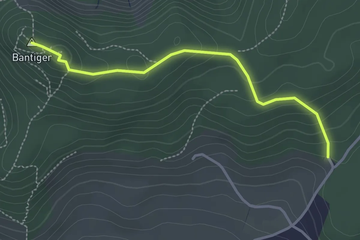
Easy · Summit
Bantiger – Cholgruebe
2.7 km · ↑ 119 m · 54 min · 6 km away
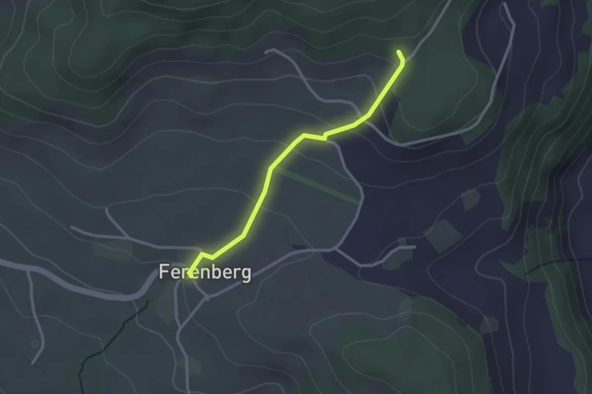
Easy · Trail
Cholegruebe – Ferenberg
2.4 km · ↑ 106 m · 48 min · 6 km away
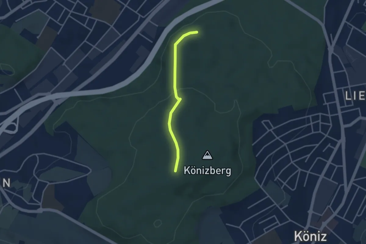
Easy · Trail
Pfaffensteig - Könizberg/Stärn
2.5 km · ↑ 70 m · 45 min · 7 km away
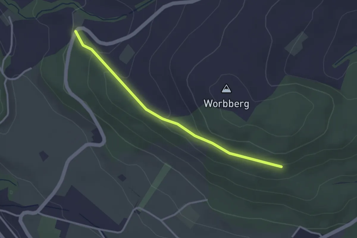
Easy · Trail
Worb/Hasli-Worbberg
2.8 km · ↑ 90 m · 52 min · 7 km away
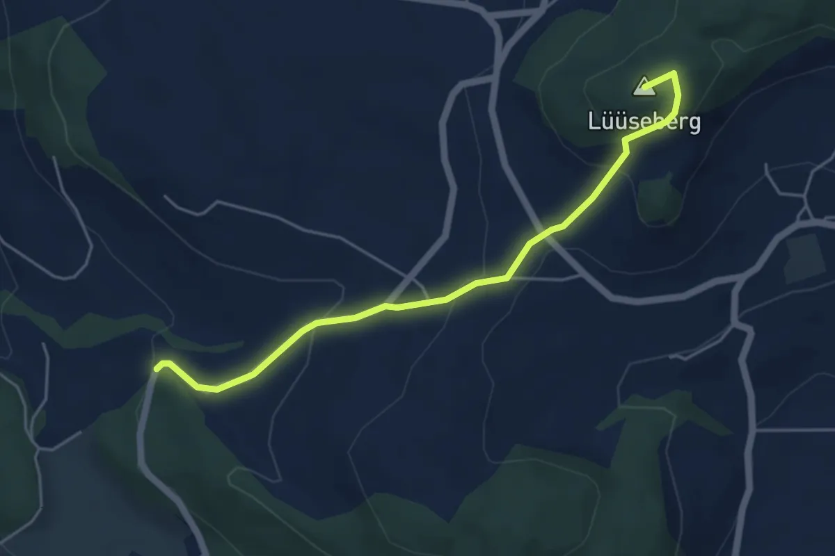
Easy · Summit
Worb/Hasli – Lüseberg
4.6 km · ↑ 219 m · 1 h 34 min · 7 km away
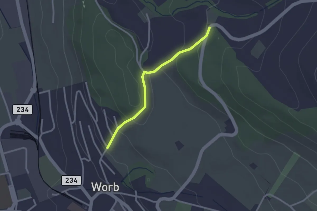
Easy · Trail
Egghalde – Worb/Hasli
2.1 km · ↑ 94 m · 41 min · 7 km away
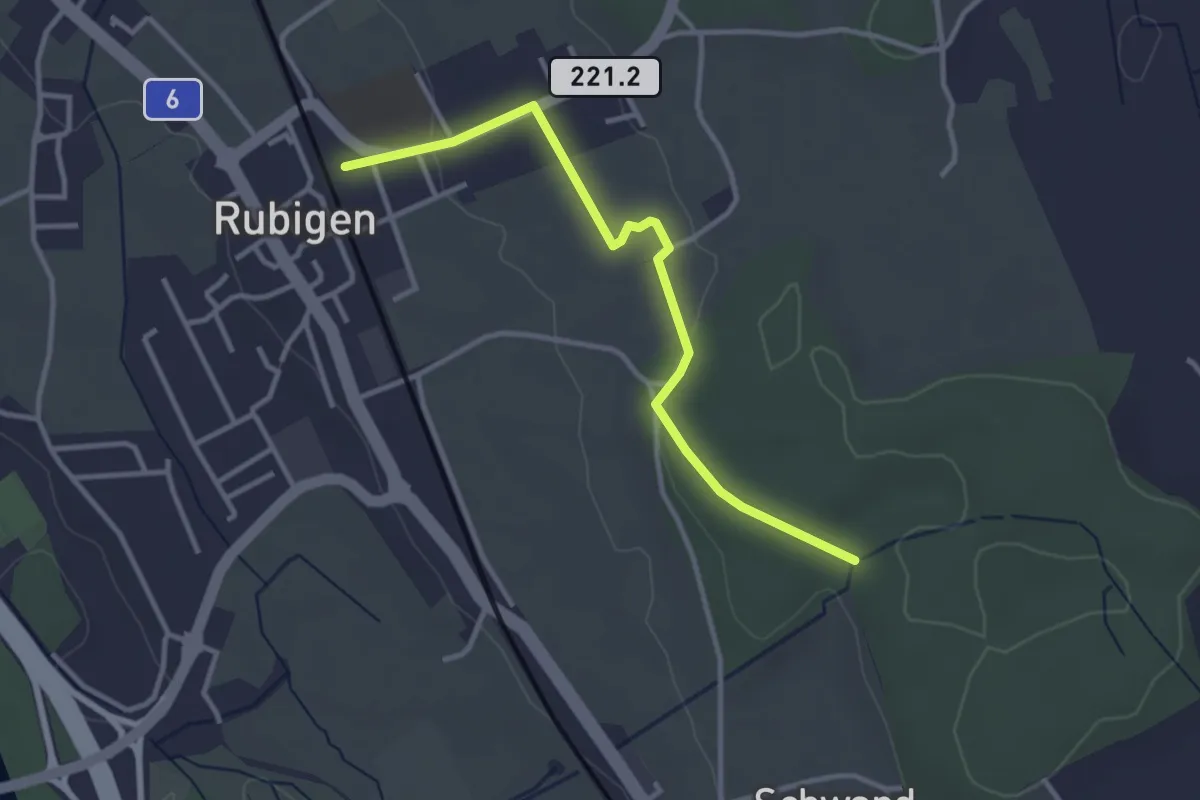
Easy · Trail
Rubigen – Schwandwald
3.2 km · ↑ 57 m · 53 min · 7 km away
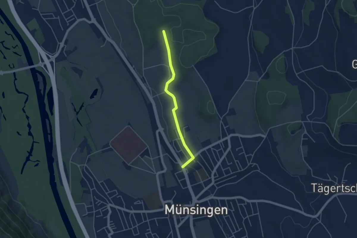
Easy · Trail
Münsingen – Schwandwald
3.7 km · ↑ 76 m · 1 h 2 min · 7 km away
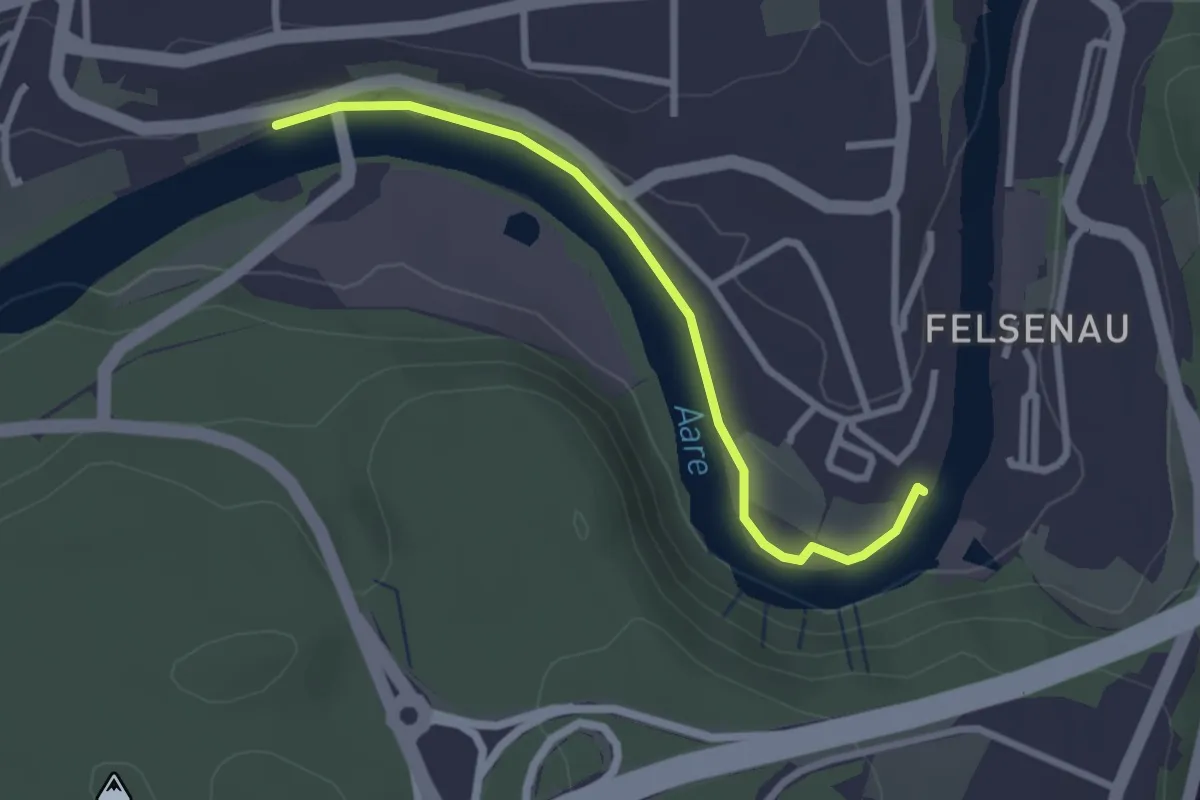
Easy · Trail
Neubrügg – Seftausteg
2.6 km · ↑ 9 m · 38 min · 7 km away
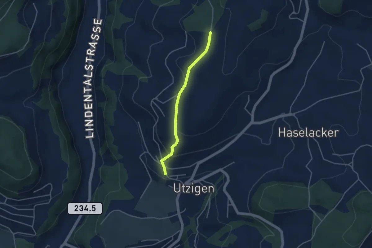
Easy · Trail
Utzigenwull – Utzigen/Schloss
3.0 km · ↑ 121 m · 58 min · 7 km away
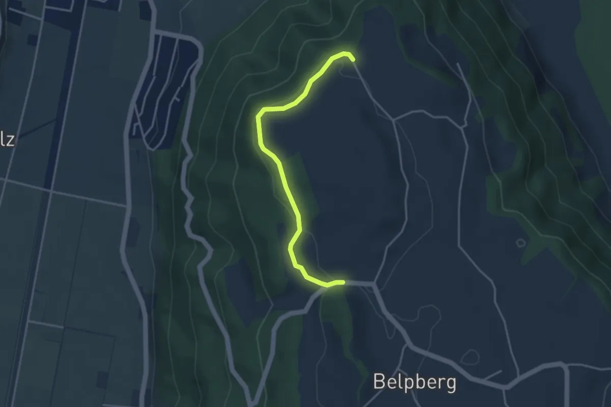
Easy · Trail
Hoburg - Weid
3.3 km · ↑ 114 m · 1 h 2 min · 7 km away
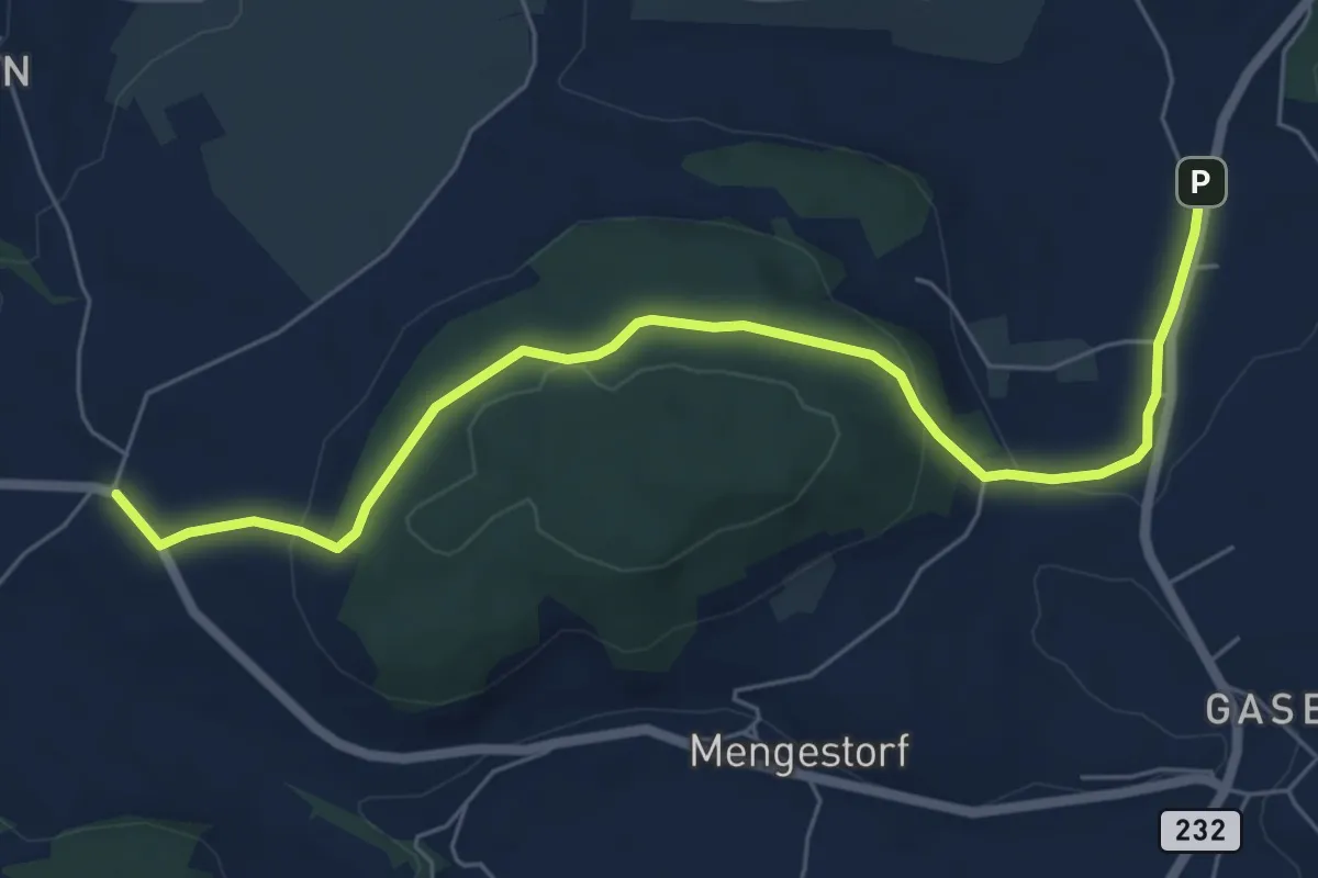
Easy · Trail
Liebewil - Moos
7.0 km · ↑ 194 m · 2 h 4 min · 7 km away
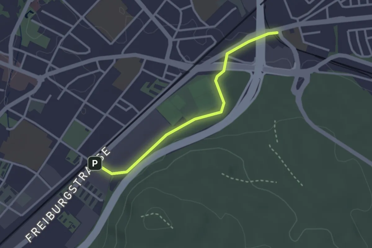
Easy · Trail
Bümpliz Süd - Ausserholigen
2.6 km · ↑ 36 m · 42 min · 7 km away
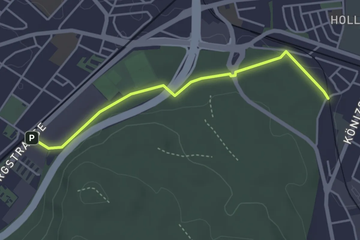
Easy · Trail
Bümpliz Süd - Fischermätteli
3.5 km · ↑ 43 m · 55 min · 7 km away
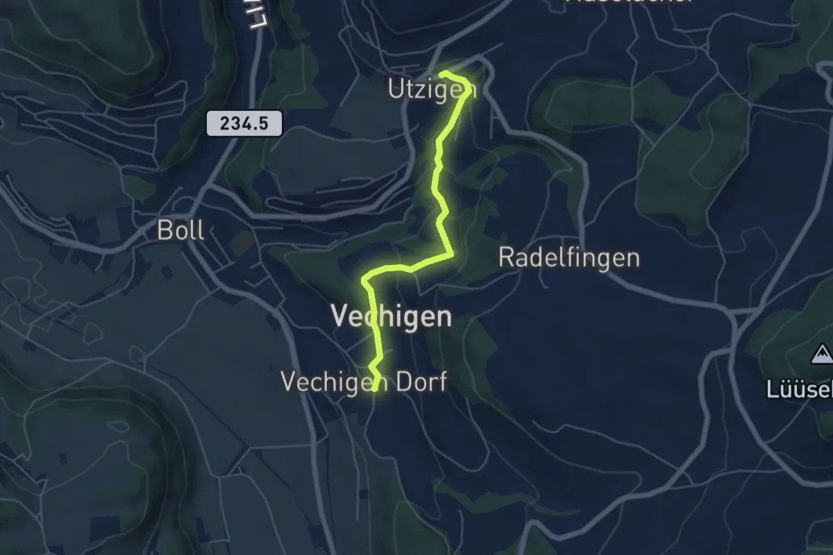
Easy · Trail
Utzigen – Vechigen
4.6 km · ↑ 145 m · 1 h 24 min · 7 km away
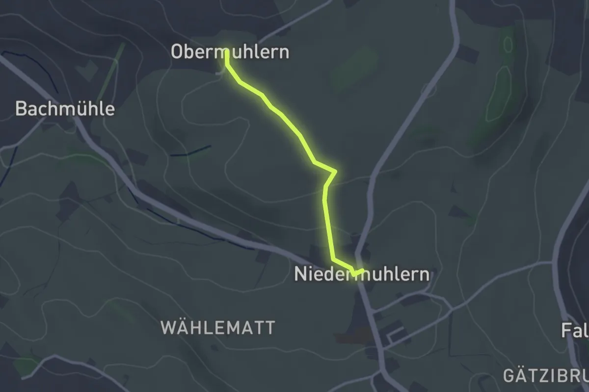
Easy · Trail
Obermuhlern – Niedermuhlern
2.2 km · ↑ 44 m · 37 min · 7 km away
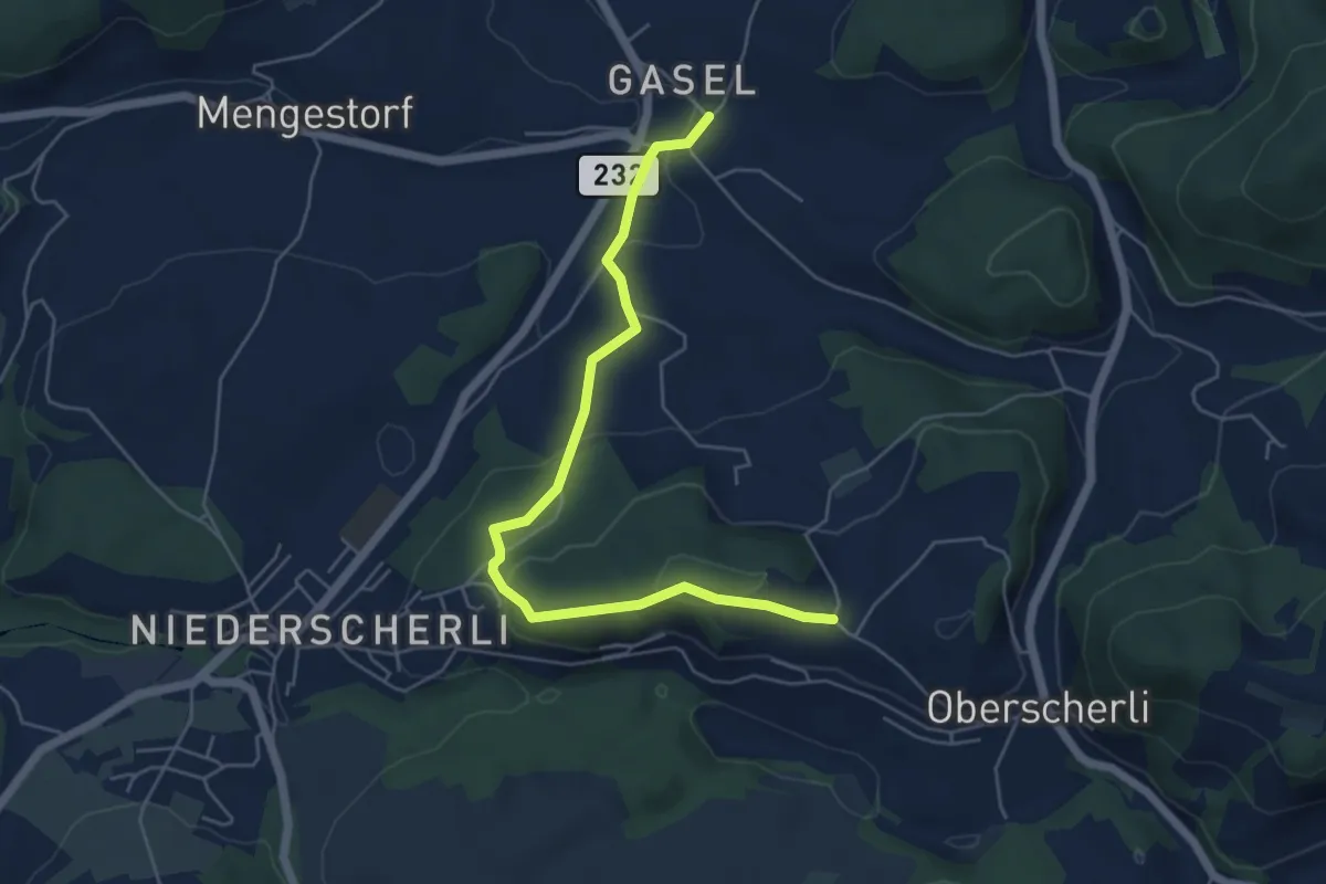
Easy · Trail
Hübeli - Gasel
5.6 km · ↑ 184 m · 1 h 44 min · 7 km away
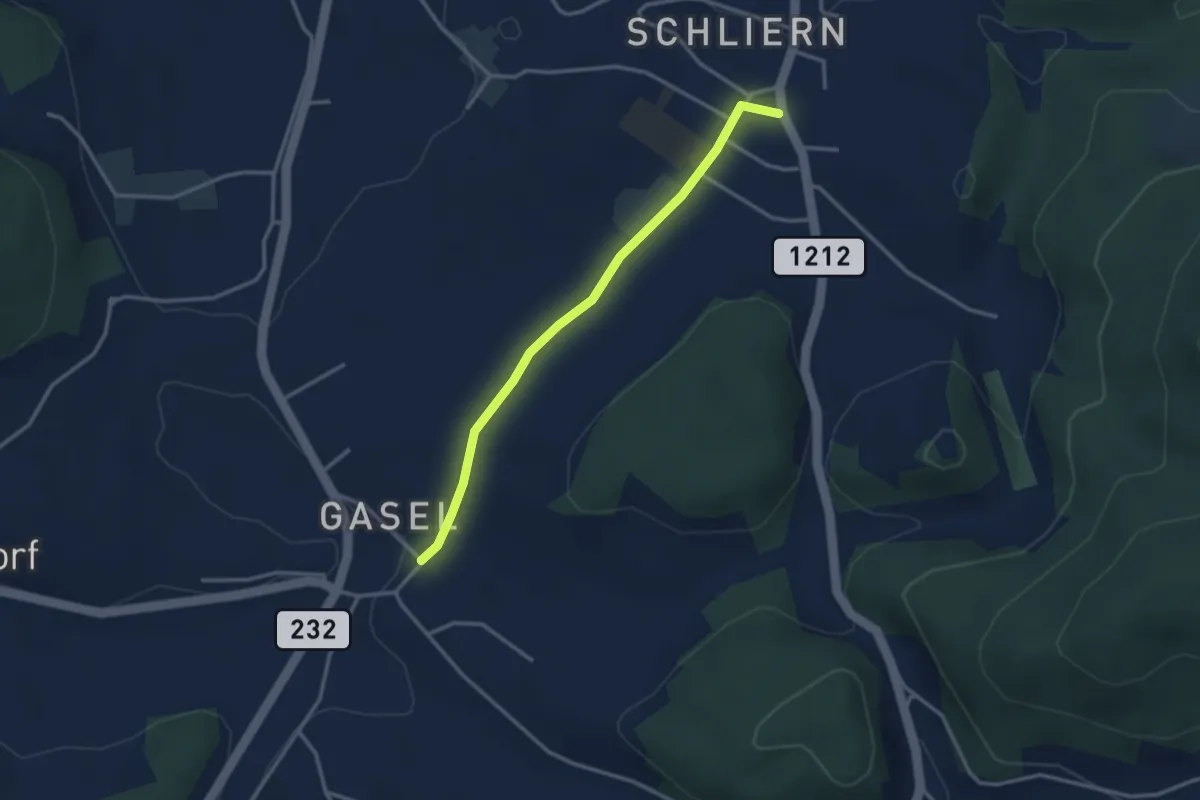
Easy · Trail
Gasel - Schliern
3.0 km · ↑ 41 m · 48 min · 7 km away
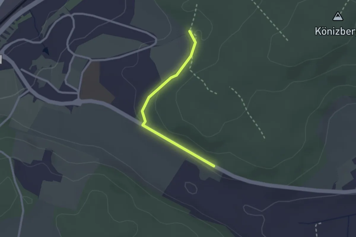
Easy · Trail
Leen - Tubentränke
2.0 km · ↑ 41 m · 34 min · 7 km away
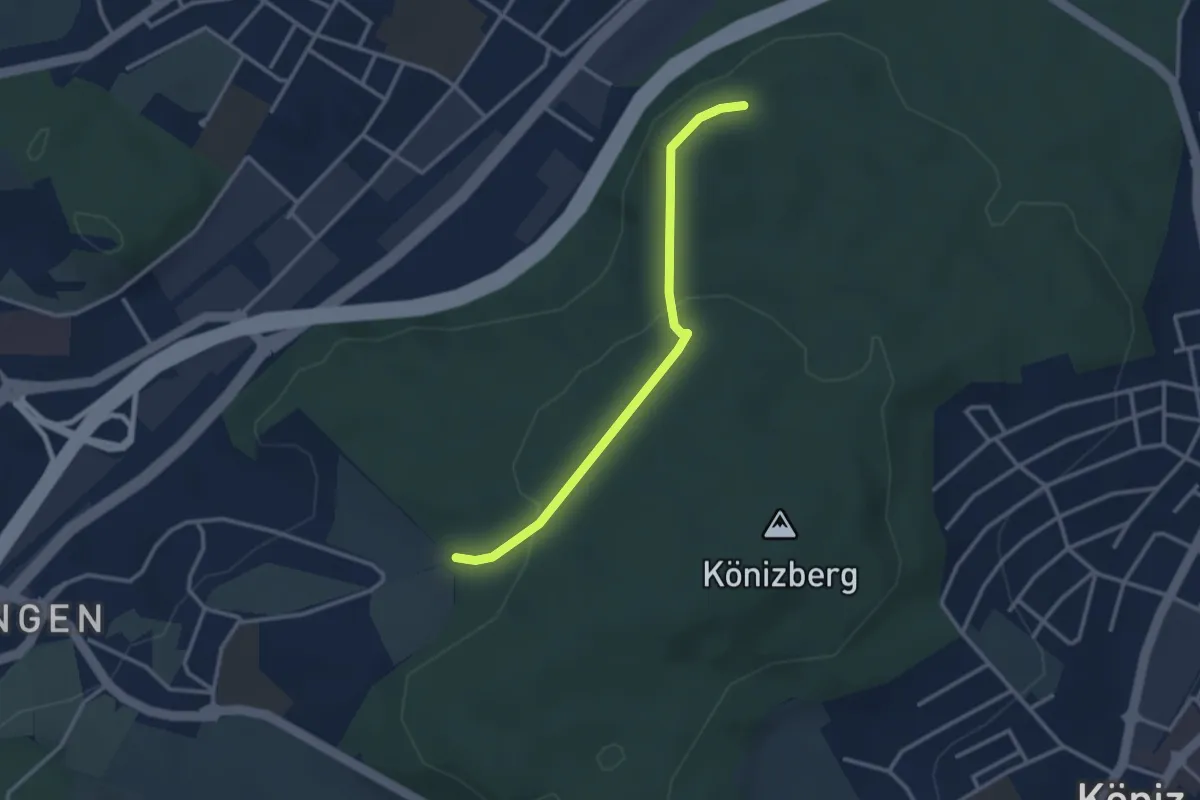
Easy · Trail
Pfaffensteig - Tubentränke
2.9 km · ↑ 88 m · 52 min · 7 km away
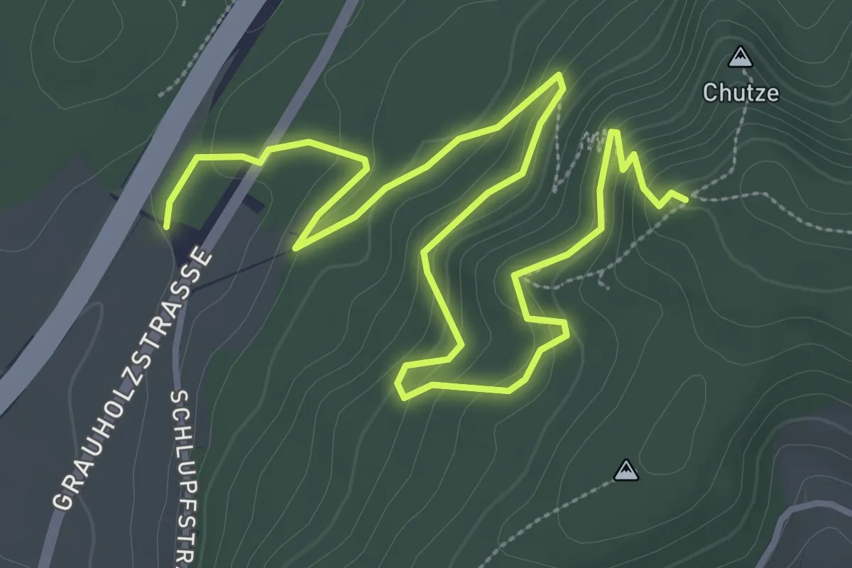
Medium · Trail
Forsthus – Grauholz/Schwarzkopf
5.1 km · ↑ 351 m · 1 h 58 min · 7 km away
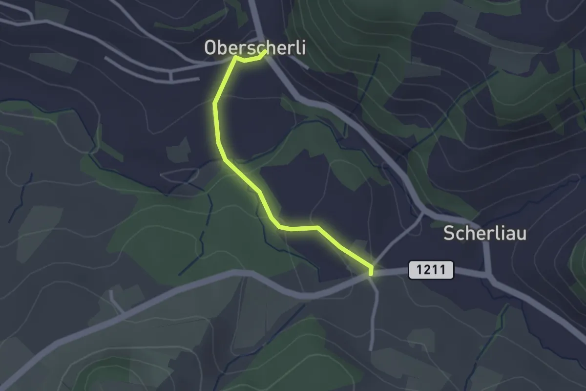
Easy · Trail
Oberscherli – Leiman
2.1 km · ↑ 65 m · 38 min · 7 km away
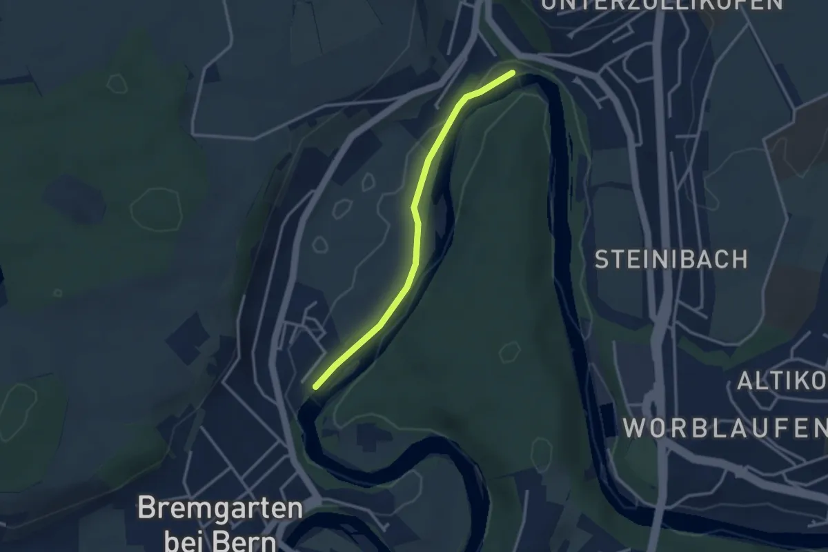
Easy · Trail
Fähre Zehndermätteli – Fähre Reichenbach
2.6 km · ↑ 17 m · 40 min · 7 km away
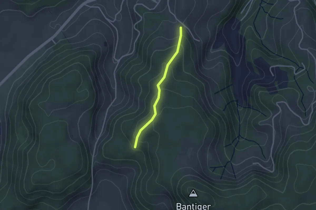
Easy · Trail
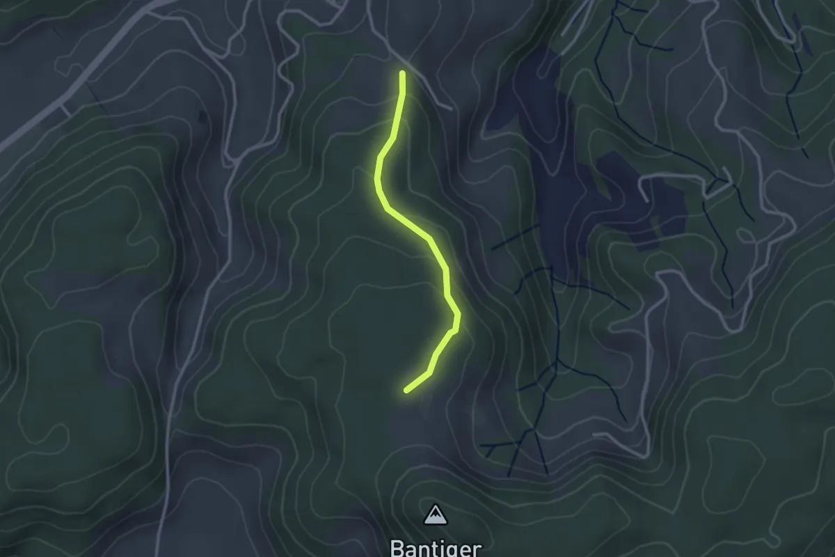
Geristein – Geristeinwald
2.2 km · ↑ 89 m · 42 min · 7 km away
Easy · Trail
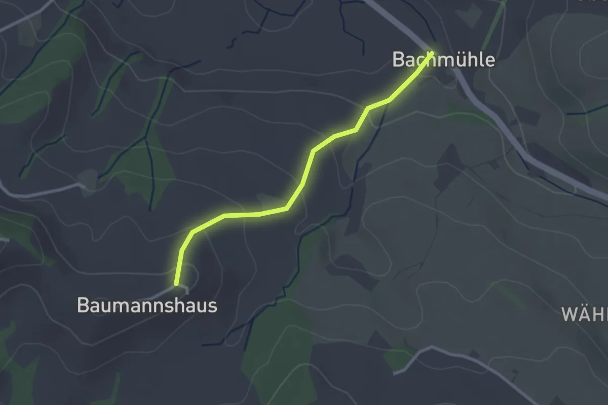
Geristein – Bantigenhubel
2.3 km · ↑ 111 m · 46 min · 7 km away
Easy · Trail
Bachmühle - Bumishus
2.4 km · ↑ 124 m · 51 min · 7 km away
Medium · Trail
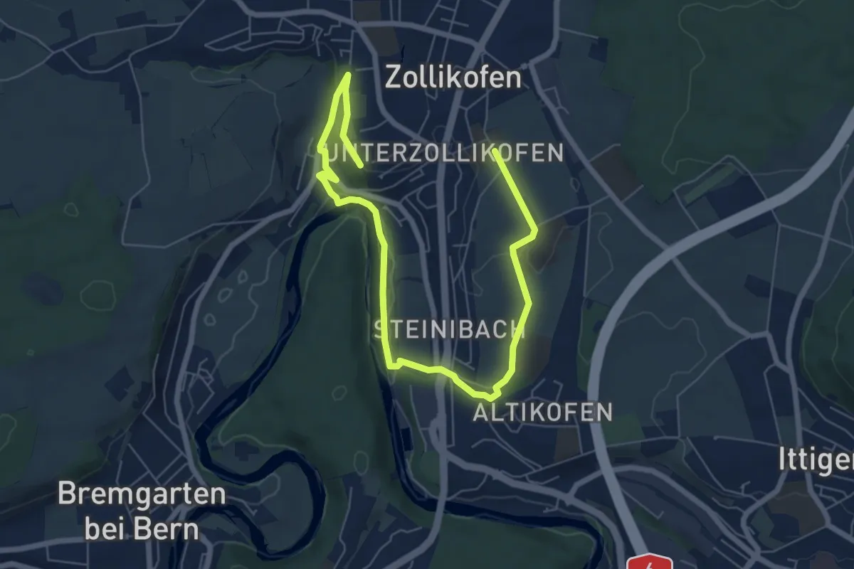
Landschaftsweg Zollikofen
8.5 km · ↑ 142 m · 2 h 19 min · 8 km away
Easy · Trail
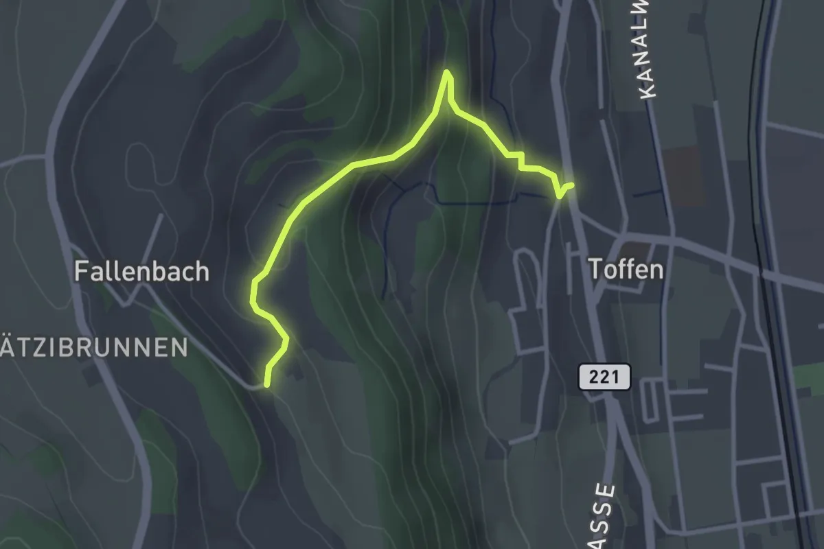
Obertoffen - Toffen/Dorf
2.8 km · ↑ 197 m · 1 h 6 min · 8 km away
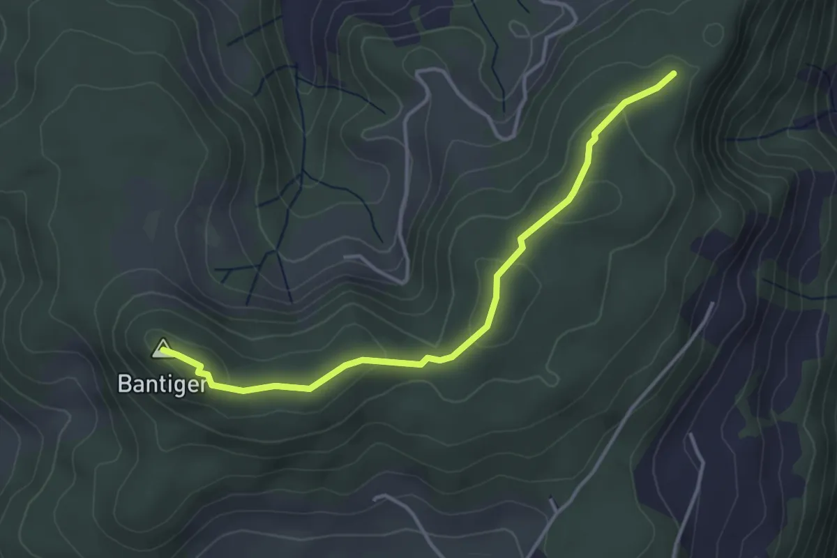
Easy · Summit
Mühlestein – Bantiger
3.7 km · ↑ 89 m · 1 h 4 min · 8 km away
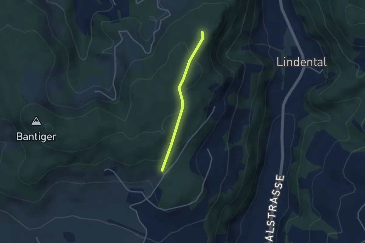
Easy · Trail
Mühlestein – Cholegruebe
2.4 km · ↑ 114 m · 49 min · 8 km away
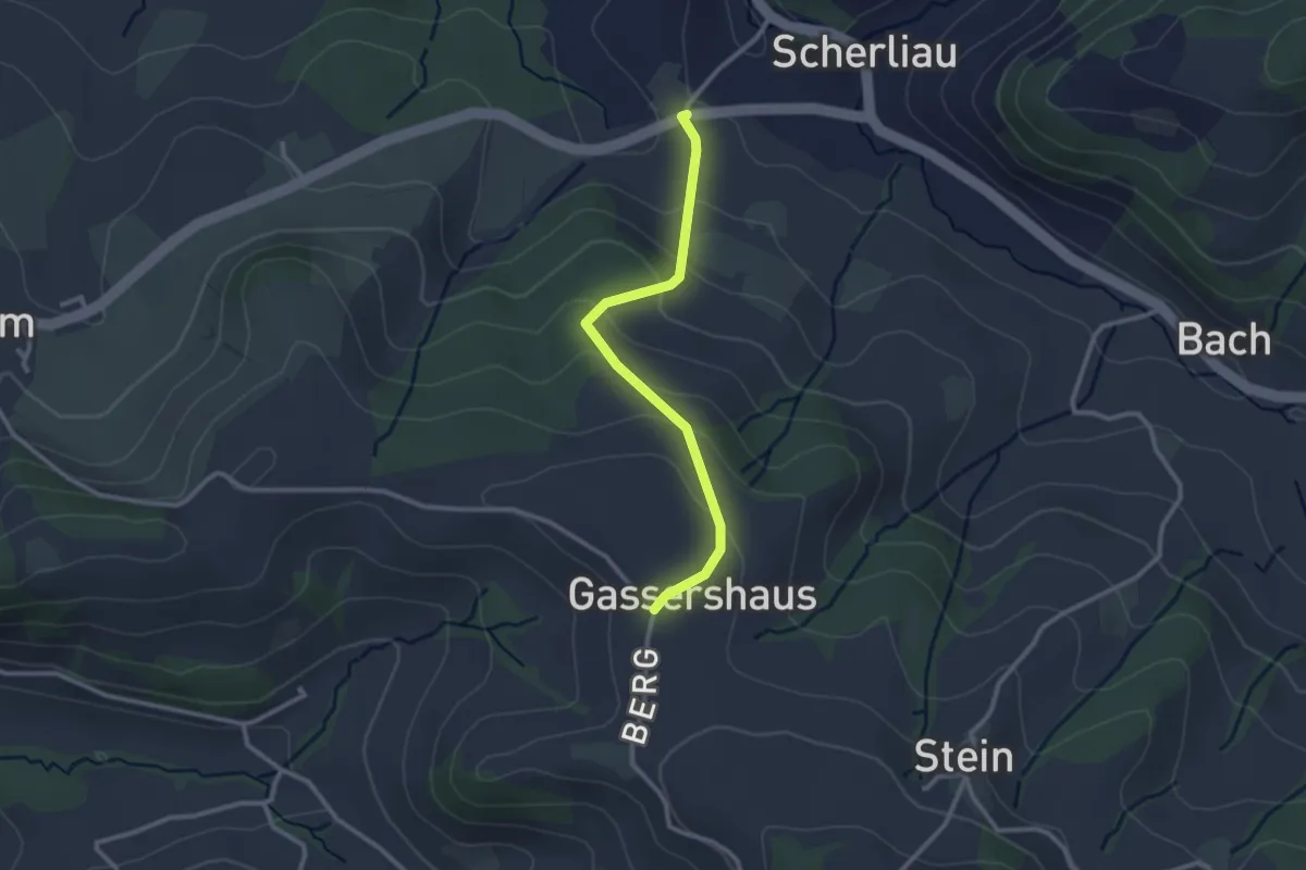
Easy · Trail
Leimen - Gassershus
2.5 km · ↑ 149 m · 55 min · 8 km away
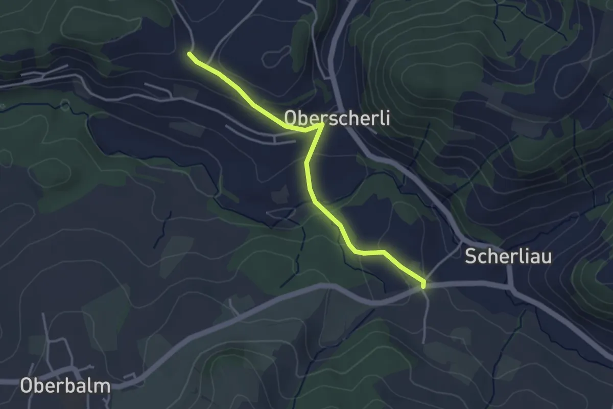
Easy · Trail
Leimen - Hübeli
3.2 km · ↑ 104 m · 59 min · 8 km away
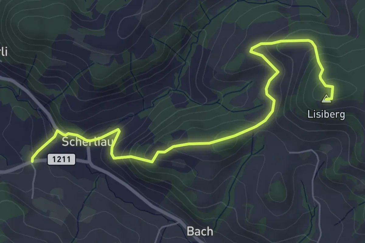
Medium · Summit
Leimen – Lisiberg
6.7 km · ↑ 367 m · 2 h 23 min · 8 km away
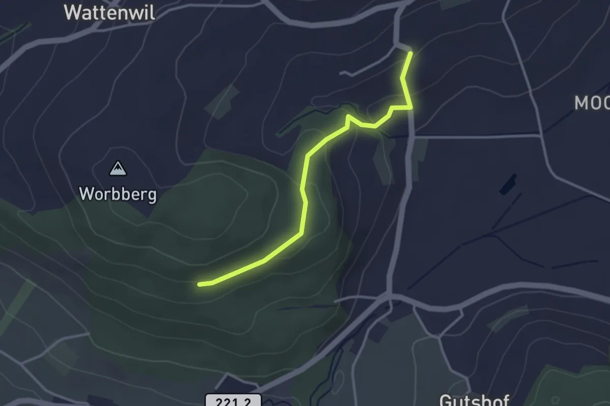
Easy · Trail
Worbberg-Rüttihubelbad
2.9 km · ↑ 104 m · 54 min · 8 km away
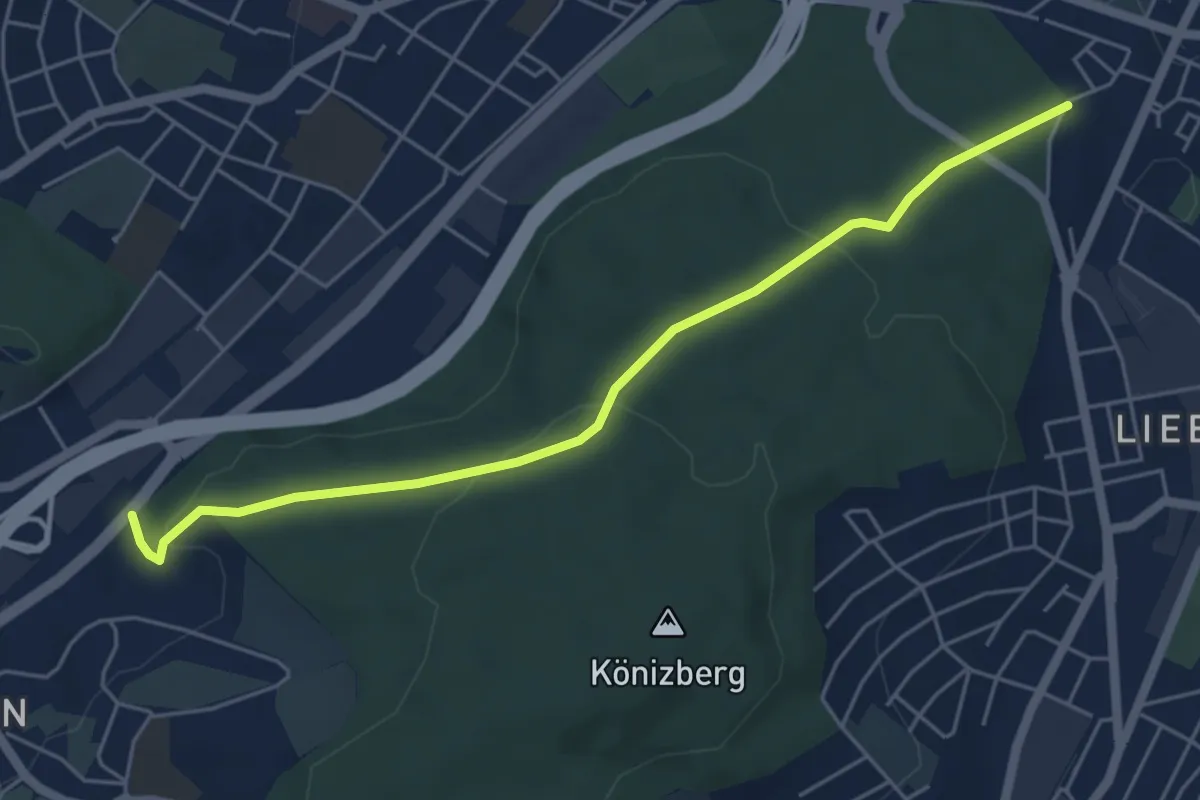
Easy · Trail
Hohliebe - Fischermätteli
5.5 km · ↑ 169 m · 1 h 39 min · 8 km away
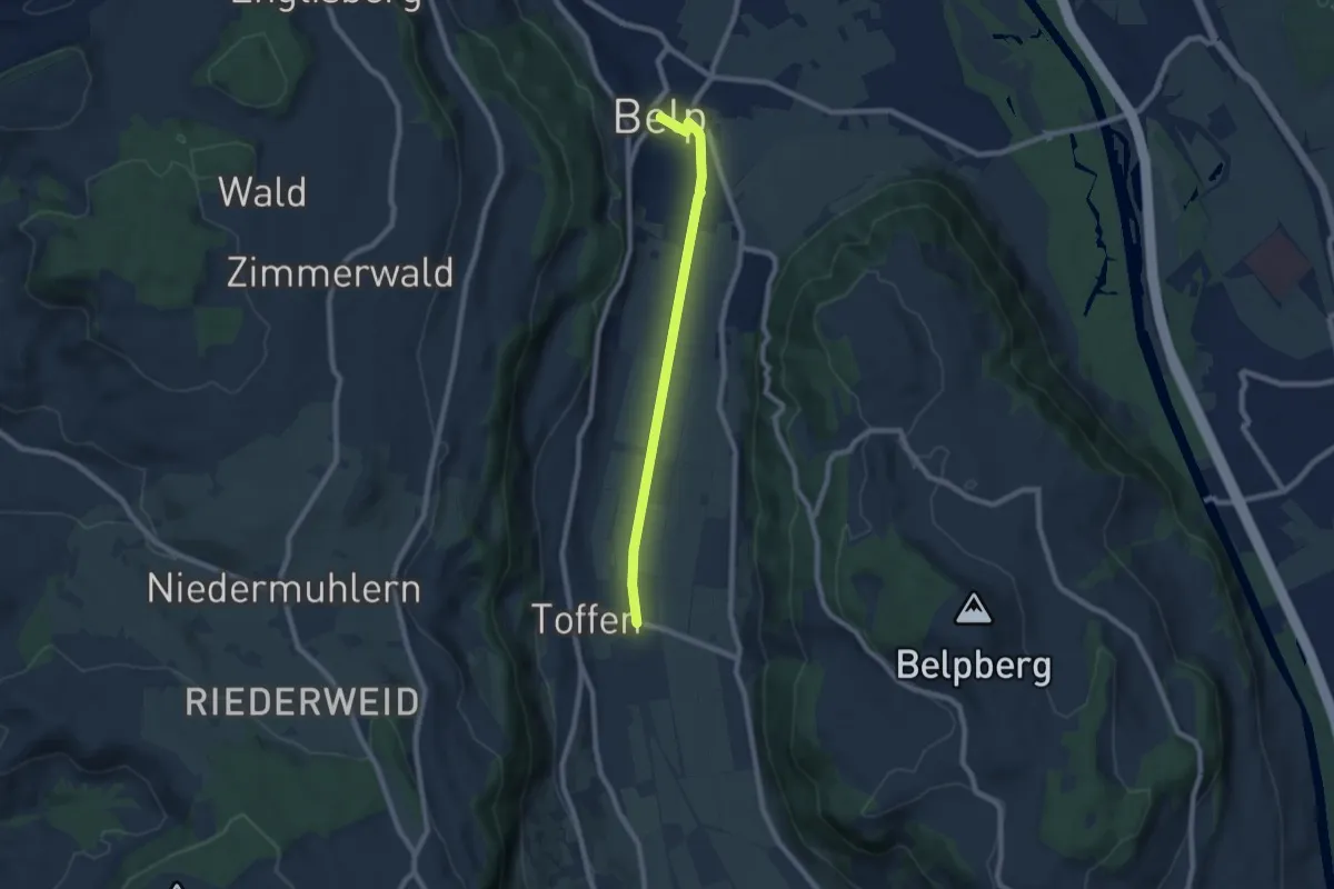
Easy · Trail
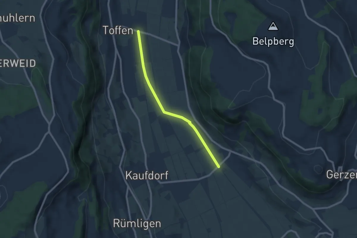
Toffen – Belp
7.3 km · ↑ 4 m · 1 h 44 min · 8 km away
Easy · Trail
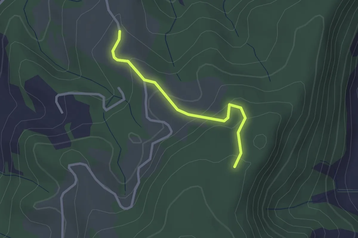
Gelterfingen - Toffen/Station
5.6 km · ↑ 4 m · 1 h 19 min · 8 km away
Easy · Trail
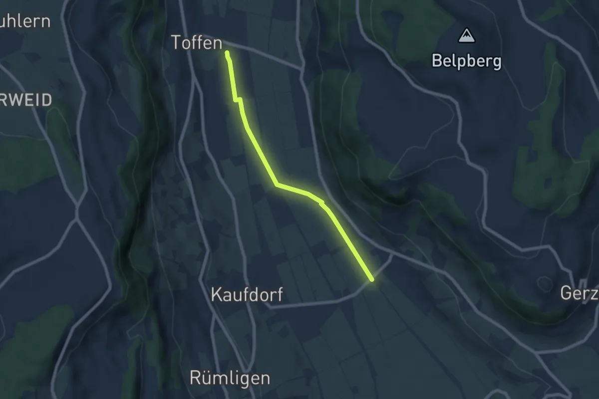
Vorder Jucke – Mühlestein
2.1 km · ↑ 142 m · 48 min · 8 km away
Easy · Trail
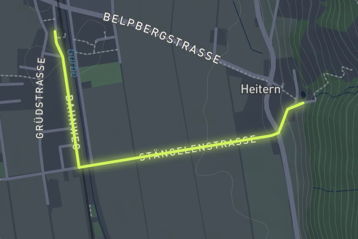
Toffen/Station - Gelterfingen
5.5 km · ↑ 4 m · 1 h 19 min · 8 km away
Easy · Trail
Toffen/Station – Heitern
2.6 km · ↑ 38 m · 41 min · 8 km away
Easy · Trail
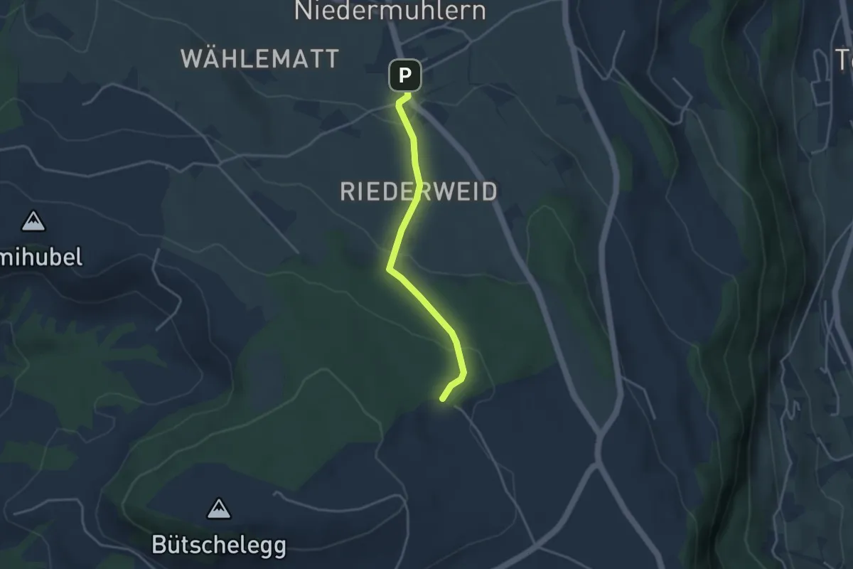
Niedermuhlern – Buechweid
3.1 km · ↑ 123 m · 1 h · 8 km away
Easy · Trail
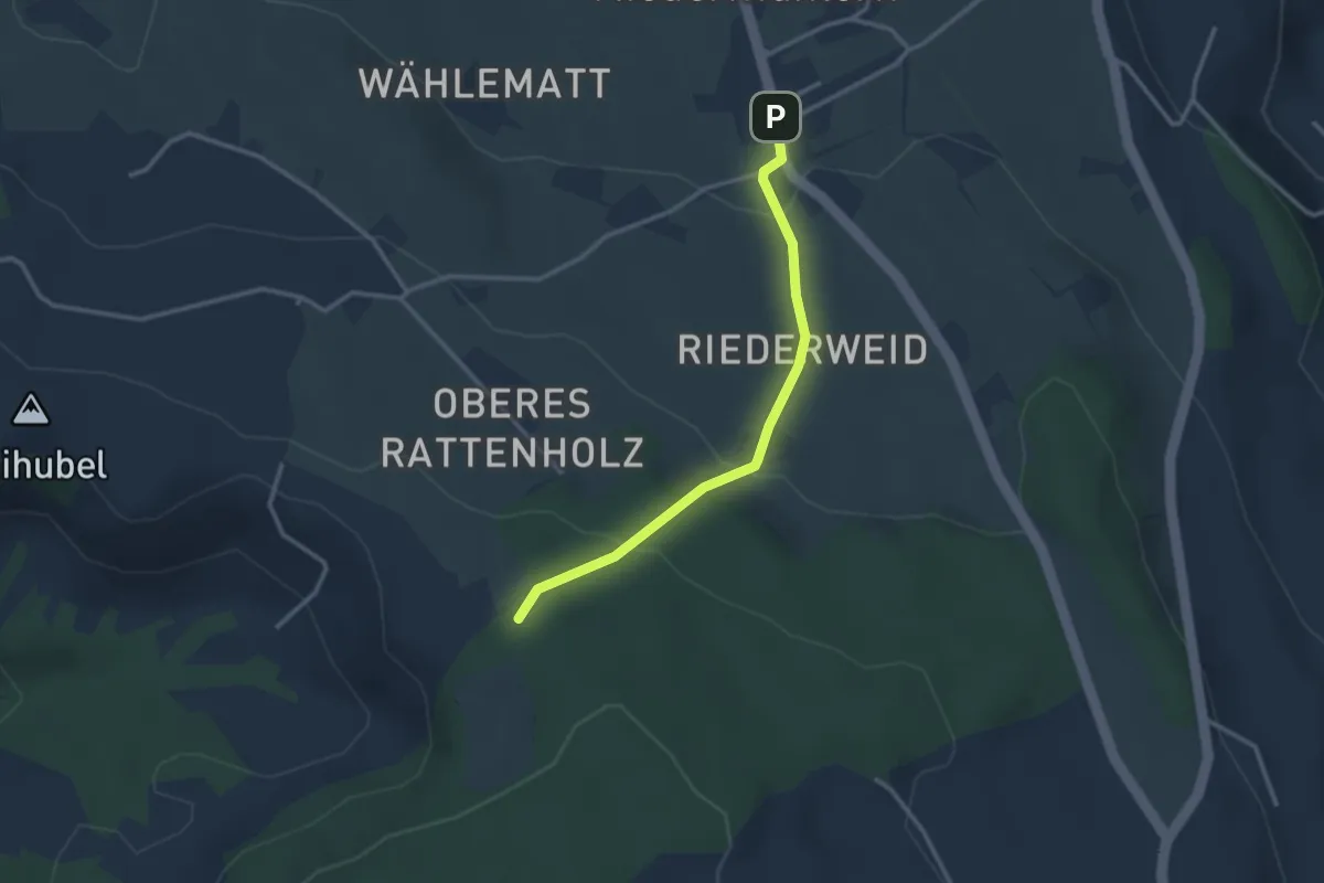
Seitenberg – Niedermuhlern
2.8 km · ↑ 141 m · 57 min · 8 km away
Easy · Trail
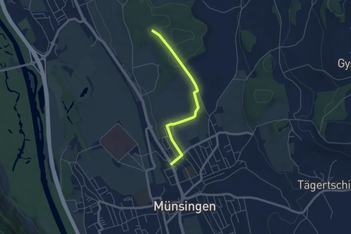
Münsingen – Schwandwald
4.4 km · ↑ 75 m · 1 h 12 min · 8 km away
Easy · Trail
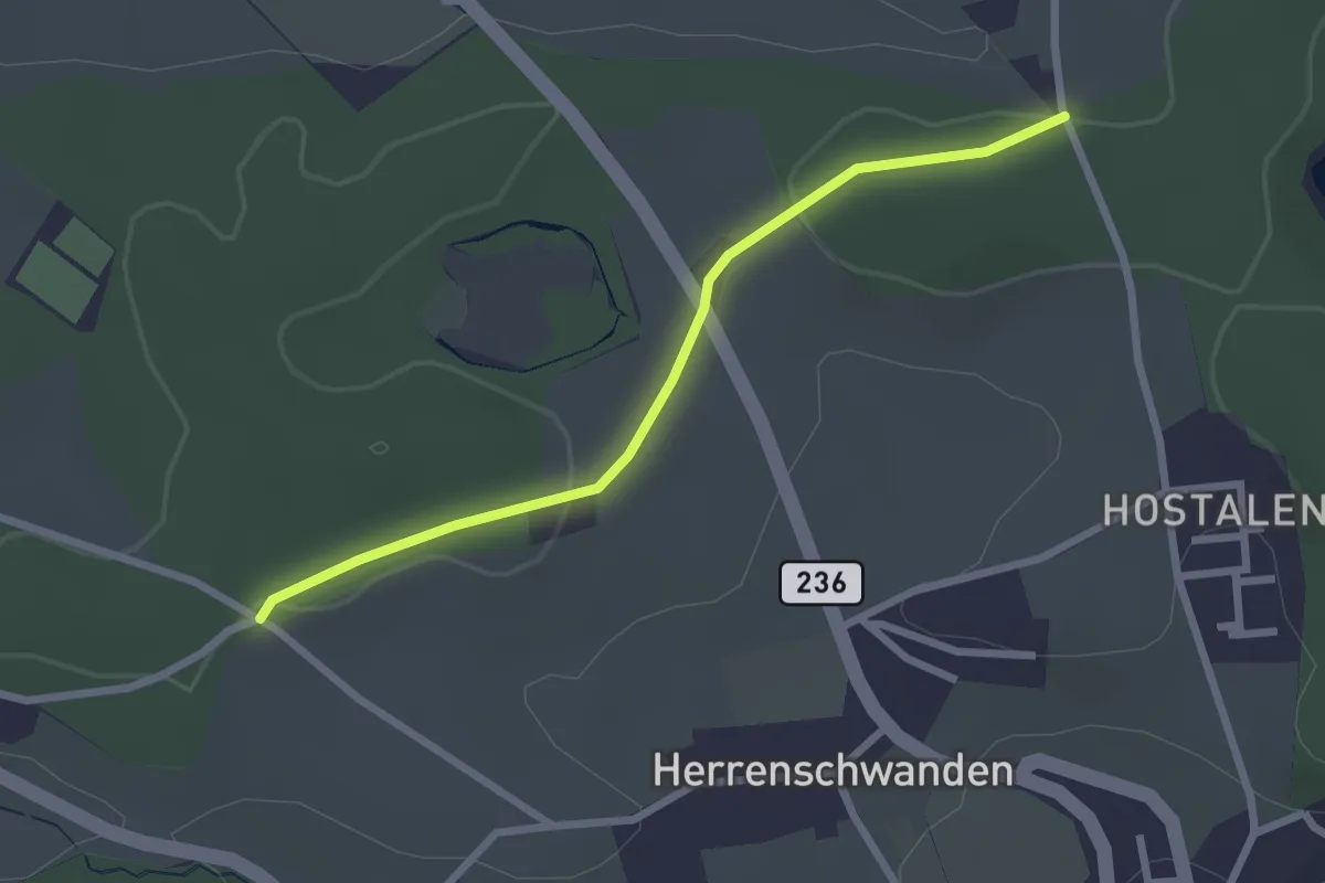
Burrishus – Lörwald
2.4 km · ↑ 34 m · 39 min · 8 km away
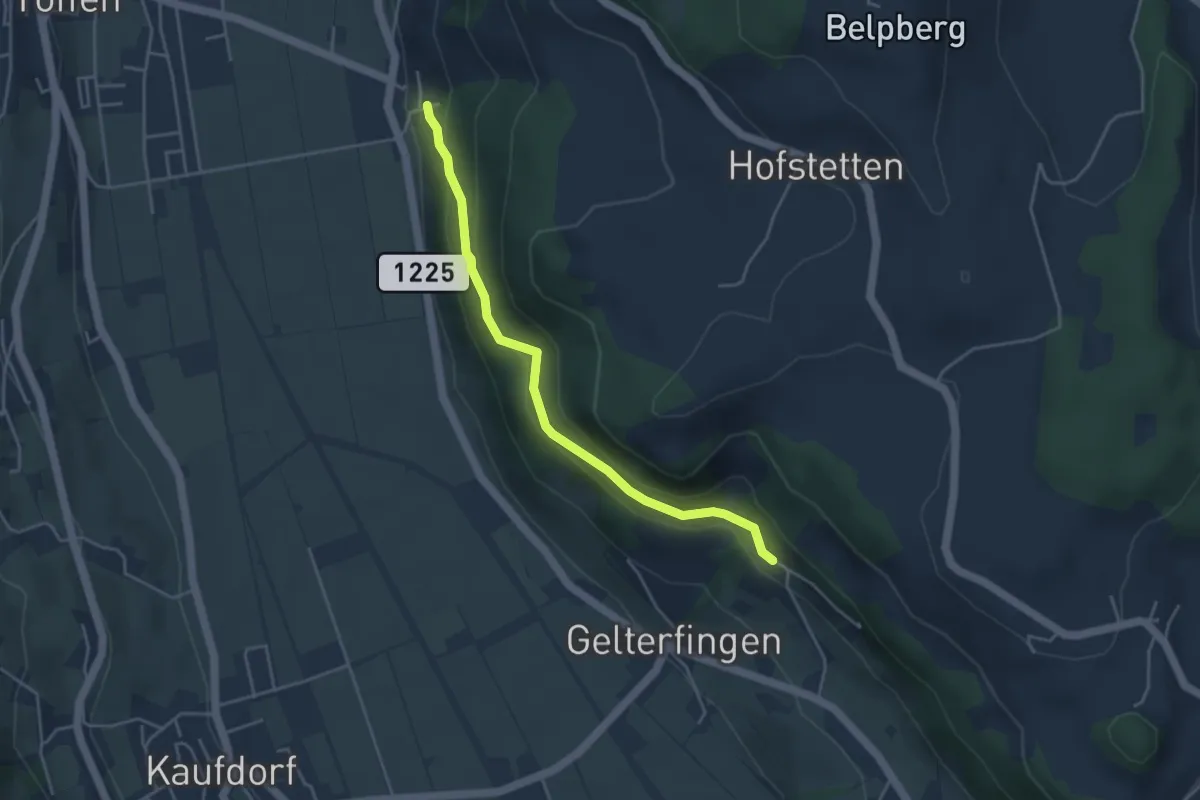
Easy · Trail
Heitern - Chramburg
4.0 km · ↑ 198 m · 1 h 23 min · 8 km away
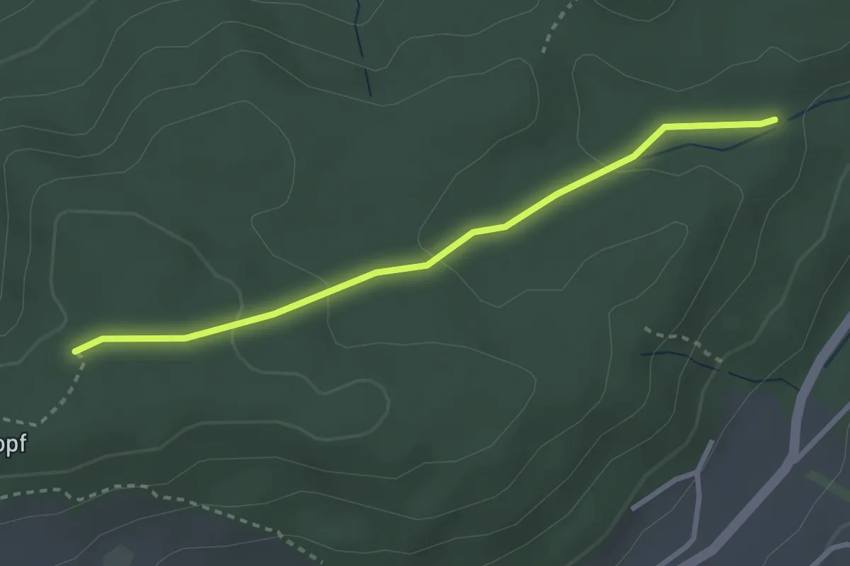
Easy · Trail
Sädelbachhüttli – Bannholz
2.8 km · ↑ 83 m · 50 min · 8 km away
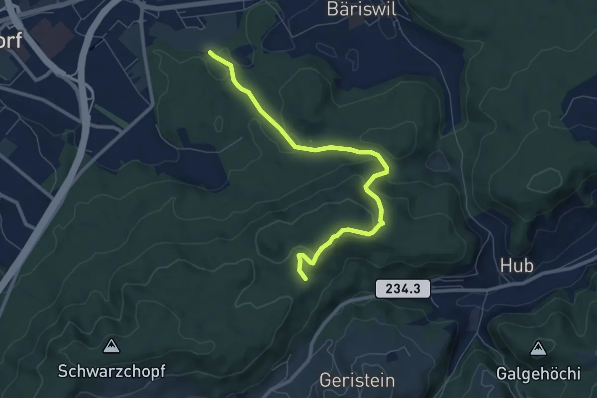
Easy · Trail
Holzmatt – Mattstettenberg
6.9 km · ↑ 277 m · 2 h 14 min · 8 km away
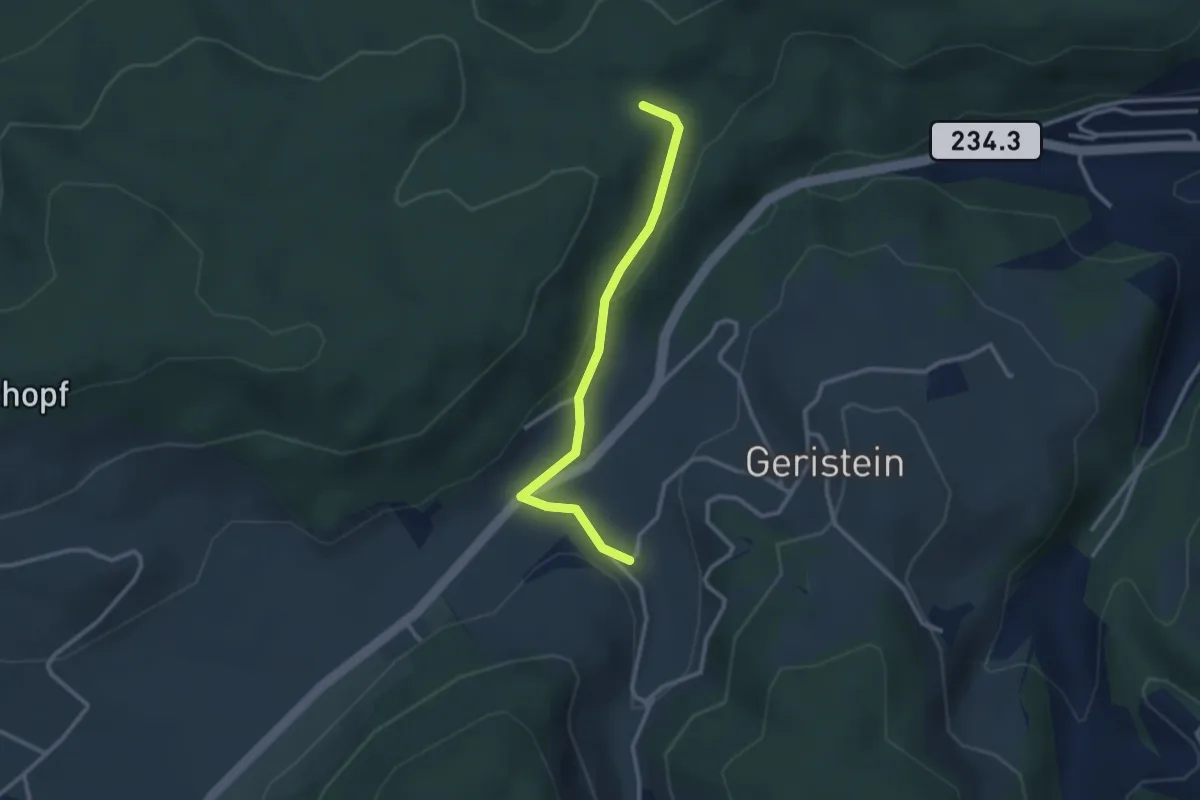
Easy · Trail
Sädelbachhüttli – Lutzere
2.7 km · ↑ 47 m · 44 min · 8 km away