Trails near Muri bei Bern
500 hikes starting within 15 km, nearest first.
Nearest first, page 5 of 11
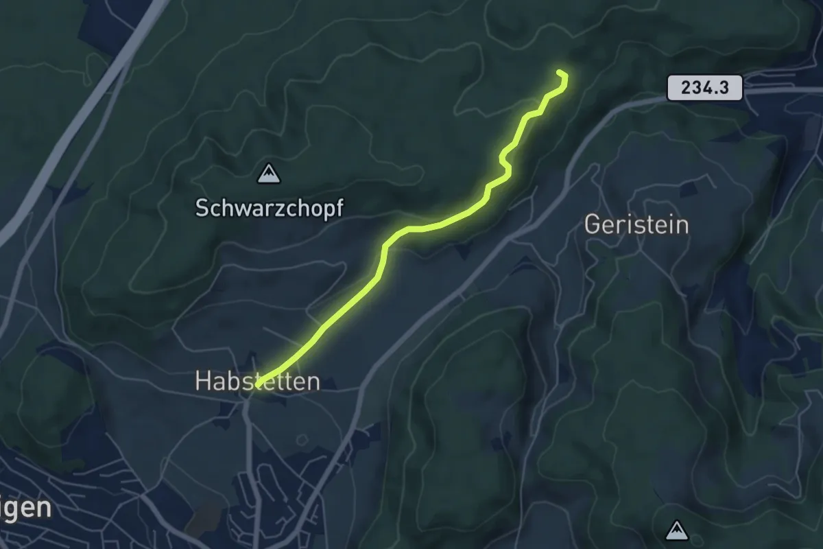
Easy · Trail
Sädelbachhüttli – Habstetten
5.0 km · ↑ 180 m · 1 h 35 min · 8 km away
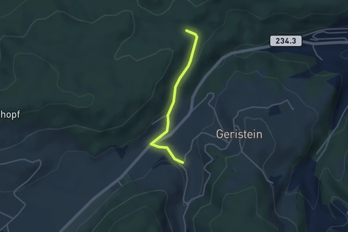
Easy · Trail
Sädelbachhüttli – Lutzere
2.7 km · ↑ 47 m · 44 min · 8 km away
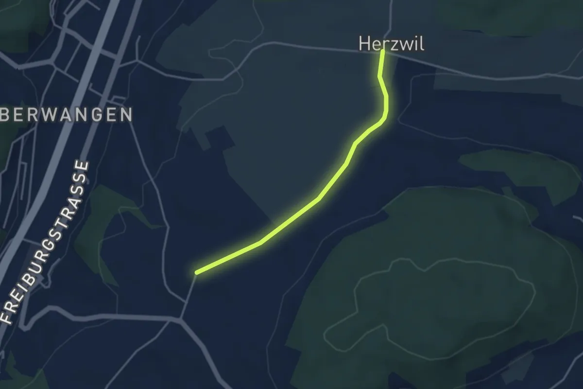
Easy · Trail
Herzwil - Liebewil/Resevoir
3.0 km · ↑ 31 m · 47 min · 8 km away
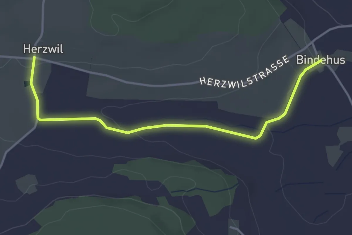
Easy · Trail
Herzwil - Bindenhaus
3.6 km · ↑ 41 m · 57 min · 8 km away
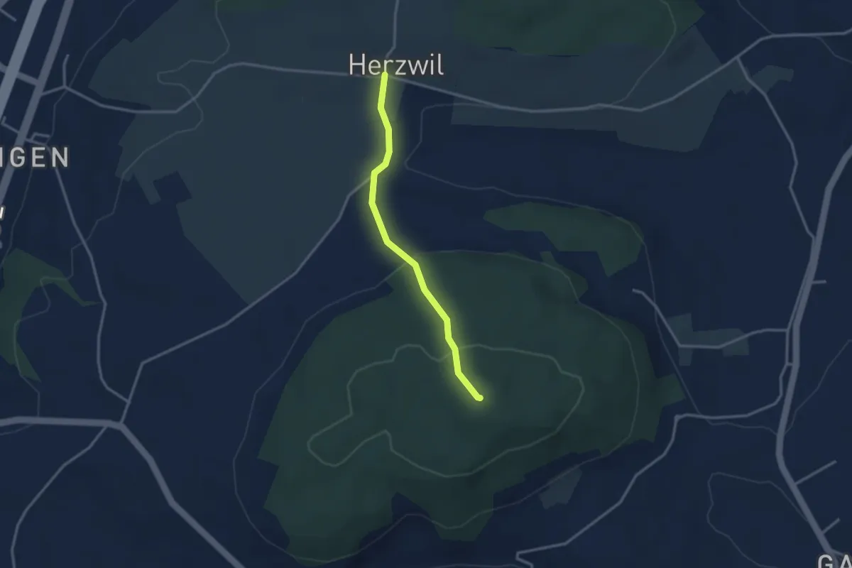
Easy · Summit
Herzwil - Mängistorfberg
2.7 km · ↑ 113 m · 52 min · 8 km away
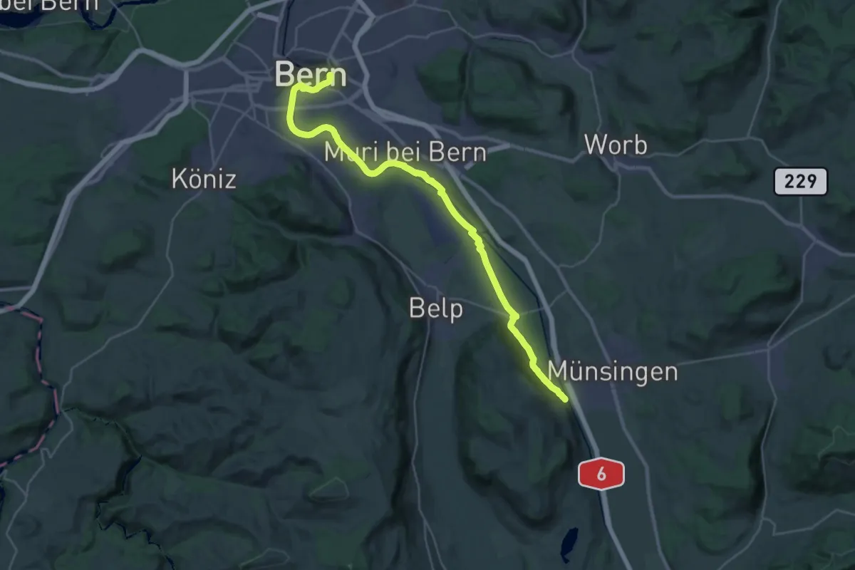
Demanding · Trail
ViaBerna Etappe 9
30.2 km · ↑ 349 m · 7 h 54 min · 8 km away
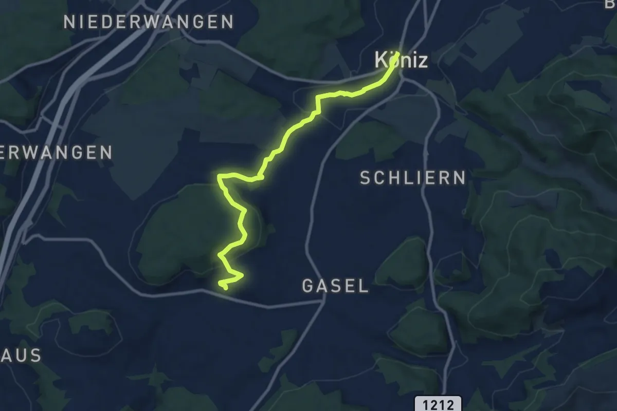
Medium · Trail
Mengestorf – Köniz
9.4 km · ↑ 280 m · 2 h 50 min · 8 km away
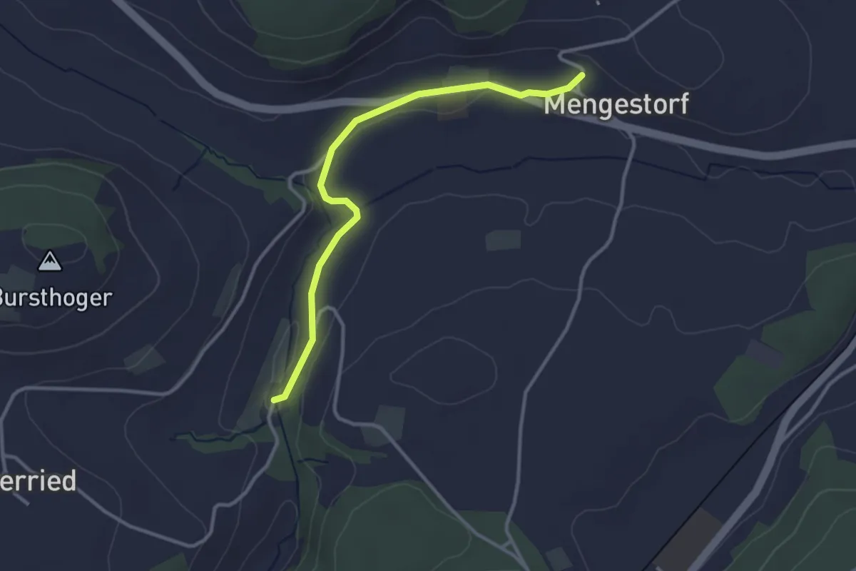
Easy · Trail
Grabenmüli – Mengestorf
3.2 km · ↑ 40 m · 50 min · 8 km away
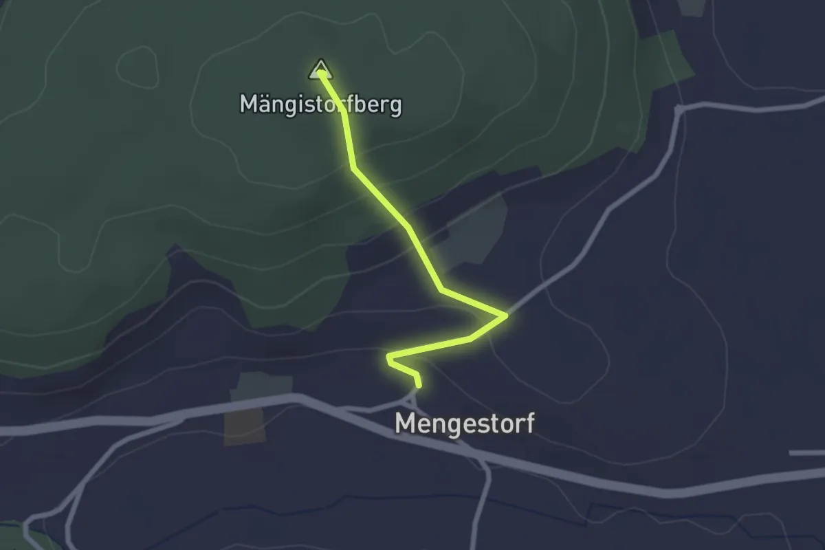
Easy · Summit
Mengestorfberg - Mengestorf
2.0 km · ↑ 124 m · 45 min · 8 km away
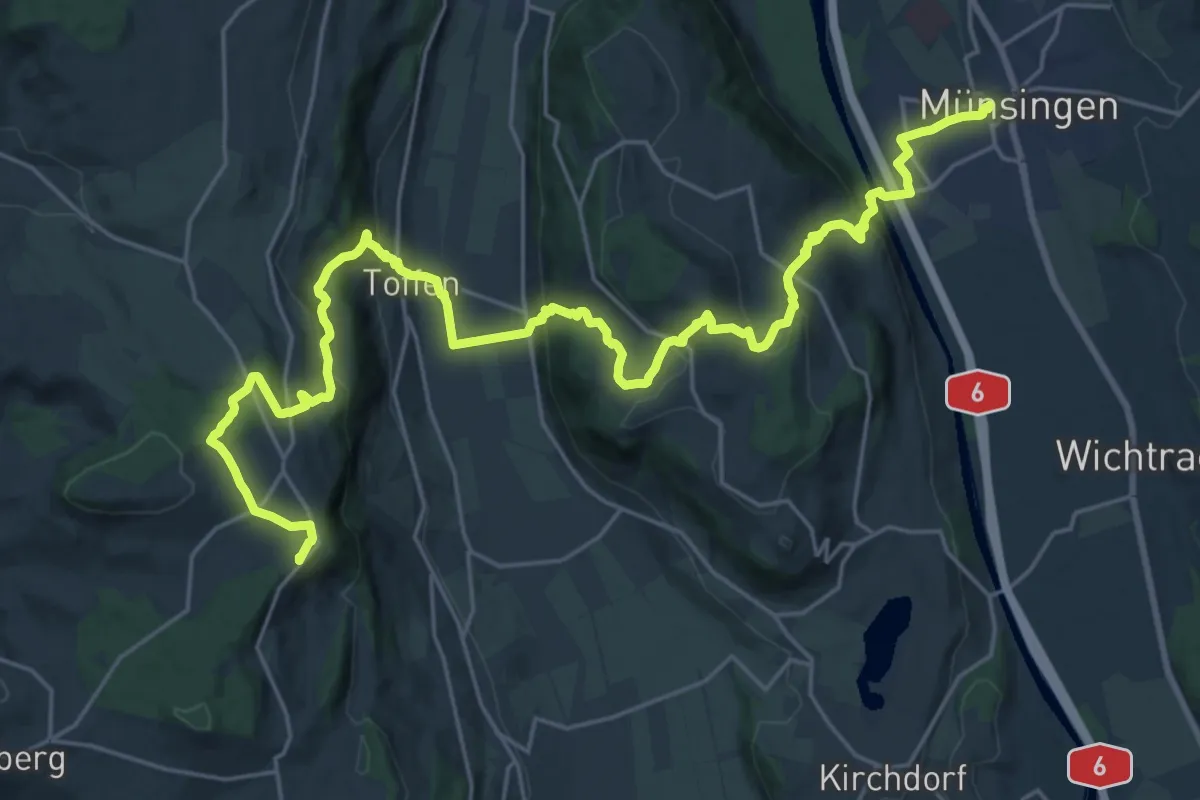
Demanding · Summit
Alpenpanorama-Weg
30.3 km · ↑ 1232 m · 9 h 50 min · 8 km away
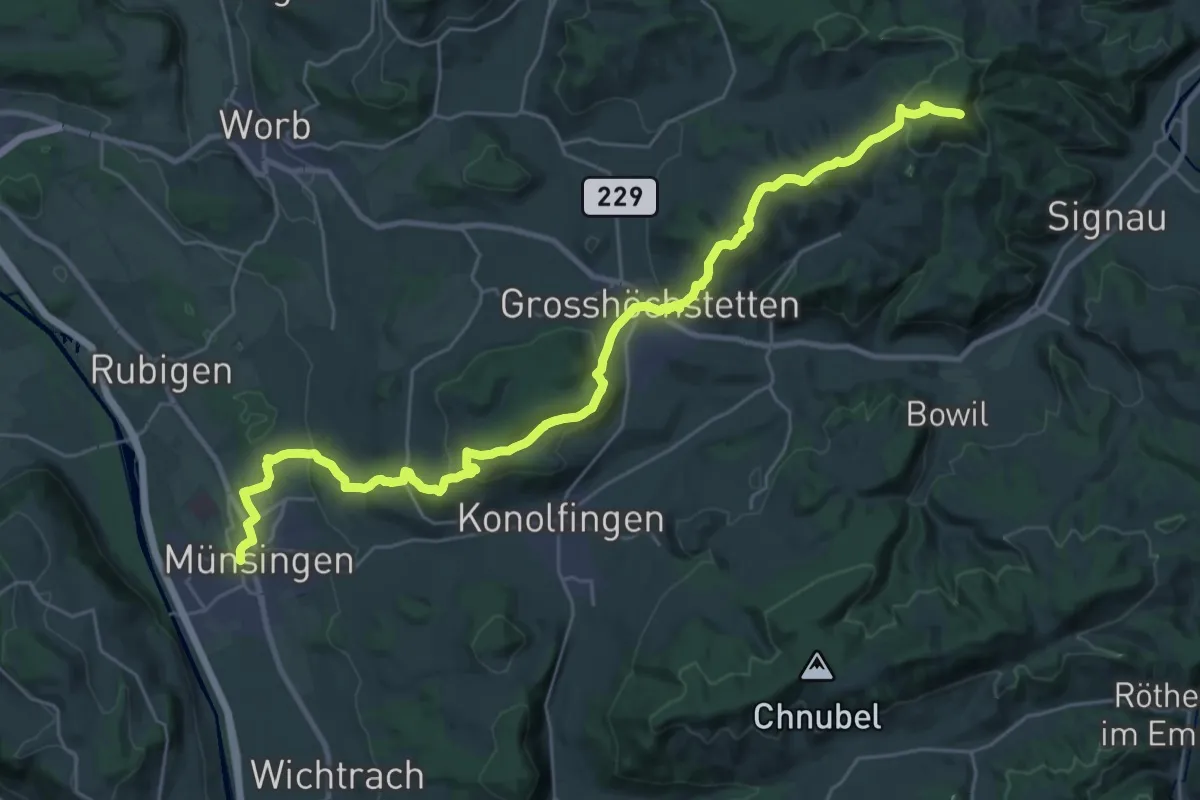
Demanding · Summit
Alpenpanorama-Weg
33.3 km · ↑ 1120 m · 10 h 17 min · 8 km away
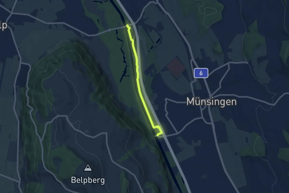
Easy · Trail
Hunzigenbrügg – Jabergbrücke
5.7 km · ↑ 18 m · 1 h 24 min · 8 km away
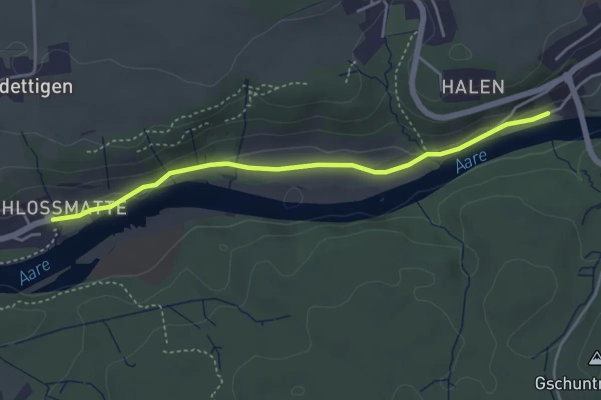
Easy · Trail
Unterdettigen – Halebrügg
3.6 km · ↑ 46 m · 57 min · 8 km away
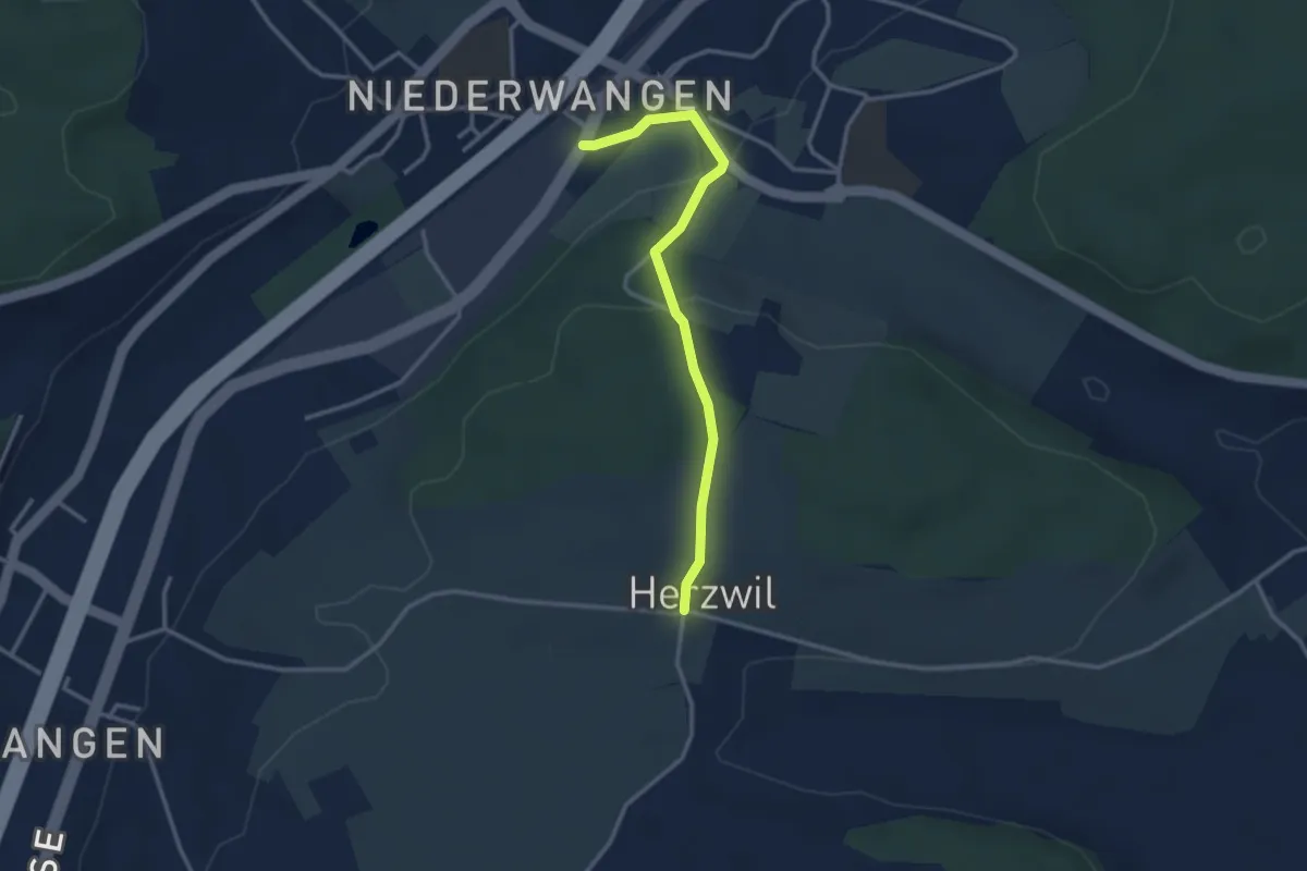
Easy · Trail
Wangen-brüggli - Herzwil
3.0 km · ↑ 112 m · 57 min · 8 km away
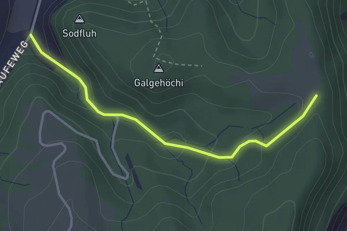
Easy · Trail
Chlosteralp – Laufe
2.7 km · ↑ 148 m · 58 min · 8 km away
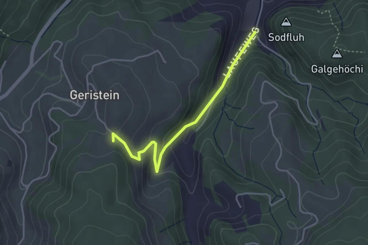
Easy · Trail
Laufe – Geristein
3.2 km · ↑ 163 m · 1 h 7 min · 8 km away
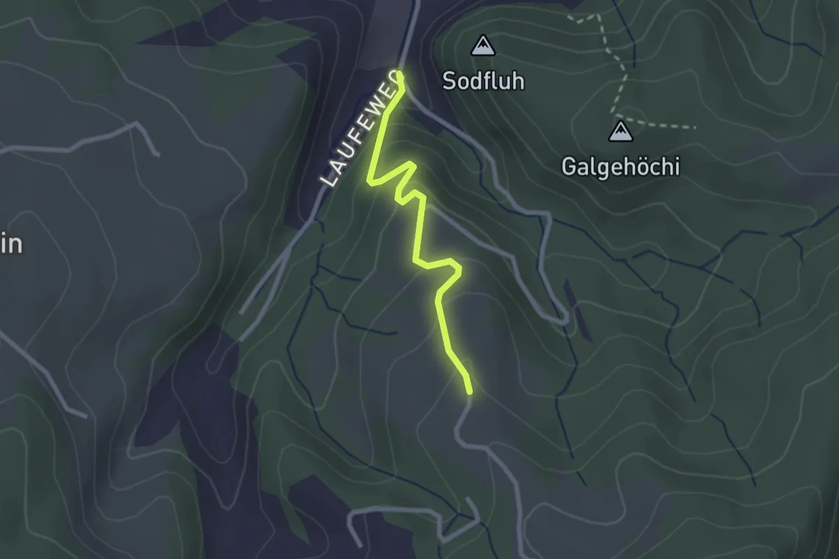
Easy · Trail
Laufe – Vordere Jucke
2.1 km · ↑ 151 m · 49 min · 8 km away
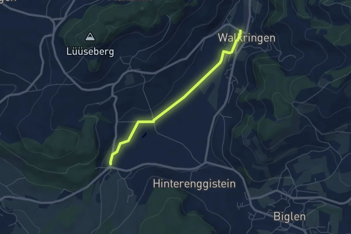
Easy · Trail
Enggistein – Walkringen
5.3 km · ↑ 23 m · 1 h 18 min · 8 km away
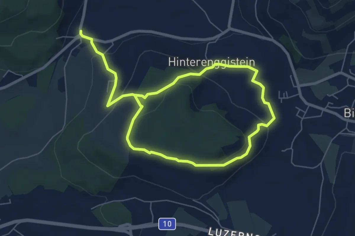
Medium · Trail
Enggistein – Biglen
9.3 km · ↑ 288 m · 2 h 49 min · 8 km away
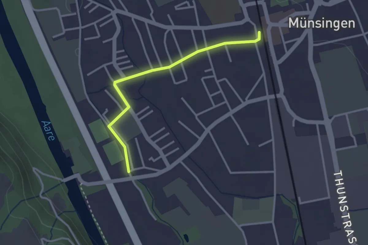
Easy · Trail
Aeussere Giesse - Münsingen/Bahnhof
2.7 km · ↑ 4 m · 39 min · 8 km away
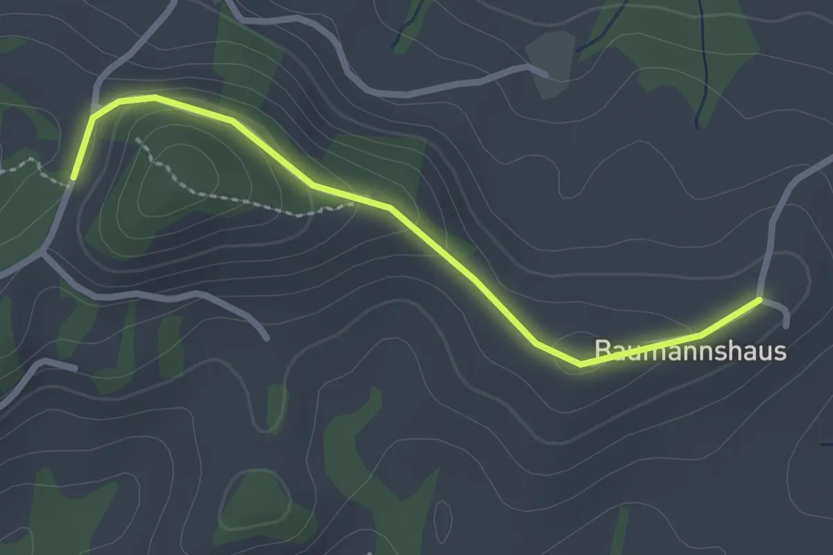
Easy · Trail
Tschuggen - Bumishus
2.3 km · ↑ 64 m · 41 min · 8 km away
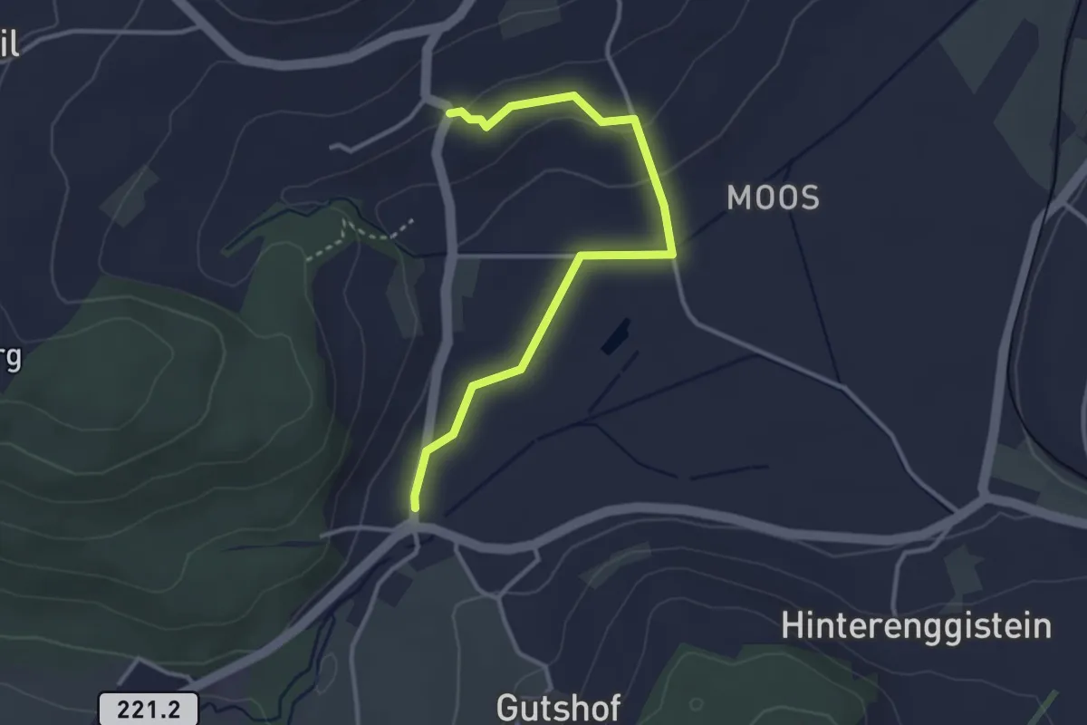
Easy · Trail
Enggistein – Rüttihubelbad
3.4 km · ↑ 62 m · 56 min · 9 km away
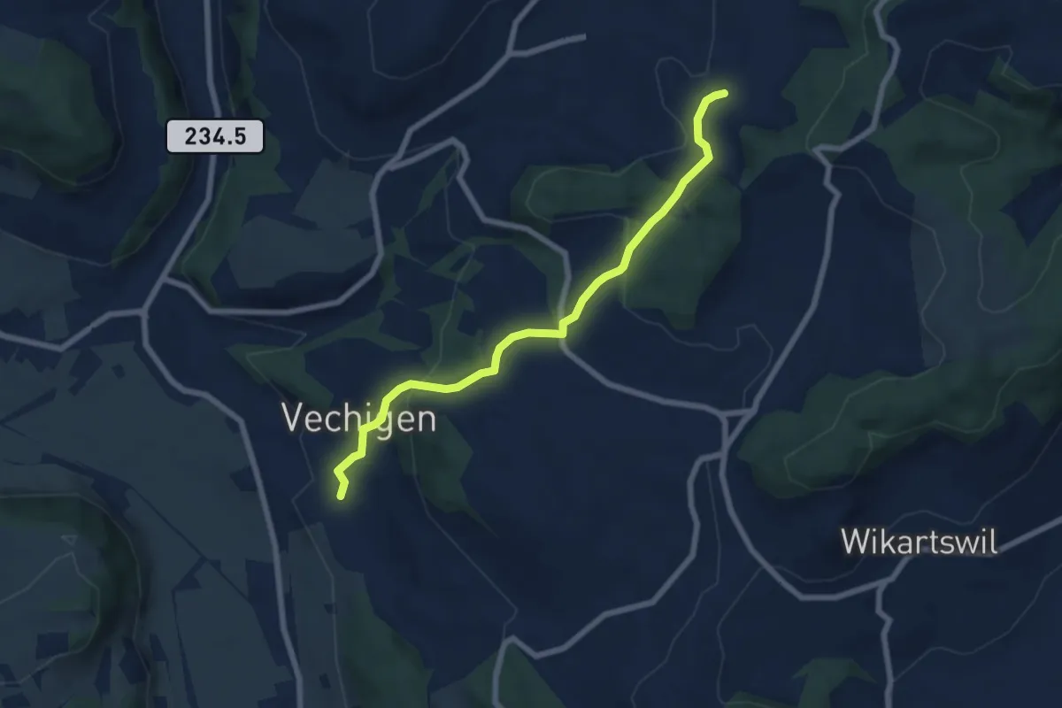
Easy · Trail
Littiwil – Vechigen
6.5 km · ↑ 260 m · 2 h 6 min · 9 km away
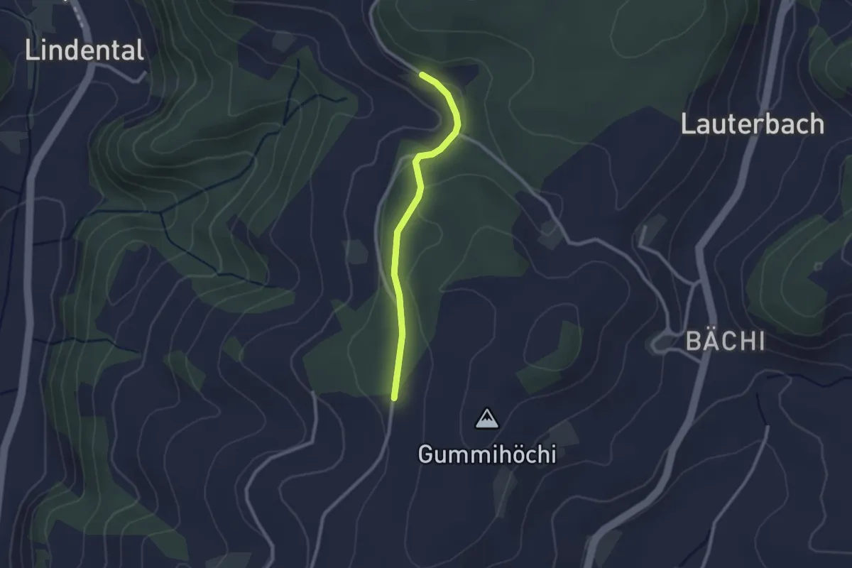
Easy · Trail
Sunnerain – Utzigenwull
2.1 km · ↑ 23 m · 33 min · 9 km away
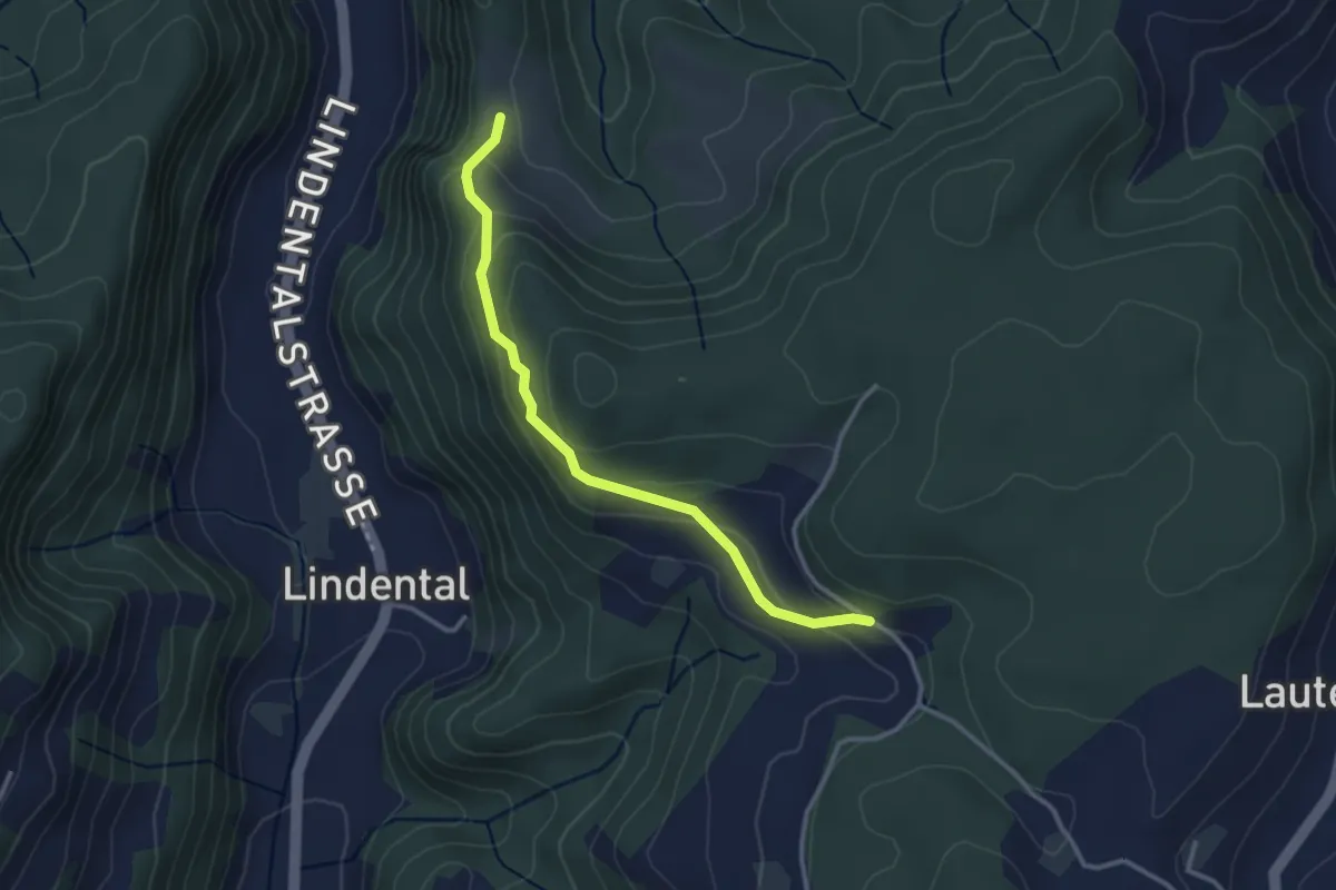
Easy · Trail
Vordere Geisme – Sonnenrain
3.0 km · ↑ 144 m · 1 h 1 min · 9 km away
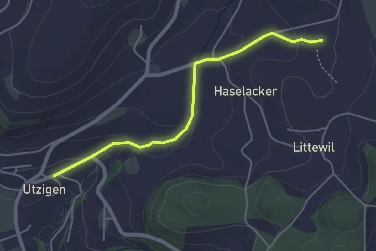
Easy · Trail
Sänggi – Utzigen
3.7 km · ↑ 98 m · 1 h 5 min · 9 km away
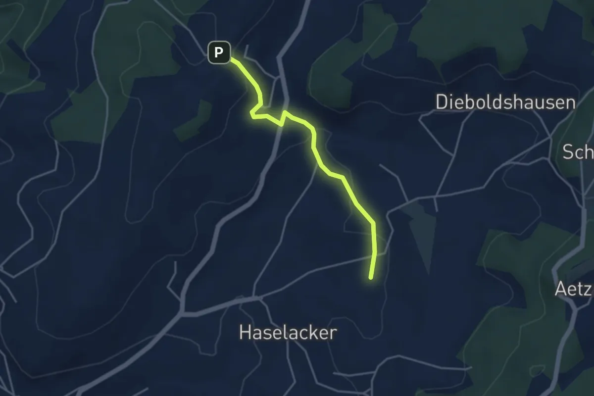
Easy · Trail
Rötelismatt – Sänggi
3.3 km · ↑ 88 m · 58 min · 9 km away
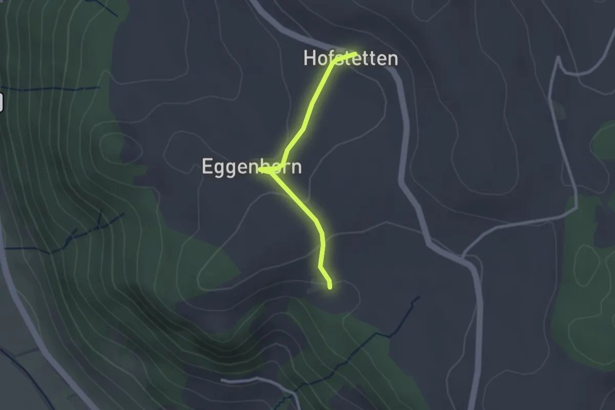
Easy · Trail
Schlatt - Hostete
2.1 km · ↑ 67 m · 38 min · 9 km away
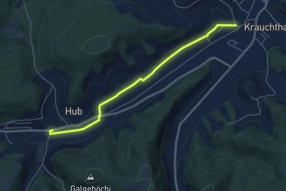
Easy · Trail
Sandhole – Hueb
4.7 km · ↑ 50 m · 1 h 14 min · 9 km away
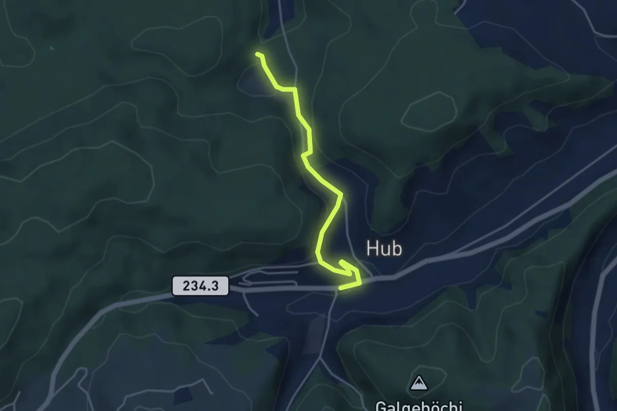
Easy · Trail
Wannetal – Hueb
3.5 km · ↑ 169 m · 1 h 11 min · 9 km away
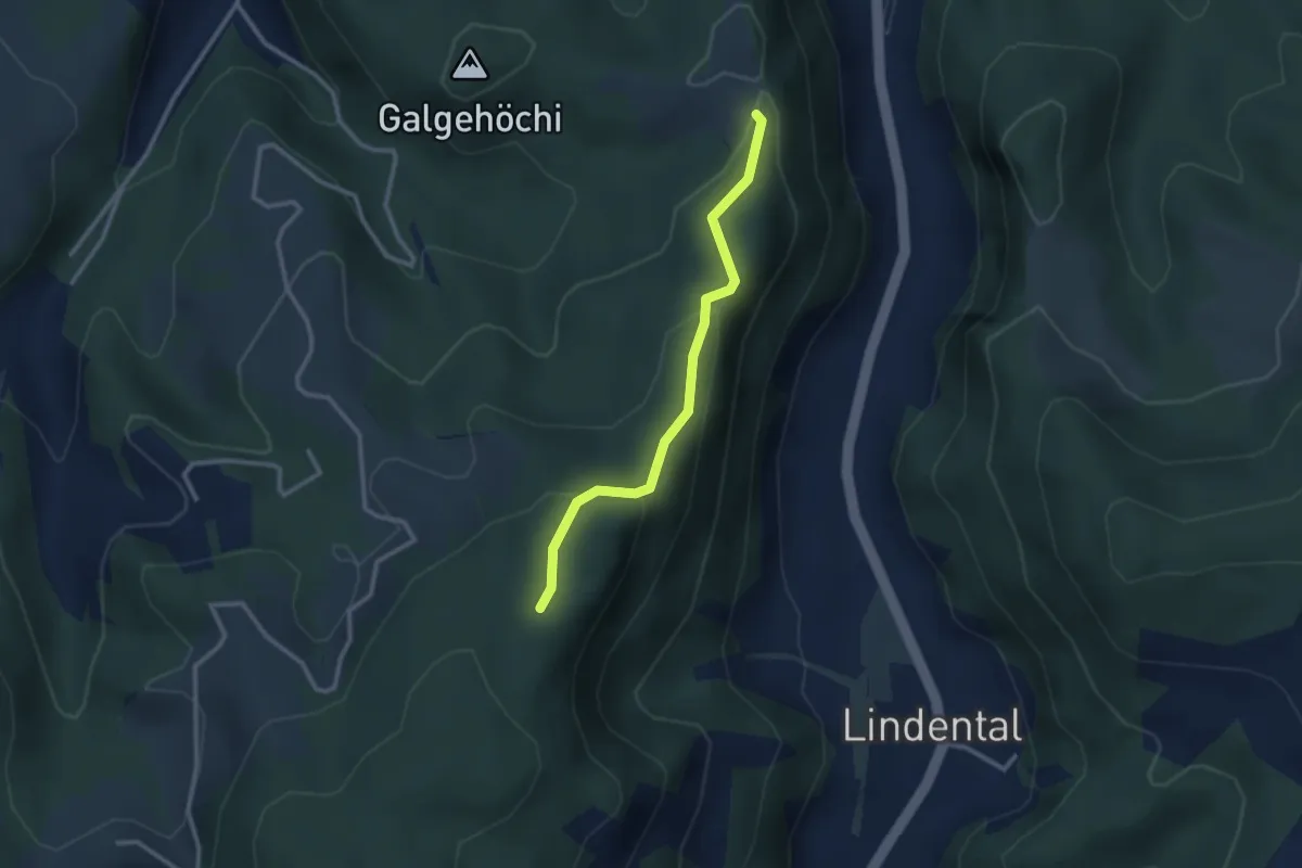
Easy · Trail
Chlosteralp – Mühlestein
2.6 km · ↑ 138 m · 54 min · 9 km away
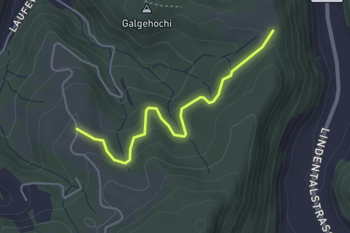
Easy · Trail
Chlosteralp – Vorder Jucke
3.2 km · ↑ 193 m · 1 h 11 min · 9 km away
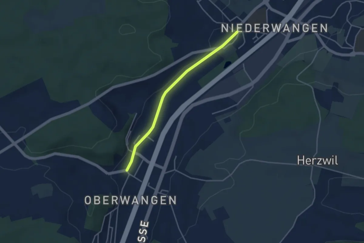
Easy · Trail
Oberwangen - Niederwangen
3.1 km · ↑ 34 m · 48 min · 9 km away
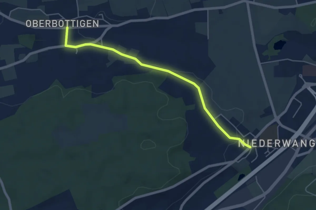
Easy · Trail
Niederwangen - Oberbottigen
4.4 km · ↑ 36 m · 1 h 8 min · 9 km away
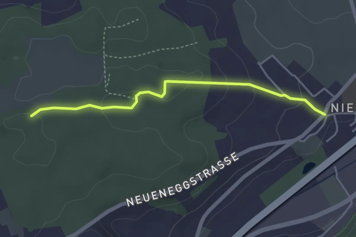
Easy · Trail
Niederwangen - Ried
3.3 km · ↑ 102 m · 1 h 1 min · 9 km away
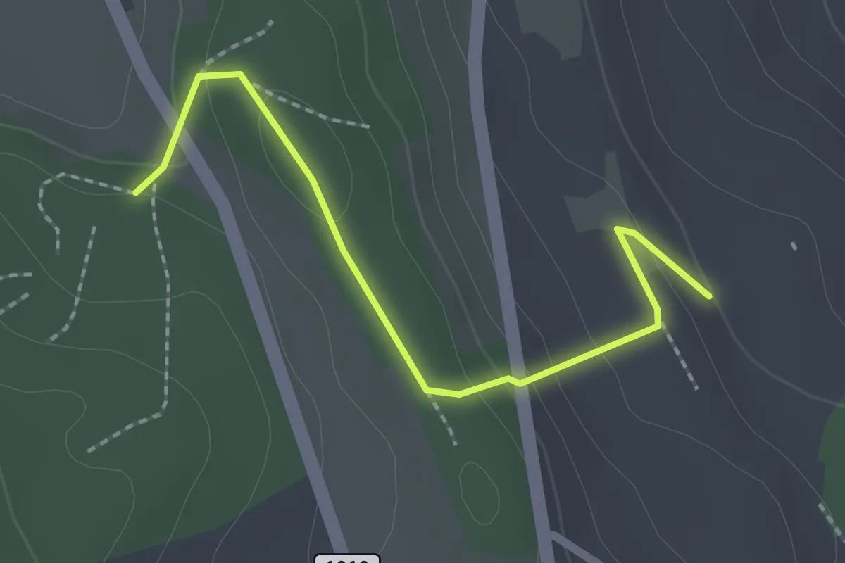
Easy · Trail
Rattenholz - Oberfeld
2.1 km · ↑ 70 m · 39 min · 9 km away
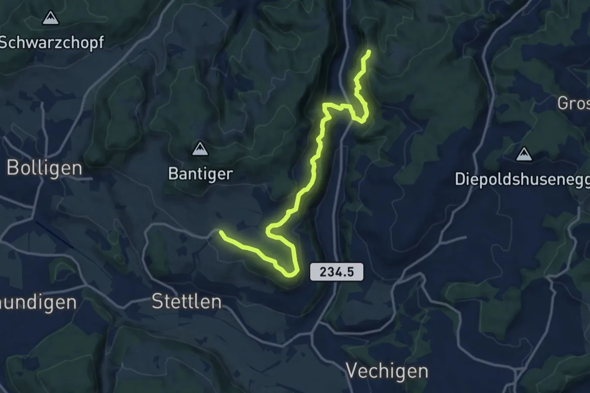
Medium · Trail
Vordere Geisme – Ferenberg
12.7 km · ↑ 592 m · 4 h 17 min · 9 km away
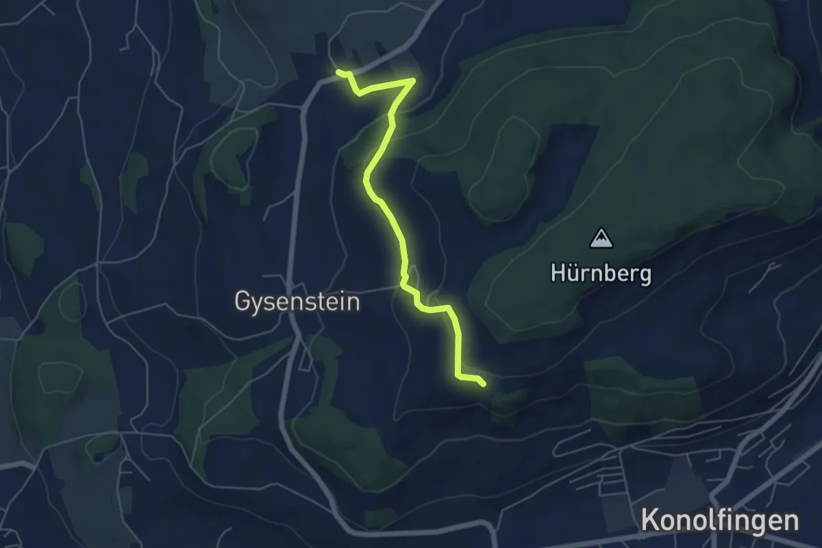
Easy · Trail
Herolfingen – Konolfingen
5.0 km · ↑ 146 m · 1 h 29 min · 9 km away
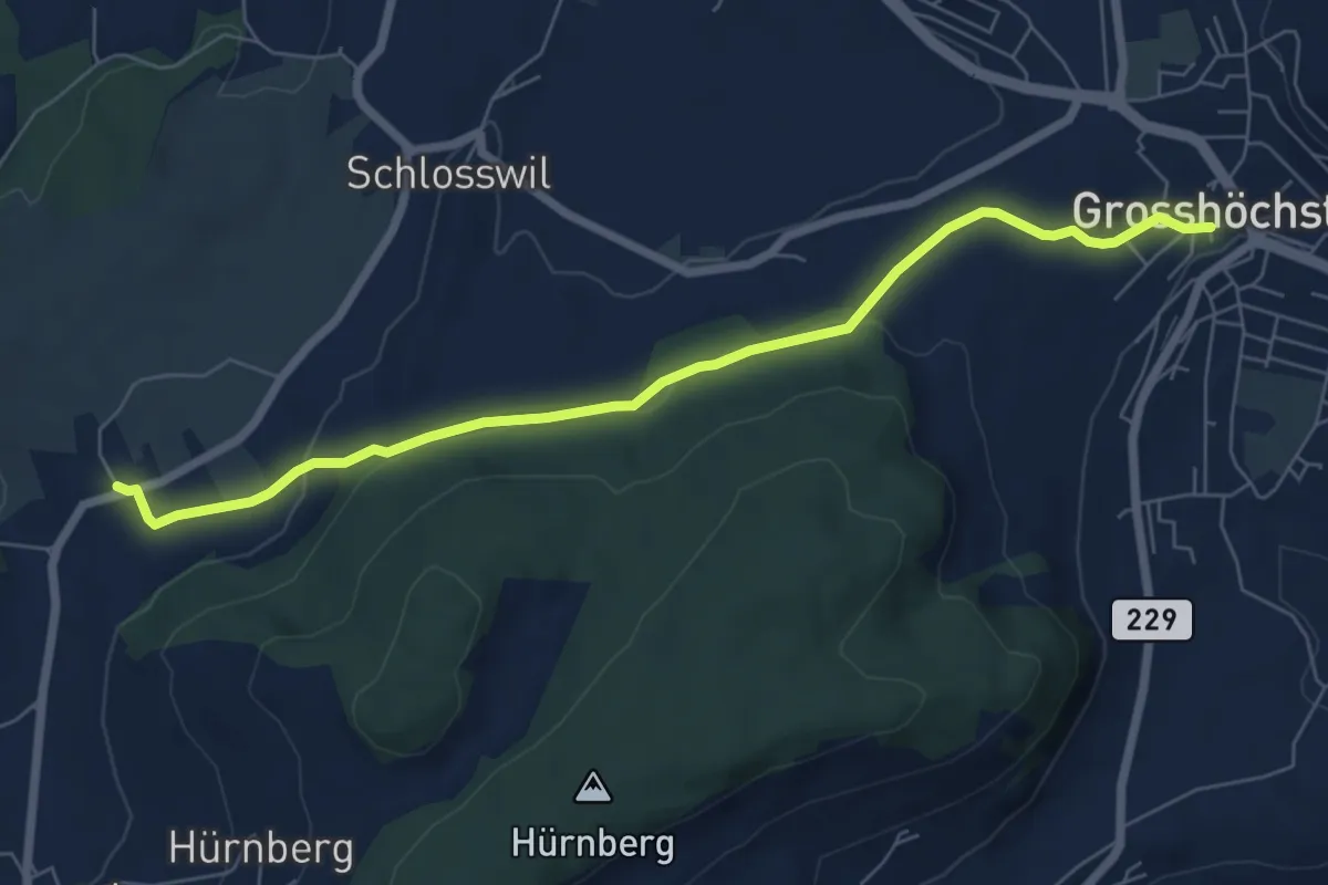
Easy · Trail
Grosshöchstetten – Herolfingen
7.0 km · ↑ 112 m · 1 h 54 min · 9 km away
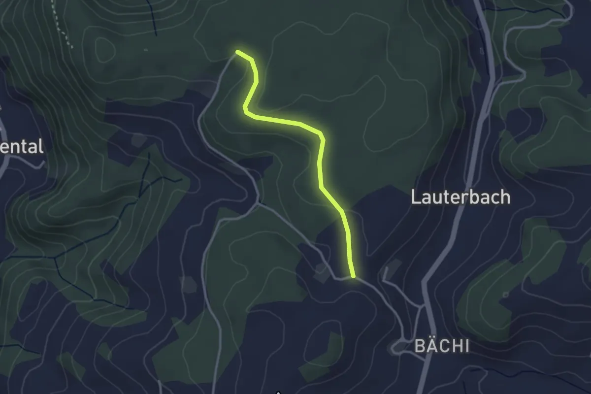
Easy · Trail
Aebnit/Klosterweg – Rötelismatt
2.5 km · ↑ 32 m · 40 min · 9 km away
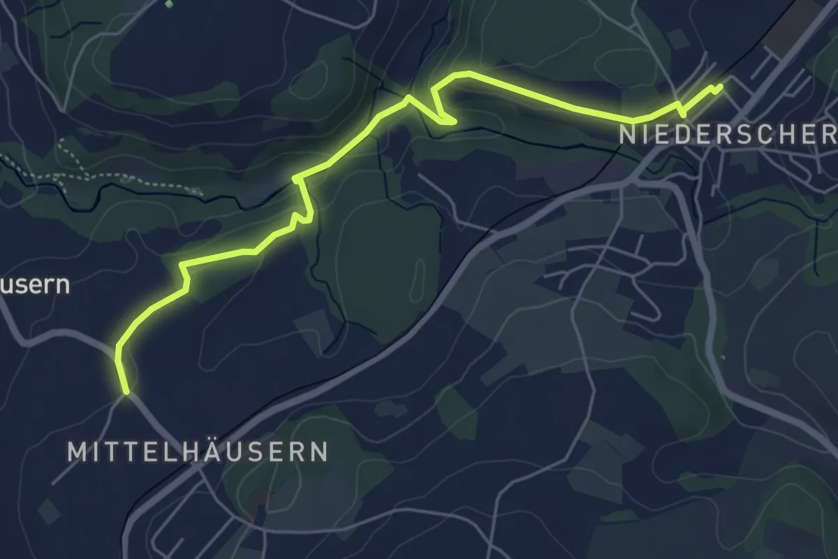
Easy · Trail
Mittelhäusern - Niederscherli
5.7 km · ↑ 165 m · 1 h 42 min · 9 km away
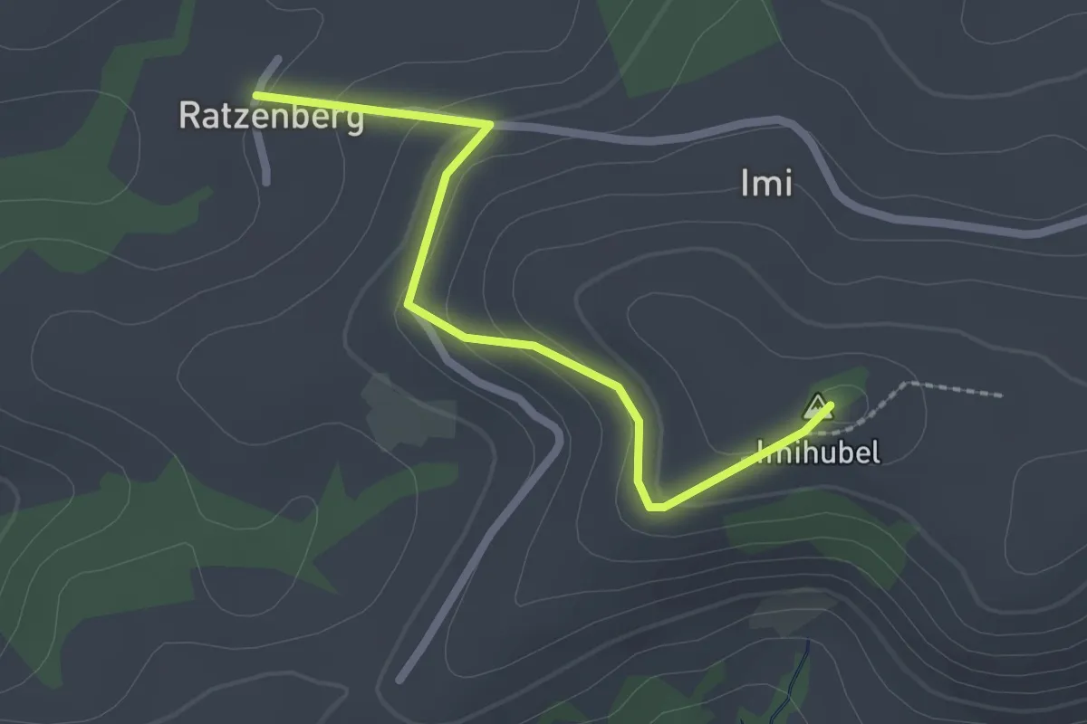
Easy · Summit
Ratzenberg - Imihubel
2.2 km · ↑ 97 m · 44 min · 9 km away
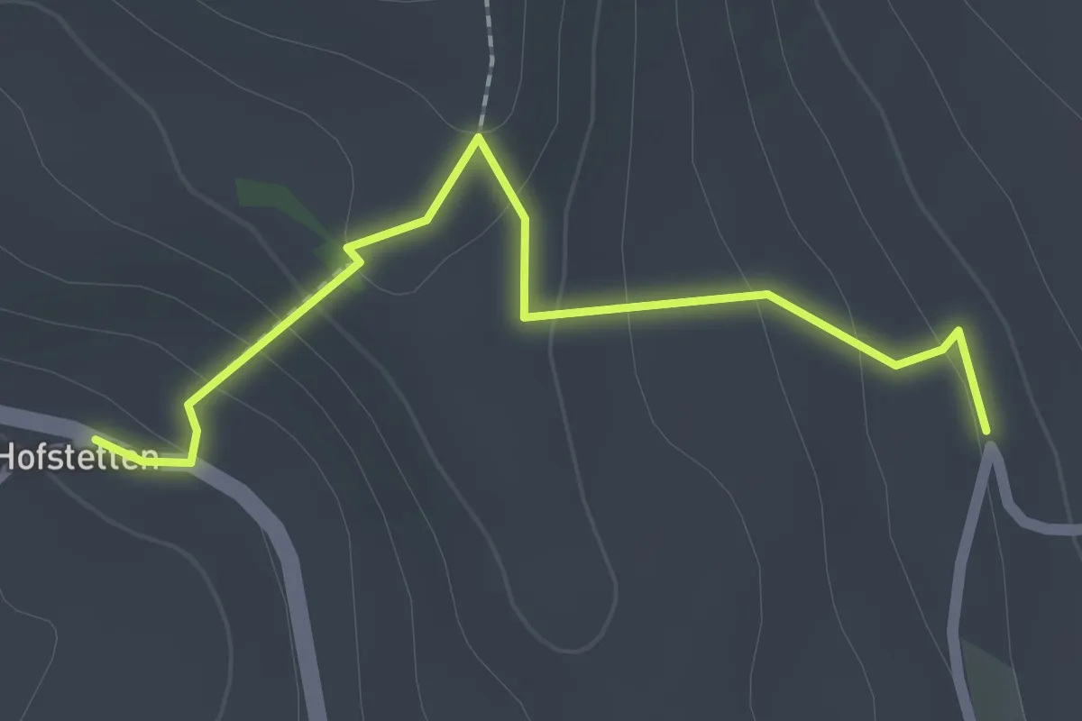
Easy · Trail
Hostete - Simmlere
2.1 km · ↑ 121 m · 45 min · 9 km away
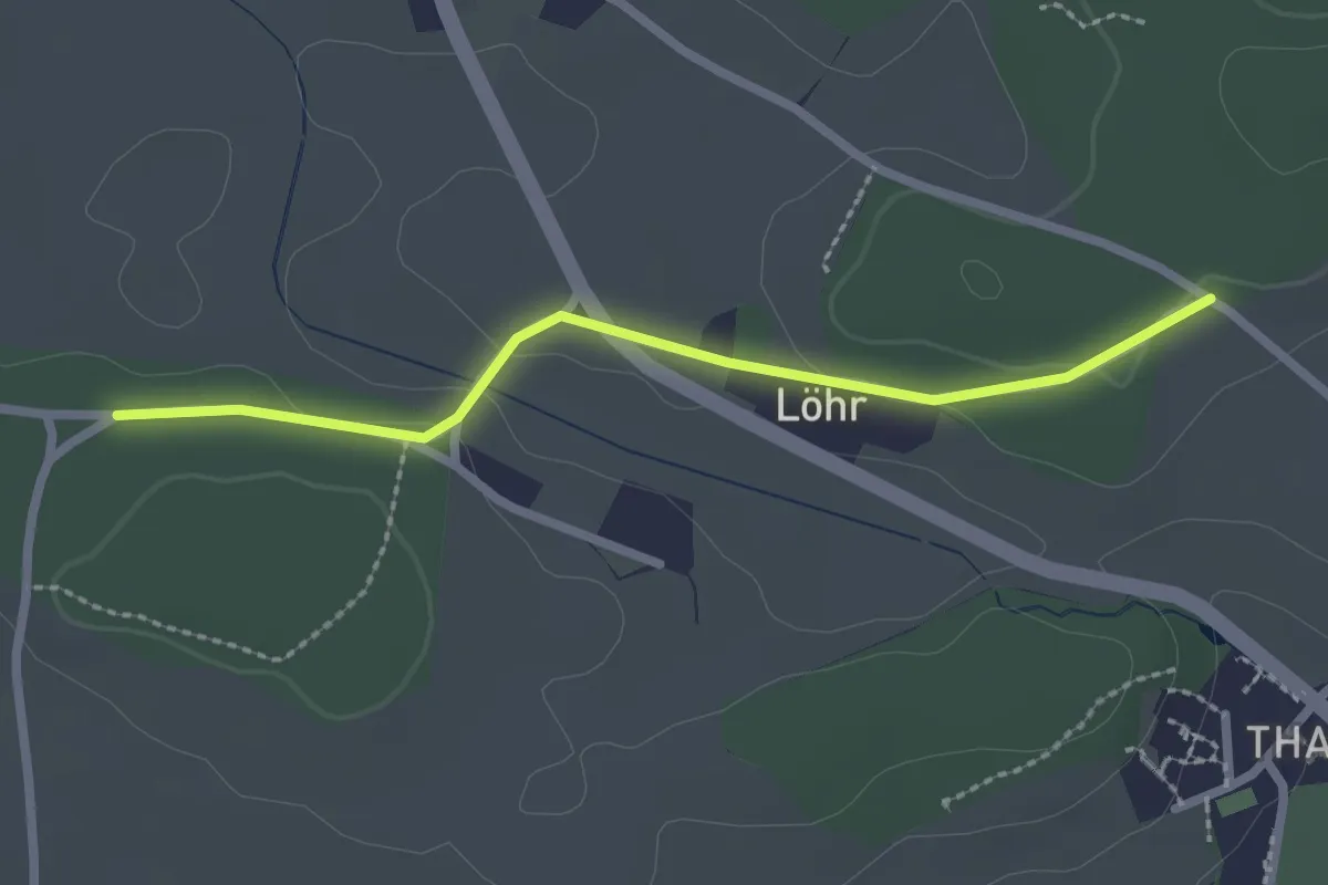
Easy · Trail
Buechwald – Lörwald
2.3 km · ↑ 29 m · 36 min · 9 km away
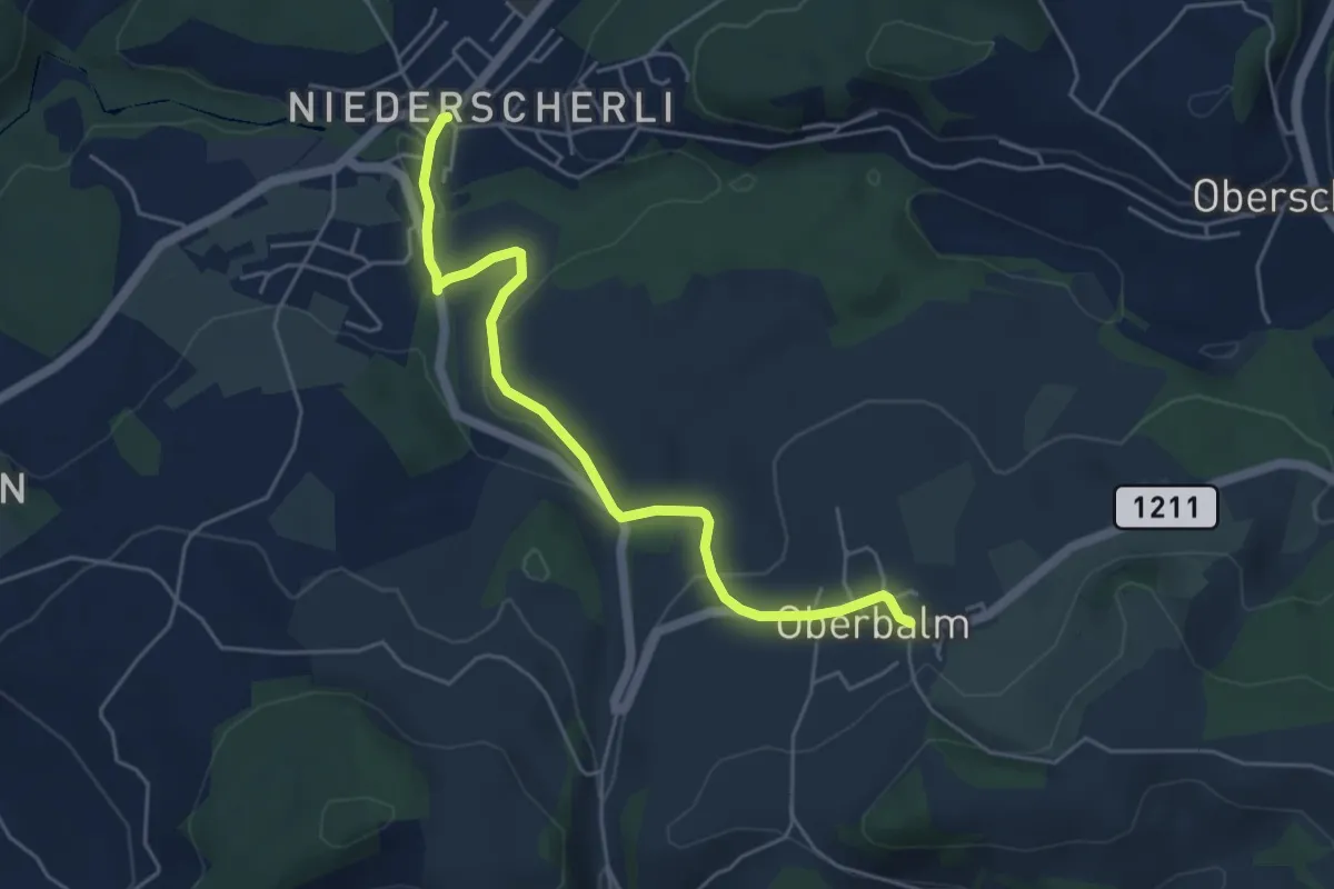
Easy · Trail
Niederscherli – Oberbalm
5.1 km · ↑ 142 m · 1 h 30 min · 9 km away
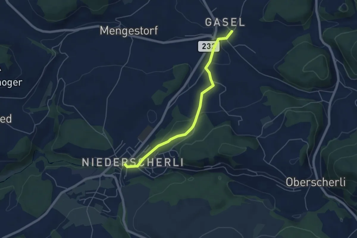
Easy · Trail
Niederscherli – Gasel
4.6 km · ↑ 143 m · 1 h 24 min · 9 km away
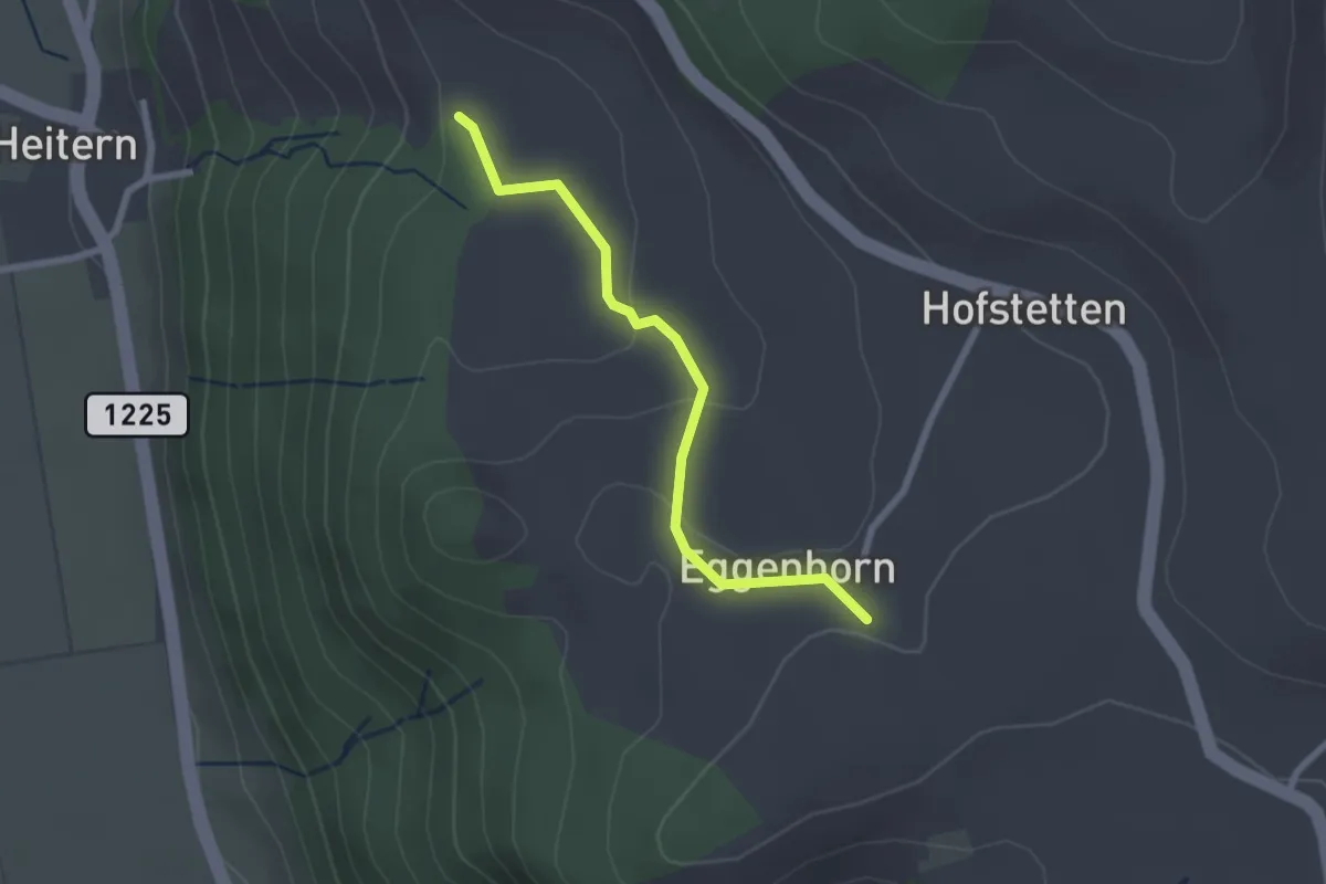
Easy · Trail
Schlatt - Chieffere
2.3 km · ↑ 73 m · 41 min · 9 km away
Easy · Trail
Grauholzdenkmal – Forsthus
5.6 km · ↑ 122 m · 1 h 36 min · 9 km away