Trails near Muri bei Bern
500 hikes starting within 15 km, nearest first.
Nearest first, page 6 of 11
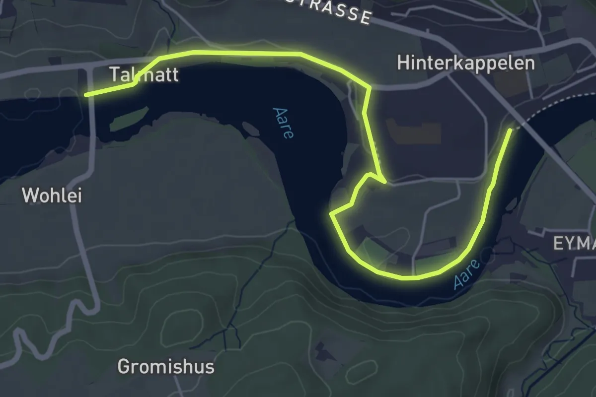
Easy · Trail
Wohleibrügg – Kappelenbrügg
5.9 km · ↑ 60 m · 1 h 31 min · 9 km away
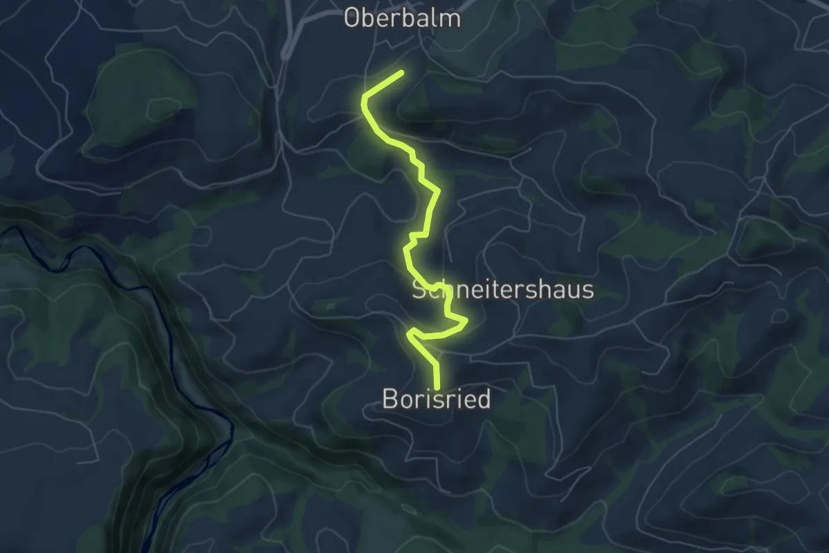
Easy · Trail
Boriswil – Oberbalm/Kirchweg
5.5 km · ↑ 195 m · 1 h 43 min · 9 km away
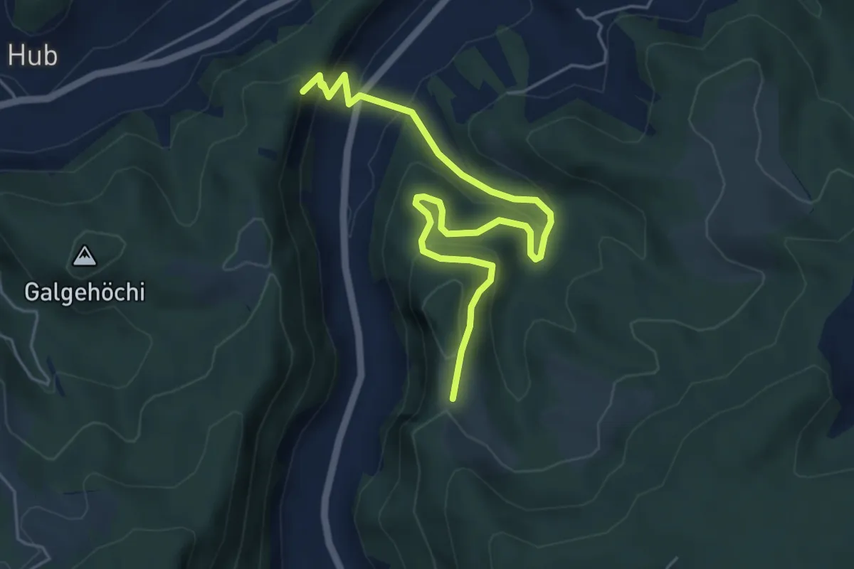
Medium · Trail
Fluehüsli – Vordere Geisme
5.6 km · ↑ 361 m · 2 h 6 min · 9 km away
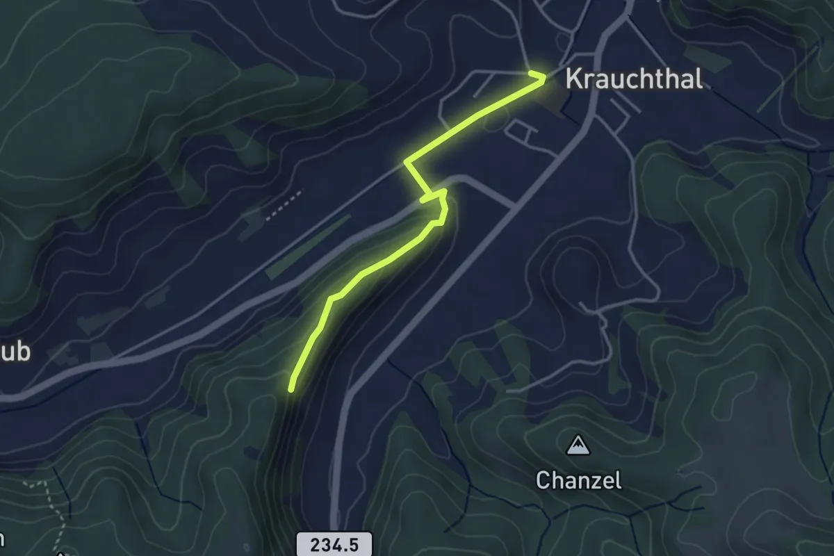
Easy · Trail
Sandhole – Fluehüsli
3.2 km · ↑ 113 m · 1 h · 9 km away
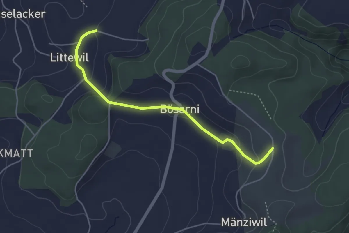
Easy · Trail
Littiwil – Vechigen
3.9 km · ↑ 120 m · 1 h 11 min · 9 km away
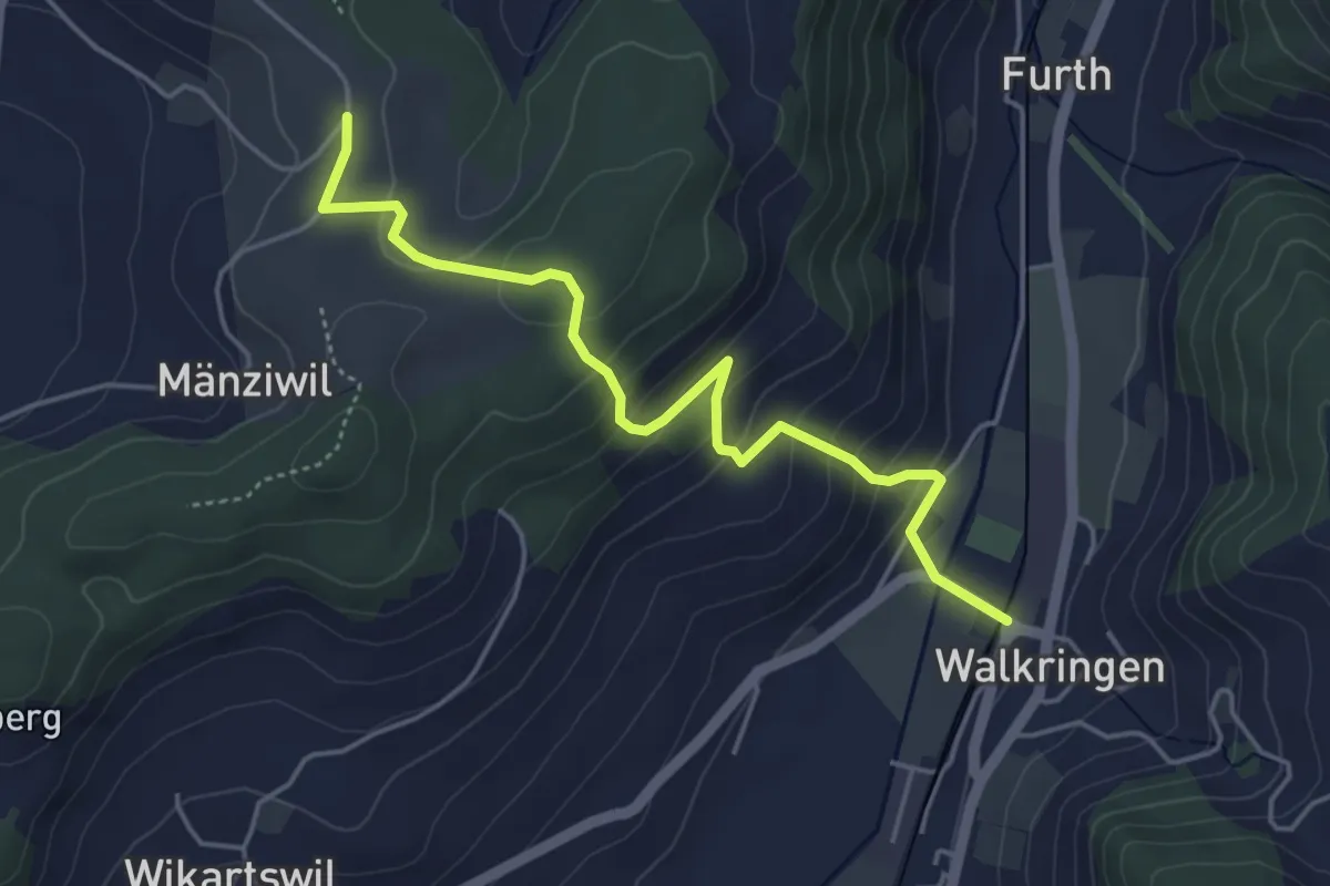
Easy · Trail
Mänziwilegg - Walkringen
4.7 km · ↑ 274 m · 1 h 43 min · 9 km away
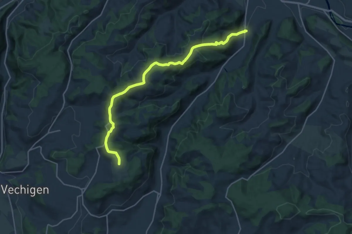
Medium · Trail
Mänziwilegg – Schafhausen
16.2 km · ↑ 533 m · 4 h 58 min · 9 km away
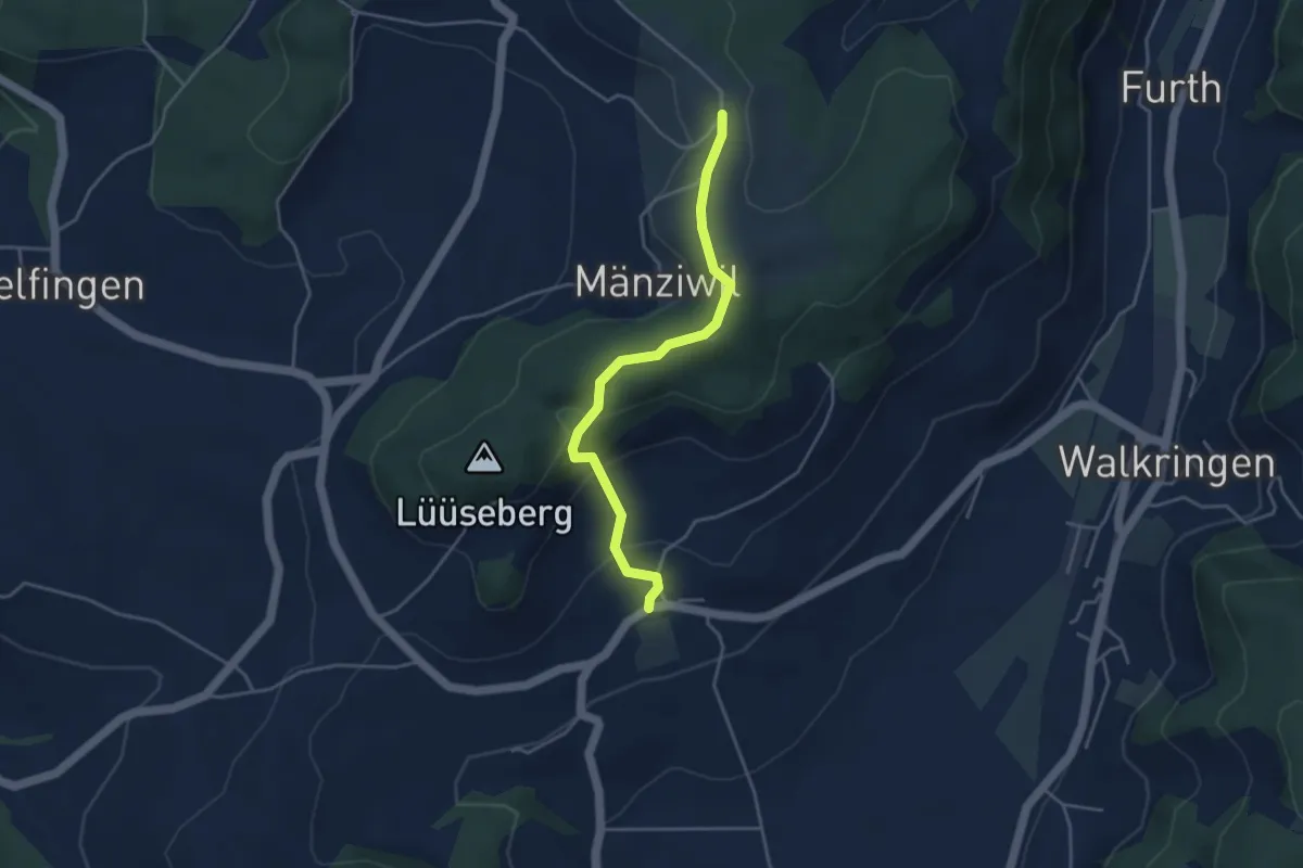
Easy · Trail
Wikartswil – Mänziwilegg
3.9 km · ↑ 187 m · 1 h 20 min · 9 km away
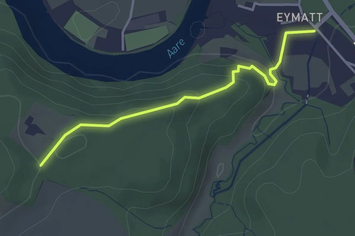
Easy · Trail
Eimatt – Stürleren
2.8 km · ↑ 116 m · 55 min · 9 km away
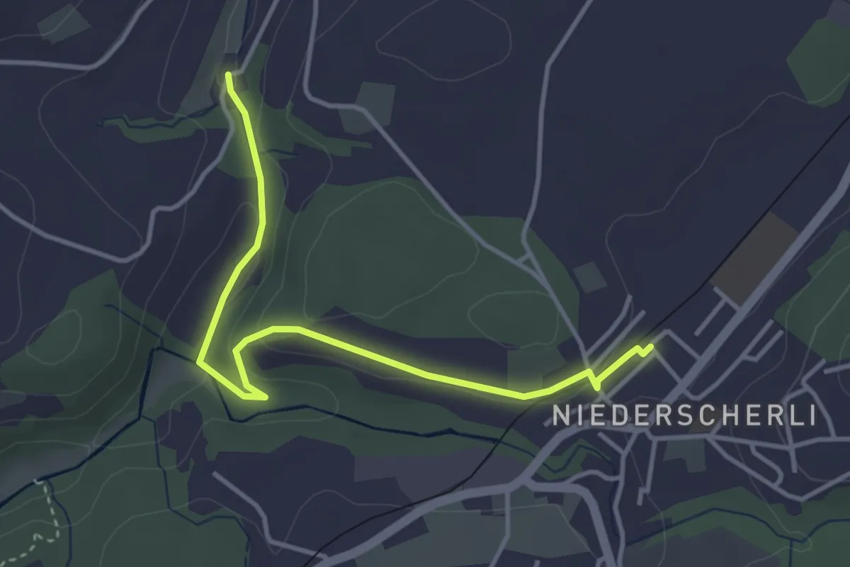
Easy · Trail
Niederscherli - Grabenmüli
3.9 km · ↑ 88 m · 1 h 7 min · 9 km away
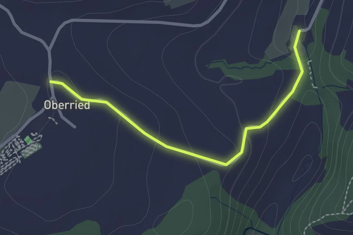
Easy · Trail
Oberried - Grabenmüli
2.2 km · ↑ 64 m · 39 min · 9 km away
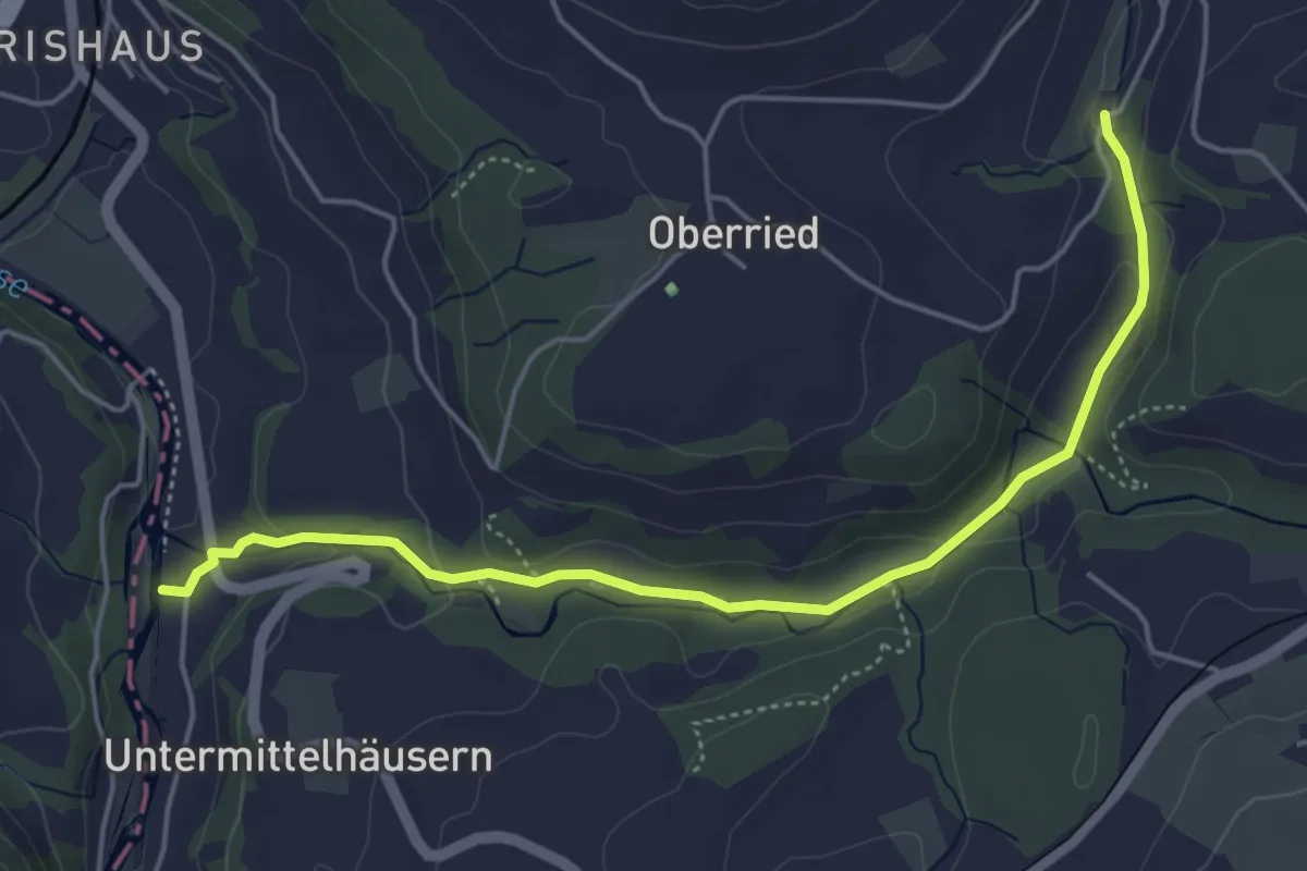
Easy · Trail
Sensematt – Grabenmüli
5.1 km · ↑ 116 m · 1 h 27 min · 9 km away
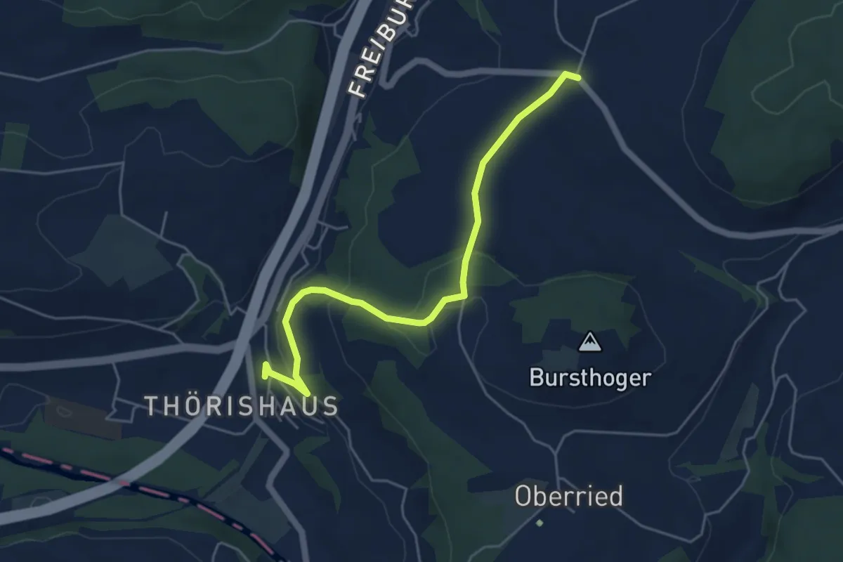
Easy · Trail
Thörishaus - Liebewil
4.9 km · ↑ 176 m · 1 h 32 min · 9 km away
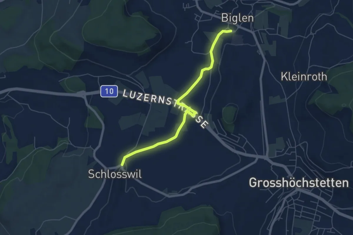
Easy · Trail
Schlosswil – Biglen
5.6 km · ↑ 36 m · 1 h 25 min · 9 km away
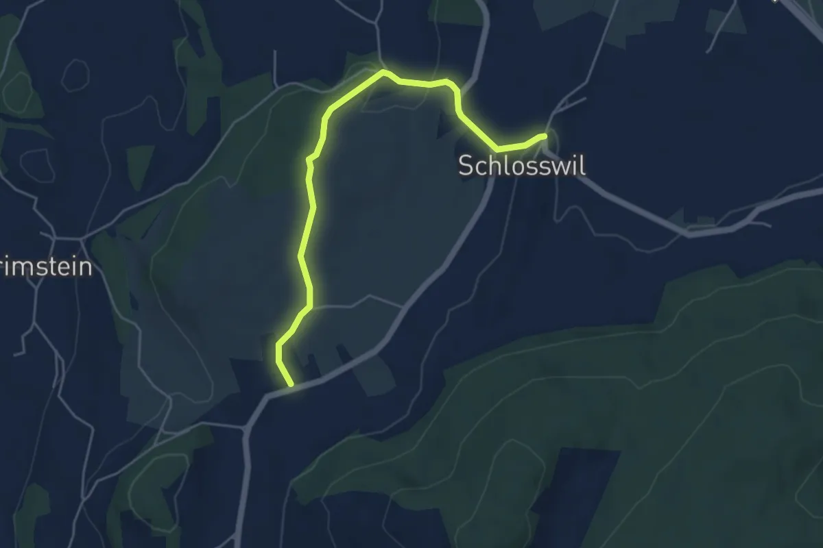
Easy · Trail
Herolfingen – Schlosswil
4.7 km · ↑ 105 m · 1 h 20 min · 9 km away
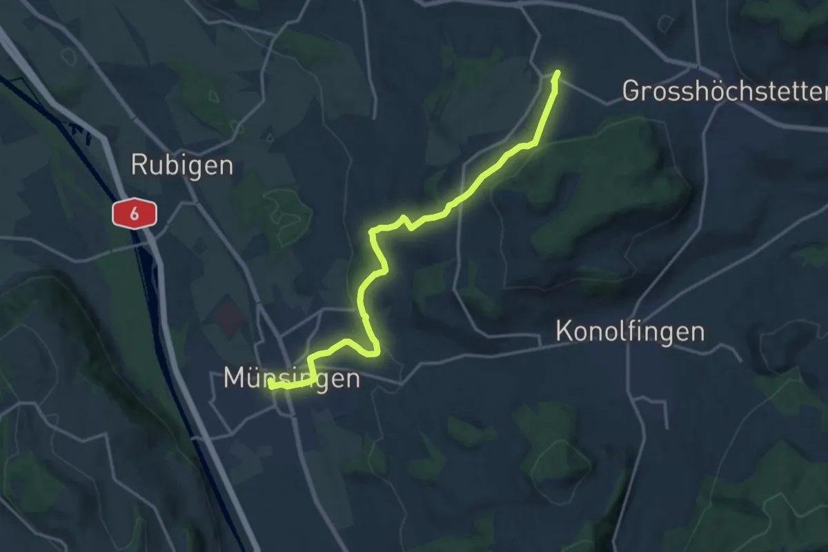
Medium · Trail
Münsingen – Schlosswil
14.9 km · ↑ 320 m · 4 h 12 min · 9 km away
Easy · Trail
Wannetal – Mattstettenberg
3.0 km · ↑ 175 m · 1 h 6 min · 10 km away
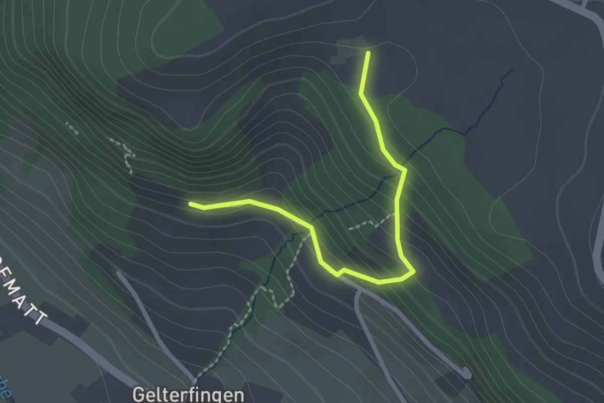
Easy · Trail
Chramburg - Schlatt
2.1 km · ↑ 133 m · 47 min · 10 km away
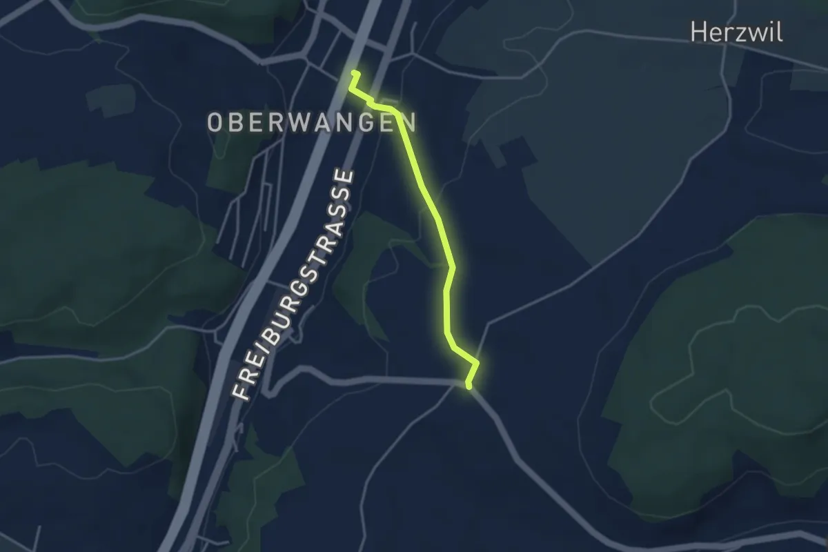
Easy · Trail
Oberwangen Station - Liebewil
2.8 km · ↑ 93 m · 51 min · 10 km away
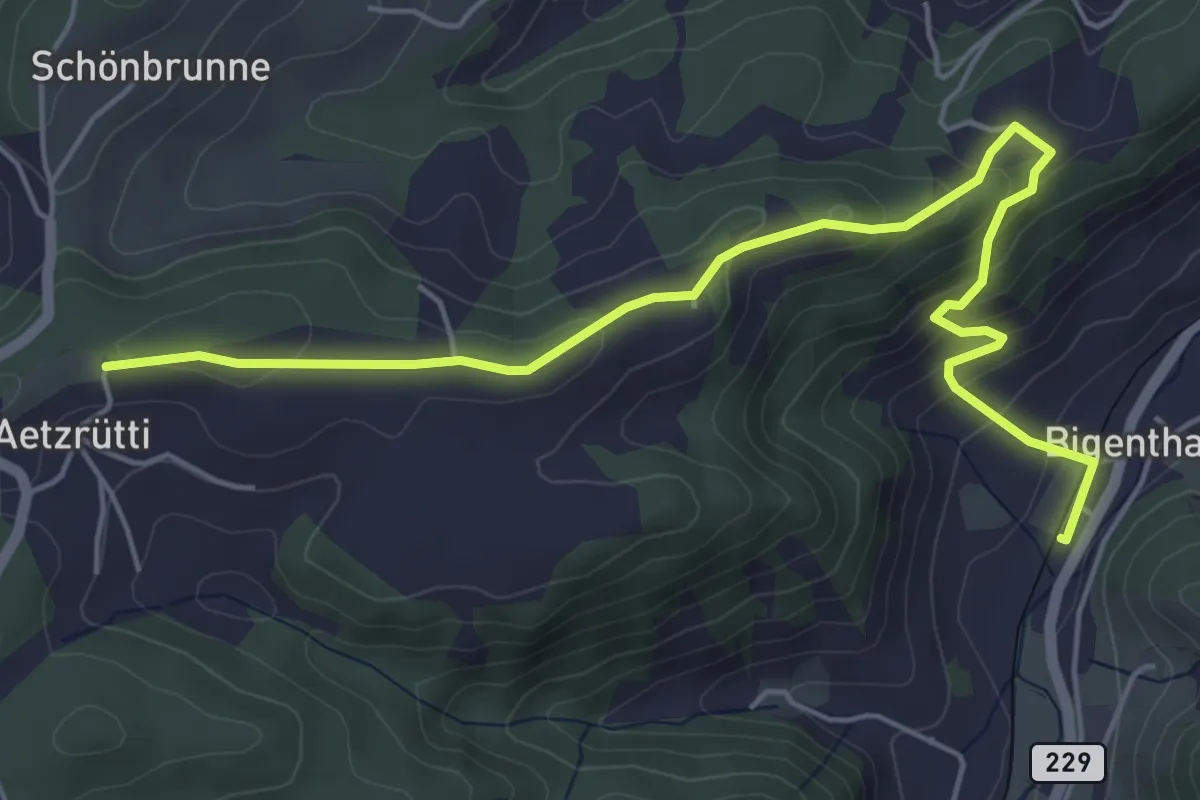
Easy · Trail
Ätzrüti – Bigenthal
6.1 km · ↑ 315 m · 2 h 8 min · 10 km away
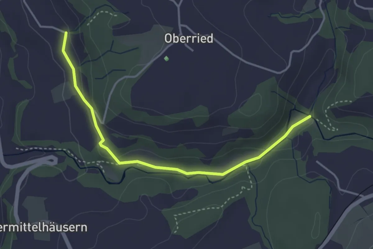
Easy · Trail
Grabenmüli - Grafenried
3.7 km · ↑ 75 m · 1 h 2 min · 10 km away
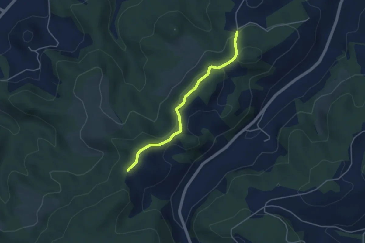
Easy · Trail
Buechwald – Mueleren
3.3 km · ↑ 139 m · 1 h 5 min · 10 km away
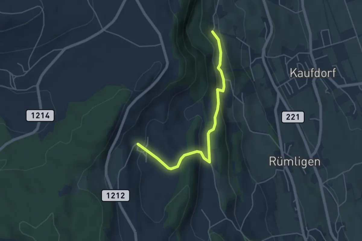
Easy · Trail
Gutenbrünnen - Hermiswil
4.3 km · ↑ 207 m · 1 h 28 min · 10 km away
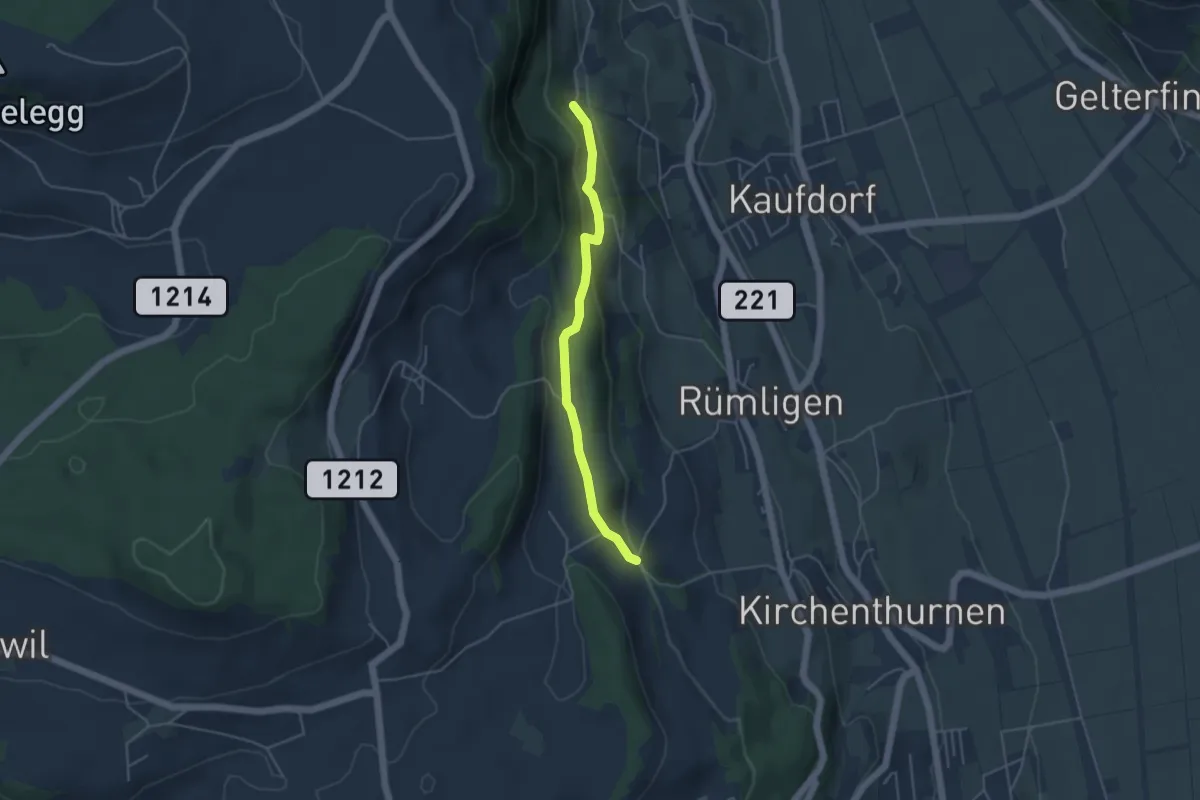
Easy · Trail
Gutenbrünnen - Uf der Mur
4.0 km · ↑ 157 m · 1 h 18 min · 10 km away
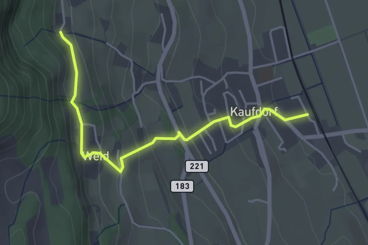
Easy · Trail
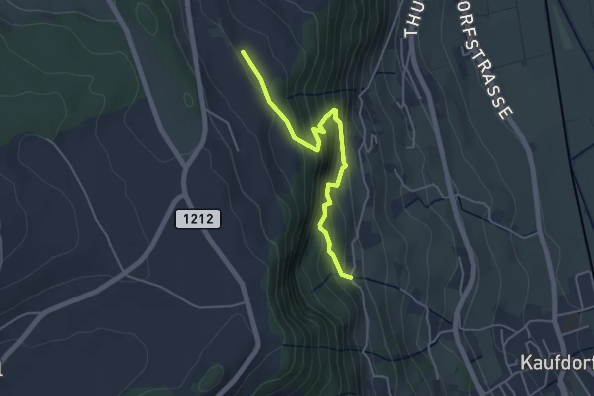
Kaufdorf - Gutenbrünnen
3.9 km · ↑ 237 m · 1 h 26 min · 10 km away
Easy · Trail
Oberfeld - Gutenbrünnen
3.4 km · ↑ 304 m · 1 h 28 min · 10 km away
Easy · Trail
Wasebode – Holzmatt
2.2 km · ↑ 19 m · 33 min · 10 km away
Easy · Trail
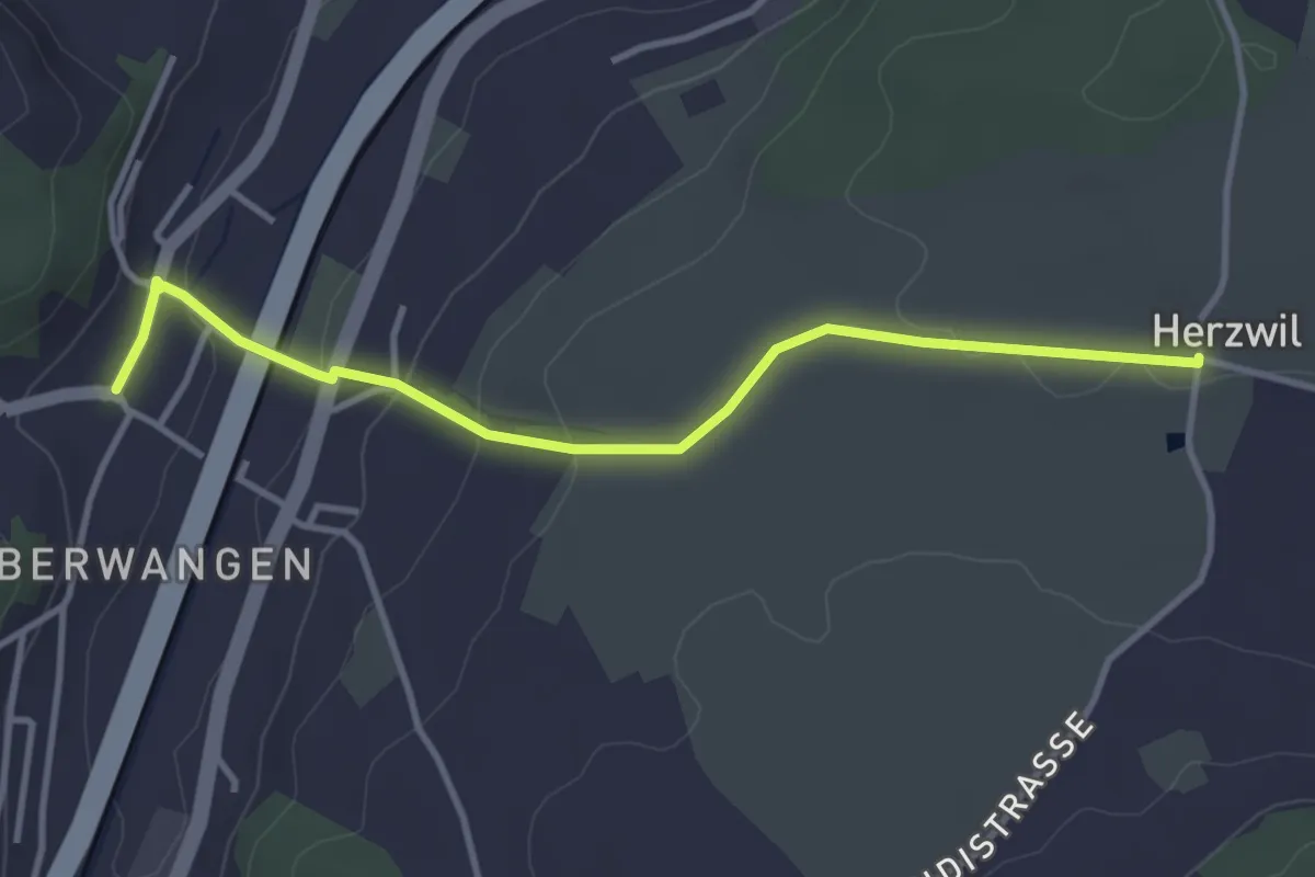
Herzwil - Oberwangen
3.7 km · ↑ 93 m · 1 h 4 min · 10 km away
Easy · Trail
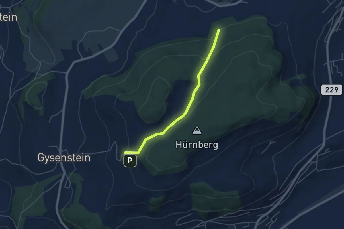
Ballenbühl – Schattacherwald
4.2 km · ↑ 130 m · 1 h 17 min · 10 km away
Easy · Trail
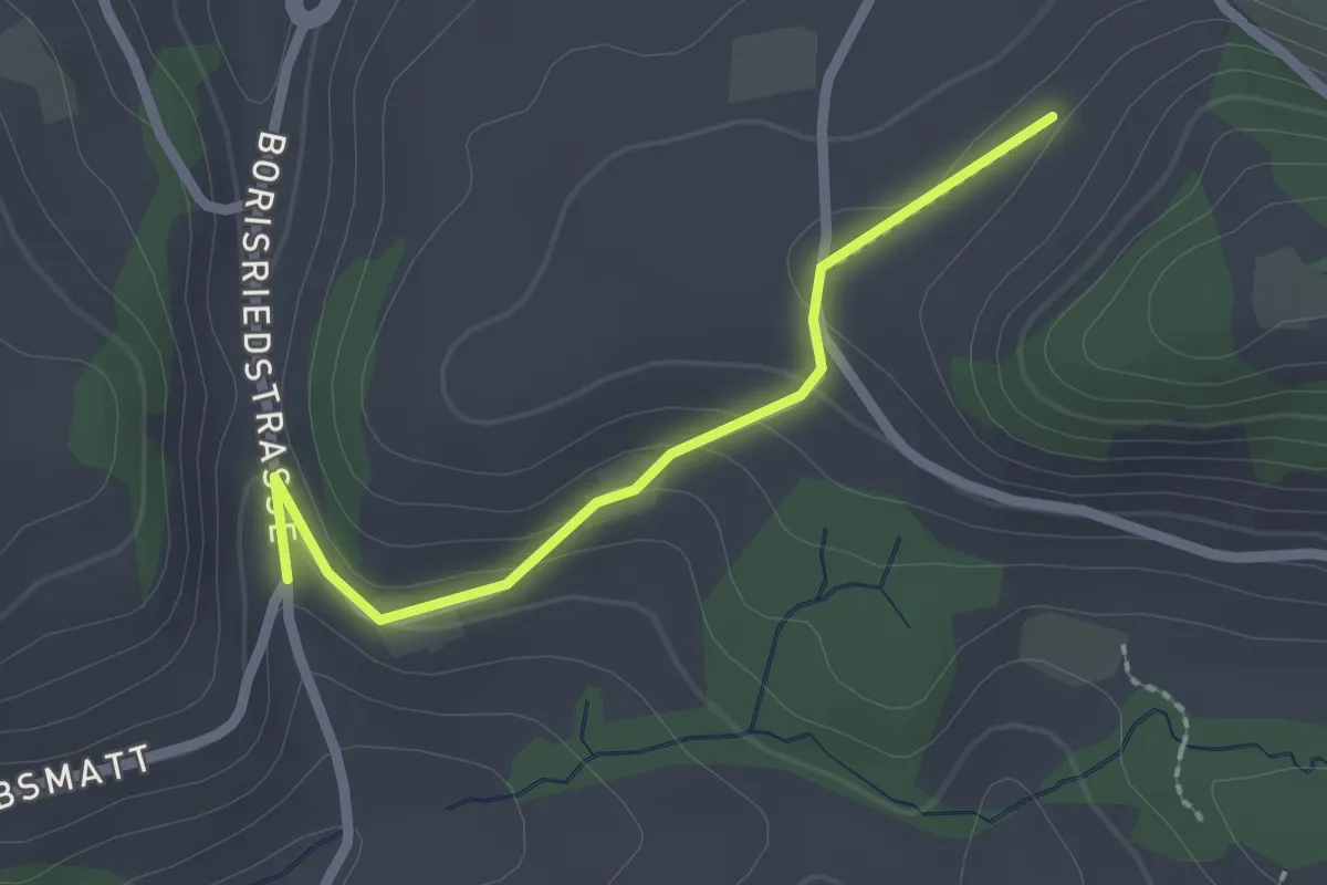
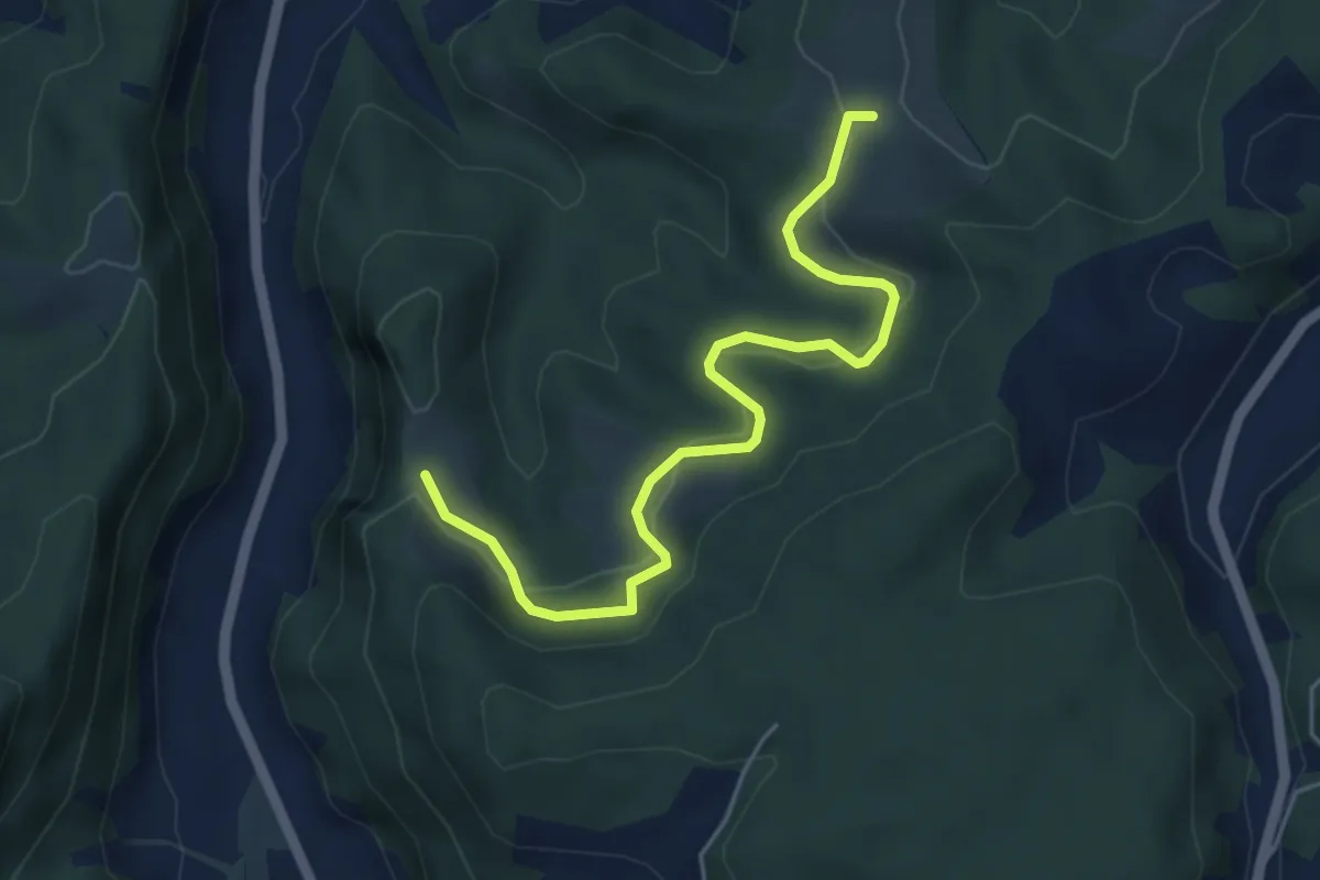
Oberbalm/Kirchweg – Schlatt
2.1 km · ↑ 73 m · 39 min · 10 km away
Easy · Trail
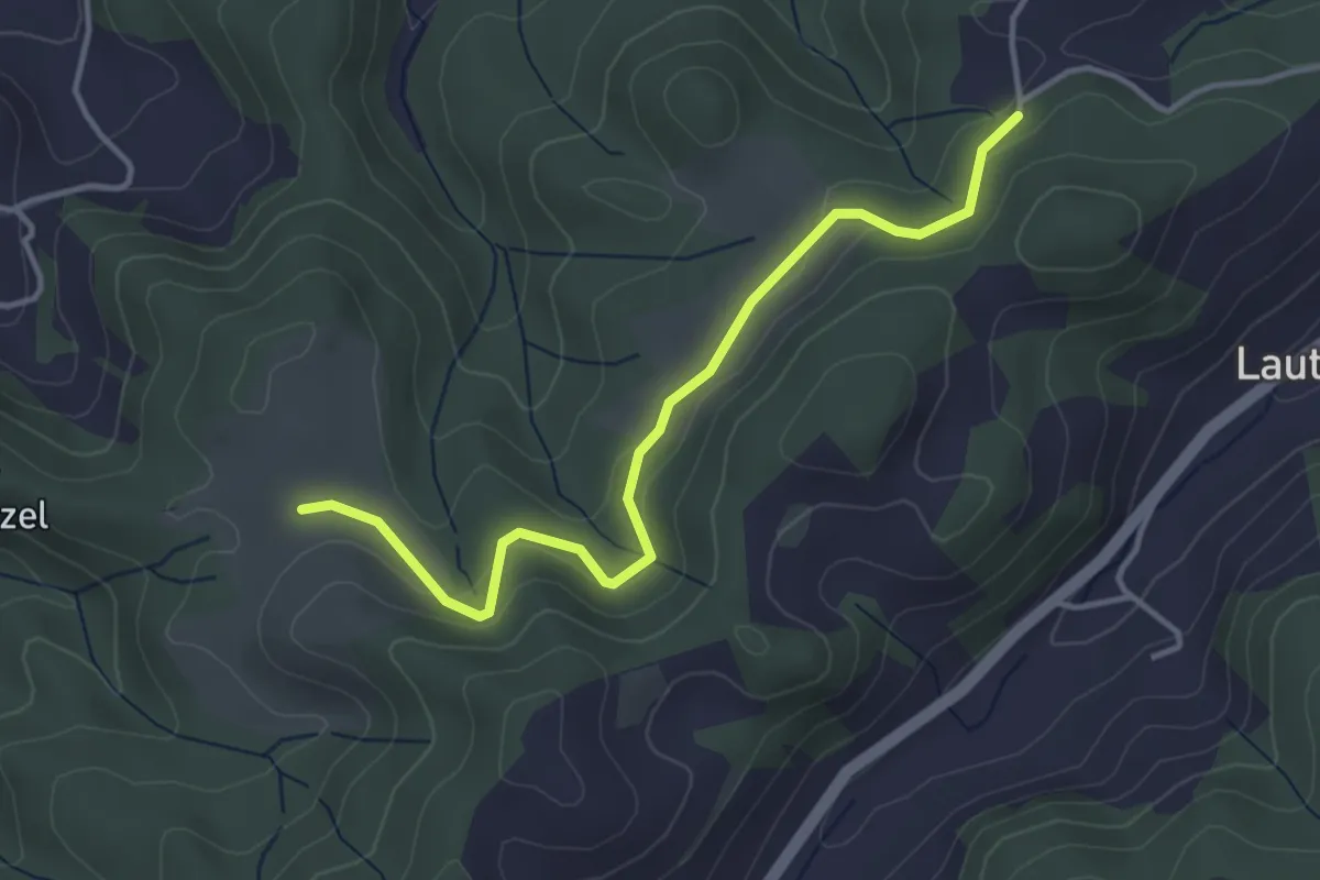
Schwändi – Vordere Geisme
5.0 km · ↑ 203 m · 1 h 38 min · 10 km away
Easy · Trail
Buechwald – Schwändi
3.8 km · ↑ 169 m · 1 h 16 min · 10 km away
Easy · Trail
Wasebode – Wannetal
3.7 km · ↑ 69 m · 1 h 1 min · 10 km away
Easy · Trail
Schönbühl SBB – Holzmatt
2.4 km · ↑ 13 m · 35 min · 10 km away
Easy · Trail
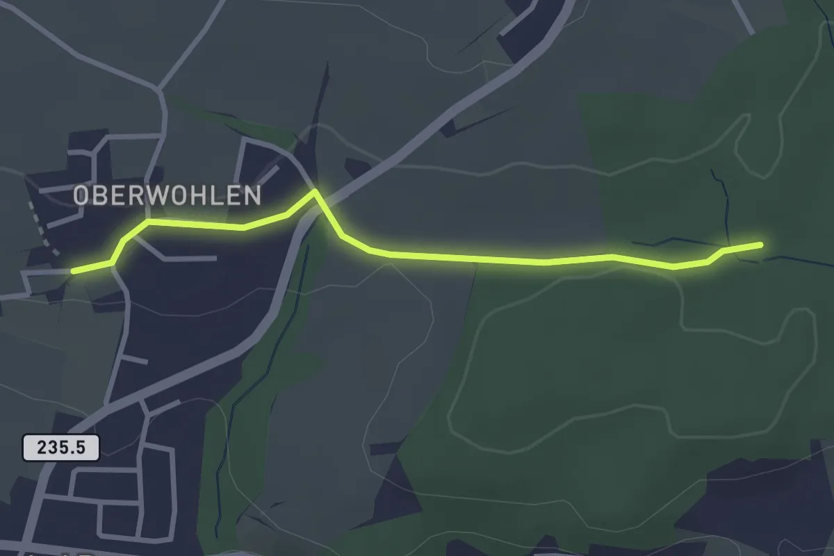
Buechholz – Oberwohlen
2.7 km · ↑ 45 m · 45 min · 10 km away
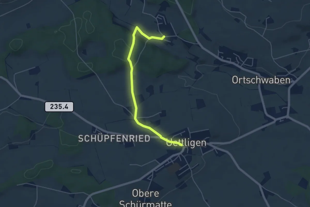
Easy · Trail
Uettligen/Linde - Weissenstein
4.6 km · ↑ 64 m · 1 h 13 min · 10 km away
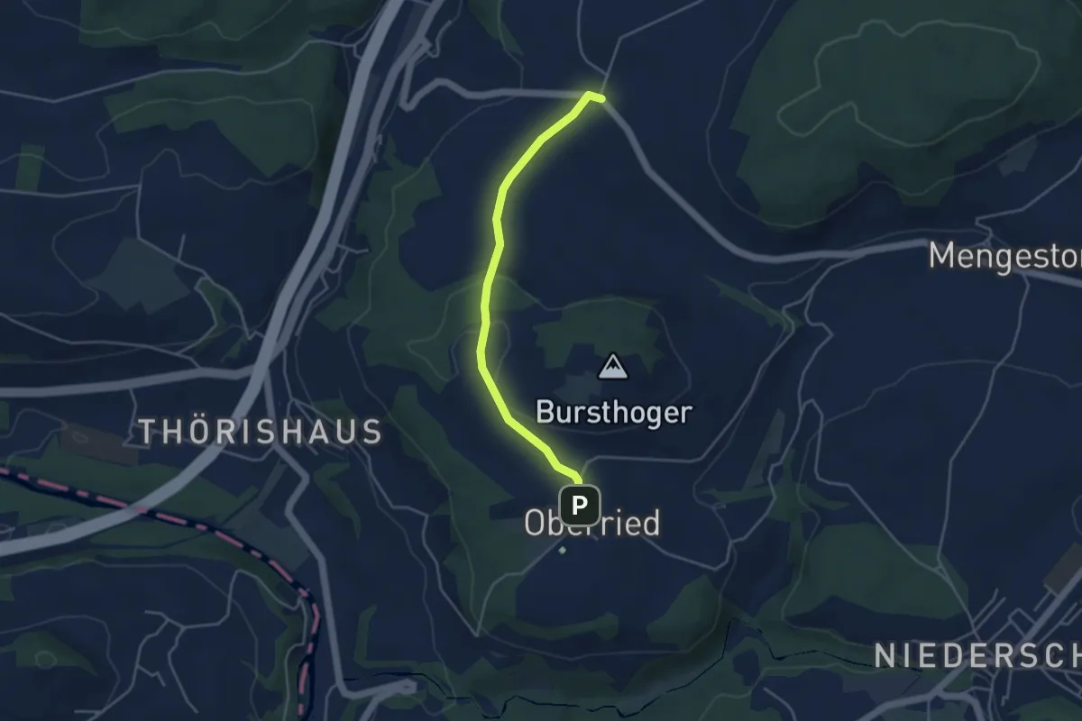
Easy · Trail
Oberried - Liebewil
3.8 km · ↑ 62 m · 1 h 2 min · 10 km away
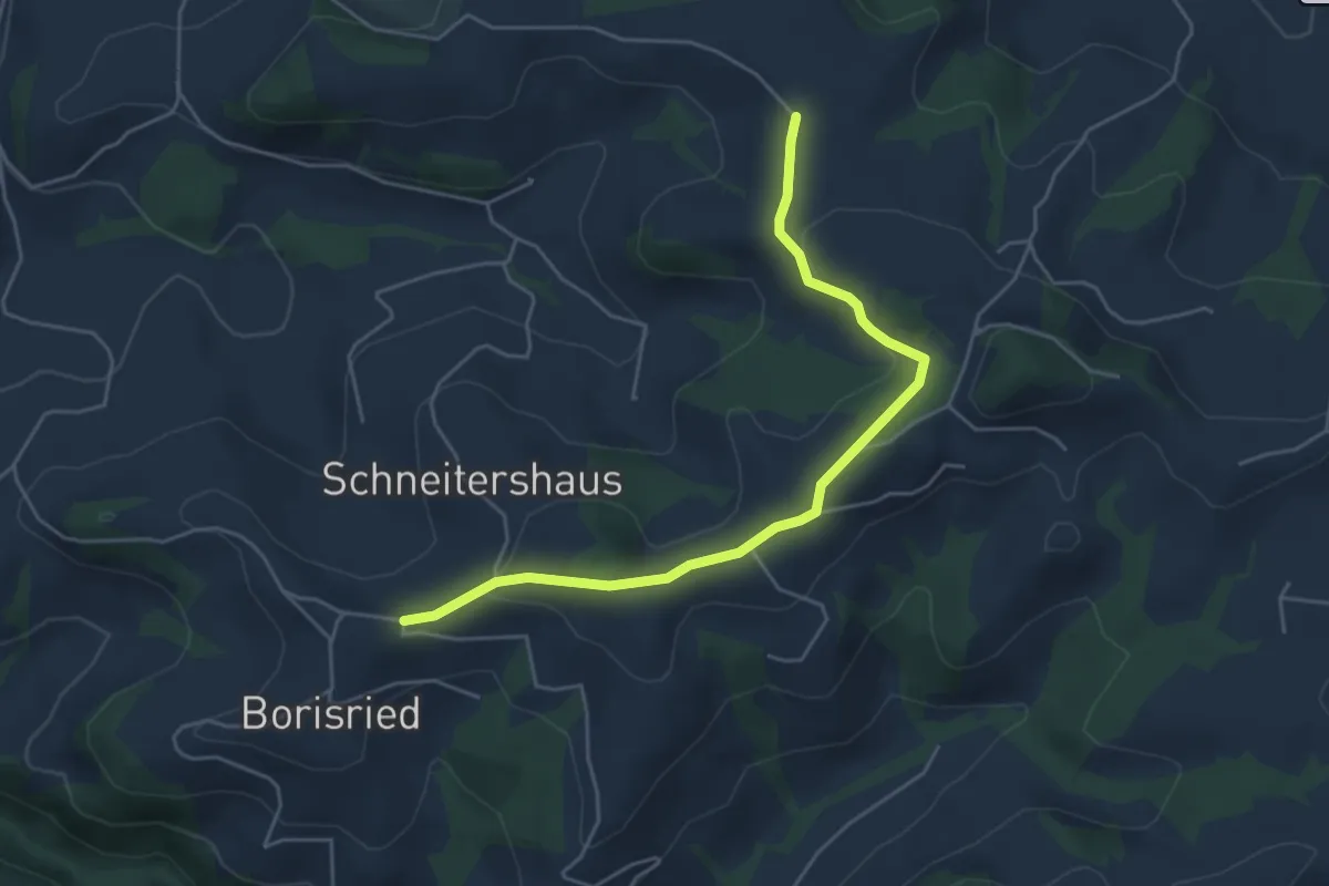
Easy · Trail
Gassershus - Borisried/Schulhaus
5.0 km · ↑ 129 m · 1 h 27 min · 10 km away
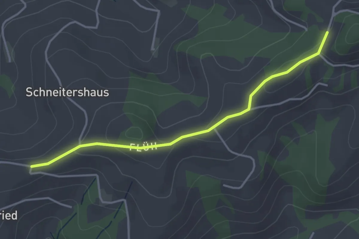
Easy · Trail
Borisried/Schulhaus - Tschuggen
3.5 km · ↑ 88 m · 1 h · 10 km away
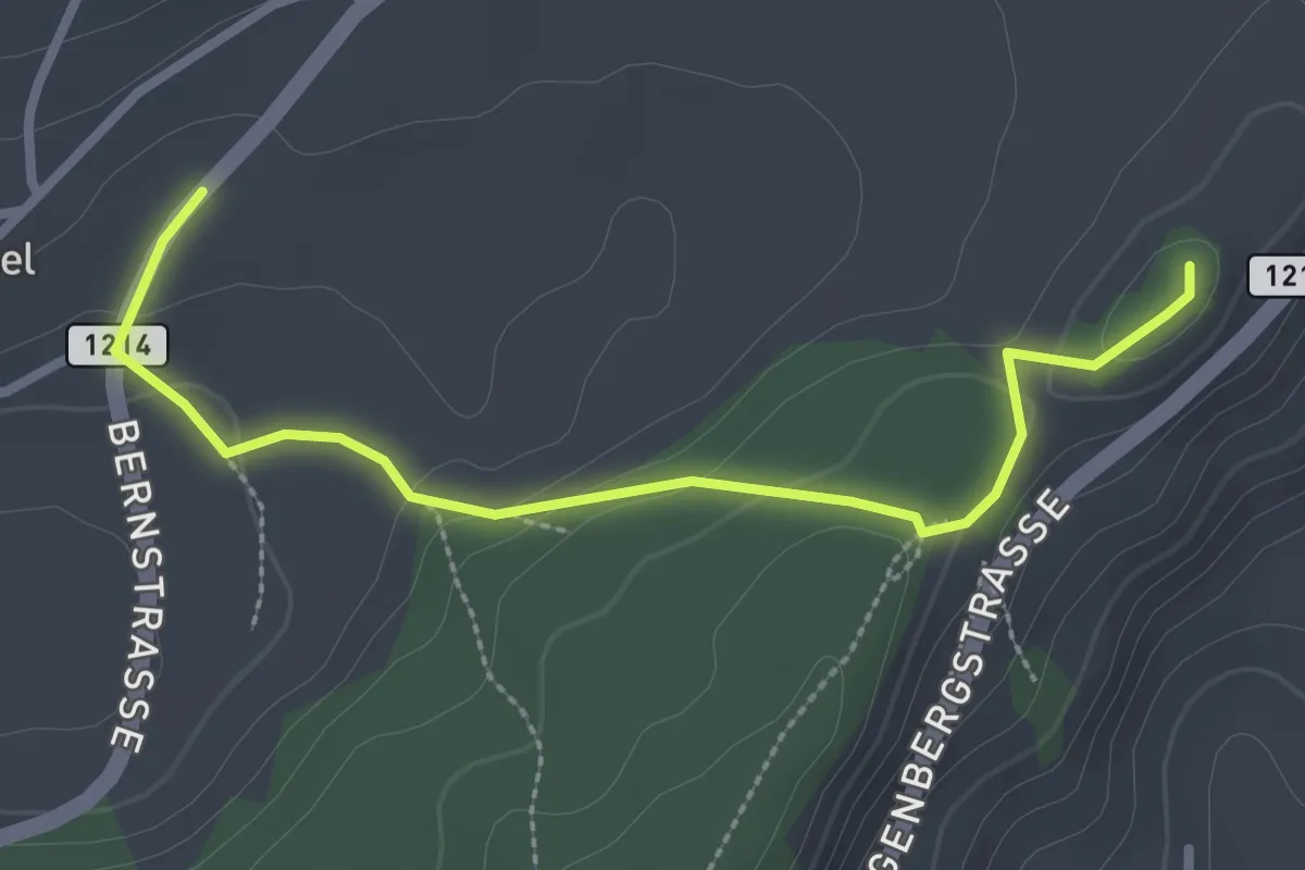
Easy · Trail
Thorberg - Schwändi
3.2 km · ↑ 218 m · 1 h 14 min · 10 km away
Easy · Summit
Oberbütschel – Tavelgedenkstätte
2.9 km · ↑ 84 m · 52 min · 10 km away
Easy · Trail
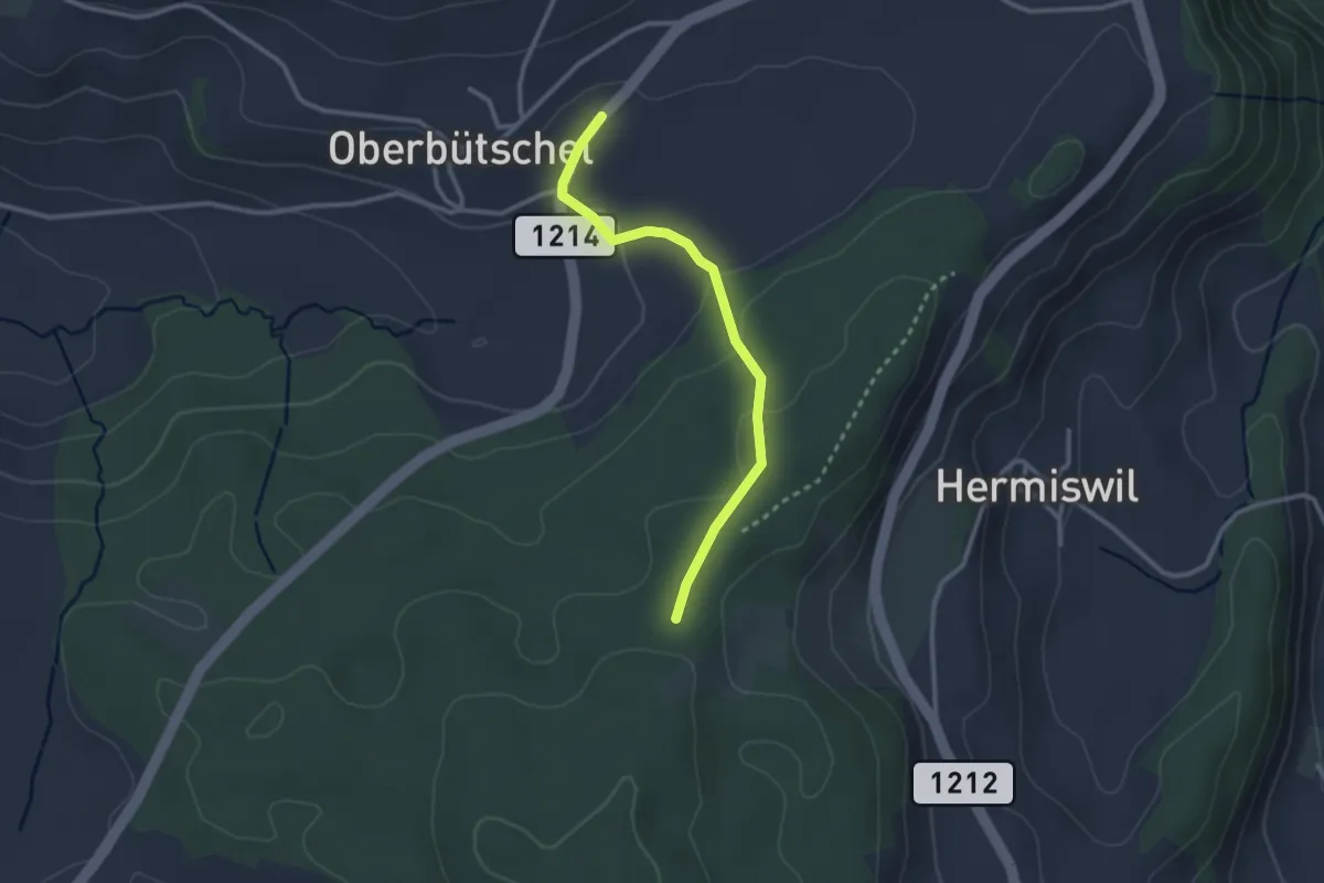
Oberbütschel – Taanwald
2.6 km · ↑ 101 m · 50 min · 10 km away
Easy · Trail
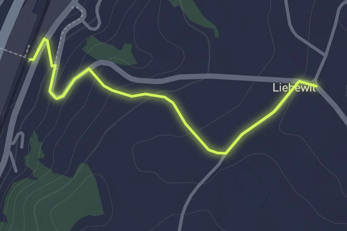
Liebewil - Thörishaus Station
2.5 km · ↑ 82 m · 46 min · 10 km away
Easy · Trail
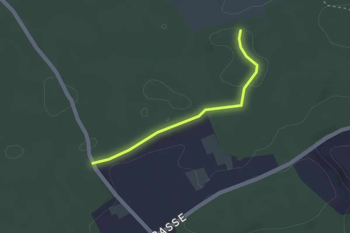
Niederwangenhubel - Ried
2.2 km · ↑ 23 m · 35 min · 10 km away
Easy · Trail
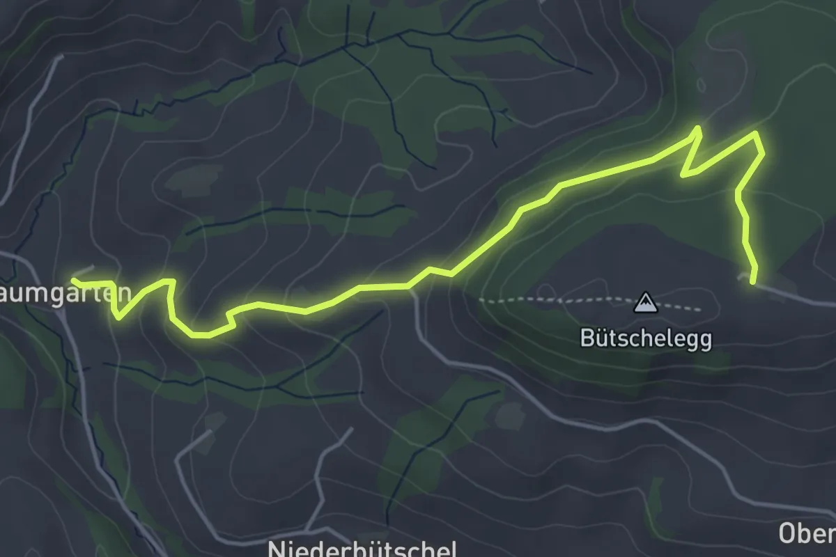
Bütschelegg – Baumgarten
5.4 km · ↑ 263 m · 1 h 50 min · 10 km away
Medium · Trail
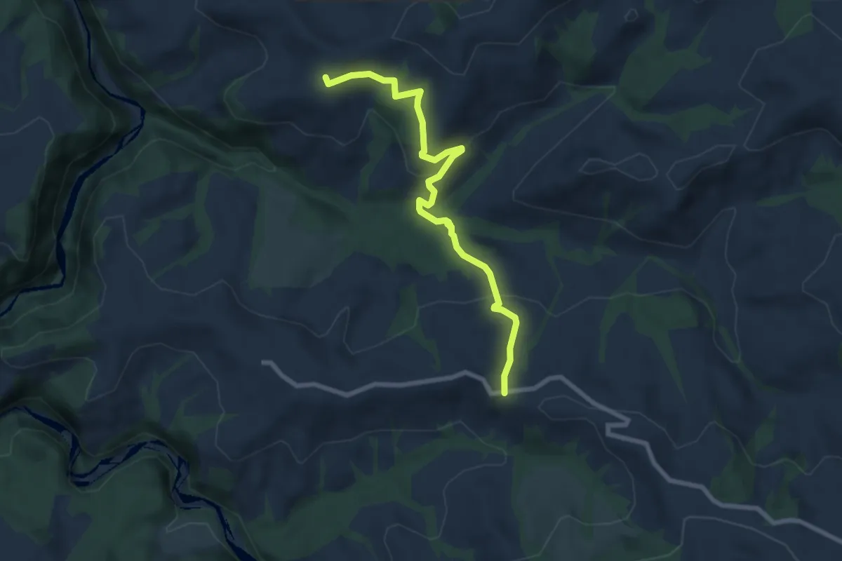
Borisried – Vorderfultigen
7.2 km · ↑ 329 m · 2 h 24 min · 10 km away
Easy · Trail
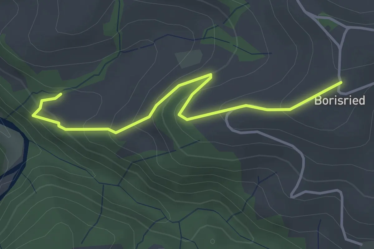
Mösli – Borisried
3.4 km · ↑ 227 m · 1 h 17 min · 10 km away
Easy · Trail
Chriegsholz – Längenberg
2.5 km · ↑ 70 m · 45 min · 10 km away